Road Information |
||
 |
||
| Total Mileage in State: | 120 miles | |
| Northern End: | At I-95, in Salisbury | |
| Southern End: | At I-195/MA 25, in Wareham | |
| Mileage covered in Photos: | 120 miles | |
| Counties covered in Photos: | Plymouth, Bristol, Norfolk, Worcester, Middlesex, Worcester, Middlesex, Worcester, Middlesex, Essex | |
| Major Junctions in Photos: | I-195, in Wareham I-95, in Foxboro I-90 (Mass Pike), in Hopkinton I-290, in Marlboro I-93, in Andover I-95, in Salisbury |
|
| Control Cities in Photos: | Wareham, Mansfield, Marlboro, Littleton, Lowell, Andover, Haverhill, Salisbury | |
Northbound
- Section 1: Interstate 195 to Milford (Exit 19)
- Section 2: Milford (Exit 19) to Chelmsford (Exit 34)
- Section 3: Chelmsford (Exit 34) to Interstate 95
Section 1: Interstate 195 to Milford (Exit 19)
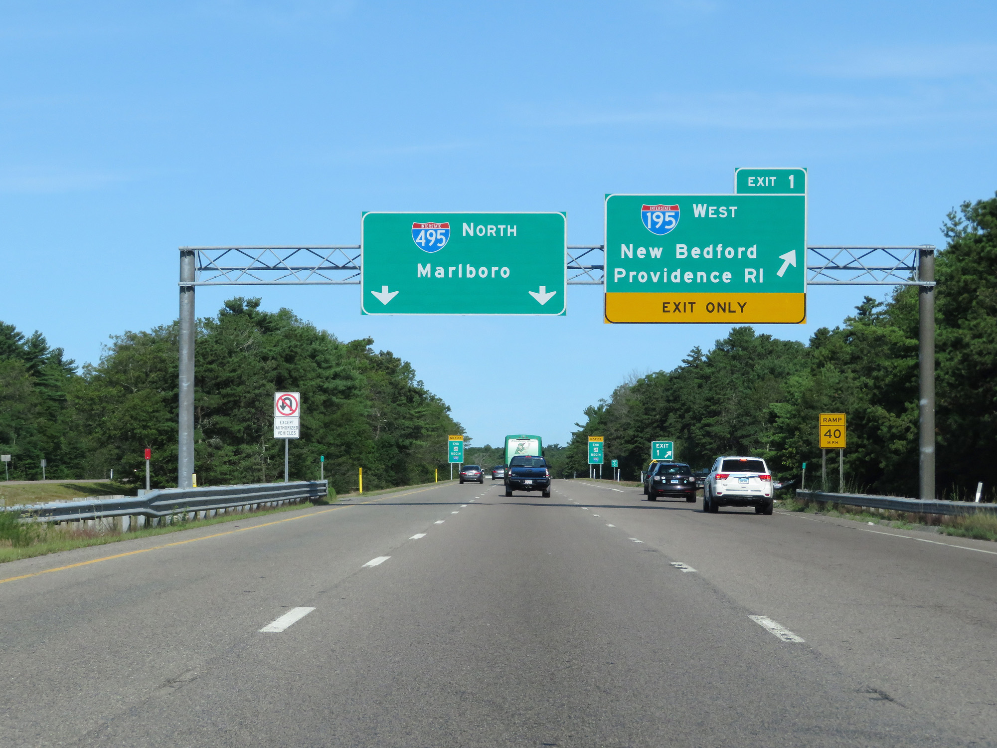 |
Interstate 495 North at Exit 1: Interstate 195 West - New Bedford / Providence, RI (Photo taken 8/6/17). |
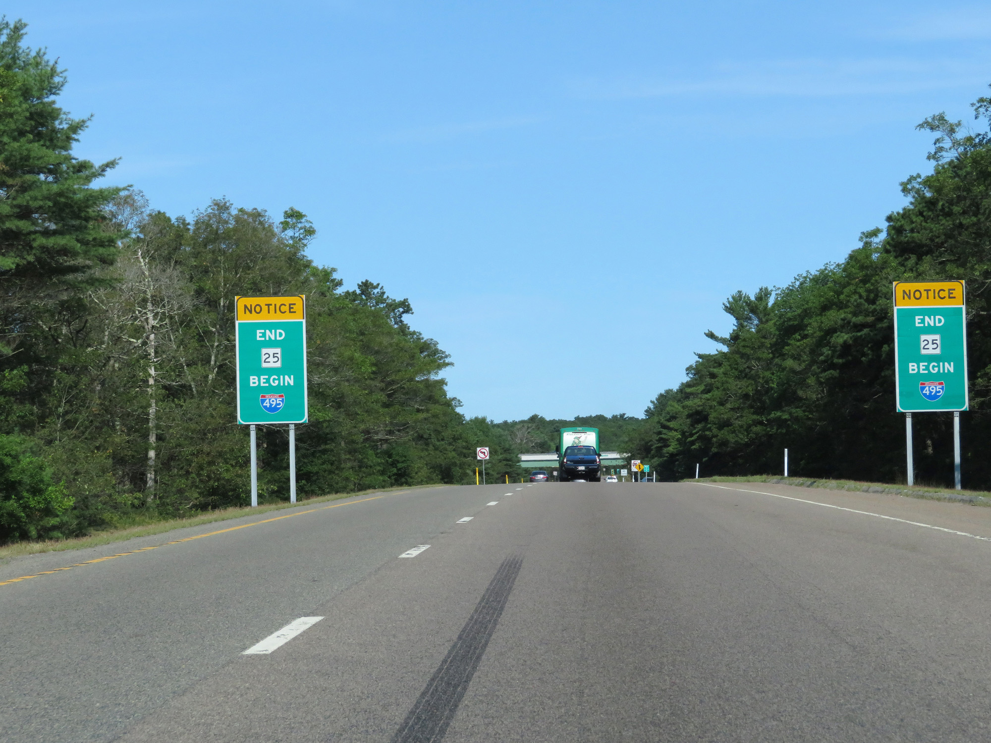 |
MA 25 seamlessly turns into Interstate 495 North here in Wareham, at I-495's southern beginning. At 120 miles in length, I-495 in Massachusetts is the second longest 3-digit Interstate highway in the system. (Photo taken 8/6/17). |
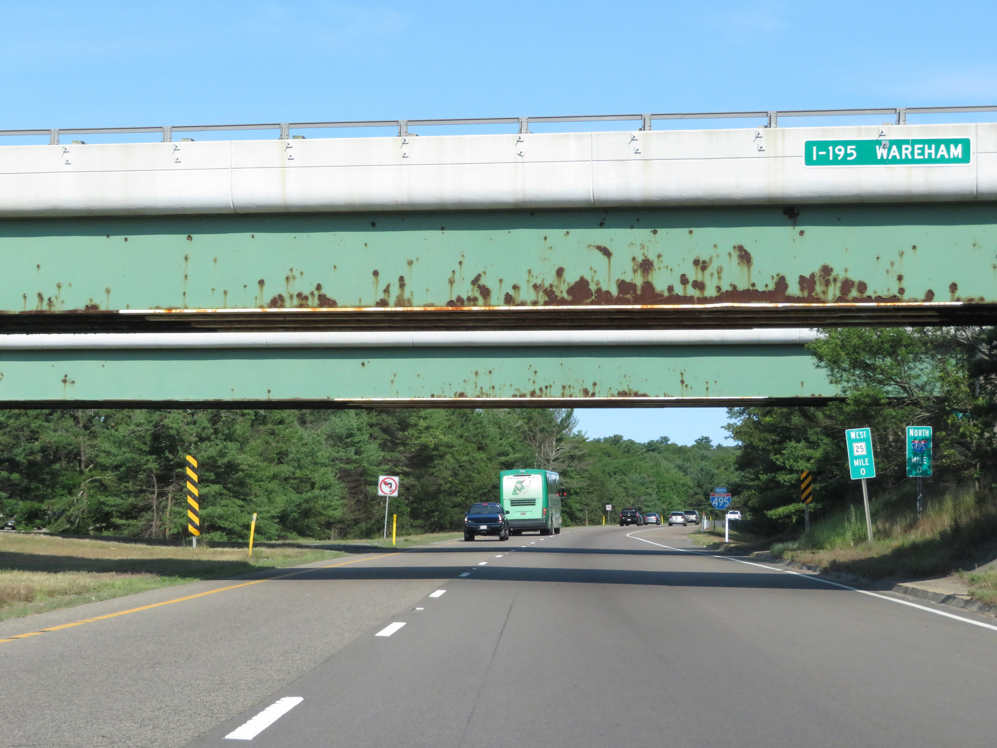 |
The official beginning of Interstate 495 North is once again noted here at mile marker 0 directly underneath Interstate 195 in Wareham. (Photo taken 8/6/17). |
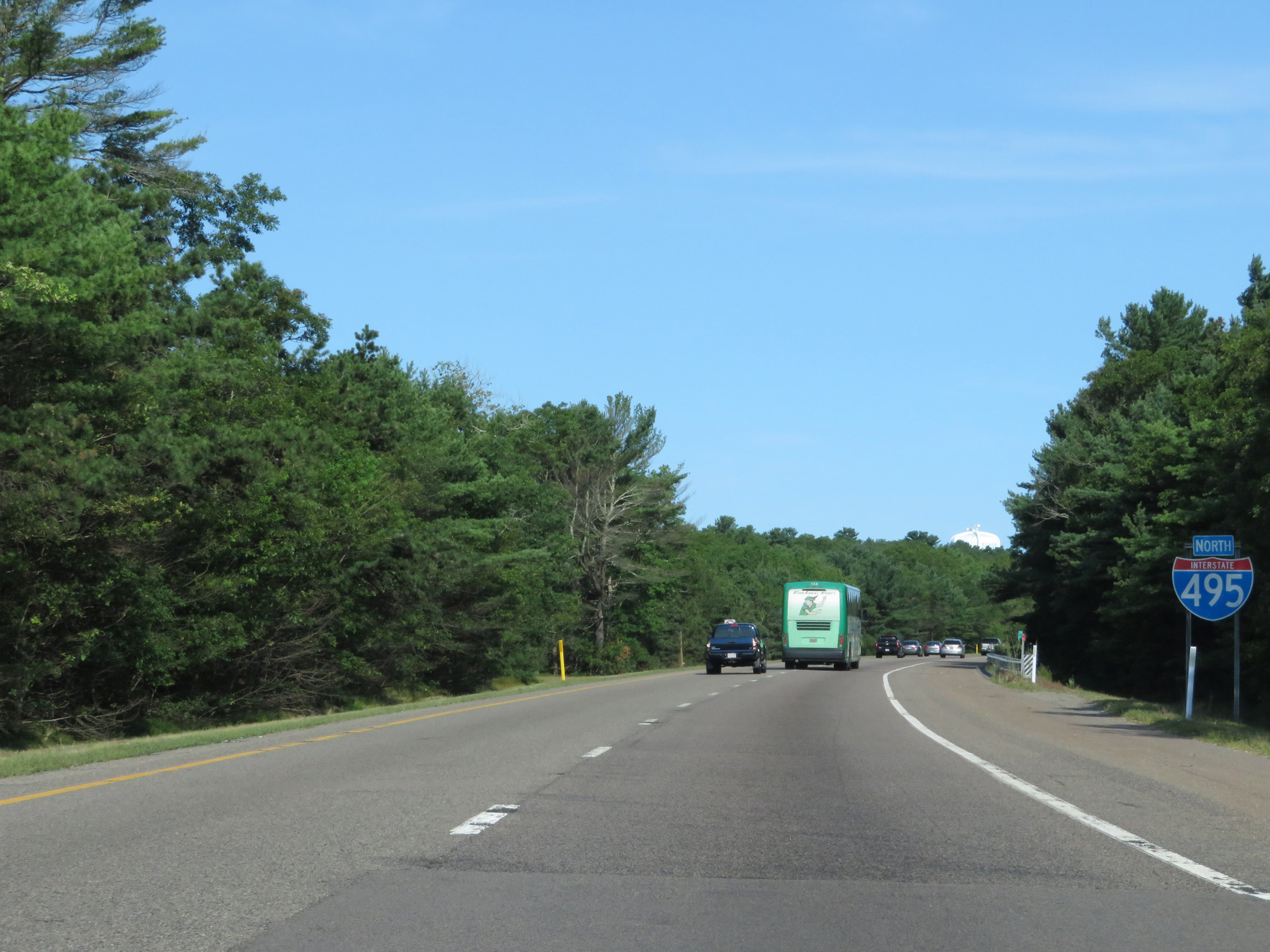 |
Interstate 495 North reassurance shield. (Photo taken 8/6/17). |
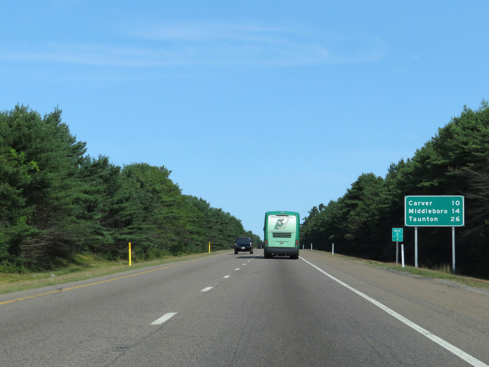 |
Mileage sign at mile marker 0.6. It's 10 miles to Carver, 14 miles to Middleboro, and 26 miles to Taunton. (Photo taken 8/6/17). |
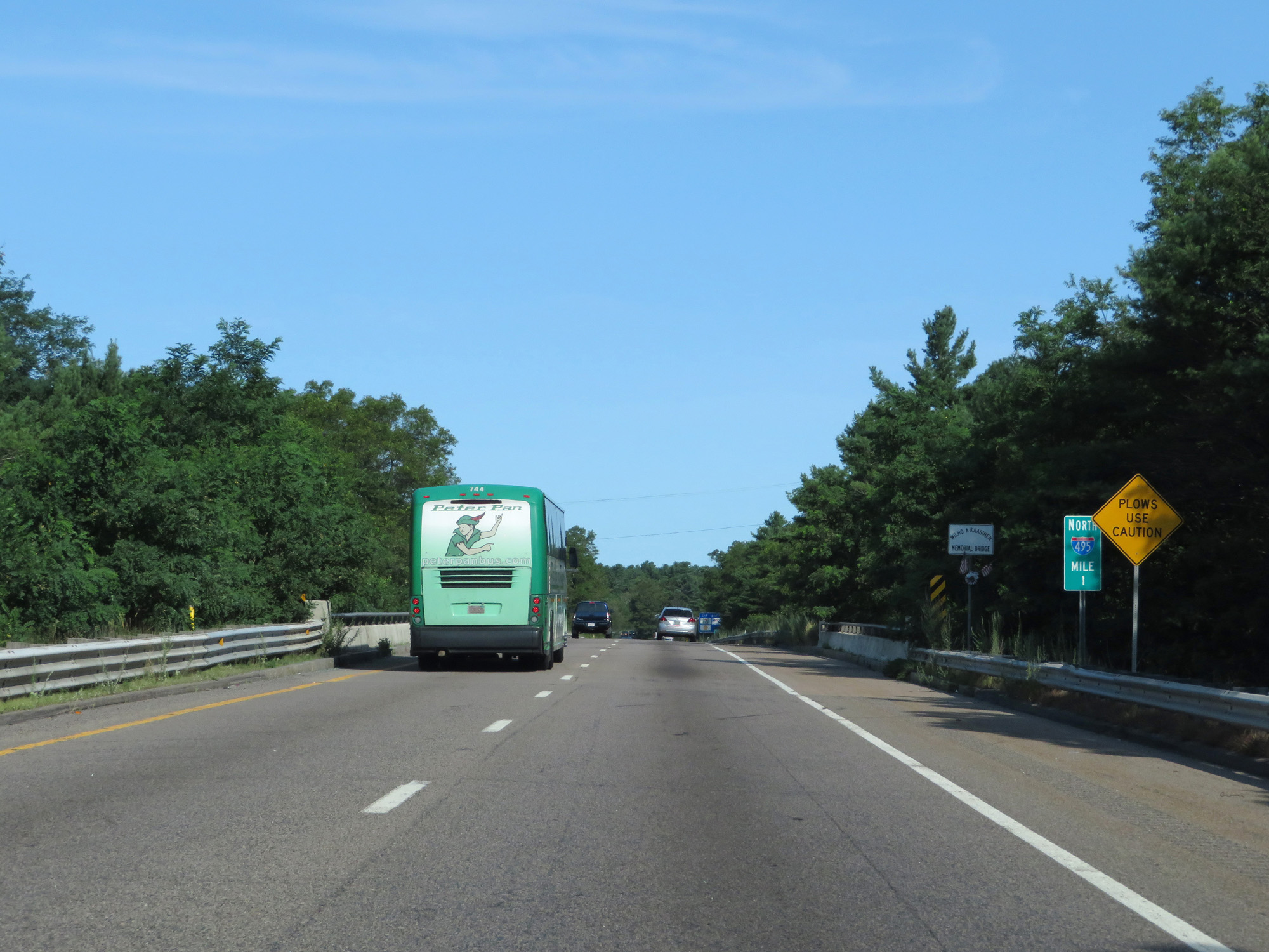 |
Interstate 495 North at mile marker 1. (Photo taken 8/6/17). |
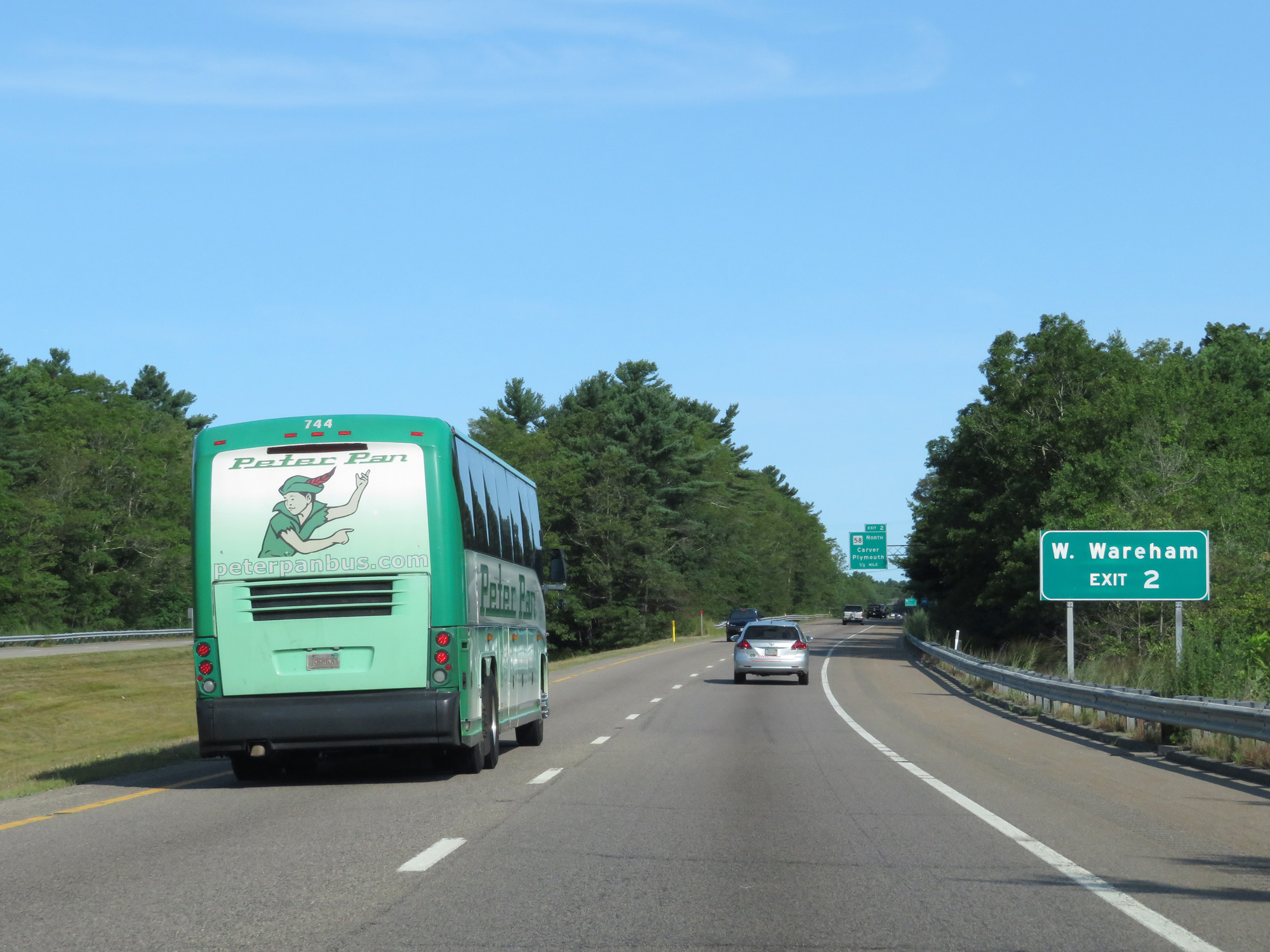 |
Take Exit 2 to West Wareham. (Photo taken 8/6/17). |
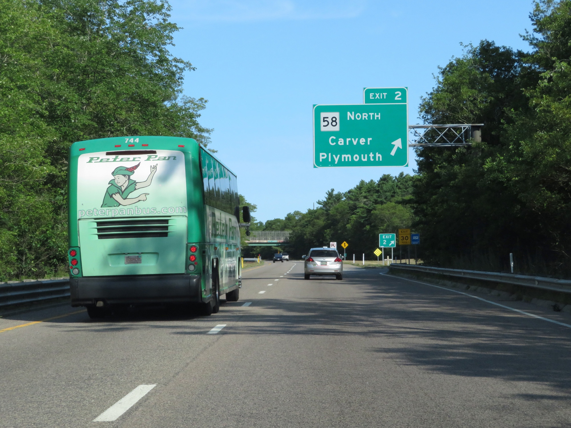 |
Interstate 495 North at Exit 2: MA 58 North - Carver / Plymouth (Photo taken 8/6/17). |
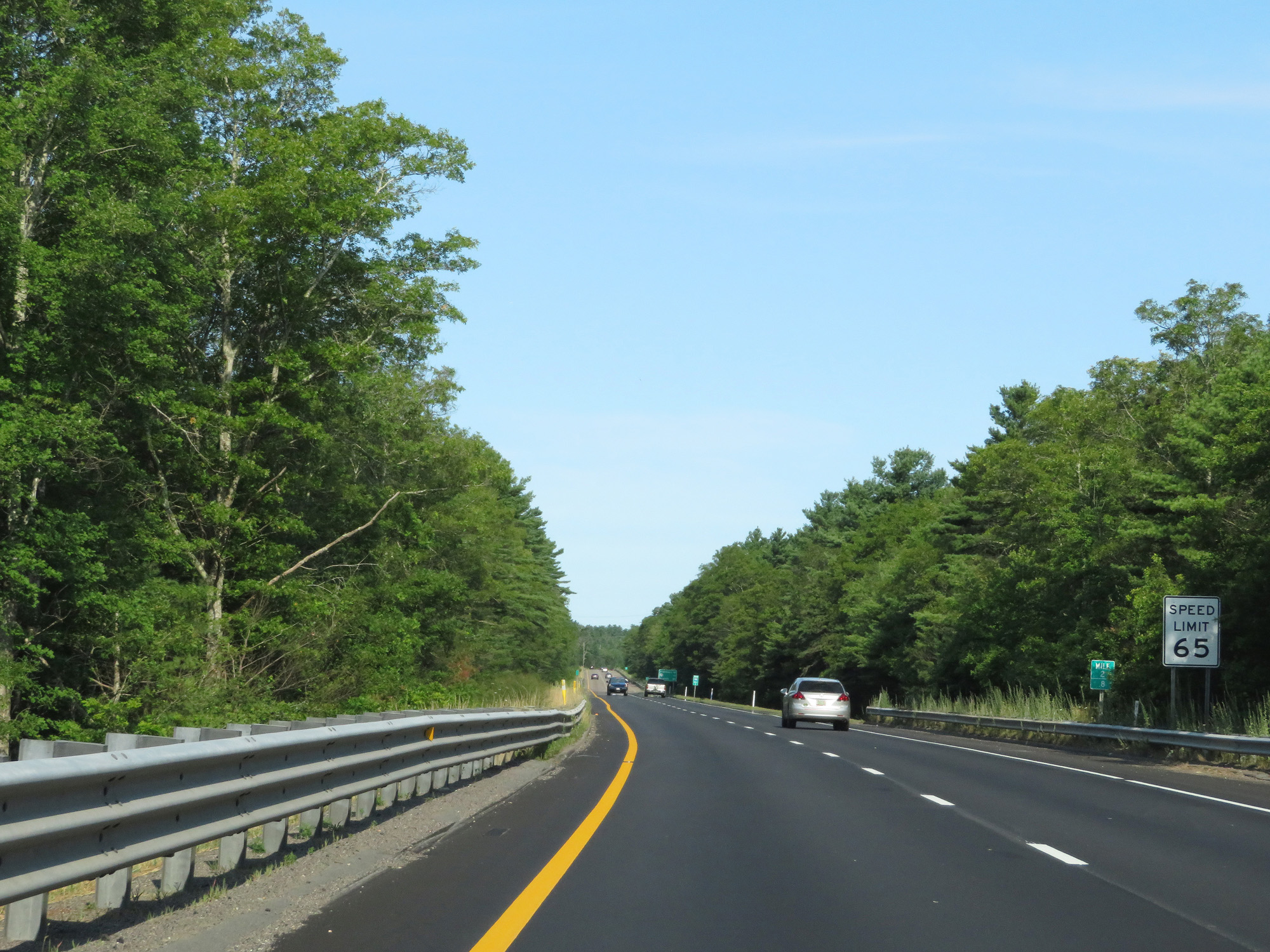 |
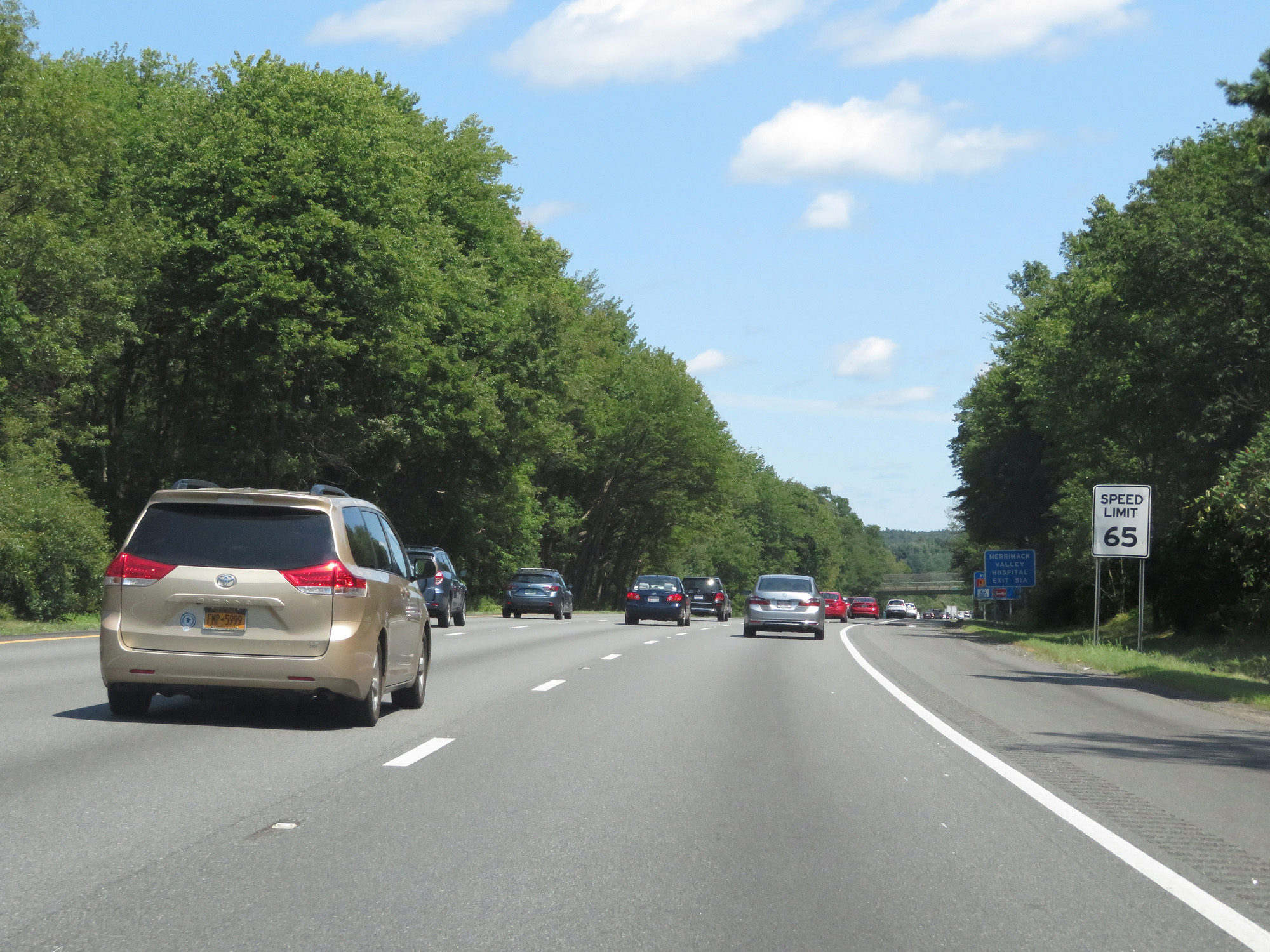
The speed limit on Interstate 495 North starts out at 65 mph. This is the standard speed limit on most rural Interstate highways in Massachusetts. (Photo taken 8/6/17). |
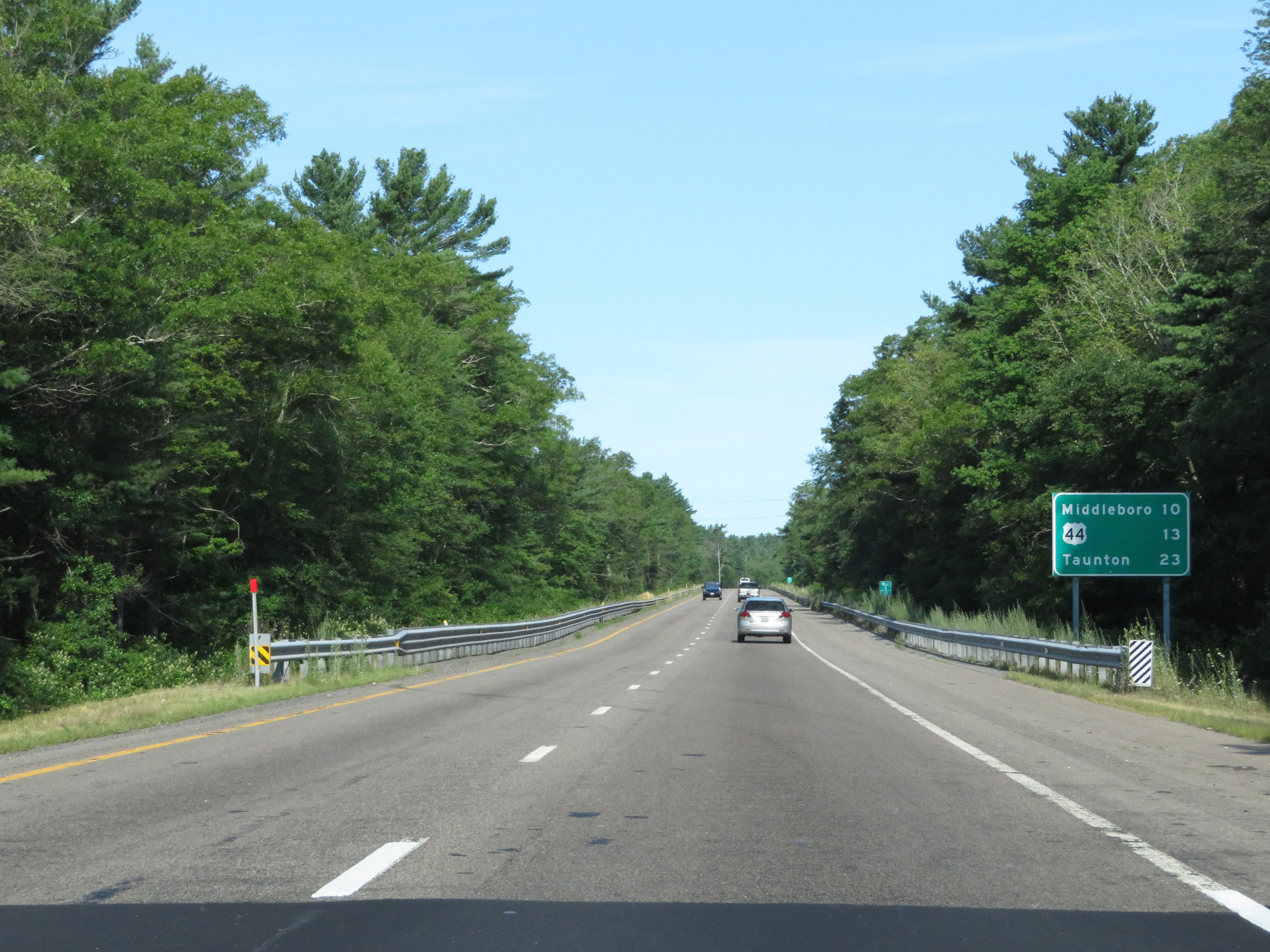 |
Another mileage sign on Interstate 495 North. It's 10 miles to Middleboro, 13 miles to the junction of US 44, and 23 miles to Taunton. (Photo taken 8/6/17). |
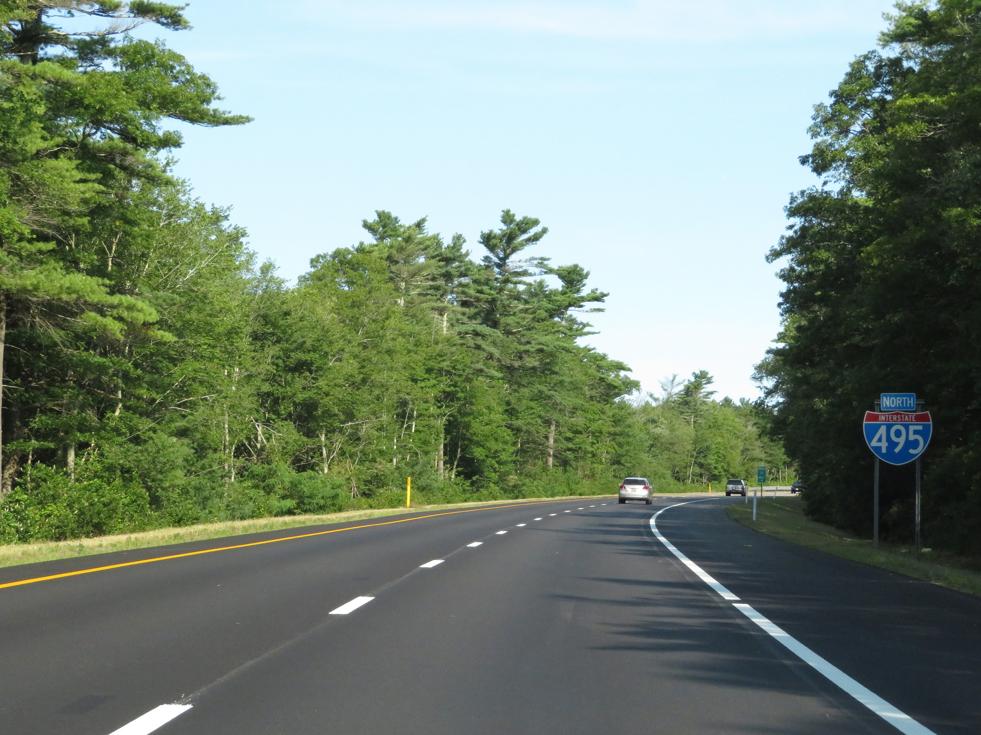 |
Another Interstate 495 North reassurance shield. (Photo taken 8/6/17). |
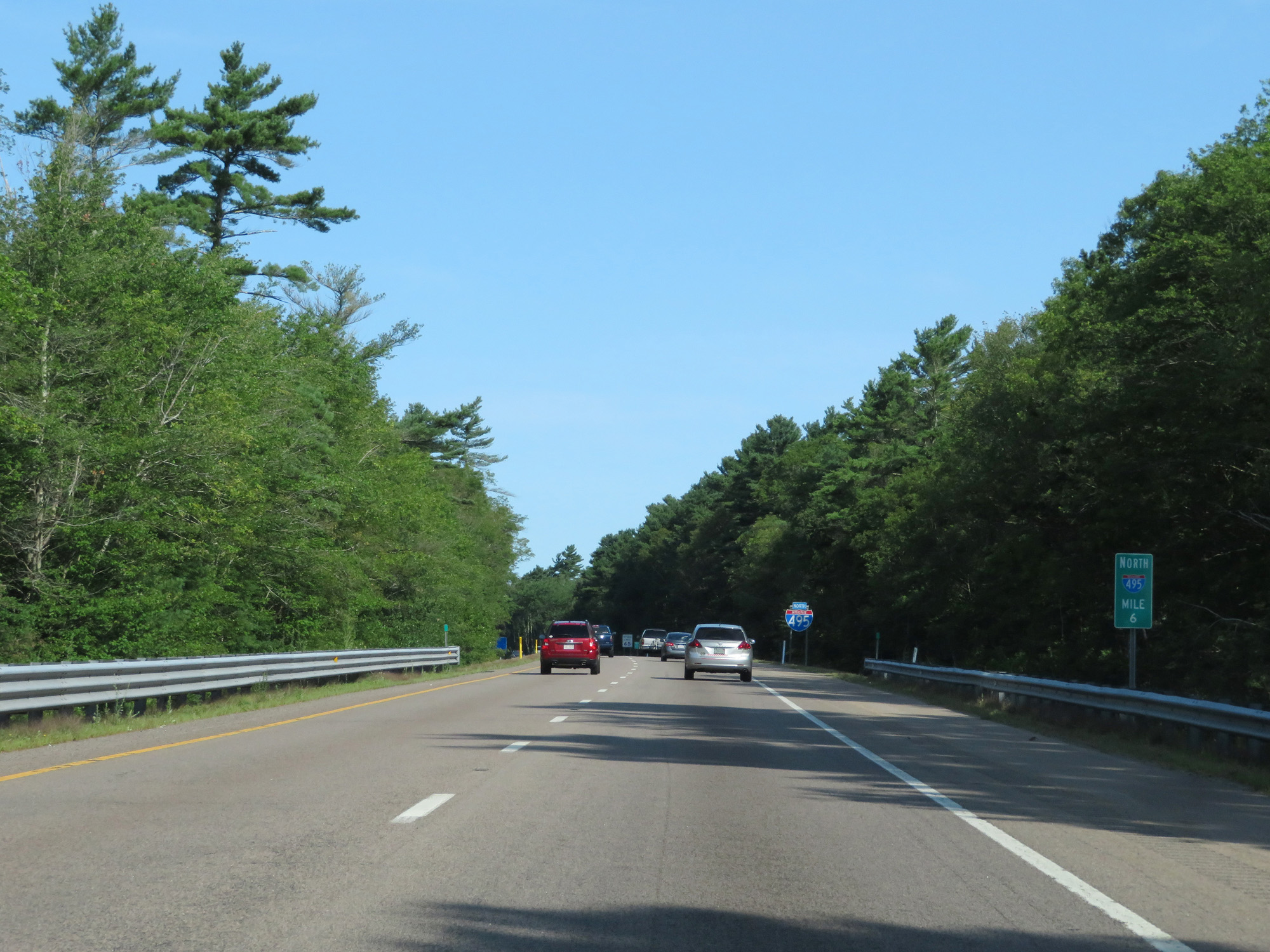 |
Interstate 495 North at mile marker 6. (Photo taken 8/6/17). |
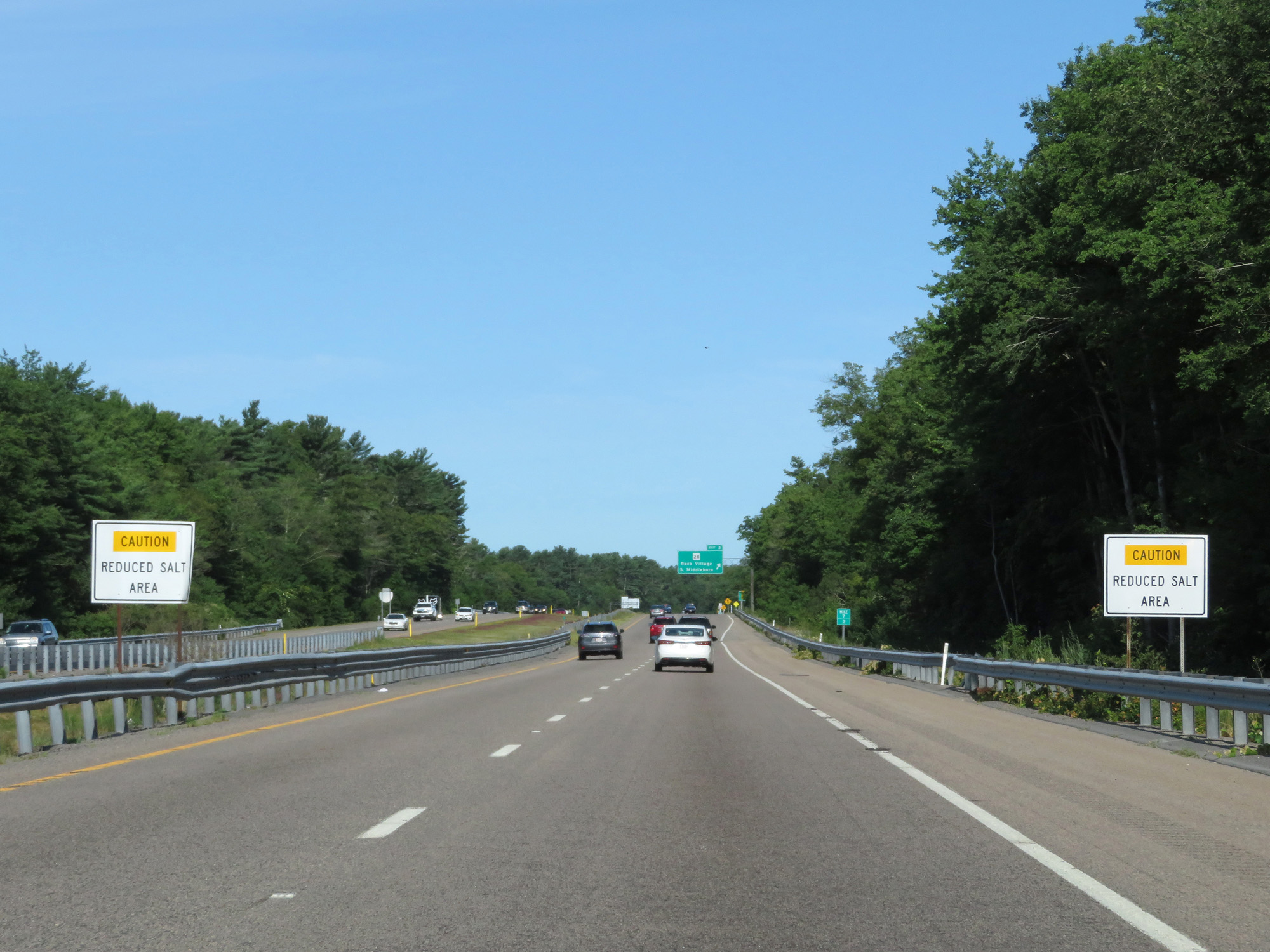 |
These signs warn that the area ahead gets reduced salt treatment in the winter. (Photo taken 8/6/17). |
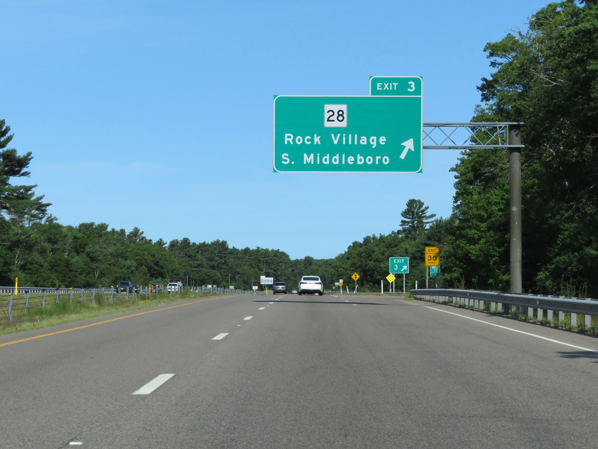 |
Interstate 495 North at Exit 3: MA 28 - Rock Village / South Middleboro (Photo taken 8/6/17). |
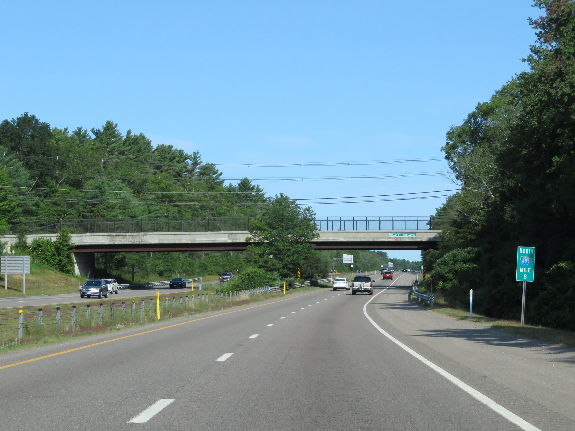 |
Interstate 495 North at mile marker 8. (Photo taken 8/6/17). |
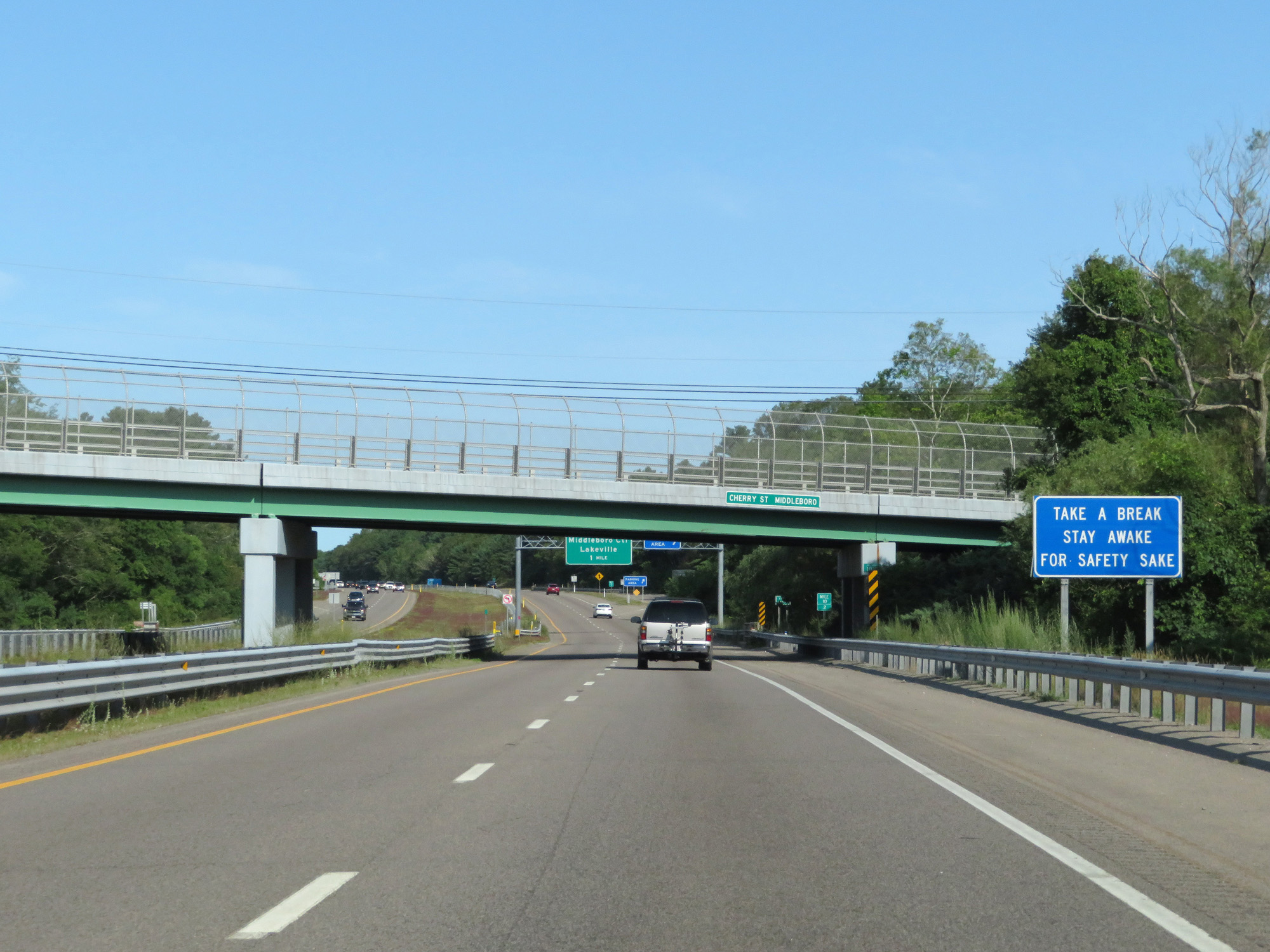 |
These signs, which attempt to be clever, are oftentimes seen on Massachusetts Interstate highways approaching Rest Areas. (Photo taken 8/6/17). |
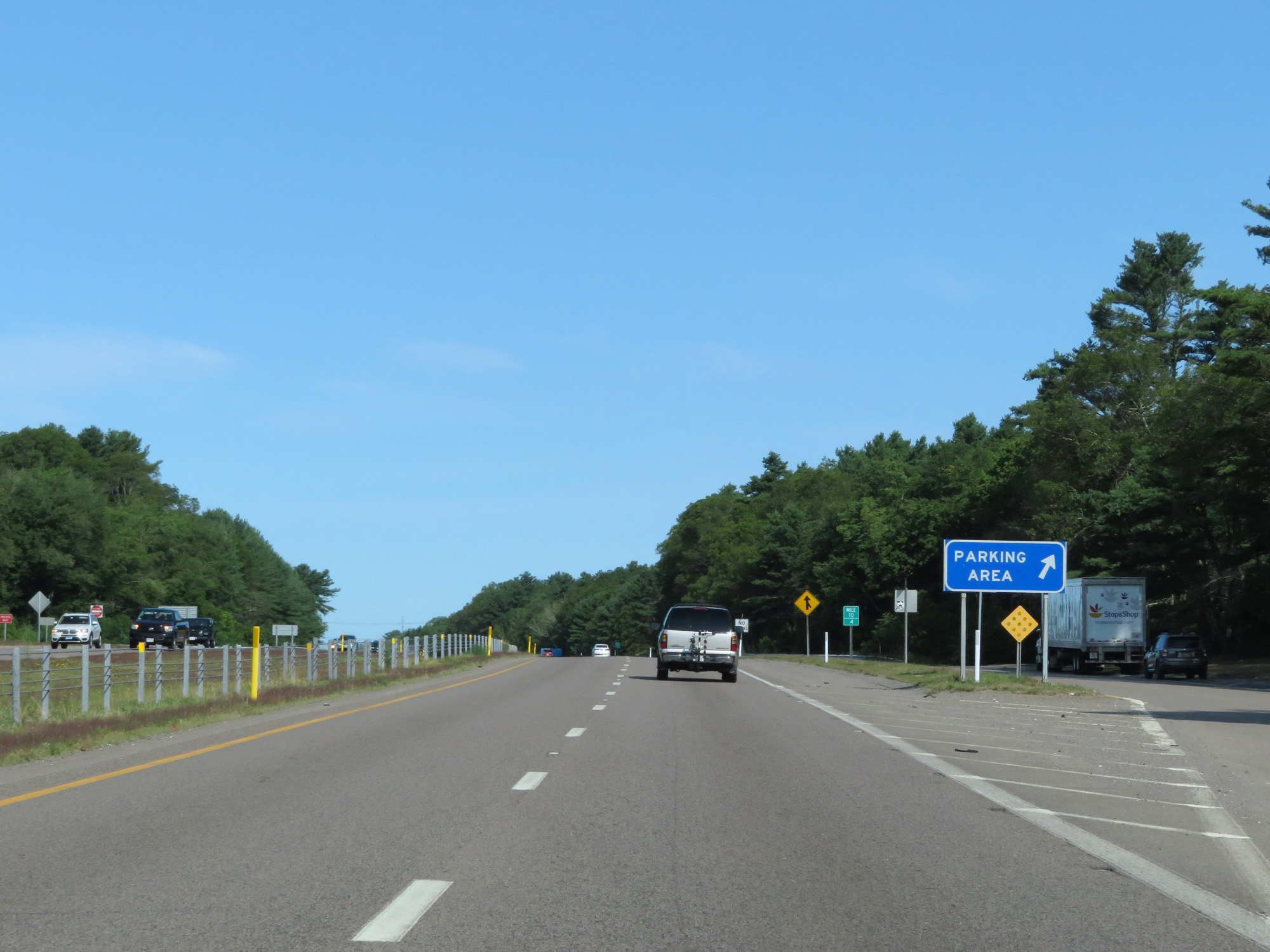 |
Interstate 495 North at the Parking Area in Plymouth County at mile marker 13.4. (Photo taken 8/6/17). |
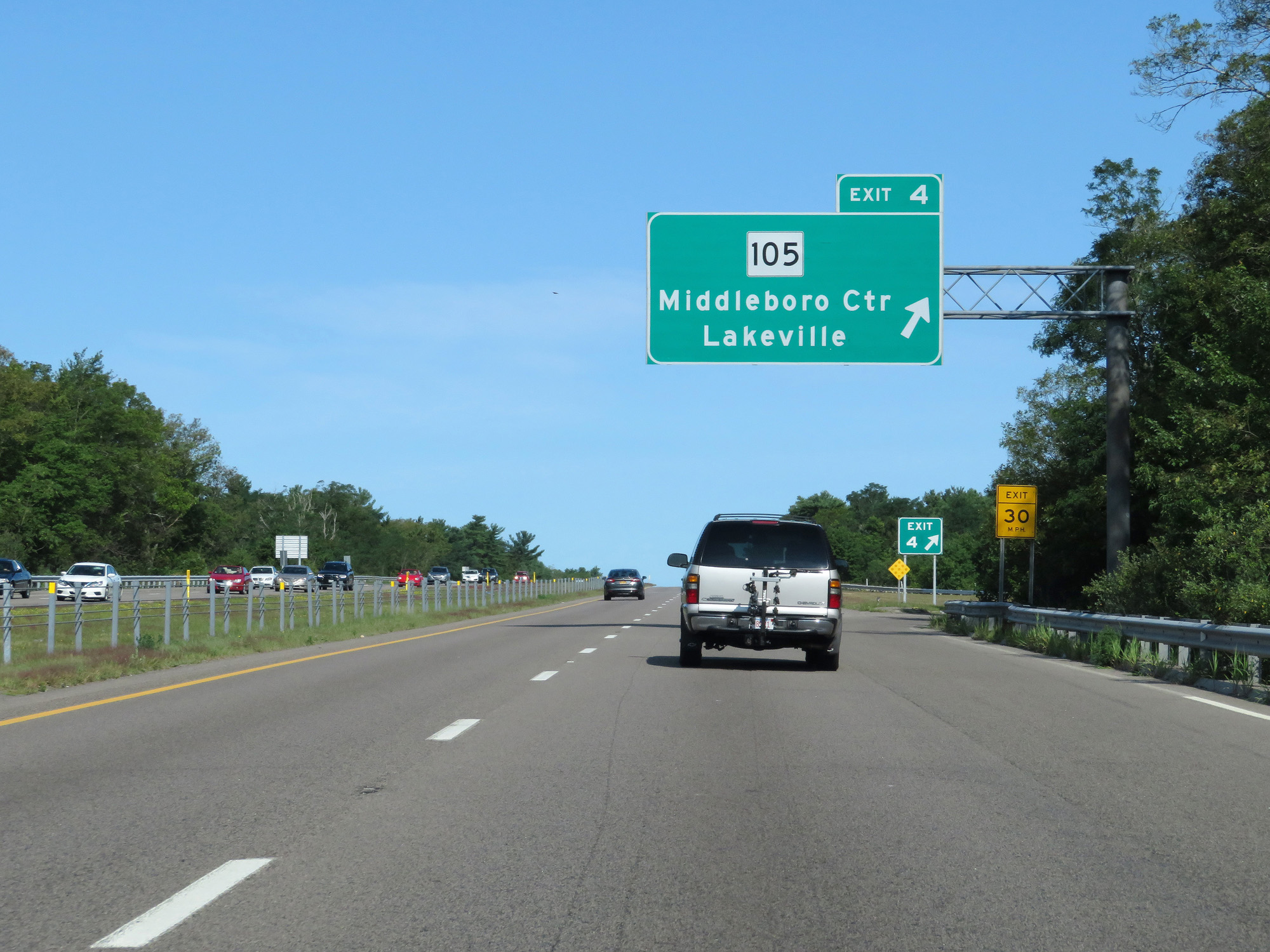 |
Interstate 495 North at Exit 4: MA 105 - Middleboro Center / Lakeville (Photo taken 8/6/17). |
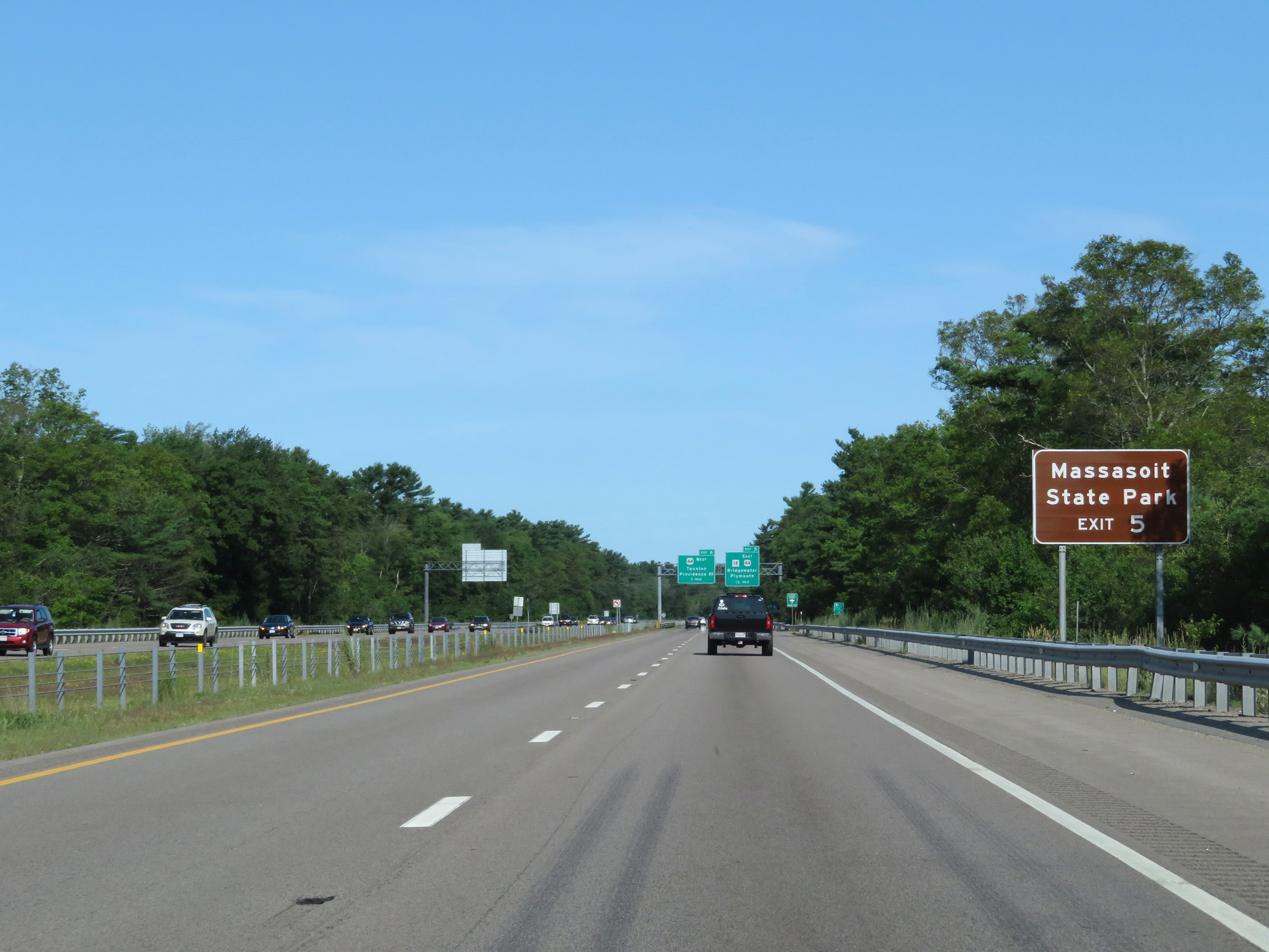 |
Take Exit 5 to Massasoit State Park. (Photo taken 8/6/17). |
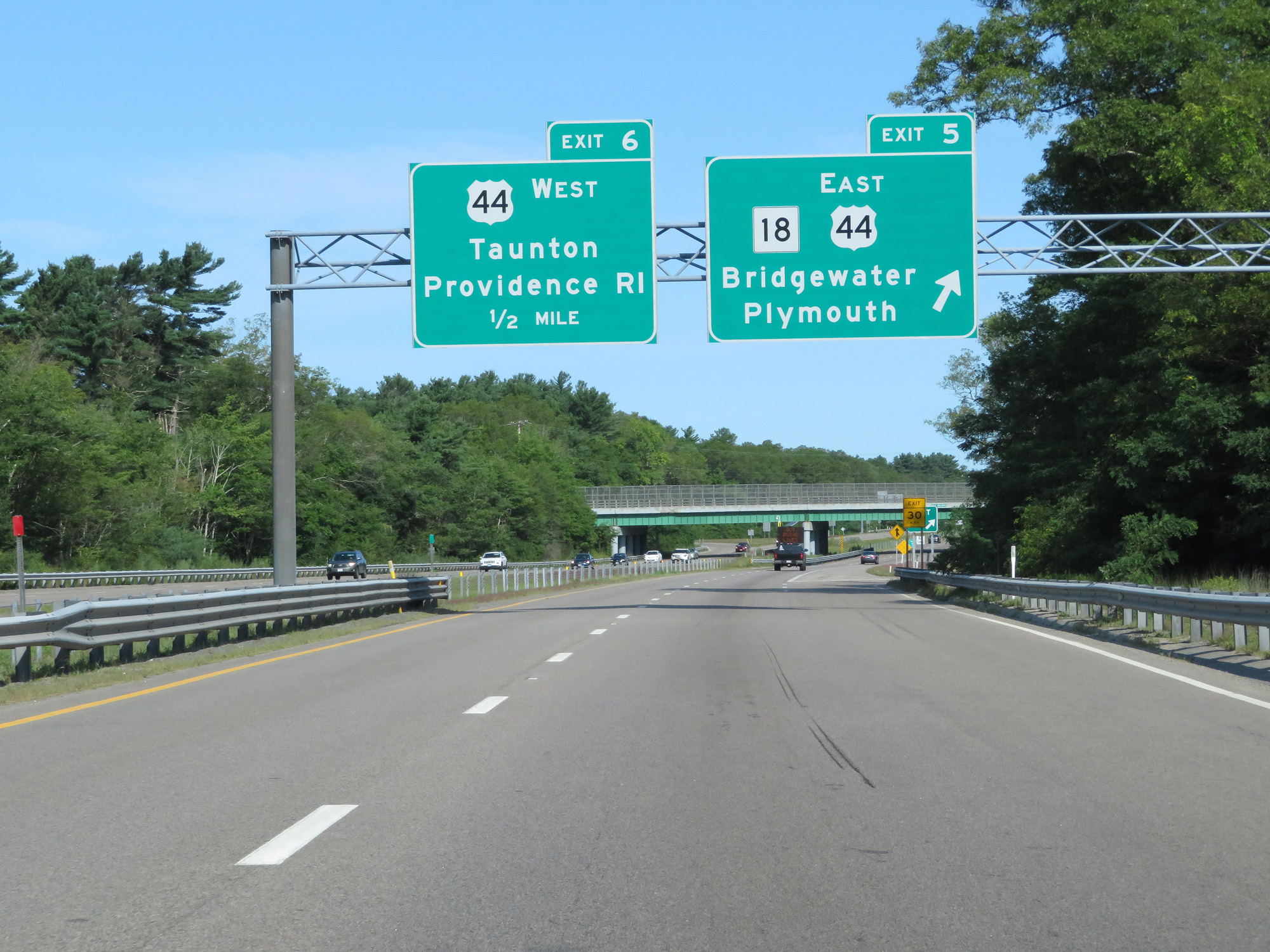 |
Interstate 495 North at Exit 5: MA 18 / US 44 East - Bridgewater / Plymouth (Photo taken 8/6/17). |
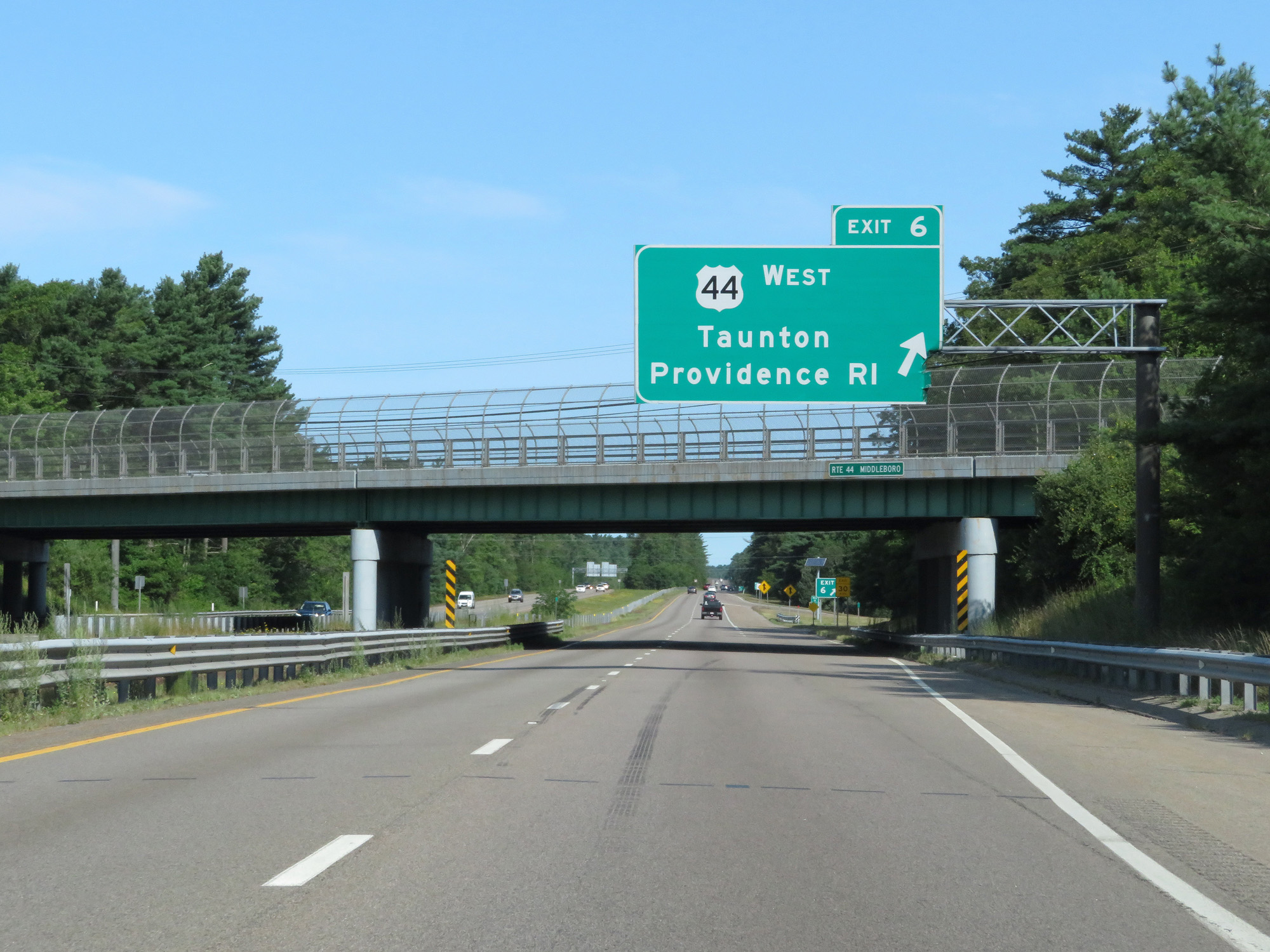 |
Interstate 495 North at Exit 6: US 44 West - Taunton / Providence, RI (Photo taken 8/6/17). |
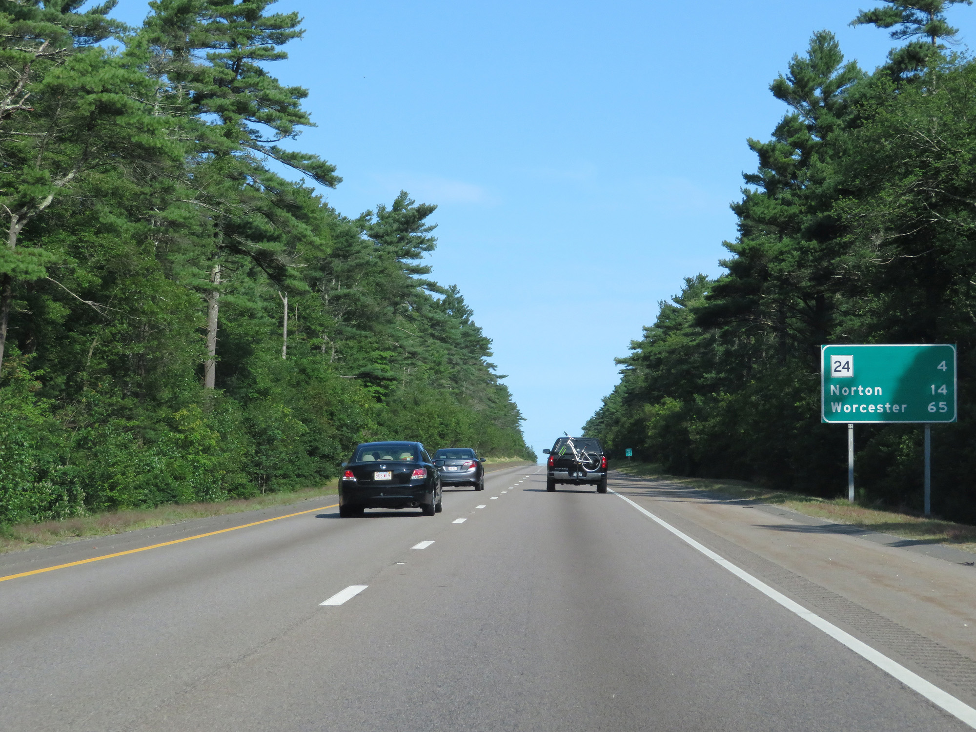 |
Mileage sign on Interstate 495 North. It's 4 miles to the junction of MA 24, 14 miles to Norton, and 65 miles to Worcester. (Photo taken 8/6/17). |
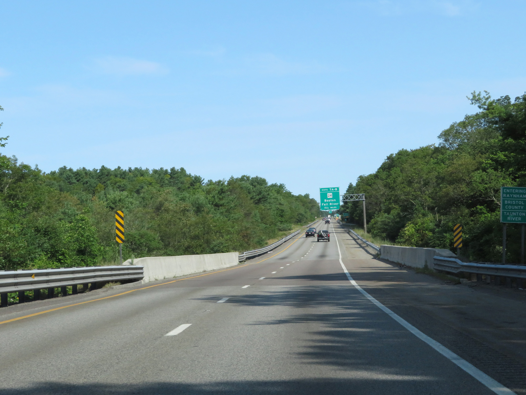 |
Interstate 495 North as it crosses the Taunton River into Bristol County. (Photo taken 8/6/17). |
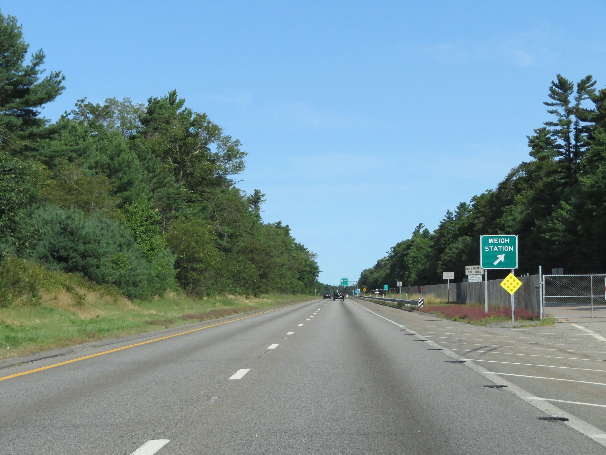 |
Weigh Station on Interstate 495 North in Bristol County. (Photo taken 8/6/17). |
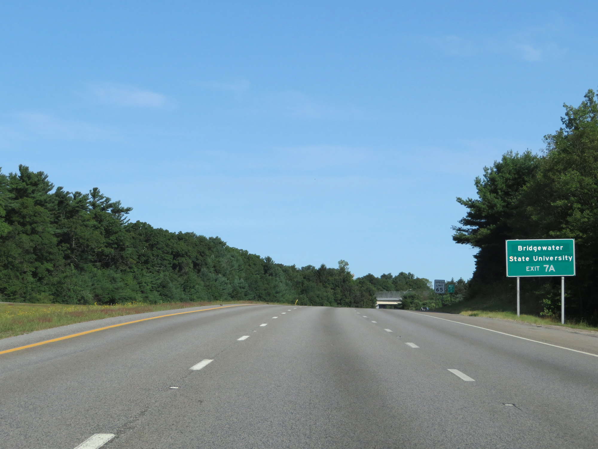 |
Take Exit 7A to Bridgewater State University. (Photo taken 8/6/17). |
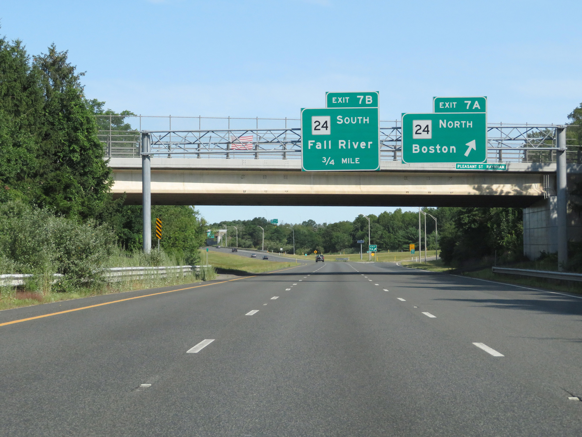 |
Interstate 495 North at Exit 7A: MA 24 North - Boston (Photo taken 8/6/17). |
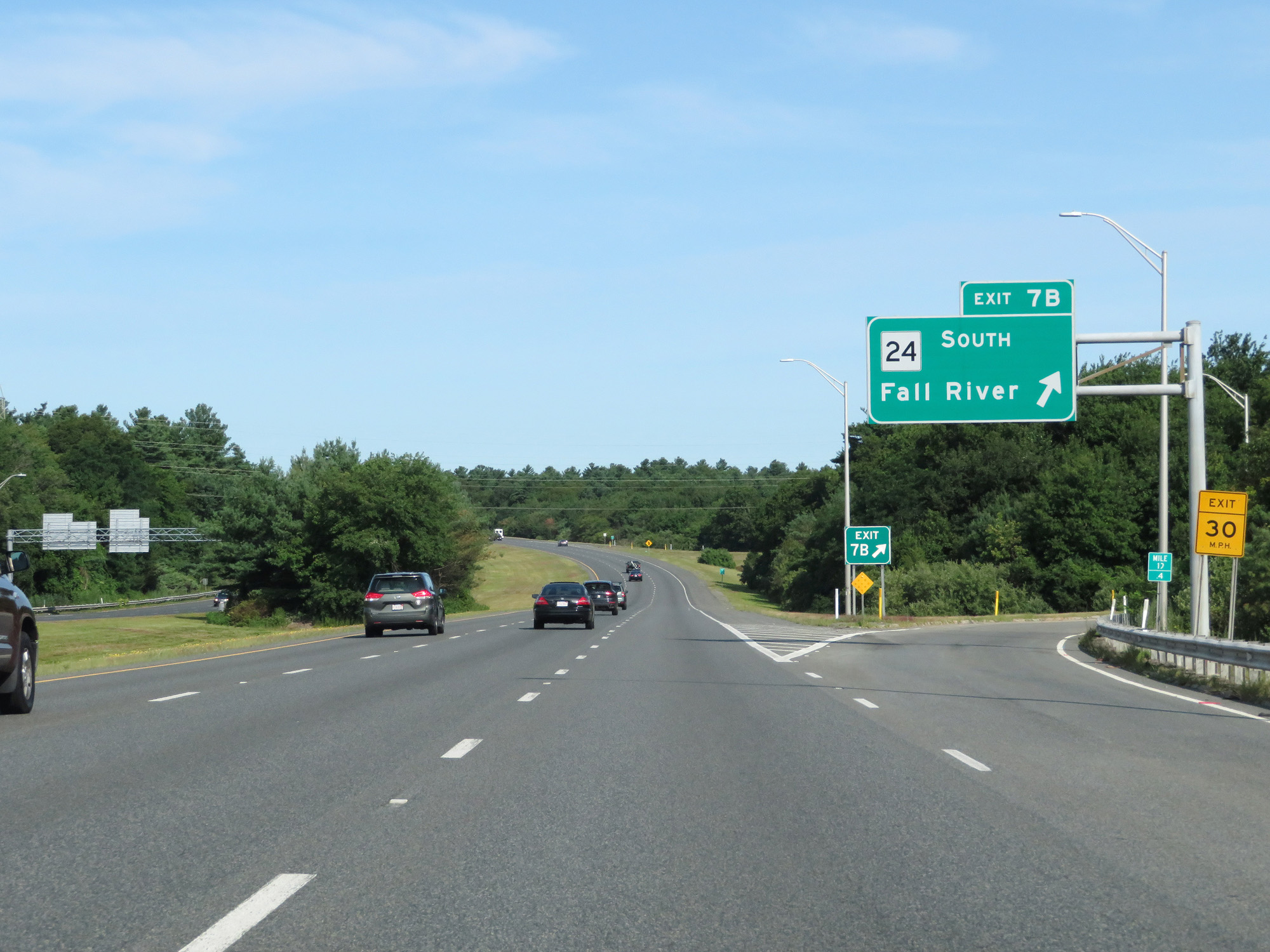 |
Interstate 495 North at Exit 7B: MA 24 South - Fall River (Photo taken 8/6/17). |
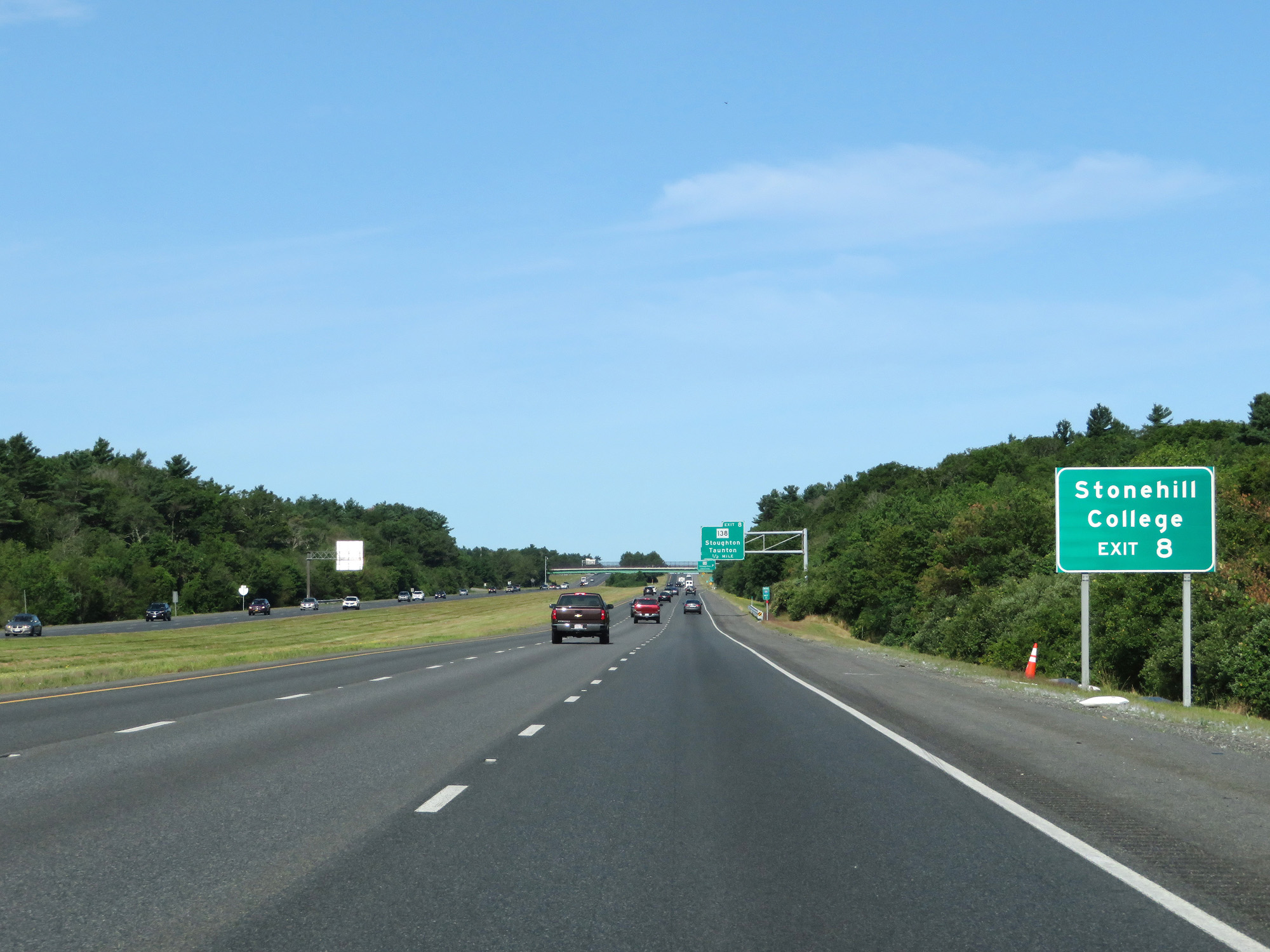 |
Take Exit 8 to Stonehill College. (Photo taken 8/6/17). |
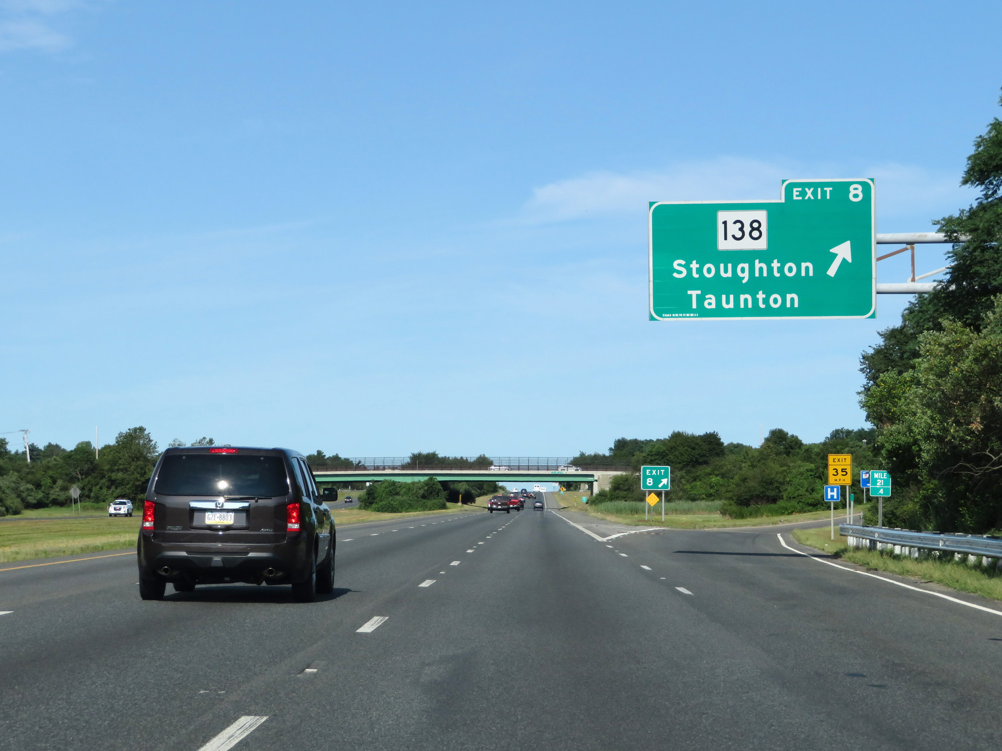 |
Interstate 495 North at Exit 8: MA 138 - Stoughton / Taunton (Photo taken 8/6/17). |
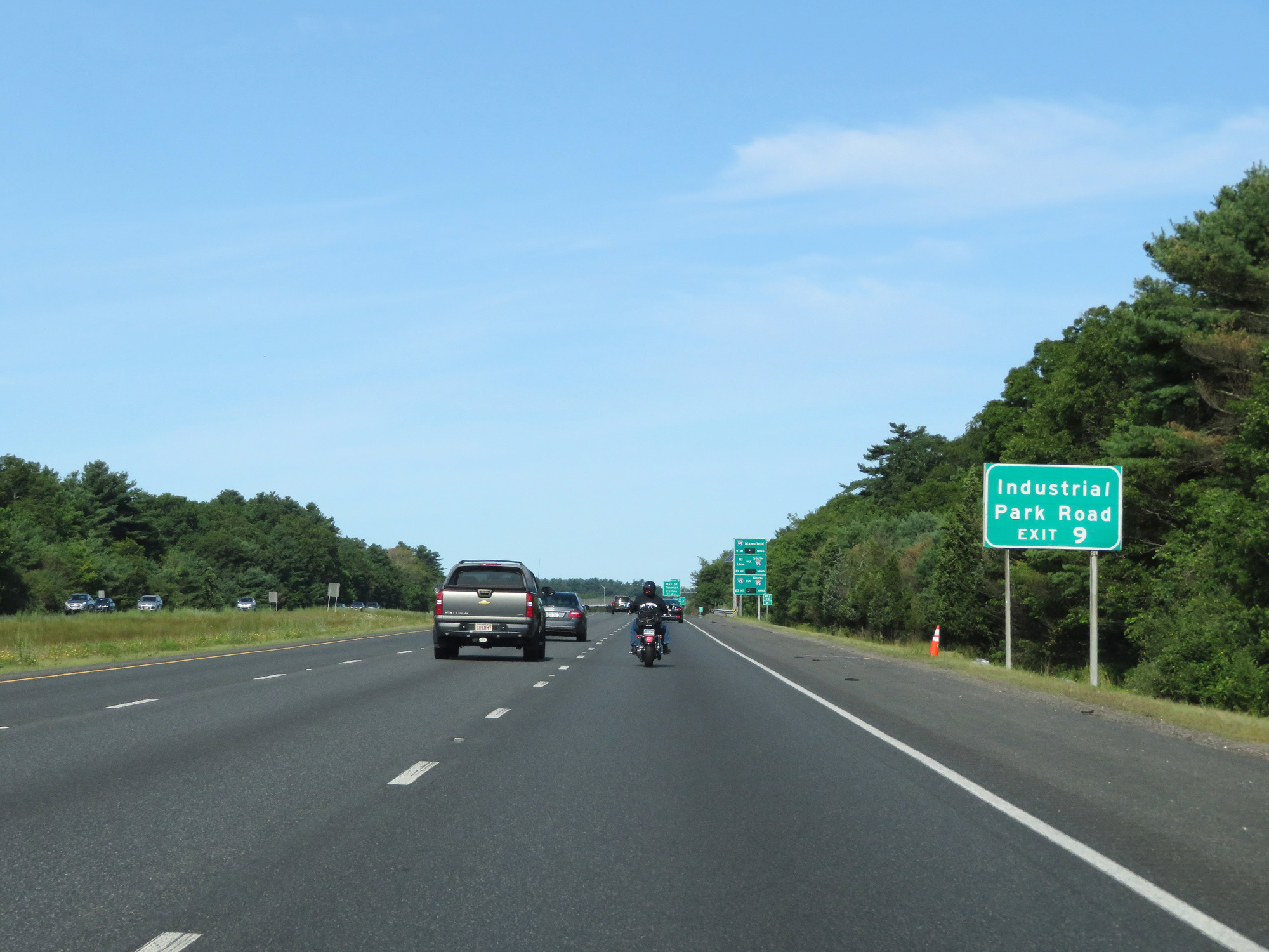 |
Take Exit 9 to Industrial Park Road. (Photo taken 8/6/17). |
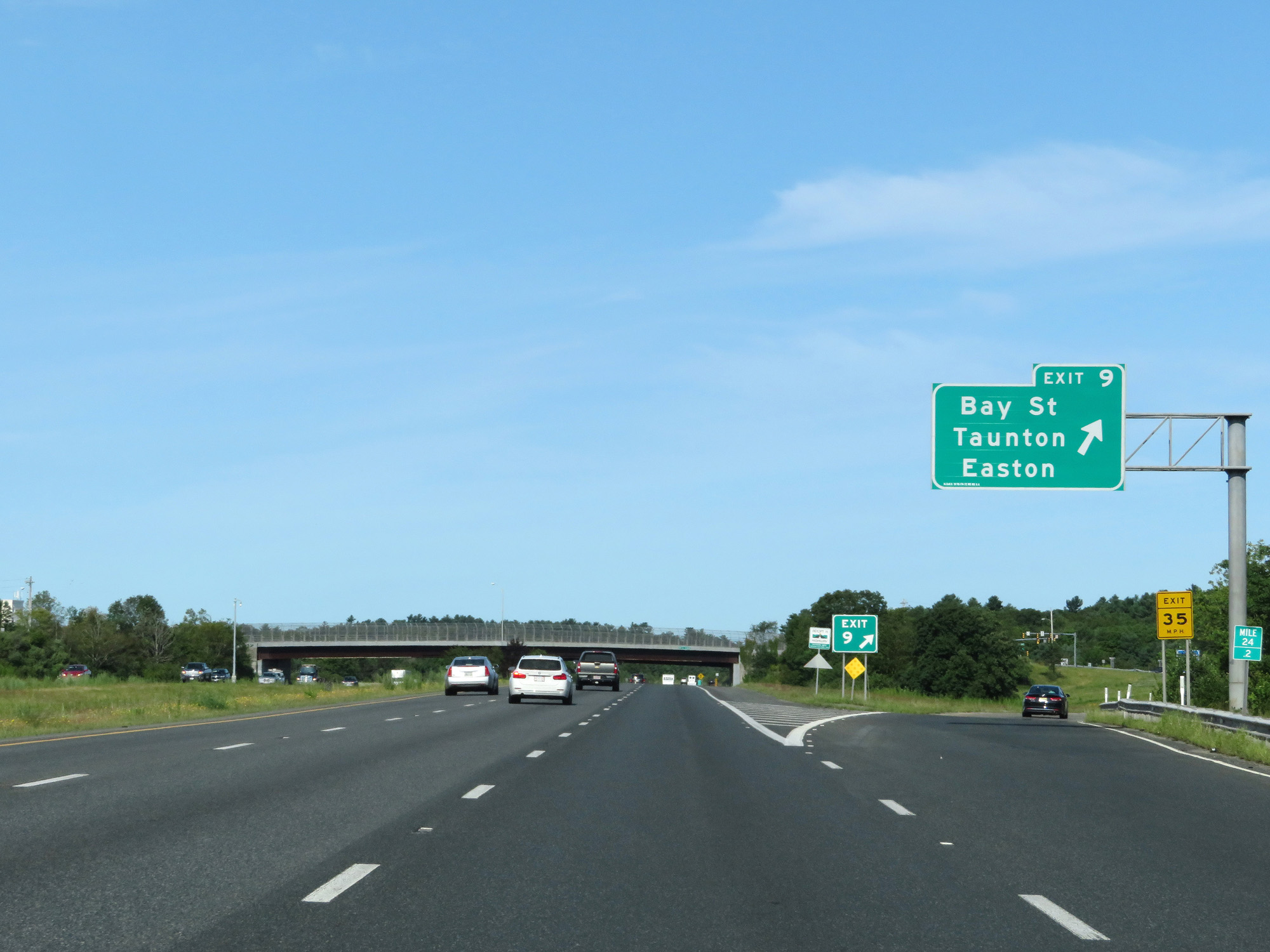 |
Interstate 495 North at Exit 9: Bay St / Taunton / Easton (Photo taken 8/6/17). |
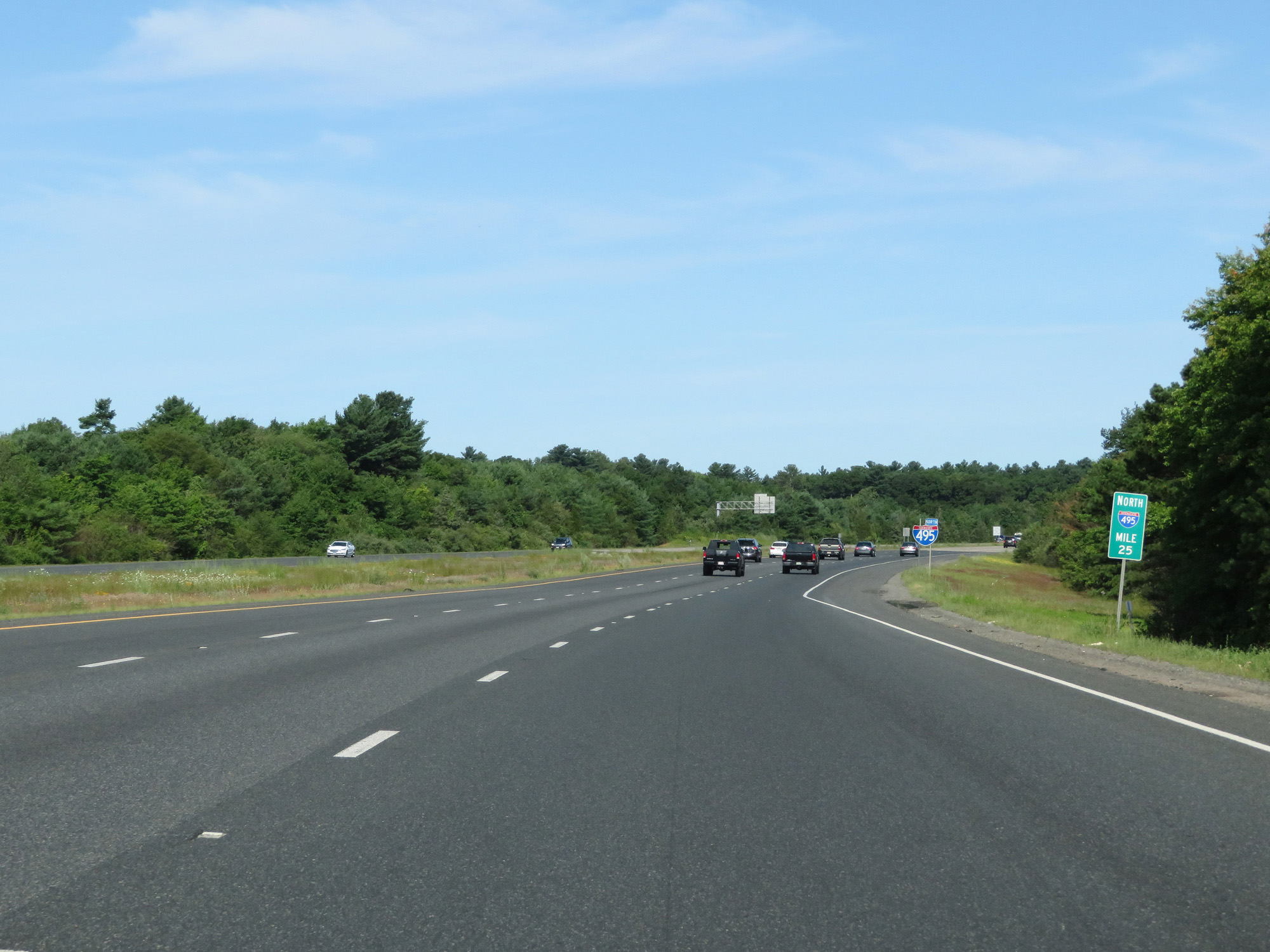 |
Interstate 495 North at mile marker 25. (Photo taken 8/6/17). |
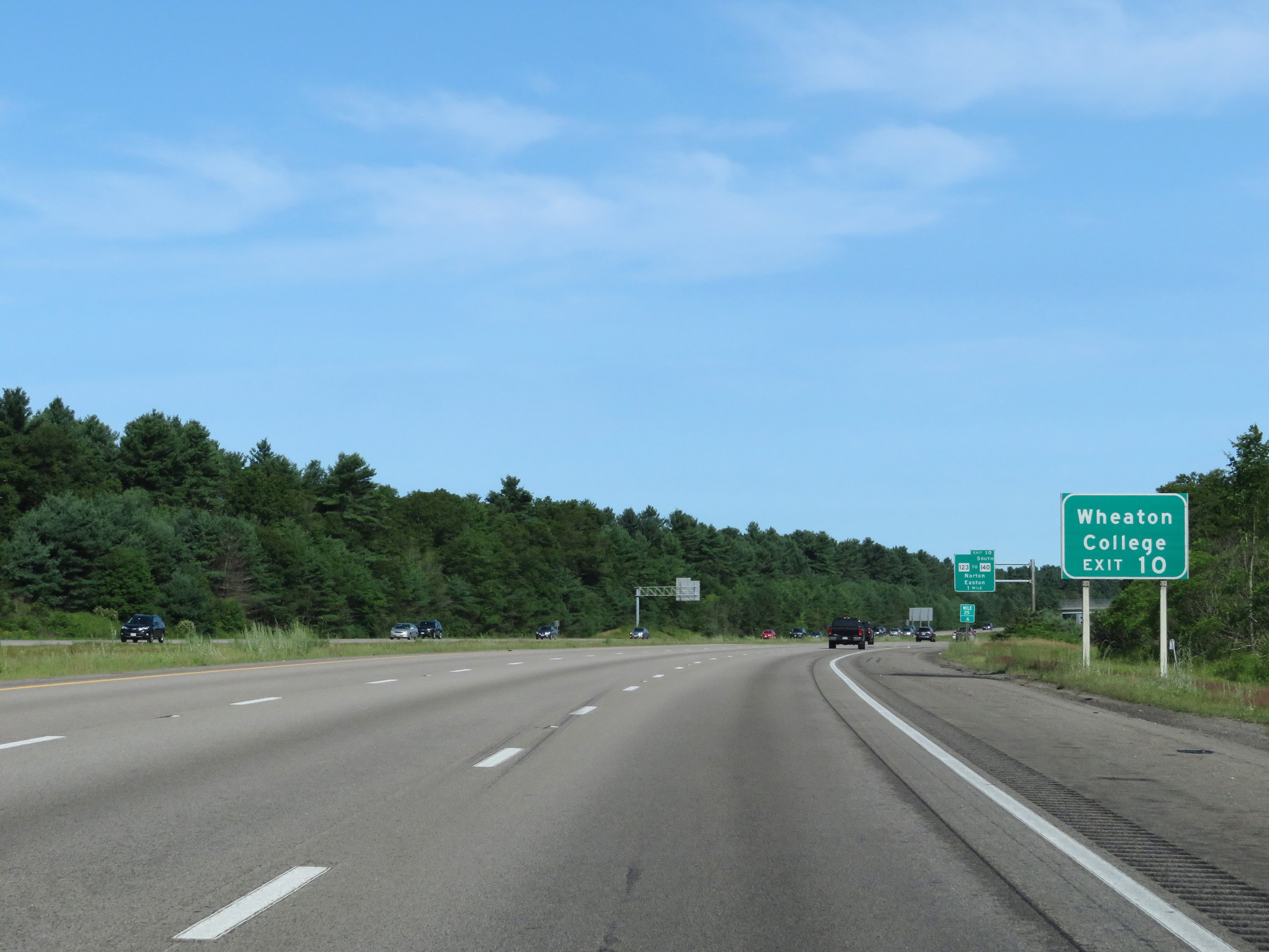 |
Take Exit 10 to Wheaton College. (Photo taken 8/6/17). |
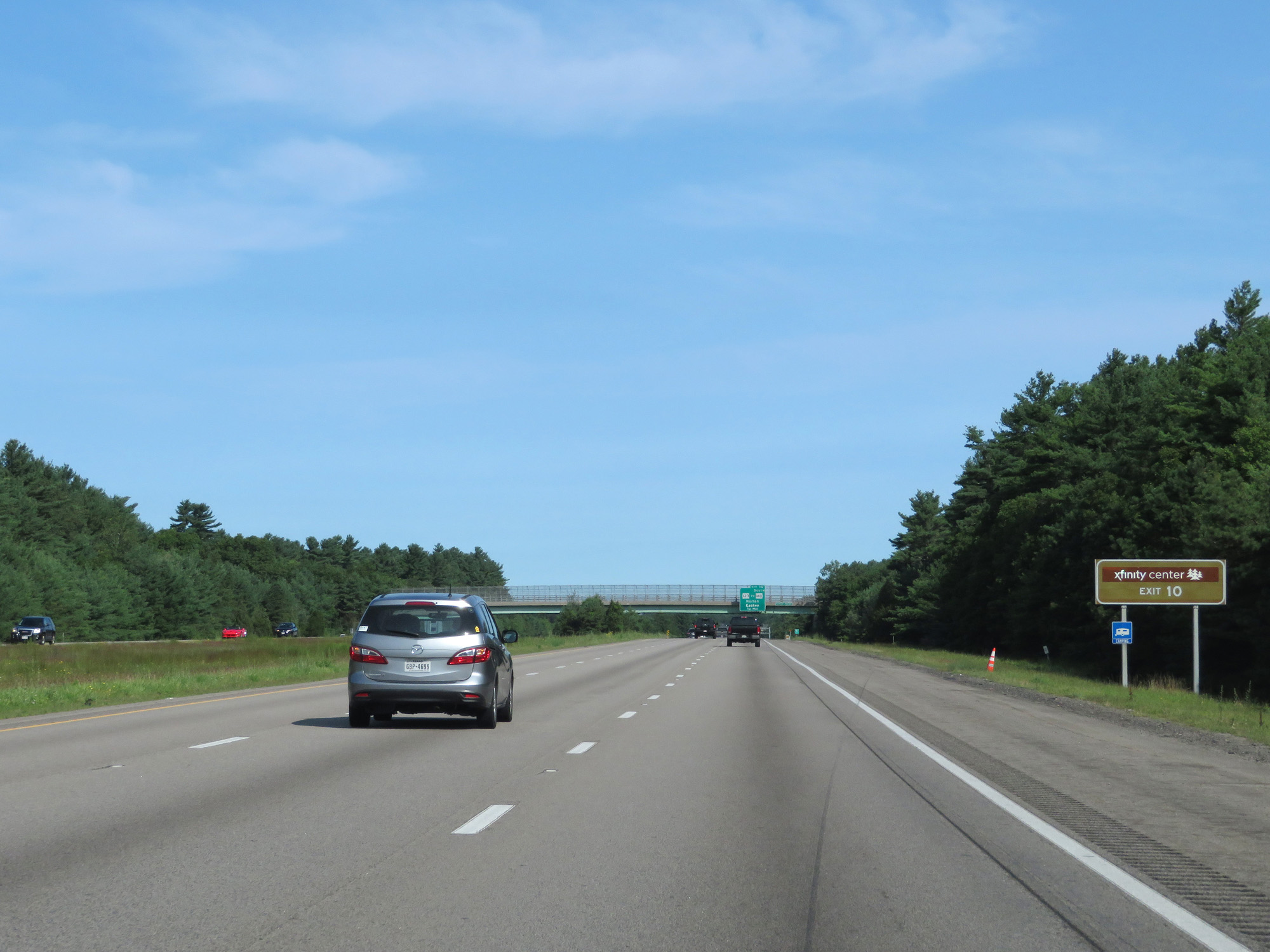 |
Take Exit 10 to the Xfinity Center as well. (Photo taken 8/6/17). |
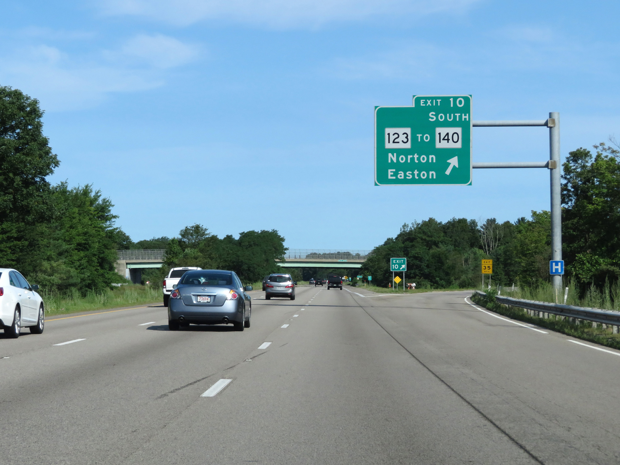 |
Interstate 495 North at Exit 10: MA 123 / To MA 140 South - Norton / Easton (Photo taken 8/6/17). |
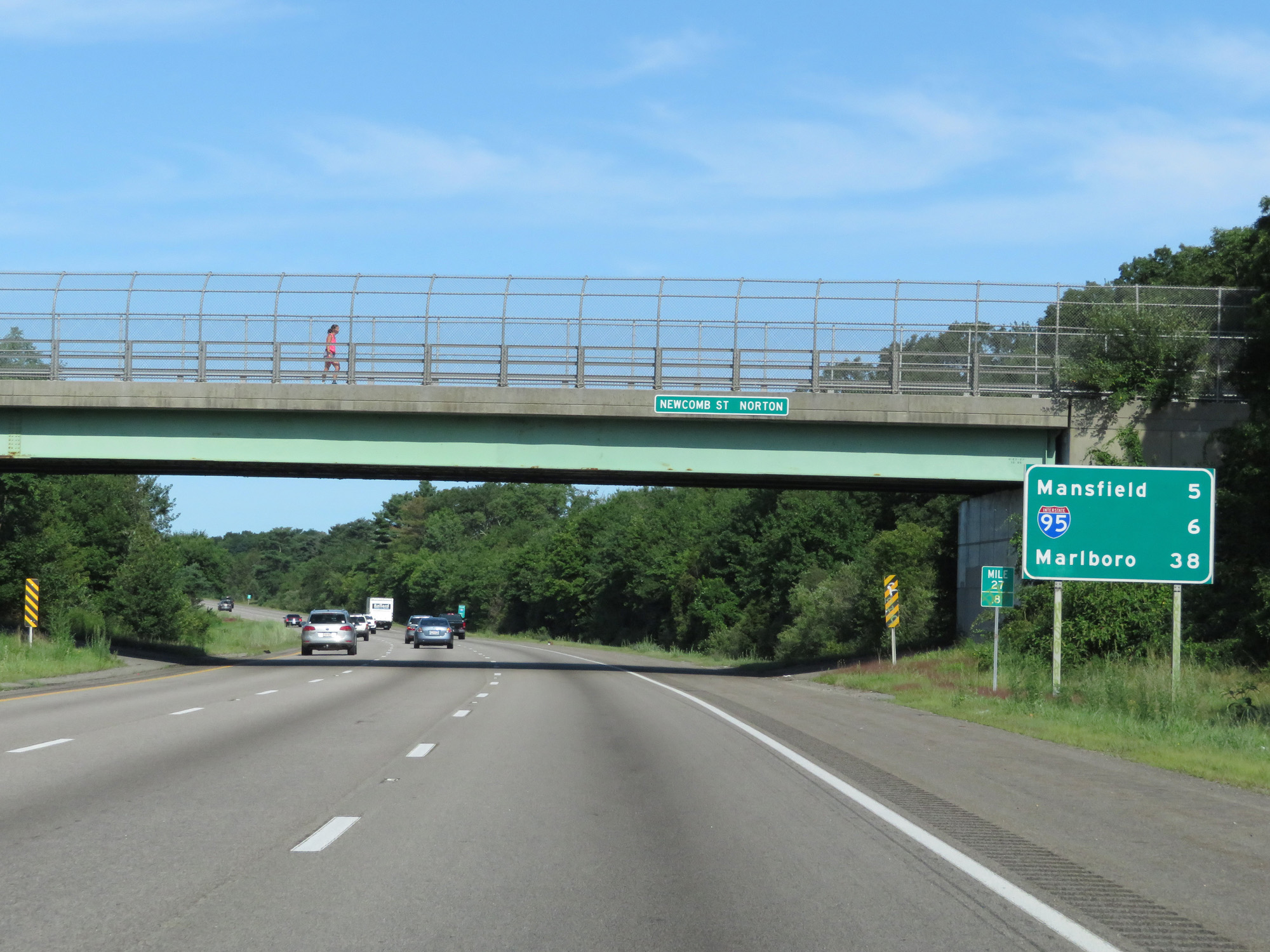 |
Mileage sign at mile marker 27.8. It's 5 miles to Mansfield, 6 miles to the junction of Interstate 95, and 38 miles to Marlboro. (Photo taken 8/6/17). |
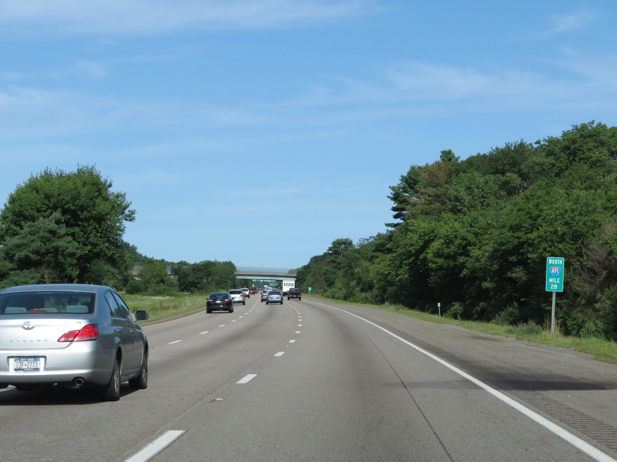 |
Interstate 495 North at mile marker 28. (Photo taken 8/6/17). |
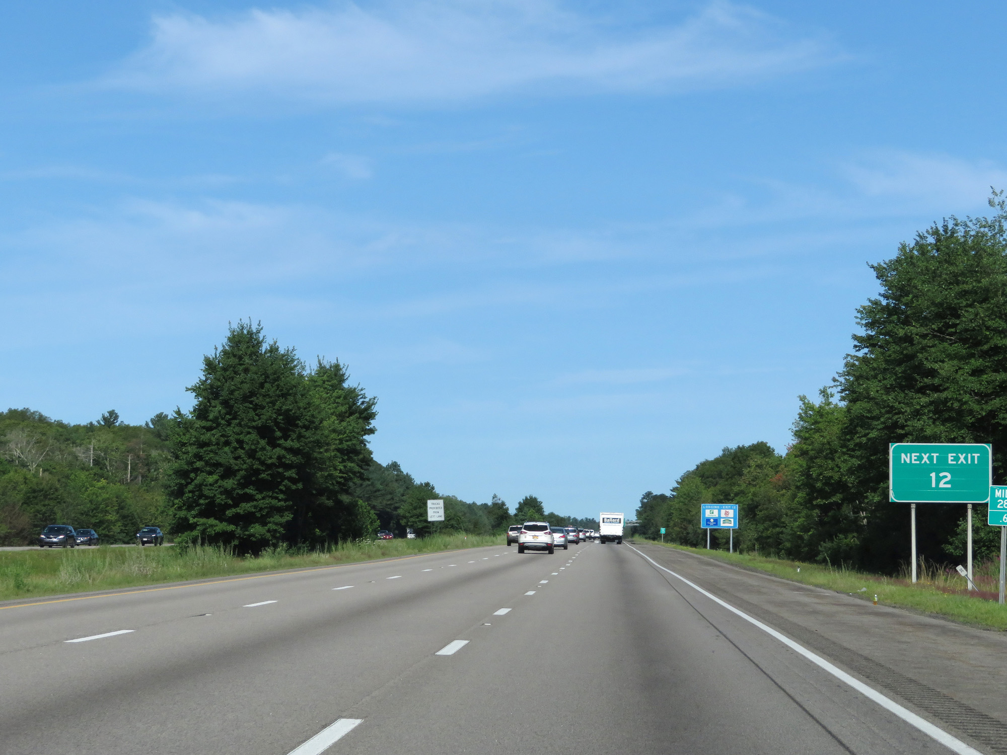 |
There is no Exit 11 on Interstate 495 North, making the next exit to be Exit 12. (Photo taken 8/6/17). |
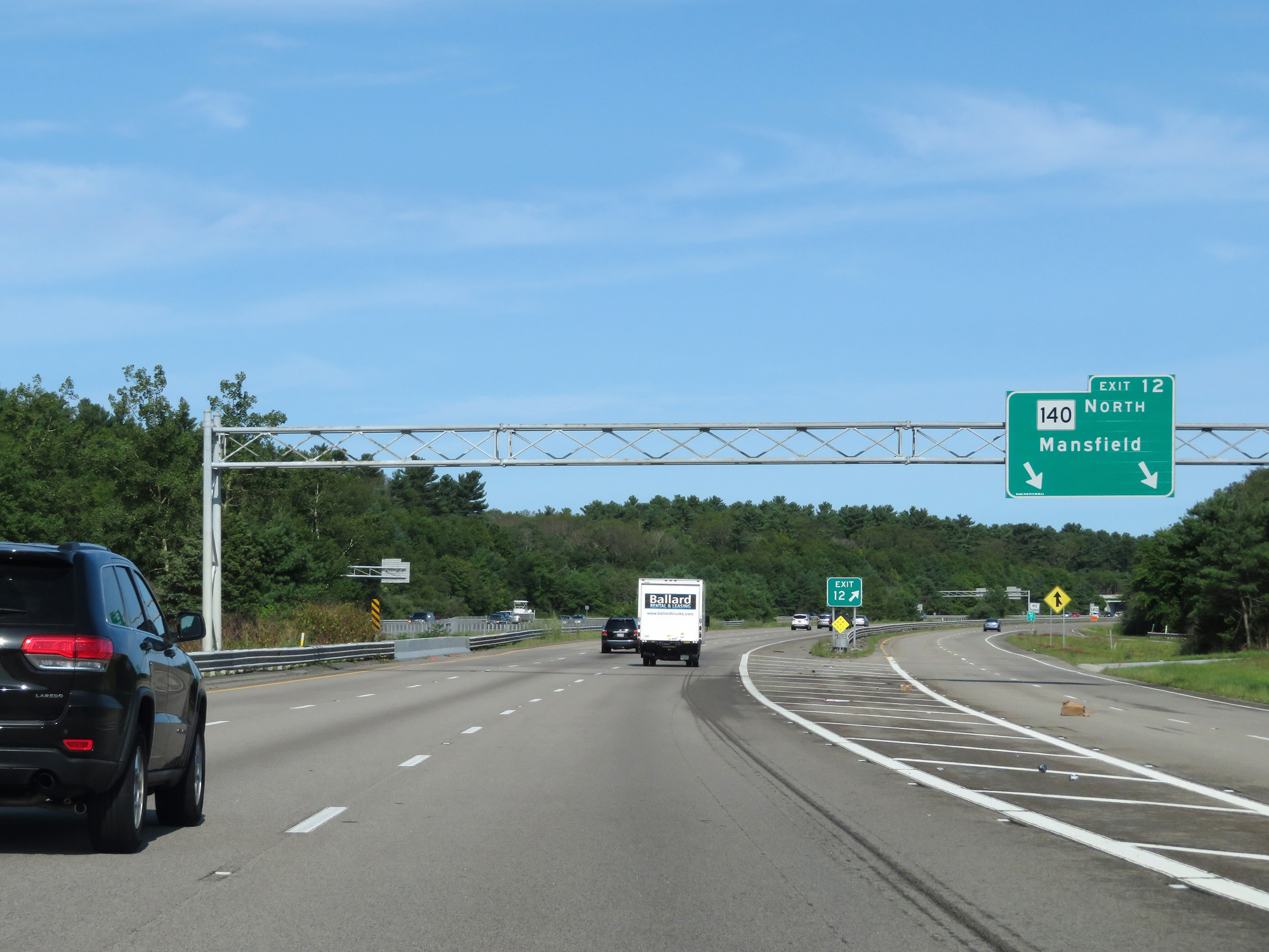 |
Interstate 495 North at Exit 12: MA 140 North - Mansfield (Photo taken 8/6/17). |
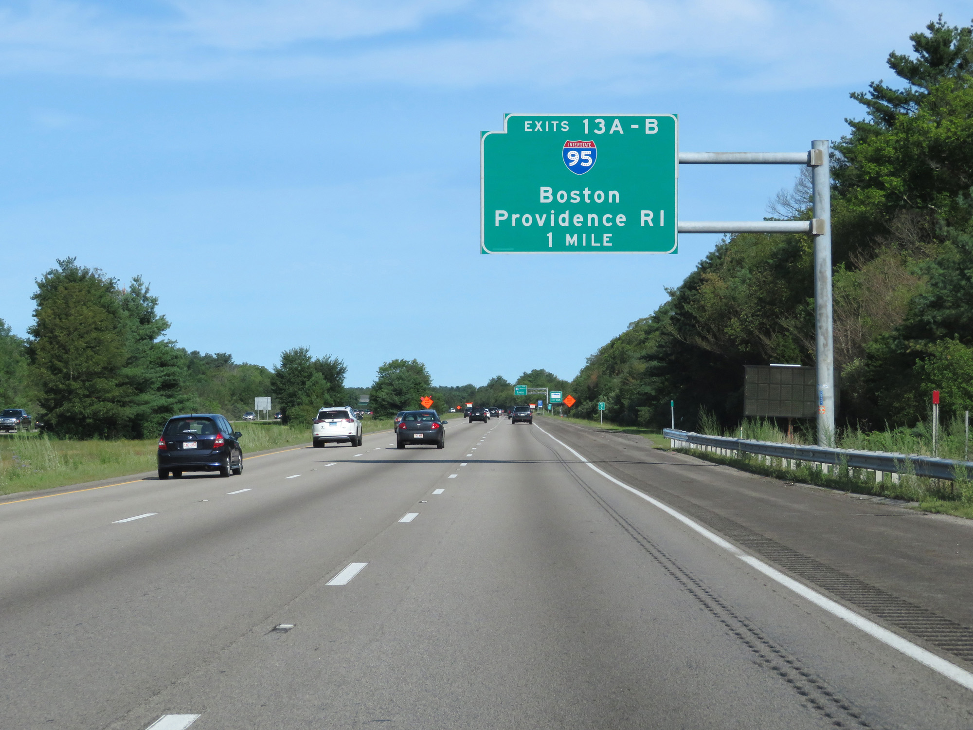 |
Interstate 495 North approaching Exits 13A-B - 1 mile. (Photo taken 8/6/17). |
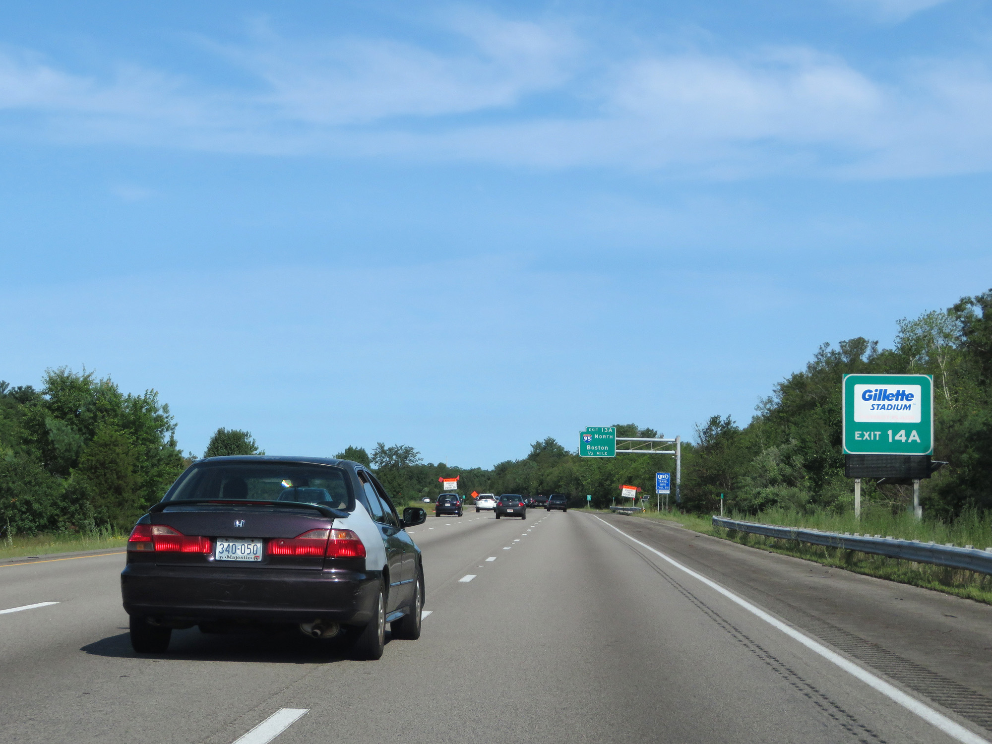 |
Take Exit 14A to Gillette Stadium. (Photo taken 8/6/17). |
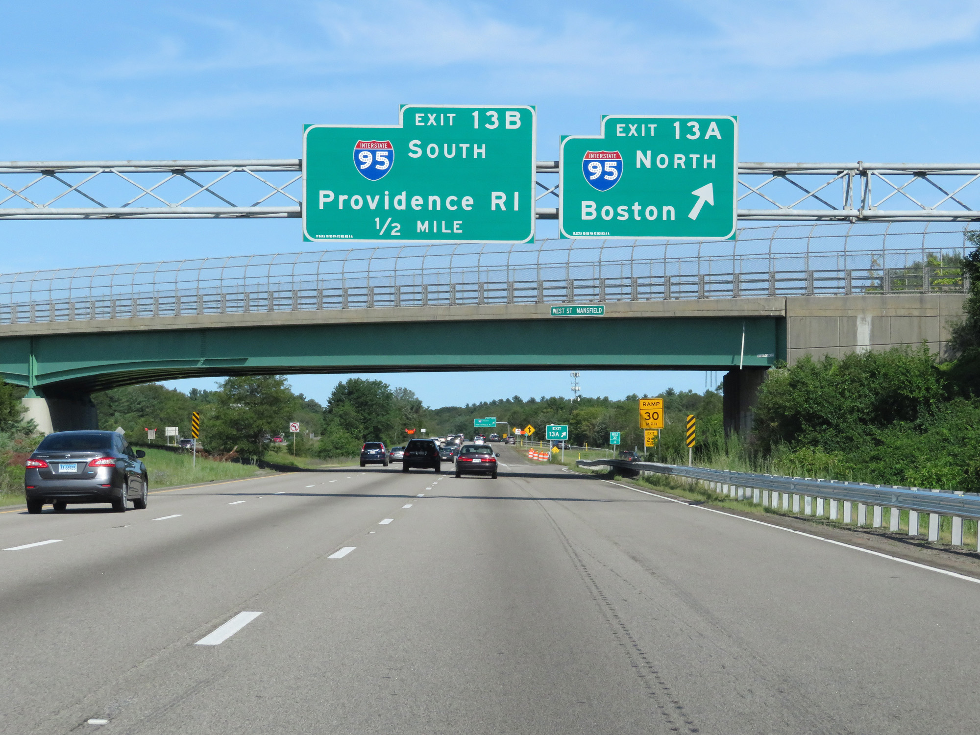 |
Interstate 495 North at Exit 13A: Interstate 95 North - Boston (Photo taken 8/6/17). |
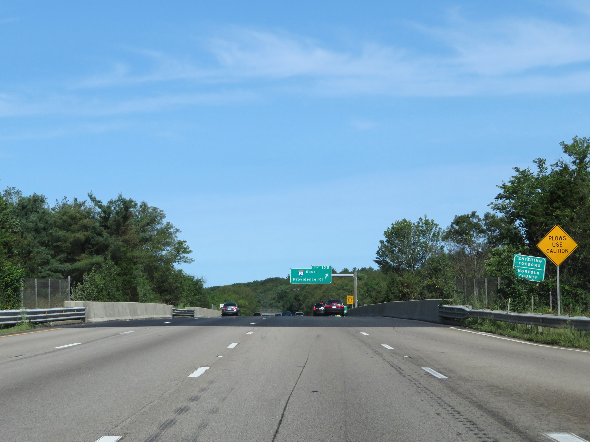 |
Interstate 495 North as it enters Norfolk County. (Photo taken 8/6/17). |
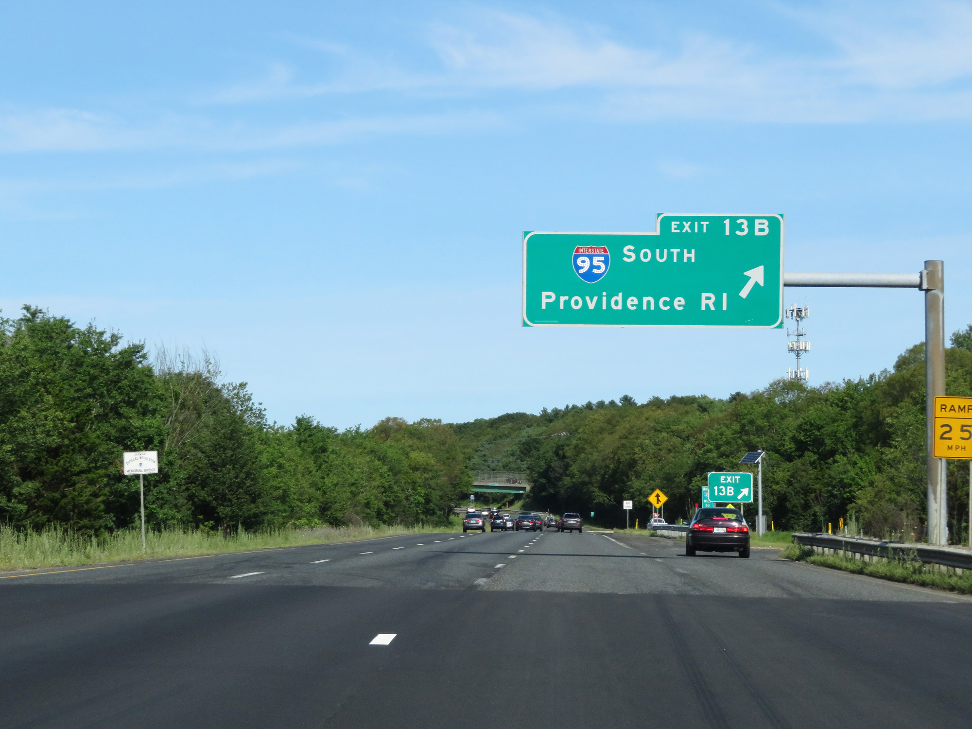 |
Interstate 495 North at Exit 13B: Interstate 95 South - Providence, RI (Photo taken 8/6/17). |
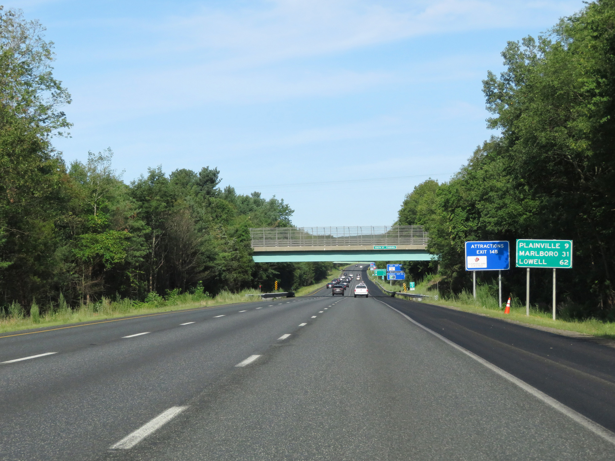 |
Mileage sign on Interstate 495 North. It's 9 miles to Plainville, 31 miles to Marlboro, and 62 miles to Lowell. (Photo taken 8/6/17). |
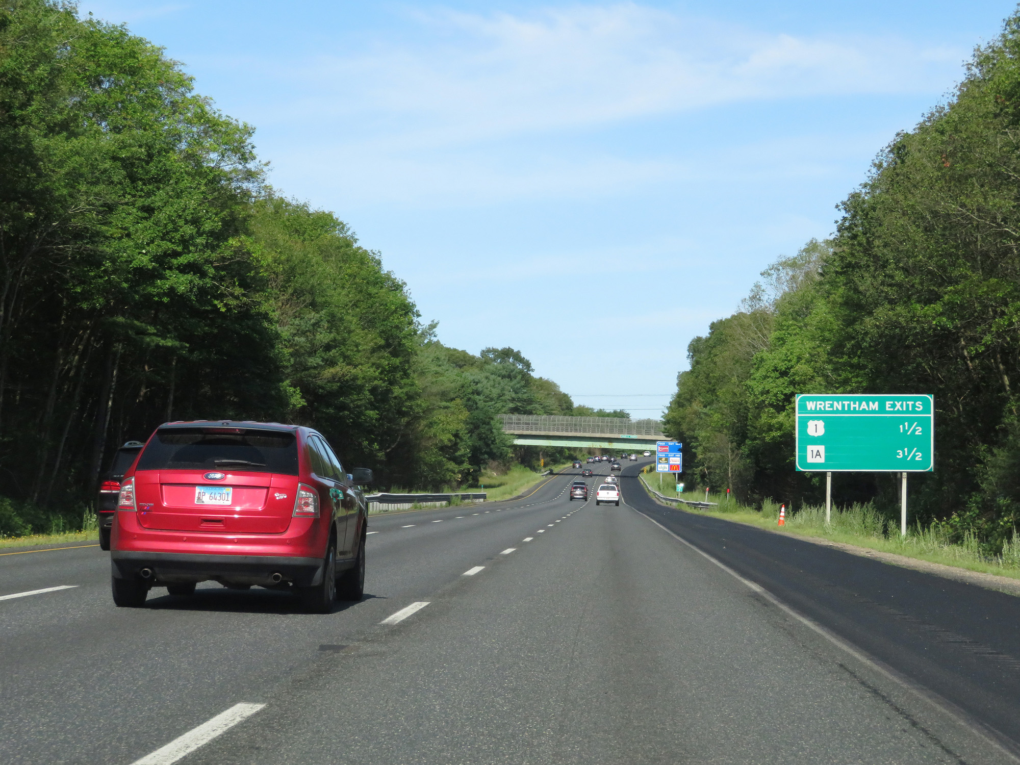 |
This sign lists the distances to the two upcoming exits to Wrentham. (Photo taken 8/6/17). |
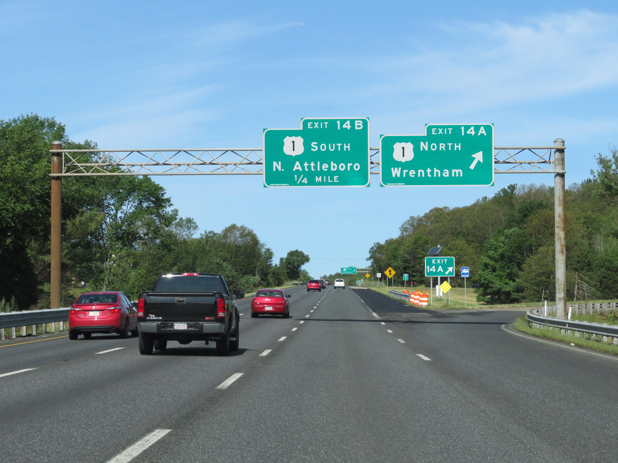 |
Interstate 495 North at Exit 14A: US 1 North - Wrentham (Photo taken 8/6/17). |
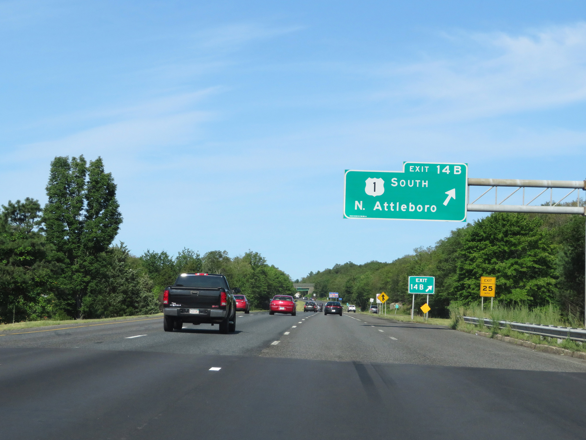 |
Interstate 495 North at Exit 14B: US 1 South - North Attleboro (Photo taken 8/6/17). |
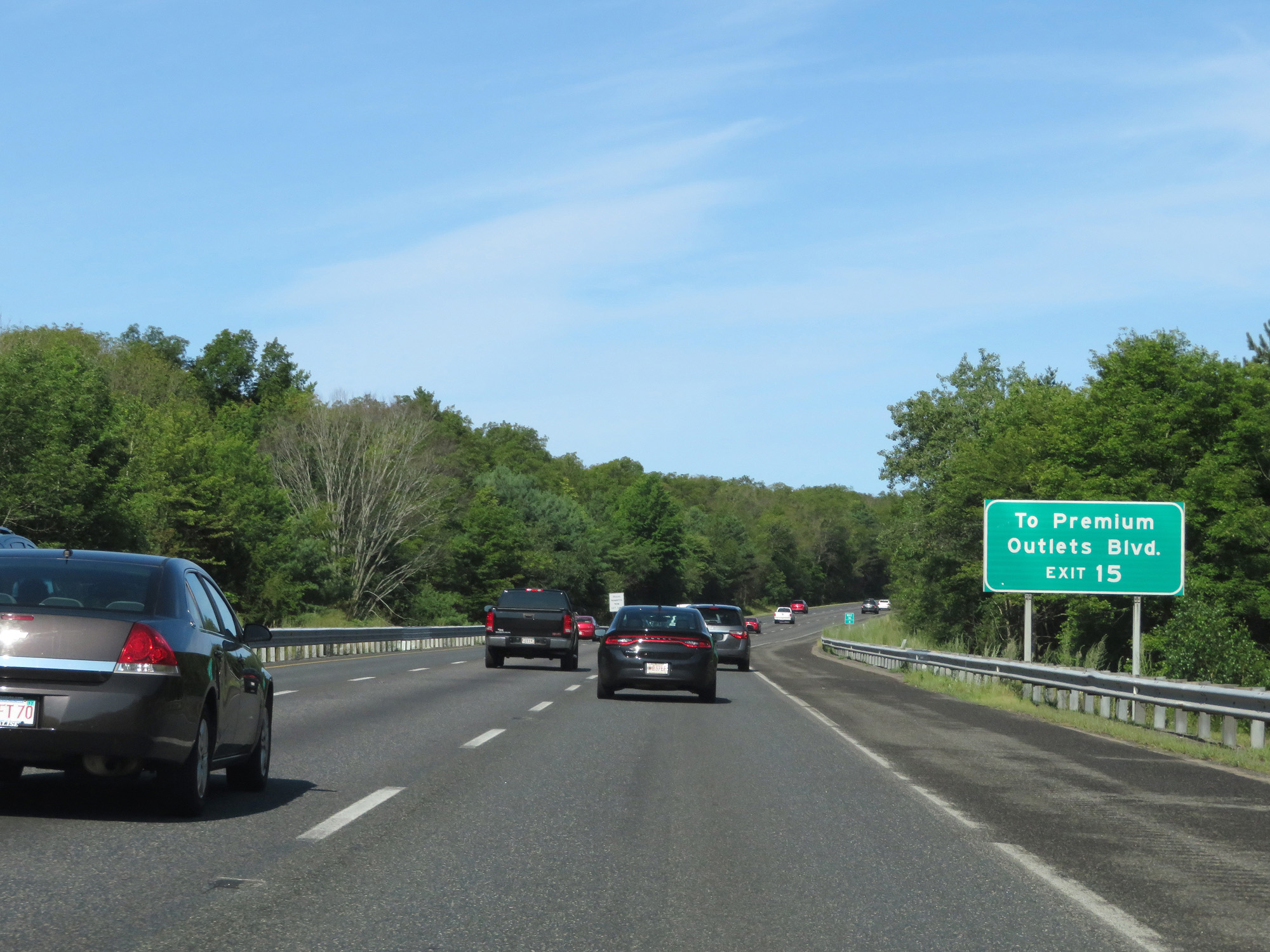 |
Take Exit 15 to Premium Outlets Blvd. (Photo taken 8/6/17). |
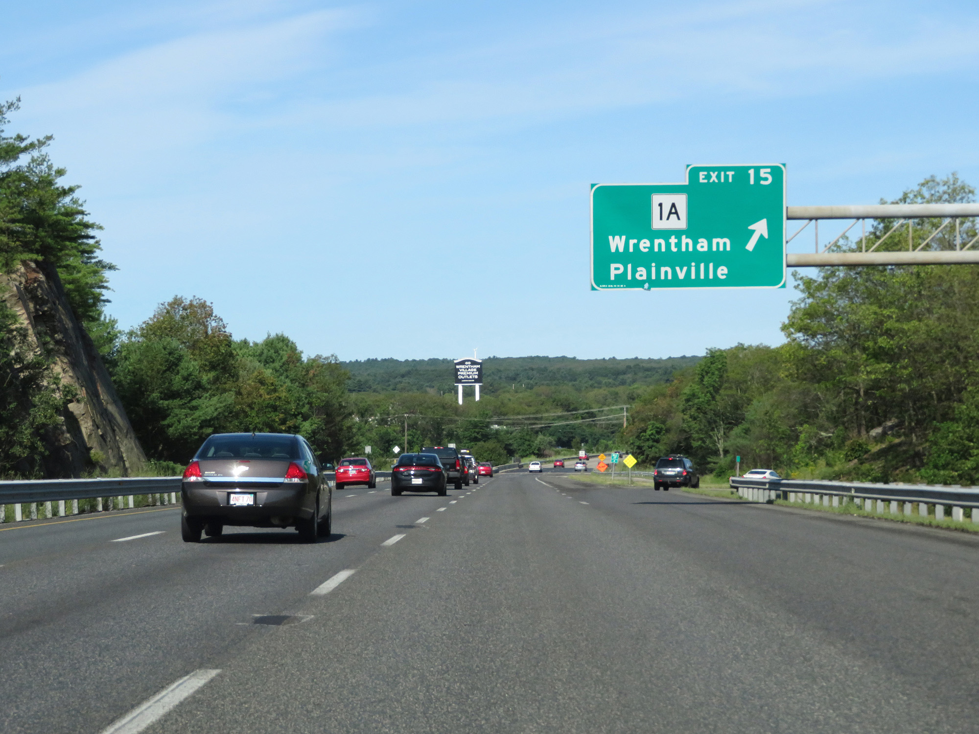 |
Interstate 495 North at Exit 15: MA 1A - Wrentham / Plainville (Photo taken 8/6/17). |
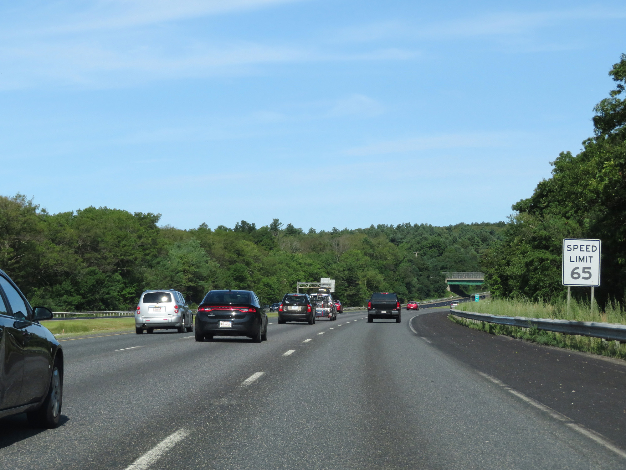 |
The speed limit remains 65 mph. (Photo taken 8/6/17). |
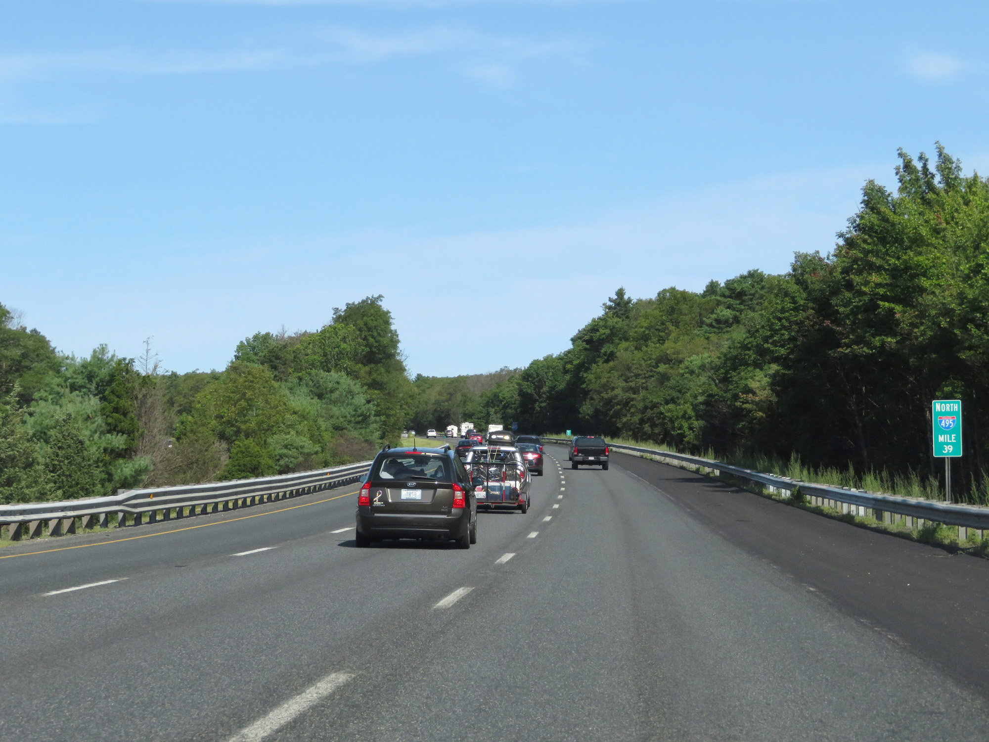 |
Interstate 495 North at mile marker 39. (Photo taken 8/6/17). |
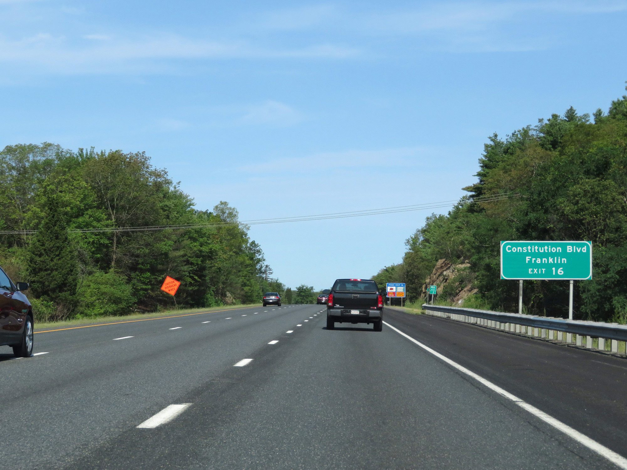 |
Take Exit 16 to Constitution Blvd and Franklin. (Photo taken 8/6/17). |
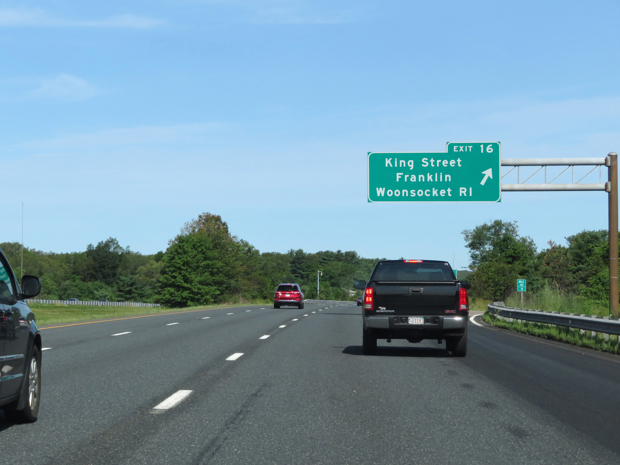 |
Interstate 495 North at Exit 16: King Street / Franklin / Woonsocket, RI (Photo taken 8/6/17). |
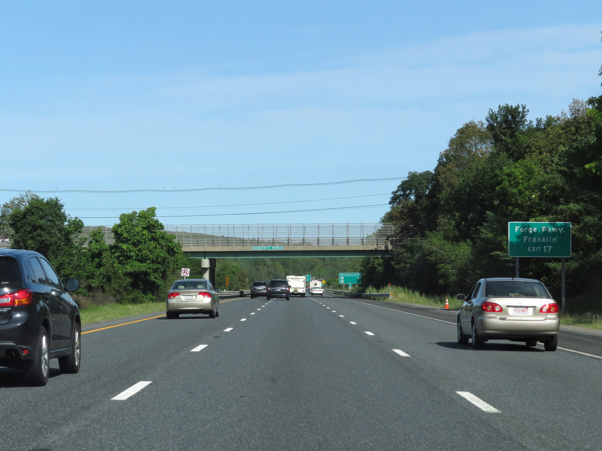 |
Take Exit 17 to Forge Pkwy and Franklin. (Photo taken 8/6/17). |
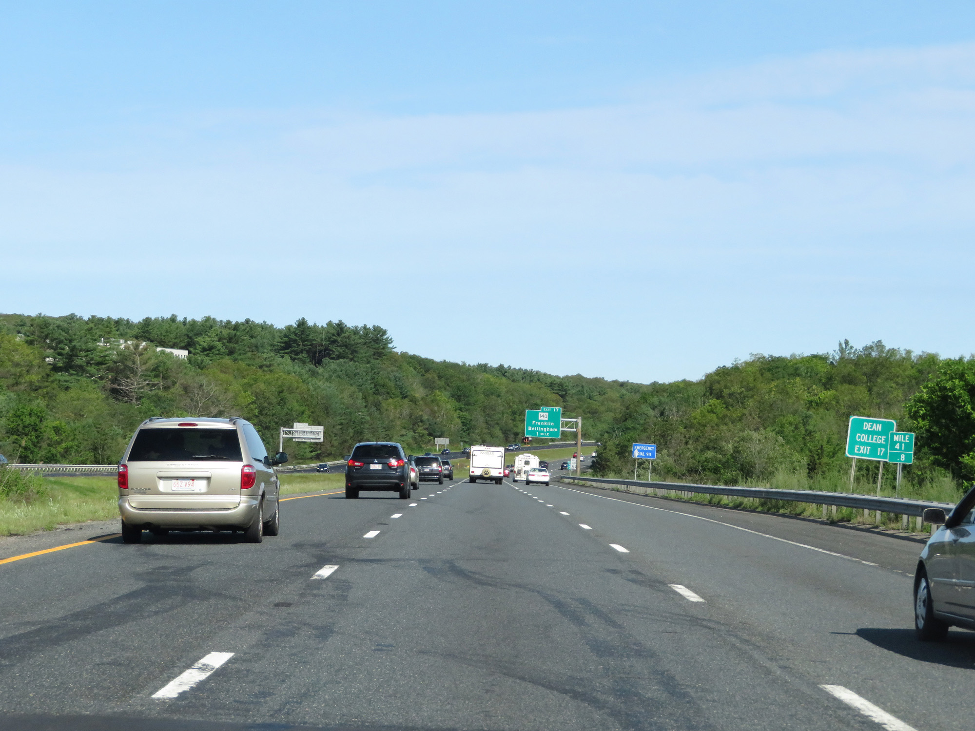 |
Also take Exit 17 to Dean College. (Photo taken 8/6/17). |
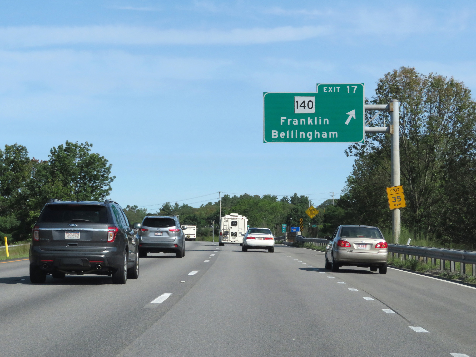 |
Interstate 495 North at Exit 17: MA 140 - Franklin / Bellingham (Photo taken 8/6/17). |
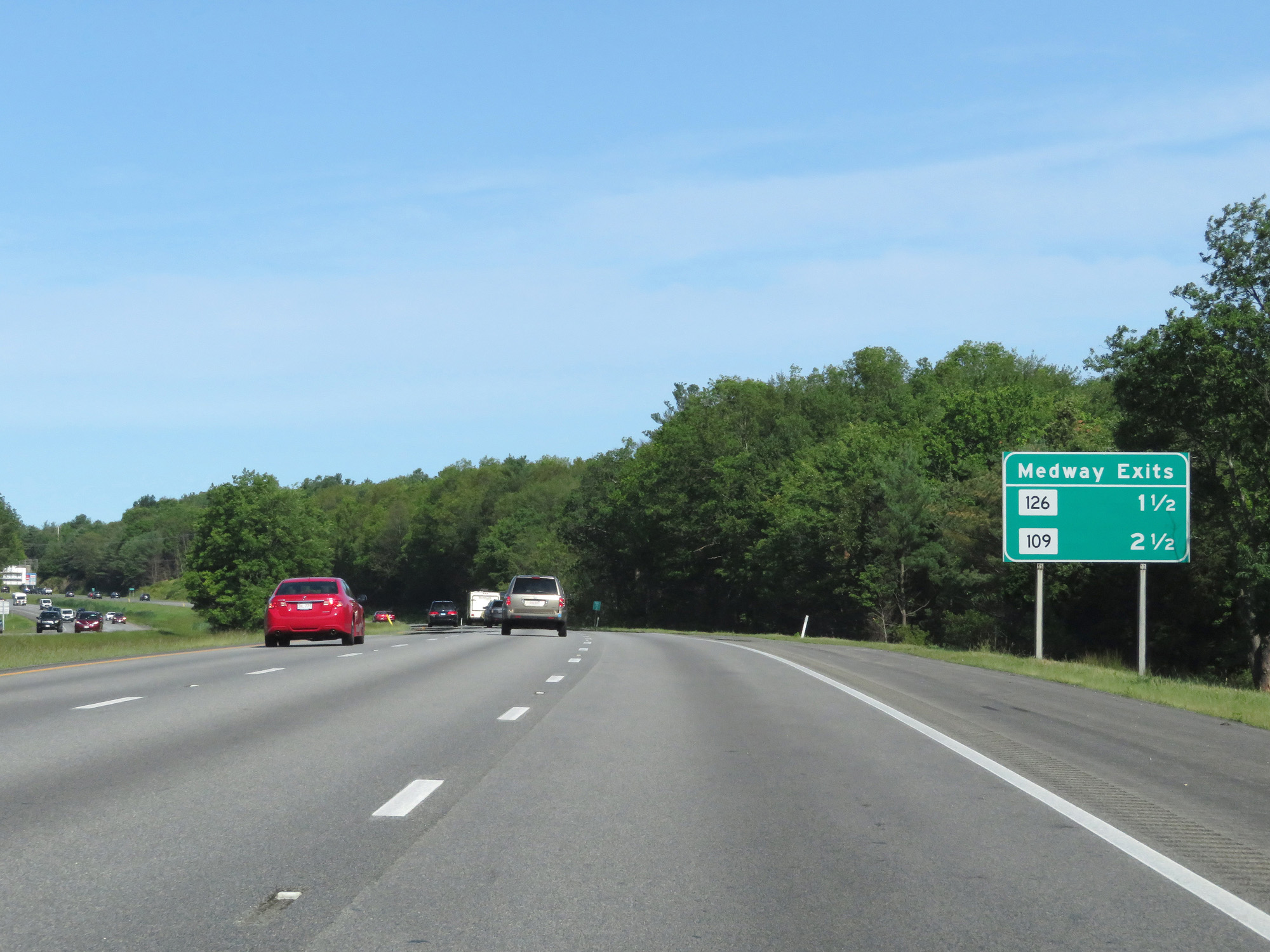 |
Sign listing the distances to the two upcoming Medway exits. (Photo taken 8/6/17). |
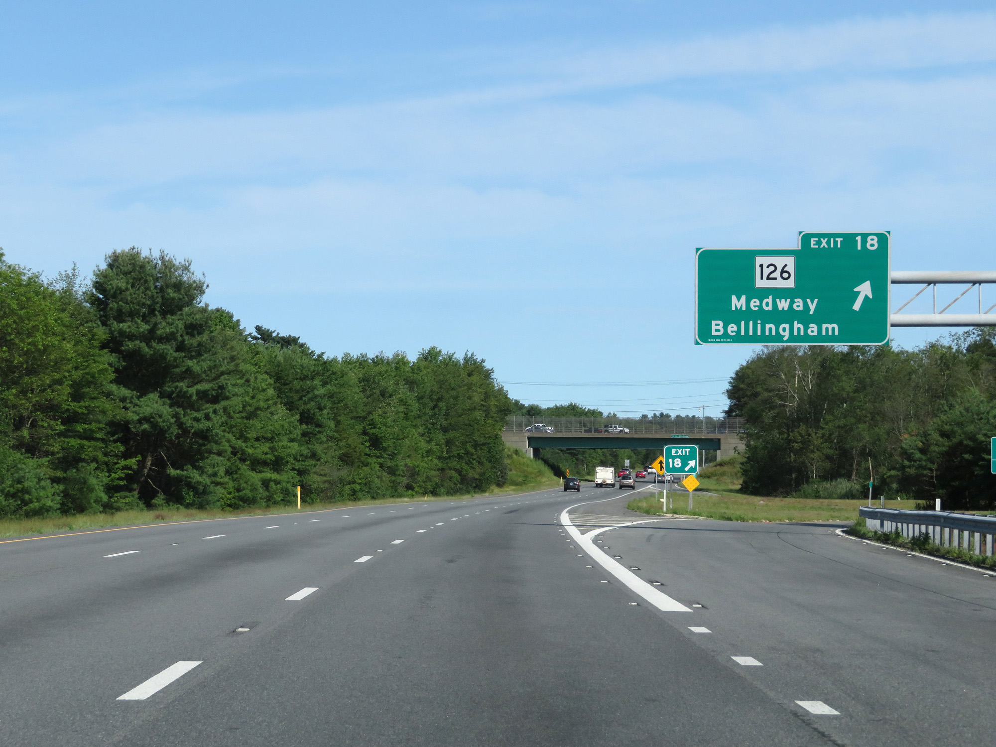 |
Interstate 495 North at Exit 18: MA 126 - Medway / Bellingham (Photo taken 8/6/17). |
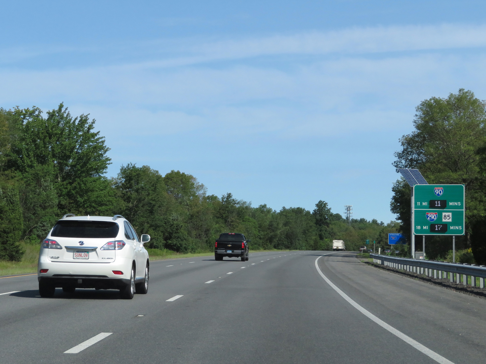 |
This sign displays the distances and current travel times to Interstate 90 (Mass Pike) and Interstate 290. (Photo taken 8/6/17). |
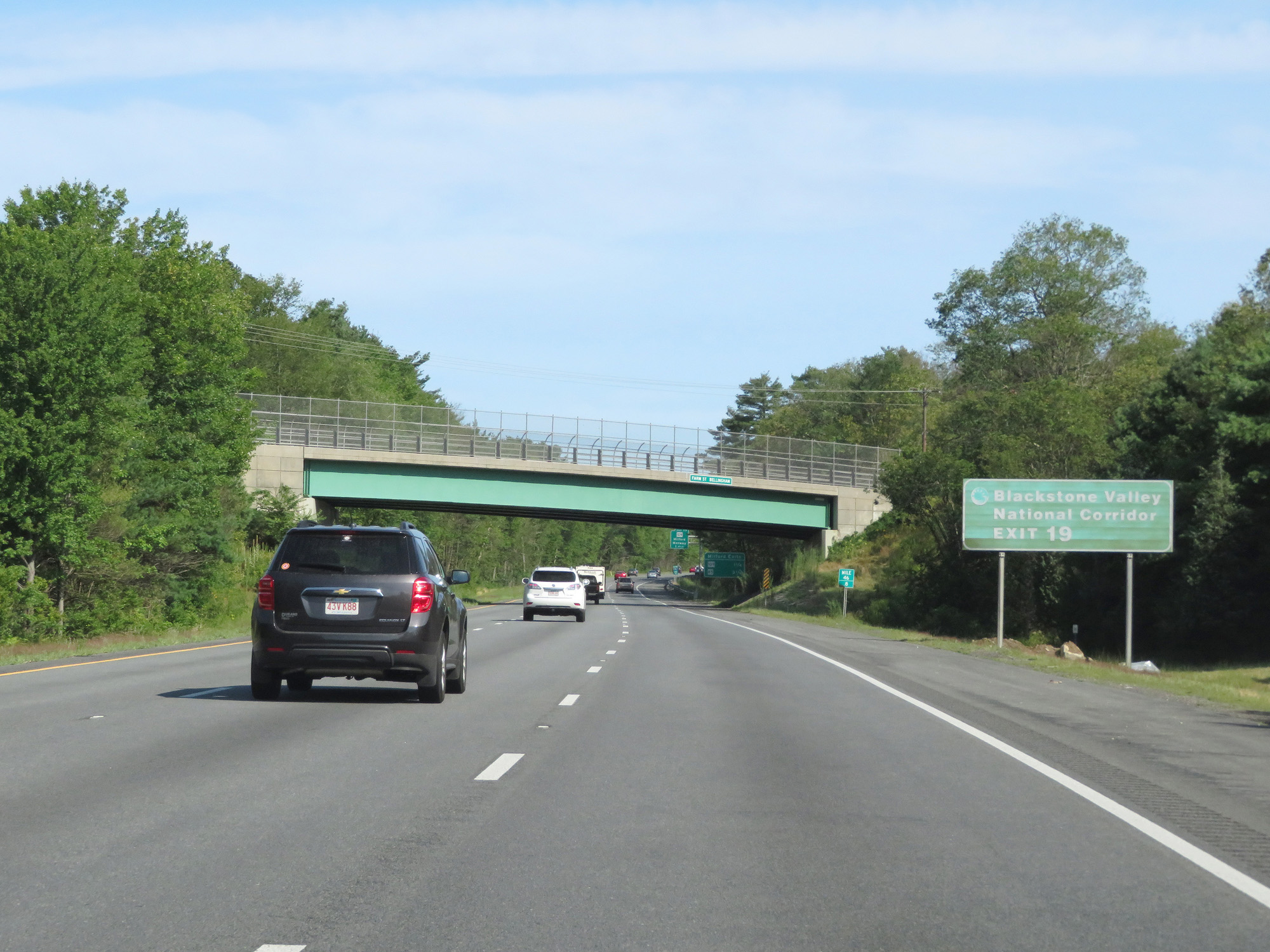 |
Take Exit 19 to Blackstone Valley National Corridor. (Photo taken 8/6/17). |
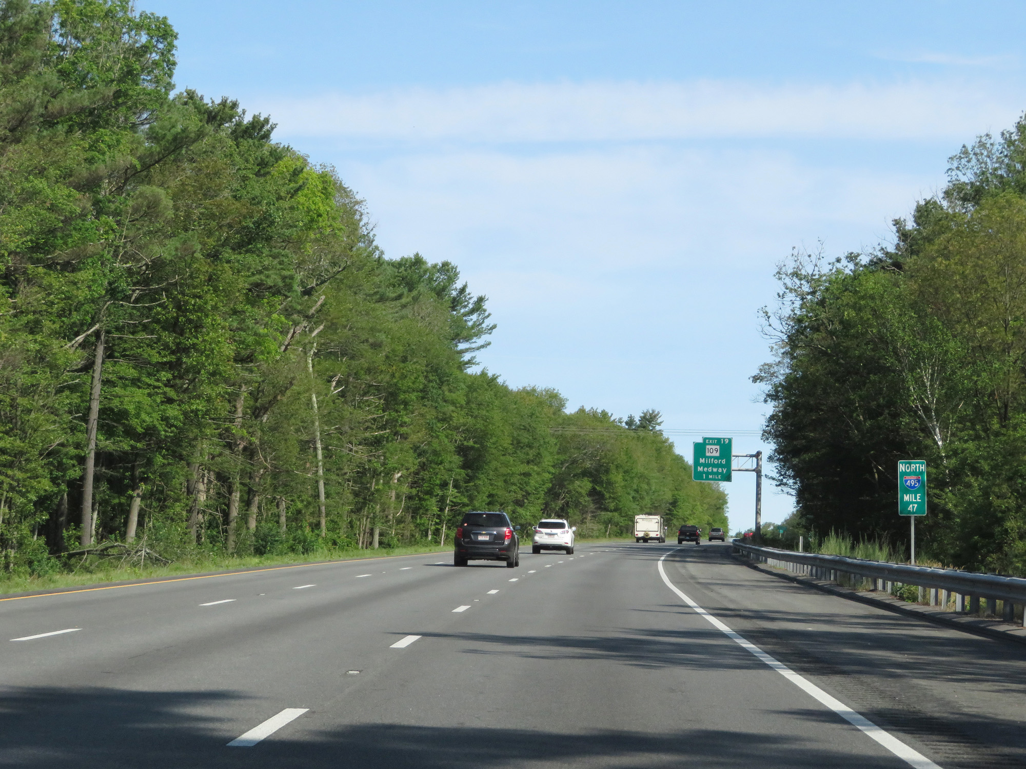 |
Interstate 495 North at mile marker 47. (Photo taken 8/6/17). |
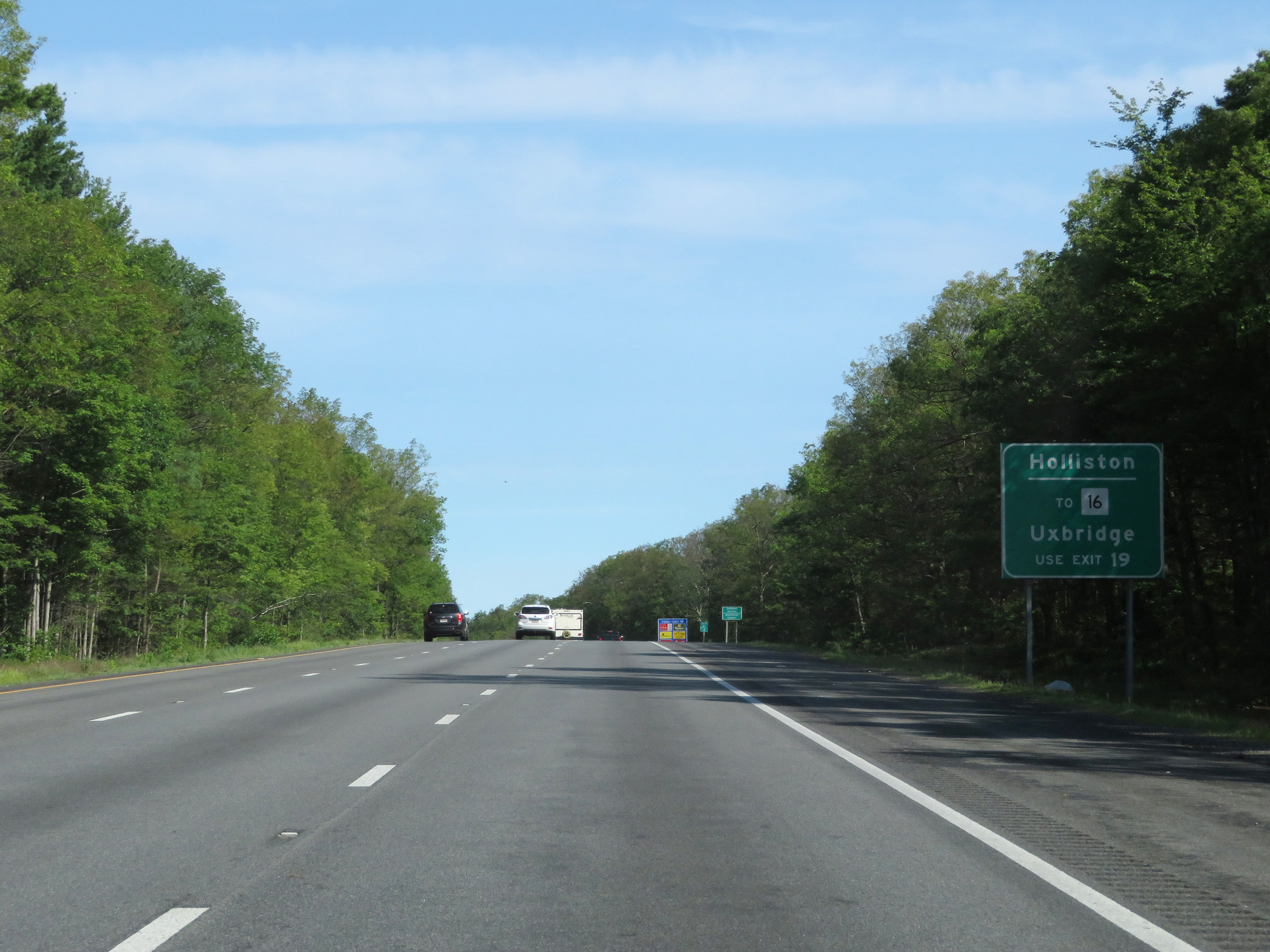 |
Take Exit 19 to Holliston and to MA 16 toward Uxbridge. (Photo taken 8/6/17). |
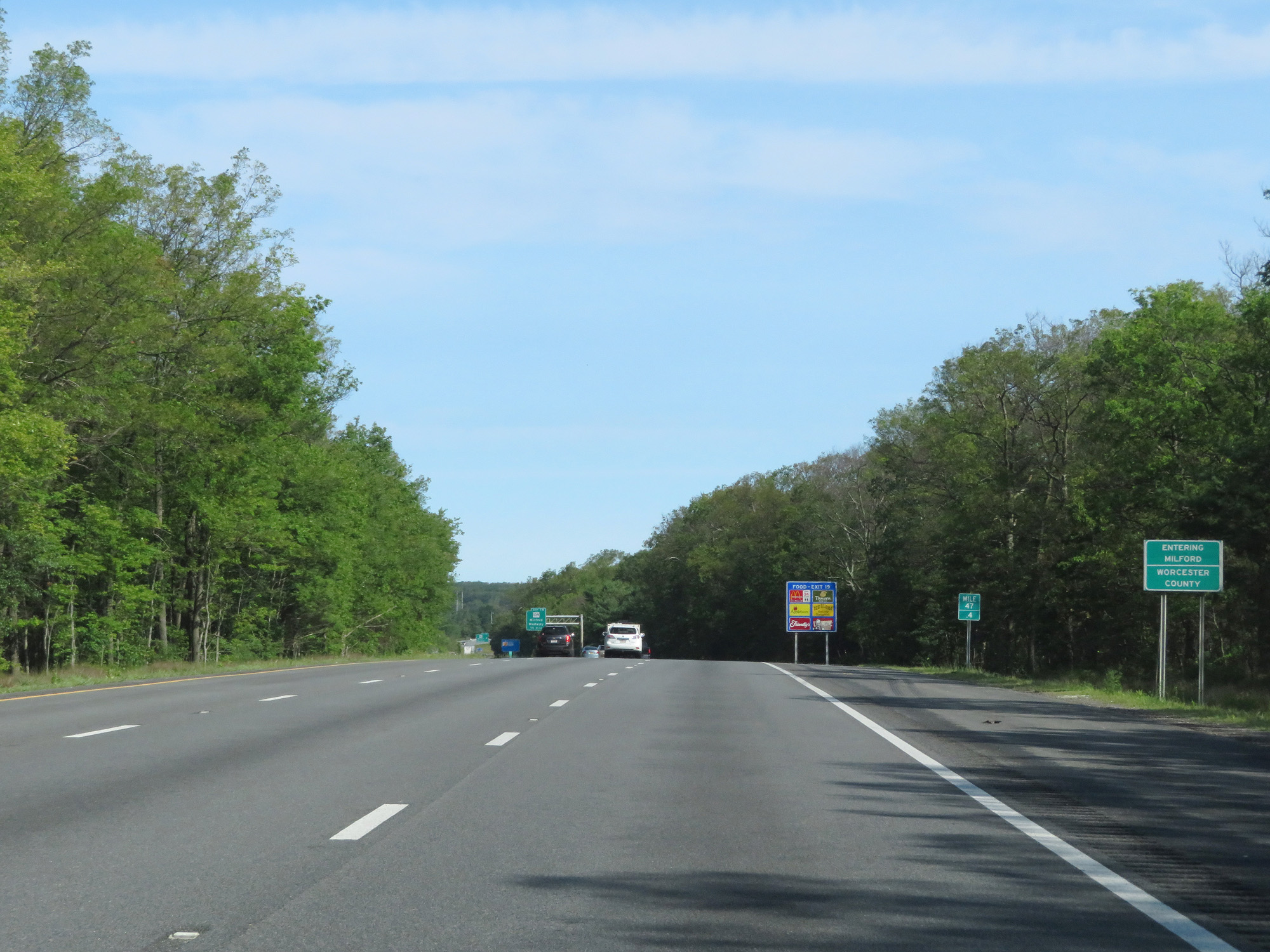 |
Interstate 495 North entering Worcester County for the first time. (Photo taken 8/6/17). |
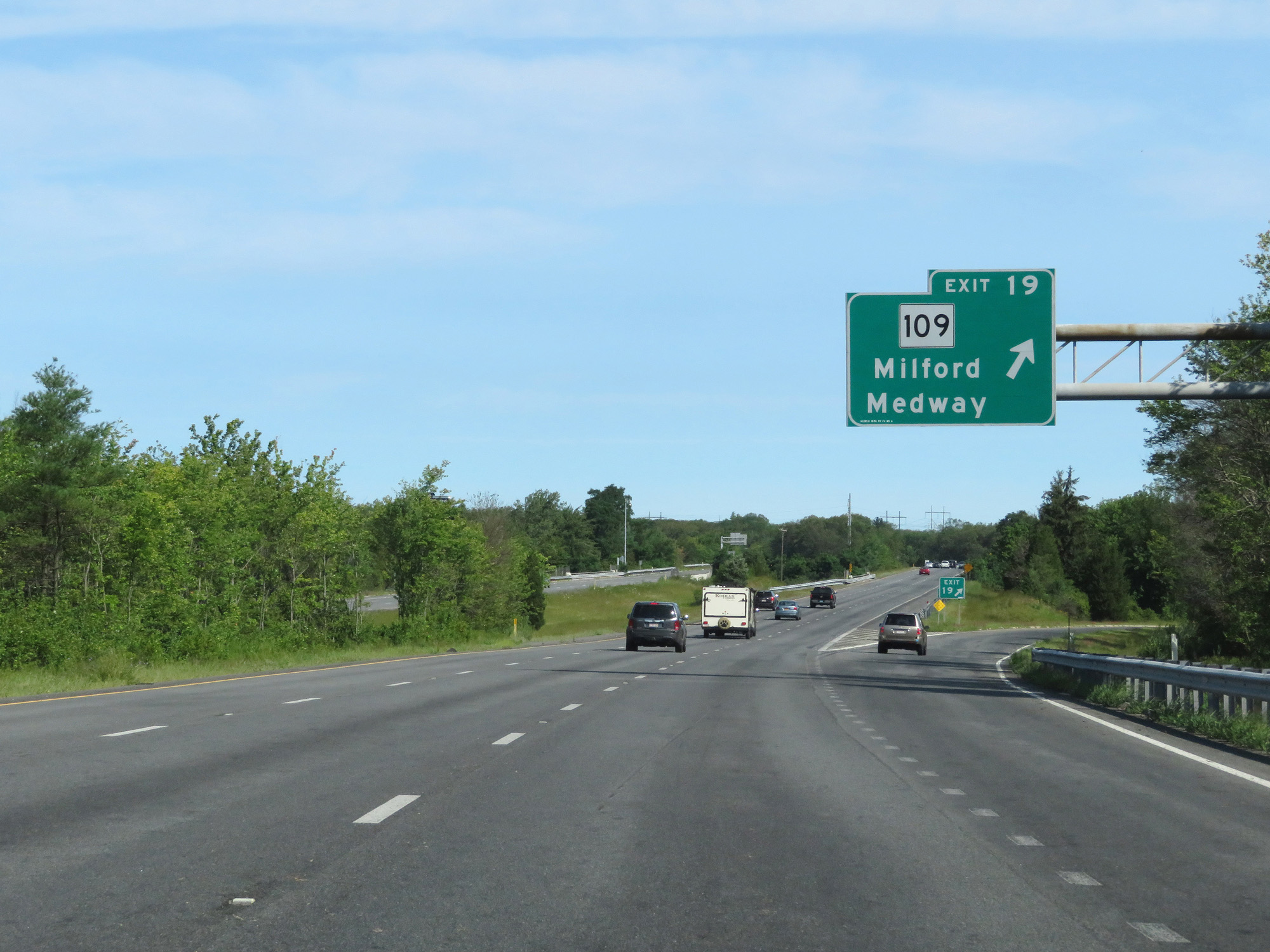 |
Interstate 495 North at Exit 19: MA 109 - Milford / Medway (Photo taken 8/6/17). |
Section 2: Milford (Exit 19) to Chelmsford (Exit 34)
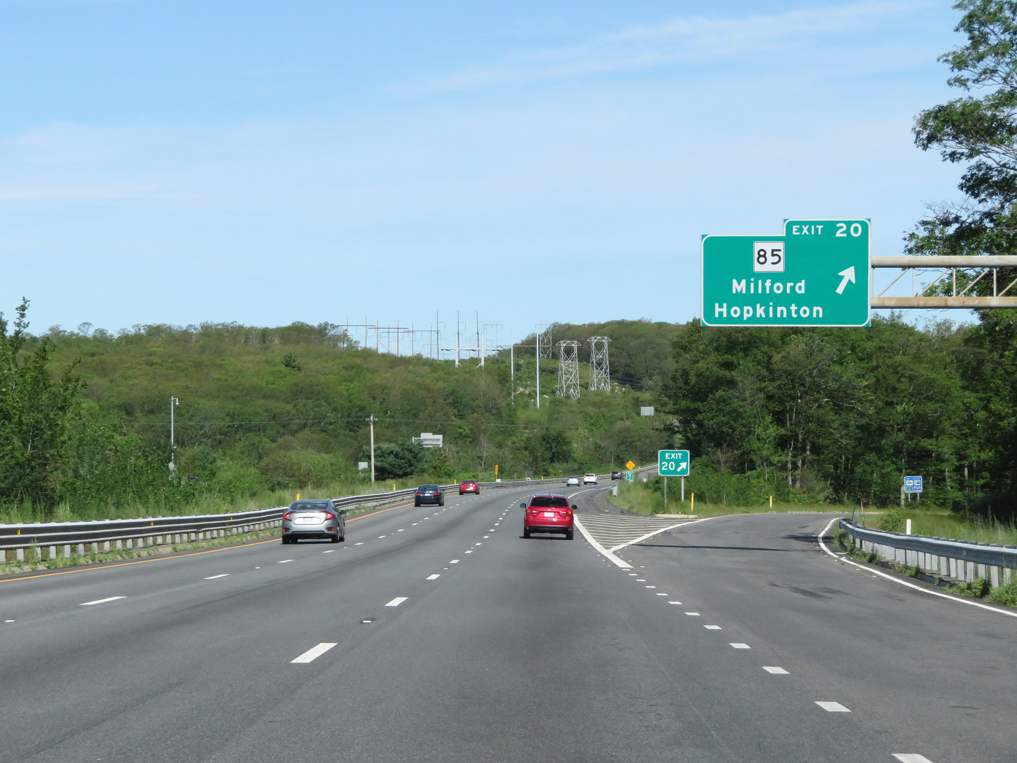 |
Interstate 495 North at Exit 20: MA 85 - Milford / Hopkinton (Photo taken 8/6/17). |
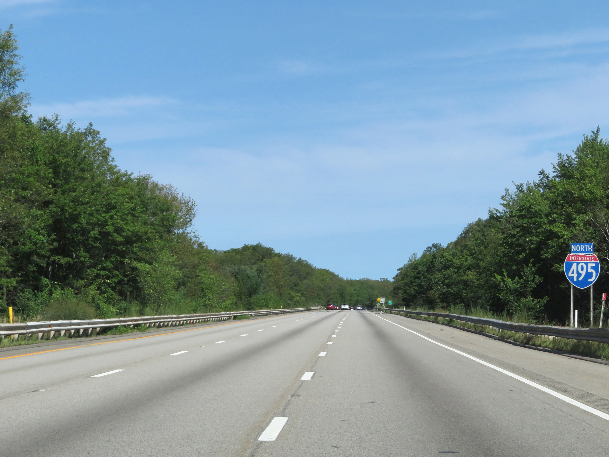 |
Interstate 495 North reassurance shield. (Photo taken 8/6/17). |
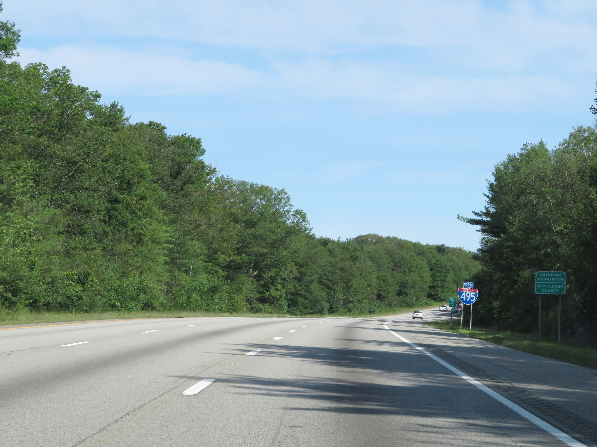 |
Interstate 495 North entering Middlesex County for the first time. (Photo taken 8/6/17). |
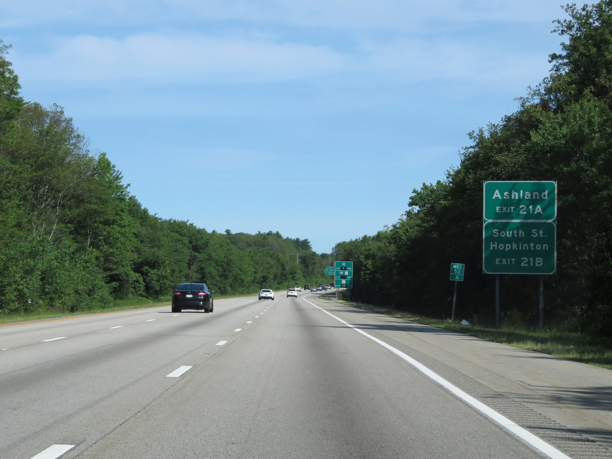 |
Take Exit 21A to Ashland. Take Exit 21B to South St and Hopkinton. (Photo taken 8/6/17). |
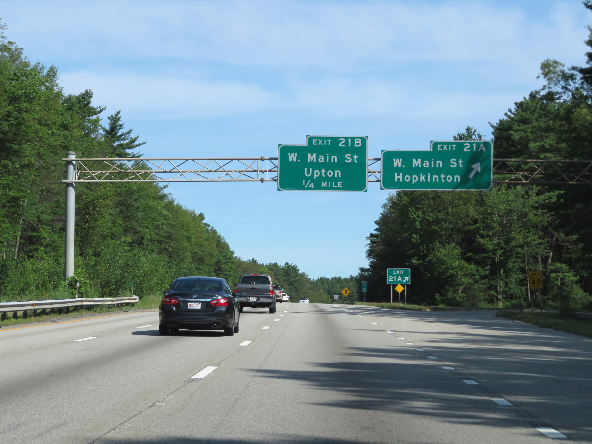 |
Interstate 495 North at Exit 21A: West Main St / Hopkinton (Photo taken 8/6/17). |
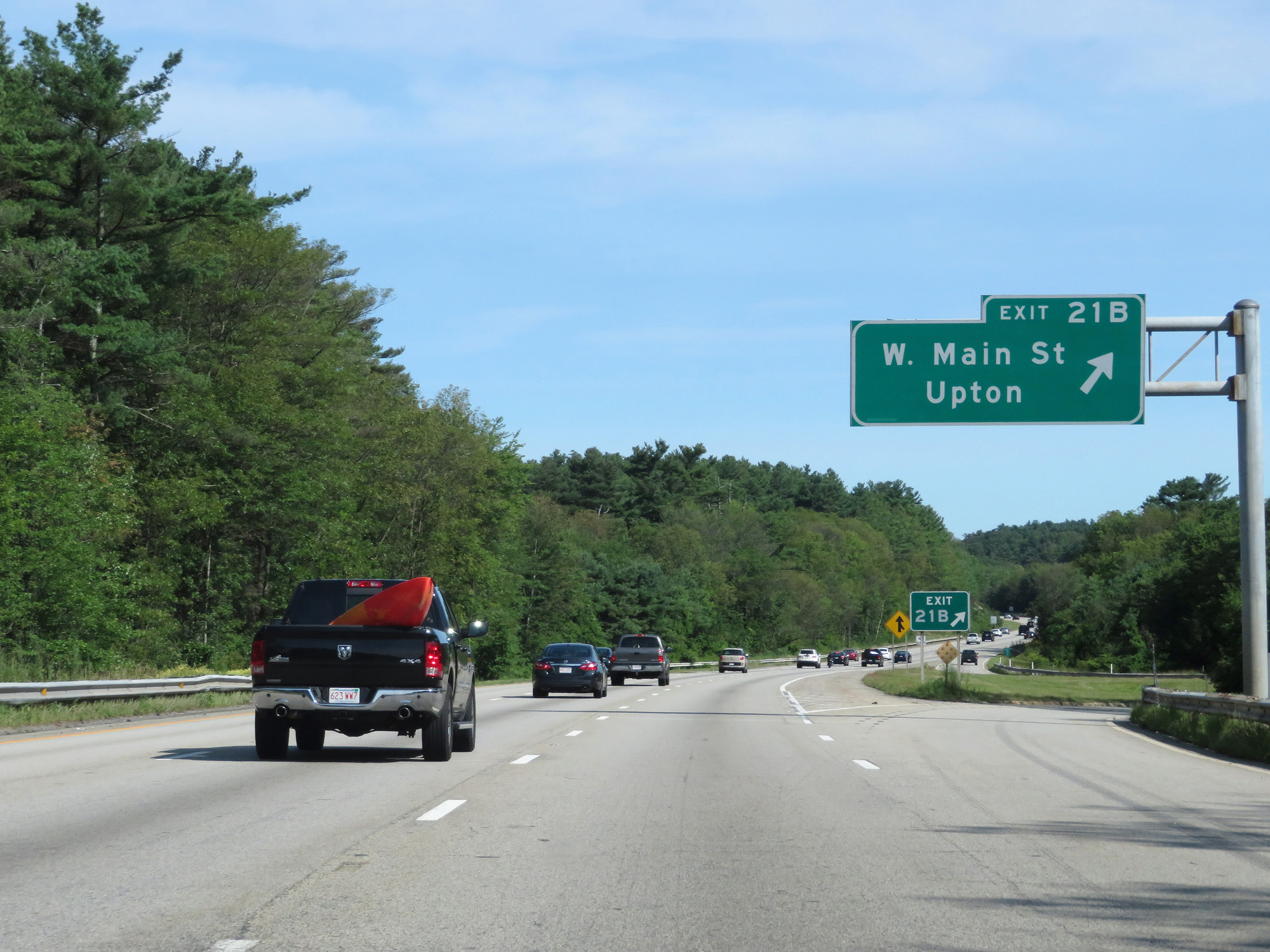 |
Interstate 495 North at Exit 21B: West Main St / Upton (Photo taken 8/6/17). |
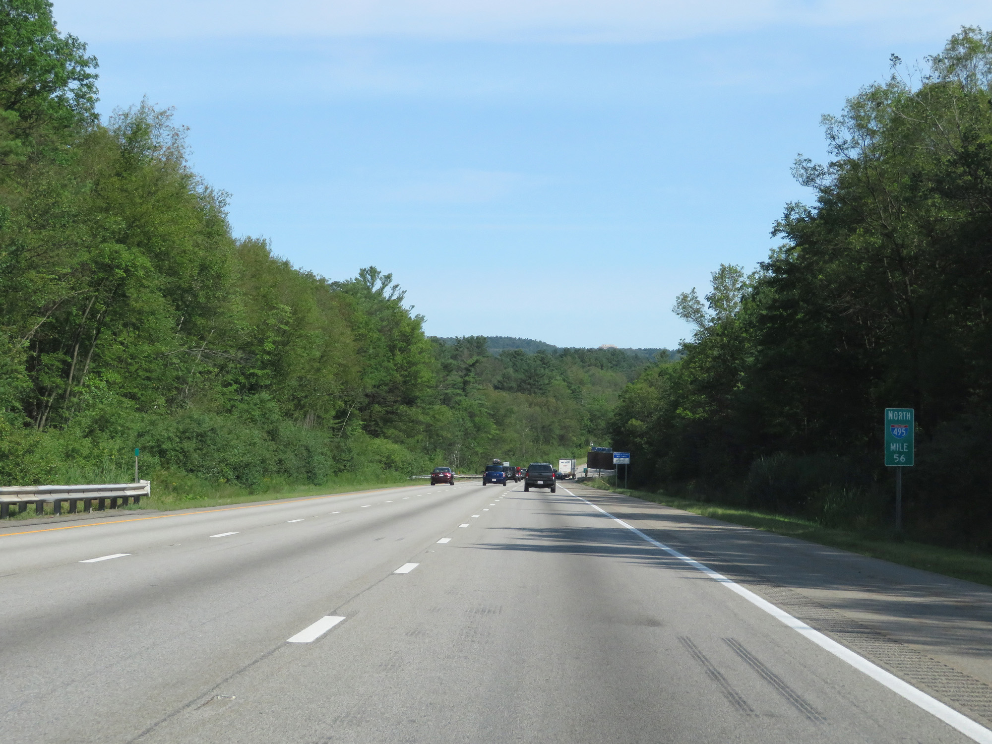 |
Interstate 495 North at mile marker 56. (Photo taken 8/6/17). |
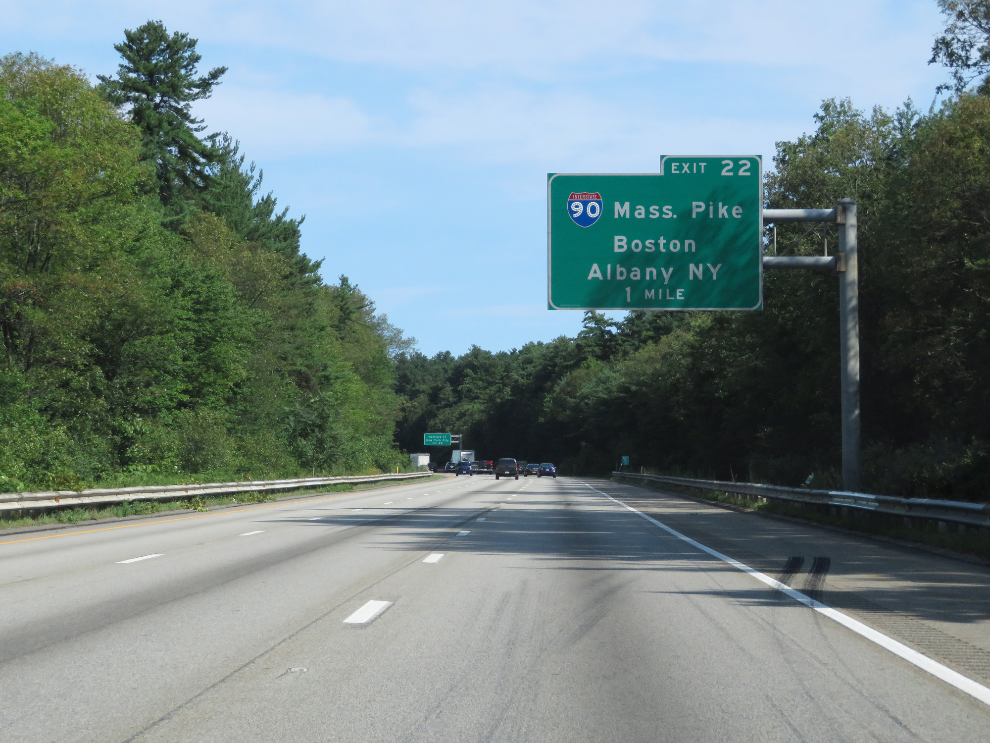 |
Interstate 495 North approaching Exit 22 - 1 mile. (Photo taken 8/6/17). |
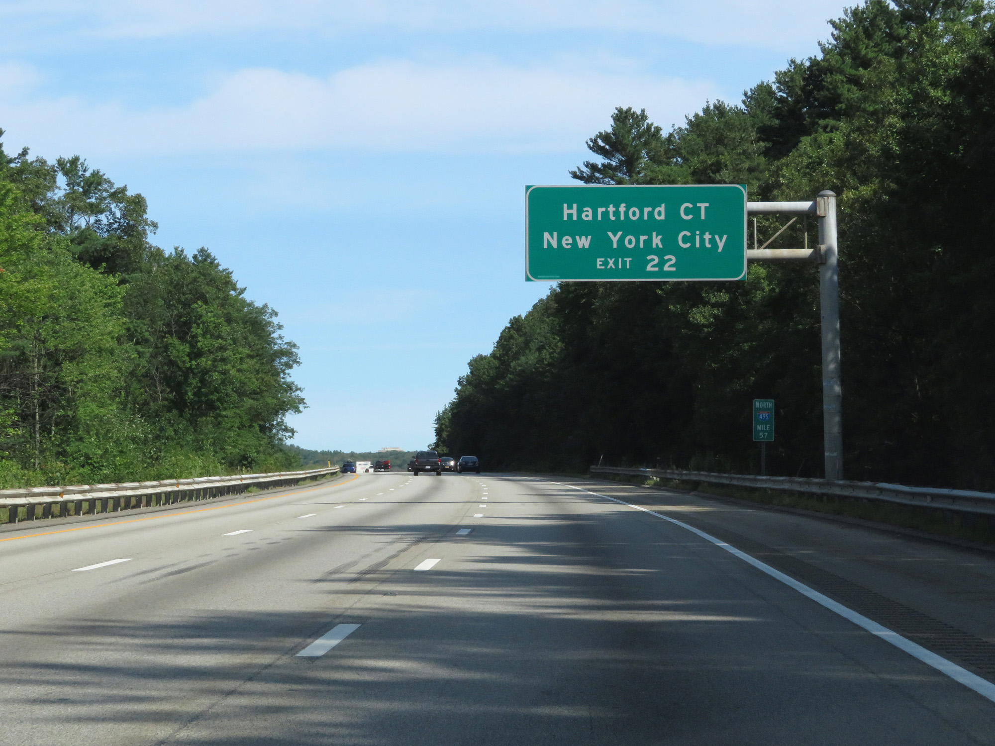 |
Take Exit 22 to Hartford, CT and New York City. (Photo taken 8/6/17). |
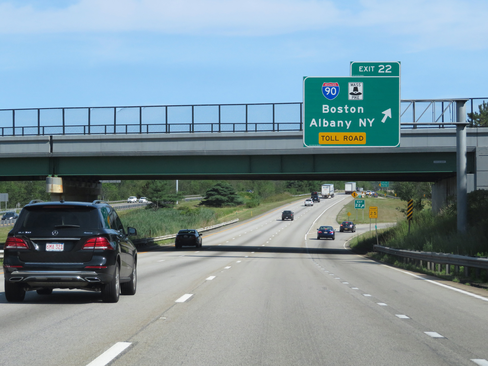 |
Interstate 495 North at Exit 22: Interstate 90 (Mass Pike) - Boston / Albany, NY (Photo taken 8/6/17). |
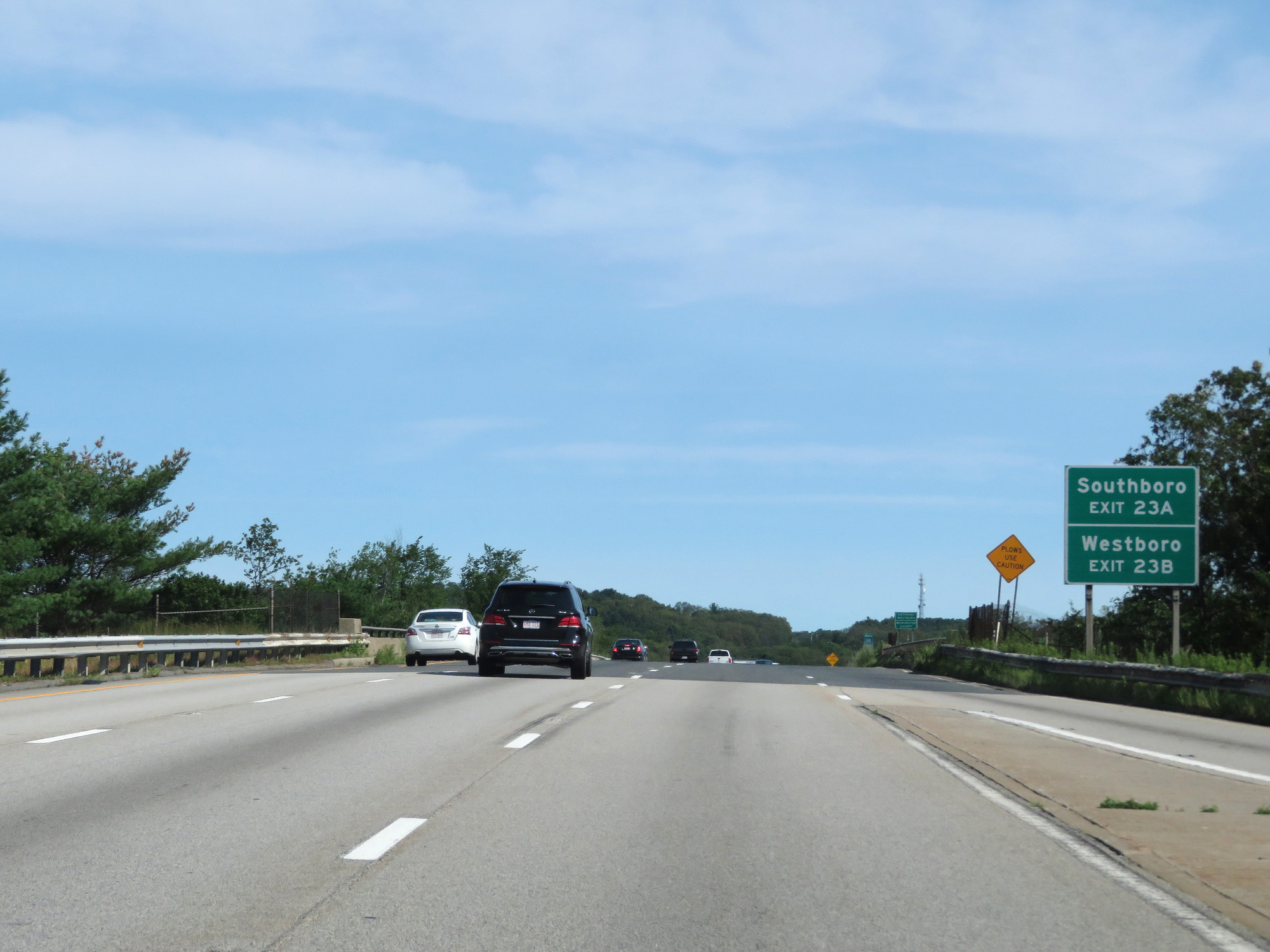 |
Take Exit 23A to Southboro. Take Exit 23B to Westboro. (Photo taken 8/6/17). |
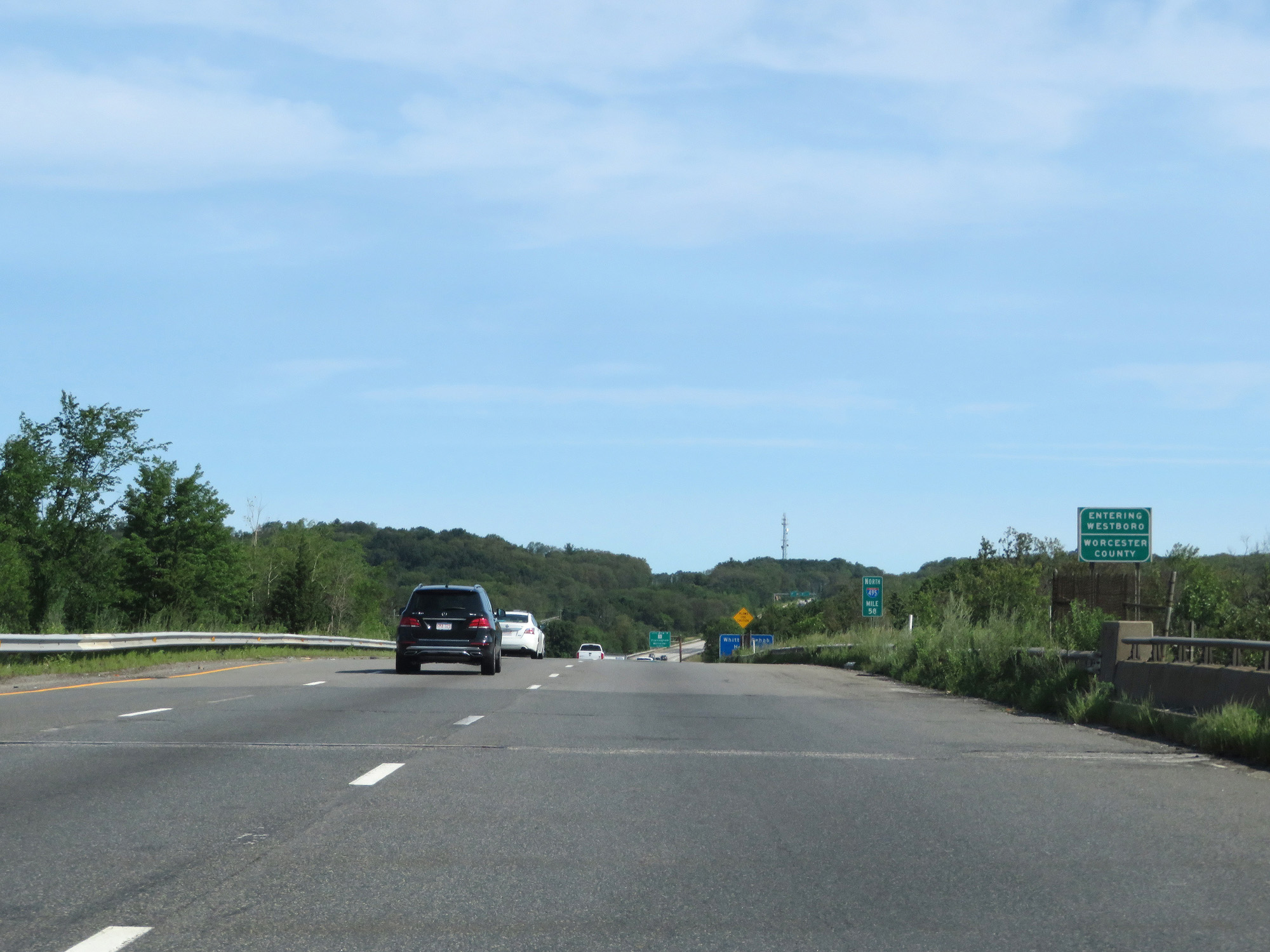 |
Interstate 495 North as it enters Worcester County once again at mile marker 58. (Photo taken 8/6/17). |
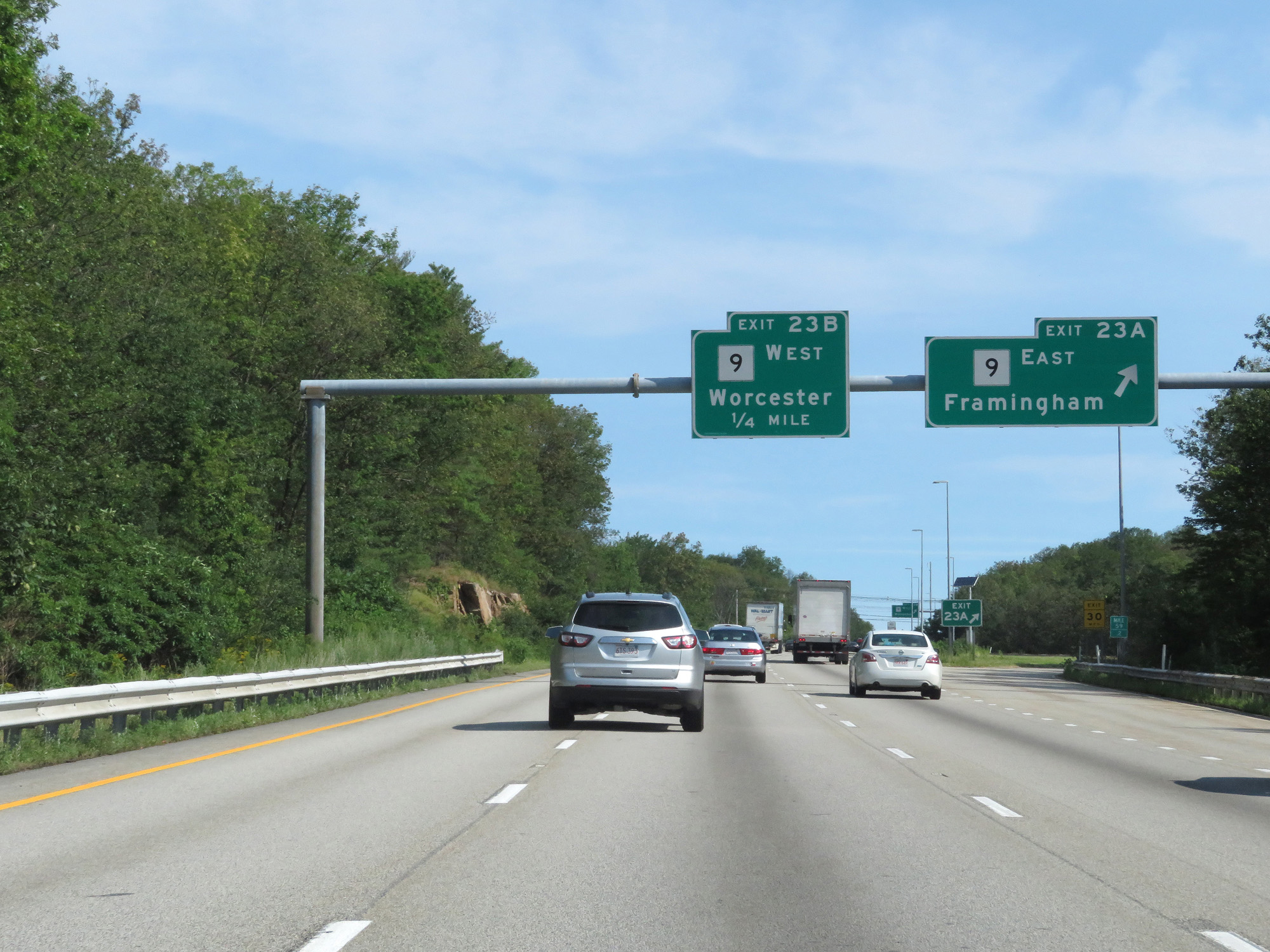 |
Interstate 495 North at Exit 23A: MA 9 East - Framingham (Photo taken 8/6/17). |
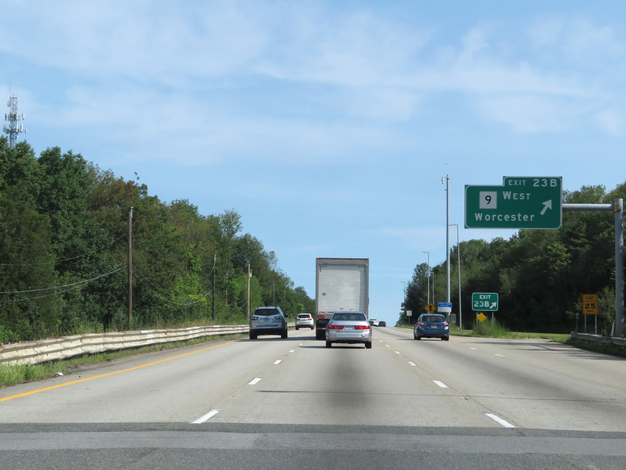 |
Interstate 495 North at Exit 23B: MA 9 West - Worcester (Photo taken 8/6/17). |
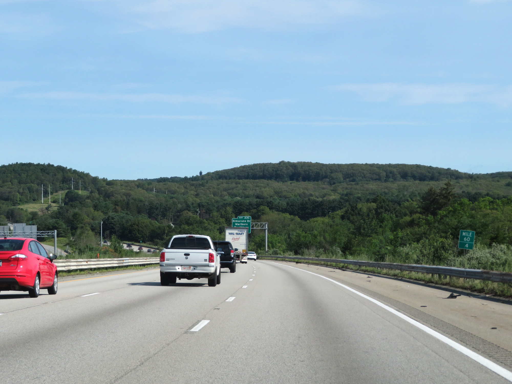 |
Interstate 495 North at mile marker 60.4. (Photo taken 8/6/17). |
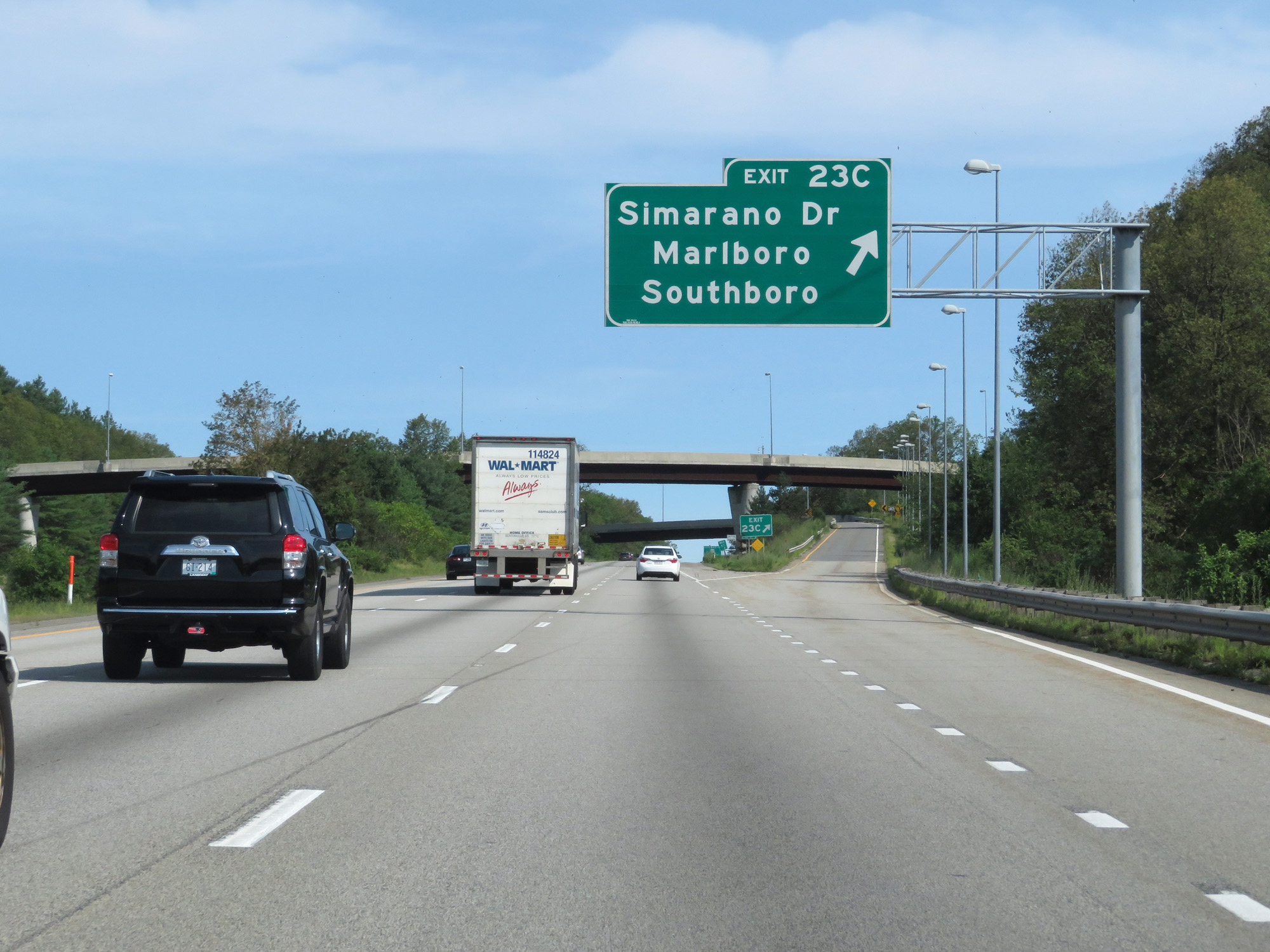 |
Interstate 495 North at Exit 23C: Simarano Dr / Marlboro / Southboro (Photo taken 8/6/17). |
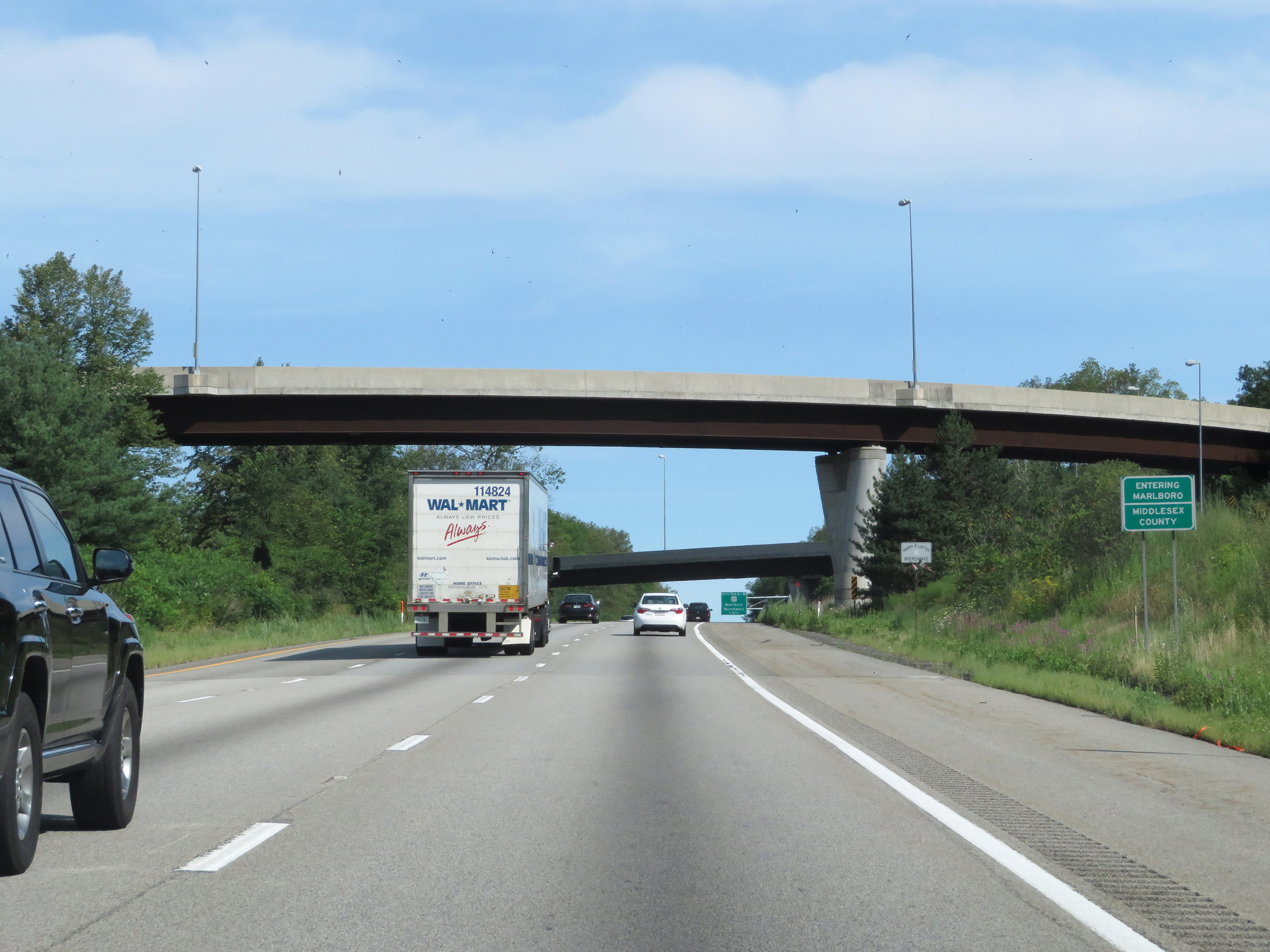 |
Interstate 495 North as it enters Middlesex County for a second time. (Photo taken 8/6/17). |
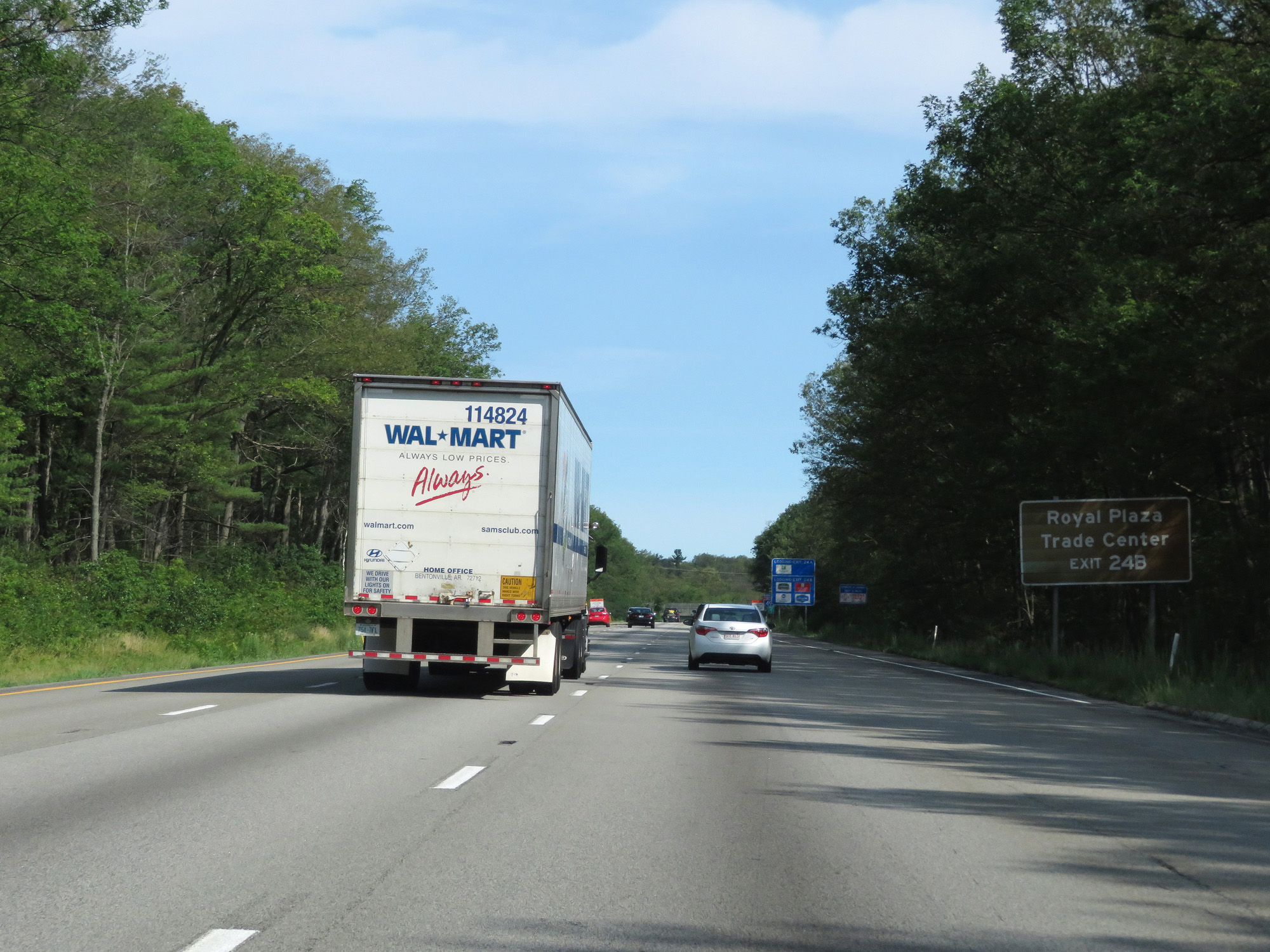 |
Take Exit 24B to Royal Plaza Trade Center. (Photo taken 8/6/17). |
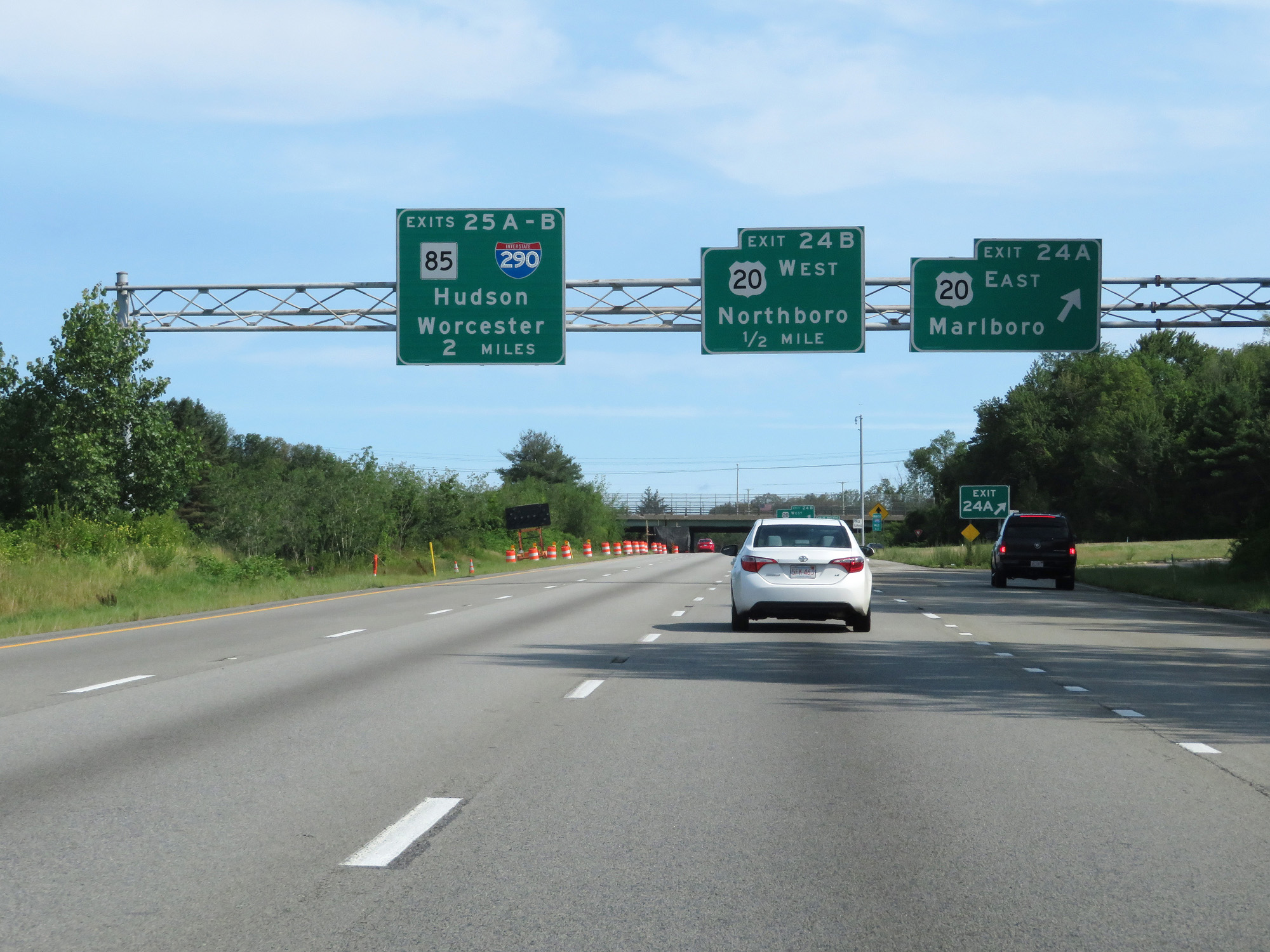 |
Interstate 495 North at Exit 24A: US 20 East - Marlboro (Photo taken 8/6/17). |
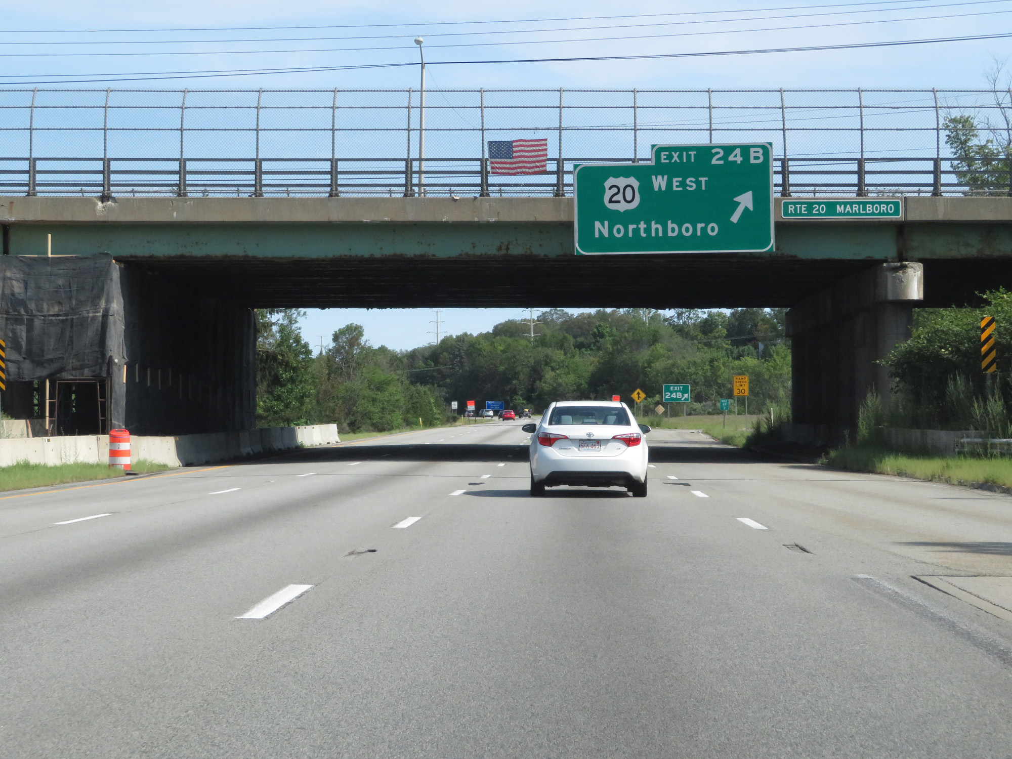 |
Interstate 495 North at Exit 24B: US 20 West - Northboro (Photo taken 8/6/17). |
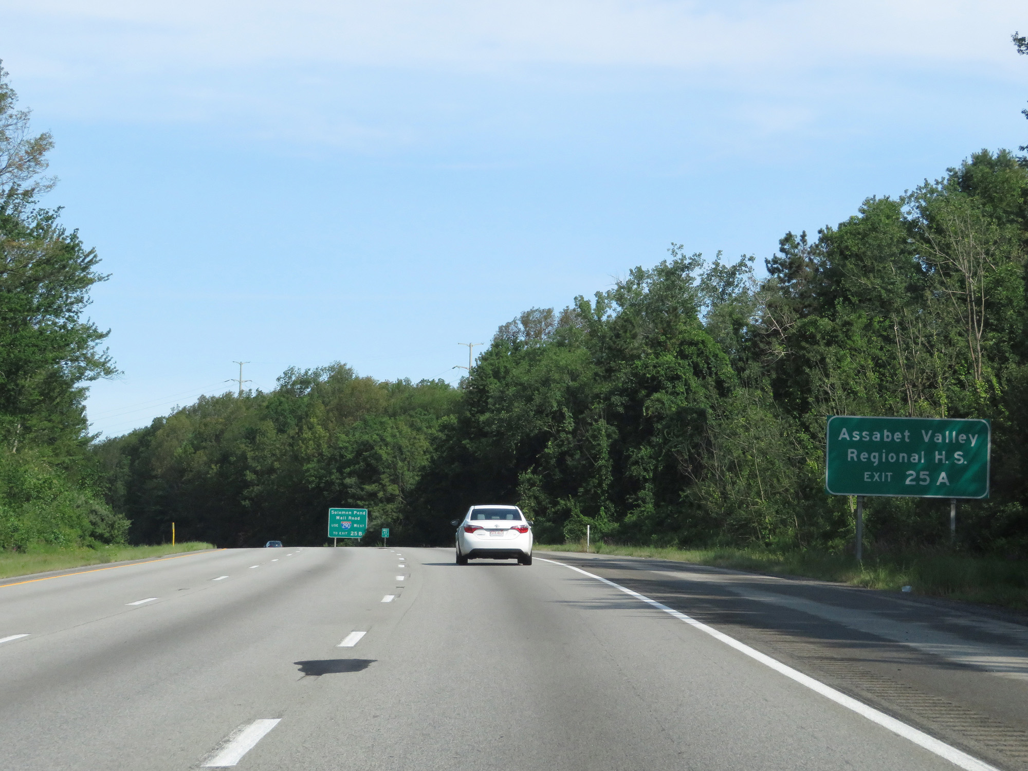 |
Take Exit 25A to Assabet Valley Regional High School. (Photo taken 8/6/17). |
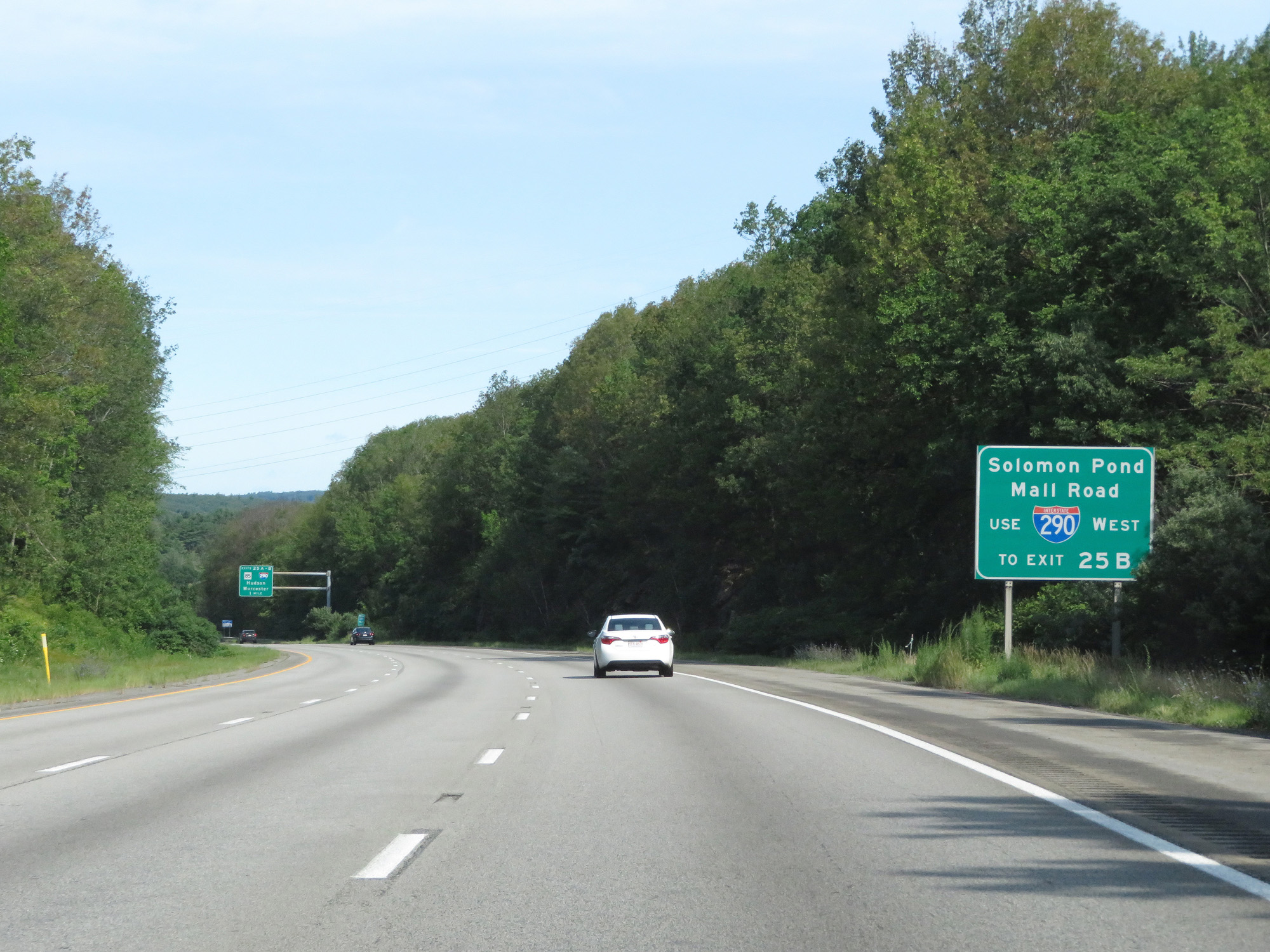 |
Follow Interstate 290 West to Exit 25B for access to Solomon Pond Mall Road. (Photo taken 8/6/17). |
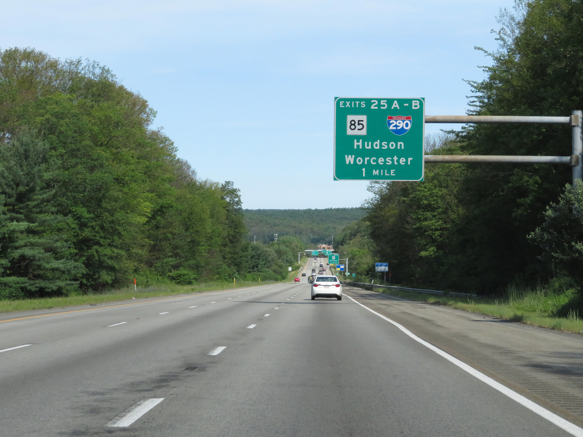 |
Interstate 495 North approaching Exits 25A-B - 1 mile. (Photo taken 8/6/17). |
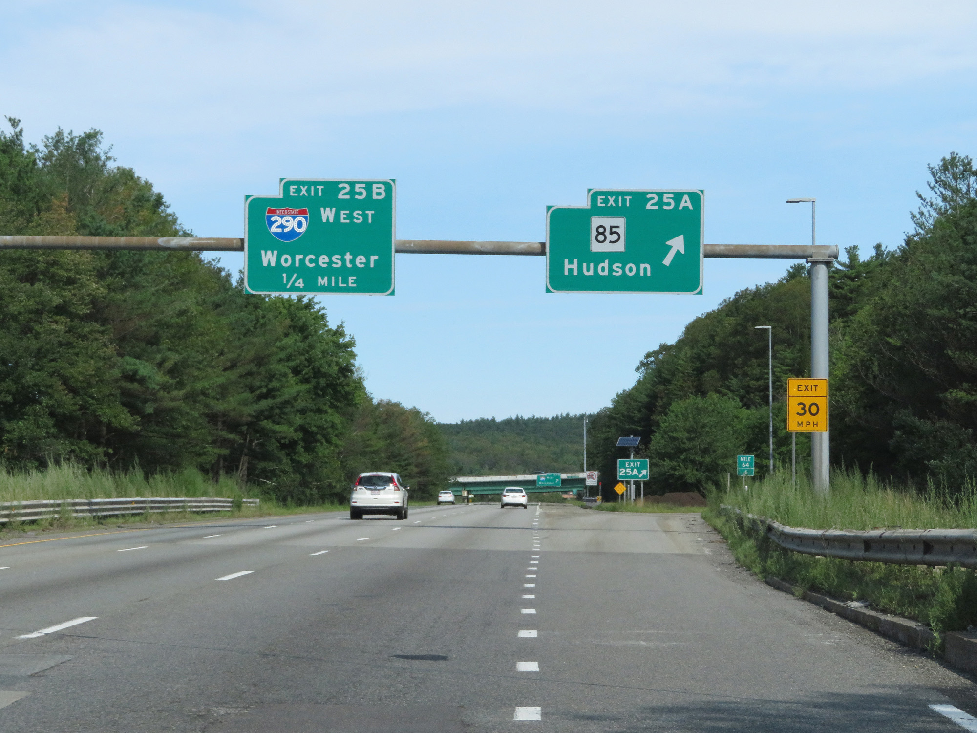 |
Interstate 495 North at Exit 25A: MA 85 - Hudson (Photo taken 8/6/17). |
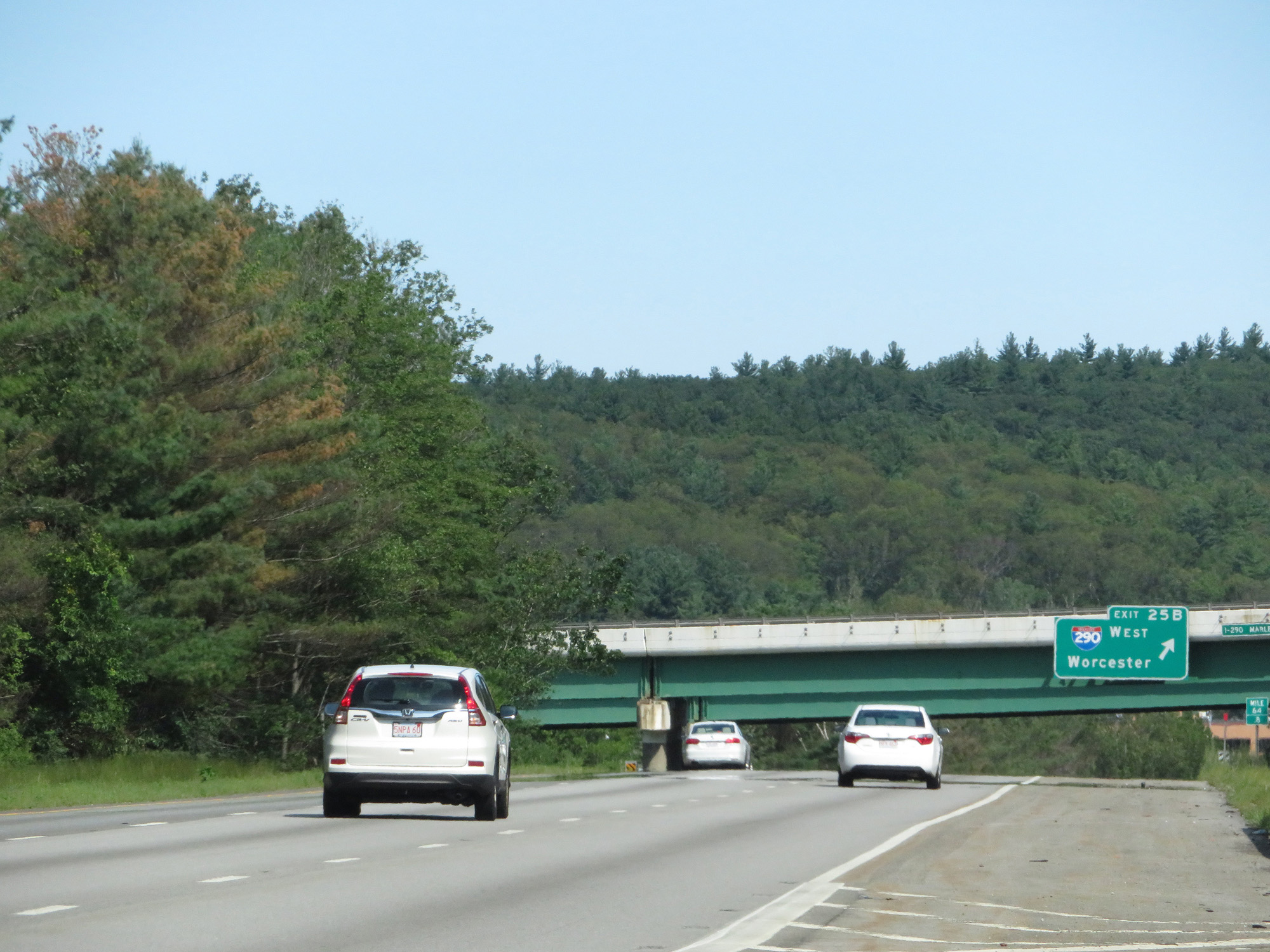 |
Interstate 495 North at Exit 25B: Interstate 290 West - Worcester (Photo taken 8/6/17). |
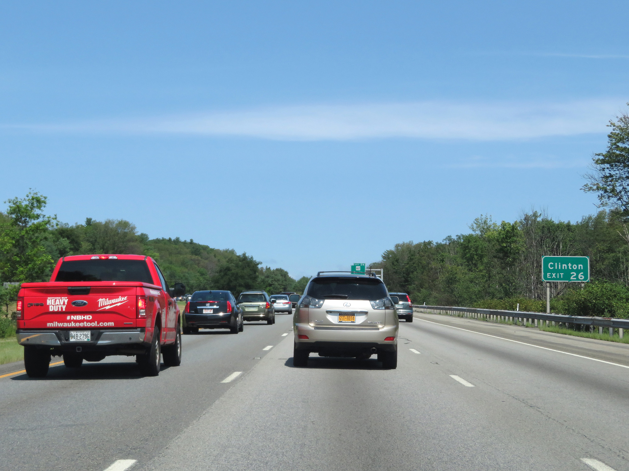 |
Take Exit 26 to Clinton. (Photo taken 8/6/17). |
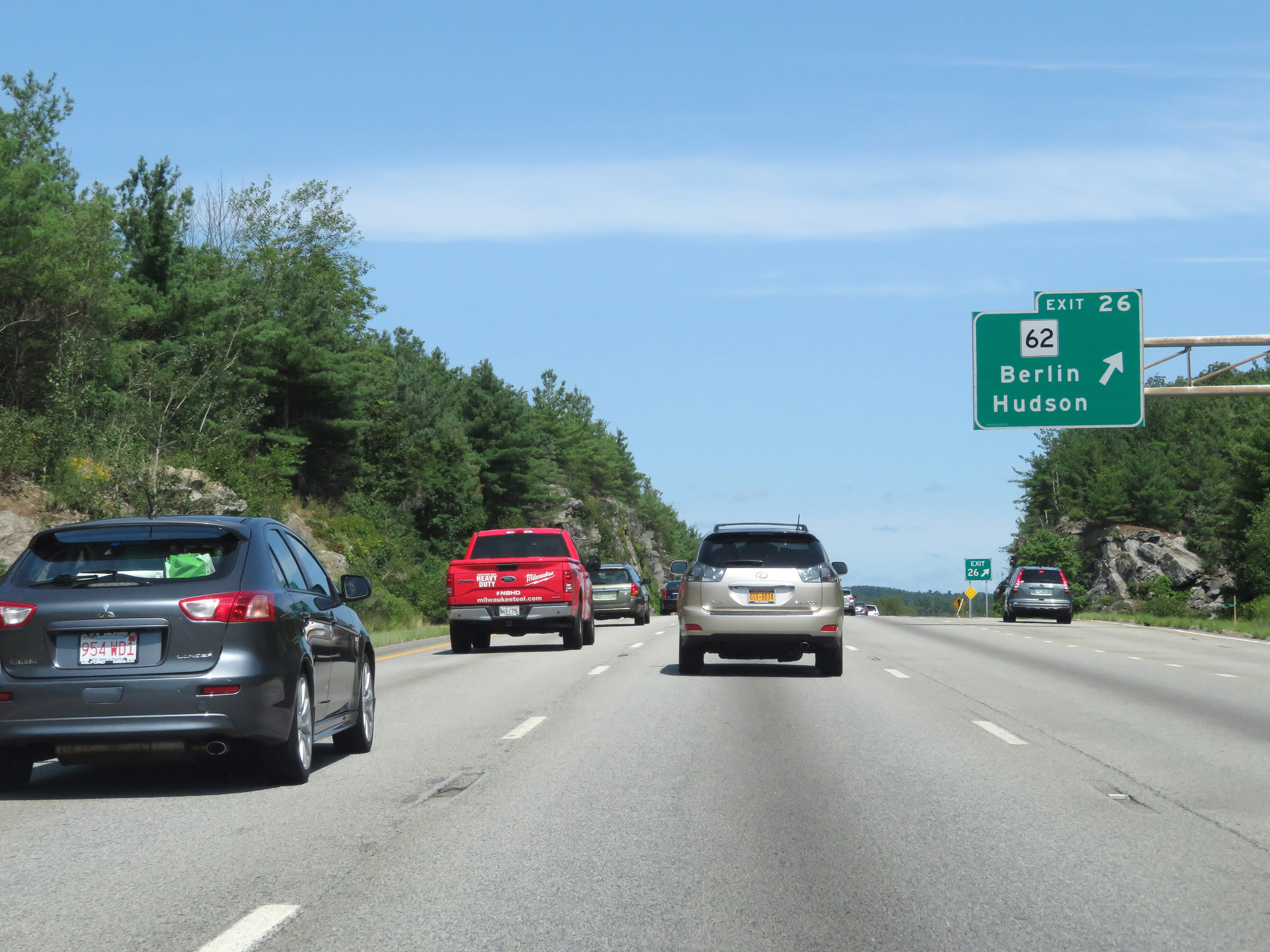 |
Interstate 495 North at Exit 26: MA 62 - Berlin / Hudson (Photo taken 8/6/17). |
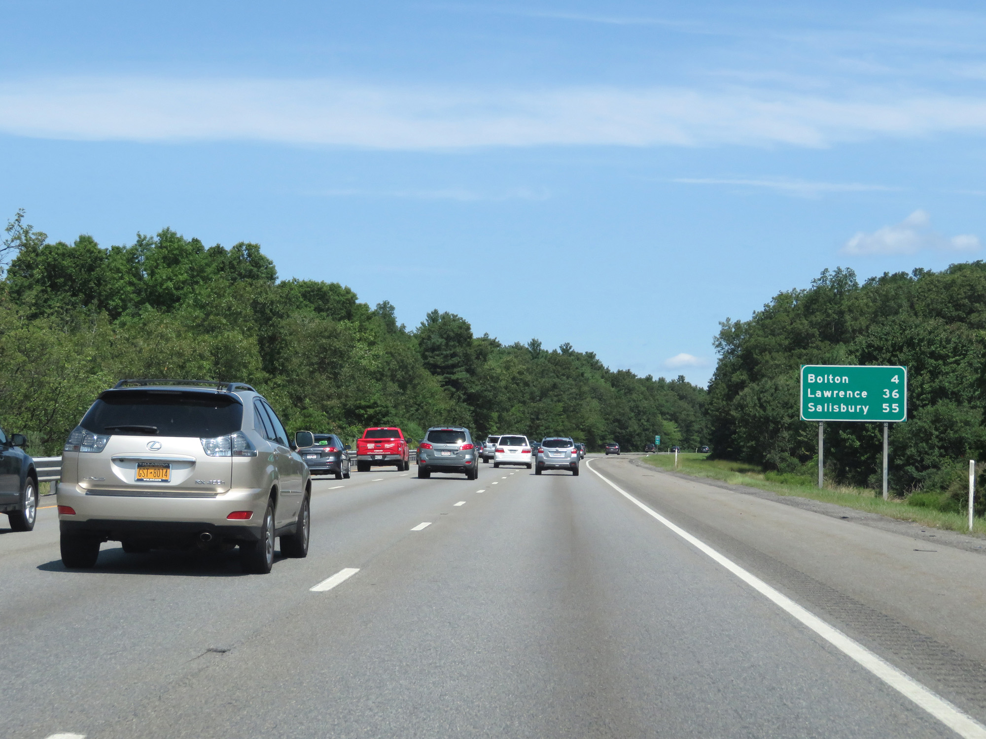 |
Mileage sign on Interstate 495 North. It's 4 miles to Bolton, 36 miles to Lawrence, and 55 miles to Salisbury. (Photo taken 8/6/17). |
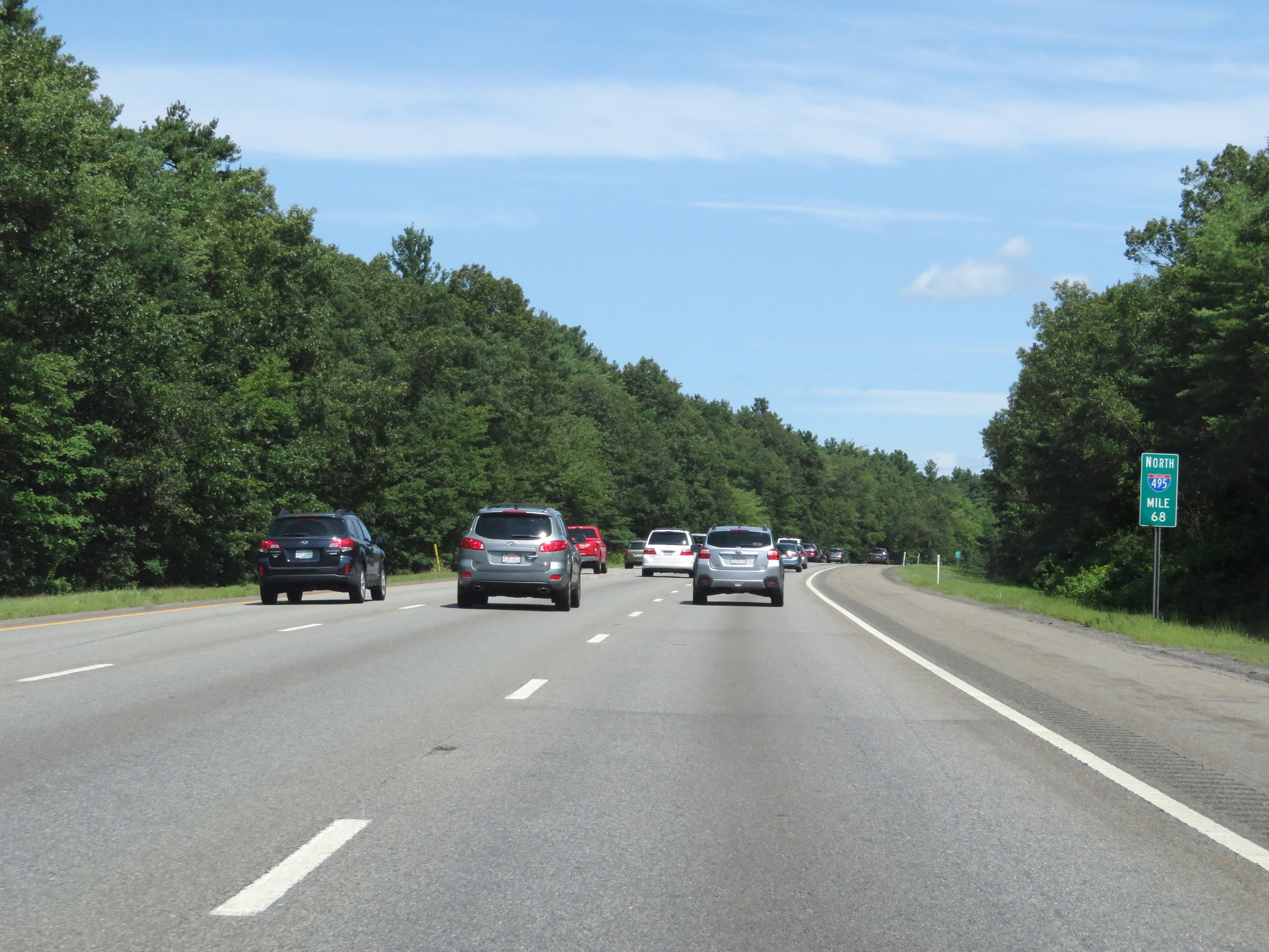 |
Interstate 495 North at mile marker 68. (Photo taken 8/6/17). |
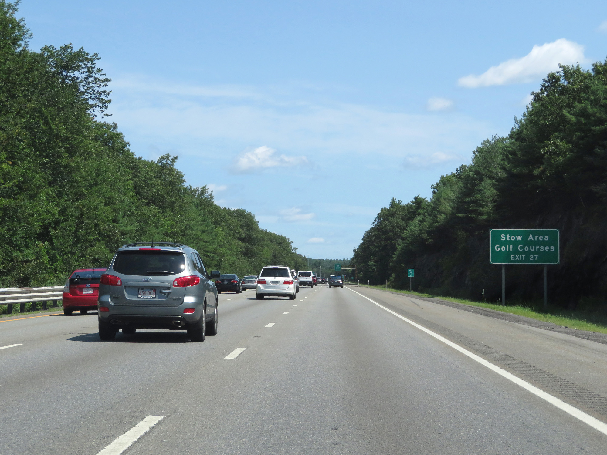 |
Take Exit 27 to the Stow Area Golf Courses. (Photo taken 8/6/17). |
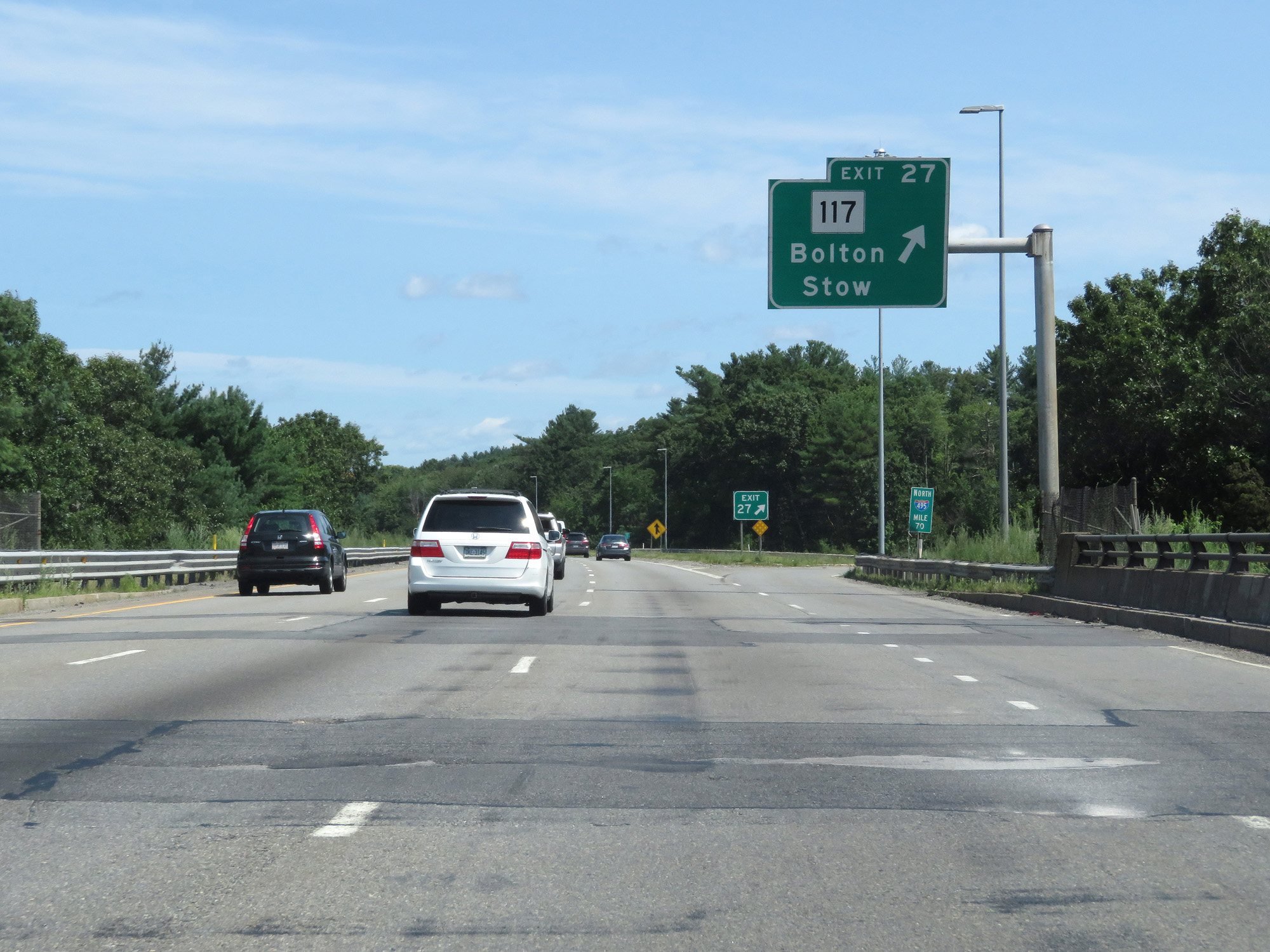 |
Interstate 495 North at Exit 27: MA 117 - Bolton / Stow (Photo taken 8/6/17). |
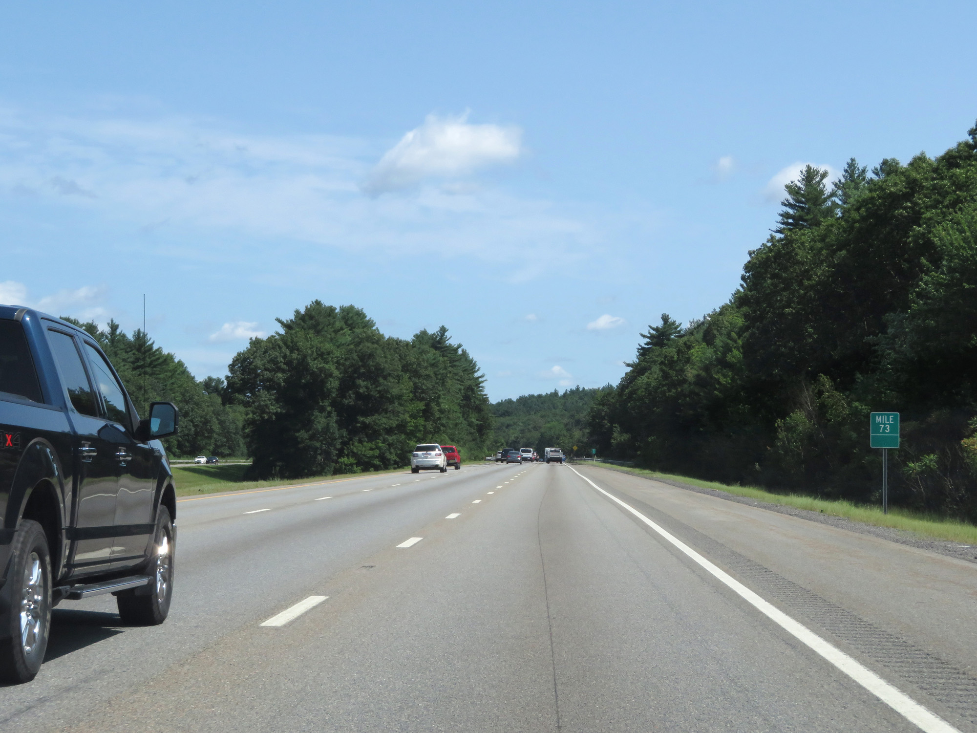 |
Interstate 495 North at mile marker 73. (Photo taken 8/6/17). |
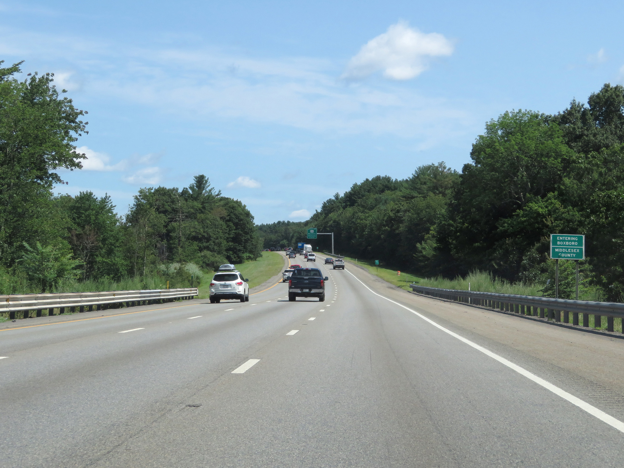 |
Interstate 495 North as it enters Middlesex County again. (Photo taken 8/6/17). |
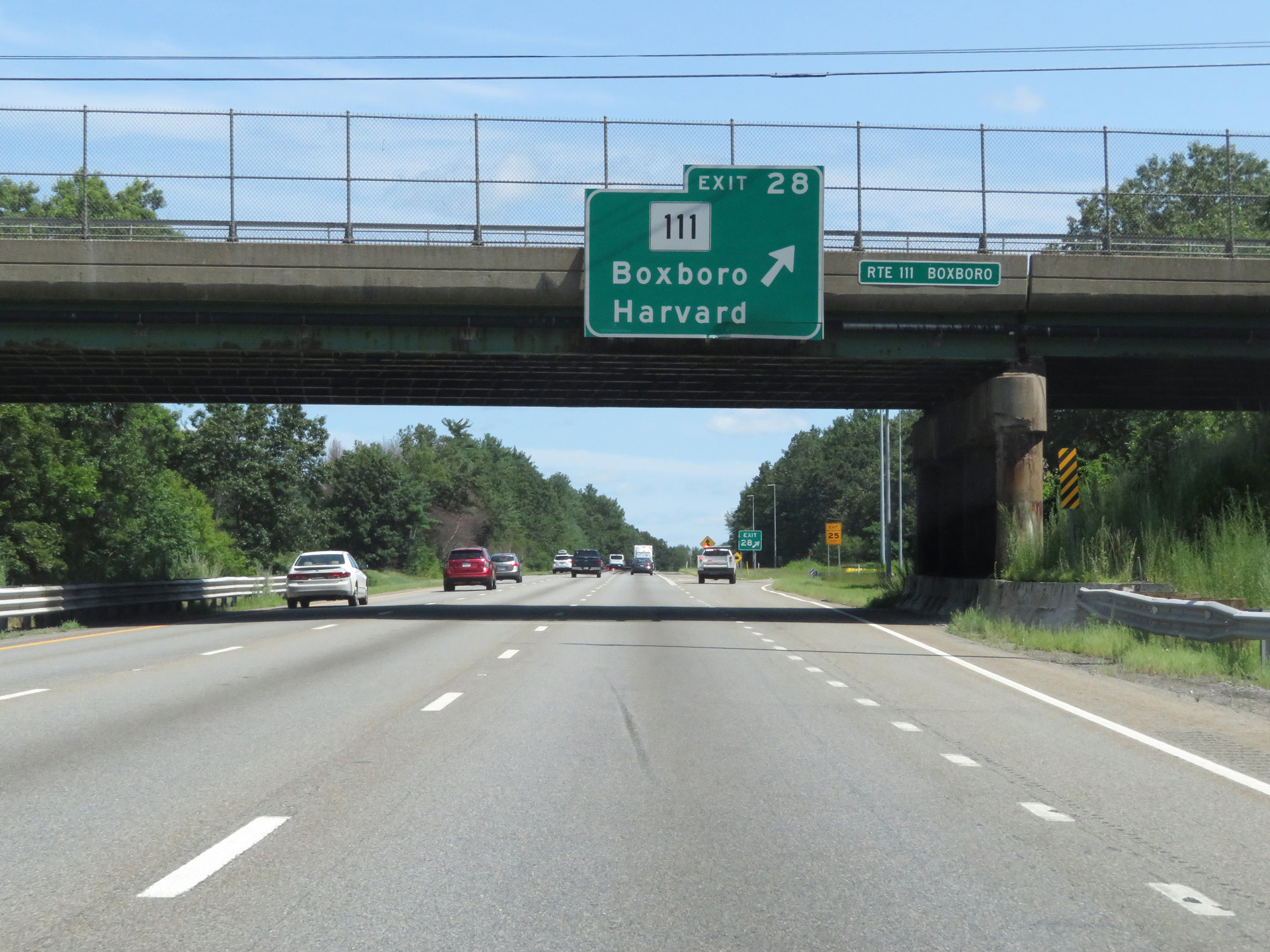 |
Interstate 495 North at Exit 28: MA 111 - Boxboro / Harvard (Photo taken 8/6/17). |
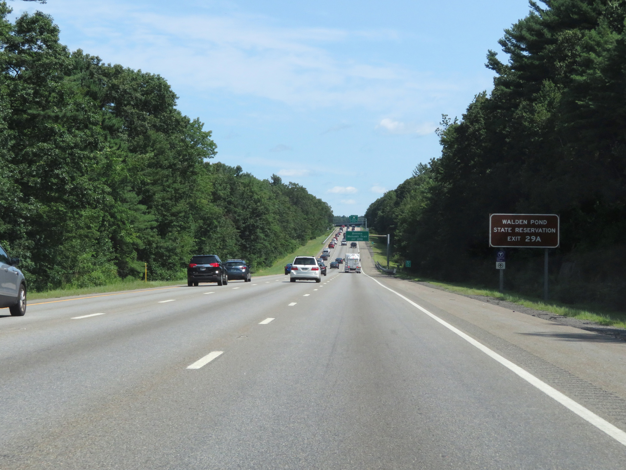 |
Take Exit 29A to Walden Pond State Reservation. (Photo taken 8/6/17). |
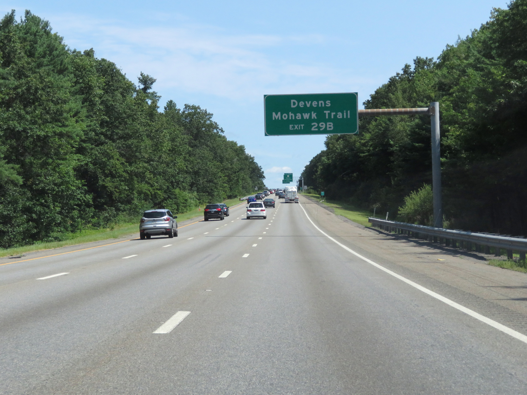 |
Take Exit 29B to Devens and Mohawk Trail. (Photo taken 8/6/17). |
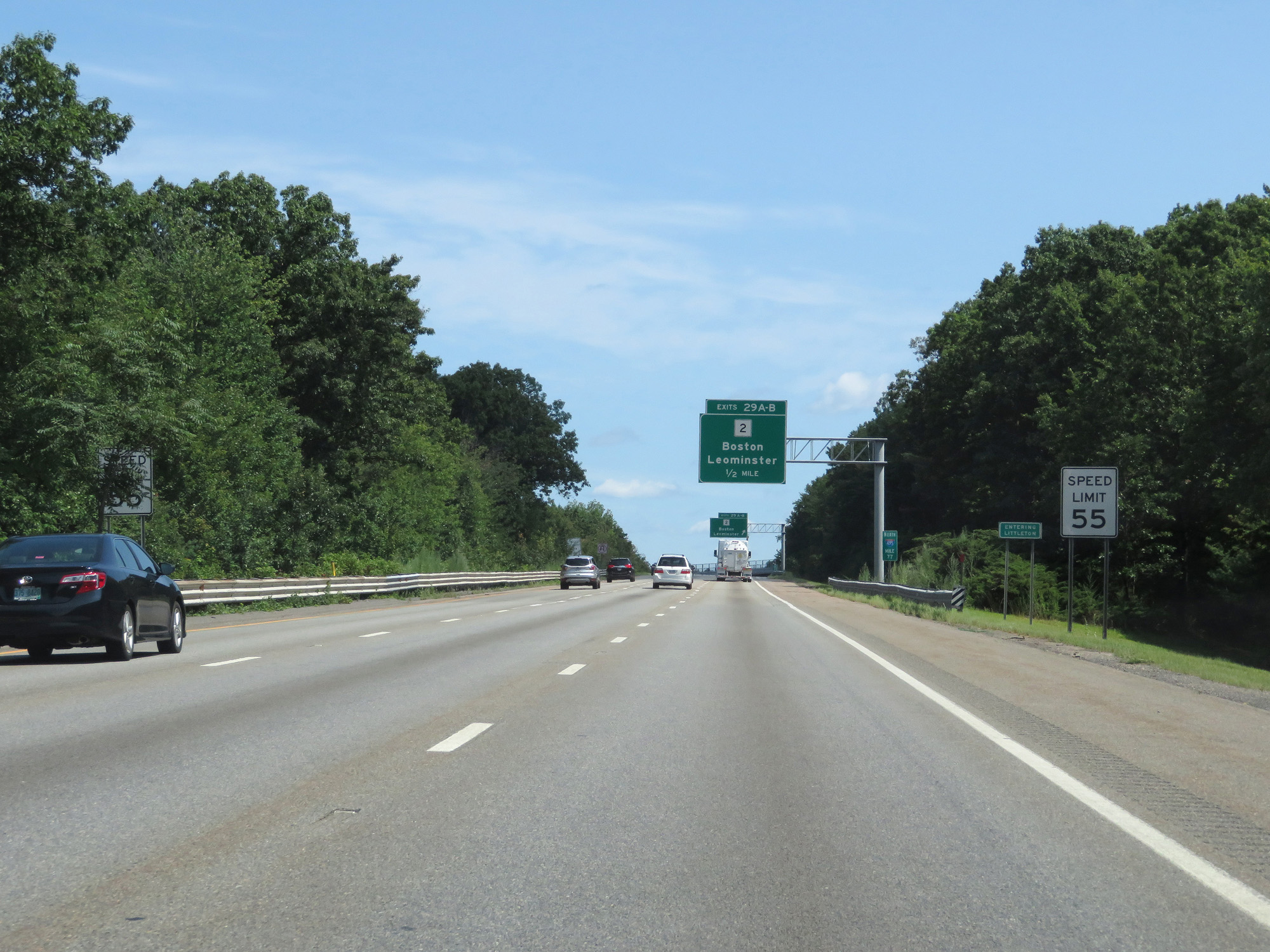 |
Entering the Littleton town limits, the speed limit decreases to 55 mph. (Photo taken 8/6/17). |
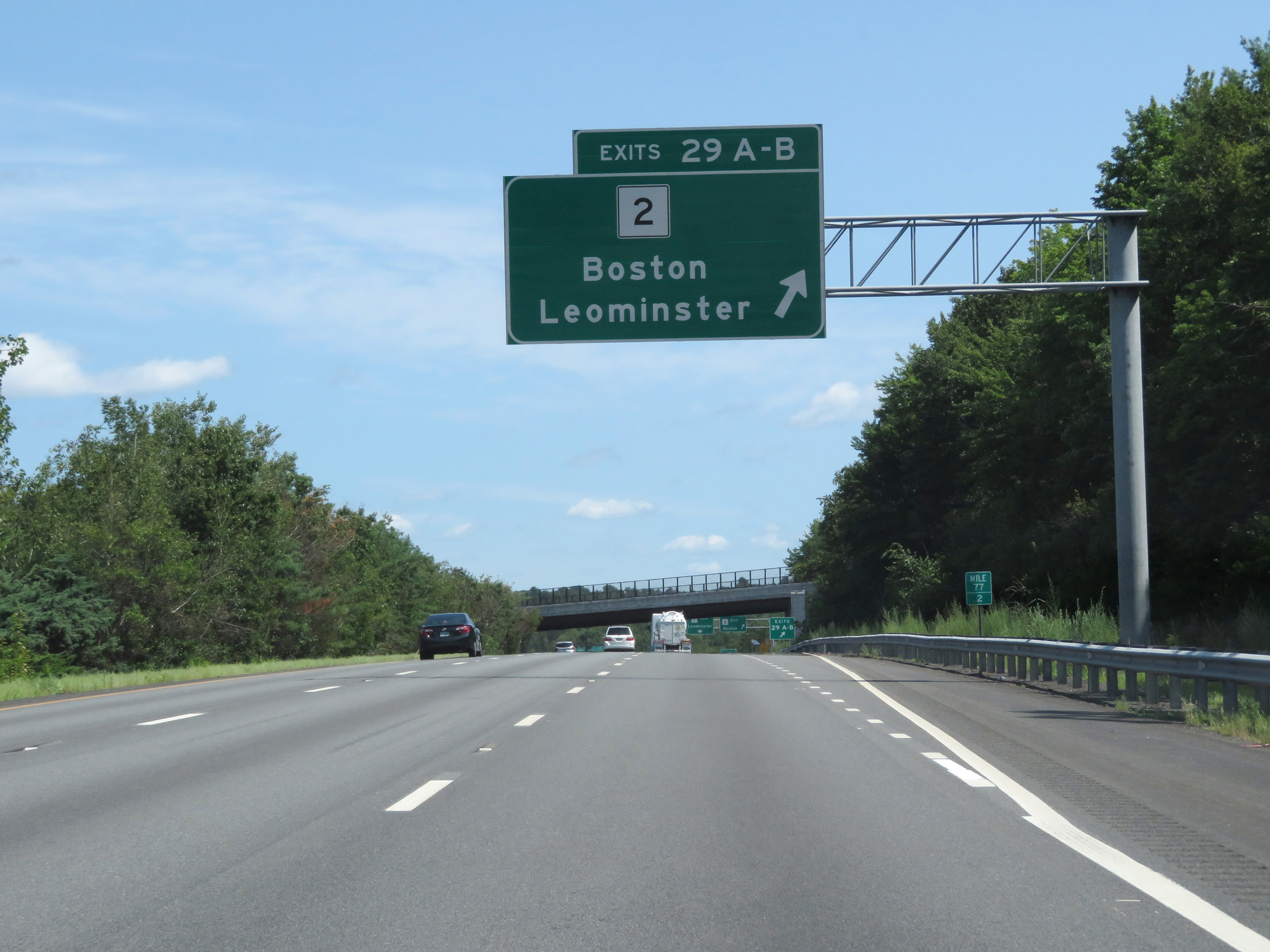 |
Interstate 495 North at Exits 29A-B: MA 2 - Boston / Leominster (Photo taken 8/6/17). |
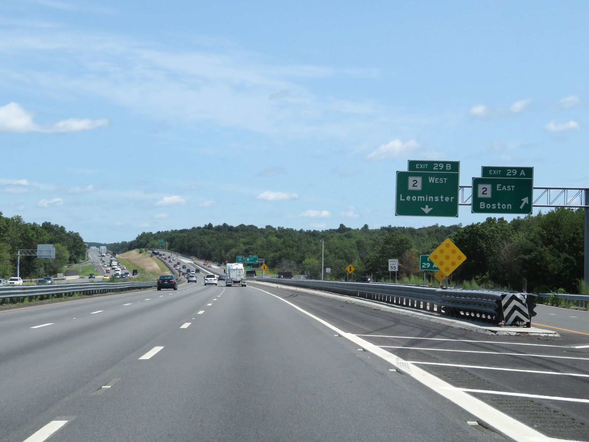 |
Interstate 495 North at Exit 29A: MA 2 East - Boston (Photo taken 8/6/17). |
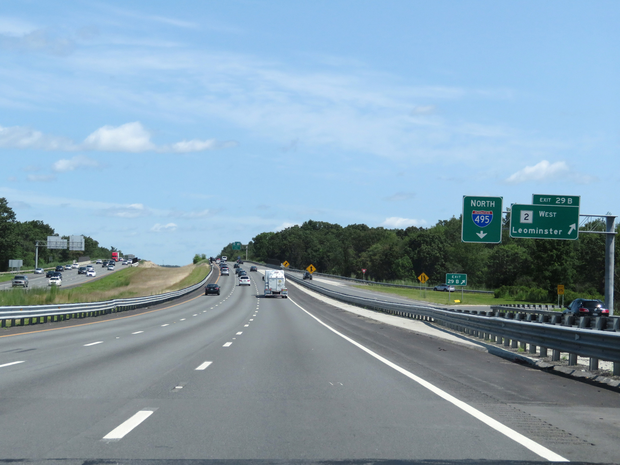 |
Interstate 495 North at Exit 29B: MA 2 West - Leominster (Photo taken 8/6/17). |
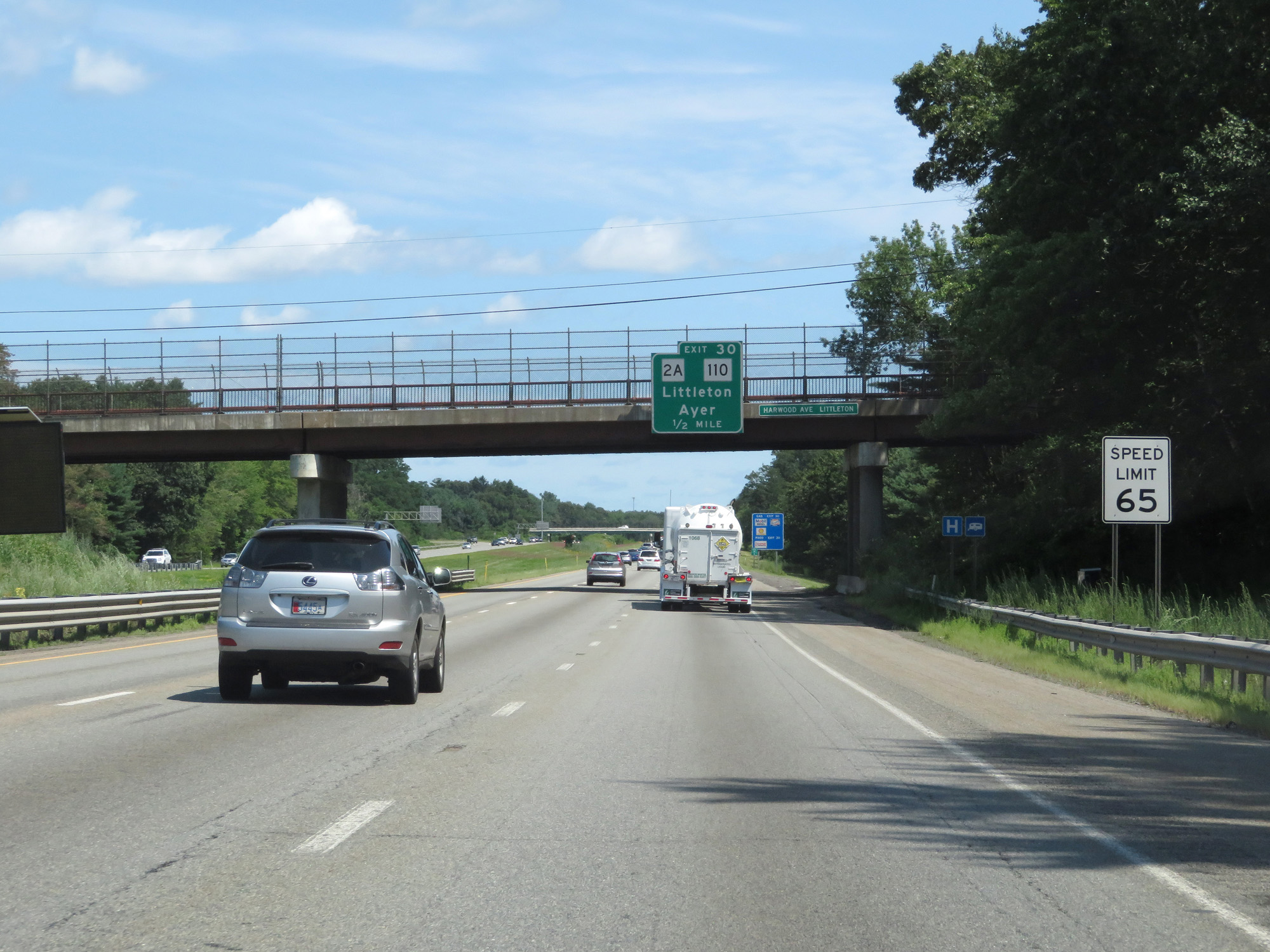 |
Approaching Exit 30, the speed limit returns to 65 mph. (Photo taken 8/6/17). |
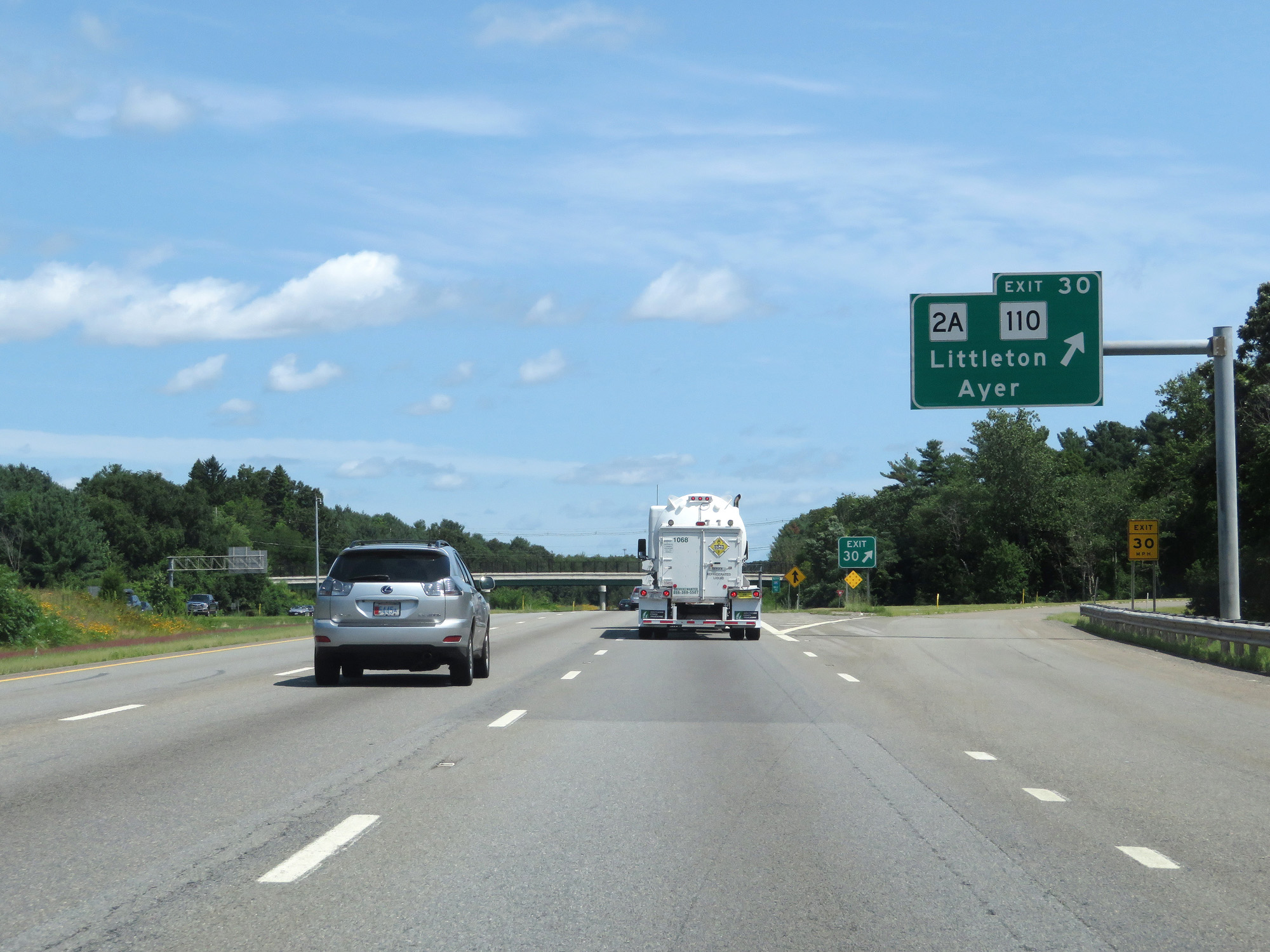 |
Interstate 495 North at Exit 30: MA 2A / MA 110 - Littleton / Ayer (Photo taken 8/6/17). |
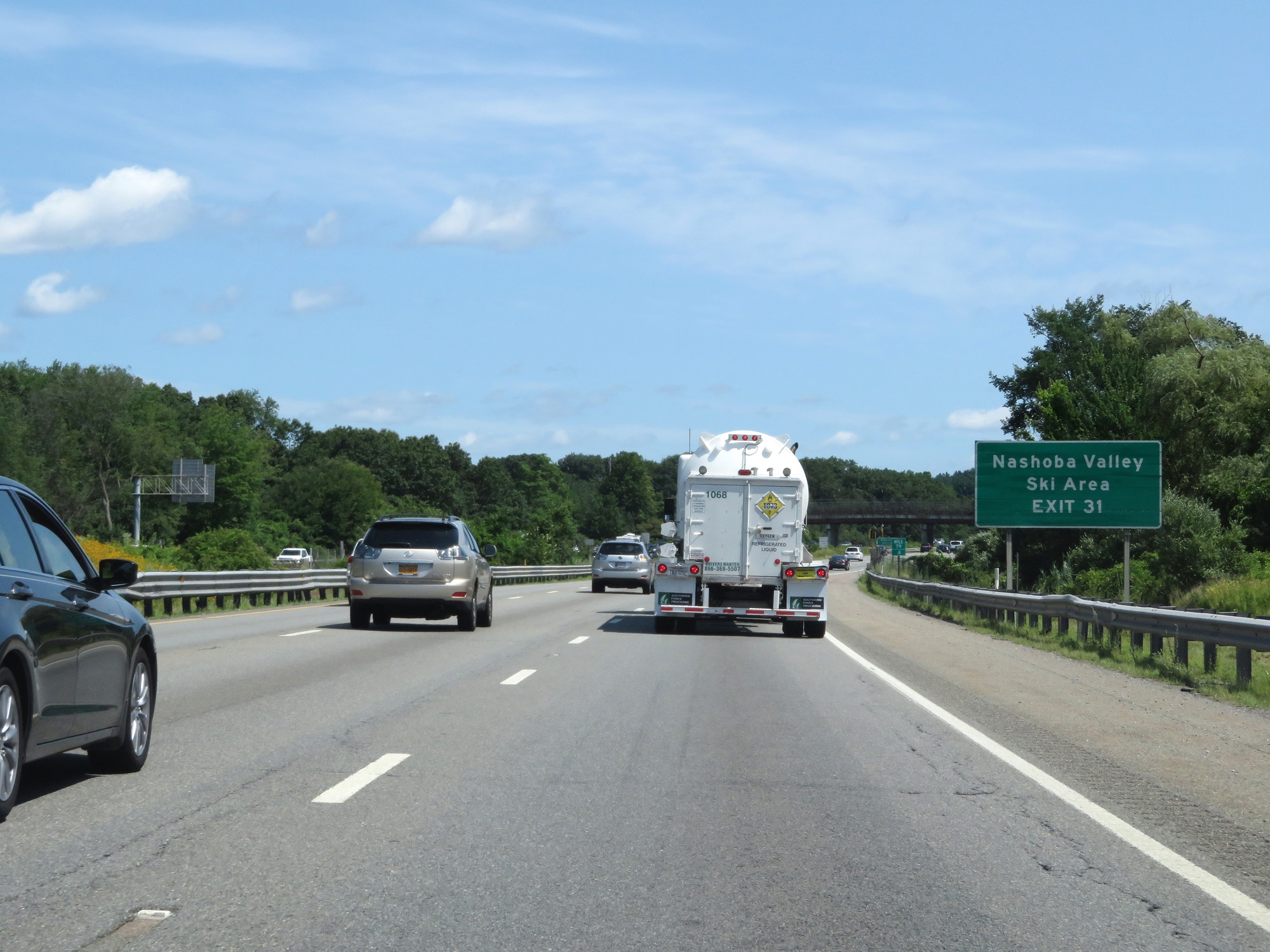 |
Take Exit 31 to Nashoba Valley Ski Area. (Photo taken 8/6/17). |
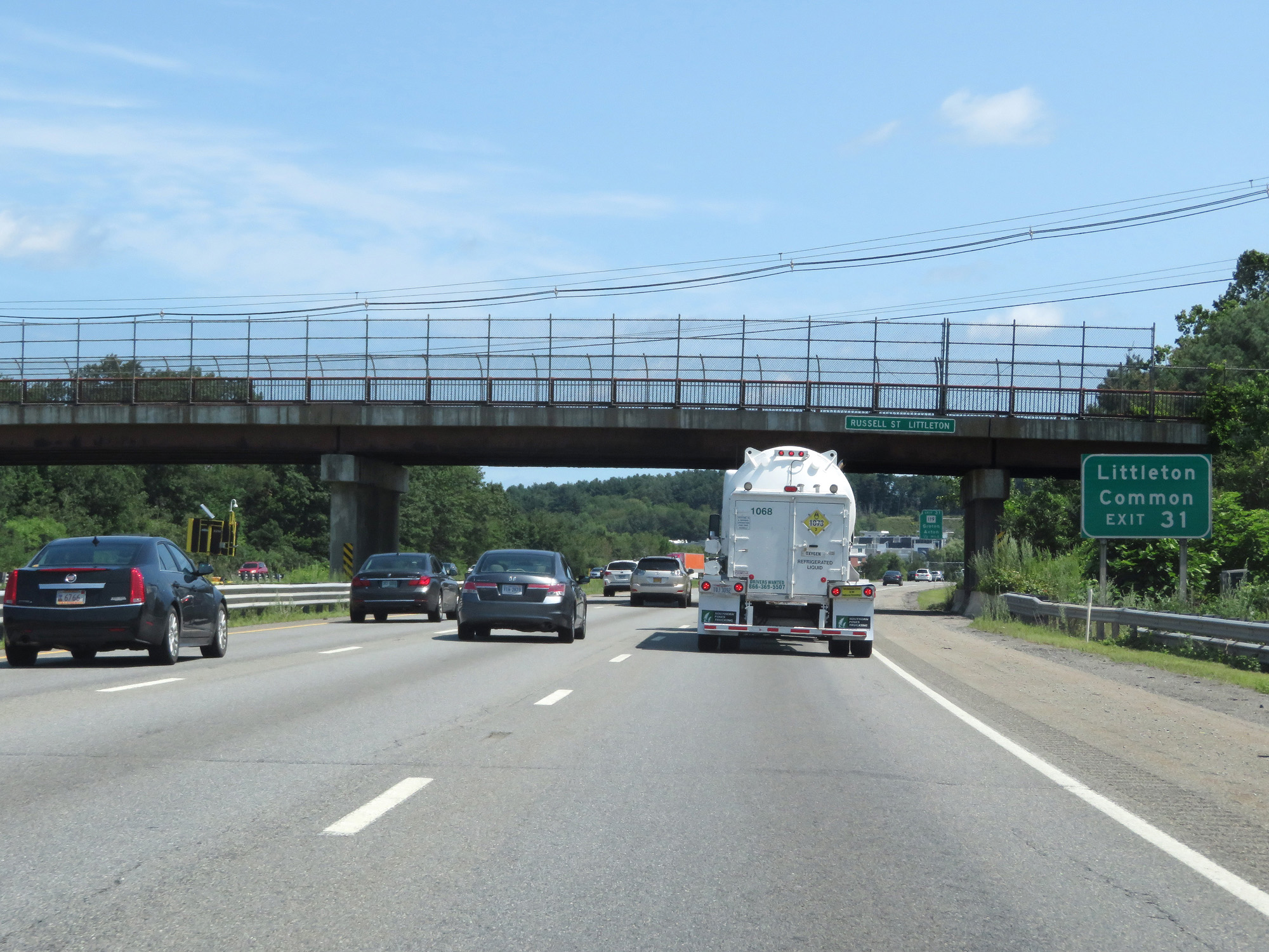 |
Also take Exit 31 to Littleton Common. (Photo taken 8/6/17). |
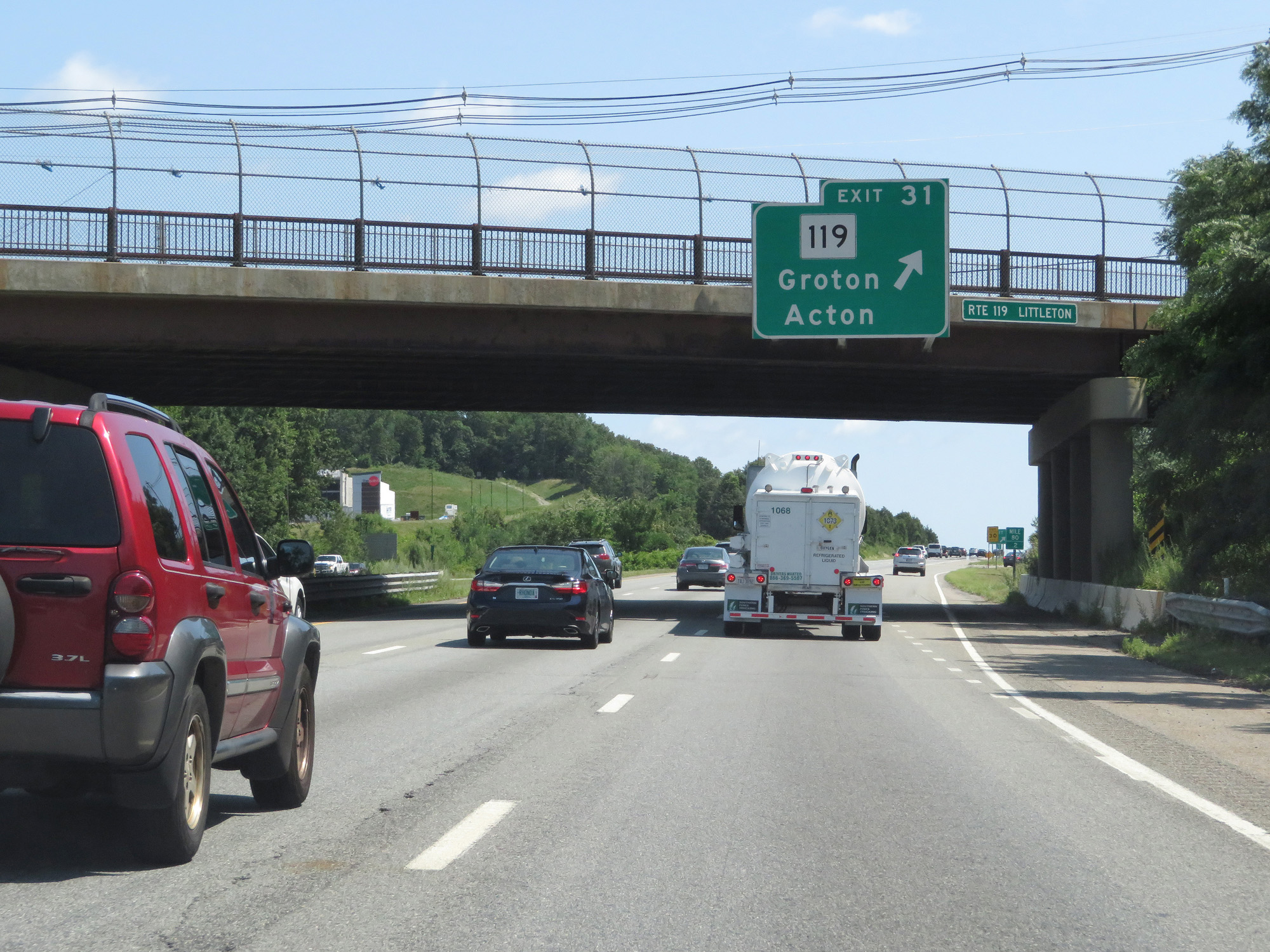 |
Interstate 495 North at Exit 31: MA 119 - Groton / Acton (Photo taken 8/6/17). |
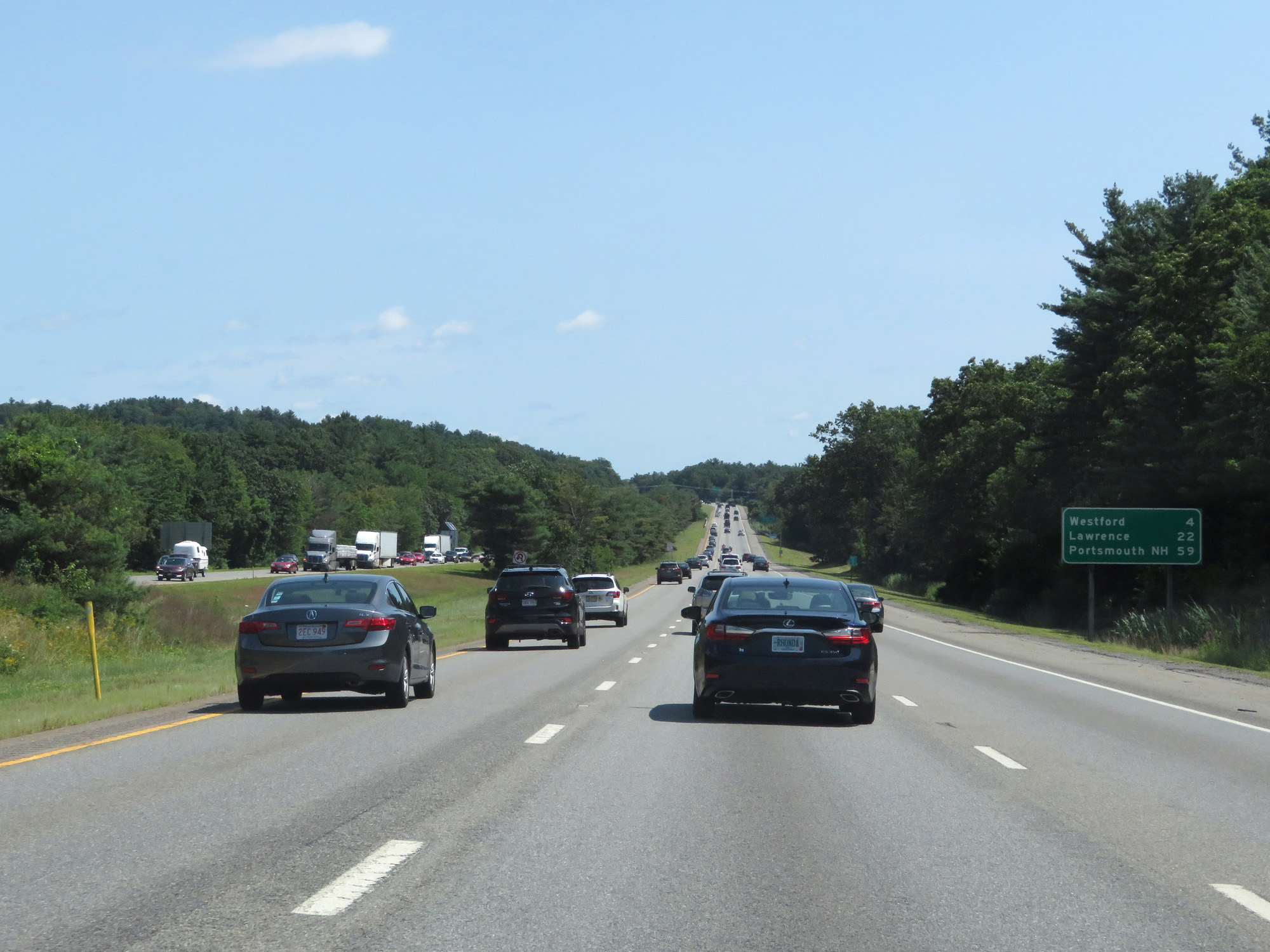 |
Mileage sign on Interstate 495 North. It's 4 miles to Westford, 22 miles to Lawrence, and 59 miles to Portsmouth, NH. (Photo taken 8/6/17). |
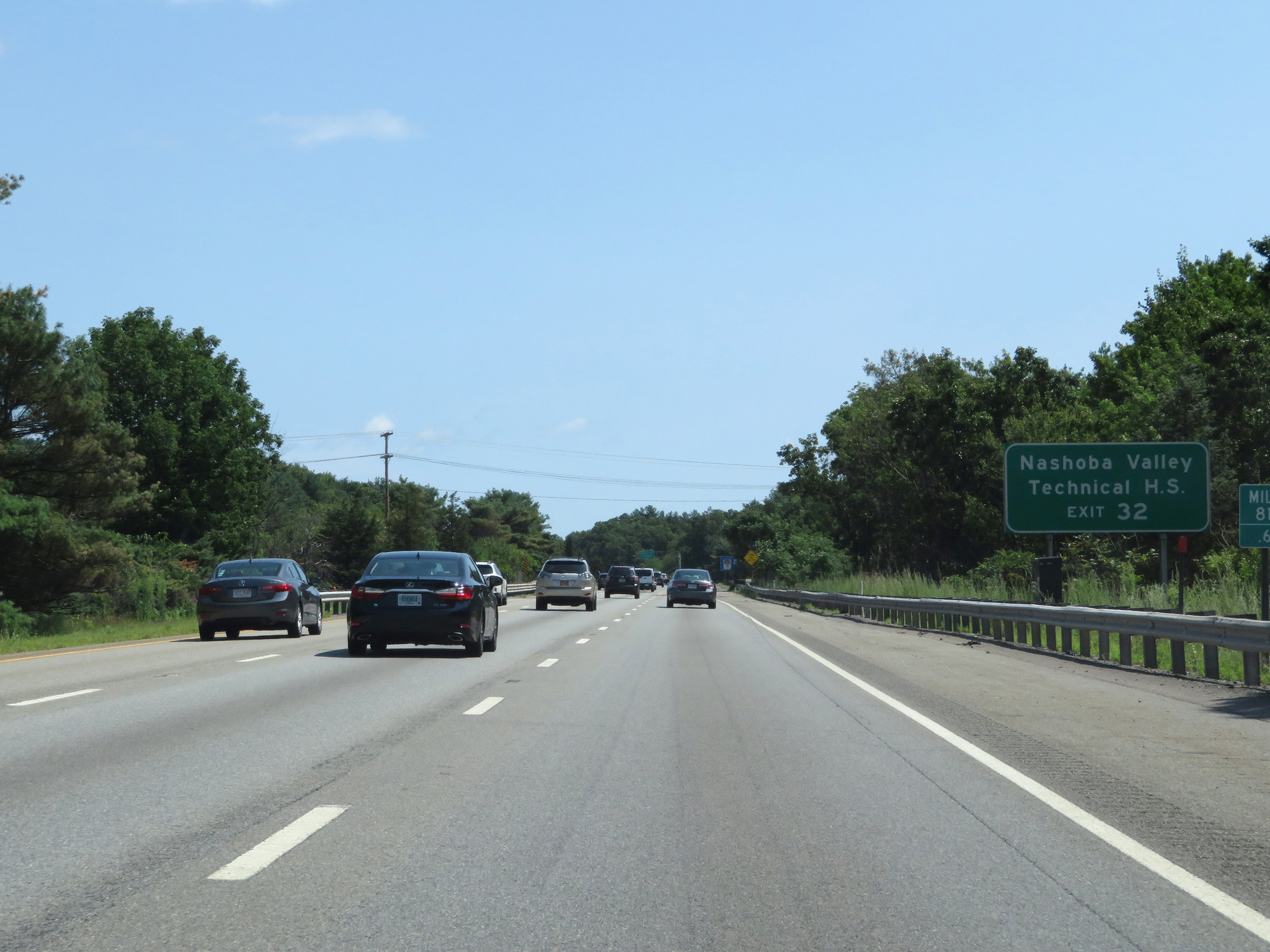 |
Take Exit 32 to Nashoba Valley Technical High School. (Photo taken 8/6/17). |
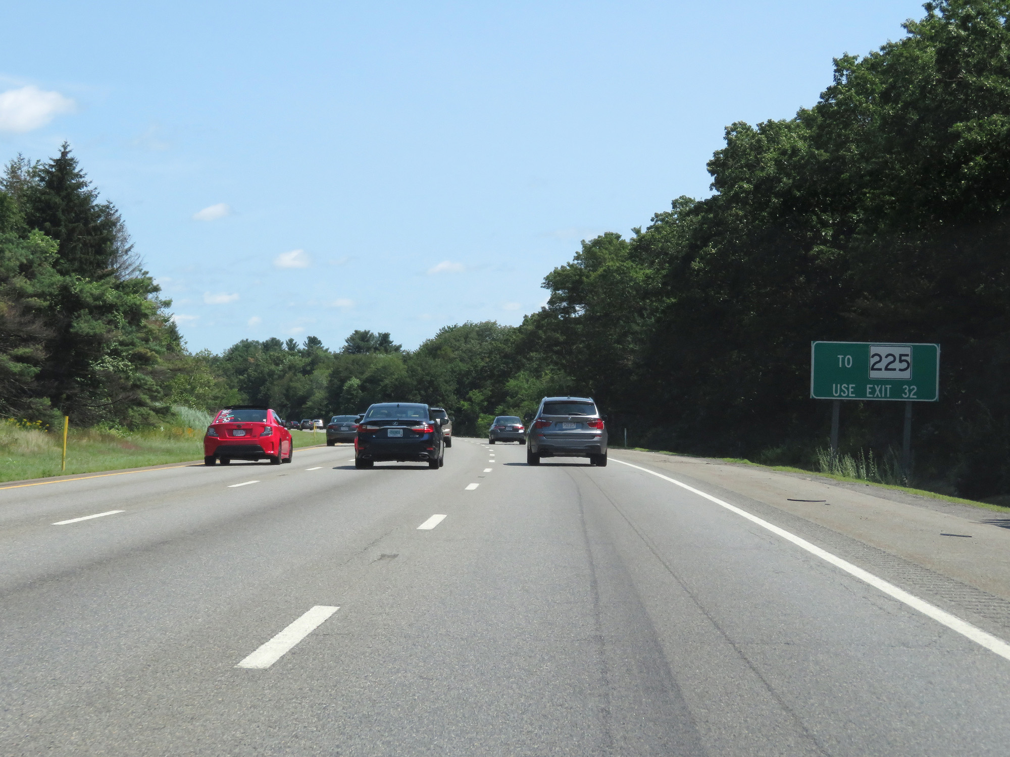 |
Also take Exit 32 to MA 225. (Photo taken 8/6/17). |
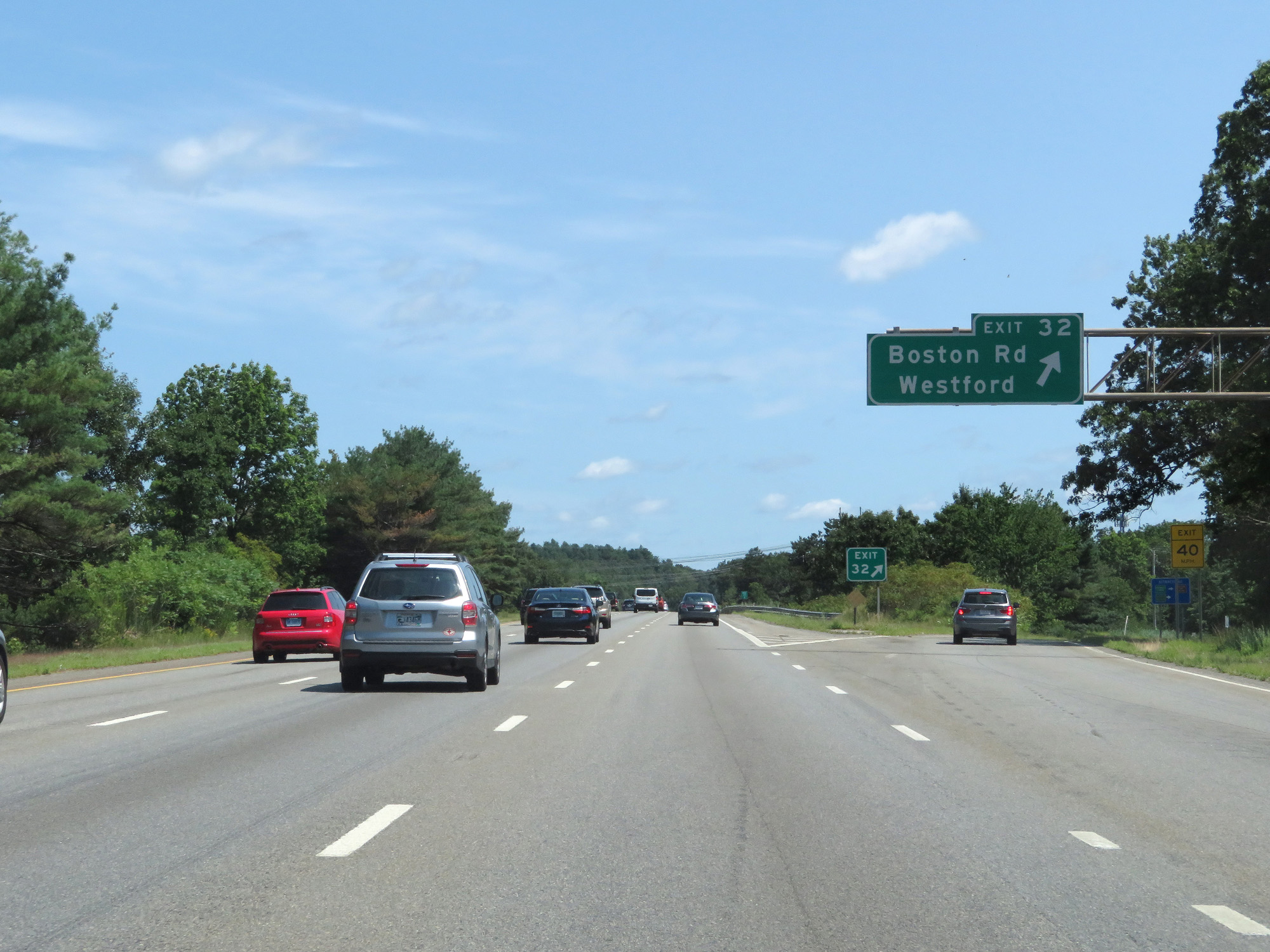 |
Interstate 495 North at Exit 32: Boston Rd / Westford (Photo taken 8/6/17). |
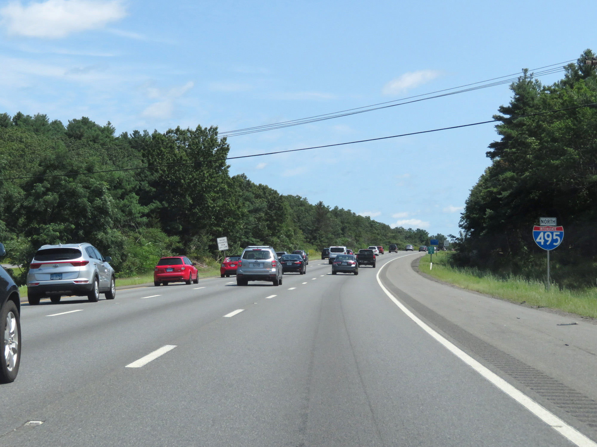 |
Interstate 495 North reassurance shield. (Photo taken 8/6/17). |
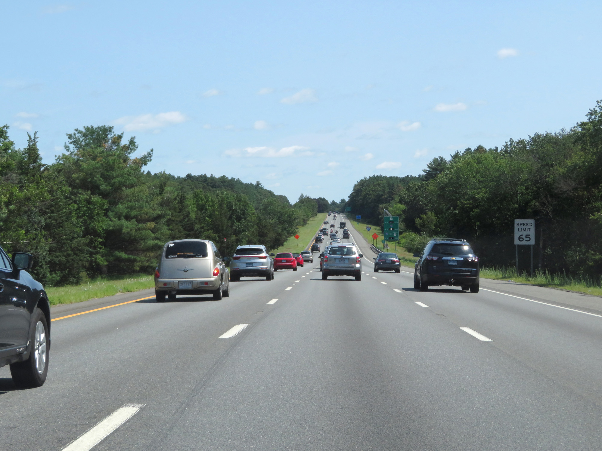 |
The speed limit remains 65 mph. (Photo taken 8/6/17). |
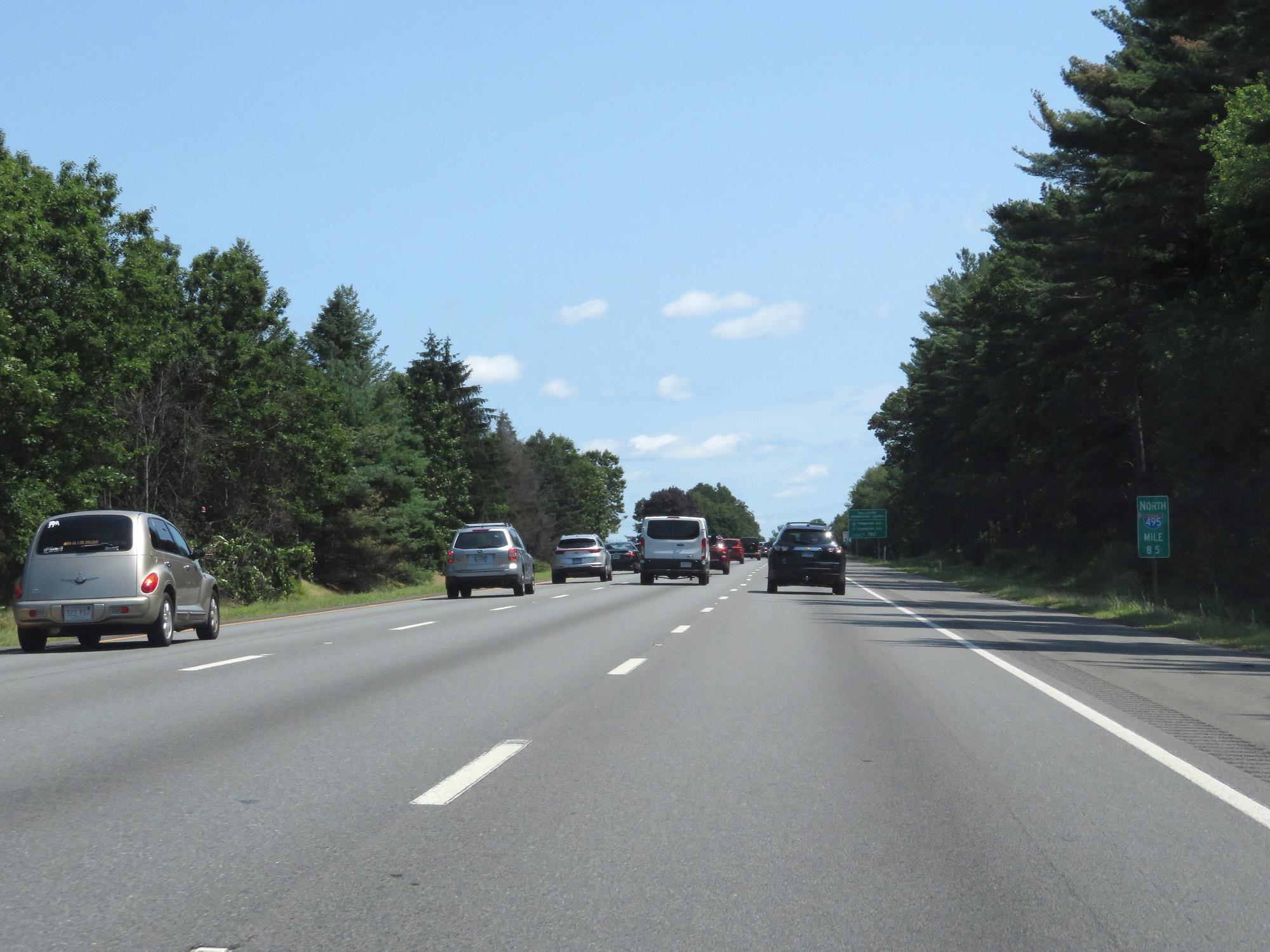 |
Interstate 495 North at mile marker 85. (Photo taken 8/6/17). |
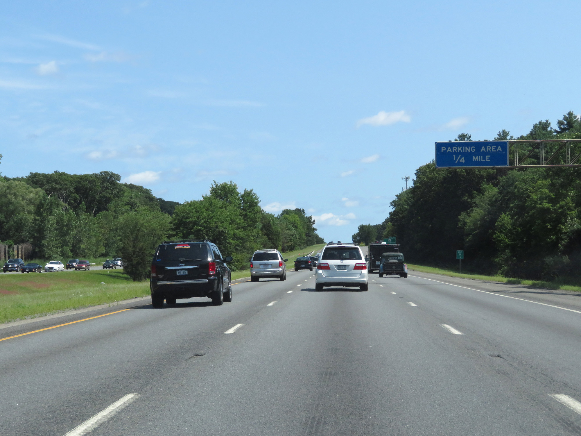 |
Interstate 495 North approaching the Parking Area in Middlesex County - 1/4 mile. (Photo taken 8/6/17). |
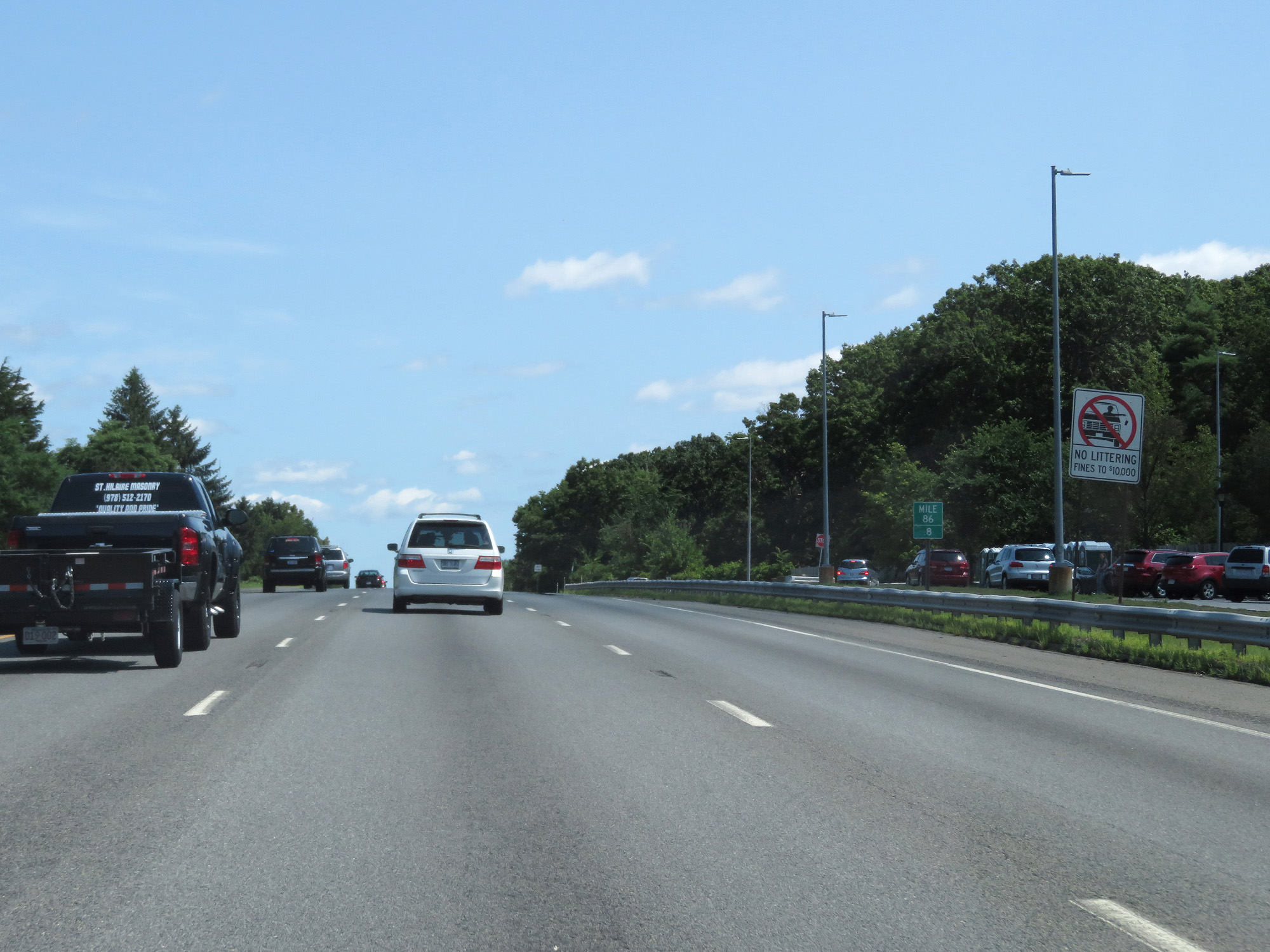 |
Interstate 495 North at the Parking Area in Middlesex County, located at mile marker 86.8. (Photo taken 8/6/17). |
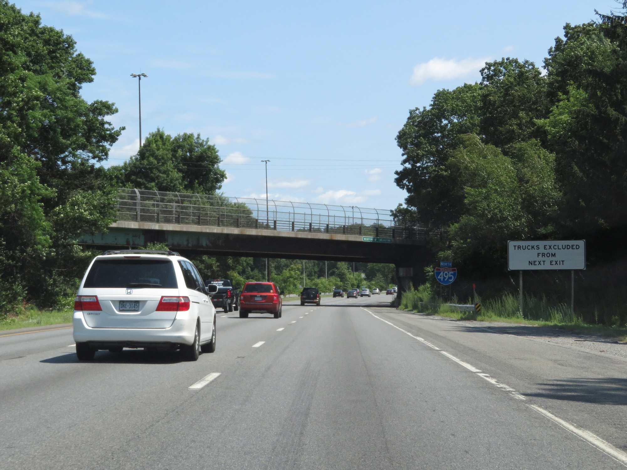 |
Trucks are prohibited from using Exit 33, just ahead. (Photo taken 8/6/17). |
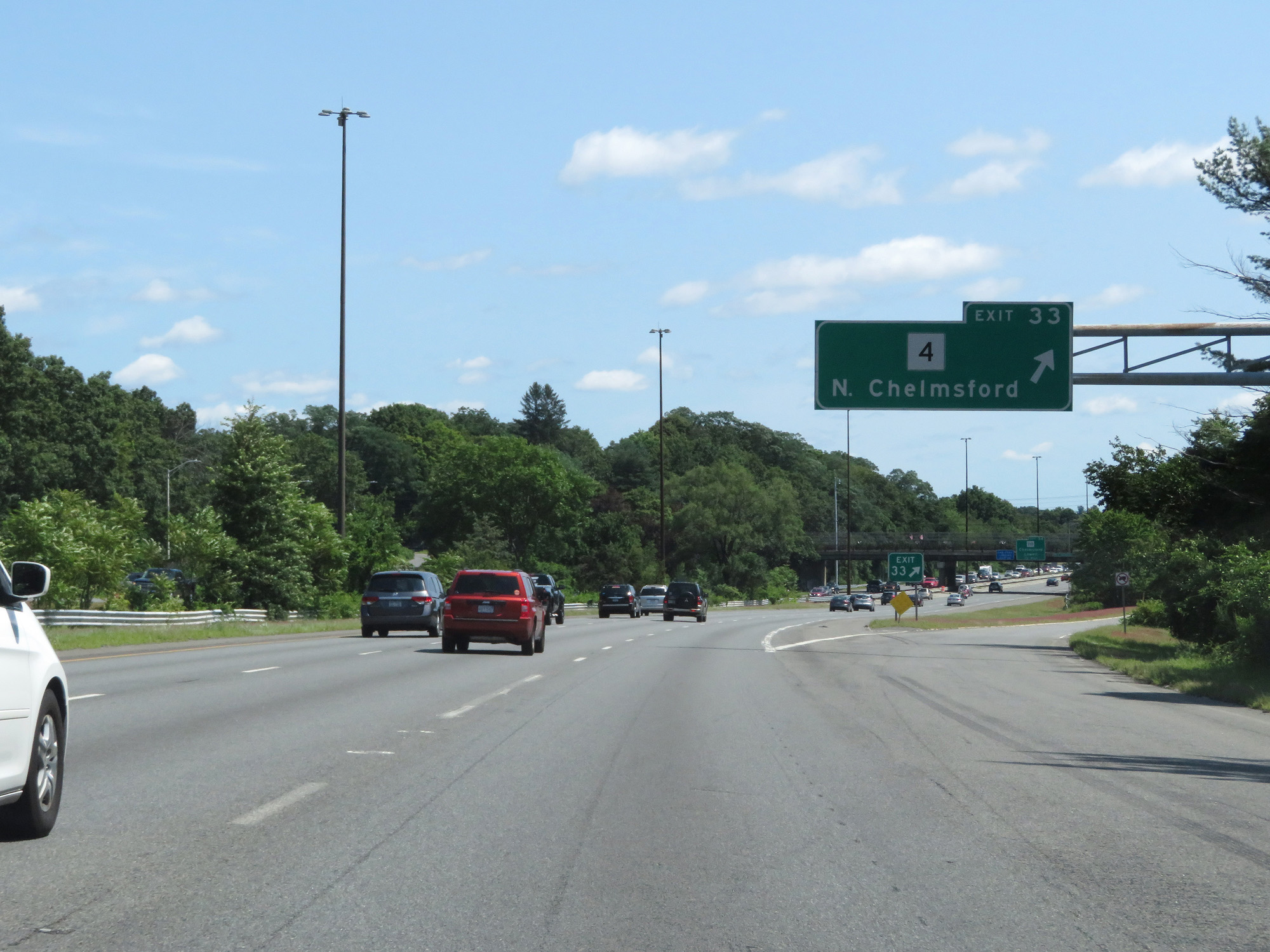 |
Interstate 495 North at Exit 33: MA 4 - North Chelmsford (Photo taken 8/6/17). |
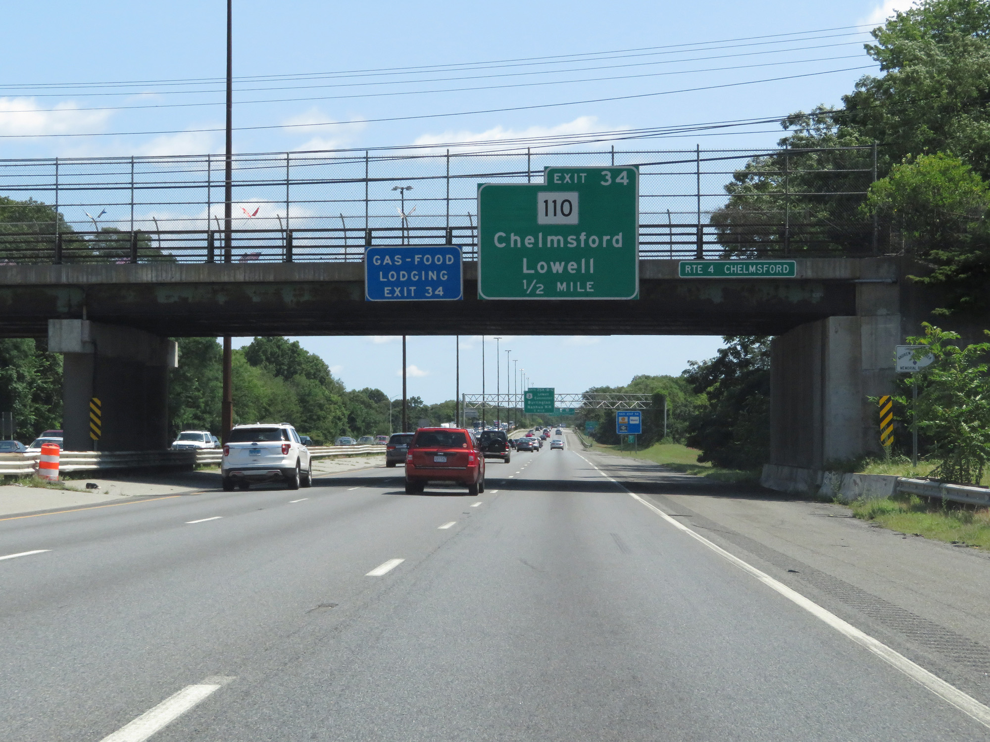 |
Interstate 495 North approaching Exit 34 - 3/4 mile. (Photo taken 8/6/17). |
 |
Interstate 495 North at Exit 34: MA 110 - Chelmsford / Lowell (Photo taken 8/6/17). |
Section 3: Chelmsford (Exit 34) to Interstate 95
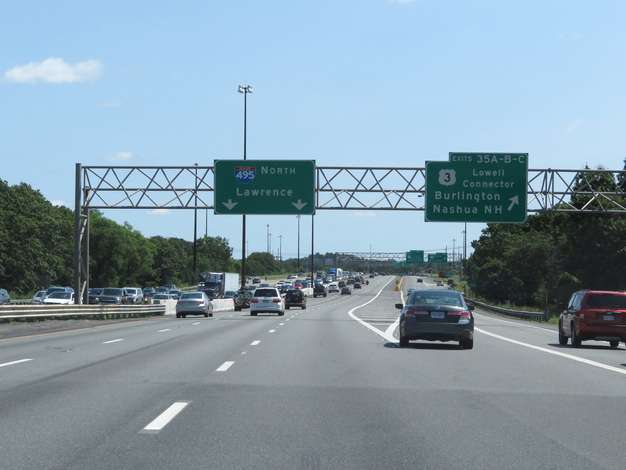 |
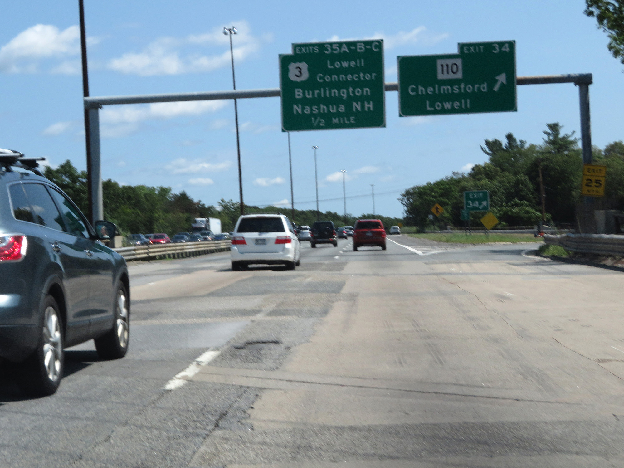
Interstate 495 North at Exits 35A-B-C: US 3 (Lowell Connector) - Burlington / Nashua, NH (Photo taken 8/6/17). |
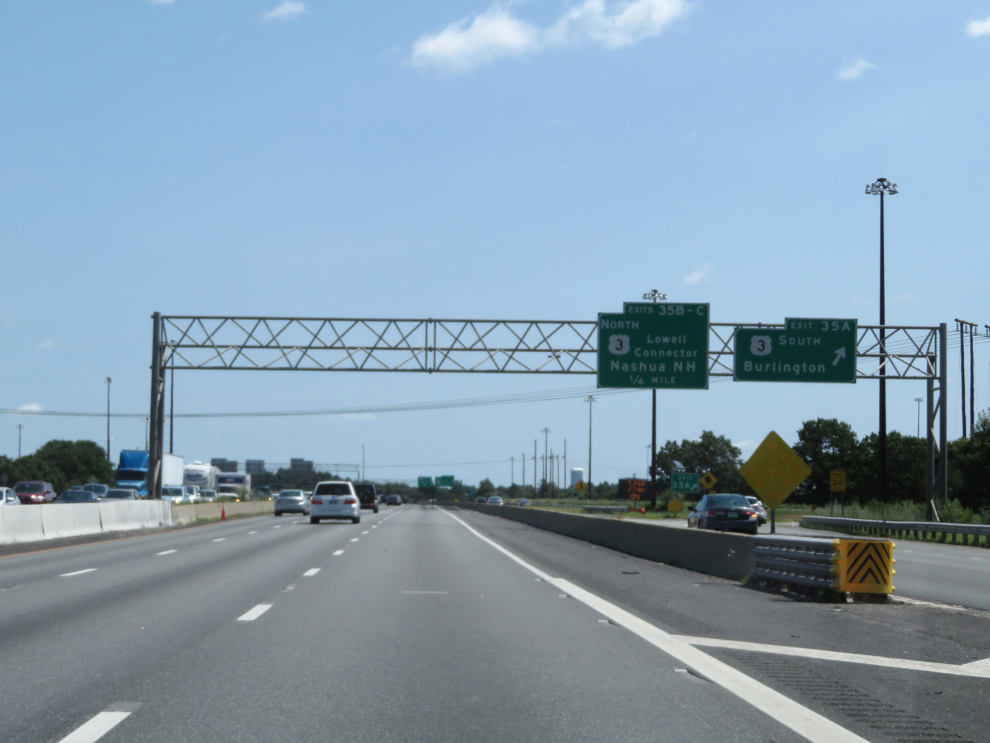 |
Interstate 495 North at Exit 35A: US 3 South - Burlington (Photo taken 8/6/17). |
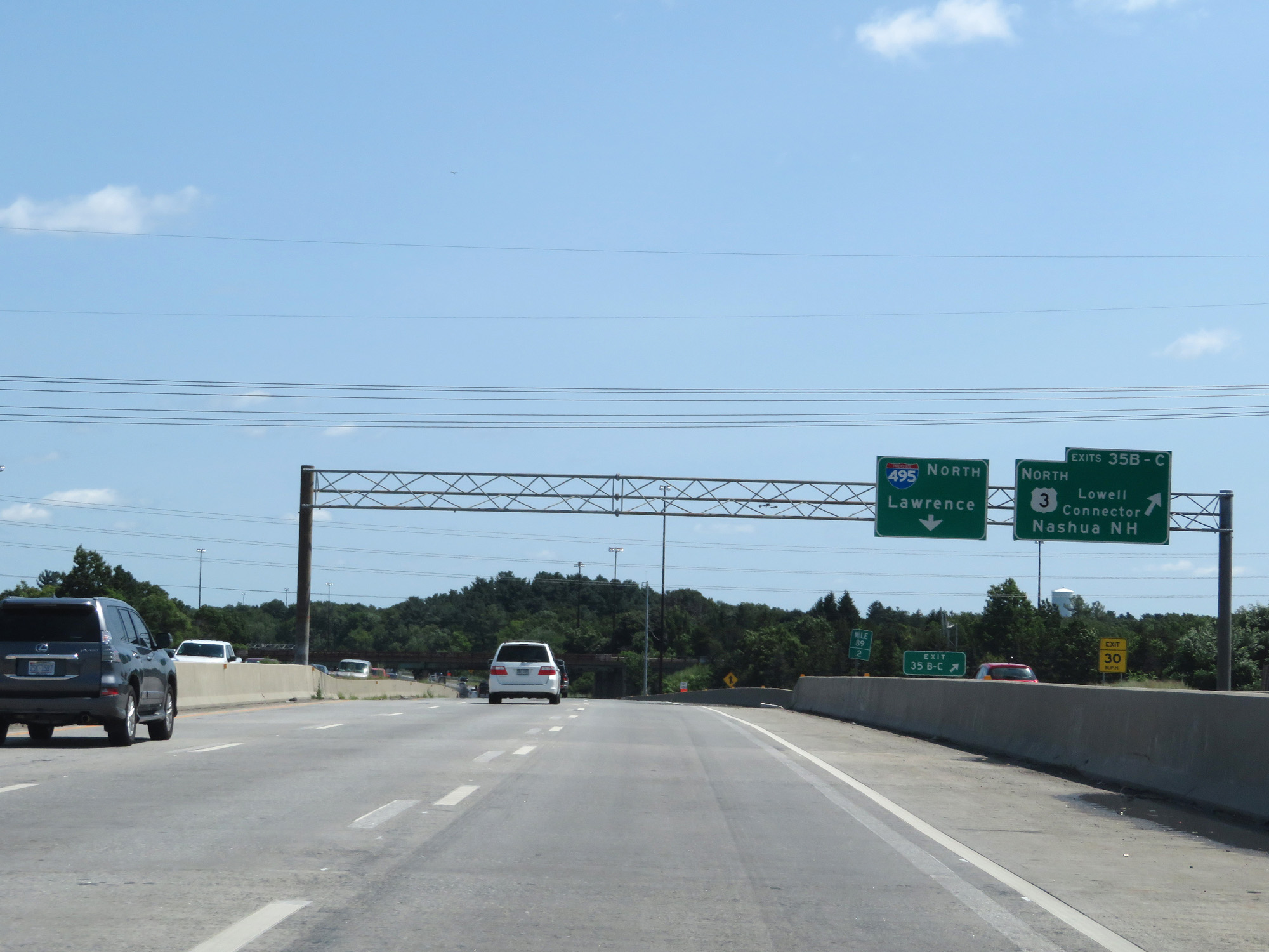 |
Interstate 495 North at Exits 35B-C: US 3 North - Lowell Connector / Nashua, NH (Photo taken 8/6/17). |
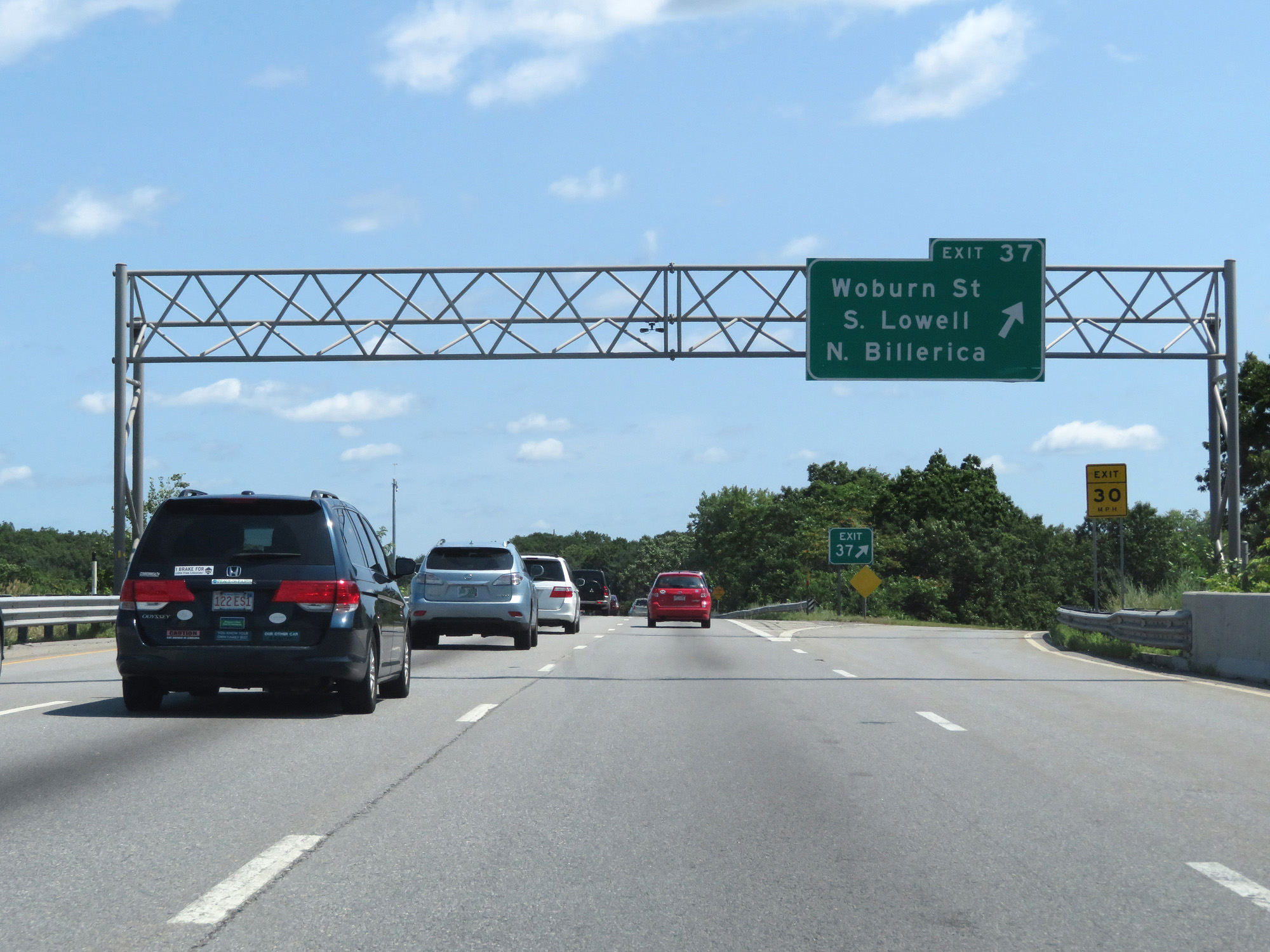 |
Interstate 495 North at Exit 37: Woburn St / South Lowell / North Billerica (Photo taken 8/6/17). |
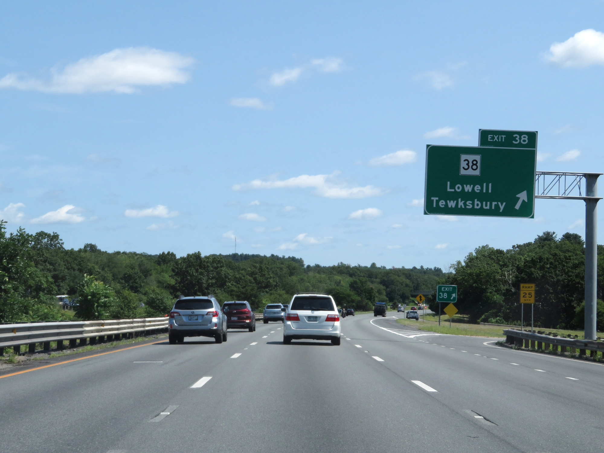 |
Interstate 495 North at Exit 38: MA 38 - Lowell / Tewksbury (Photo taken 8/6/17). |
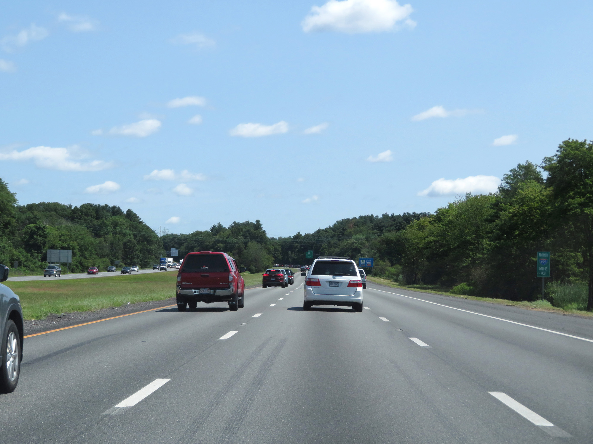 |
Interstate 495 North at mile marker 93. (Photo taken 8/6/17). |
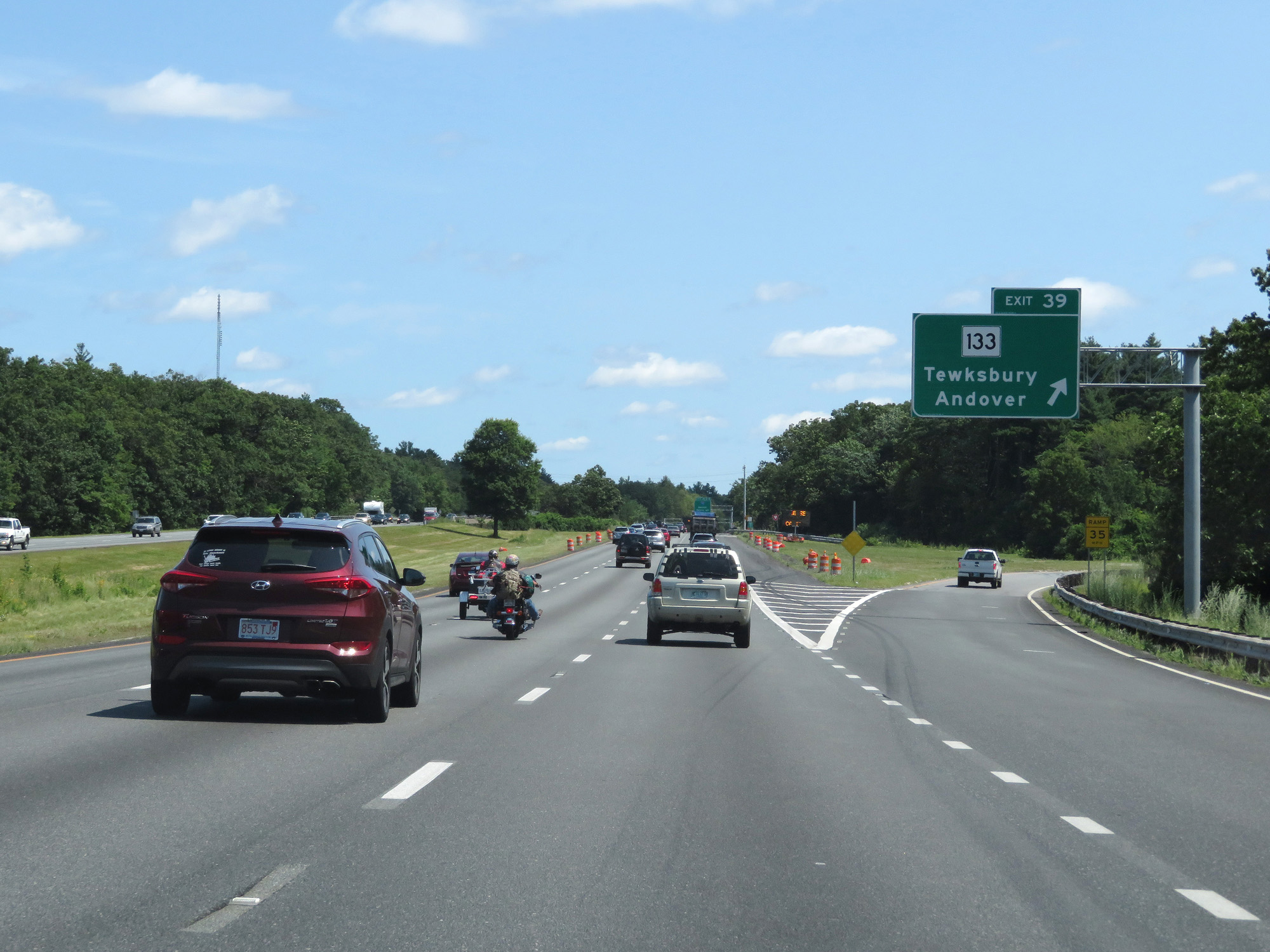 |
Interstate 495 North at Exit 39: MA 133 - Tewksbury / Andover (Photo taken 8/6/17). |
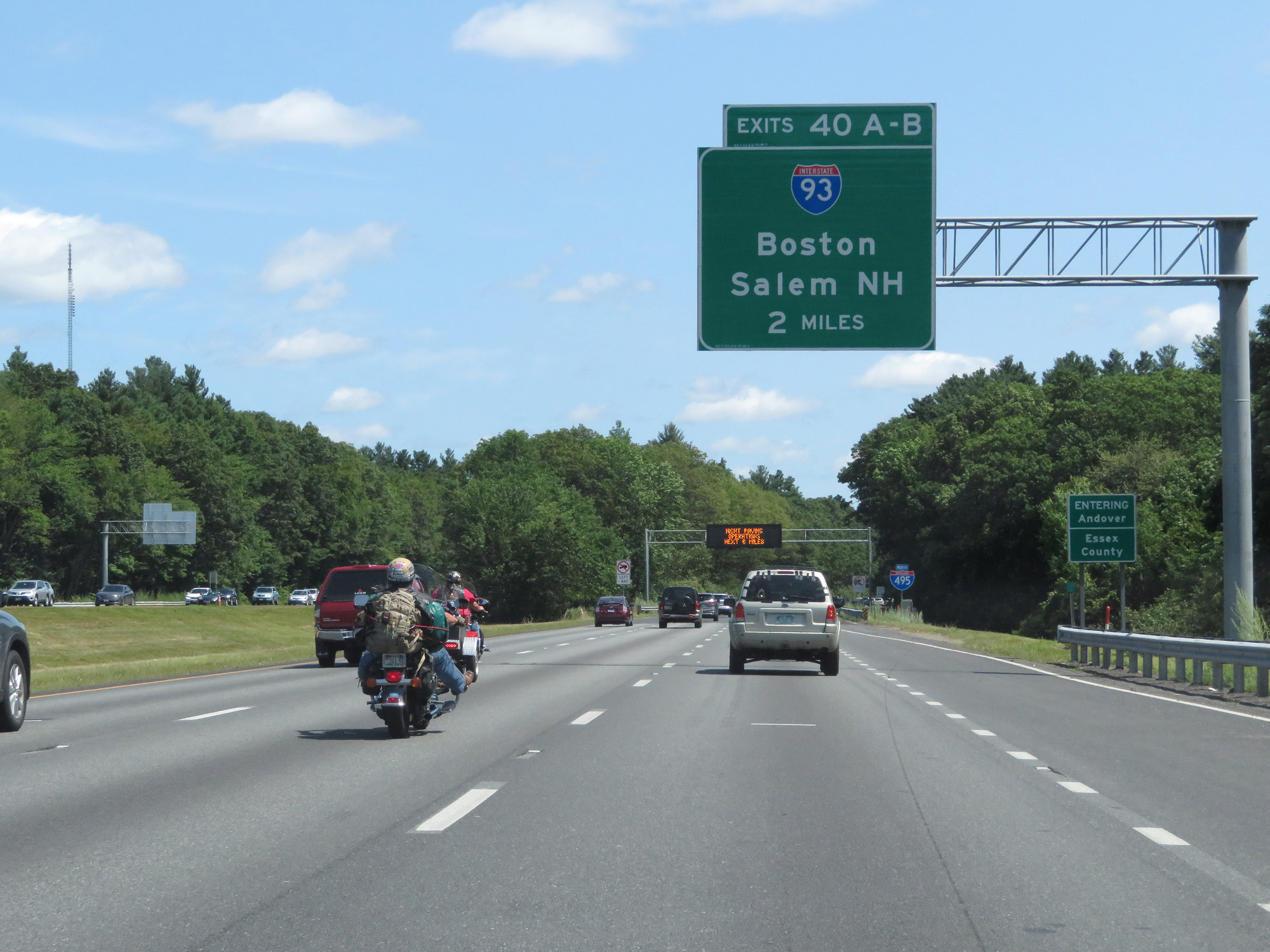 |
Interstate 495 North as it enters Essex County. (Photo taken 8/6/17). |
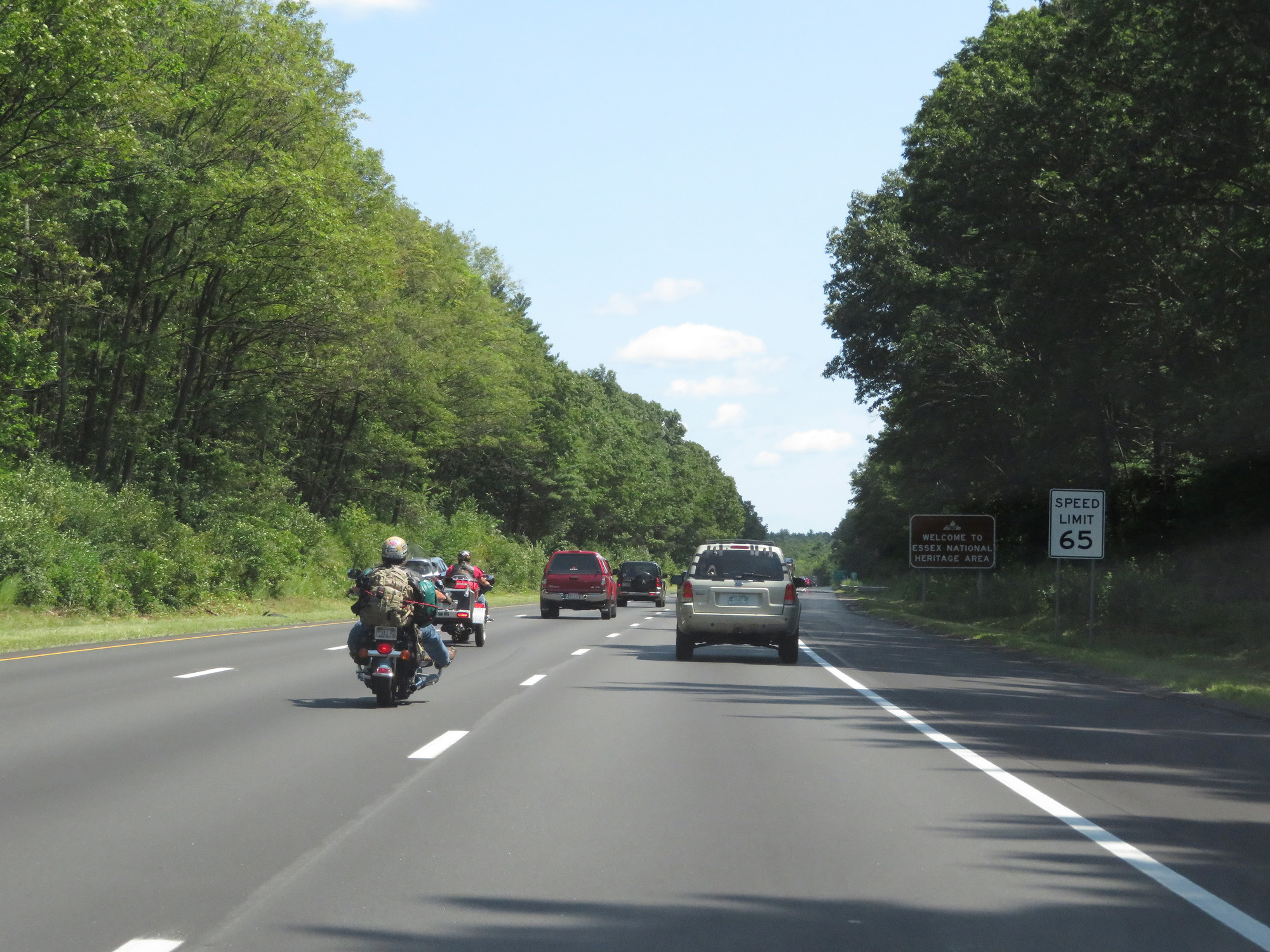 |
The speed limit remains 65 mph. (Photo taken 8/6/17). |
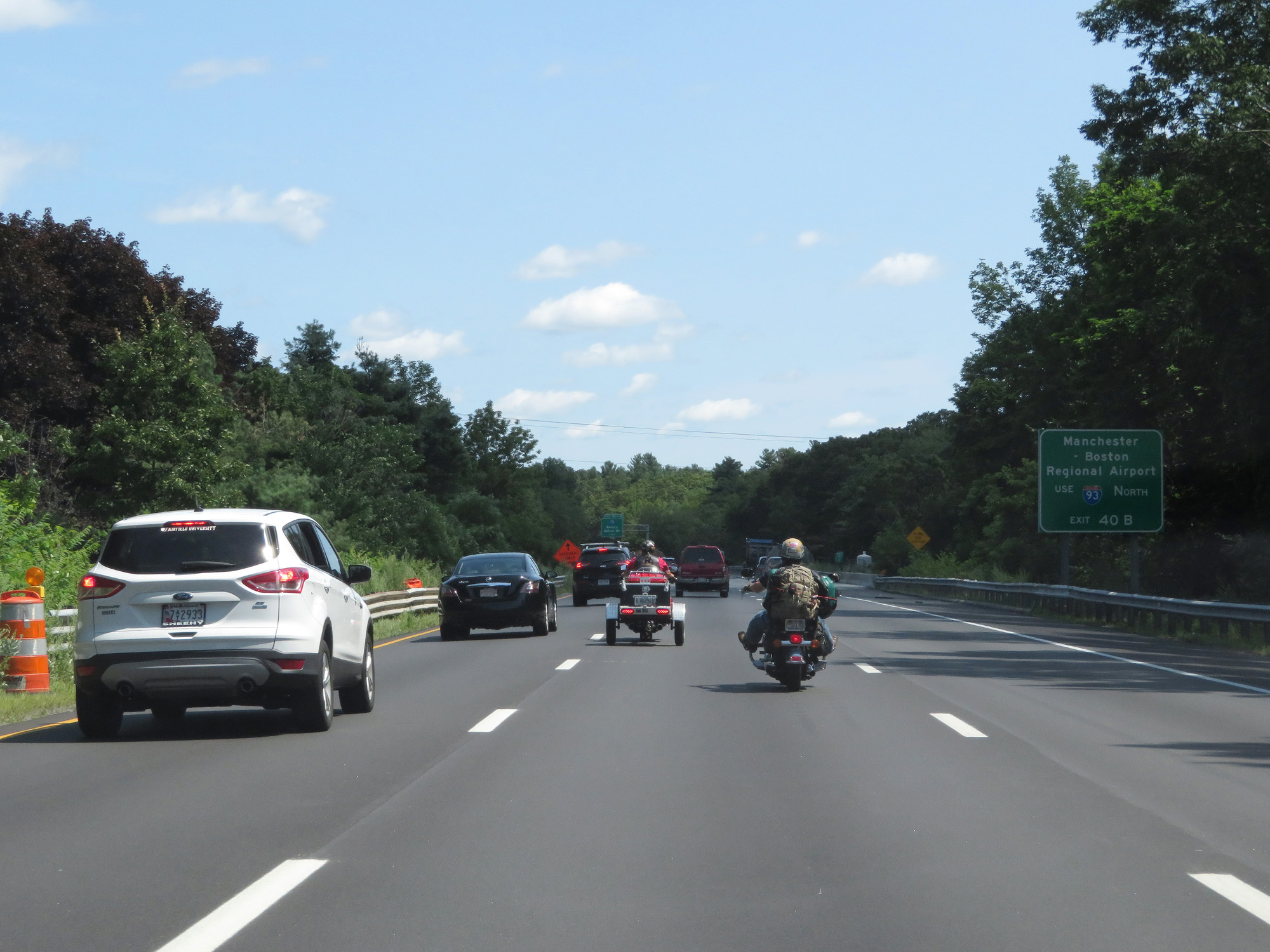 |
Take Exit 40B (Interstate 93 North) to Manchester-Boston Regional Airport. (Photo taken 8/6/17). |
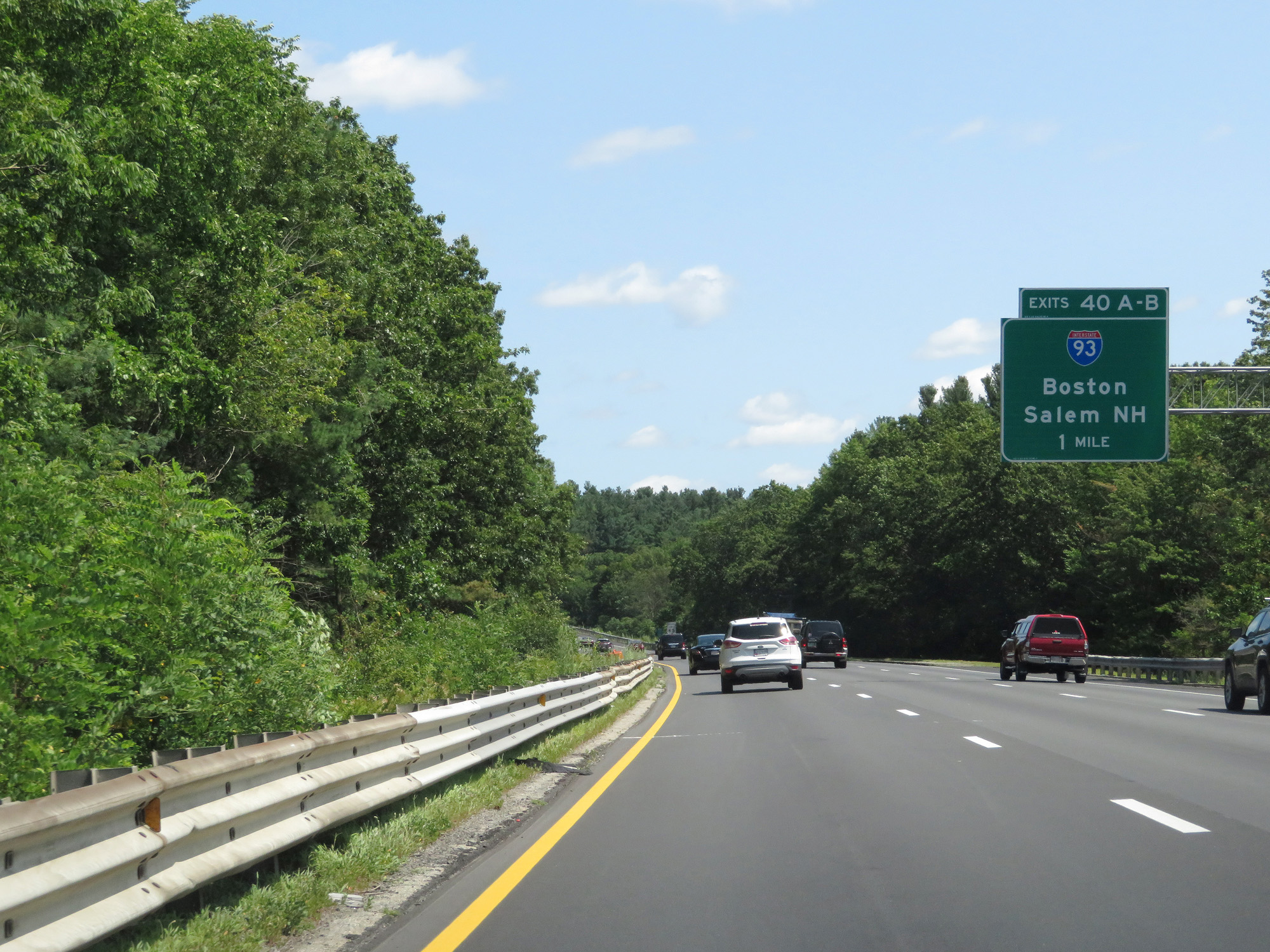 |
Interstate 495 North approaching Exits 40A-B - 1 mile. (Photo taken 8/6/17). |
 |
Take Exit 40A to Woburn. Take Exit 40B to Methuen. (Photo taken 8/6/17). |
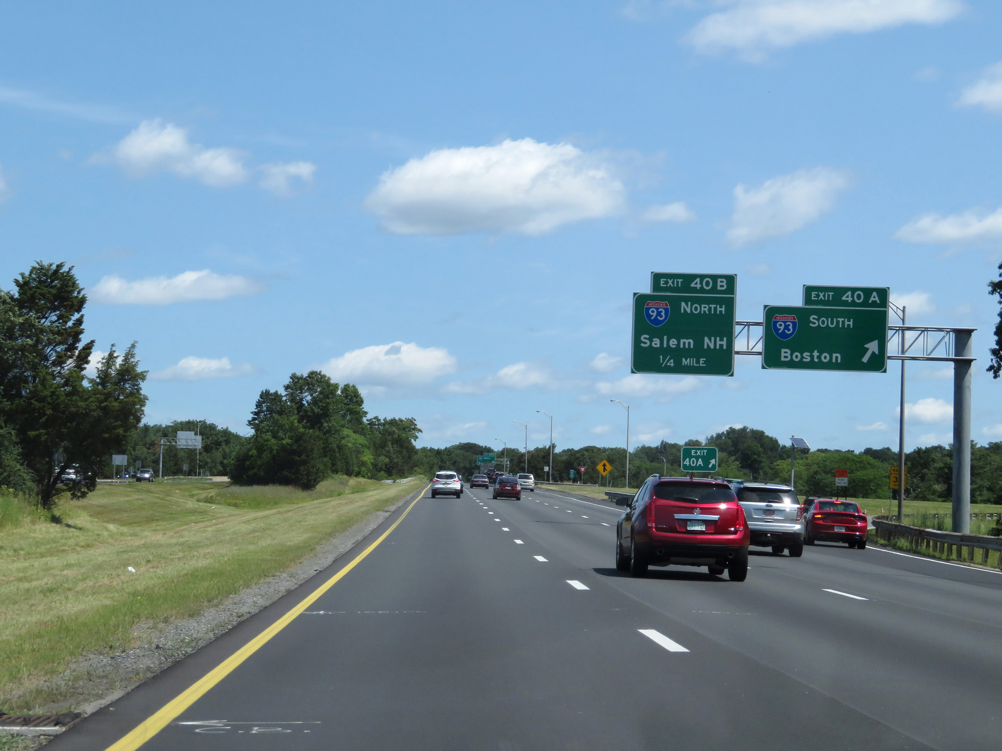 |
Interstate 495 North at Exit 40A: Interstate 93 South - Boston (Photo taken 8/6/17). |
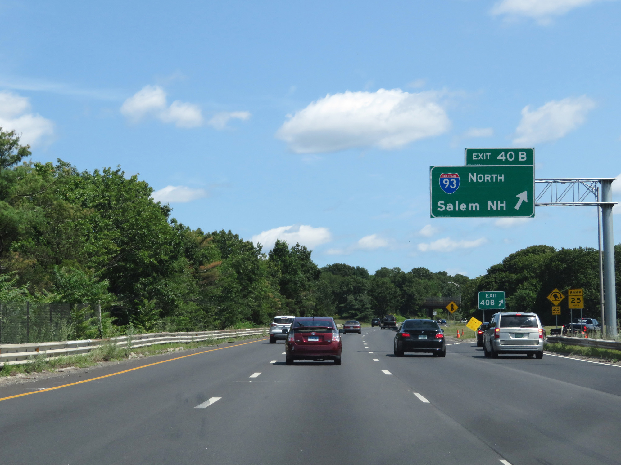 |
Interstate 495 North at Exit 40B: Interstate 93 North - Salem, NH (Photo taken 8/6/17). |
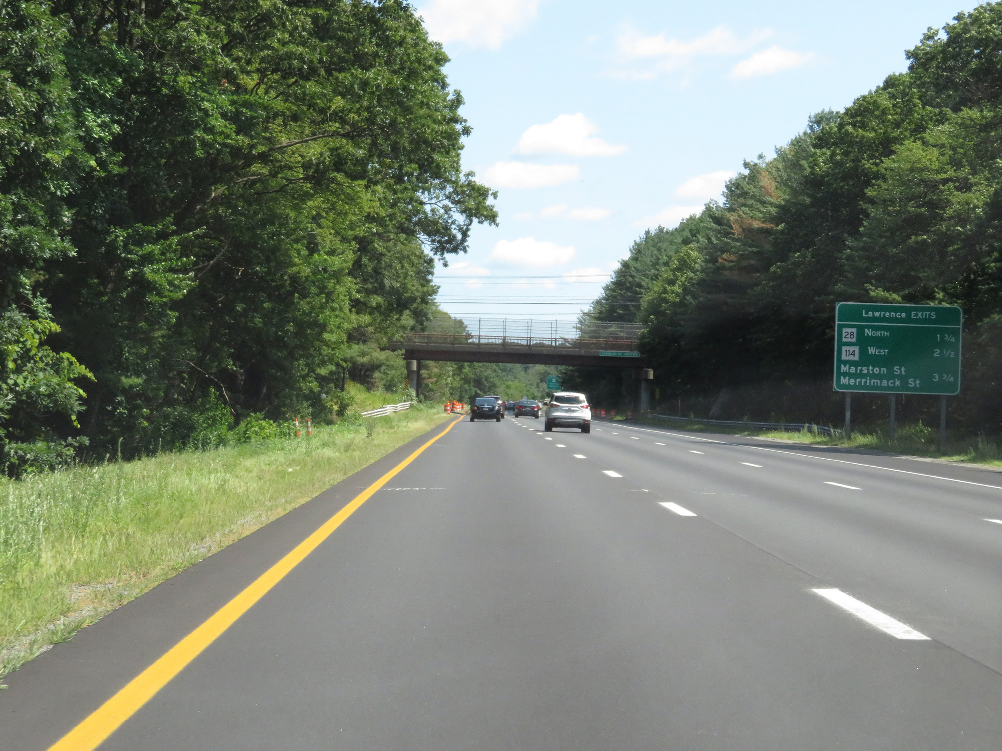 |
Sign listing the distances to the three upcoming Lawrence exits. (Photo taken 8/6/17). |
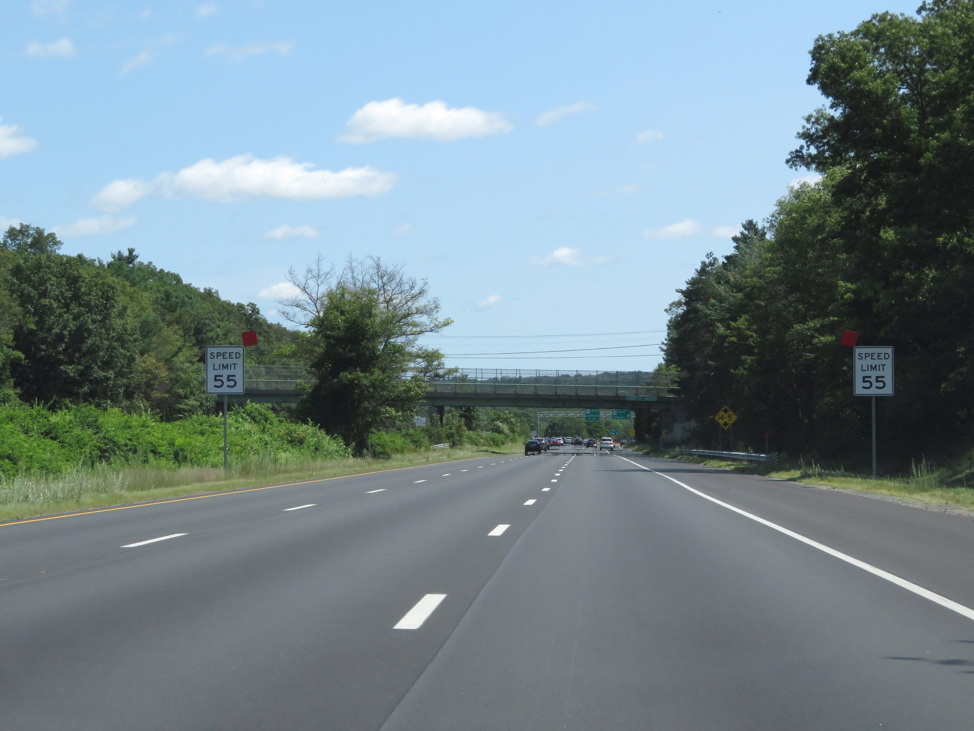 |
Approaching Exit 41A and the Lawrence area, the speed limit decreases to 55 mph. (Photo taken 8/6/17). |
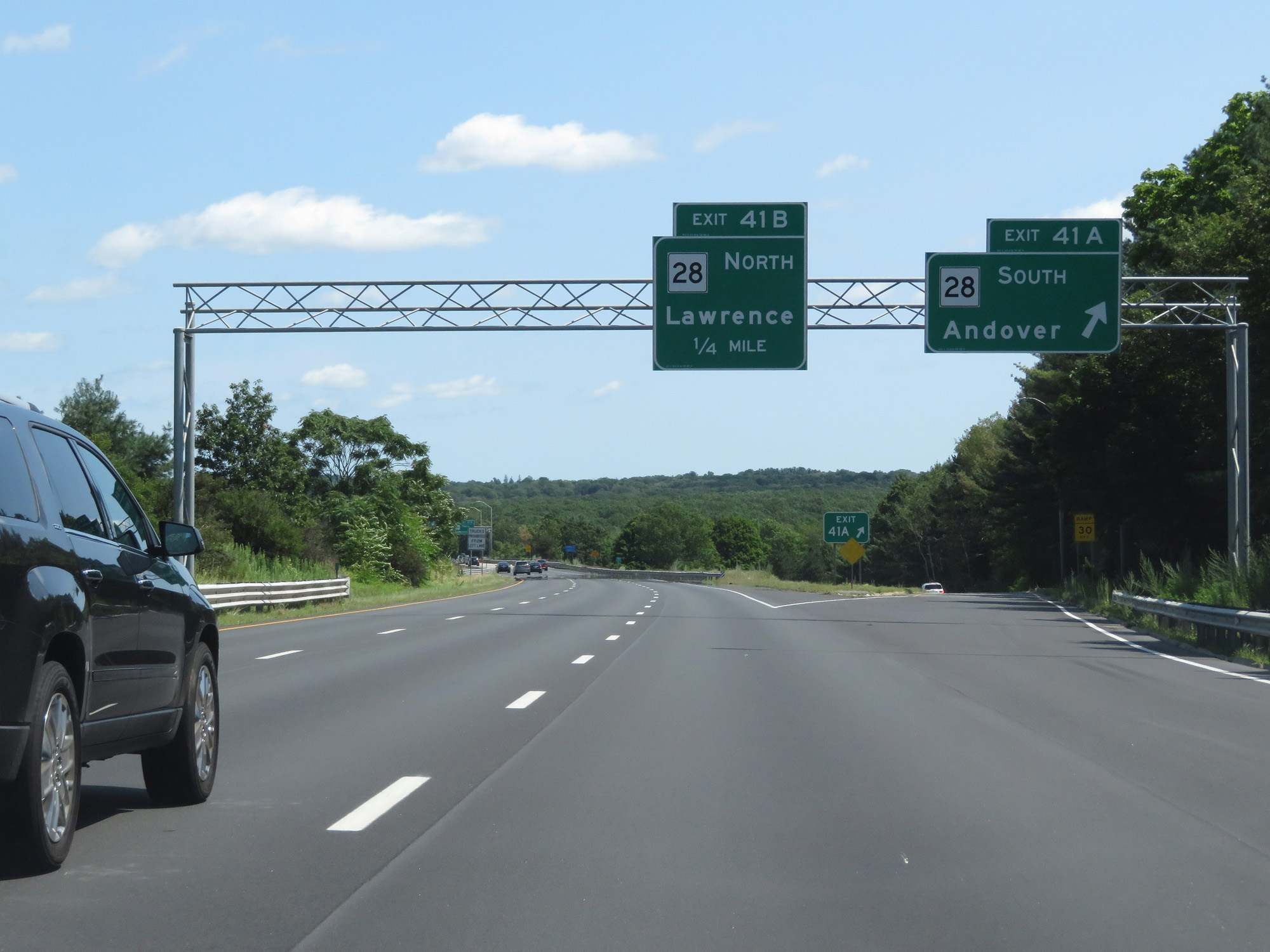 |
Interstate 495 North at Exit 41A: MA 28 South - Andover (Photo taken 8/6/17). |
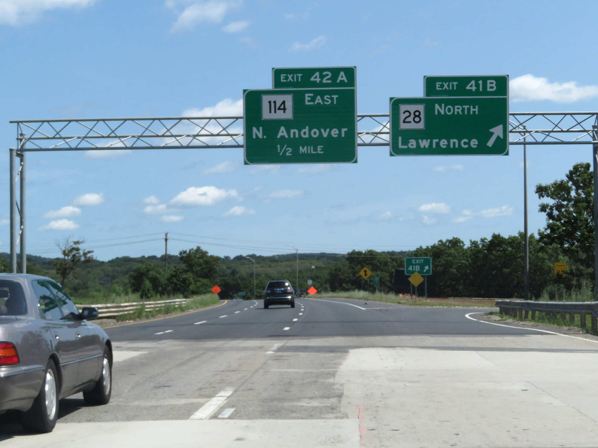 |
Interstate 495 North at Exit 41B: MA 28 North - Lawrence (Photo taken 8/6/17). |
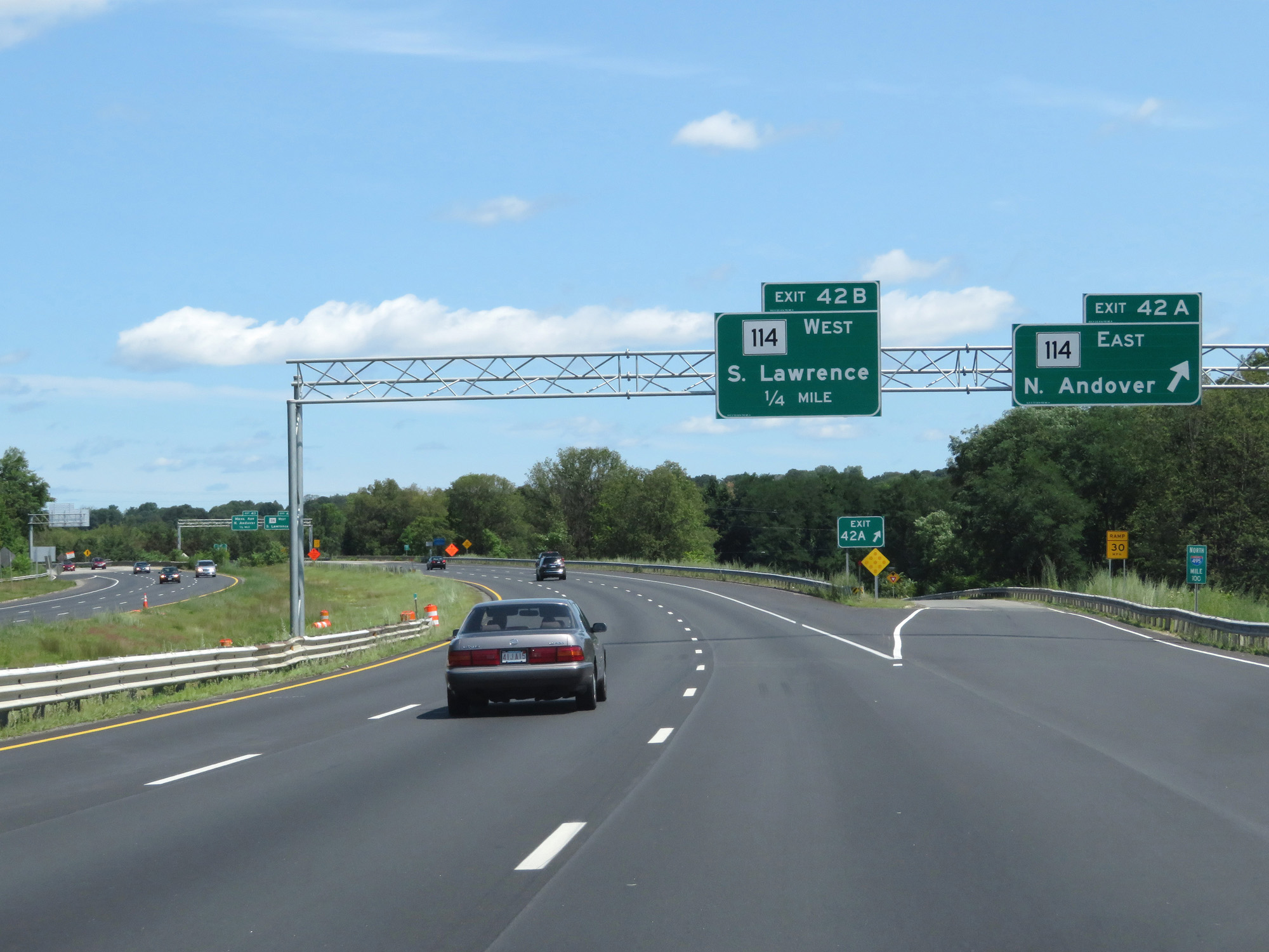 |
Interstate 495 North at Exit 42A: MA 114 East - North Andover (Photo taken 8/6/17). |
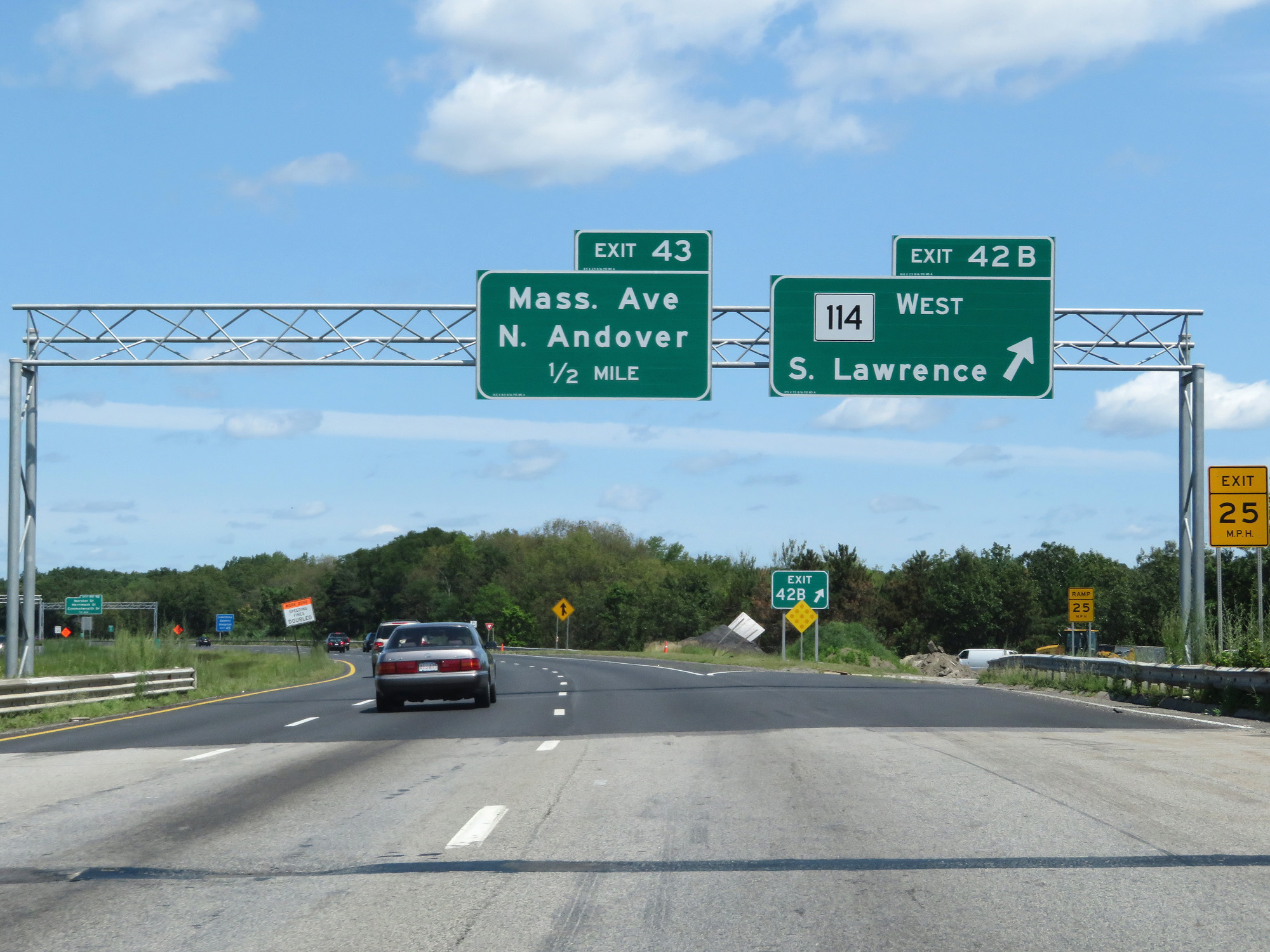 |
Interstate 495 North at Exit 42B: MA 114 West - South Lawrence (Photo taken 8/6/17). |
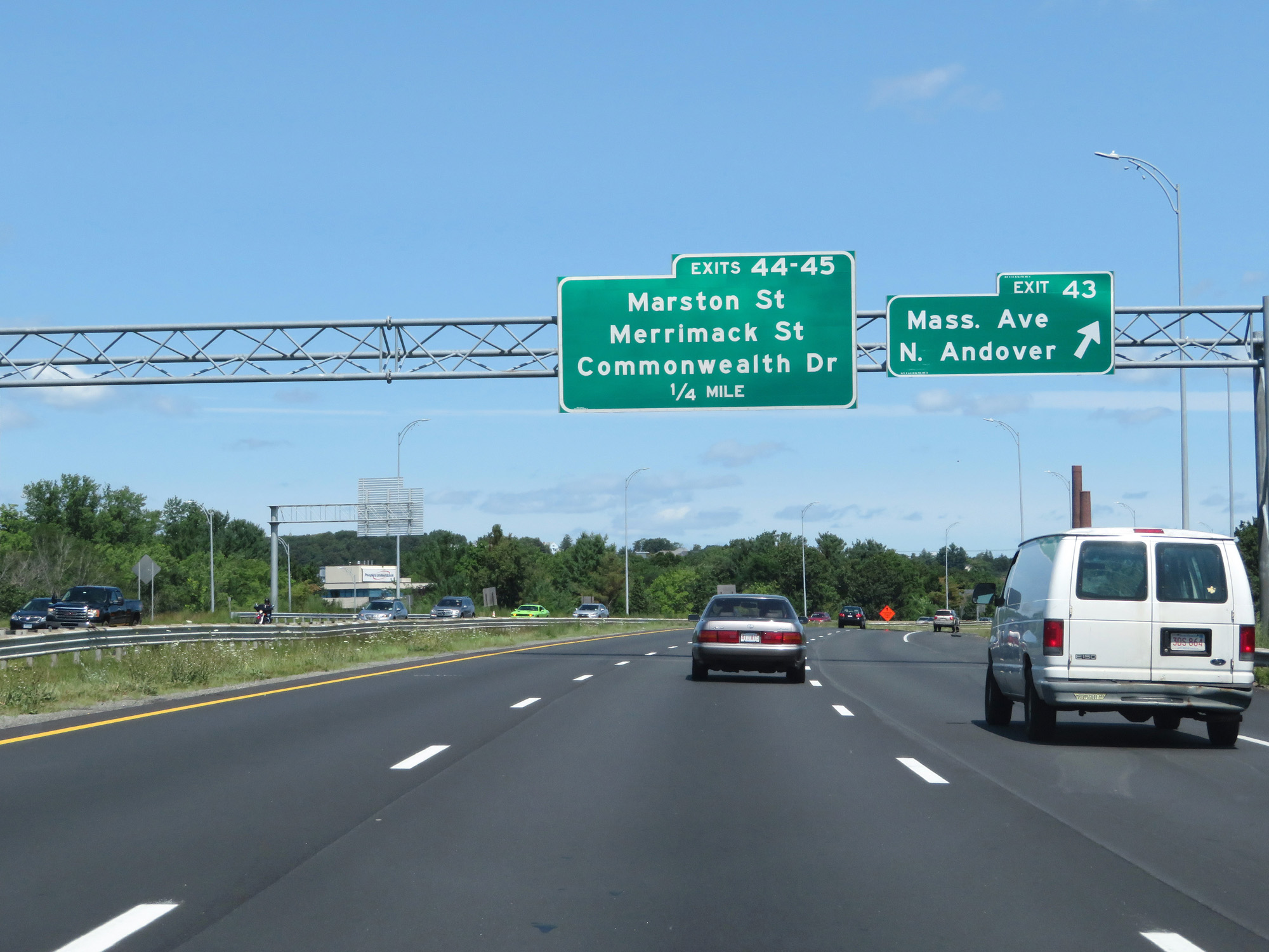 |
Interstate 495 North at Exit 43: Massachusetts Ave / North Andover (Photo taken 8/6/17). |
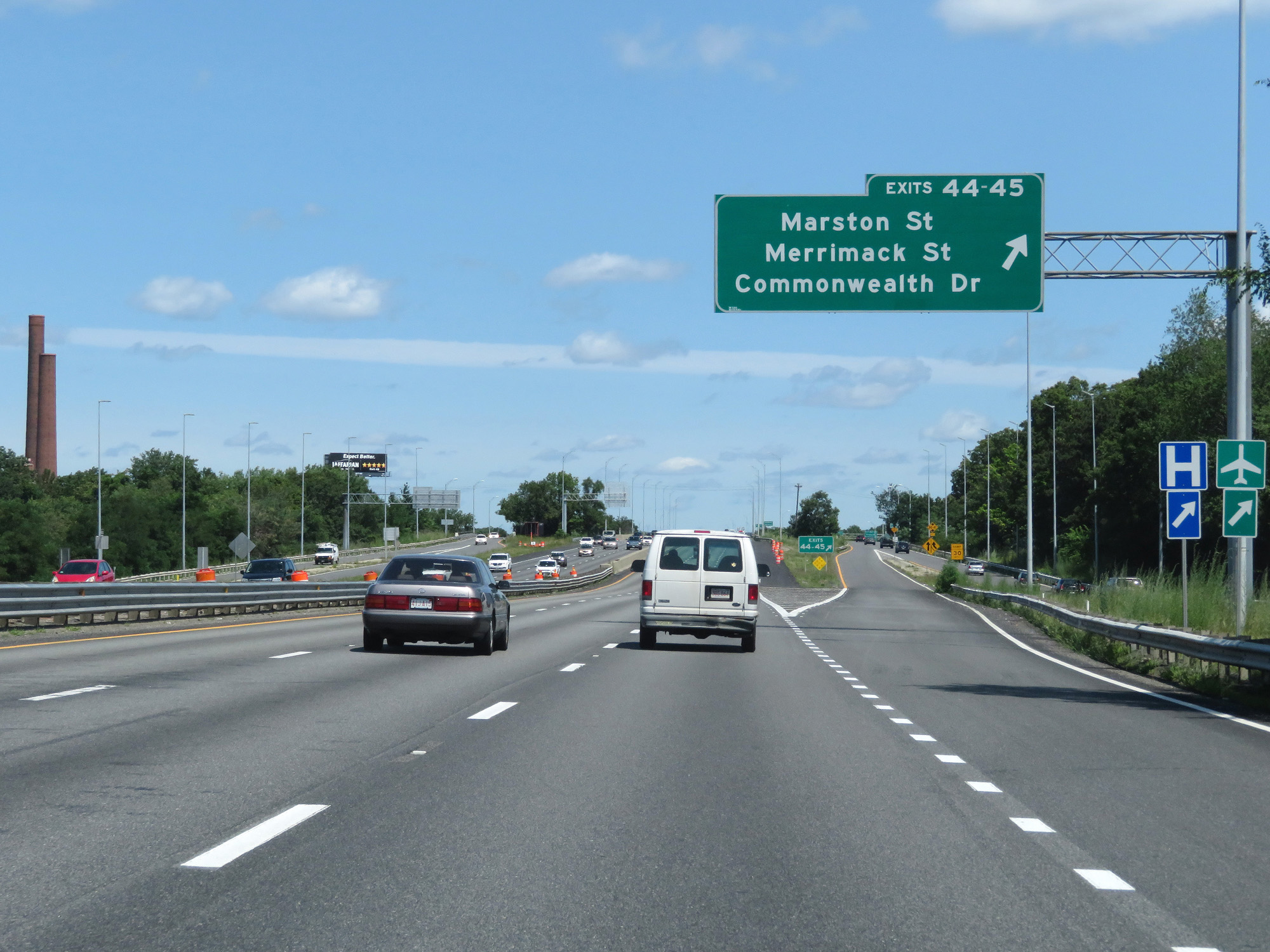 |
Interstate 495 North at Exits 44-45: Marston St / Merrimack St / Commonwealth Dr (Photo taken 8/6/17). |
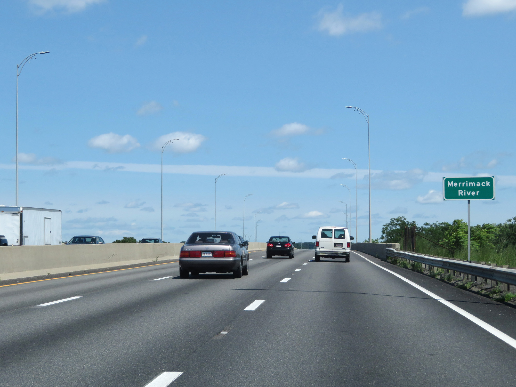 |
Interstate 495 North as it crosses the Merrimack River in Lawrence. (Photo taken 8/6/17). |
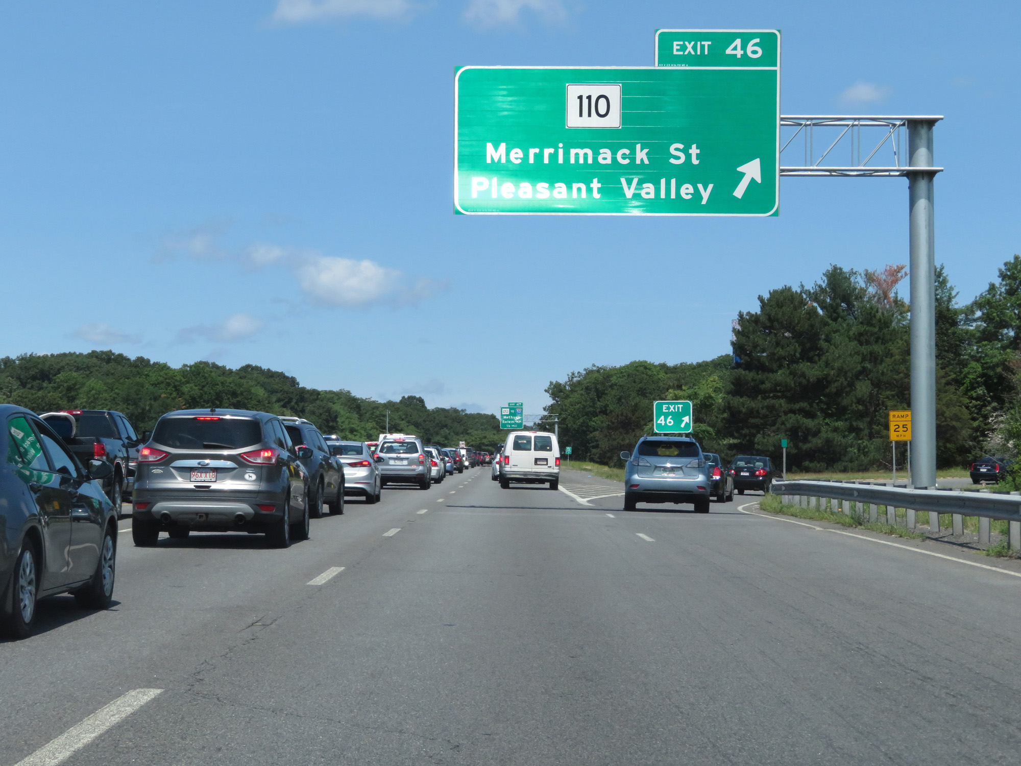 |
Interstate 495 North at Exit 46: MA 110 - Merrimack St / Pleasant Valley (Photo taken 8/6/17). |
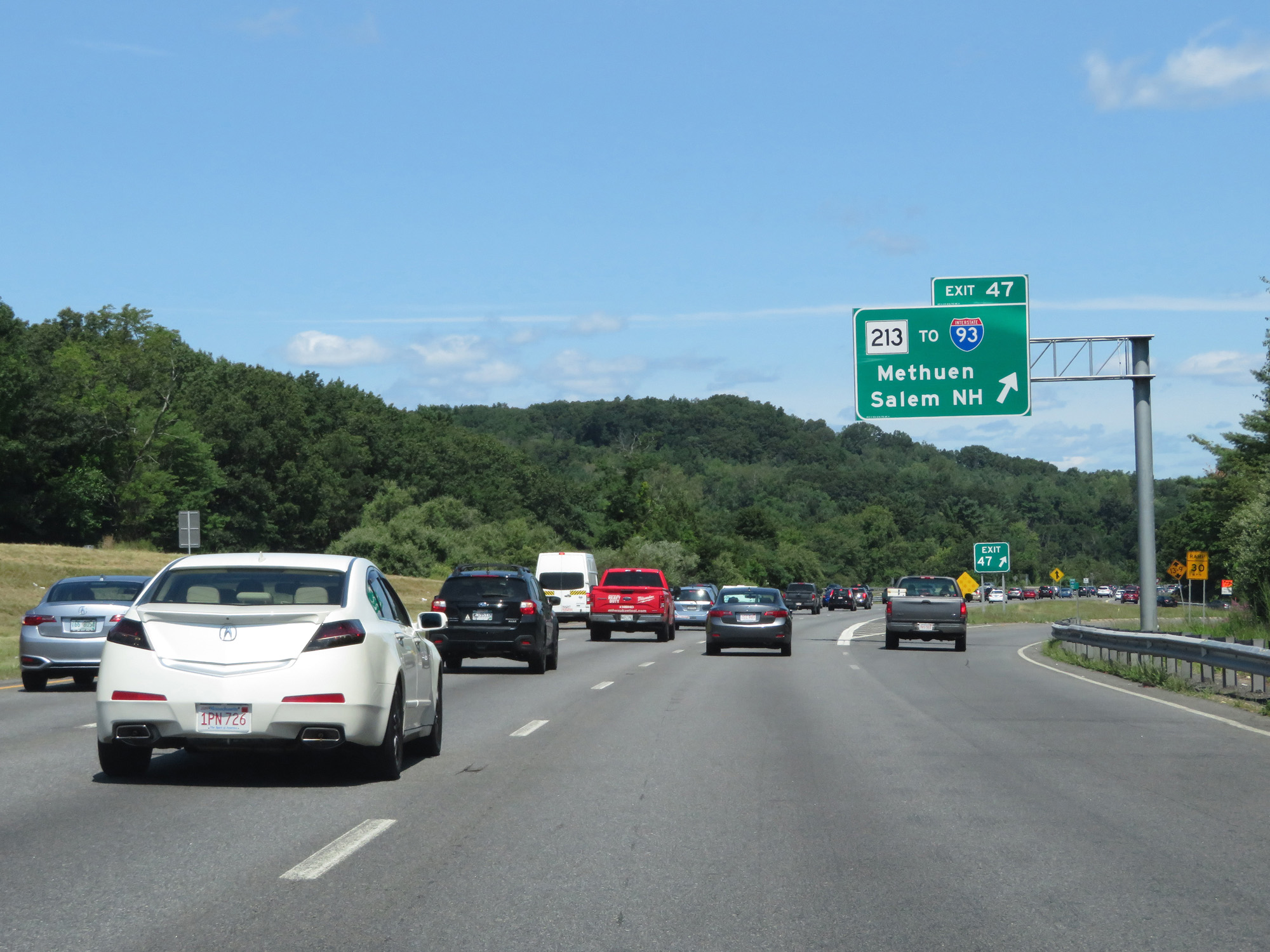 |
Interstate 495 North at Exit 47: MA 213 / To Interstate 93 - Methuen / Salem, NH (Photo taken 8/6/17). |
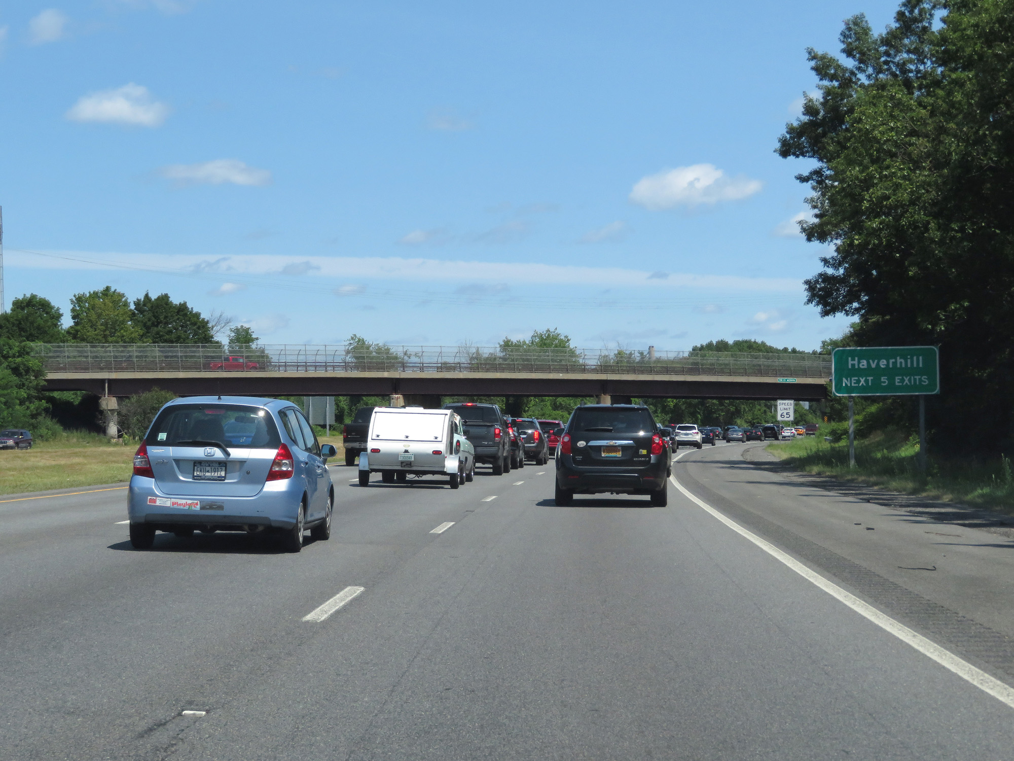 |
Take any of the next 5 exits to Haverhill. (Photo taken 8/6/17). |
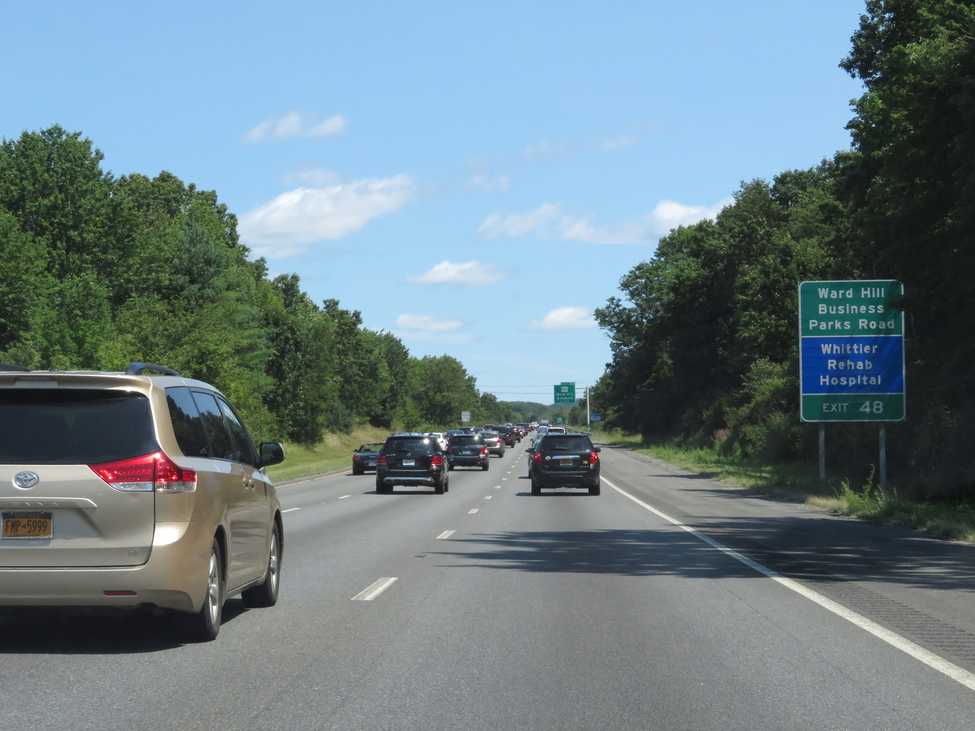 |
Take Exit 48 to Ward Hill Business Parks Road. (Photo taken 8/6/17). |
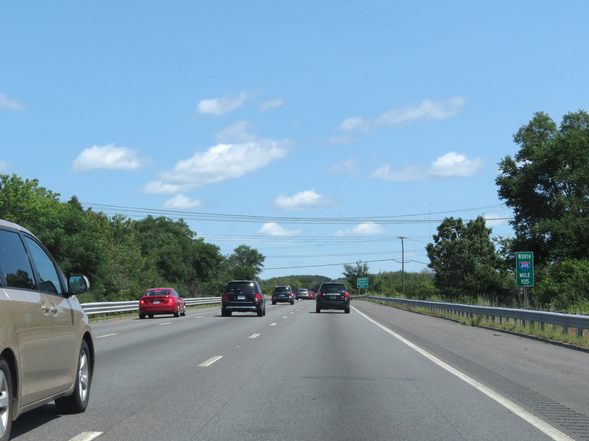 |
Interstate 495 North at mile marker 105. (Photo taken 8/6/17). |
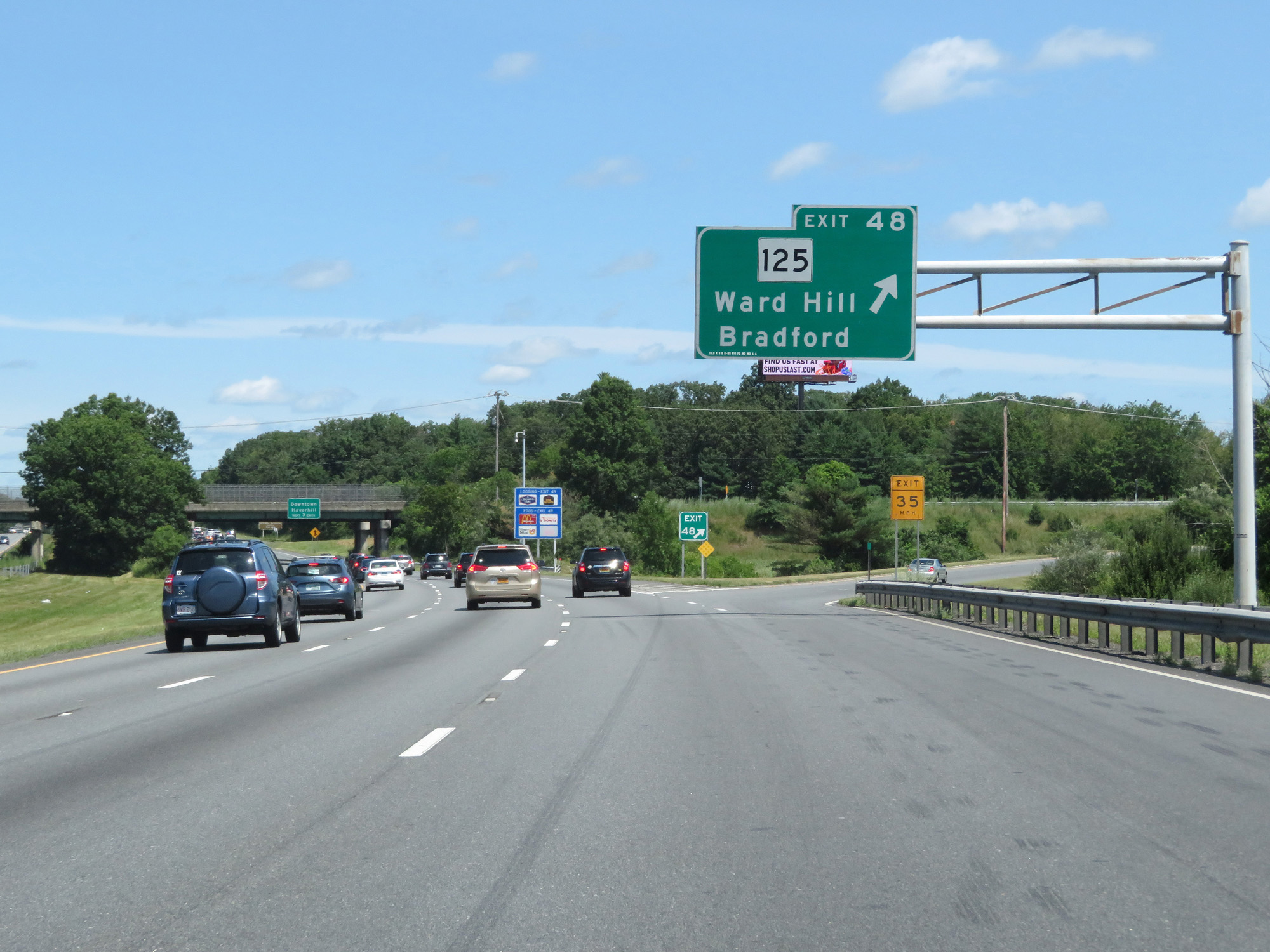 |
Interstate 495 North at Exit 48: MA 125 - Ward Hill / Bradford (Photo taken 8/6/17). |
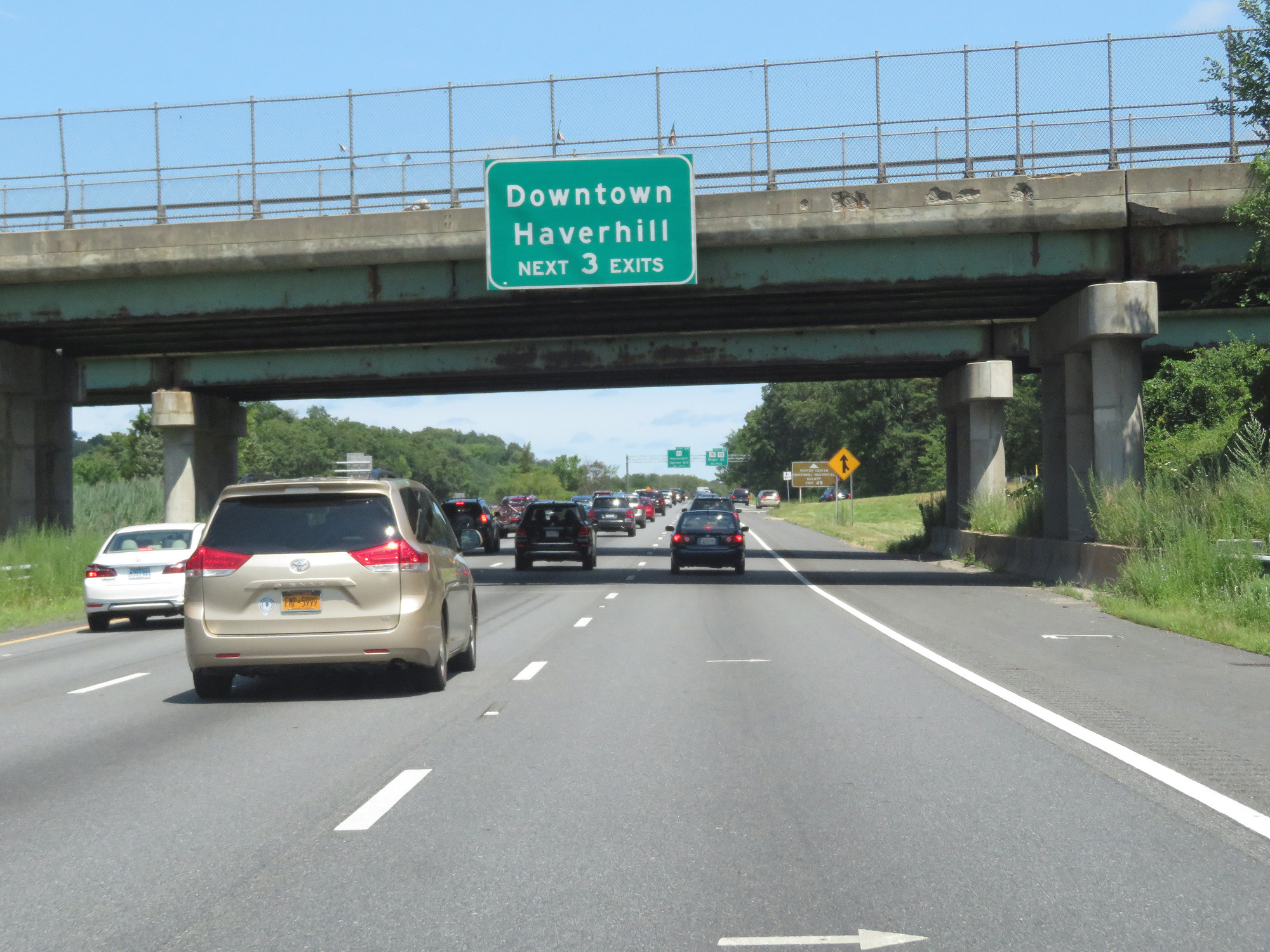 |
Take any of the next 3 exits to Downtown Haverhill. (Photo taken 8/6/17). |
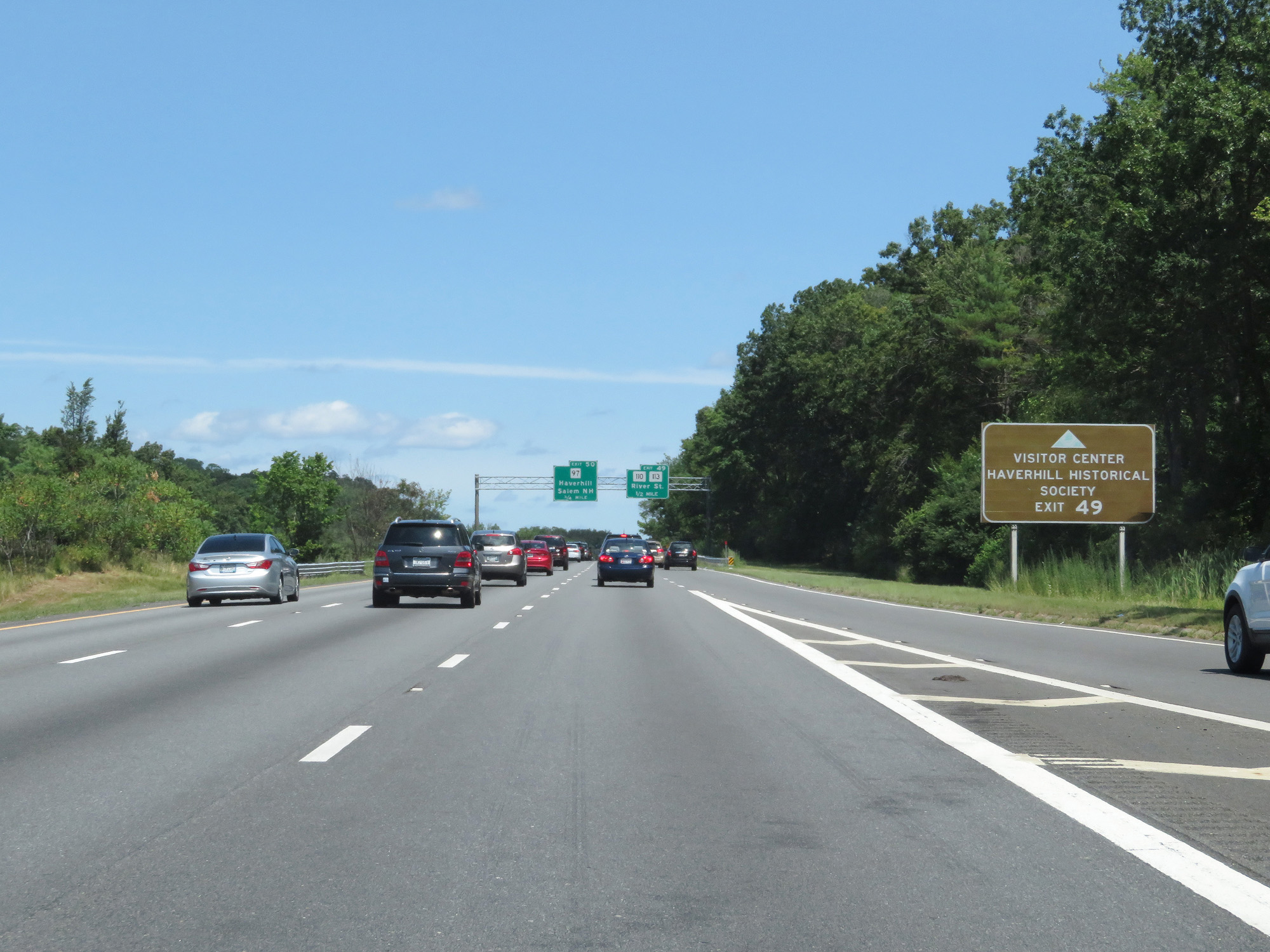 |
Take Exit 49 to Haverhill Historical Society and its Visitor Center. (Photo taken 8/6/17). |
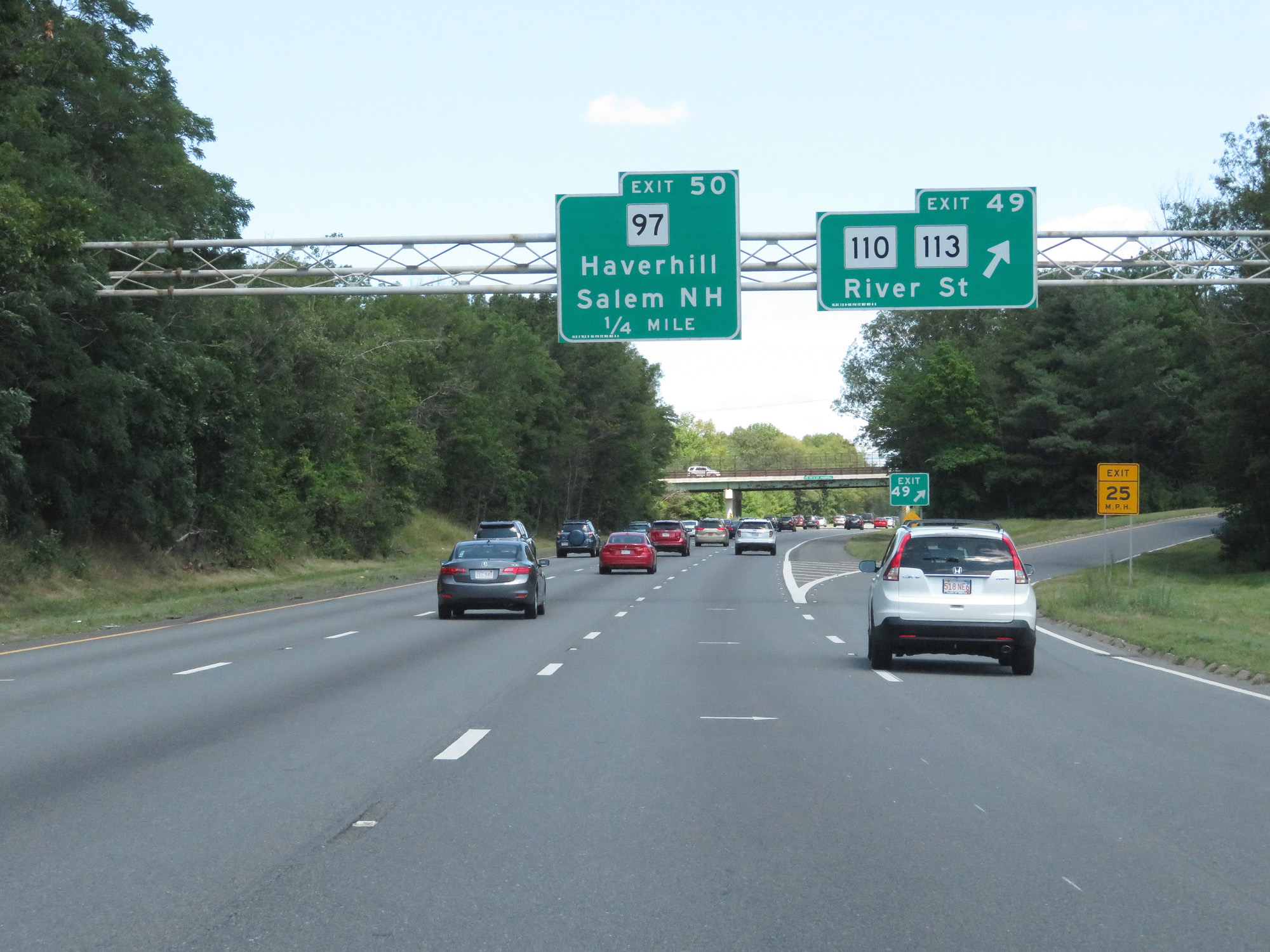 |
Interstate 495 North at Exit 49: MA 110 / MA 113 - River St (Photo taken 8/6/17). |
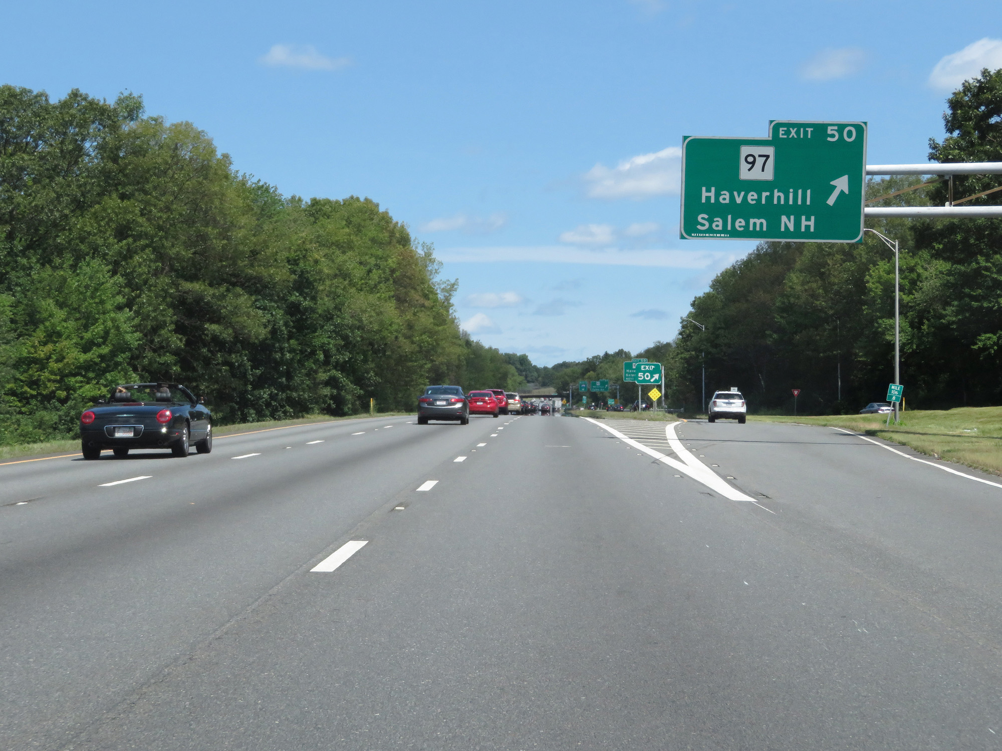 |
Interstate 495 North at Exit 50: MA 97 - Haverhill / Salem, NH (Photo taken 8/6/17). |
 |
Beyond Exit 50, the speed limit returns to 65 mph. (Photo taken 8/6/17). |
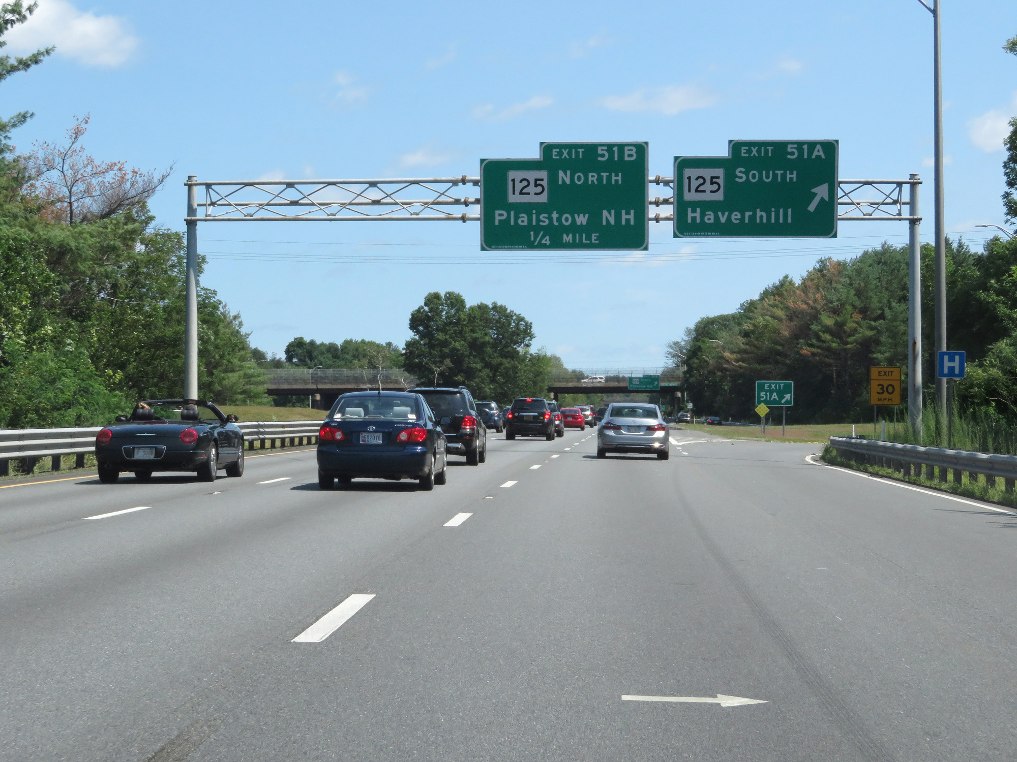 |
Interstate 495 North at Exit 51A: MA 125 South - Haverhill (Photo taken 8/6/17). |
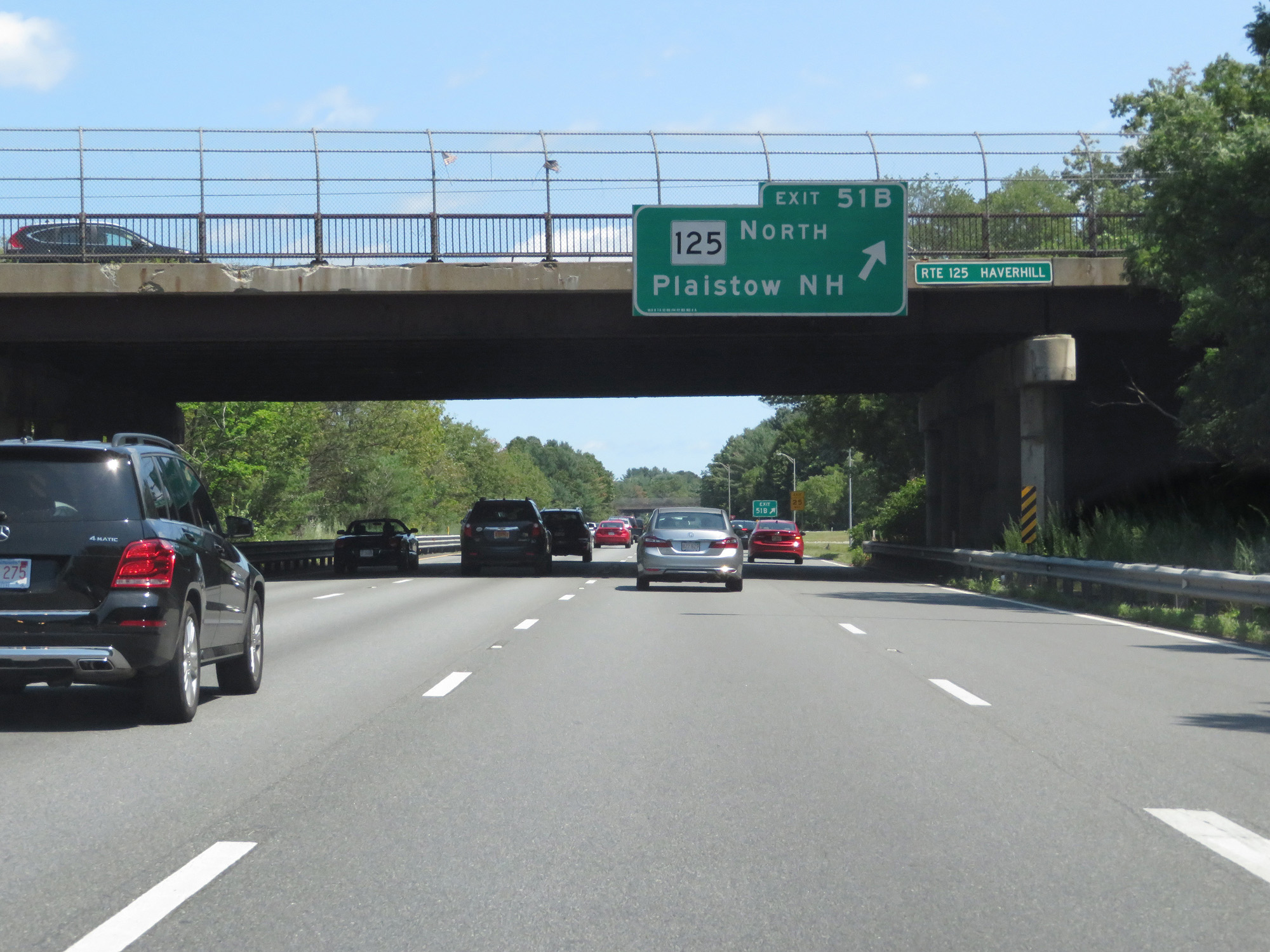 |
Interstate 495 North at Exit 51B: MA 125 North - Plaistow, NH (Photo taken 8/6/17). |
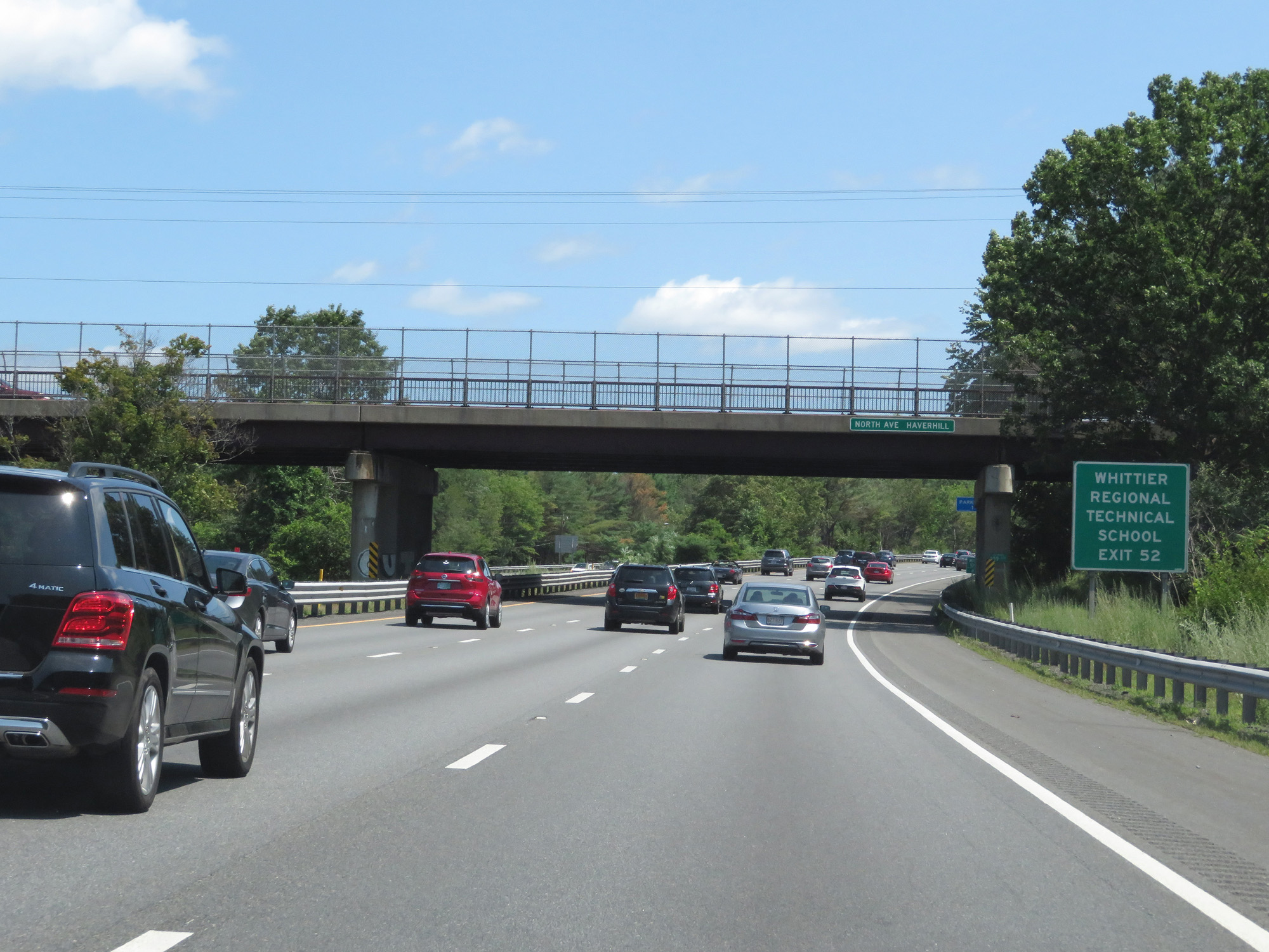 |
Take Exit 52 to Whittier Regional Technical School. (Photo taken 8/6/17). |
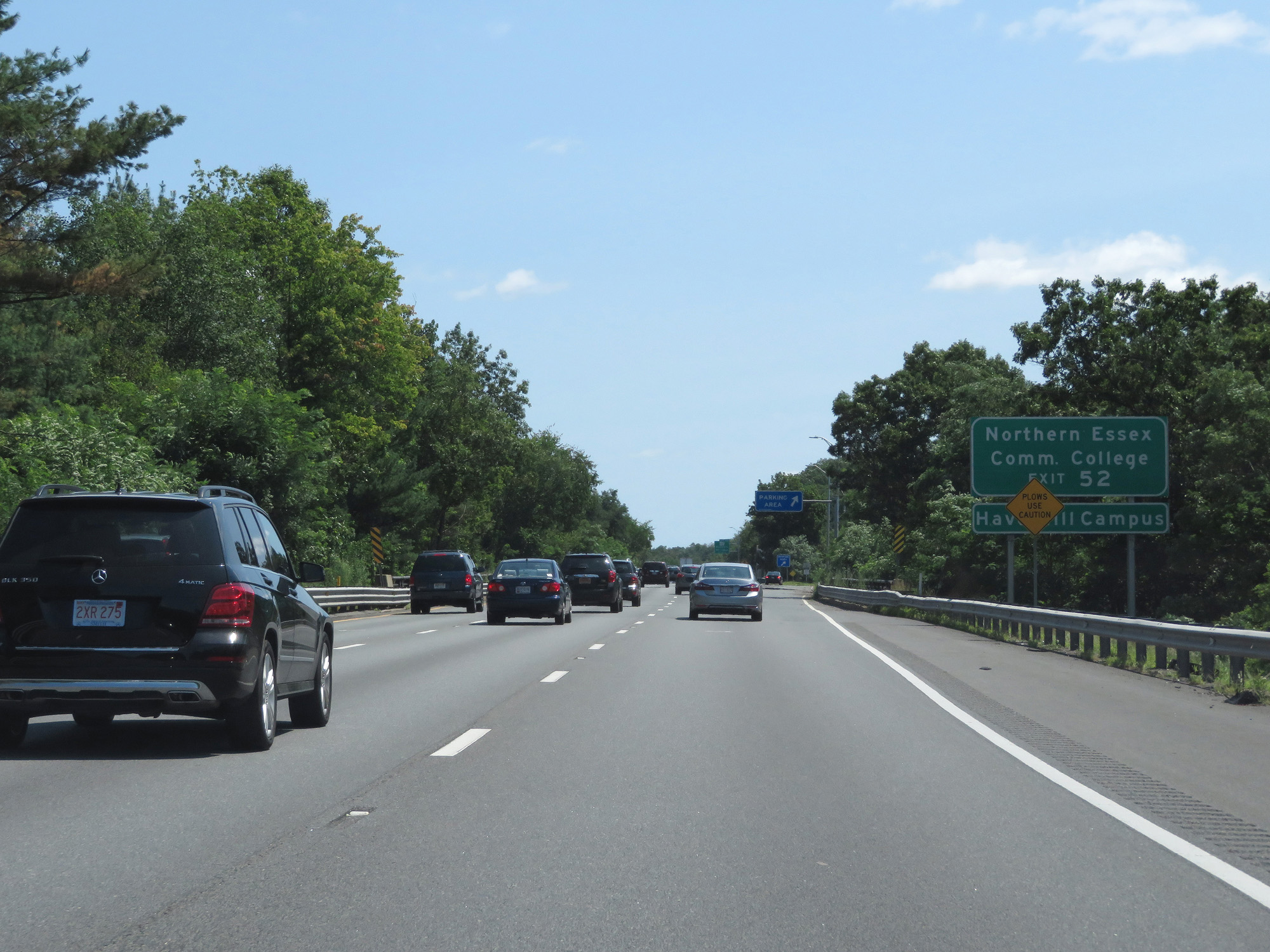 |
Also take Exit 52 to Northern Essex Community College Haverhill Campus. (Photo taken 8/6/17). |
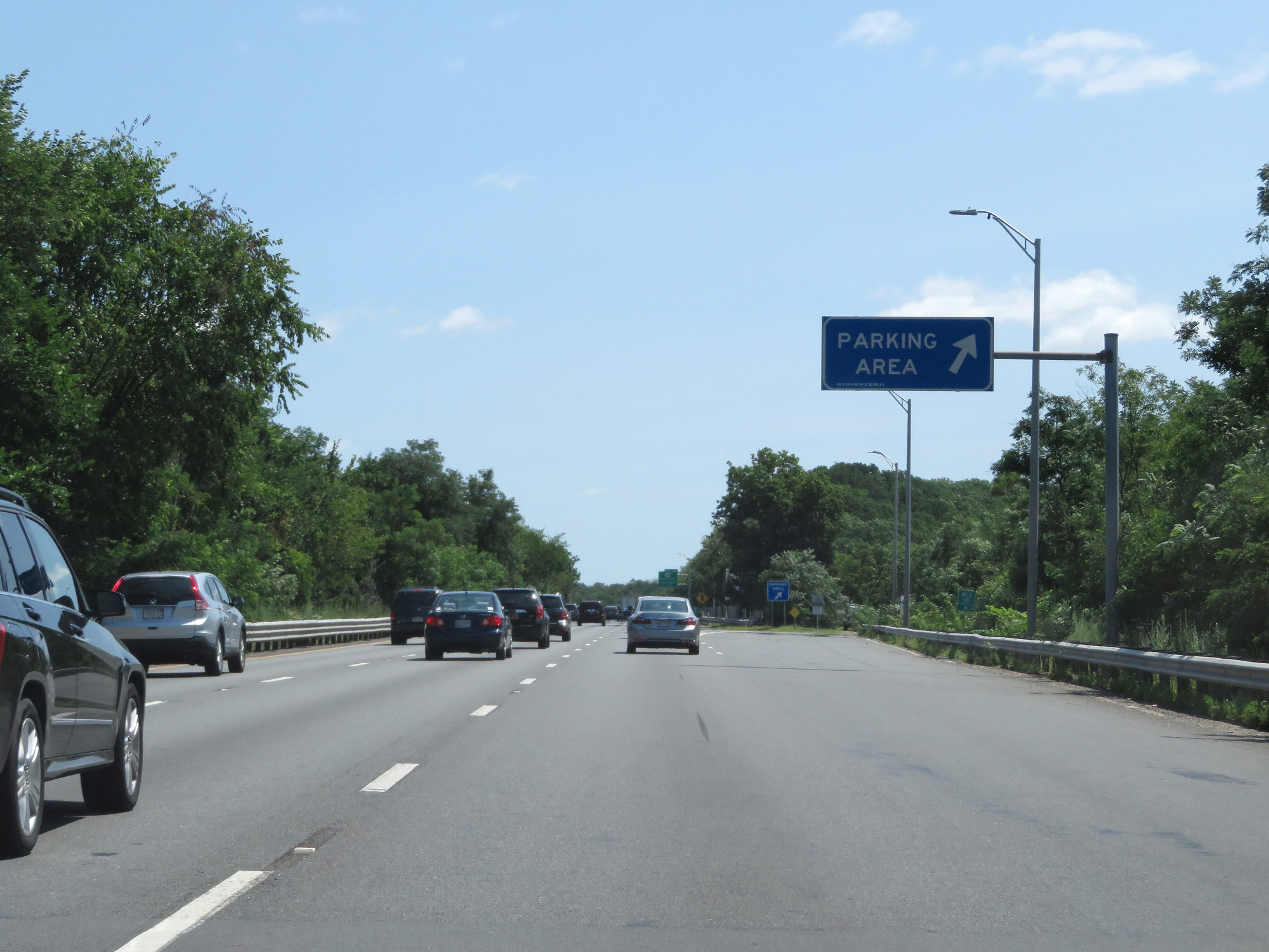 |
Interstate 495 North at the Parking Area in Essex County. (Photo taken 8/6/17). |
 |
Interstate 495 North at Exit 52: MA 110 - Haverhill / Merrimac (Photo taken 8/6/17). |
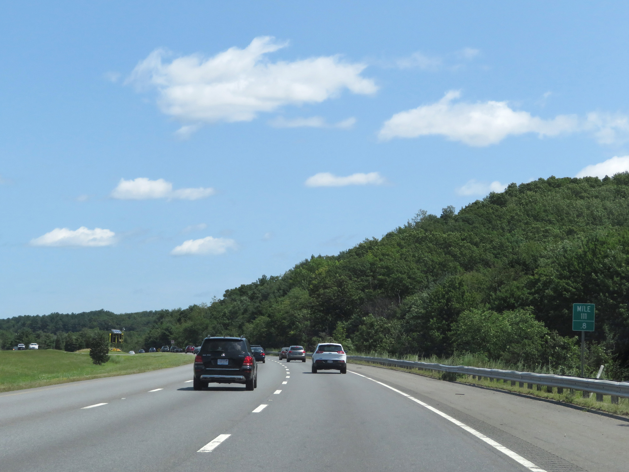 |
Interstate 495 North at mile marker 111.8. (Photo taken 8/6/17). |
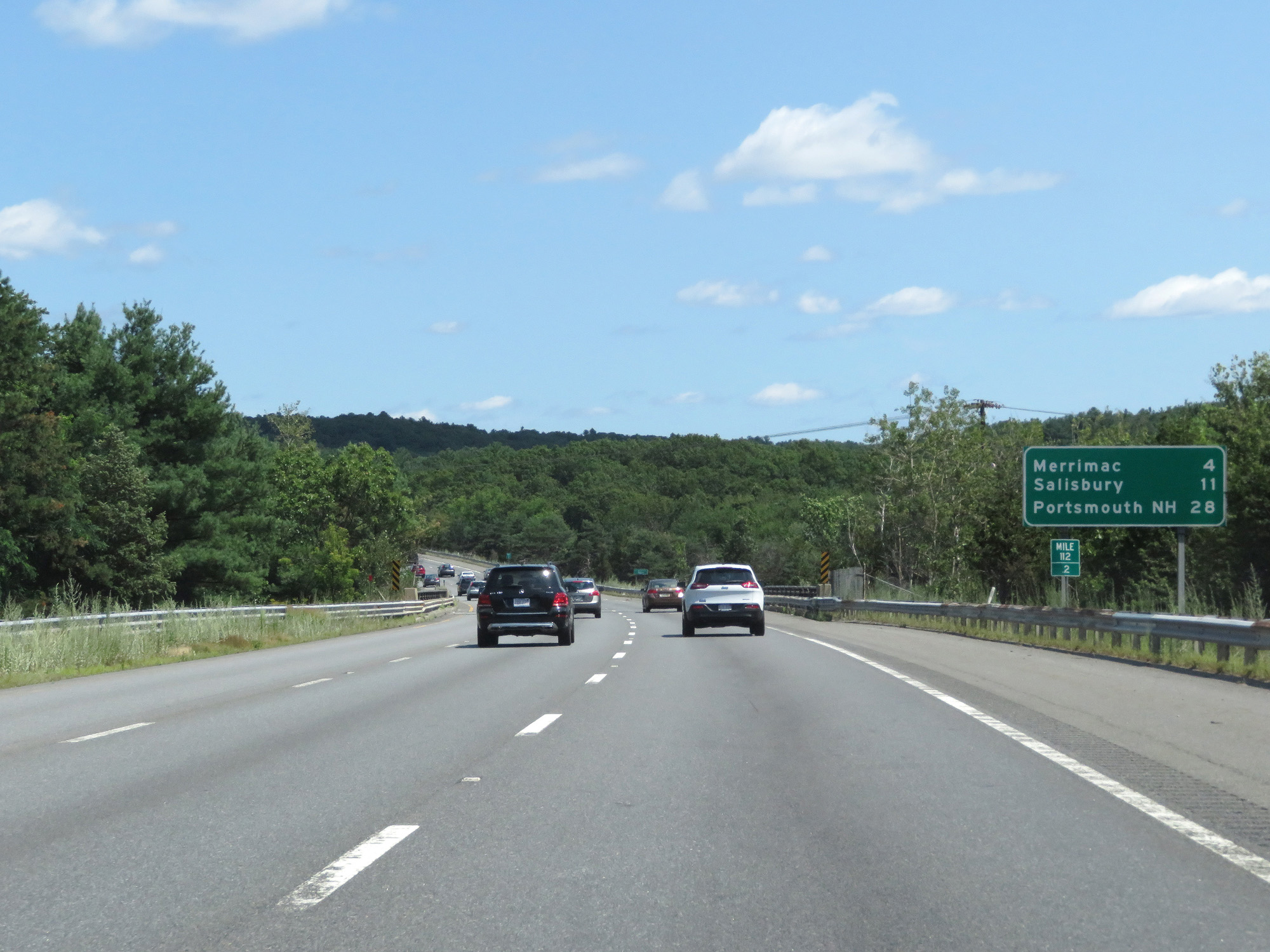 |
Mileage sign at mile marker 112.2. It's 4 miles to Merrimac, 11 miles to Salisbury, and 28 miles to Portsmouth, NH. (Photo taken 8/6/17). |
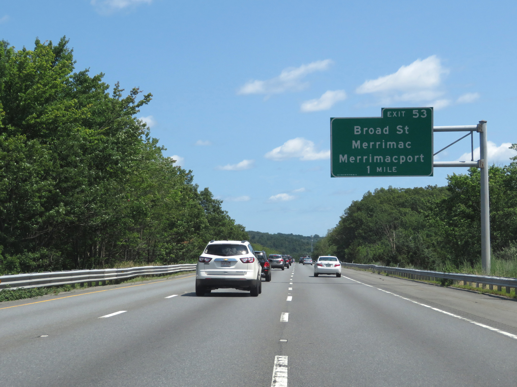 |
Interstate 495 North approaching Exit 53 - 1 mile. (Photo taken 8/6/17). |
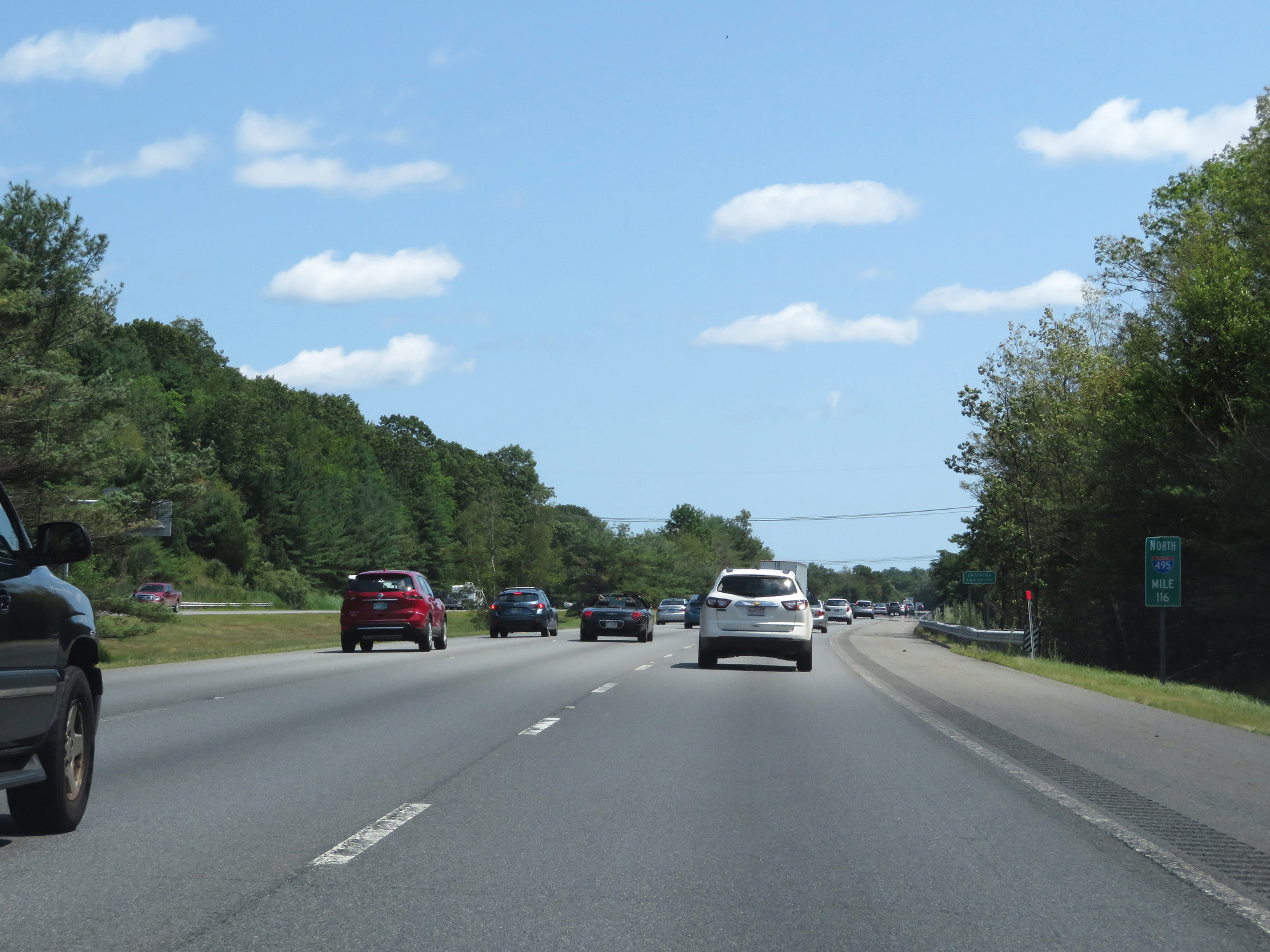 |
Interstate 495 North at mile marker 116. (Photo taken 8/6/17). |
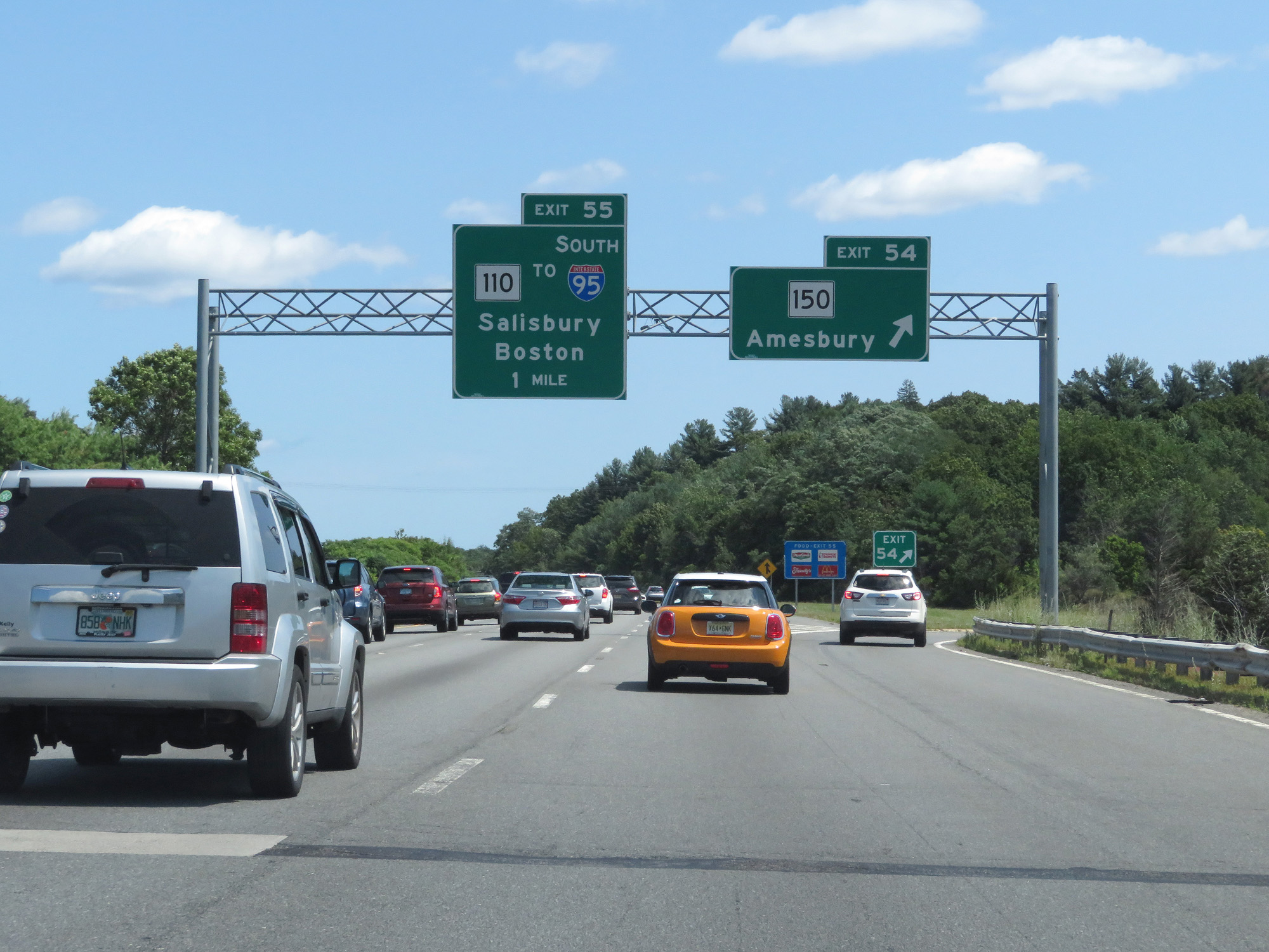 |
Interstate 495 North at Exit 54: MA 150 - Amesbury (Photo taken 8/6/17). |
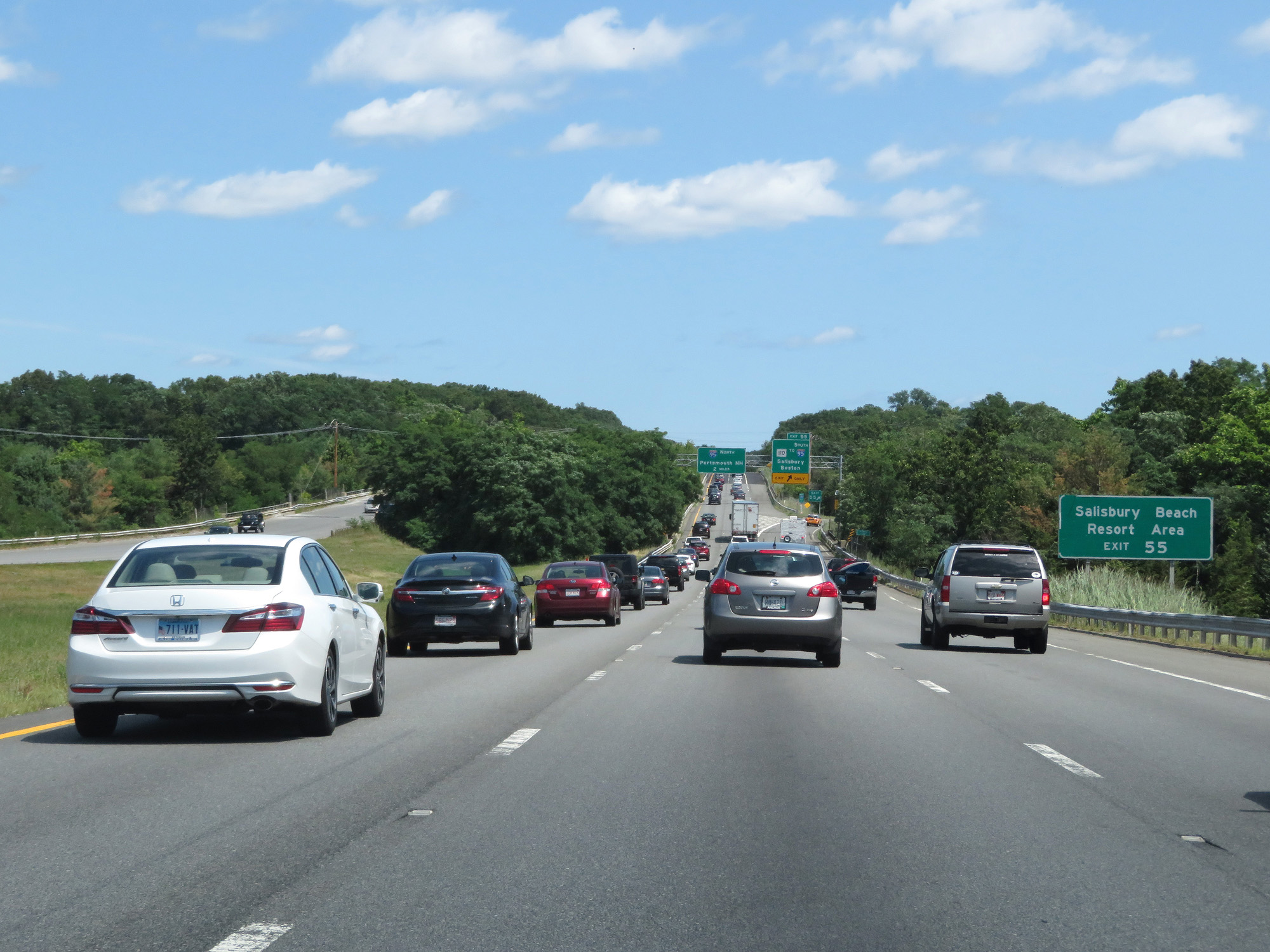 |
Take Exit 55 to Salisbury Beach Resort Area. (Photo taken 8/6/17). |
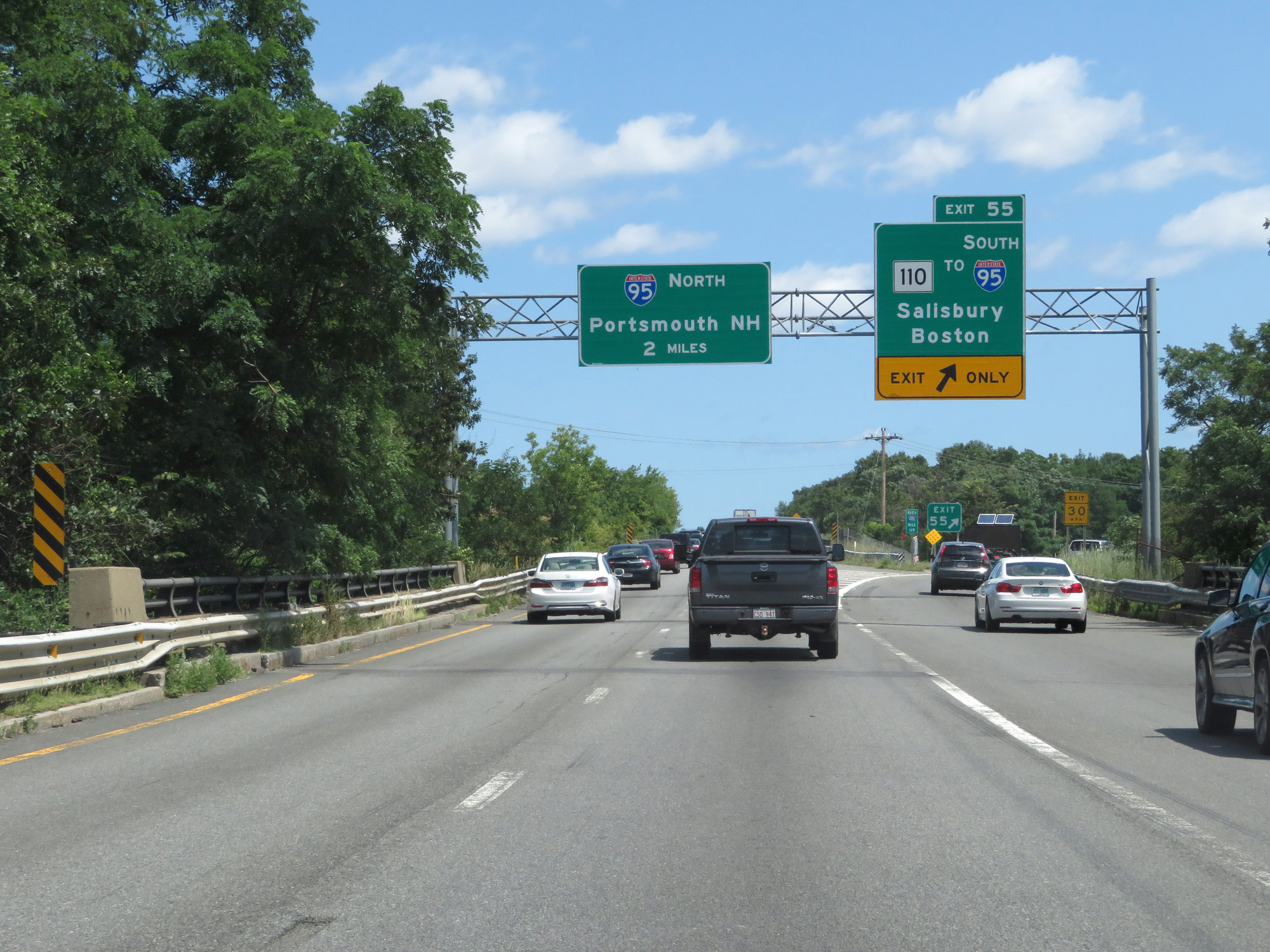 |
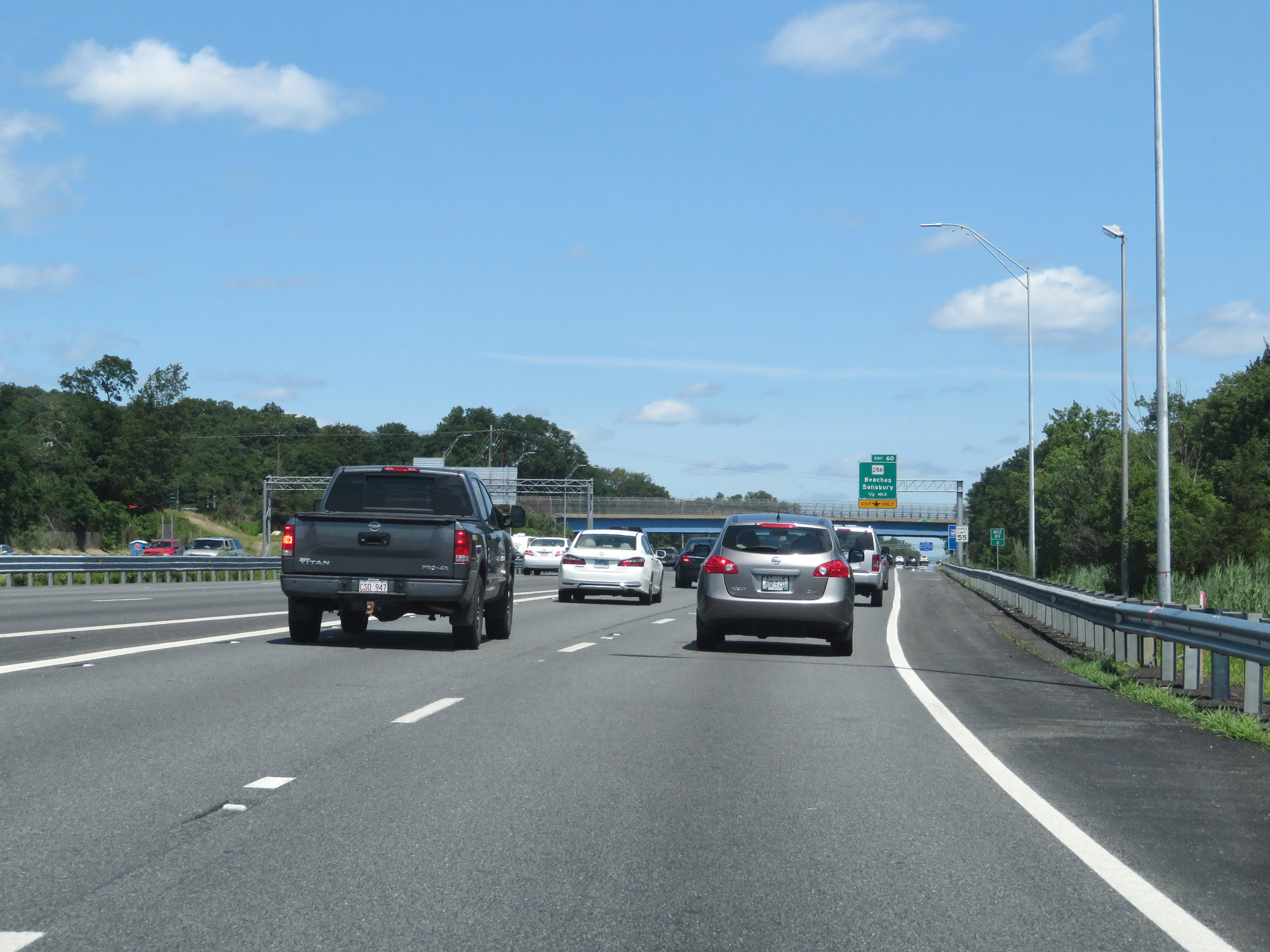
Interstate 495 North at Exit 55: MA 110 / To Interstate 95 South - Salisbury / Boston (Photo taken 8/6/17). |
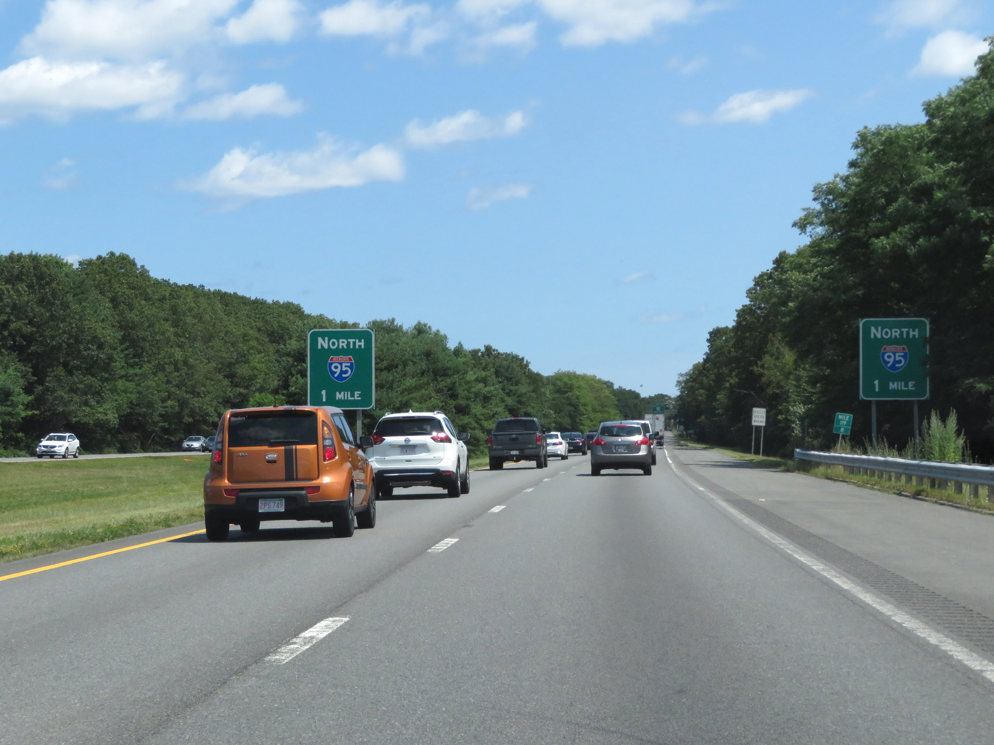 |
At mile marker 119.8, these signs warn that Interstate 495 North ends at Interstate 95 North 1 mile ahead. (Photo taken 8/6/17). |
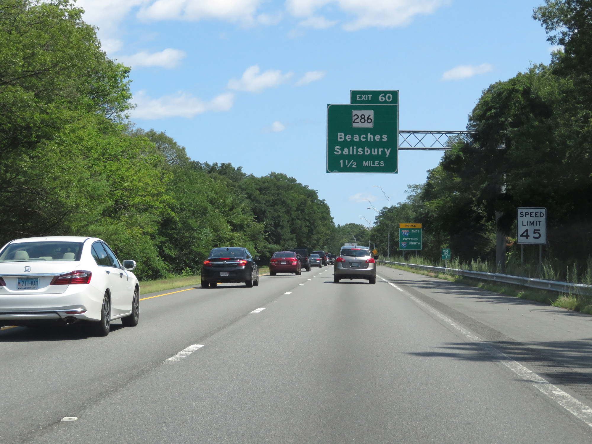 |
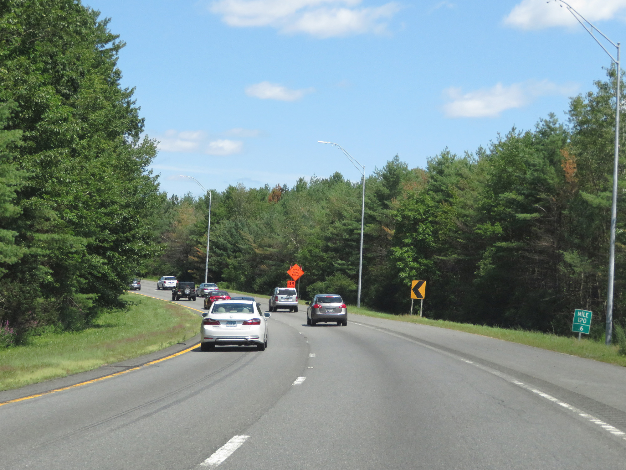
At mile marker 120.2, the speed limit decreases to 45 mph as Interstate 495 prepares to come to an end. (Photo taken 8/6/17). |
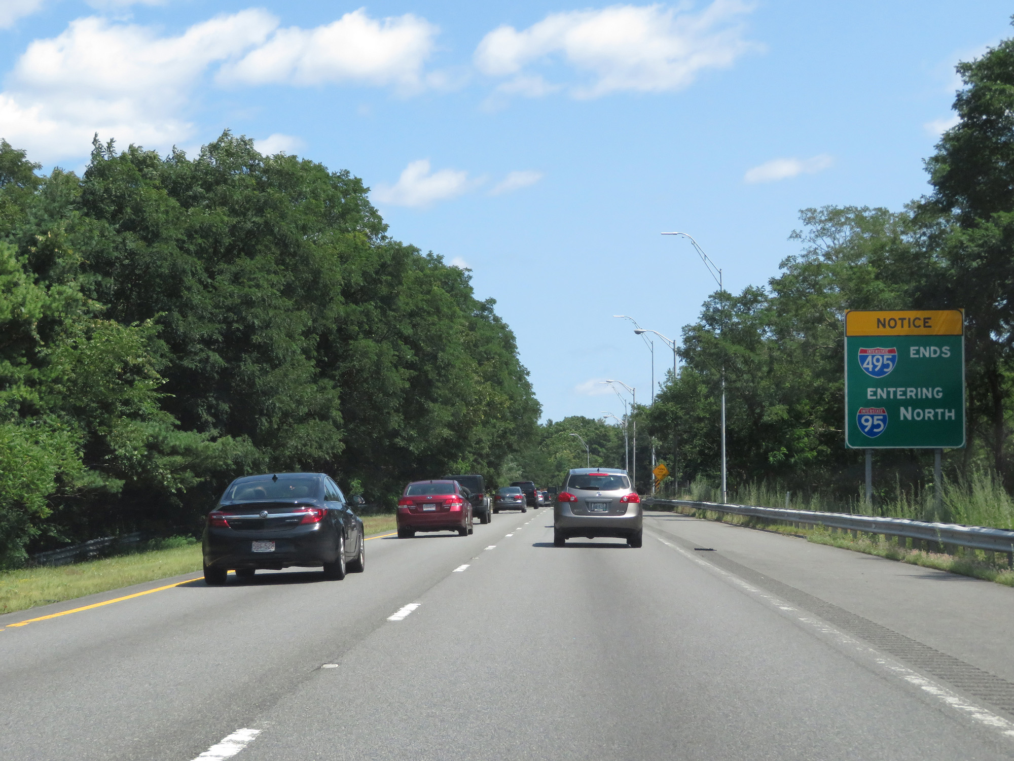 |
This sign warns that Interstate 495 North ends here, and just ahead its two northbound lanes merge into the northbound lanes of Interstate 95. (Photo taken 8/6/17). |
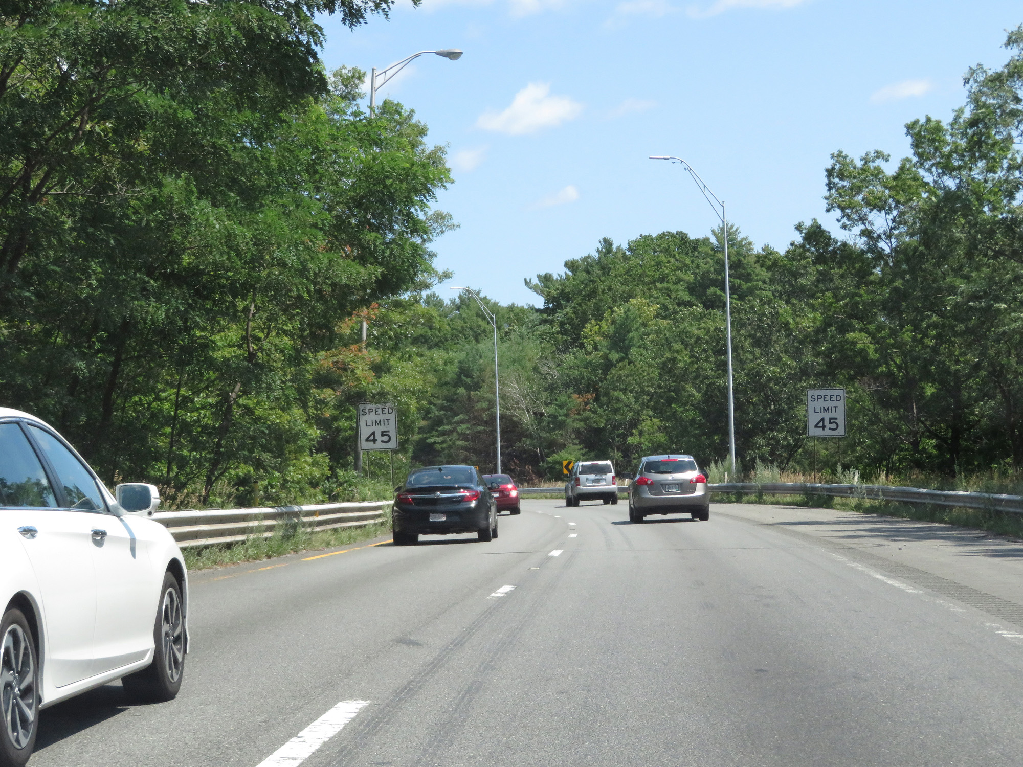 |
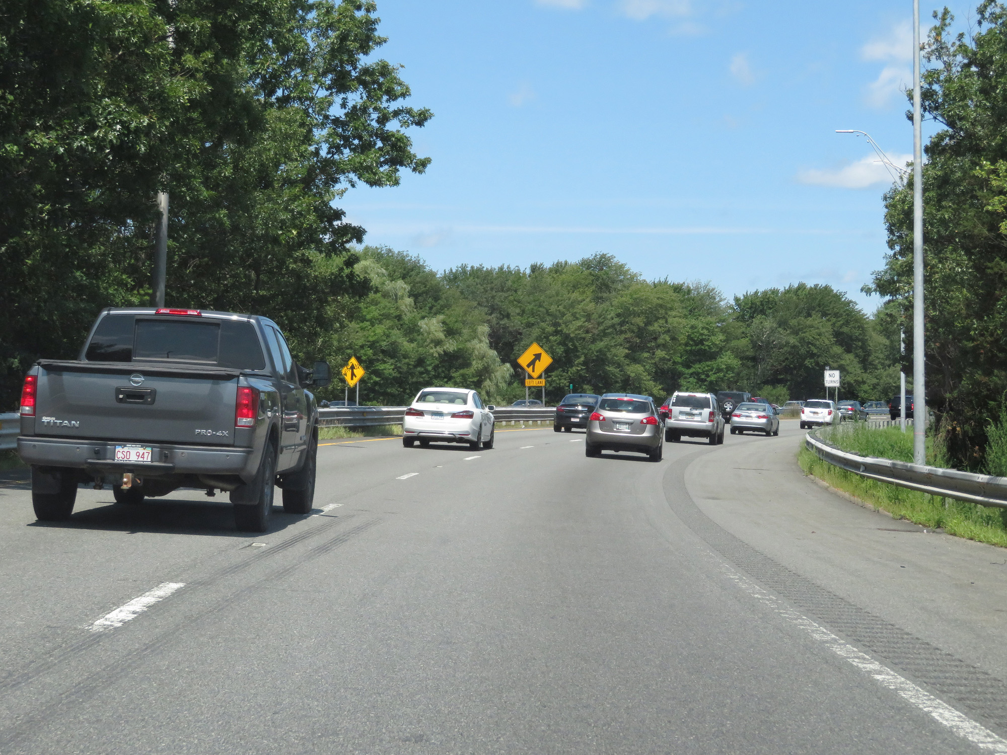
Interstate 495 North as it prepares to curve to the north to merge into the northbound lanes of Interstate 95. (Photo taken 8/6/17). |
 |
Interstate 495 North at mile marker 120.6, as it curves to the north to meet Interstate 95. (Photo taken 8/6/17). |
 |
View on Interstate 495 North as Interstate 95's northbound lanes come into view on the left. (Photo taken 8/6/17). |
 |
Interstate 495 North at its northern terminus, as it merges into Interstate 95 North in Salisbury just south of the New Hampshire border. (Photo taken 8/6/17). |