Road Information |
||
 |
||
| Total Mileage in State: | 80 miles | |
| Eastern End: | At I-70, in Hancock | |
| Western End: | At West Virginia state line | |
| Mileage covered in Photos: | 80 miles | |
| Counties covered in Photos: | Washington, Allegany, Garrett | |
| Major Junctions in Photos: | US 220, in Cumberland US 40/US 219, near Grantsville |
|
| Control Cities in Photos: | Hancock, Cumberland, Frostburg, Grantsville, Friendsville | |
Westbound
- Section 1: Interstate 70 to Cumberland (Exit 43C)
- Section 2: Cumberland (Exit 43C) to West Virginia Border
Section 1: Interstate 70 to Cumberland (Exit 43C)
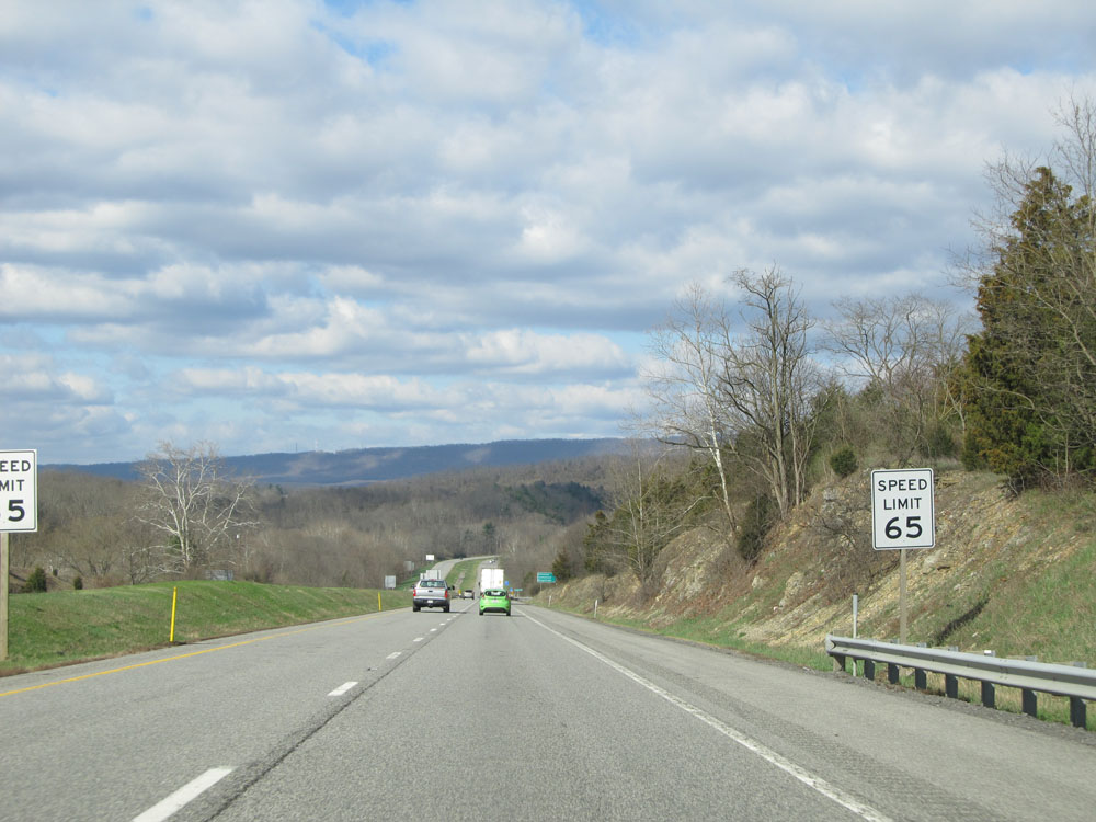 |
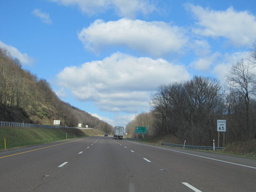
Speed limit sign near mile marker 80, shortly after merging onto Interstate 68 West from Interstate 70. The speed limit on most rural Interstates in Maryland is 65 mph. (Photo taken 4/11/15). |
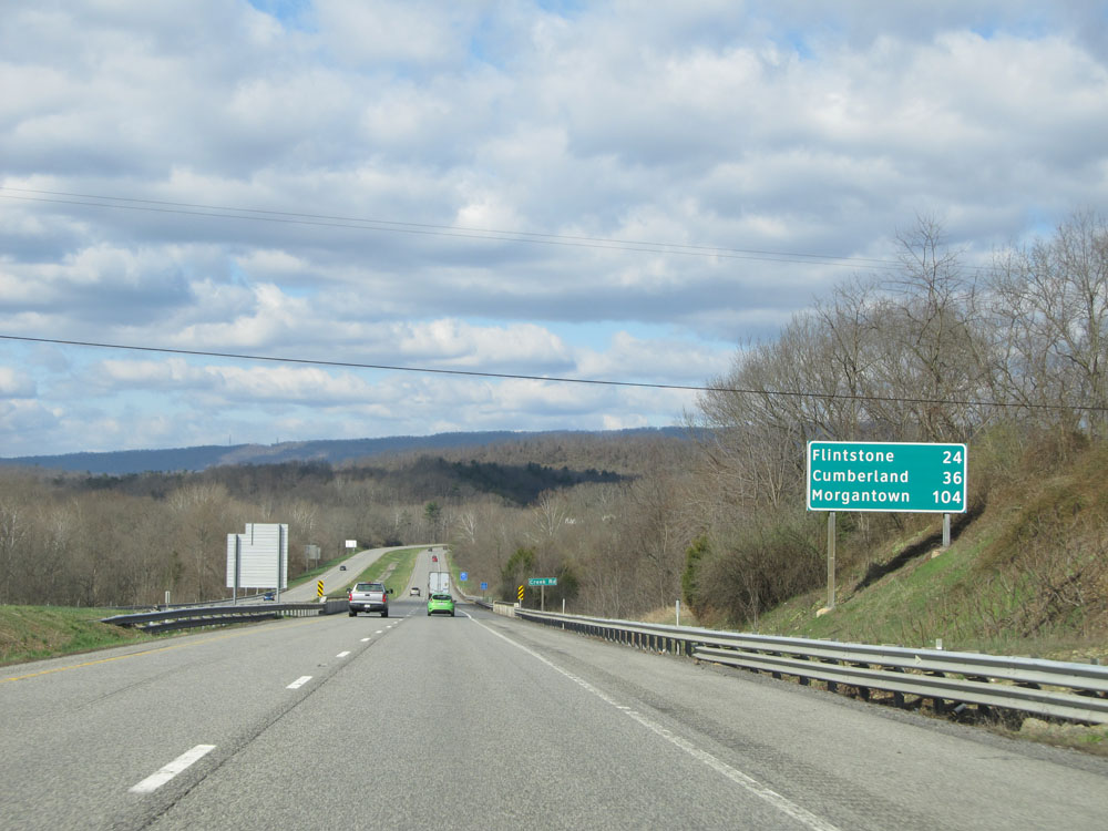 |
Mileage sign near mile marker 79. It's 24 miles to Flintstone, 36 miles to Cumberland, and 104 miles to Morgantown. (Photo taken 4/11/15). |
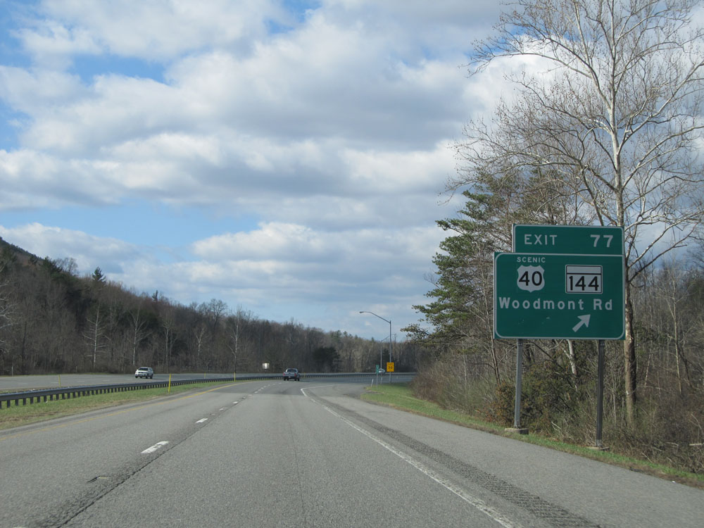 |
Interstate 68 West at Exit 77: US 40 Scenic Route / MD 144 - Woodmont Rd (Photo taken 4/11/15). |
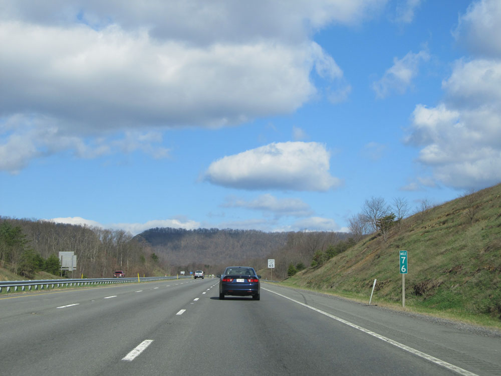 |
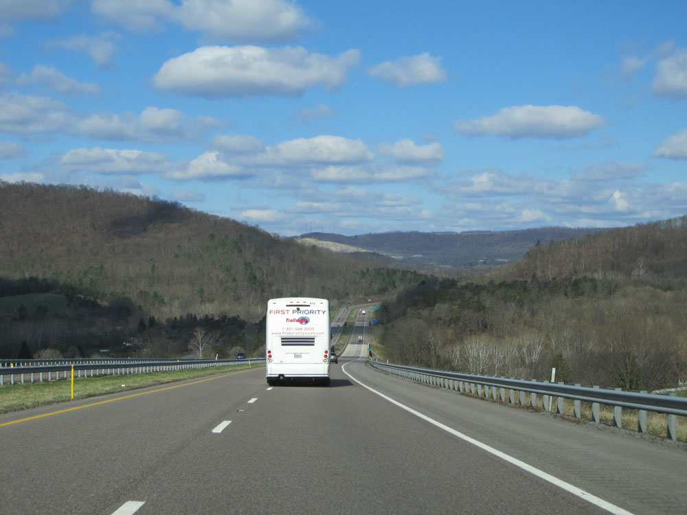
Interstate 68 West: Road view from mile marker 76, as we begin climbing Sideling Hill. (Photo taken 4/11/15). |
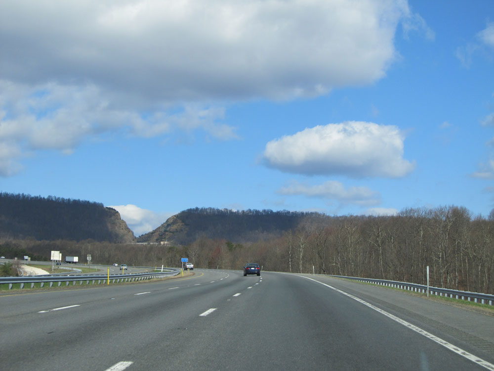 |
View on Interstate 68 West. You can see the Sideling Hill Road Cut at the top of the grade in the distance. (Photo taken 4/11/15). |
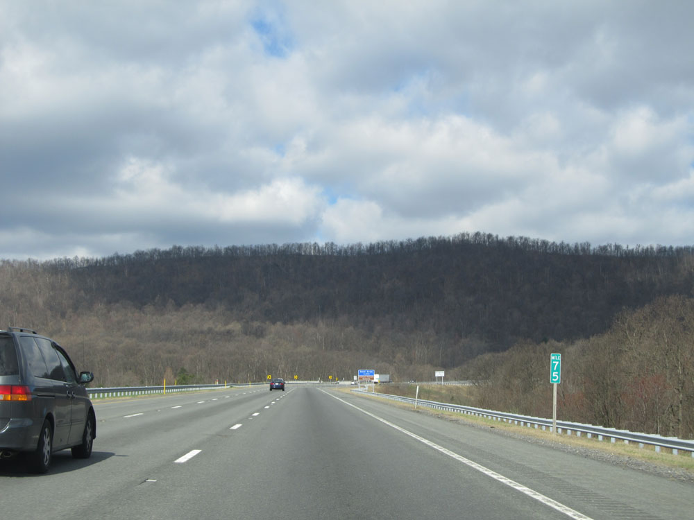 |
Interstate 68 West at mile marker 75. (Photo taken 4/11/15). |
 |
Interstate 68 West at the off ramp to the Rest Area / Vietnam Veterans Memorial at the top of Sideling Hill, near mile marker 74.5. (Photo taken 4/11/15). |
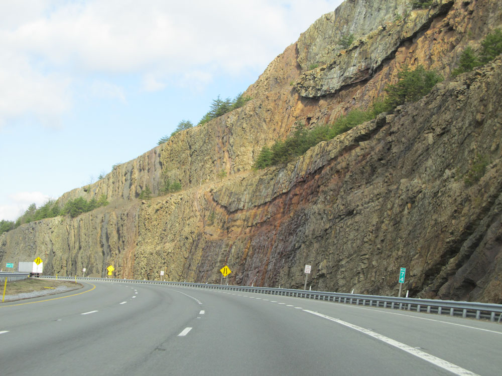 |
Interstate 68 West: Road view from mile marker 74, as we get a close-up of the Sideling Hill Road Cut. (Photo taken 4/11/15). |
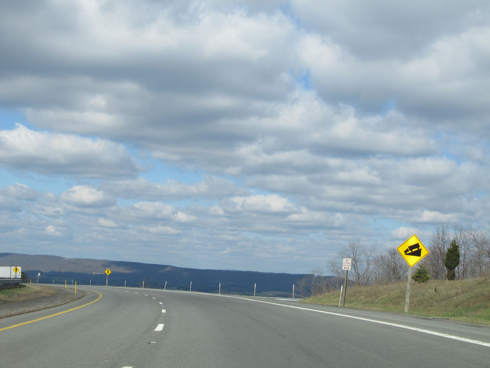 |
This sign warns of a steep downgrade ahead, as we start down the west edge of Sideling Hill. (Photo taken 4/11/15). |
 |
Interstate 68 West assurance shield near mile marker 73. (Photo taken 4/11/15). |
 |
Interstate 68 West at the Runaway Truck Ramp near mile marker 73, about half way down the grade. (Photo taken 4/11/15). |
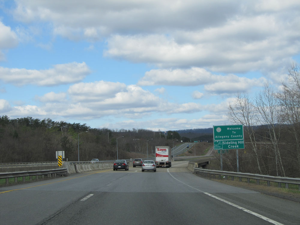 |
Near the bottom of the grade, Interstate 68 West enters Allegany County. (Photo taken 4/11/15). |
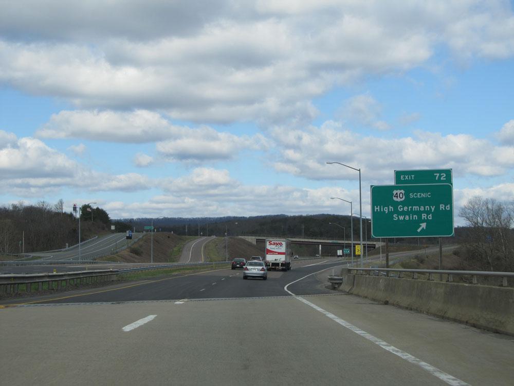 |
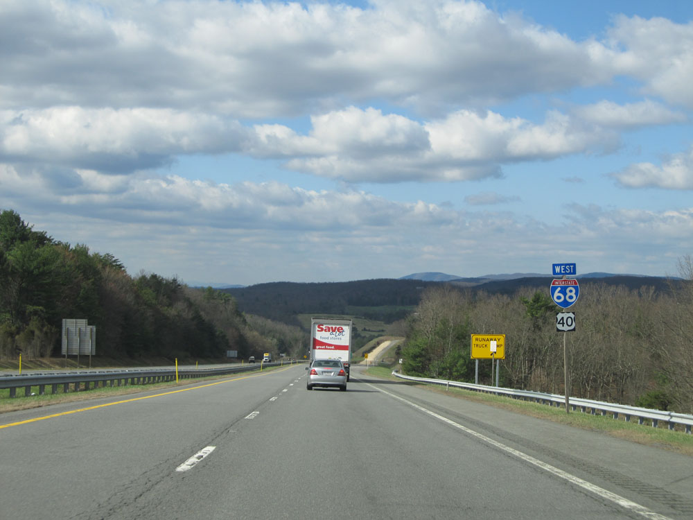
Interstate 68 West at Exit 72: US 40 Scenic Route - High Germany Rd / Swain Rd (Photo taken 4/11/15). |
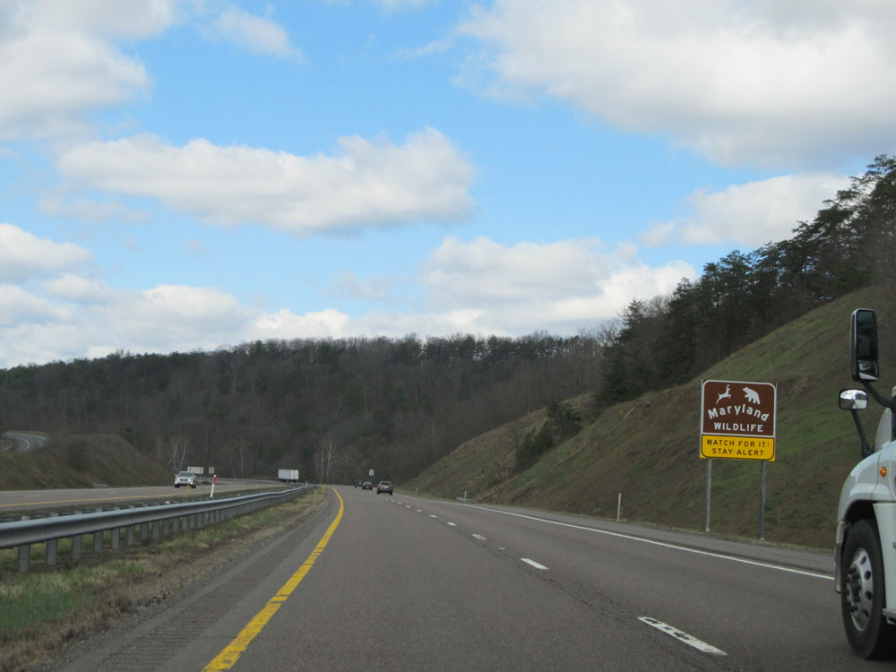 |
This sign tells motorists to be alert in watching for Maryland wildlife. (Photo taken 4/11/15). |
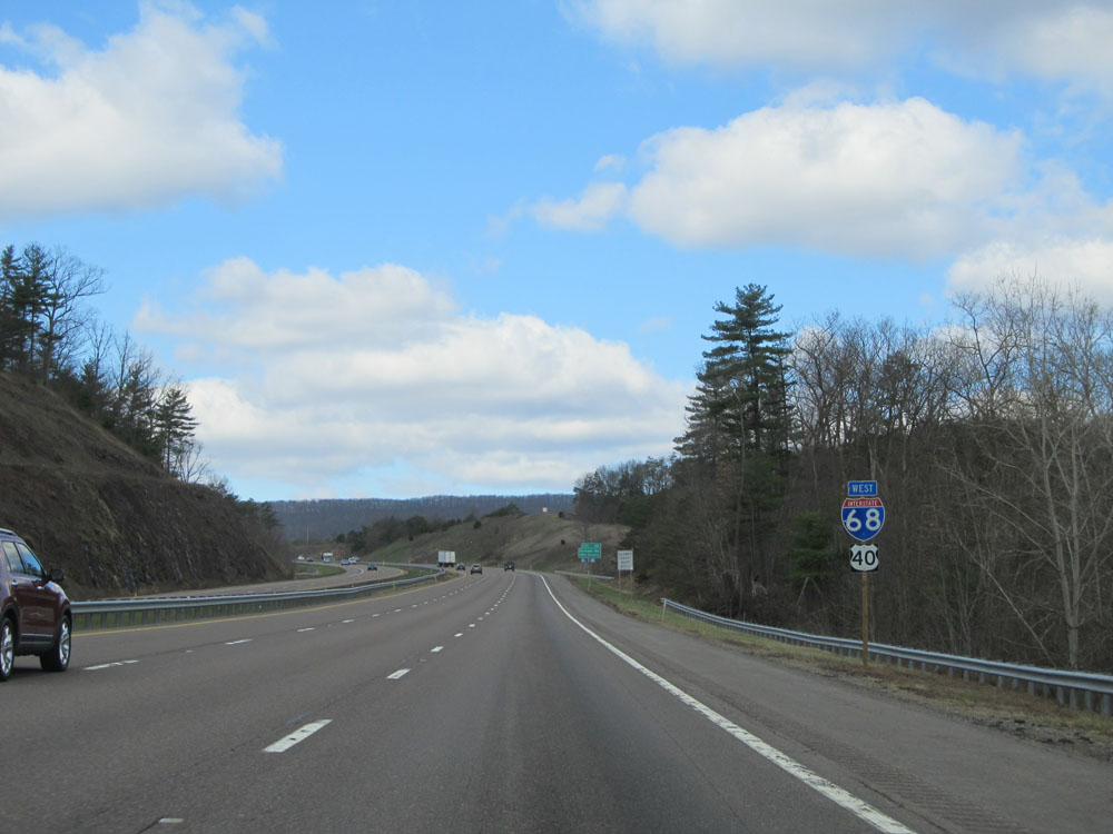 |
Interstate 68 West / US 40 West dual assurance shields. (Photo taken 4/11/15). |
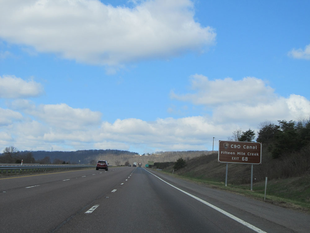 |
Take Exit 68 to C&O Canal / Fifteen Mile Creek. (Photo taken 4/11/15). |
 |
Also take Exit 68 to Natural Resources Police and Billmeyer Wildlife Management Area. (Photo taken 4/11/15). |
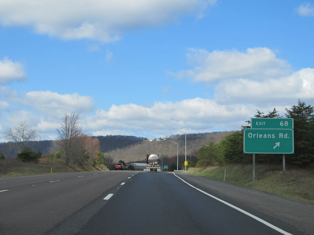 |
Interstate 68 West at Exit 68: Orleans Rd (Photo taken 4/11/15). |
 |
Mileage sign near mile marker 68. It's 12 miles to Flintstone, 24 miles to Cumberland, and 92 miles to Morgantown. (Photo taken 4/11/15). |
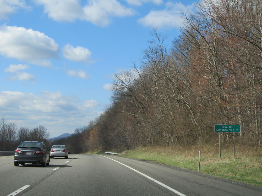 |
Interstate 68 West as it reaches the top of Town Hill at an elevation of 940 feet. Whoop dee do. (Photo taken 4/11/15). |
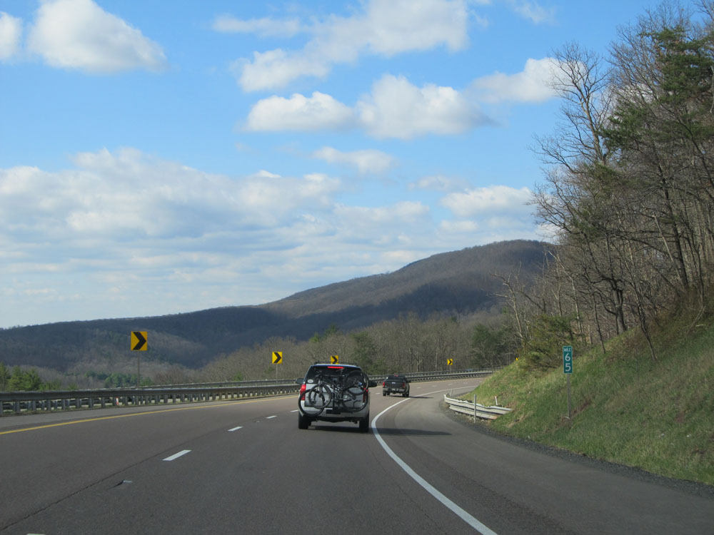 |
Interstate 68 West: Road view from mile marker 65. (Photo taken 4/11/15). |
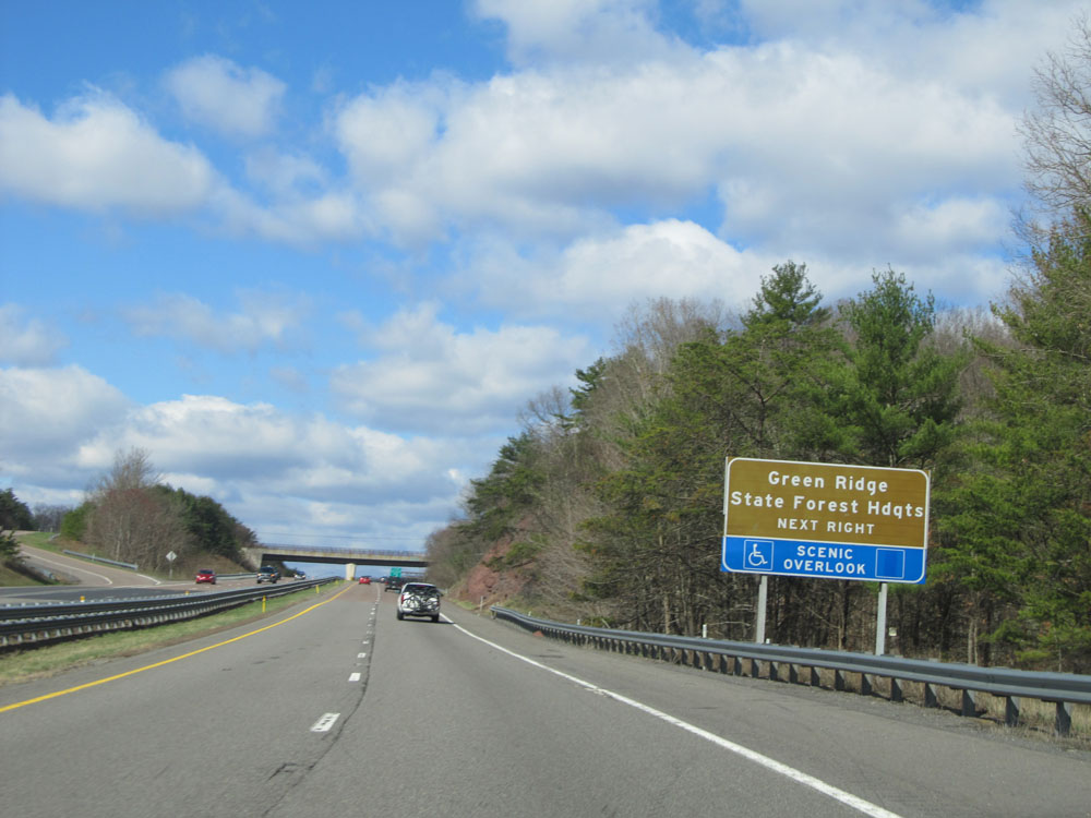 |
Take Exit 64 to Green Ridge State Forest Headquarters and Scenic Overlook. (Photo taken 4/11/15). |
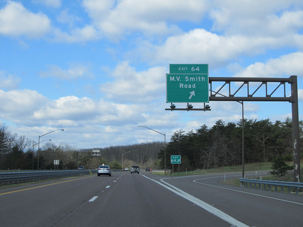 |
Interstate 68 West at Exit 64: M.V. Smith Road (Photo taken 4/11/15). |
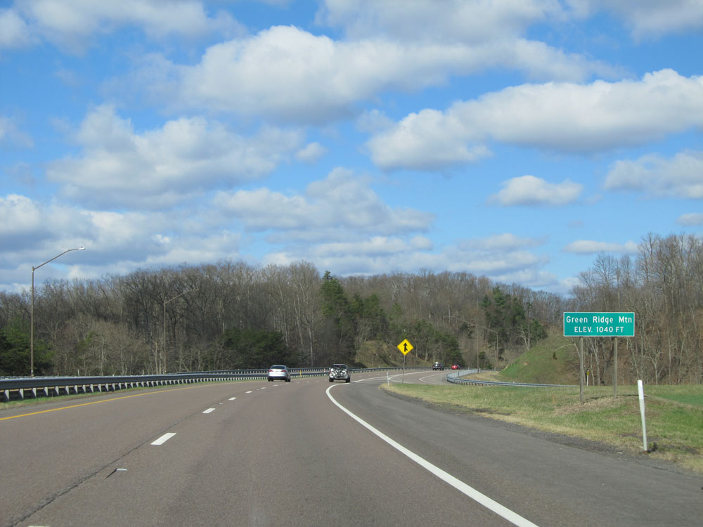 |
Interstate 68 West as it reaches the summit of Green Ridge Mountain at an elevation of 1,040 feet. (Photo taken 4/11/15). |
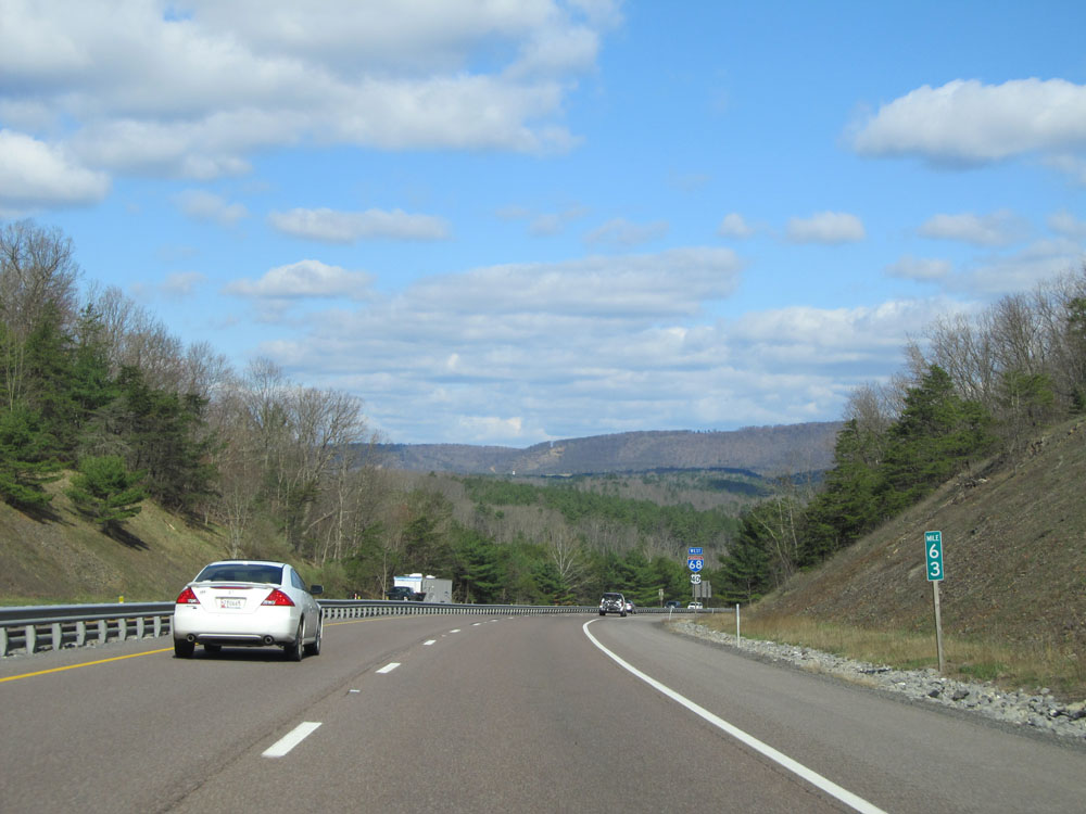 |
Interstate 68 West at mile marker 63. (Photo taken 4/11/15). |
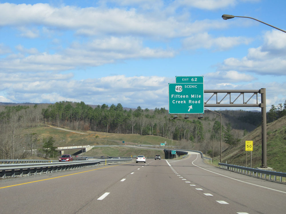 |
Interstate 68 West at Exit 62: US 40 Scenic Route - Fifteen Mile Creek Road (Photo taken 4/11/15). |
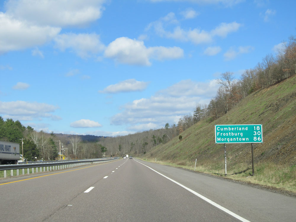 |
Mileage sign near mile marker 62. Cumberland - 18 miles, Frostburg - 30 miles, and Morgantown - 86 miles. (Photo taken 4/11/15). |
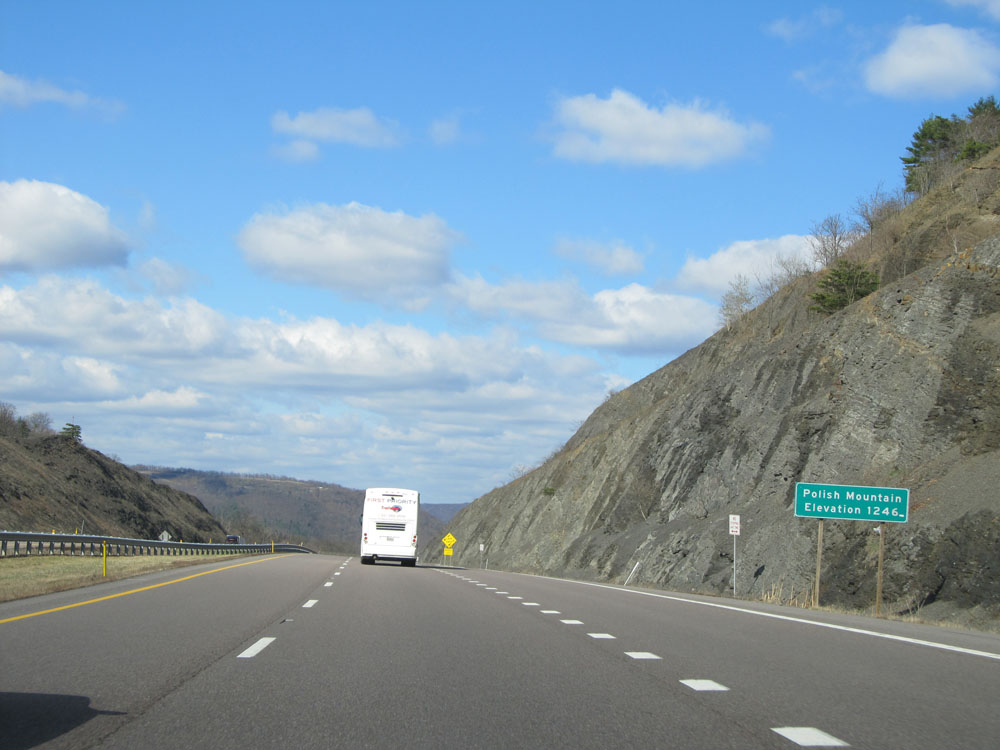 |
Interstate 68 West at the top of Polish Mountain. Elevation: 1,246 feet. (Photo taken 4/11/15). |
 |
Preparing to head down the west side of Polish Mountain, this sign warns that it's a 6% grade for the next mile. (Photo taken 4/11/15). |
 |
View on Interstate 68 West heading down Polish Mountain. (Photo taken 4/11/15). |
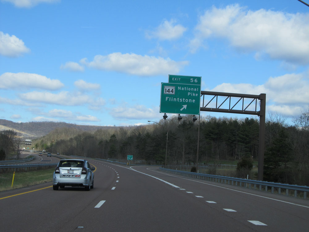 |
Interstate 68 West at Exit 56: MD 144 (National Pike) - Flintstone (Photo taken 4/11/15). |
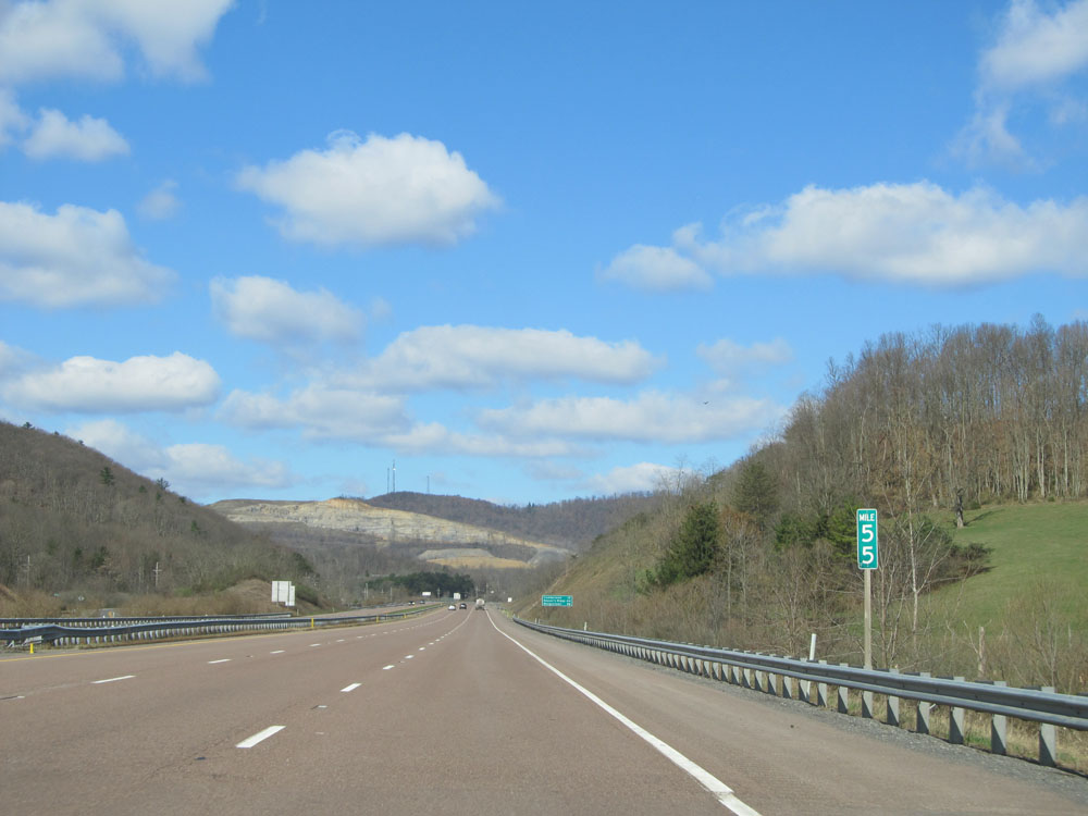 |
Interstate 68 West: Road view from mile marker 55. (Photo taken 4/11/15). |
 |
Interstate 68 West at mile marker 54. (Photo taken 4/11/15). |
 |
Take Exit 50 to Rocky Gap Casino Resort. (Photo taken 4/11/15). |
 |
Interstate 68 West as it reaches the top of Martins Mountain at an elevation of 1,636 feet. (Photo taken 4/11/15). |
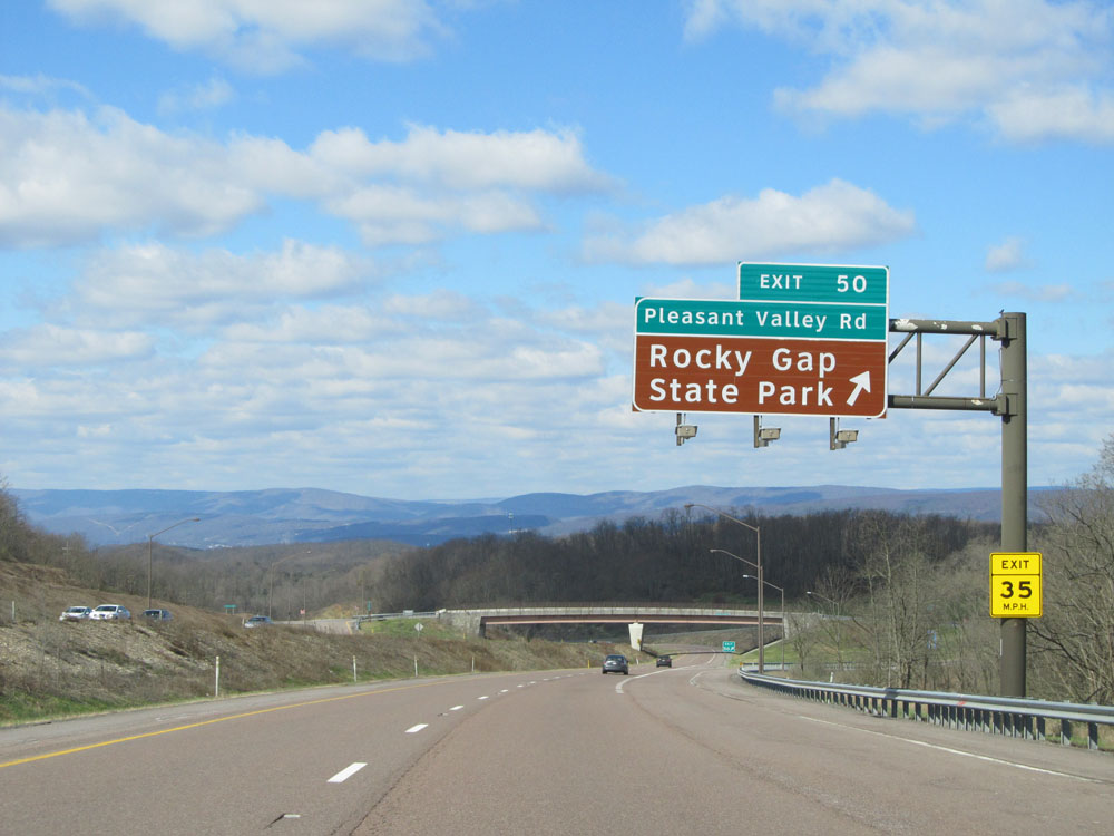 |
Interstate 68 West at Exit 50: Pleasant Valley Rd / Rocky Gap State Park (Photo taken 4/11/15). |
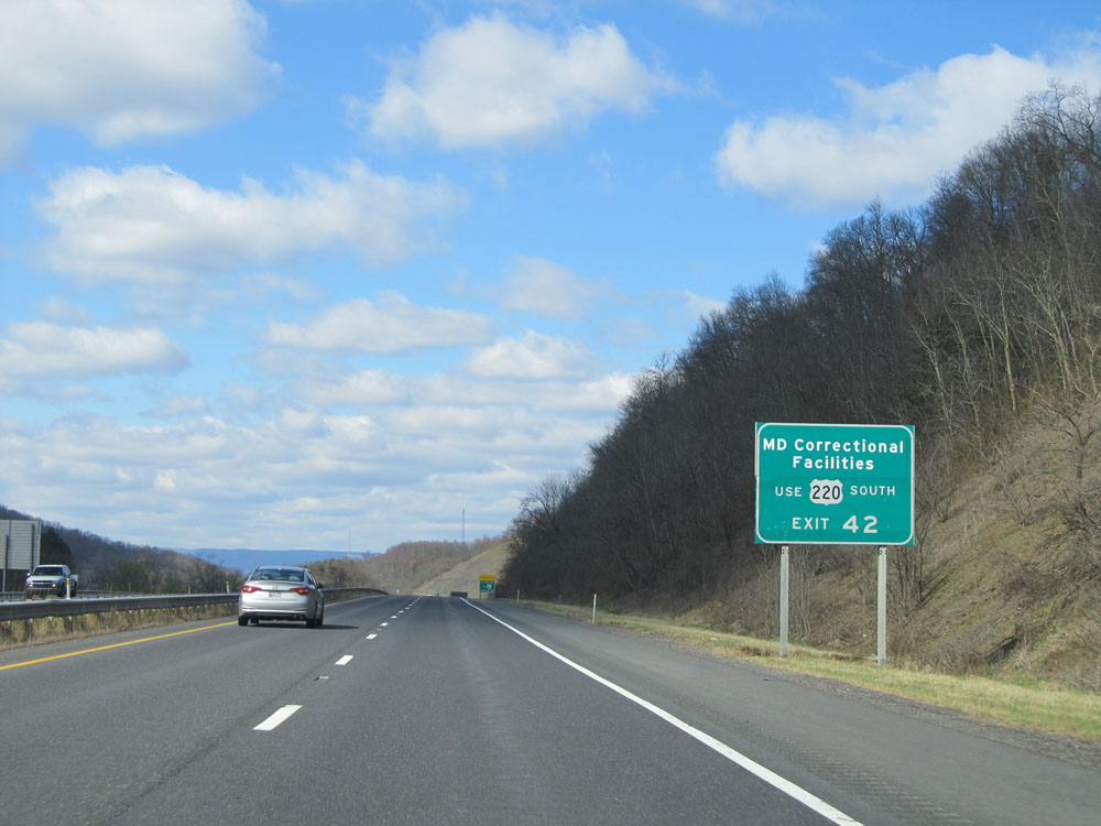 |
Traffic to all Maryland Correction Facilities should use US 220 South via Exit 42. (Photo taken 4/11/15). |
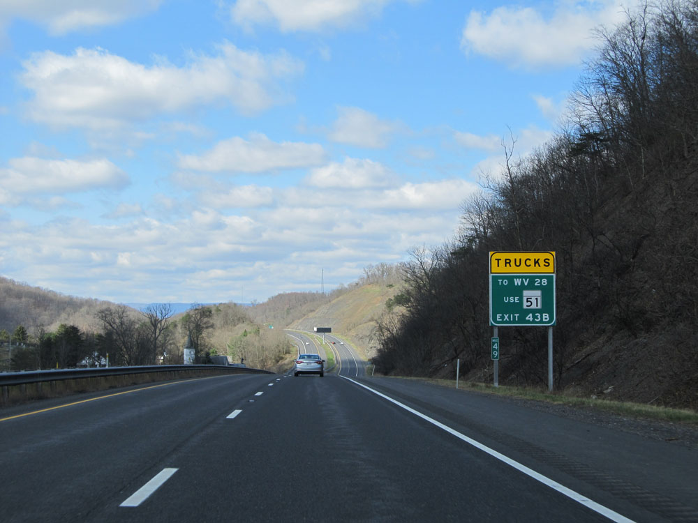 |
Trucks to WV 28 must use MD 51 via Exit 43B. (Photo taken 4/11/15). |
 |
Interstate 68 West approaching Exit 47 - 1 mile. (Photo taken 4/11/15). |
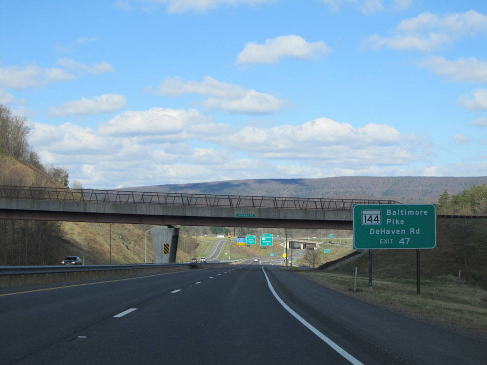 |
Take Exit 47 to MD 144 (Baltimore Pike) and DeHaven Rd. (Photo taken 4/11/15). |
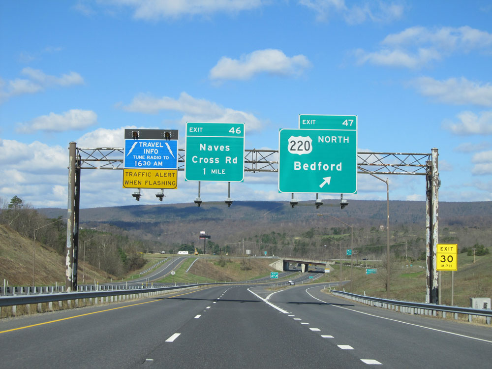 |
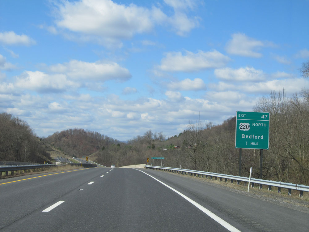
Interstate 68 West at Exit 47: US 220 North - Bedford (Photo taken 4/11/15). |
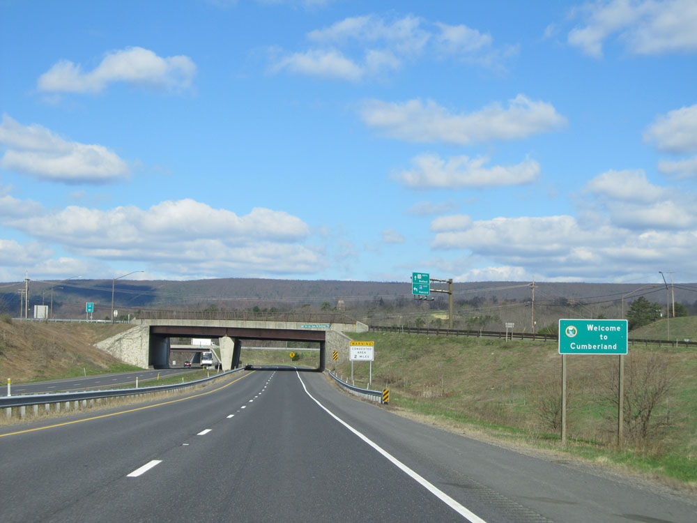 |
Sign welcoming you to Cumberland as Interstate 68 West enters the city limits. (Photo taken 4/11/15). |
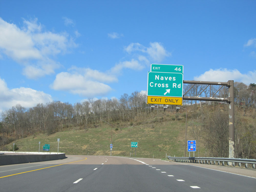 |
Interstate 68 West at Exit 46: Naves Cross Rd (Photo taken 4/11/15). |
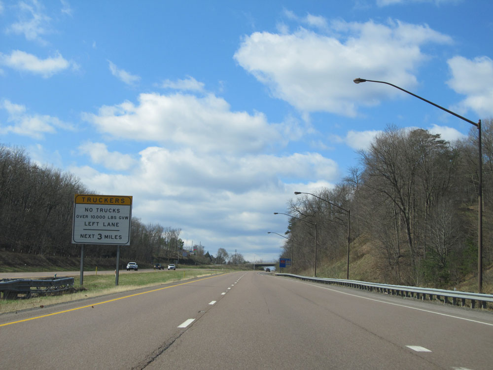 |
Truck restriction sign near mile marker 46. Trucks are not allowed in the left lane for the next 3 miles. (Photo taken 4/11/15). |
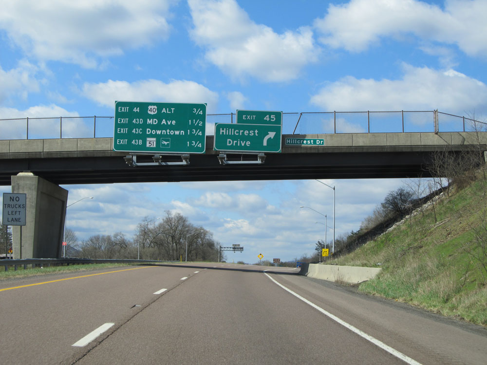 |
Interstate 68 West at Exit 45: Hillcrest Drive (Photo taken 4/11/15). |
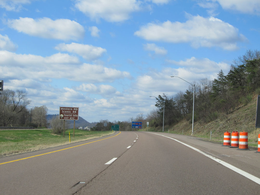 |
Take Exit 43C to Western Maryland Scenic Railroad and Tourist Info. (Photo taken 4/11/15). |
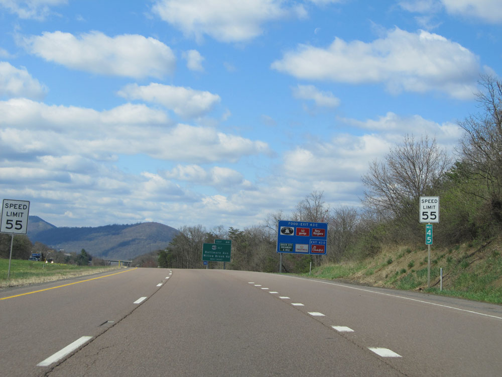 |
At mile marker 45, the speed limit decreases to 55 mph as we prepare to drop down into downtown Cumberland. (Photo taken 4/11/15). |
 |
Take Exit 44 to Allegany College of Maryland. (Photo taken 4/11/15). |
 |
Interstate 68 West at Exit 44: US 40 Alt - Baltimore Ave / Willow Brook Rd (Photo taken 4/11/15). |
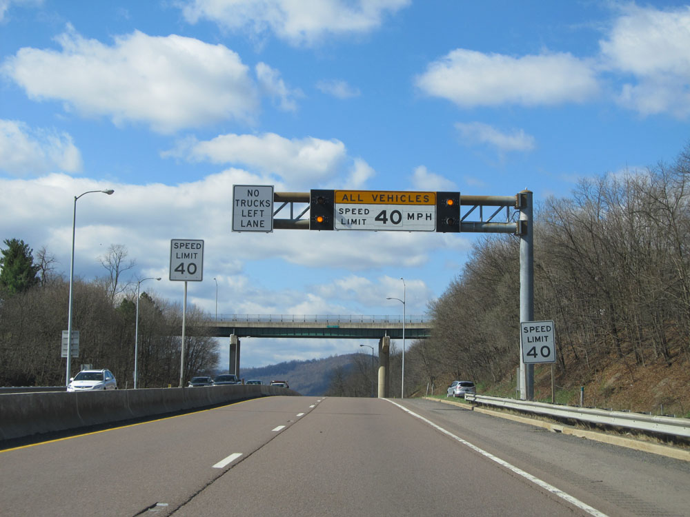 |
Just past Exit 44, the speed limit decreases even further to 40 mph for all traffic, right before we drop down into downtown. (Photo taken 4/11/15). |
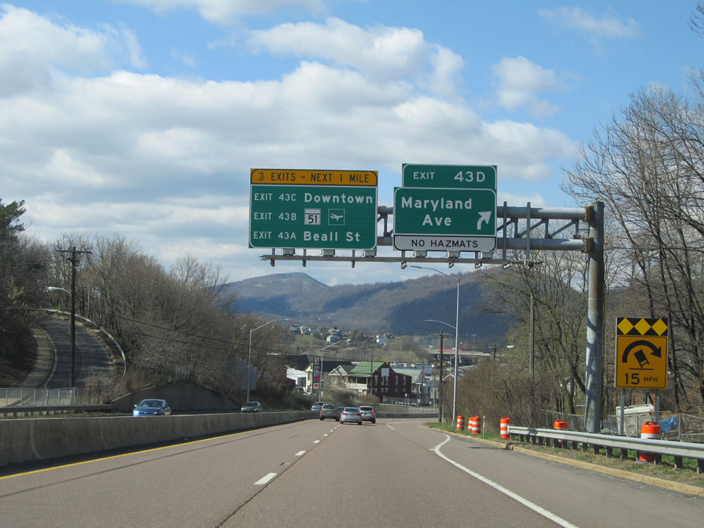 |
Interstate 68 West at Exit 43D: Maryland Ave (Photo taken 4/11/15). |
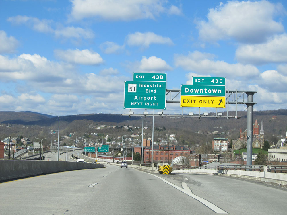 |
Interstate 68 West at Exit 43C: Downtown (Photo taken 4/11/15). |
Section 2: Cumberland (Exit 43C) to West Virginia Border
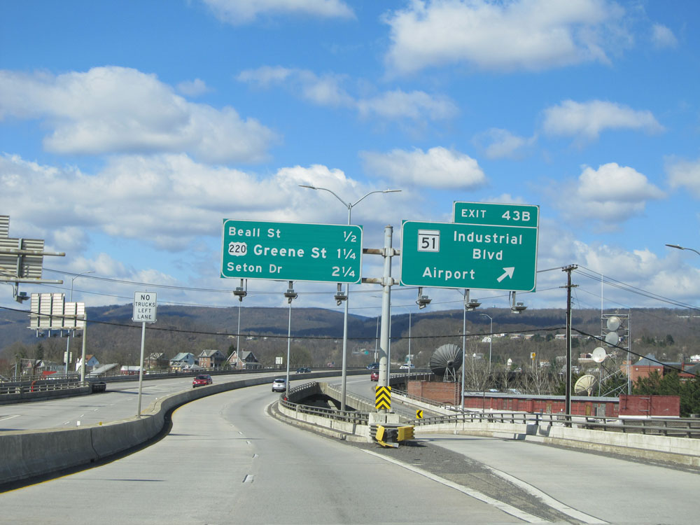 |
Interstate 68 West at Exit 43B: MD 51 - Industrial Blvd / Airport (Photo taken 4/11/15). |
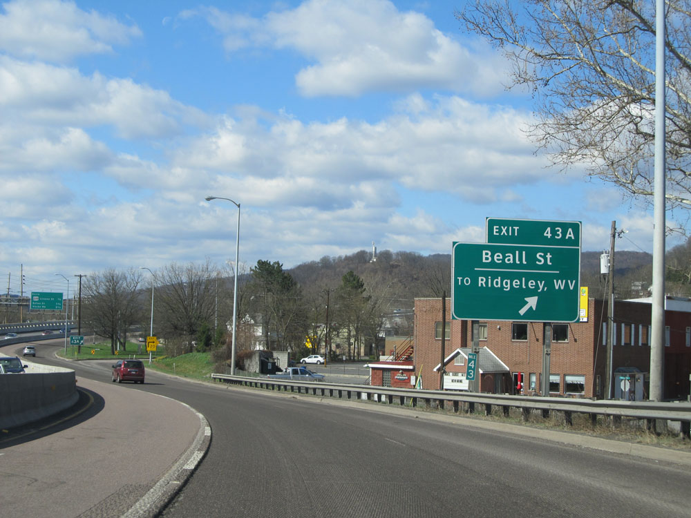 |
Interstate 68 West at Exit 43A: Beall St / To Ridgeley, WV (Photo taken 4/11/15). |
 |
Overhead sign listing the distances to the next 3 exits on Interstate 68 West in downtown Cumberland. We are about to climb what is known as Haystack Mountain. Although it isn't a long climb, it is rather steep and more than a few trucks headed eastbound have lost their brakes and wrecked into that wall we see here on the left side of this picture. (Photo taken 4/11/15). |
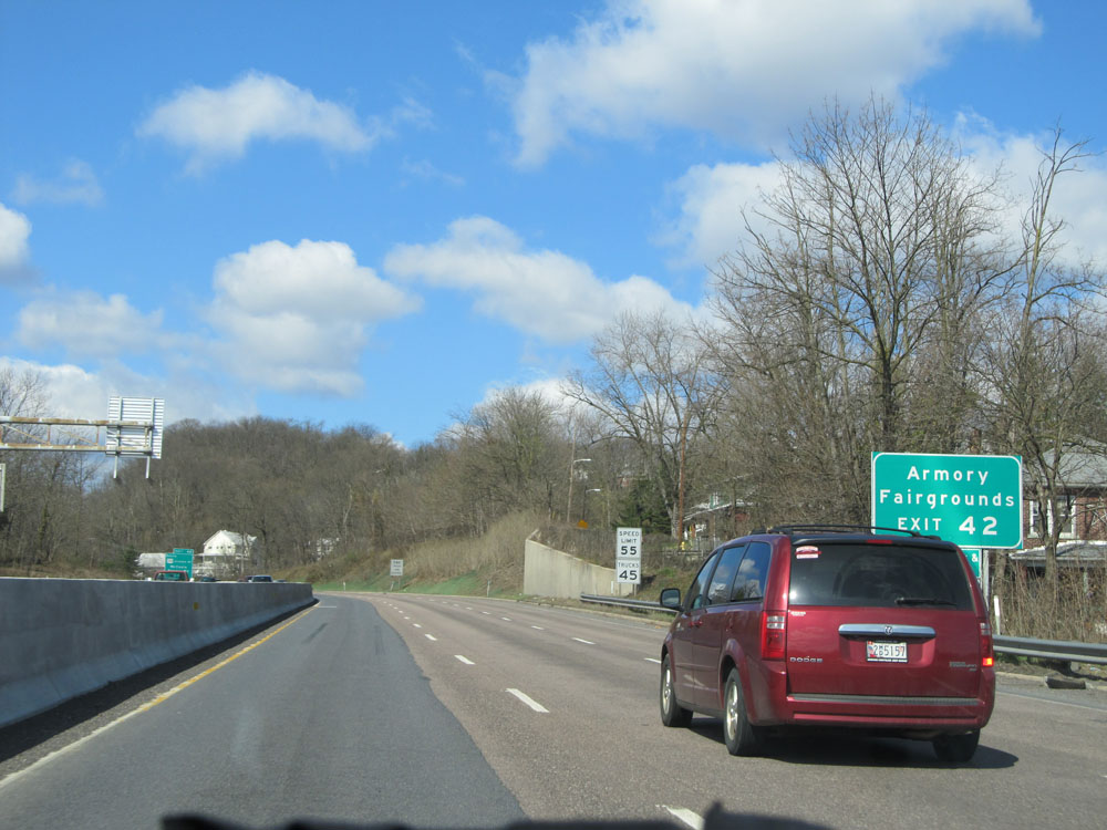 |
Take Exit 42 to the Armory and Fairgrounds. Also worth noting is the speed limit sign we see here. As we leave downtown and start to climb up Haystack Mountain, a split speed limit goes into effect. The speed limit increases to 55 mph for automobiles and to 45 mph for trucks. (Photo taken 4/11/15). |
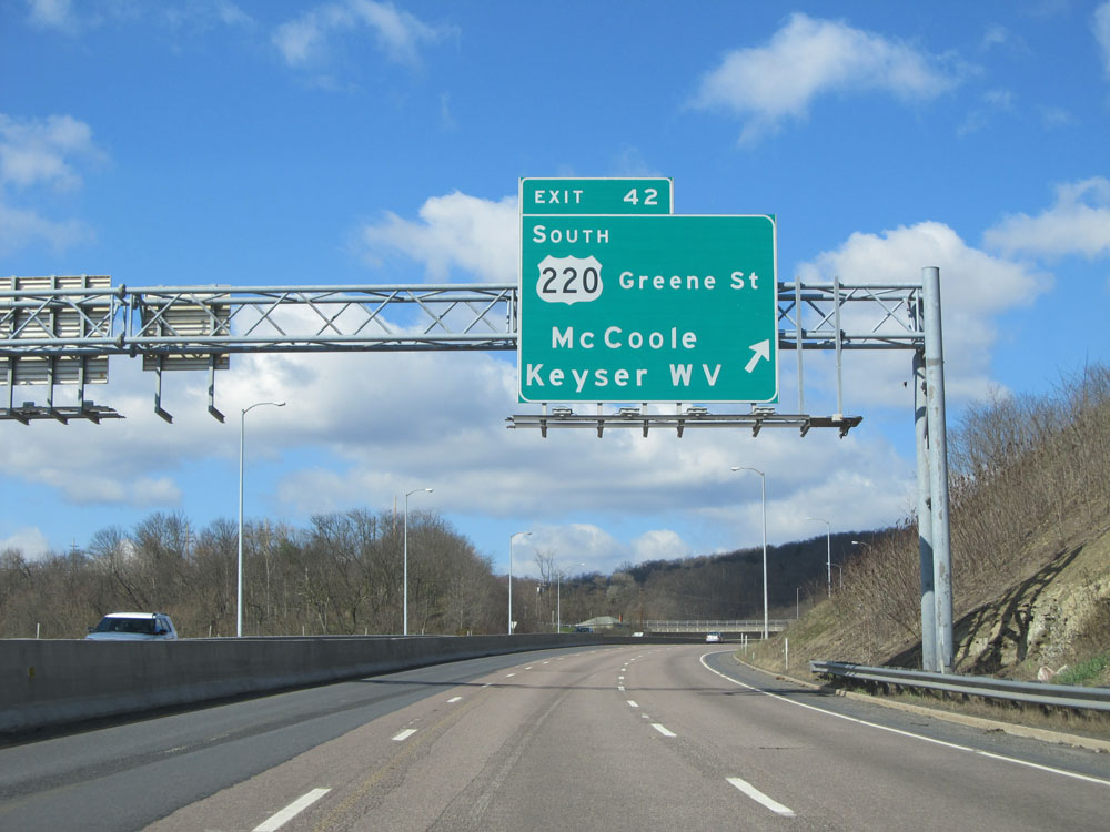 |
Interstate 68 West at Exit 42: US 220 South - Greene St / McCoole / Keyser, WV (Photo taken 4/11/15). |
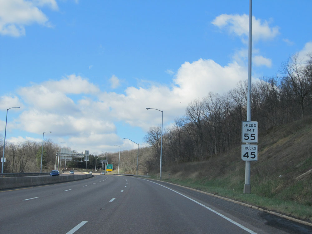 |
Speed limit signs near mile marker 42, depicting the split speed limits mentioned earlier. (Photo taken 4/11/15). |
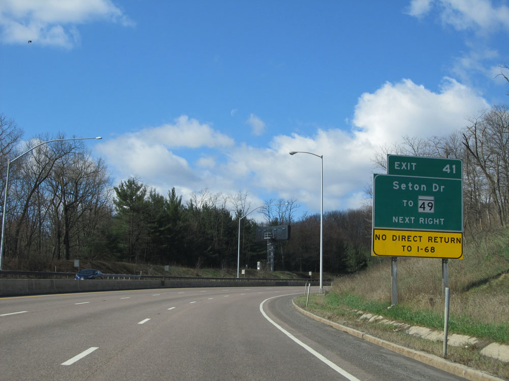 |
There is no direct return to Interstate 68 off Exit 41. (Photo taken 4/11/15). |
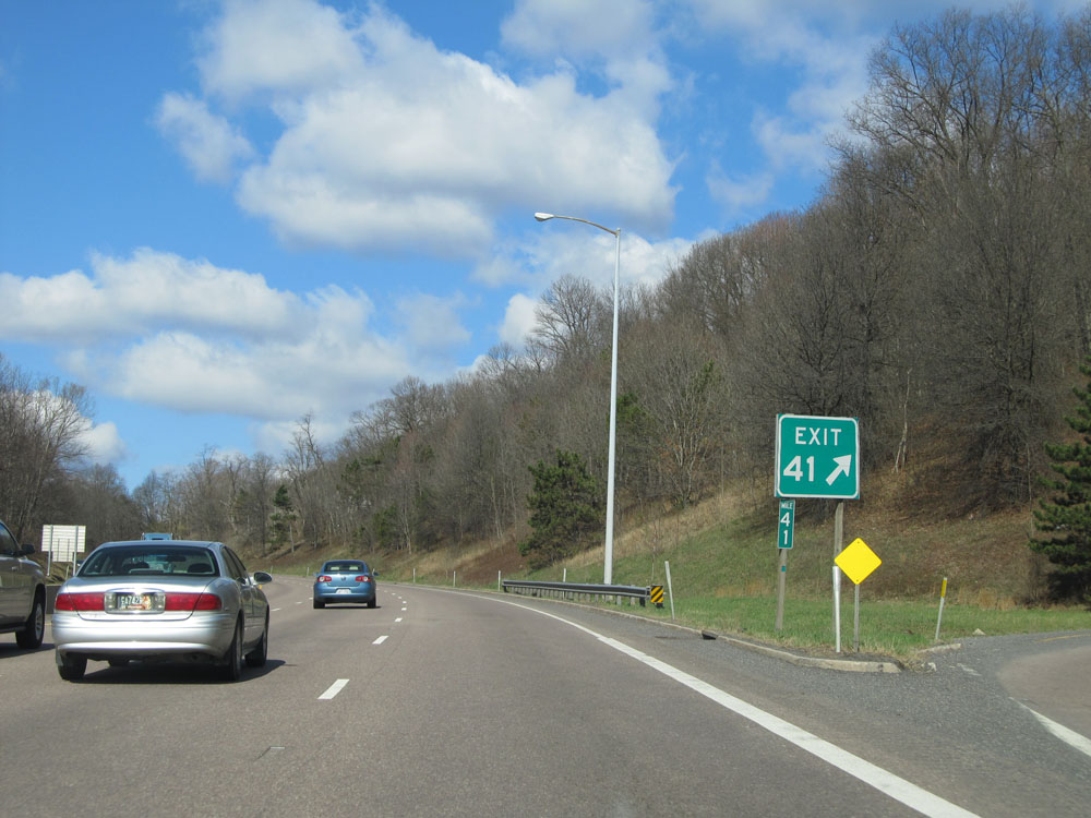 |
Interstate 68 West at Exit 41: MD 49 - Seton Dr (Photo taken 4/11/15). |
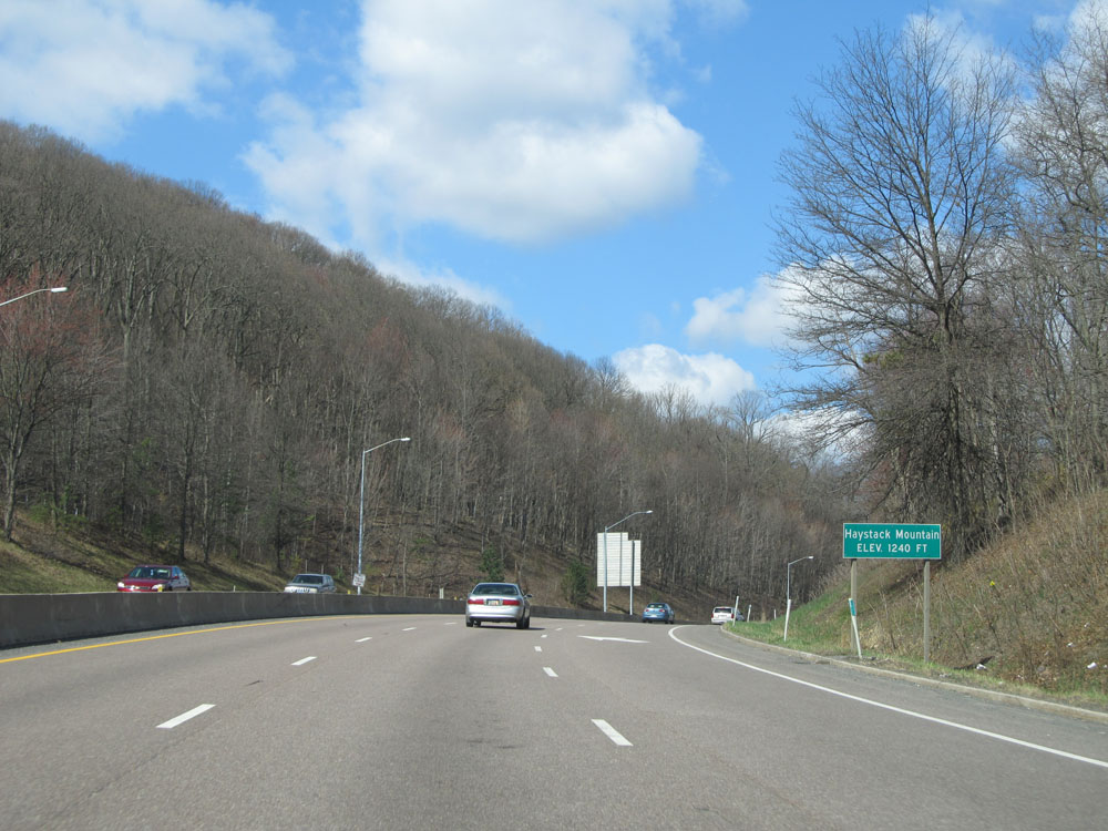 |
Interstate 68 West as it reaches the top of Haystack Mountain at an elevation of 1,240 feet. (Photo taken 4/11/15). |
 |
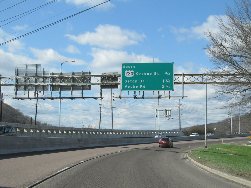
Interstate 68 West at Exit 40: Vocke Rd (Photo taken 4/11/15). |
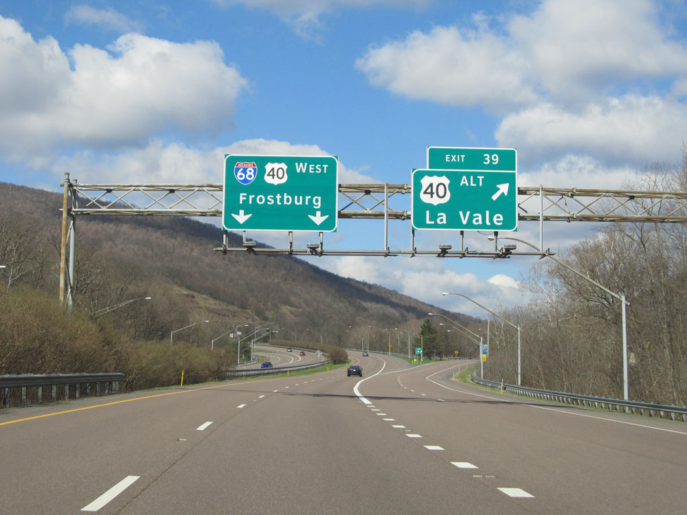 |
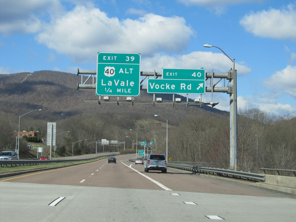
Interstate 68 West at Exit 39: US 40 Alt - La Vale (Photo taken 4/11/15). |
 |
Past Exit 39, the standard speed limit of 65 mph resumes and remains intact all the way to the West Virginia border. (Photo taken 4/11/15). |
 |
Mileage sign near mile marker 39. It's 4 miles to the next exit, which is the juncton of MD 36. Meanwhile, it's 6 miles to Frostburg and 66 miles to Morgantown. (Photo taken 4/11/15). |
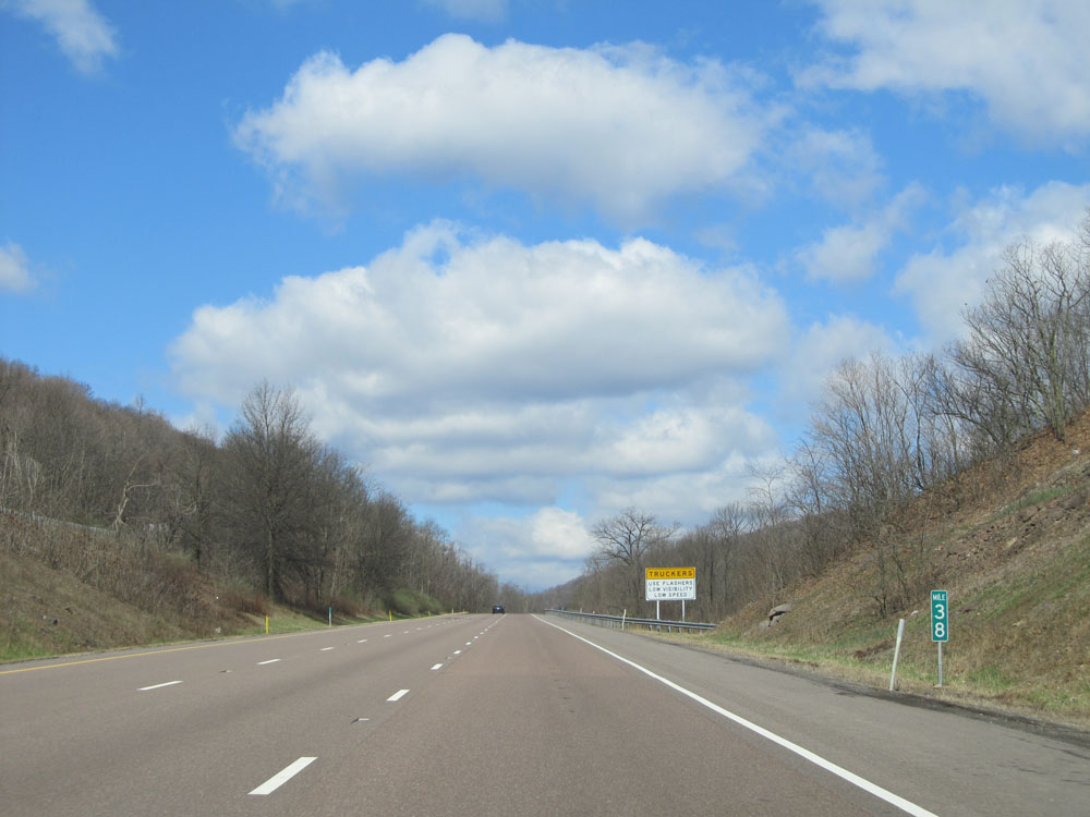 |
Interstate 68 West: Road view from mile marker 38. (Photo taken 4/11/15). |
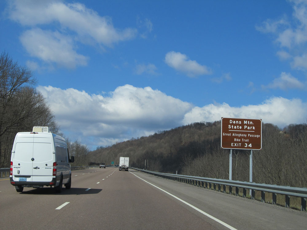 |
Take Exit 34 to Dans Mountain State Park and Great Allegheny Passage Bike Trail. (Photo taken 4/11/15). |
 |
Interstate 68 West at Exit 34: MD 36 - Westernport / Frostburg (Photo taken 4/11/15). |
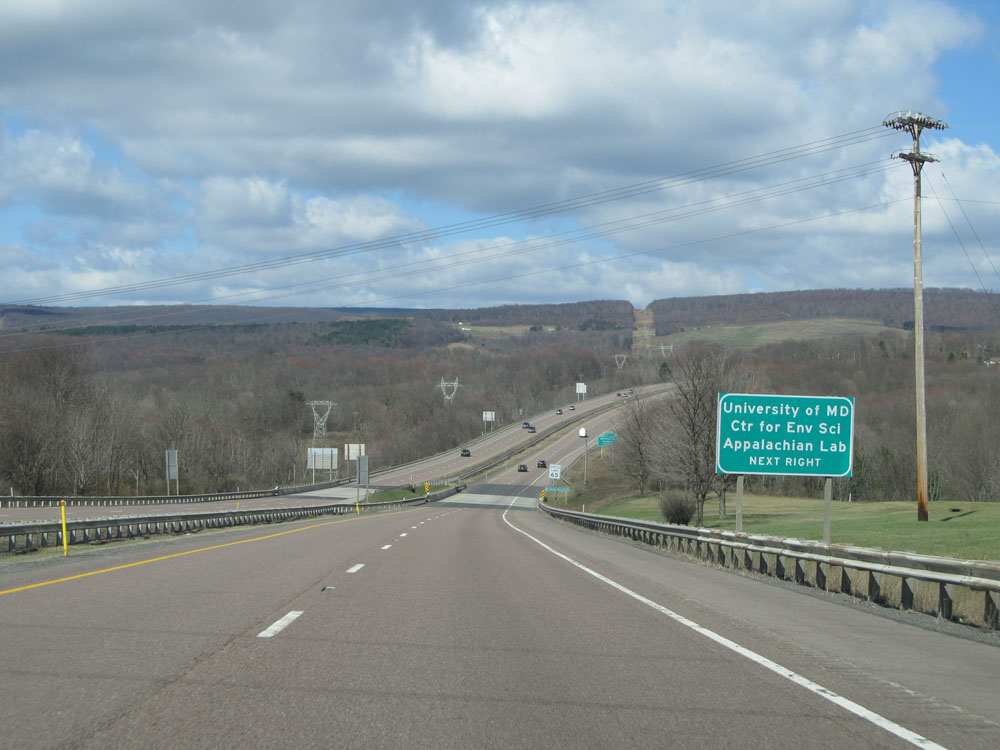 |
Take Exit 33 to University of Maryland Center for Environmental Science - Appalachian Lab. (Photo taken 4/11/15). |
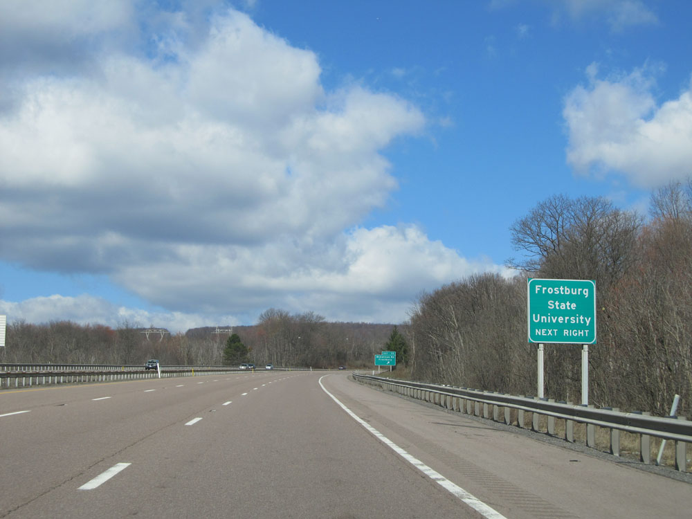 |
Also take Exit 33 to Frostburg State University. (Photo taken 4/11/15). |
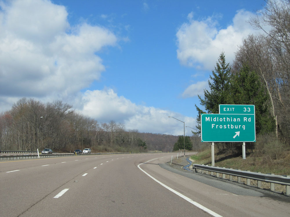 |
Interstate 68 West at Exit 33: Midlothian Rd / Frostburg (Photo taken 4/11/15). |
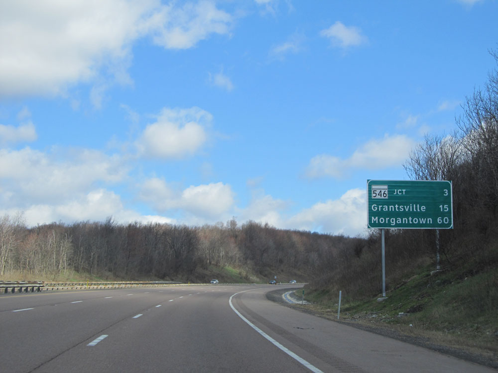 |
Mileage sign near mile marker 32. It's 3 miles to the next exit (junction of MD 546), 15 miles to Grantsville, and 60 miles to Morgantown. (Photo taken 4/11/15). |
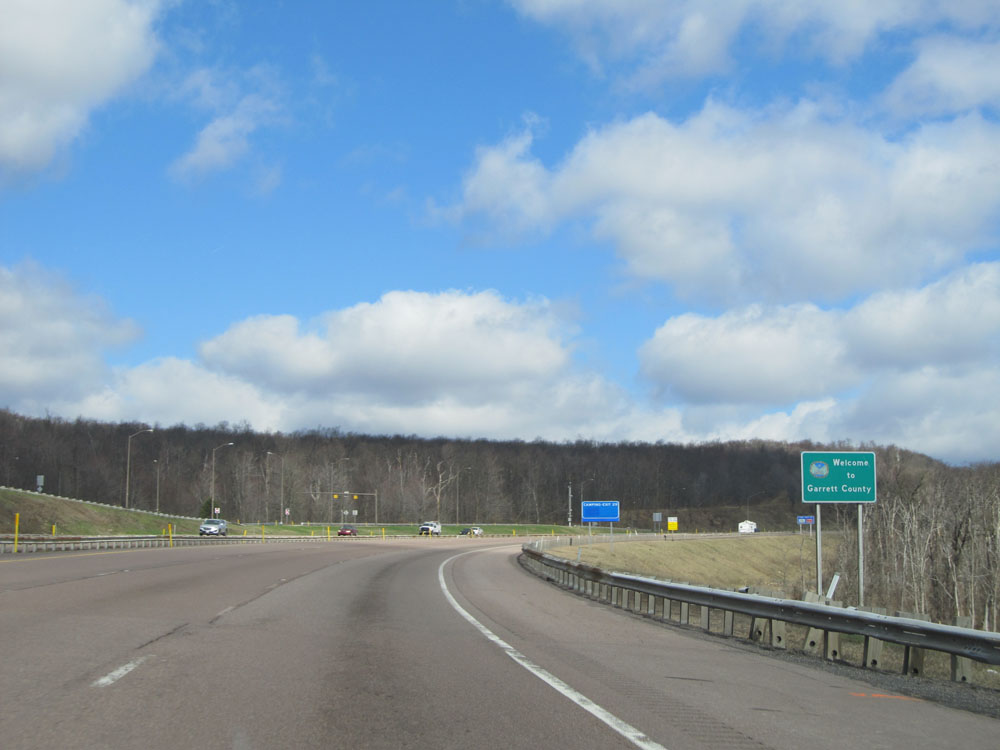 |
Just past mile marker 31, Interstate 68 West enters Garrett County. (Photo taken 4/11/15). |
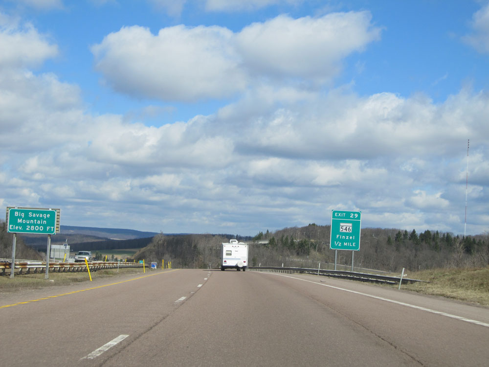 |
Interstate 68 West at the summit of Big Savage Mountain. Elevation: 2,800 feet. (Photo taken 4/11/15). |
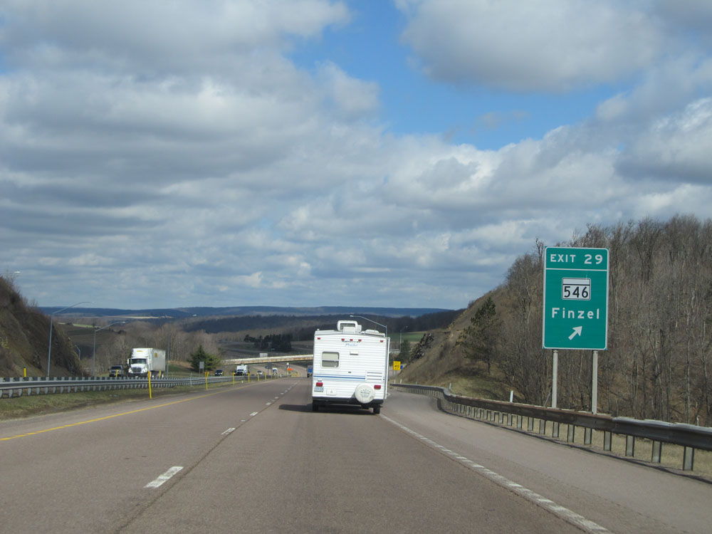 |
Interstate 68 West at Exit 29: MD 546 - Finzel (Photo taken 4/11/15). |
 |
Warning sign near mile marker 28 stating that Interstate 68 is subject to adverse weather conditions for the next 28 miles. Trust me, in the winter, this is certainly the truth. (Photo taken 4/11/15). |
 |
Truck services exist off Exits 22 and 14B on Interstate 68. (Photo taken 4/11/15). |
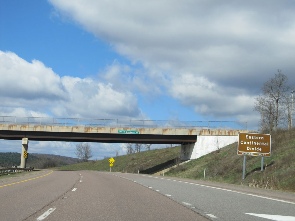 |
Interstate 68 West at the Eastern Continental Divide. Elevation: 2,610 feet. (Photo taken 4/11/15). |
 |
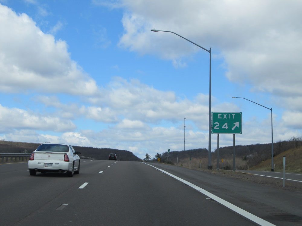
Interstate 68 West approaching Exit 24 - 3/4 mile. (Photo taken 4/11/15). |
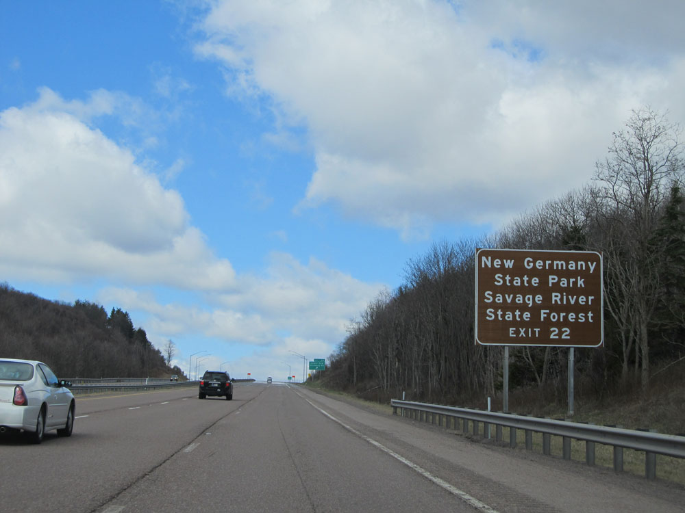 |
Take Exit 22 to New Germany State Park and Savage River State Forest. (Photo taken 4/11/15). |
 |
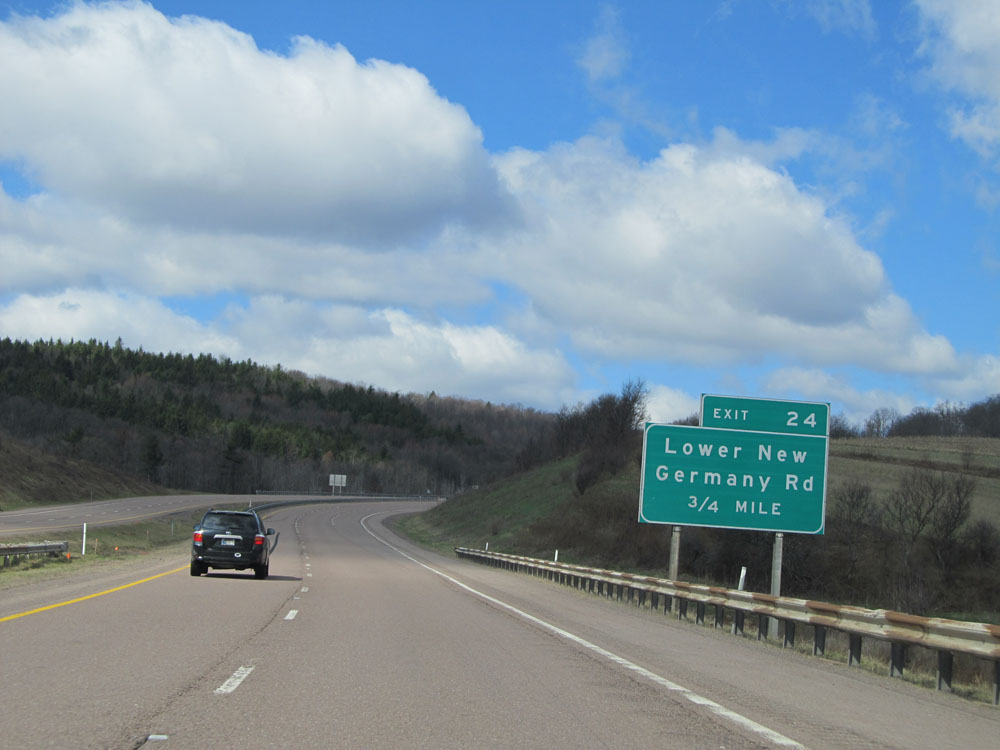
Interstate 68 West at Exit 24: Lower New Germany Rd (Photo taken 4/11/15). |
 |
Interstate 68 West approaching Exit 22 - 3/4 mile. (Photo taken 4/11/15). |
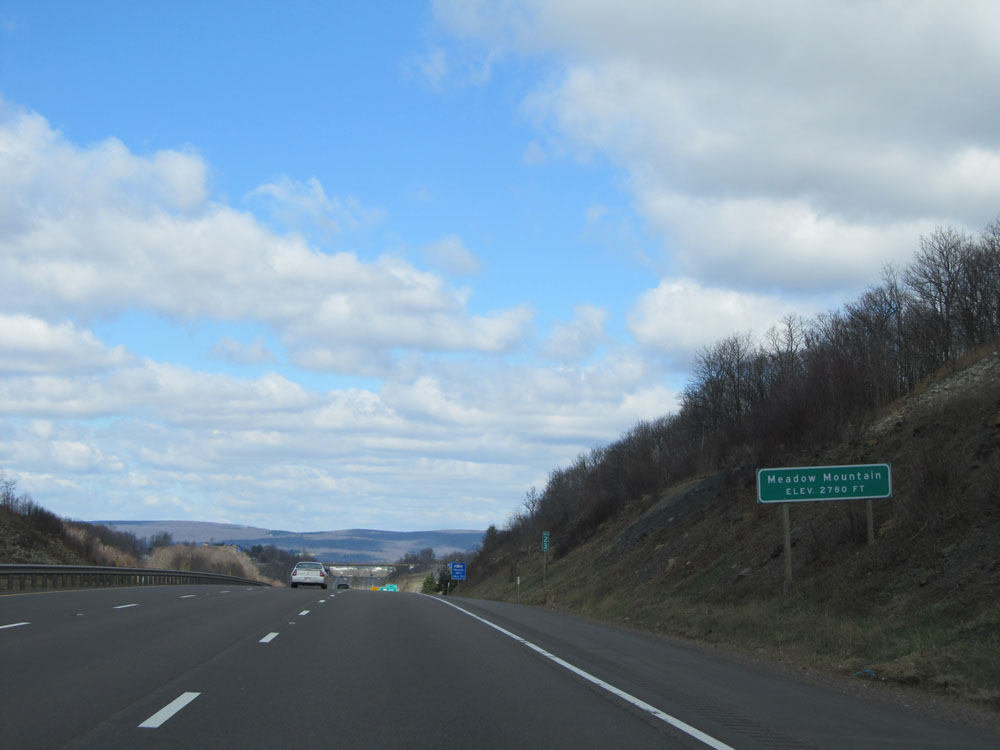 |
Interstate 68 West as it reaches the top of Meadow Mountain at an elevation of 2,780 feet. (Photo taken 4/11/15). |
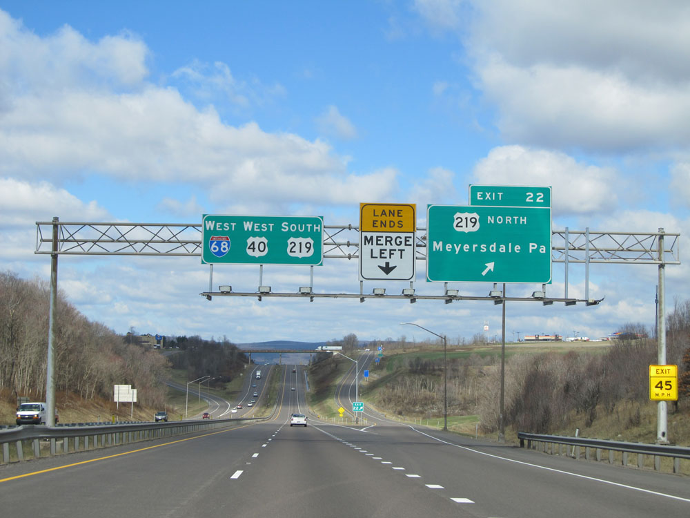 |
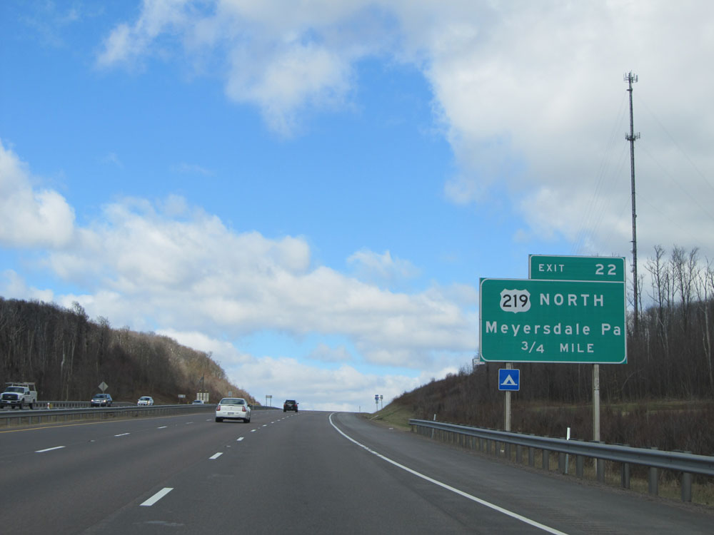
Interstate 68 West at Exit 22: US 219 North - Meyersdale, PA (Photo taken 4/11/15). |
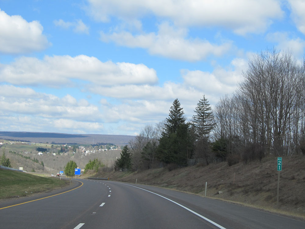 |
Interstate 68 West: Road view from mile marker 21. (Photo taken 4/11/15). |
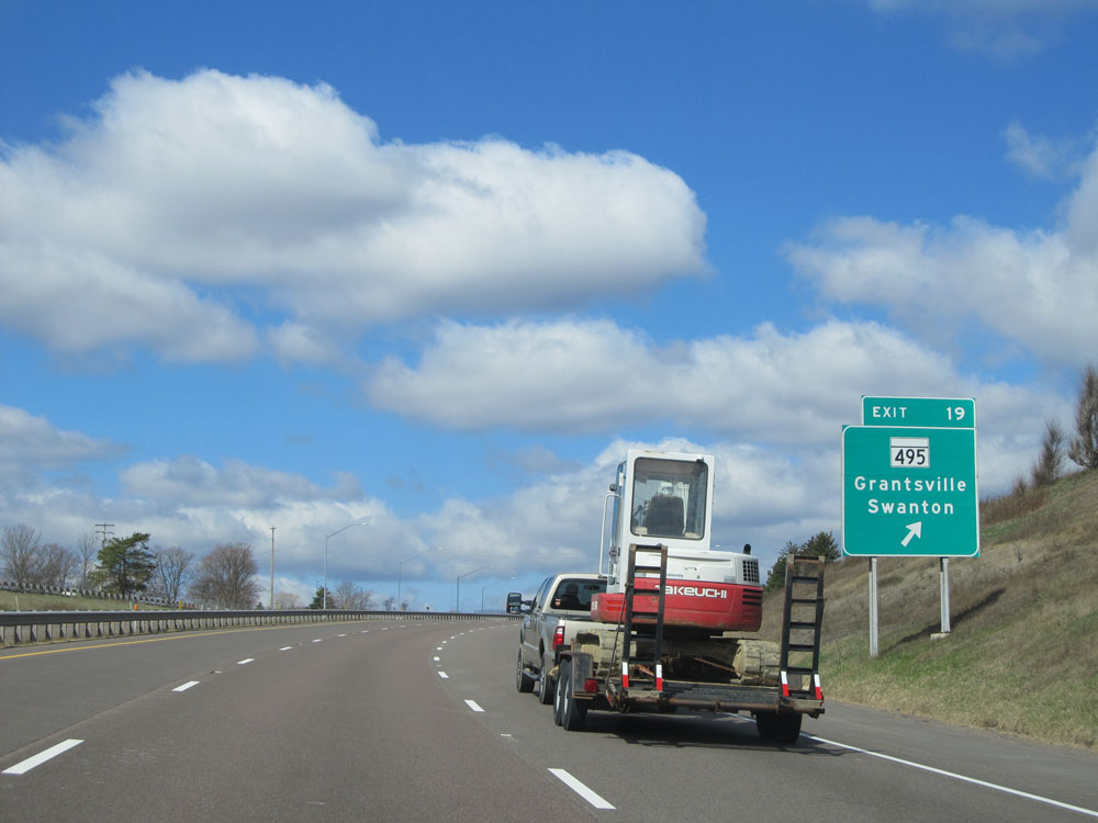 |
Interstate 68 West at Exit 19: MD 495 - Grantsville / Swanton (Photo taken 4/11/15). |
 |
Mileage sign near mile marker 19. It's 4 miles to the junction of US 219 South, 14 miles to Friendsville, and 46 miles to Morgantown. (Photo taken 4/11/15). |
 |
Truck services exist off Exit 14B. (Photo taken 4/11/15). |
 |
Interstate 68 West at mile marker 17. (Photo taken 4/11/15). |
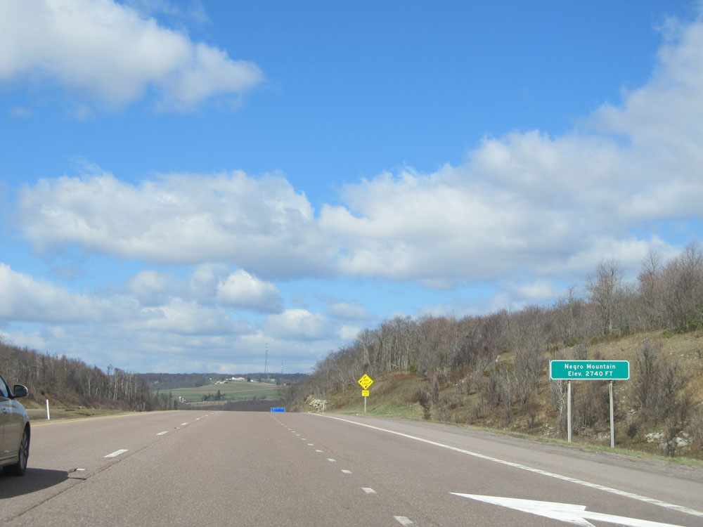 |
Interstate 68 West as it reaches the summit of Negro Mountain at an elevation of 2,740 feet. (Photo taken 4/11/15). |
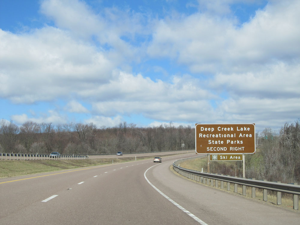 |
Take Exit 14A to Deep Creek Lake Recreational Area and State Park. (Photo taken 4/11/15). |
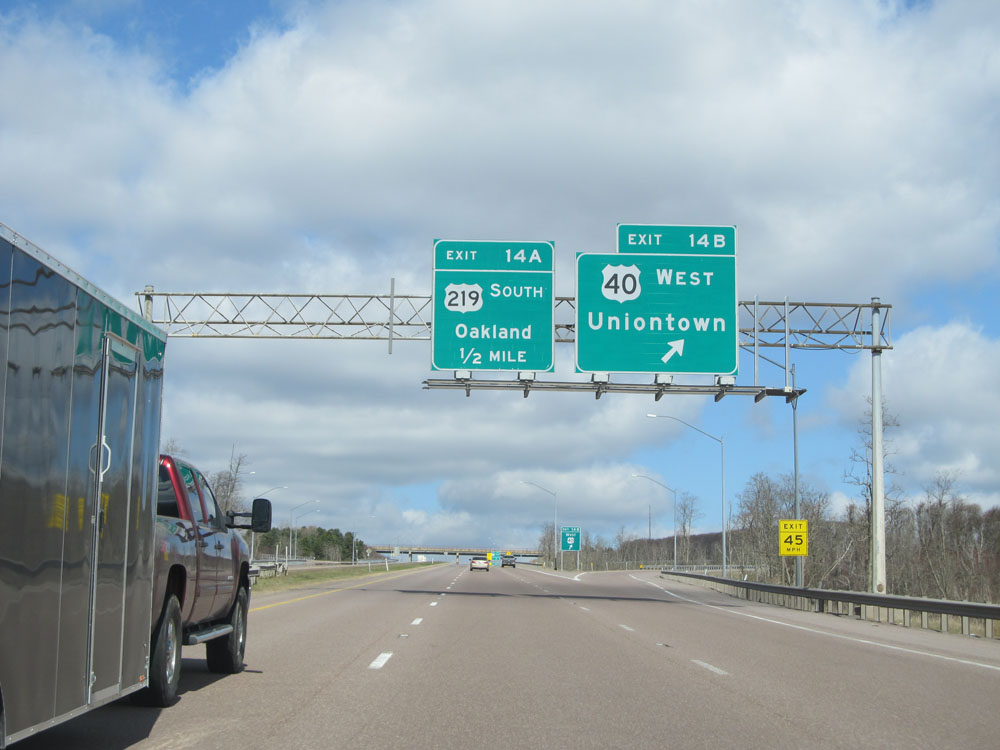 |
Interstate 68 West at Exit 14B: US 40 West - Uniontown (Photo taken 4/11/15). |
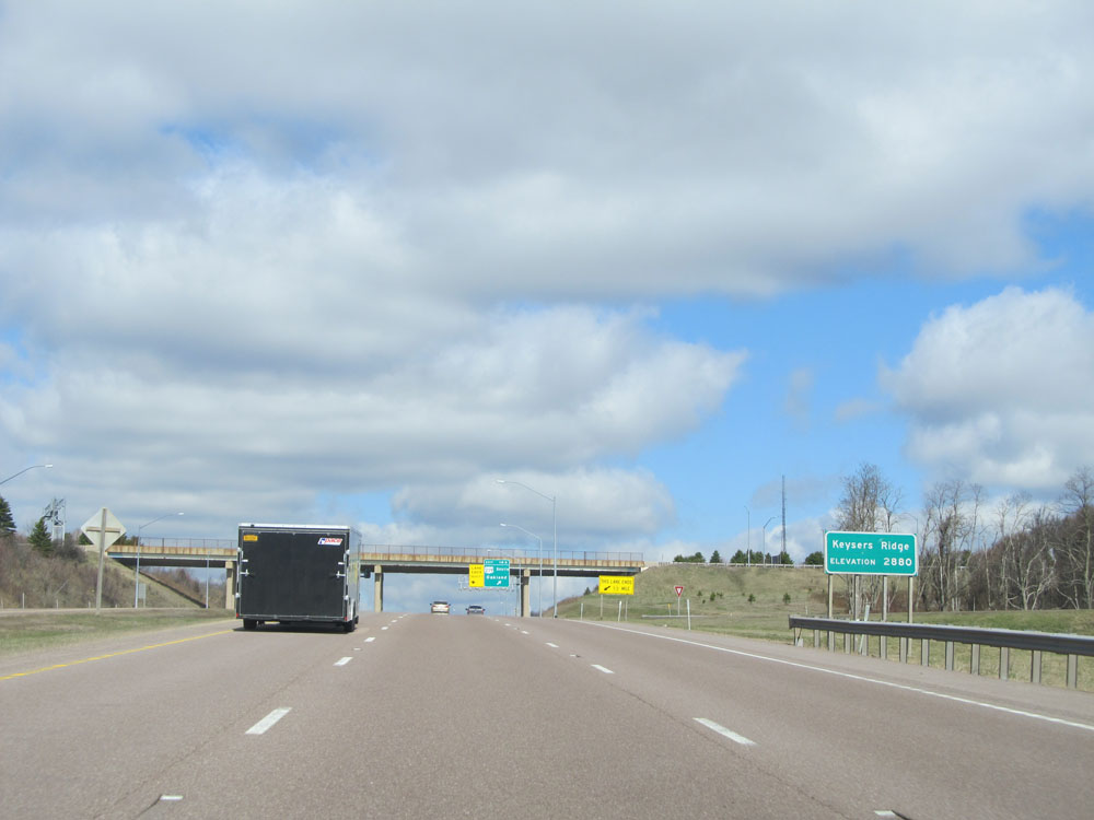 |
Interstate 68 West at the top of Keysers Ridge. Elevation: 2,880 feet. (Photo taken 4/11/15). |
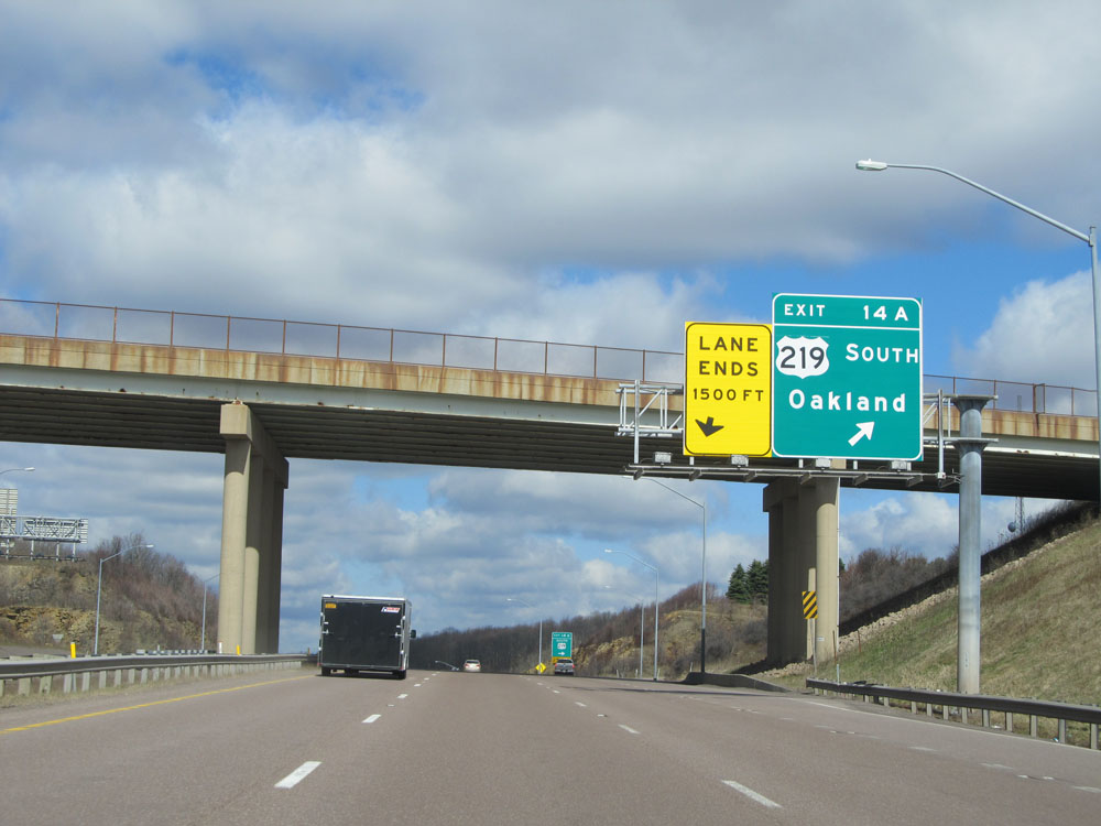 |
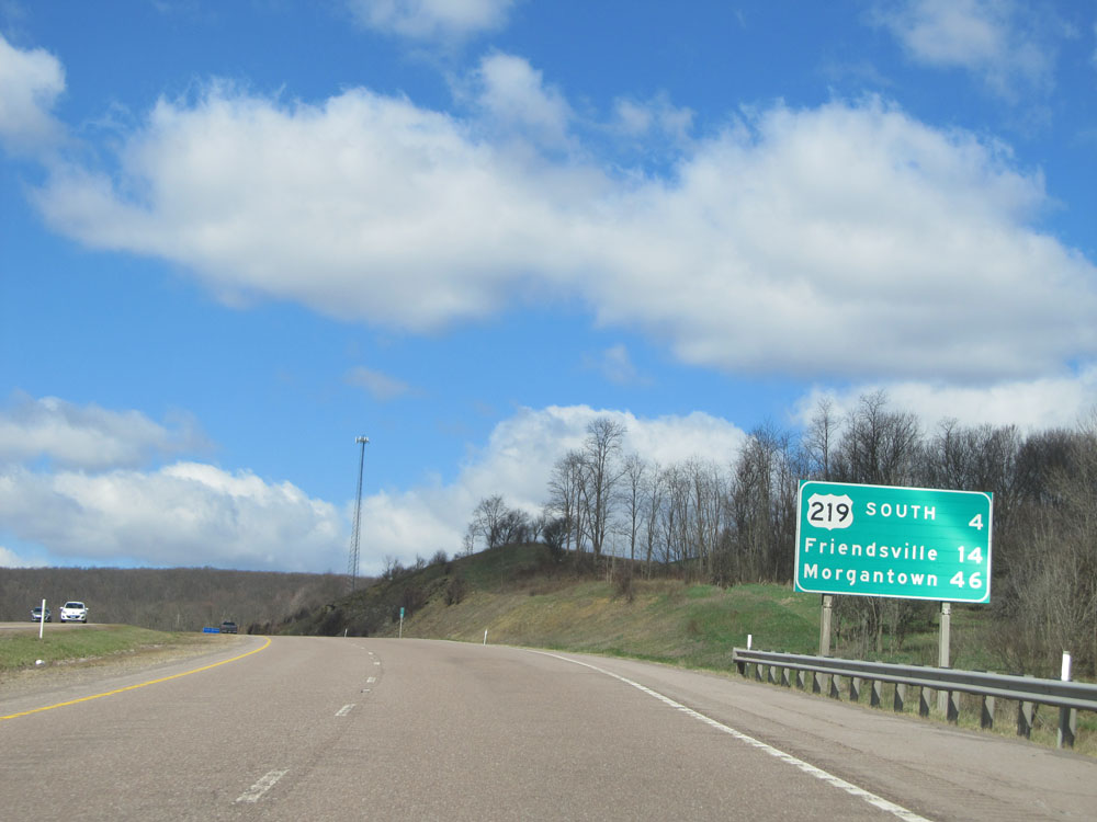
Interstate 68 West at Exit 14A: US 219 South - Oakland (Photo taken 4/11/15). |
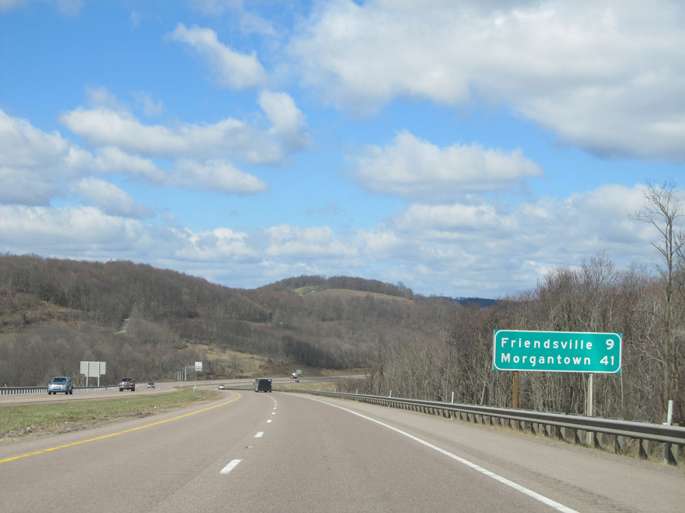 |
Mileage sign near mile marker 14. It's 9 miles to Friendsville and 41 miles to Morgantown. (Photo taken 4/11/15). |
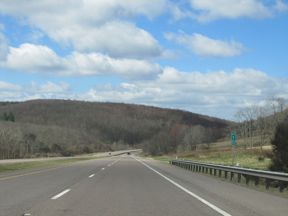 |
Interstate 68 West at mile marker 10. (Photo taken 4/11/15). |
 |
Interstate 68 West: Road view from mile marker 6. (Photo taken 4/11/15). |
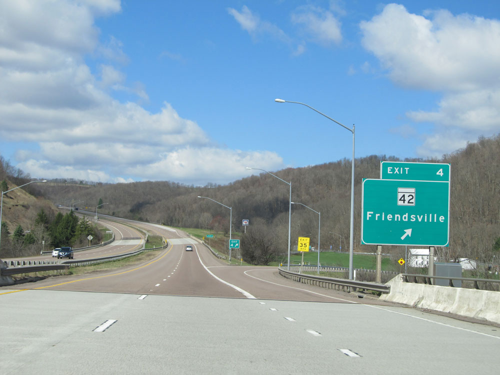 |
Interstate 68 West at Exit 4: MD 42 - Friendsville (Photo taken 4/11/15). |
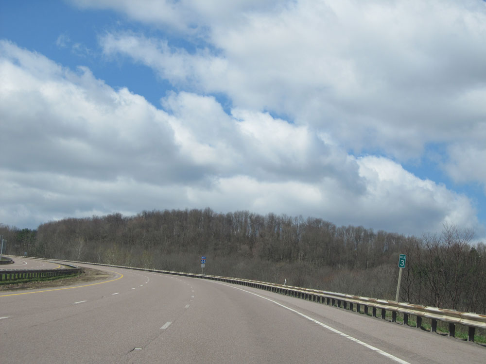 |
Interstate 68 West at mile marker 3. (Photo taken 4/11/15). |
 |
Interstate 68 West: Road view from mile marker 1, as we prepare to cross into West Virginia. (Photo taken 4/11/15). |
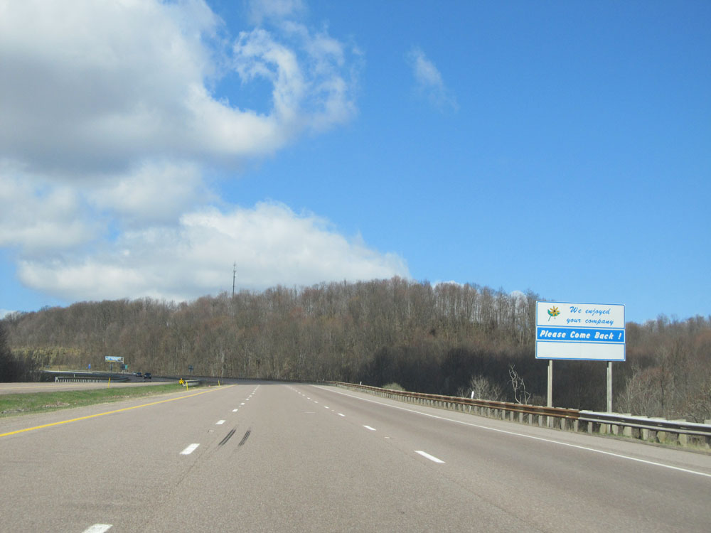 |
Approaching the West Virginia border, this final sign states that Maryland has enjoyed your company and invites you to please come back. (Photo taken 4/11/15). |