Road Information |
||
 |
||
| Total Mileage in State: | 85 miles | |
| Eastern End: | At I-10/I-59, in Slidell | |
| Western End: | At I-10, in Baton Rouge | |
| Mileage covered in Photos: | 85 miles | |
| Parishes covered in Photos: | East Baton Rouge, Livingston, Tangipahoa, St. Tammany | |
| Major Junctions in Photos: | US 61, in Baton Rouge I-55, in Hammond US 190, near Covington US 11, in Slidell I-10/I-59, in Slidell |
|
| Control Cities in Photos: | Baton Rouge, Denham Springs, Hammond, Lacombe, Slidell | |
Eastbound
- Section 1: Interstate 10 to Hammond (Exit 38A)
- Section 2: Hammond (Exit 38A) to Interstate 10/Interstate 59
Section 1: Interstate 10 to Hammond (Exit 38A)
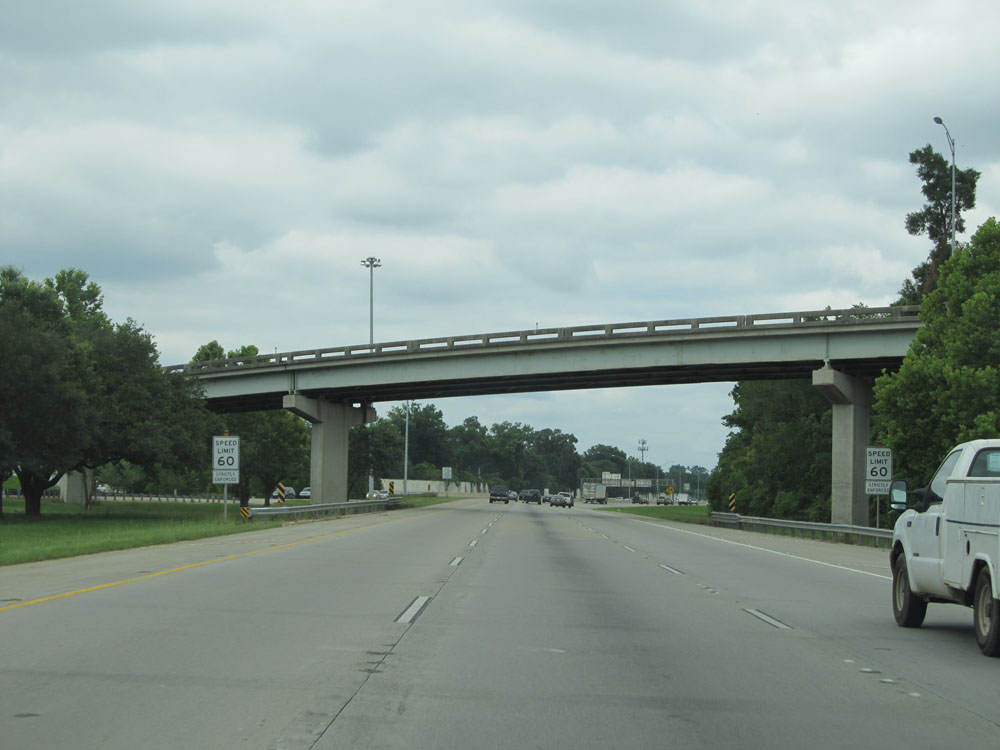 |
Shortly after merging onto Interstate 12 East from Interstate 10 in Baton Rouge, these signs state that the speed limit starts out at 60 mph in the Baton Rouge area. (Photo taken 5/22/15). |
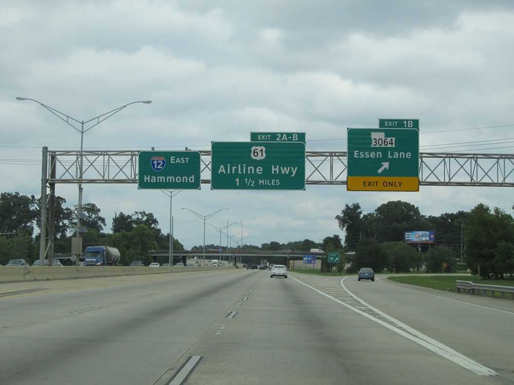 |
Interstate 12 East at Exit 1B: LA 3064 - Essen Lane (Photo taken 5/22/15). |
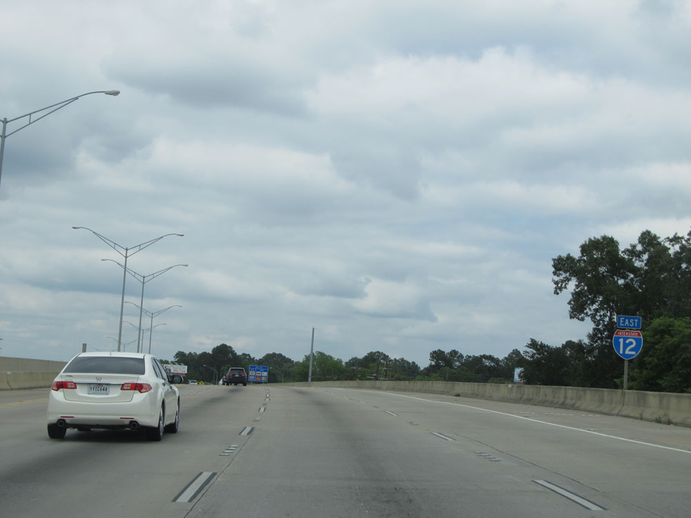 |
Interstate 12 East assurance shield near mile marker 1. (Photo taken 5/22/15). |
 |
Take Exit 2B to Hammond Aire Plaza and Mall at Cortana. (Photo taken 5/22/15). |
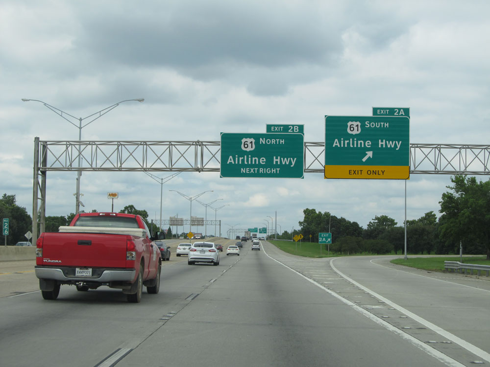 |
Interstate 12 East at Exit 2A: US 61 South - Airline Hwy (Photo taken 5/22/15). |
 |
Interstate 12 East at Exit 2B: US 61 North - Airline Hwy (Photo taken 5/22/15). |
 |
Interstate 12 East: Road view from mile marker 3. (Photo taken 5/22/15). |
 |
Another Interstate 12 East assurance shield. (Photo taken 5/22/15). |
 |
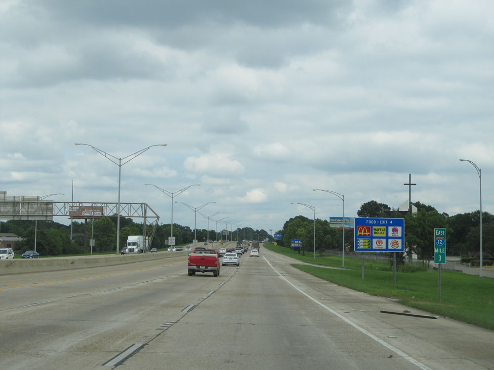
Interstate 12 East at Exit 4: Sherwood Forest Boulevard (Photo taken 5/22/15). |
 |
Interstate 12 East at Exit 6: Millerville Road (Photo taken 5/22/15). |
 |
Interstate 12 East at Exit 7: LA 3245 - O'Neal Lane (Photo taken 5/22/15). |
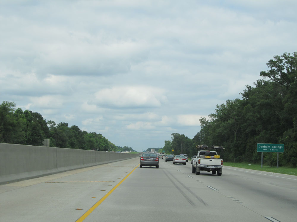 |
Take either of the next 2 exits to Denham Springs. (Photo taken 5/22/15). |
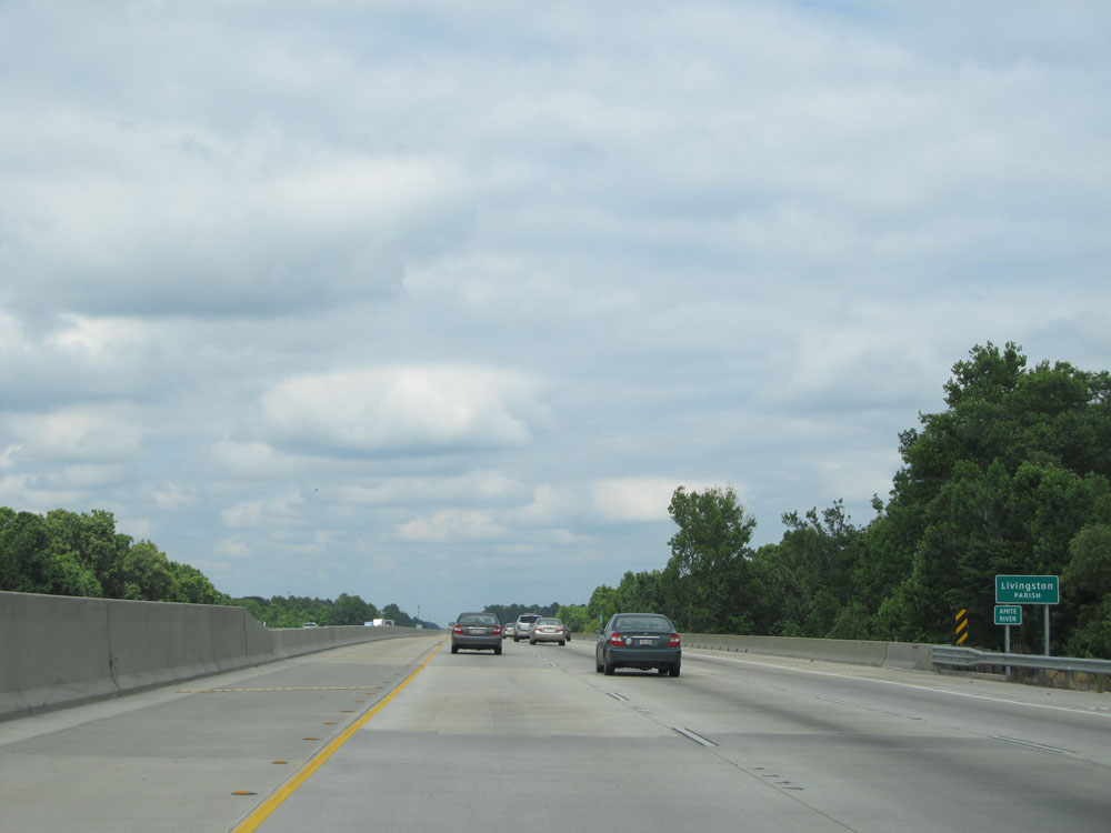 |
Interstate 12 East entering Livingston Parish. (Photo taken 5/22/15). |
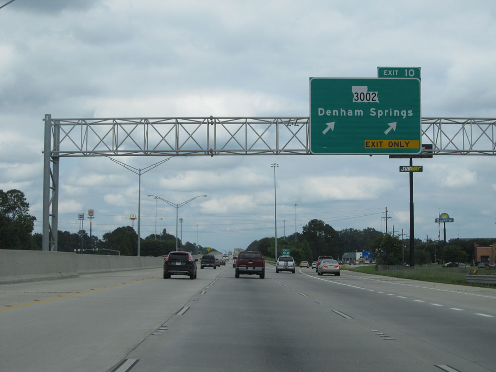 |
Interstate 12 East at Exit 10: LA 3002 - Denham Springs (Photo taken 5/22/15). |
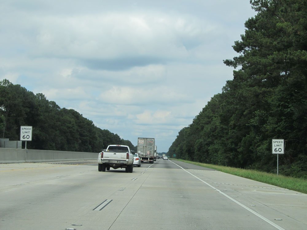 |
Speed limit signs near mile marker 10. The speed limit remains 60 mph for a bit longer. (Photo taken 5/22/15). |
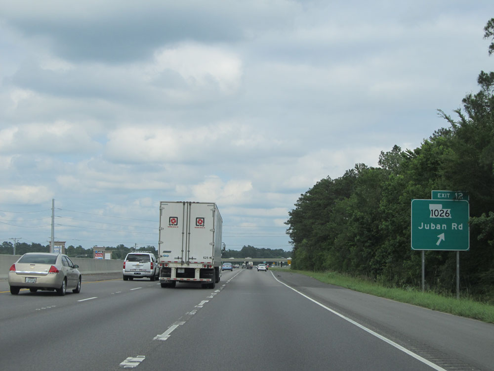 |
Interstate 12 East at Exit 12: LA 1026 - Juban Rd (Photo taken 5/22/15). |
 |
Interstate 12 East assurance shield near mile marker 12. (Photo taken 5/22/15). |
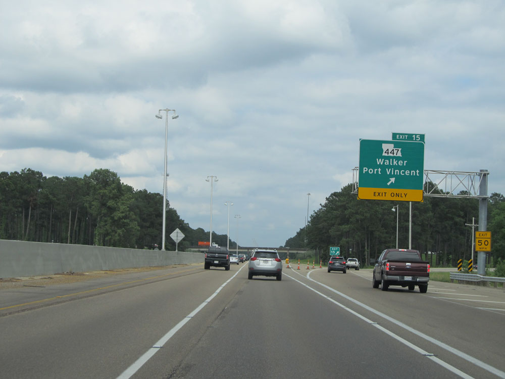 |
Interstate 12 East at Exit 15: LA 447 - Walker / Port Vincent (Photo taken 5/22/15). |
 |
Interstate 12 East at Exit 19: PR 45 - Satsuma / Colyell (Photo taken 5/22/15). |
 |
Just past Exit 19, the speed limit increases to 70 mph for all traffic, which is standard on most rural Interstates in Louisiana. (Photo taken 5/22/15). |
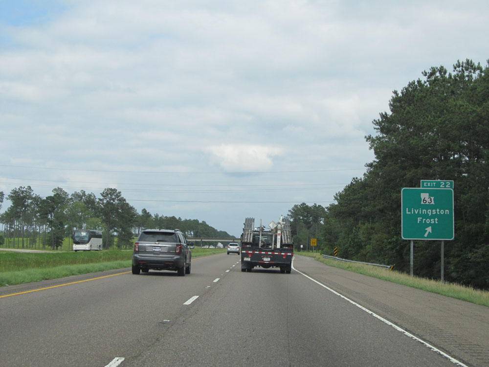 |
Interstate 12 East at Exit 22: LA 63 - Livingston / Frost (Photo taken 5/22/15). |
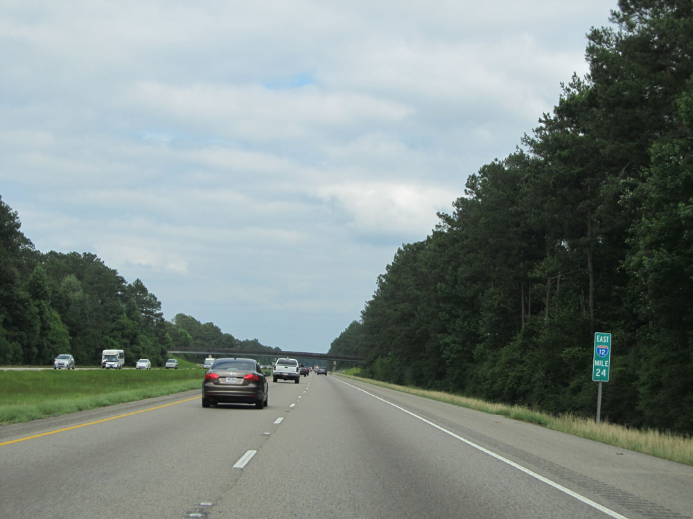 |
Interstate 12 East at mile marker 24. (Photo taken 5/22/15). |
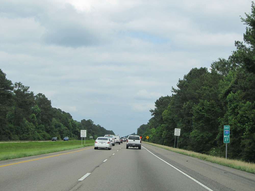 |
Interstate 12 East: Road view from mile marker 27. (Photo taken 5/22/15). |
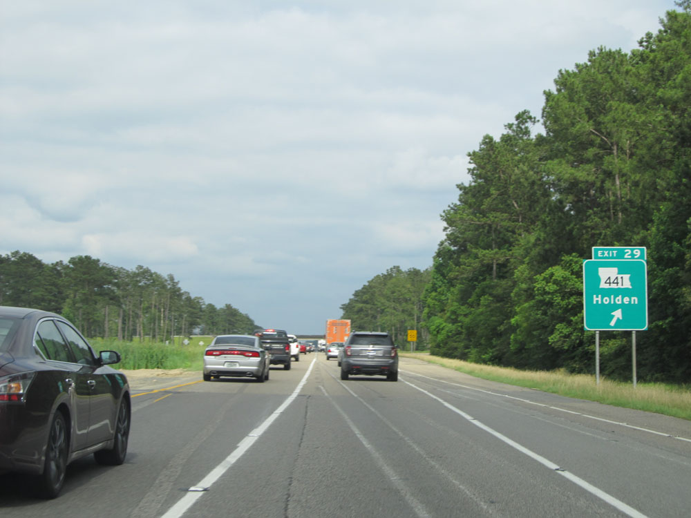 |
Interstate 12 East at Exit 29: LA 441 - Holden (Photo taken 5/22/15). |
 |
Take Exit 32 to Audubon Golf Trail. (Photo taken 5/22/15). |
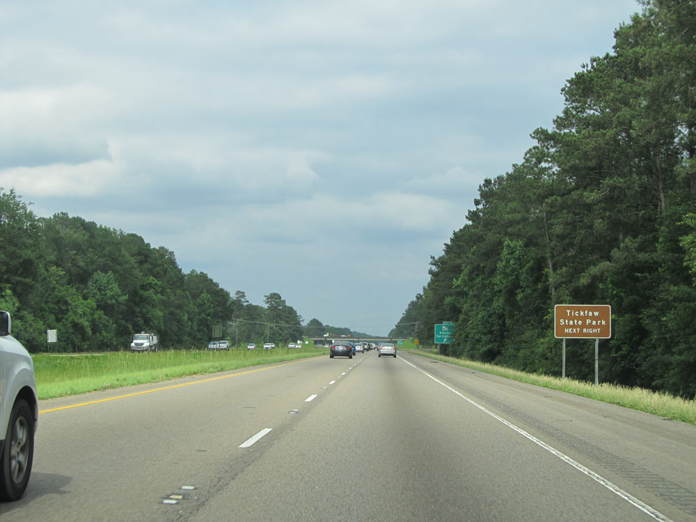 |
Also take Exit 32 to Tickfaw State Park. (Photo taken 5/22/15). |
 |
Interstate 12 East at Exit 32: LA 43 - Albany / Springfield (Photo taken 5/22/15). |
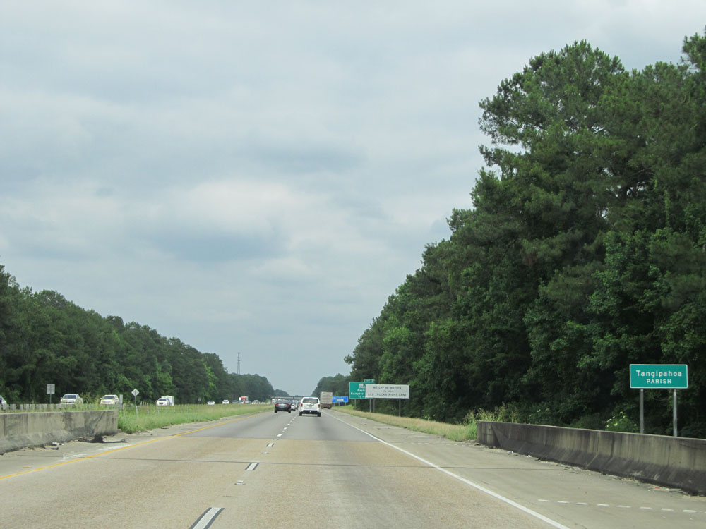 |
Interstate 12 East entering Tangipahoa Parish. (Photo taken 5/22/15). |
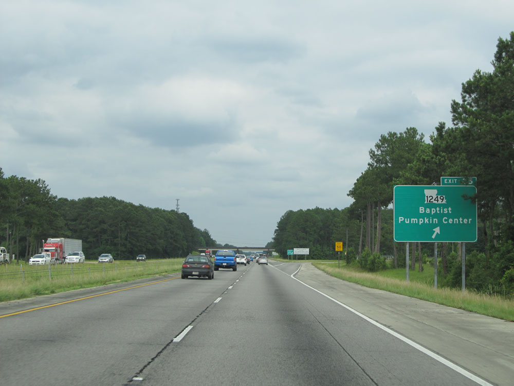 |
Interstate 12 East at Exit 35: LA 1249 - Baptist / Pumpkin Center (Photo taken 5/22/15). |
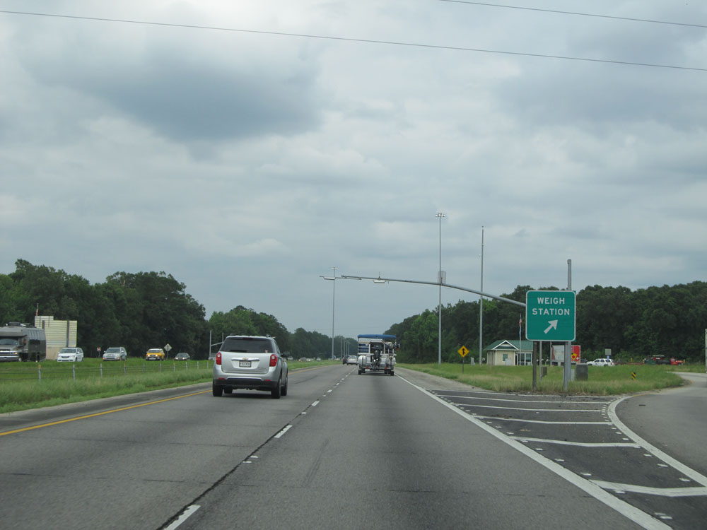 |
Interstate 12 East at the Weigh Station located just past mile marker 36. (Photo taken 5/22/15). |
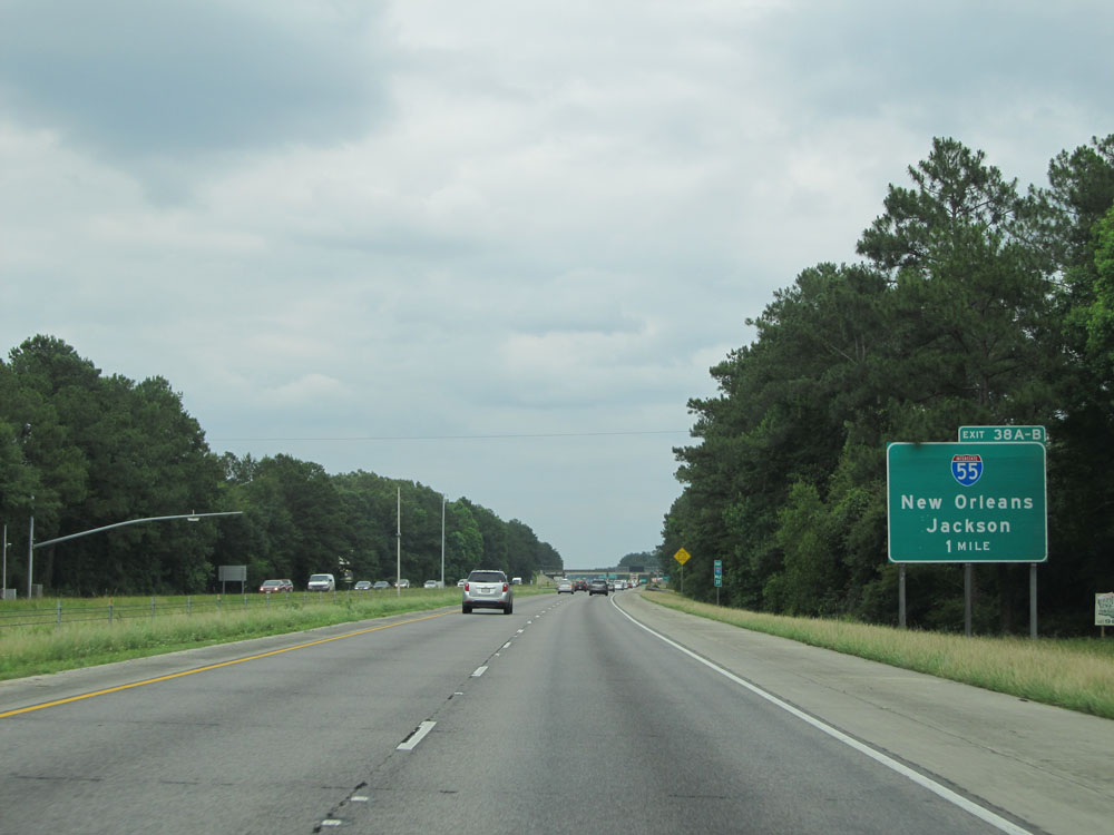 |
Interstate 12 East approaching Exits 38A-B - 1 mile. (Photo taken 5/22/15). |
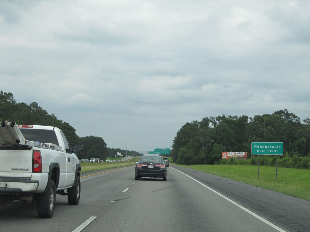 |
Take Exit 38A (Interstate 55 South) to Ponchatoula. (Photo taken 5/22/15). |
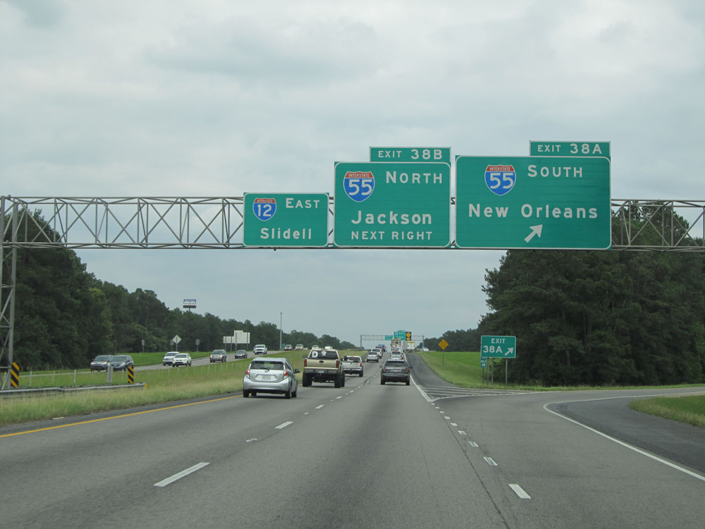 |
Interstate 12 East at Exit 38A: Interstate 55 South - New Orleans (Photo taken 5/22/15). |
Section 2: Hammond (Exit 38A) to Interstate 10/Interstate 59
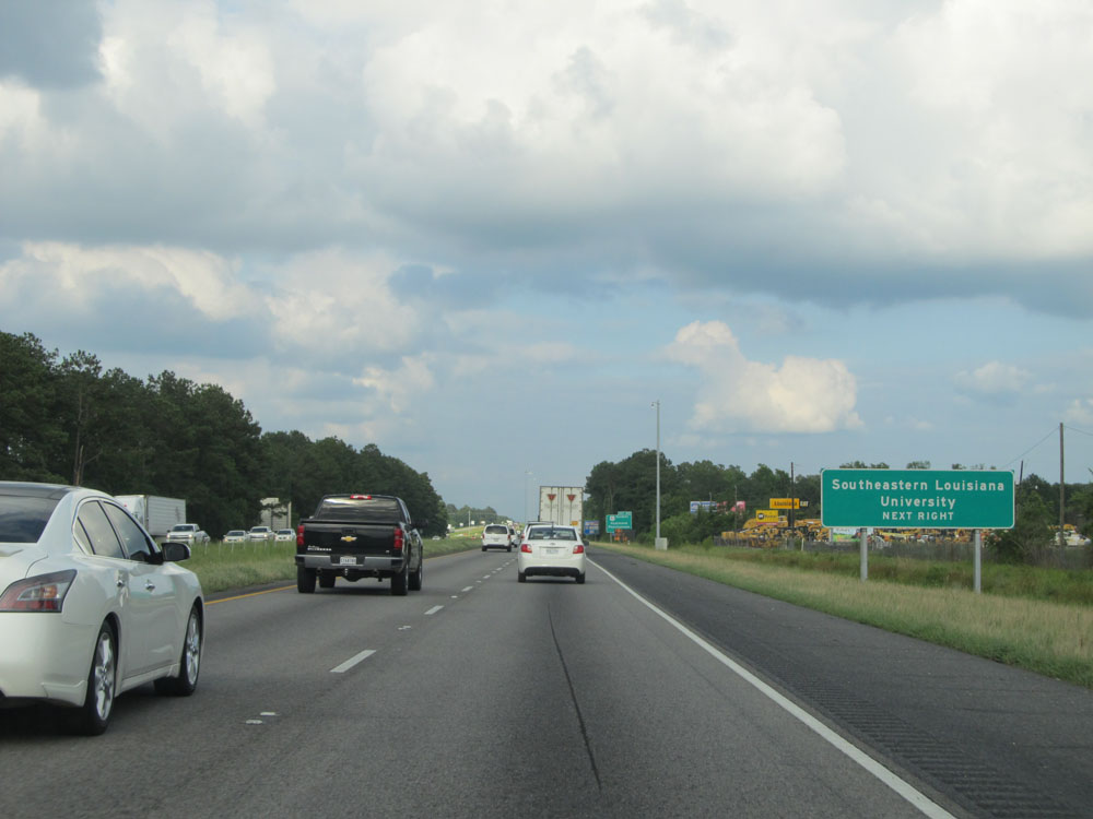 |
Take Exit 40 to Southeastern Louisiana University. (Photo taken 5/22/15). |
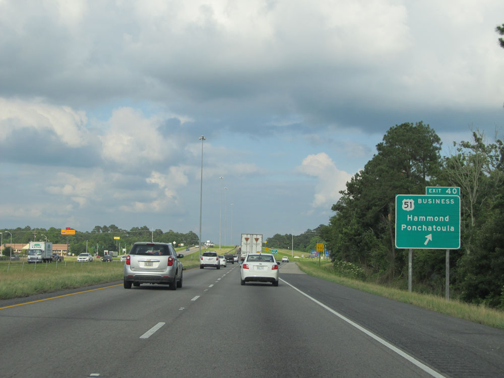 |
Interstate 12 East at Exit 40: US 51 BR - Hammond / Ponchatoula (Photo taken 5/22/15). |
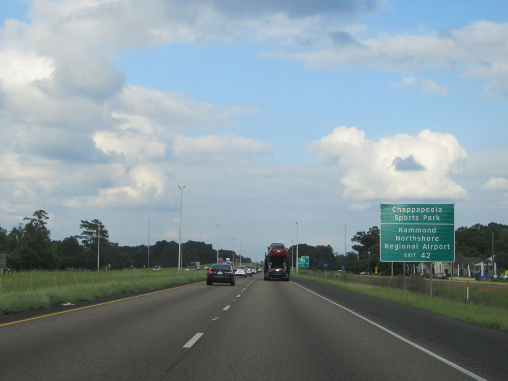 |
Take Exit 42 to Chappapeela Sports Park and Hammond Northshore Regional Airport. (Photo taken 5/22/15). |
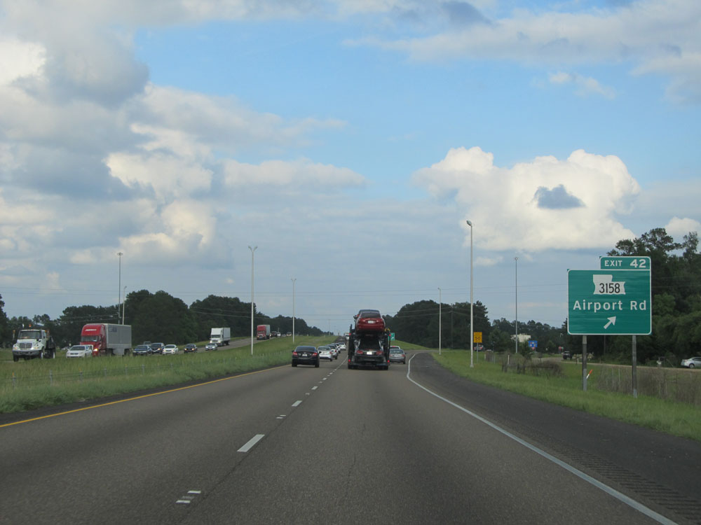 |
Interstate 12 East at Exit 46: LA 3158 - Airport Rd (Photo taken 5/22/15). |
 |
As this sign says, Interstate 12 is also known as the West Florida Republic Parkway. (Photo taken 5/22/15). |
 |
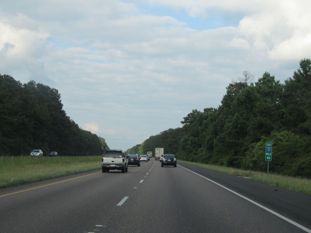
Mileage sign near mile marker 43. It's 4 miles to the junction of LA 445 and 37 miles to Slidell. (Photo taken 5/22/15). |
 |
Interstate 12 East: Road view from mile marker 46. (Photo taken 5/22/15). |
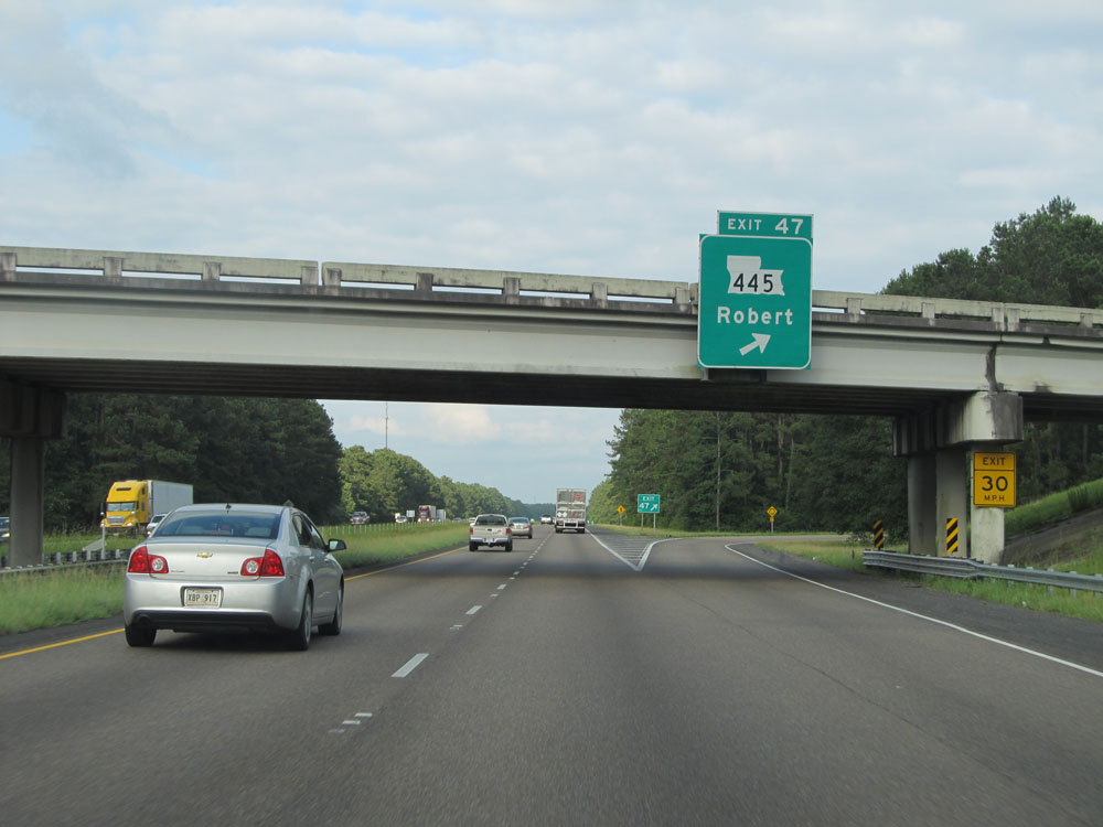 |
Interstate 12 East at Exit 47: LA 445 - Robert (Photo taken 5/22/15). |
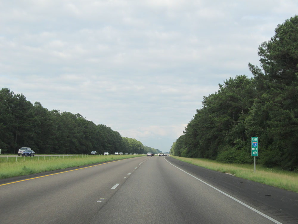 |
Interstate 12 East at mile marker 49. (Photo taken 5/22/15). |
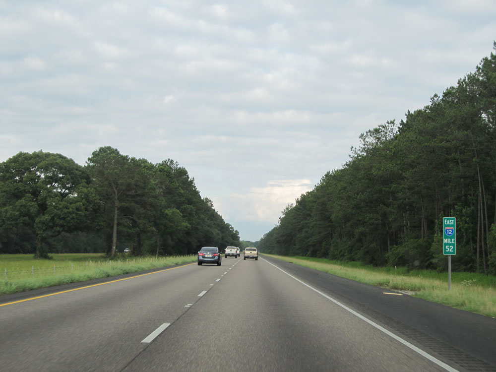 |
Interstate 12 East: Road view from mile marker 52. (Photo taken 5/22/15). |
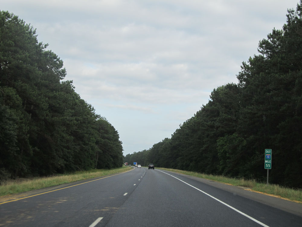 |
Interstate 12 East: Road view from mile marker 55. (Photo taken 5/22/15). |
 |
Take Exit 57 to Fairview Riverside State Park. (Photo taken 5/22/15). |
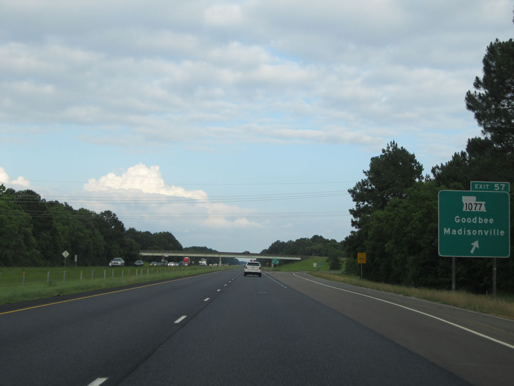 |
Interstate 12 East at Exit 57: LA 1077 - Goodbee / Madisonville (Photo taken 5/22/15). |
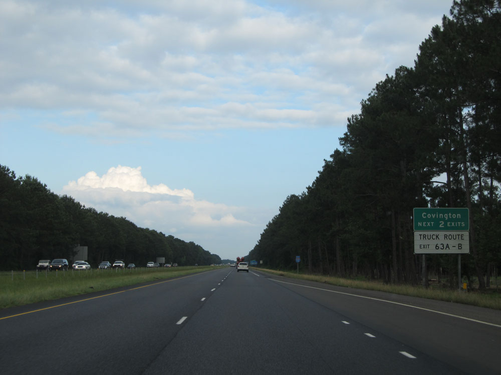 |
Take either of the next 2 exits to Covington. (Photo taken 5/22/15). |
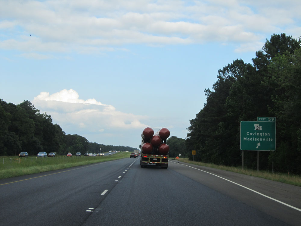 |
Interstate 12 East at Exit 59: LA 21 - Covington / Madisonville (Photo taken 5/22/15). |
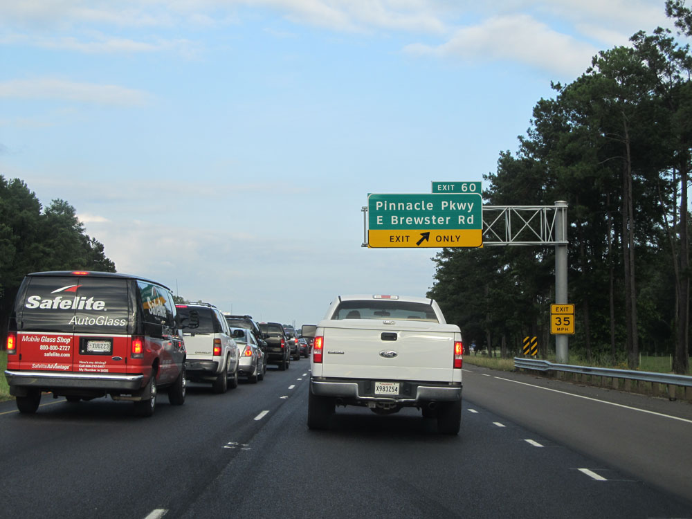 |
Interstate 12 East at Exit 60: Pinnacle Pkwy / E Brewster Rd (Photo taken 5/22/15). |
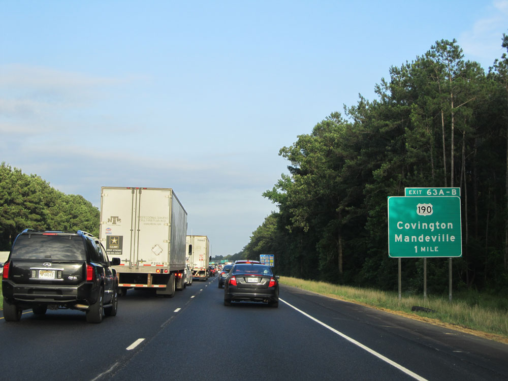 |
Interstate 12 East approaching Exits 63A-B - 1 mile. (Photo taken 5/22/15). |
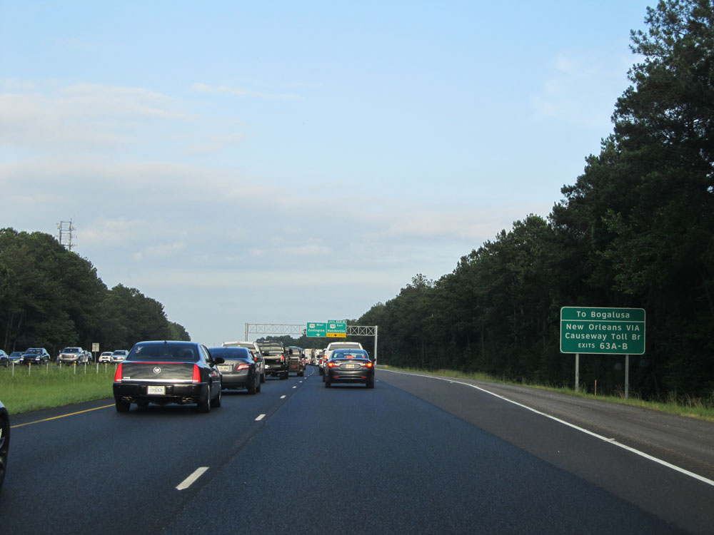 |
Take Exits 63A-B to Bogalusa and to New Orleans via the Causeway Toll Bridge. (Photo taken 5/22/15). |
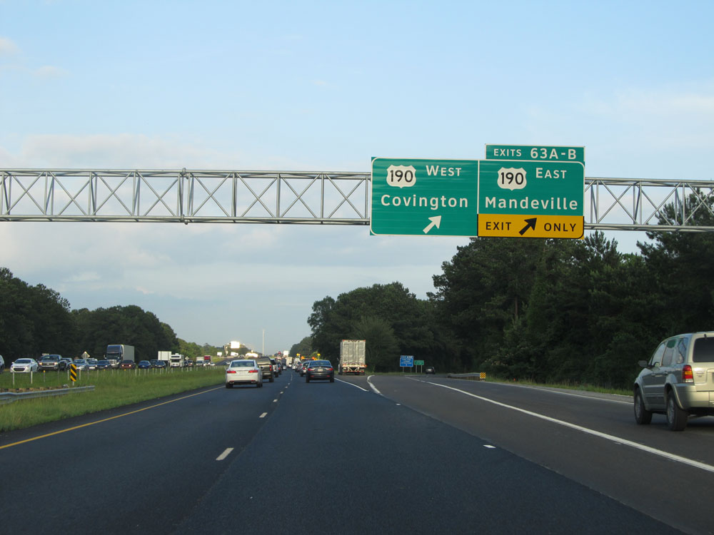 |
Interstate 12 East at Exits 63A-B: US 190 - Covington / Mandeville (Photo taken 5/22/15). |
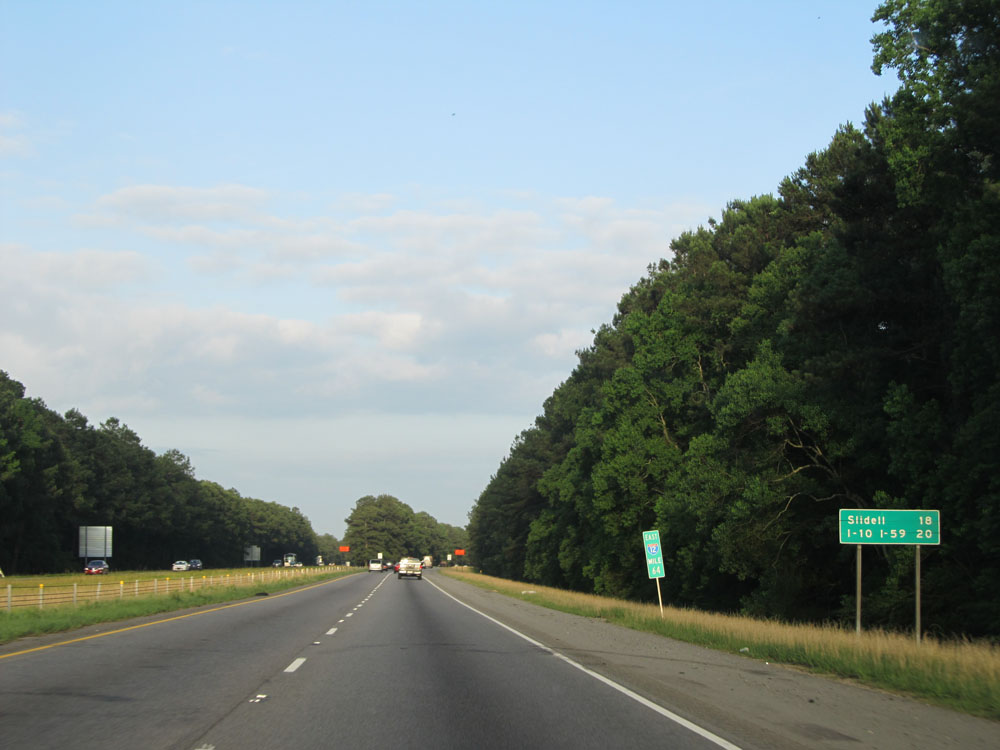 |
Mileage sign at mile marker 64. It's 18 miles to Slidell and 20 miles to the junction of Interstate 10/Interstate 59 (eastern terminus of Interstate 12). (Photo taken 5/22/15). |
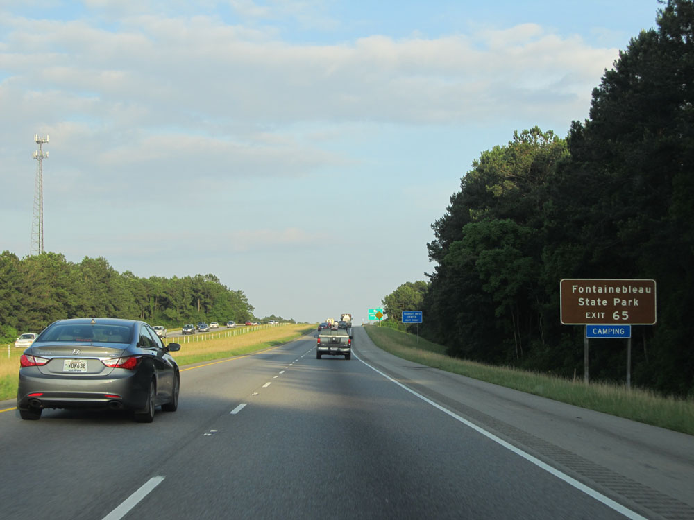 |
Take Exit 65 to Fontainebleau State Park. (Photo taken 5/22/15). |
 |
Interstate 12 East at Exit 65: LA 59 - Abita Springs / Mandeville (Photo taken 5/22/15). |
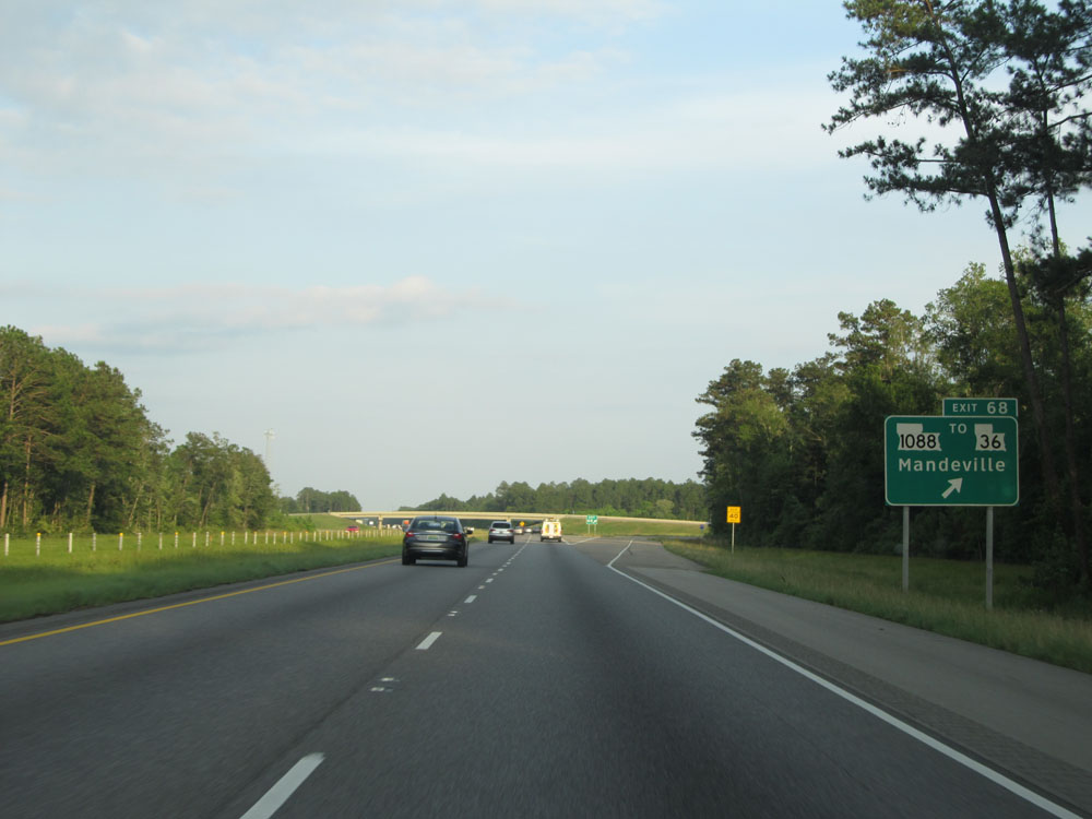 |
Interstate 12 East at Exit 68: LA 1088 / To LA 36 - Mandeville (Photo taken 5/22/15). |
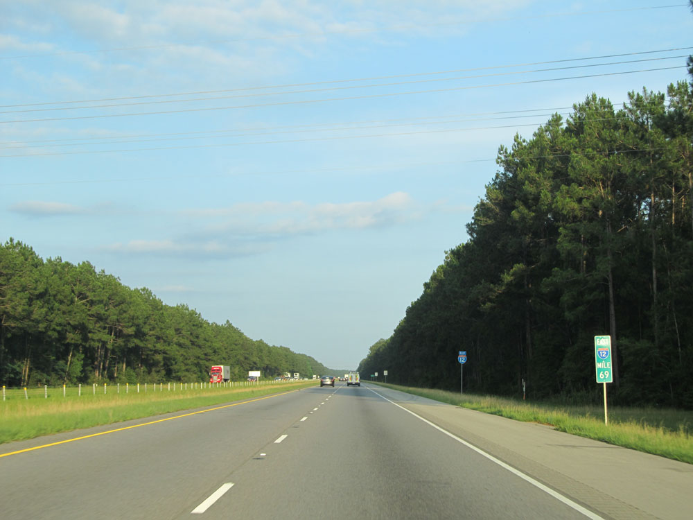 |
Interstate 12 East: Road view from mile marker 69. (Photo taken 5/22/15). |
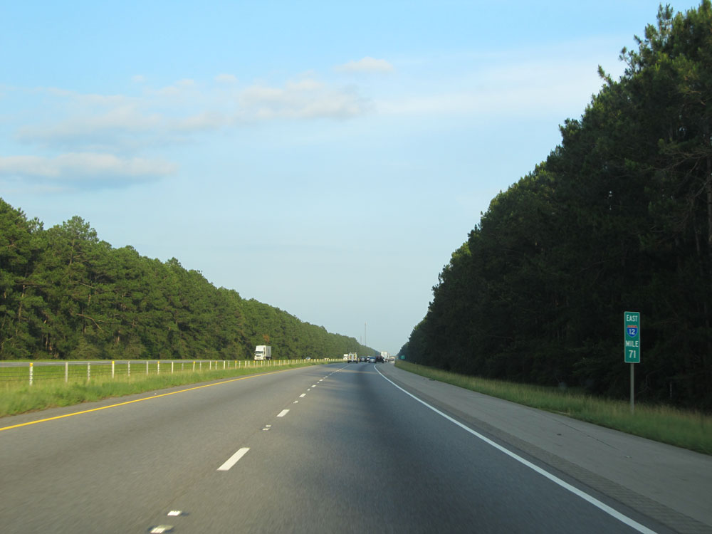 |
Interstate 12 East: Road view from mile marker 71. (Photo taken 5/22/15). |
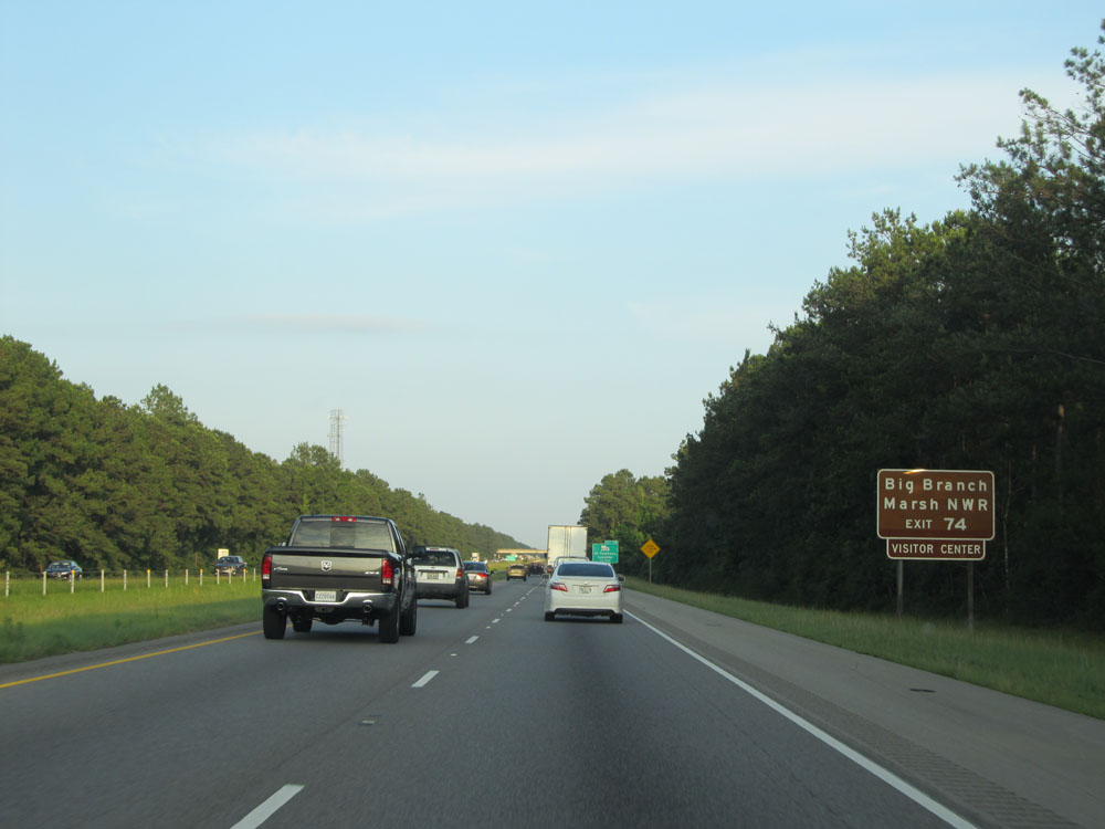 |
Take Exit 74 to Big Branch Marsh National Wildlife Refuge. (Photo taken 5/22/15). |
 |
Interstate 12 East at Exit 74: LA 434 - St Tammany / Lacombe (Photo taken 5/22/15). |
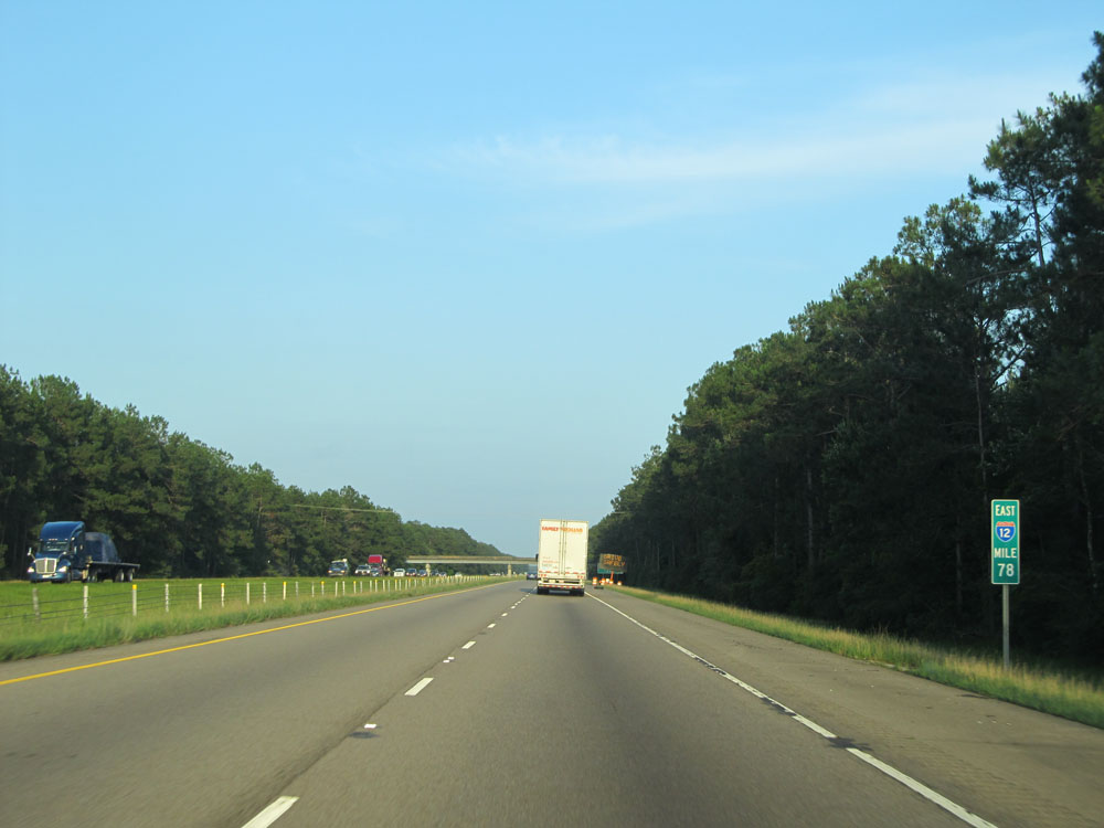 |
Interstate 12 East at mile marker 78. (Photo taken 5/22/15). |
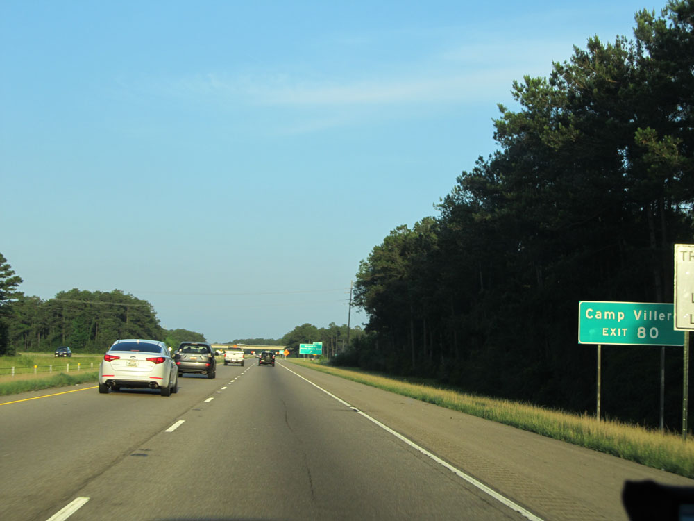 |
Take Exit 80 to Camp Villere. (Photo taken 5/22/15). |
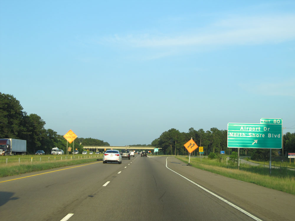 |
Interstate 12 East at Exit 80: Airport Dr / North Shore Blvd (Photo taken 5/22/15). |
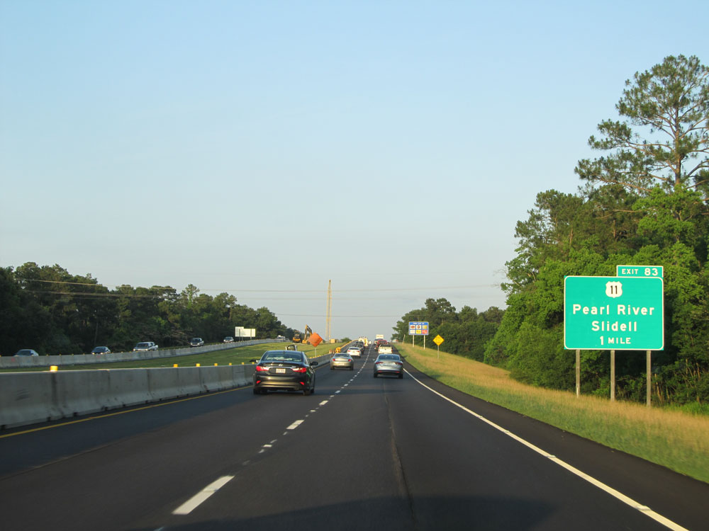 |
Interstate 12 East approaching Exit 83 - 1 mile. (Photo taken 5/22/15). |
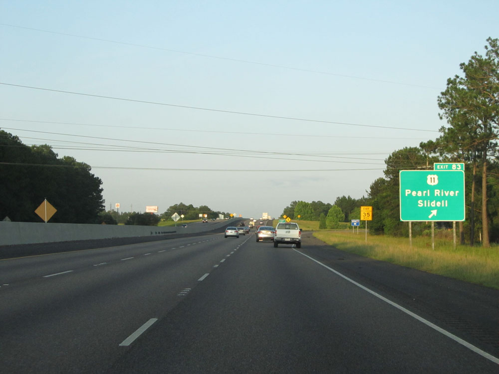 |
Interstate 12 East at Exit 83: US 11 - Pearl River / Slidell (Photo taken 5/22/15). |
 |
Interstate 12 East: Road view from mile marker 84. (Photo taken 5/22/15). |
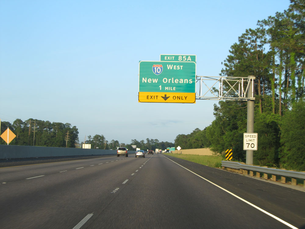 |
Interstate 12 East approaching Exit 85A - 1 mile. (Photo taken 5/22/15). |
 |
Take Exit 85B for Interstate 59 North toward Hattiesburg. (Photo taken 5/22/15). |
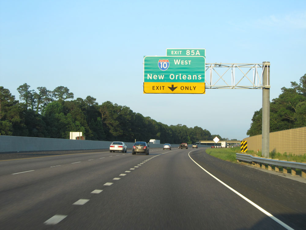 |
Interstate 12 East approaching Exit 85A - 1/2 mile. (Photo taken 5/22/15). |
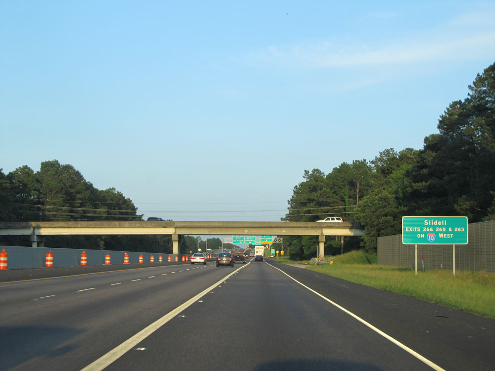 |
This sign lists the exits to Slidell off Interstate 10 West. (Photo taken 5/22/15). |
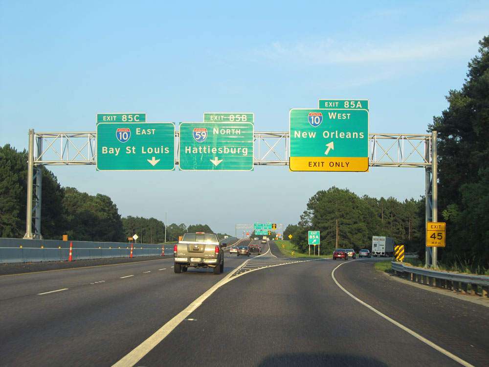 |
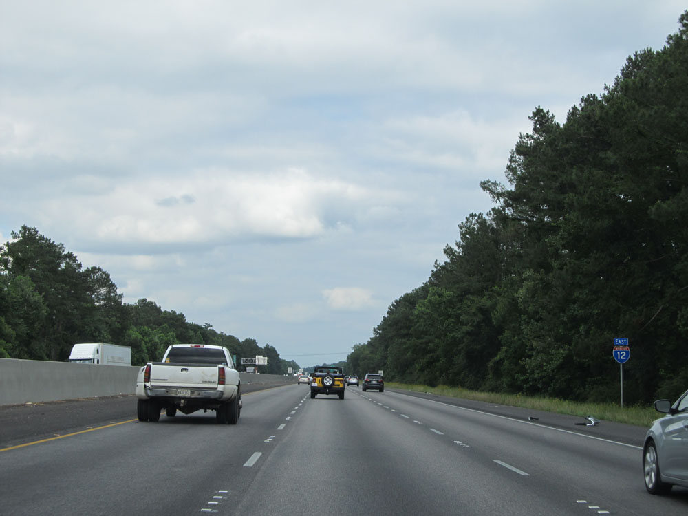
Interstate 12 East at Exit 85A: Interstate 10 West - New Orleans. This interchange (including the ramp to Interstate 59 North, Exit 85B) marks the eastern terminus of I-12. Stay straight ahead to go onto Interstate 10 East. (Photo taken 5/22/15). |