Road Information |
||
 |
||
| Total Mileage in State: | 274 miles | |
| Eastern End: | At Mississippi state line | |
| Western End: | At Texas state line | |
| Mileage covered in Photos: | 274 miles | |
| Parishes covered in Photos: | Calcasieu, Jefferson Davis, Acadia, Lafayette, St. Martin, Iberville, West Baton Rouge, East Baton Rouge, Ascension, St. James, St. John the Baptist, St. Charles, Jefferson, Orelans, St. Tammany | |
| Major Junctions in Photos: | I-210, near Lake Charles I-49, in Lafayette I-110, in Baton Rouge I-12 East, in Baton Rouge I-310, near Kenner I-610, in Metairie Unsigned I-910/US 90 Bus., in New Orleans I-510, in New Orleans I-12 West/I-59 North, in Slidell |
|
| Control Cities in Photos: | Lake Charles, Lafayette, Baton Rouge, LaPlace, Kenner, Metairie, New Orleans, Slidell | |
Eastbound
- Section 1: Texas Border to Crowley (Exit 80)
- Section 2: Crowley (Exit 80) to Baton Rouge (Exit 159)
- Section 3: Baton Rouge (Exit 159) to LaPlace (Exit 209)
- Section 4: LaPlace (Exit 209) to New Orleans (Exit 237)
- Section 5: New Orleans (Exit 237) to Mississippi Border
Section 1: Texas Border to Crowley (Exit 80)
 |
Interstate 10 East as it crosses the Sabine River and into Louisiana from Texas. (Photo taken 5/22/15). |
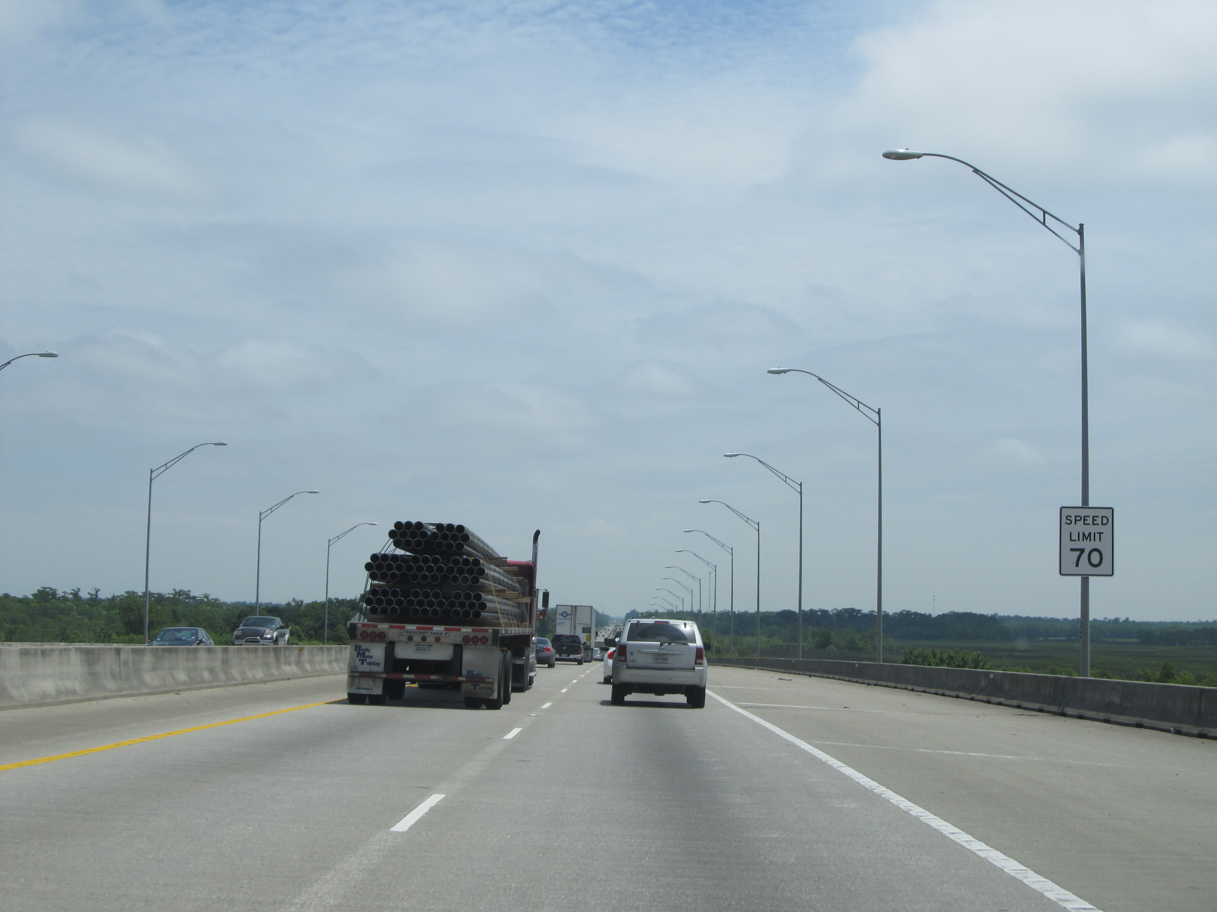 |
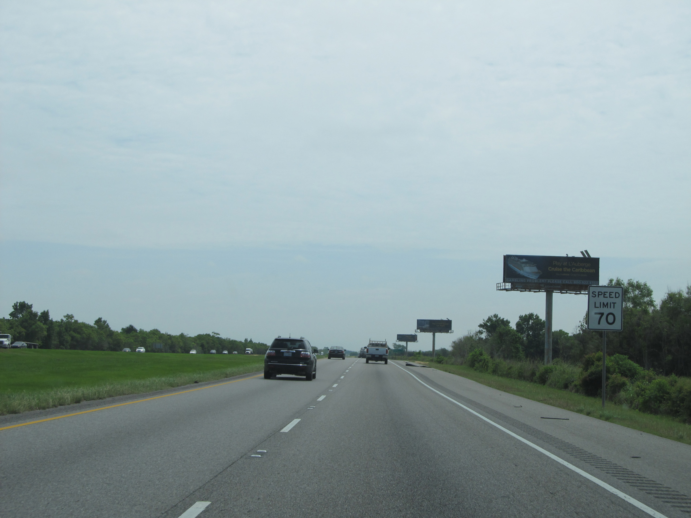
Speed limit sign just after crossing the border. The speed limit on most rural stretches of Interstate highway in Louisiana is 70 mph. (Photo taken 5/22/15). |
 |
Louisiana welcome sign on the east side of the bridge. (Photo taken 5/22/15). |
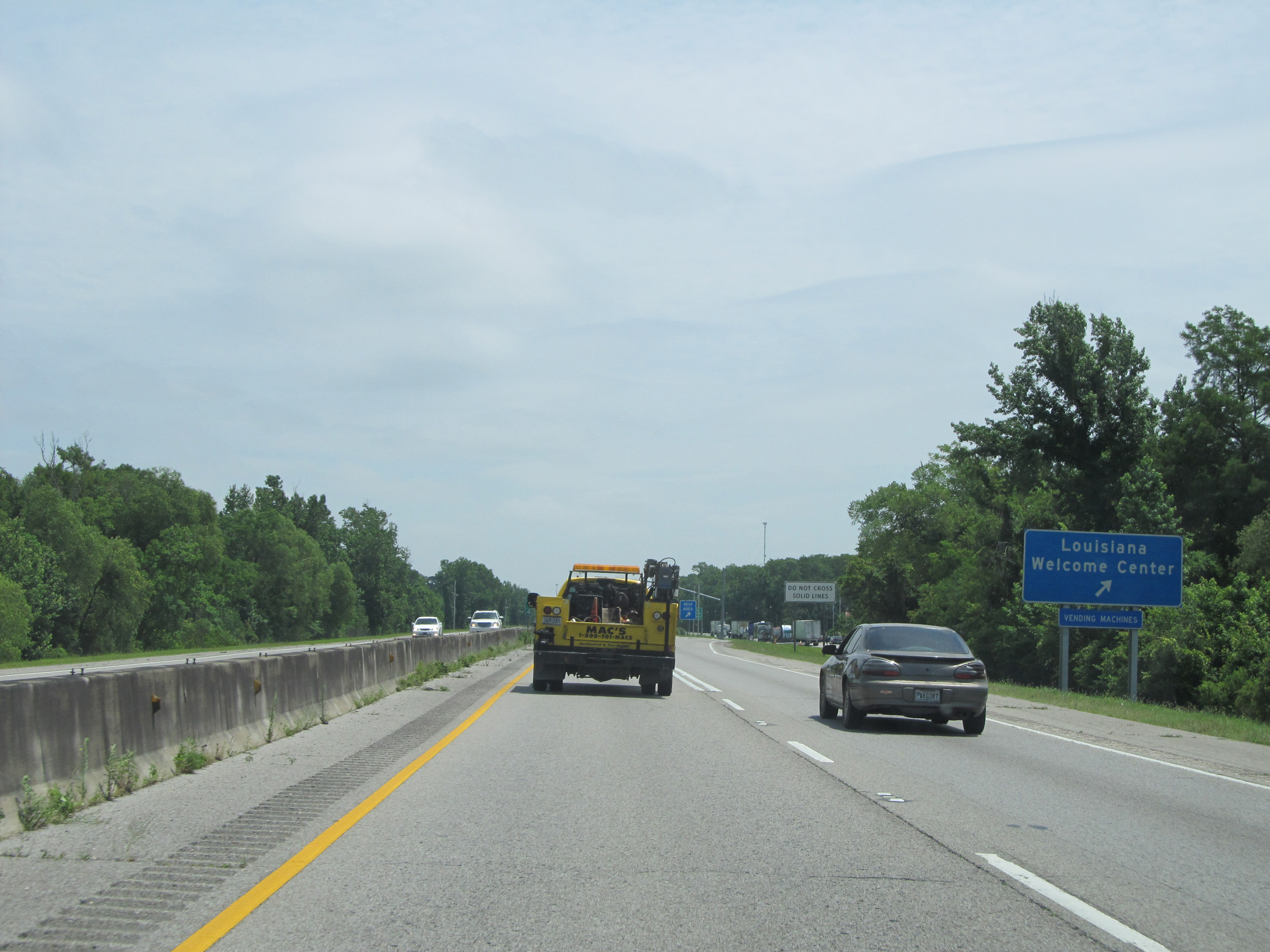 |
Interstate 10 East at the Louisiana Welcome Center / Rest Area located near mile marker 1. (Photo taken 5/22/15). |
 |
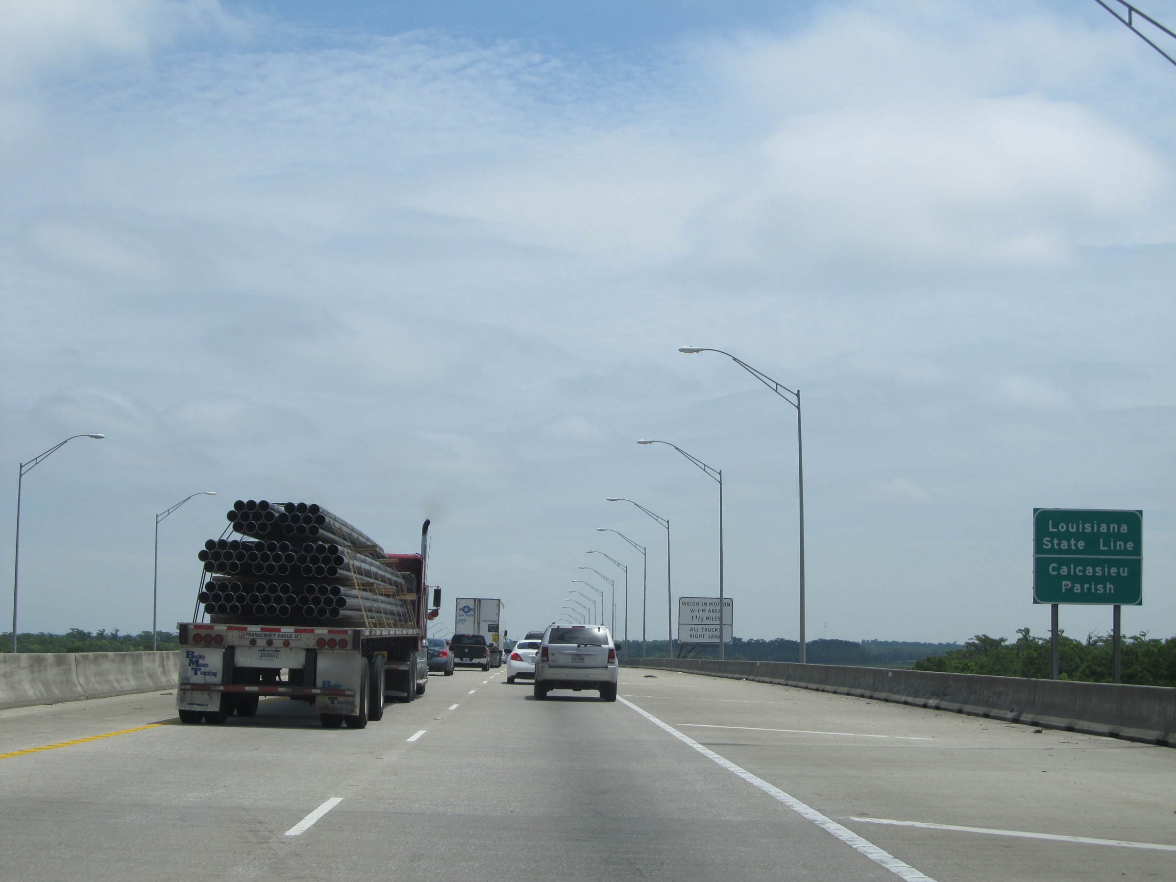
Interstate 10 East at the (currently closed) Weigh Station located near mile marker 2. (Photo taken 5/22/15). |
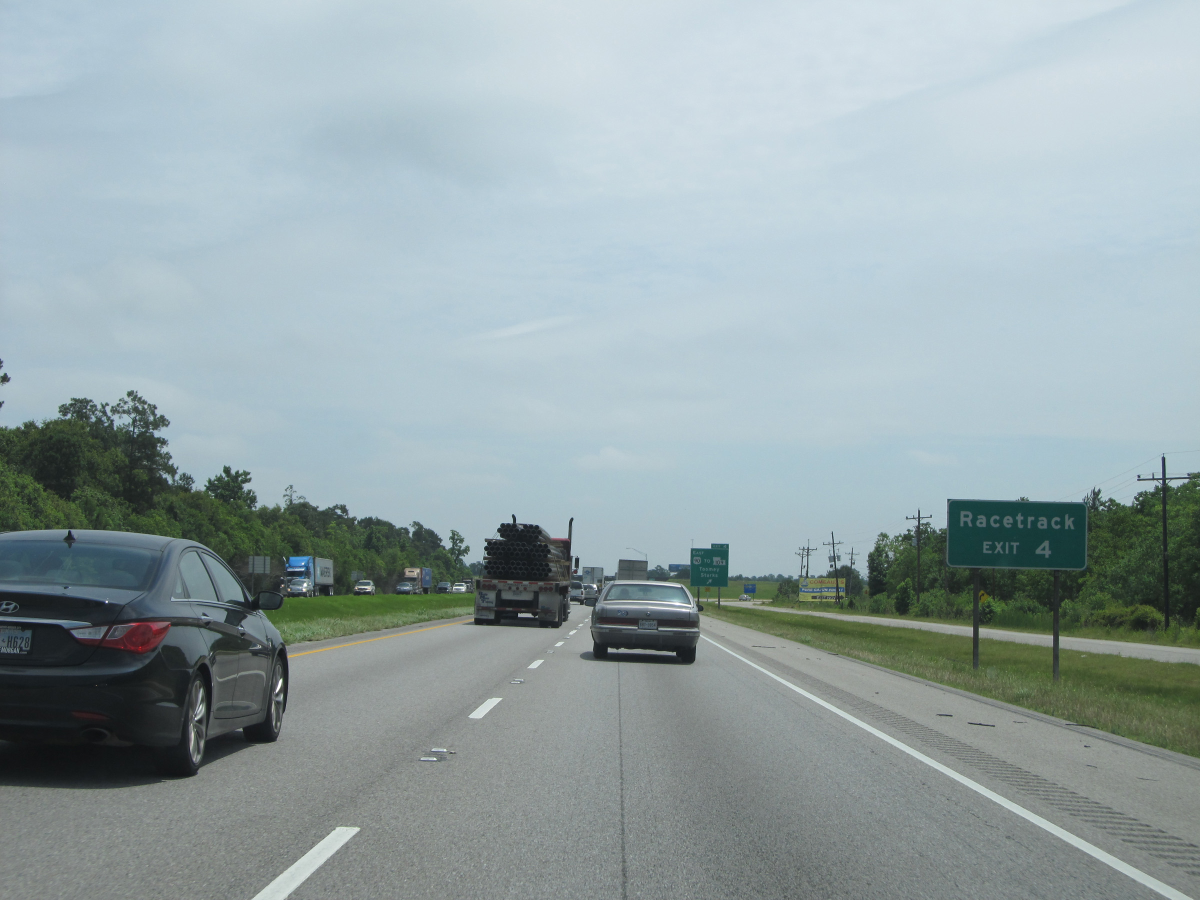 |
Take Exit 4 to the Racetrack. (Photo taken 5/22/15). |
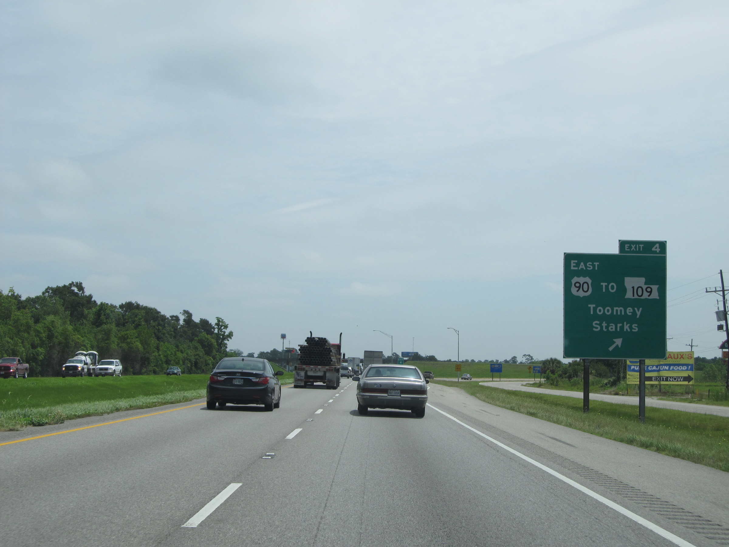 |
Interstate 10 East at Exit 4: US 90 East / To LA 109 - Toomey / Starks (Photo taken 5/22/15). |
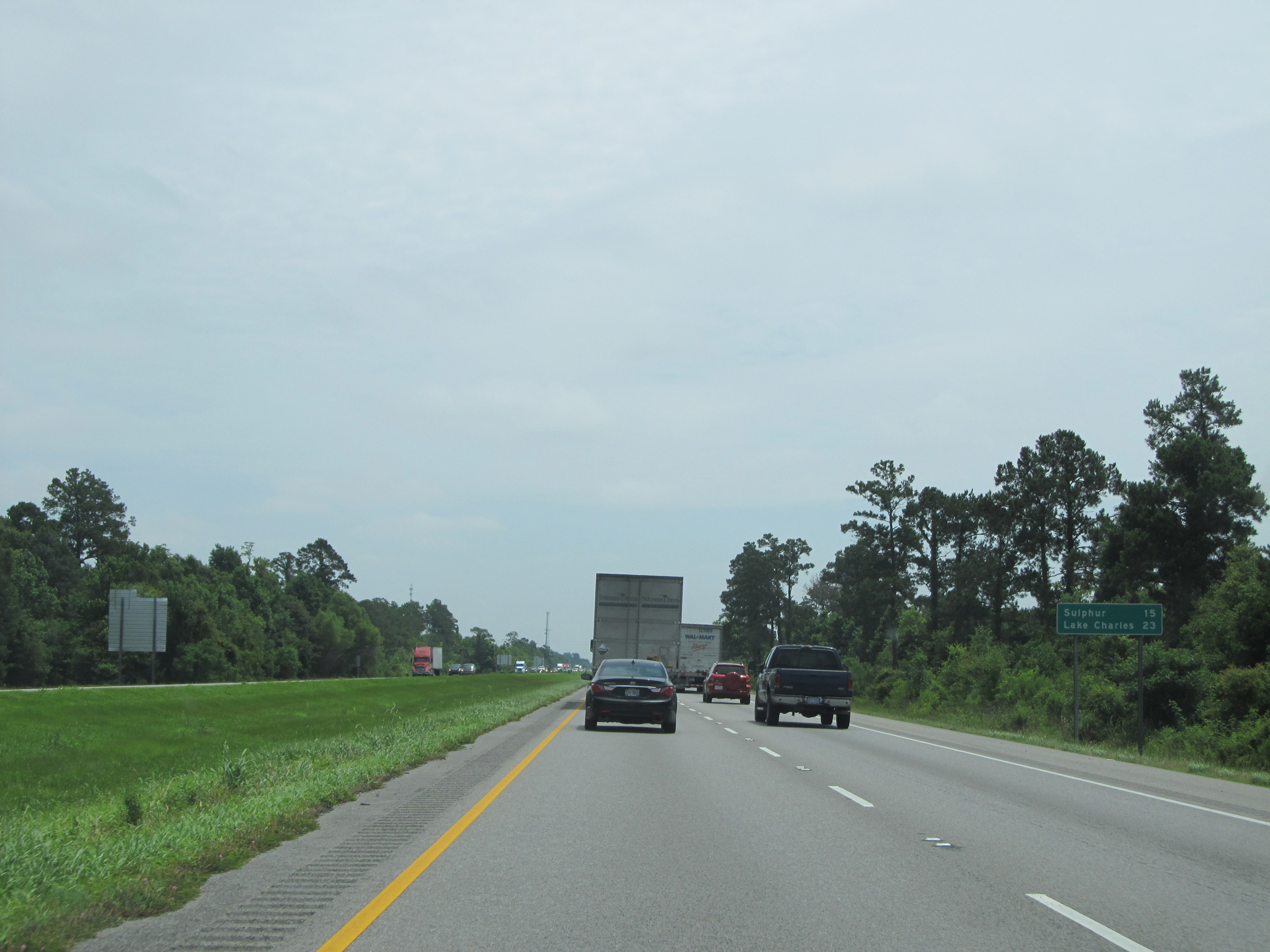 |
Mileage sign on Interstate 10 East. It's 15 miles to Sulphur and 23 miles to Lake Charles. (Photo taken 5/22/15). |
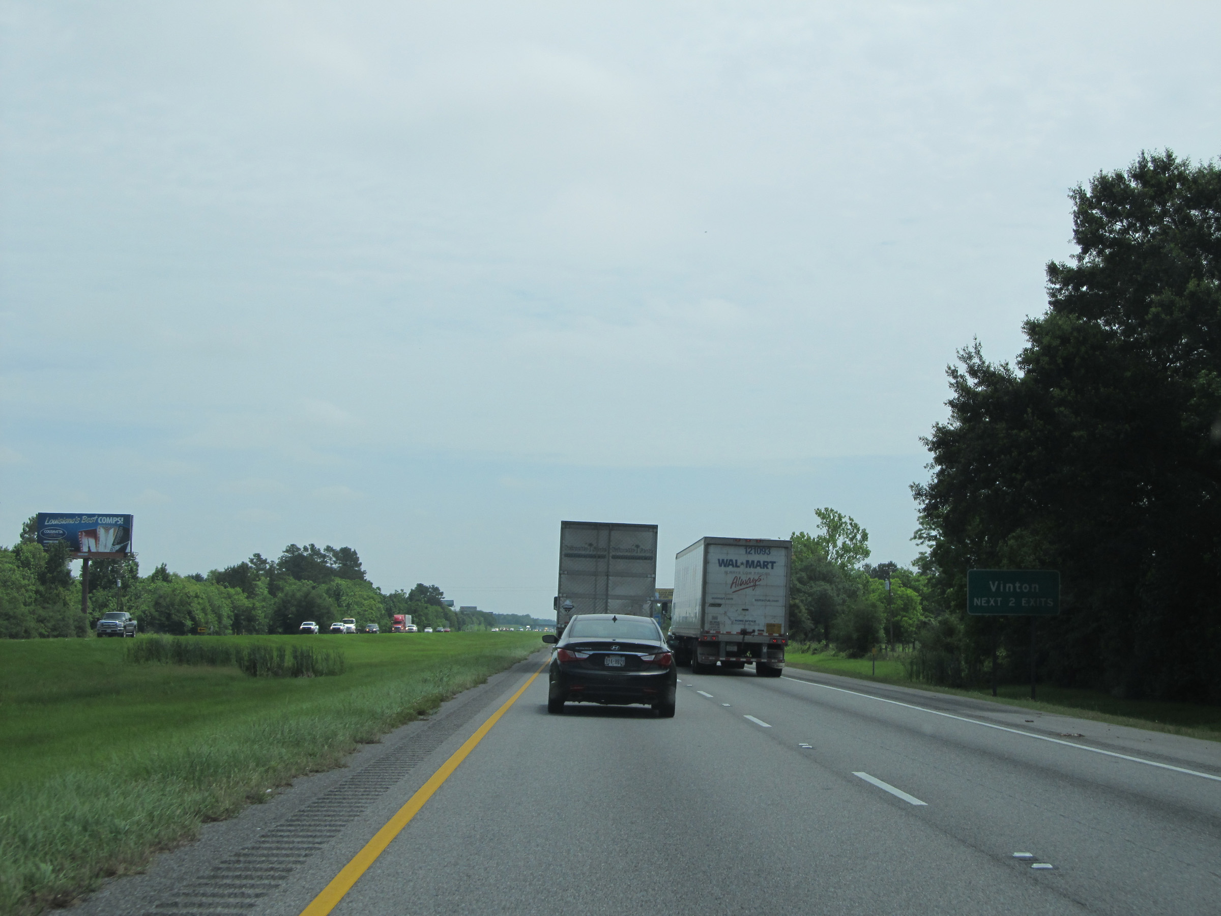 |
Take either of the next 2 exits to Vinton. (Photo taken 5/22/15). |
 |
Interstate 10 East at Exit 7: LA 3063 - Vinton (Photo taken 5/22/15). |
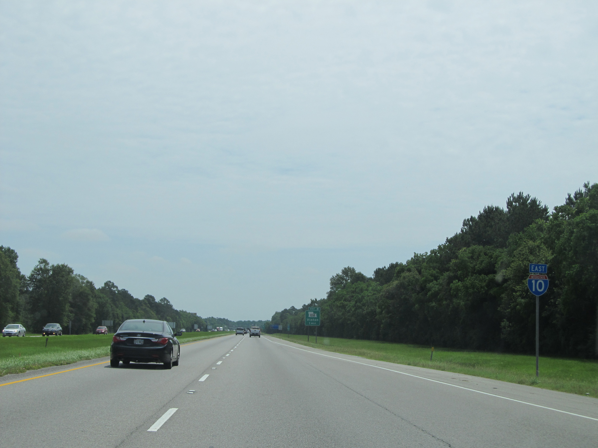 |
Interstate 10 East shield located near mile marker 7. (Photo taken 5/22/15). |
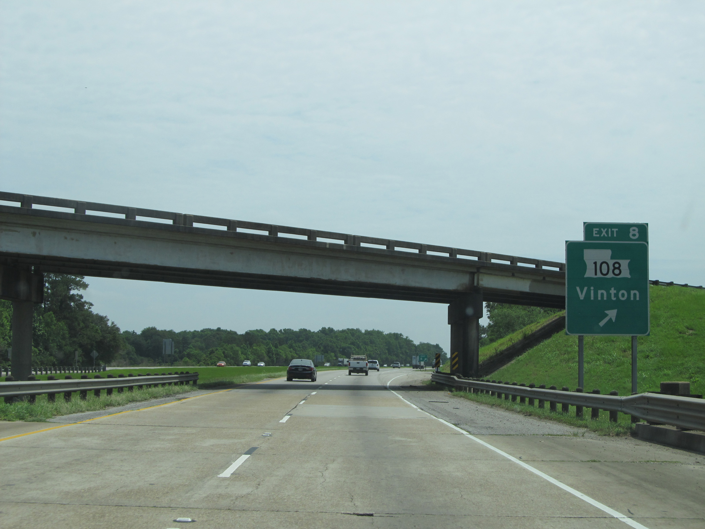 |
Interstate 10 East at Exit 8: LA 108 - Vinton (Photo taken 5/22/15). |
 |
Another speed limit sign on Interstate 10 East. Once again, the speed limit on most rural stretches of Interstate in Louisiana is 70 mph. (Photo taken 5/22/15). |
 |
Interstate 10 East: Road view from mile marker 10. (Photo taken 5/22/15). |
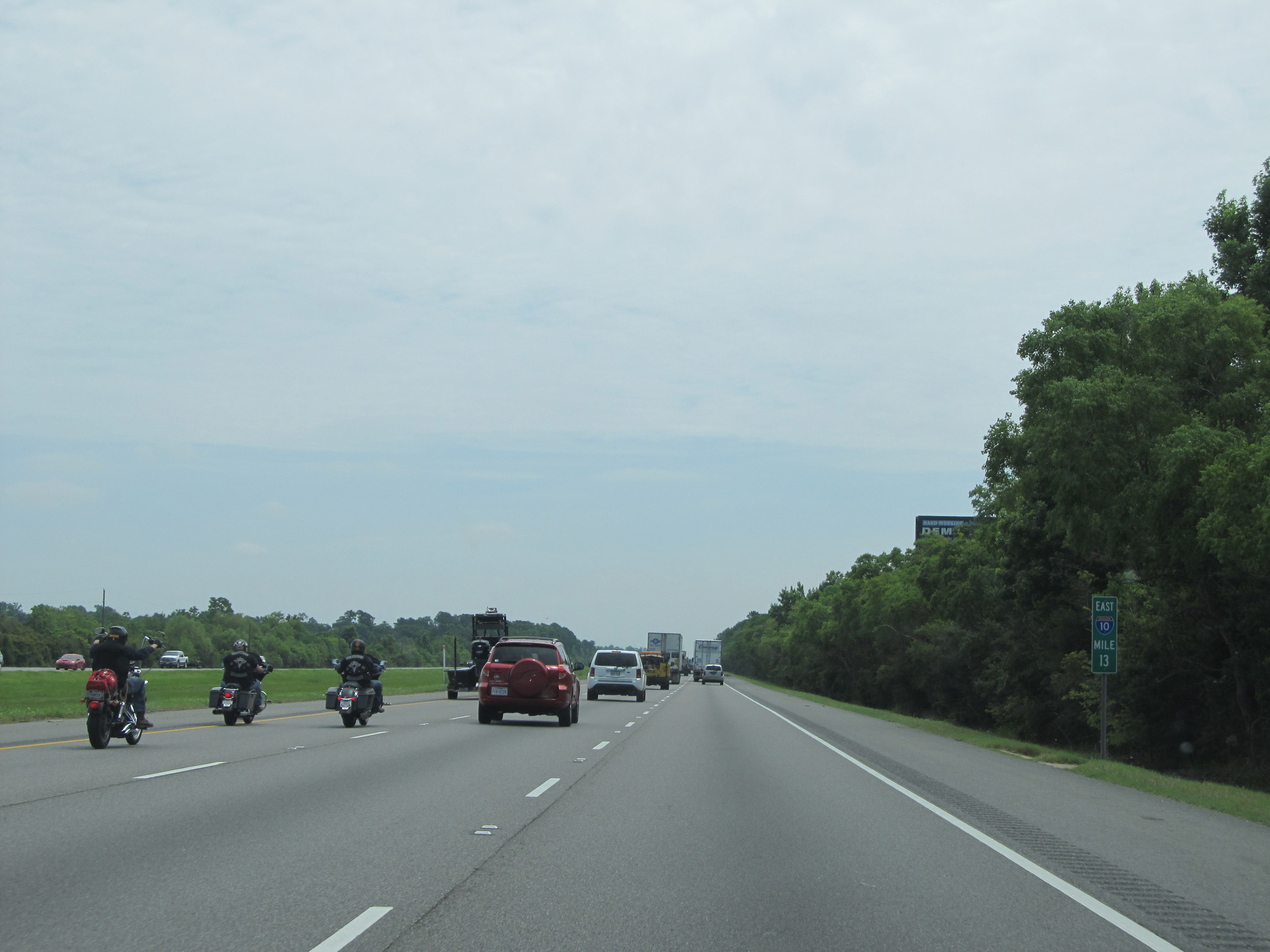 |
Interstate 10 East: View at mile marker 13. (Photo taken 5/22/15). |
 |
Take any of the next 3 exits to Sulphur. (Photo taken 5/22/15). |
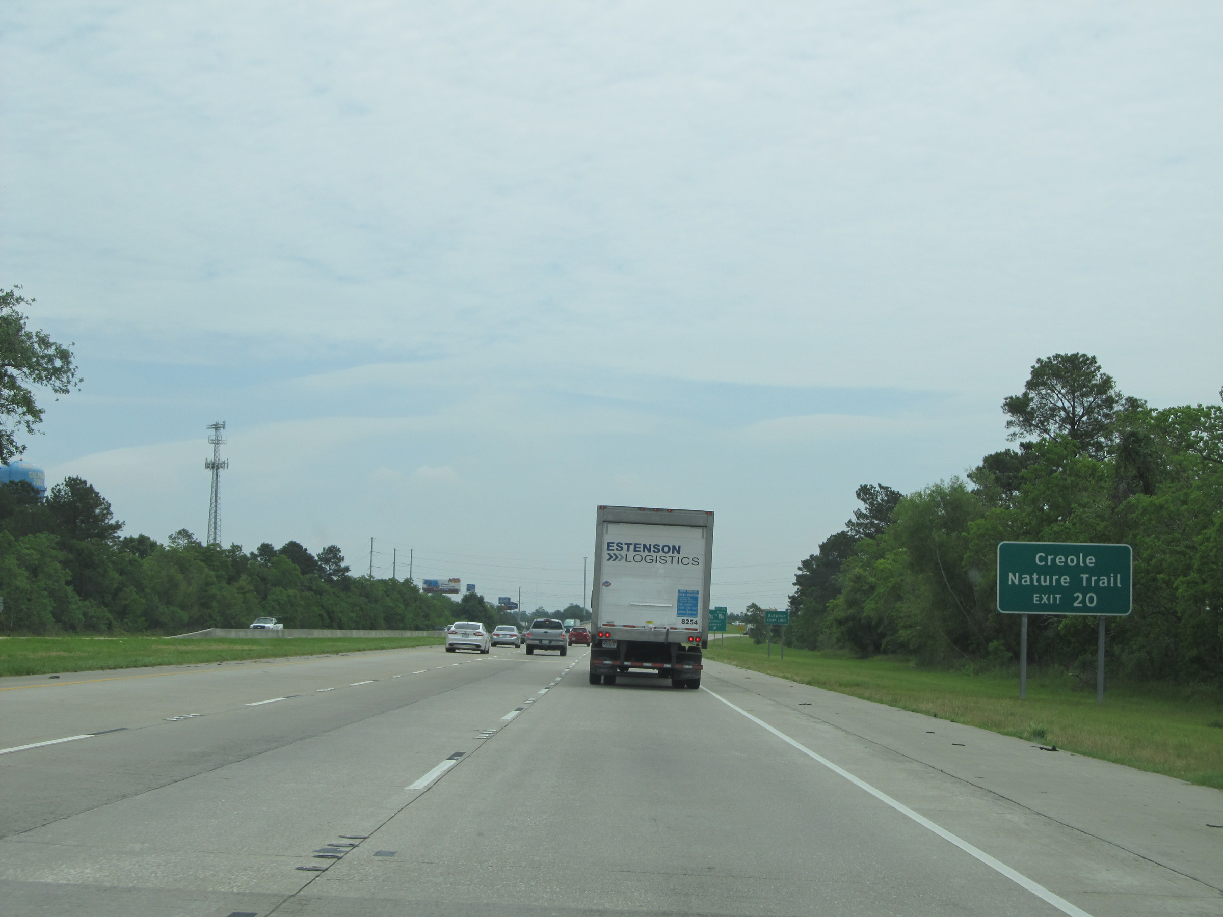 |
Use Exit 20 to Creole Nature Trail. (Photo taken 5/22/15). |
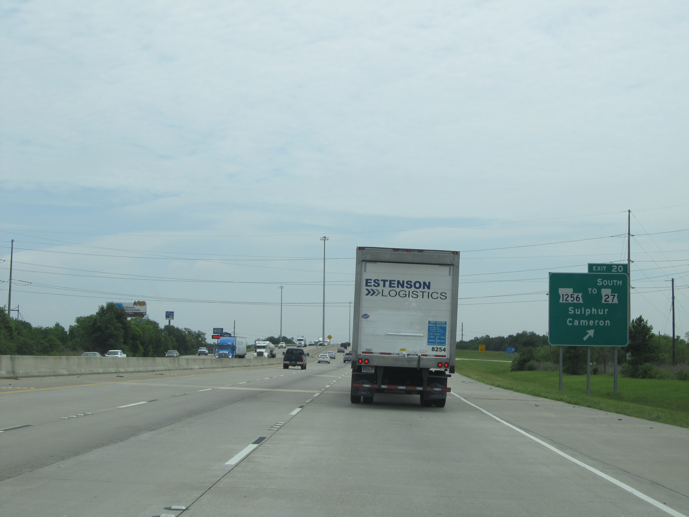 |
Interstate 10 East at Exit 20: LA 1256 / To LA 27 South - Sulphur / Cameron (Photo taken 5/22/15). |
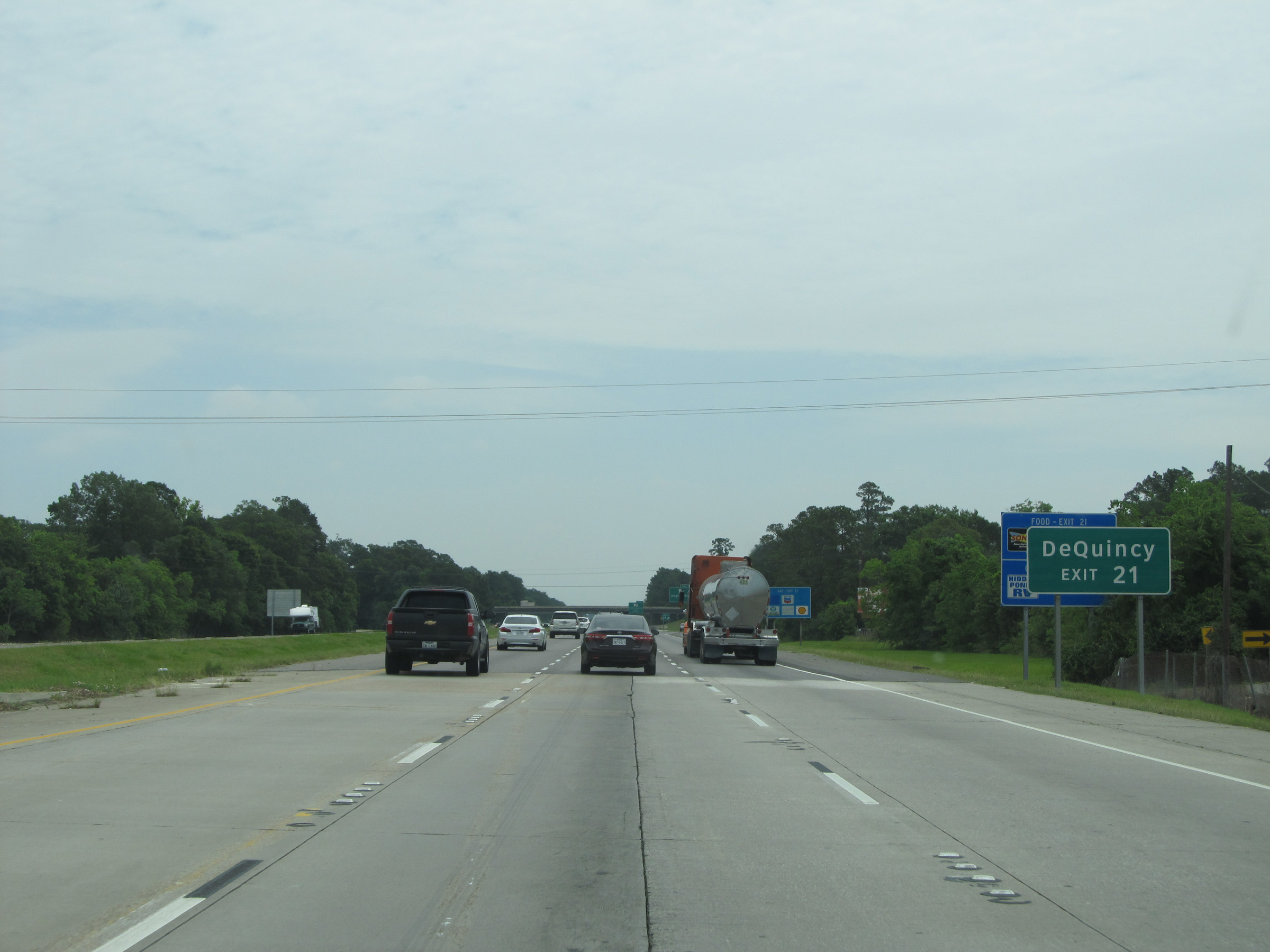 |
Take Exit 21 to DeQuincy. (Photo taken 5/22/15). |
 |
Interstate 10 East at Exit 21: LA 27 - Beglis Pkwy (Photo taken 5/22/15). |
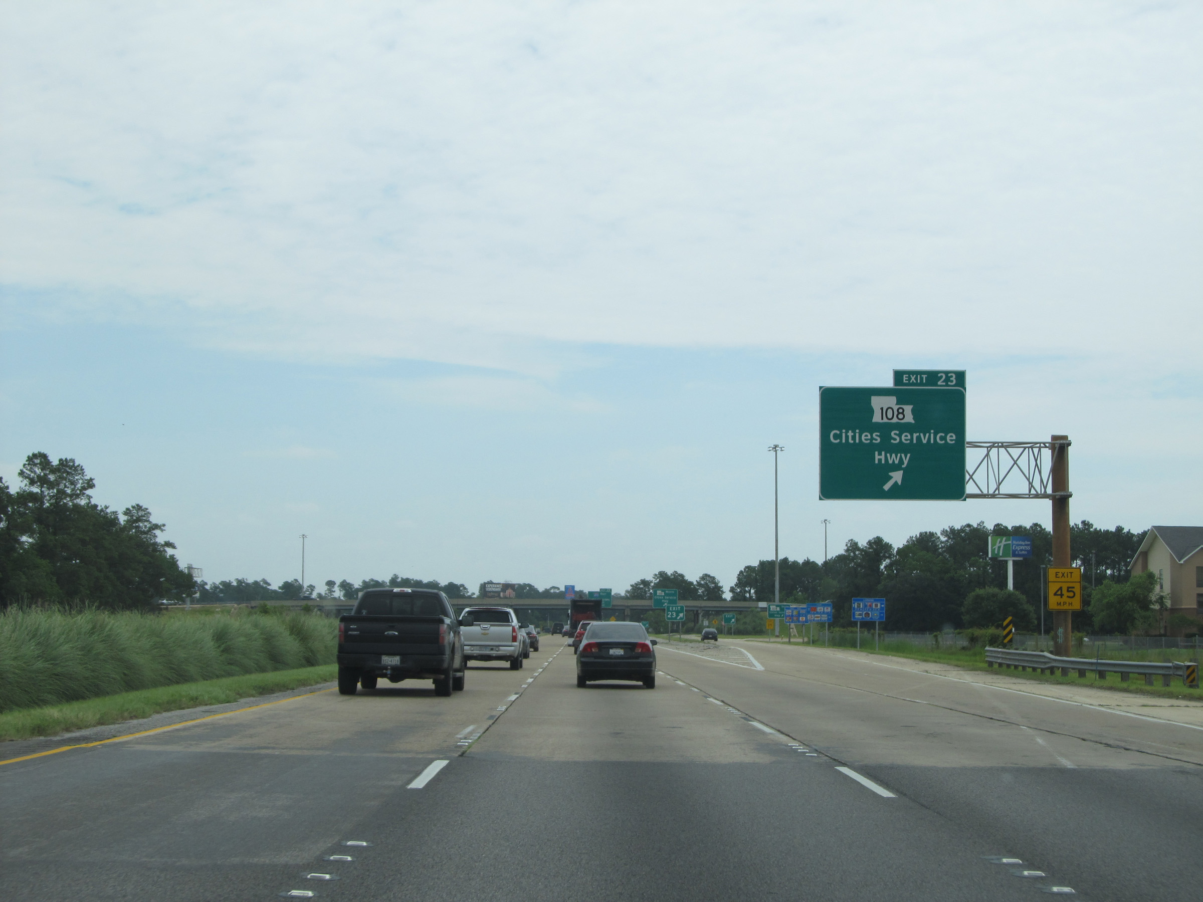 |
Interstate 10 East at Exit 23: LA 108 - Cities Service Hwy (Photo taken 5/22/15). |
 |
Interstate 10 East approaching Exit 25 - 1 mile. (Photo taken 5/22/15). |
 |
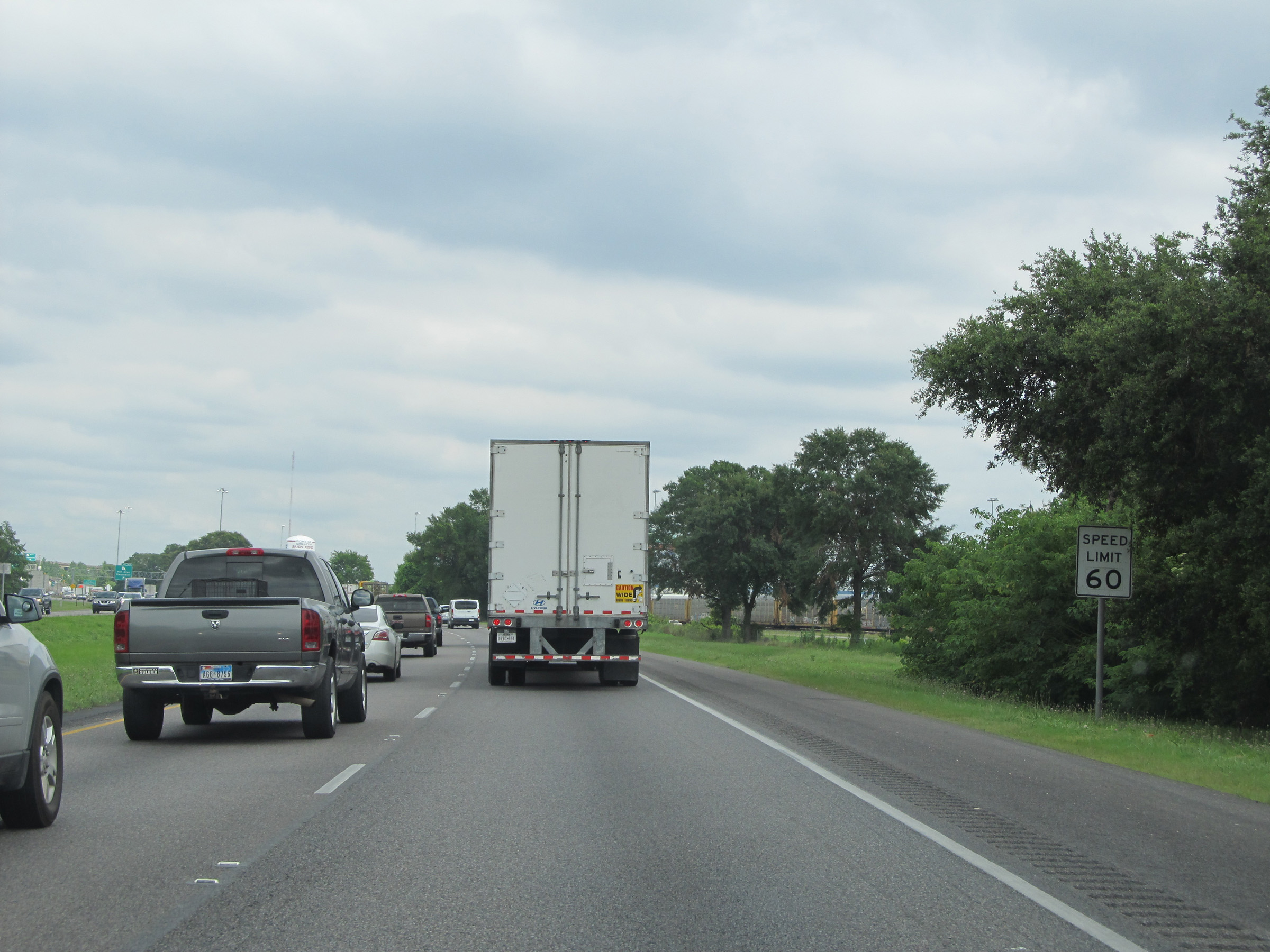
As you approach the Lake Charles area, the speed limit on Interstate 10 East is lowered to 60 mph. (Photo taken 5/22/15). |
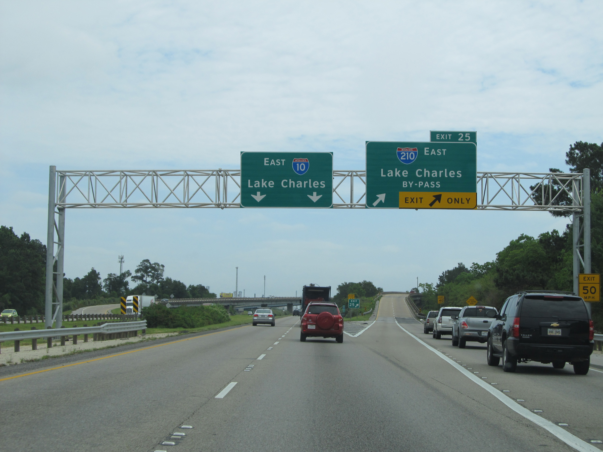 |
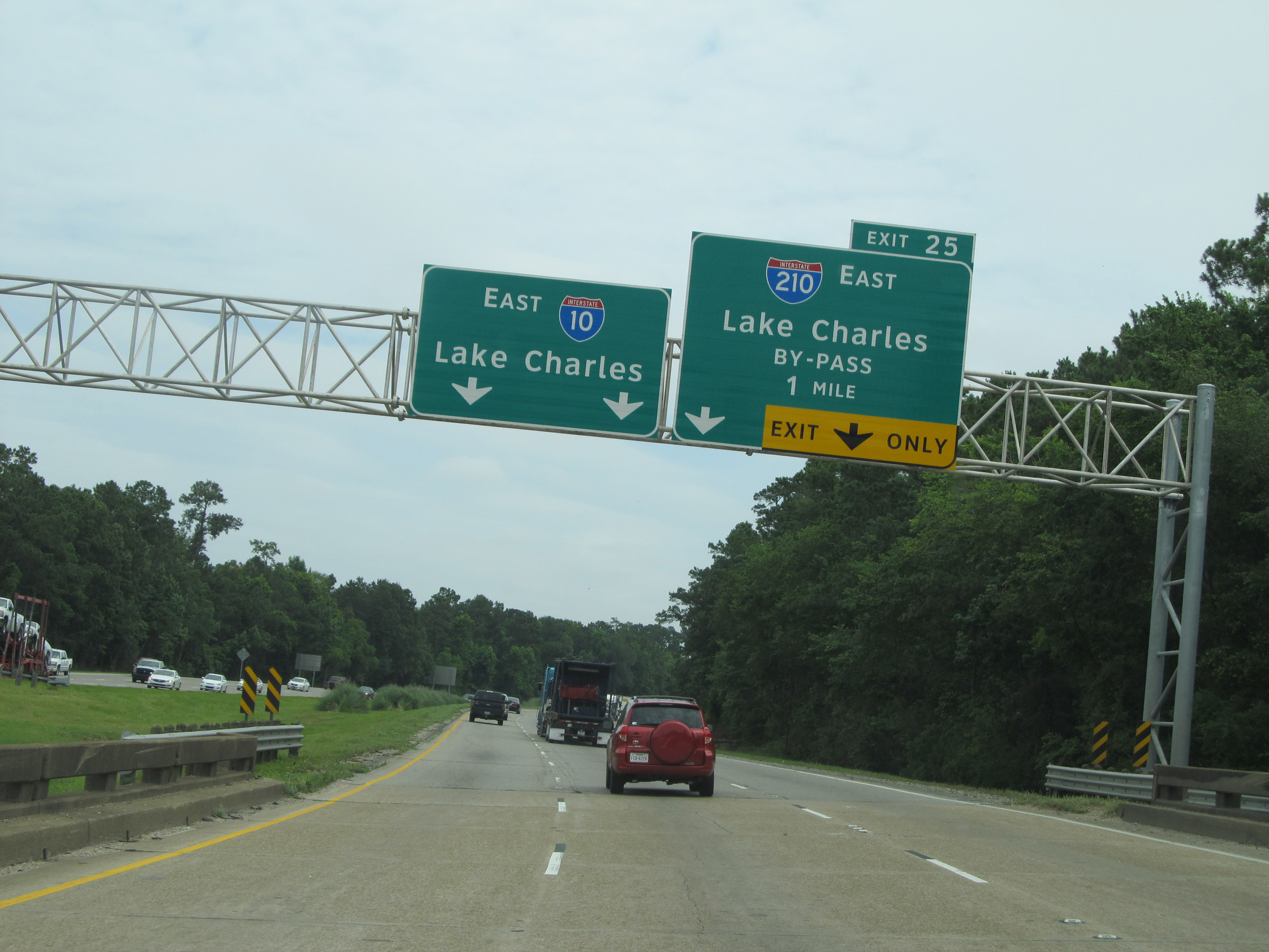
Interstate 10 East at Exit 25: Interstate 210 East - Lake Charles Bypass (Photo taken 5/22/15). |
 |
Interstate 10 East at Exit 26: PPG Drive (Photo taken 5/22/15). |
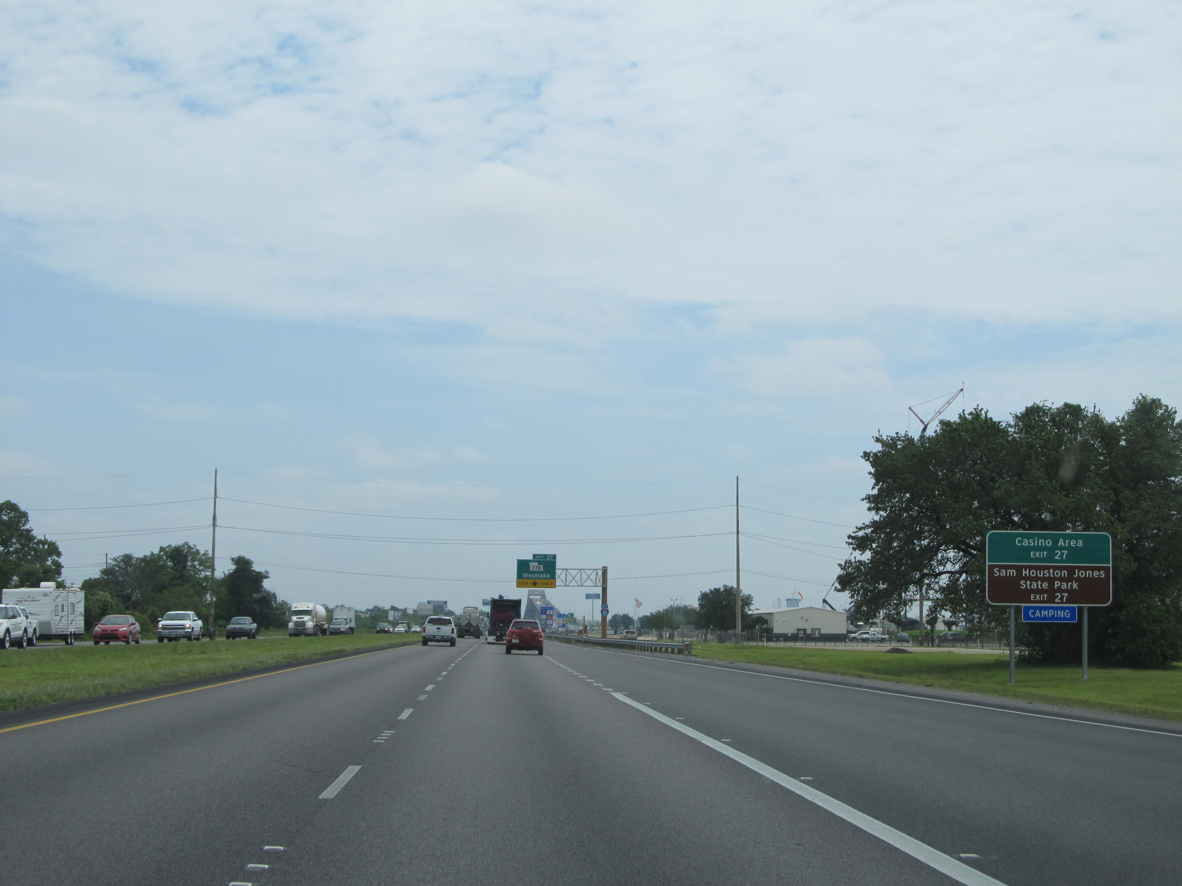 |
Take Exit 27 to the Casino Area and Sam Houston Jones State Park. (Photo taken 5/22/15). |
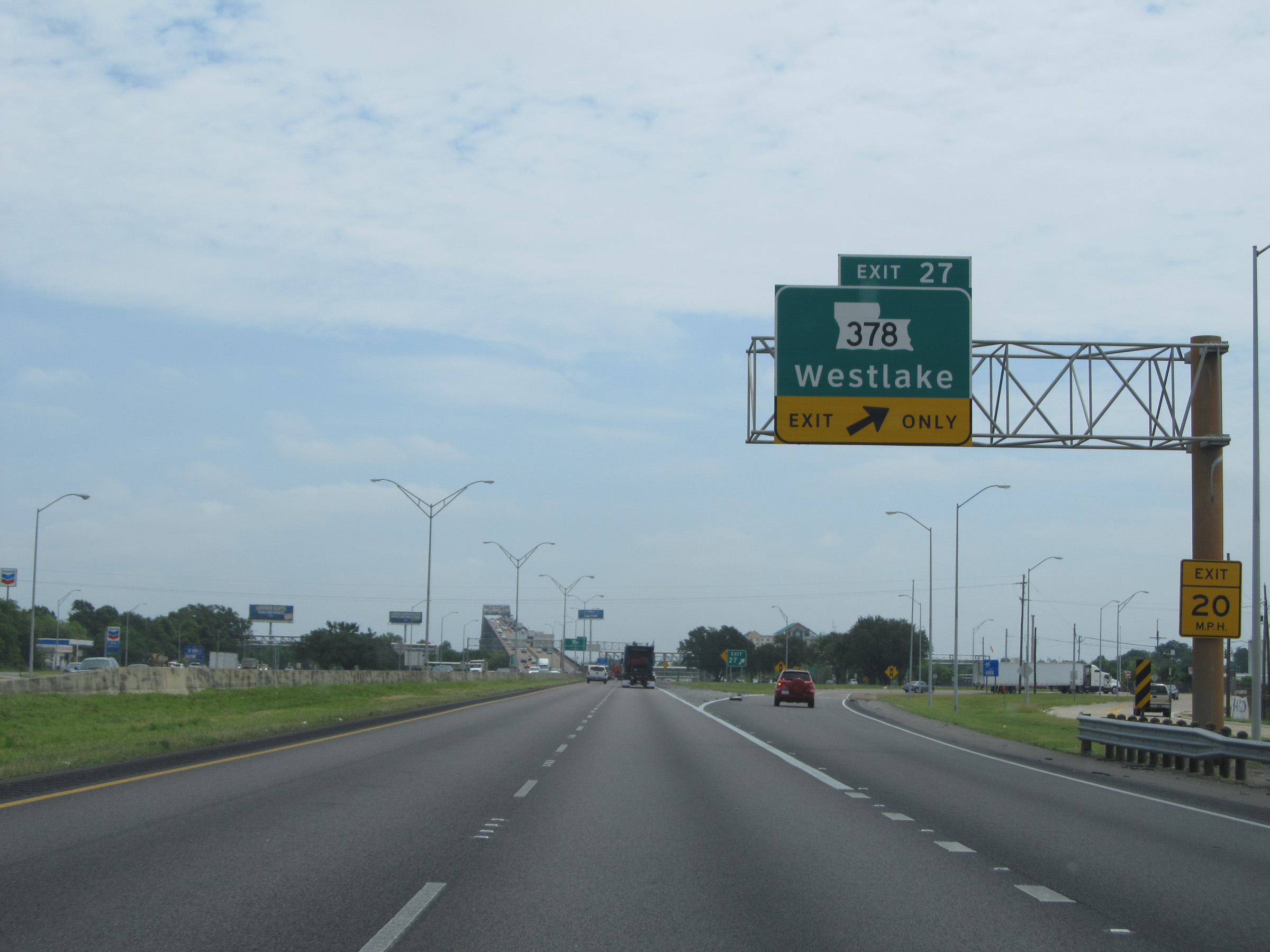 |
Interstate 10 East at Exit 27: LA 378 - Westlake (Photo taken 5/22/15). |
 |
As you approach the bridge over the Calcasieu River, the speed limit drops to 50 mph. Trucks are restricted to the right lane on the bridge. (Photo taken 5/22/15). |
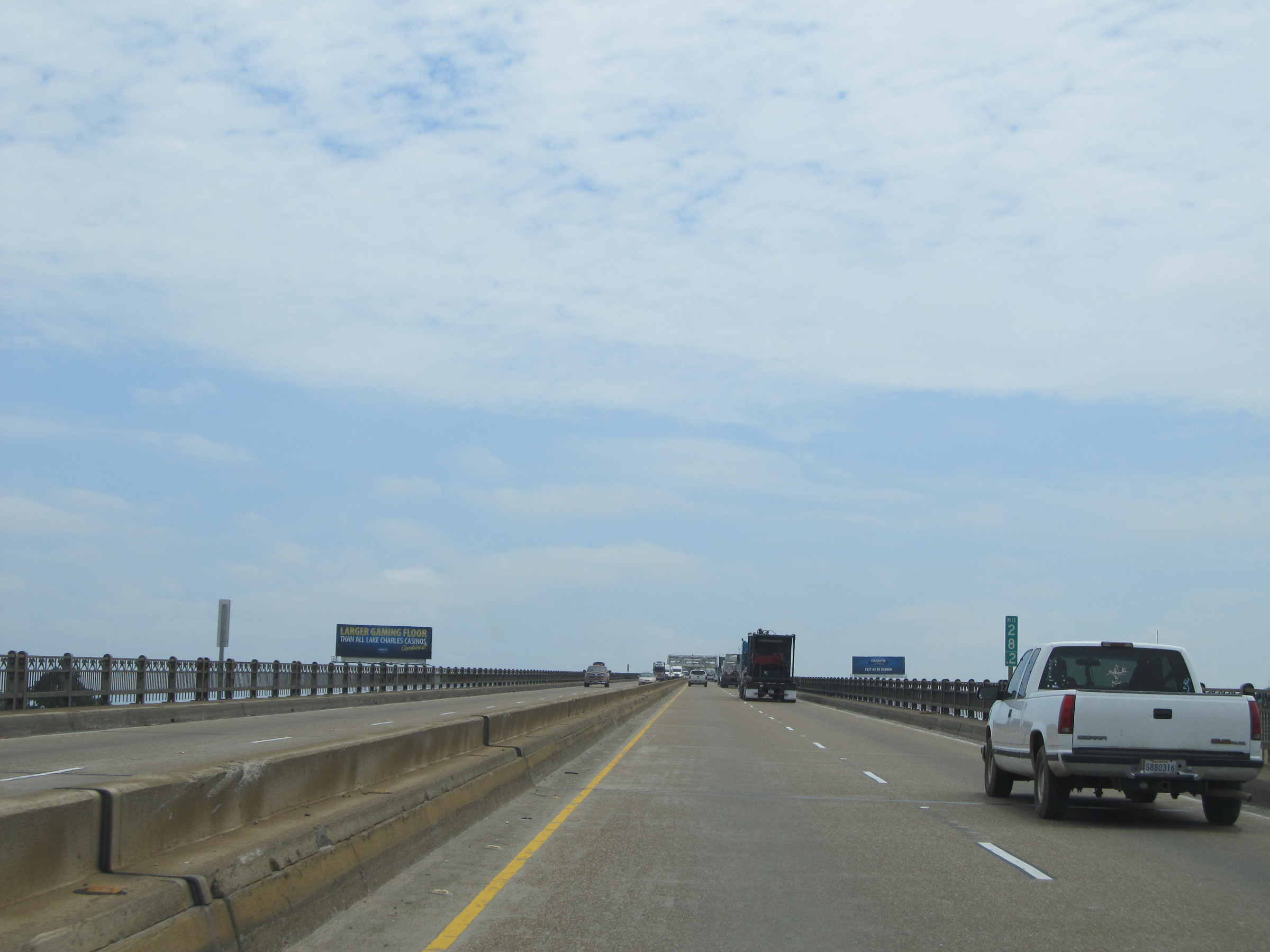 |
Interstate 10 East: View from mile marker 28.2, as you start over the bridge. (Photo taken 5/22/15). |
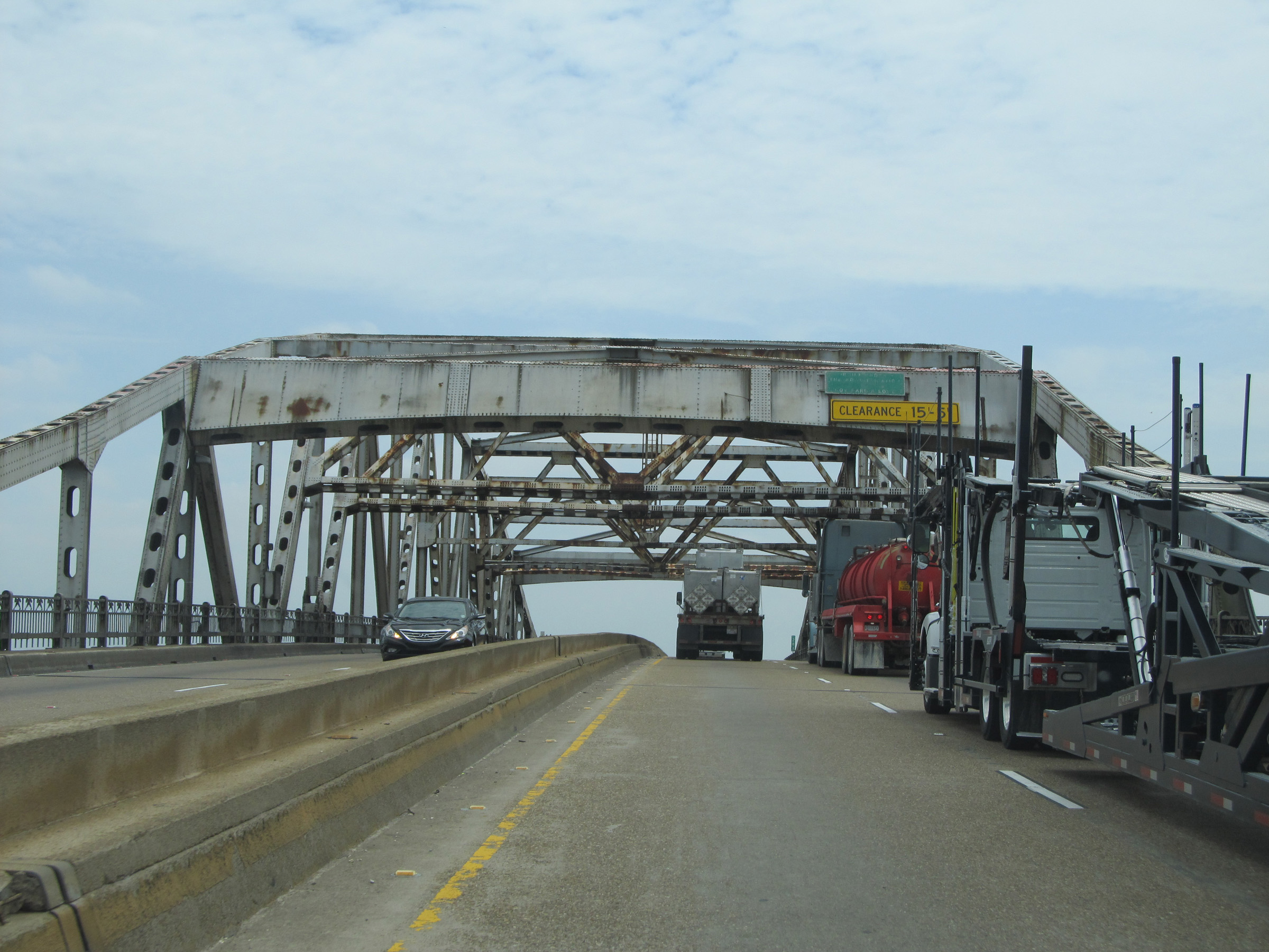 |
Interstate 10 East: View crossing the bridge over the Calcasieu River. (Photo taken 5/22/15). |
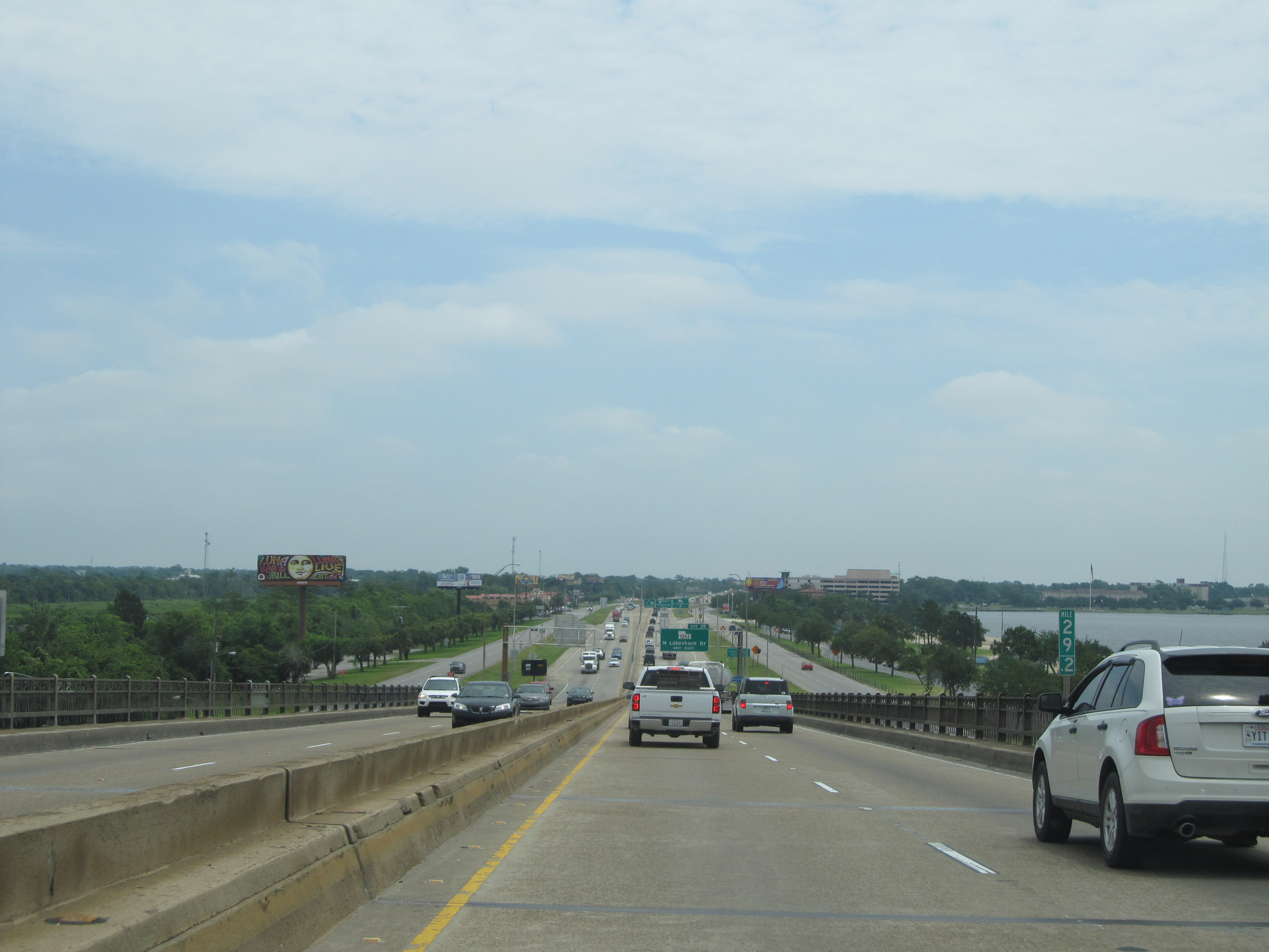 |
Interstate 10 East: Road view from mile marker 29.2, as you come down off the east side of the bridge. (Photo taken 5/22/15). |
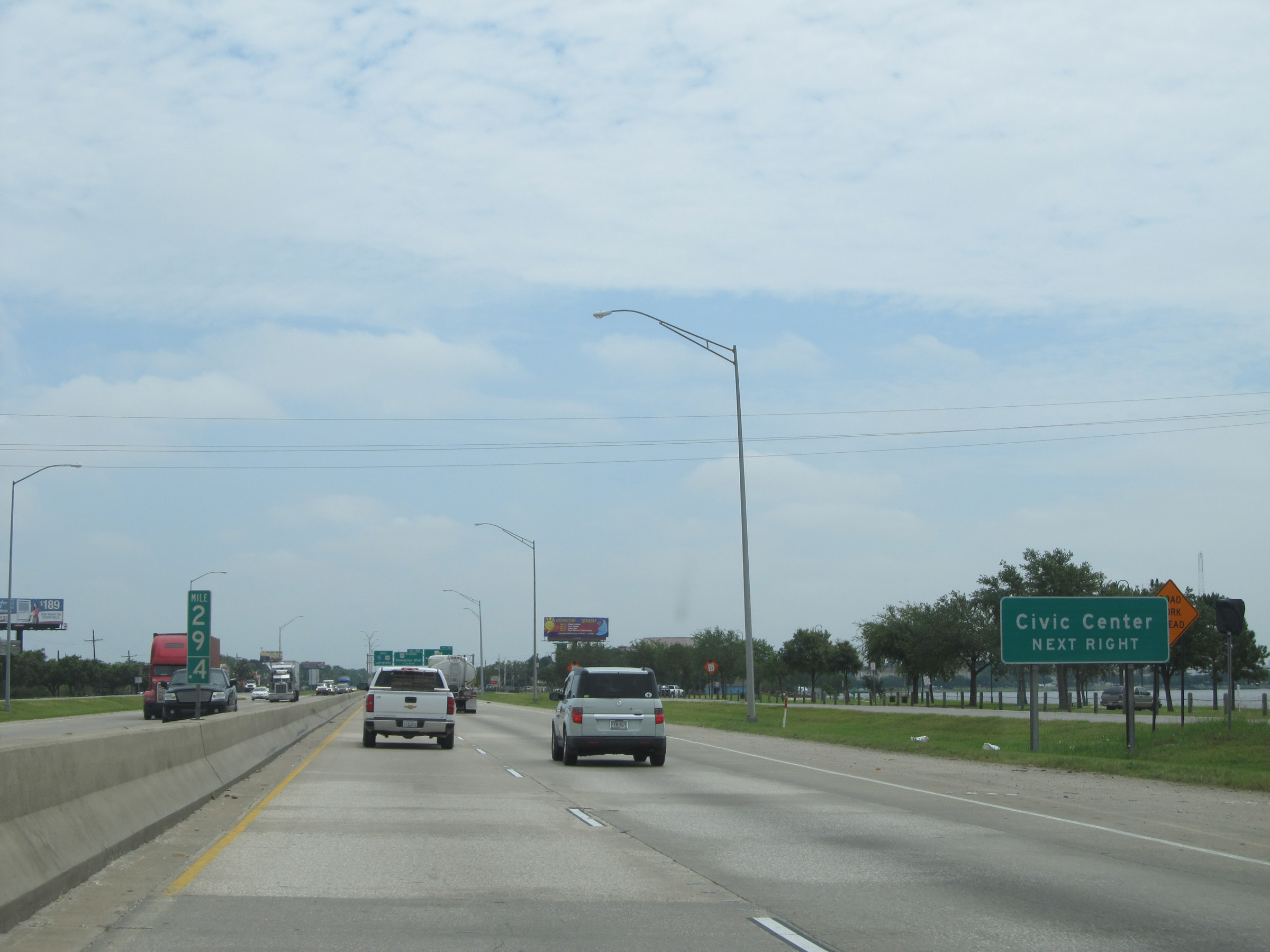 |
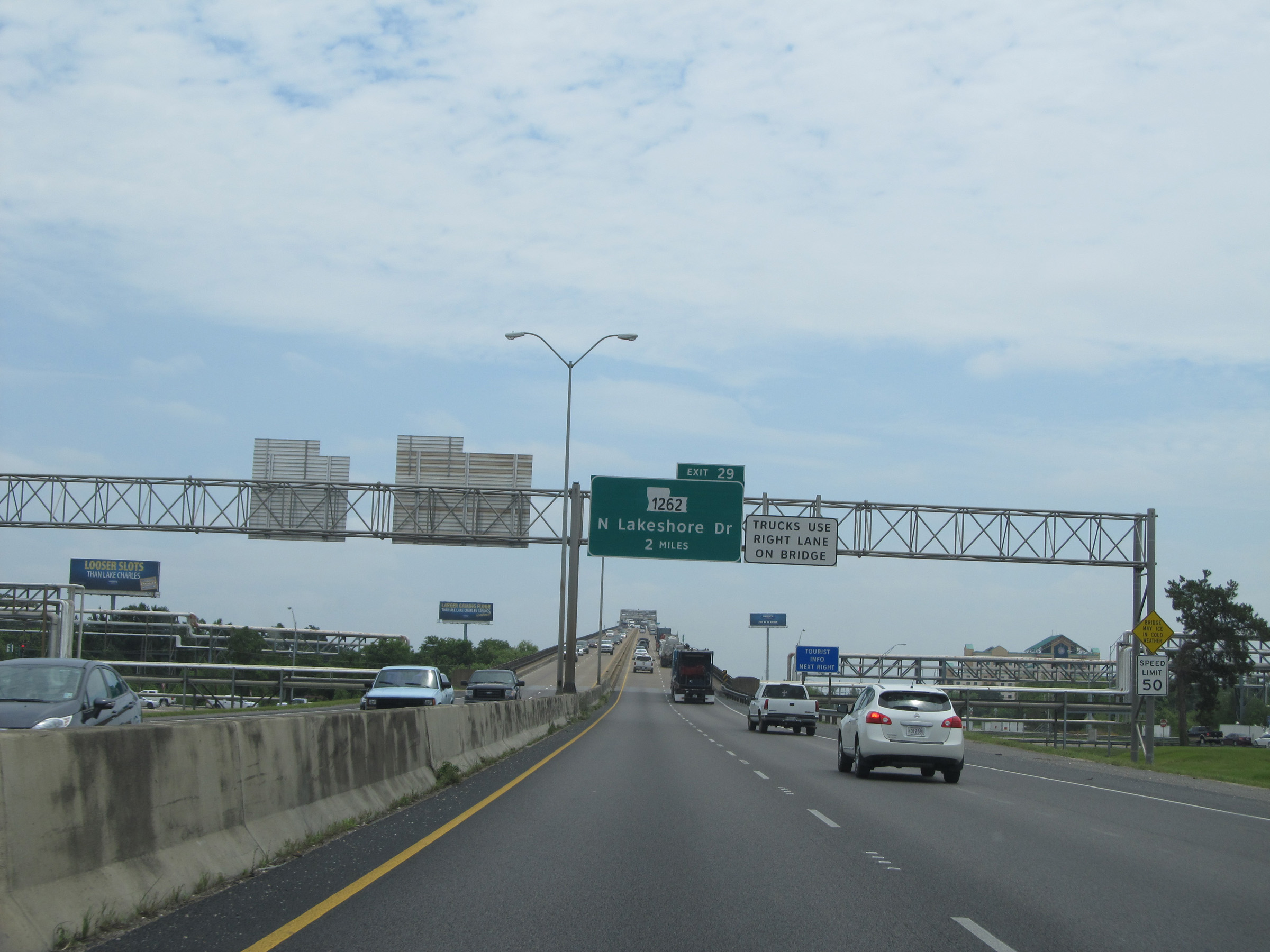
Take Exit 29 to the Civic Center. (Photo taken 5/22/15). |
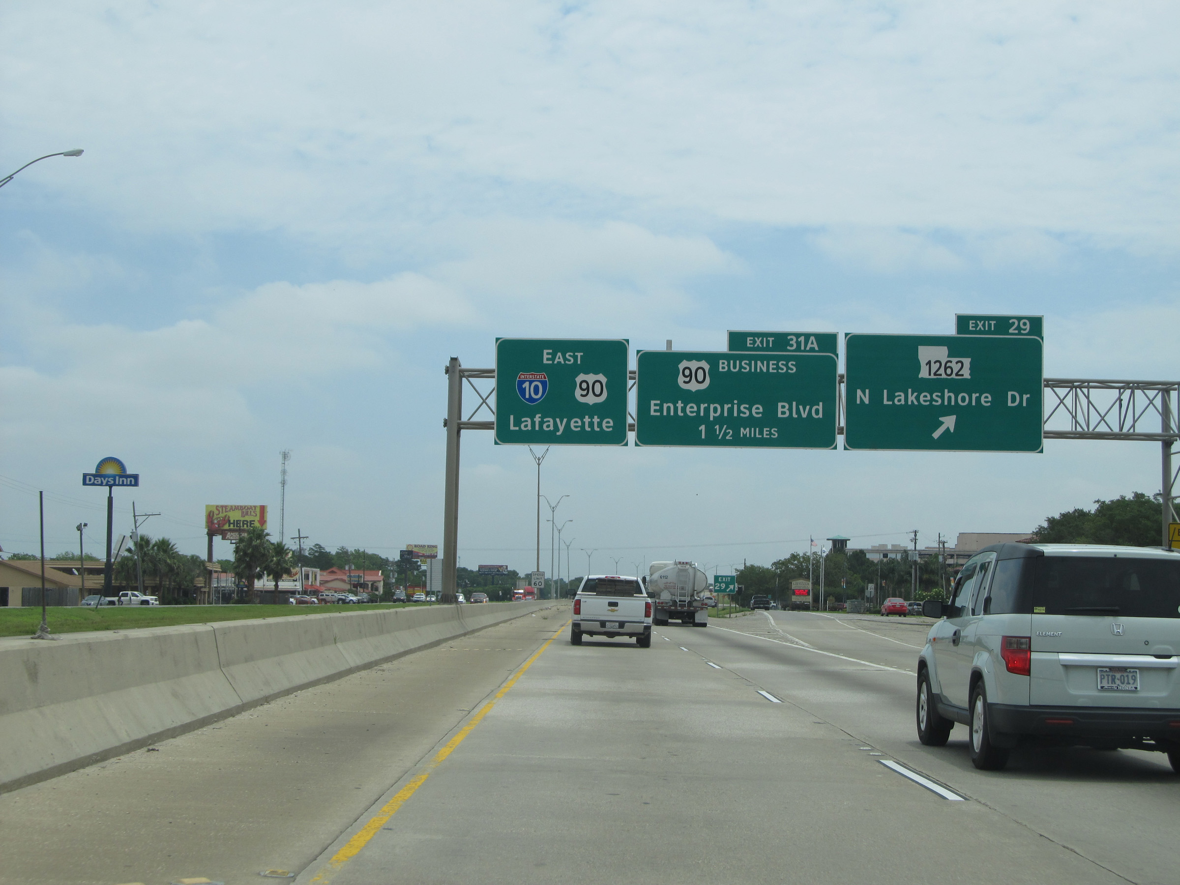 |
Interstate 10 East at Exit 29: LA 1262 - N Lakeshore Dr (Photo taken 5/22/15). |
 |
Once on the east side of the bridge over the Calcasieu River, the speed limit of 60 mph resumes. (Photo taken 5/22/15). |
 |
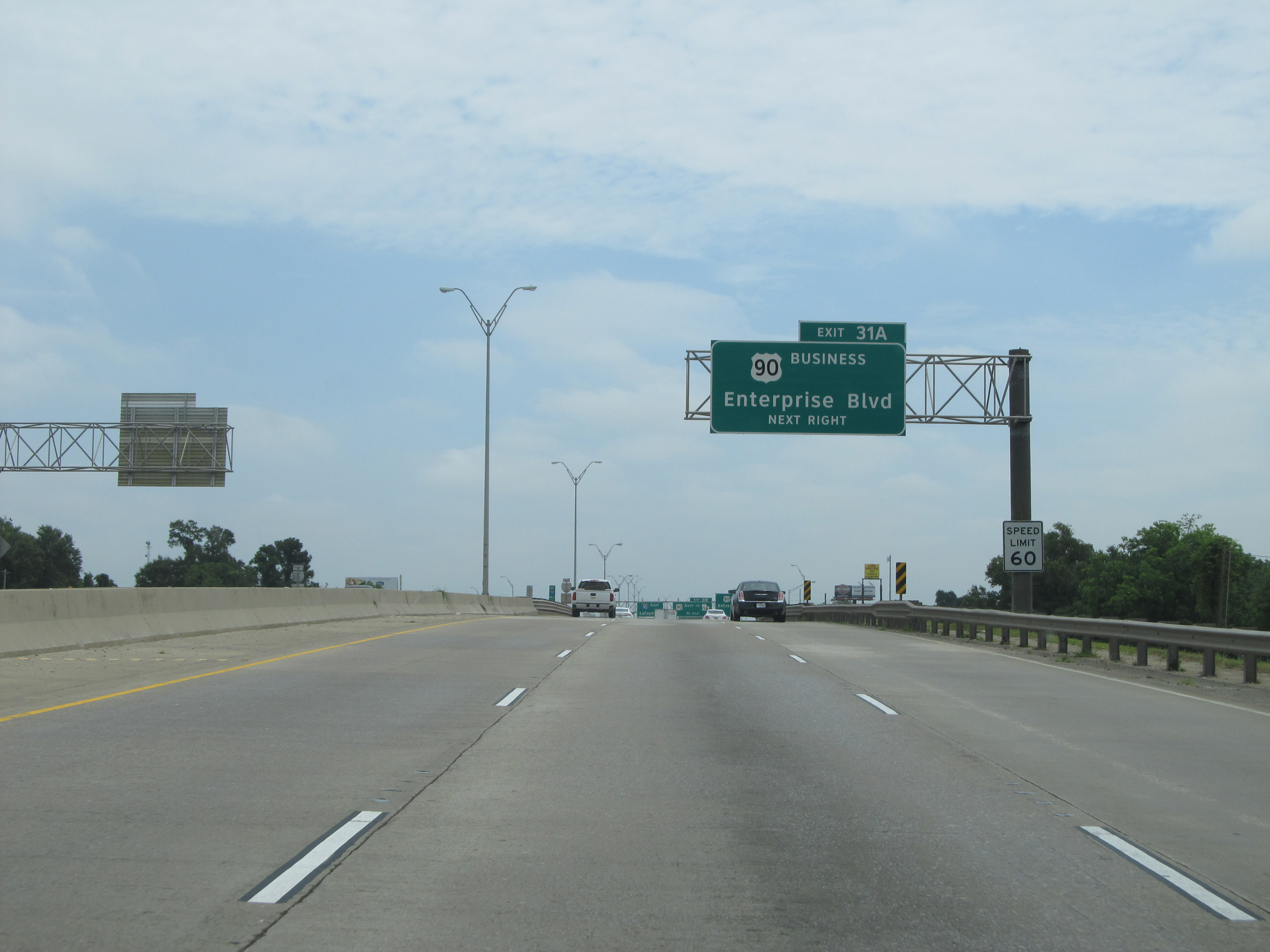
Interstate 10 East at Exit 31A: US 90 Business - Enterprise Blvd (Photo taken 5/22/15). |
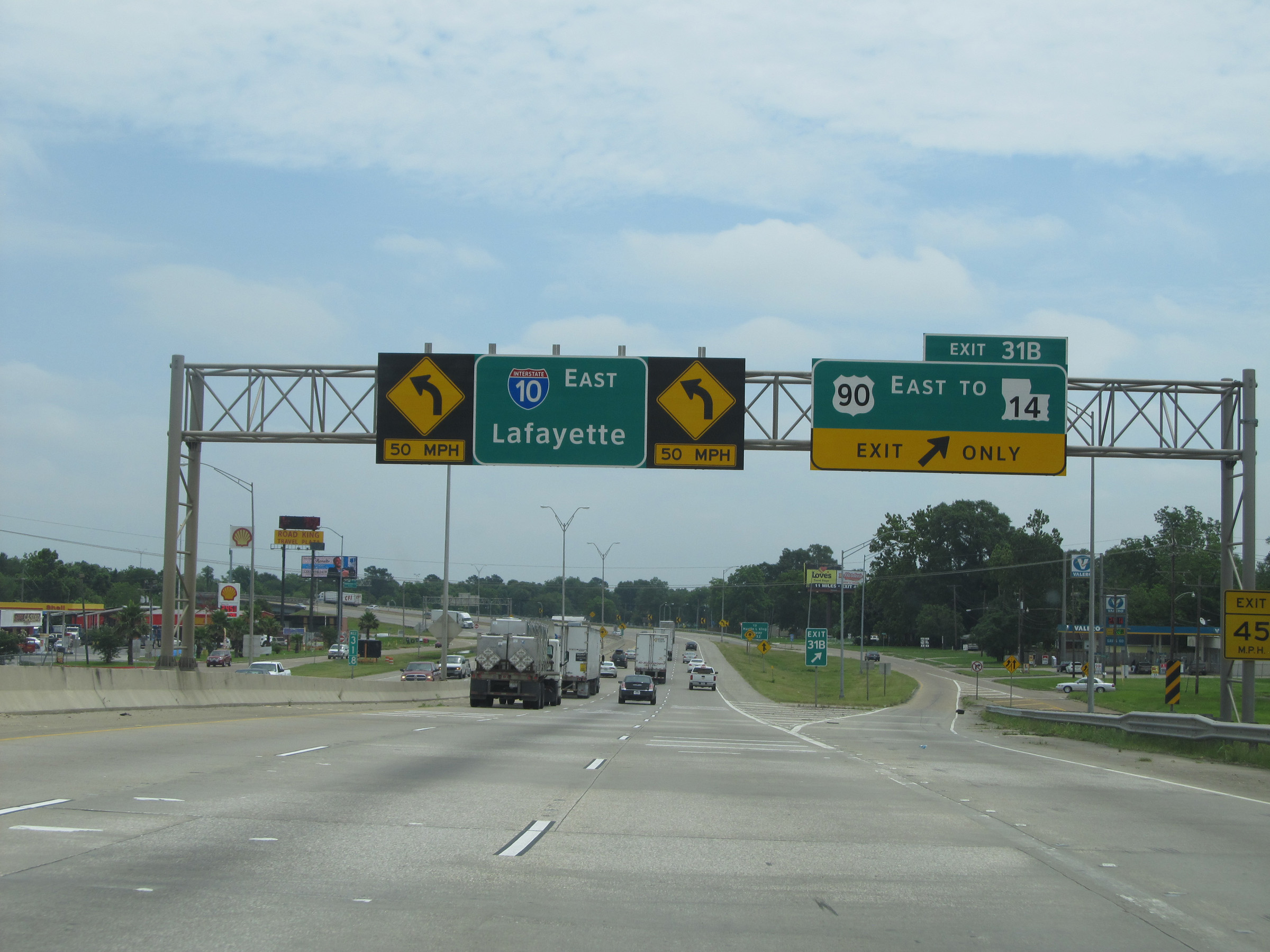 |
Interstate 10 East at Exit 31B: US 90 East / To LA 14 (Photo taken 5/22/15). |
 |
Take Exit 32 to Martin Luther King Highway. (Photo taken 5/22/15). |
 |
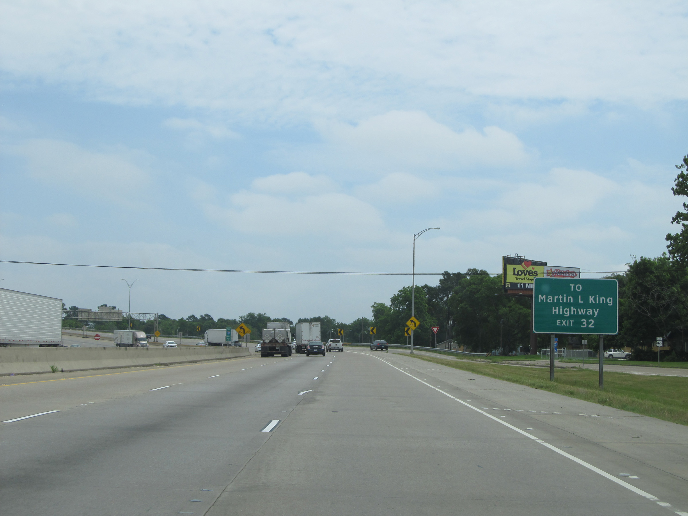
Interstate 10 East at Exit 32: Opelousas St (Photo taken 5/22/15). |
 |
Use Exit 33 to Sam Houston Jones State Park. (Photo taken 5/22/15). |
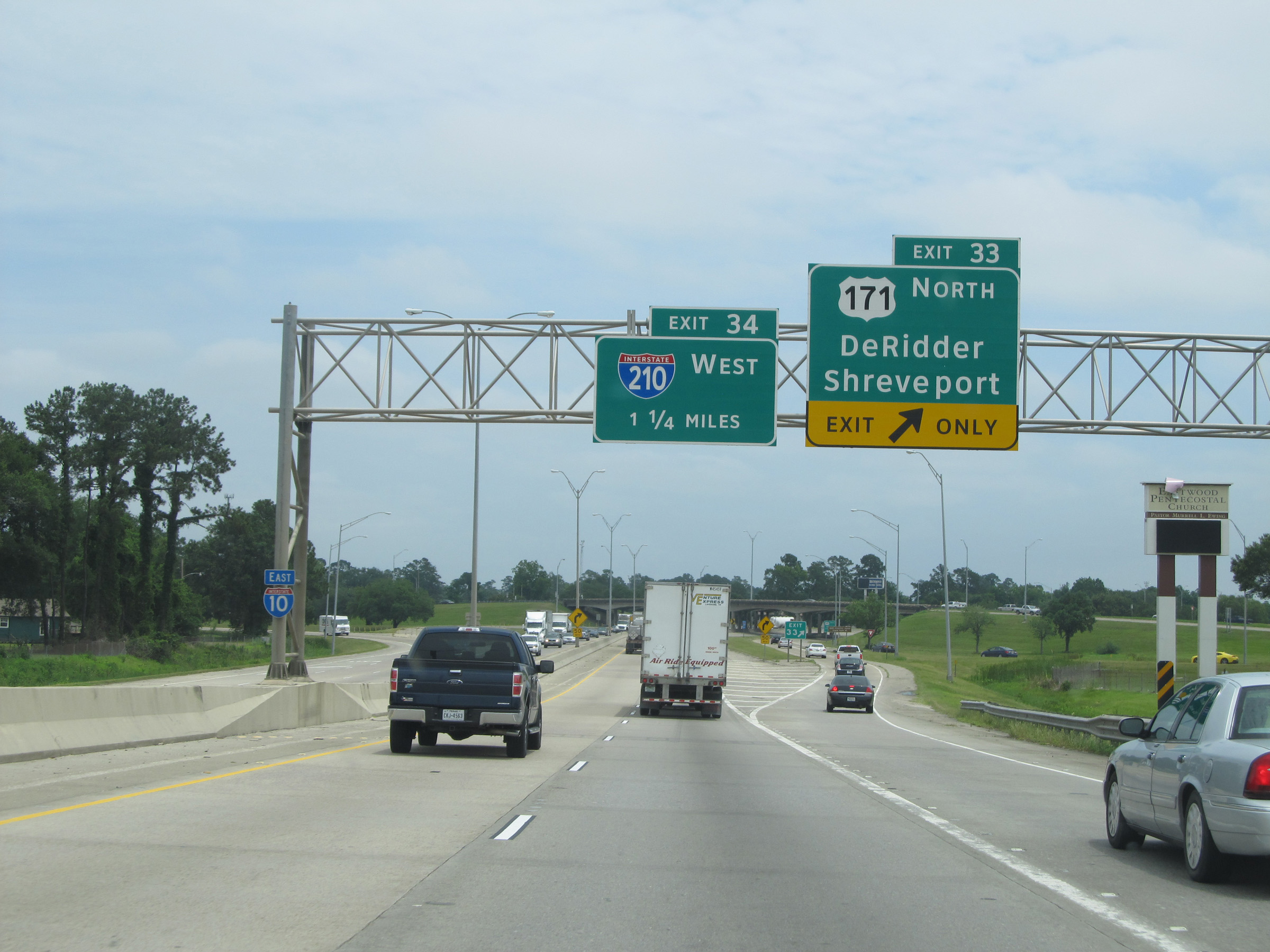 |
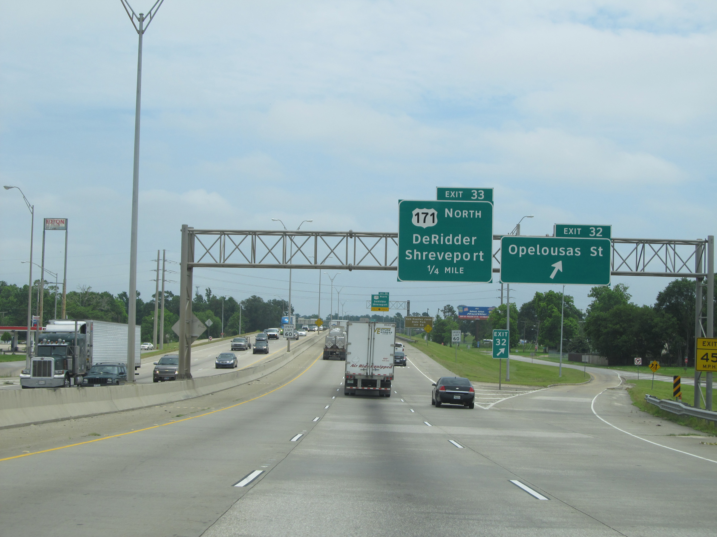
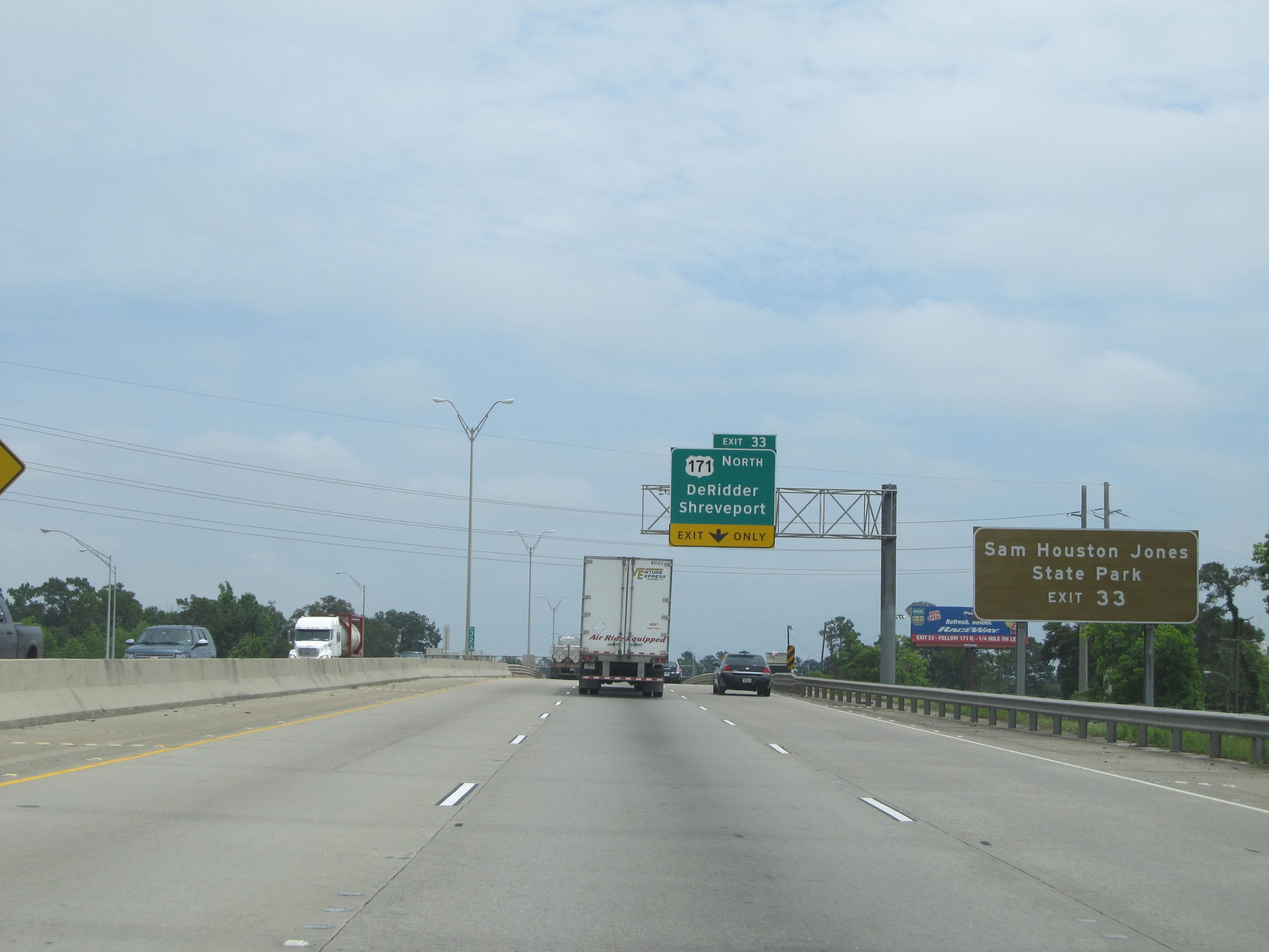
Interstate 10 East at Exit 33: US 171 North - DeRidder / Shreveport (Photo taken 5/22/15). |
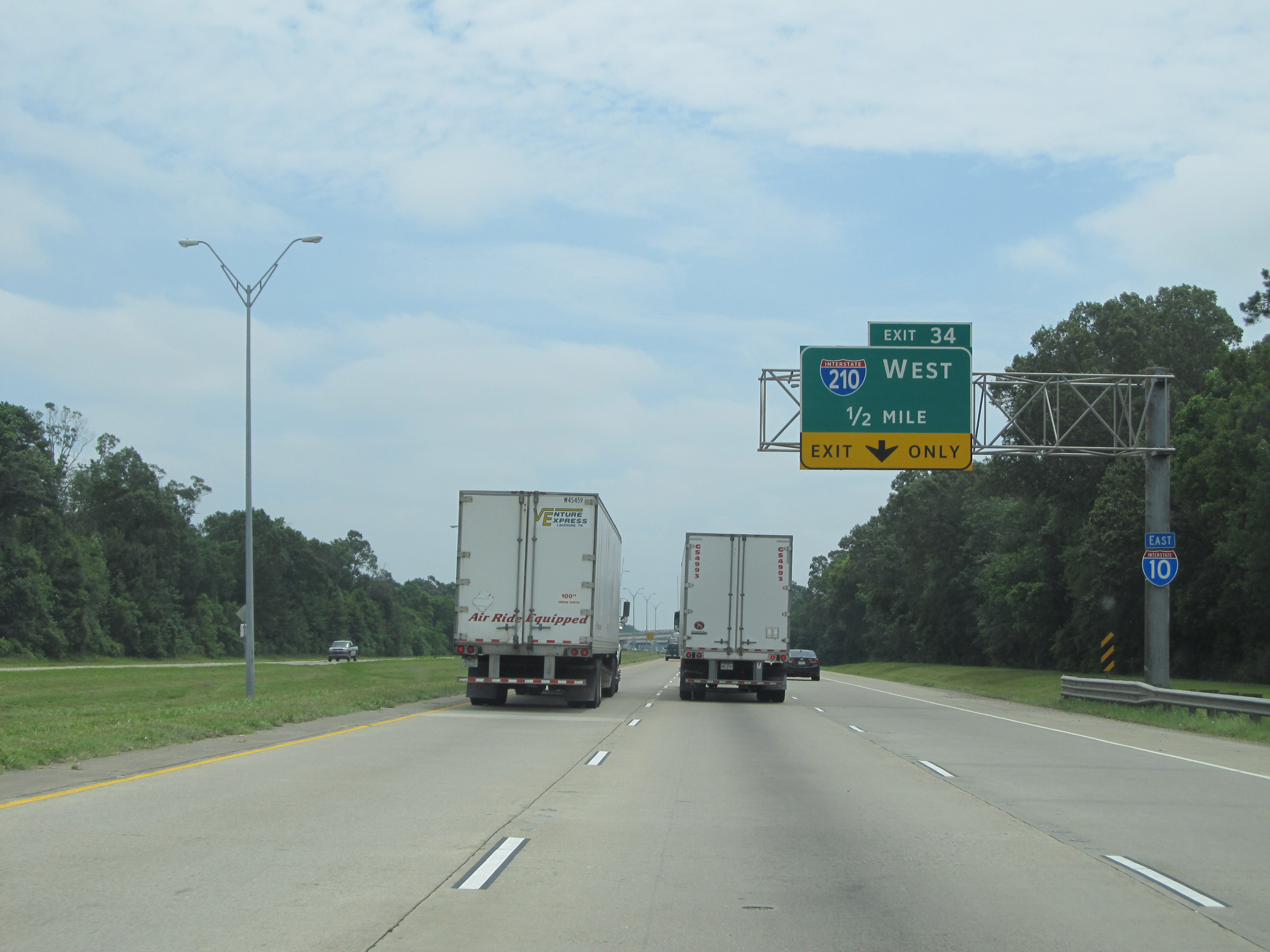 |
Interstate 10 East approaching Exit 34 - 1/2 mile. (Photo taken 5/22/15). |
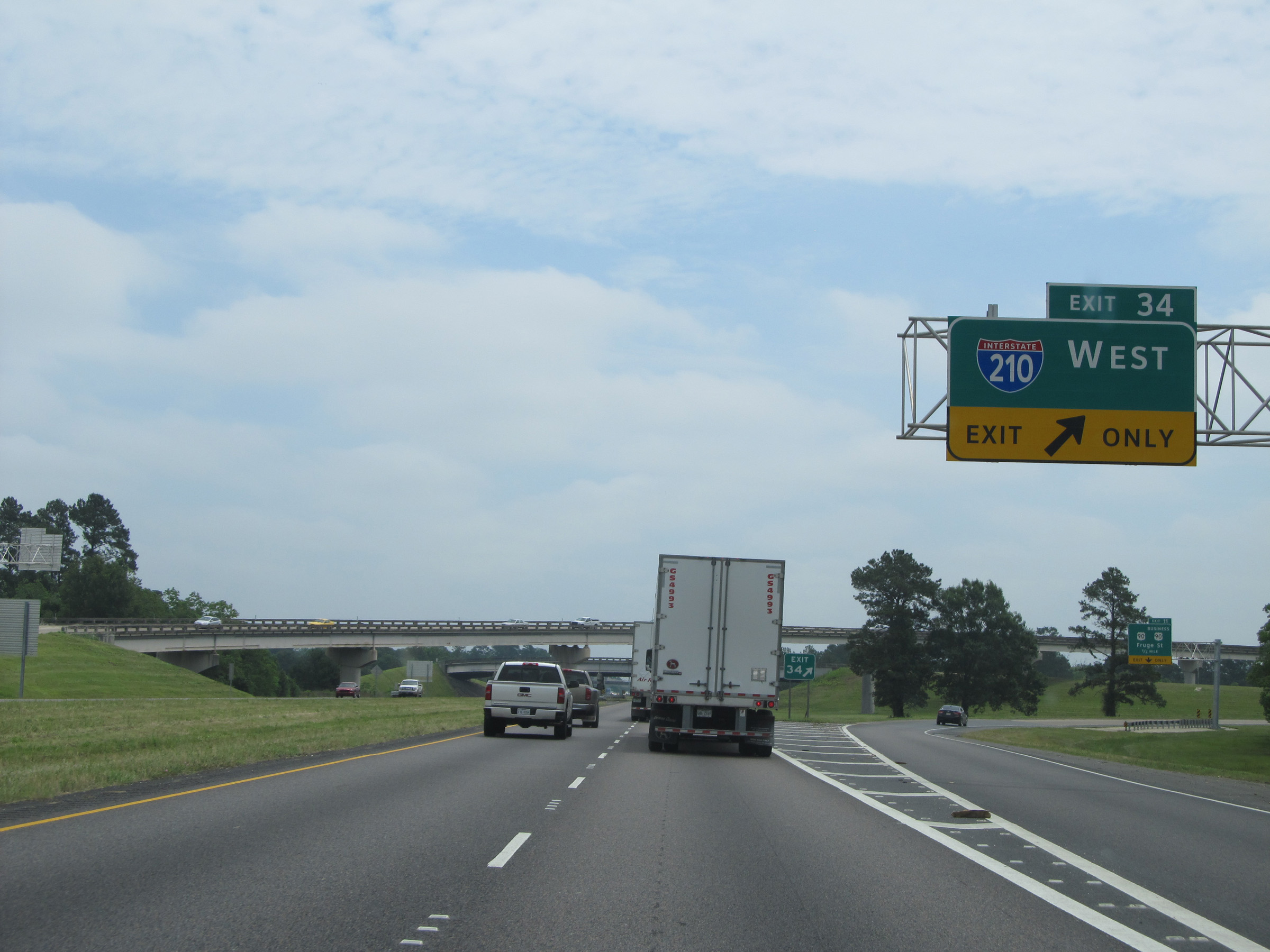 |
Interstate 10 East at Exit 34: Interstate 210 West (Photo taken 5/22/15). |
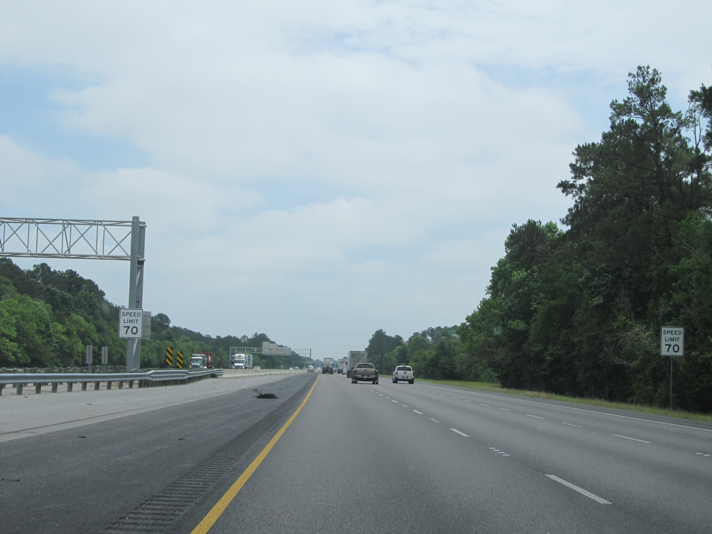 |
Just past Exit 34, the standard speed limit of 70 mph resumes. (Photo taken 5/22/15). |
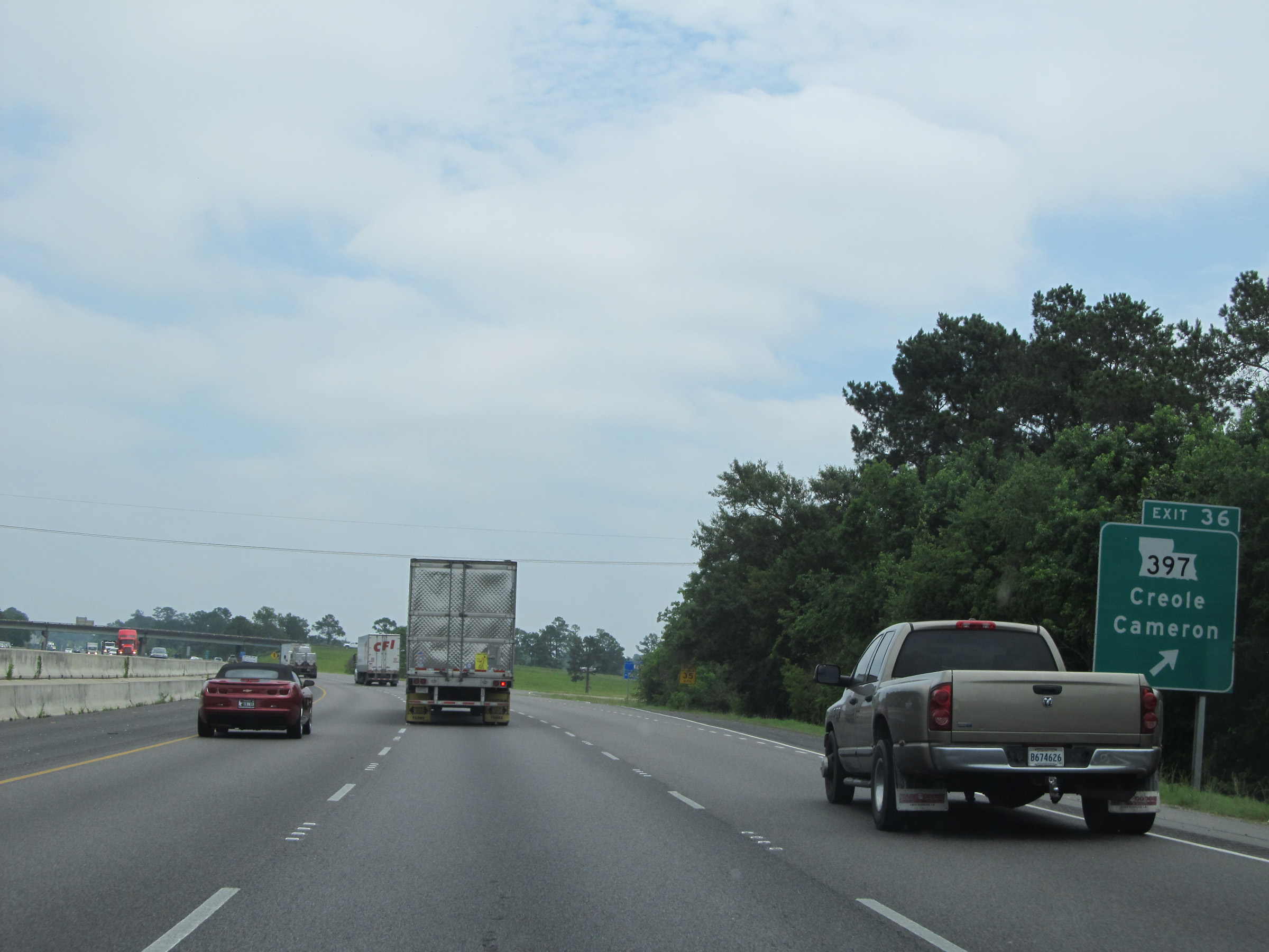 |
Interstate 10 East at Exit 36: LA 397 - Creole / Cameron (Photo taken 5/22/15). |
 |
Interstate 10 East: Road view from mile marker 40. (Photo taken 5/22/15). |
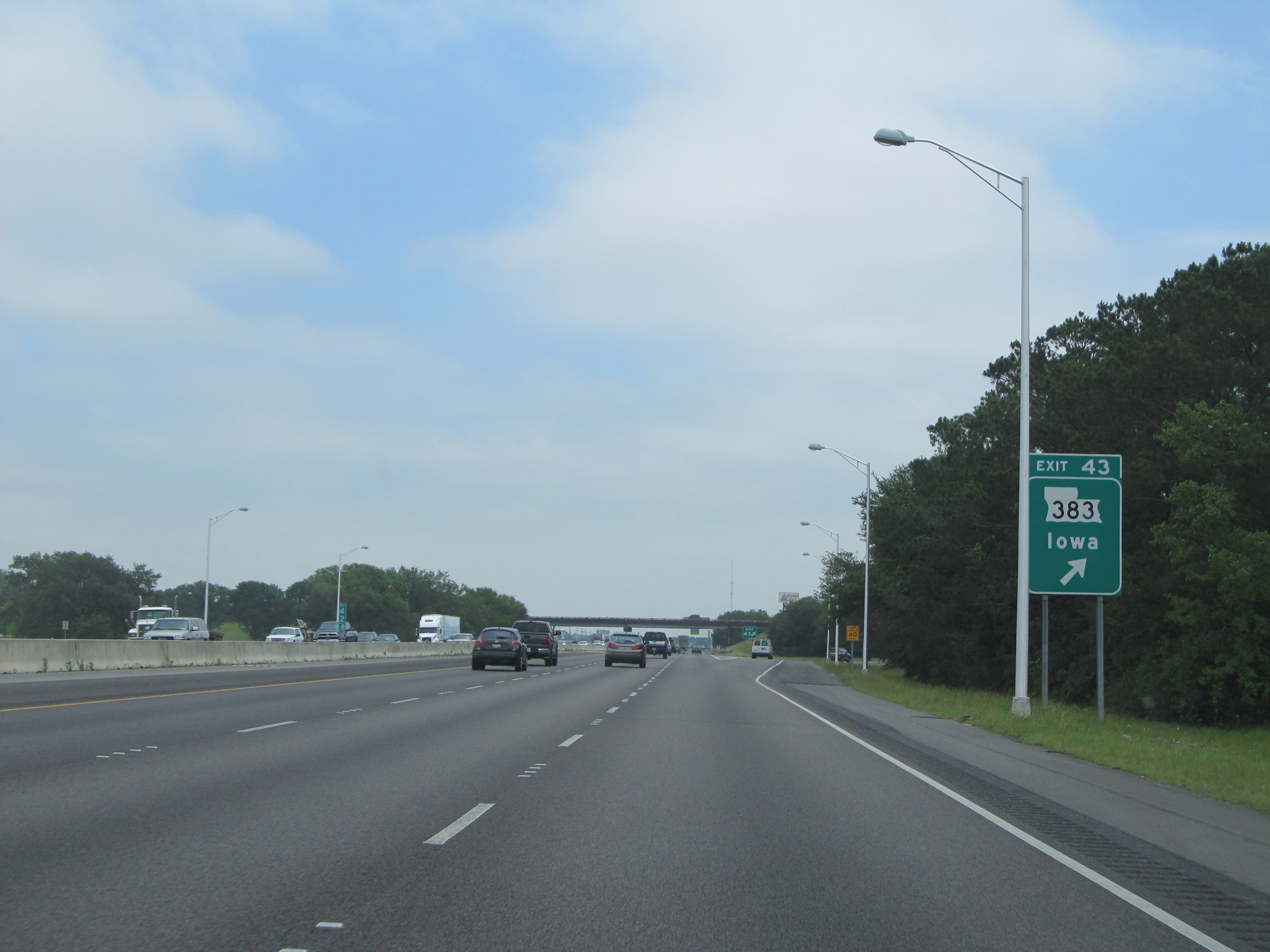 |
Interstate 10 East at Exit 43: LA 383 - Iowa (Photo taken 5/22/15). |
 |
Interstate 10 East as it enters Jefferson Davis Parish. (Photo taken 5/22/15). |
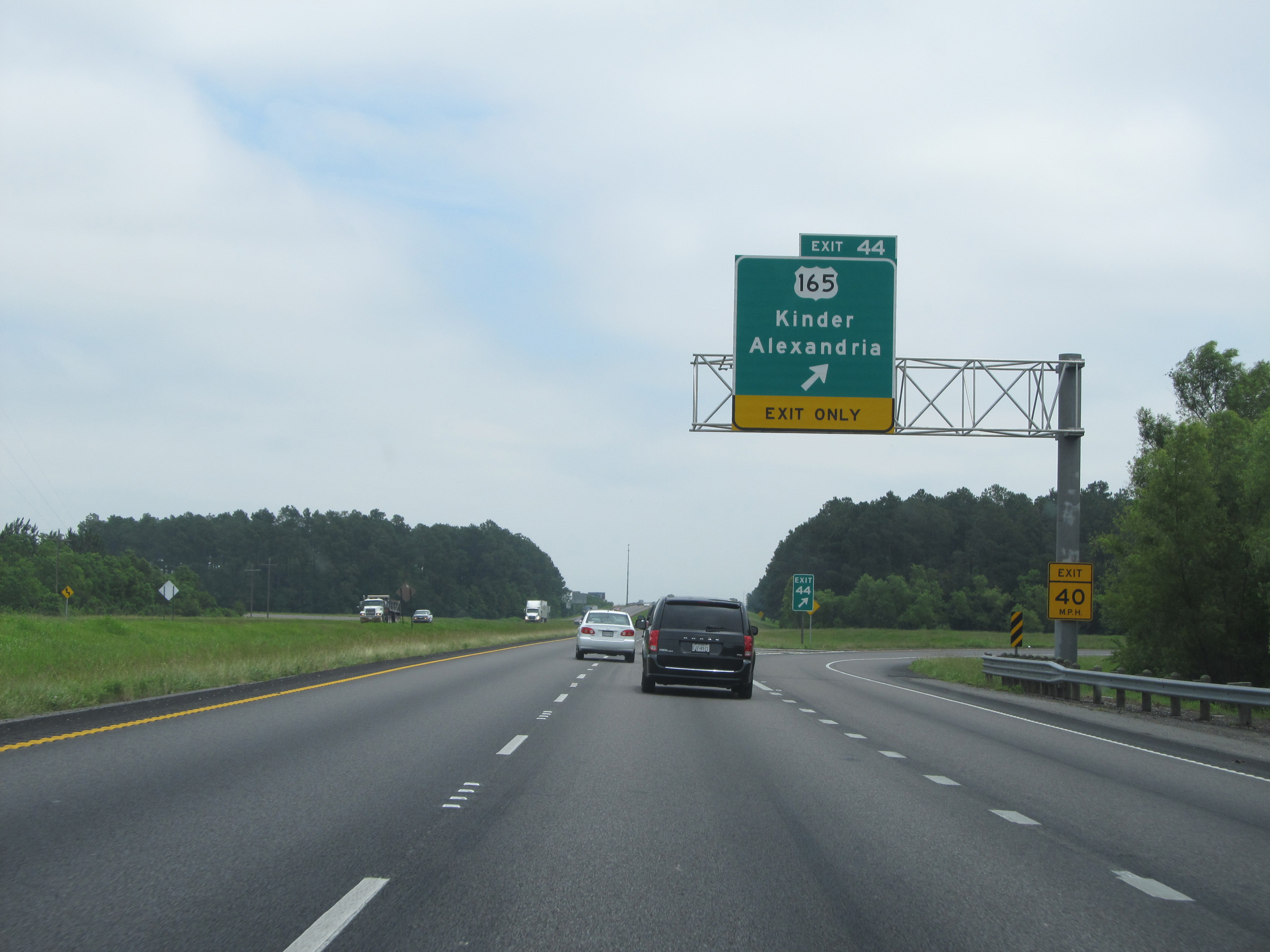 |
Interstate 10 East at Exit 44: US 165 - Kinder / Alexandria (Photo taken 5/22/15). |
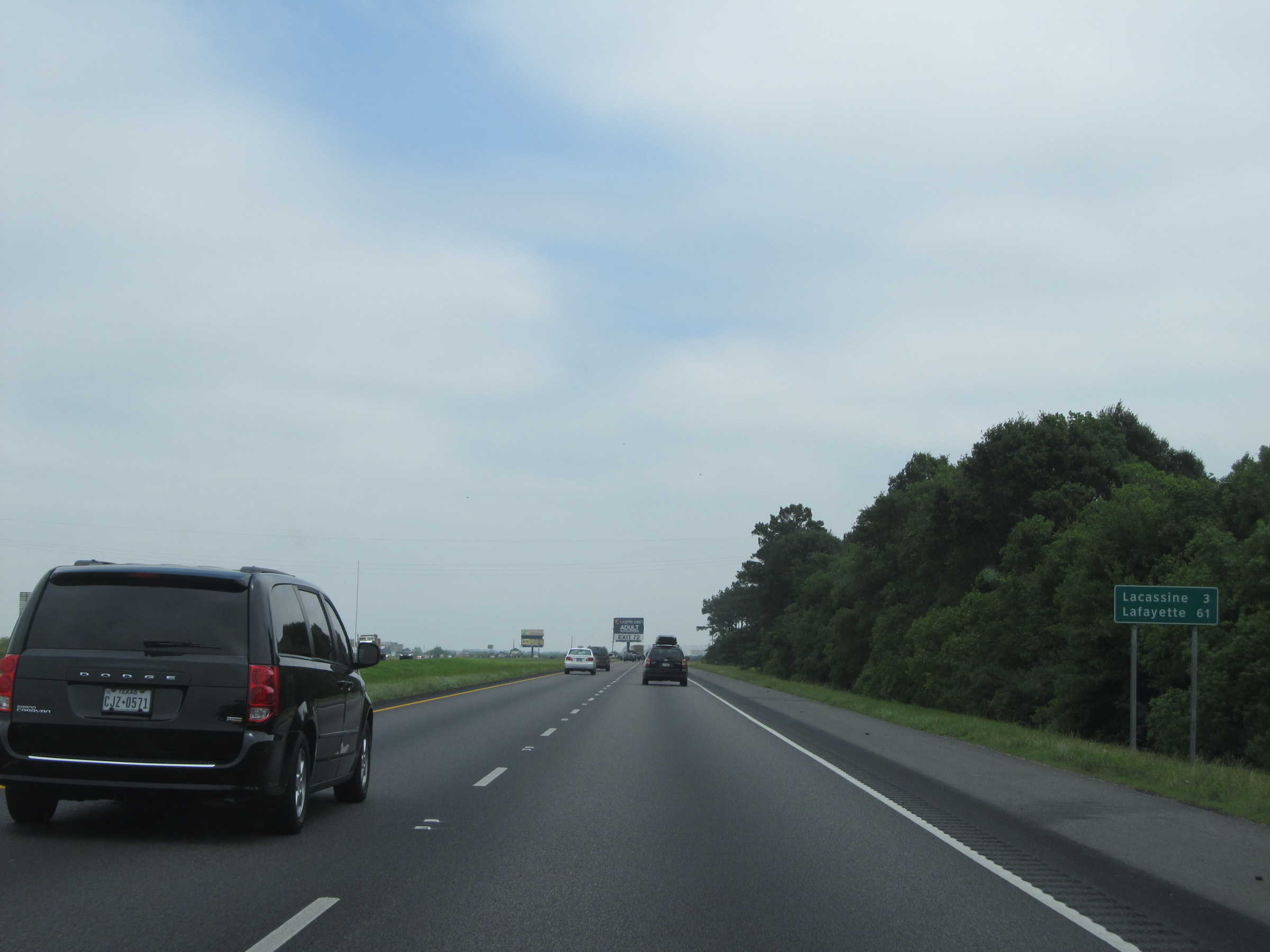 |
Mileage sign located near mile marker 45. It's 3 miles to Lacassine and 61 miles to Lafayette. (Photo taken 5/22/15). |
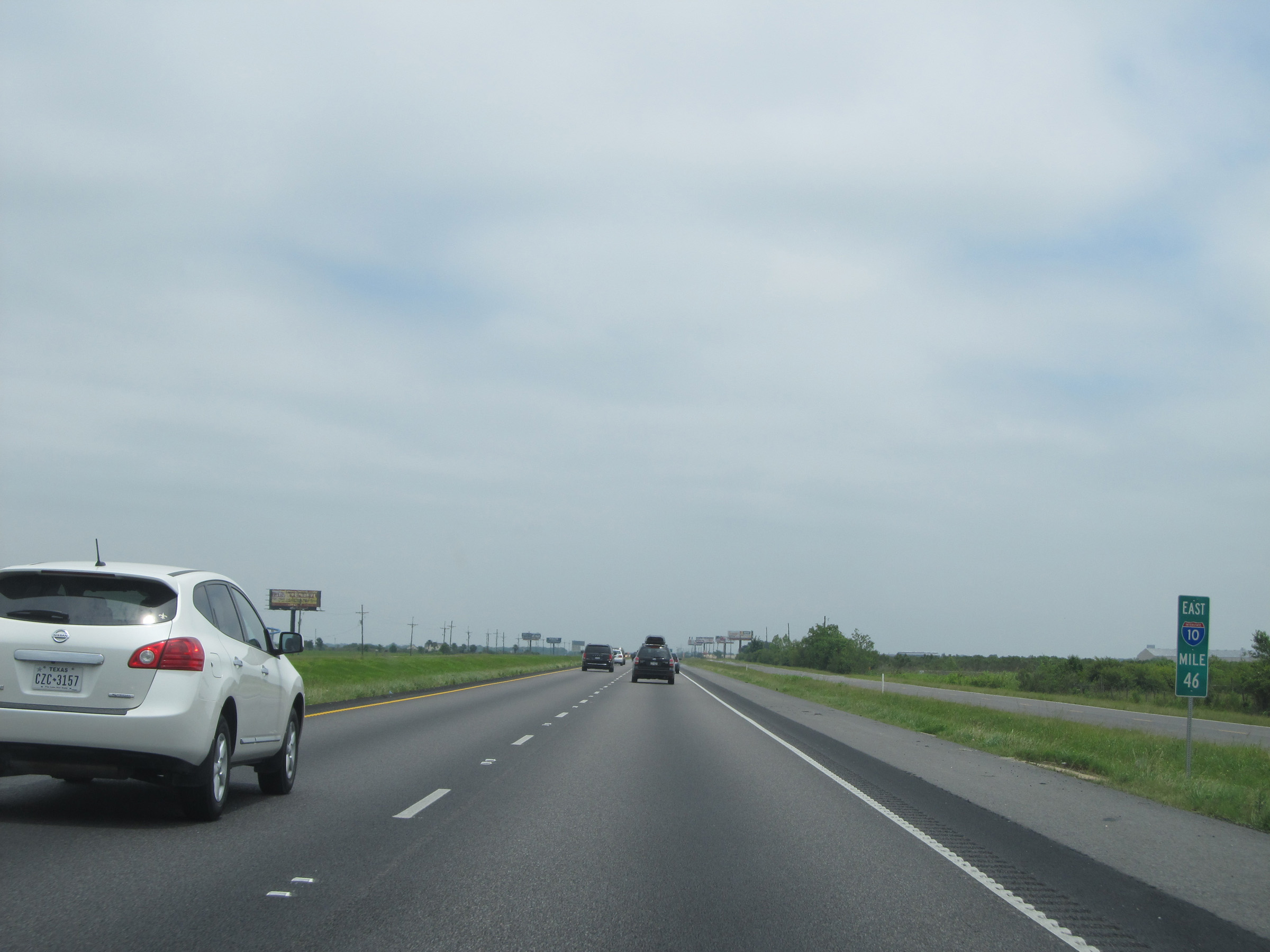 |
Interstate 10 East: Road view from mile marker 46. (Photo taken 5/22/15). |
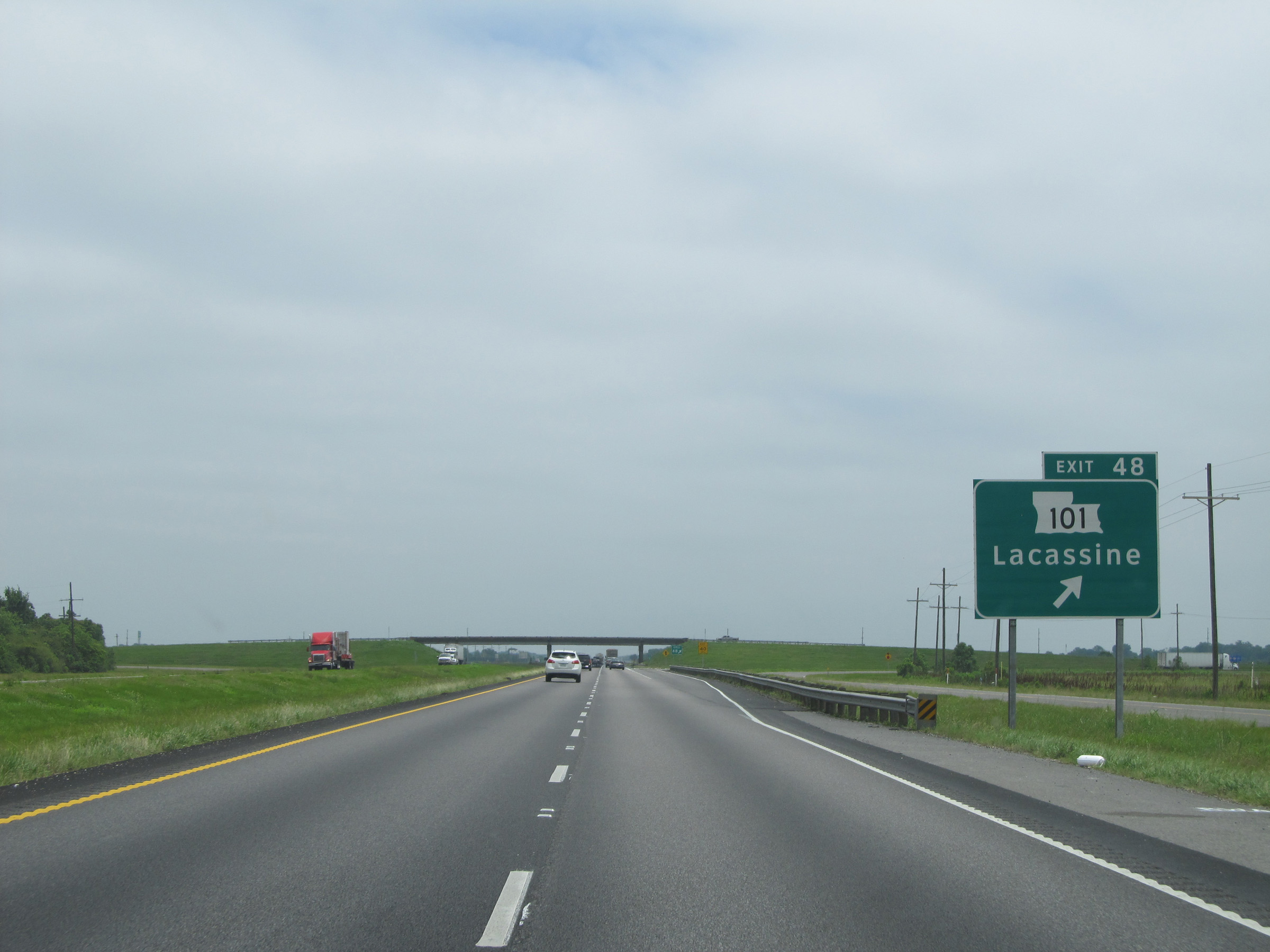 |
Interstate 10 East at Exit 48: LA 101 - Lacassine (Photo taken 5/22/15). |
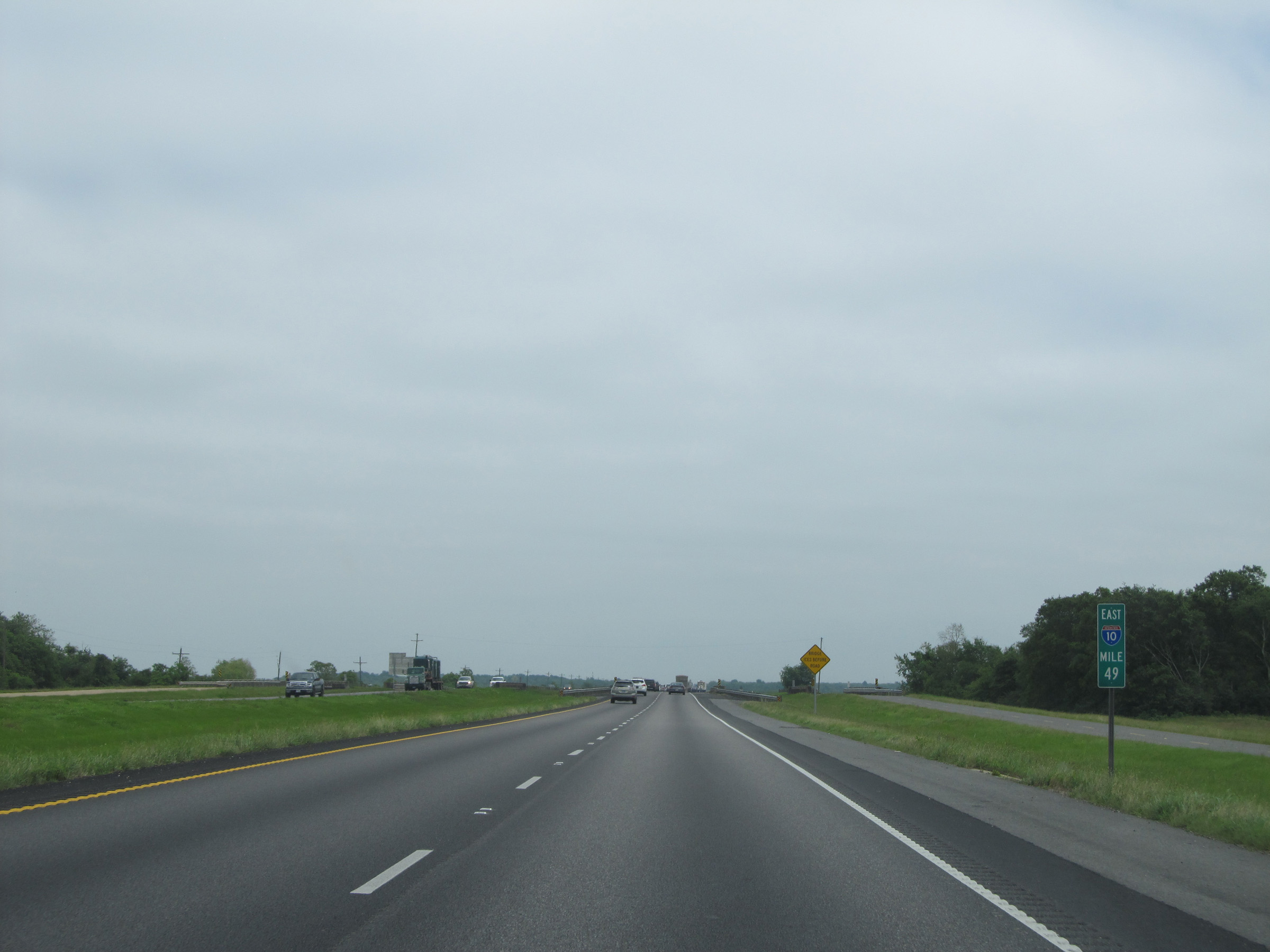 |
Interstate 10 East: Road view from mile marker 49. (Photo taken 5/22/15). |
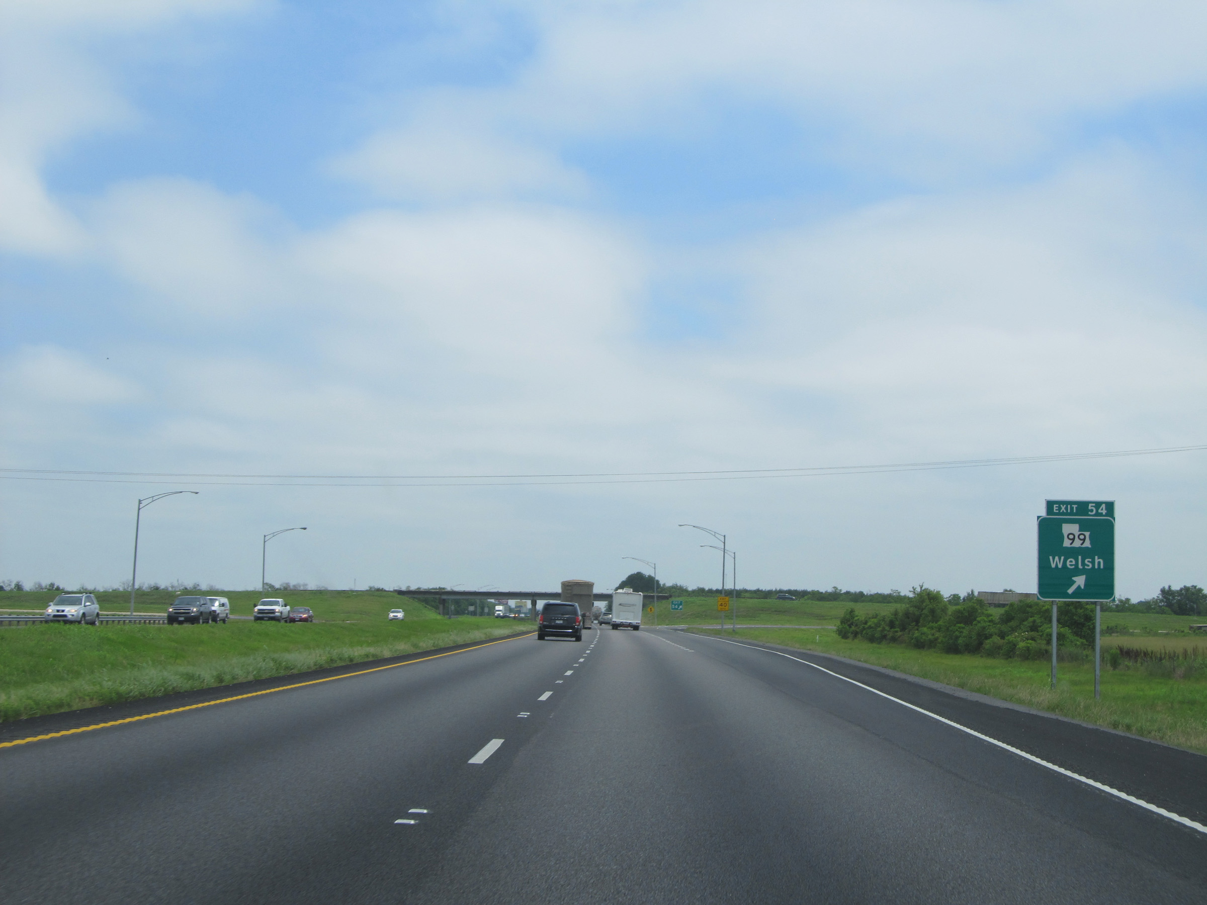 |
Interstate 10 East at Exit 54: LA 99 - Welsh (Photo taken 5/22/15). |
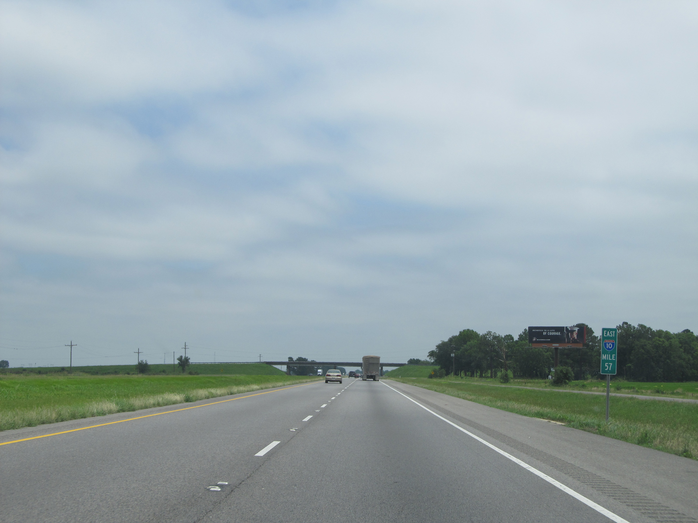 |
Interstate 10 East: Road view from mile marker 57. (Photo taken 5/22/15). |
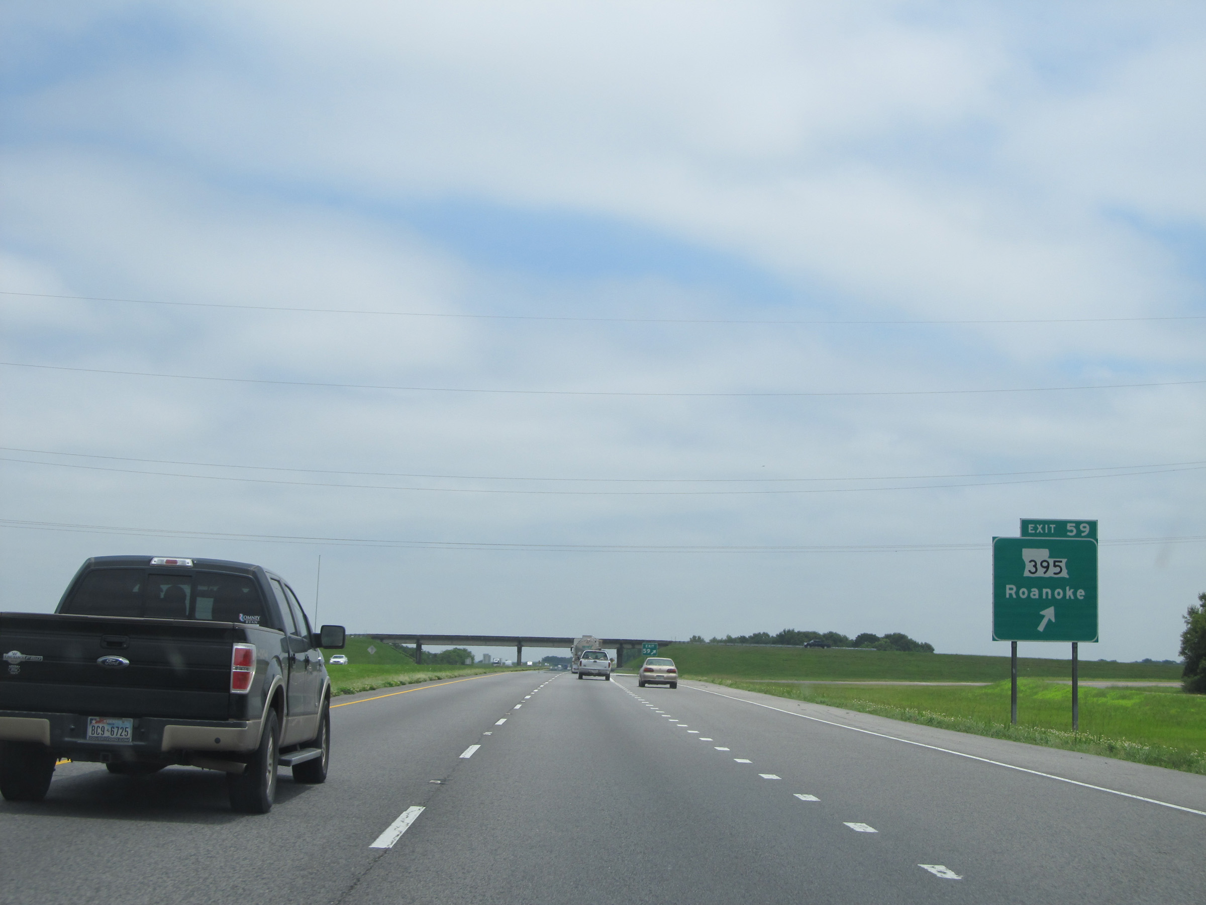 |
Interstate 10 East at Exit 59: LA 395 - Roanoke (Photo taken 5/22/15). |
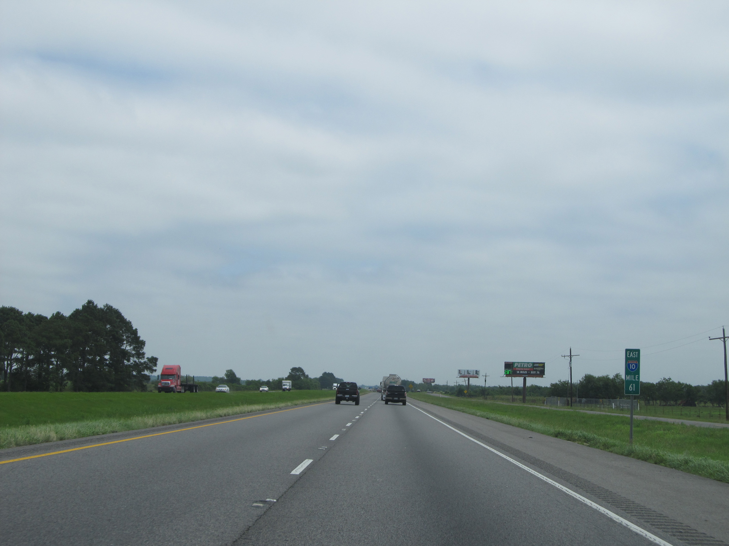 |
Interstate 10 East: View from mile marker 61. (Photo taken 5/22/15). |
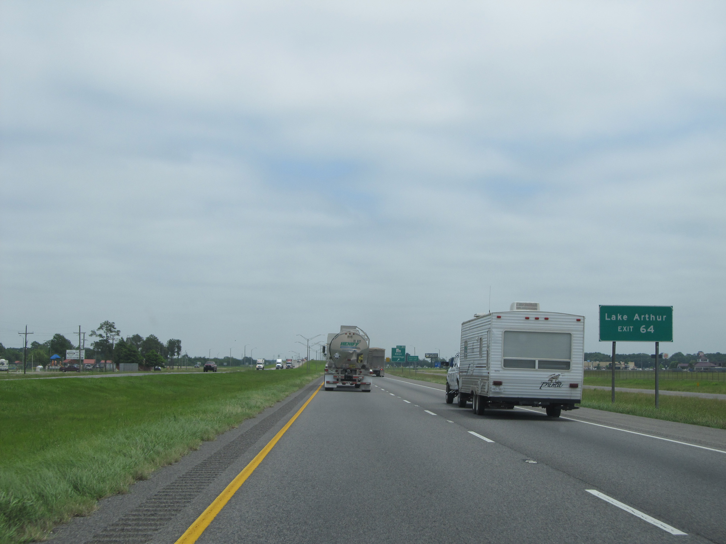 |
Take Exit 64 to Lake Arthur. (Photo taken 5/22/15). |
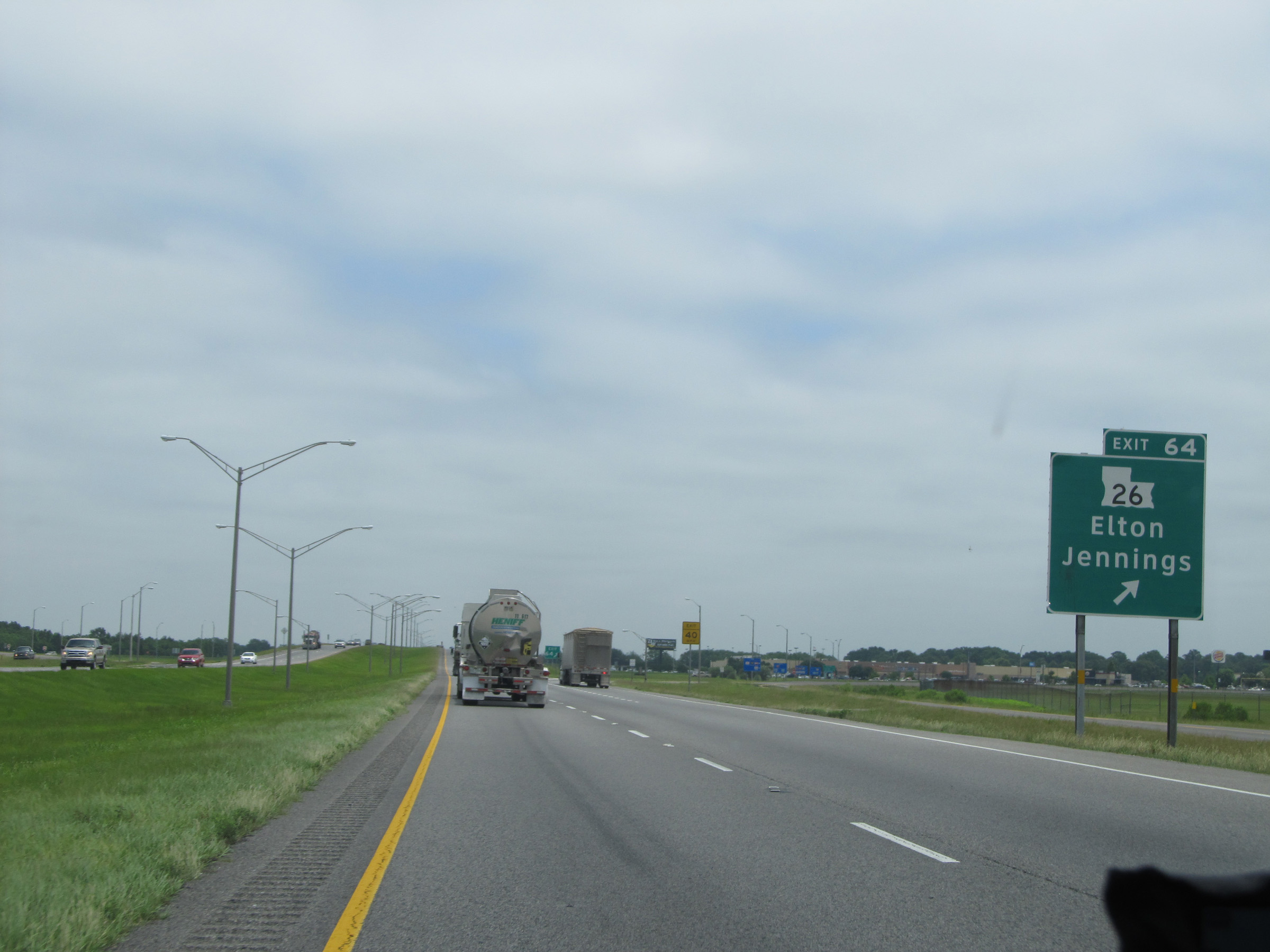 |
Interstate 10 East at Exit 64: LA 26 - Elton / Jennings (Photo taken 5/22/15). |
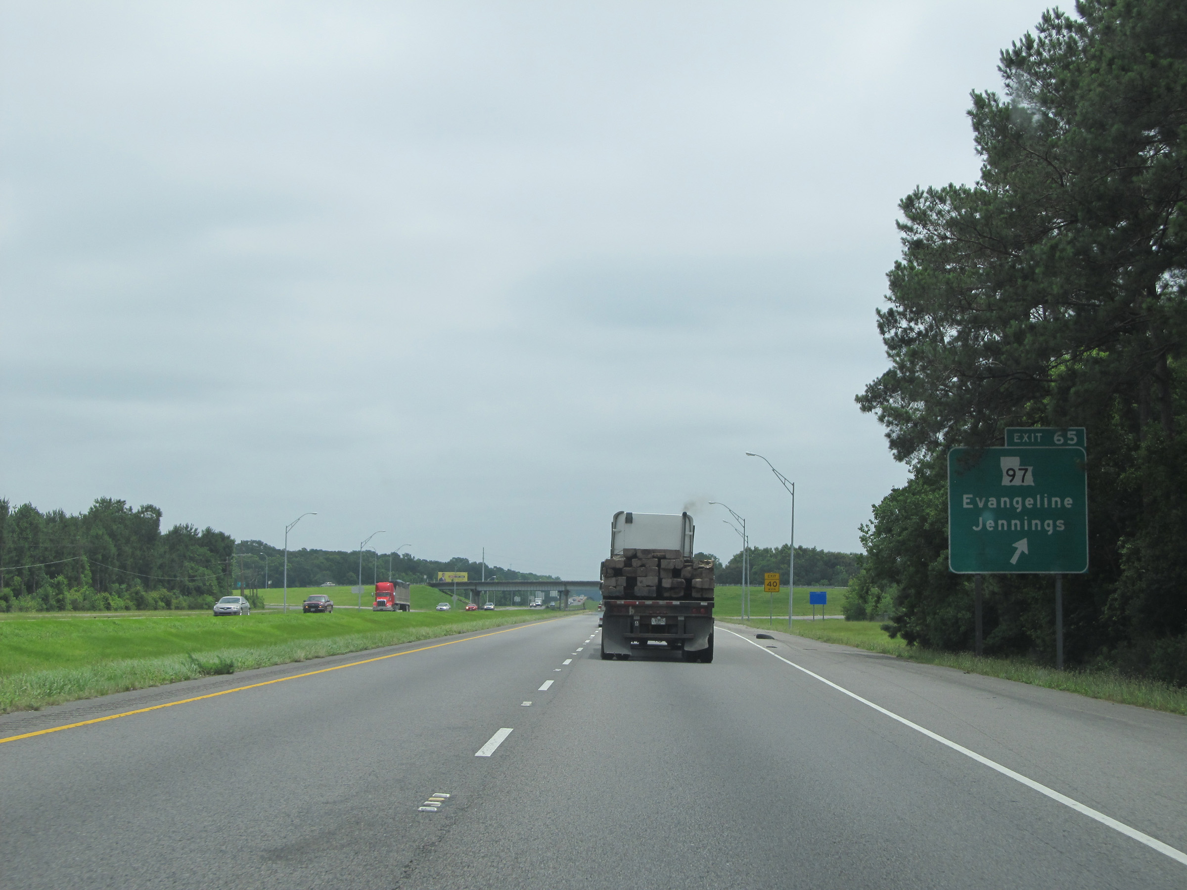 |
Interstate 10 East at Exit 65: LA 97 - Evangeline / Jennings (Photo taken 5/22/15). |
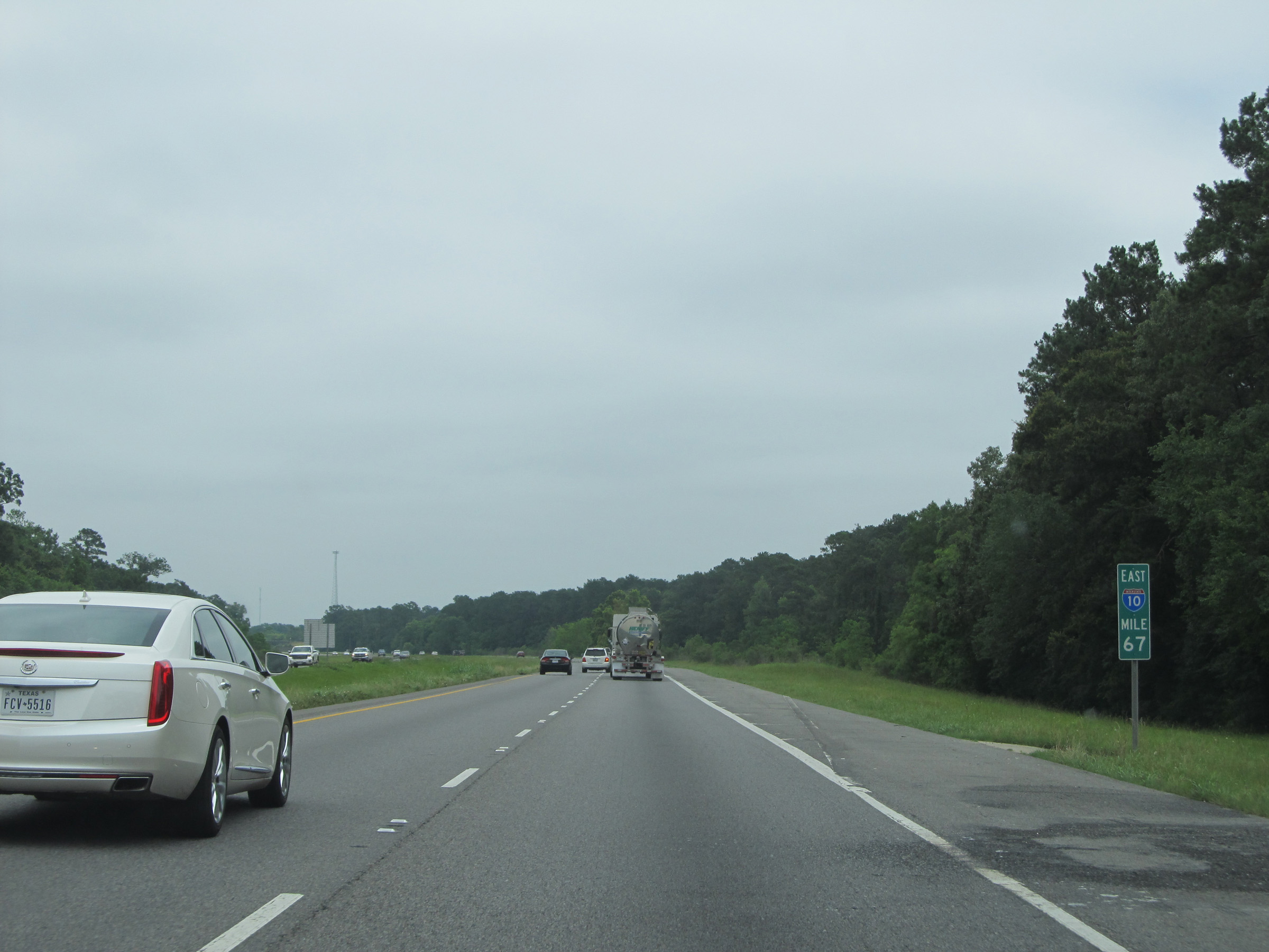 |
Interstate 10 East: Road view from mile marker 67. (Photo taken 5/22/15). |
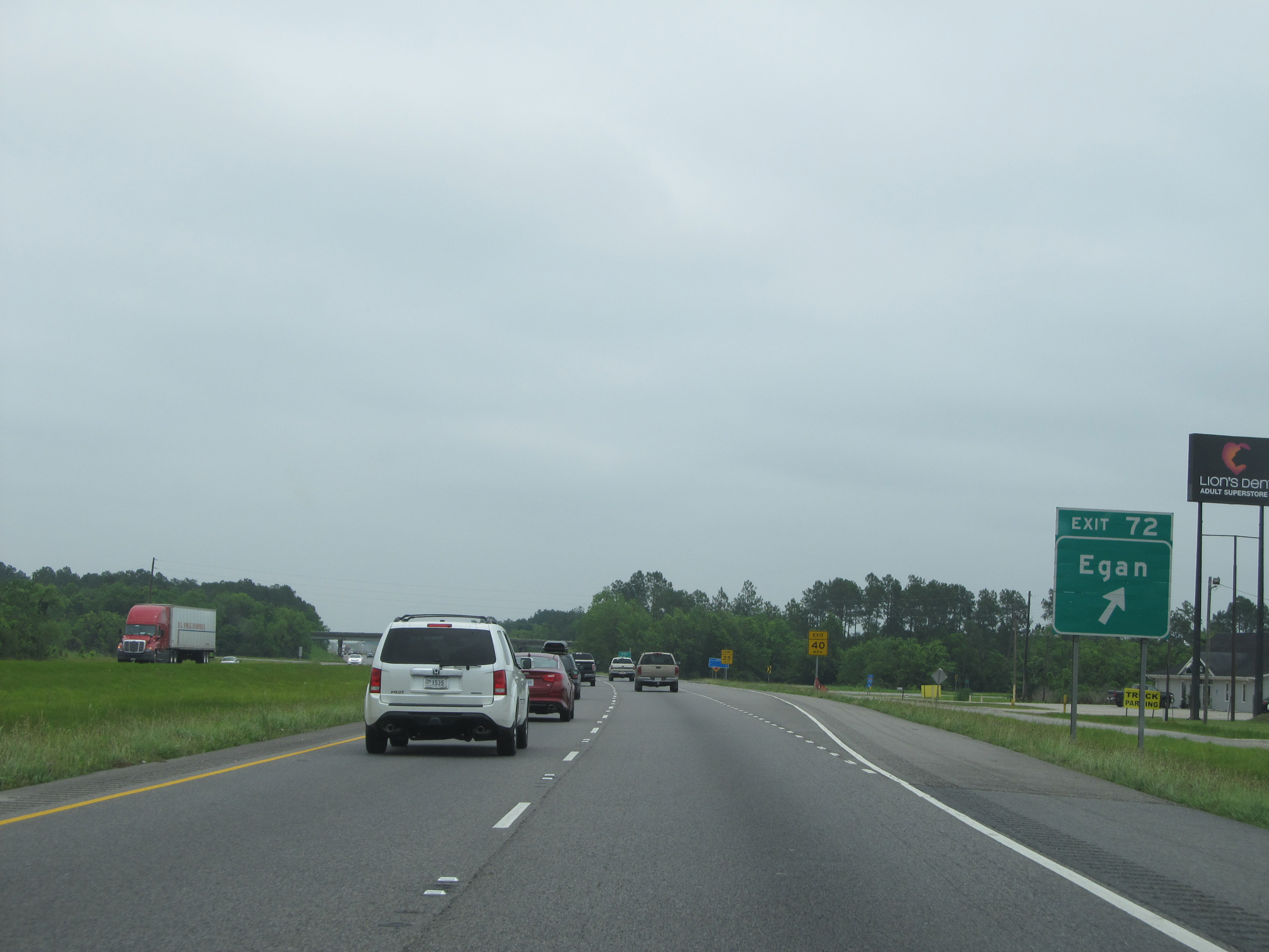 |
Interstate 10 East at Exit 72: Egan (Photo taken 5/22/15). |
 |
Interstate 10 East shield located near mile marker 73. (Photo taken 5/22/15). |
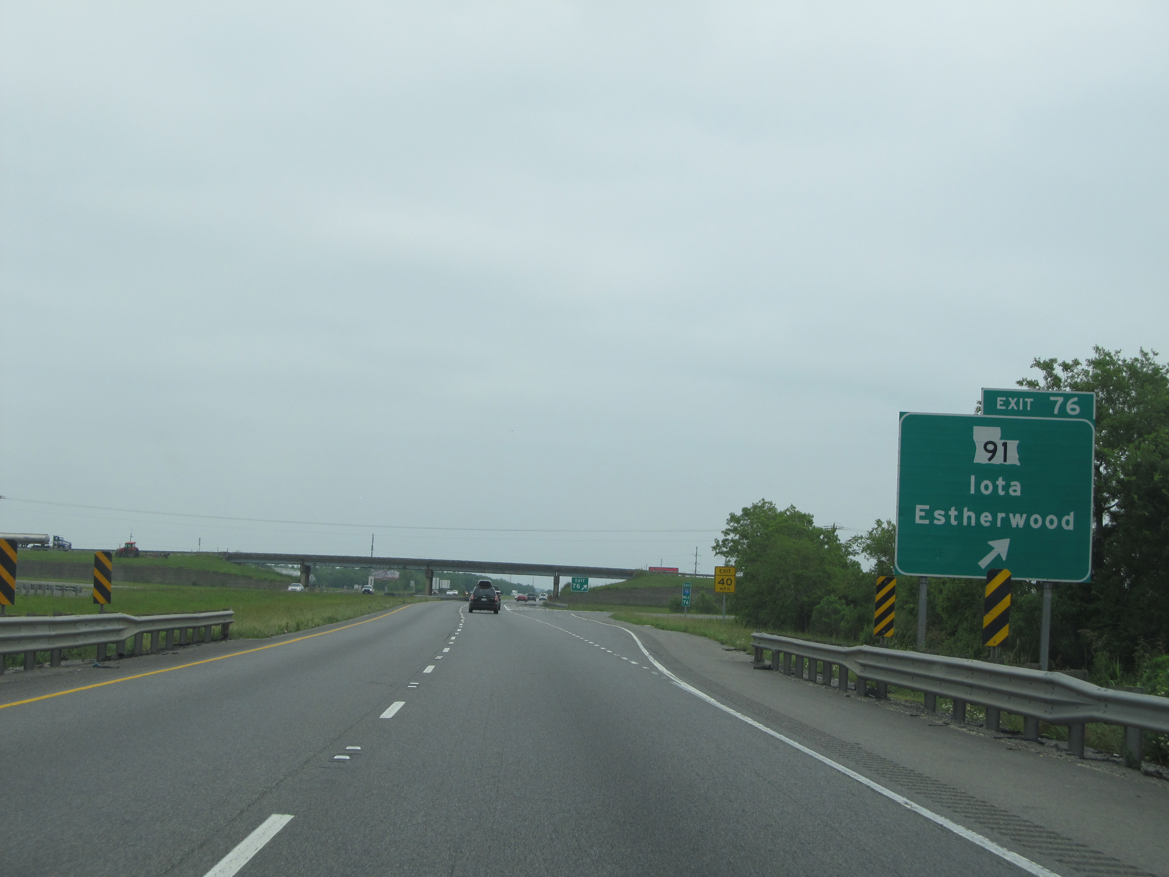 |
Interstate 10 East at Exit 76: LA 91 - Iota / Estherwood (Photo taken 5/22/15). |
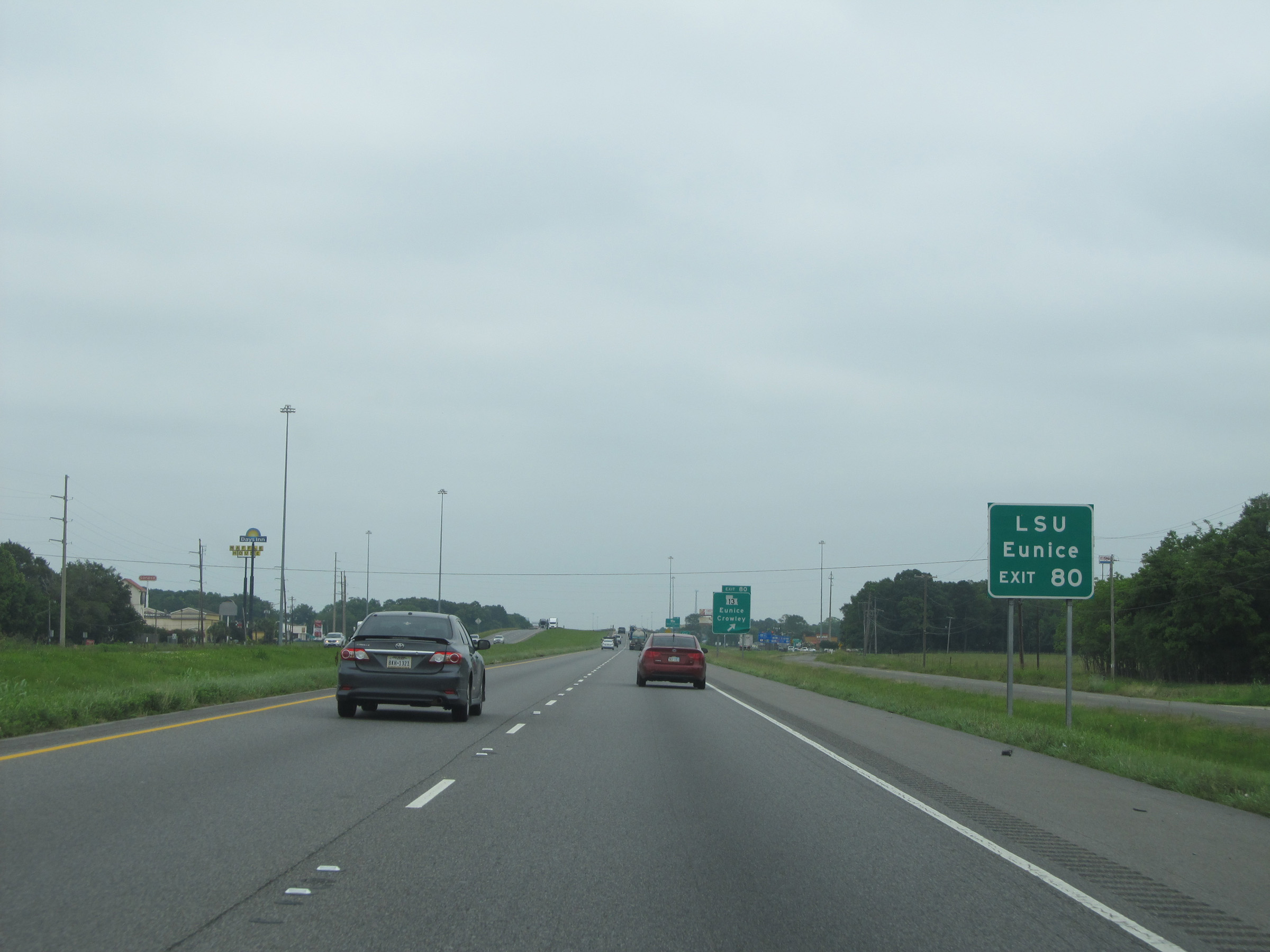 |
Take Exit 80 to LSU - Eunice. (Photo taken 5/22/15). |
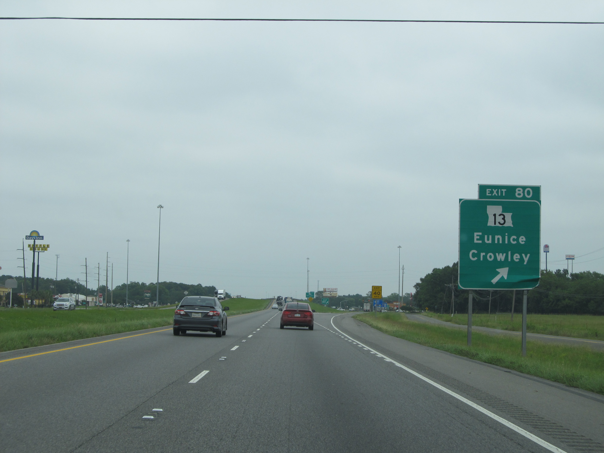 |
Interstate 10 East at Exit 80: LA 13 - Eunice / Crowley (Photo taken 5/22/15). |
Section 2: Crowley (Exit 80) to Baton Rouge (Exit 159)
 |
Interstate 10 East at Exit 82: LA 1111 - East Crowley (Photo taken 5/22/15). |
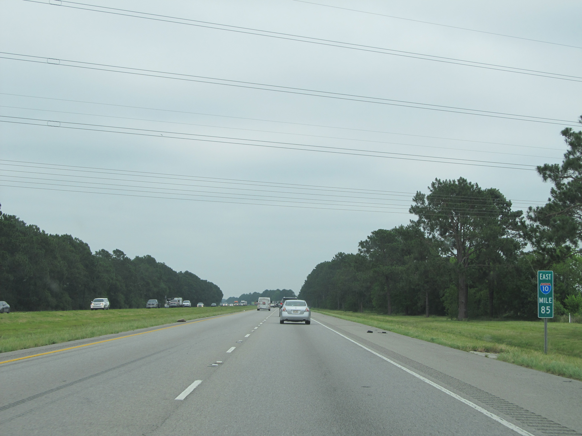 |
Interstate 10 East: Road view from mile marker 85. (Photo taken 5/22/15). |
 |
Interstate 10 East entering the Rayne city limits at mile marker 60. (Photo taken 5/22/15). |
 |
Take Exit 87 to Kaplan. (Photo taken 5/22/15). |
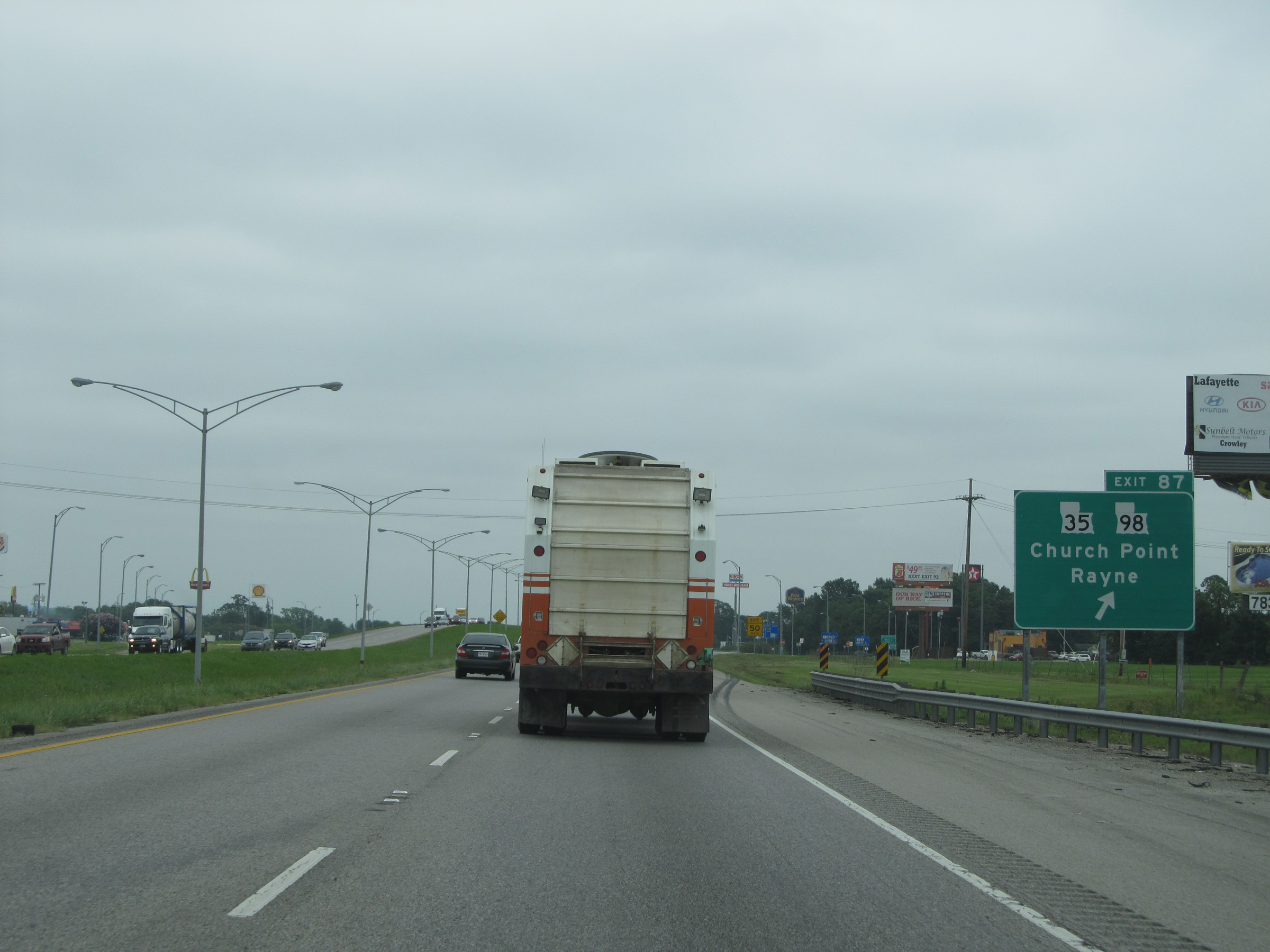 |
Interstate 10 East at Exit 87: LA 35 / LA 98 - Church Point / Rayne (Photo taken 5/22/15). |
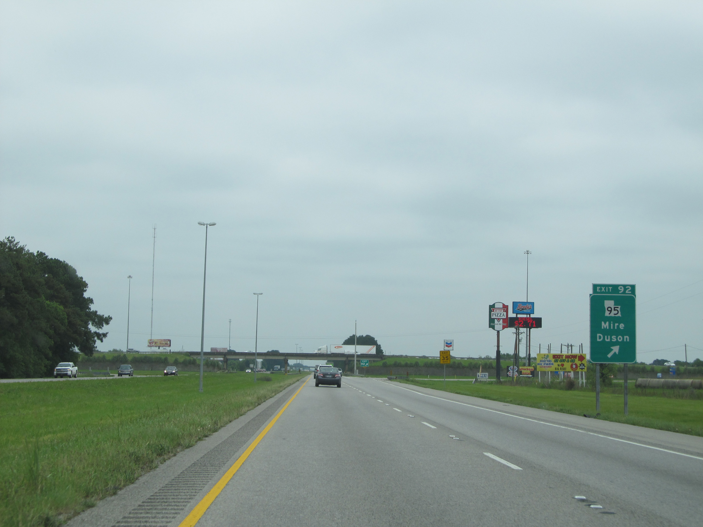 |
Interstate 10 East at Exit 92: LA 95 - Mire / Duson (Photo taken 5/22/15). |
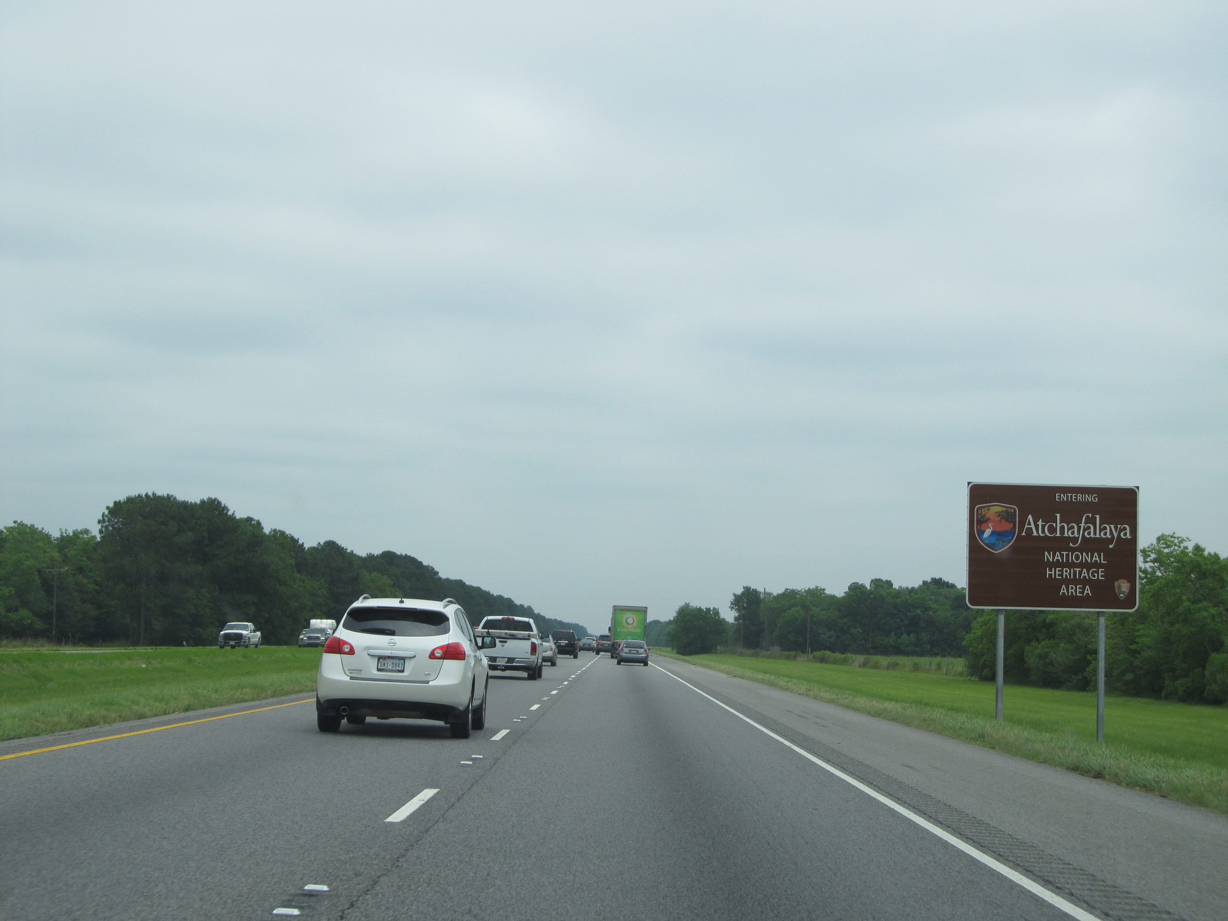 |
Interstate 10 East entering the Atchafalaya National Heritage Area, near mile marker 94. (Photo taken 5/22/15). |
 |
Interstate 10 East at Exit 97: LA 93 - Cankton / Scott (Photo taken 5/22/15). |
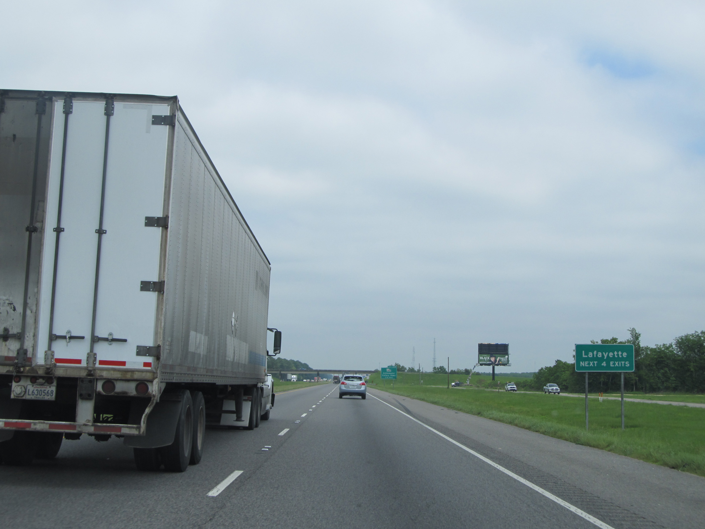 |
Take any of the next 4 exits to Lafayette. (Photo taken 5/22/15). |
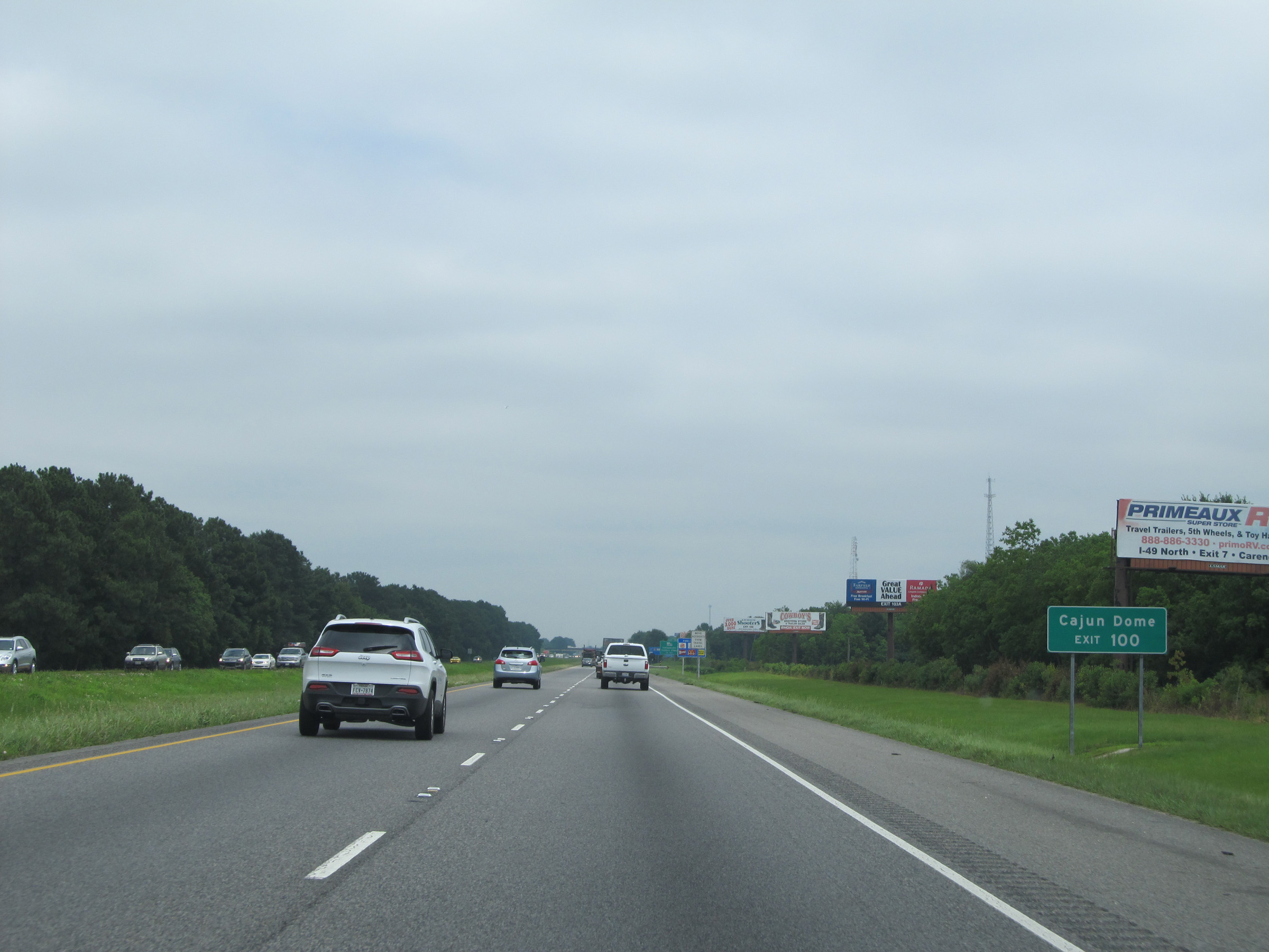 |
Take Exit 100 to Cajun Dome. (Photo taken 5/22/15). |
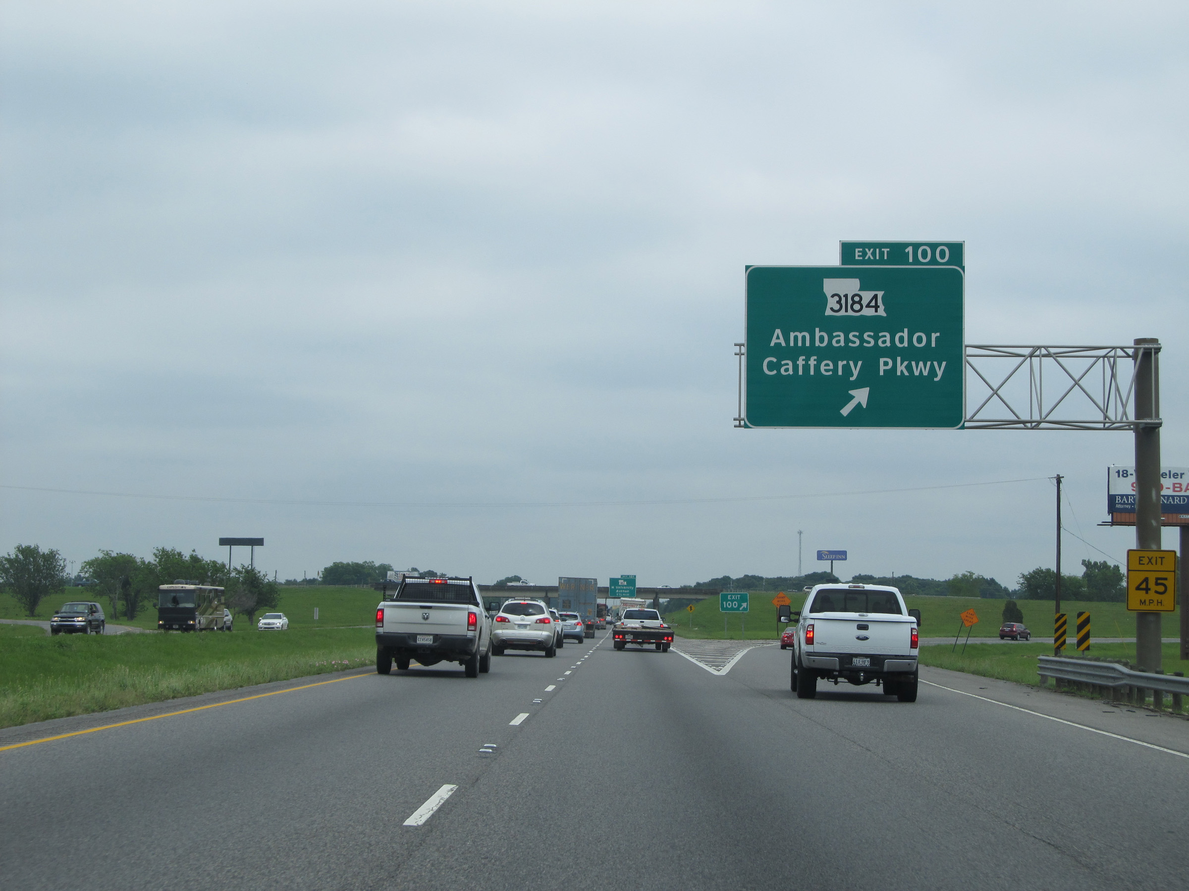 |
Interstate 10 East at Exit 100: LA 3184 - Ambassador Caffery Pkwy (Photo taken 5/22/15). |
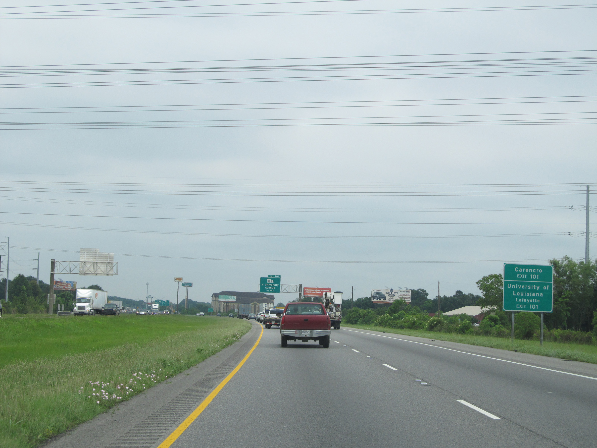 |
Use Exit 101 to Carencro and University of Louisiana - Lafayette. (Photo taken 5/22/15). |
 |
Interstate 10 East at Exit 101: LA 182 - N University Avenue (Photo taken 5/22/15). |
 |
Interstate 10 East approaching Exits 103A-B - 1/2 mile. (Photo taken 5/22/15). |
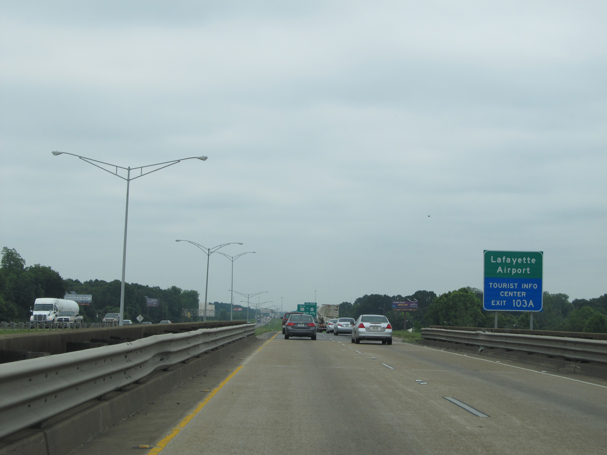 |
Take Exit 103A to Lafayette Airport and Tourist Info Center. (Photo taken 5/22/15). |
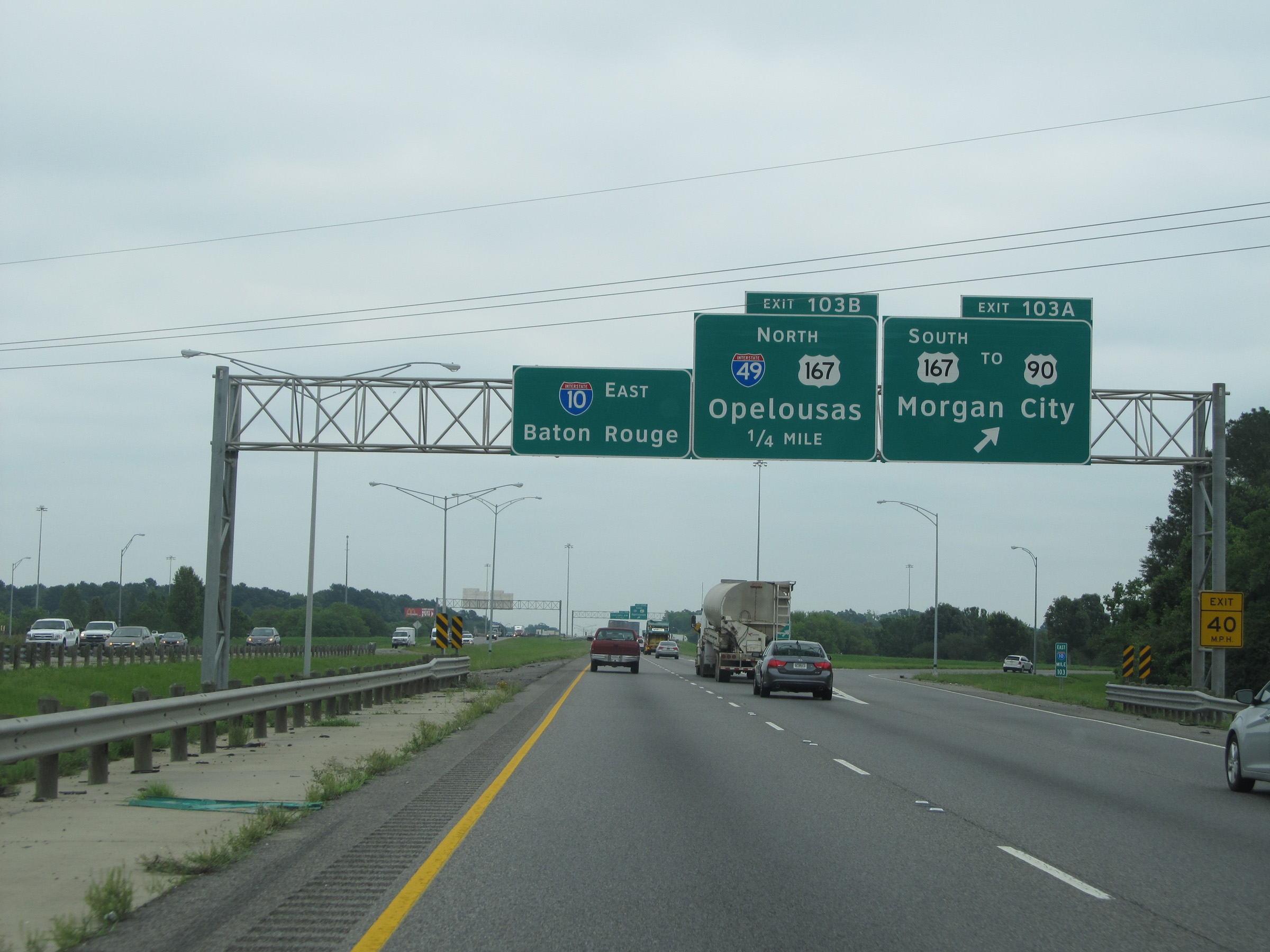 |
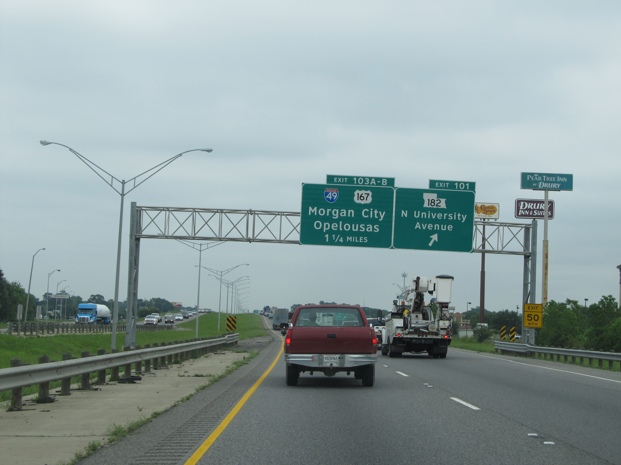
Interstate 10 East at Exit 103A: US 167 South / To US 90 - Morgan City (Photo taken 5/22/15). |
 |
Interstate 10 East at Exit 103B: Interstate 49 North / US 167 North - Opelousas (Photo taken 5/22/15). |
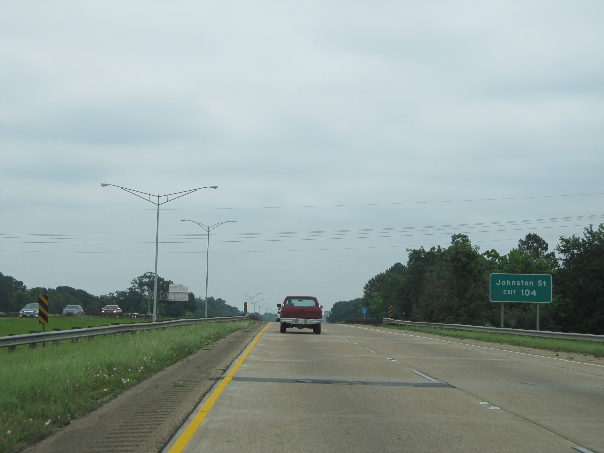 |
Use Exit 104 to Johnston St. (Photo taken 5/22/15). |
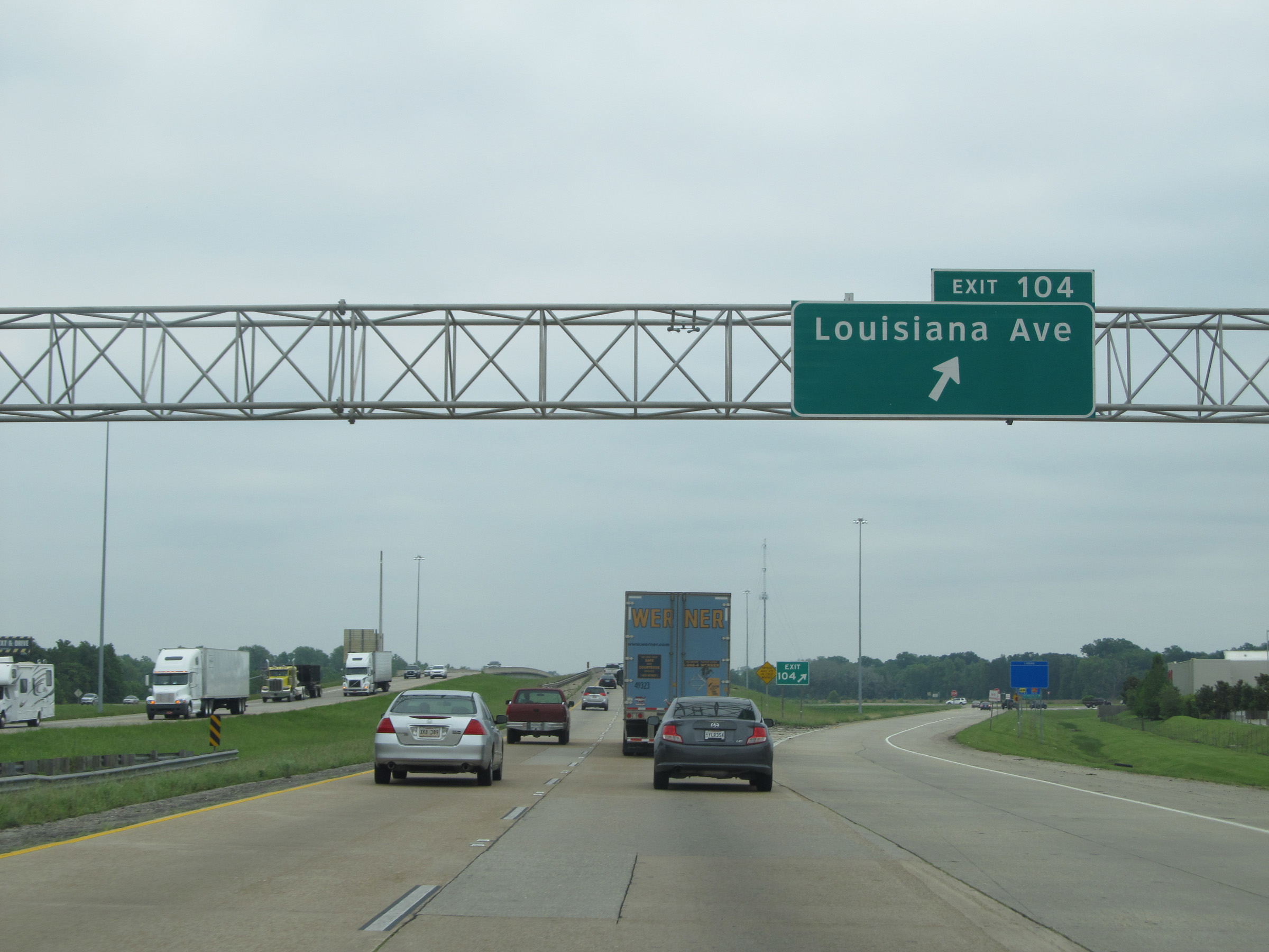 |
Interstate 10 East at Exit 104: Louisiana Ave (Photo taken 5/22/15). |
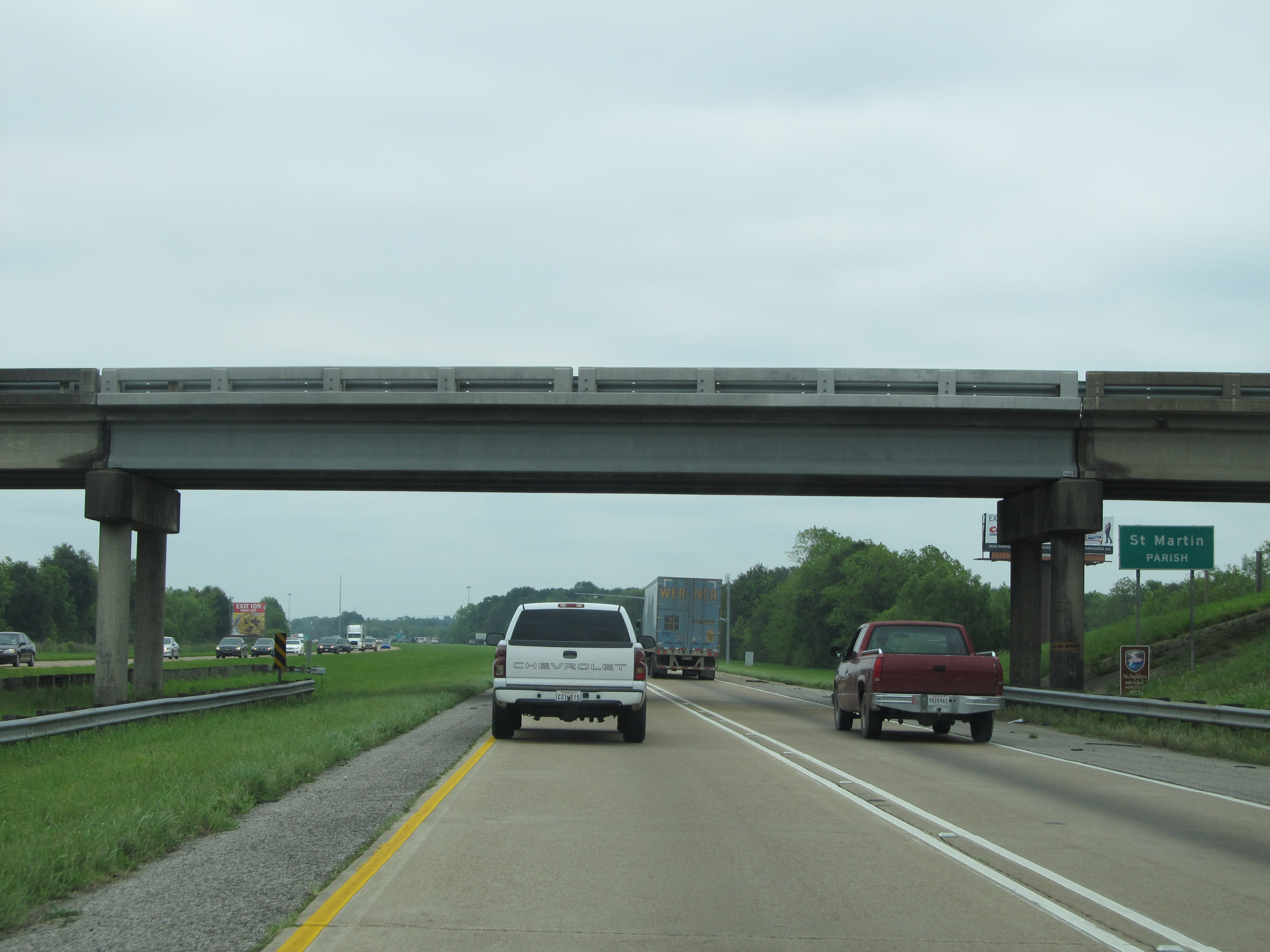 |
Interstate 10 East entering St. Martin Parish. (Photo taken 5/22/15). |
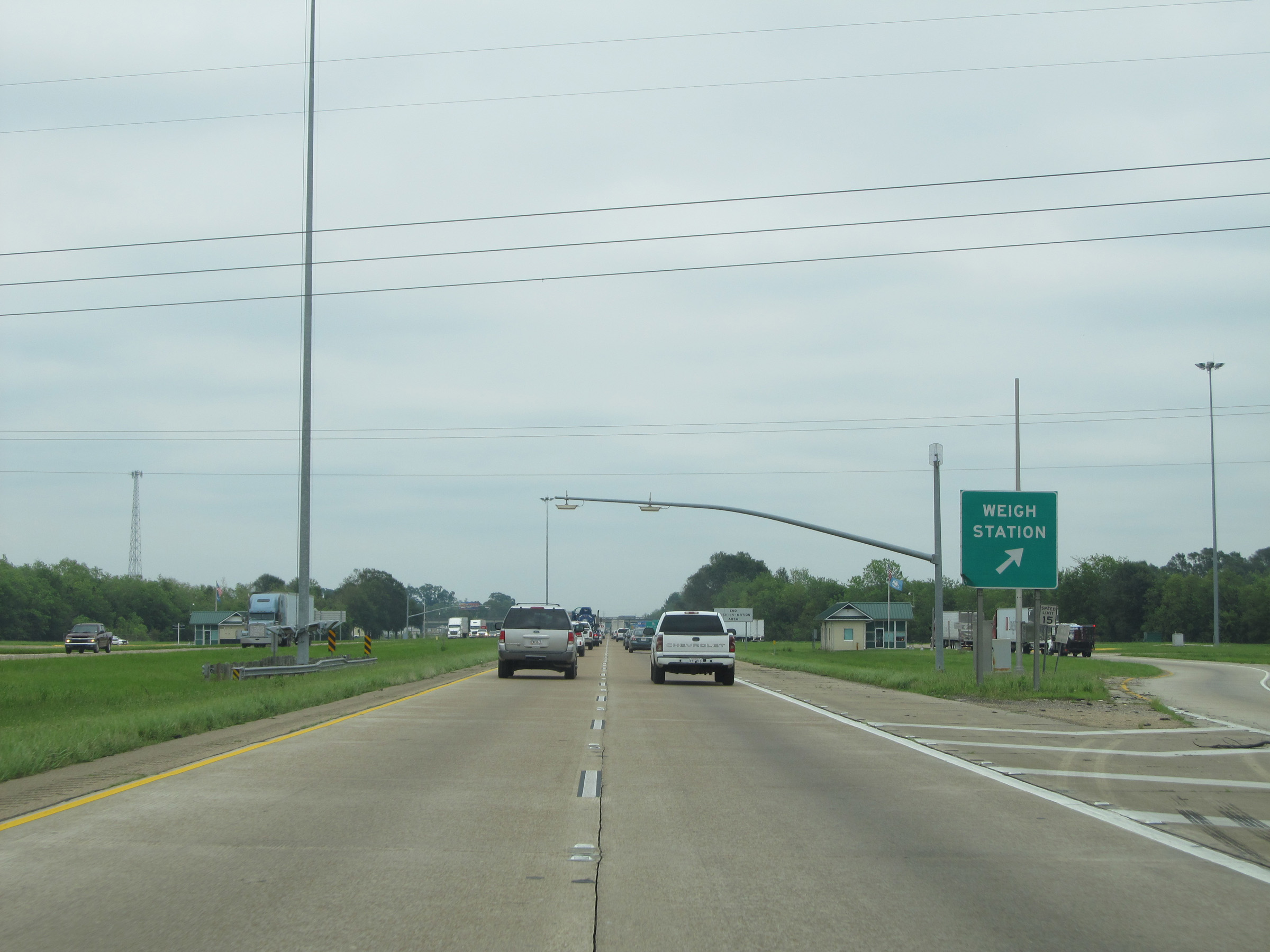 |
Interstate 10 East at the Weigh Station located near mile marker 108. (Photo taken 5/22/15). |
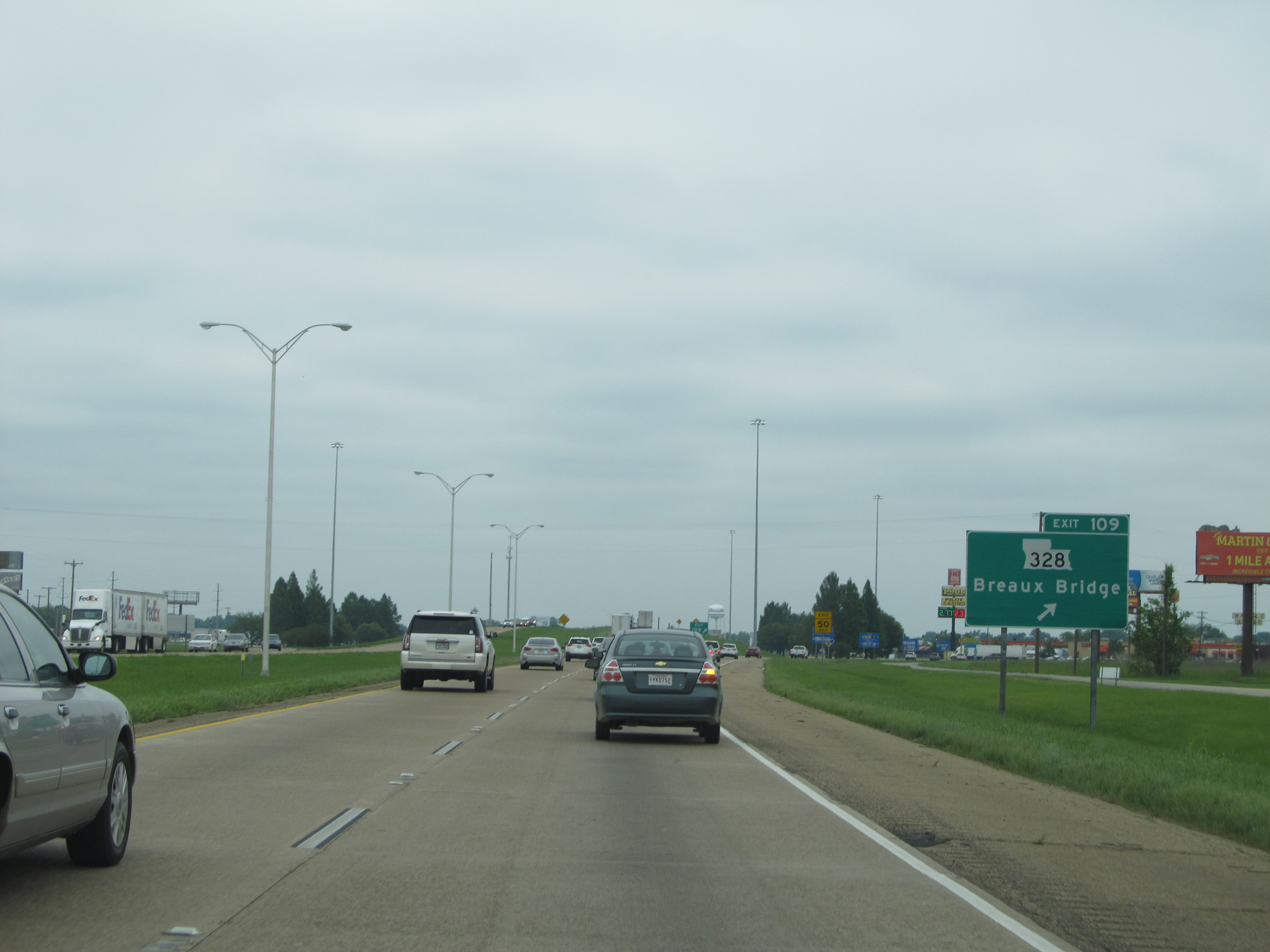 |
Interstate 10 East at Exit 109: LA 328 - Breaux Bridge (Photo taken 5/22/15). |
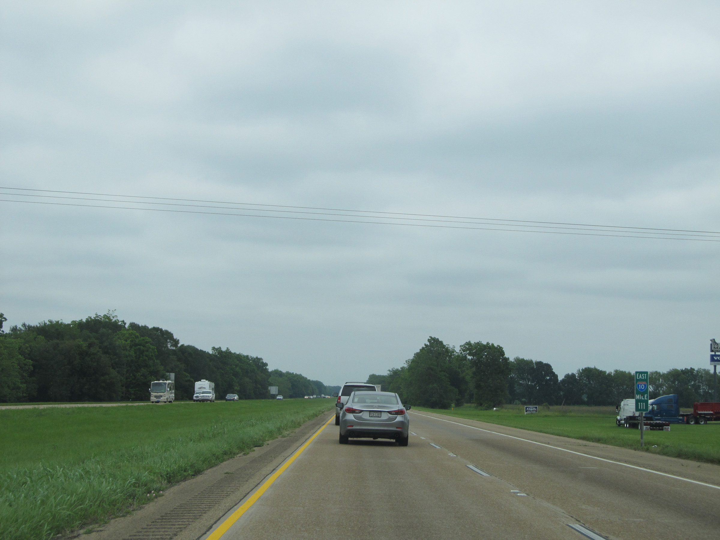 |
Interstate 10 East: Road view from mile marker 111. (Photo taken 5/22/15). |
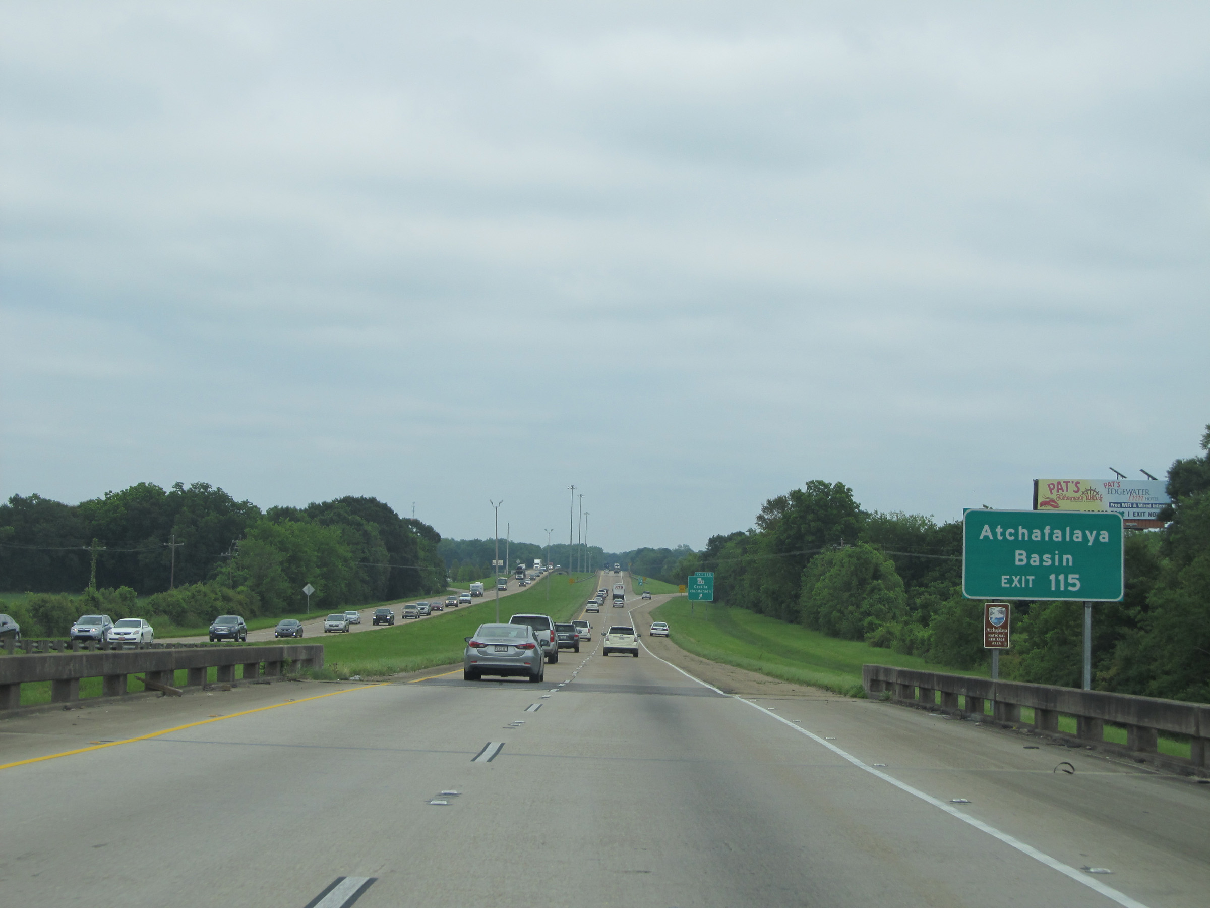 |
Take Exit 115 to Atchafalaya Basin. (Photo taken 5/22/15). |
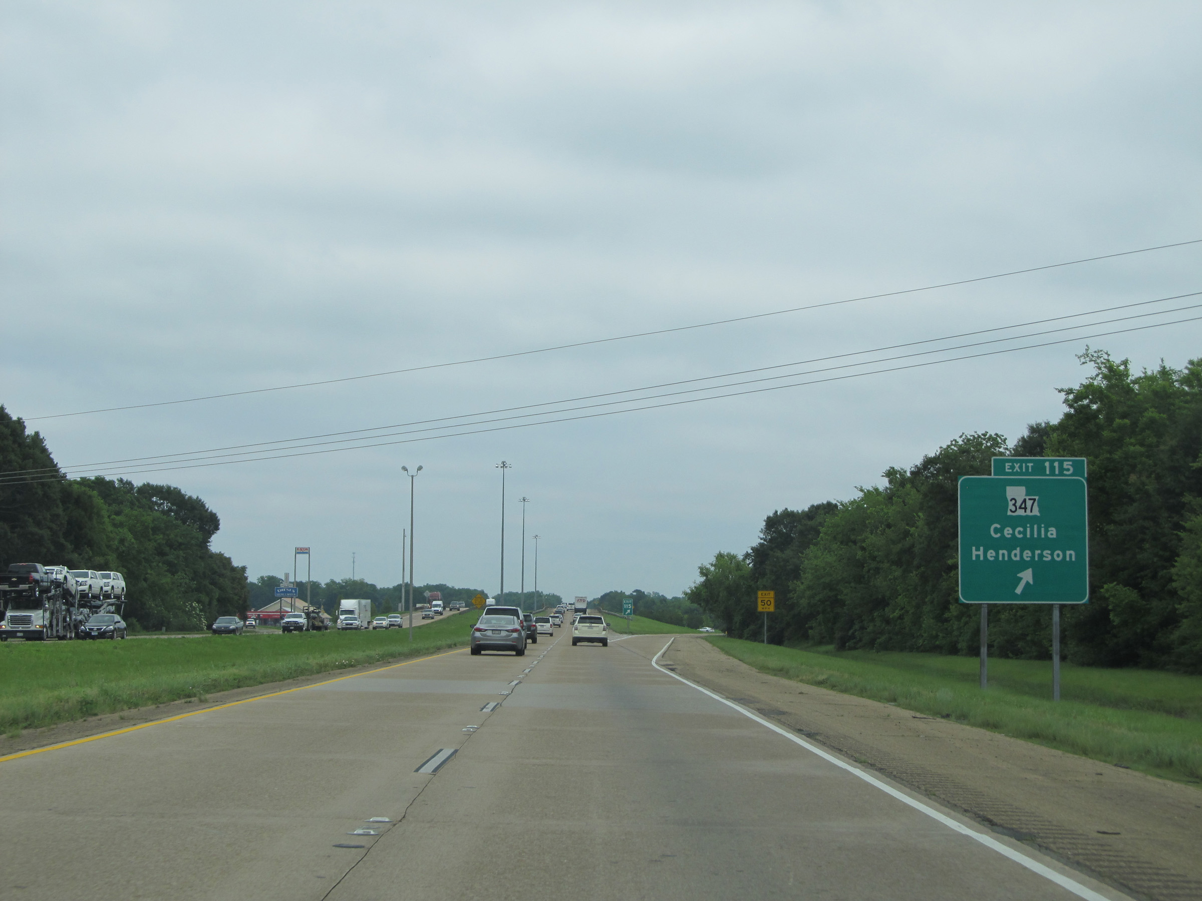 |
Interstate 10 East at Exit 115: LA 347 - Cecilia / Henderson (Photo taken 5/22/15). |
 |
Interstate 10 East: Road view from mile marker 116. (Photo taken 5/22/15). |
 |
Sign alerting trucks that they're restricted to the right lane only for the next 18 miles, as we prepare to cross the 18-mile long Louisiana Airborne Memorial Bridge over the Atchafalaya Basin, which contains a series of swamps and bayous. (Photo taken 5/22/15). |
 |
As Interstate 10 East prepares to enter the Louisiana Airborne Memorial Bridge over the Atchafalaya Basin, the speed limit for autos is decreased to 60 mph and remains that way for the entire 18-mile length of the bridge. (Photo taken 5/22/15). |
 |
While the auto speed limit over the basin is 60 mph, trucks are restricted to 55 mph. I'm not too sure what this 5 mph speed differential accomplishes, but oh well. (Photo taken 5/22/15). |
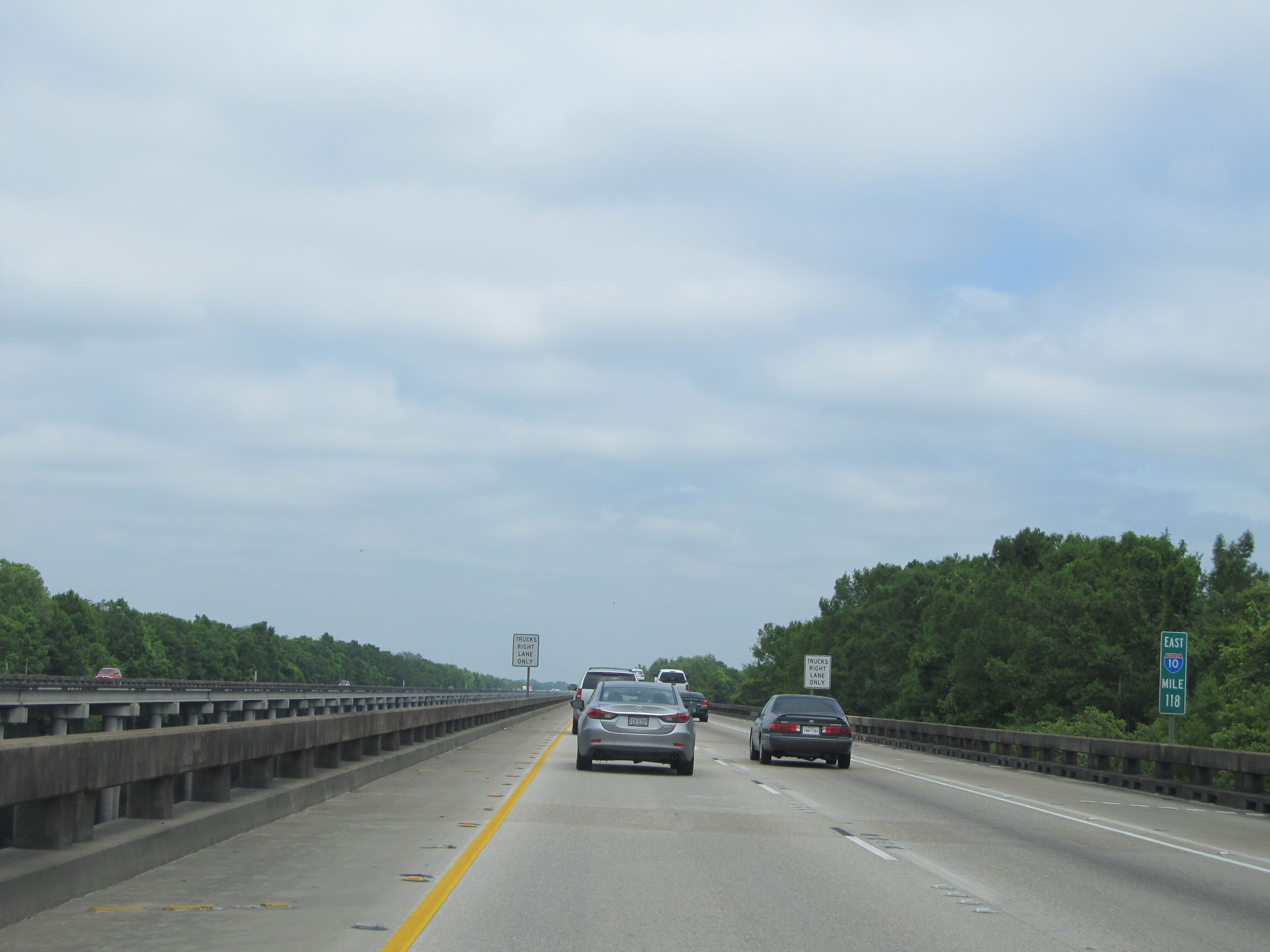 |
Interstate 10 East: Road view from mile marker 118. (Photo taken 5/22/15). |
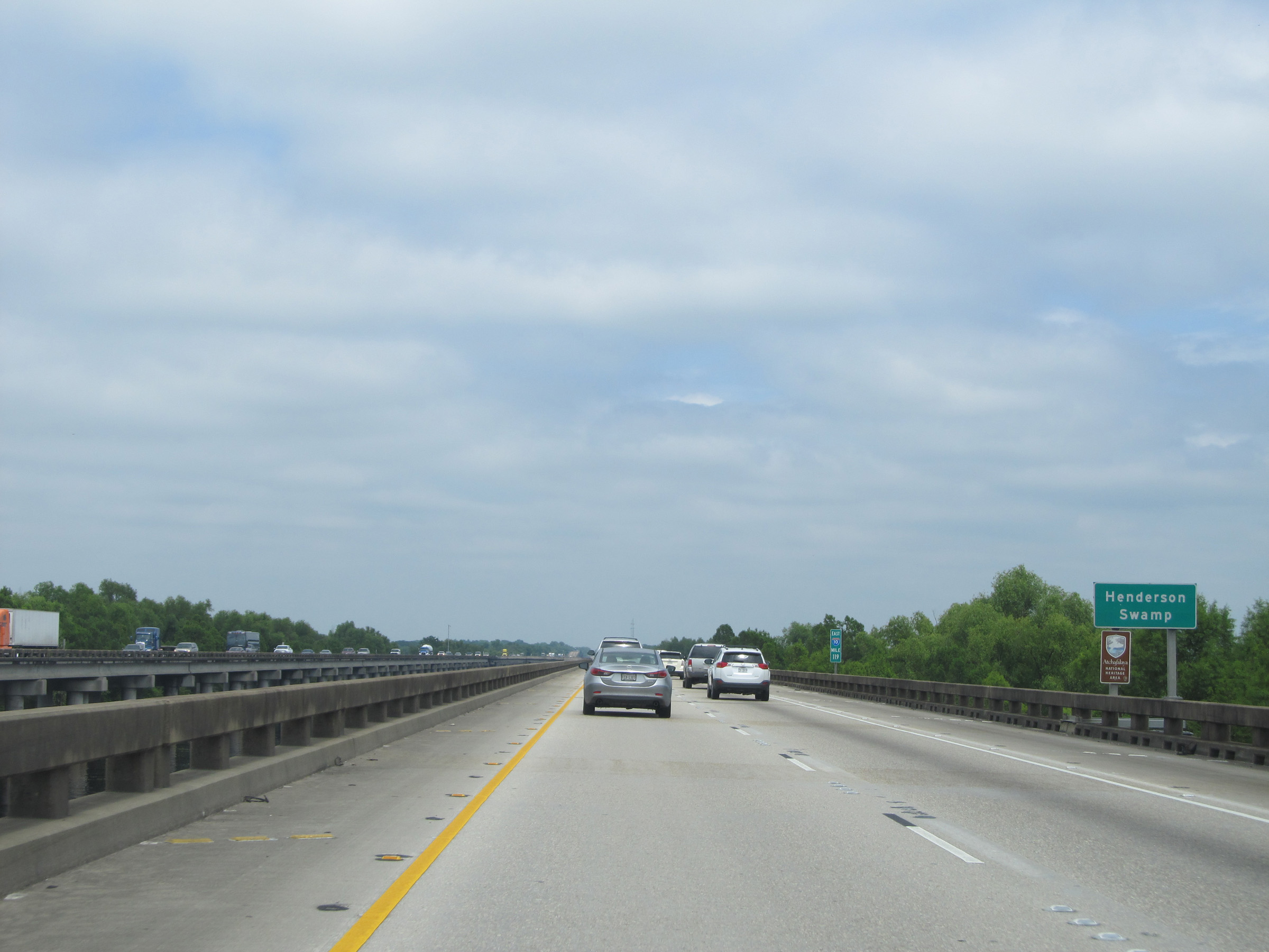 |
Interstate 10 East as the Louisiana Airborne Memorial Bridge crosses Henderson Swamp. (Photo taken 5/22/15). |
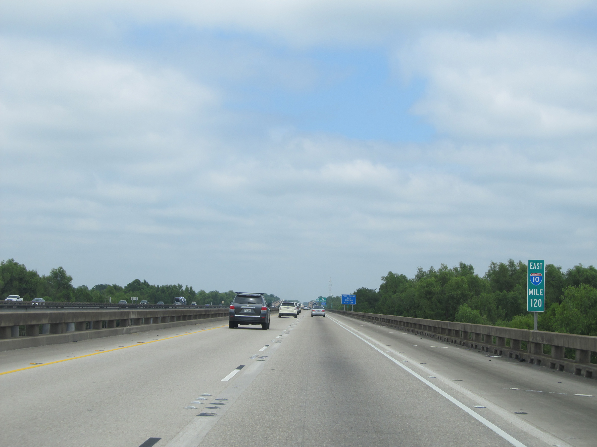 |
Interstate 10 East: View from mile marker 120 on the Louisiana Airborne Memorial Bridge. (Photo taken 5/22/15). |
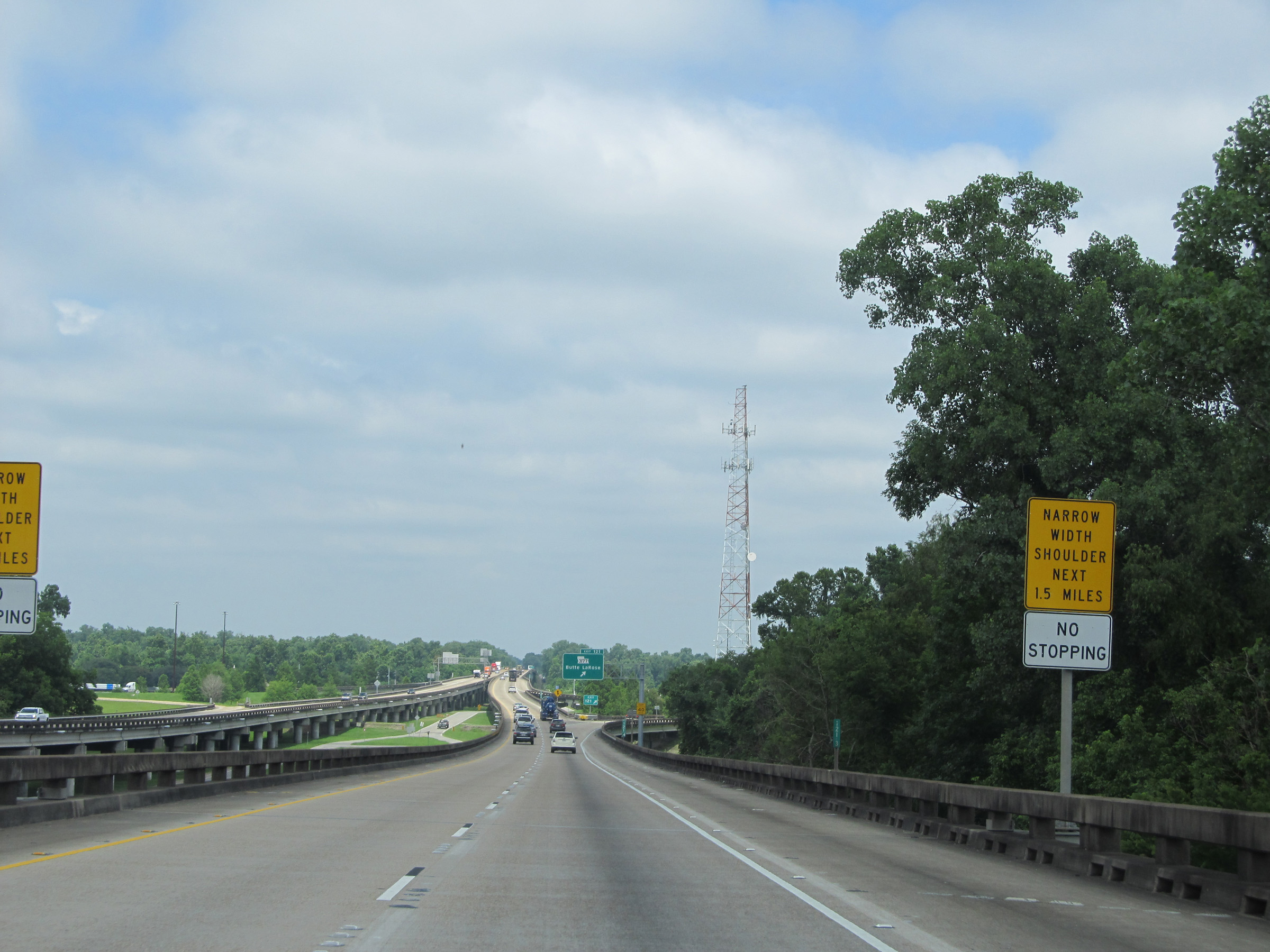 |
Near mile marker 120.5, this sign states that the bridge's shoulder is narrowed for the next 1.5 miles. Stopping during this stretch is prohibited for anything other than emergencies. (Photo taken 5/22/15). |
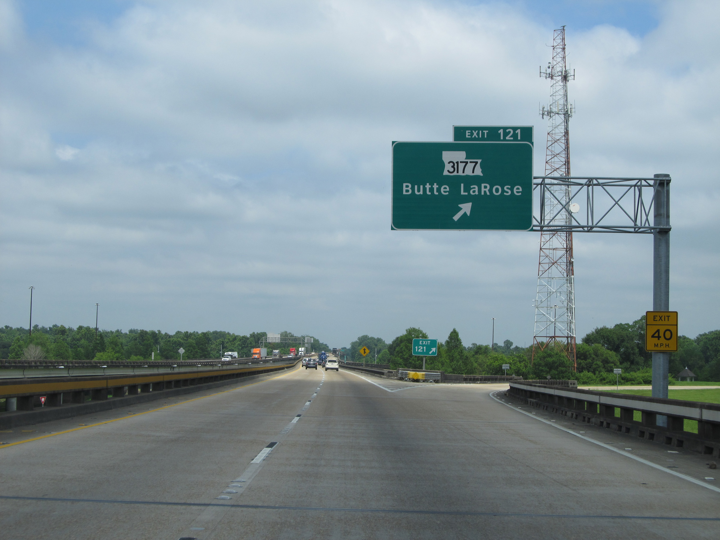 |
Interstate 10 East at Exit 121: LA 3177 - Butte LaRose (Photo taken 5/22/15). |
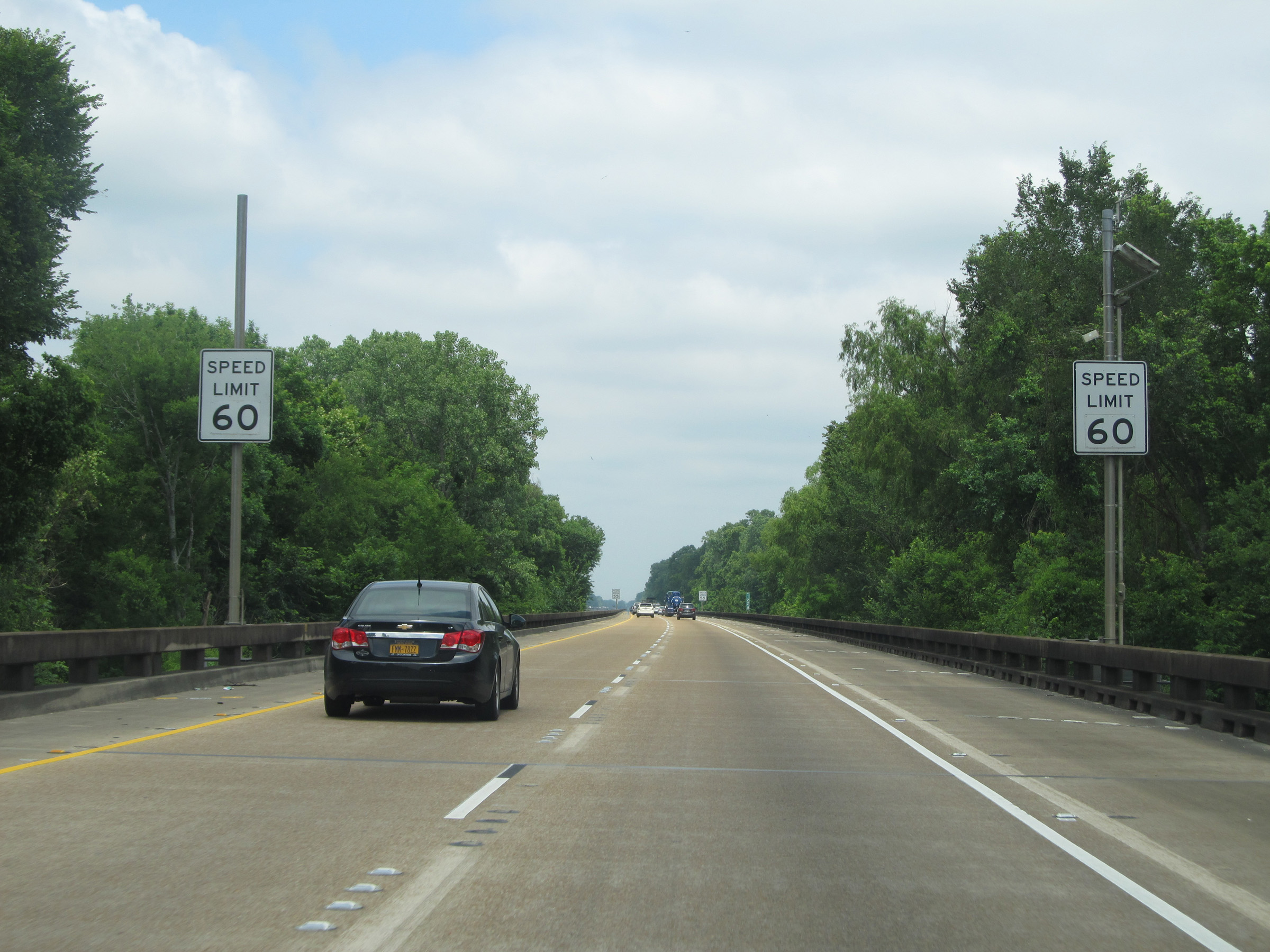 |
More speed limit signs on Interstate 10 East on the Louisiana Airborne Memorial Bridge. Again, the speed limit for autos across the bridge is 60 mph. (Photo taken 5/22/15). |
 |
And the speed limit for trucks across the bridge is 55 mph. (Photo taken 5/22/15). |
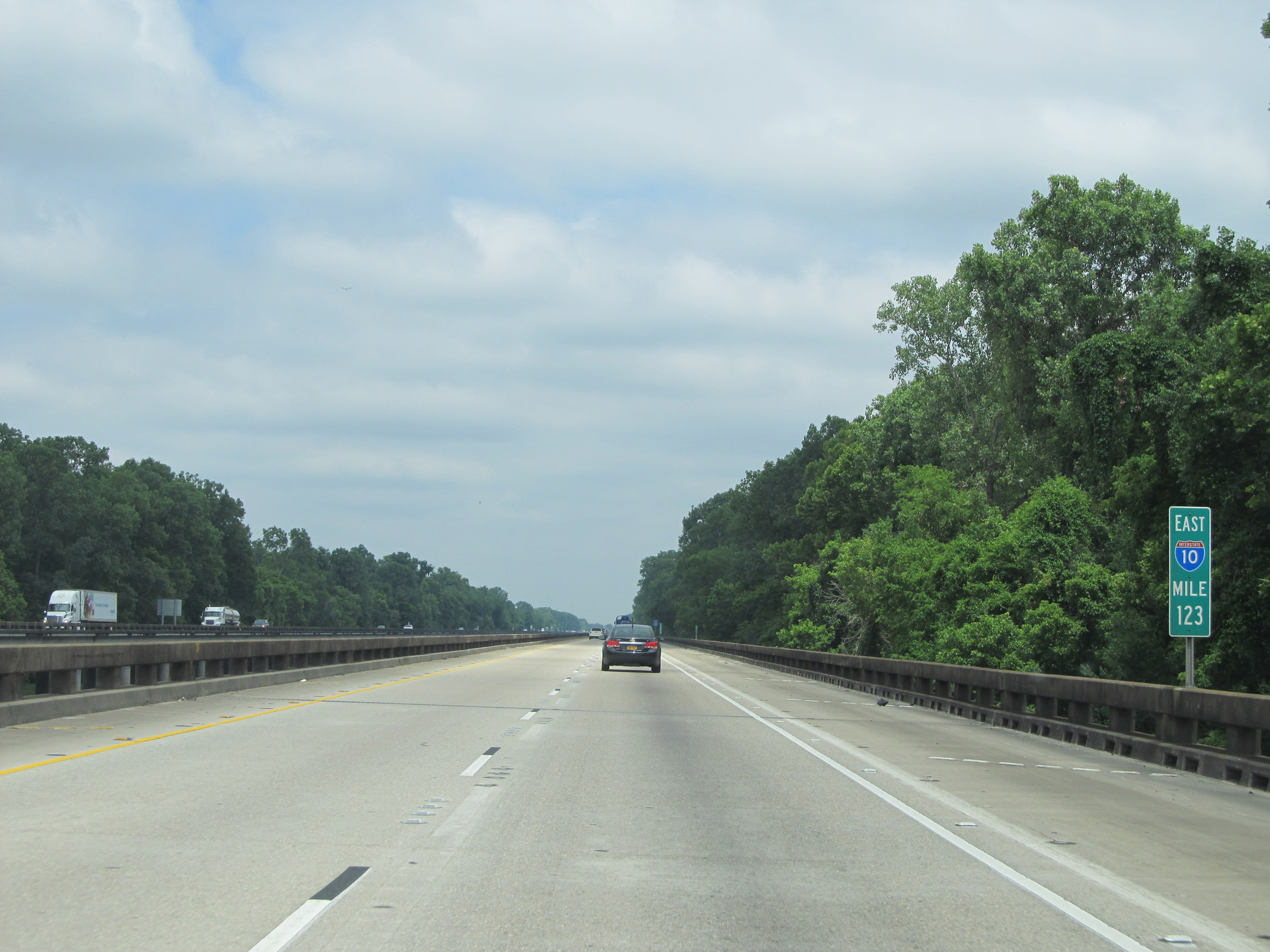 |
Interstate 10 East: Road view from mile marker 123 on the Louisiana Airborne Memorial Bridge. (Photo taken 5/22/15). |
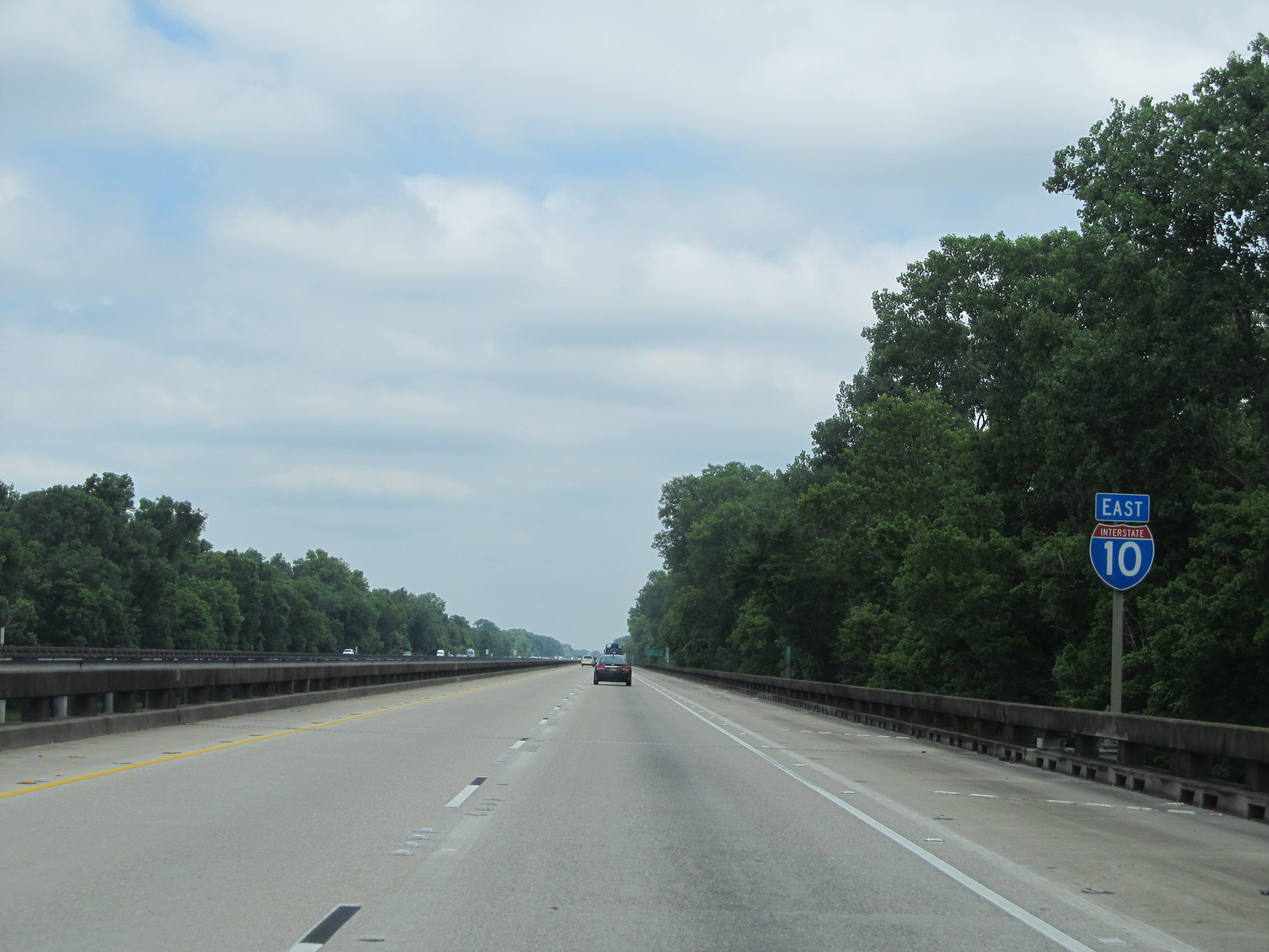 |
Interstate 10 East shield. (Photo taken 5/22/15). |
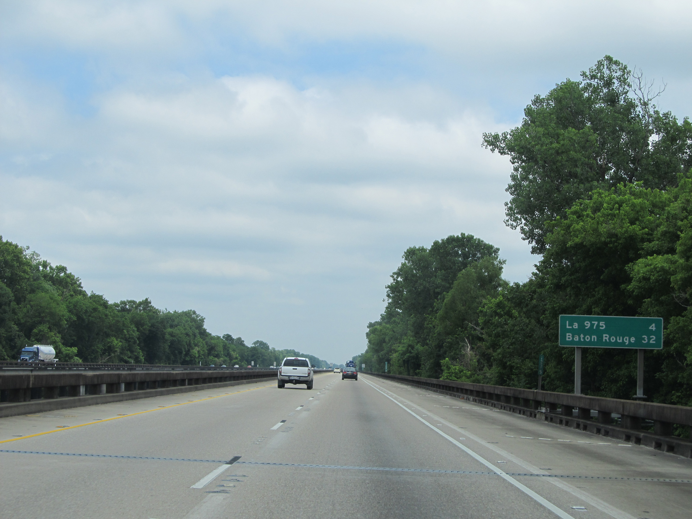 |
Mileage sign located near mile marker 124 on the bridge. It's 4 miles to the next exit, which is the junction of LA 975, and it's 32 miles to Baton Rouge. (Photo taken 5/22/15). |
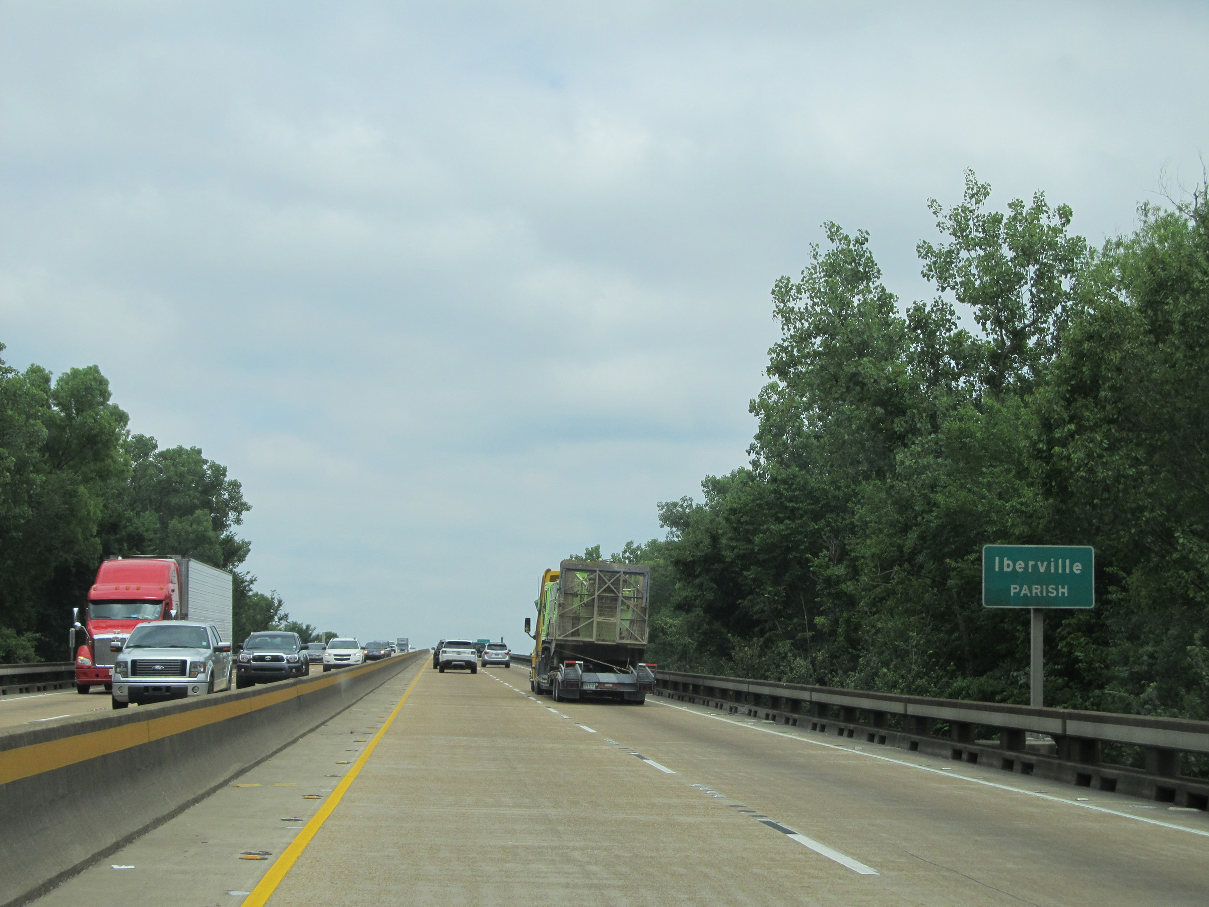 |
Interstate 10 East entering Iberville Parish. (Photo taken 5/22/15). |
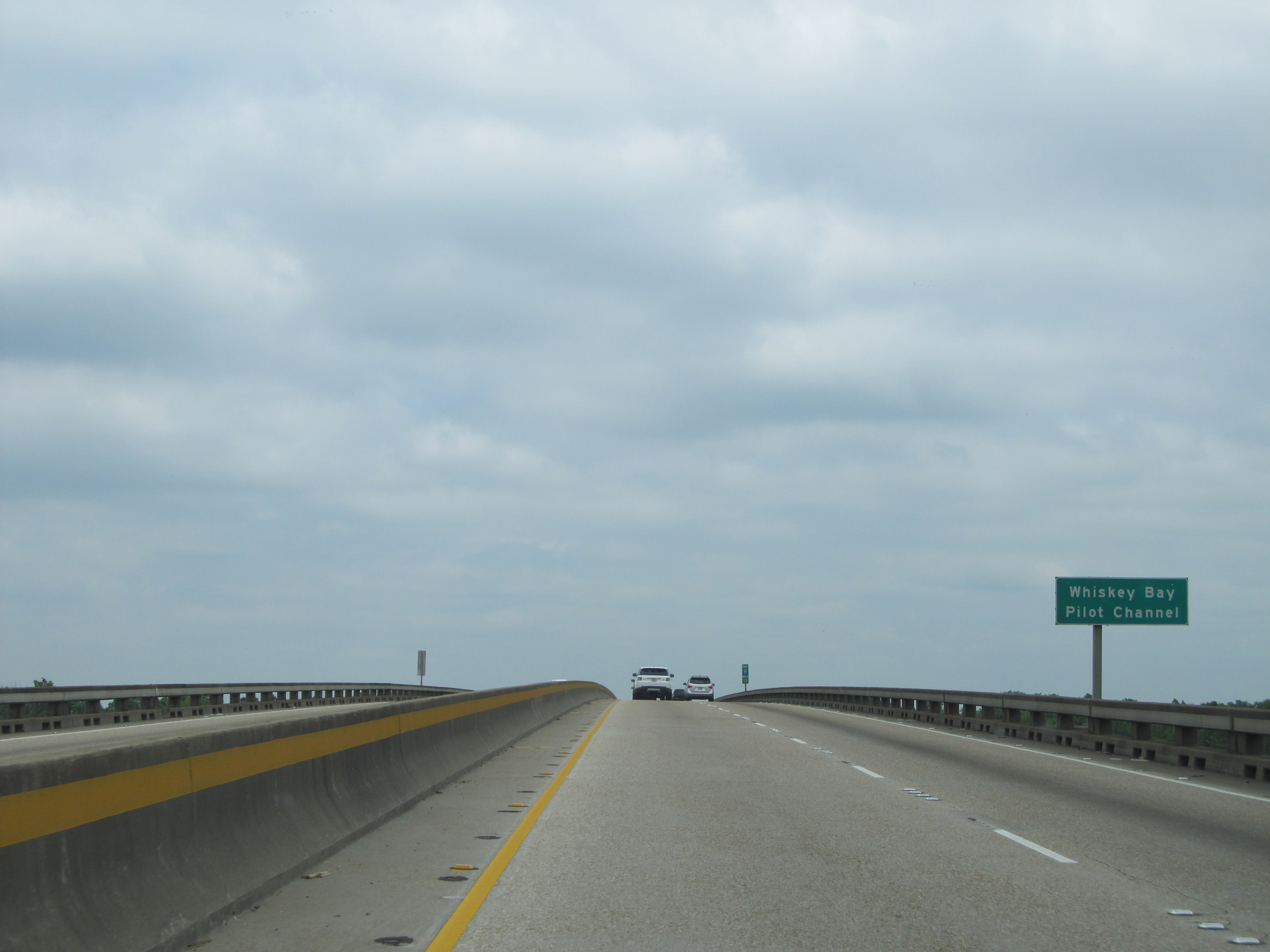 |
Interstate 10 East on the Louisiana Airborne Memorial Bridge as it crosses Whiskey Bay - Pilot Channel. (Photo taken 5/22/15). |
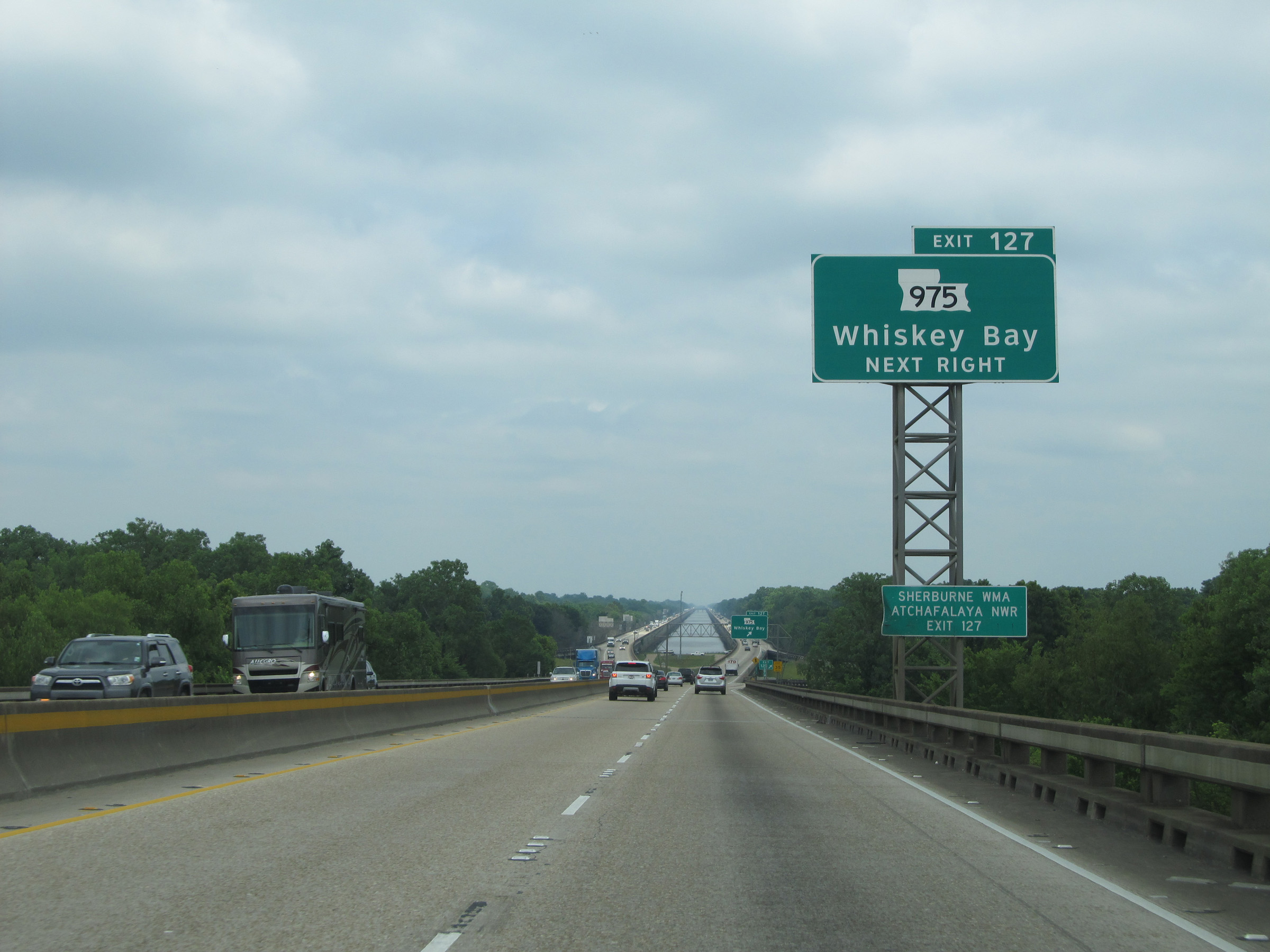 |
Interstate 10 East at Exit 127: LA 975 - Whiskey Bay (Photo taken 5/22/15). |
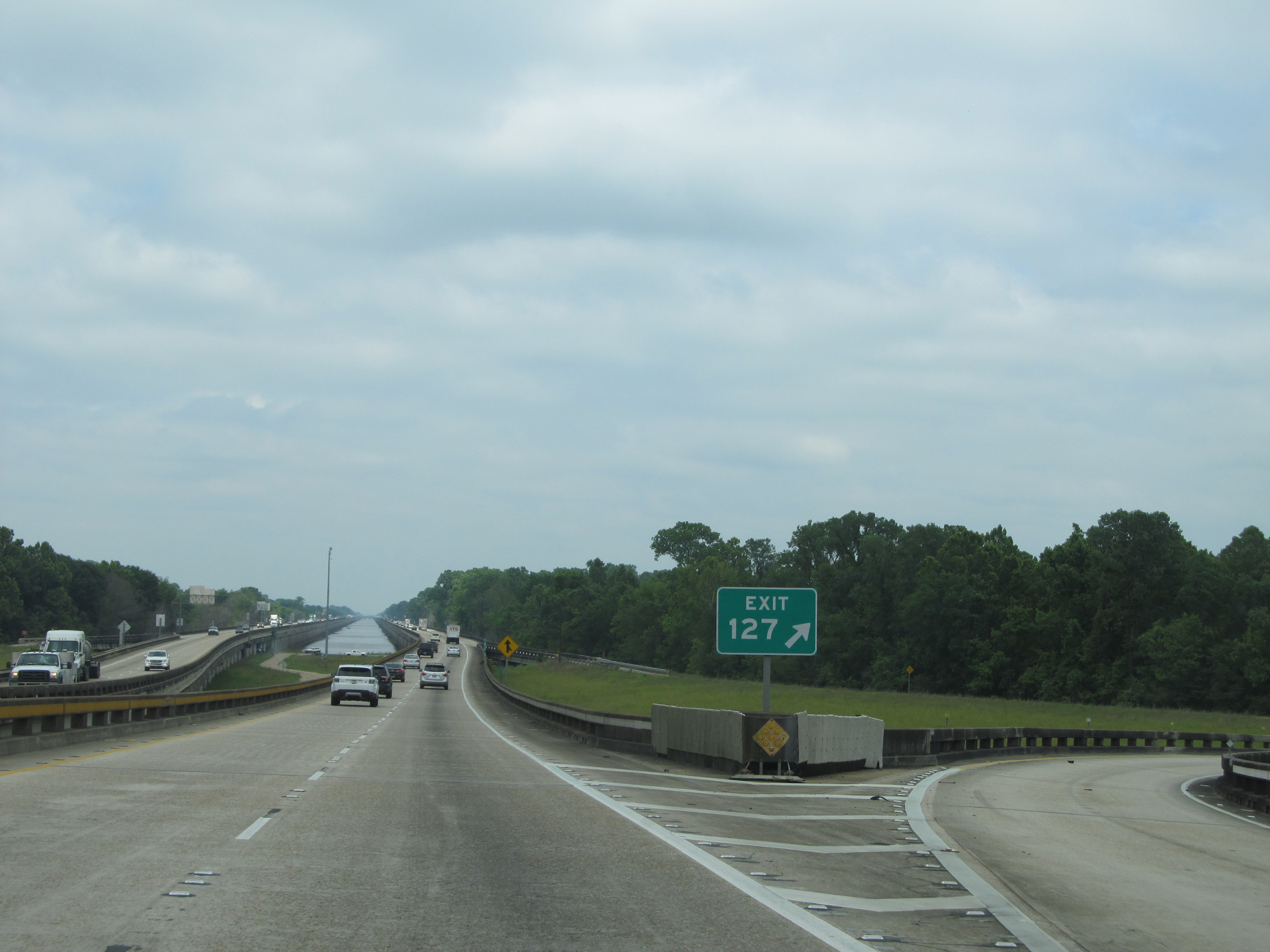 |
A closer view of the off ramp for Exit 127. (Photo taken 5/22/15). |
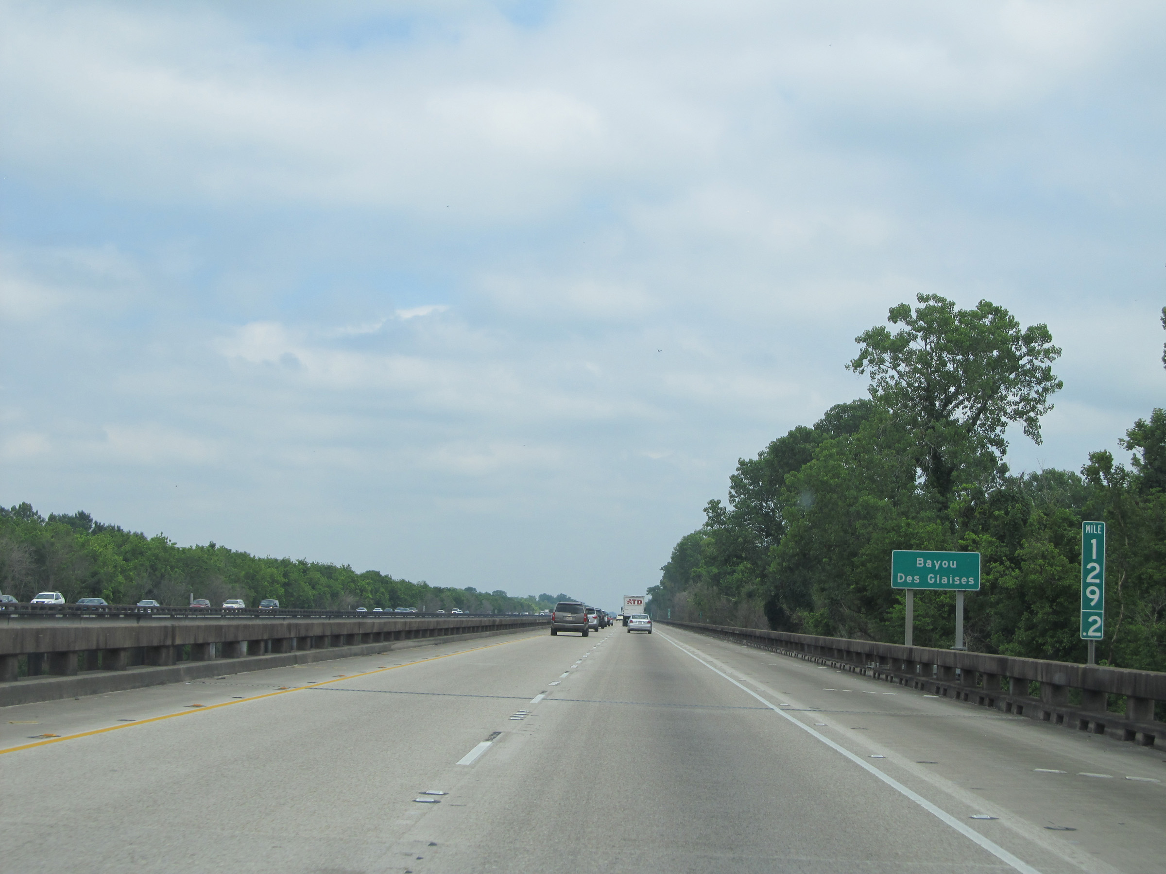 |
Interstate 10 East: Road view from mile marker 129.2, as the Louisiana Airborne Memorial Bridge crosses Bayou Des Glaises. (Photo taken 5/22/15). |
 |
Interstate 10 East: Road view from mile marker 130 on the bridge. (Photo taken 5/22/15). |
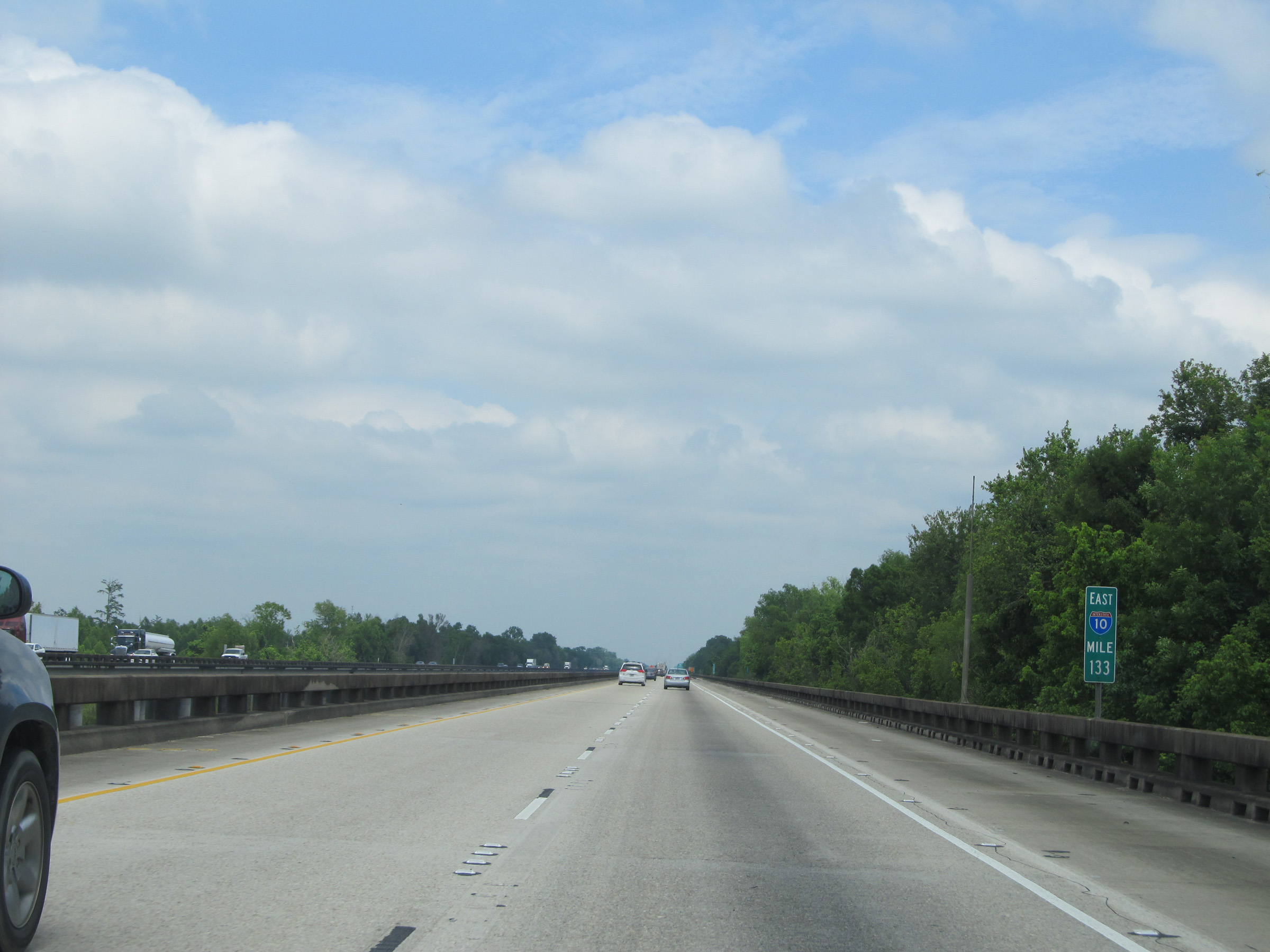 |
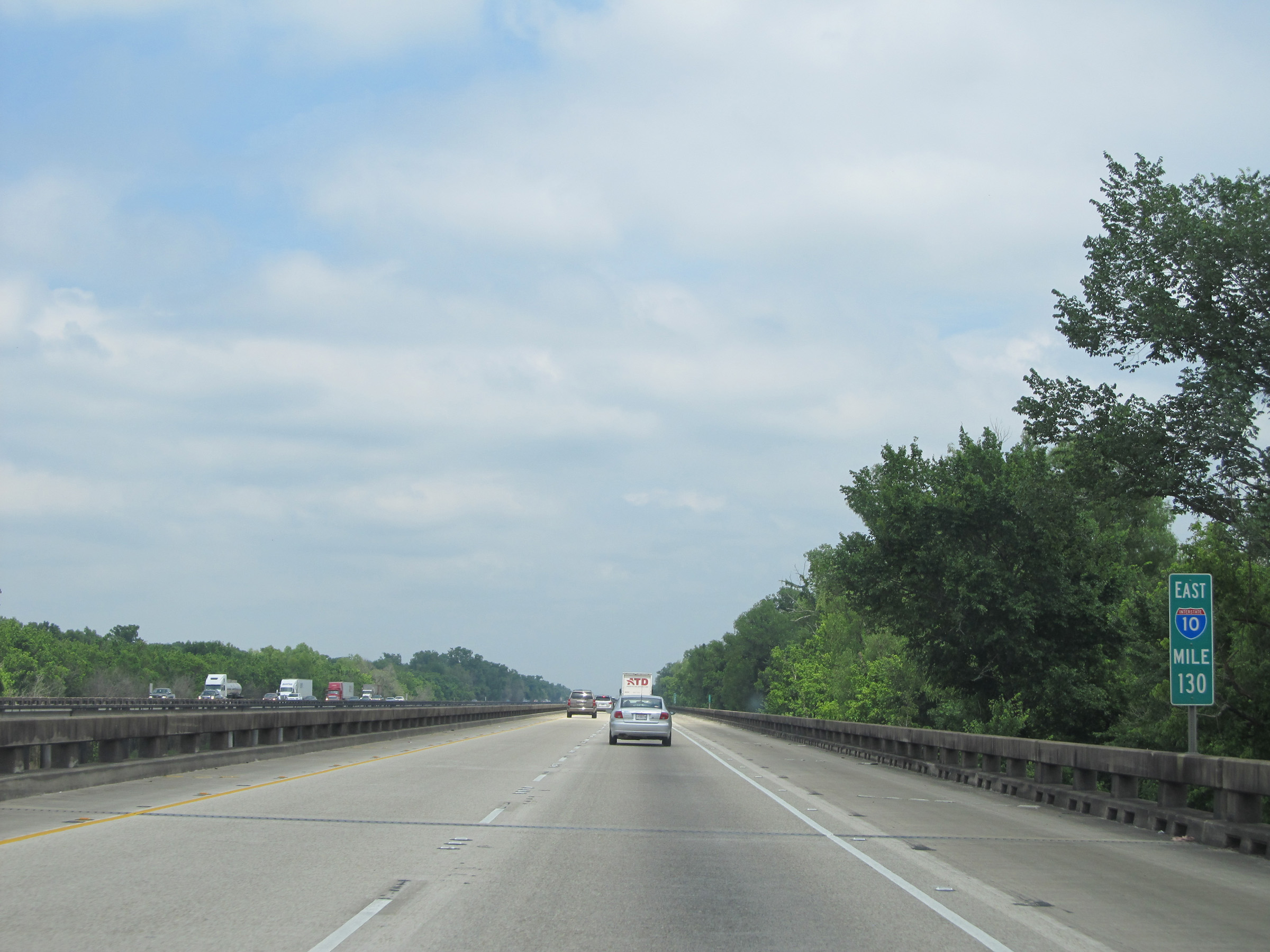
Interstate 10 East: Road view from mile marker 133, approaching the eastern end of the bridge. (Photo taken 5/22/15). |
 |
Interstate 10 East at Exit 135: LA 3000 - Ramah / Maringouin. This exit is immediately at the eastern end of the Louisiana Airborne Memorial Bridge, as you can see here. (Photo taken 5/22/15). |
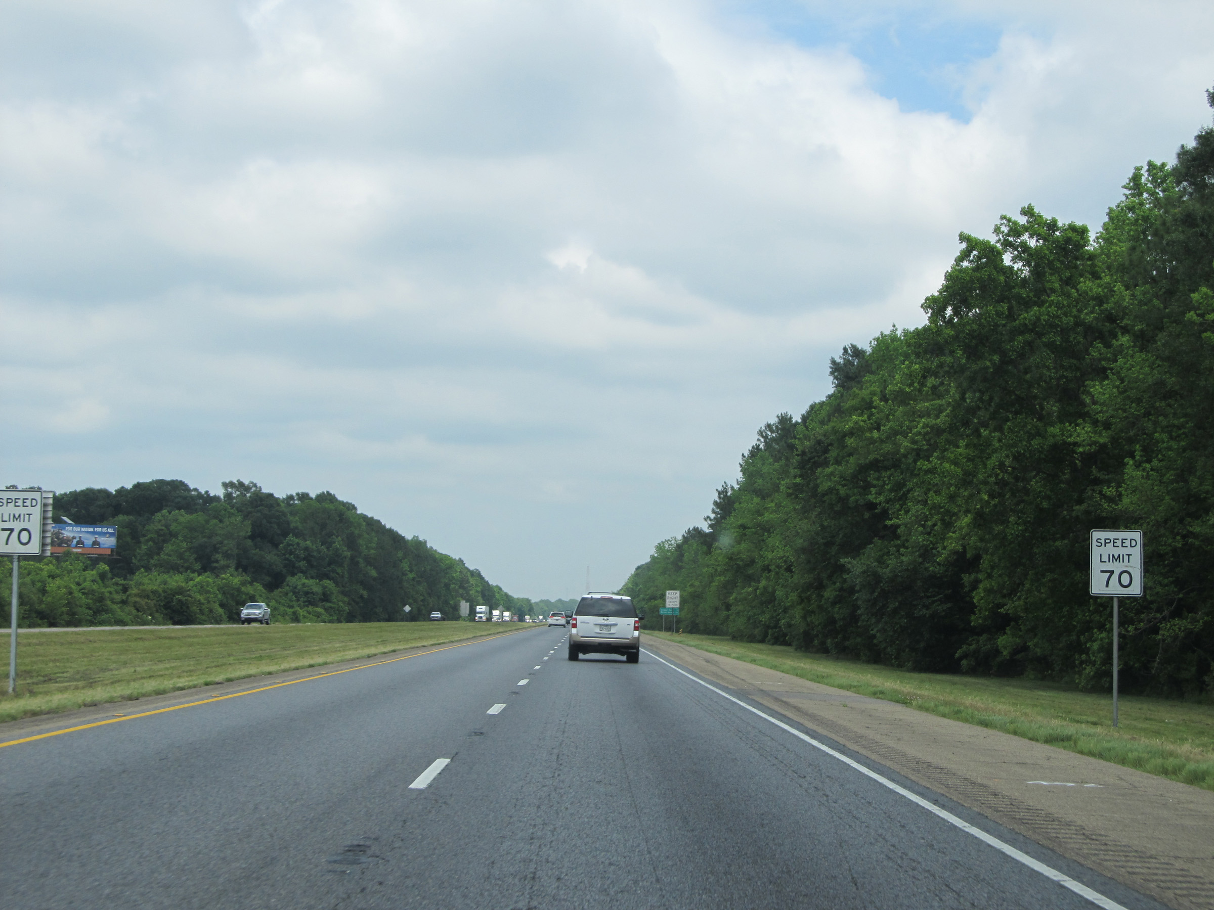 |
Back on solid ground, the standard speed limit of 70 mph resumes. (Photo taken 5/22/15). |
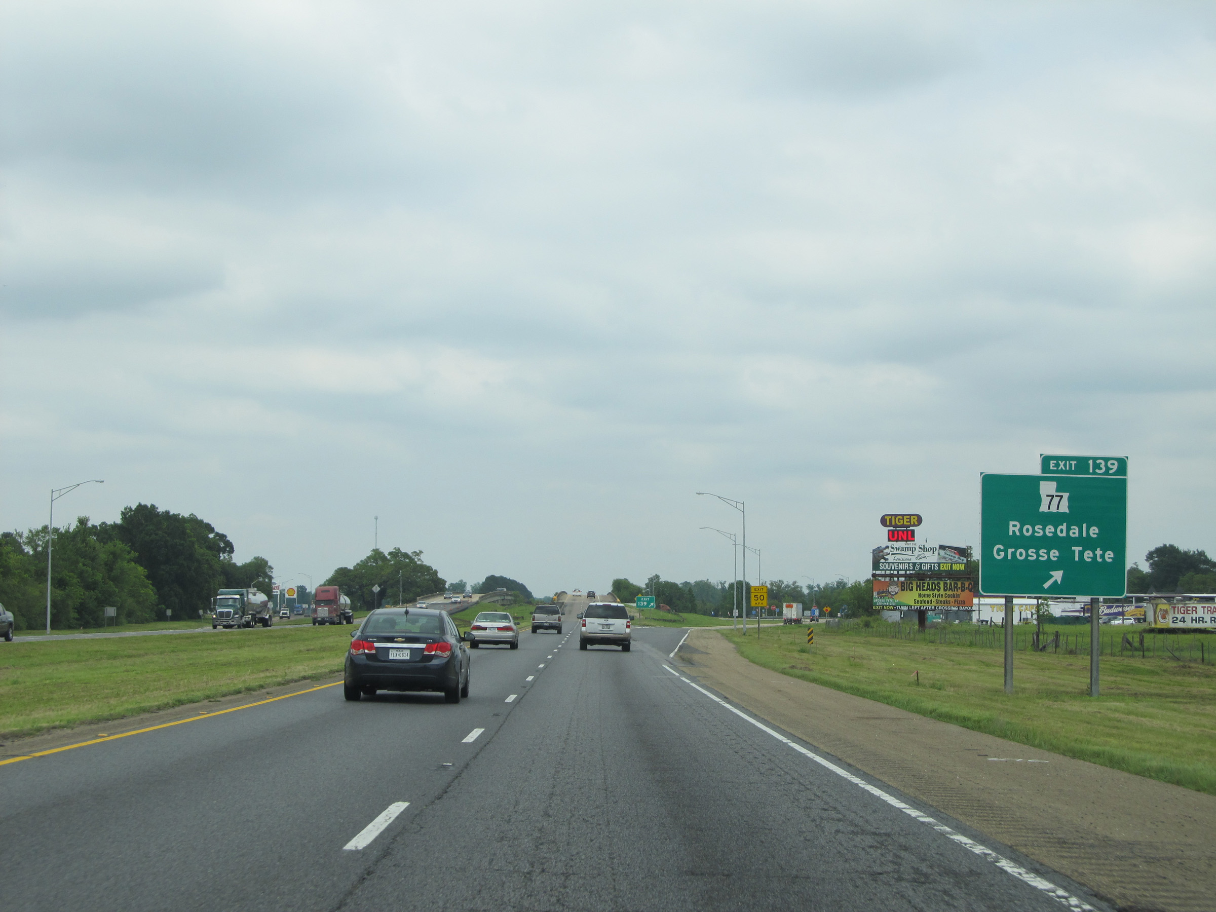 |
Interstate 10 East at Exit 139: LA 77 - Rosedale / Grosse Tete (Photo taken 5/22/15). |
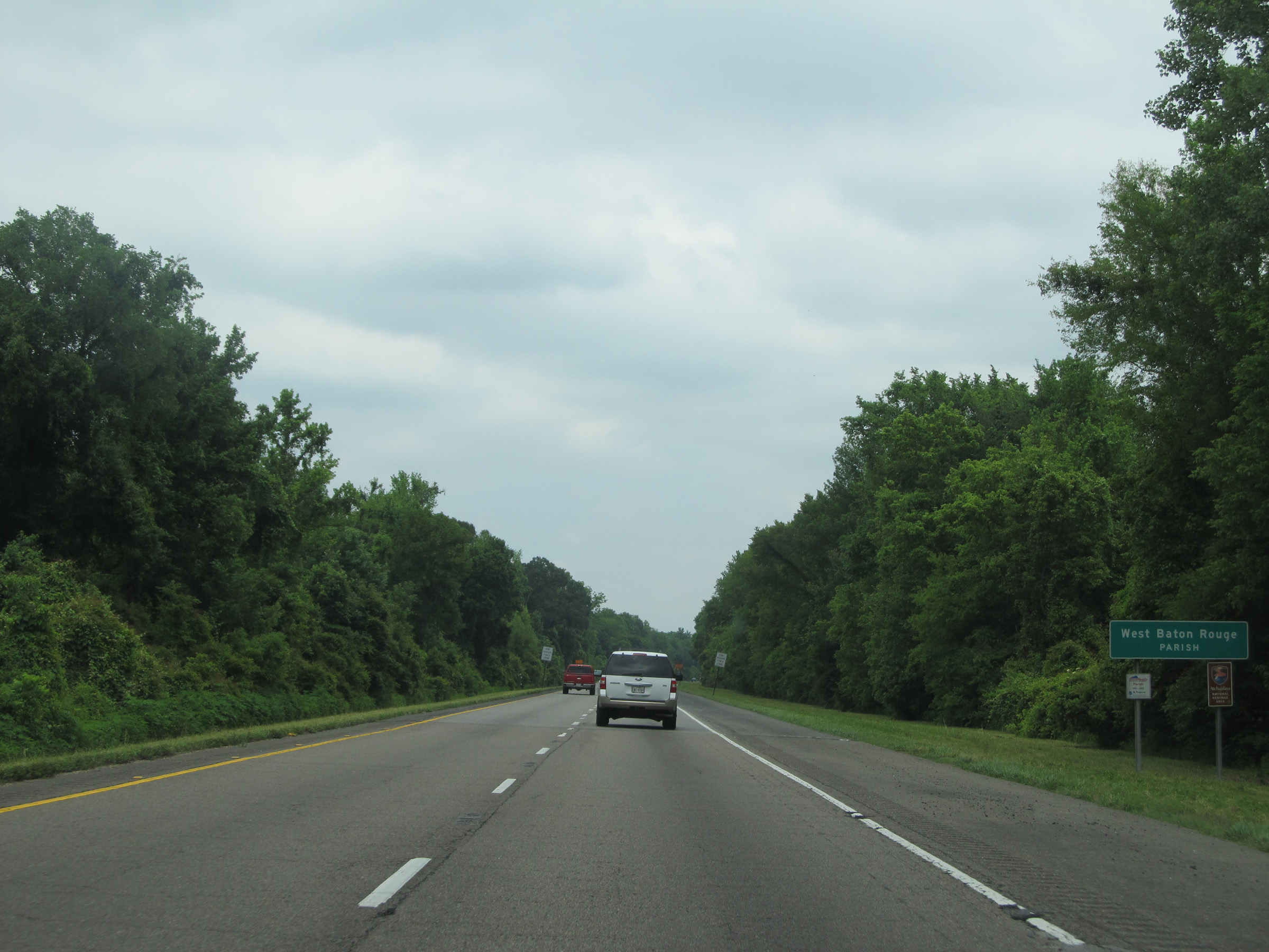 |
Interstate 10 East as it enters West Baton Rouge Parish. (Photo taken 5/22/15). |
 |
Interstate 10 East: Road view from mile marker 143. (Photo taken 5/22/15). |
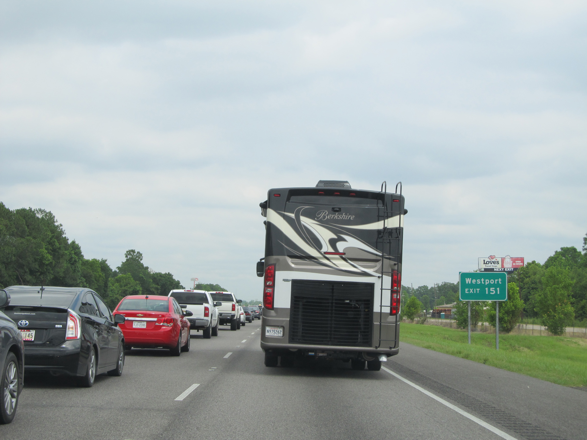 |
Use Exit 151 to Westport. (Photo taken 5/22/15). |
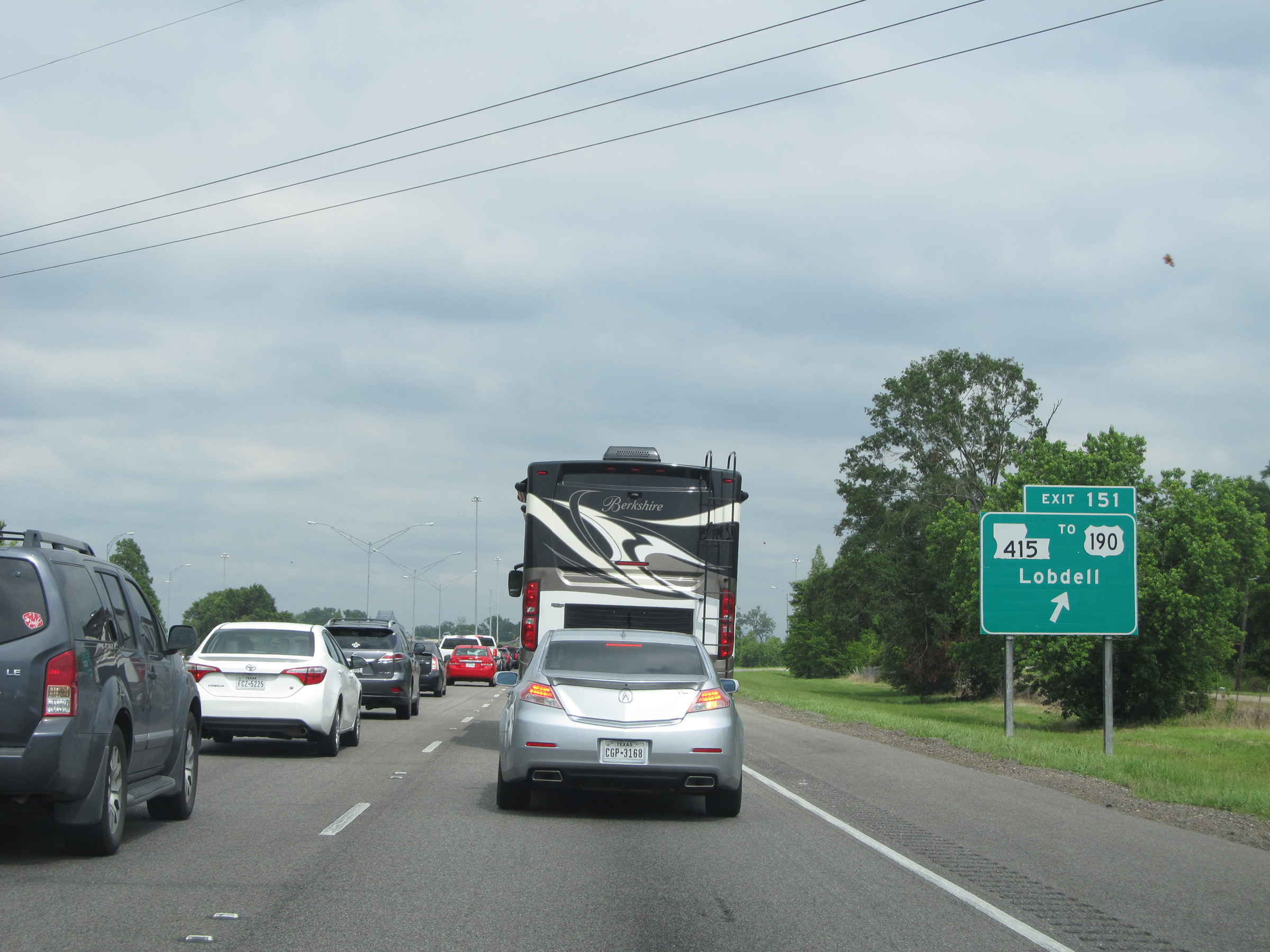 |
Interstate 10 East at Exit 151: LA 415 / To US 190 - Lobdell (Photo taken 5/22/15). |
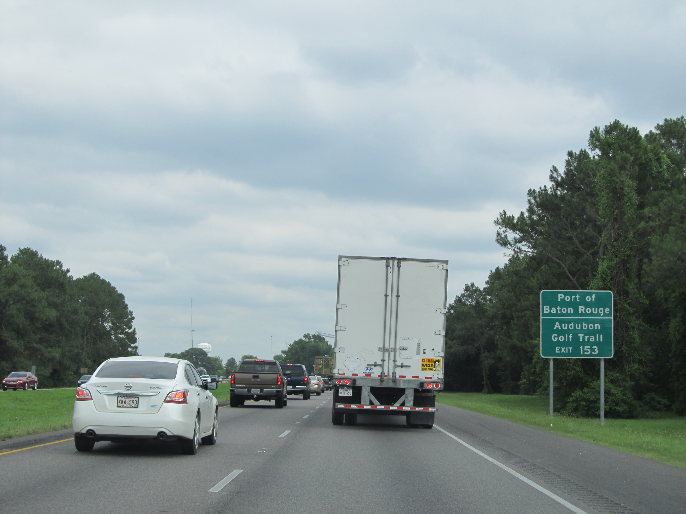 |
Take Exit 153 to Port of Baton Rouge and Audubon Golf Trail. (Photo taken 5/22/15). |
 |
Approaching Baton Rouge from the west, the speed limit decreases to 60 mph. (Photo taken 5/22/15). |
 |
Interstate 10 East at Exit 153: LA 1 - Port Allen / Plaquemine (Photo taken 5/22/15). |
 |
Interstate 10 East approaching Exit 155B - 2 miles. (Photo taken 5/22/15). |
 |
Interstate 10 East as it crosses the Mississippi River via the Horace Wilkinson Bridge, entering East Baton Rouge Parish. (Photo taken 5/22/15). |
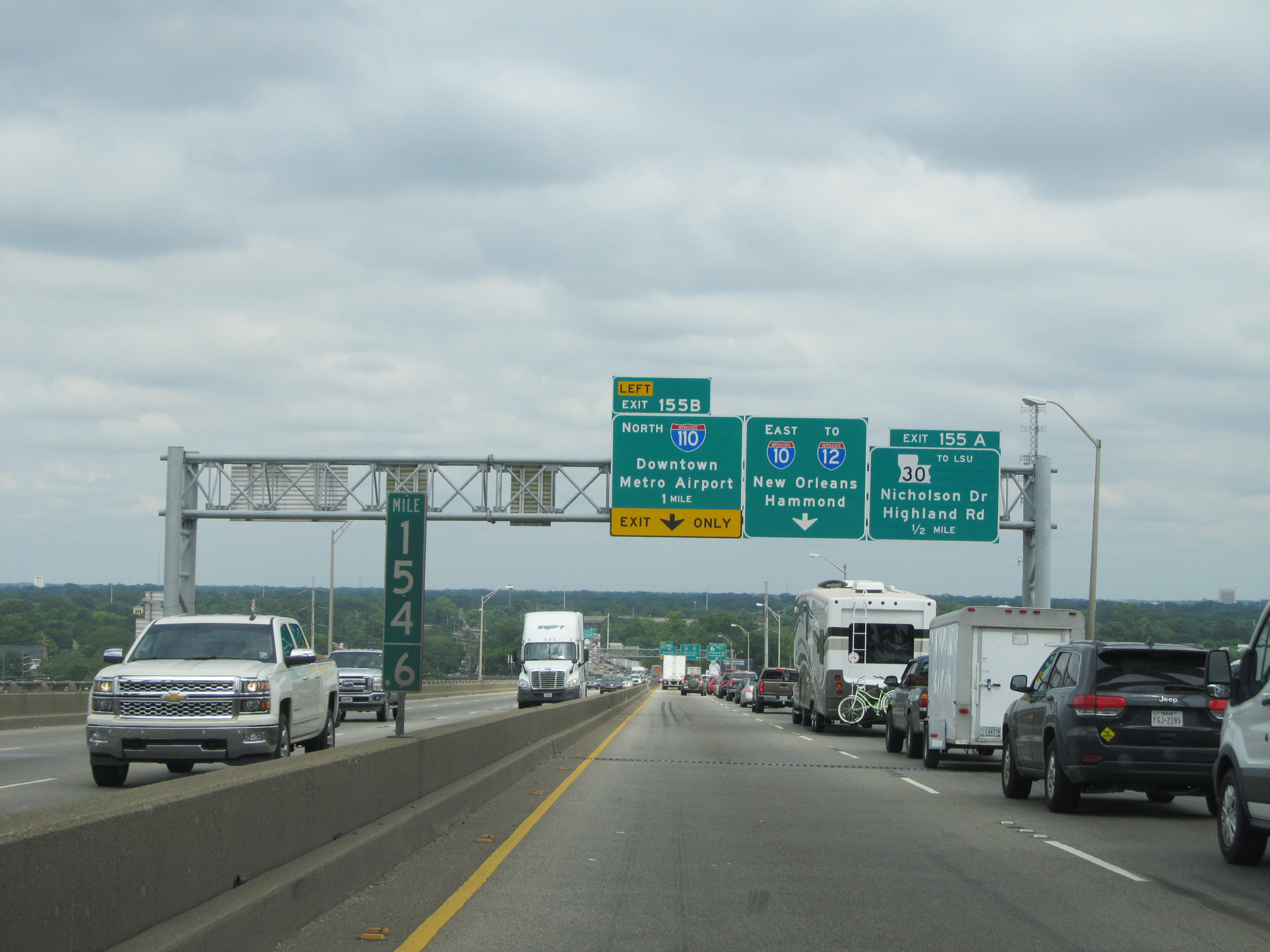 |
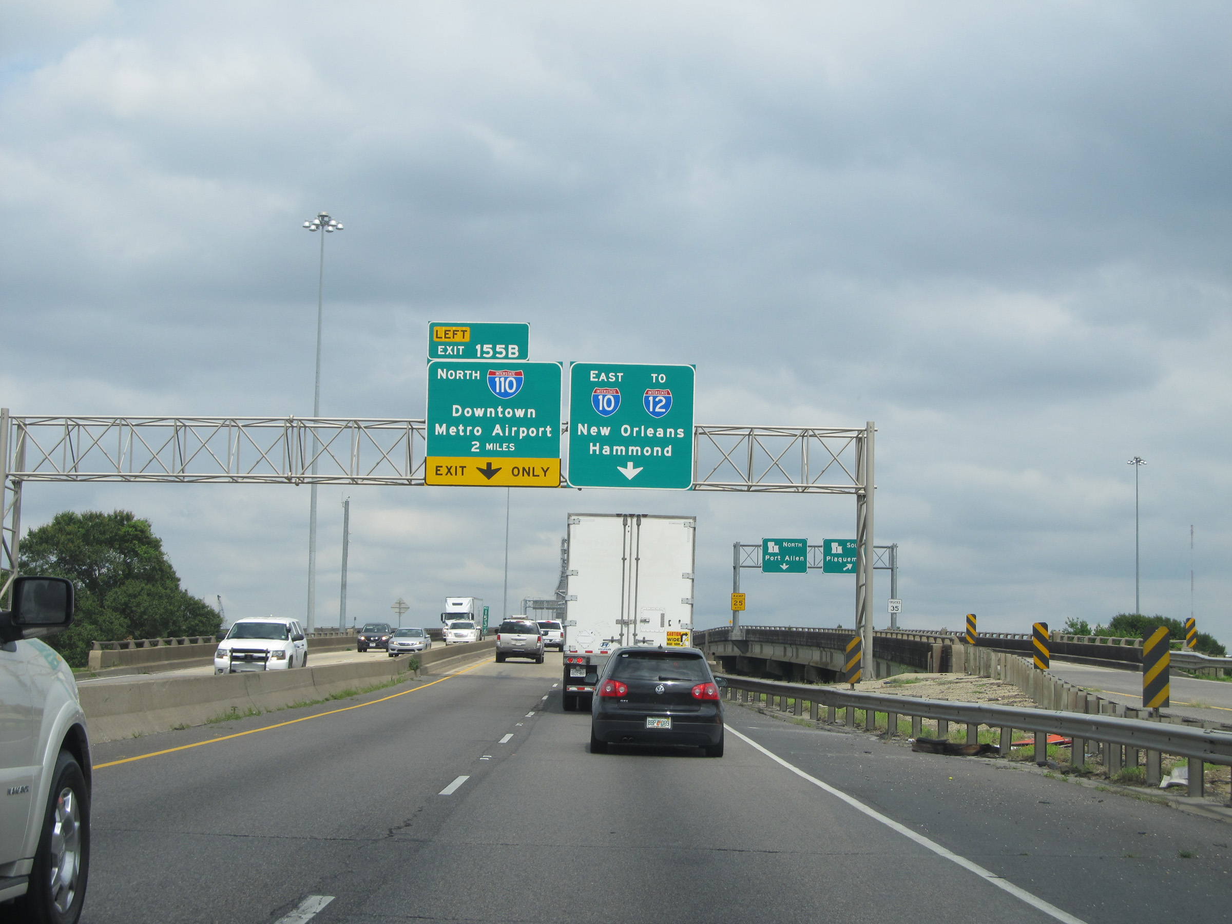
Interstate 10 East approaching Exit 155B on the left - 1 mile. As you can see, this stretch of I-10 is a recipe for congestion seeing how the mainline goes down to a single lane until Exit 153 traffic merges back onto I-10, and the left lane becomes an Exit Only lane for Exit 155B. What they were thinking when they designed this stretch of Interstate is beyond me. (Photo taken 5/22/15). |
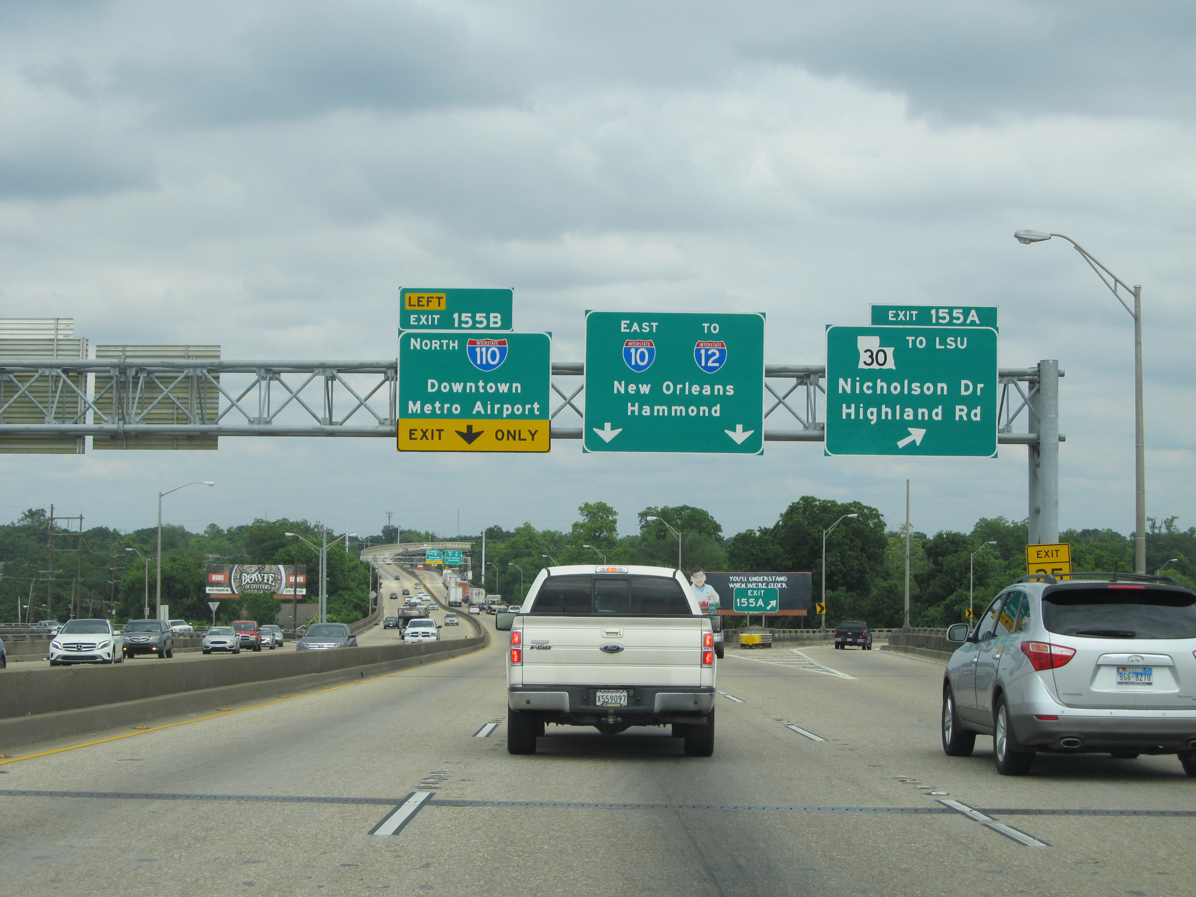 |
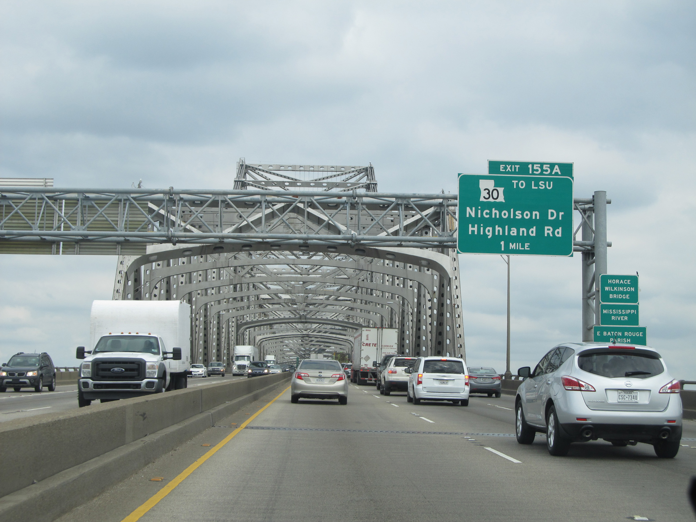
Interstate 10 East at Exit 155A: LA 30 - Nicholson Dr / Highland Rd / To LSU. At this point, even though there are now two lanes for the mainline I-10 East, traffic previously in the left lane on I-10 now has to quickly merge to the right to remain on the mainline. The congestion you have seen in these pictures should come as little surprise as a result. But it gets even worse ahead...... (Photo taken 5/22/15). |
 |
Interstate 10 East at Exit 155B: Interstate 110 North - Downtown / Metro Airport (Photo taken 5/22/15). |
 |
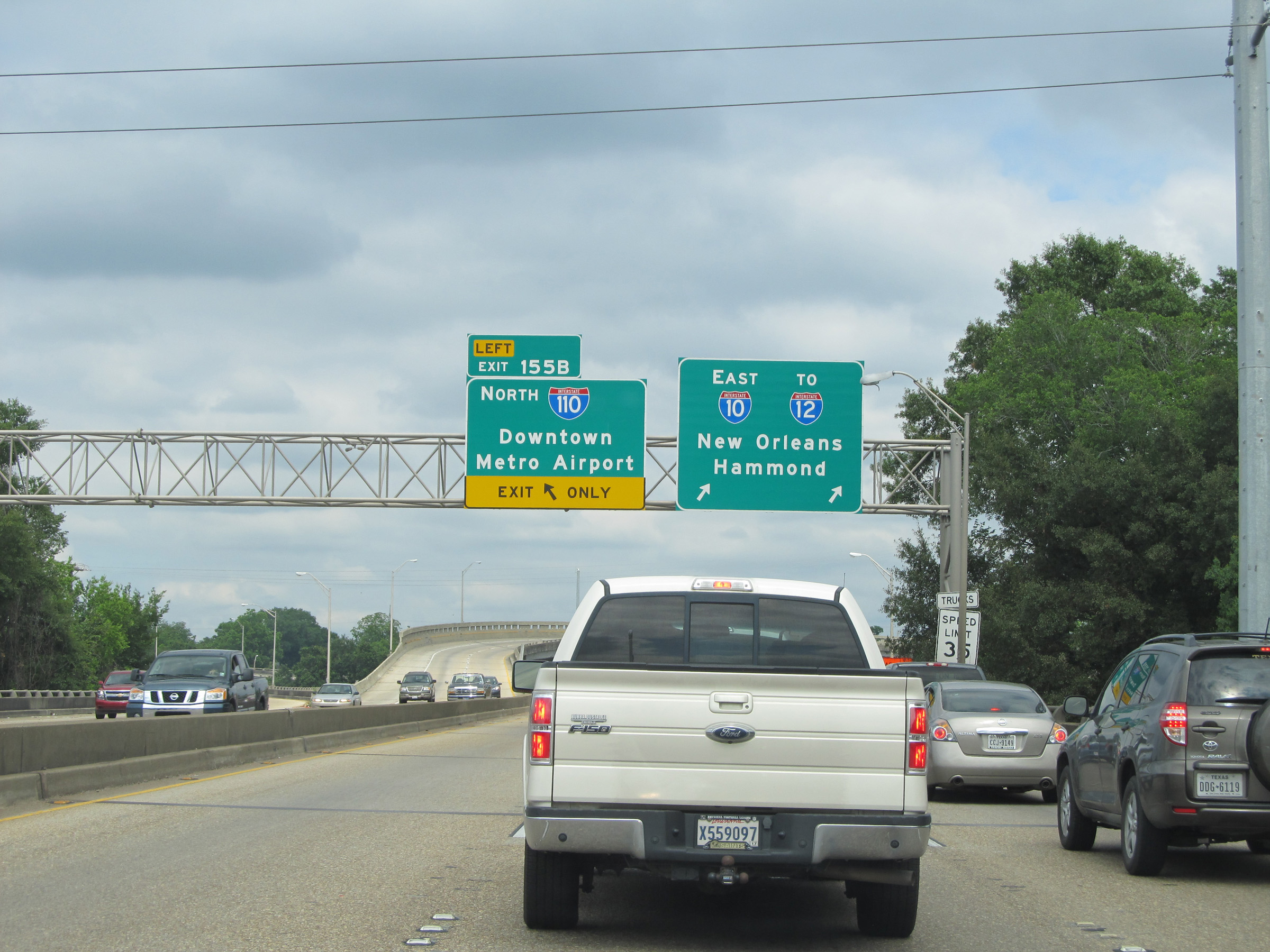
This is where another highway design blunder was made in my opinion. You thought just seconds ago that you were fine in the rightmost lane to stay on Interstate 10 East. Well, unfortunately, you would be incorrect as the right lane now becomes and Exit Only lane and you have just 1/2 mile to merge to the left to stay on I-10 East. More congestion here is no surprise. (Photo taken 5/22/15). |
 |
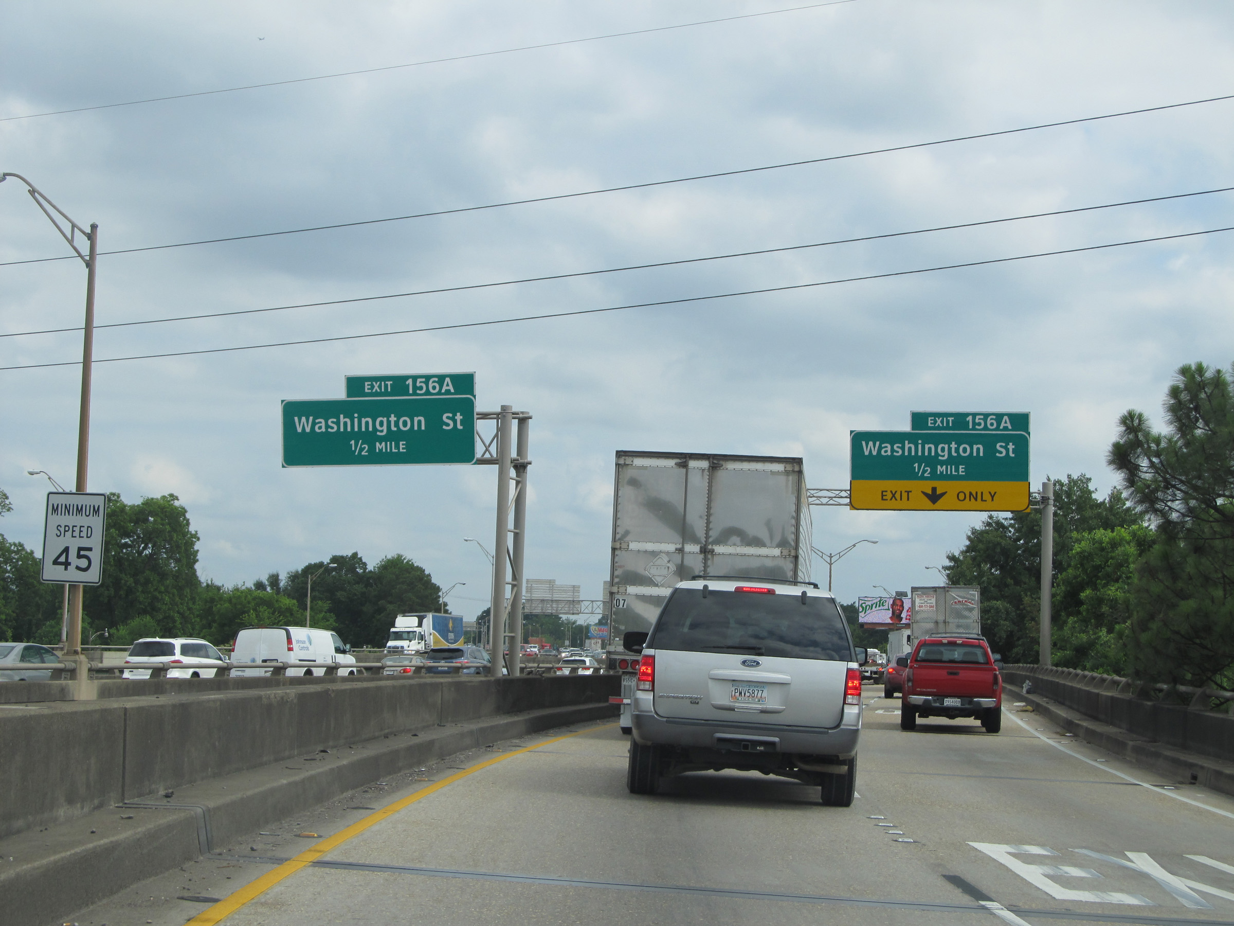
Interstate 10 East at Exit 156A: Washington St. Past this exit is where things finally start to sort themselves out after this mess. (Photo taken 5/22/15). |
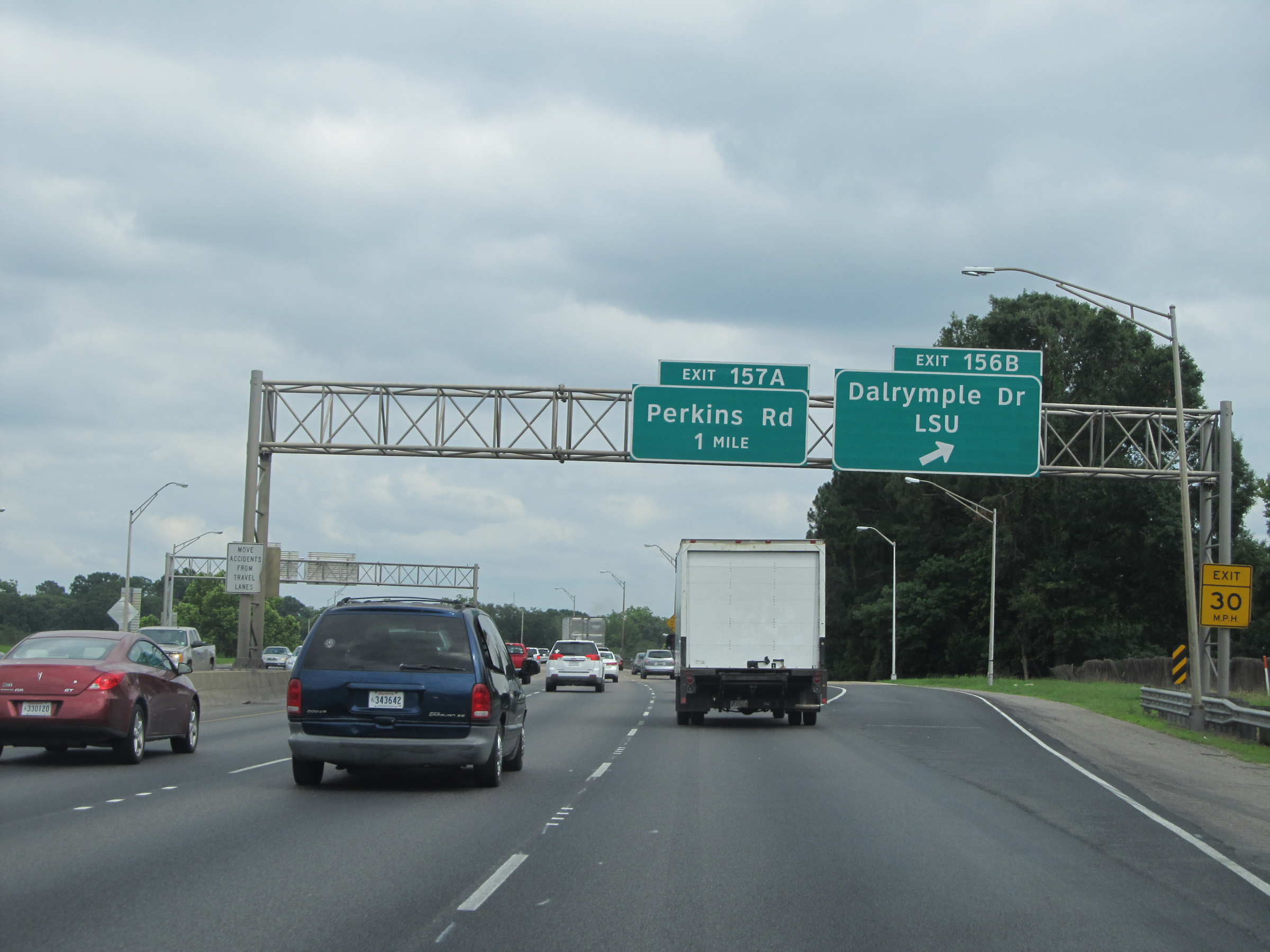 |
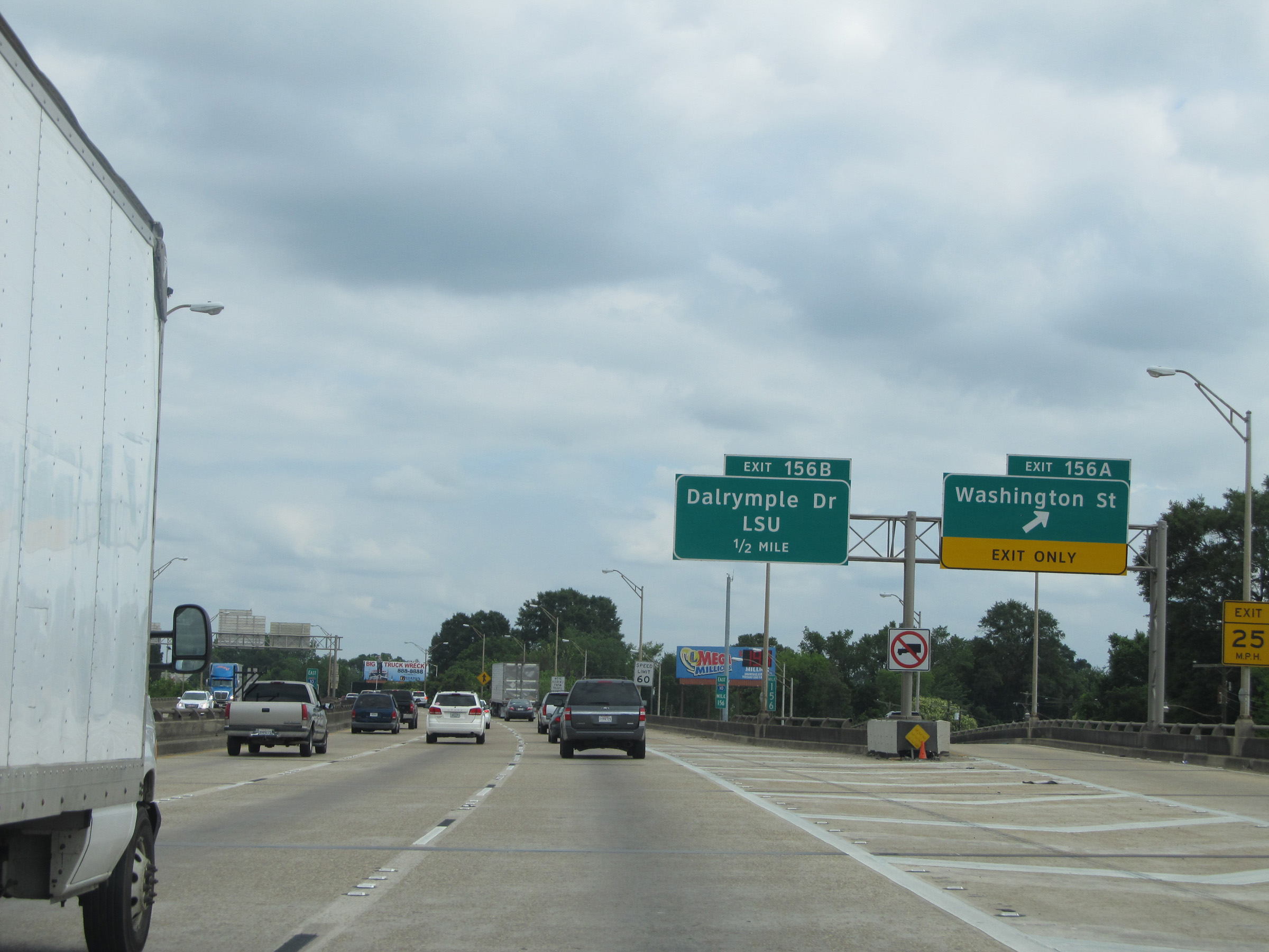
Interstate 10 East at Exit 156B: Dalrymple Dr / LSU (Photo taken 5/22/15). |
 |
Interstate 10 East at Exit 157A: Perkins Rd (Photo taken 5/22/15). |
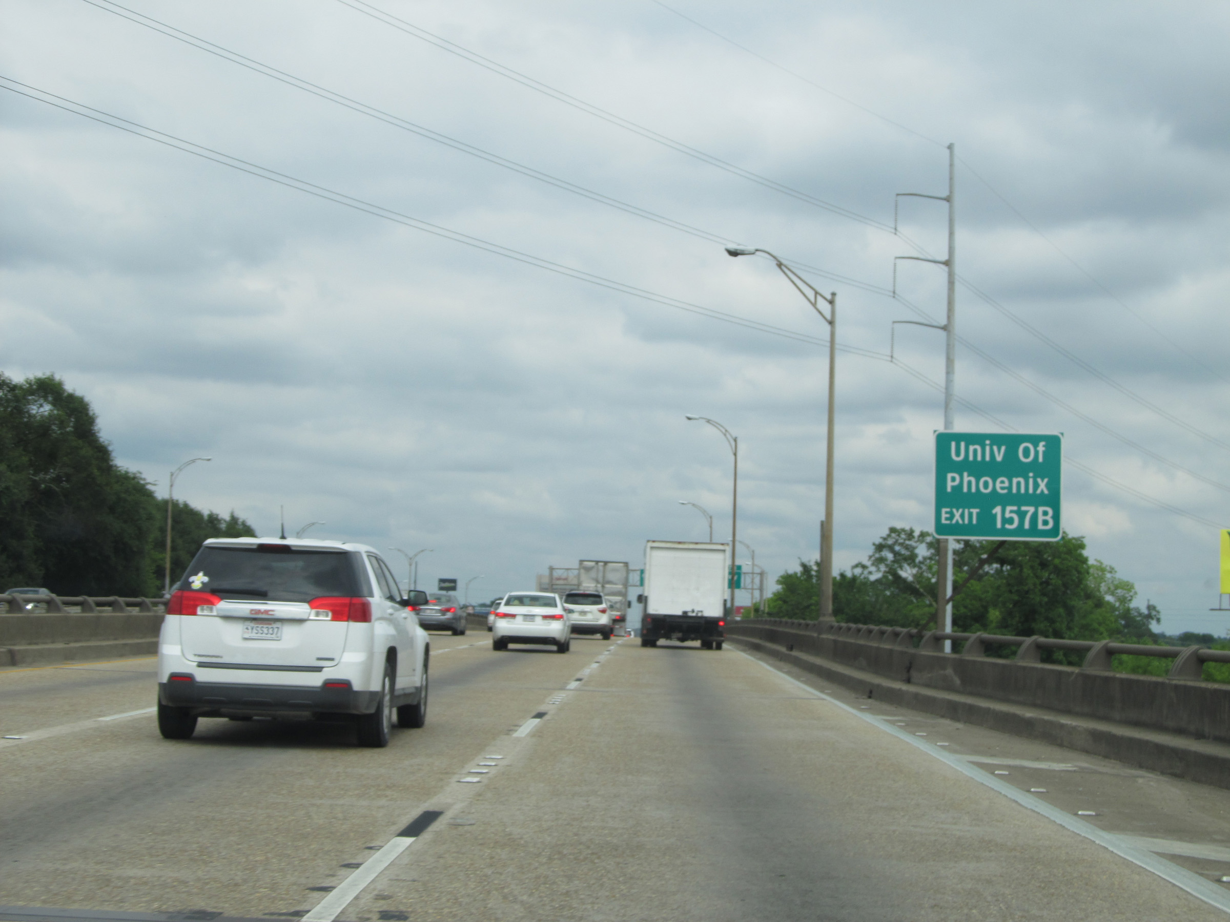 |
Take Exit 157B to University of Phoenix. (Photo taken 5/22/15). |
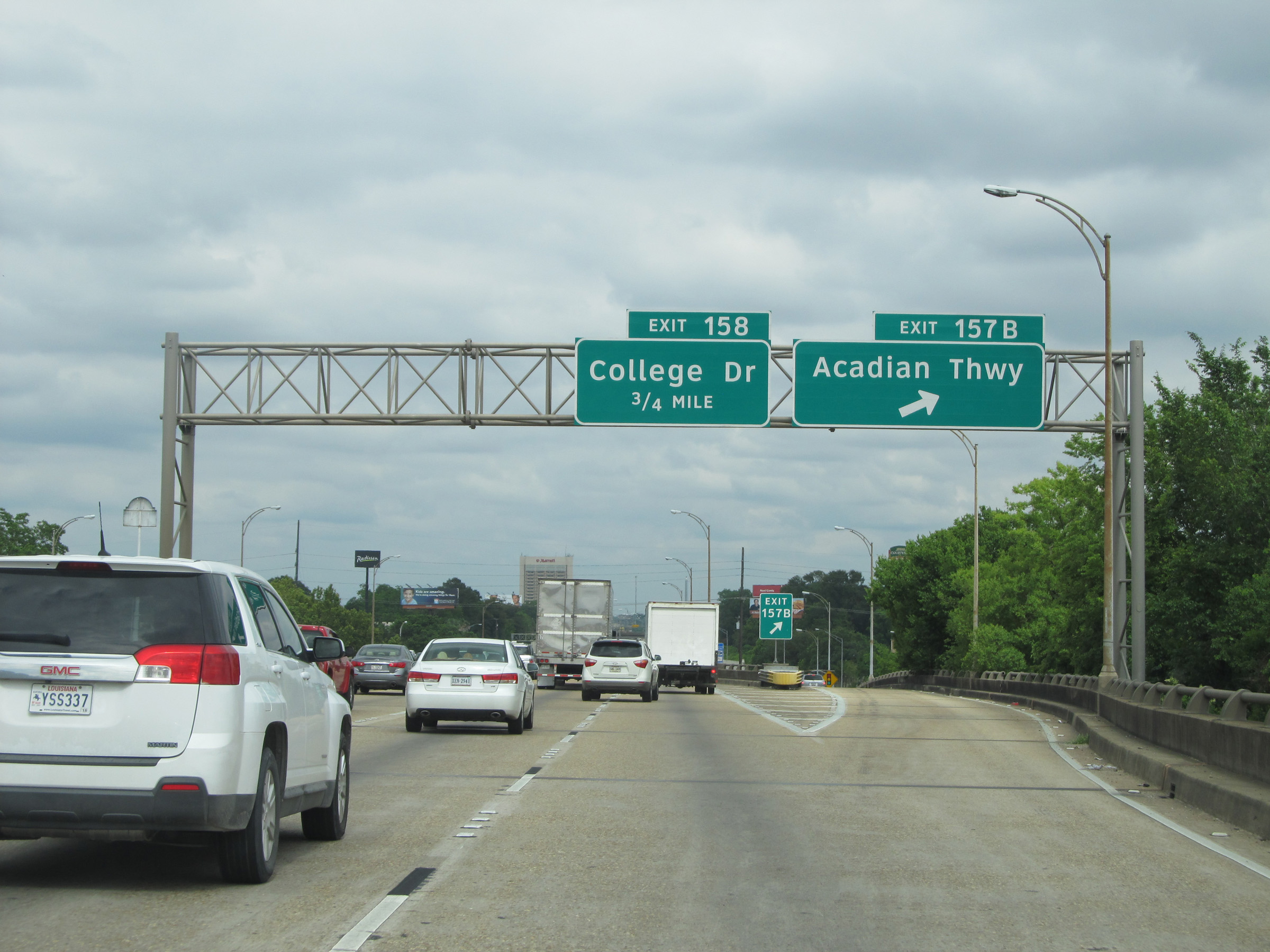 |
Interstate 10 East at Exit 157B: Acadian Thwy (Photo taken 5/22/15). |
 |
Interstate 10 East at Exit 158: College Dr (Photo taken 5/22/15). |
 |
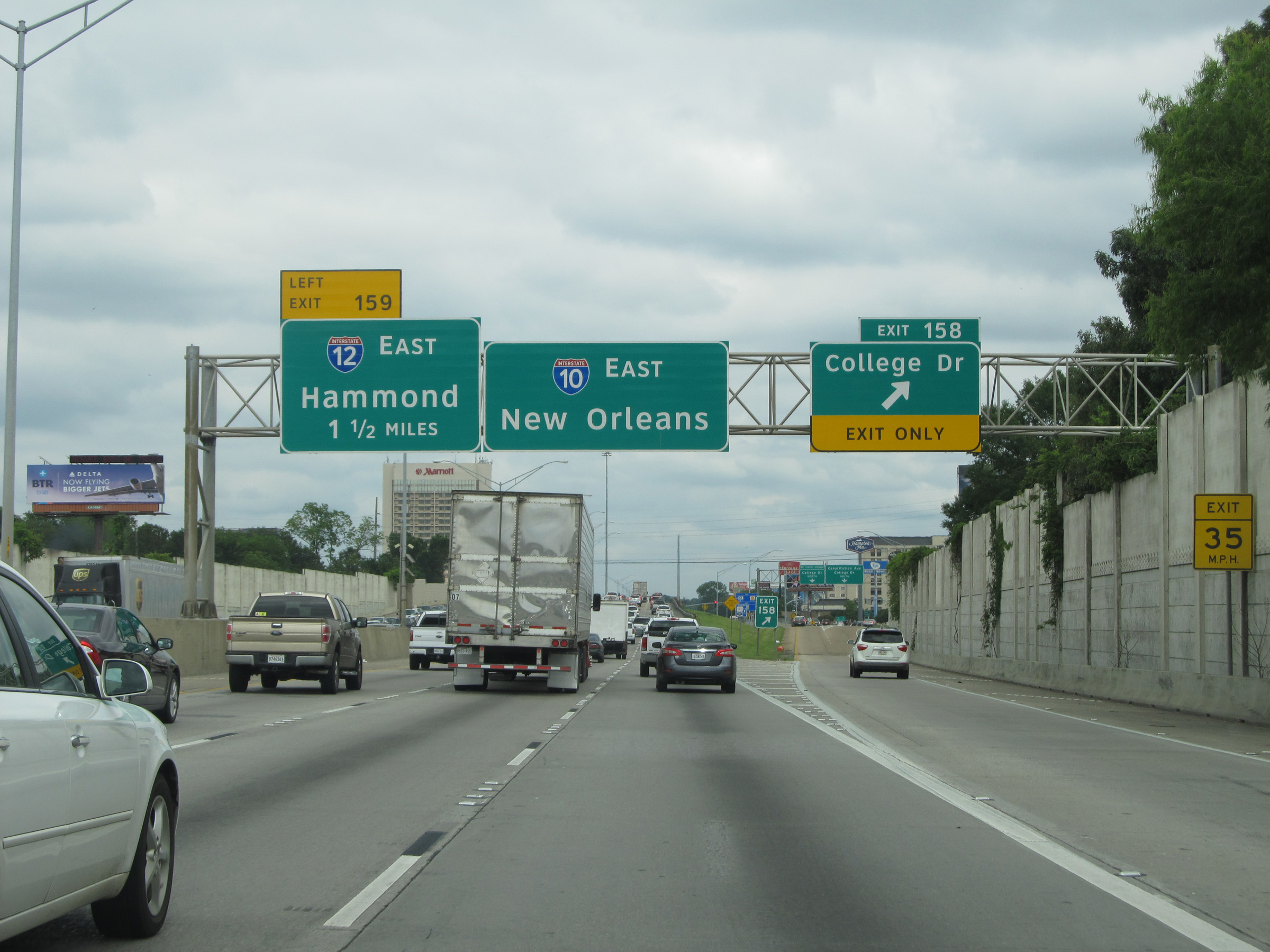
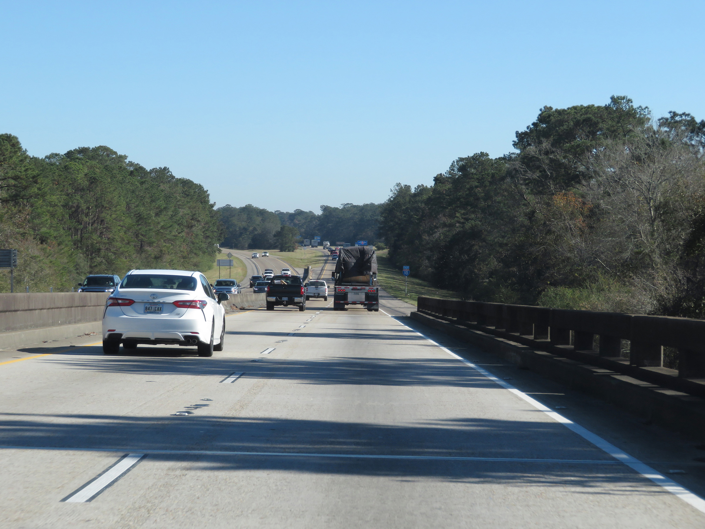
View on Interstate 10 East at mile marker 159, approaching the junction of Interstate 12 East. (Photo taken 12/9/20). |
 |
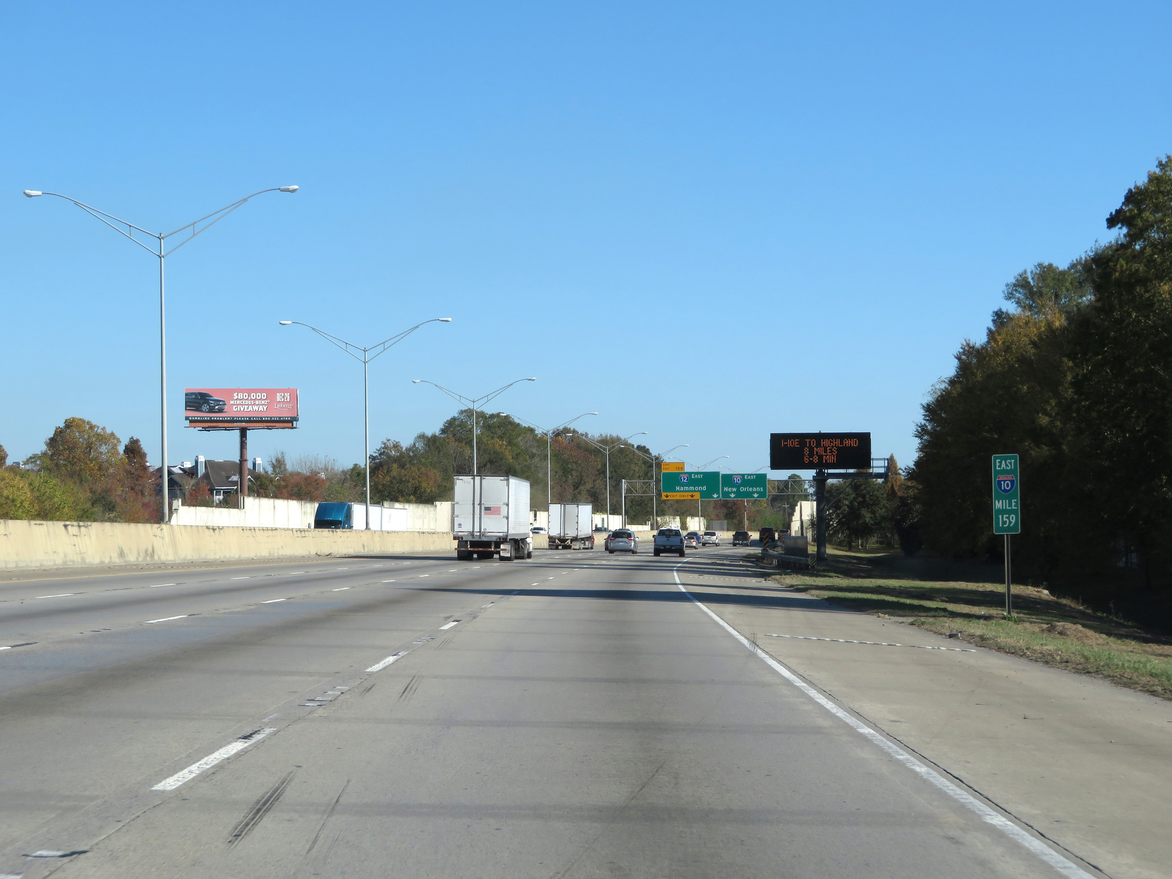
Interstate 10 East thru traffic to New Orleans should keep right and use the two rightmost lanes approaching Exit 159. Traffic to Interstate 12 East via Exit 159 can use any of the three leftmost lanes. (Photo taken 12/9/20). |
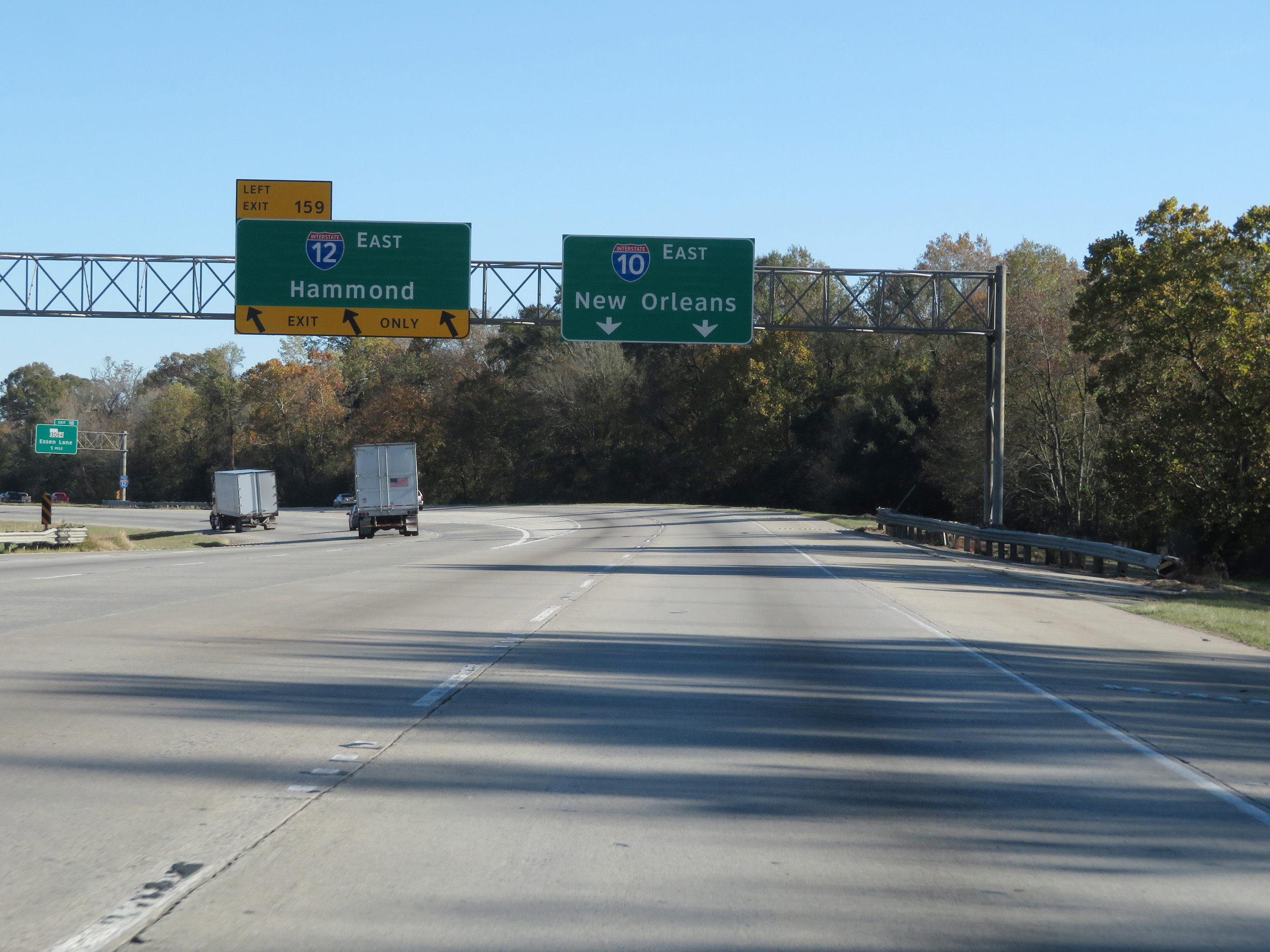 |
Interstate 10 East at Exit 159: Interstate 12 East - Hammond (Photo taken 12/9/20). |
Section 3: Baton Rouge (Exit 159) to LaPlace (Exit 209)
 |
View on Interstate 10 East immediately after its junction with Interstate 12 via Exit 159 in Baton Rouge. After Exit 159, I-10 East curves to the southeast to head toward New Orleans. (Photo taken 12/9/20). |
 |
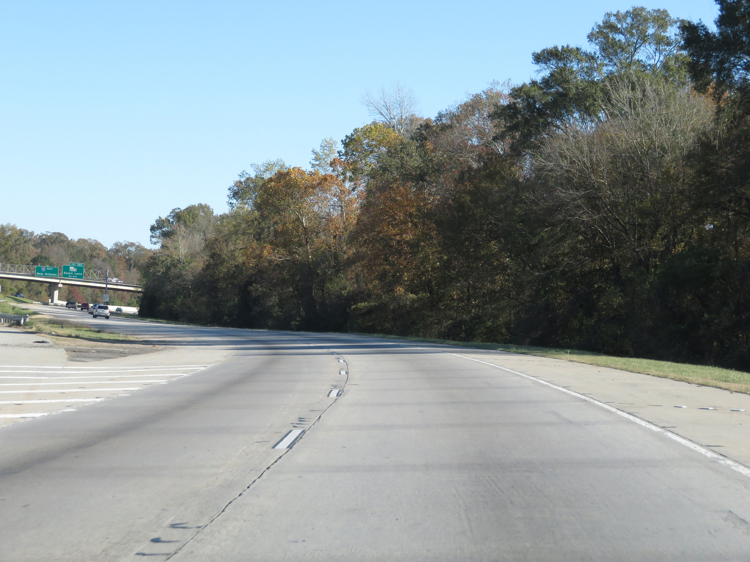
Advance signage for Exit 160 as Interstate 10 East curves to the southeast to head for New Orleans. (Photo taken 12/9/20). |
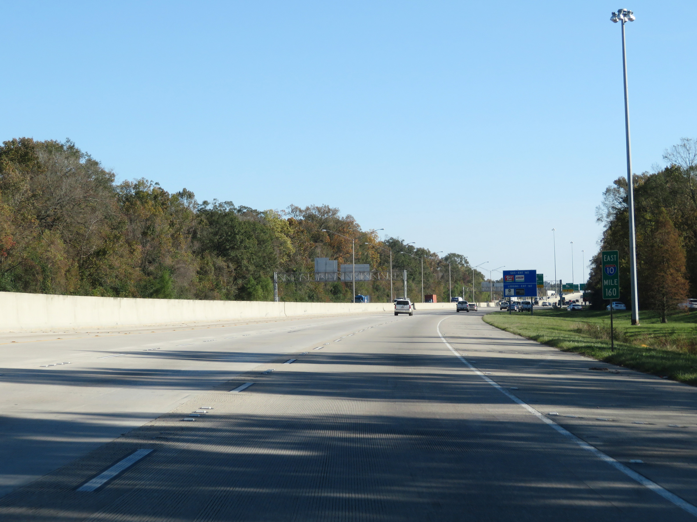 |
Interstate 10 East at mile marker 160. (Photo taken 12/9/20). |
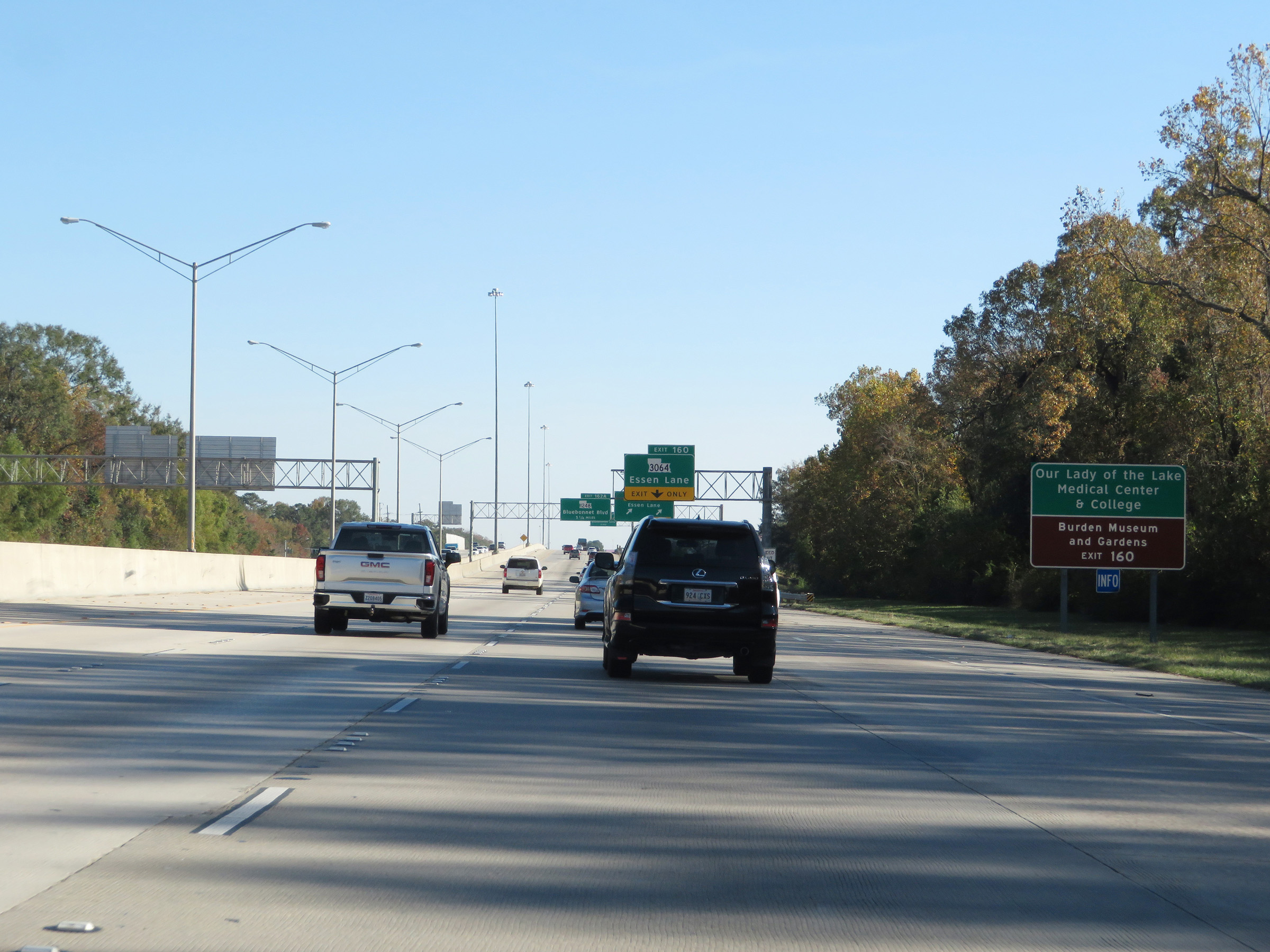 |
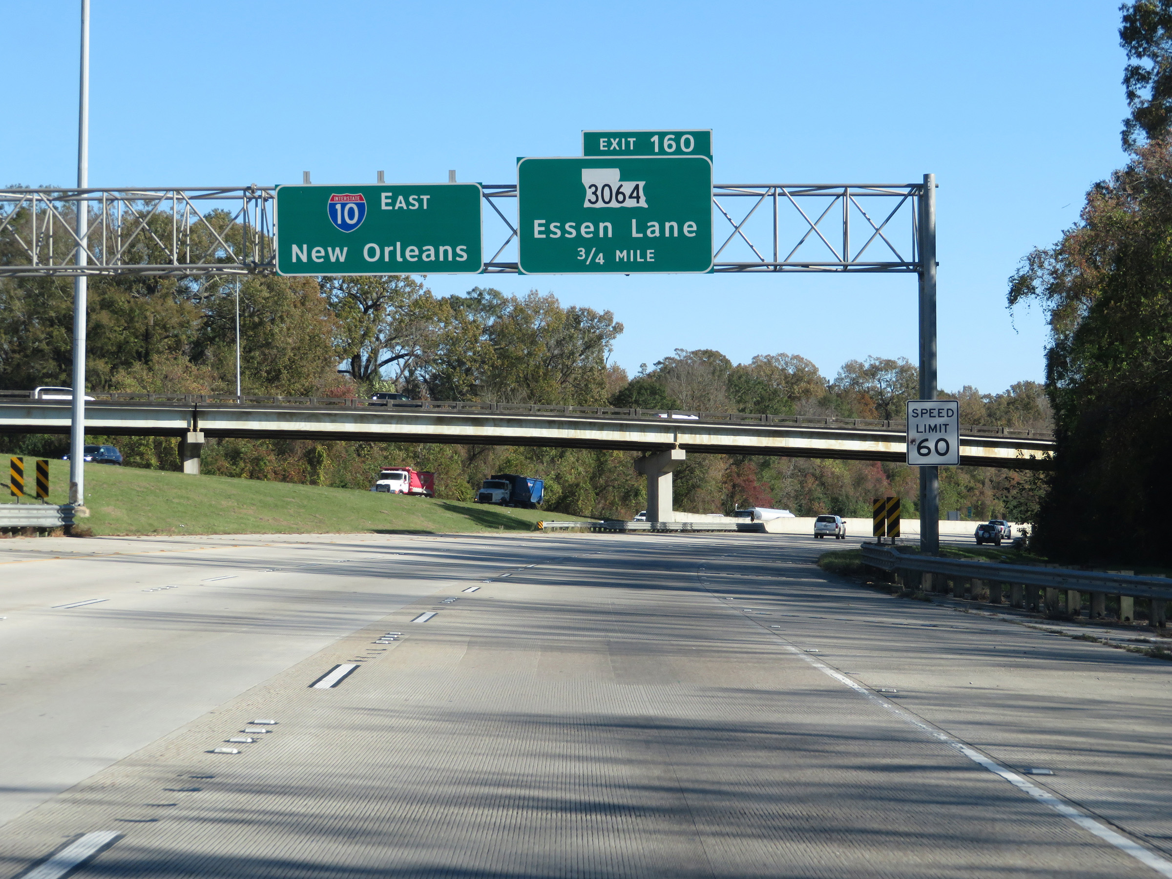
Take Exit 160 to Our Lady of the Lake Medical Center & College as well as the Burden Museum and Gardens. (Photo taken 12/9/20). |
 |
Interstate 10 East at Exit 160: LA 3064 - Essen Lane (Photo taken 12/9/20). |
 |
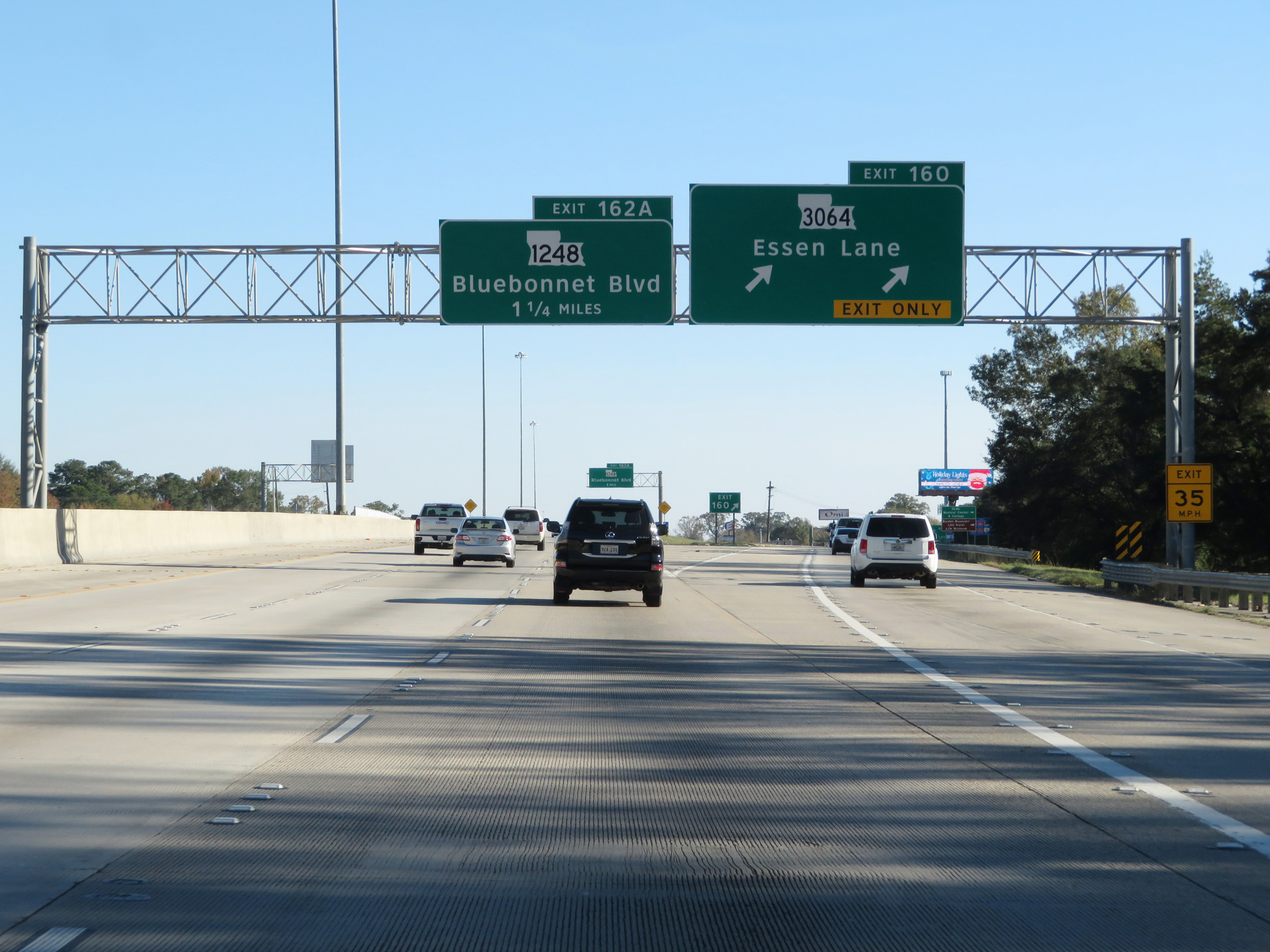
View on Interstate 10 East at mile marker 161. (Photo taken 12/9/20). |
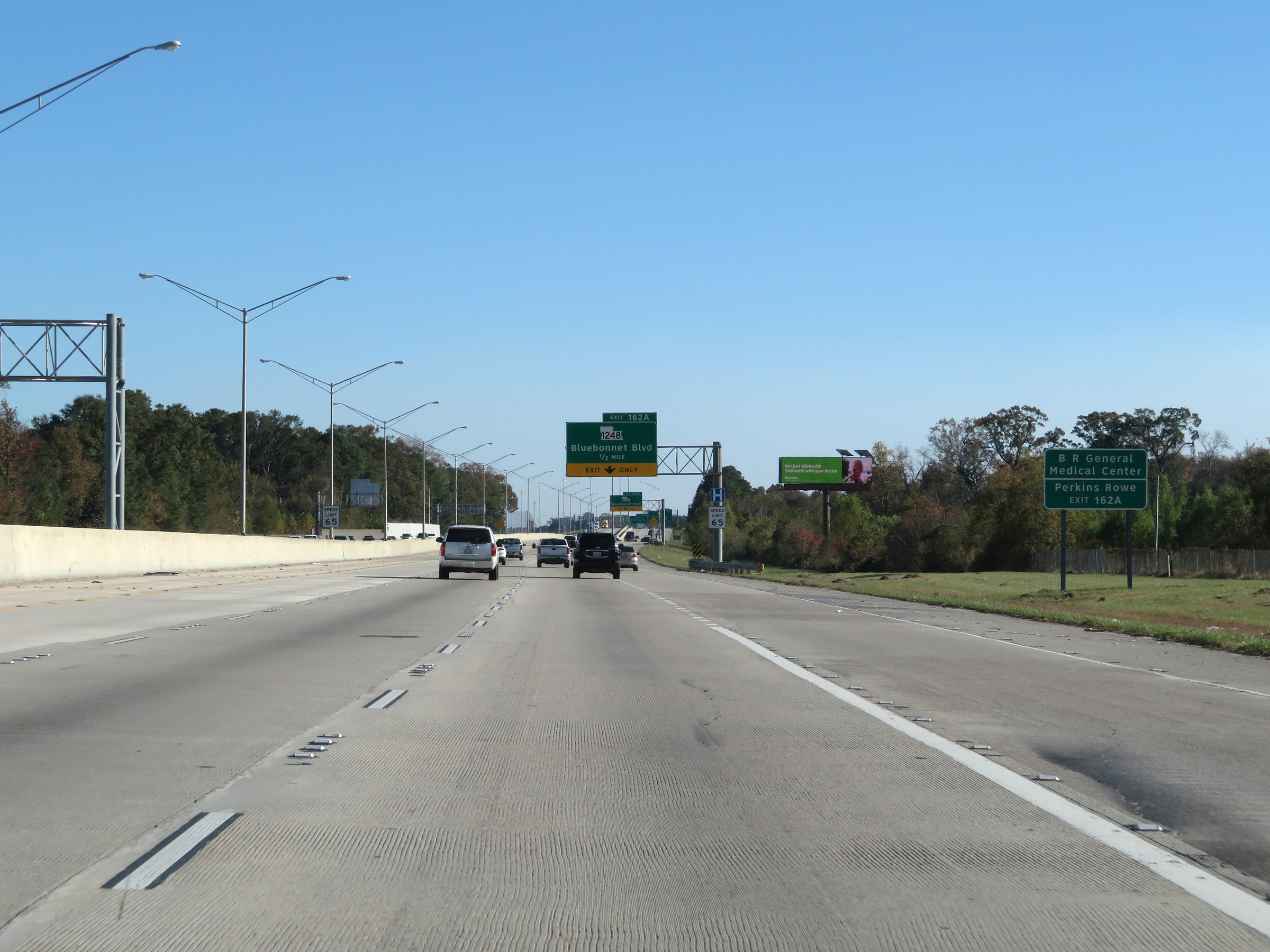 |
Take Exit 162A to Baton Rouge General Medical Center and Perkins Rowe. (Photo taken 12/9/20). |
 |
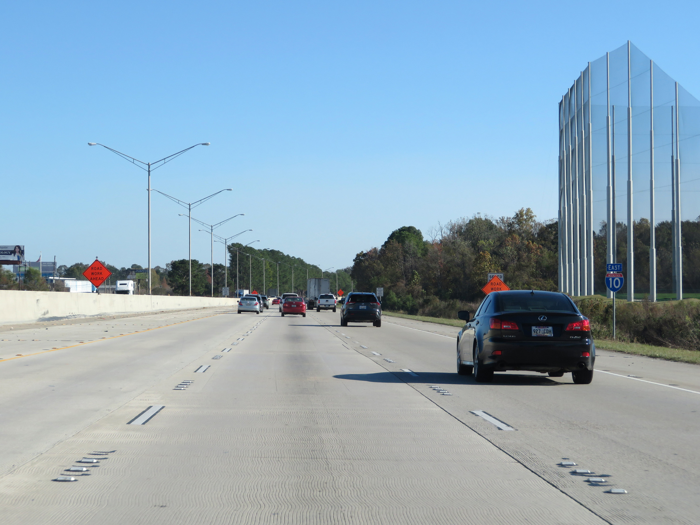
1/2 mile from Exit 162A, the speed limit increases to 65 mph. (Photo taken 12/9/20). |
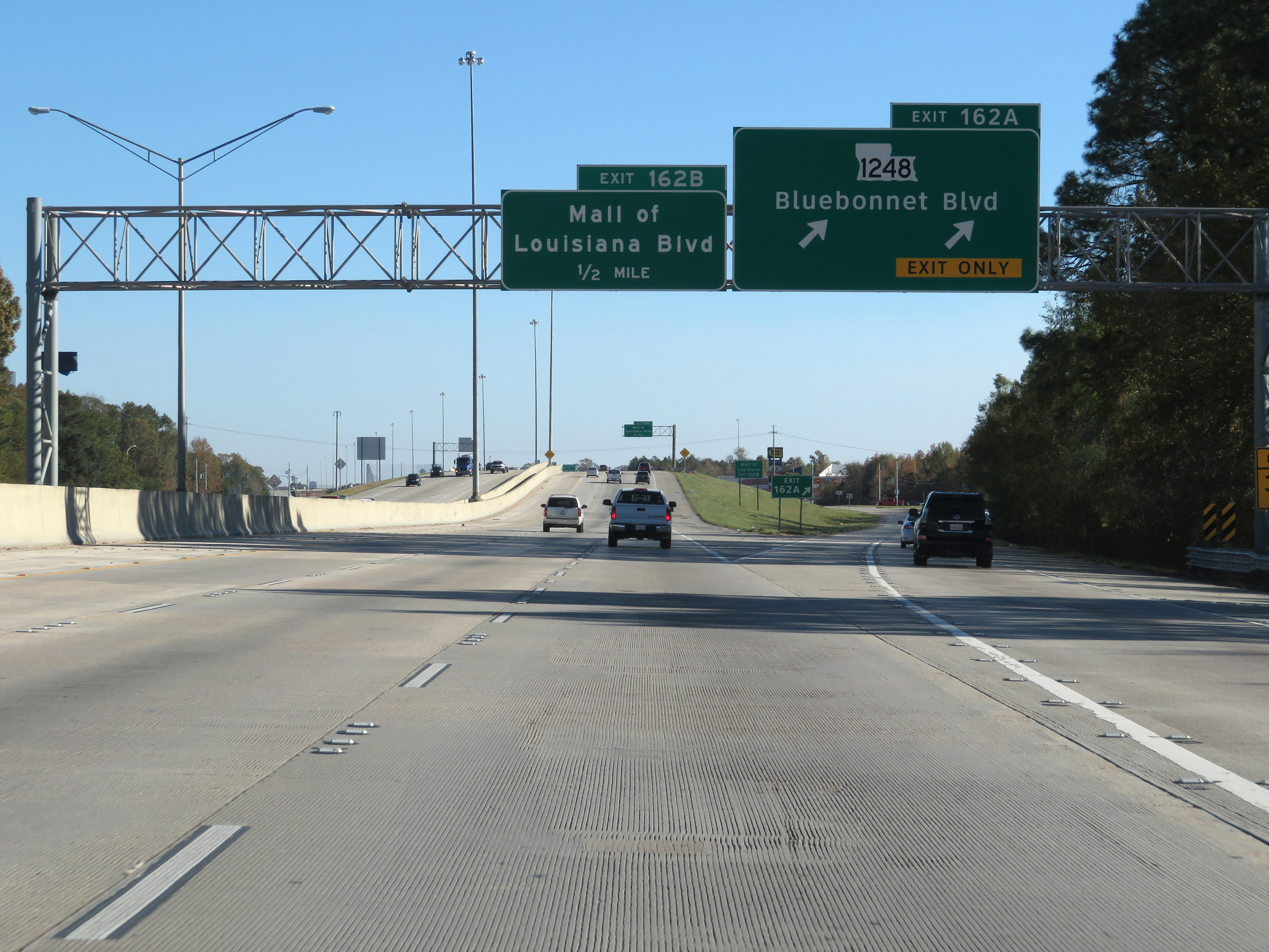 |
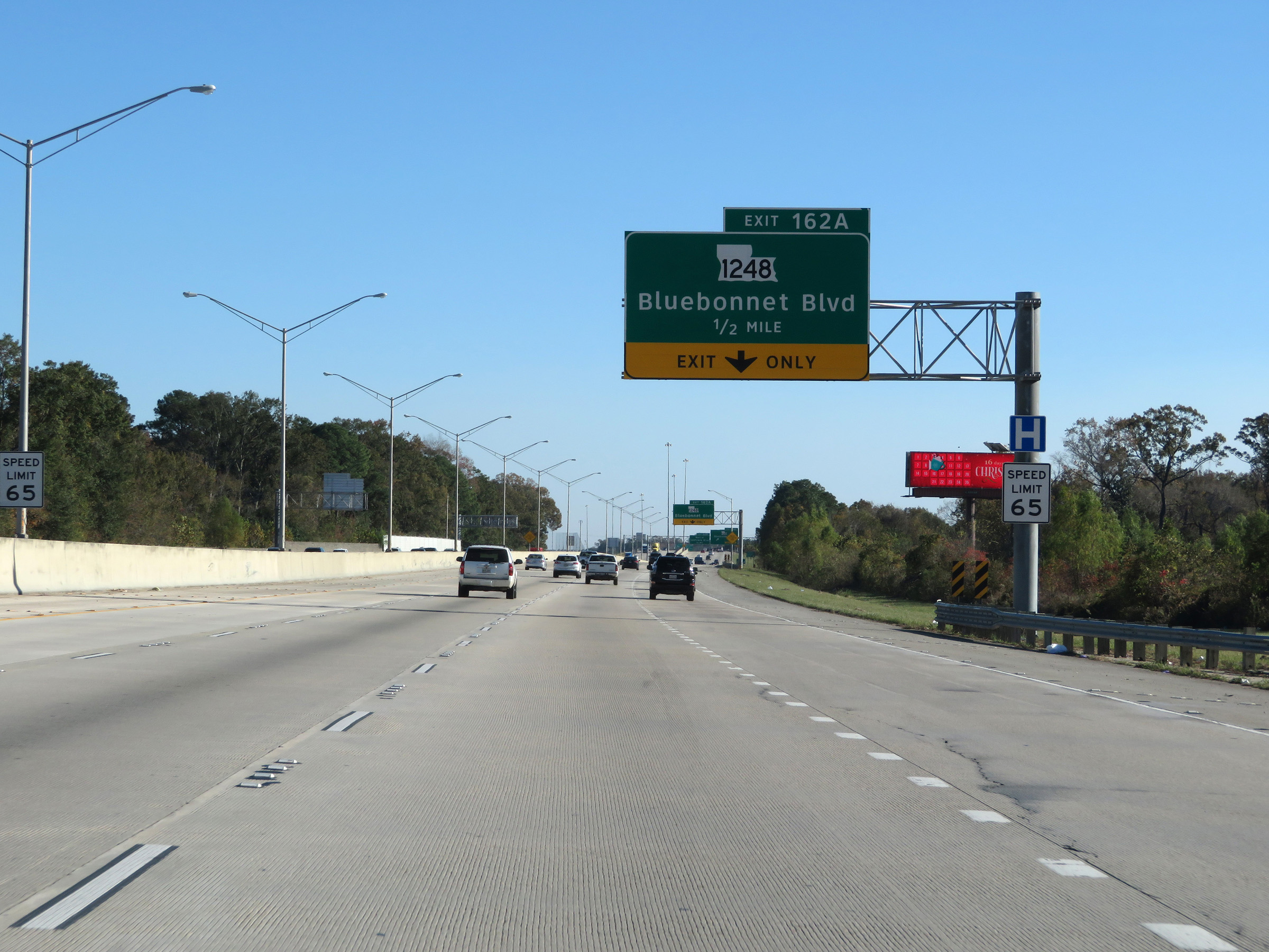
Interstate 10 East at Exit 162A: LA 1248 - Bluebonnet Blvd (Photo taken 12/9/20). |
 |
Take Exit 162B to the Mall of Louisiana. (Photo taken 12/9/20). |
 |
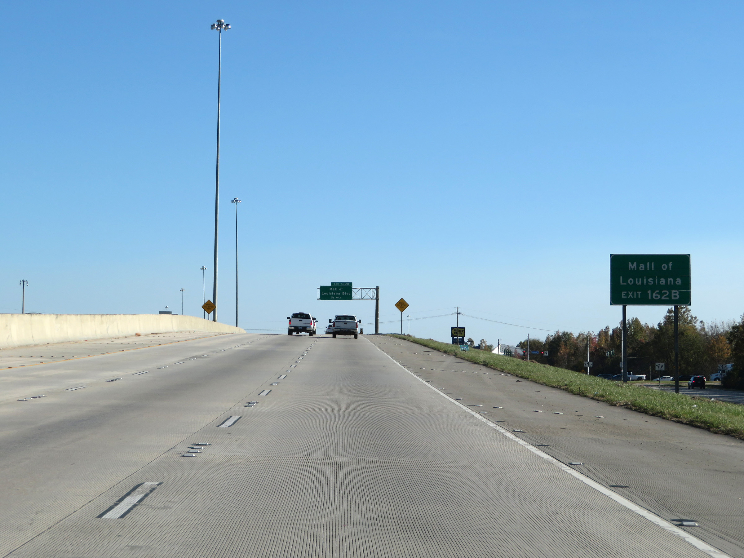
Interstate 10 East at Exit 162B: Mall of Louisiana Blvd (Photo taken 12/9/20). |
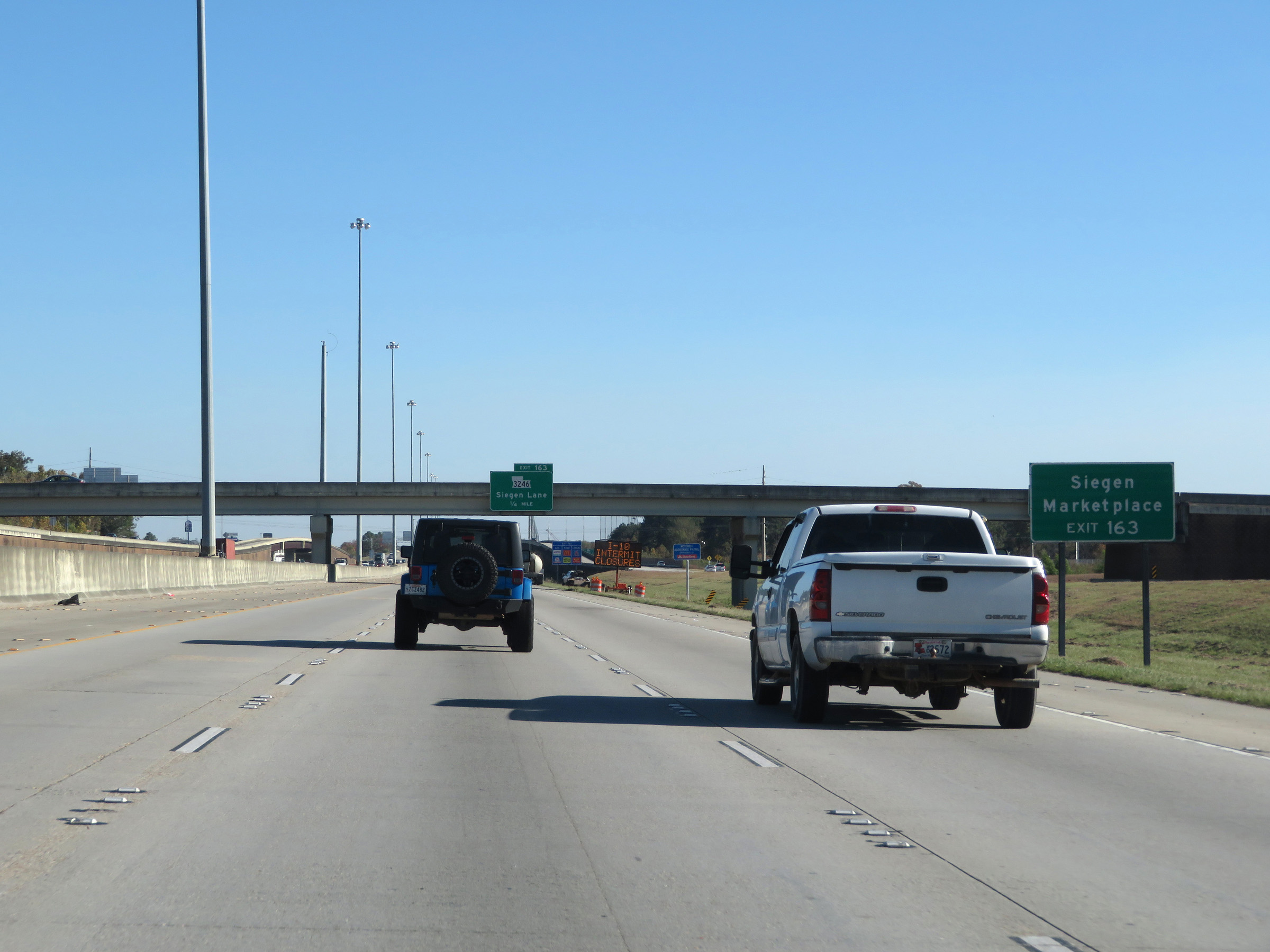 |
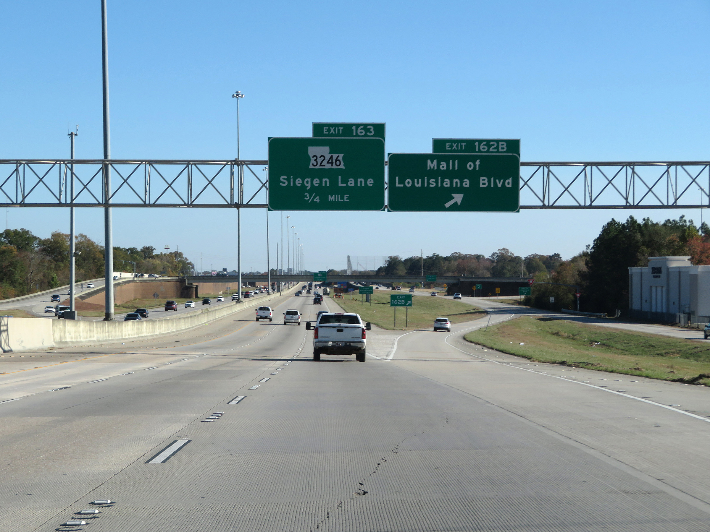
Take Exit 163 to Siegen Marketplace. (Photo taken 12/9/20). |
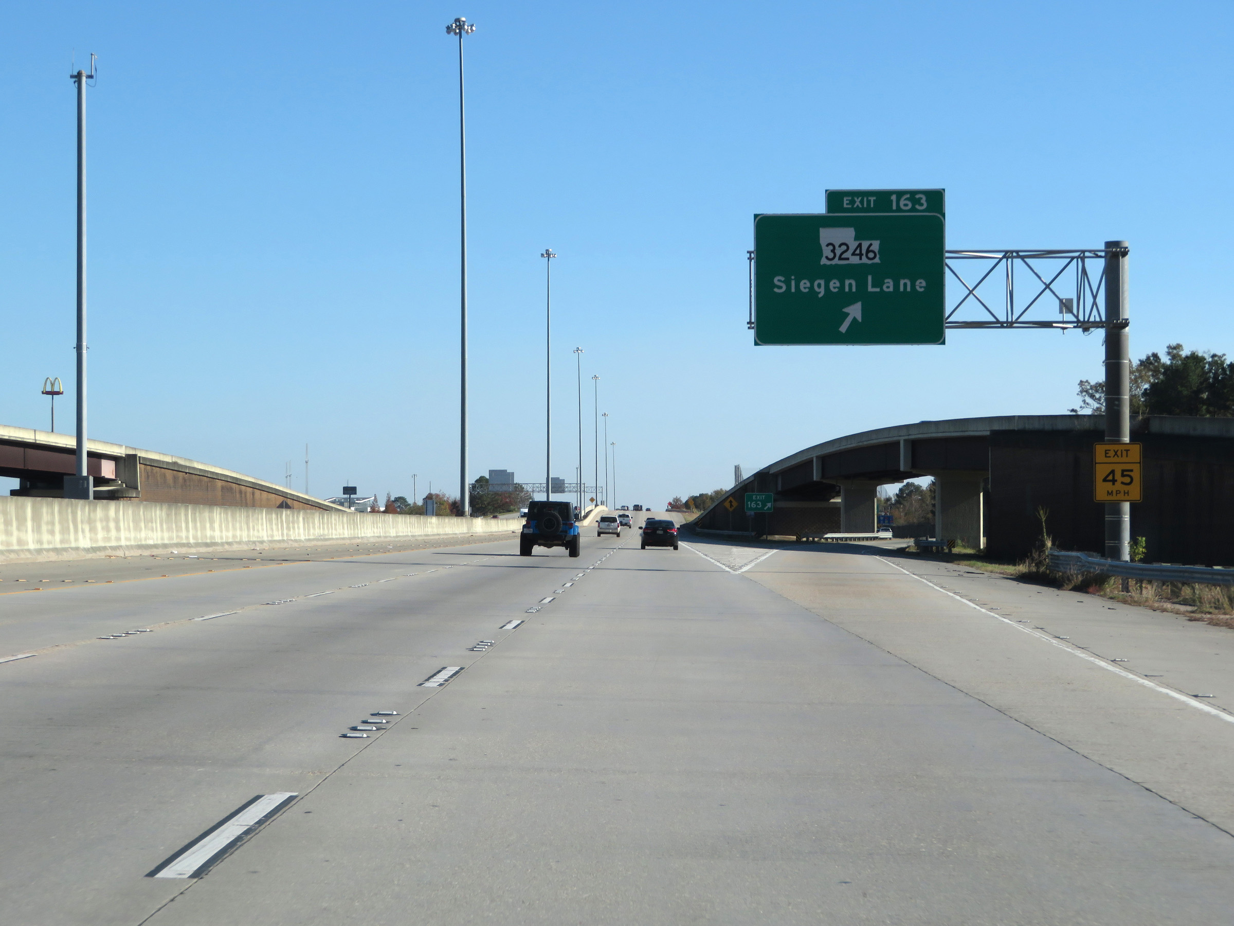 |
Interstate 10 East at Exit 163: LA 3246 - Siegen Lane (Photo taken 12/9/20). |
 |
Interstate 10 East reassurance shield. (Photo taken 12/9/20). |
 |
Interstate 10 East at mile marker 165. (Photo taken 12/9/20). |
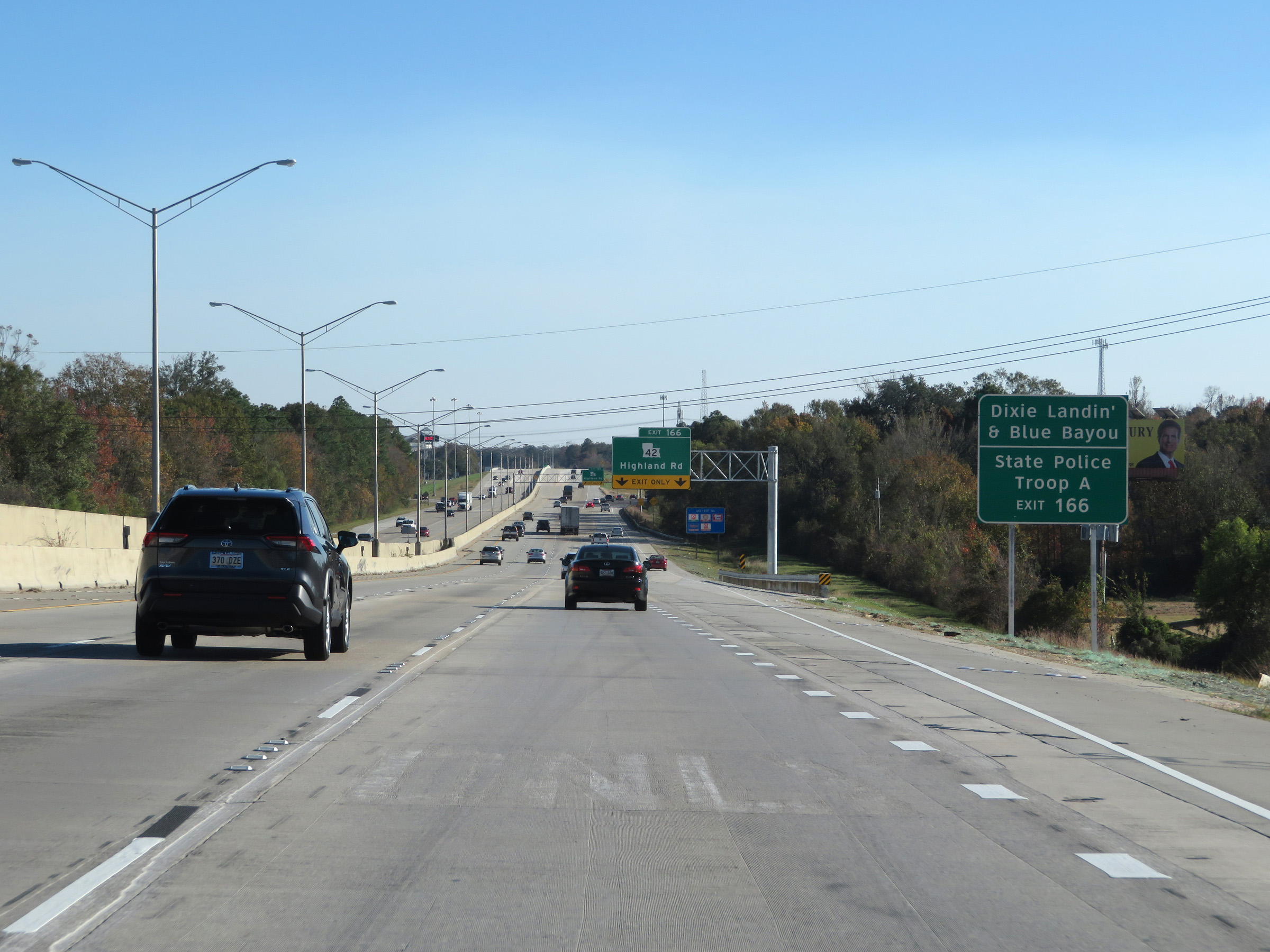 |
Take Exit 166 to Dixie Landin' & Blue Bayou as well as State Police Troop A. (Photo taken 12/9/20). |
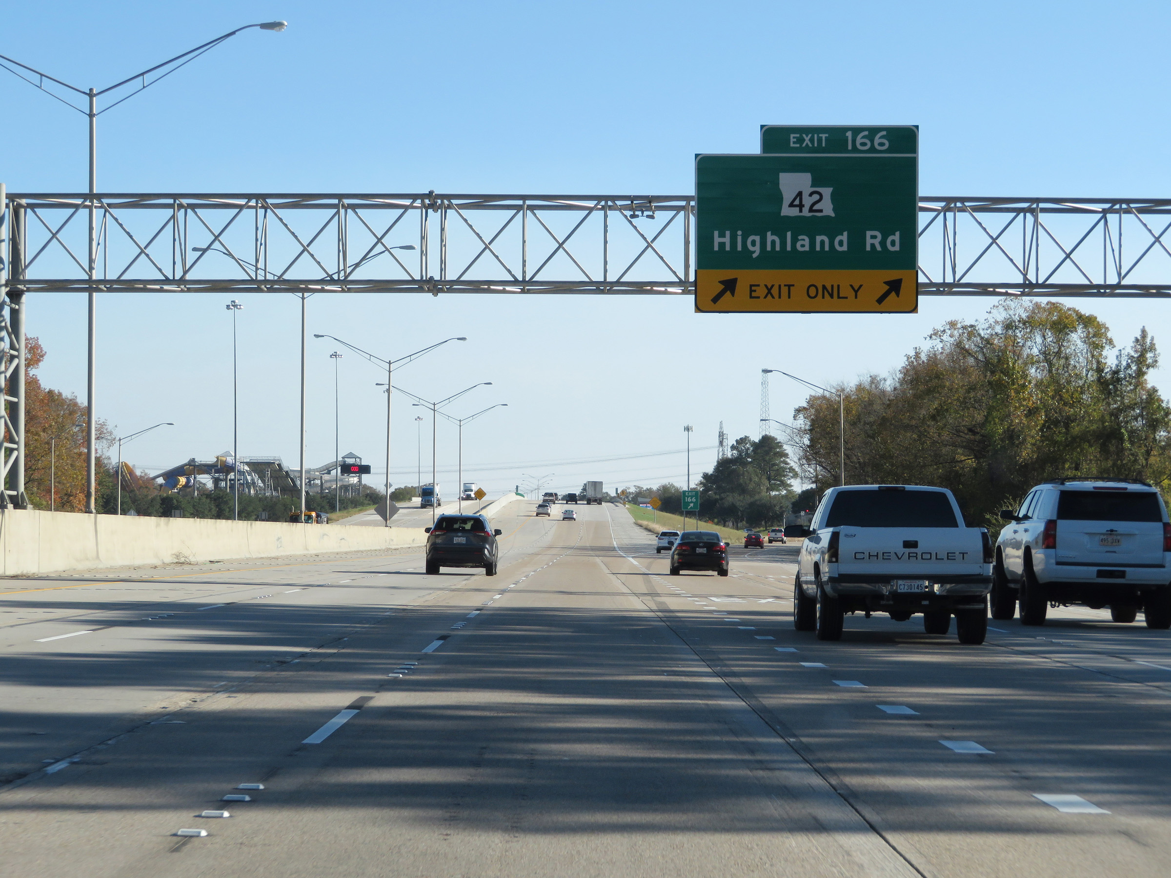 |
Interstate 10 East at Exit 166: LA 42 - Highland Rd (Photo taken 12/9/20). |
 |
State-named Interstate 10 East reassurance shield. (Photo taken 12/9/20). |
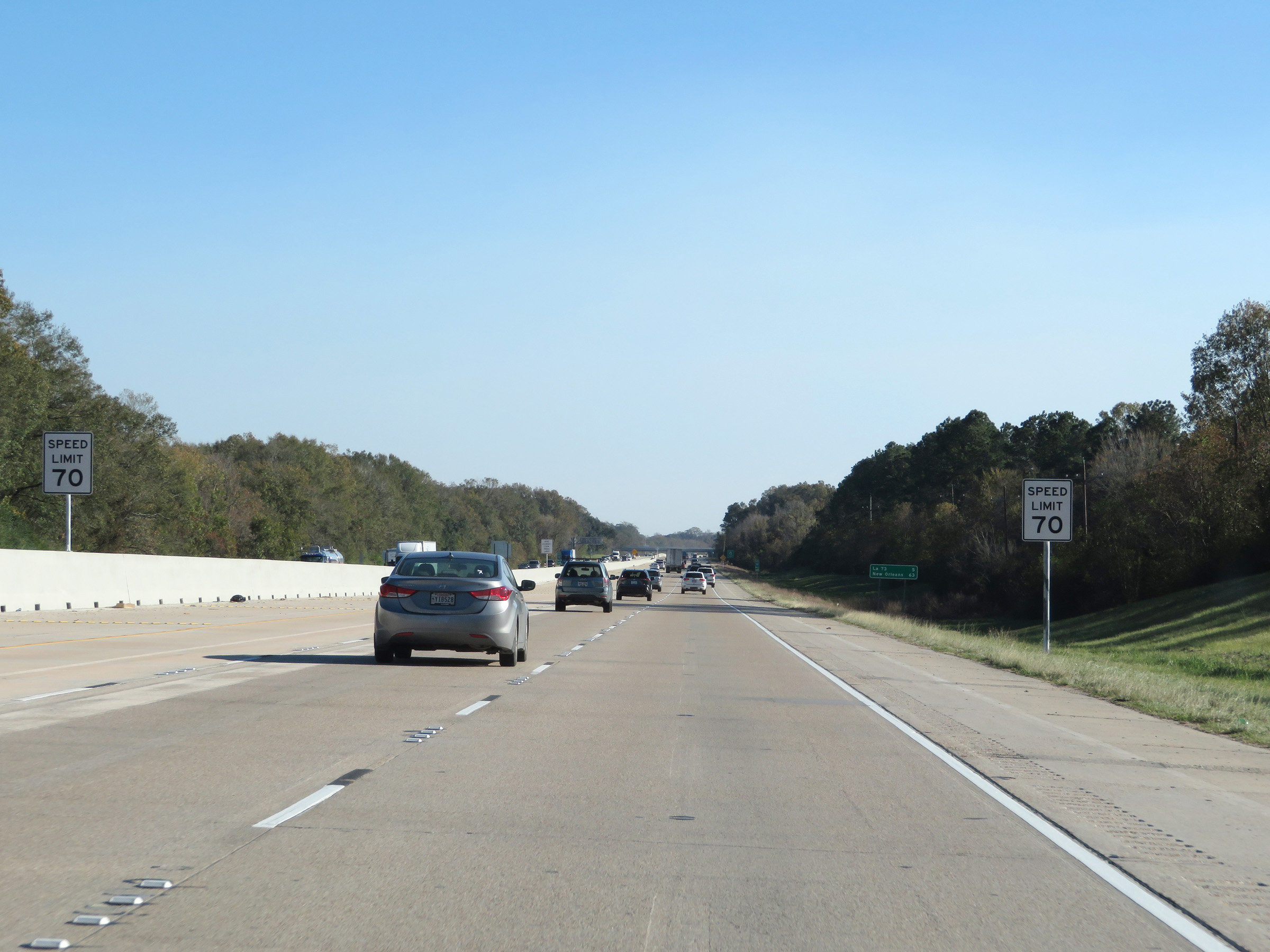 |
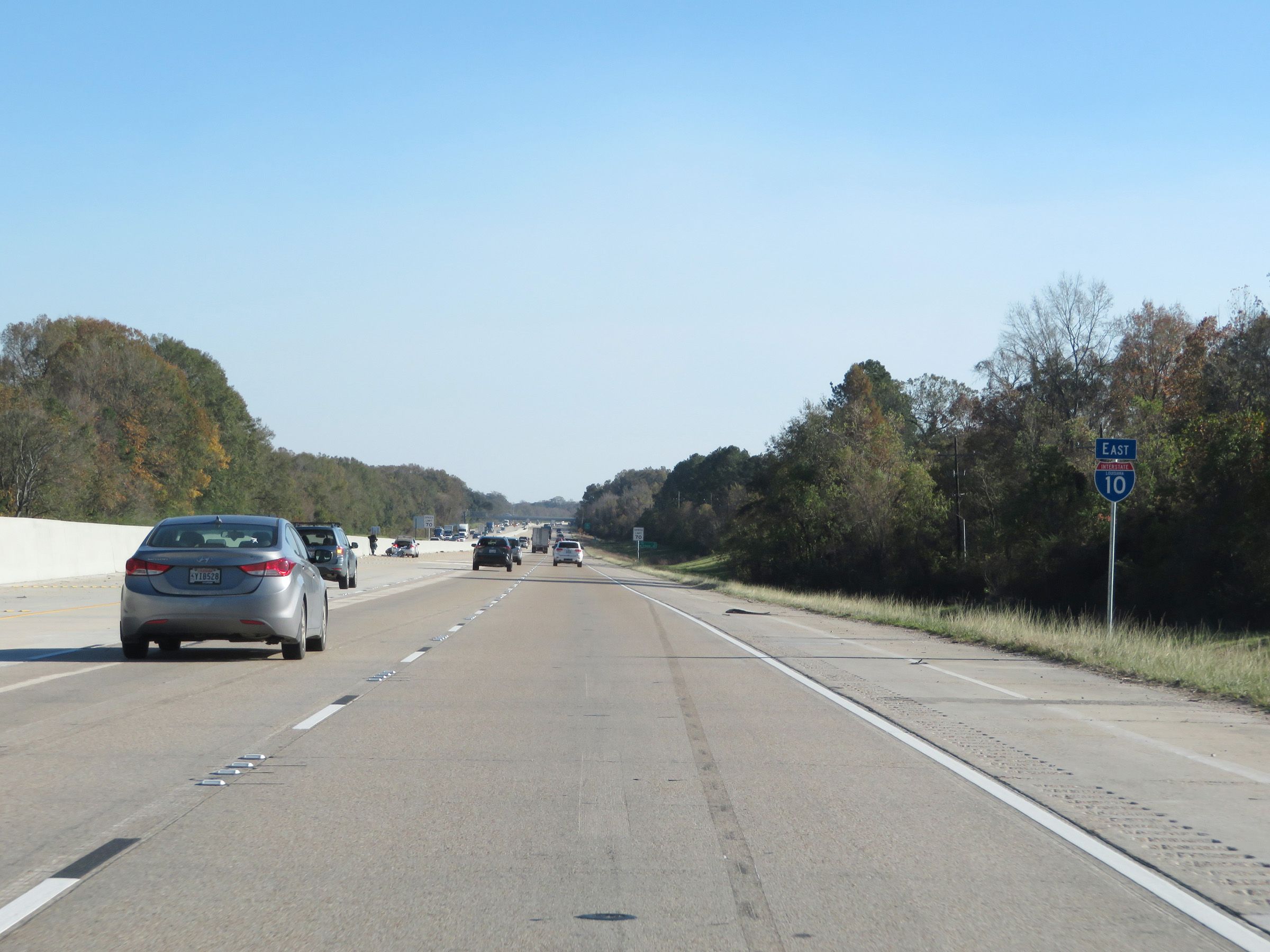
East of Exit 166, the speed limit increases to 70 mph. This is the standard speed limit on most (but not all) rural Interstate highways in Louisiana. (Photo taken 12/9/20). |
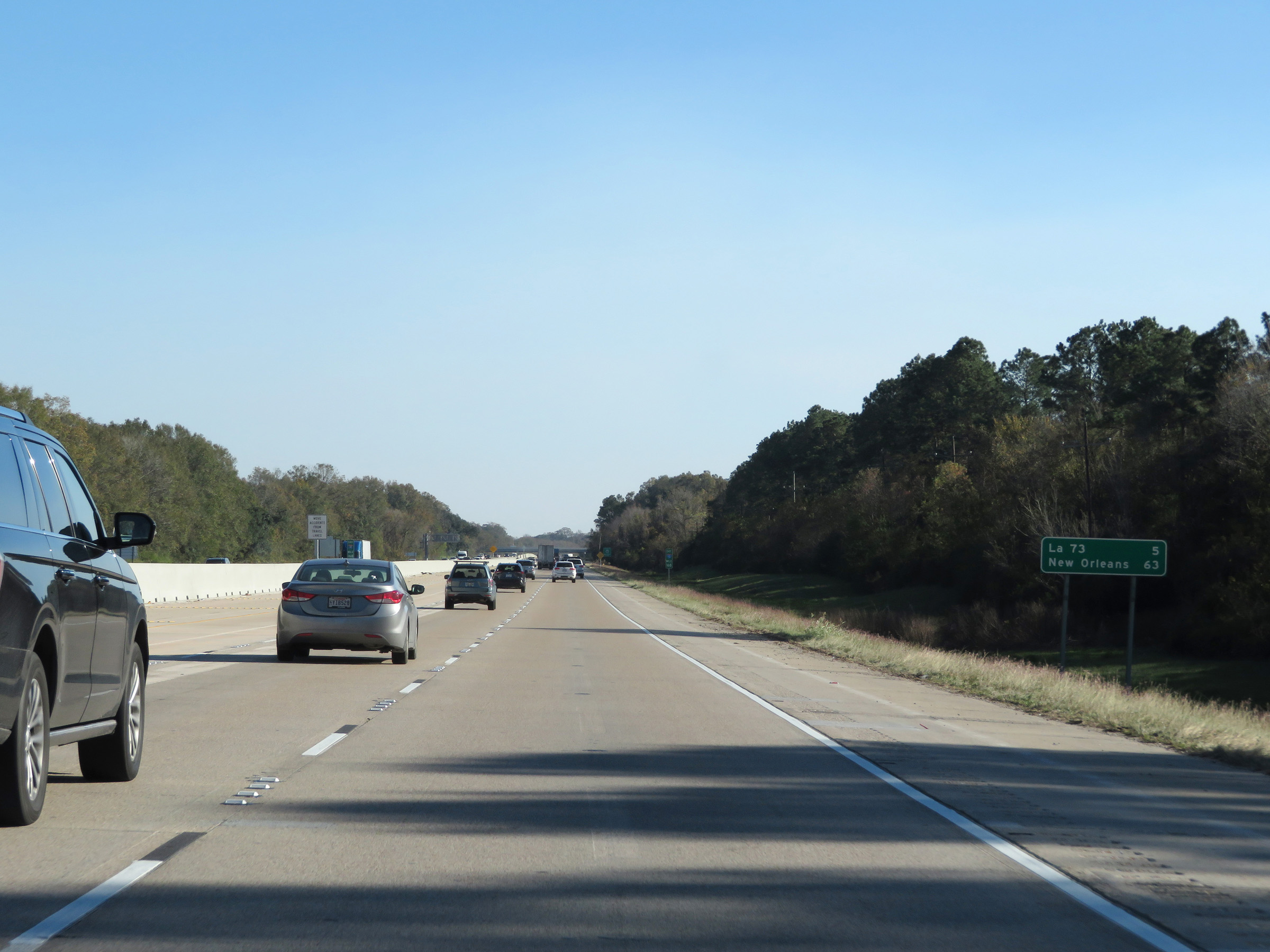 |
Mileage sign on Interstate 10 East. It's 5 miles to the junction of LA 73 and 63 miles to New Orleans. (Photo taken 12/9/20). |
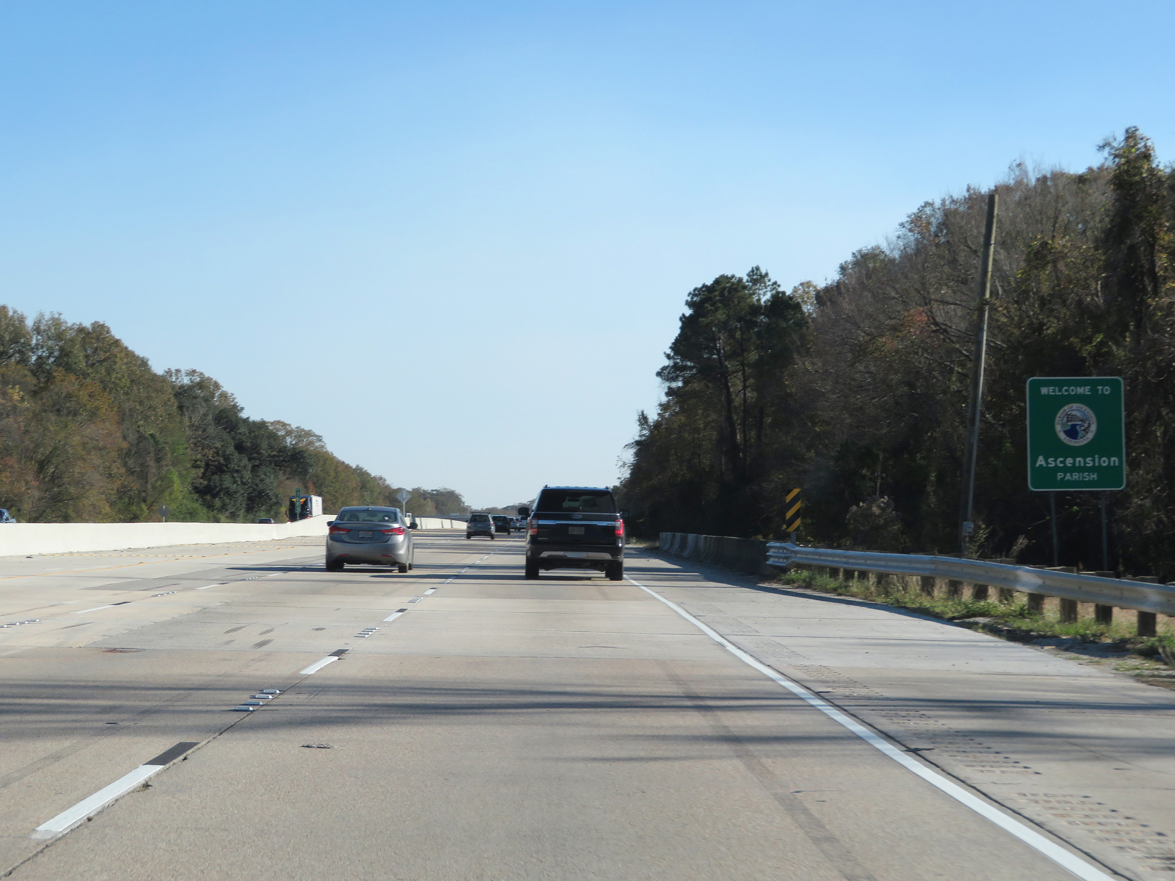 |
Interstate 10 East as it enters Ascension Parish. (Photo taken 12/9/20). |
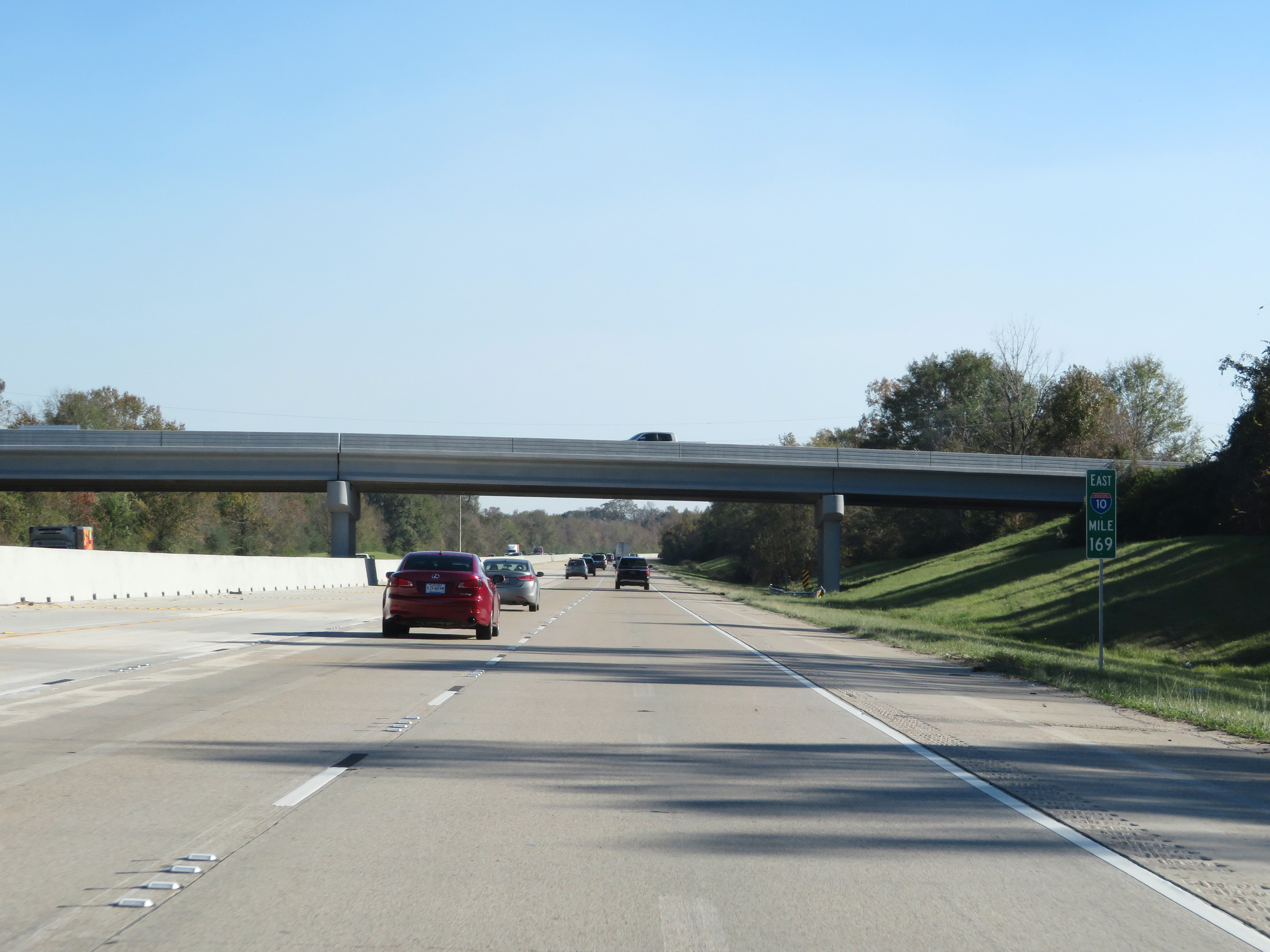 |
View on Interstate 10 East at mile marker 169. (Photo taken 12/9/20). |
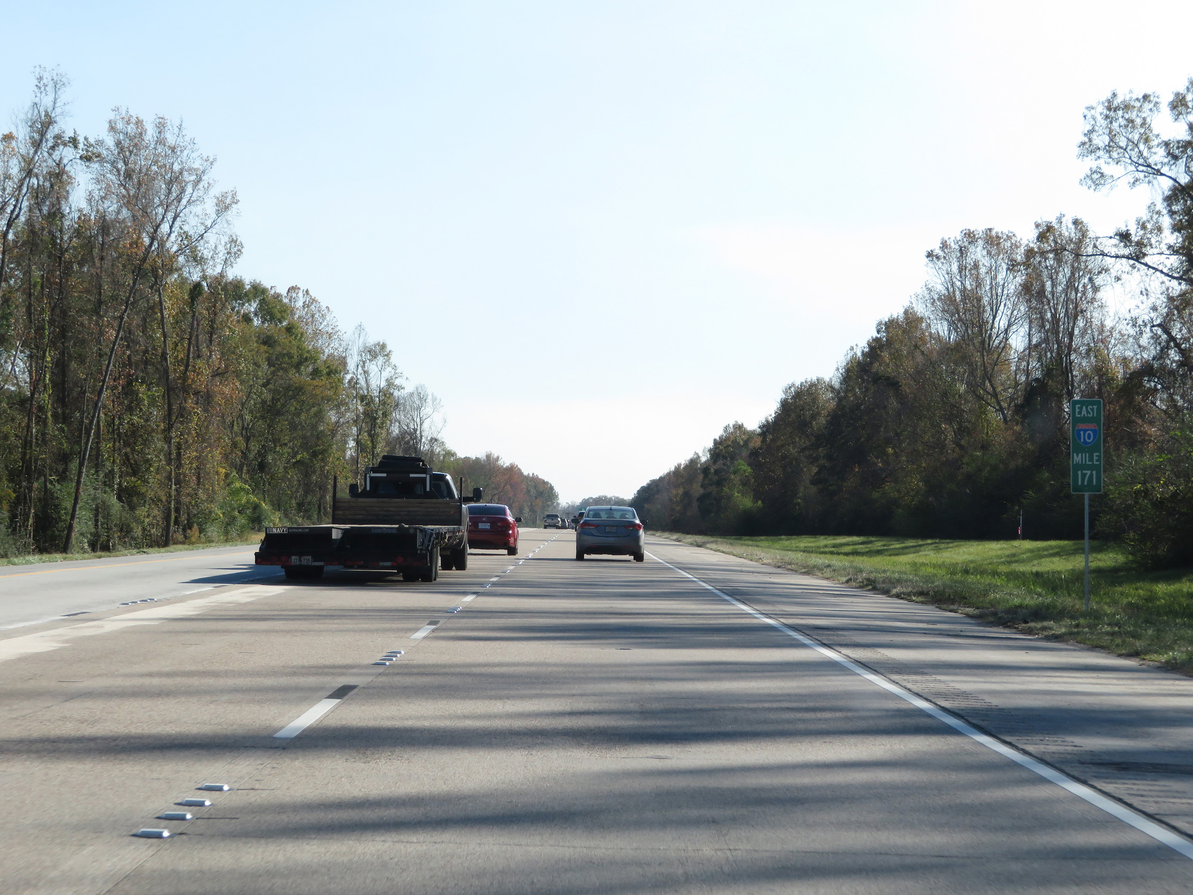 |
Interstate 10 East at mile marker 171. (Photo taken 12/9/20). |
 |
Interstate 10 East at Exit 173: LA 73 - Prairieville / Geismar (Photo taken 12/9/20). |
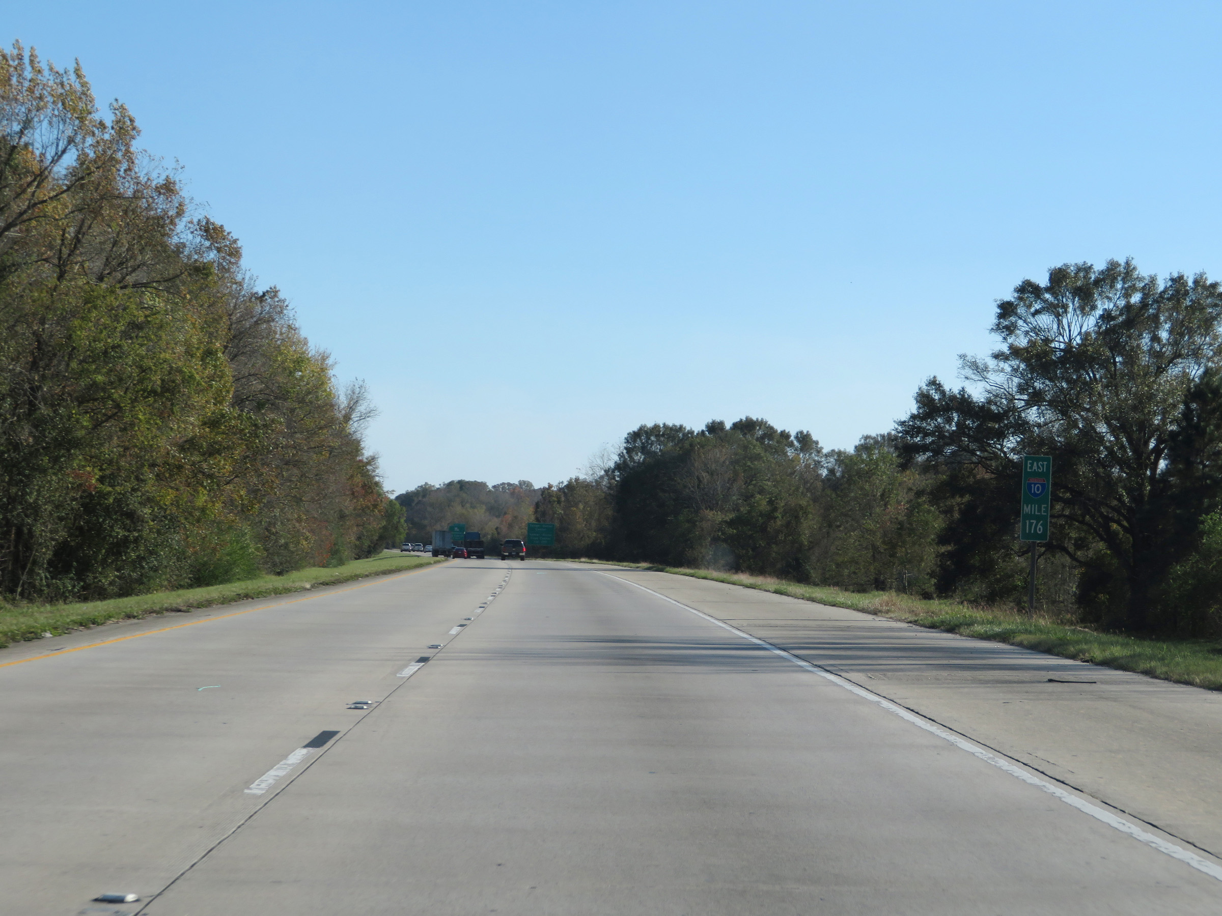 |
Mile marker 176 on Interstate 10 East in Ascension Parish. (Photo taken 12/9/20). |
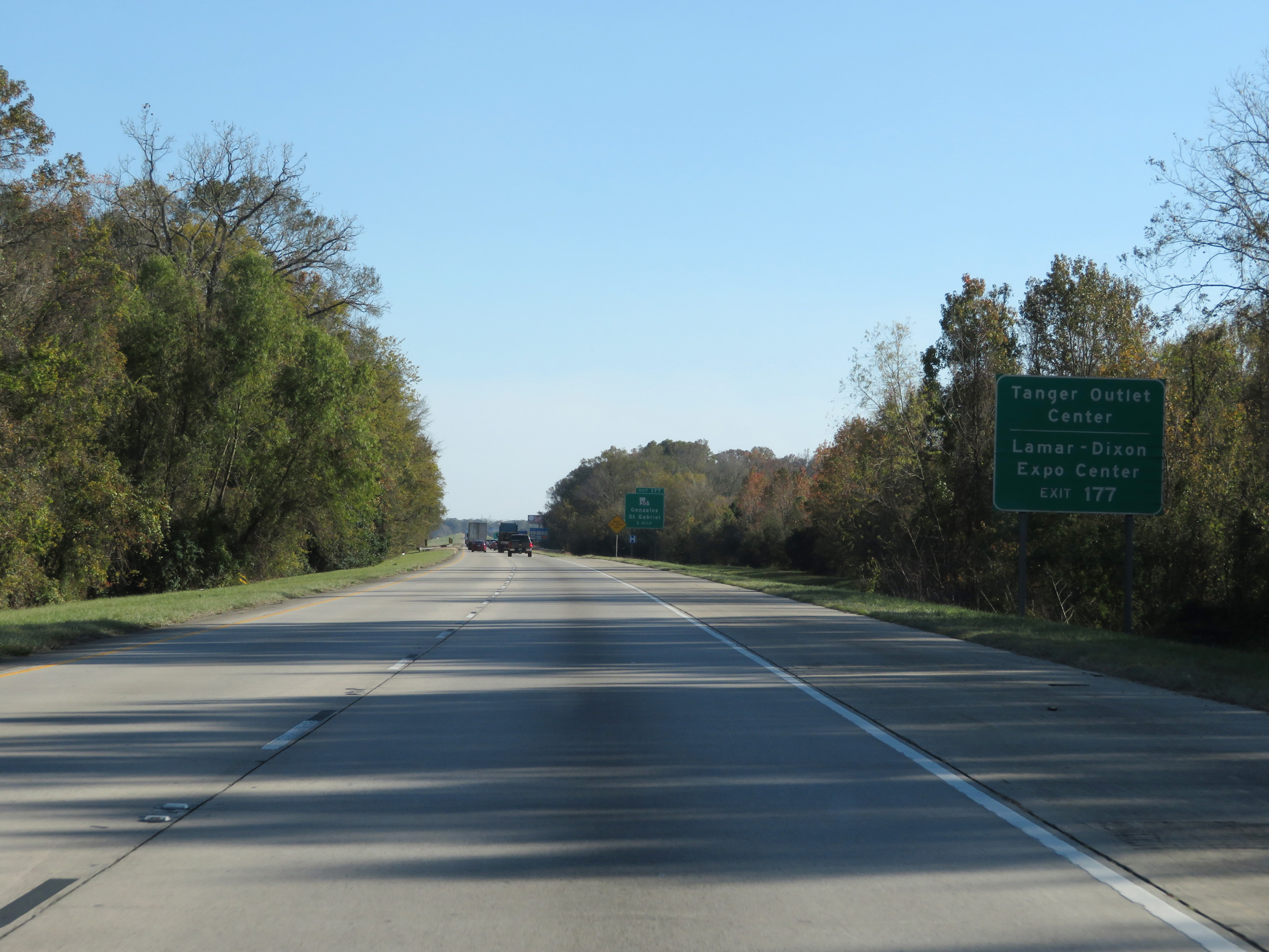 |
Take Exit 177 to Tanger Outlet Center and Lamar-Dixon Expo Center. (Photo taken 12/9/20). |
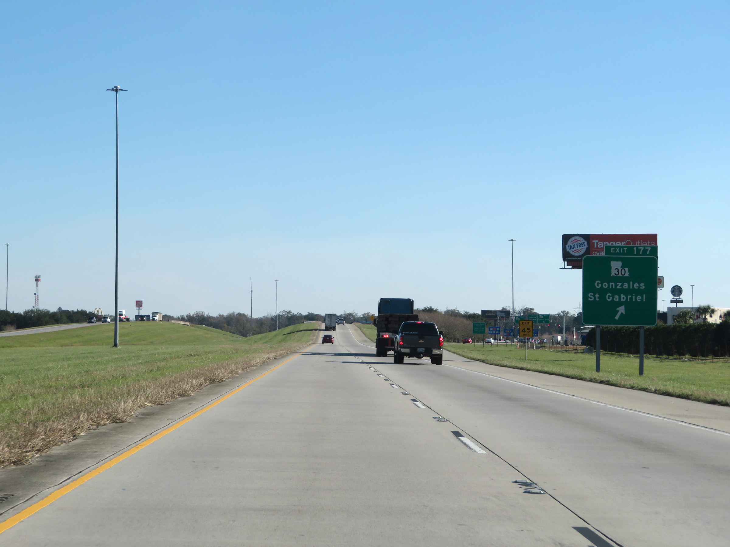 |
Interstate 10 East at Exit 177: LA 30 - Gonzales / St. Gabriel (Photo taken 12/9/20). |
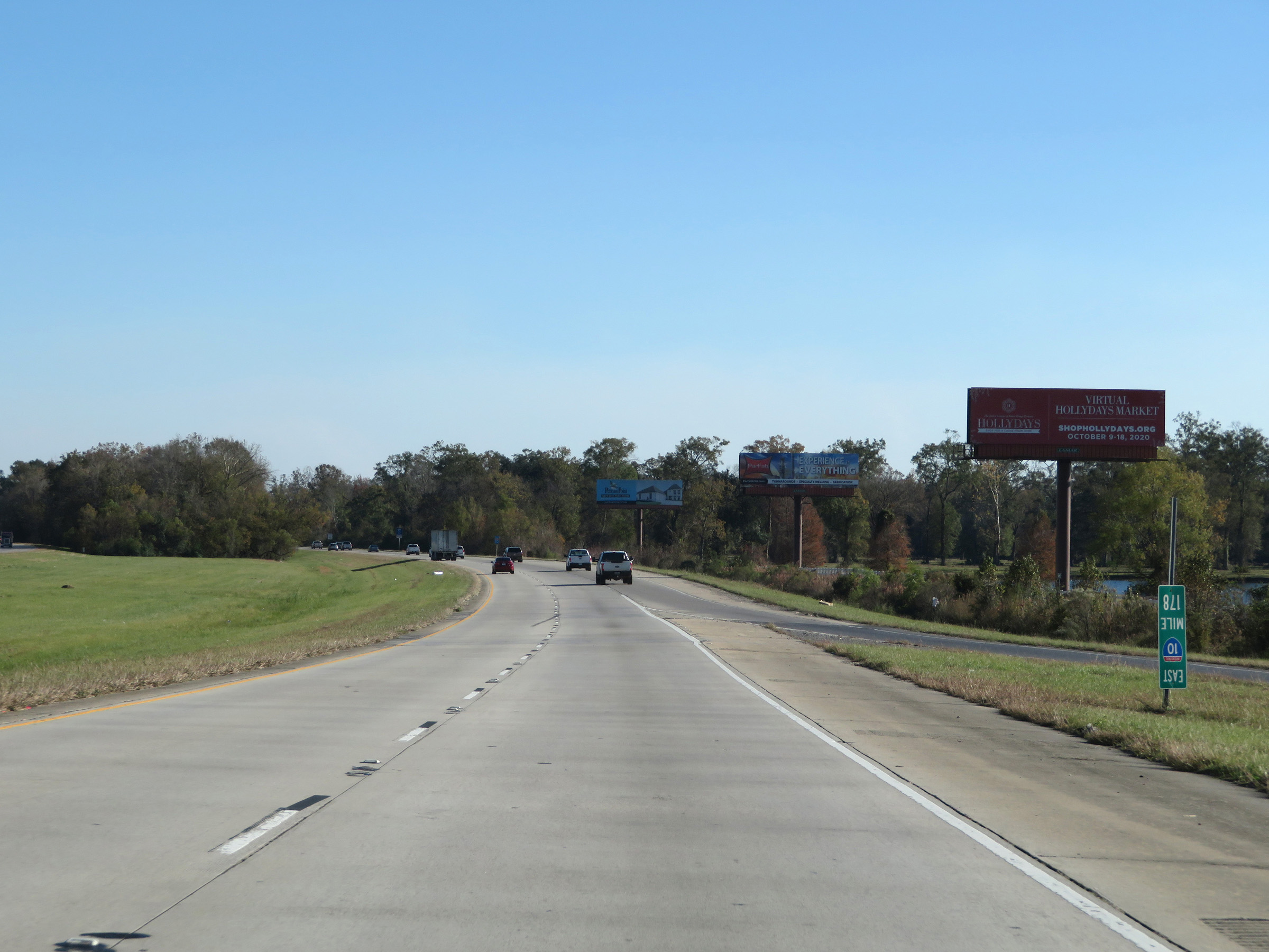 |
View on Interstate 10 East at mile marker 178. (Photo taken 12/9/20). |
 |
Take Exit 179 to River Parishes Community College (RPCC). (Photo taken 12/9/20). |
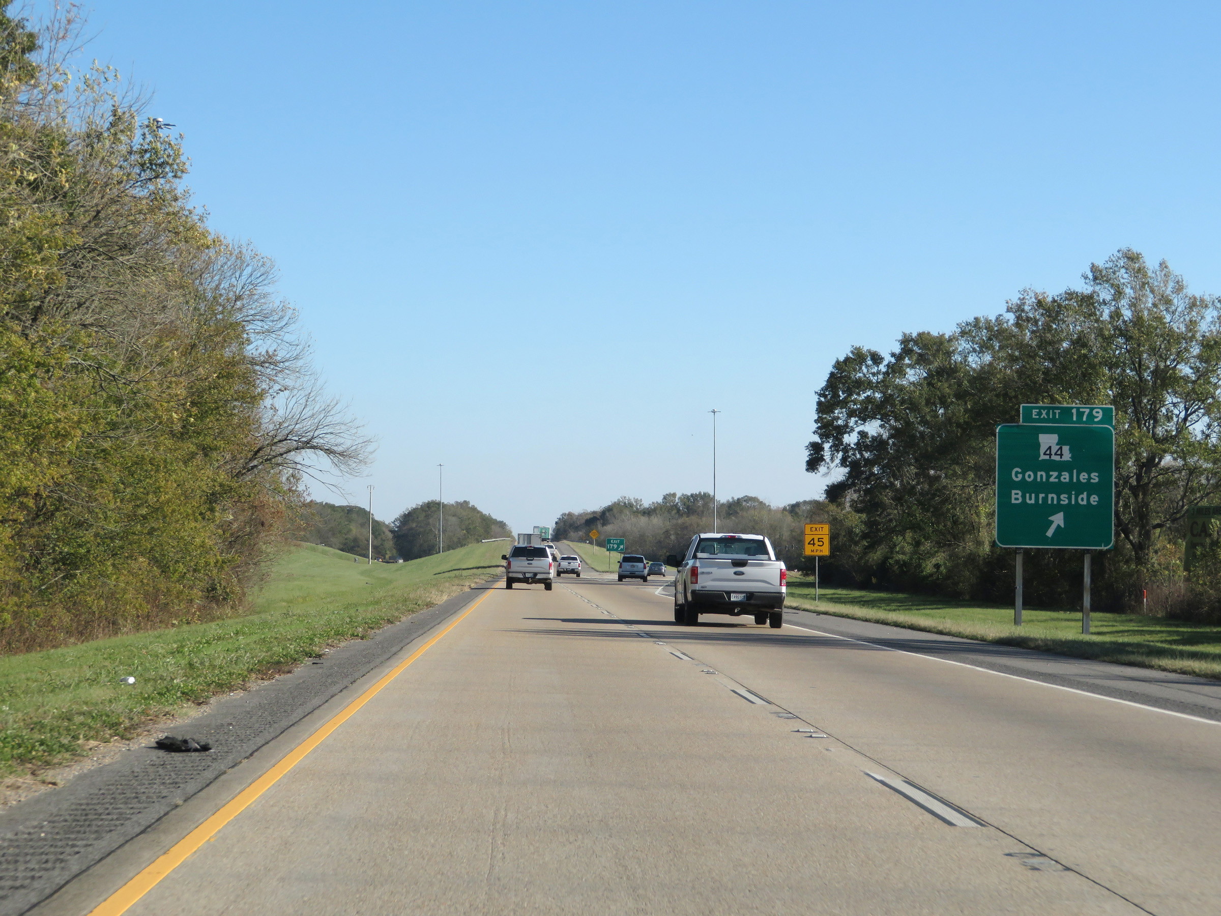 |
Interstate 10 East at Exit 179: LA 44 - Gonzales / Burnside (Photo taken 12/9/20). |
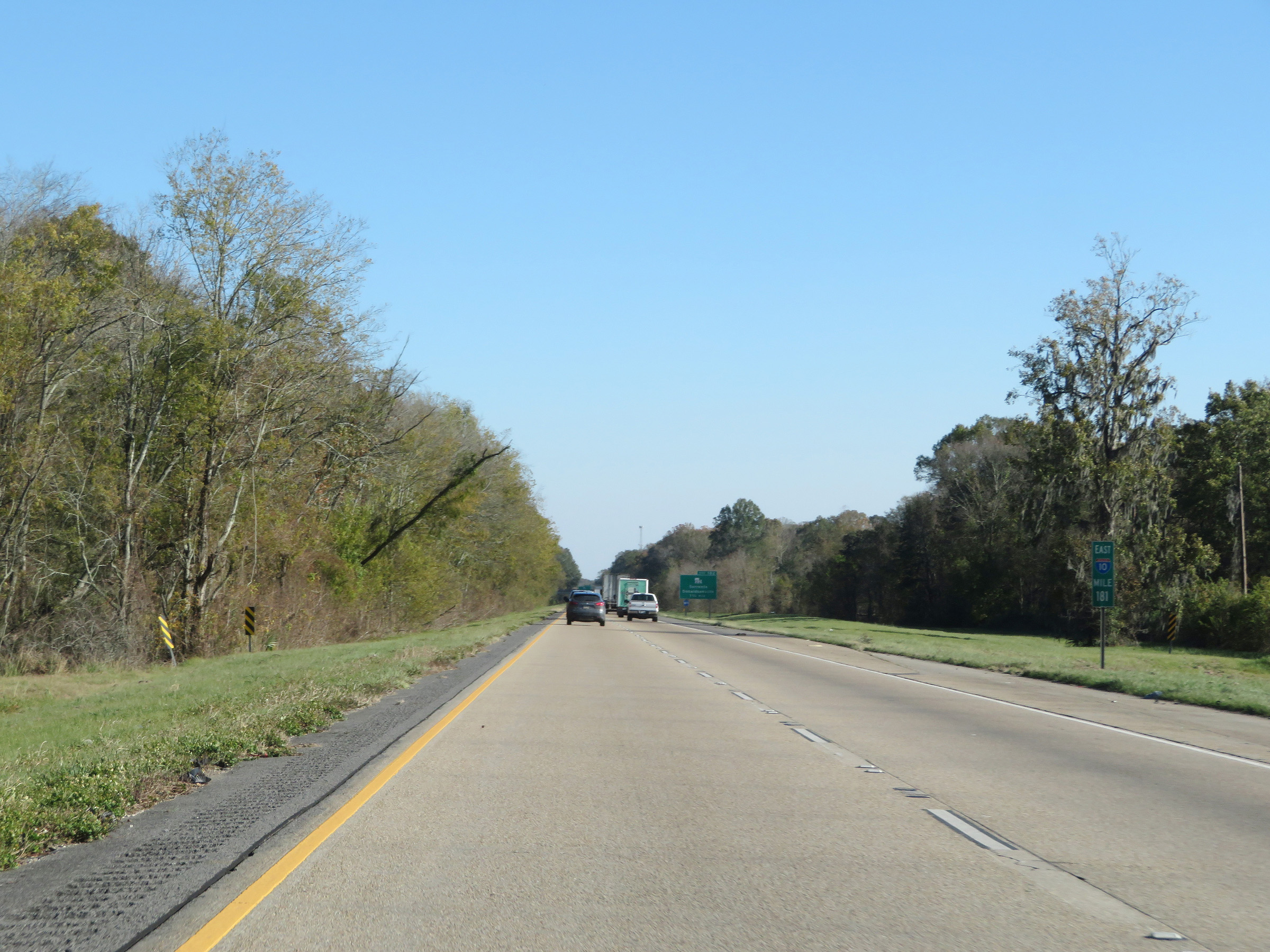 |
Interstate 10 East at mile marker 181. (Photo taken 12/9/20). |
 |
Take Exit 182 to the Sunshine Bridge, which carries LA 70 over the Mississippi River. (Photo taken 12/9/20). |
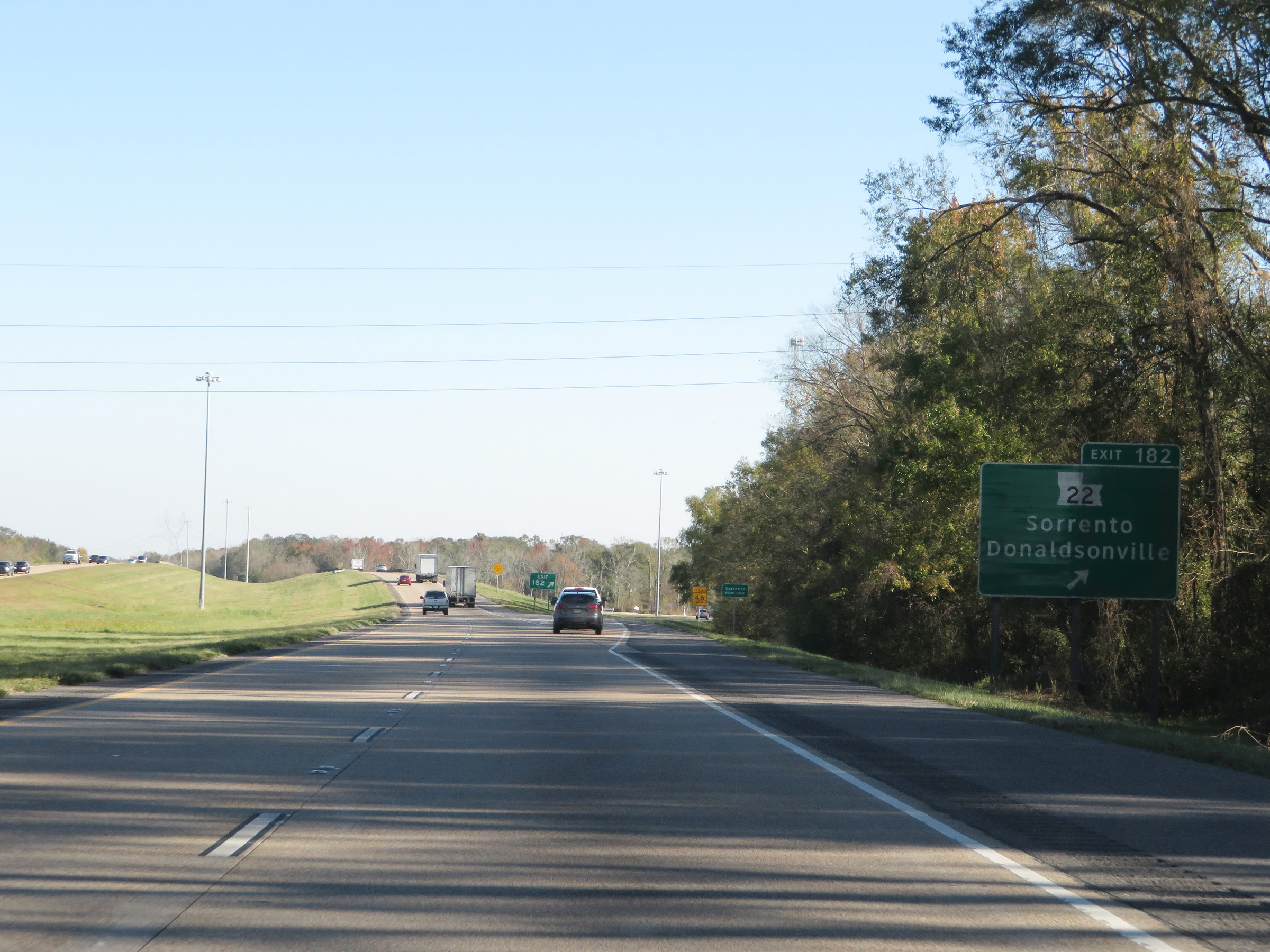 |
Interstate 10 East at Exit 182: LA 22 - Sorrento / Donaldsonville (Photo taken 12/9/20). |
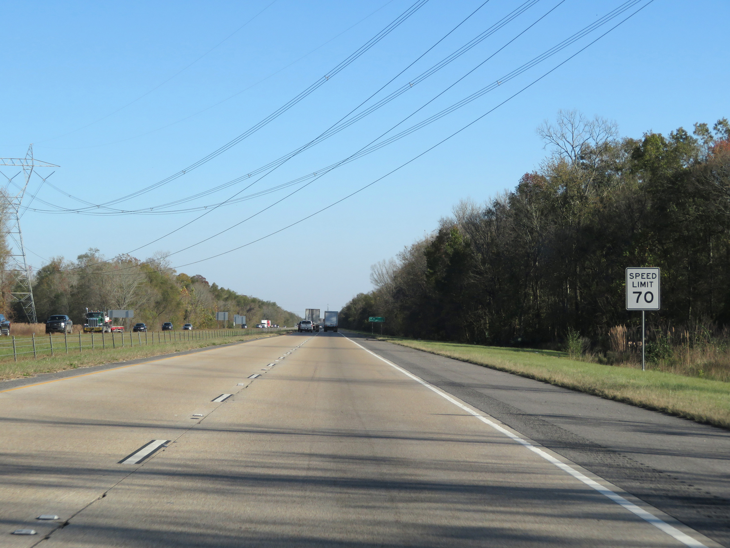 |
The speed limit remains 70 mph. (Photo taken 12/9/20). |
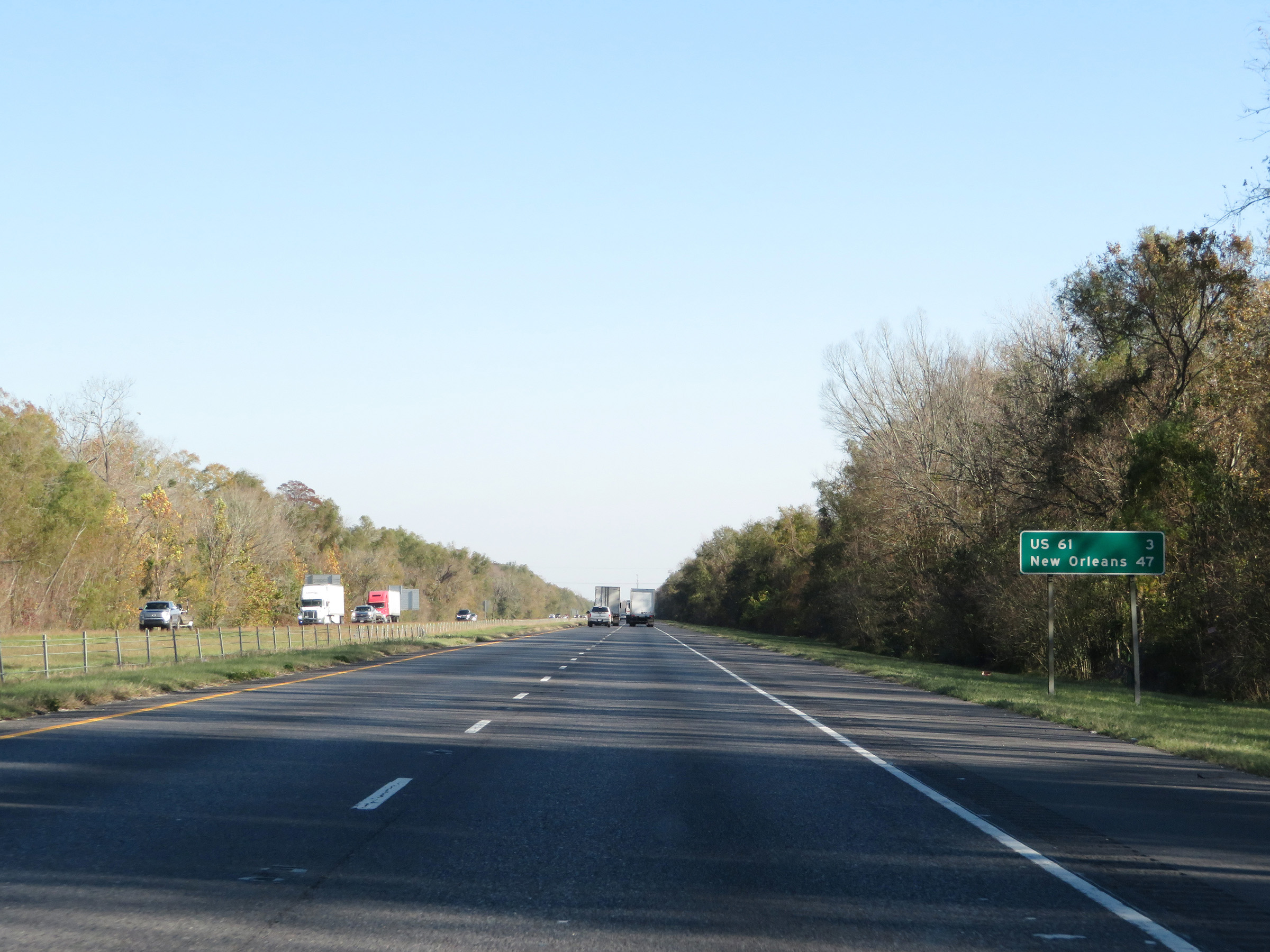 |
Another mileage sign on Interstate 10 East. It's 3 miles to the junction of US 61 and 47 miles to New Orleans. (Photo taken 12/9/20). |
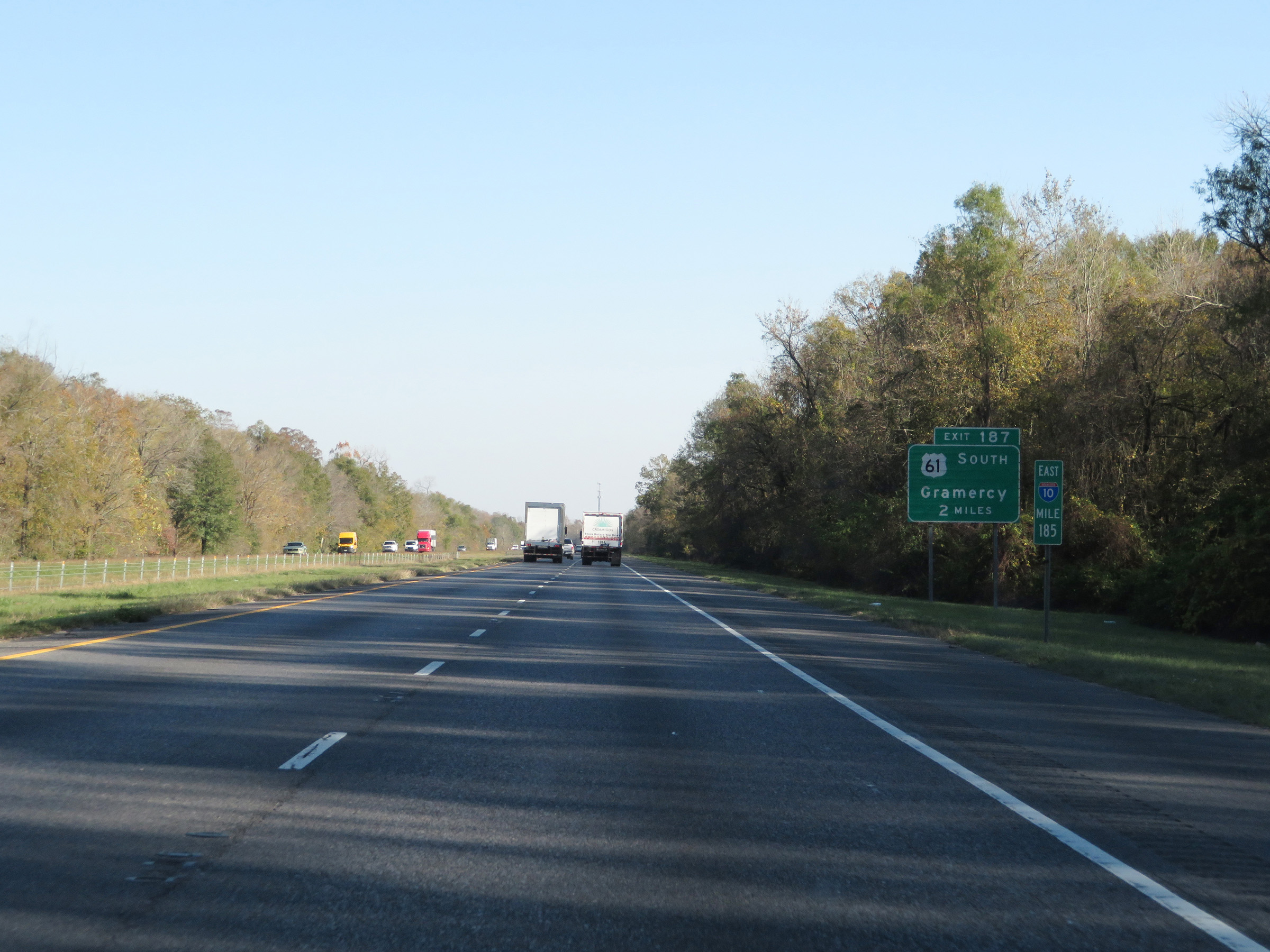 |
View on Interstate 10 East at mile marker 185. (Photo taken 12/9/20). |
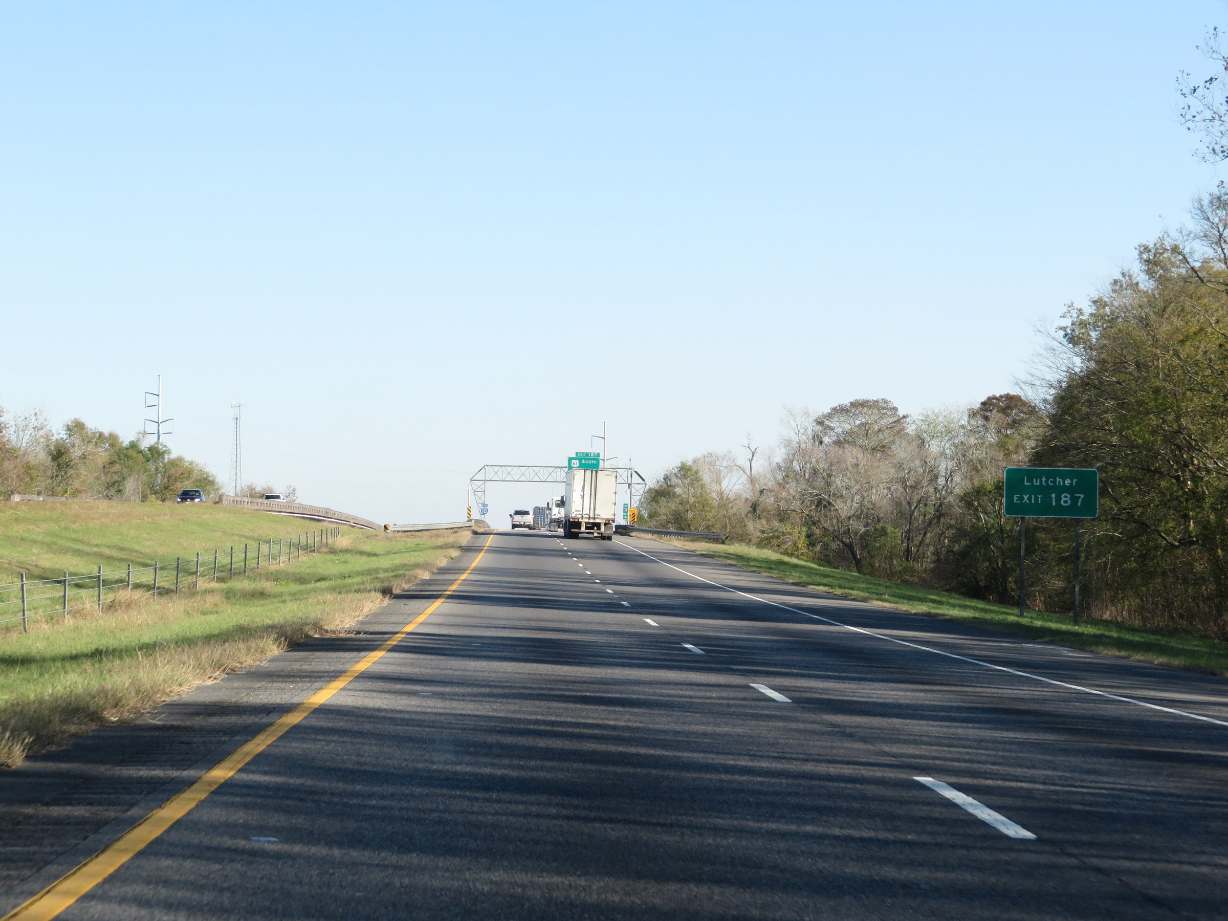 |
Take Exit 187 to Lutcher. (Photo taken 12/9/20). |
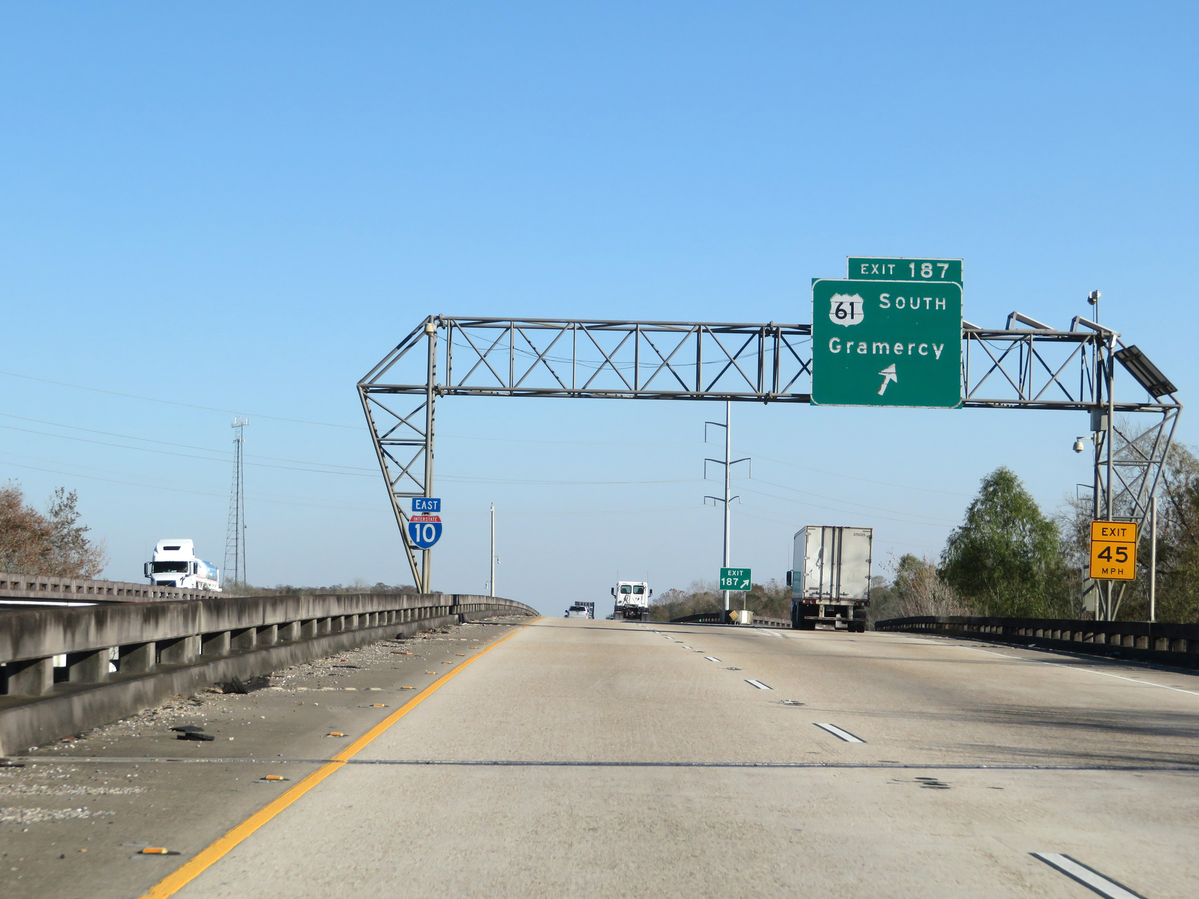 |
Interstate 10 East at Exit 187: US 61 South - Gramercy (Photo taken 12/9/20). |
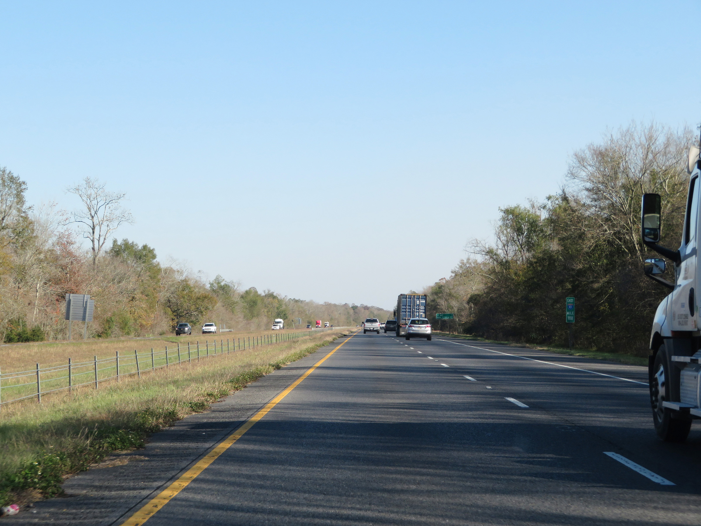 |
Interstate 10 East at mile marker 188. (Photo taken 12/9/20). |
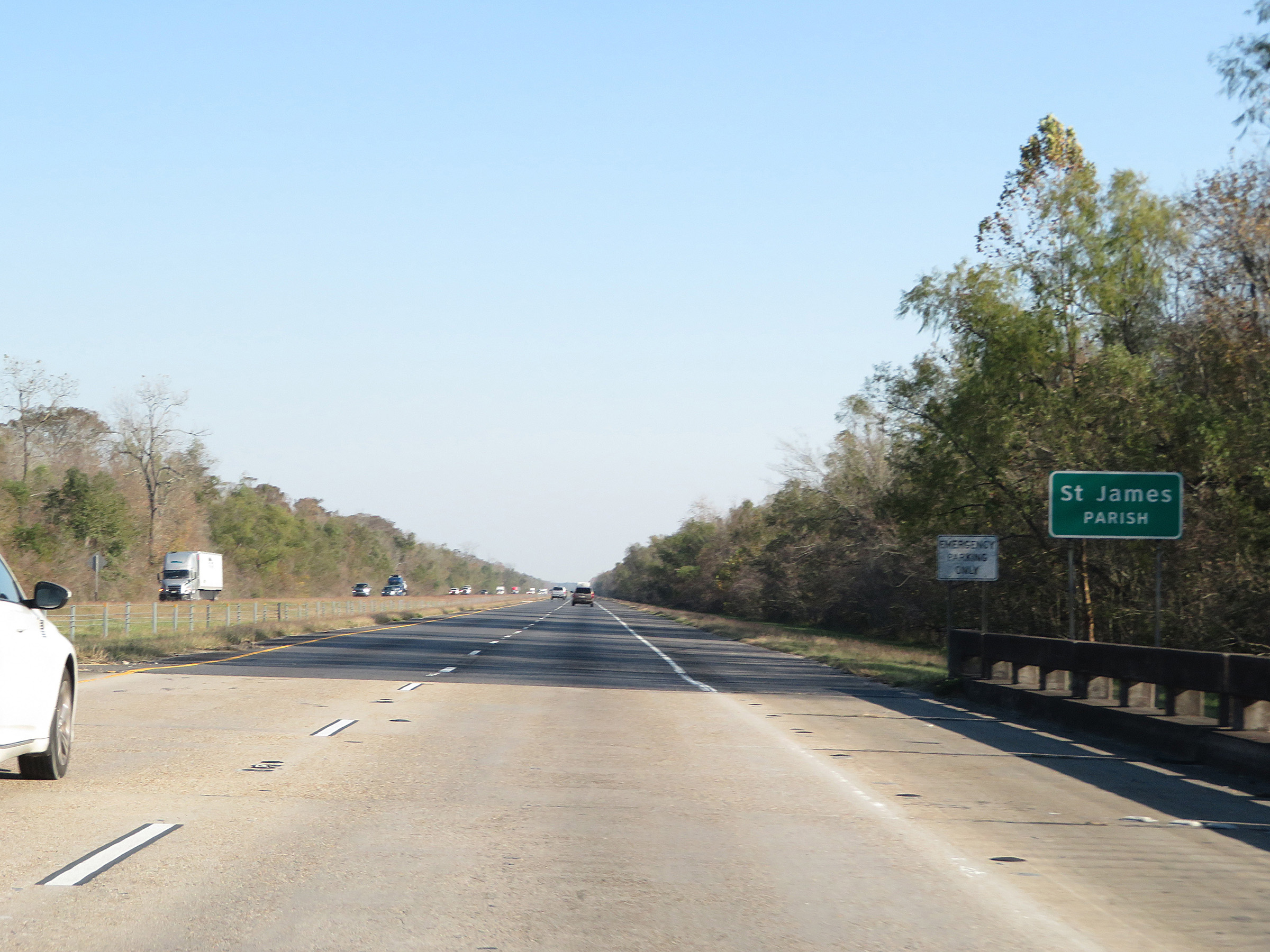 |
Interstate 10 East as it enters St. James Parish. (Photo taken 12/9/20). |
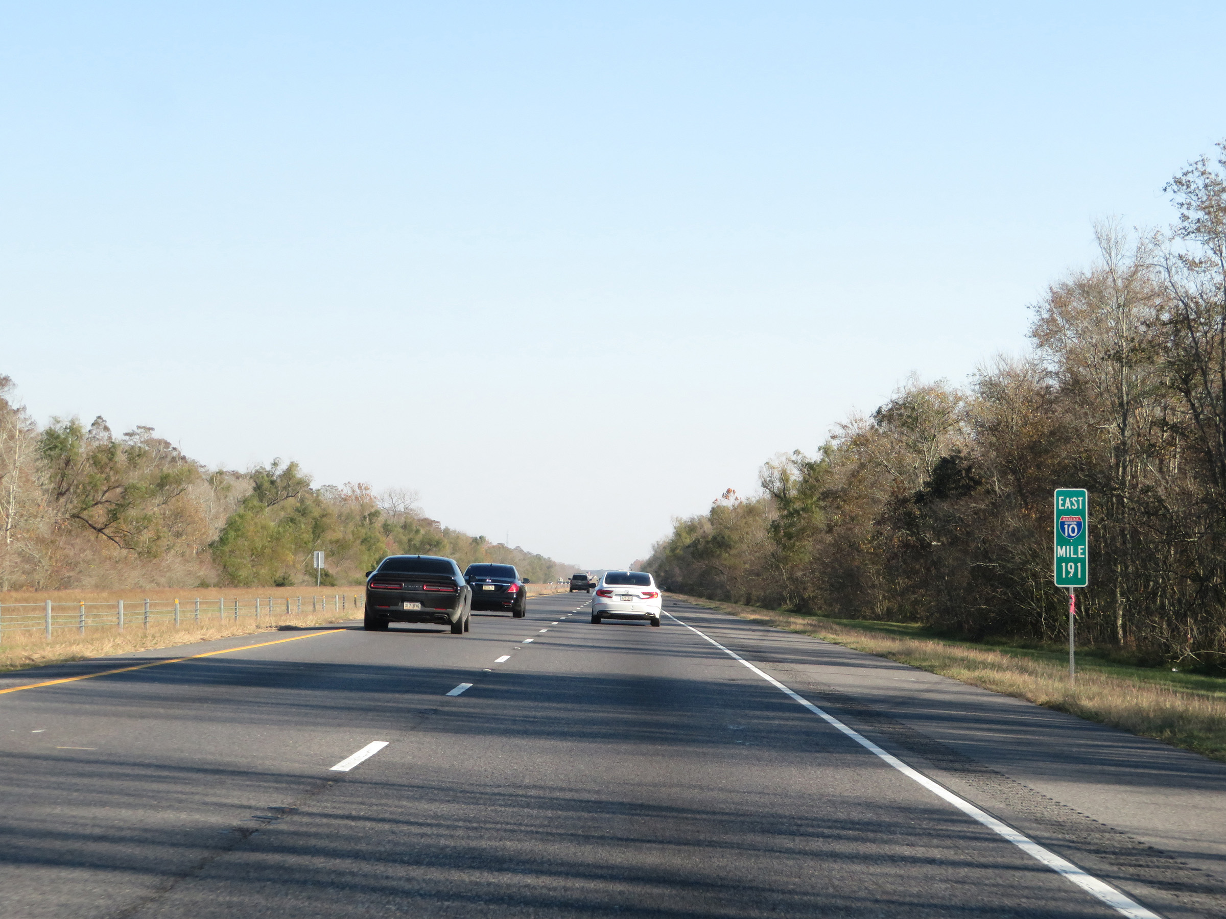 |
View on Interstate 10 East at mile marker 191. (Photo taken 12/9/20). |
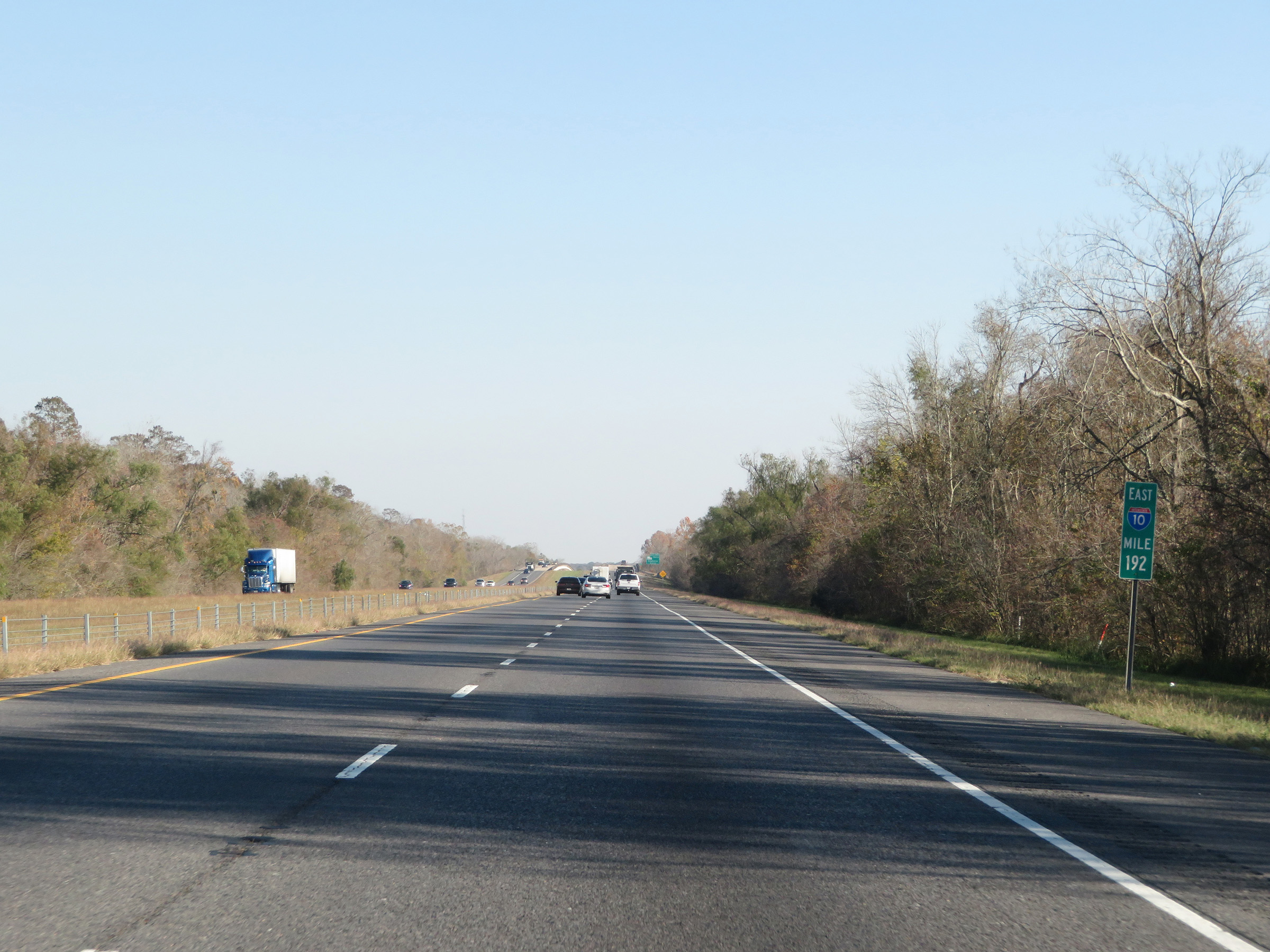 |
Mile marker 192 on Interstate 10 East in St. James Parish. (Photo taken 12/9/20). |
 |
Interstate 10 East at mile marker 194. (Photo taken 12/9/20). |
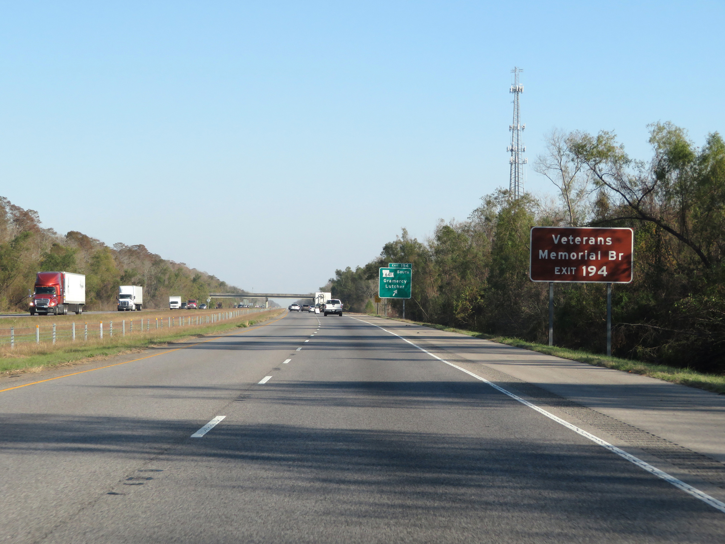 |
Take Exit 194 to Veterans Memorial Bridge. (Photo taken 12/9/20). |
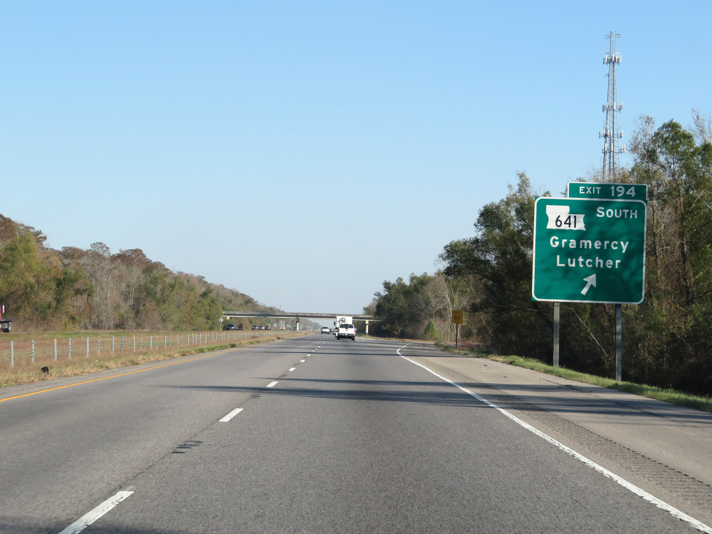 |
Interstate 10 East at Exit 194: LA 641 South - Gramercy / Lutcher (Photo taken 12/9/20). |
 |
Another Interstate 10 East reassurance shield. (Photo taken 12/9/20). |
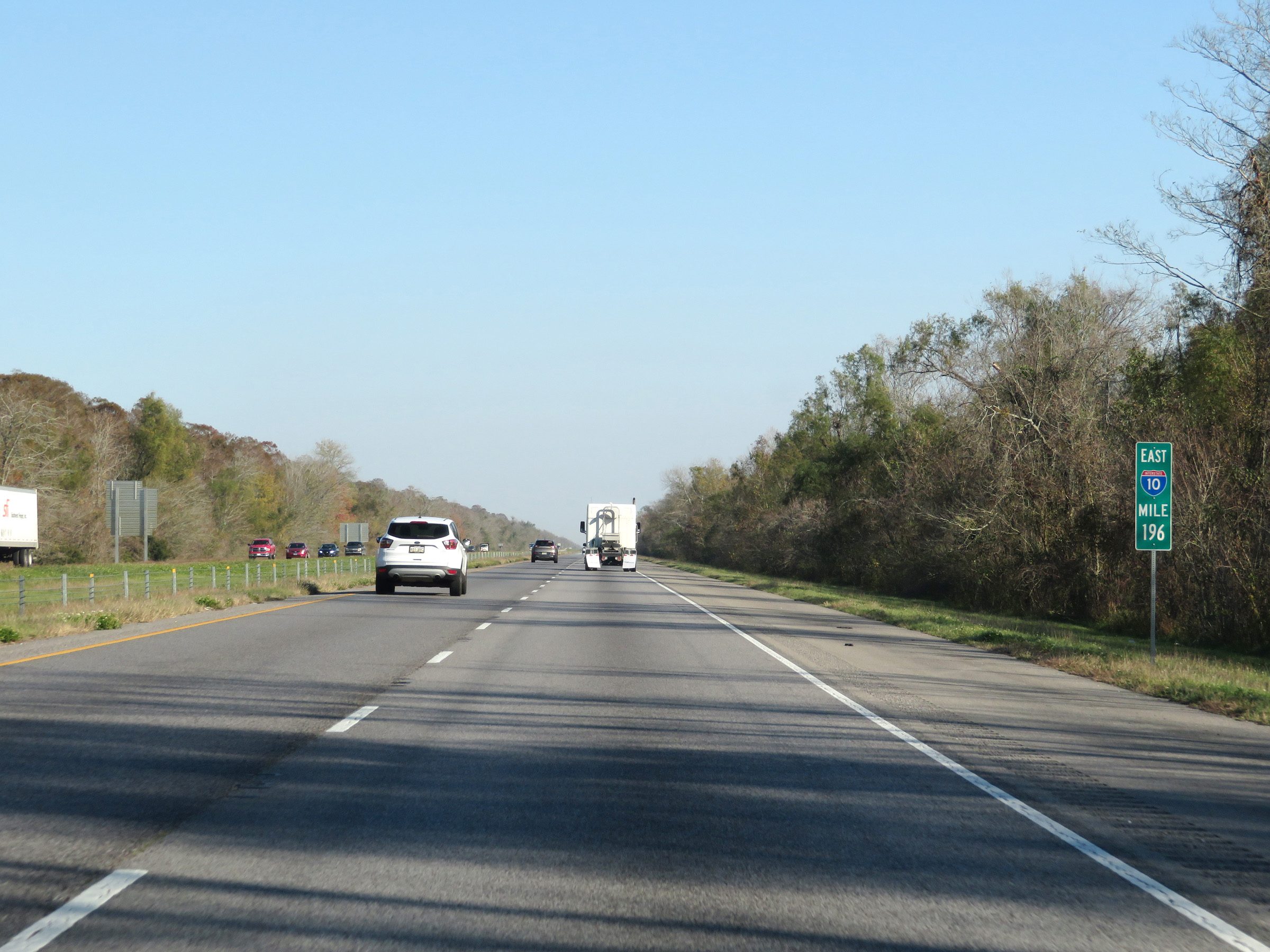 |
View on Interstate 10 East at mile marker 196. (Photo taken 12/9/20). |
 |
Interstate 10 East as it enters St. John the Baptist Parish. This one got away from me a bit. (Photo taken 12/9/20). |
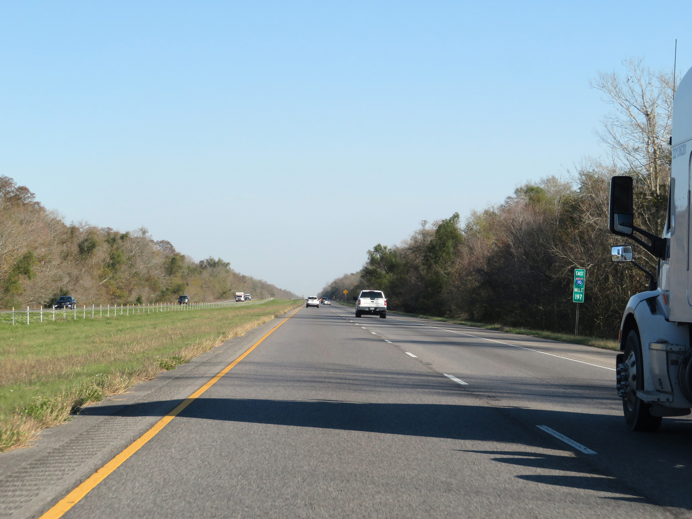 |
Interstate 10 East at mile marker 197. (Photo taken 12/9/20). |
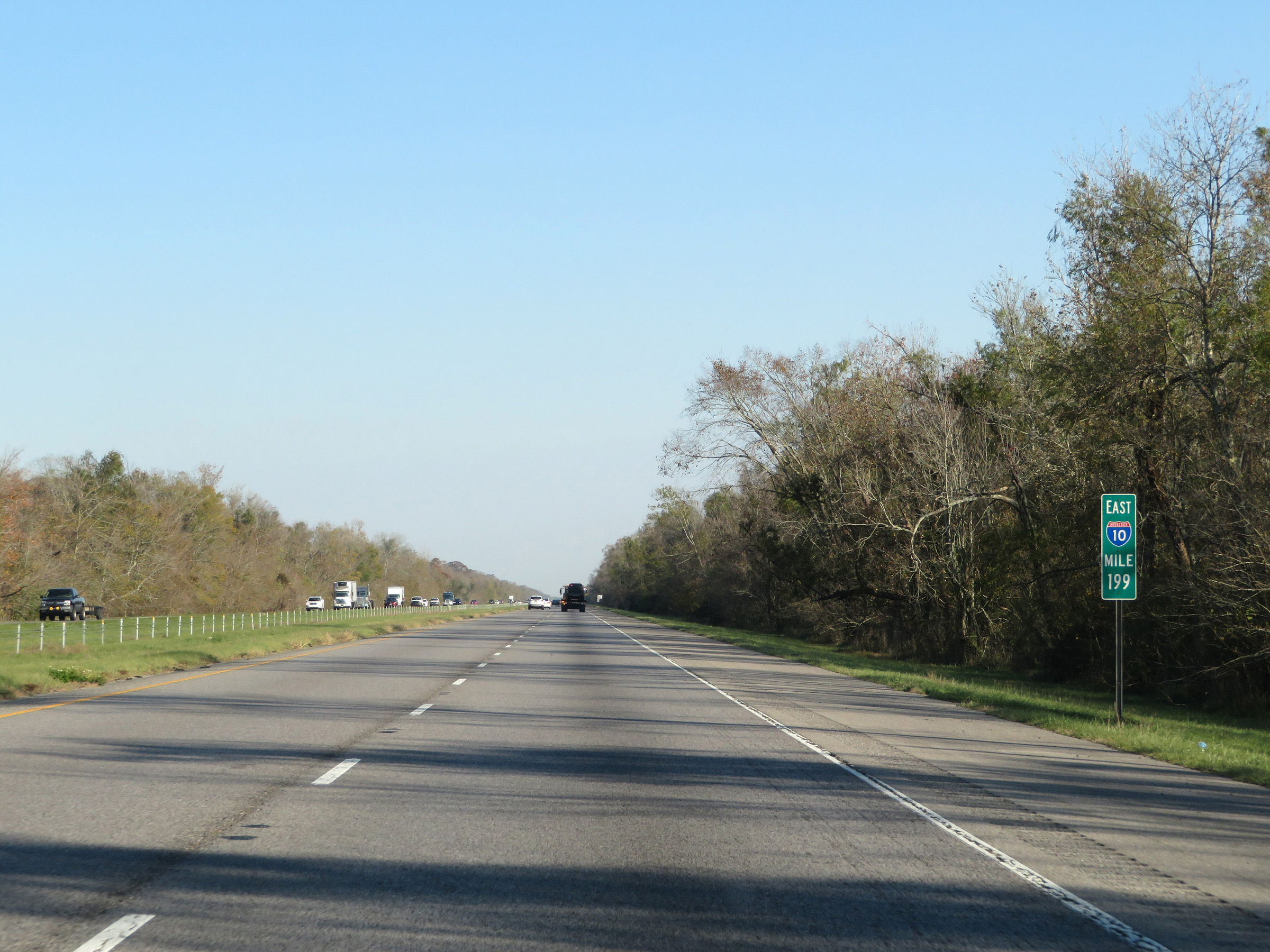 |
View on Interstate 10 East at mile marker 199. (Photo taken 12/9/20). |
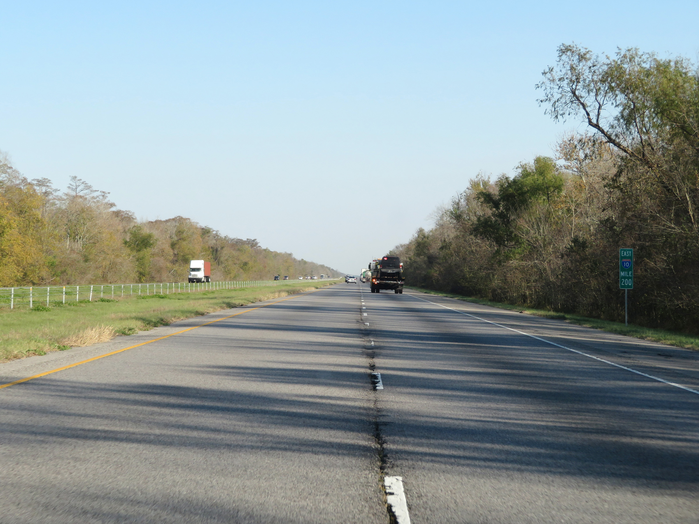 |
Mile marker 200 on Interstate 10 East in St. John the Baptist Parish. (Photo taken 12/9/20). |
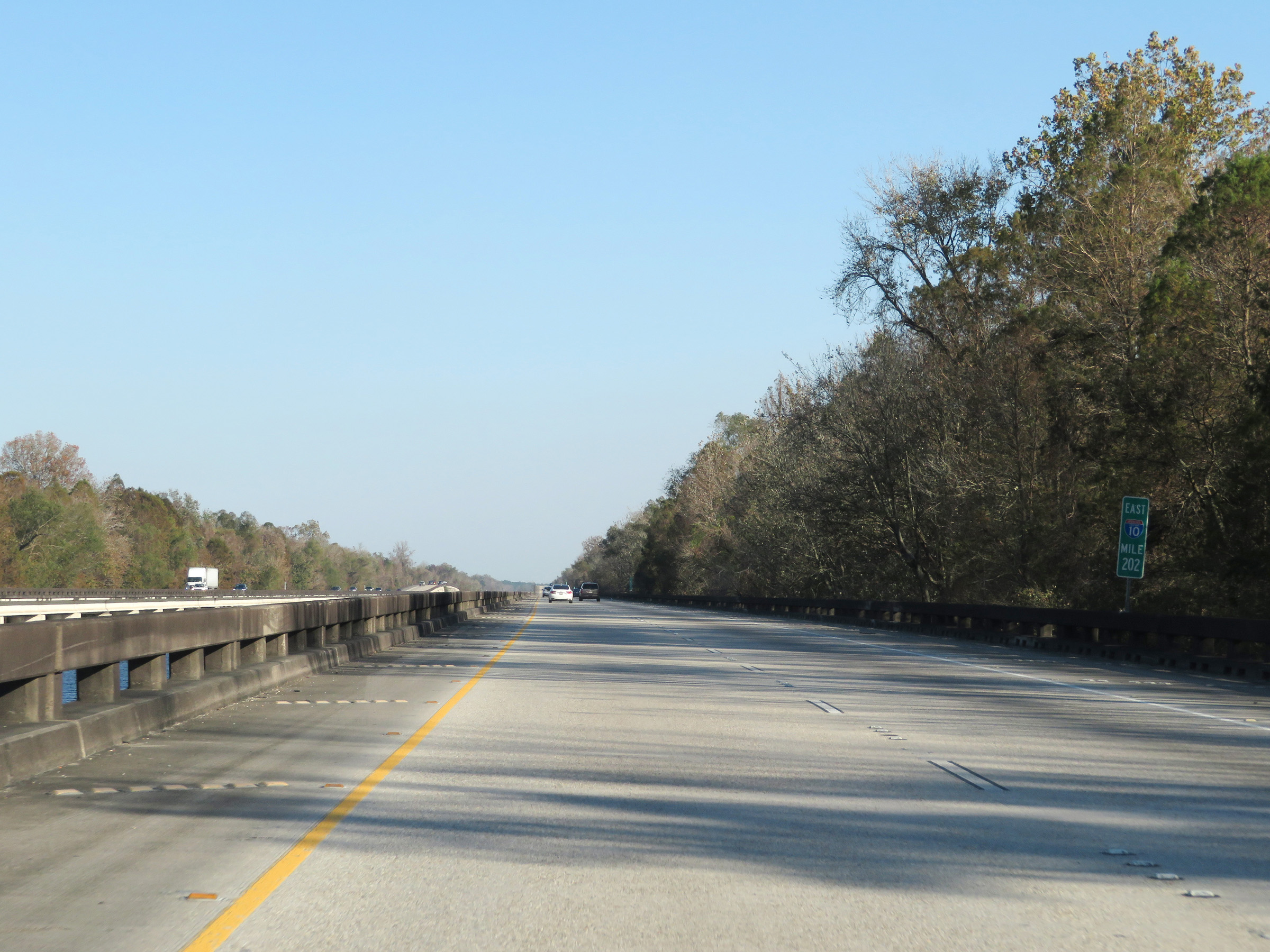 |
Interstate 10 East at mile marker 202. (Photo taken 12/9/20). |
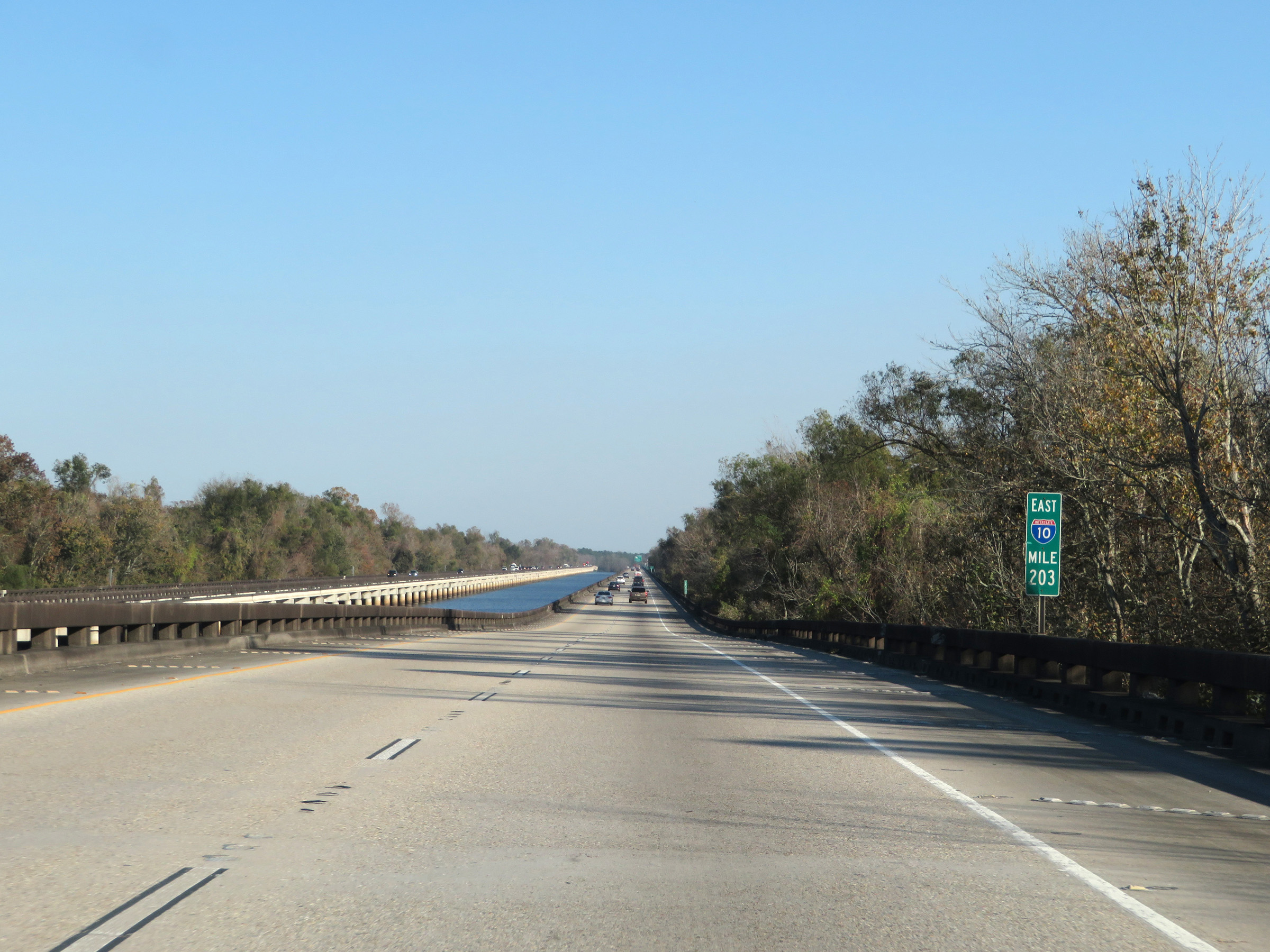 |
View on Interstate 10 East at mile marker 203. (Photo taken 12/9/20). |
 |
Take either of the next 2 exits to LaPlace. (Photo taken 12/9/20). |
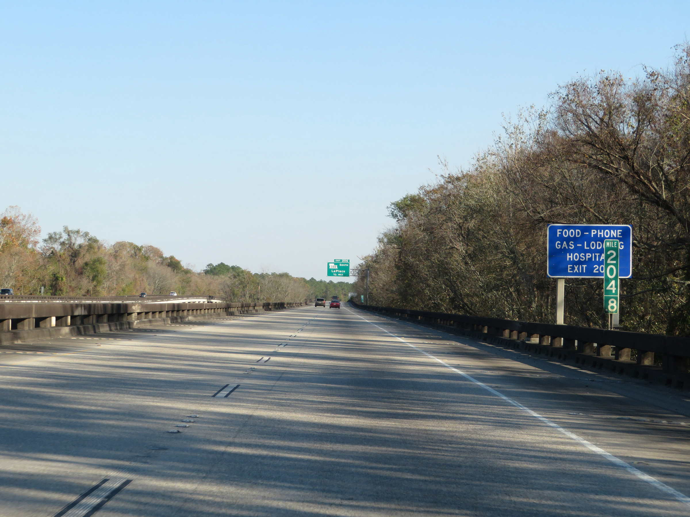 |
Interstate 10 East at mile marker 204.8. (Photo taken 12/9/20). |
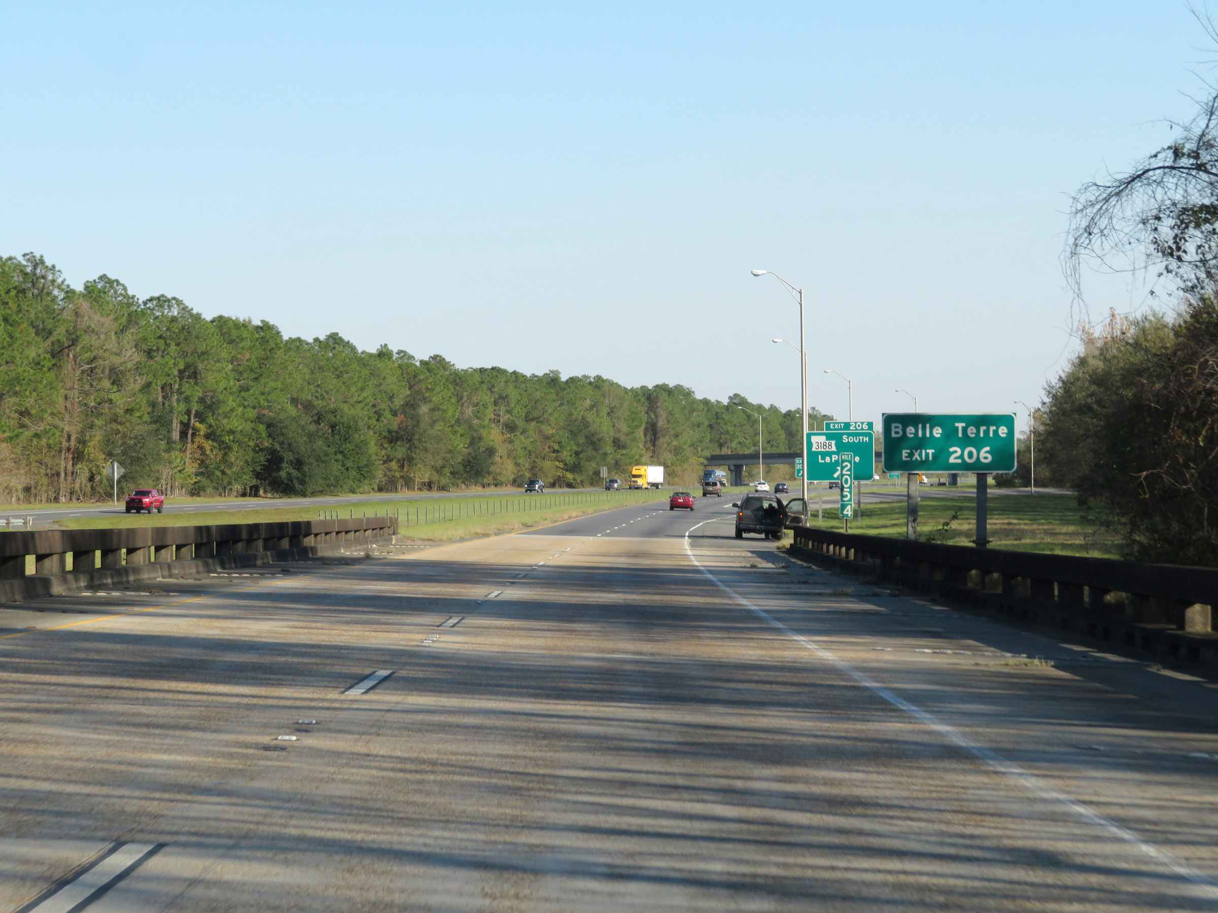 |
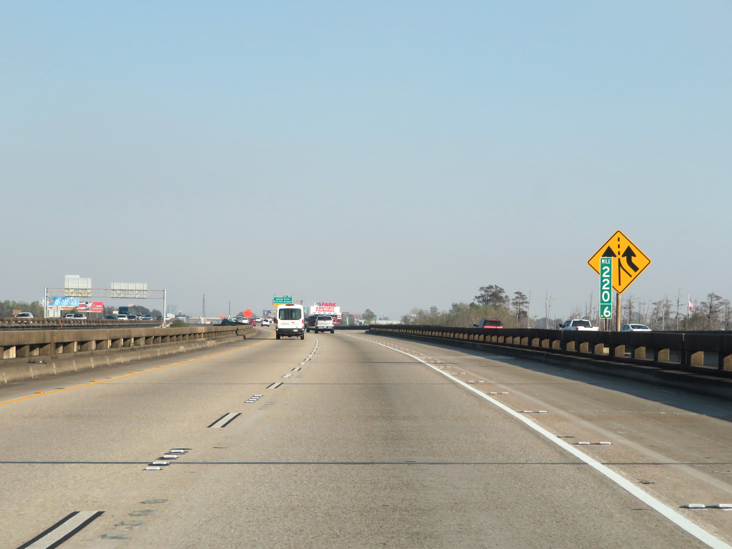
Take Exit 206 to Belle Terre. (Photo taken 12/9/20). |
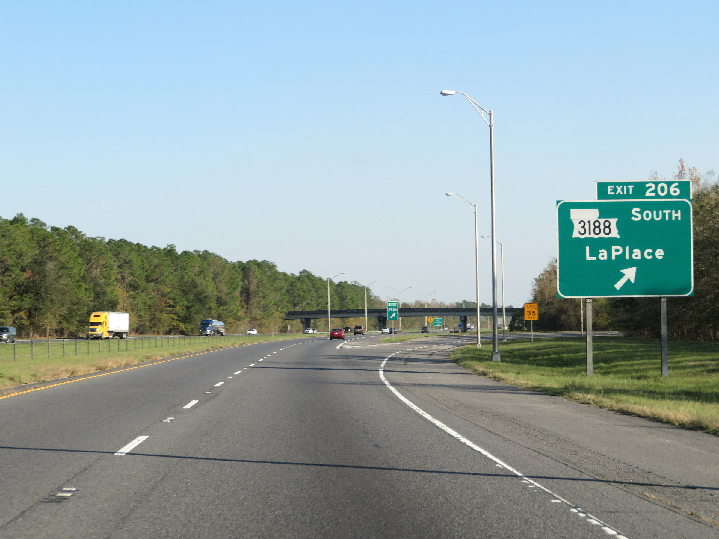 |
Interstate 10 East at Exit 206: LA 3188 South - LaPlace (Photo taken 12/9/20). |
 |
Approaching the Weigh Station ahead, this sign warns that these scales use Weigh In Motion. As such, trucks should keep right and maintain 200 feet of spacing between one another. (Photo taken 12/9/20). |
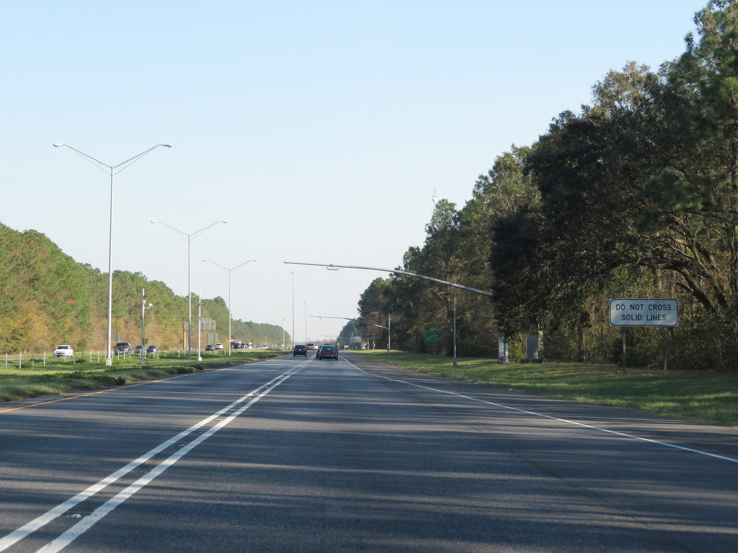 |
In the Weigh In Motion area, the center lines become solid and trucks are warned to not cross the solid lines. (Photo taken 12/9/20). |
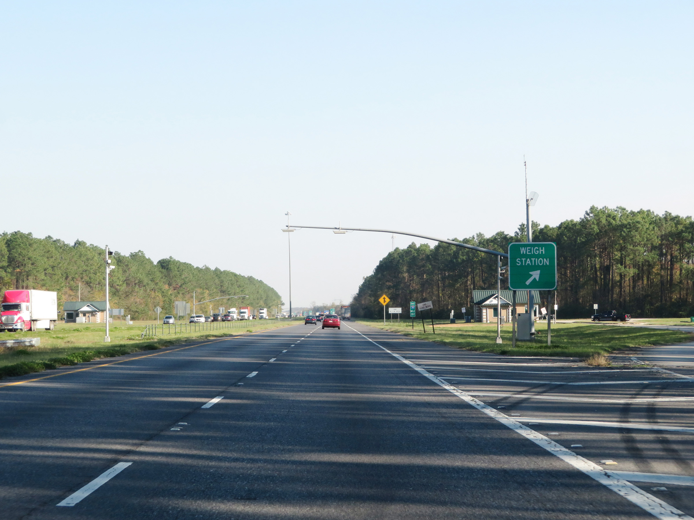 |
Weigh Station on Interstate 10 East in St. John the Baptist Parish. (Photo taken 12/9/20). |
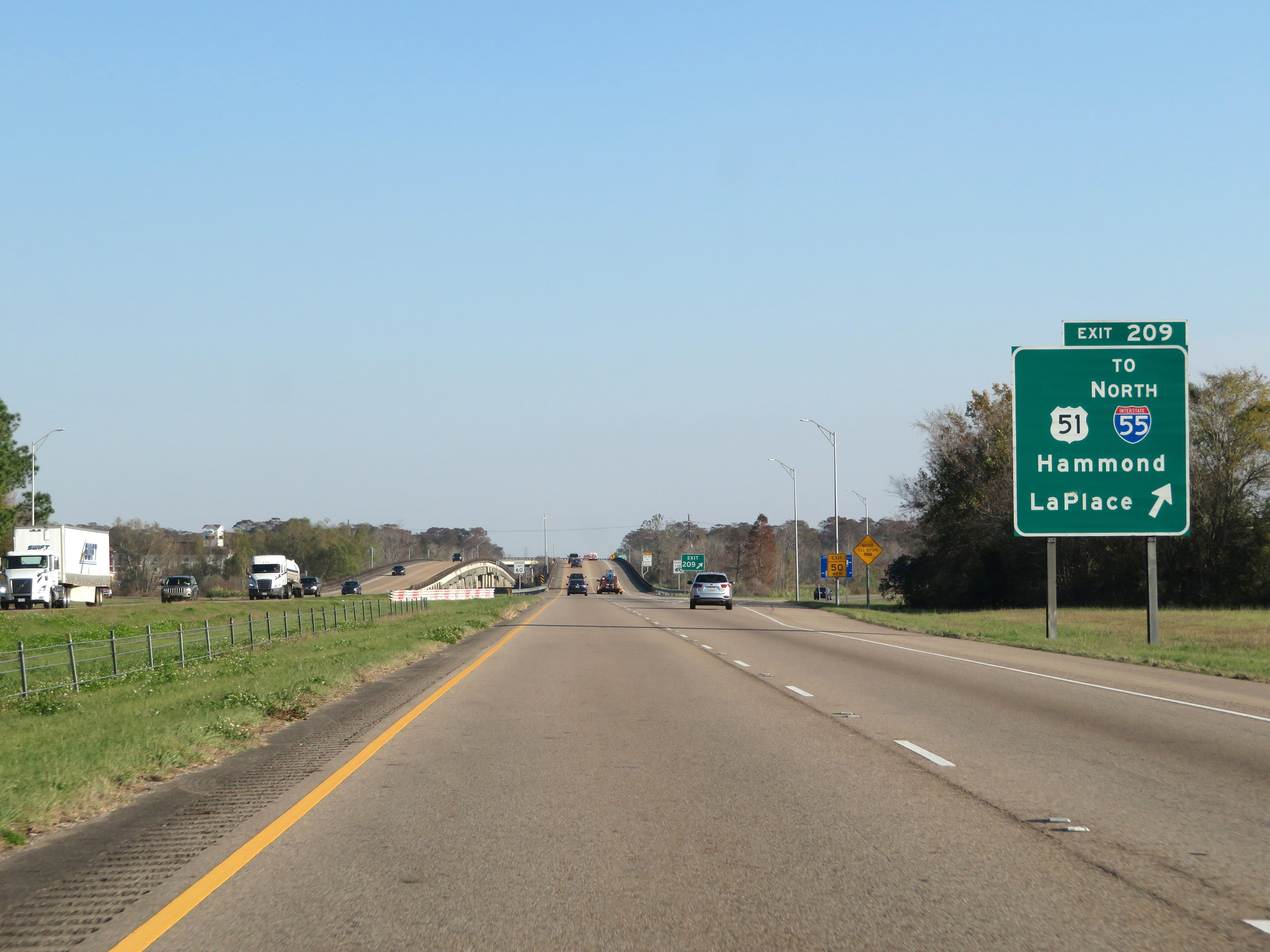 |
Interstate 10 East at Exit 209: US 51 / To Interstate 55 North - Hammond / LaPlace (Photo taken 12/9/20). |
Section 4: LaPlace (Exit 209) to New Orleans (Exit 237)
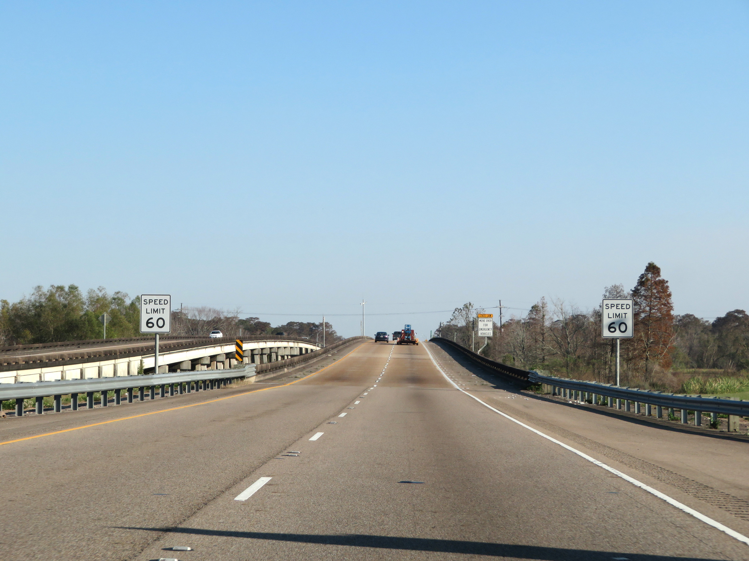 |
East of Exit 209, the speed limit decreases to 60 mph as Interstate 10 East starts across the Bonnet Carré Spillway Bridge, which will carry I-10 over both the spillway and a part of Lake Pontchartrain. It is a twin concrete trestle bridge which is known as one of the longest bridges in the world. (Photo taken 12/9/20). |
 |
View on Interstate 10 East at mile marker 210, as it starts across the Bonnet Carré Spillway Bridge. (Photo taken 12/9/20). |
 |
Interstate 10 East reassurance shield. (Photo taken 12/9/20). |
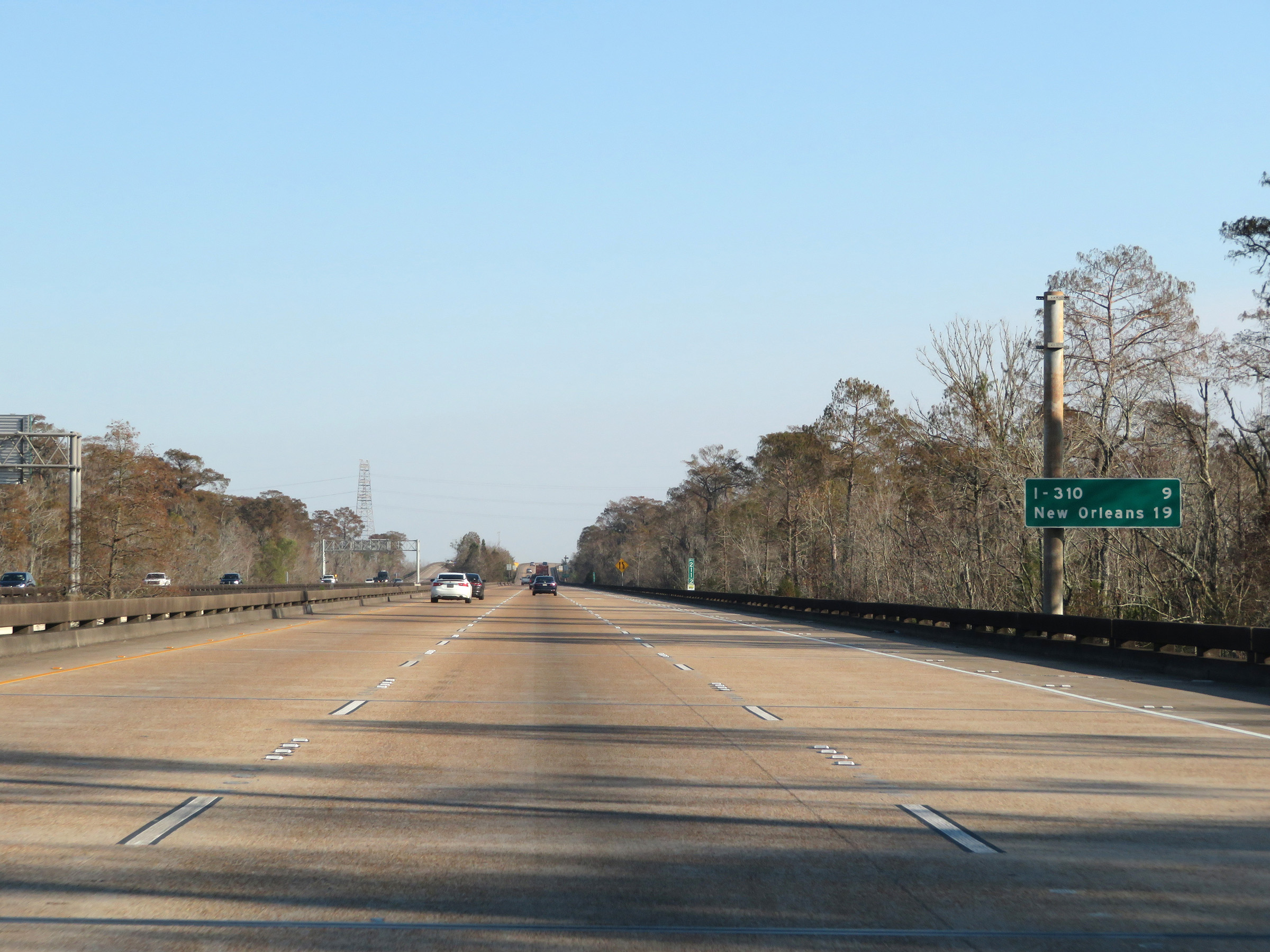 |
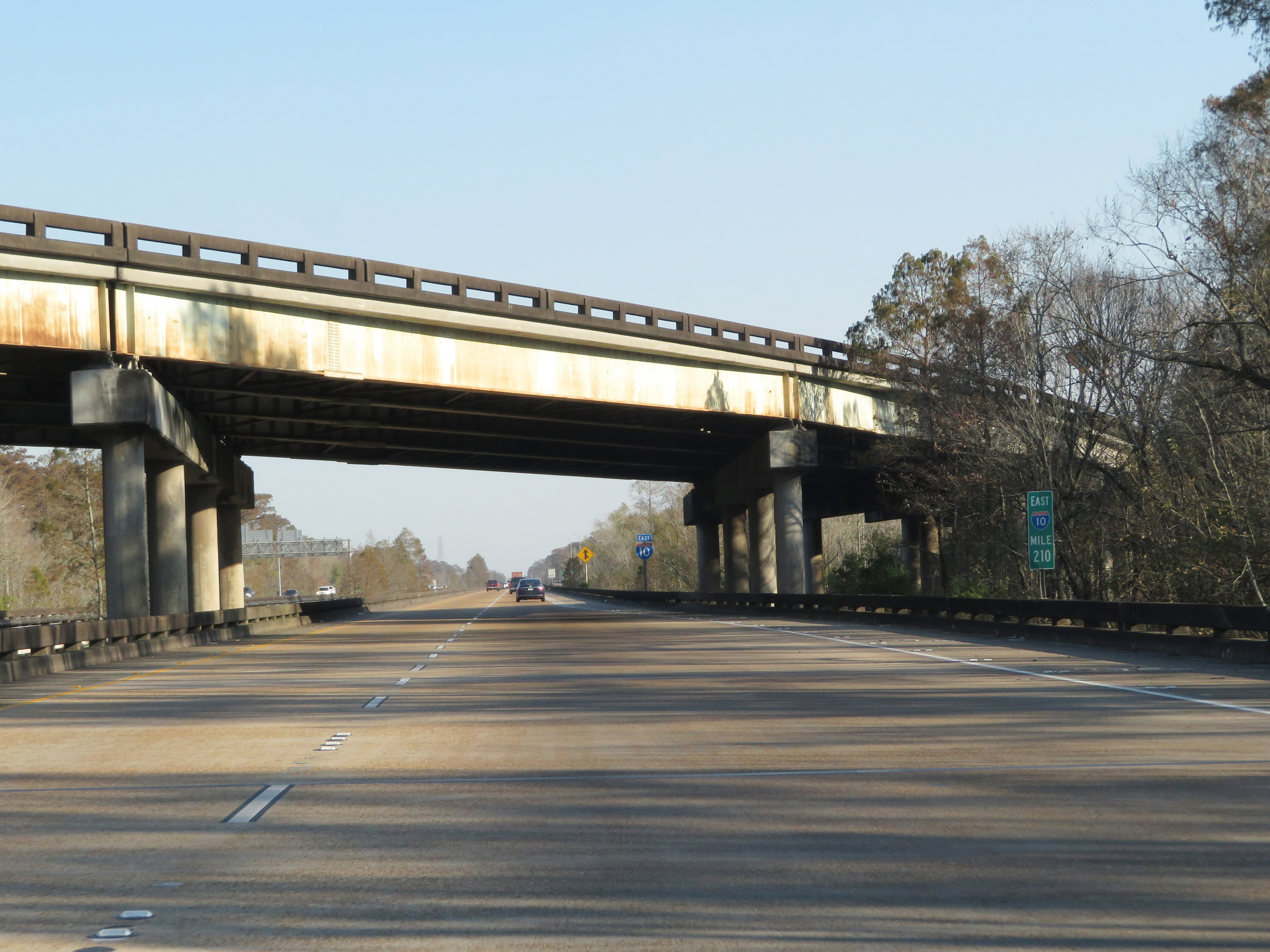
Mileage sign on Interstate 10 East on the Bonnet Carré Spillway Bridge. It's 9 miles to the junction of Interstate 310 (which is also the next exit on I-10 East), and 19 miles to New Orleans. (Photo taken 12/9/20). |
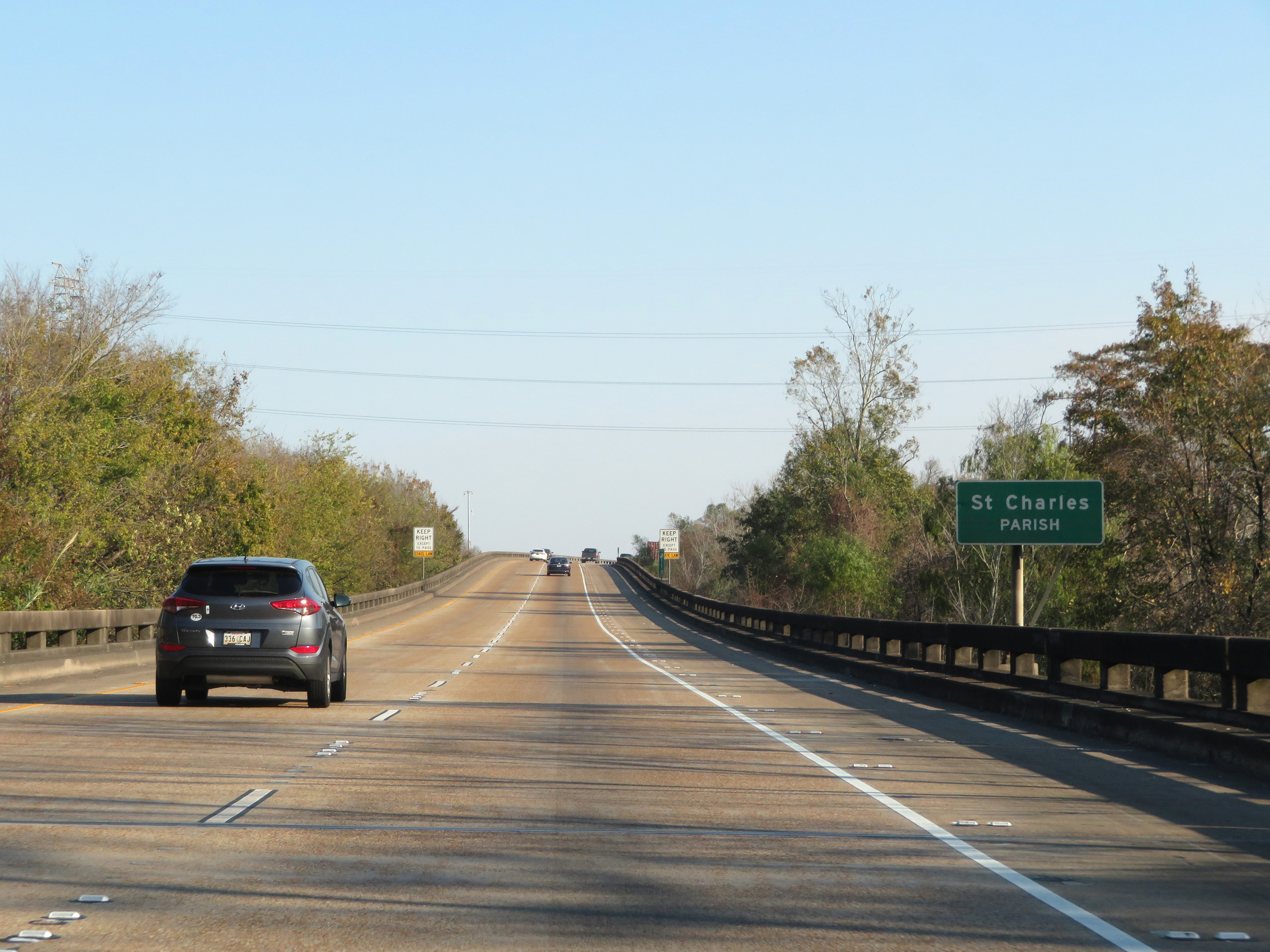 |
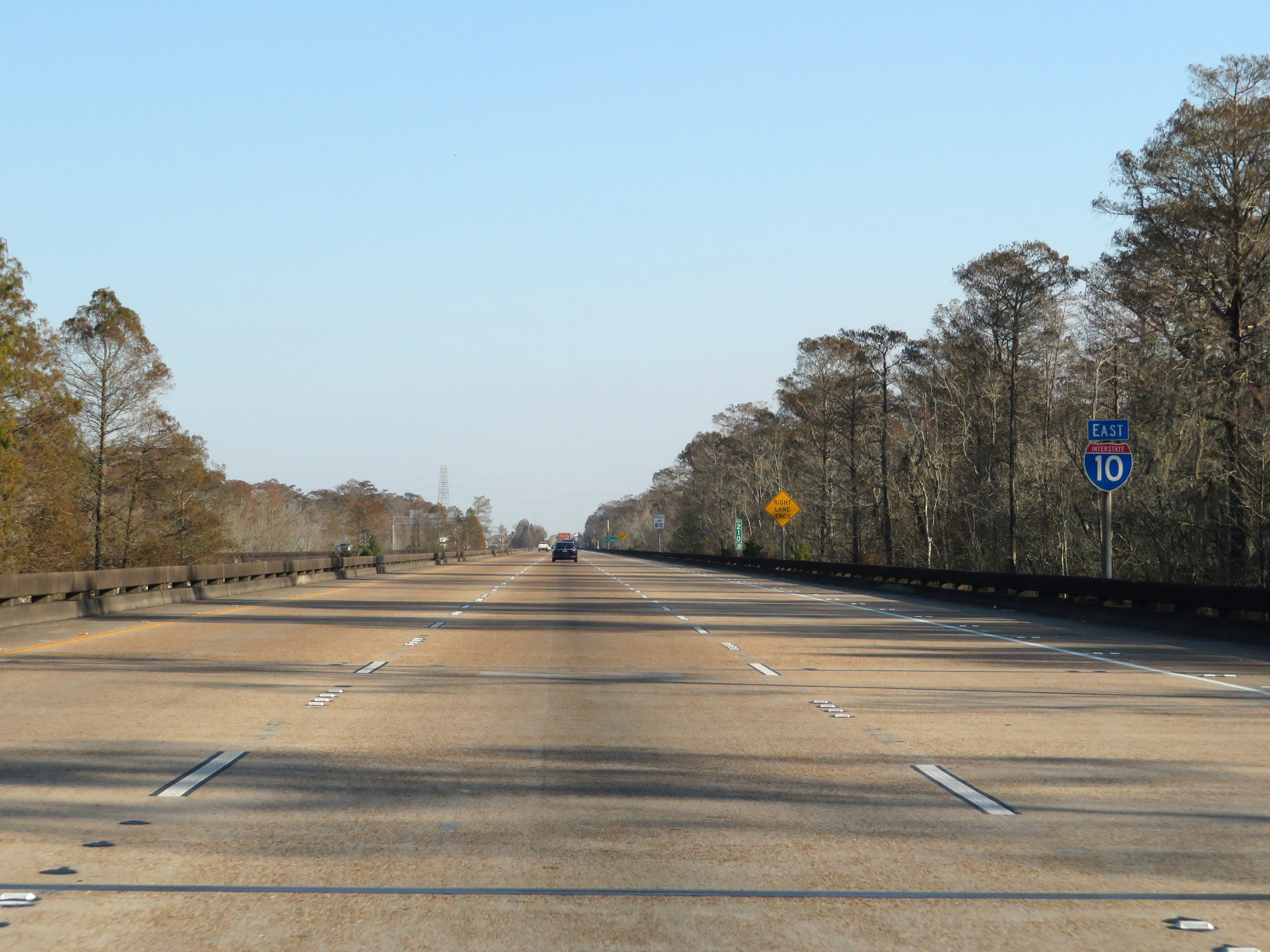
Interstate 10 East as it enters St. Charles Parish, near mile marker 211.8. (Photo taken 12/9/20). |
 |
At mile marker 212.2, Interstate 10 East and the Bonnet Carré Spillway Bridge begin to cross the spillway and Lake Pontchartrain. (Photo taken 12/9/20). |
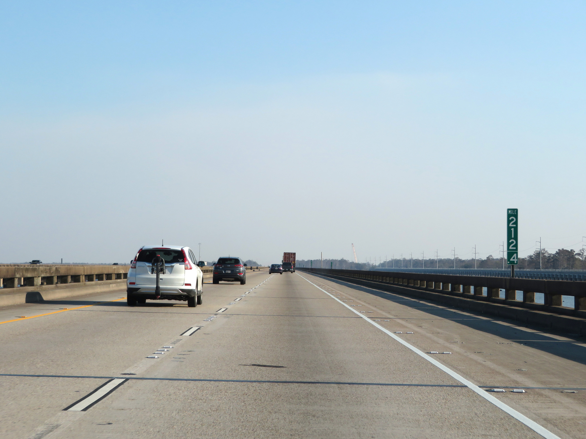 |
View on Interstate 10 East on the Bonnet Carré Spillway Bridge at mile marker 212.4. (Photo taken 12/9/20). |
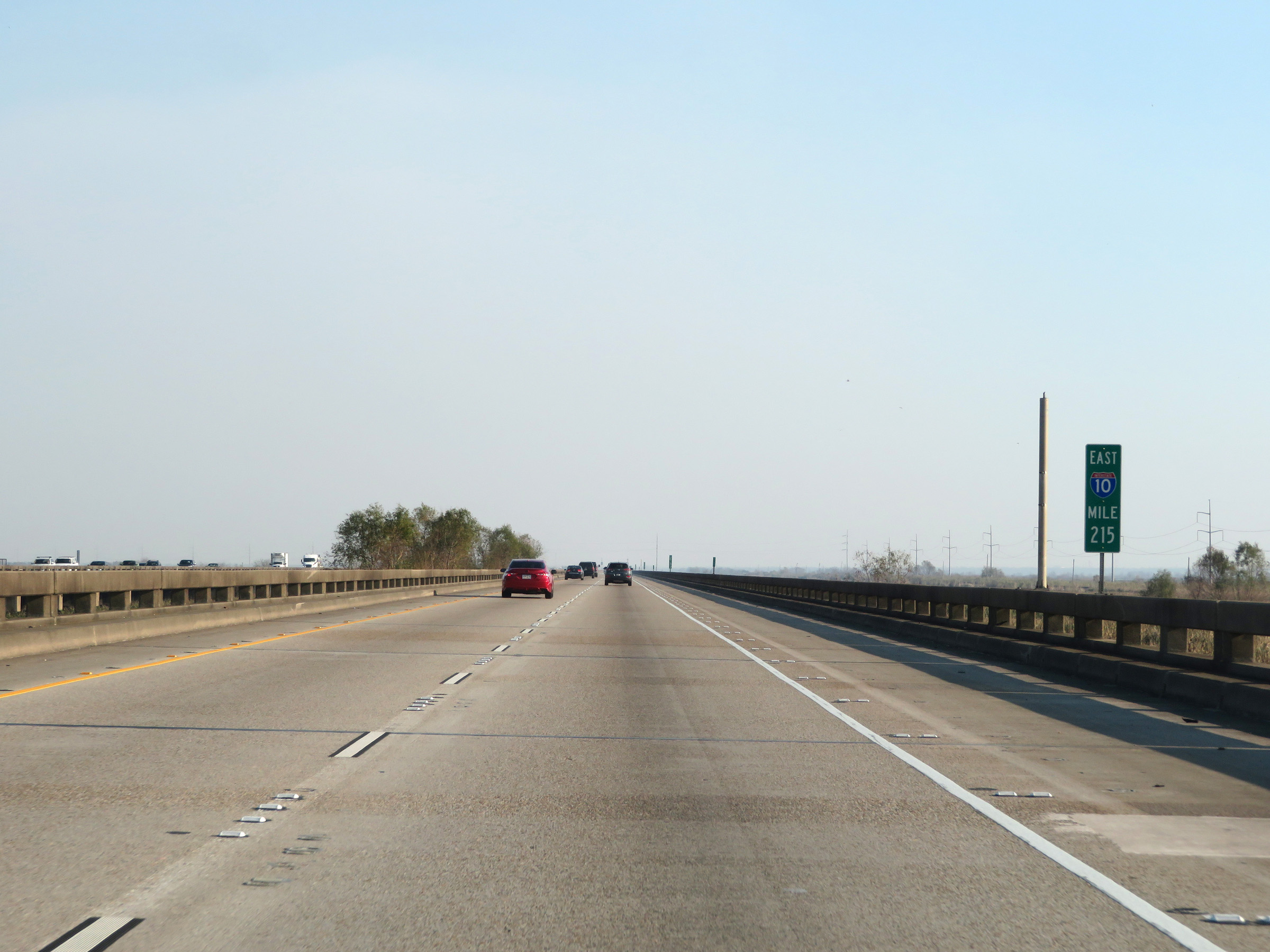 |
Interstate 10 East at mile marker 215, crossing over the Bonnet Carré Spillway and Lake Pontchartrain. (Photo taken 12/9/20). |
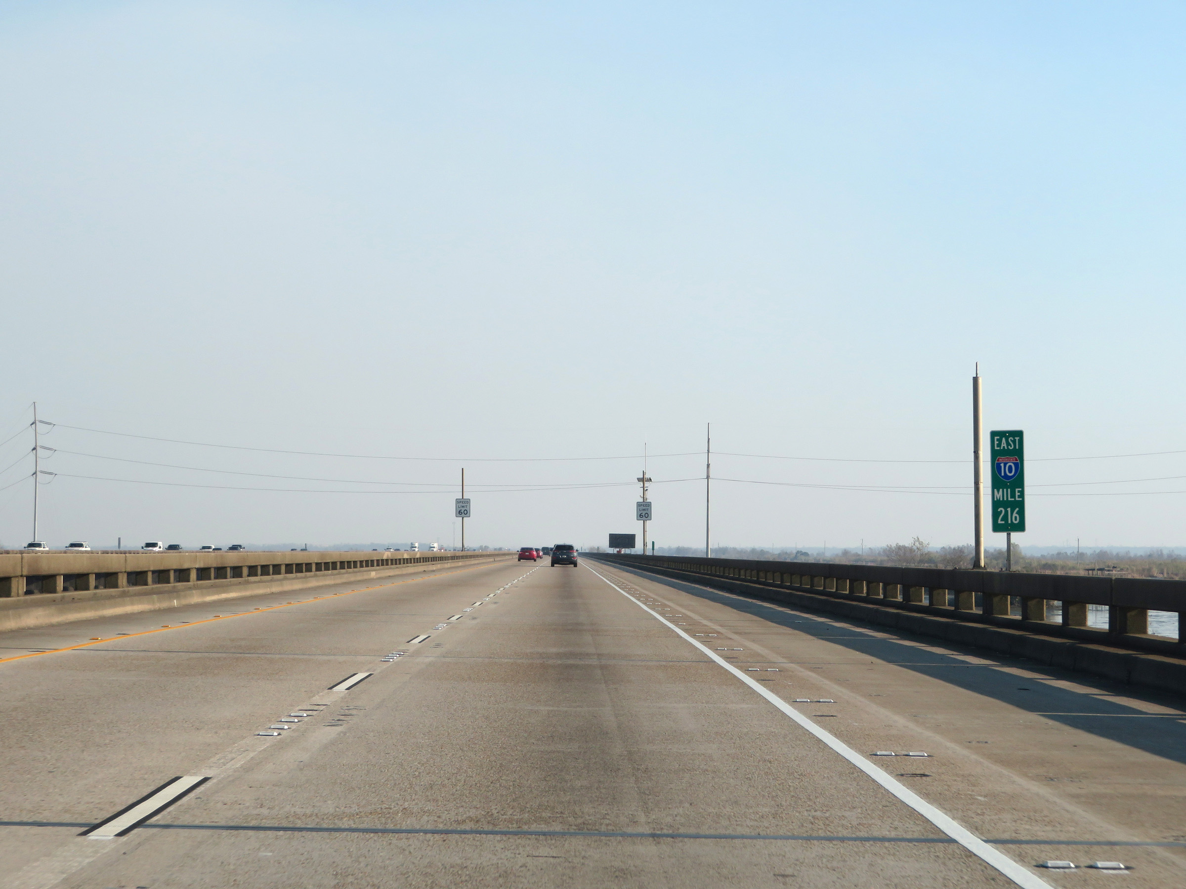 |
View on Interstate 10 East at mile marker 216. (Photo taken 12/9/20). |
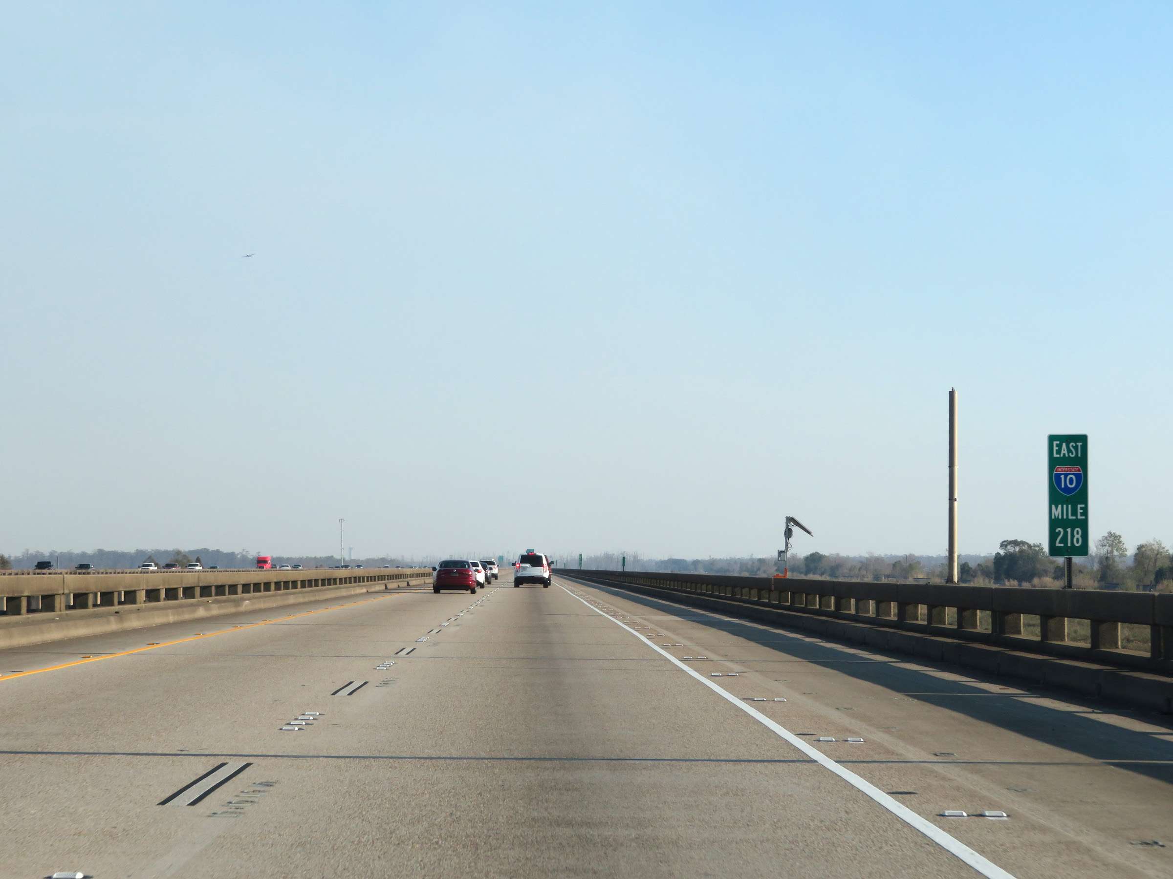 |
Mile marker 218 on Interstate 10 East as it continues across the Bonnet Carré Spillway Bridge. (Photo taken 12/9/20). |
 |
Interstate 10 East approaching Exit 220 - 1 mile. Take Exit 220 to the Rental Car and Air Cargo areas of New Orleans International Airport. Take Exit 221 to the Terminal. (Photo taken 12/9/20). |
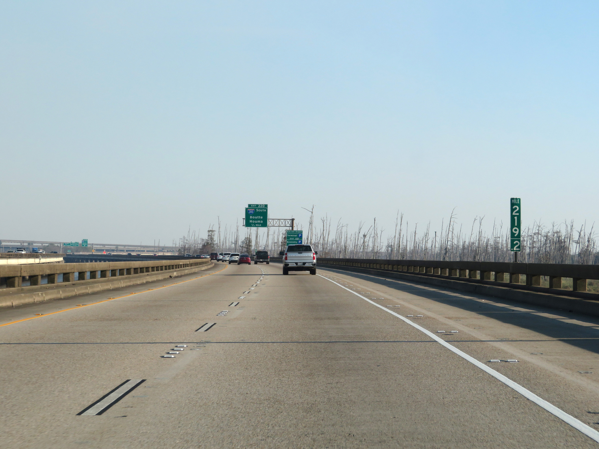 |
View on Interstate 10 East on the Bonnet Carré Spillway Bridge at mile marker 219.2. (Photo taken 12/9/20). |
 |
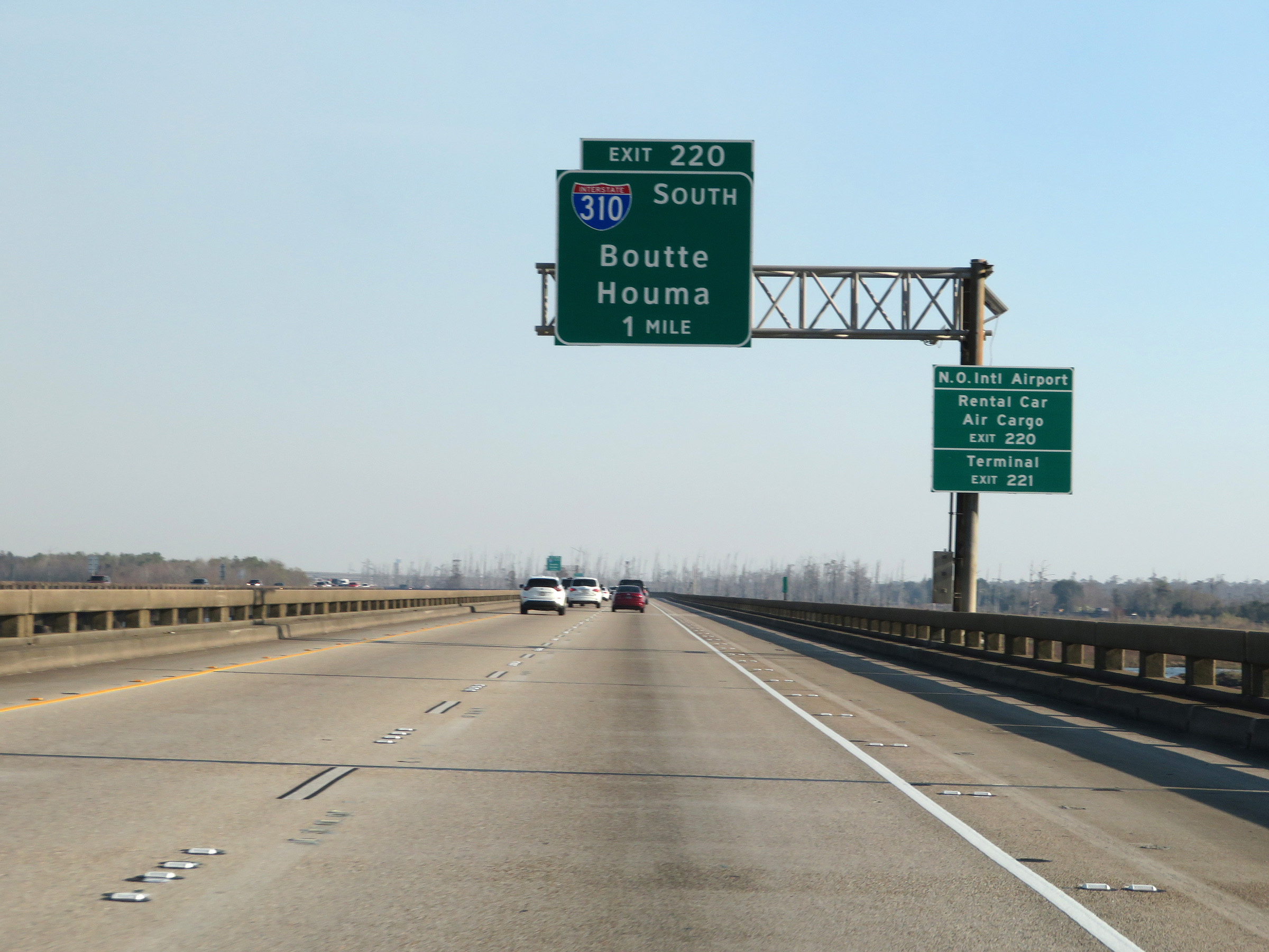
Interstate 10 East at Exit 220: Interstate 310 South - Boutte / Houma (Photo taken 12/9/20). |
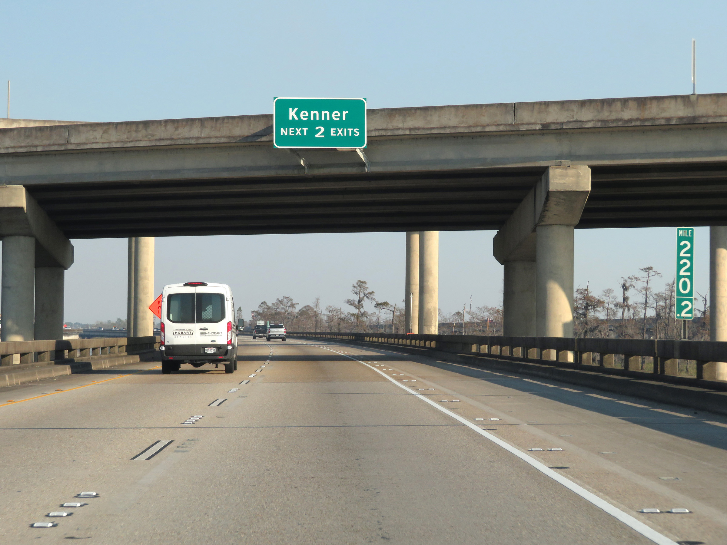 |
Take either of the next 2 exits to Kenner. (Photo taken 12/9/20). |
 |
At mile marker 220.6, we see traffic from Interstate 310 North merging into Interstate 10 East on the right, just before the eastern end of the Bonnet Carré Spillway Bridge. (Photo taken 12/9/20). |
 |
As the Bonnet Carré Spillway Bridge reaches its eastern end, Interstate 10 East enters Jefferson Parish. (Photo taken 12/9/20). |
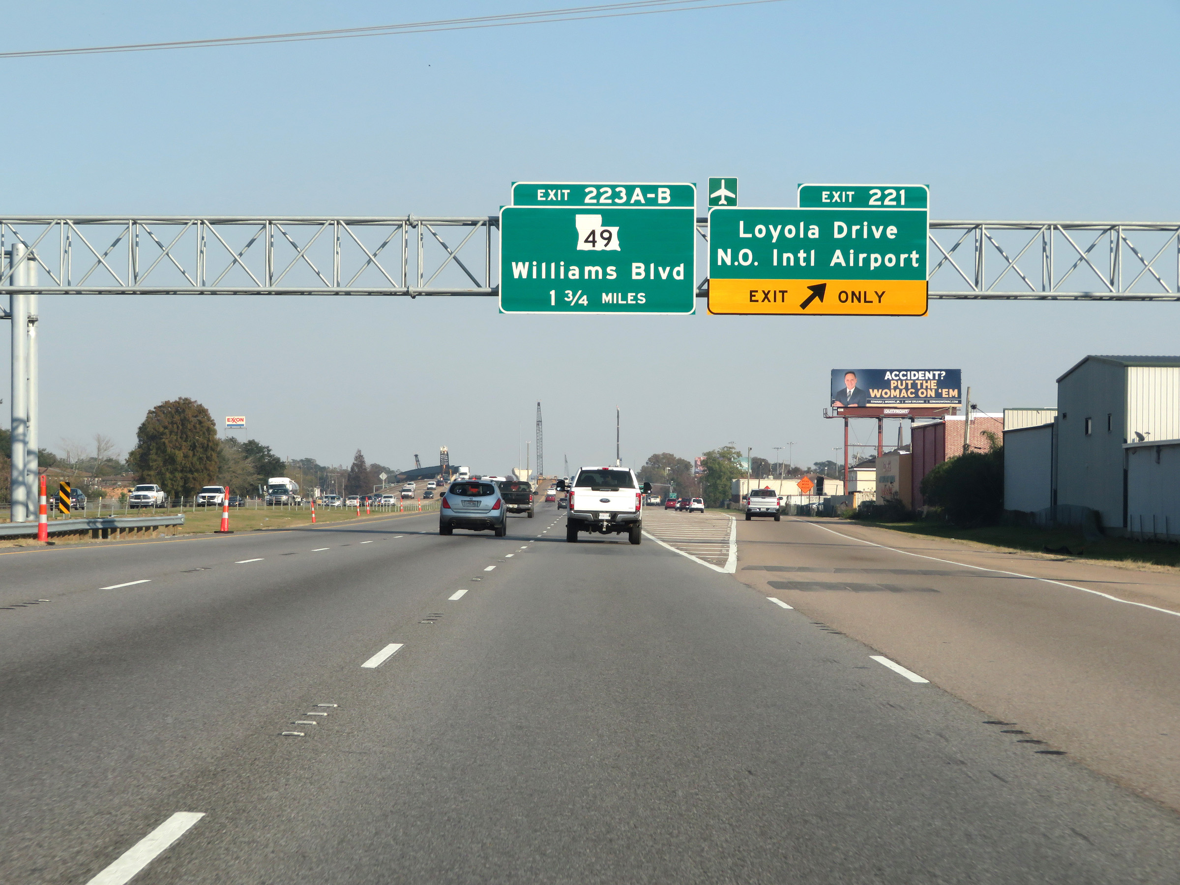 |
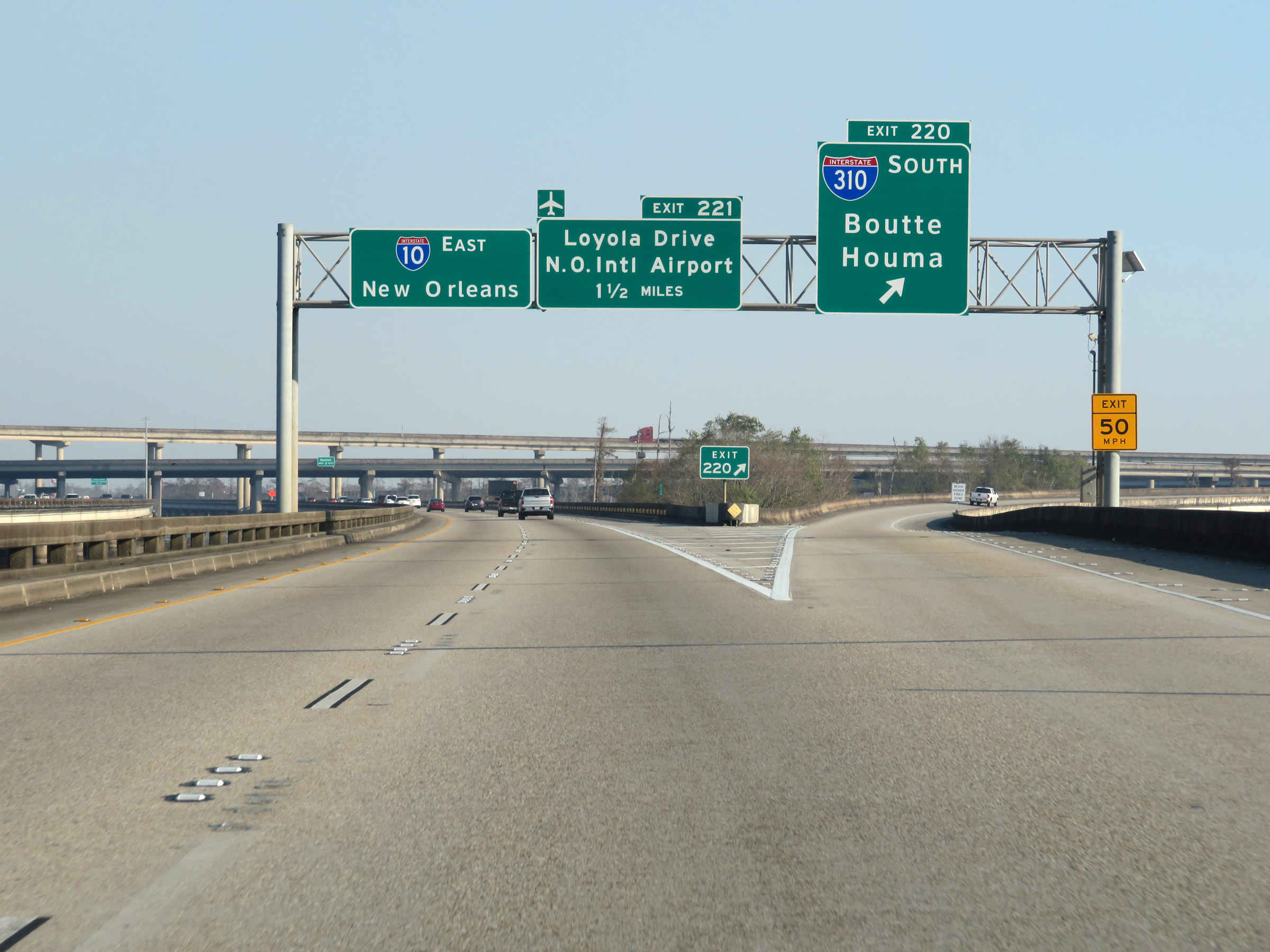
Interstate 10 East at Exit 221: Loyola Drive / New Orleans International Airport (Photo taken 12/9/20). |
 |
Interstate 10 East at mile marker 222. (Photo taken 12/9/20). |
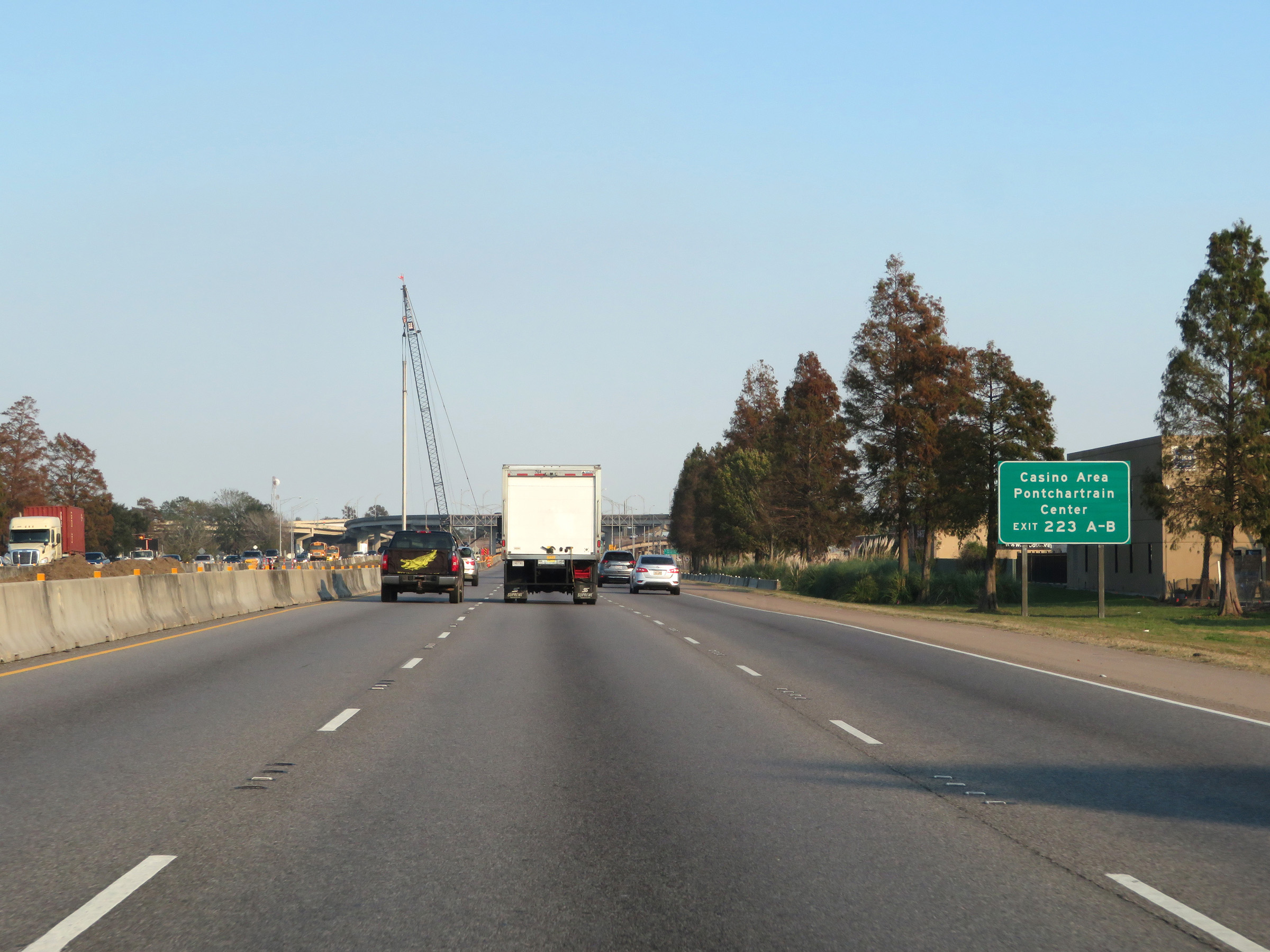 |
Take Exits 223A-B to the Casino Area and Pontchartrain Center. (Photo taken 12/9/20). |
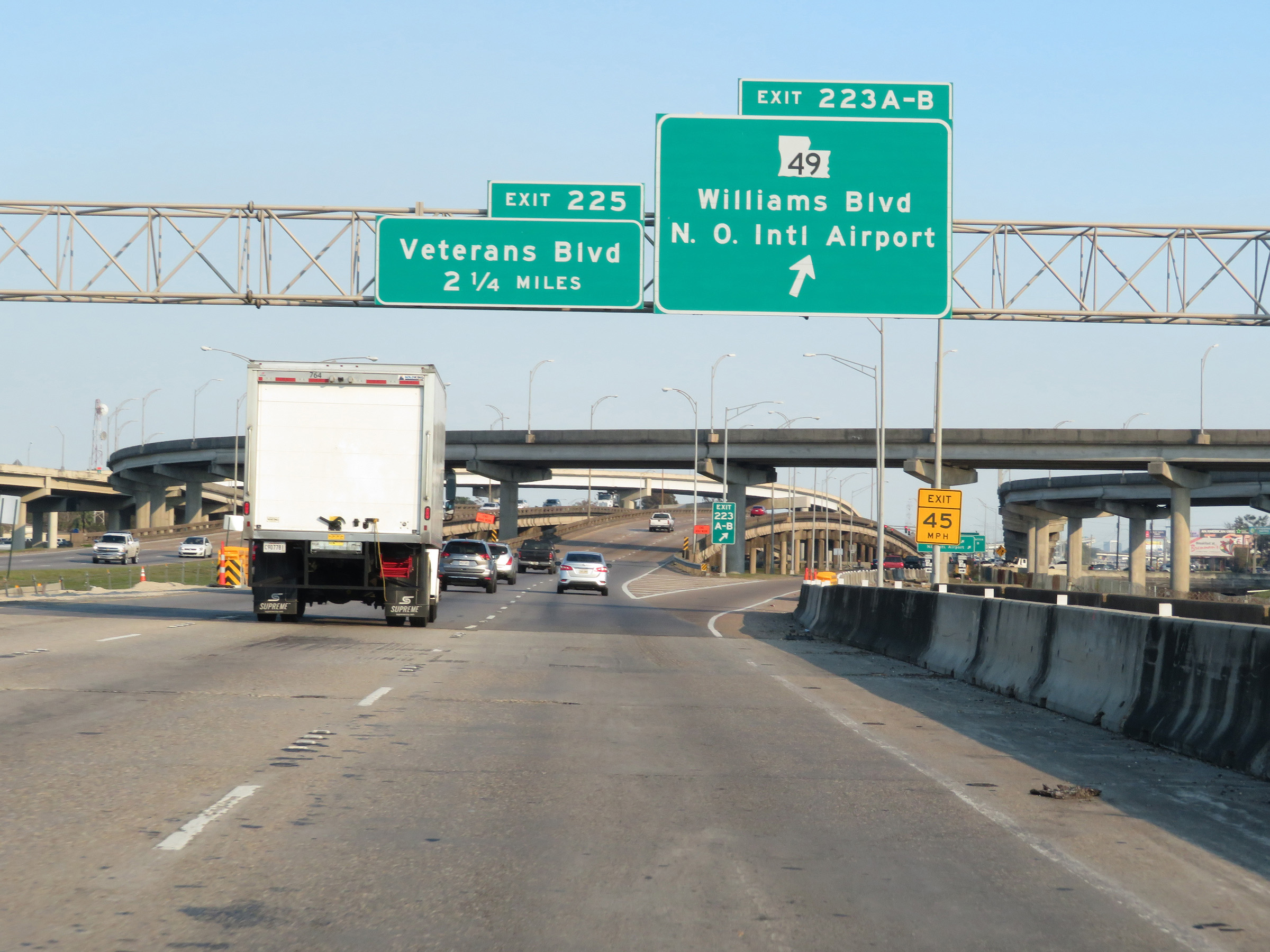 |
Interstate 10 East at Exits 223A-B: LA 49 - Williams Blvd / New Orleans International Airport (Photo taken 12/9/20). |
 |
Another Interstate 10 East reassurance shield. (Photo taken 12/9/20). |
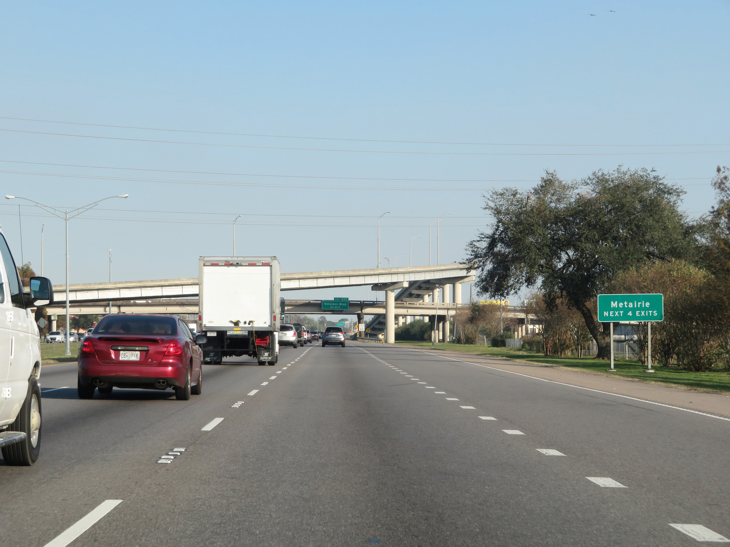 |
Take any of the next 4 exits to Metairie. (Photo taken 12/9/20). |
 |
The speed limit remains 60 mph on Interstate 10 East as it approaches the New Orleans area. (Photo taken 12/9/20). |
 |
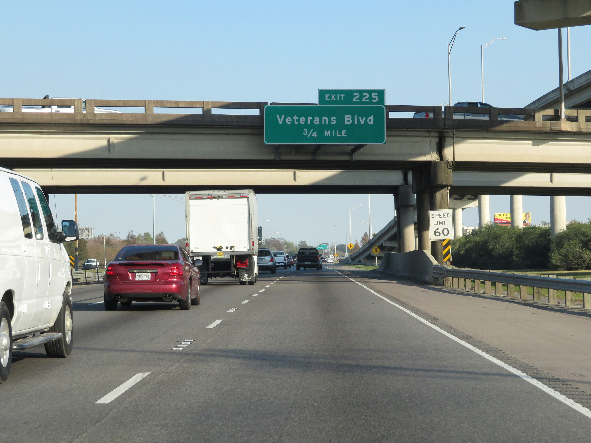
Interstate 10 East at Exit 225: Veterans Blvd (Photo taken 12/9/20). |
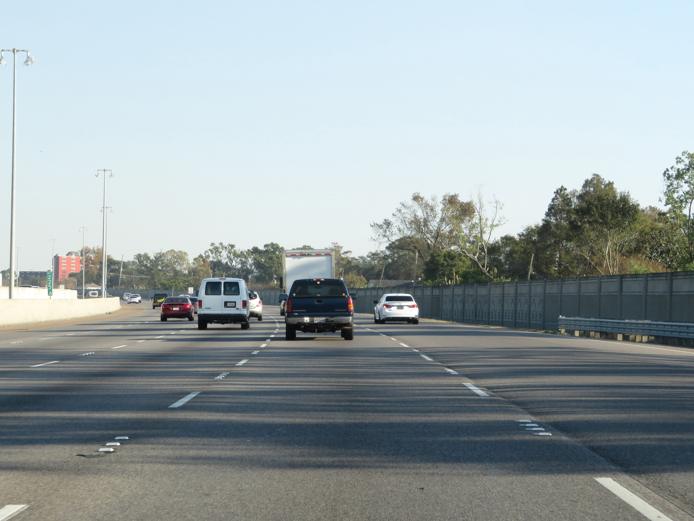 |
View on Interstate 10 East at mile marker 225.6. (Photo taken 12/9/20). |
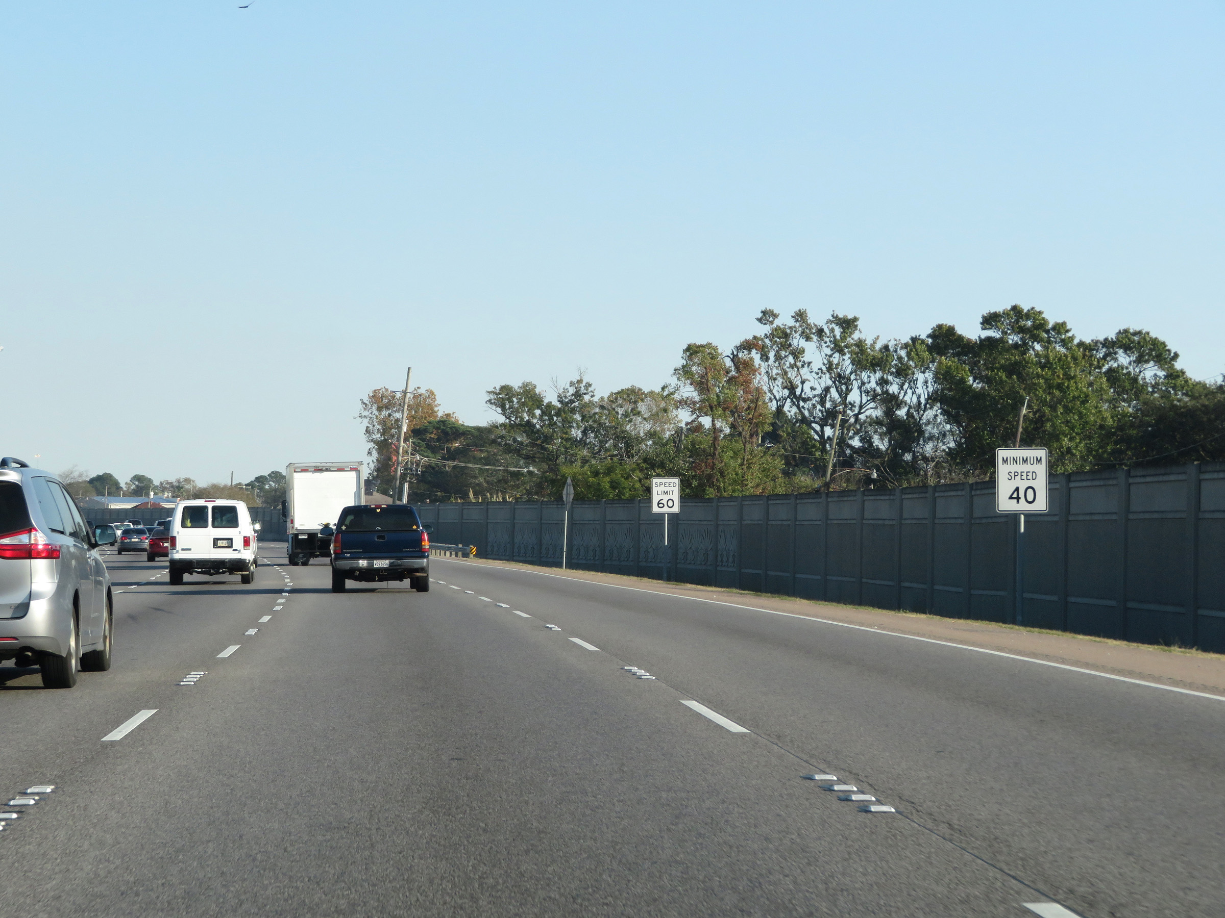 |
In addition to the 60 mph maximum speed limit, a 40 mph minimum speed limit is also posted in the New Orleans area on Interstate 10 East. (Photo taken 12/9/20). |
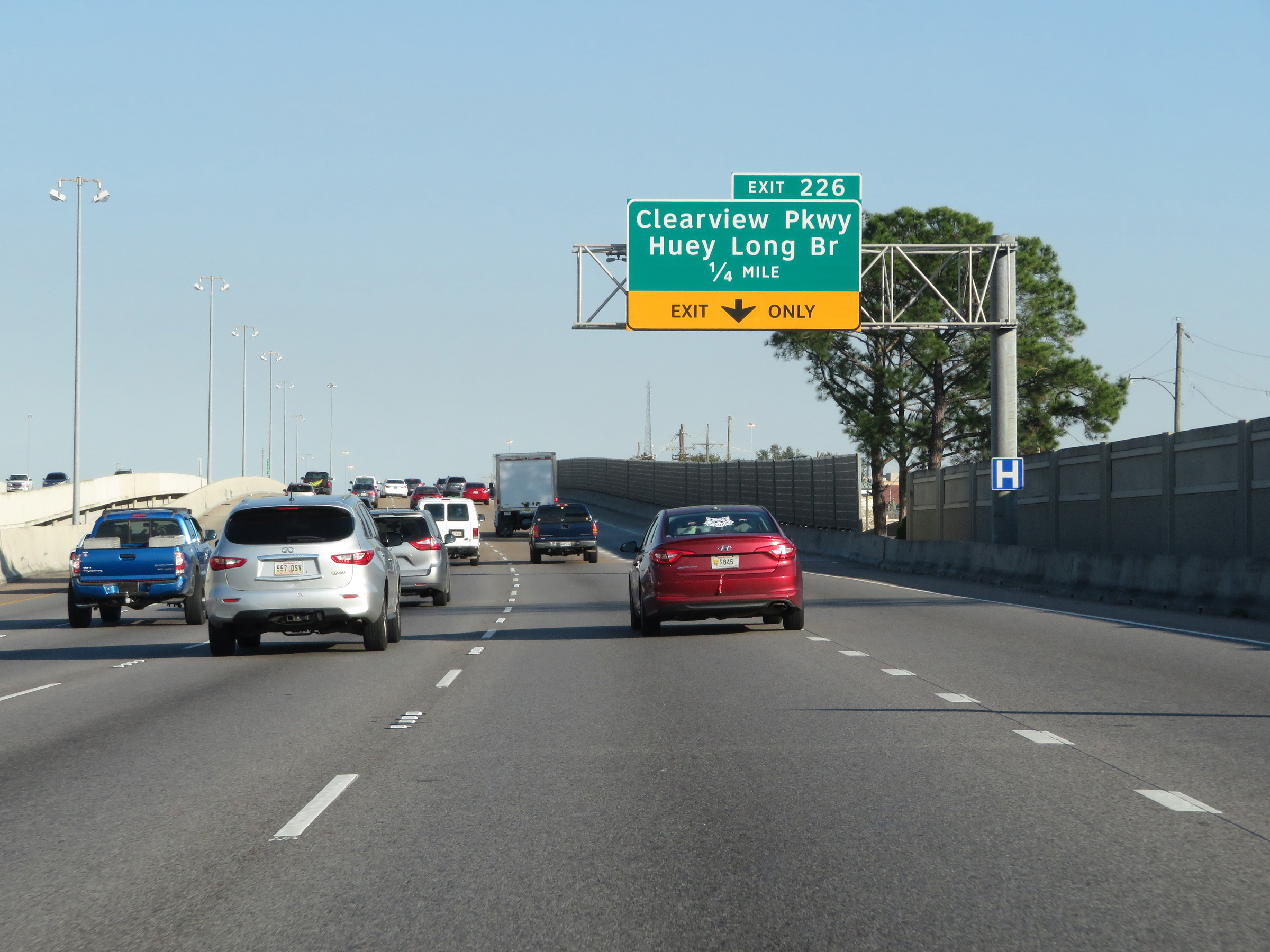 |
Interstate 10 East approaching Exit 226 - 1/4 mile. (Photo taken 12/9/20). |
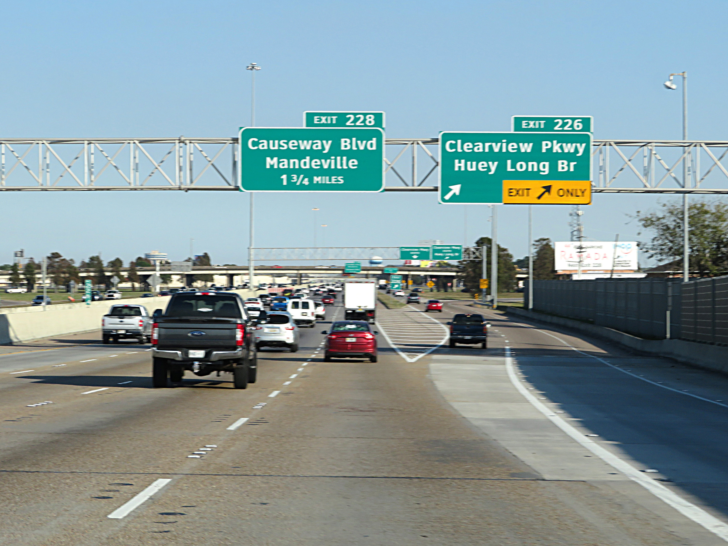 |
Interstate 10 East at Exit 226: Clearview Pkwy / Huey Long Bridge (Photo taken 12/9/20). |
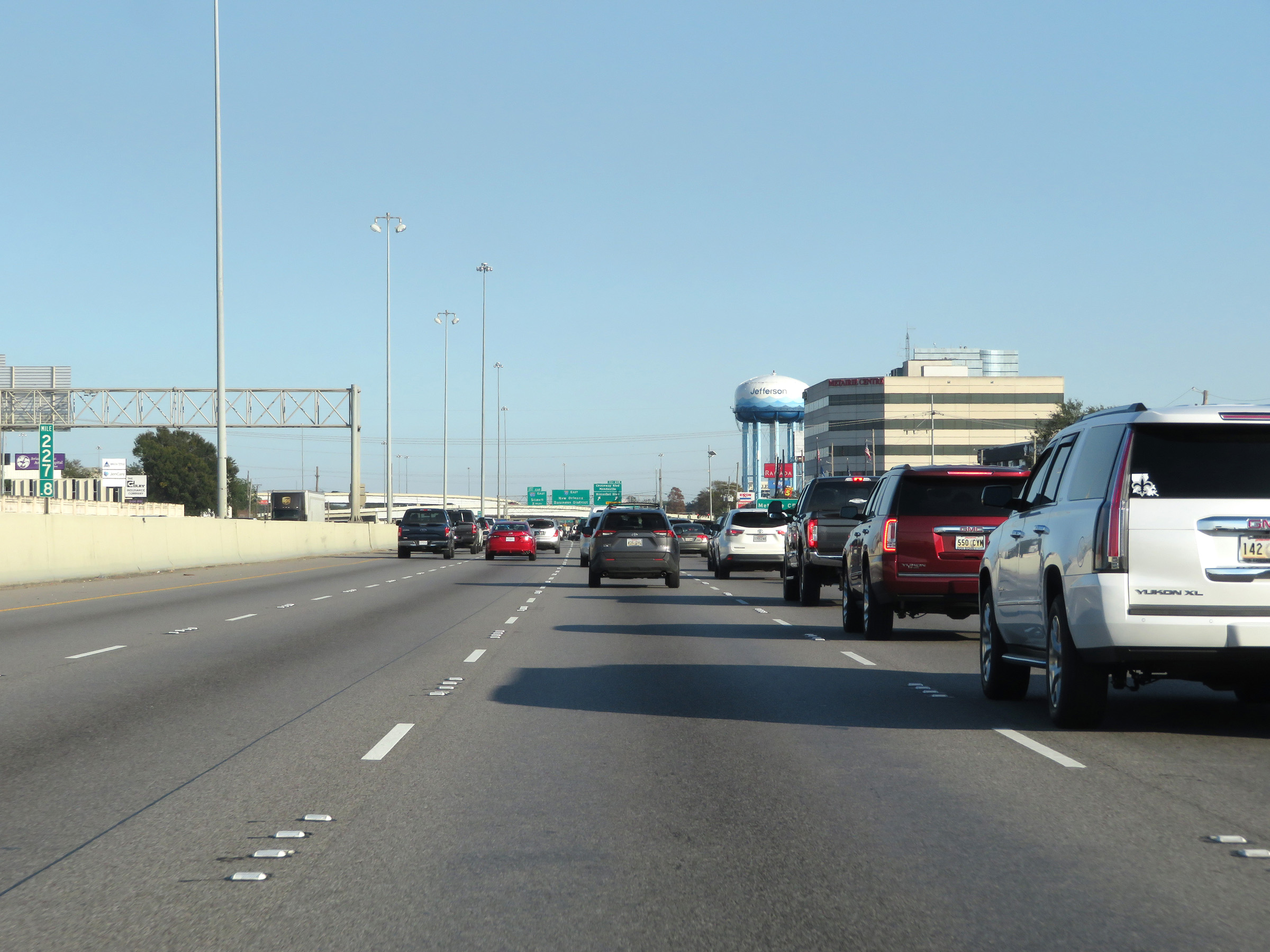 |
View on Interstate 10 East at mile marker 227.8. (Photo taken 12/9/20). |
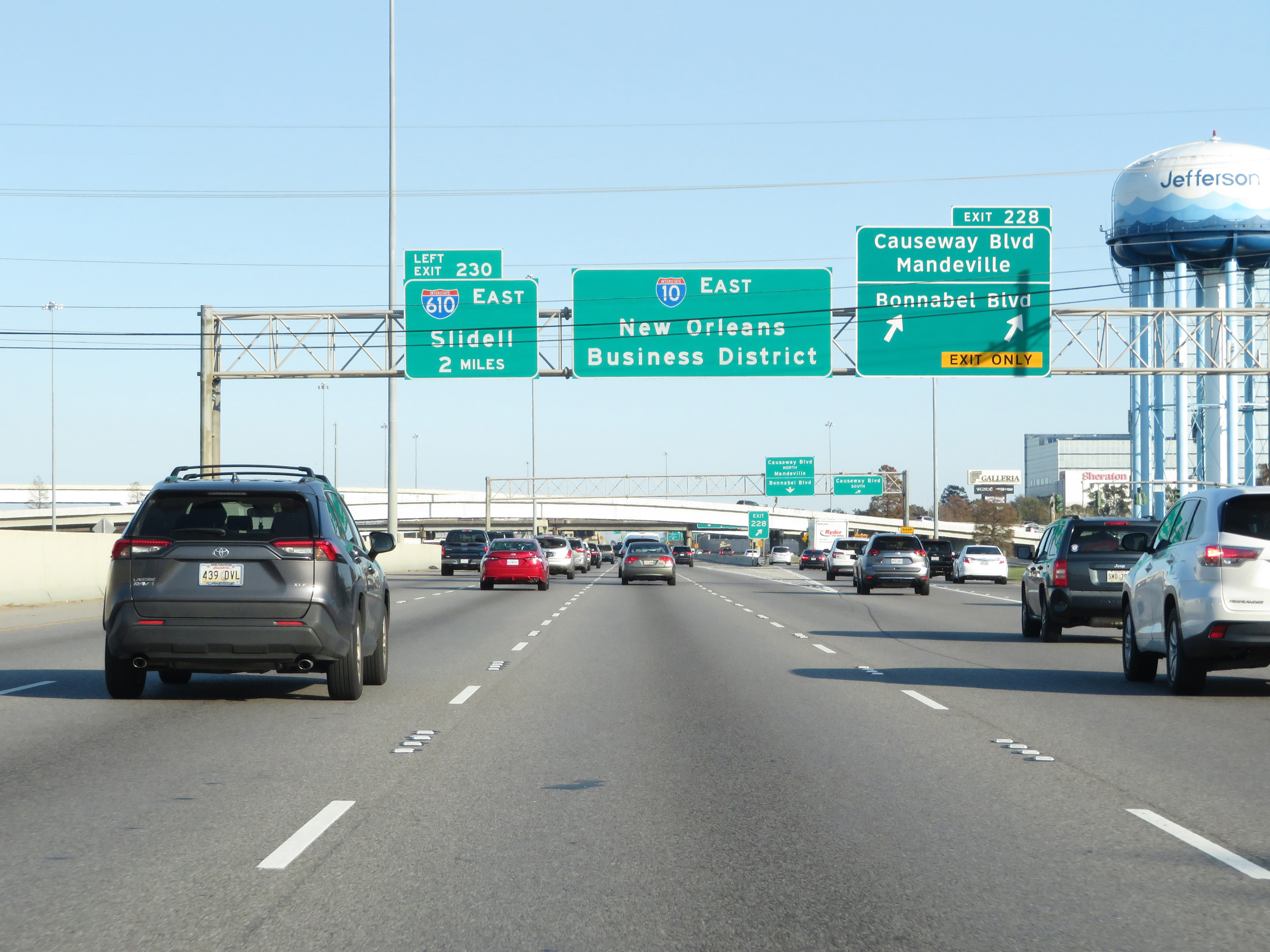 |
Interstate 10 East at Exit 228: Causeway Blvd / Mandeville / Bonnabel Blvd (Photo taken 12/9/20). |
 |
Interstate 10 East at mile marker 229. (Photo taken 12/9/20). |
 |
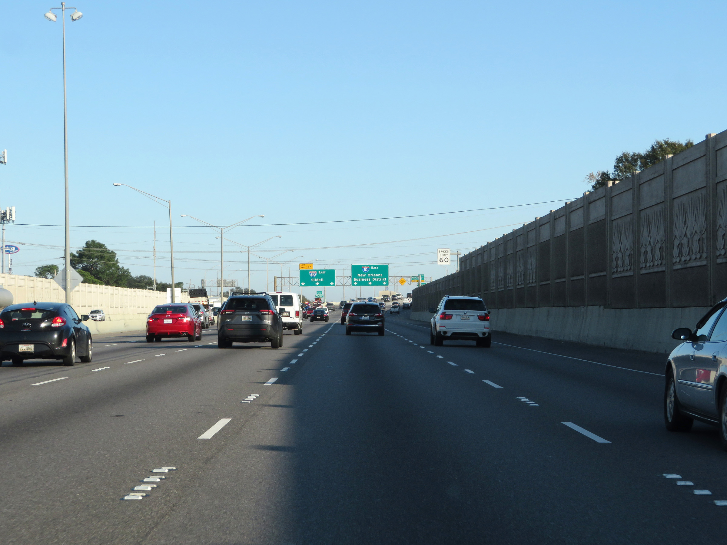
Interstate 10 East approaching Exit 230 - 1 mile on the left. (Photo taken 12/9/20). |
 |
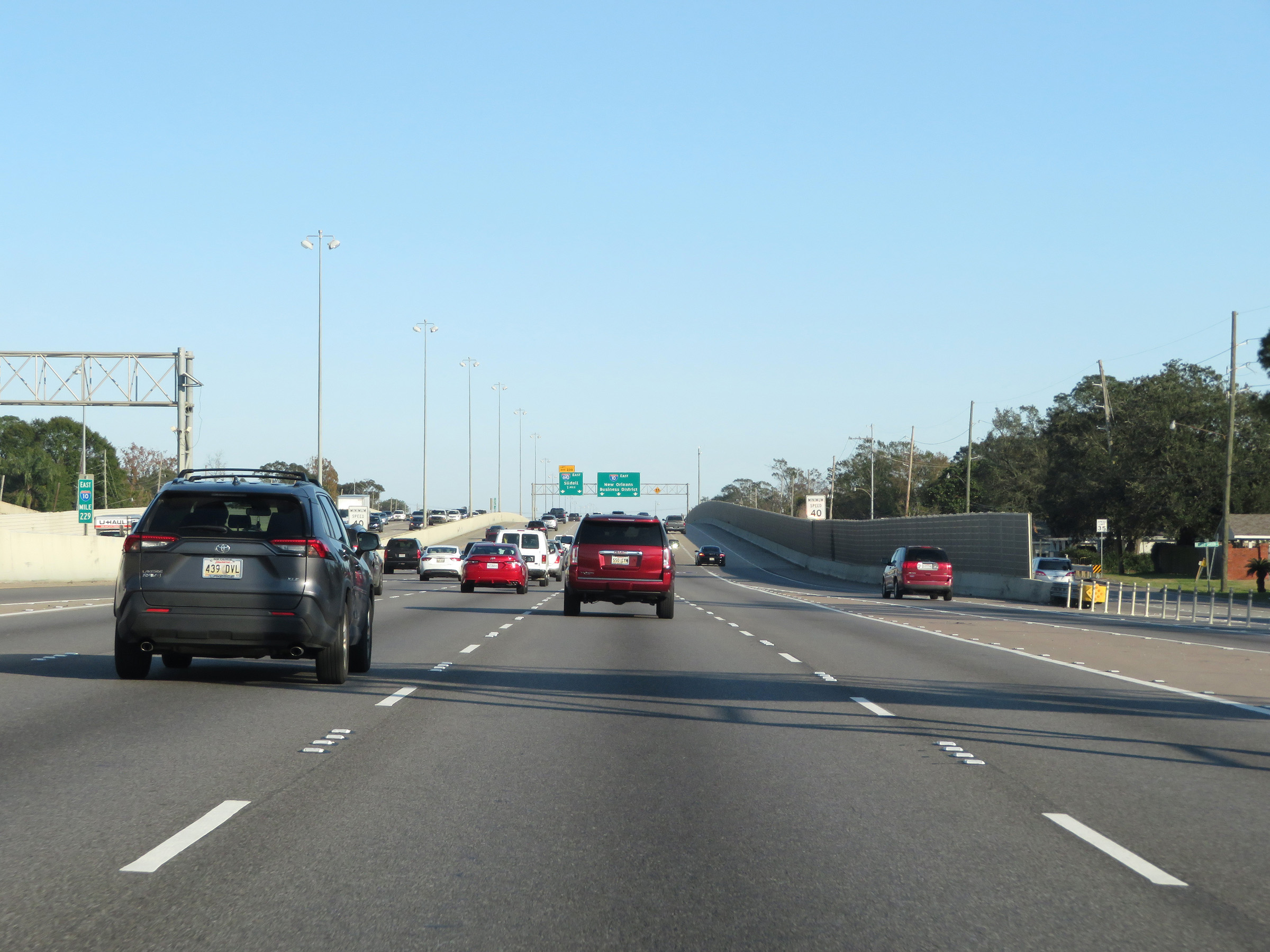
View on Interstate 10 East approaching the junction of Interstate 610 East via Exit 230 on the left. I-610 provides a direct bypass of downtown New Orleans and reconnects to I-10 in East New Orleans. (Photo taken 12/9/20). |
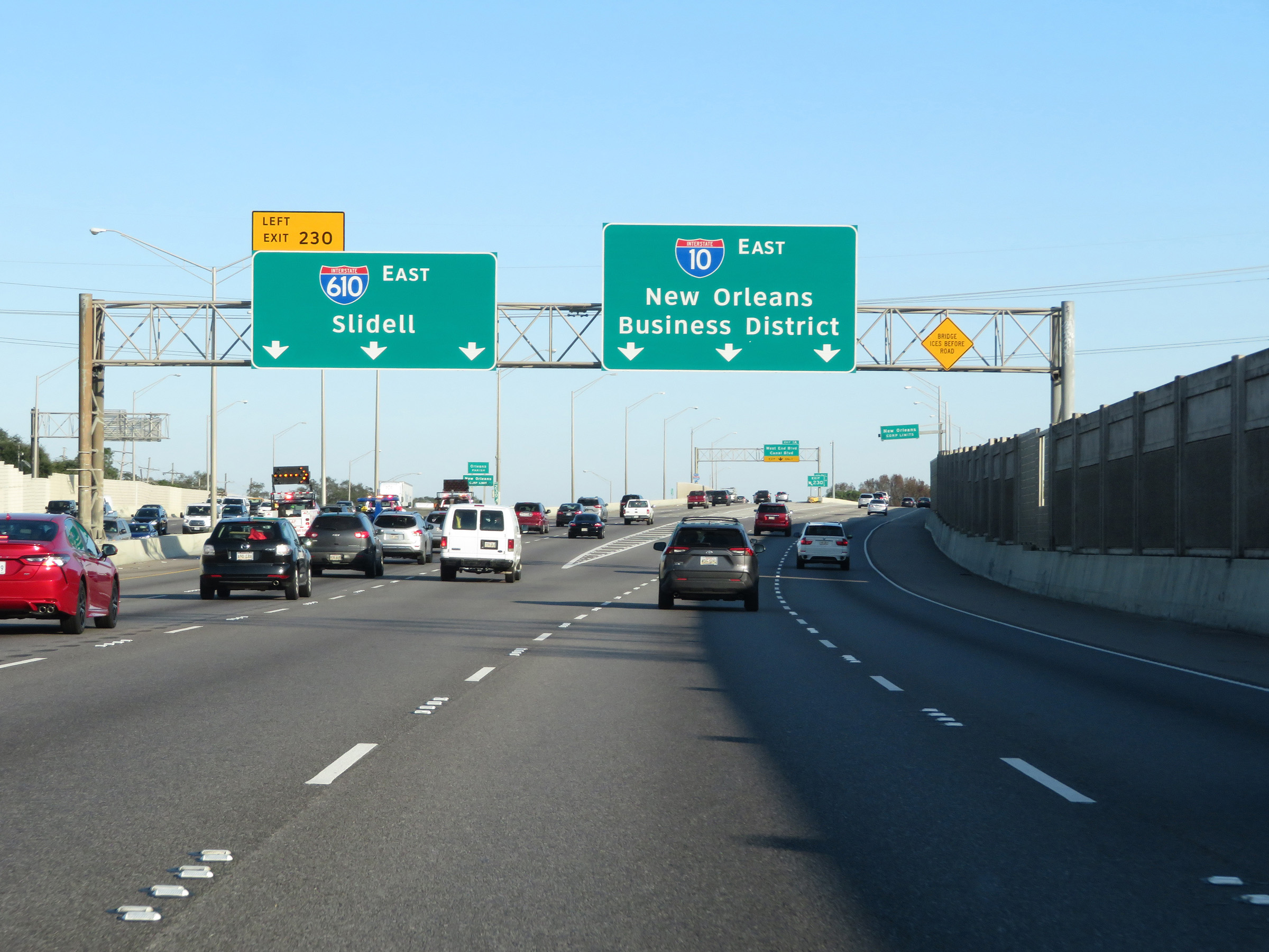 |
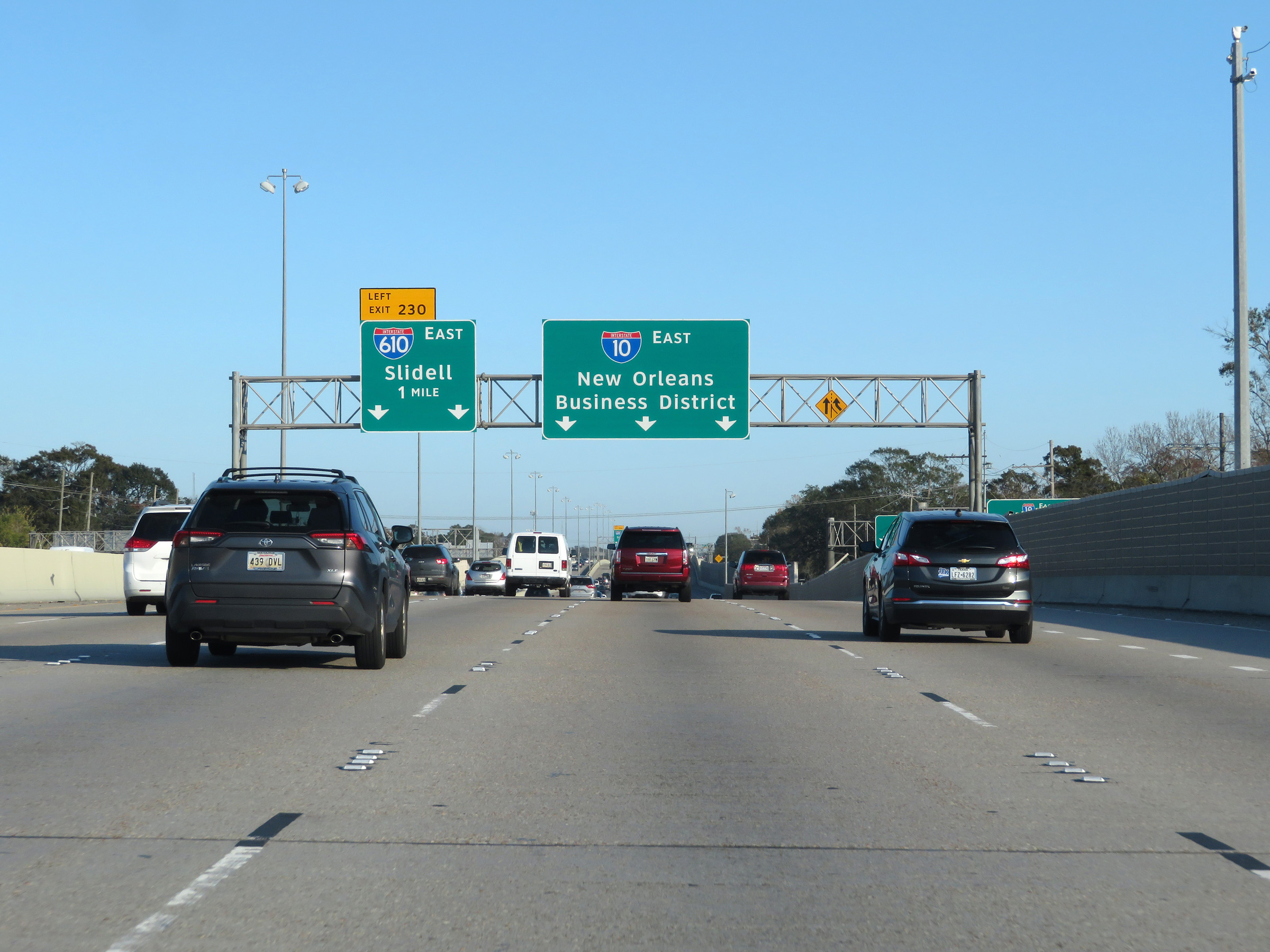
Interstate 10 East at Exit 230: Interstate 610 East - Slidell (Photo taken 12/9/20). |
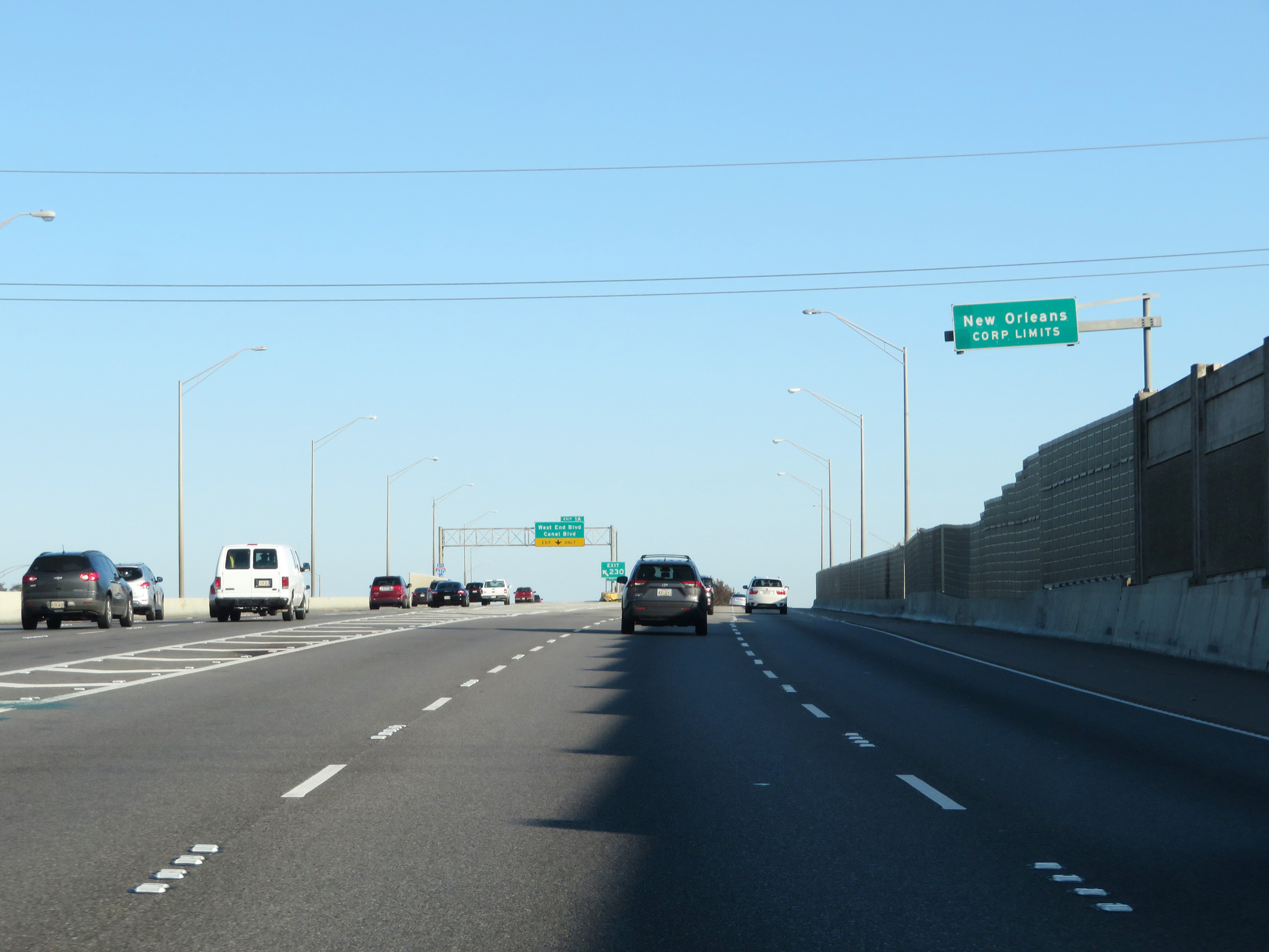 |
At Exit 230, Interstate 10 East enters Orleans Parish and the New Orleans city limits. (Photo taken 12/9/20). |
 |
View on Interstate 10 East as it begins to curve to the southeast to head for downtown New Orleans. (Photo taken 12/9/20). |
 |
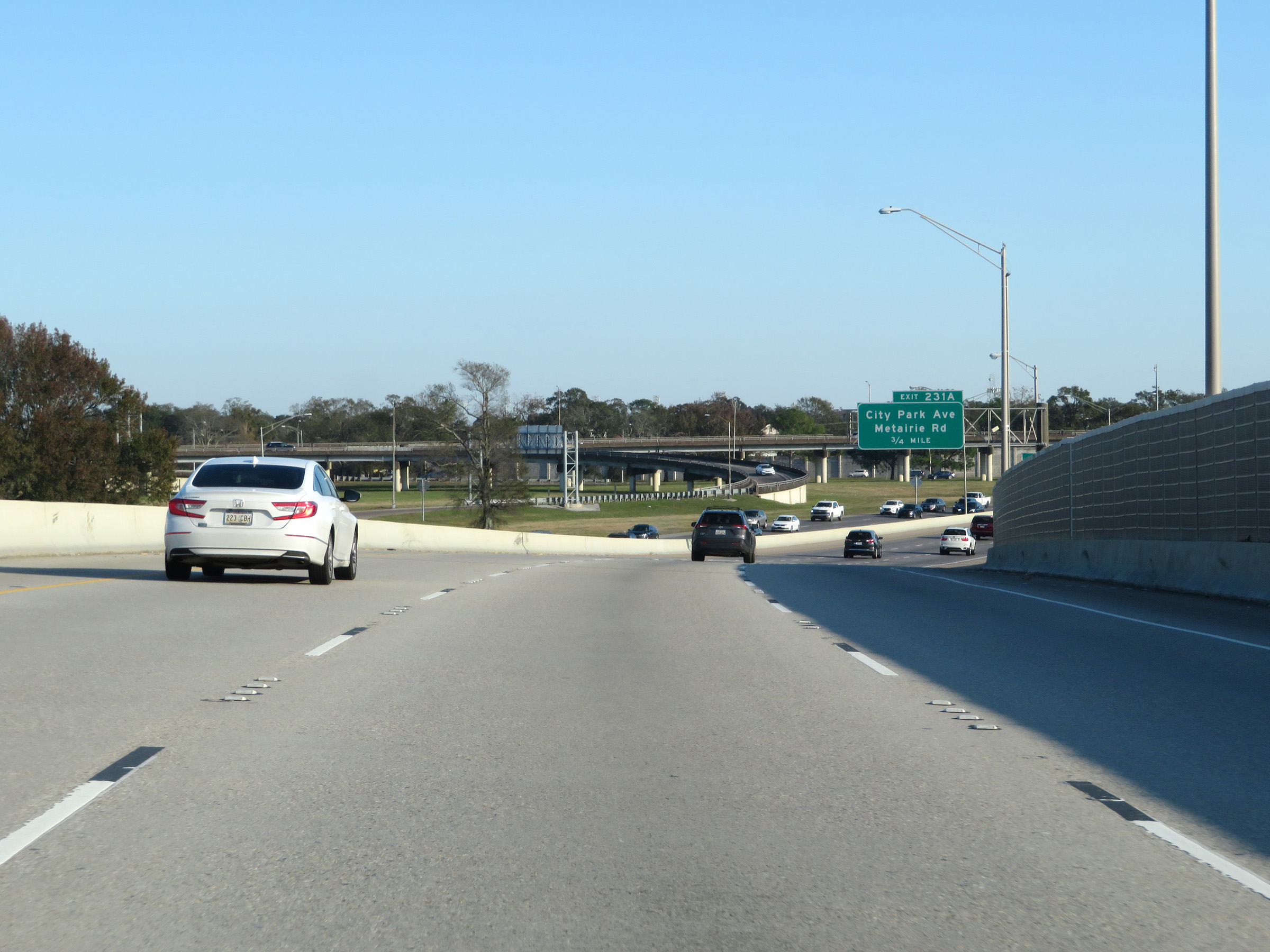
Interstate 10 East at Exit 231A: City Park Ave / Metairie Rd (Photo taken 12/9/20). |
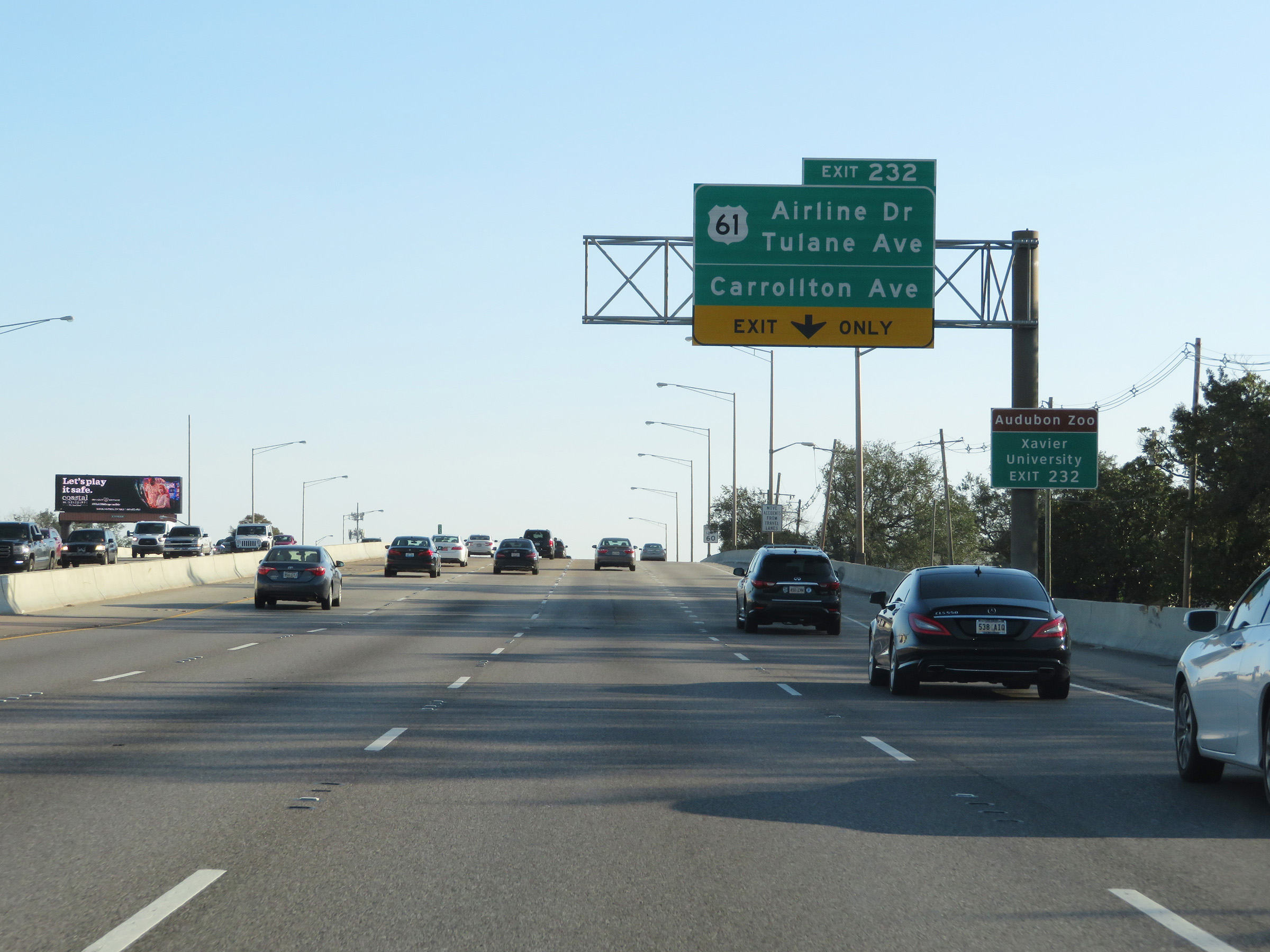 |
Take Exit 232 to Audubon Zoo and Xavier University. (Photo taken 12/9/20). |
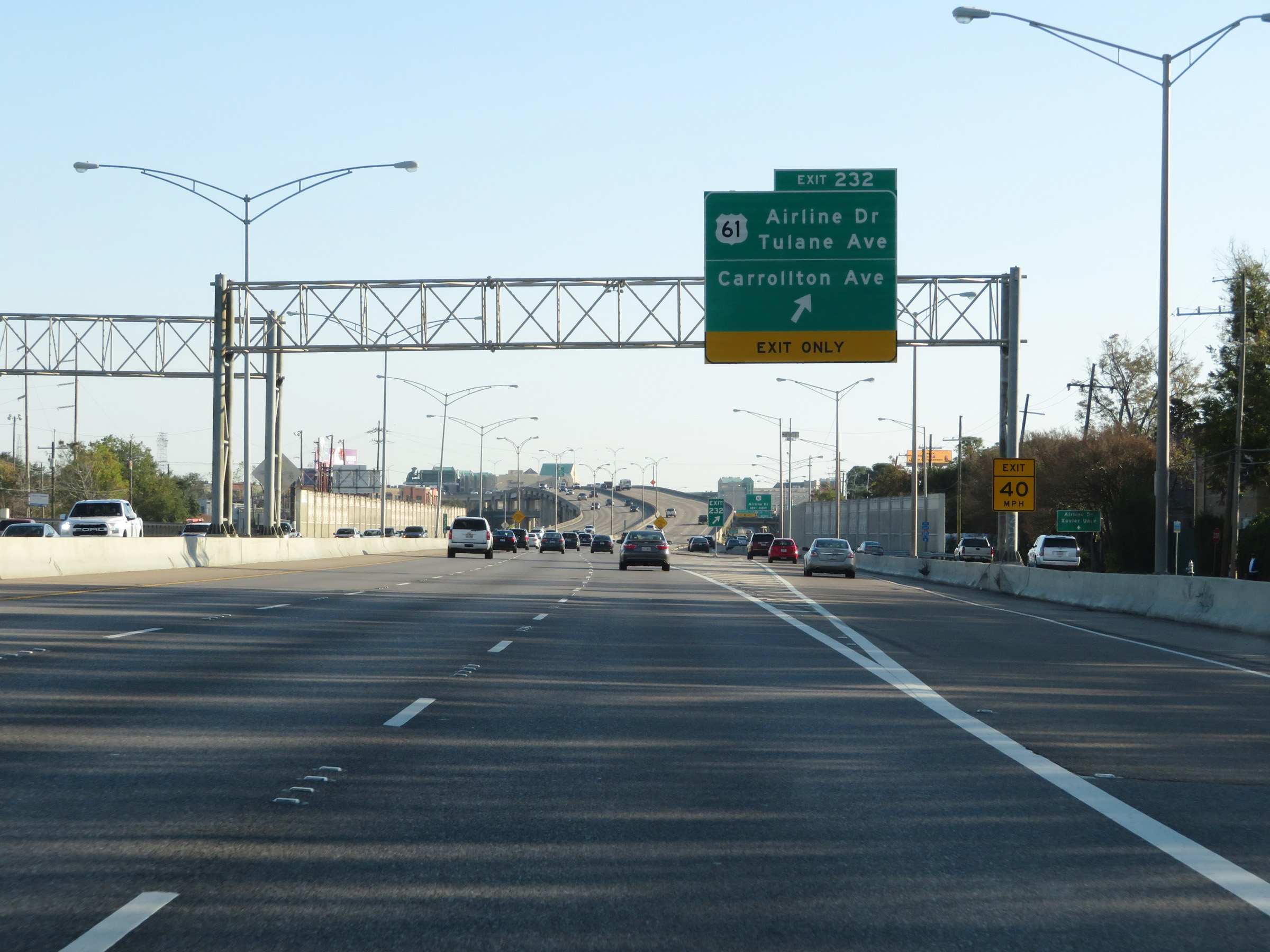 |
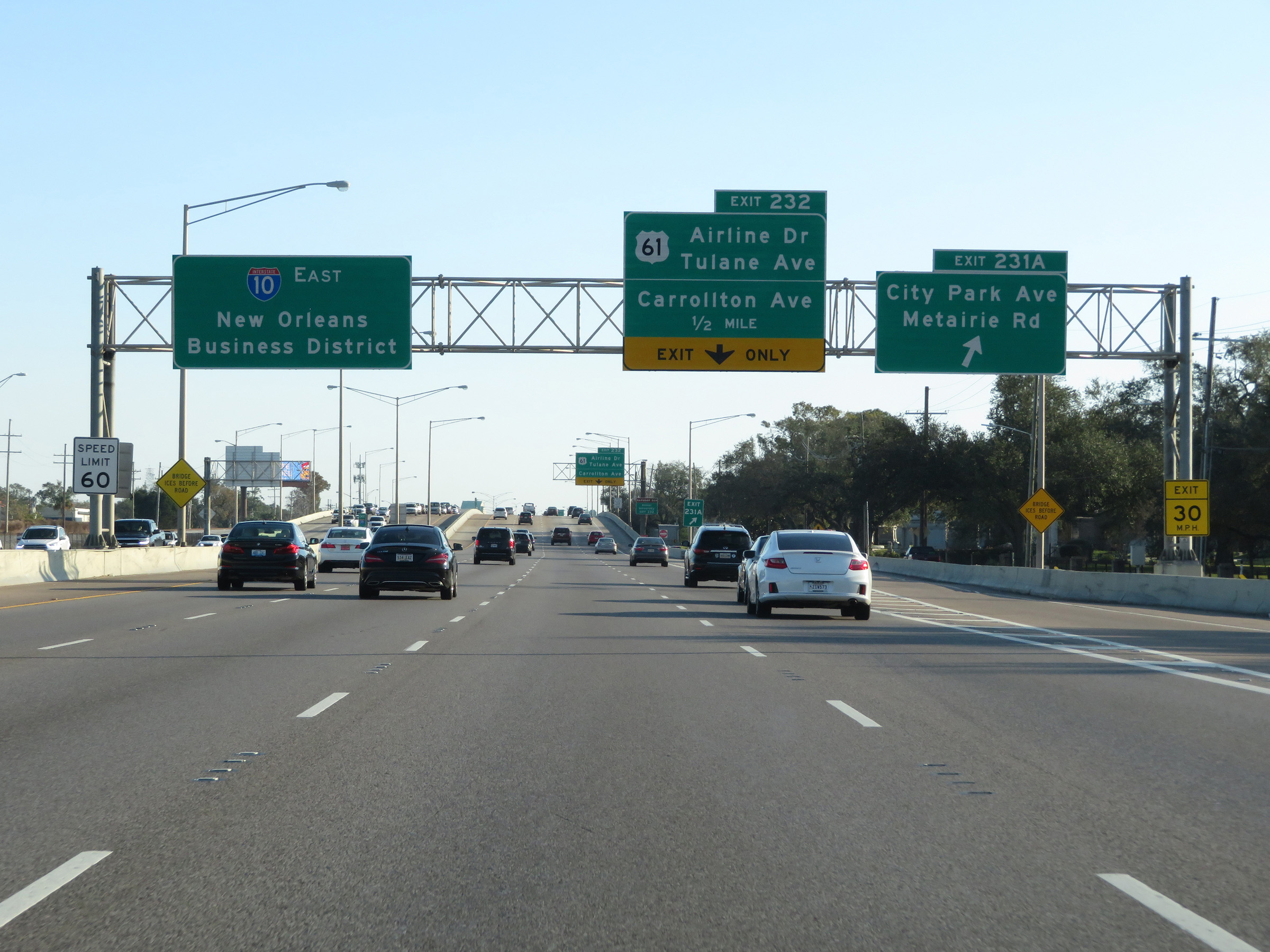
Interstate 10 East at Exit 232: US 61 - Airline Dr / Tulane Ave / Carrollton Ave (Photo taken 12/9/20). |
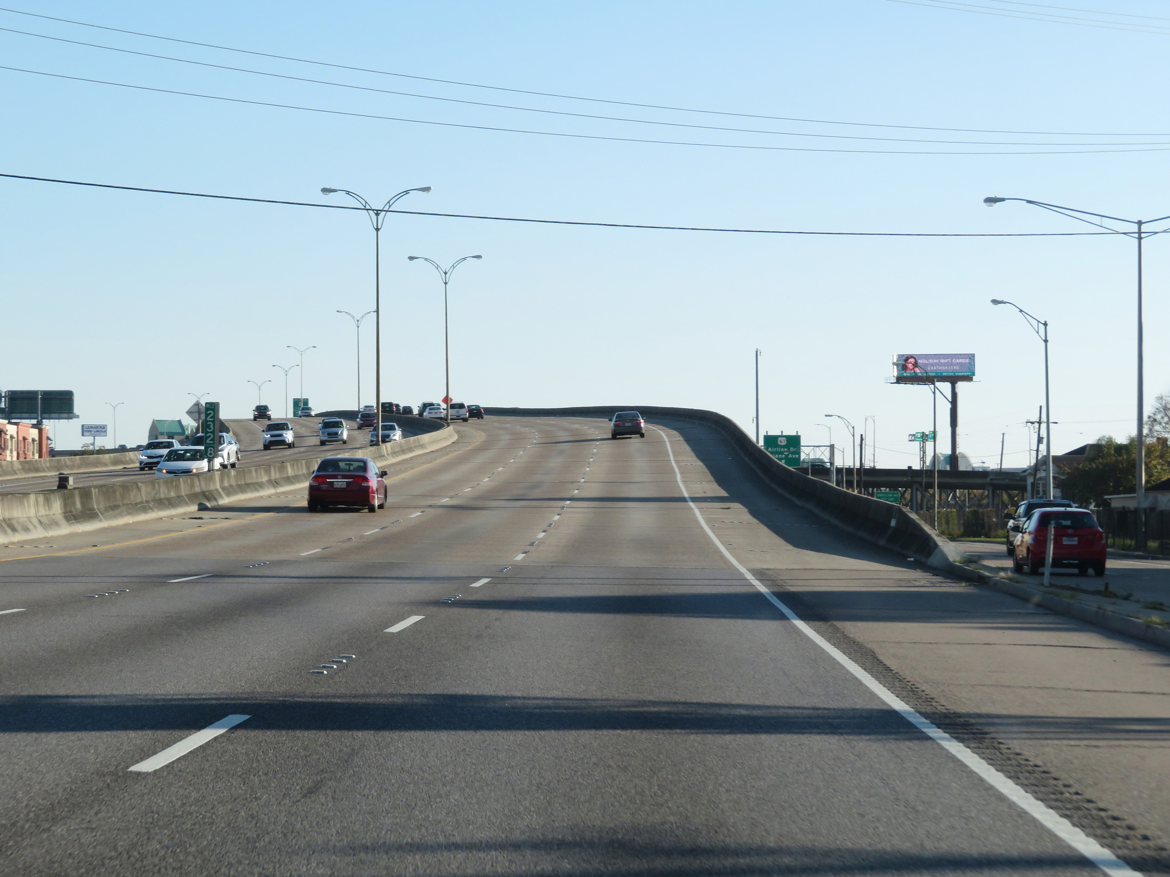 |
View on Interstate 10 East at mile marker 232.8, approaching downtown New Orleans. (Photo taken 12/9/20). |
 |
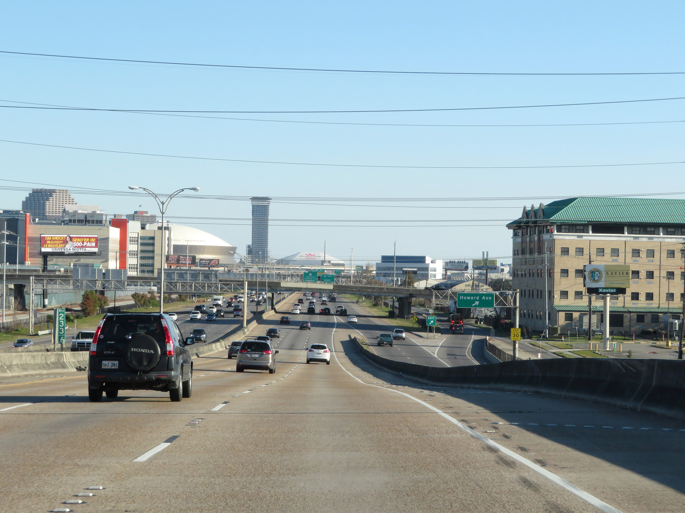
A view of downtown New Orleans from Interstate 10 East as it approaches it, looking to the east. (Photo taken 12/9/20). |
 |
Interstate 10 East at mile marker 233.6 in downtown New Orleans. (Photo taken 12/9/20). |
 |
Take Exit 235A to the French Quarter Welcome Center. (Photo taken 12/9/20). |
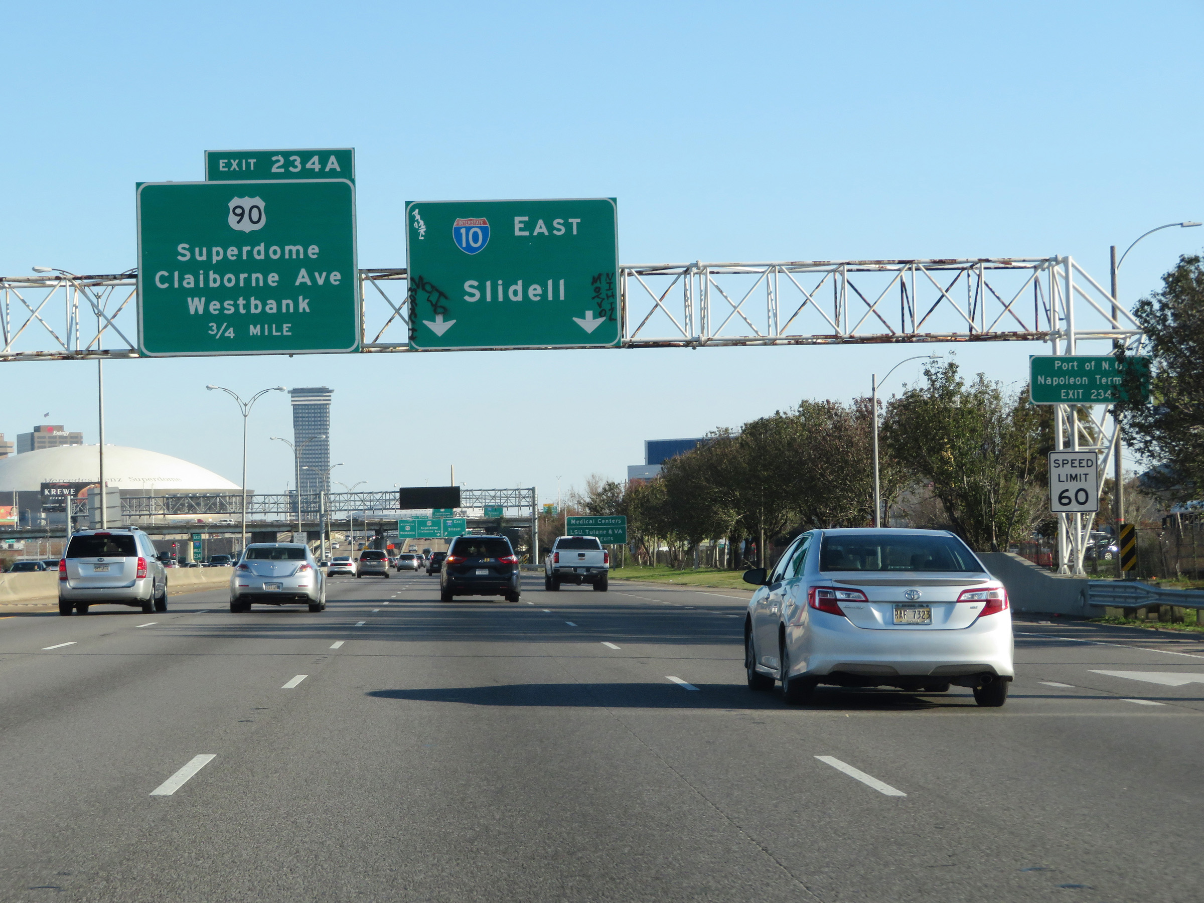 |
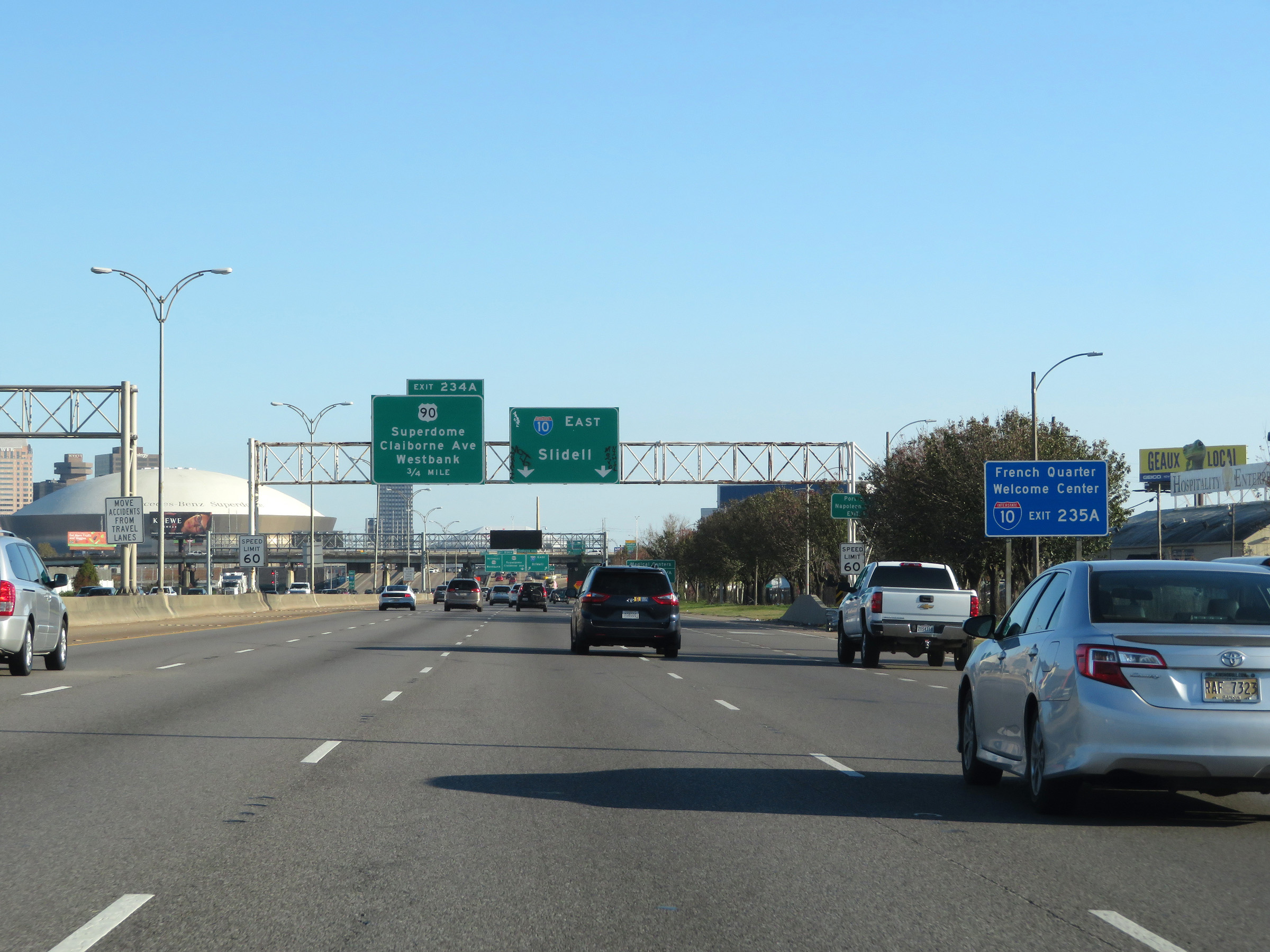
Interstate 10 East approaching Exit 234A - 3/4 mile. Take Exit 234A to the Port of New Orleans Napoleon Terminal. (Photo taken 12/9/20). |
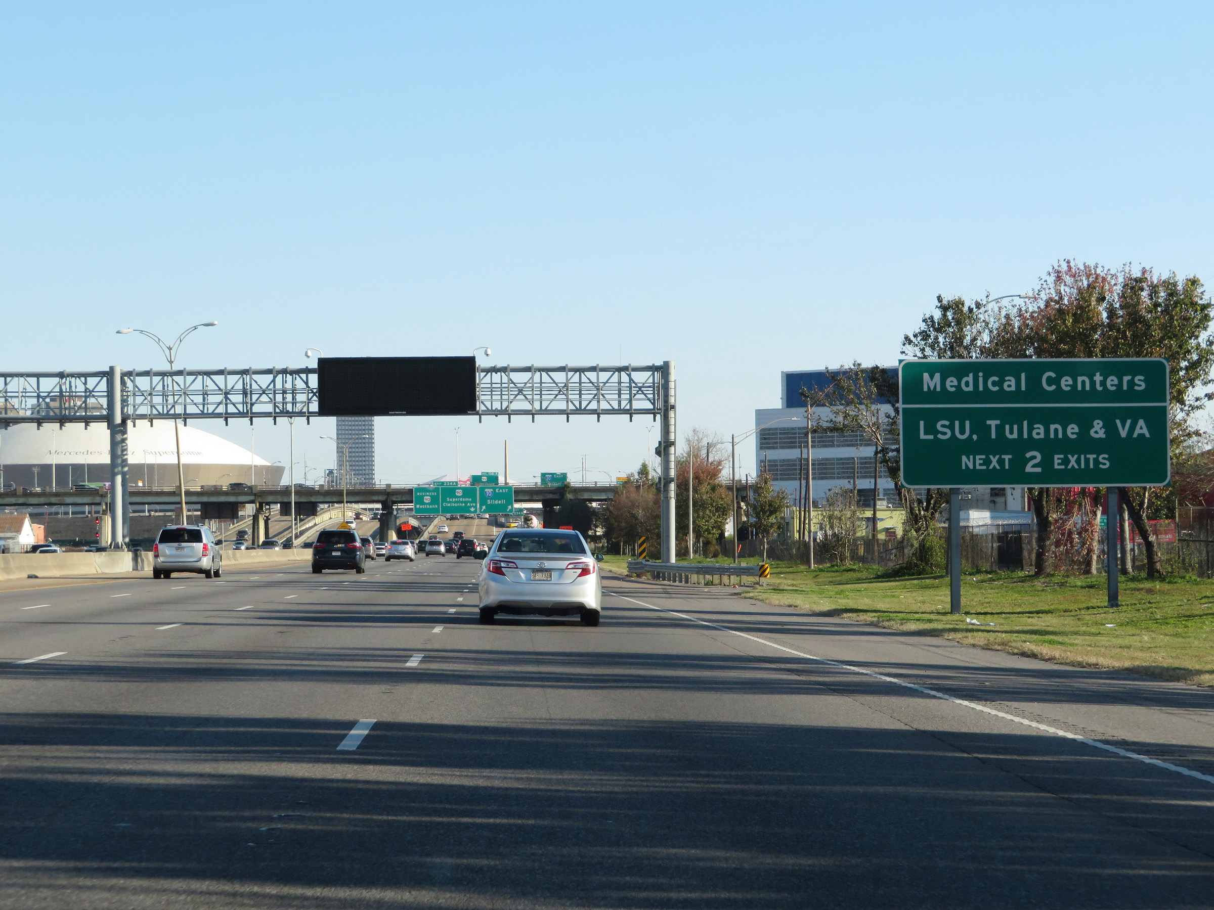 |
Take either of the next 2 exits to the LSU, Tulane, and VA Medical Centers. (Photo taken 12/9/20). |
 |
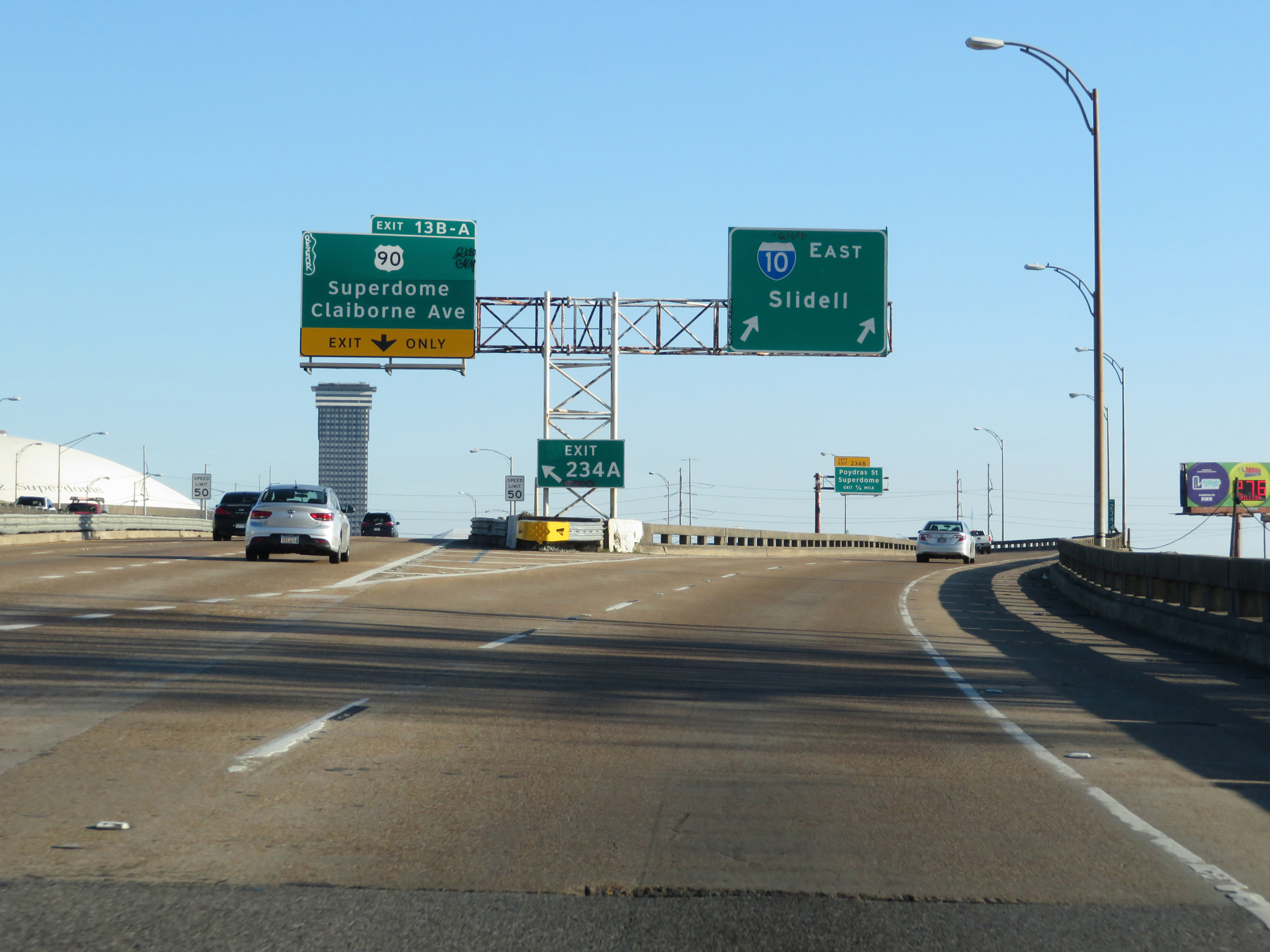
Interstate 10 East at Exit 234A: Unsigned Interstate 910 West / US 90 Business West / US 90 - Westbank / Superdome / Claiborne Ave (Photo taken 12/9/20). |
 |
A closer view of the ramp to Exit 234A on the left in downtown New Orleans. (Photo taken 12/9/20). |
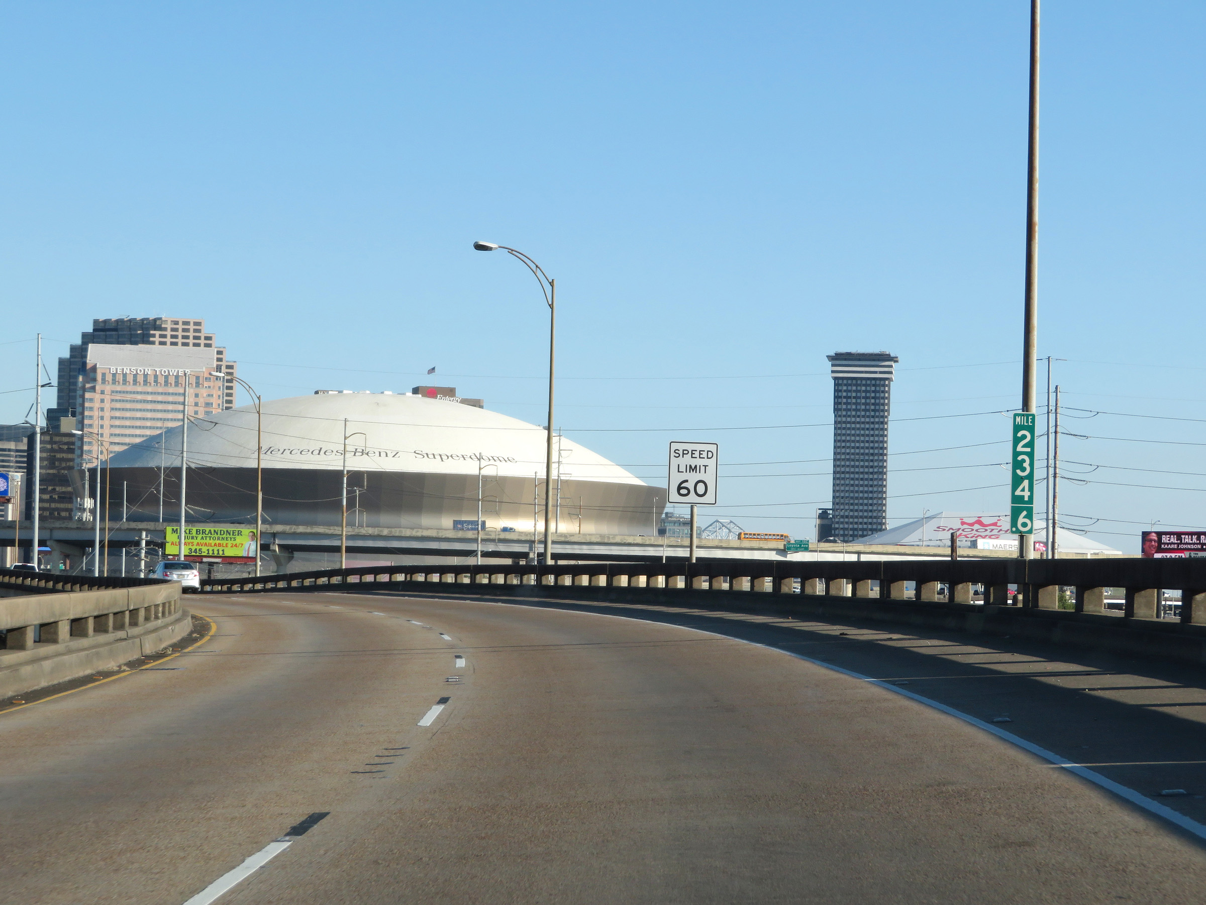 |
View on Interstate 10 East at mile marker 234.6 in downtown New Orleans, as the maximum speed limit remains 60 mph. (Photo taken 12/9/20). |
 |
A second view of downtown New Orleans from Interstate 10 East, as it curves to the east. (Photo taken 12/9/20). |
 |
Interstate 10 East at mile marker 234.8 in downtown New Orleans. (Photo taken 12/9/20). |
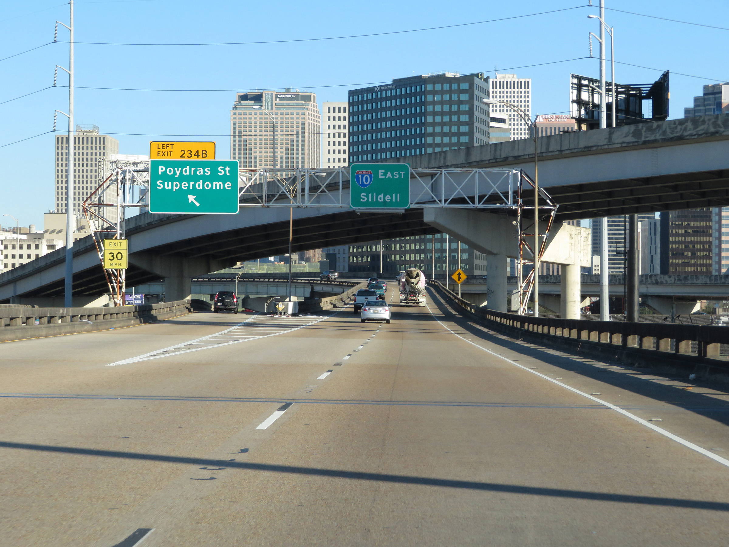 |
Interstate 10 East at Exit 234B: Poydras St / Superdome (Photo taken 12/9/20). |
 |
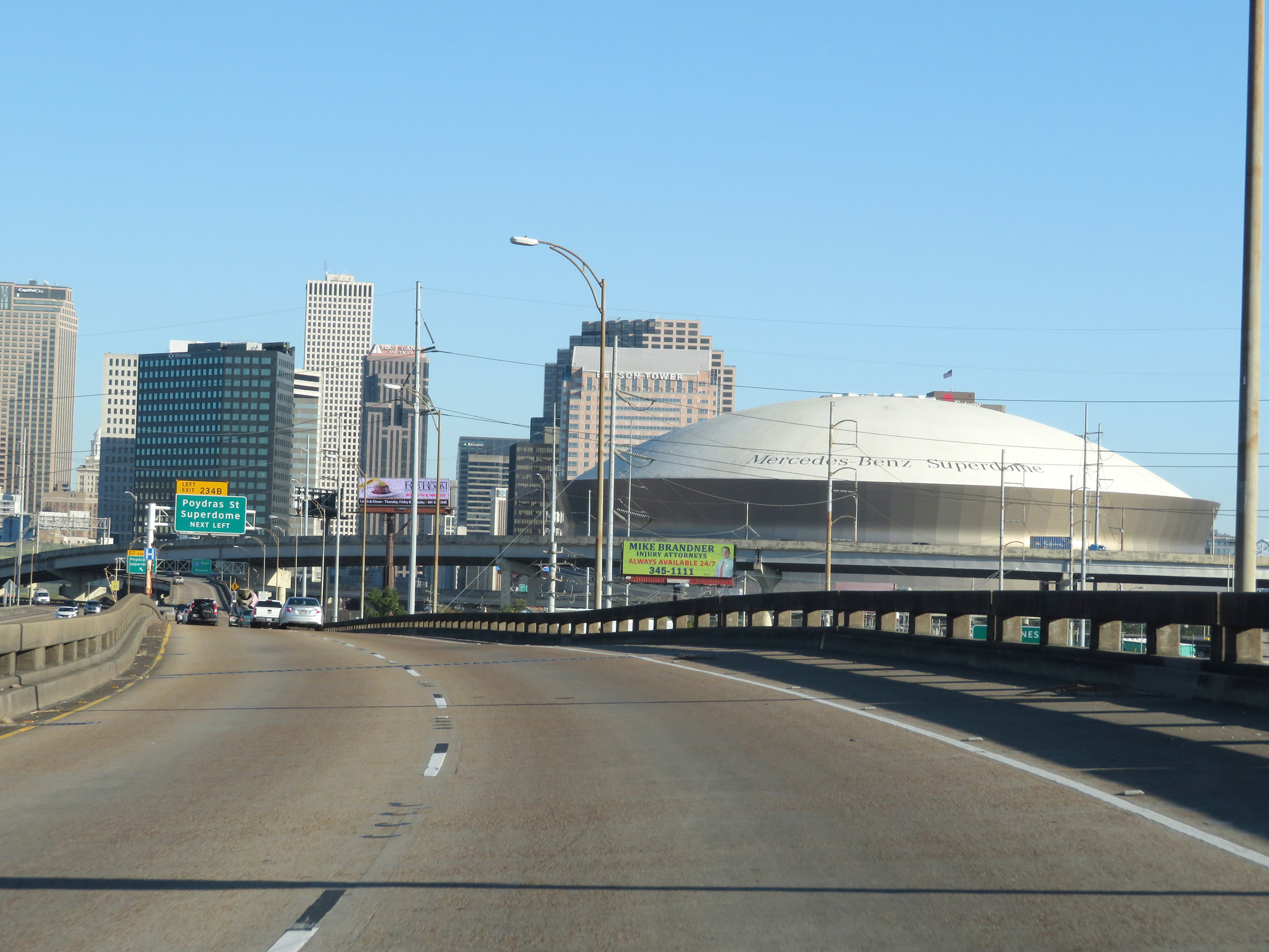
Another view of downtown New Orleans from Interstate 10 East. (Photo taken 12/9/20). |
 |
Interstate 10 East as traffic from US 90 merges into it ahead on the left. (Photo taken 12/9/20). |
 |
Interstate 10 East reassurance shield in downtown New Orleans. (Photo taken 12/9/20). |
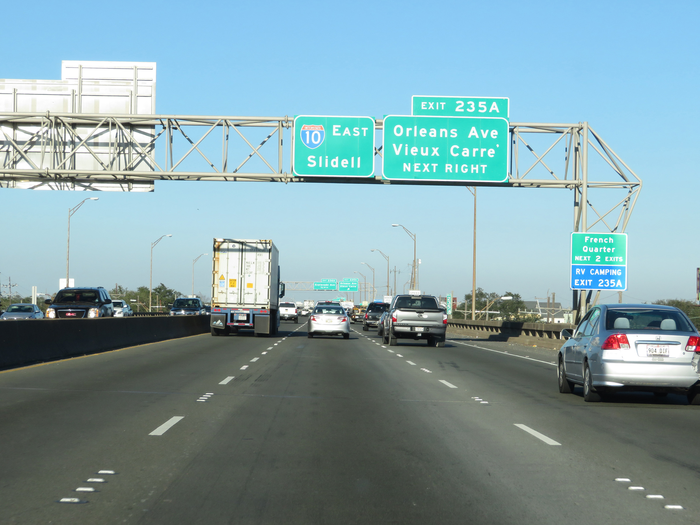 |
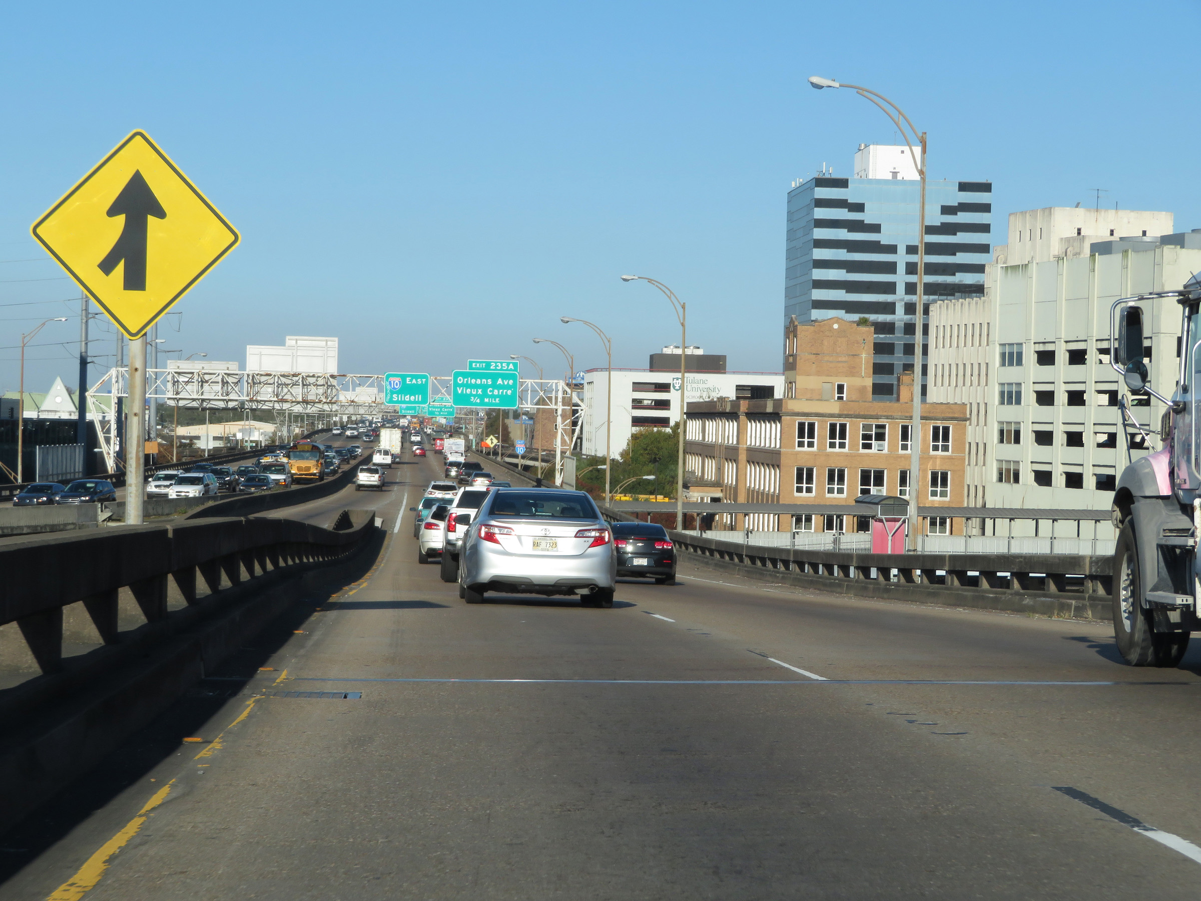
Take either of the next 2 exits to the French Quarter. (Photo taken 12/9/20). |
 |
Interstate 10 East at Exit 235A: Orleans Ave / Vieux Carré (Photo taken 12/9/20). |
 |
Take Exit 236A to the Race Track. (Photo taken 12/9/20). |
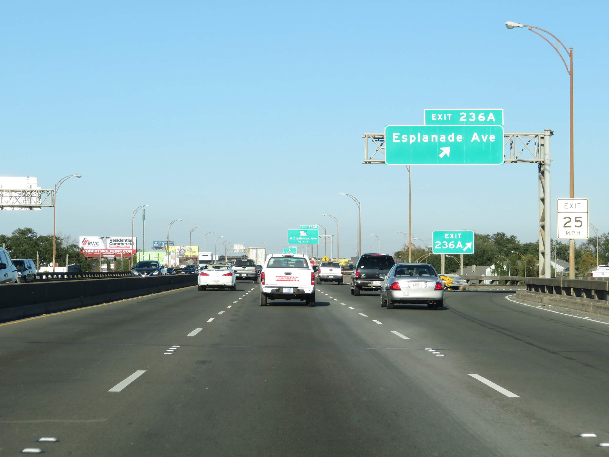 |
Interstate 10 East at Exit 236A: Esplanade Ave (Photo taken 12/9/20). |
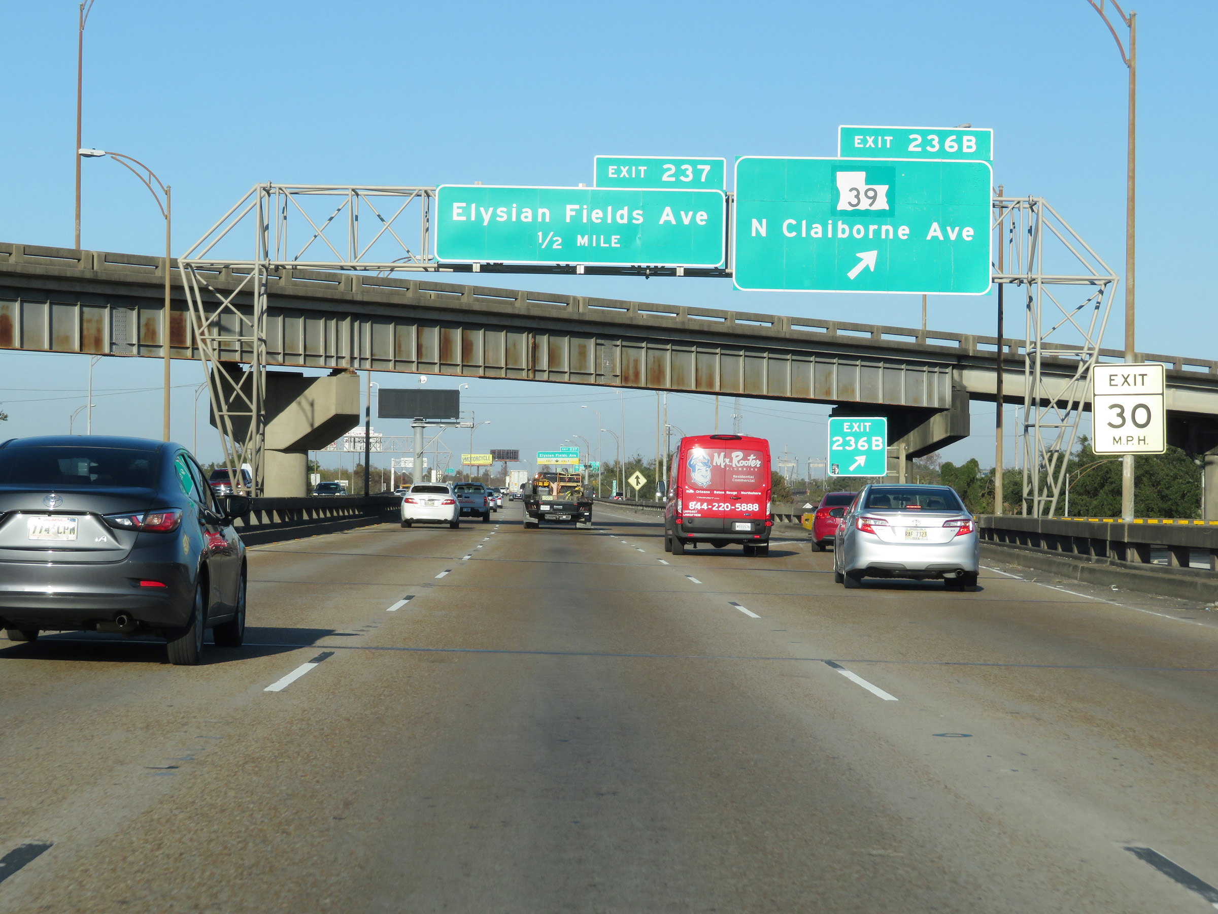 |
Interstate 10 East at Exit 236B: LA 39 - N Claiborne Ave (Photo taken 12/9/20). |
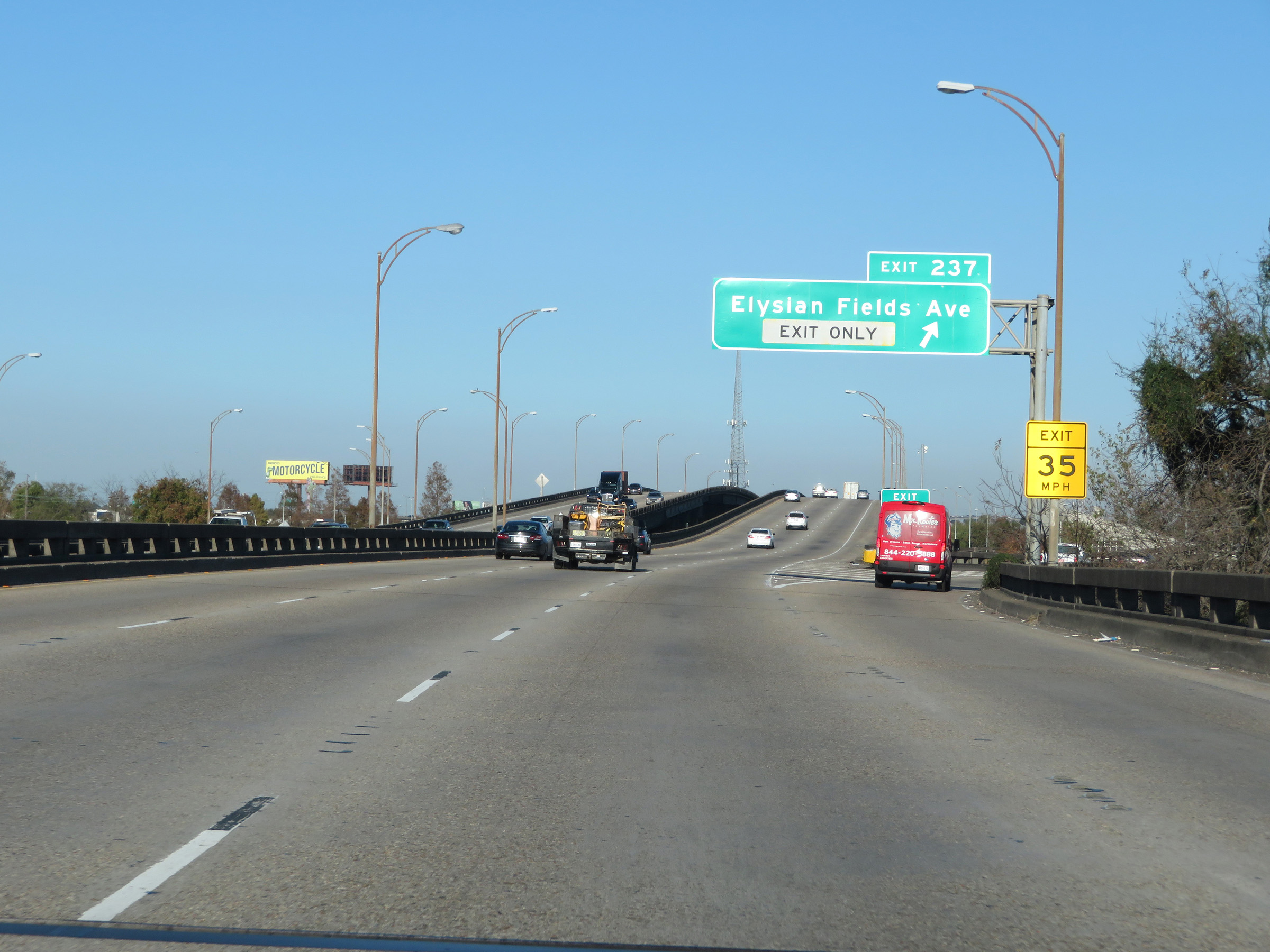 |
Interstate 10 East at Exit 237: Elysian Fields Ave (Photo taken 12/9/20). |
Section 5: New Orleans (Exit 237) to Mississippi Border
 |
View on Interstate 10 East at mile marker 237.6. (Photo taken 12/9/20). |
 |
The maximum speed limit remains 60 mph as Interstate 10 East leaves downtown New Orleans. (Photo taken 12/9/20). |
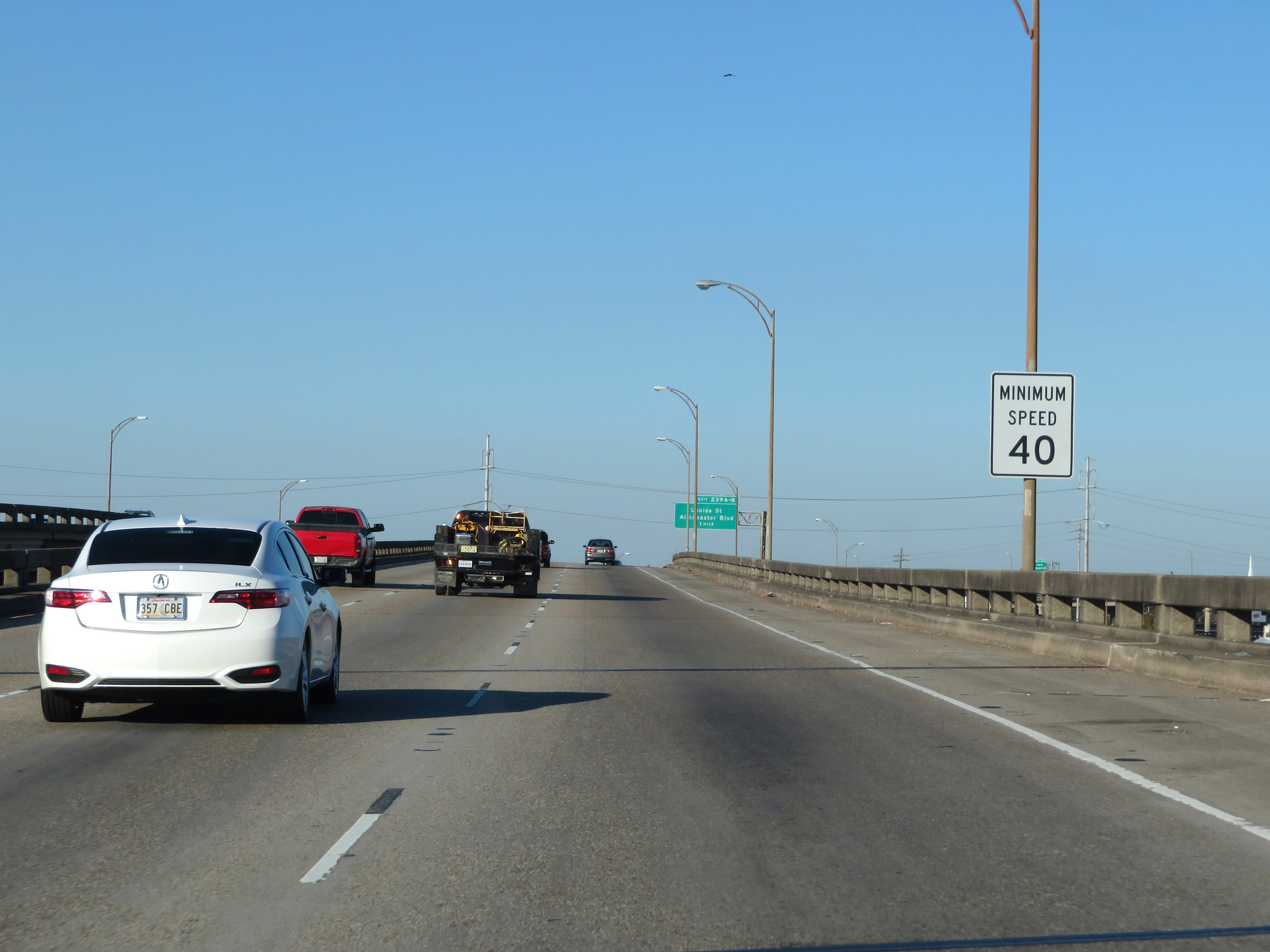 |
The minimum speed limit of 40 mph remains in effect as well. (Photo taken 12/9/20). |
 |
Interstate 10 East at mile marker 238.2, as it prepares to pass under the ramp from Interstate 610 East to I-10 East. (Photo taken 12/9/20). |
 |
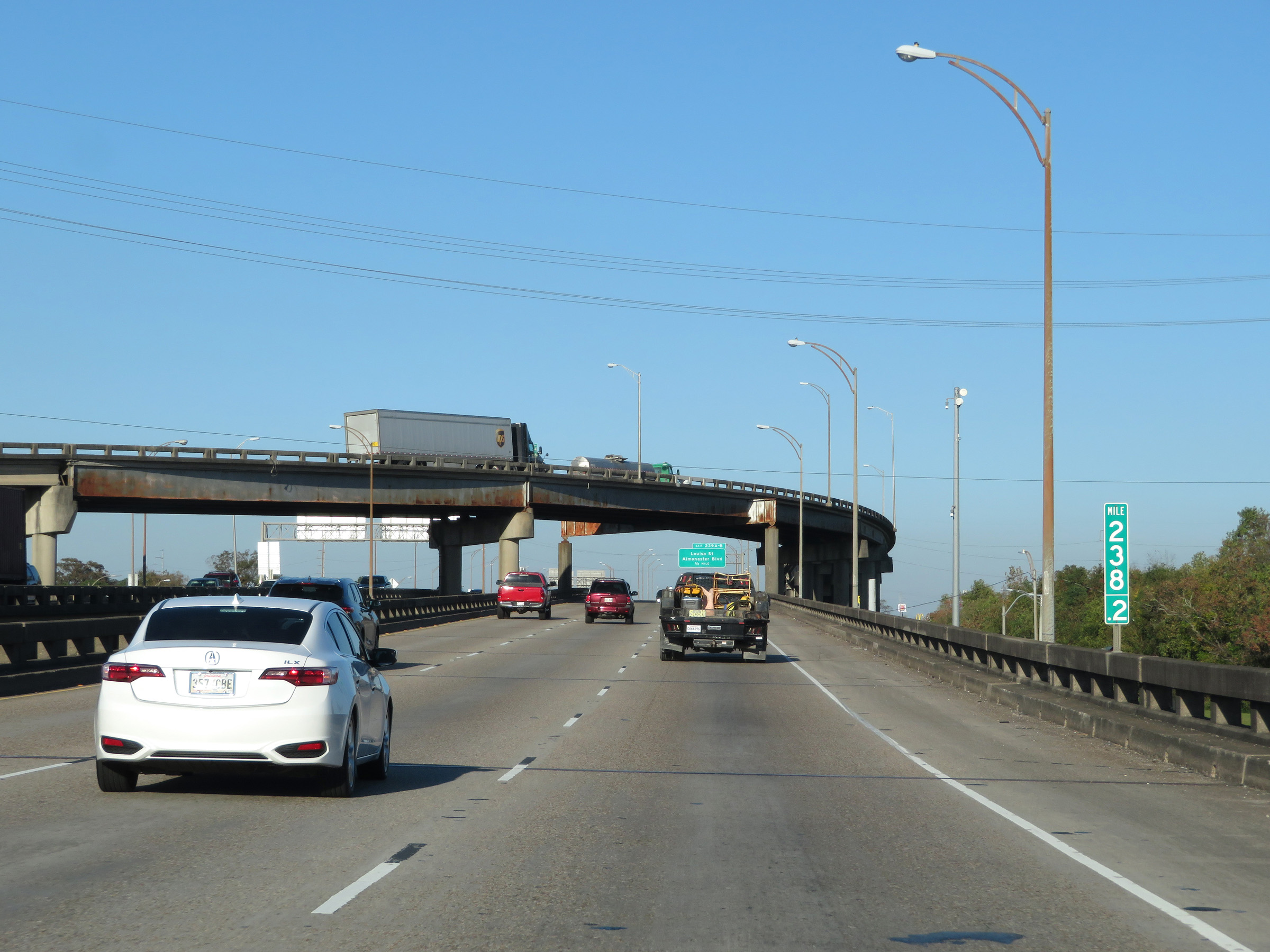
Approaching Exit 239A, traffic from Interstate 610 East merges into Interstate 10 East from the right. (Photo taken 12/9/20). |
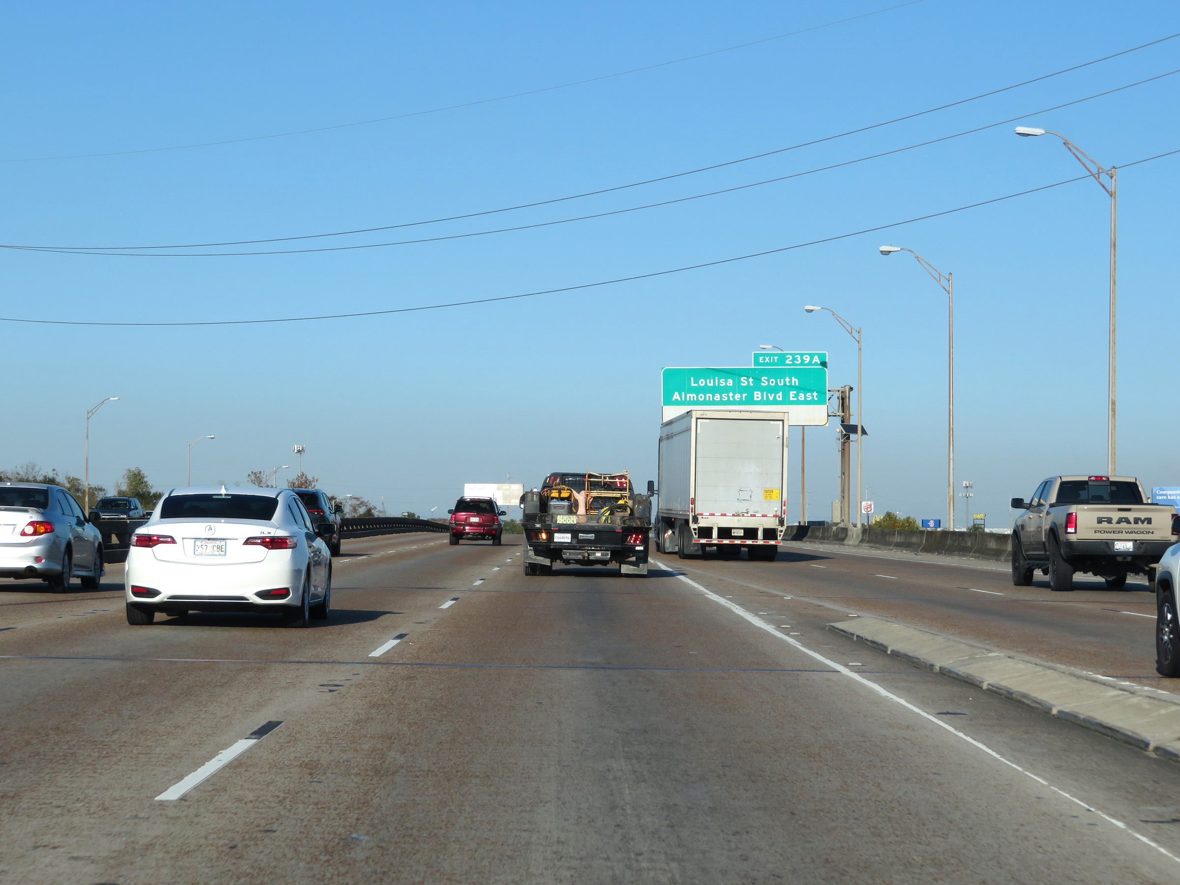
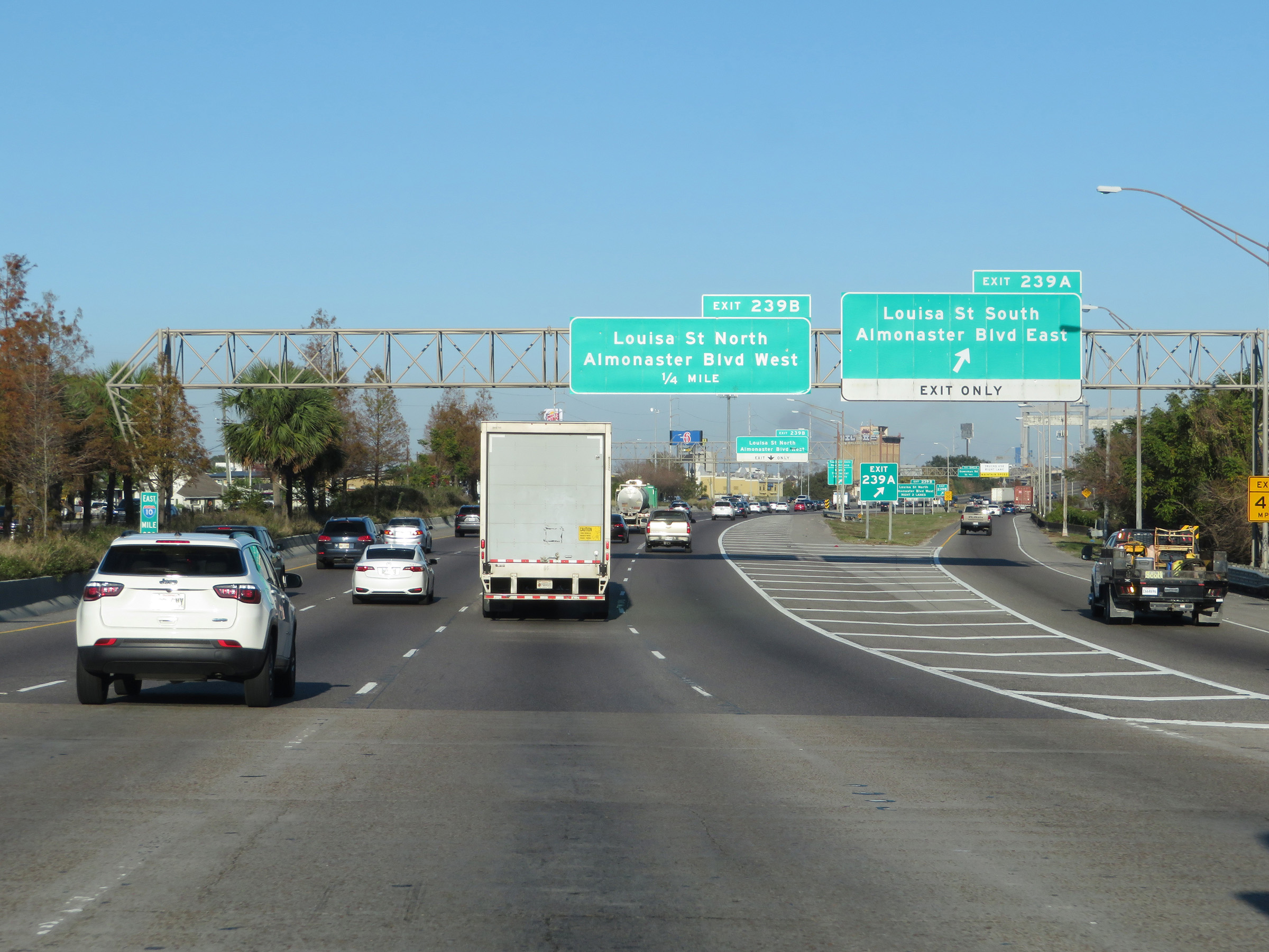 |
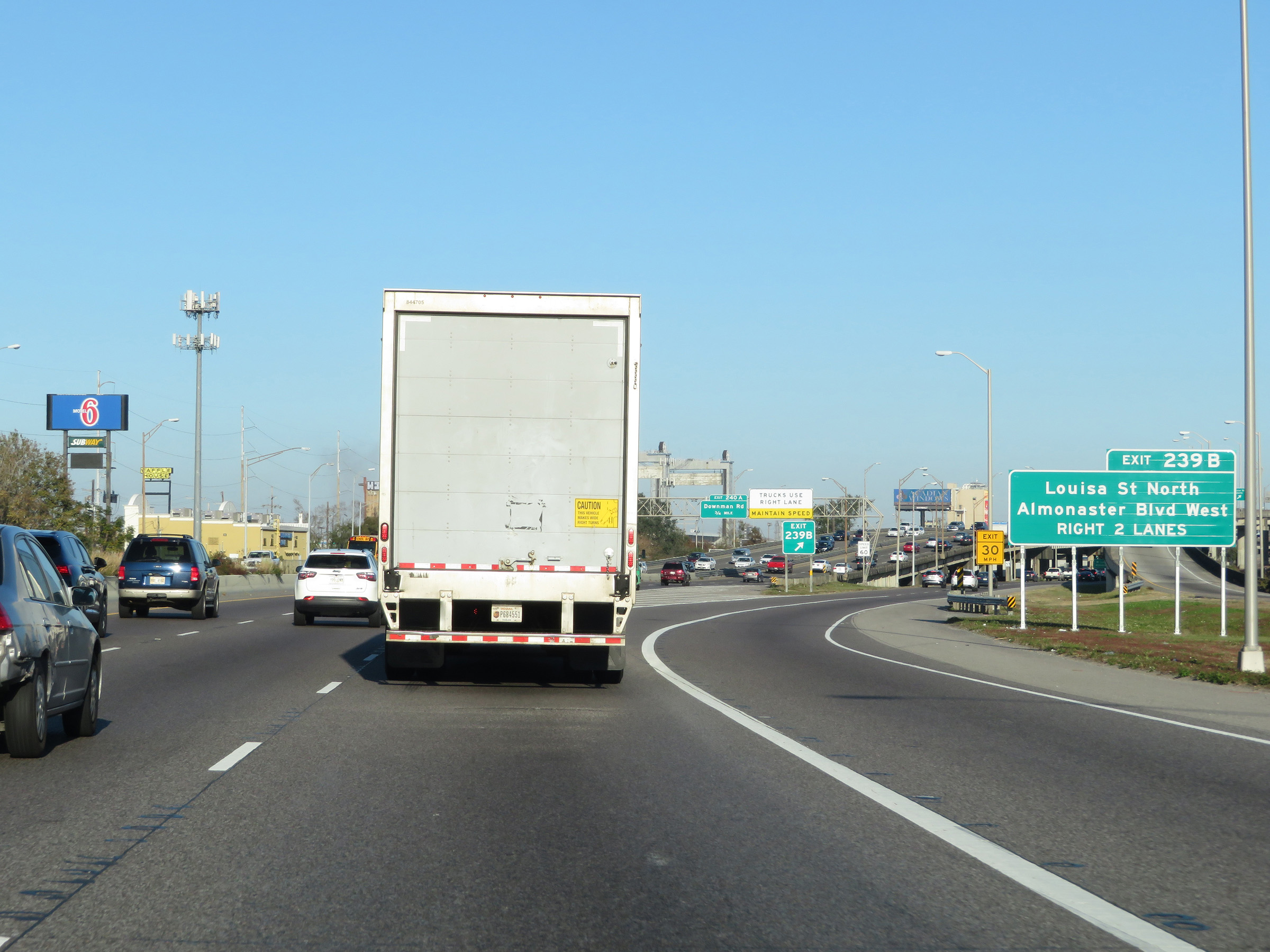
Interstate 10 East at Exit 239A: Louisa St South / Almonaster Blvd East (Photo taken 12/9/20). |
 |
Interstate 10 East at Exit 239B: Louisa St North / Almonaster Blvd West (Photo taken 12/9/20). |
 |
East of Exit 239B, Interstate 10 East starts across the I-10 High Rise Bridge. This very steep bridge carries I-10 over the Industrial Canal in New Orleans. (Photo taken 12/9/20). |
 |
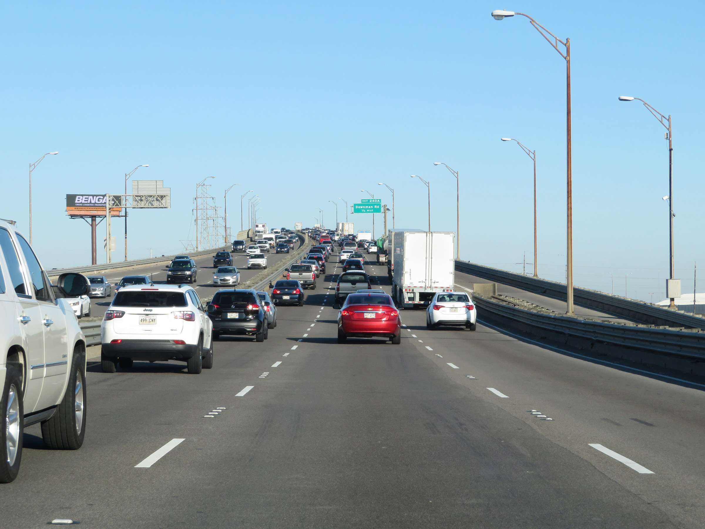
Interstate 10 East at Exit 240A: Downman Rd (Photo taken 12/9/20). |
 |
View on Interstate 10 East at mile marker 240.4, as it descends the I-10 High Rise Bridge over the Industrial Canal. (Photo taken 12/9/20). |
 |
On the east side of the I-10 High Rise Bridge, Interstate 10 East enters New Orleans East. (Photo taken 12/9/20). |
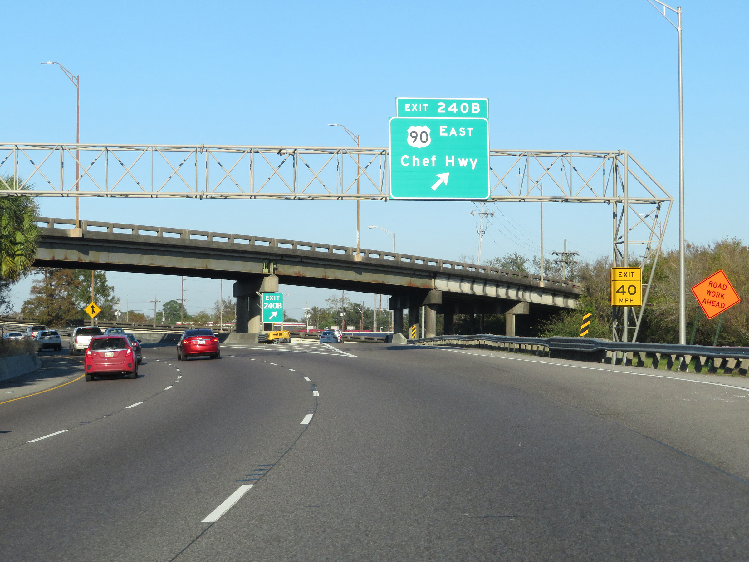 |
Interstate 10 East at Exit 240B: US 90 East - Chef Hwy (Photo taken 12/9/20). |
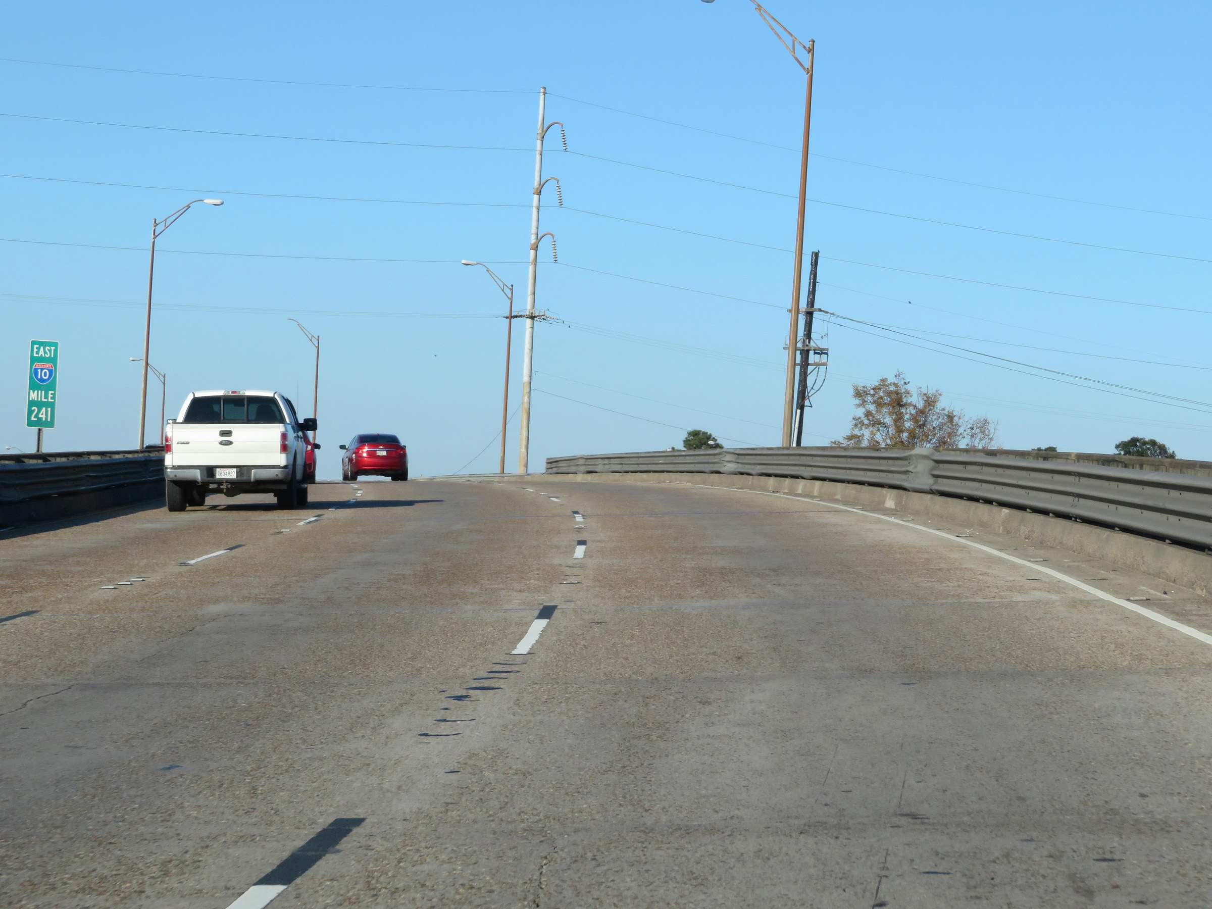 |
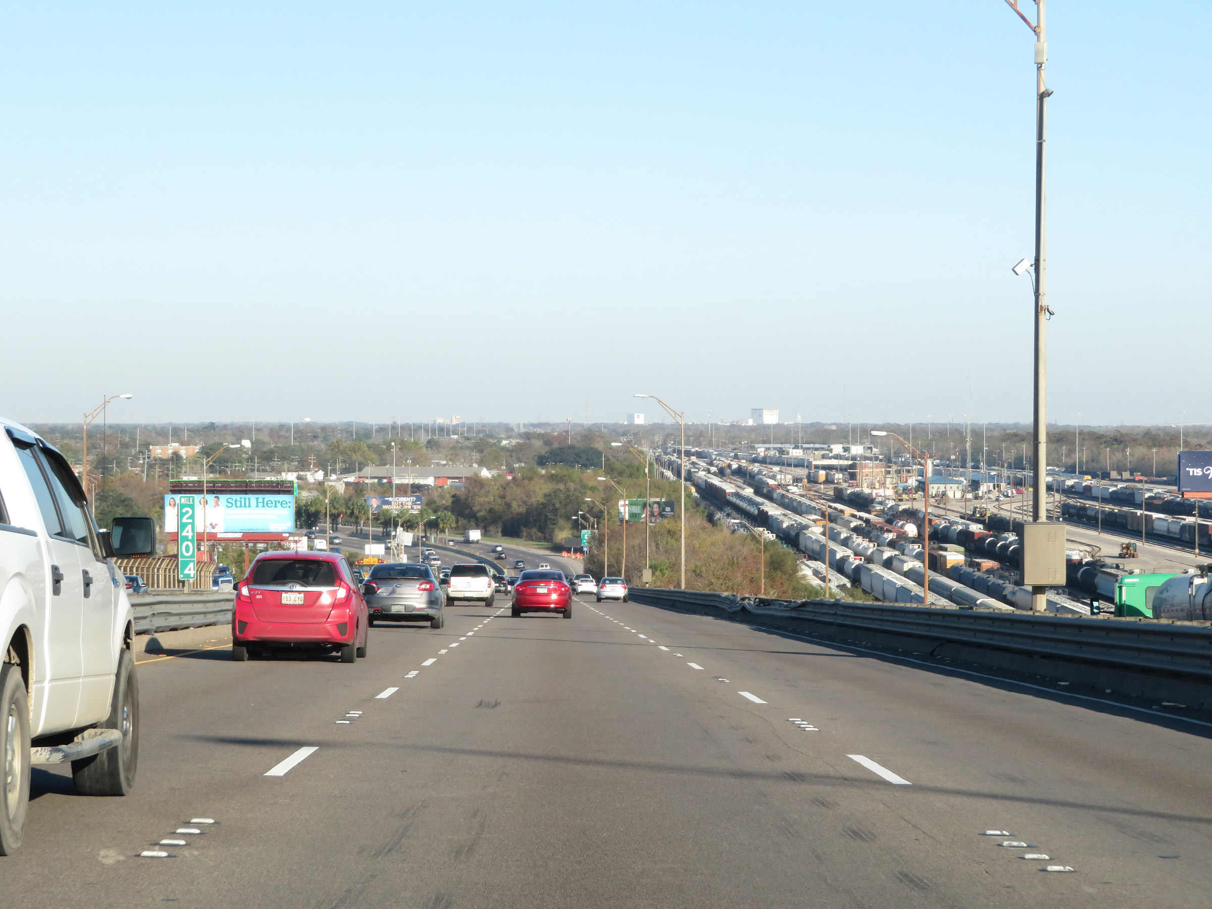
Interstate 10 East at mile marker 241. (Photo taken 12/9/20). |
 |
Interstate 10 East at Exit 241: Morrison Rd (Photo taken 12/9/20). |
 |
Interstate 10 East at Exit 242: Crowder Blvd (Photo taken 12/9/20). |
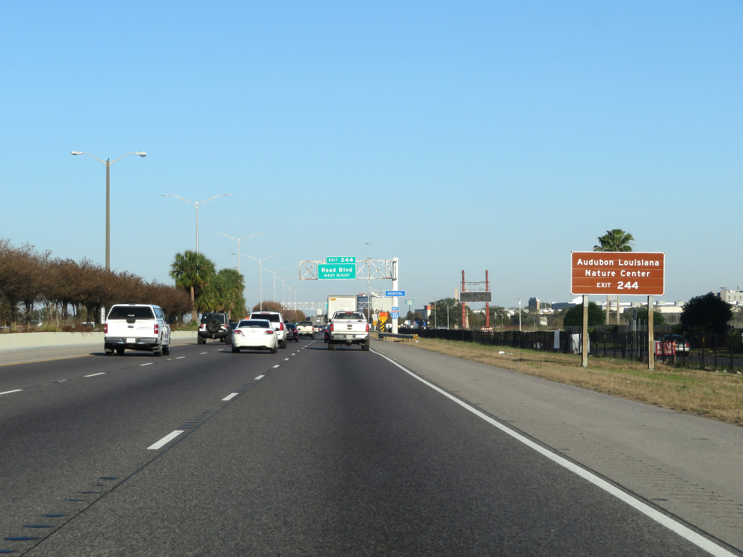 |
Take Exit 244 to Audubon Louisiana Nature Center. (Photo taken 12/9/20). |
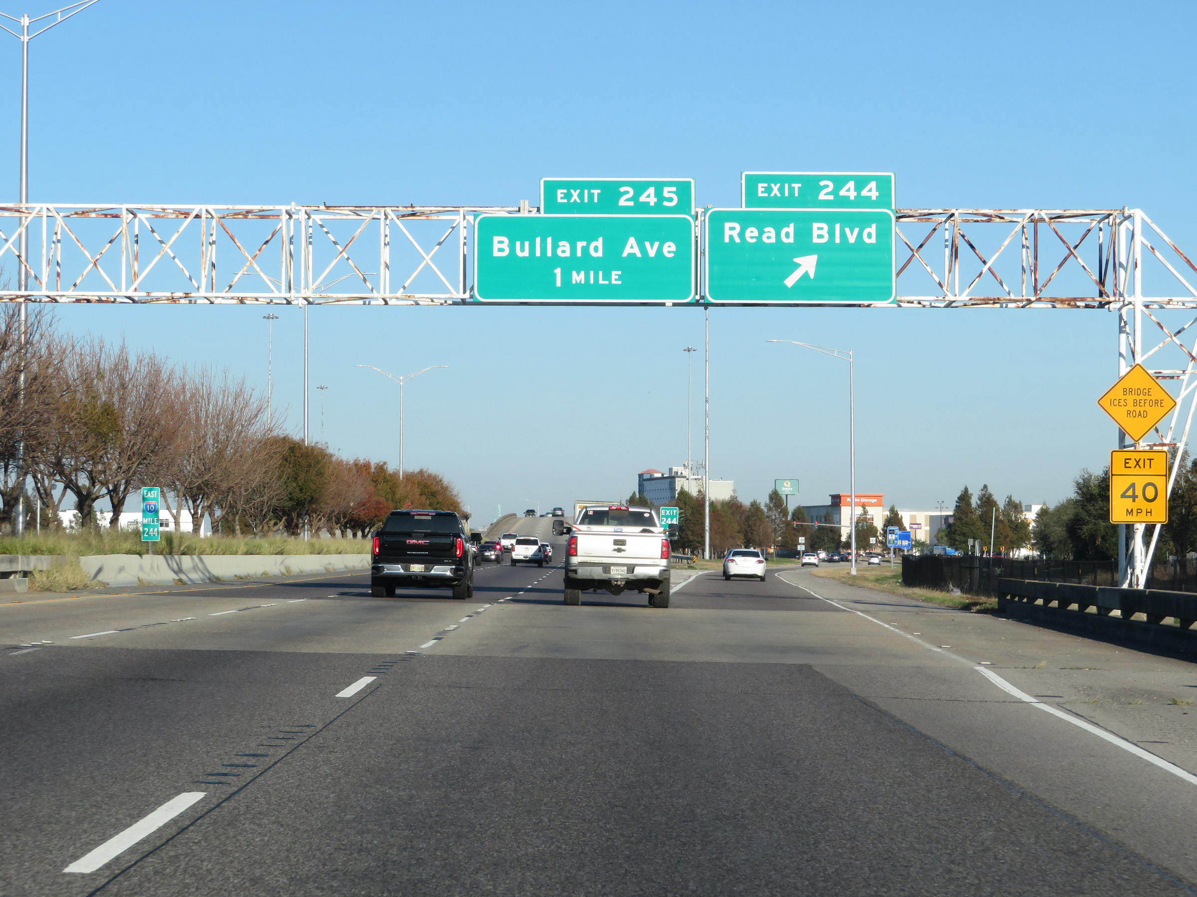 |
Interstate 10 East at Exit 244: Read Blvd (Photo taken 12/9/20). |
 |
Interstate 10 East at mile marker 244.4. (Photo taken 12/9/20). |
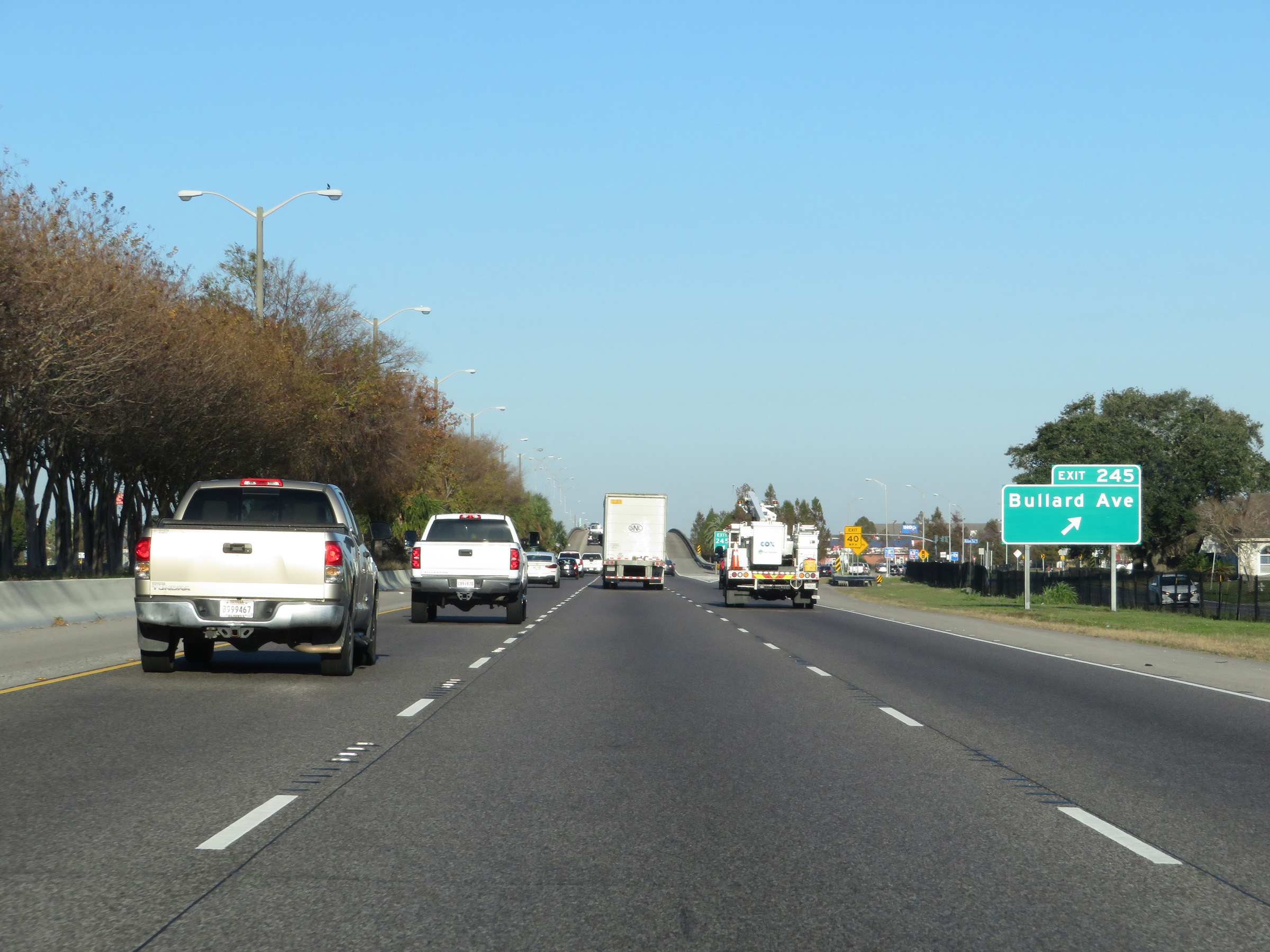 |
Interstate 10 East at Exit 245: Bullard Ave (Photo taken 12/9/20). |
 |
View on Interstate 10 East at mile marker 245.8. (Photo taken 12/9/20). |
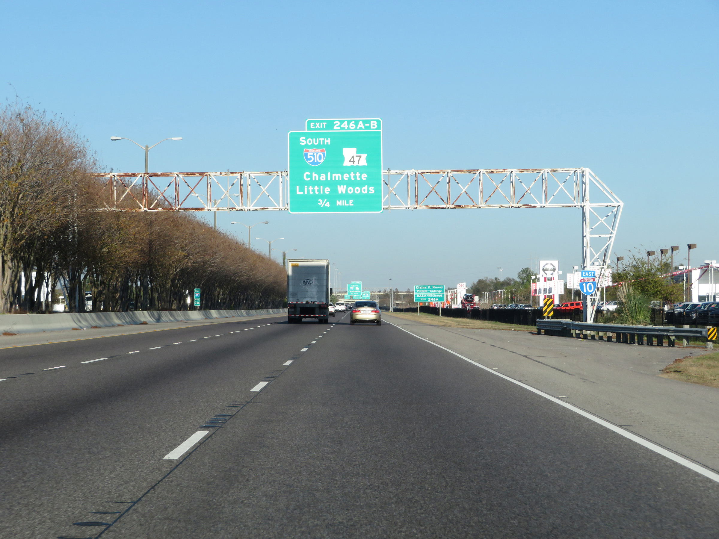 |
Interstate 10 East approaching Exits 246A-B - 3/4 mile. (Photo taken 12/9/20). |
 |
Take Exit 246A (Interstate 510 South) to Elaine P. Nunez Community College and NASA-Michoud. (Photo taken 12/9/20). |
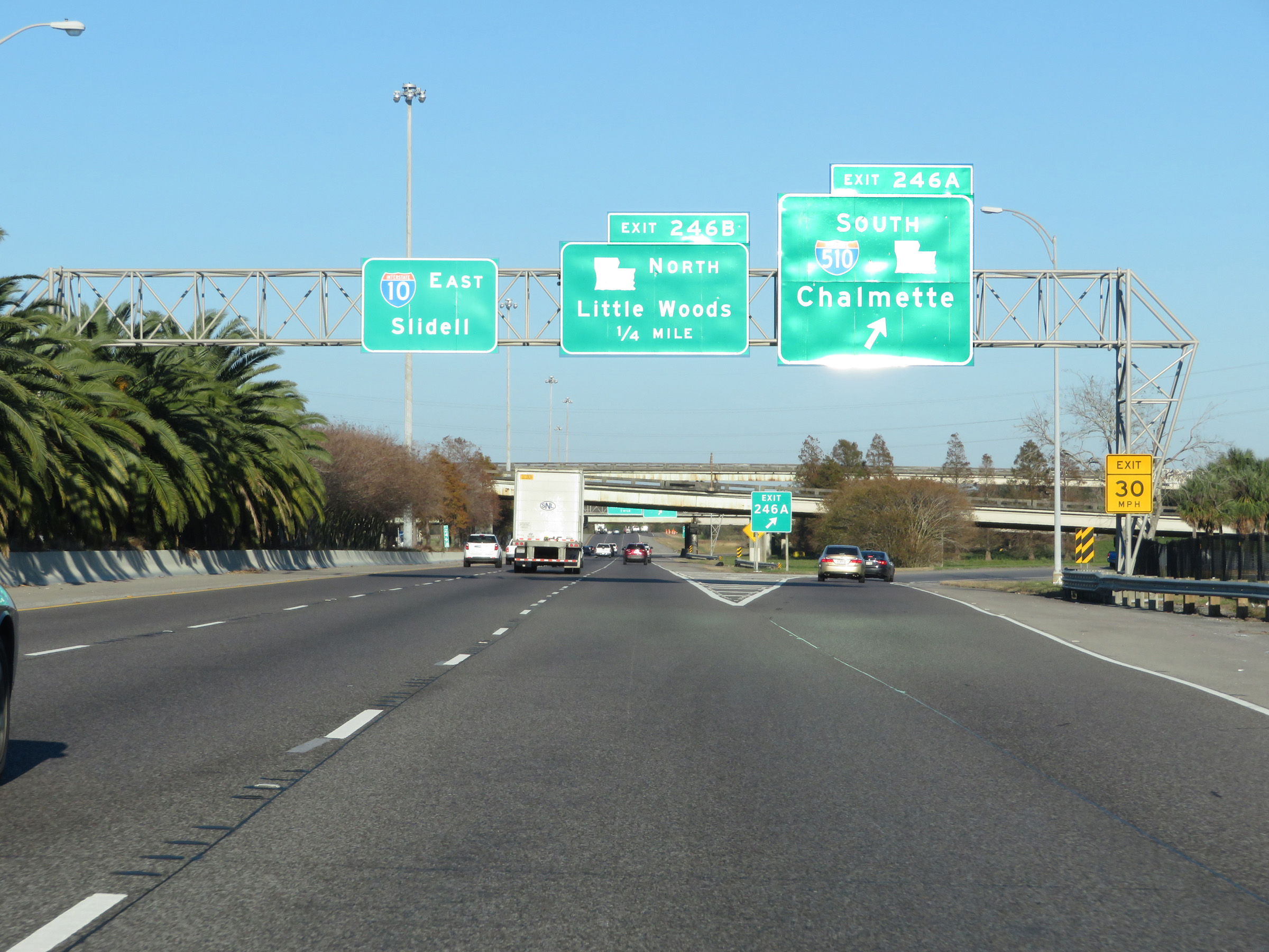 |
Interstate 10 East at Exit 246A: Interstate 510 South / LA 47 South - Chalmette (Photo taken 12/9/20). |
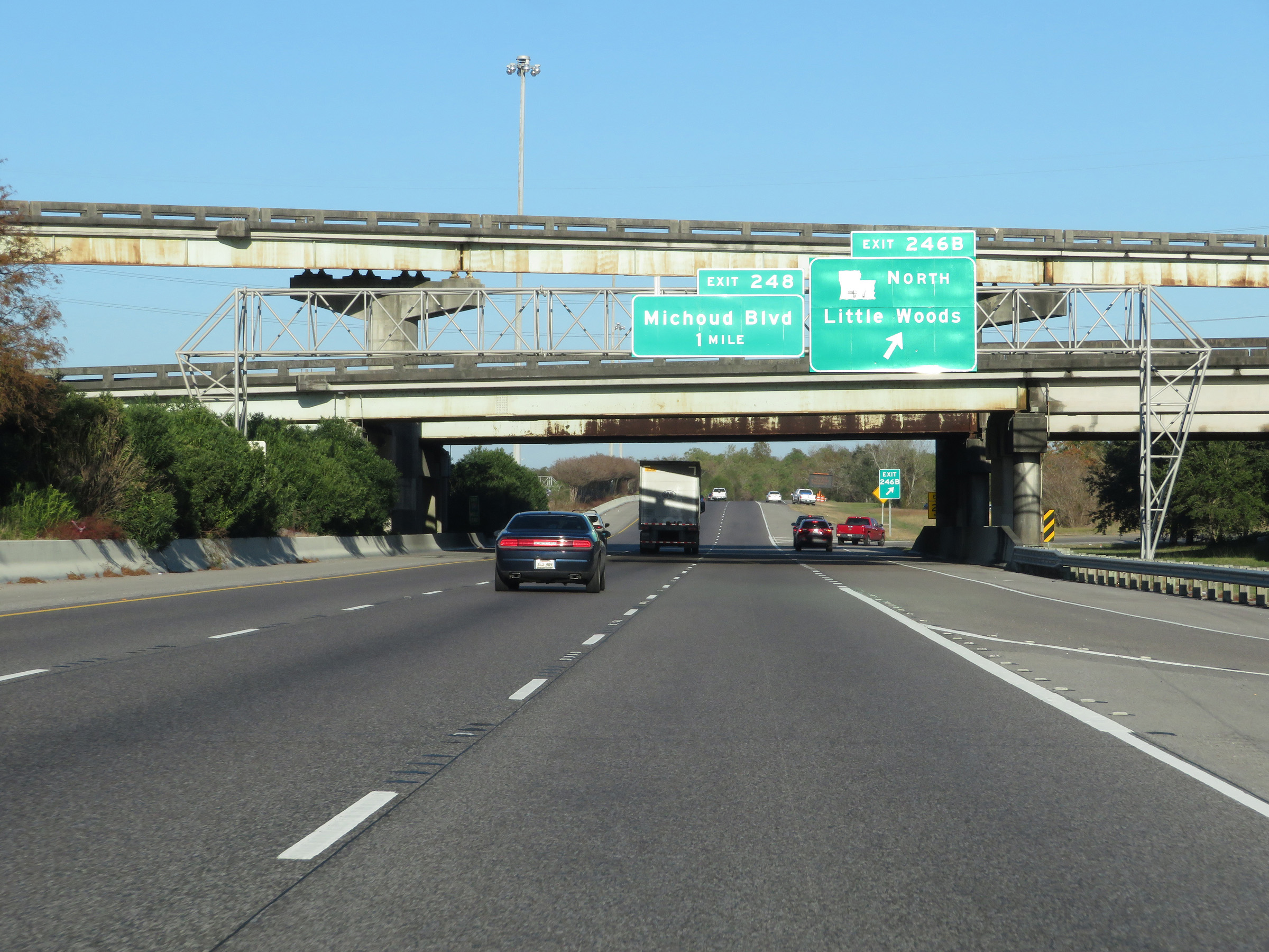 |
Interstate 10 East at Exit 246B: LA 47 North - Little Woods (Photo taken 12/9/20). |
 |
View on Interstate 10 East as it curves back to the northeast. (Photo taken 12/9/20). |
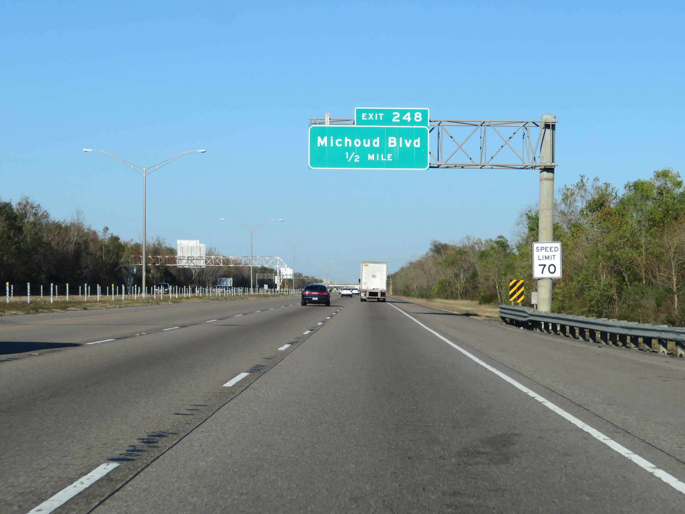 |
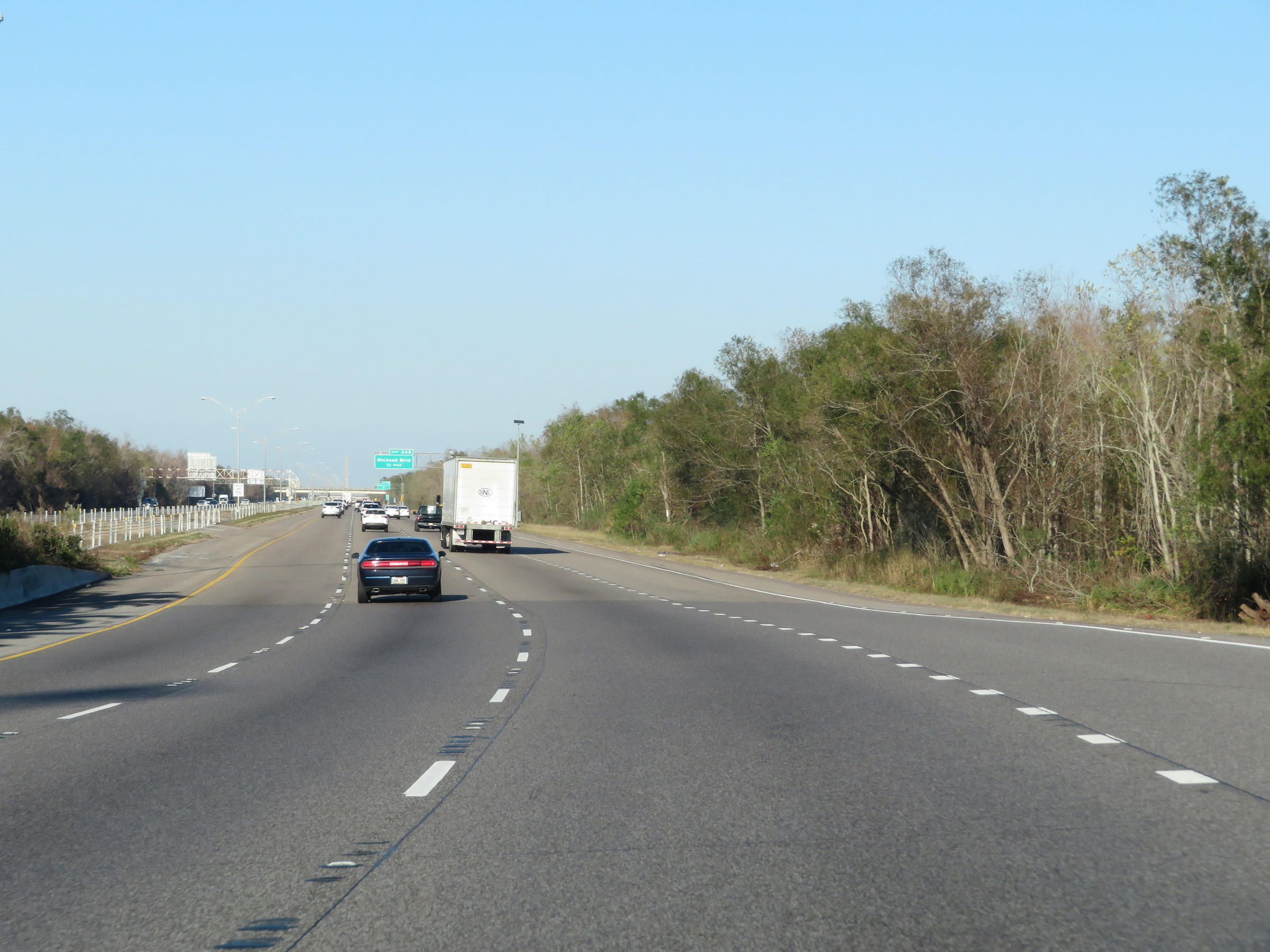
Approaching Exit 248, the maximum speed limit increases to 70 mph once again. (Photo taken 12/9/20). |
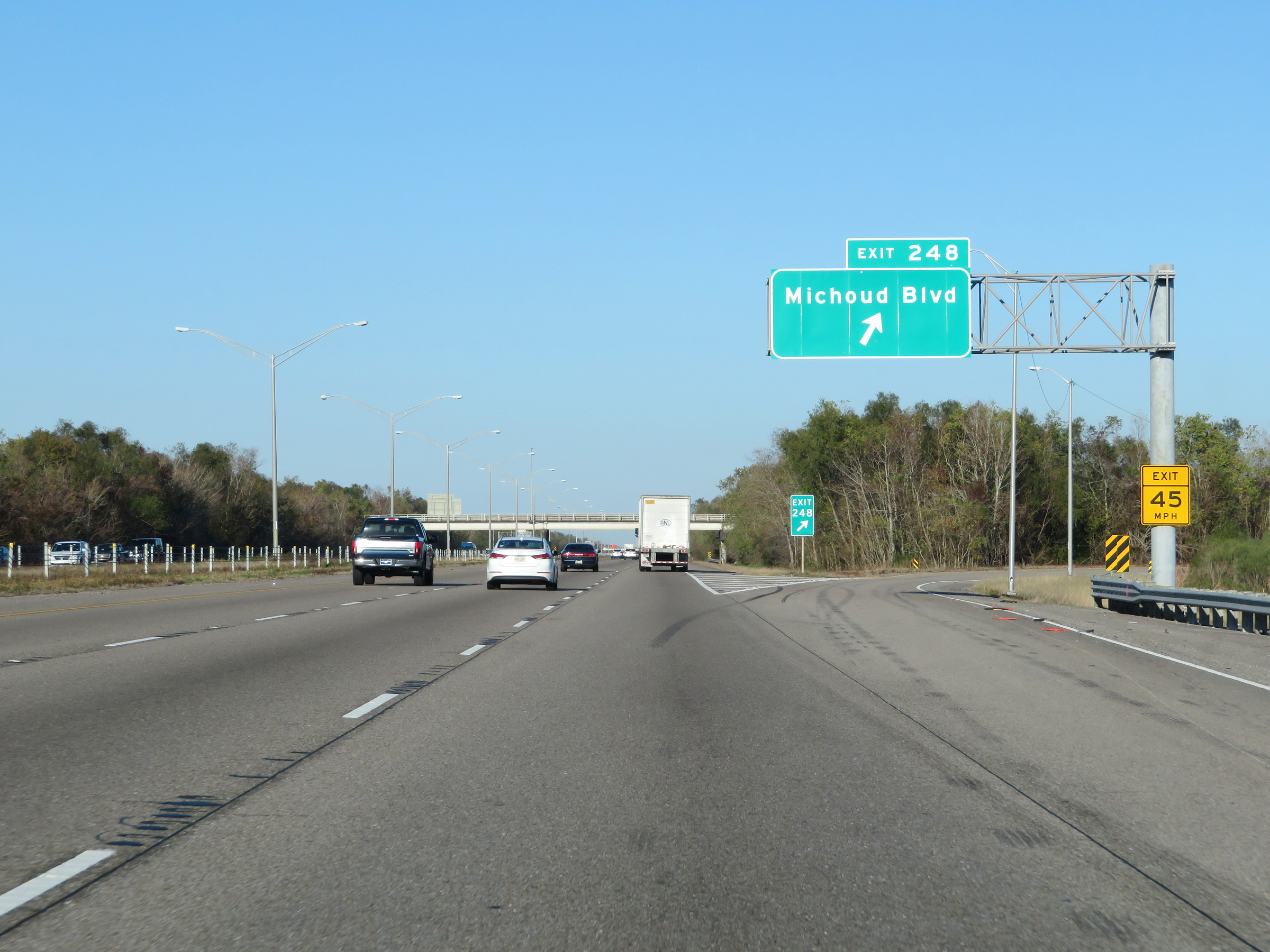 |
Interstate 10 East at Exit 248: Michoud Blvd (Photo taken 12/9/20). |
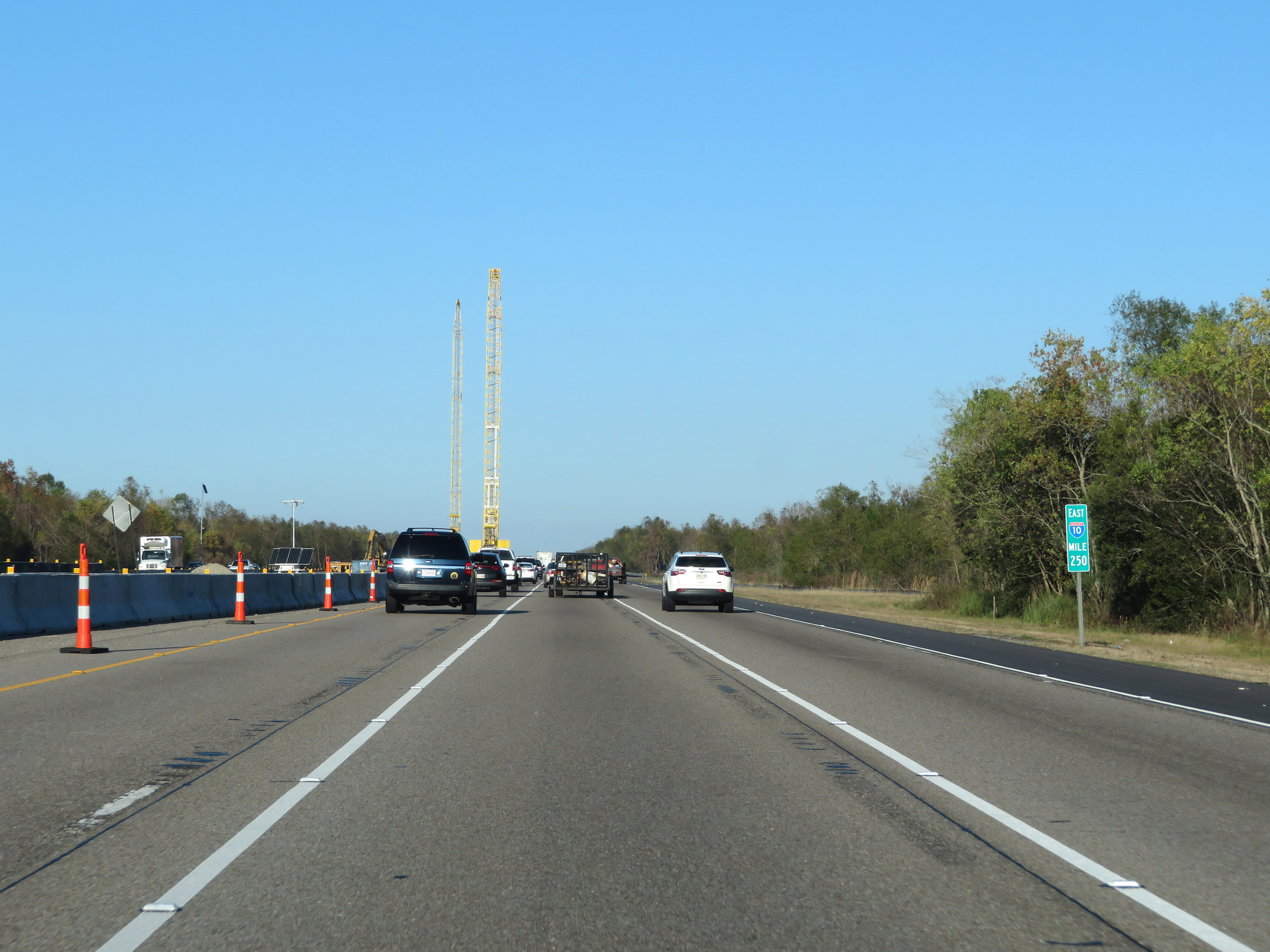 |
View on Interstate 10 East at Exit 250. (Photo taken 12/9/20). |
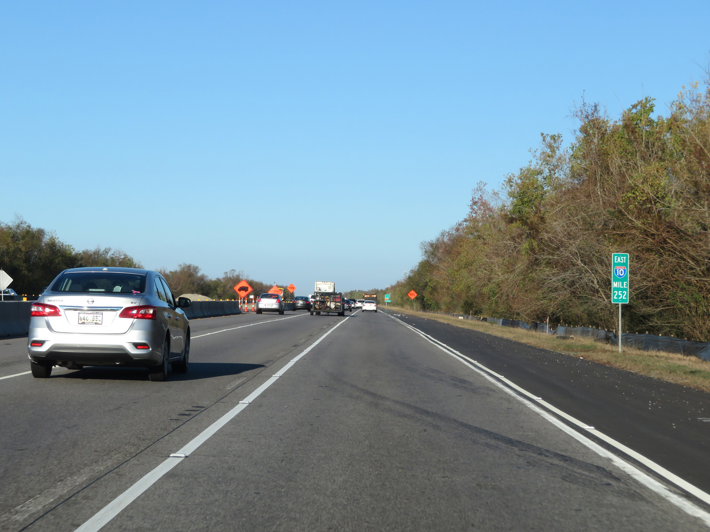 |
Interstate 10 East at mile marker 252. (Photo taken 12/9/20). |
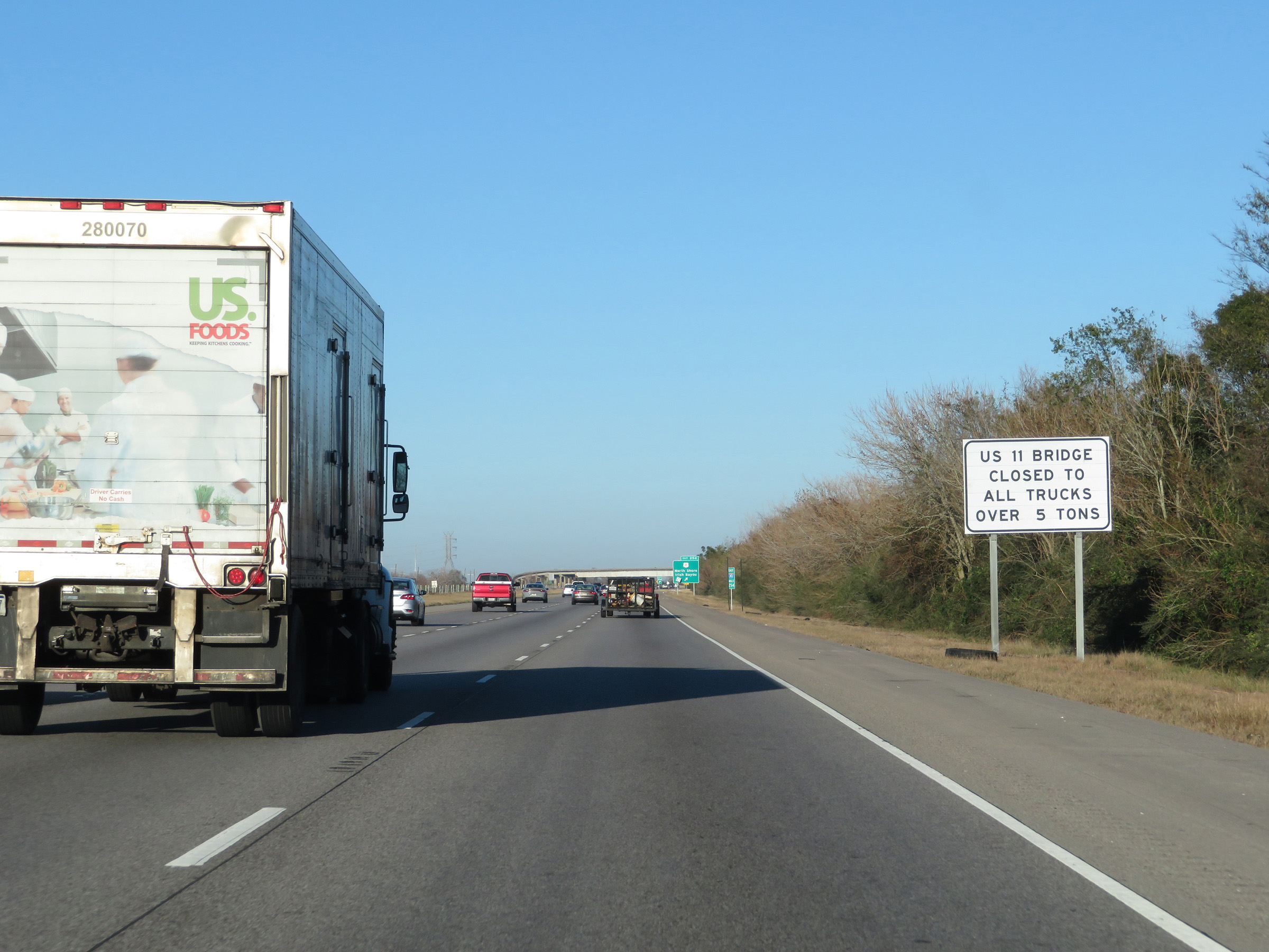 |
The US 11 Bridge over Lake Pontchartrain (which was closed at the time regardless) is always closed to all trucks over 5 tons GVW. (Photo taken 12/9/20). |
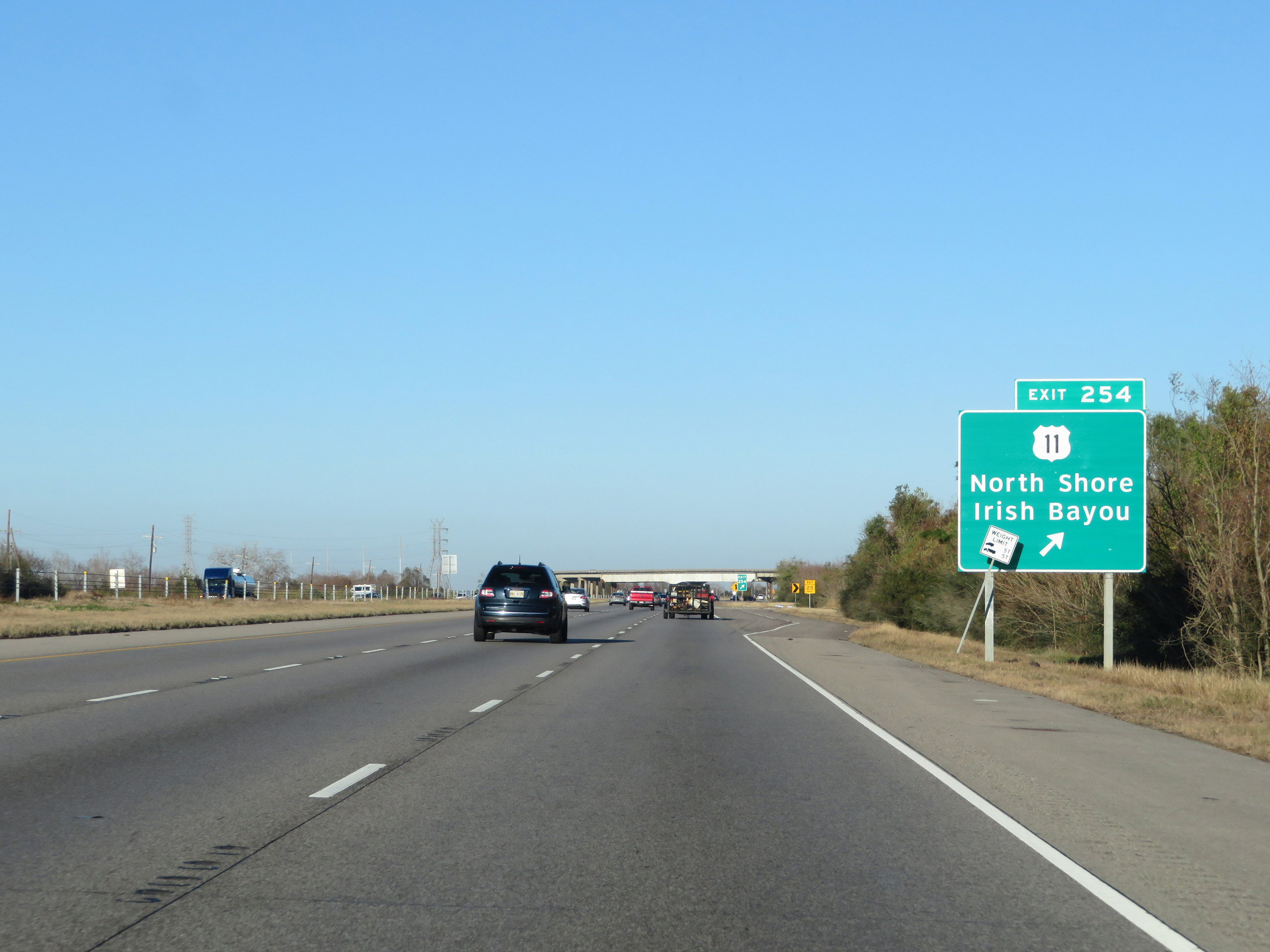 |
Interstate 10 East at Exit 254: US 11 - North Shore / Irish Bayou (Photo taken 12/9/20). |
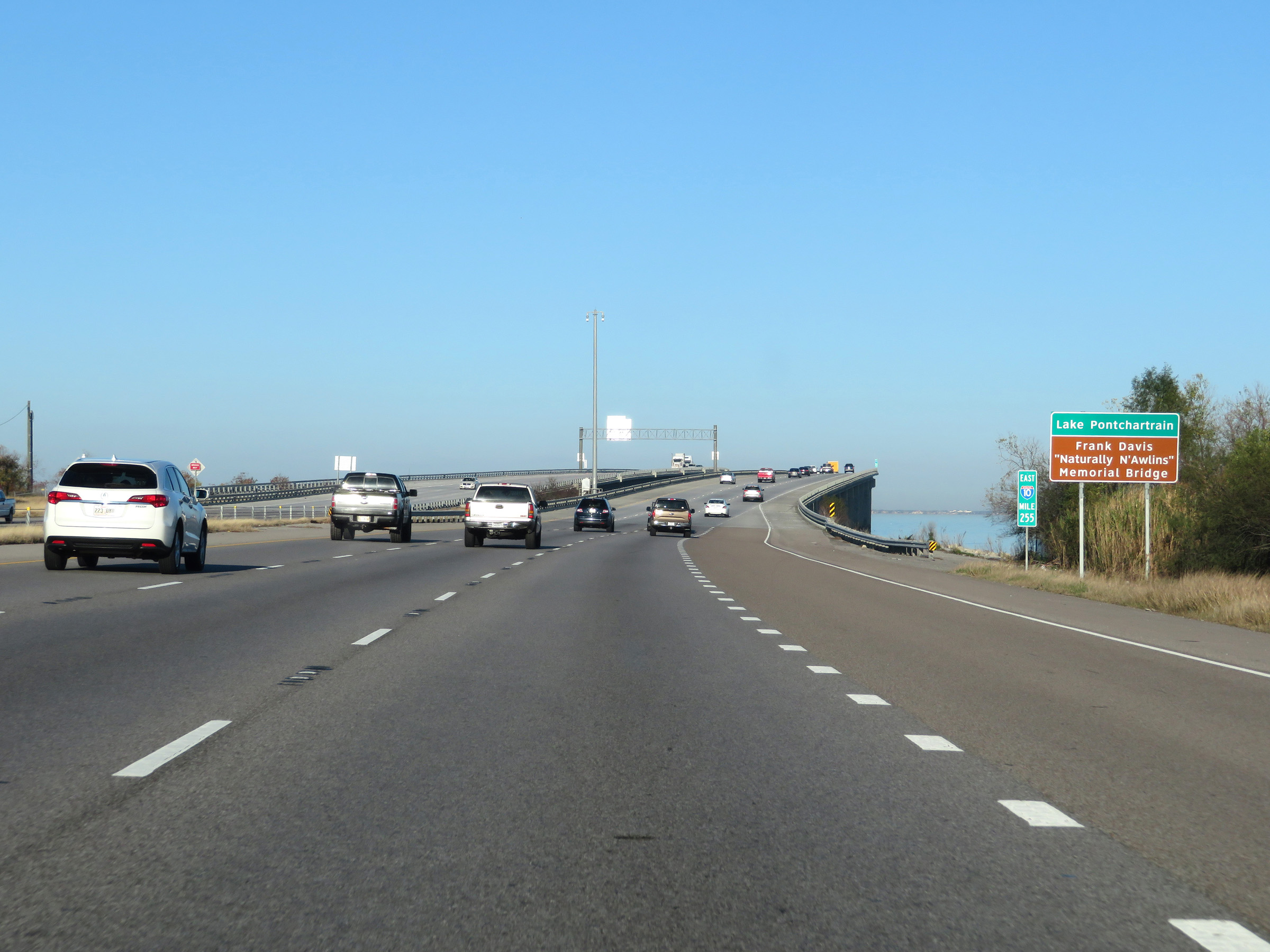 |
At mile marker 255, Interstate 10 East starts across the Frank Davis Memorial Bridge over Lake Pontchartrain. This bridge will carry I-10 for approximately 6 miles. (Photo taken 12/9/20). |
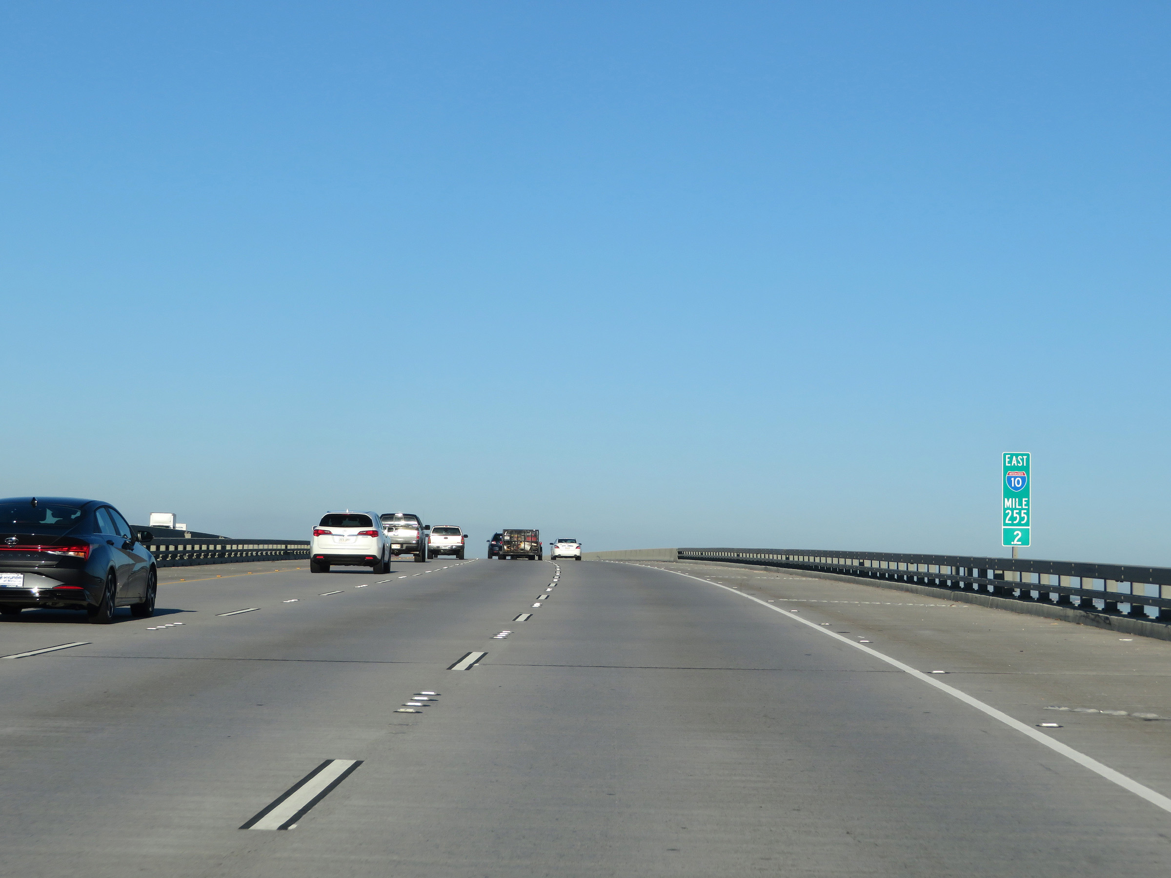 |
View on Interstate 10 East at mile marker 255.2 as it crosses the Frank Davis Memorial Bridge. (Photo taken 12/9/20). |
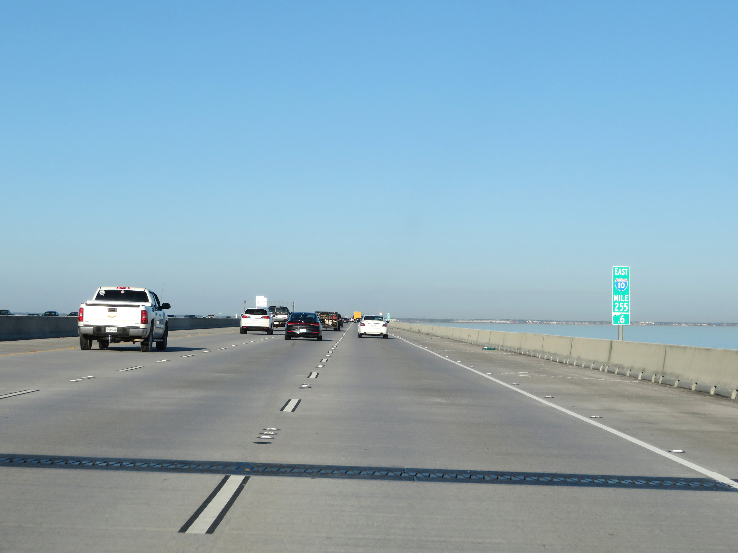 |
Interstate 10 East at mile marker 255.6 on the Frank Davis Memorial Bridge. I-10 maintains three eastbound lanes across the bridge. (Photo taken 12/9/20). |
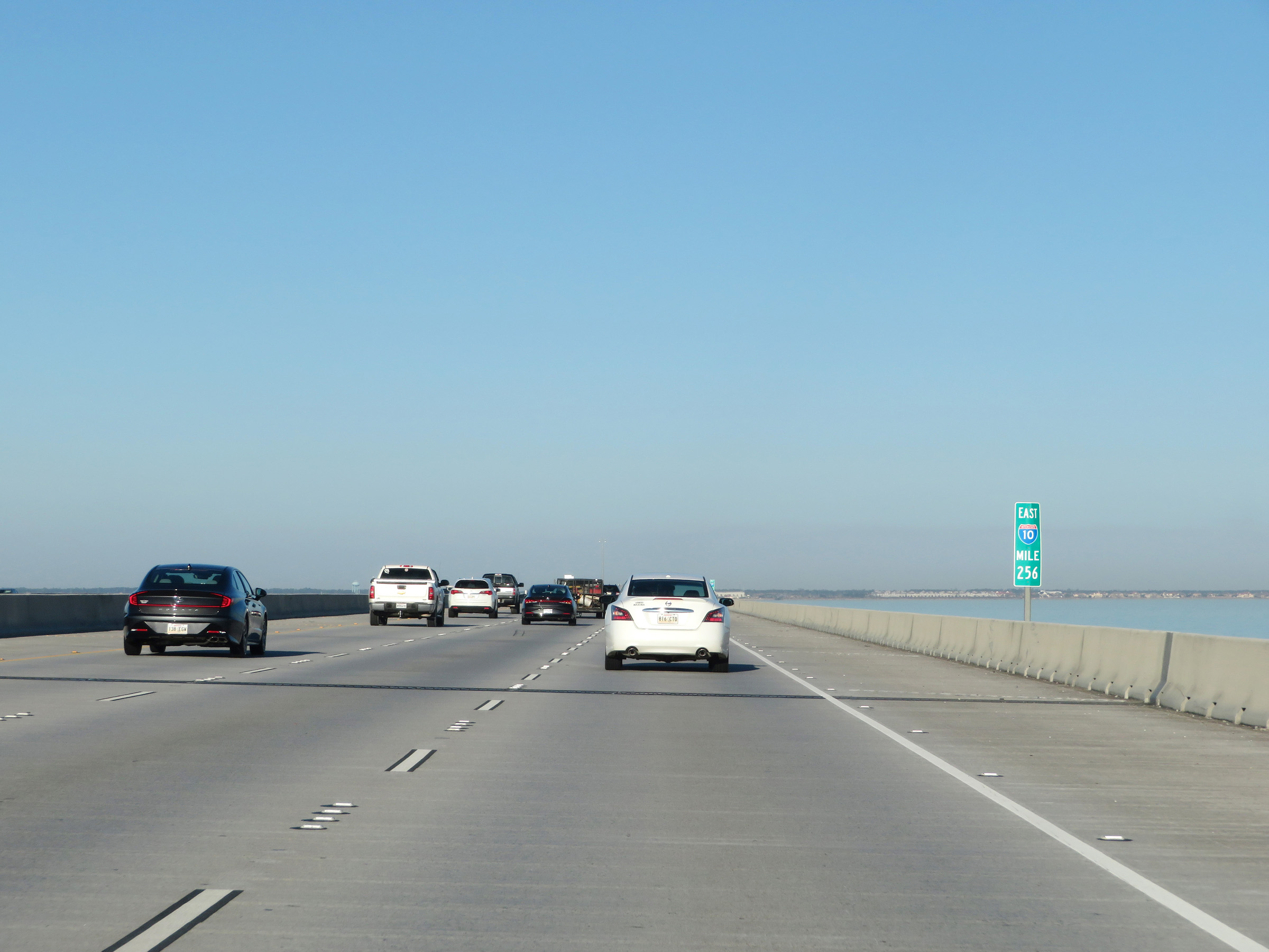 |
Interstate 10 East at mile marker 256 on the Frank Davis Memorial Bridge over Lake Pontchartrain. (Photo taken 12/9/20). |
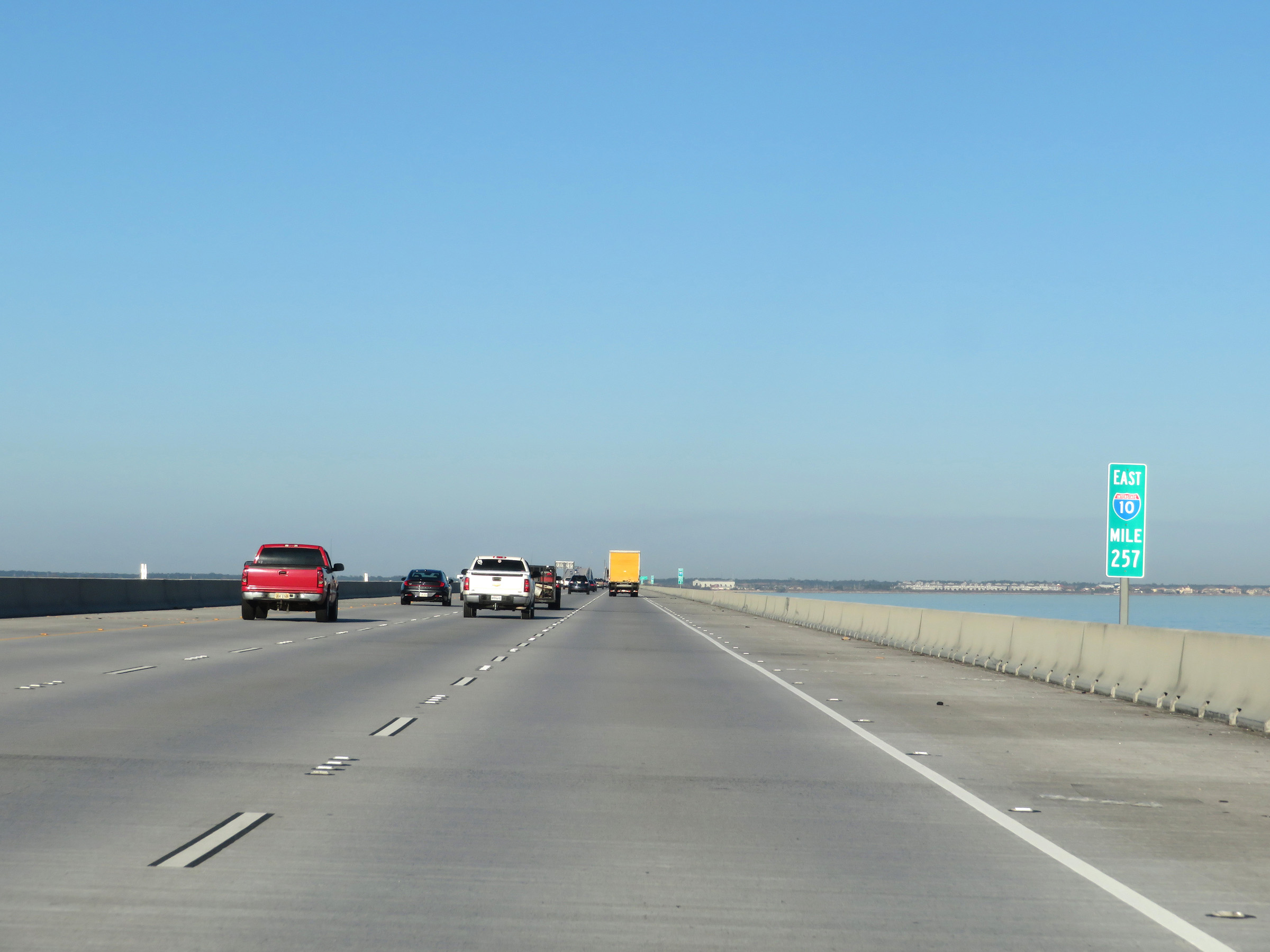 |
View on Interstate 10 East at mile marker 257. (Photo taken 12/9/20). |
 |
Mile marker 257.4 on Interstate 10 East as it crosses Lake Pontchartrain via the Frank Davis Memorial Bridge. (Photo taken 12/9/20). |
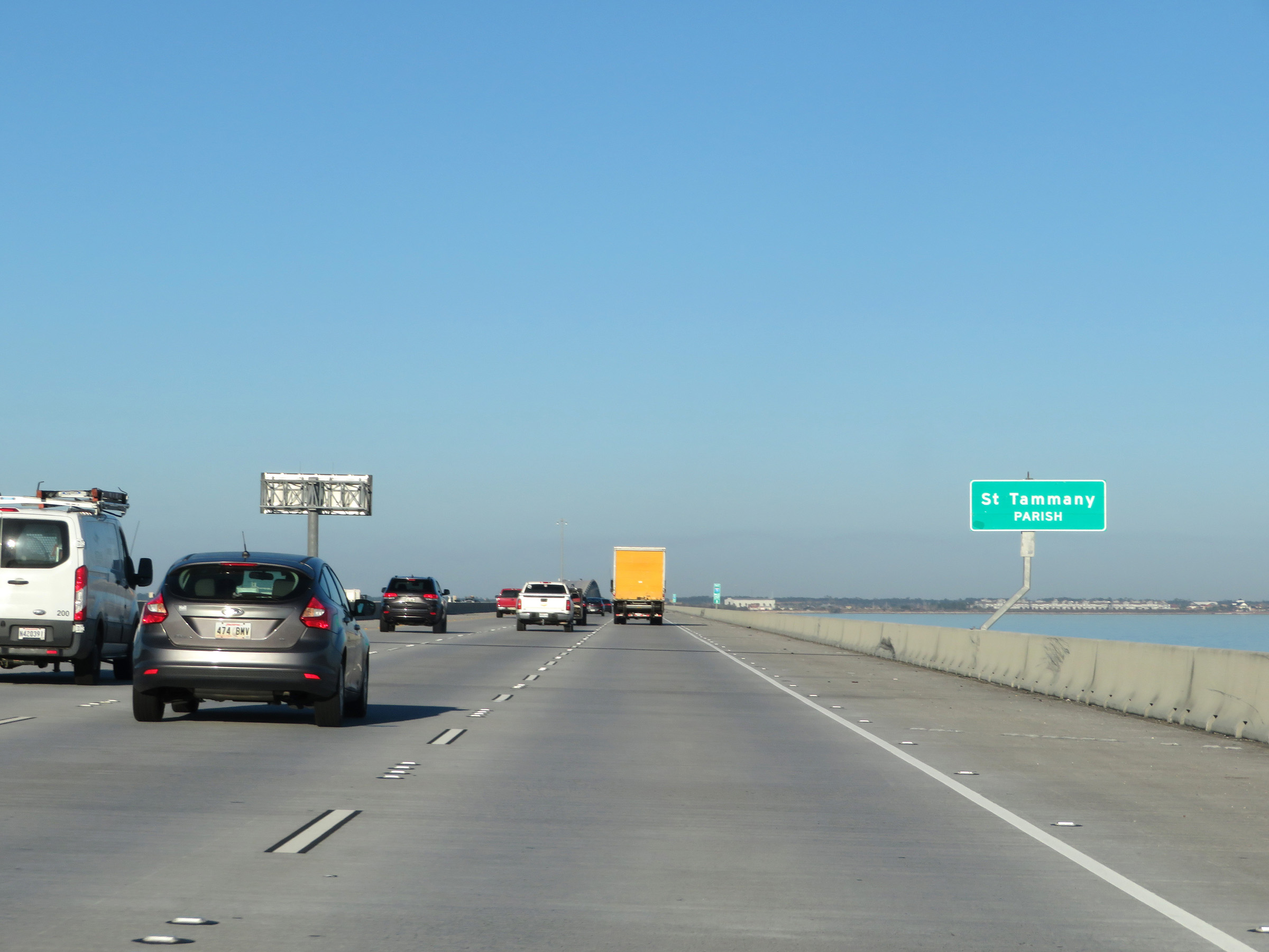 |
Interstate 10 East as it enter St. Tammany Parish. (Photo taken 12/9/20). |
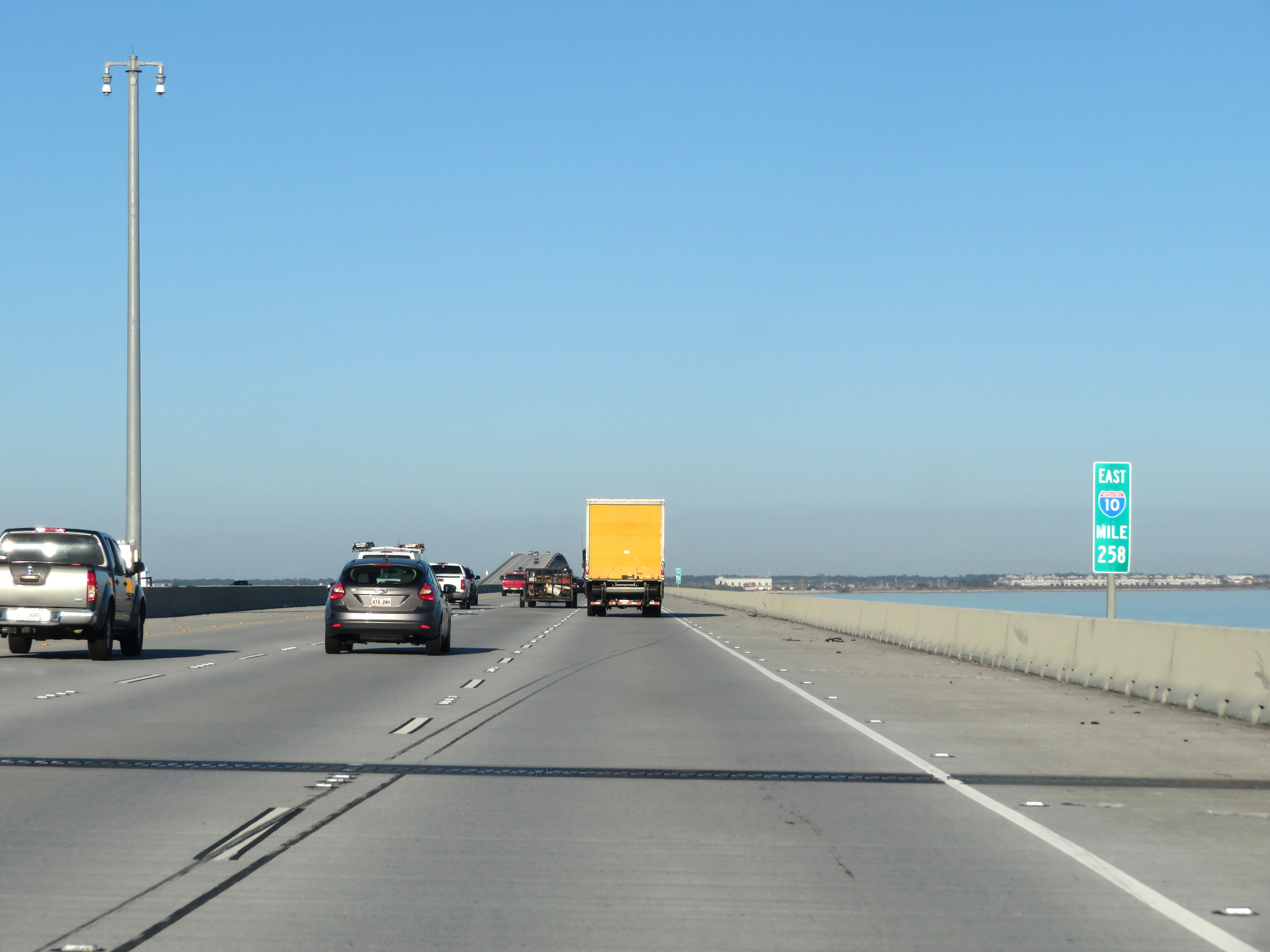 |
View on Interstate 10 East at mile marker 258, as it continues across the Frank Davis Memorial Bridge over Lake Pontchartrain. (Photo taken 12/9/20). |
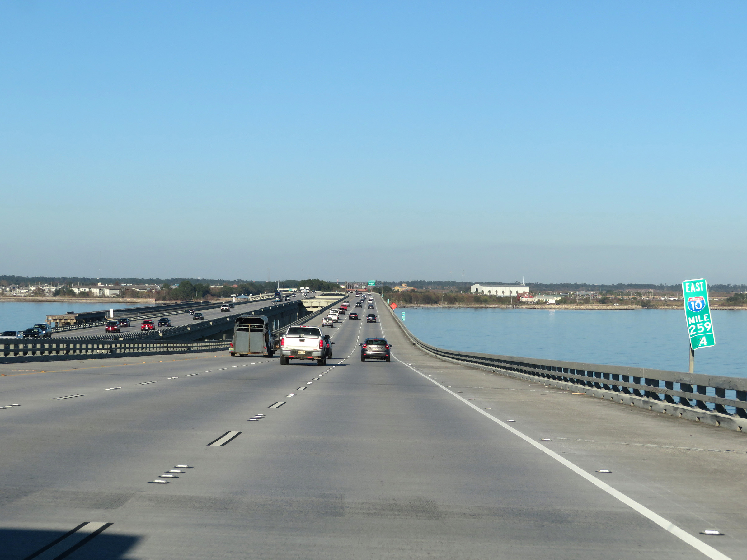 |
Interstate 10 East at mile marker 259.4 on the Frank Davis Memorial Bridge. (Photo taken 12/9/20). |
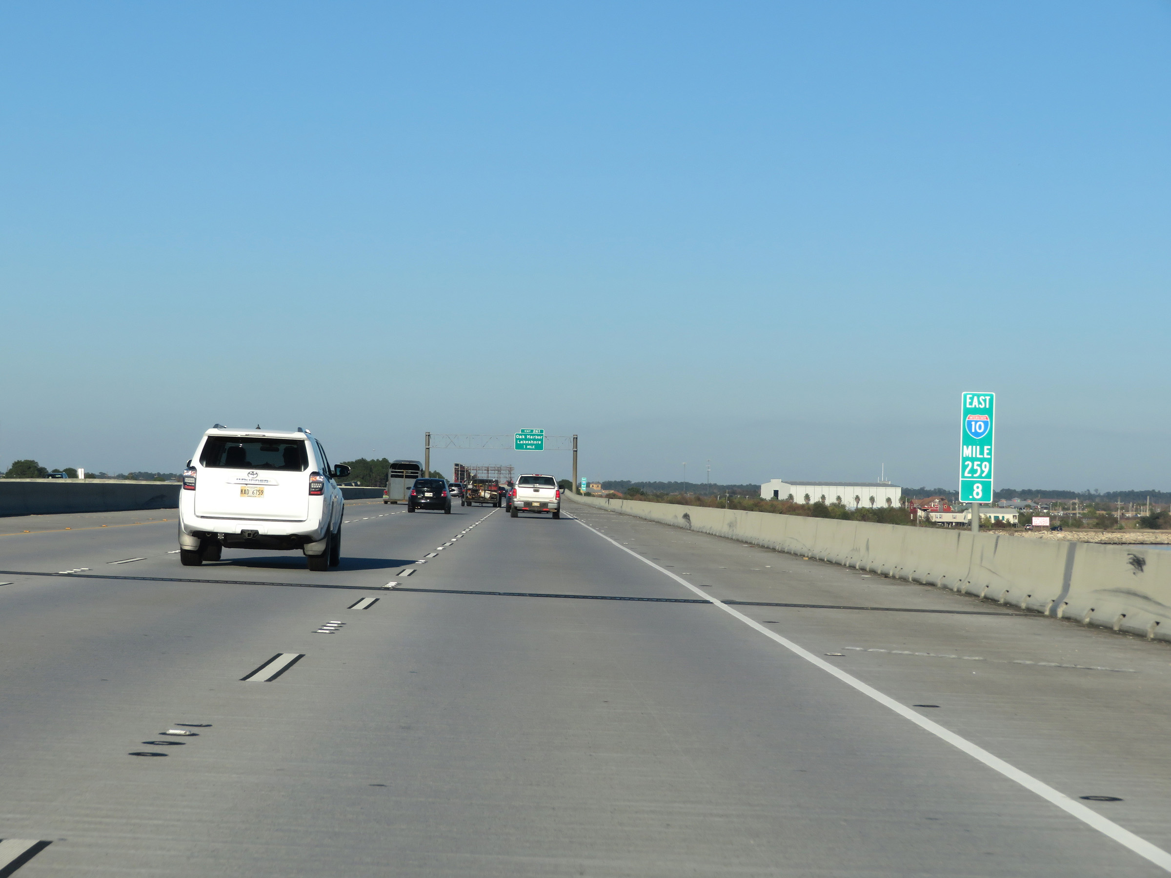 |
Interstate 10 East at mile marker 259.8. (Photo taken 12/9/20). |
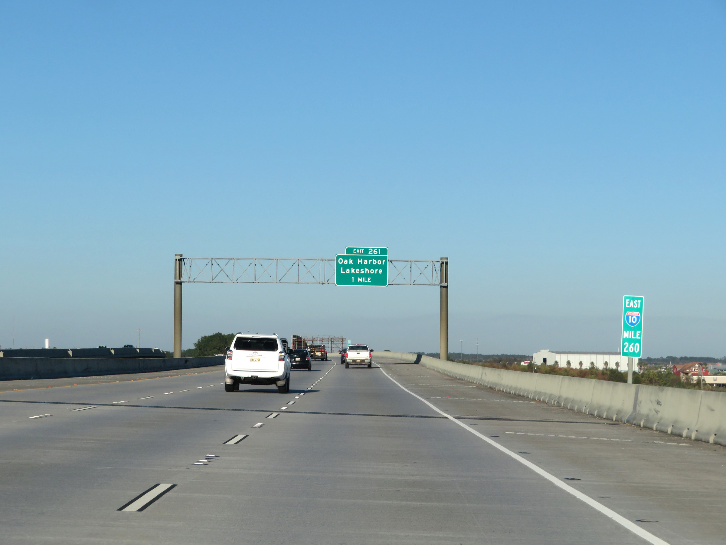 |
View on Interstate 10 East at mile marker 260, as we also see advance signage for Exit 261. (Photo taken 12/9/20). |
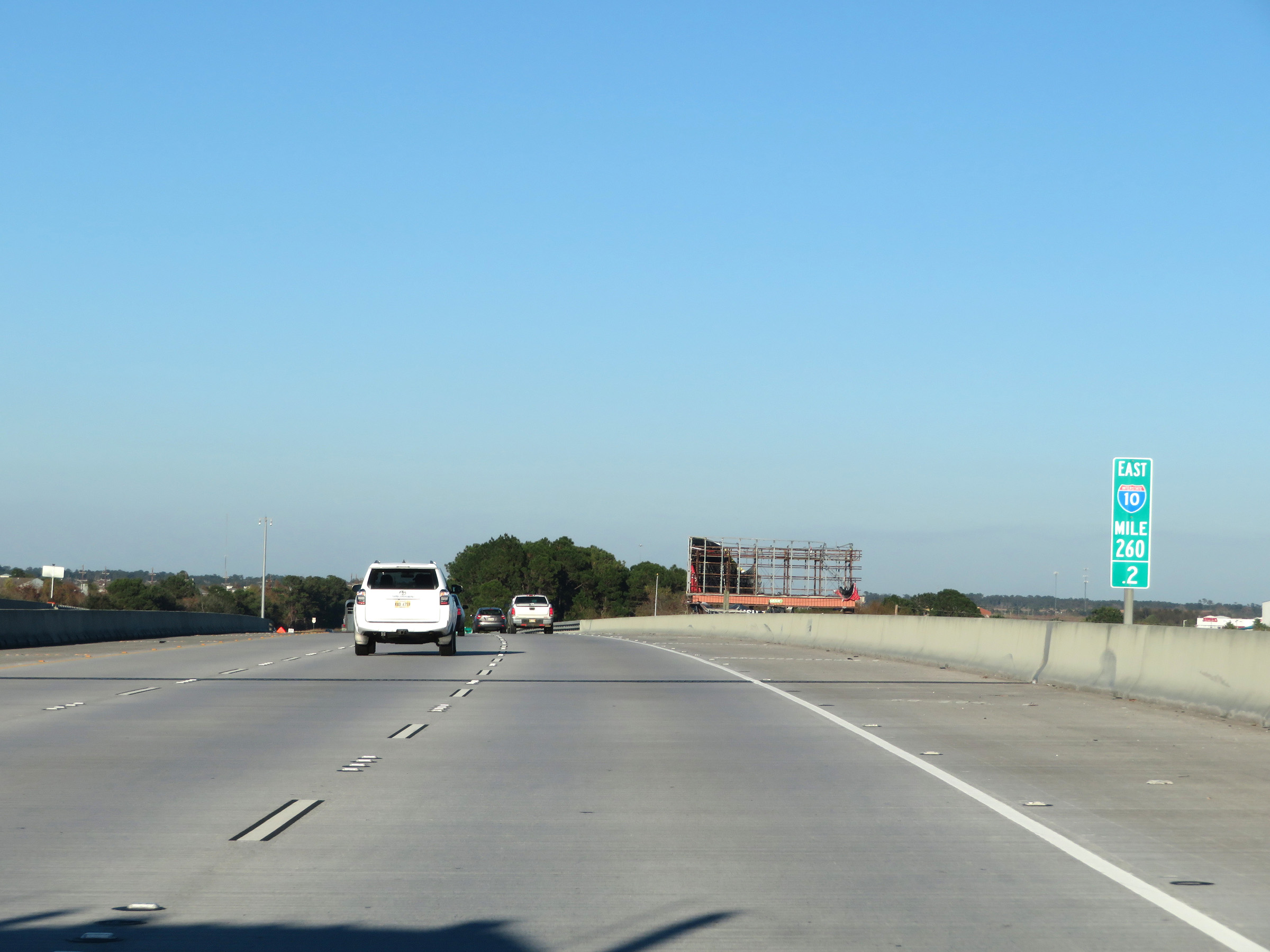 |
Interstate 10 East at mile marker 260.2, as the Frank Davis Memorial Bridge prepares to reach its northern end. (Photo taken 12/9/20). |
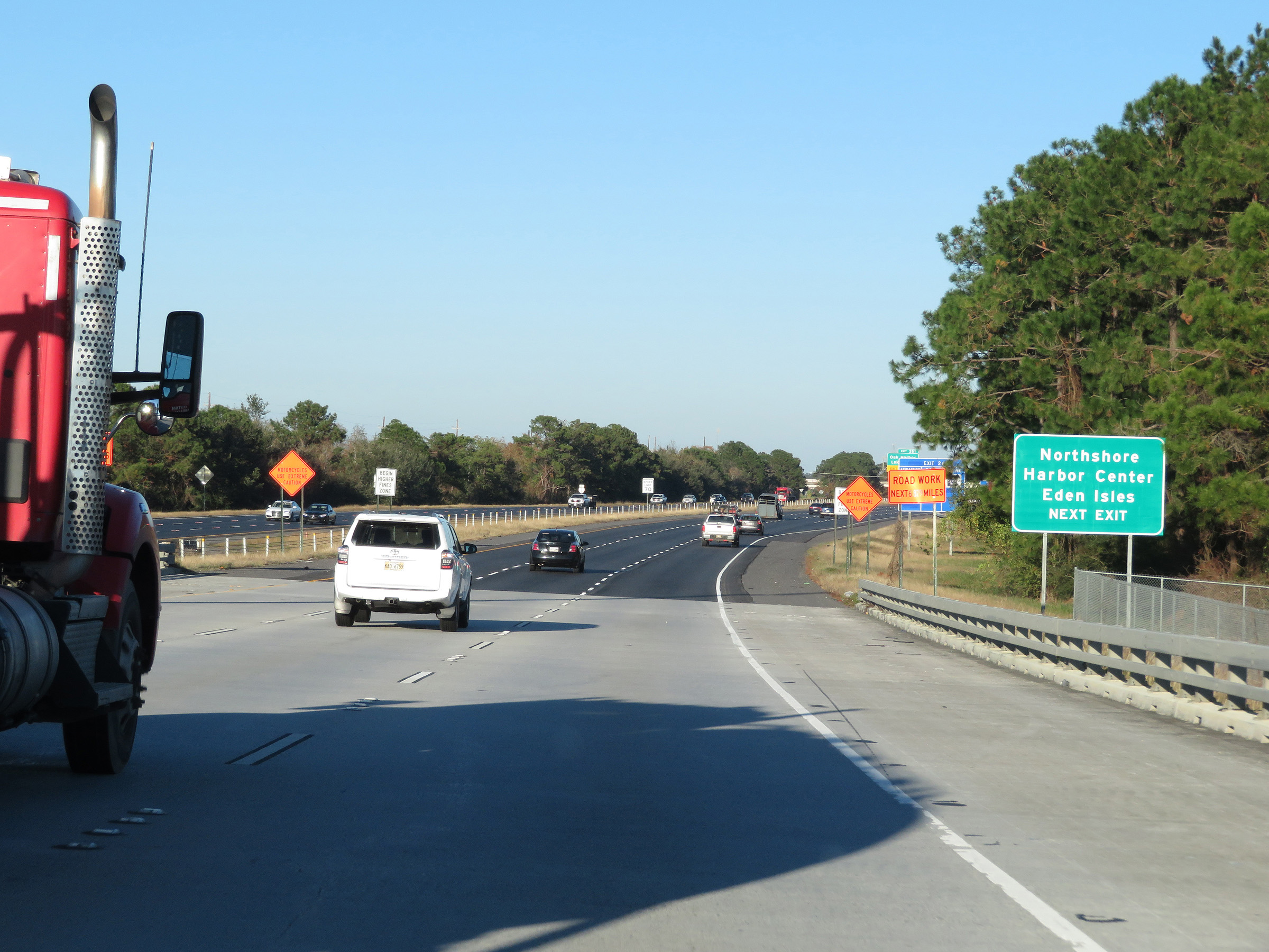 |
Take Exit 261 to Northshore Harbor Center and Eden Isles. (Photo taken 12/9/20). |
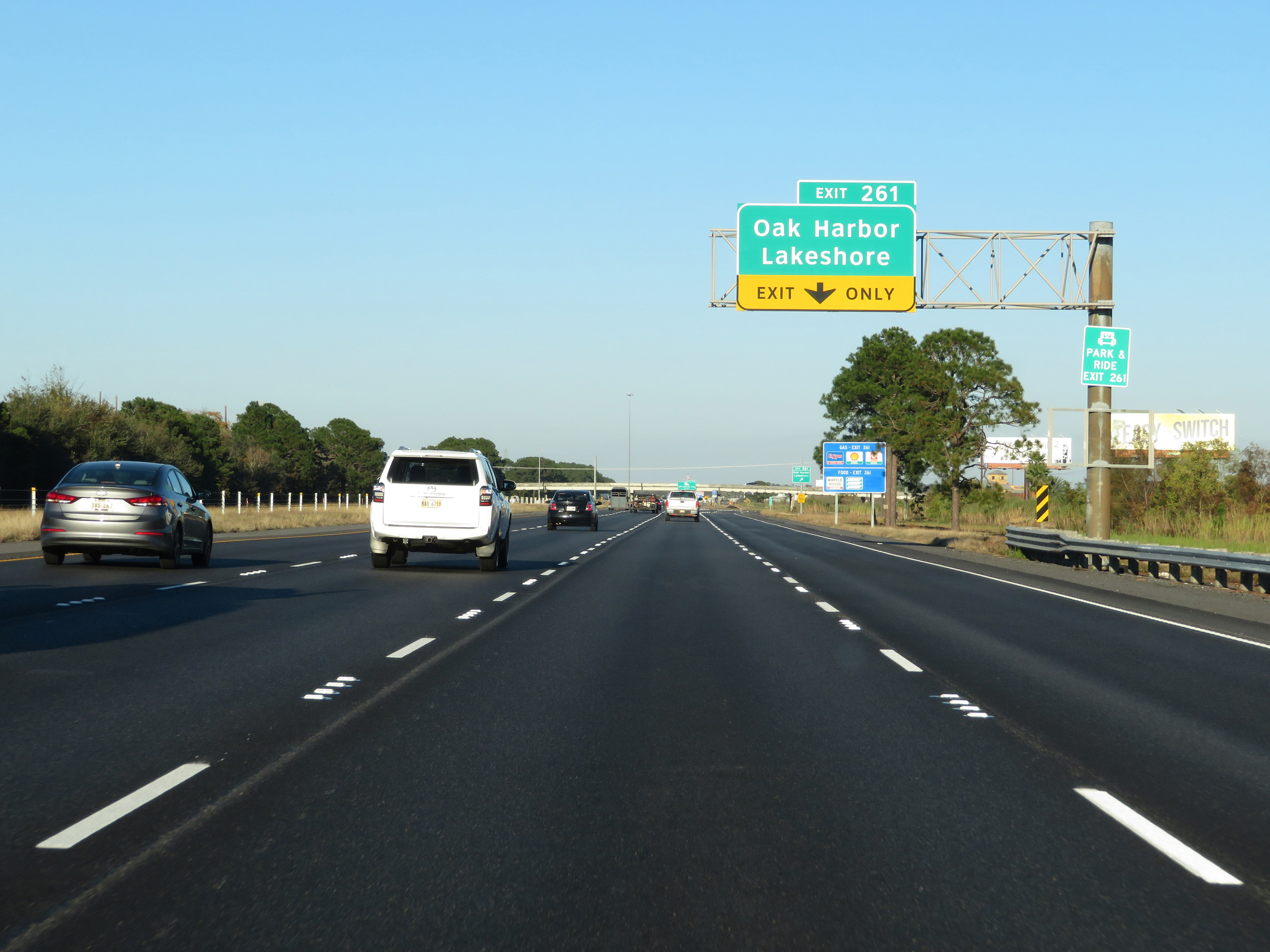 |
Interstate 10 East at Exit 261: Oak Harbor / Lakeshore (Photo taken 12/9/20). |
 |
View on Interstate 10 East at mile marker 262. (Photo taken 12/9/20). |
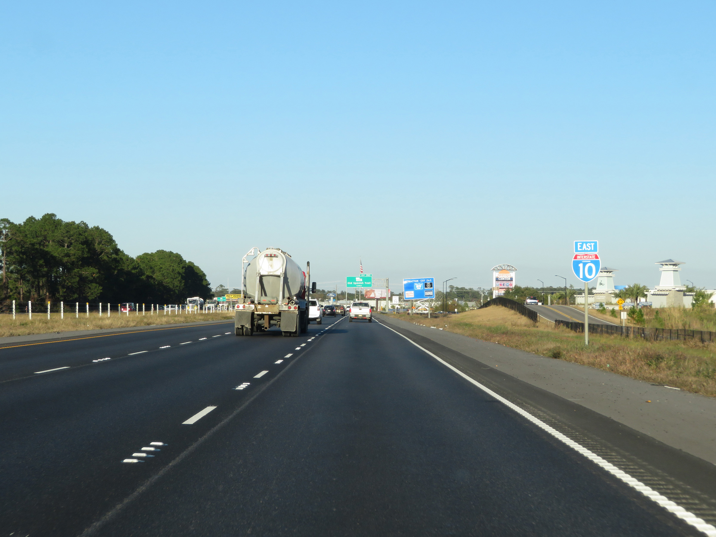 |
Another state-named Interstate 10 East reassurance shield. (Photo taken 12/9/20). |
 |
Interstate 10 East at Exit 263: LA 433 - Old Spanish Trail (Photo taken 12/9/20). |
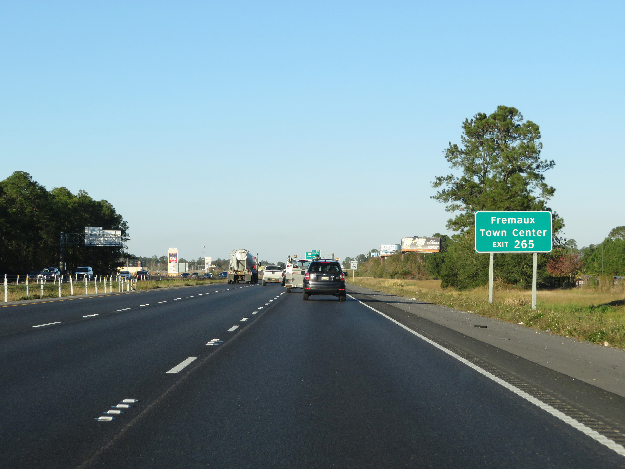 |
Take Exit 265 to Fremaux Town Center. (Photo taken 12/9/20). |
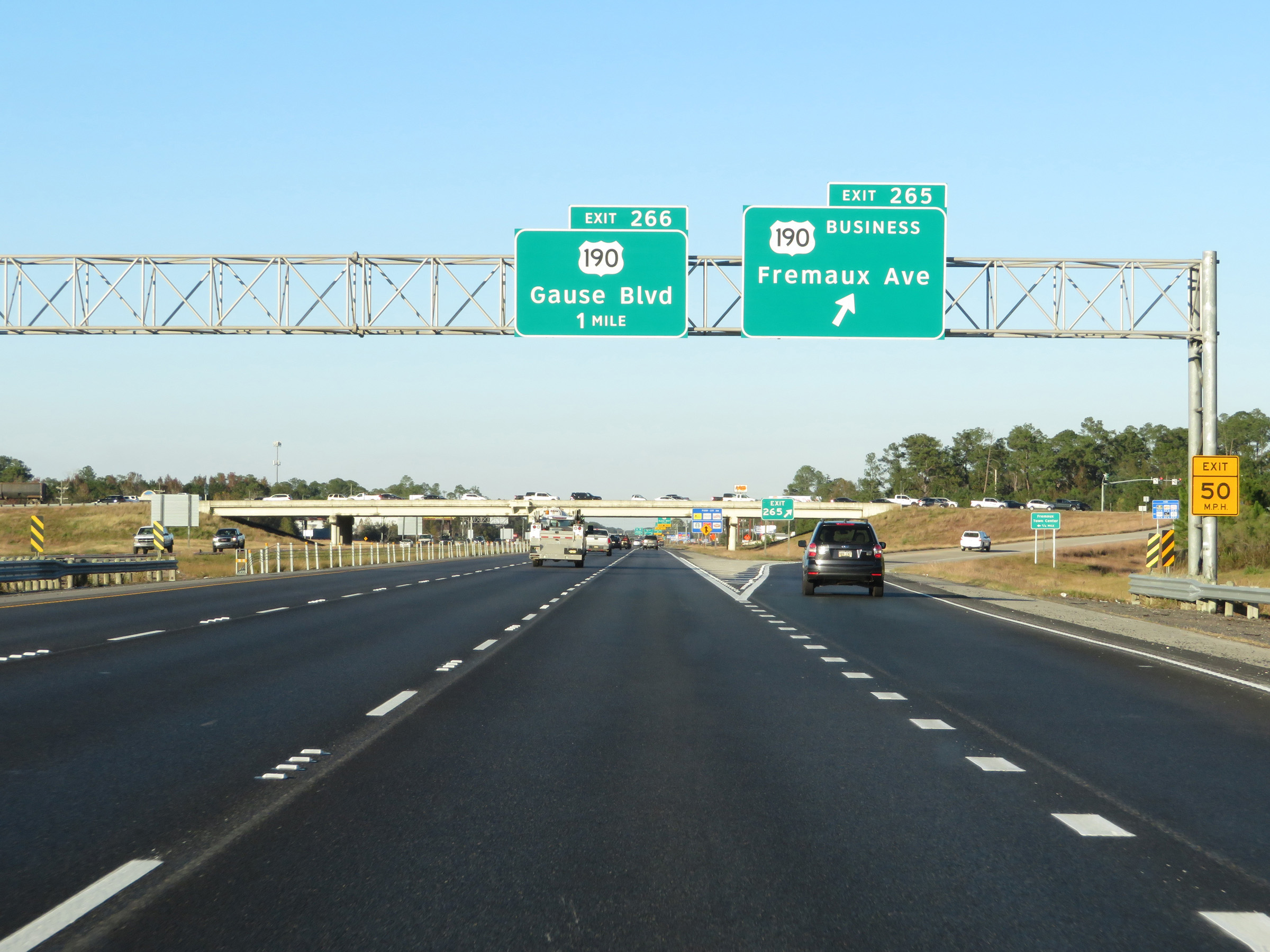 |
Interstate 10 East at Exit 265: US 190 Business - Fremaux Ave (Photo taken 12/9/20). |
 |
Interstate 10 East at Exit 266: US 190 - Gause Blvd (Photo taken 12/9/20). |
 |
Interstate 10 East reassurance shield. (Photo taken 12/9/20). |
 |
Interstate 10 East approaching Exits 256B-A - 1/2 mile on the left. (Photo taken 12/9/20). |
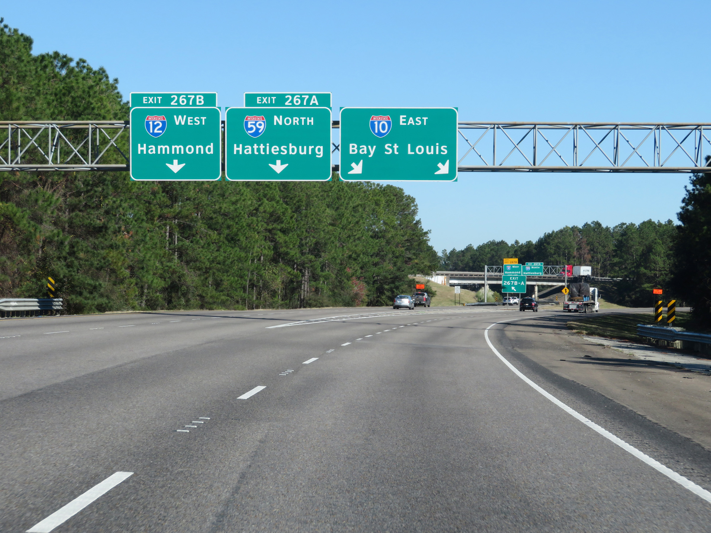 |
Interstate 10 East at Exit 267A: Interstate 59 North - Hattiesburg; Exit 267B: Interstate 12 West - Hammond (Photo taken 12/9/20). |
 |
A closer view of the ramp to Exits 267A-B on the left. (Photo taken 12/9/20). |
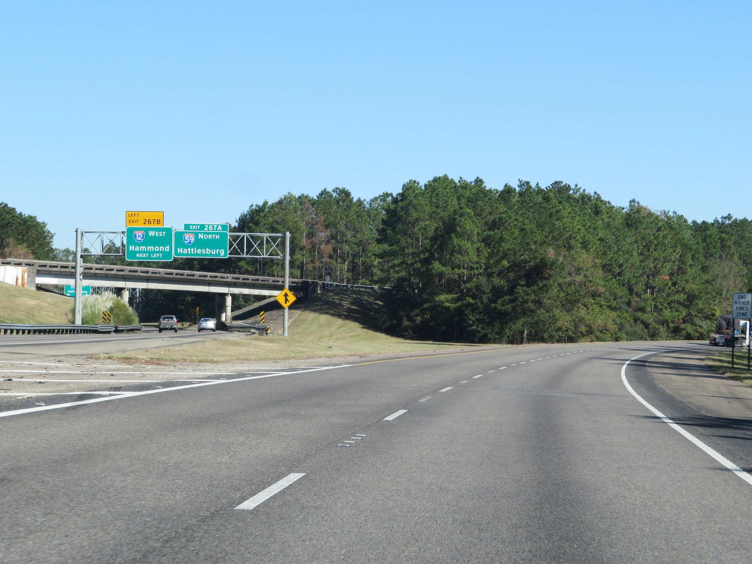 |
The ramps for Exits 267A-B split shortly after departing Interstate 10, as seen here. Traffic to Interstate 12 West will have to exit left, while Interstate 59 North traffic can stay straight ahead. (Photo taken 12/9/20). |
 |
View on Interstate 10 East, as its two eastbound lanes curve to the east to head toward the Mississippi border. (Photo taken 12/9/20). |
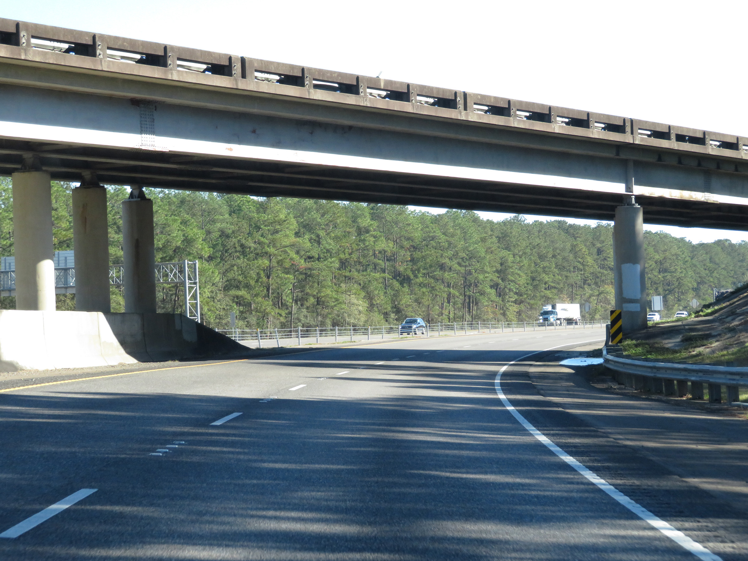 |
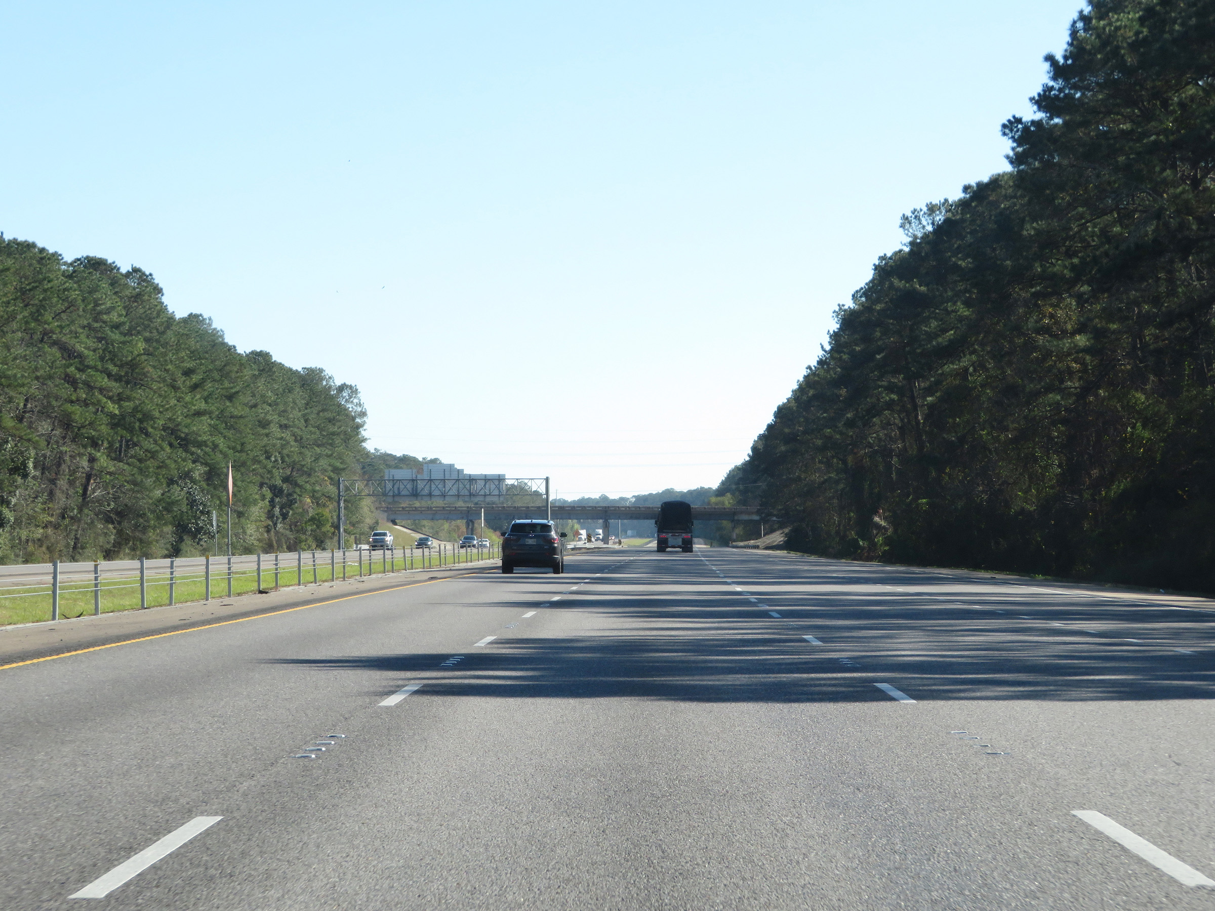
Interstate 10 East as it passes under the ramp from Interstate 12 East / Interstate 59 South to I-10 East. (Photo taken 12/9/20). |
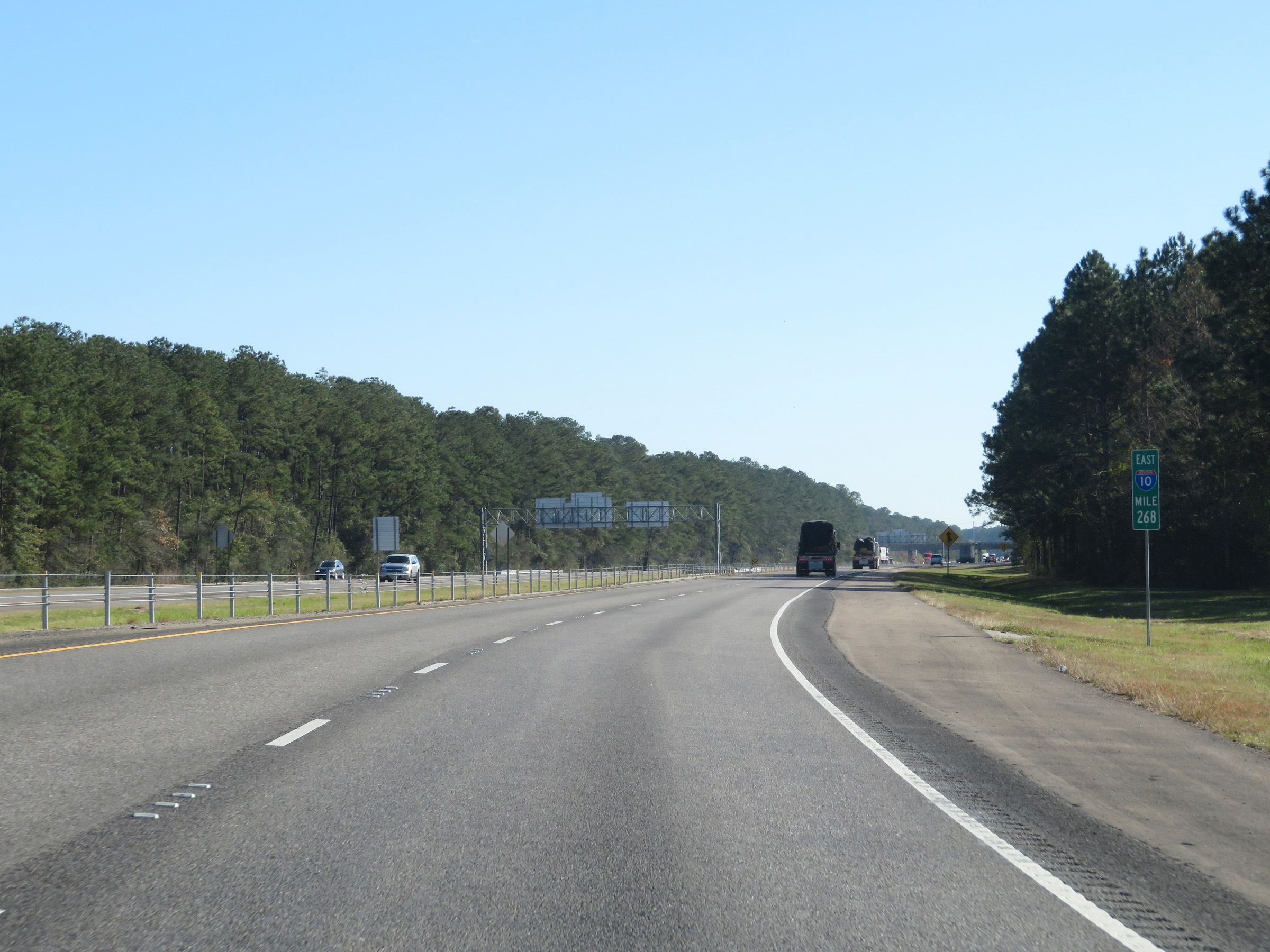 |
View on Interstate 10 East at mile marker 268. (Photo taken 12/9/20). |
 |
Interstate 10 East as traffic from Interstate 59 South / Interstate 12 East merges into it on the right. (Photo taken 12/9/20). |
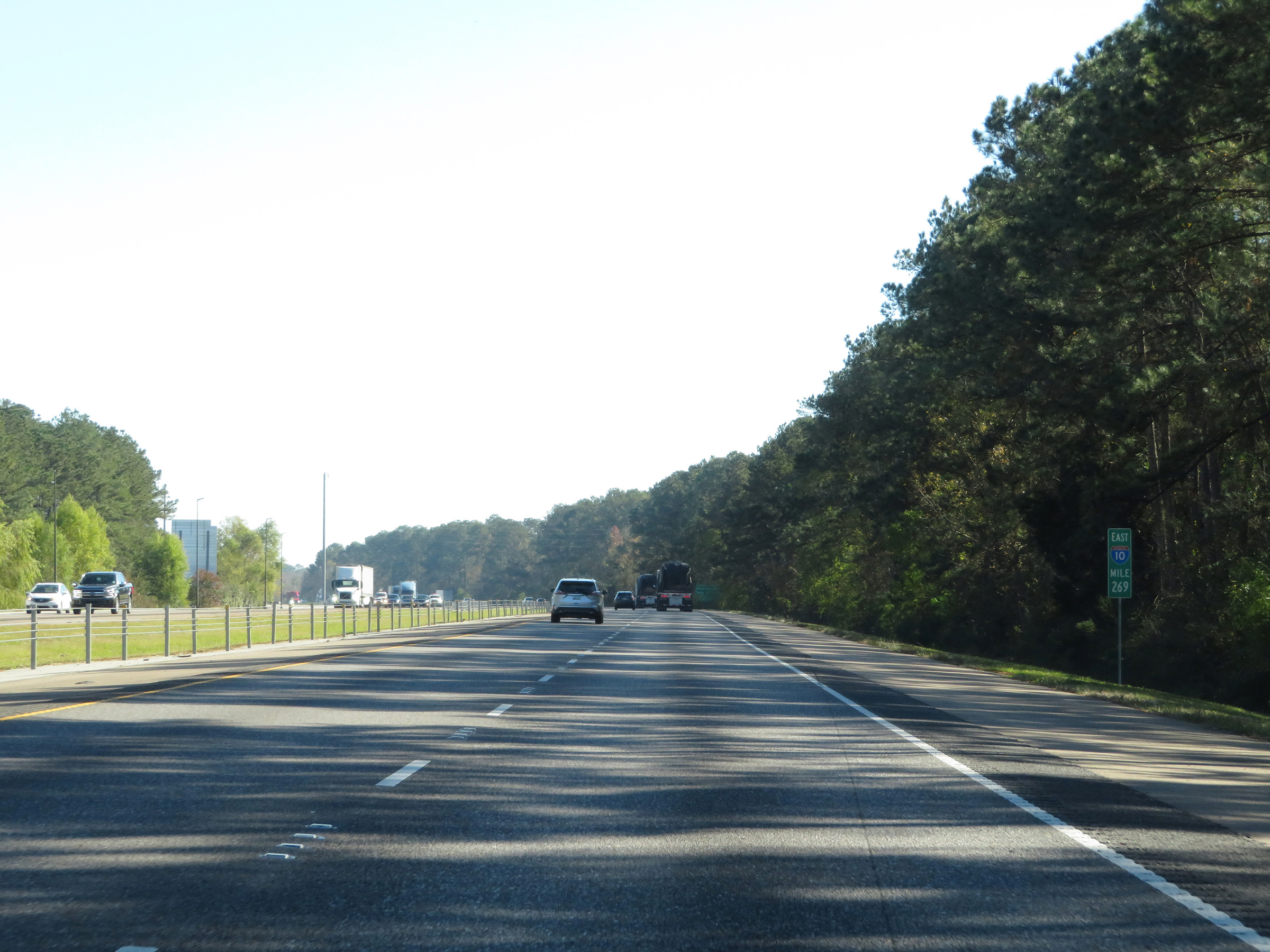 |
View on Interstate 10 East at mile marker 269. (Photo taken 12/9/20). |
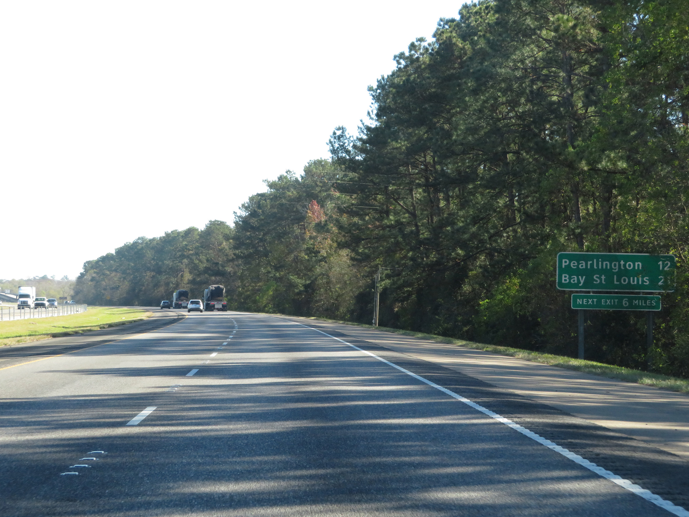 |
Mileage sign on Interstate 10 East. It's 12 miles to Pearlington and 21 miles to Bay St. Louis. The next exit on I-10 East is 6 miles ahead, across the Mississippi border. (Photo taken 12/9/20). |
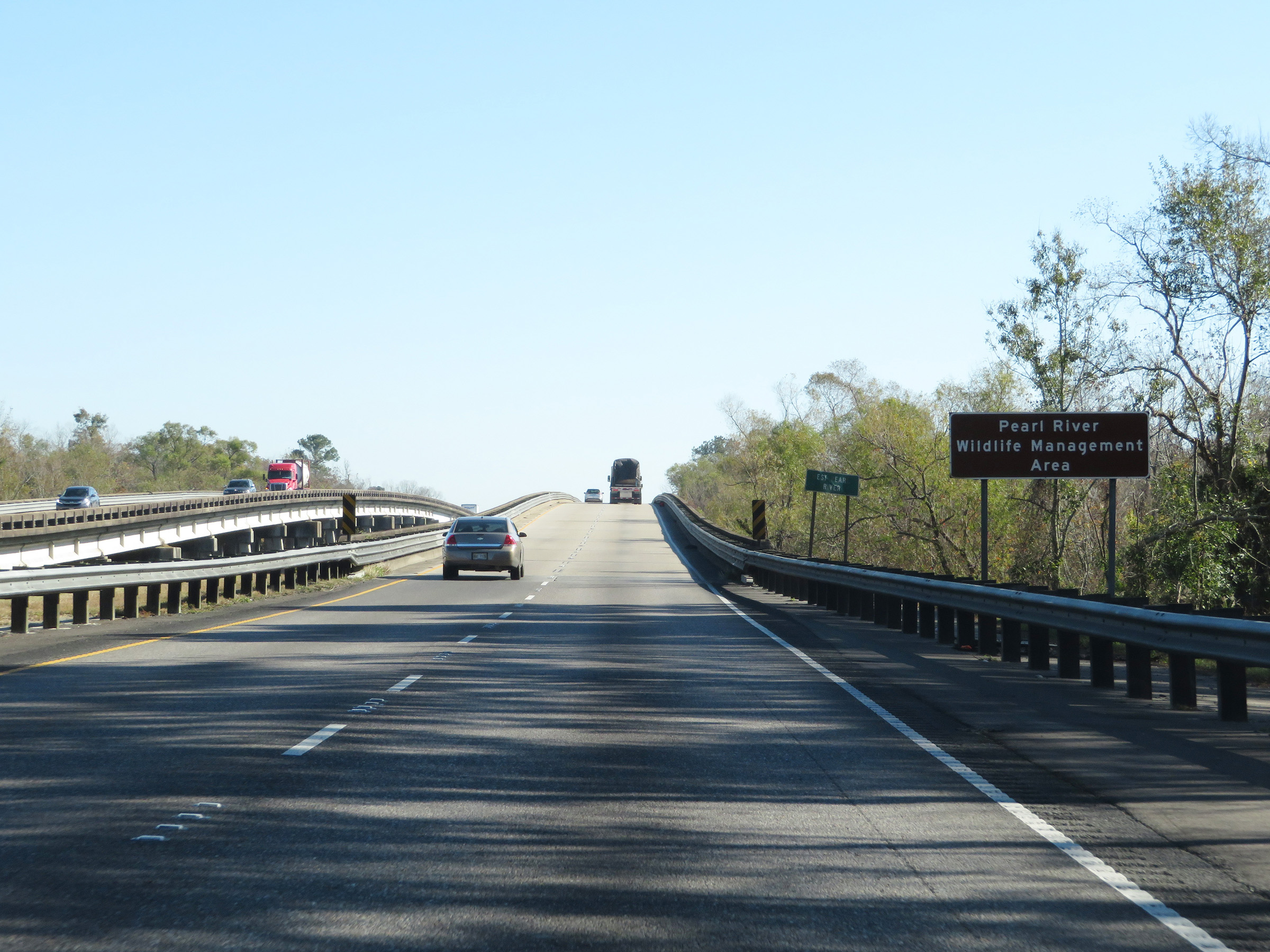 |
Interstate 10 East as it enters the Pearl River Wildlife Management Area. (Photo taken 12/9/20). |
 |
View on Interstate 10 East as it makes its way toward the Mississippi Border. (Photo taken 12/9/20). |
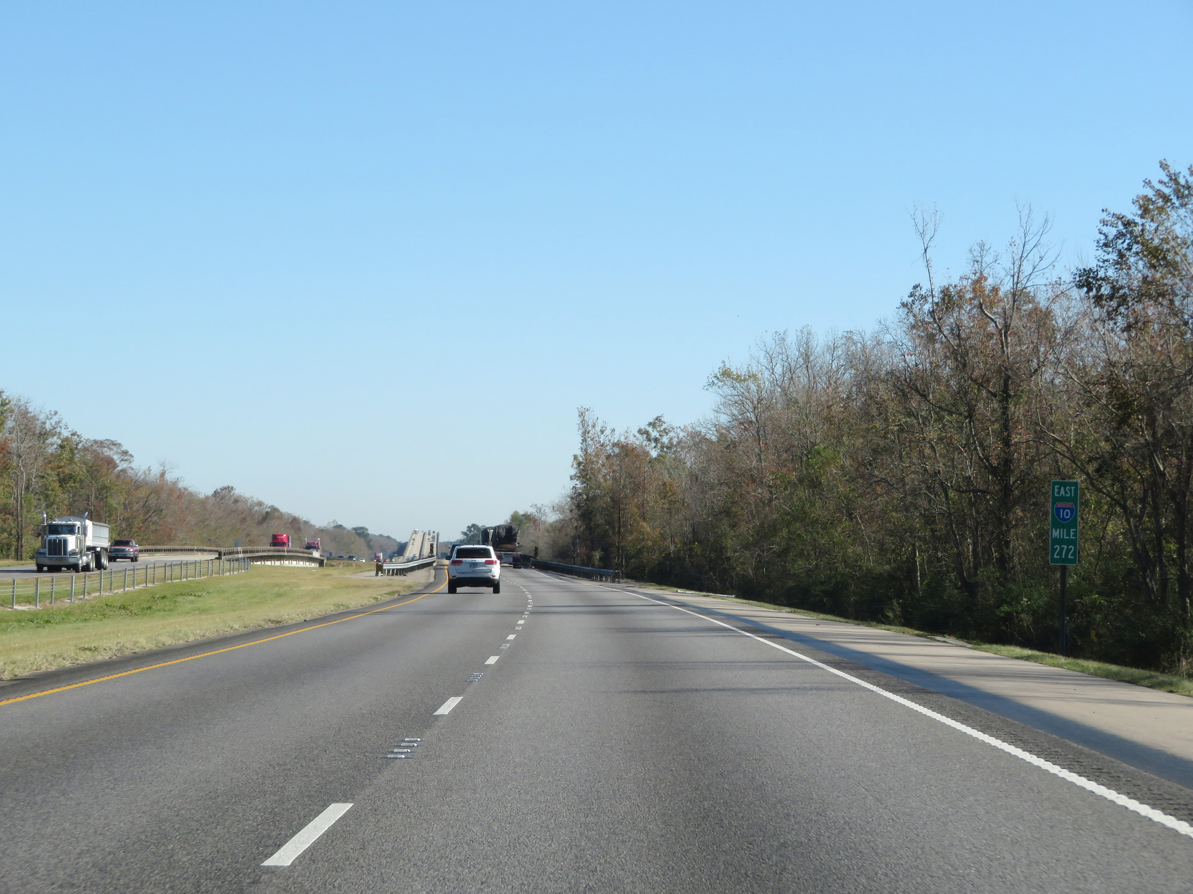 |
View on Interstate 10 East at mile marker 272. (Photo taken 12/9/20). |
 |
Interstate 10 East at mile marker 273, as the bridge over the Pearl River comes into view. (Photo taken 12/9/20). |
 |
Interstate 10 East as it starts across the Pearl River, which will mark the state line between Louisiana and Mississippi on I-10. (Photo taken 12/9/20). |
 |
View on Interstate 10 East as it crosses the Pearl River into Mississippi from Louisiana. (Photo taken 12/9/20). |
 |
Interstate 10 East descending the bridge over the Pearl River after entering Mississippi from Louisiana. (Photo taken 12/9/20). |