Road Information |
||
 |
||
| Total Mileage in State: | 192 miles | |
| Northern End: | At Ohio state line | |
| Southern End: | At Tennessee state line | |
| Mileage covered in Photos: | 192 miles | |
| Counties covered in Photos: | Whitley, Laurel, Rockcastle, Madison, Fayette, Scott, Grant, Boone, Kenton | |
| Major Junctions in Photos: | I-64 East, in Lexington I-64 West, in Lexington I-71, in Walton I-275, near Florence |
|
| Control Cities in Photos: | Williamsburg, Corbin, London, Richmond, Lexington, Georgetown, Walton, Florence, Covington | |
Northbound
- Section 1: Tennessee Border to Mt. Vernon (Exit 59)
- Section 2: Mt. Vernon (Exit 59) to Lexington (Exit 113)
- Section 3: Lexington (Exit 113) to Walton (Exit 173)
- Section 4: Walton (Exit 173) to Ohio Border
Section 1: Tennessee Border to Mt. Vernon (Exit 59)
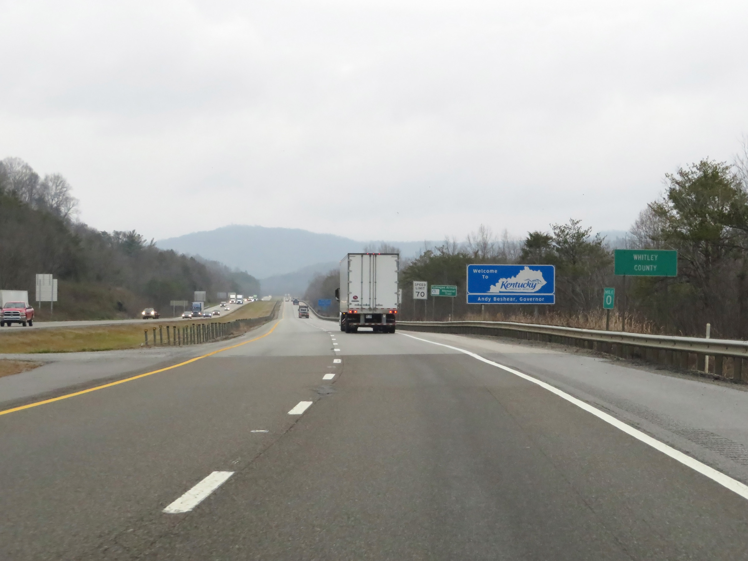 |
Interstate 75 North as it enters Kentucky from Tennessee. It starts out in Whitley County. (Photo taken 12/17/20). |
 |
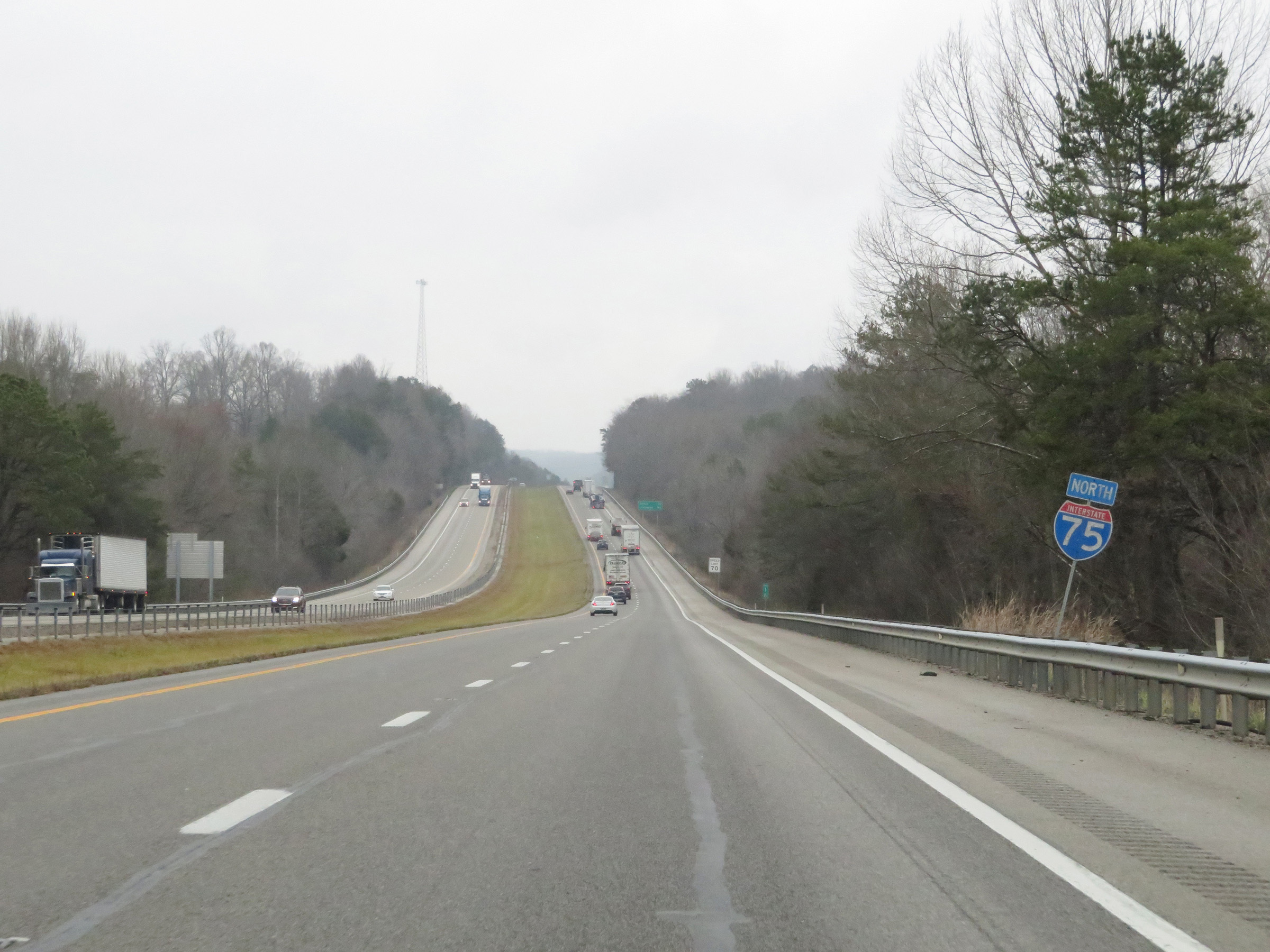
Kentucky welcome sign on Interstate 75 North. (Photo taken 12/17/20). |
 |
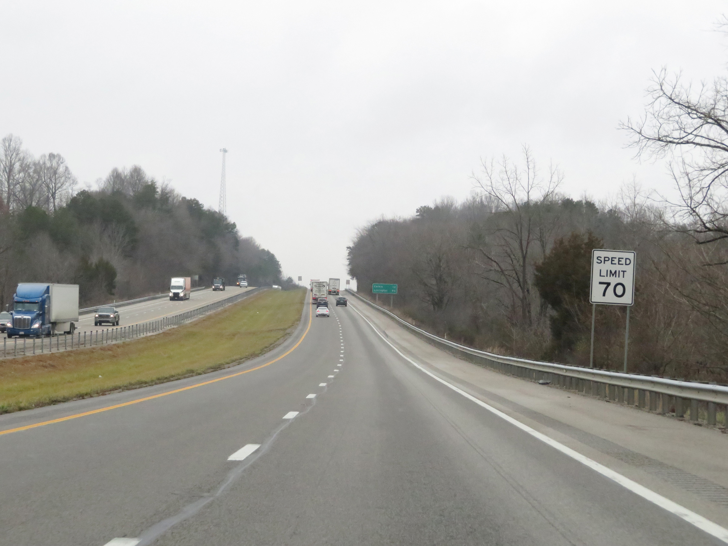
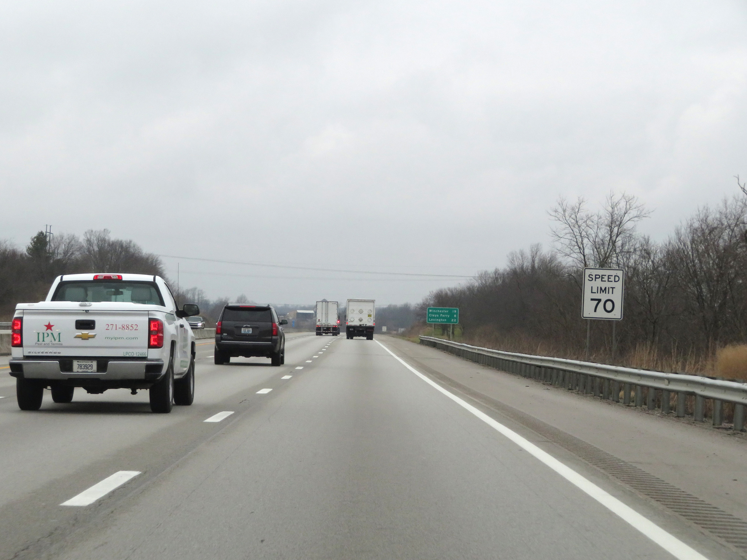
The speed limit on Interstate 75 North in Kentucky starts out at 70 mph. This is the standard speed limit on most rural Interstate highways in Kentucky. (Photo taken 12/17/20). |
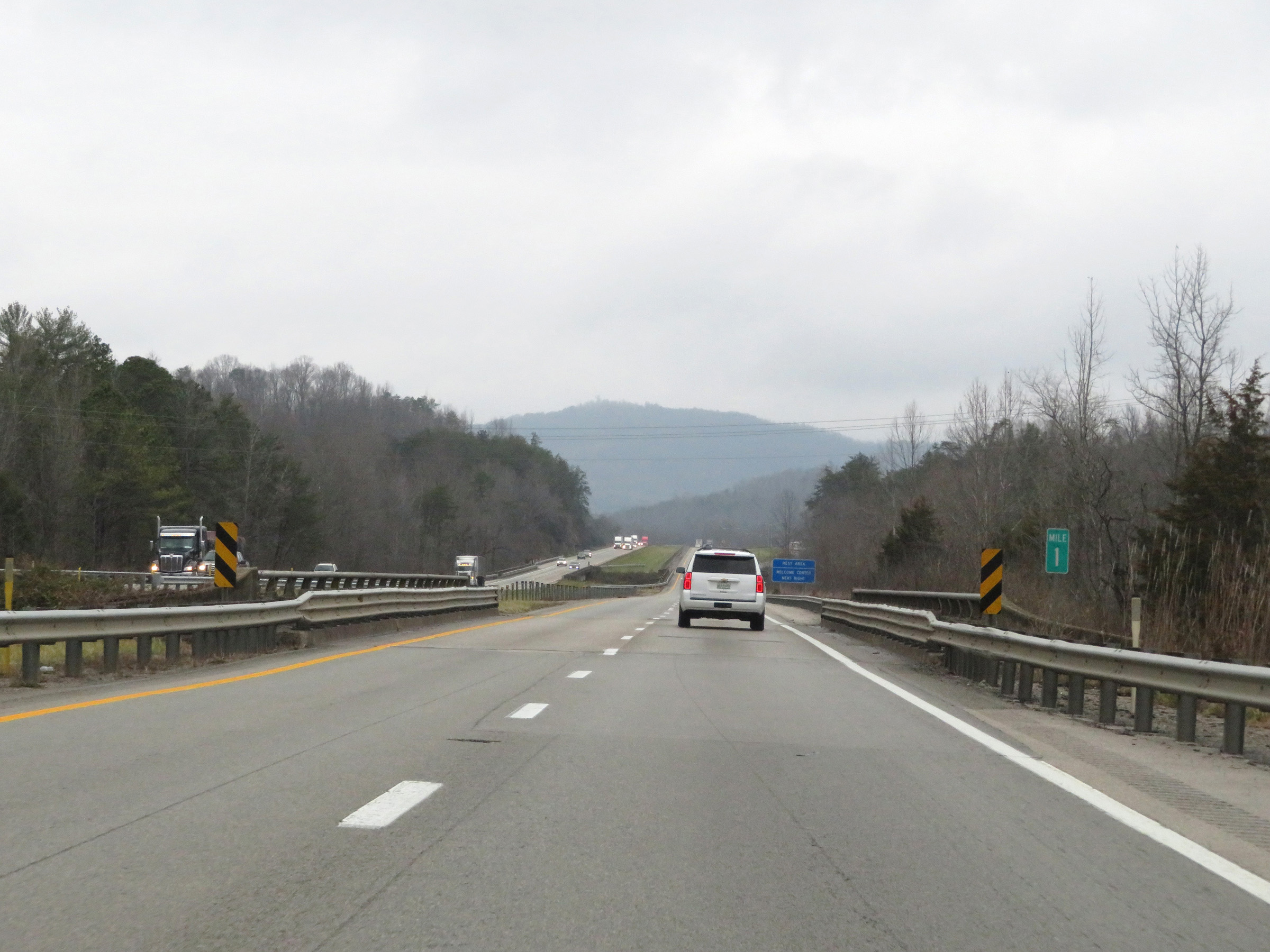 |
Interstate 75 North at mile marker 1. (Photo taken 12/17/20). |
 |
Rest Area / Kentucky Welcome Center on Interstate 75 North in Whitley County. (Photo taken 12/17/20). |
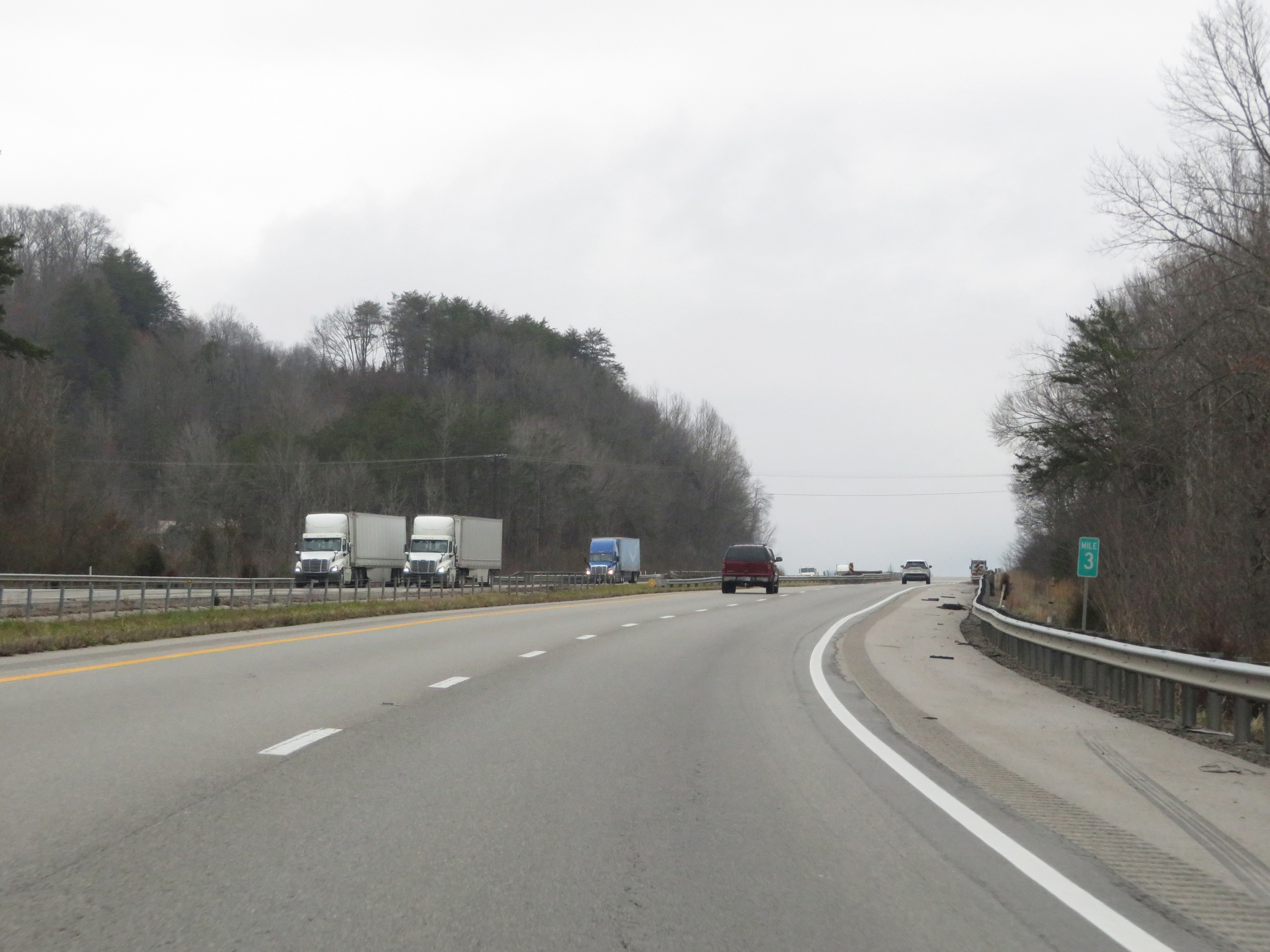 |
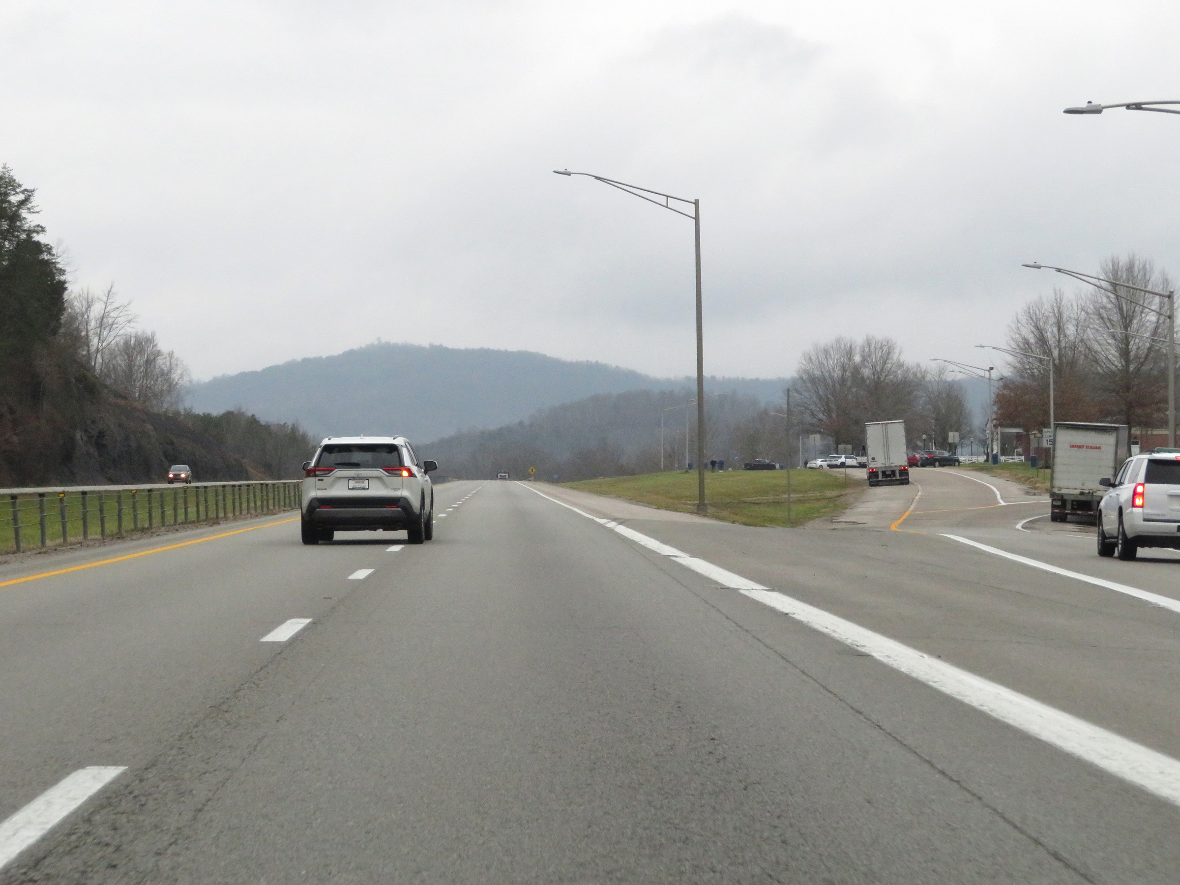
View on Interstate 75 North at mile marker 3. (Photo taken 12/17/20). |
 |
Interstate 75 North at mile marker 4. (Photo taken 12/17/20). |
 |
Mile marker 6 on Interstate 75 North in Whitley County. (Photo taken 12/17/20). |
 |
View on Interstate 75 North at mile marker 7. (Photo taken 12/17/20). |
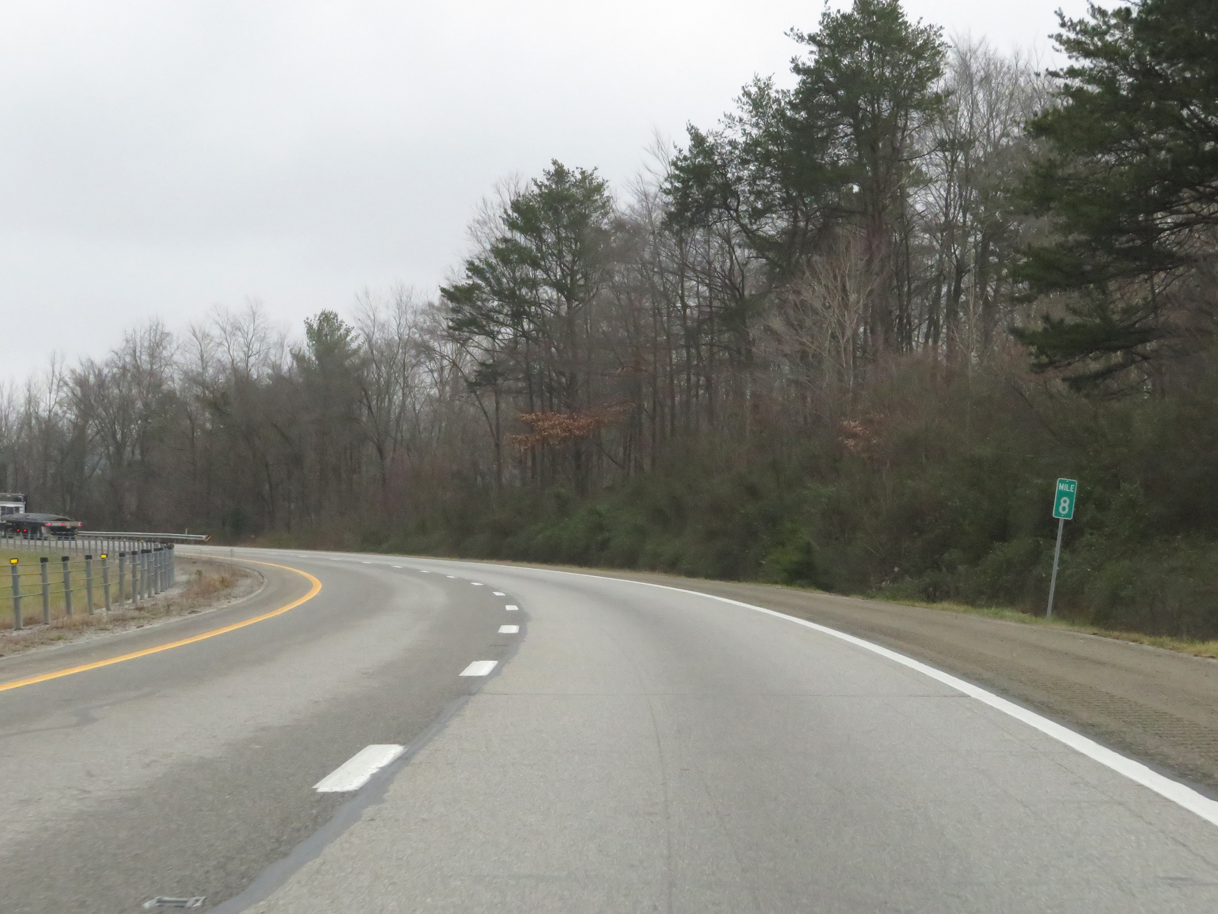 |
Interstate 75 North at mile marker 8. (Photo taken 12/17/20). |
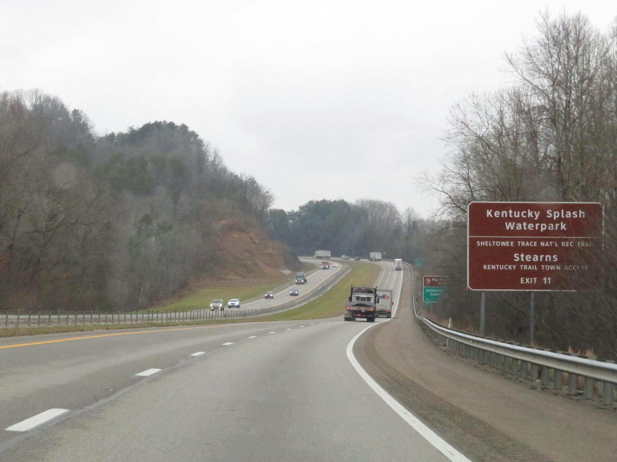 |
Take Exit 11 to Kentucky Splash Waterpark, Sheltowee Trace National Recreational Trail, and Kentucky Trail Town Access in Stearns. (Photo taken 12/17/20). |
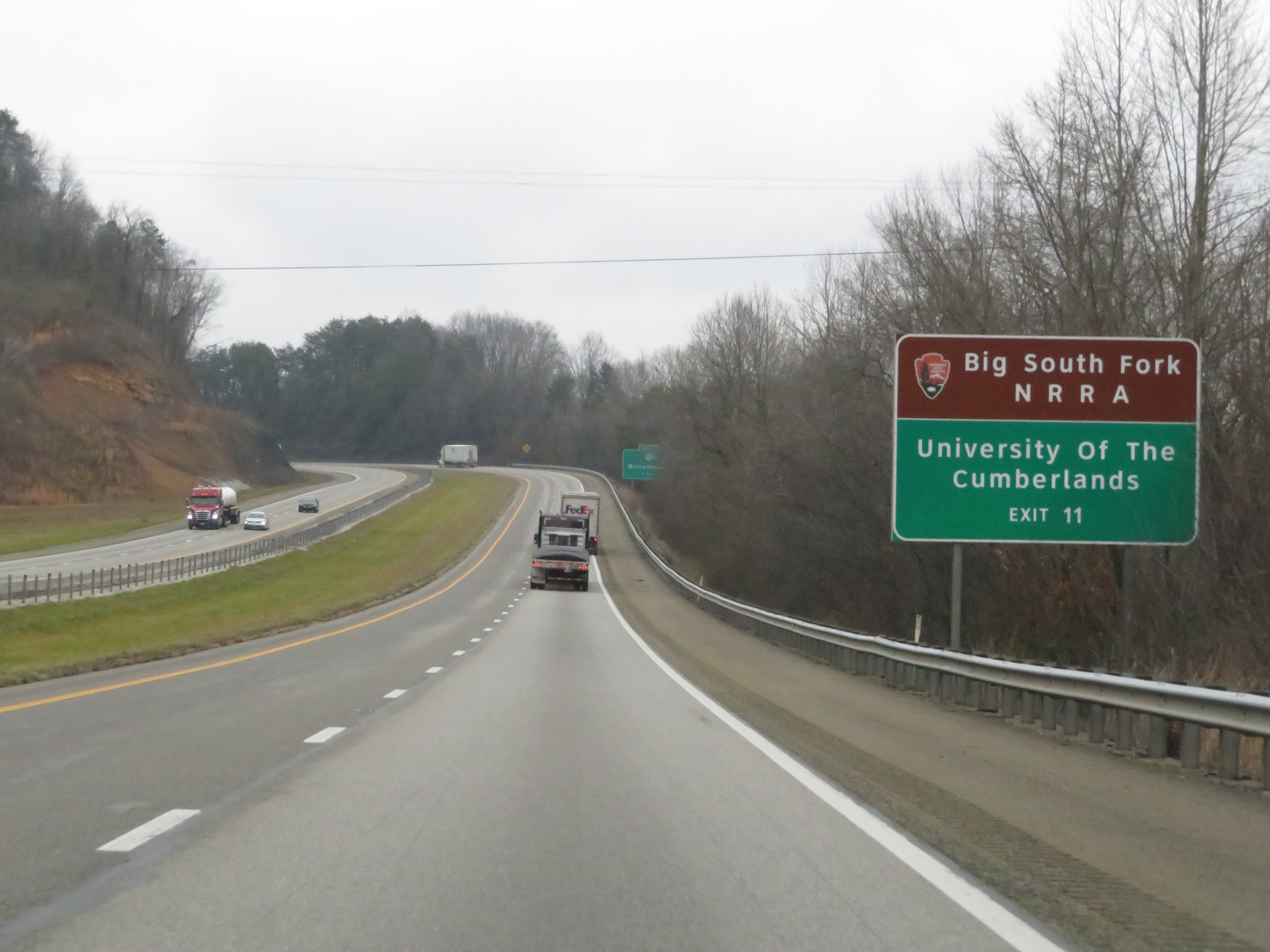 |
Also take Exit 11 to Big South Fork NRRA and the University of The Cumberlands. (Photo taken 12/17/20). |
 |
Interstate 75 North approaching Exit 11 - 1 mile. (Photo taken 12/17/20). |
 |
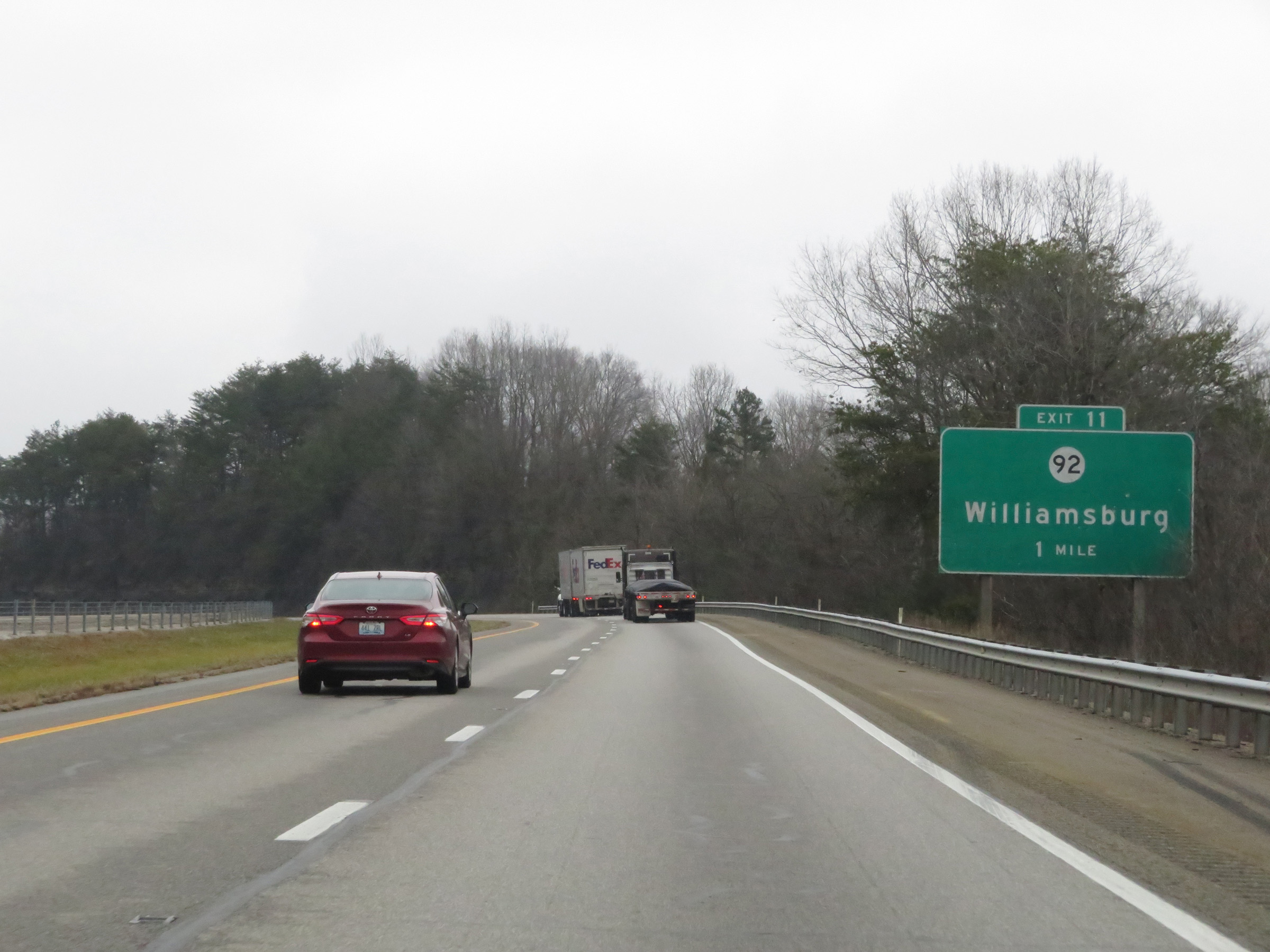
Interstate 75 North at Exit 11: KY 92 - Williamsburg (Photo taken 12/17/20). |
 |
Mileage sign on Interstate 75 North. It's 80 miles to Richmond and 101 miles to Lexington. (Photo taken 12/17/20). |
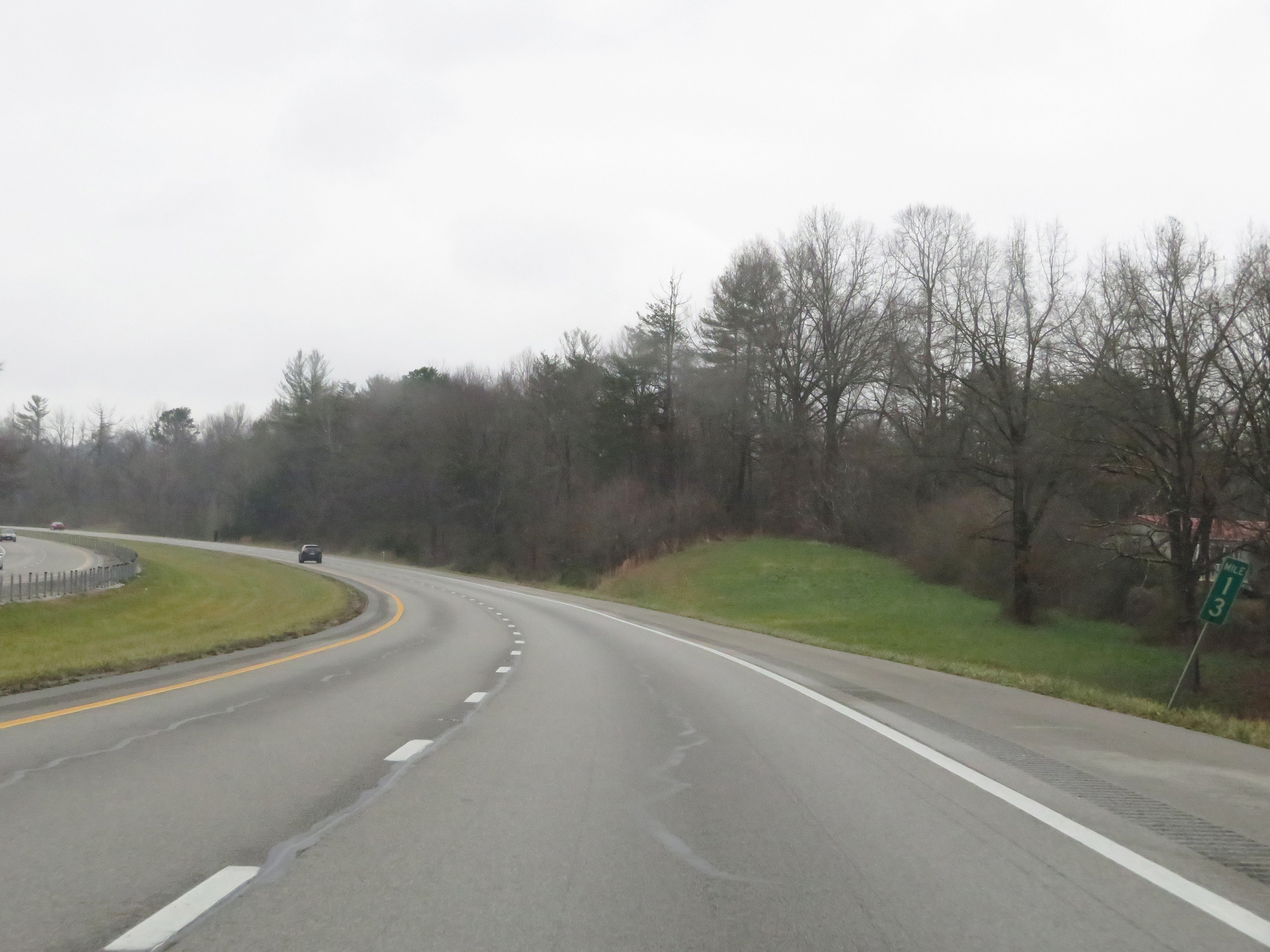 |
View on Interstate 75 North at mile marker 13. (Photo taken 12/17/20). |
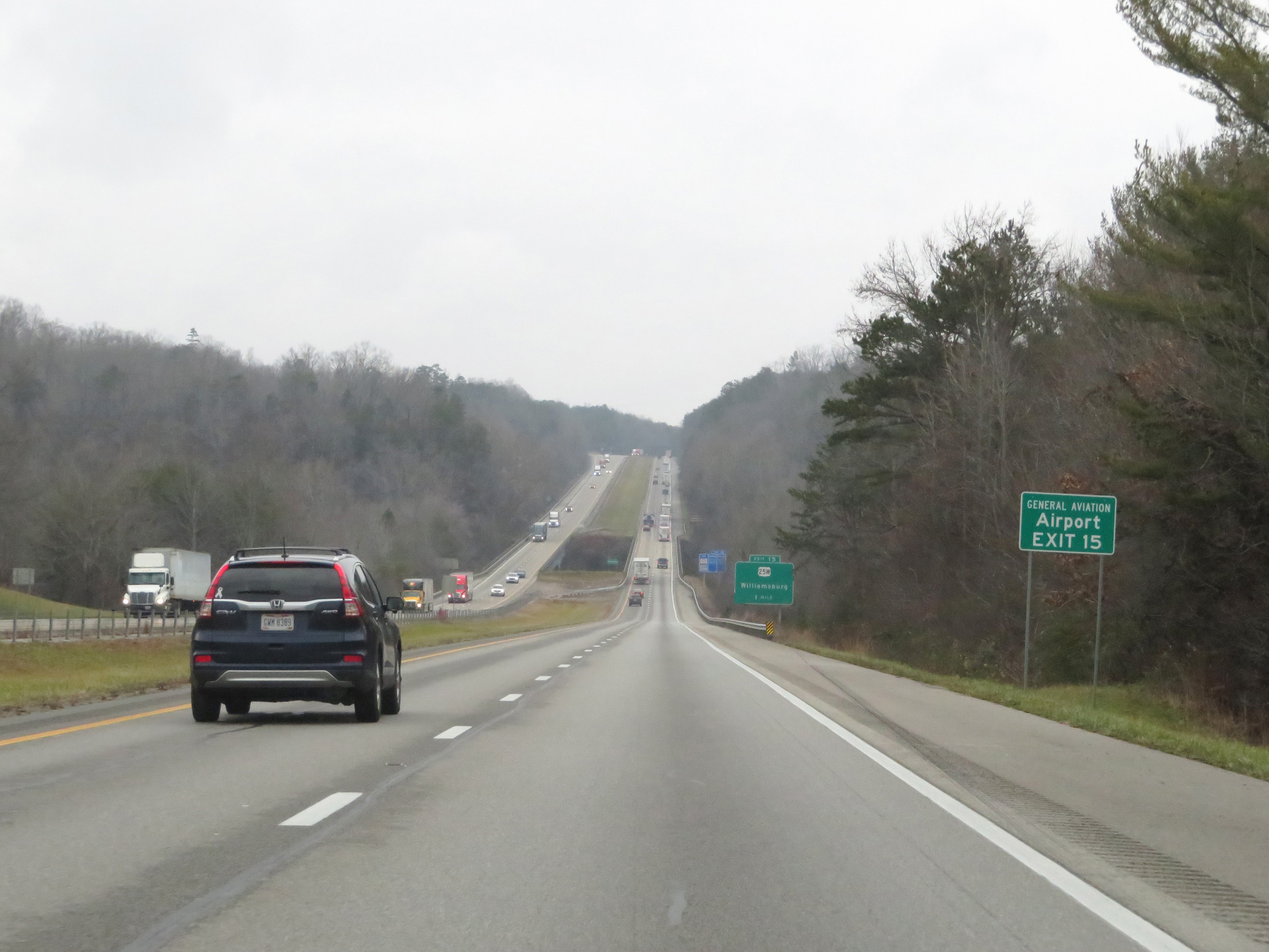 |
Take Exit 15 to the General Aviation Airport. (Photo taken 12/17/20). |
 |
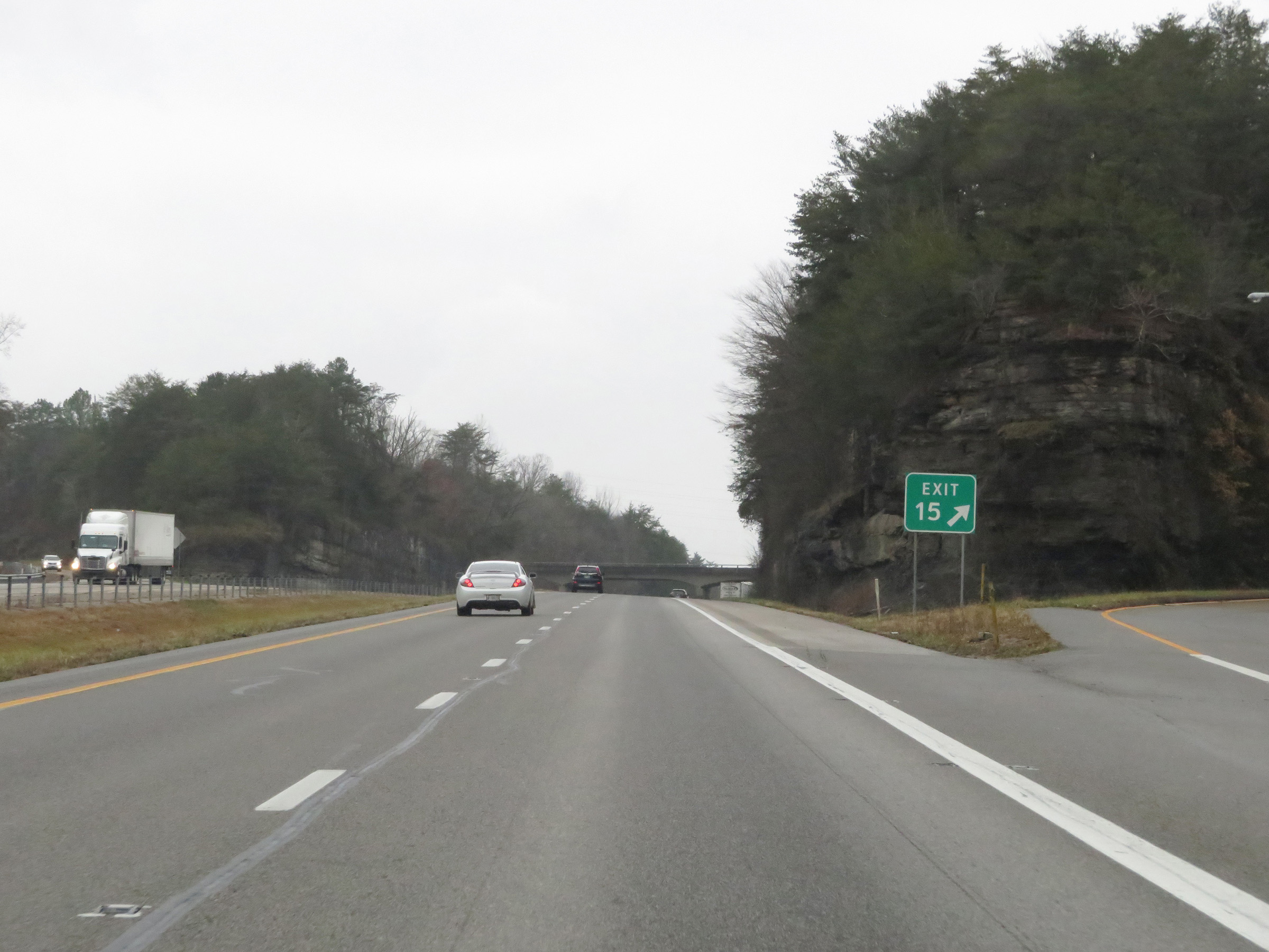
Interstate 75 North approaching Exit 15 - 1 mile. (Photo taken 12/17/20). |
 |
Interstate 75 North as it crosses the Cumberland River in Williamsburg. (Photo taken 12/17/20). |
 |
Also take Exit 15 to Cumberland Falls State Resort Park. (Photo taken 12/17/20). |
 |
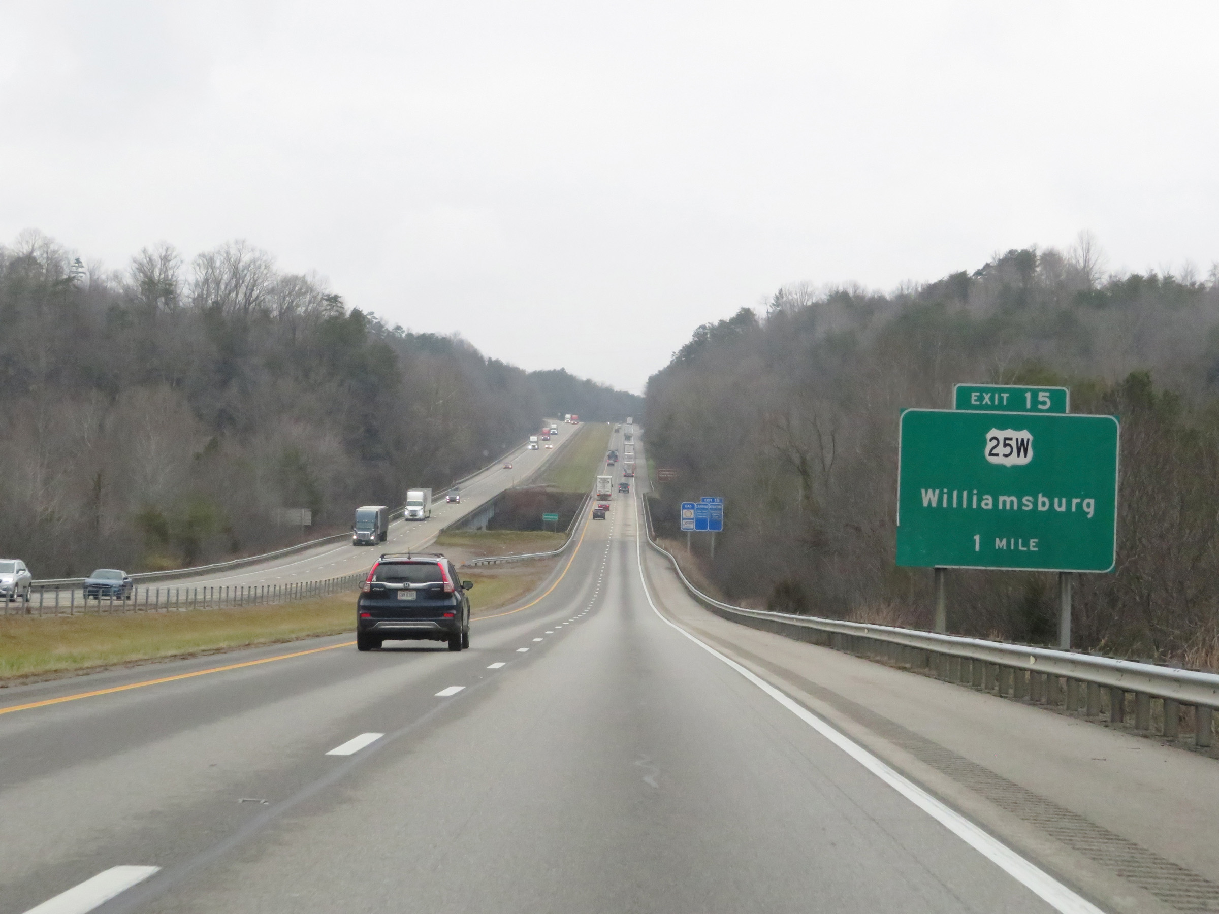
Interstate 75 North at Exit 15: US 25W - Williamsburg (Photo taken 12/17/20). |
 |
Interstate 75 North reassurance shield. (Photo taken 12/17/20). |
 |
The speed limit remains 70 mph. (Photo taken 12/17/20). |
 |
View on Interstate 75 North at mile marker 17. (Photo taken 12/17/20). |
 |
Interstate 75 North at mile marker 19. (Photo taken 12/17/20). |
 |
Mile marker 21 on Interstate 75 North in Whitley County. (Photo taken 12/17/20). |
 |
Interstate 75 North at mile marker 22. (Photo taken 12/17/20). |
 |
Take Exit 25 to Eastern Kentucky University Corbin Campus and Union College. (Photo taken 12/17/20). |
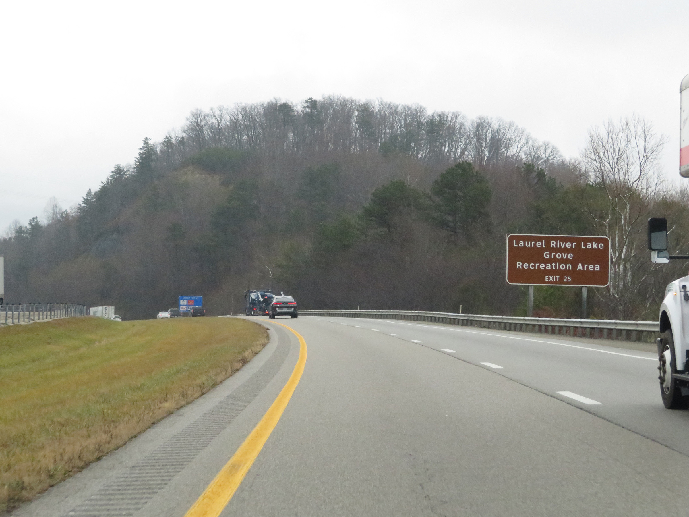 |
Also take Exit 25 to Laurel River Lake Grove Recreation Area. (Photo taken 12/17/20). |
 |
View on Interstate 75 North at mile marker 24. (Photo taken 12/17/20). |
 |
Interstate 75 North at Exit 25: US 25W - Corbin (Photo taken 12/17/20). |
 |
Take Exit 29 to Cumberland Gap National Park and Pine Mountain State Resort Park. (Photo taken 12/17/20). |
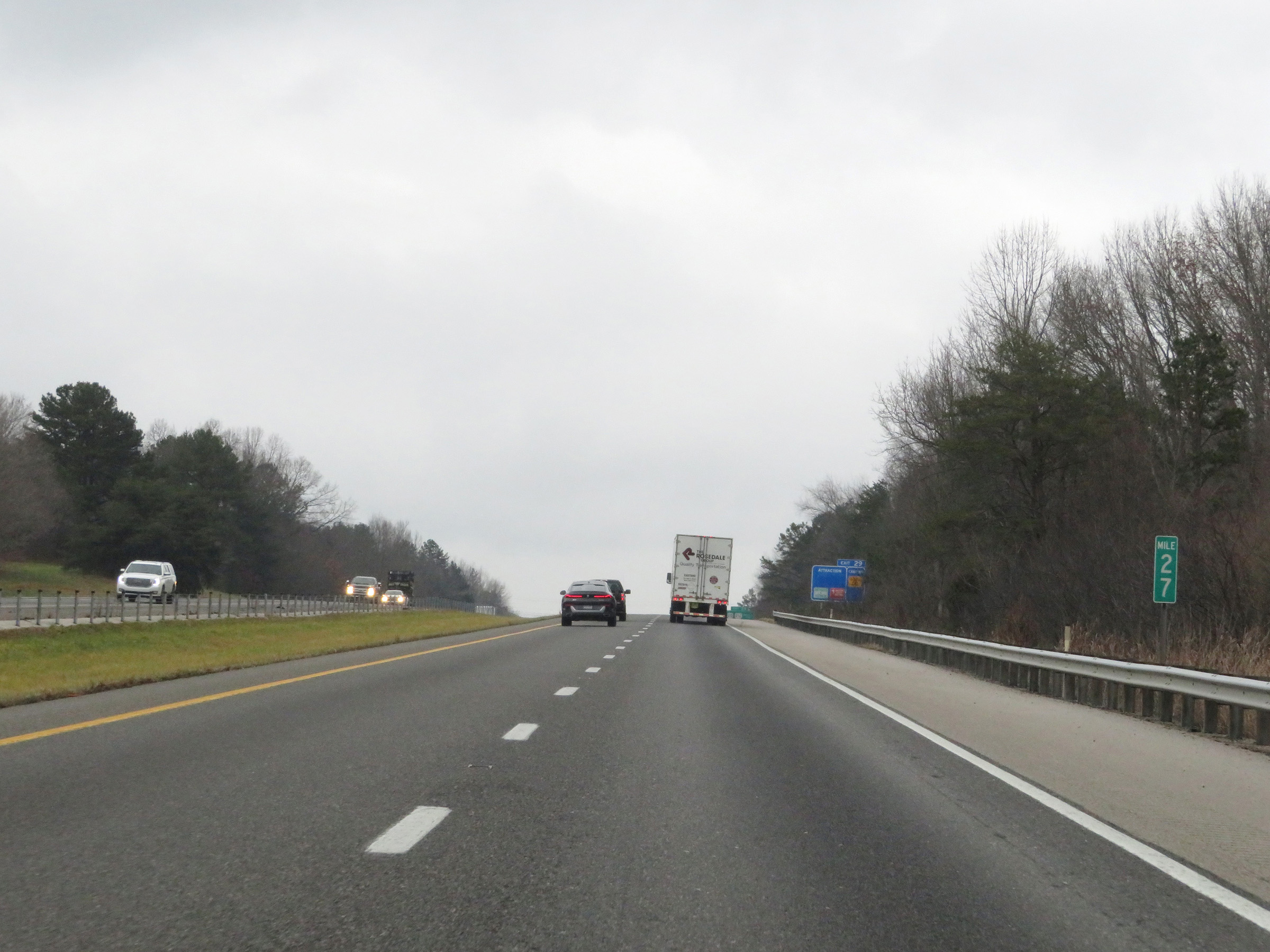 |
Interstate 75 North at mile marker 27. (Photo taken 12/17/20). |
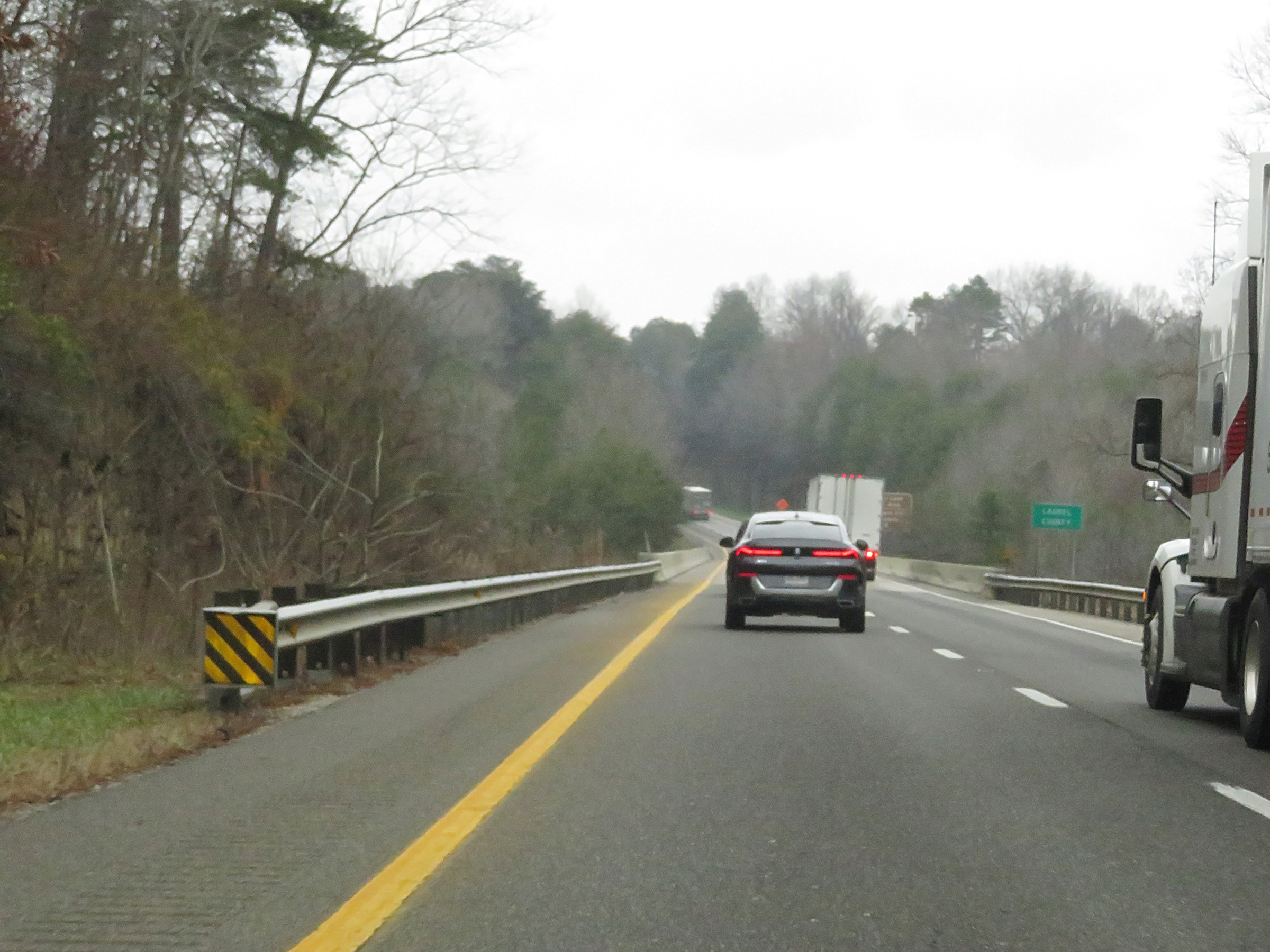 |
Interstate 75 North as it enters Laurel County. (Photo taken 12/17/20). |
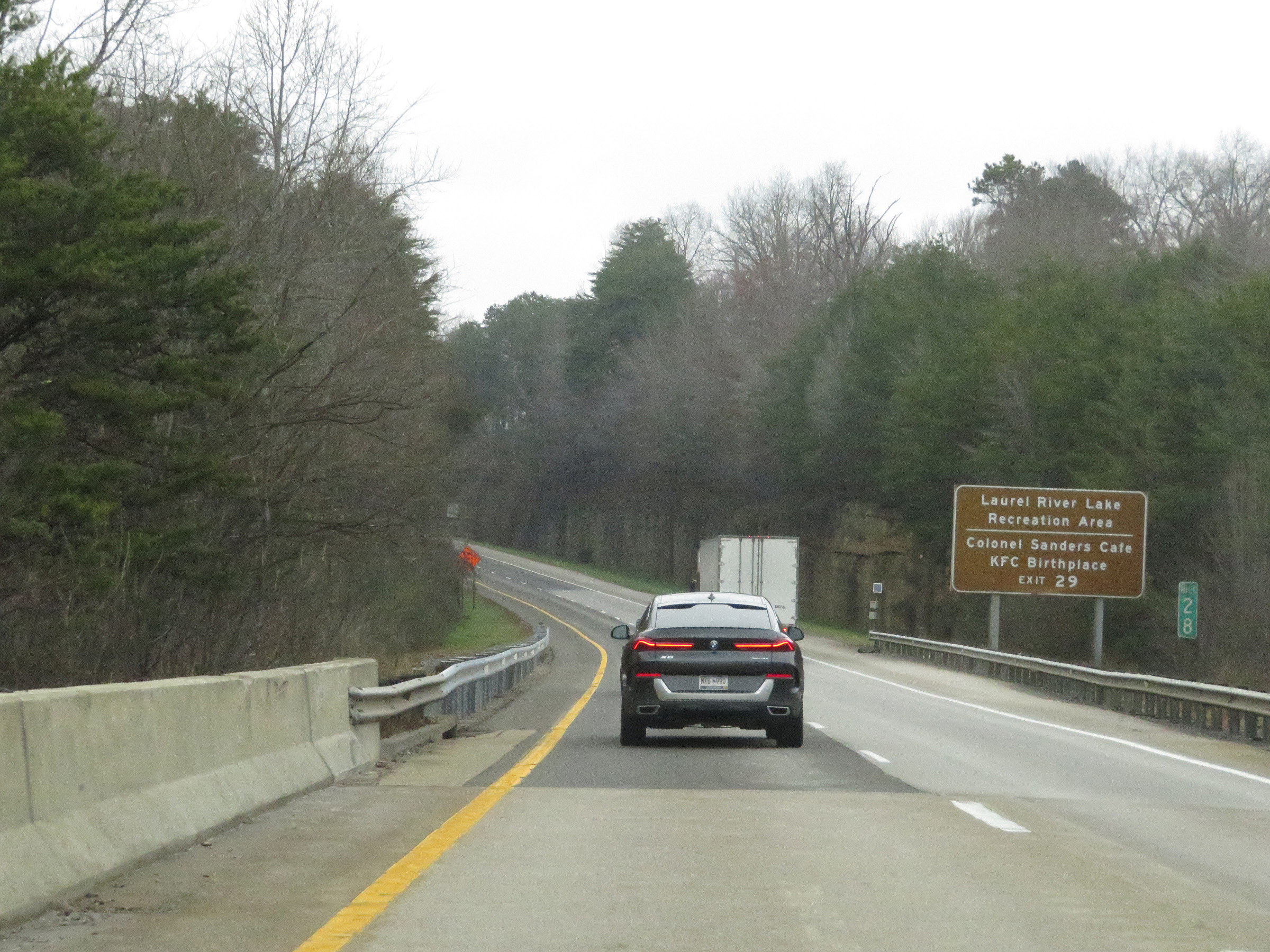 |
Also take Exit 29 to Laurel River Lake Recreation Area and the Colonel Sanders Cafe KFC Birthplace. (Photo taken 12/17/20). |
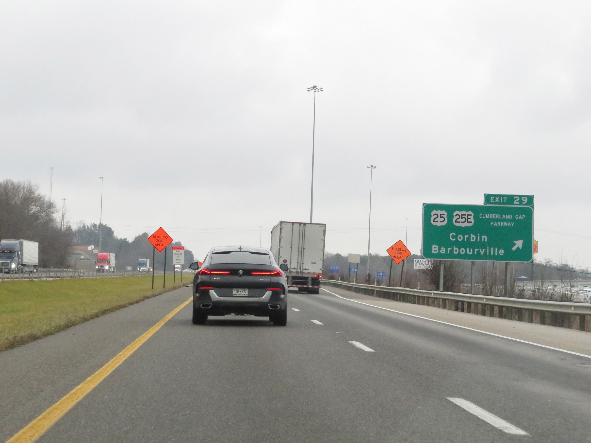 |
Interstate 75 North at Exit 29: US 25 / US 25E (Cumberland Gap Parkway) - Corbin / Barbourville (Photo taken 12/17/20). |
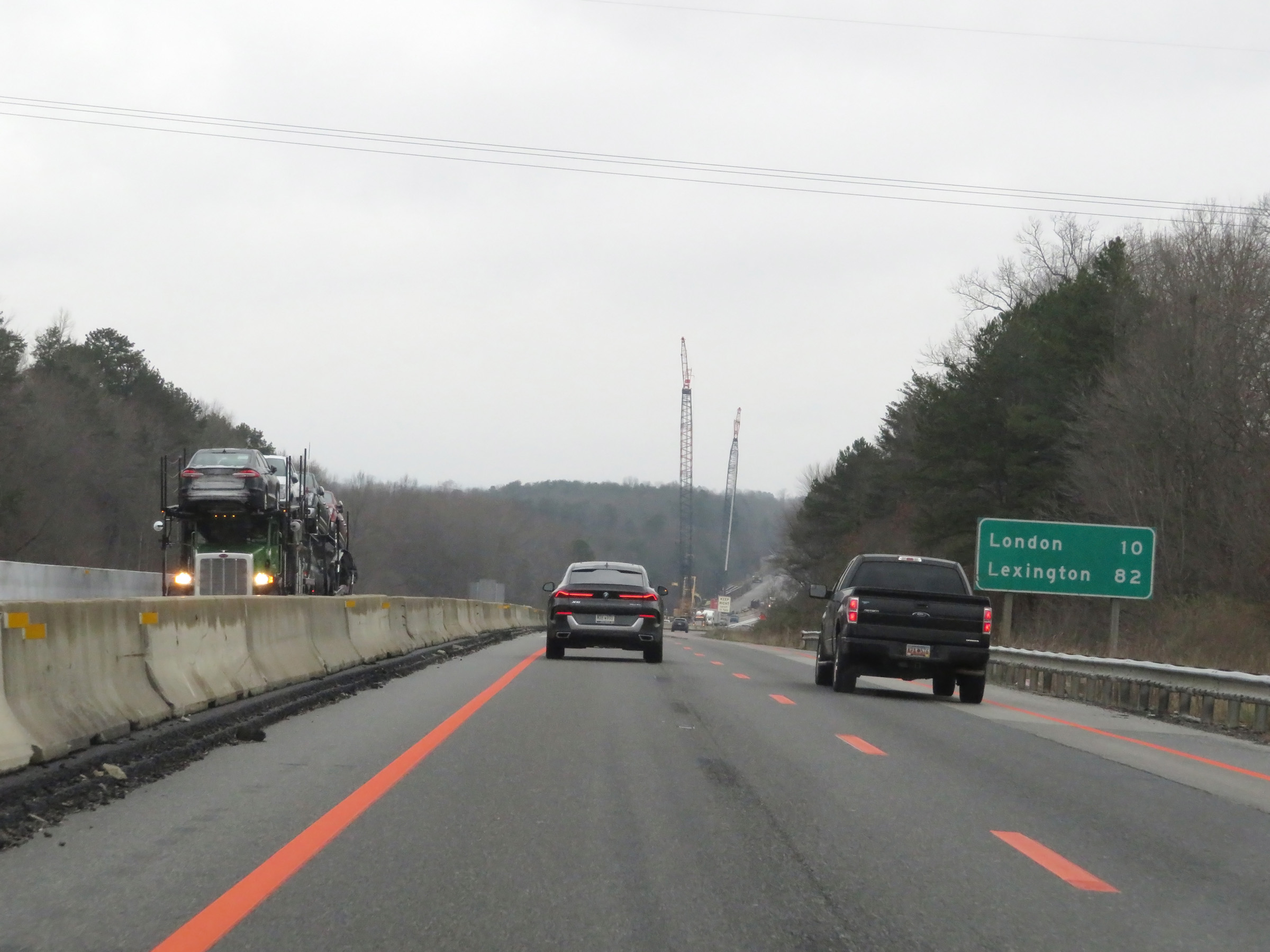 |
Another mileage sign on Interstate 75 North. It's 10 miles to London and 82 miles to Lexington. (Photo taken 12/17/20). |
 |
View on Interstate 75 North at mile marker 32. (Photo taken 12/17/20). |
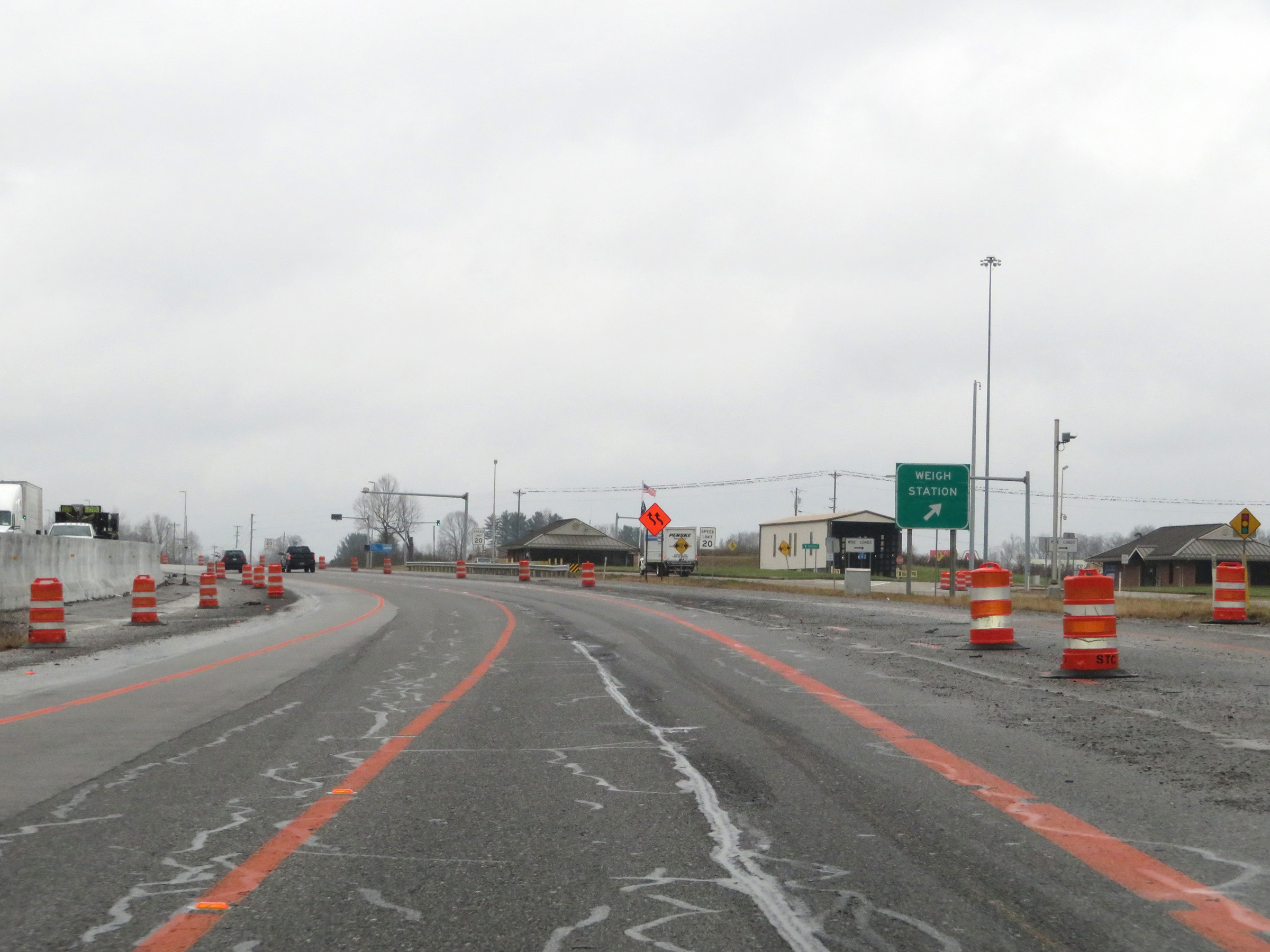 |
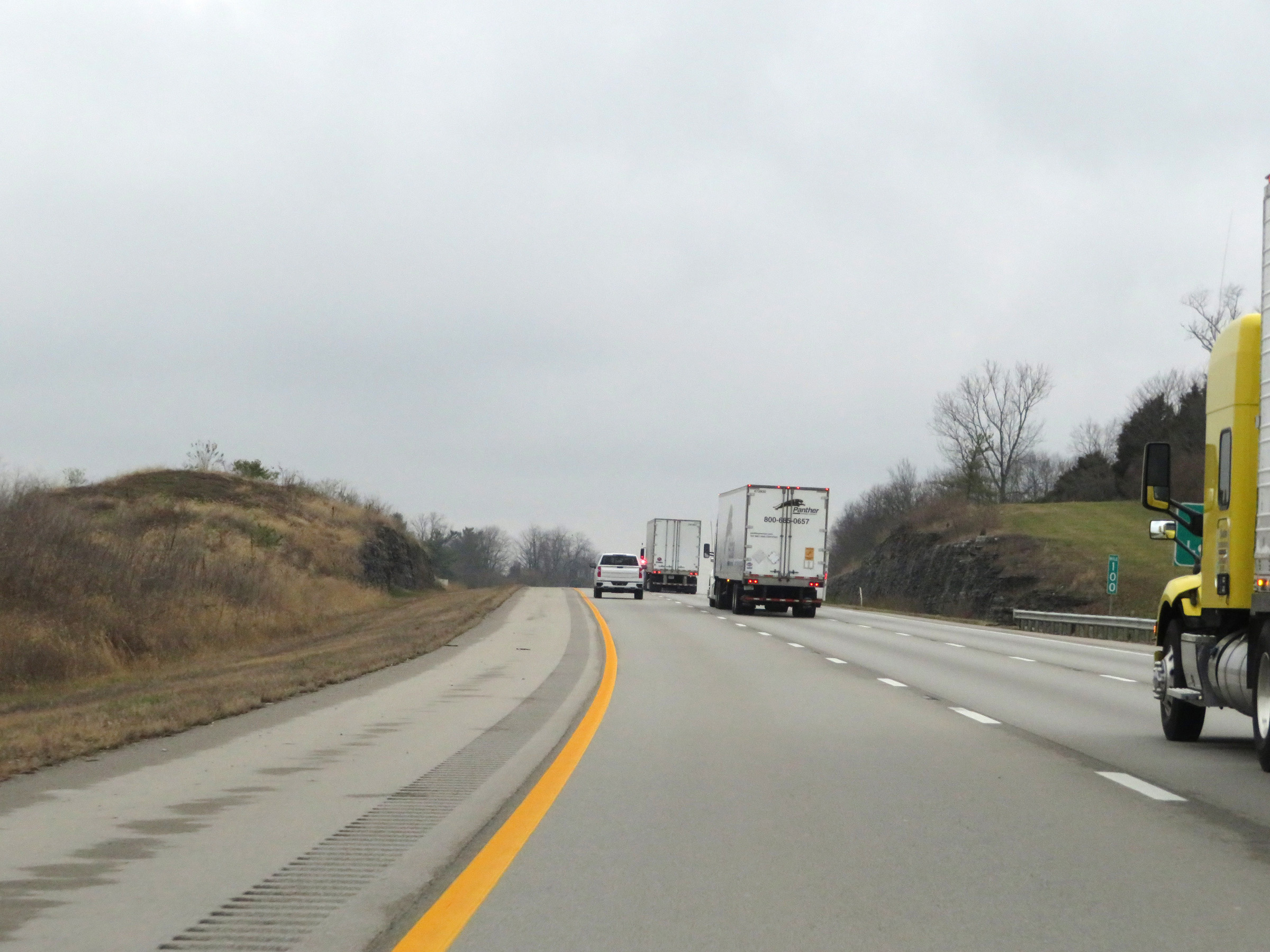
Weigh Station on Interstate 75 North in Laurel County. (Photo taken 12/17/20). |
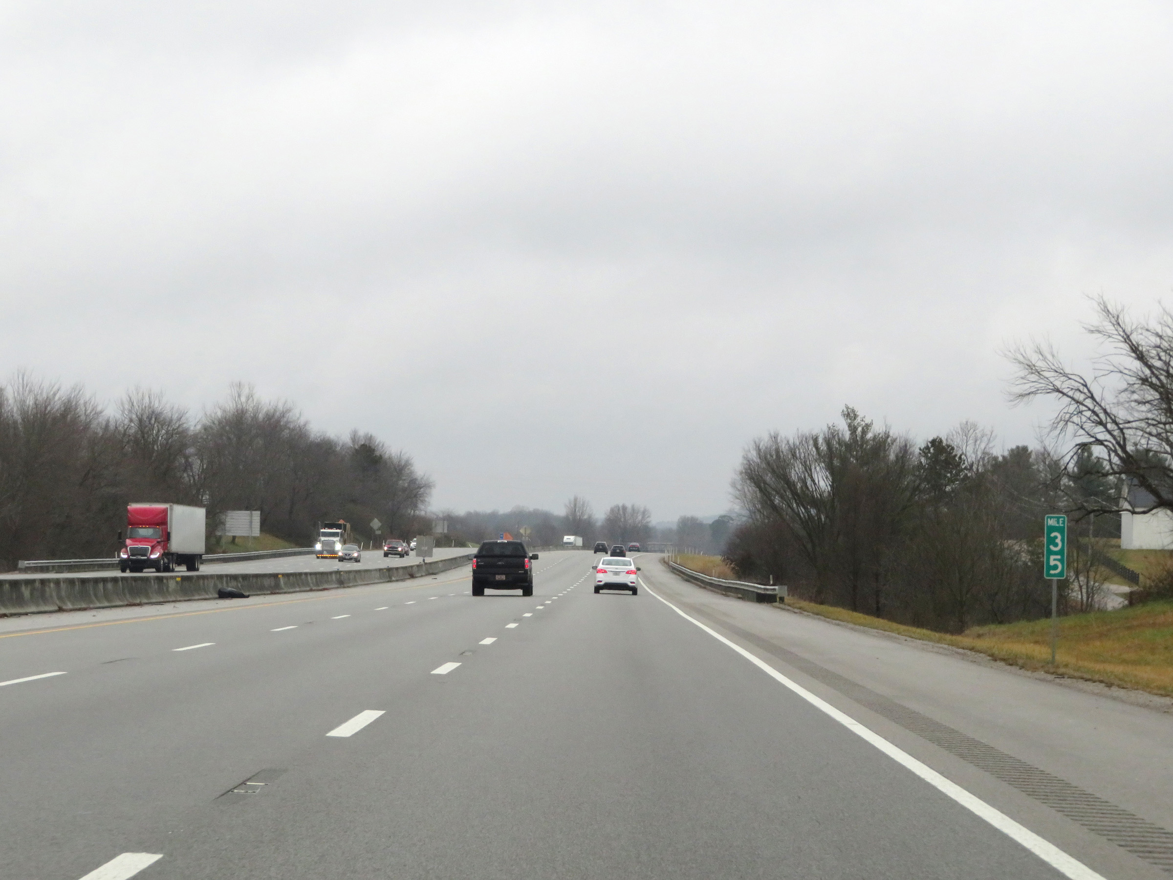 |
Interstate 75 North at mile marker 35. (Photo taken 12/17/20). |
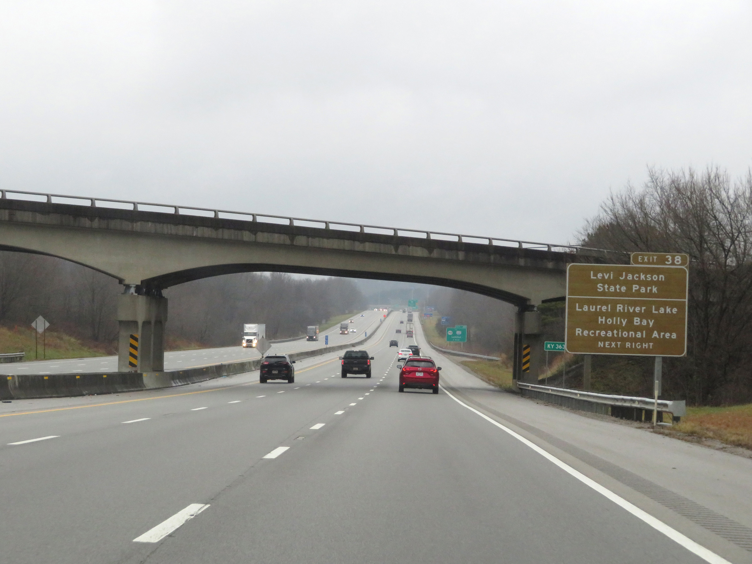 |
Take Exit 38 to Levi Jackson State Park and Laurel River Lake Holly Bay Recreational Area. (Photo taken 12/17/20). |
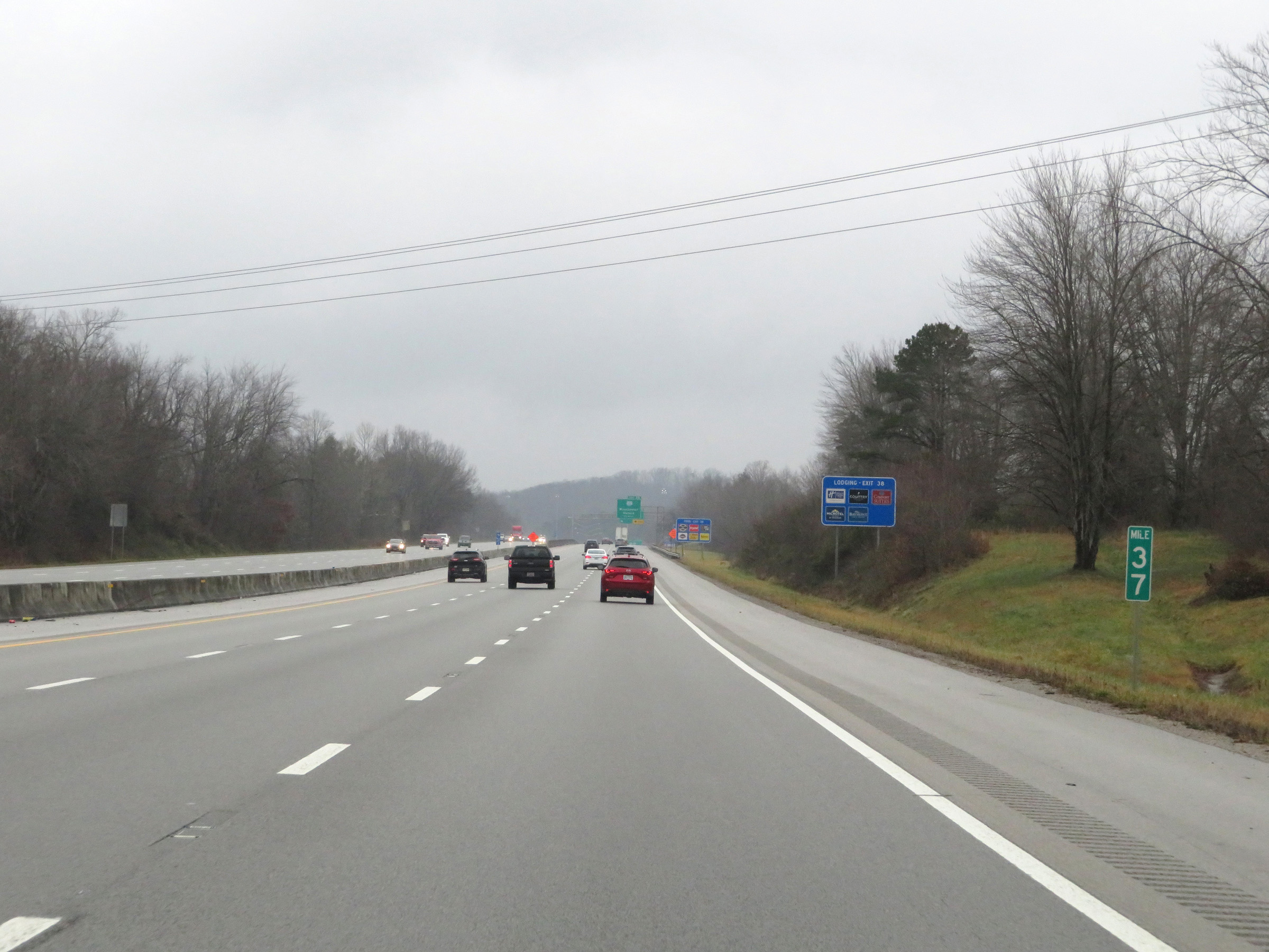 |
View on Interstate 75 North at mile marker 37. (Photo taken 12/17/20). |
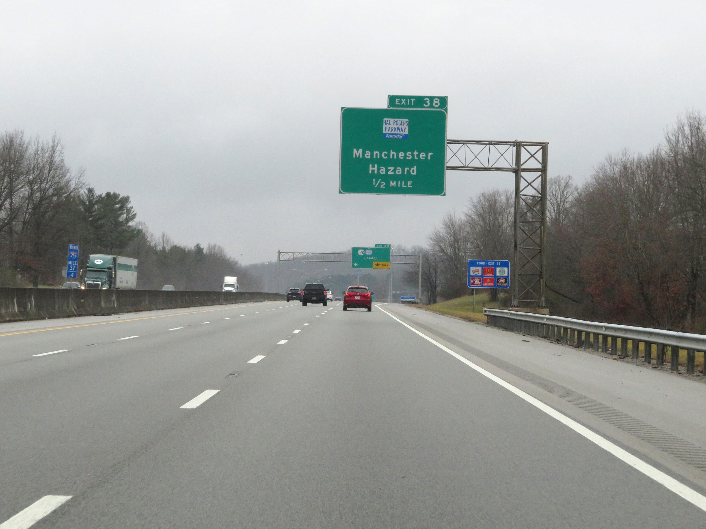 |
Also take Exit 38 to the Hal Rogers Parkway toward Manchester and Hazard. (Photo taken 12/17/20). |
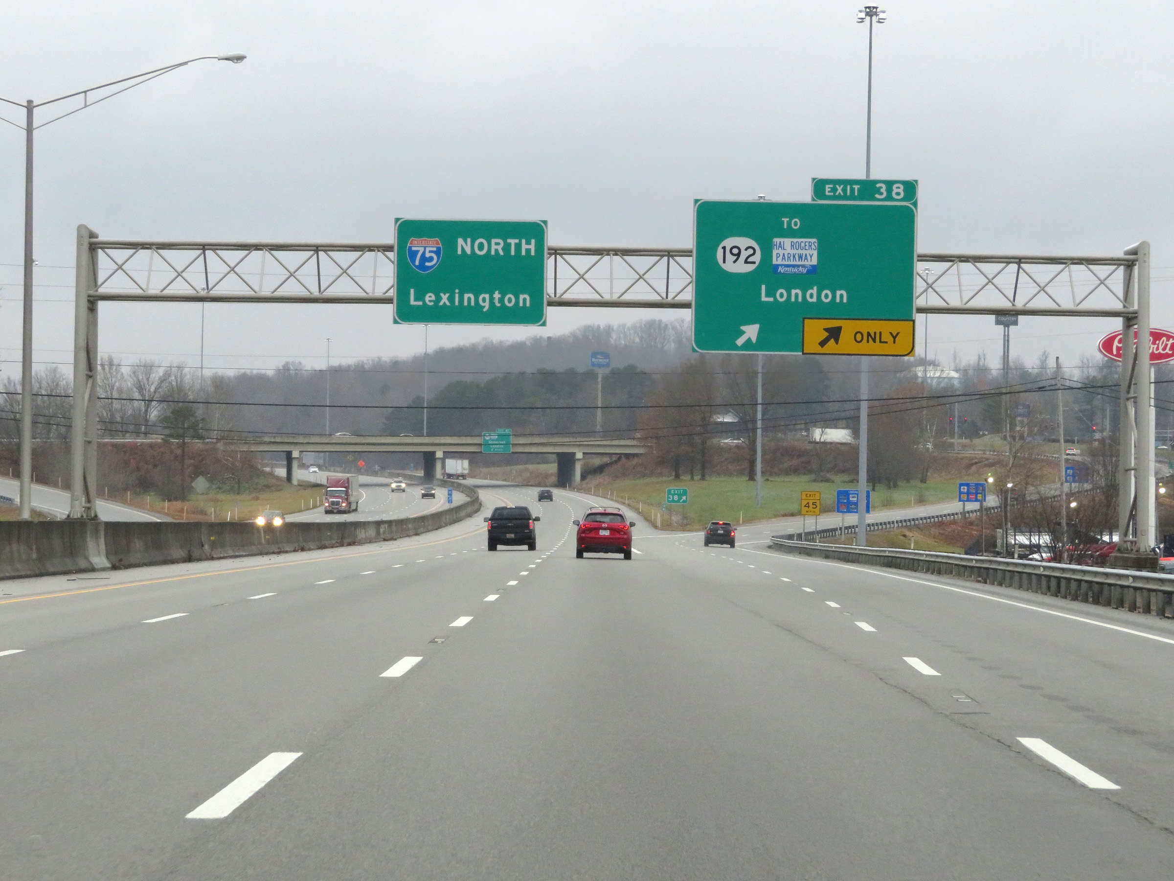 |
Interstate 75 North at Exit 38: KY 192 / To Hal Rogers Pkwy - London (Photo taken 12/17/20). |
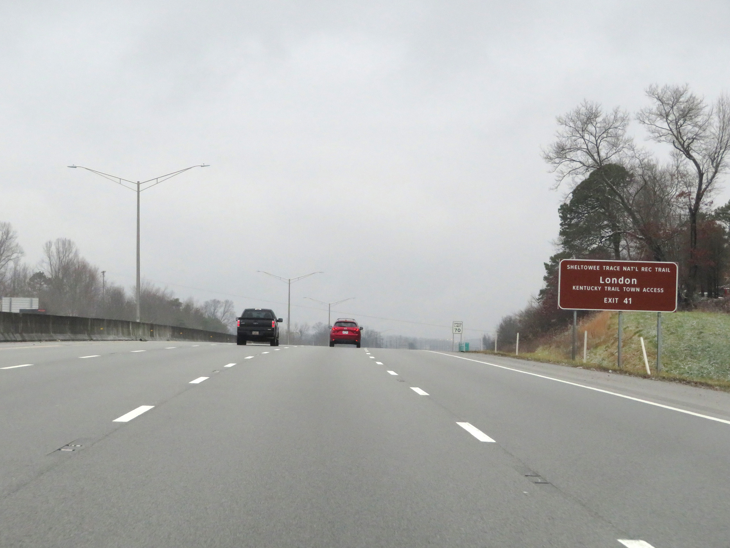 |
Take Exit 41 to Kentucky Trail Town Access in London. (Photo taken 12/17/20). |
 |
Also take Exit 41 to SomerSplash Recreational Complex. (Photo taken 12/17/20). |
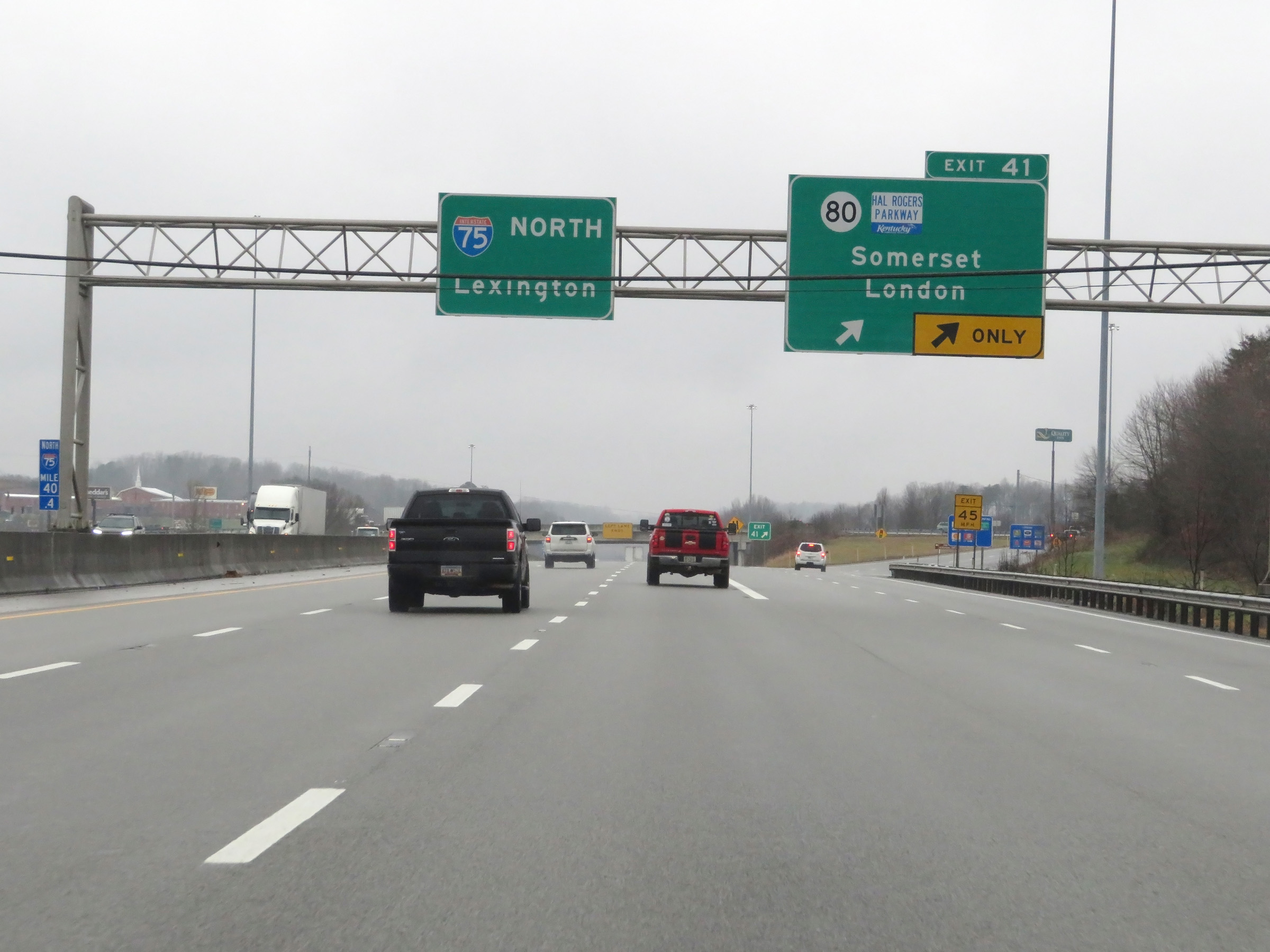 |
Interstate 75 North at Exit 41: KY 80 / Hal Rogers Pkwy - Somerset / London (Photo taken 12/17/20). |
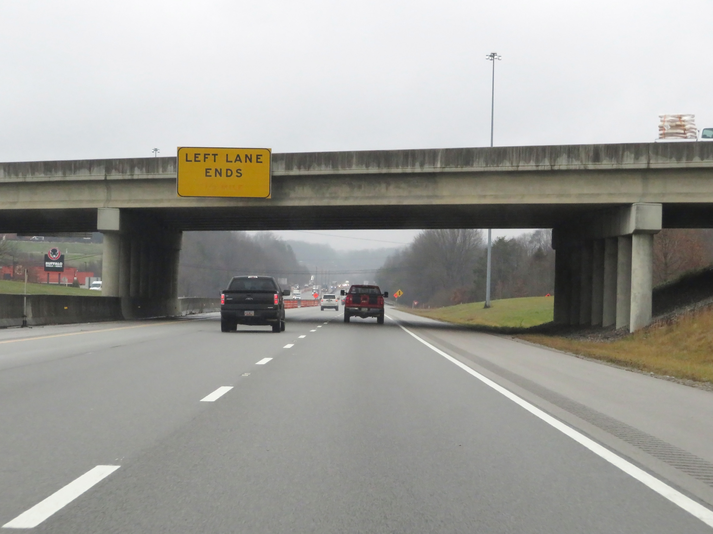 |
As Interstate 75 North leaves the London area to the north of Exit 41, it is briefly reduced to two lanes once again as the left lane comes to an end here. (Photo taken 12/17/20). |
 |
Interstate 75 North at mile marker 42. (Photo taken 12/17/20). |
 |
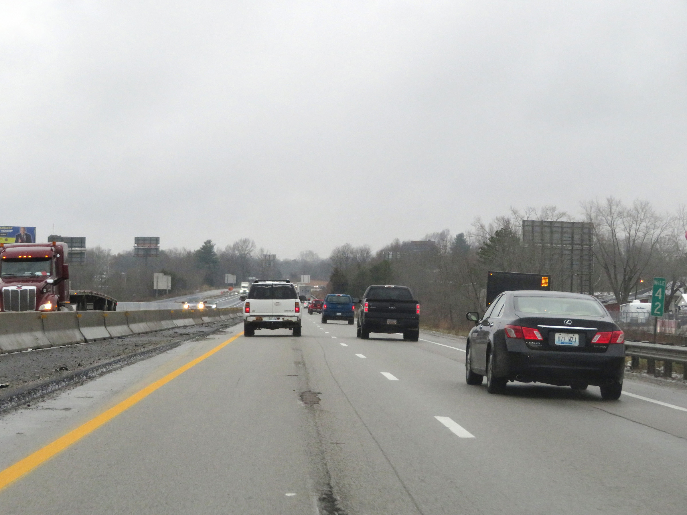
View on Interstate 75 North at mile marker 43. (Photo taken 12/17/20). |
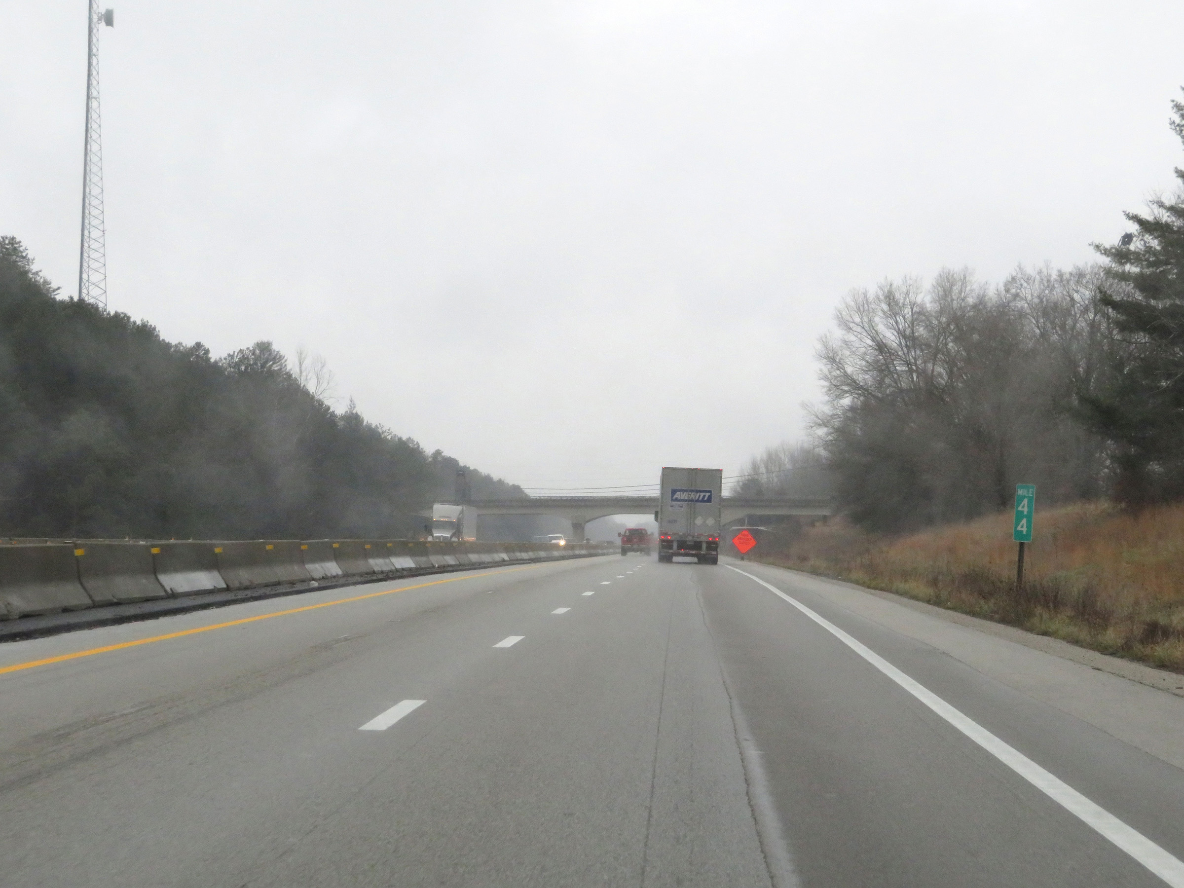 |
Mile marker 44 on Interstate 75 North in Laurel County. (Photo taken 12/17/20). |
 |
Interstate 75 North at mile marker 46. (Photo taken 12/17/20). |
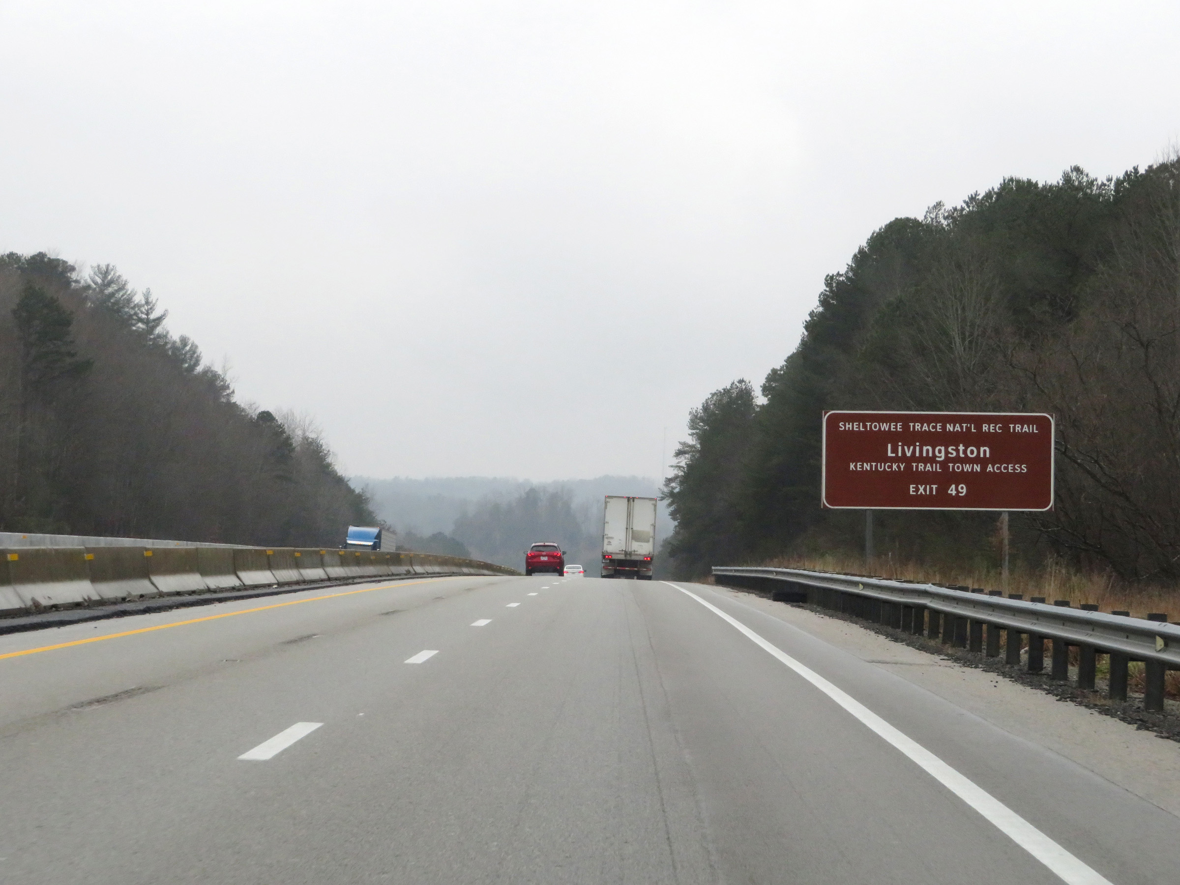 |
Take Exit 49 to Kentucky Trail Town Access in Livingston. (Photo taken 12/17/20). |
 |
View on Interstate 75 North at mile marker 48. (Photo taken 12/17/20). |
 |
Also take Exit 49 to Camp Wildcat Civil War Battlefield. (Photo taken 12/17/20). |
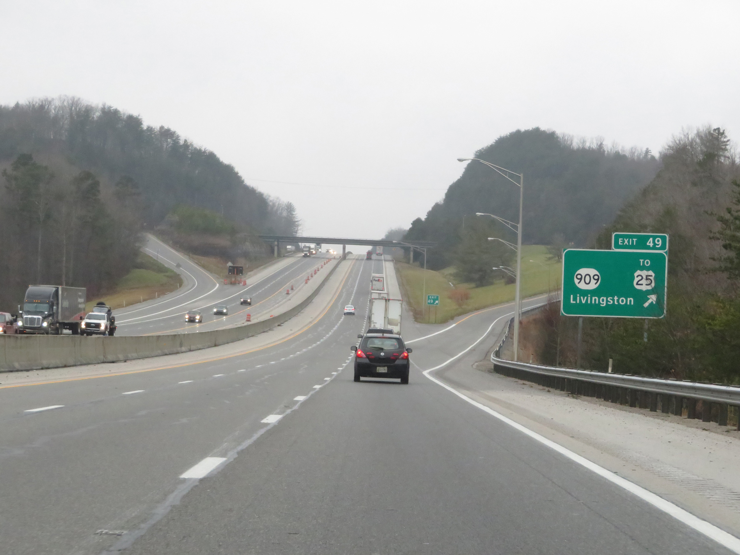 |
Interstate 75 North at Exit 49: KY 909 / To US 25 - Livingston (Photo taken 12/17/20). |
 |
View on Interstate 75 North at mile marker 50.2. (Photo taken 12/17/20). |
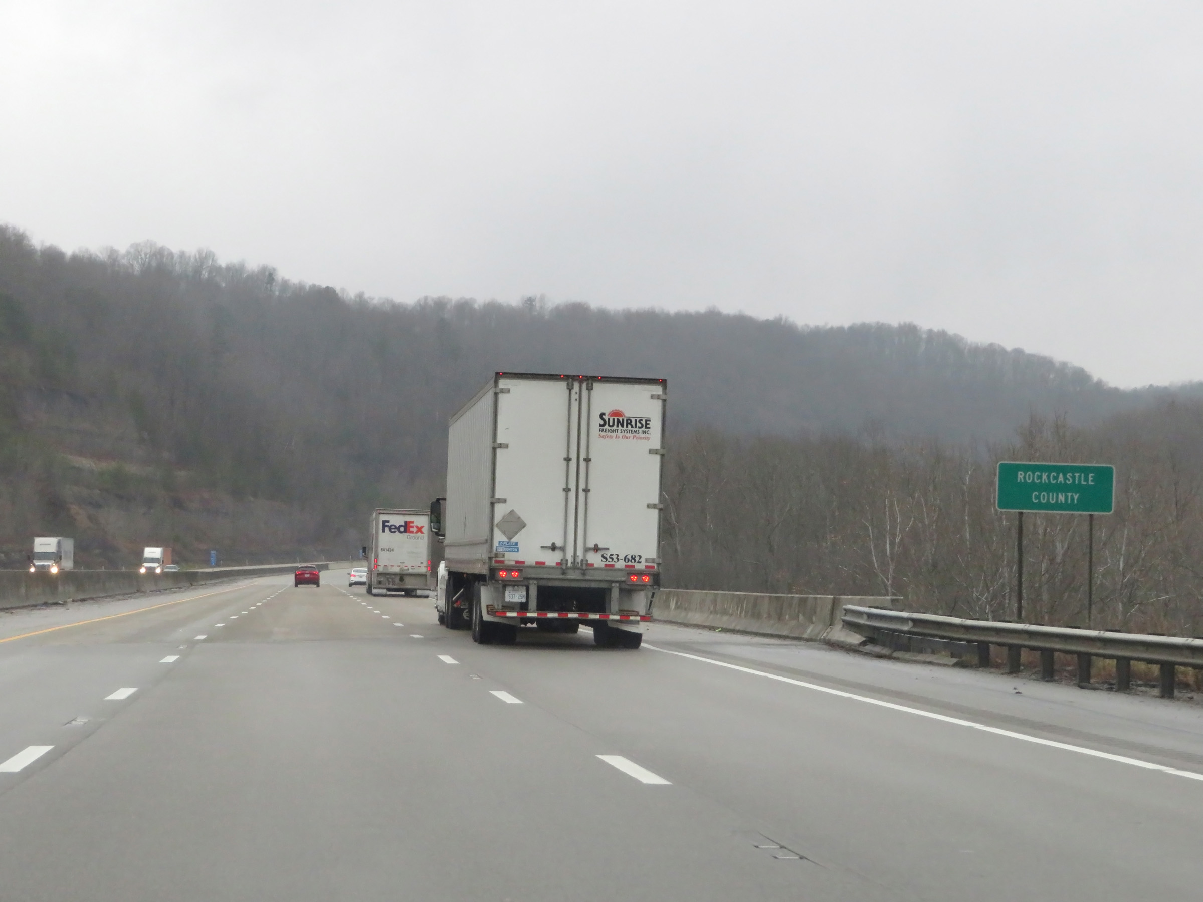 |
Interstate 75 North as it enters Rockcastle County. (Photo taken 12/17/20). |
 |
Interstate 75 North at mile marker 52. (Photo taken 12/17/20). |
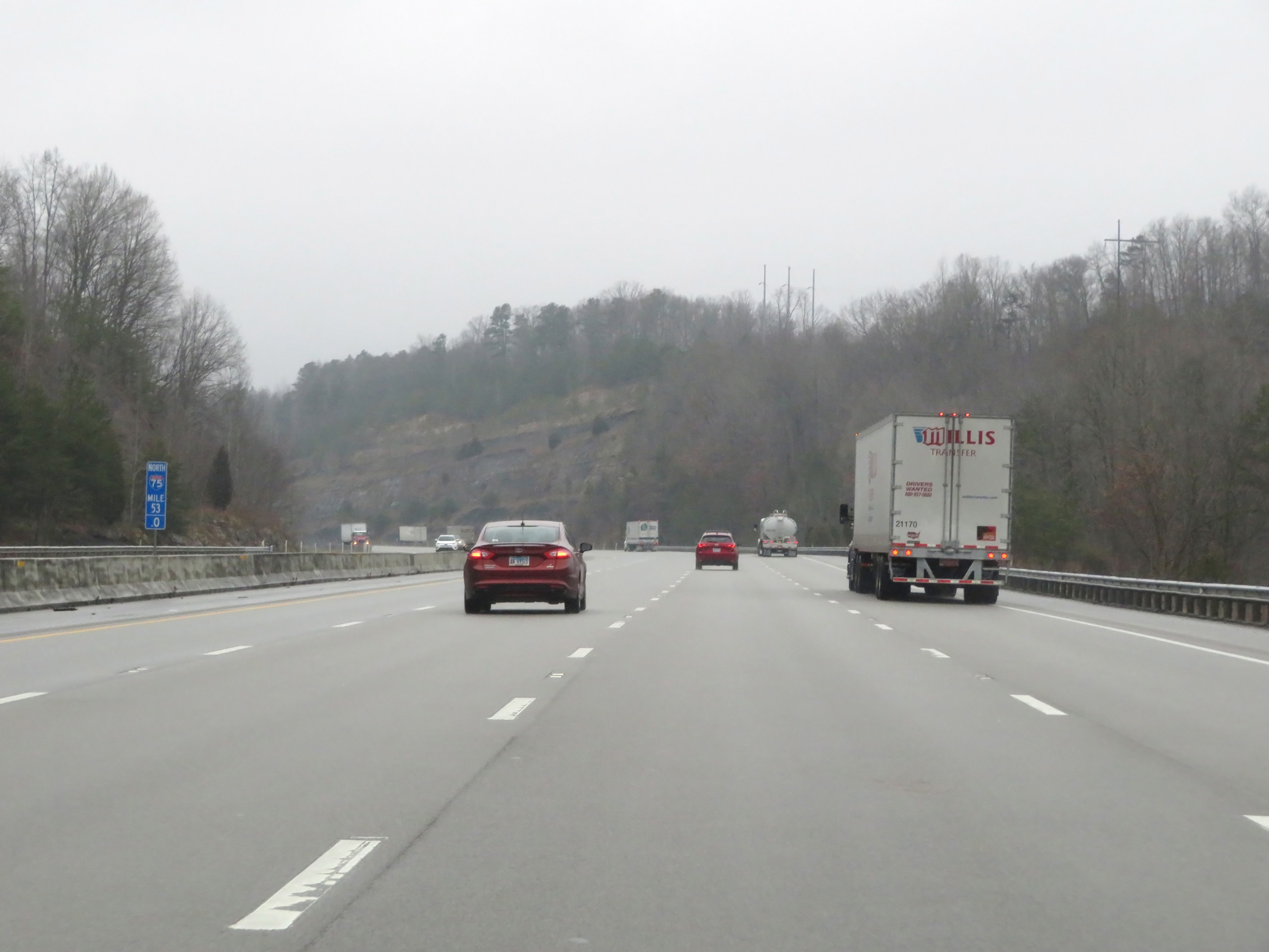 |
At mile marker 53, we see a fourth lane briefly appear as a truck climbing lane. (Photo taken 12/17/20). |
 |
The truck lane comes to an end at mile marker 54.2. (Photo taken 12/17/20). |
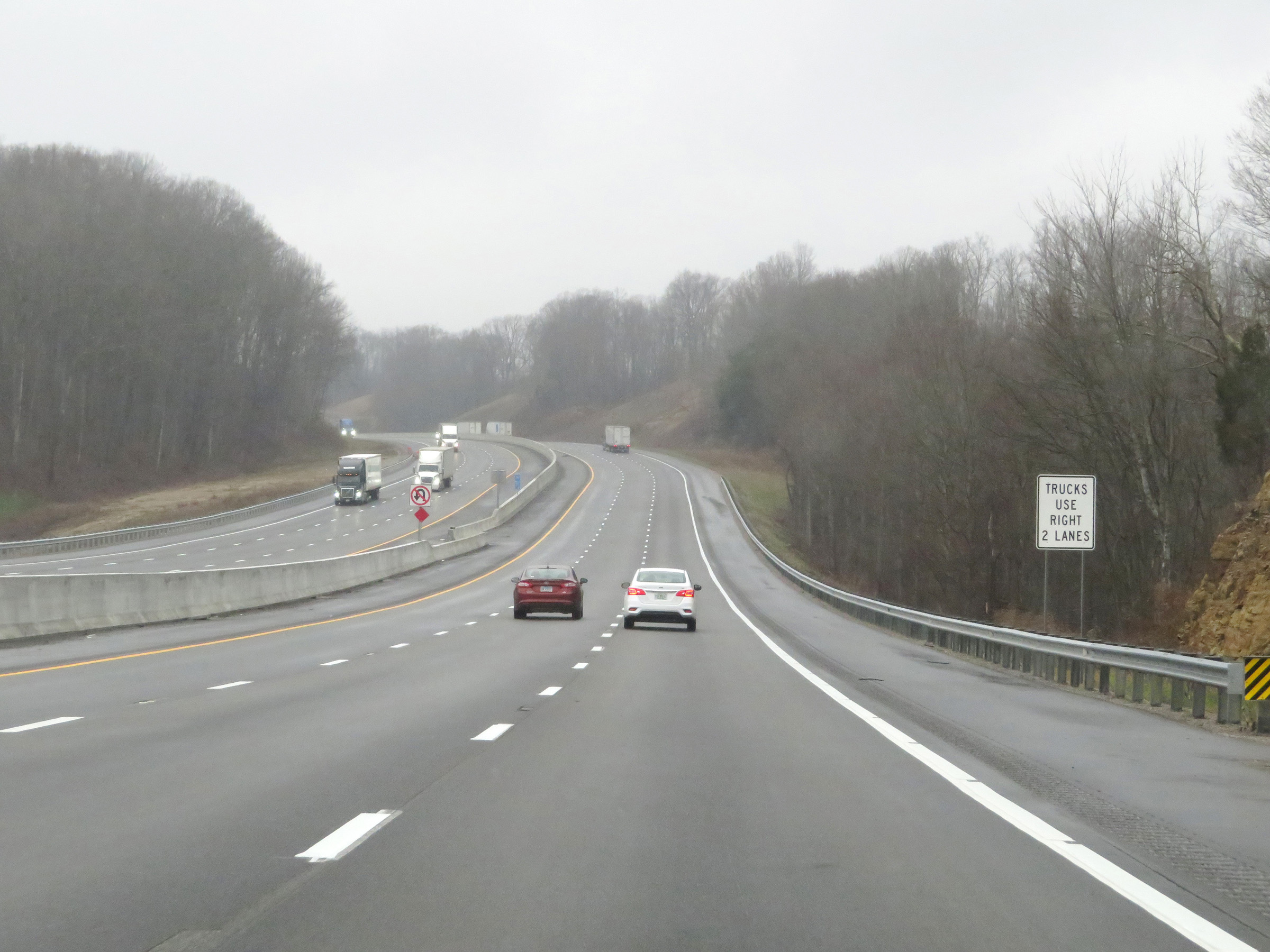 |
When there are three or more lanes, trucks are restricted to the two rightmost lanes as this sign conveys. (Photo taken 12/17/20). |
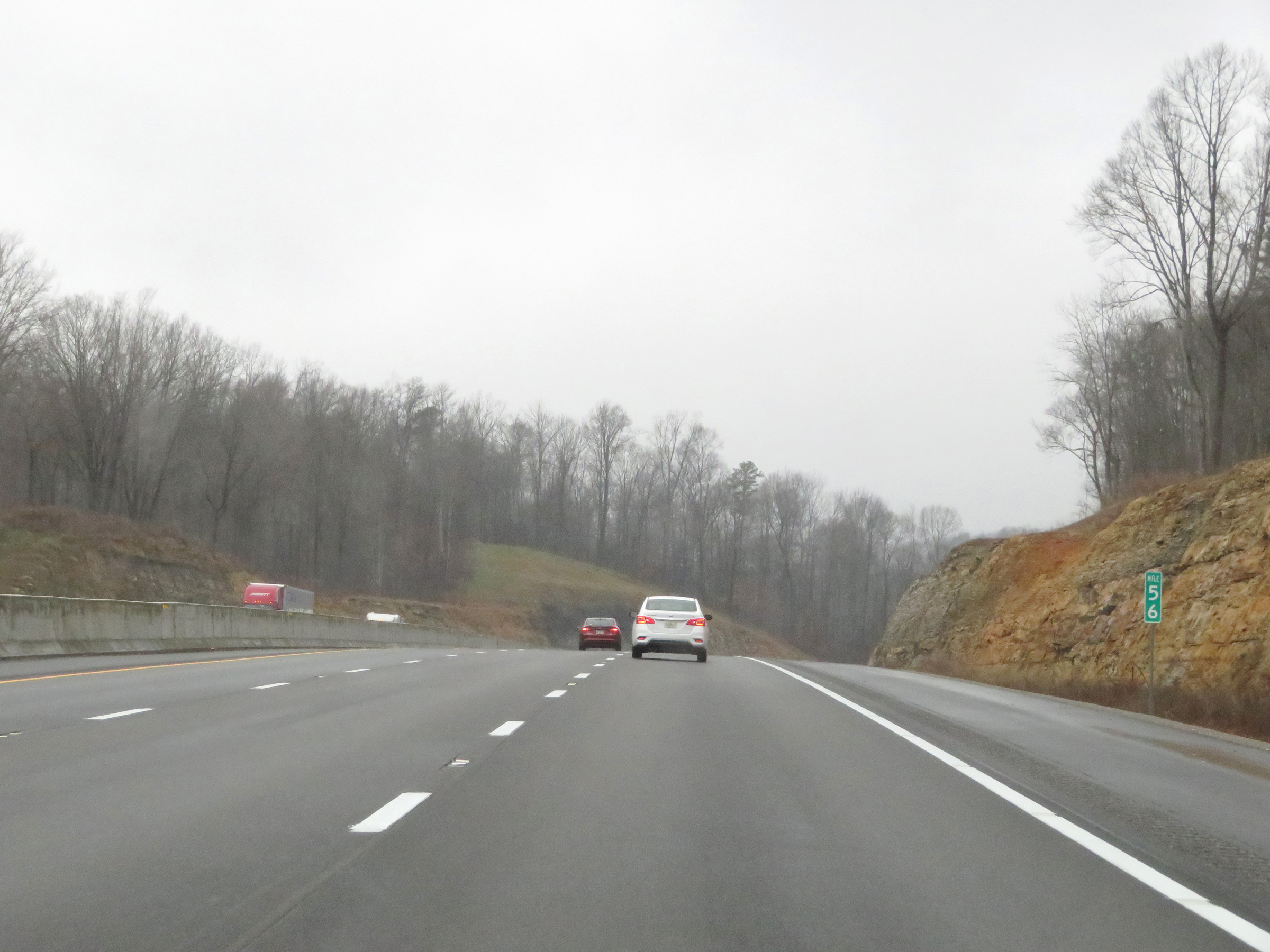 |
View on Interstate 75 North at mile marker 56. (Photo taken 12/17/20). |
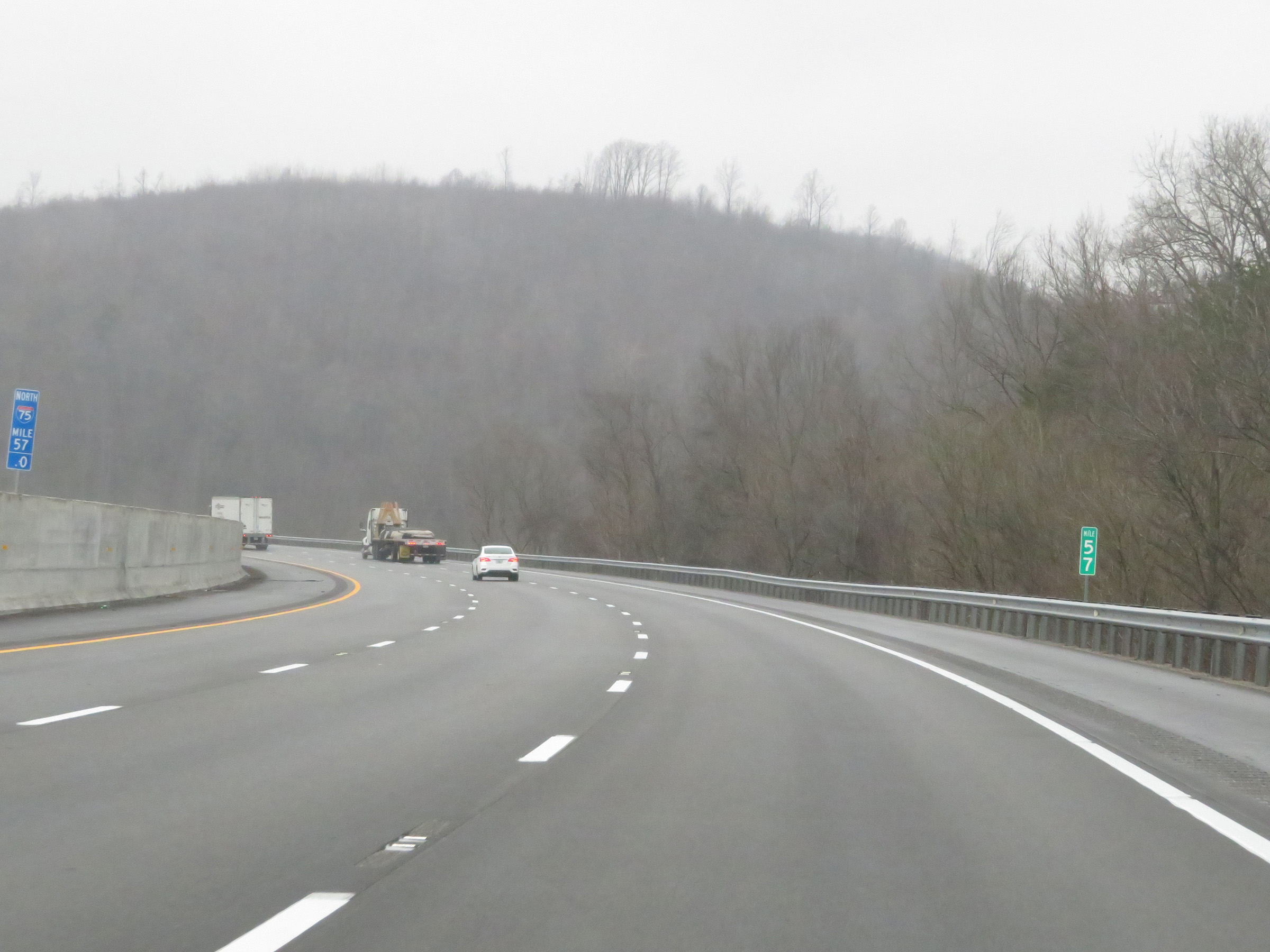 |
Mile marker 57 on Interstate 75 North in Rockcastle County. (Photo taken 12/17/20). |
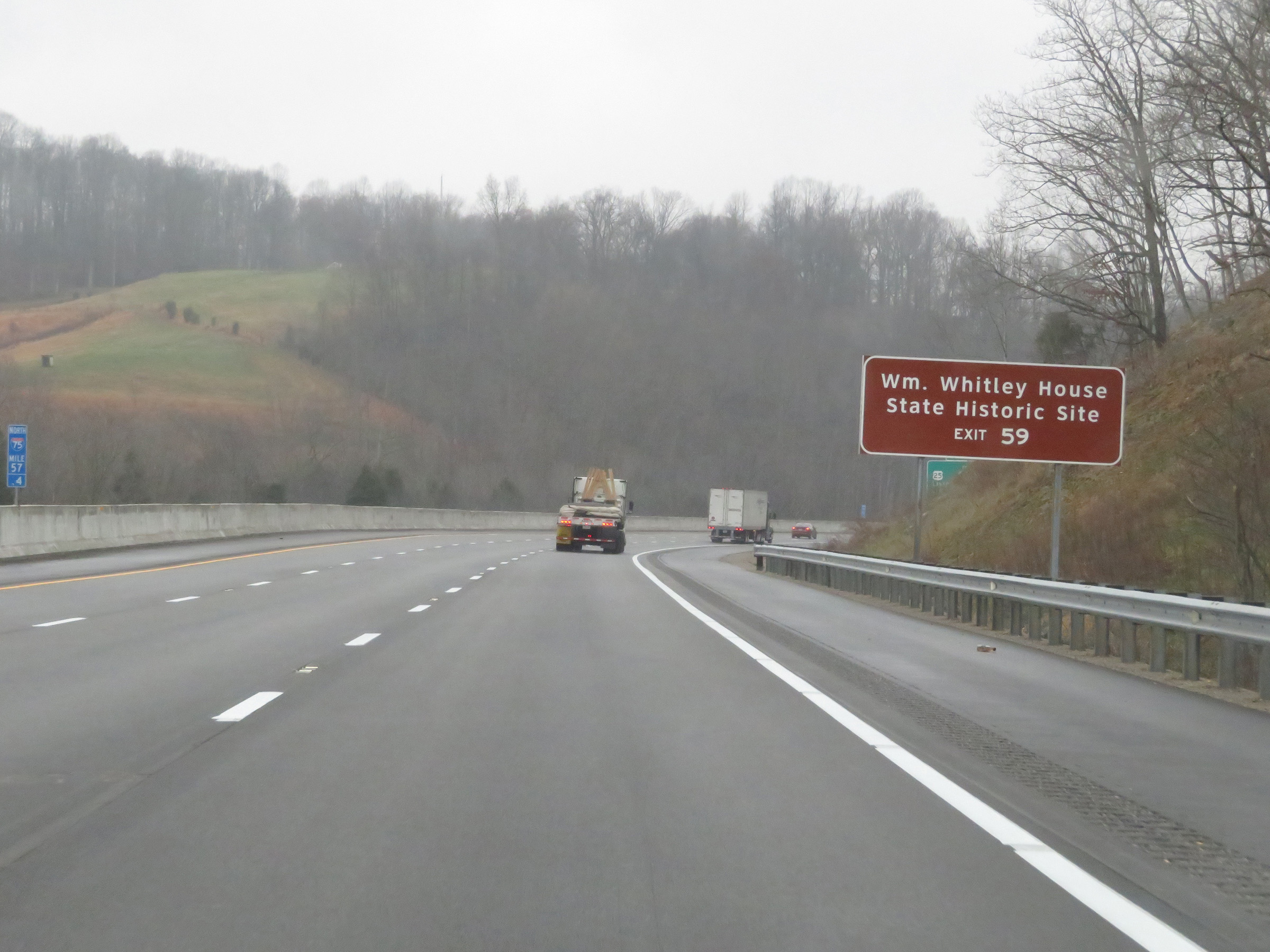 |
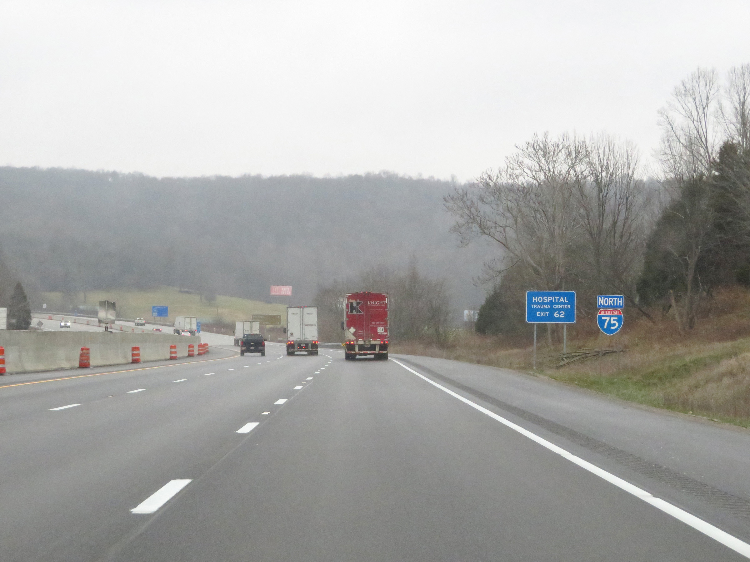
Take Exit 59 to the William Whitley House State Historic Site. (Photo taken 12/17/20). |
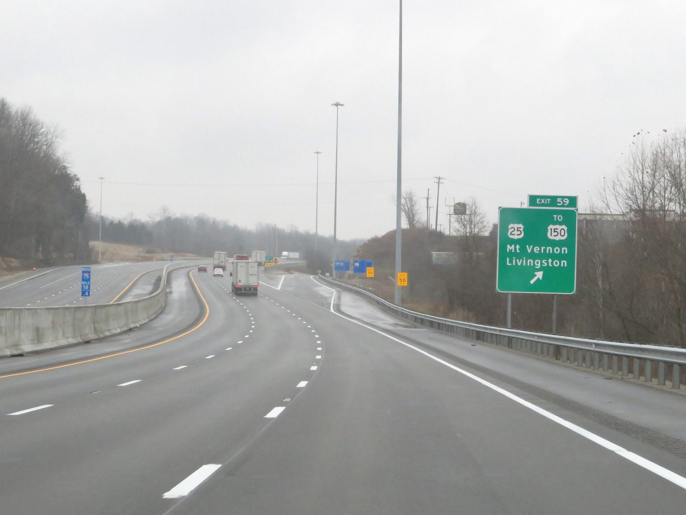 |
Interstate 75 North at Exit 59: US 25 / To US 150 - Mt. Vernon / Livingston (Photo taken 12/17/20). |
Section 2: Mt. Vernon (Exit 59) to Lexington (Exit 113)
 |
Another Interstate 75 North reassurance shield. (Photo taken 12/17/20). |
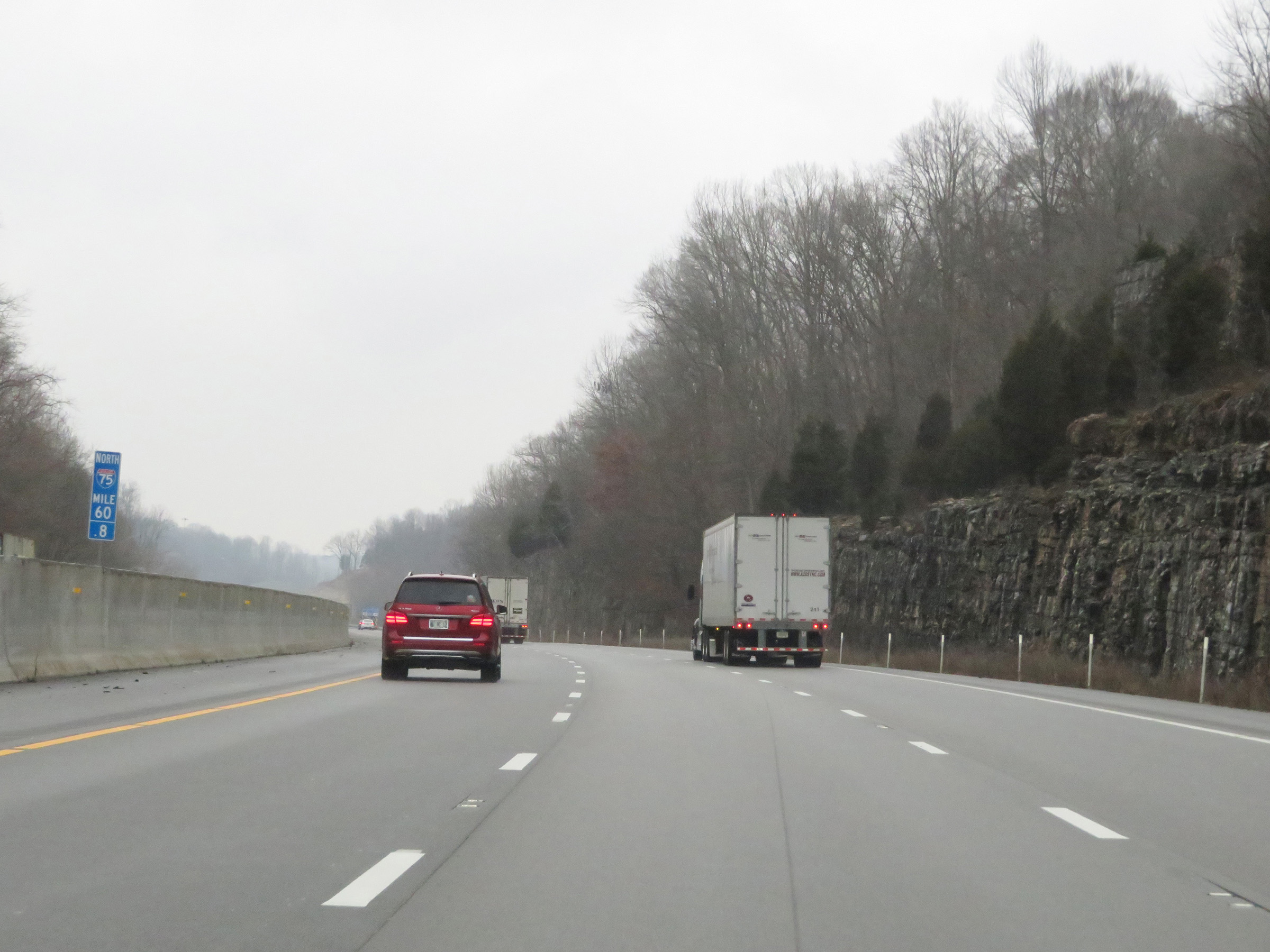 |
Interstate 75 North at mile marker 60.8. (Photo taken 12/17/20). |
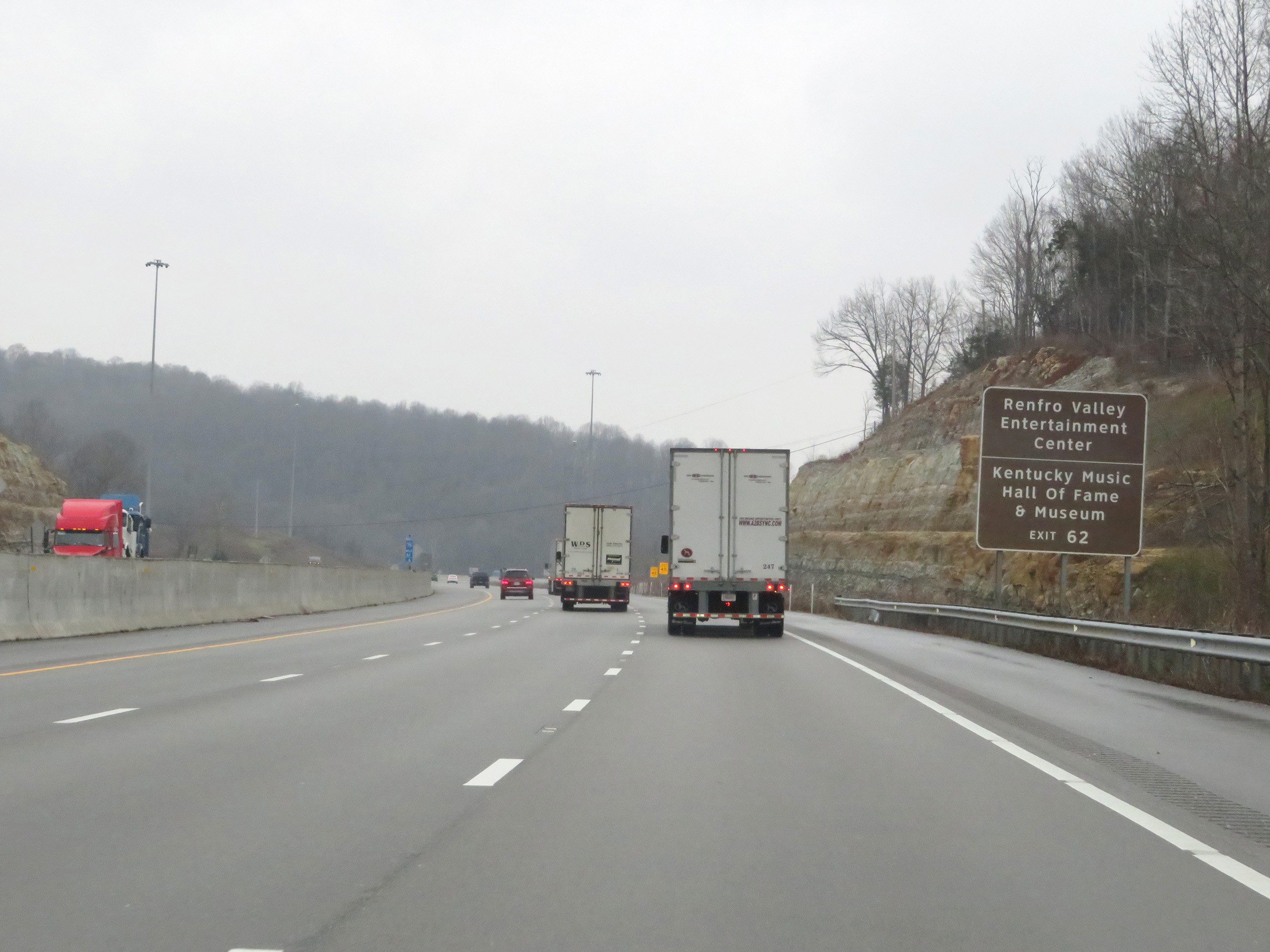 |
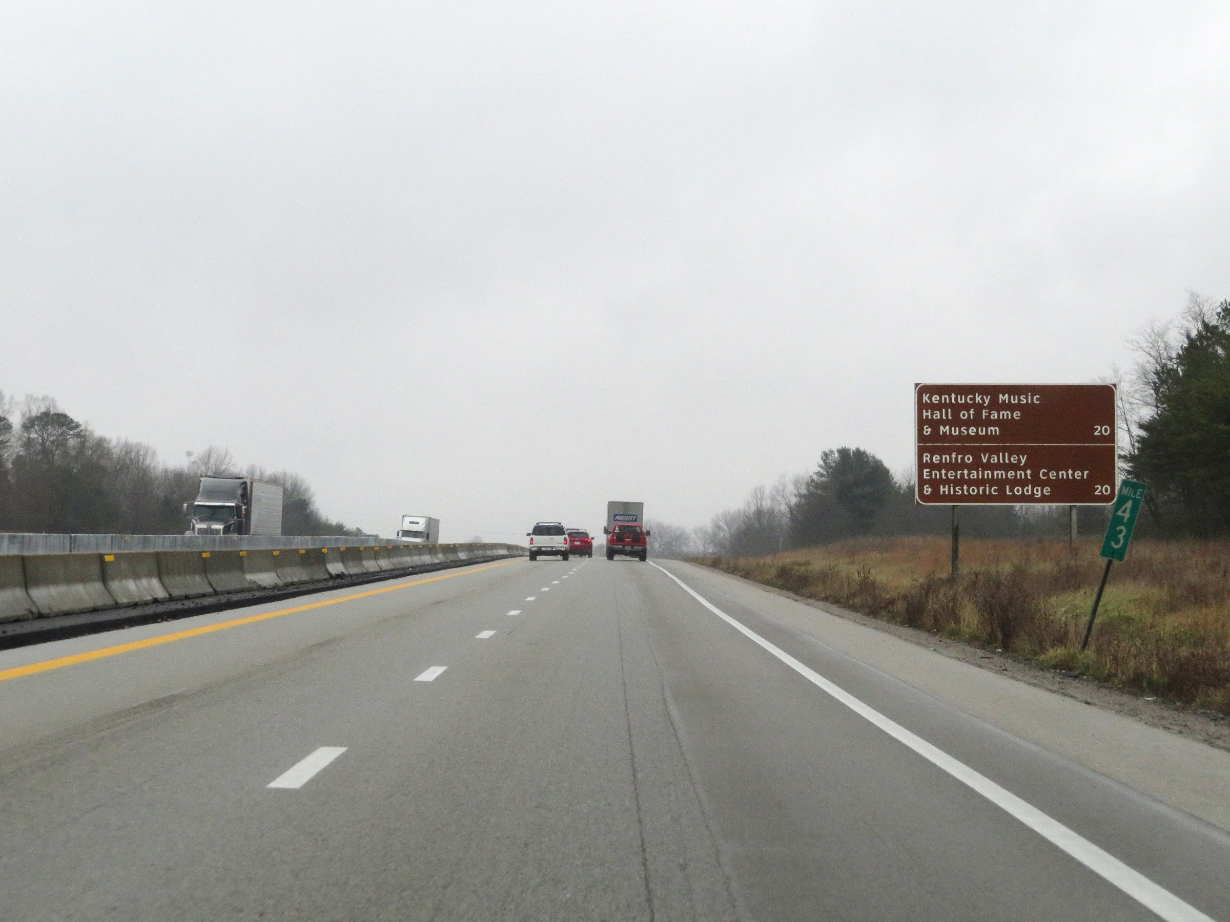
Take Exit 62 to Renfro Valley Entertainment Center and the Kentucky Music Hall of Fame & Museum. (Photo taken 12/17/20). |
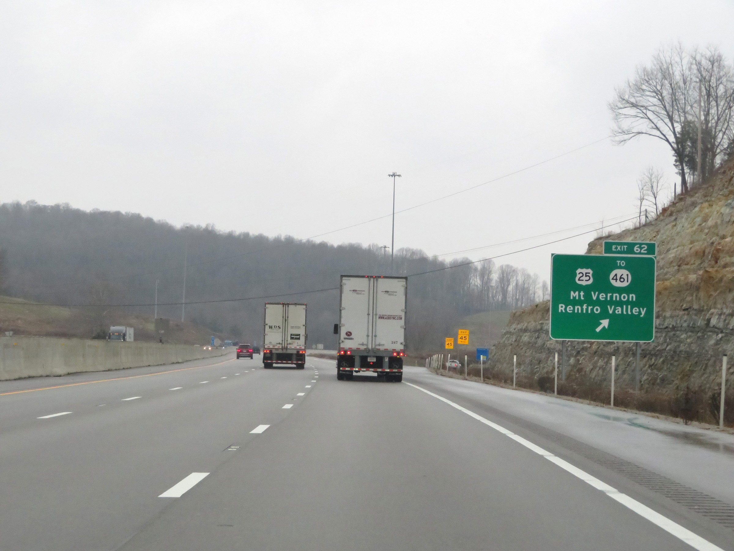 |
Interstate 75 North at Exit 62: US 25 / To KY 461 - Mt. Vernon / Renfro Valley (Photo taken 12/17/20). |
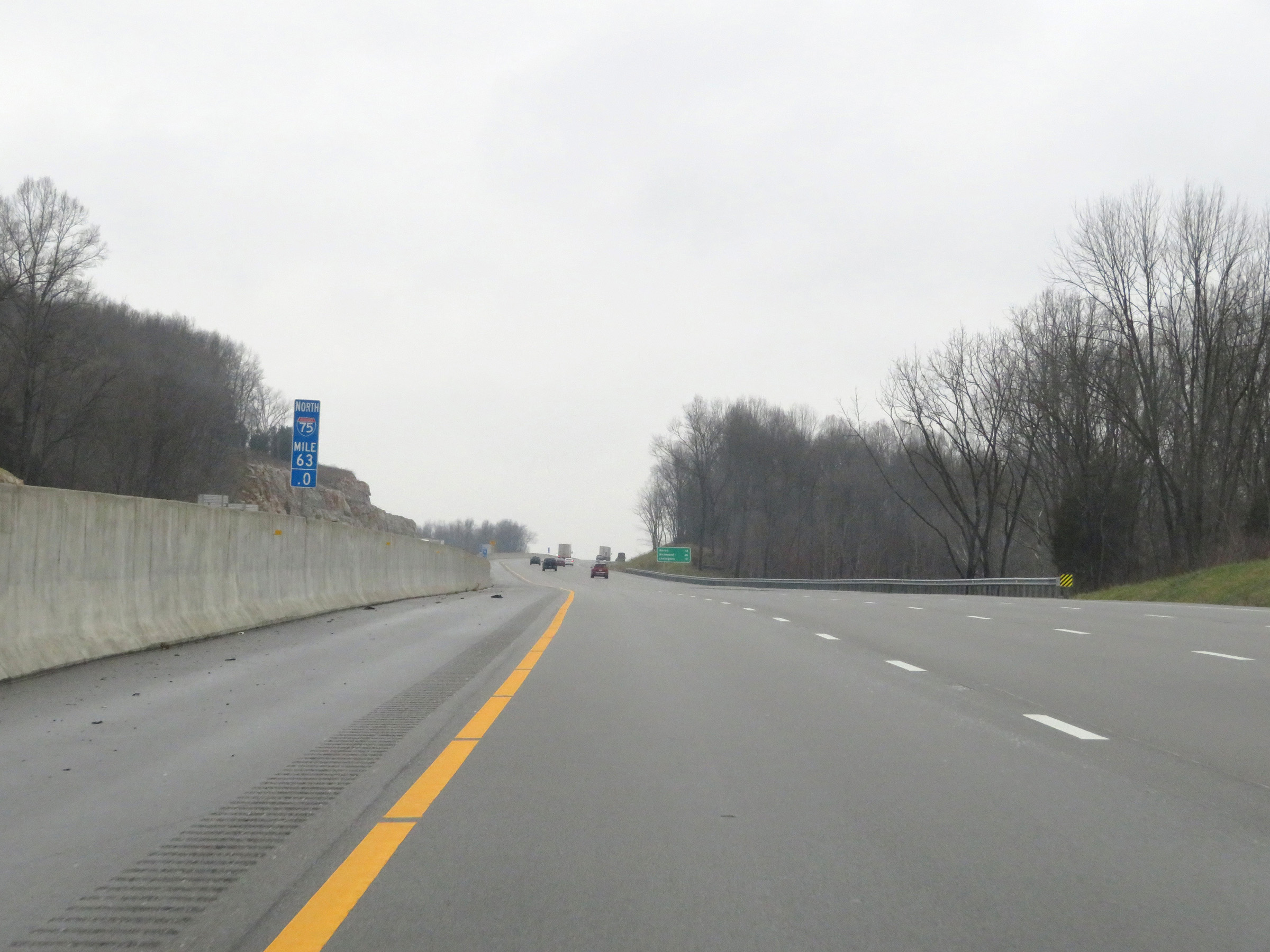 |
View on Interstate 75 North at mile marker 63. (Photo taken 12/17/20). |
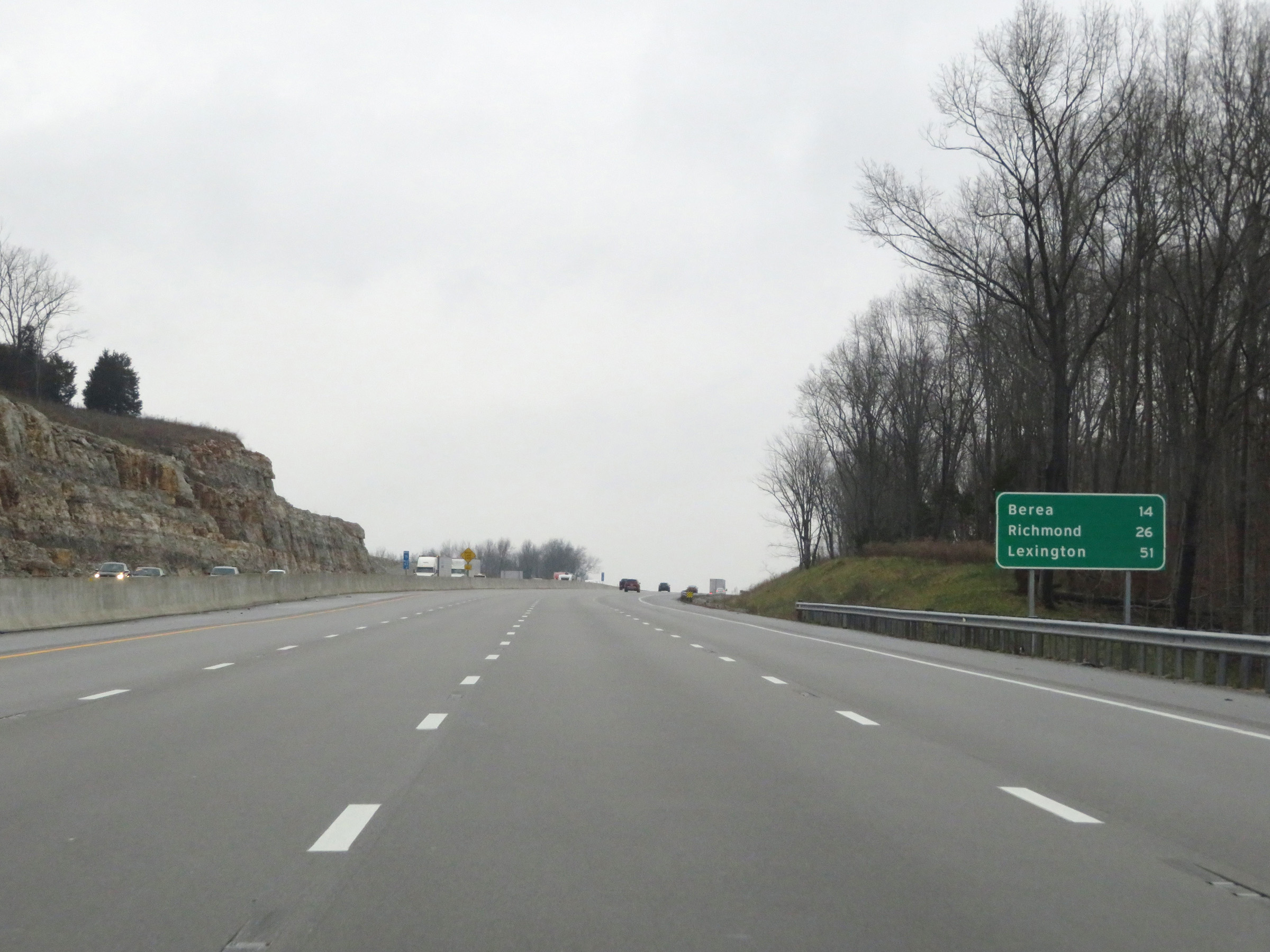 |
Mileage sign on Interstate 75 North. It's 14 miles to Berea, 26 miles to Richmond, and 51 miles to Lexington. (Photo taken 12/17/20). |
 |
At mile marker 64, a second truck climbing lane comes to an end. (Photo taken 12/17/20). |
 |
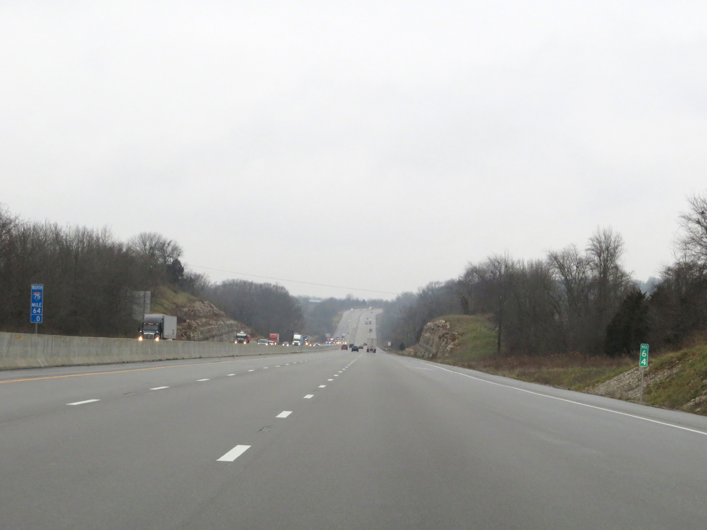
Interstate 75 North at mile marker 66. (Photo taken 12/17/20). |
 |
View on Interstate 75 North at mile marker 67. (Photo taken 12/17/20). |
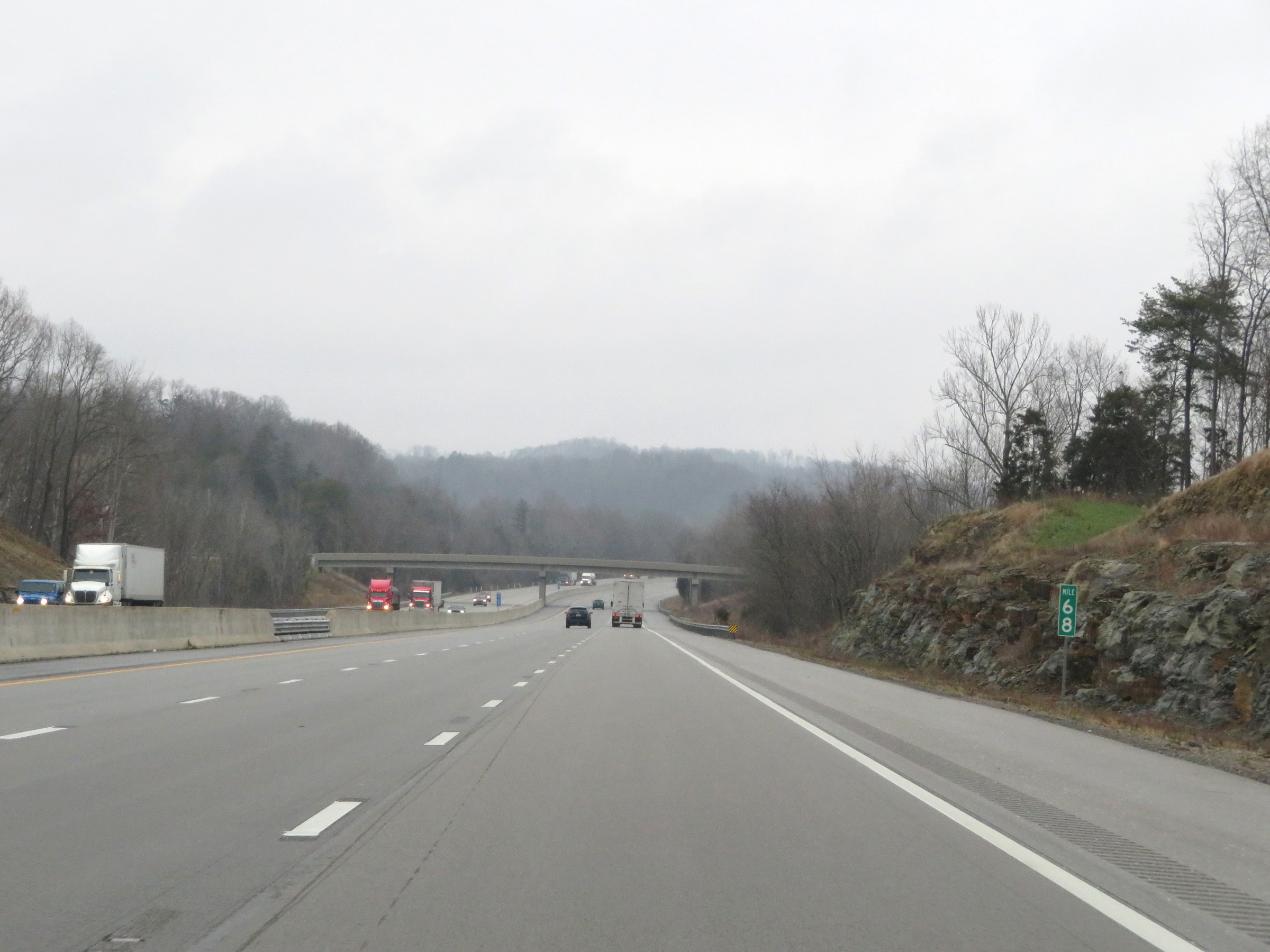 |
Mile marker 68 on Interstate 75 North in Rockcastle County. (Photo taken 12/17/20). |
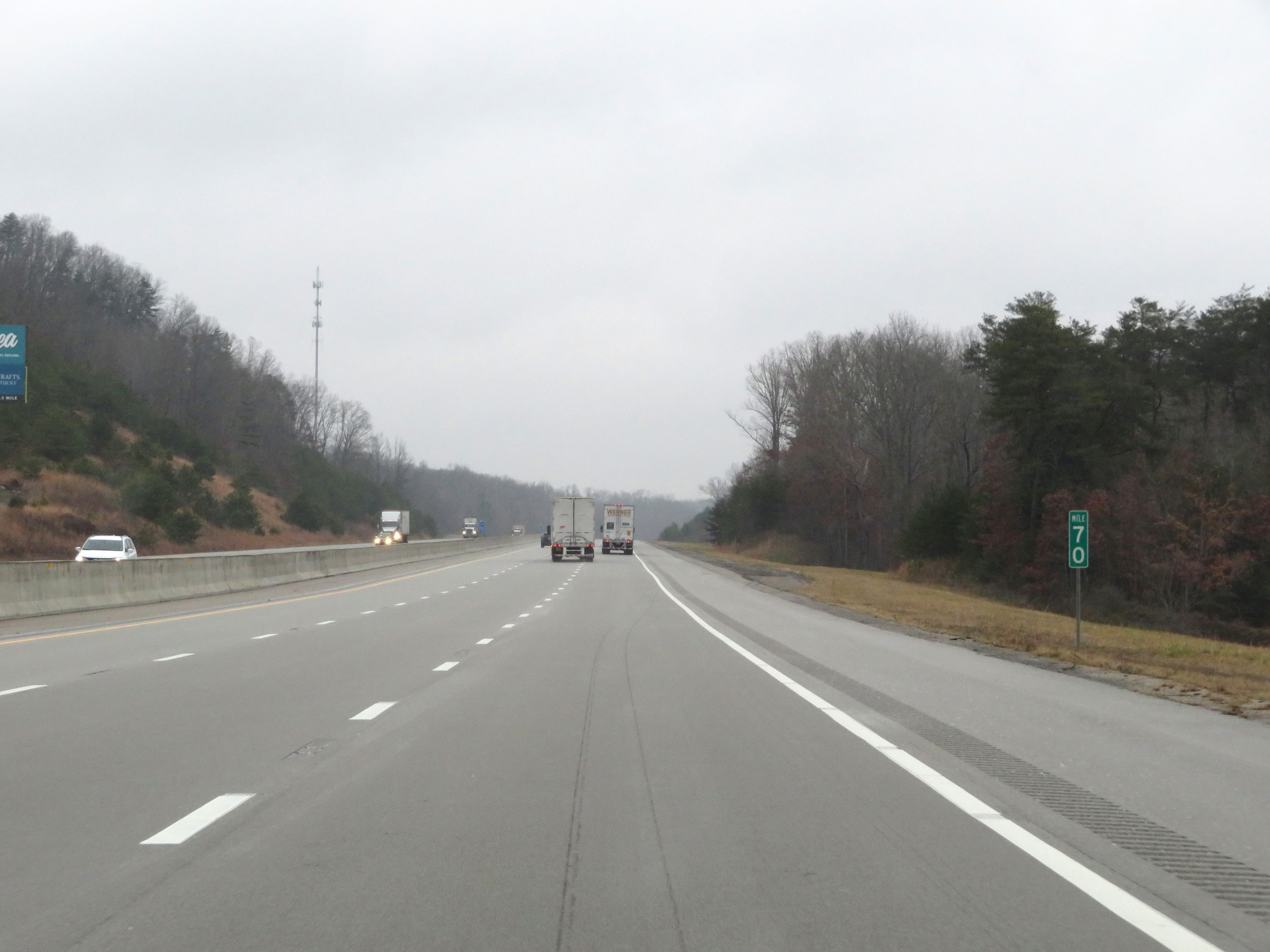 |
Interstate 75 North at mile marker 70. (Photo taken 12/17/20). |
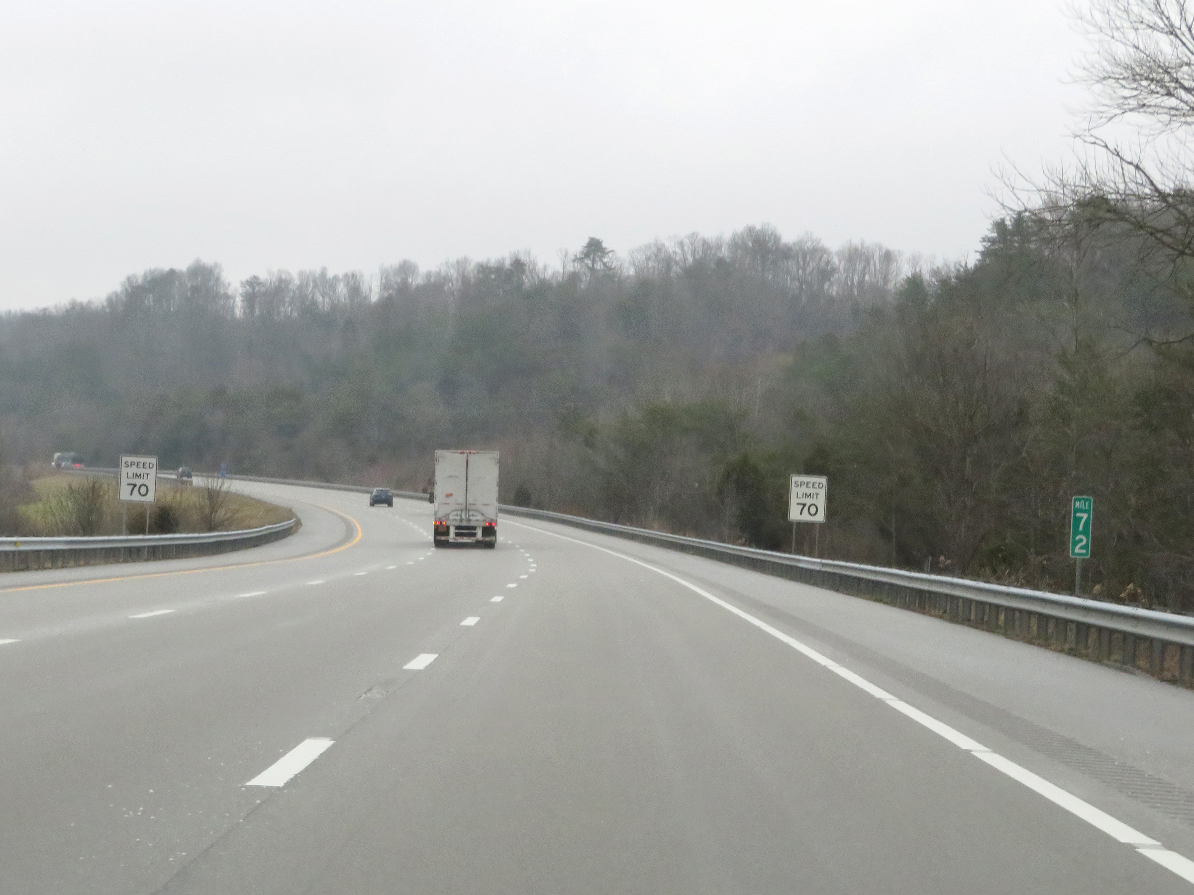 |
View on Interstate 75 North at mile marker 72. (Photo taken 12/17/20). |
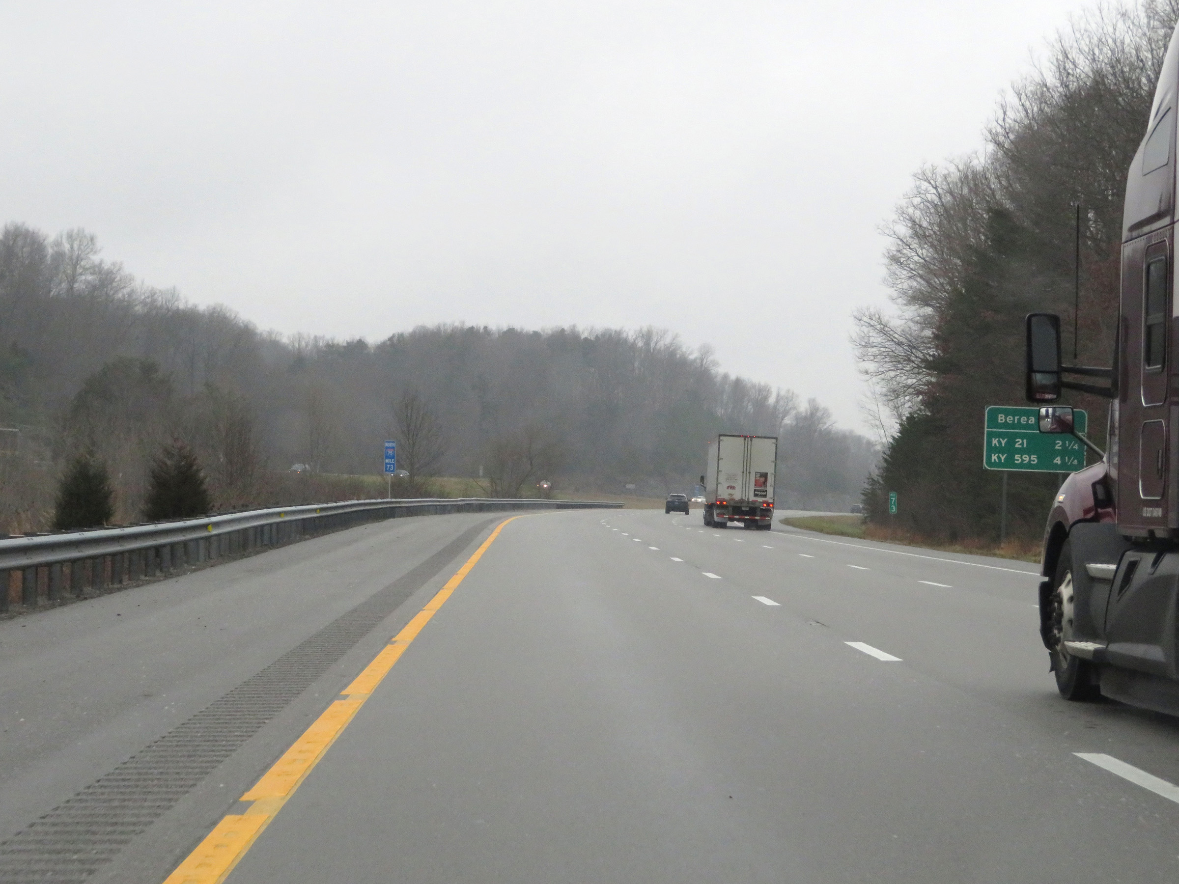 |
Mileage sign at mile marker 73 which lists the distances to the two upcoming exits to Berea. (Photo taken 12/17/20). |
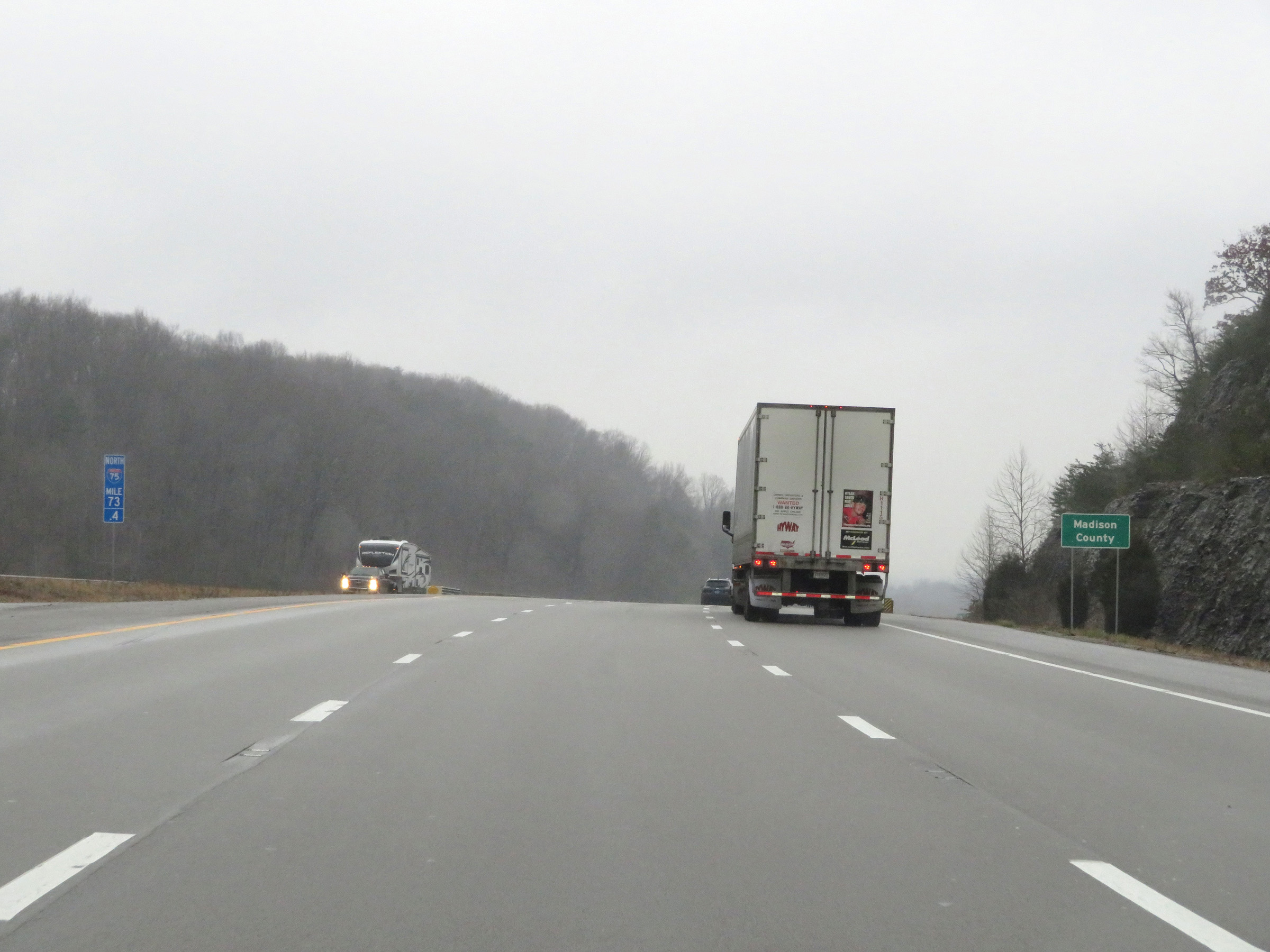 |
At mile marker 73.4, Interstate 75 North enters Madison County. (Photo taken 12/17/20). |
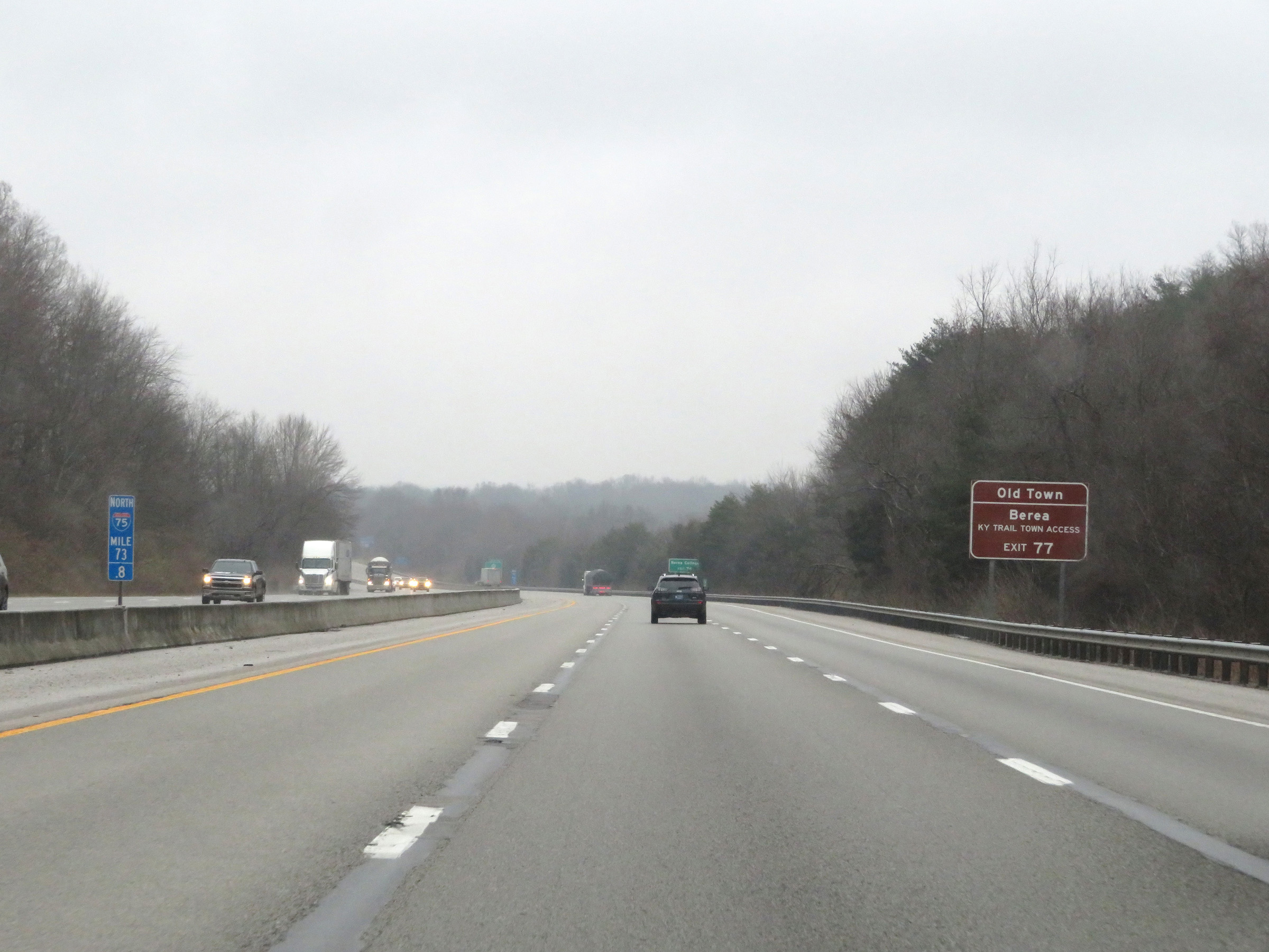 |
Take Exit 77 to Kentucky Trail Town Access in Berea. (Photo taken 12/17/20). |
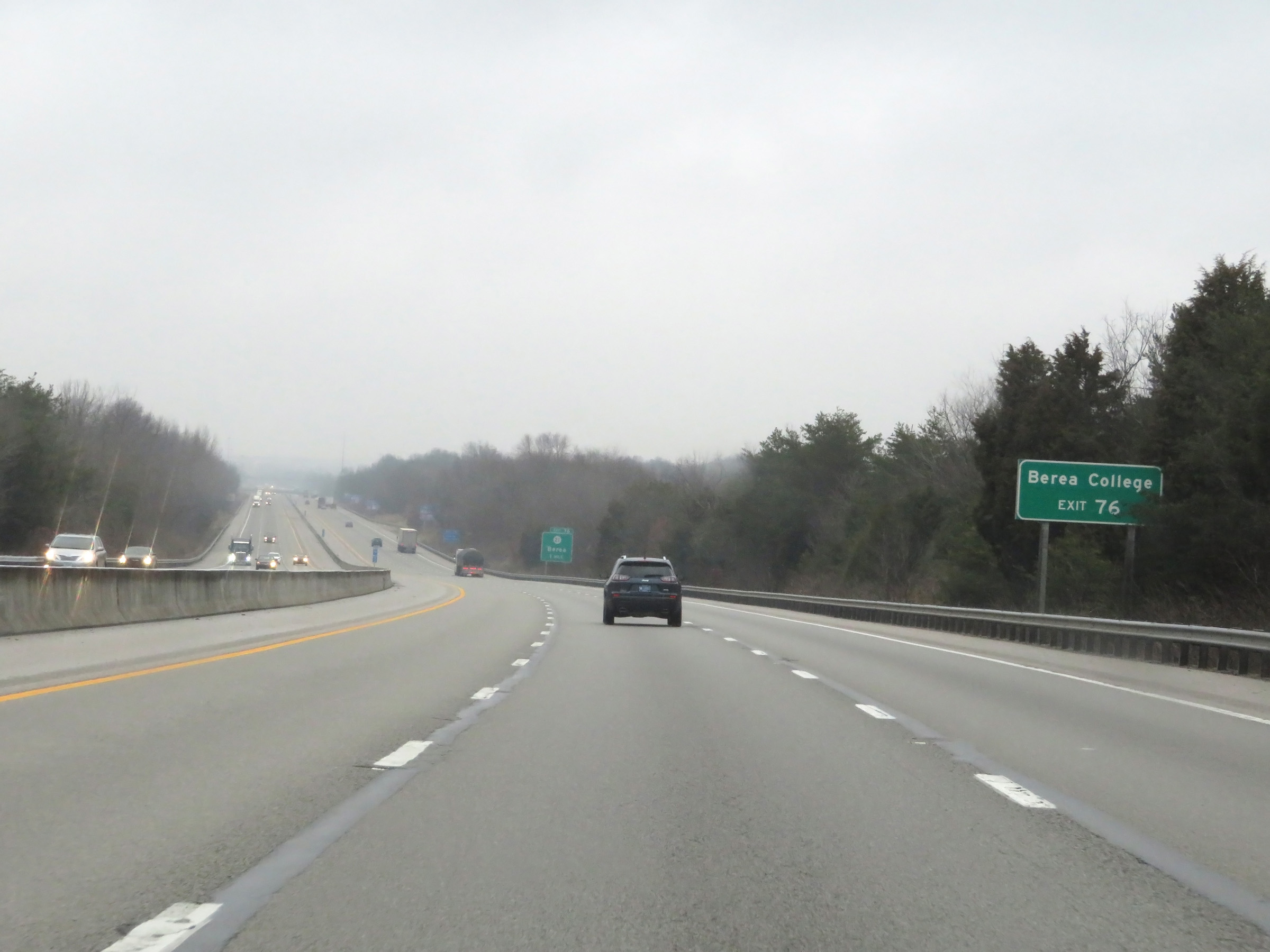 |
Take Exit 76 to Berea College. (Photo taken 12/17/20). |
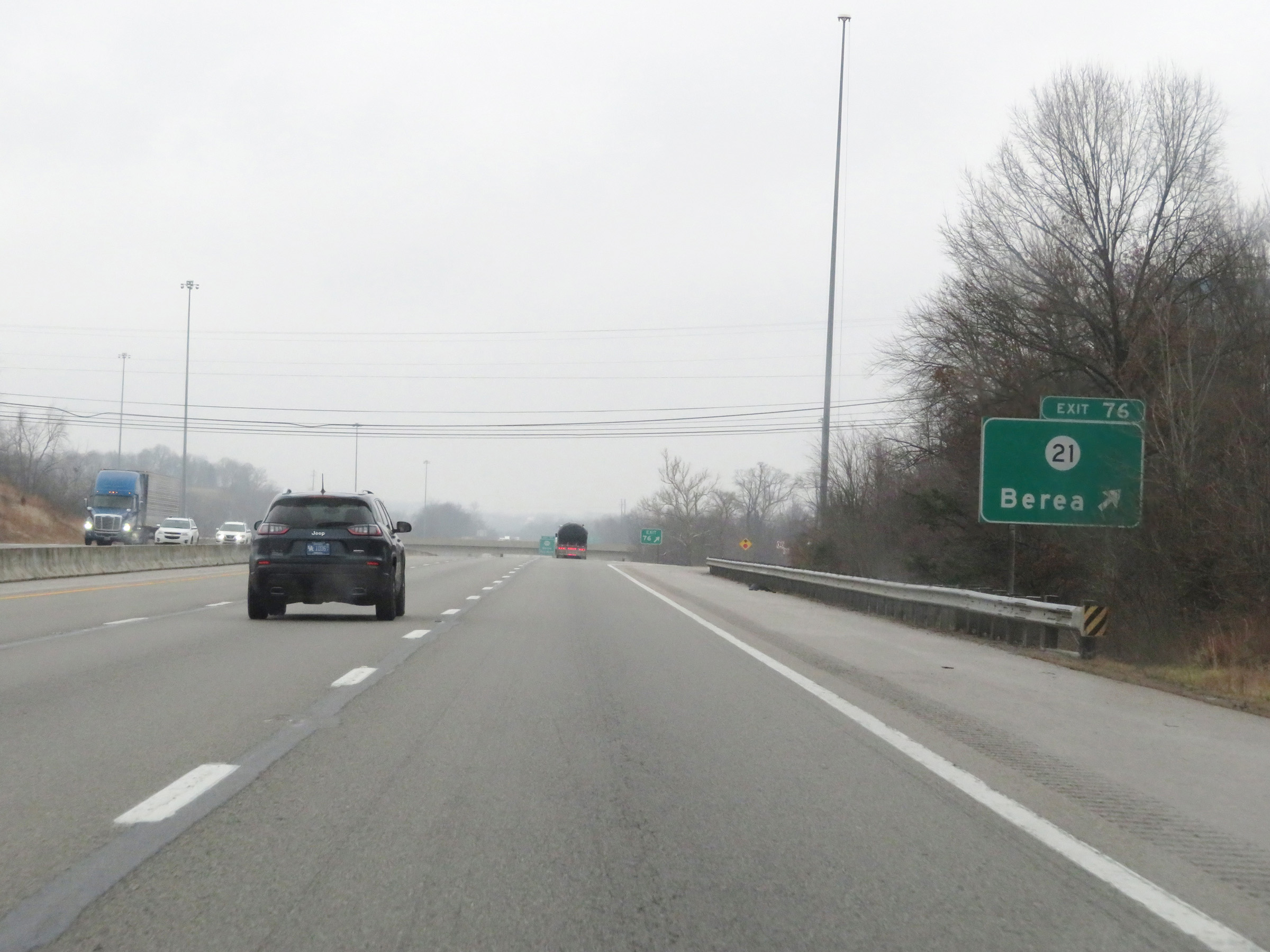 |
Interstate 75 North at Exit 76: KY 21 - Berea (Photo taken 12/17/20). |
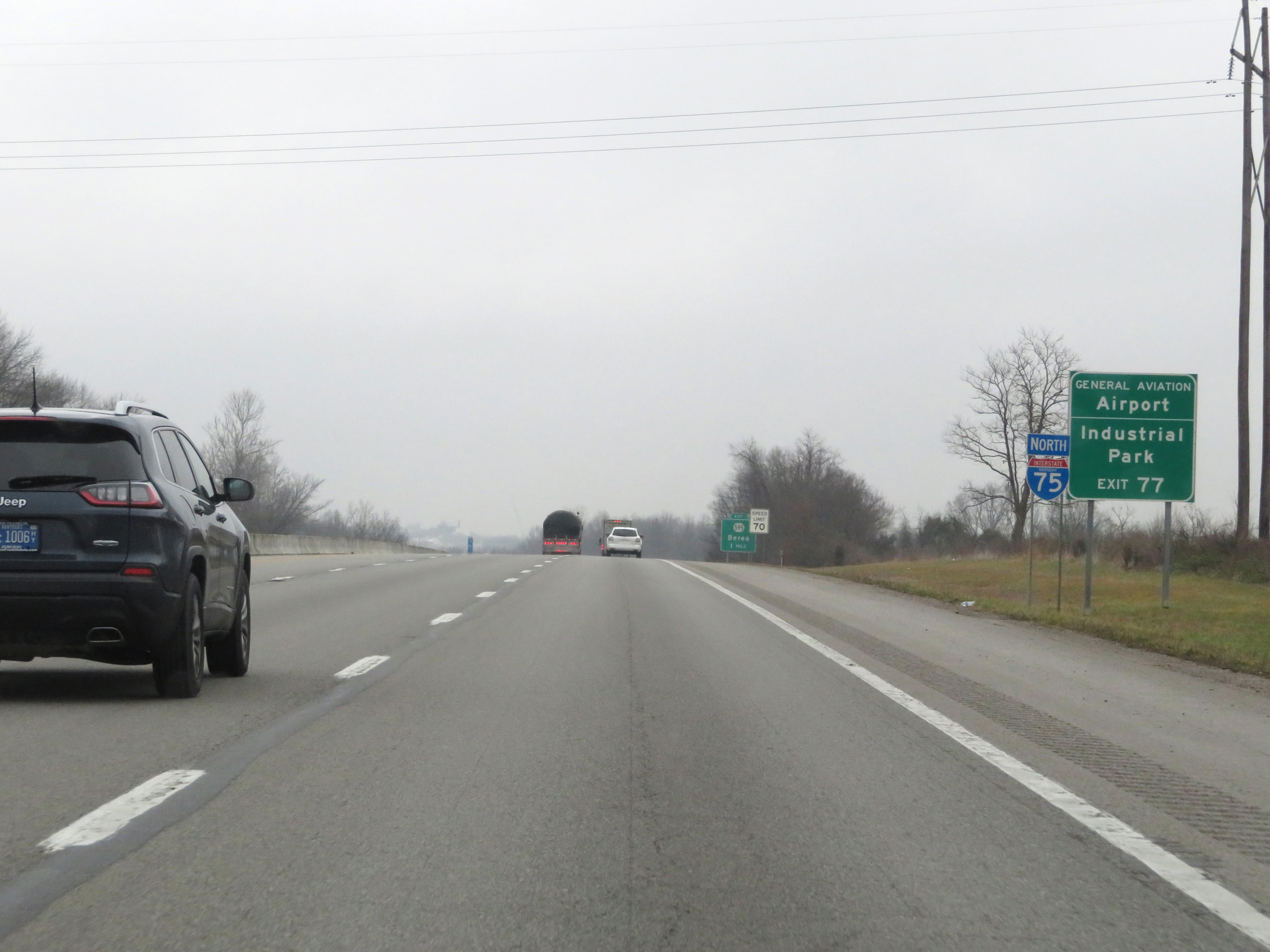 |
Also take Exit 77 to the General Aviation Airport and the Industrial Park. (Photo taken 12/17/20). |
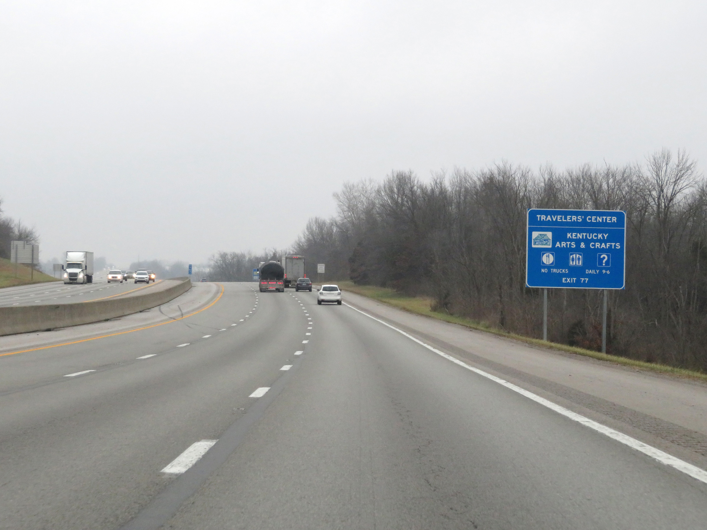 |
A Travelers' Center containing Kentucky Arts & Crafts also can be accessed via Exit 77. (Photo taken 12/17/20). |
 |
Interstate 75 North at Exit 77: KY 595 - Berea (Photo taken 12/17/20). |
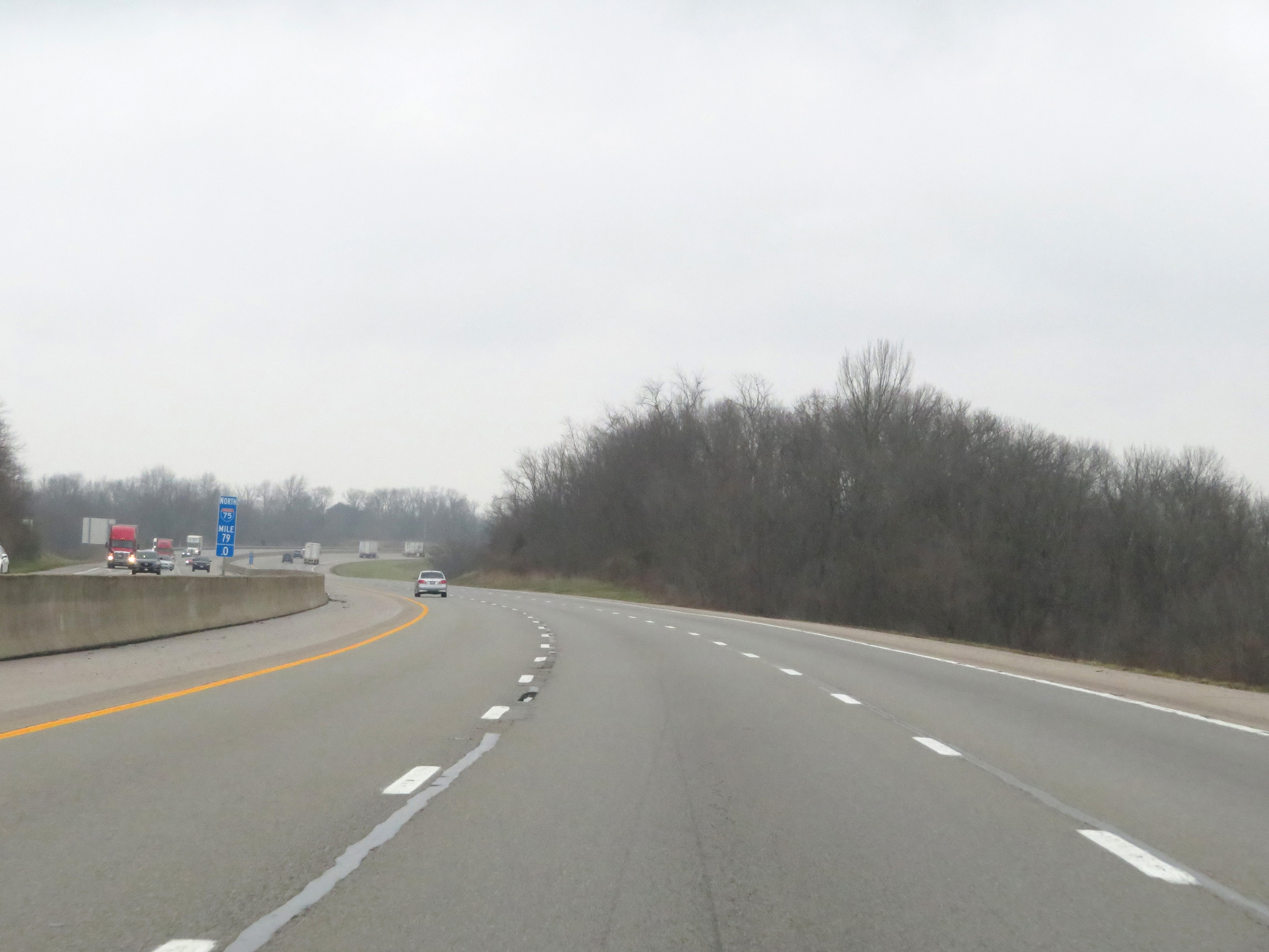 |
View on Interstate 75 North at mile marker 79. (Photo taken 12/17/20). |
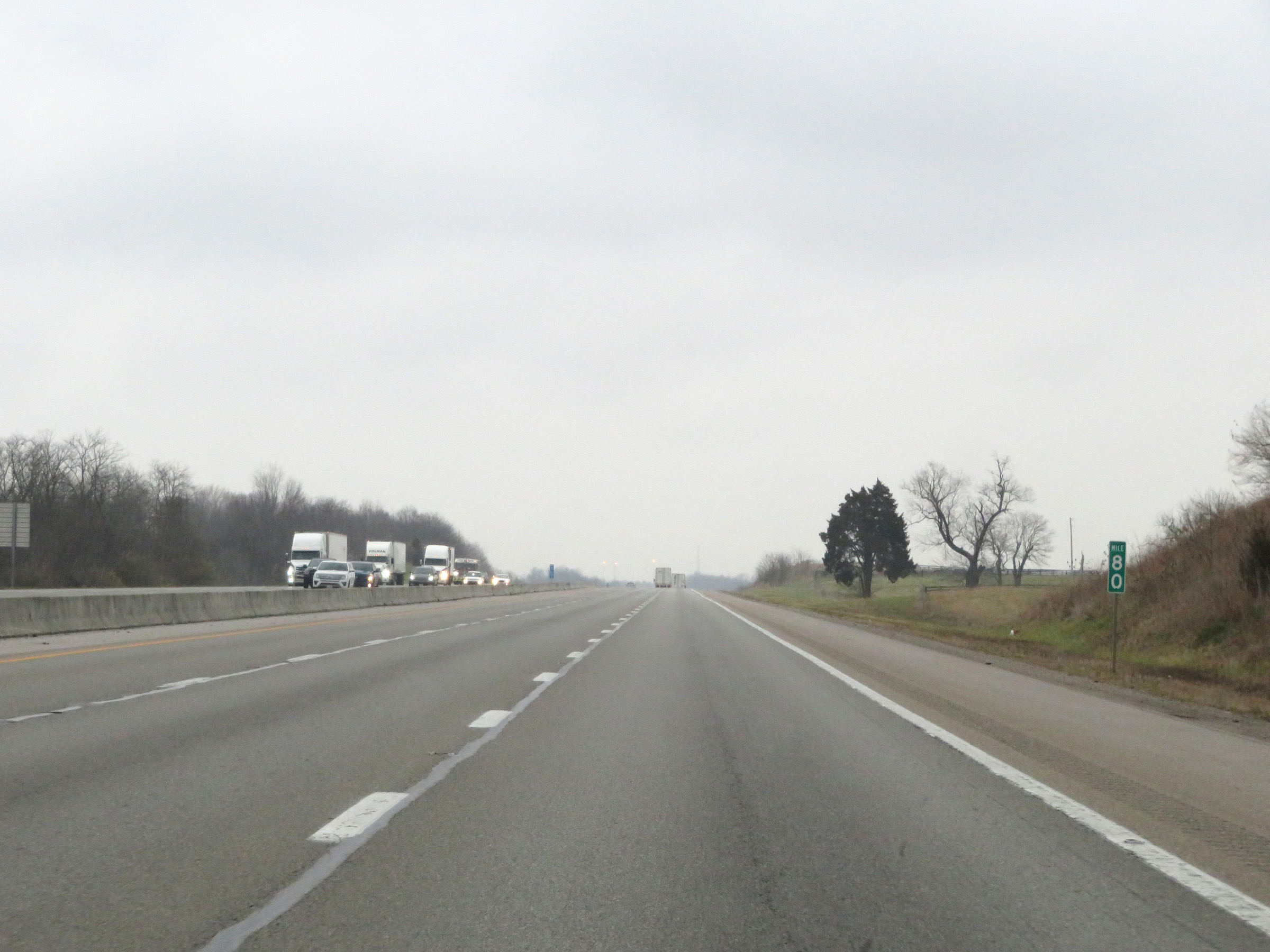 |
Mile marker 80 on Interstate 75 North in Madison County. (Photo taken 12/17/20). |
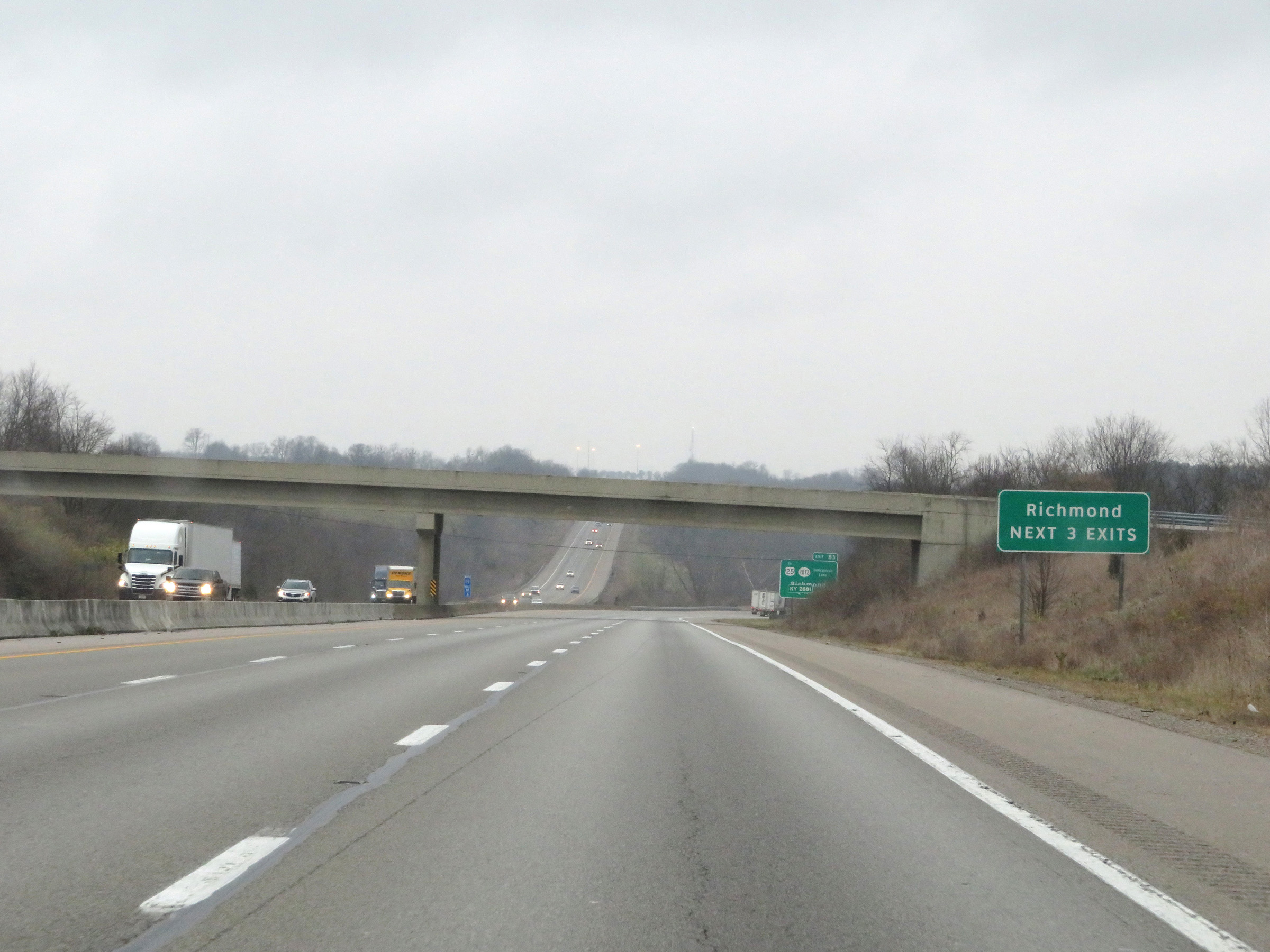 |
Take any of the next 3 exits to Richmond. (Photo taken 12/17/20). |
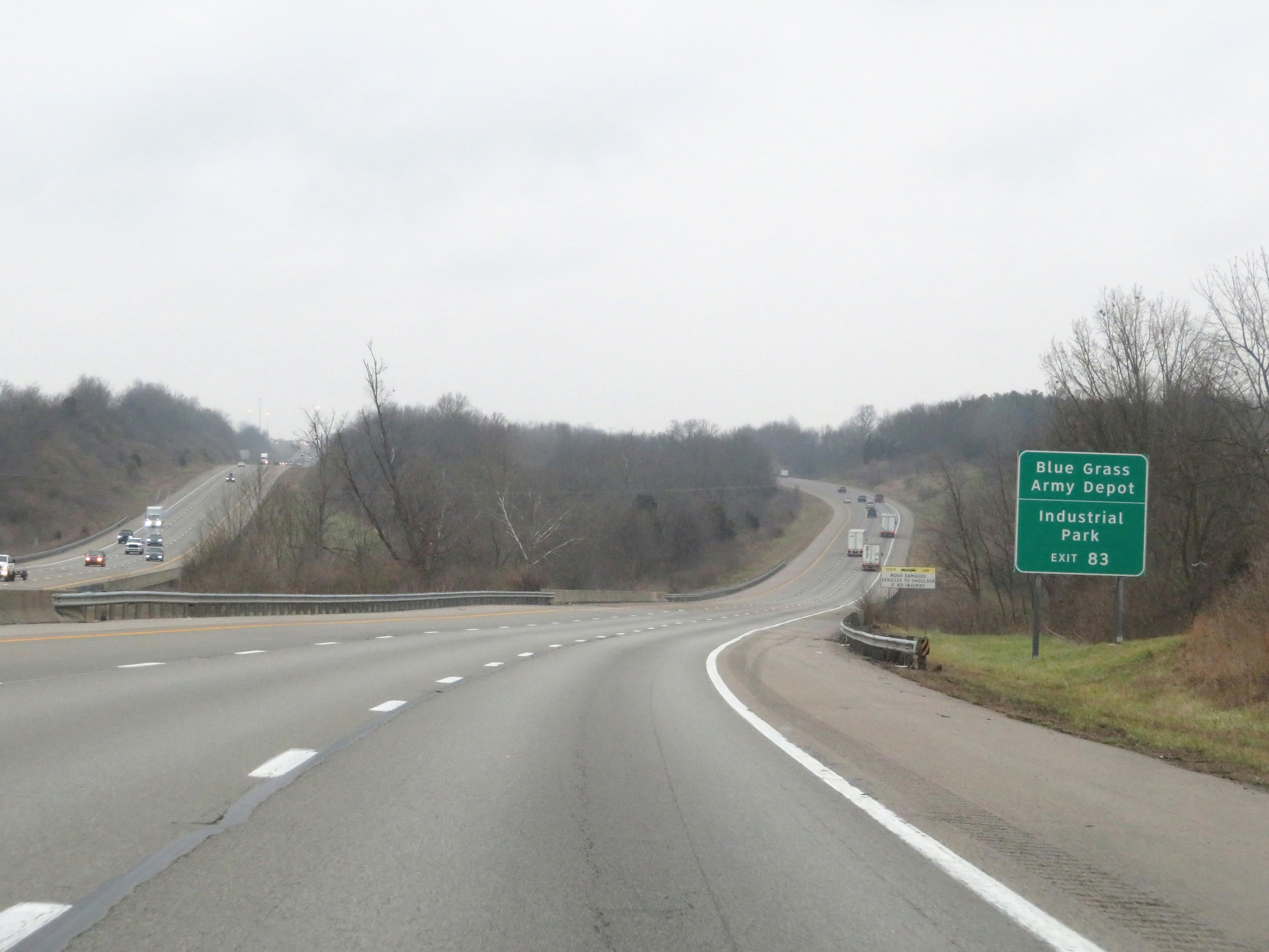 |
Take Exit 83 to Blue Grass Army Depot and the Industrial Park. (Photo taken 12/17/20). |
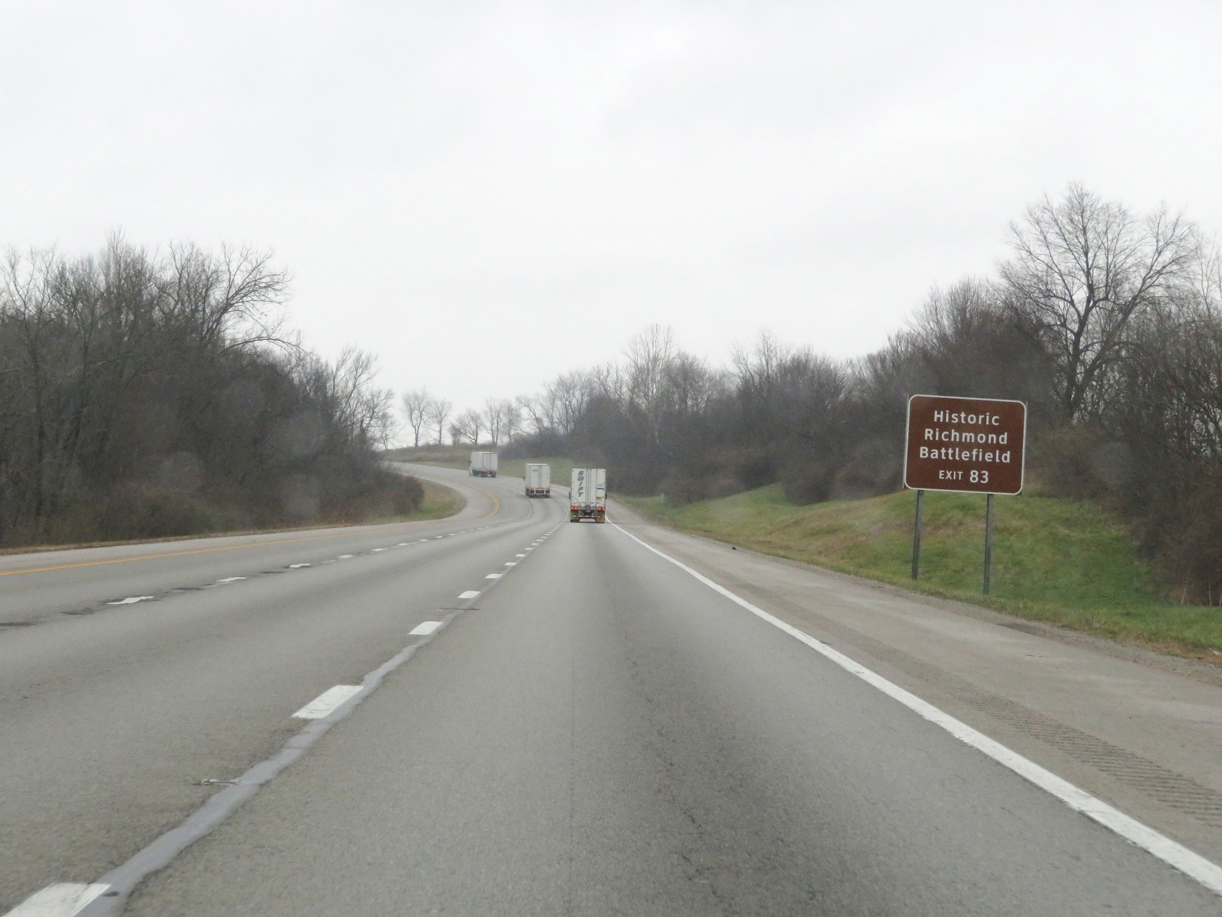 |
Also take Exit 83 to Historic Richmond Battlefield. (Photo taken 12/17/20). |
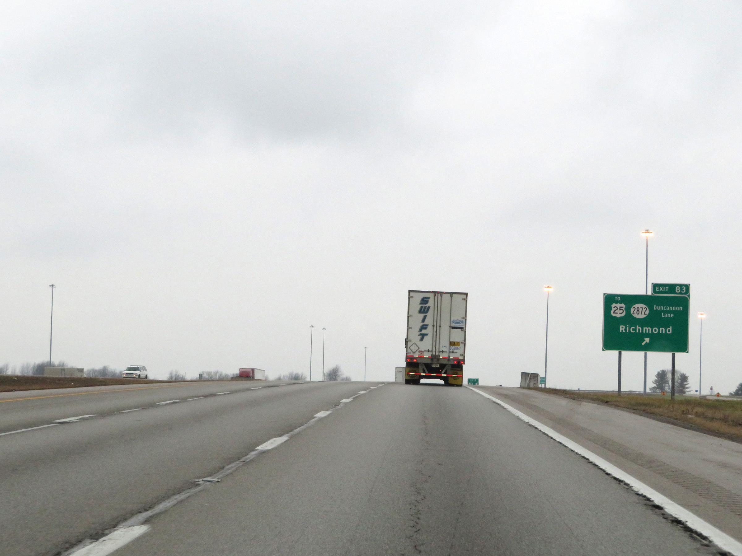 |
Interstate 75 North at Exit 83: KY 2872 (Duncannon Lane) / To US 25 - Richmond (Photo taken 12/17/20). |
 |
View on Interstate 75 North at mile marker 85. (Photo taken 12/17/20). |
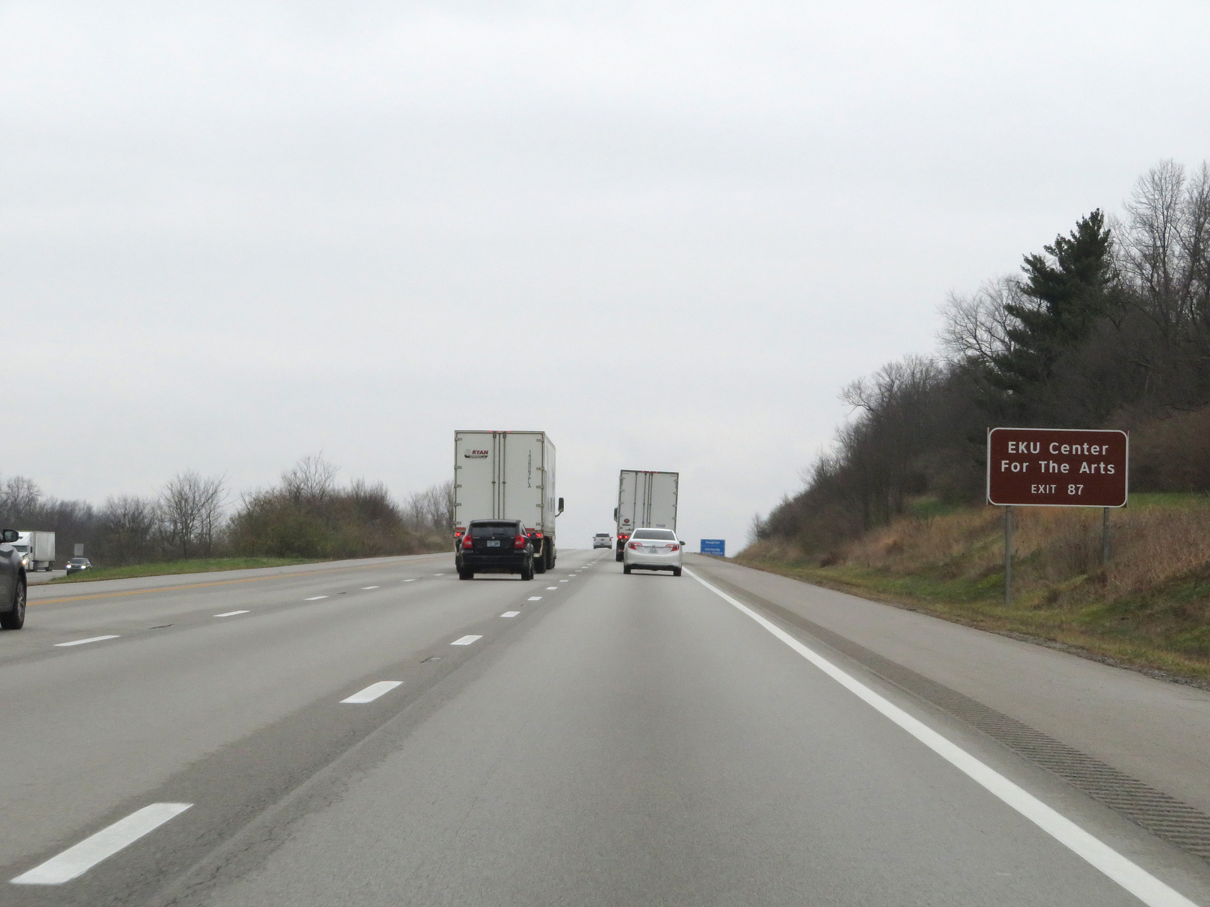 |
Take Exit 87 to Eastern Kentucky University Center for the Arts. (Photo taken 12/17/20). |
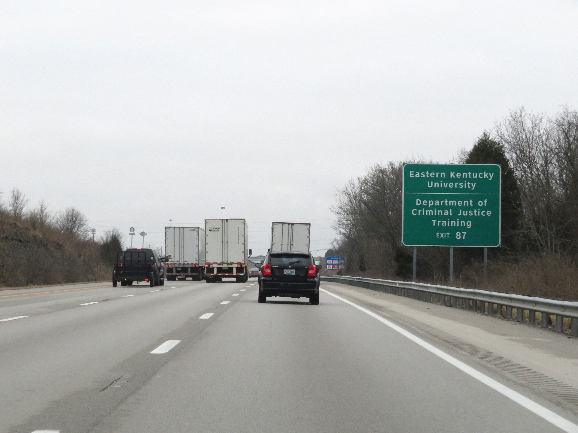 |
Also take Exit 87 to Eastern Kentucky University and the Department of Criminal Justic Training Center. (Photo taken 12/17/20). |
 |
Interstate 75 North at Exit 87: KY 876 - Richmond / Lancaster (Photo taken 12/17/20). |
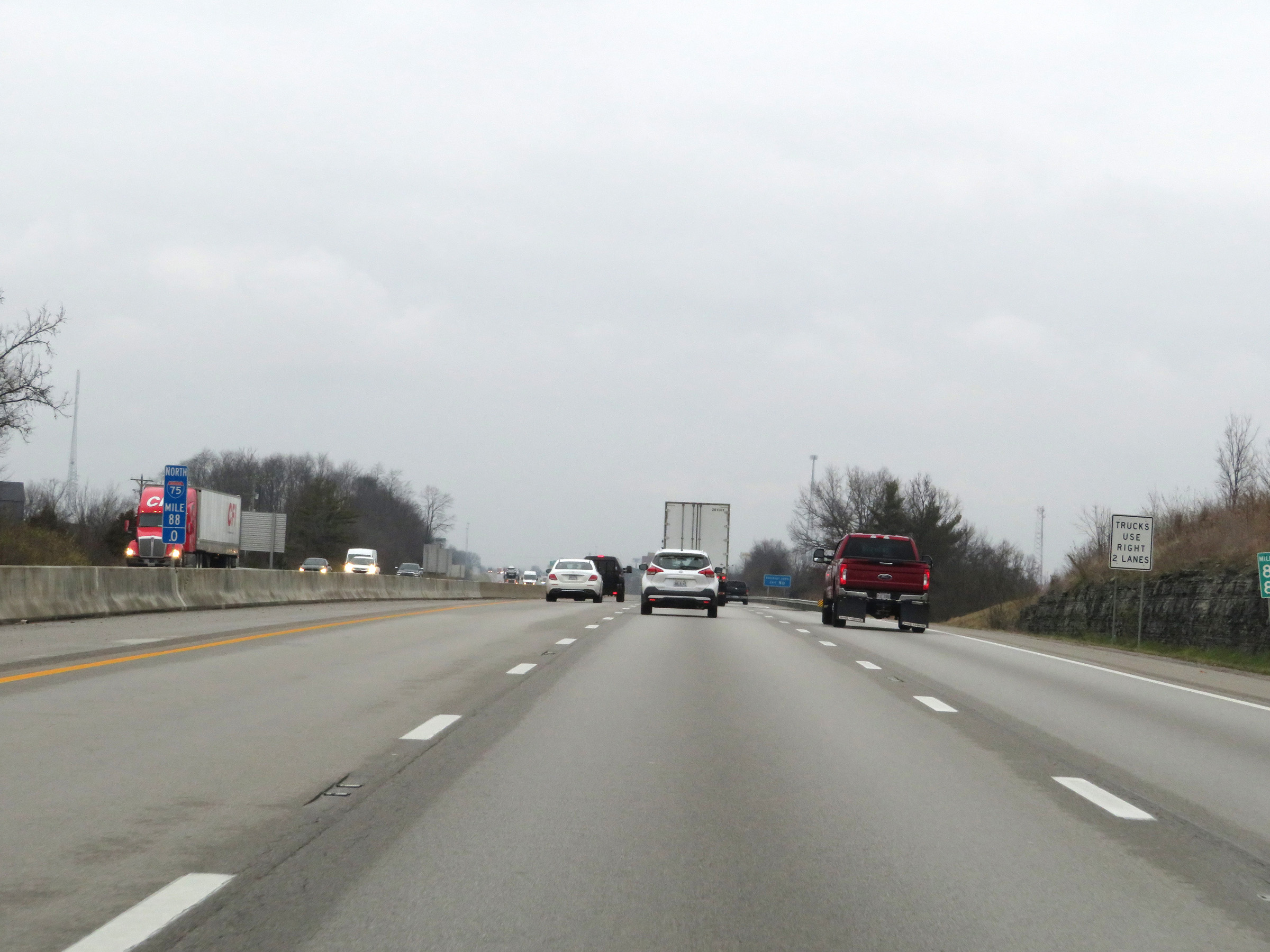 |
Interstate 75 North at mile marker 88. (Photo taken 12/17/20). |
 |
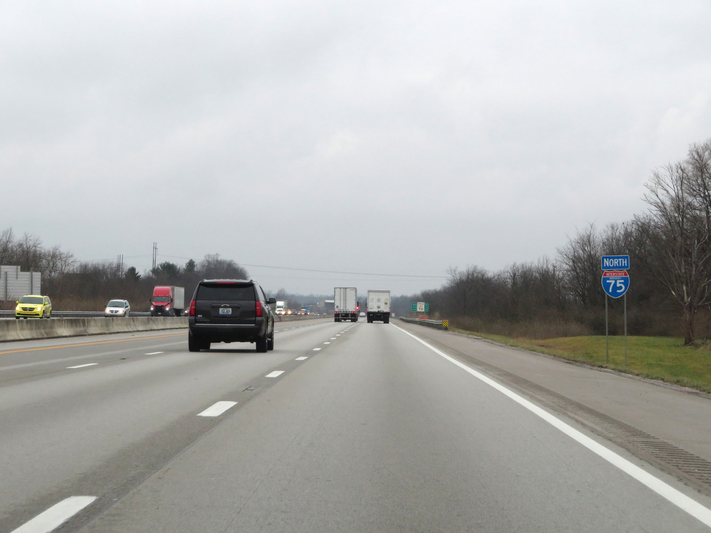
Interstate 75 North at Exit 90: US 25 / US 421 - Richmond / Irvine (Photo taken 12/17/20). |
 |
State-named Interstate 75 North reassurance shield. (Photo taken 12/17/20). |
 |
The speed limit remains 70 mph on Interstate 75 North. (Photo taken 12/17/20). |
 |
View on Interstate 75 North at mile marker 91. (Photo taken 12/17/20). |
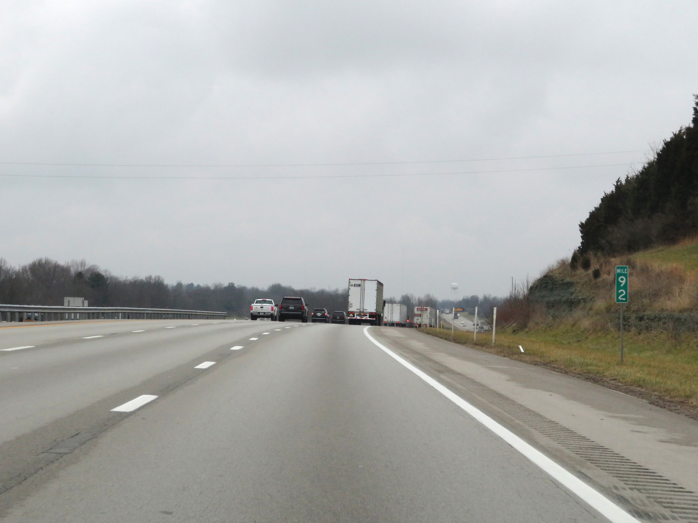 |
Interstate 75 North at mile marker 92. (Photo taken 12/17/20). |
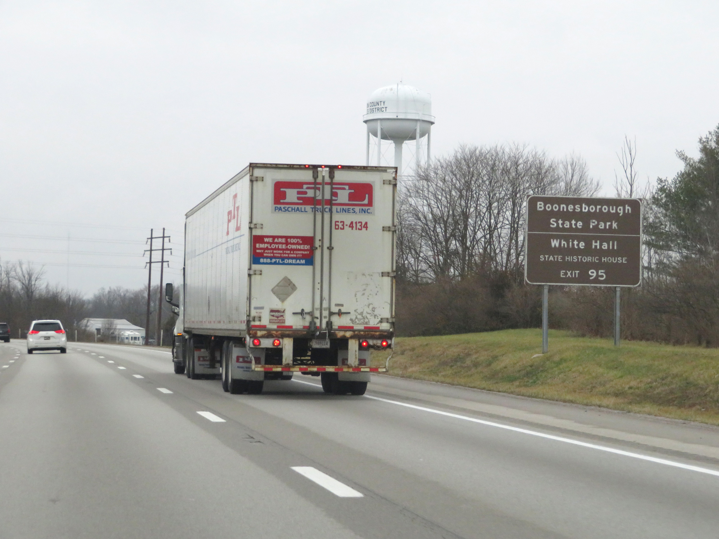 |
Take Exit 95 to Boonesborough State Park and White Hall State Historic House. (Photo taken 12/17/20). |
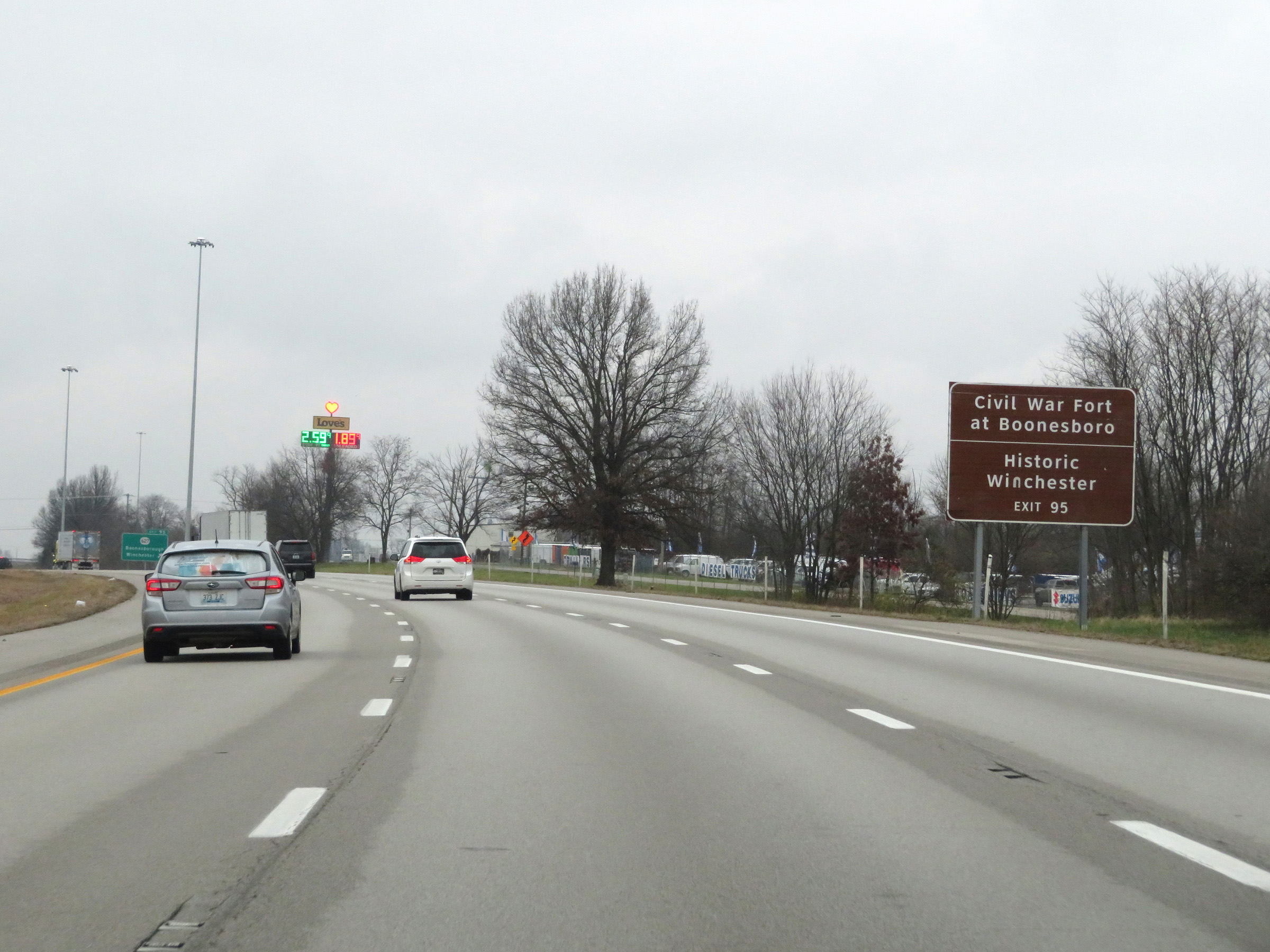 |
Also take Exit 95 to the Civil War Fort at Boonesboro and Historic Winchester. (Photo taken 12/17/20). |
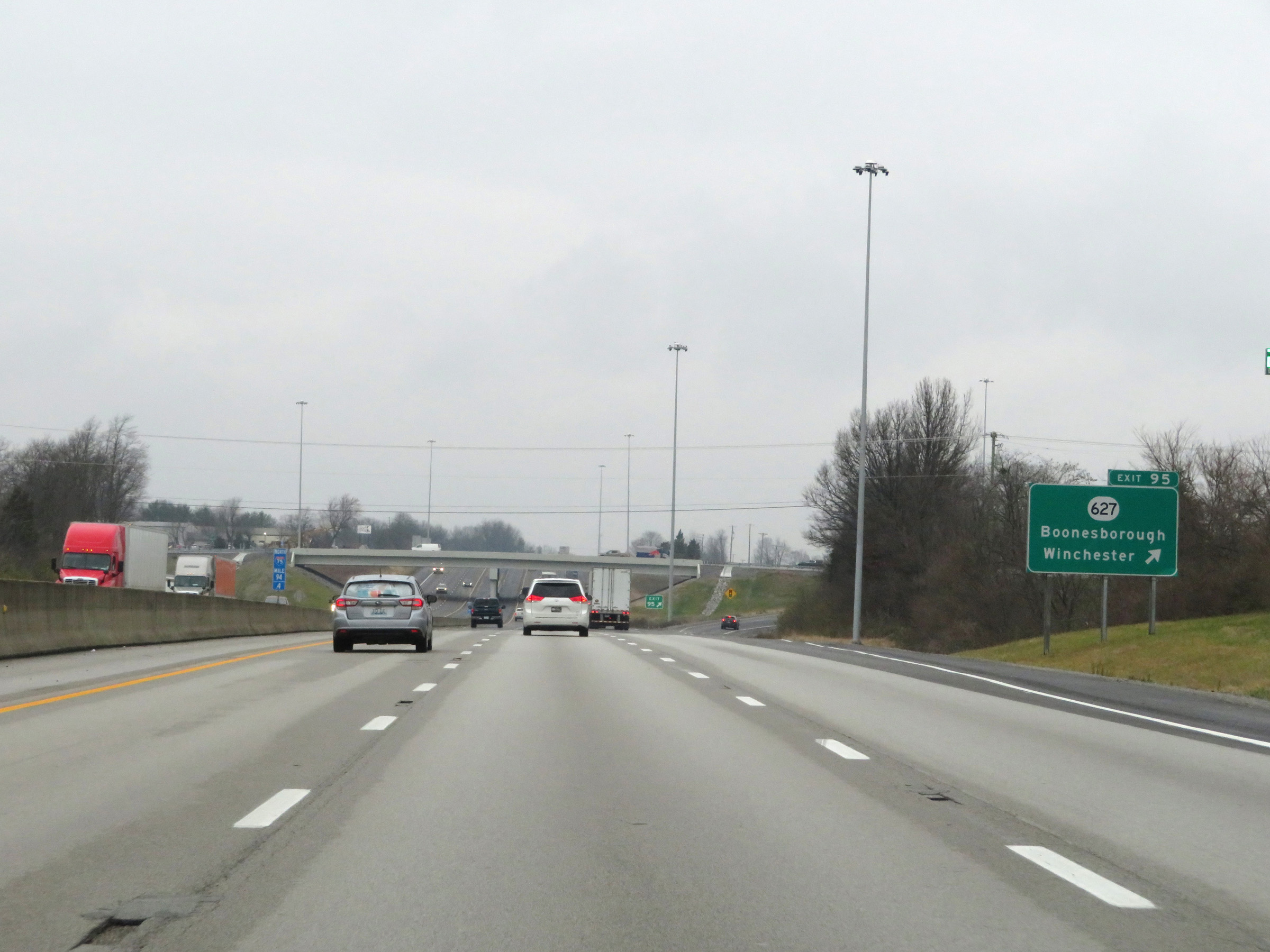 |
Interstate 75 North at Exit 95: KY 627 - Boonesborough / Winchester (Photo taken 12/17/20). |
 |
View on Interstate 75 North at mile marker 96. (Photo taken 12/17/20). |
 |
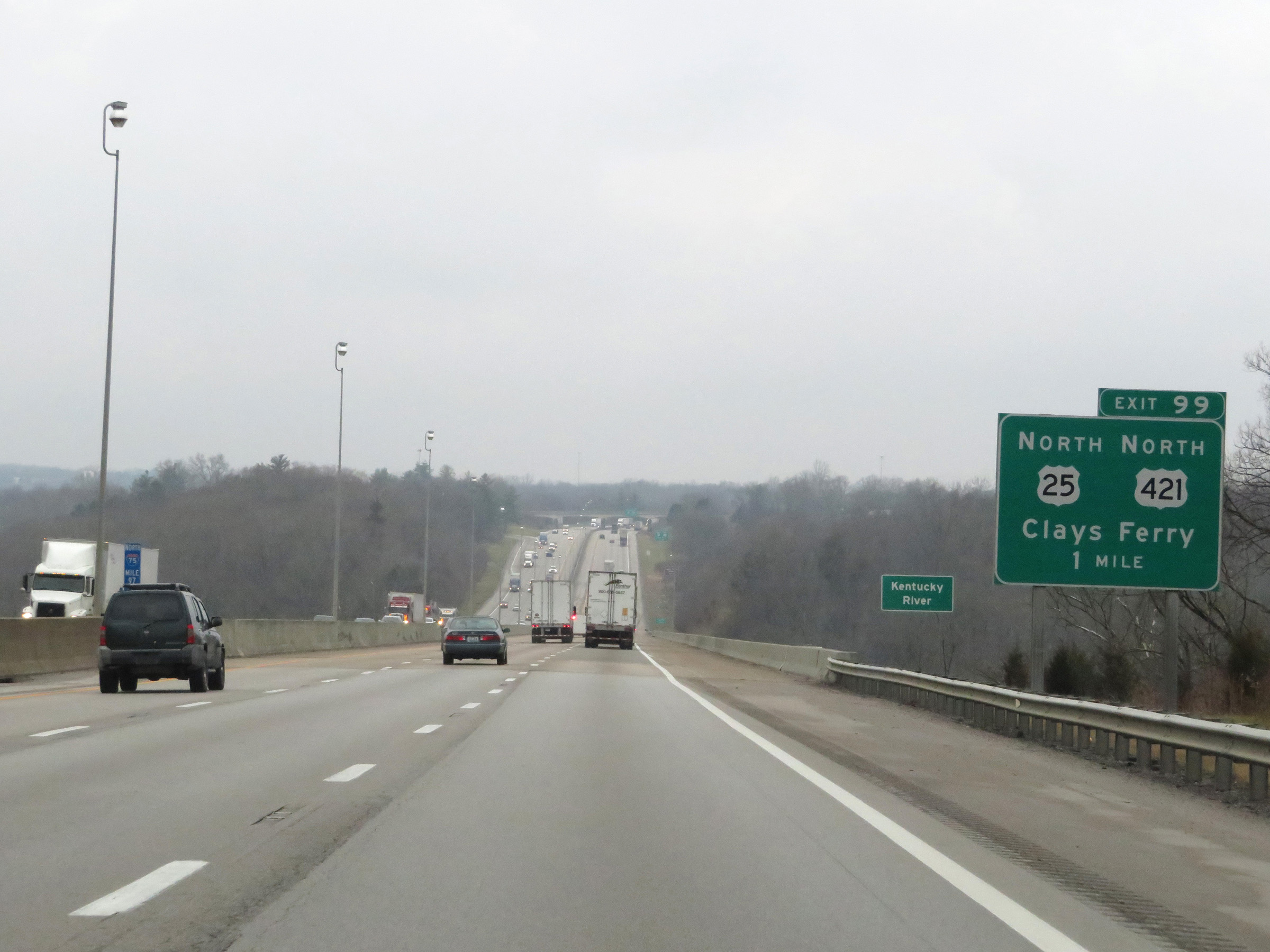
Interstate 75 North at Exit 97: US 25 / US 421 - Clays Ferry (Photo taken 12/17/20). |
 |
One mile south of Exit 99, Interstate 75 North starts across the Kentucky River on the Clays Ferry Bridge. (Photo taken 12/17/20). |
 |
Upon crossing the Kentucky River on the Clays Ferry Bridge, Interstate 75 North enters Fayette County. (Photo taken 12/17/20). |
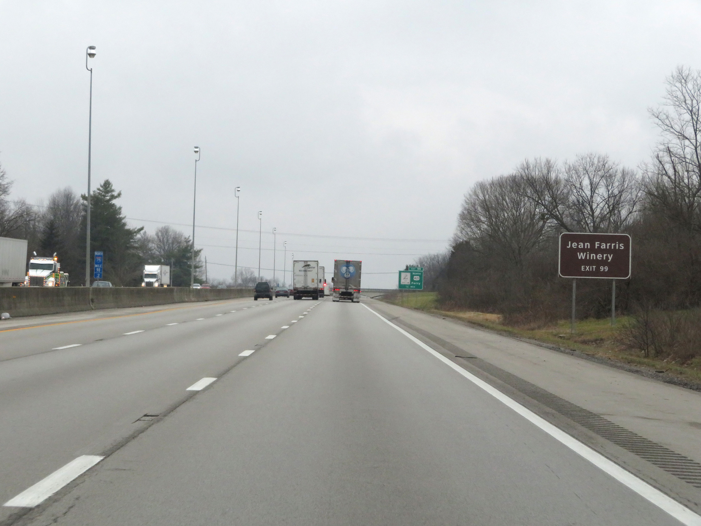 |
Take Exit 99 to Jean Farris Winery. (Photo taken 12/17/20). |
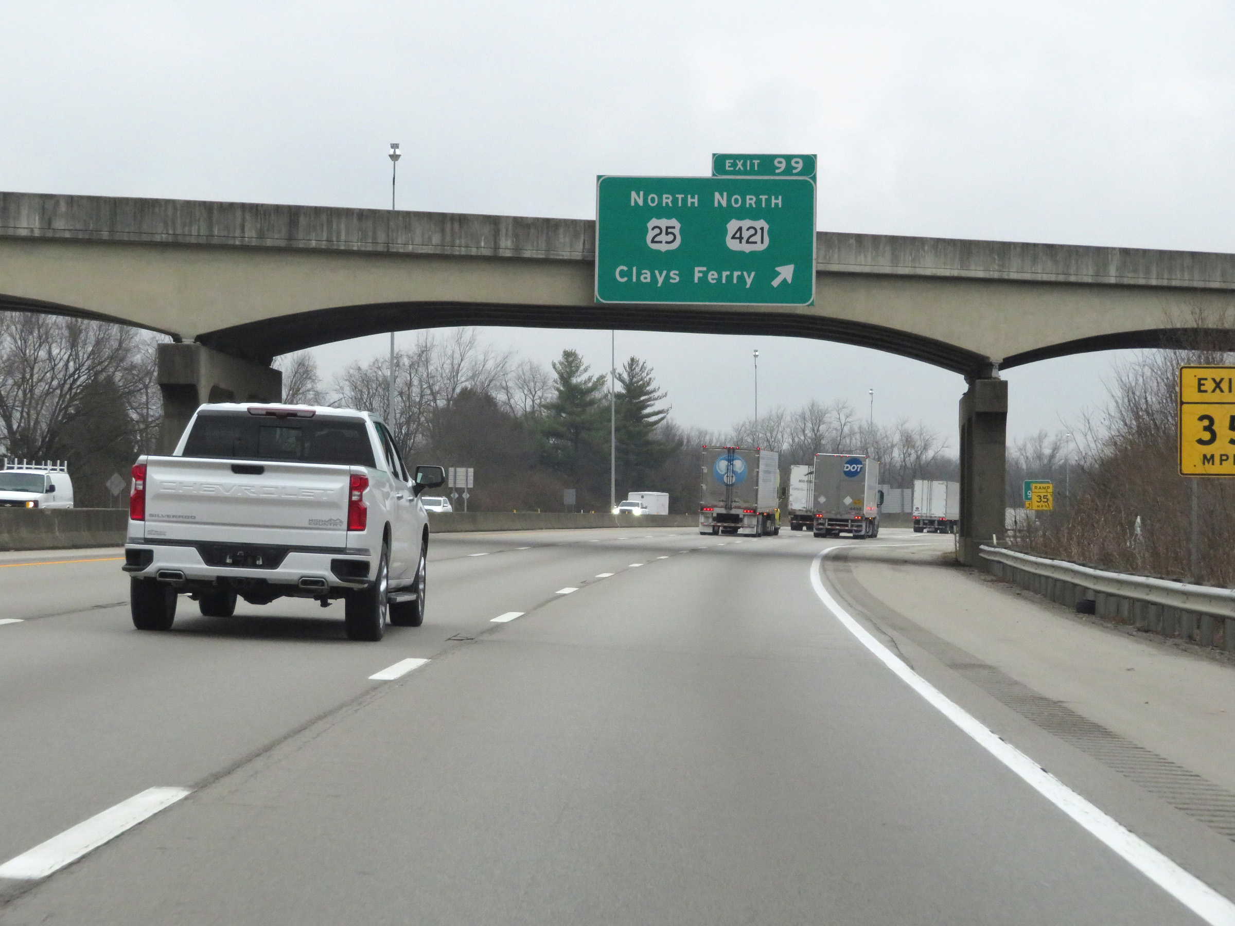 |
Interstate 75 North at Exit 99: US 25 North / US 421 North - Clays Ferry (Photo taken 12/17/20). |
 |
Mile marker 100 on Interstate 75 North in Fayette County. (Photo taken 12/17/20). |
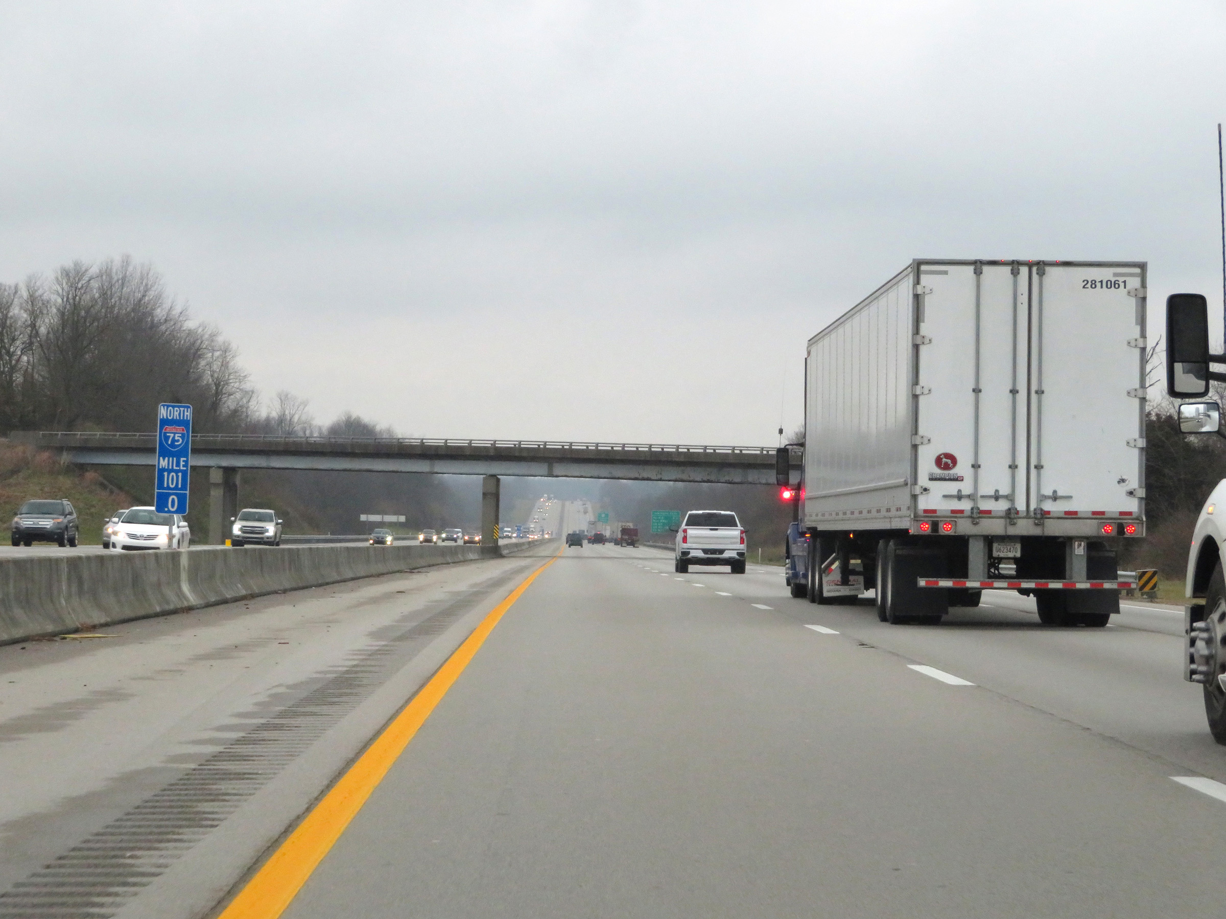 |
View on Interstate 75 North at mile marker 101. (Photo taken 12/17/20). |
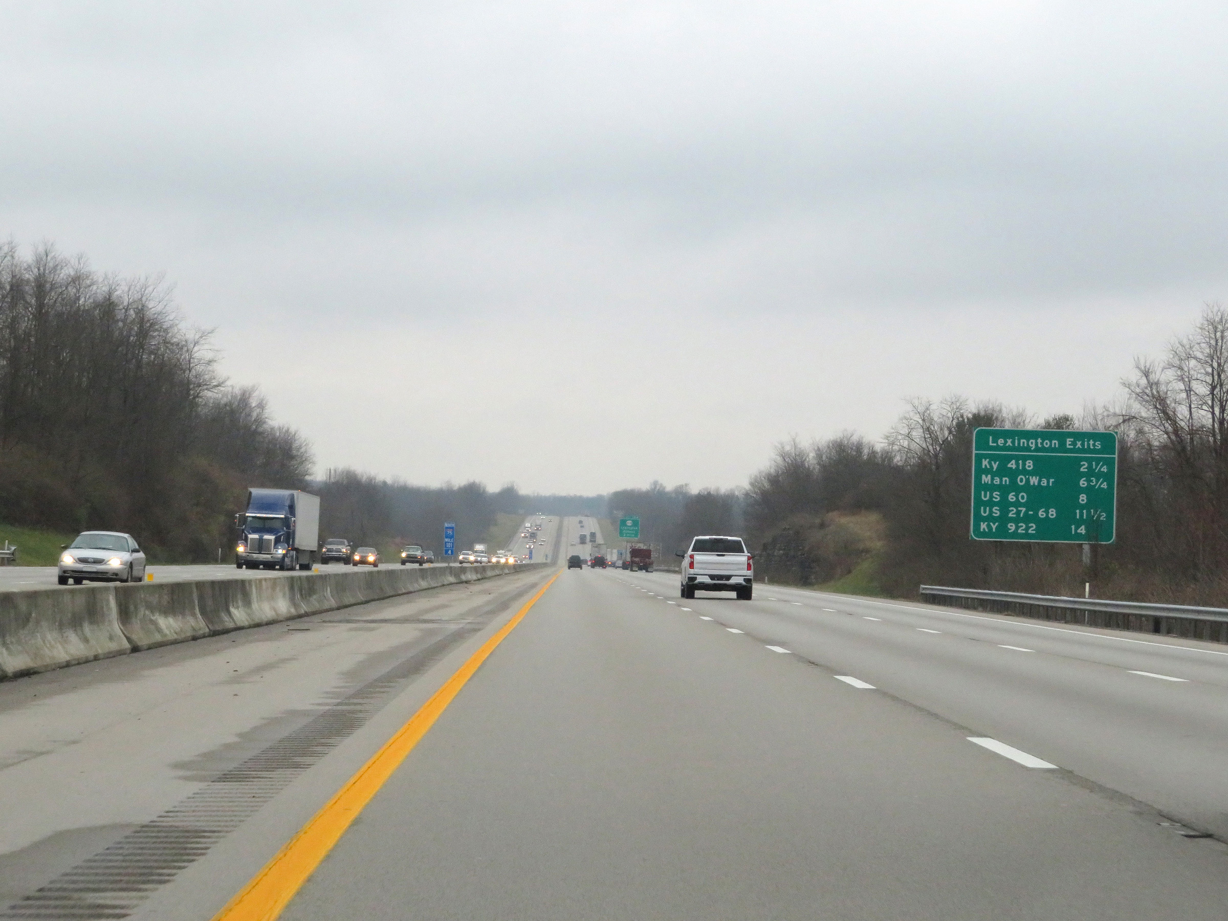 |
Mileage sign listing the distances to the five upcoming exits to Lexington on Interstate 75 North. (Photo taken 12/17/20). |
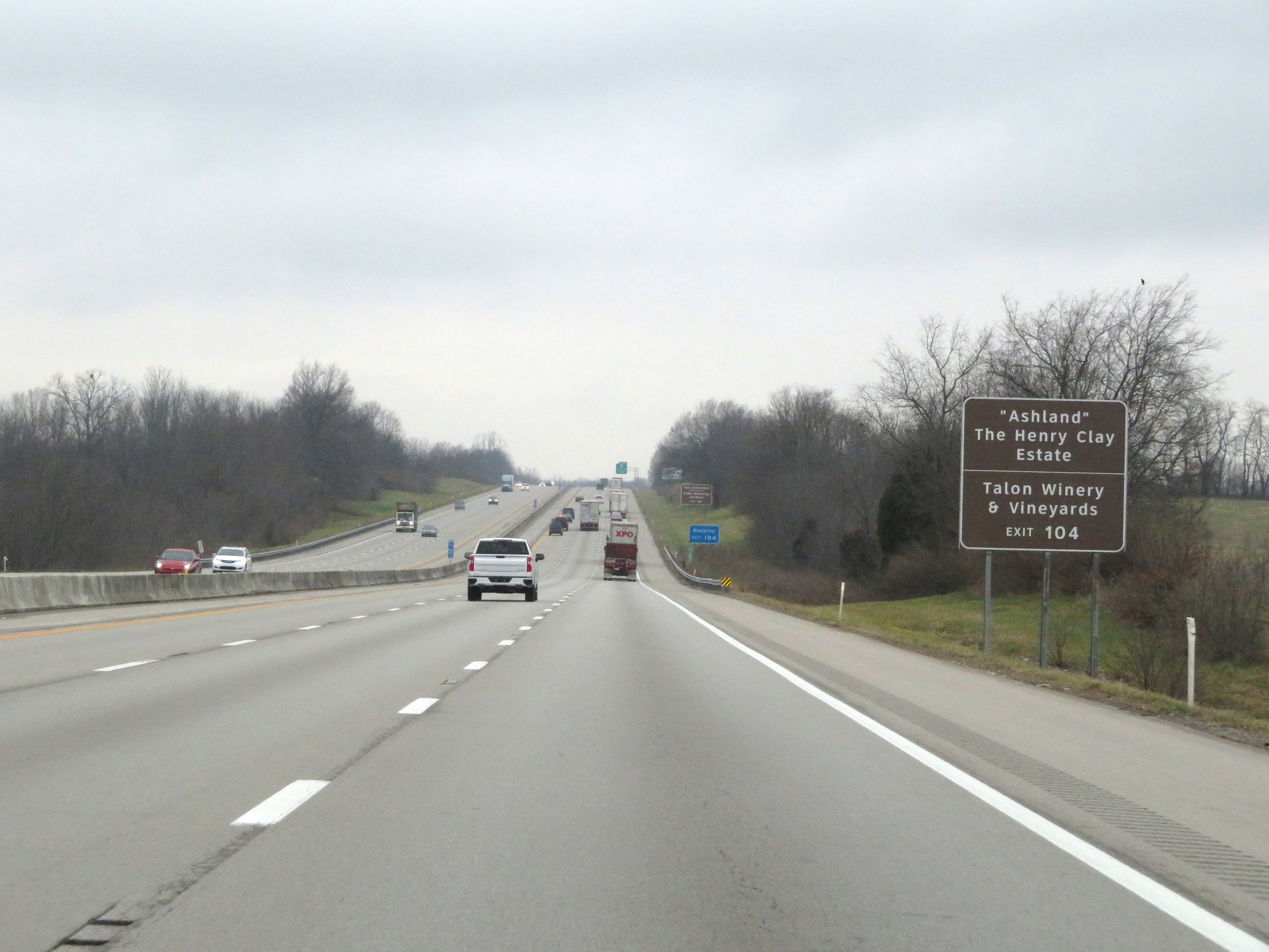 |
Take Exit 104 to "Ashland", the Henry Clay Estate as well as Talon Winery & Vineyards. (Photo taken 12/17/20). |
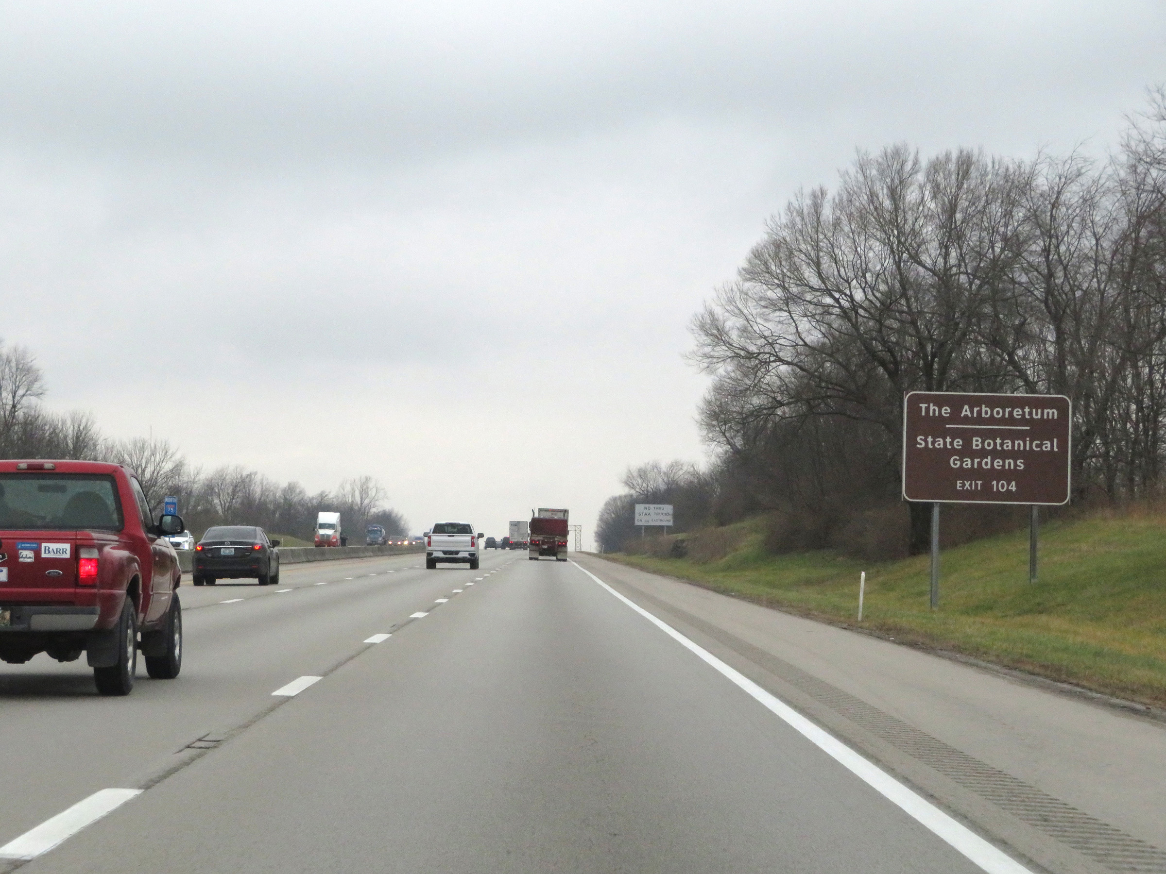 |
Also take Exit 104 to The Arboretum and the State Botanical Gardens. (Photo taken 12/17/20). |
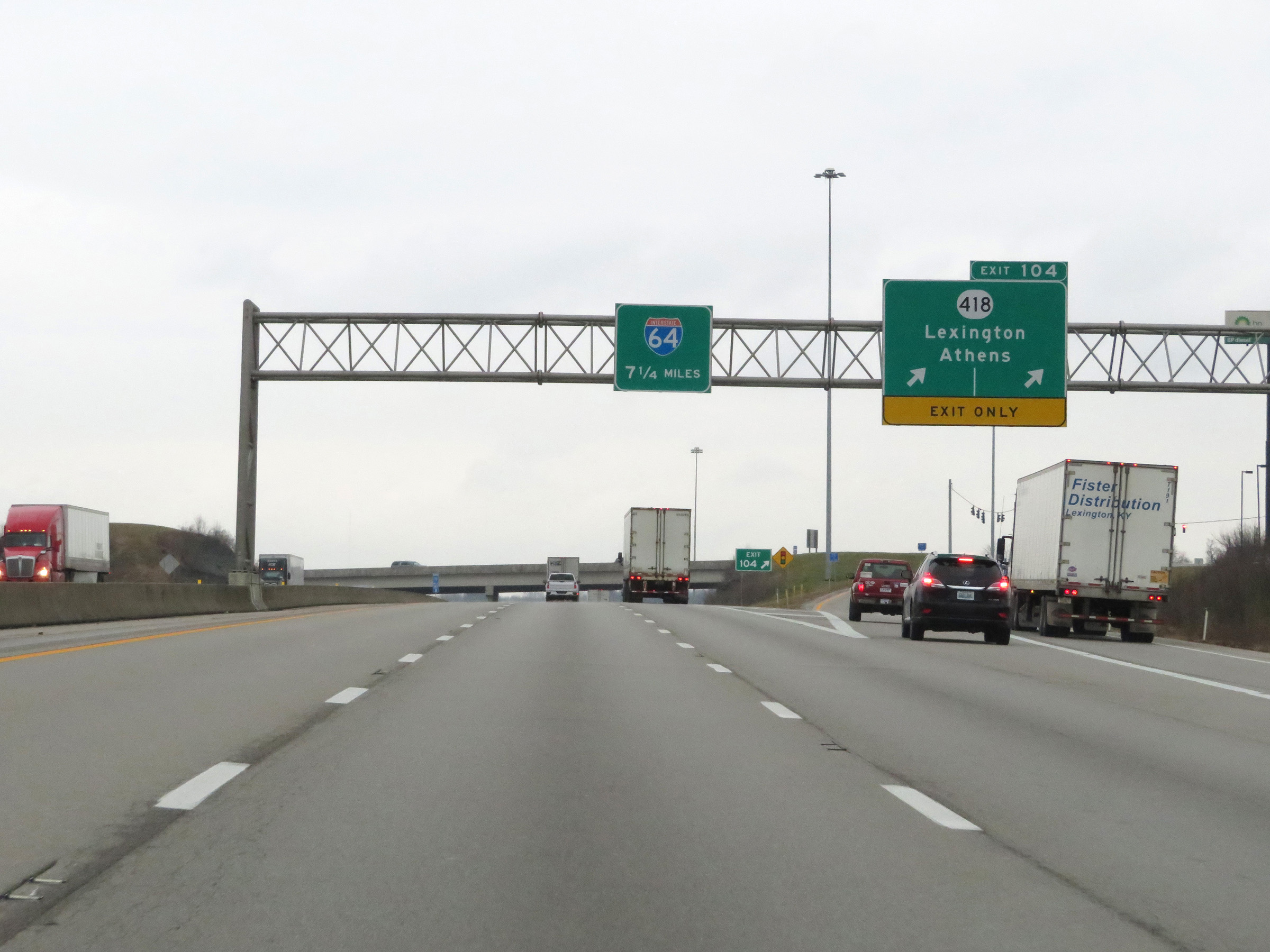 |
Interstate 75 North at Exit 104: KY 418 - Lexington / Athens (Photo taken 12/17/20). |
 |
Interstate 75 North at mile marker 106.2. (Photo taken 12/17/20). |
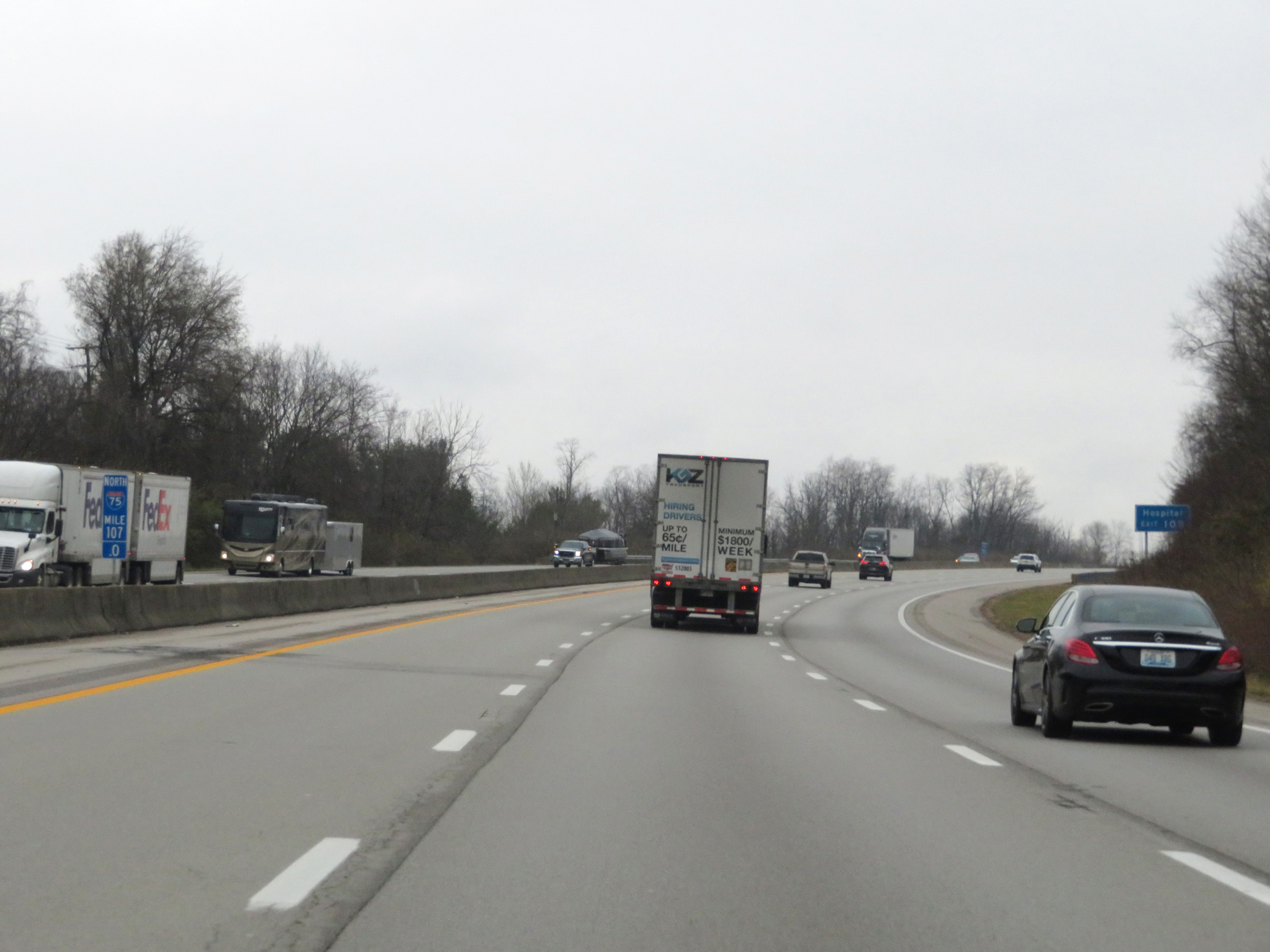 |
View on Interstate 75 North at mile marker 107. (Photo taken 12/17/20). |
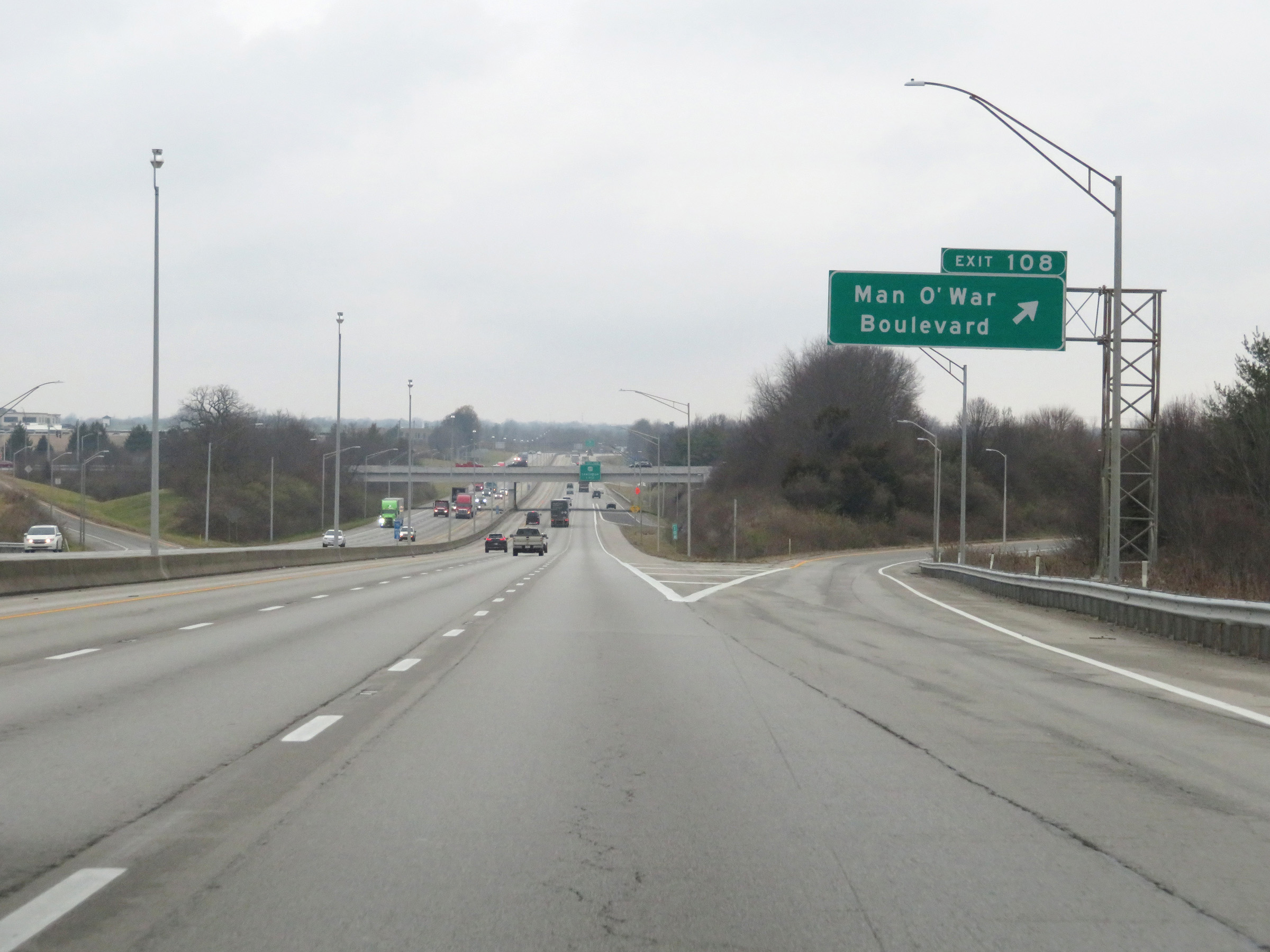 |
Interstate 75 North at Exit 108: Man O'War Boulevard (Photo taken 12/17/20). |
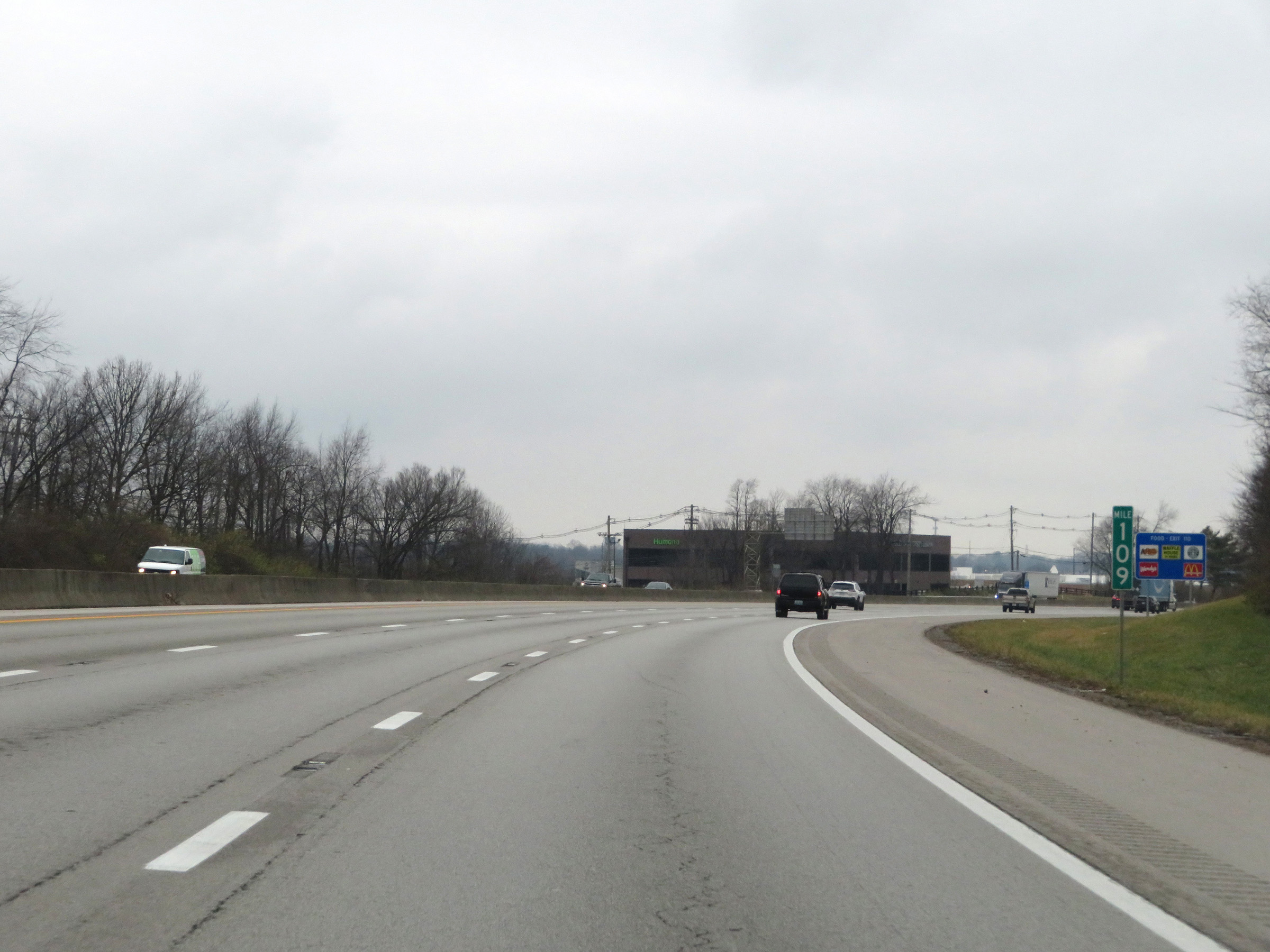 |
View on Interstate 75 North at mile marker 109. (Photo taken 12/17/20). |
 |
Interstate 75 North at Exit 110: US 60 - Lexington (Photo taken 12/17/20). |
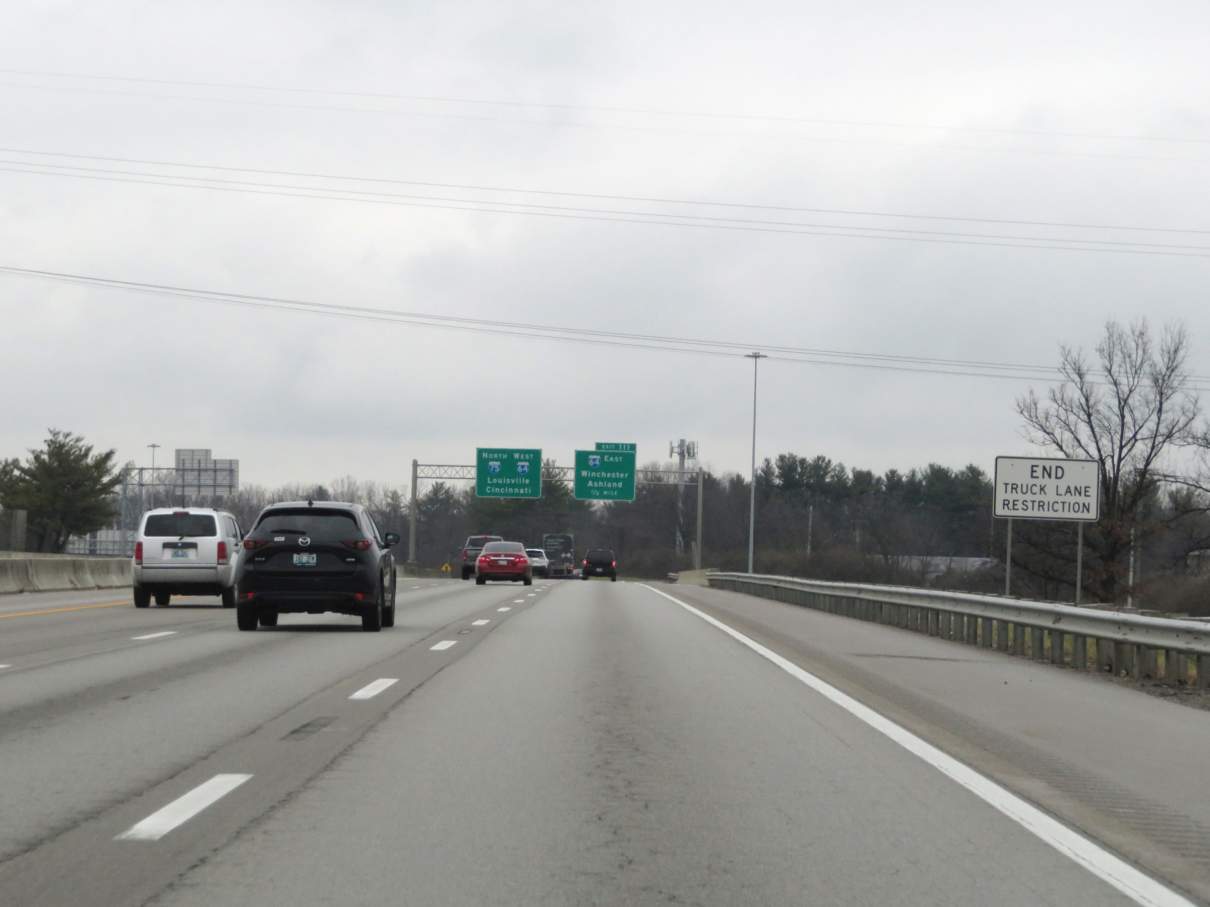 |
Approaching the junction of Interstate 64 and its concurrency with Interstate 75, the truck lane restrictions come to an end for the time being. (Photo taken 12/17/20). |
 |
Interstate 75 North approaching Exit 111 - 1/2 mile. (Photo taken 12/17/20). |
 |
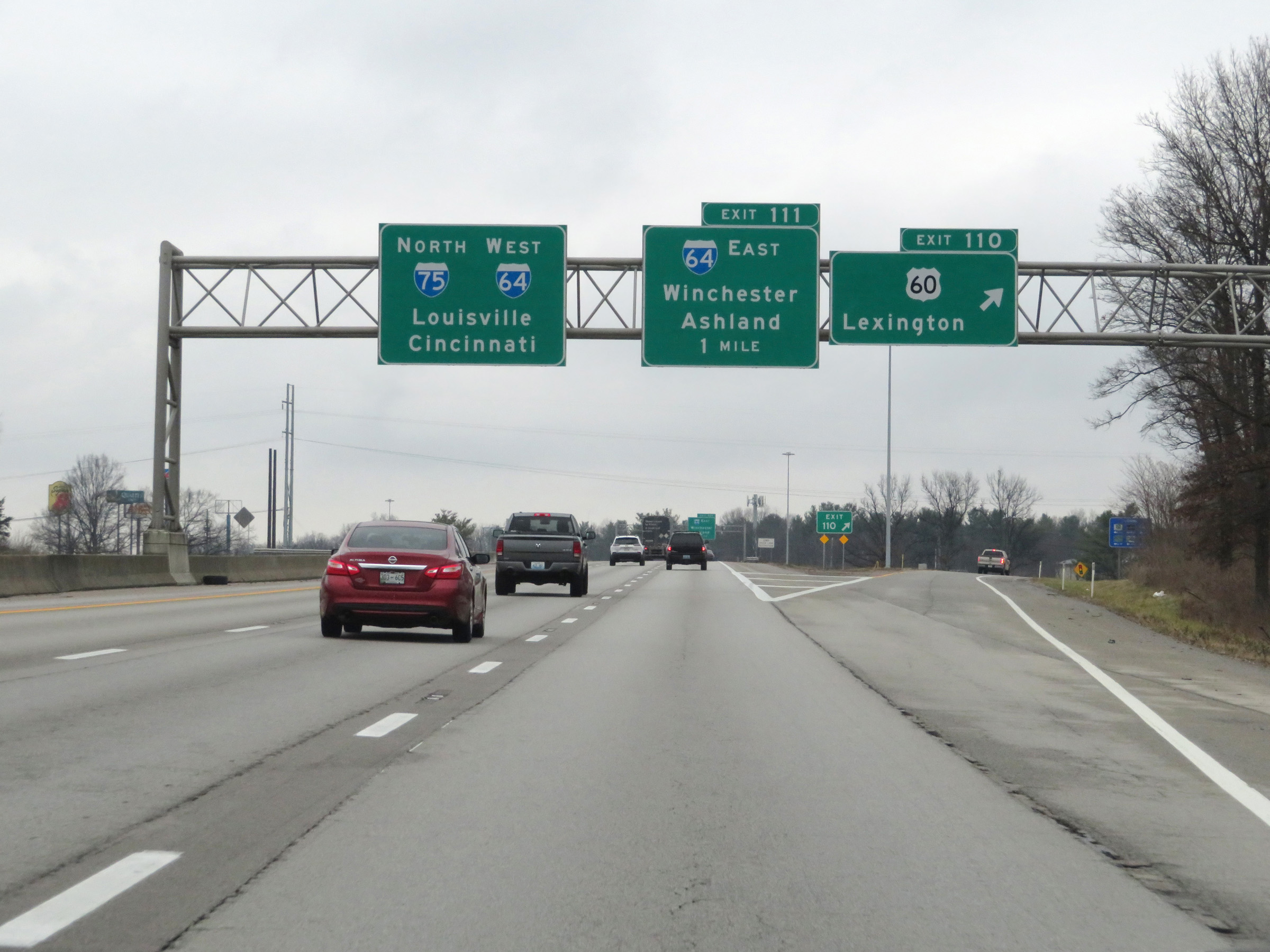
Interstate 75 North at Exit 111: Interstate 64 East - Winchester / Ashland (Photo taken 12/17/20). |
 |
View on Interstate 75 North as traffic from Interstate 64 West prepares to merge into it ahead on the right. I-75 and I-64 will run concurrently for the next 6.5 miles through the Lexington area. (Photo taken 12/17/20). |
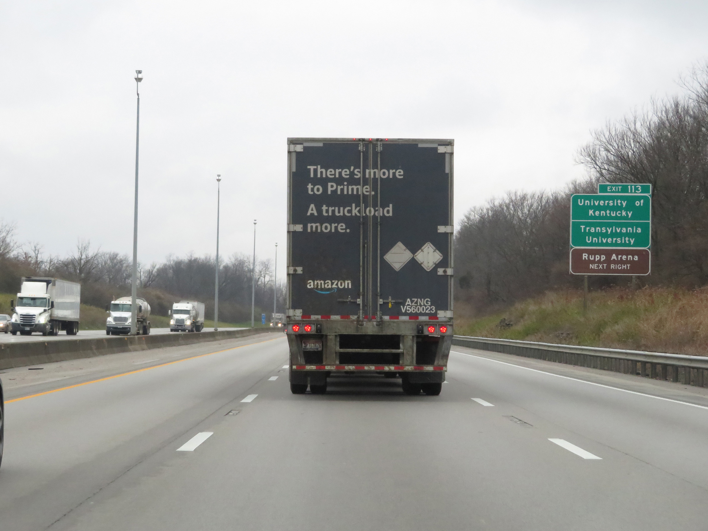 |
Take Exit 113 to the University of Kentucky, Transylvania University, and Rupp Arena. (Photo taken 12/17/20). |
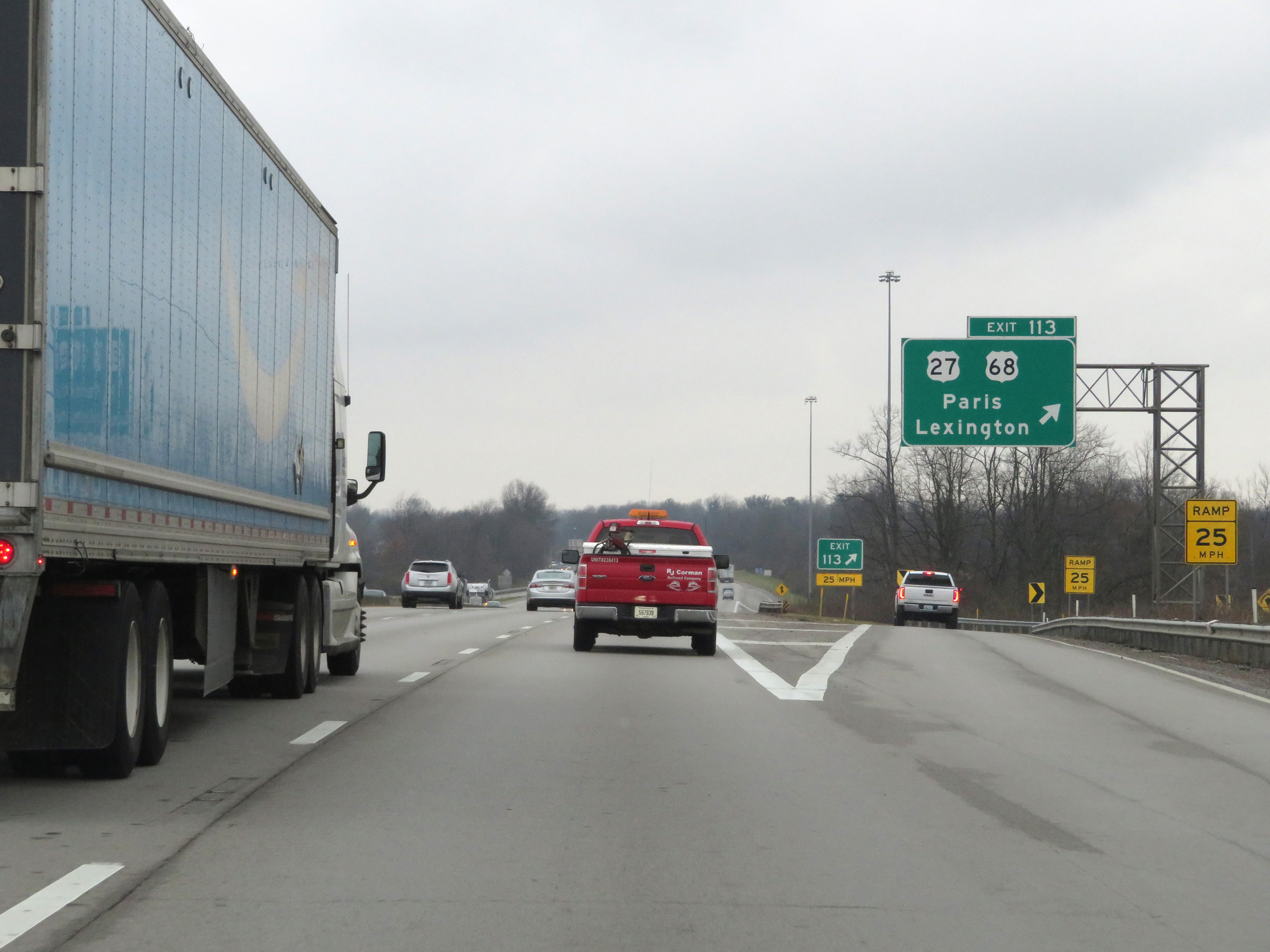 |
Interstate 75 North / Interstate 64 West at Exit 113: US 27 / US 68 - Paris / Lexington (Photo taken 12/17/20). |
Section 3: Lexington (Exit 113) to Walton (Exit 173)
 |
A set of state-named Interstate 75 North / Interstate 64 West reassurance shields. During this concurrency, the mile markers and exit numbers are based on the total mileage of I-75 in Kentucky. (Photo taken 12/17/20). |
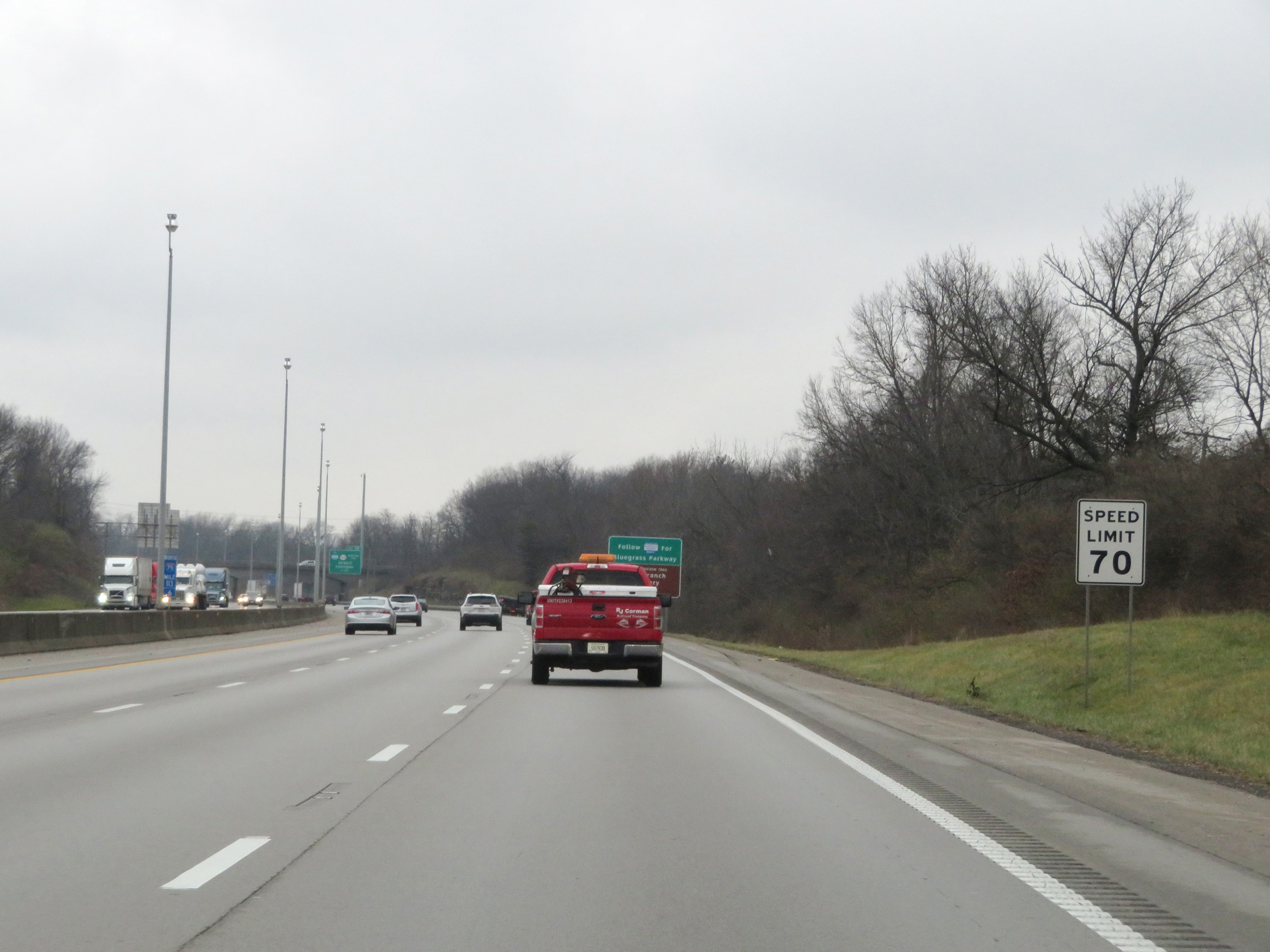 |
The speed limit remains 70 mph on Interstate 75 North / Interstate 64 West through the Lexington area. (Photo taken 12/17/20). |
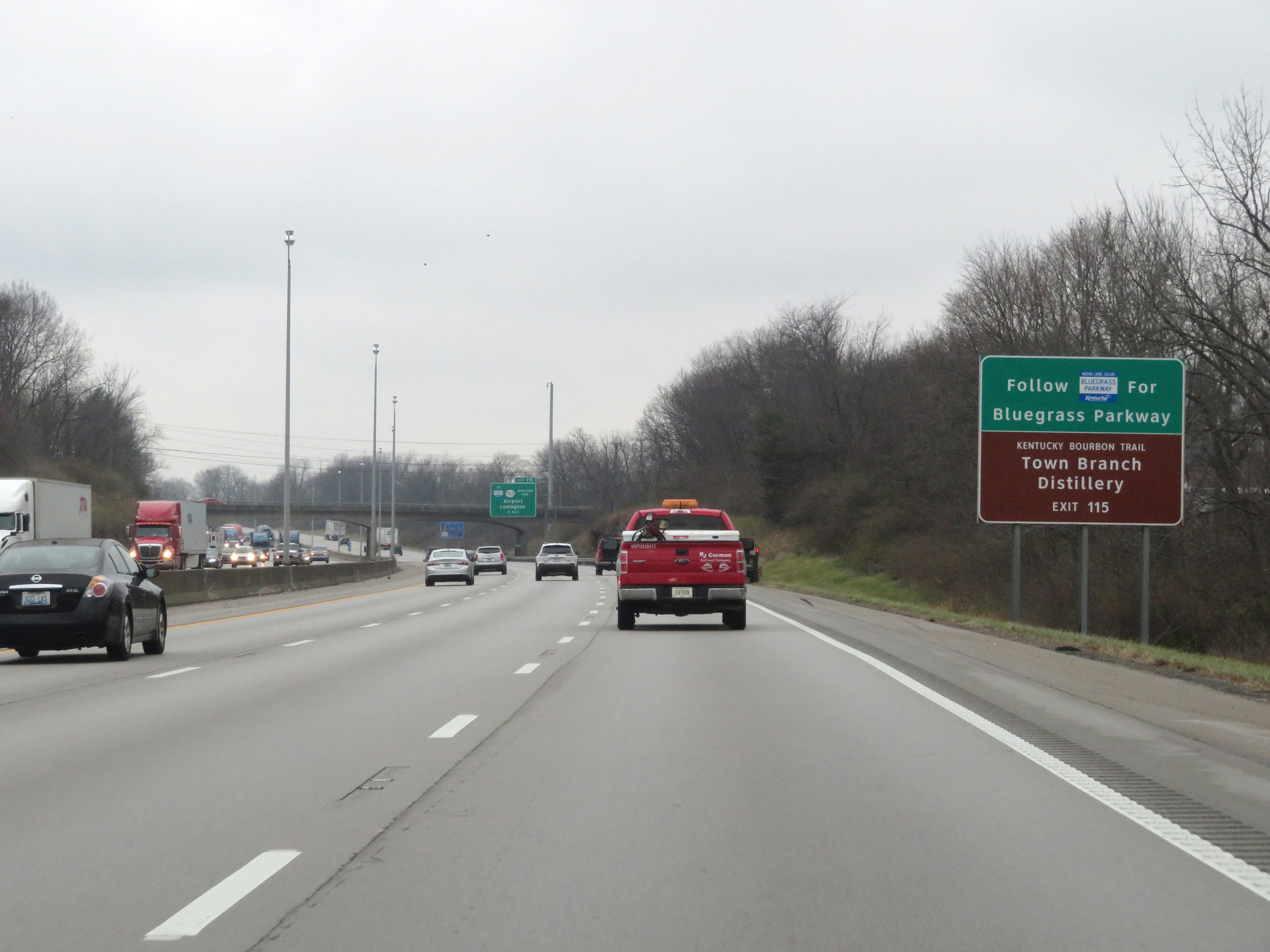 |
Take Exit 115 to the Bluegrass Parkway and Town Branch Distillery. (Photo taken 12/17/20). |
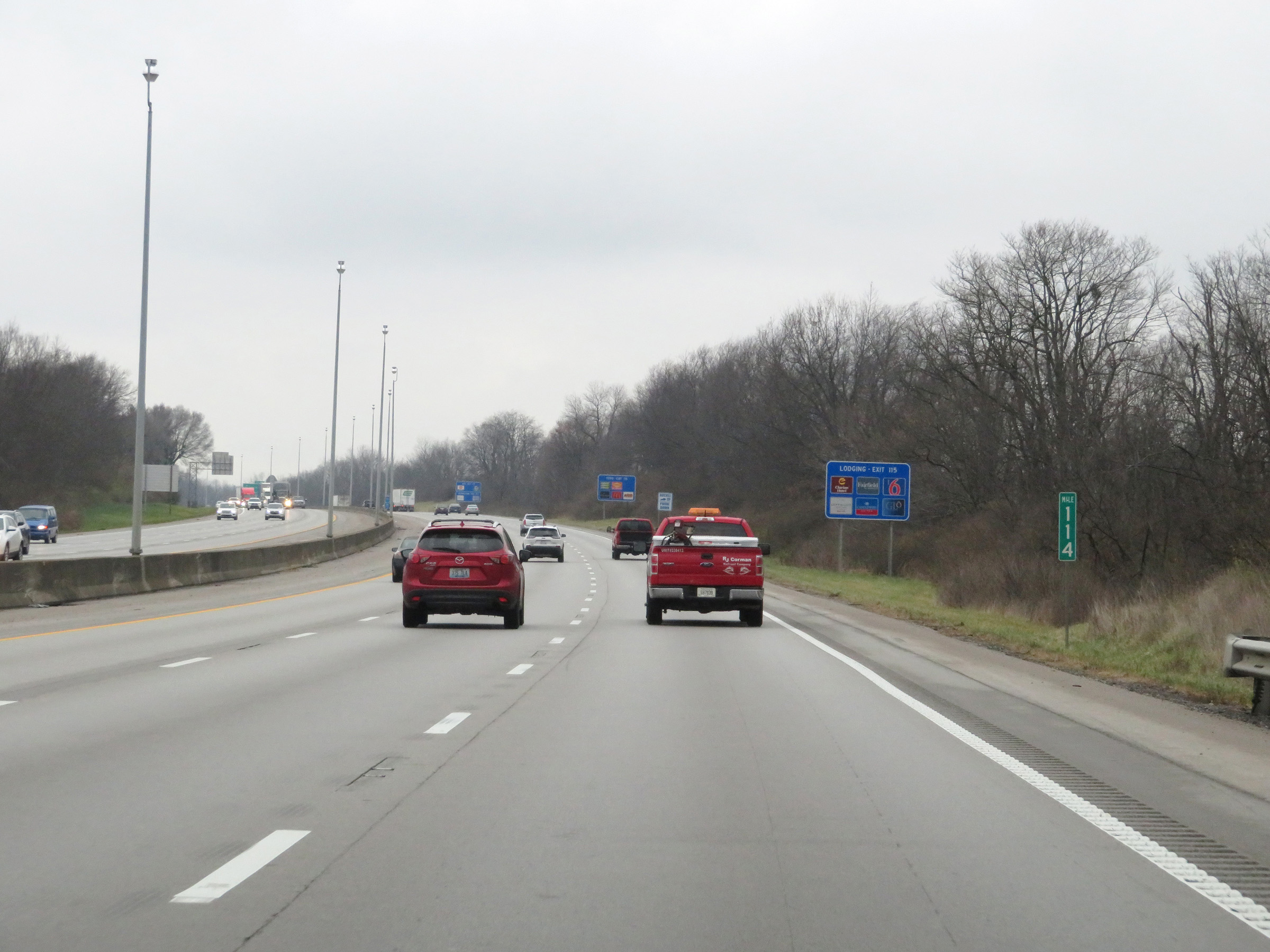 |
View on Interstate 75 North at mile marker 114. (Photo taken 12/17/20). |
 |
Interstate 75 North / Interstate 64 West at Exit 115: KY 922 (Newtown Pike) / To Bluegrass Pkwy - Airport / Lexington (Photo taken 12/17/20). |
 |
Interstate 75 North / Interstate 64 West approaching Exit 118 - 1/2 mile ahead on the left. (Photo taken 12/17/20). |
 |
Remain on Interstate 75 North to Kentucky Horse Park. Take Exit 118 and follow Interstate 64 West to get to Kentucky Bourbon Trail. (Photo taken 12/17/20). |
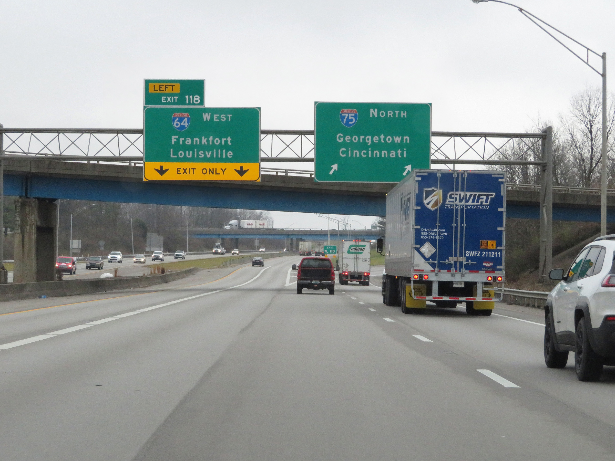 |
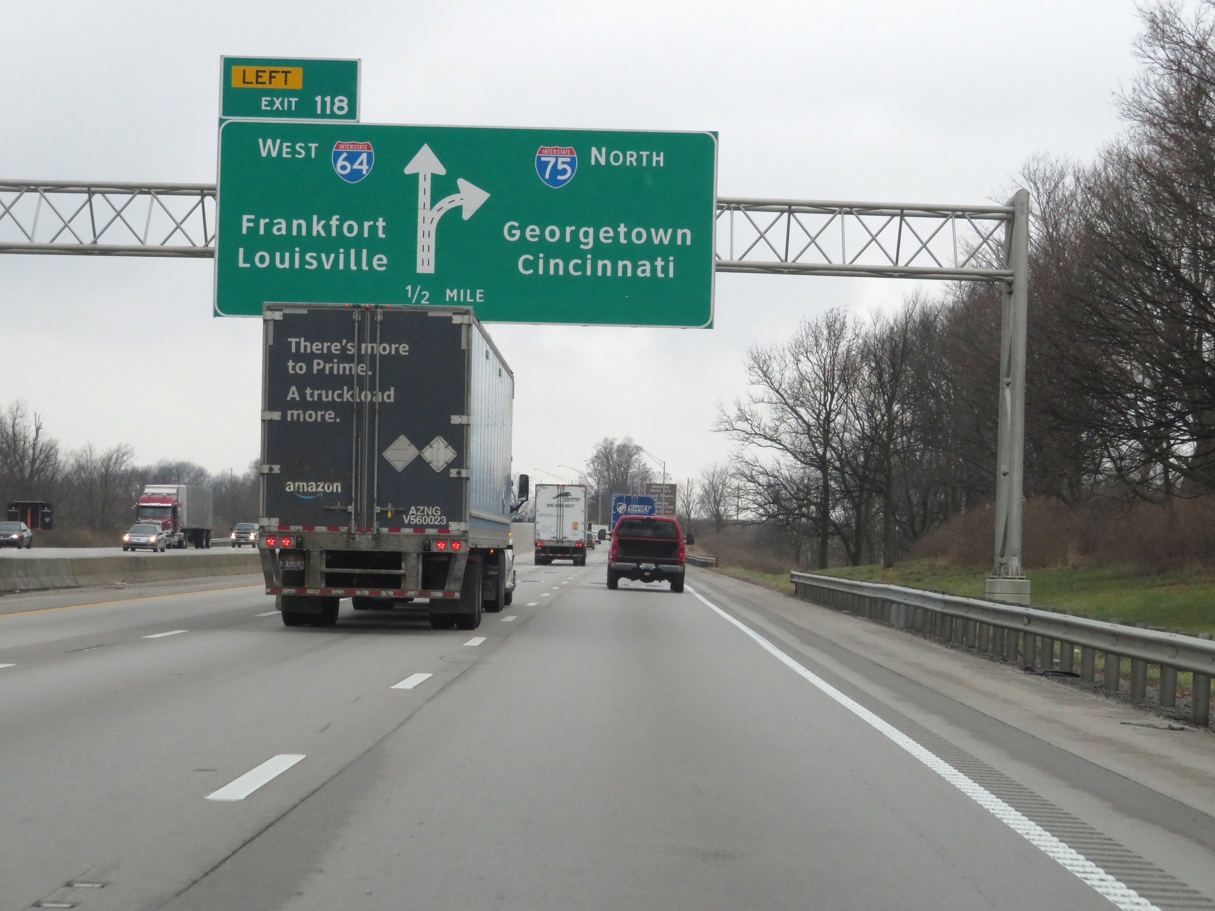
Interstate 75 North / Interstate 64 West at Exit 118: Interstate 64 West - Frankfort / Louisville (Photo taken 12/17/20). |
 |
A closer view of the split as Interstate 64 West departs Interstate 75 North via Exit 118 on the left. (Photo taken 12/17/20). |
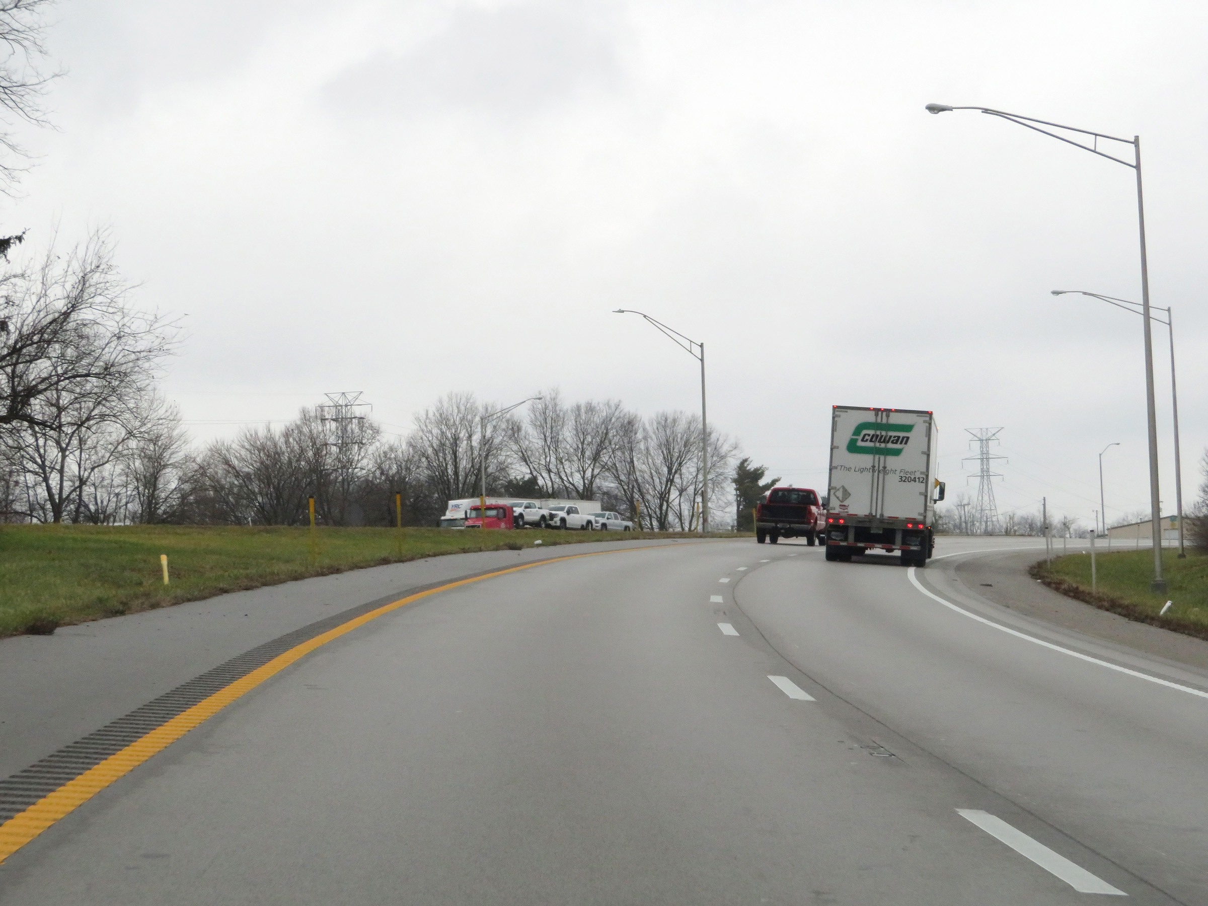 |
View on Interstate 75 North after Interstate 64 West has departed. (Photo taken 12/17/20). |
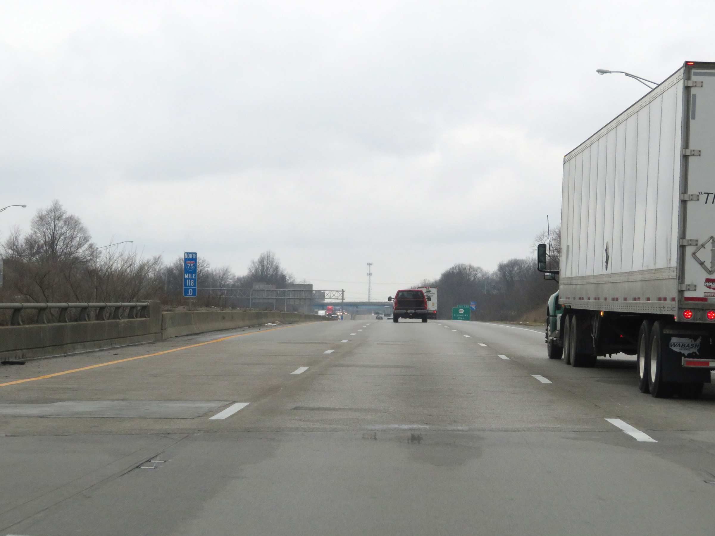 |
Interstate 75 North at mile marker 118. (Photo taken 12/17/20). |
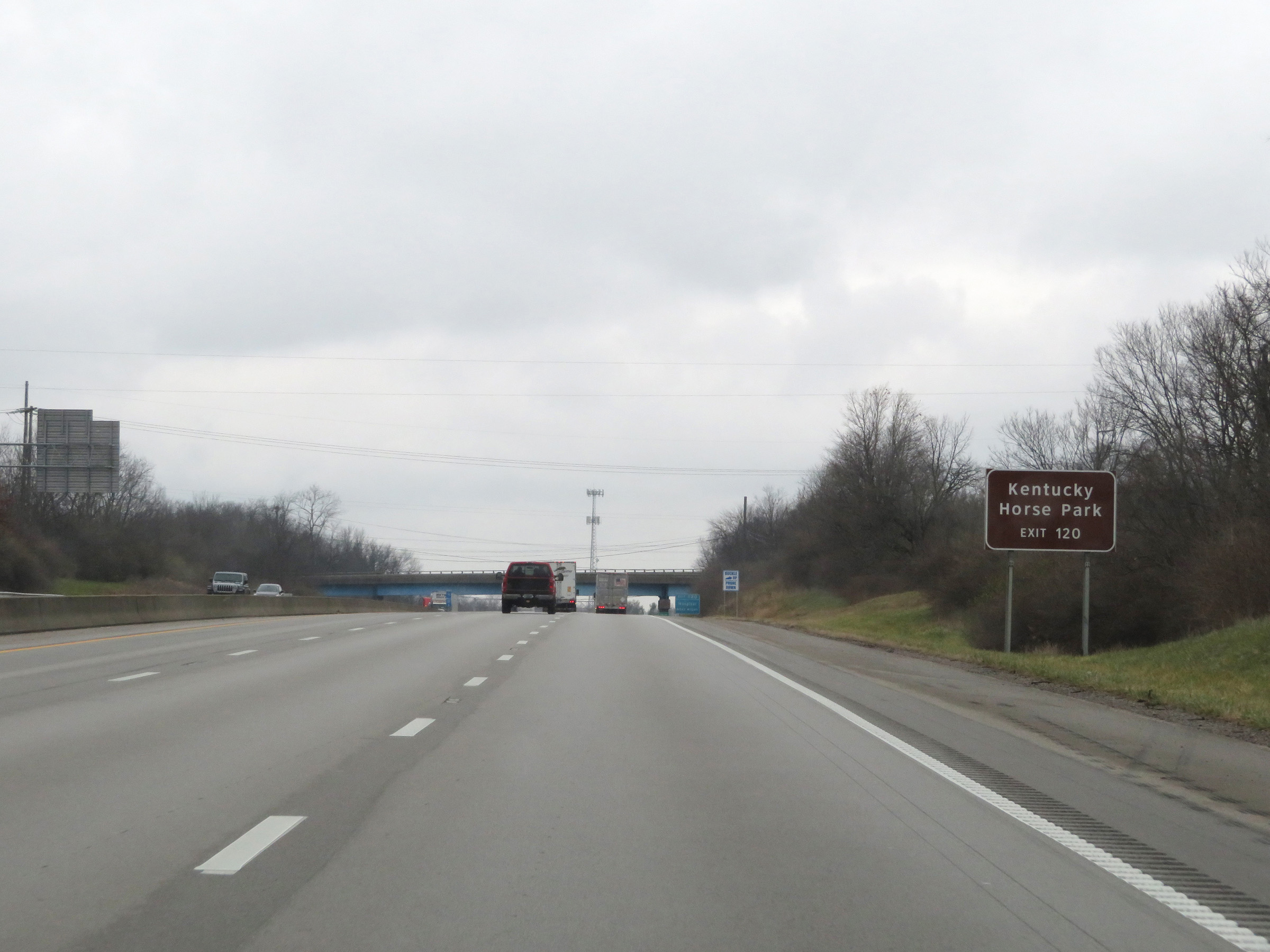 |
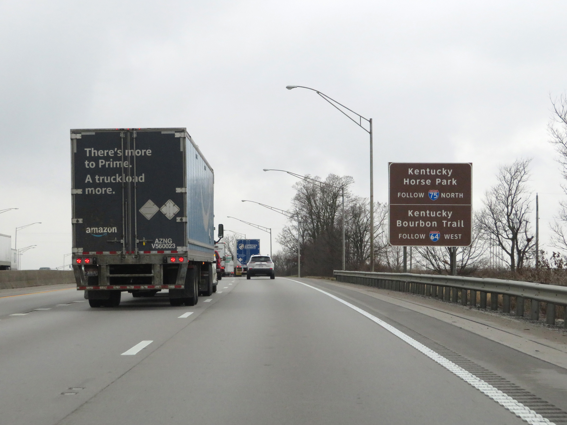
Take Exit 120 to Kentucky Horse Park. (Photo taken 12/17/20). |
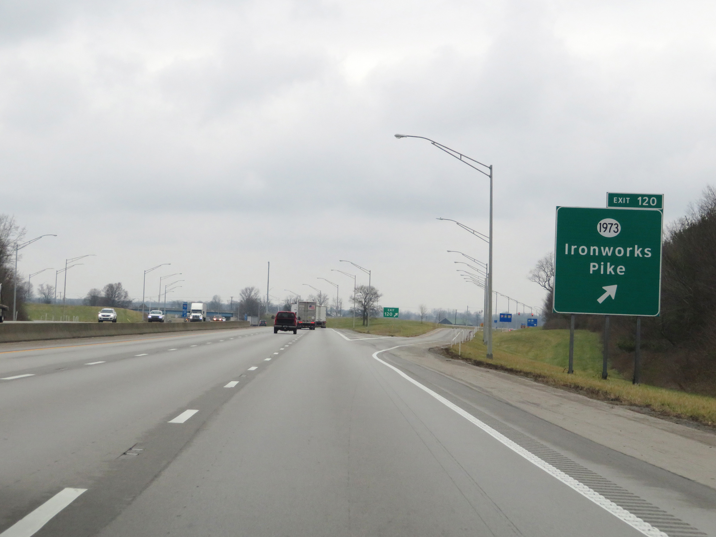 |
Interstate 75 North at Exit 120: KY 1973 - Ironworks Pike (Photo taken 12/17/20). |
 |
Another state-named Interstate 75 North reassurance shield at mile marker 120.6. (Photo taken 12/17/20). |
 |
The speed limit remains 70 mph on Interstate 75 North. (Photo taken 12/17/20). |
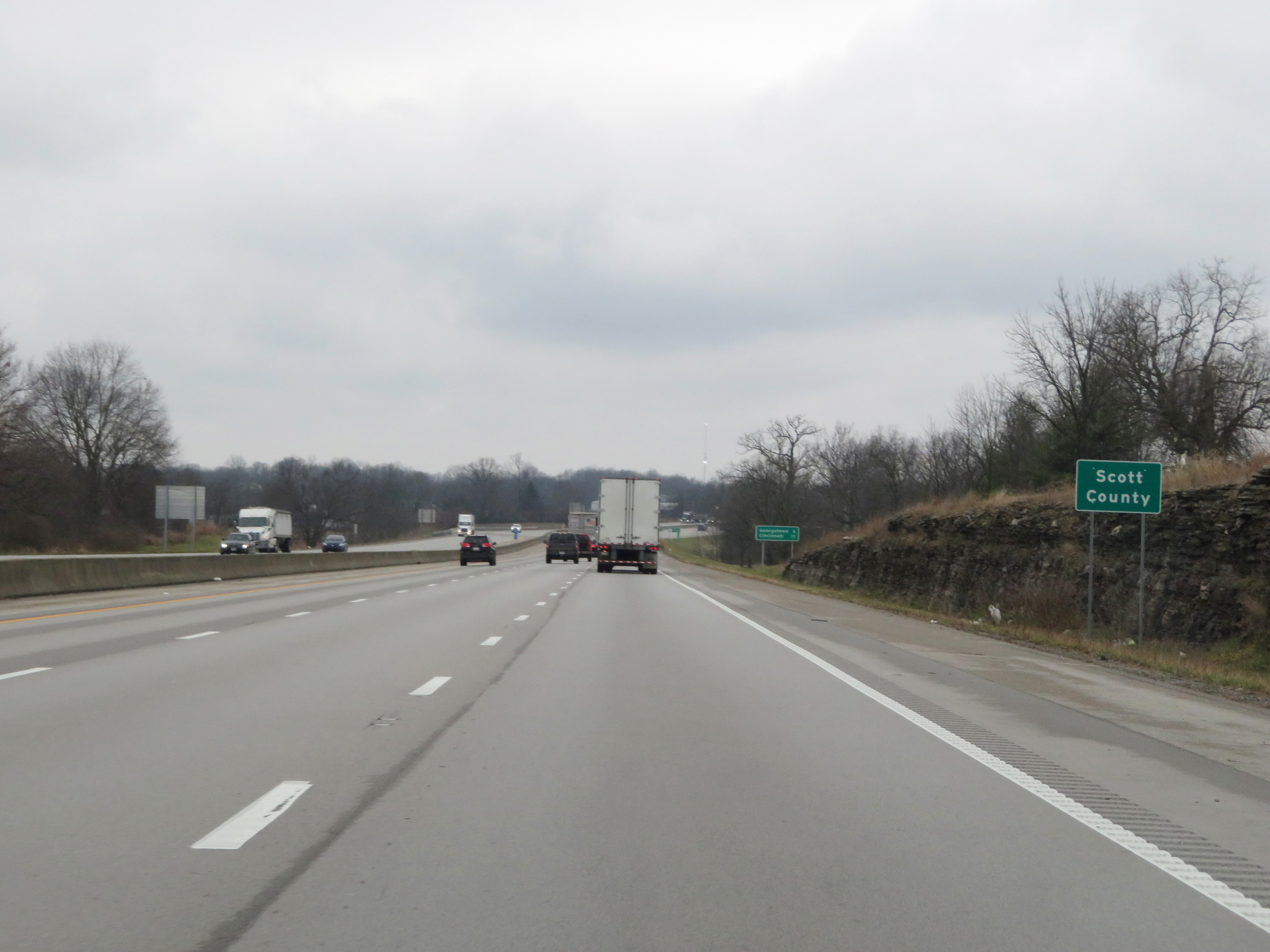 |
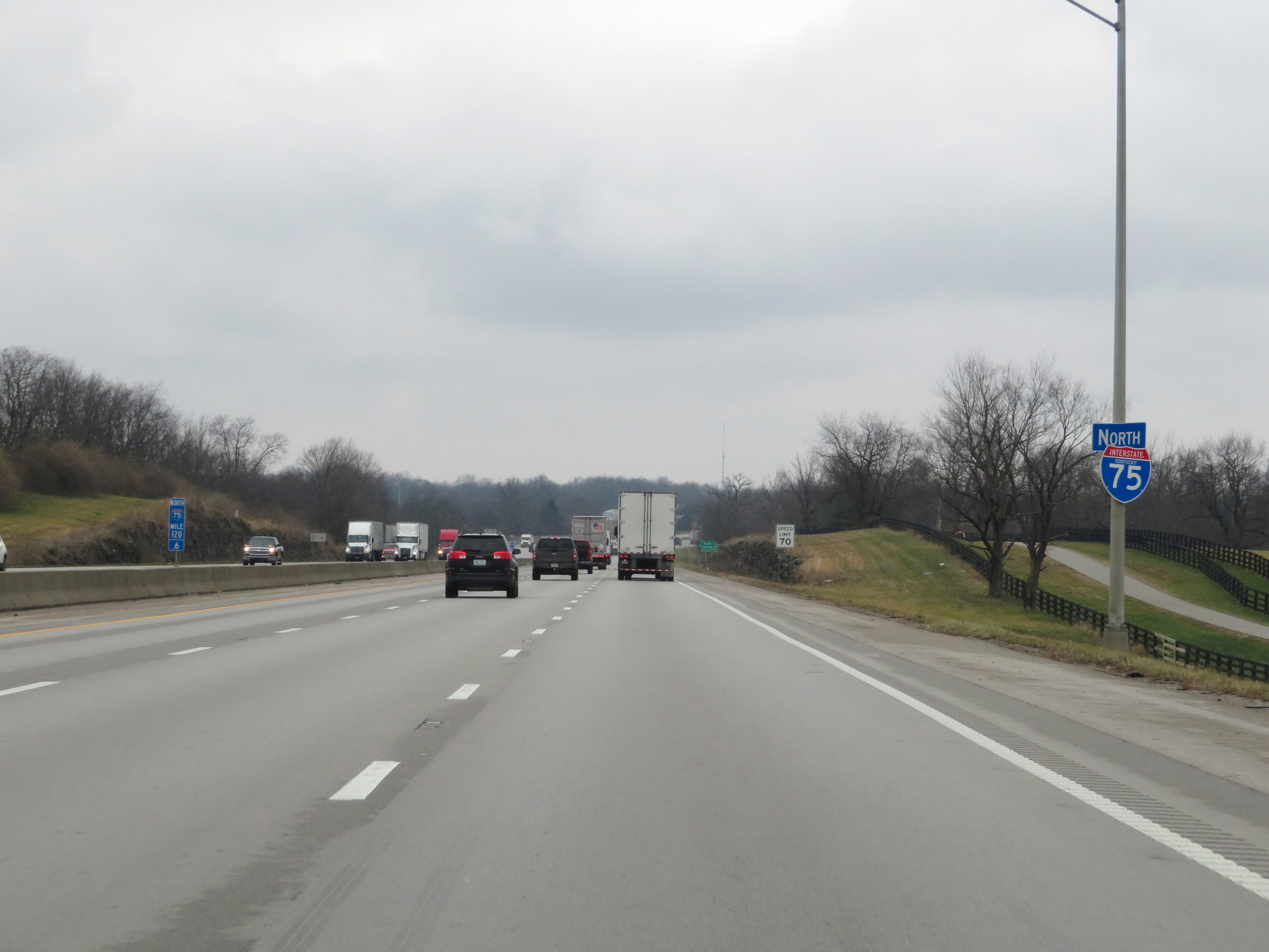
Interstate 75 North as it enters Scott County. (Photo taken 12/17/20). |
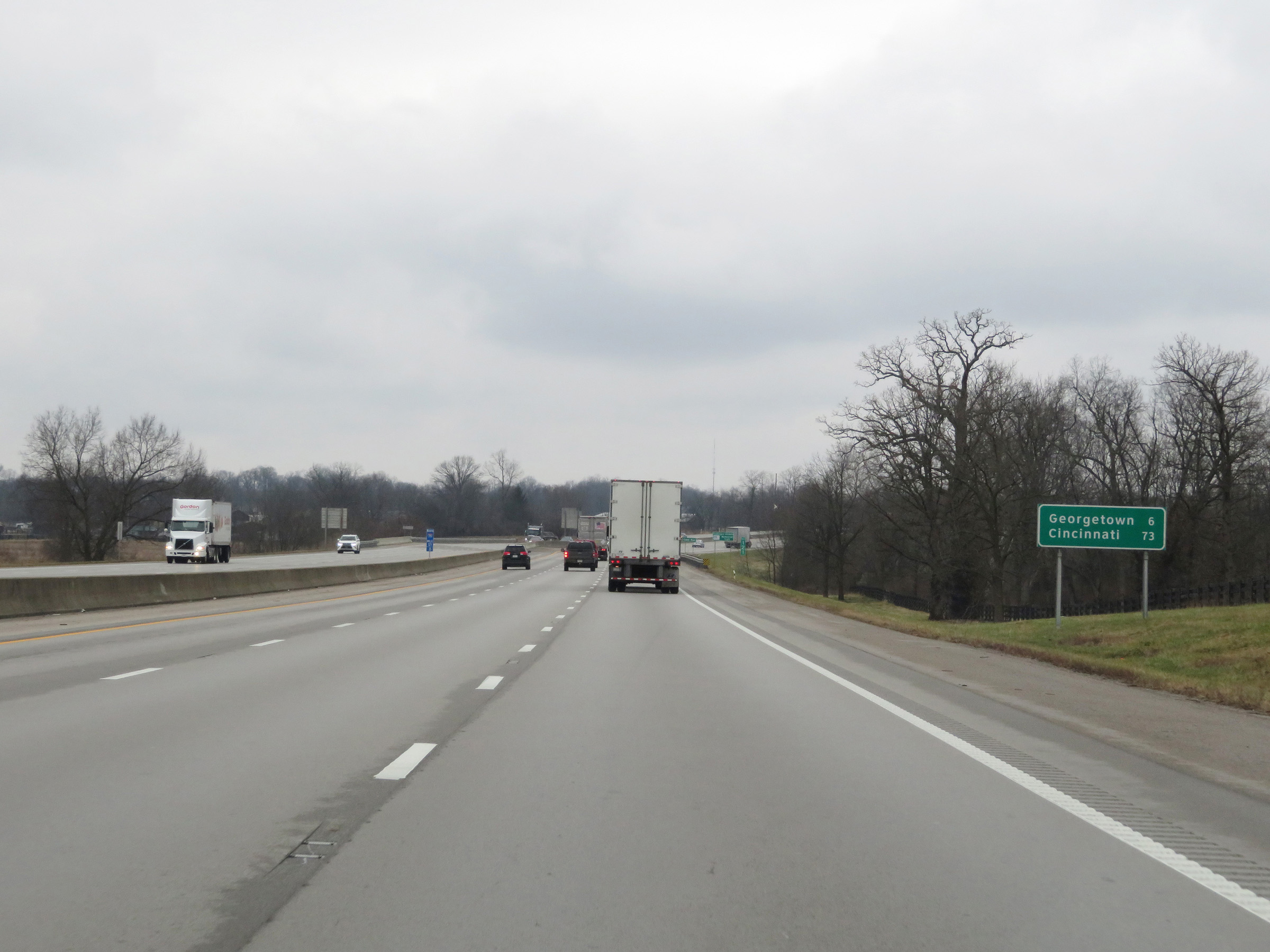 |
Mileage sign on Interstate 75 North. It's 6 miles to Georgetown and 73 miles to Cincinnati. (Photo taken 12/17/20). |
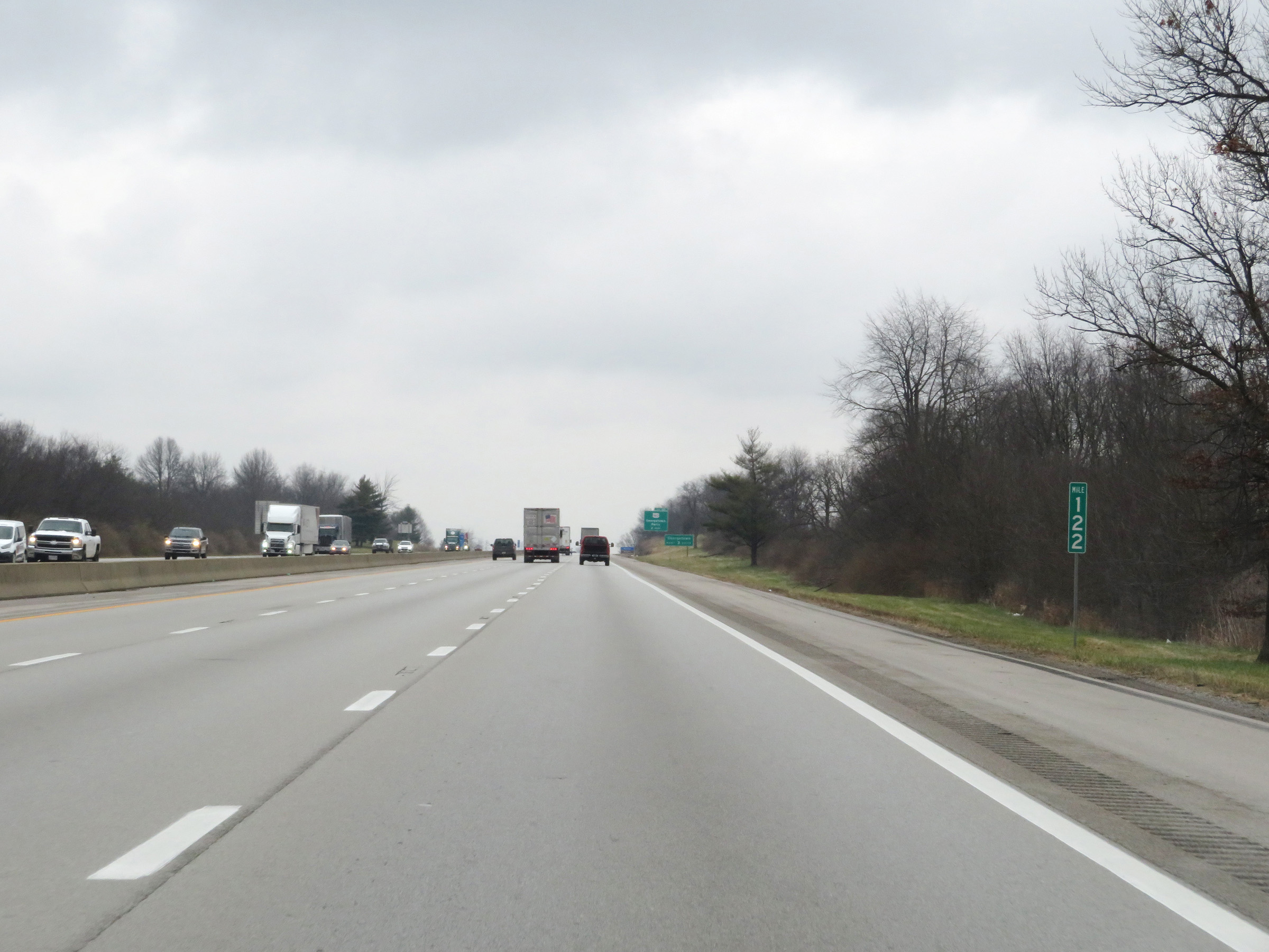 |
View on Interstate 75 North at mile marker 122. (Photo taken 12/17/20). |
 |
Take any of the next 3 exits to Georgetown. (Photo taken 12/17/20). |
 |
Take Exit 125 to Historic Georgetown. (Photo taken 12/17/20). |
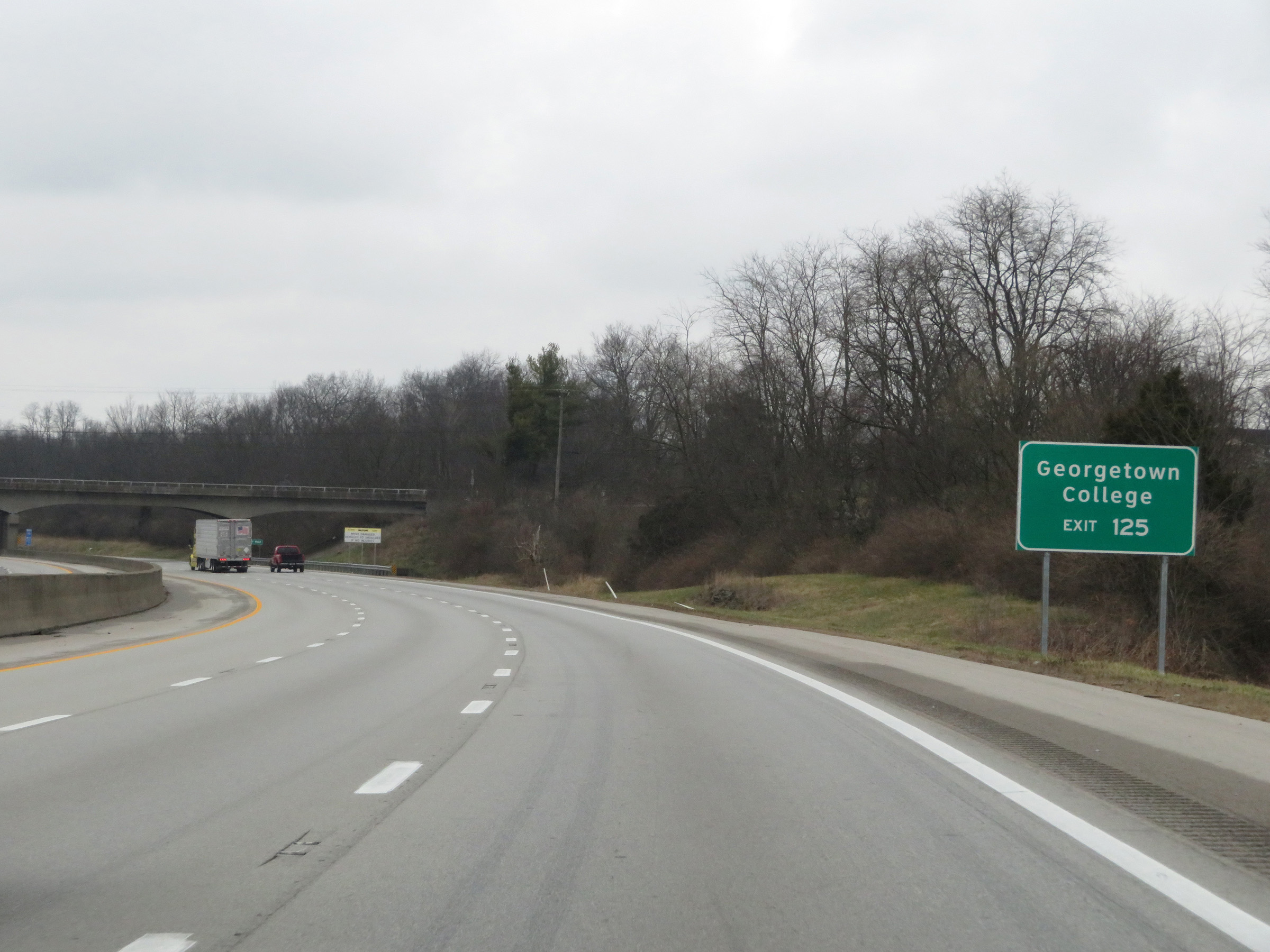 |
Also take Exit 125 to Georgetown College. (Photo taken 12/17/20). |
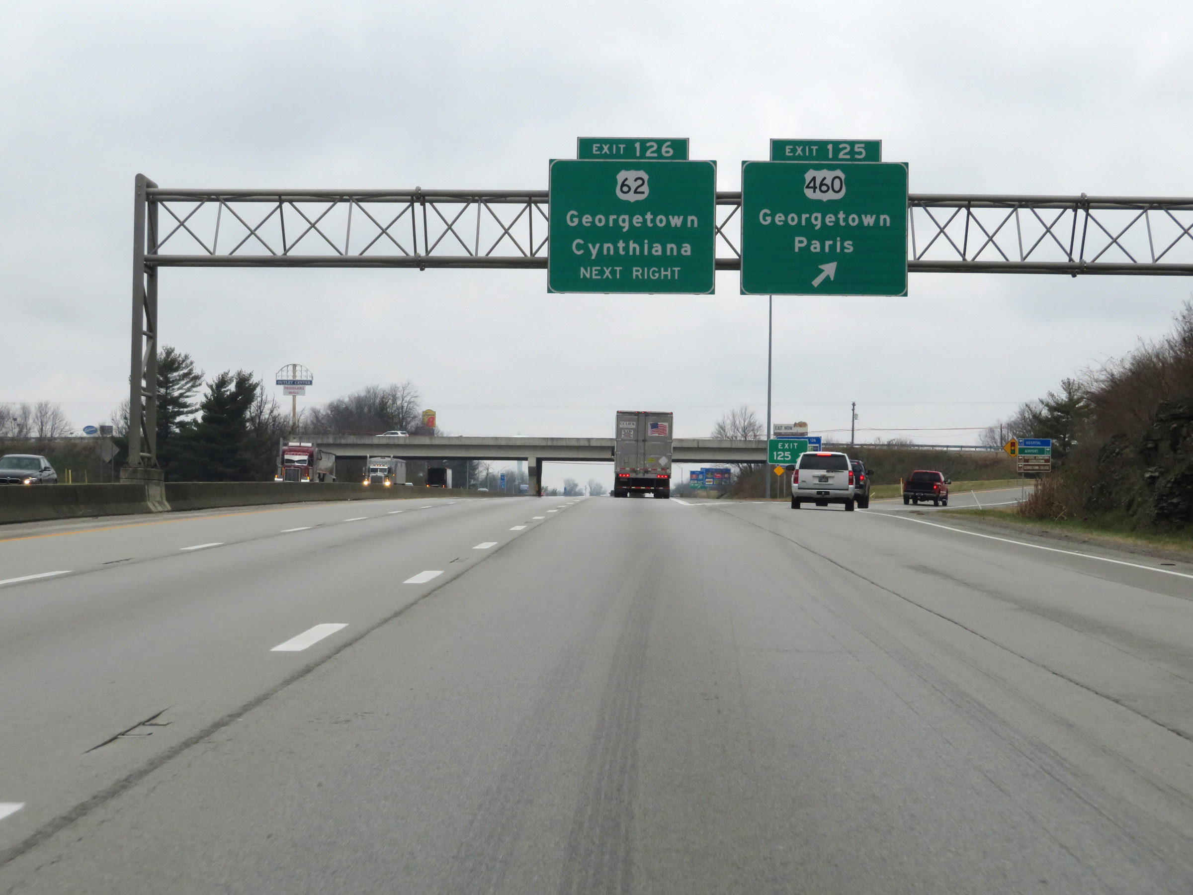 |
Interstate 75 North at Exit 125: US 460 - Georgetown / Paris (Photo taken 12/17/20). |
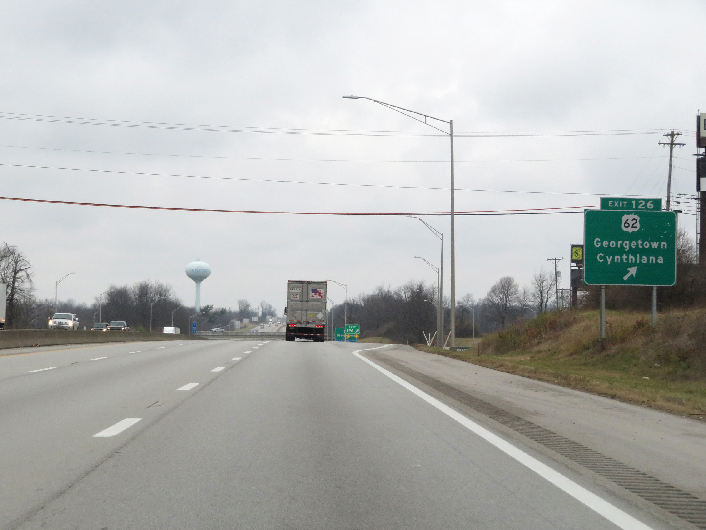 |
Interstate 75 North at Exit 126: US 62 - Georgetown / Cynthiana (Photo taken 12/17/20). |
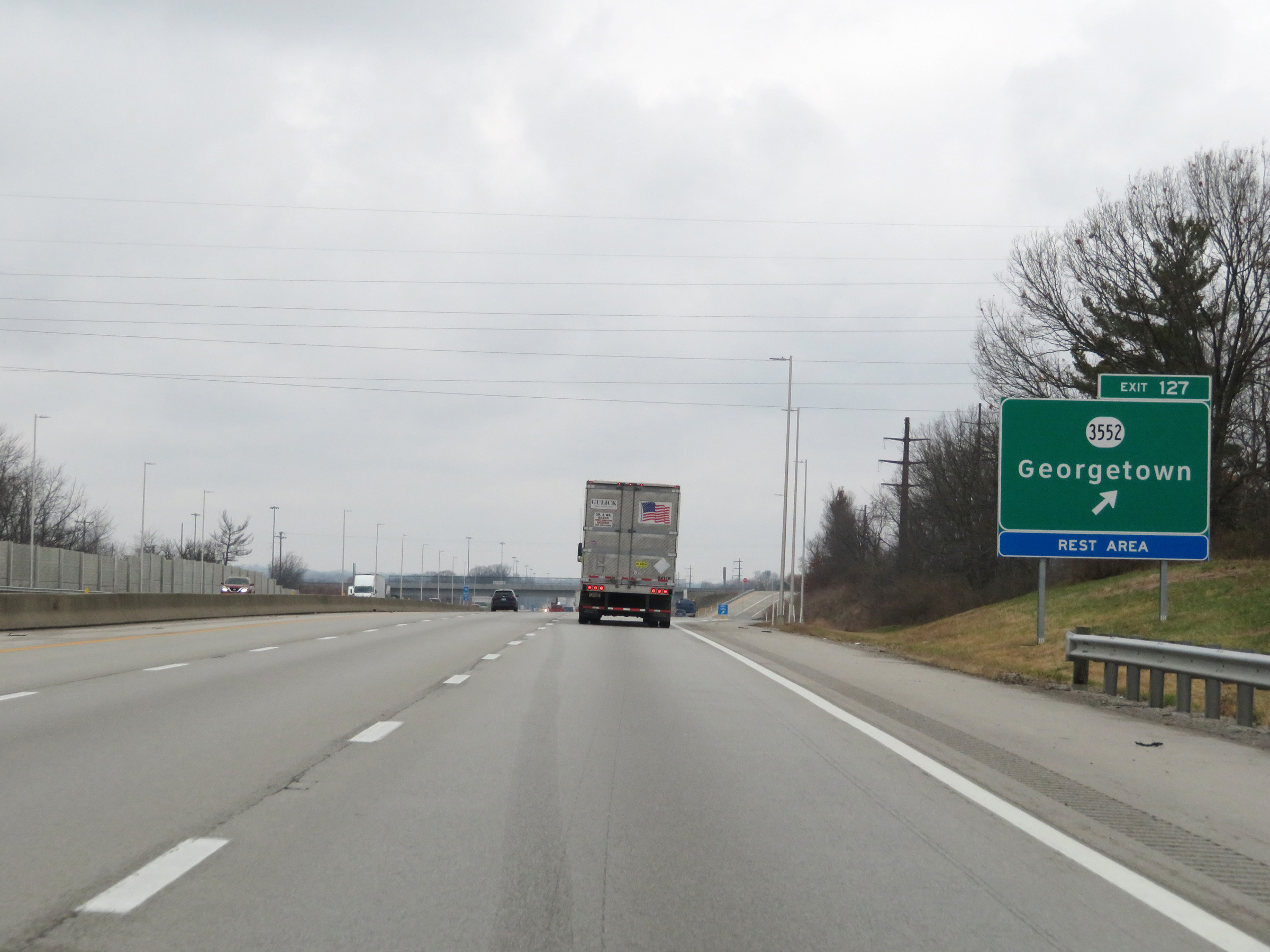 |
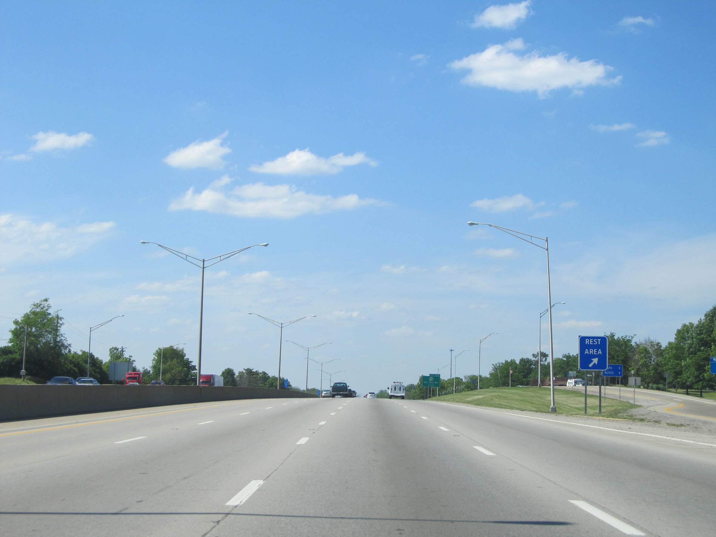
Interstate 75 North at Exit 127: KY 3552 - Georgetown / Rest Area (Photo taken 12/17/20). |
 |
A view of the ramp for Exit 127. The Rest Area gets its own ramp which branches off from the main one. (Photo taken 12/17/20). |
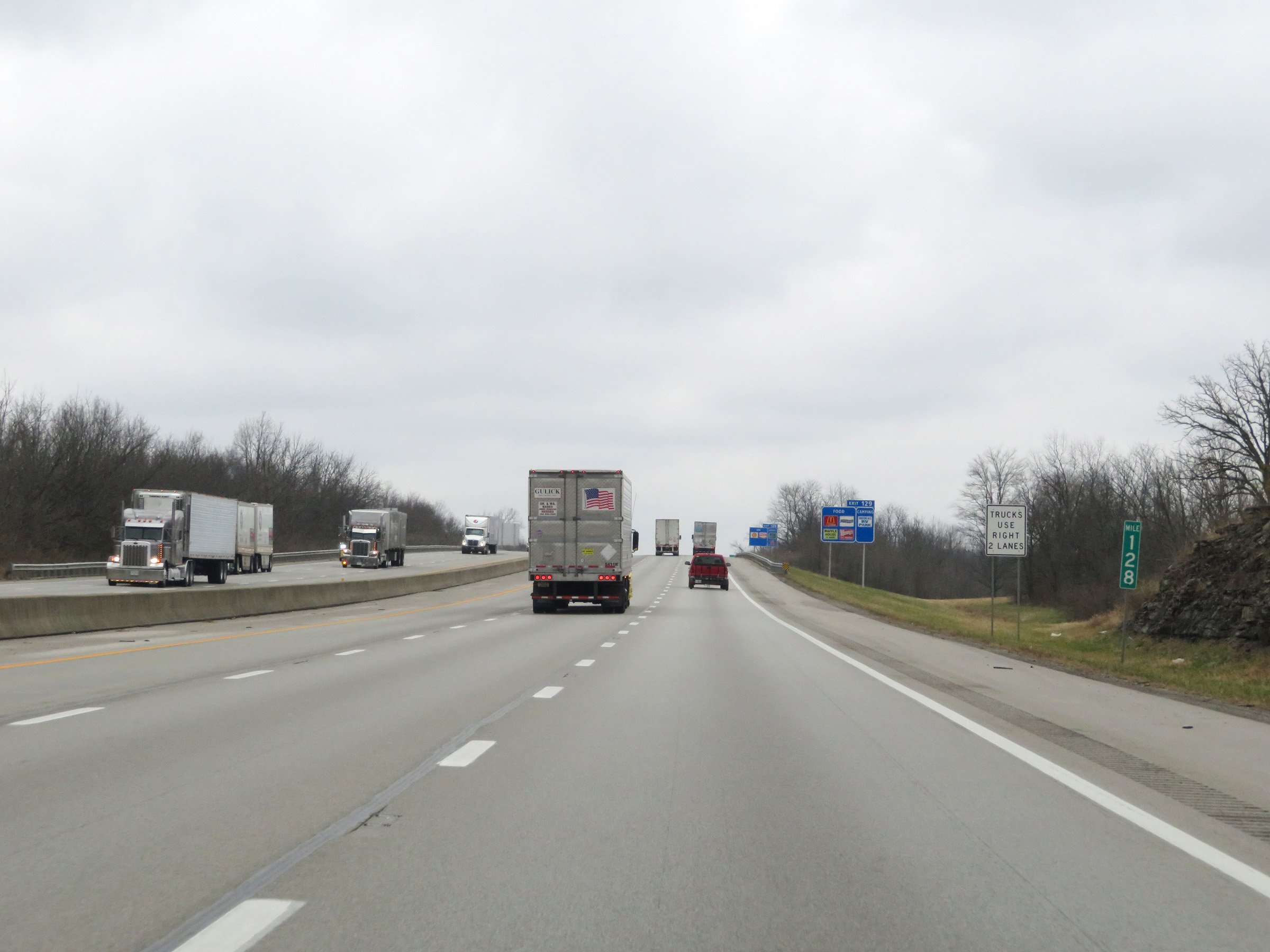 |
View on Interstate 75 North at mile marker 128. (Photo taken 12/17/20). |
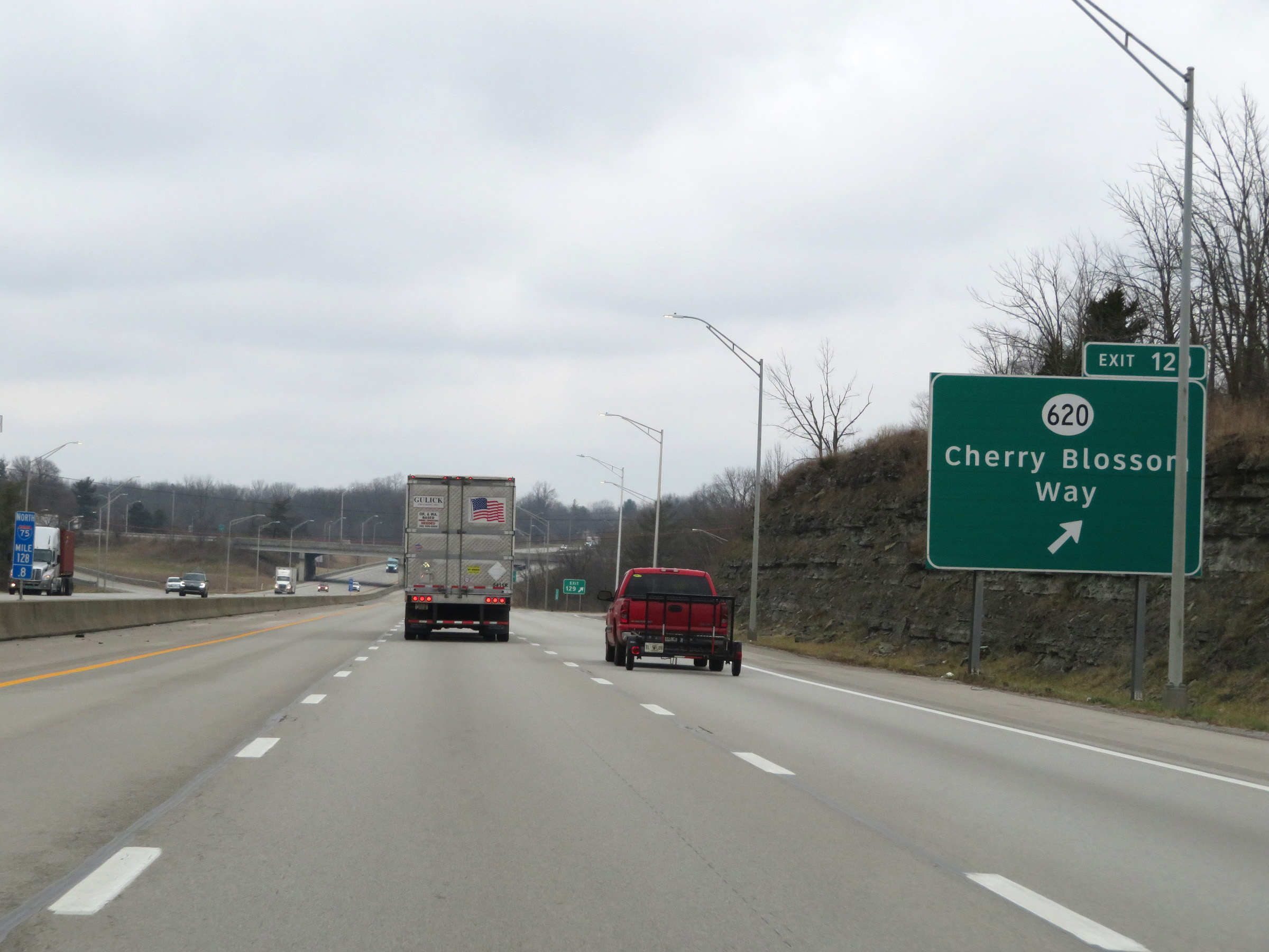 |
Interstate 75 North at Exit 129: KY 620 - Cherry Blossom Way (Photo taken 12/17/20). |
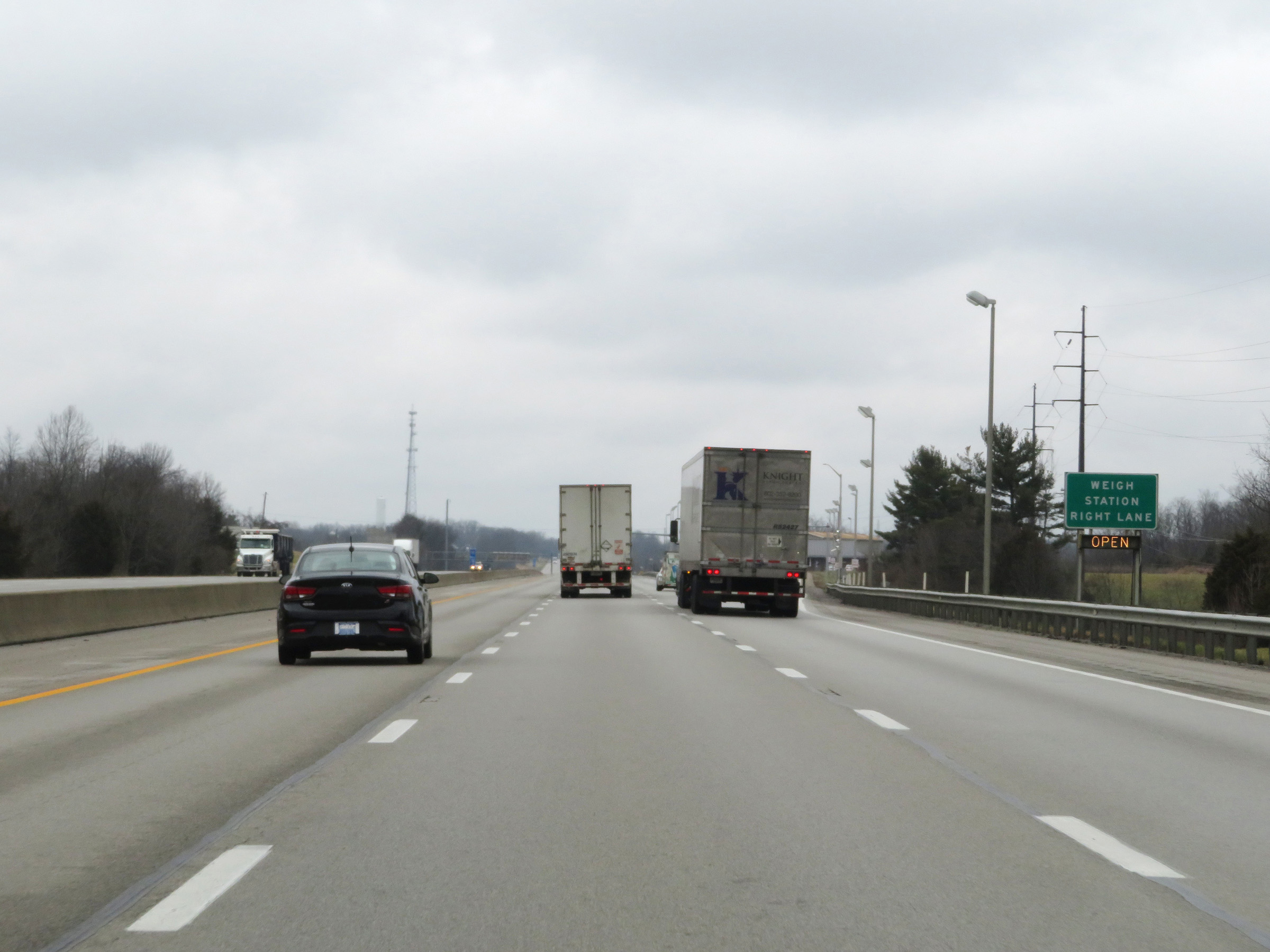 |
Weigh Station on Interstate 75 North in Scott County. (Photo taken 12/17/20). |
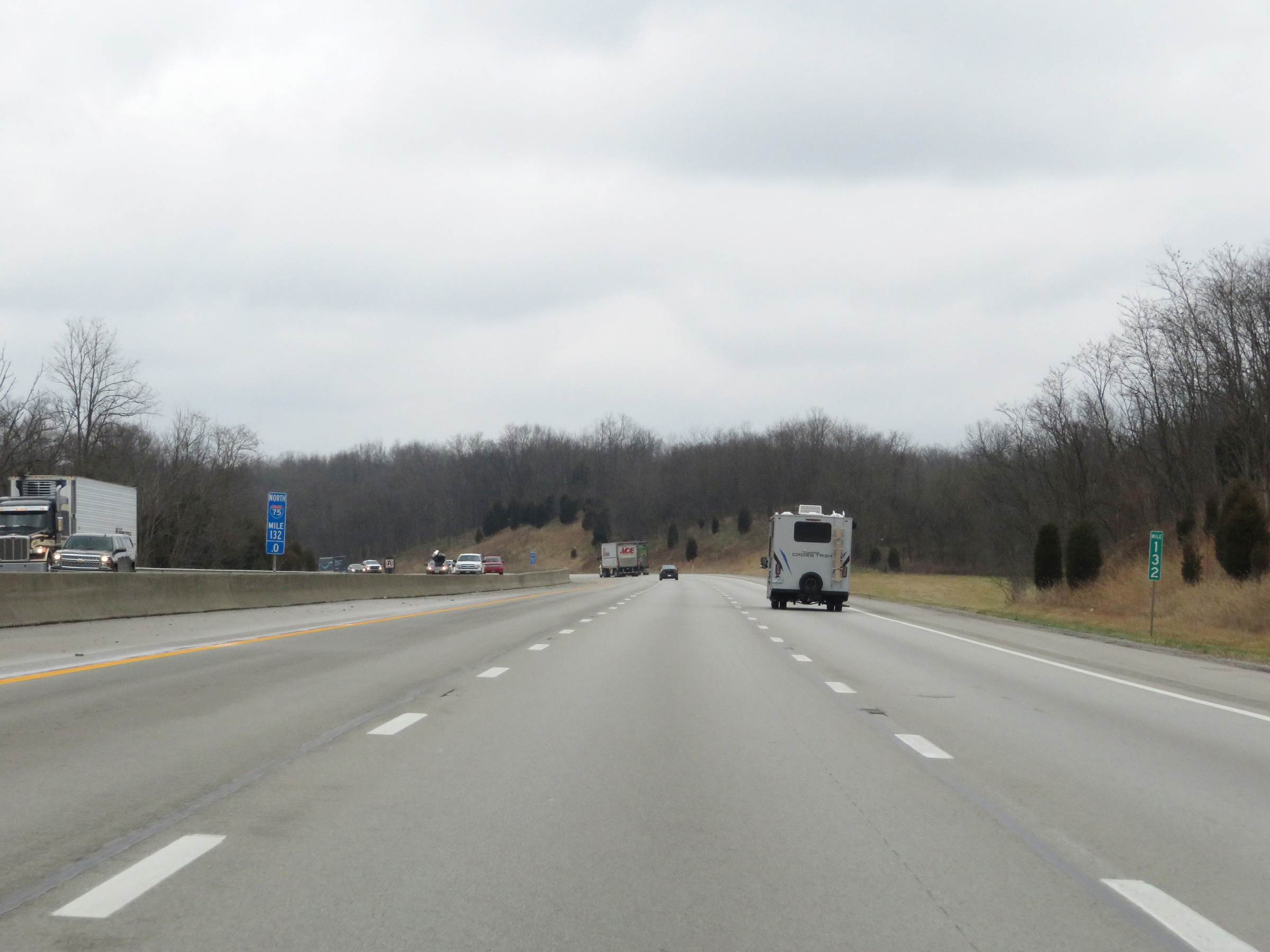 |
Mile marker 132 on Interstate 75 North in Scott County. (Photo taken 12/17/20). |
 |
View on Interstate 75 North at mile marker 133. (Photo taken 12/17/20). |
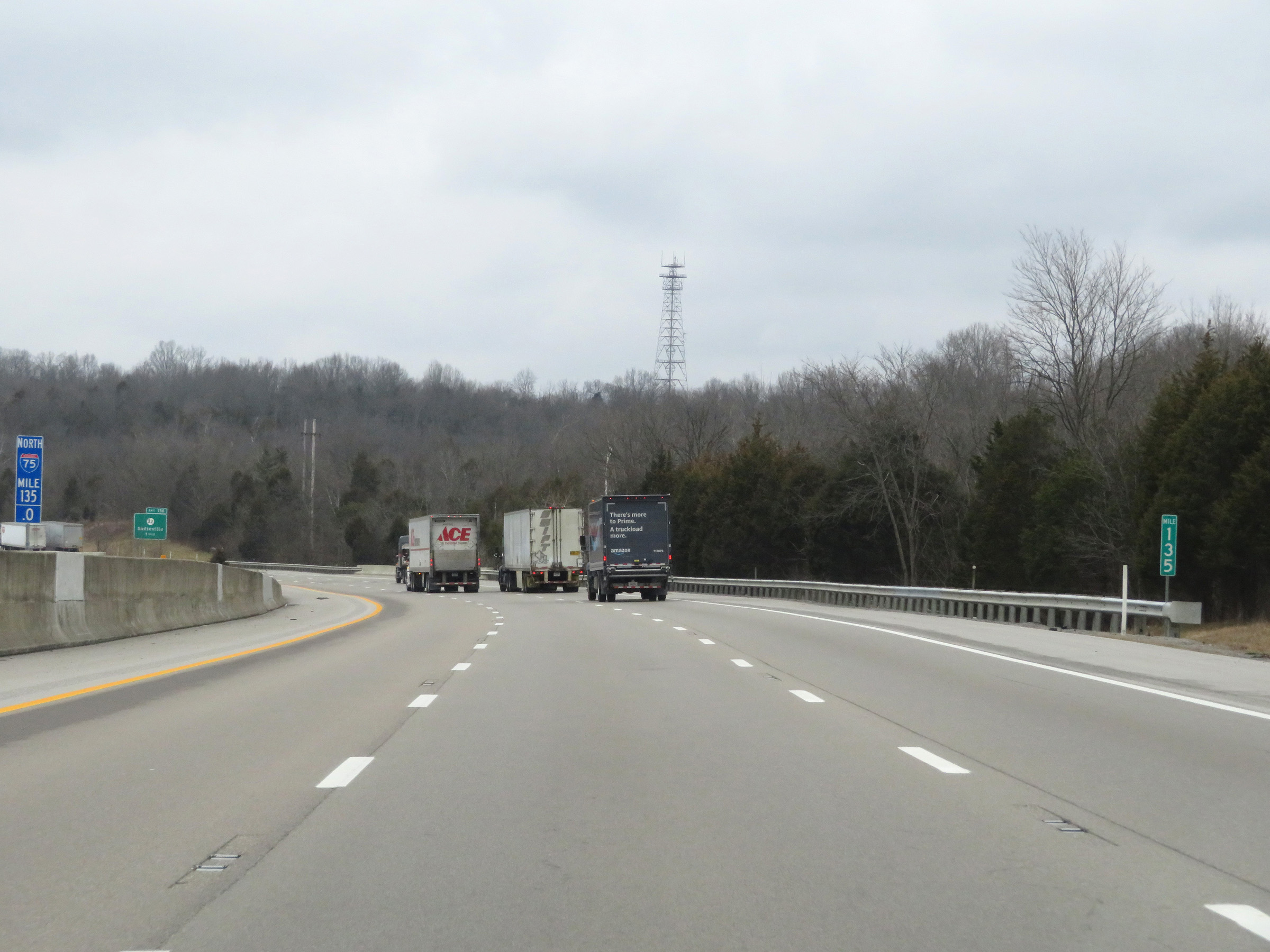 |
Interstate 75 North at mile marker 135. (Photo taken 12/17/20). |
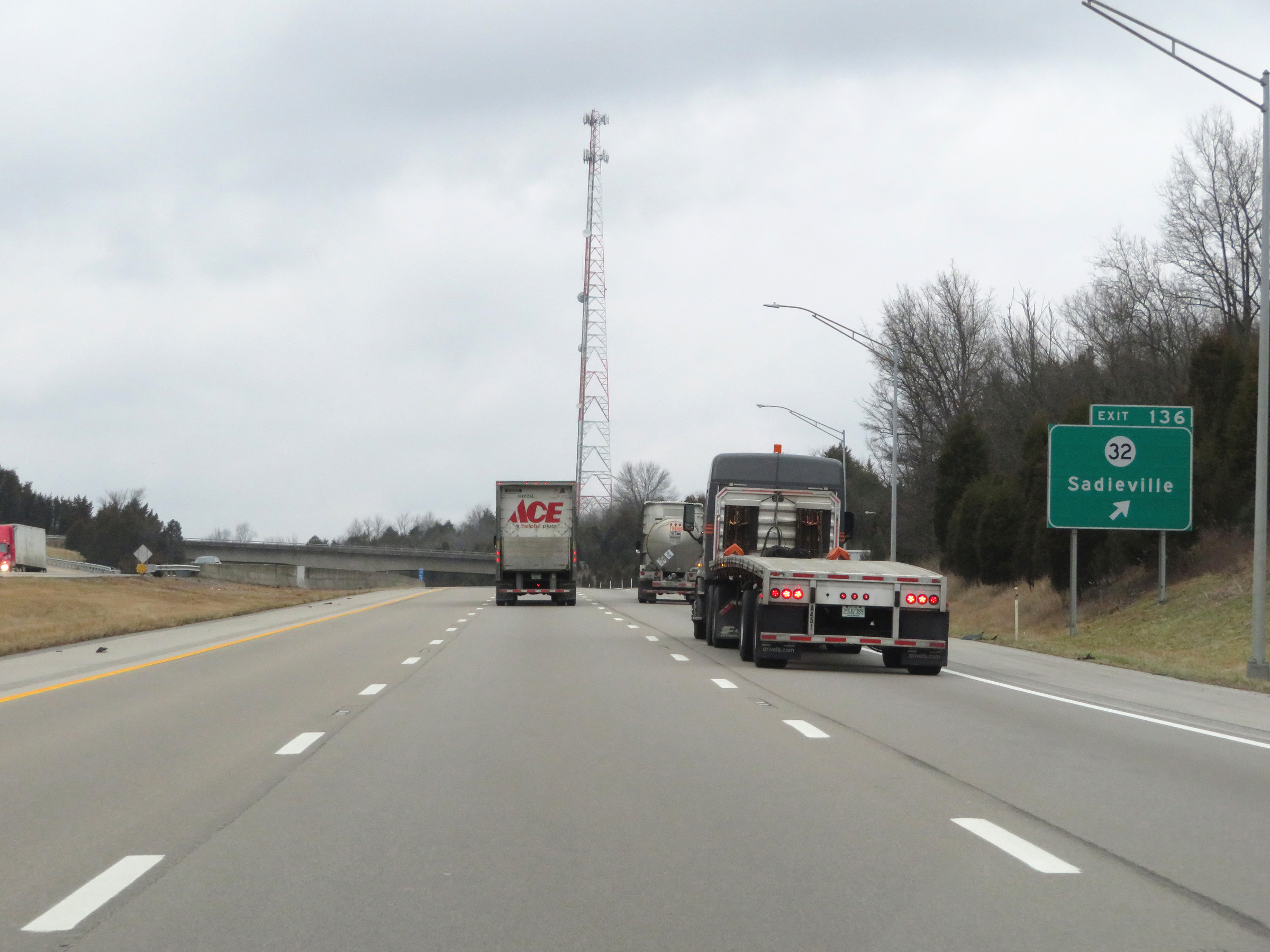 |
Interstate 75 North at Exit 136: KY 32 - Sadieville (Photo taken 12/17/20). |
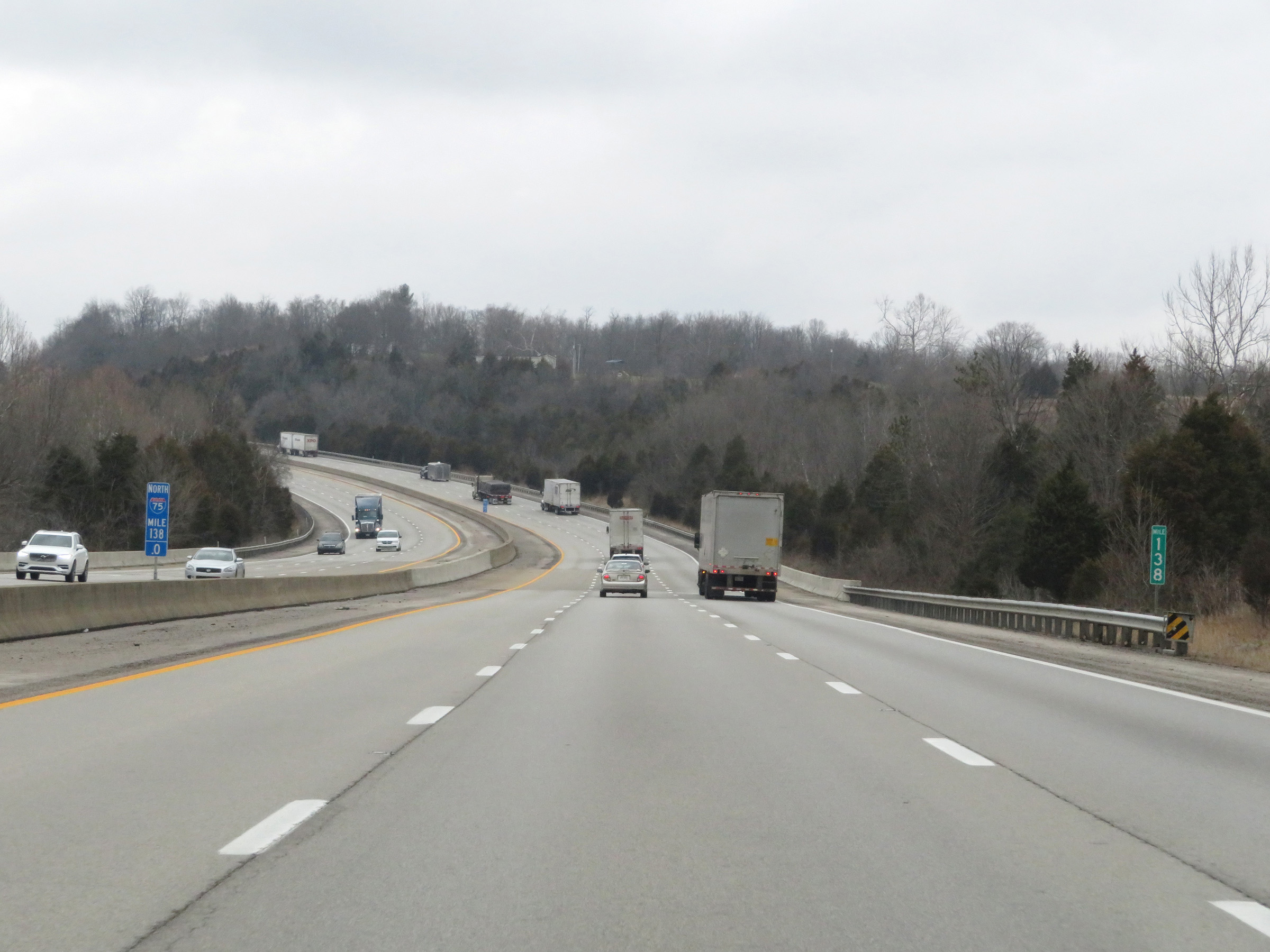 |
View on Interstate 75 North at mile marker 138. (Photo taken 12/17/20). |
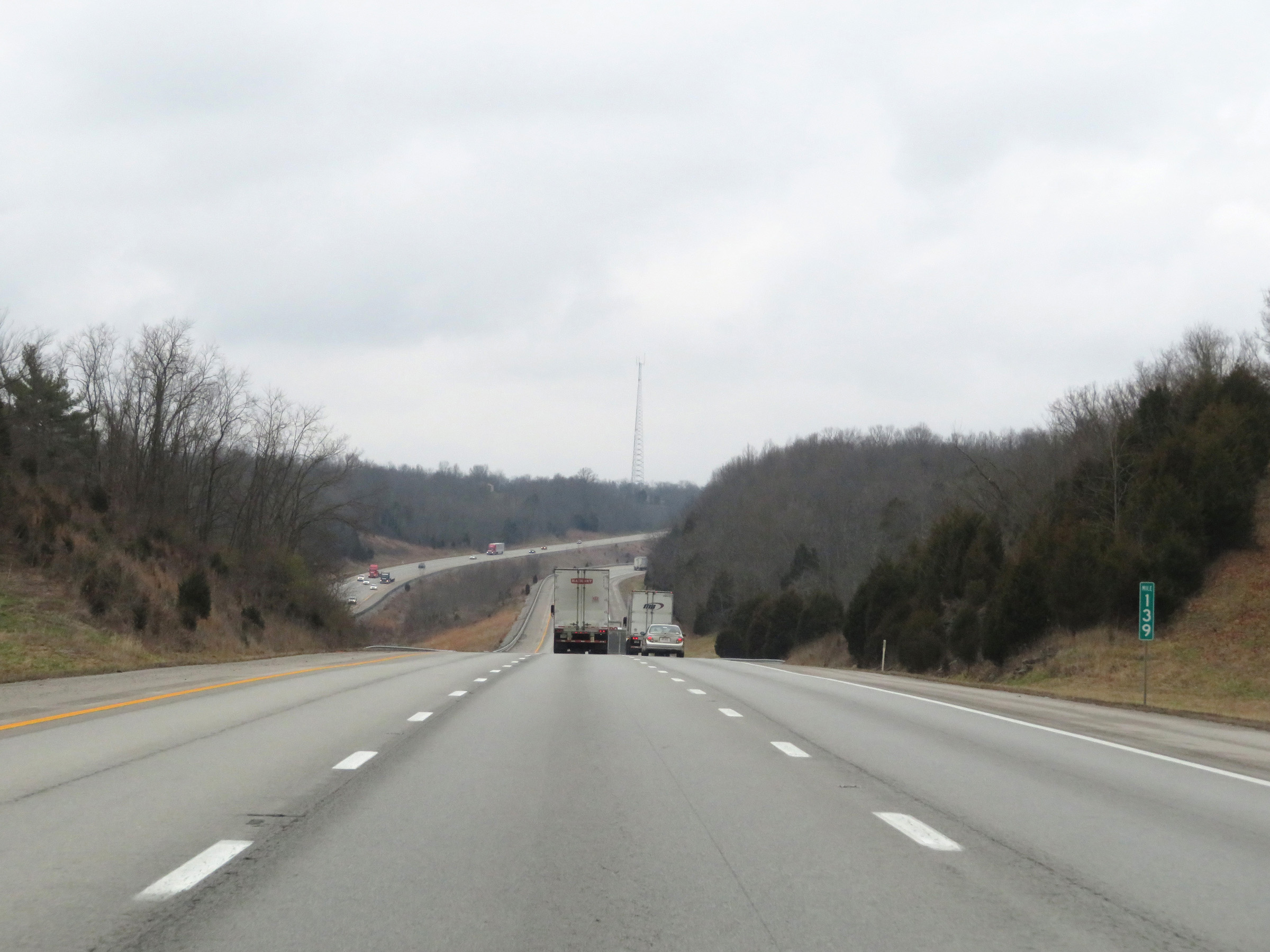 |
Interstate 75 North at mile marker 139. (Photo taken 12/17/20). |
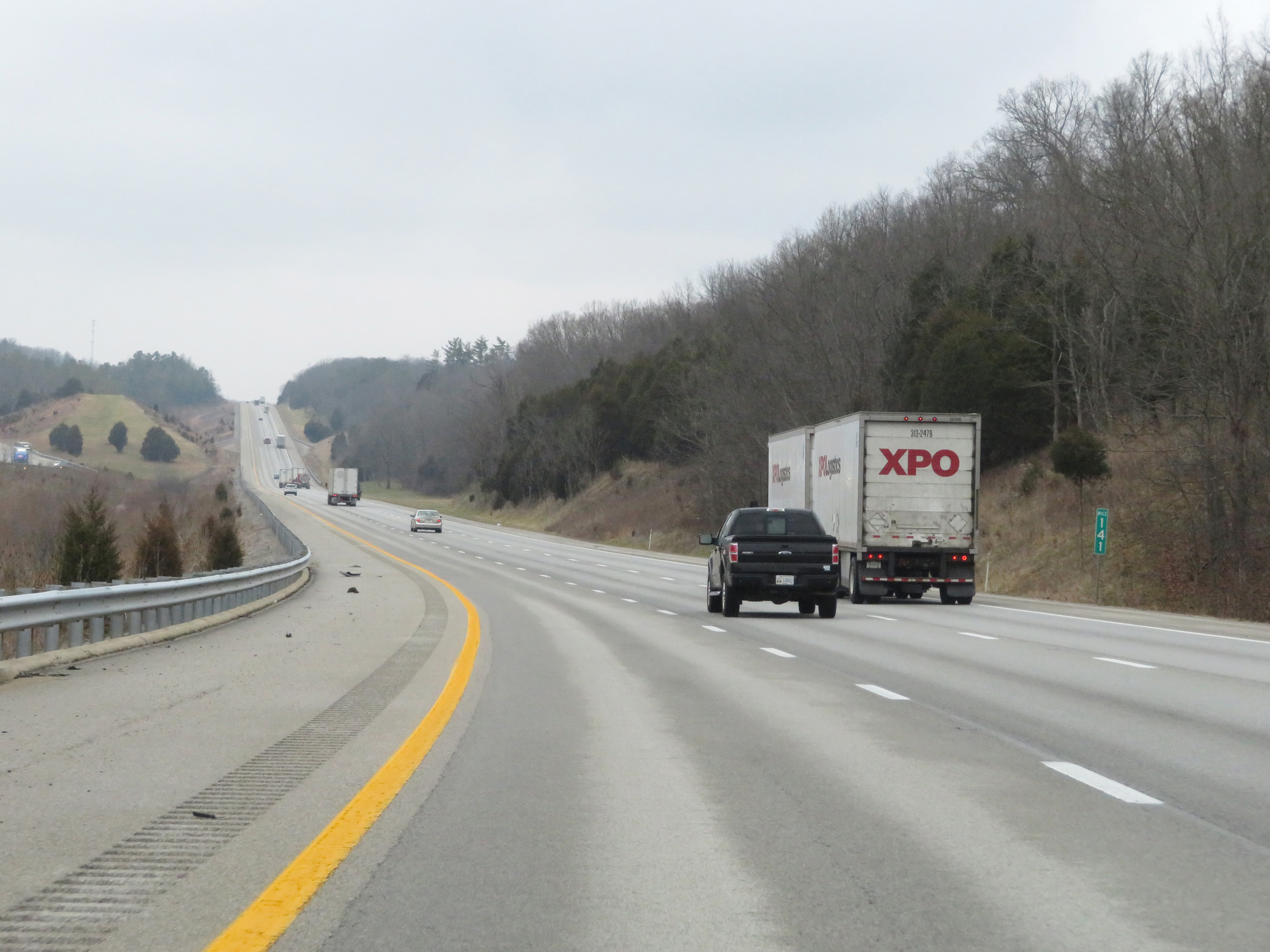 |
Interstate 75 North at mile marker 141. (Photo taken 12/17/20). |
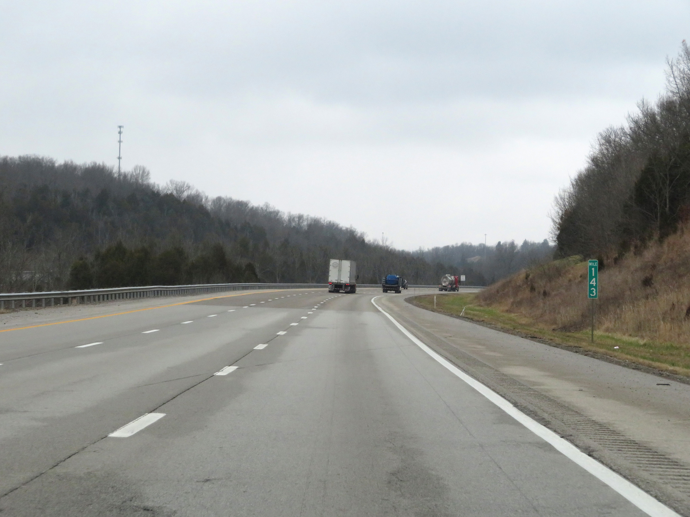 |
View on Interstate 75 North at mile marker 143. (Photo taken 12/17/20). |
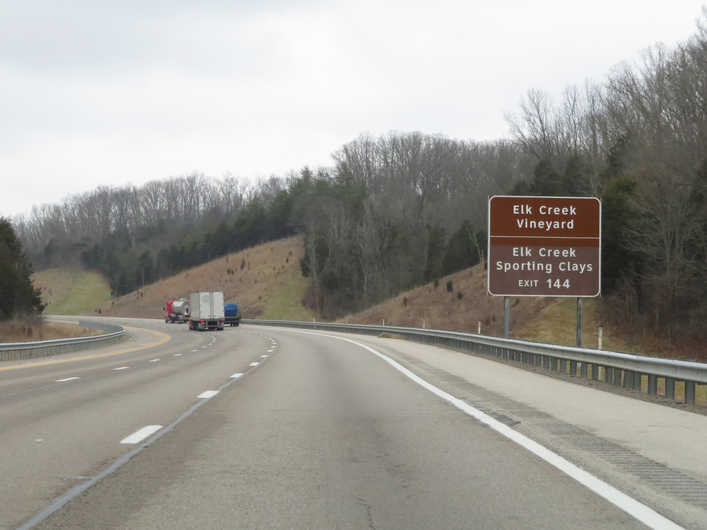 |
Take Exit 144 to Elk Creek Vineyard and Elk Creek Sporting Clays. (Photo taken 12/17/20). |
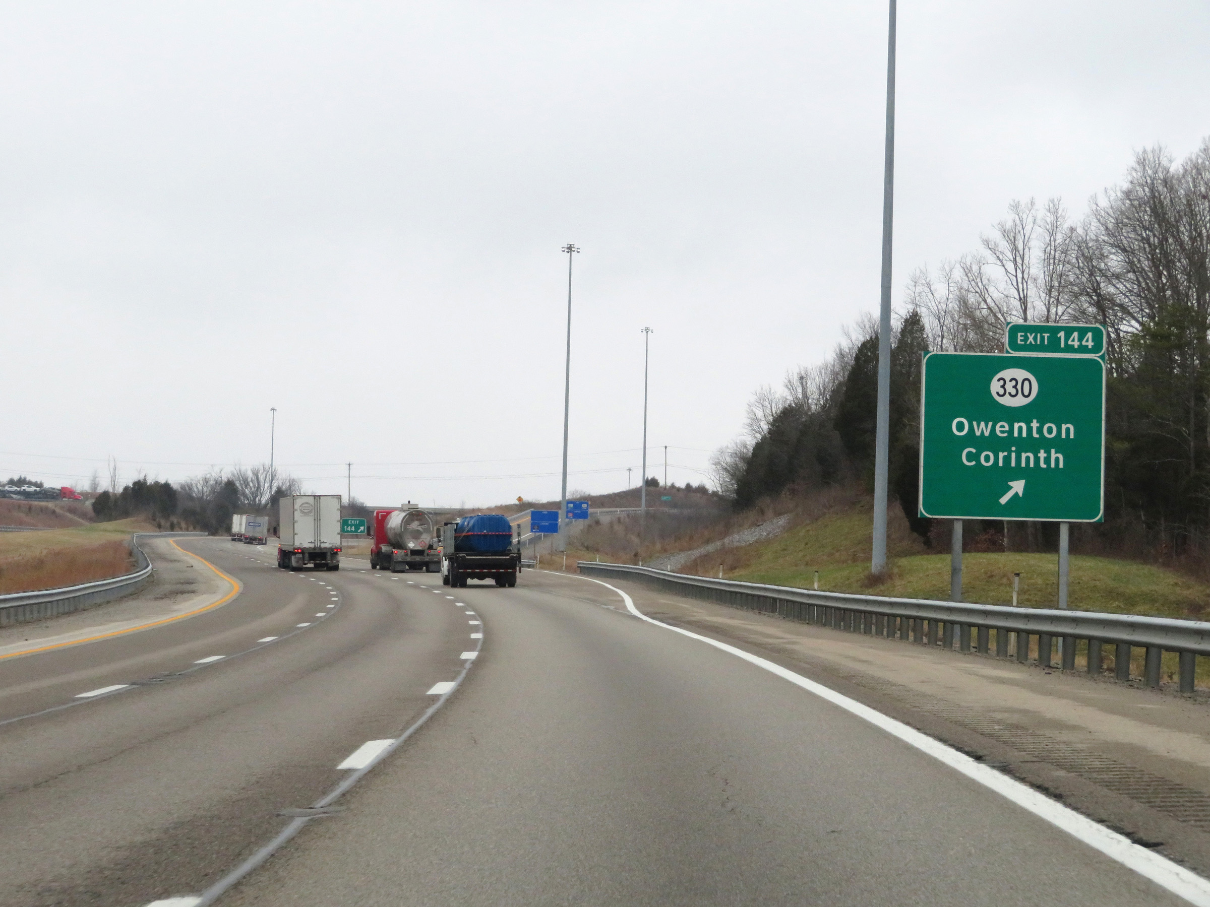 |
Interstate 75 North at Exit 144: KY 330 - Owenton / Corinth (Photo taken 12/17/20). |
 |
Another mileage sign on Interstate 75 North. It's 11 miles to Williamstown and 48 miles to Cincinnati. (Photo taken 12/17/20). |
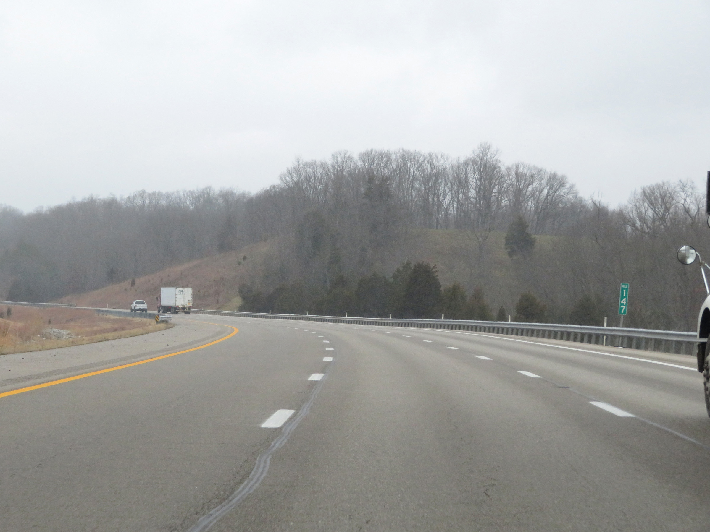 |
Interstate 75 North at mile marker 147. (Photo taken 12/17/20). |
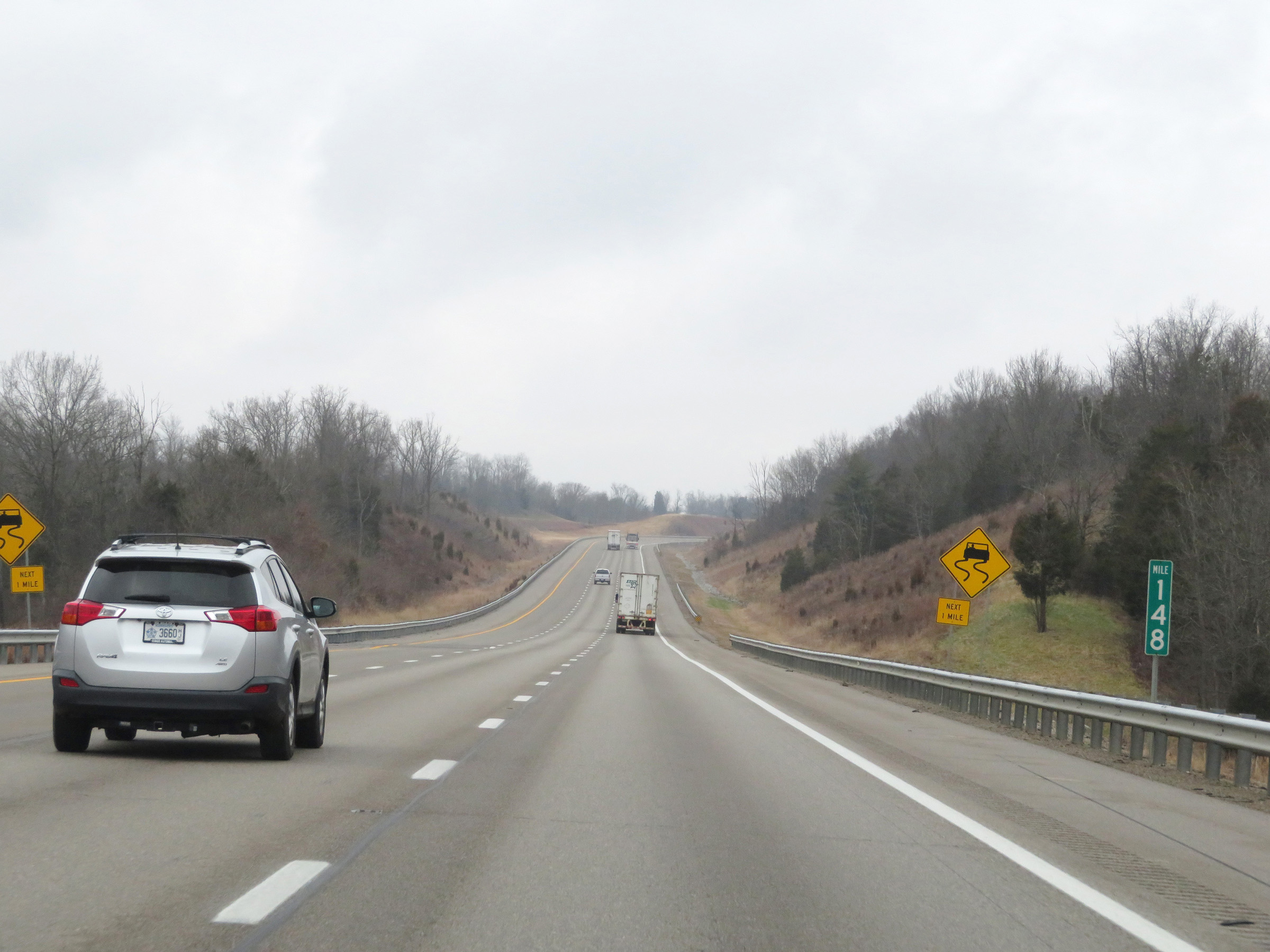 |
View on Interstate 75 North at mile marker 148. (Photo taken 12/17/20). |
 |
Mile marker 150 on Interstate 75 North in Grant County. (Photo taken 12/17/20). |
 |
Take Exit 154 to Ark Encounter. (Photo taken 12/17/20). |
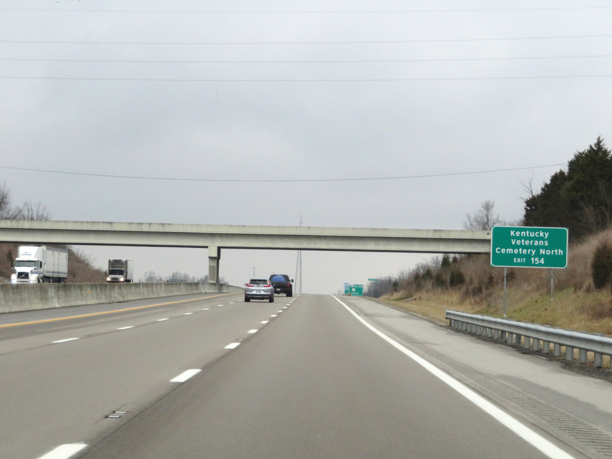 |
Also take Exit 154 to Kentucky Veterans Cemetery North. (Photo taken 12/17/20). |
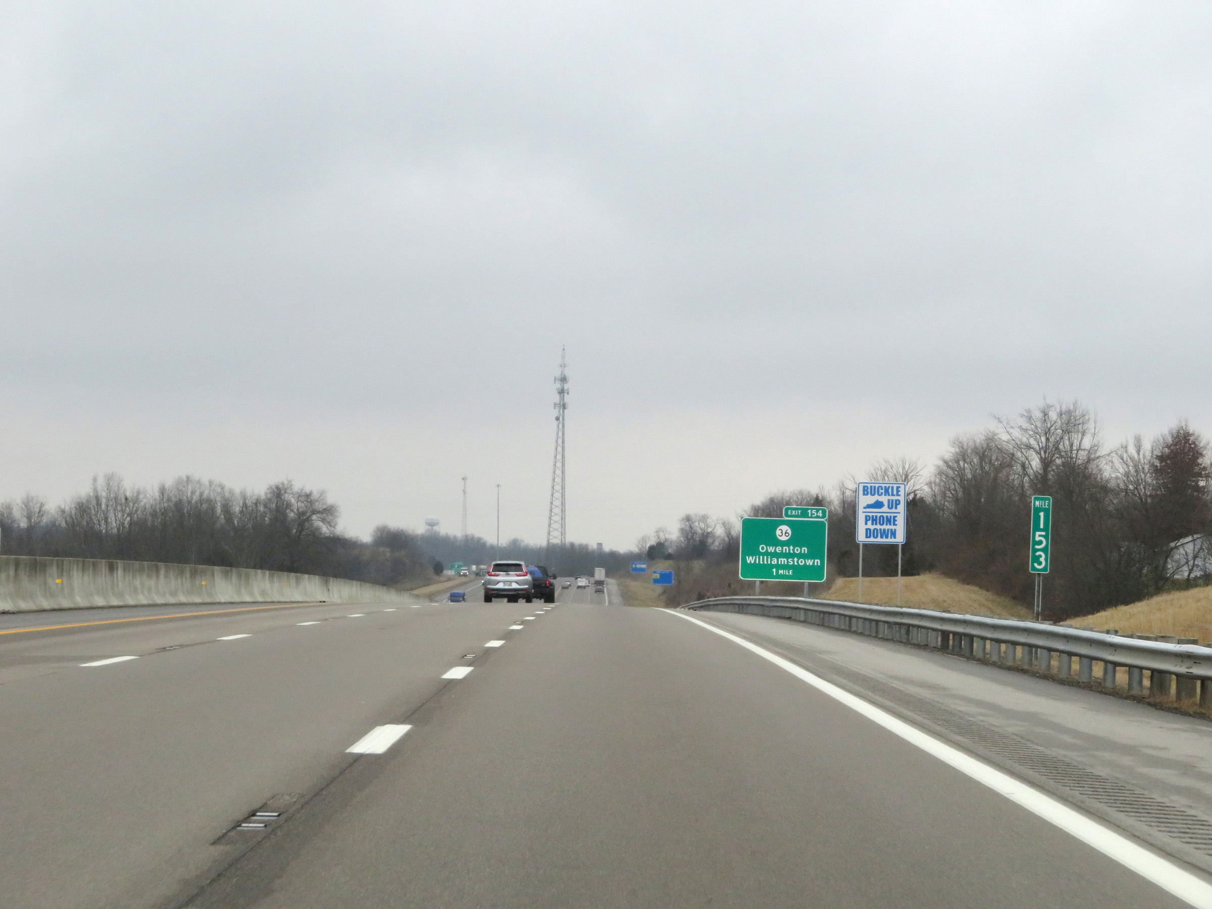 |
View on Interstate 75 North at mile marker 153. (Photo taken 12/17/20). |
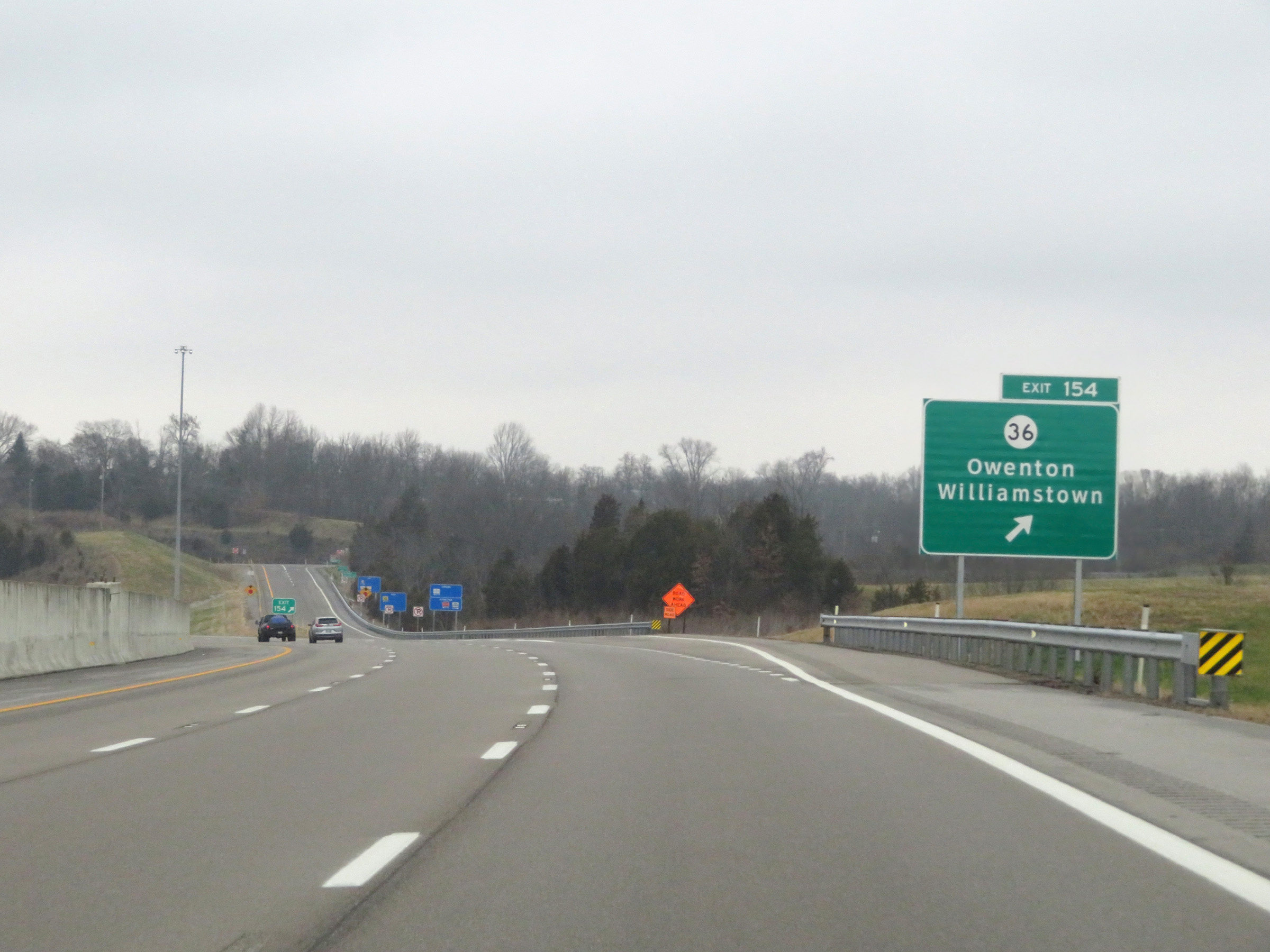 |
Interstate 75 North at Exit 154: KY 36 - Owenton / Williamstown (Photo taken 12/17/20). |
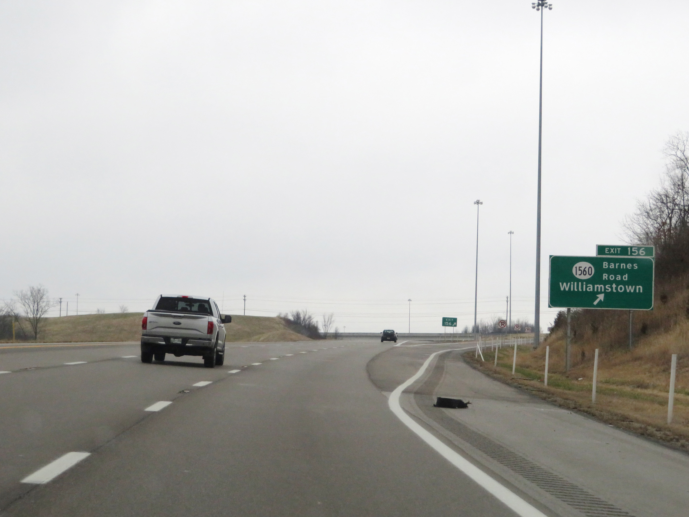 |
Interstate 75 North at Exit 156: KY 1560 - Barnes Road / Williamstown (Photo taken 12/17/20). |
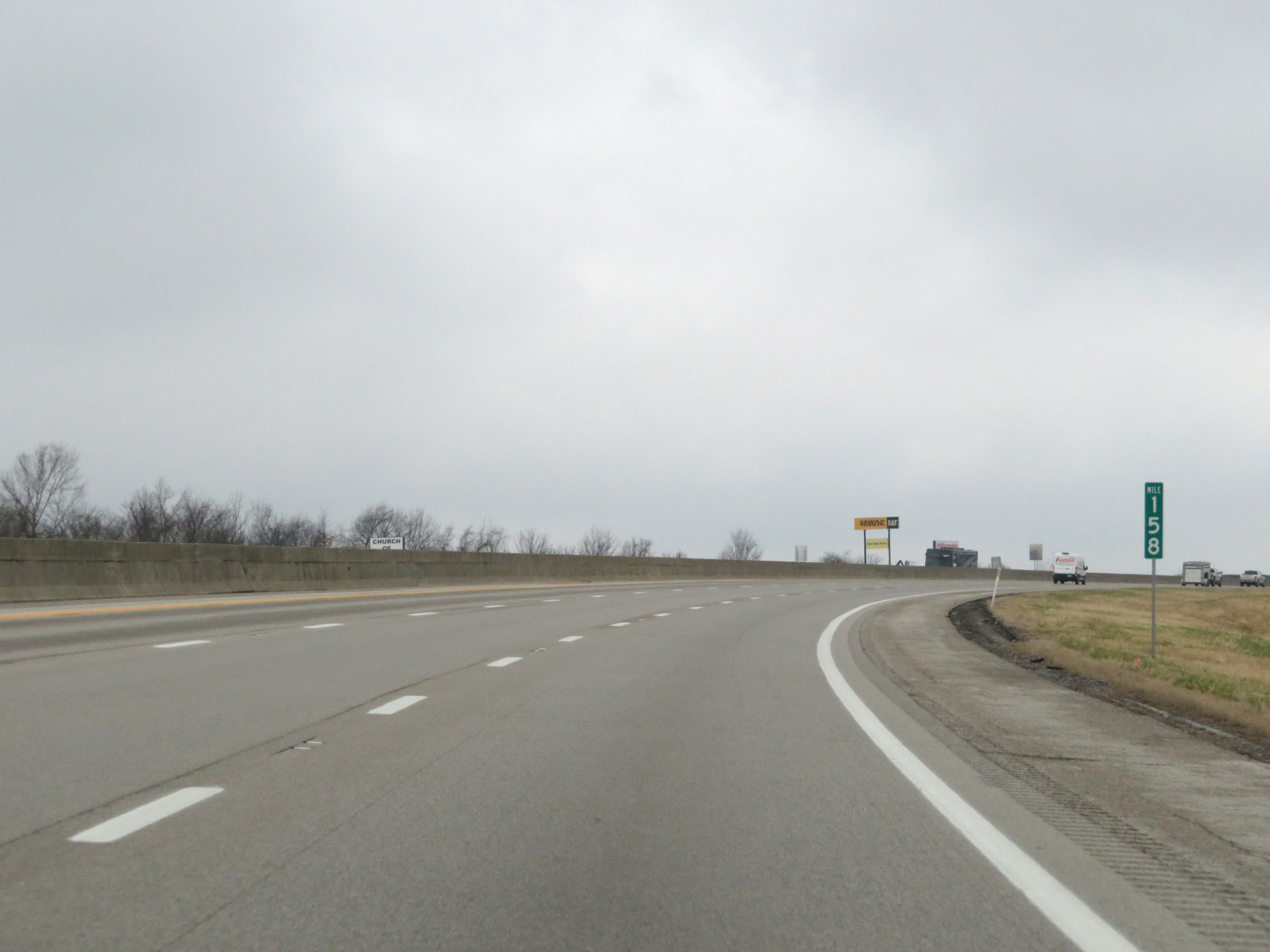 |
View on Interstate 75 North at mile marker 158. (Photo taken 12/17/20). |
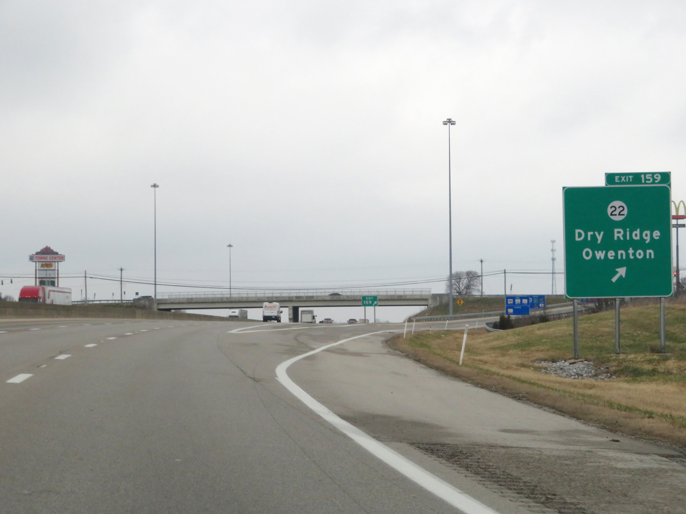 |
Interstate 75 North at Exit 159: KY 22 - Dry Ridge / Owenton (Photo taken 12/17/20). |
 |
Interstate 75 North at mile marker 160. (Photo taken 12/17/20). |
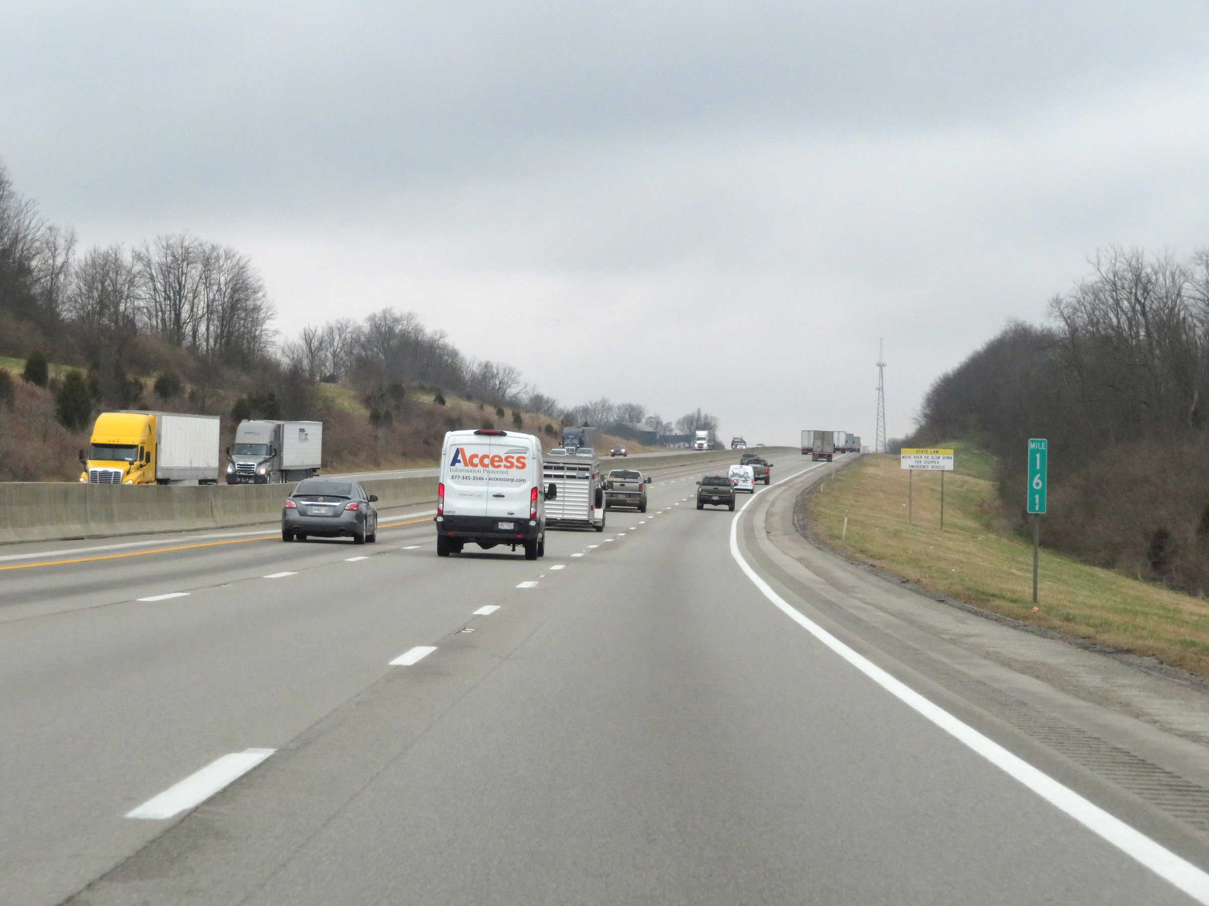 |
View on Interstate 75 North at mile marker 161. (Photo taken 12/17/20). |
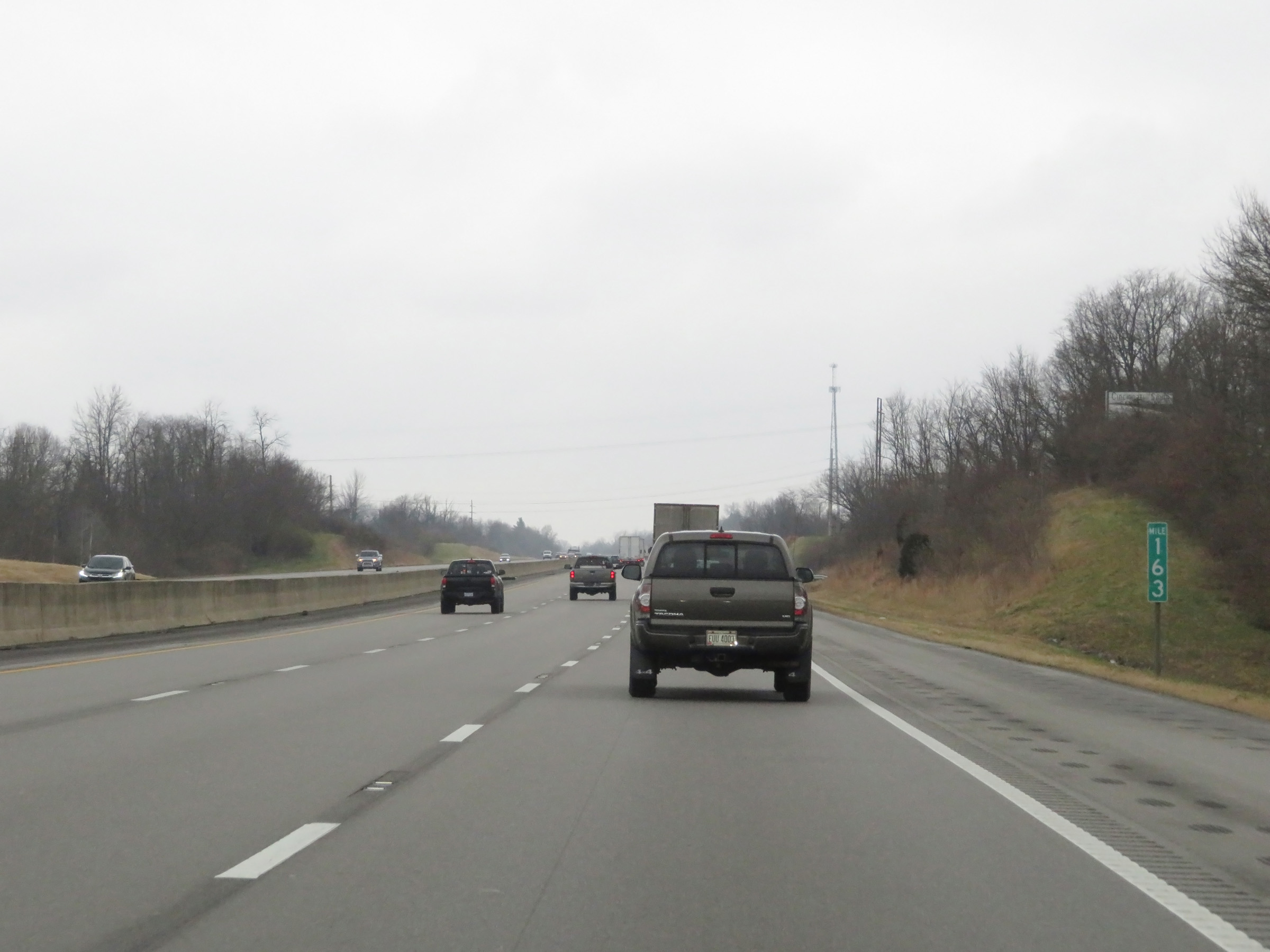 |
Mile marker 163 on Interstate 75 North in Grant County. (Photo taken 12/17/20). |
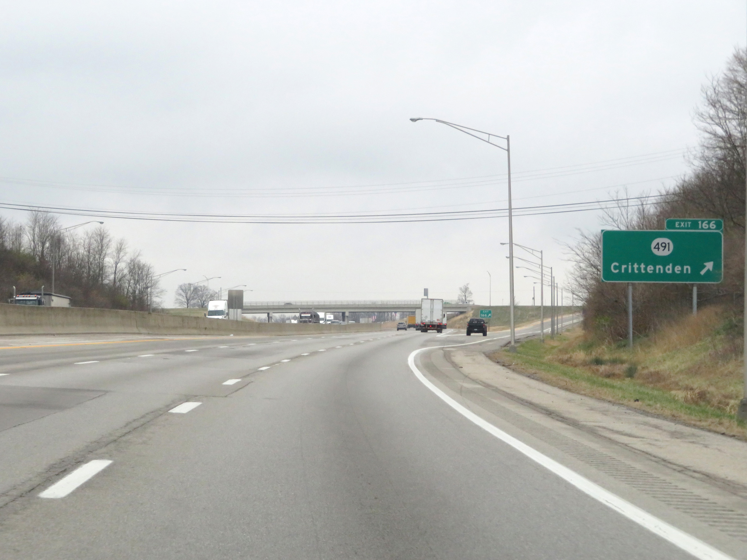 |
Interstate 75 North at Exit 166: KY 491 - Crittenden (Photo taken 12/17/20). |
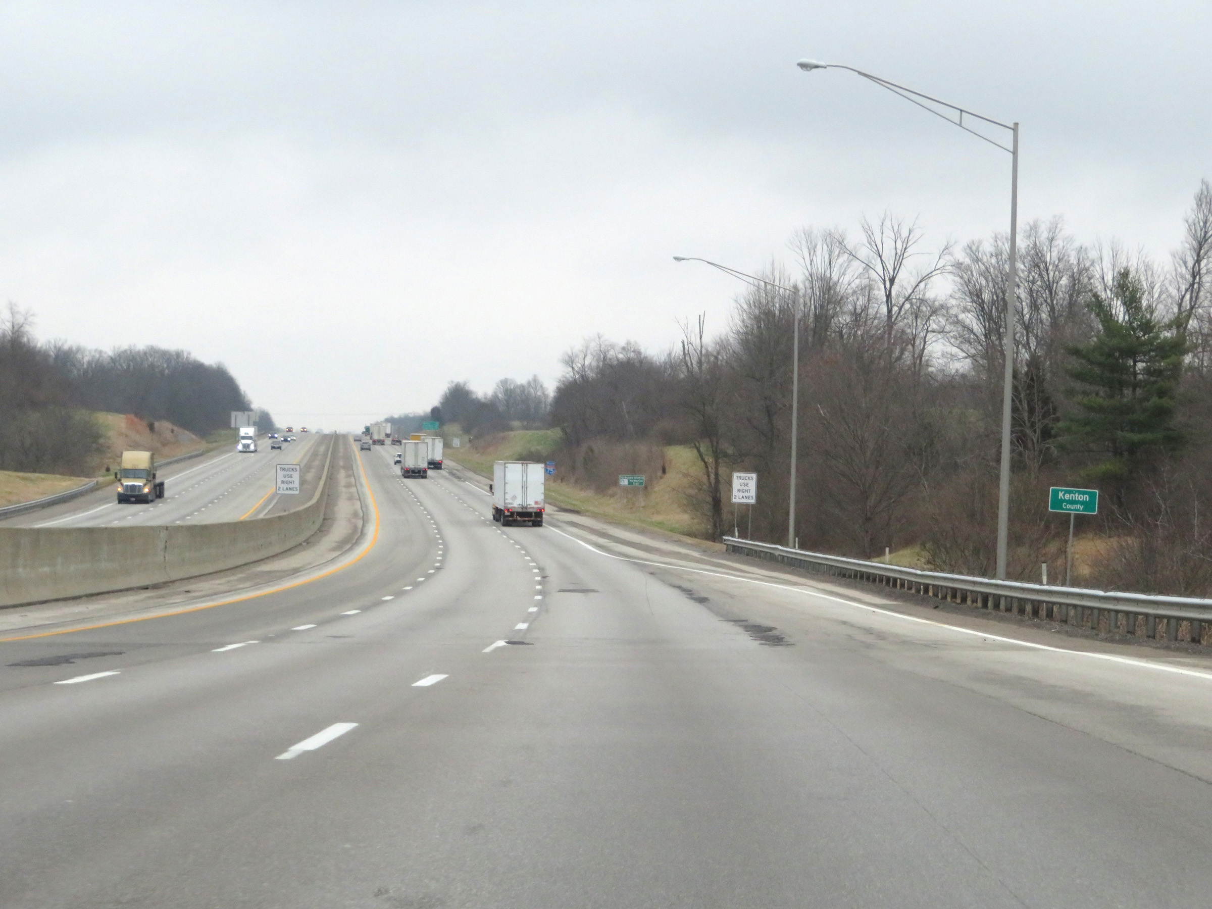 |
Interstate 75 North as it enters Kenton County for the first time. (Photo taken 12/17/20). |
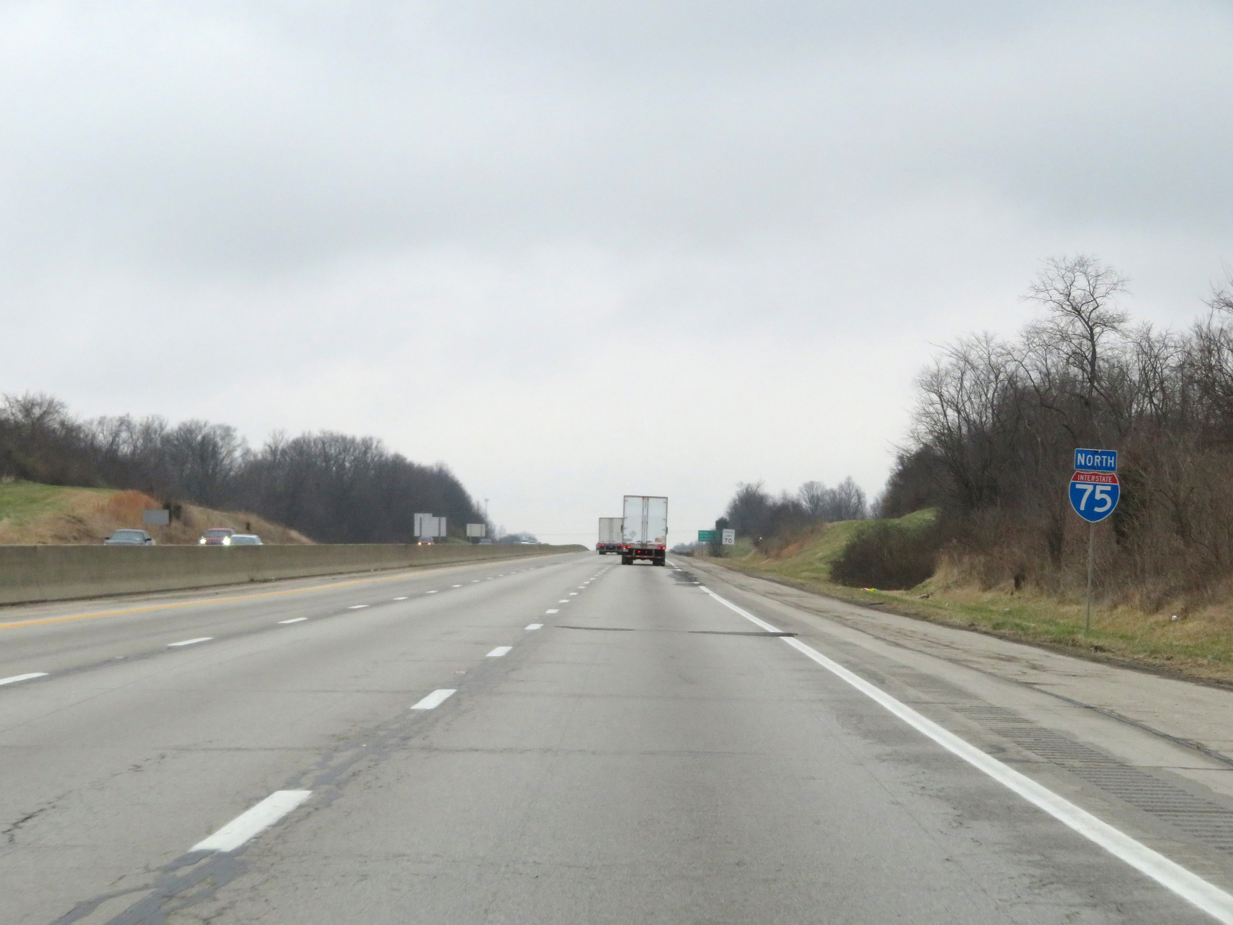 |
Interstate 75 North reassurance shield. (Photo taken 12/17/20). |
 |
Another mileage sign on Interstate 75 North. It's 5 miles to Walton, 26 miles to Covington, and 27 miles to Cincinnati. (Photo taken 12/17/20). |
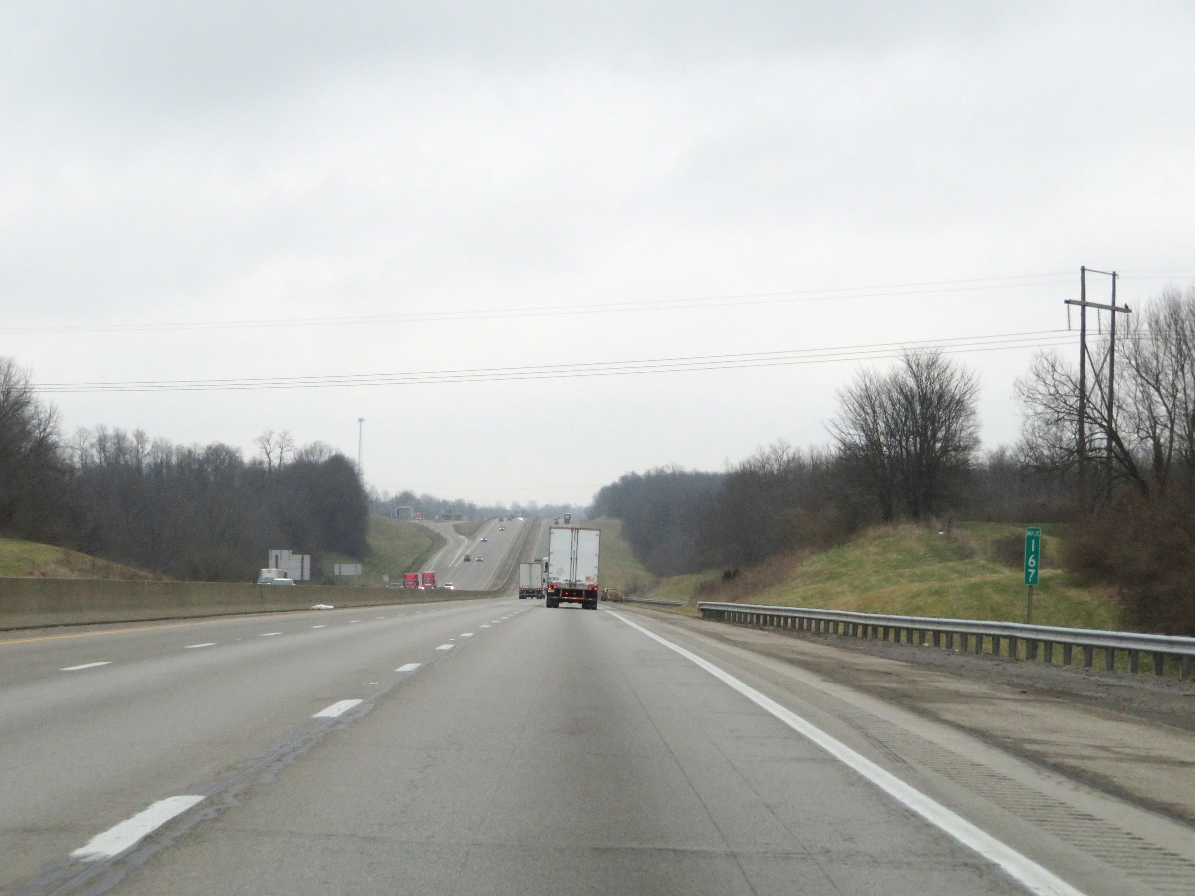 |
View on Interstate 75 North at mile marker 167. (Photo taken 12/17/20). |
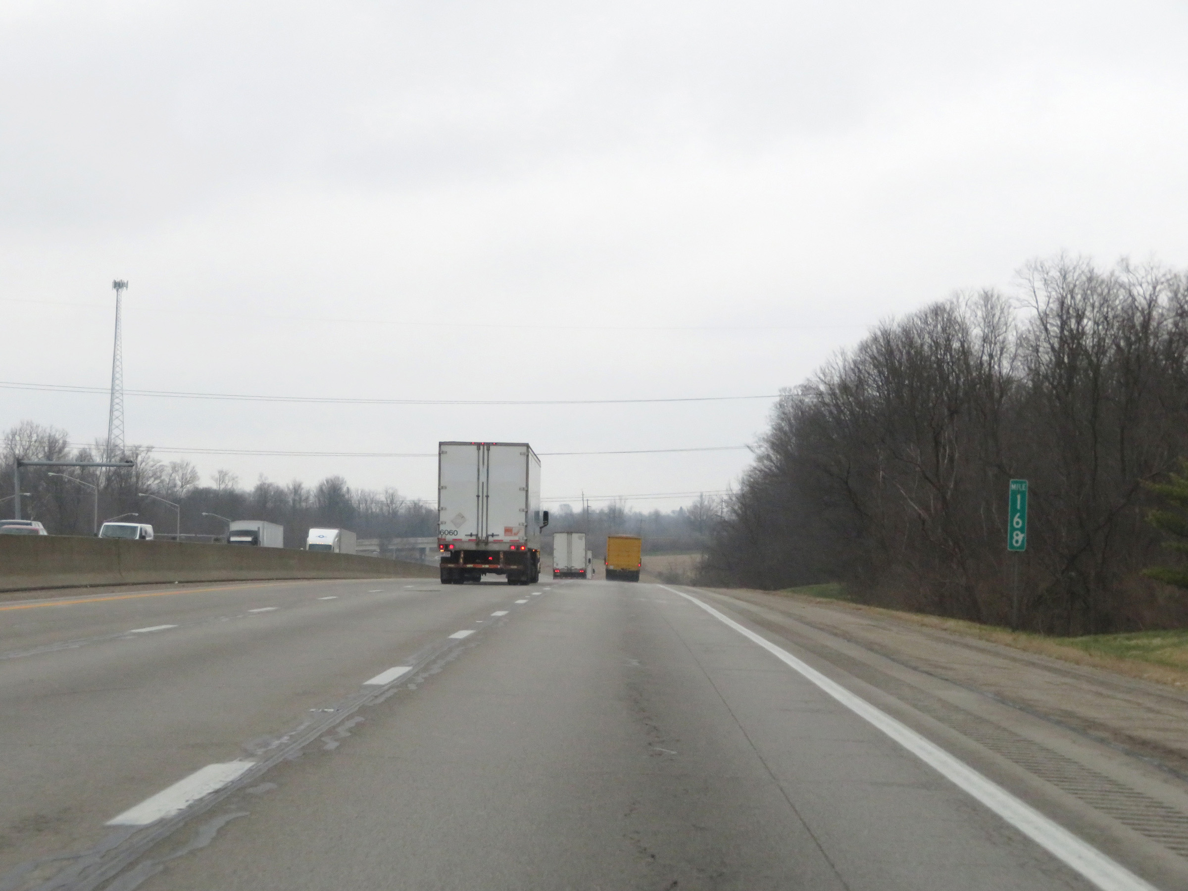 |
Interstate 75 North at mile marker 168. (Photo taken 12/17/20). |
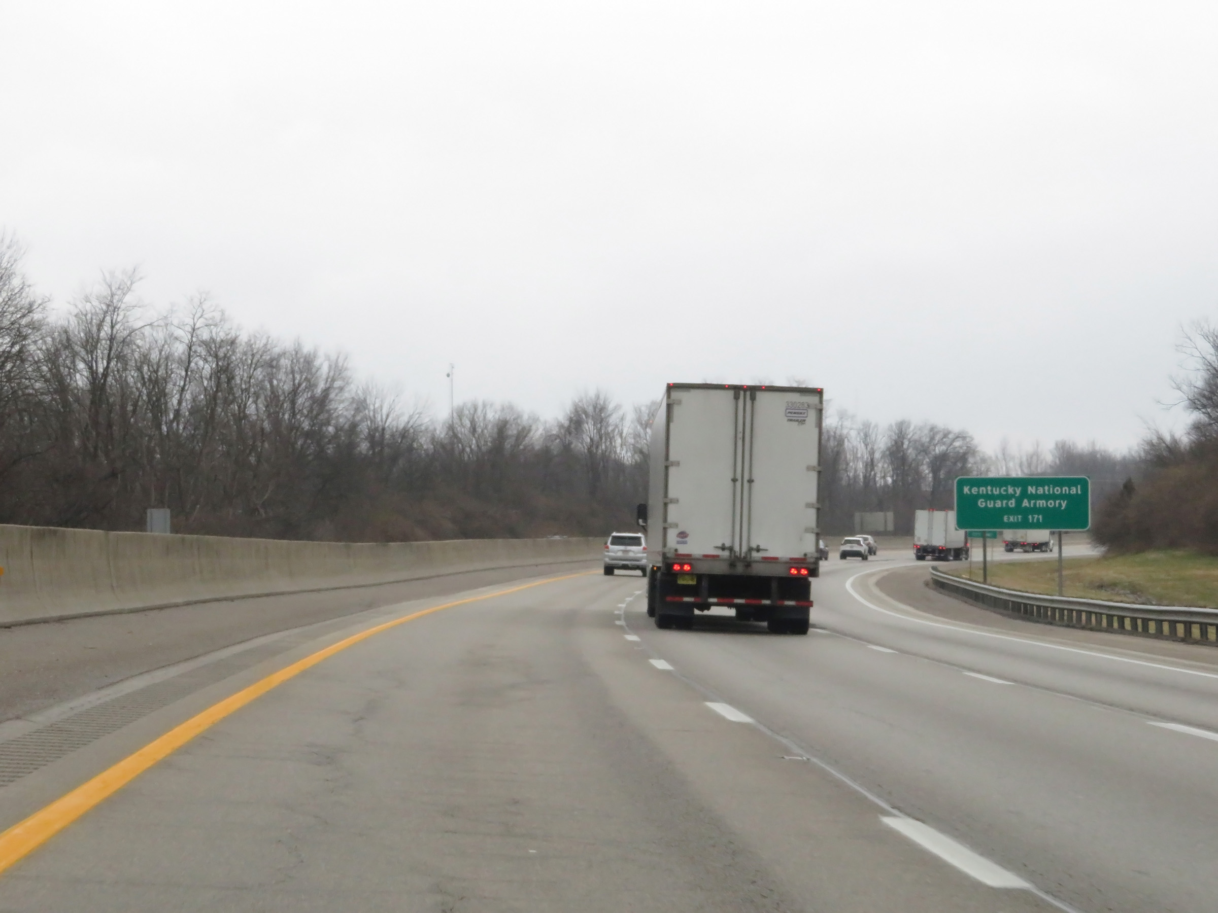 |
Take Exit 171 to the Kentucky National Guard Armory. It is also near this point that I-75 North enters Boone County. (Photo taken 12/17/20). |
 |
Also take Exit 171 to Big Bone Lick State Park. (Photo taken 12/17/20). |
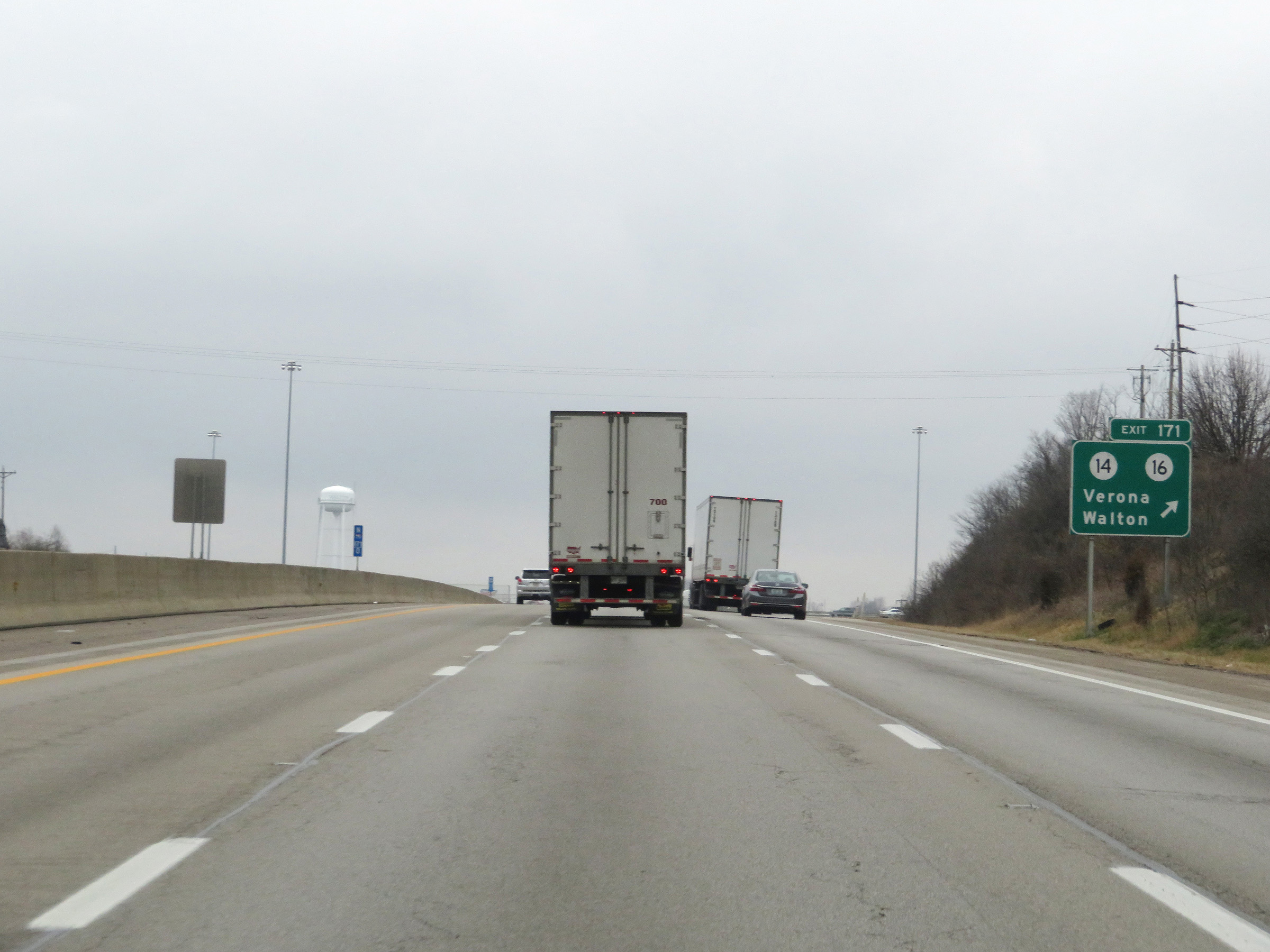 |
Interstate 75 North at Exit 171: KY 14 / KY 16 - Verona / Walton (Photo taken 12/17/20). |
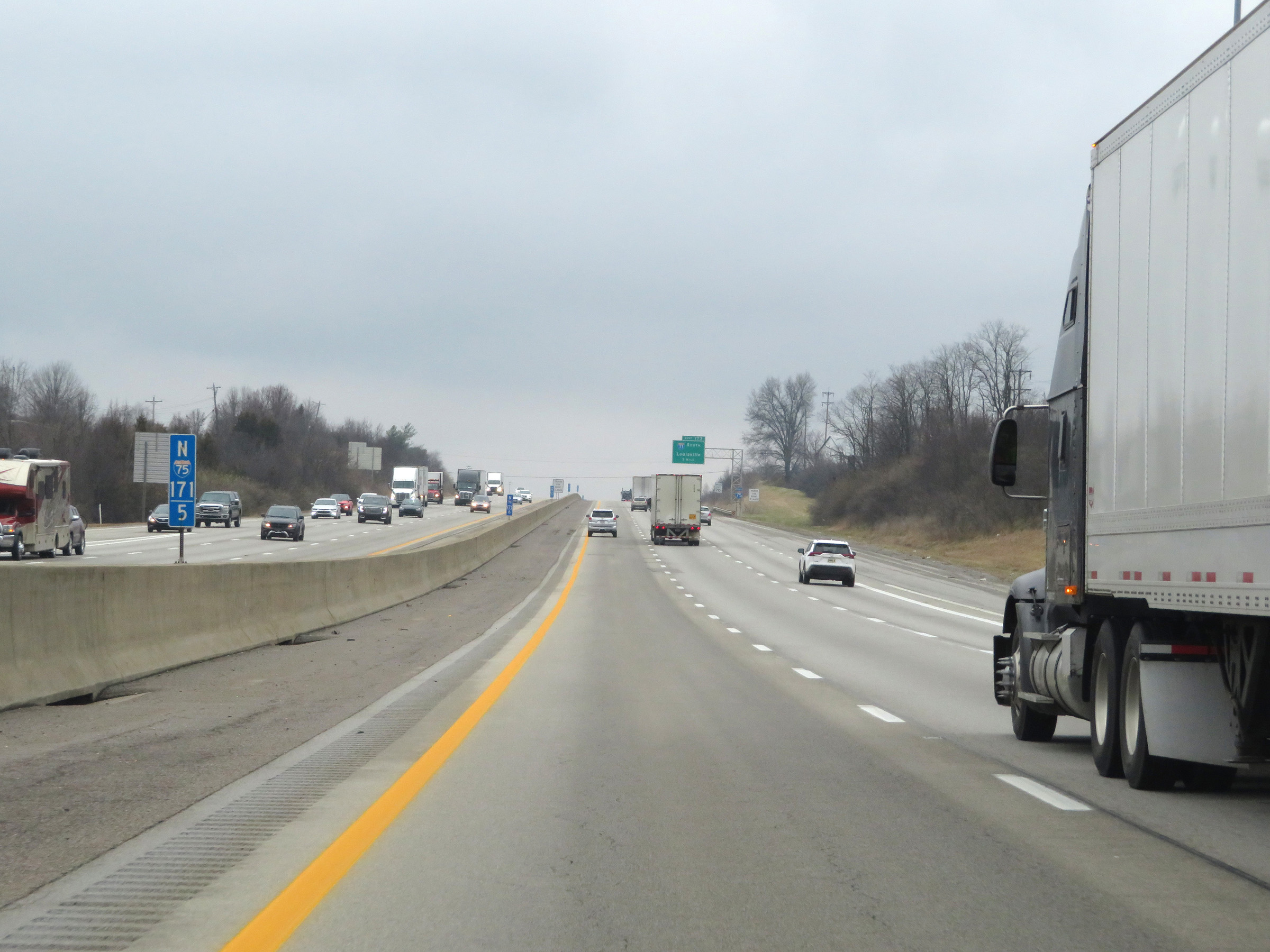 |
View on Interstate 75 North at mile marker 171.5. (Photo taken 12/17/20). |
 |
Interstate 75 North approaching Exit 173 - 1 mile. (Photo taken 12/17/20). |
 |
More advance signage for the junction of Interstate 71, now 1/2 mile ahead. (Photo taken 12/17/20). |
 |
Nearing the junction of Interstate 71 and Exit 173, this sign states that the truck lane restrictions come to an end for the time being. (Photo taken 12/17/20). |
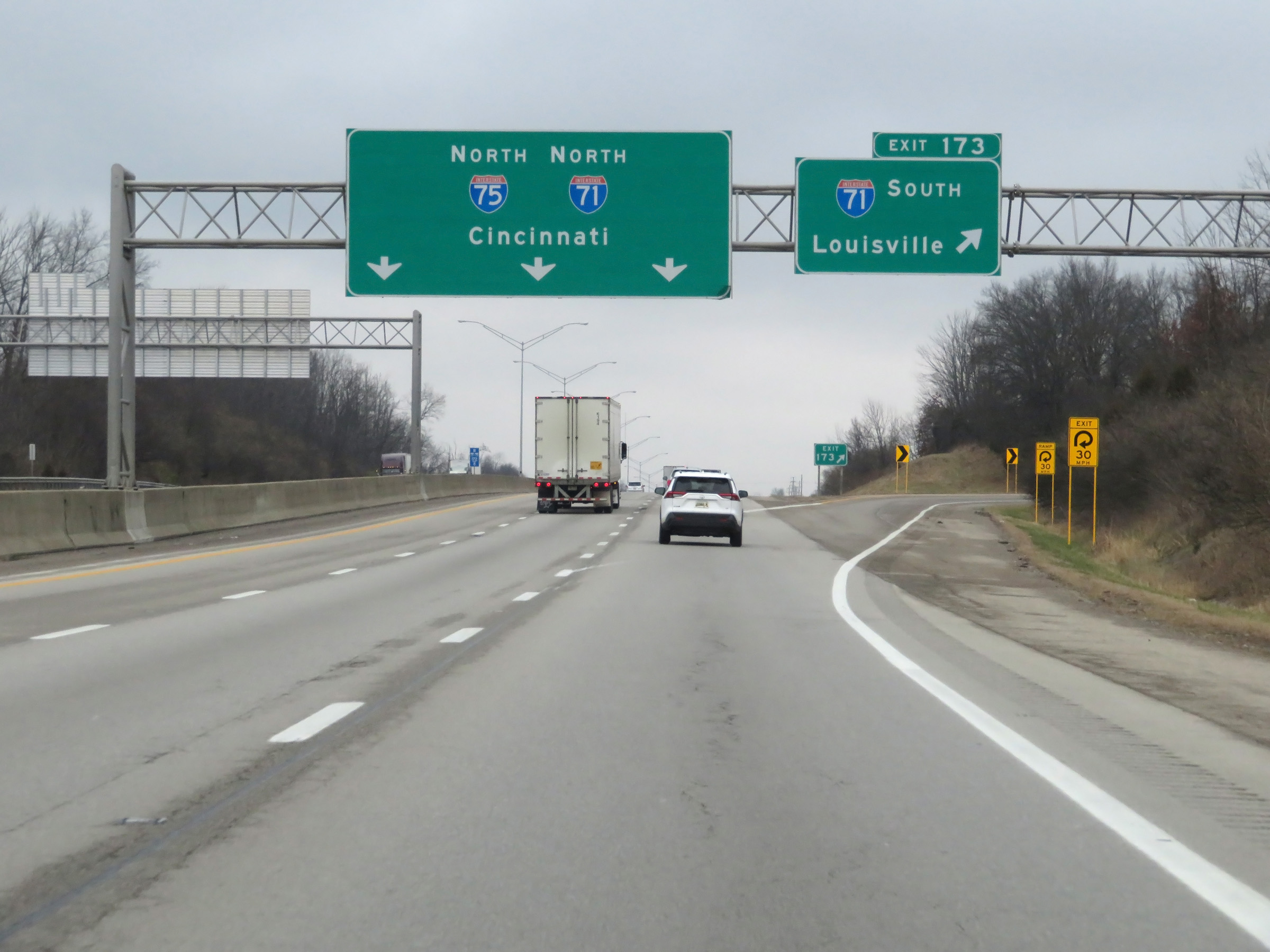 |
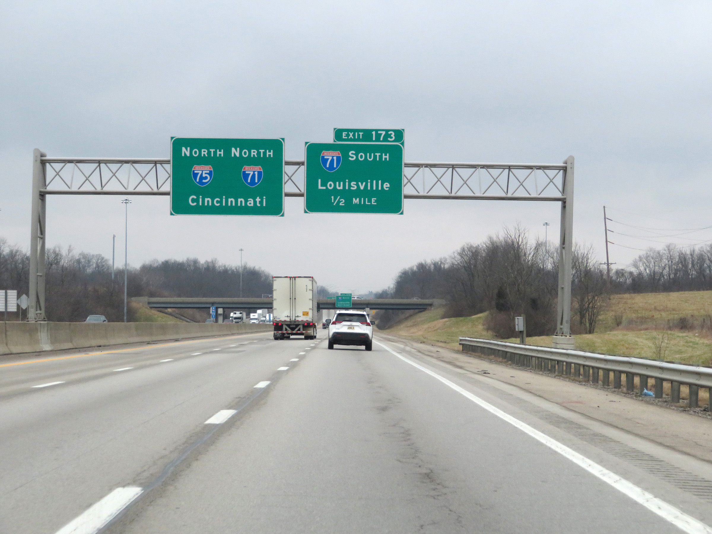
Interstate 75 North at Exit 173: Interstate 71 South - Louisville (Photo taken 12/17/20). |
Section 4: Walton (Exit 173) to Ohio Border
 |
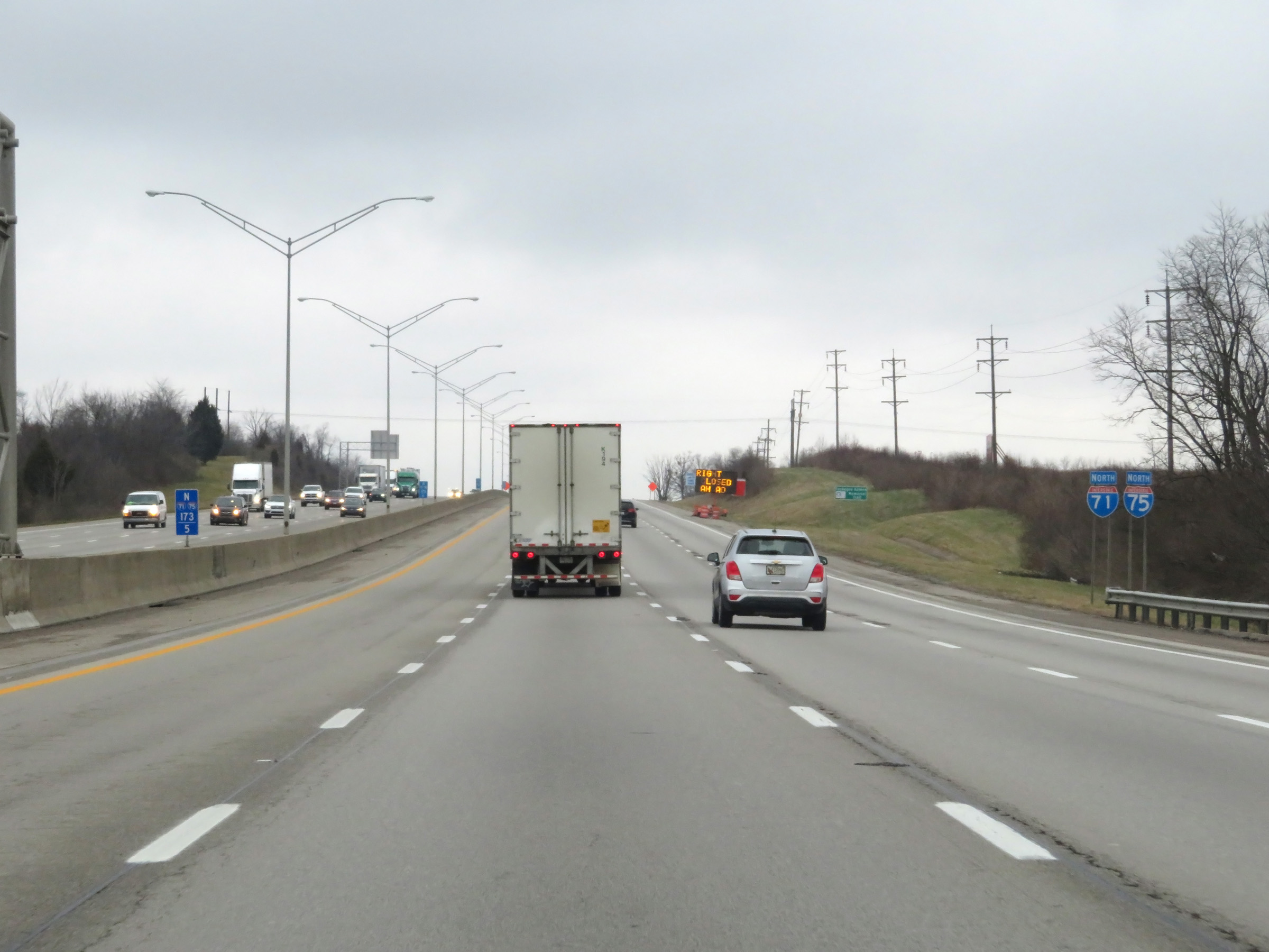
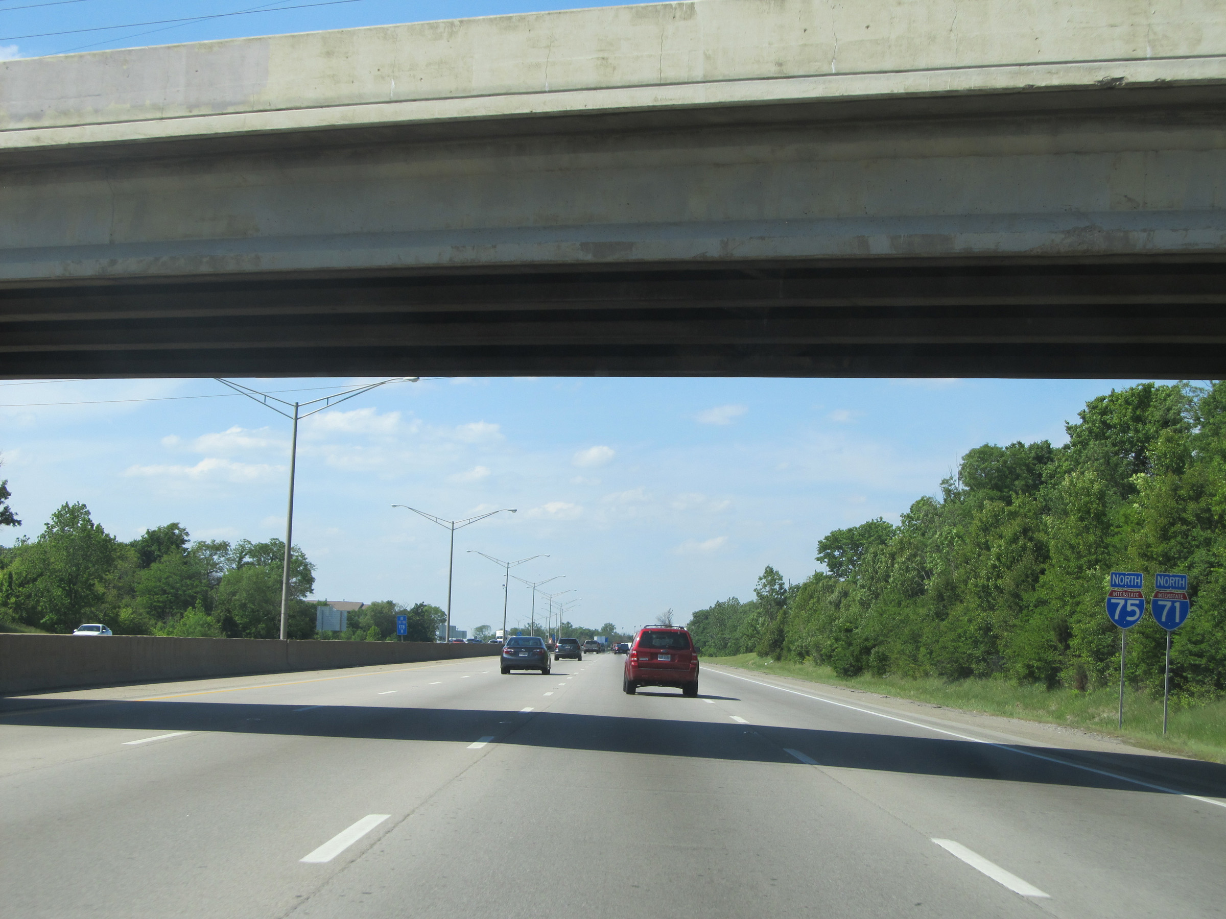
Interstate 75 North as traffic from Interstate 71 North prepares to merge into it ahead on the right. I-75 and I-71 will run concurrently from this point to the Ohio border on the Brent Spence Bridge over the Ohio River. (Photo taken 12/17/20). |
 |
Interstate 75 North / Interstate 71 North reassurance shields as their concurrency begins. (Photo taken 12/17/20). |
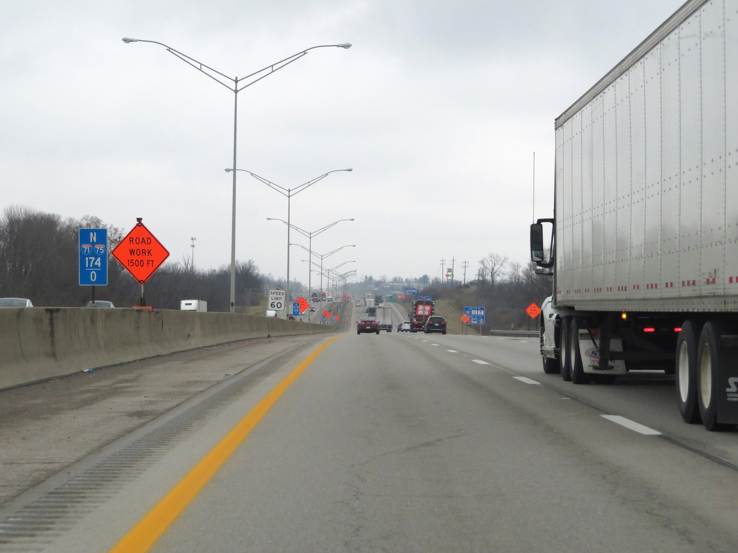 |
View on Interstate 75 North / Interstate 71 North at mile marker 174. During the I-75 / I-71 concurrency, the mile markers and exit numbers are based on the total mileage of Interstate 75 in Kentucky. (Photo taken 12/17/20). |
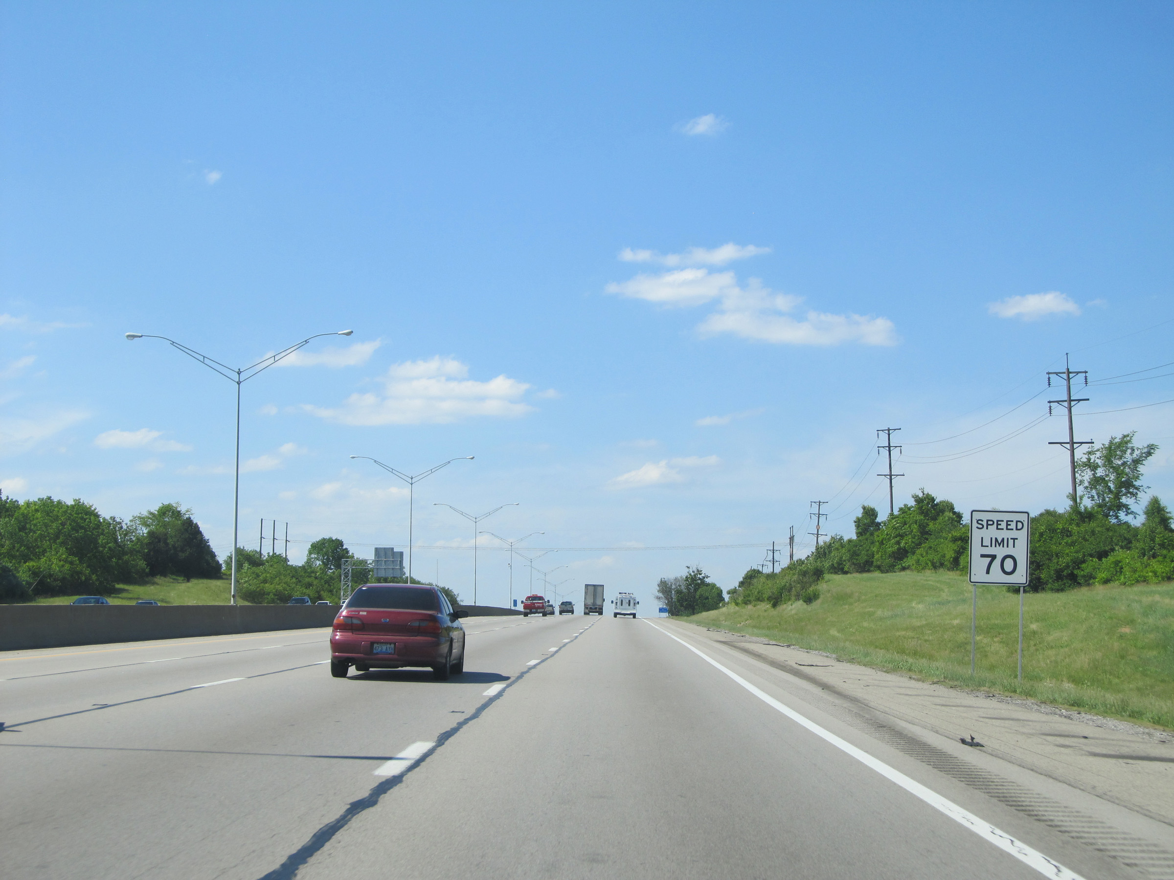 |
The speed limit remains 70 mph on Interstate 75 North / Interstate 71 North. (Photo taken 5/24/15). |
 |
Interstate 75 North / Interstate 71 North at Exit 175: KY 338 - Richwood (Photo taken 5/24/15). |
 |
Rest Area on Interstate 75 North / Interstate 71 North in Boone County. (Photo taken 5/24/15). |
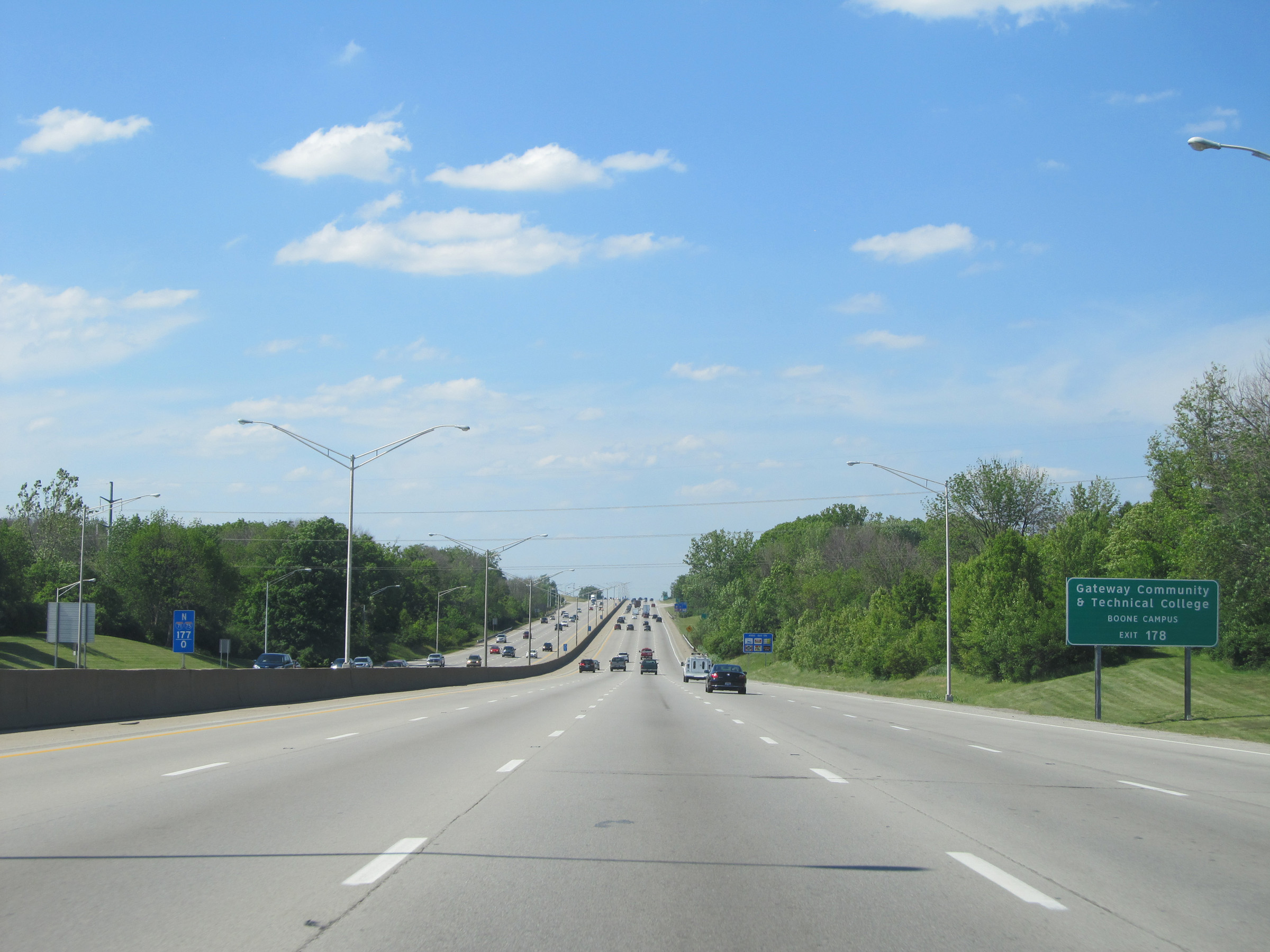 |
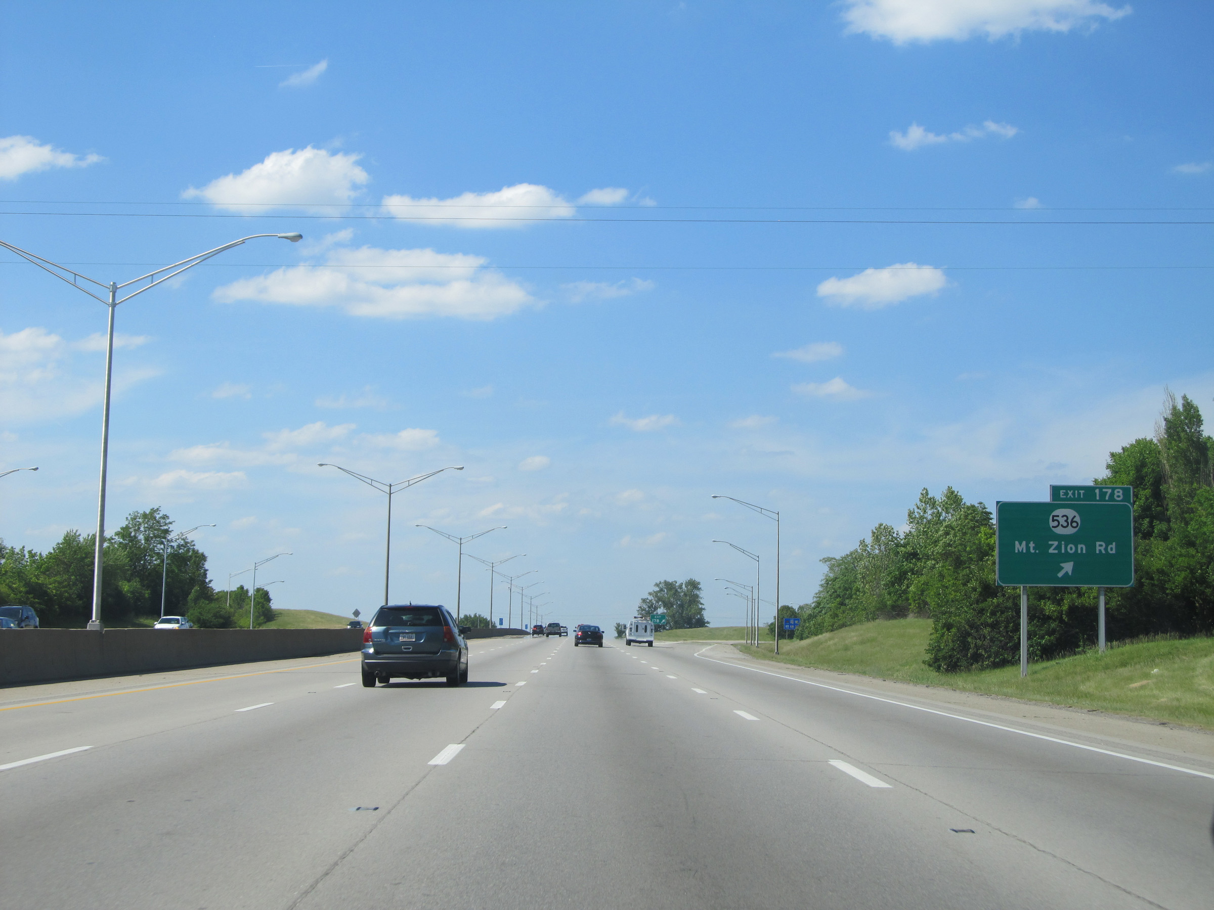
Take Exit 178 to Gateway Community & Technical College Boone Campus. (Photo taken 5/24/15). |
 |
Interstate 75 North / Interstate 71 North at Exit 178: KY 536 - Mt. Zion Rd (Photo taken 5/24/15). |
 |
Another set of Interstate 75 North / Interstate 71 North reassurance shields. (Photo taken 5/24/15). |
 |
North of Exit 178, the speed limit decreases to 65 mph on Interstate 75 North / Interstate 71 North. (Photo taken 5/24/15). |
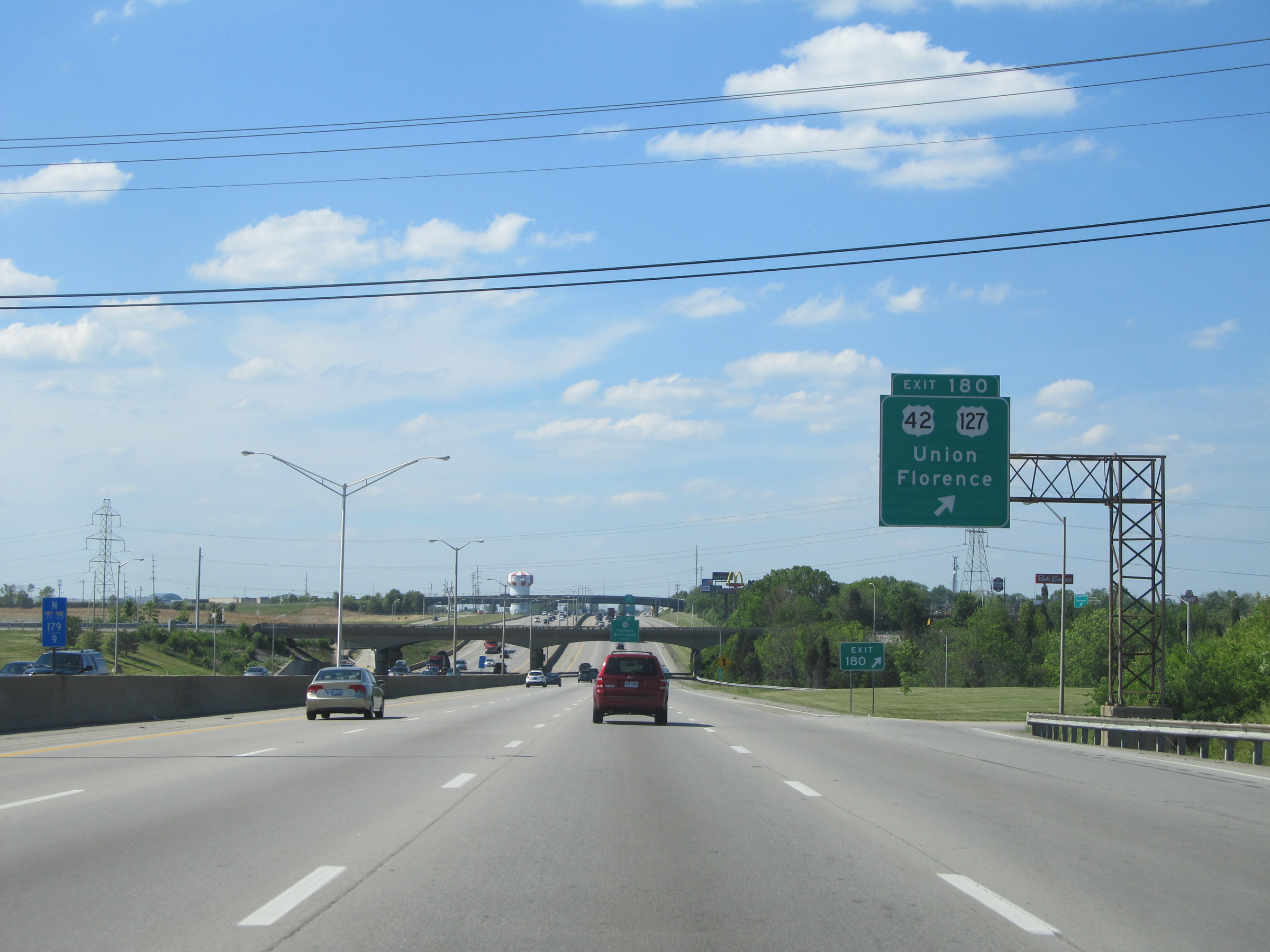 |
Interstate 75 North / Interstate 71 North at Exit 180: US 42 / US 127 - Union / Florence (Photo taken 5/24/15). |
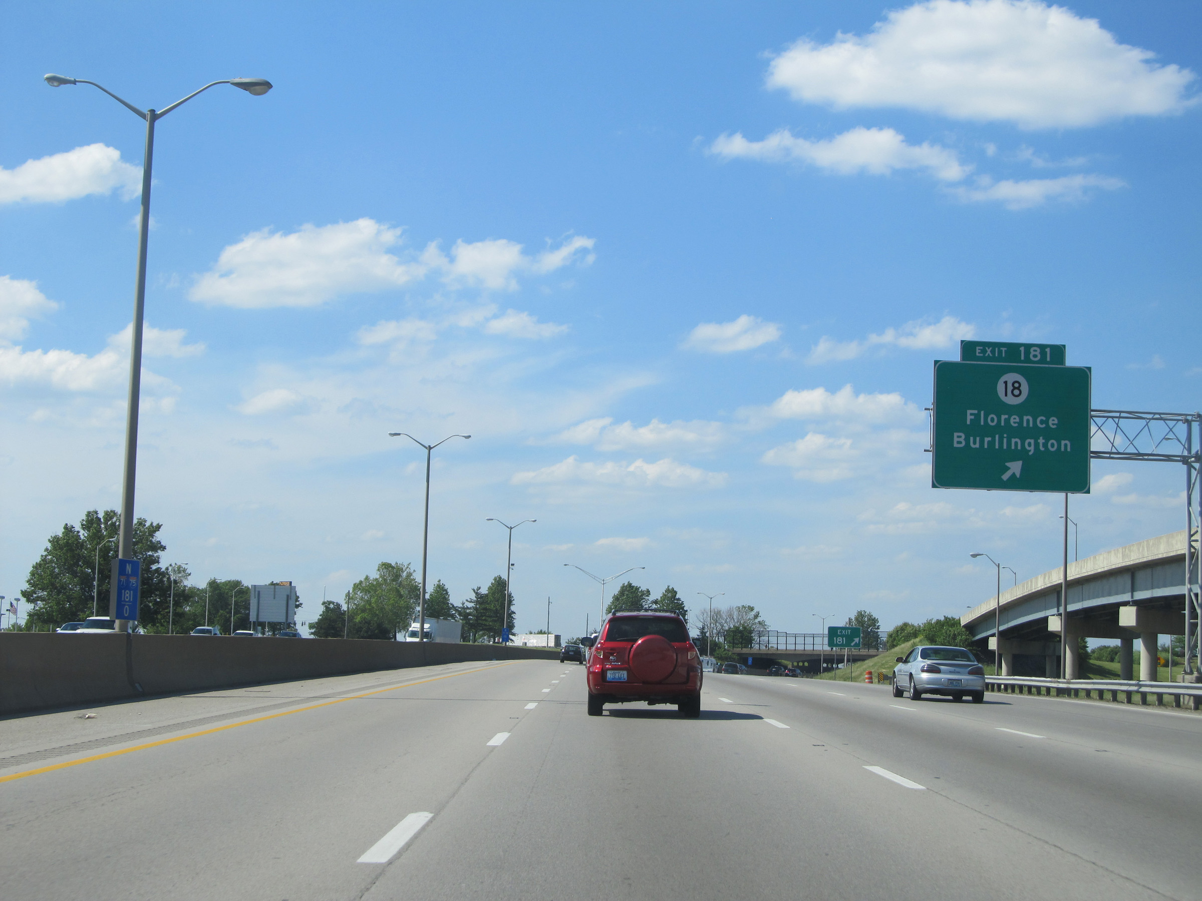 |
Interstate 75 North / Interstate 71 North at Exit 181: KY 18 - Florence / Burlington (Photo taken 5/24/15). |
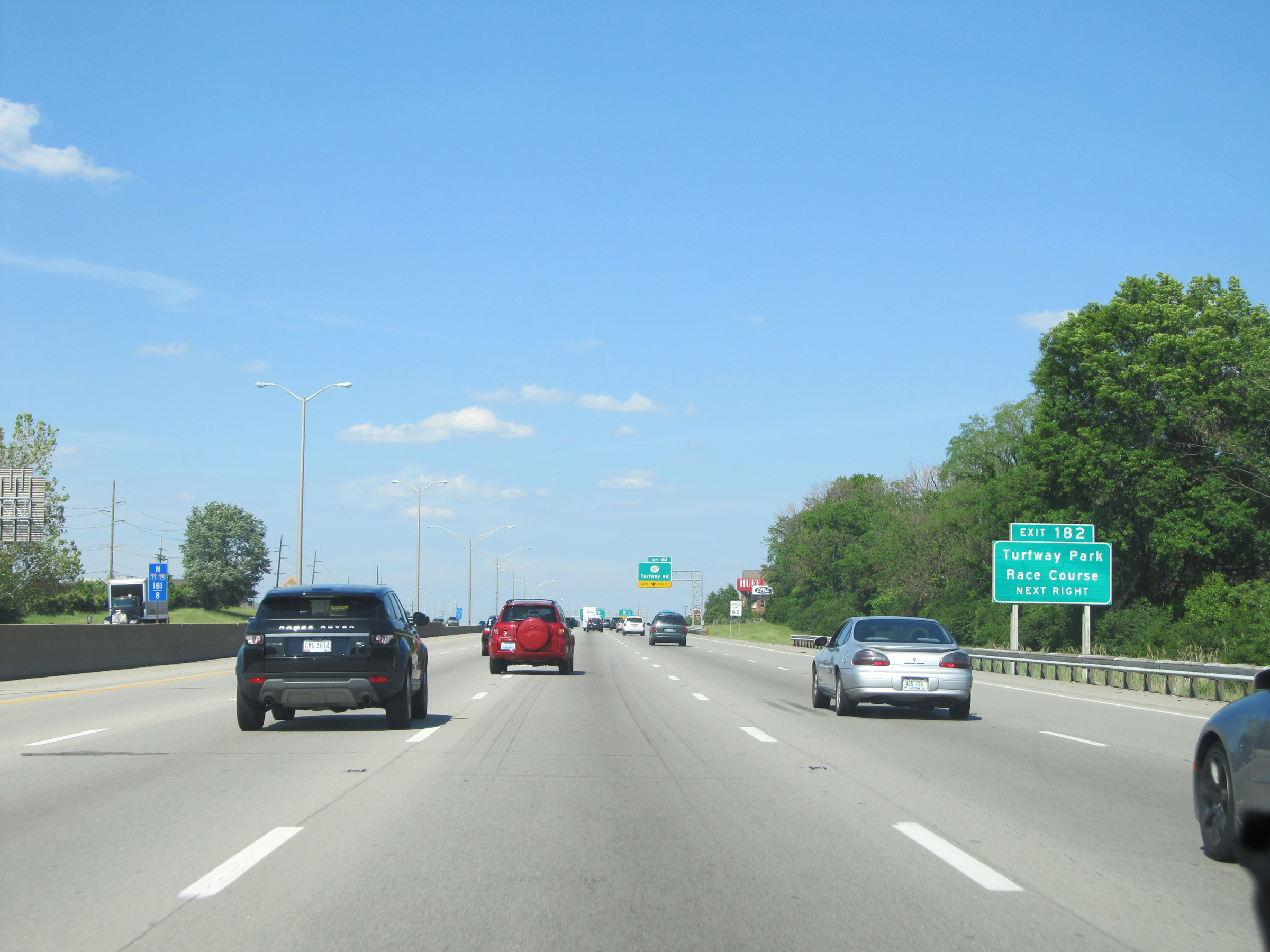 |
Take Exit 182 to Turfway Park Race Course. (Photo taken 5/24/15). |
 |
Interstate 75 North / Interstate 71 North at Exit 182: KY 1017 - Turfway Rd (Photo taken 5/24/15). |
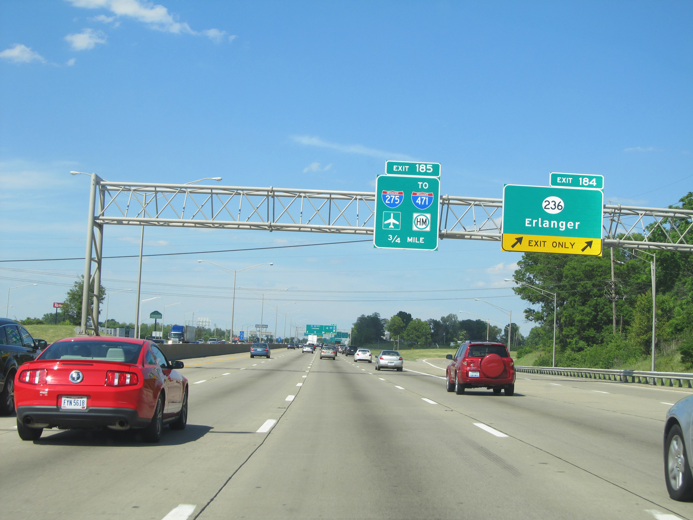 |
Interstate 75 North / Interstate 71 North at Exit 184: KY 236 - Erlanger (Photo taken 5/24/15). |
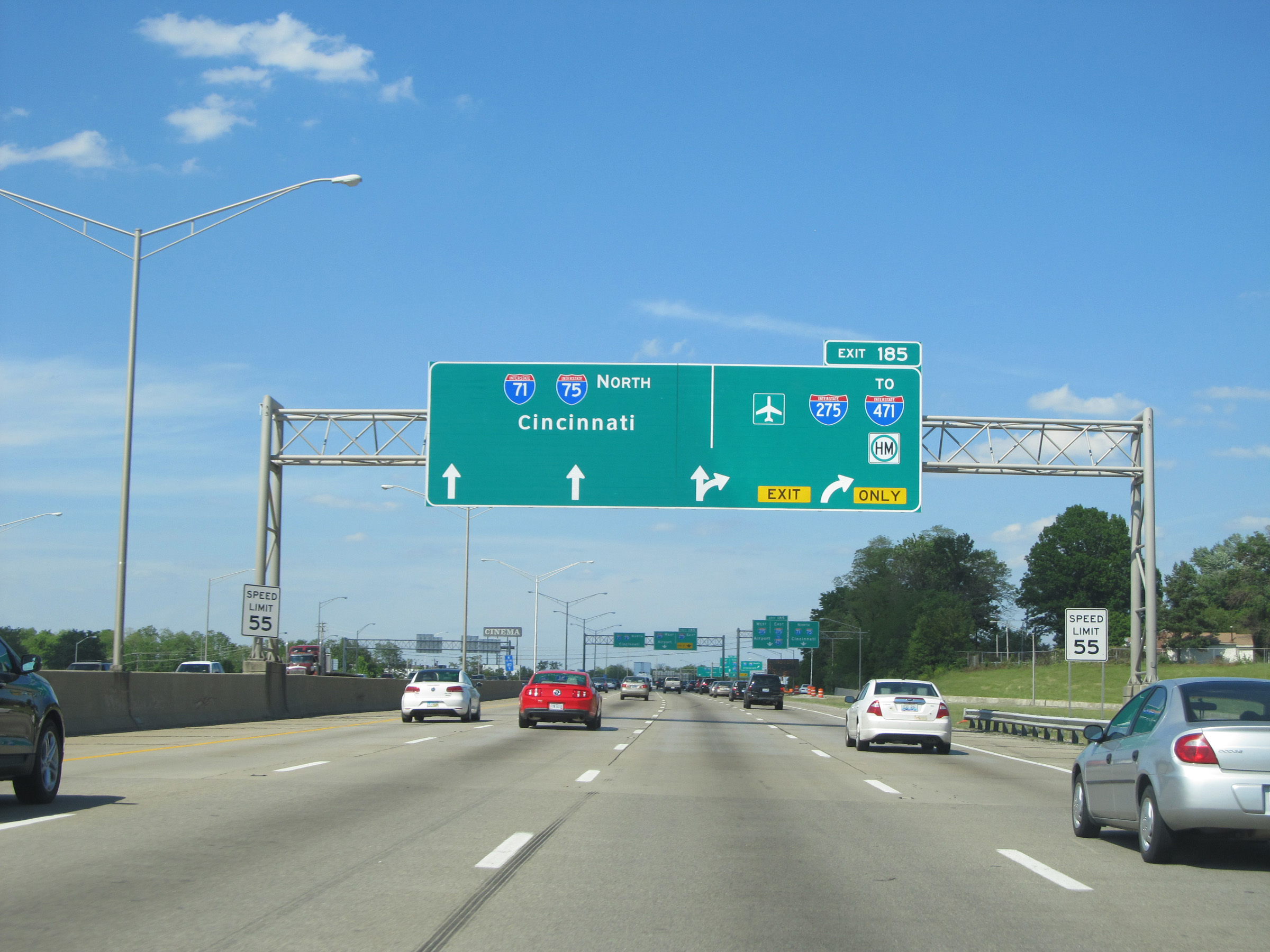 |
Interstate 75 North / Interstate 71 North approaching the junction of Interstate 275 via Exit 185. Also at this point, the speed limit decreases to 55 mph. (Photo taken 5/24/15). |
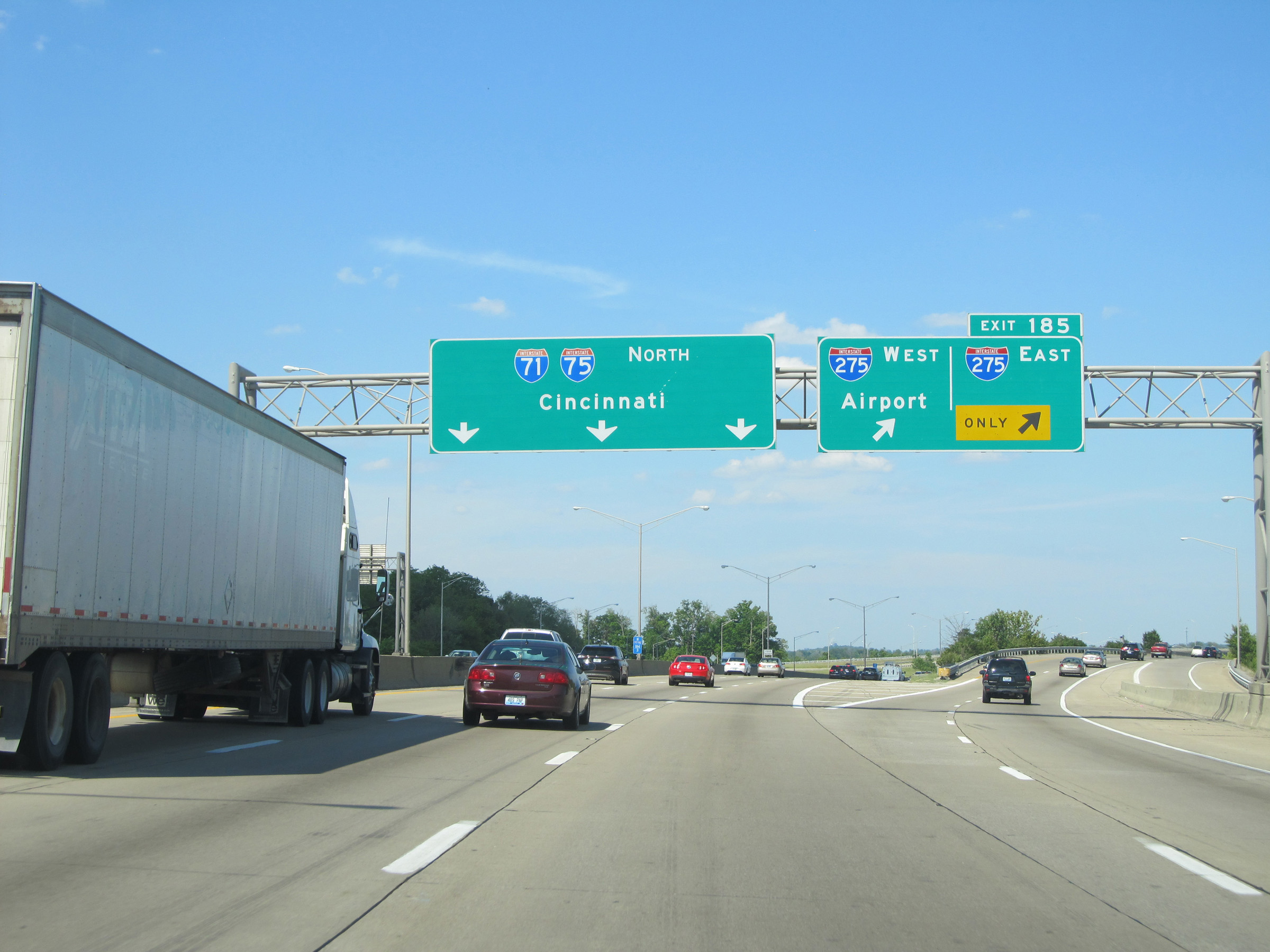 |
Interstate 75 North / Interstate 71 North at Exit 185: Interstate 275 - Airport (Photo taken 5/24/15). |
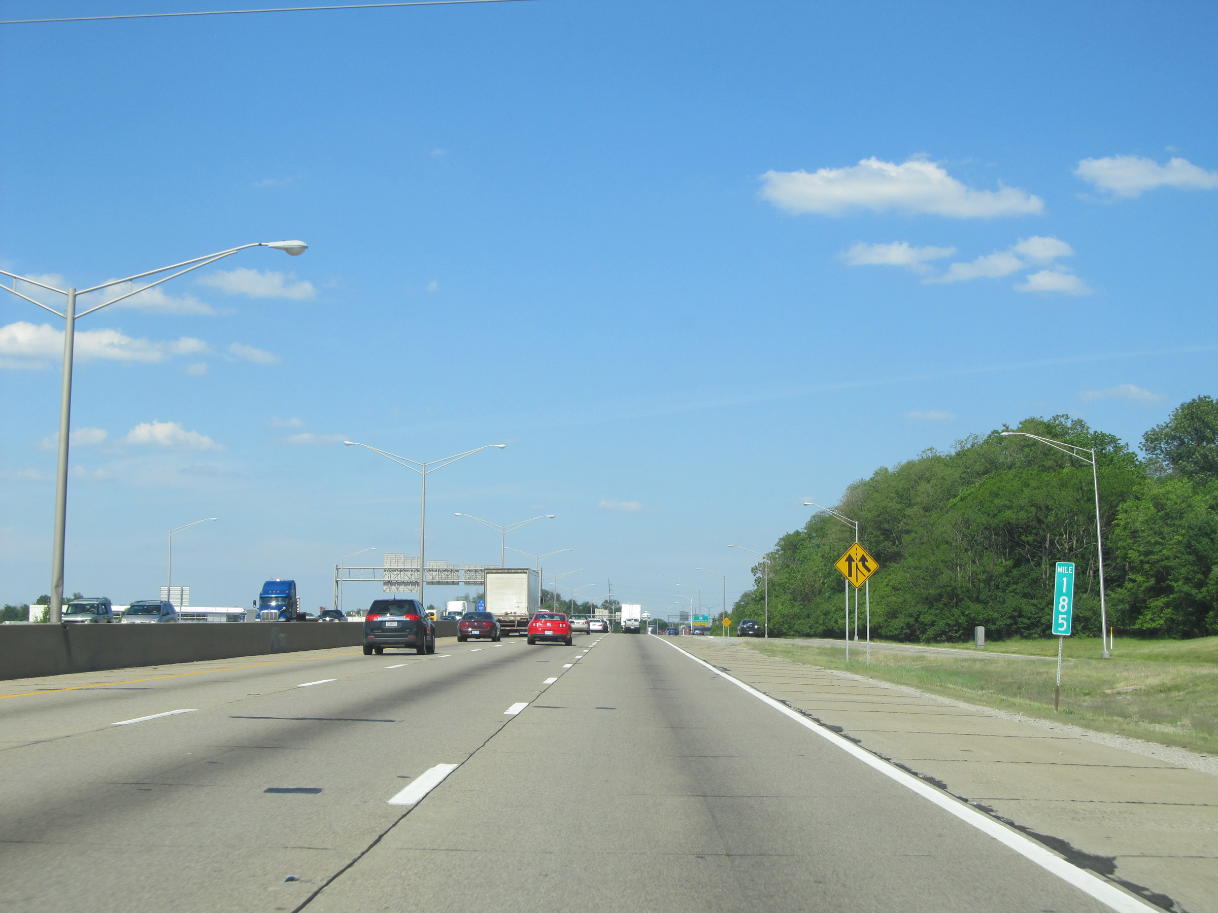 |
View on Interstate 75 North / Interstate 71 North at mile marker 185, as traffic from Interstate 275 prepares to merge into the duplex ahead on the right. (Photo taken 5/24/15). |
 |
Interstate 75 North / Interstate 71 North at Exit 186: KY 371 - Buttermilk Pike (Photo taken 5/24/15). |
 |
Interstate 75 North / Interstate 71 North at Exit 186: US 25 / US 42 / US 127 - Dixie Hwy / Fort Mitchell (Photo taken 5/24/15). |
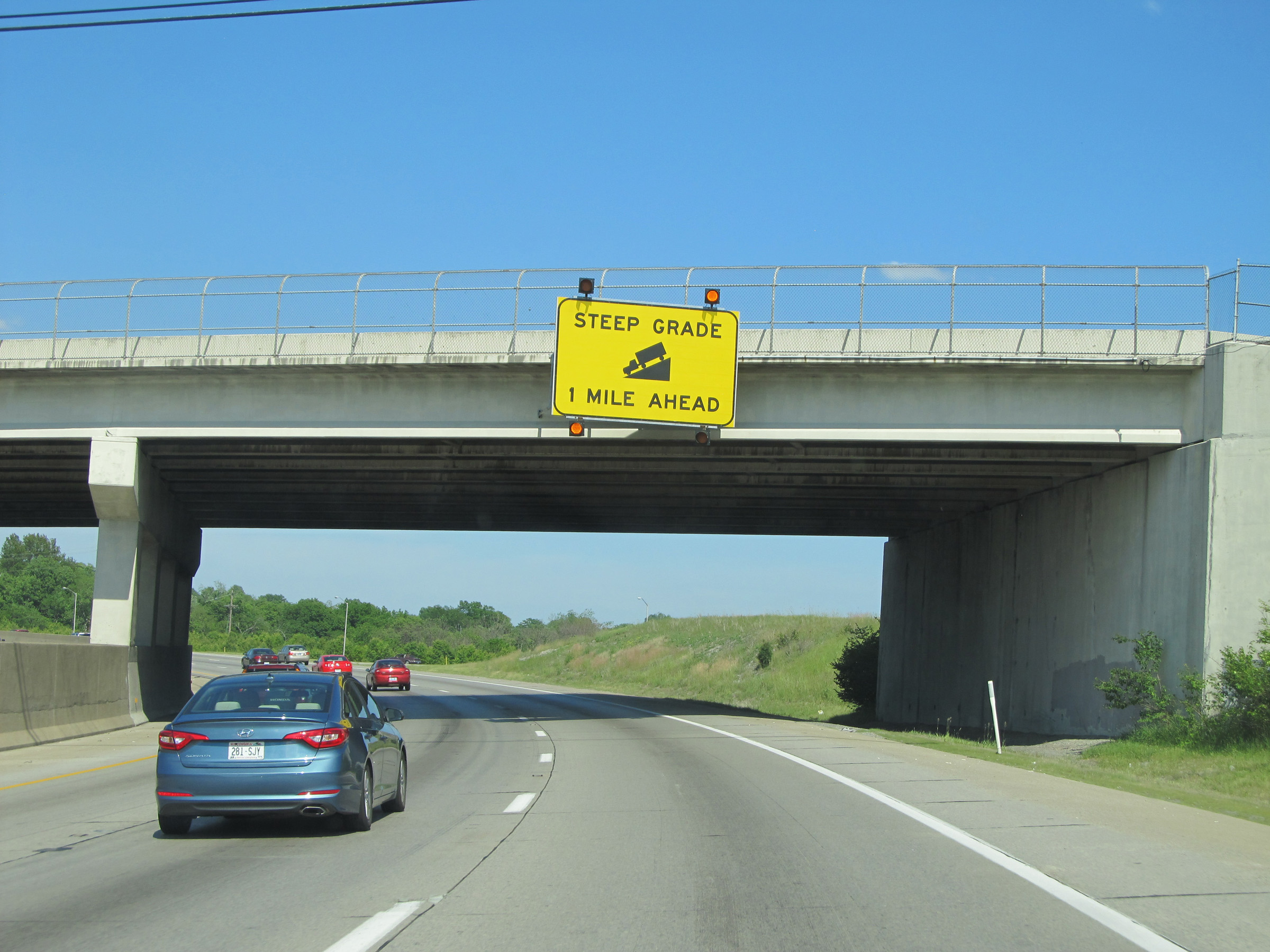 |
This sign warns of a steep grade 1 mile ahead, as Interstate 75 North / Interstate 71 North will begin to descend toward the Ohio River. (Photo taken 5/24/15). |
 |
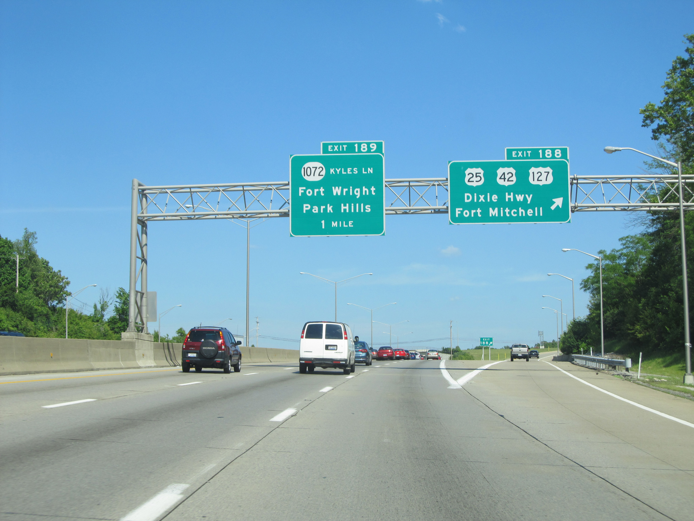
Interstate 75 North / Interstate 71 North at Exit 189: KY 1072 (Kyles Ln) - Fort Wright / Park Hills (Photo taken 5/24/15). |
 |
Beyond Exit 189, the steep downgrade begins. It will last for the next 2 miles, as Interstate 75 North / Interstate 71 North descend toward the Ohio River and Covington. (Photo taken 5/24/15). |
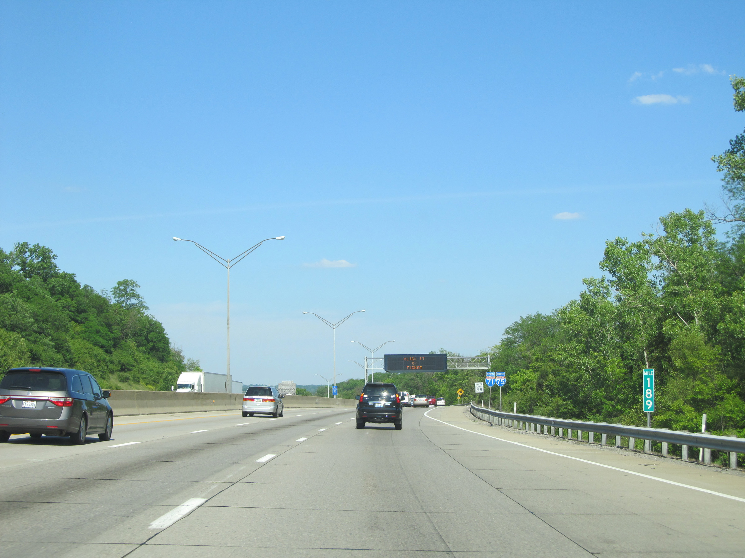 |
View on Interstate 75 North / Interstate 71 North at mile marker 189, as the downgrade begins. (Photo taken 5/24/15). |
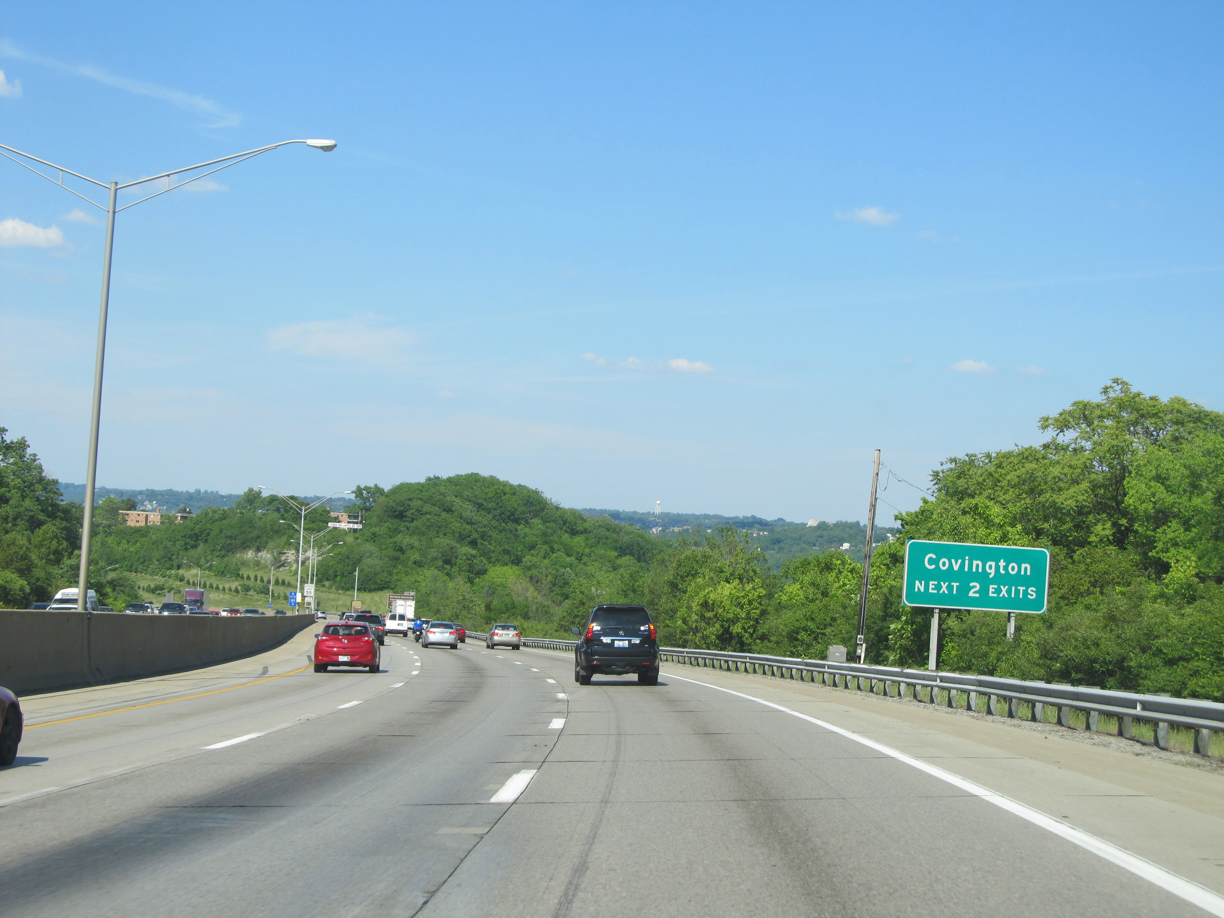 |
Take either of the next 2 exits to Covington. (Photo taken 5/24/15). |
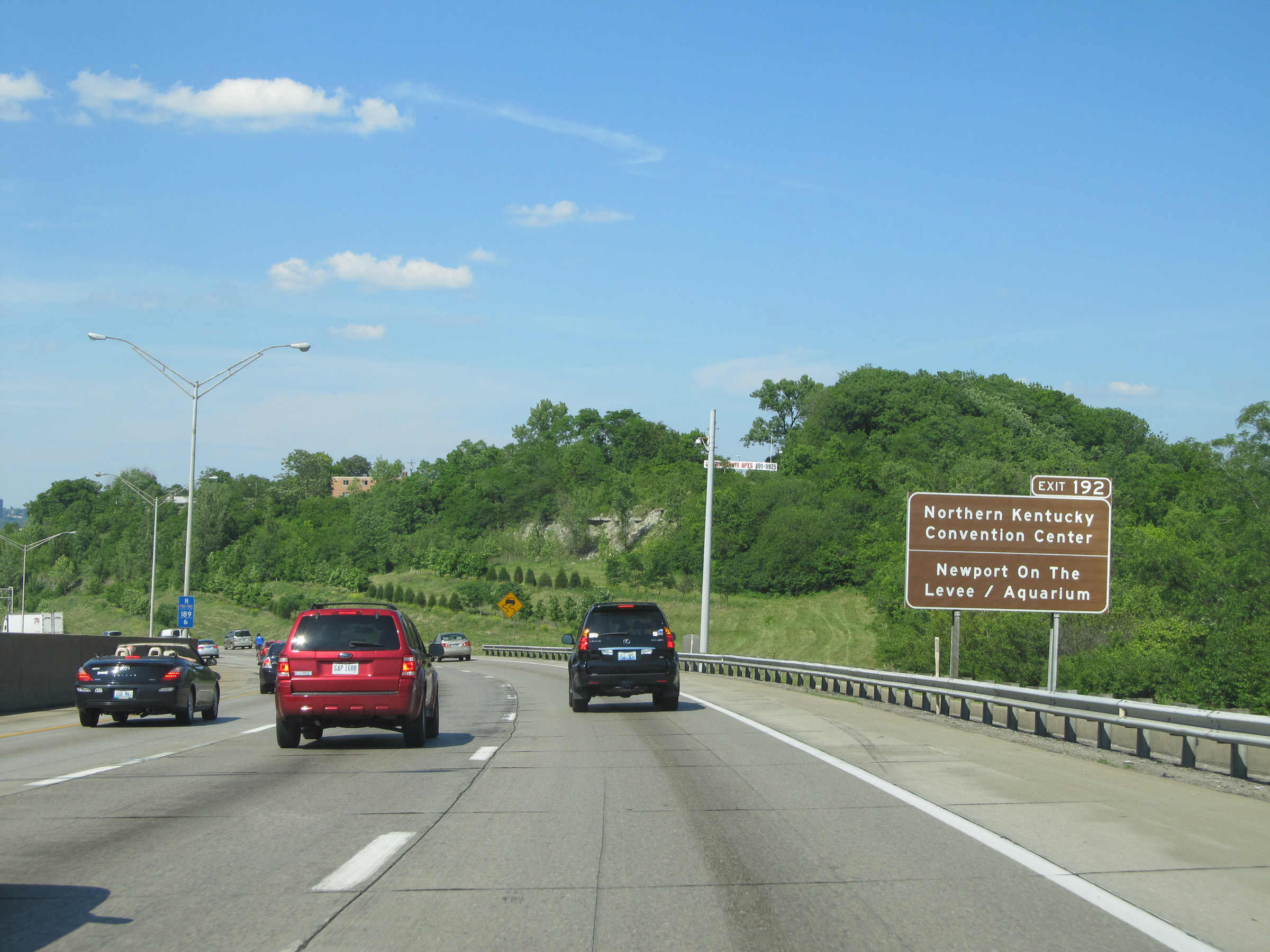 |
Take Exit 192 to the Northern Kentucky Convention Center and Newport On The Levee / Aquarium. (Photo taken 5/24/15). |
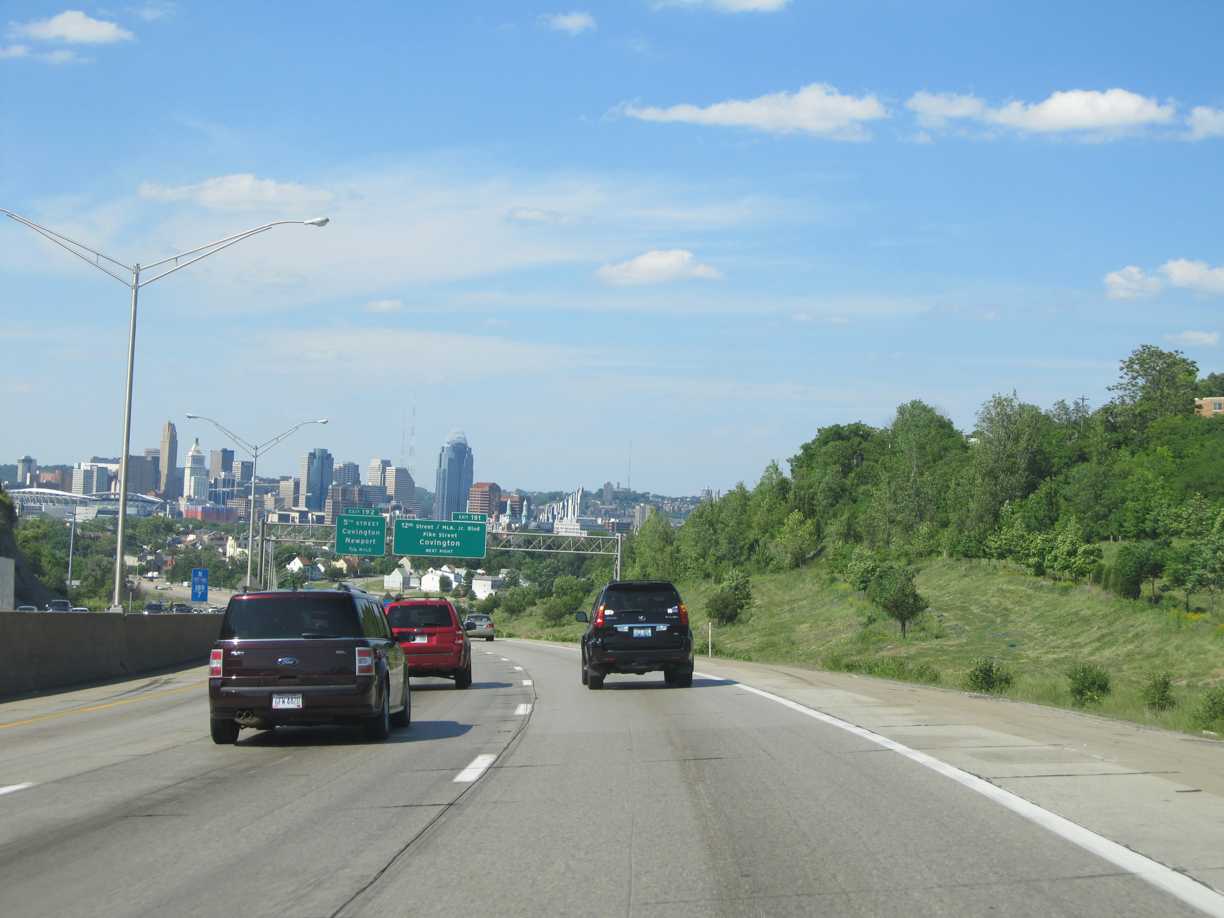 |
View on Interstate 75 North / Interstate 71 North as the continue to descend toward the Ohio River and downtown Cincinnati comes into view. (Photo taken 5/24/15). |
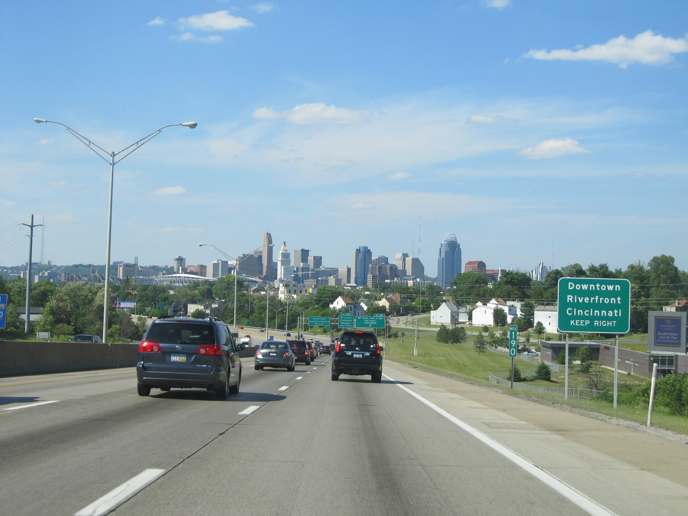 |
Take Exit 191 to Downtown and the Cincinnati Riverfront. (Photo taken 5/24/15). |
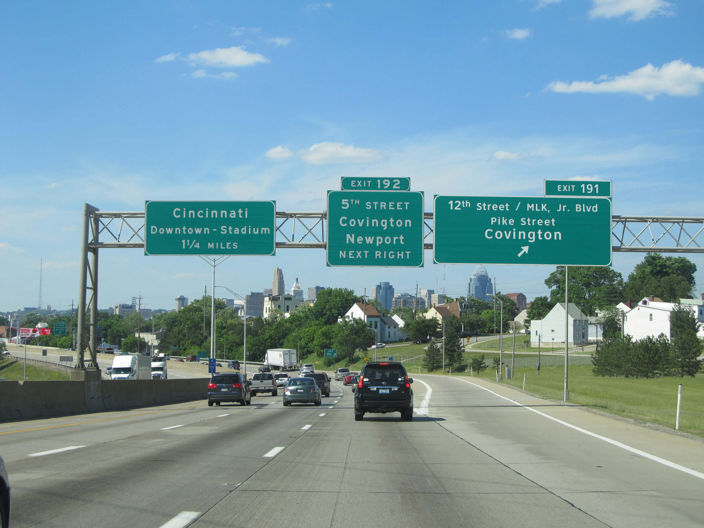 |
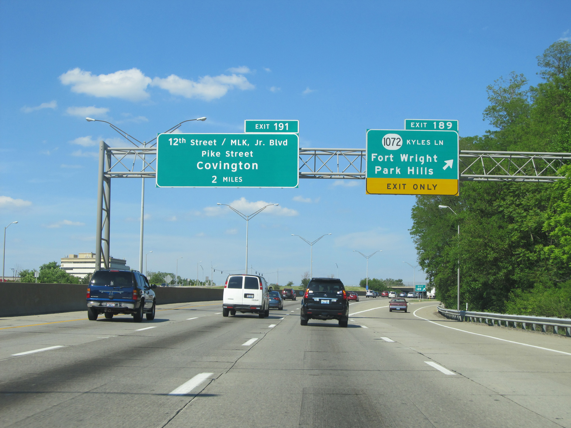
Interstate 75 North / Interstate 71 North at Exit 191: 12th Street / MLK Jr. Blvd / Pike Street / Covington (Photo taken 5/24/15). |
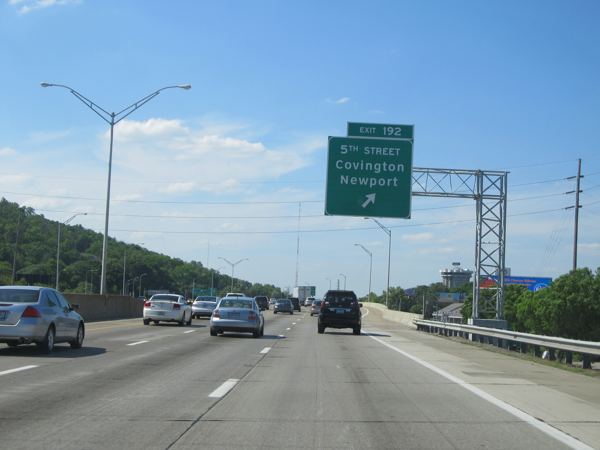 |
Interstate 75 North / Interstate 71 North at Exit 192: 5th Street / Covington / Newport (Photo taken 5/24/15). |
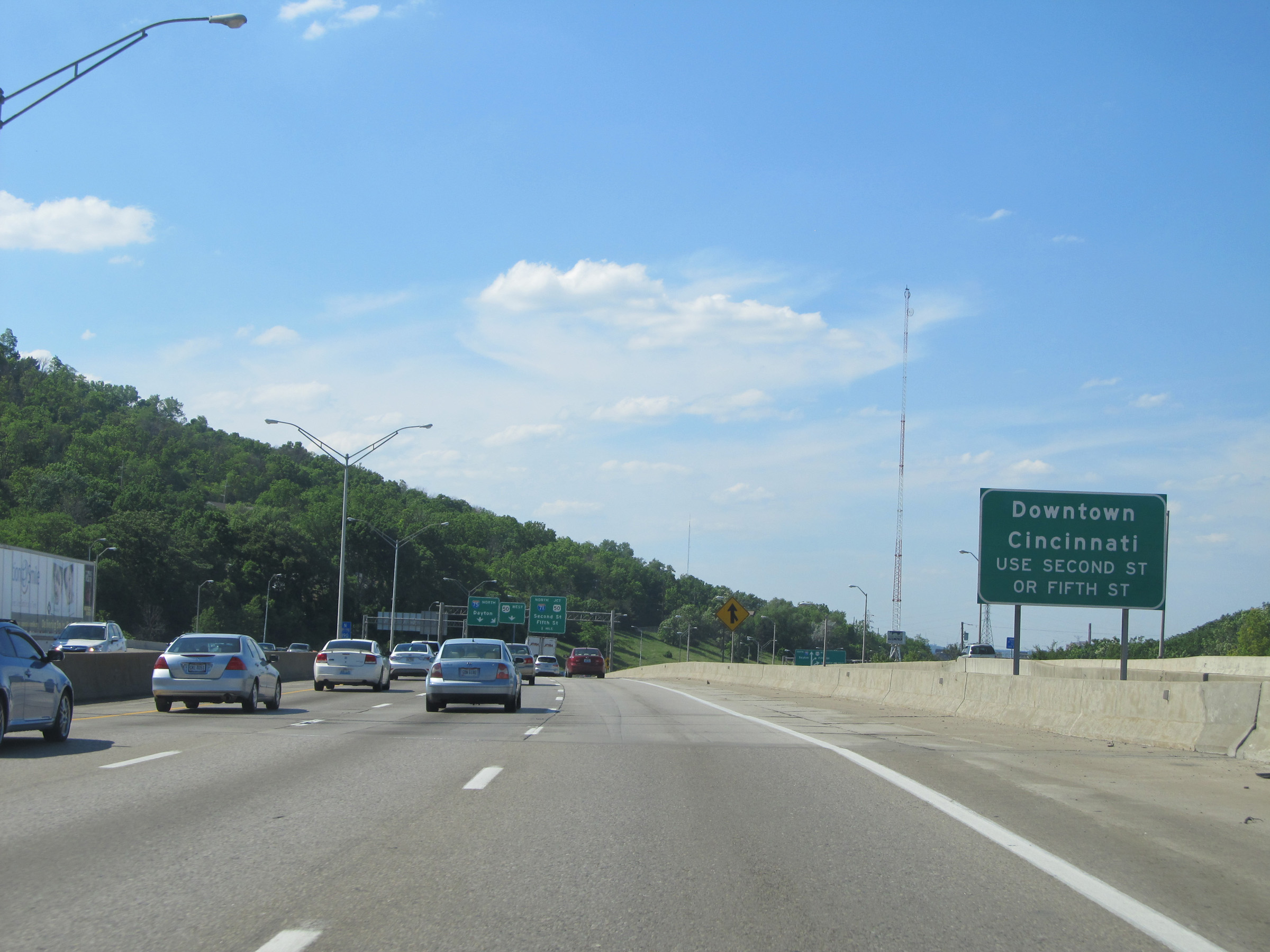 |
Traffic to downtown Cincinnati should use Second St or Fifth St via Interstate 71 North after crossing the Ohio River into Ohio. (Photo taken 5/24/15). |
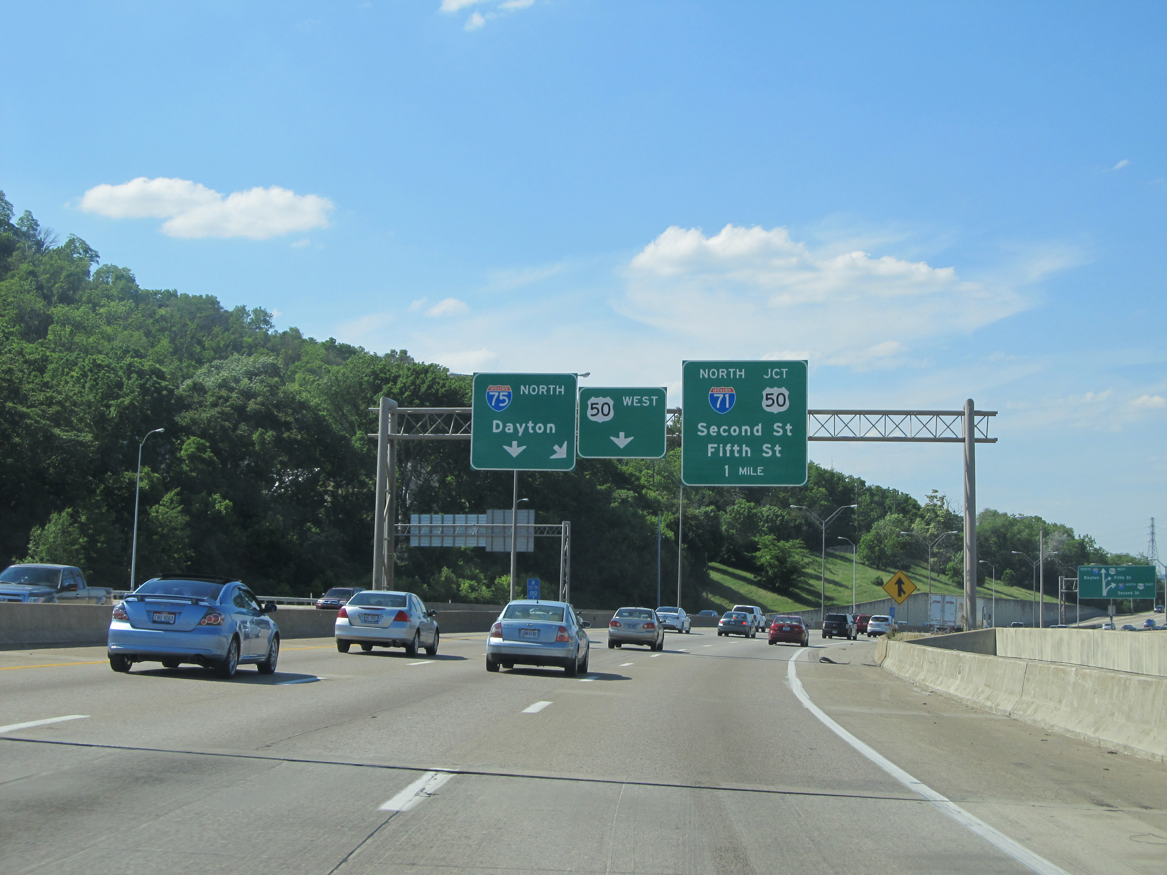 |
Advance signage for the split of Interstate 75 North and Interstate 71 North, which will occur immediately after crossing the Brent Spence Bridge over the Ohio River and entering downtown Cincinnati. (Photo taken 5/24/15). |
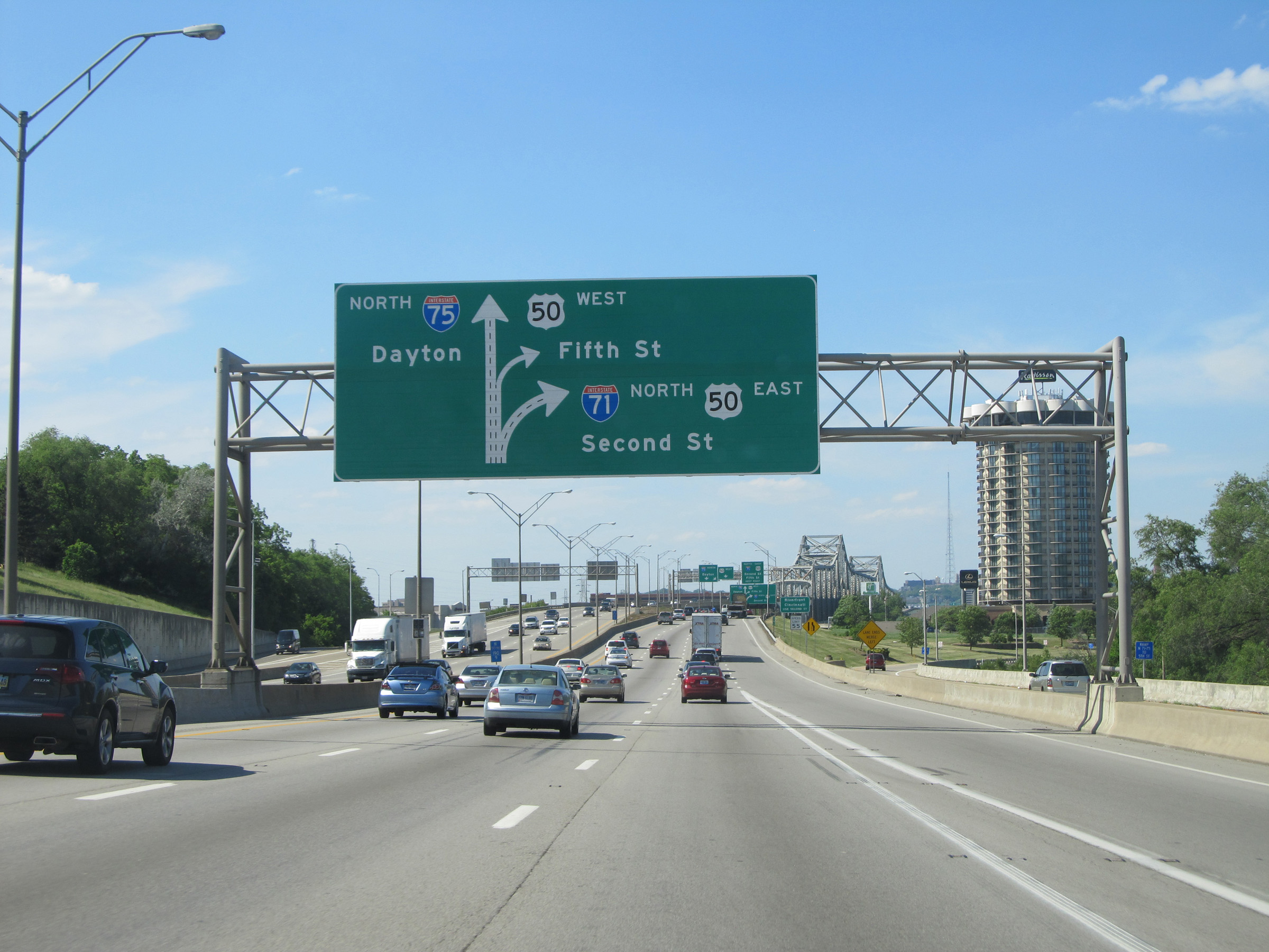 |
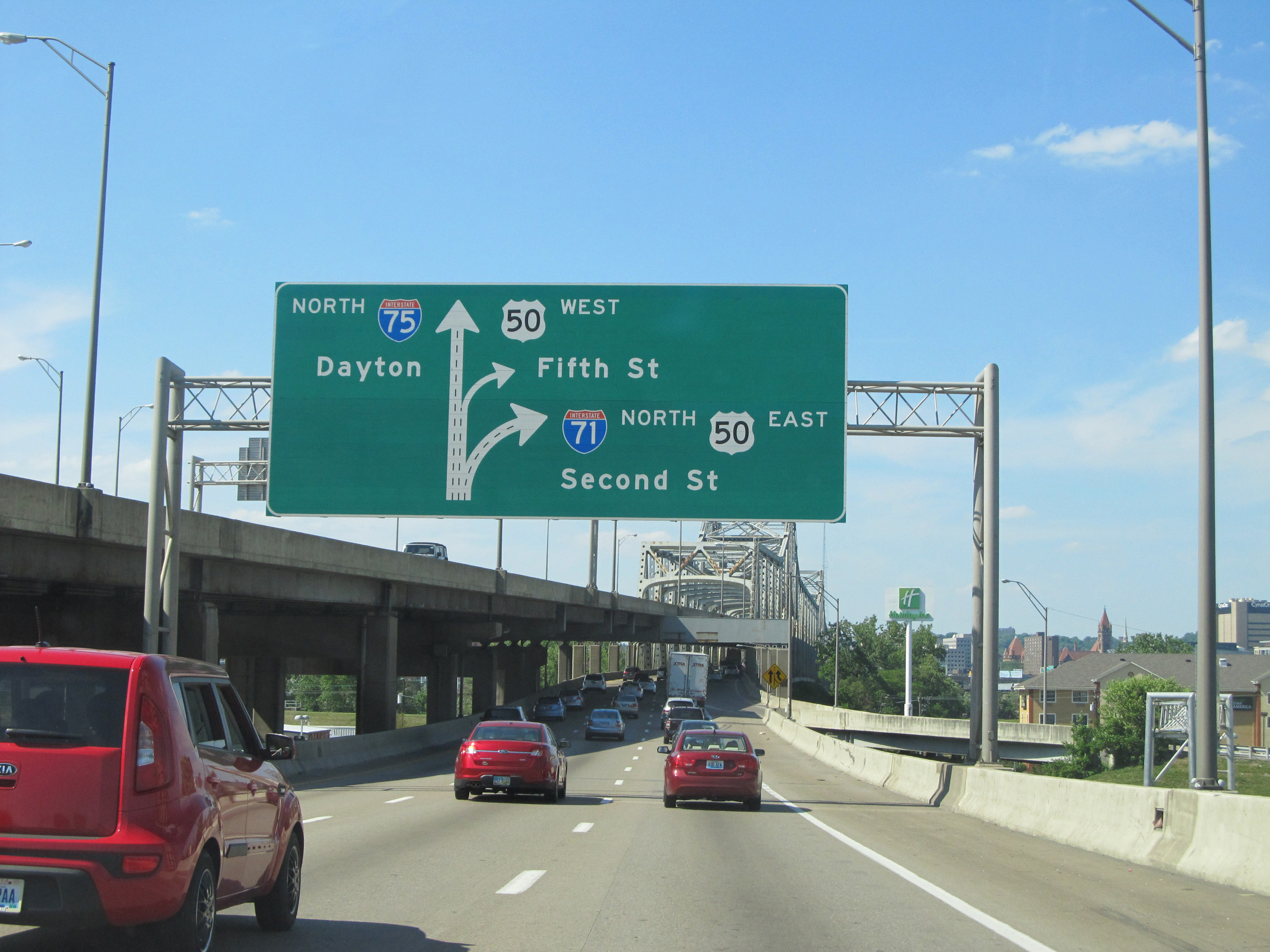
This BGS shows the two exits which will occur immediately upon crossing the Ohio River via the Brent Spence Bridge on Interstate 75 North / Interstate 71 North. Northbound traffic will follow the bottom deck of the double-decked Brent Spence Bridge. Traffic looking to remain on I-71 North should keep right across the bridge. (Photo taken 5/24/15). |
 |
Traffic to the Cincinnati Riverfront should follow Second St, which means they should keep right on the bridge and follow Interstate 71 North. (Photo taken 5/24/15). |
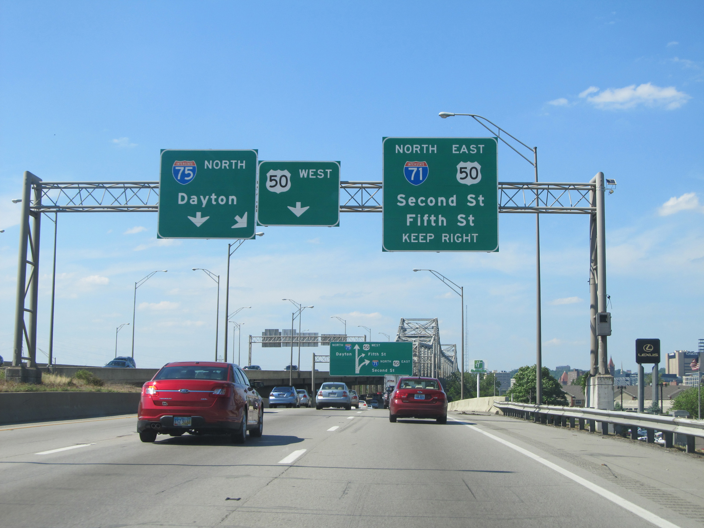 |
These overhead signs just before the Brent Spence Bridge over the Ohio River give one final warning that Interstate 75 North traffic should keep left, while Interstate 71 North traffic should keep right. Traffic to US 50 West should make its way to the center lane. (Photo taken 5/24/15). |
 |
View on Interstate 75 North / Interstate 71 North as they prepare to cross the Ohio River via the bottom deck of the Brent Spence Bridge, leaving Kentucky to enter Ohio and downtown Cincinnati. (Photo taken 5/24/15). |