Road Information |
||
 |
||
| Total Mileage in State: | 148 miles | |
| Northern End: | At US 41, in Henderson | |
| Southern End: | At US 45 Bypass, in Mayfield | |
| Mileage covered in Photos: | 148 miles | |
| Counties covered in Photos: | Fulton, Graves, Marshall, Livingston, Lyon, Caldwell, Hopkins, Webster, Henderson | |
| Major Junctions in Photos: | I-24, in Calvert City I-169, in Nortonville US 41, in Madisonville US 41, in Henderson |
|
| Control Cities in Photos: | Mayfield, Calvert City, Eddyville, Princeton, Madisonville, Henderson | |
Northbound
- Section 1: Tennessee Border to Benton (Exit 43)
- Section 2: Benton (Exit 43) to Eddyville (Exit 71)
- Section 3: Eddyville (Exit 71) to Madisonville (Exit 117)
- Section 4: Madisonville (Exit 117) to Northern Terminus (Exit 148B)
Section 1: Tennesseee Border to Benton (Exit 43)
 |
Kentucky welcome sign as US 51 North enters the Bluegrass State from Tennessee and Future Interstate 69 North / Purchase Pkwy North begin. The speed limit starts out at 55 mph. (Photo taken 12/15/20). |
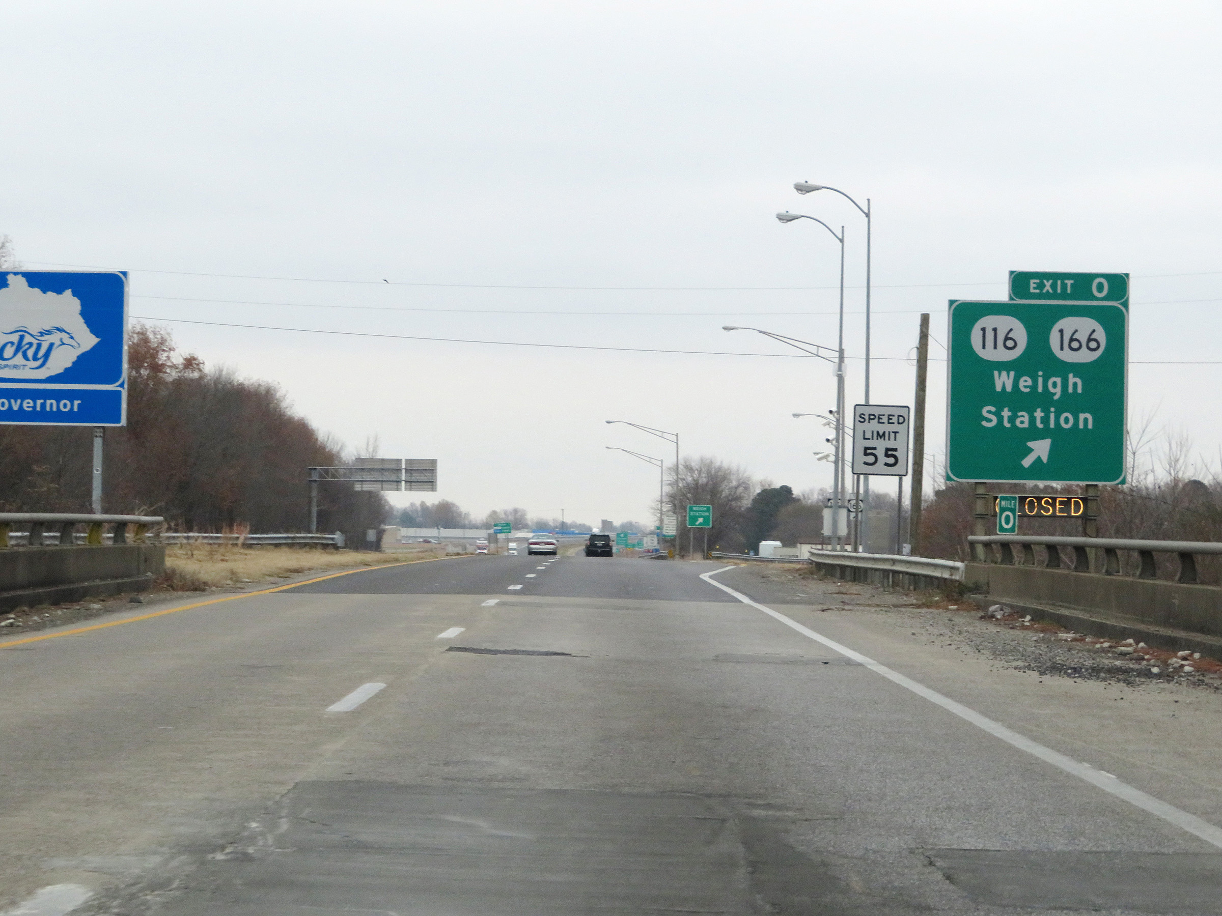 |
Future Interstate 69 North / Purchase Pkwy North at Exit 0: KY 116 / KY 166 - Weigh Station (Photo taken 12/15/20). |
 |
A view of the ramp to the Weigh Station via Exit 0. (Photo taken 12/15/20). |
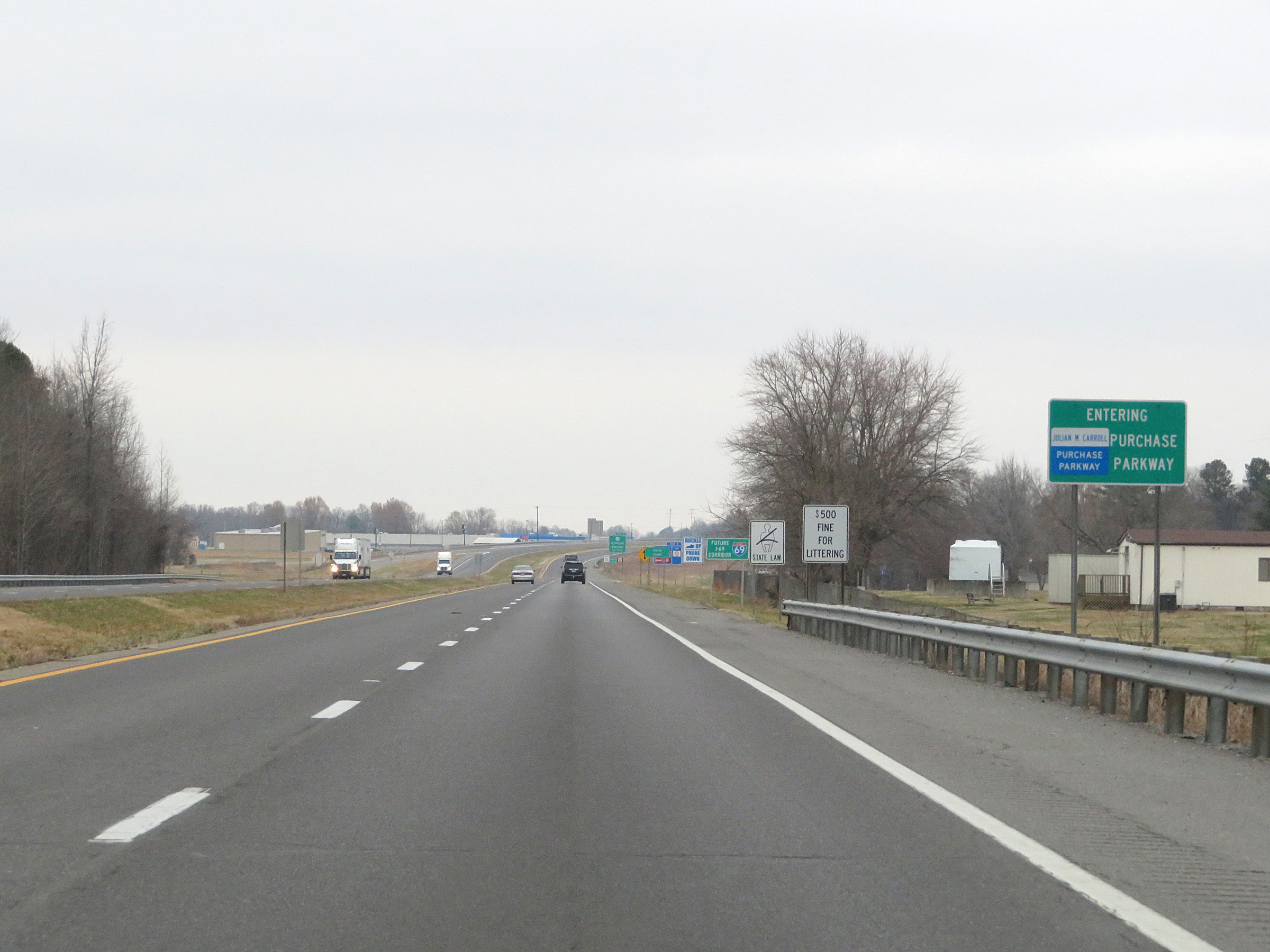 |
As this sign reads, the Purchase Pkwy begins upon entering Kentucky from Tennessee on US 51 North. (Photo taken 12/15/20). |
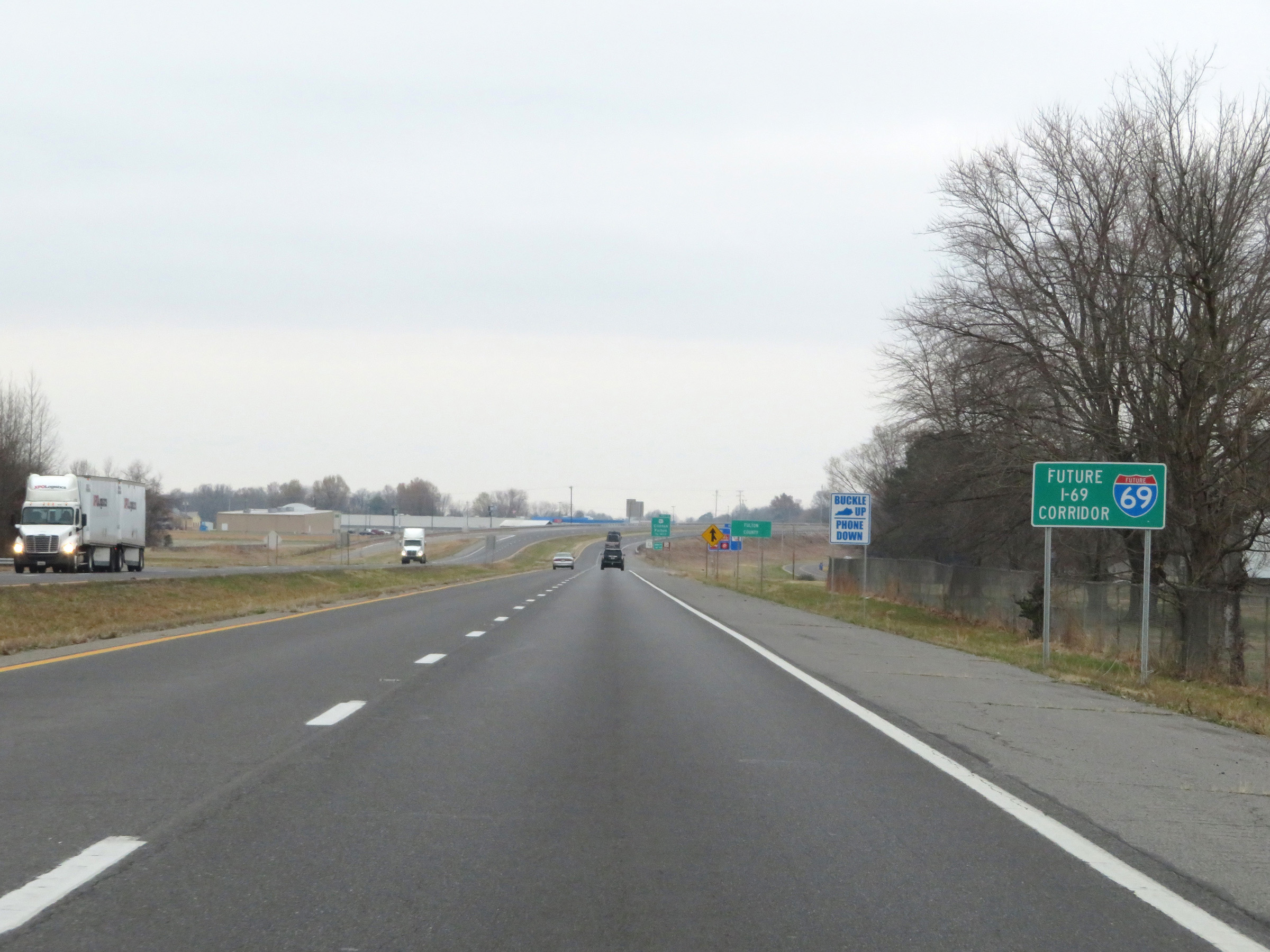 |
Future Interstate 69 reassurance marker. The first 21 miles of the Purchase Parkway from this point to Mayfield are still signed as Future I-69 until a few of the interchanges are brought up to Interstate standards. (Photo taken 12/15/20). |
 |
Future Interstate 69 North / Purchase Pkwy North start out in Fulton County. (Photo taken 12/15/20). |
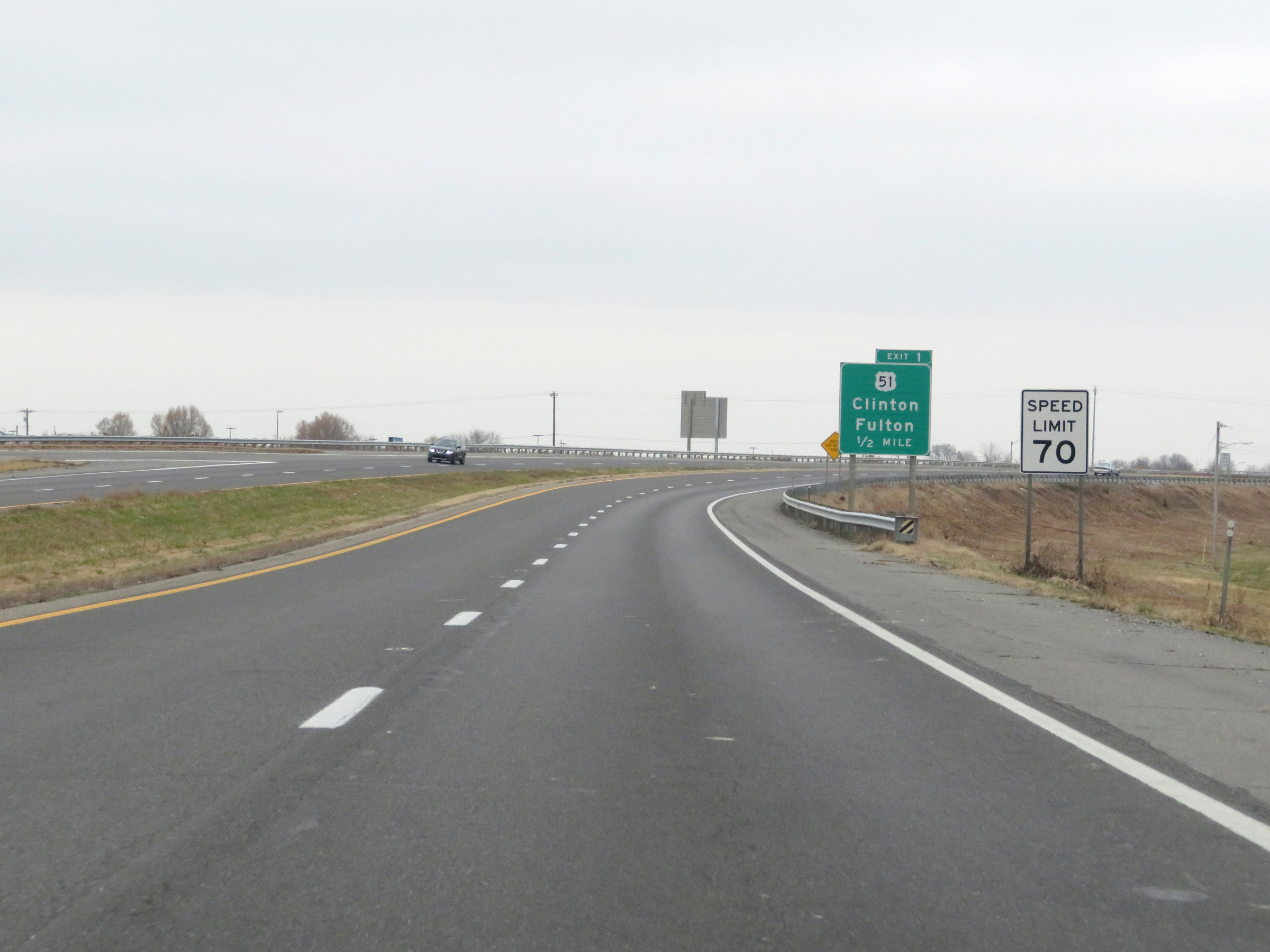 |
1/2 mile from Exit 1, the speed limit on Future Interstate 69 North / Purchase Pkwy North increases to 70 mph. This is the standard speed limit on most rural Interstate highways in Kentucky. (Photo taken 12/15/20). |
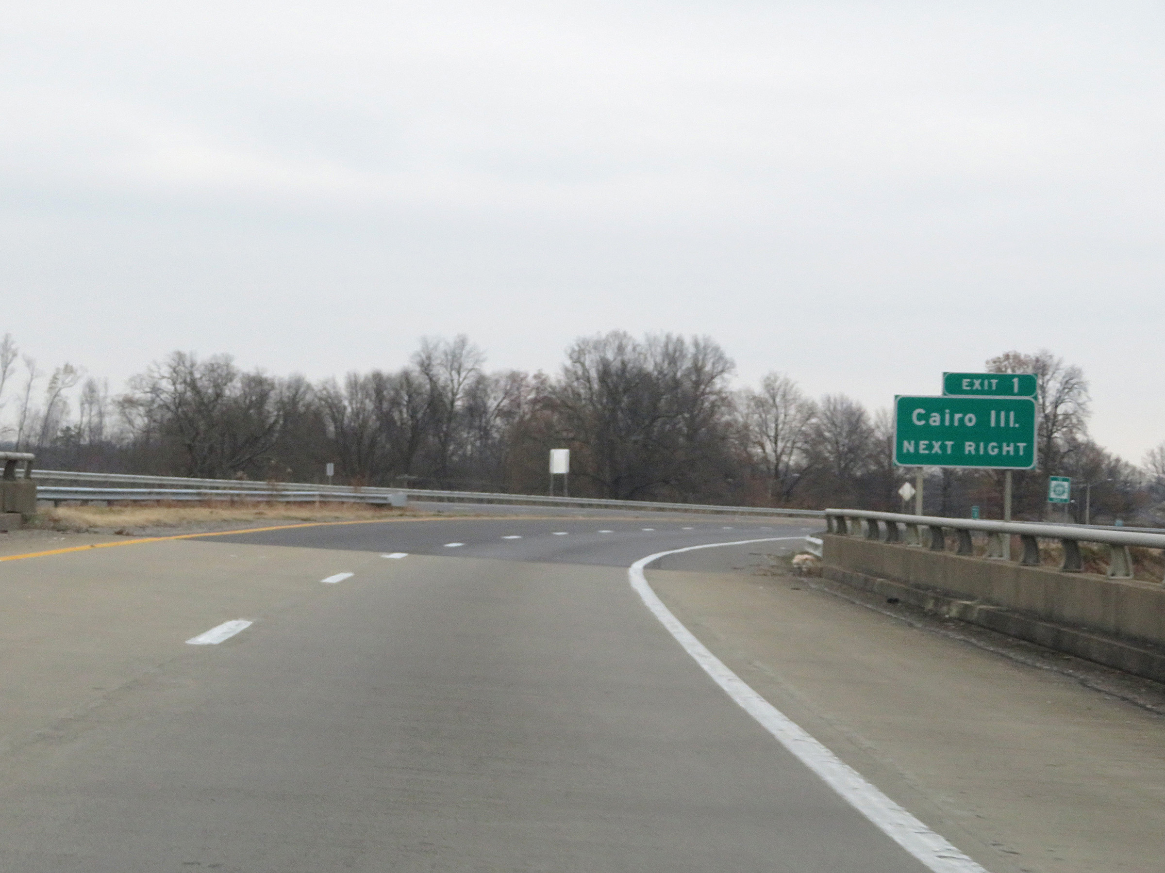 |
Take Exit 1 to Cairo, IL. (Photo taken 12/15/20). |
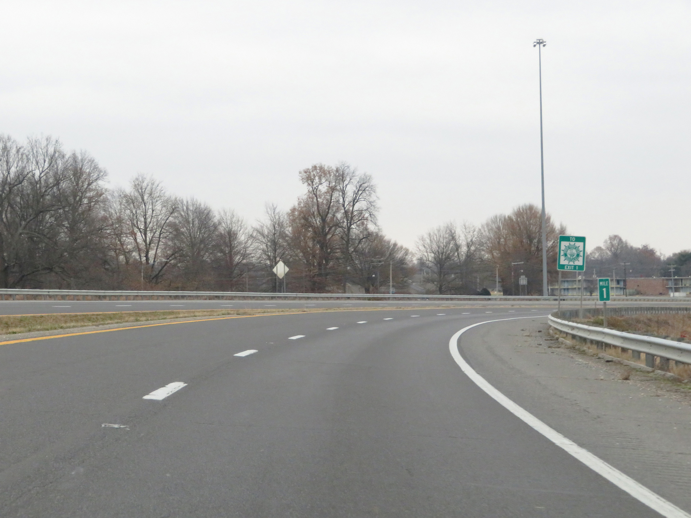 |
View on Future Interstate 69 North / Purchase Pkwy North at mile marker 1. (Photo taken 12/15/20). |
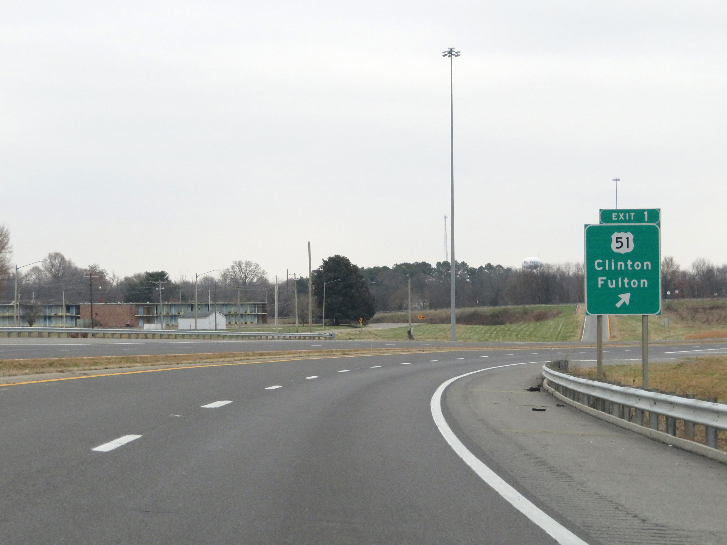 |
Future Interstate 69 North / Purchase Pkwy North at Exit 1: US 51 - Clinton / Fulton (Photo taken 12/15/20). |
 |
Purchase Pkwy North reassurance marker. (Photo taken 12/15/20). |
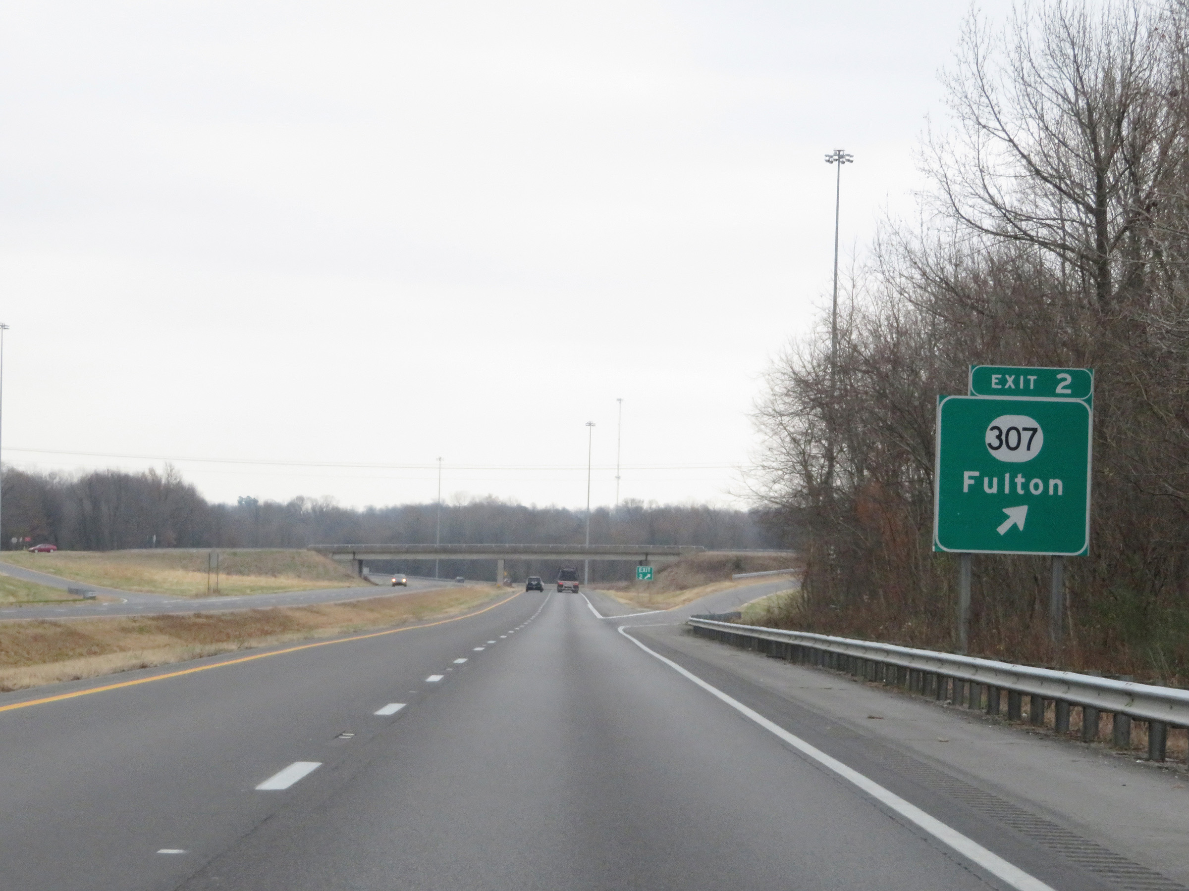 |
Future Interstate 69 North / Purchase Pkwy North at Exit 2: KY 307 - Fulton (Photo taken 12/15/20). |
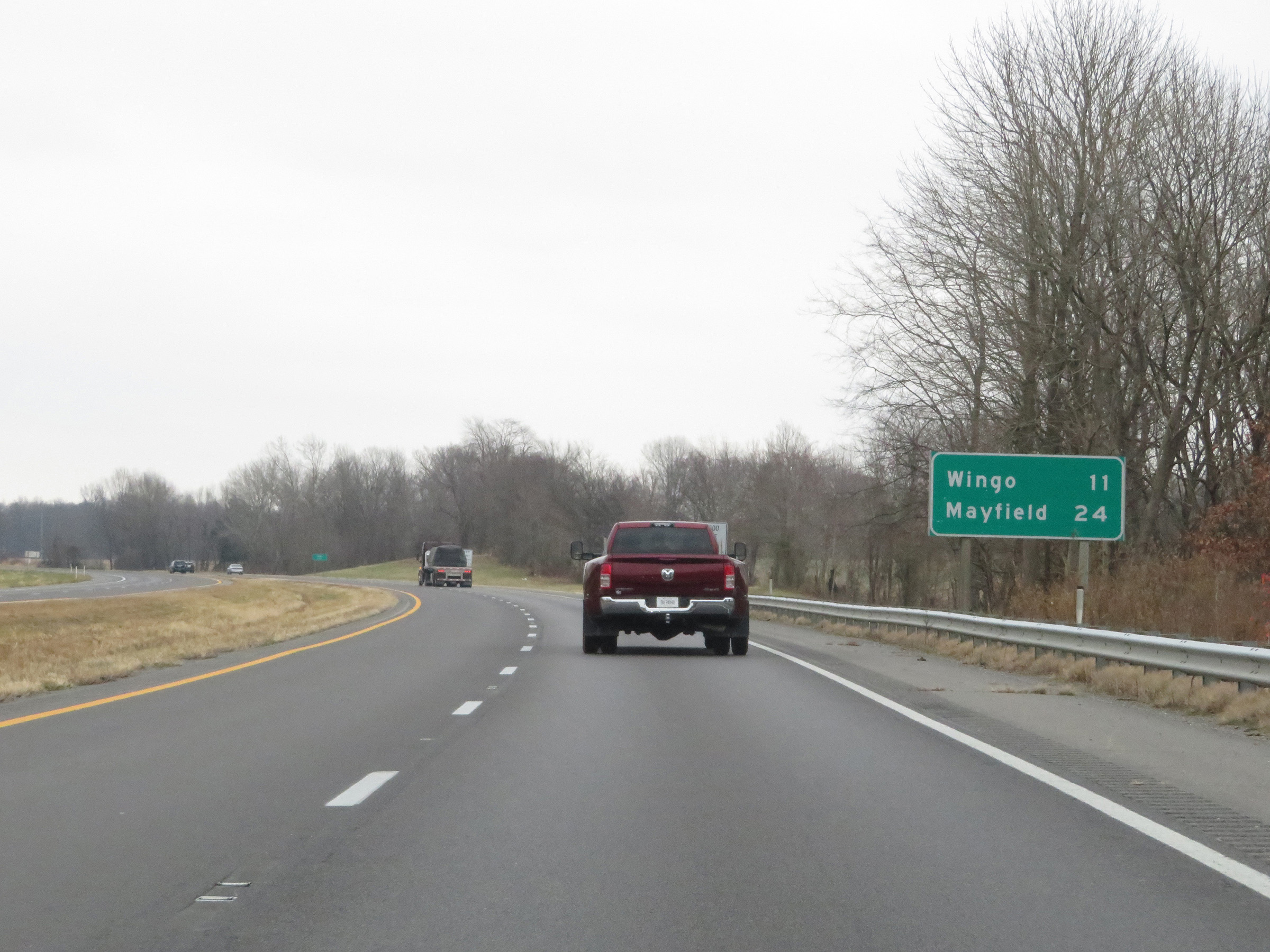 |
Mileage sign on Future Interstate 69 North / Purchase Pkwy North. It's 11 miles to Wingo and 24 miles to Mayfield. (Photo taken 12/15/20). |
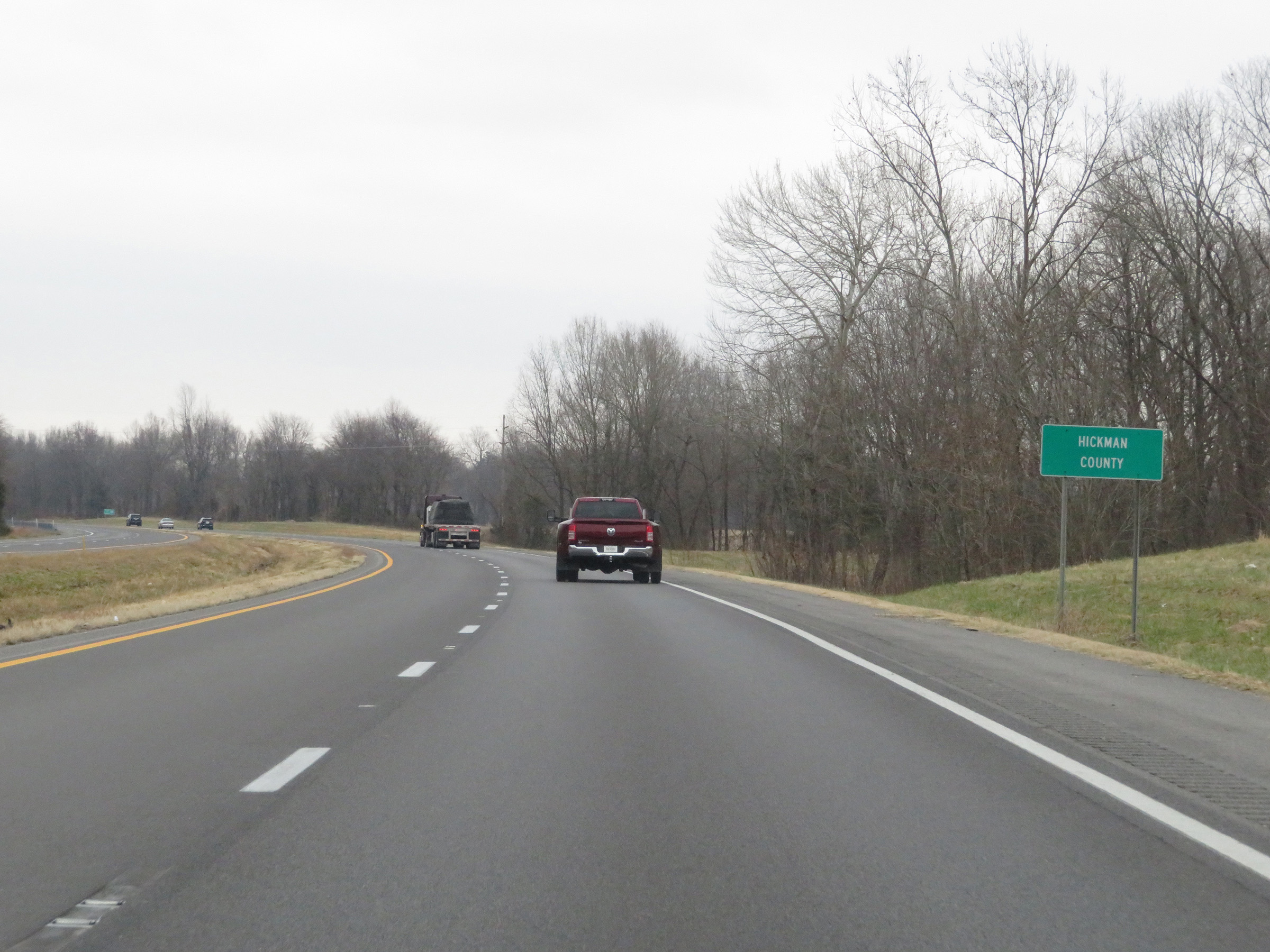 |
Future Interstate 69 North / Purchase Pkwy North as they enter Hickman County. (Photo taken 12/15/20). |
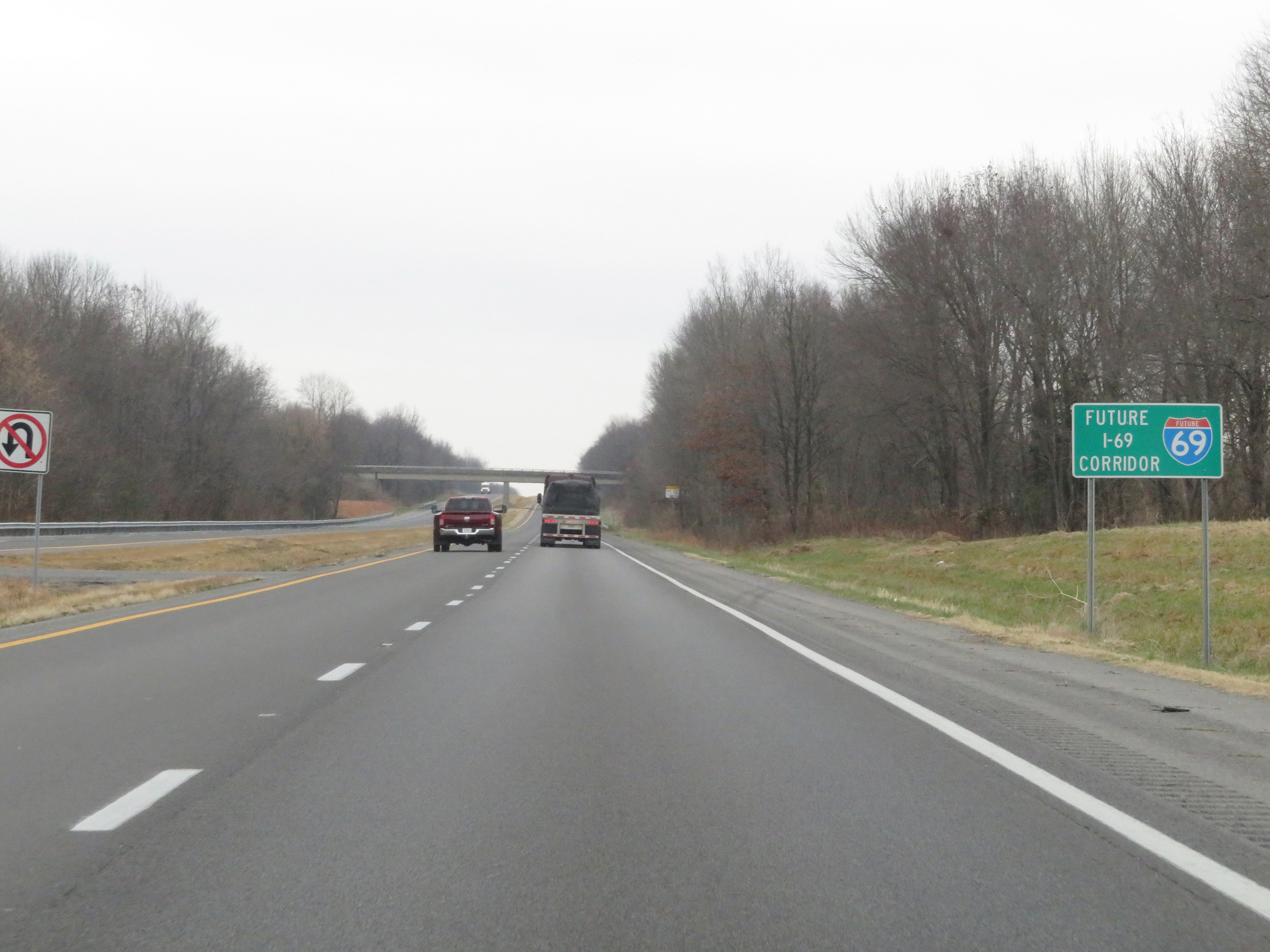 |
Another Future Interstate 69 marker on Purchase Pkwy North. (Photo taken 12/15/20). |
 |
Future Interstate 69 North / Purchase Pkwy North at mile marker 4. (Photo taken 12/15/20). |
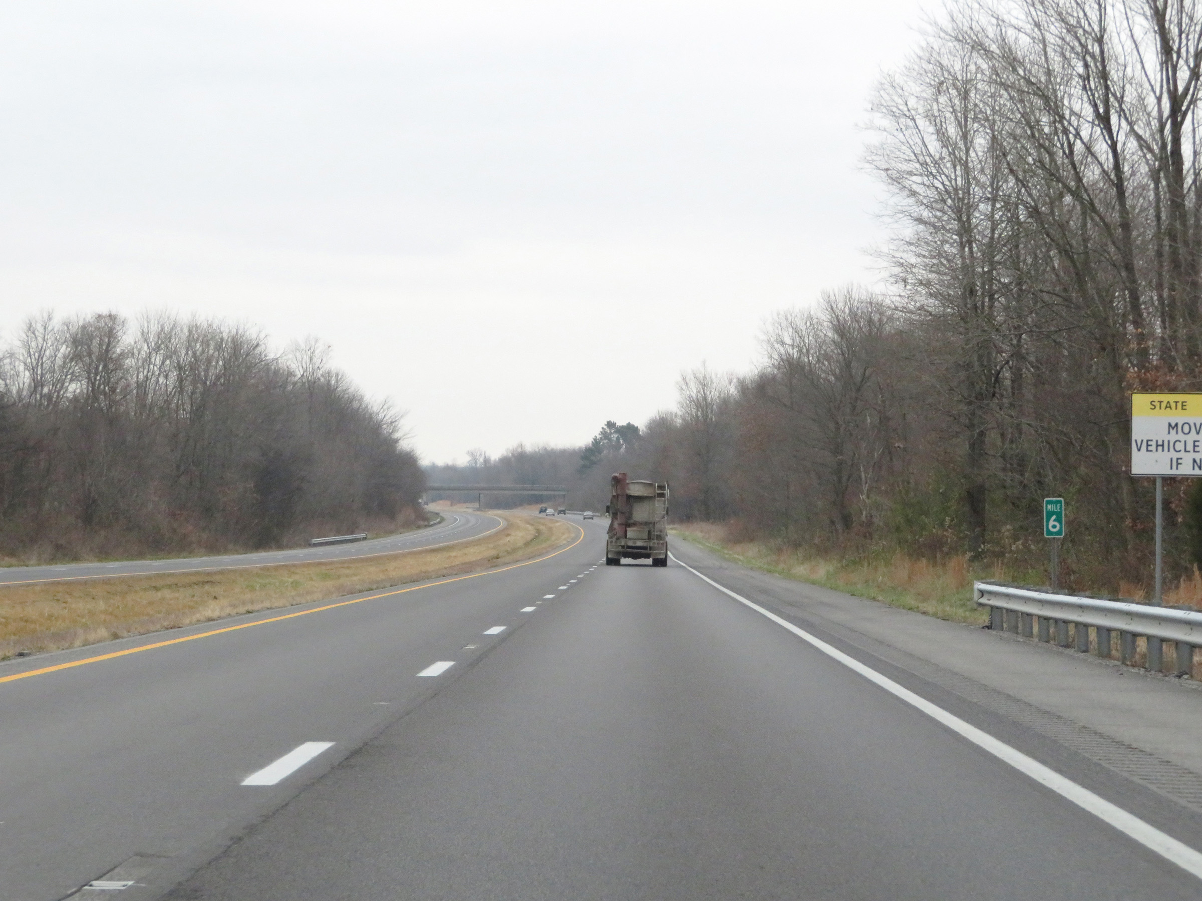 |
View on Future Interstate 69 North / Purchase Pkwy North at mile marker 6. (Photo taken 12/15/20). |
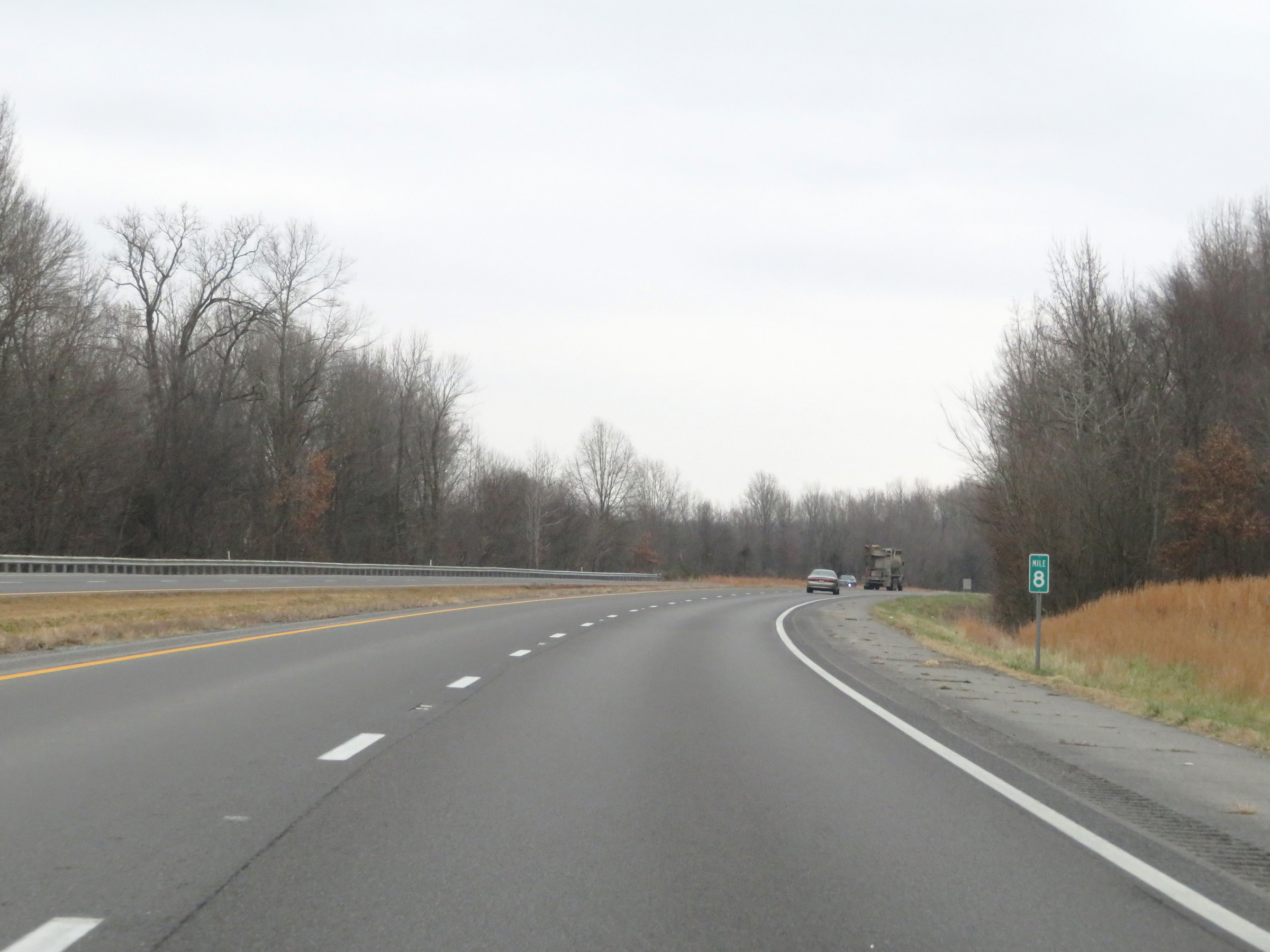 |
Mile marker 8 on Future Interstate 69 North / Purchase Pkwy North in Hickman County. (Photo taken 12/15/20). |
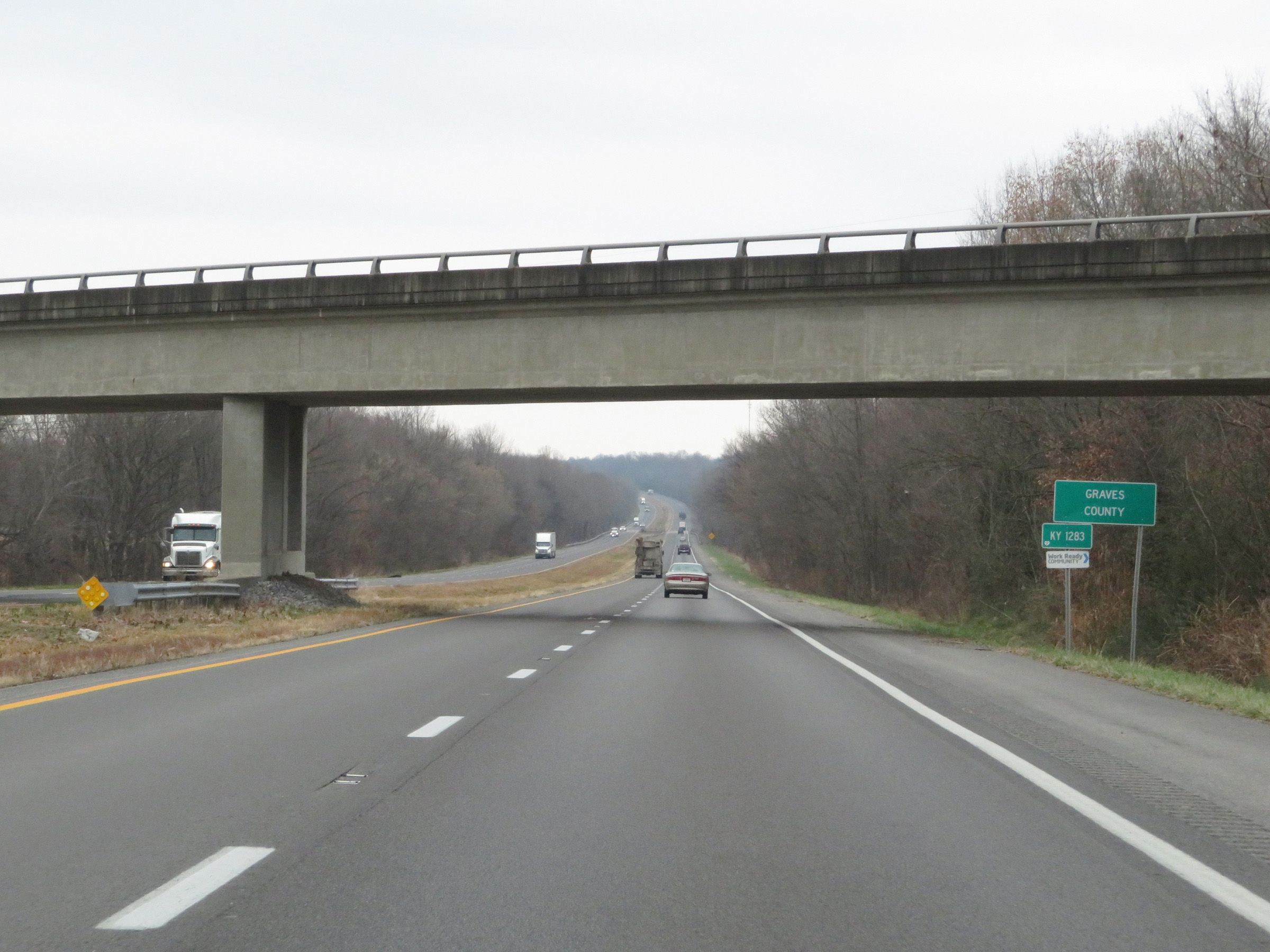 |
Future Interstate 69 North / Purchase Pkwy North as they enter Graves County. (Photo taken 12/15/20). |
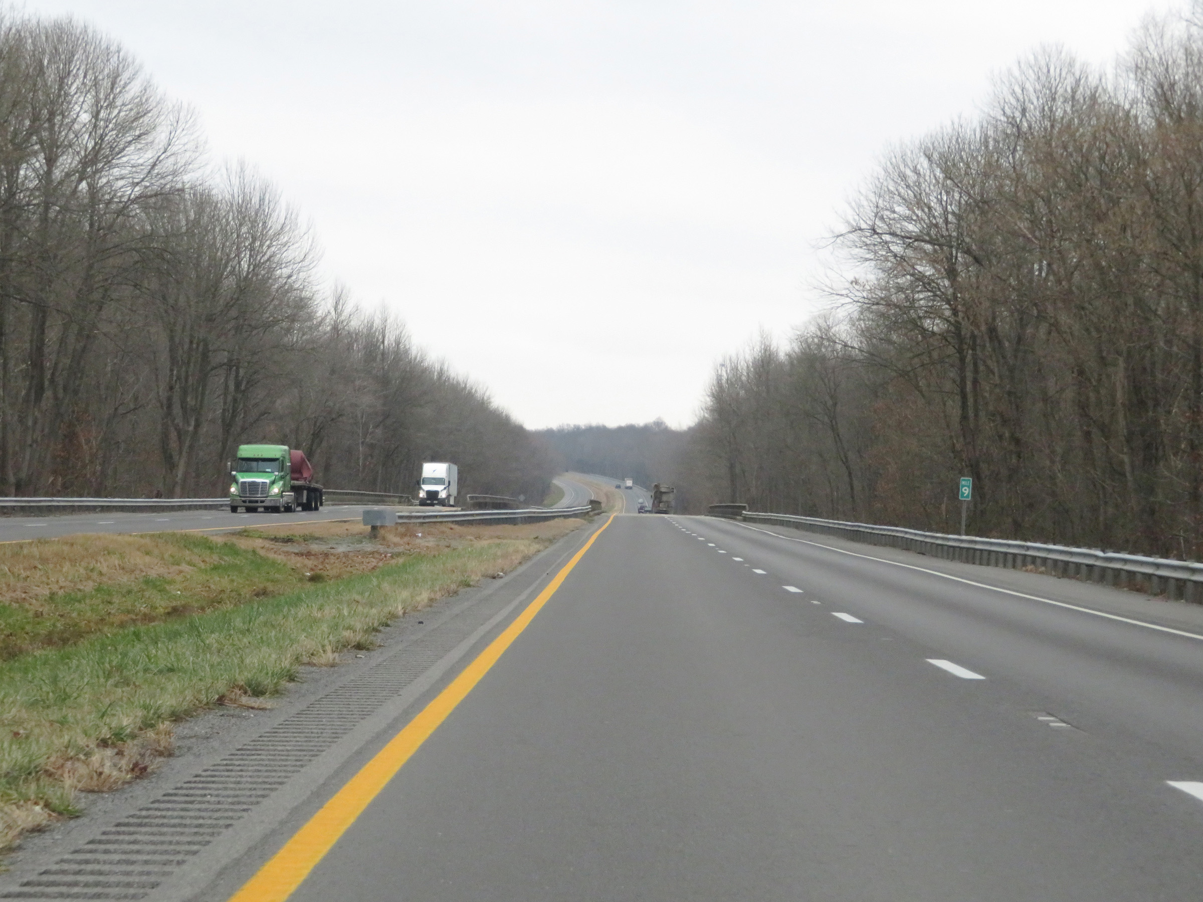 |
View on Future Interstate 69 North / Purchase Pkwy North at mile marker 9. (Photo taken 12/15/20). |
 |
Future Interstate 69 North / Purchase Pkwy North at mile marker 11. (Photo taken 12/15/20). |
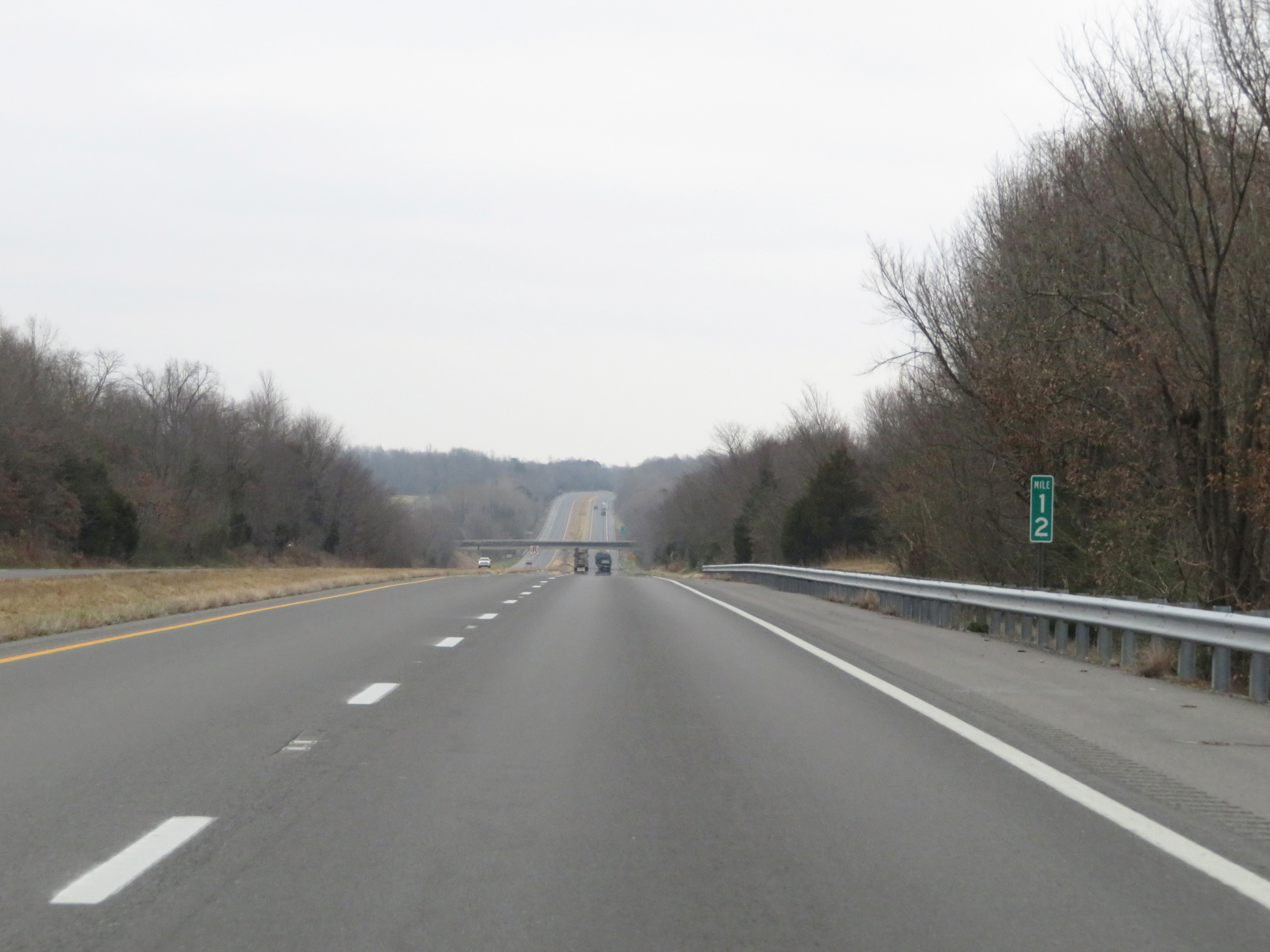 |
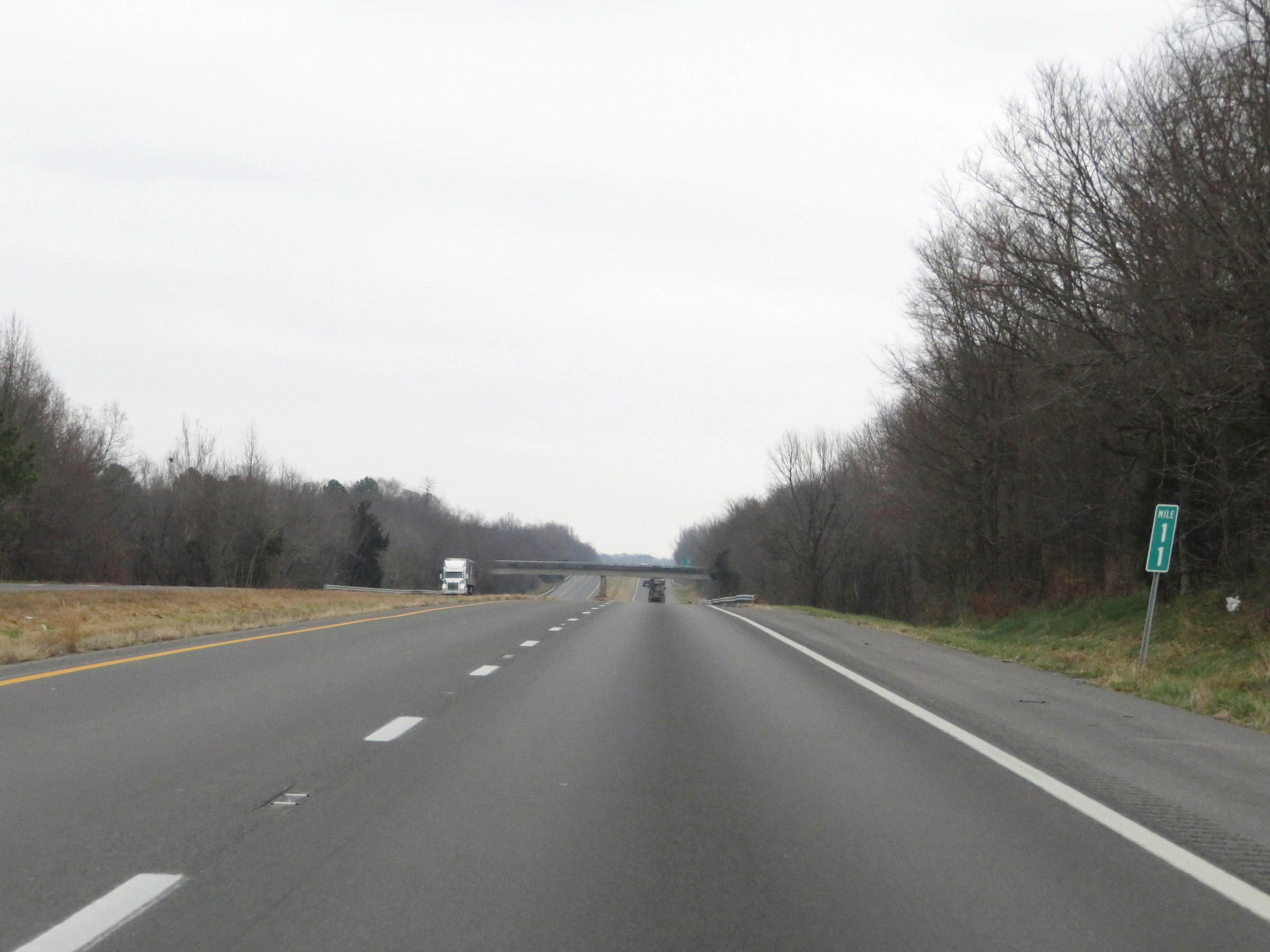
Mile marker 12 on Future Interstate 69 North / Purchase Pkwy North in Graves County. (Photo taken 12/15/20). |
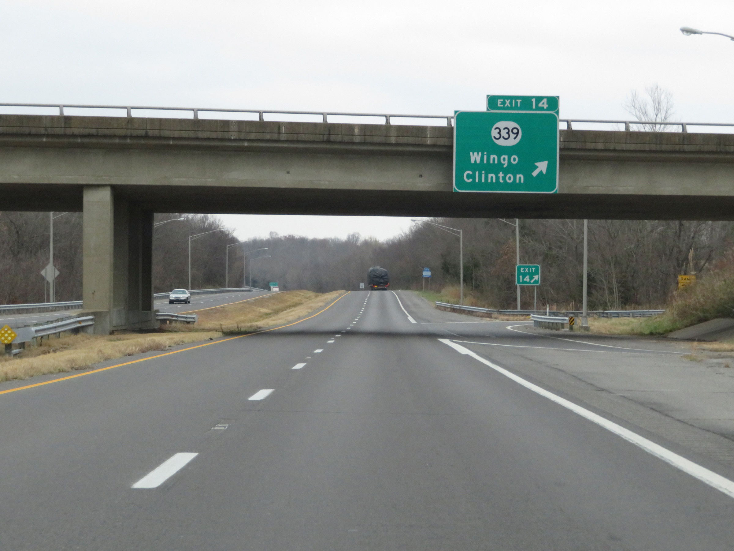 |
Future Interstate 69 North / Purchase Pkwy North at Exit 14: KY 339 - Wingo / Clinton (Photo taken 12/15/20). |
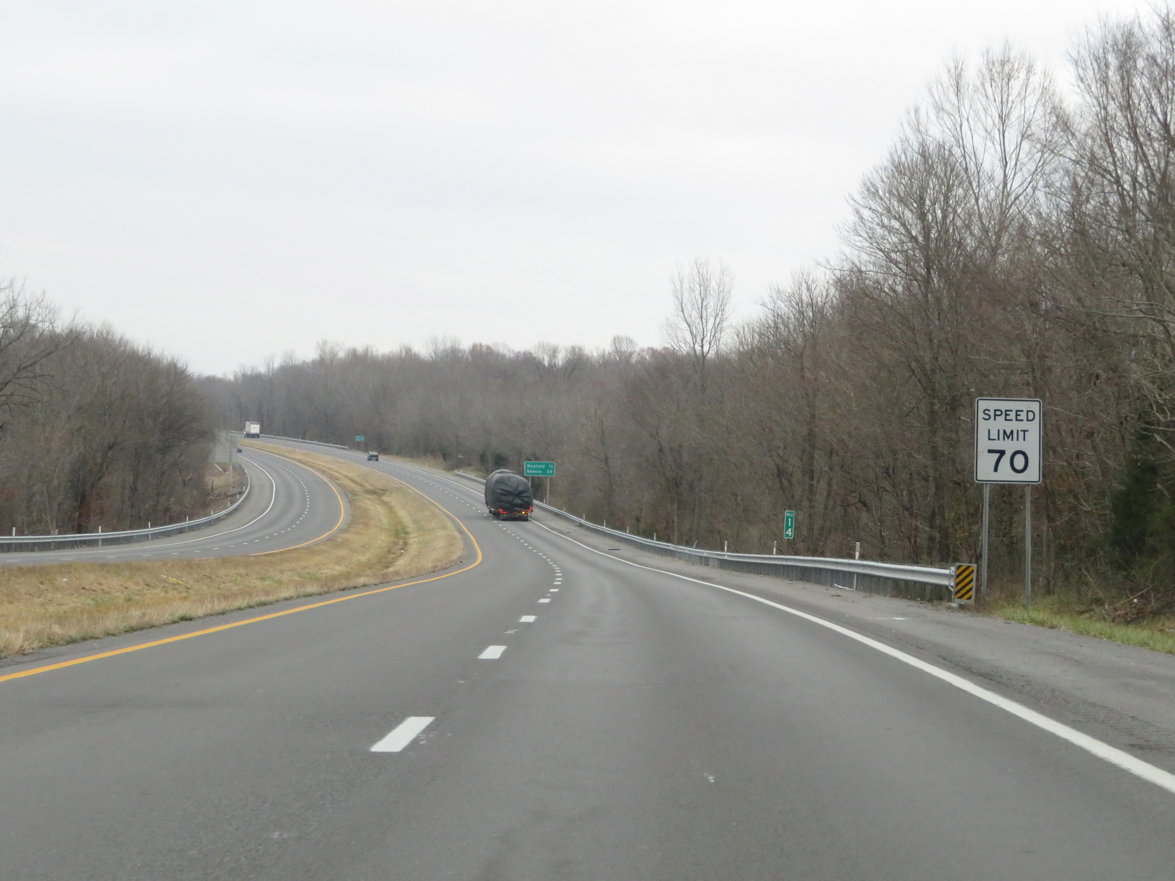 |
Speed limit sign at mile marker 14. The speed limit remains 70 mph. (Photo taken 12/15/20). |
 |
Future Interstate 69 marker. (Photo taken 12/15/20). |
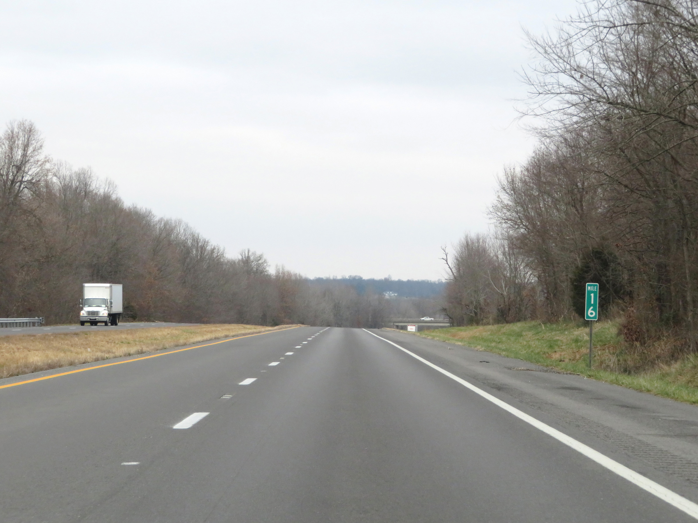 |
View on Future Interstate 69 North / Purchase Pkwy North at mile marker 16. (Photo taken 12/15/20). |
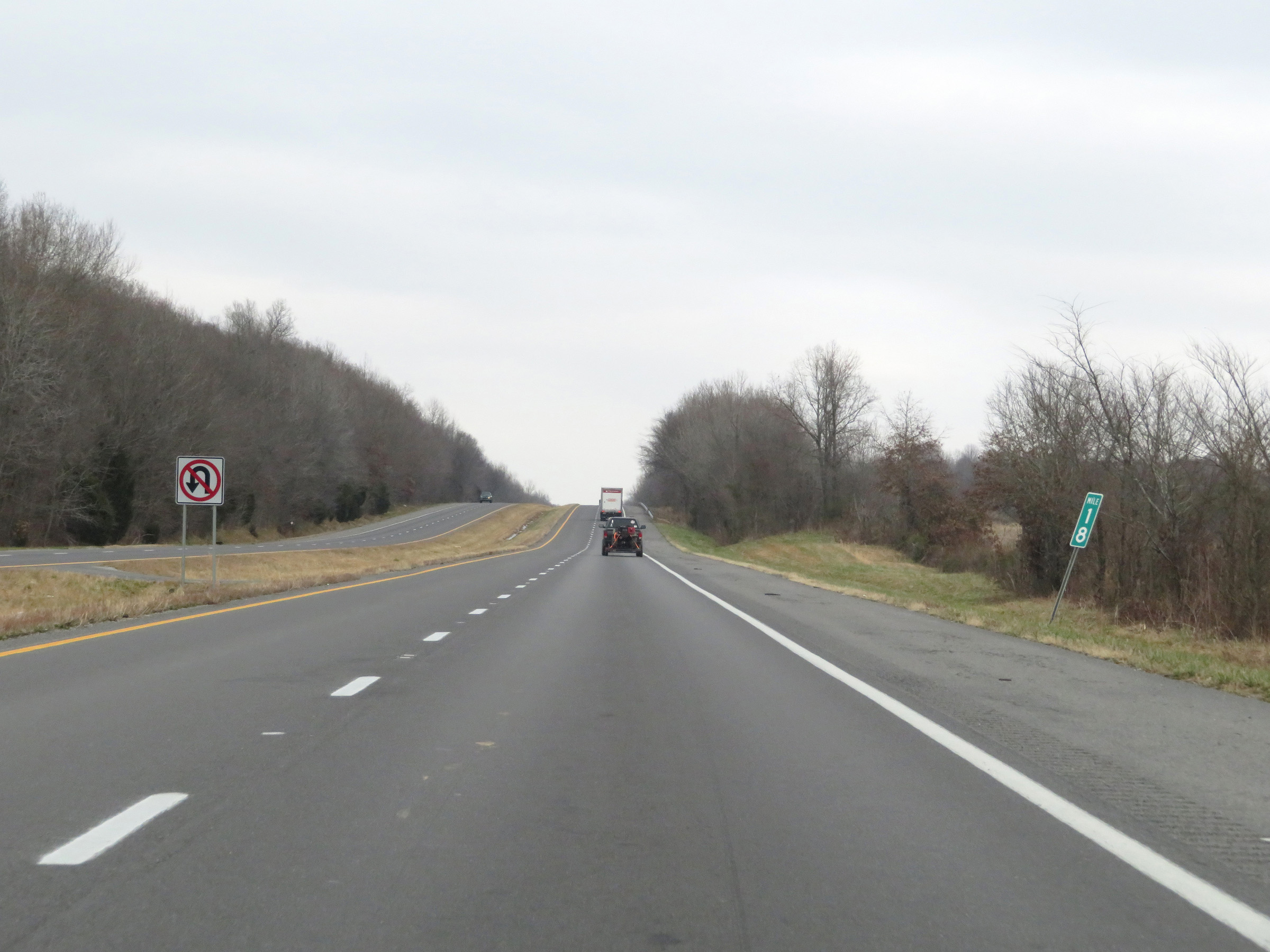 |
Future Interstate 69 North / Purchase Pkwy North at mile marker 18. (Photo taken 12/15/20). |
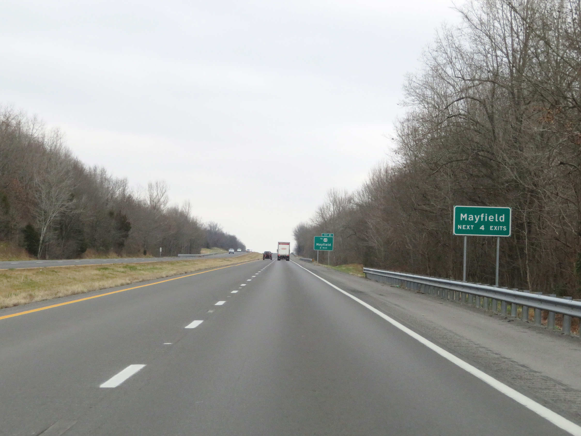 |
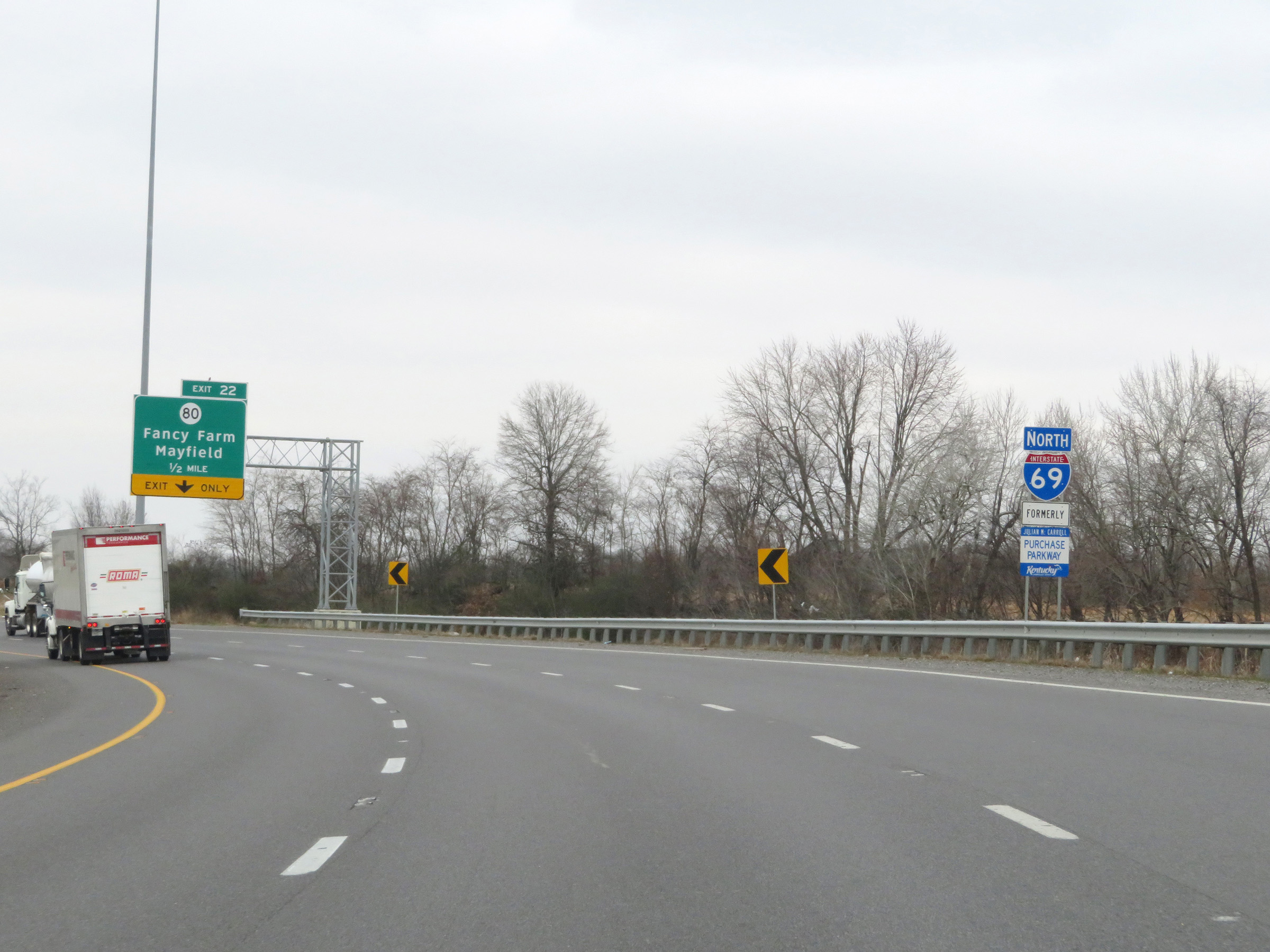
Take any of the next 4 exits to Mayfield. (Photo taken 12/15/20). |
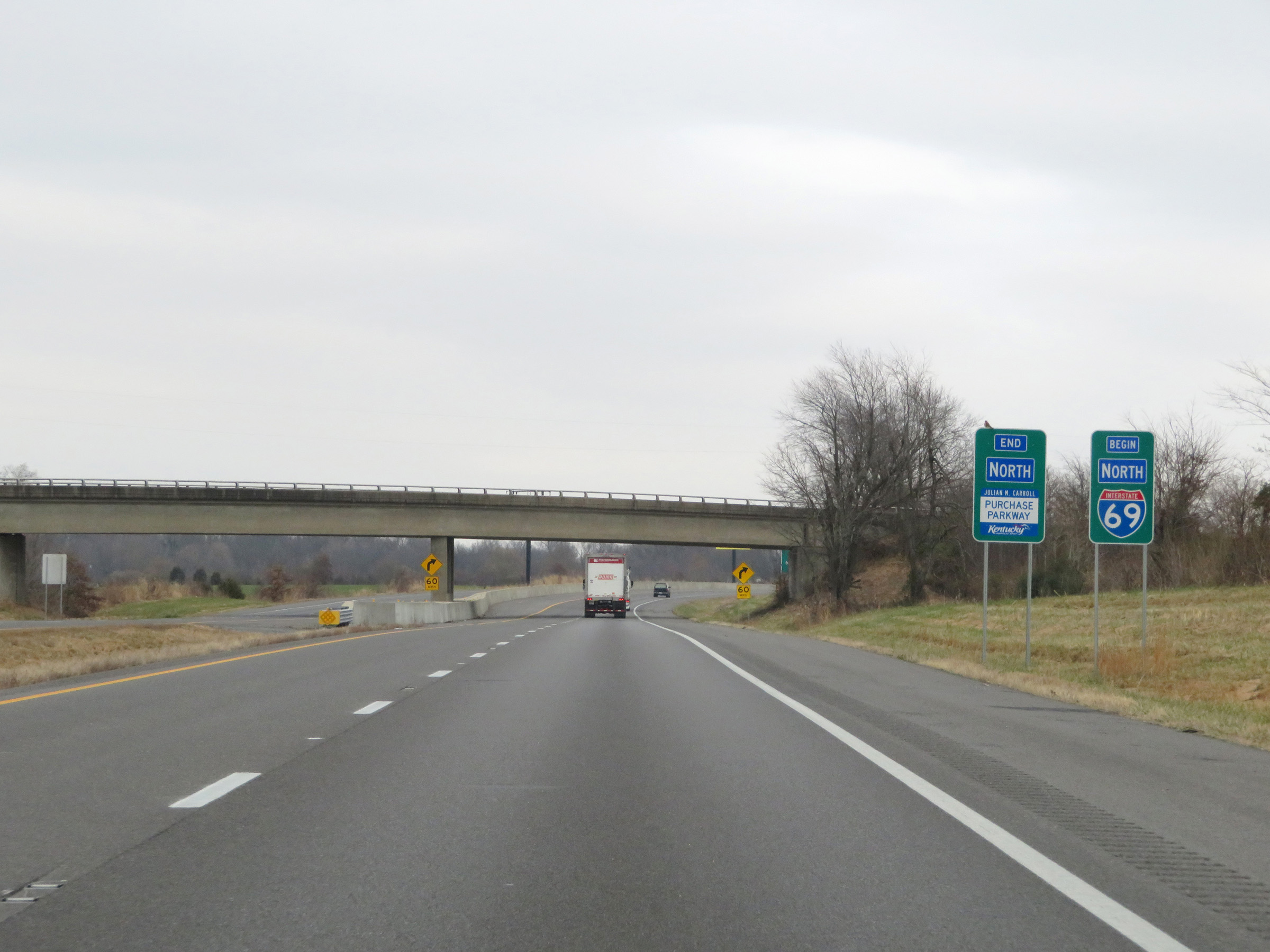 |
Approaching Mayfield, the signed portion of Interstate 69 North begins and the Purchase Parkway comes to an end. (Photo taken 12/15/20). |
 |
Interstate 69 North at Exit 21: To US 45 - Mayfield (Photo taken 12/15/20). |
 |
A closer view of the ramp to Exit 21 on Interstate 69 North. (Photo taken 12/15/20). |
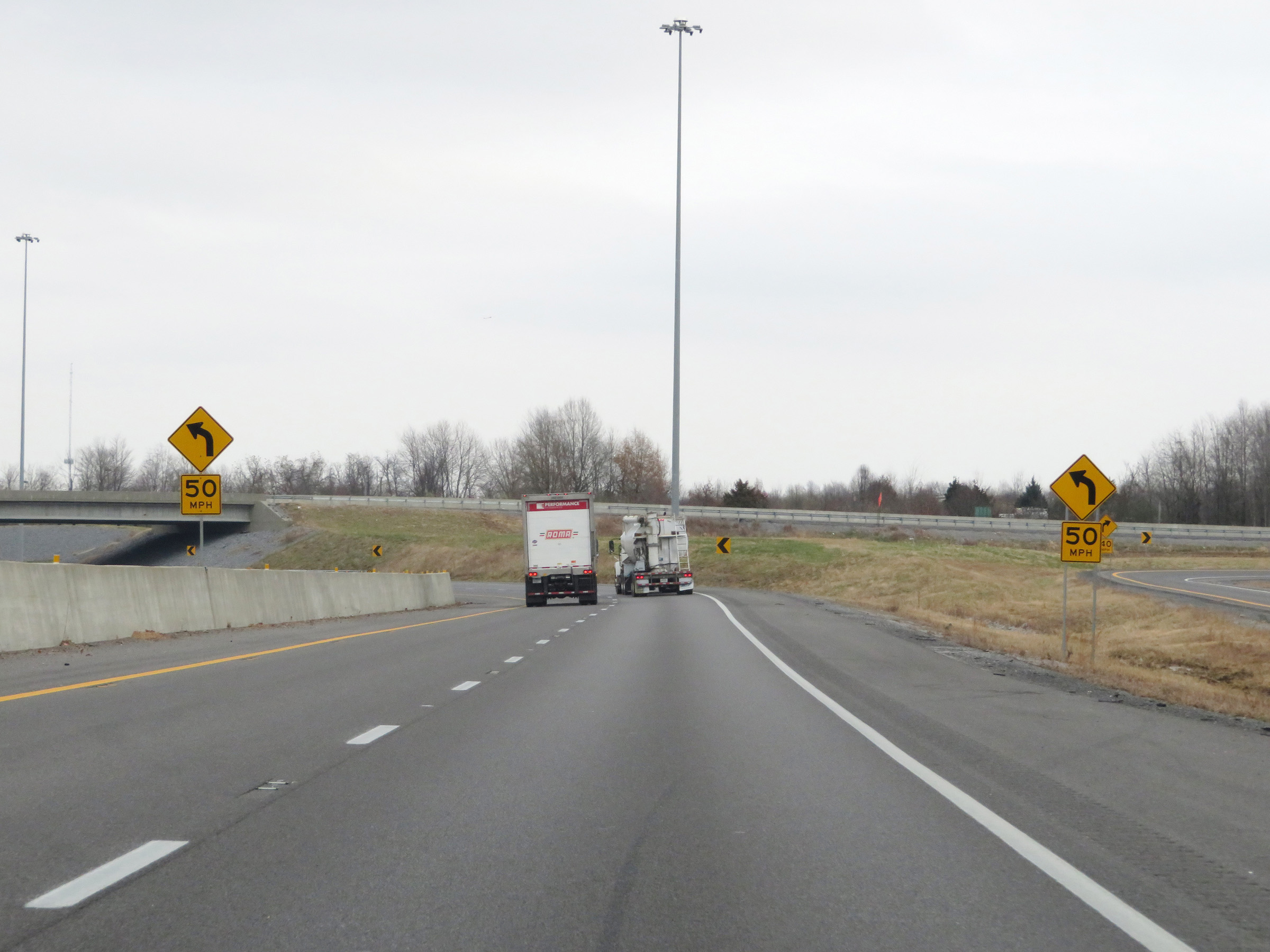 |
Interstate 69 North will traverse an 'S' curve ahead. The first curve has a recommened speed of 50 mph. (Photo taken 12/15/20). |
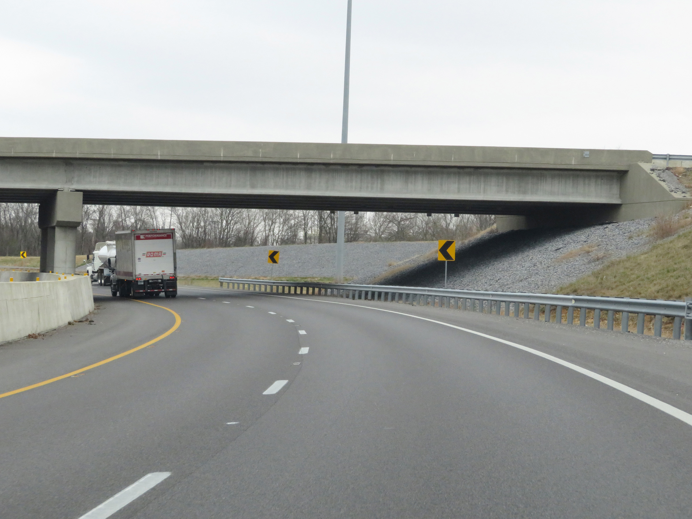 |
View on Interstate 69 North as it enters the curve and passes under the ramps to and from KY 80. (Photo taken 12/15/20). |
 |
Interstate 69 North reassurance shield. (Photo taken 12/15/20). |
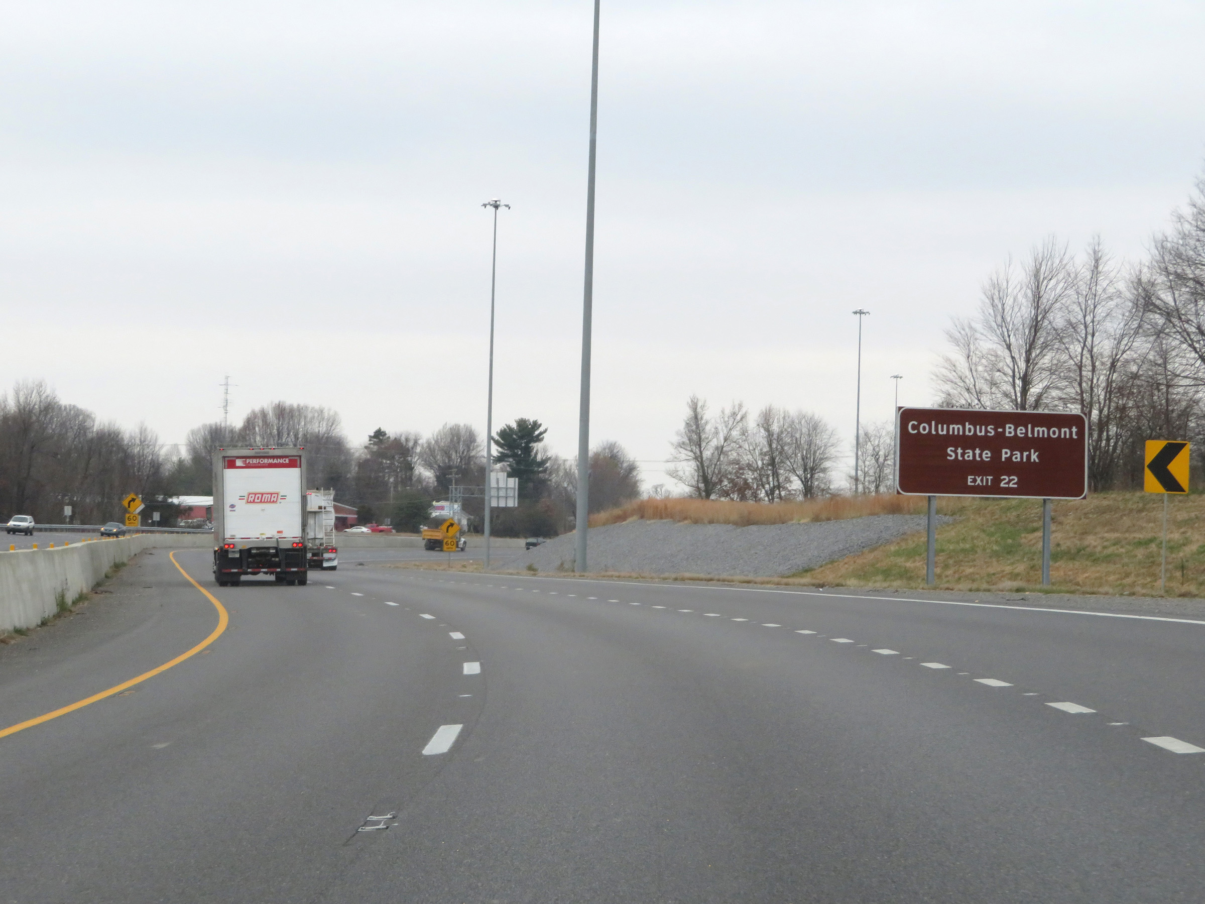 |
Take Exit 22 to Columbus-Belmont State Park. (Photo taken 12/15/20). |
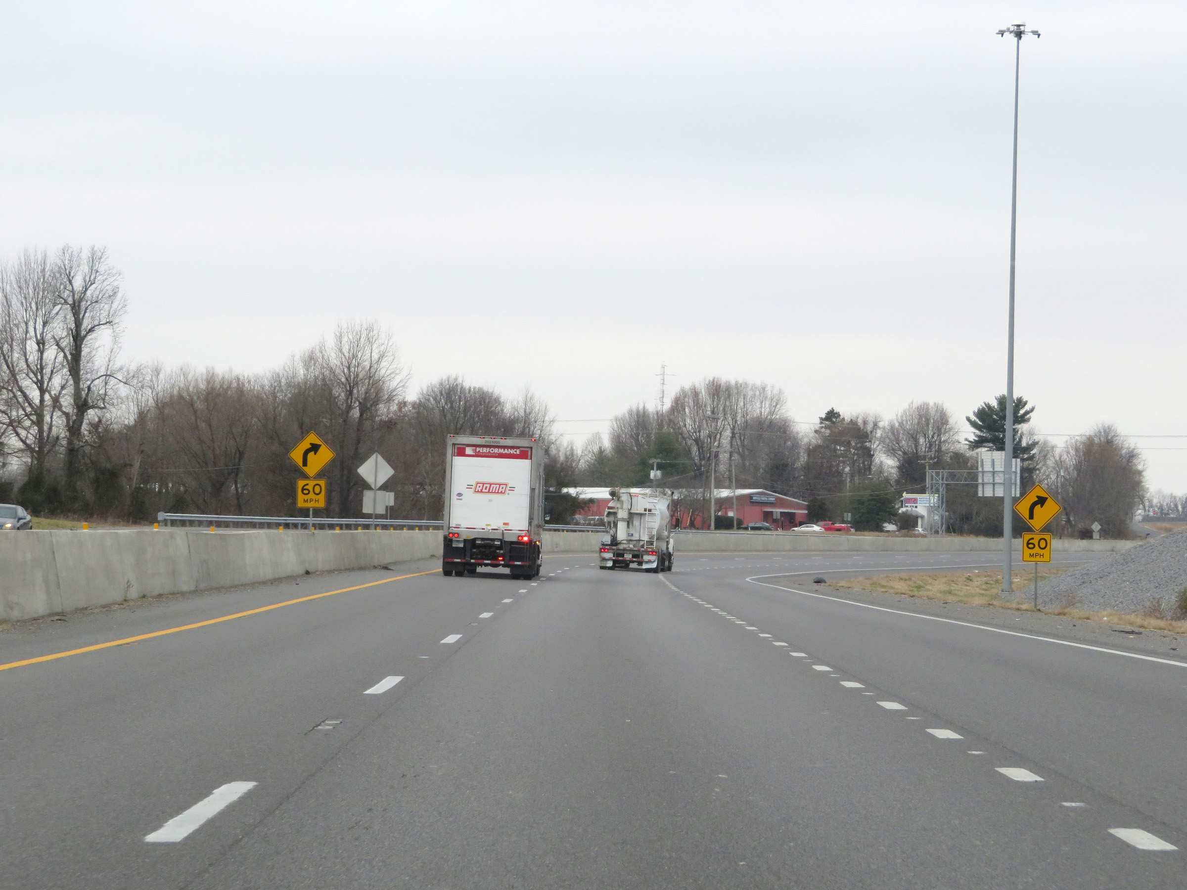 |
Interstate 69 North as it prepares to enter the second part of the aforementioned 'S' curve, with a recommended speed of 60 mph. (Photo taken 12/15/20). |
 |
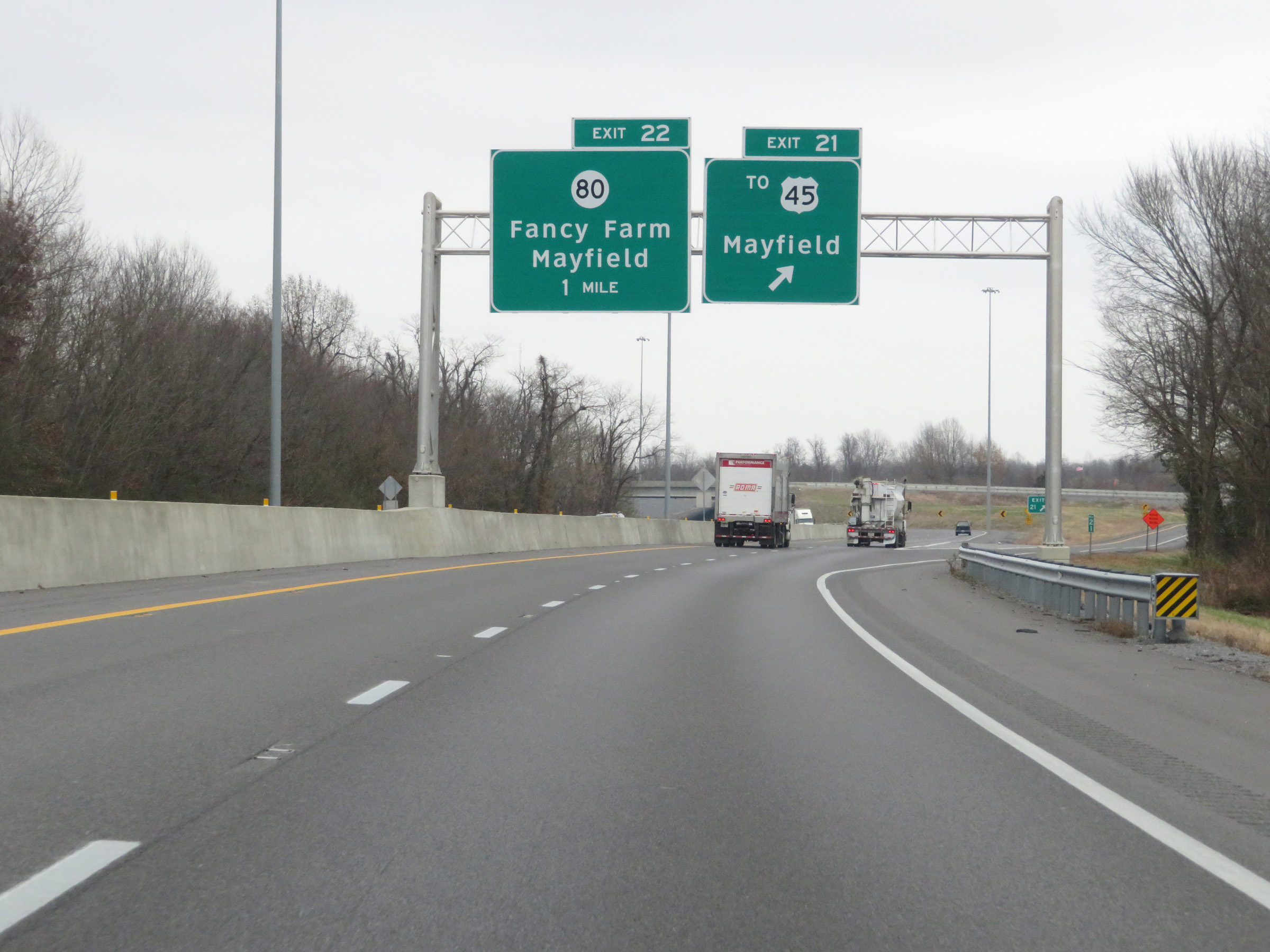
Interstate 69 North at Exit 22: KY 80 - Fancy Farm / Mayfield (Photo taken 12/15/20). |
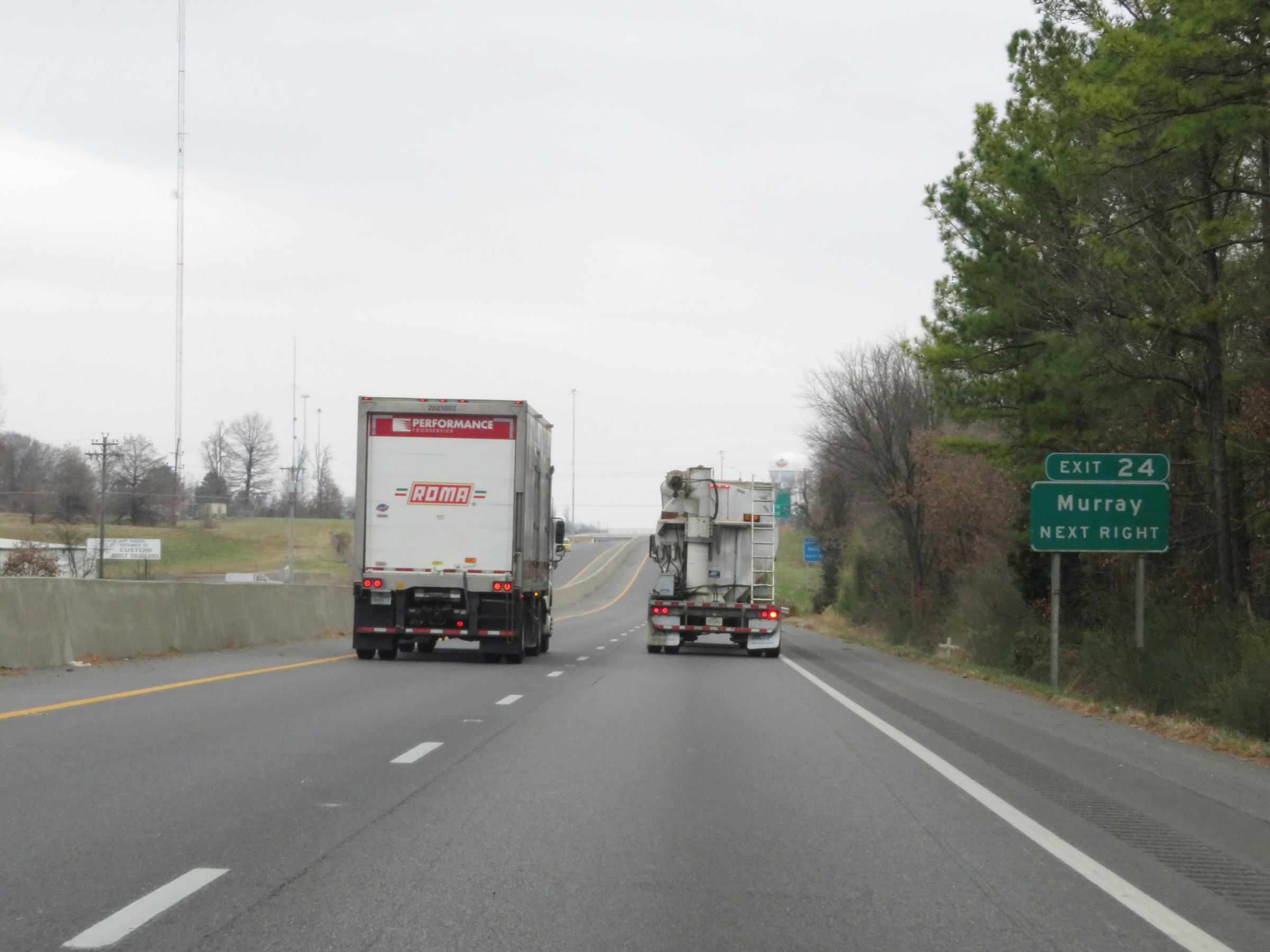 |
Take Exit 24 to Murray. (Photo taken 12/15/20). |
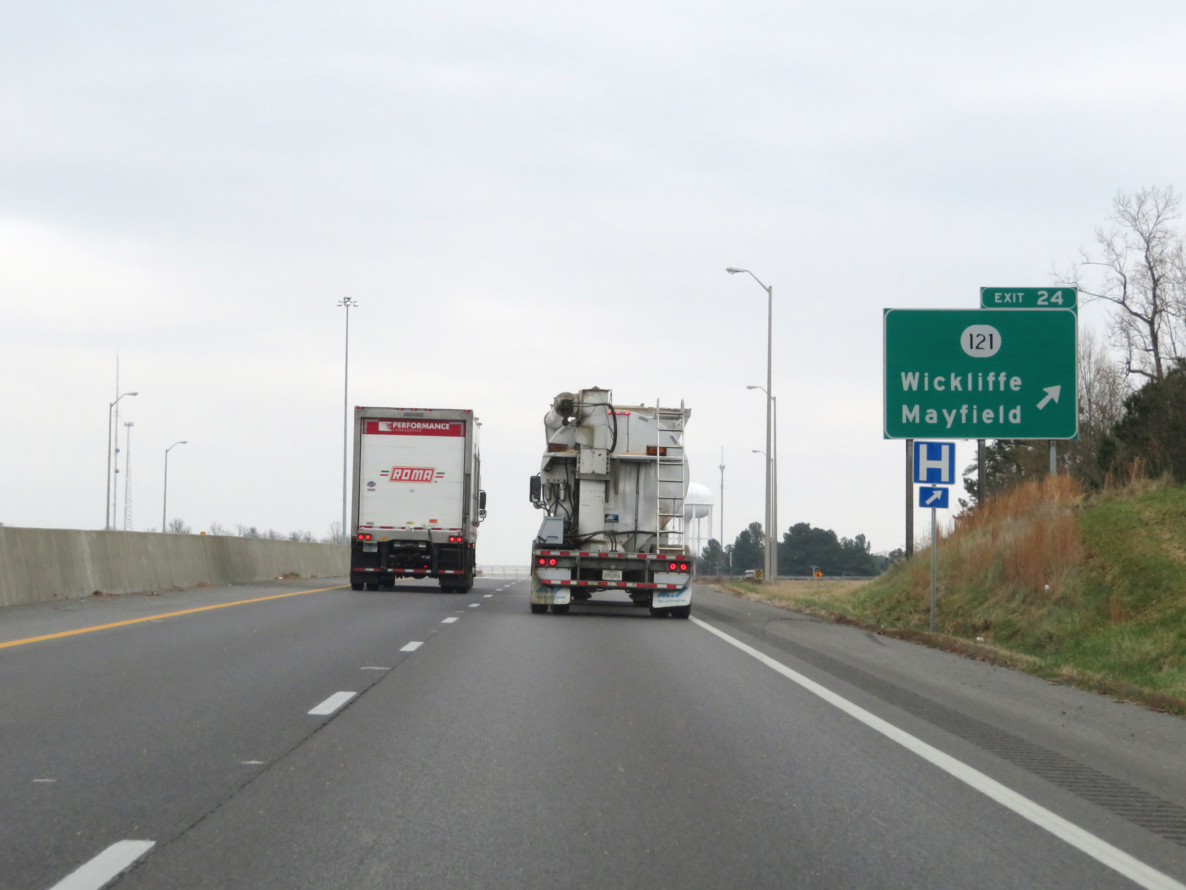 |
Interstate 69 North at Exit 24: KY 121 - Wickliffe / Mayfield (Photo taken 12/15/20). |
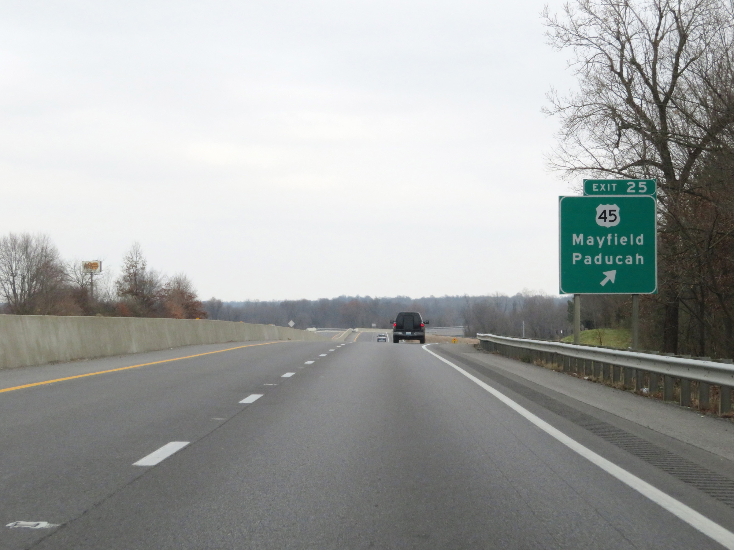 |
Interstate 69 North at Exit 25: US 45 - Mayfield / Paducah (Photo taken 12/15/20). |
 |
Another Interstate 69 North reassurance shield. (Photo taken 12/15/20). |
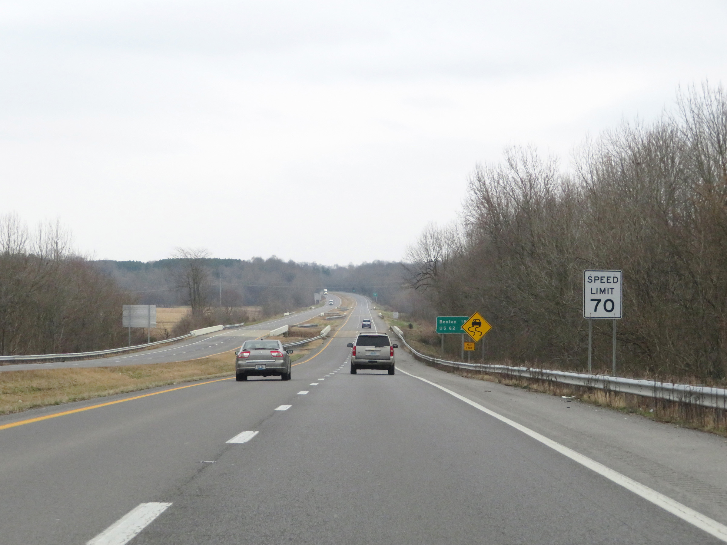 |
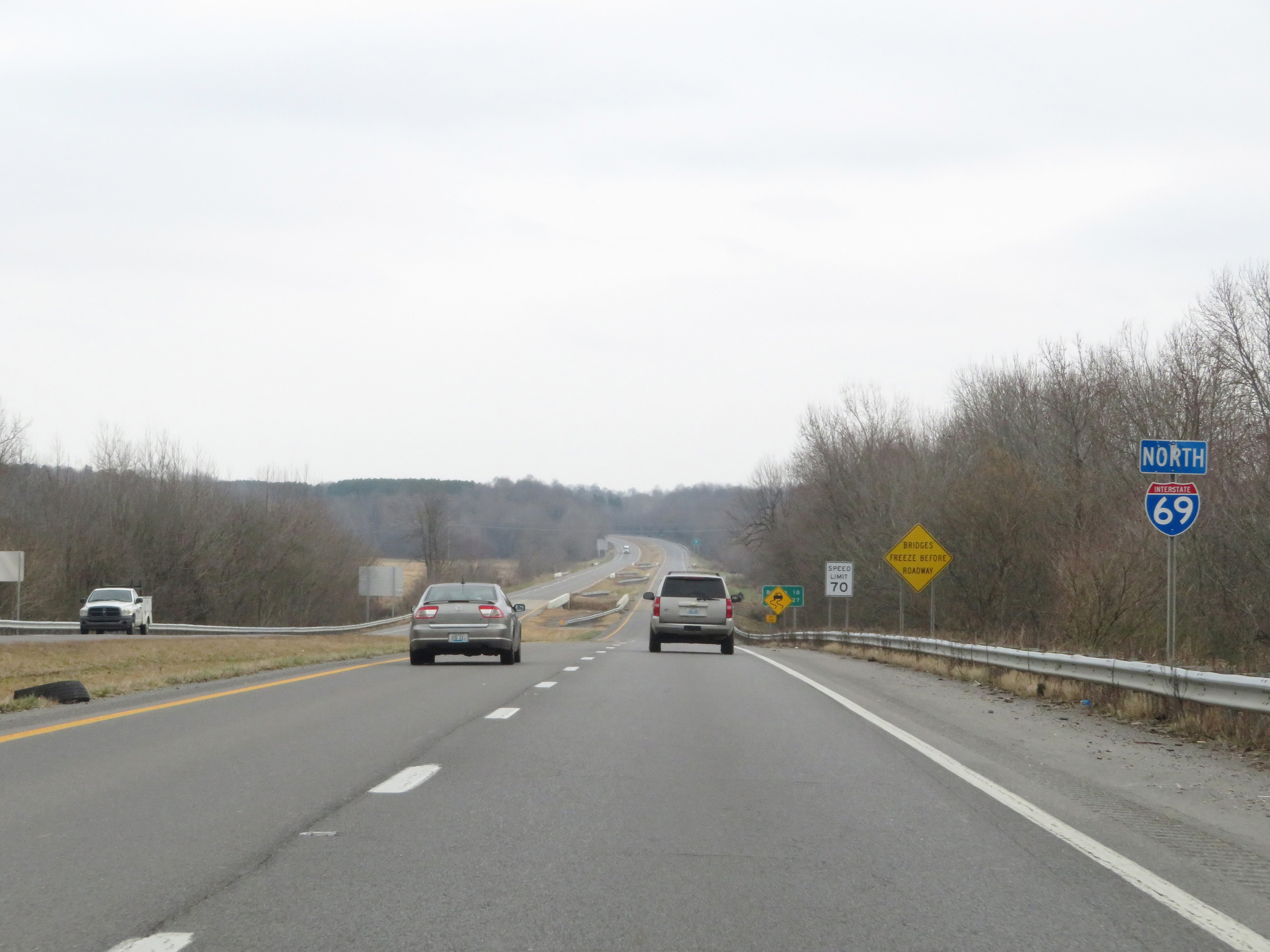
The speed limit remains 70 mph on Interstate 69 North. (Photo taken 12/15/20). |
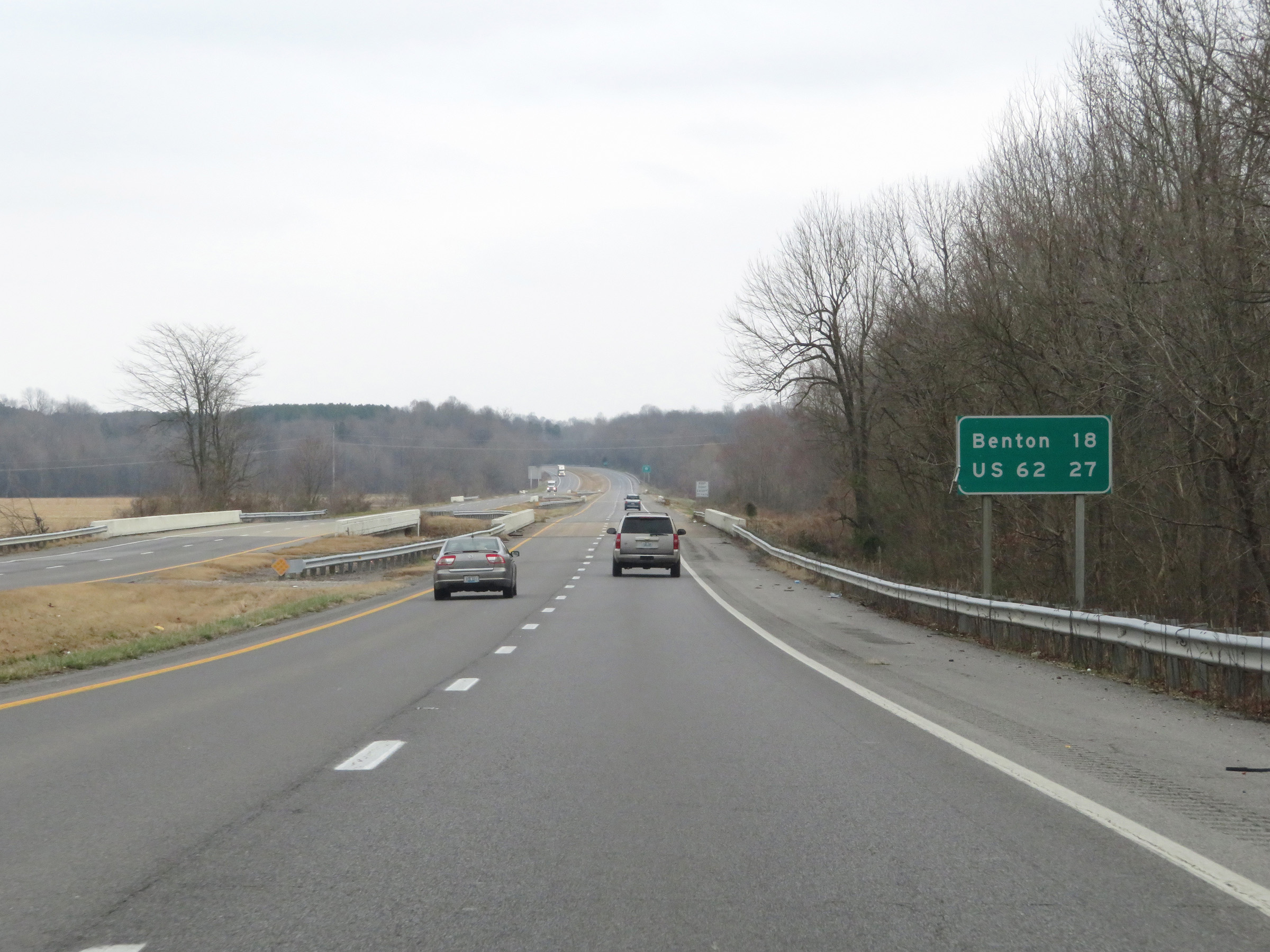 |
Mileage sign on Interstate 69 North. It's 18 miles to Benton and 27 miles to the junction of US 62. (Photo taken 12/15/20). |
 |
View on Interstate 69 North at mile marker 26. (Photo taken 12/15/20). |
 |
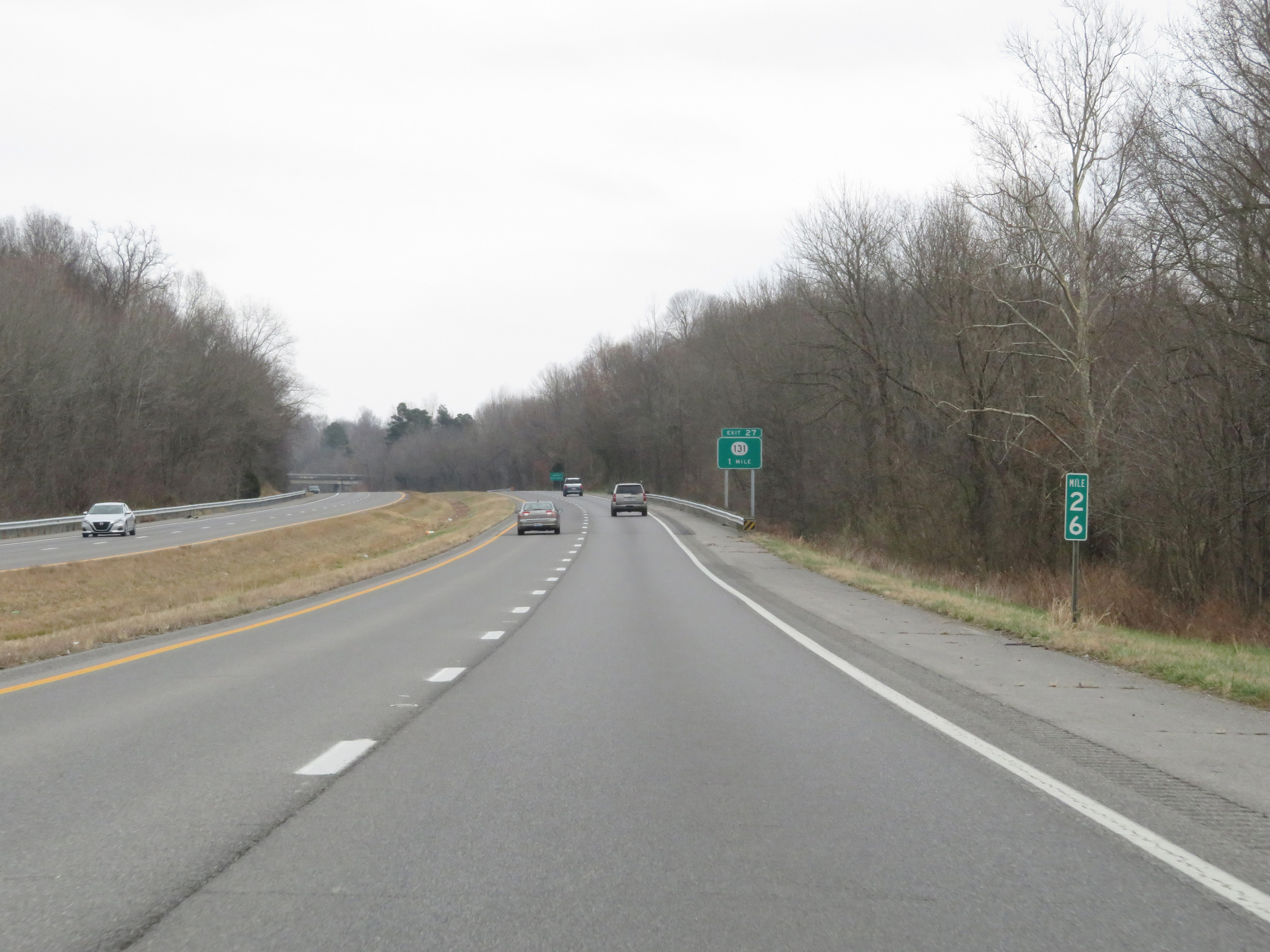
Take Exit 27 to the Airport. (Photo taken 12/15/20). |
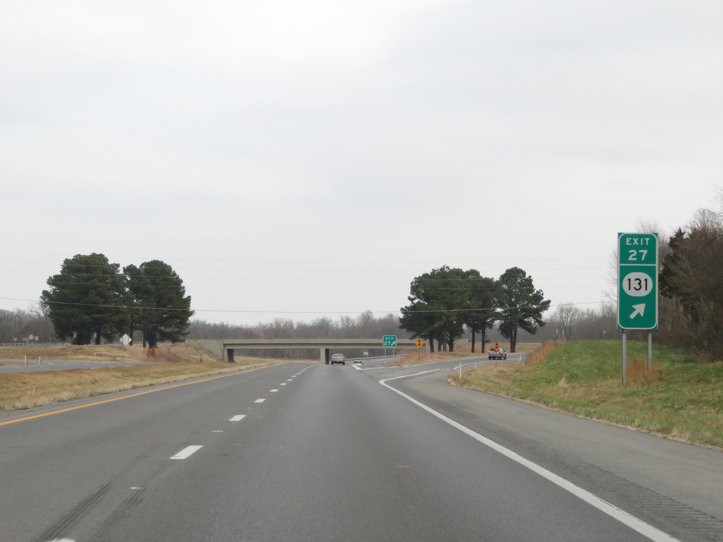 |
Interstate 69 North at Exit 27: KY 131 (Photo taken 12/15/20). |
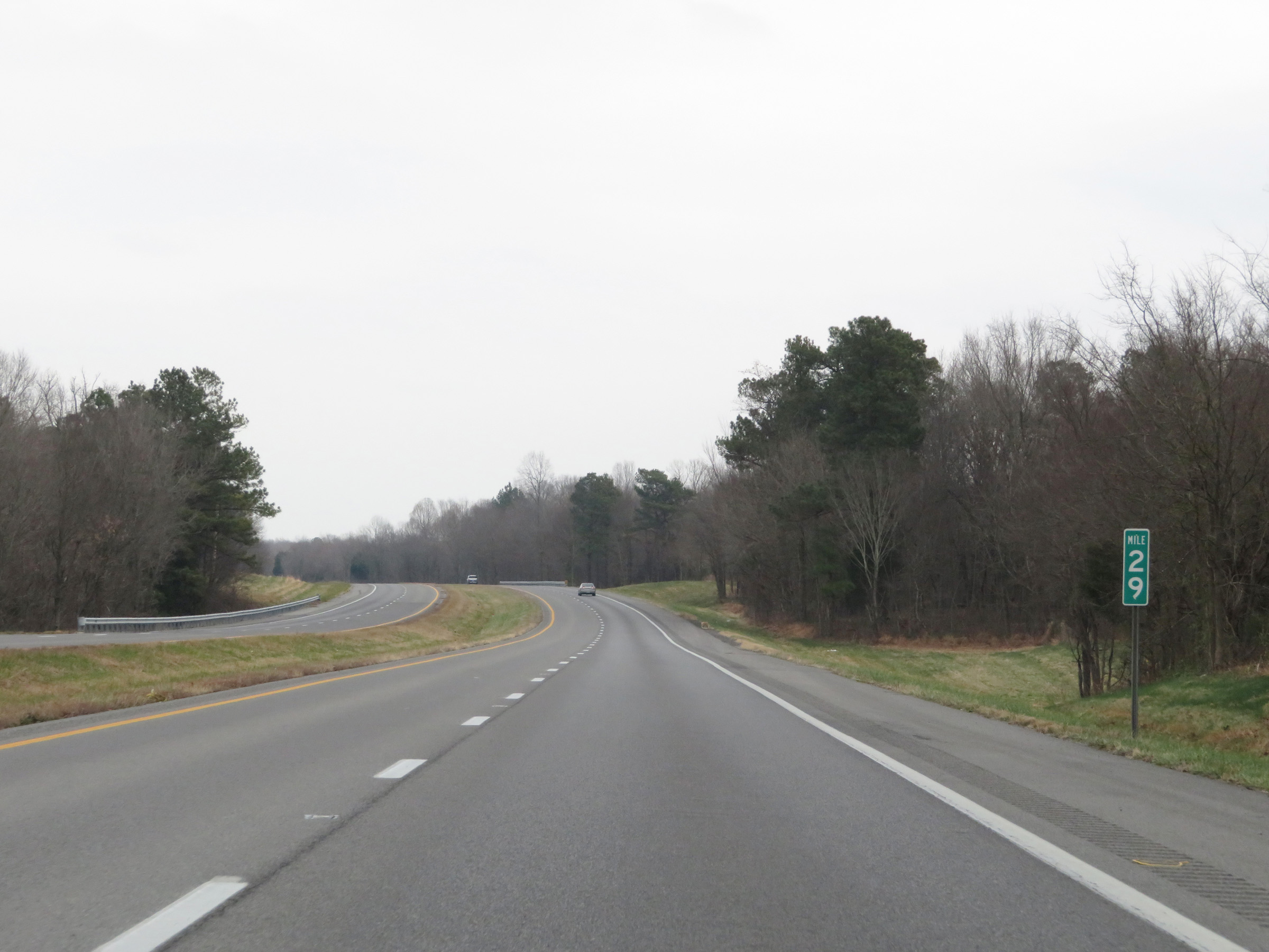 |
Mile marker 29 on Interstate 69 North in Graves County. (Photo taken 12/15/20). |
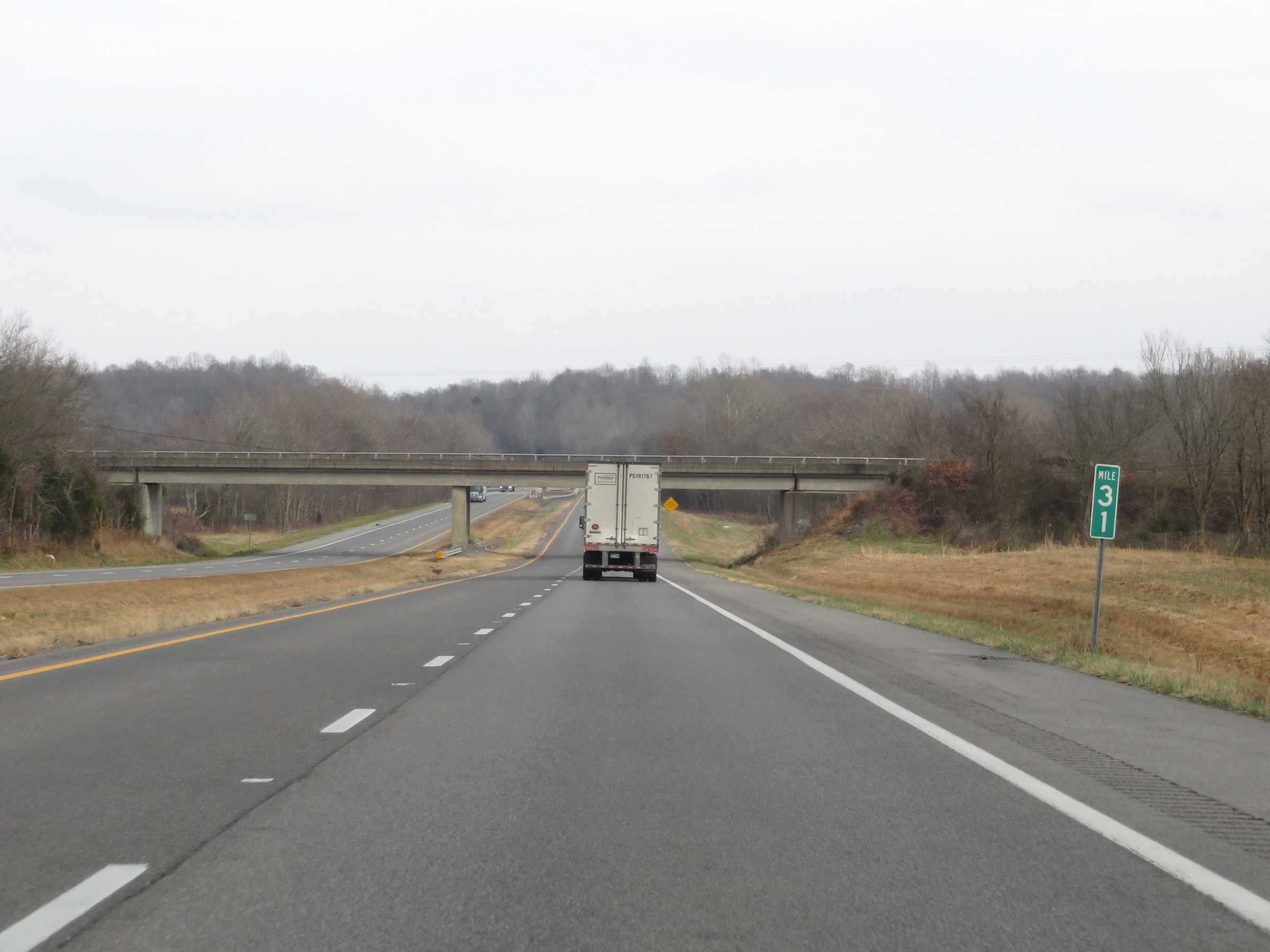 |
Interstate 69 North at mile marker 31. (Photo taken 12/15/20). |
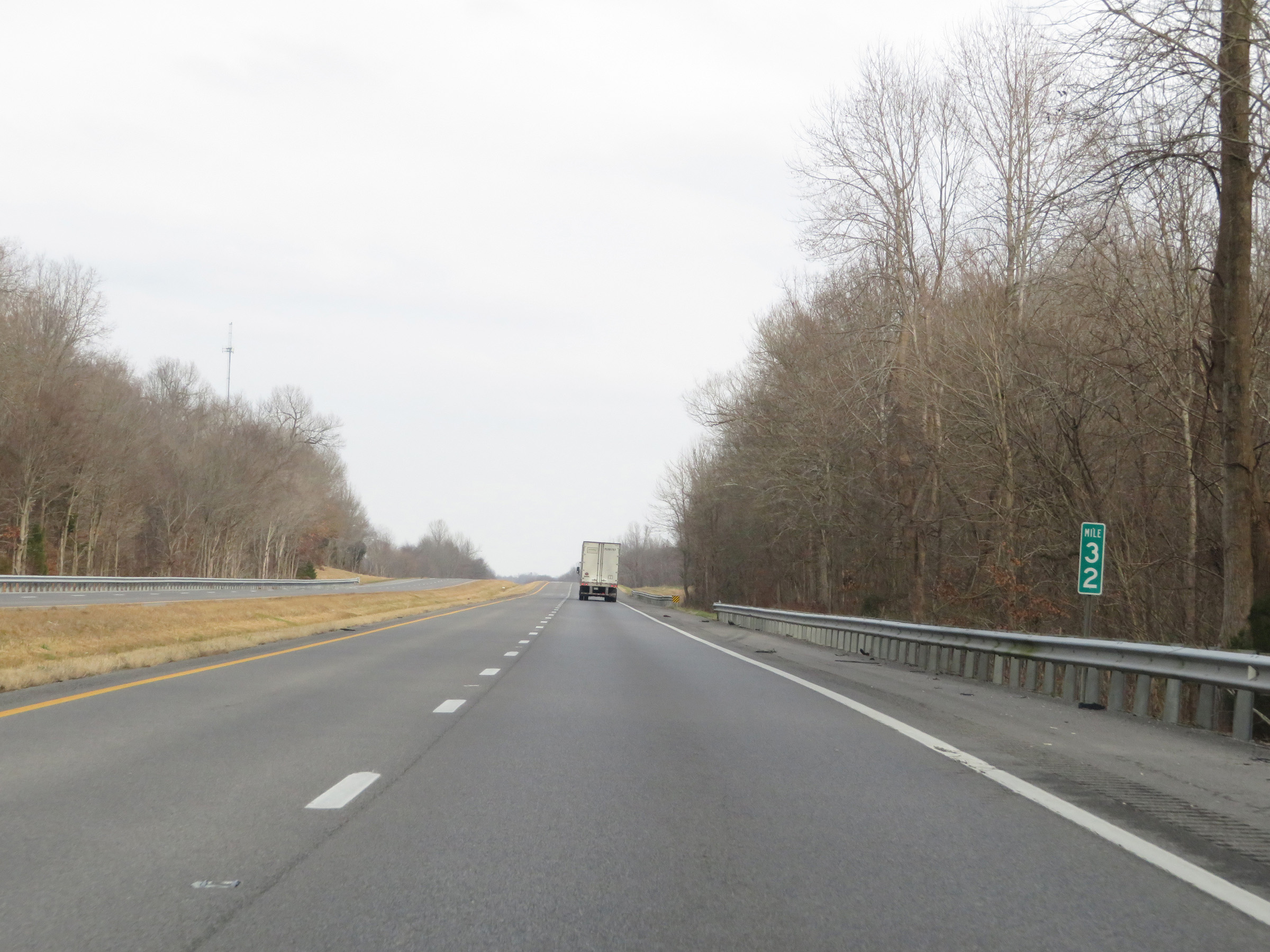 |
View on Interstate 69 North at mile marker 32. (Photo taken 12/15/20). |
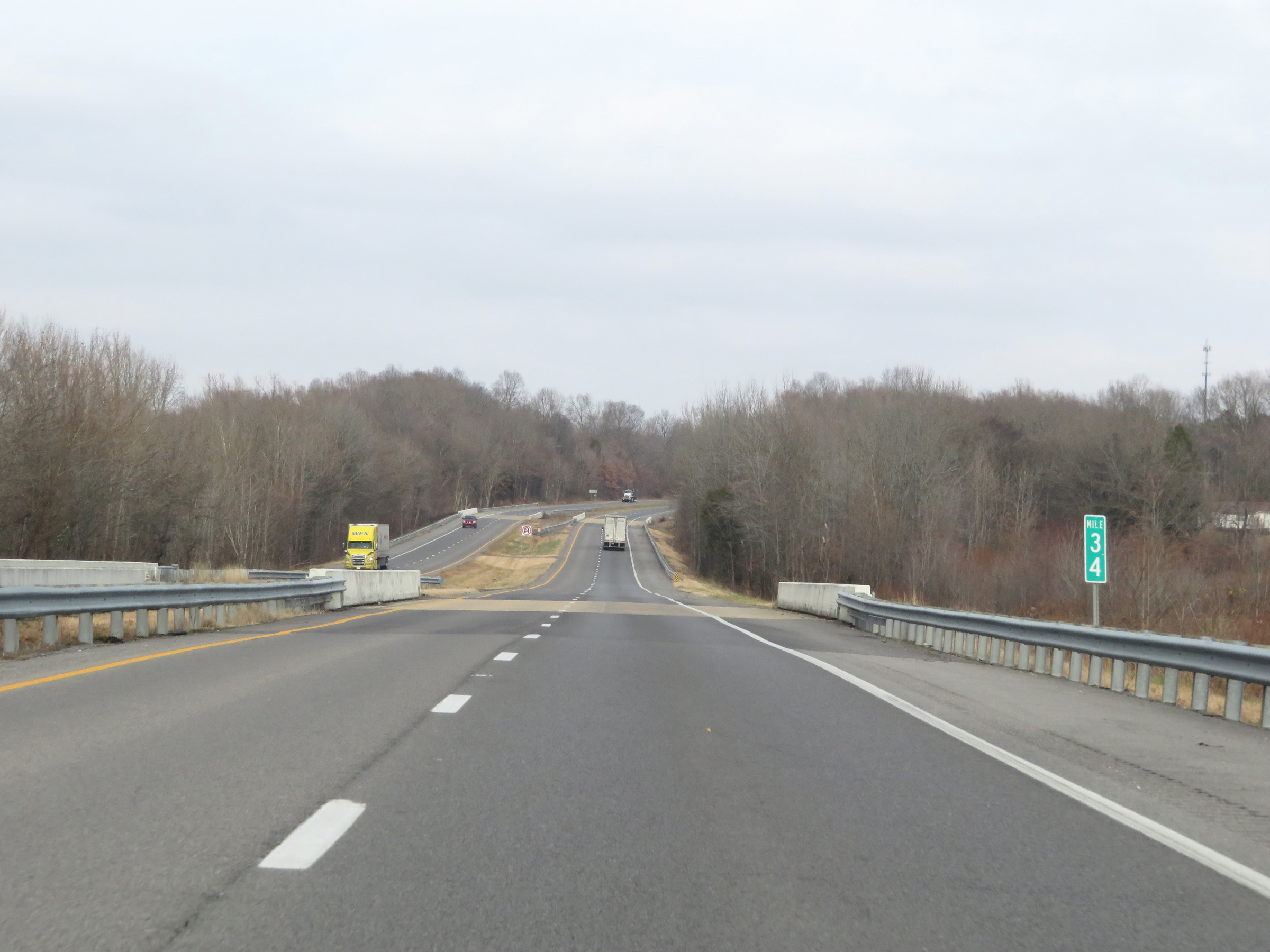 |
Interstate 69 North at mile marker 34. (Photo taken 12/15/20). |
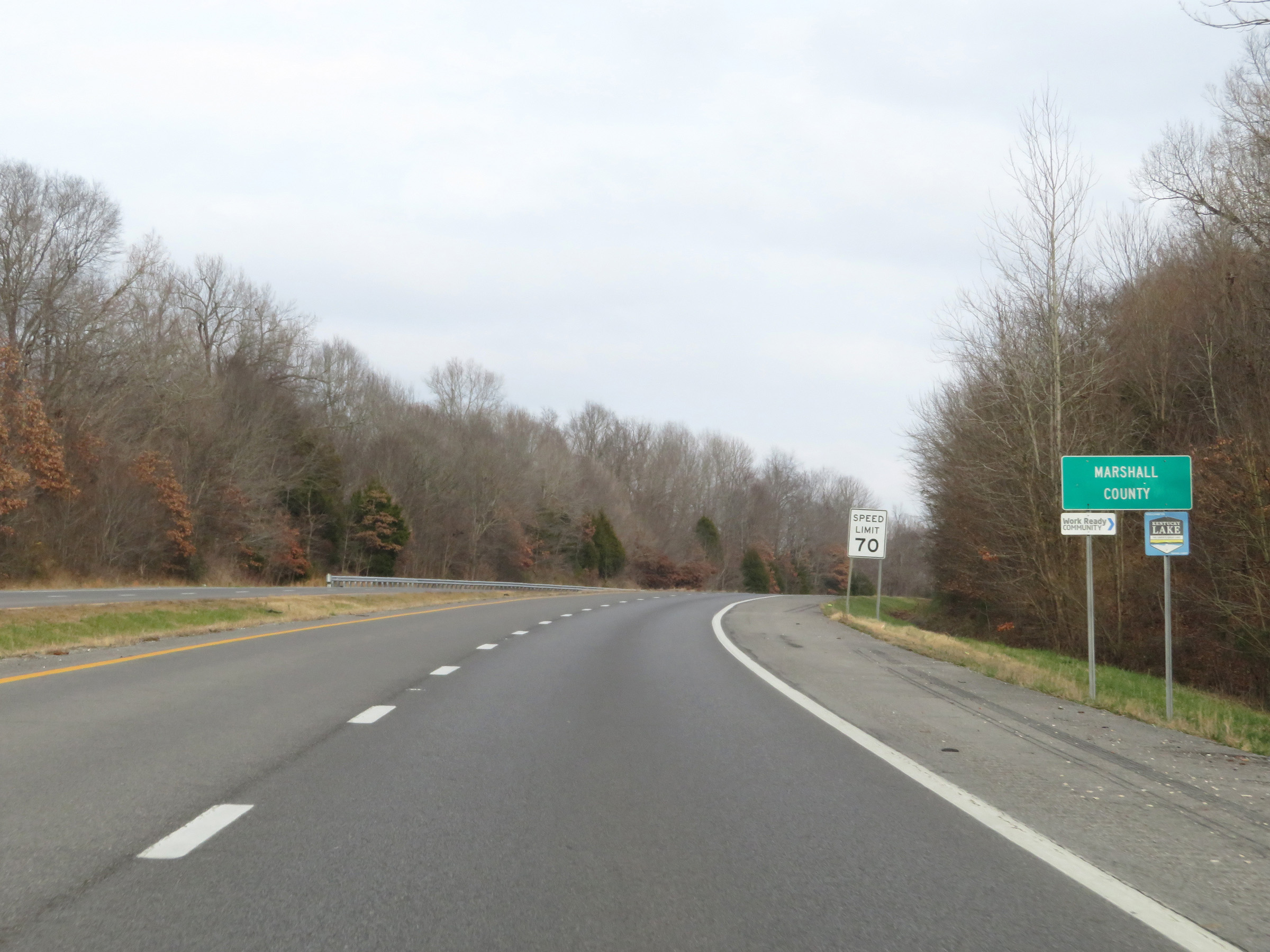 |
Interstate 69 North as it enters Marshall County. (Photo taken 12/15/20). |
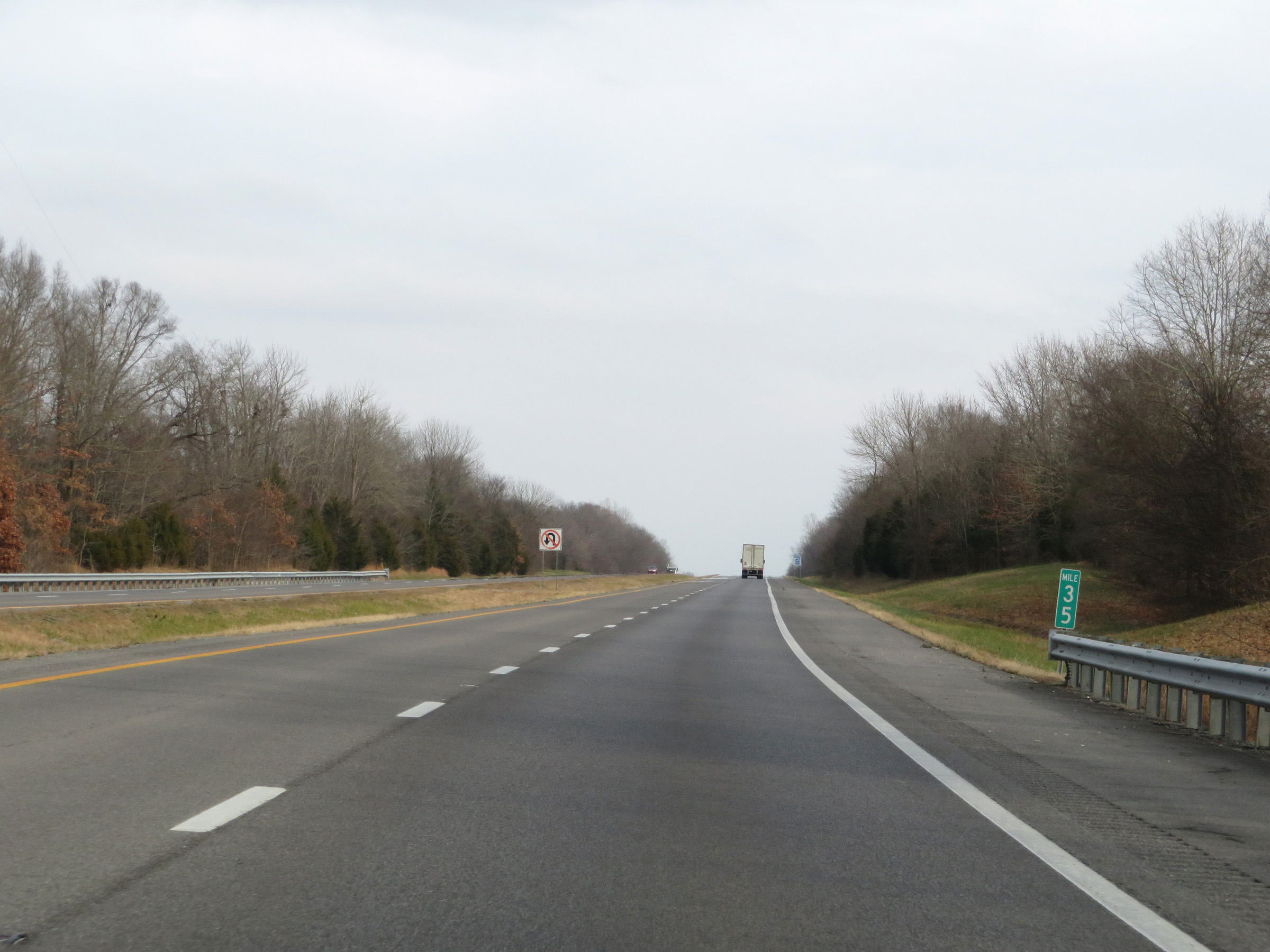 |
View on Interstate 69 North at mile marker 35. (Photo taken 12/15/20). |
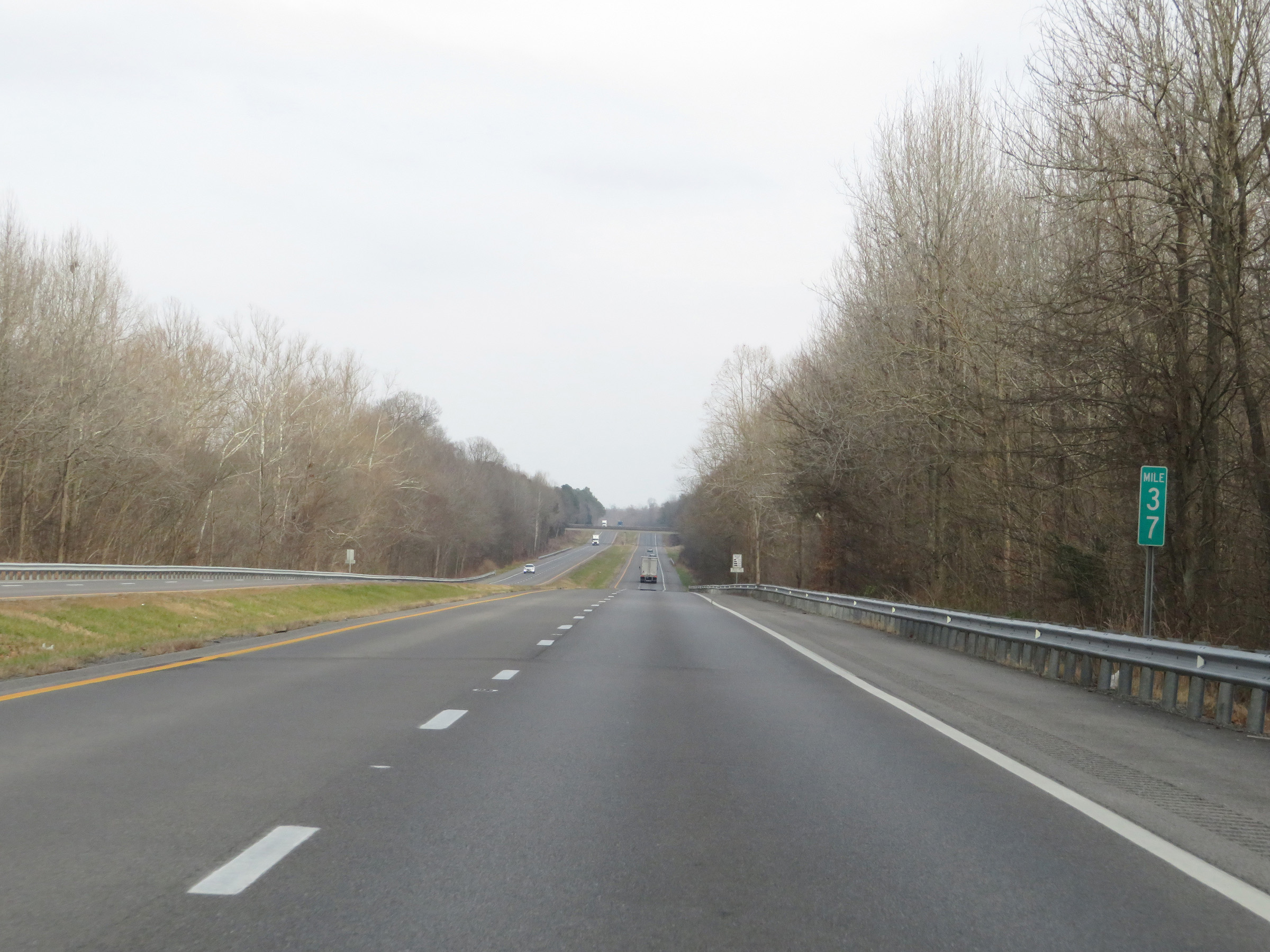 |
Mile marker 37 on Interstate 69 North in Marshall County. (Photo taken 12/15/20). |
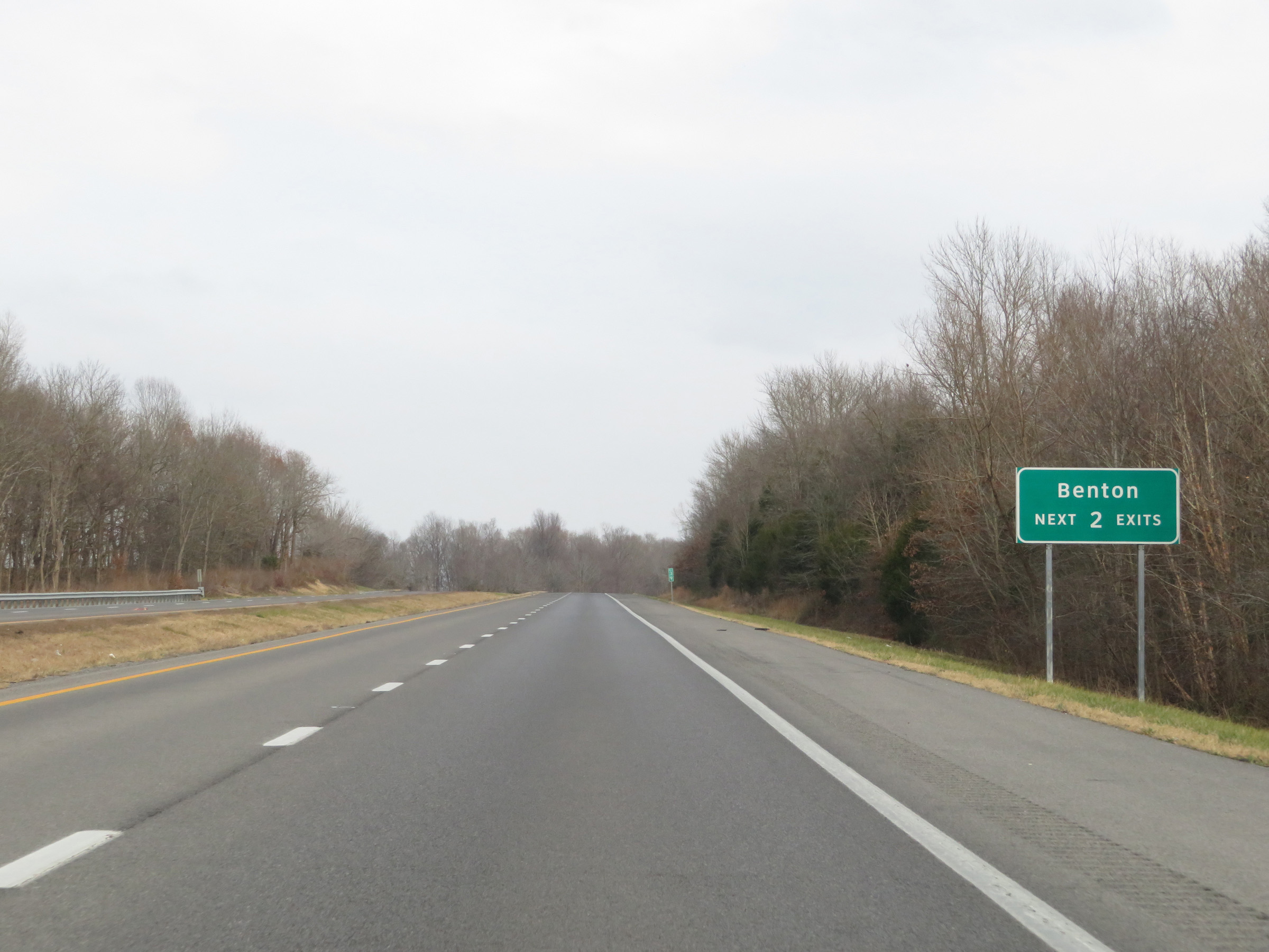 |
Take either of the next 2 exits to Benton. (Photo taken 12/15/20). |
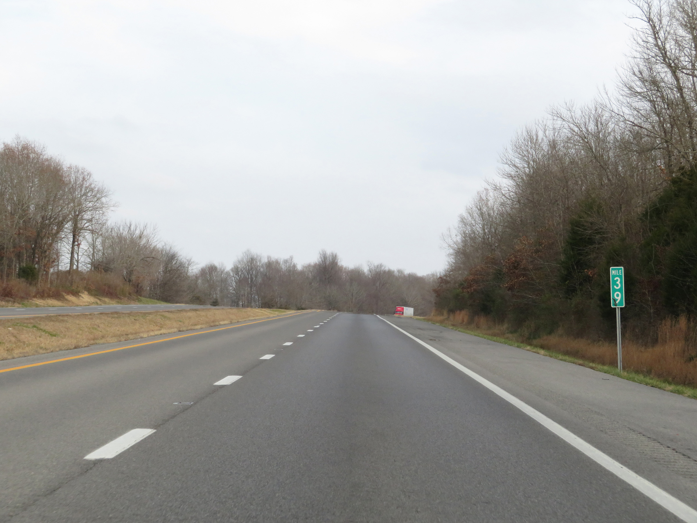 |
View on Interstate 69 North at mile marker 39. (Photo taken 12/15/20). |
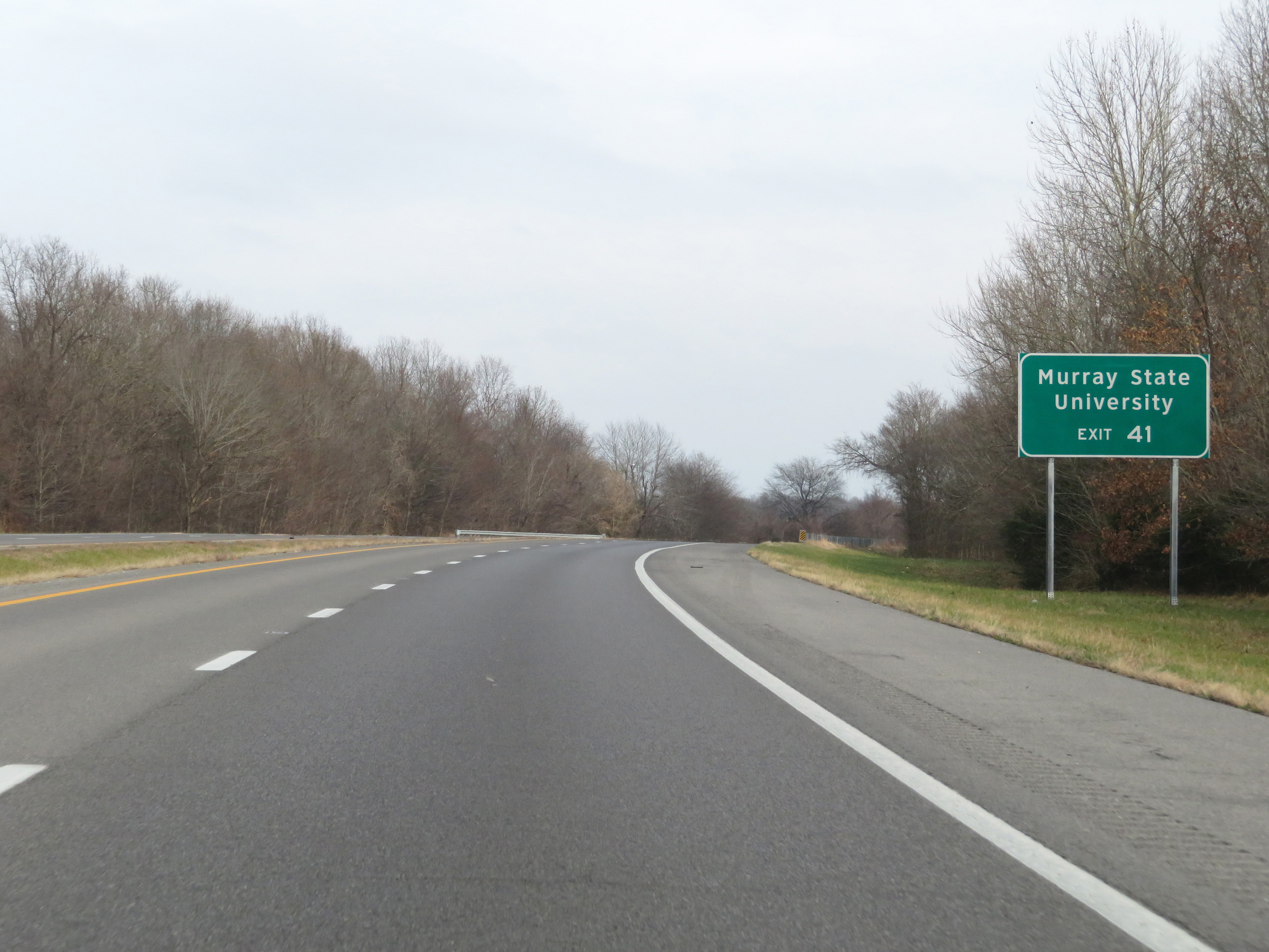 |
Take Exit 41 to Murray State University. (Photo taken 12/15/20). |
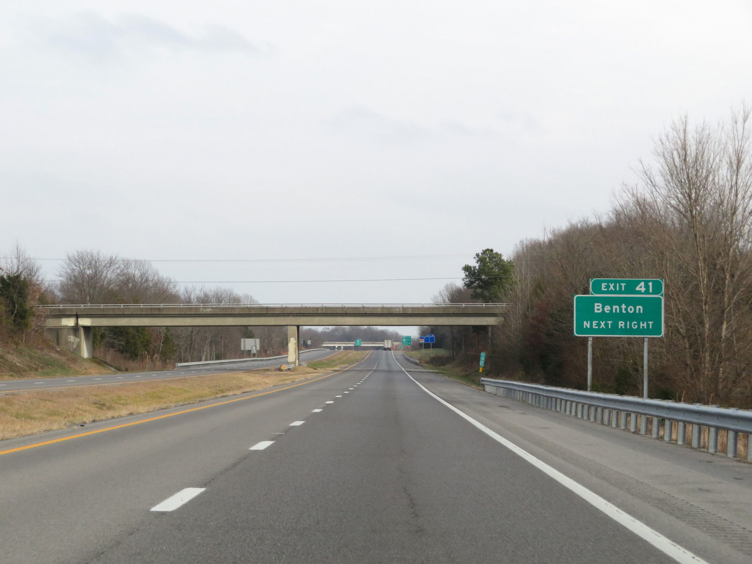 |
Also take Exit 41 to Benton. (Photo taken 12/15/20). |
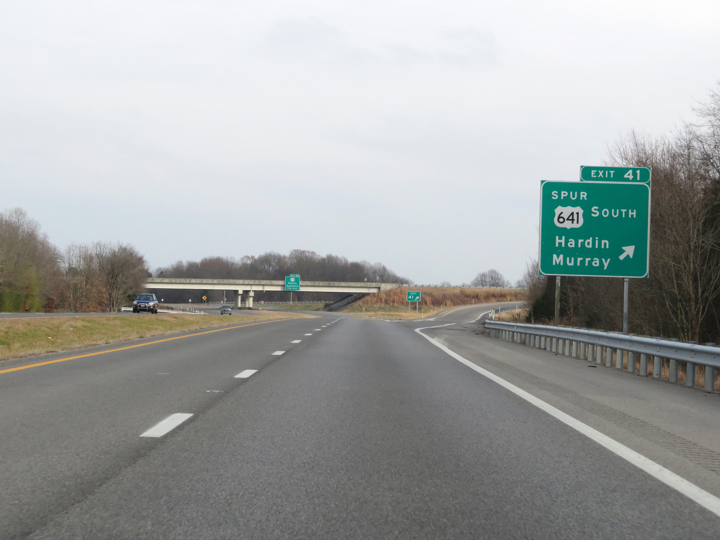 |
Interstate 69 North at Exit 41: US 641 Spur South - Hardin / Murray (Photo taken 12/15/20). |
 |
Interstate 69 North reassurance shield. (Photo taken 12/15/20). |
 |
Interstate 69 North at Exit 43: KY 348 - Benton / Symsonia (Photo taken 12/15/20). |
Section 2: Benton (Exit 43) to Eddyville (Exit 71)
 |
The speed limit remains 70 mph on Interstate 69 North. (Photo taken 12/15/20). |
 |
View on Interstate 69 North at mile marker 44. (Photo taken 12/15/20). |
 |
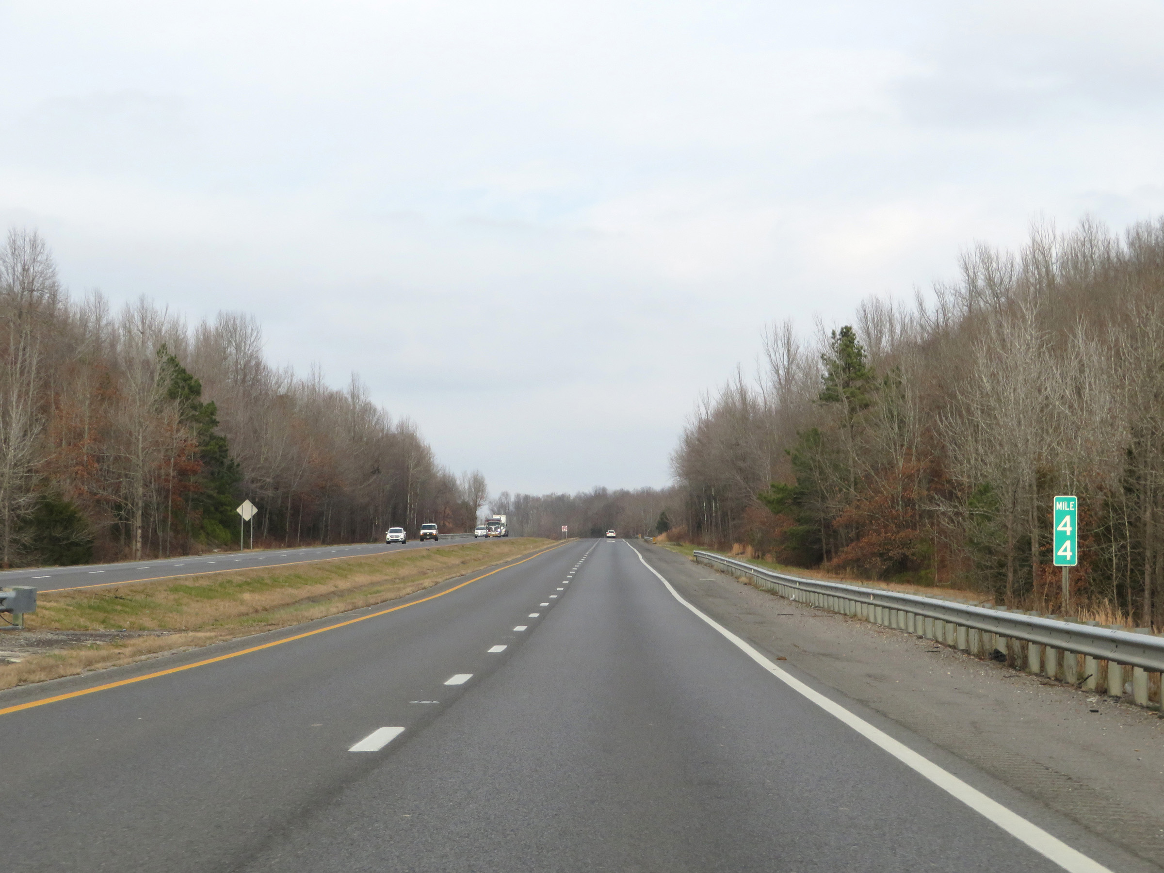
Interstate 69 North at mile marker 46. (Photo taken 12/15/20). |
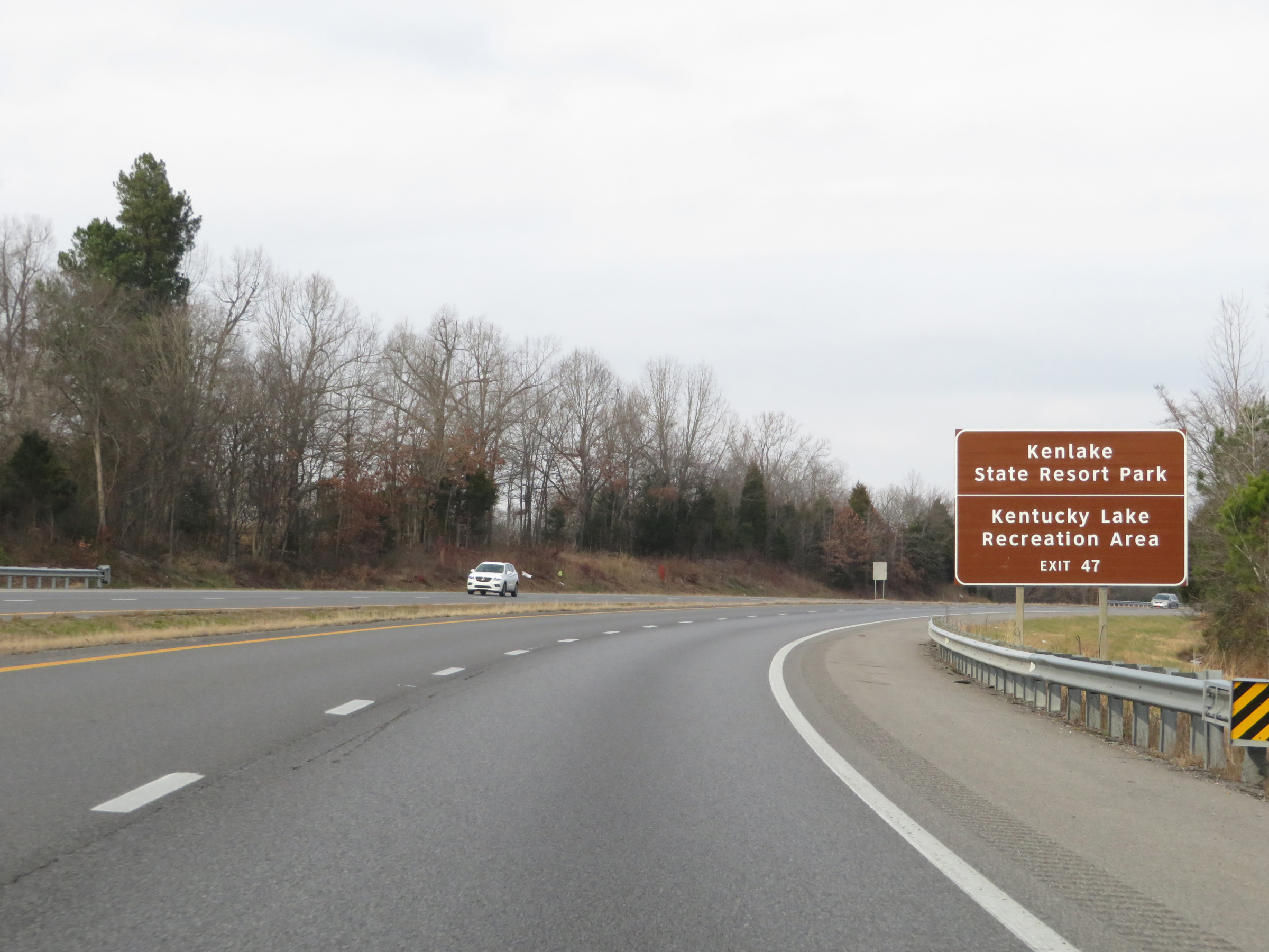 |
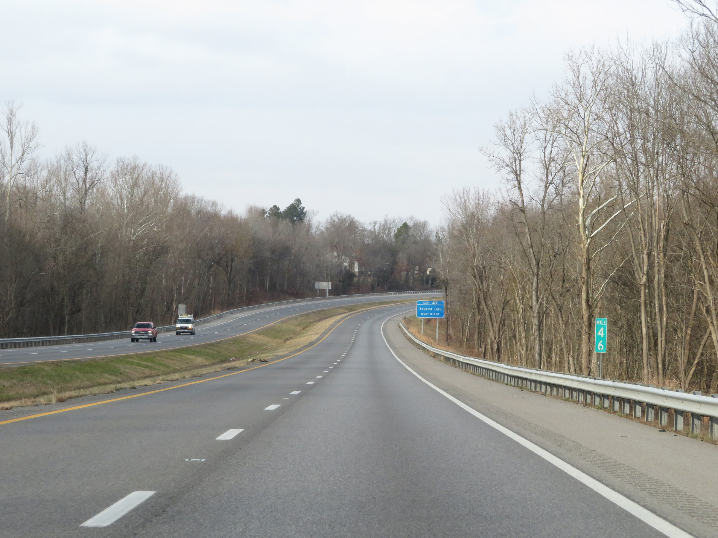
Take Exit 47 to Kenlake State Resort Park and Kentucky Lake Recreation Area. (Photo taken 12/15/20). |
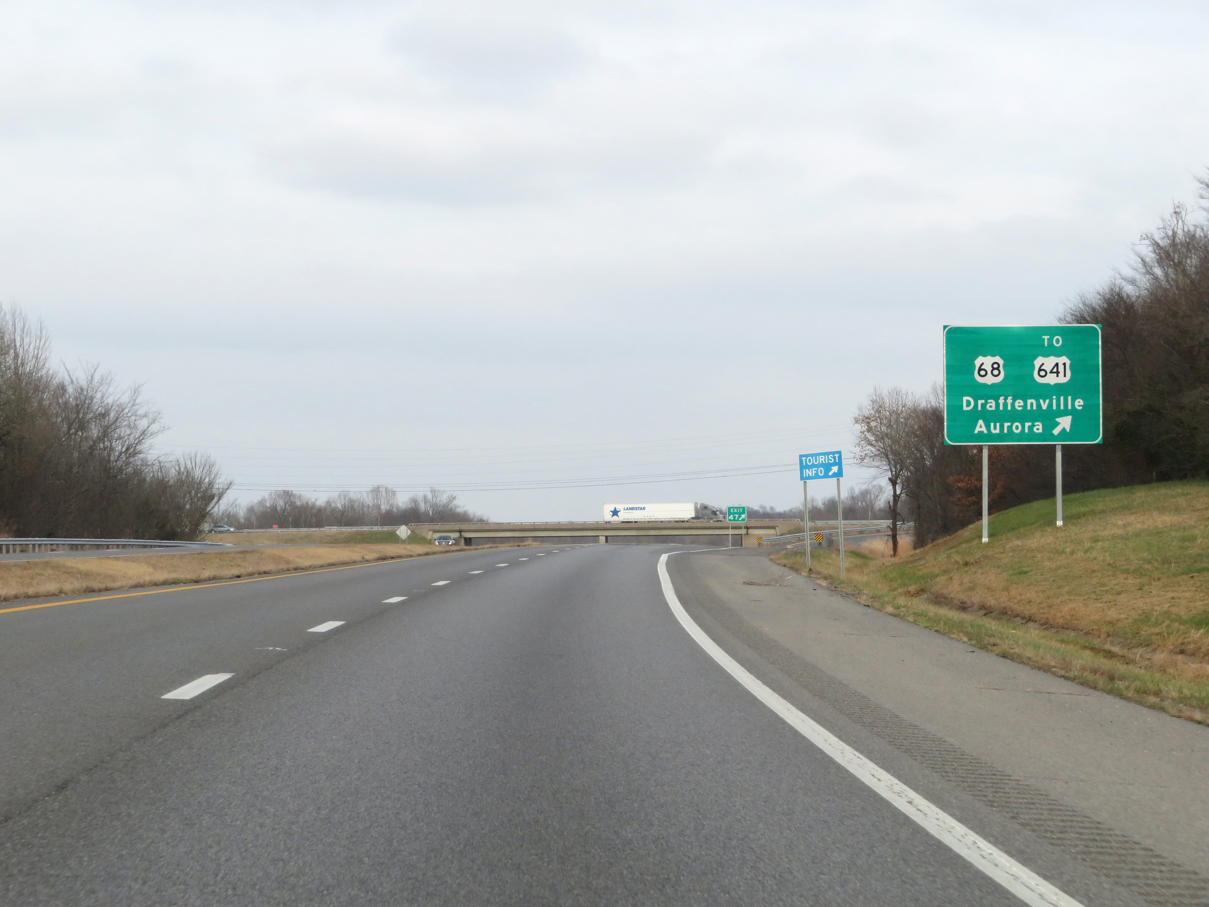 |
Interstate 69 North at Exit 47: US 68 / To US 641 - Draffenville / Aurora (Photo taken 12/15/20). |
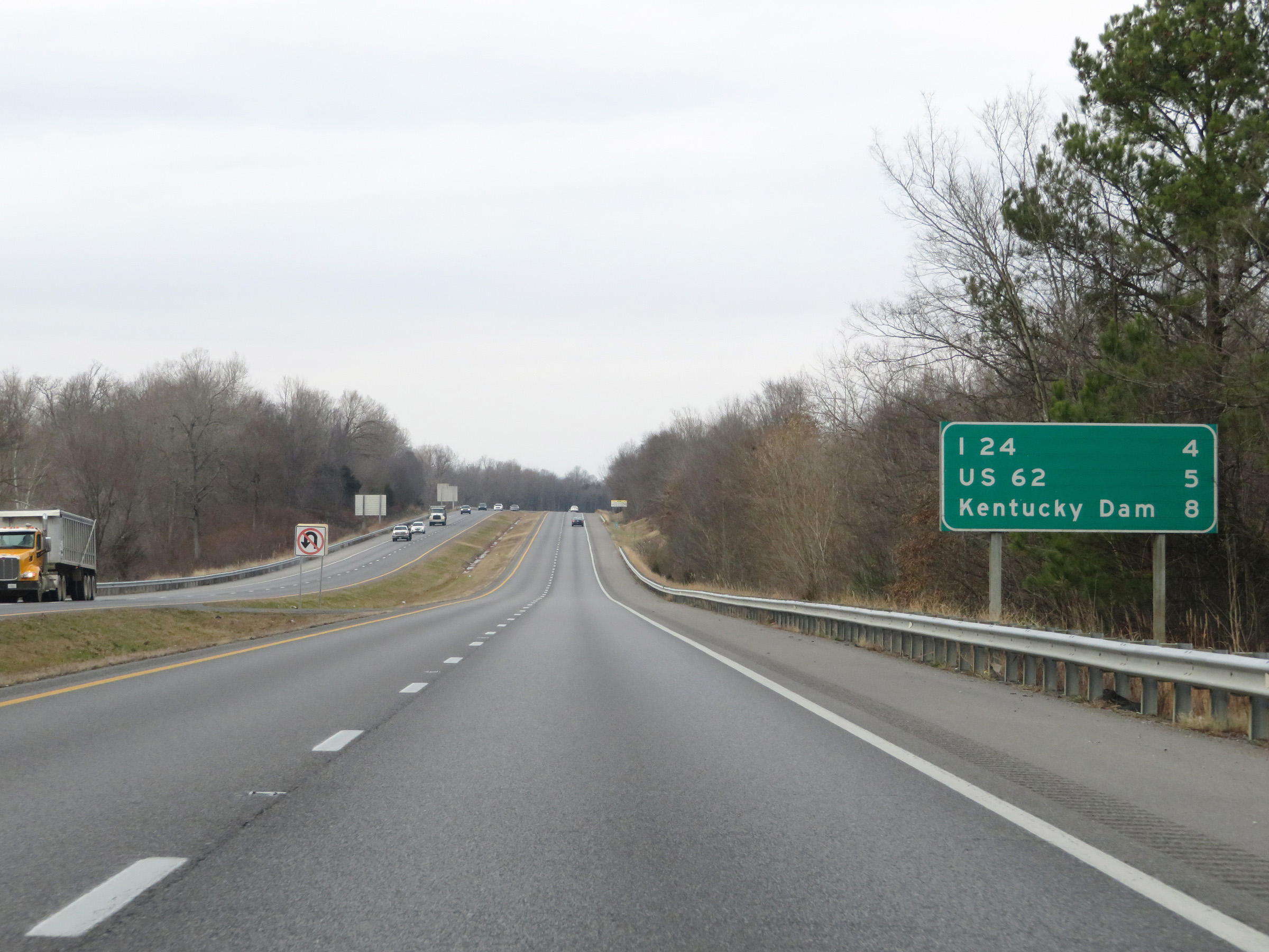 |
Another mileage sign on Interstate 69 North. It's 4 miles to the junction of Interstate 24, 5 miles to the junction of US 62, and 8 miles to Kentucky Dam. (Photo taken 12/15/20). |
 |
Interstate 69 North at mile marker 48. (Photo taken 12/15/20). |
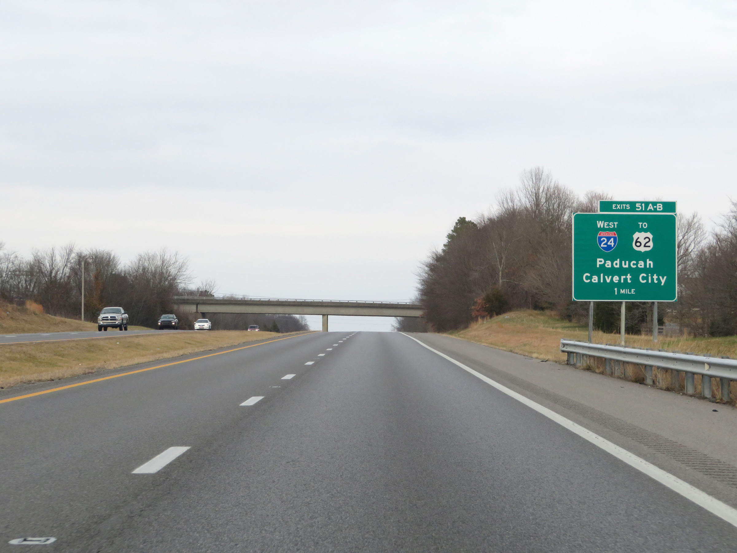 |
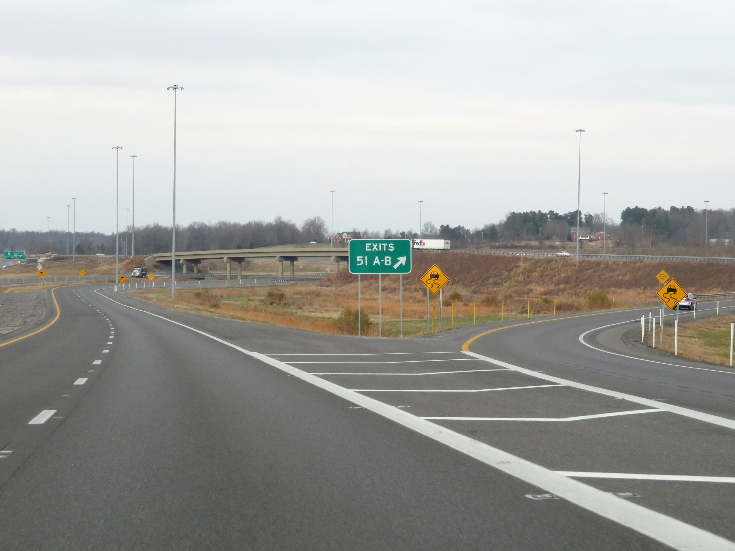
Interstate 69 North approaching Exits 51A-B - 1 mile. (Photo taken 12/15/20). |
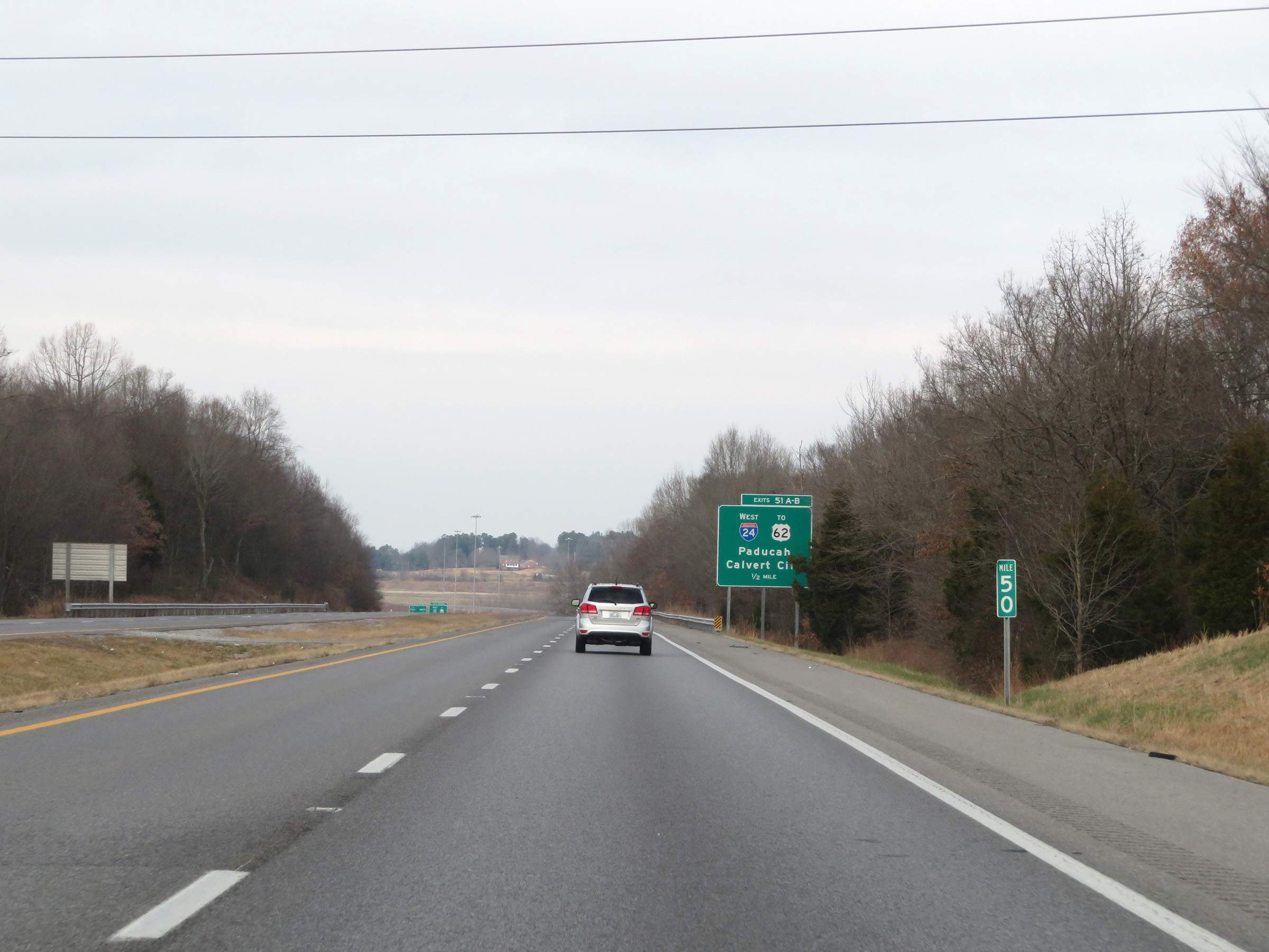 |
View on Interstate 69 North at mile marker 50. (Photo taken 12/15/20). |
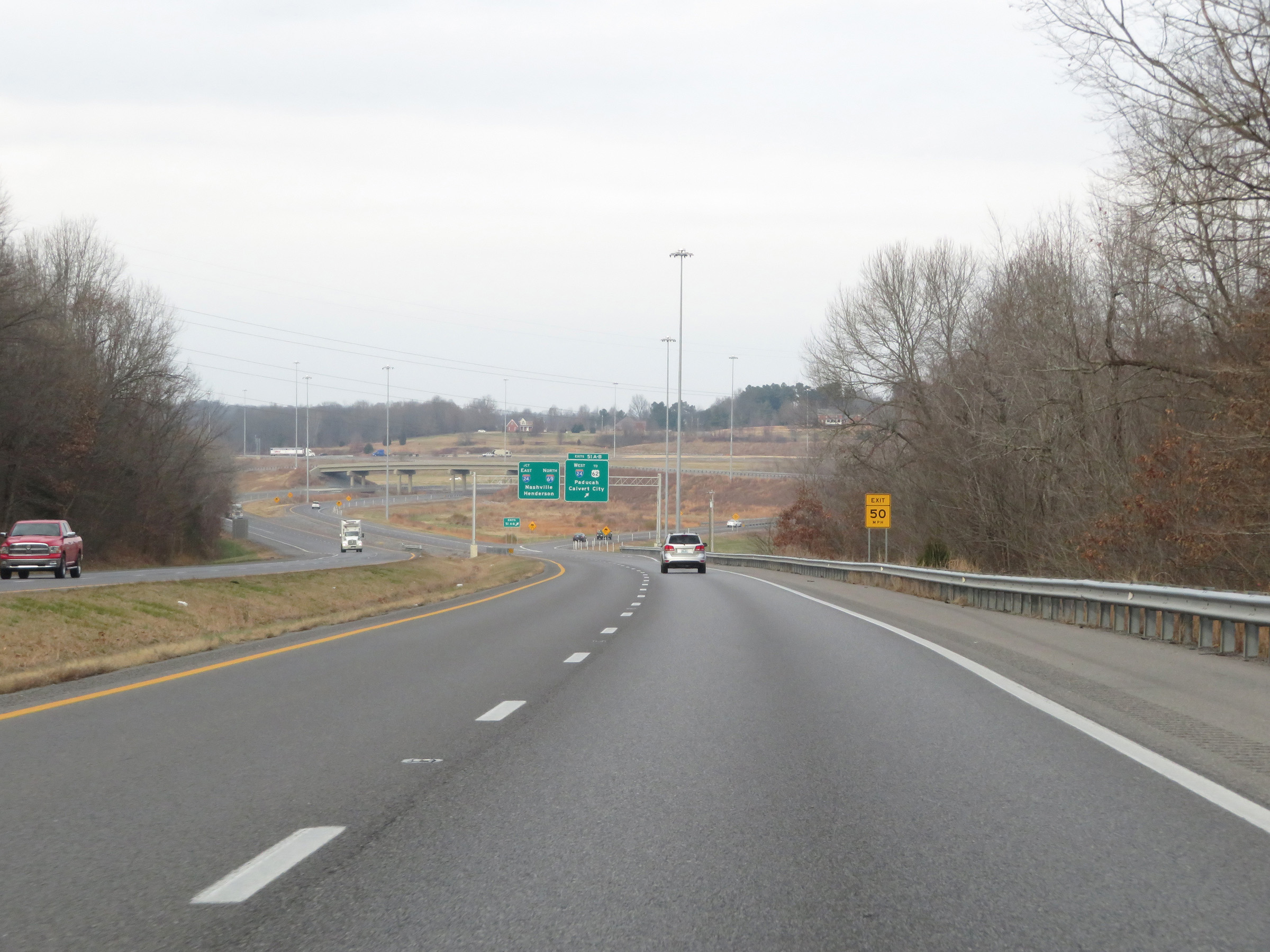 |
Interstate 69 North as it approaches the junction of Interstate 24. (Photo taken 12/15/20). |
 |
Interstate 69 North at Exits 51A-B: Interstate 24 West / To US 62 - Paducah / Calvert City (Photo taken 12/15/20). |
 |
A closer view of the ramp to Interstate 24 West / US 62 via Exits 51A-B. (Photo taken 12/15/20). |
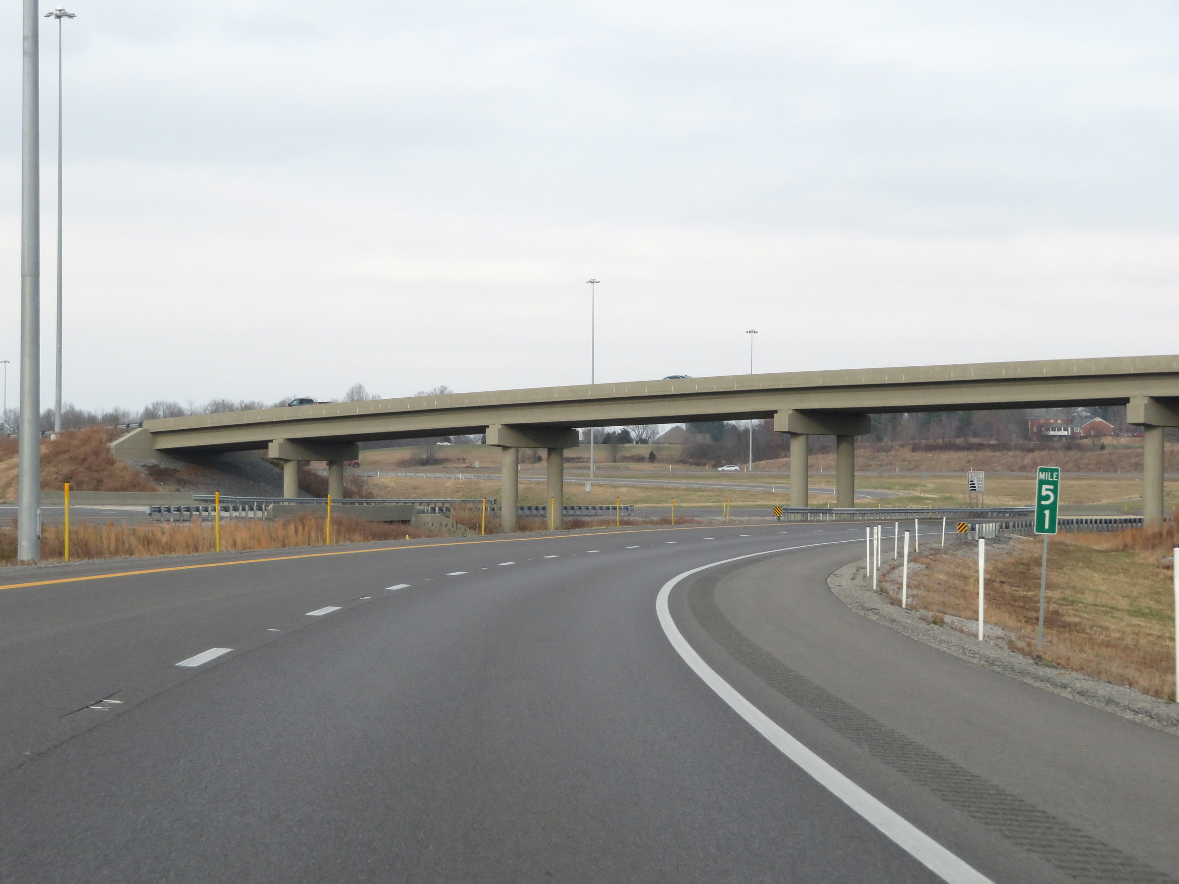 |
View on Interstate 69 North at mile marker 51, as it prepares to pass under the ramp to Interstate 24 West / US 62. (Photo taken 12/15/20). |
 |
Interstate 69 North as Interstate 24 traffic comes into view. Ahead, I-69 will merge into the eastbound lanes of I-24. (Photo taken 12/15/20). |
 |
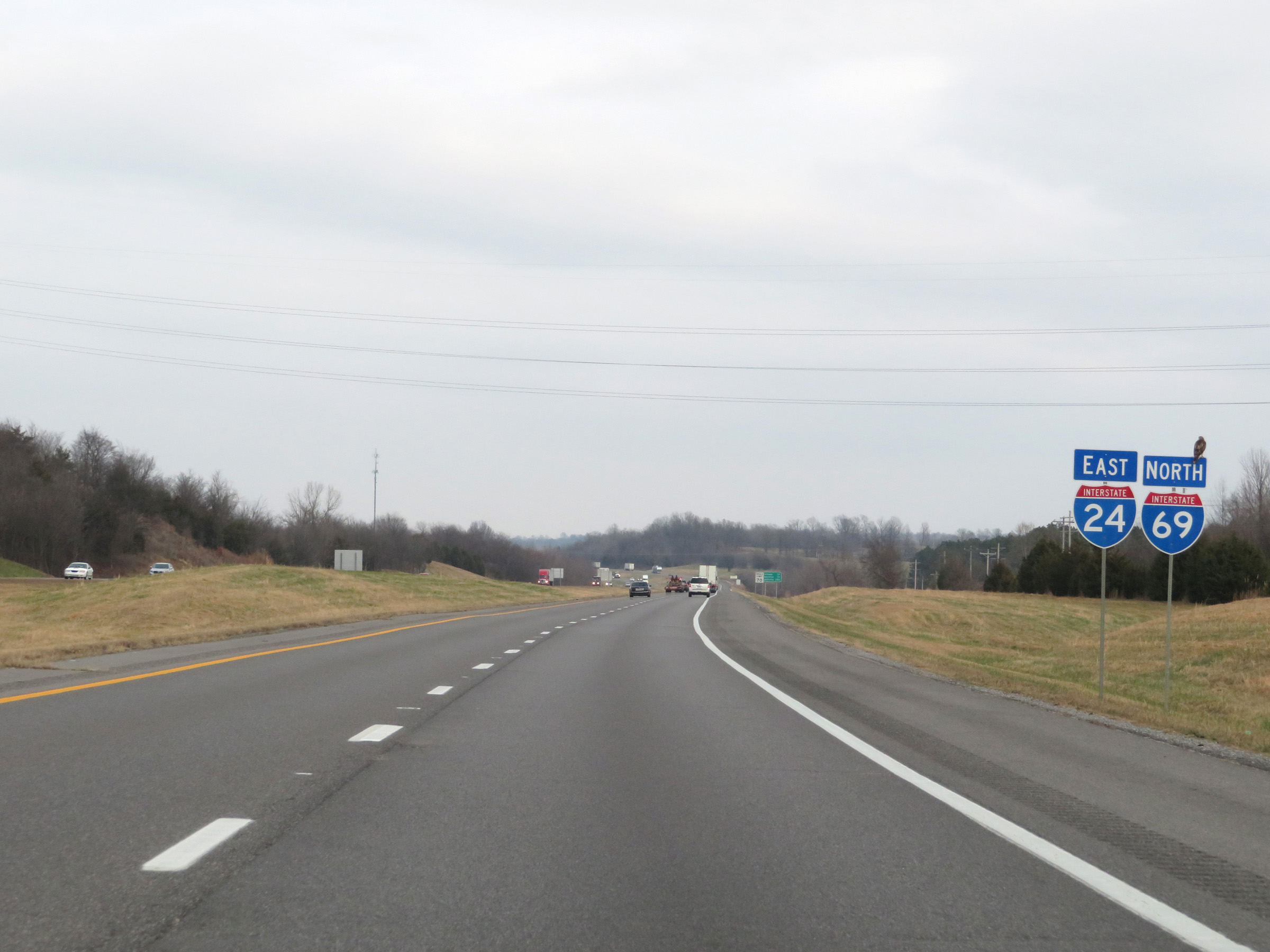
Advance signage for Exit 27 on Interstate 24 West. Interstate 69 North will run concurrently with I-24 East for the next 17 miles. During this concurrency, the mileage and exit numbers will be based on the total mileage of I-24 in Kentucky. (Photo taken 12/15/20). |
 |
Interstate 69 North as it merges into the eastbound lanes of Interstate 24, beginning their concurrency. (Photo taken 12/15/20). |
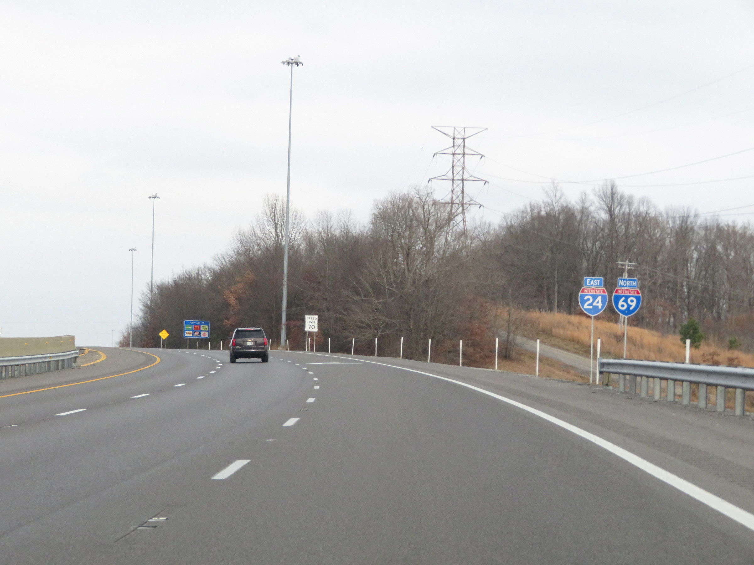 |
Interstate 69 North / Interstate 24 East reassurance shields. (Photo taken 12/15/20). |
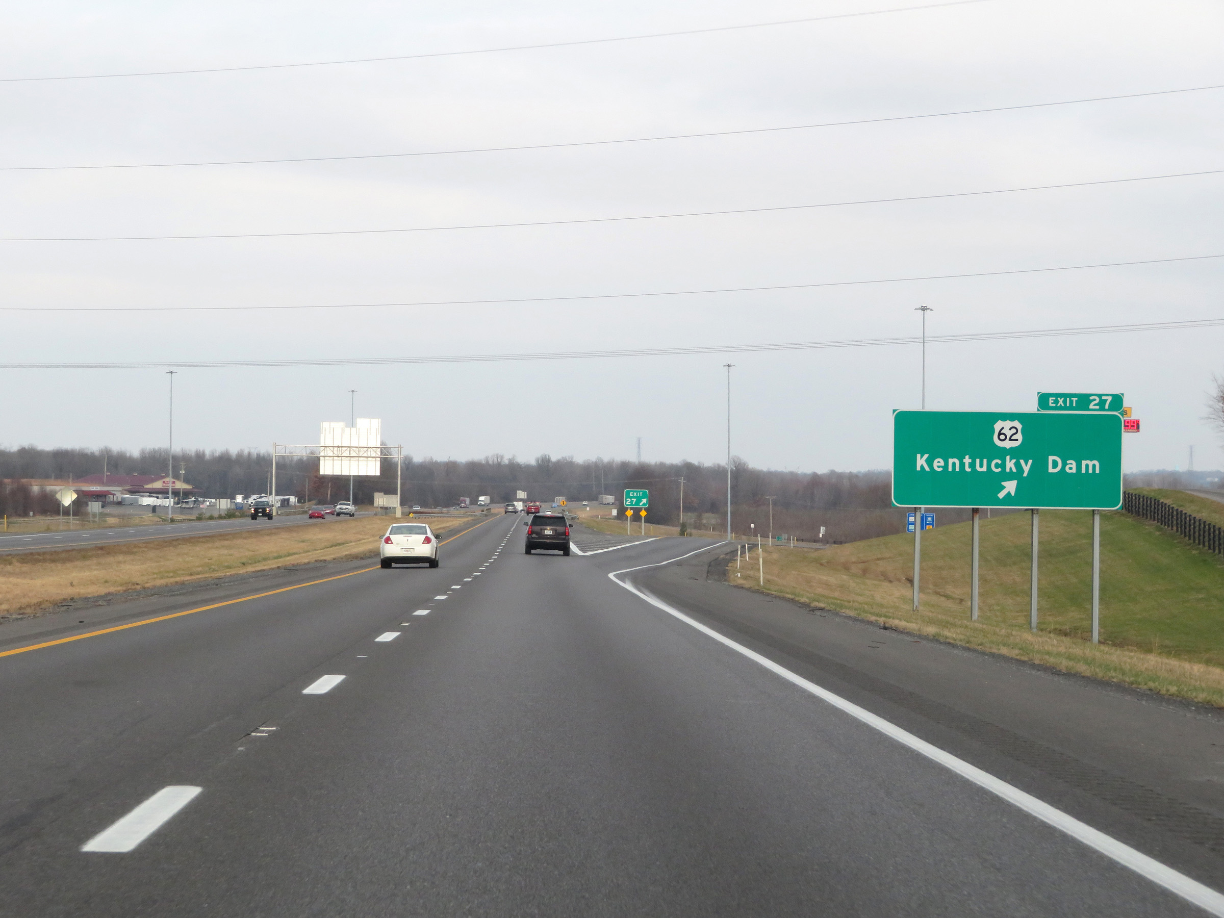 |
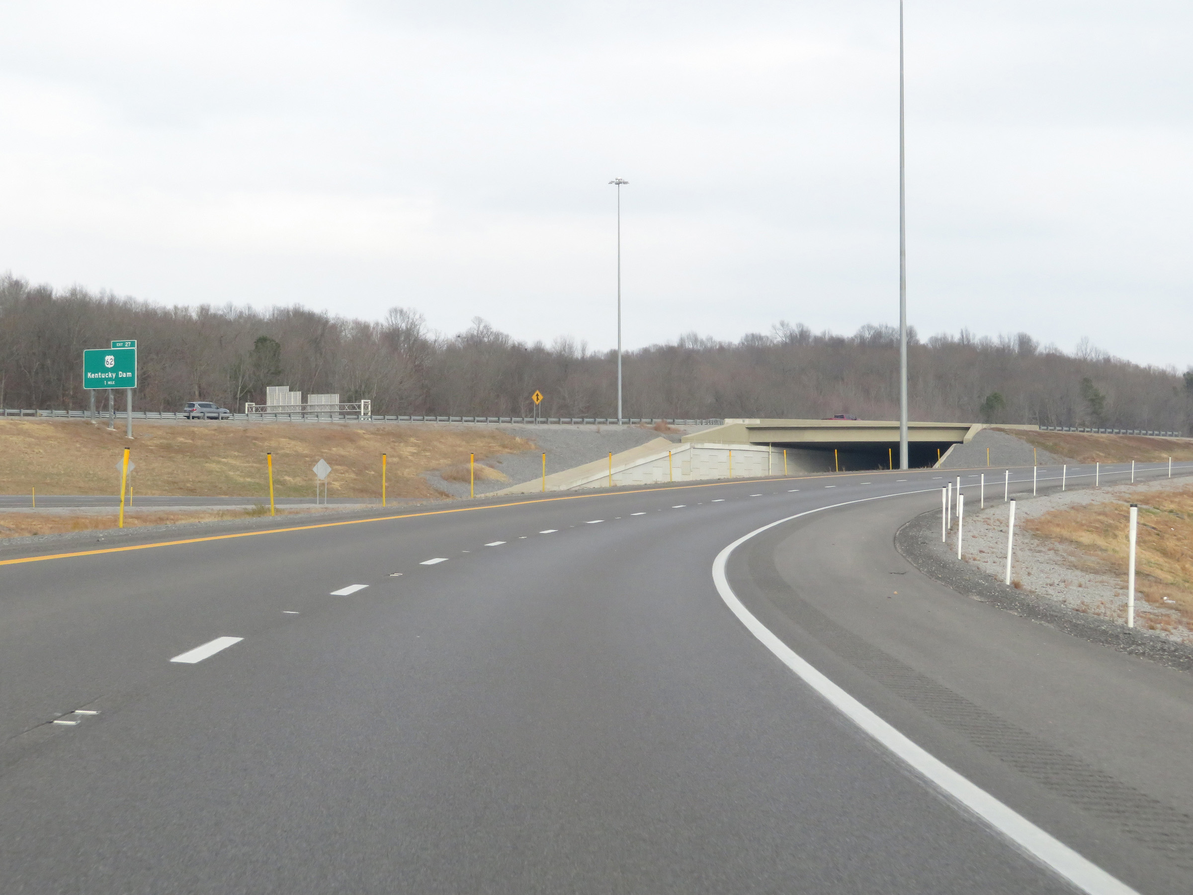
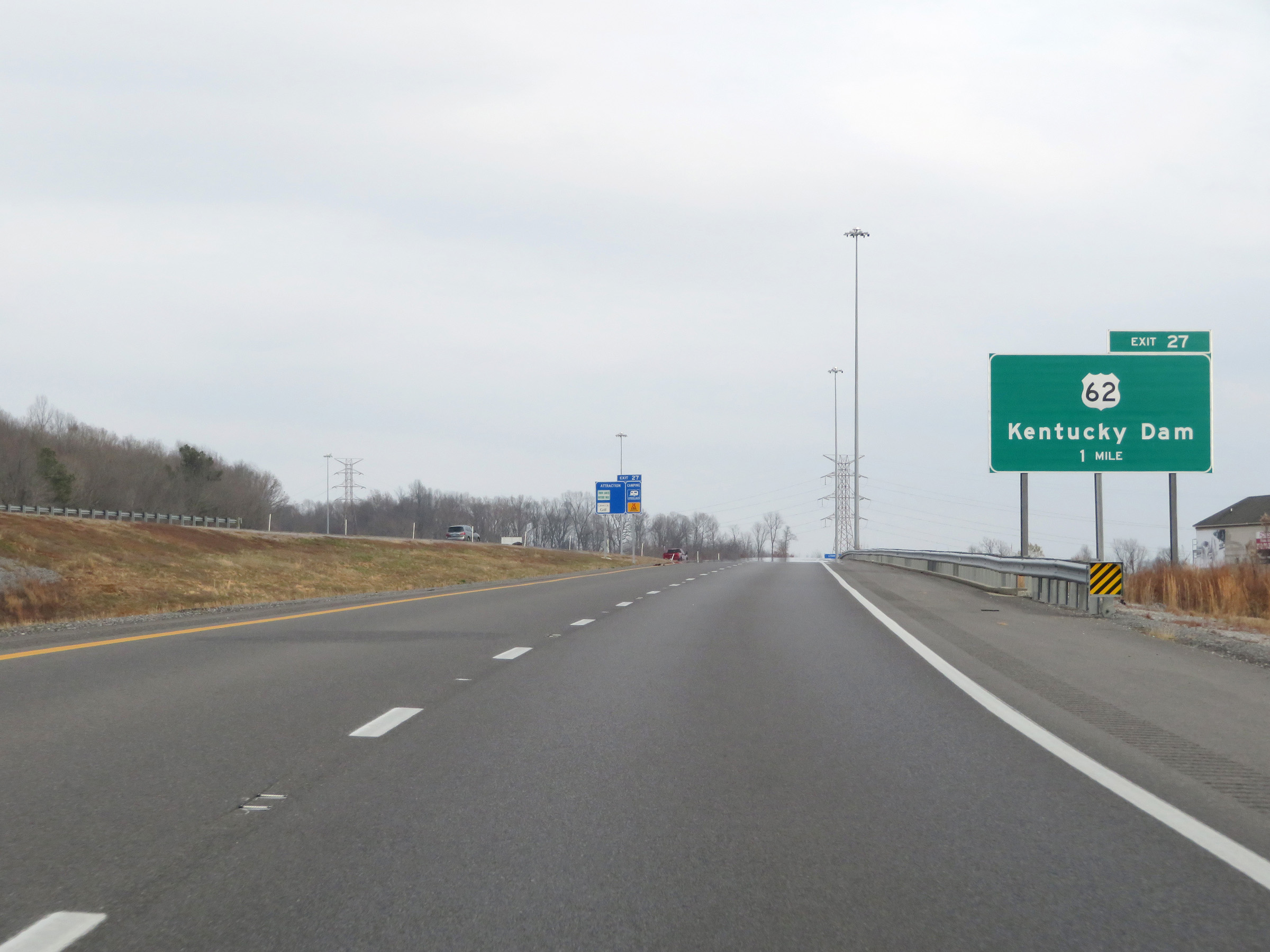
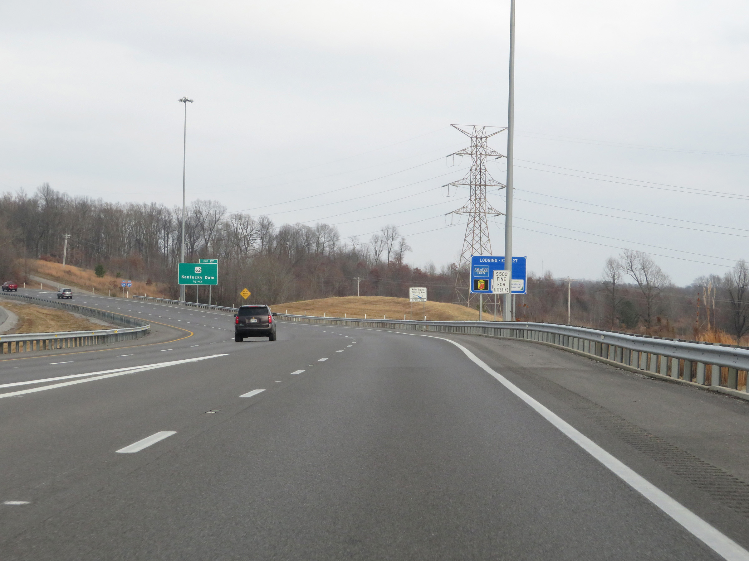
Interstate 69 North / Interstate 24 East at Exit 27: US 62 - Kentucky Dam (Photo taken 12/15/20). |
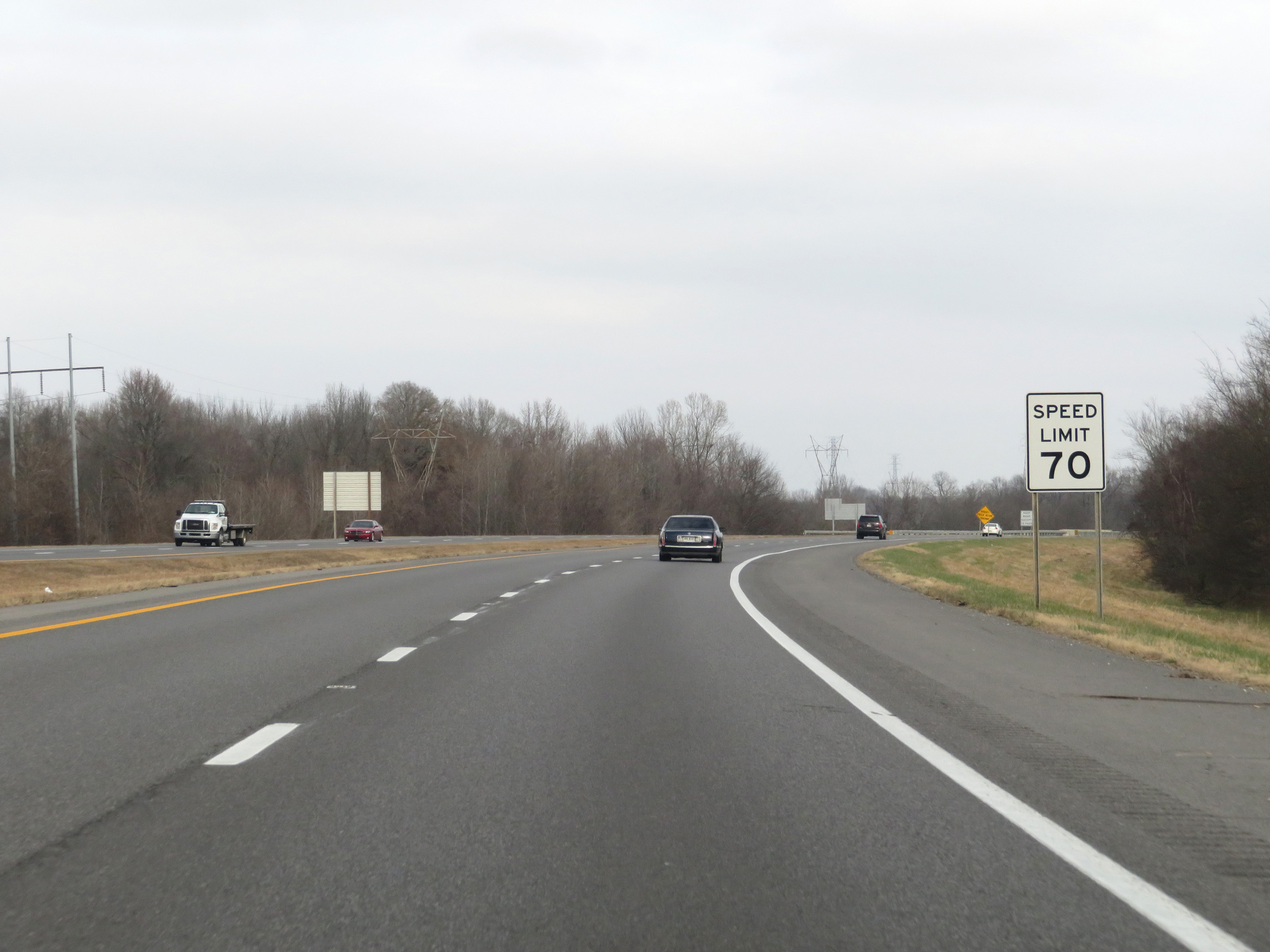 |
The speed limit during the Interstate 69 North / Interstate 24 East concurrency is 70 mph. This is the standard speed limit on most rural Interstate highways in Kentucky. (Photo taken 12/15/20). |
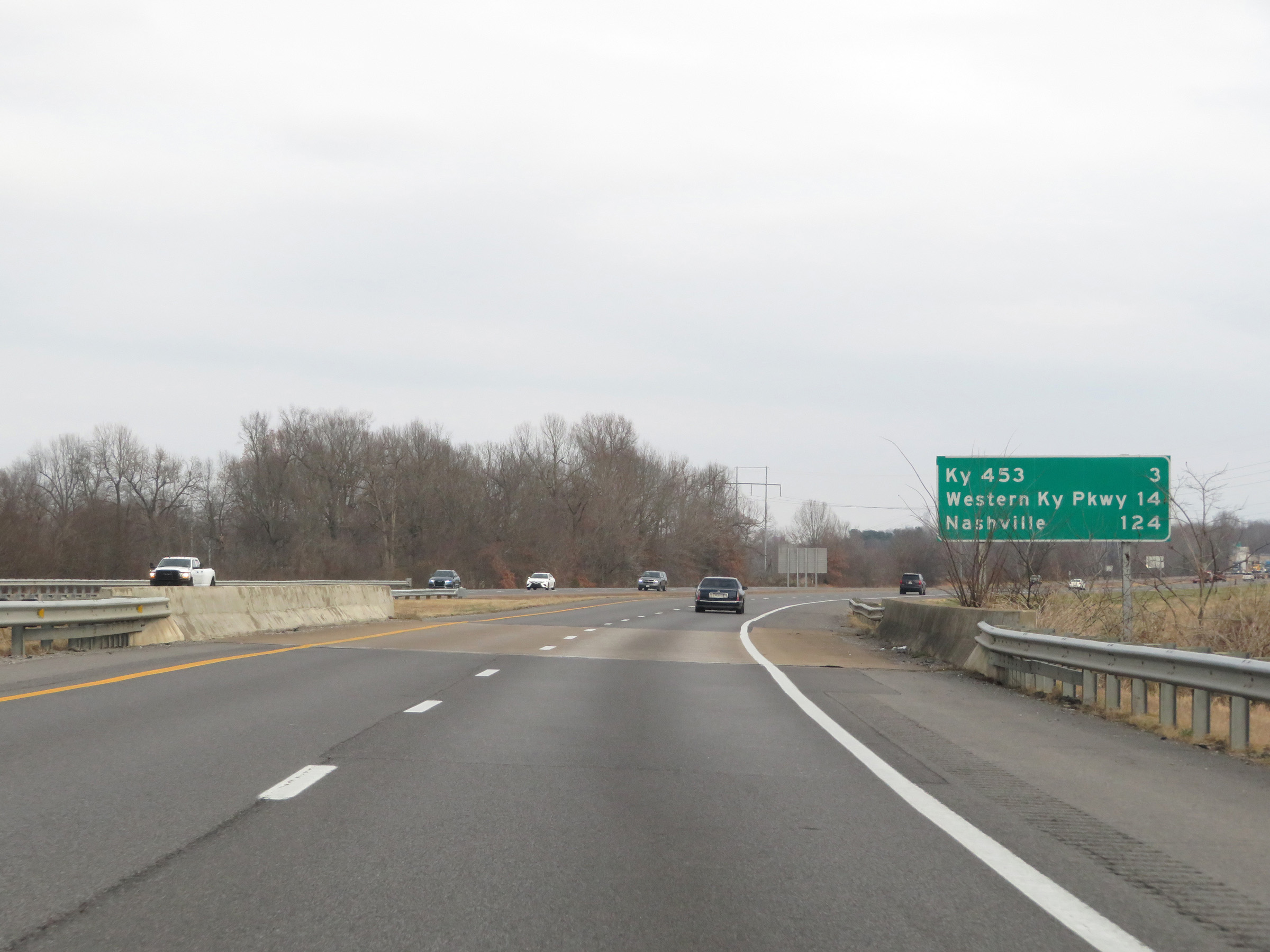 |
Mileage sign on Interstate 69 North / Interstate 24 East. It's 3 miles to the junction of KY 453, 14 miles to the junction of Interstate 69 North (formerly the Western Kentucky Parkway), and 124 miles to Nashville. (Photo taken 12/15/20). |
 |
View on Interstate 69 North / Interstate 24 East at mile marker 28. (Photo taken 12/15/20). |
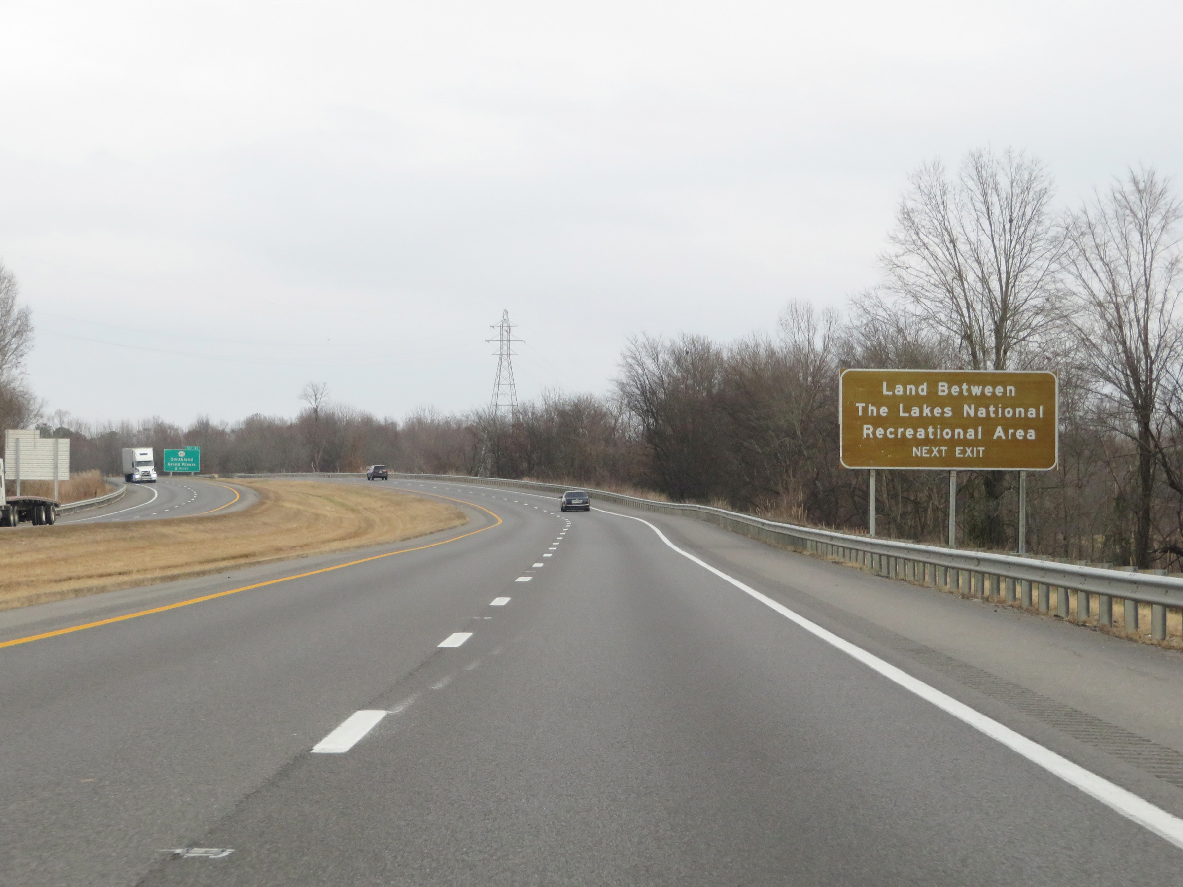 |
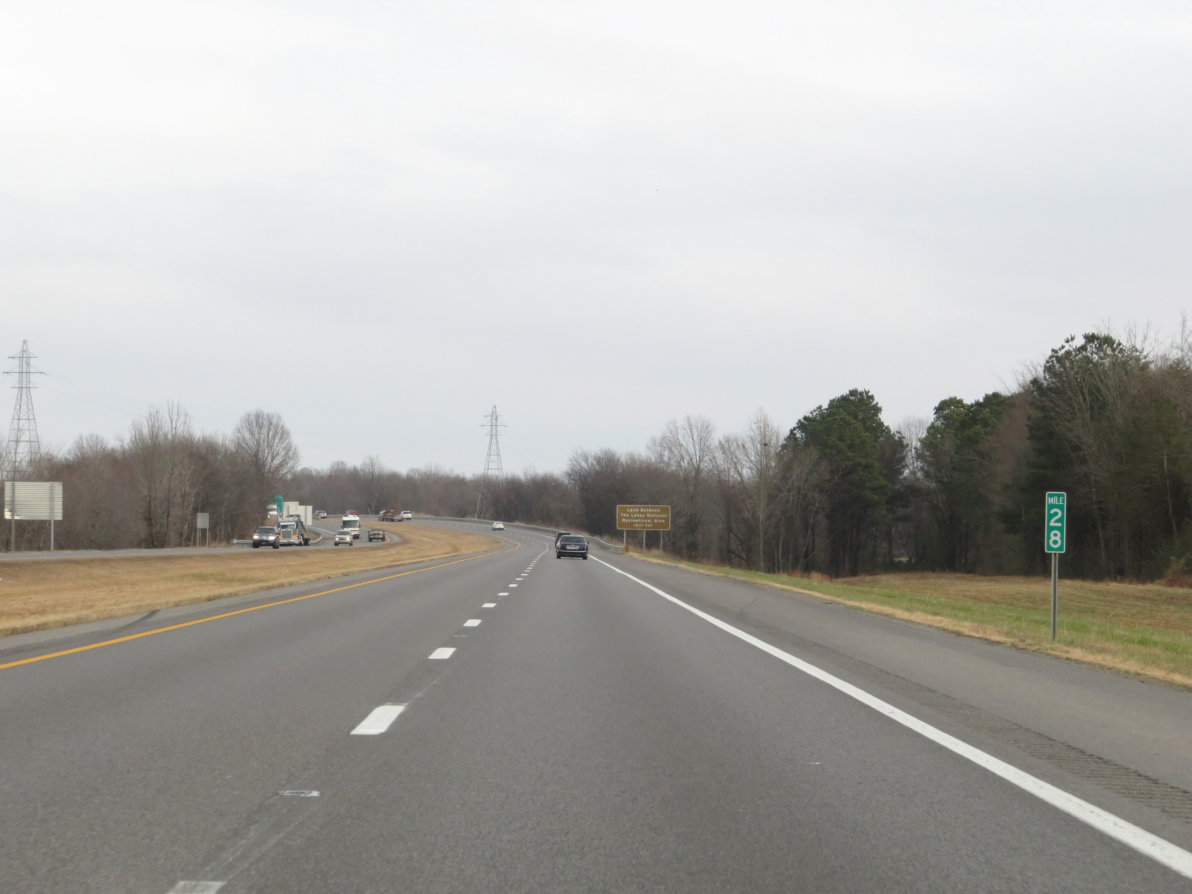
Take Exit 31 to Land Between The Lakes National Recreational Area. (Photo taken 12/15/20). |
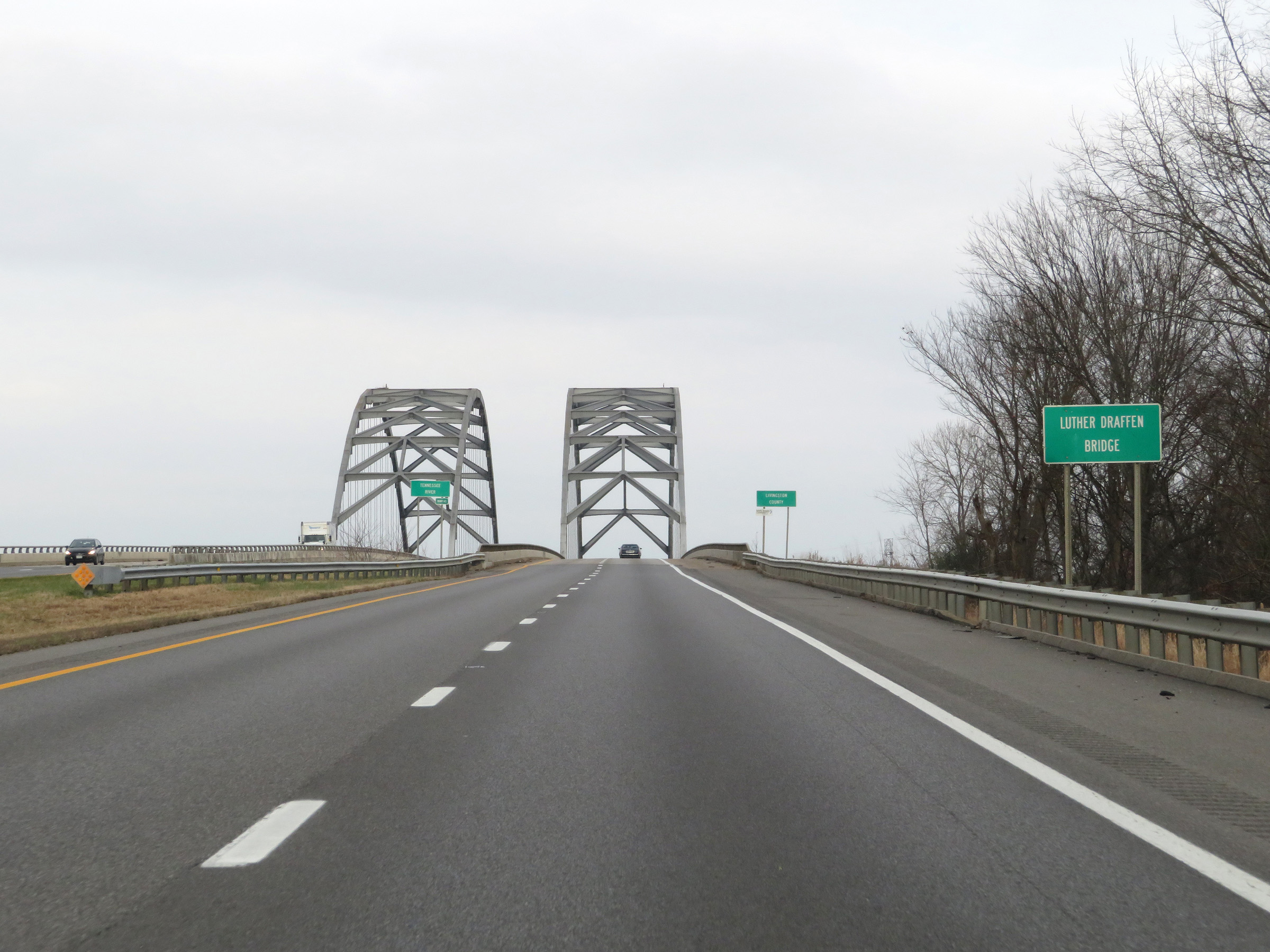 |
Just past mile marker 29, Interstate 69 North / Interstate 24 East prepare to cross the Luther Draffen Bridge, which will carry the duplex over the Tennessee River and into Livingston County. (Photo taken 12/15/20). |
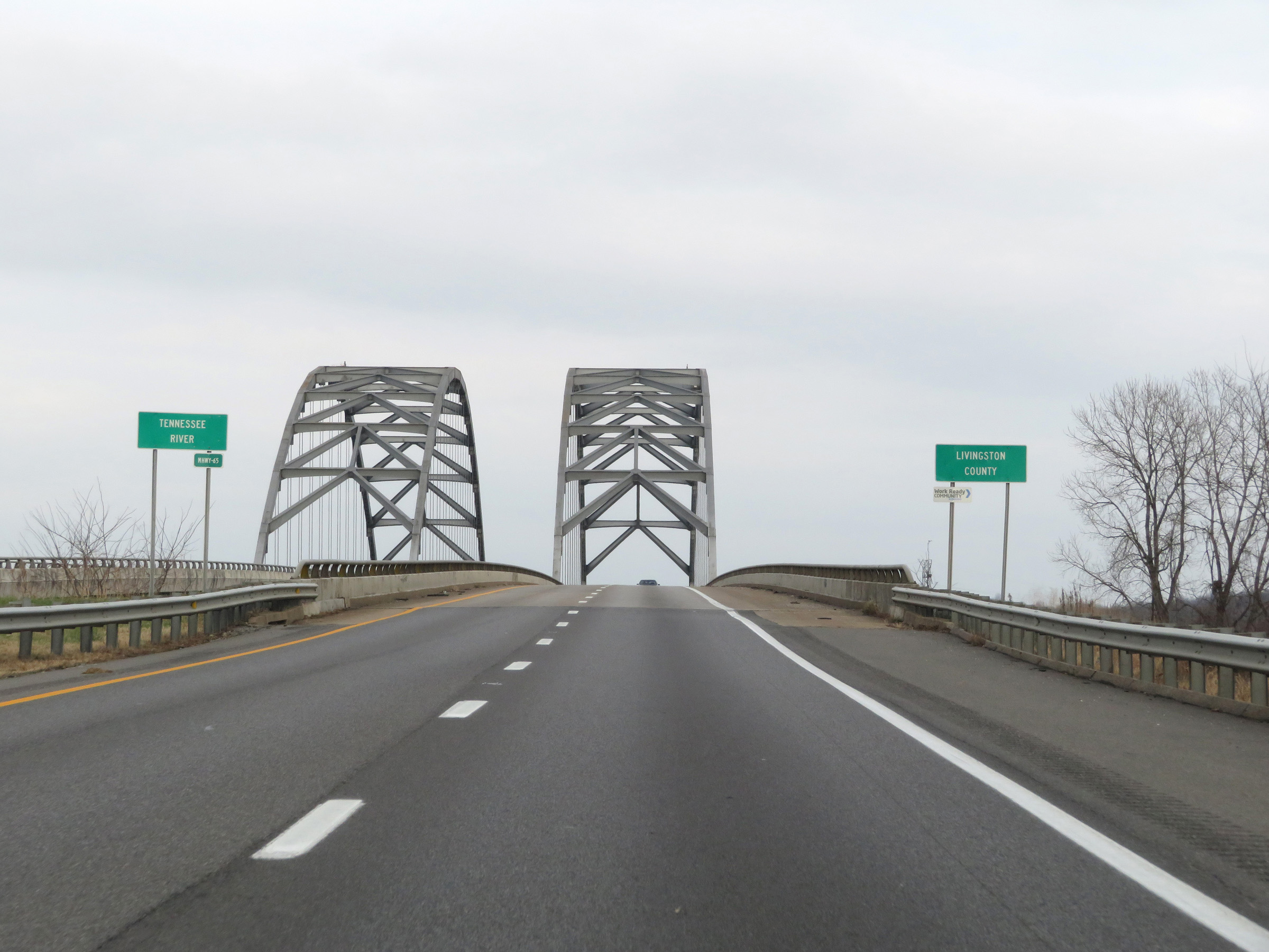 |
Interstate 69 North / Interstate 24 East as they start across the Luther Draffen Bridge over the Tennessee River and enter Livingston County. (Photo taken 12/15/20). |
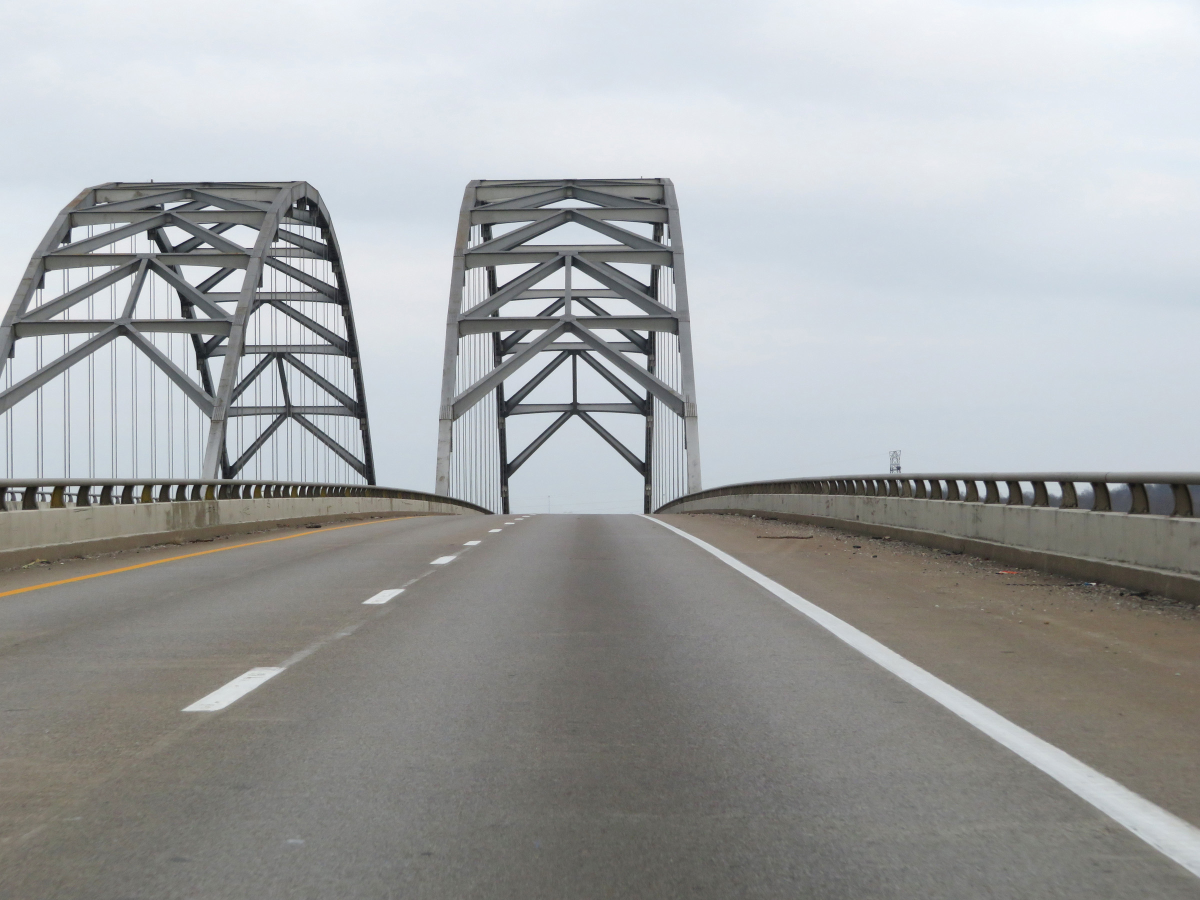 |
View on Interstate 69 North / Interstate 24 East crossing the Tennessee River on the Luther Draffen Bridge. (Photo taken 12/15/20). |
 |
Interstate 69 North / Interstate 24 East at the peak of the Luther Draffen Bridge over the Tennessee River. (Photo taken 12/15/20). |
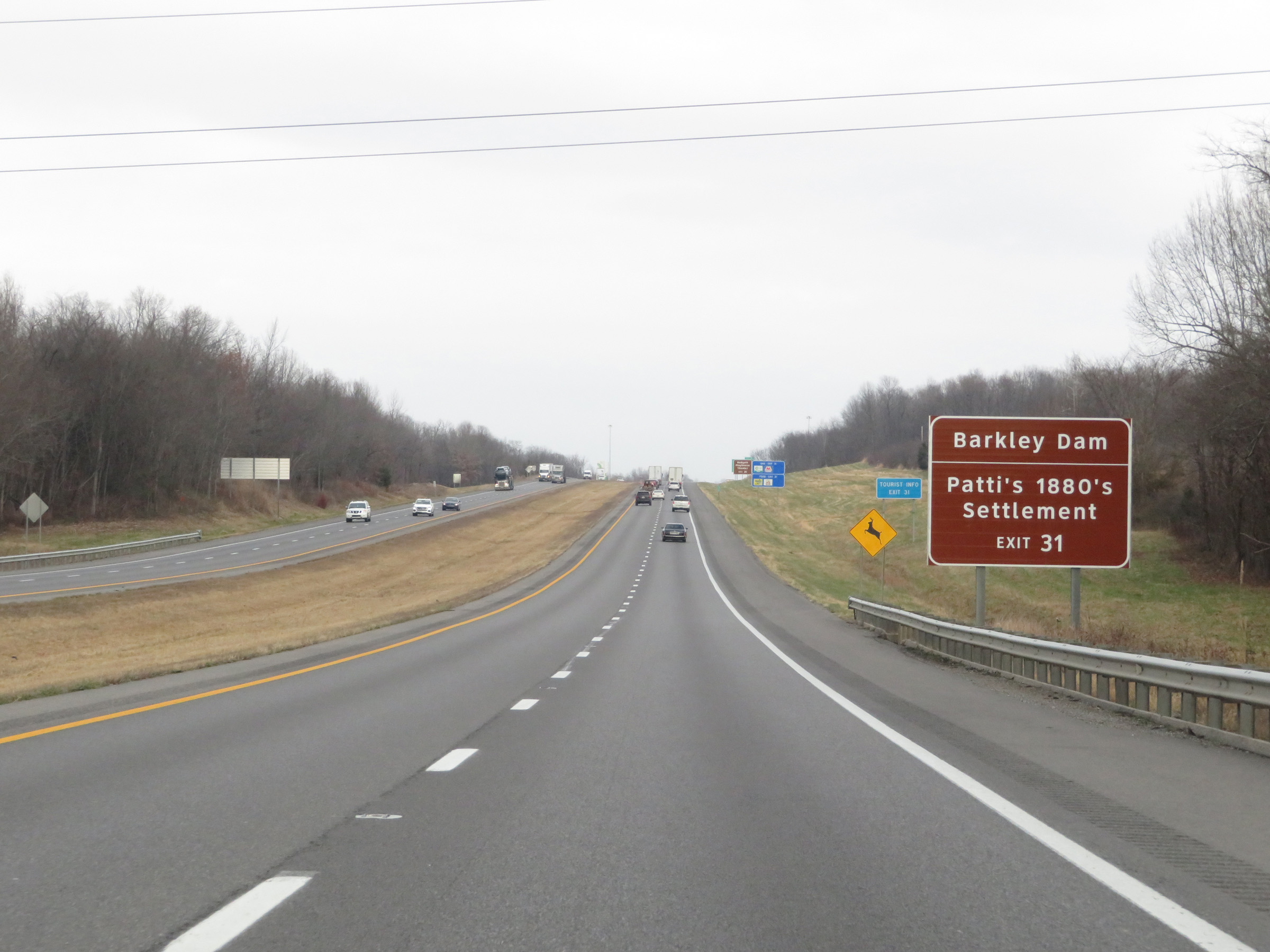 |
Also take Exit 31 to Barkley Dam and Patti's 1880's Settlement. (Photo taken 12/15/20). |
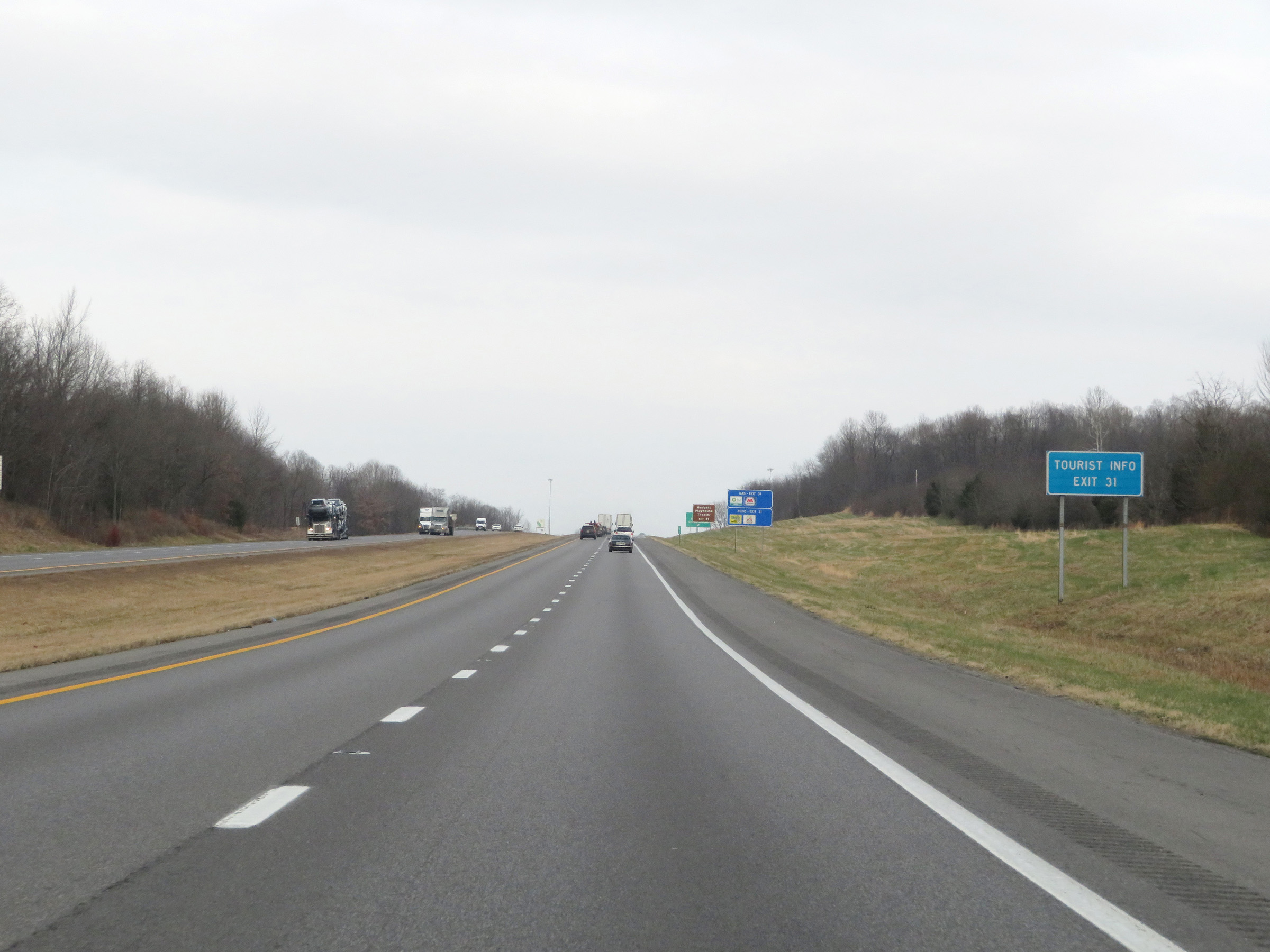 |
Tourist Info is available off Exit 31 ahead. (Photo taken 12/15/20). |
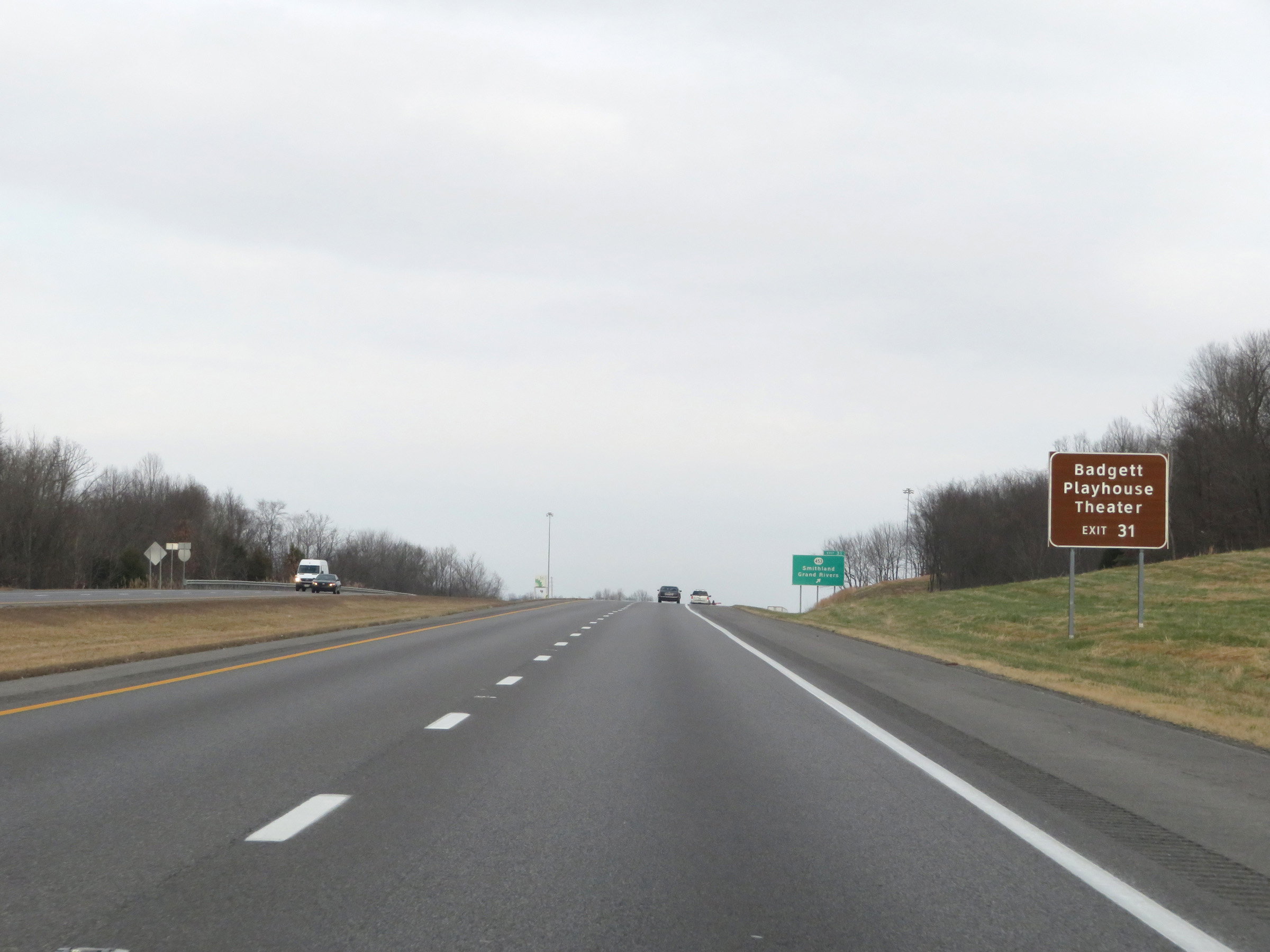 |
Take Exit 31 to Badgett Playhouse Theater as well. (Photo taken 12/15/20). |
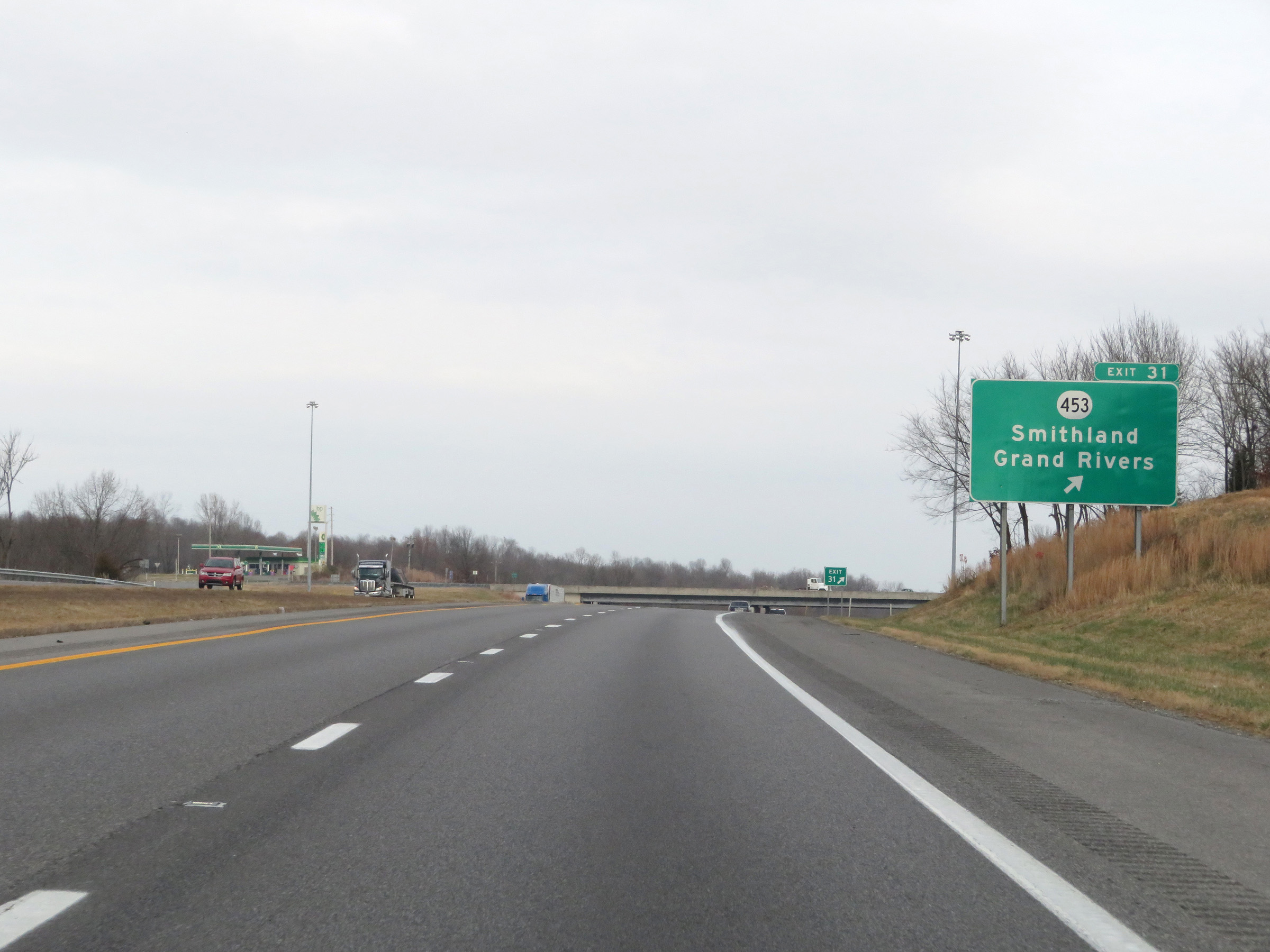 |
Interstate 69 North / Interstate 24 East at Exit 31: KY 453 - Smithland / Grand Rivers (Photo taken 12/15/20). |
 |
Another set of Interstate 69 North / Interstate 24 East reassurance shields. (Photo taken 12/15/20). |
 |
Mileage sign on Interstate 69 North / Interstate 24 East. It's 10 miles to both Kuttawa and Eddyville while it's 120 miles to Nashville. (Photo taken 12/15/20). |
 |
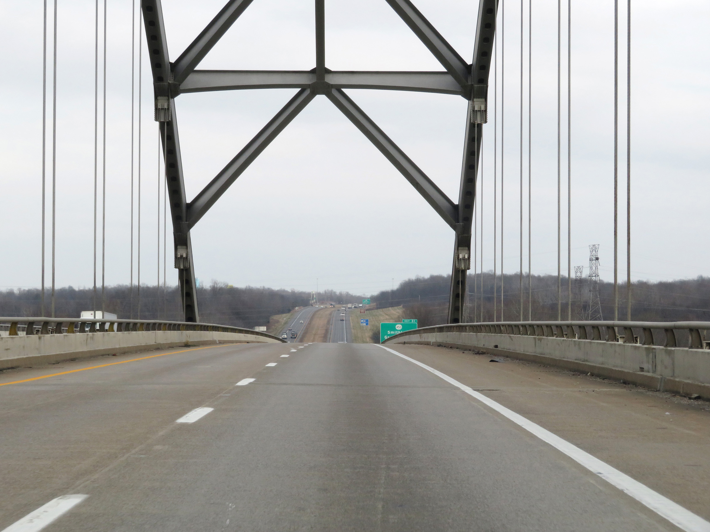
Interstate 69 North / Interstate 24 East at mile marker 32. (Photo taken 12/15/20). |
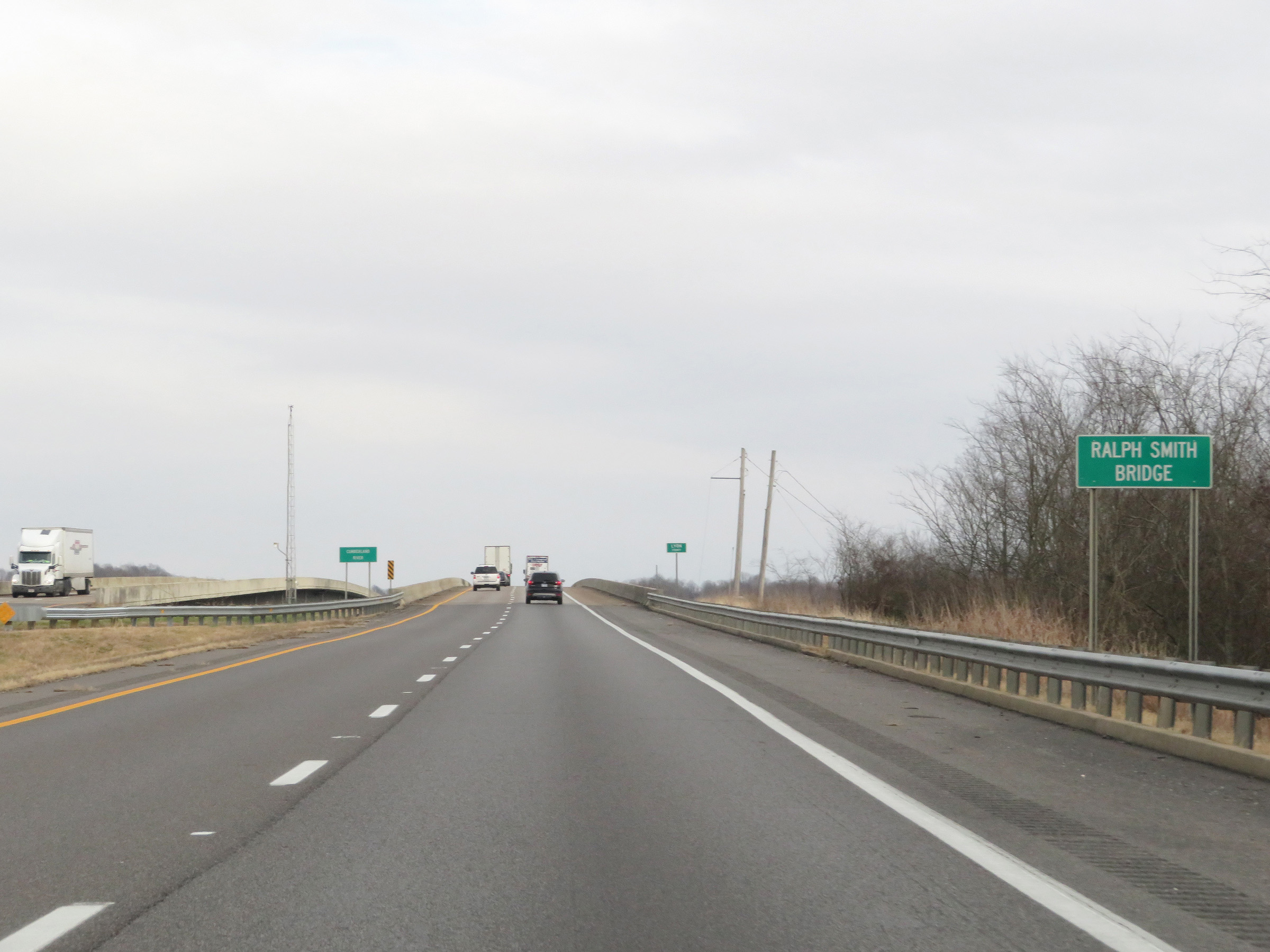 |
Interstate 69 North / Interstate 24 East as the duplex prepares to cross the Ralph Smith Bridge, which will carry the two Interstates over the Cumberland River and into Lyon County. (Photo taken 12/15/20). |
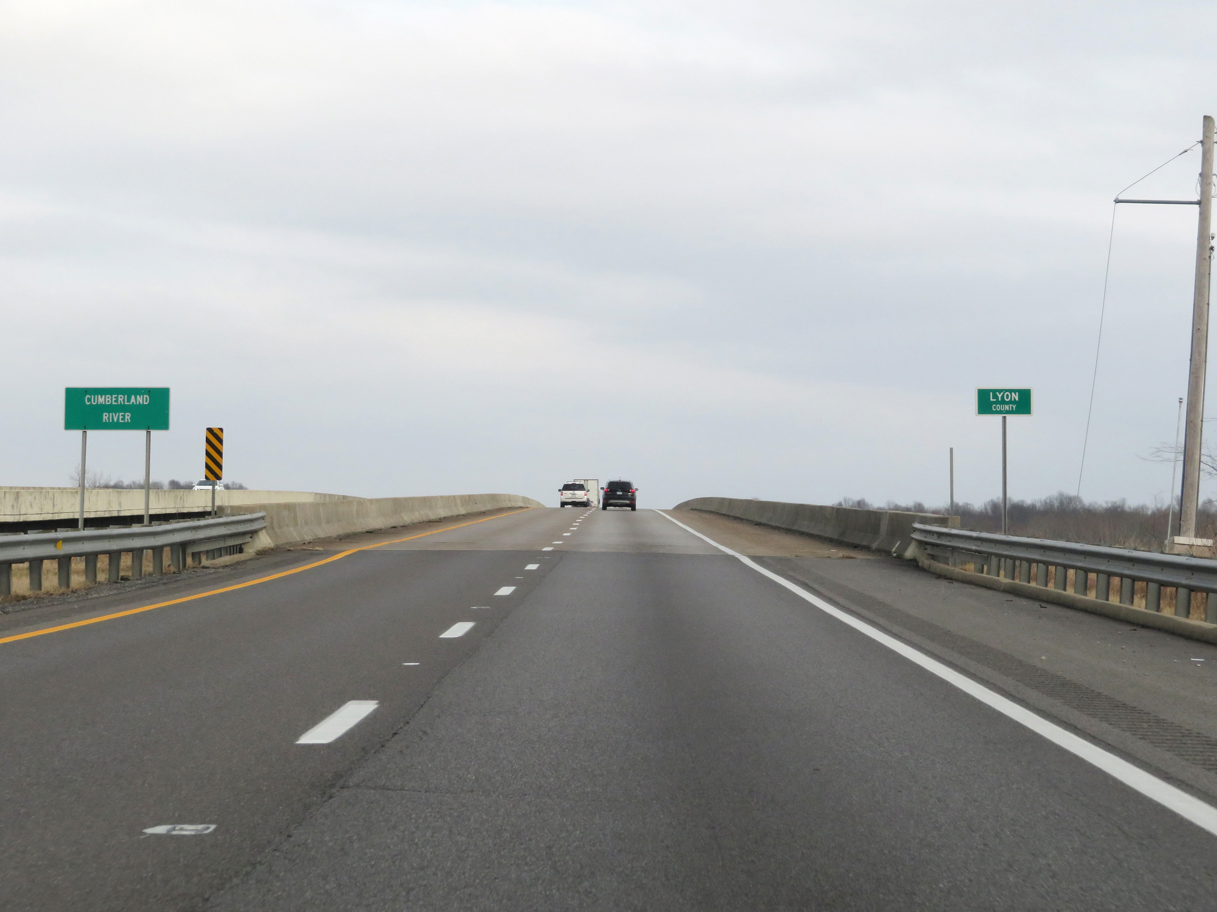 |
View on Interstate 69 North / Interstate 24 East as they start across the Ralph Smith Bridge over the Cumberland River and enter Lyon County. (Photo taken 12/15/20). |
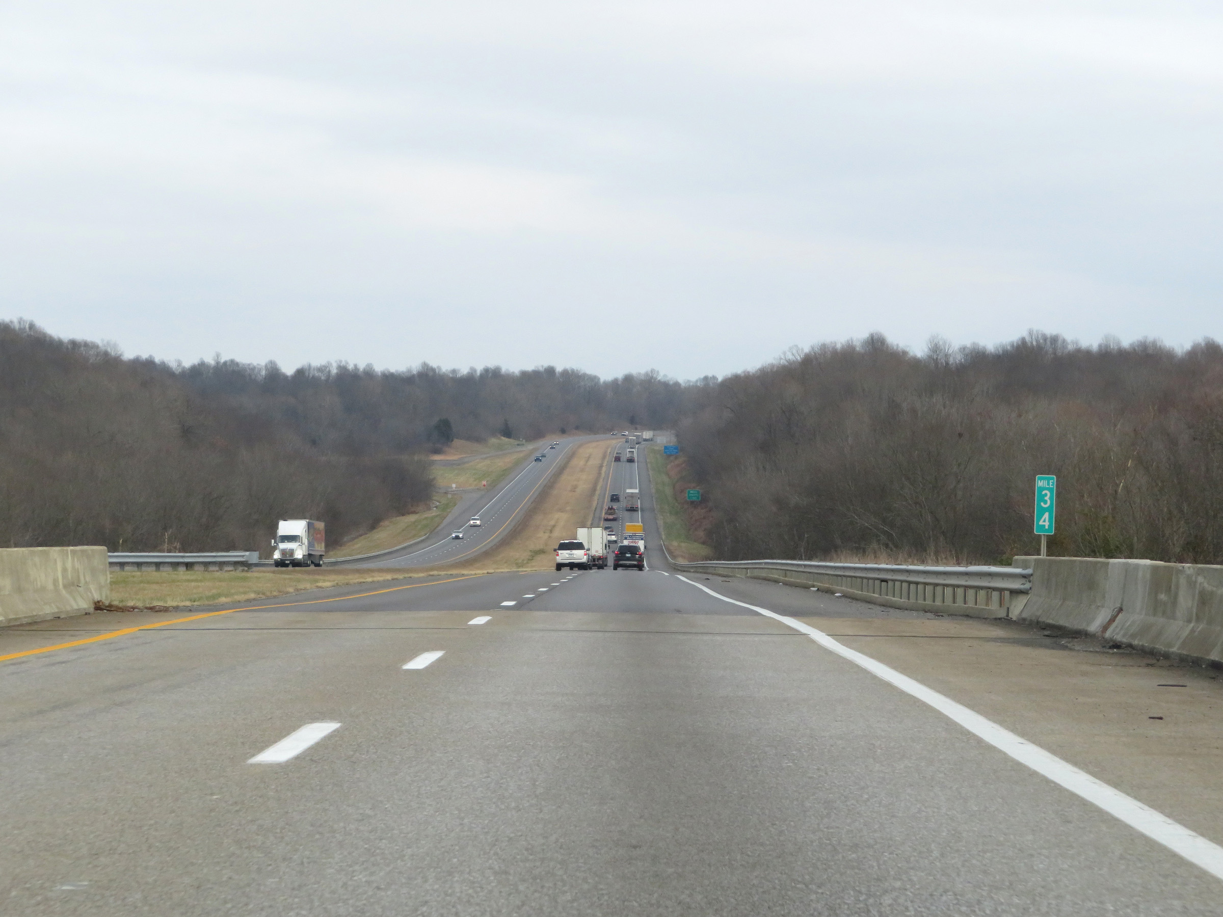 |
Interstate 69 North / Interstate 24 East at mile marker 34, on the east side of the Ralph Smith Bridge. (Photo taken 12/15/20). |
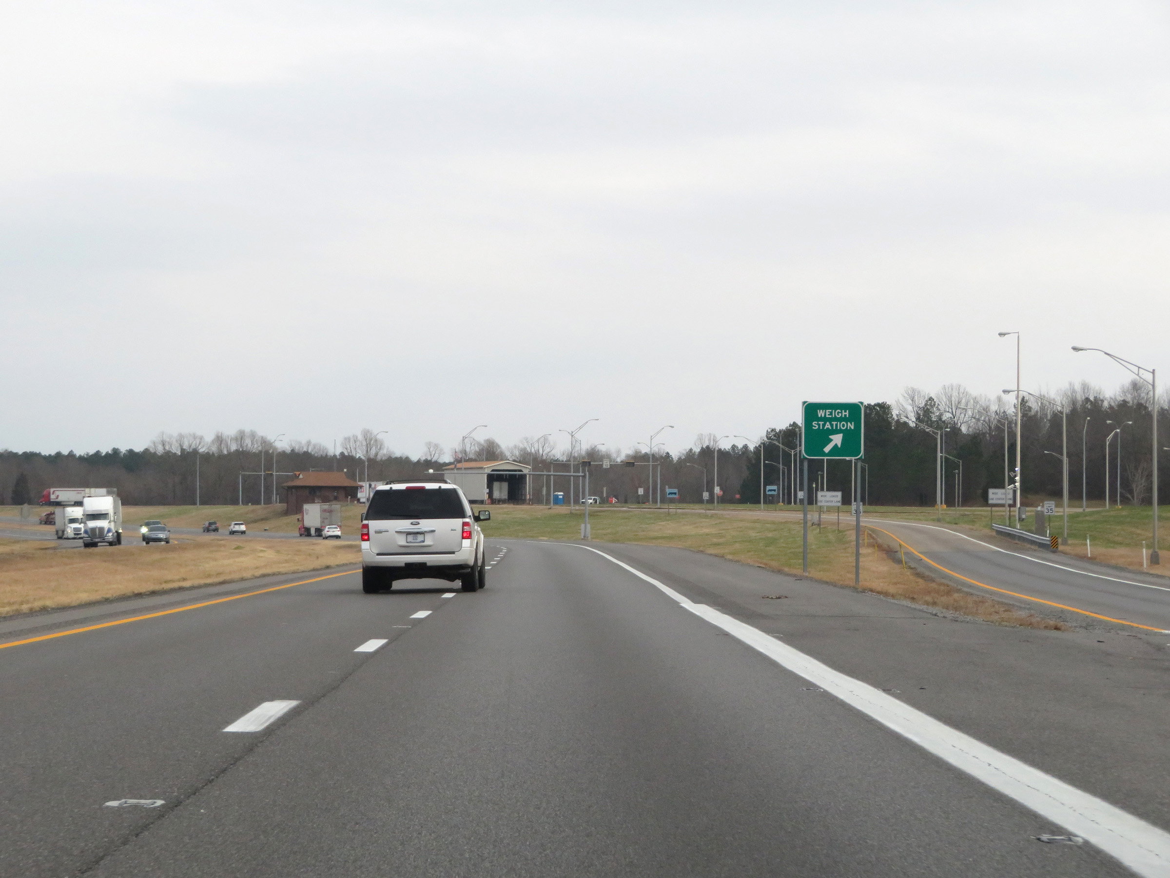 |
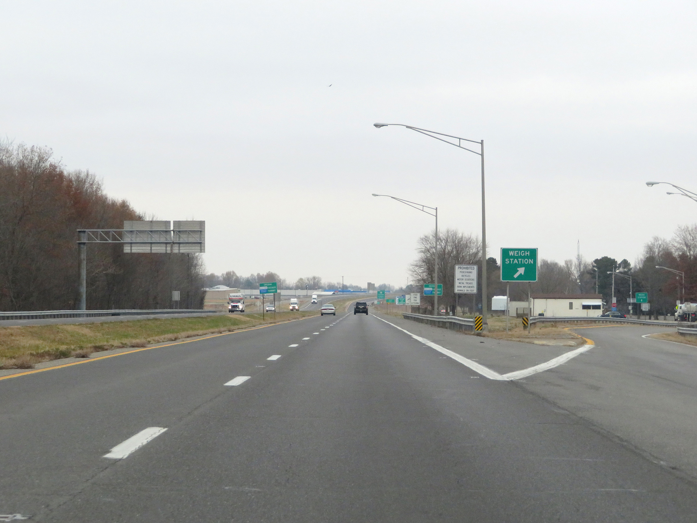
Weigh Station on Interstate 69 North / Interstate 24 East in Lyon County. (Photo taken 12/15/20). |
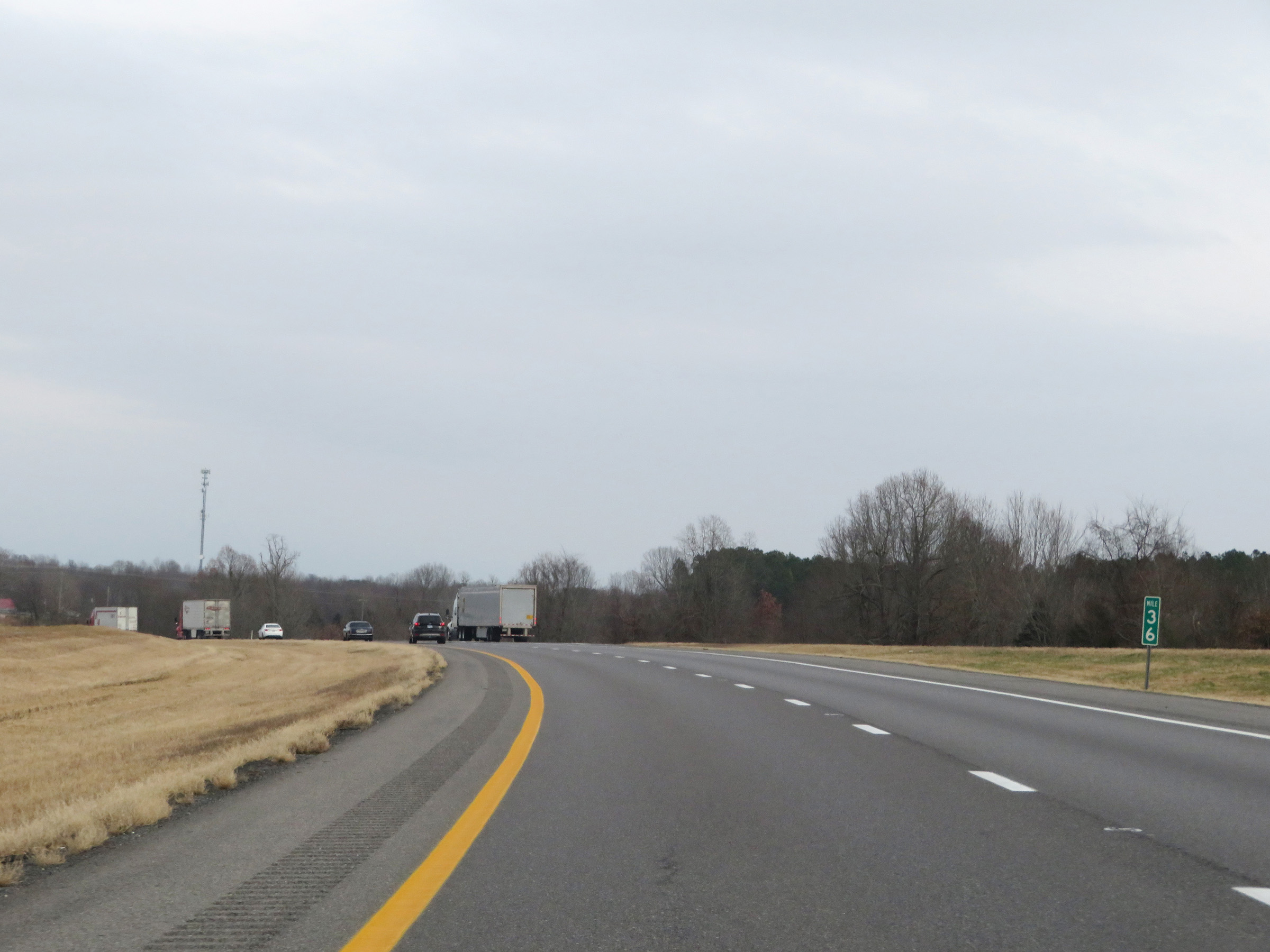 |
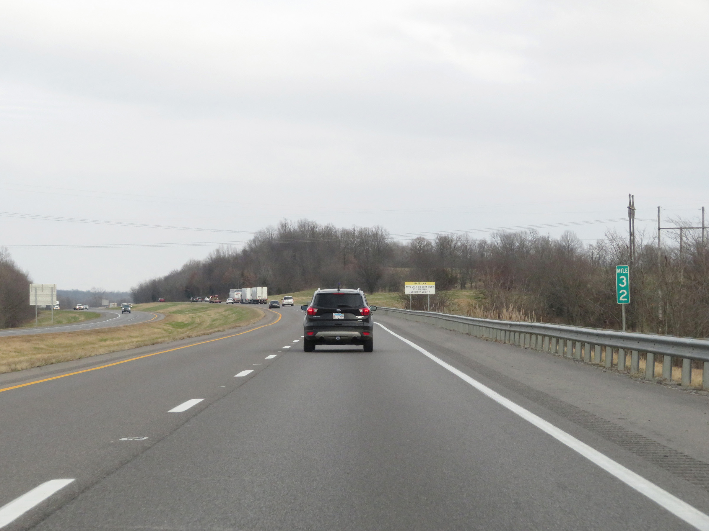
View on Interstate 69 North at mile marker 36. (Photo taken 12/15/20). |
 |
Interstate 69 North / Interstate 24 East at mile marker 38. (Photo taken 12/15/20). |
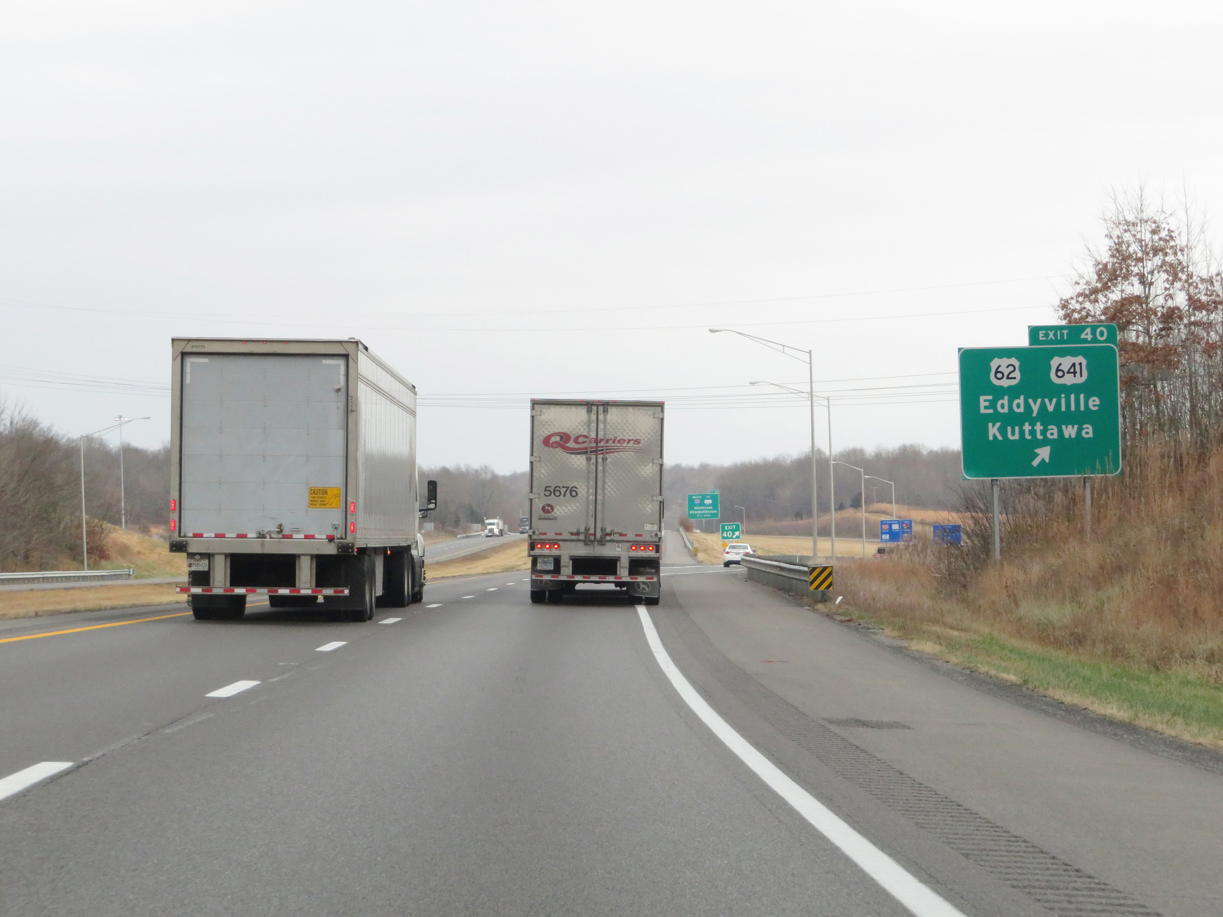 |
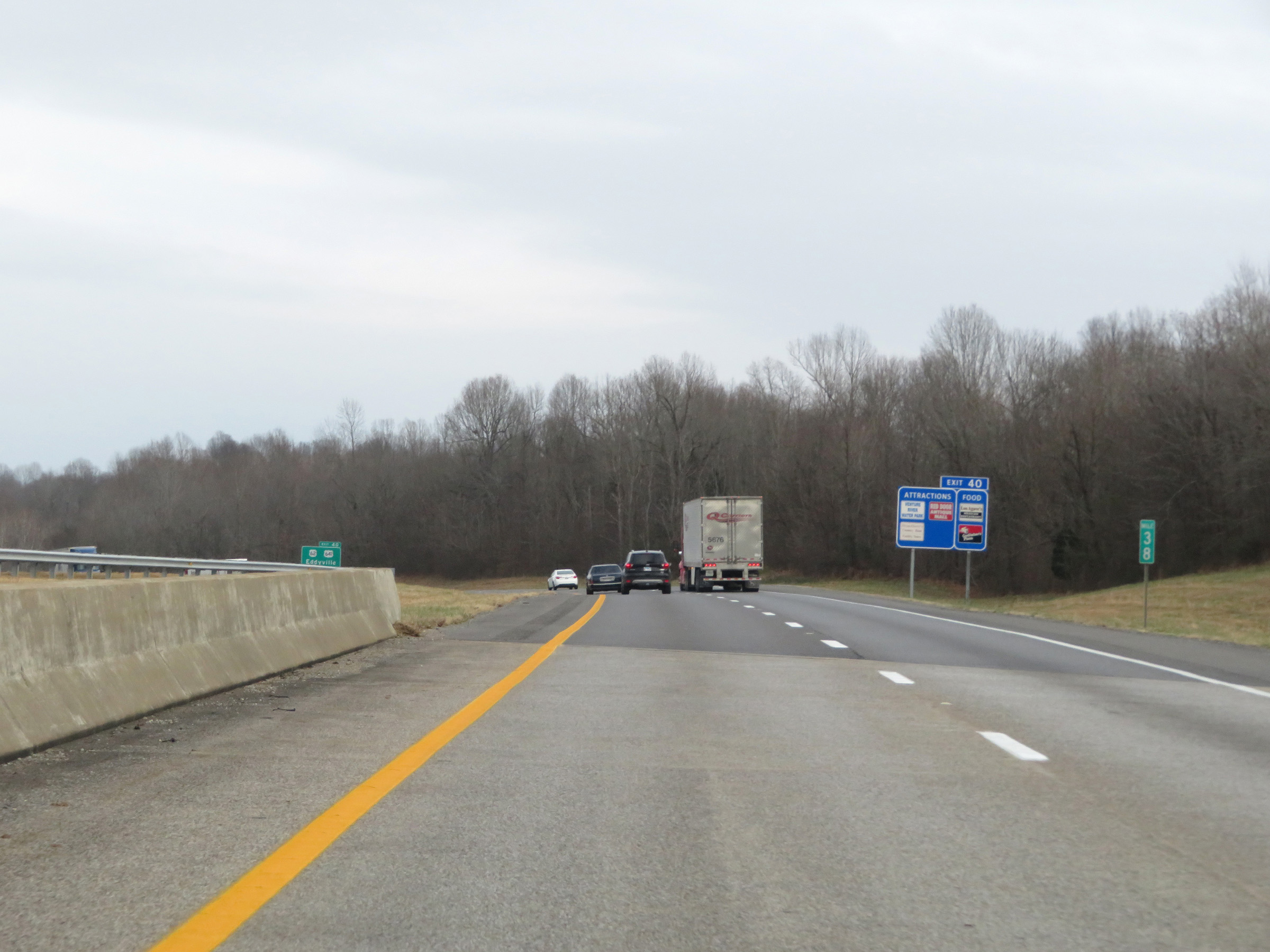
Interstate 69 North / Interstate 24 East at Exit 40: US 62 / US 641 - Eddyville / Kuttawa (Photo taken 12/15/20). |
 |
Interstate 69 North / Interstate 24 East approaching Exit 42 - 1 mile. (Photo taken 12/15/20). |
 |
More advance signage for Exit 42 on Interstate 69 North / Interstate 24 East. (Photo taken 12/15/20). |
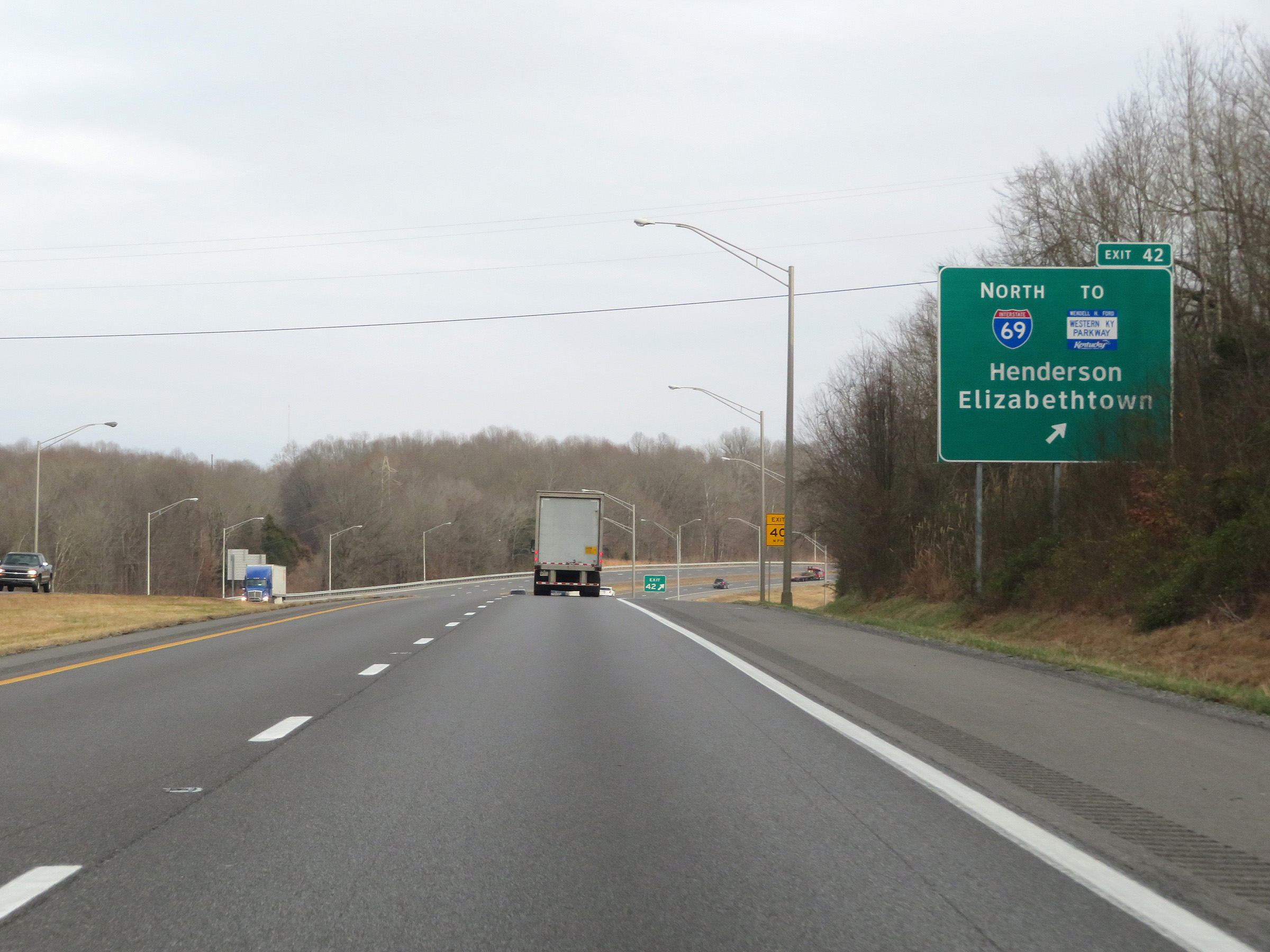 |
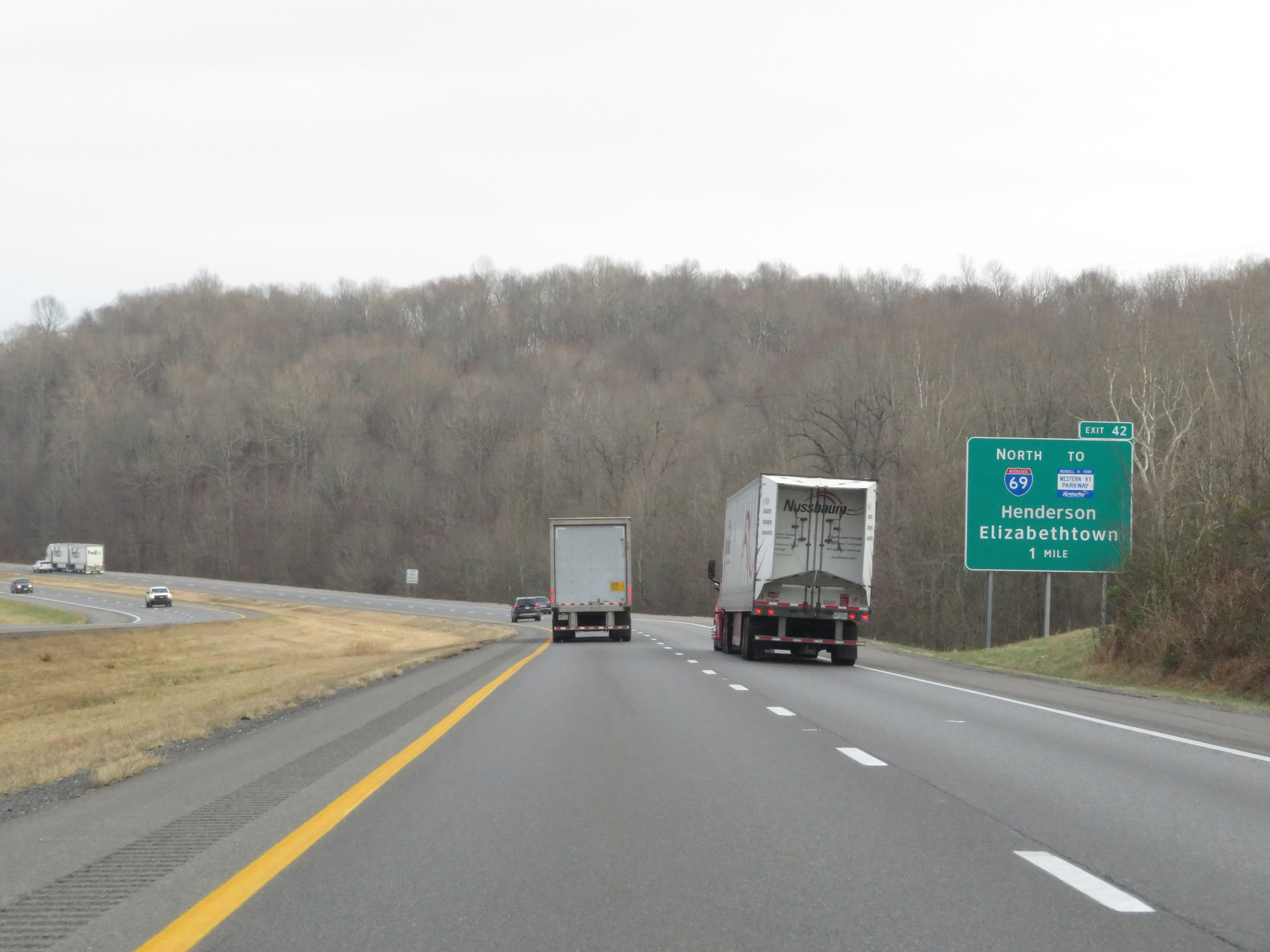
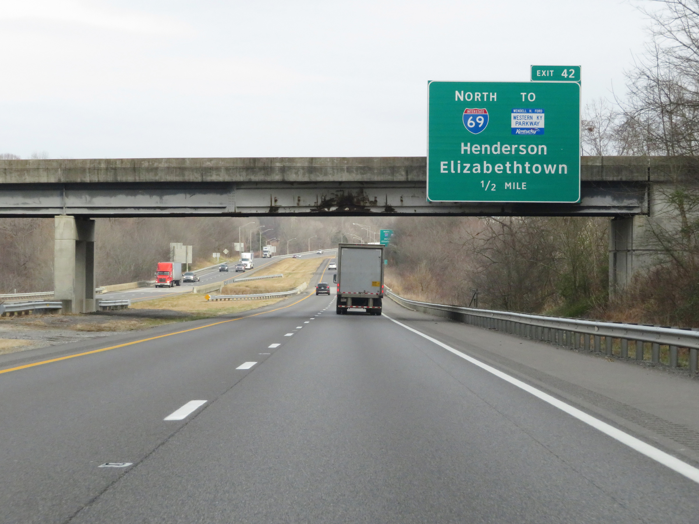
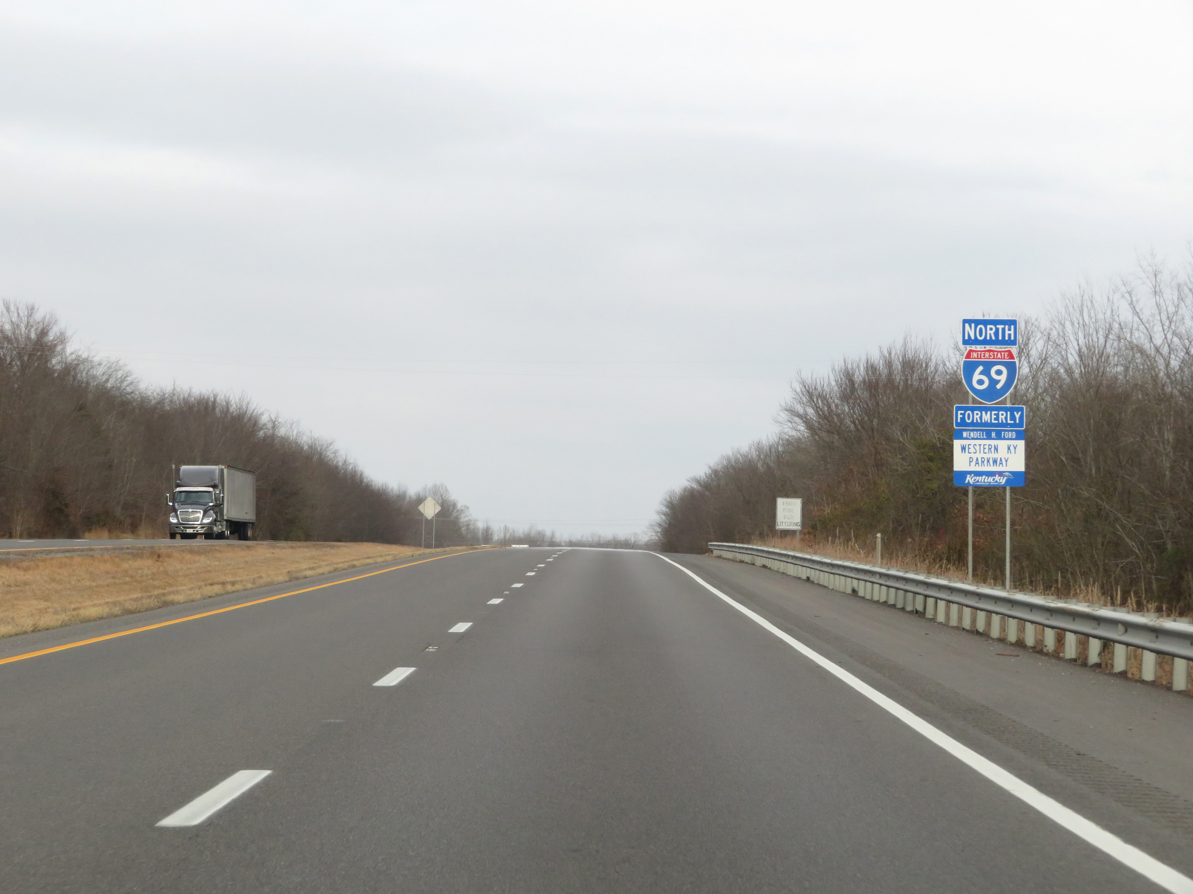
Interstate 69 North / Interstate 24 East at Exit 42: Interstate 69 North / To Western Kentucky Parkway - Henderson / Elizabethtown (Photo taken 12/15/20). |
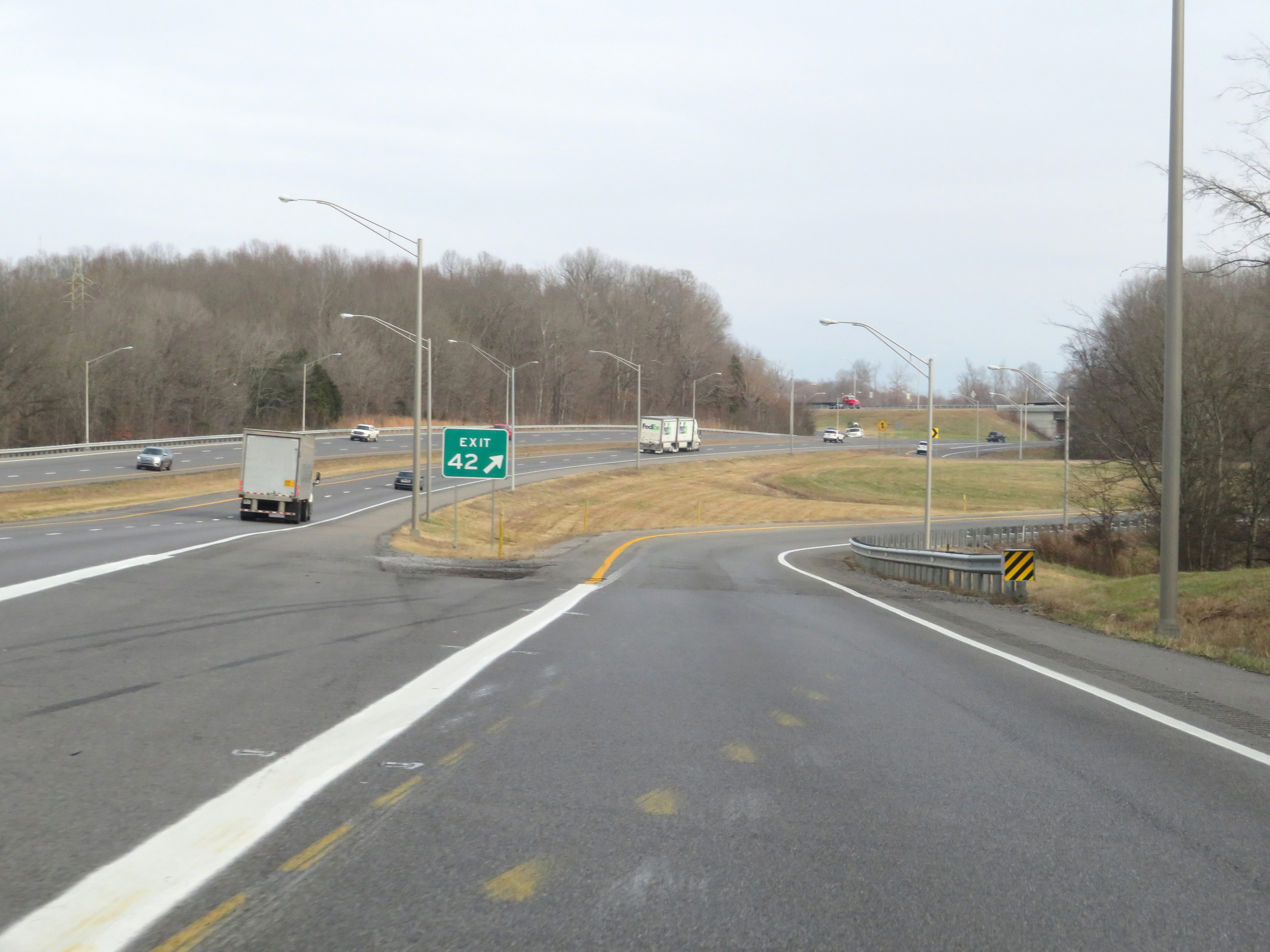 |
A closer view of the ramp to Exit 42, as Interstate 69 North departs Interstate 24 East. (Photo taken 12/15/20). |
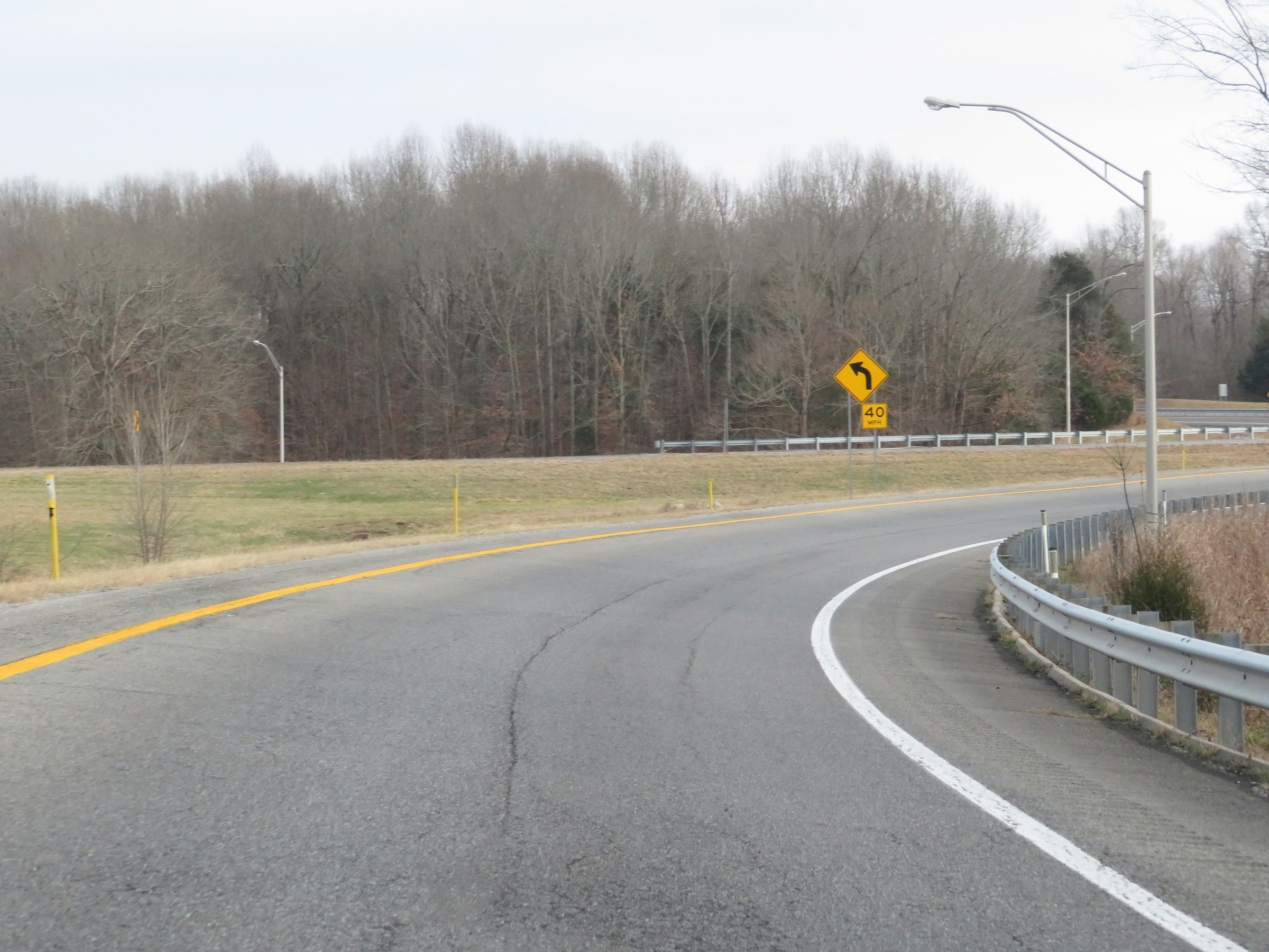 |
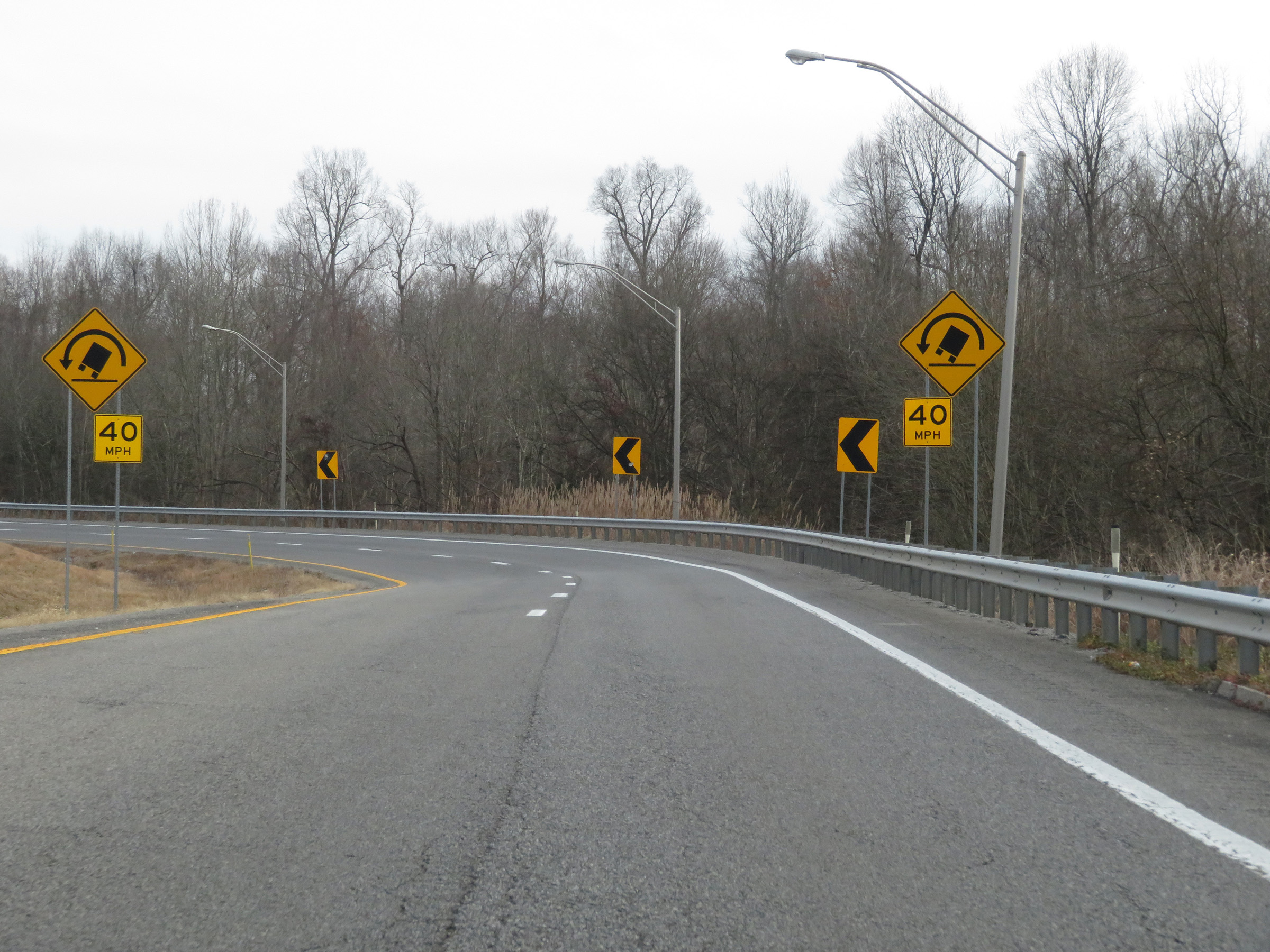
The ramp traverses a sharp curve to the north ahead. 40 mph is the recommended speed. (Photo taken 12/15/20). |
 |
View on Interstate 69 North as the ramp from Interstate 24 East via Exit 42 widens to two lanes approaching the aforementioned 40 mph curve to the north. (Photo taken 12/15/20). |
 |
Interstate 69 North as it traverses the curve and prepares to pass over Interstate 24. (Photo taken 12/15/20). |
 |
View on Interstate 69 North as it passes over Interstate 24. (Photo taken 12/15/20). |
 |
Traffic from Interstate 24 West merges into Interstate 69 North ahead on the right. (Photo taken 12/15/20). |
 |
The speed limit remains 70 mph on Interstate 69 North. (Photo taken 12/15/20). |
 |
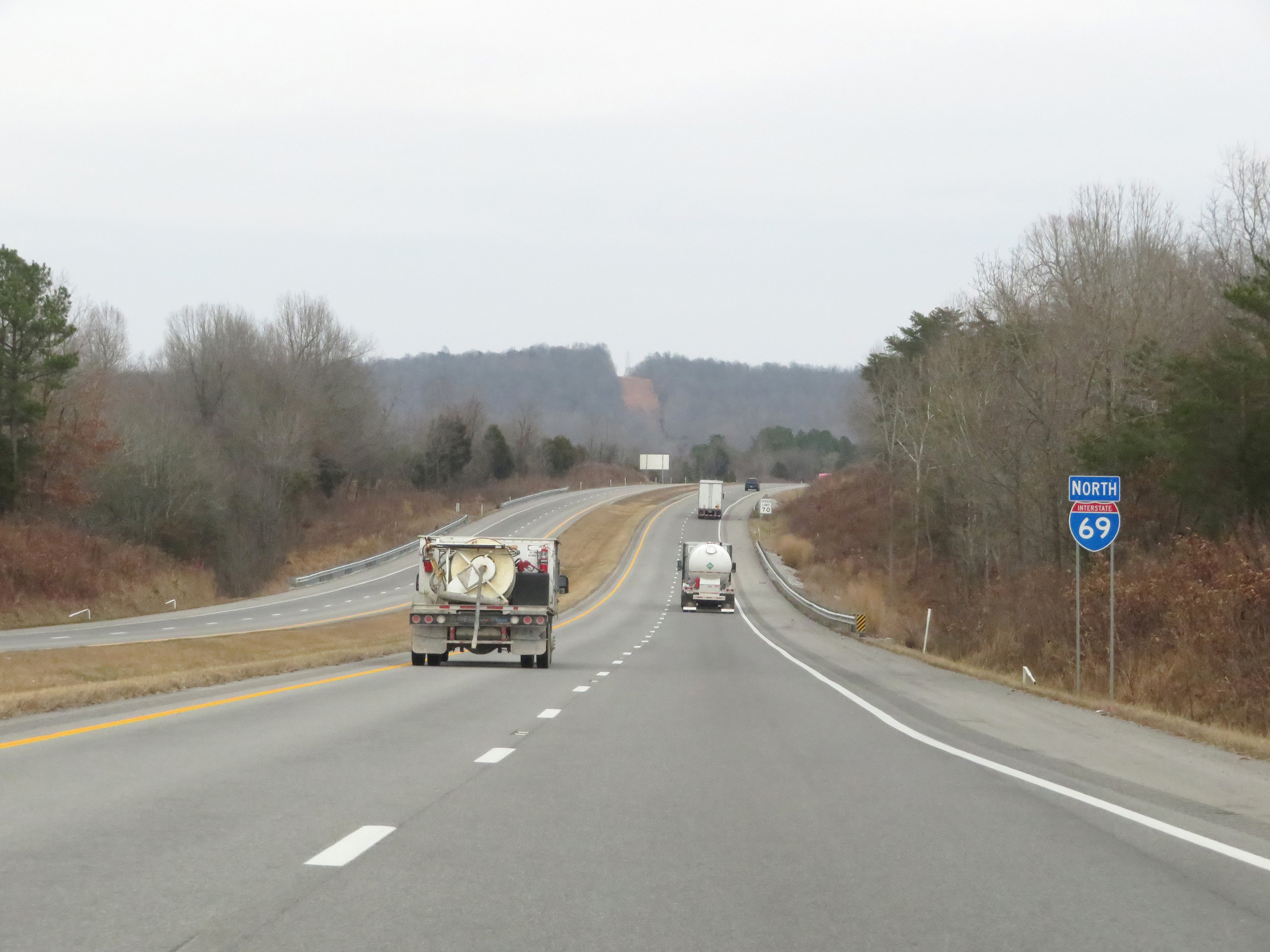
Interstate 69 North reassurance shield after its departure from Interstate 24 East. (Photo taken 12/15/20). |
 |
View on Interstate 69 North at mile marker 69. (Photo taken 12/15/20). |
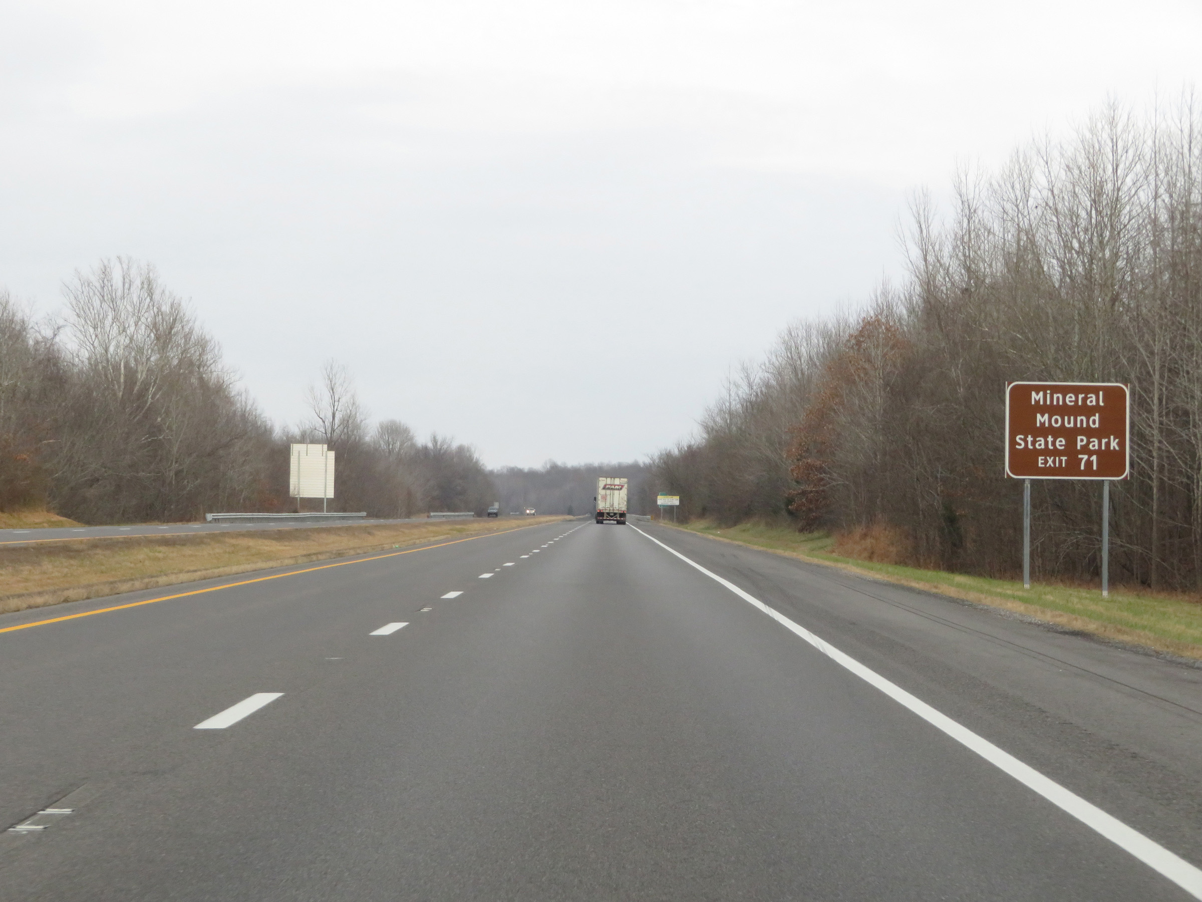 |
Take Exit 71 to Mineral Mound State Park. (Photo taken 12/15/20). |
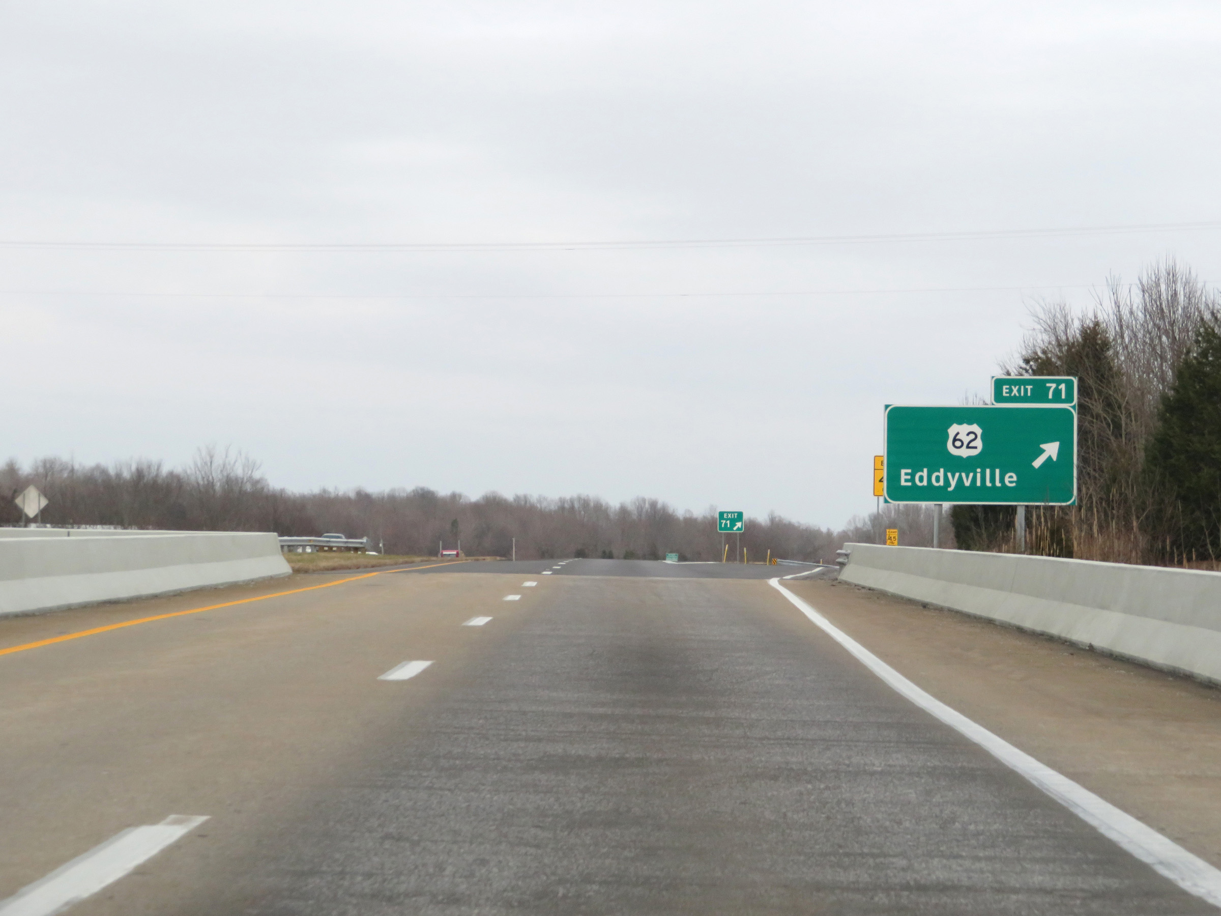 |
Interstate 69 North at Exit 71: US 62 - Eddyville (Photo taken 12/15/20). |
Section 3: Eddyville (Exit 71) to Madisonville (Exit 117)
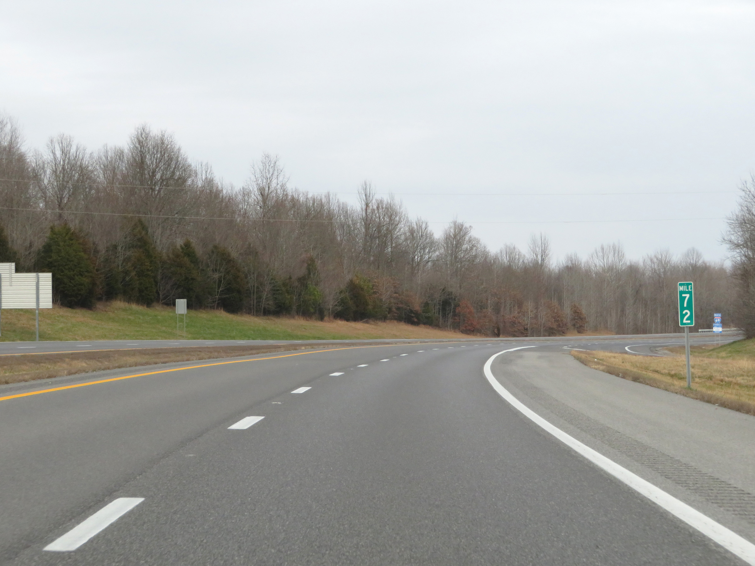 |
View on Interstate 69 North at mile marker 72. (Photo taken 12/15/20). |
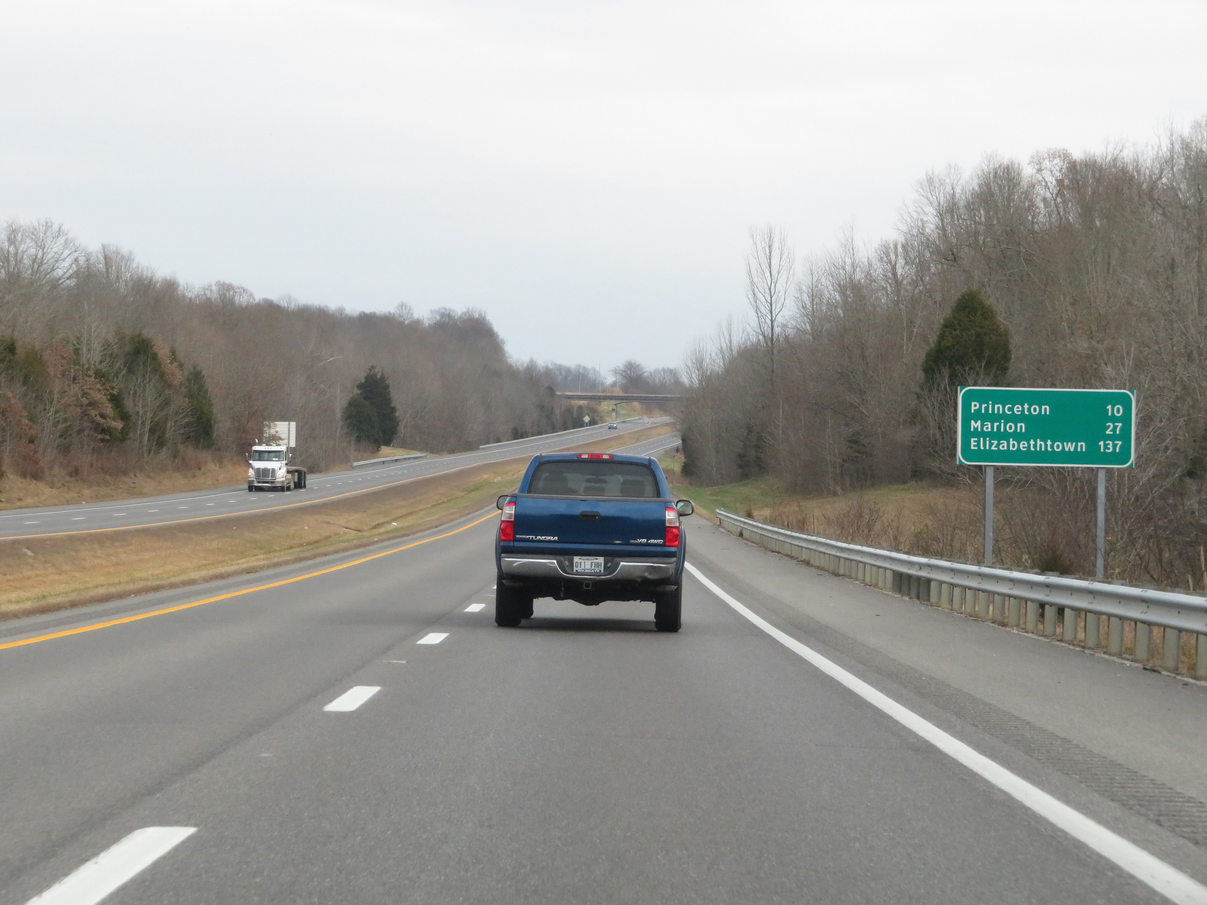 |
Mileage sign on Interstate 69 North. It's 10 miles to Princeton, 27 miles to Marion, and 137 miles to Elizabethtown. (Photo taken 12/15/20). |
 |
Interstate 69 North as it enters Caldwell County. (Photo taken 12/15/20). |
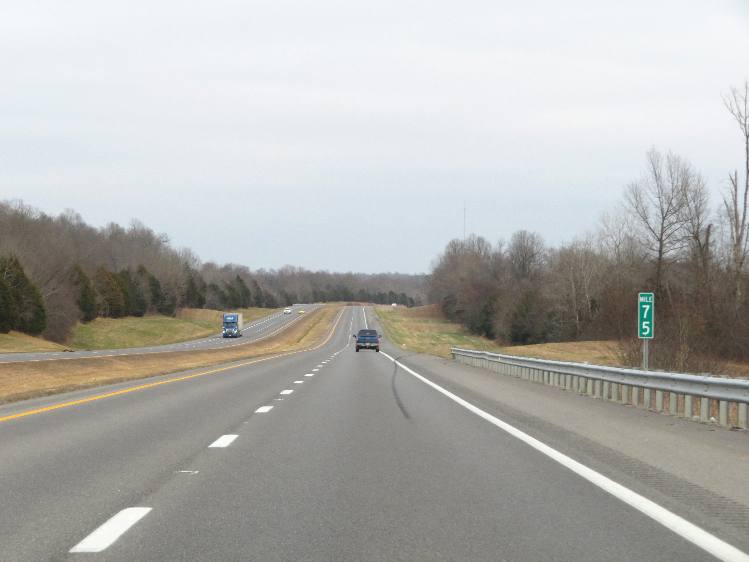 |
View on Interstate 69 North at mile marker 75. (Photo taken 12/15/20). |
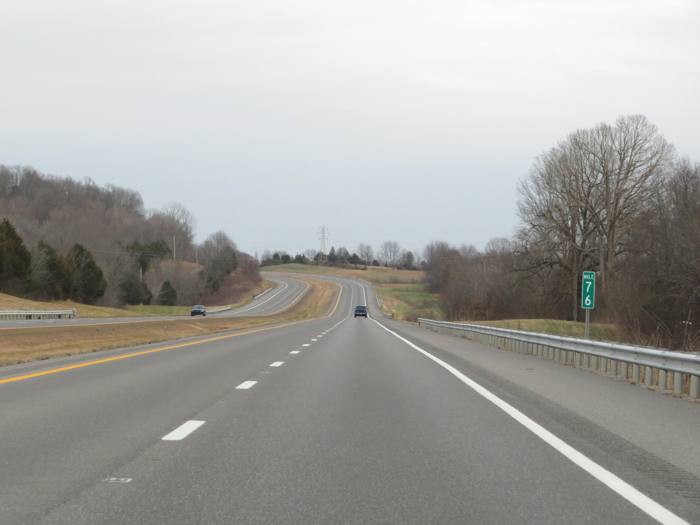 |
Interstate 69 North at mile marker 76. (Photo taken 12/15/20). |
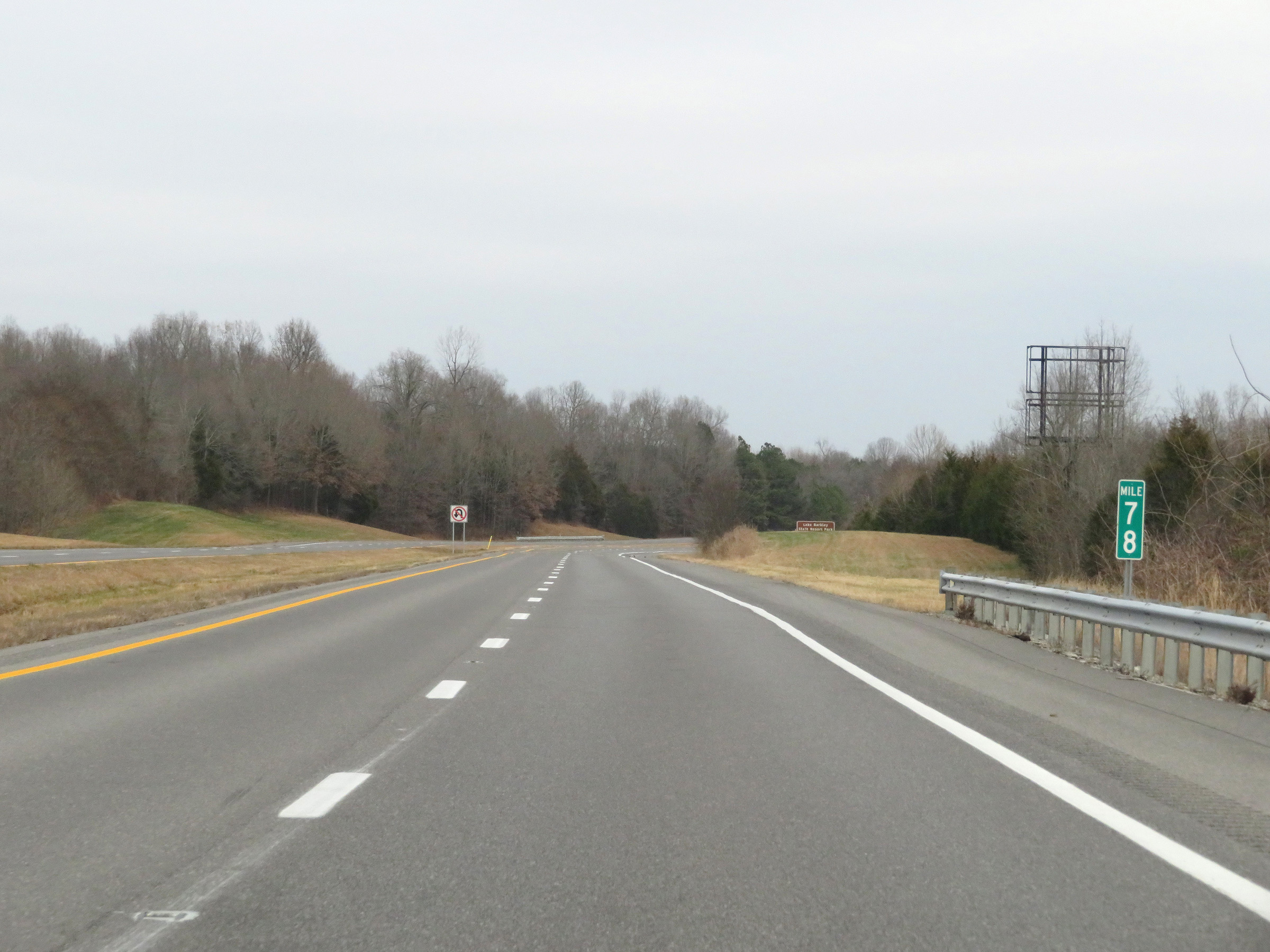 |
Mile marker 78 on Interstate 69 North in Caldwell County. (Photo taken 12/15/20). |
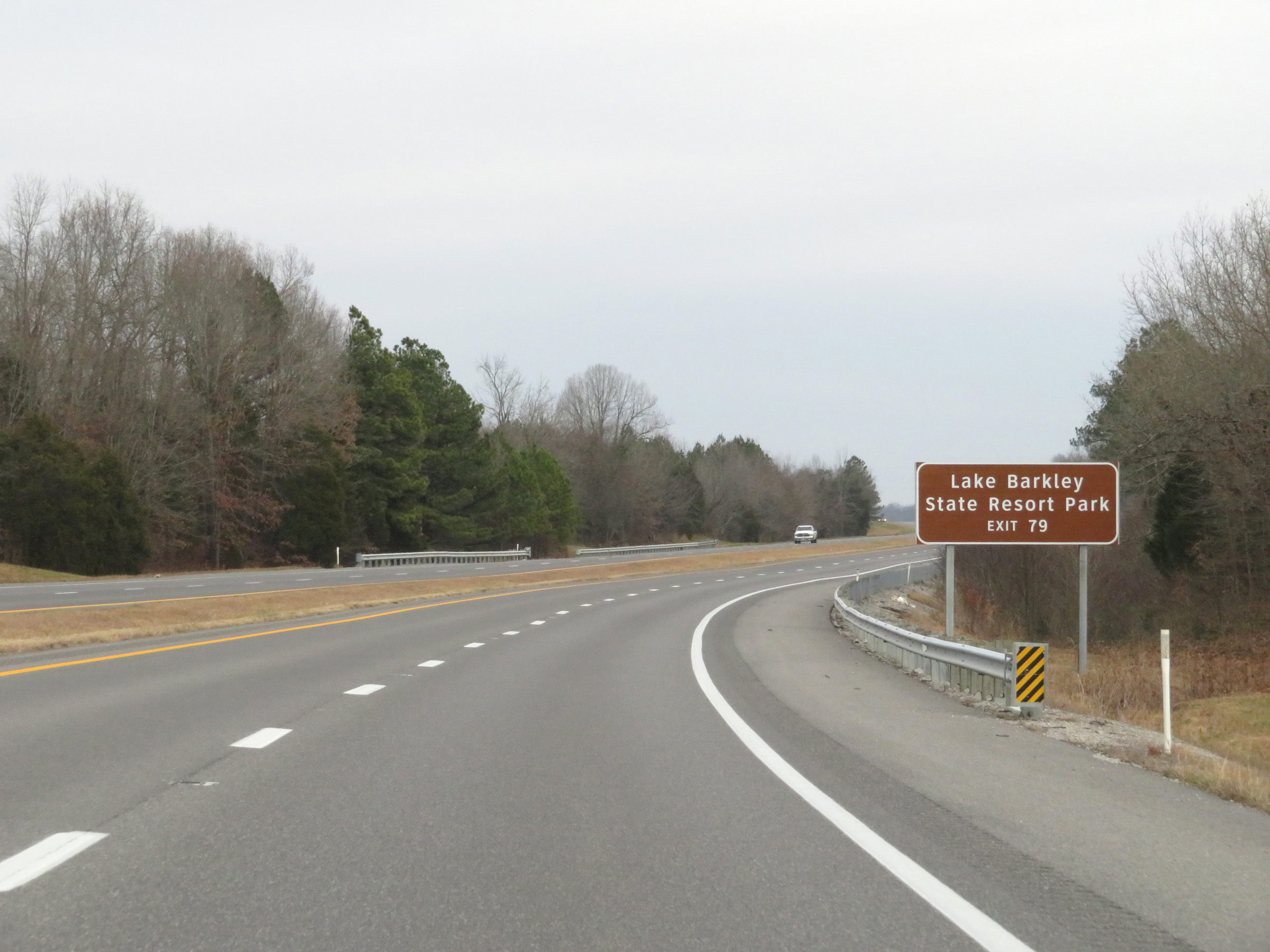 |
Take Exit 79 to Lake Barkley State Resort Park. (Photo taken 12/15/20). |
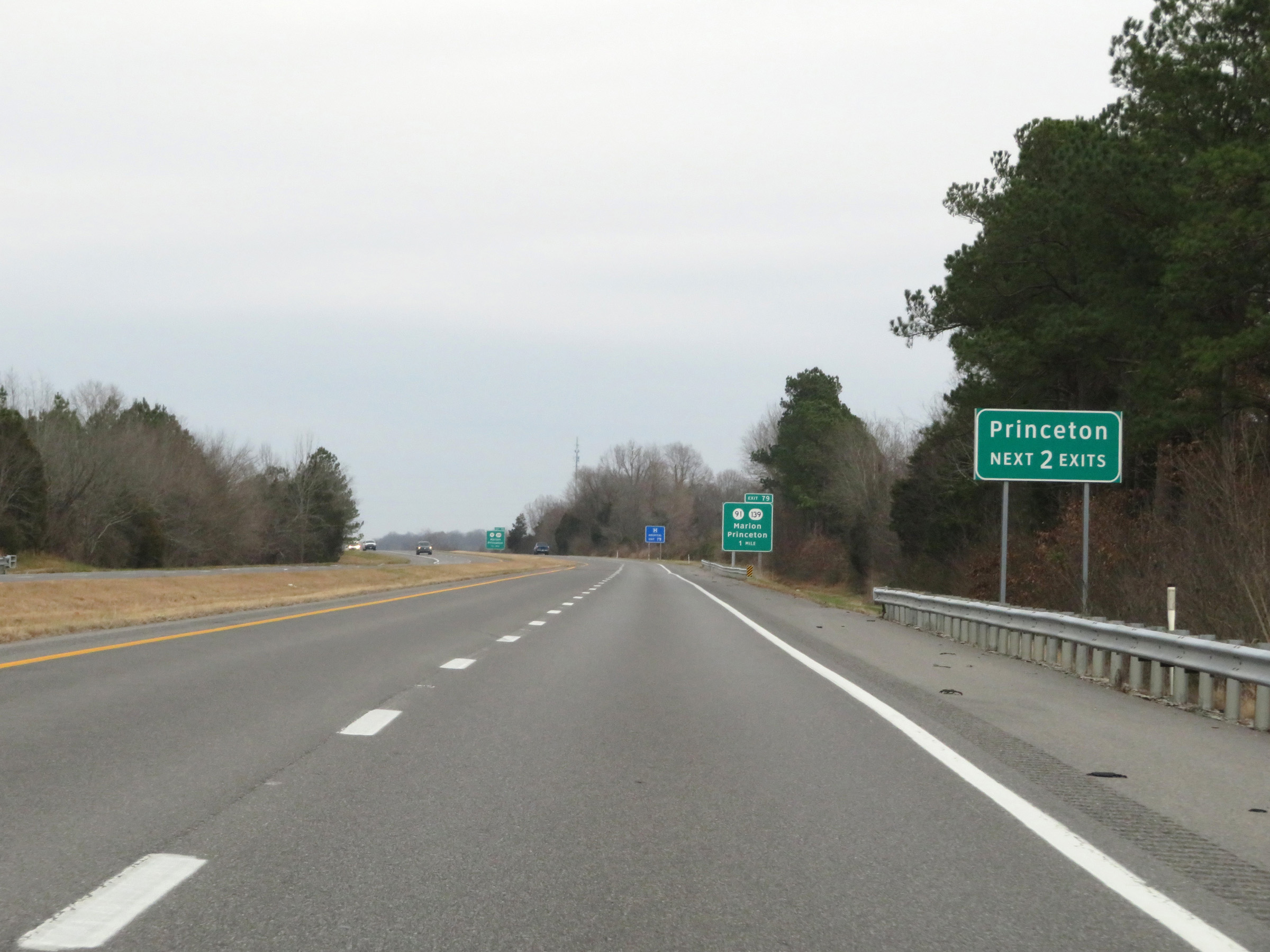 |
Take either of the next 2 exits to Princeton. (Photo taken 12/15/20). |
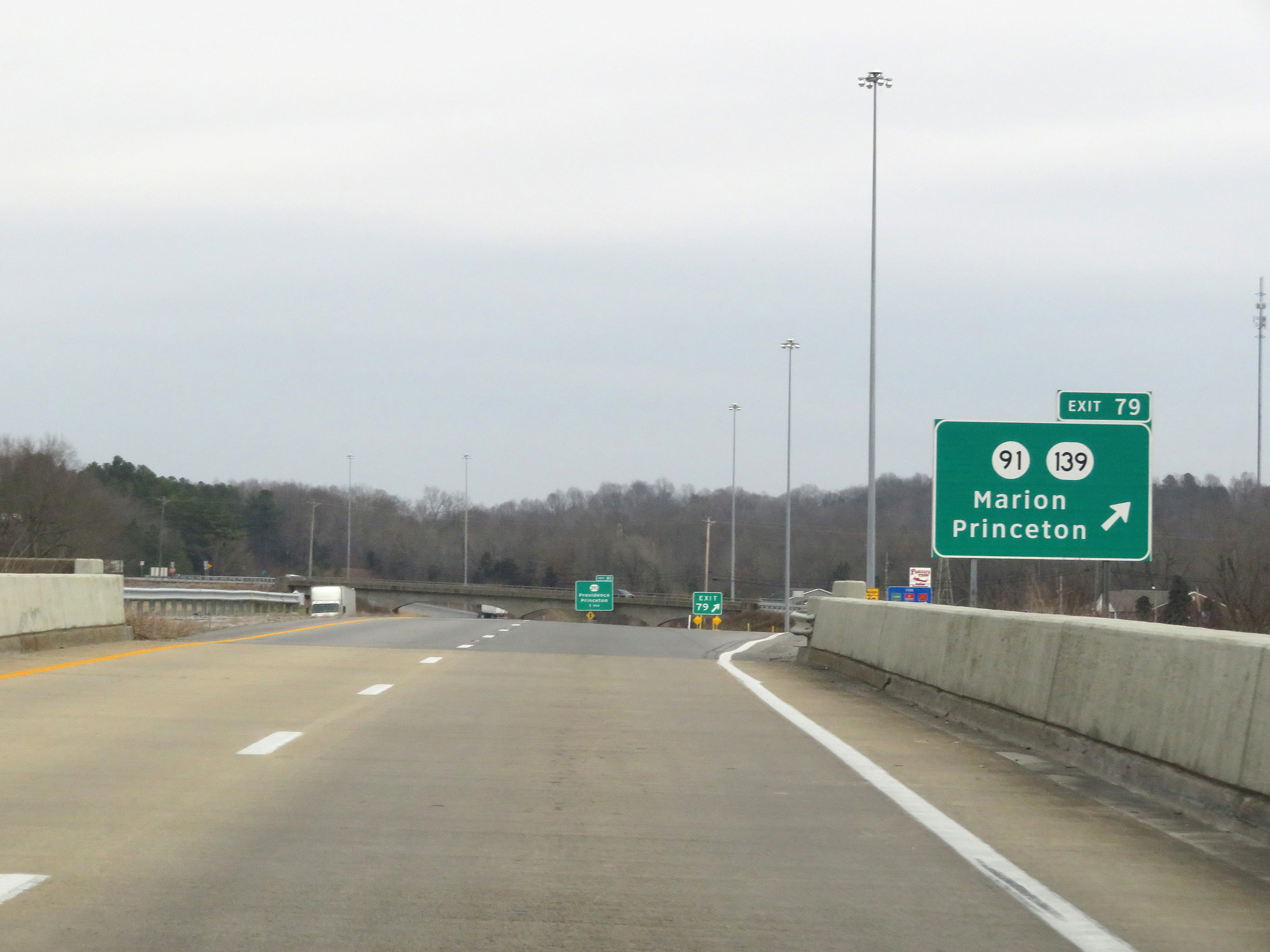 |
Interstate 69 North at Exit 79: KY 91 / KY 139 - Marion / Princeton (Photo taken 12/15/20). |
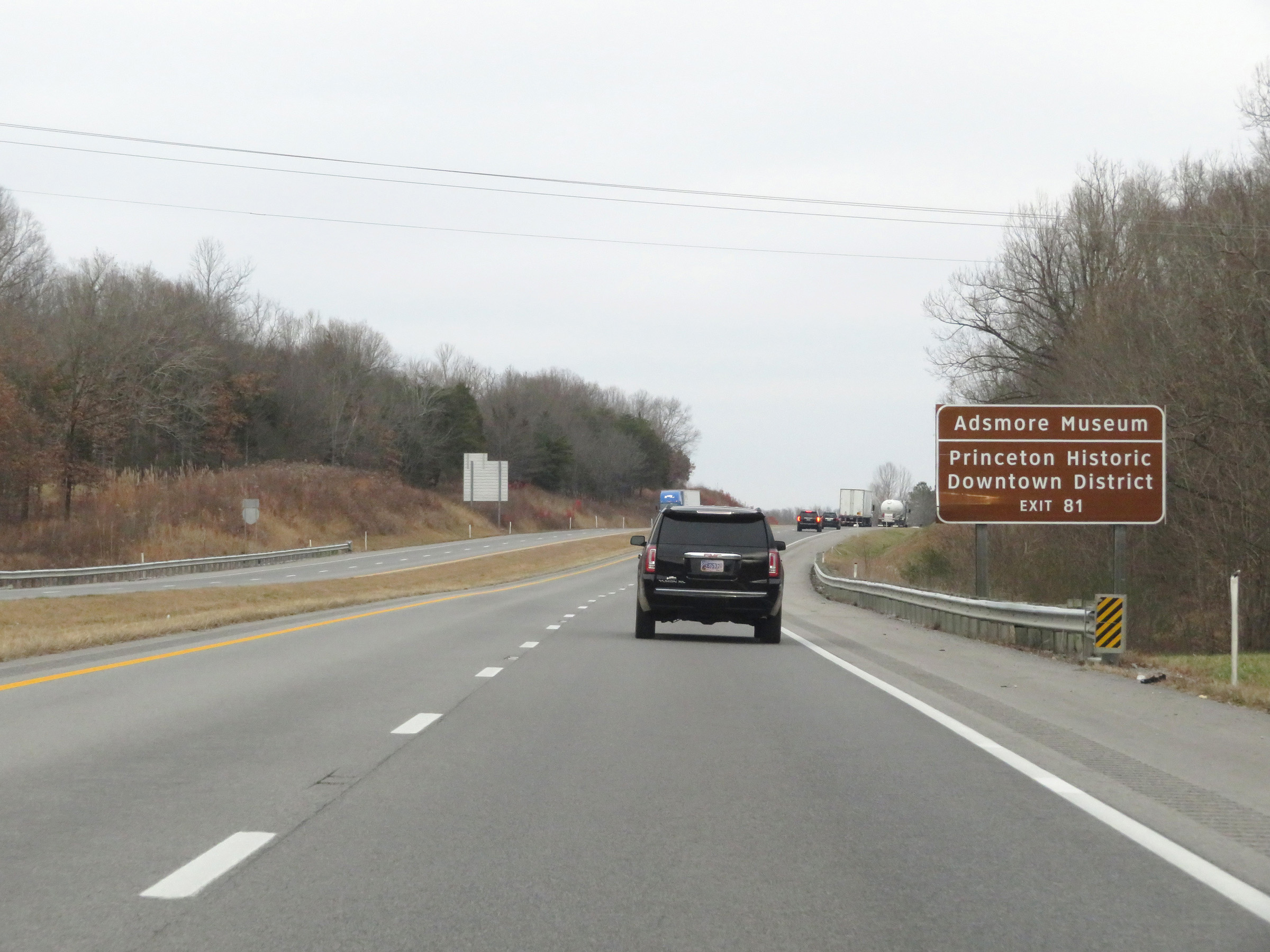 |
Take Exit 81 to Adsmore Museum and Princeton Historic Downtown District. (Photo taken 12/15/20). |
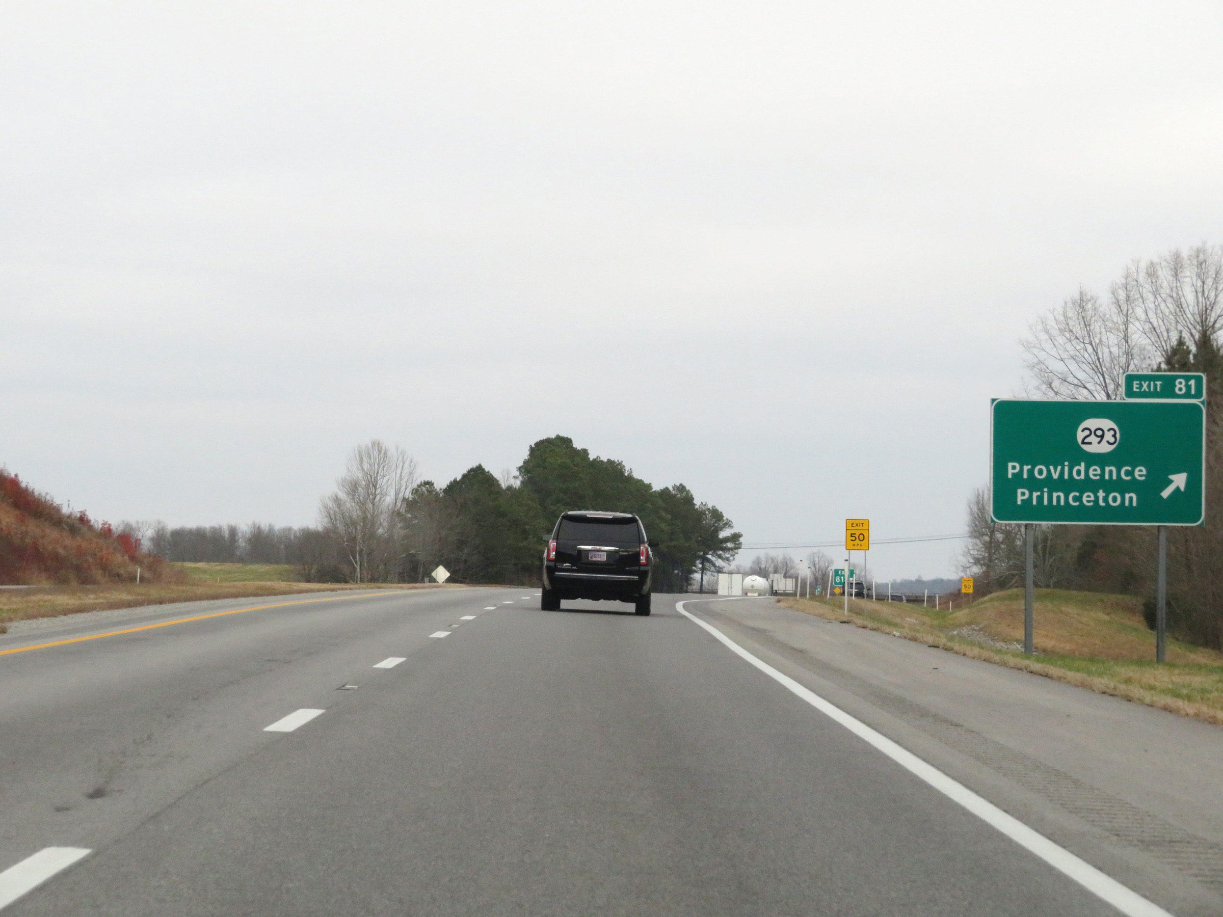 |
Interstate 69 North at Exit 81: KY 293 - Providence / Princeton (Photo taken 12/15/20). |
 |
Another Interstate 69 North reassurance shield. (Photo taken 12/15/20). |
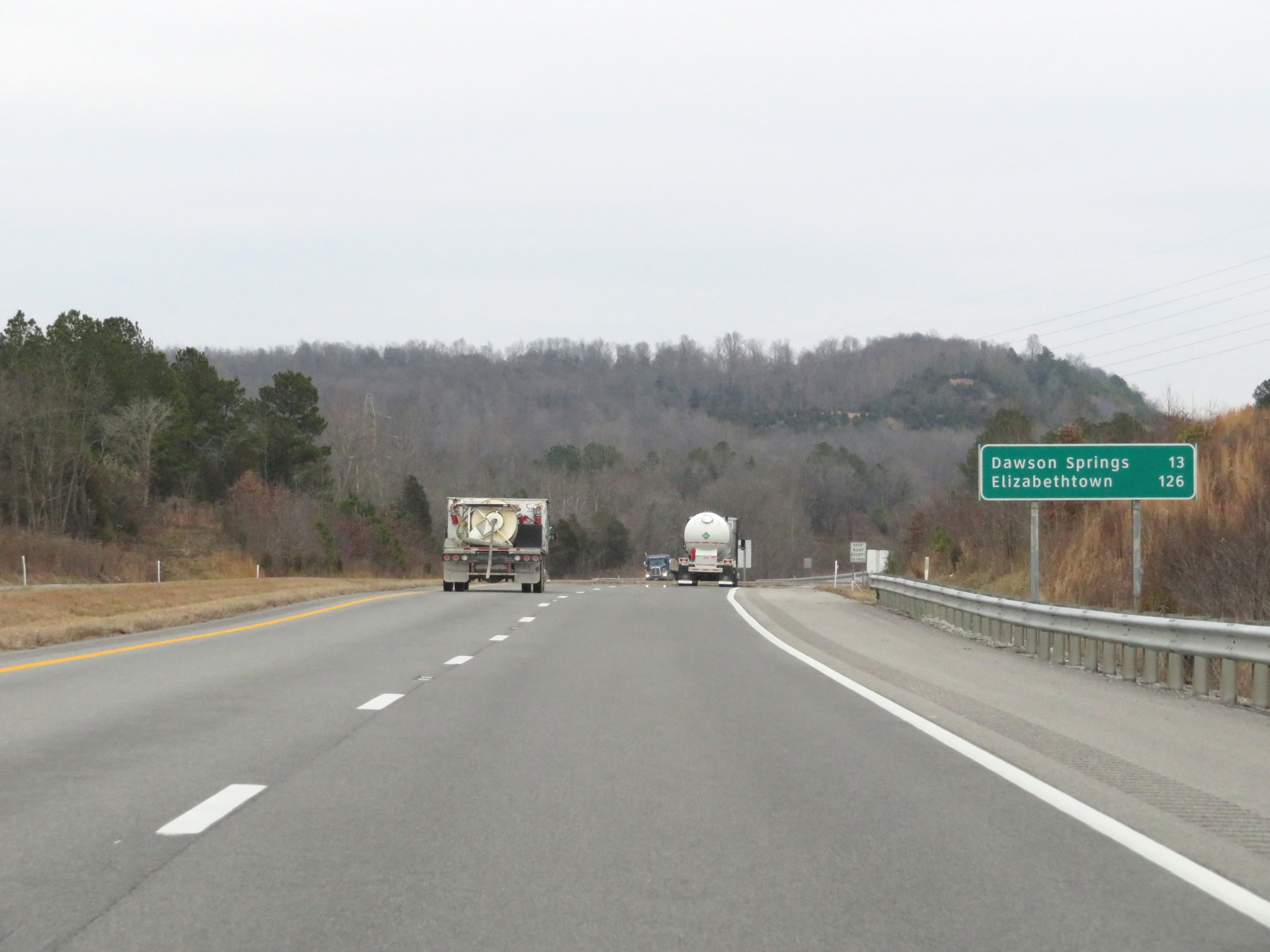 |
Mileage sign on Interstate 69 North. It's 13 miles to Dawson Springs and 126 miles to Elizabethtown. (Photo taken 12/15/20). |
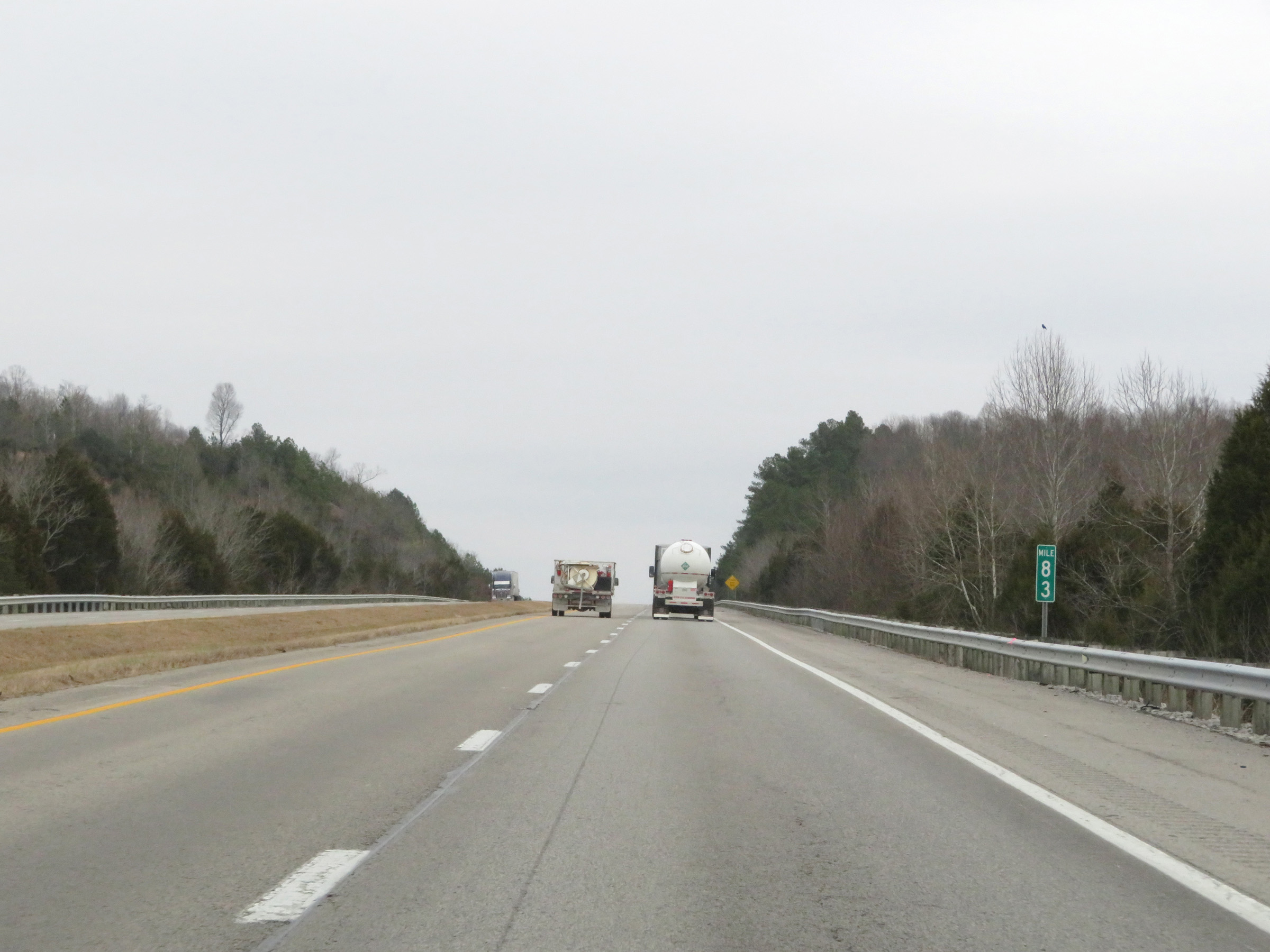 |
View on Interstate 69 North at mile marker 83. (Photo taken 12/15/20). |
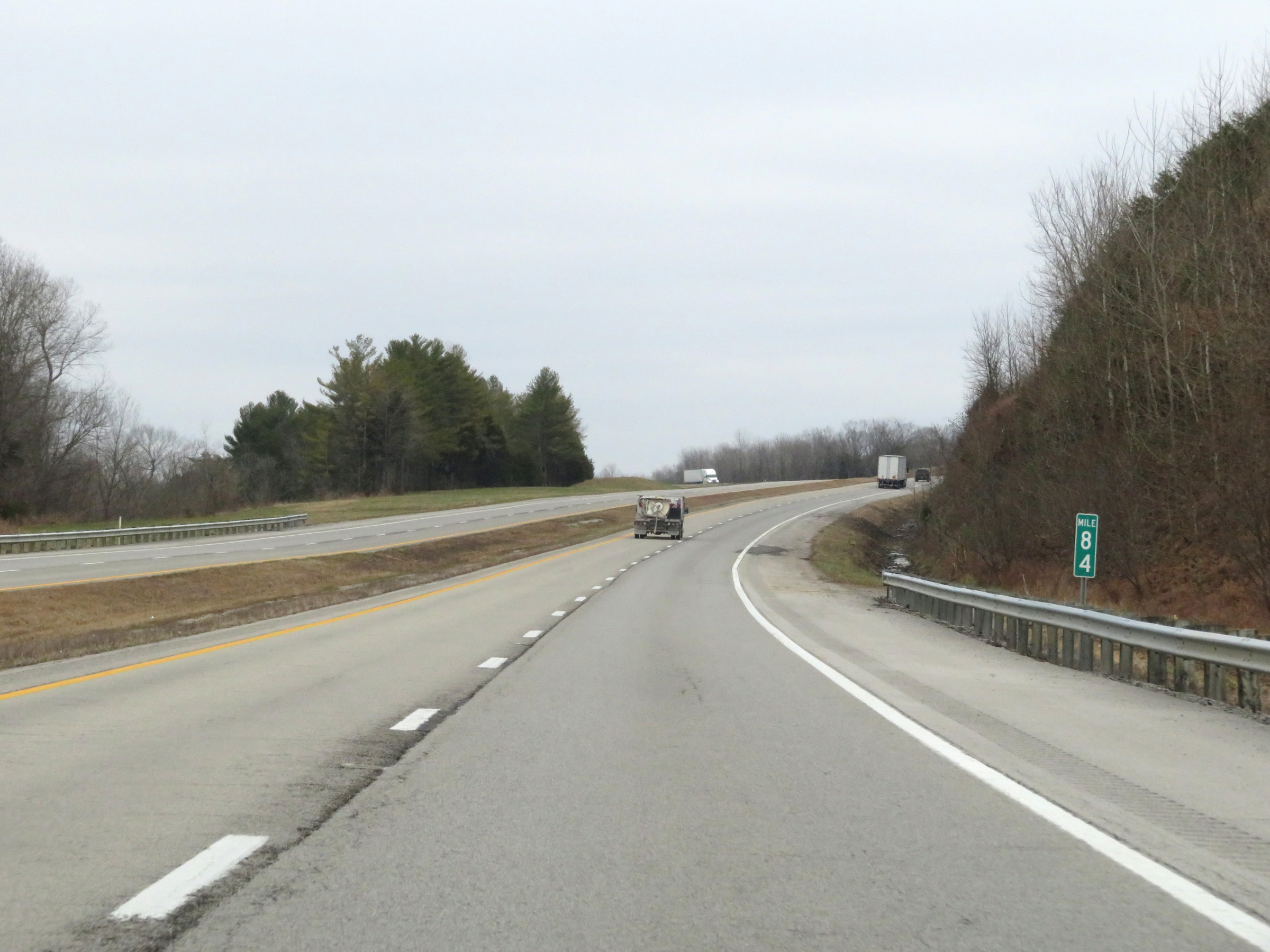 |
Interstate 69 North at mile marker 84. (Photo taken 12/15/20). |
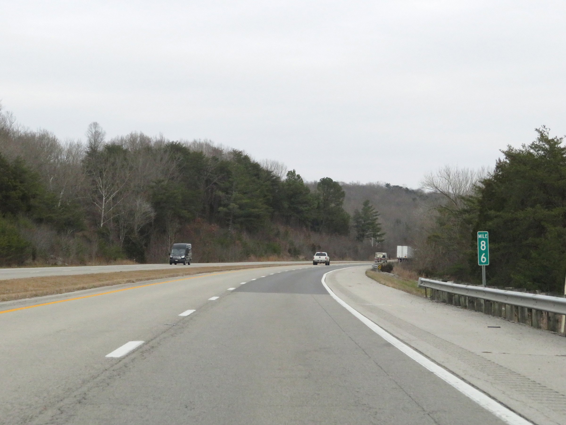 |
View on Interstate 69 North at mile marker 86. (Photo taken 12/15/20). |
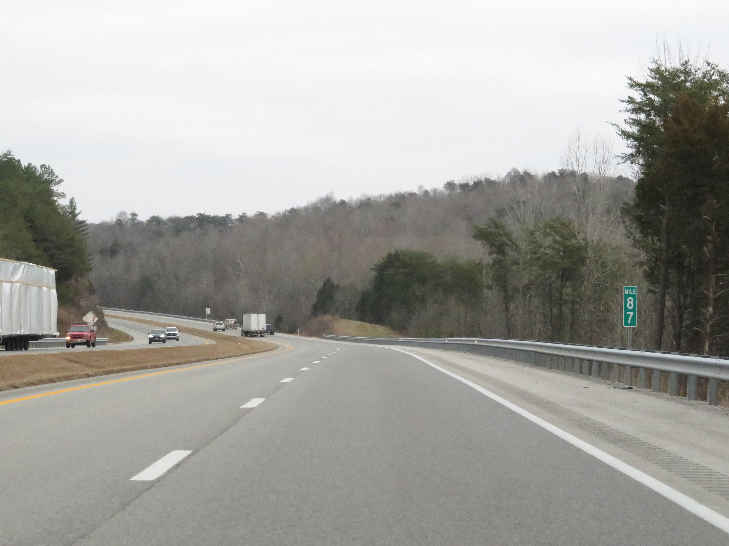 |
Mile marker 87 on Interstate 69 North in Caldwell County. (Photo taken 12/15/20). |
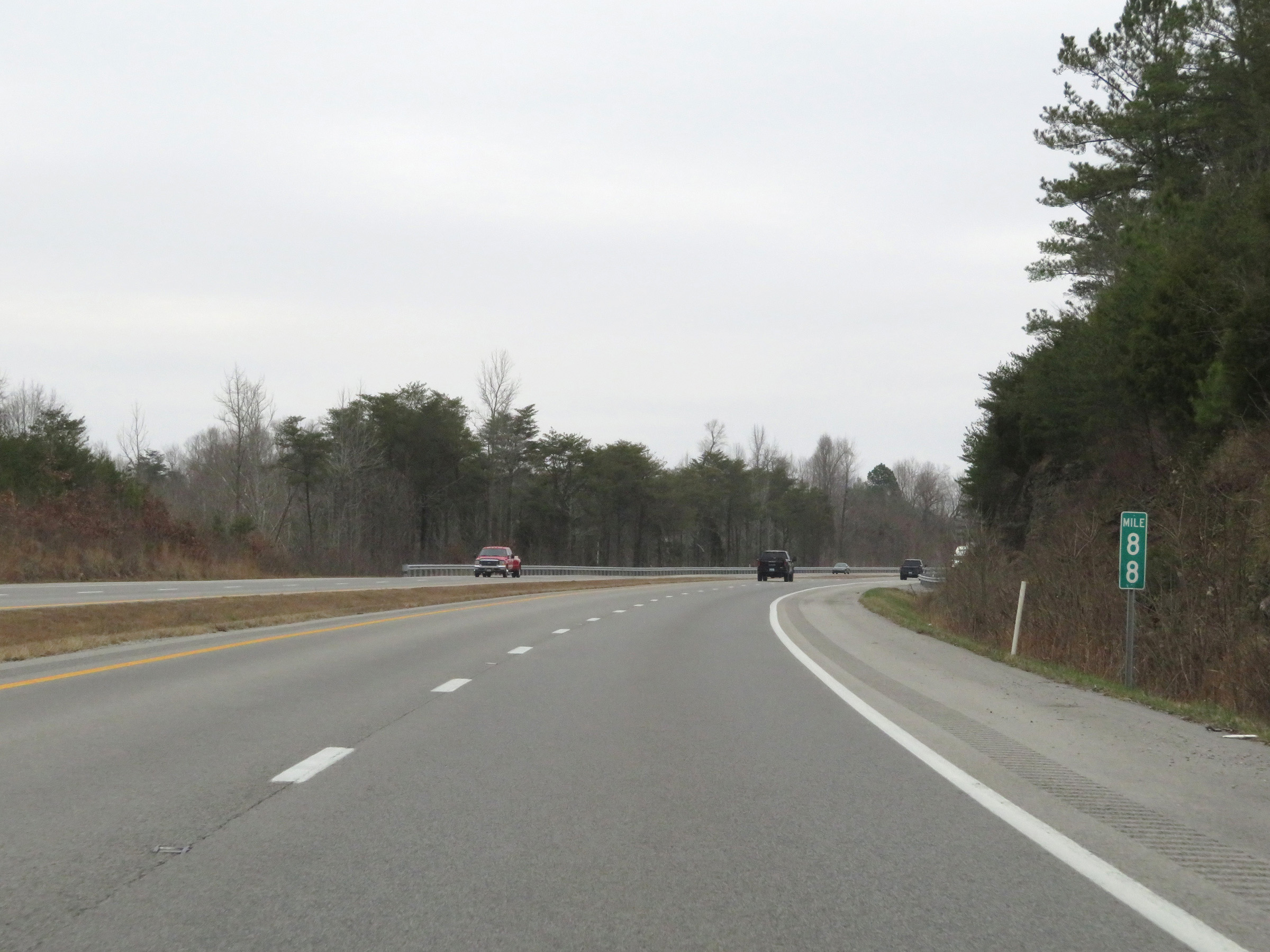 |
View on Interstate 69 North at mile marker 88. (Photo taken 12/15/20). |
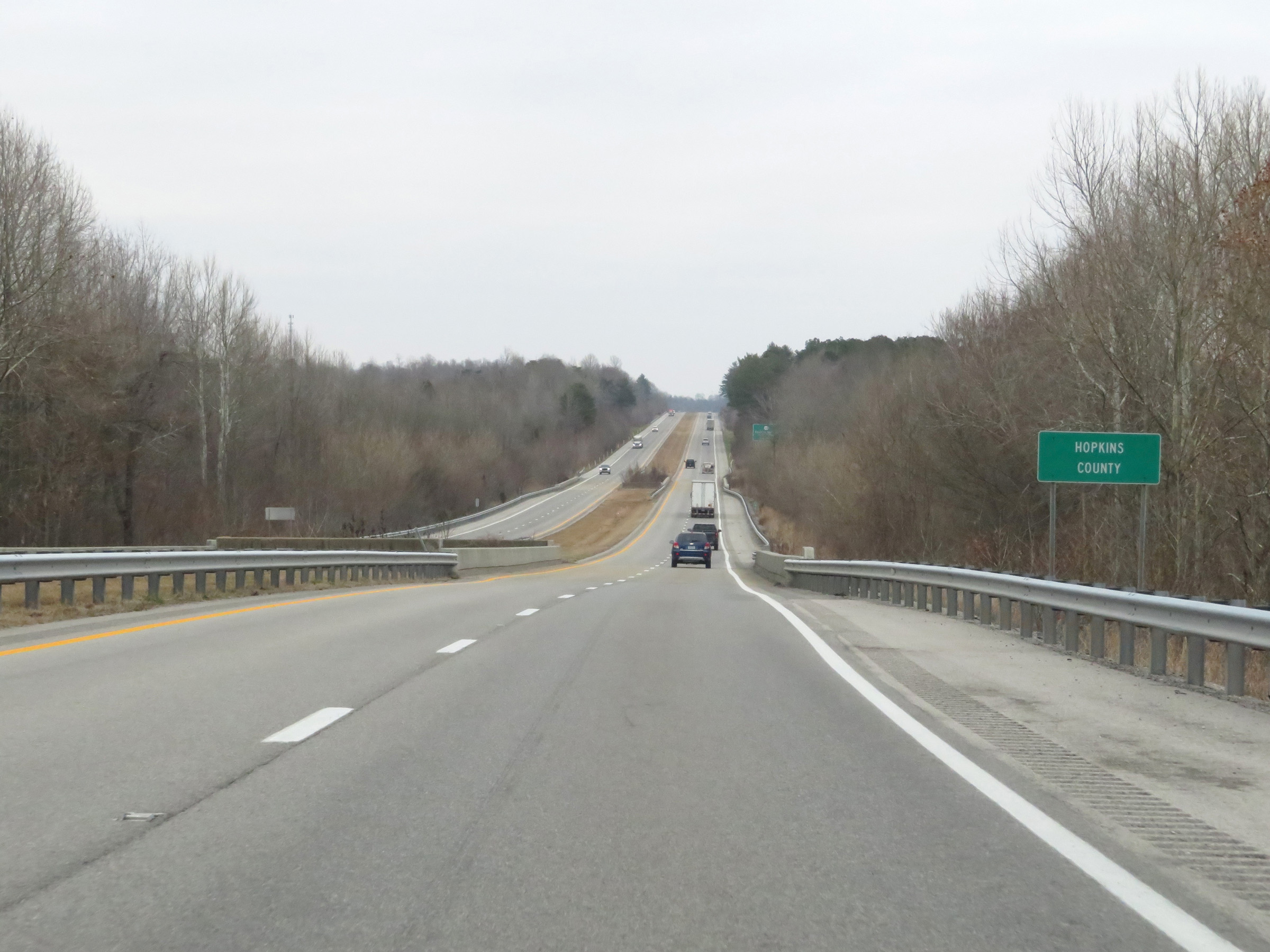 |
Interstate 69 North as it enters Hopkins County. (Photo taken 12/15/20). |
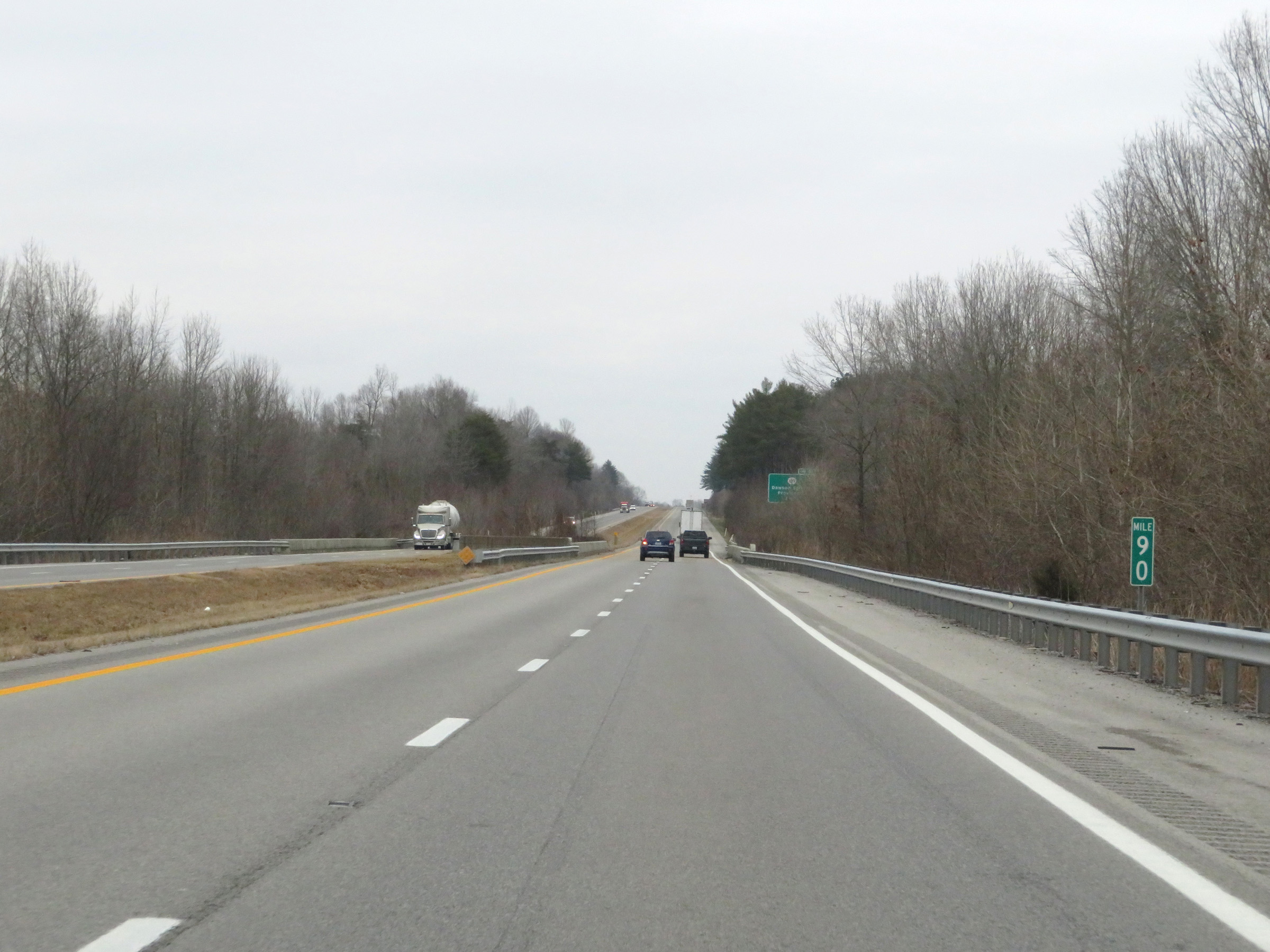 |
Interstate 69 North at mile marker 90. (Photo taken 12/15/20). |
 |
Take Exit 92 to Pennyrile Forest State Resort Park. (Photo taken 12/15/20). |
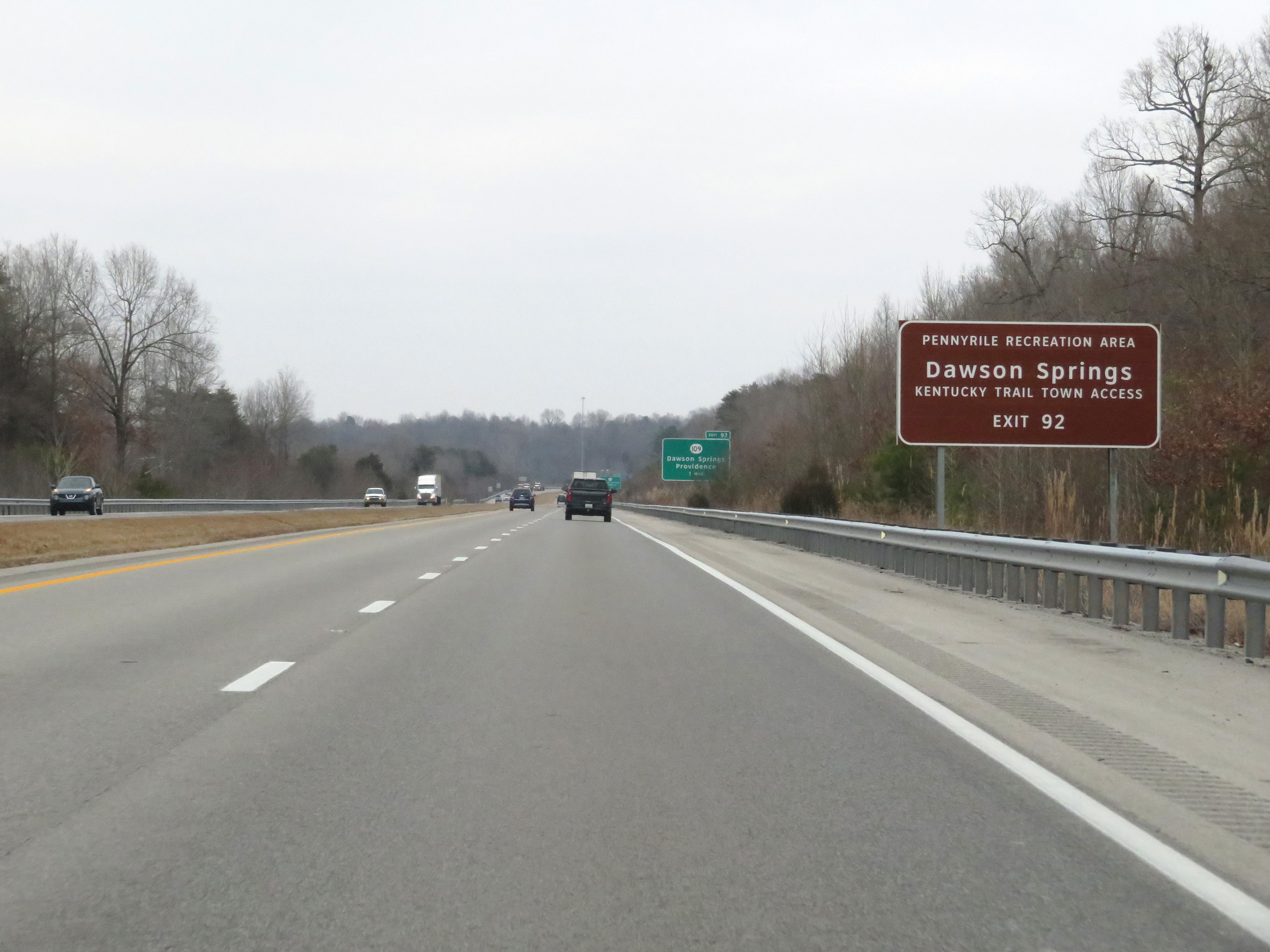 |
Also take Exit 92 to Dawson Springs Trail Town Access. (Photo taken 12/15/20). |
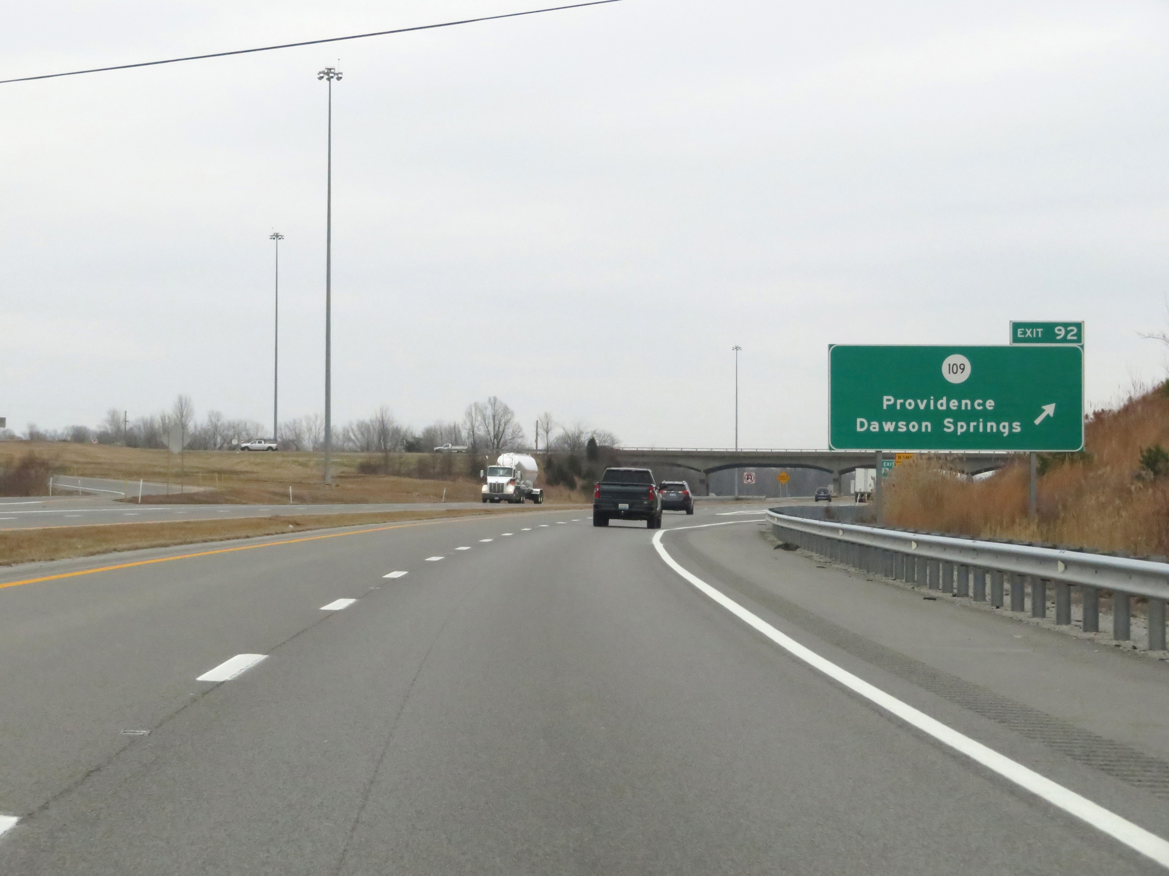 |
Interstate 69 North at Exit 92: KY 109 - Providence / Dawson Springs (Photo taken 12/15/20). |
 |
View on Interstate 69 North at mile marker 93. (Photo taken 12/15/20). |
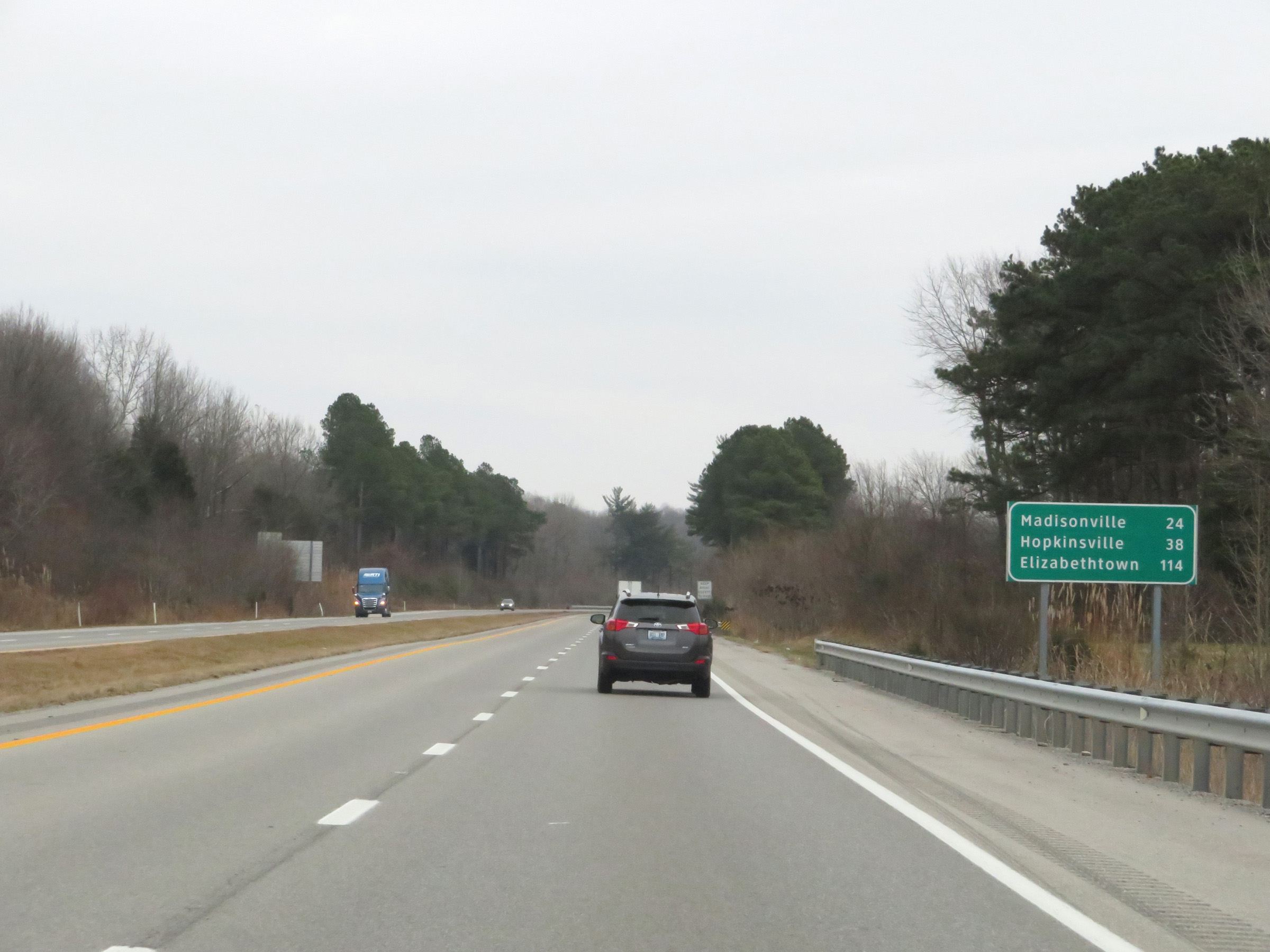 |
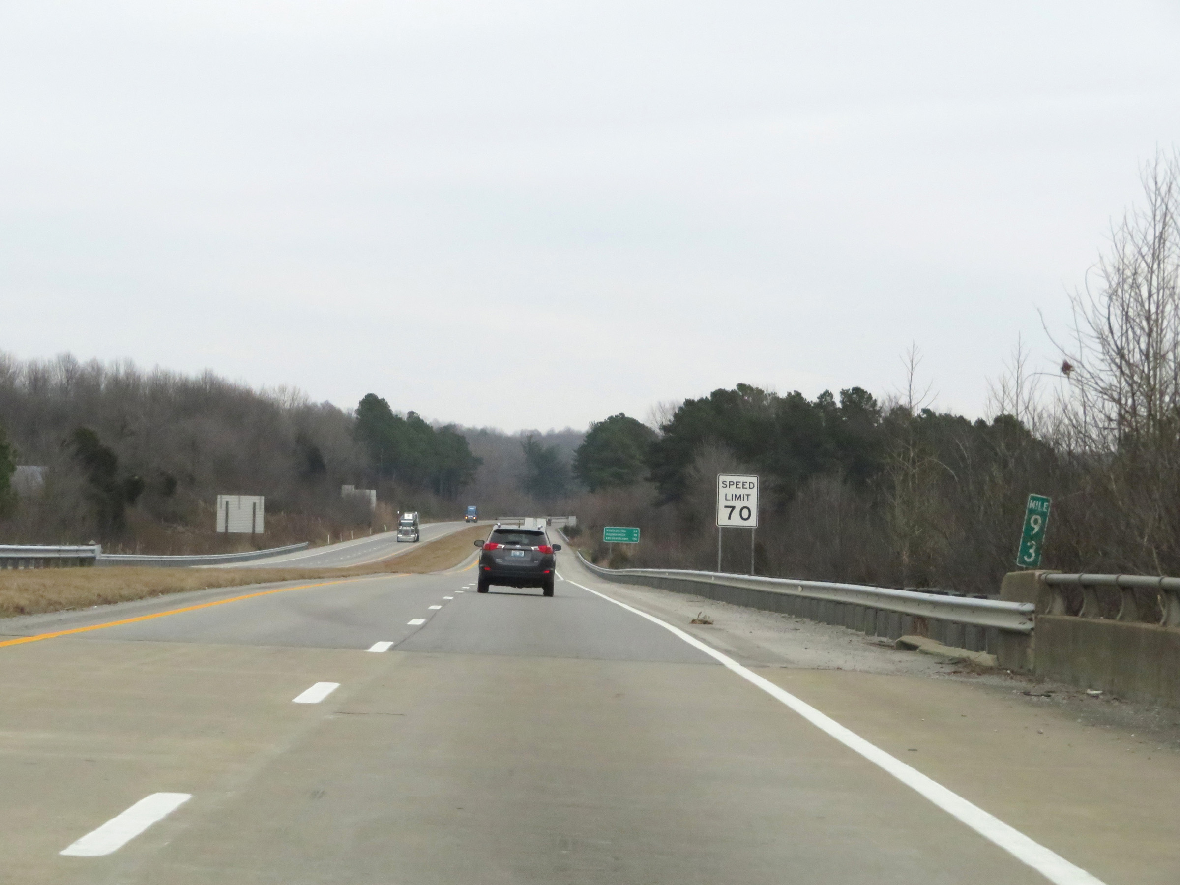
Another mileage sign on Interstate 69 North. It's 24 miles to Madisonville, 38 miles to Hopkinsville, and 114 miles to Elizabethtown. (Photo taken 12/15/20). |
 |
Interstate 69 North at mile marker 94. (Photo taken 12/15/20). |
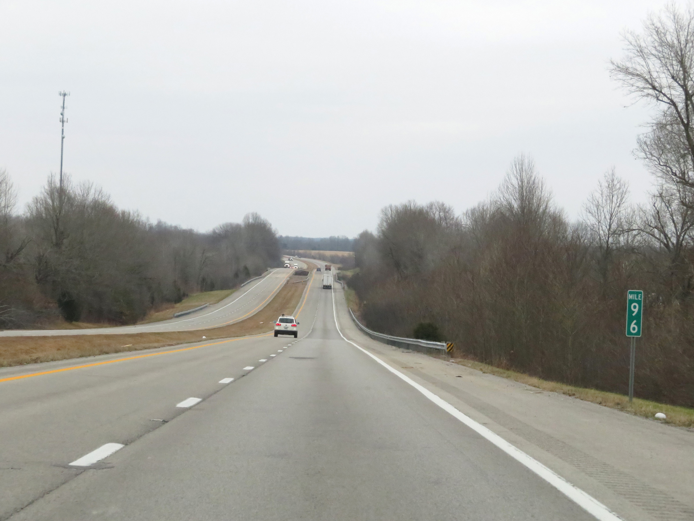 |
Mile marker 96 on Interstate 69 North in Hopkins County. (Photo taken 12/15/20). |
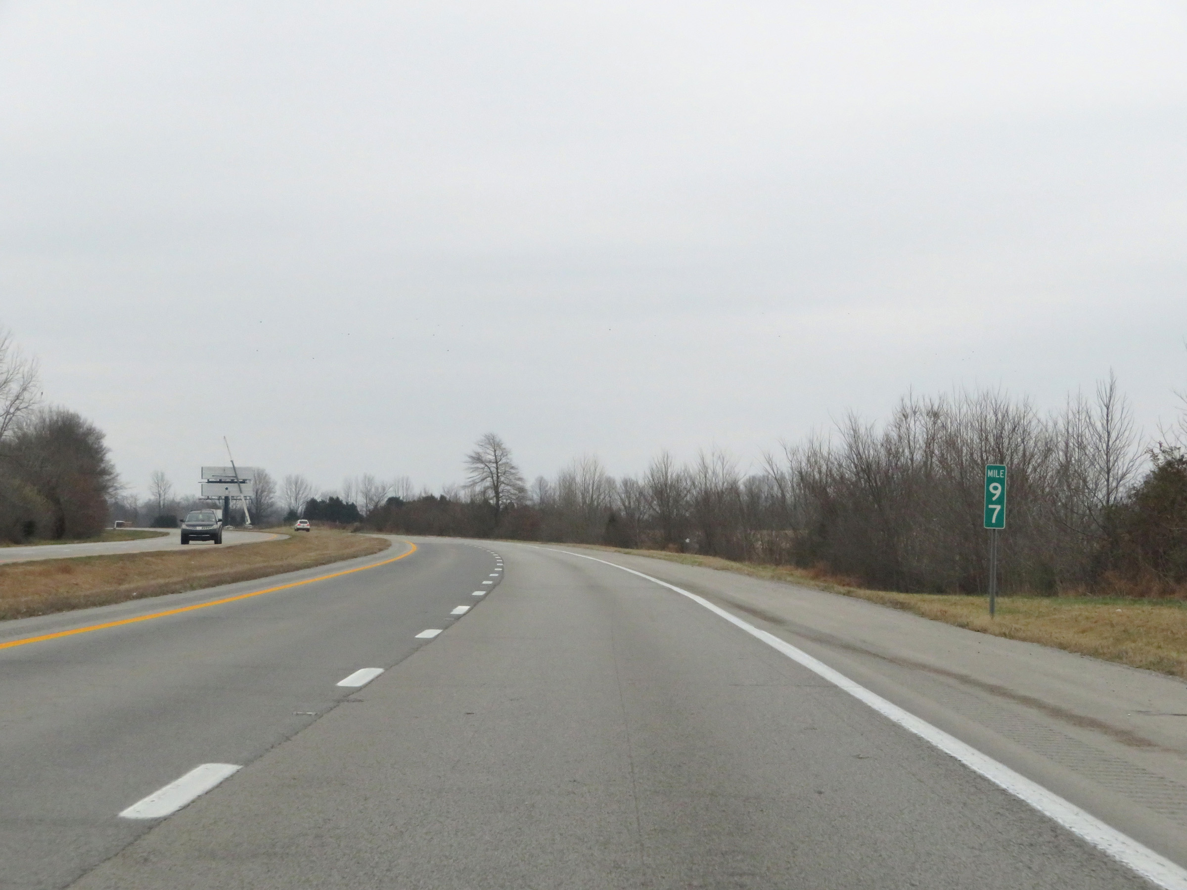 |
View on Interstate 69 North at mile marker 97. (Photo taken 12/15/20). |
 |
Interstate 69 North at mile marker 99. (Photo taken 12/15/20). |
 |
Interstate 69 North at mile marker 100. (Photo taken 12/15/20). |
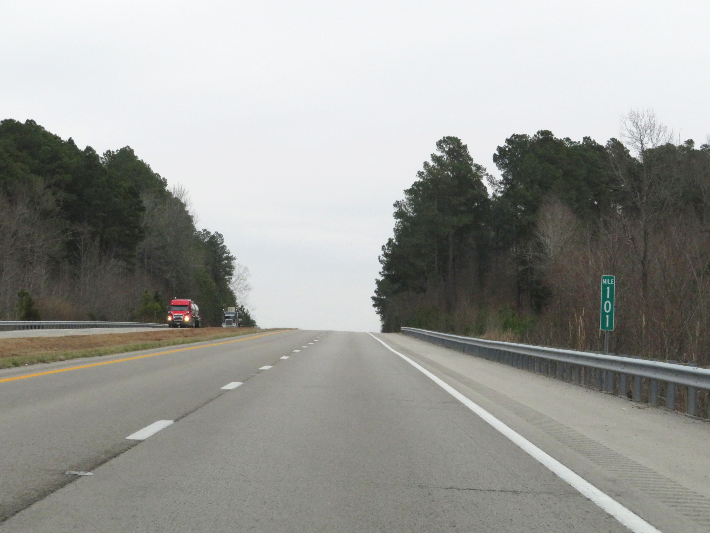 |
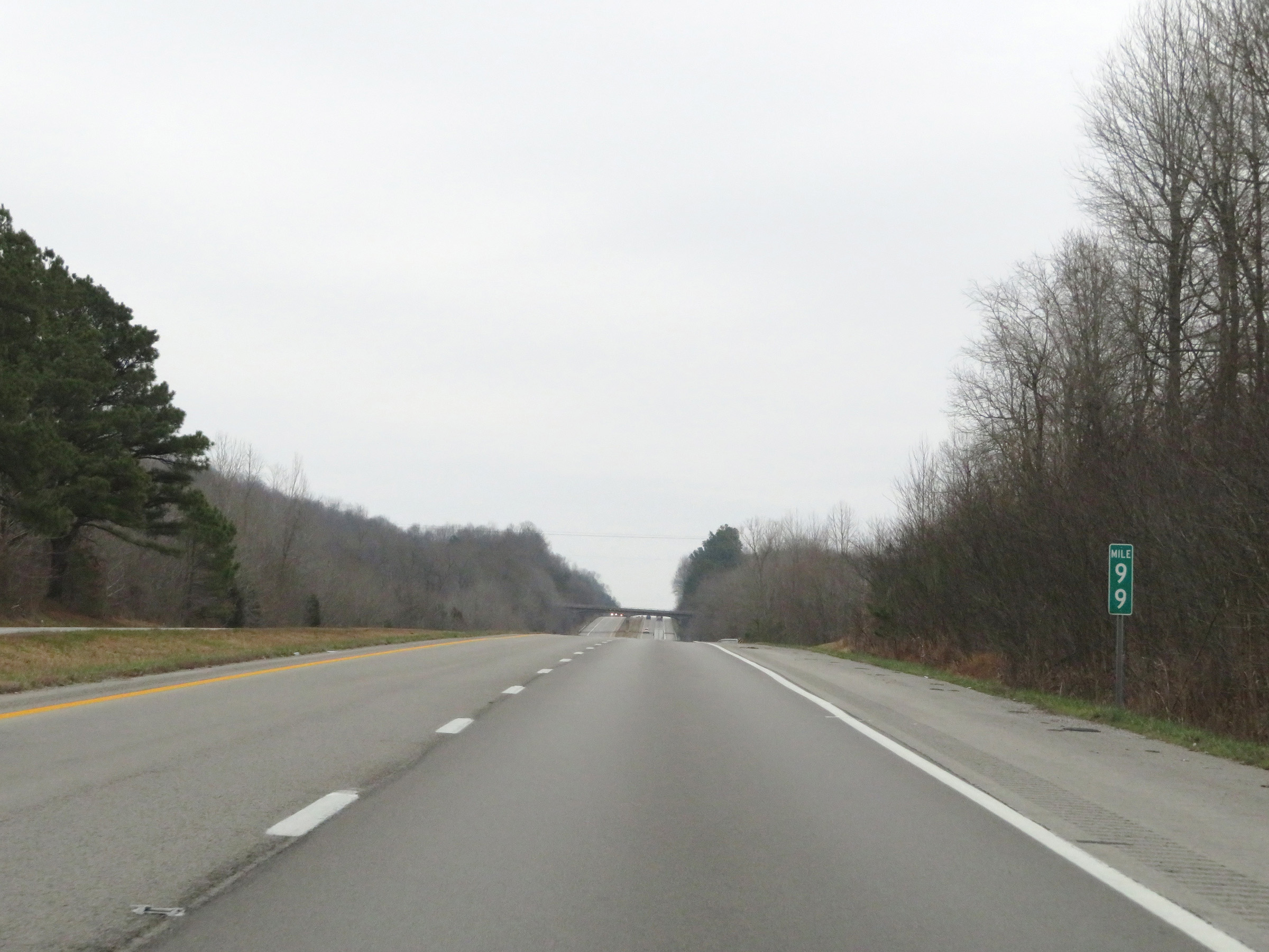
Mile marker 101 on Interstate 69 North in Hopkins County. (Photo taken 12/15/20). |
 |
The speed limit remains 70 mph on Interstate 69 North. (Photo taken 12/15/20). |
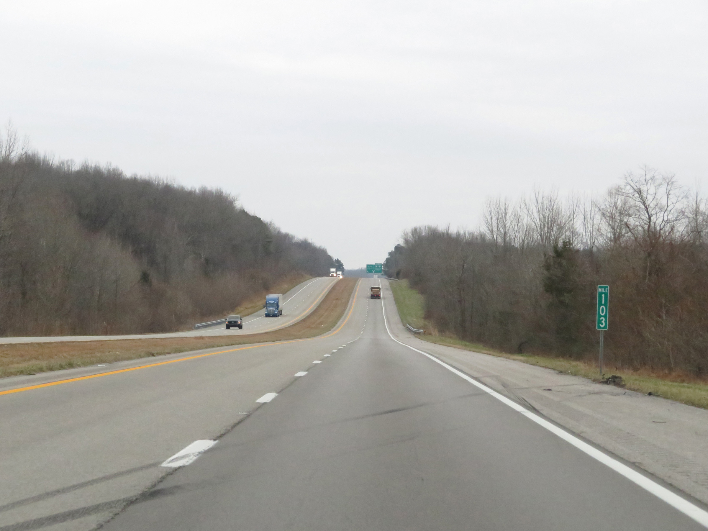 |
View on Interstate 69 North at mile marker 103. (Photo taken 12/15/20). |
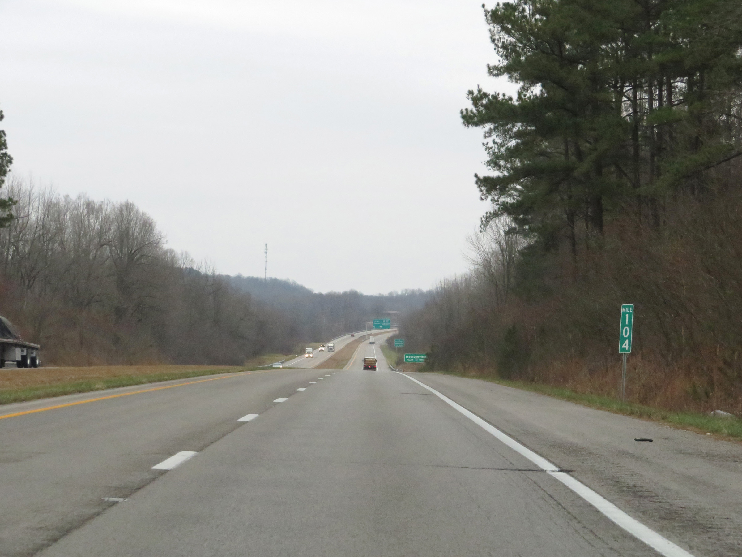 |
Interstate 69 North at mile marker 104. (Photo taken 12/15/20). |
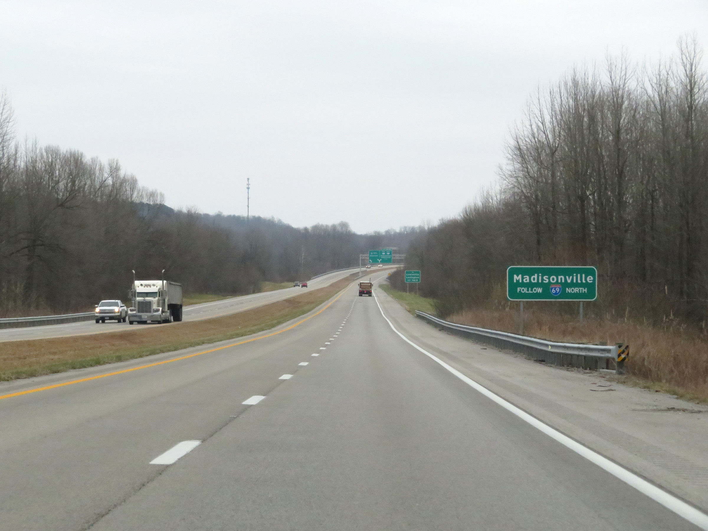 |
Traffic to Madisonville should continue to follow Interstate 69 North. (Photo taken 12/15/20). |
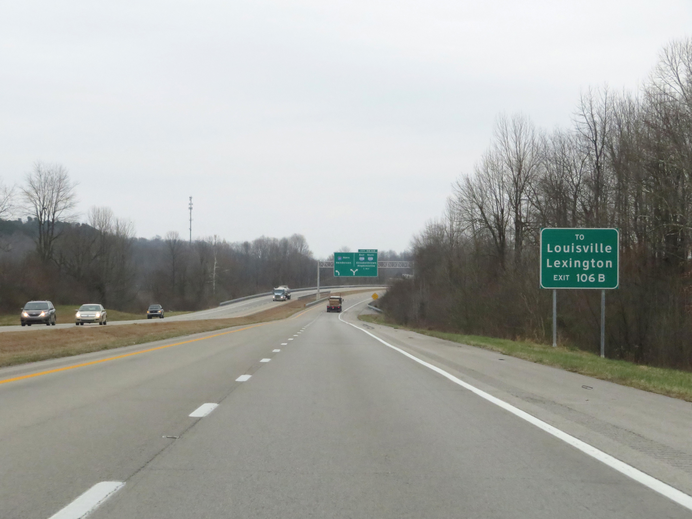 |
Take Exit 106B (Western Kentucky Parkway East) to Louisville and Lexington. (Photo taken 12/15/20). |
 |
Interstate 69 North approaching Exits 106A-B - 1 mile. (Photo taken 12/15/20). |
 |
Approaching Exits 106A-B, a third lane begins on the right to serve as an Exit Only lane. (Photo taken 12/15/20). |
 |
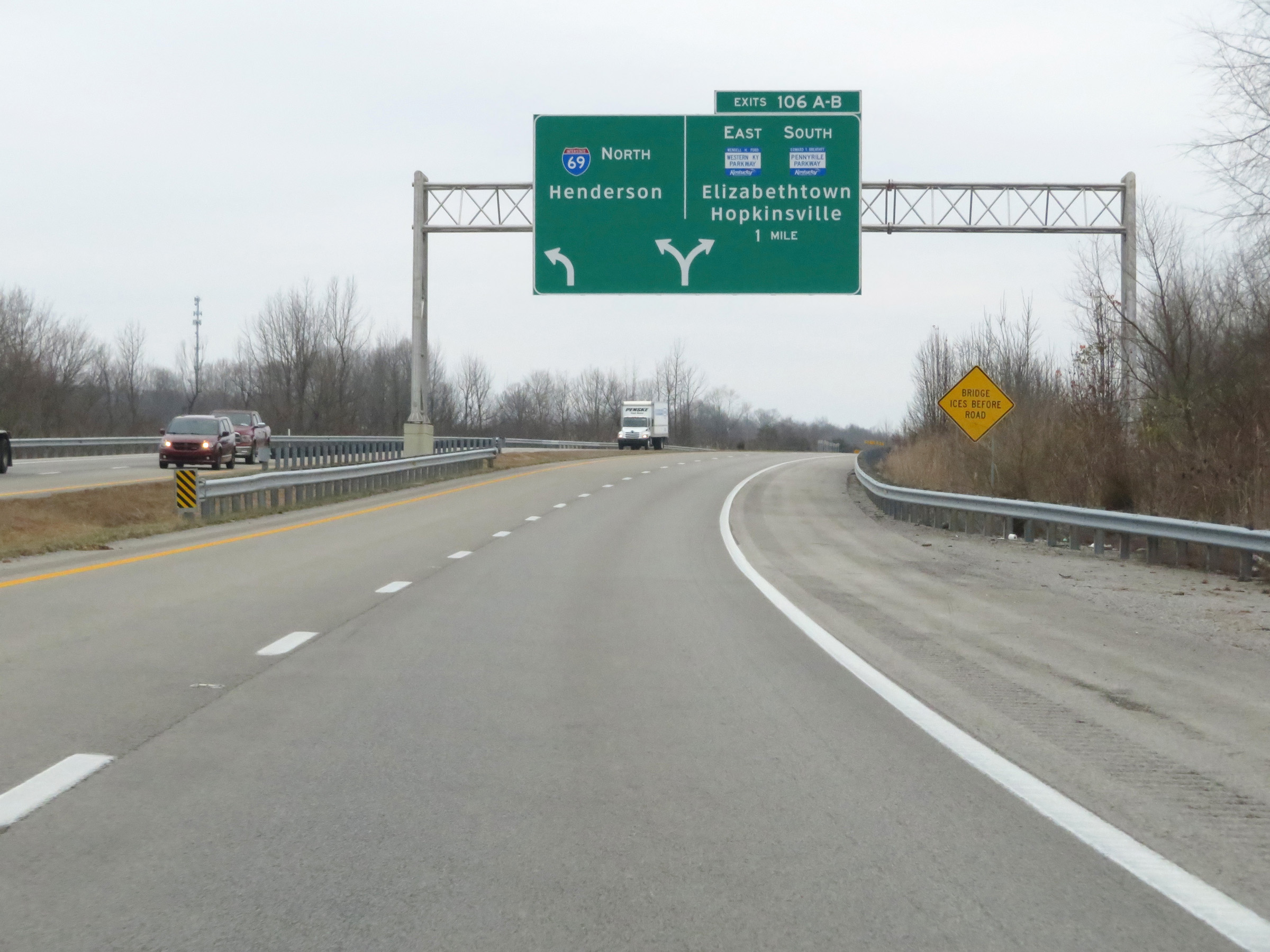
Interstate 69 North at Exits 106A-B: Western Kentucky Parkway East / Interstate 169 South - Elizabethtown / Hopkinsville (Photo taken 12/15/20). |
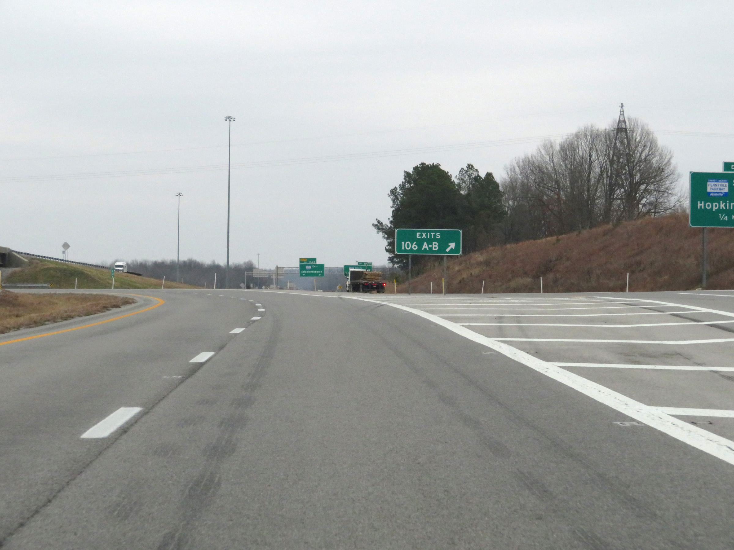 |
A closer view of the ramp to Exits 106A-B on Interstate 69 North. The ramps will split into Exit 106A (Interstate 169 South) and Exit 106B (Western Kentucky Parkway East) ahead. (Photo taken 12/15/20). |
 |
After heading in the eastern direction after departing from Interstate 24, at mile marker 106, Interstate 69 North begins to curve in a more northerly direction to head toward Madisonville and Henderson. (Photo taken 12/15/20). |
 |
Another view on Interstate 69 North as it curves to the north. (Photo taken 12/15/20). |
 |
Interstate 69 North as it passes under the ramp from I-69 South to Interstate 169 South / Western Kentucky Parkway East. (Photo taken 12/15/20). |
 |
View on Interstate 69 North as traffic from Western Kentucky Parkway West merges into it ahead on the right. (Photo taken 12/15/20). |
 |
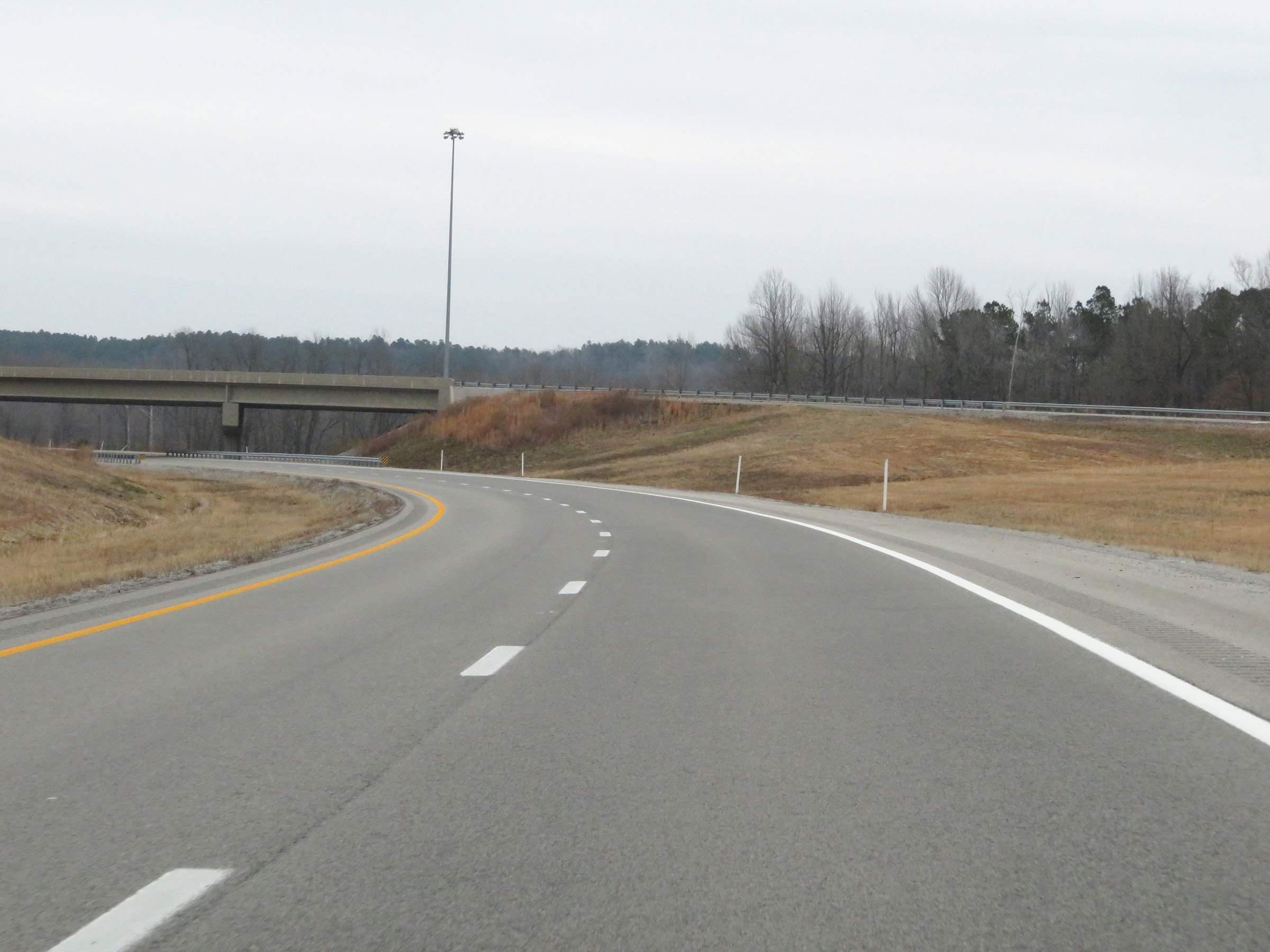
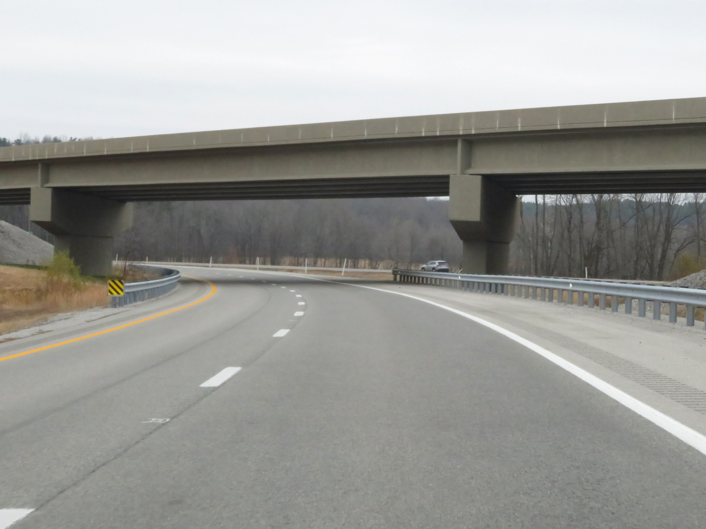
The speed limit remains 70 mph on Interstate 69 North. (Photo taken 12/15/20). |
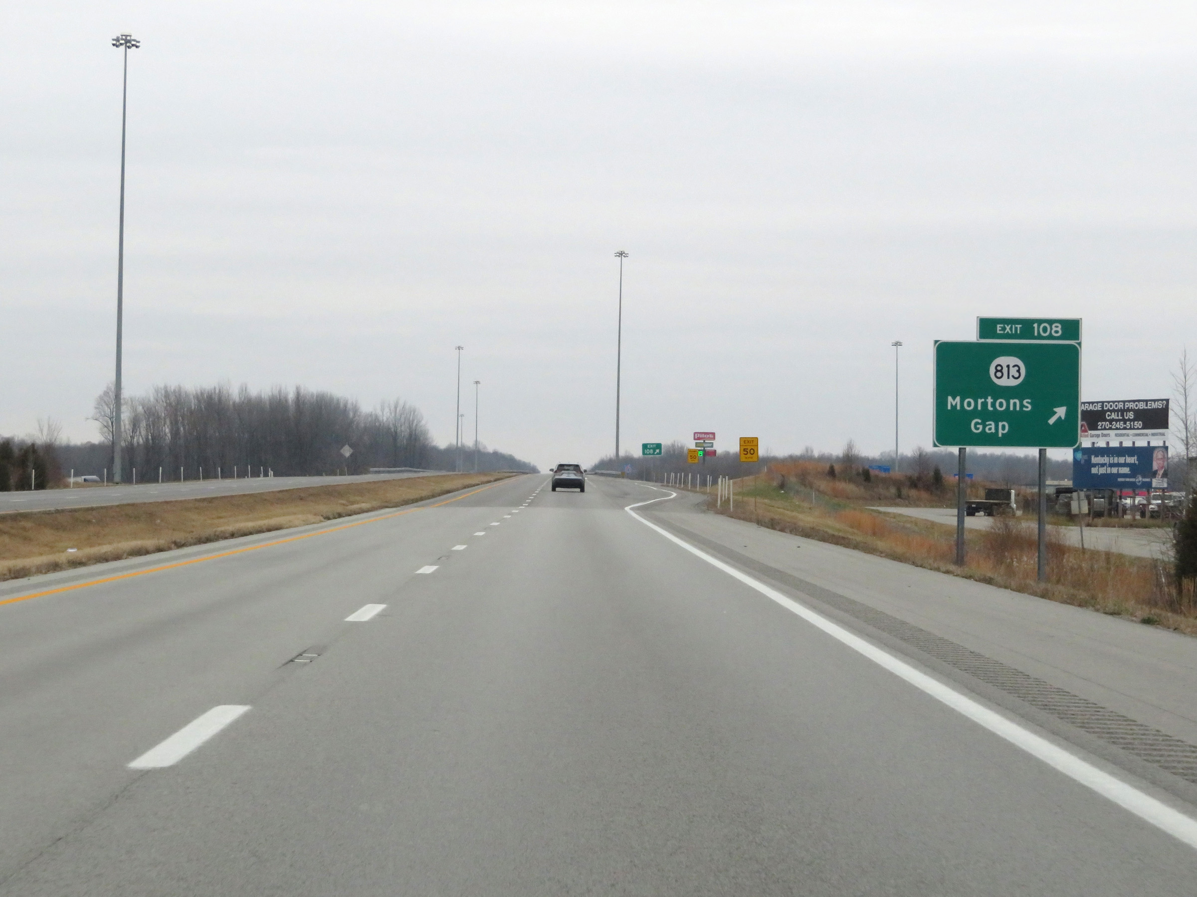 |
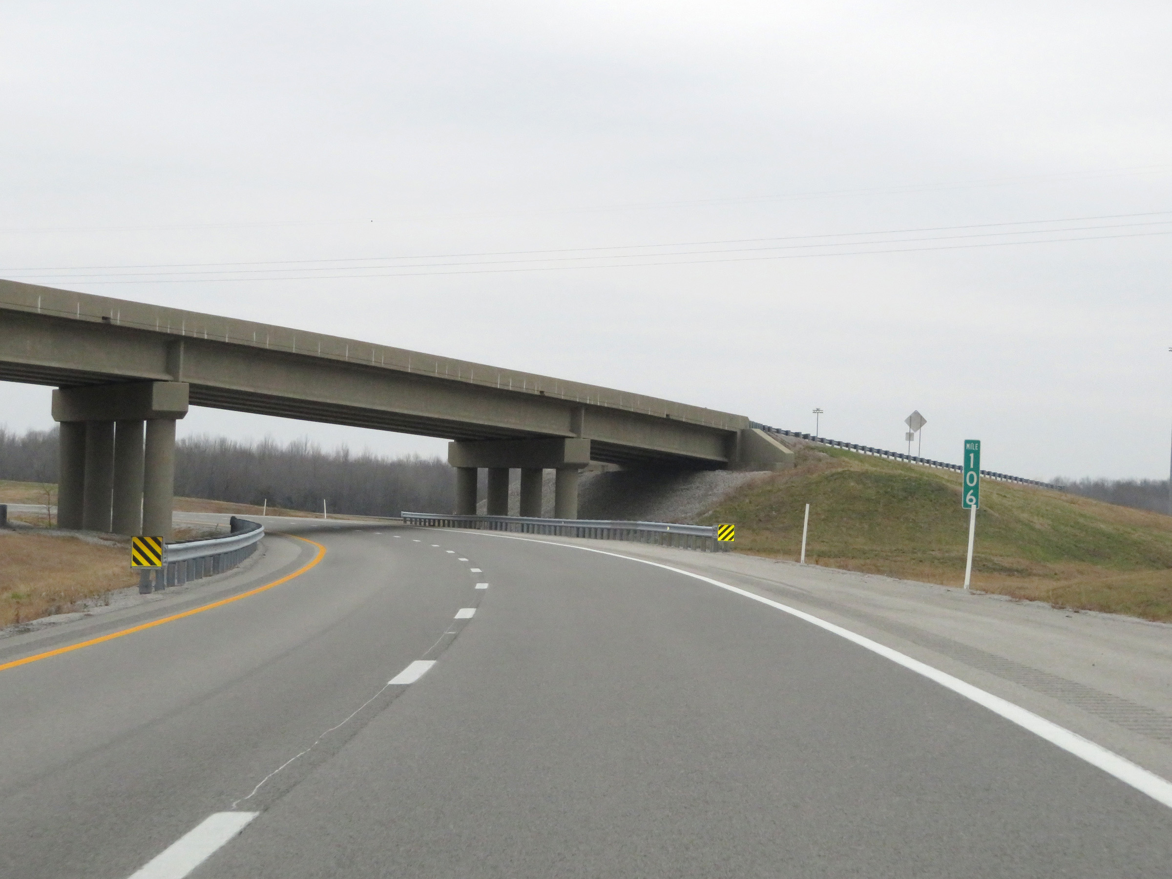
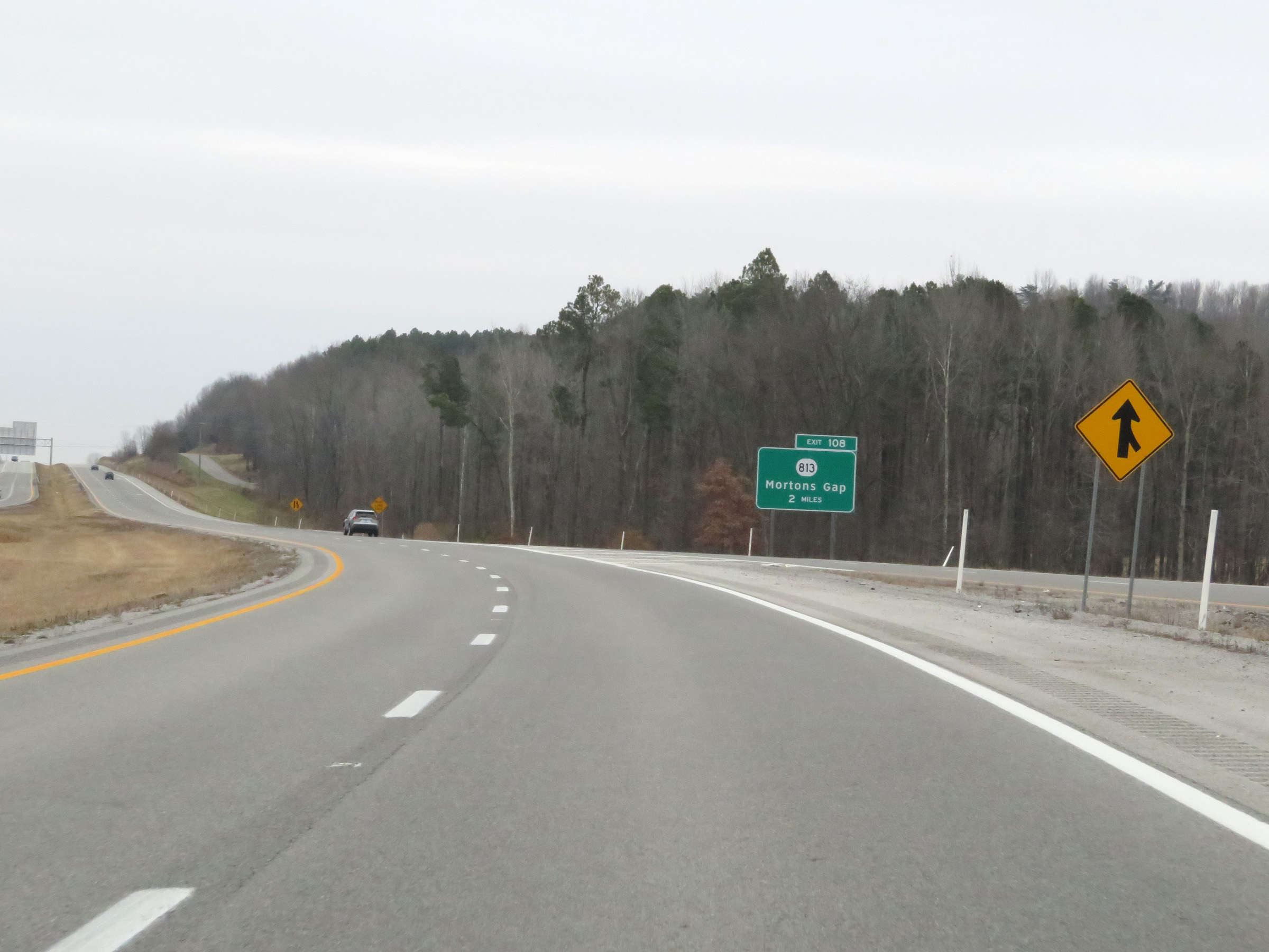
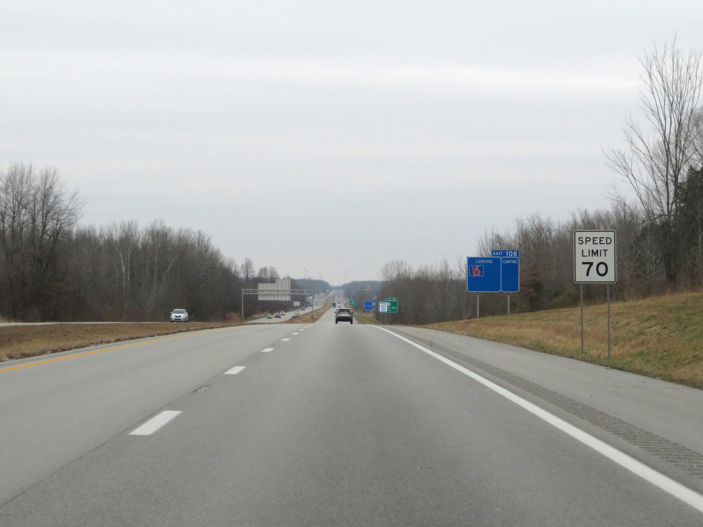
Interstate 69 North at Exit 108: KY 813 - Mortons Gap (Photo taken 12/15/20). |
 |
Take any of the next 4 exits to Madisonville. (Photo taken 12/16/20). |
 |
Interstate 69 North at mile marker 110. (Photo taken 12/16/20). |
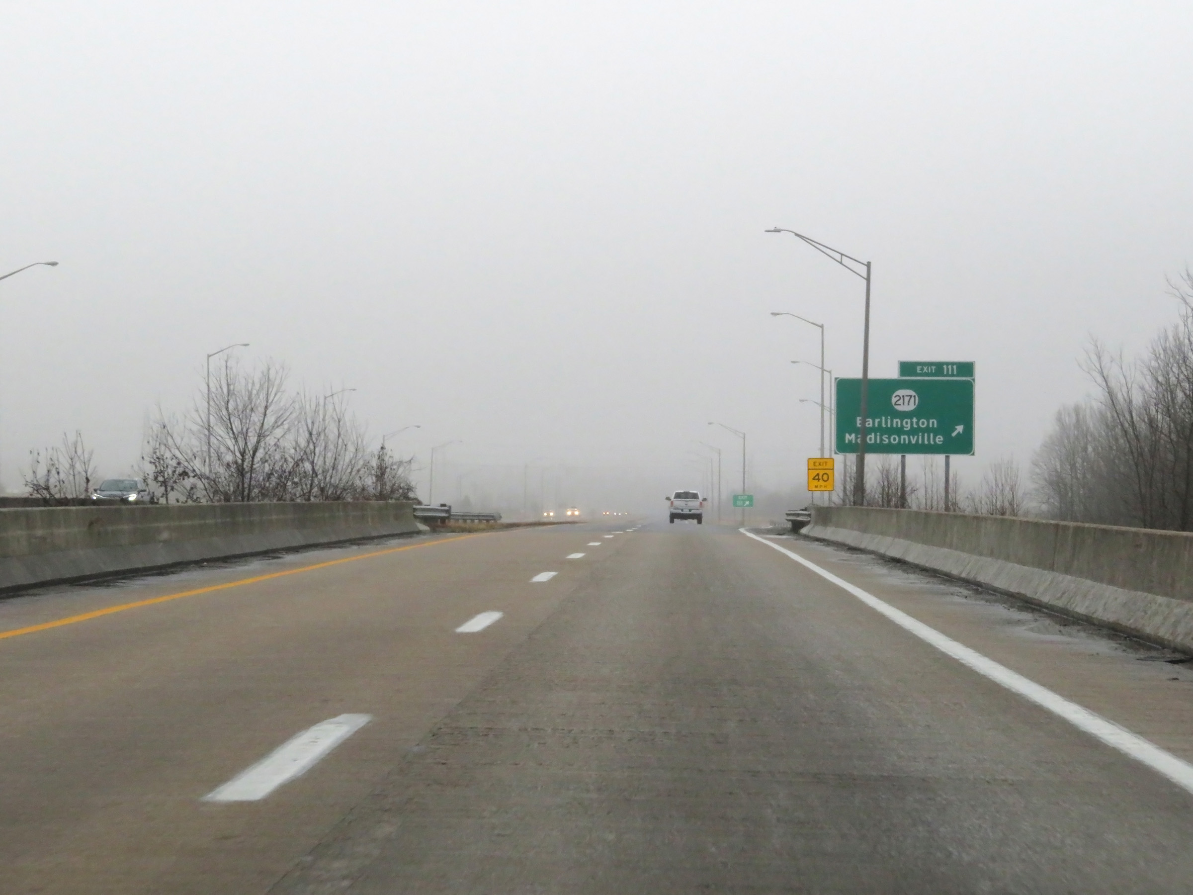 |
Interstate 69 North at Exit 111: KY 2171 - Earlington / Madisonville (Photo taken 12/16/20). |
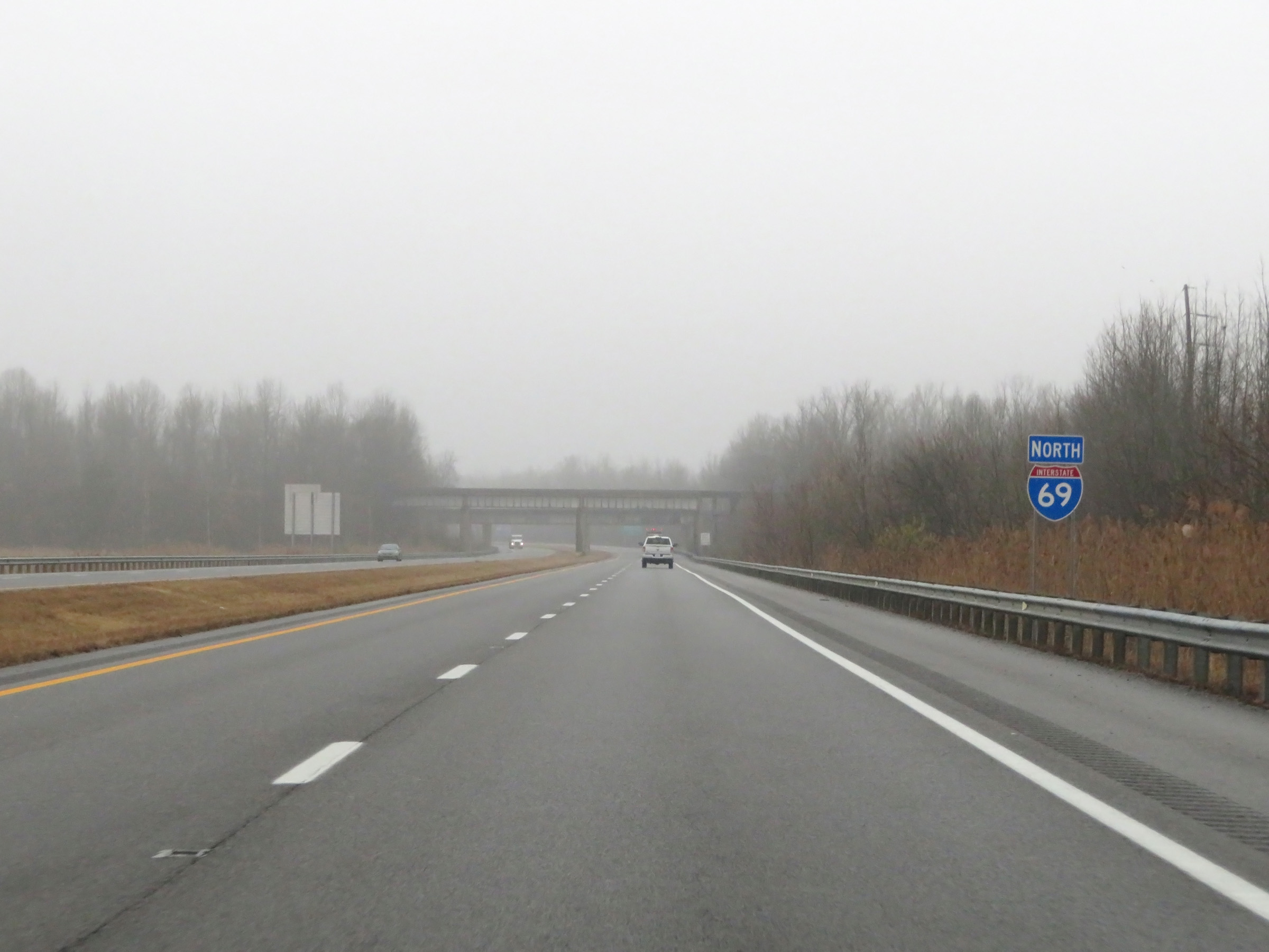 |
Interstate 69 North reassurance shield. (Photo taken 12/16/20). |
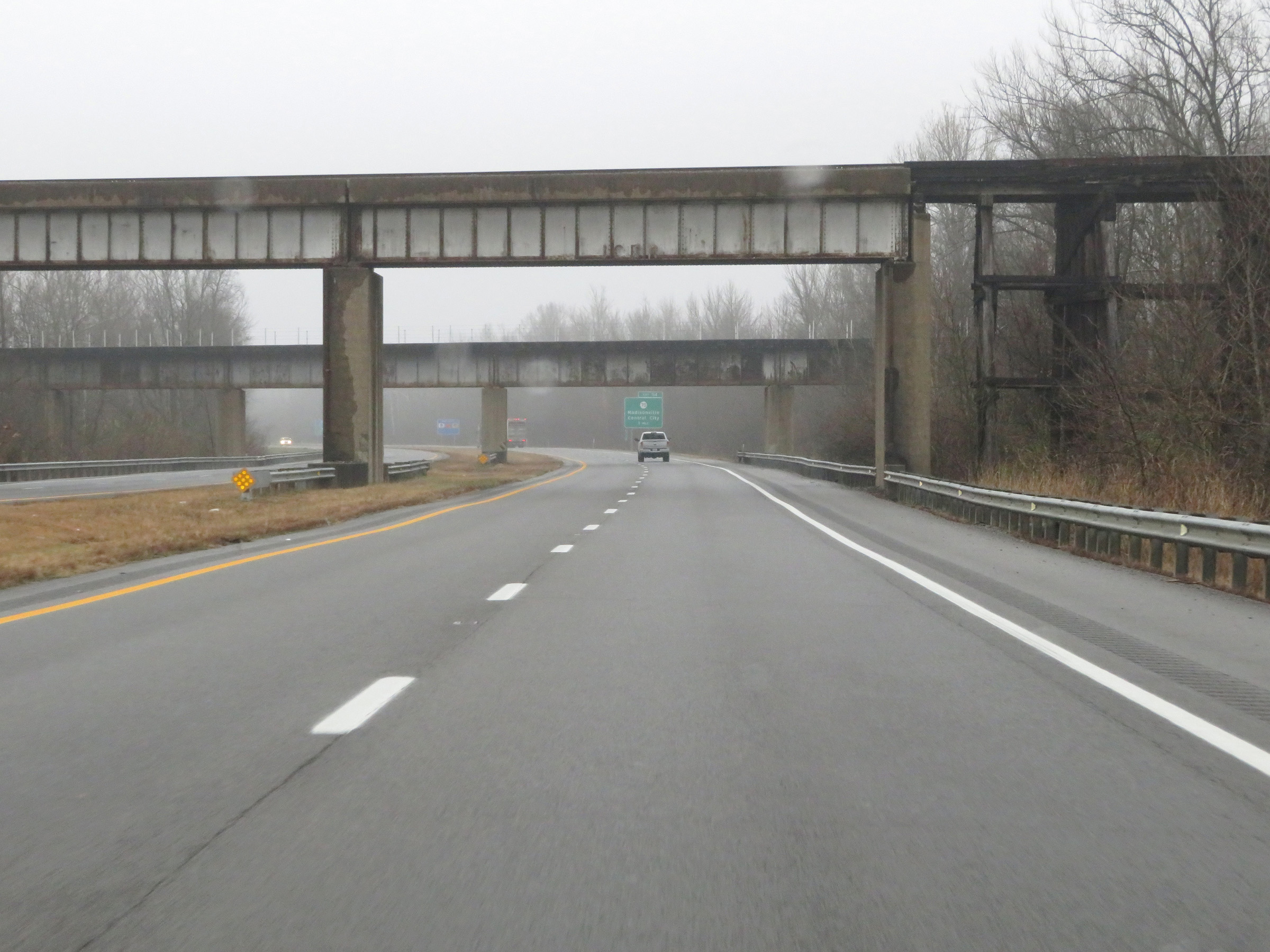 |
View on Interstate 69 North approaching the Madisonville area. (Photo taken 12/16/20). |
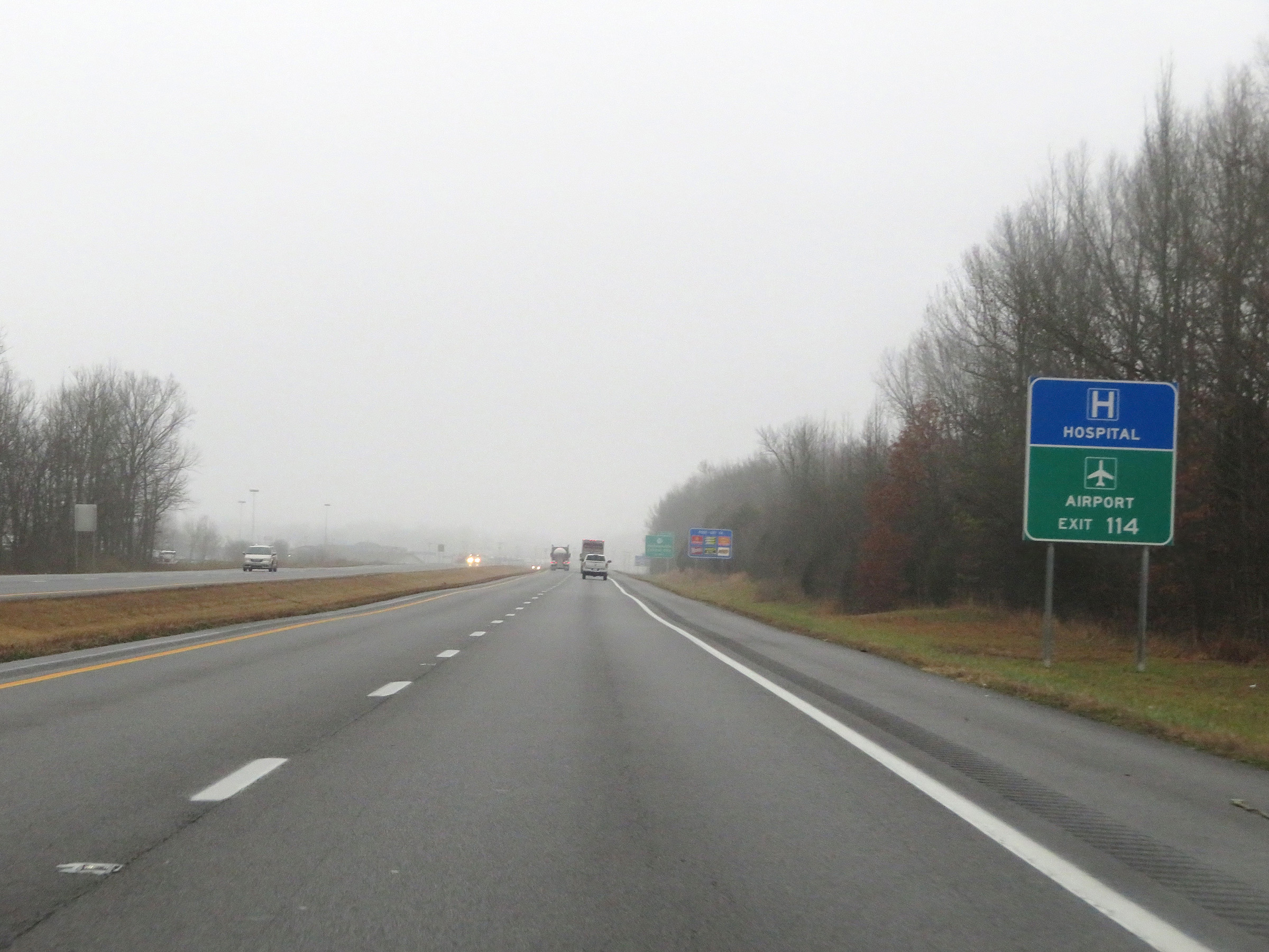 |
Take Exit 114 to Madisonville Regional Airport. (Photo taken 12/16/20). |
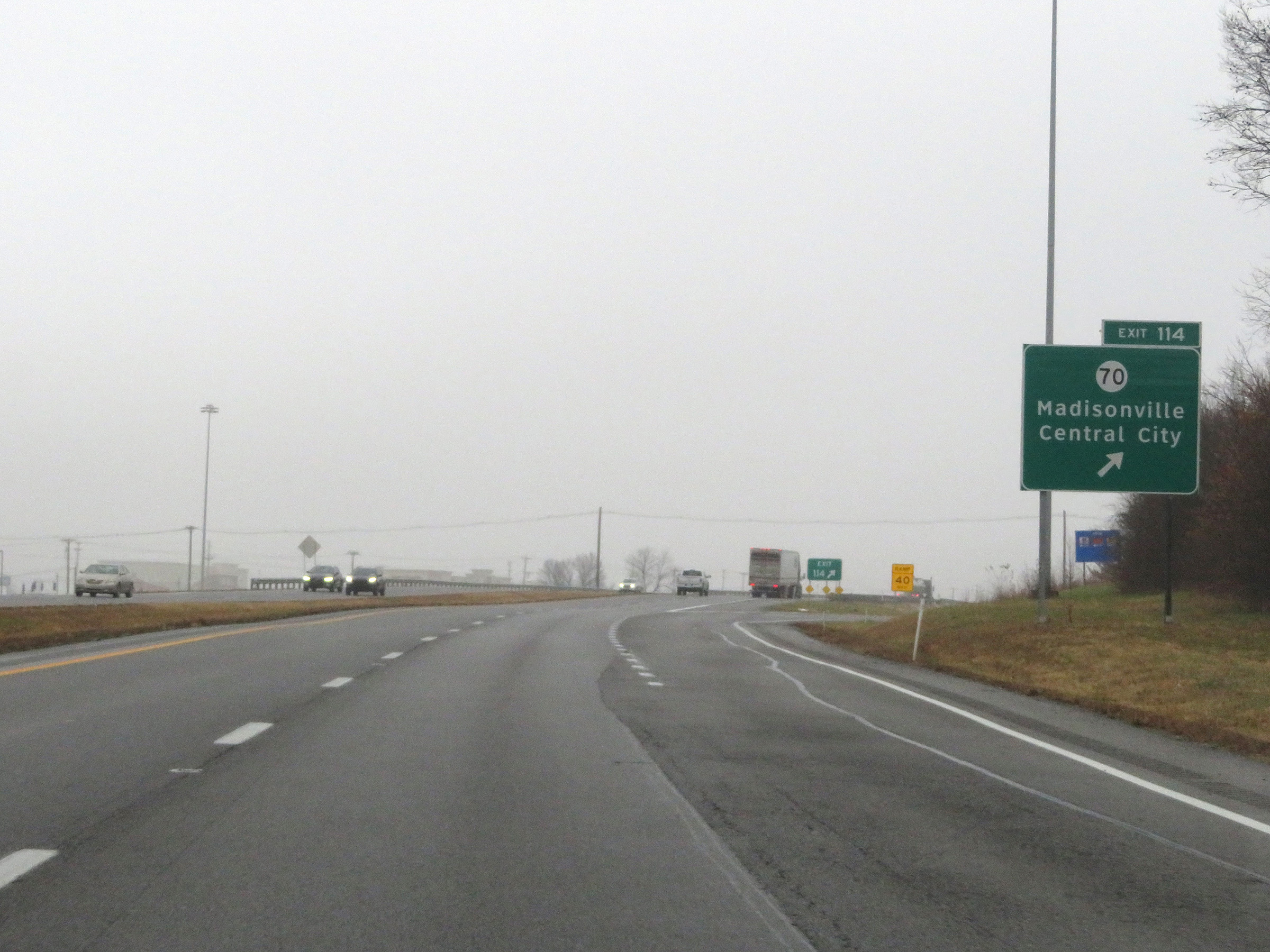 |
Interstate 69 North at Exit 114: KY 70 - Madisonville / Central City (Photo taken 12/16/20). |
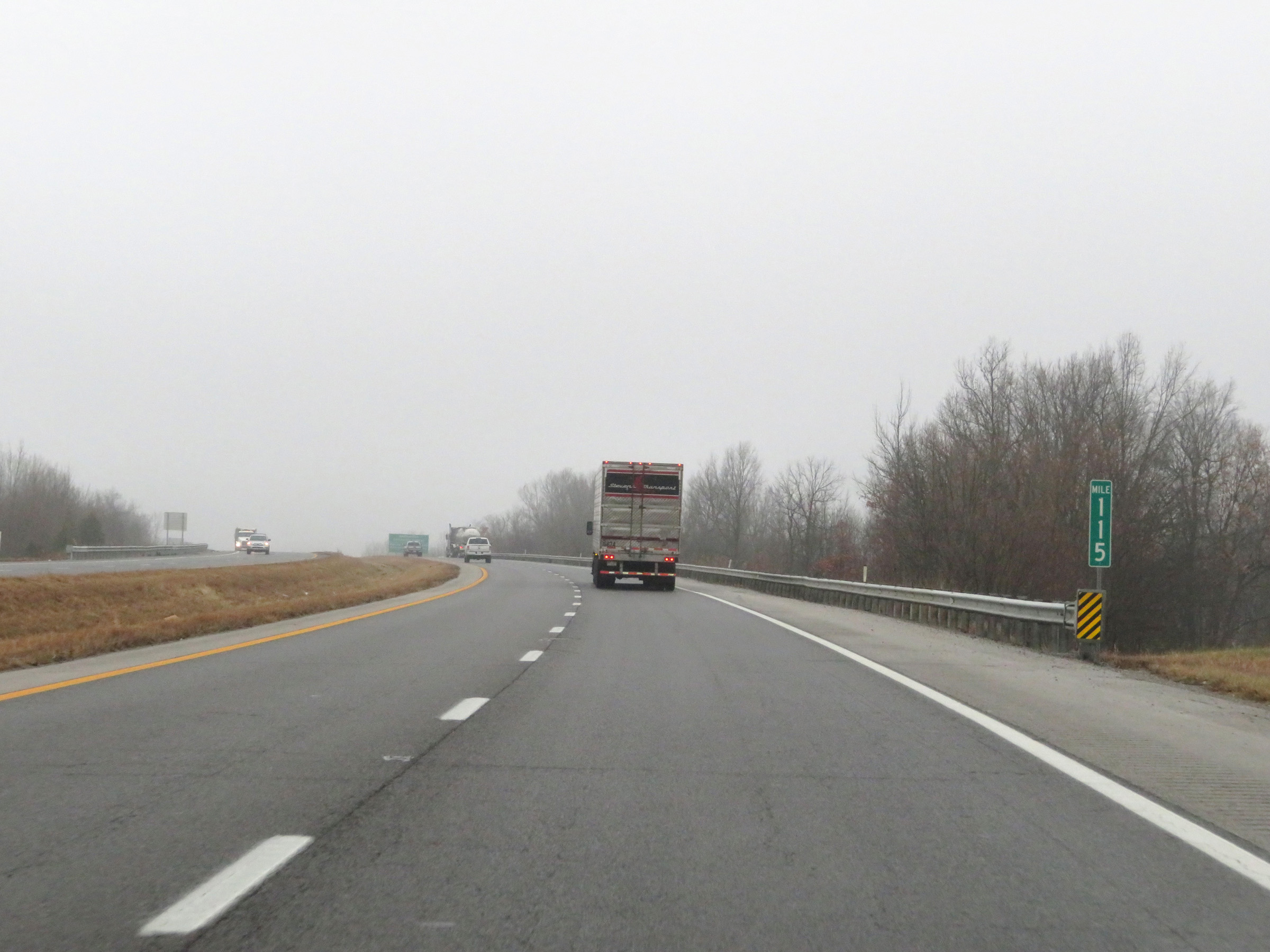 |
View on Interstate 69 North at mile marker 115. (Photo taken 12/16/20). |
 |
Take Exit 116 to Madisonville Community College and Murray State University Madisonville Regional Campus. (Photo taken 12/16/20). |
 |
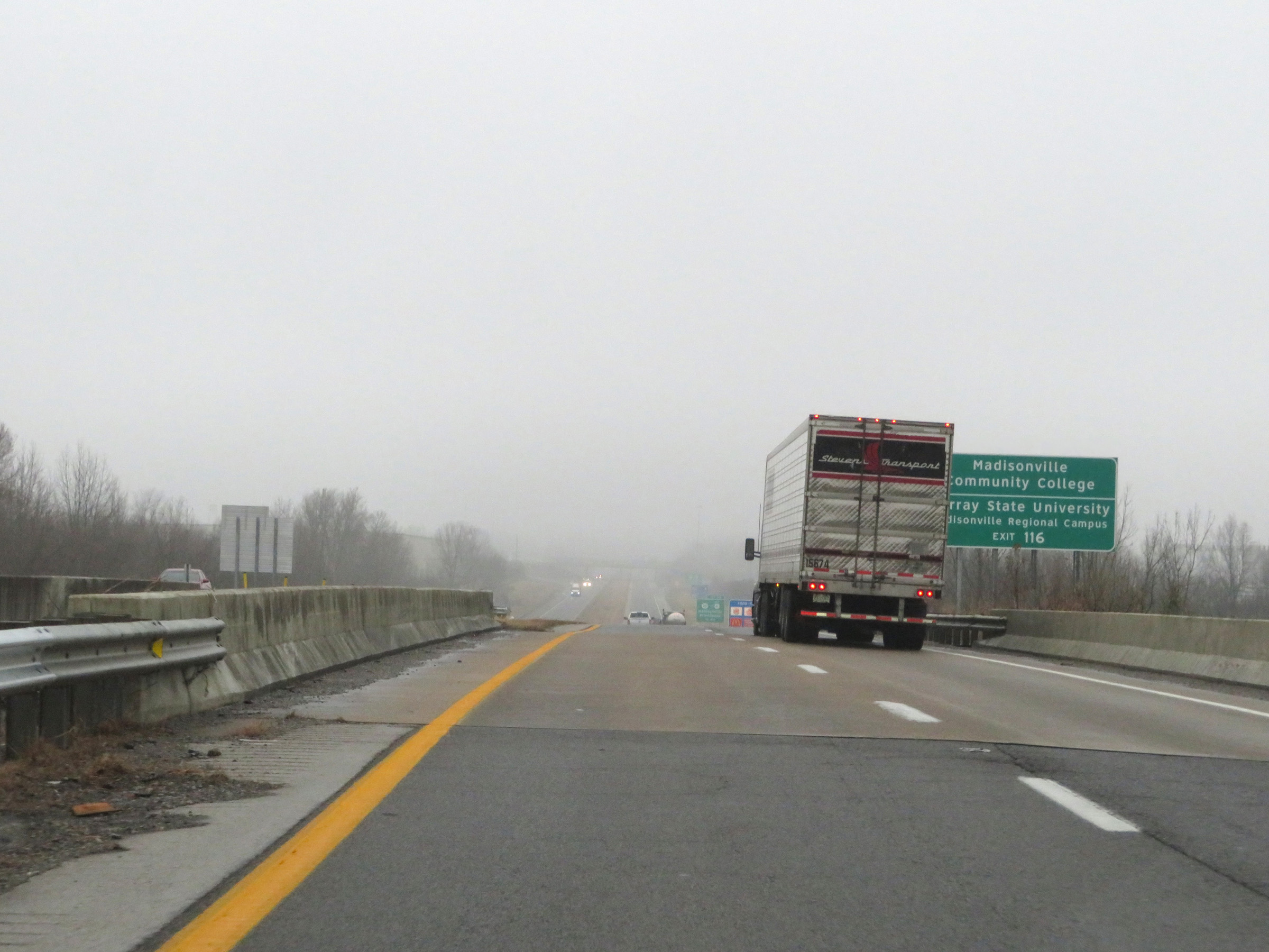
Interstate 69 North at Exit 116: KY 281 / To US 41 Alternate - Madisonville / Providence (Photo taken 12/16/20). |
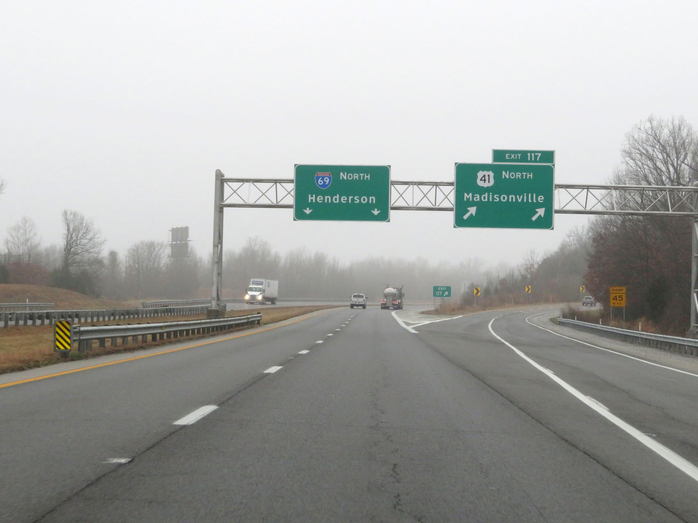 |
Interstate 69 North at Exit 117: US 41 North - Madisonville (Photo taken 12/16/20). |
Section 4: Madisonville (Exit 117) to Henderson (Exit 148B)
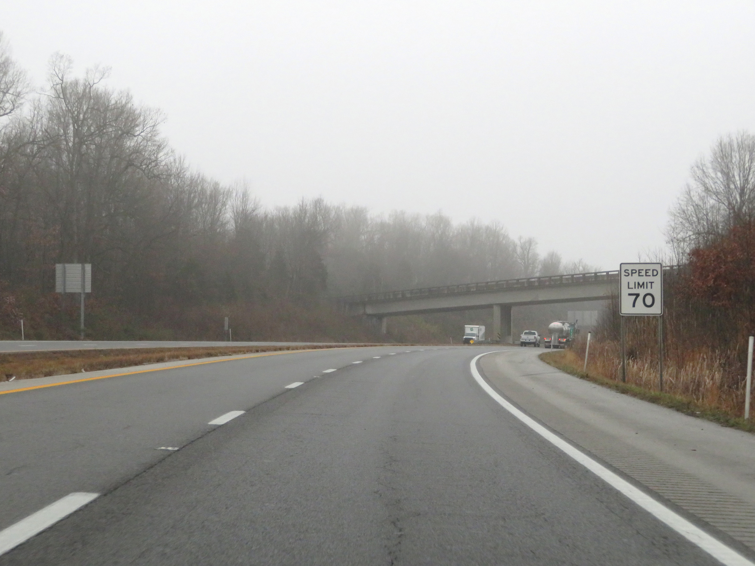 |
The speed limit remains 70 mph on Interstate 69 North. This is the standard speed limit on most rural Interstate highways in Kentucky. (Photo taken 12/16/20). |
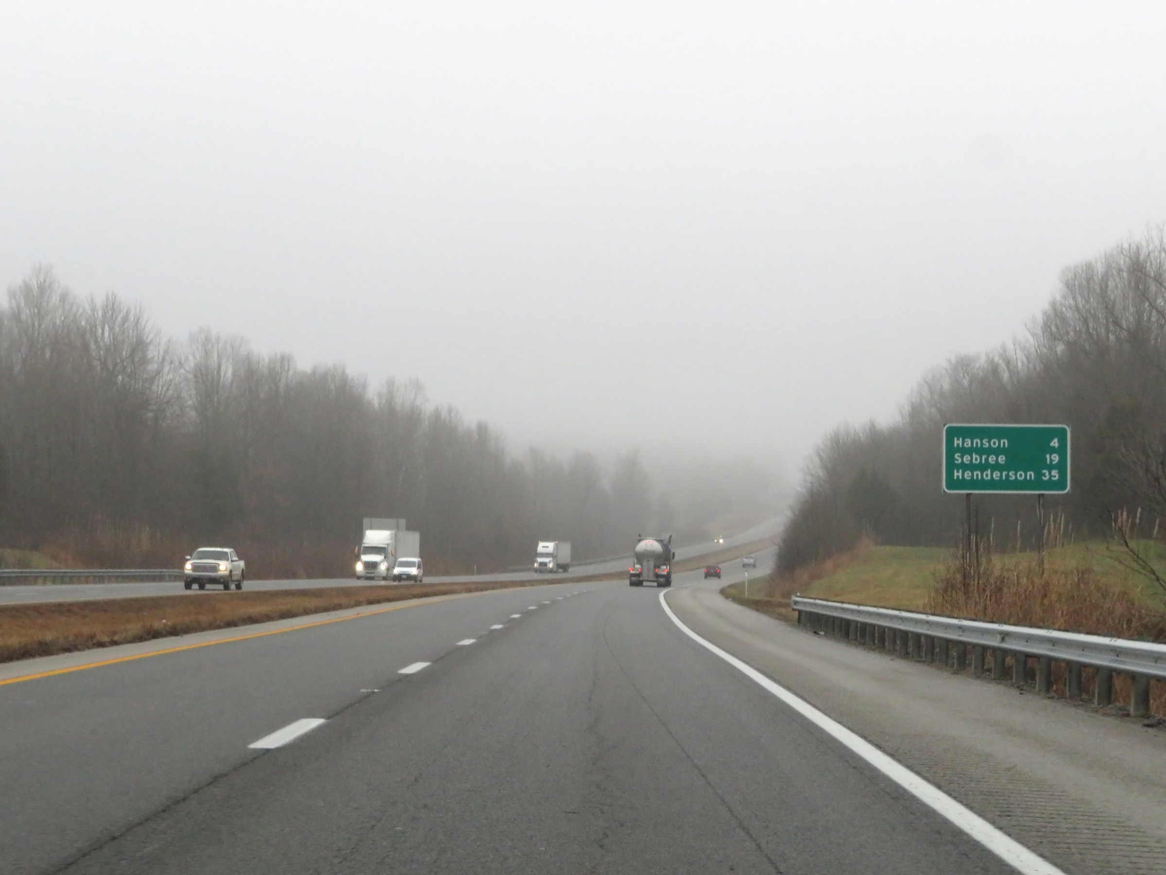 |
Mileage sign on Interstate 69 North. It's 4 miles to Hanson, 19 miles to Sebree, and 35 miles to Henderson. (Photo taken 12/16/20). |
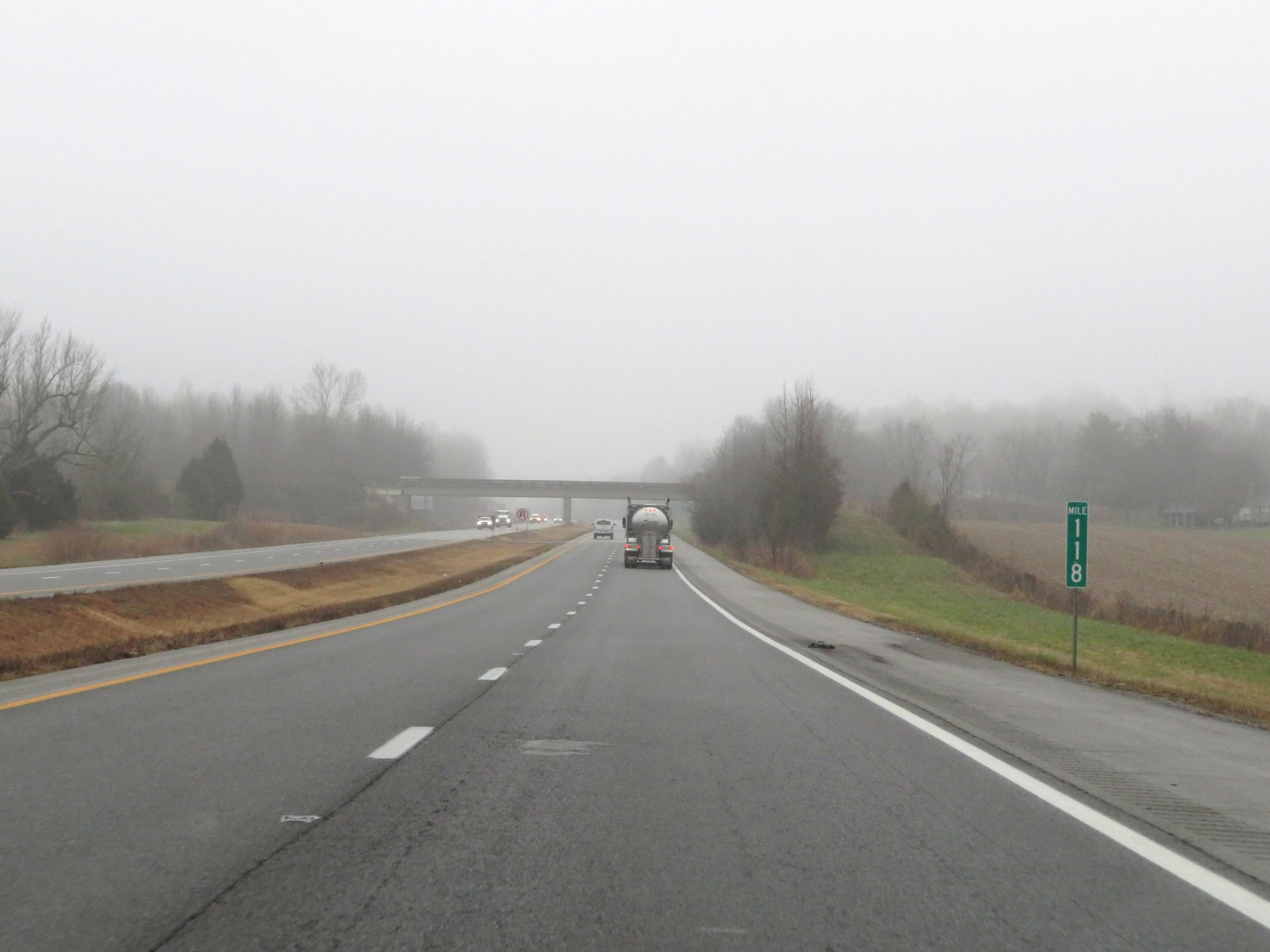 |
View on Interstate 69 North at mile marker 118. (Photo taken 12/16/20). |
 |
Take Exit 120 to Western Kentucky Veterans Center and Historic Hanson. (Photo taken 12/16/20). |
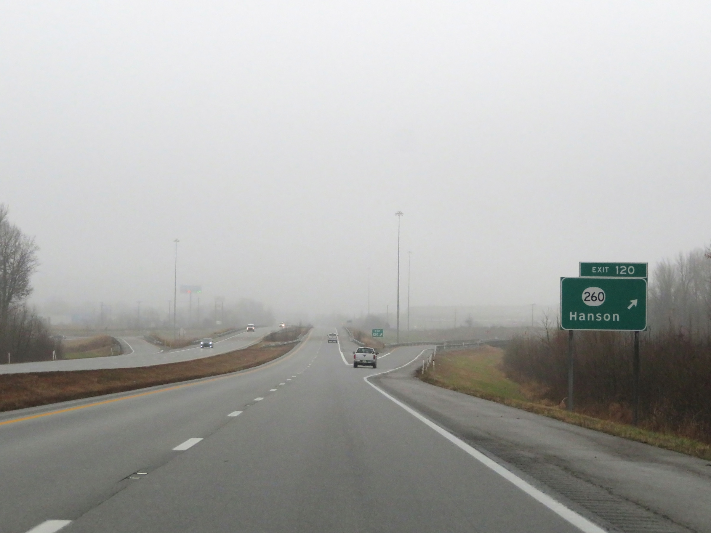 |
Interstate 69 North at Exit 120: KY 260 - Hanson (Photo taken 12/16/20). |
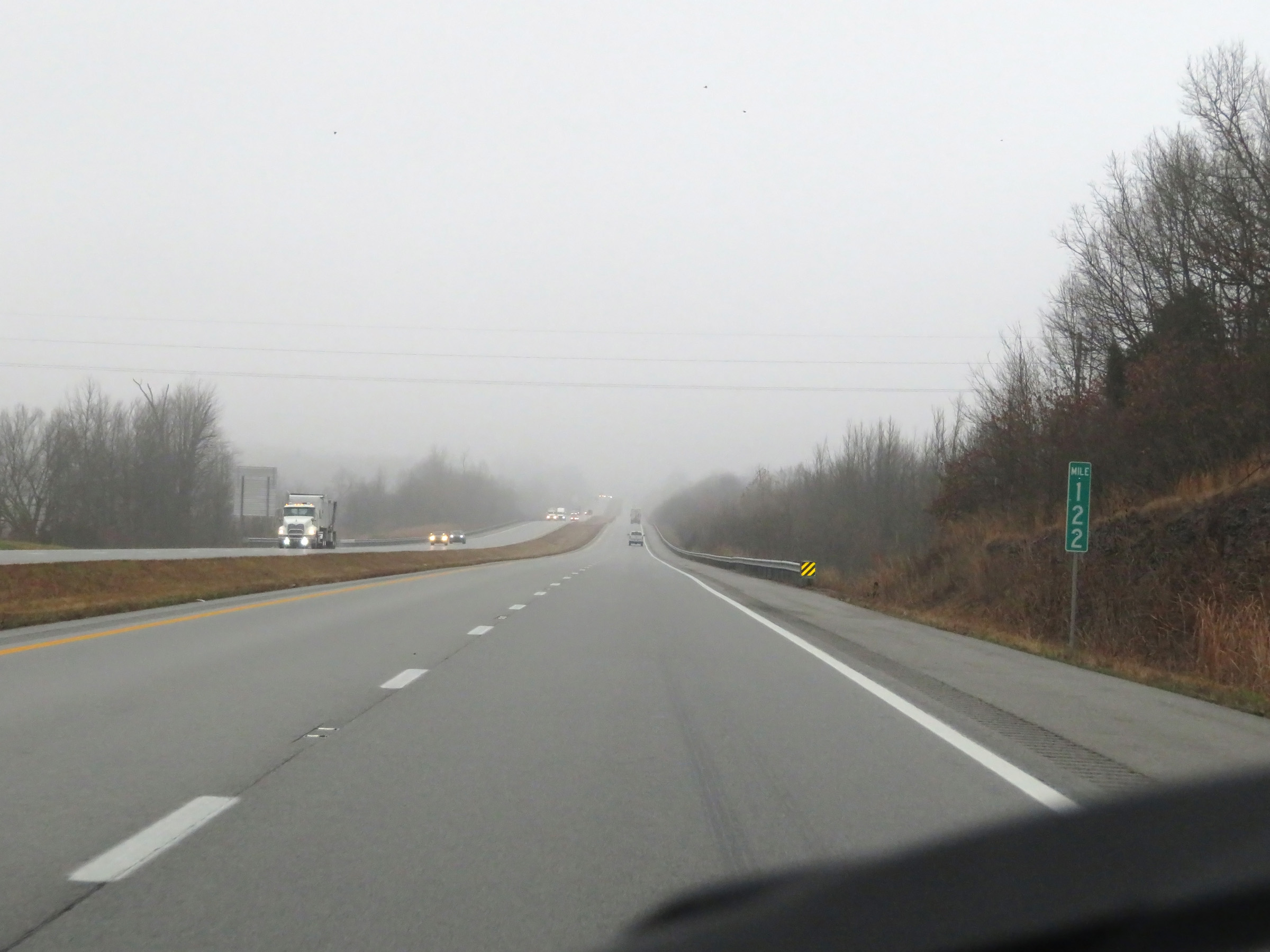 |
Mile marker 122 on Interstate 69 North in Hopkins County. (Photo taken 12/16/20). |
 |
View on Interstate 69 North at mile marker 124. (Photo taken 12/16/20). |
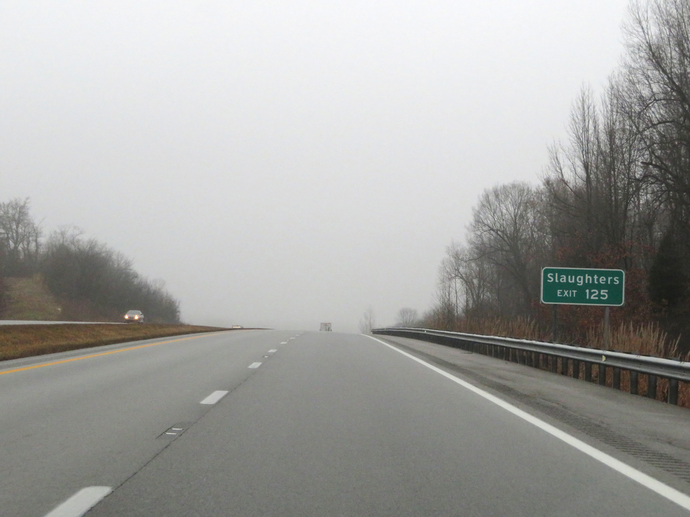 |
Take Exit 125 to Slaughters. (Photo taken 12/16/20). |
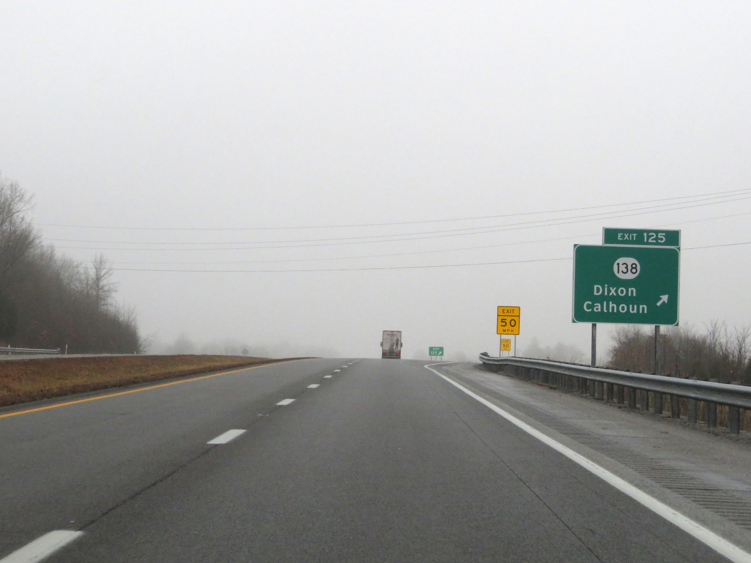 |
Interstate 69 North at Exit 125: KY 138 - Dixon / Calhoun (Photo taken 12/16/20). |
 |
Interstate 69 North as it enters Webster County. (Photo taken 12/16/20). |
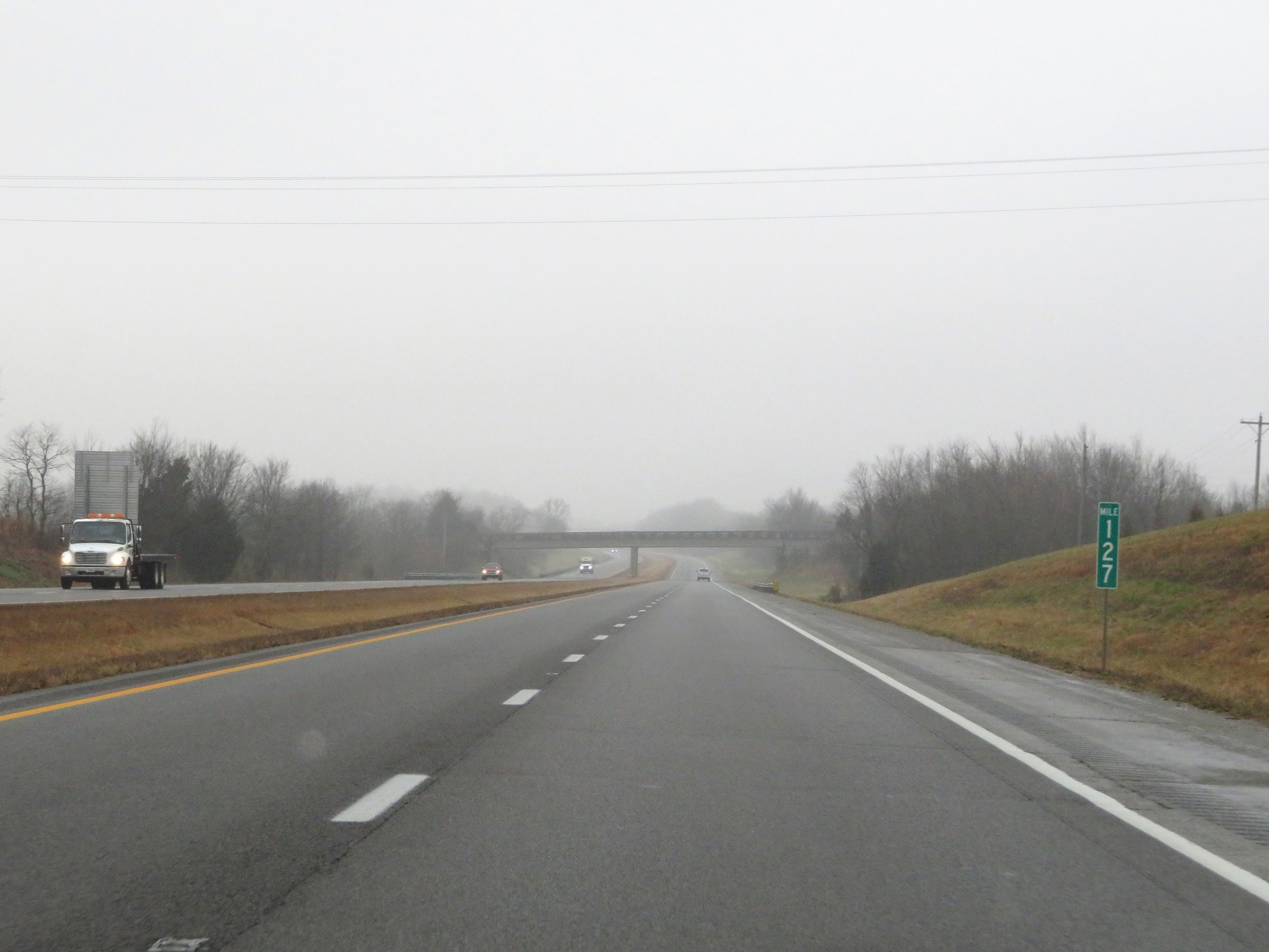 |
View on Interstate 69 North at mile marker 127. (Photo taken 12/16/20). |
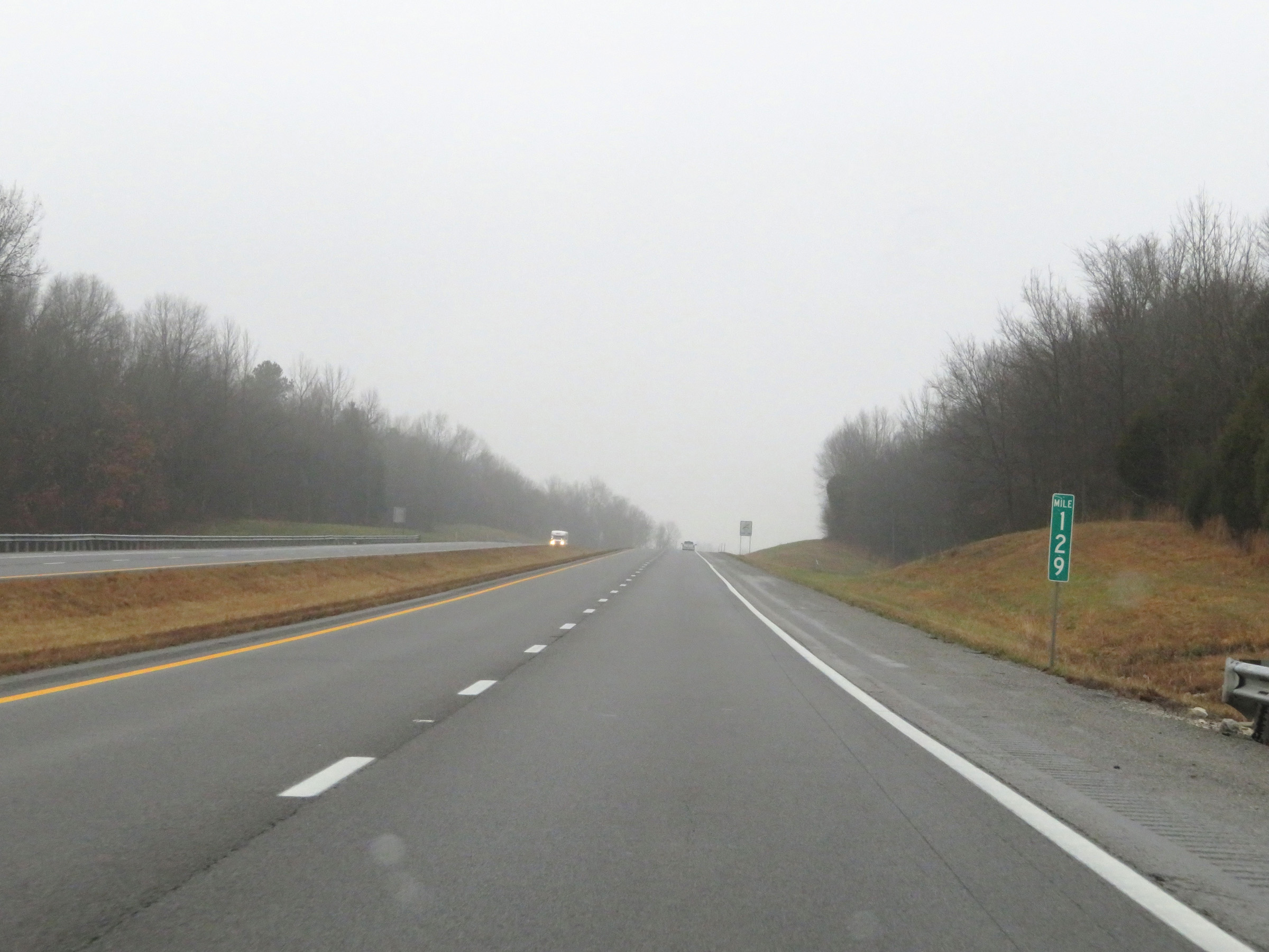 |
Interstate 69 North at mile marker 129. (Photo taken 12/16/20). |
 |
Mile marker 130 on Interstate 69 North in Webster County. (Photo taken 12/16/20). |
 |
View on Interstate 69 North at mile marker 132. (Photo taken 12/16/20). |
 |
Interstate 69 North at mile marker 133. (Photo taken 12/16/20). |
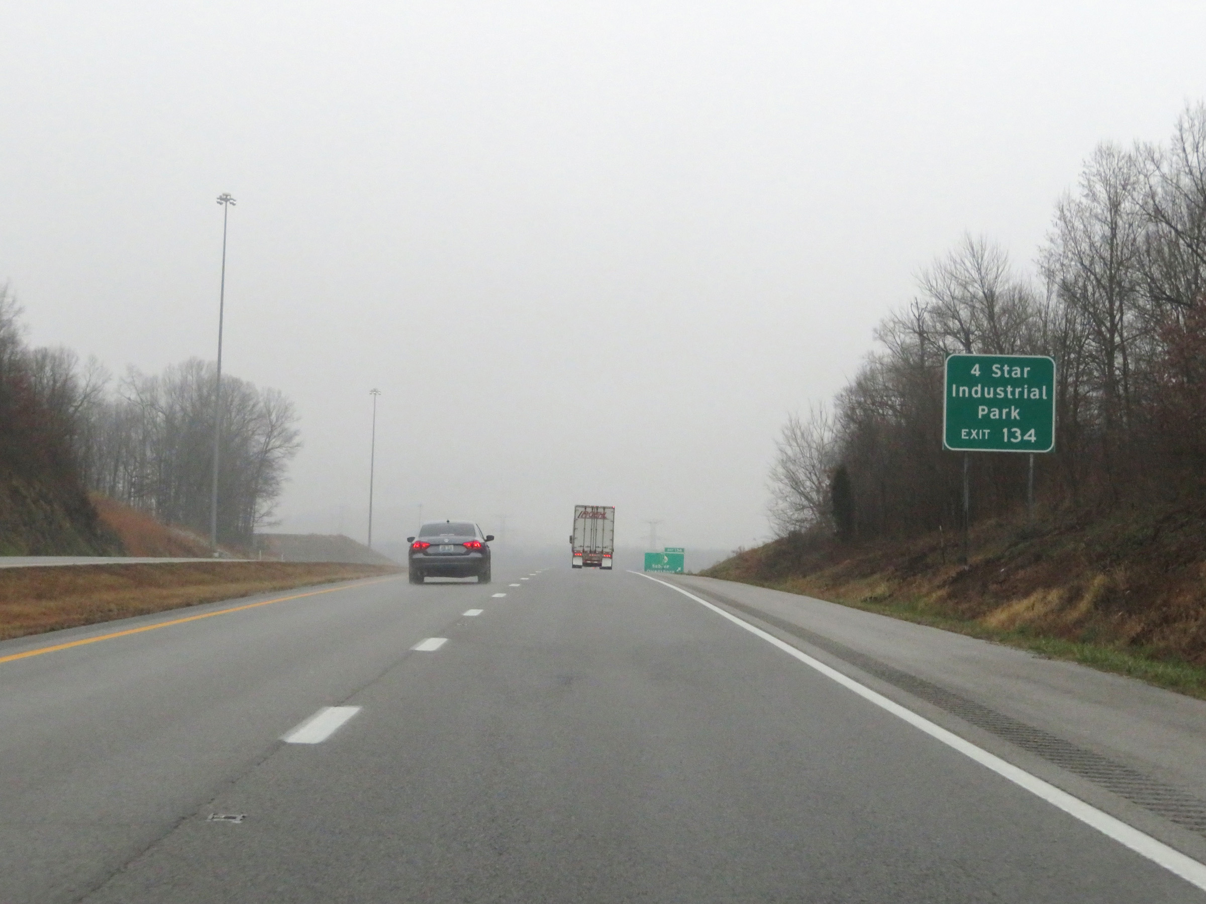 |
Take Exit 134 to 4 Star Industrial Park. (Photo taken 12/16/20). |
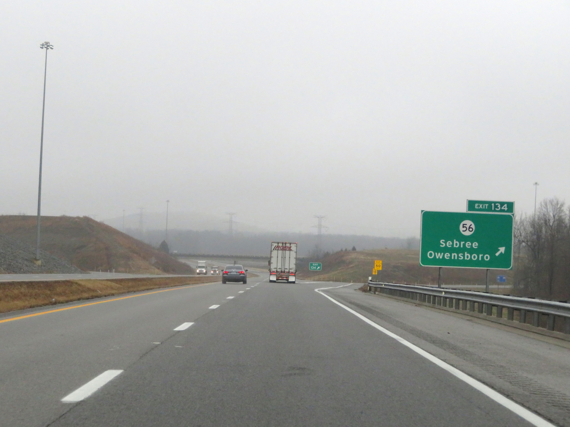 |
Interstate 69 North at Exit 134: KY 56 - Sebree / Owensboro (Photo taken 12/16/20). |
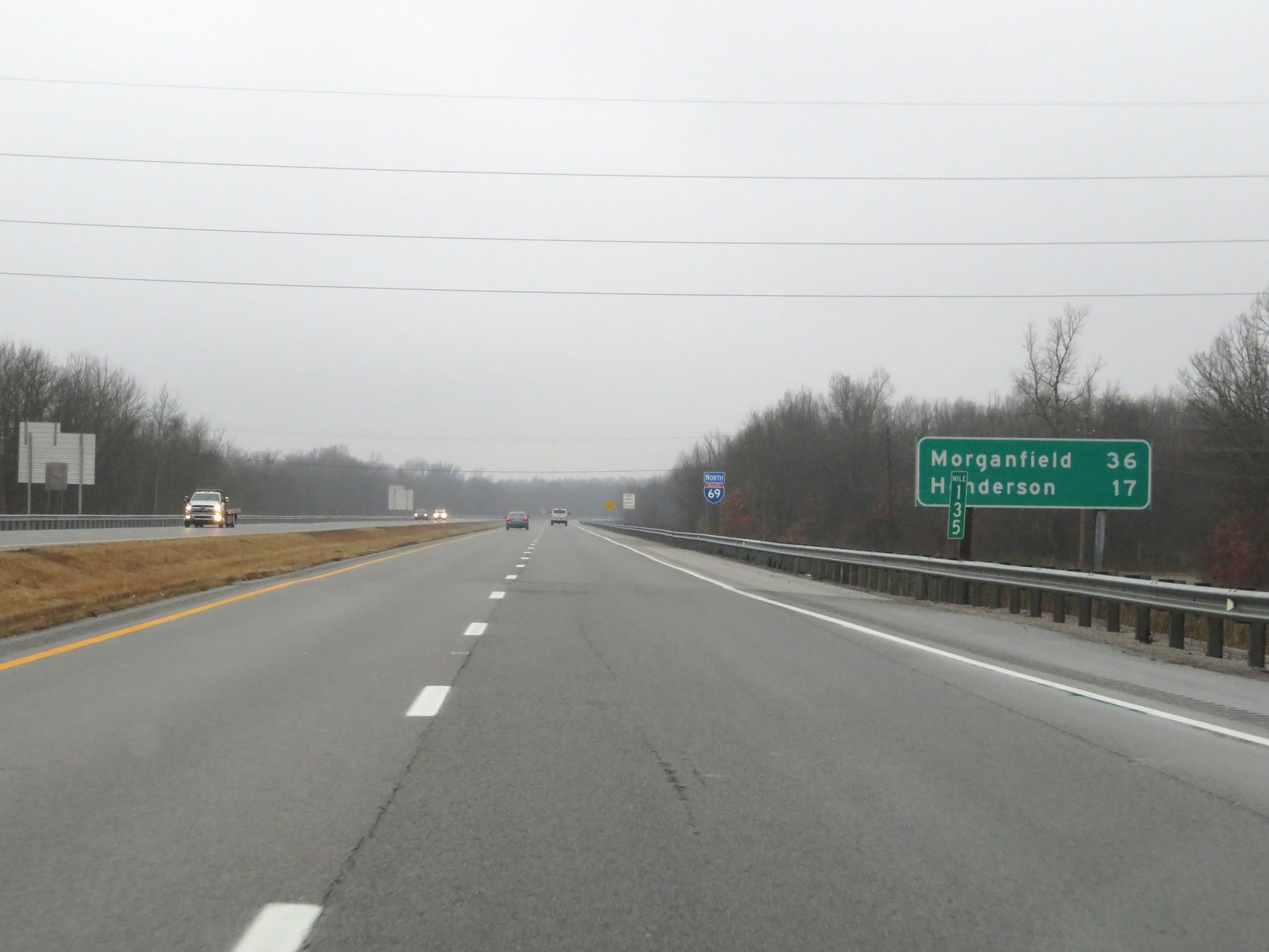 |
Another mileage sign on Interstate 69 North at mile marker 135. It's 36 miles to Morganfield and 17 miles to Henderson. (Photo taken 12/16/20). |
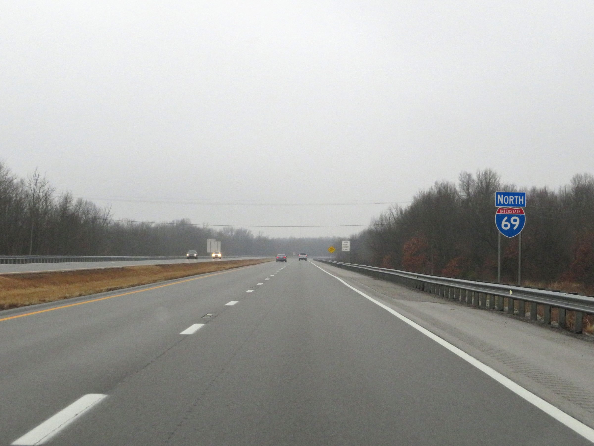 |
Interstate 69 North reassurance shield. (Photo taken 12/16/20). |
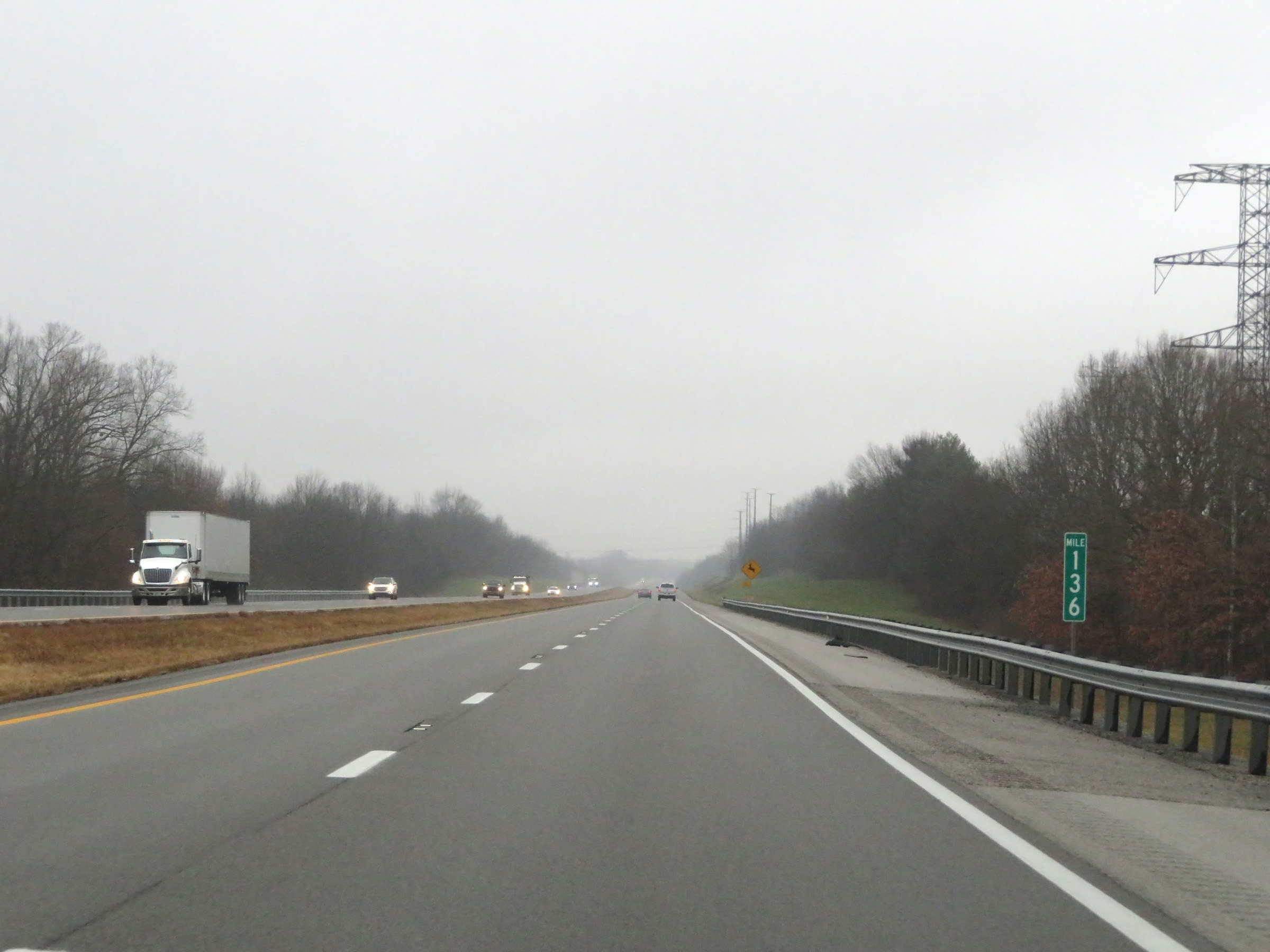 |
View on Interstate 69 North at mile marker 136. (Photo taken 12/16/20). |
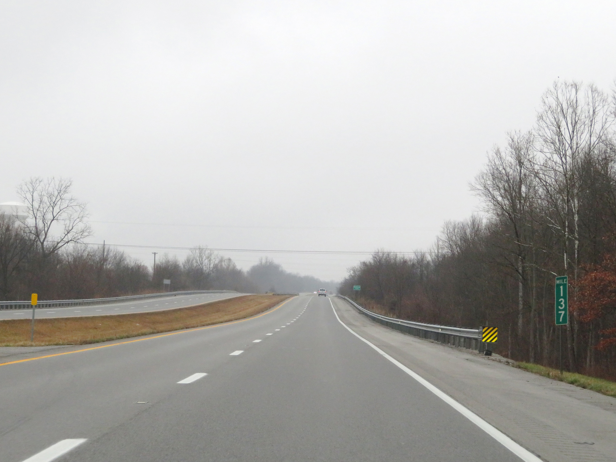 |
Mile marker 137 on Interstate 69 North in Webster County. (Photo taken 12/16/20). |
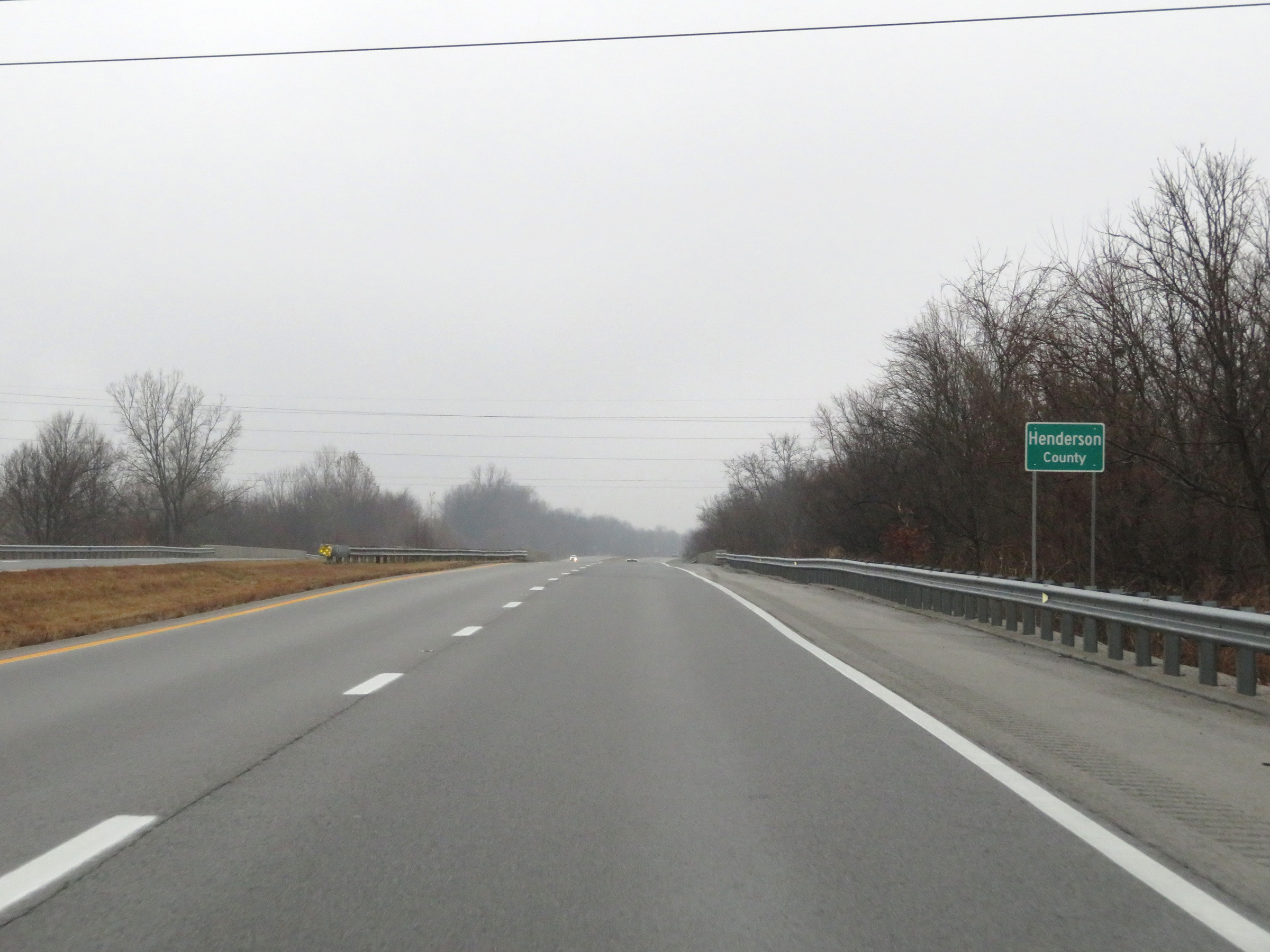 |
Interstate 69 North as it enters Henderson County. (Photo taken 12/16/20). |
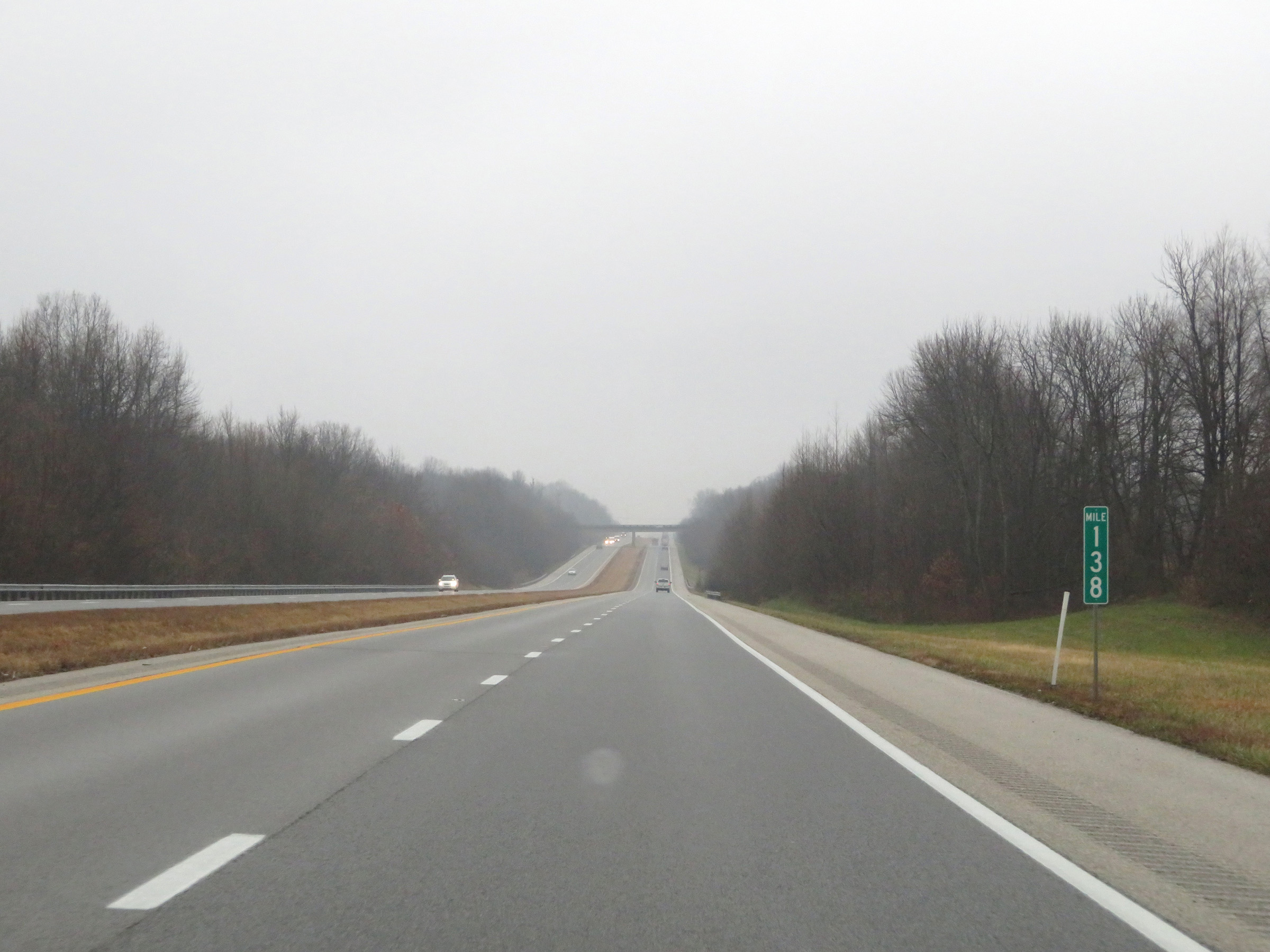 |
View on Interstate 69 North at mile marker 138. (Photo taken 12/16/20). |
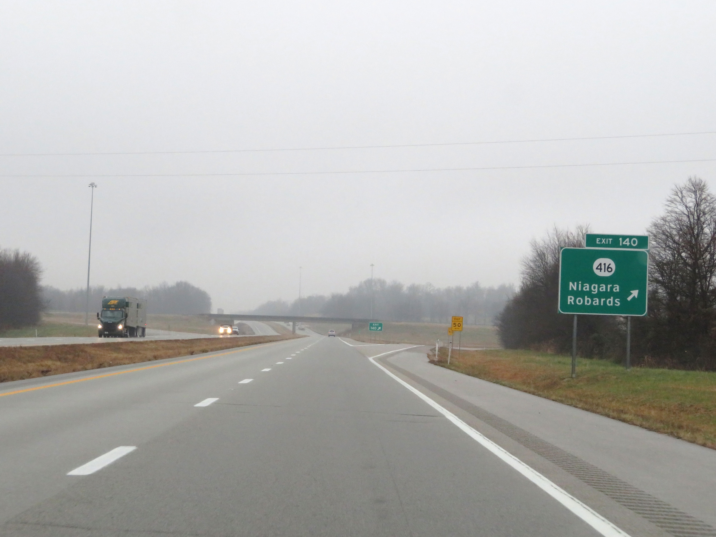 |
Interstate 69 North at Exit 140: KY 416 - Niagara / Robards (Photo taken 12/16/20). |
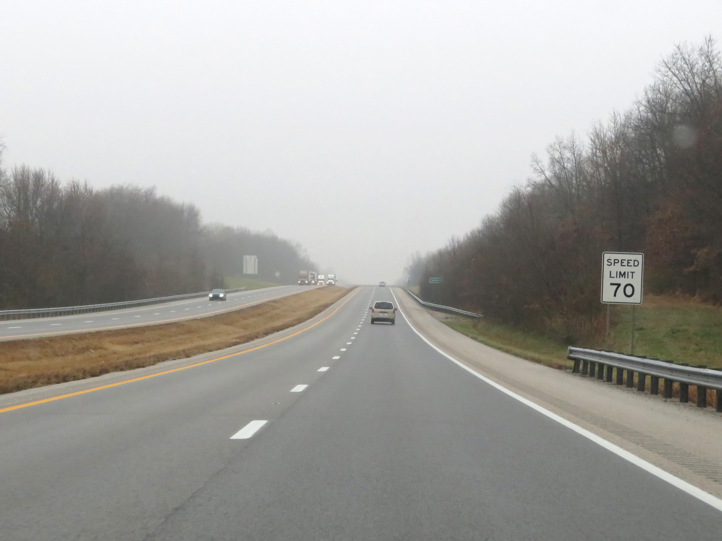 |
The speed limit remains 70 mph. (Photo taken 12/16/20). |
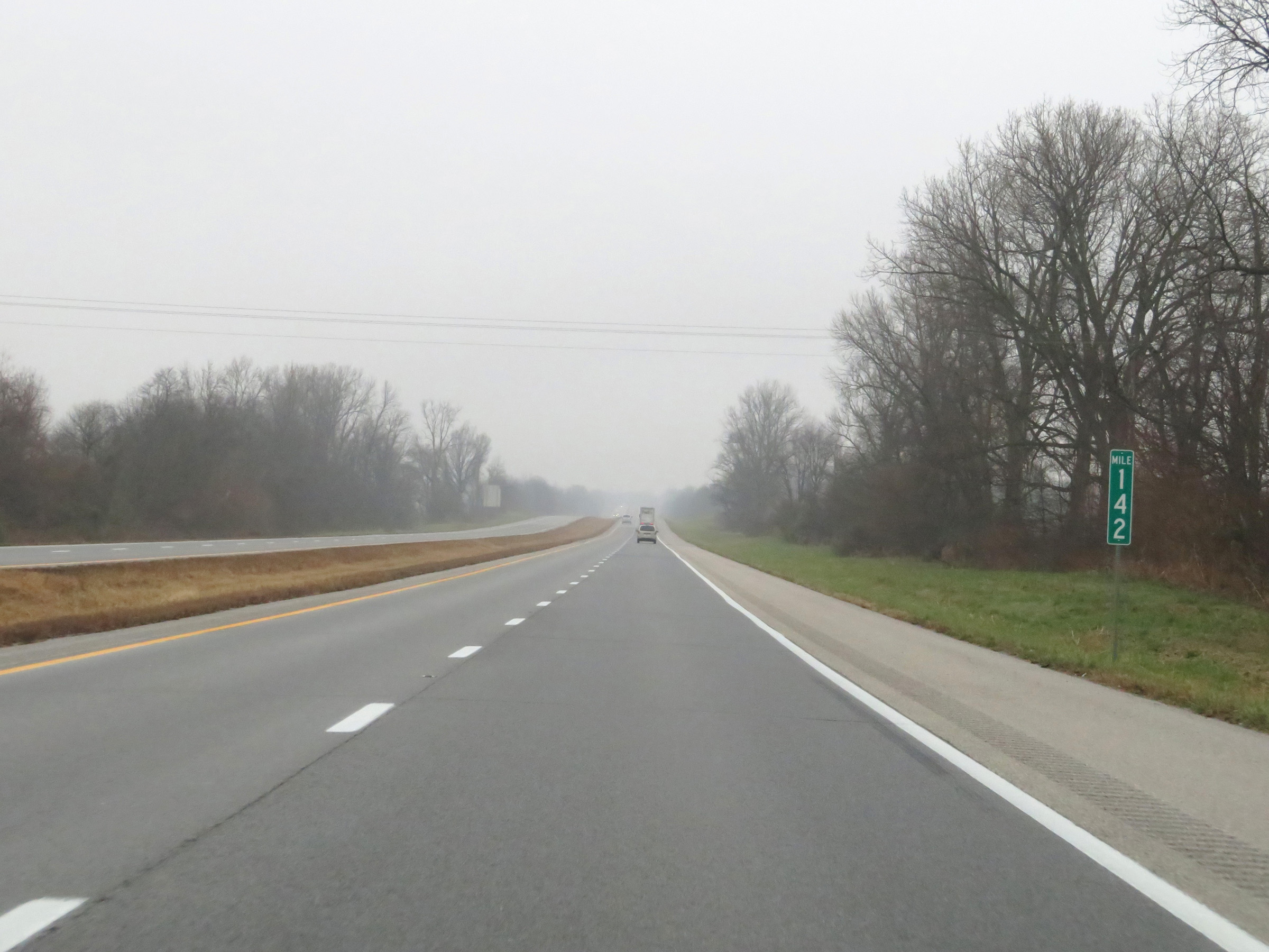 |
Mile marker 142 on Interstate 69 North in Henderson County. (Photo taken 12/16/20). |
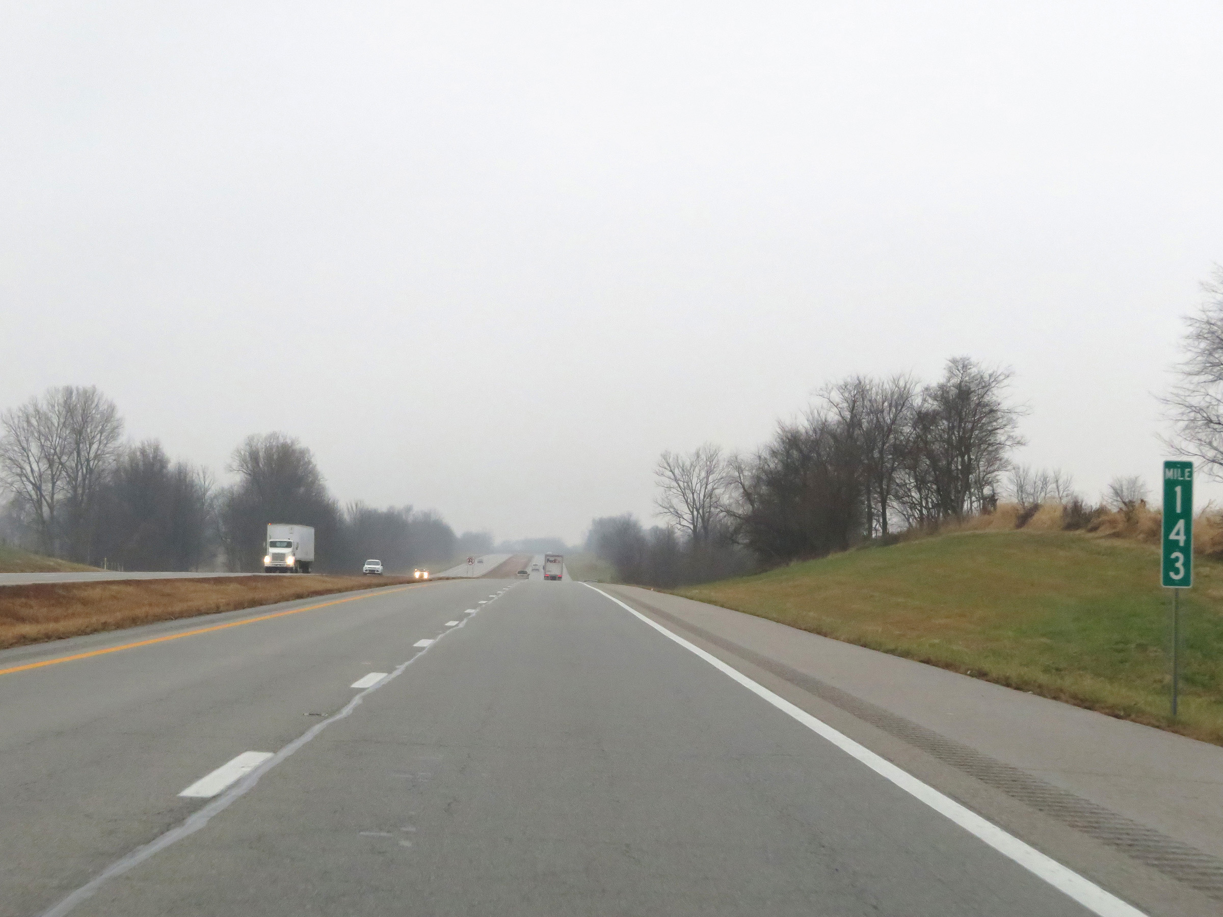 |
Interstate 69 North at mile marker 143. (Photo taken 12/16/20). |
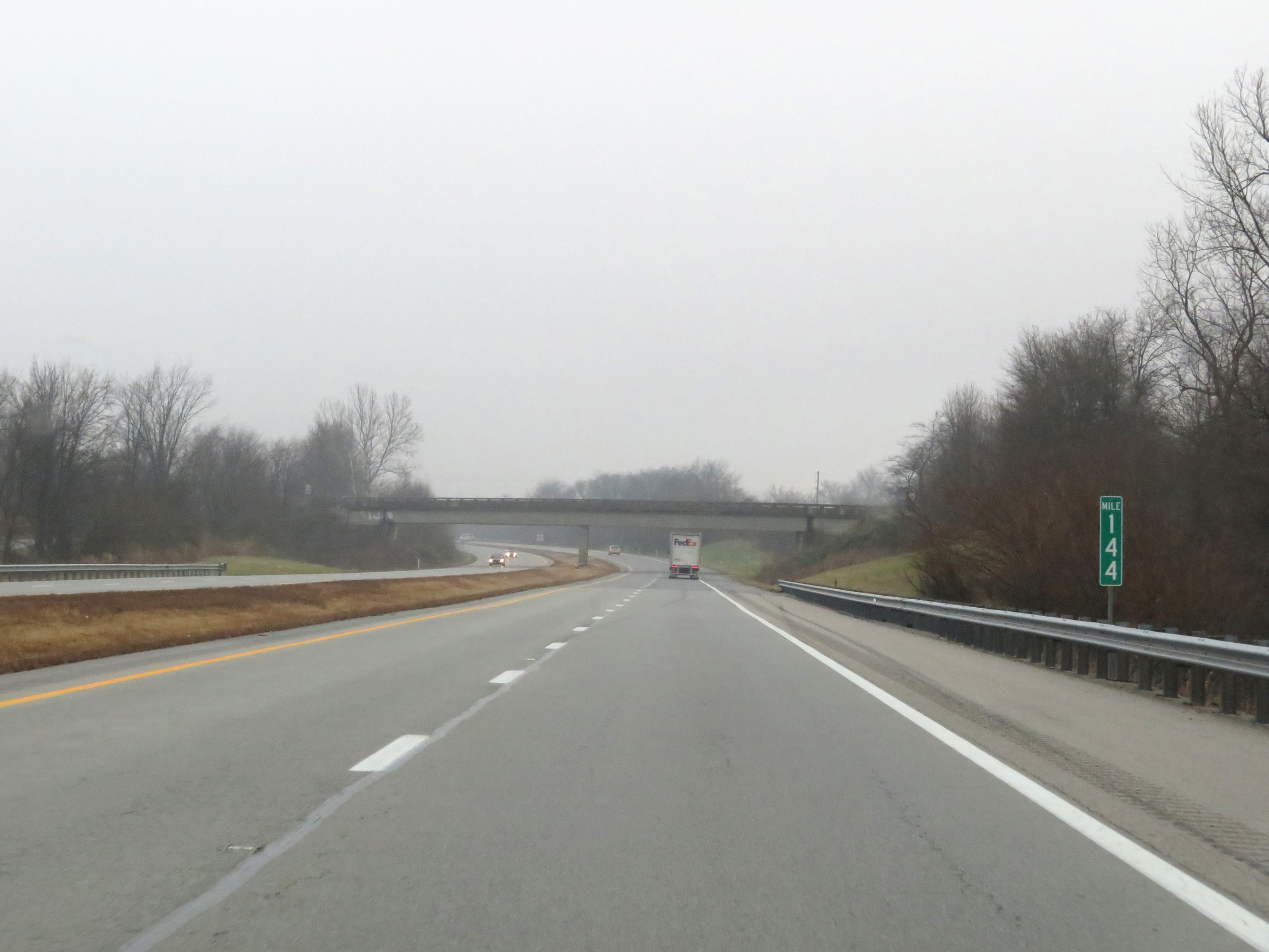 |
View on Interstate 69 North at mile marker 144. (Photo taken 12/16/20). |
 |
Interstate 69 North at mile marker 146. (Photo taken 12/16/20). |
 |
Interstate 69 North approaching Exits 148A-B - 1 mile. (Photo taken 12/16/20). |
 |
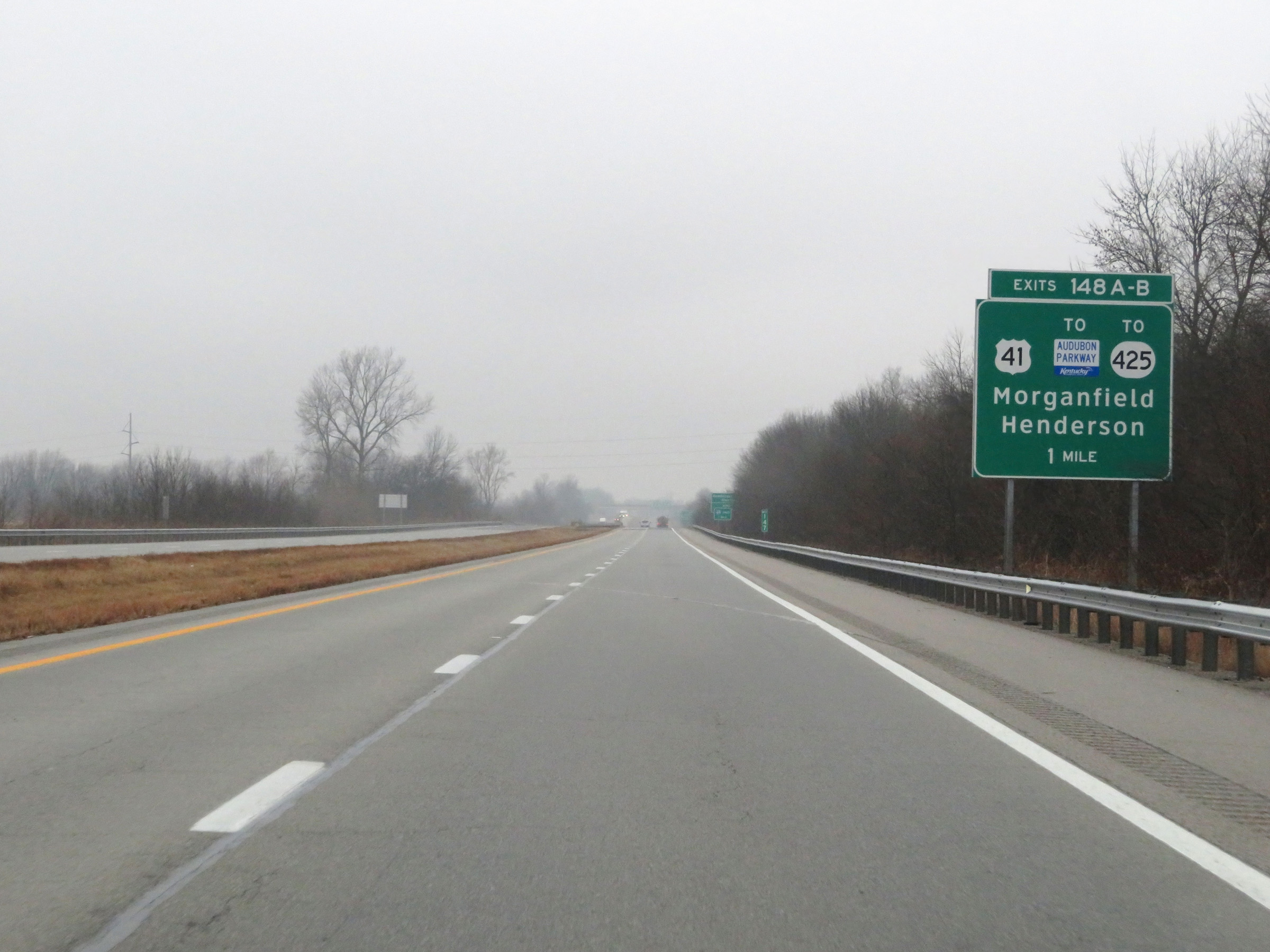
The current northern terminus of Interstate 69 in Kentucky is 1 mile ahead, just beyond Exits 148A-B. (Photo taken 12/16/20). |
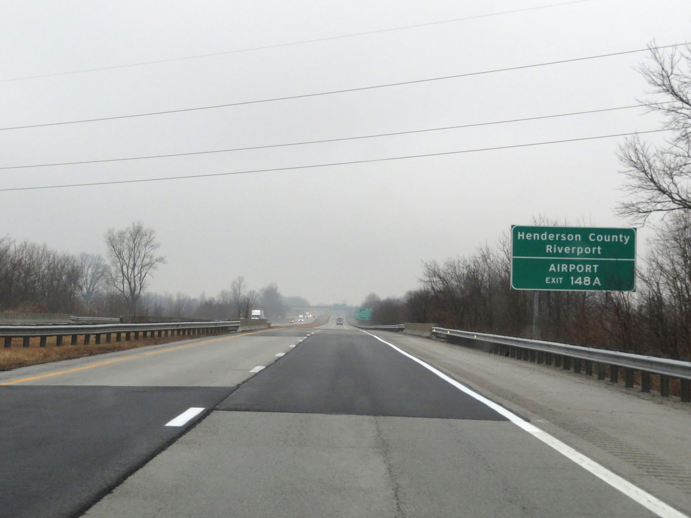 |
Take Exit 148A to Henderson County Riverport and the Airport. (Photo taken 12/16/20). |
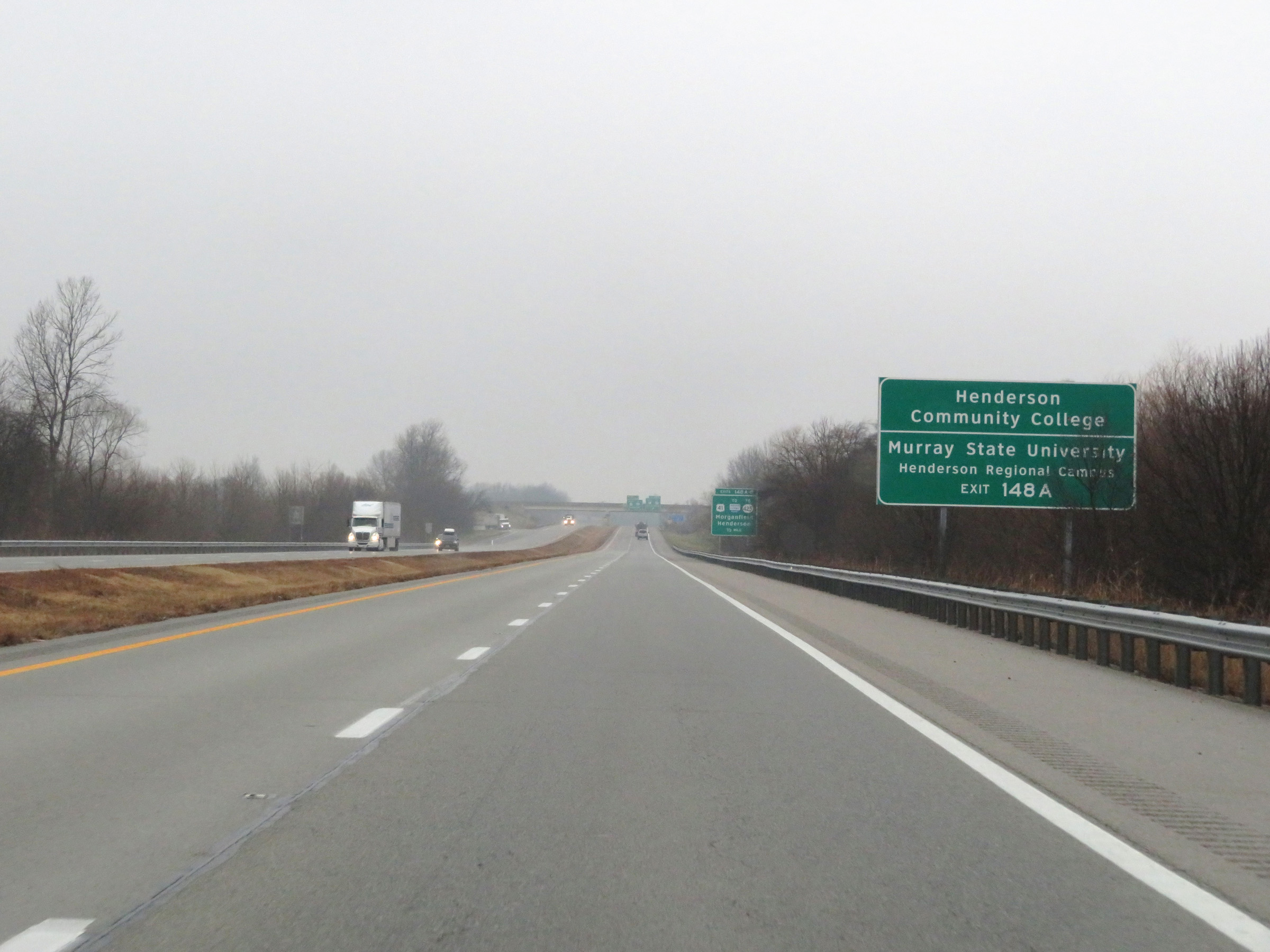 |
Take Exit 148A to Henderson Community College and Murray State University Henderson Regional Campus. (Photo taken 12/16/20). |
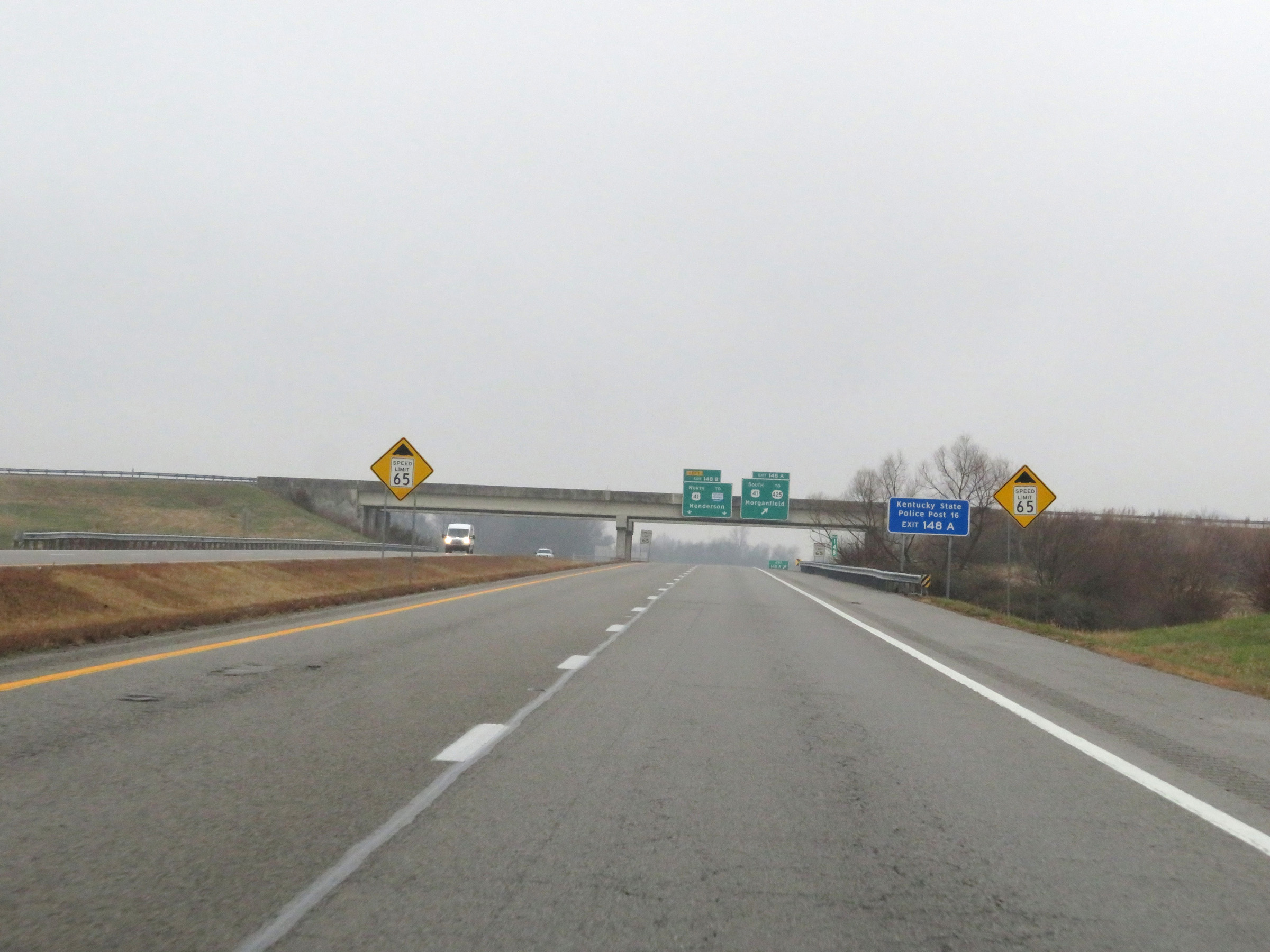 |
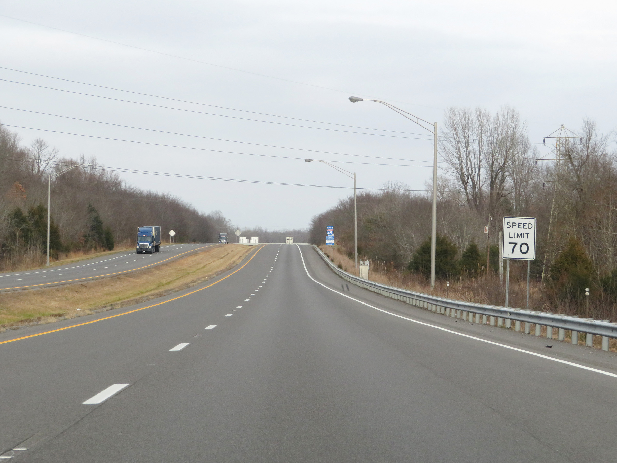
Ahead, as Interstate 69 North reaches its current northern terminus in Kentucky, the speed limit will decrease to 65 mph. (Photo taken 12/16/20). |
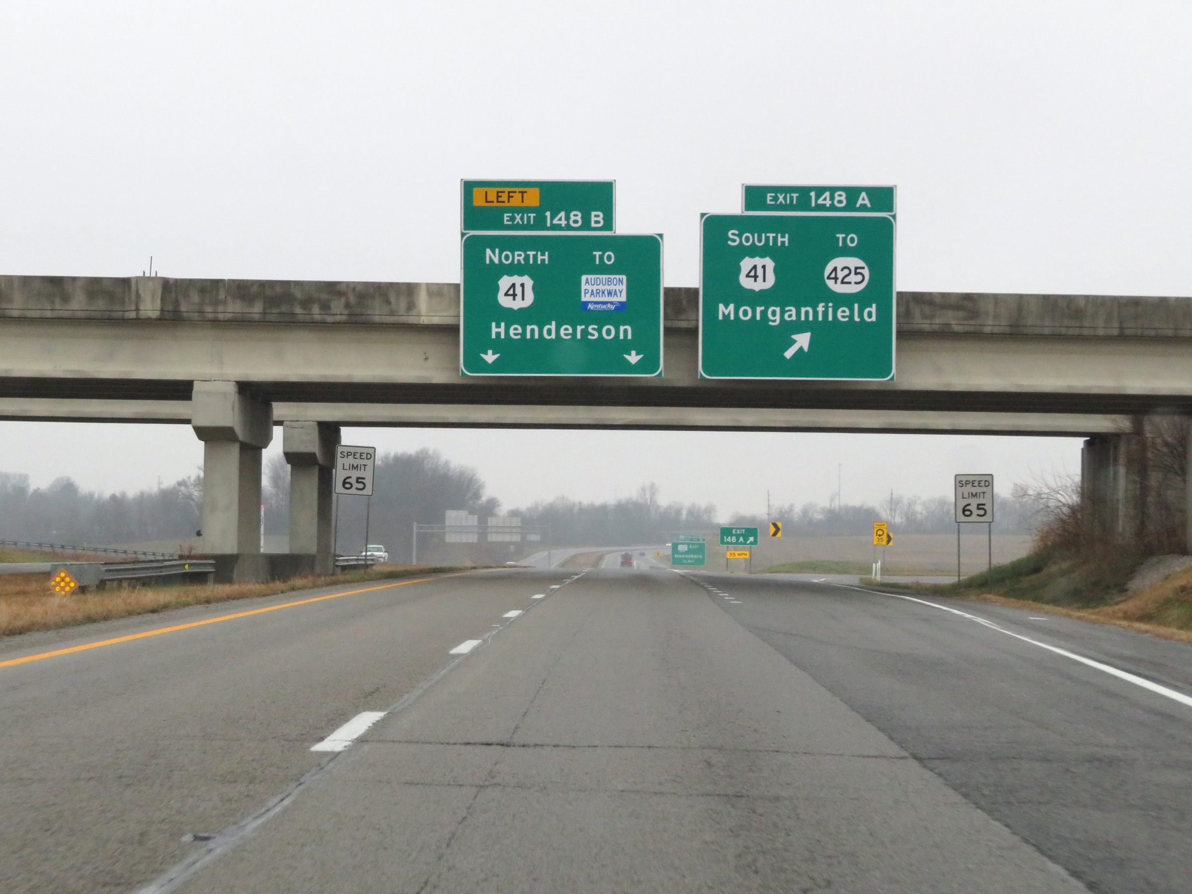 |
Interstate 69 North at Exit 148A: US 41 South / To KY 425 - Morganfield; Exit 148B: US 41 North / To Audubon Parkway - Henderson (Photo taken 12/16/20). |
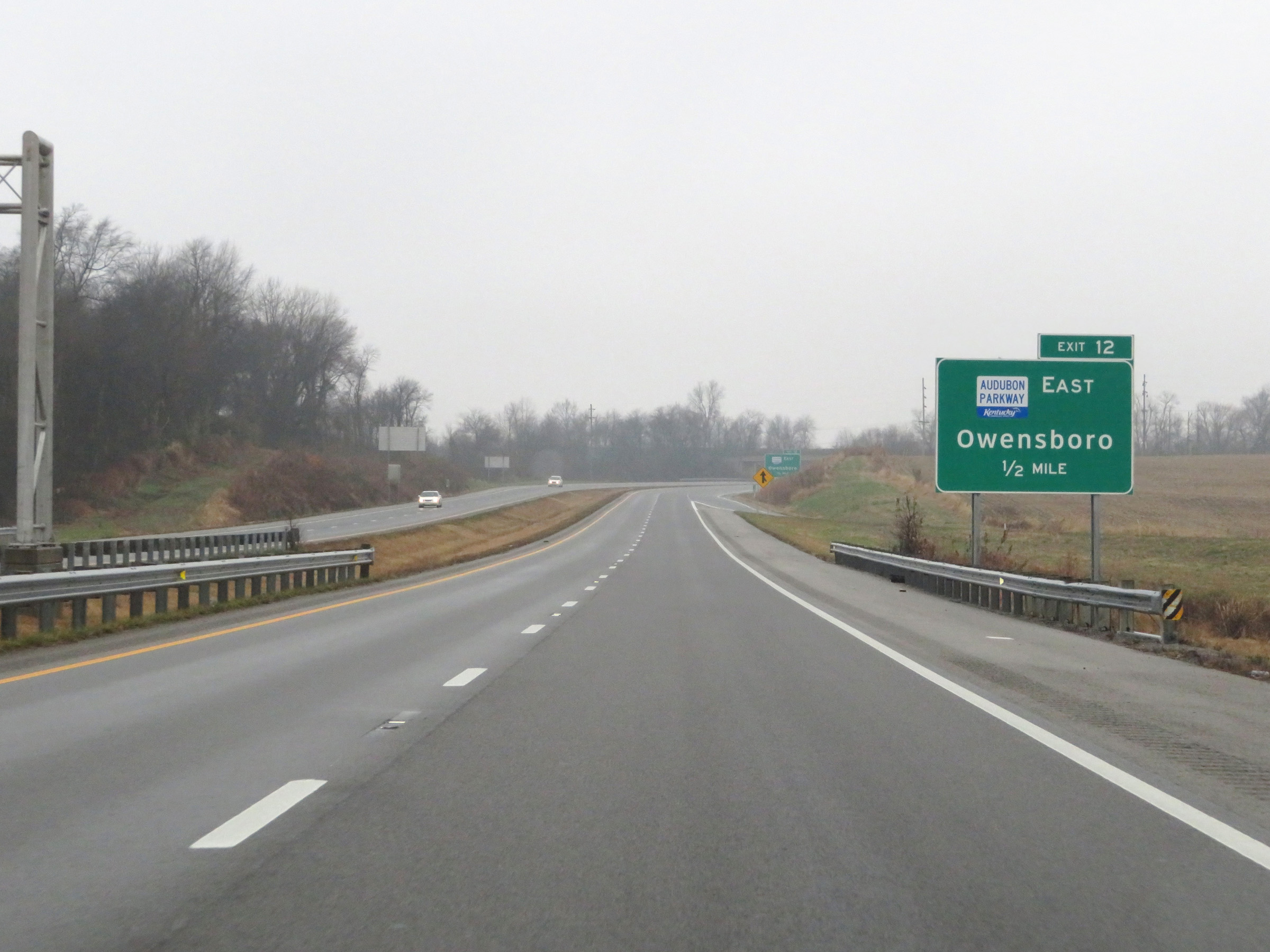 |
Advance signage for Exit 12 to the Audubon Parkway East, 1/2 mile ahead on US 41 North. At this point, Interstate 69 in Kentucky has reached its current northern terminus and the mileage/exit numbers change. (Photo taken 12/16/20). |
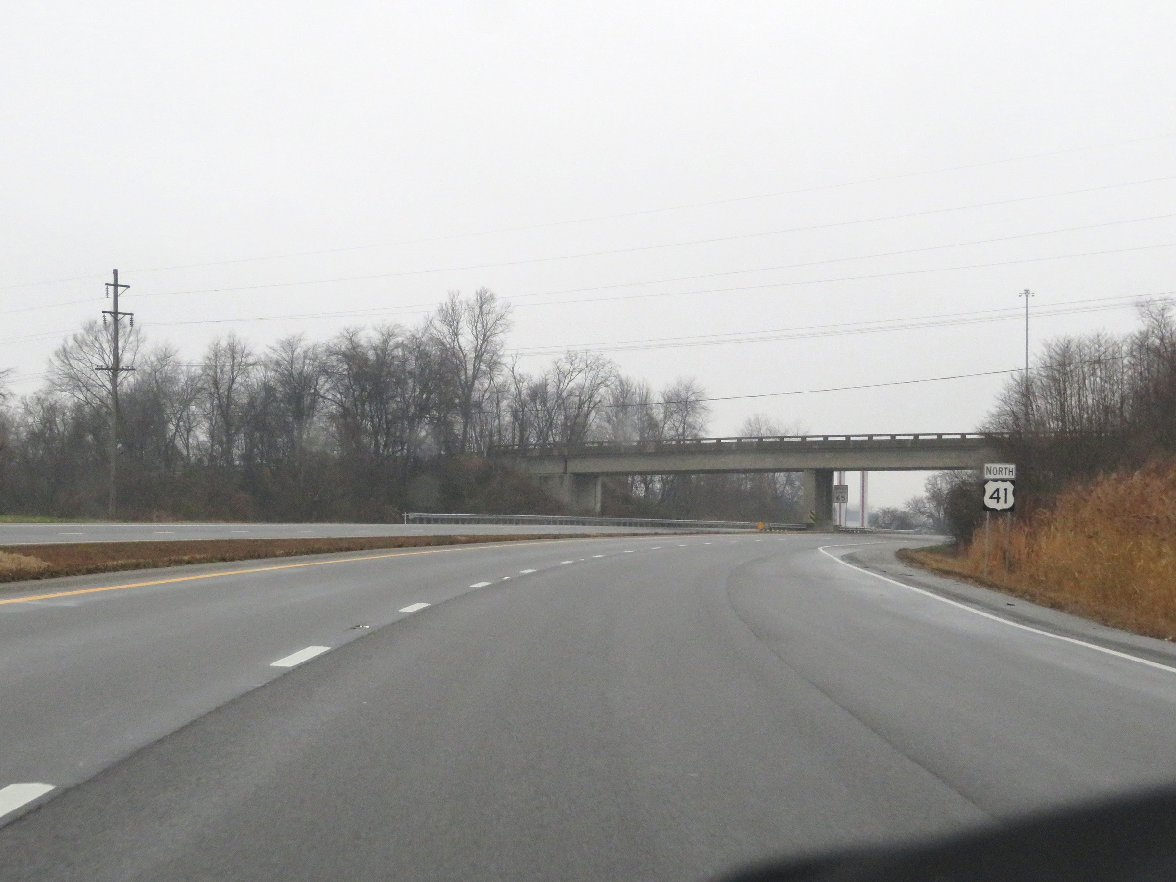 |
As Interstate 69 North in Kentucky comes to an end, its two lanes continue north toward Henderson as US 41 North. (Photo taken 12/16/20). |