Road Information |
||
 |
||
| Total Mileage in State: | 137 miles | |
| Northern End: | At Indiana state line | |
| Southern End: | At Tennessee state line | |
| Mileage covered in Photos: | 130 miles | |
| Counties covered in Photos: | Jefferson, Bullitt, Hardin, LaRue, Hart, Barren, Warren, Simpson | |
| Major Junctions in Photos: | I-265, near Louisville Bluegrass Pkwy, in Elizabethtown US 231, in Bowling Green |
|
| Control Cities in Photos: | Louisville, Elizabethtown, Bowling Green, Franklin | |
Southbound
- Section 1: Louisville (Exit 130) to Munfordville (Exit 65)
- Section 2: Munfordville (Exit 65) to Tennessee Border
Section 1: Louisville (Exit 130) to Munfordville (Exit 65)
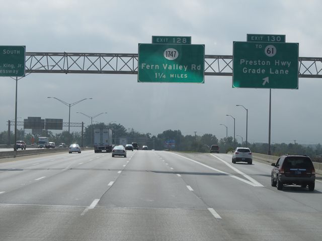 |
Interstate 65 South at Exit 130: To KY 61 - Preston Hwy / Grade Lane (Photo taken 9/20/11). |
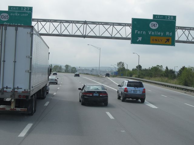 |
Interstate 65 South at Exit 128: KY 1747 - Fern Valley Rd (Photo taken 9/20/11). |
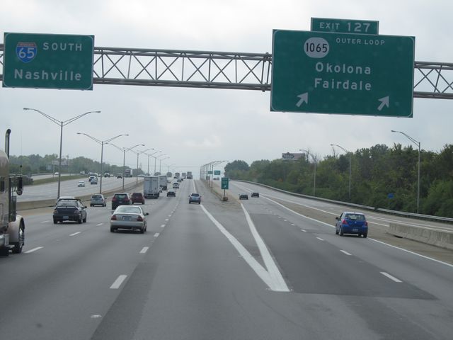 |
Interstate 65 South at Exit 127: KY 1065 Outer Loop - Okolona / Fairdale (Photo taken 9/20/11). |
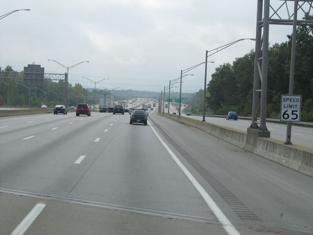 |
Speed limit sign located near mile marker 127. The speed limit during this stretch of Interstate 65 is 65 mph, as you are still in the southern outskirts of Louisville. (Photo taken 9/20/11). |
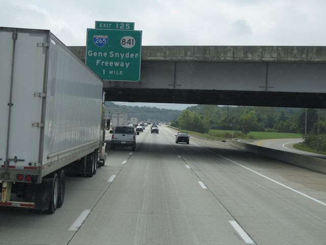 |
Interstate 65 South approaching Exit 125 - 1 mile. (Photo taken 9/20/11). |
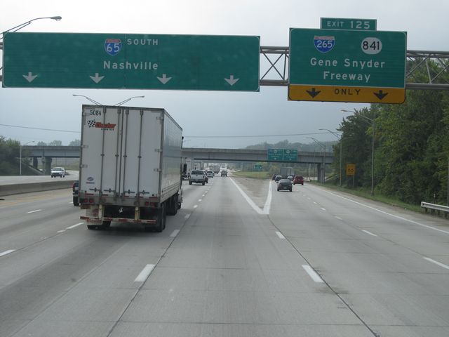 |
Interstate 65 South at Exit 125: Interstate 265 / KY 841 - Gene Snyder Freeway (Photo taken 9/20/11). |
 |
Interstate 65 South shield sign located near mile marker 125. (Photo taken 9/20/11). |
 |
Near mile marker 124, the speed limit increases to 70 mph, which is standard on most rural Kentucky freeways. (Photo taken 9/20/11). |
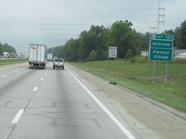 |
Use Exit 121 for Hillview and Pioneer Village. (Photo taken 9/20/11). |
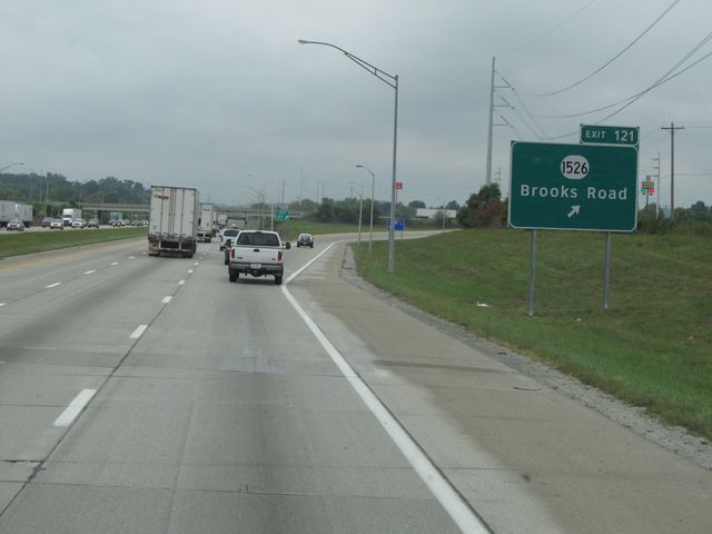 |
Interstate 65 South at Exit 121: KY 1526 - Brooks Road (Photo taken 9/20/11). |
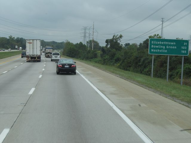 |
Mileage sign located near mile marker 120. It's 31 miles to Elizabethtown, 103 miles to Bowling Green, and 165 miles to Nashville. (Photo taken 9/20/11). |
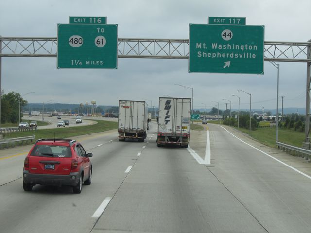 |
Interstate 65 South at Exit 117: KY 44 - Mt Washington / Shepherdsville (Photo taken 9/20/11). |
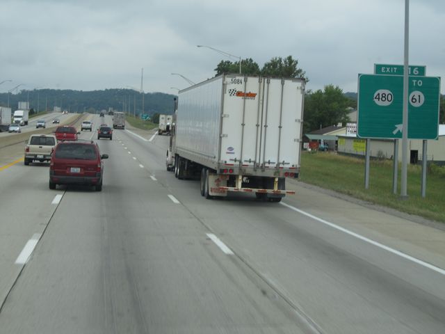 |
Interstate 65 South at Exit 116: KY 480 / To KY 61 (Photo taken 9/20/11). |
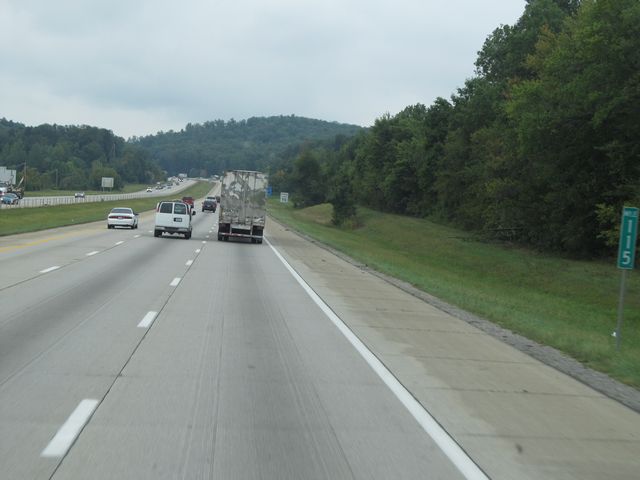 |
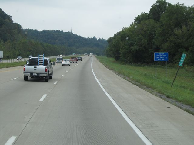
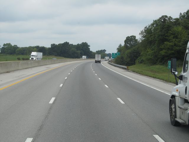
Interstate 65 South: Road view from mile marker 115. (Photo taken 9/20/11). |
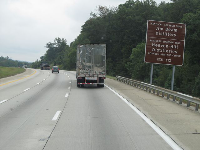 |
Use Exit 112 for the Jim Beam Distillery and Heaven Hill Distilleries. (Photo taken 9/20/11). |
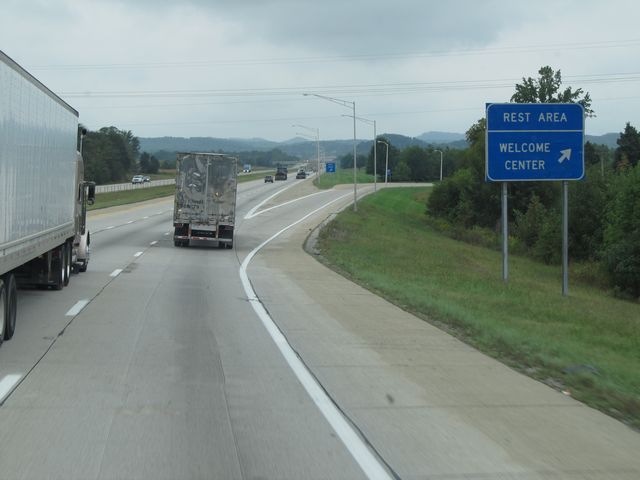 |
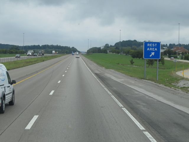
Interstate 65 South at the Rest Area / Welcome Center located near mile marker 113.5. (Photo taken 9/20/11). |
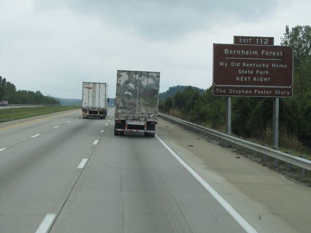 |
Also use Exit 112 for Bernheim Forest and My Old Kentucky Home State Park. (Photo taken 9/20/11). |
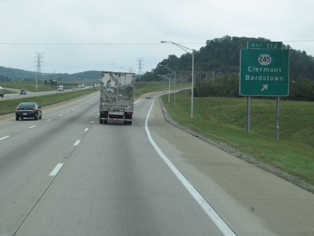 |
Interstate 65 South at Exit 112: KY 245 - Clermont / Bardstown (Photo taken 9/20/11). |
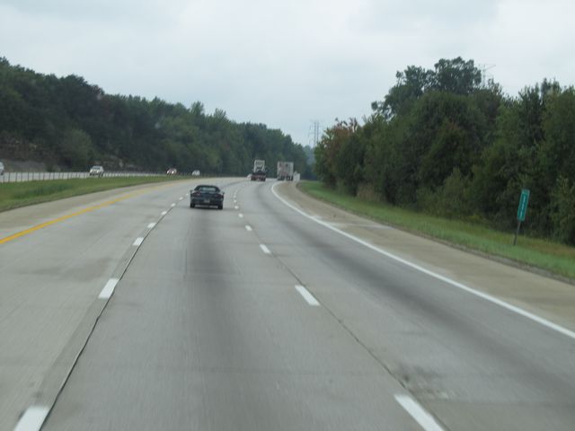 |
Interstate 65 South: Road view from mile marker 111. (Photo taken 9/20/11). |
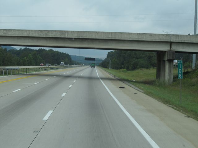 |
Interstate 65 South: Road view from mile marker 108. (Photo taken 9/20/11). |
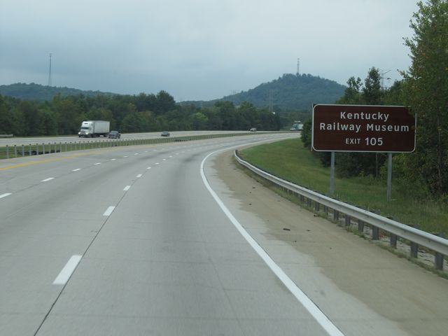 |
Use Exit 105 for the Kentucky Railway Museum. (Photo taken 9/20/11). |
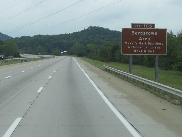 |
Also use Exit 105 for the Maker's Mark Distillery National Landmark. (Photo taken 9/20/11). |
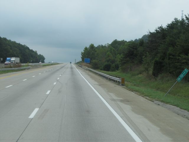 |
Interstate 65 South: Road view from mile marker 106. (Photo taken 9/20/11). |
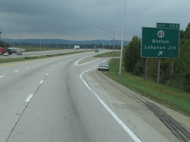 |
Interstate 65 South at Exit 105: KY 61 - Boston / Lebanon Jct (Photo taken 9/20/11). |
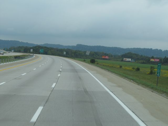 |
Interstate 65 South: Road view from mile marker 104. (Photo taken 9/20/11). |
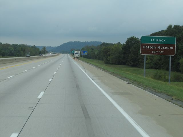 |
Use Exit 102 for Fort Knox and Patton Museum. (Photo taken 9/20/11). |
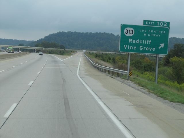 |
Interstate 65 South at Exit 102: KY 313 (Joe Prather Highway) - Radcliff / Vine Grove (Photo taken 9/20/11). |
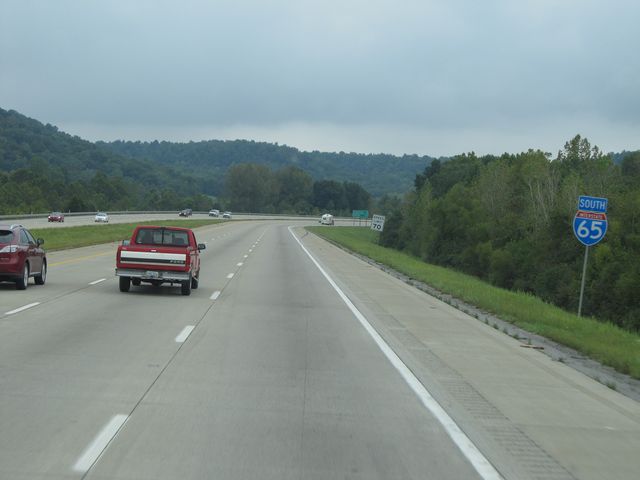 |
Interstate 65 South shield sign located near mile marker 102. (Photo taken 9/20/11). |
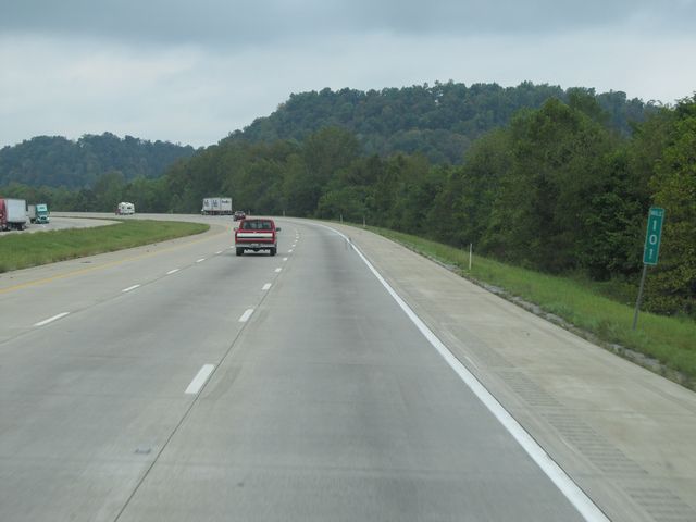 |
Interstate 65 South: Road view from mile marker 101. (Photo taken 9/20/11). |
 |
Interstate 65 South: Road view from mile marker 100. (Photo taken 9/20/11). |
 |
Interstate 65 South: Road view from mile marker 98. (Photo taken 9/20/11). |
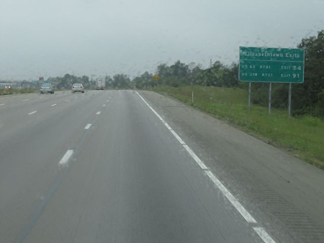 |
Sign listing the upcoming Elizabethtown exits. (Photo taken 9/20/11). |
 |
Interstate 65 South at Exit 94: US 62 / KY 61 - Elizabethtown (Photo taken 9/20/11). |
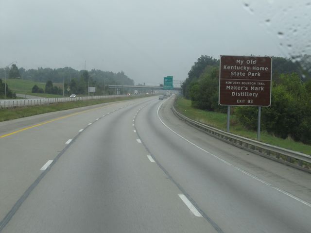 |
Use Exit 93 for My Old Kentucky Home State Park and Maker's Mark Distillery. (Photo taken 9/20/11). |
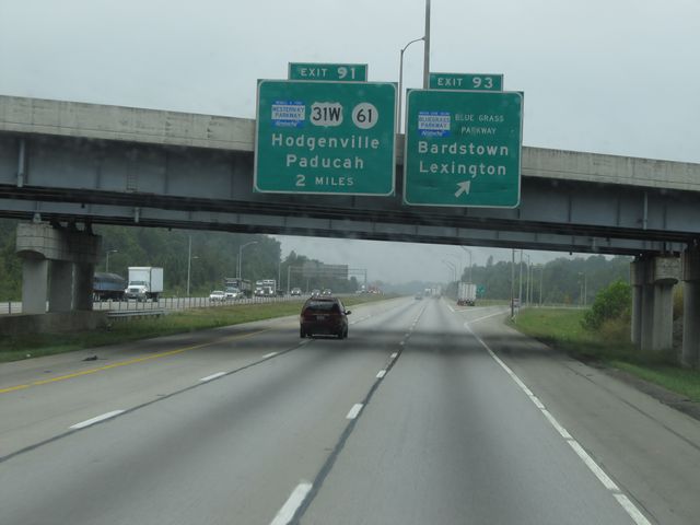 |
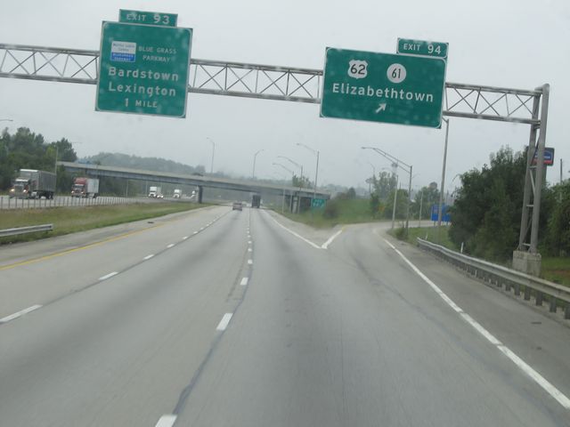
Interstate 65 South at Exit 93: Bluegrass Parkway - Bardstown / Lexington (Photo taken 9/20/11). |
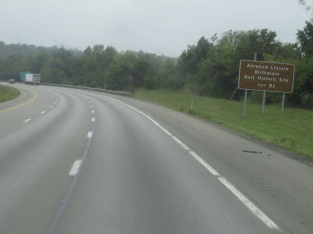 |
Use Exit 91 for the Abraham Lincoln Birthplace National Historic Site. (Photo taken 9/20/11). |
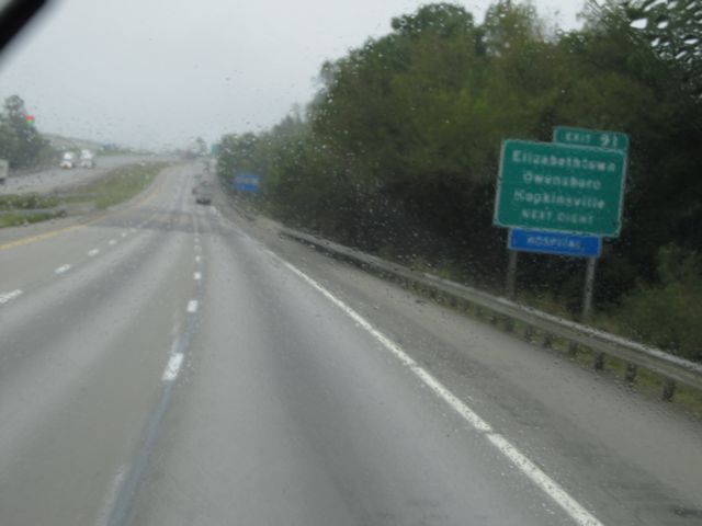 |
Also use Exit 91 for Elizabethtown, Owensboro, and Hopkinsville. (Photo taken 9/20/11). |
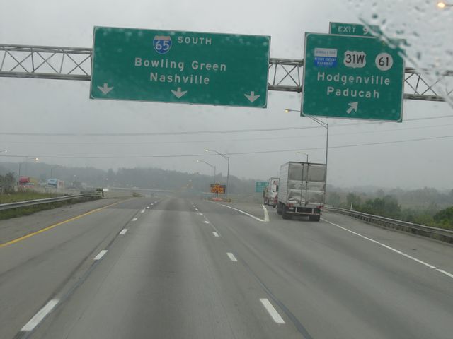 |
Interstate 65 South at Exit 91: Western KY Parkway / US 31W / KY 61 - Hodgenville / Paducah (Photo taken 9/20/11). |
 |
Interstate 65 South approaching the Weigh Station located near mile marker 90. (Photo taken 9/20/11). |
 |
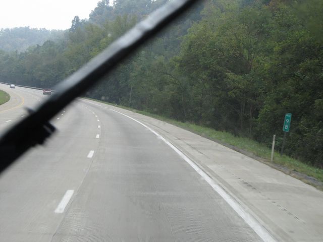
Interstate 65 South: Road view from mile marker 88. (Photo taken 9/20/11). |
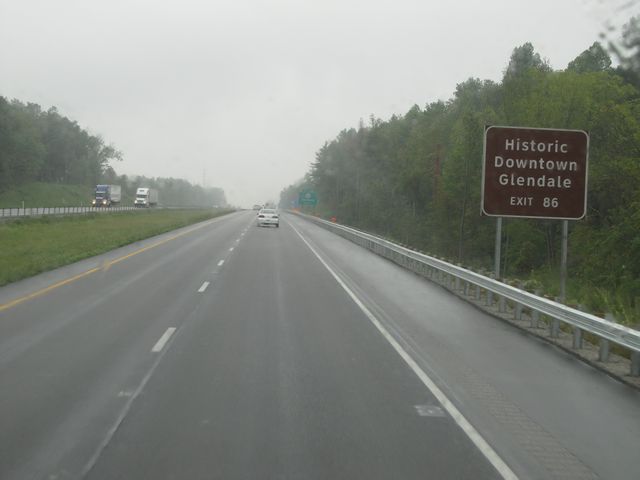 |
Use Exit 86 for Historic Downtown Glendale. (Photo taken 9/20/11). |
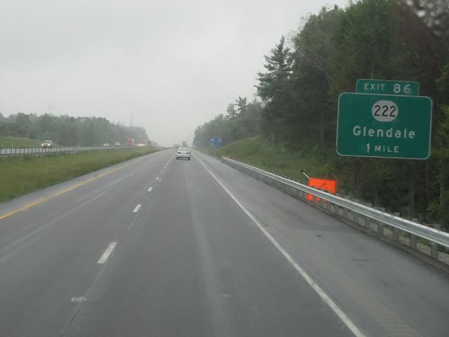 |
Interstate 65 South approaching Exit 86 - 1 mile. (Photo taken 9/20/11). |
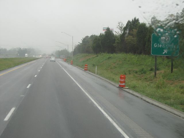 |
Interstate 65 South at Exit 86: KY 222 - Glendale (Photo taken 9/20/11). |
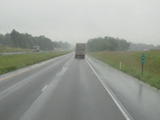 |
Interstate 65 South: Road view from mile marker 84. (Photo taken 9/20/11). |
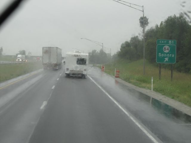 |
Interstate 65 South at Exit 81: KY 84 - Sonora (Photo taken 9/20/11). |
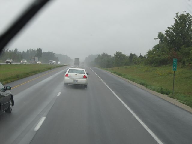 |
Interstate 65 South: Road view from mile marker 78. (Photo taken 9/20/11). |
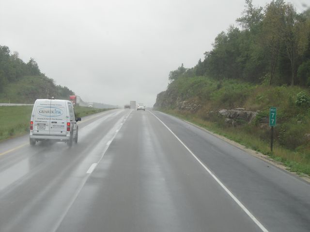 |
Interstate 65 South: Road view from mile marker 77. (Photo taken 9/20/11). |
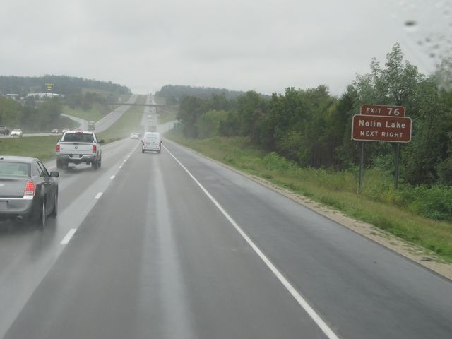 |
Use Exit 76 for Nolin Lake. (Photo taken 9/20/11). |
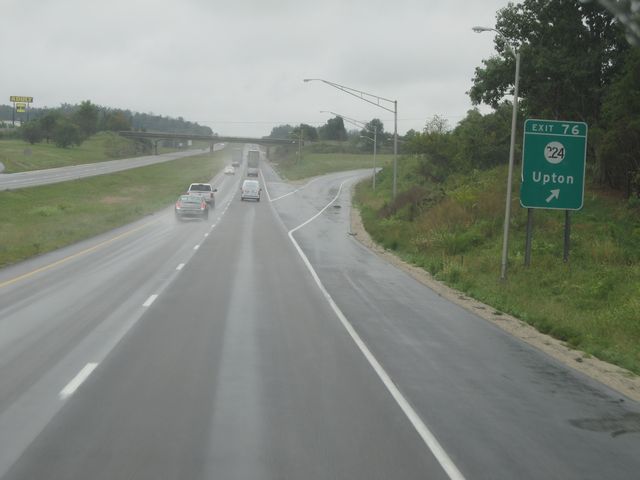 |
Interstate 65 South at Exit 76: KY 224 - Upton (Photo taken 9/20/11). |
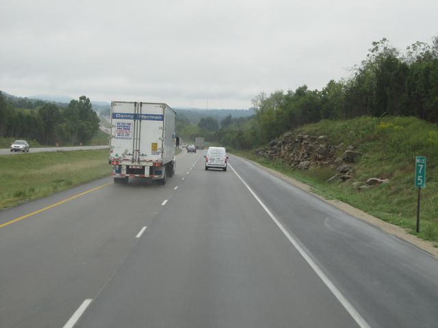 |
Interstate 65 South: Road view from mile marker 75. (Photo taken 9/20/11). |
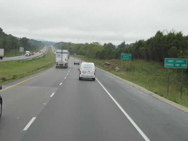 |
Near mile marker 74, Interstate 65 South enters Hart County and the Central Time Zone, as this sign indicates. (Photo taken 9/20/11). |
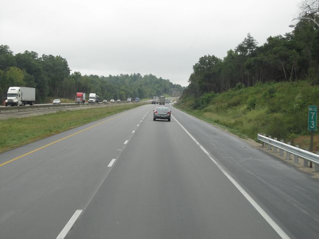 |
Interstate 65 South: Road view from mile marker 73. (Photo taken 9/20/11). |
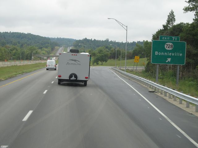 |
Interstate 65 South at Exit 71: KY 728 - Bonnieville (Photo taken 9/20/11). |
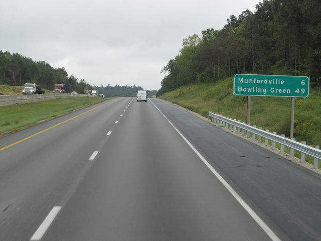 |
Mileage sign located near mile marker 70. It's 6 miles to Munfordville and 49 miles to Bowling Green. (Photo taken 9/20/11). |
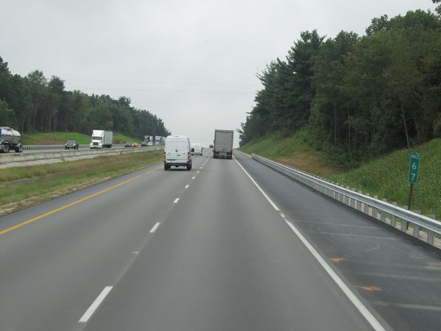 |
Interstate 65 South: Road view from mile marker 67. (Photo taken 9/20/11). |
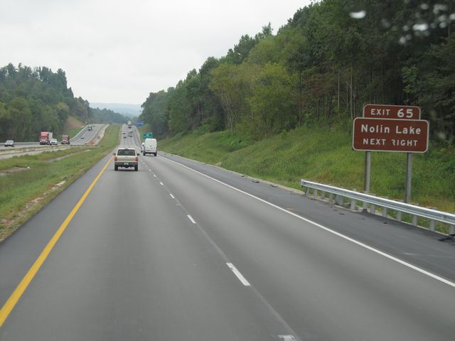 |
Use Exit 65 to get to Nolin Lake. (Photo taken 9/20/11). |
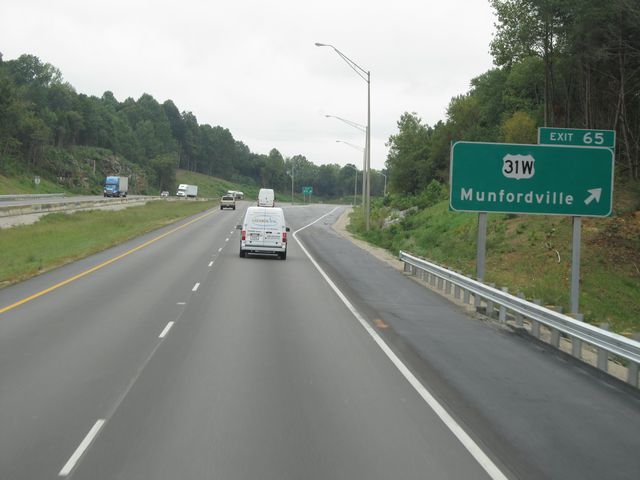 |
Interstate 65 South at Exit 65: US 31W - Munfordville (Photo taken 9/20/11). |
Section 2: Munfordville (Exit 65) to Tennessee Border
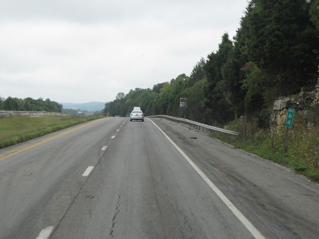 |
Interstate 65 South: Road view from mile marker 64. (Photo taken 9/20/11). |
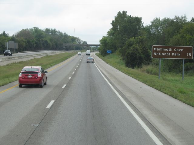 |
Mammoth Cave National Park lies 15 miles ahead. (Photo taken 9/20/11). |
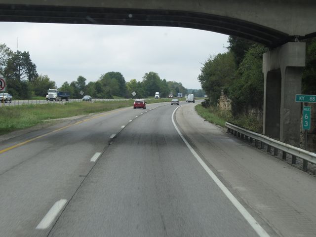 |
Interstate 65 South: Road view from mile marker 63. (Photo taken 9/20/11). |
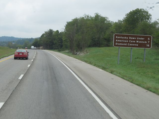 |
Attractions mileage sign located near mile marker 62. It's 5 miles to Kentucky Down Under, 7 miles to the American Cave Museum, and 16 miles to Diamond Caverns. (Photo taken 9/20/11). |
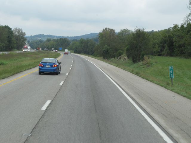 |
Interstate 65 South: Road view from mile marker 62. (Photo taken 9/20/11). |
 |
Interstate 65 South at the Rest Area located near mile marker 61. (Photo taken 9/20/11). |
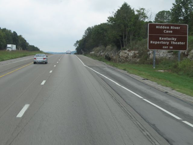 |
Use Exit 58 for Hidden River Cave and Kentucky Repertory Theater. (Photo taken 9/20/11). |
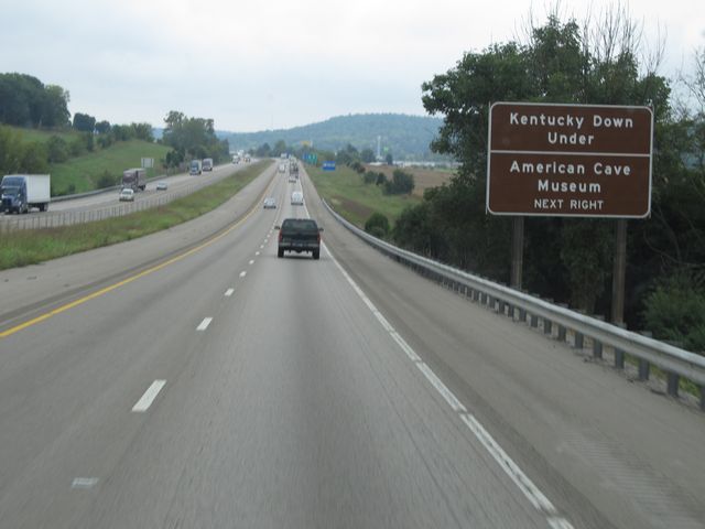 |
Also use Exit 58 for Kentucky Down Under and the American Cave Museum. (Photo taken 9/20/11). |
 |
Interstate 65 South: Road view from mile marker 59. (Photo taken 9/20/11). |
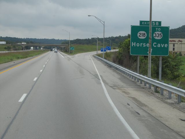 |
Interstate 65 South at Exit 58: KY 218 / To KY 335 - Horse Cave (Photo taken 9/20/11). |
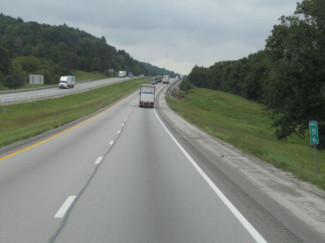 |
Interstate 65 South: Road view from mile marker 56. (Photo taken 9/20/11). |
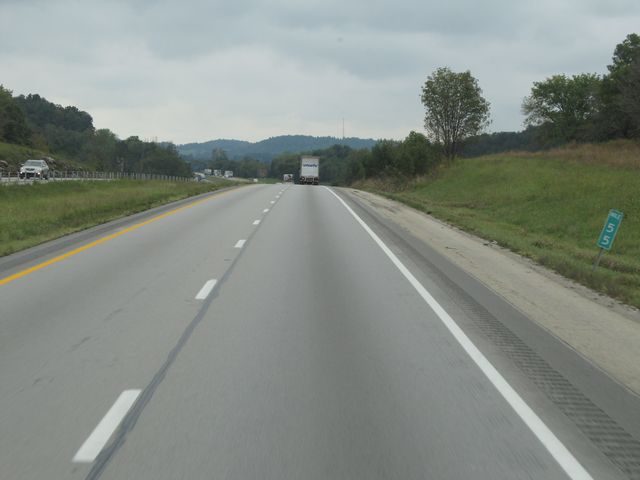 |
Interstate 65 South: Road view from mile marker 55. (Photo taken 9/20/11). |
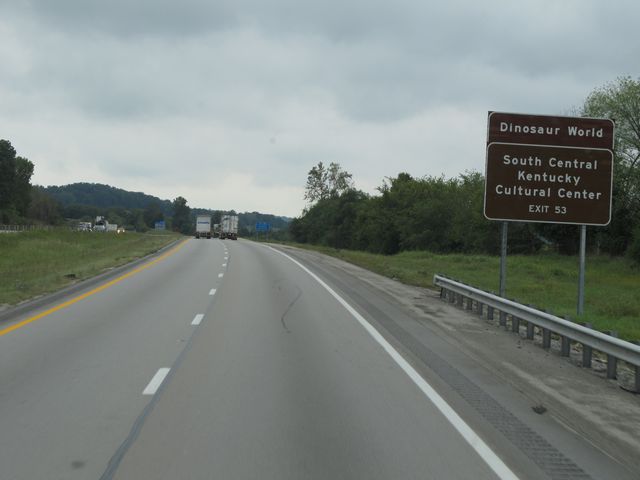 |
Use Exit 53 for Dinosaur World and the South Central Kentucky Cultural Center. (Photo taken 9/20/11). |
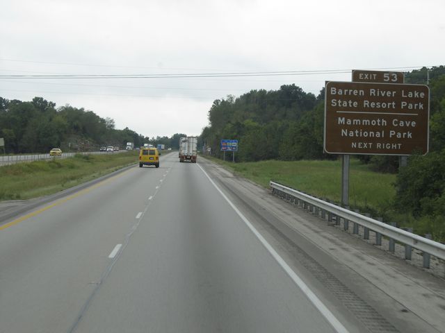 |
Also use Exit 53 for Barren River Lake State Resort Park and Mammoth Cave National Park. (Photo taken 9/20/11). |
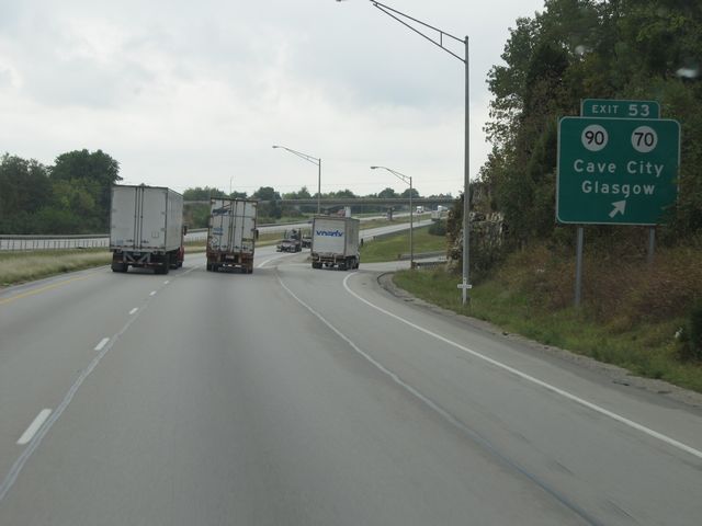 |
Interstate 65 South at Exit 53: KY 90 / KY 70 - Cave City / Glasgow (Photo taken 9/20/11). |
 |
Interstate 65 South: Road view from mile marker 51. (Photo taken 9/20/11). |
 |
Interstate 65 South: Road view from mile marker 48.6. (Photo taken 9/20/11). |
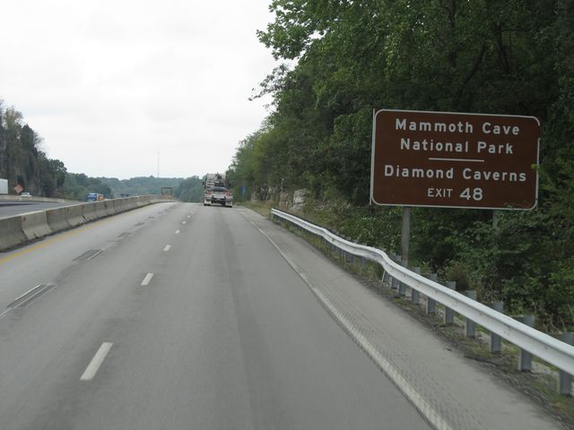 |
Use Exit 48 for Mammoth Cave National Park and Diamond Caverns. (Photo taken 9/20/11). |
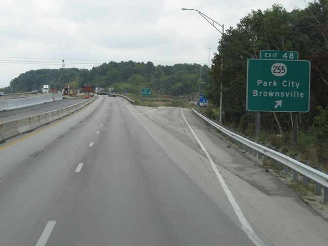 |
Interstate 65 South at Exit 48: KY 255 - Park City / Brownsville (Photo taken 9/20/11). |
 |
Interstate 65 South: Road view from mile marker 45.6. (Photo taken 9/20/11). |
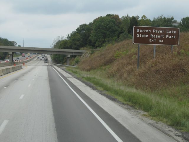 |
Use Exit 43 for Barren River Lake State Resort Park. (Photo taken 9/20/11). |
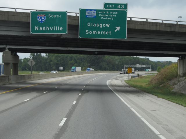 |
Interstate 65 South at Exit 43: Cumberland Parkway - Glasgow / Somerset (Photo taken 9/20/11). |
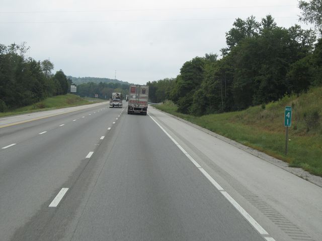 |
Interstate 65 South: Road view from mile marker 41. (Photo taken 9/20/11). |
 |
Interstate 65 South: Road view from mile marker 39. (Photo taken 9/20/11). |
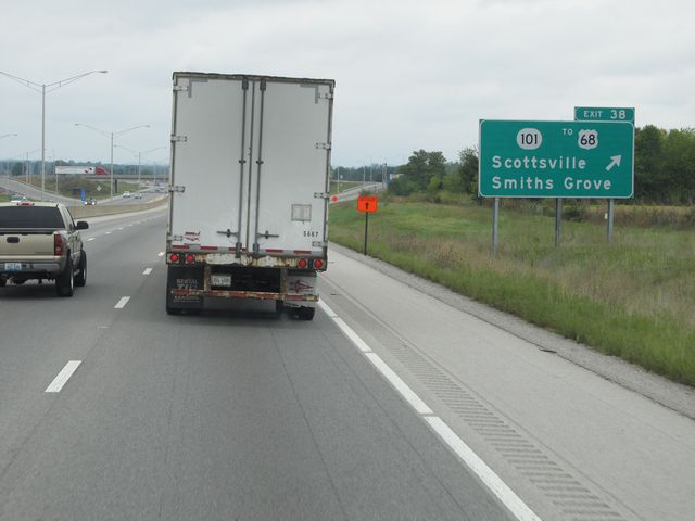 |
Interstate 65 South at Exit 38: KY 101 / To US 68 - Scottsville / Smiths Grove (Photo taken 9/20/11). |
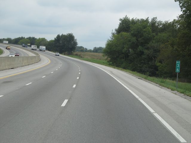 |
Interstate 65 South: Road view from mile marker 36. (Photo taken 9/20/11). |
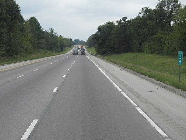 |
Interstate 65 South: Road view from mile marker 34. (Photo taken 9/20/11). |
 |
Interstate 65 South: Road view from mile marker 33. (Photo taken 9/20/11). |
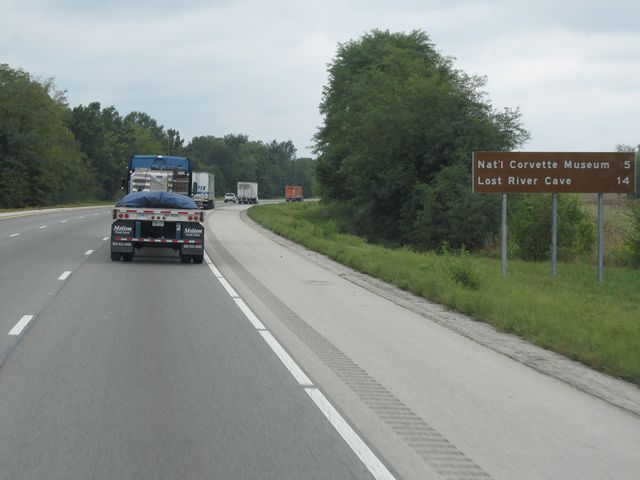 |
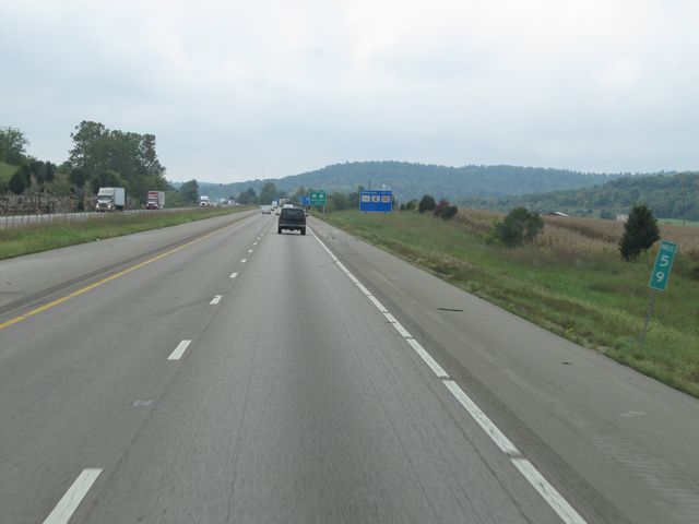
Attractions mileage sign located near mile marker 32. It's 5 miles to the National Corvette Museum and 14 miles to Lost River Cave. (Photo taken 9/20/11). |
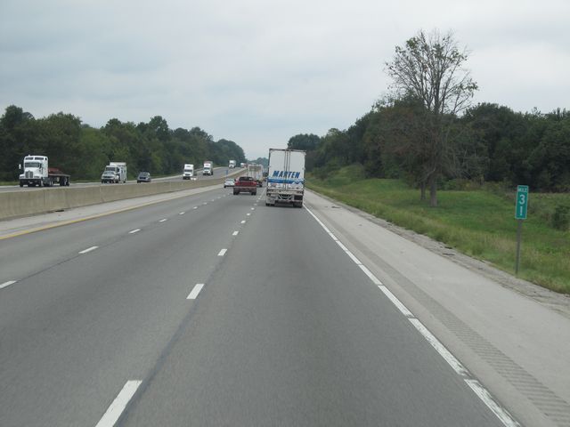 |
Interstate 65 South: Road view from mile marker 31. (Photo taken 9/20/11). |
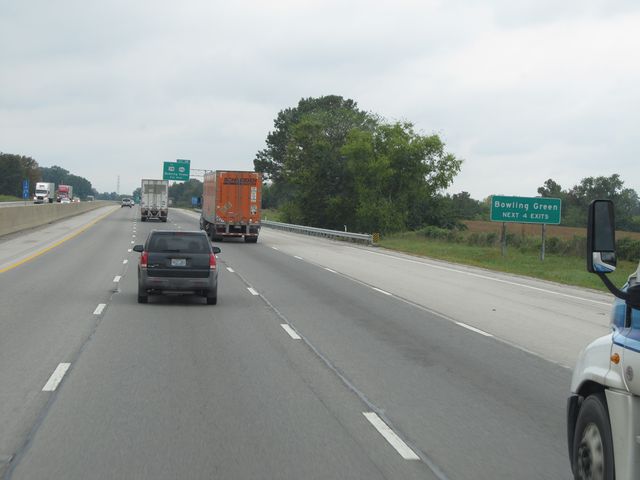 |
Use any of the next 4 exits to get to Bowling Green. (Photo taken 9/20/11). |
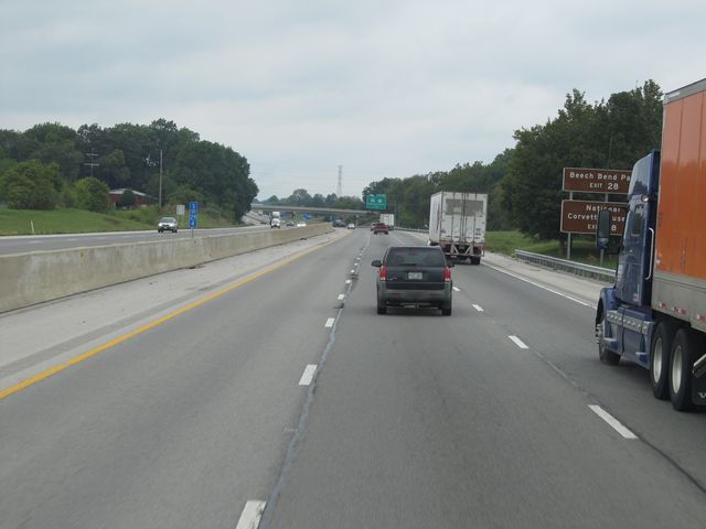 |
Use Exit 28 for Beech Bend Park and the National Corvette Museum. (Photo taken 9/20/11). |
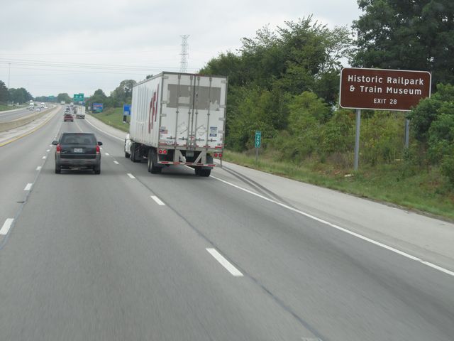 |
Also use Exit 28 for the Historic Railpark & Train Museum. (Photo taken 9/20/11). |
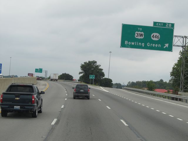 |
Interstate 65 South at Exit 28: To US 31W / KY 446 - Bowling Green (Photo taken 9/20/11). |
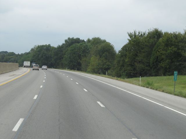 |
Interstate 65 South: Road view from mile marker 27. (Photo taken 9/20/11). |
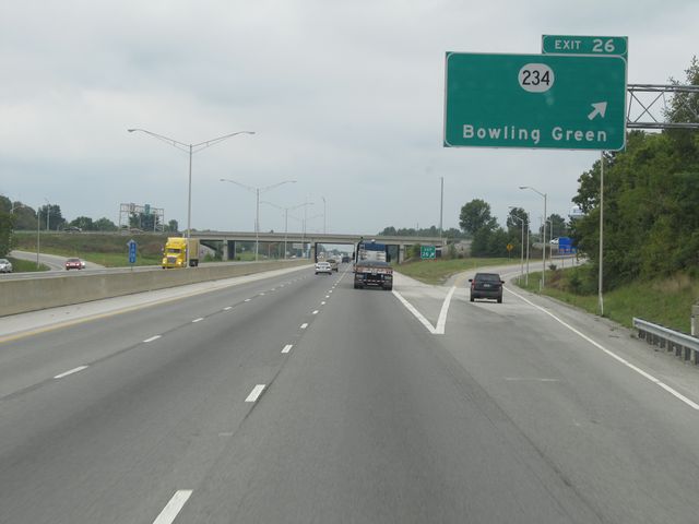 |
Interstate 65 South at Exit 26: KY 234 - Bowling Green (Photo taken 9/20/11). |
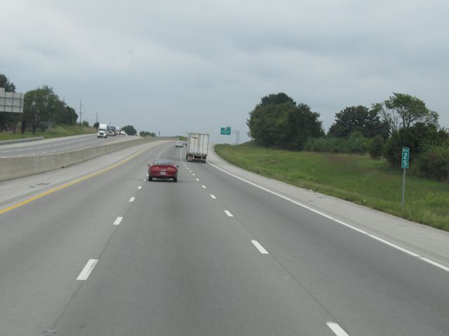 |
Interstate 65 South: Road view from mile marker 25. (Photo taken 9/20/11). |
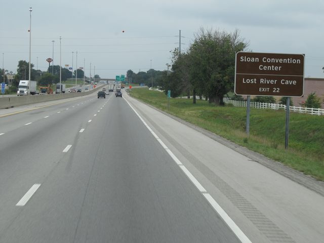 |
Use Exit 22 for Sloan Convention Center and Lost River Cave. (Photo taken 9/20/11). |
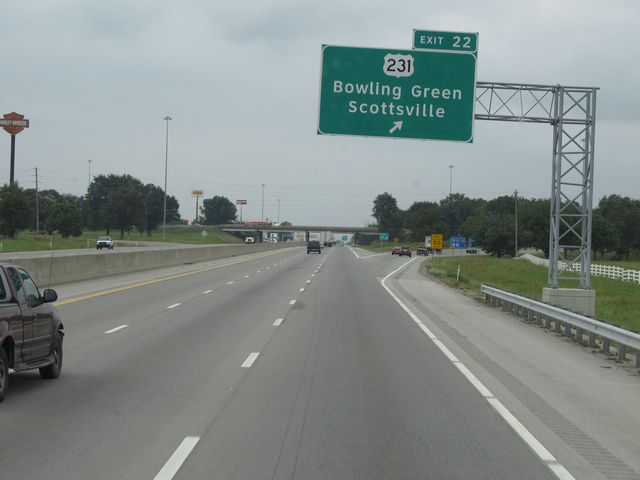 |
Interstate 65 South at Exit 22: US 231 - Bowling Green / Scottsville (Photo taken 9/20/11). |
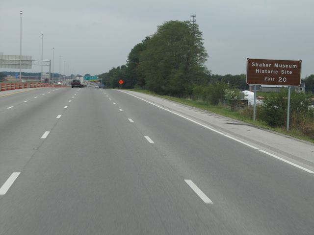 |
Use Exit 20 for Shaker Museum Historic Site. (Photo taken 9/20/11). |
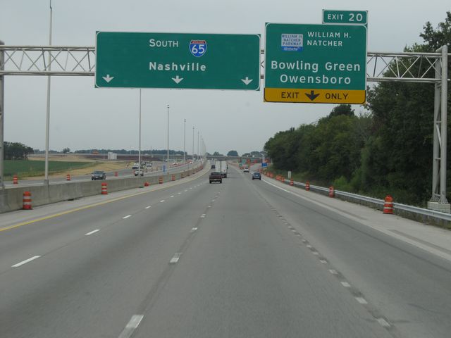 |
Interstate 65 South at Exit 20: William H. Natcher Parkway - Bowling Green / Owensboro (Photo taken 9/20/11). |
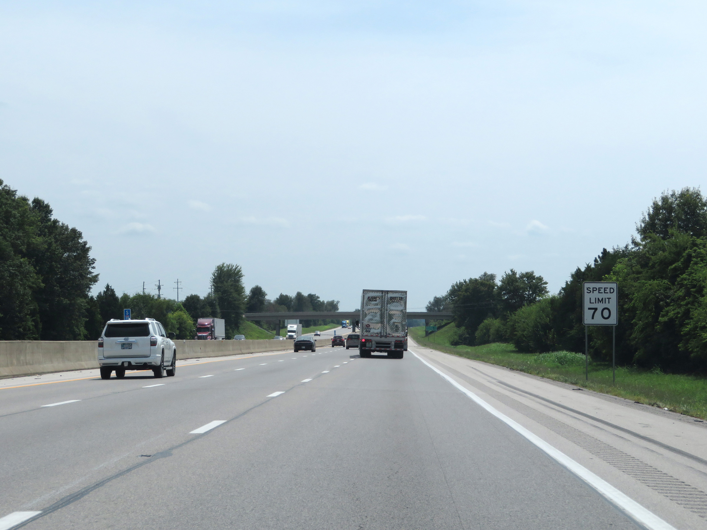 |
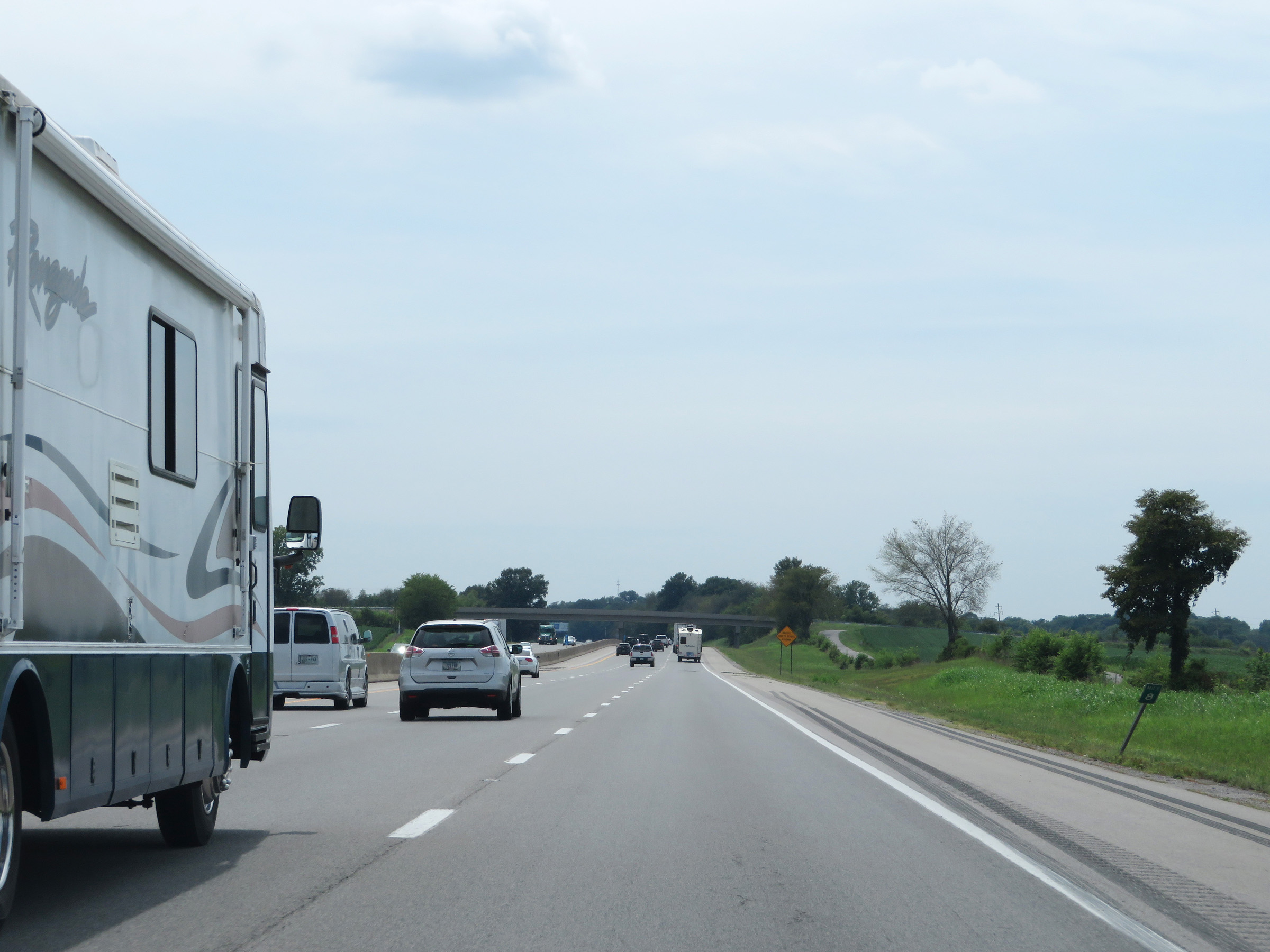
The speed limit remains 70 mph on Interstate 65 South. (Photo taken 8/11/19). |
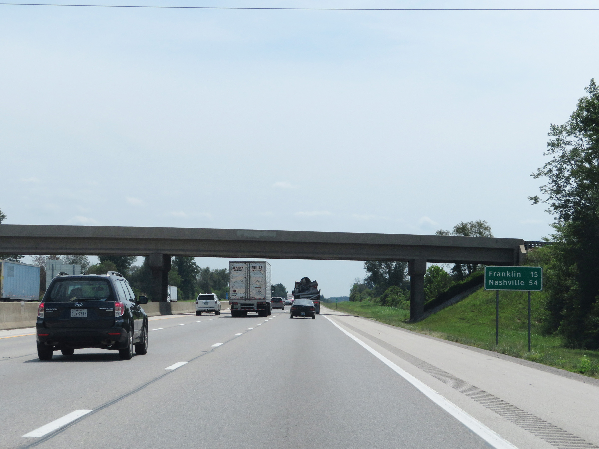 |
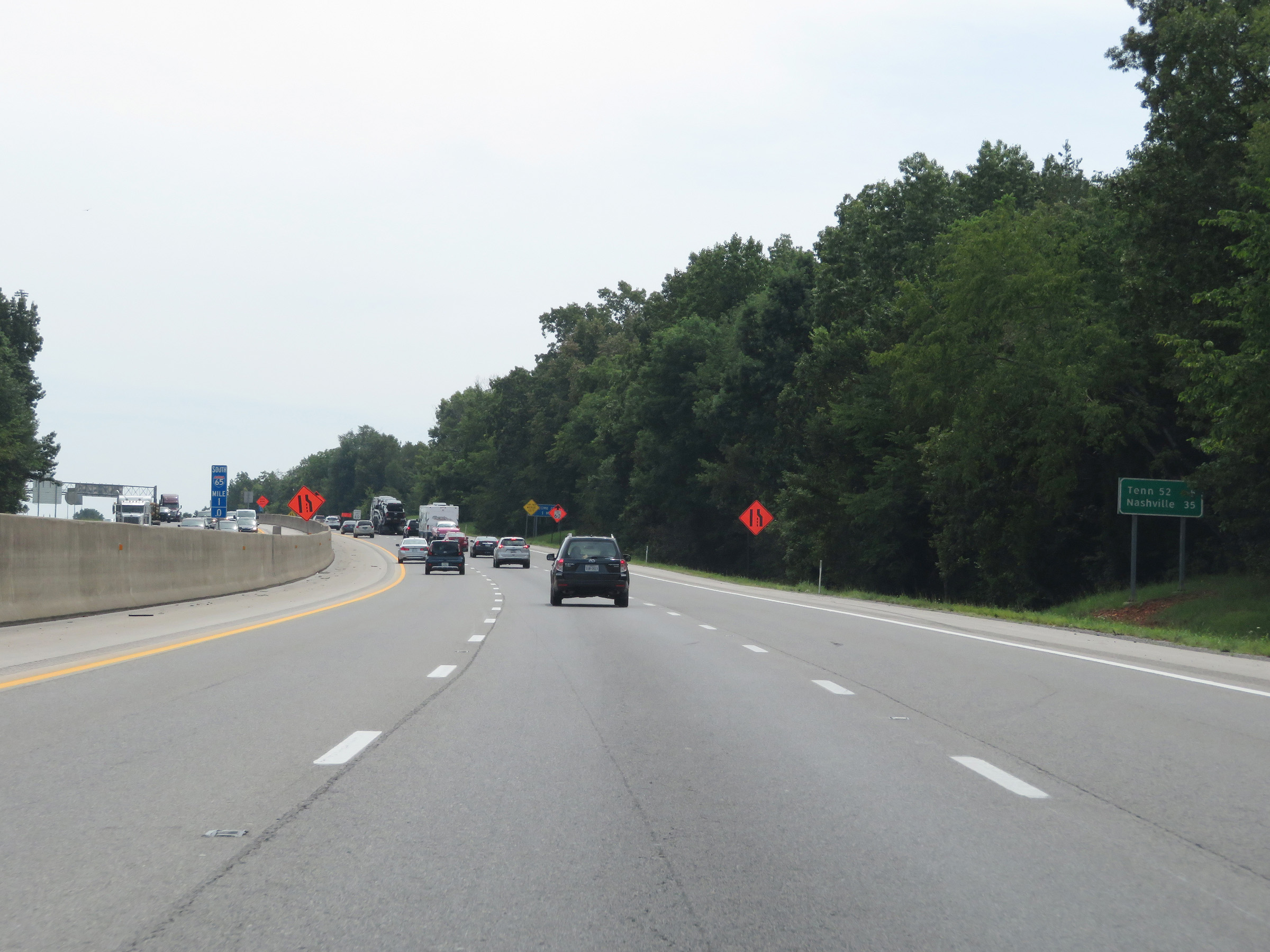
Mileage sign on Interstate 65 South. It's 15 miles to Franklin and 54 miles to Nashville. (Photo taken 8/11/19). |
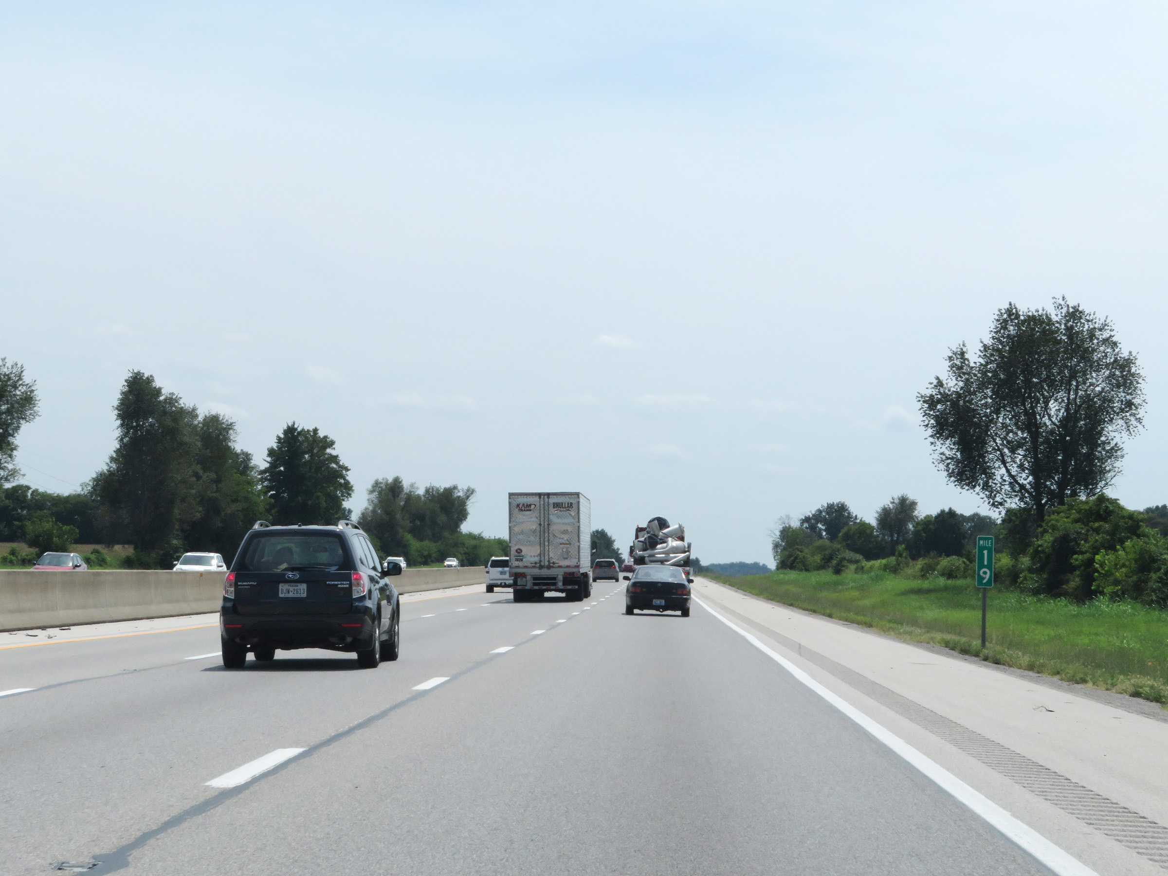 |
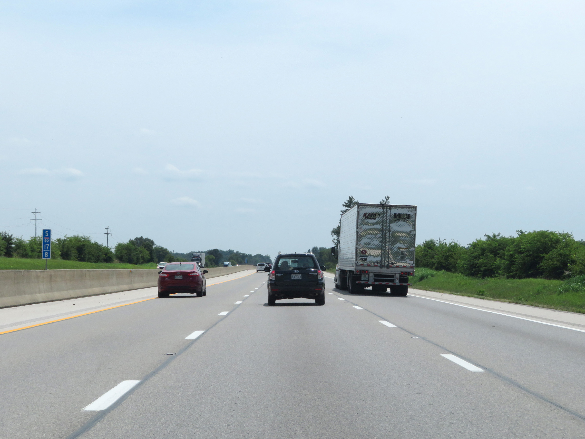
Interstate 65 South at mile marker 19. (Photo taken 8/11/19). |
 |
View on Interstate 65 South at mile marker 17.8. (Photo taken 8/11/19). |
 |
Interstate 65 South at mile marker 16. (Photo taken 8/11/19). |
 |
Mile marker 15 on Interstate 65 South in Warren County. (Photo taken 8/11/19). |
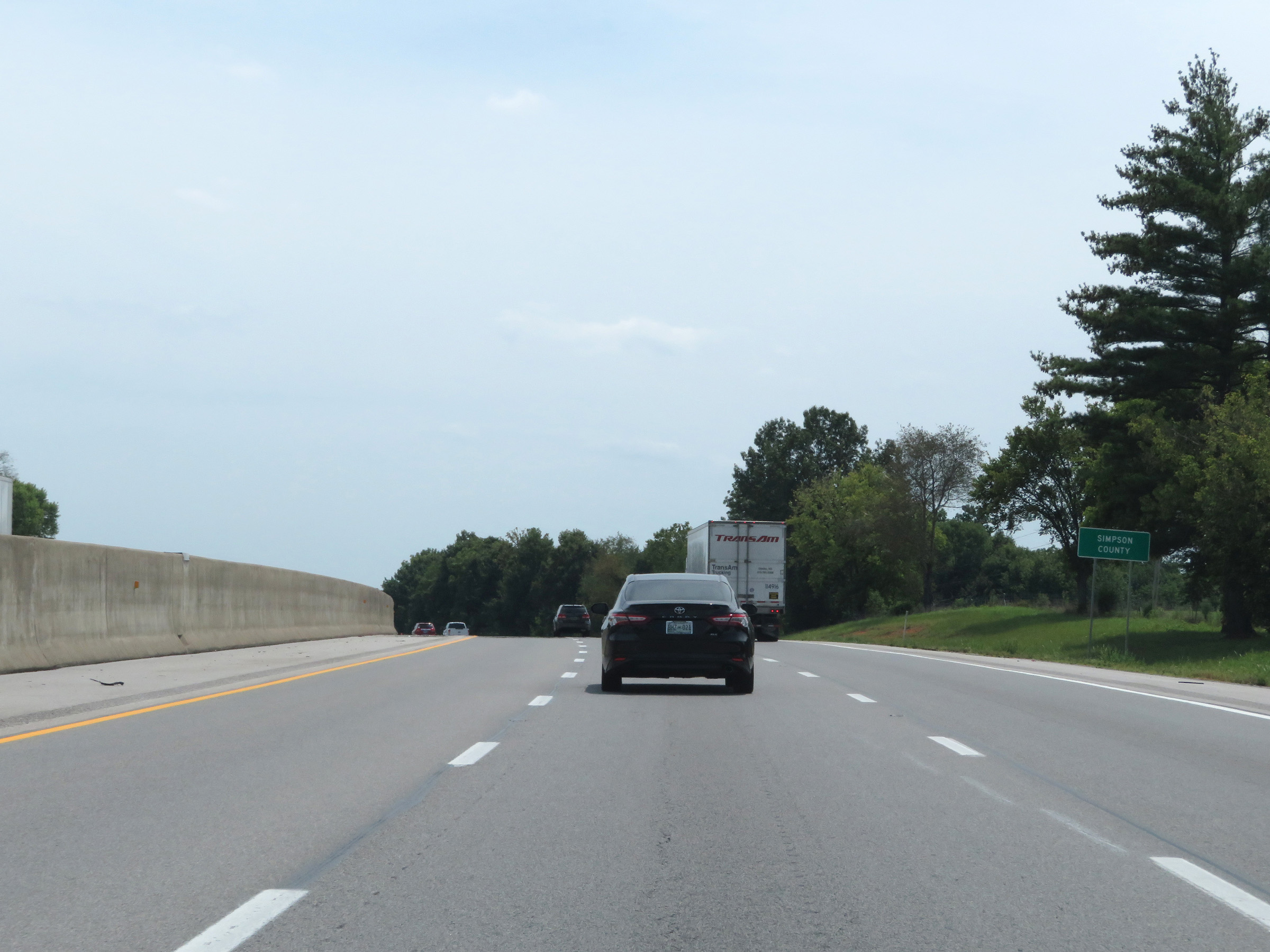 |
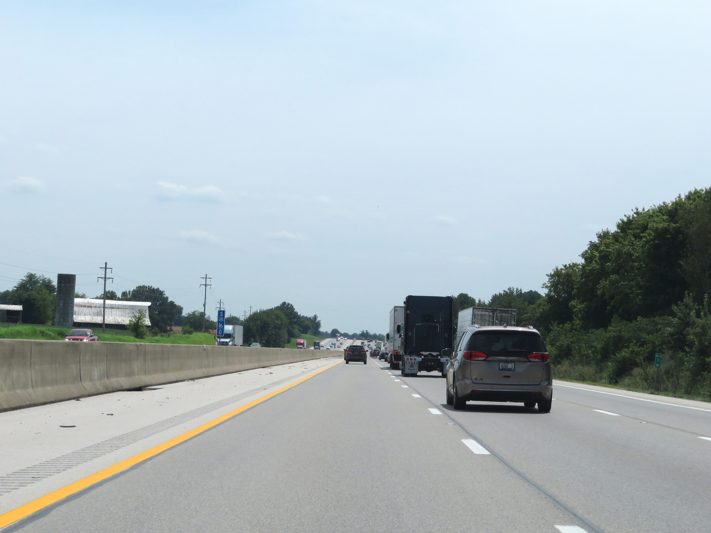
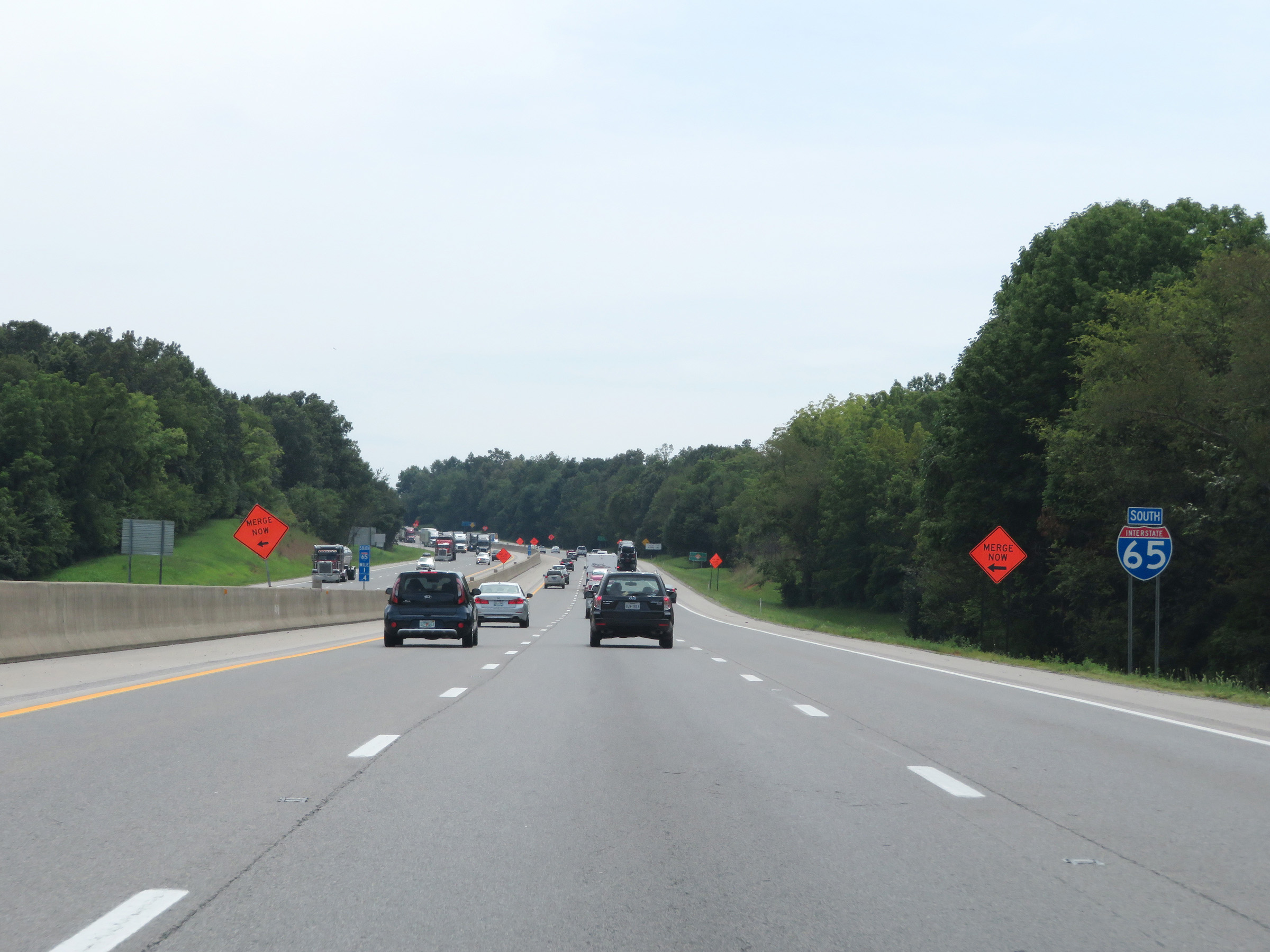
Interstate 65 South as it enters Simpson County. (Photo taken 8/11/19). |
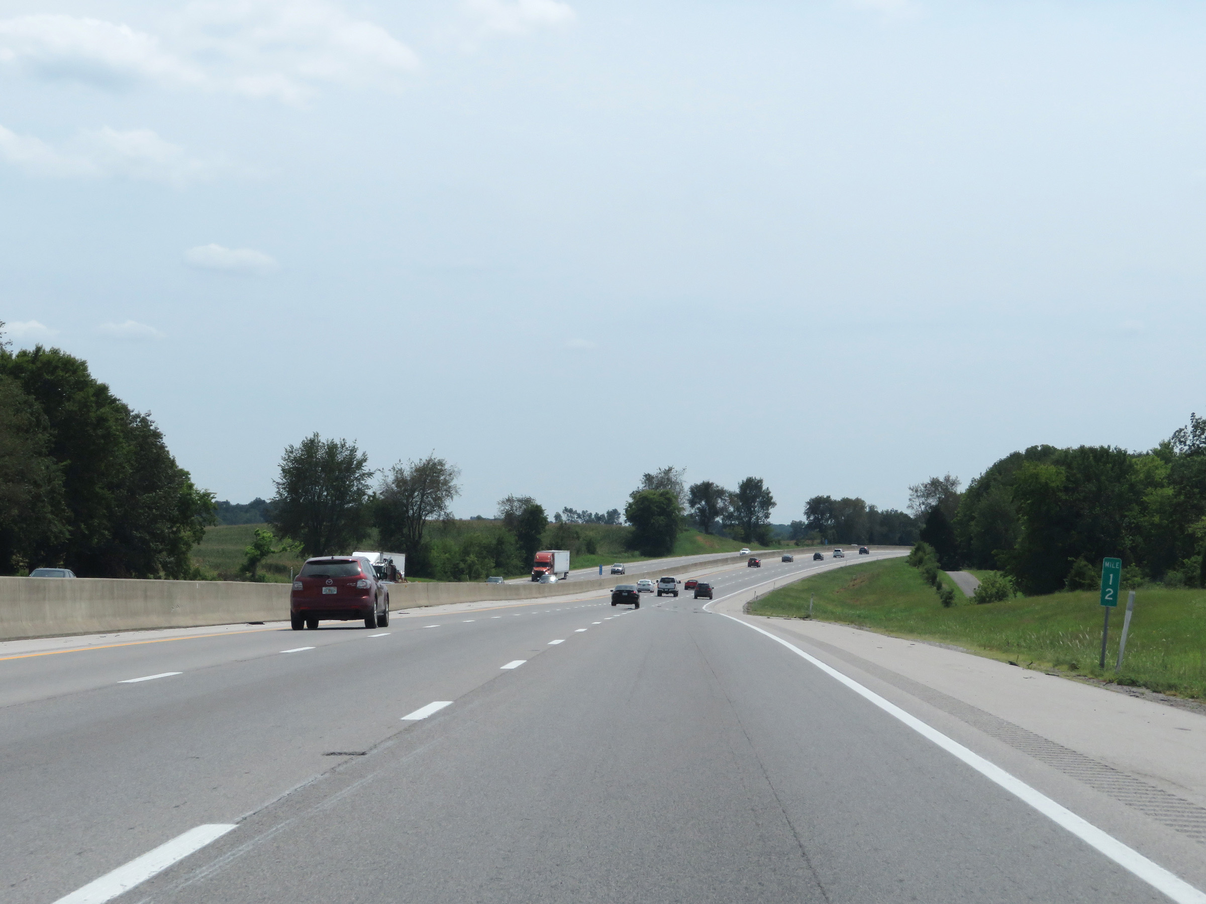 |
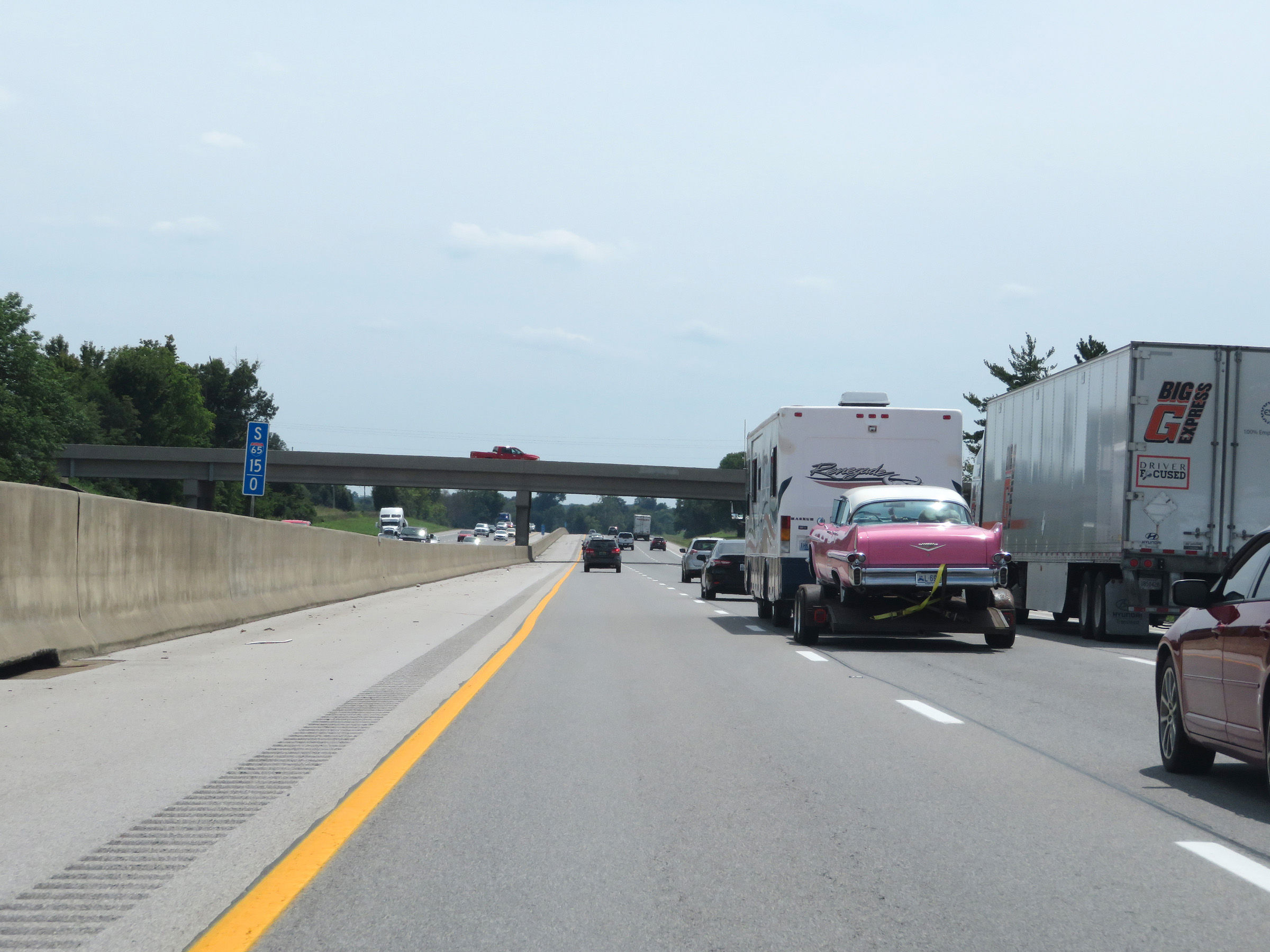
View on Interstate 65 South at mile marker 12. (Photo taken 8/11/19). |
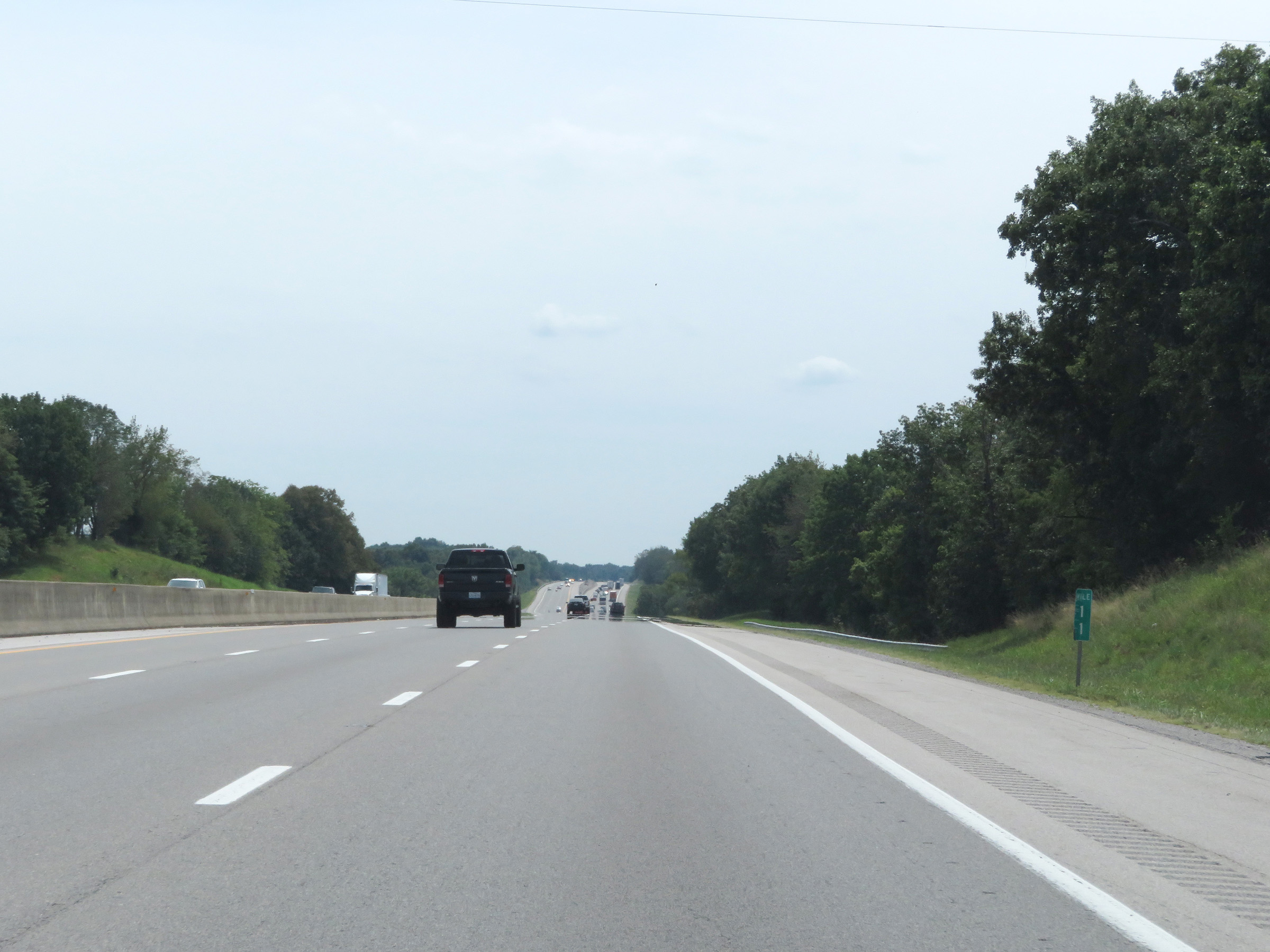 |
Mile marker 11 on Interstate 65 South in Simpson County. (Photo taken 8/11/19). |
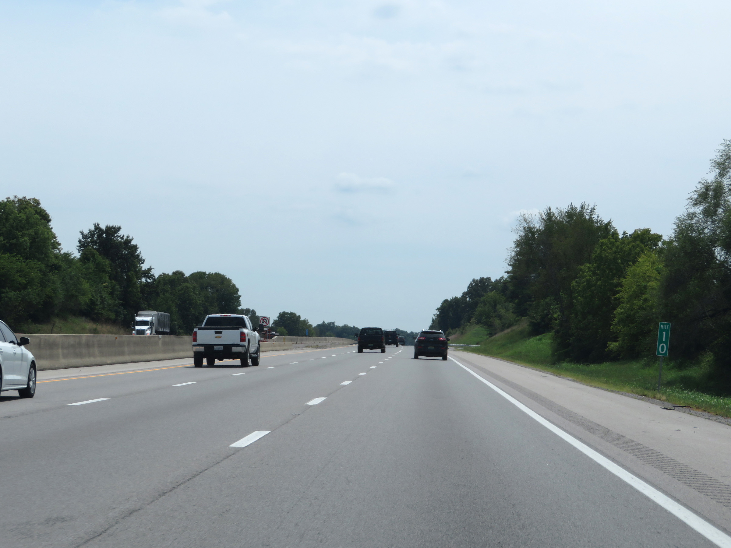 |
View on Interstate 65 South at mile marker 10. (Photo taken 8/11/19). |
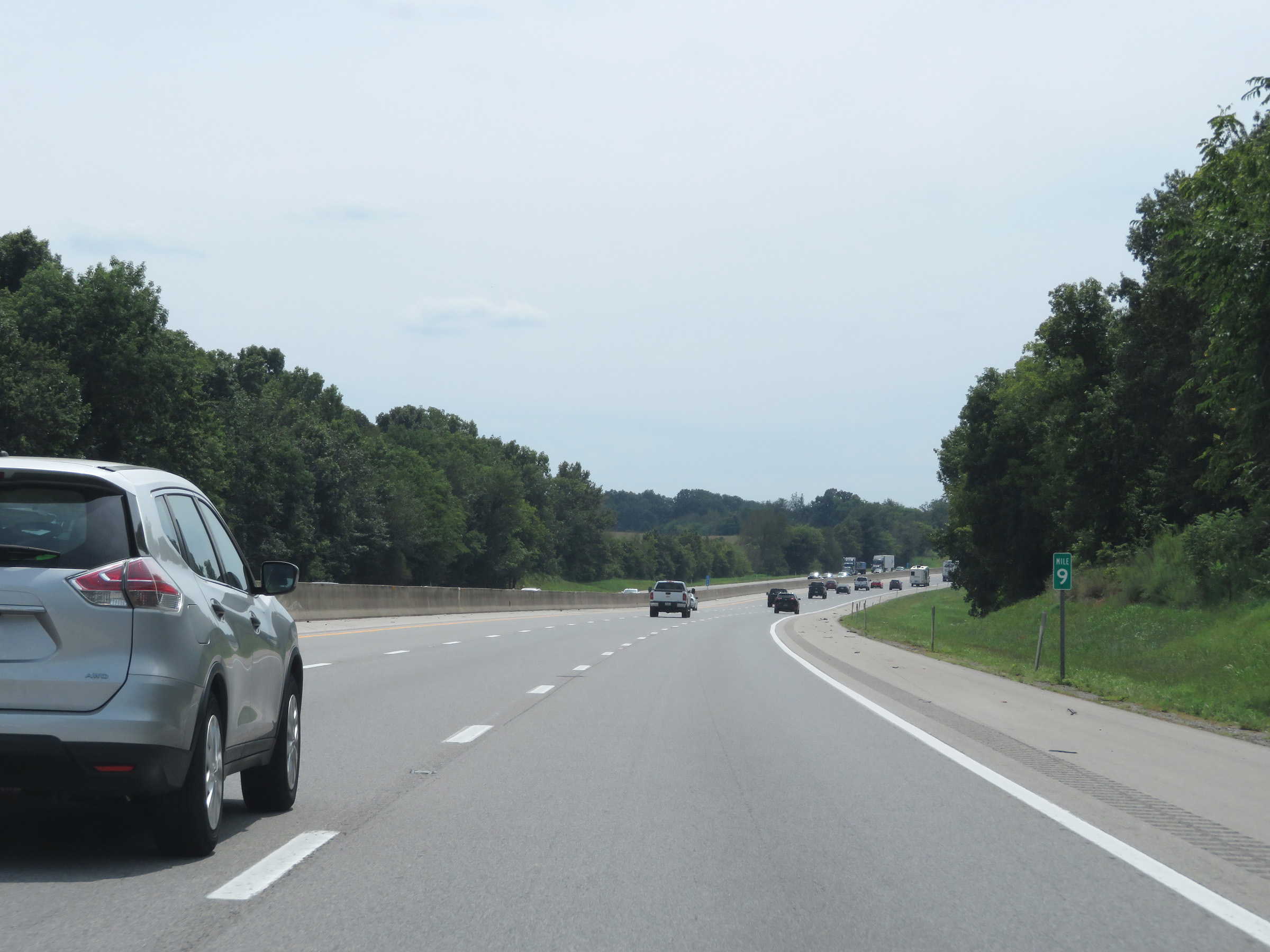 |
View on Interstate 65 South at mile marker 9. (Photo taken 8/11/19). |
 |
Interstate 65 South at mile marker 8. (Photo taken 8/11/19). |
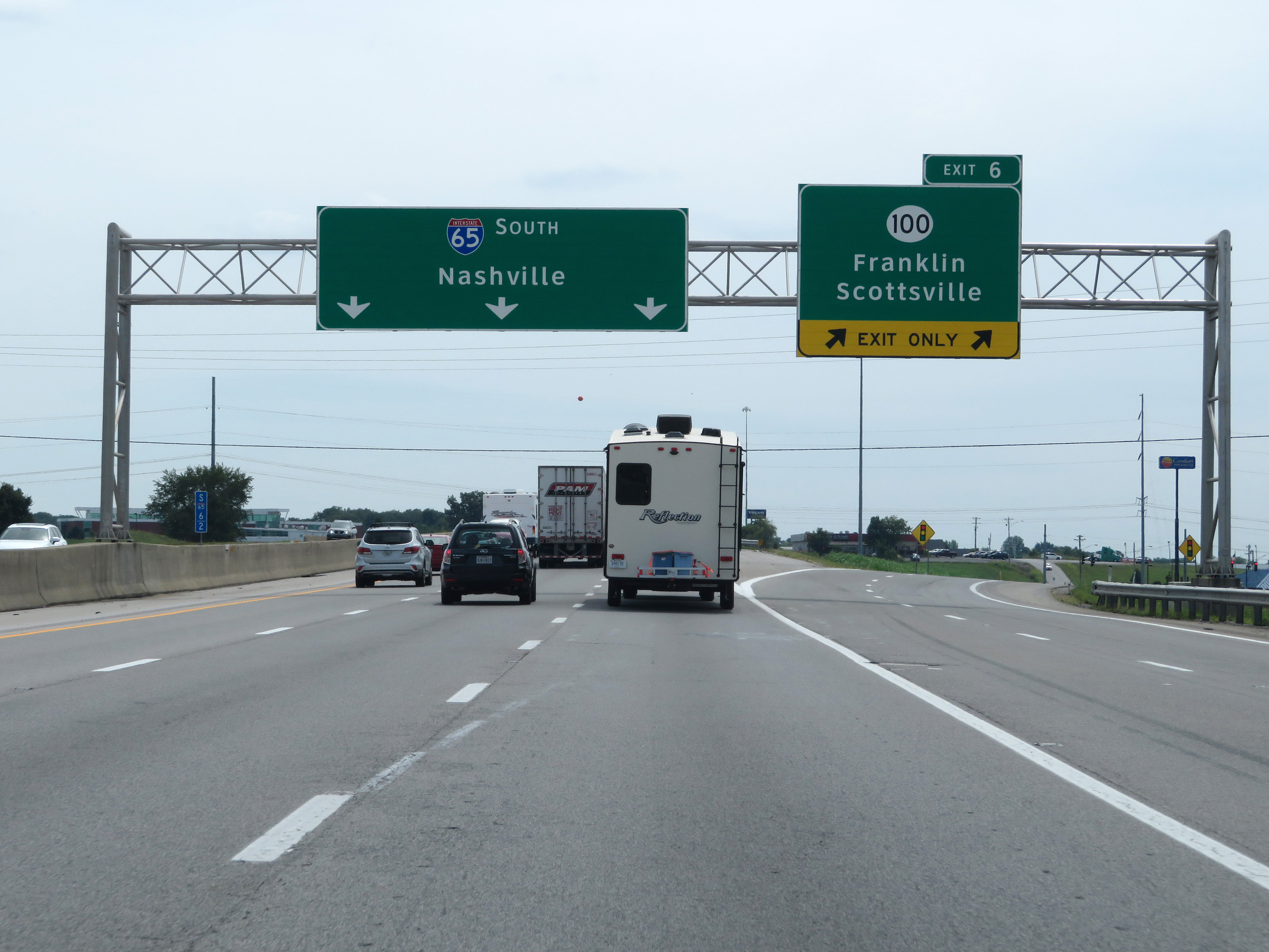 |
Interstate 65 South at Exit 6: KY 100 - Franklin / Scottsville (Photo taken 8/11/19). |
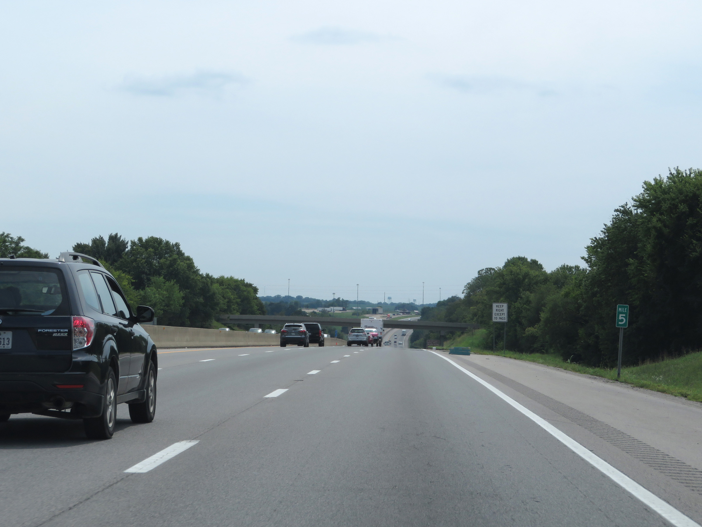 |
View on Interstate 65 South at mile marker 5. (Photo taken 8/11/19). |
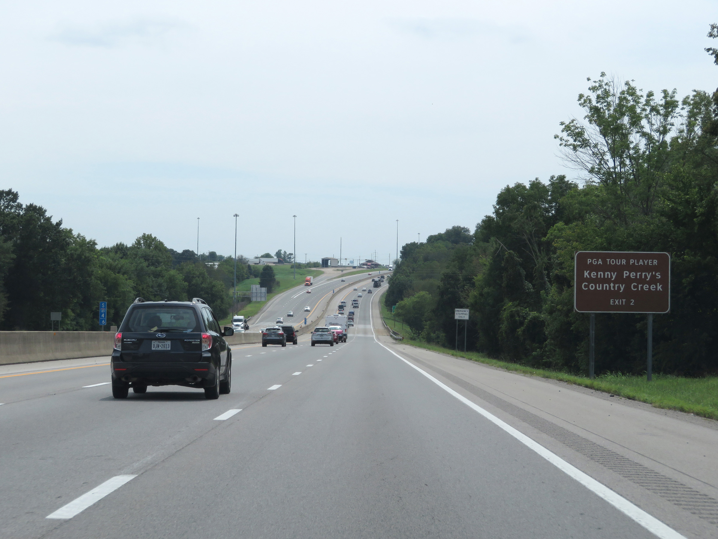 |
Take Exit 2 to Kenny Perry's Country Creek. (Photo taken 8/11/19). |
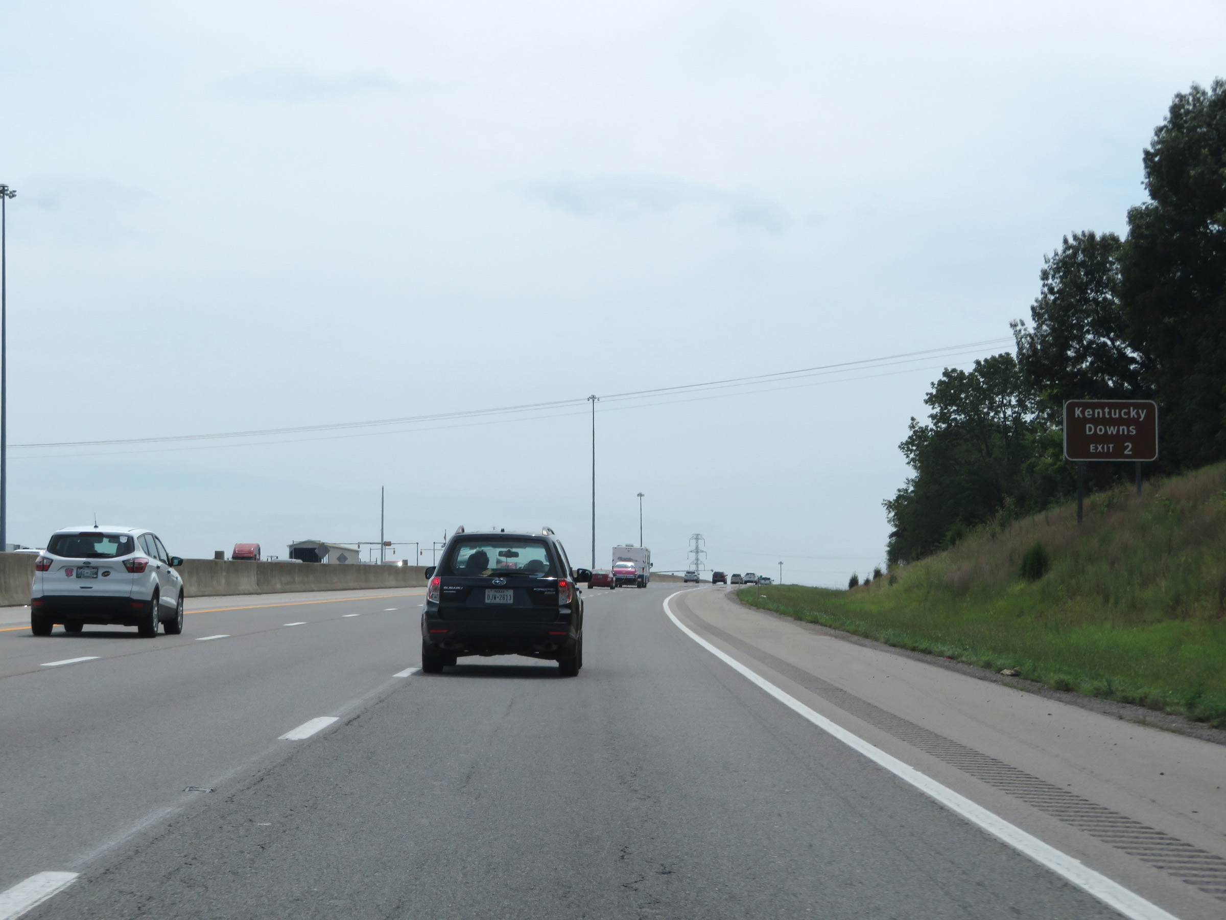 |
Also take Exit 2 to Kentucky Downs. (Photo taken 8/11/19). |
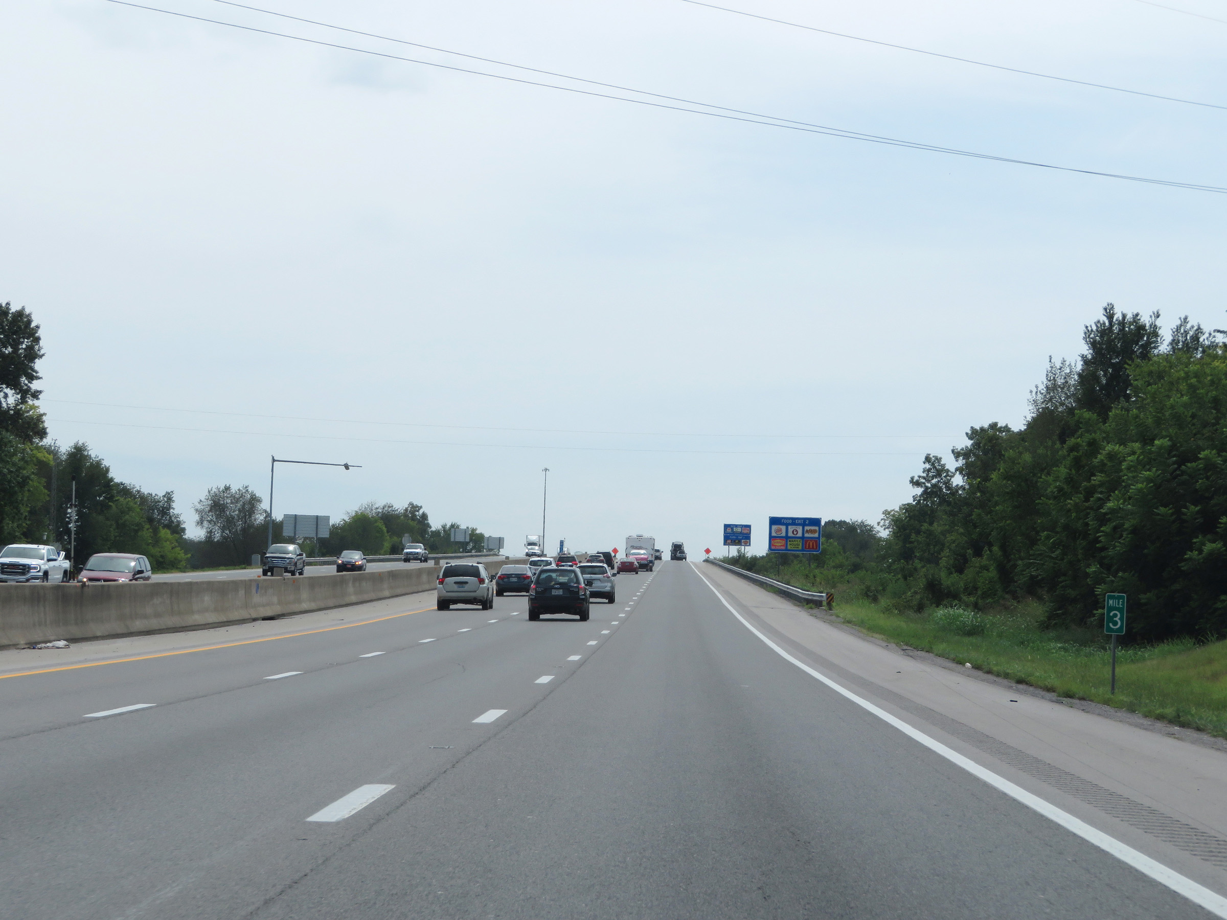 |
Interstate 65 South at mile marker 3. (Photo taken 8/11/19). |
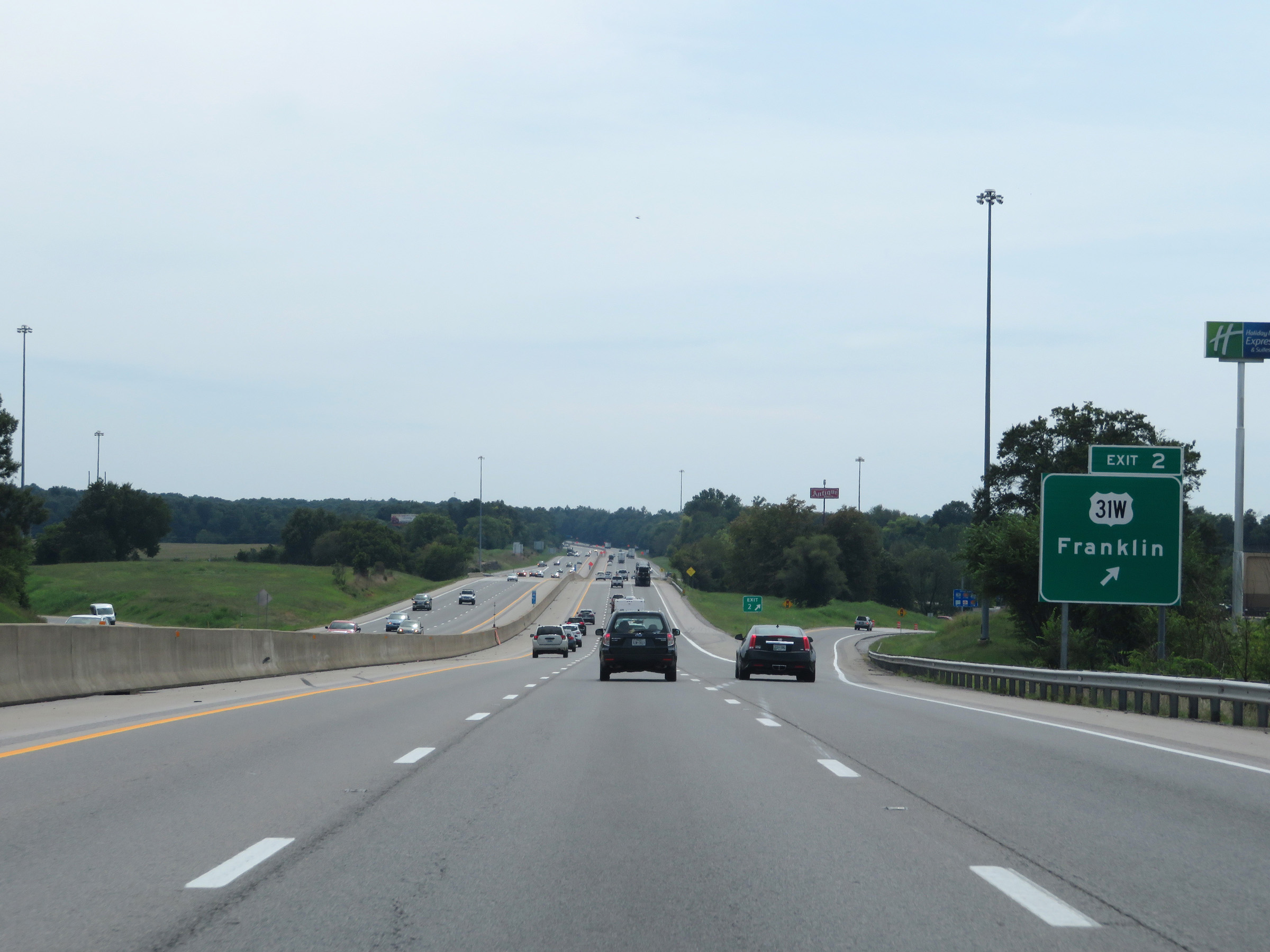 |
Interstate 65 South at Exit 2: US 31W - Franklin (Photo taken 8/11/19). |
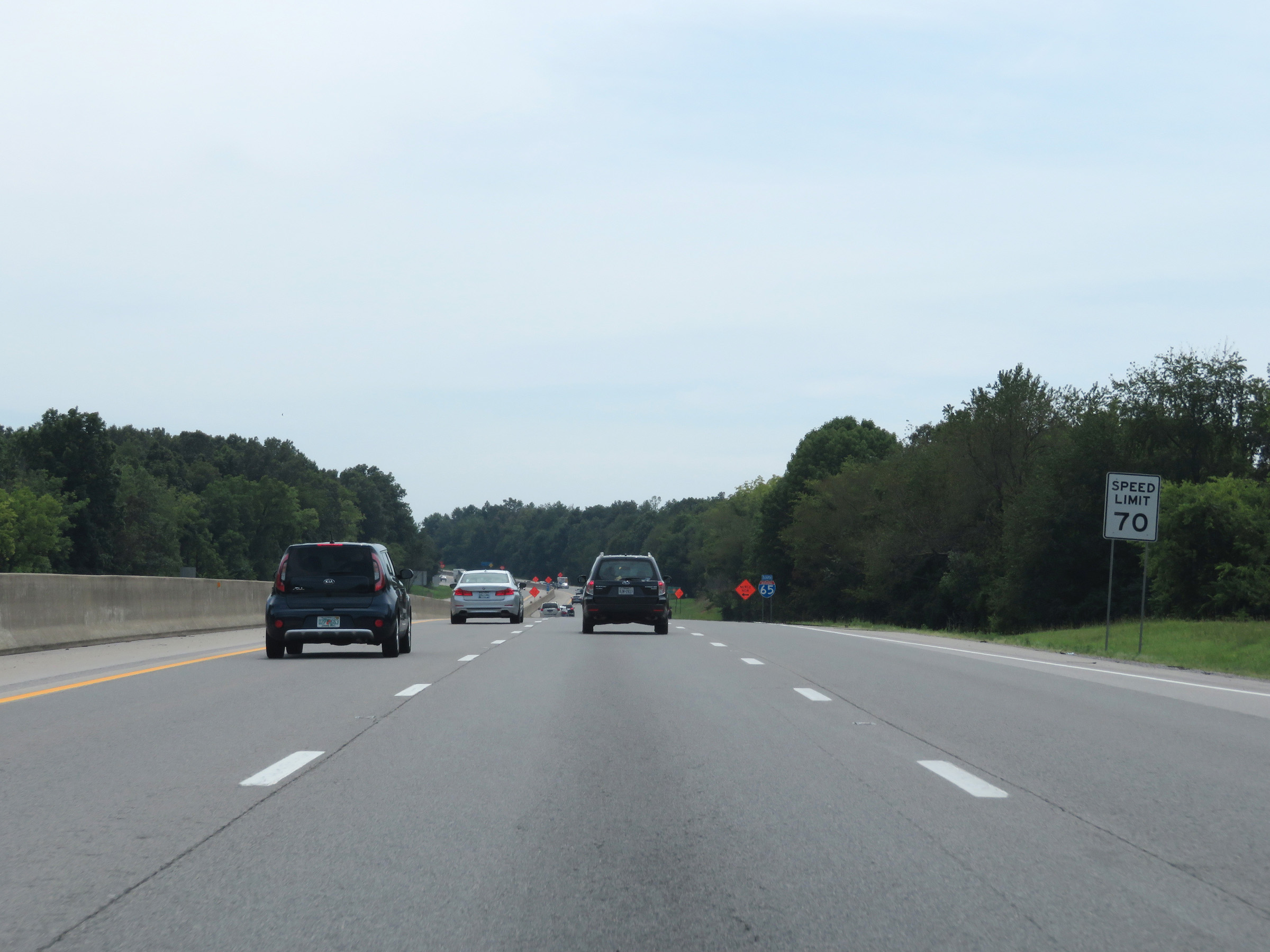 |
The speed limit remains 70 mph on Interstate 65 South. (Photo taken 8/11/19). |
 |
Interstate 65 South reassurance shield beyond Exit 2. (Photo taken 8/11/19). |
 |
Nashville now lies just 35 miles ahead as Interstate 65 South prepares to enter Tennessee. (Photo taken 8/11/19). |
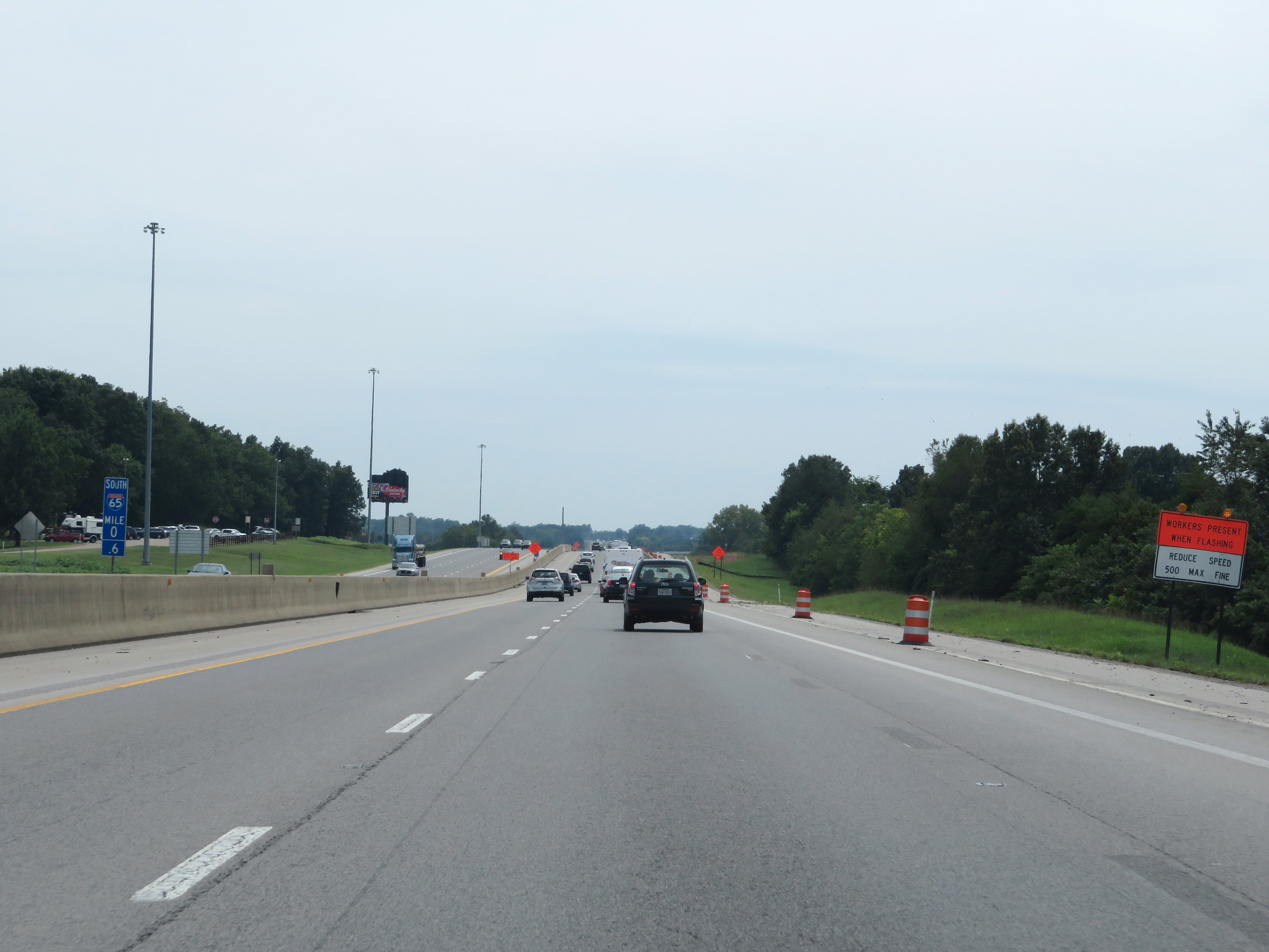 |
Interstate 65 South at mile marker 0.6, as it nears the Tennessee state line. (Photo taken 8/11/19). |
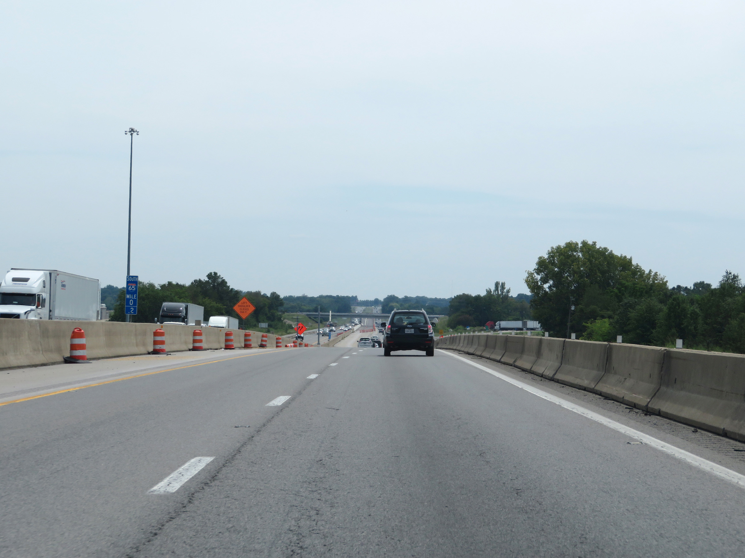 |
View on Interstate 65 South at mile marker 0.2 as it prepares to enter Tennessee. (Photo taken 8/11/19). |