Road Information |
||
 |
||
| Total Mileage in State: | 191 miles | |
| Eastern End: | At West Virginia state line | |
| Western End: | At Indiana state line | |
| Mileage covered in Photos: | 191 miles | |
| Counties covered in Photos: | Boyd, Carter, Rowan, Bath, Montgomery, Clark, Fayette, Scott, Woodford, Franklin, Shelby, Jefferson | |
| Major Junctions in Photos: | I-75 South, in Lexington I-75 North, in Lexington I-265, in Middletown I-264, in Louisville I-65, in Louisville |
|
| Control Cities in Photos: | Winchester, Lexington, Frankfort, Louisville | |
Westbound
- Section 1: West Virginia Border to Mount Sterling (Exit 110)
- Section 2: Mount Sterling (Exit 110) to Shelbyville (Exit 35)
- Section 3: Shelbyville (Exit 35) to Indiana Border
Section 1: West Virginia Border to Mount Sterling (Exit 110)
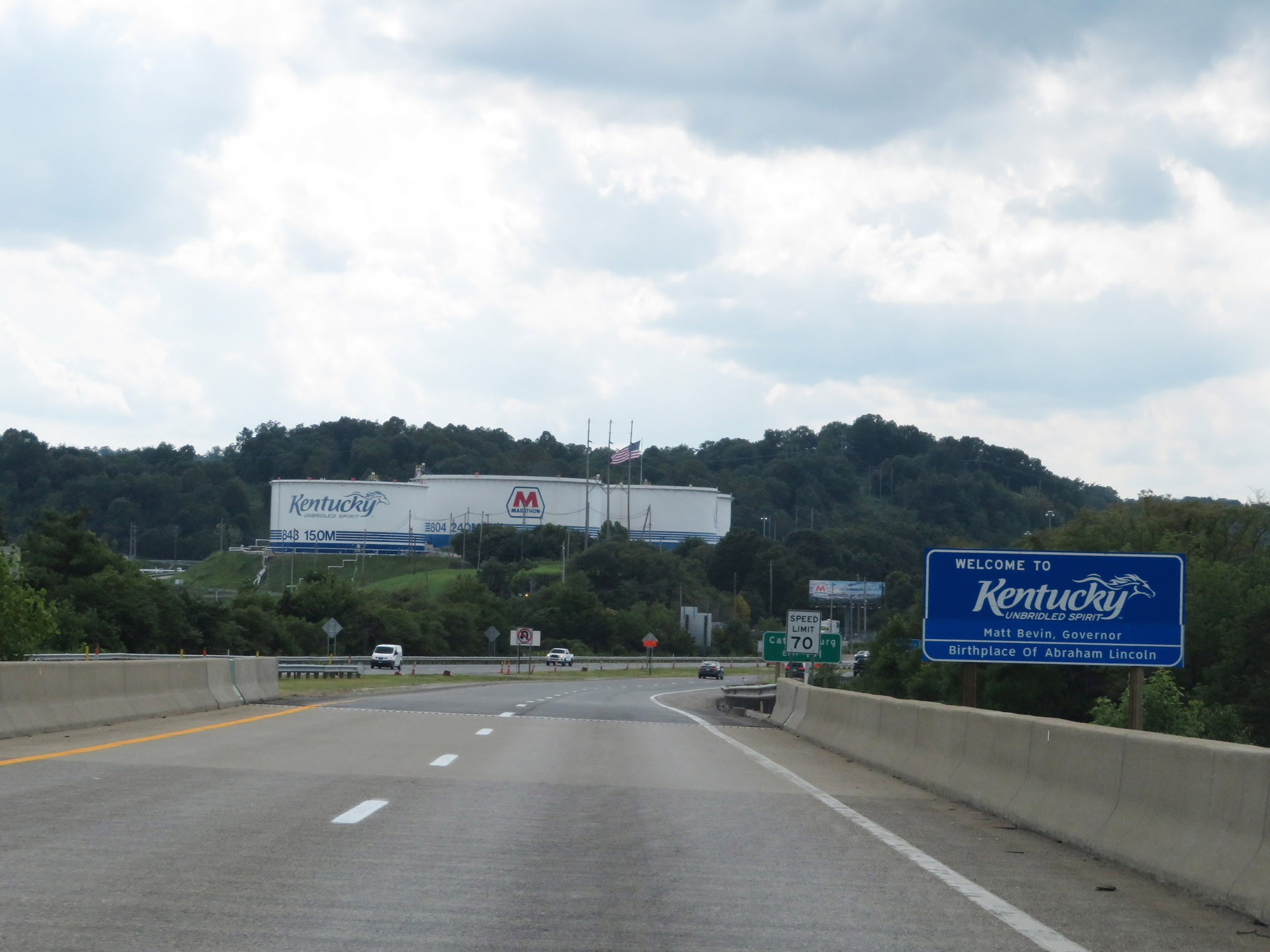 |
Kentucky welcome sign as Interstate 64 West enters the Bluegrass State from West Virginia by crossing the Big Sandy River. (Photo taken 8/9/19). |
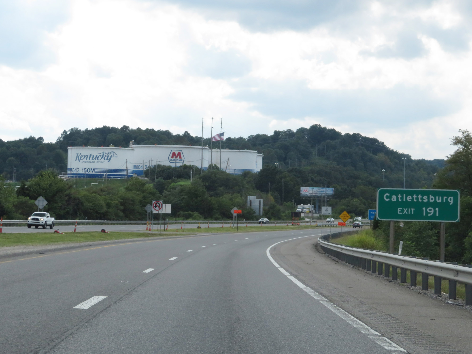 |
Take Exit 191 to Catlettsburg. (Photo taken 8/9/19). |
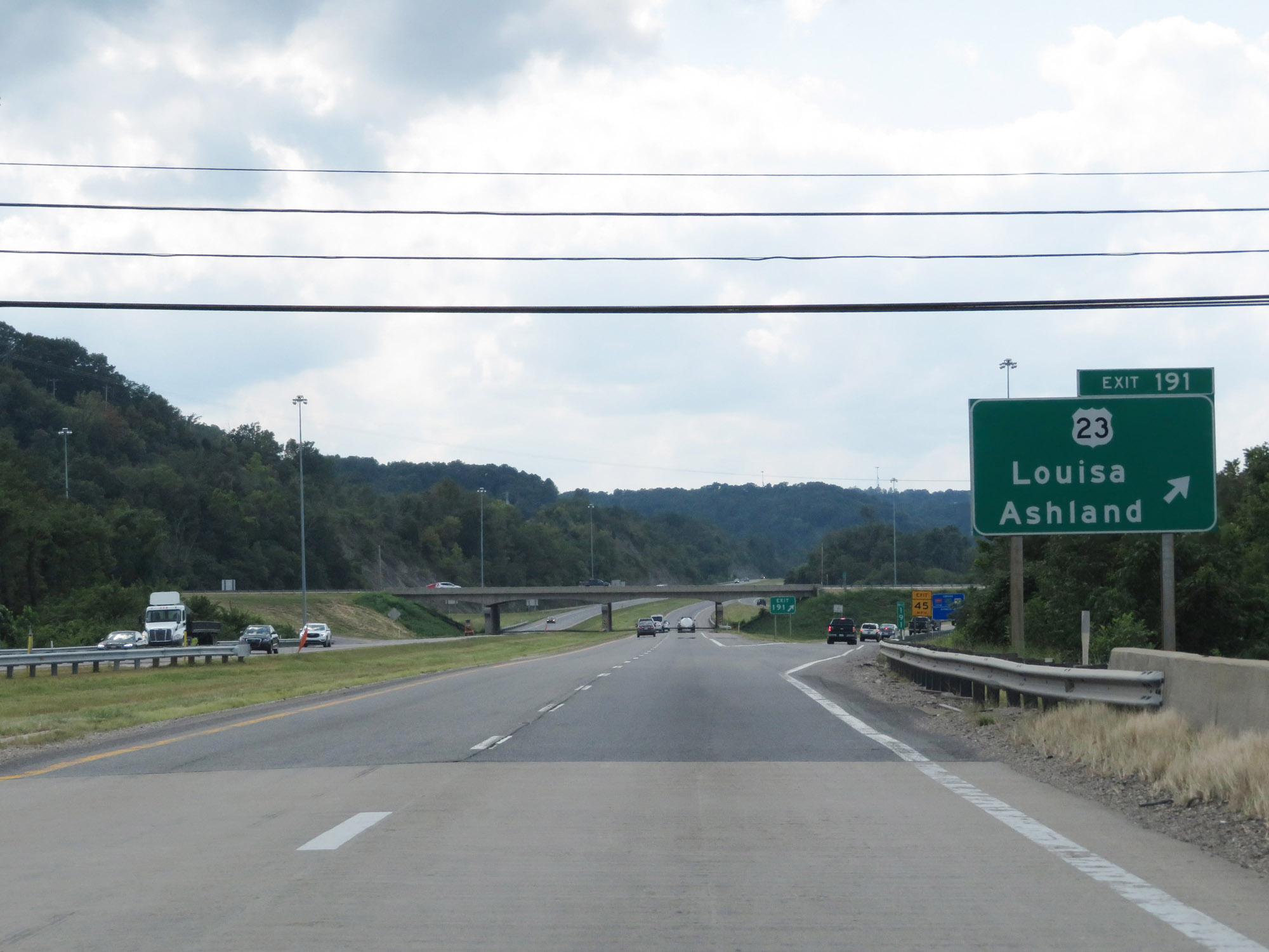 |
Interstate 64 West at Exit 191: US 23 - Louisa / Ashland (Photo taken 8/9/19). |
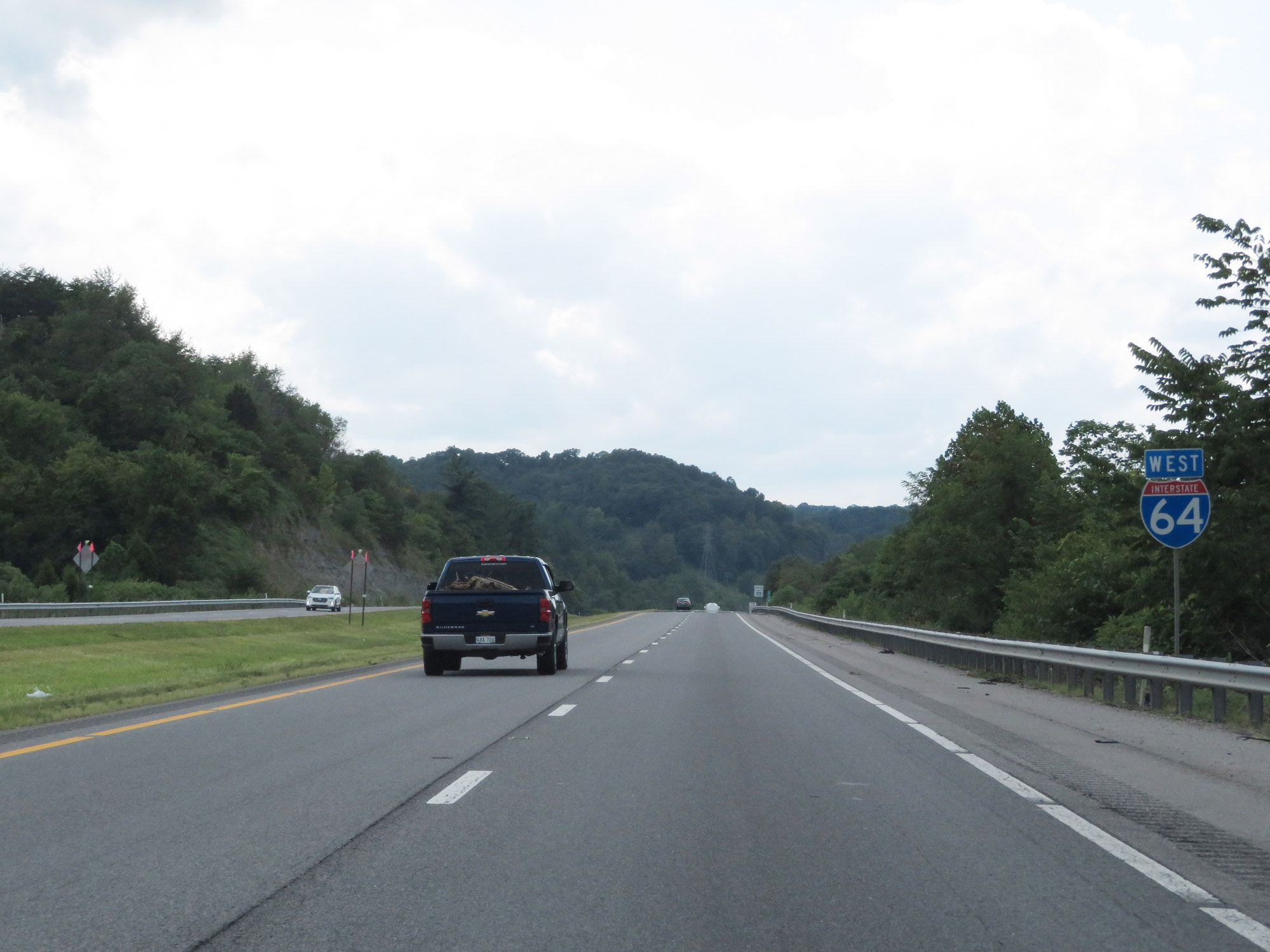 |
Interstate 64 West reassurance shield. (Photo taken 8/9/19). |
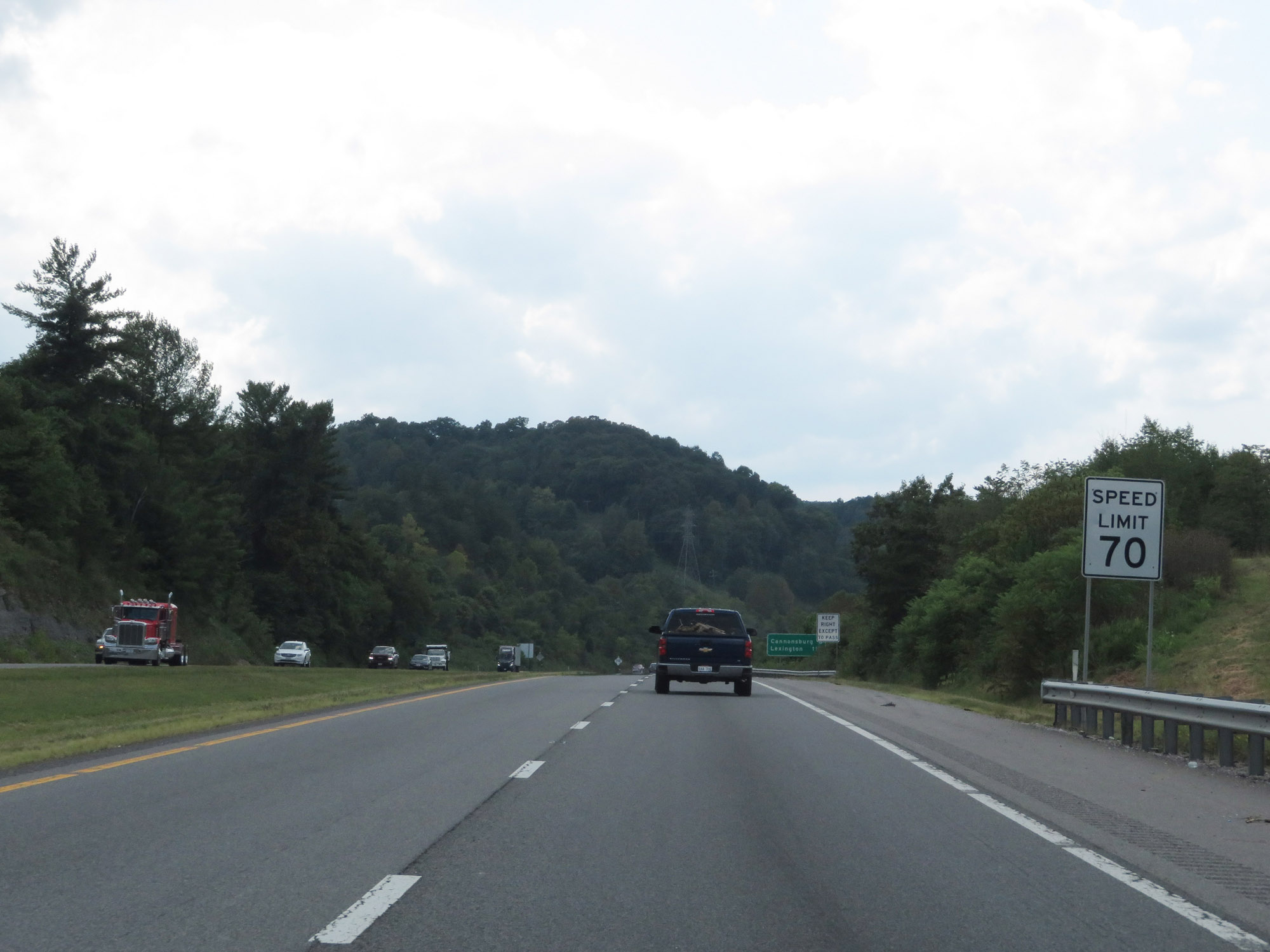 |
The speed limit on Interstate 64 West starts out at 70 mph, which is the standard speed limit on most rural Interstate highways in Kentucky. (Photo taken 8/9/19). |
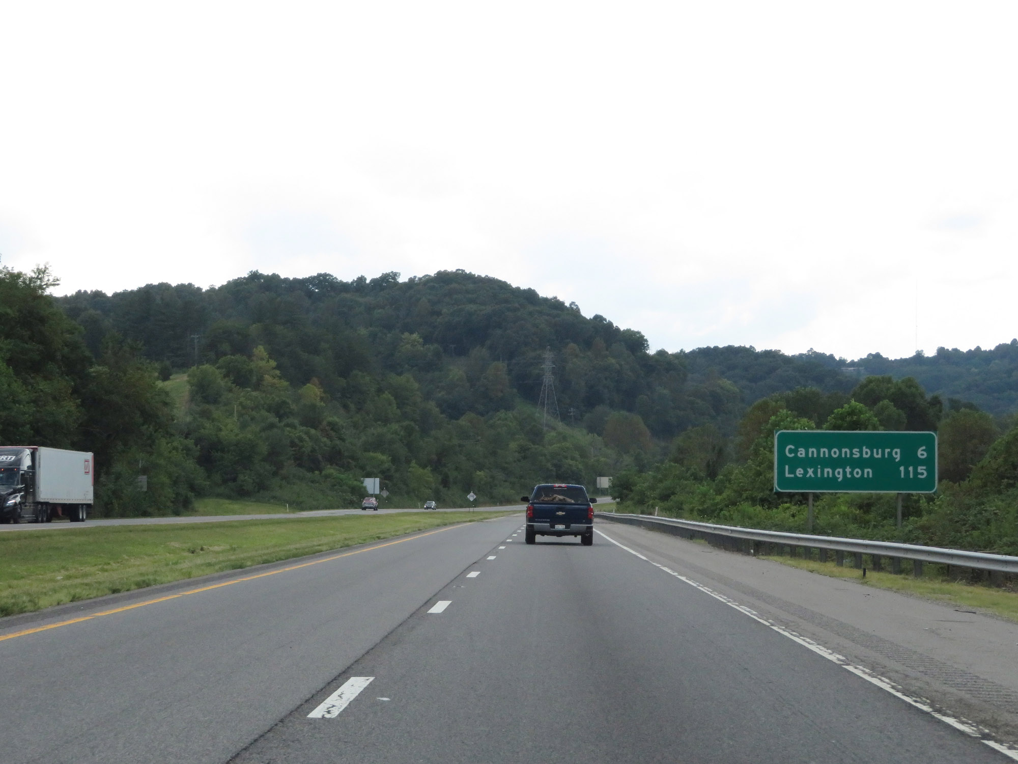 |
Mileage sign on Interstate 64 West. It's 6 miles to Cannonsburg and 115 miles to Lexington. (Photo taken 8/9/19). |
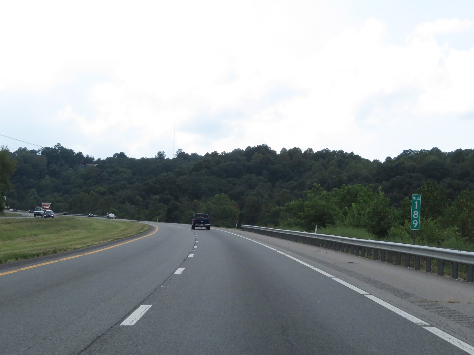 |
Interstate 64 West at mile marker 189. (Photo taken 8/9/19). |
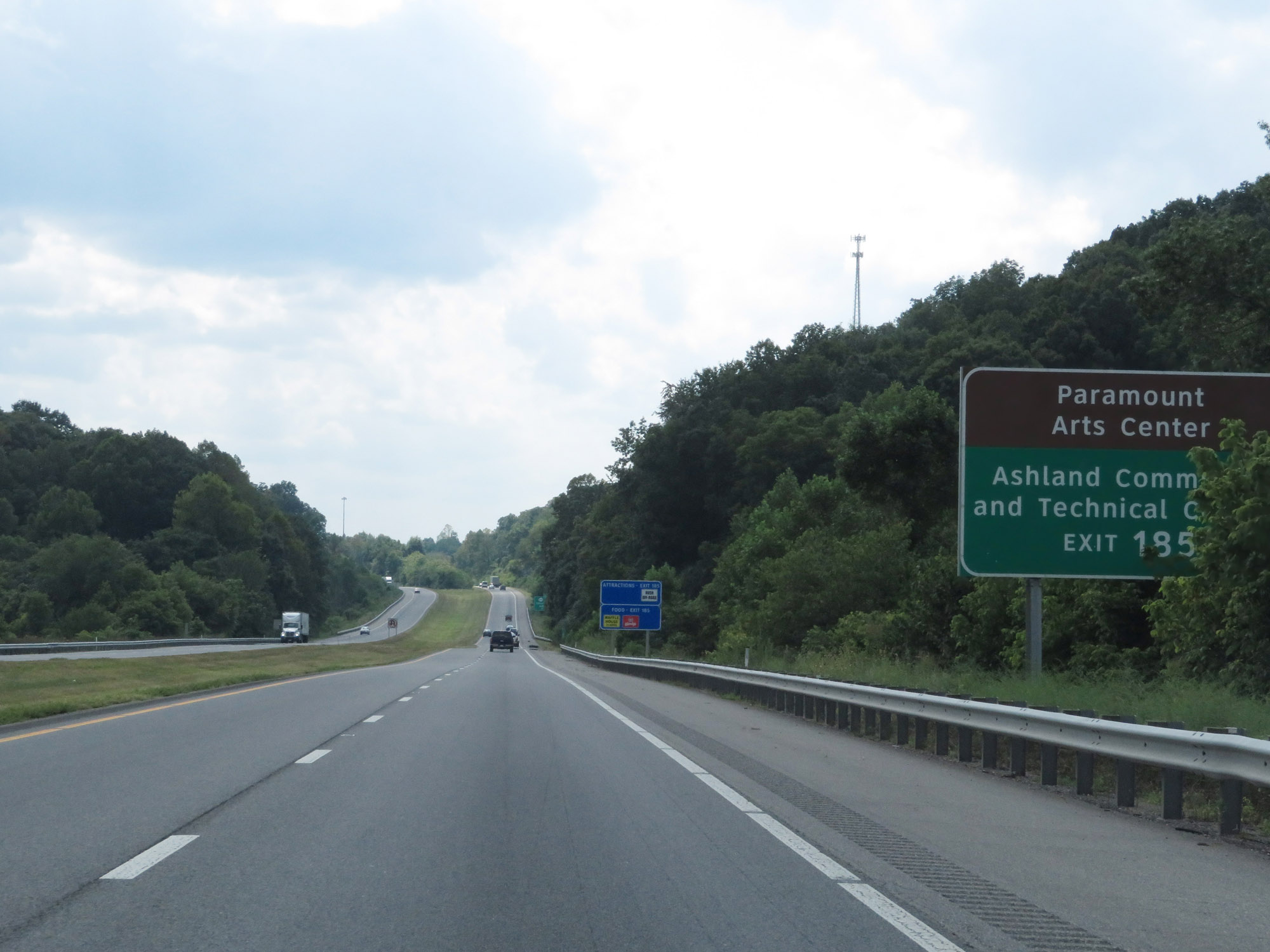 |
Take Exit 185 to Paramount Arts Center and Ashland Community and Technical College. (Photo taken 8/9/19). |
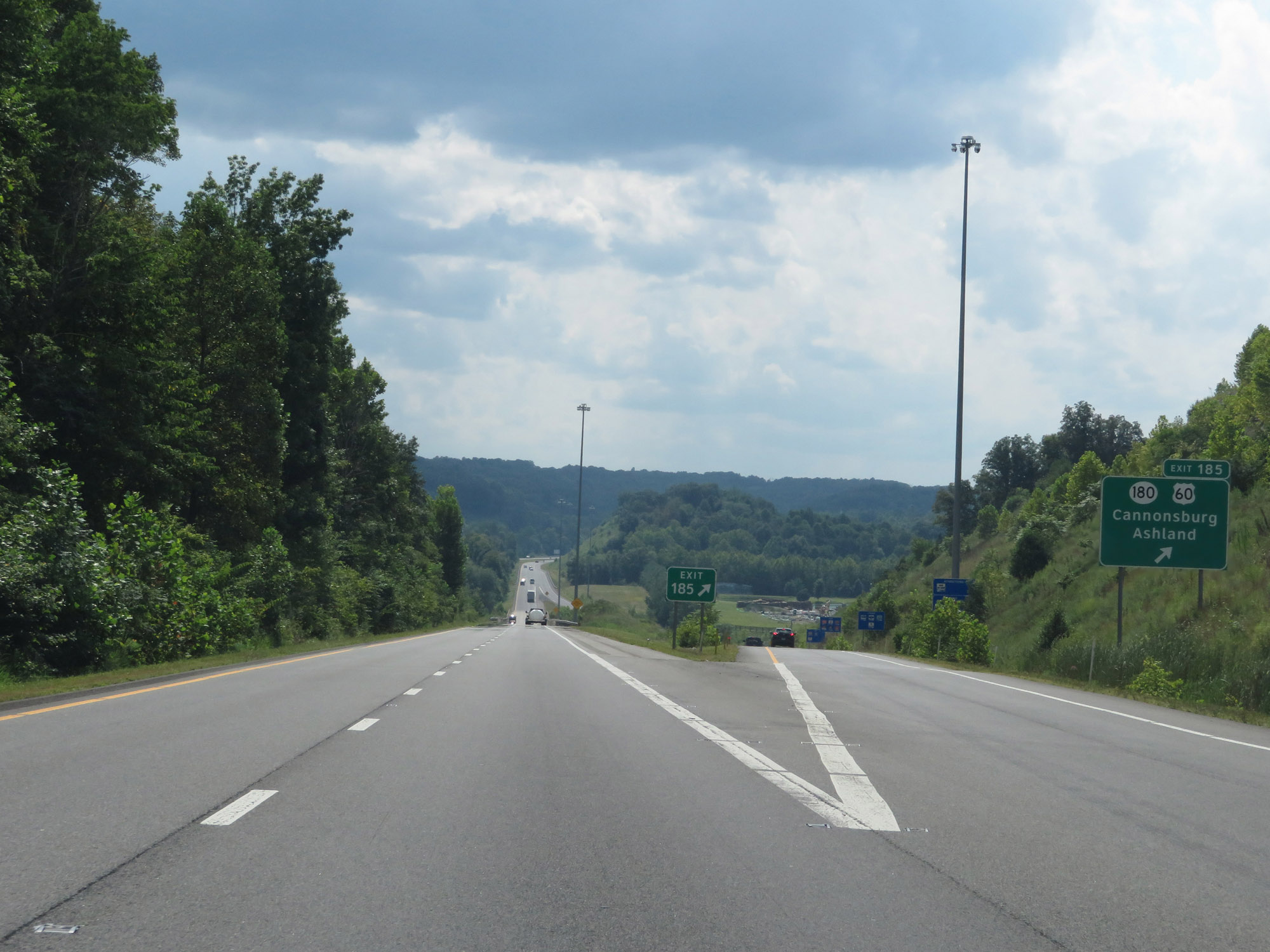 |
Interstate 64 West at Exit 185: KY 180 / US 60 - Cannonsburg / Ashland (Photo taken 8/9/19). |
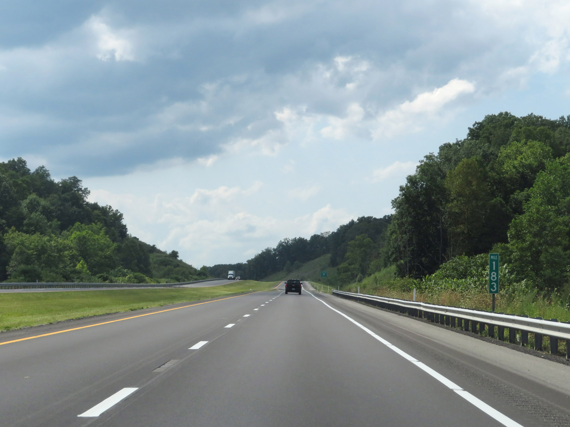 |
View on Interstate 64 West at mile marker 183. (Photo taken 8/9/19). |
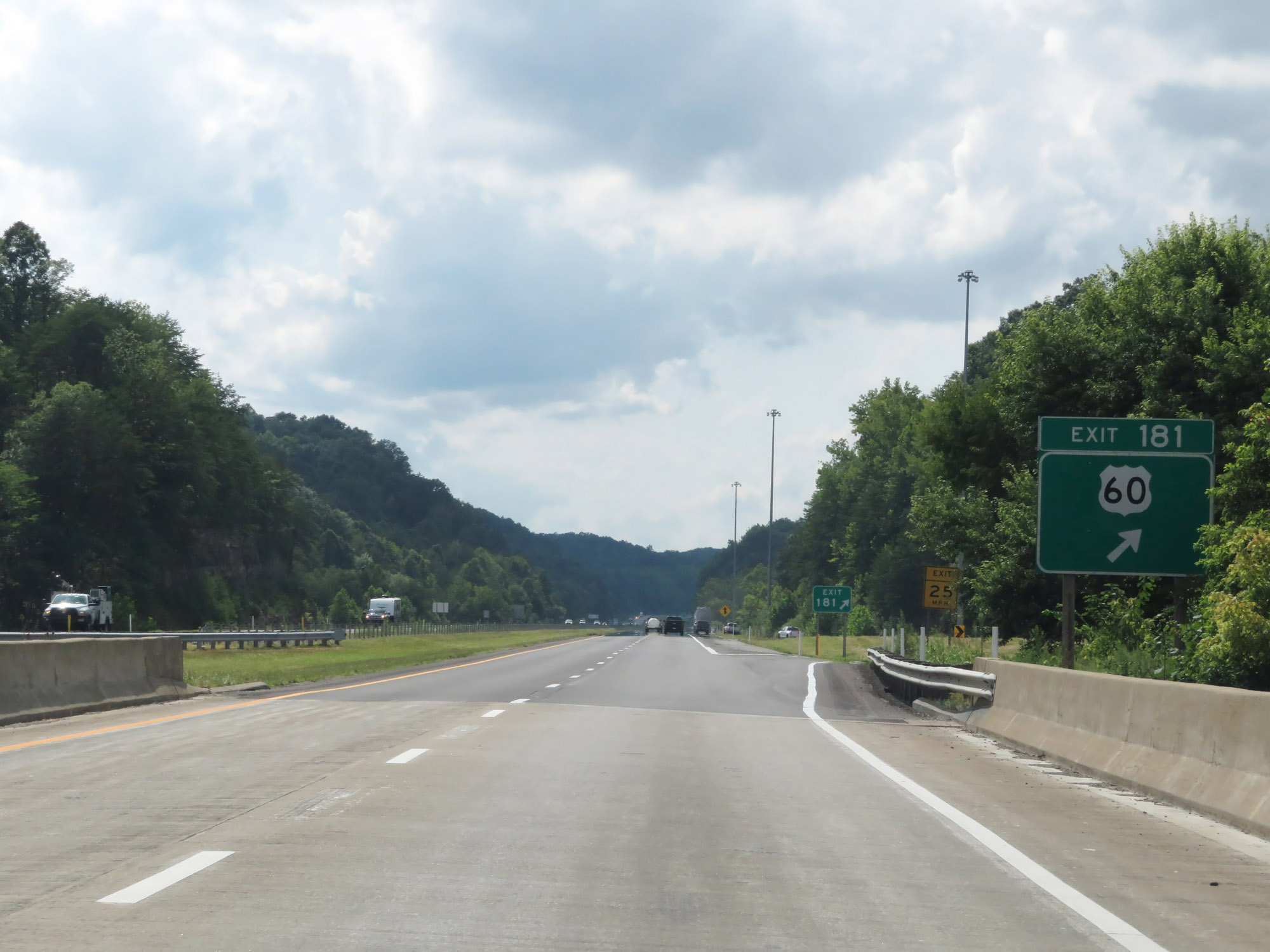 |
Interstate 64 West at Exit 181: US 60 (Photo taken 8/9/19). |
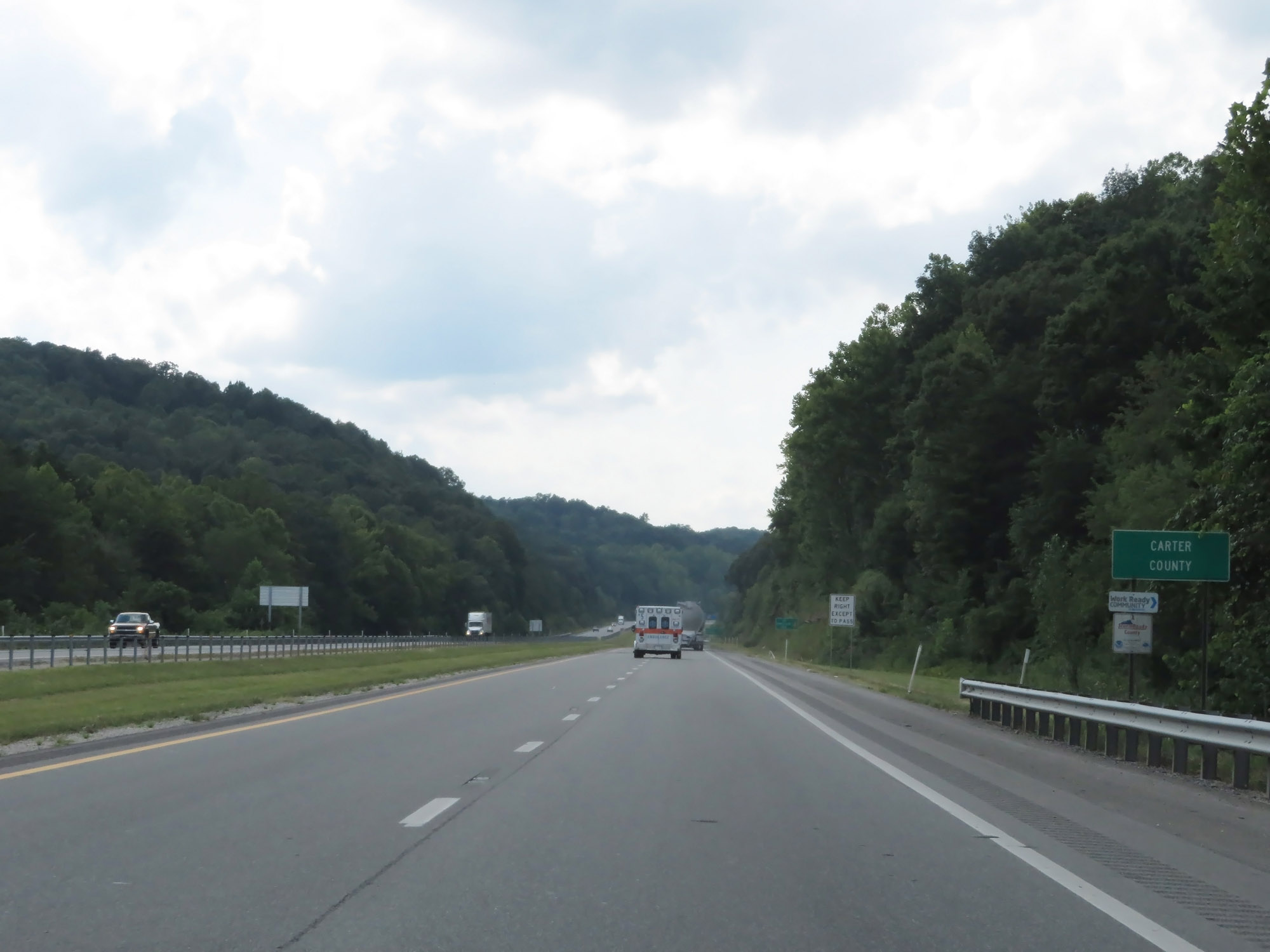 |
Interstate 64 West as it enters Carter County. (Photo taken 8/9/19). |
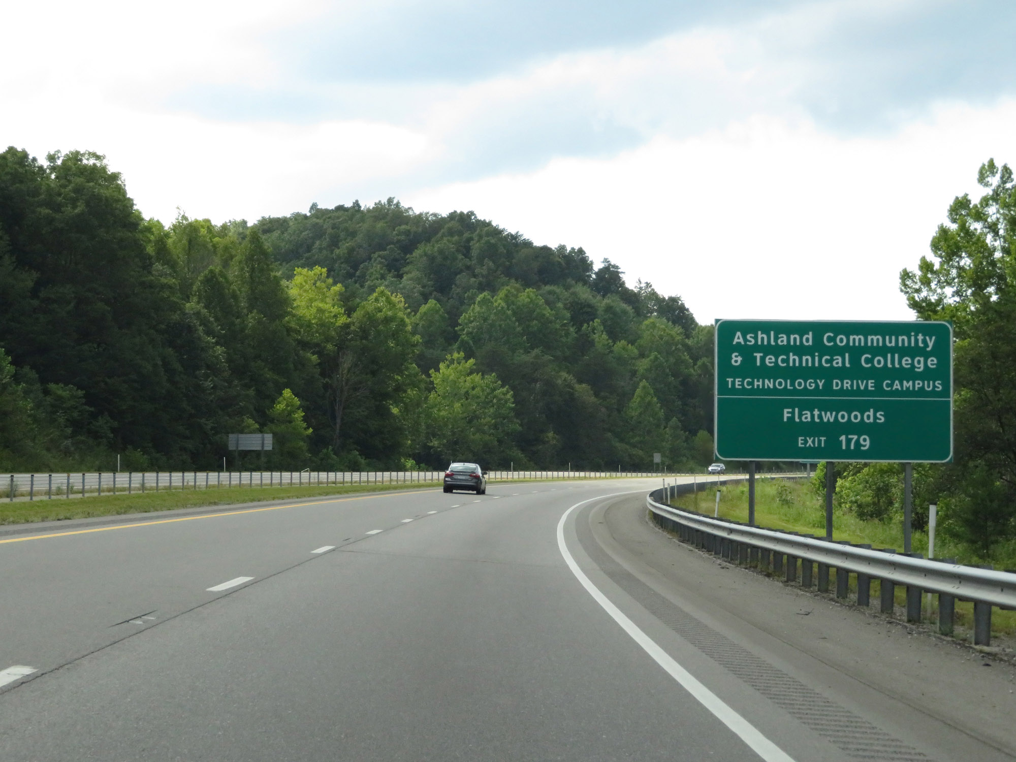 |
Take Exit 179 to Ashland Community & Technical College Technology Drive Campus and Flatwoods. (Photo taken 8/9/19). |
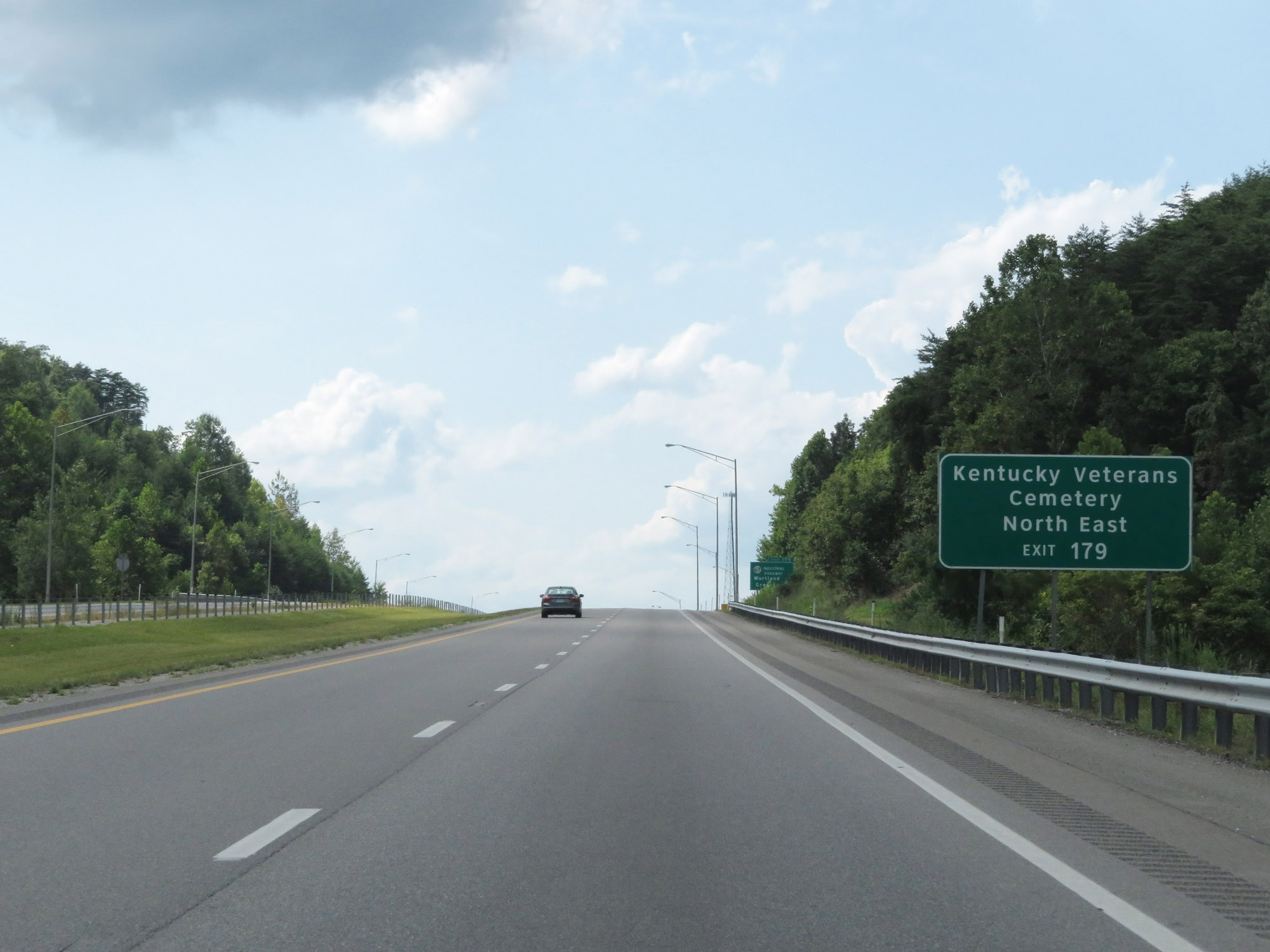 |
Also take Exit 179 to Kentucky Veterans Cemetery Northeast. (Photo taken 8/9/19). |
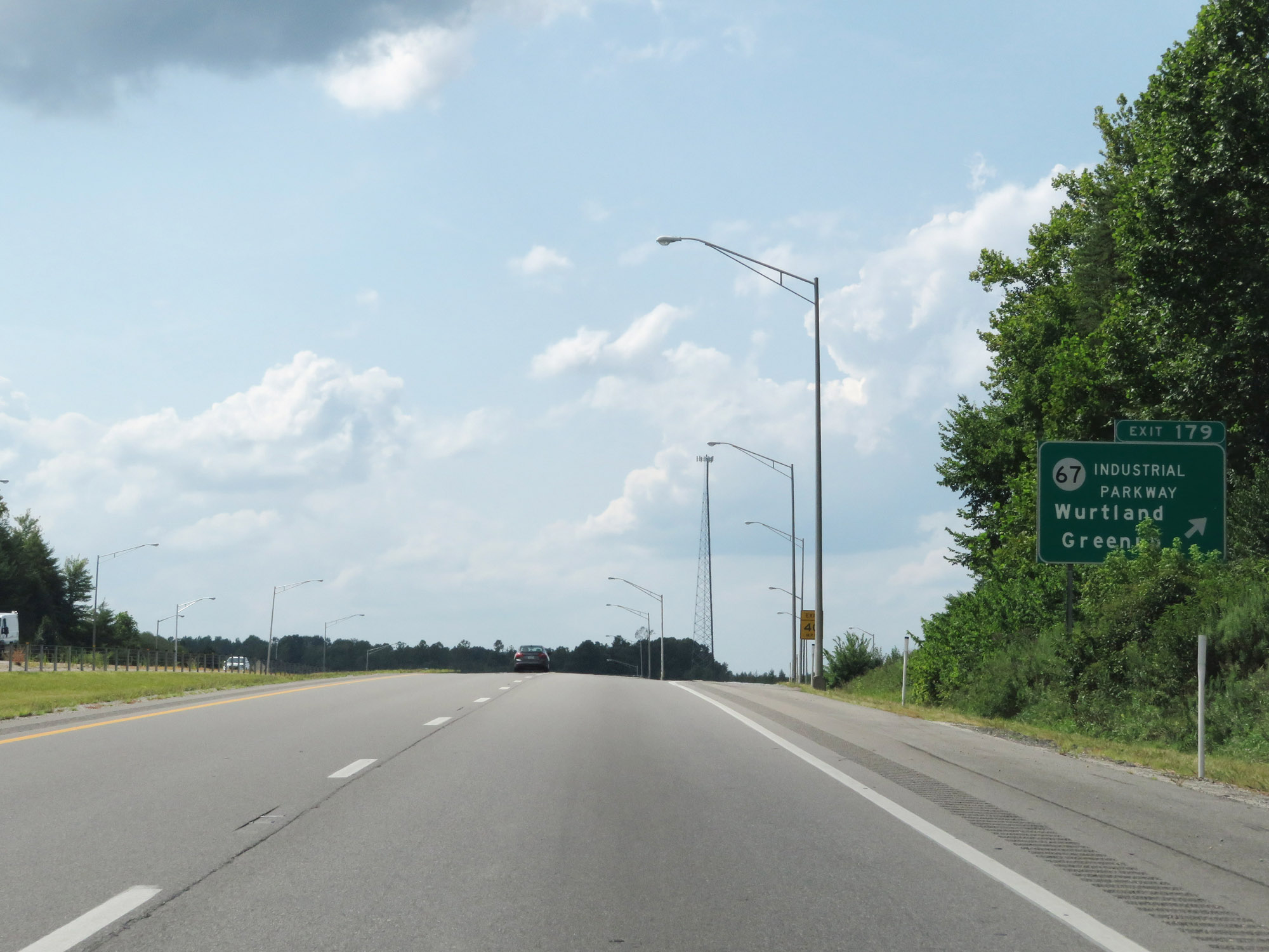 |
Interstate 64 West at Exit 179: KY 67 (Industrial Parkway) - Wurtland / Greenup (Photo taken 8/9/19). |
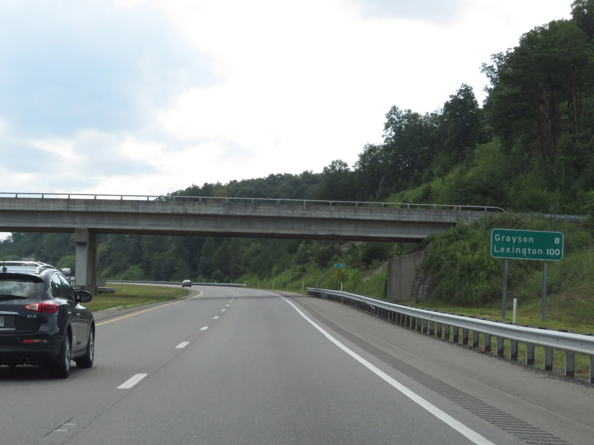 |
Mileage sign on Interstate 64 West. It's 8 miles to Grayson and 100 miles to Lexington. (Photo taken 8/9/19). |
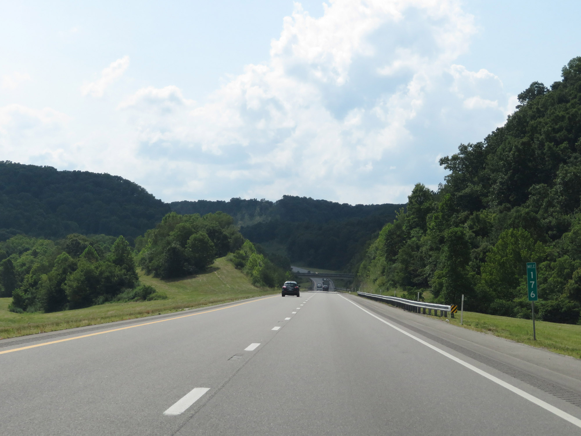 |
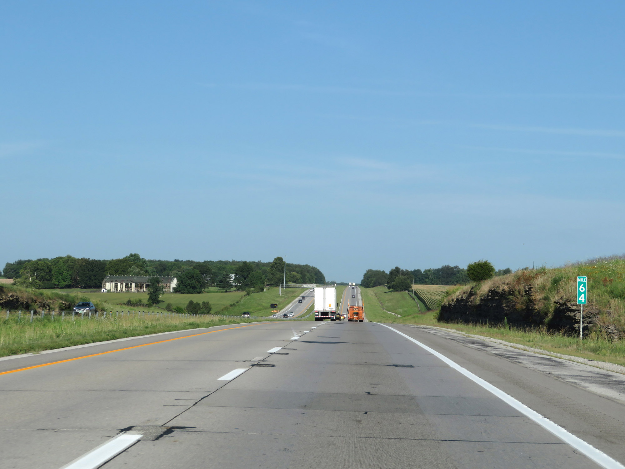
Interstate 64 West at mile marker 176. (Photo taken 8/9/19). |
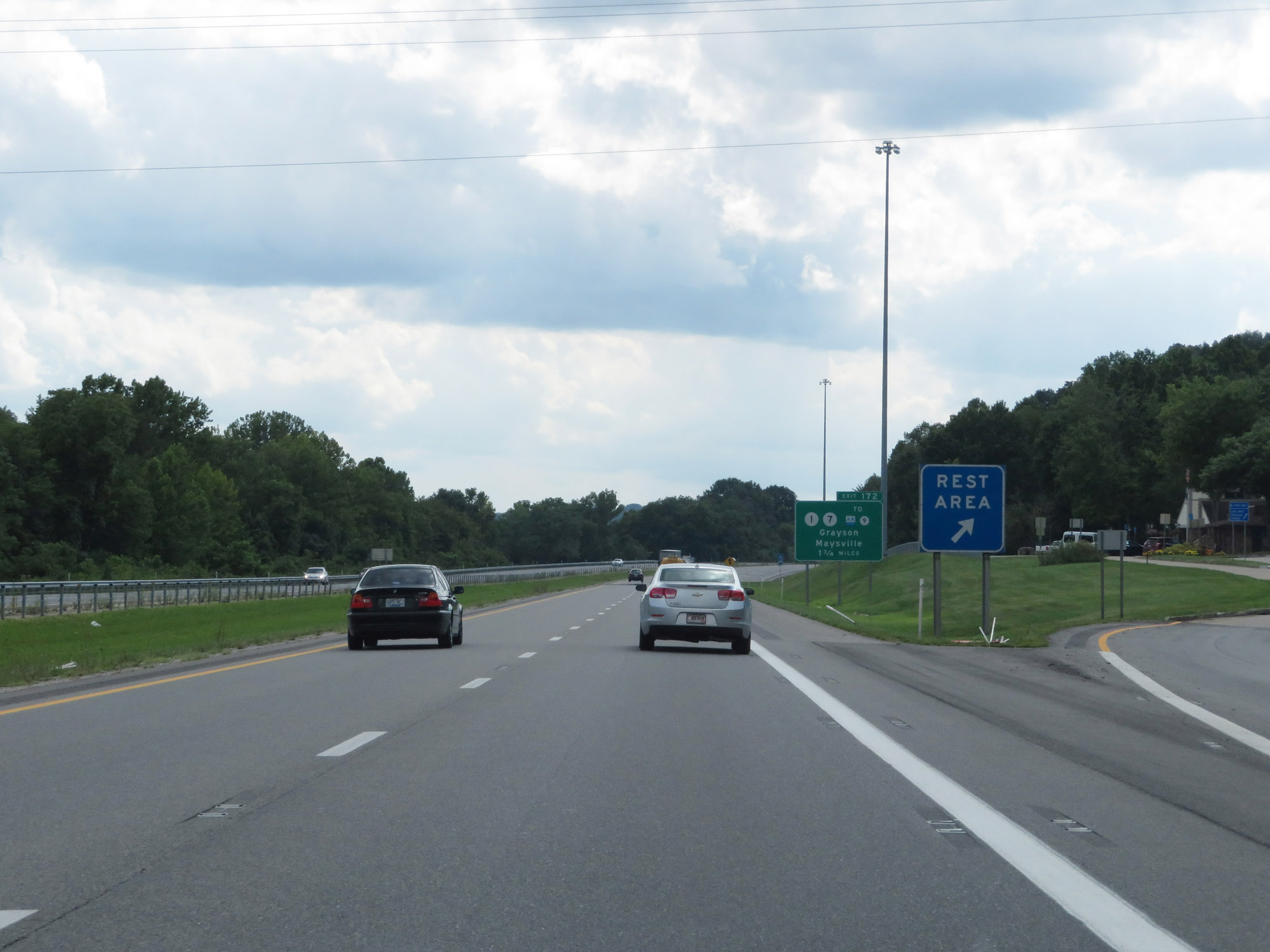 |
Rest Area / Welcome Center on Interstate 64 West in Carter County. (Photo taken 8/9/19). |
 |
Take Exit 172 to Kentucky Christian University. (Photo taken 8/9/19). |
 |
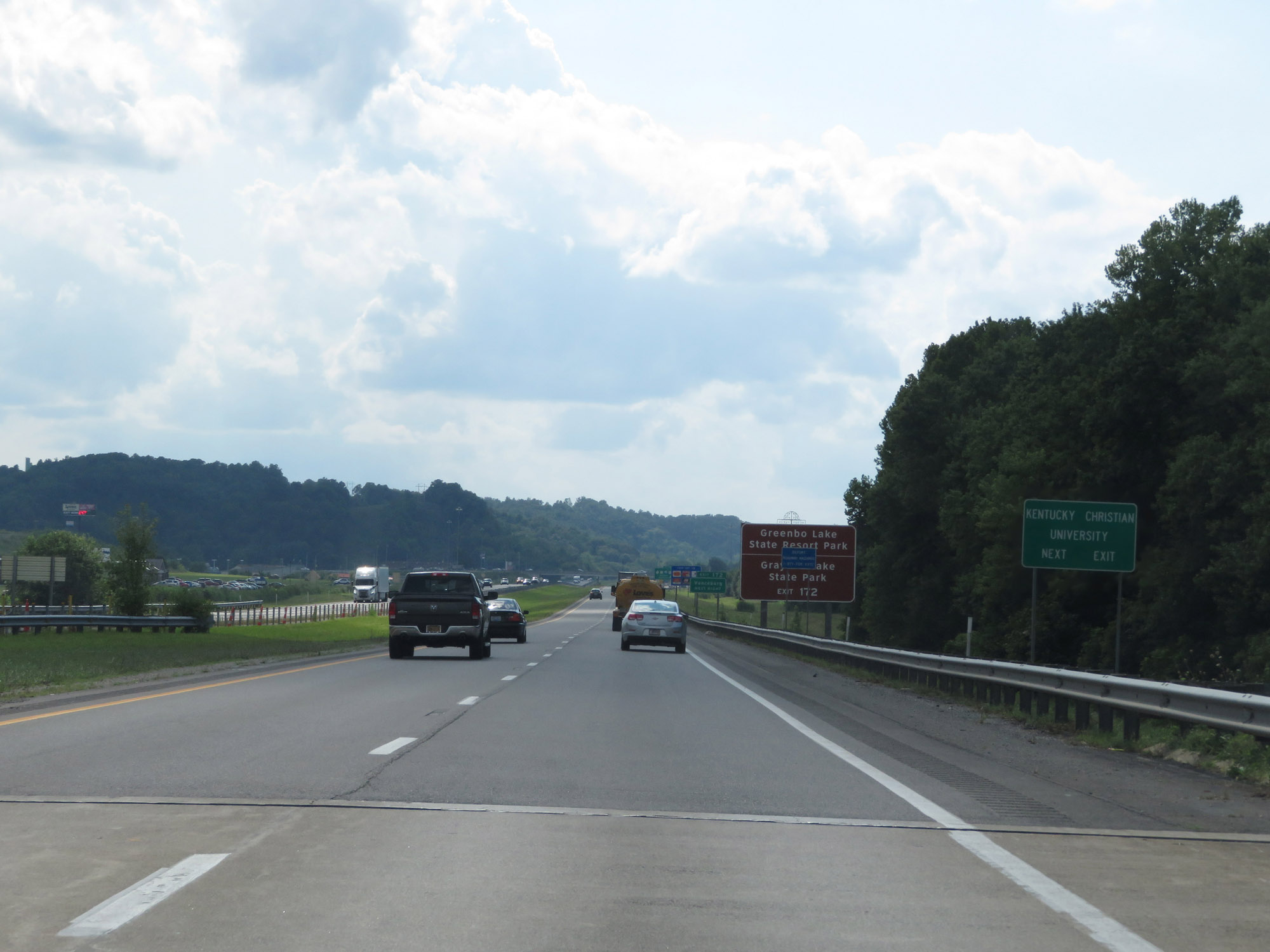
Also take Exit 172 to Greenbo Lake State Resort Park and Grayson Lake State Park. (Photo taken 8/9/19). |
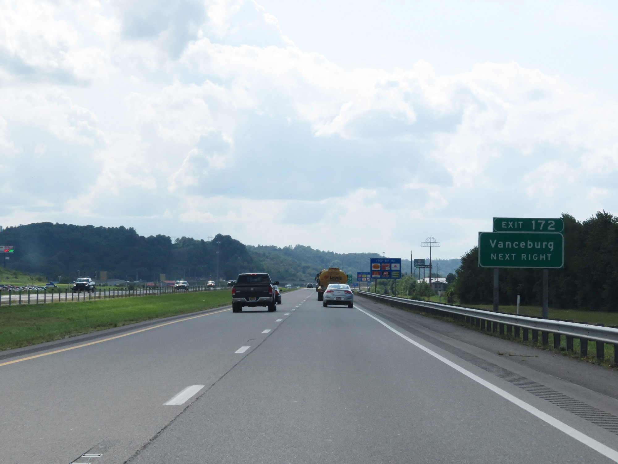 |
Take Exit 172 to Vanceburg as well. (Photo taken 8/9/19). |
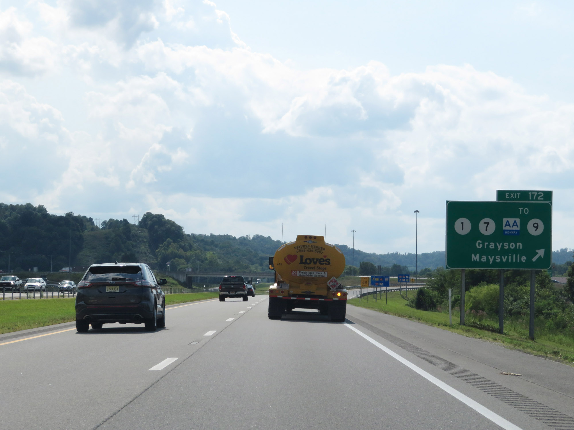 |
Interstate 64 West at Exit 172: KY 1 / KY 7 / To KY 9 (AA Highway) - Grayson / Maysville (Photo taken 8/9/19). |
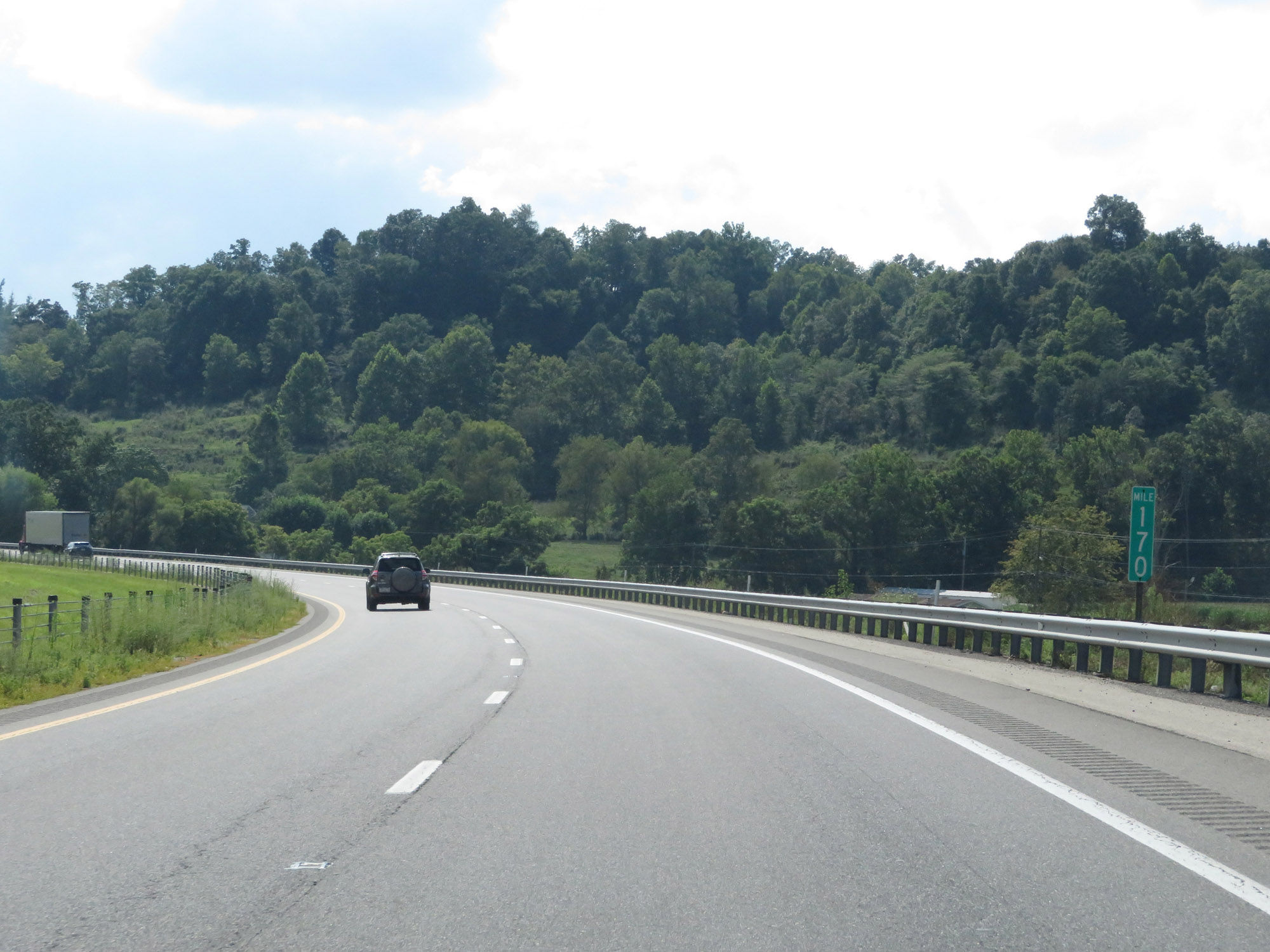 |
View on Interstate 64 West at mile marker 170. (Photo taken 8/9/19). |
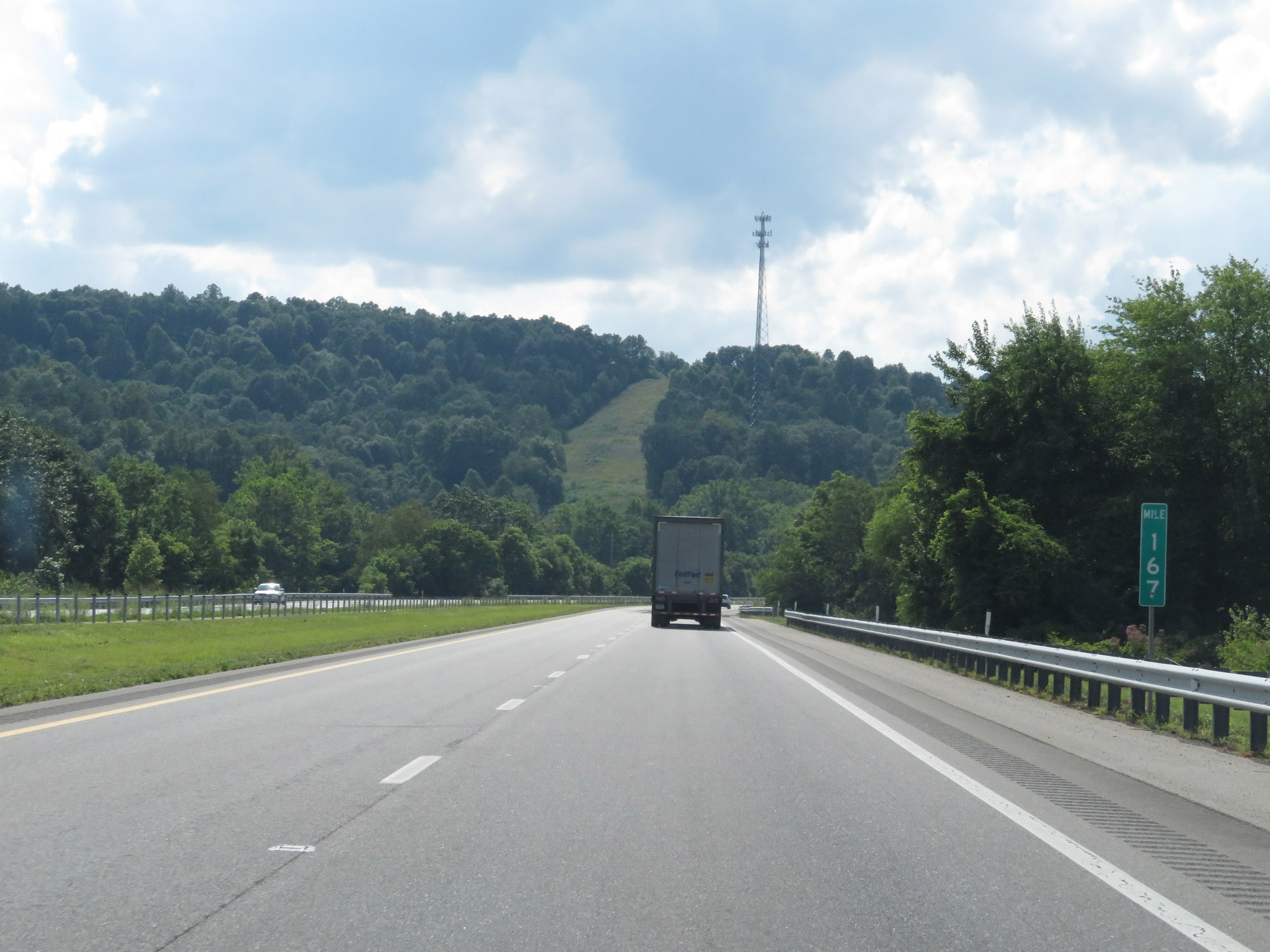 |
Interstate 64 West at mile marker 167. (Photo taken 8/9/19). |
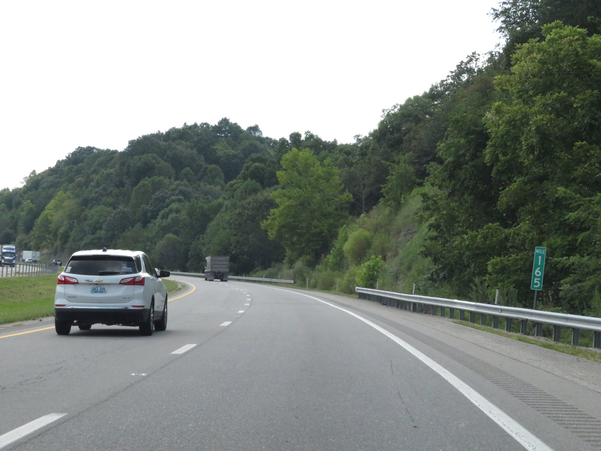 |
Interstate 64 West at mile marker 165. (Photo taken 8/9/19). |
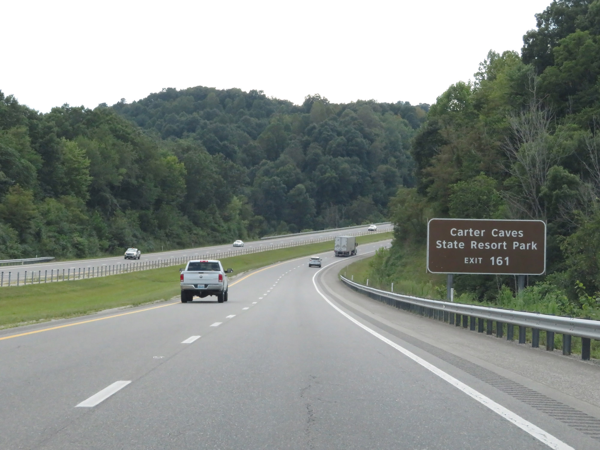 |
Take Exit 161 to Carter Caves State Resort Park. (Photo taken 8/9/19). |
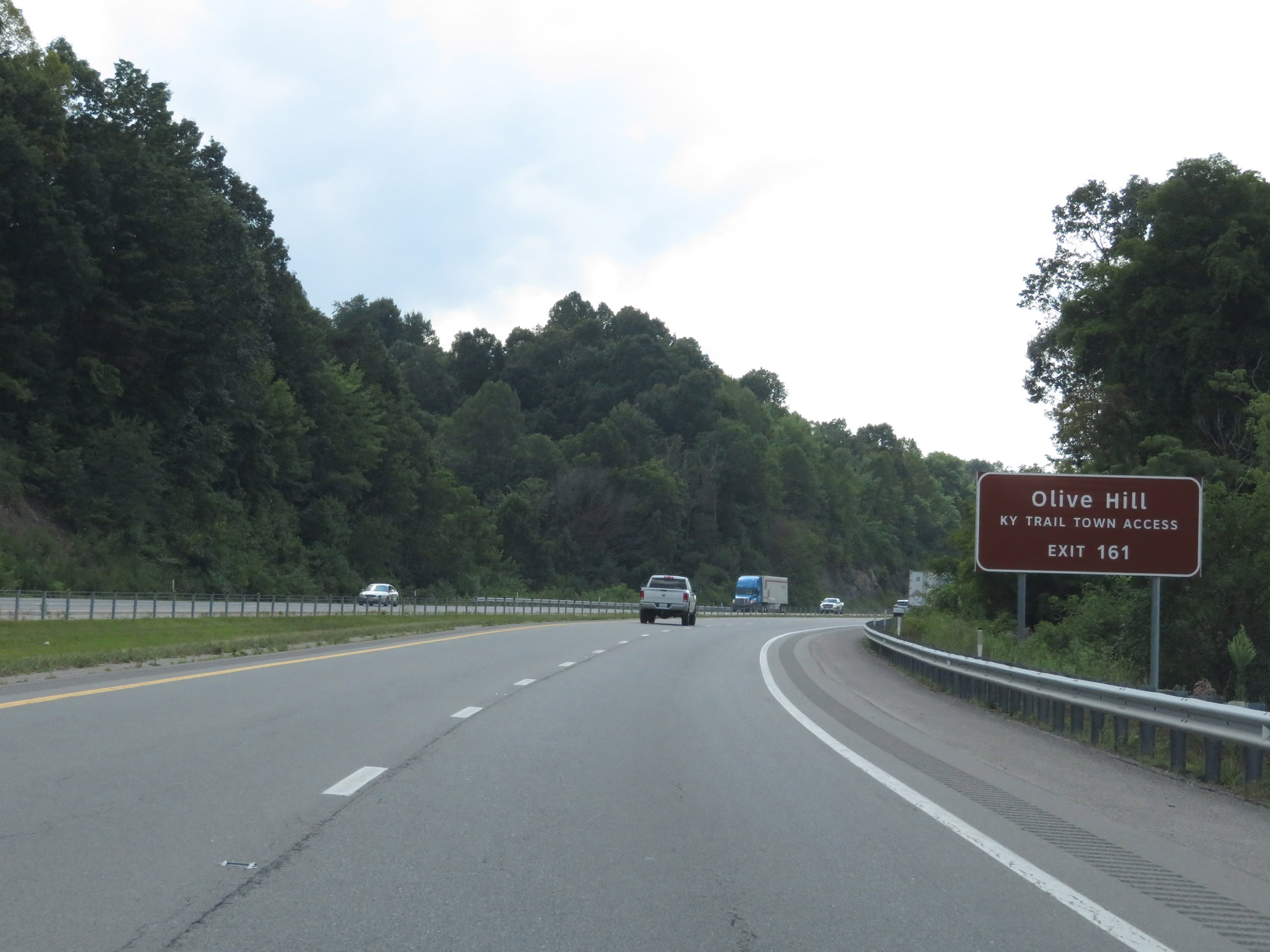 |
Also take Exit 161 to Olive Hill Kentucky Trail Town Access. (Photo taken 8/9/19). |
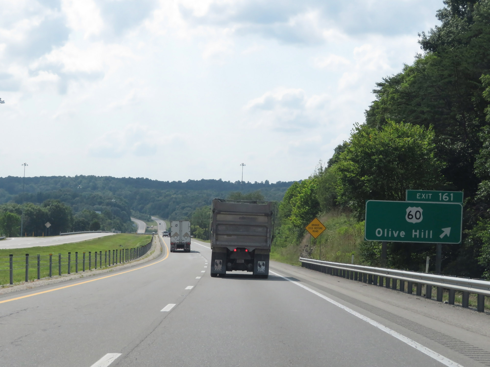 |
Interstate 64 West at Exit 161: US 60 - Olive Hill (Photo taken 8/9/19). |
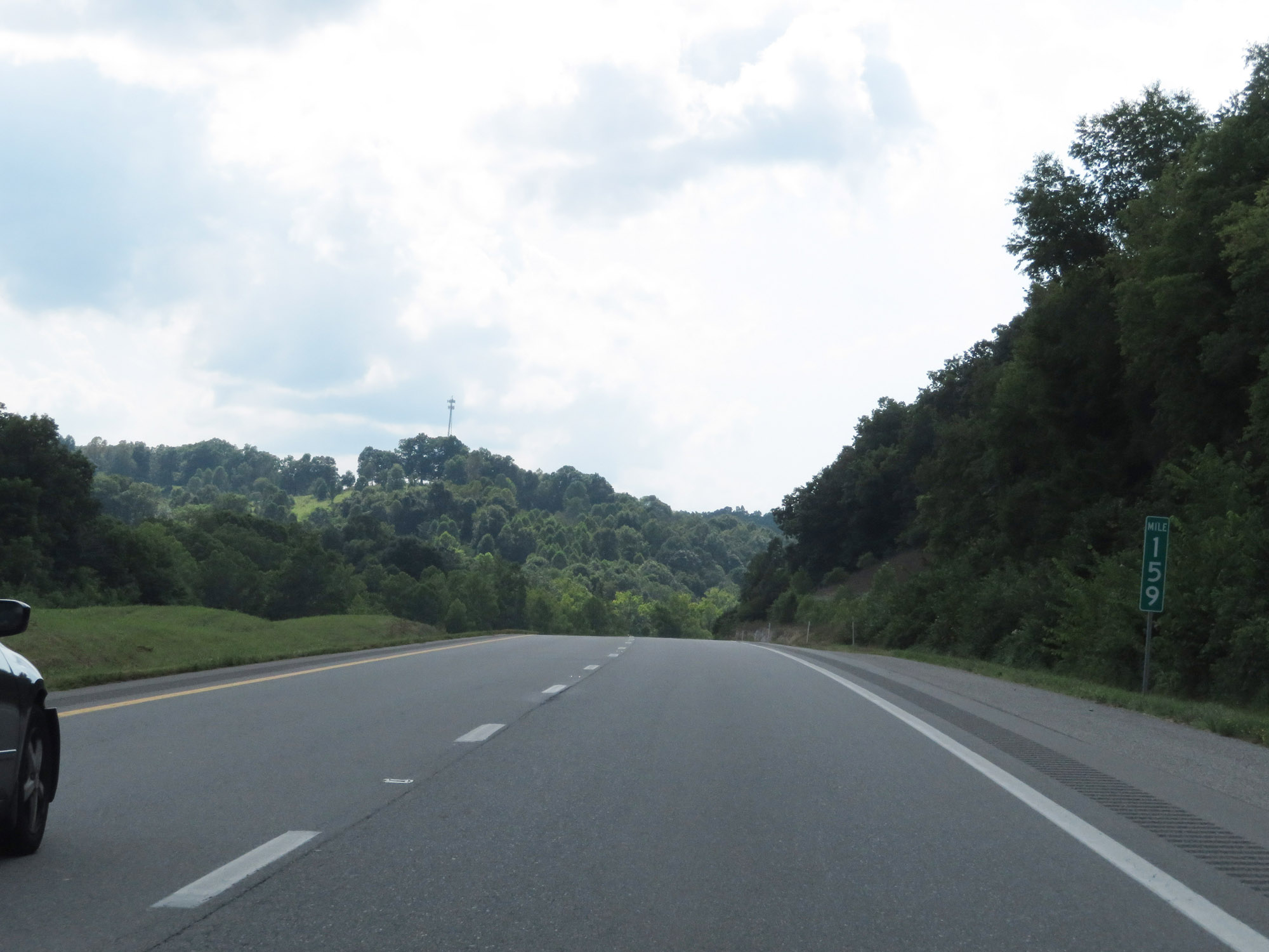 |
Interstate 64 West at mile marker 159. (Photo taken 8/9/19). |
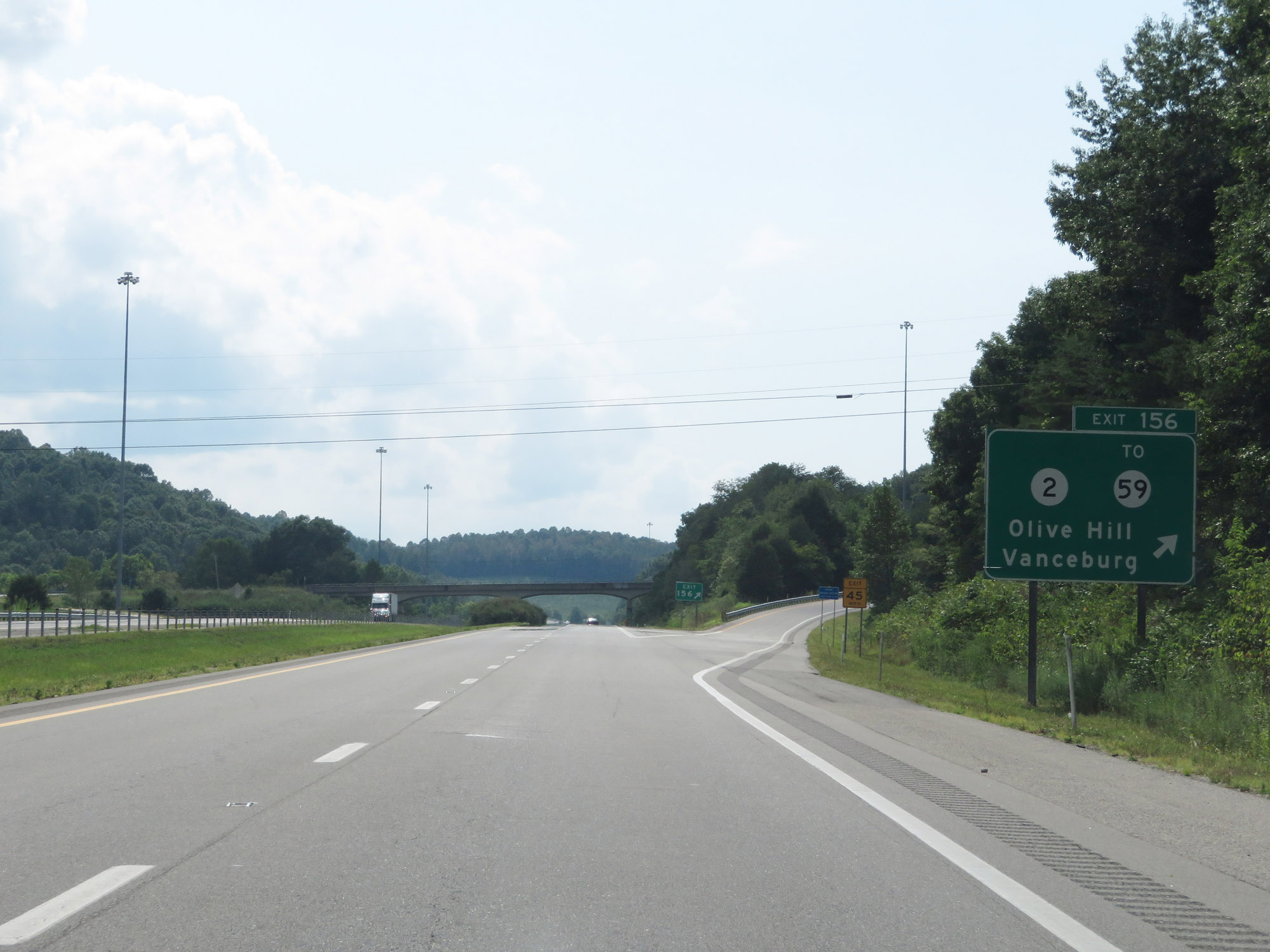 |
Interstate 64 West at Exit 156: KY 2 / To KY 59 - Olive Hill / Vanceburg (Photo taken 8/9/19). |
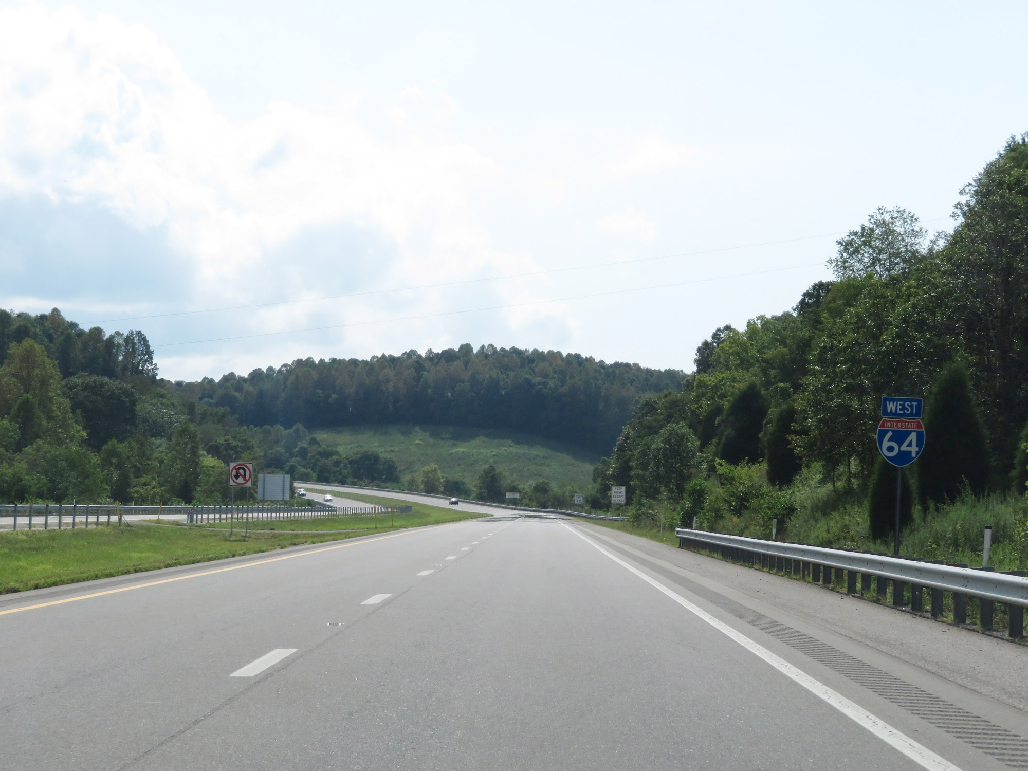 |
Another Interstate 64 West reassurance shield. (Photo taken 8/9/19). |
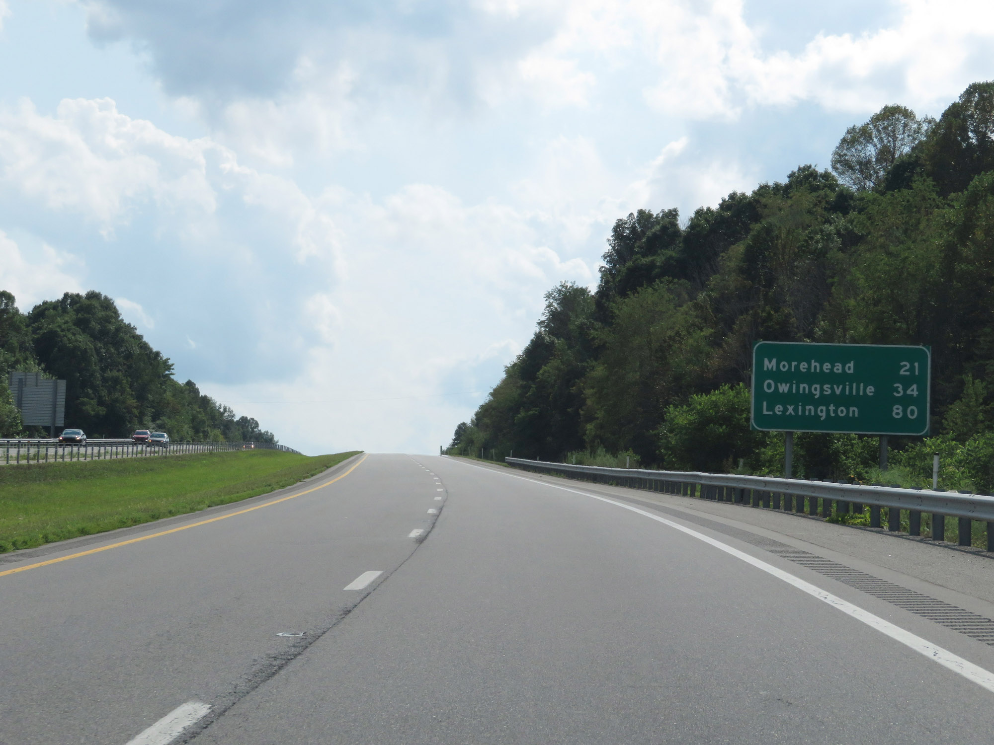 |
Mileage sign on Interstate 64 West. It's 21 miles to Morehead, 34 miles to Owingsville, and 80 miles to Lexington. (Photo taken 8/9/19). |
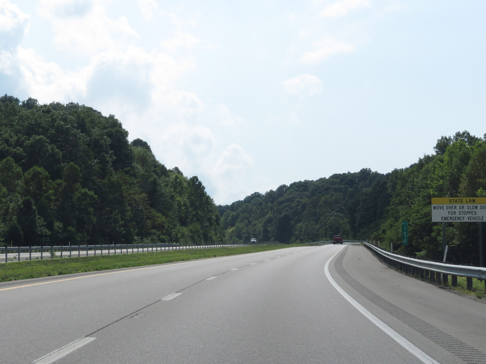 |
Interstate 64 West at mile marker 154. (Photo taken 8/9/19). |
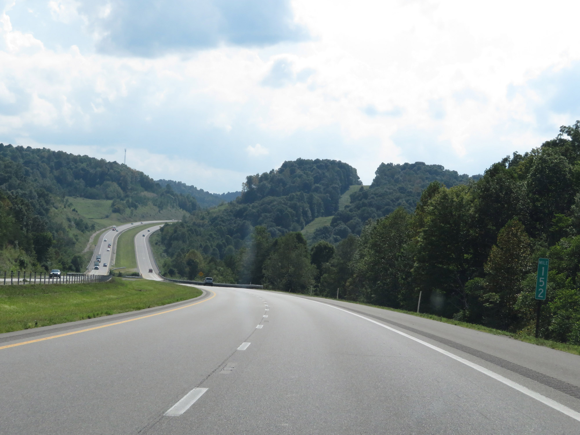 |
View on Interstate 64 West at mile marker 152. (Photo taken 8/9/19). |
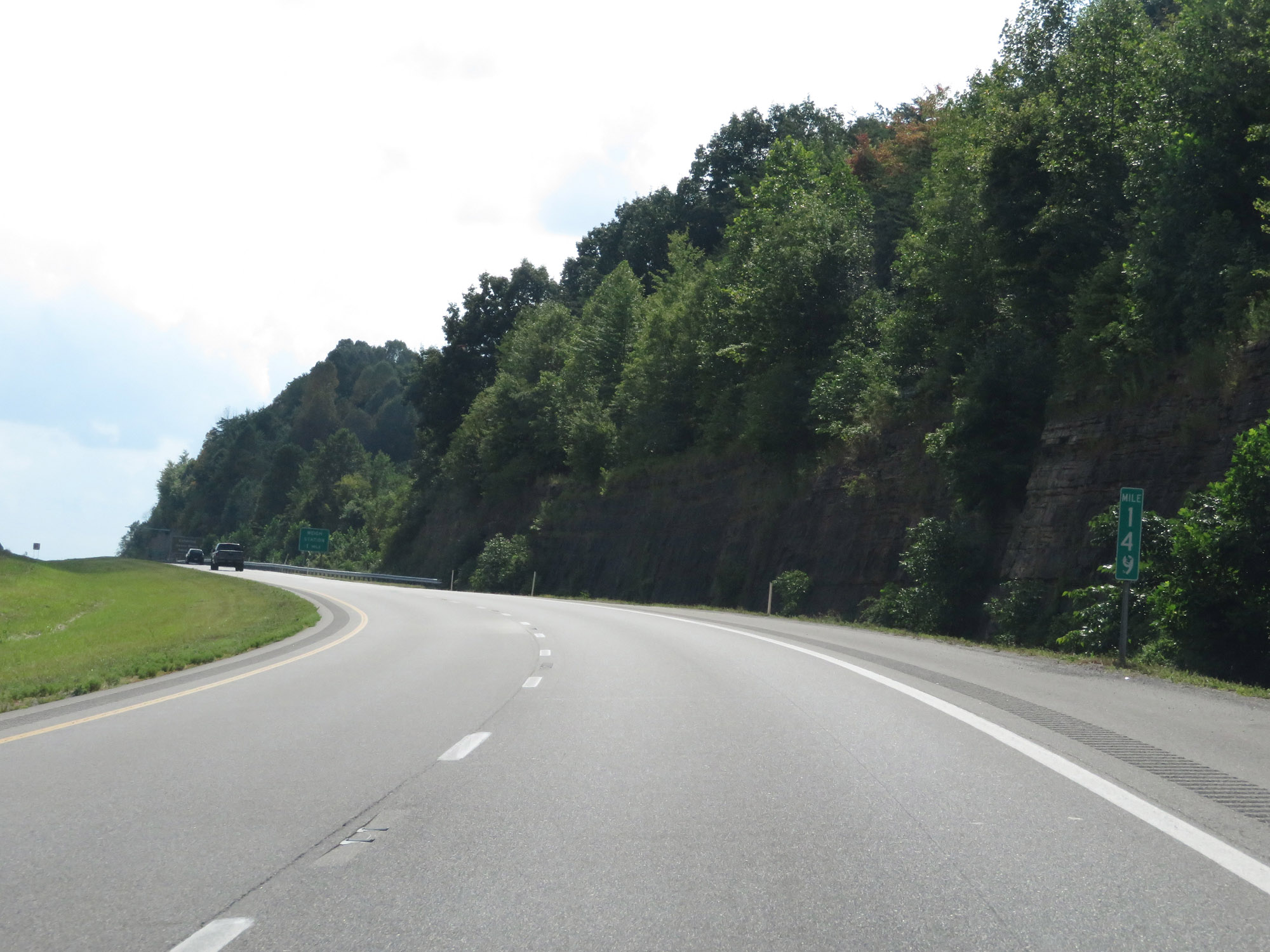 |
Interstate 64 West at mile marker 149. (Photo taken 8/9/19). |
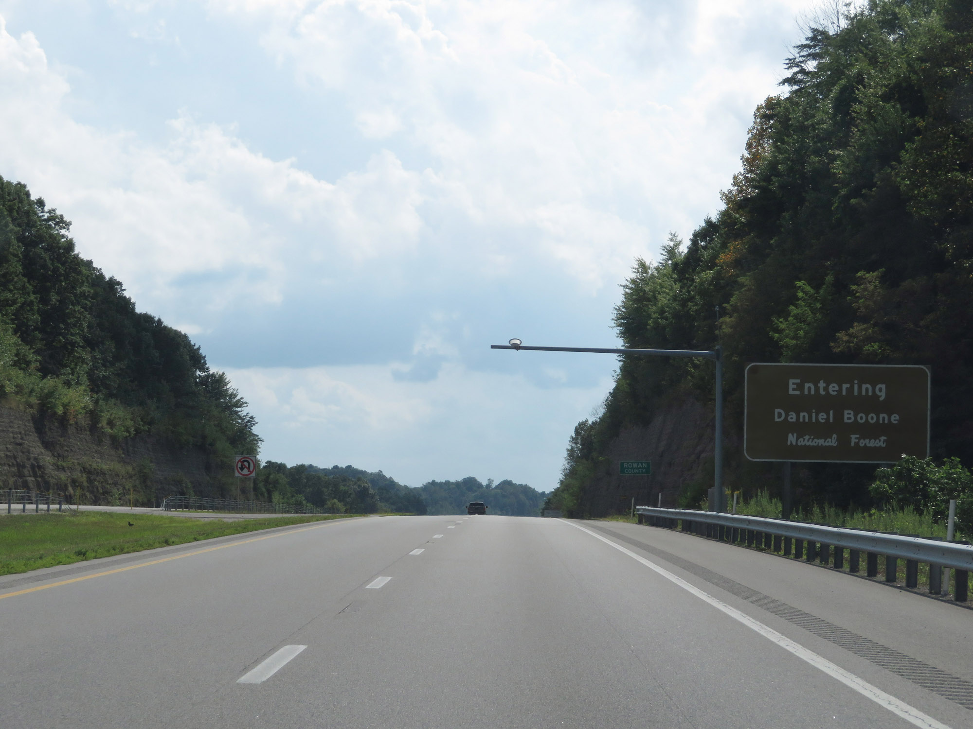 |
Interstate 64 West as it enters Daniel Boone National Forest. (Photo taken 8/9/19). |
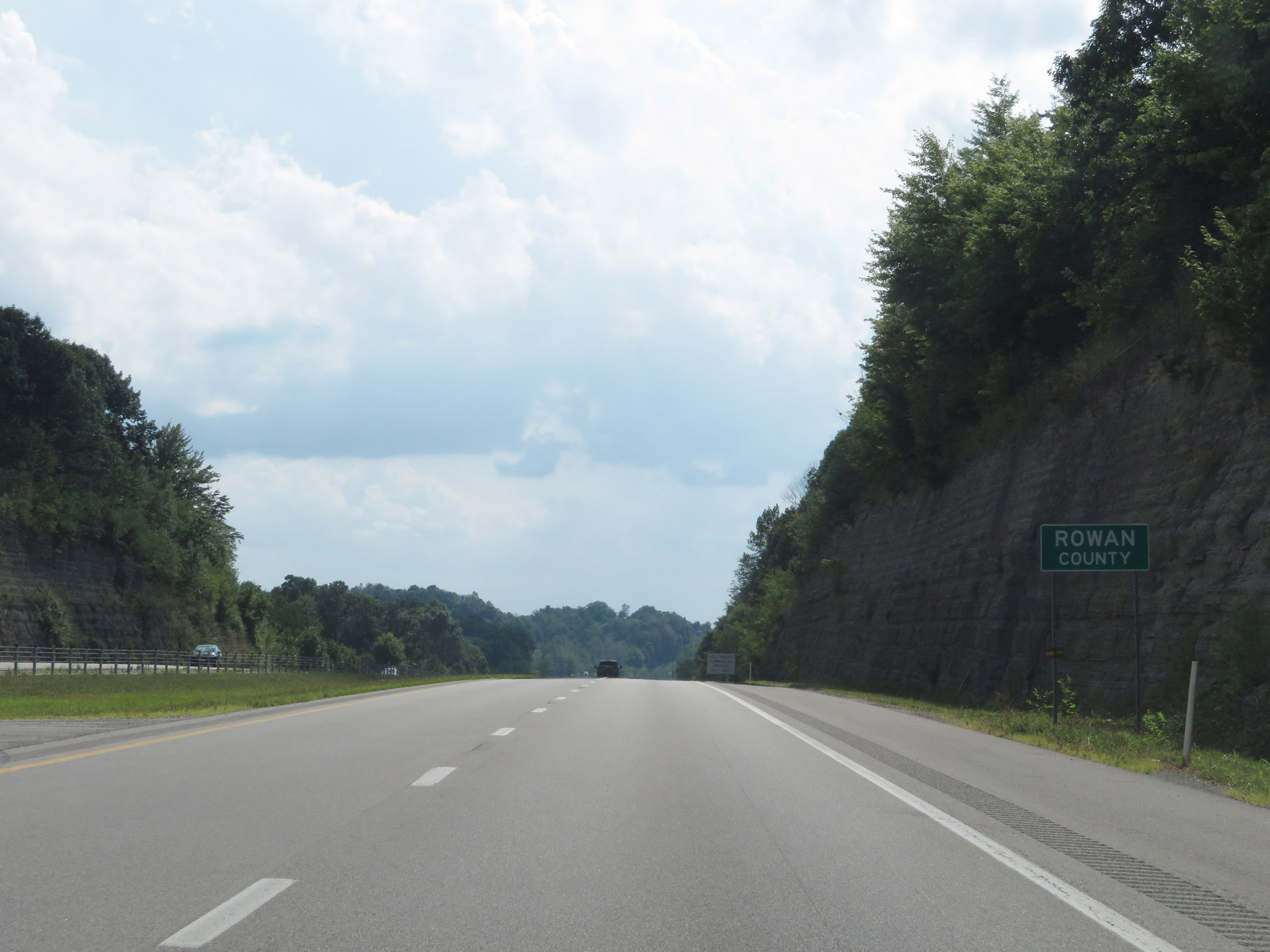 |
Entering Rowan County on Interstate 64 West. (Photo taken 8/9/19). |
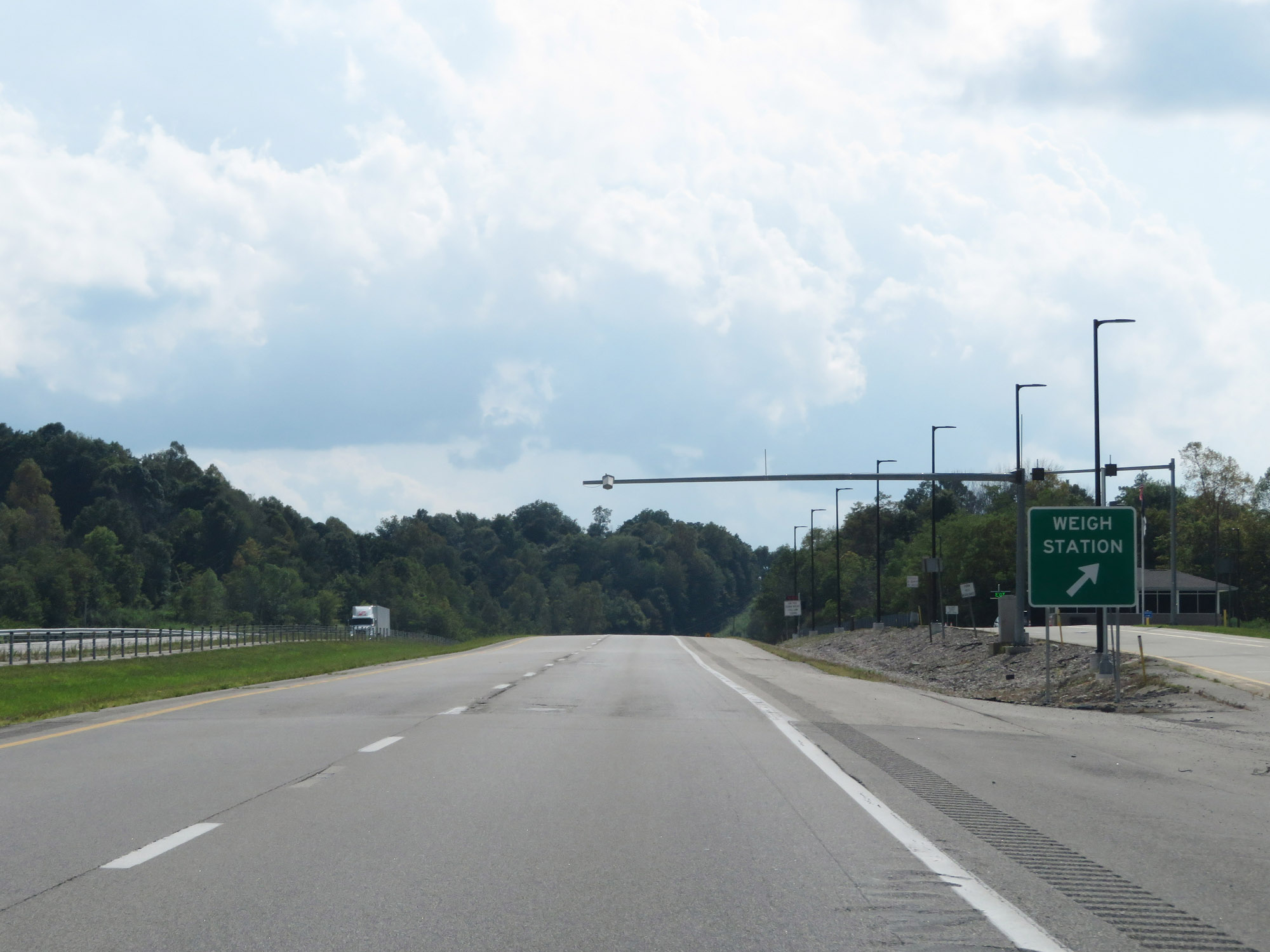 |
Weigh Station on Interstate 64 West in Rowan County. (Photo taken 8/9/19). |
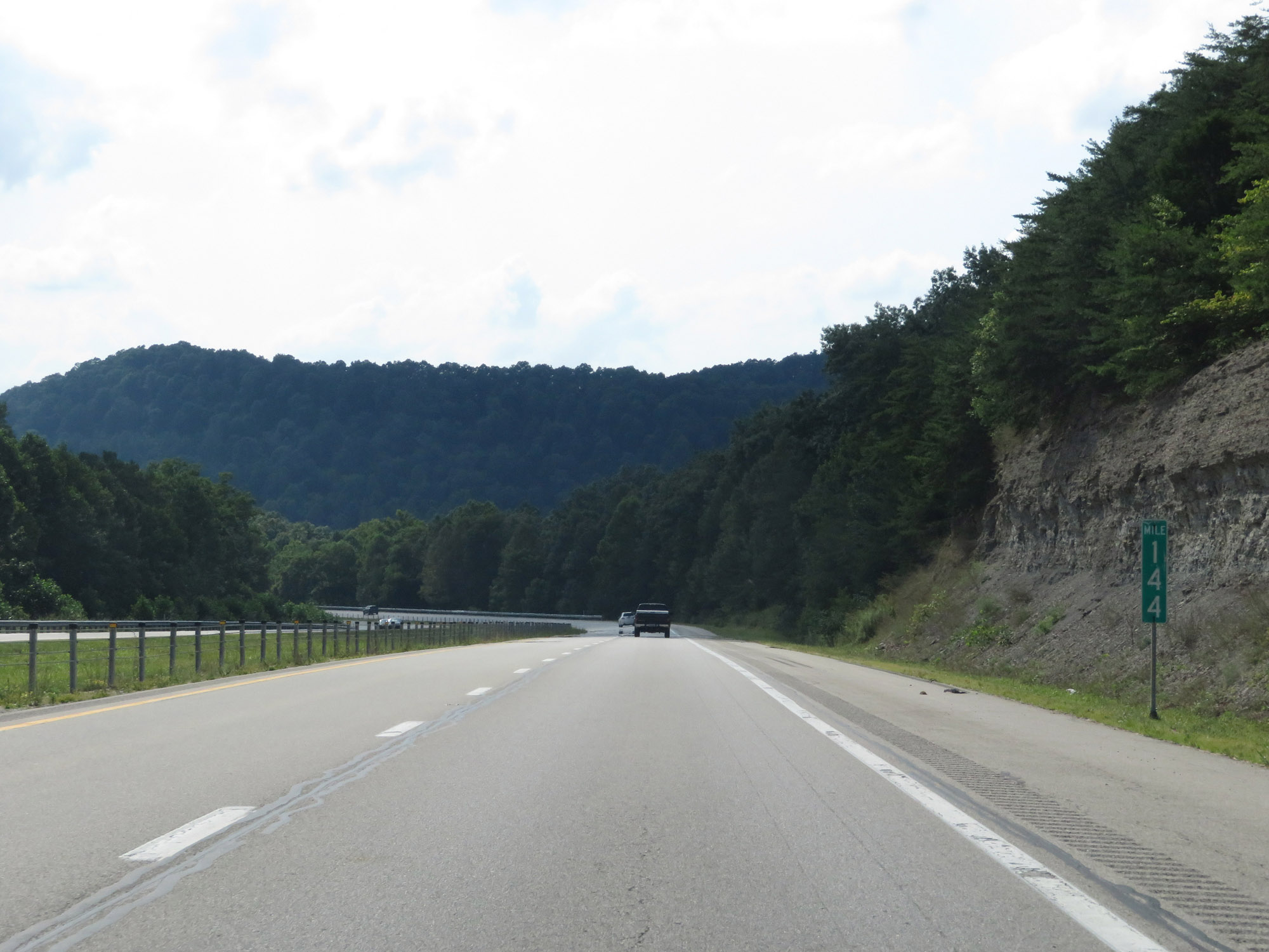 |
Interstate 64 West at mile marker 144. (Photo taken 8/9/19). |
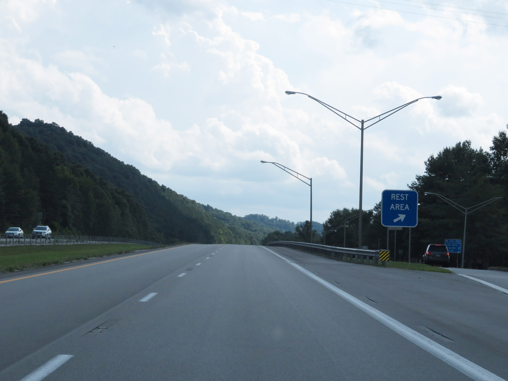 |
Rest Area on Interstate 64 West in Rowan County. (Photo taken 8/9/19). |
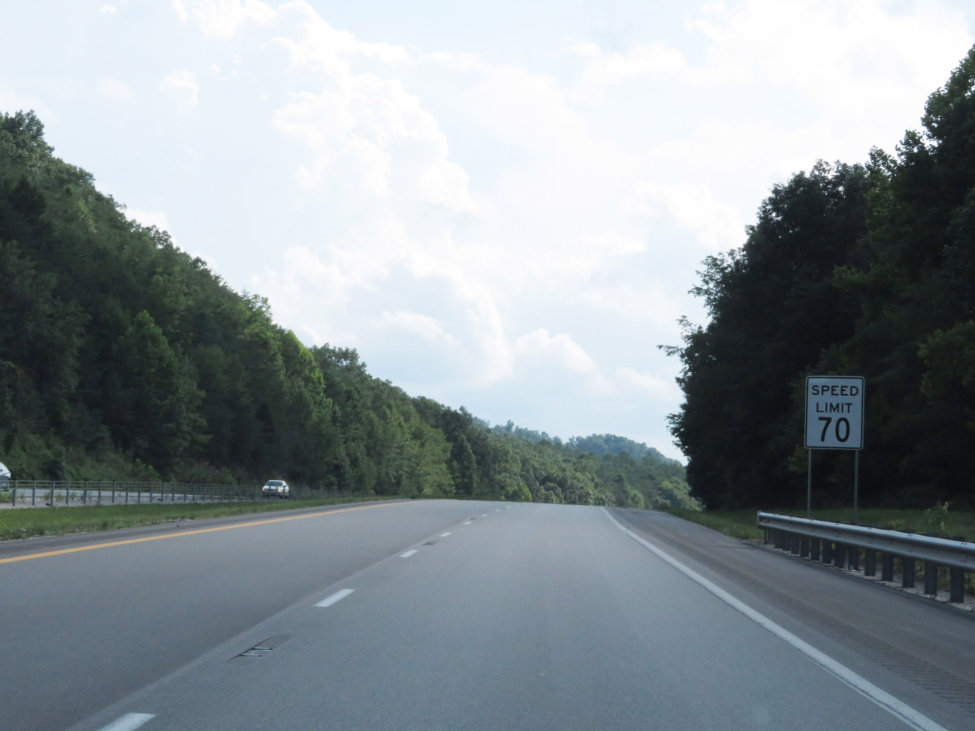 |
The speed limit remains 70 mph. (Photo taken 8/9/19). |
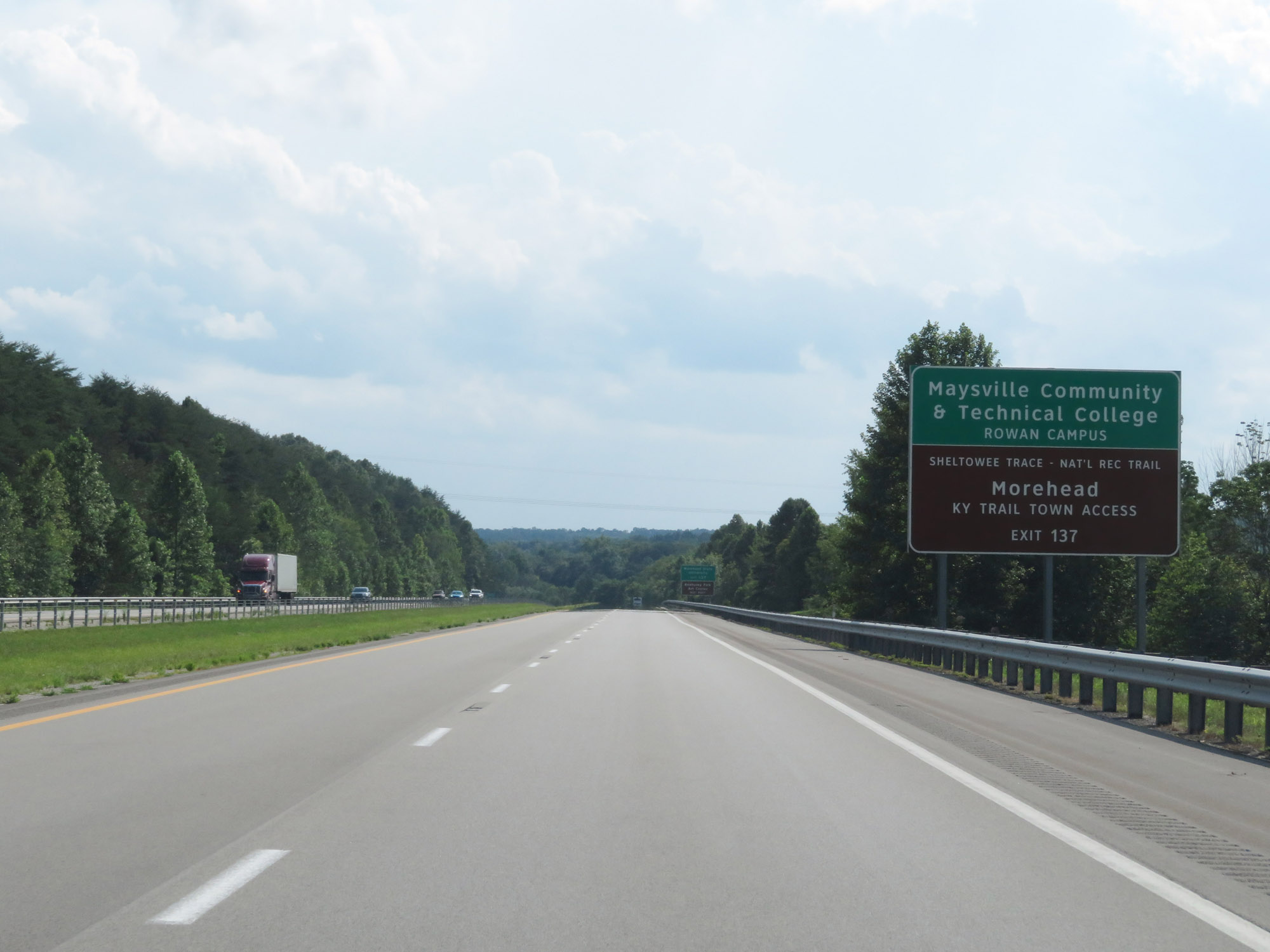 |
Take Exit 137 to Maysville Community & Technical College Rowan Campus and Morehead Kentucky Trail Town Access. (Photo taken 8/9/19). |
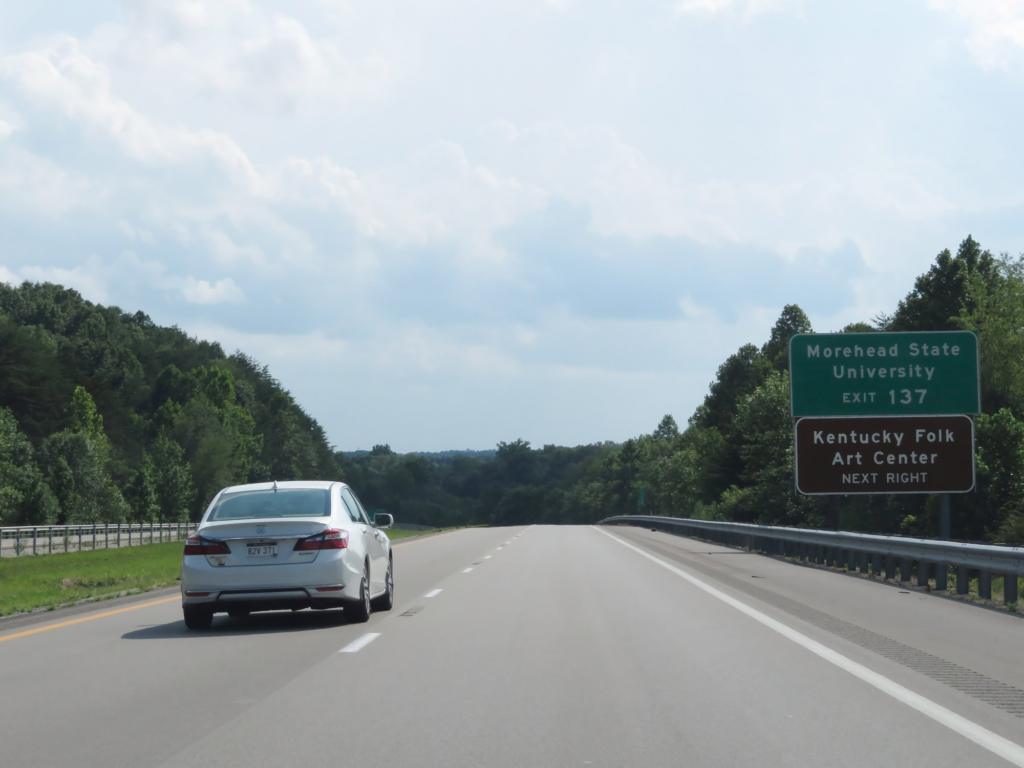 |
Also take Exit 137 to Morehead State University and the Kentucky Folk Art Center. (Photo taken 8/9/19). |
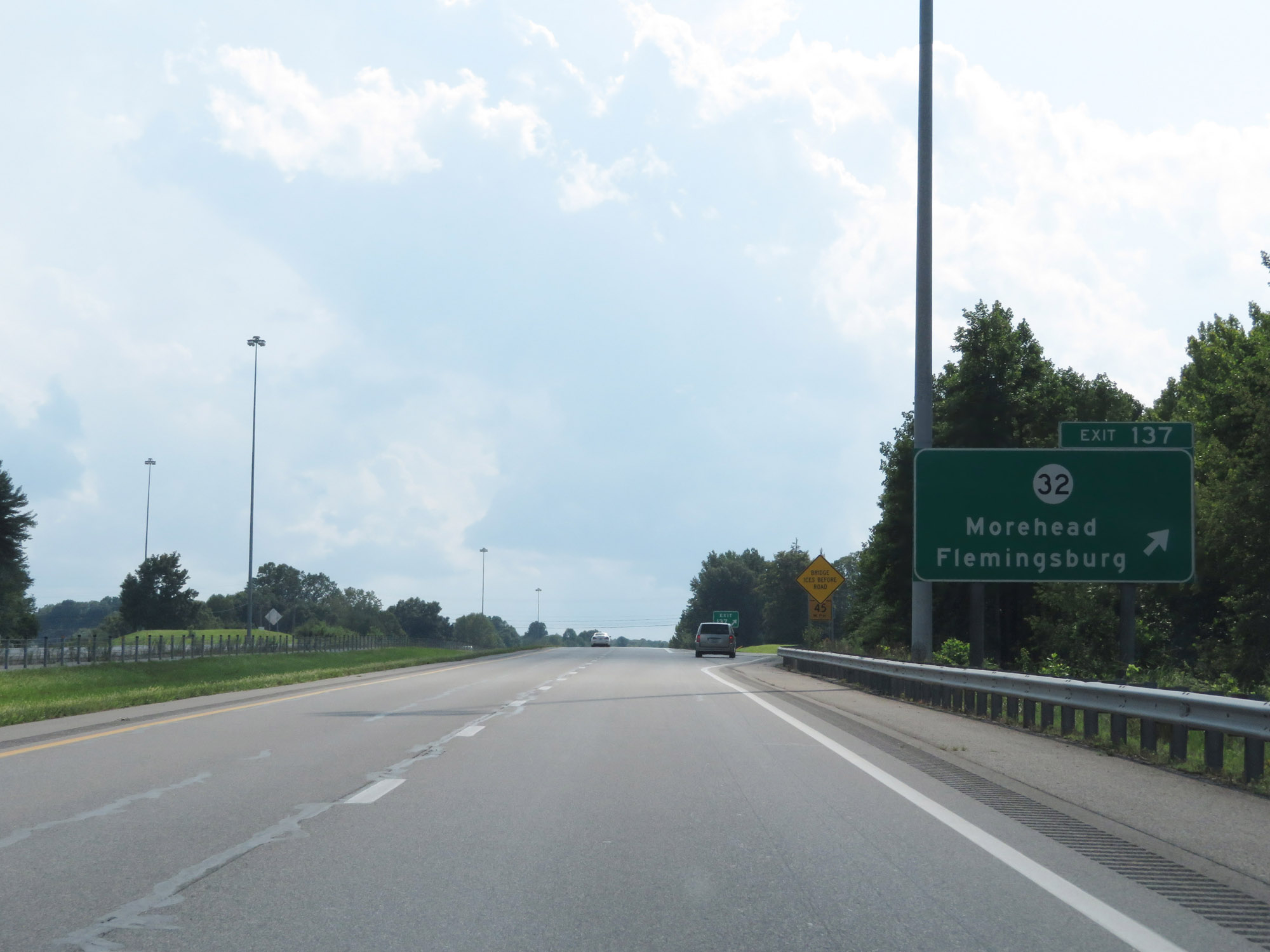 |
Interstate 64 West at Exit 137: KY 32 - Morehead / Flemingsburg (Photo taken 8/9/19). |
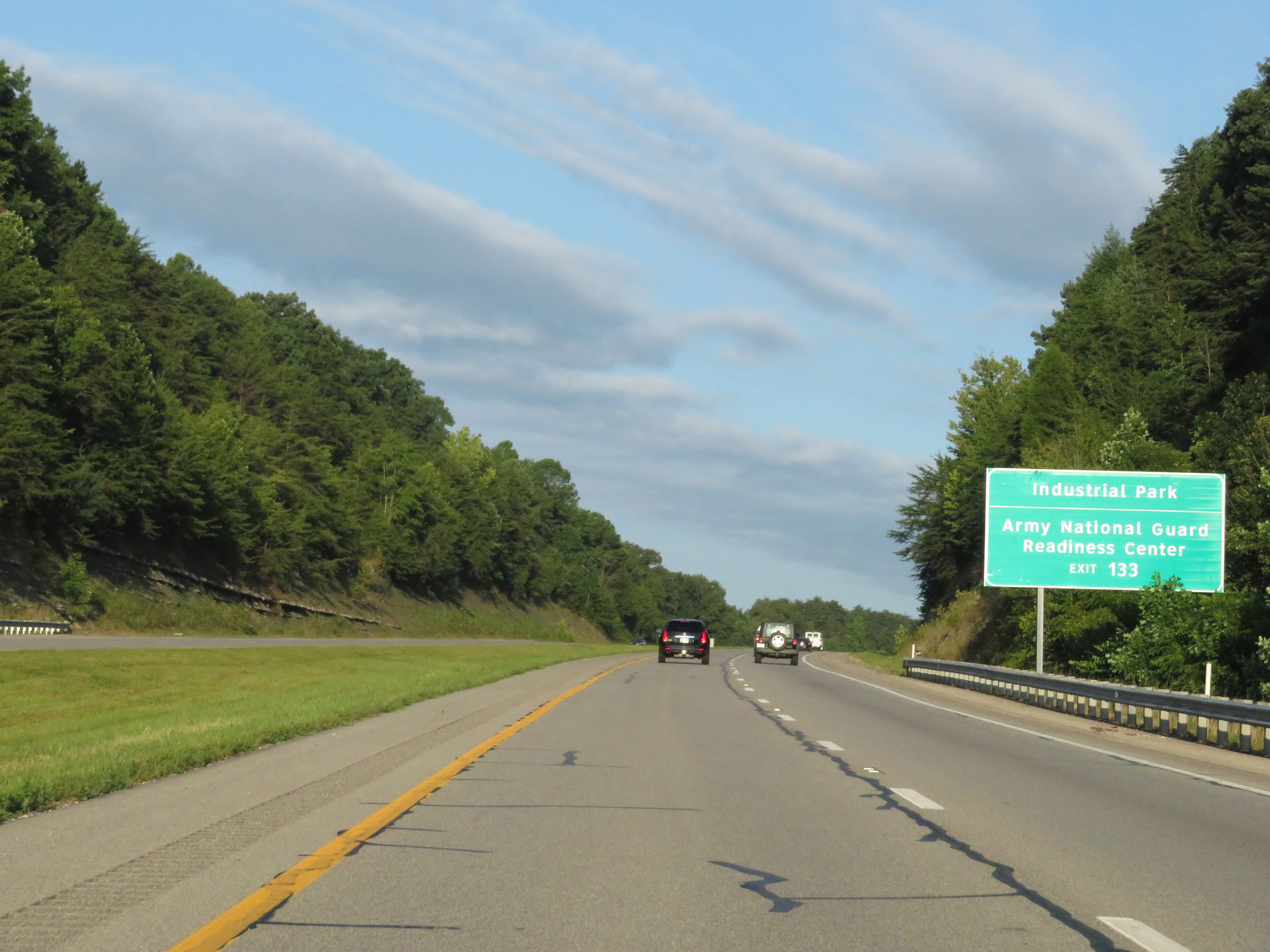 |
Take Exit 133 to the Industrial Park and Army National Guard Readiness Center. (Photo taken 8/10/19). |
 |
Interstate 64 West at mile marker 135. (Photo taken 8/10/19). |
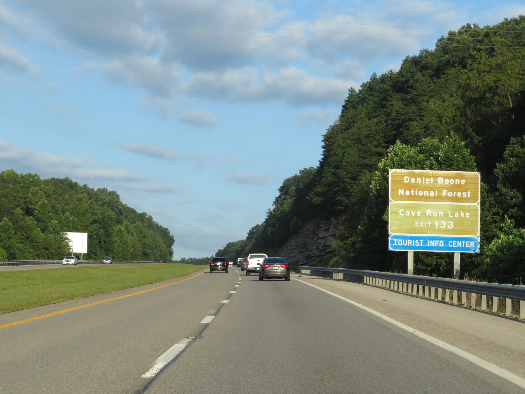 |
Also take Exit 133 to Daniel Boone National Forest and Cave Run Lake. (Photo taken 8/10/19). |
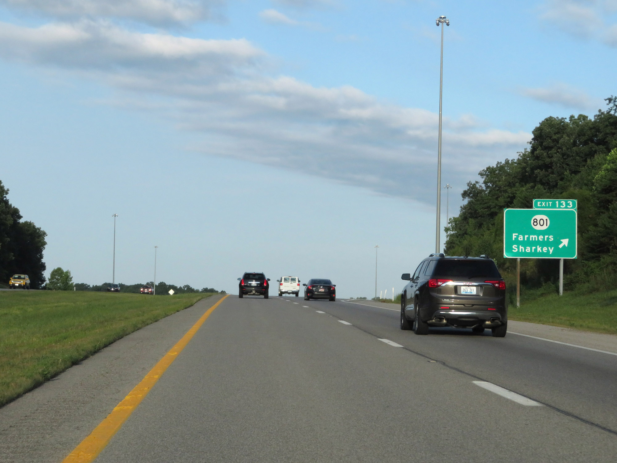 |
Interstate 64 West at Exit 133: KY 801 - Farmers / Sharkey (Photo taken 8/10/19). |
 |
Mileage sign on Interstate 64 West. It's 12 miles to Owingsville, 24 miles to Mt Sterling, and 58 miles to Lexington. (Photo taken 8/10/19). |
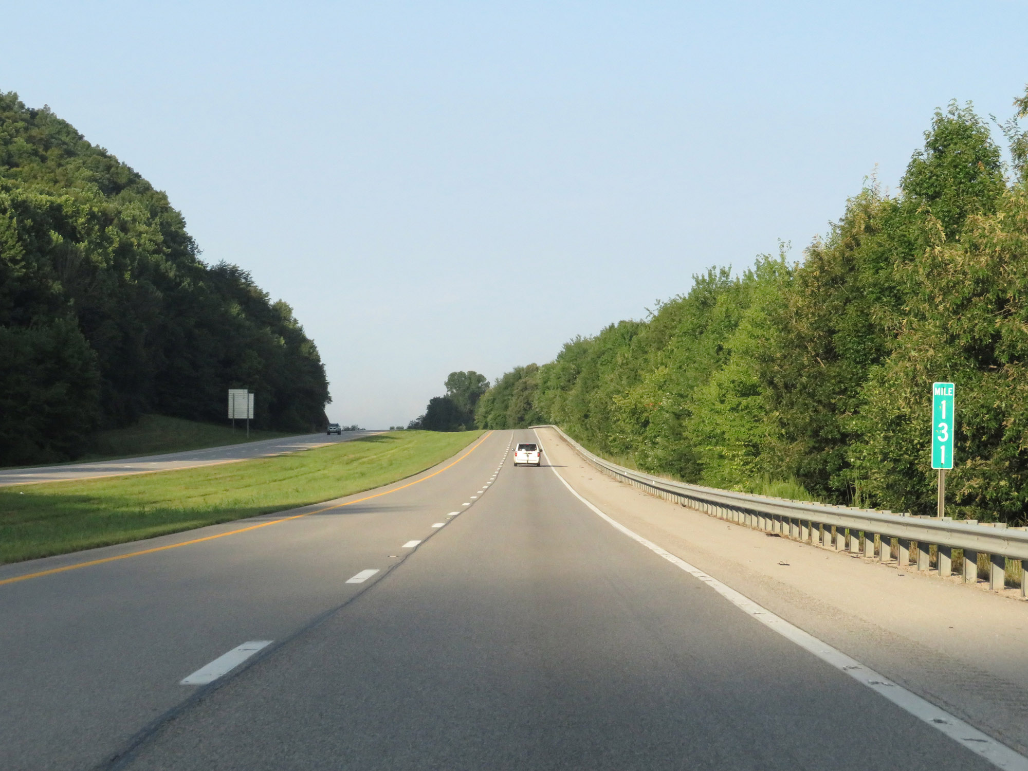 |
Interstate 64 West at mile marker 131. (Photo taken 8/10/19). |
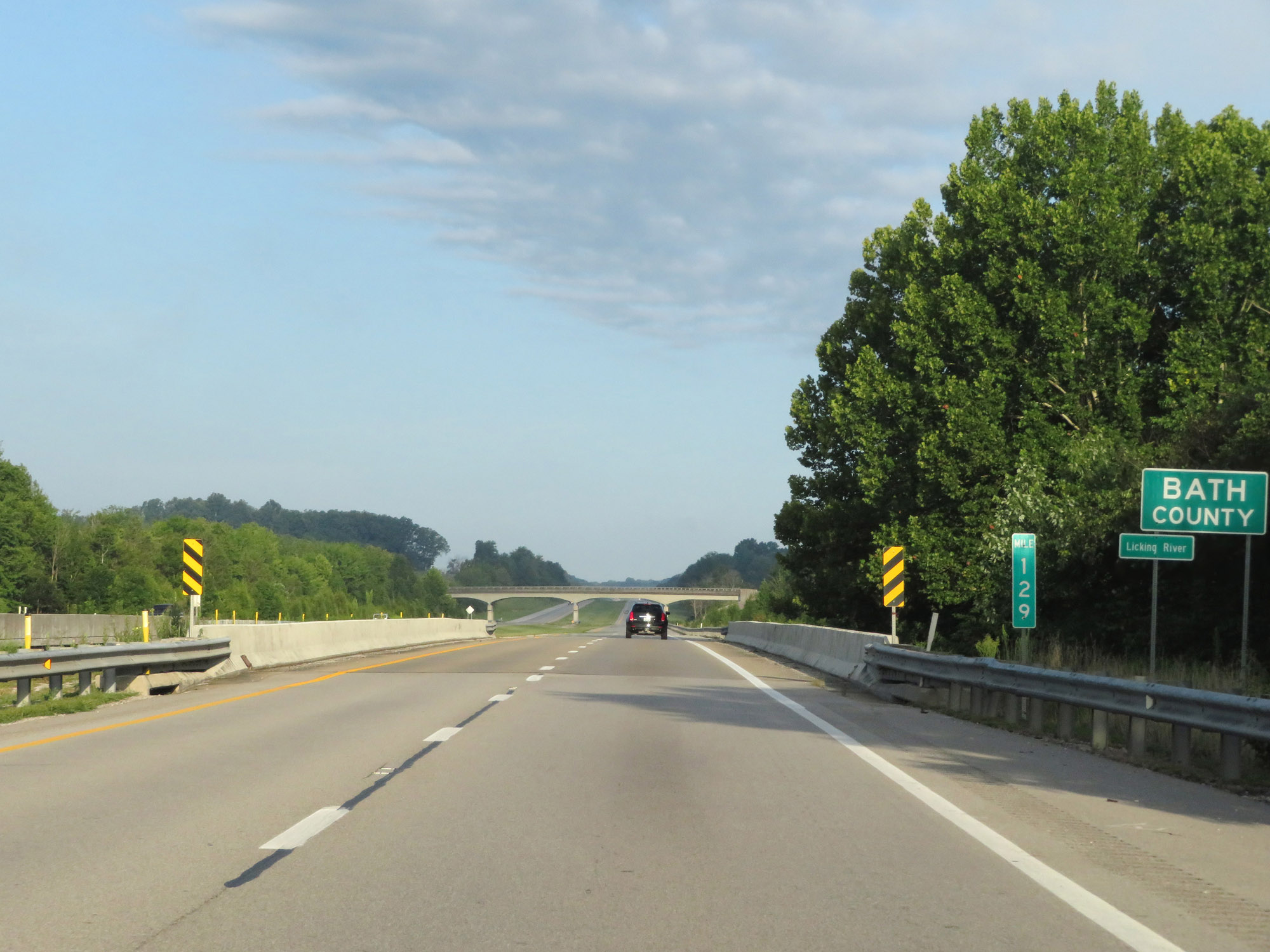 |
Interstate 64 West enters Bath County at mile marker 129. (Photo taken 8/10/19). |
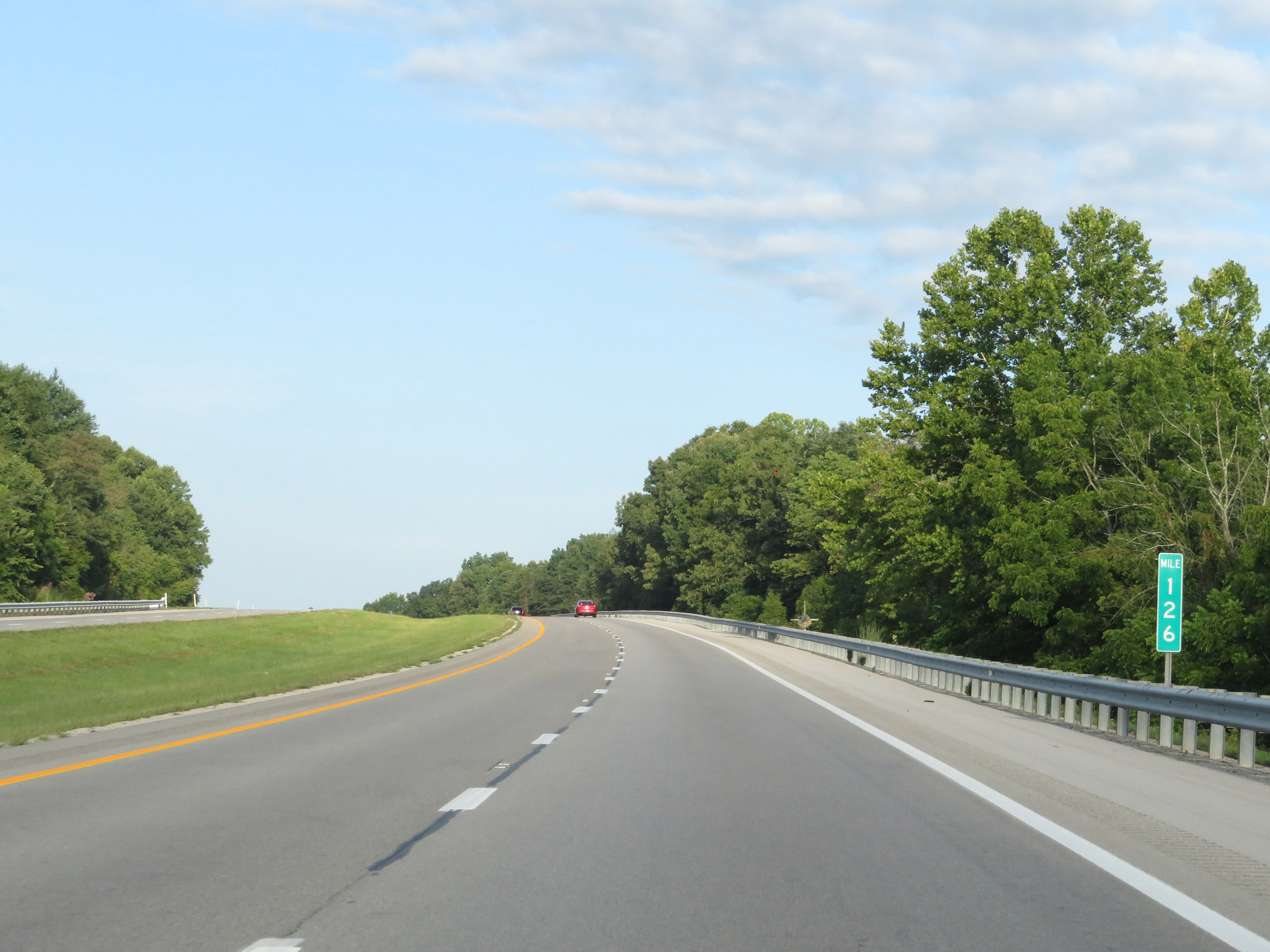 |
View on Interstate 64 West at mile marker 126. (Photo taken 8/10/19). |
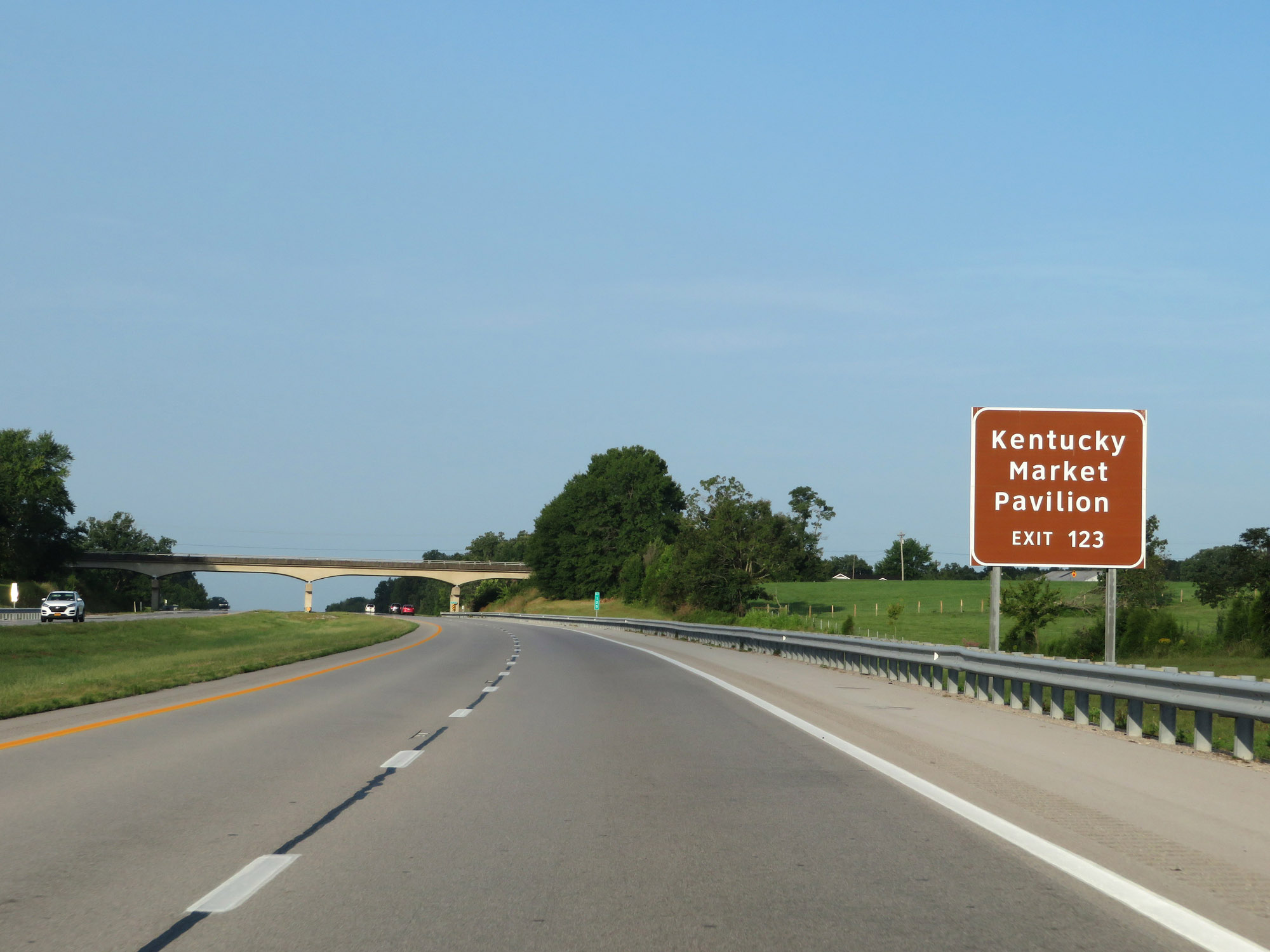 |
Take Exit 123 to Kentucky Market Pavilion. (Photo taken 8/10/19). |
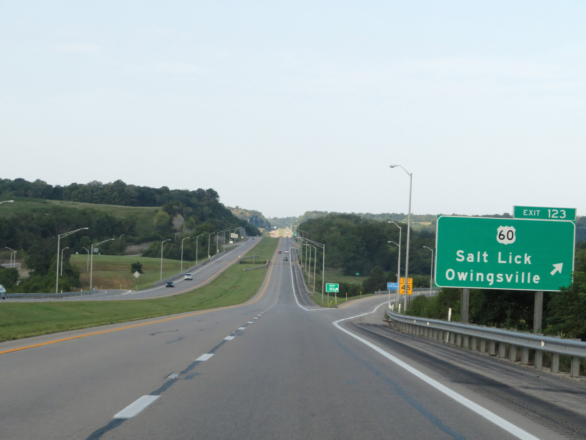 |
Interstate 64 West at Exit 123: US 60 - Salt Lick / Owingsville (Photo taken 8/10/19). |
 |
Interstate 64 West reassurance shield. (Photo taken 8/10/19). |
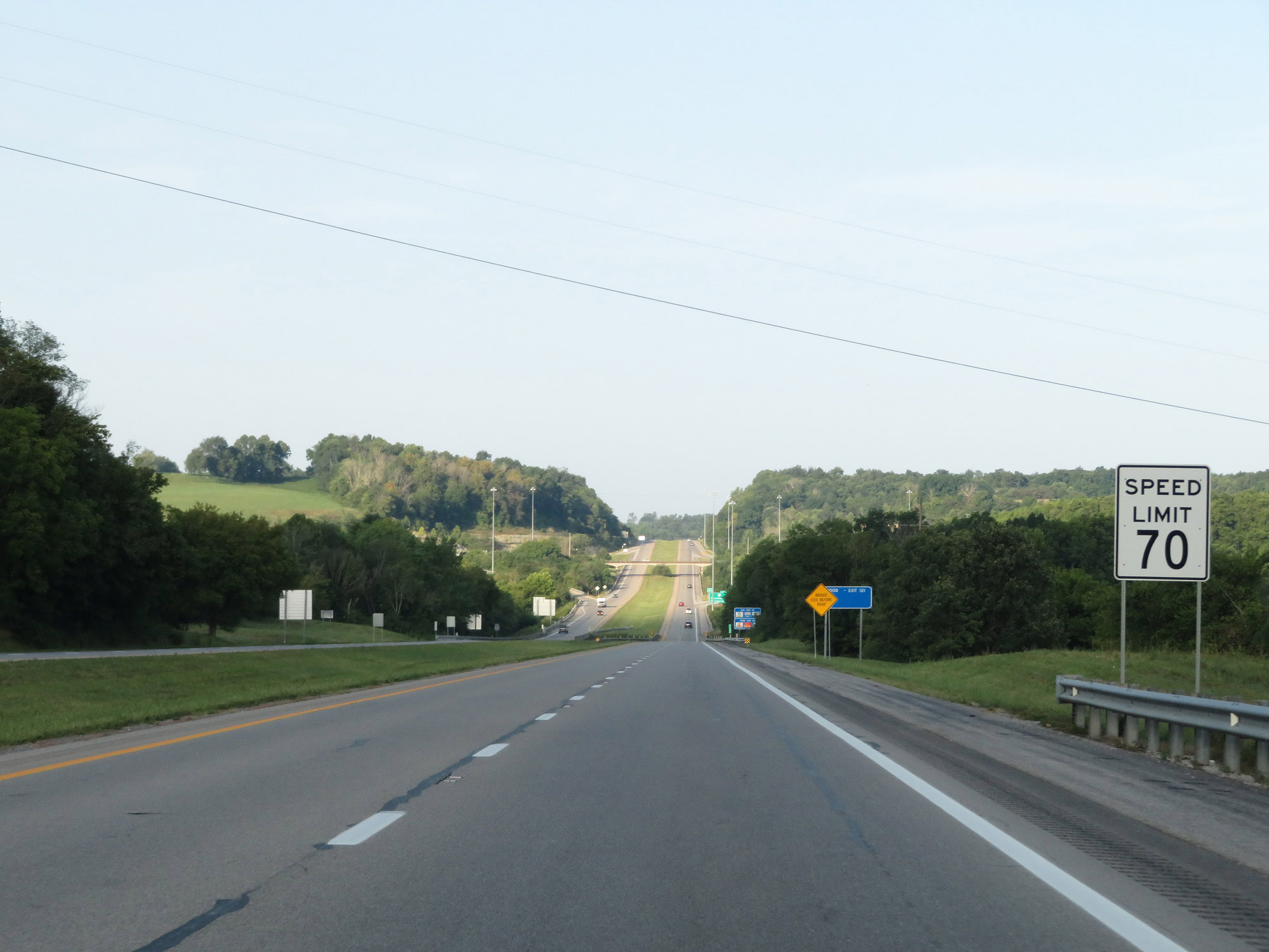 |
The speed limit remains 70 mph on Interstate 64 West. (Photo taken 8/10/19). |
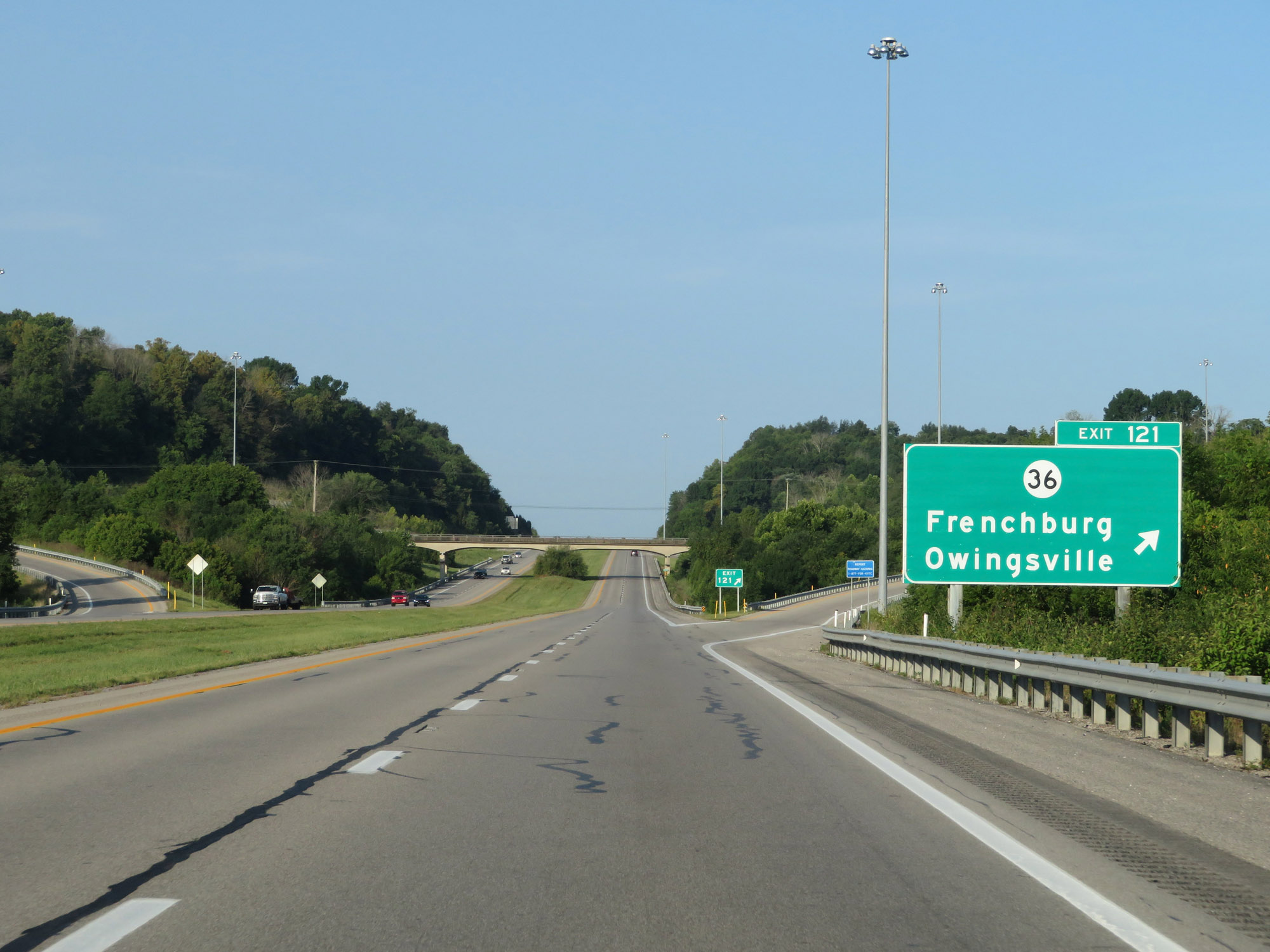 |
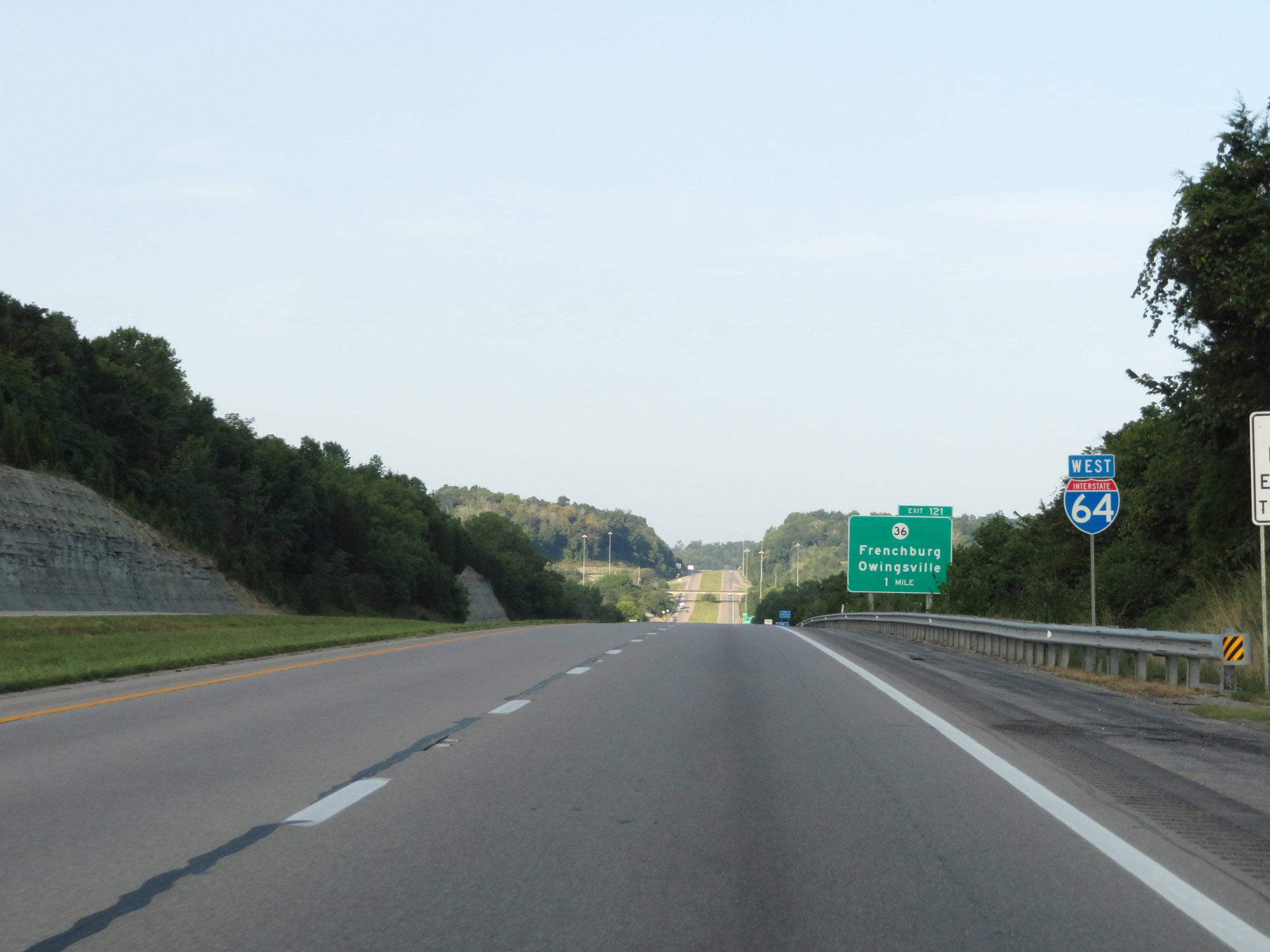
Interstate 64 West at Exit 121: KY 36 - Frenchburg / Owingsville (Photo taken 8/10/19). |
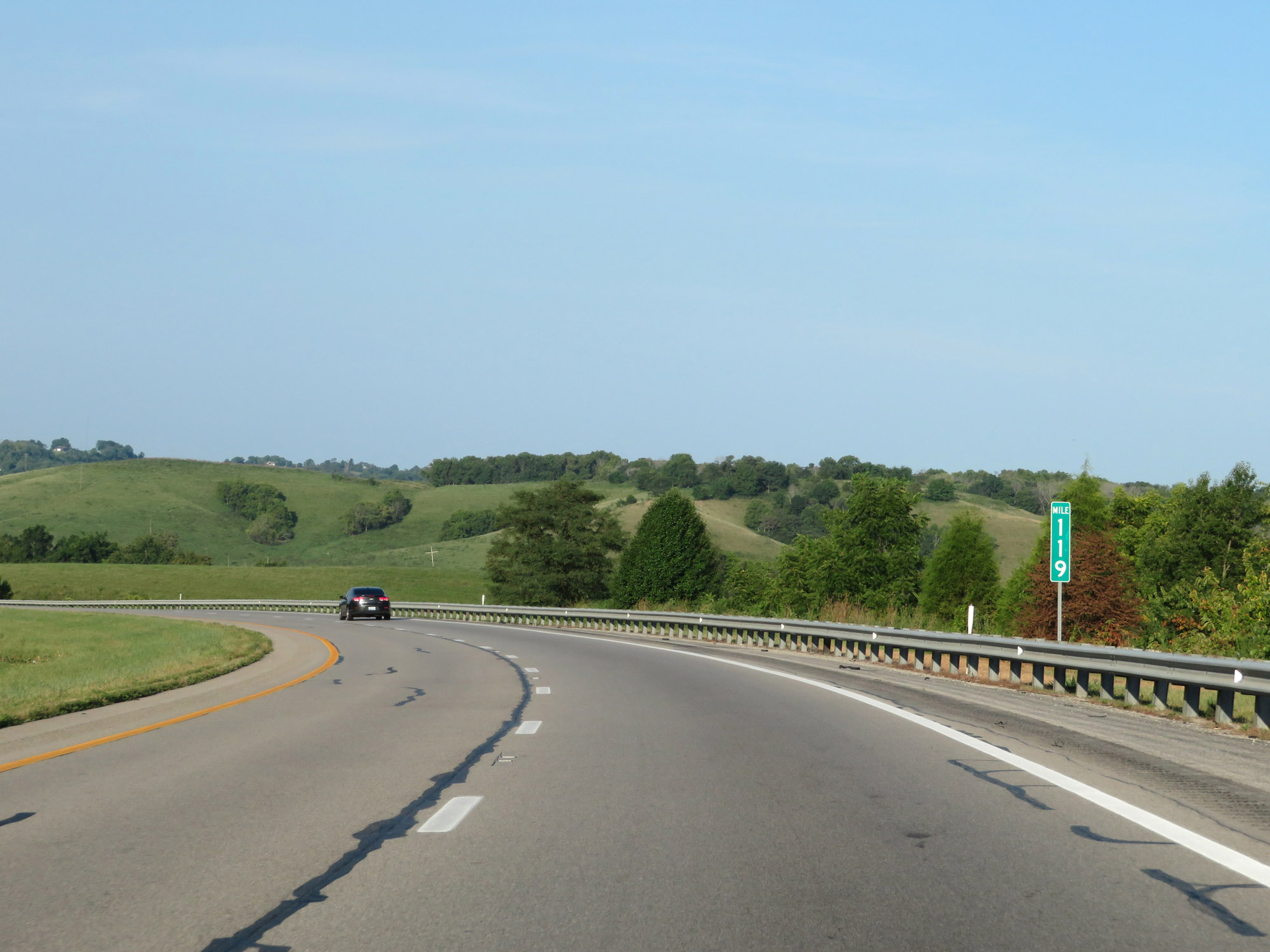 |
View on Interstate 64 West at mile marker 119. (Photo taken 8/10/19). |
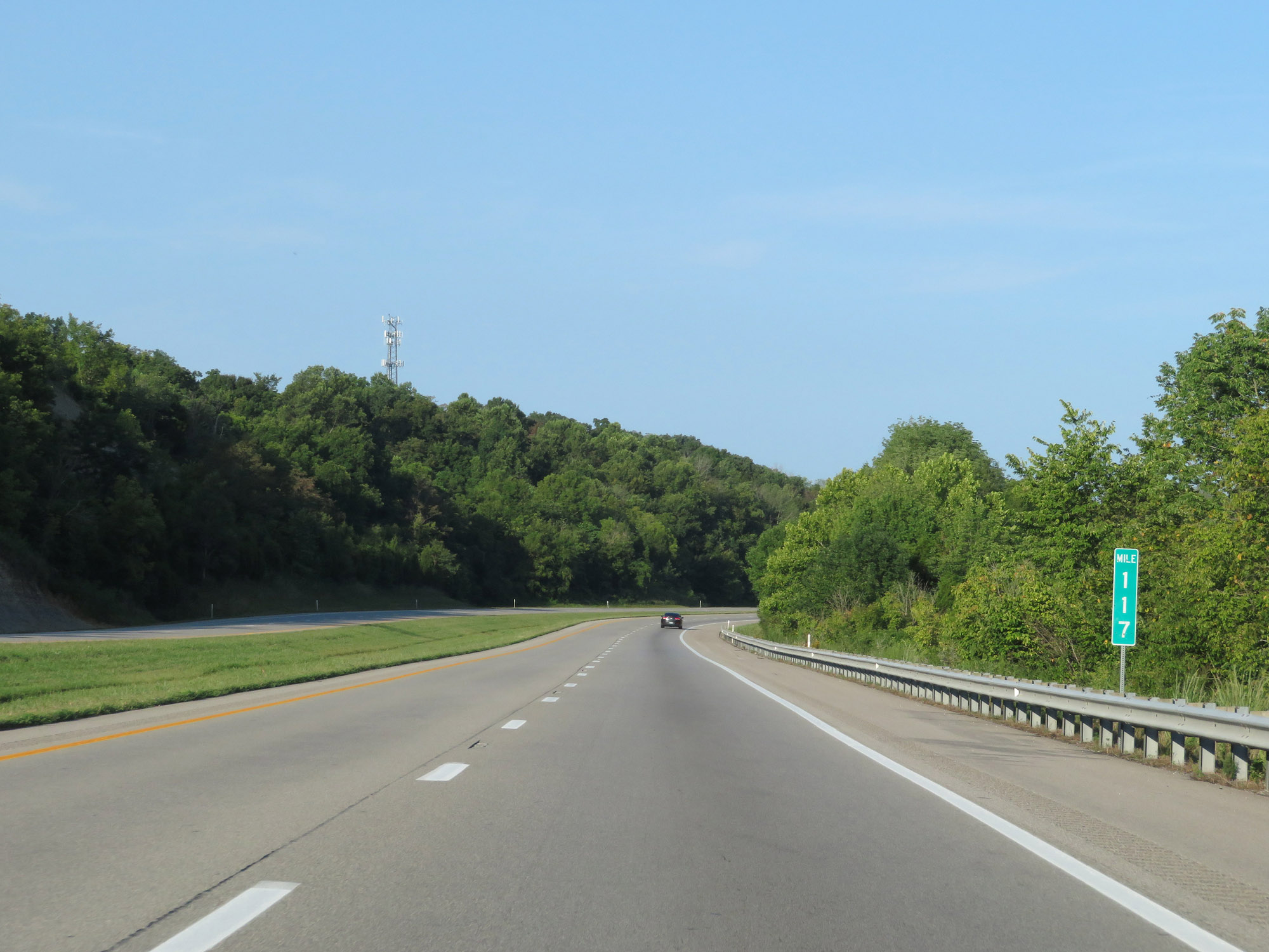 |
Interstate 64 West at mile marker 117. (Photo taken 8/10/19). |
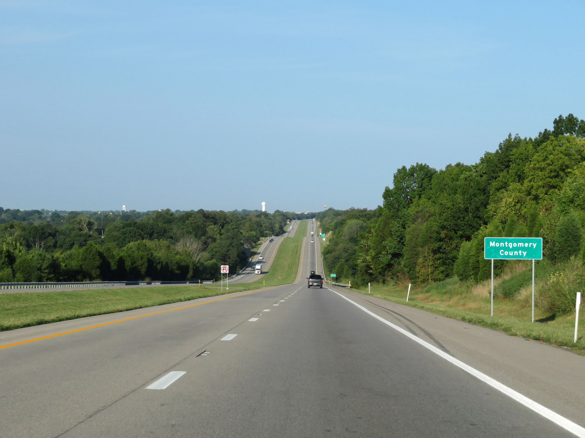 |
Entering Montgomery County on Interstate 64 West. (Photo taken 8/10/19). |
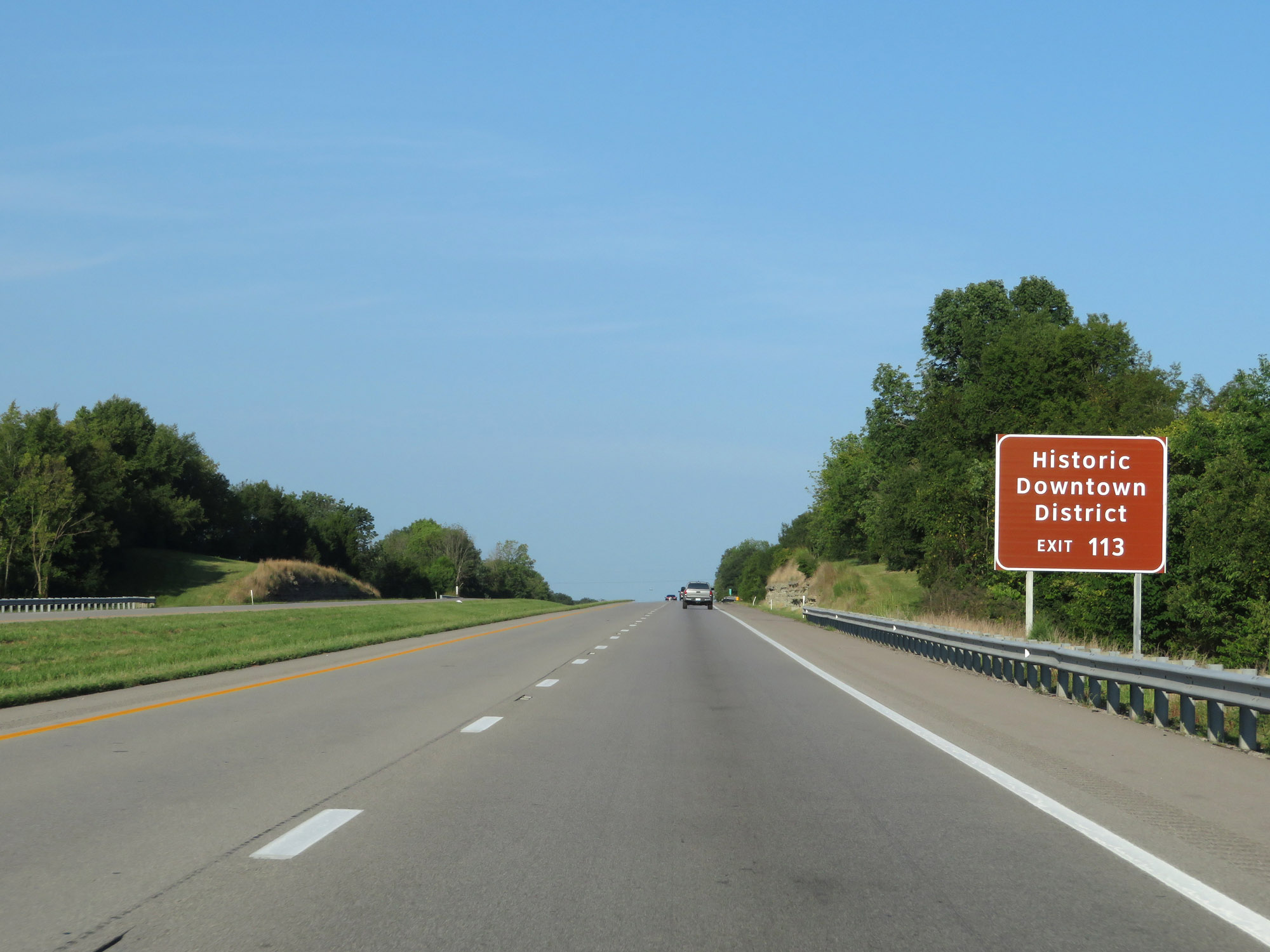 |
Take Exit 113 to the Historic Downtown District of Mt Sterling. (Photo taken 8/10/19). |
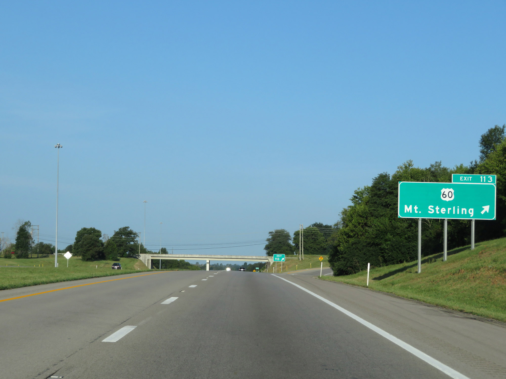 |
Interstate 64 West at Exit 113: US 60 - Mt. Sterling (Photo taken 8/10/19). |
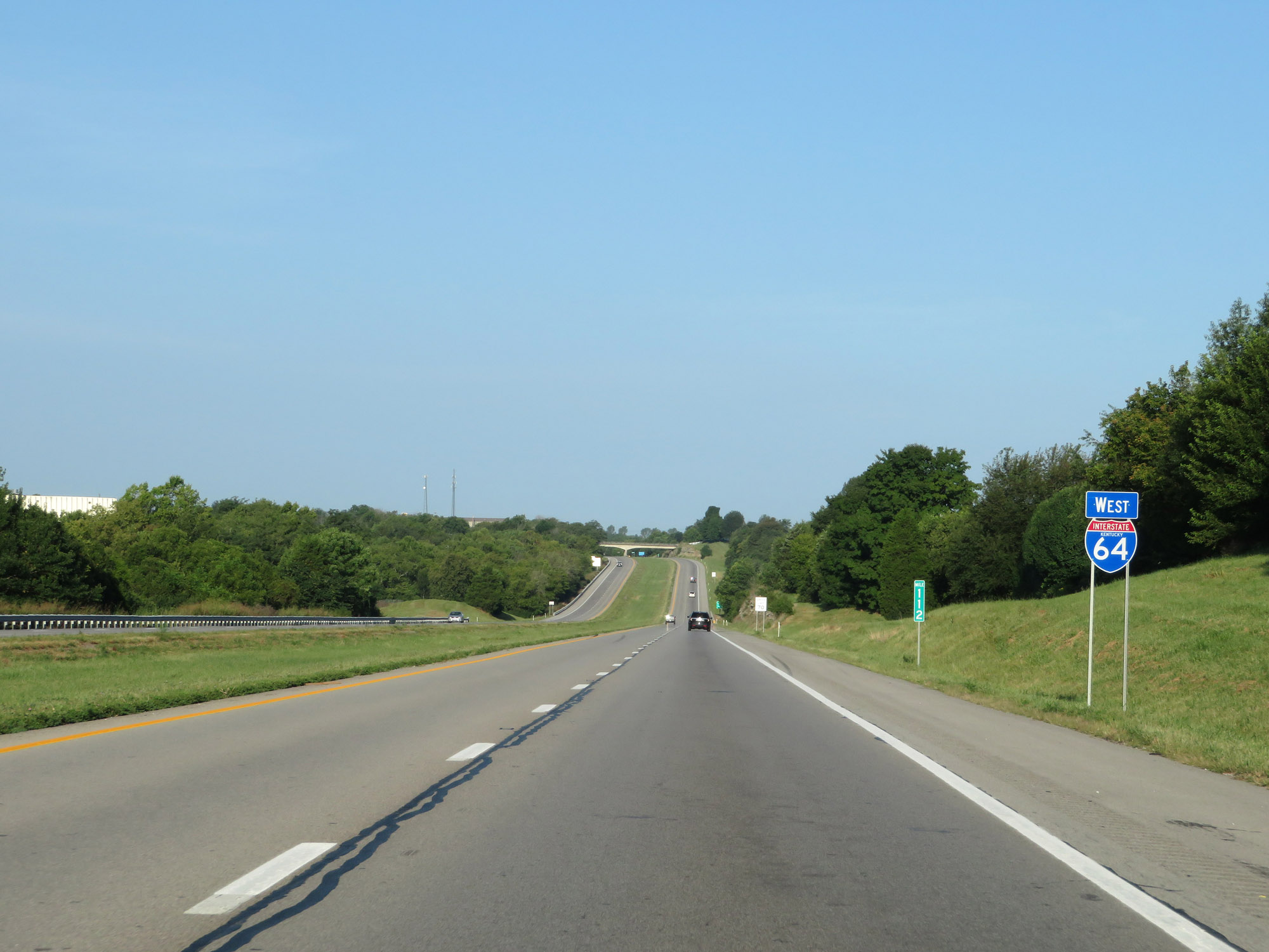 |
State-named Interstate 64 West reassurance shield at mile marker 112. (Photo taken 8/10/19). |
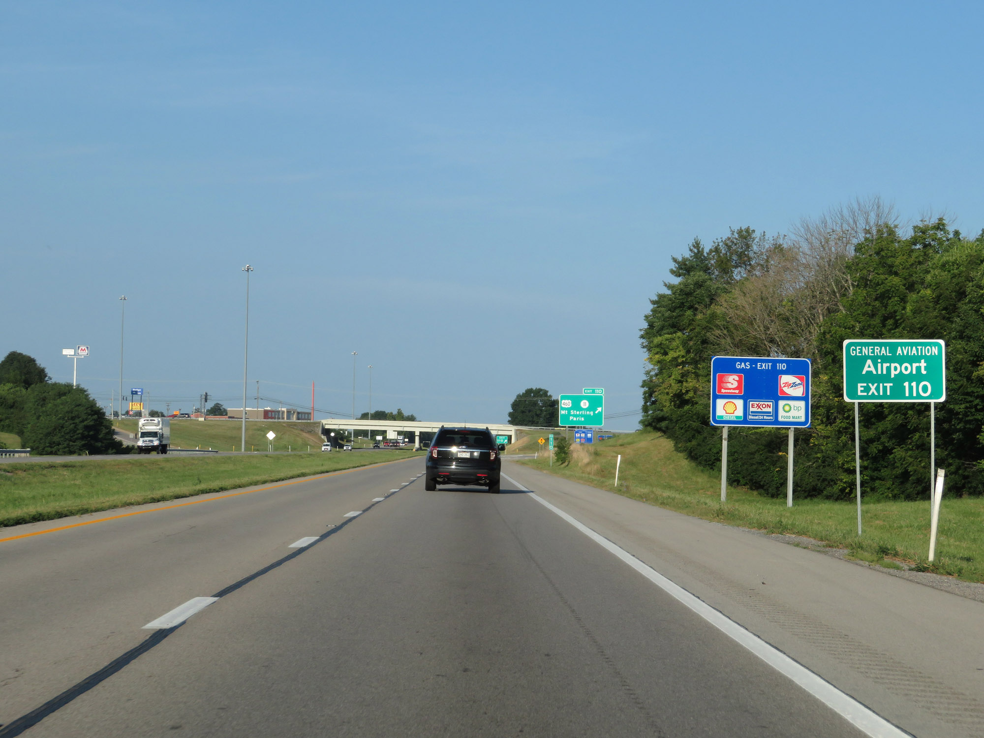 |
Take Exit 110 to the Airport / General Aviation. (Photo taken 8/10/19). |
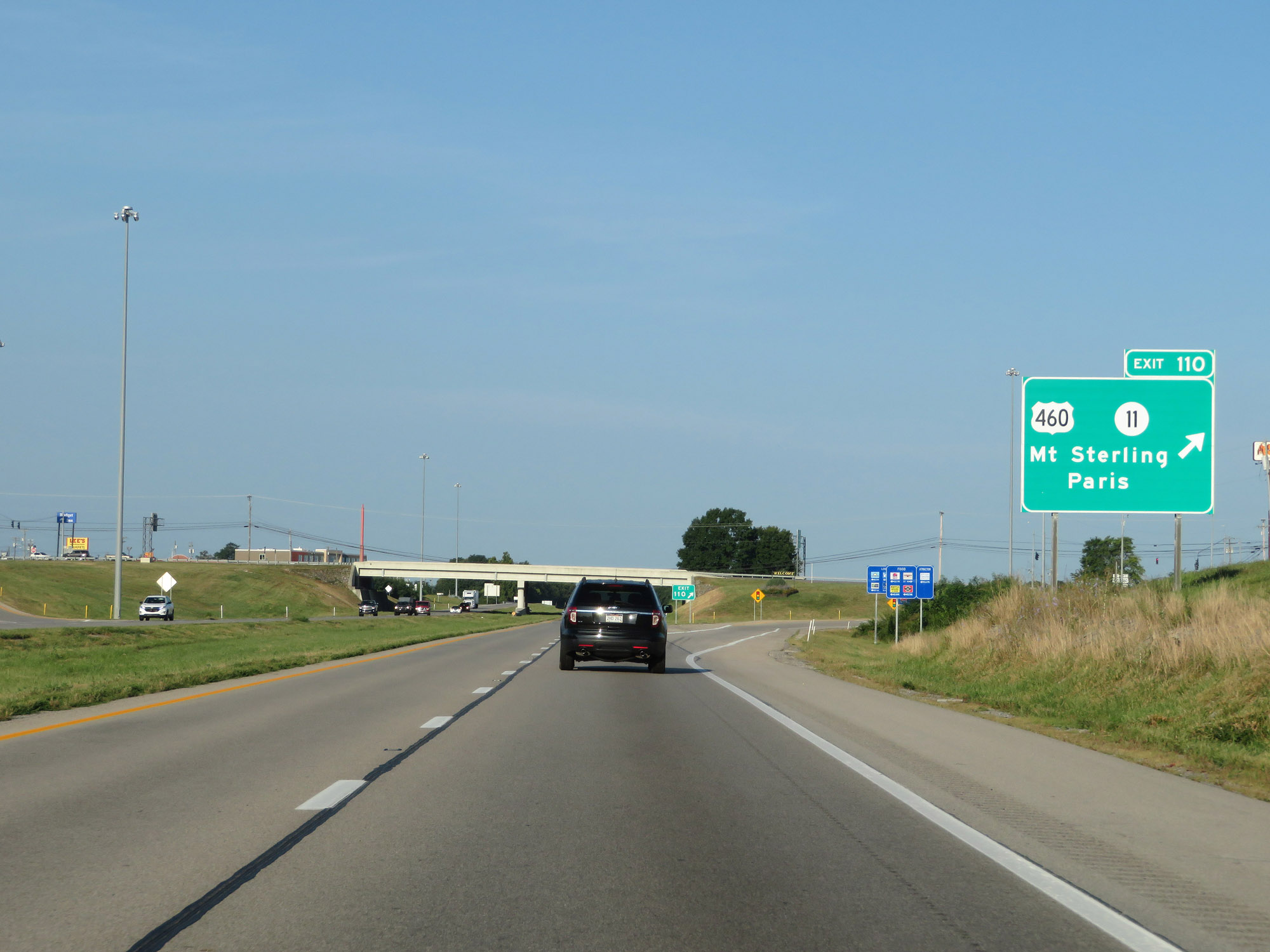 |
Interstate 64 West at Exit 110: US 460 / KY 11 - Mt Sterling / Paris (Photo taken 8/10/19). |
Section 2: Mount Sterling (Exit 110) to Shelbyville (Exit 35)
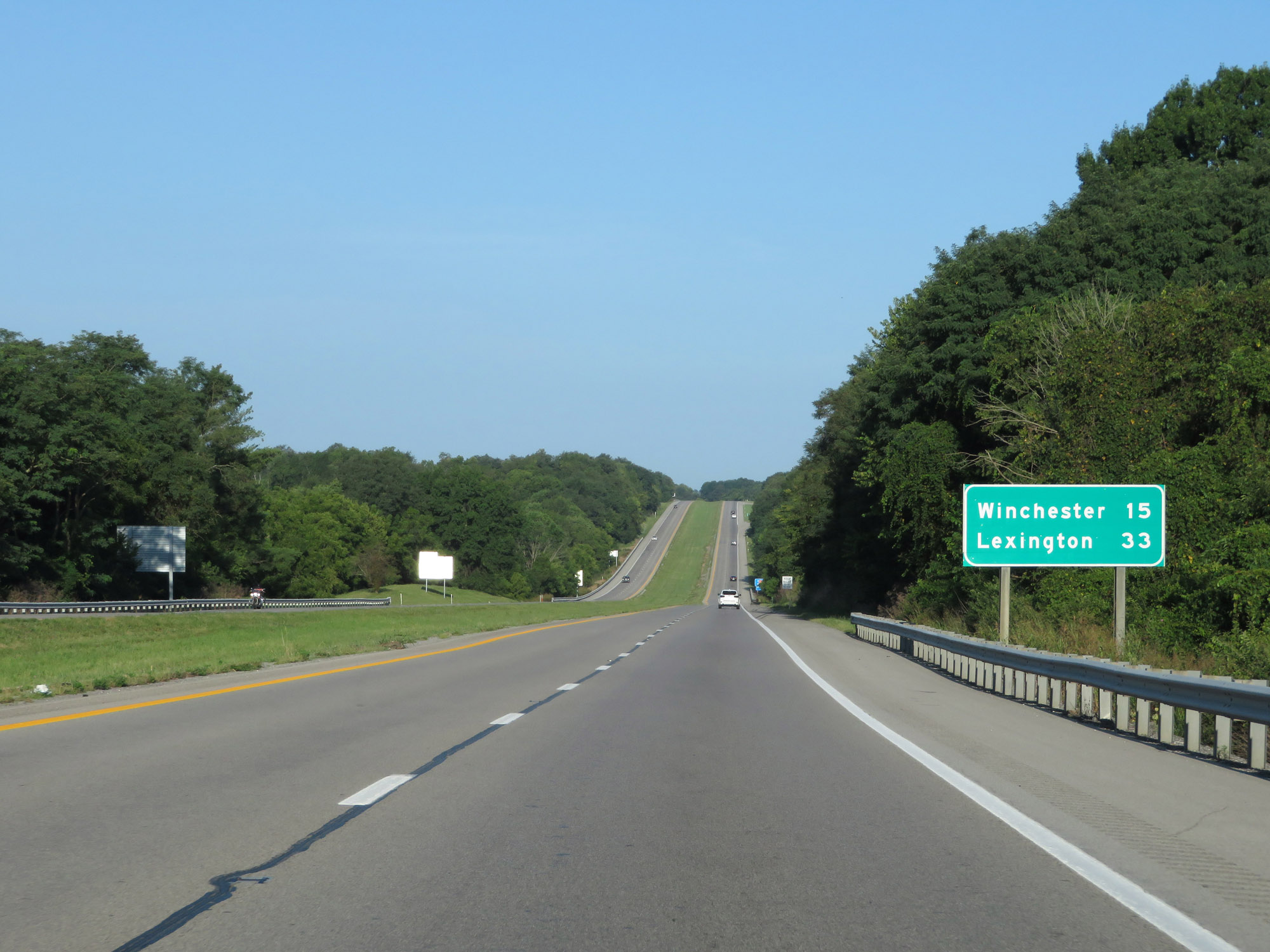 |
Mileage sign on Interstate 64 West. It's 15 miles to Winchester and 33 miles to Lexington. (Photo taken 8/10/19). |
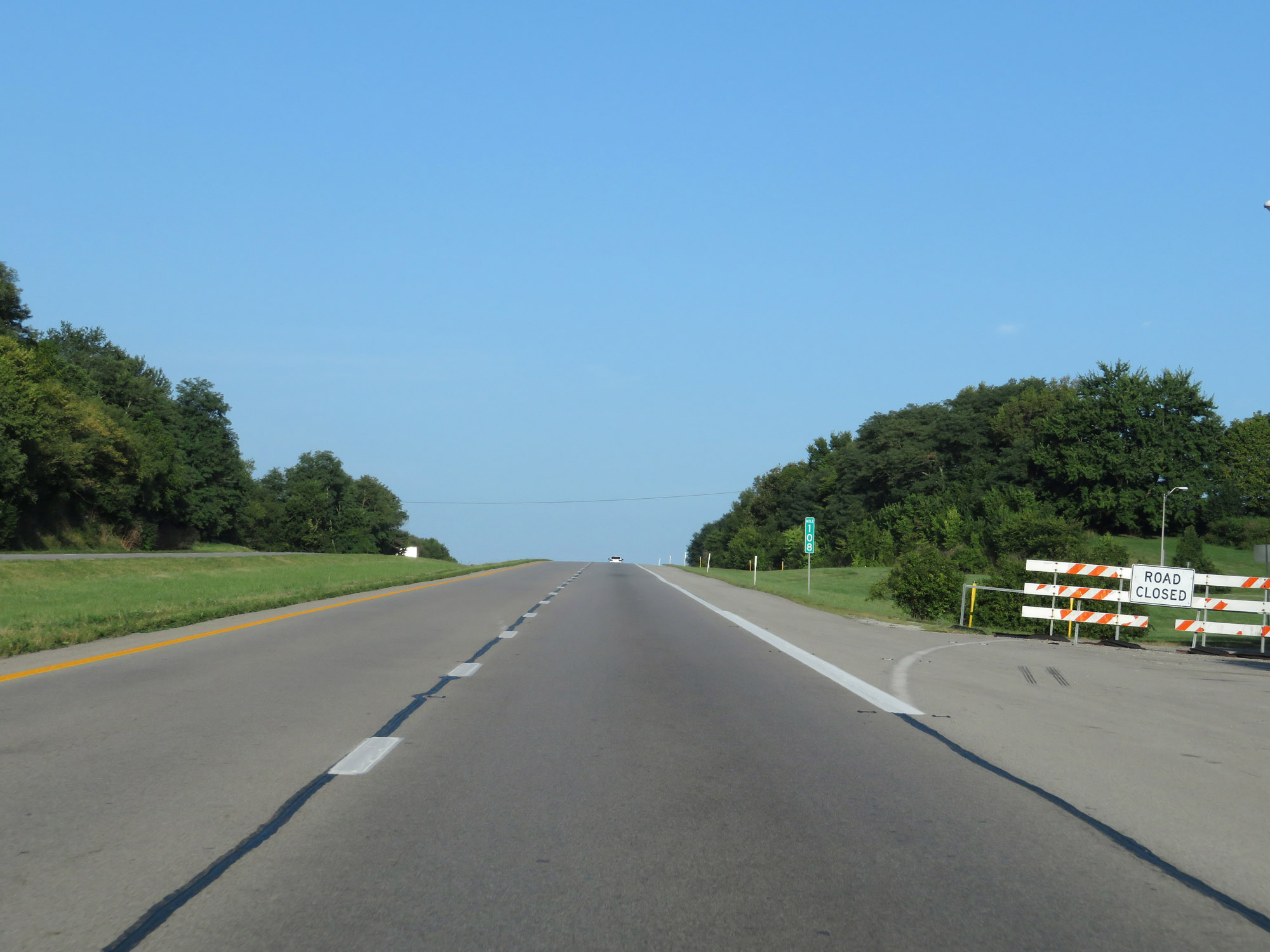 |
Rest Area on Interstate 64 West at mile marker 108 in Montgomery County, which was closed at the time. (Photo taken 8/10/19). |
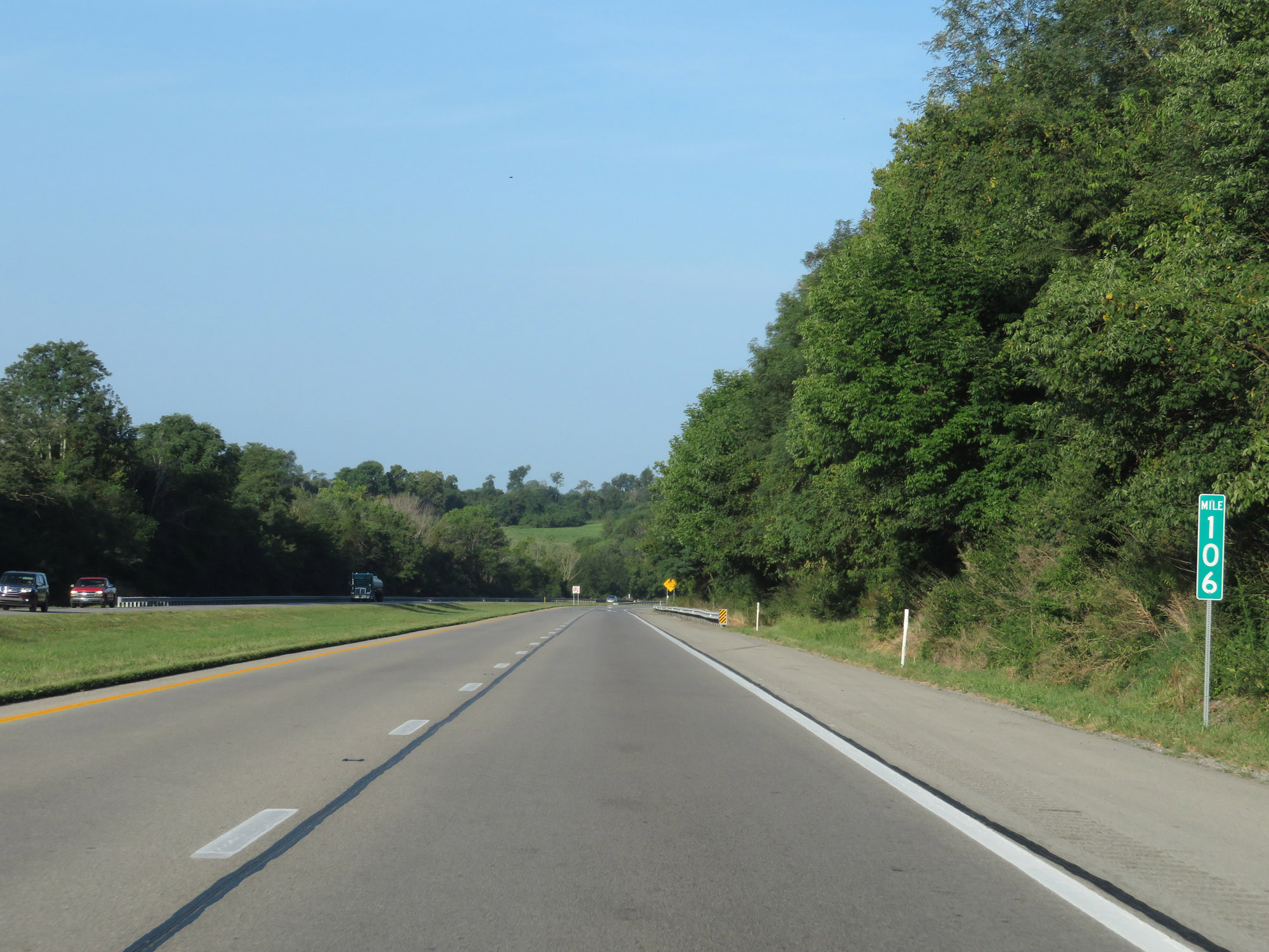 |
Interstate 64 West at mile marker 106. (Photo taken 8/10/19). |
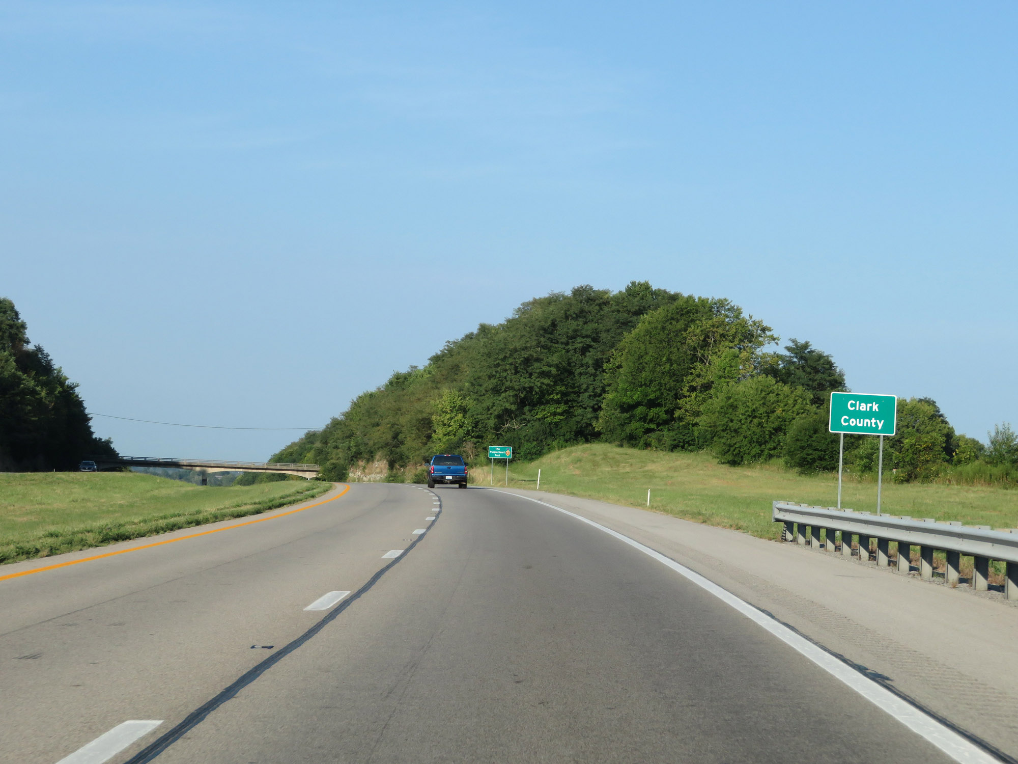 |
Entering Clark County on Interstate 64 West. (Photo taken 8/10/19). |
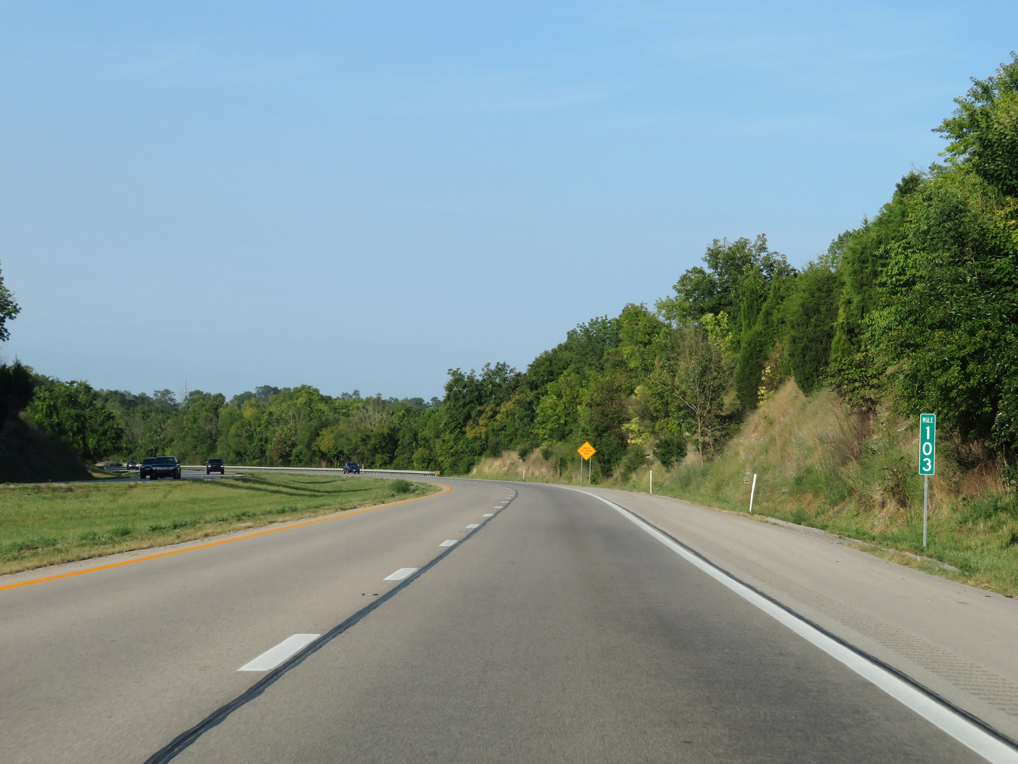 |
Interstate 64 West at mile marker 103. (Photo taken 8/10/19). |
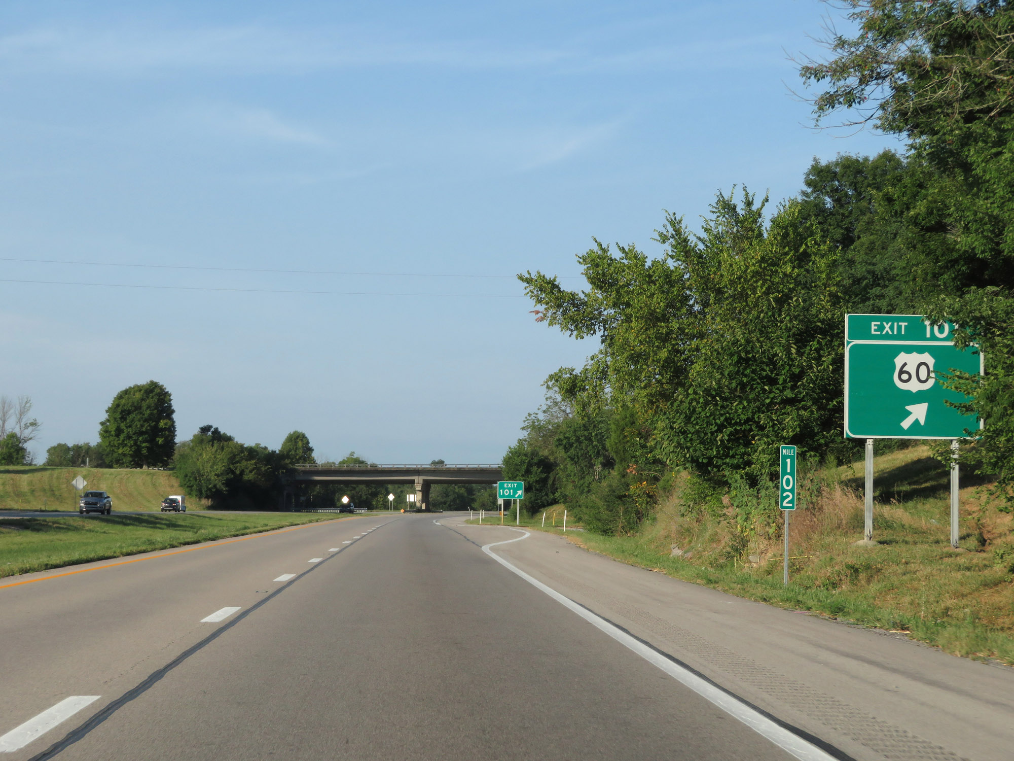 |
Interstate 64 West at Exit 101: US 60 (Photo taken 8/10/19). |
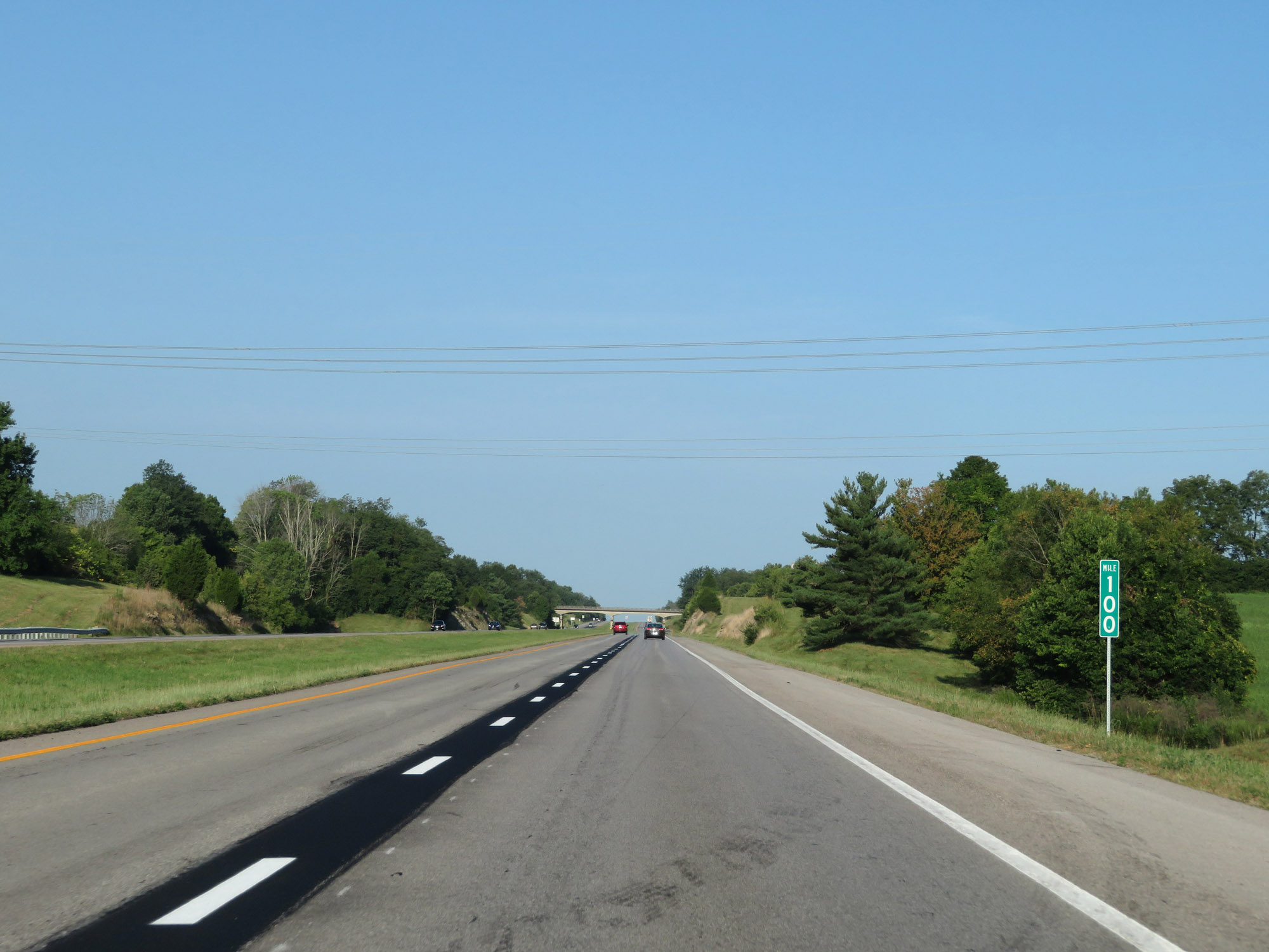 |
View on Interstate 64 West at mile marker 100. (Photo taken 8/10/19). |
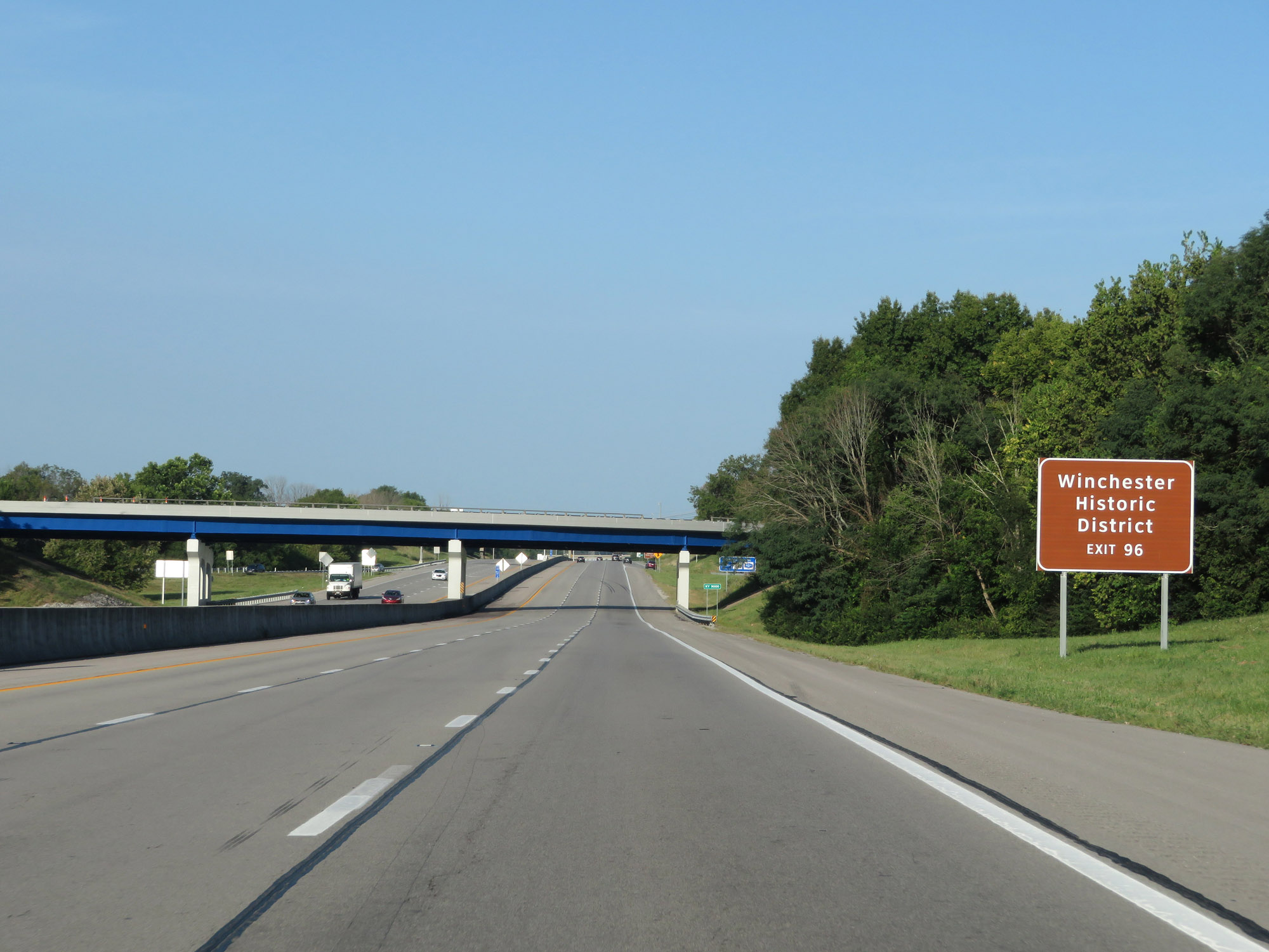 |
Take Exit 96 to Winchester Historic District. (Photo taken 8/10/19). |
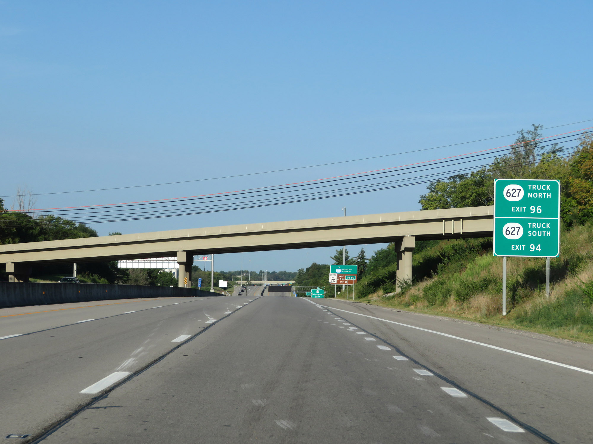 |
Take Exit 96 to KY 627 North Truck Route. For KY 627 South Truck Route, use Exit 94. (Photo taken 8/10/19). |
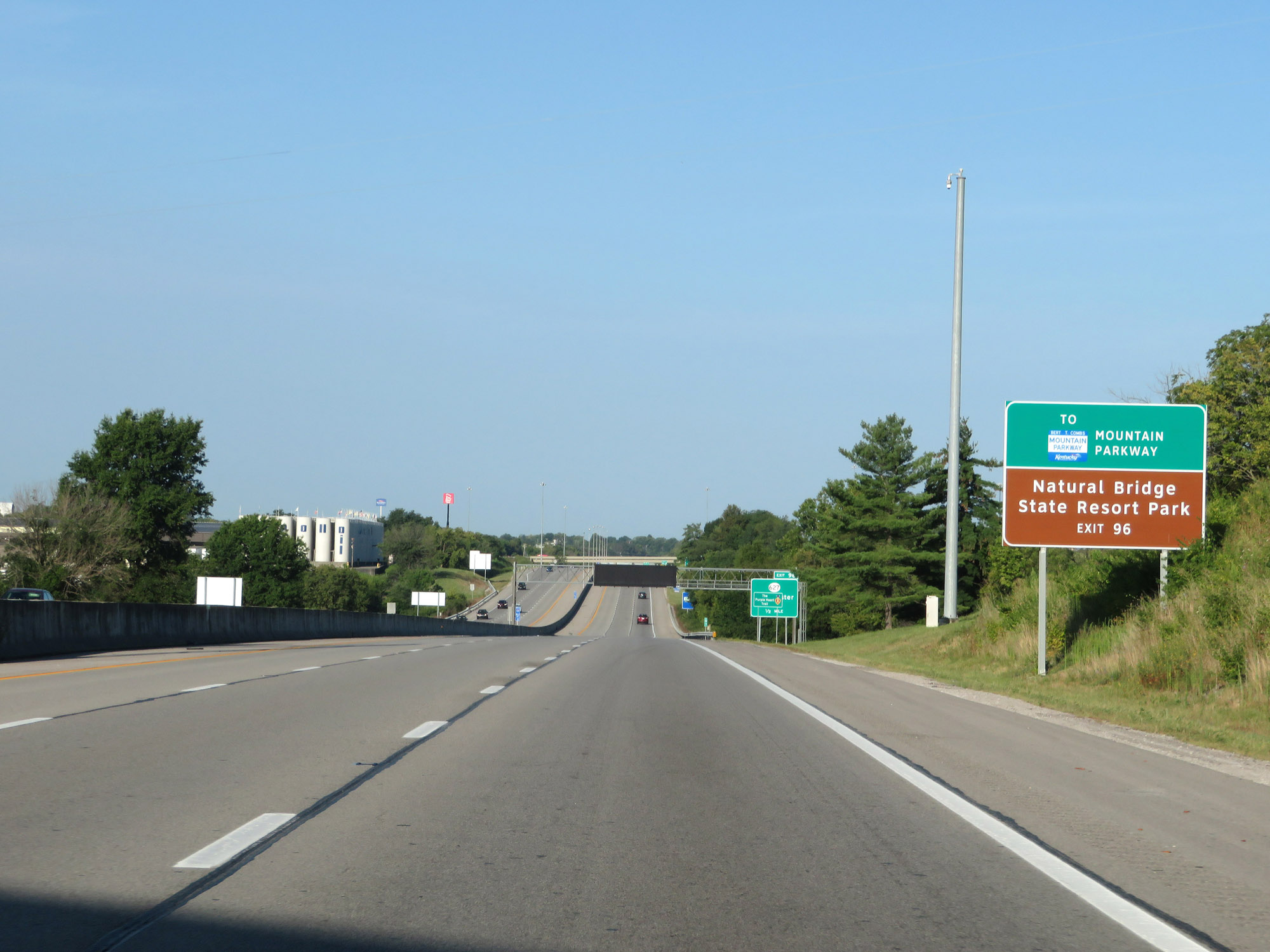 |
Take Exit 96 to the Mountain Parkway and Natural Bridge State Resort Park. (Photo taken 8/10/19). |
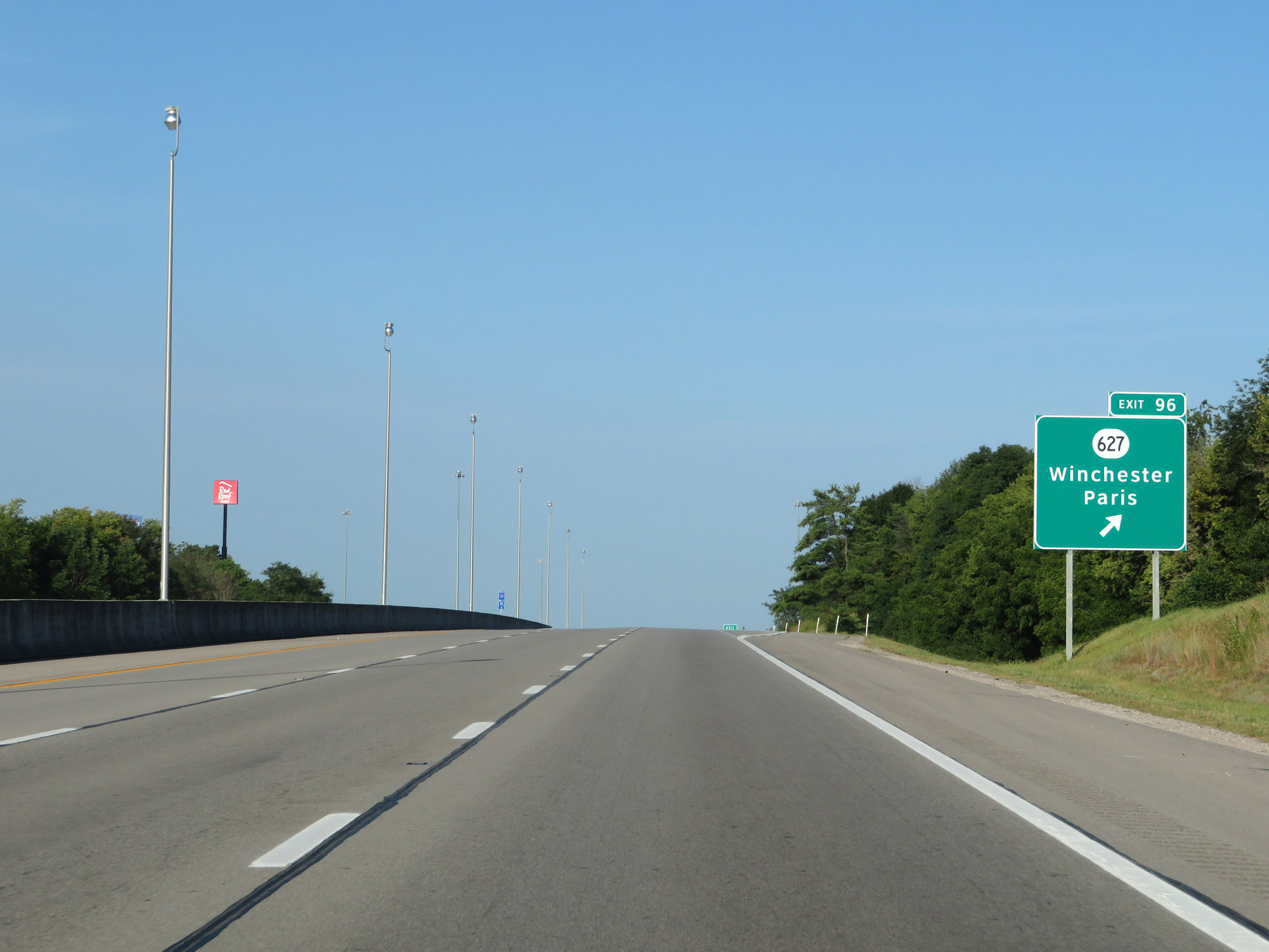 |
Interstate 64 West at Exit 96: KY 627 - Winchester / Paris (Photo taken 8/10/19). |
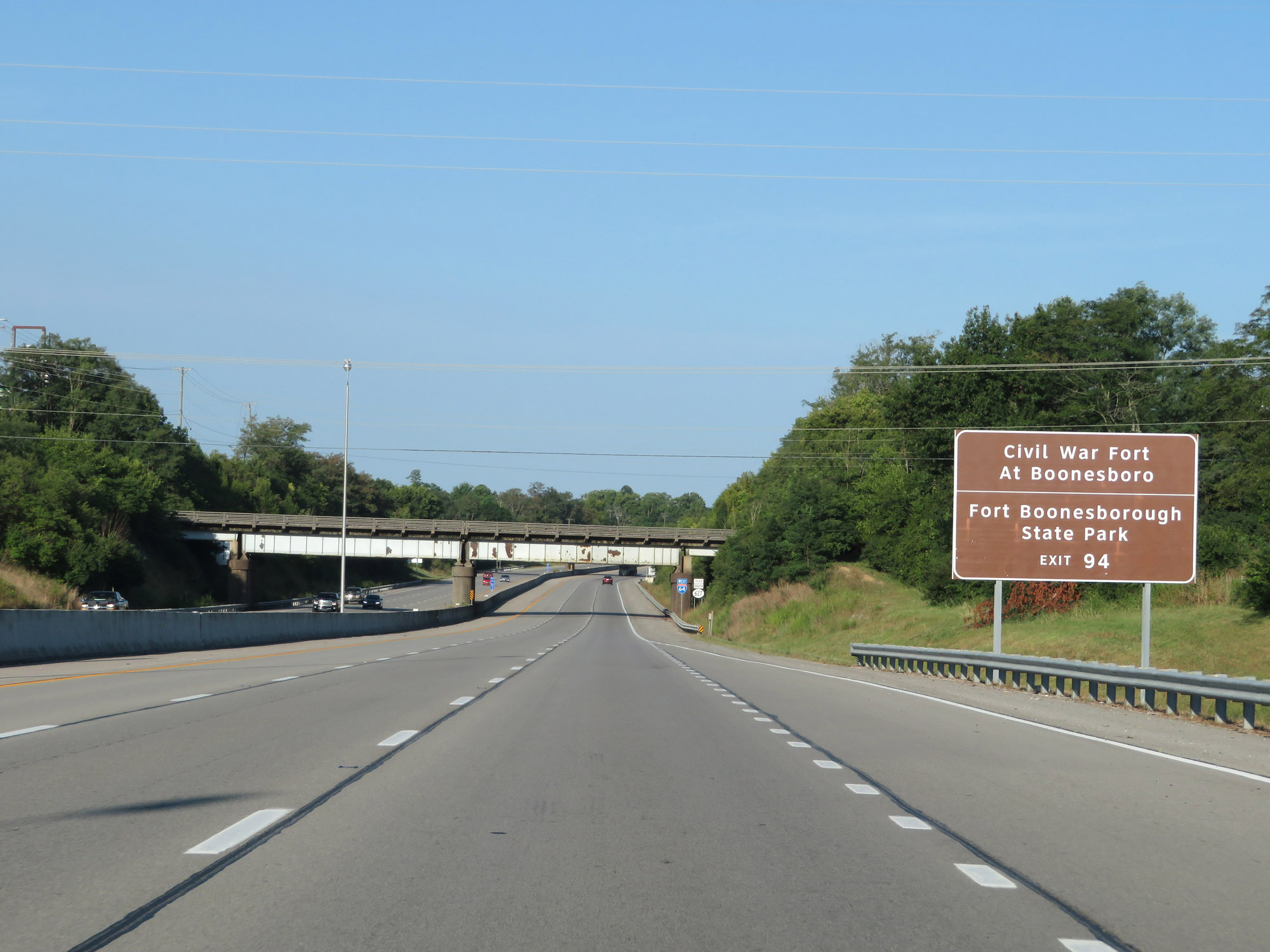 |
Take Exit 94 to Civil War Fort At Boonesboro and Fort Boonesborough State Park. (Photo taken 8/10/19). |
 |
The speed limit remains 70 mph. (Photo taken 8/10/19). |
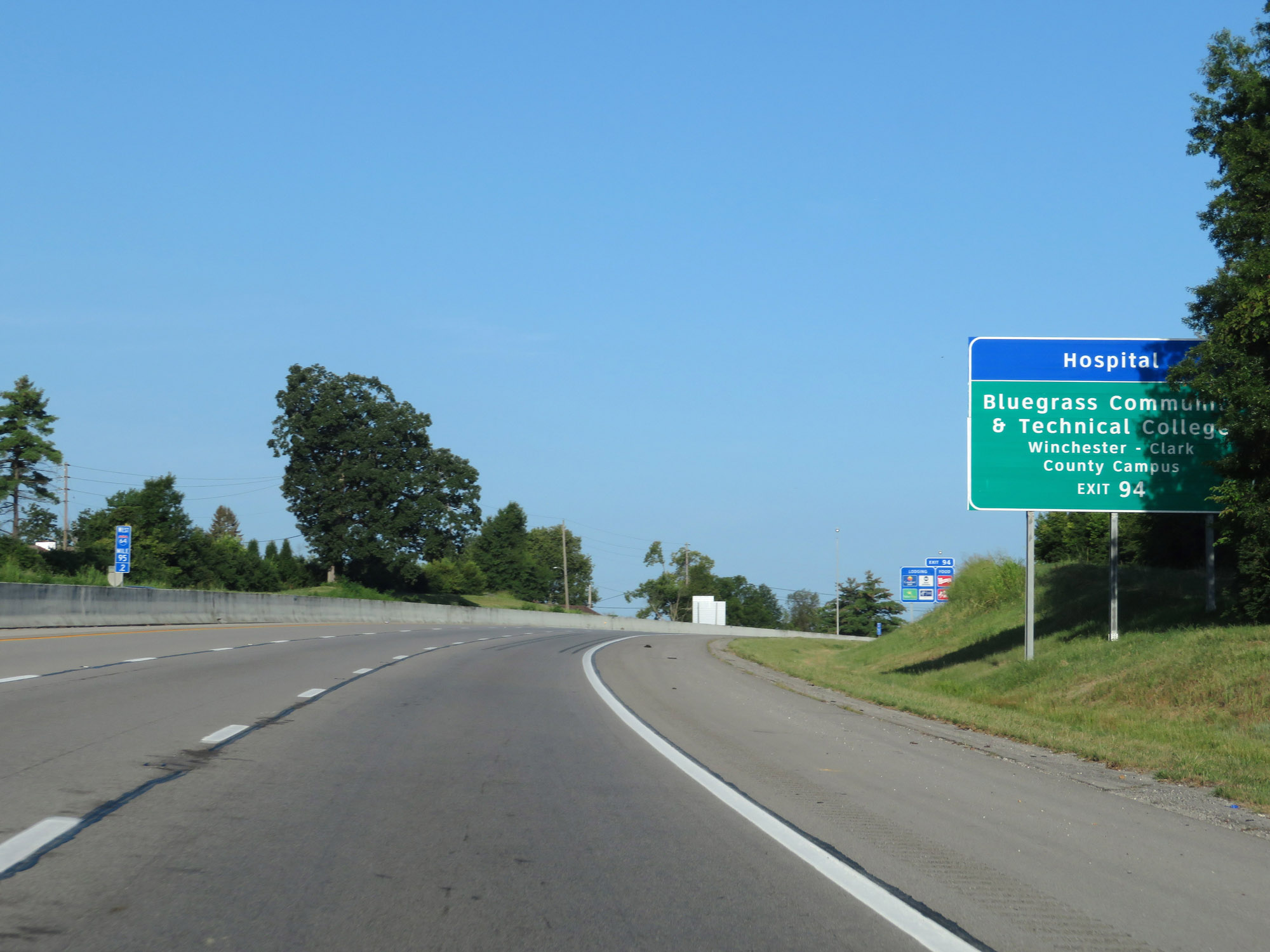 |
Also take Exit 94 to Bluegrass Community & Technical College Winchester-Clark County Campus. (Photo taken 8/10/19). |
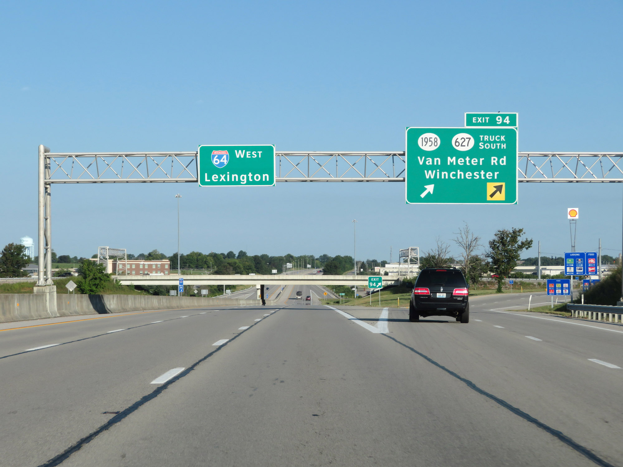 |
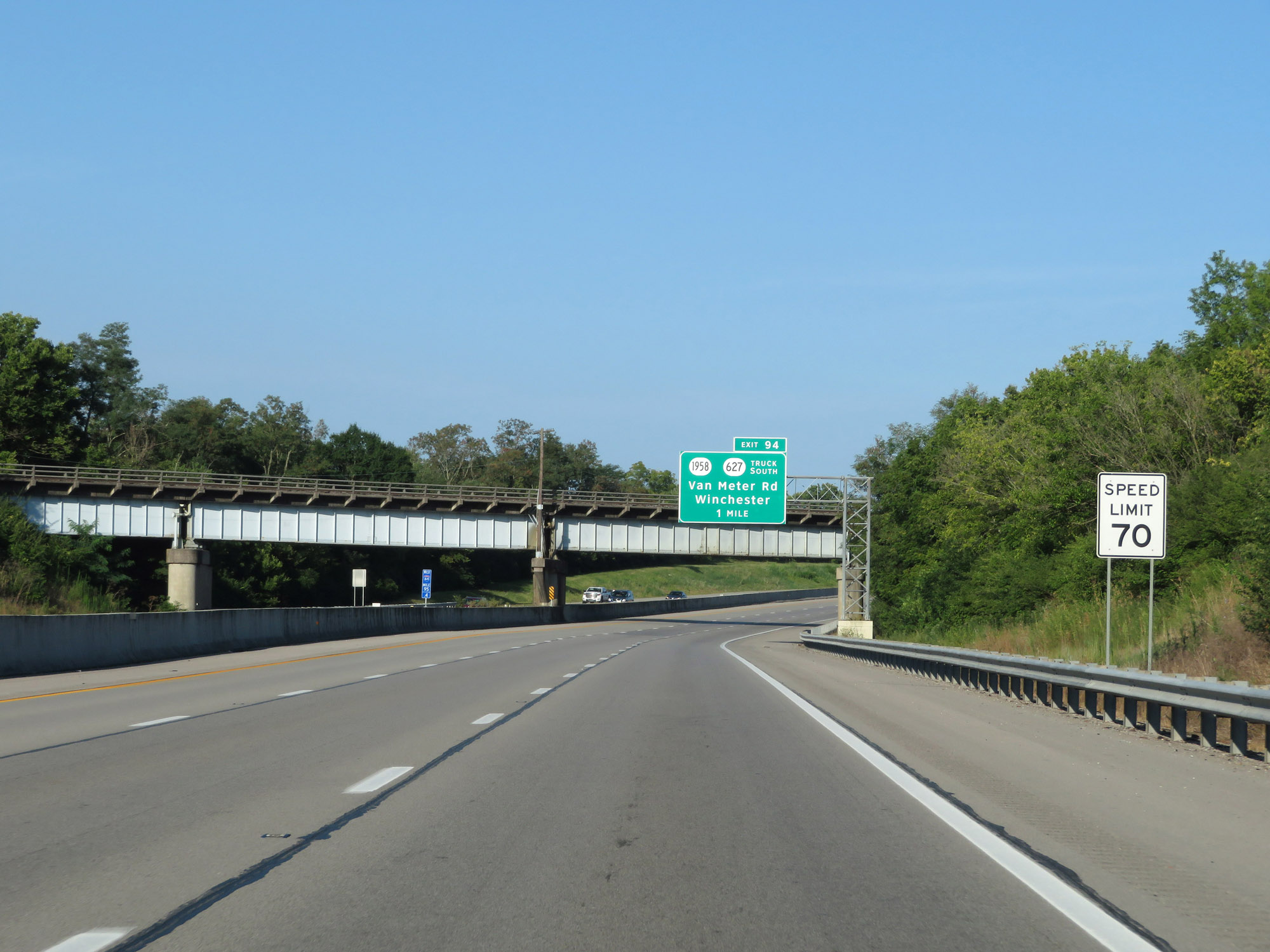
Interstate 64 West at Exit 94: KY 1958 / KY 627 Truck Route South - Van Meter Rd / Winchester (Photo taken 8/10/19). |
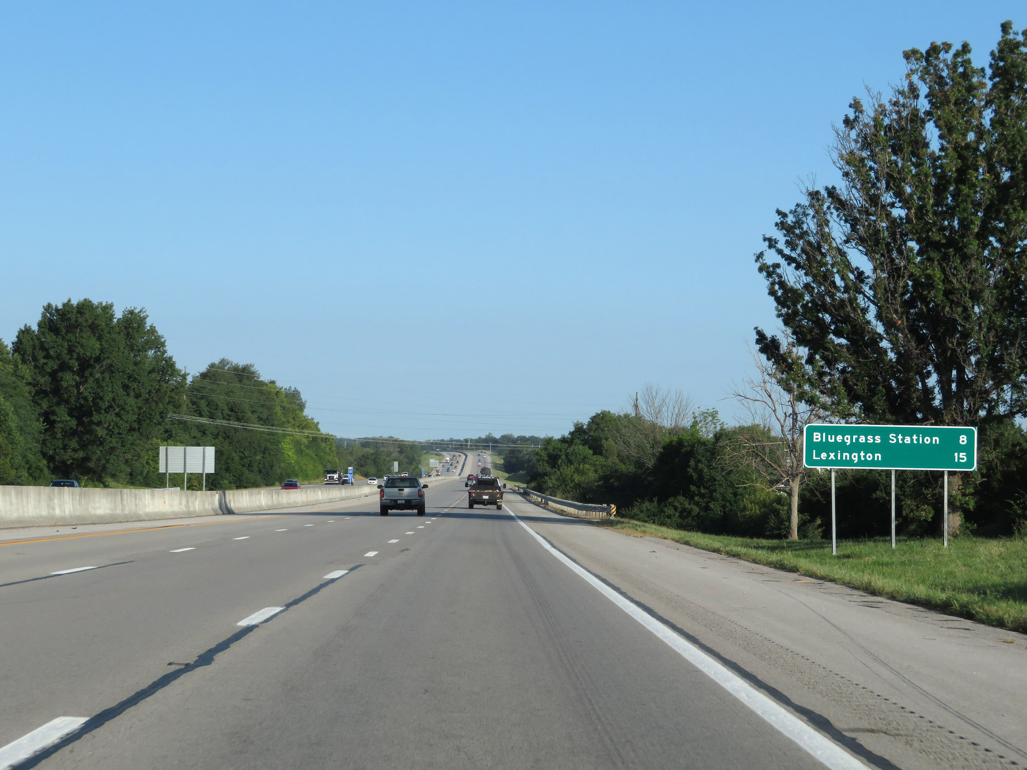 |
Mileage sign on Interstate 64 West. It's 8 miles to Bluegrass Station and 15 miles to Lexington. (Photo taken 8/10/19). |
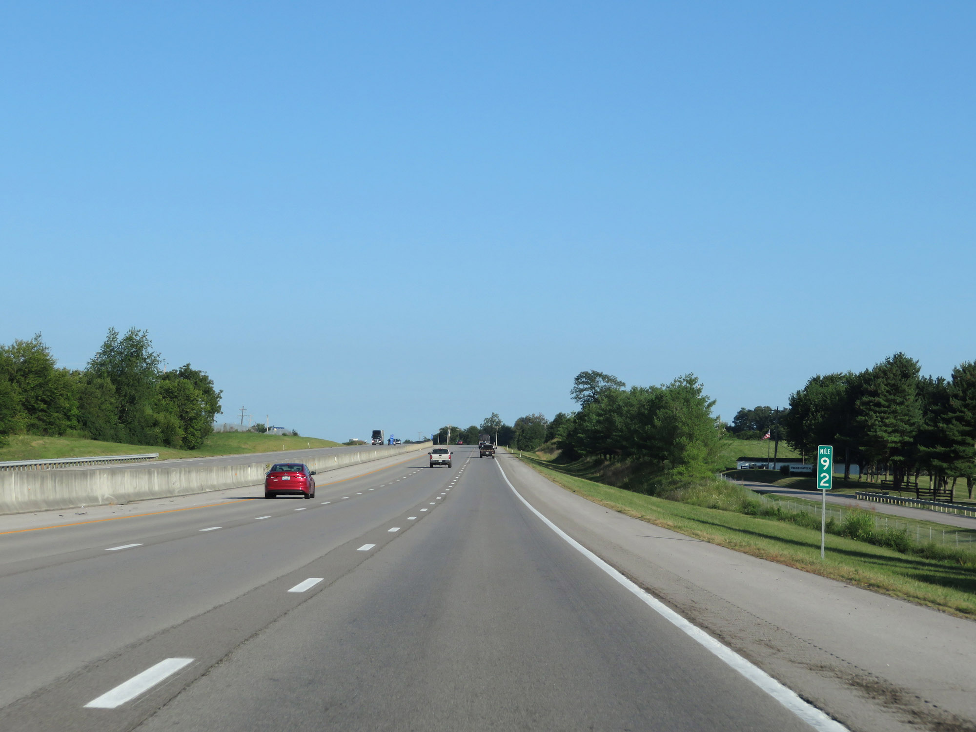 |
Interstate 64 West at mile marker 92. (Photo taken 8/10/19). |
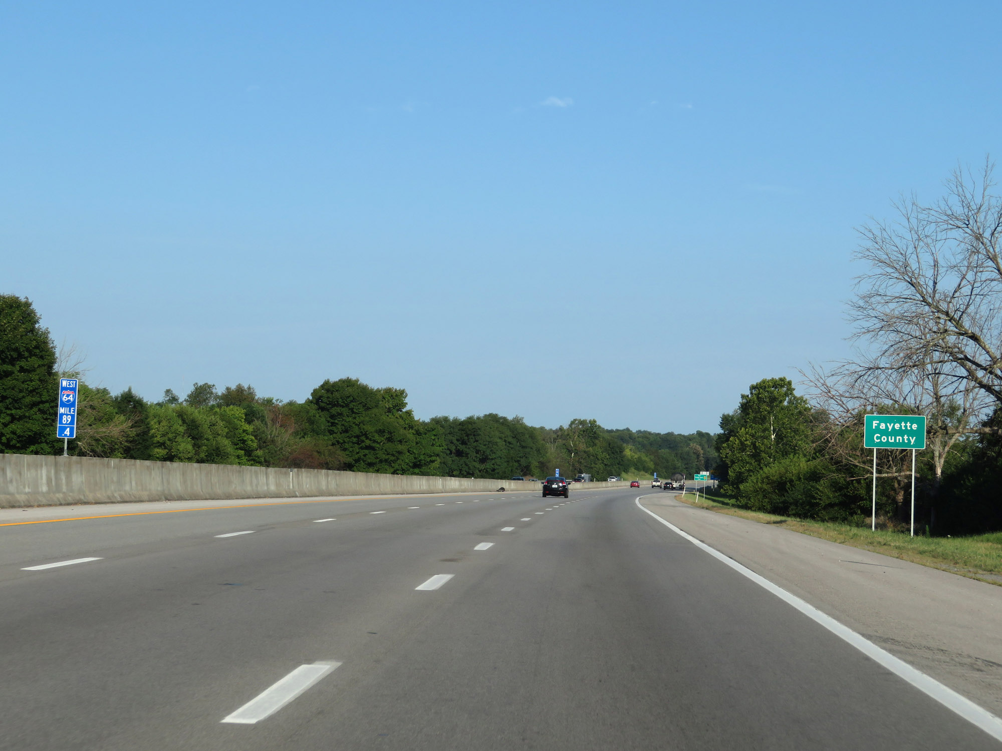 |
Interstate 64 West enters Fayette County at mile marker 89.4. (Photo taken 8/10/19). |
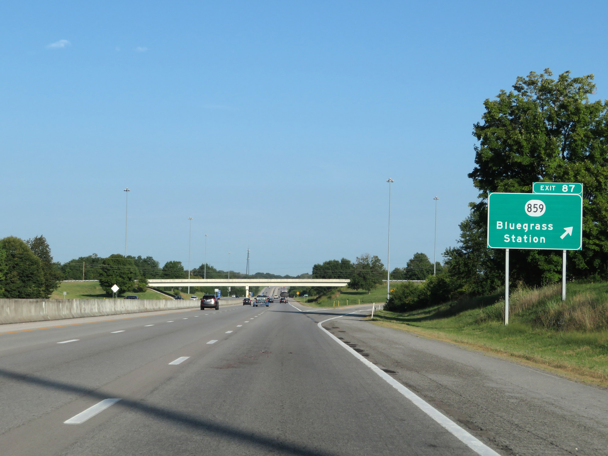 |
Interstate 64 West at Exit 87: KY 859 - Bluegrass Station (Photo taken 8/10/19). |
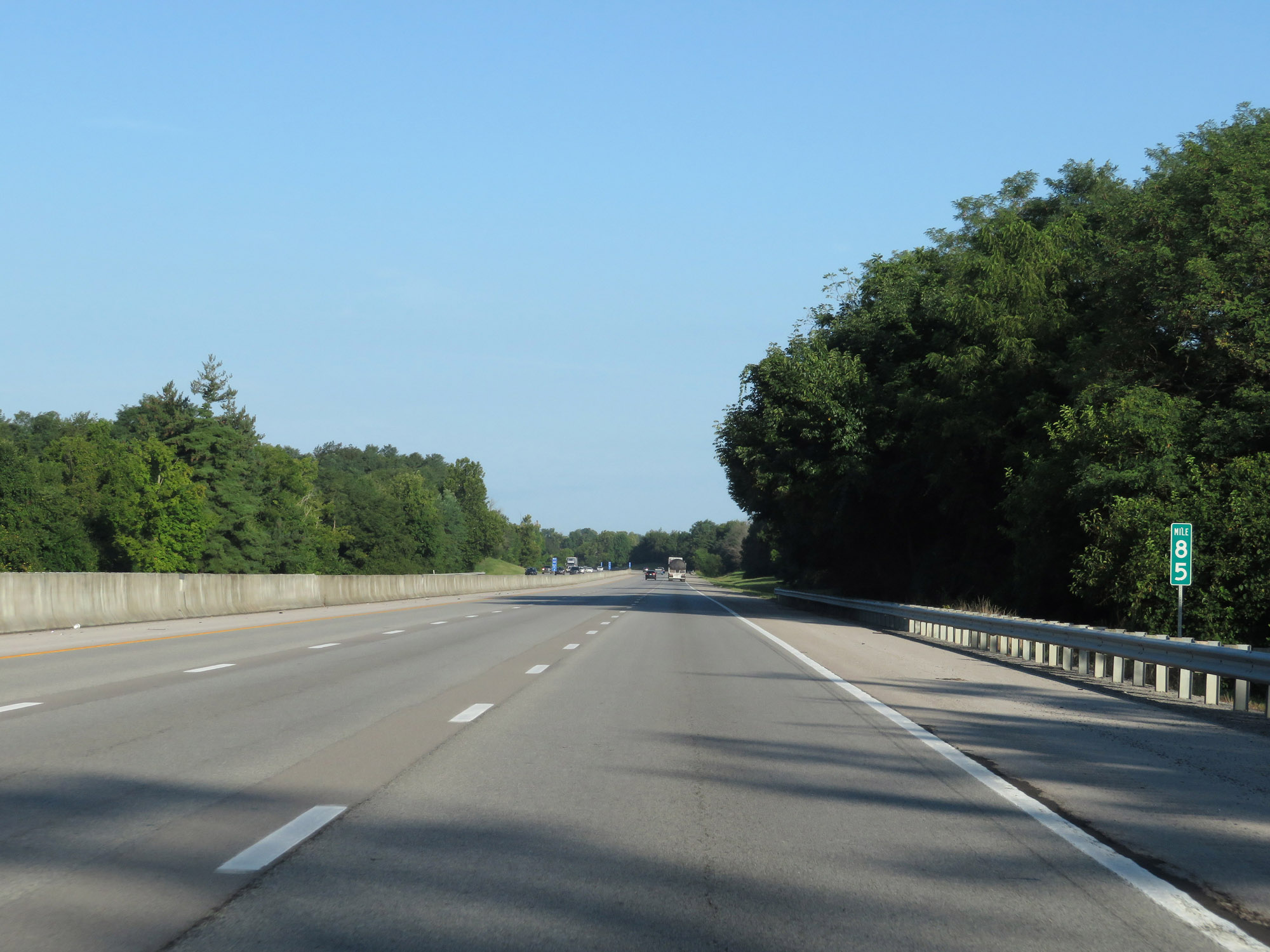 |
View on Interstate 64 West at mile marker 85. (Photo taken 8/10/19). |
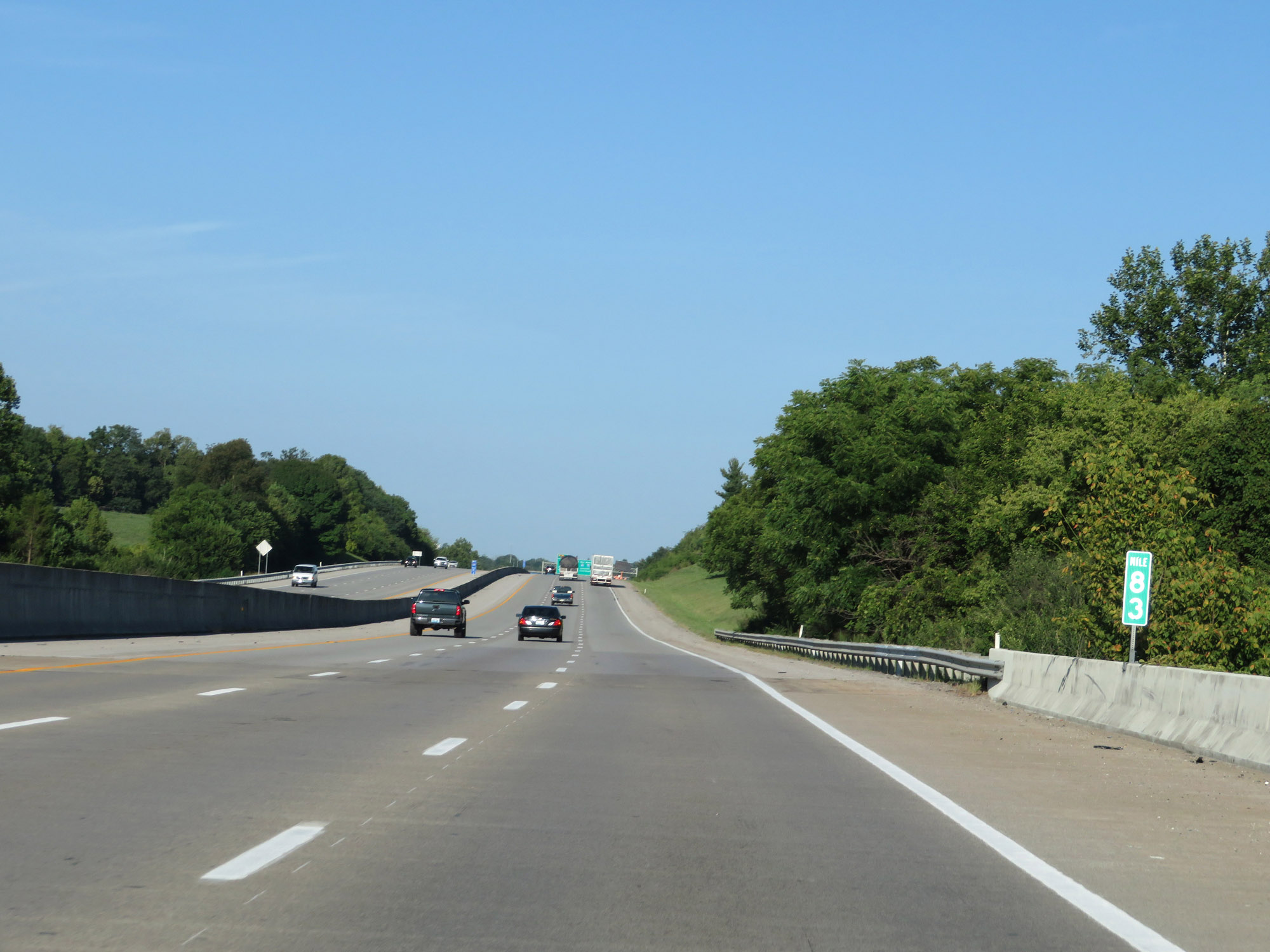 |
Interstate 64 West at mile marker 83. (Photo taken 8/10/19). |
 |
Interstate 64 West approaching Exit 81 (Interstate 75 South) - 1/2 mile on the left. (Photo taken 8/10/19). |
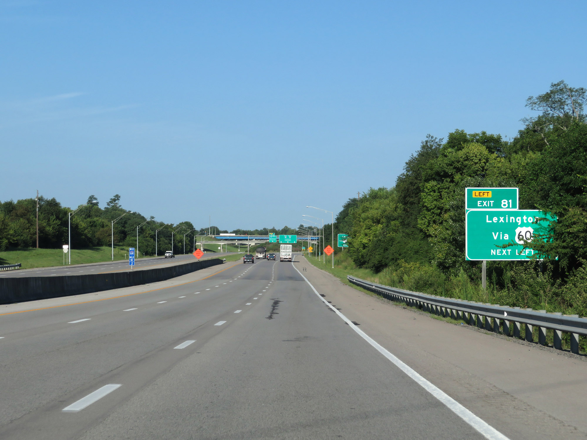 |
Take Exit 81 (Interstate 75 South) to Lexington via US 60. (Photo taken 8/10/19). |
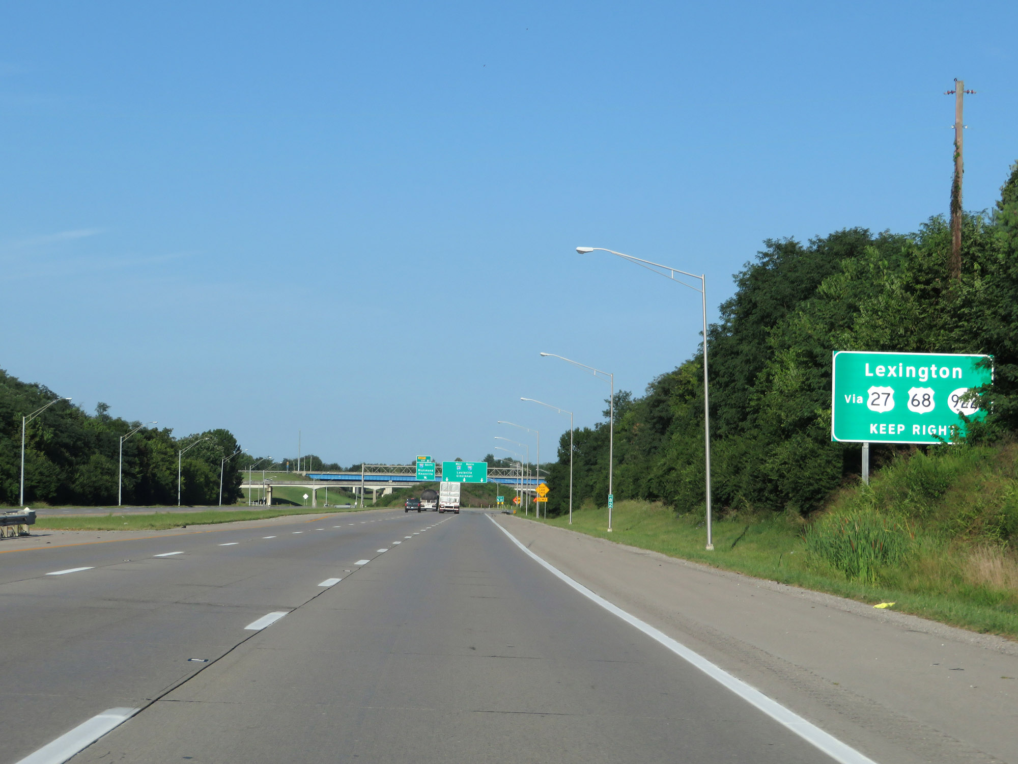 |
Stay on Interstate 64 West to get to Lexington via US 27, US 68, and KY 922. (Photo taken 8/10/19). |
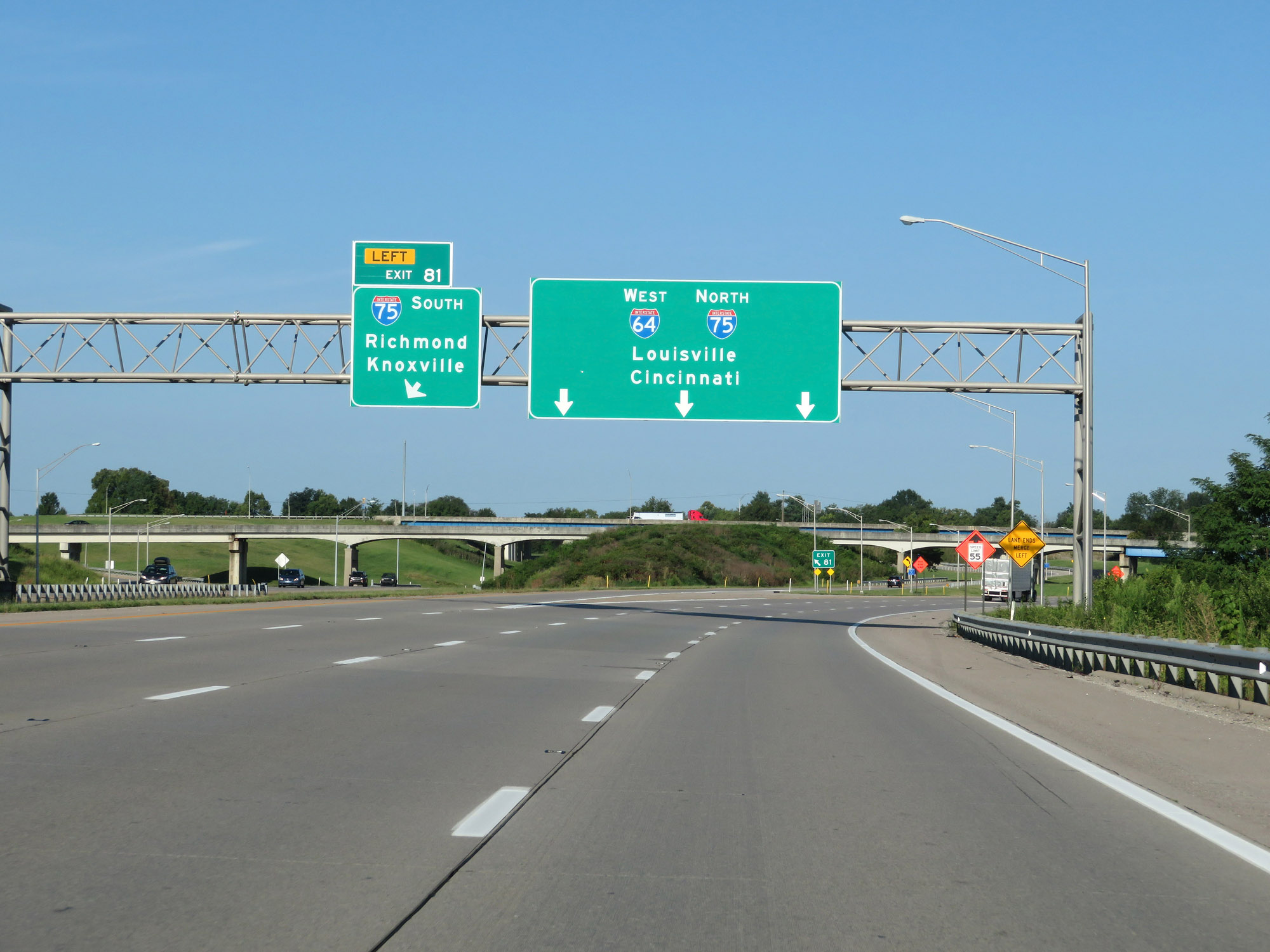 |
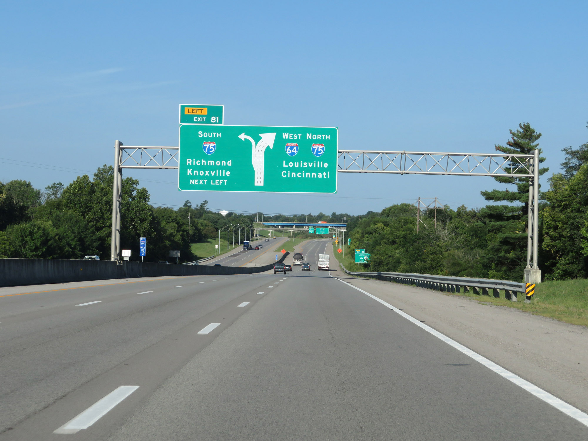
Interstate 64 West at Exit 81: Interstate 75 South - Richmond / Knoxville (Photo taken 8/10/19). |
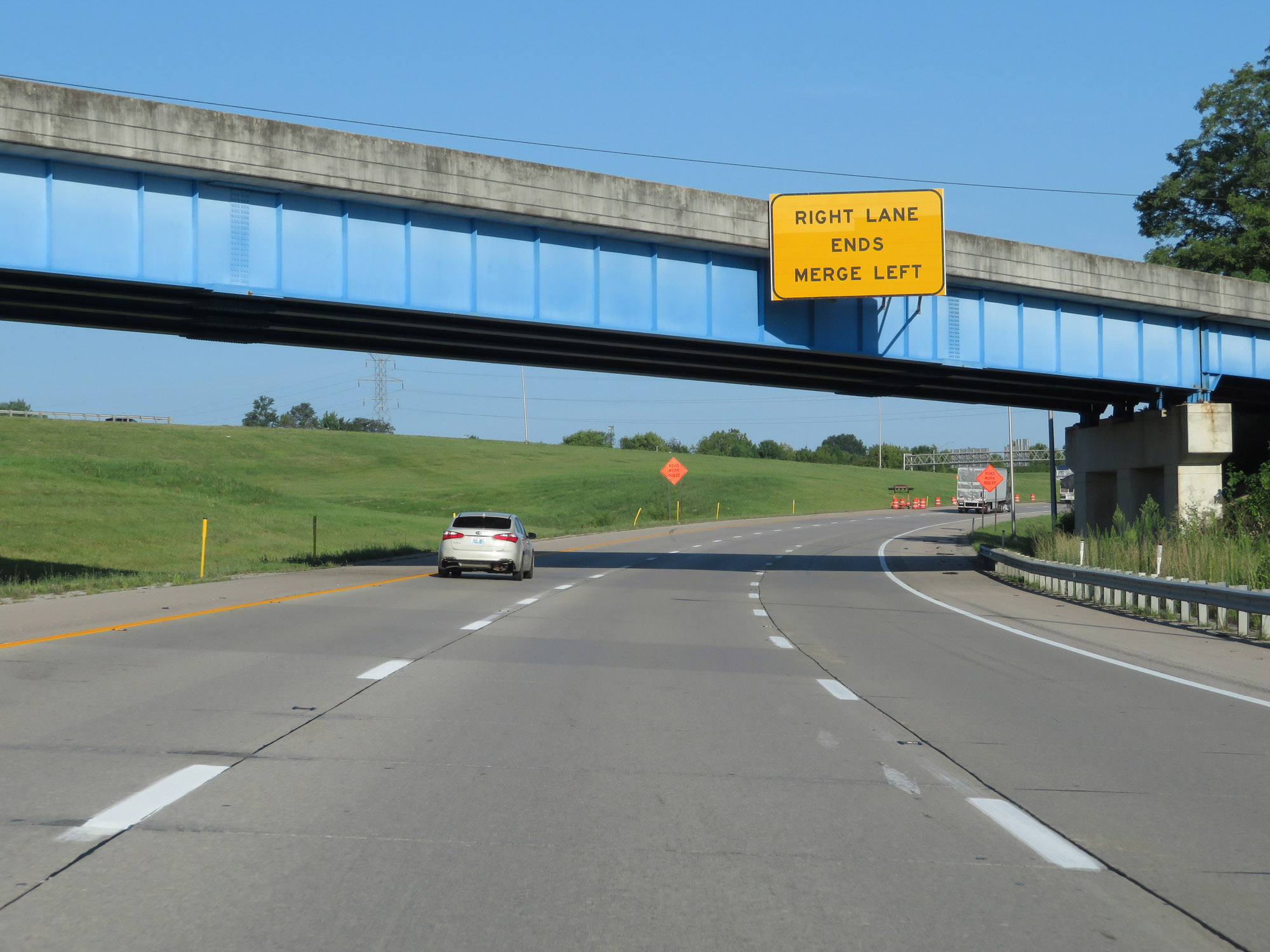 |
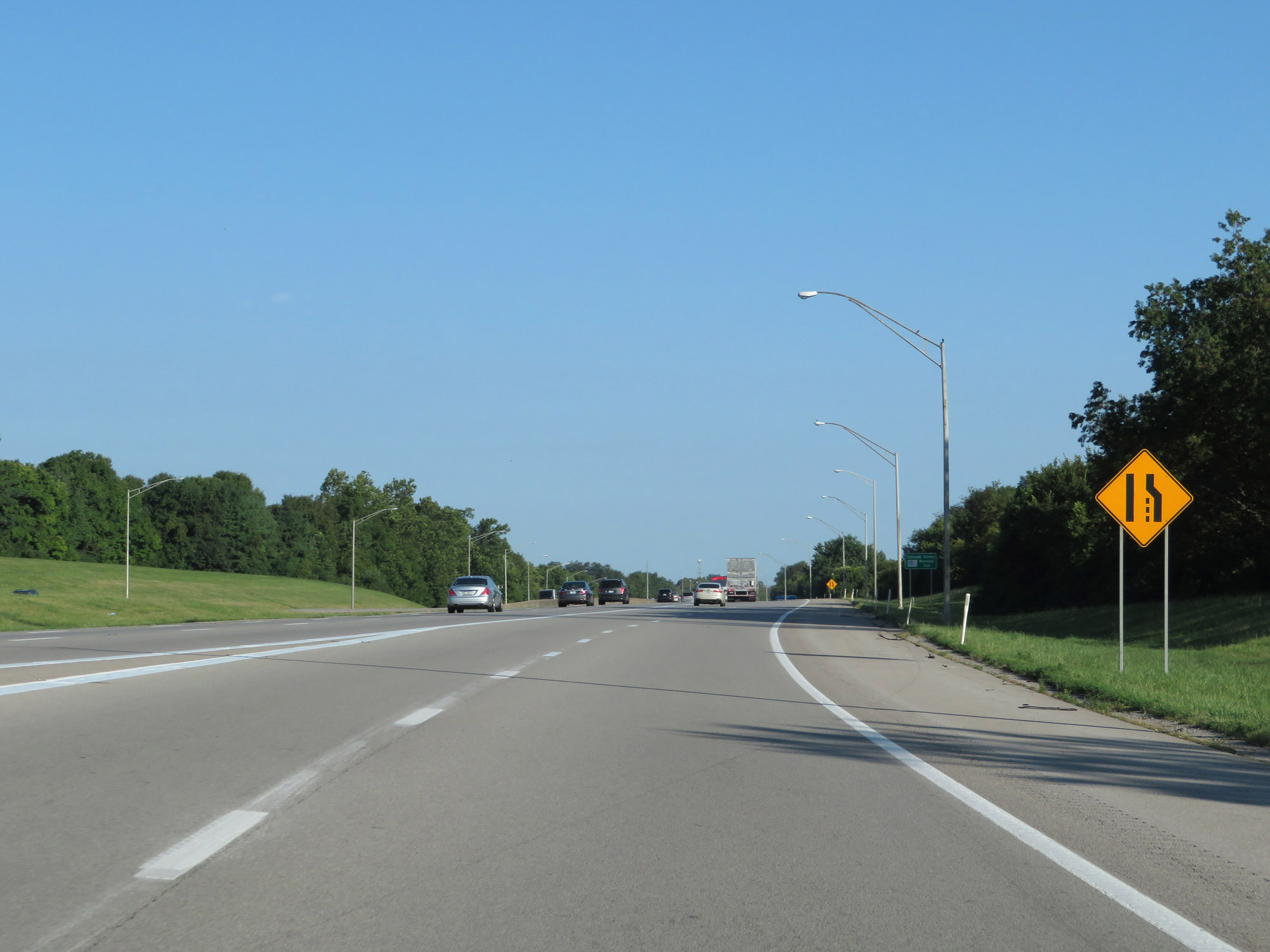
The rightmost lane prepares to come to an end as Interstate 64 West will join up with Interstate 75 North ahead. The two routes will run concurrently for the next 6 miles in the Lexington area. (Photo taken 8/10/19). |
 |
Interstate 64 West as it prepares to merge into the northbound lanes of Interstate 75. (Photo taken 8/10/19). |
 |
Dual state-named Interstate 64 West / Interstate 75 North reassurance shields. During this 6-mile concurrency, the mile markers and exit numbers are based on the mileage of Interstate 75. (Photo taken 8/10/19). |
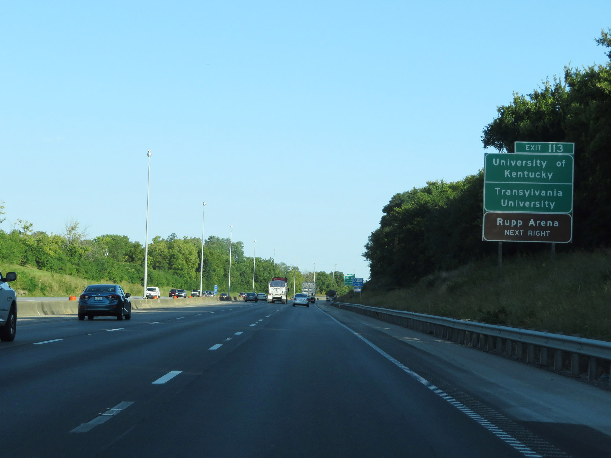 |
Take Exit 113 to the University of Kentucky, Transylvania University, and Rupp Arena. (Photo taken 8/10/19). |
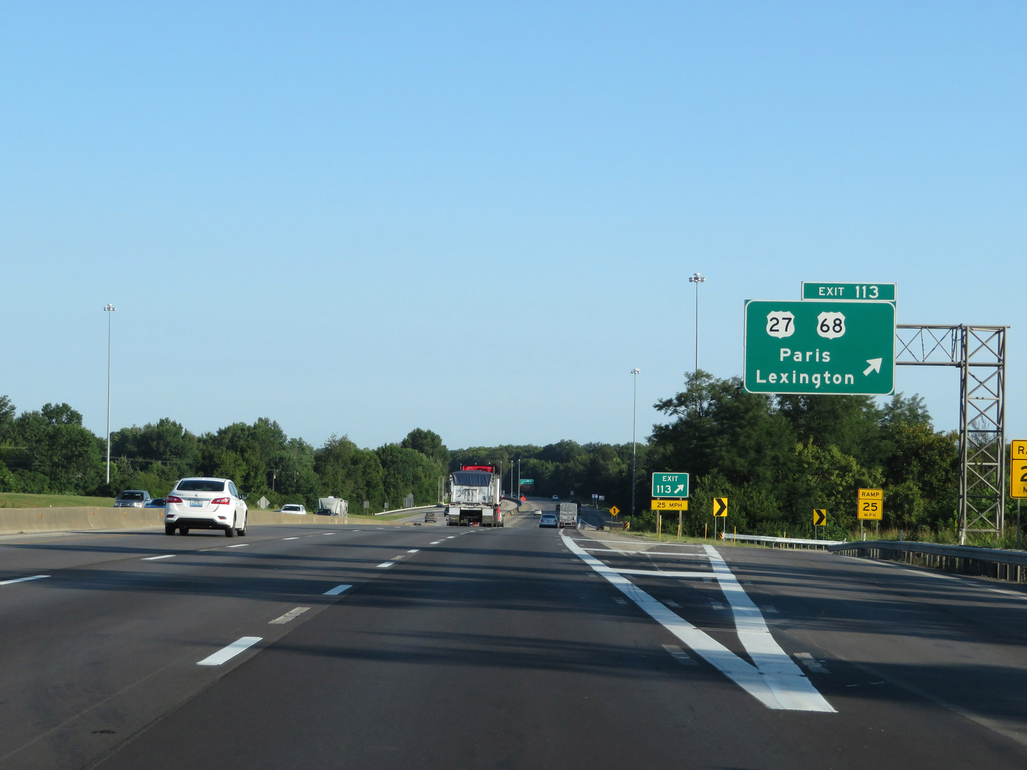 |
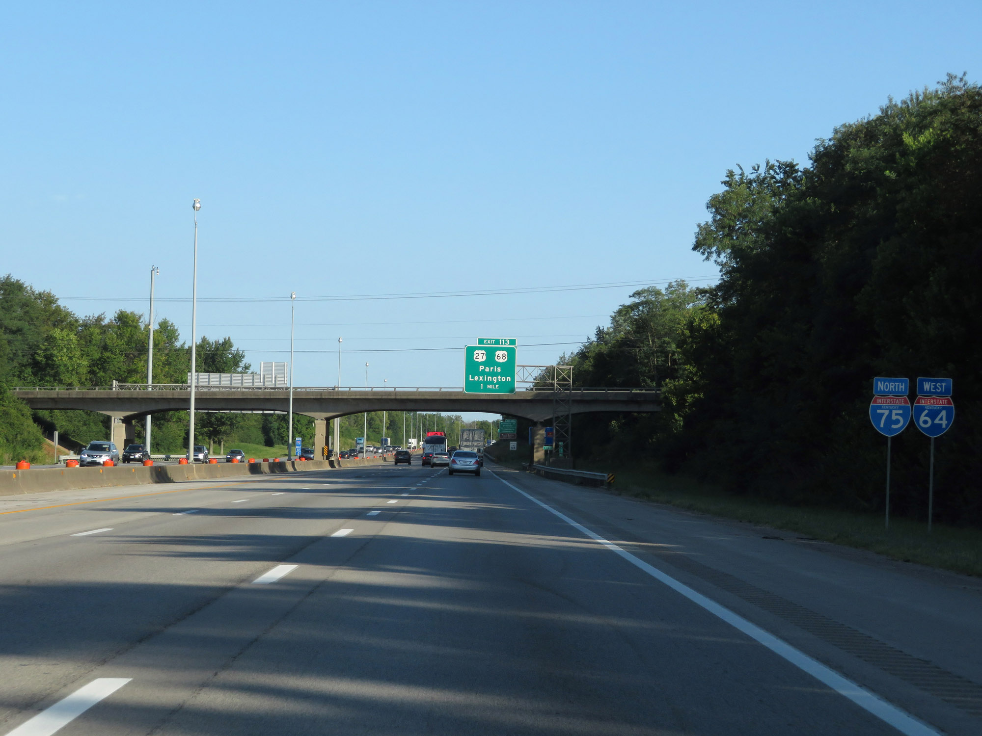
Interstate 64 West / Interstate 75 North at Exit 113: US 27 / US 68 - Paris / Lexington (Photo taken 8/10/19). |
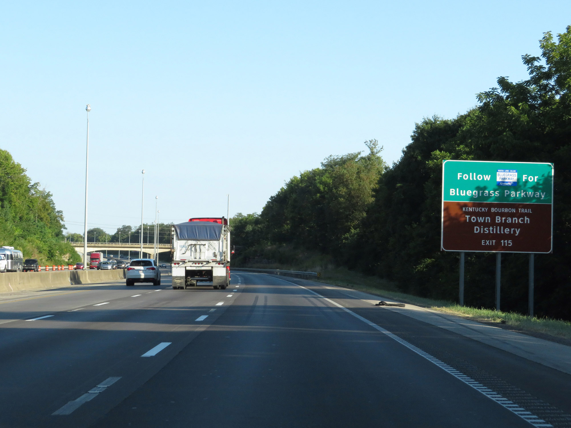 |
Take Exit 115 to the Bluegrass Parkway and Town Branch Distillery. (Photo taken 8/10/19). |
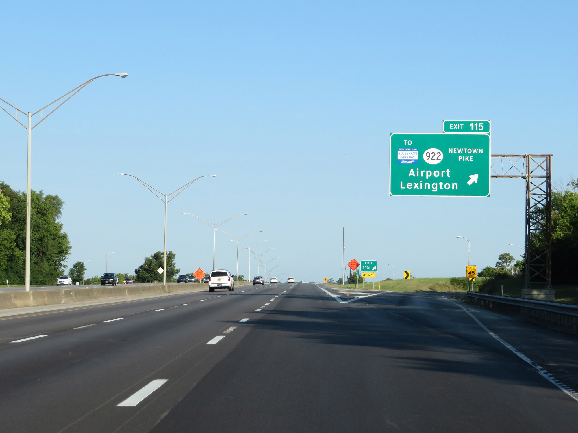 |
Interstate 64 West / Interstate 75 North at Exit 115: KY 922 (Newtown Pike) / To Bluegrass Parkway - Airport / Lexington (Photo taken 8/10/19). |
 |
Another set of state-named Interstate 64 West / Interstate 75 North reassurance shields. (Photo taken 8/10/19). |
 |
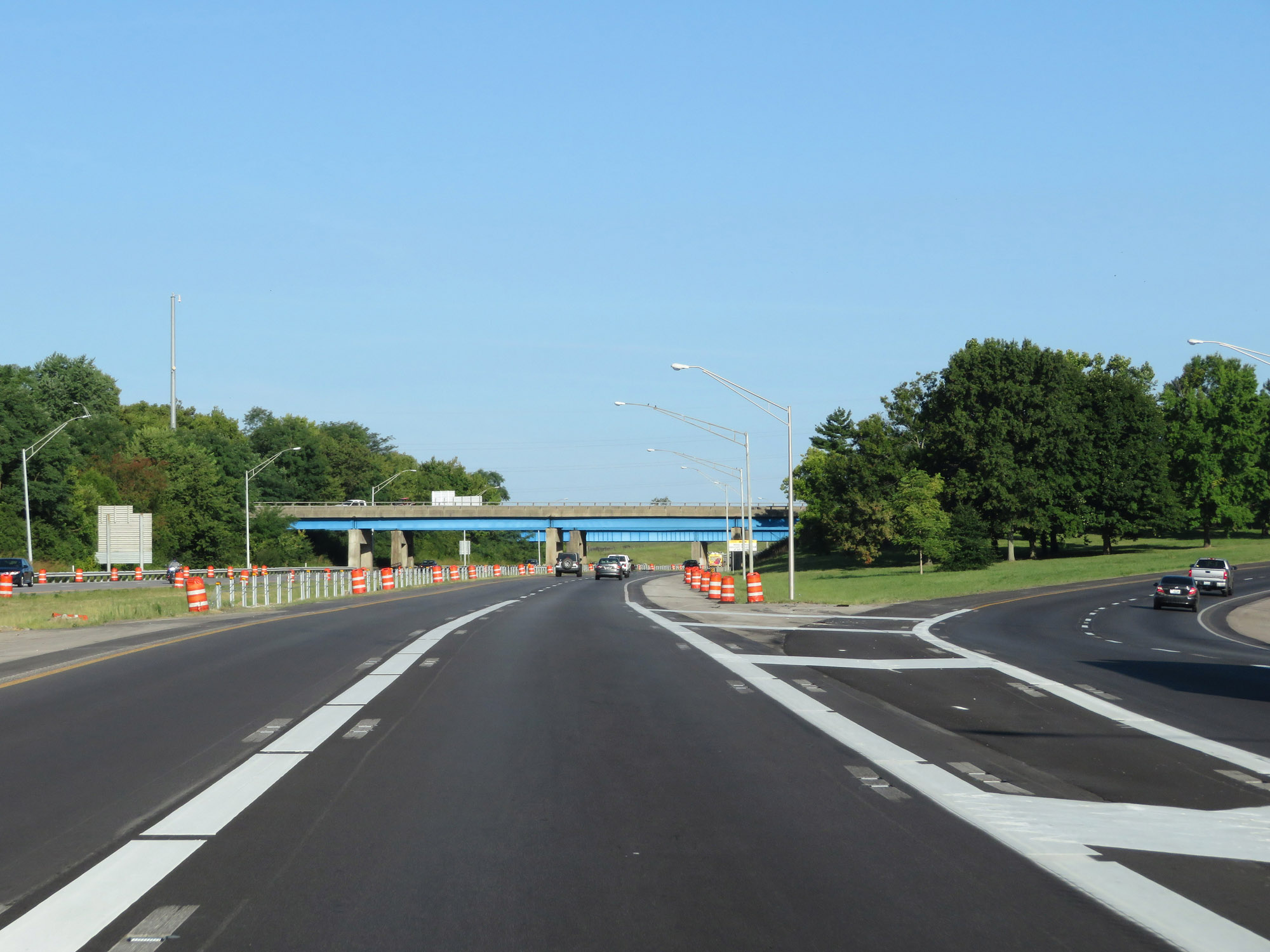
Interstate 64 West / Interstate 75 North approaching Exit 118 - 1/2 mile on the left. (Photo taken 8/10/19). |
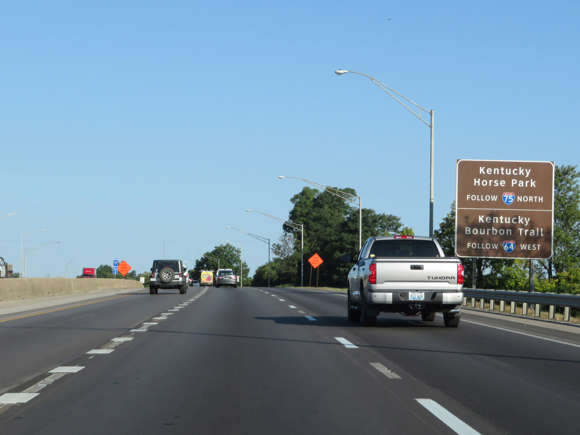 |
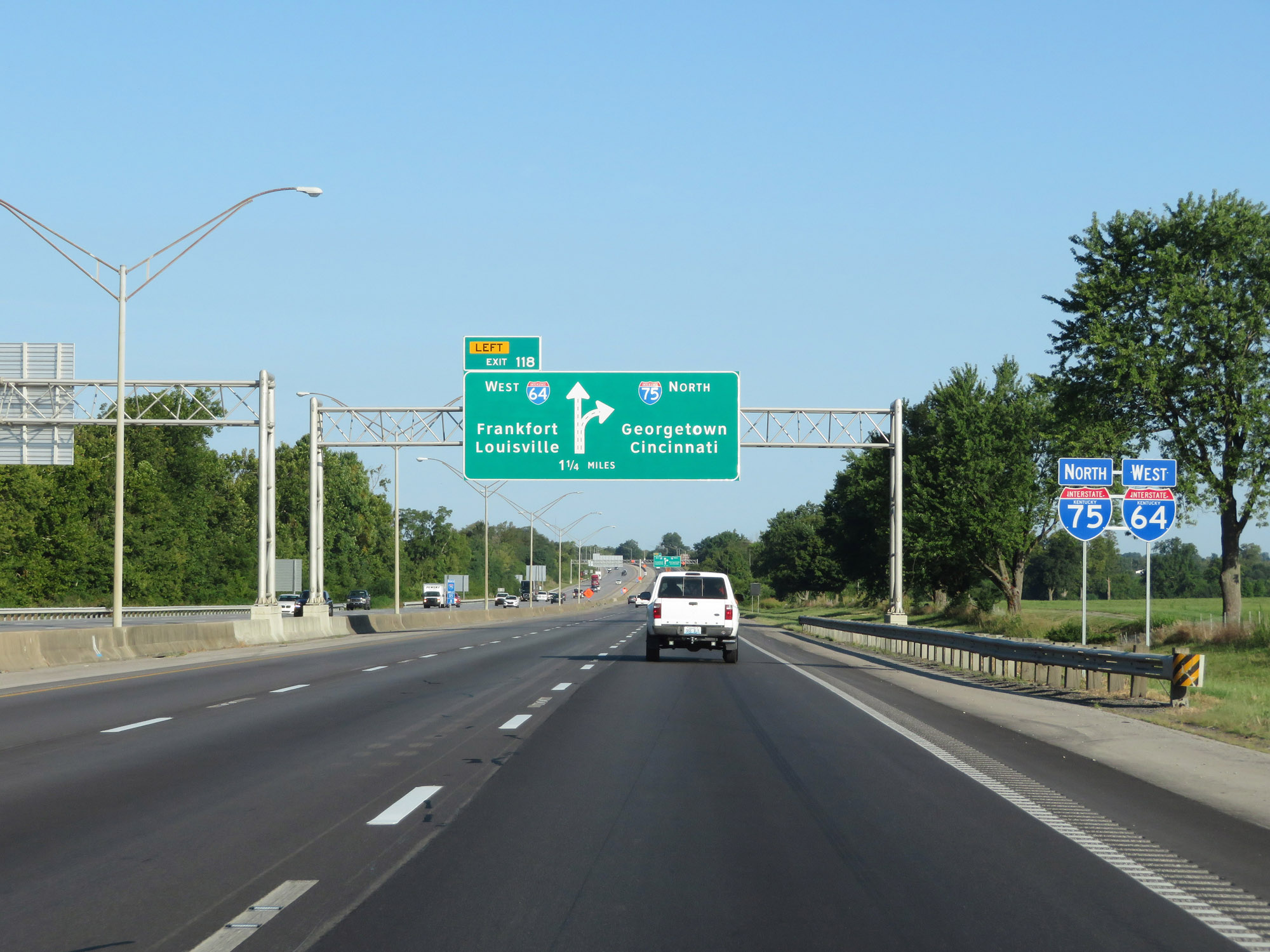
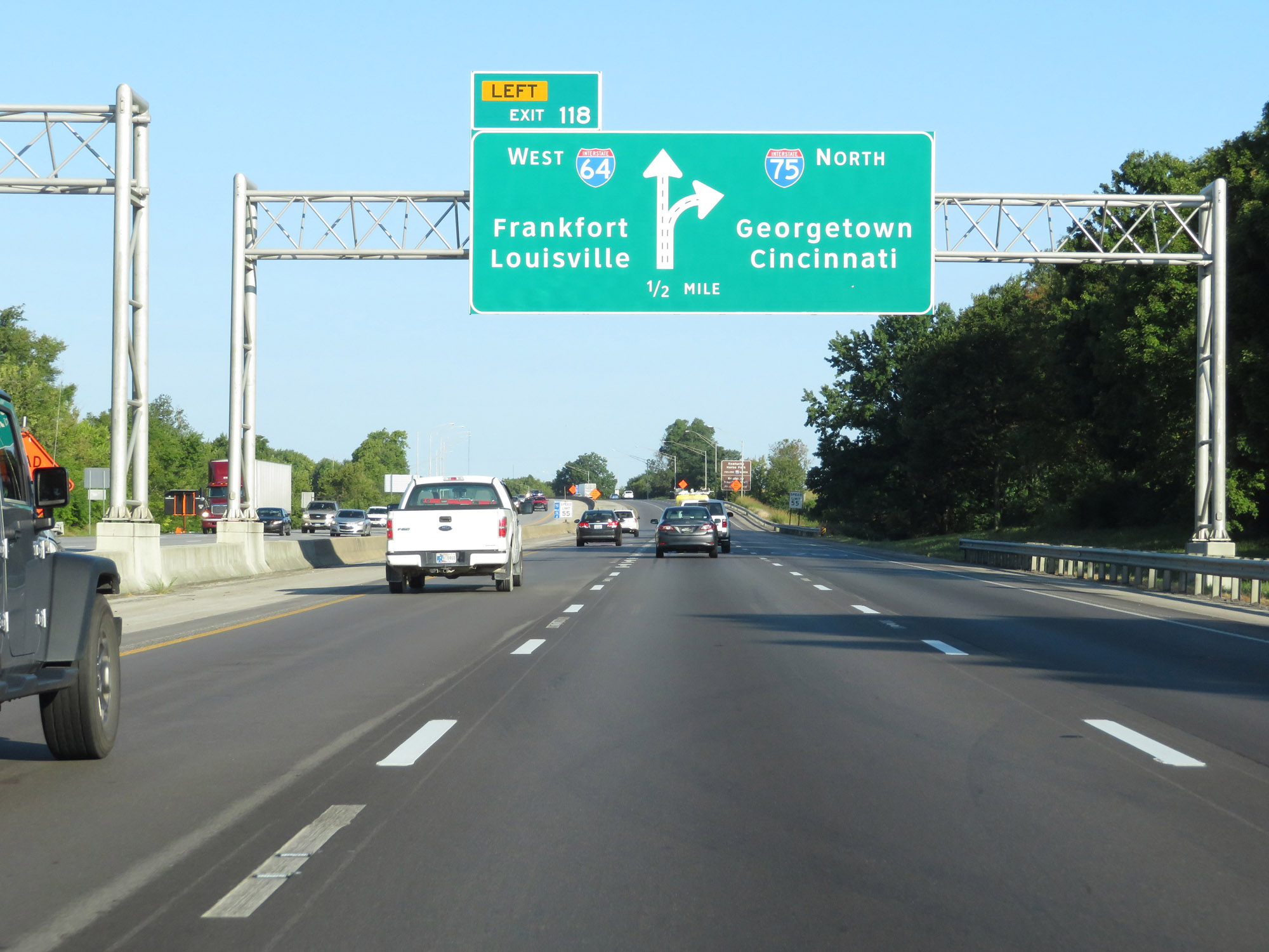
Follow Interstate 75 North to Kentucky Horse Park. Follow Interstate 64 West to Kentucky Bourbon Trail. (Photo taken 8/10/19). |
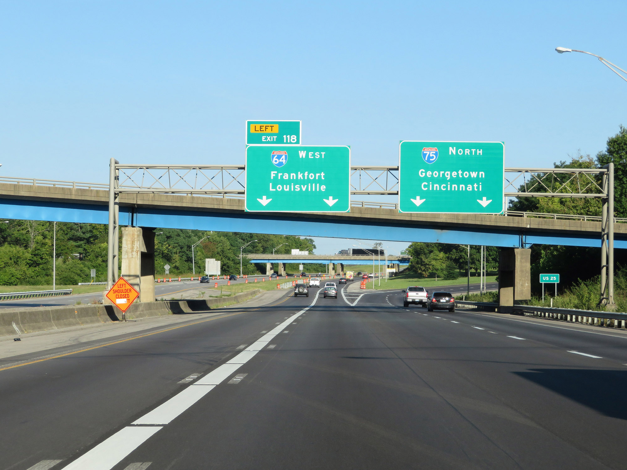 |
Interstate 64 West / Interstate 75 North at Exit 118: Interstate 64 West - Frankfort / Louisville (Photo taken 8/10/19). |
 |
View as Interstate 64 West splits off from Interstate 75 North. I-64 will head west toward Frankfort and Louisville while I-75 heads north to Cincinnati. (Photo taken 8/10/19). |
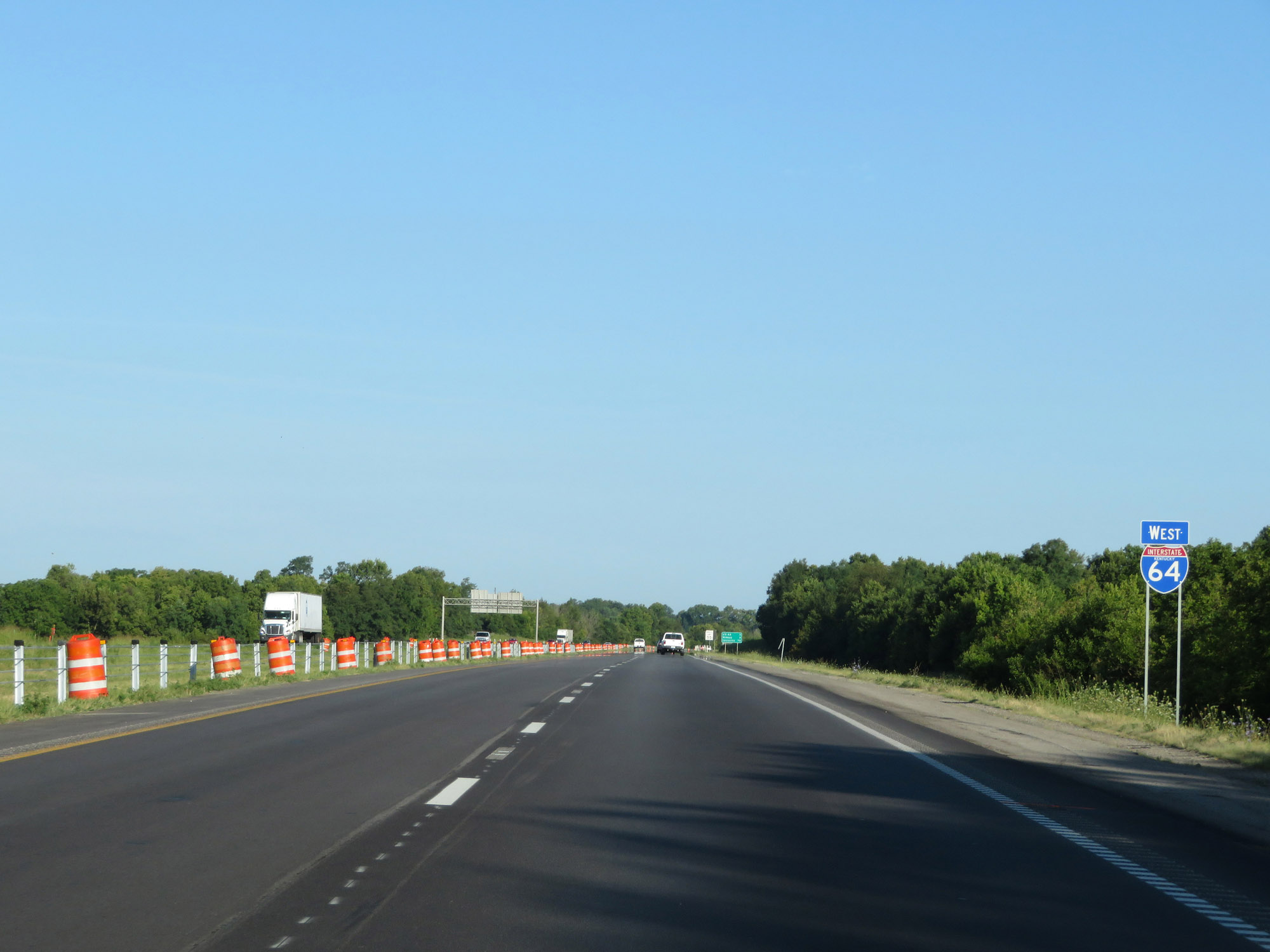 |
State-named Interstate 64 West reassurance shield. (Photo taken 8/10/19). |
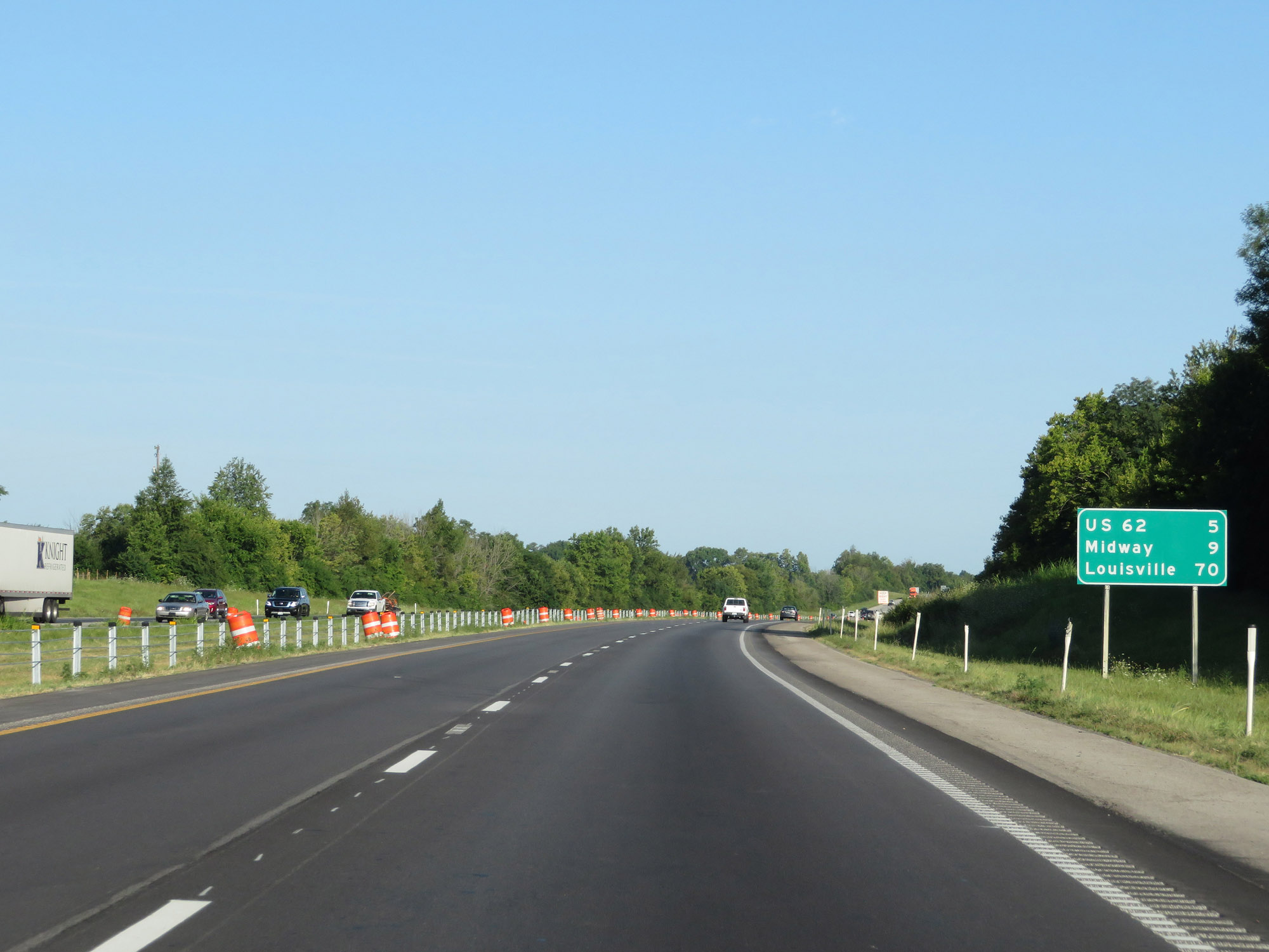 |
Mileage sign on Interstate 64 West. It's 5 miles to the junction of US 62, 9 miles to Midway, and 70 miles to Louisville. (Photo taken 8/10/19). |
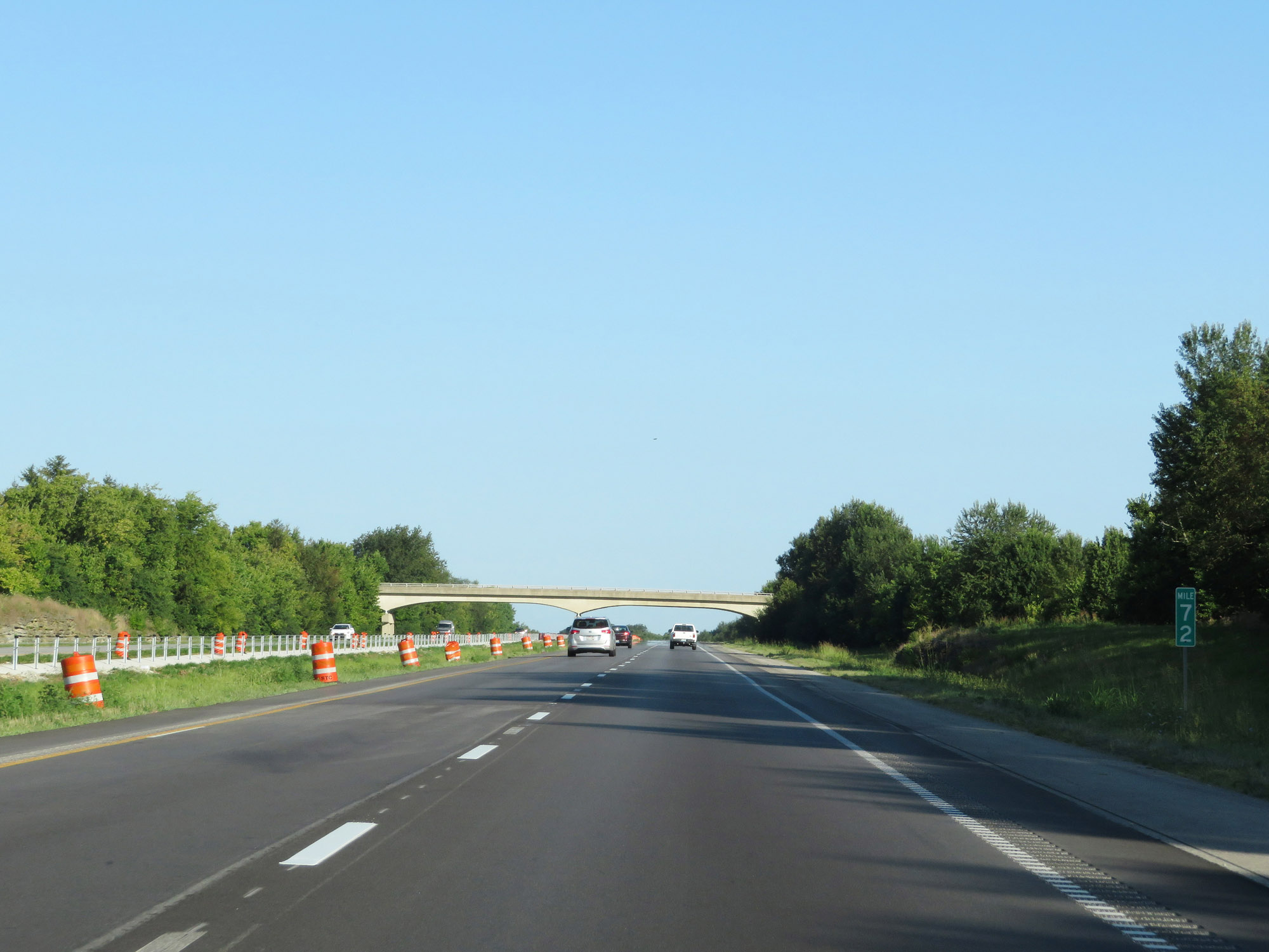 |
Interstate 64 West at mile marker 72. (Photo taken 8/10/19). |
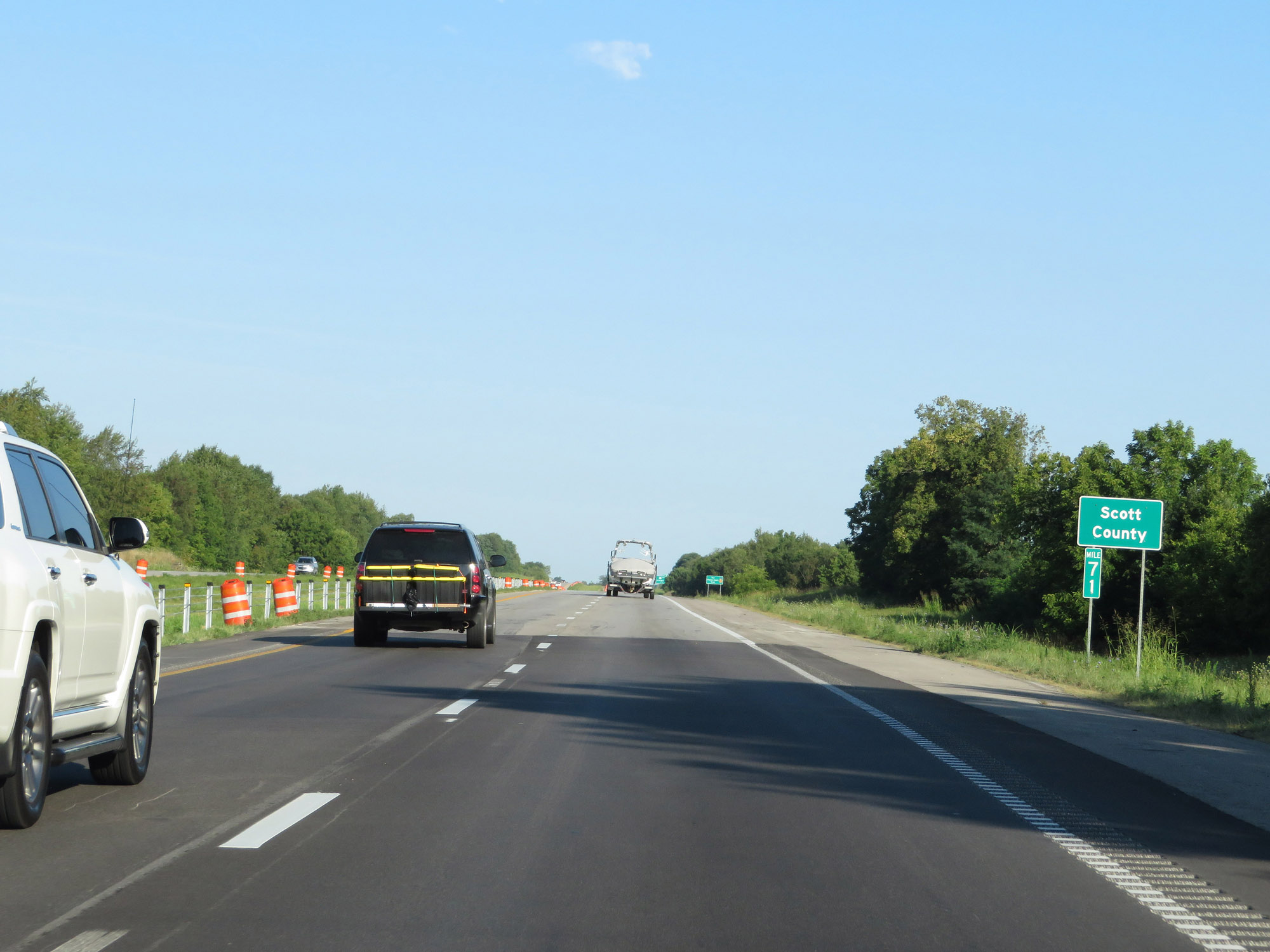 |
Interstate 64 West enters Scott County at mile marker 71. (Photo taken 8/10/19). |
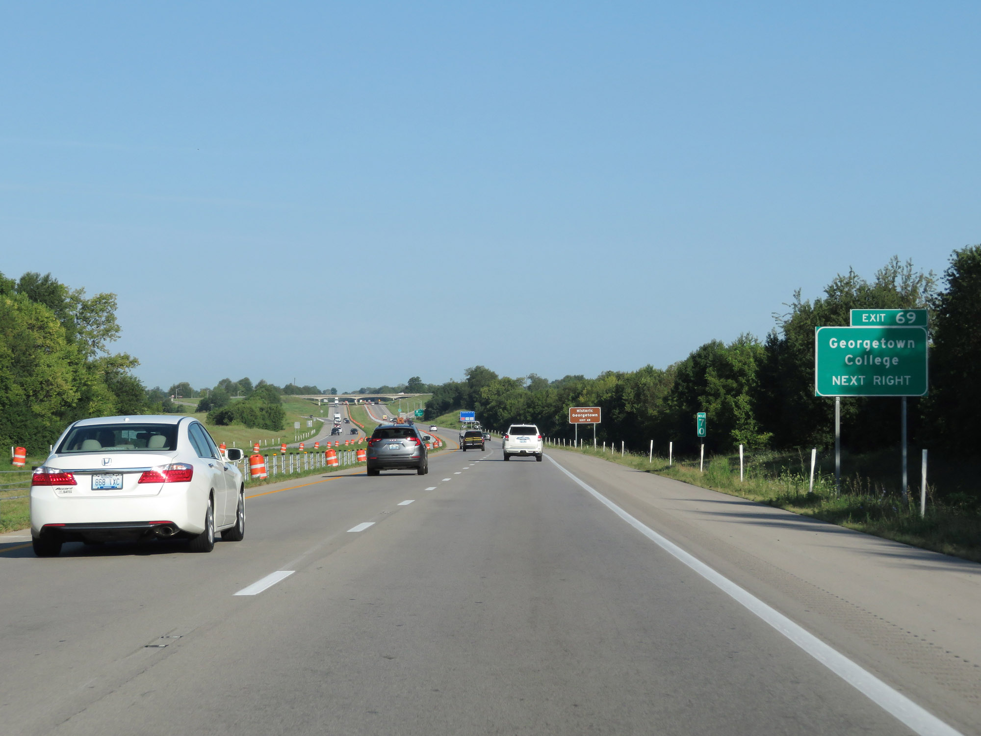 |
Take Exit 69 to Georgetown College. (Photo taken 8/10/19). |
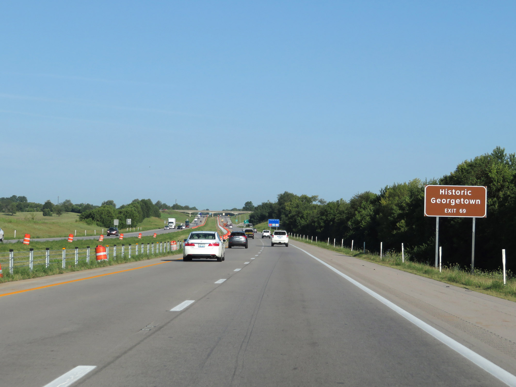 |
Also take Exit 69 to Historic Georgetown. (Photo taken 8/10/19). |
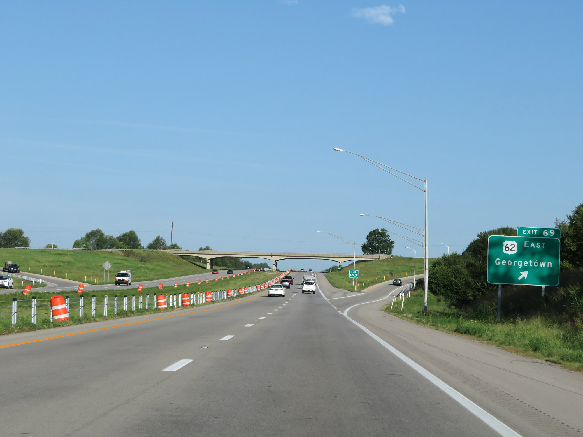 |
Interstate 64 West at Exit 69: US 62 East - Georgetown (Photo taken 8/10/19). |
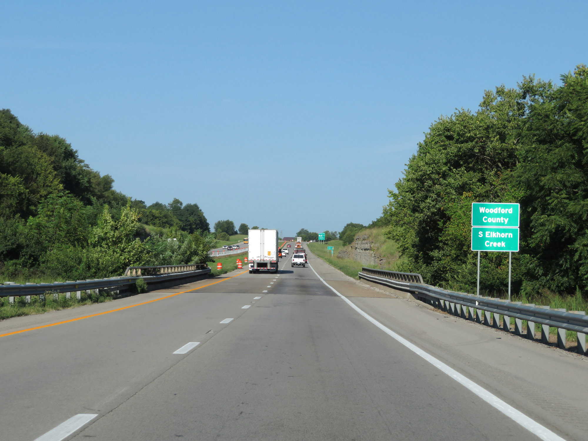 |
Entering Woodford County on Interstate 64 West. (Photo taken 8/10/19). |
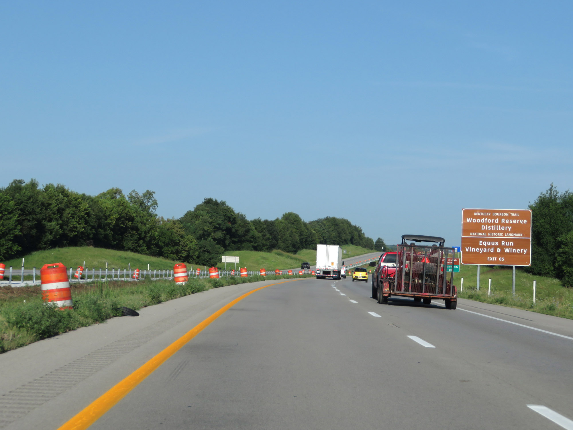 |
Take Exit 65 to Woodford Reserve Distillery and Equus Run Vinyard & Winery. (Photo taken 8/10/19). |
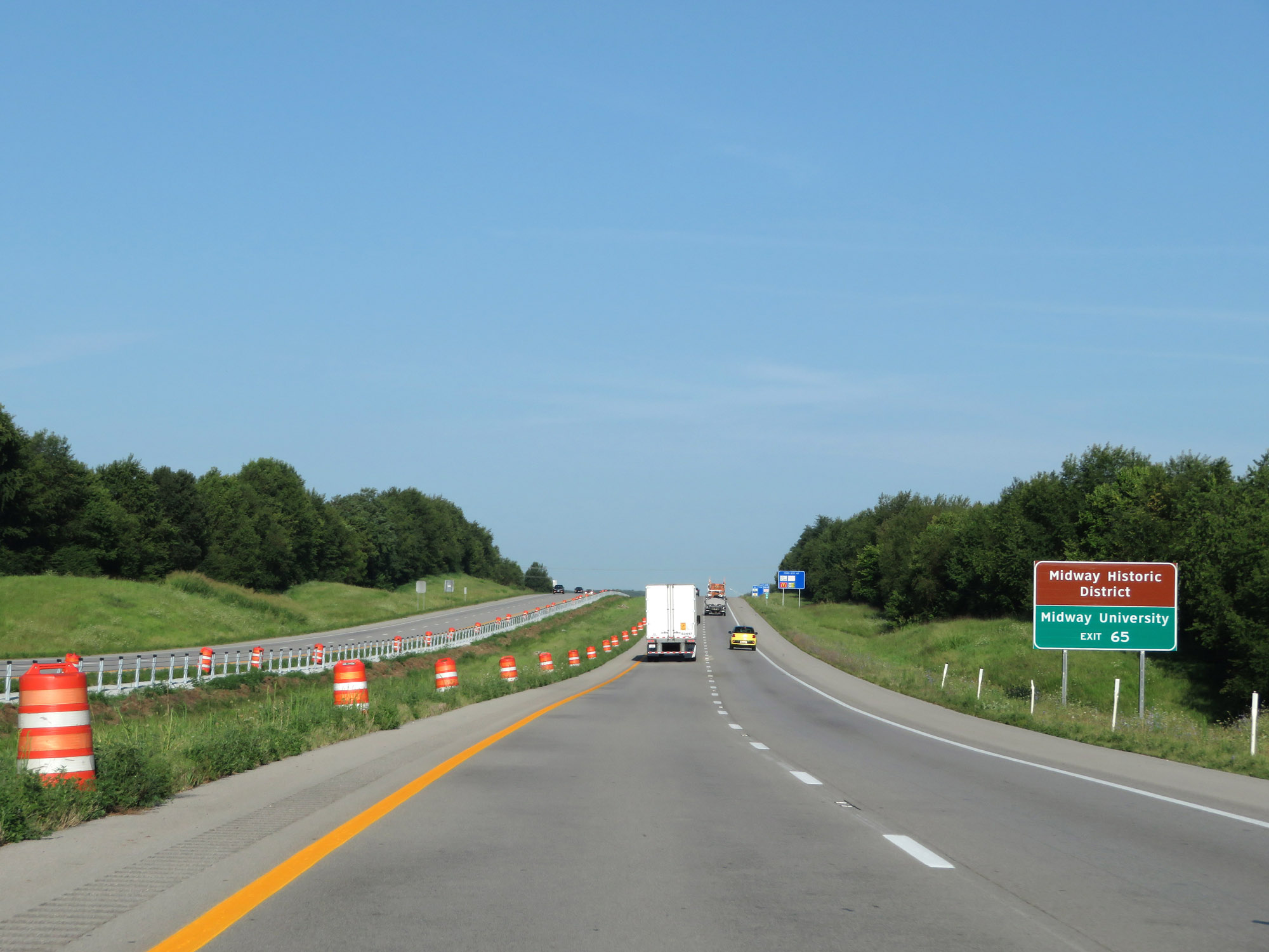 |
Also take Exit 65 to Midway Historic District and Midway University. (Photo taken 8/10/19). |
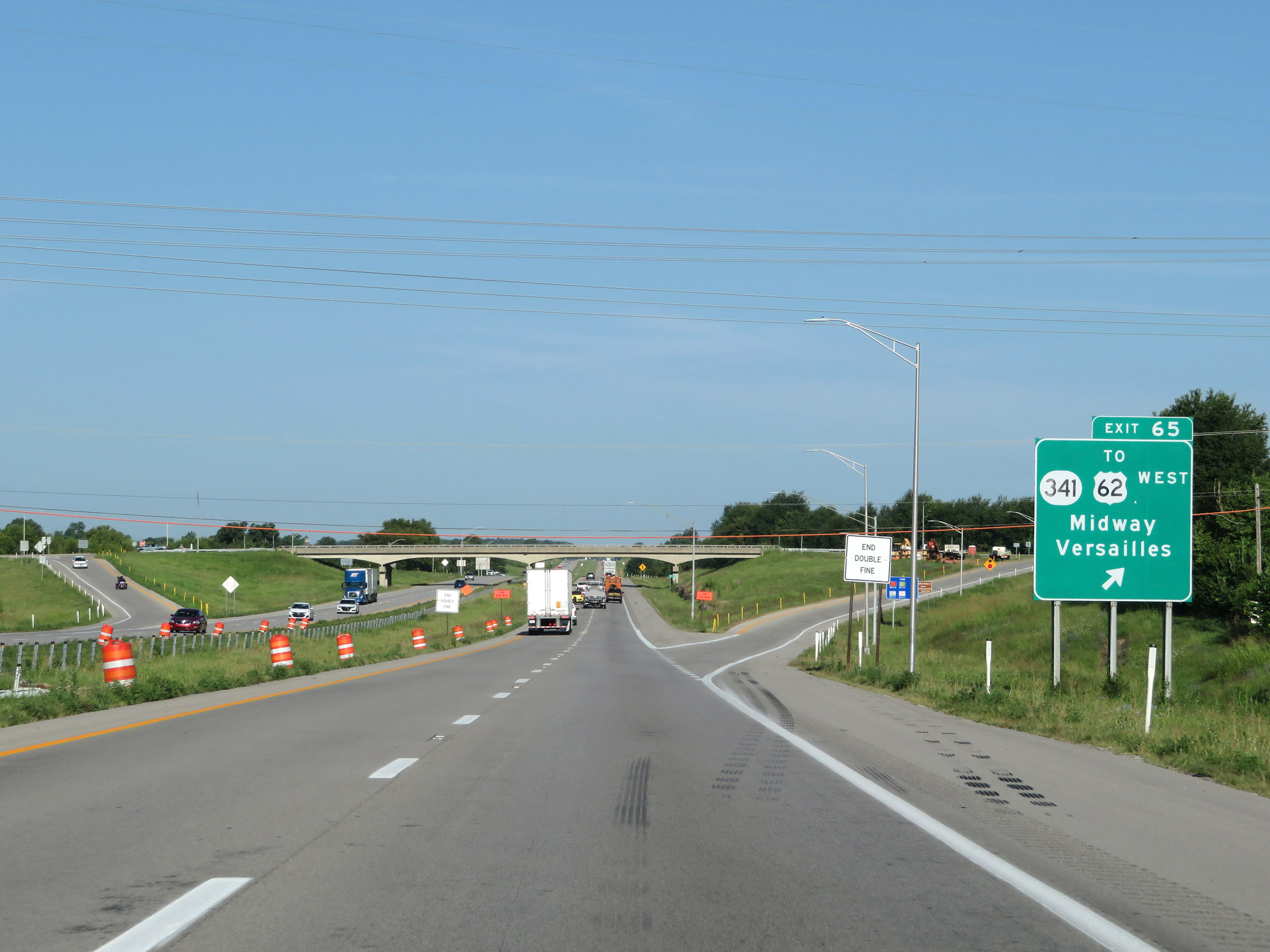 |
Interstate 64 West at Exit 65: KY 341 / To US 62 West - Midway / Versailles (Photo taken 8/10/19). |
 |
The speed limit remains 70 mph on Interstate 64 West. (Photo taken 8/10/19). |
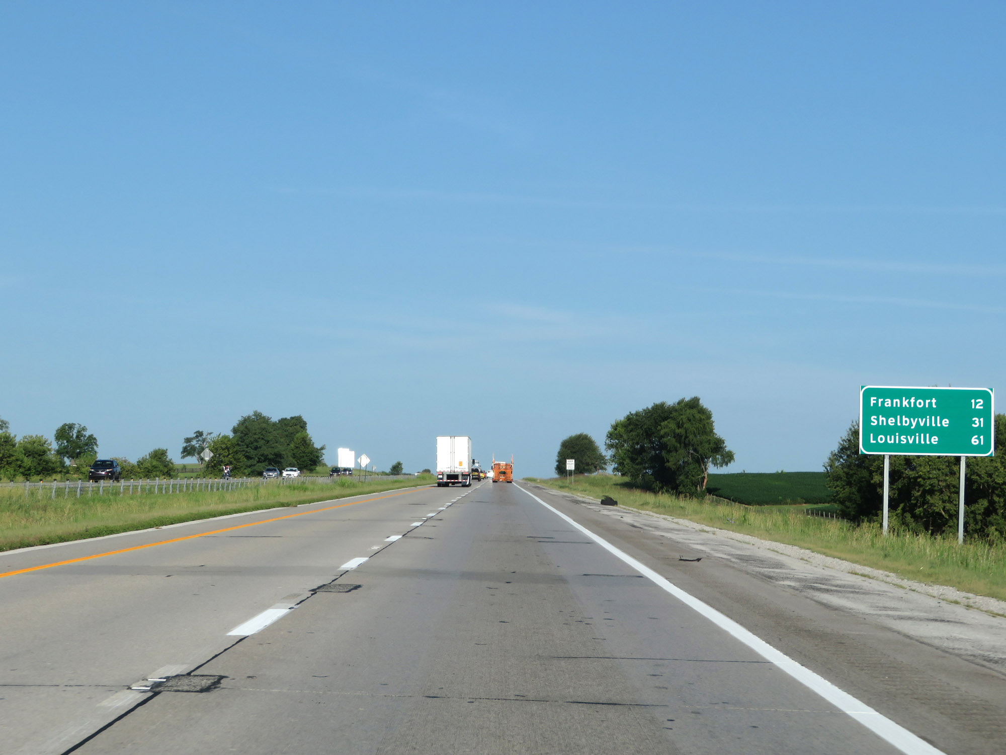 |
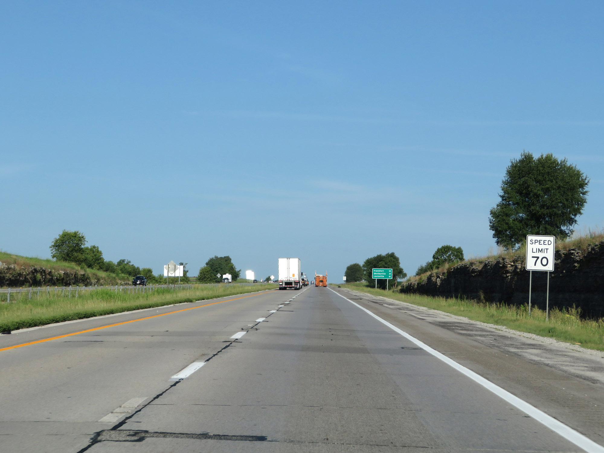
Mileage sign on Interstate 64 West. It's 12 miles to Frankfort, 31 miles to Shelbyville, and 61 miles to Louisville. (Photo taken 8/10/19). |
 |
Interstate 64 West at mile marker 64. (Photo taken 8/10/19). |
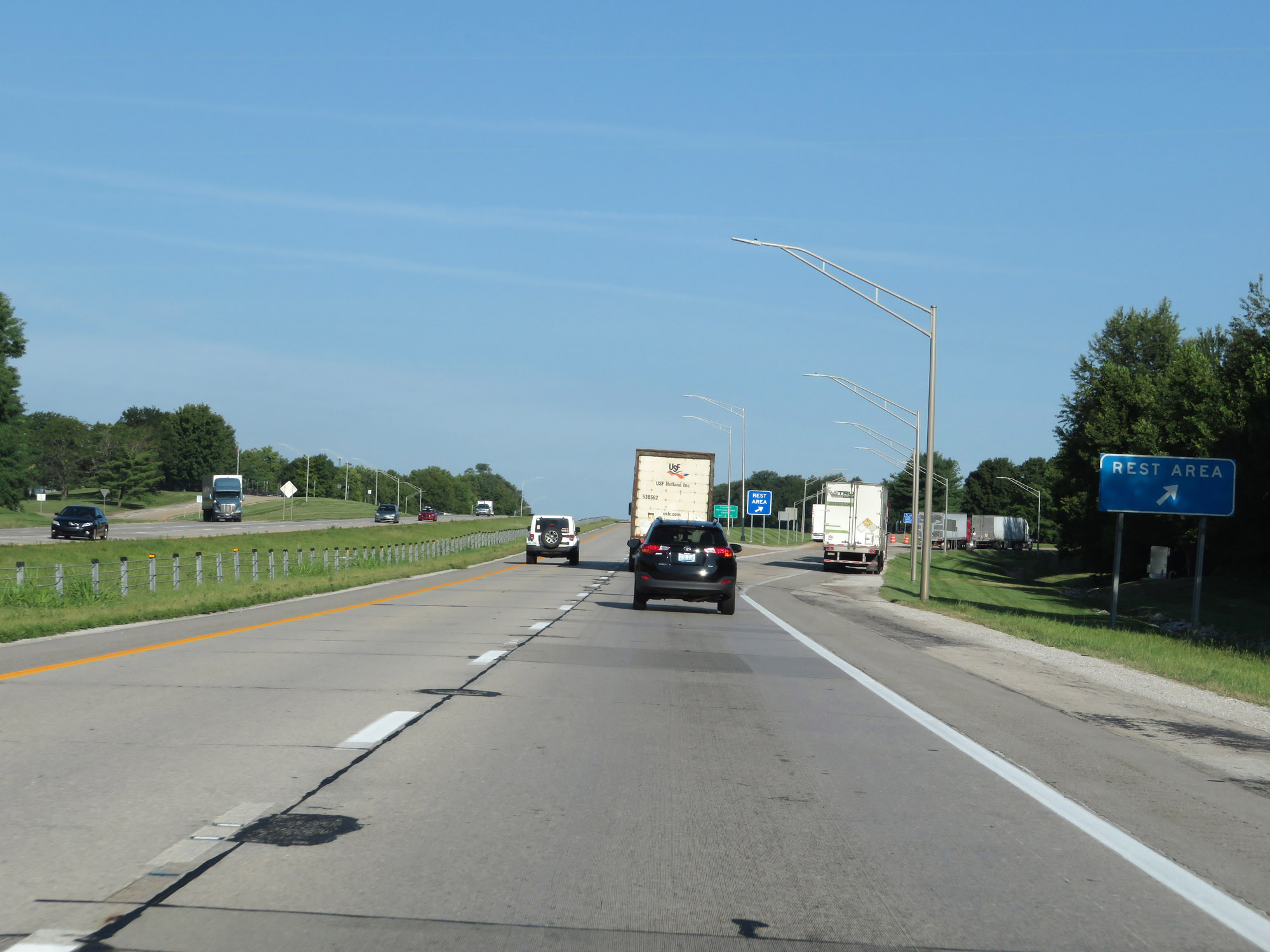 |
Rest Area on Interstate 64 West in Woodford County. (Photo taken 8/10/19). |
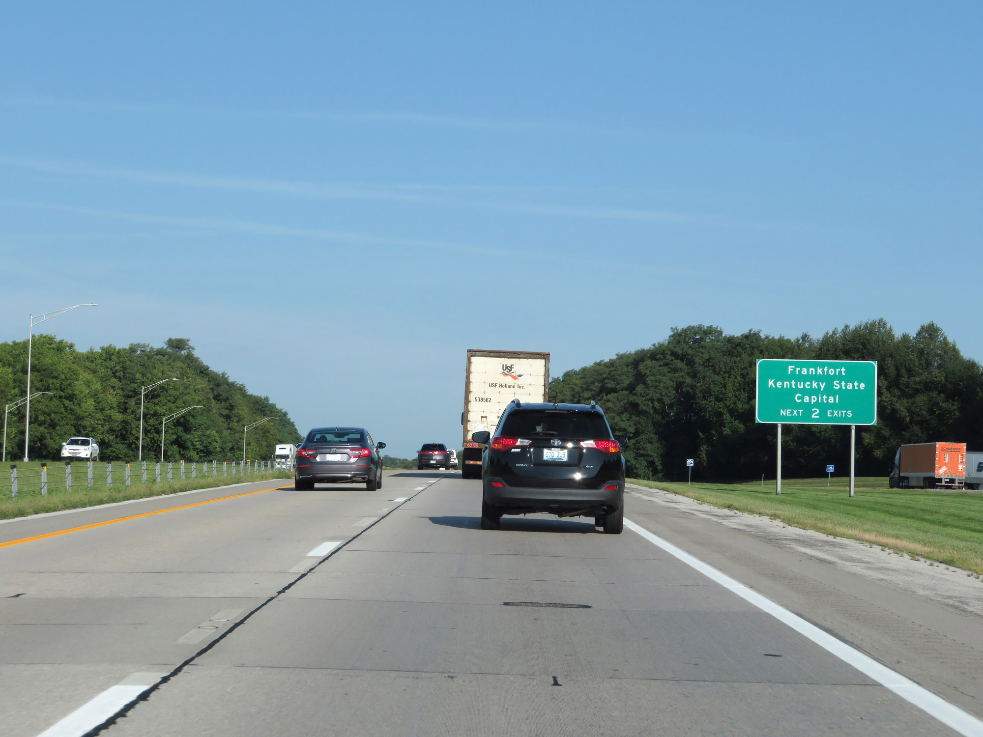 |
Take either of the next 2 exits to Frankfort, the state capital of Kentucky. (Photo taken 8/10/19). |
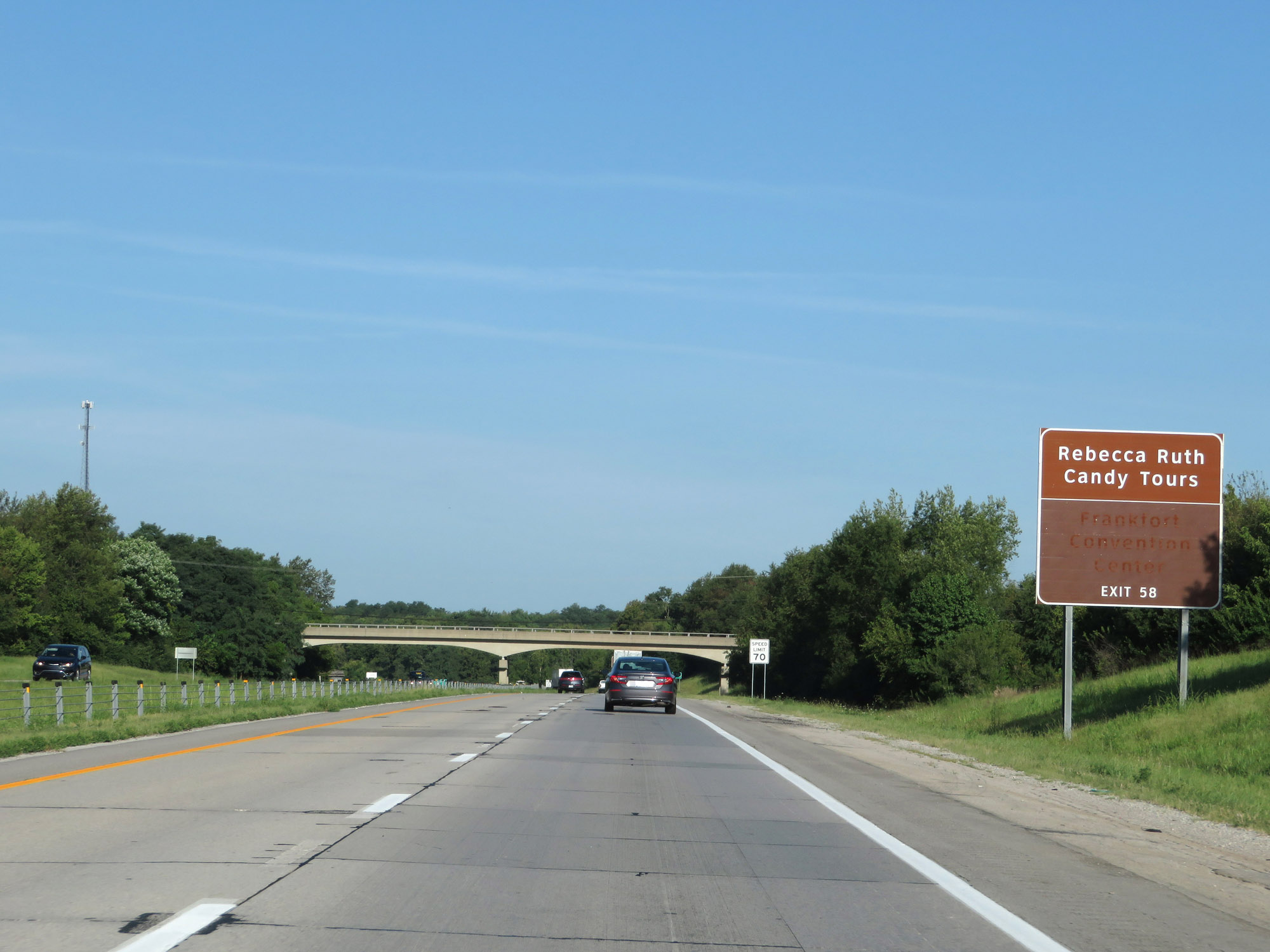 |
Take Exit 58 to Rebecca Ruth Candy Tours. (Photo taken 8/10/19). |
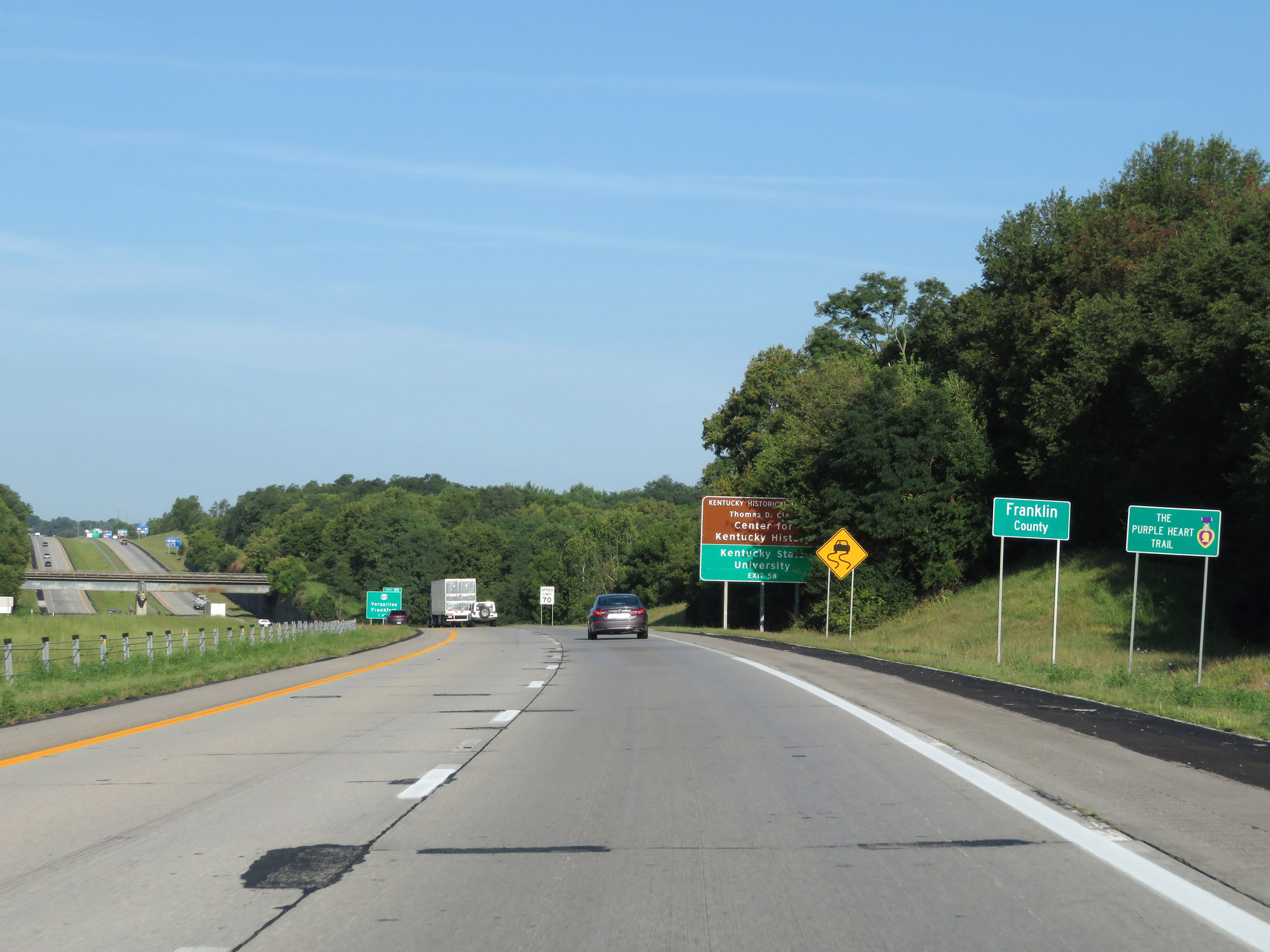 |
Interstate 64 West as it enters Franklin County. (Photo taken 8/10/19). |
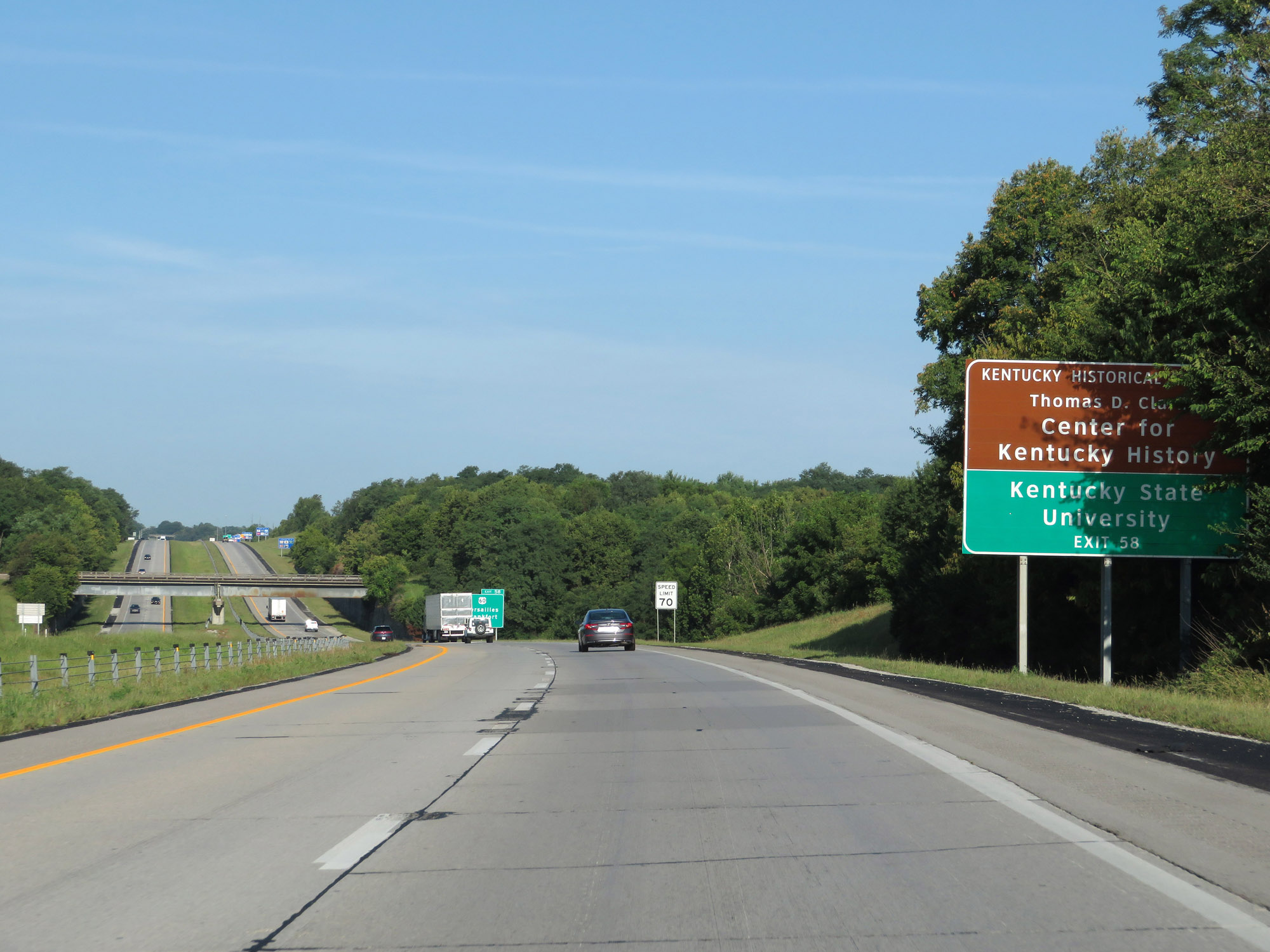 |
Take Exit 58 to the Thomas D. Clark Center for Kentucky History and Kentucky State University. (Photo taken 8/10/19). |
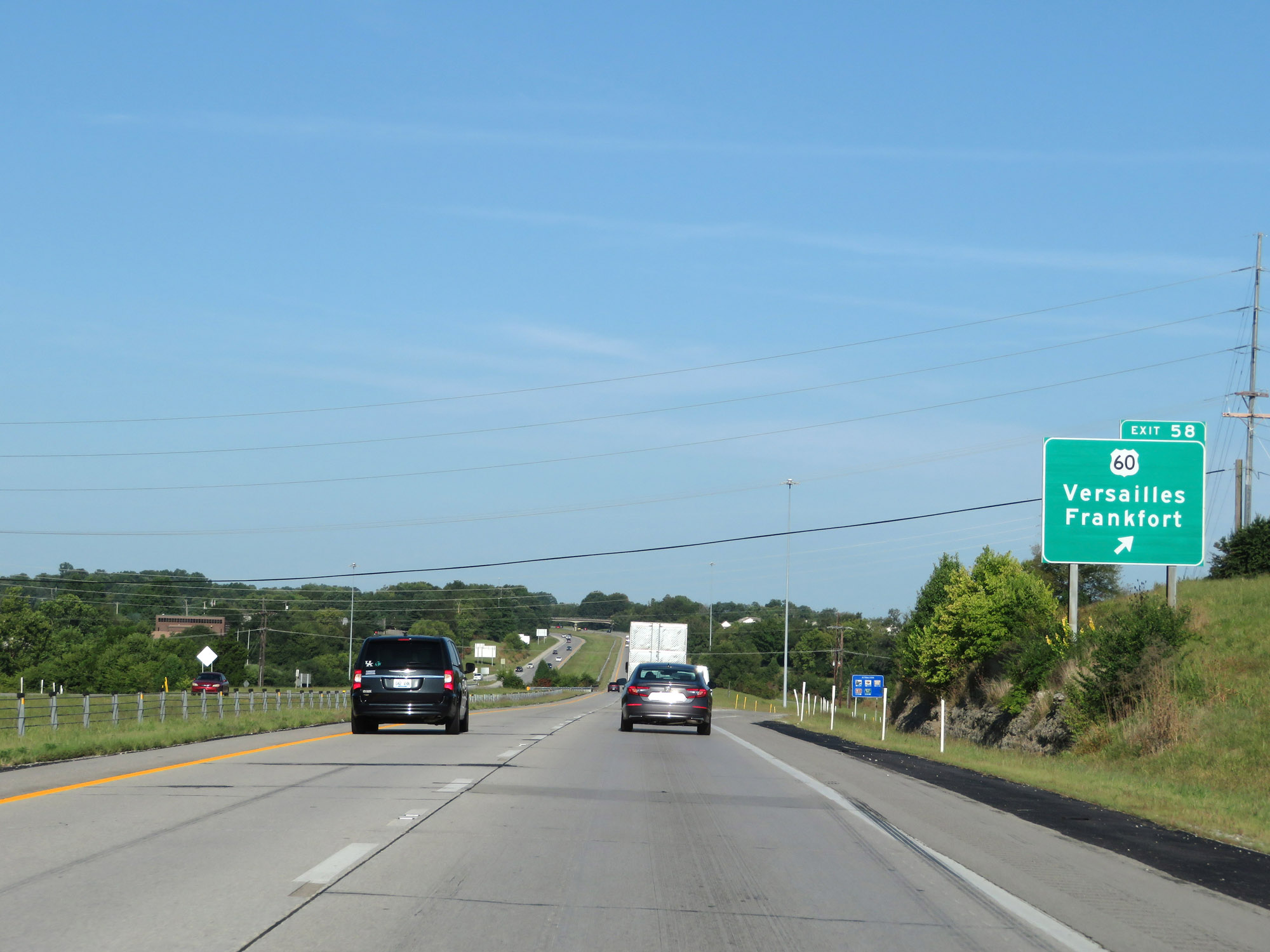 |
Interstate 64 West at Exit 58: US 60 - Versailles / Frankfort (Photo taken 8/10/19). |
 |
Interstate 64 West at mile marker 56. (Photo taken 8/10/19). |
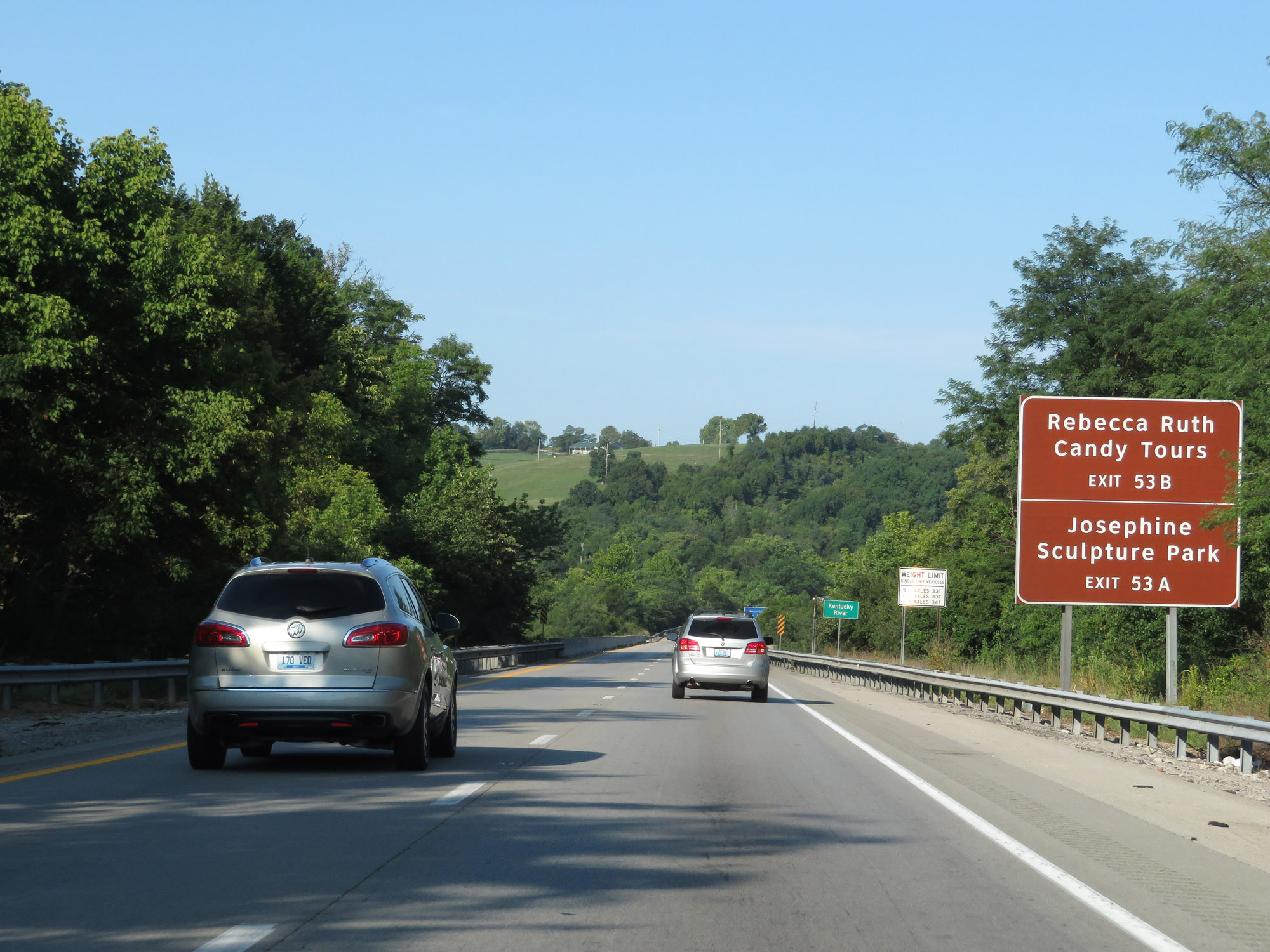 |
Take Exit 53B for Rebecca Ruth Candy Tours. Take Exit 53A to Josephine Sculpture Park. (Photo taken 8/10/19). |
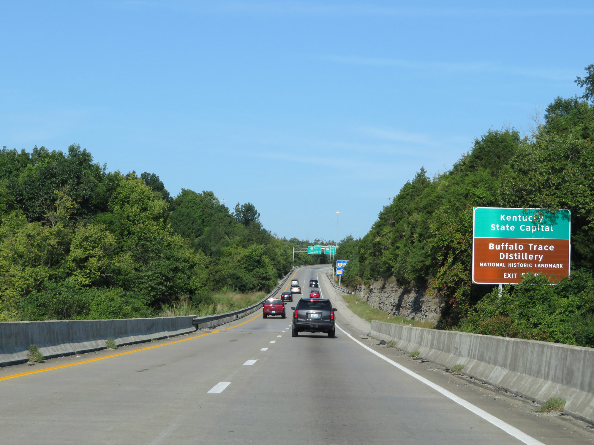 |
Also take Exit 53B to the Kentucky State Capitol and Buffalo Trace Distillery National Historic Landmark. (Photo taken 8/10/19). |
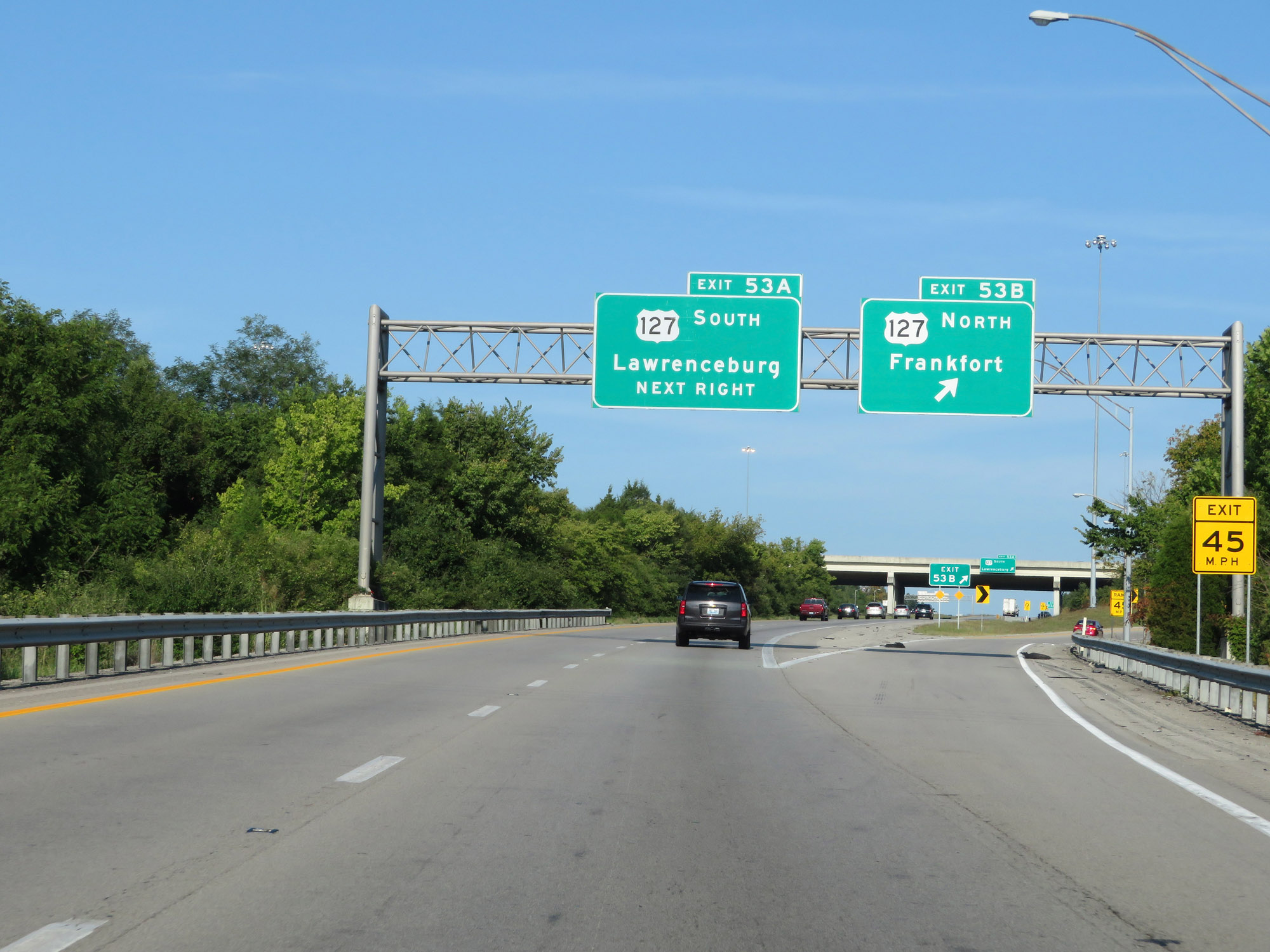 |
Interstate 64 West at Exit 53B: US 127 North - Frankfort (Photo taken 8/10/19). |
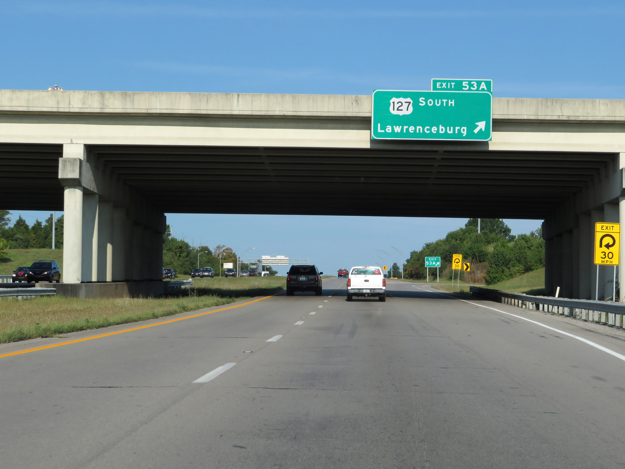 |
Interstate 64 West at Exit 53A: US 127 South - Lawrenceburg (Photo taken 8/10/19). |
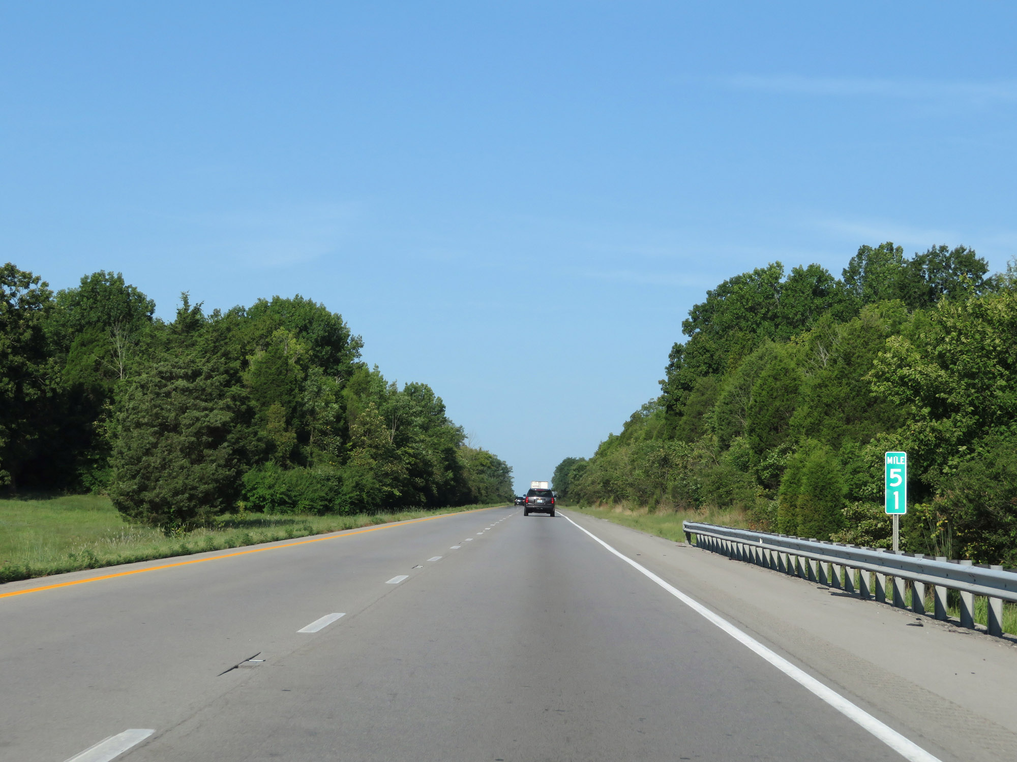 |
Interstate 64 West at mile marker 51. (Photo taken 8/10/19). |
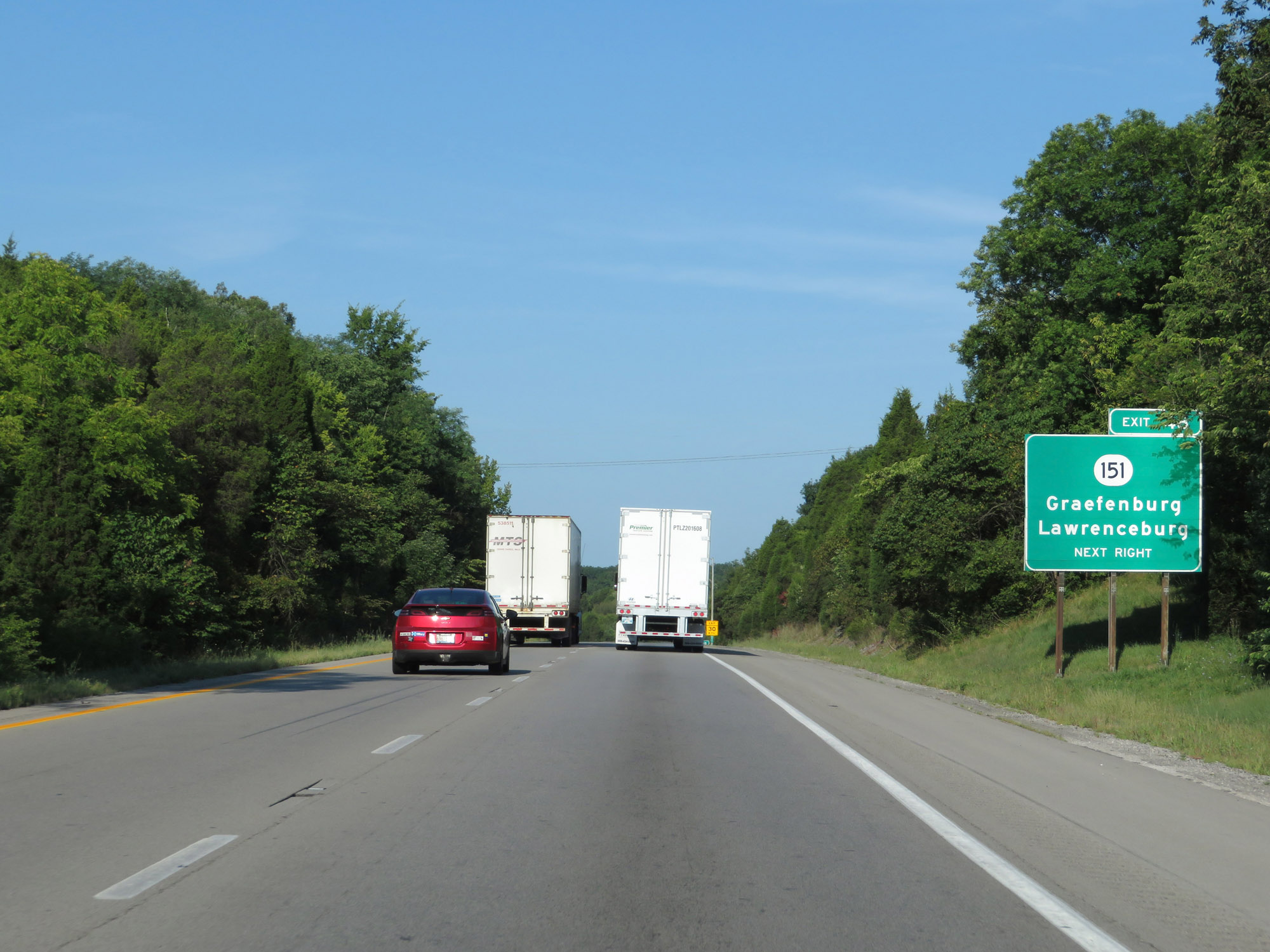 |
Interstate 64 West at Exit 48: KY 151 - Graefenburg / Lawrenceburg (Photo taken 8/10/19). |
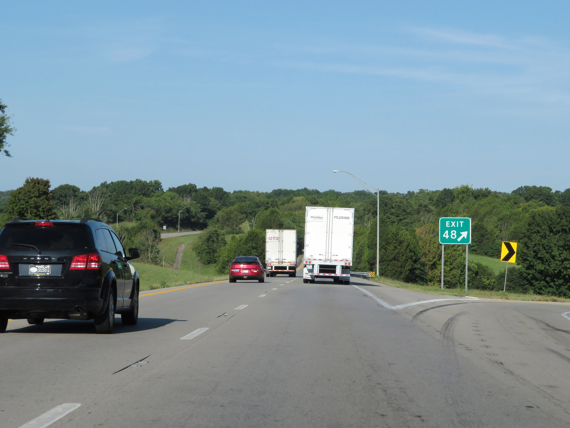 |
Gore point signage for Exit 48. (Photo taken 8/10/19). |
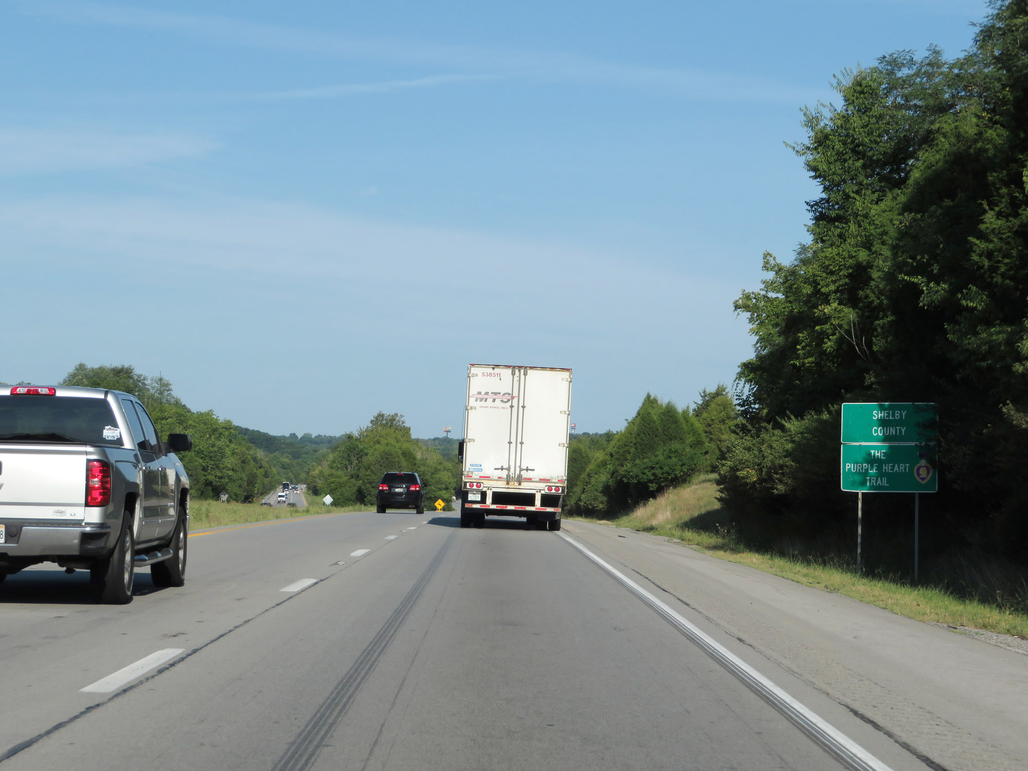 |
Interstate 64 West as it enters Shelby County. (Photo taken 8/10/19). |
 |
Interstate 64 West approaching Exit 43 - 1 mile. (Photo taken 8/10/19). |
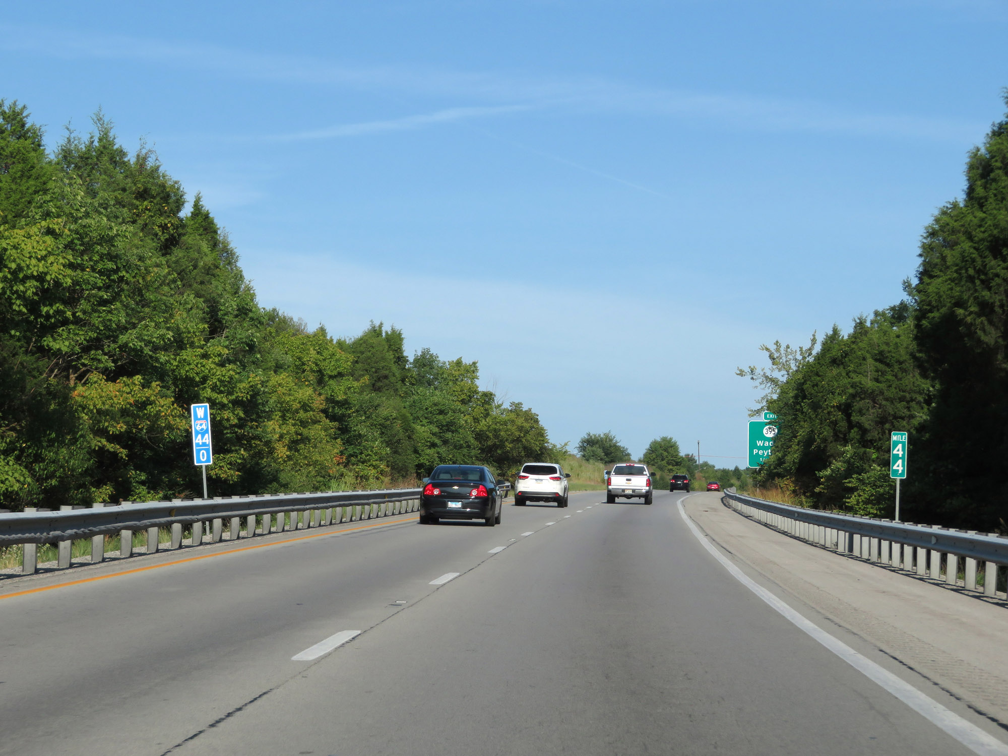 |
View on Interstate 64 West at mile marker 44. (Photo taken 8/10/19). |
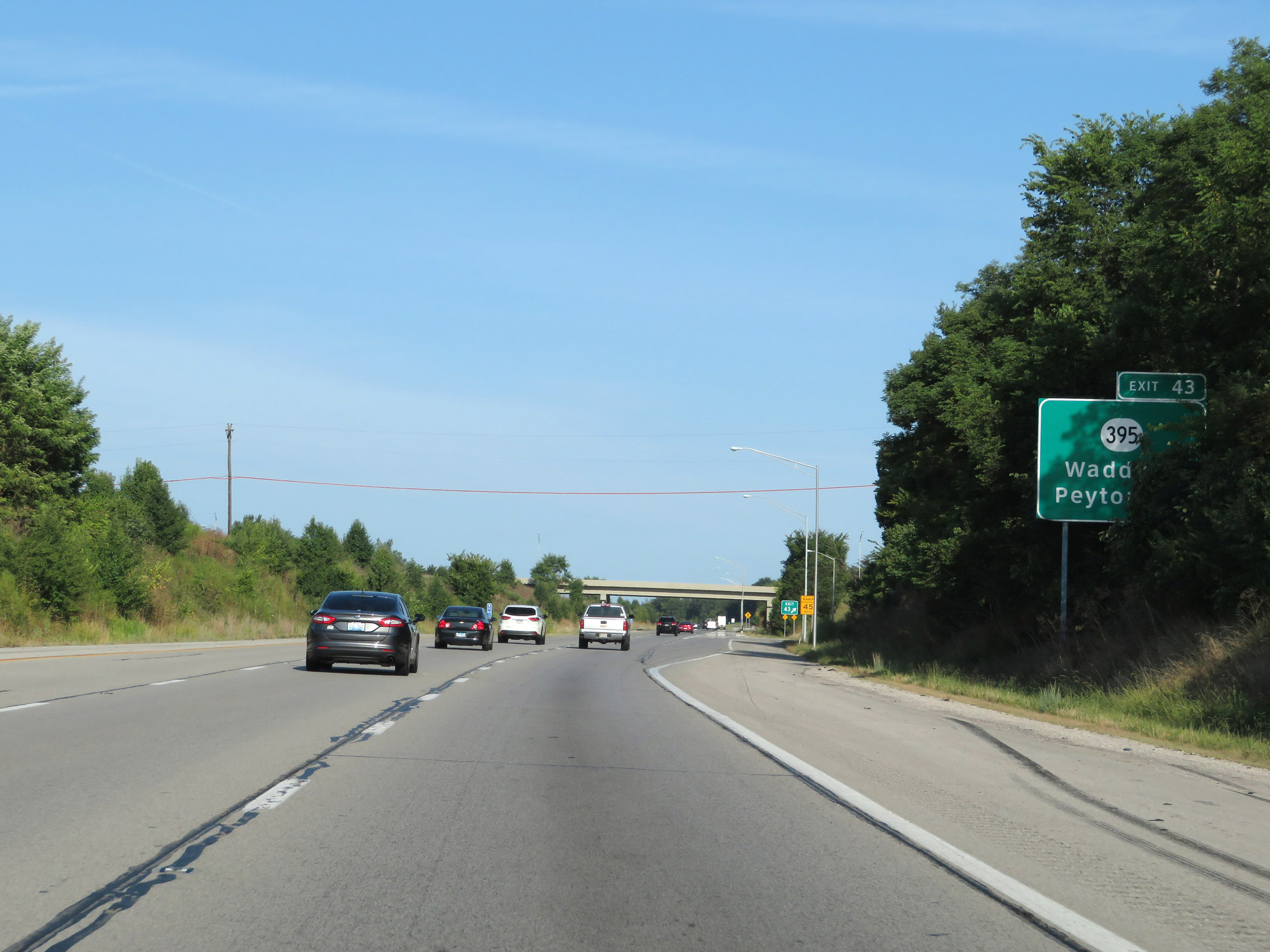 |
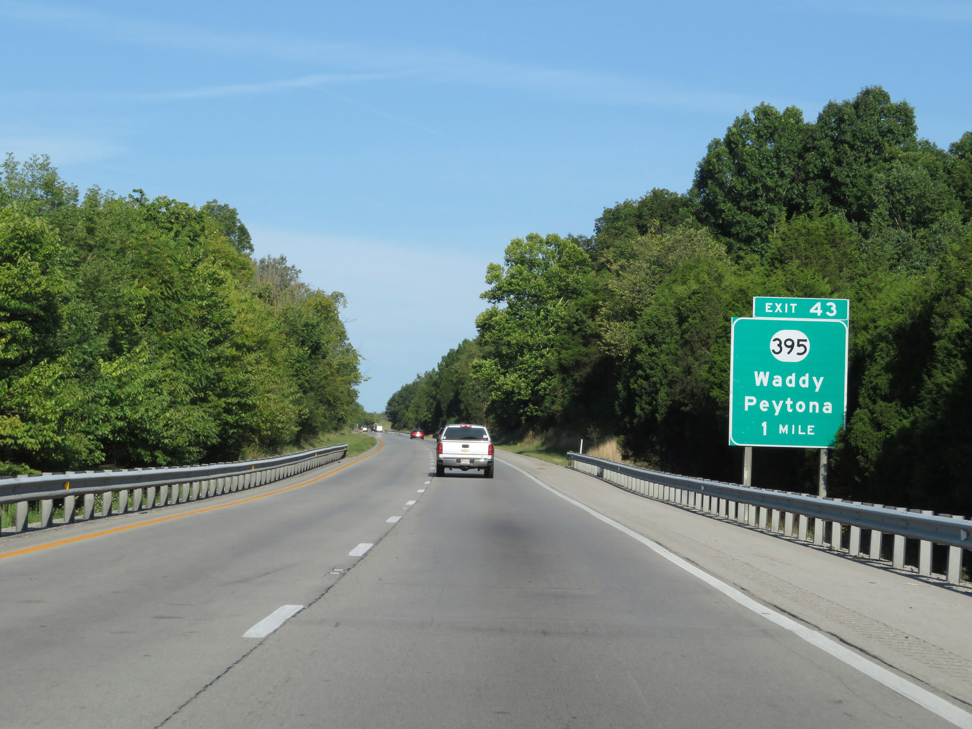
Interstate 64 West at Exit 43: KY 395 - Waddy / Peytona (Photo taken 8/10/19). |
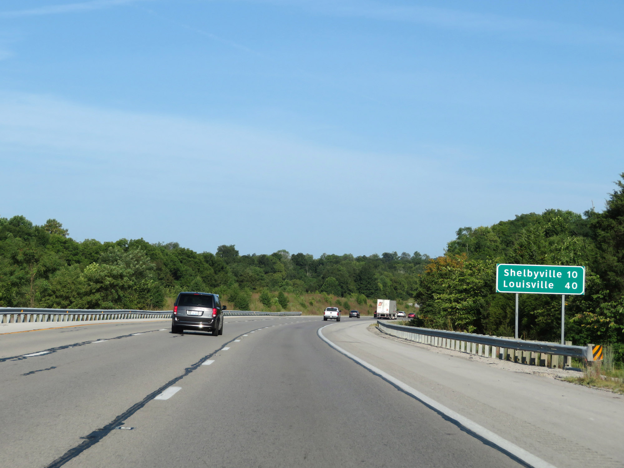 |
Mileage sign on Interstate 64 West. It's 10 miles to Shelbyville and 40 miles to Louisville. (Photo taken 8/10/19). |
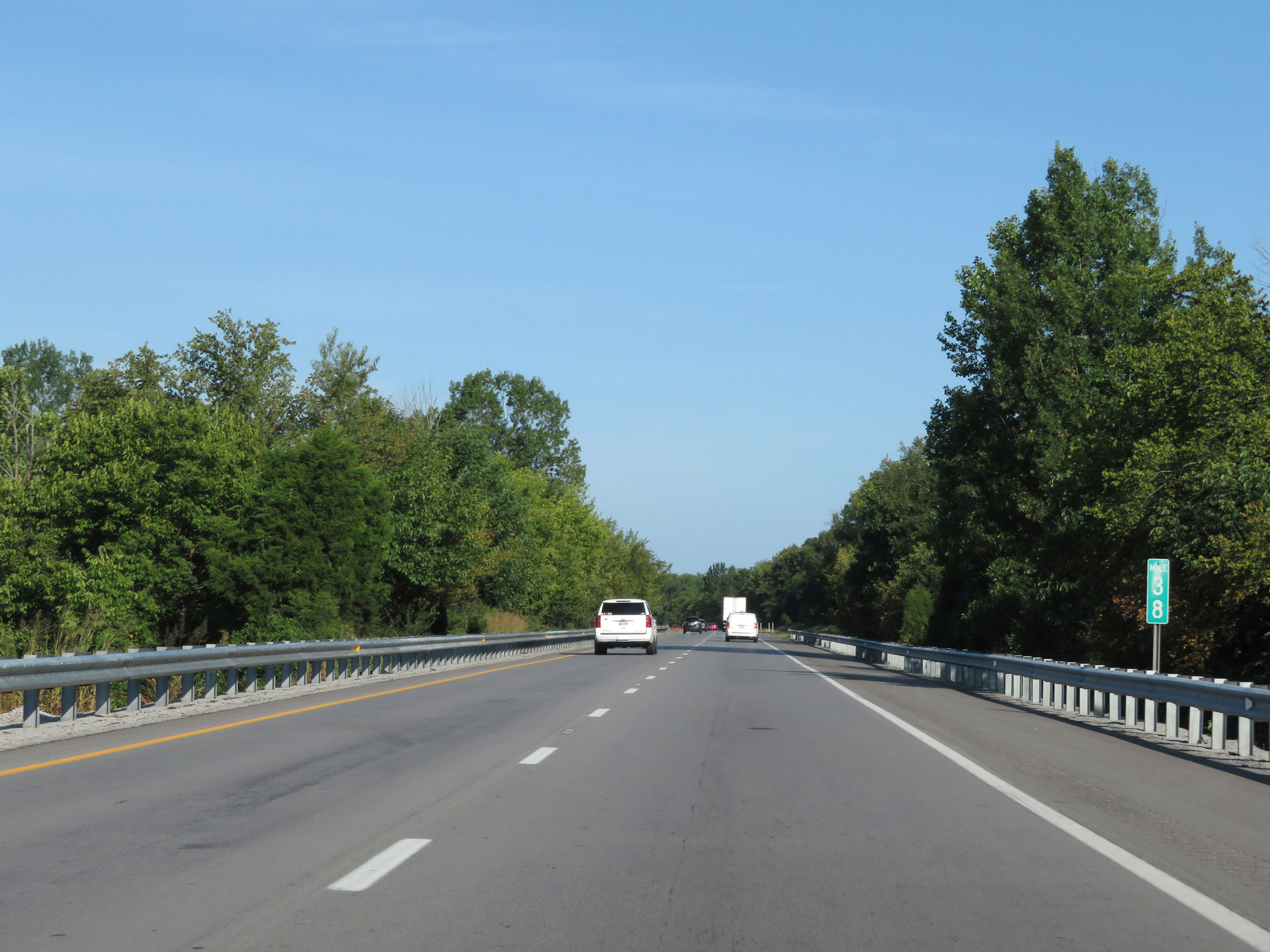 |
Interstate 64 West at mile marker 38. (Photo taken 8/10/19). |
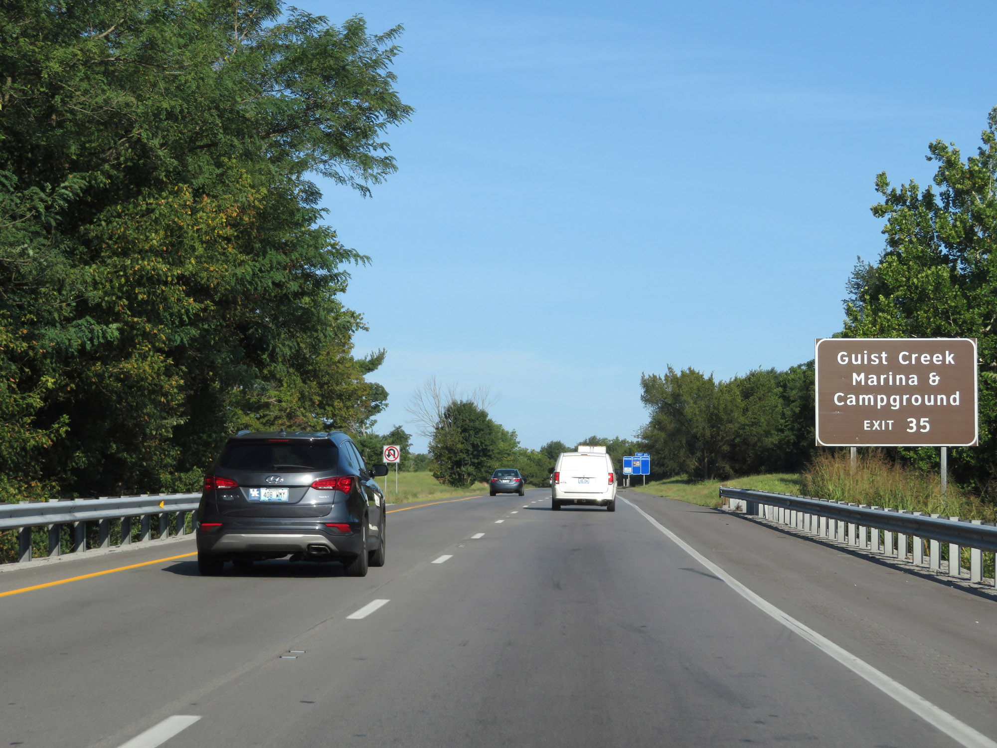 |
Take Exit 35 to Guist Creek Marina & Campground. (Photo taken 8/10/19). |
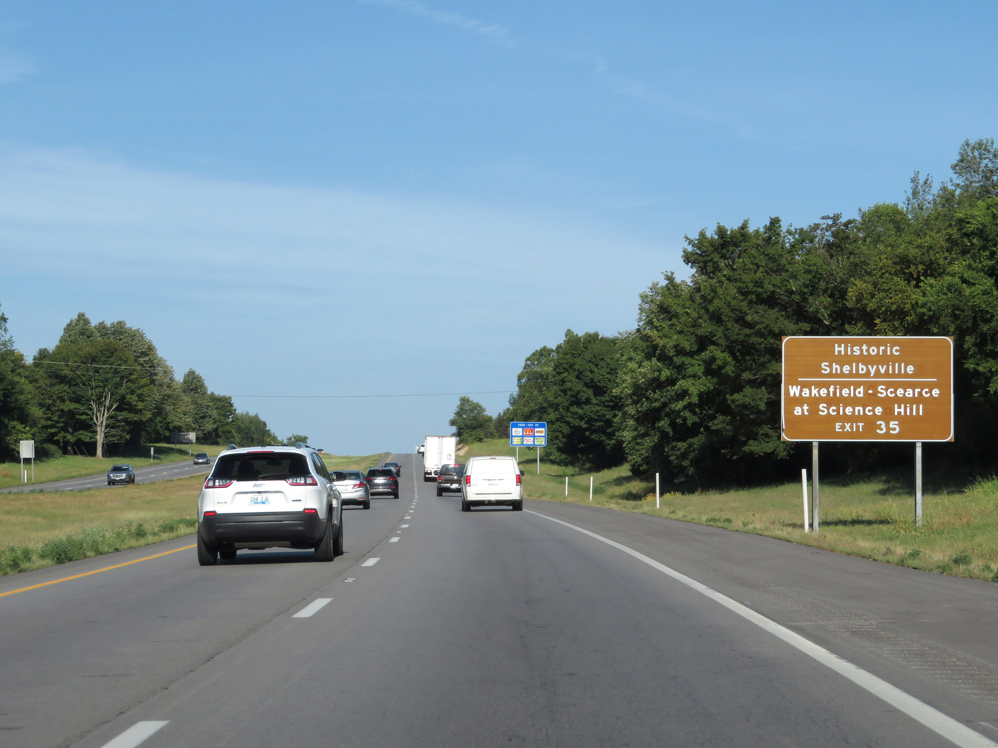 |
Also take Exit 35 to Historic Shelbyville and Wakefield-Scearce at Science Hill. (Photo taken 8/10/19). |
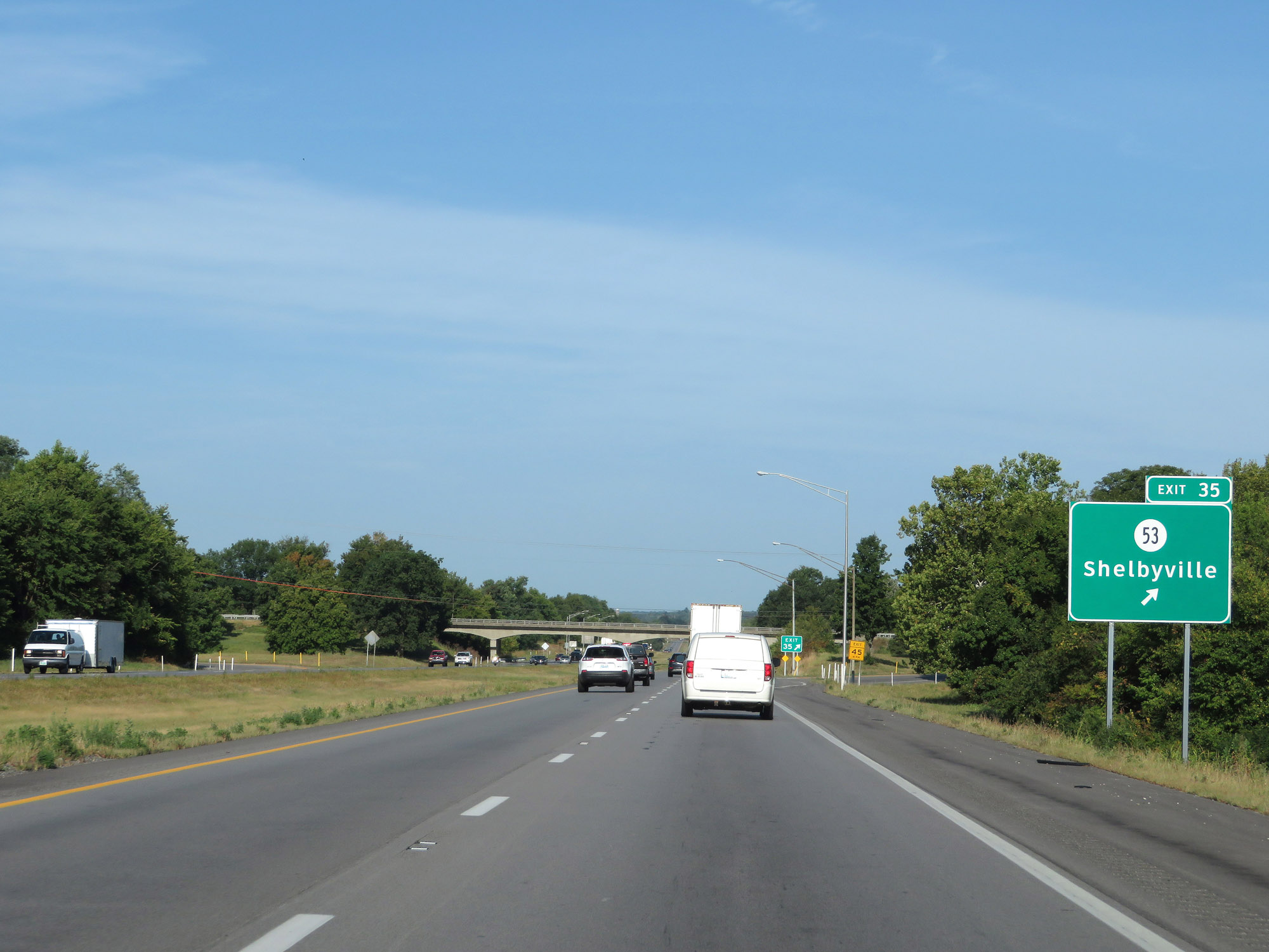 |
Interstate 64 West at Exit 35: KY 53 - Shelbyville (Photo taken 8/10/19). |
Section 3: Shelbyville (Exit 35) to Indiana Border
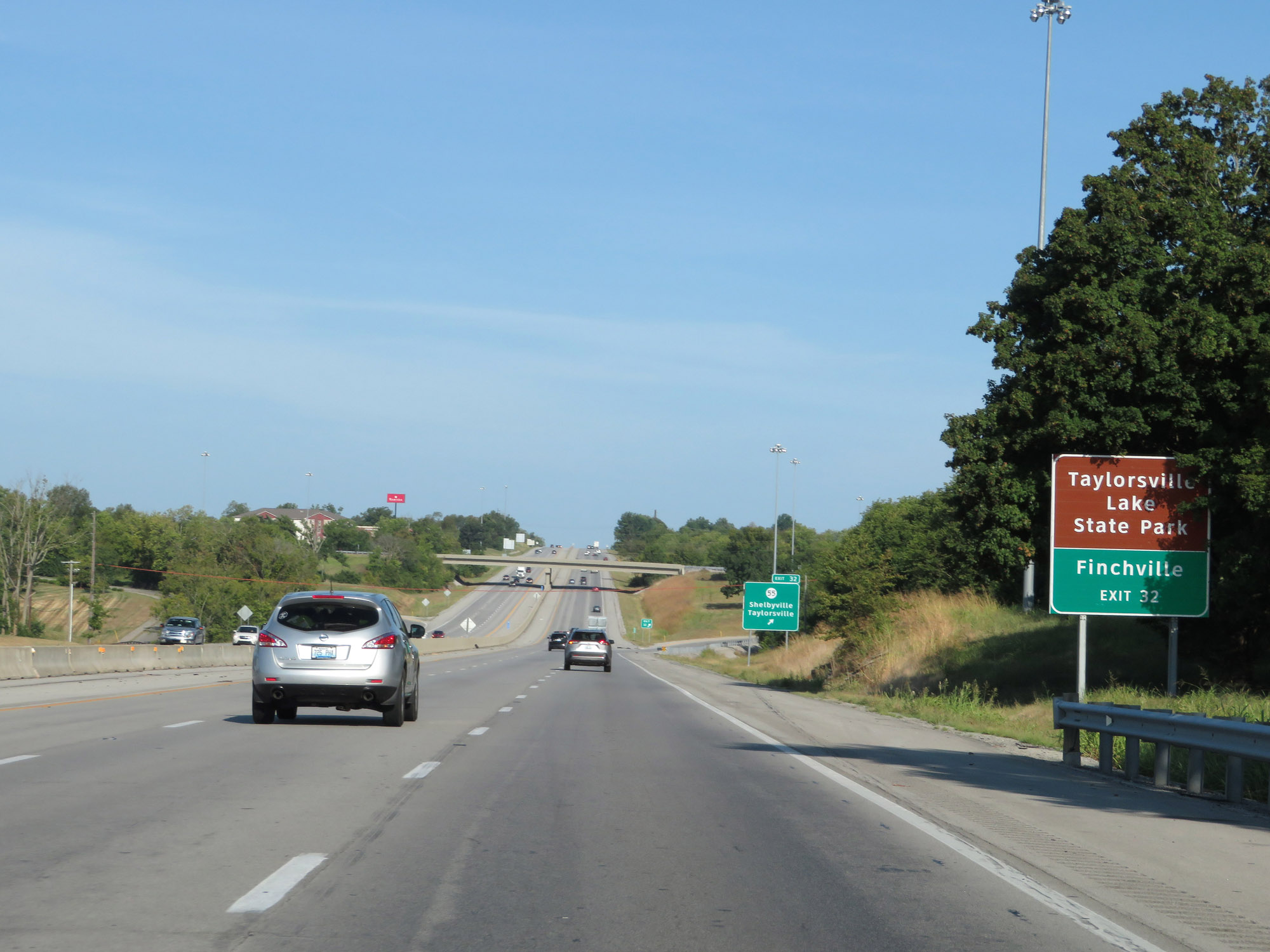 |
Take Exit 32 to Taylorsville Lake State Park and Finchville. (Photo taken 8/10/19). |
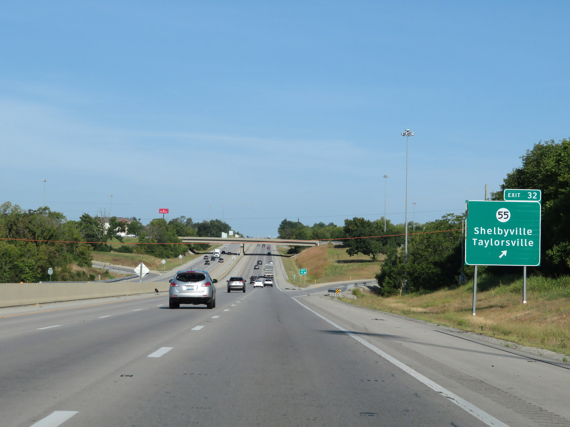 |
Interstate 64 West at Exit 32: KY 55 - Shelbyville / Taylorsville (Photo taken 8/10/19). |
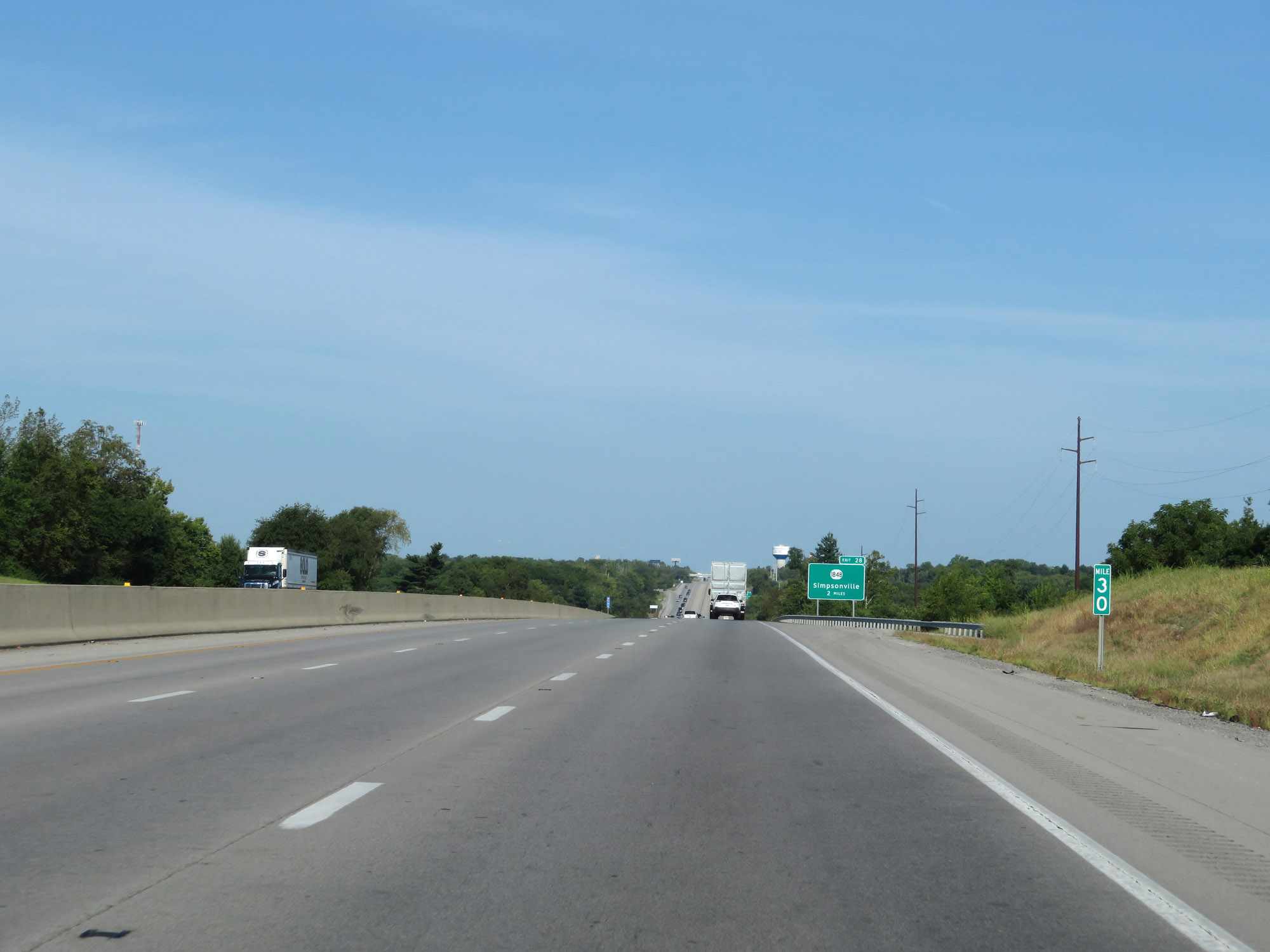 |
View on Interstate 64 West at mile marker 30. (Photo taken 8/10/19). |
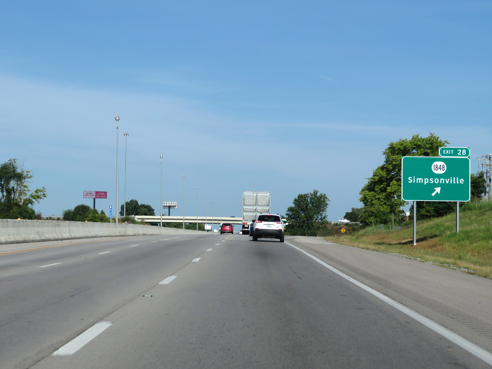 |
Interstate 64 West at Exit 28: KY 1848 - Simpsonville (Photo taken 8/10/19). |
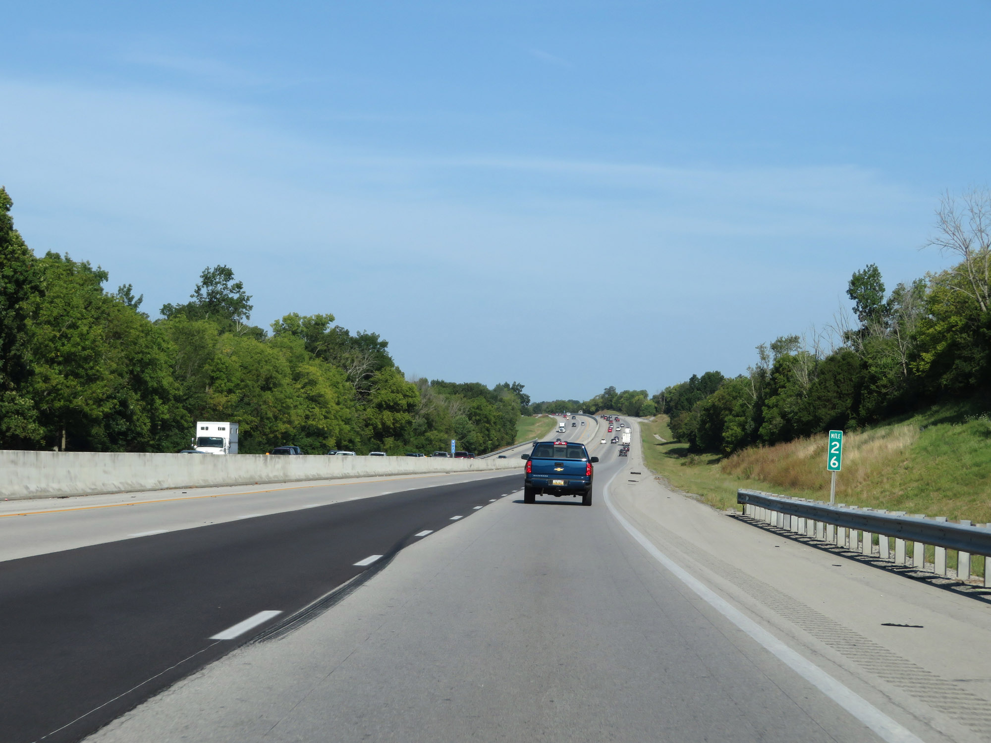 |
Interstate 64 West at mile marker 26. (Photo taken 8/10/19). |
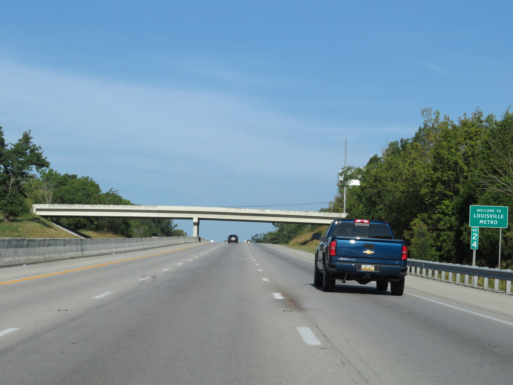 |
At mile marker 24, Interstate 64 West enters the Louisville metro area. (Photo taken 8/10/19). |
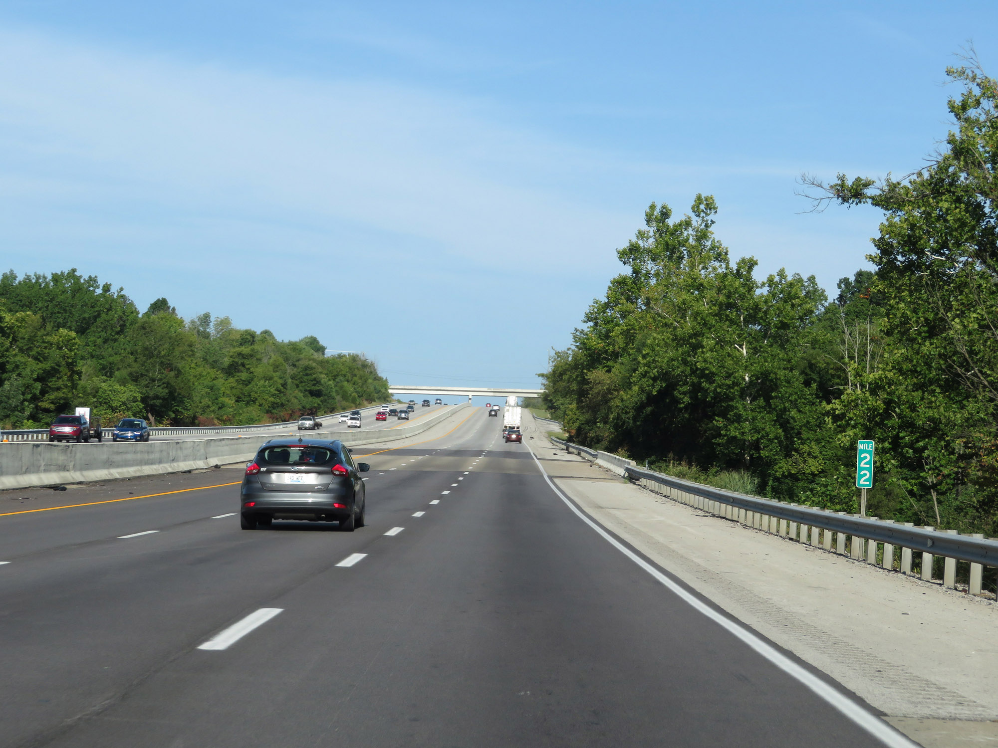 |
Interstate 64 West at mile marker 22. (Photo taken 8/10/19). |
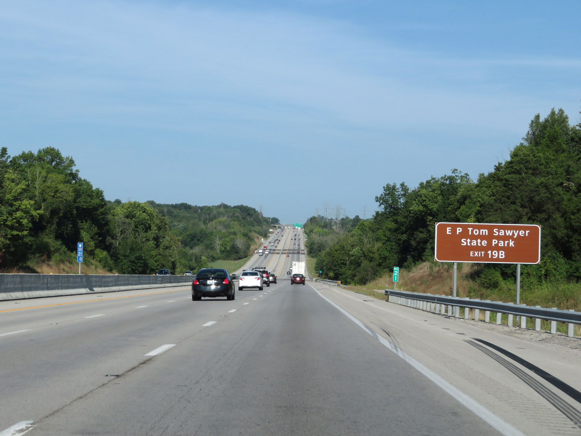 |
Take Exit 19B (Interstate 265 North) to E P Tom Sawyer State Park. (Photo taken 8/10/19). |
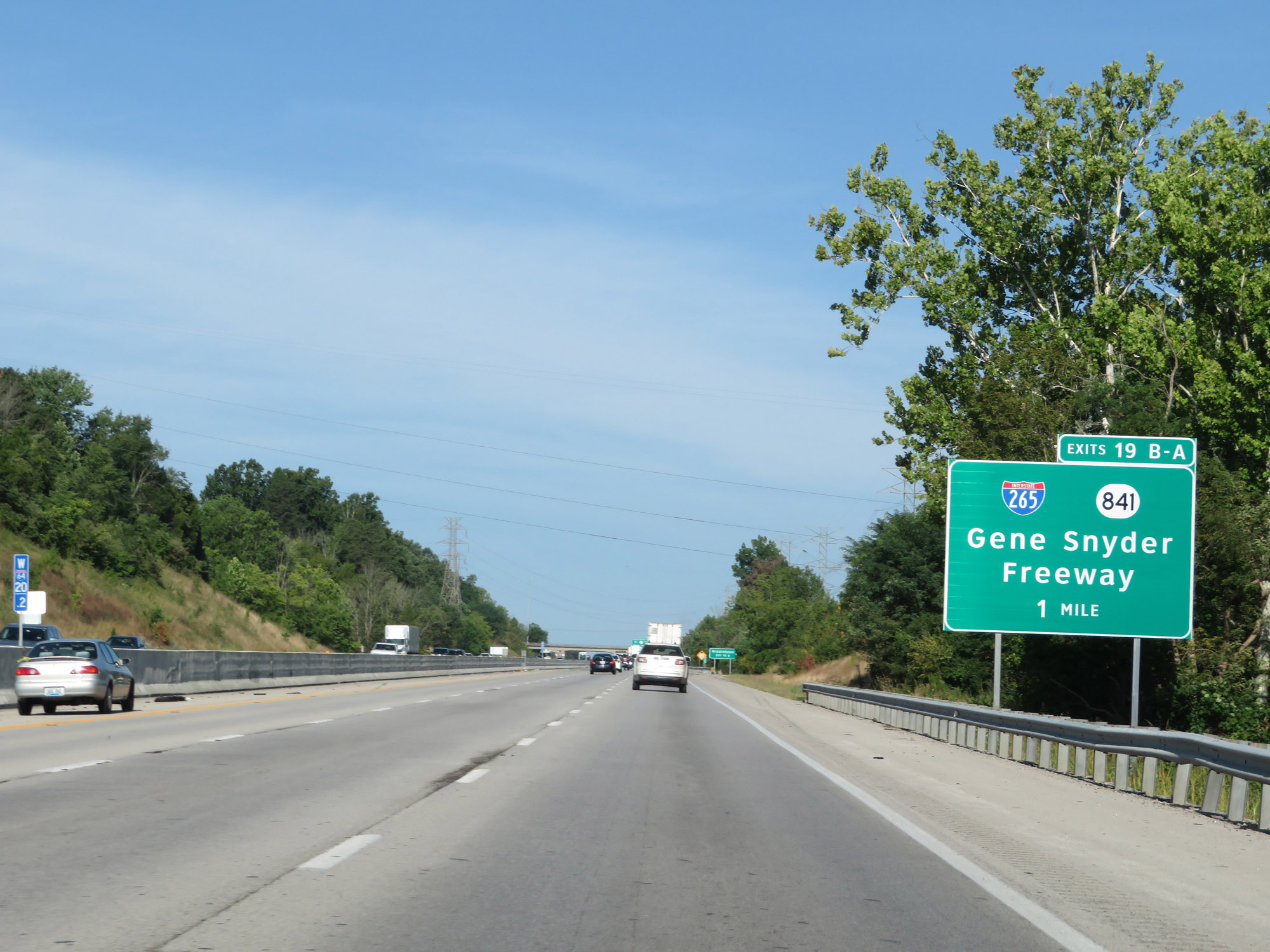 |
Interstate 64 West approaching Exits 19B-A - 1 mile. (Photo taken 8/10/19). |
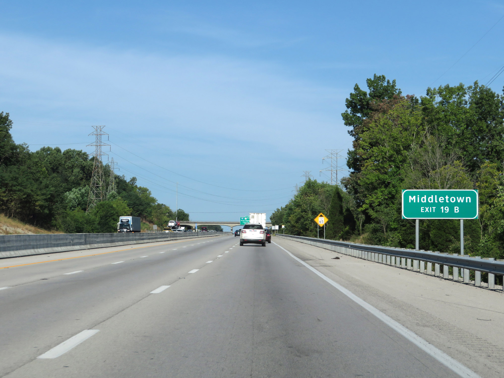 |
Take Exit 19B (Interstate 265 North / KY 841 North) to Middletown. (Photo taken 8/10/19). |
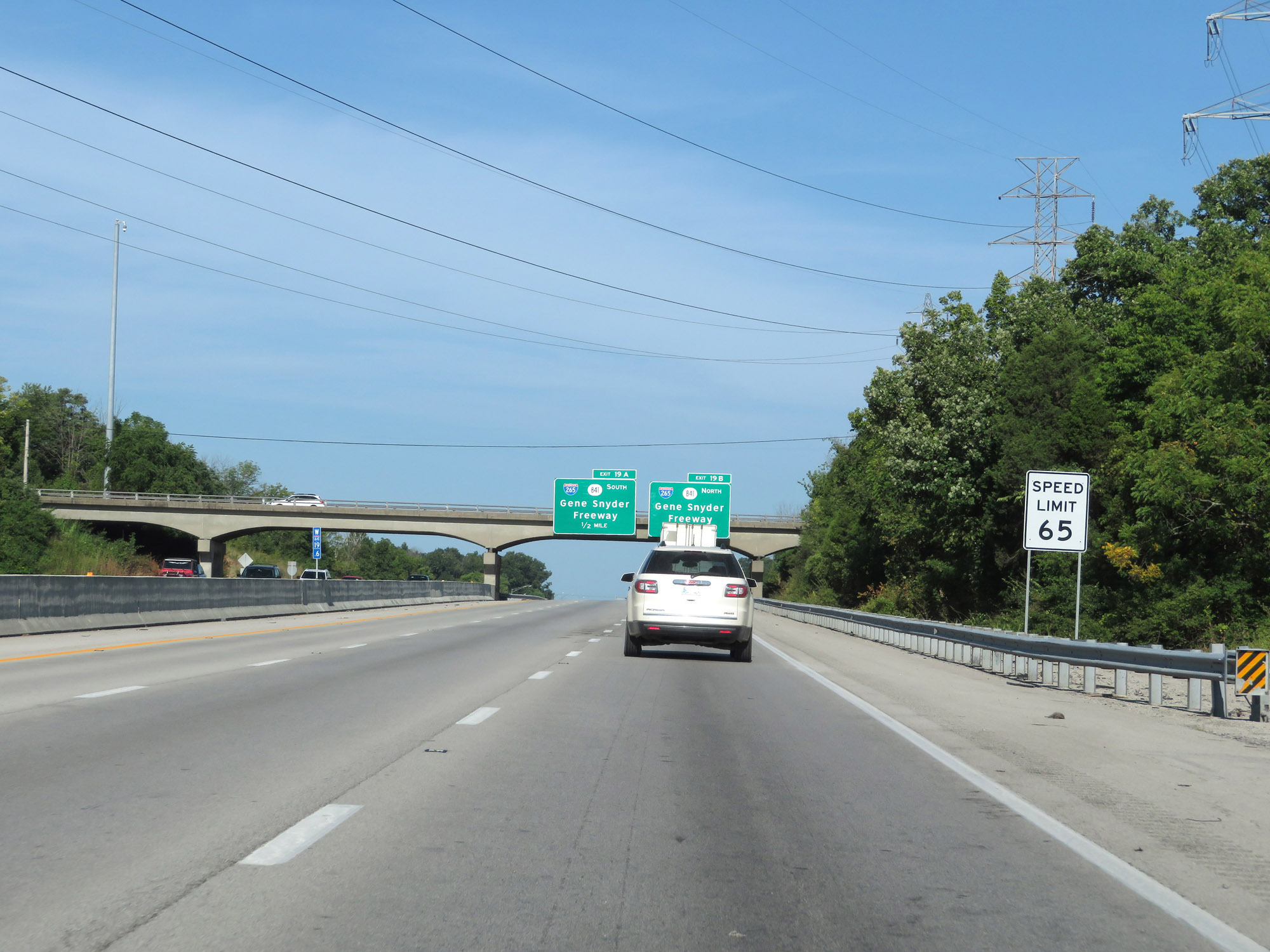 |
Approaching the junction of Interstate 265, the speed limit decreases to 65 mph on Interstate 64 West. (Photo taken 8/10/19). |
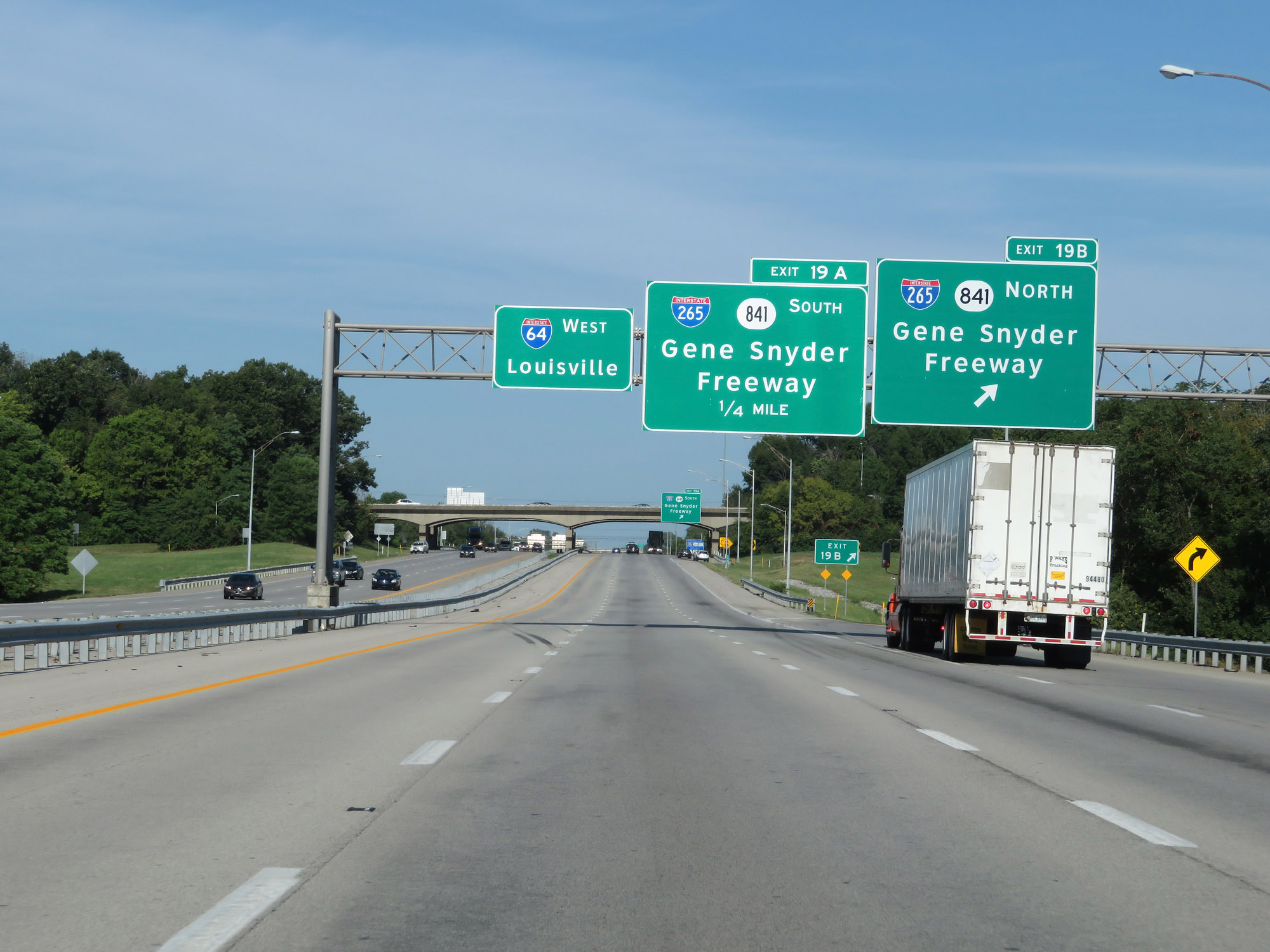 |
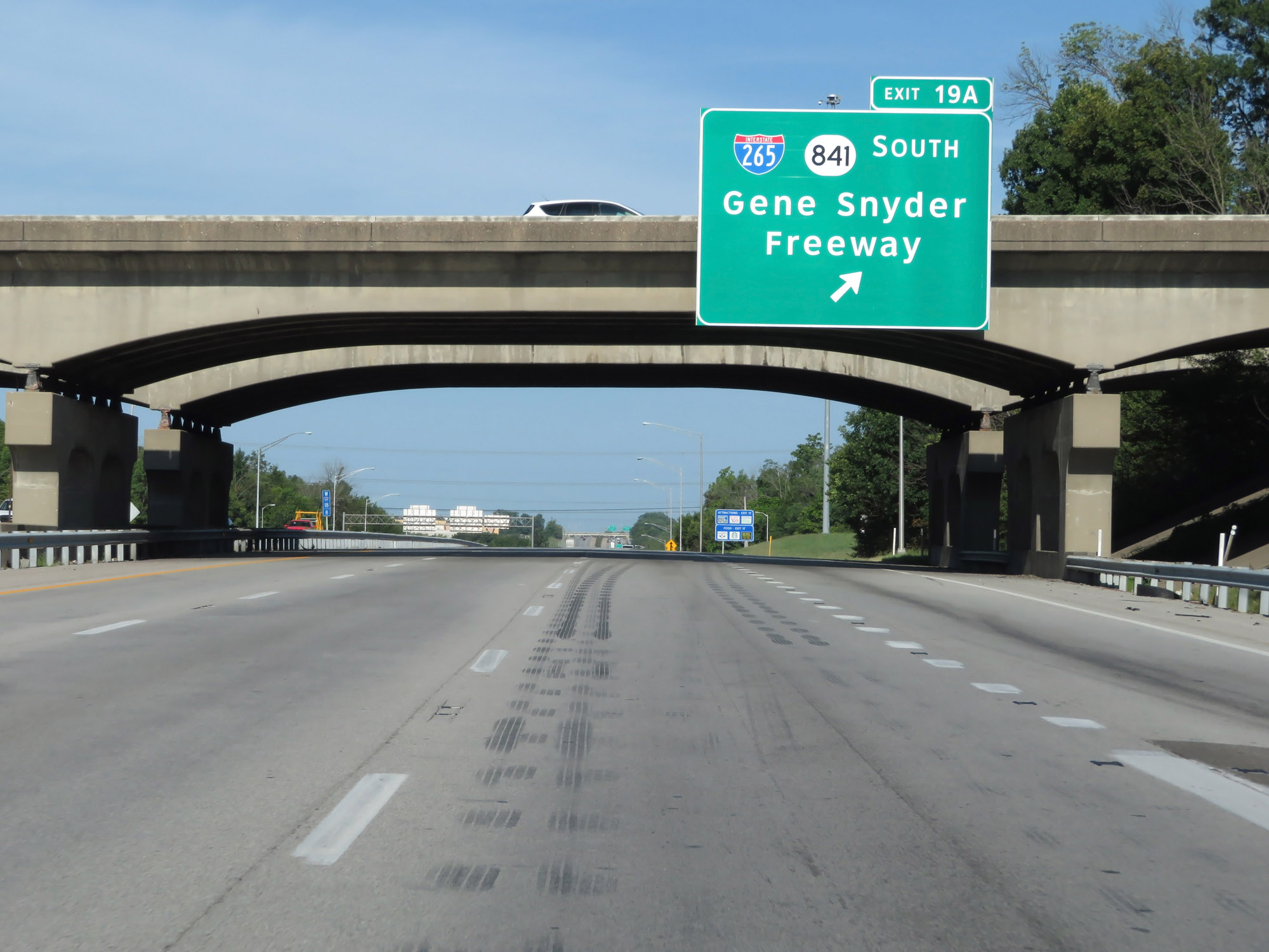
Interstate 64 West at Exit 19B: Interstate 265 North / KY 841 North - Gene Snyder Freeway (Photo taken 8/10/19). |
 |
Interstate 64 West at Exit 19A: Interstate 265 South / KY 841 South - Gene Snyder Freeway (Photo taken 8/10/19). |
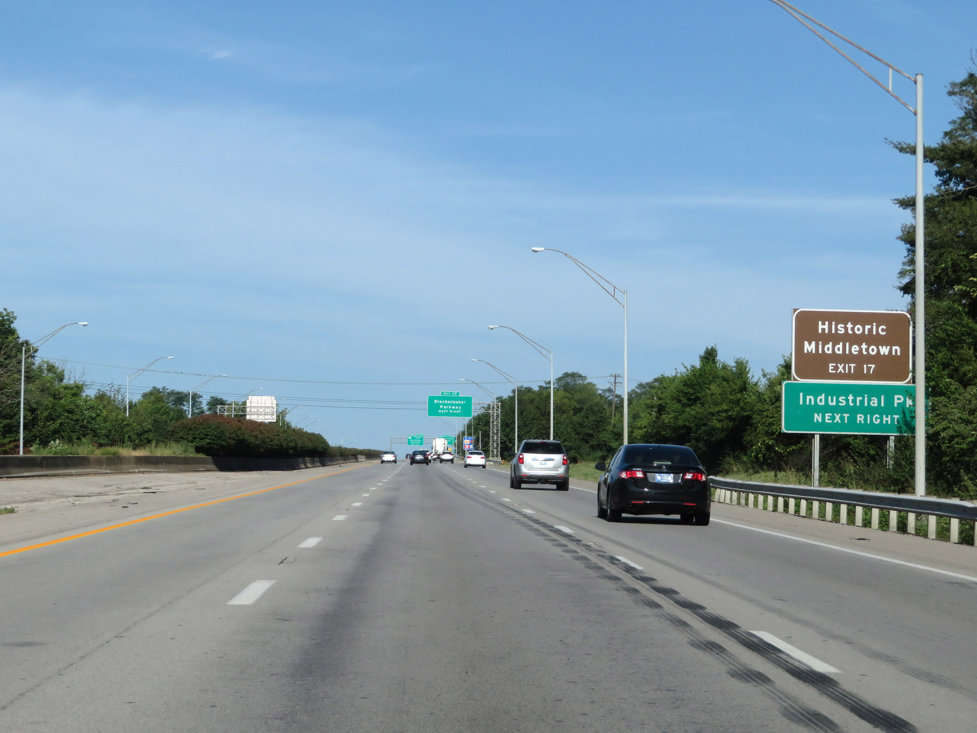 |
Take Exit 17 to Historic Middletown and the Industrial Park. (Photo taken 8/10/19). |
 |
Interstate 64 West at Exit 17: Blankenbaker Parkway (Photo taken 8/10/19). |
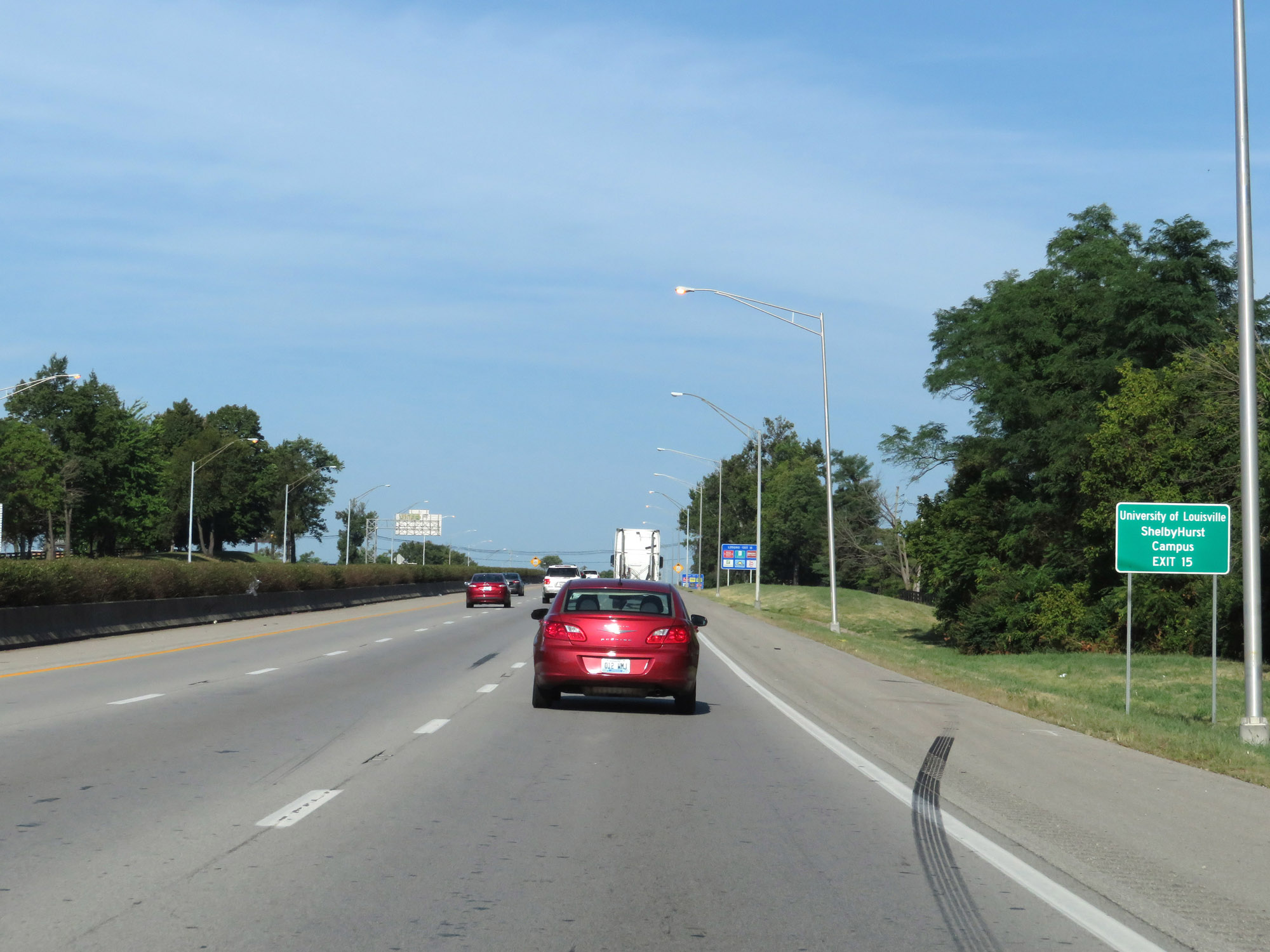 |
Take Exit 15 to University of Louisville ShelbyHurst Campus. (Photo taken 8/10/19). |
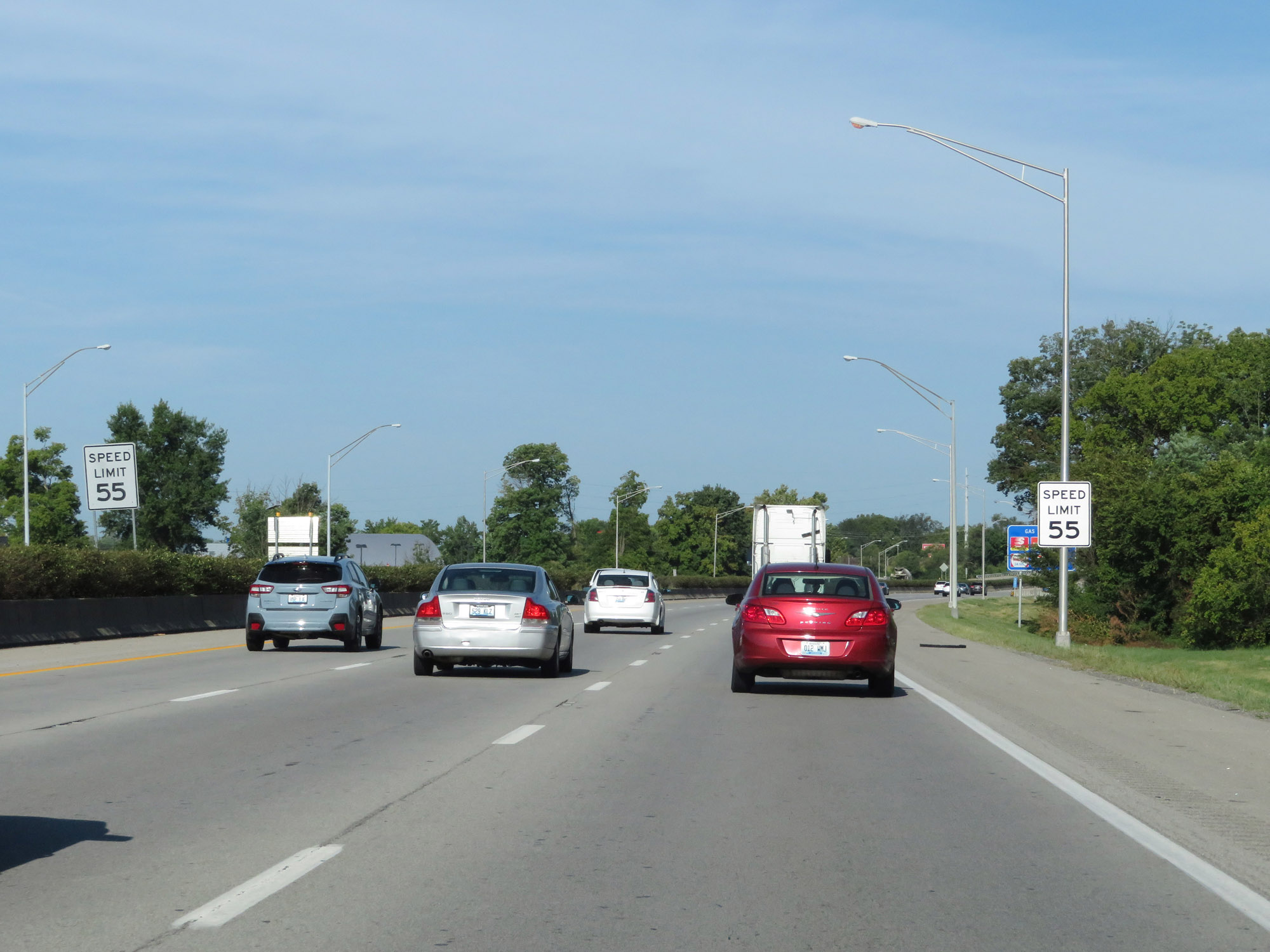 |
Approaching Exit 15, the speed limit decreases to 55 mph on Interstate 64 West. (Photo taken 8/10/19). |
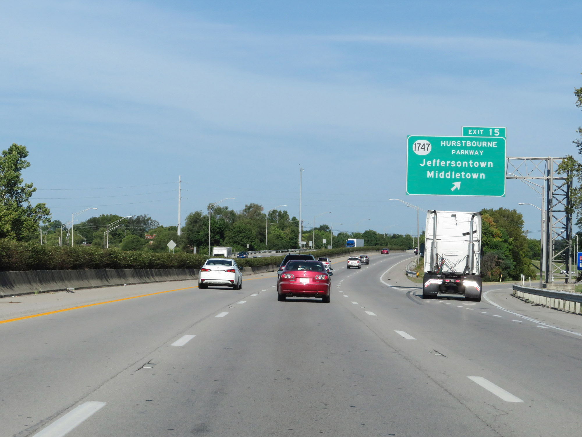 |
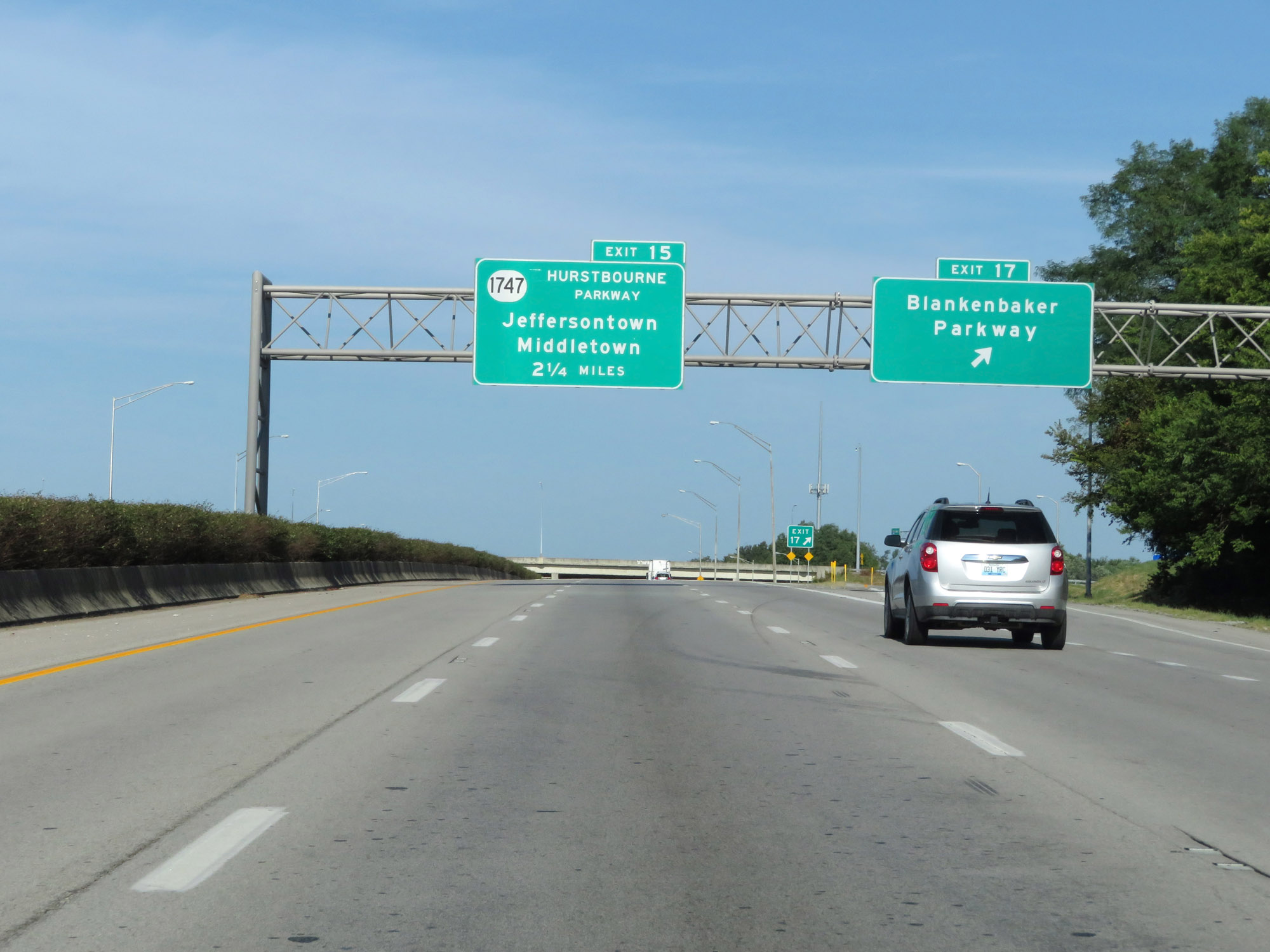
Interstate 64 West at Exit 15: KY 1747 (Hurstbourne Parkway) - Jeffersontown / Middletown (Photo taken 8/10/19). |
 |
View on Interstate 64 West at mile marker 14.2. (Photo taken 8/10/19). |
 |
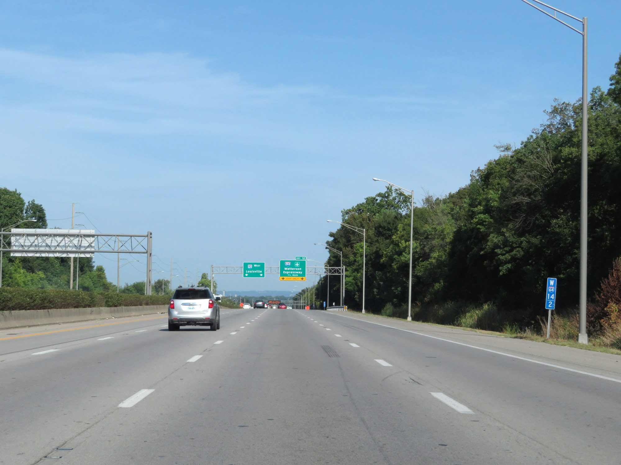
Interstate 64 West approaching Exit 12 - 1/2 mile. (Photo taken 8/10/19). |
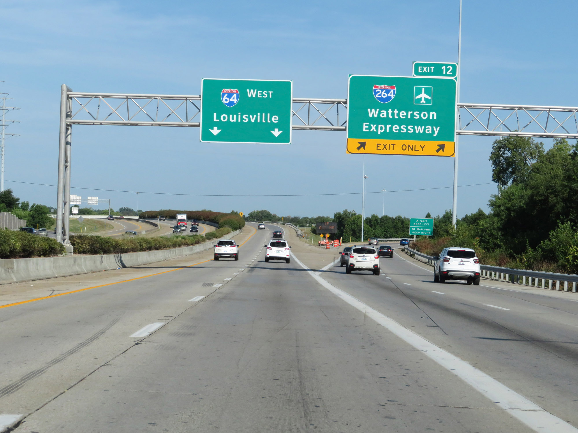 |
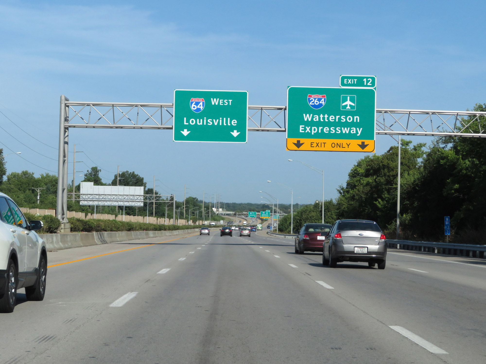
Interstate 64 West at Exit 12: Interstate 264 - Watterson Expressway (Photo taken 8/10/19). |
 |
Interstate 64 West at mile marker 12. (Photo taken 8/10/19). |
 |
Interstate 64 West reassurance shield. (Photo taken 8/10/19). |
 |
View on Interstate 64 West at mile marker 11. (Photo taken 8/10/19). |
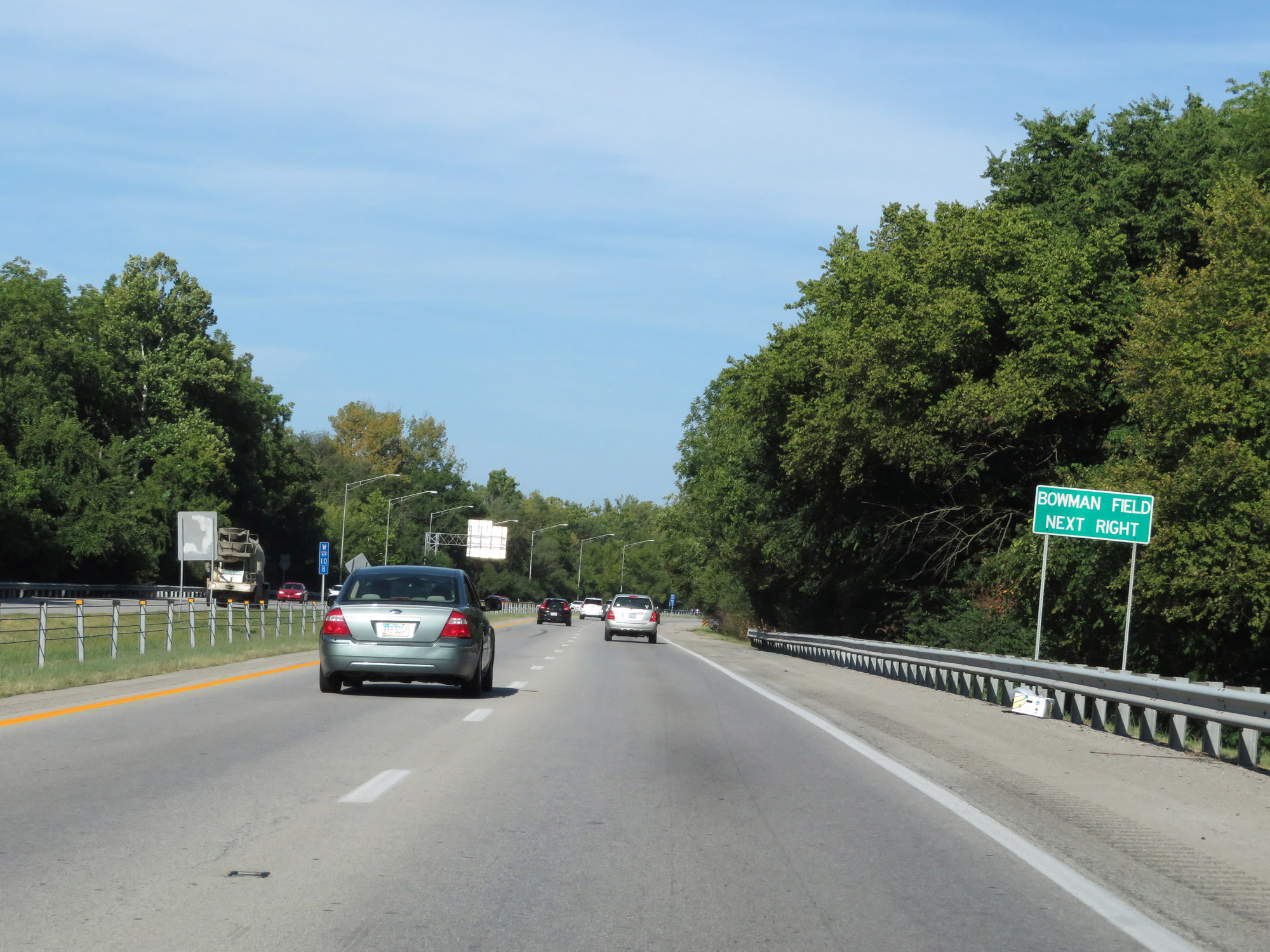 |
Take Exit 10 to Bowman Field. (Photo taken 8/10/19). |
 |
Interstate 64 West at Exit 10: Cannons Ln (Photo taken 8/10/19). |
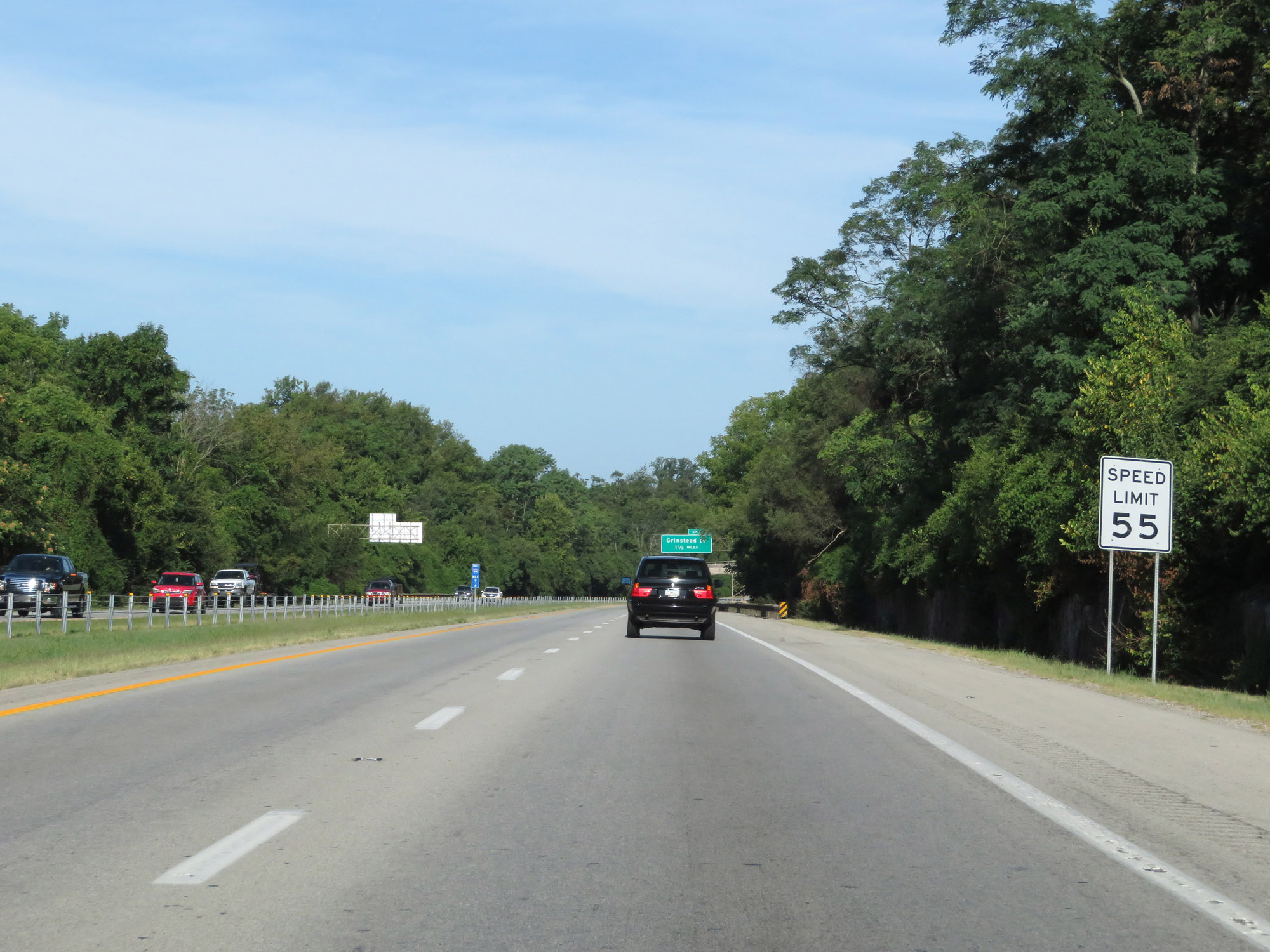 |
The speed limit remains 55 mph as Interstate 64 West nears downtown Louisville. (Photo taken 8/10/19). |
 |
Interstate 64 West approaching Exit 8 - 1/4 mile. (Photo taken 8/10/19). |
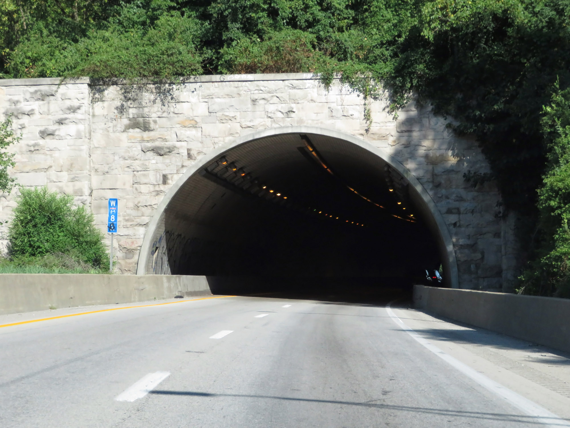 |
At mile marker 8.2, Interstate 64 West prepares to enter the Cochran Hill Tunnel, which carries I-64 underneath Cochran Hill Rd in Louisville. (Photo taken 8/10/19). |
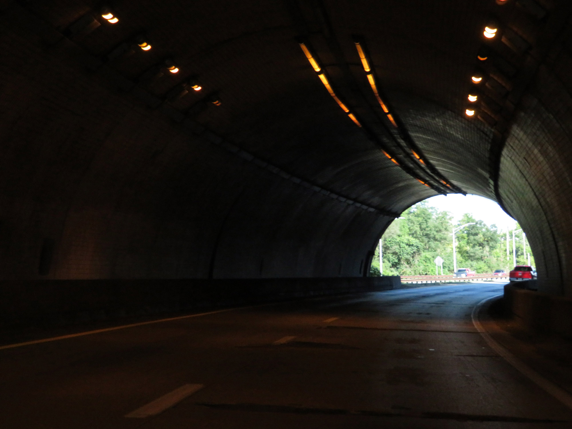 |
View on Interstate 64 West as it tunnels under Cochran Hill Rd. (Photo taken 8/10/19). |
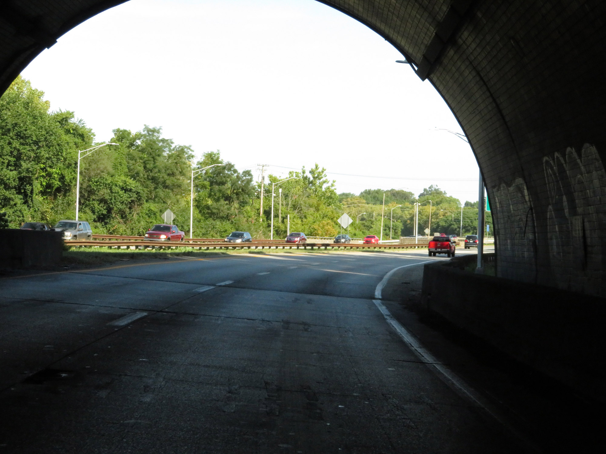 |
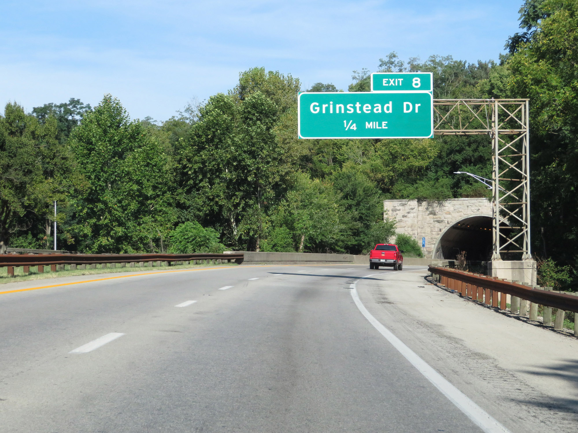
Exiting the Cochran Hill Tunnel on Interstate 64 West. Exit 8 is just ahead, immediately after exiting the tunnel. (Photo taken 8/10/19). |
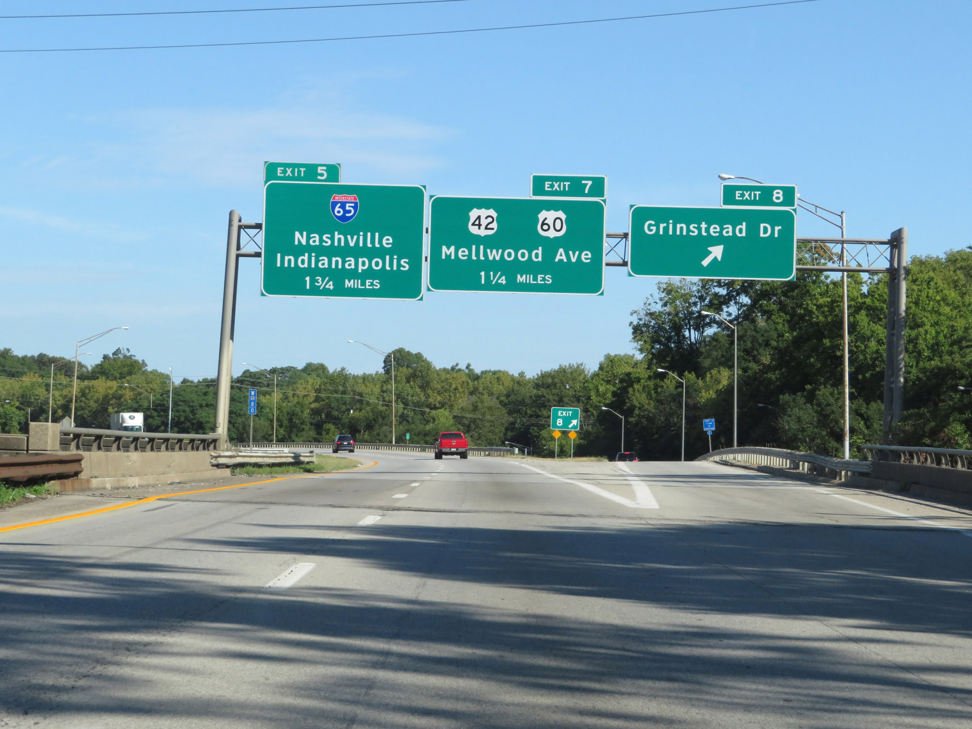 |
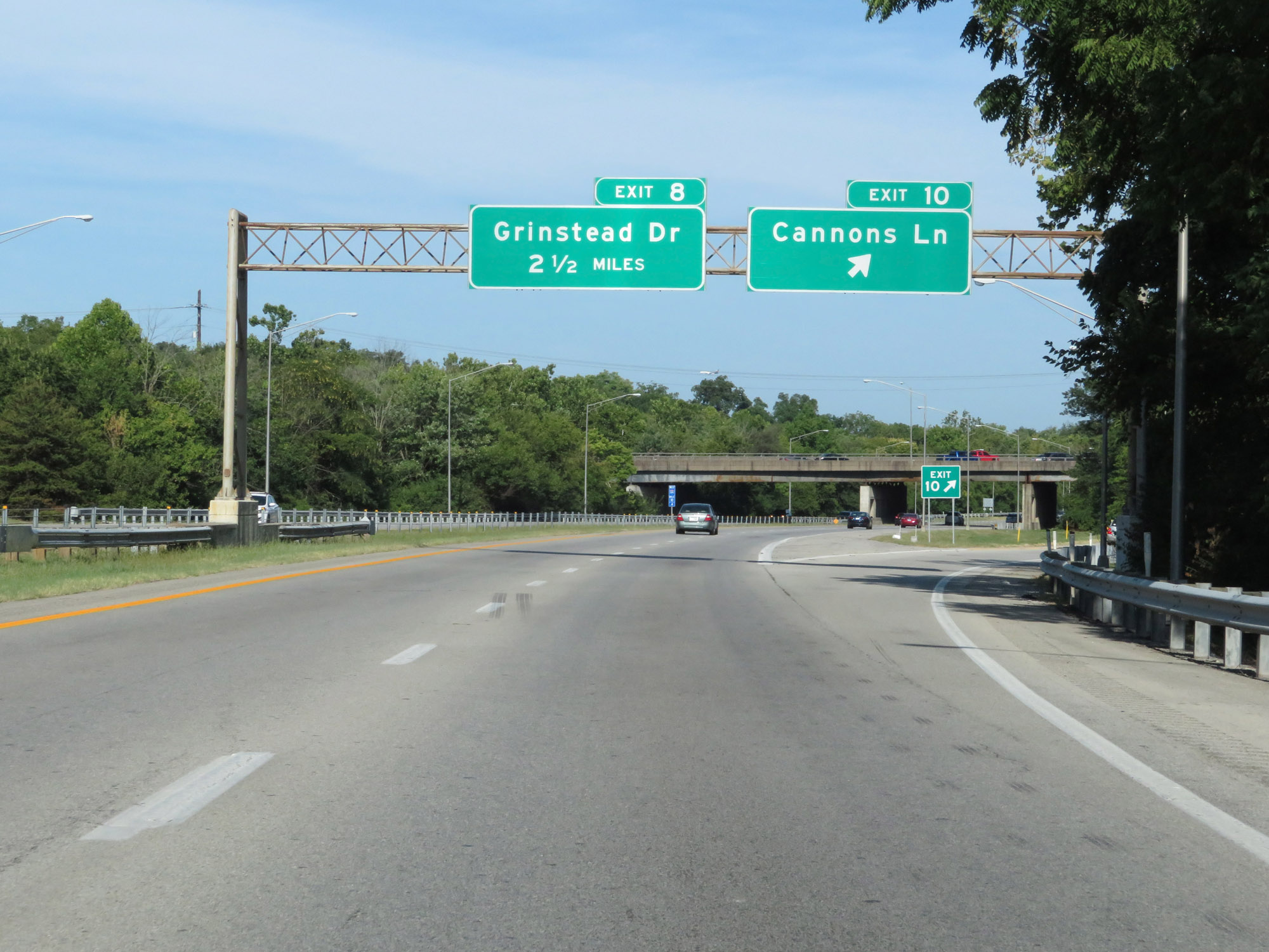
Interstate 64 West at Exit 8: Grinstead Dr (Photo taken 8/10/19). |
 |
Another Interstate 64 West reassurance shield. (Photo taken 8/10/19). |
 |
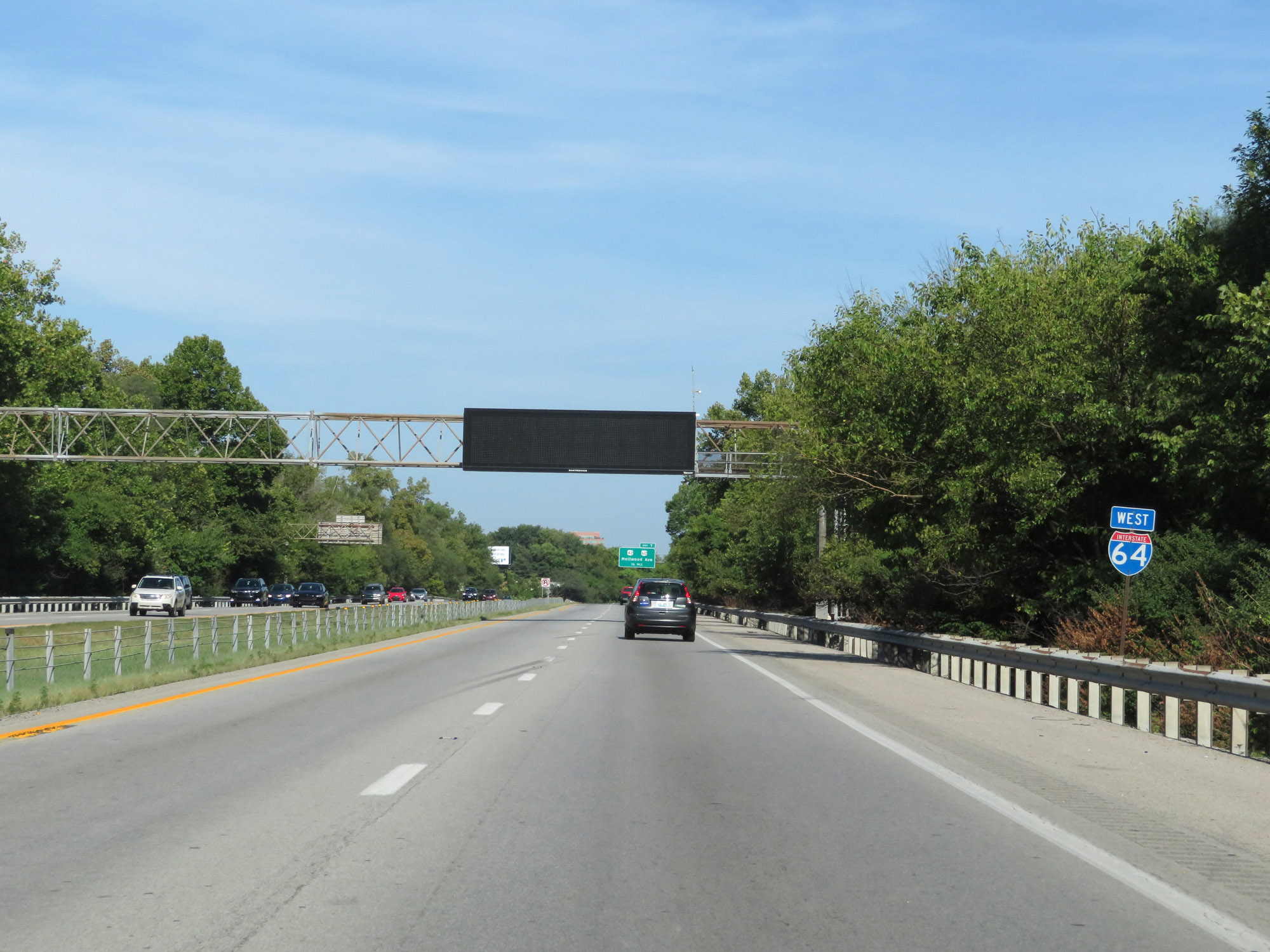
Interstate 64 West approaching Exit 7 - 1/4 mile. (Photo taken 8/10/19). |
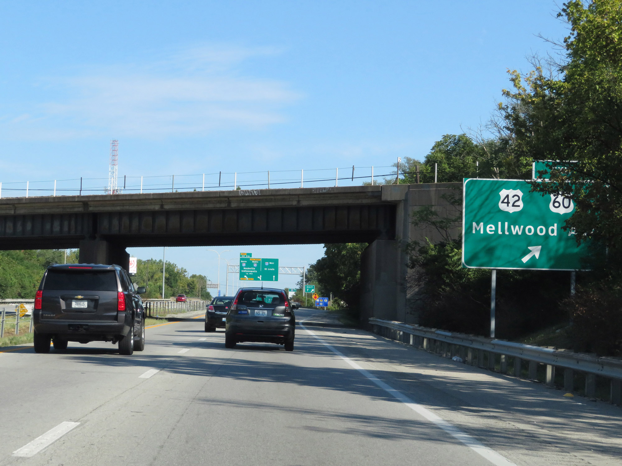 |
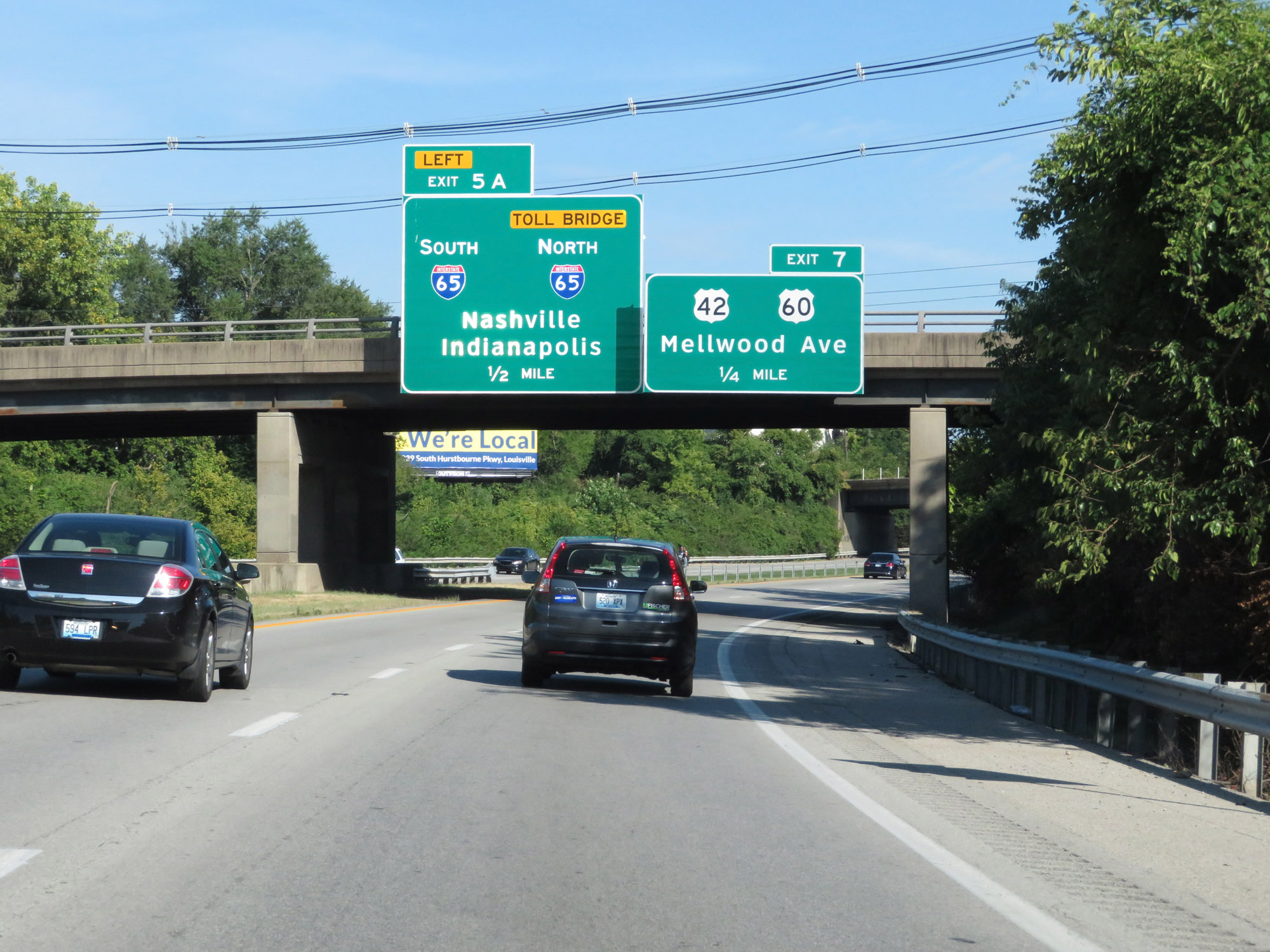
Interstate 64 West at Exit 7: US 42 / US 60 - Mellwood Ave (Photo taken 8/10/19). |
 |
Interstate 64 West approaching Exit 5A - 1/4 mile on the left. (Photo taken 8/10/19). |
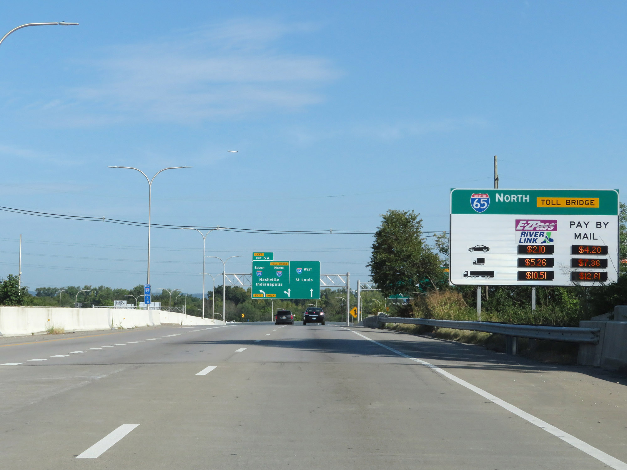 |
Interstate 65 North is tolled over the Abraham Lincoln Bridge over the Ohio River, at variable toll rates. This sign dynamically lists the current toll rates for the bridge. There is no toll plaza; electronic payment or paying by mail are the only payment options. (Photo taken 8/10/19). |
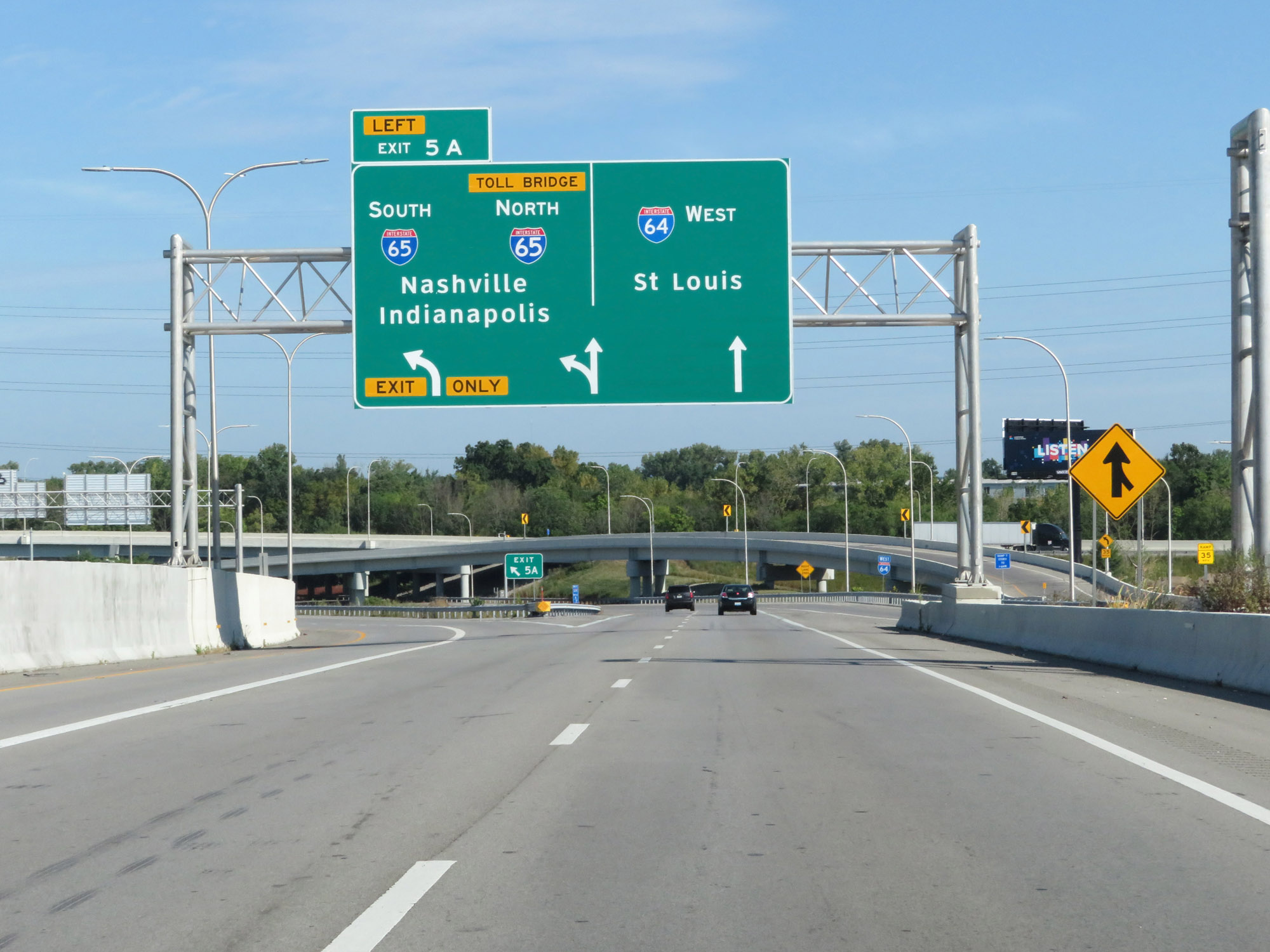 |
Interstate 64 West at Exit 5A: Interstate 65 - Nashville / Indianapolis (Photo taken 8/10/19). |
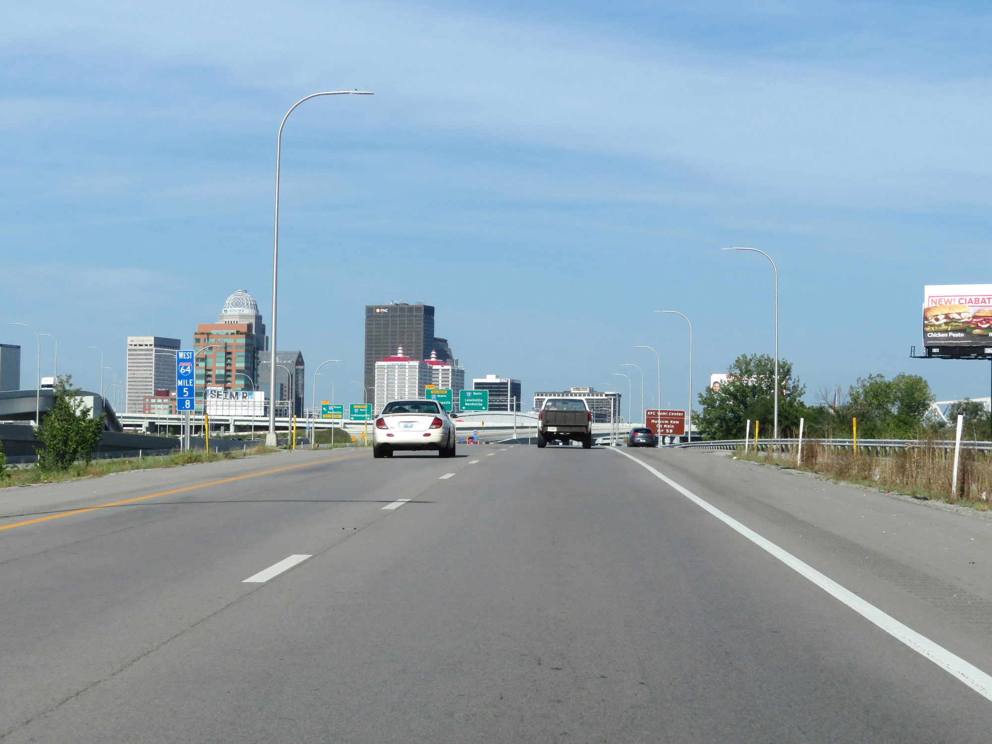 |
Downtown Louisville comes into view at mile marker 5.8. (Photo taken 8/10/19). |
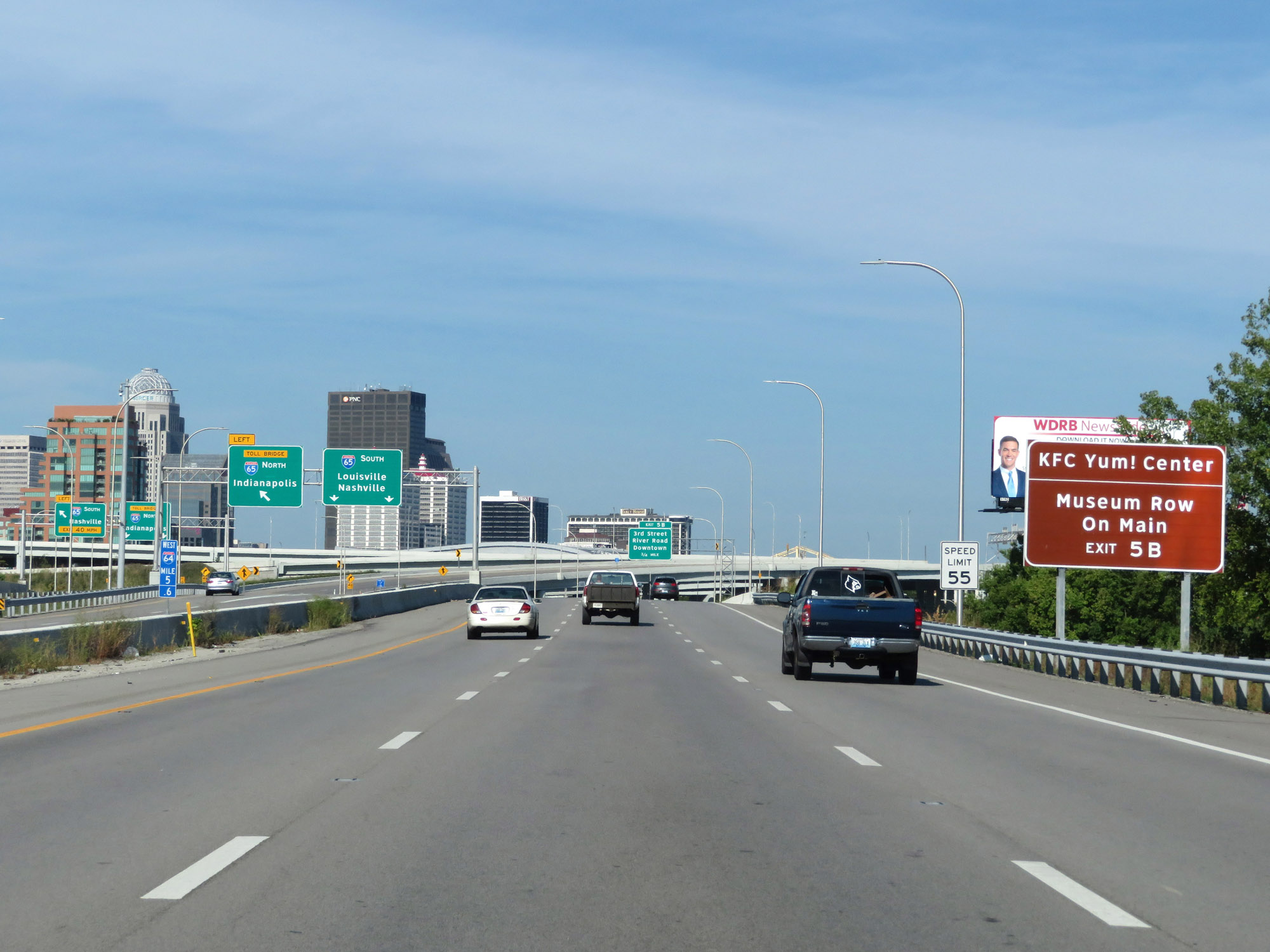 |
Take Exit 5B to the KFC Yum! Center and Museum Row On Main. (Photo taken 8/10/19). |
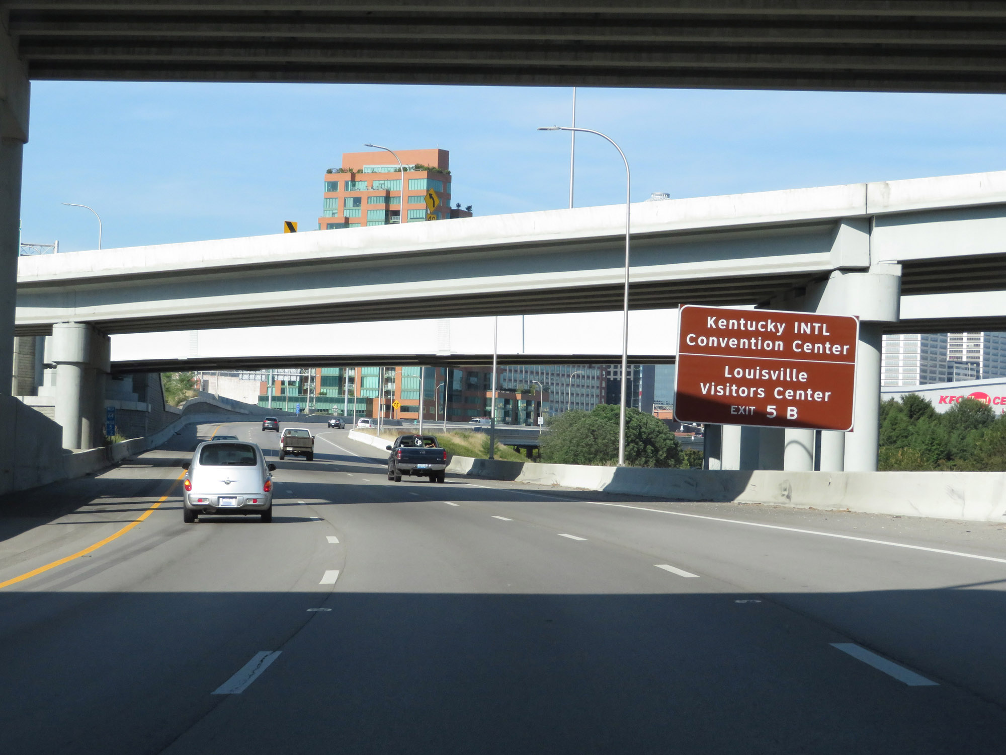 |
Also take Exit 5B to Kentucky INTL Convention Center and the Louisville Visitors Center. (Photo taken 8/10/19). |
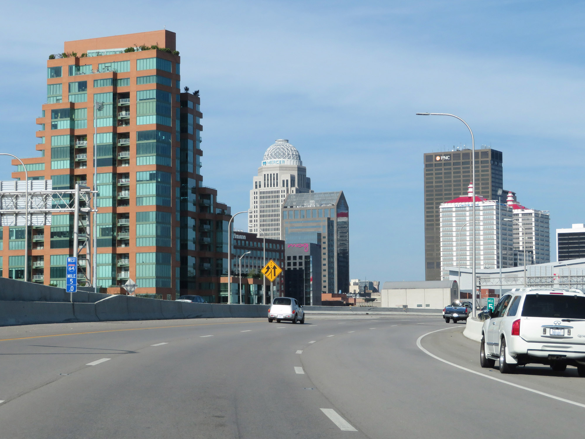 |
View of downtown Louisville on Interstate 64 West at mile marker 5. (Photo taken 8/10/19). |
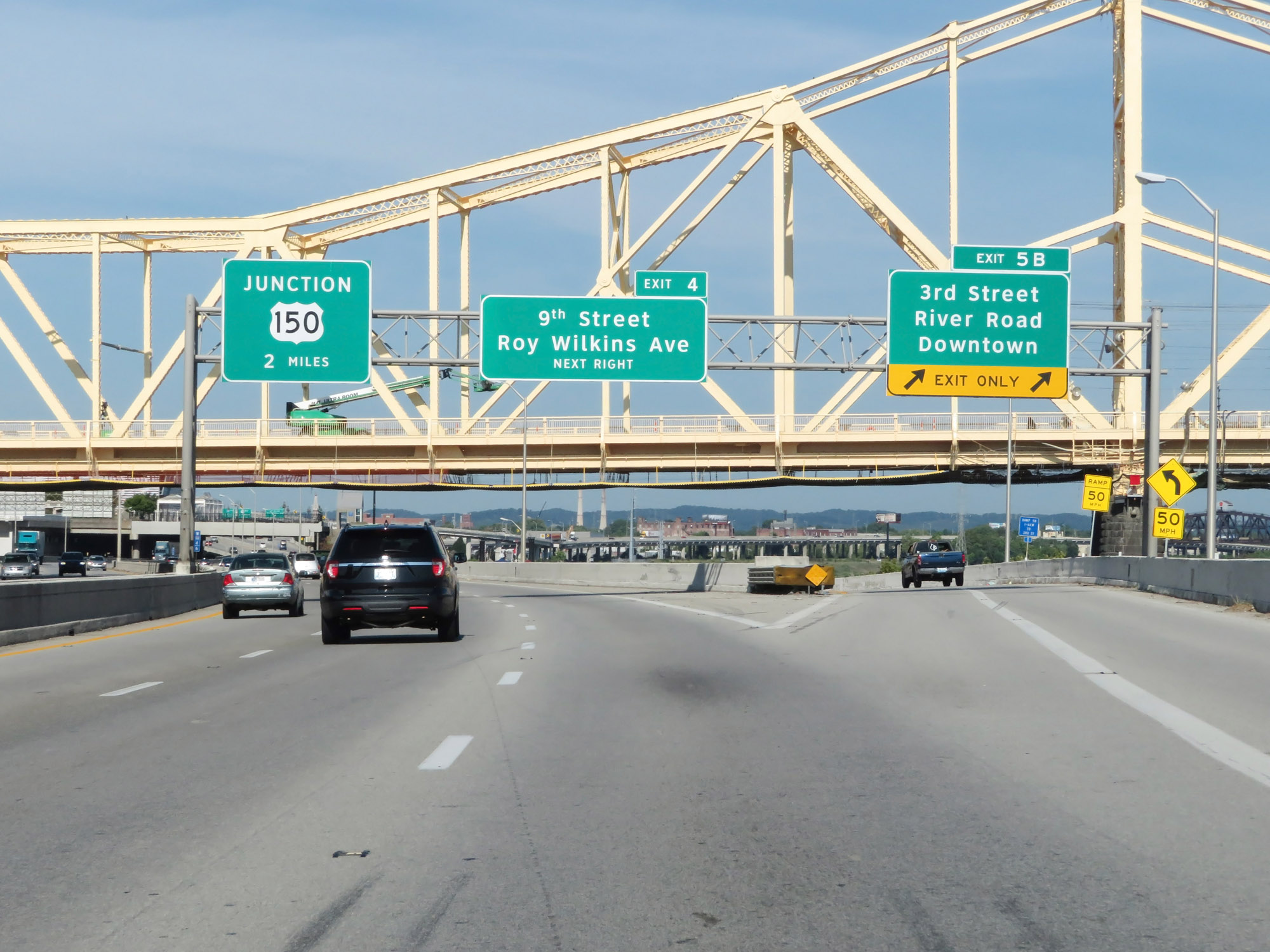 |
Interstate 64 West at Exit 5B: 3rd Street / River Road / Downtown (Photo taken 8/10/19). |
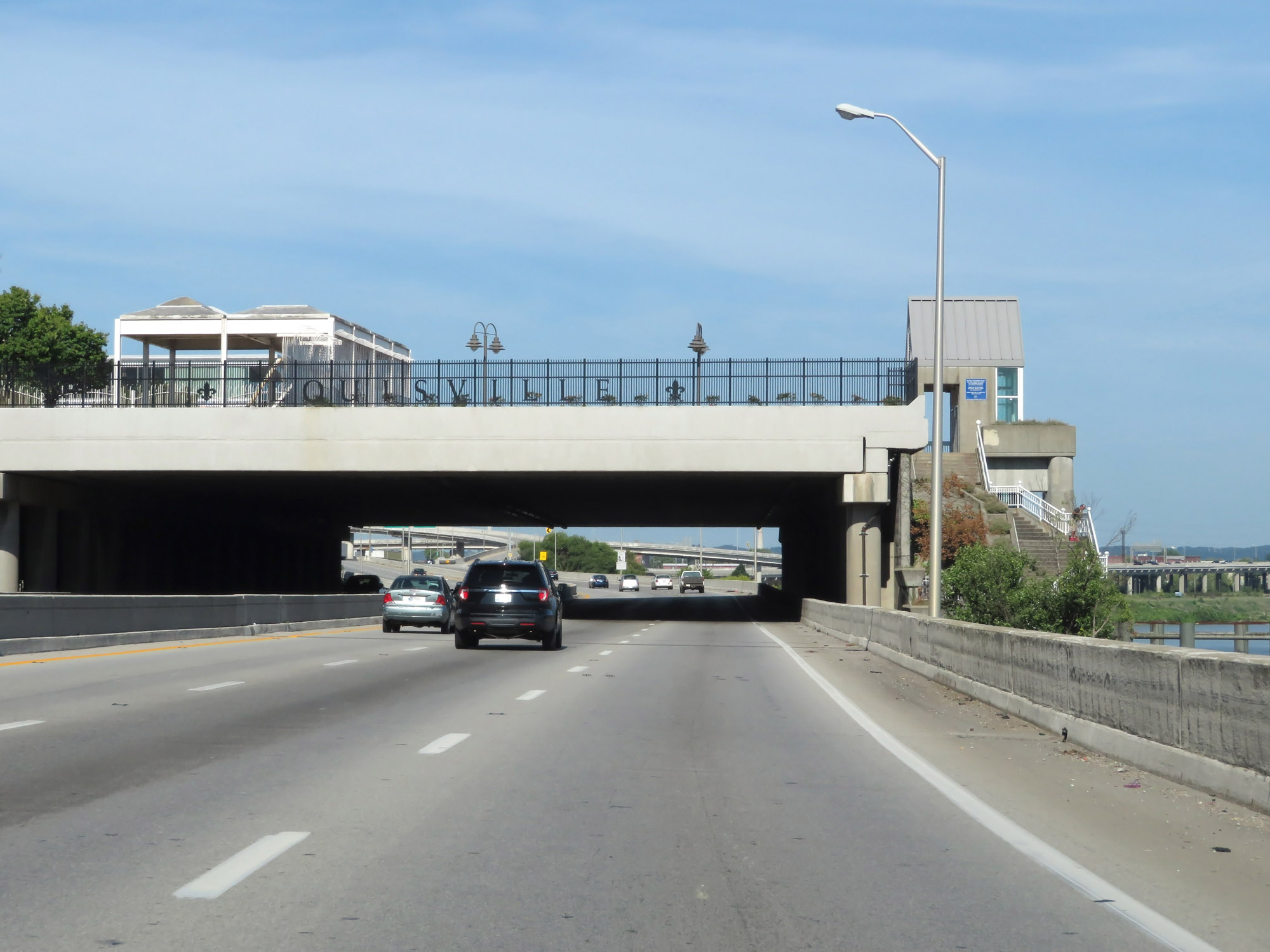 |
View on Interstate 64 West in downtown Louisville. During this stretch, I-64 runs right along the Ohio River, which can be seen off to your right. (Photo taken 8/10/19). |
 |
Interstate 64 West at Exit 4: 9th Street / Roy Wilkins Ave (Photo taken 8/10/19). |
 |
Interstate 64 West reassurance shield in downtown Louisville. (Photo taken 8/10/19). |
 |
View on Interstate 64 West at mile marker 3.2. (Photo taken 8/10/19). |
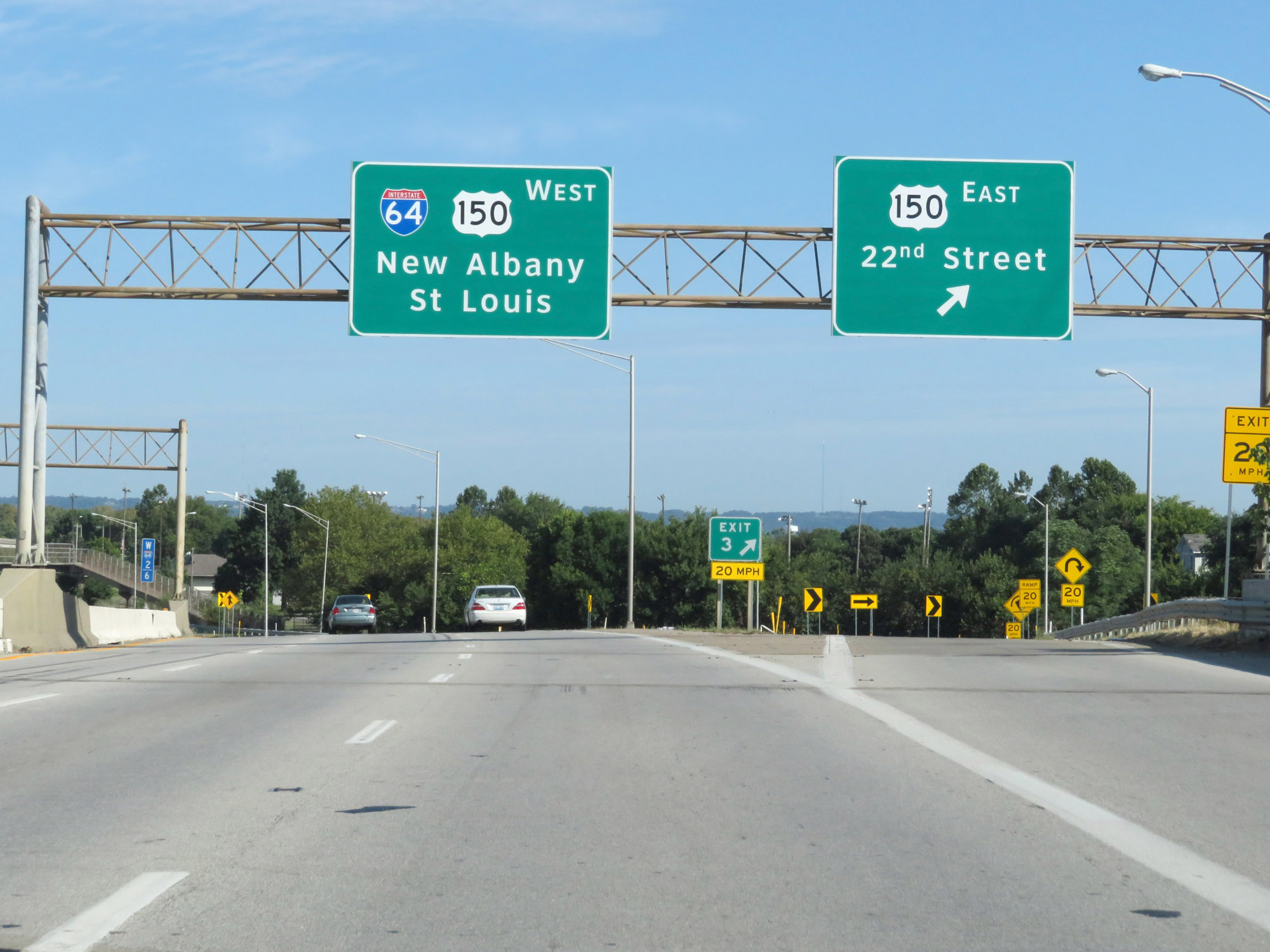 |
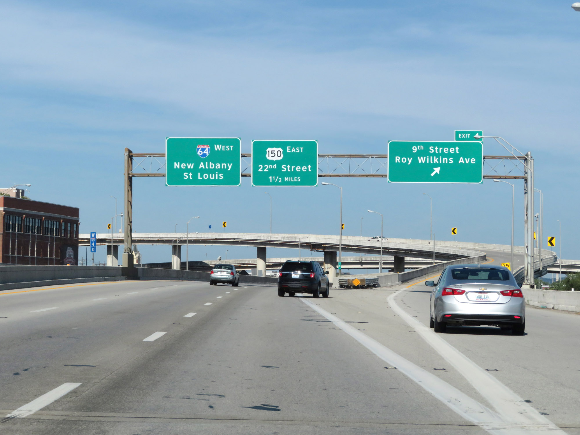
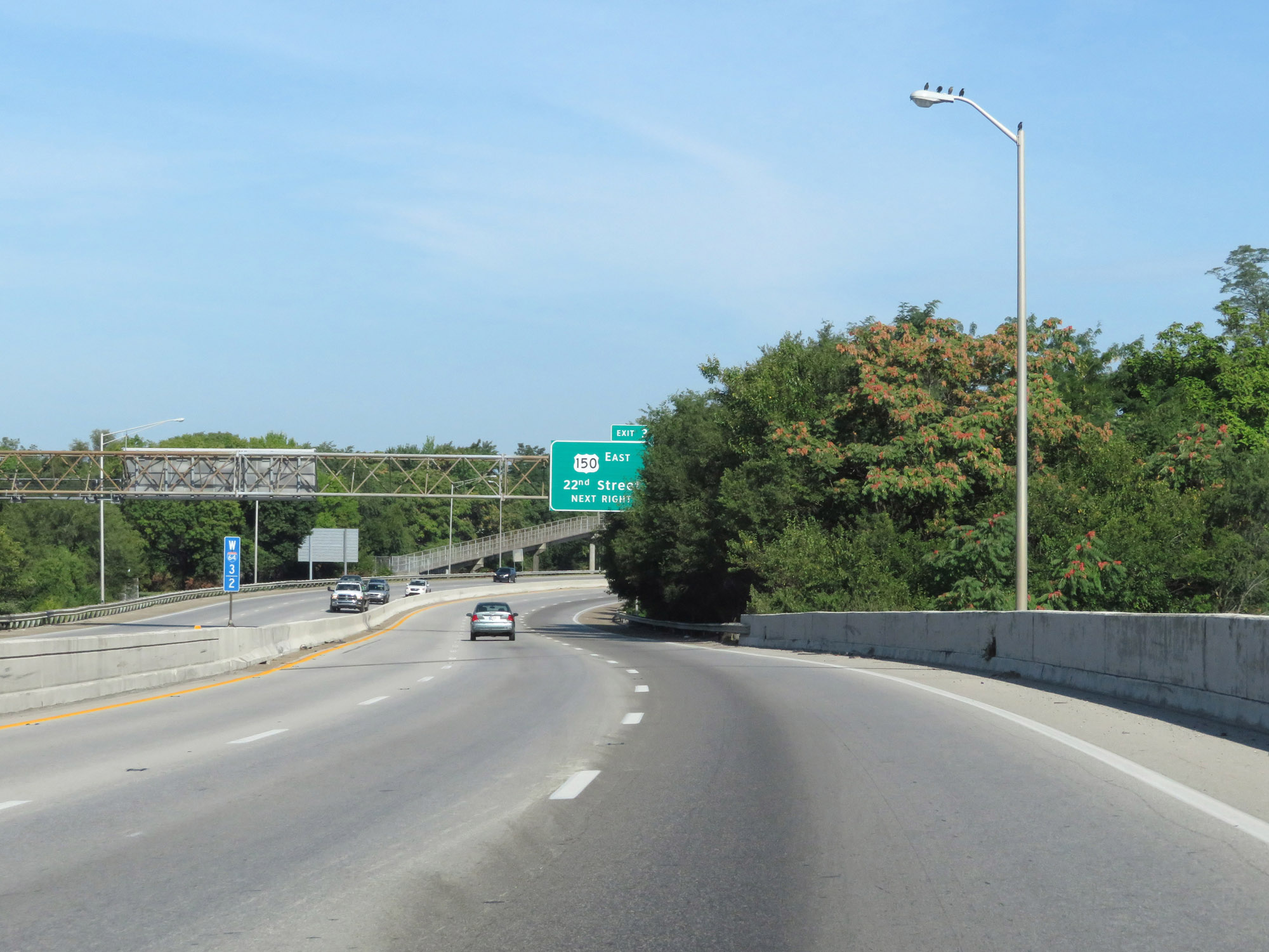
Interstate 64 West at Exit 3: US 150 East - 22nd Street (Photo taken 8/10/19). |
 |
Interstate 64 West approaching Exit 1 - 1 mile on the left. (Photo taken 8/10/19). |
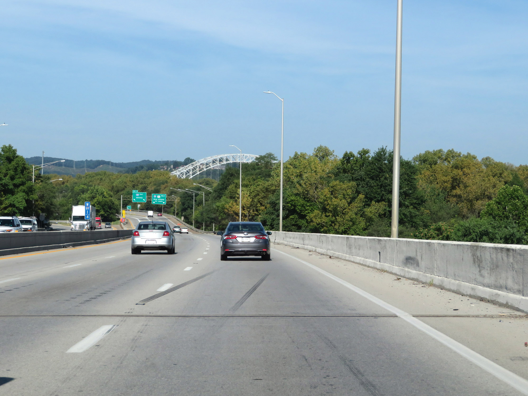 |
At mile marker 1.4, the Sherman Minton Bridge comes into view. It's the bridge Interstate 64 West will use to cross the Ohio River into Indiana just 1 1/2 miles ahead. (Photo taken 8/10/19). |
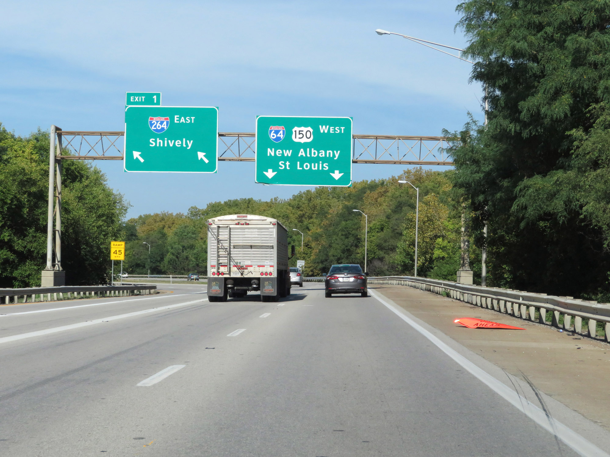 |
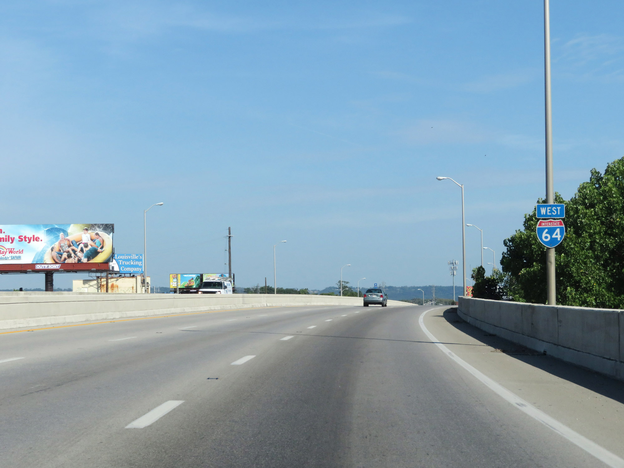
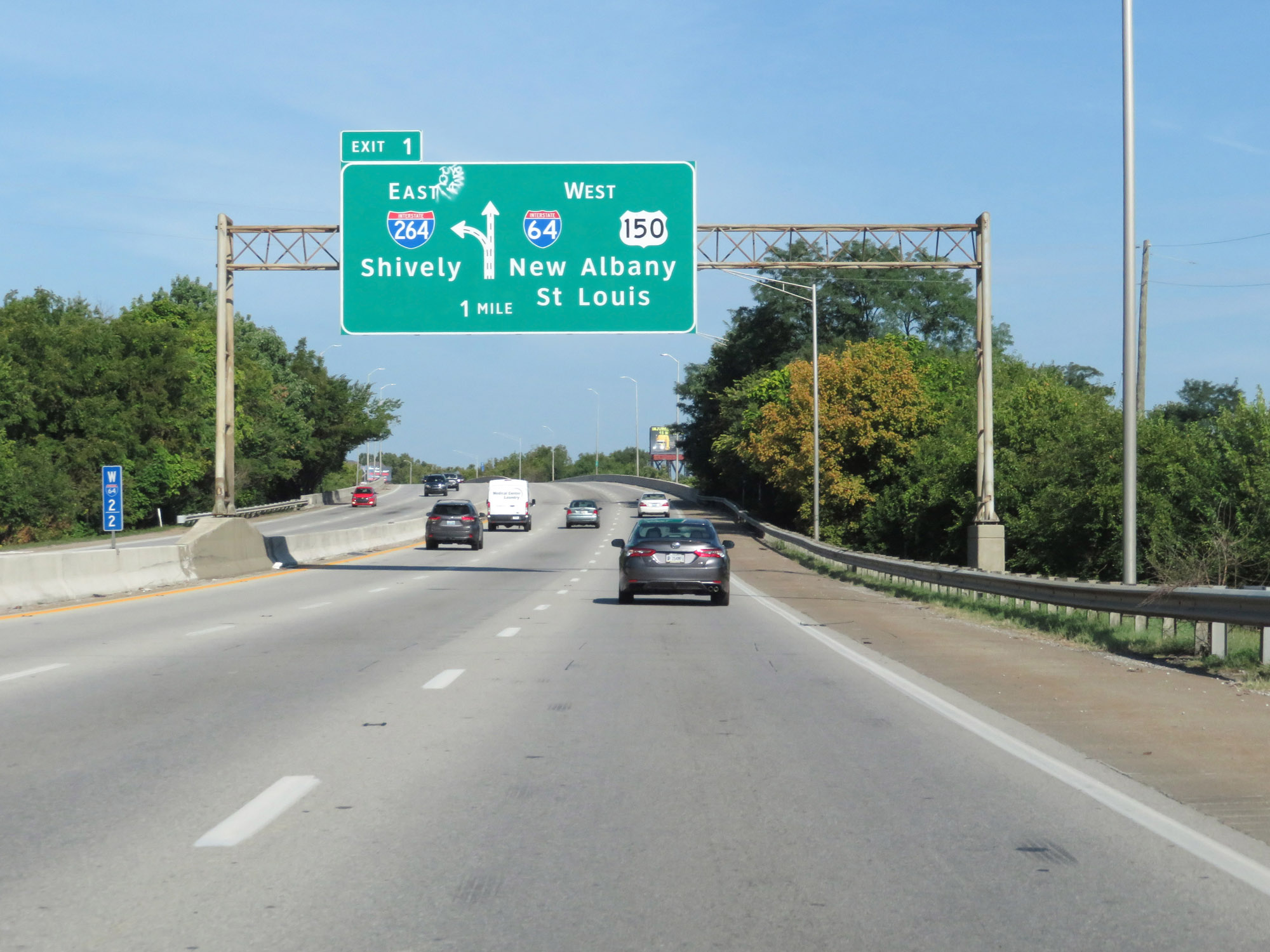
Interstate 64 West at Exit 1: Interstate 264 East - Shively (Photo taken 8/10/19). |
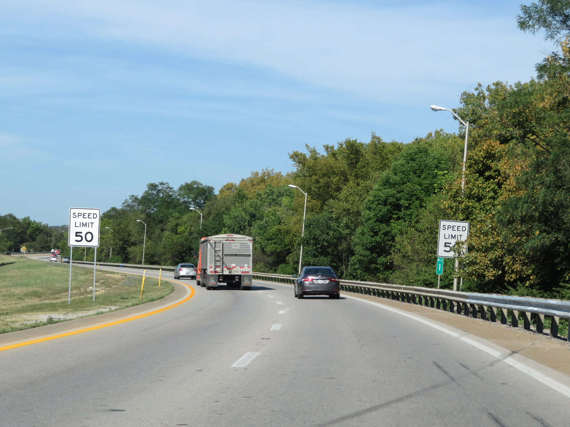 |
At mile marker 1, the speed limit decreases to 50 mph on Interstate 64 West. (Photo taken 8/10/19). |
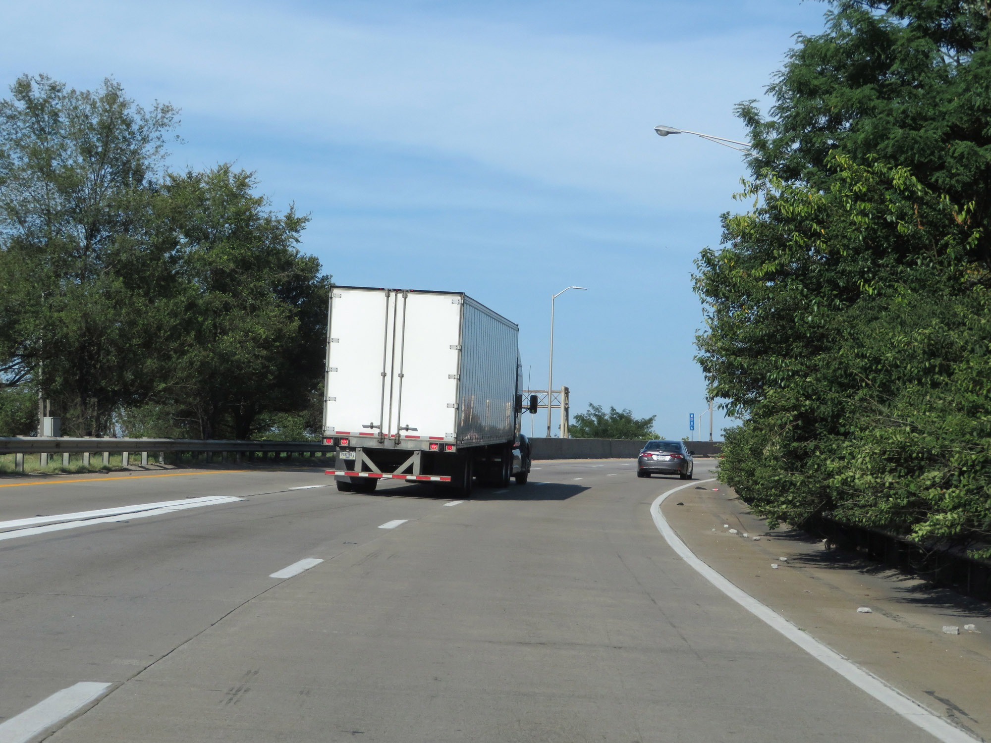 |
Interstate 64 West as traffic from Interstate 264 West merges in on the left. (Photo taken 8/10/19). |
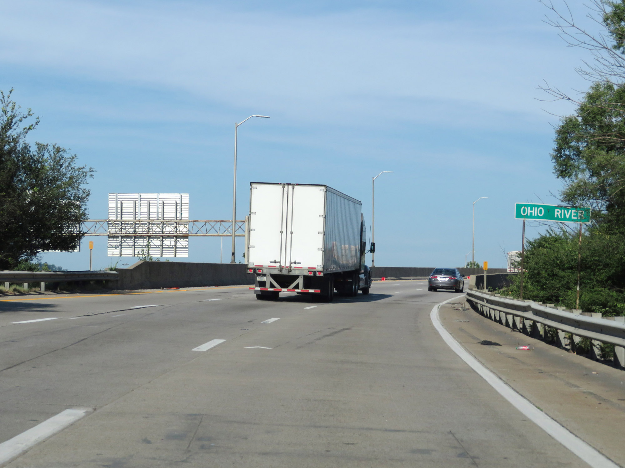 |
Interstate 64 West as it prepares to cross the Ohio River via the Sherman Minton Bridge, just ahead. (Photo taken 8/10/19). |
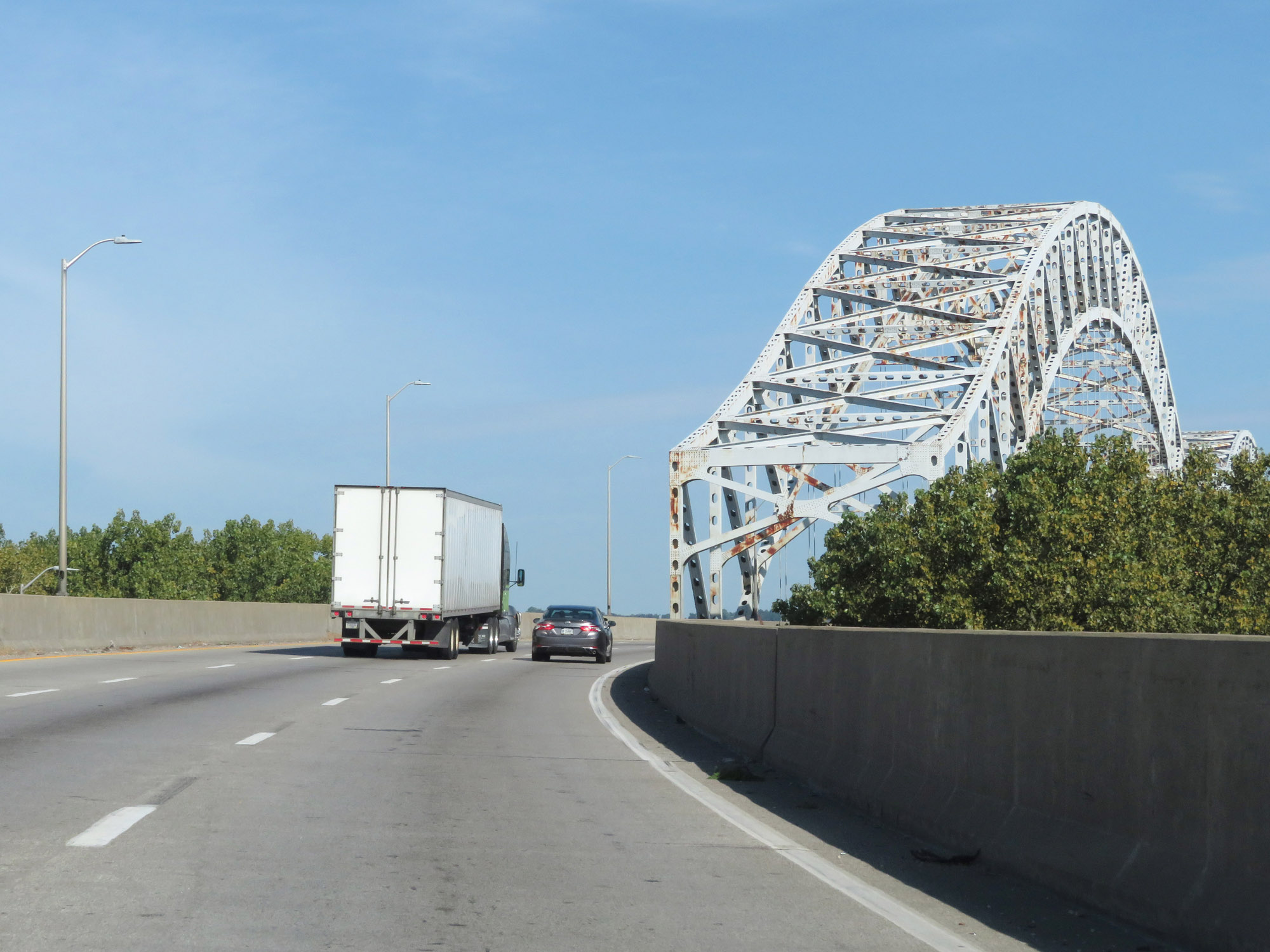 |
Approaching the Sherman Minton Bridge on Interstate 64 West. This double decker will carry the westbound lanes of I-64 on its upper level into Indiana. (Photo taken 8/10/19). |
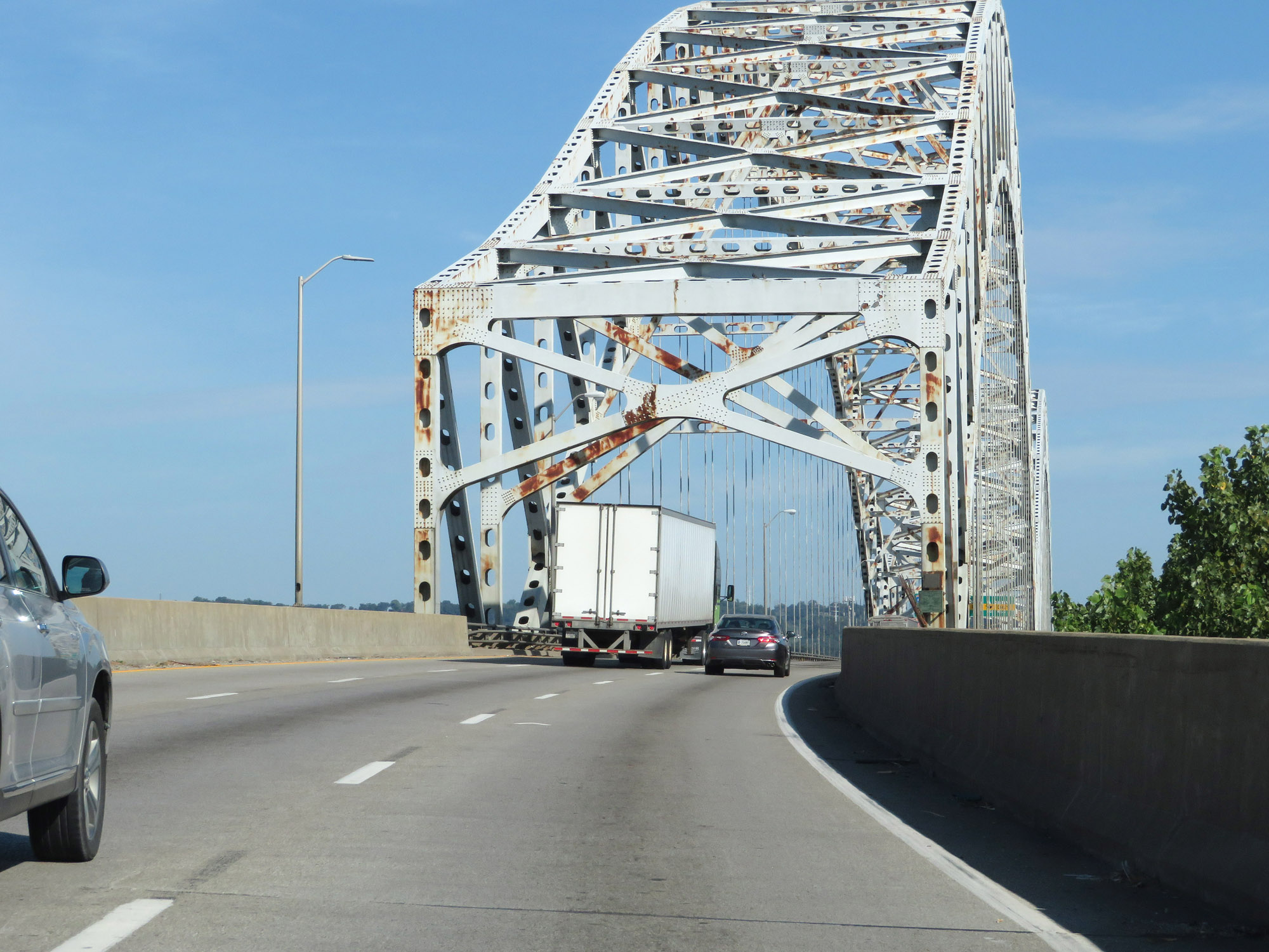 |
View on Interstate 64 West as it starts across the upper level of the Sherman Minton Bridge over the Ohio River. (Photo taken 8/10/19). |
 |
View on Interstate 64 West as it crosses the Sherman Minton Bridge. (Photo taken 8/10/19). |
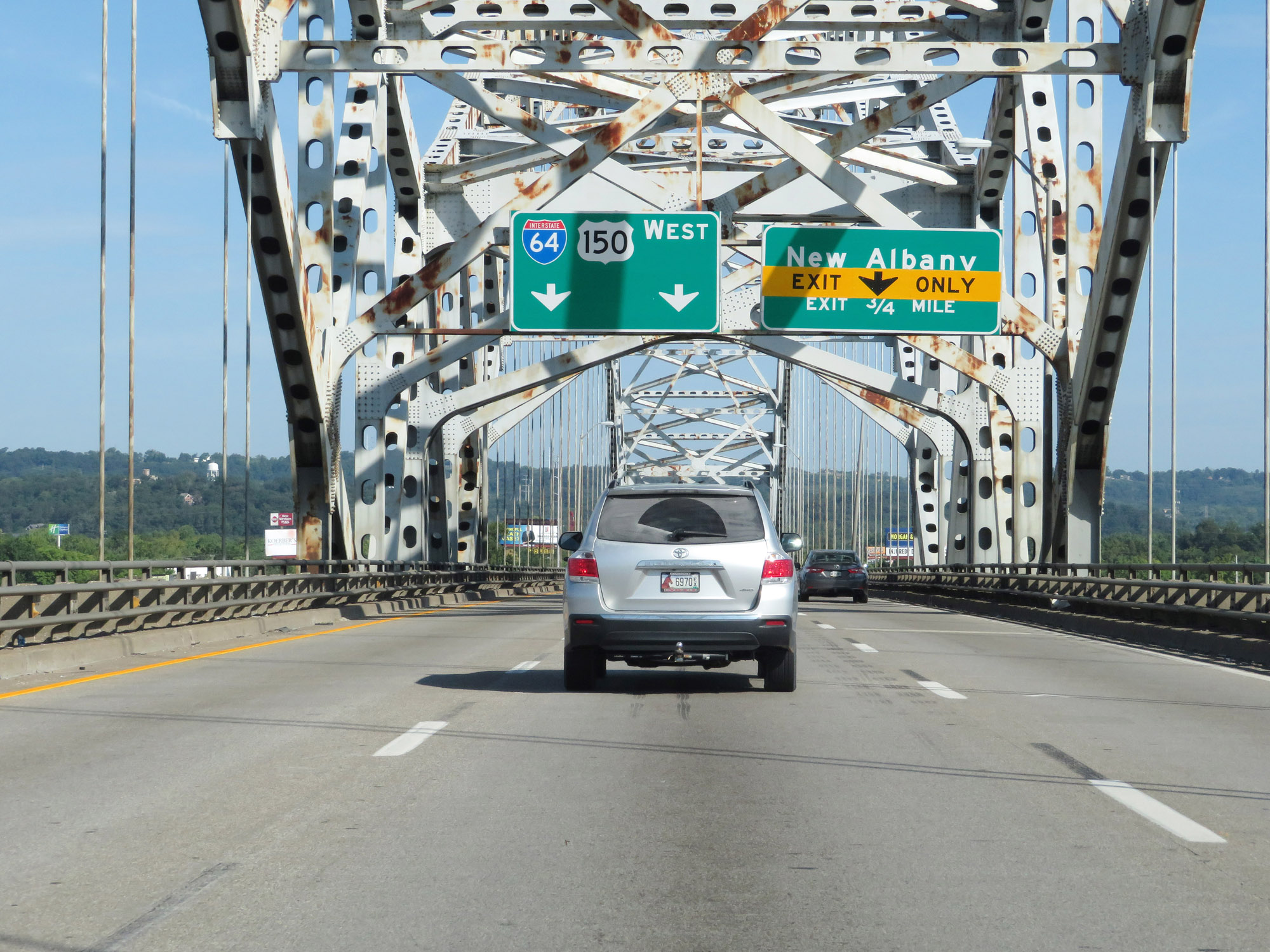 |
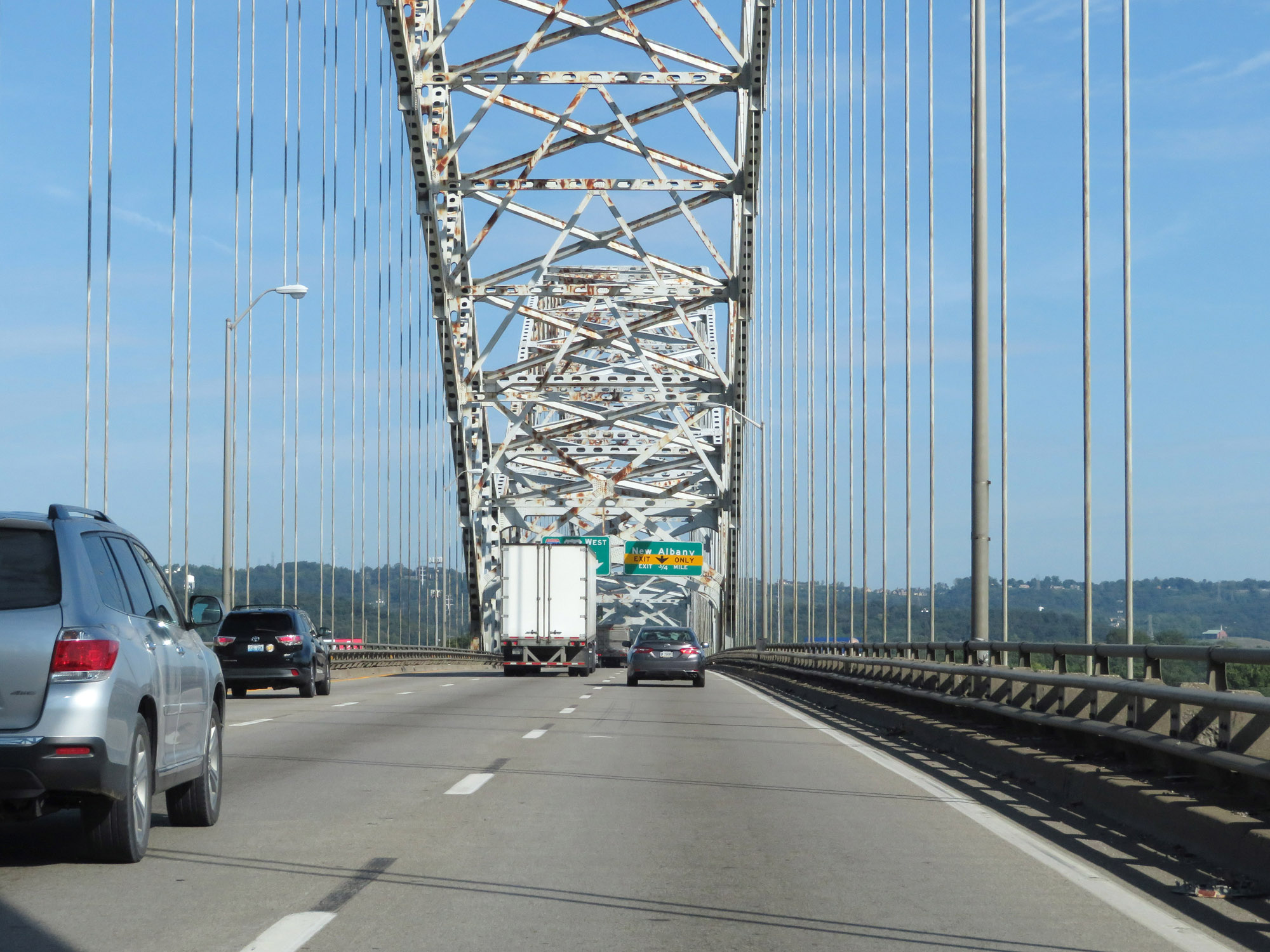
Interstate 64 West thru traffic should use the two leftmost lanes across the bridge, as the right lane becomes an Exit Only lane immediately after entering Indiana. (Photo taken 8/10/19). |
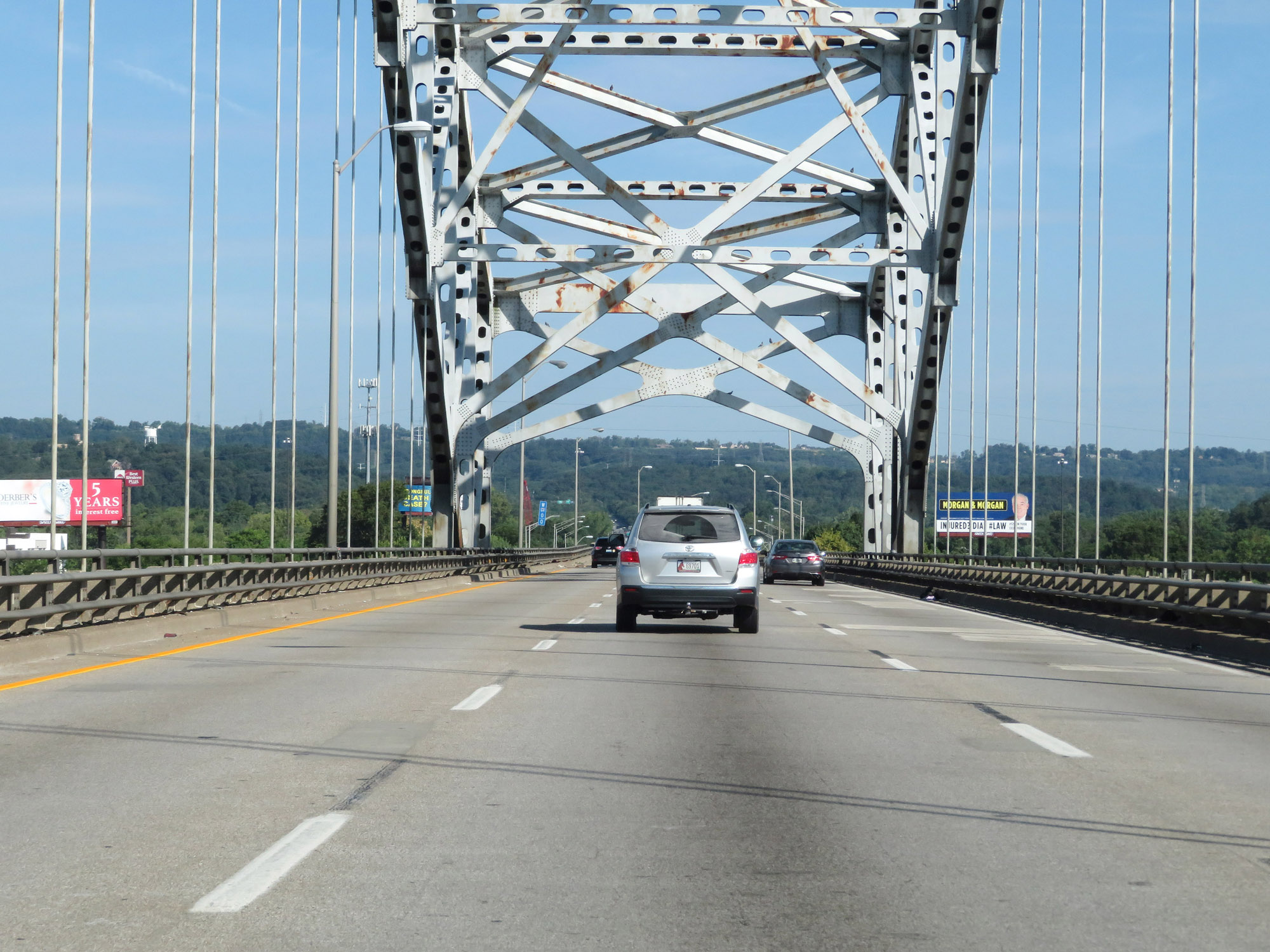 |
Another view on Interstate 64 West as it crosses the Sherman Minton Bridge over the Ohio River. (Photo taken 8/10/19). |
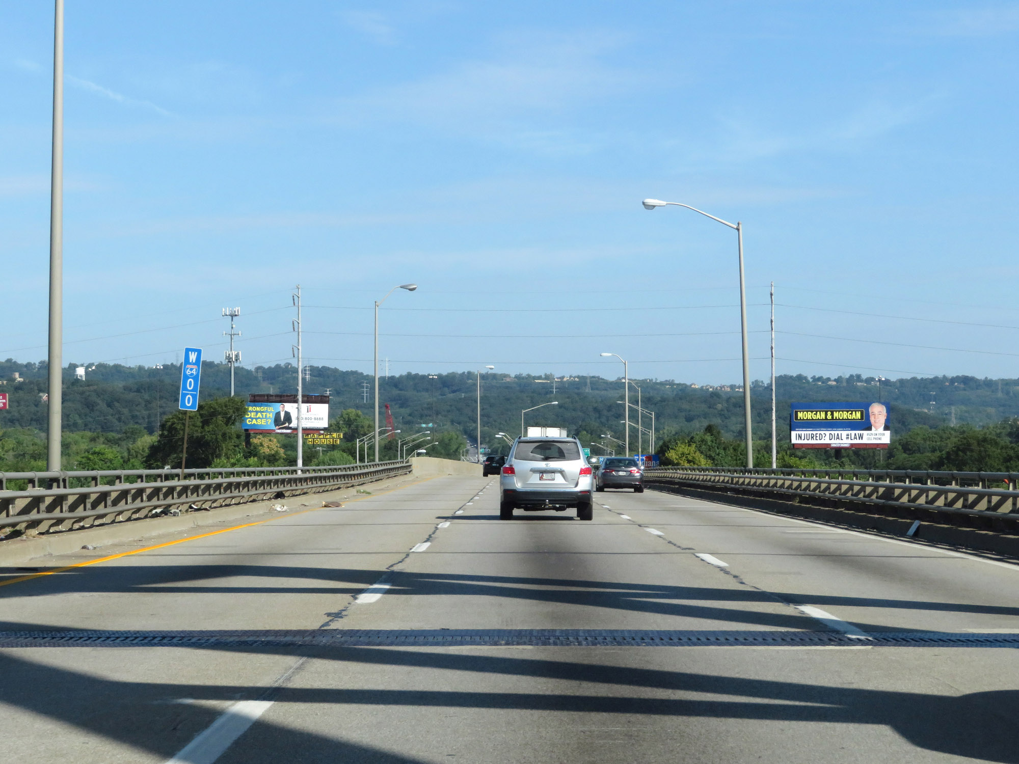 |
Interstate 64 West at mile marker 0, as it crosses the Ohio River into Indiana. (Photo taken 8/10/19). |