Road Information |
||
 |
||
| Total Mileage in State: | 424 miles | |
| Eastern End: | At Missouri state line | |
| Western End: | At Colorado state line | |
| Mileage covered in Photos: | 424 miles | |
| Counties covered in Photos: | Wyandotte, Leavenworth, Douglas, Shawnee, Webaunsee, Riley, Geary, Dickinson, Saline, Lincoln, Ellsworth, Russell, Ellis, Trego, Gove, Logan, Thomas, Sherman | |
| Major Junctions in Photos: | I-670, in Kansas City I-635, in Kansas City I-435, in Kansas City I-470/KS Turnpike, in Topeka I-135/US 81, in Salina US 83, near Oakley |
|
| Control Cities in Photos: | Kansas City, Lawrence, Topeka, Salina, Hays, Colby | |
Westbound
- Section 1: Missouri Border to Lawrence (Exit 204)
- Section 2: Lawrence (Exit 204) to Topeka (Exit 362A)
- Section 3: Topeka (Exit 362A) to Manhattan (Exit 313)
- Section 4: Manhattan (Exit 313) to Salina (Exit 252)
- Section 5: Salina (Exit 252) to Russell (Exit 184)
- Section 6: Russell (Exit 184) to WaKeeney (Exit 127)
- Section 7: WaKeeney (Exit 127) to Colby (Exit 53)
- Section 8: Colby (Exit 53) to Colorado Border
Section 1: Missouri Border to Lawrence (Exit 204)
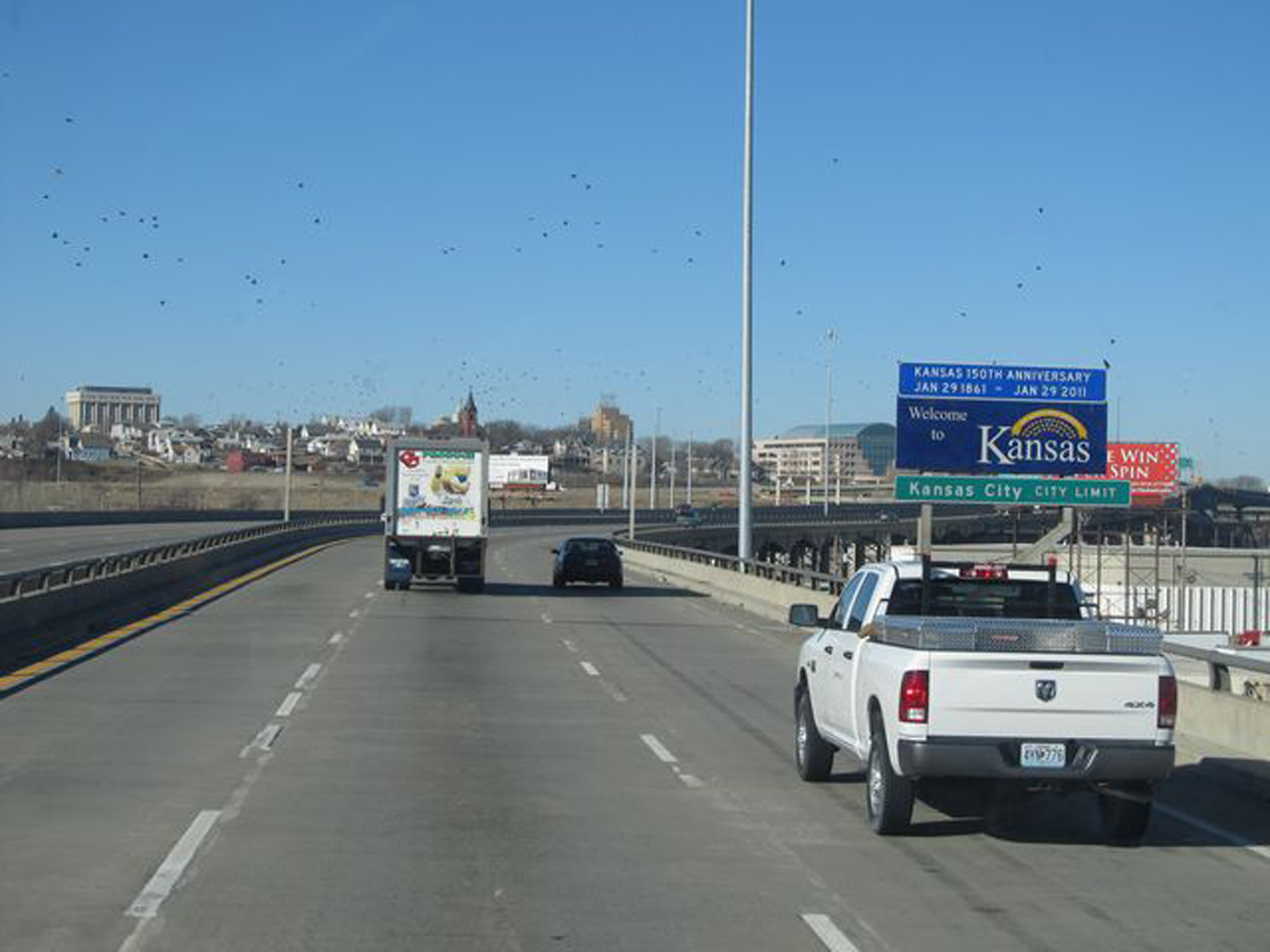 |
Interstate 70 West as it enters Kansas from Missouri and downtown Kansas City by crossing the Kansas River on the Lewis and Clark Viaduct Bridge. (Photo taken 1/5/12). |
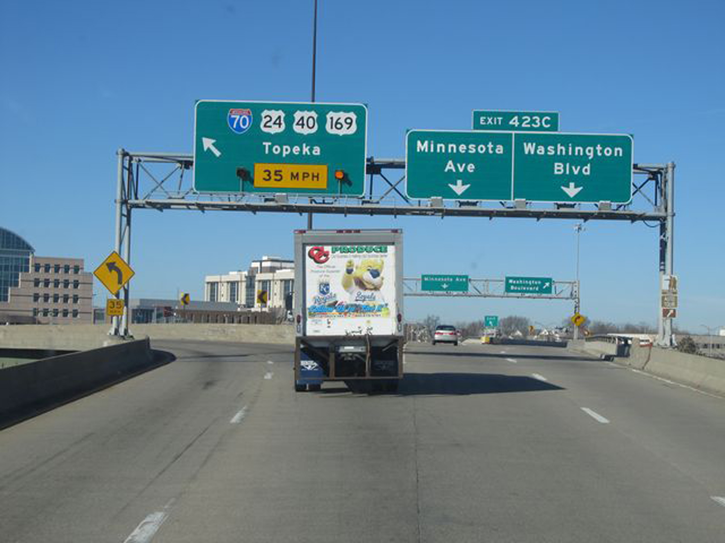 |
Interstate 70 West at Exit 423C: Minnesota Ave / Washington Blvd. Ahead, I-70 West will curve sharply to the south and parallel the Kansas River for a little over a mile. (Photo taken 1/5/12). |
 |
View on Interstate 70 West as it comes out of the sharp curve, now facing south. (Photo taken 8/12/20). |
 |
Interstate 70 West reassurance shield at mile marker 423.2. (Photo taken 8/12/20). |
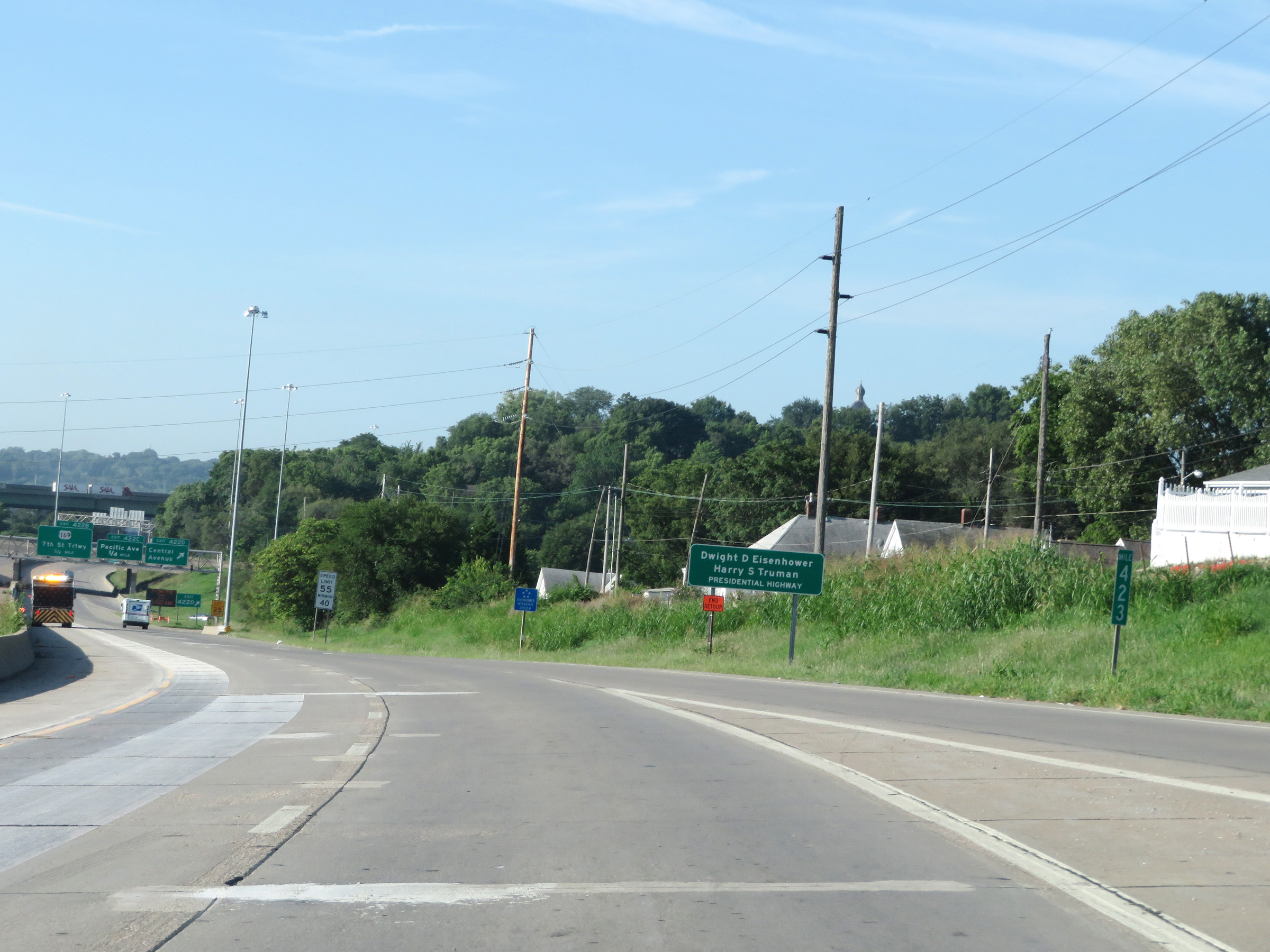 |
As this sign at mile marker 423 reads, this stretch of Interstate 70 is also known as Dwight D. Eisenhower-Harry S. Truman Presidential Highway. I-70 retains this alternate name from Exit 275 in Abilene to Exit 16 in Missouri. (Photo taken 8/12/20). |
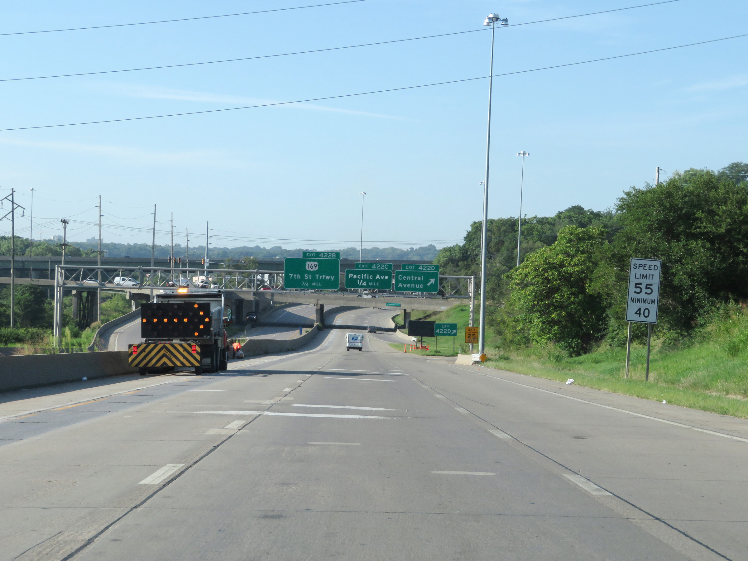 |
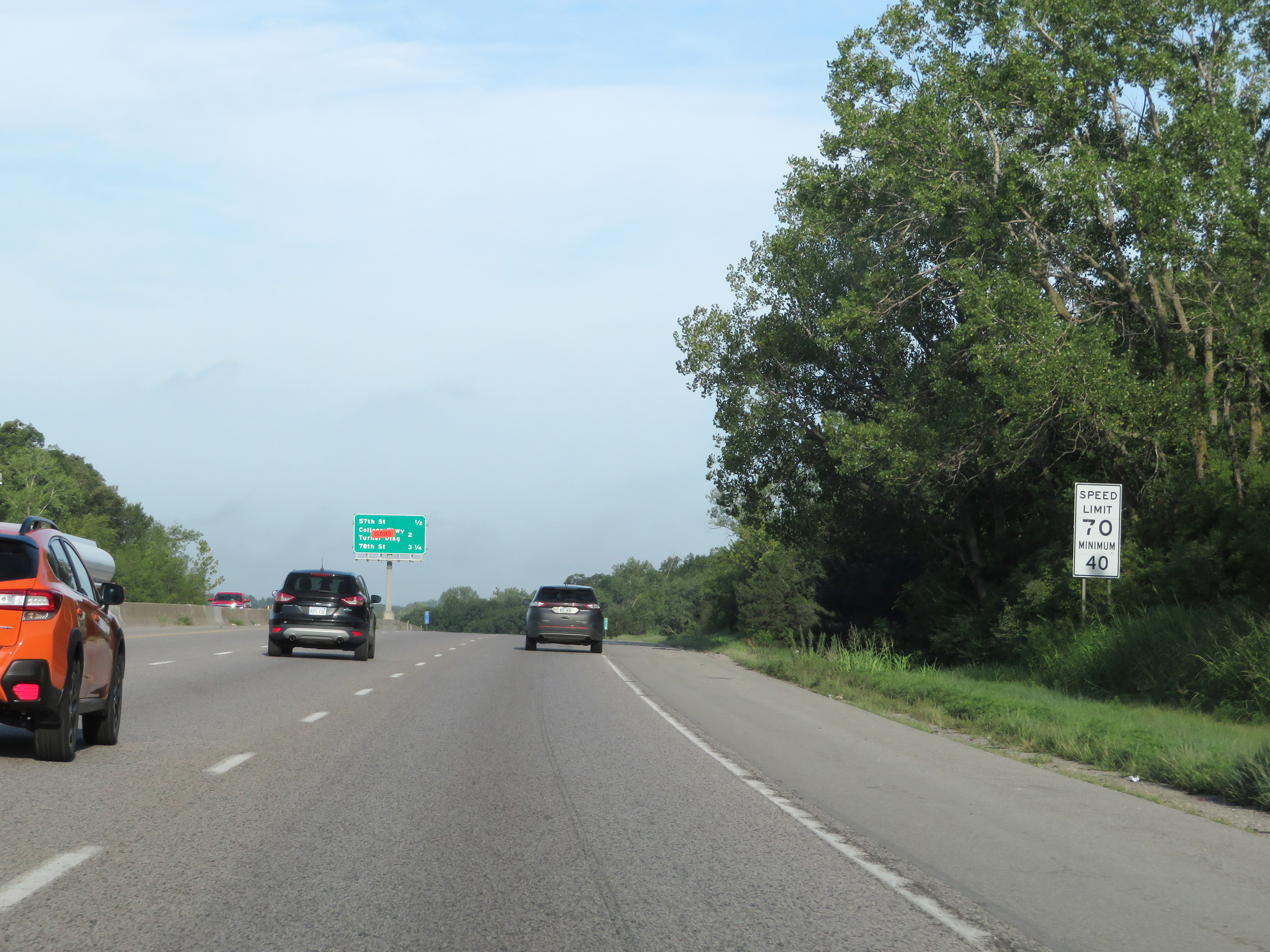
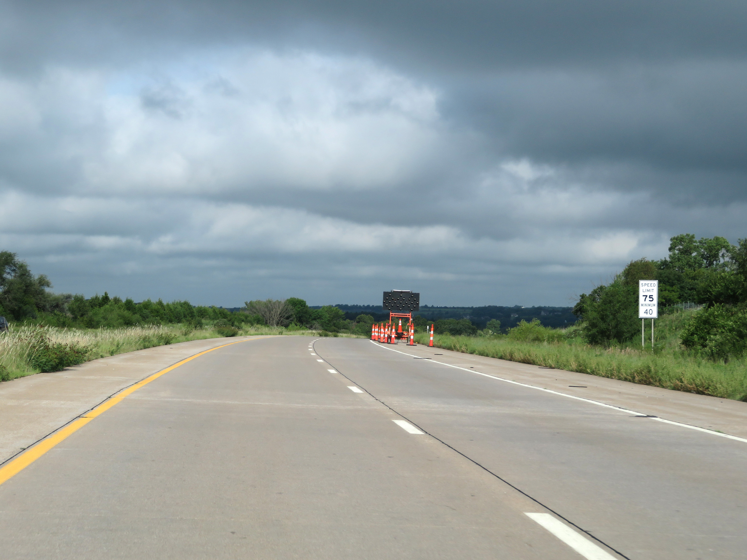
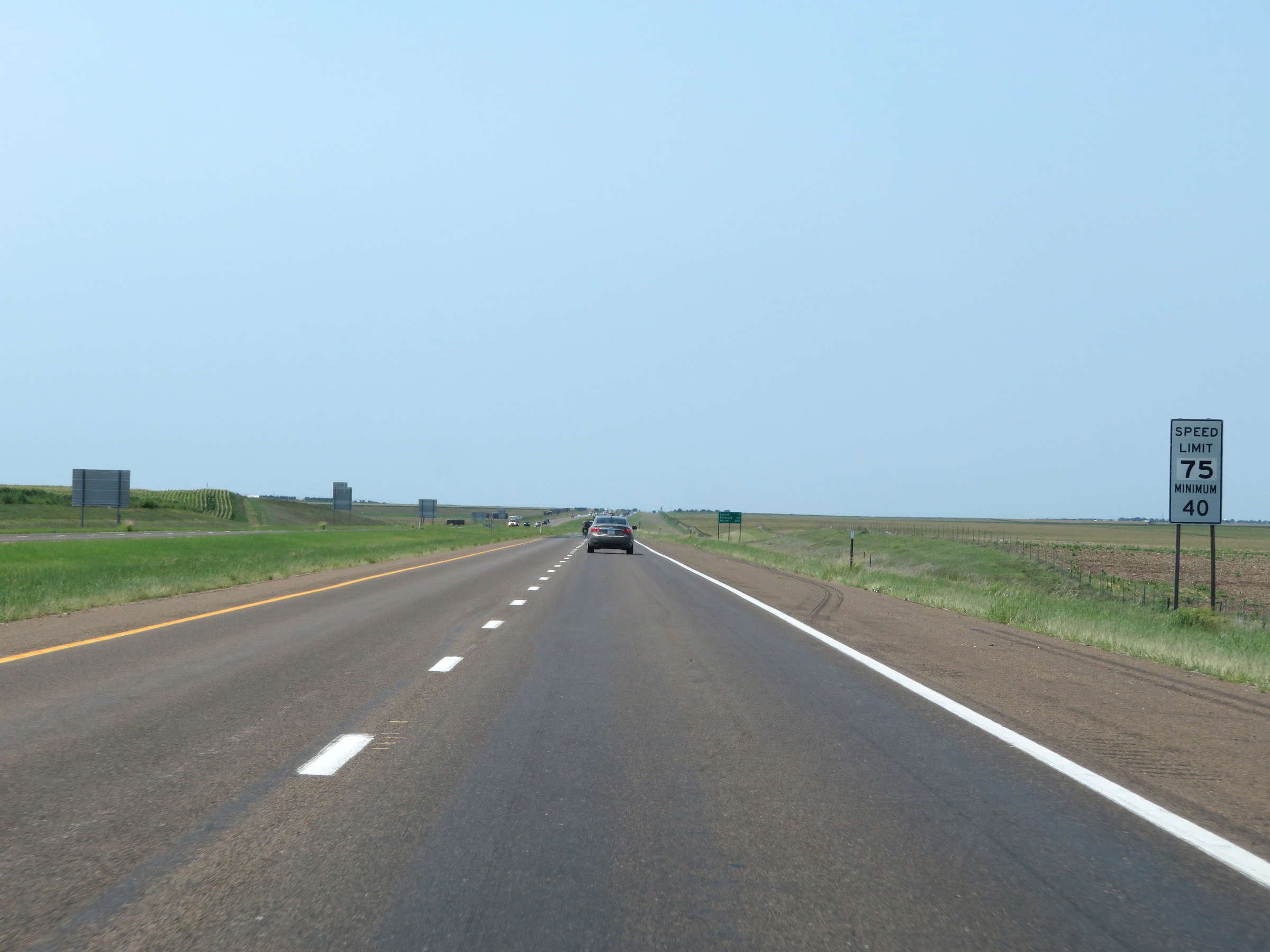
The speed limits on Interstate 70 West in Kansas start out at 55 mph maximum and 40 mph minimum through the Kansas City area. (Photo taken 8/12/20). |
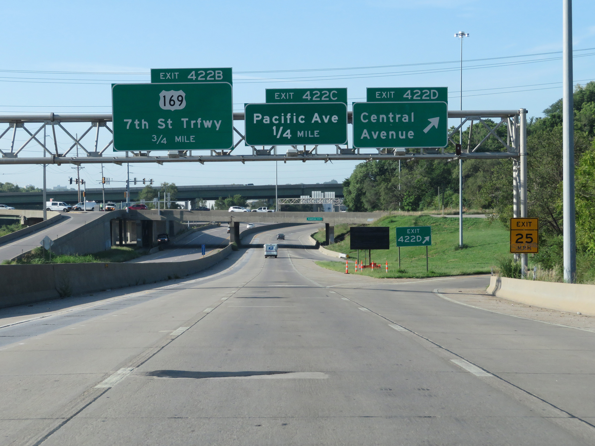 |
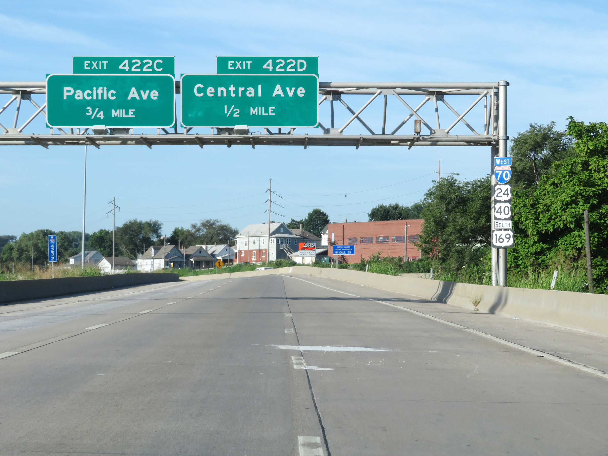
Interstate 70 West at Exit 422D: Central Avenue (Photo taken 8/12/20). |
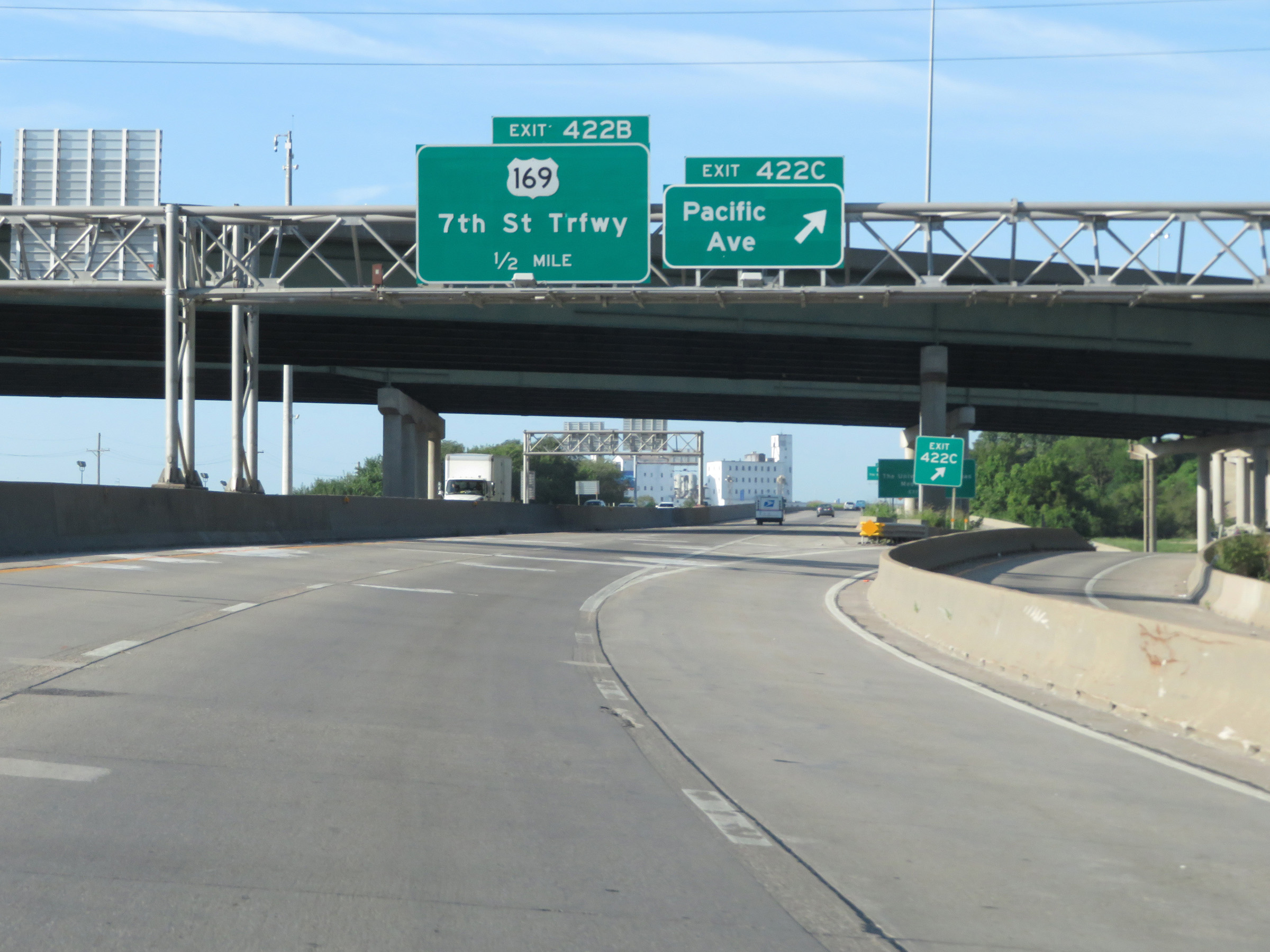 |
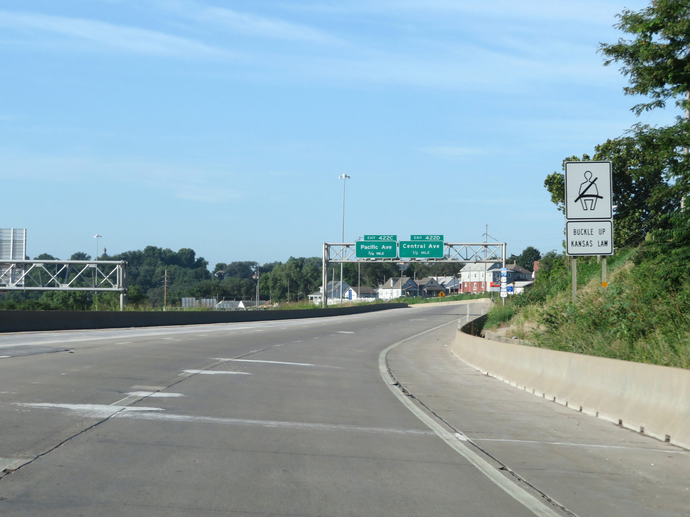
Interstate 70 West at Exit 422C: Pacific Ave (Photo taken 8/12/20). |
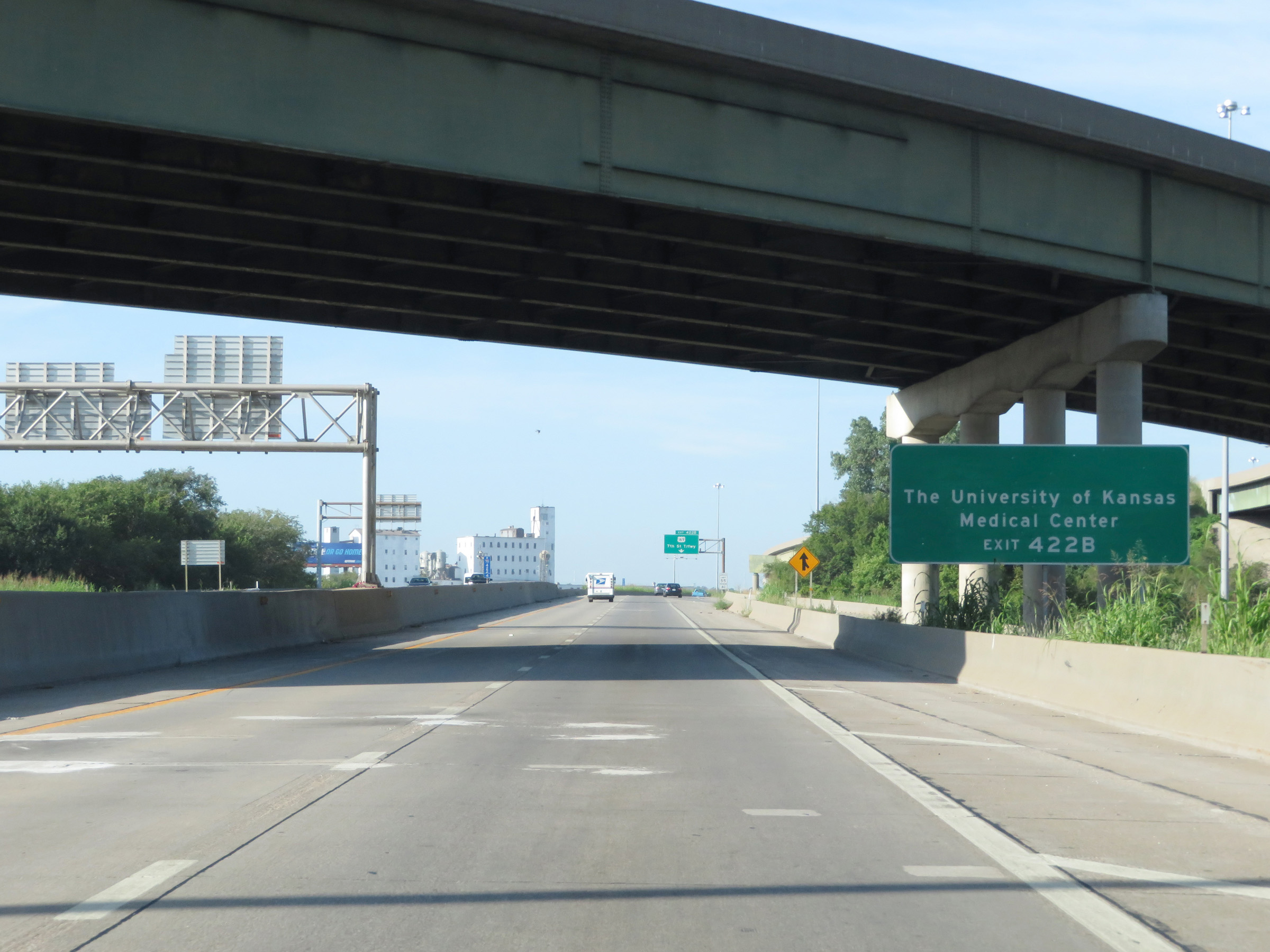 |
Take Exit 422B to the University of Kansas Medical Center. (Photo taken 8/12/20). |
 |
At mile marker 422.2, Interstate 70 West begins to curve back in a westward direction. (Photo taken 8/12/20). |
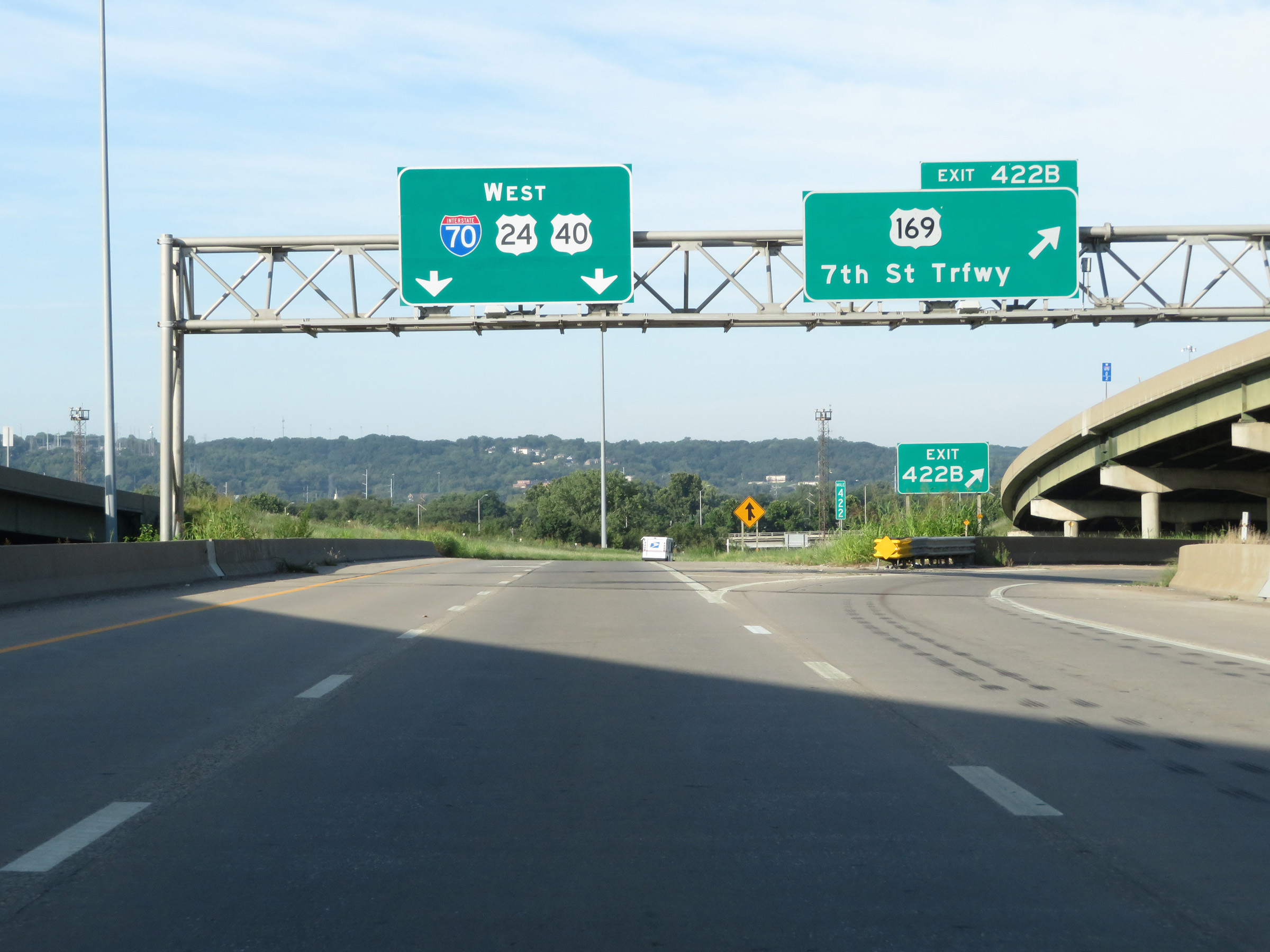 |
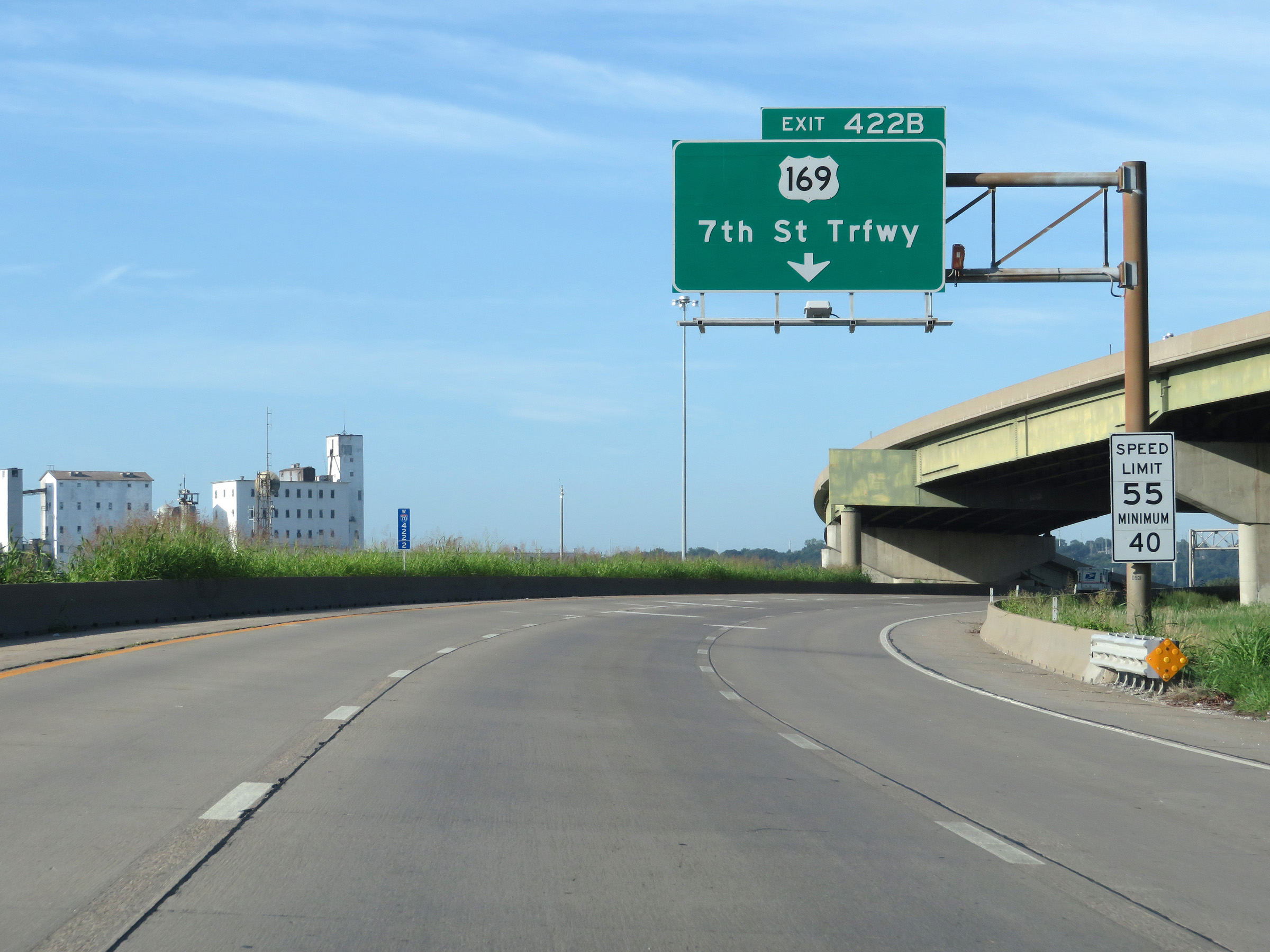
Interstate 70 West at Exit 422B: US 169 - 7th St Trafficway (Photo taken 8/12/20). |
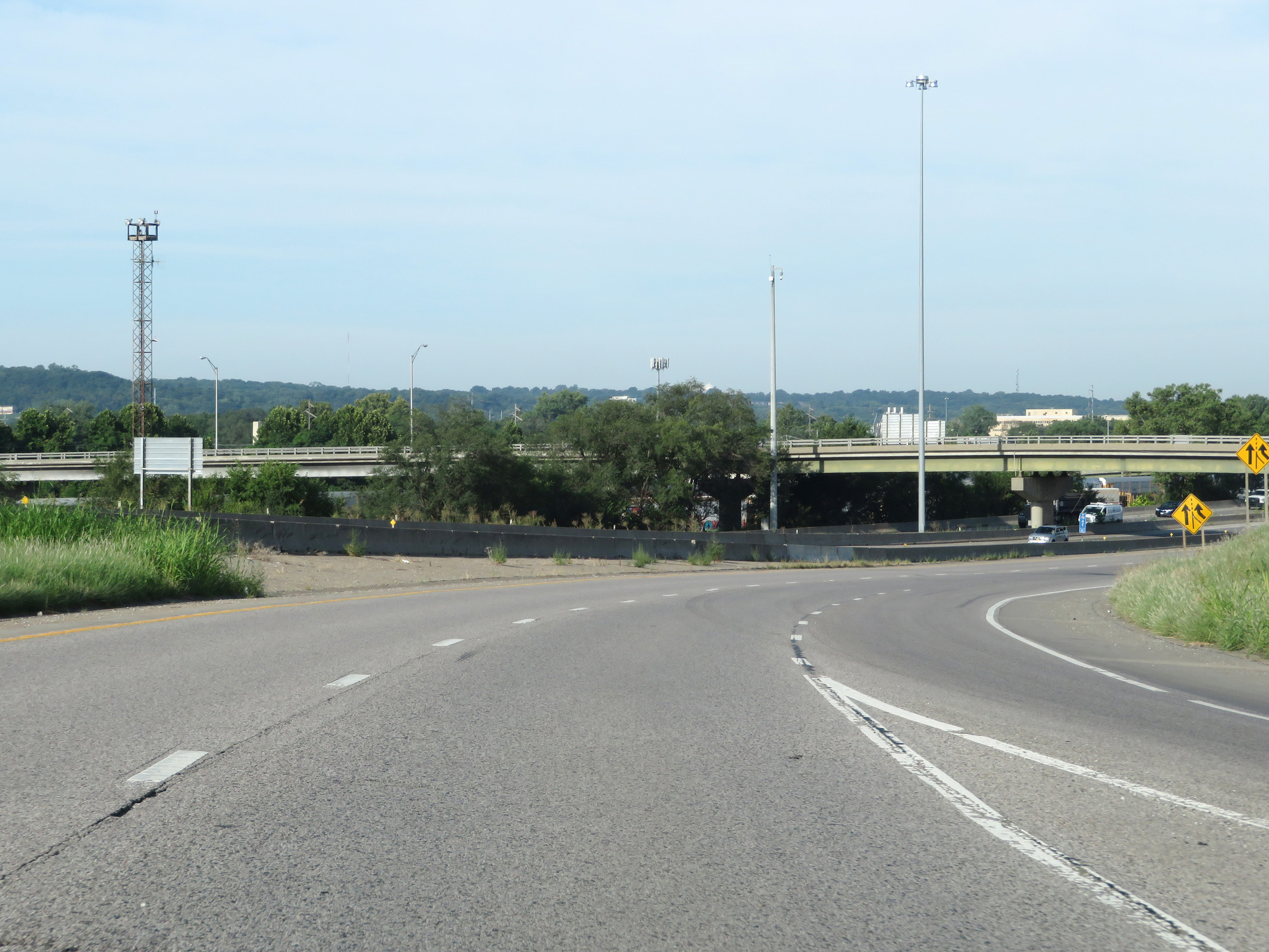 |
View on Interstate 70 West as it continues to curve to the west. (Photo taken 8/12/20). |
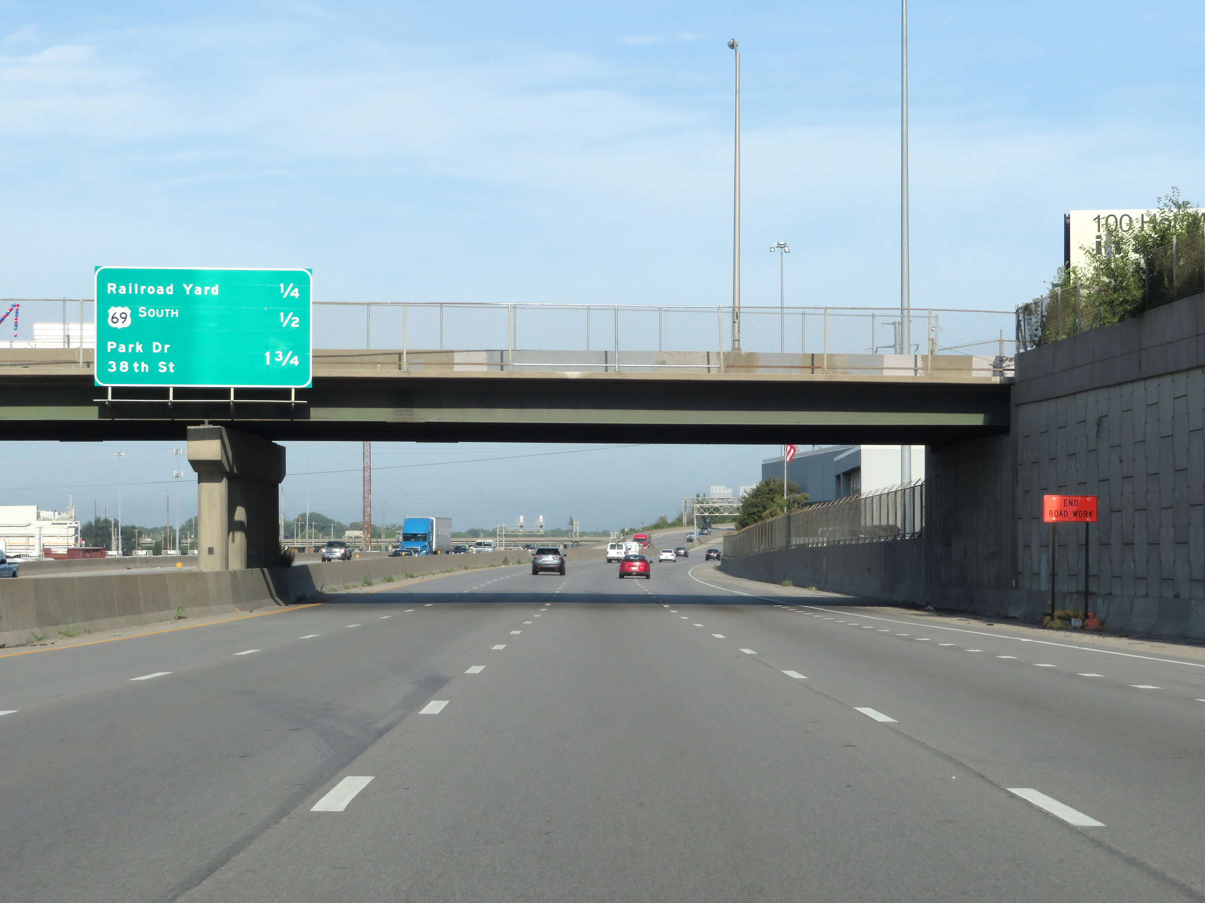 |
Overhead mileage sign on Interstate 70 West listing the distances to the three upcoming exits. (Photo taken 8/12/20). |
 |
Interstate 70 West at Exit 421A: Railroad Yard (Photo taken 8/12/20). |
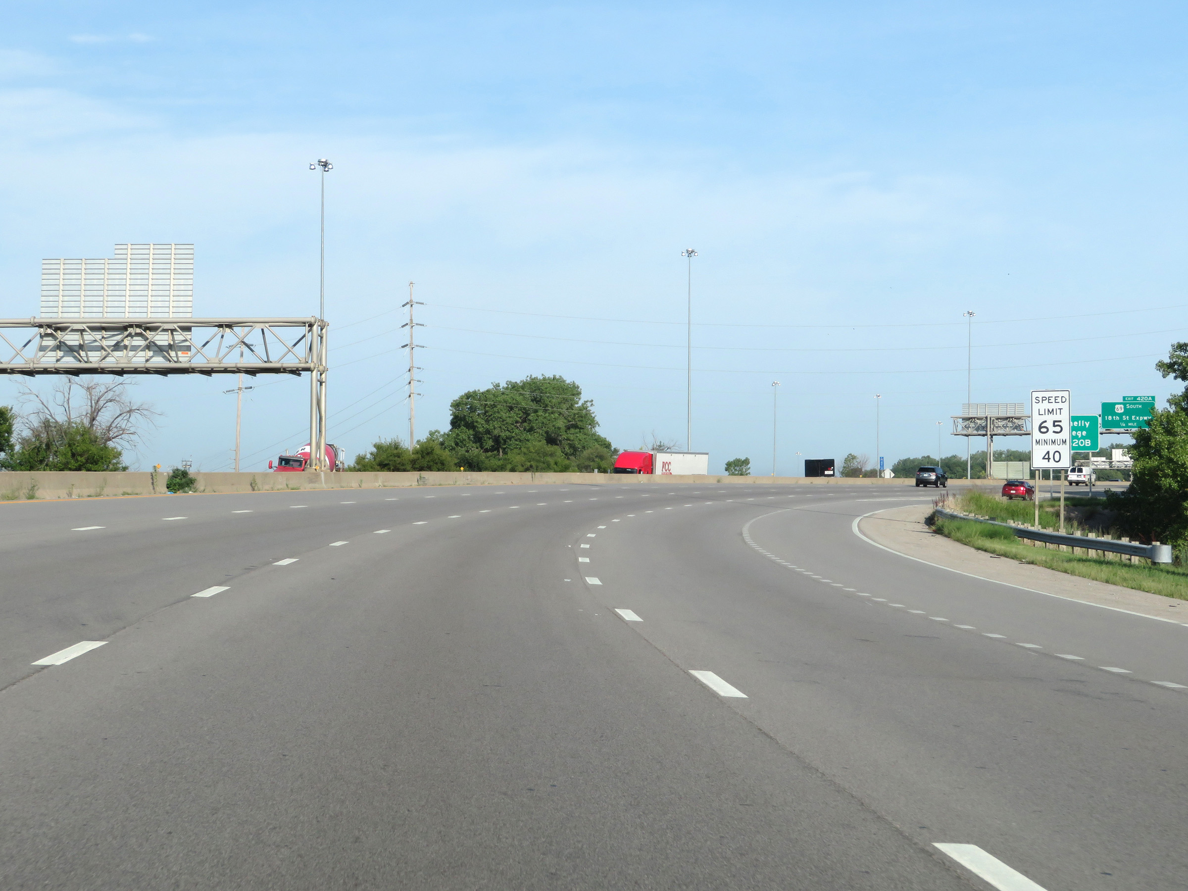 |
Just beyond Exit 421A, the maximum speed limit increases to 65 mph. The minimum speed limit remains 40 mph as usual. (Photo taken 8/12/20). |
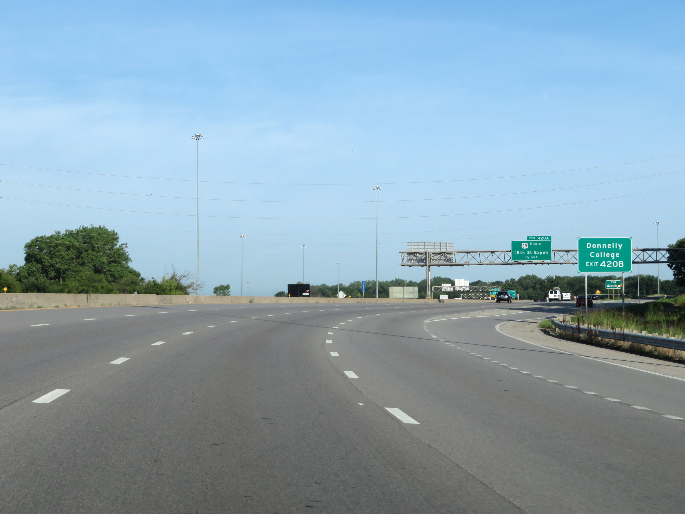 |
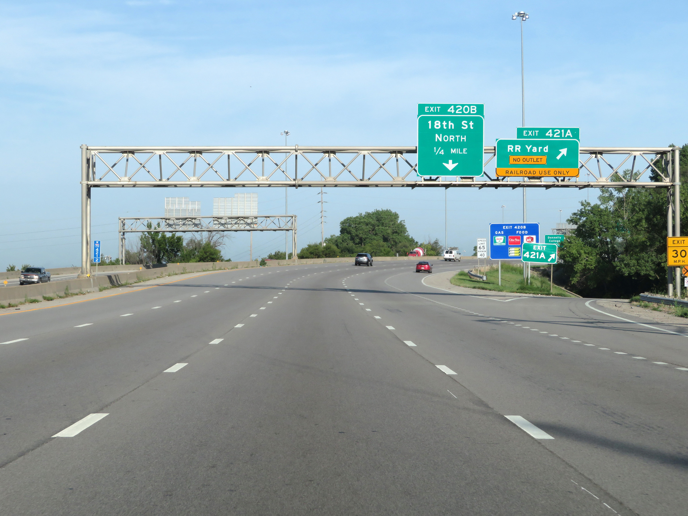
Take Exit 420B to Donnelly College. (Photo taken 8/12/20). |
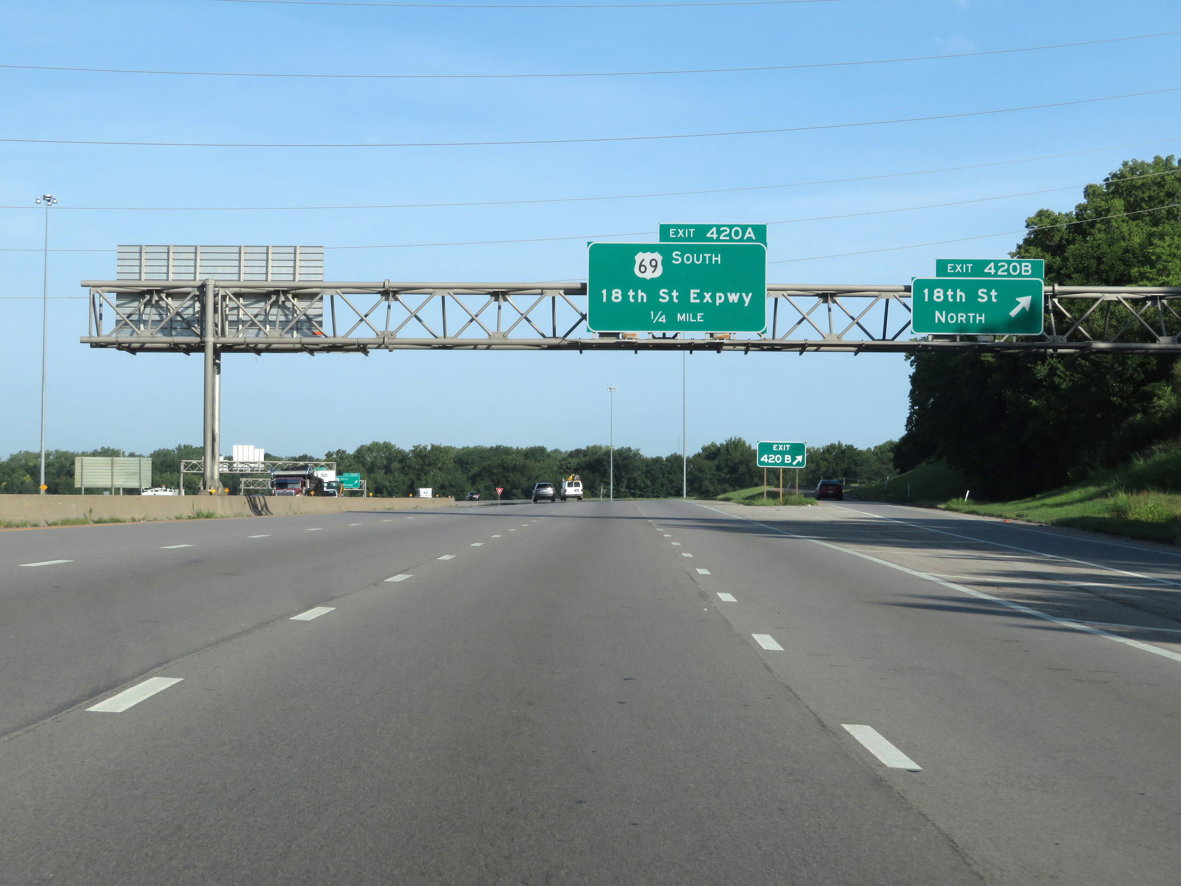 |
Interstate 70 West at Exit 420B: 18th St North (Photo taken 8/12/20). |
 |
Interstate 70 West at Exit 420A: US 69 South - 18th St Expwy (Photo taken 8/12/20). |
 |
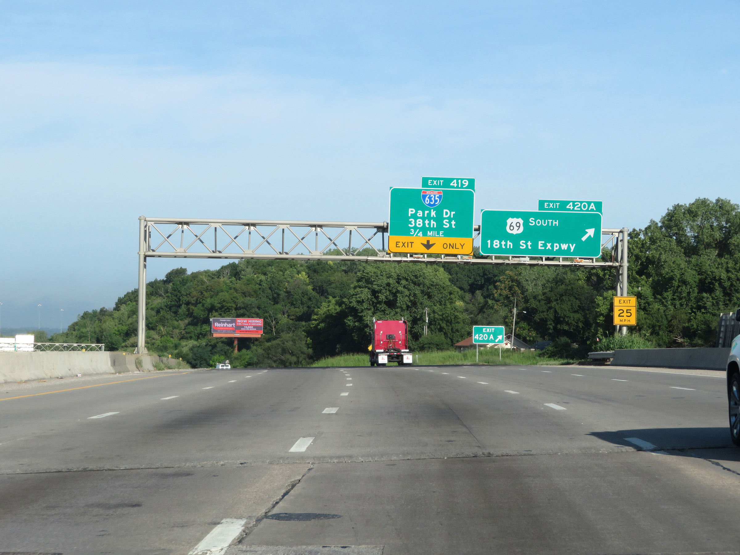
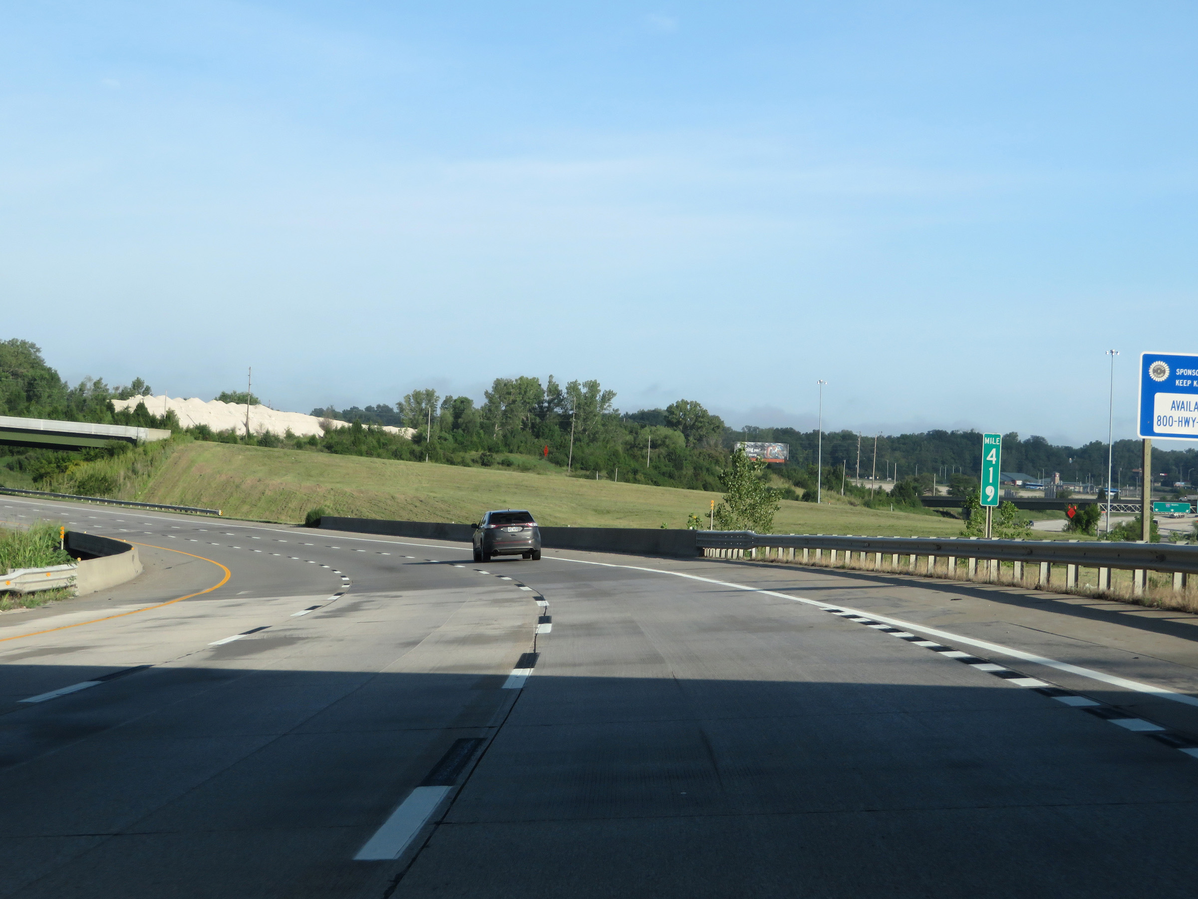
Interstate 70 West approaching Exit 419. It is at this point that the Kansas Turnpike designation begins on I-70 West. However, there will be no toll until after Exit 410. (Photo taken 8/12/20). |
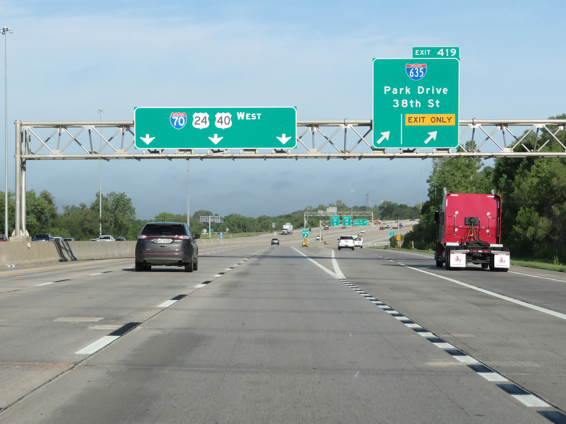 |
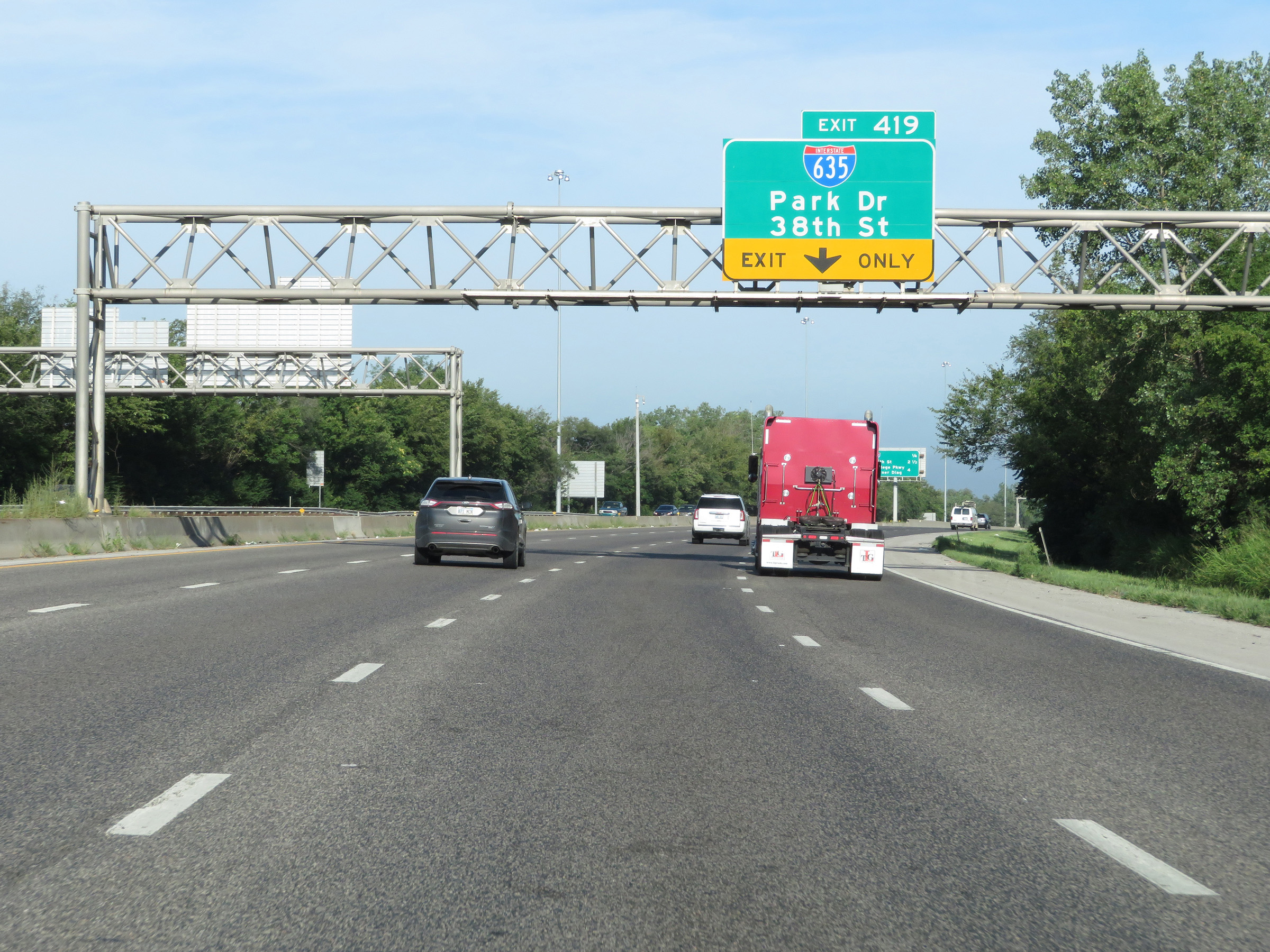
Interstate 70 West (Kansas Turnpike) at Exit 419: Interstate 635 - Park Drive / 38th St (Photo taken 8/12/20). |
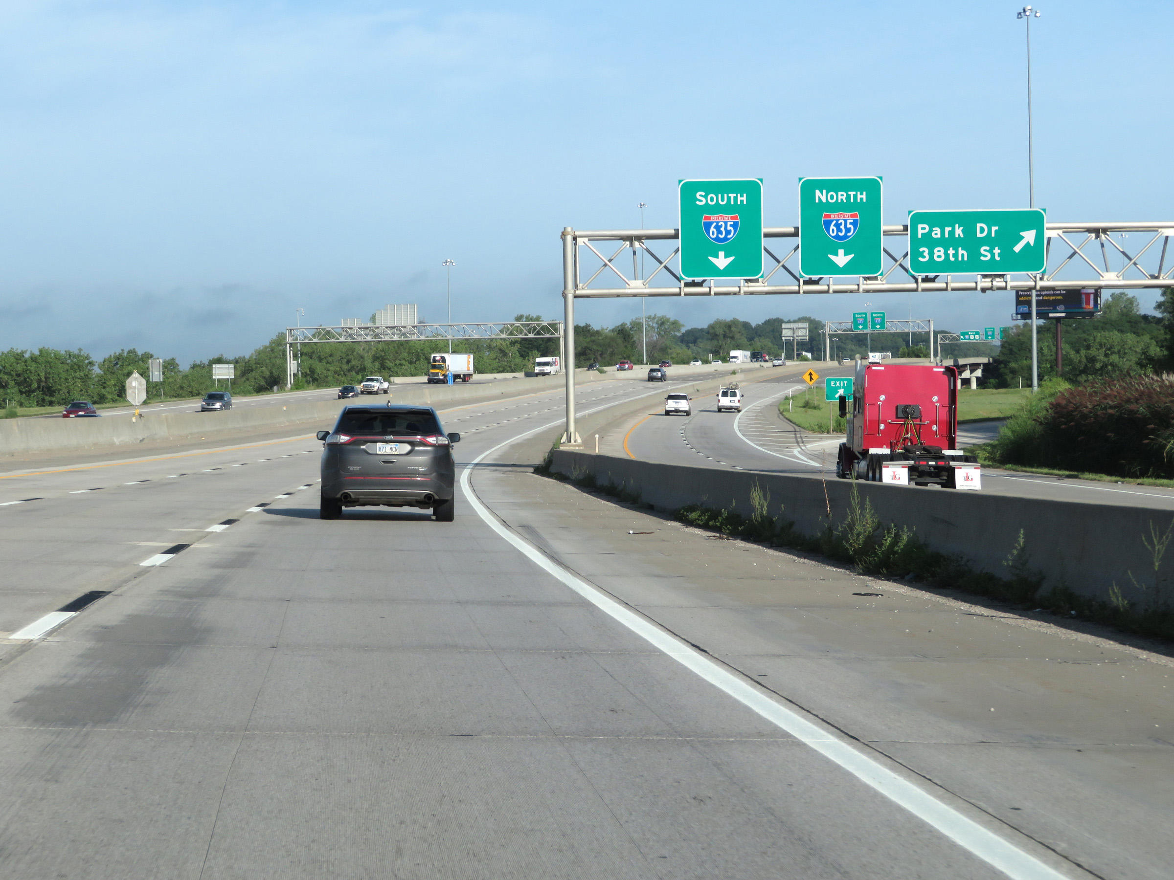 |
The ramp for Exit 419 runs alongside Interstate 70 West (Kansas Turnpike) for about 1/4 mile to the junction of Interstate 635. Access to Park Drive and 38th St is gained from this secondary ramp seen here. (Photo taken 8/12/20). |
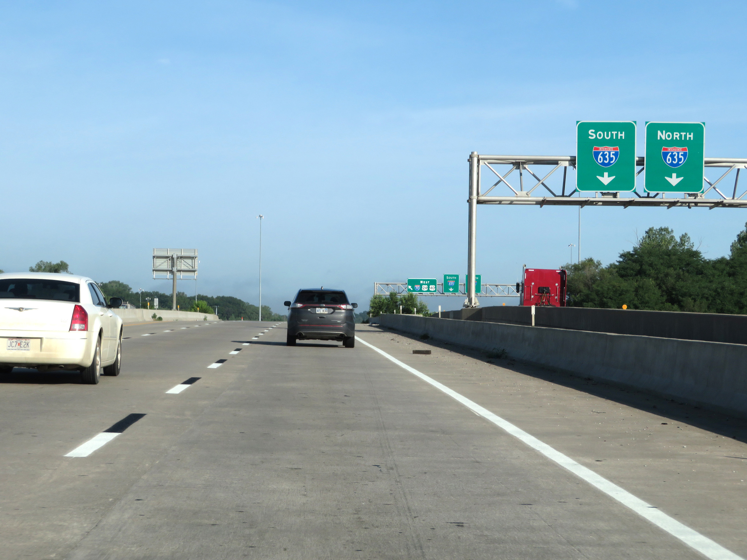 |
Interstate 70 West (Kansas Turnpike) as the ramp for Exit 419 continues alongside it to the junction of Interstate 635. (Photo taken 8/12/20). |
 |
View on Interstate 70 West (Kansas Turnpike) at mile marker 419. (Photo taken 8/12/20). |
 |
State-named Interstate 70 West reassurance shield. (Photo taken 8/12/20). |
 |
Near mile marker 418, the maximum speed limit increases to 70 mph while the minimum remains 40 mph. (Photo taken 8/12/20). |
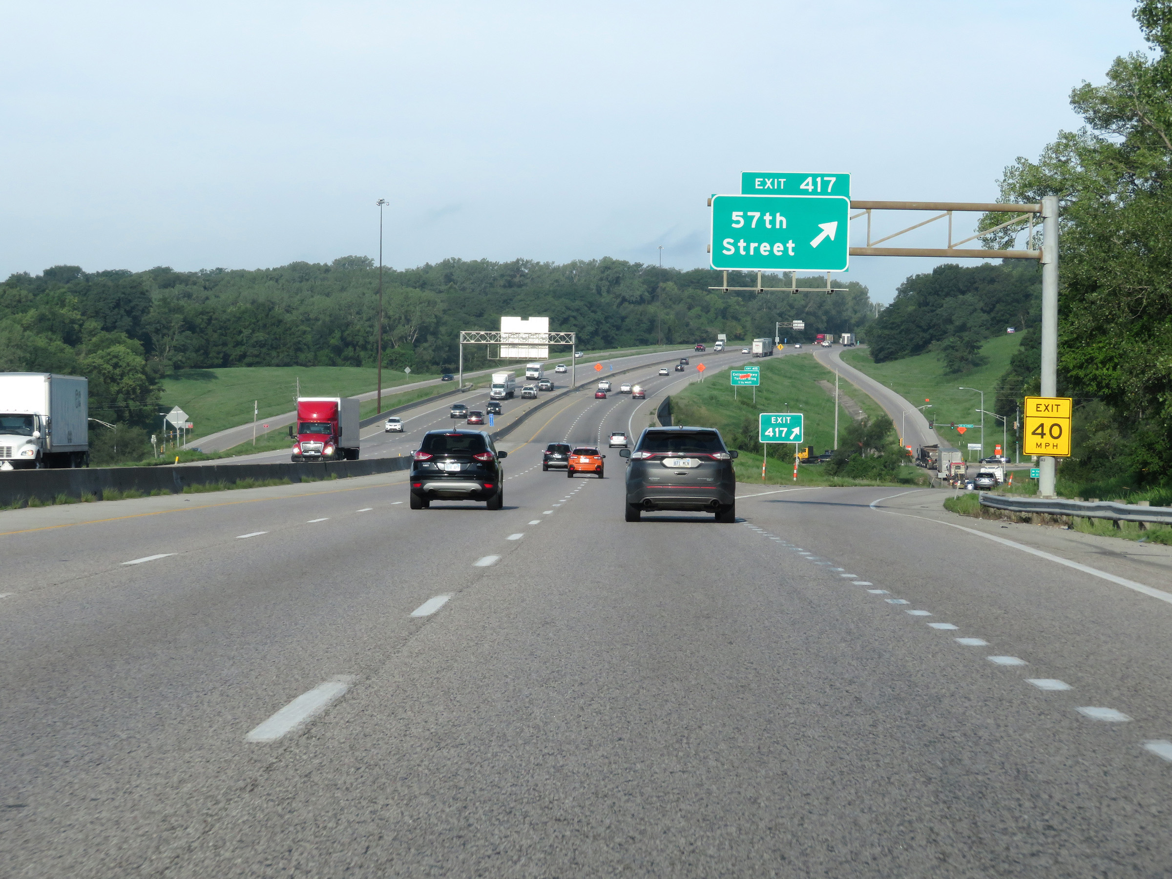 |
Interstate 70 West (Kansas Turnpike) at Exit 417: 57th Street (Photo taken 8/12/20). |
 |
Another overhead mileage sign listing the distances to the next three interchanges on Interstate 70 West (Kansas Turnpike). (Photo taken 8/12/20). |
 |
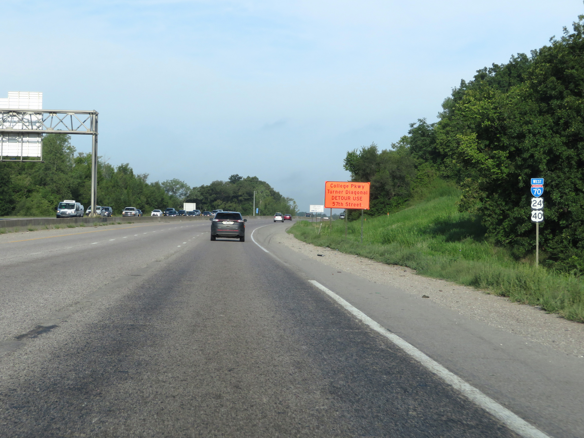
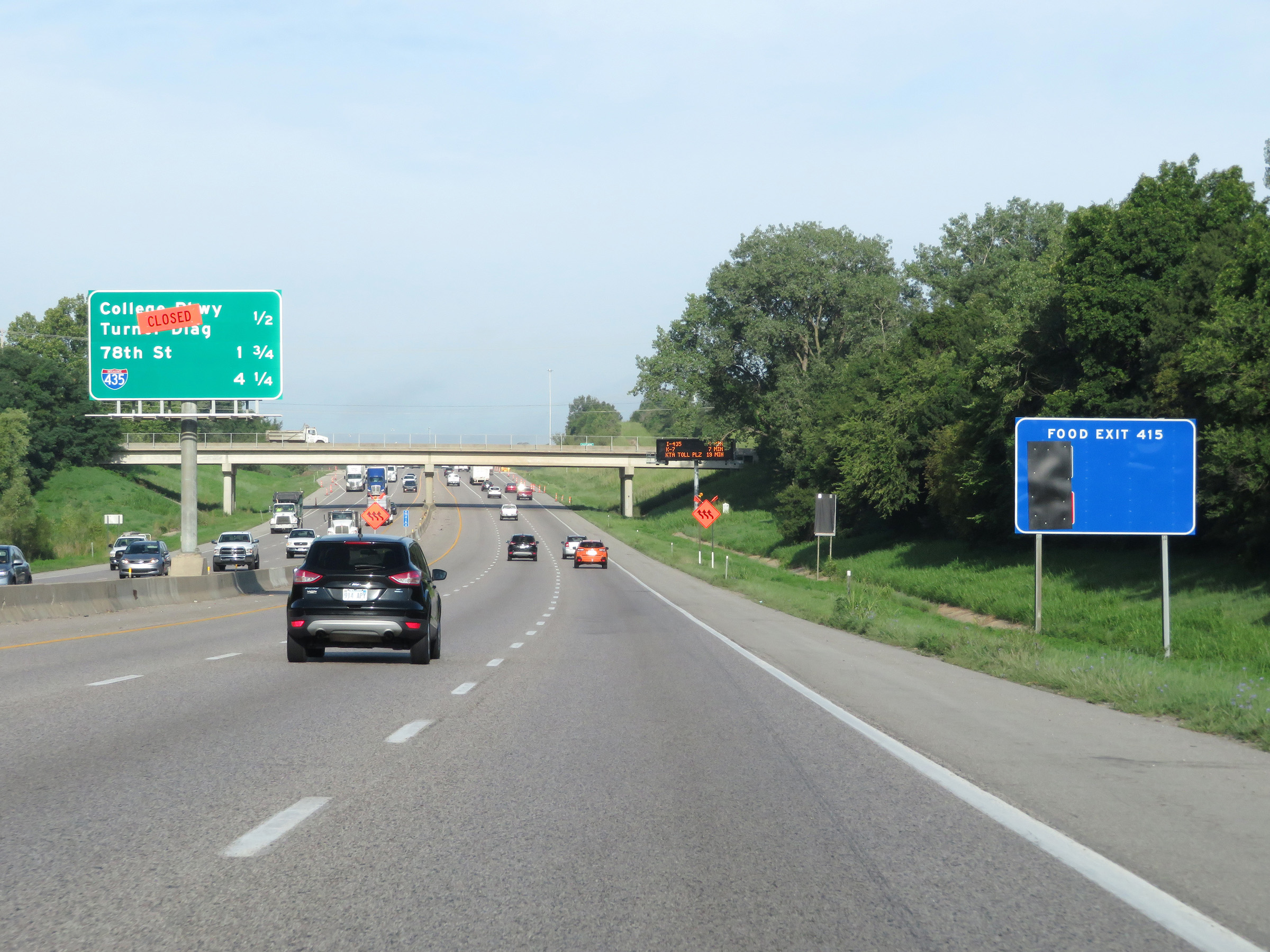
Interstate 70 West (Kansas Turnpike) at Exit 415: College Pkwy / Turner Diagonal (Photo taken 8/12/20). |
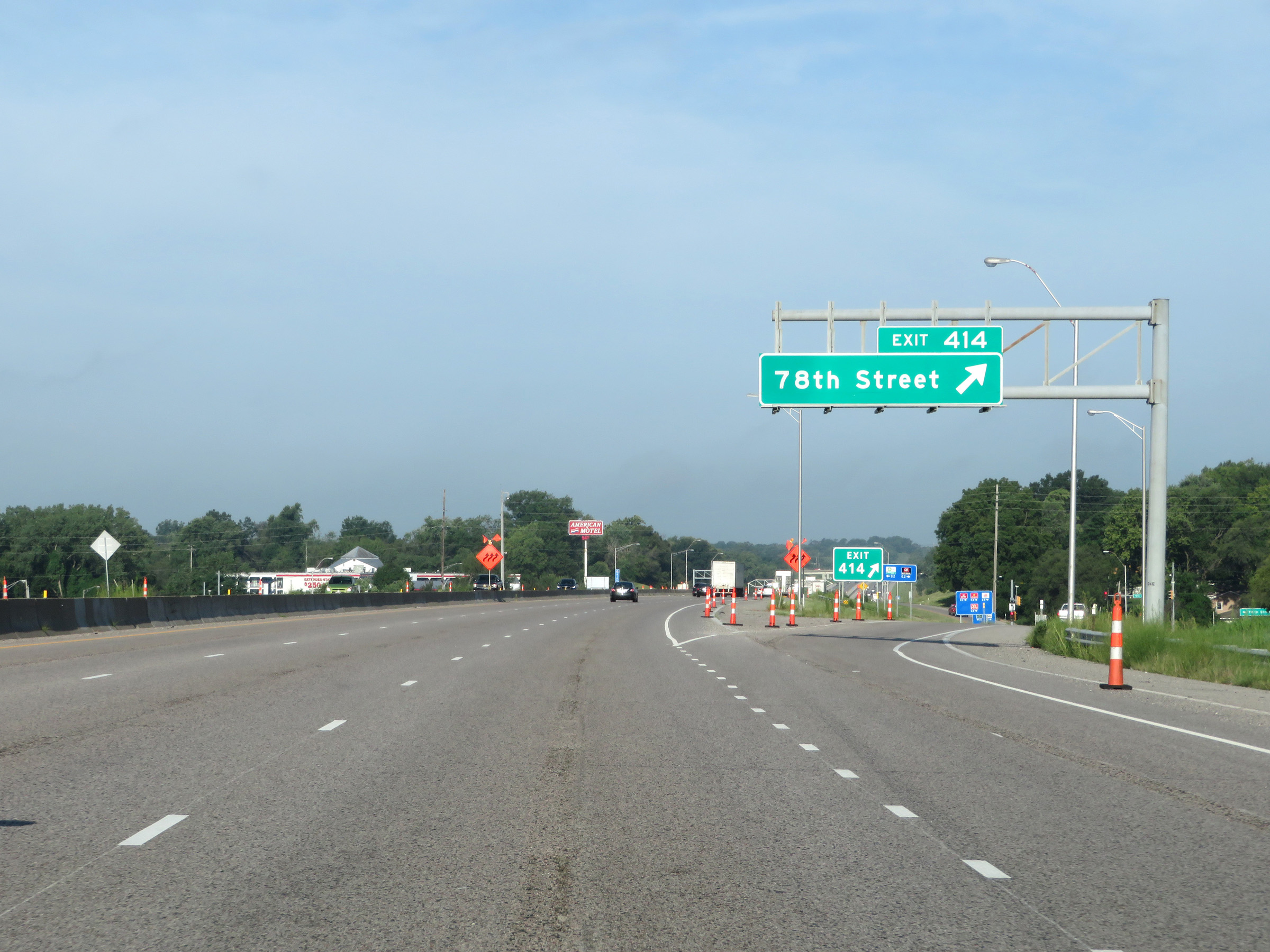 |
Interstate 70 West (Kansas Turnpike) at Exit 414: 78th Street (Photo taken 8/12/20). |
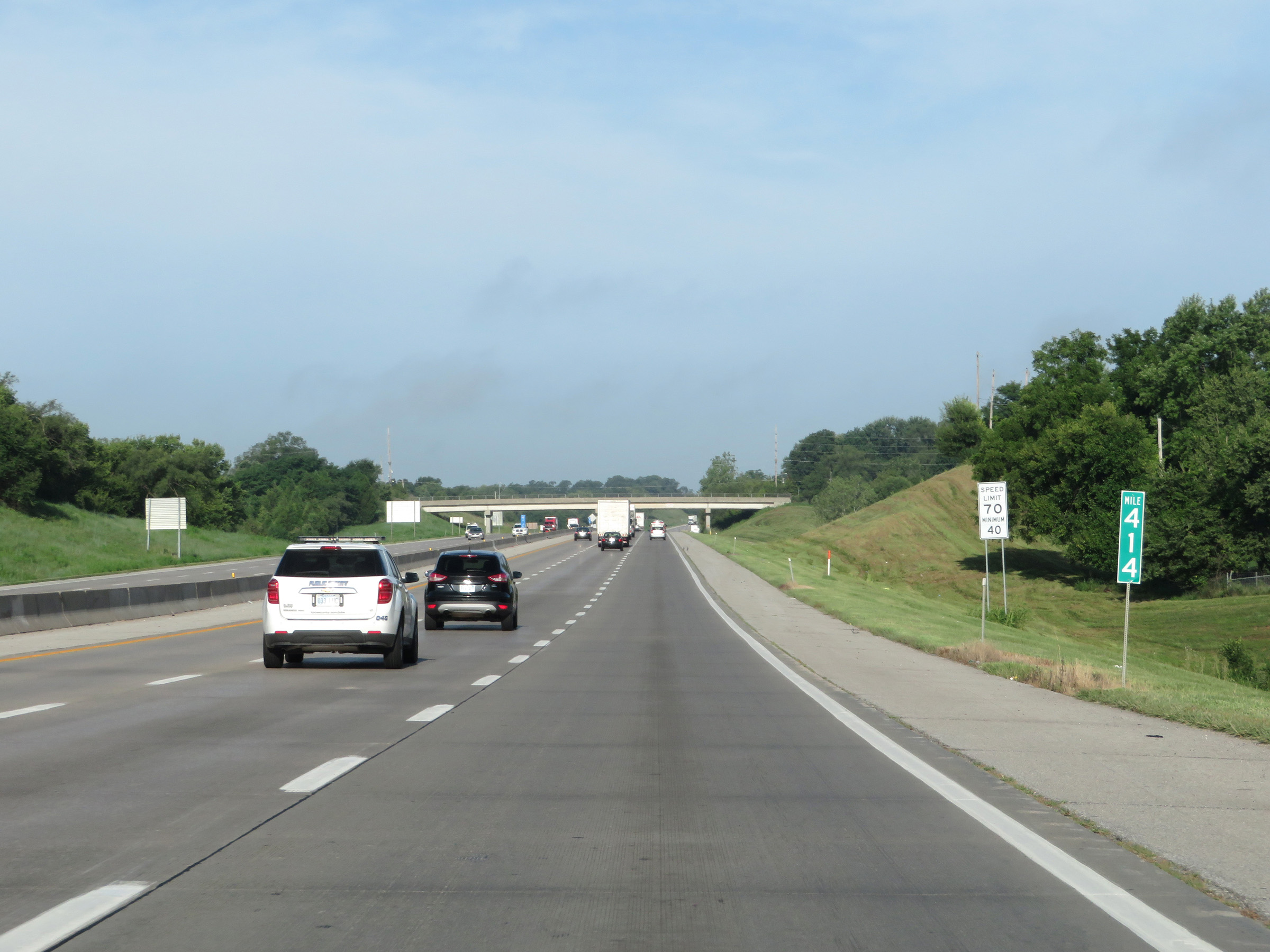 |
View on Interstate 70 West (Kansas Turnpike) at mile marker 414. (Photo taken 8/12/20). |
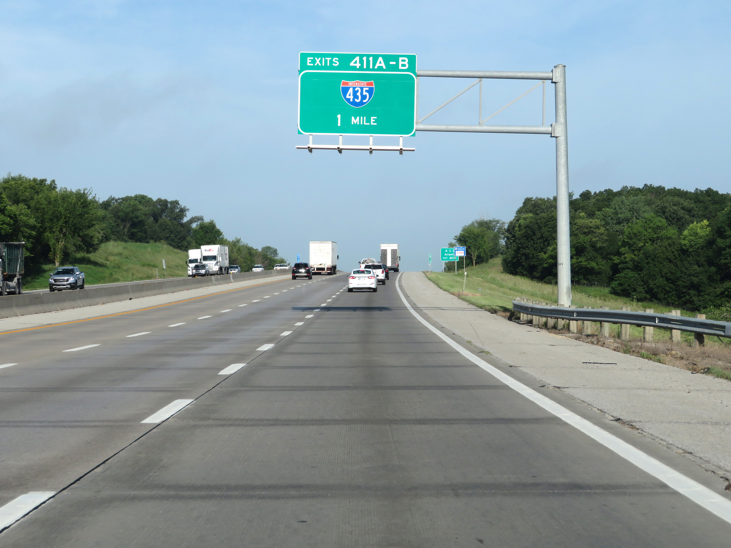 |
Interstate 70 West (Kansas Turnpike) approaching Exits 411A-B - 1 mile. (Photo taken 8/12/20). |
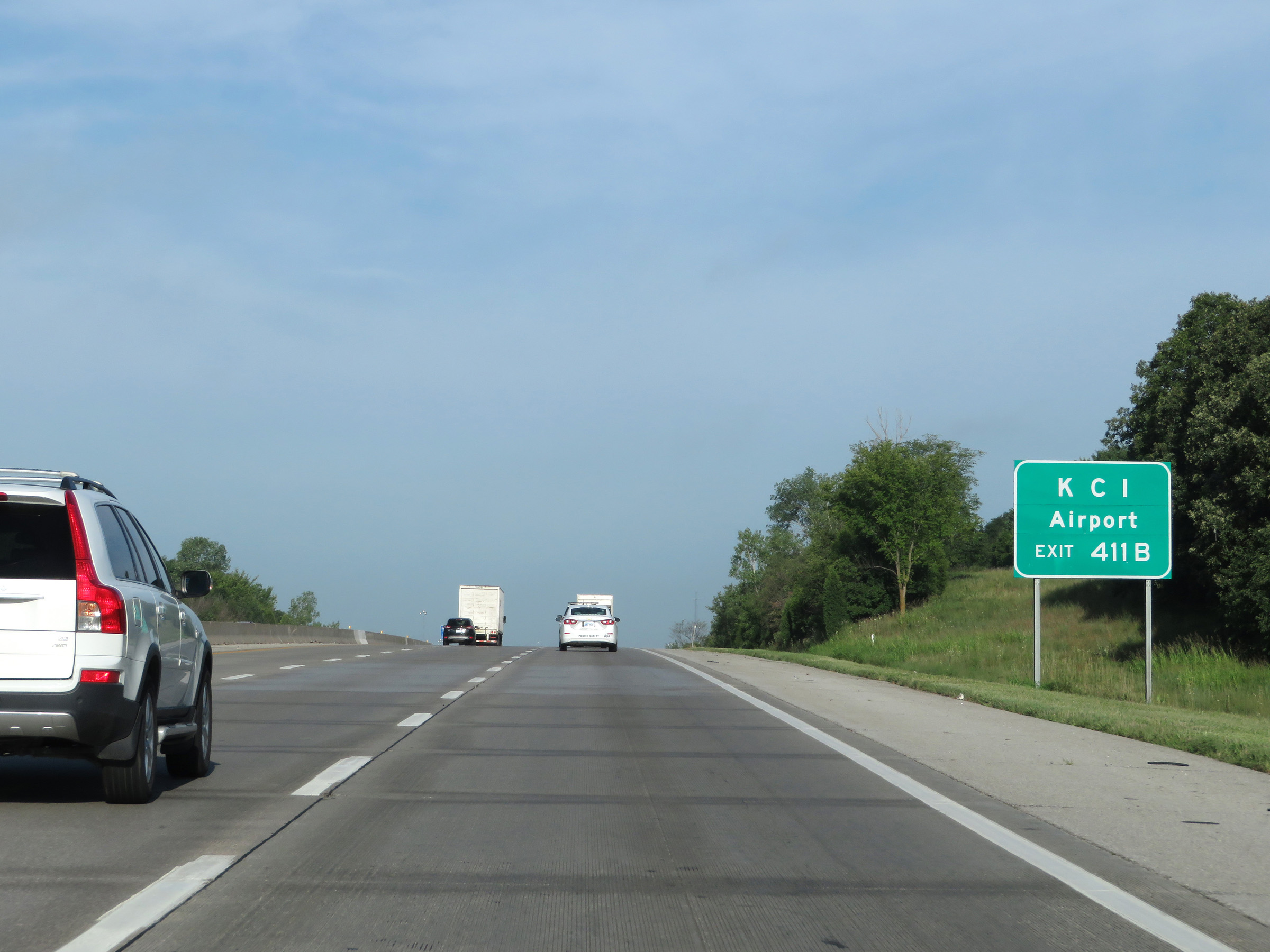 |
Take Exit 411B (Interstate 435 North) to KCI Airport. (Photo taken 8/12/20). |
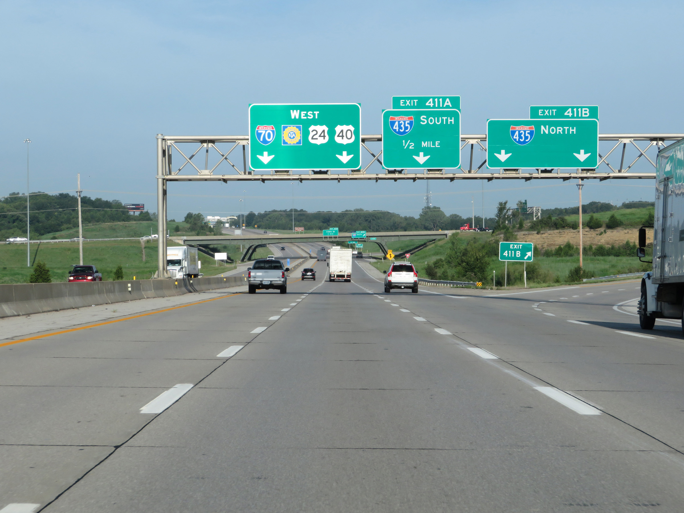 |
Interstate 70 West (Kansas Turnpike) at Exit 411B: Interstate 435 North (Photo taken 8/12/20). |
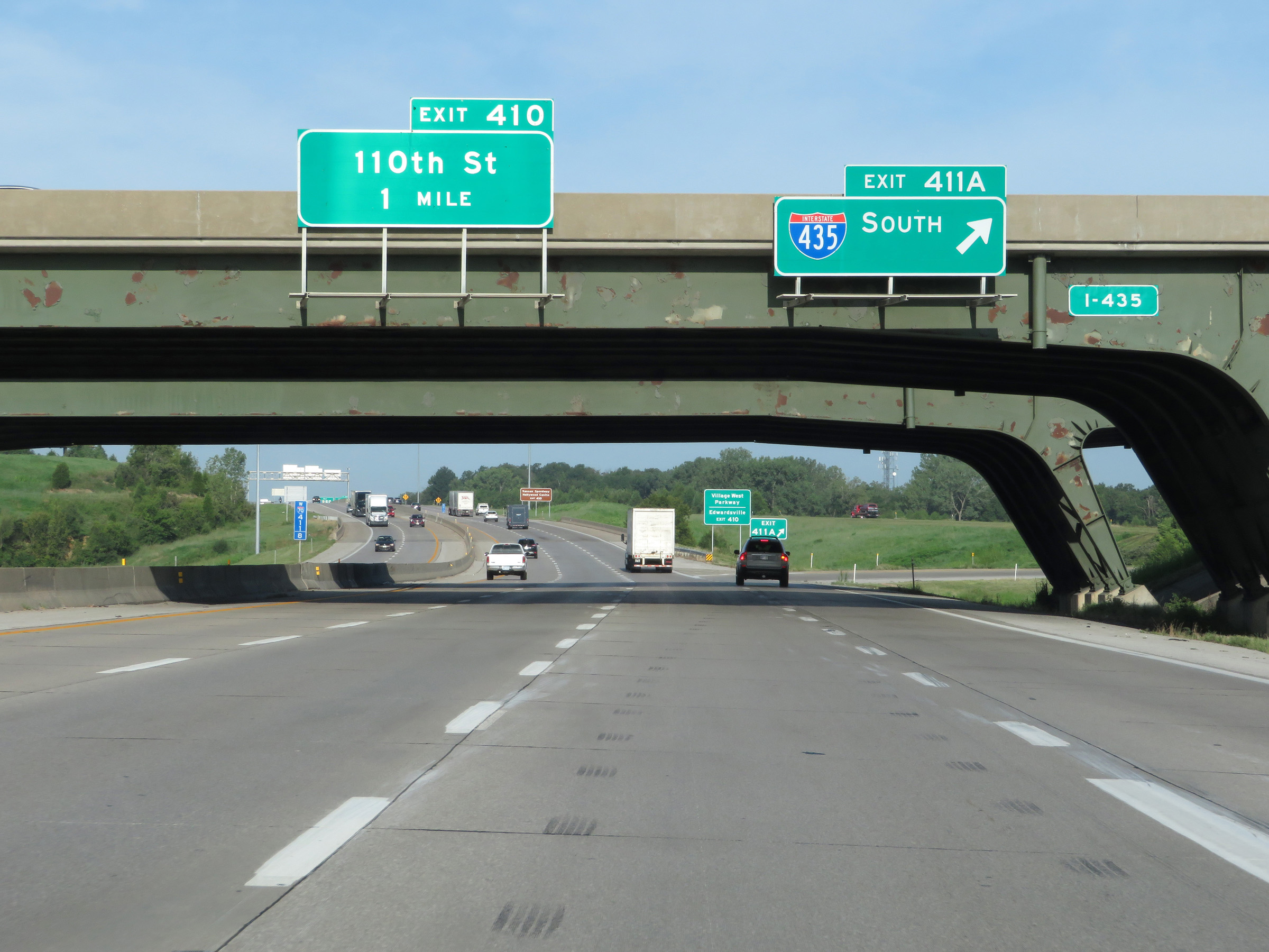 |
Interstate 70 West (Kansas Turnpike) at Exit 411A: Interstate 435 South (Photo taken 8/12/20). |
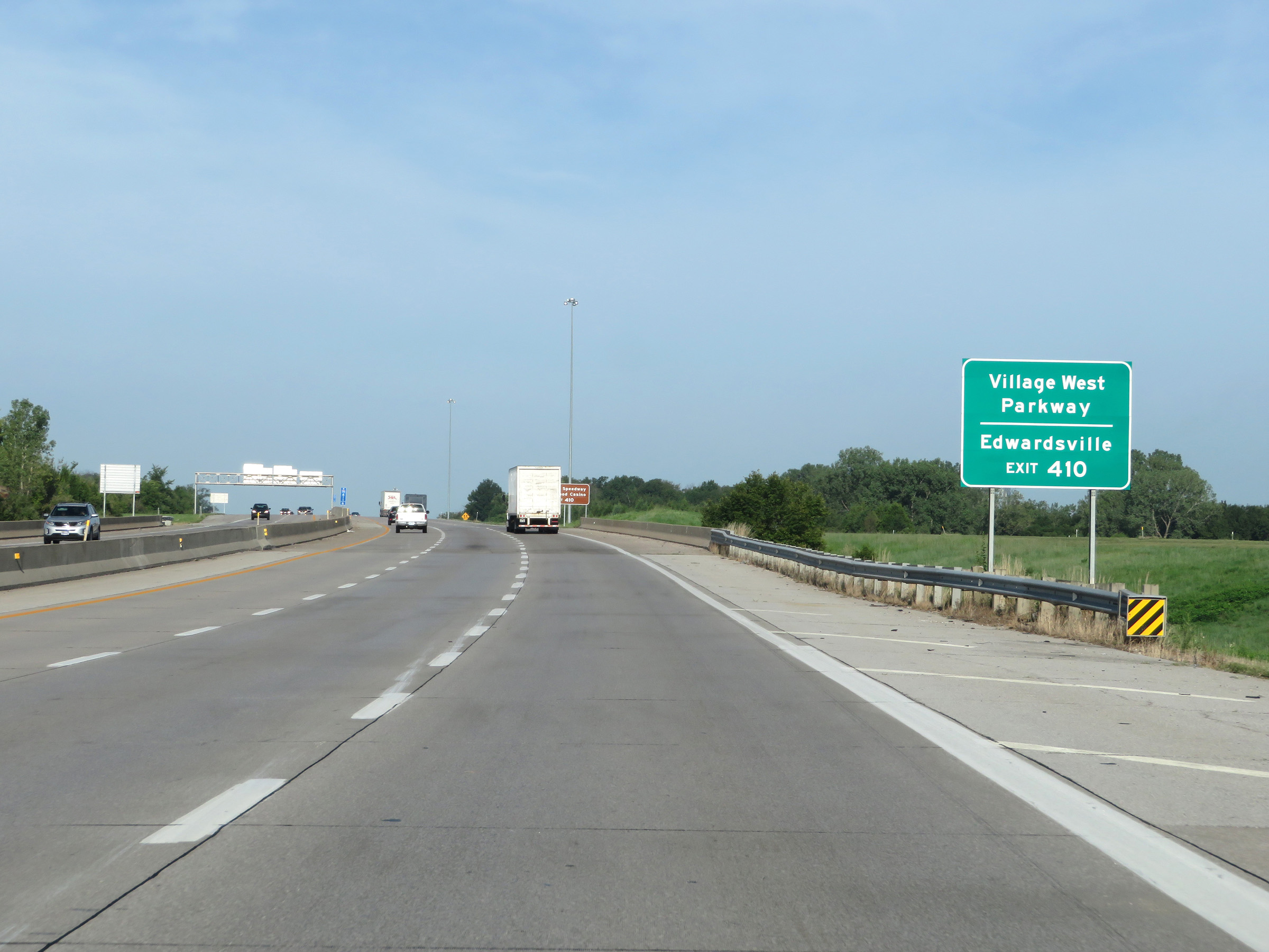 |
Take Exit 410 to Village West Parkway and Edwardsville. (Photo taken 8/12/20). |
 |
Also take Exit 410 to Kansas Speedway and Hollywood Casino. (Photo taken 8/12/20). |
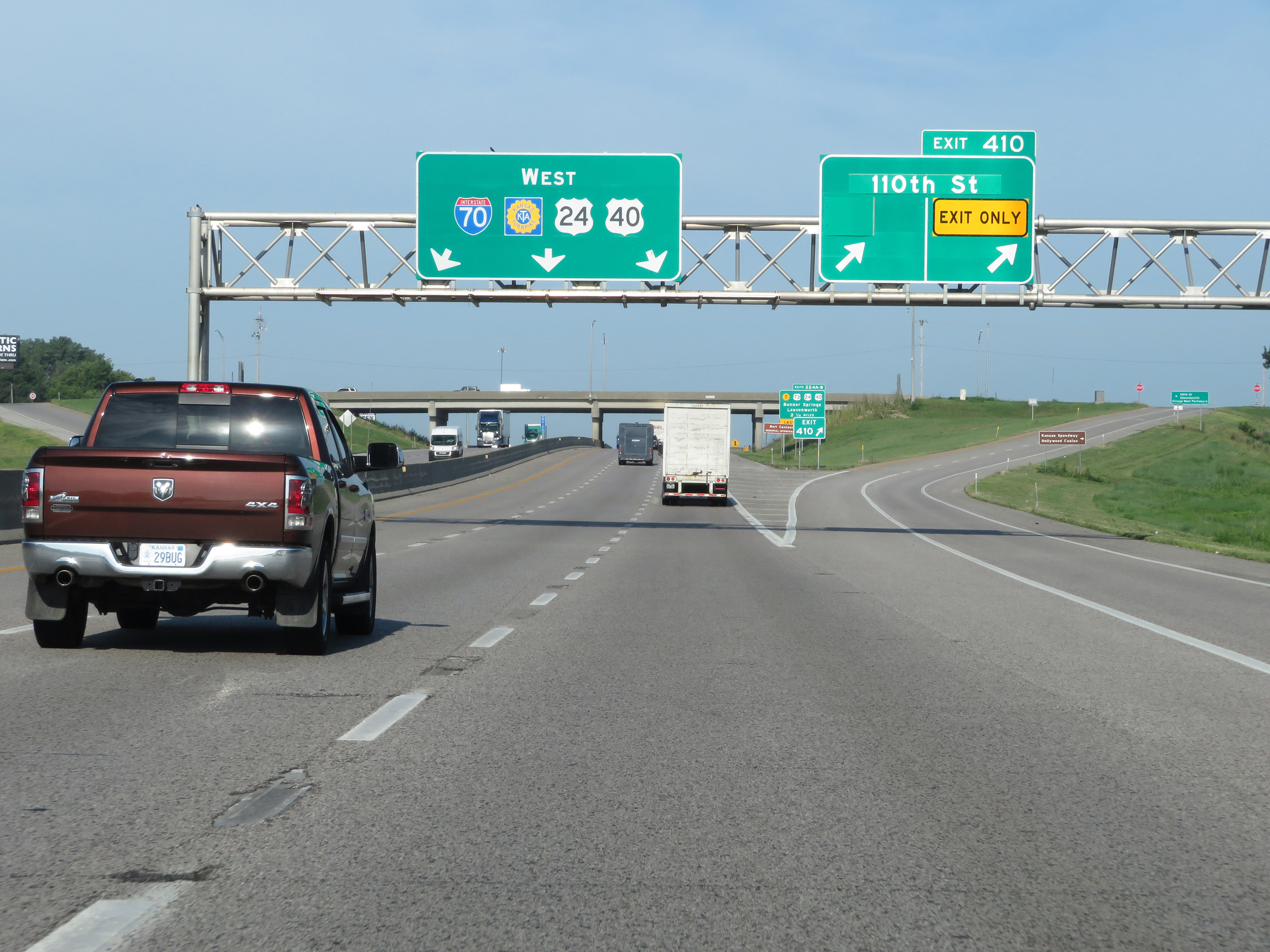 |
Interstate 70 West (Kansas Turnpike) at Exit 410: 110th St. At this point, the mileage and exit numbers on I-70 West will change to reflect the total mileage of the Kansas Turnpike. This is also the first time heading west on I-70 that a Kansas Turnpike reassurance shield is seen. (Photo taken 8/12/20). |
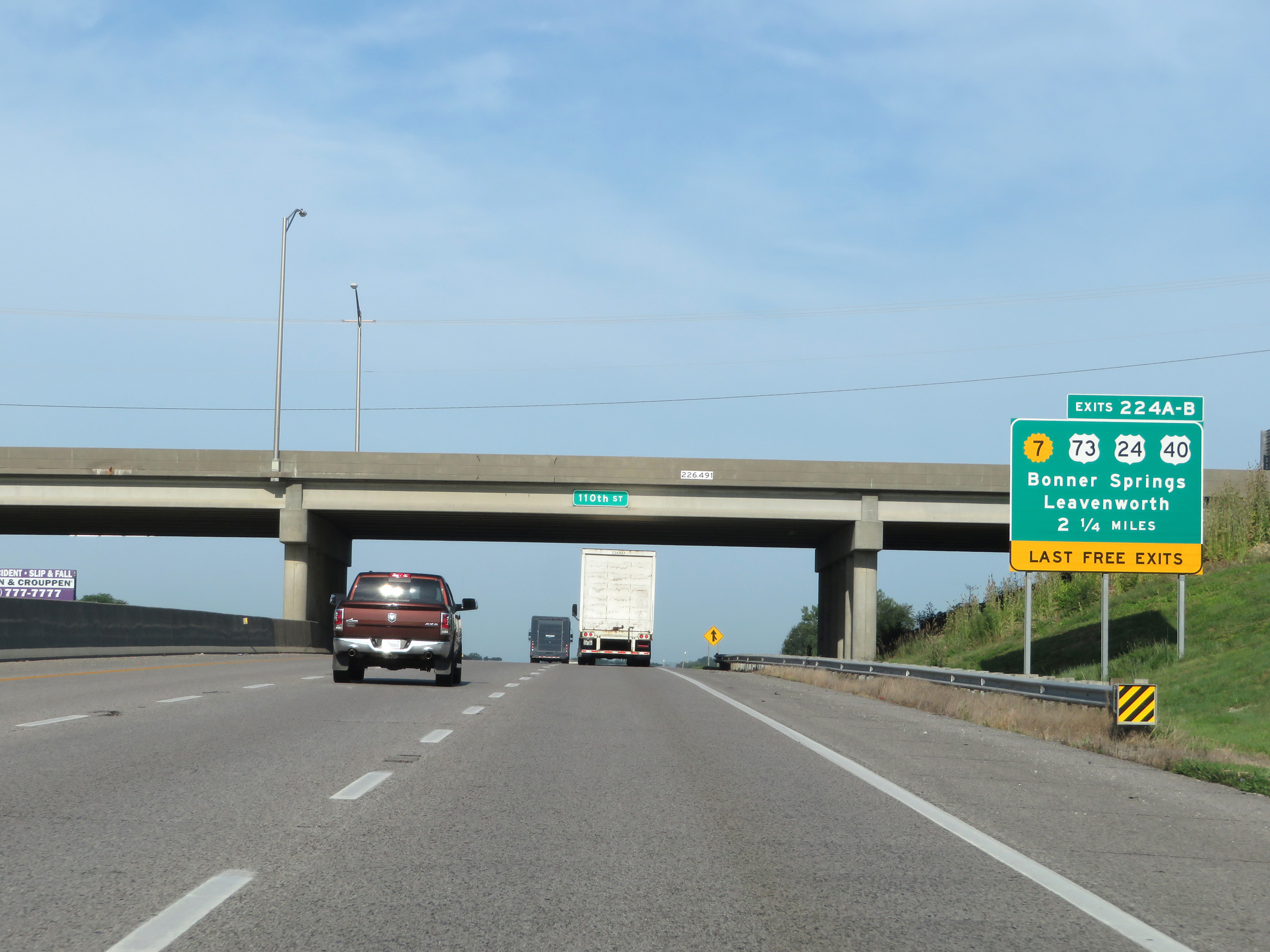 |
As the mileposts and exit numbers change to reflect the total mileage of the Kansas Turnpike, this sign warns that Exits 224B-A, 2 1/4 miles ahead, are the last free exits before Interstate 70 West becomes tolled as part of the turnpike. (Photo taken 8/12/20). |
 |
State-named Interstate 70 West reassurance shield along with a Kansas Turnpike reassurance marker. (Photo taken 8/12/20). |
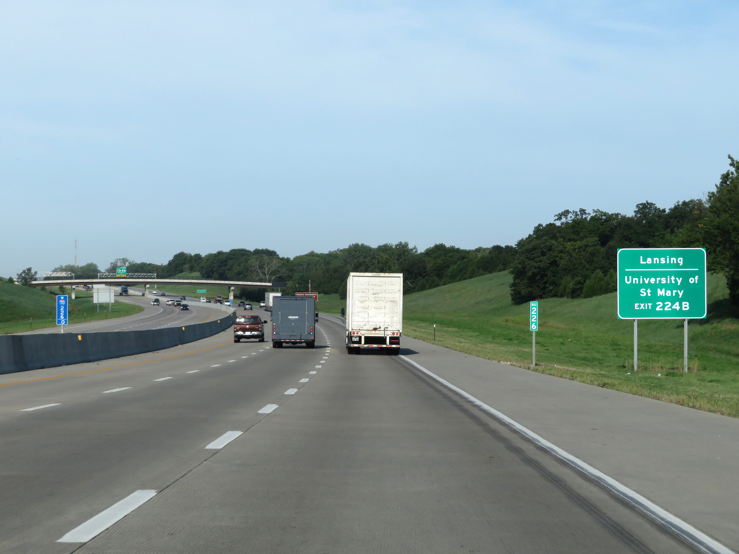 |
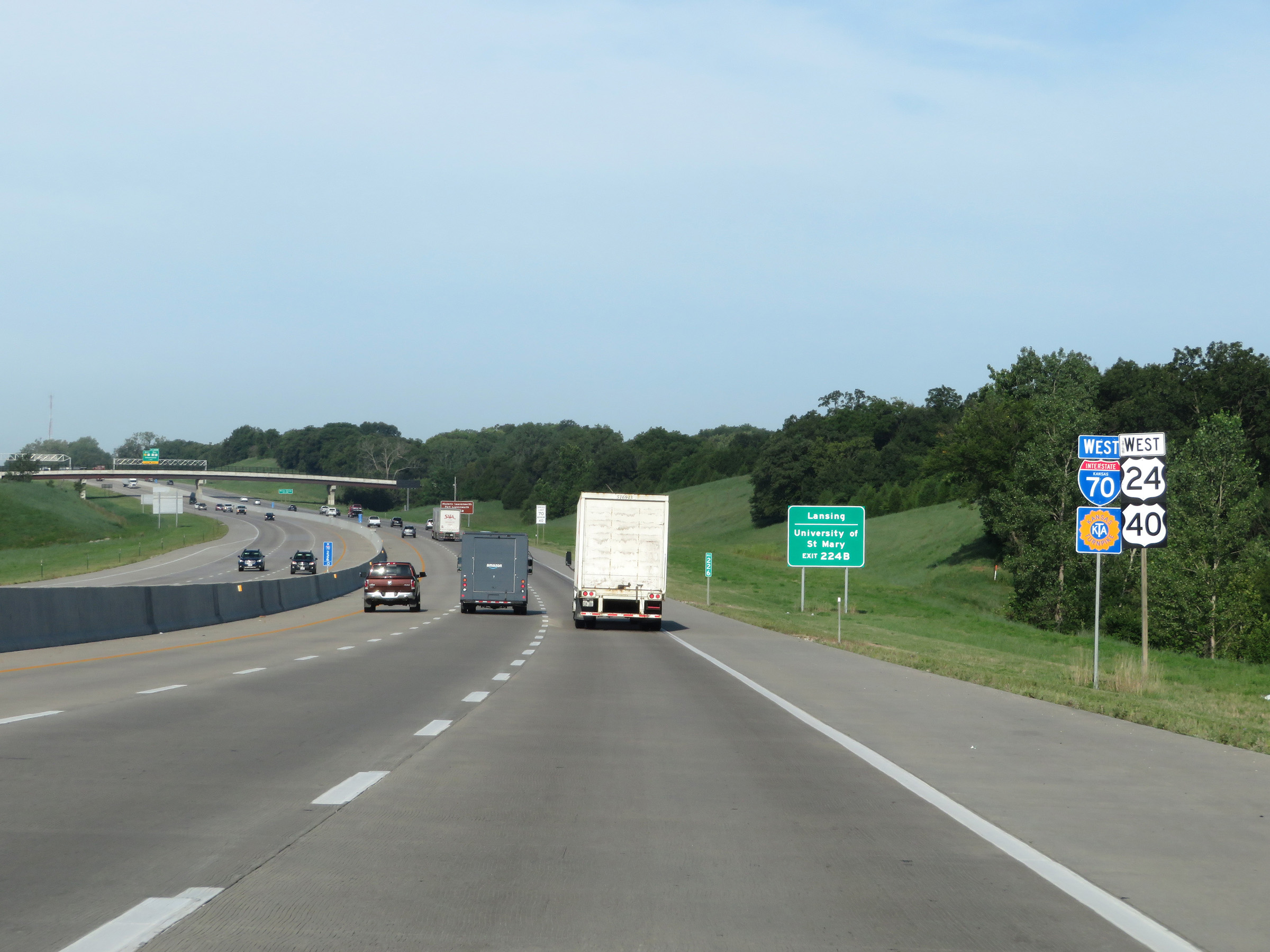
Take Exit 224B to Lansing and the University of St Mary. (Photo taken 8/12/20). |
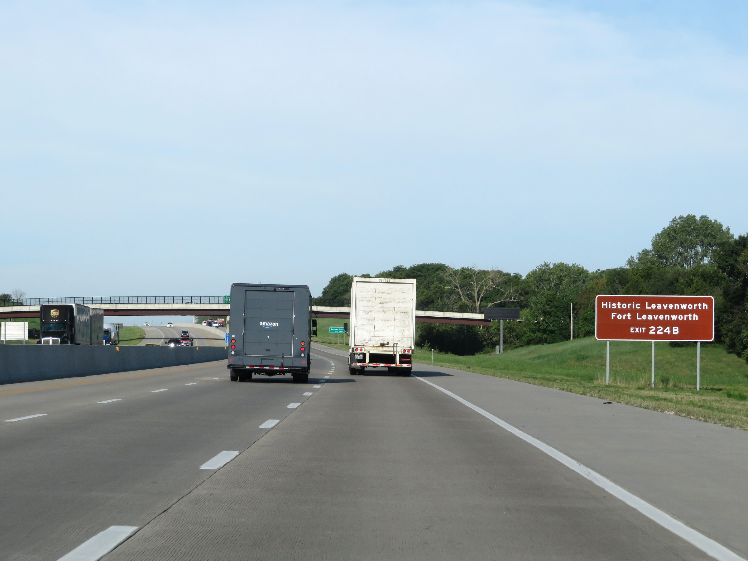 |
Also take Exit 224B to Historic Leavenworth and Fort Leavenworth. (Photo taken 8/12/20). |
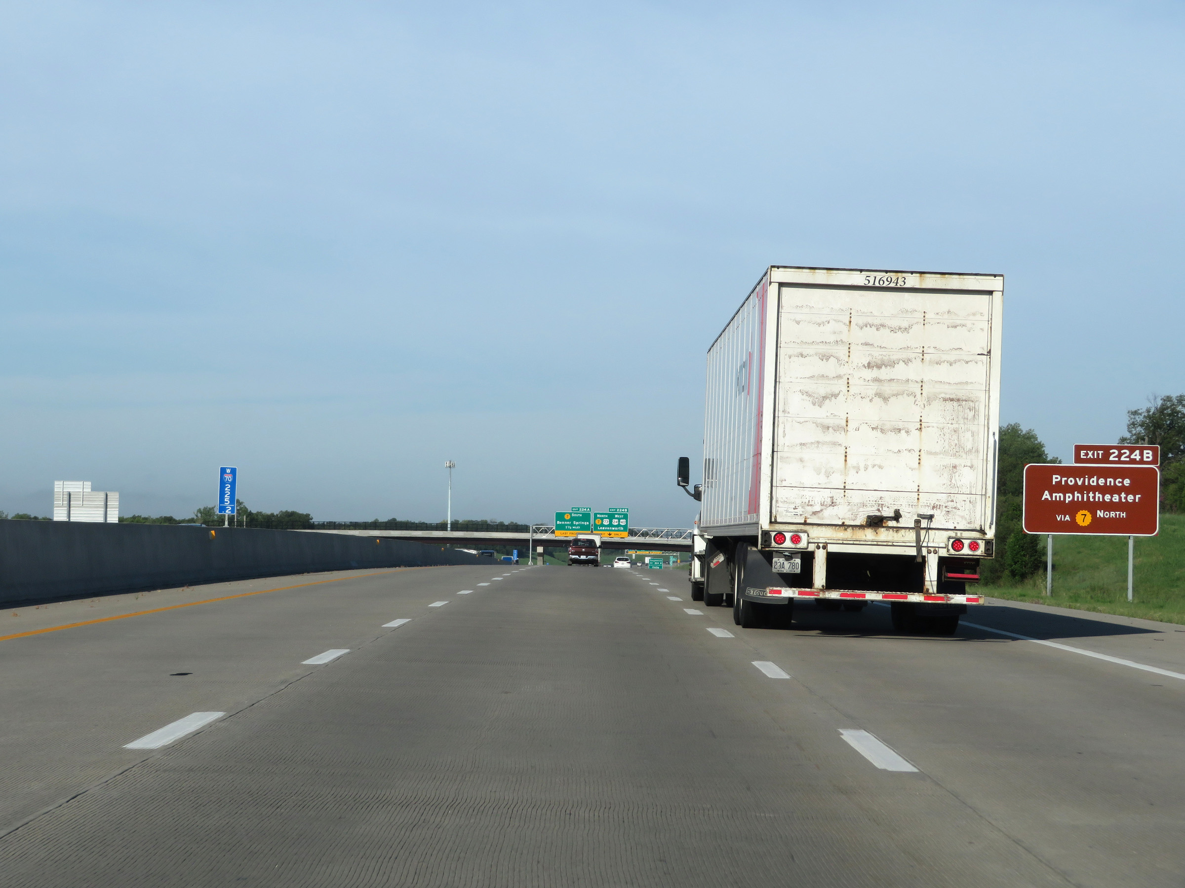 |
Take Exit 224B to Providence Amphitheater via K-7 North as well. (Photo taken 8/12/20). |
 |
View on Interstate 70 West (Kansas Turnpike) at mile marker 225. (Photo taken 8/12/20). |
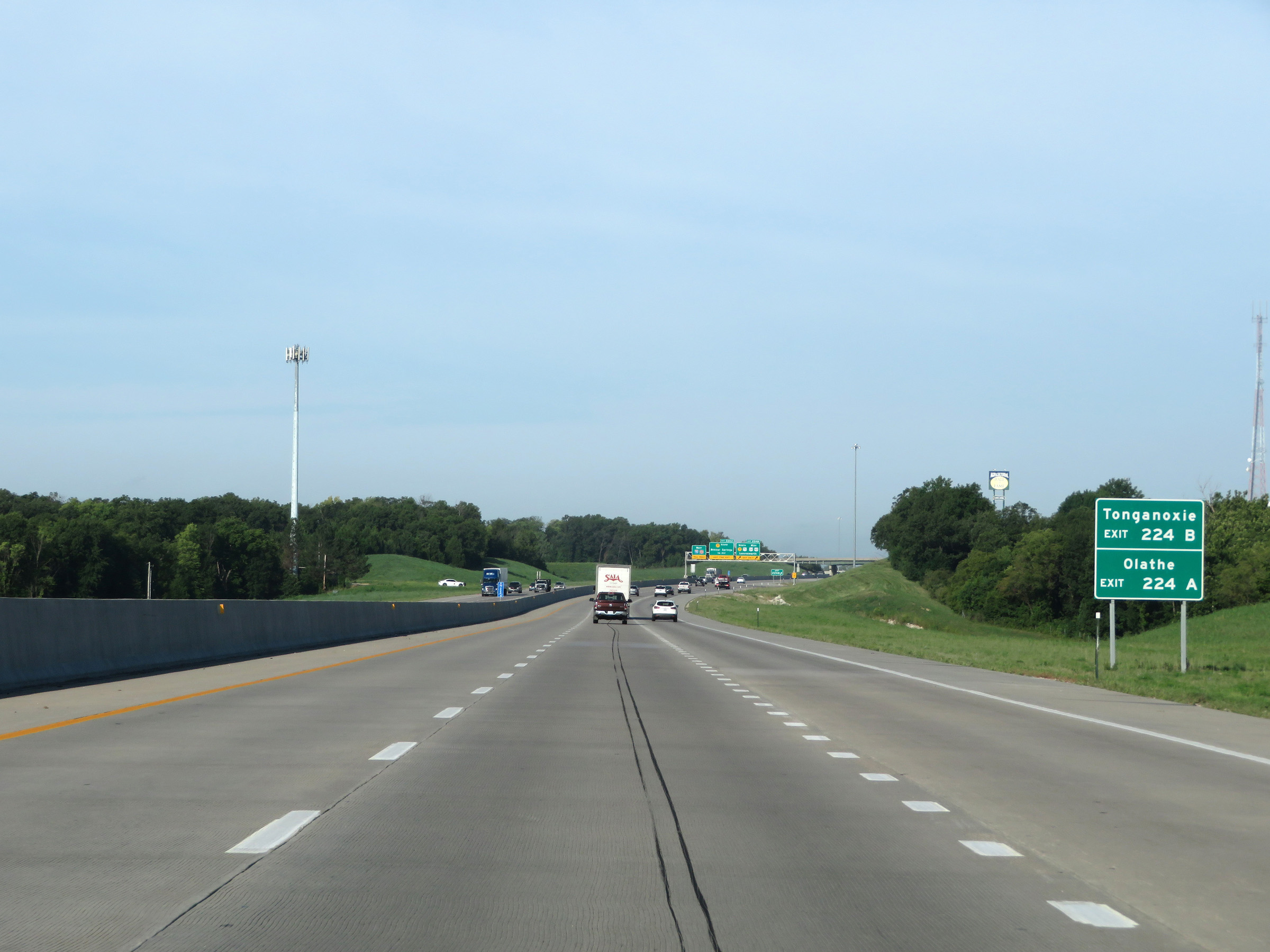 |
Take Exit 224B to Tonganoxie. Take Exit 224A to Olathe. (Photo taken 8/12/20). |
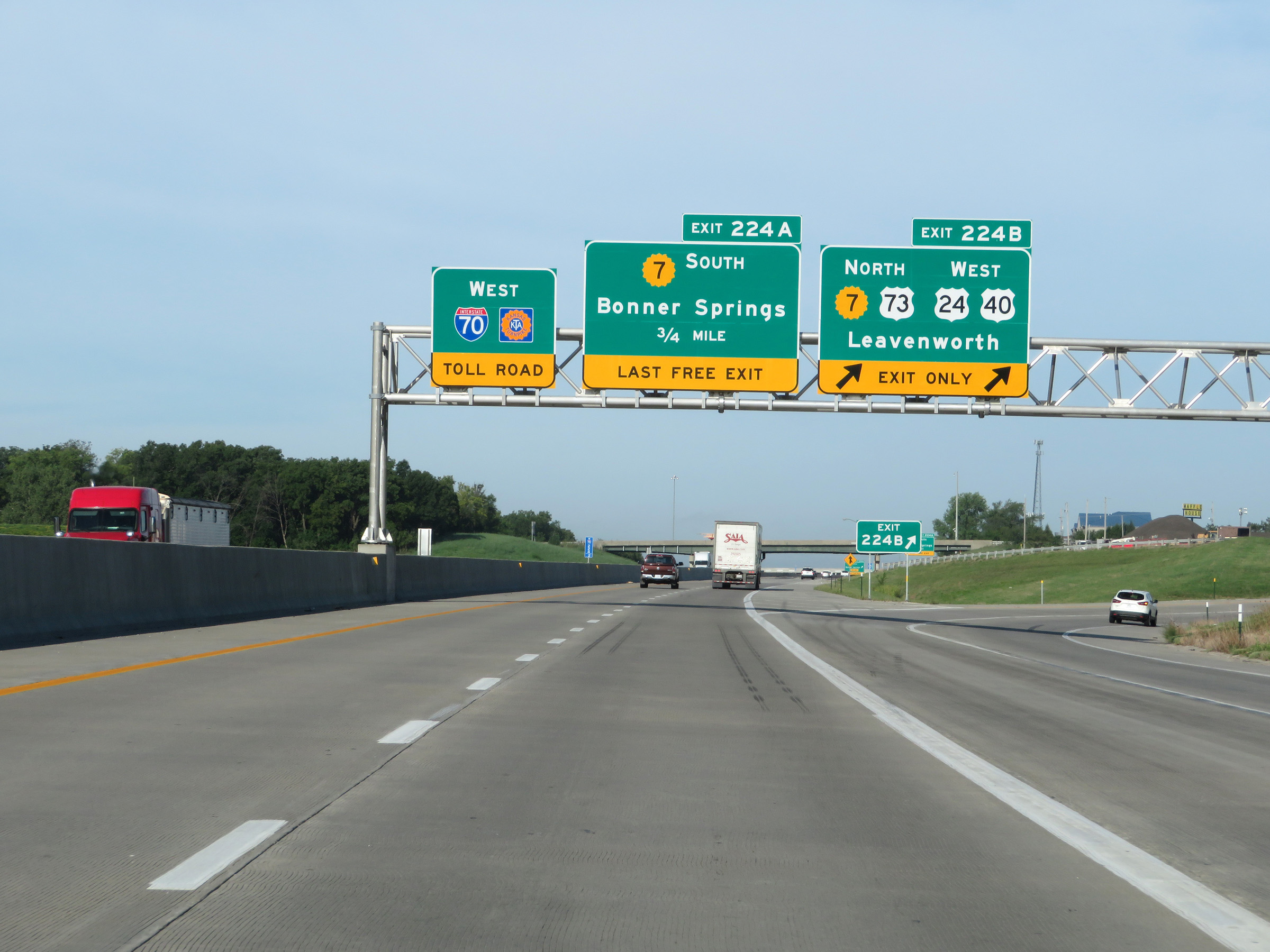 |
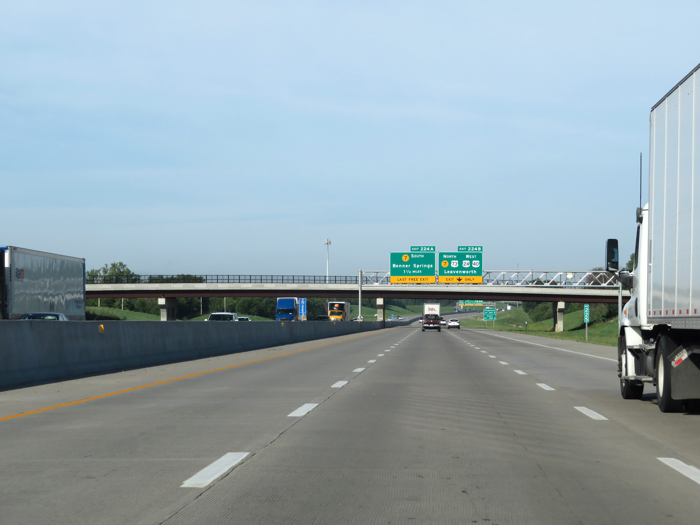
Interstate 70 West (Kansas Turnpike) at Exit 224B: K-7 North / US 73 North / US 24 West / US 40 West - Leavenworth (Photo taken 8/12/20). |
 |
Interstate 70 West (Kansas Turnpike) at Exit 224A: K-7 South - Bonner Springs (Photo taken 8/12/20). |
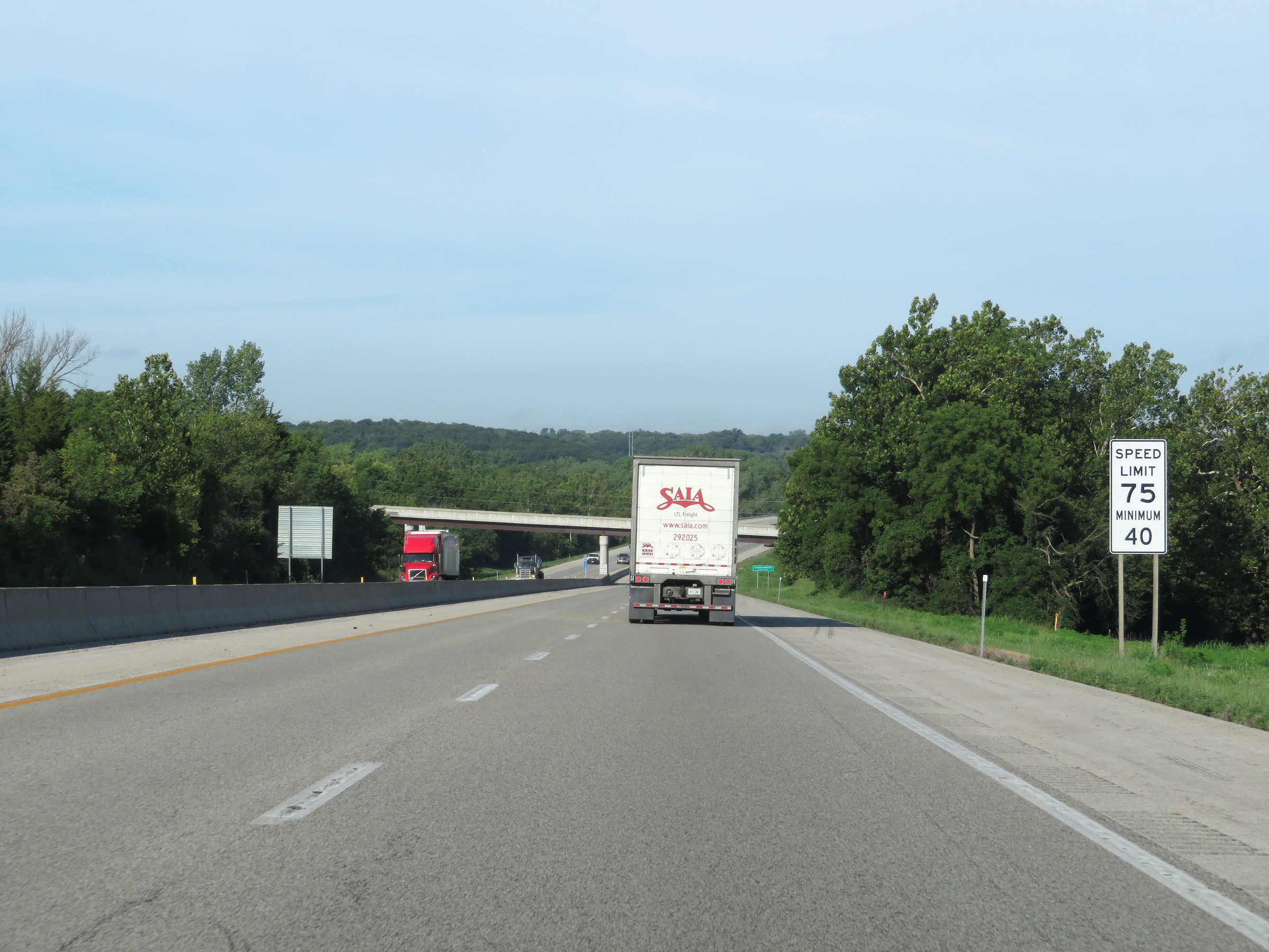 |
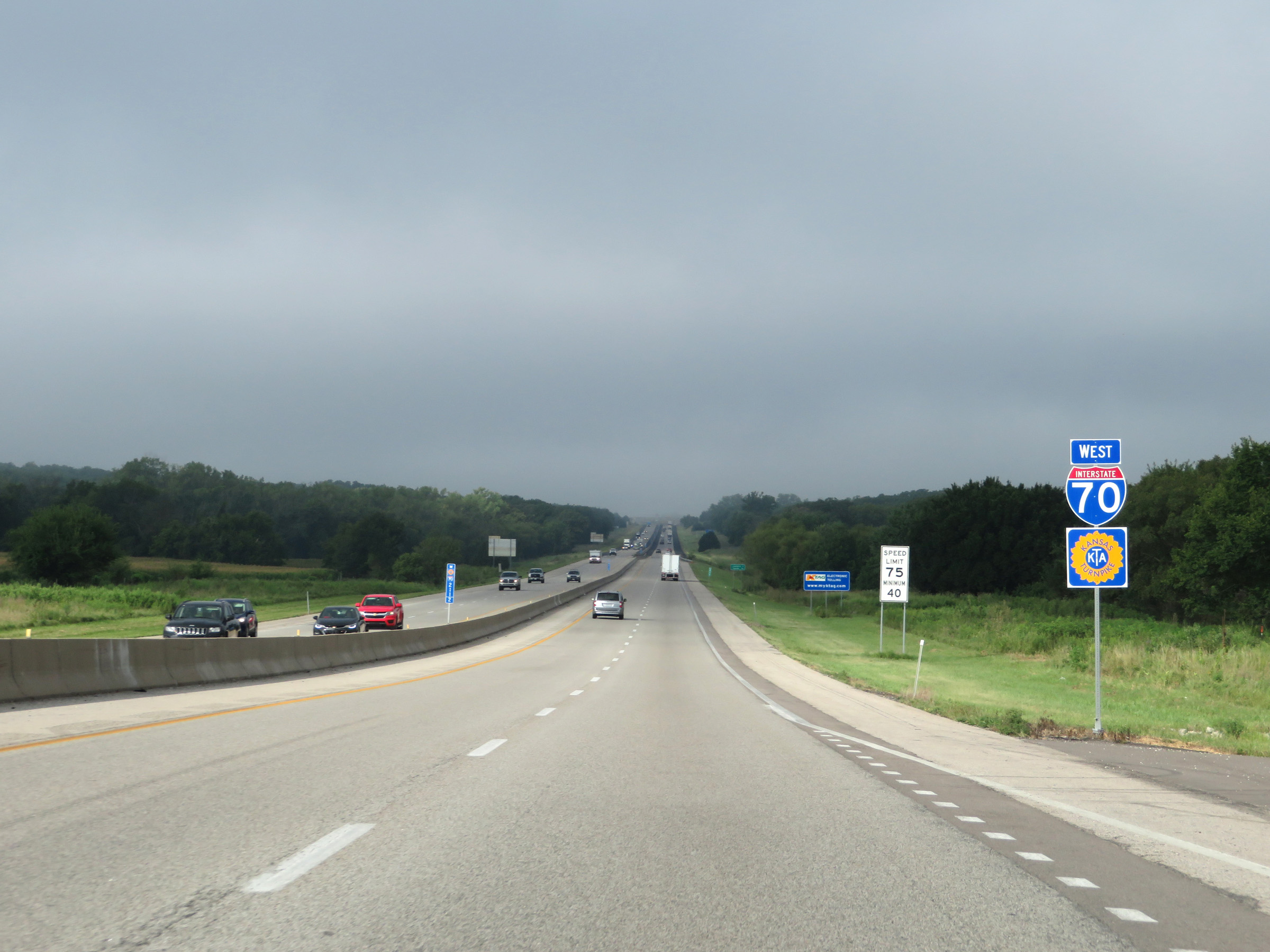
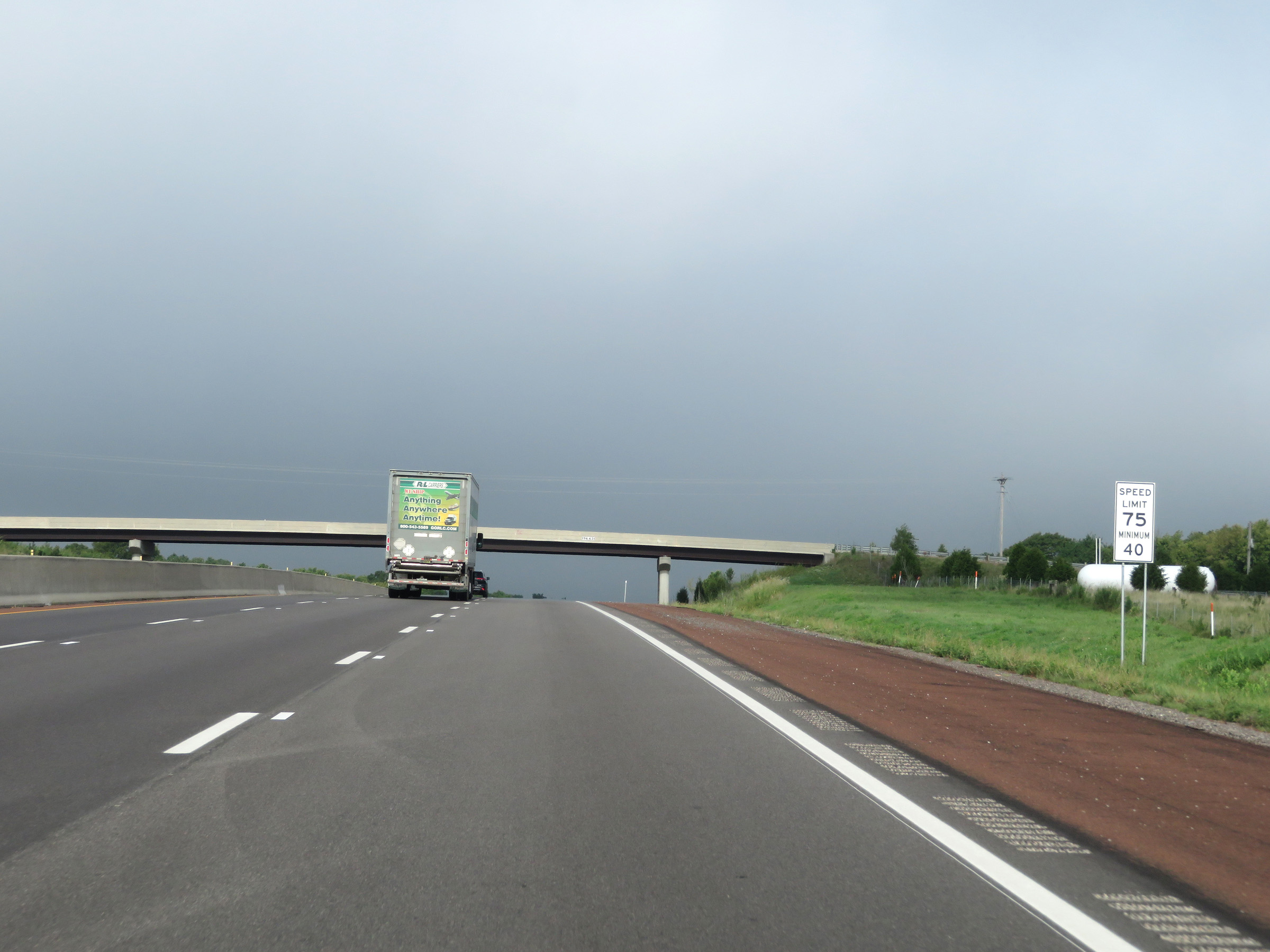
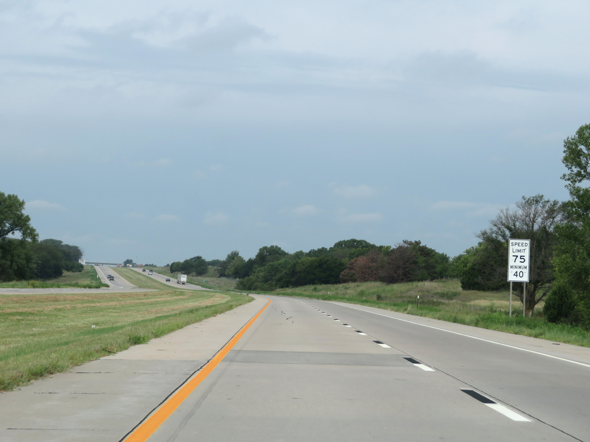
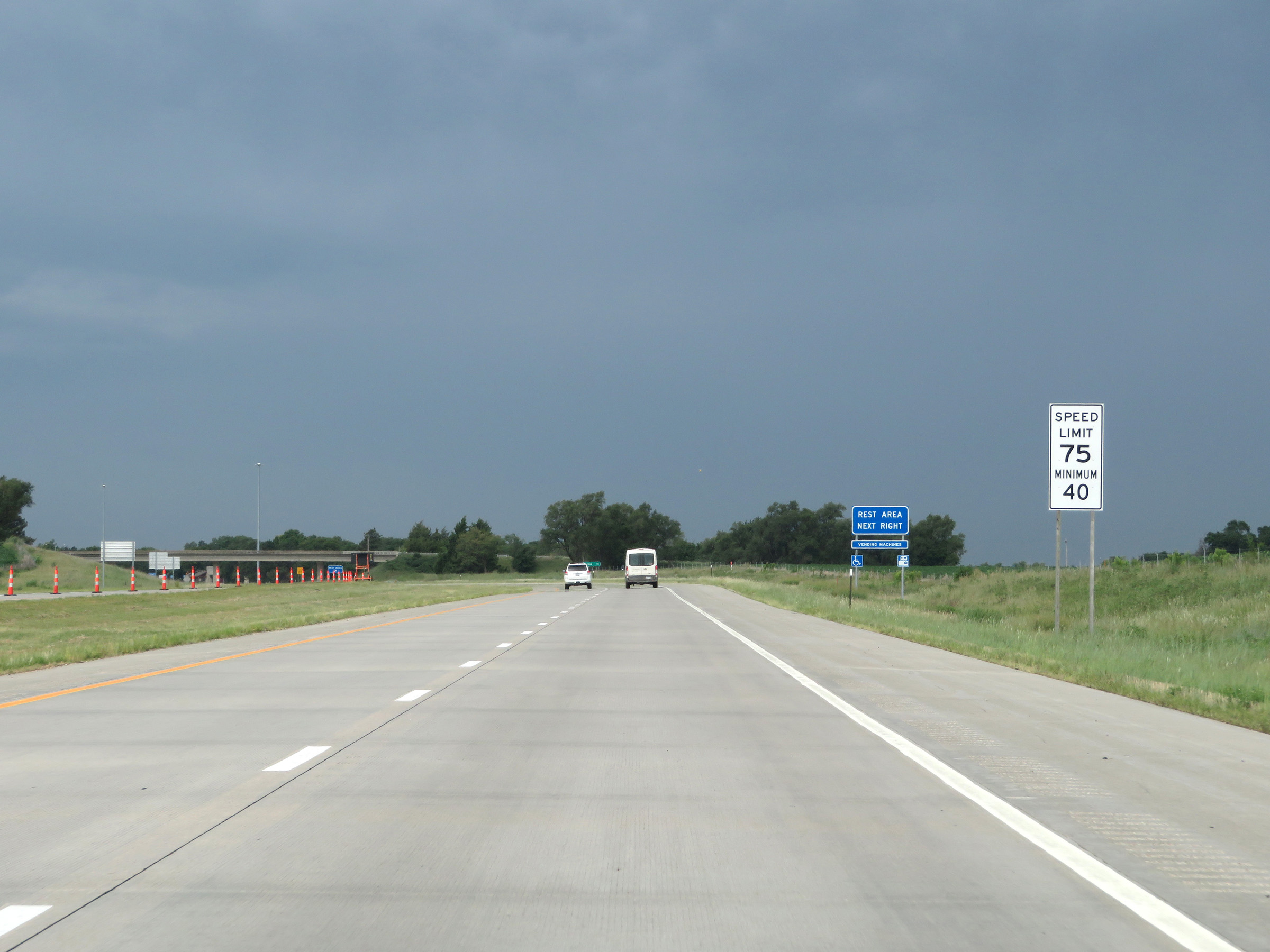
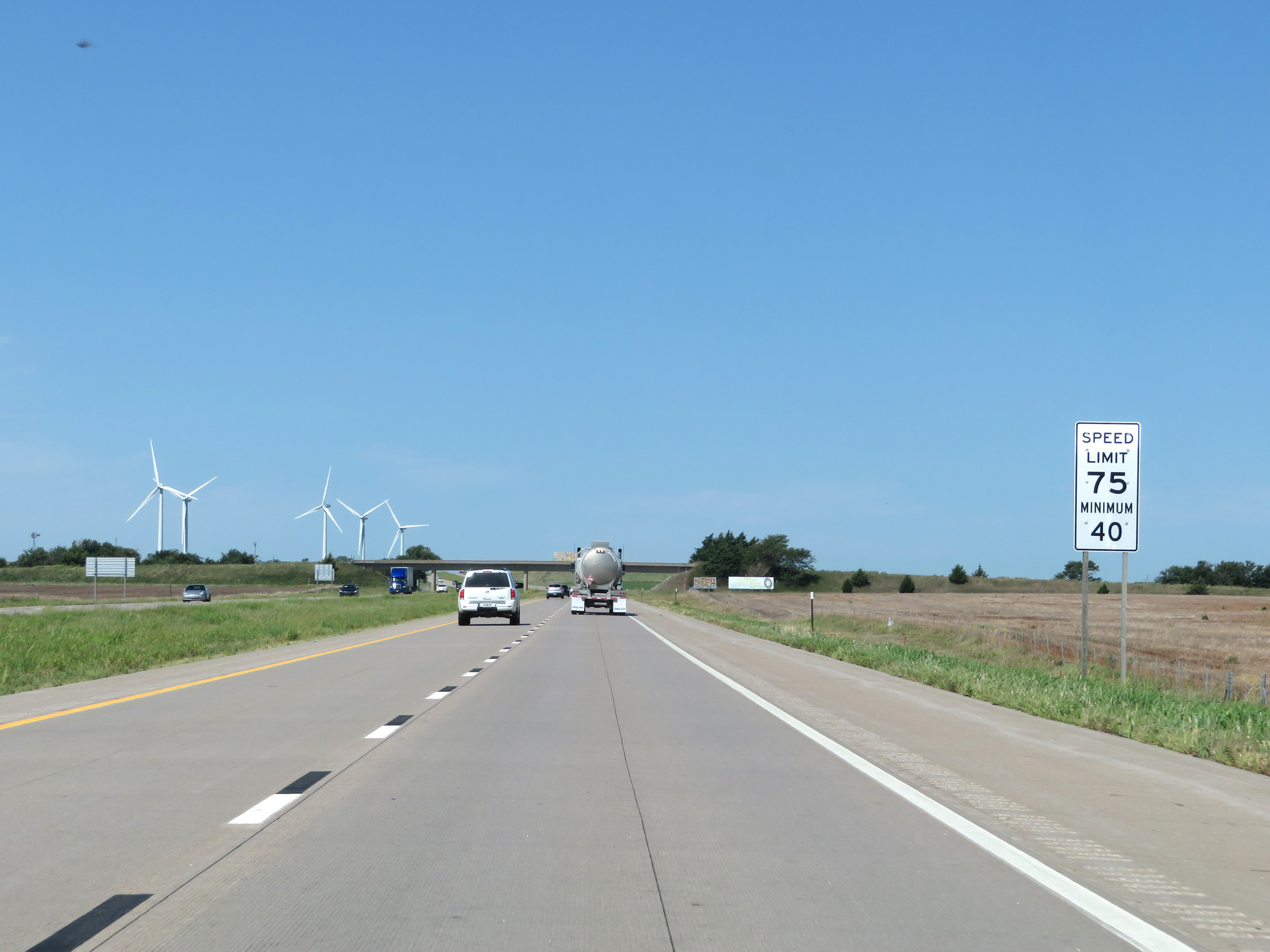
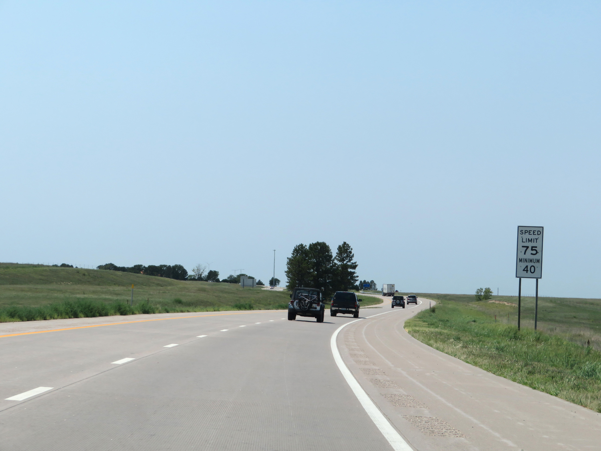
West of Exit 224A, the maximum speed limit increases to 75 mph. The minimum speed limit remains 40 mph. These are the standard speed limits on most rural Interstate highways in Kansas. (Photo taken 8/12/20). |
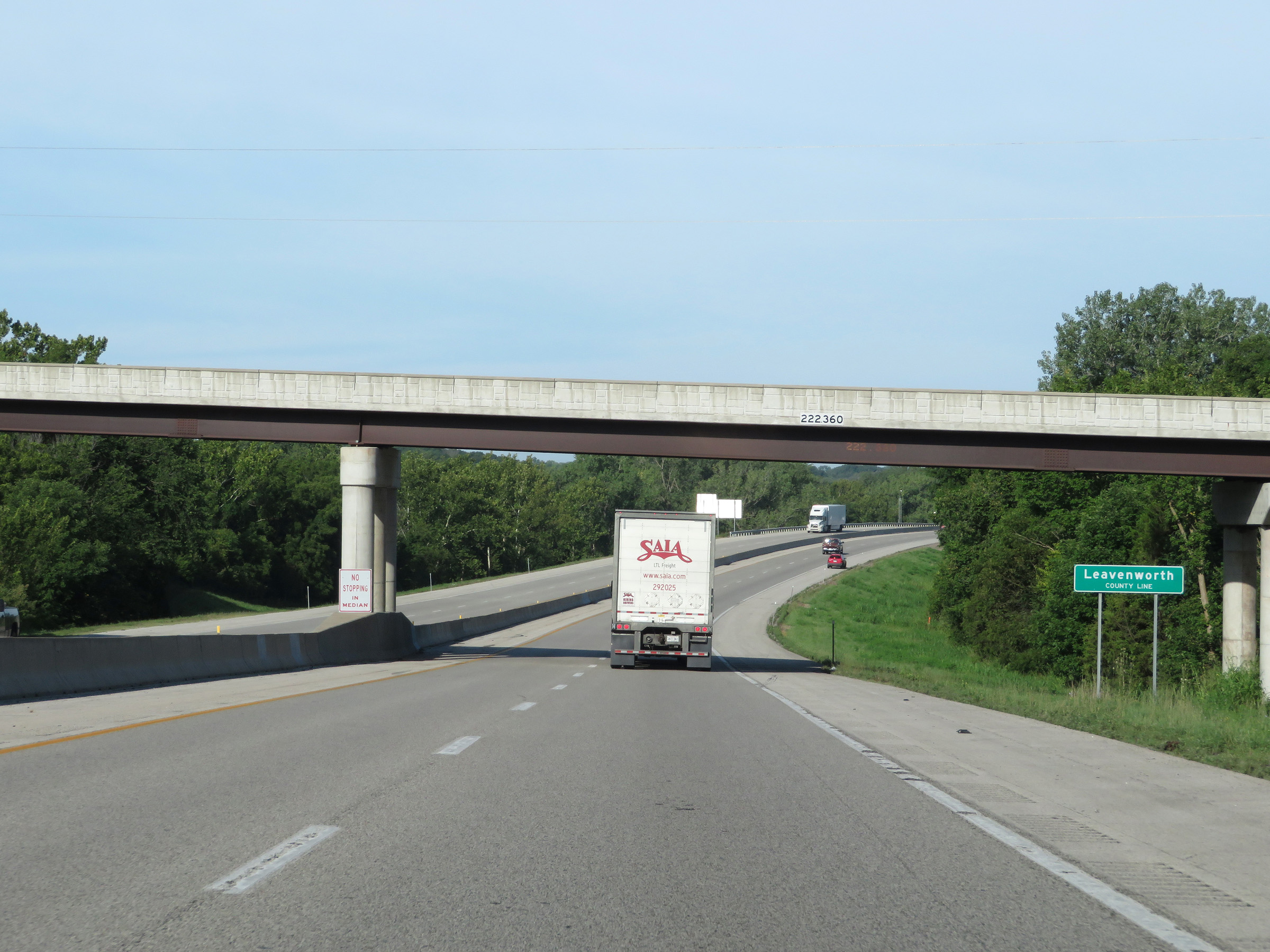 |
Interstate 70 West (Kansas Turnpike) as it enters Leavenworth County. (Photo taken 8/12/20). |
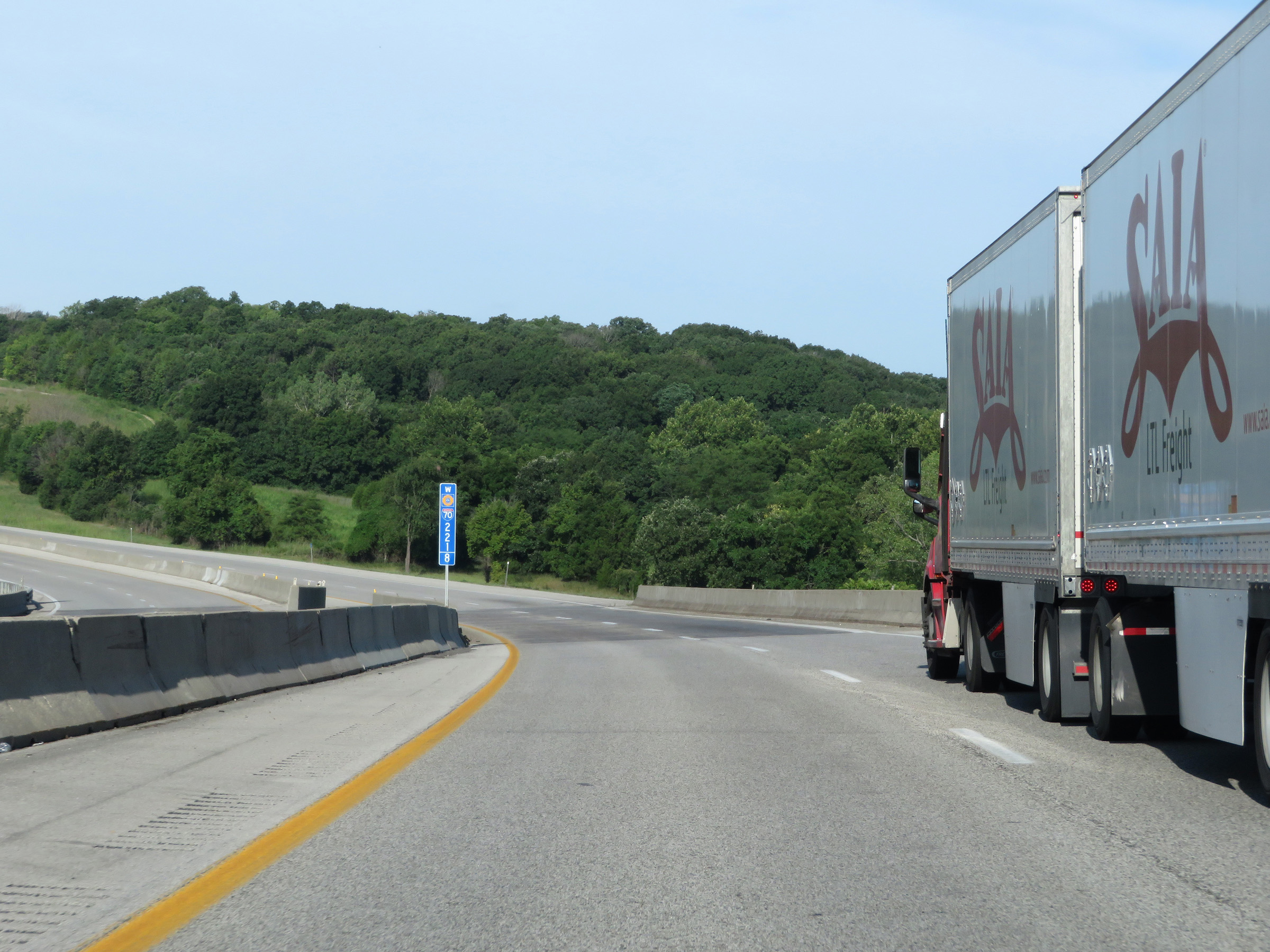 |
View on Interstate 70 West (Kansas Turnpike) at mile marker 221.8. (Photo taken 8/12/20). |
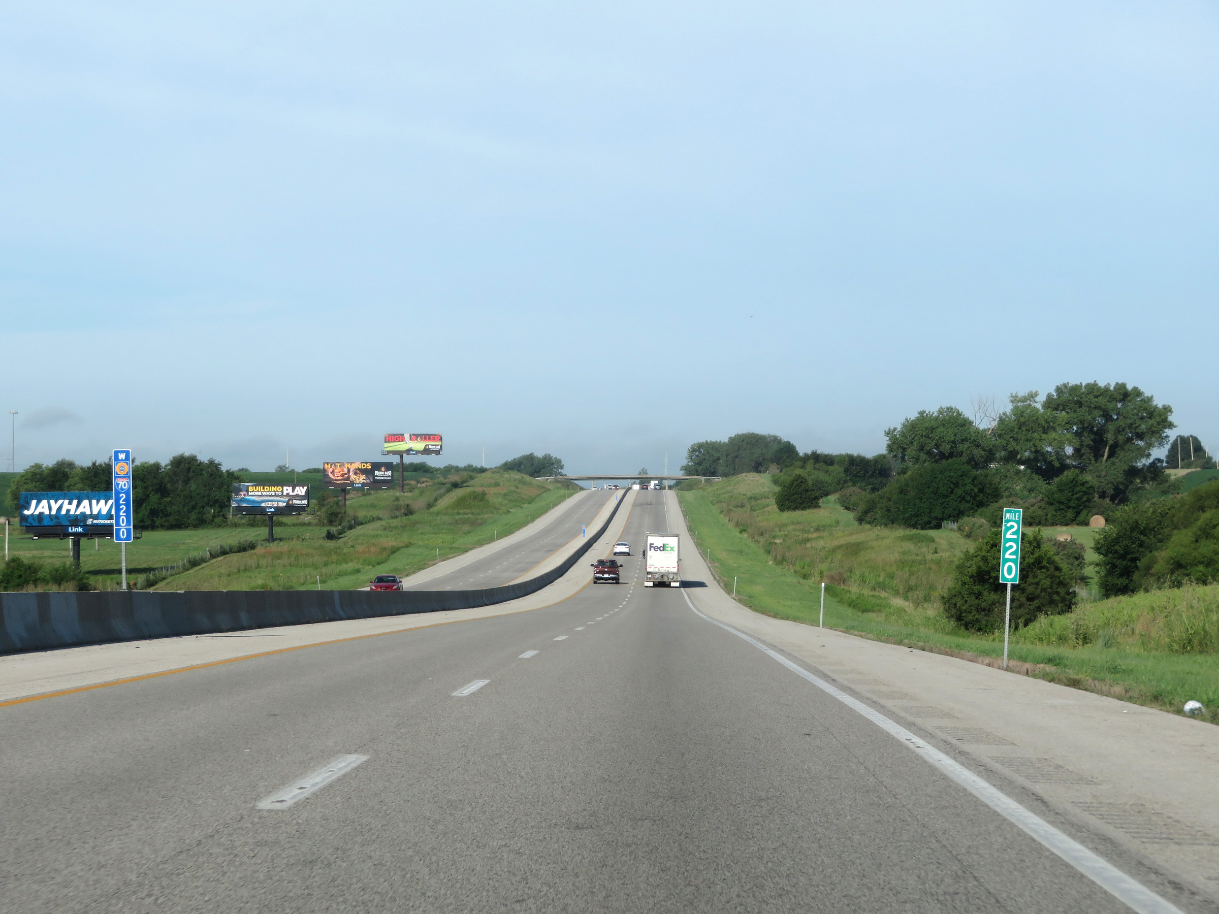 |
Interstate 70 West (Kansas Turnpike) at mile marker 220. (Photo taken 8/12/20). |
 |
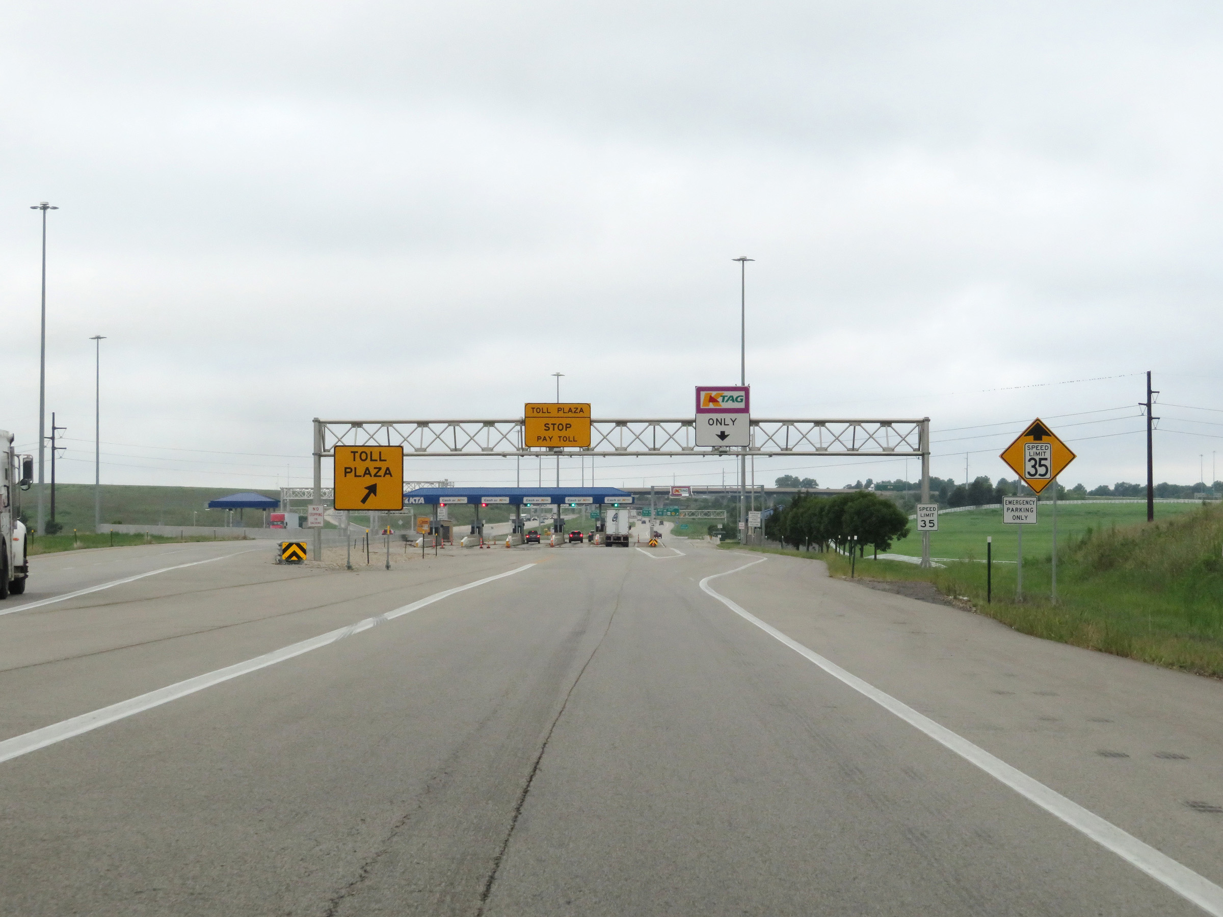
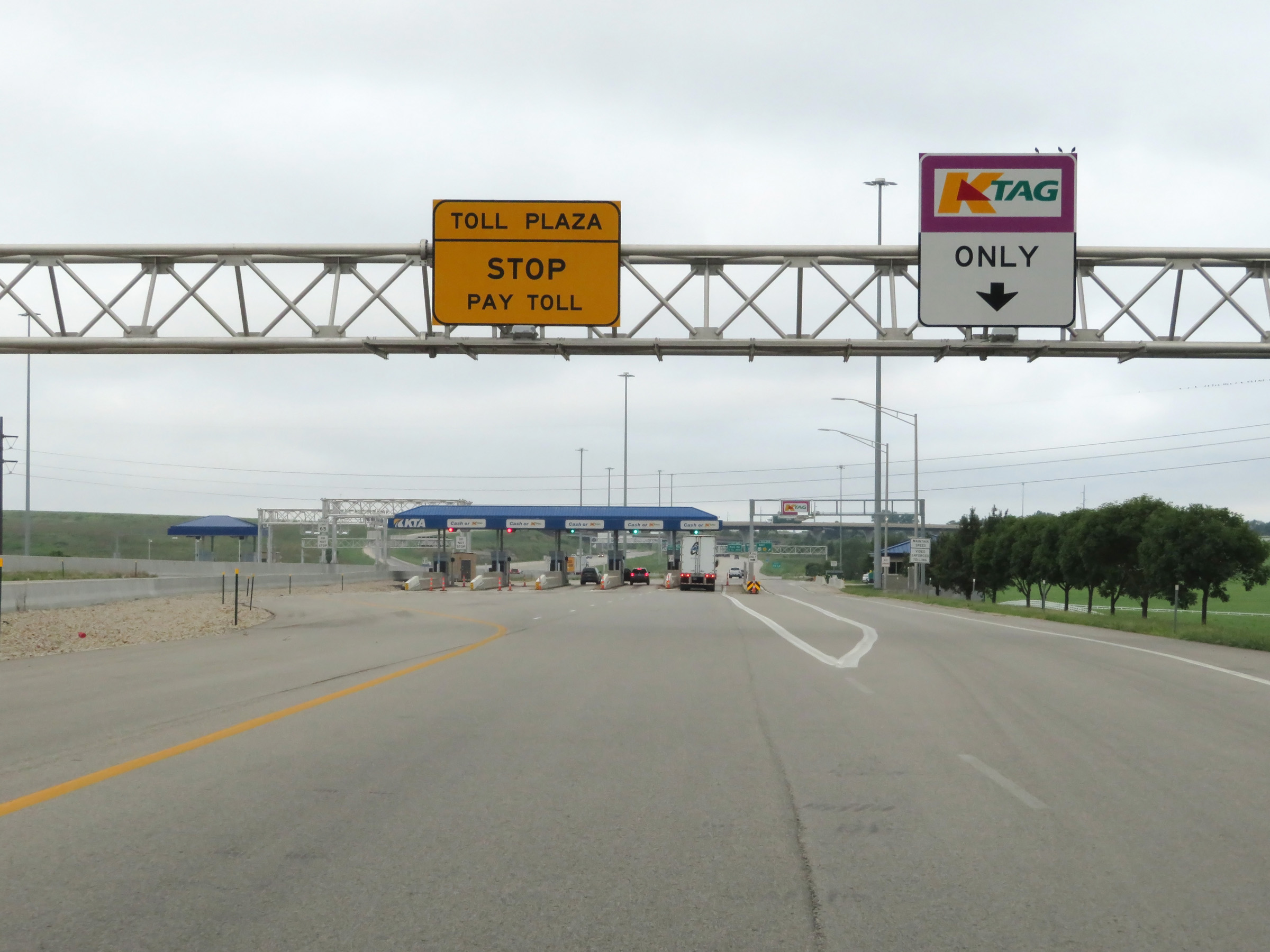
Two miles ahead, Interstate 70 West (Kansas Turnpike) will pass through the Eastern Terminal Toll Plaza. Cash customers are urged to keep right, as they will have to exit off the mainline to the toll plaza. (Photo taken 8/12/20). |
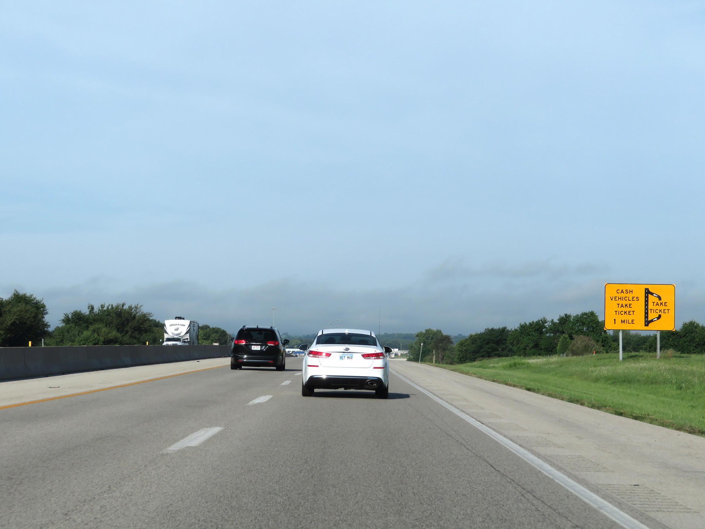 |
Now 1 mile from the Eastern Terminal Toll Plaza, this sign shows that cash customers will have to exit off to the right and enter the toll plaza to get a ticket. (Photo taken 8/12/20). |
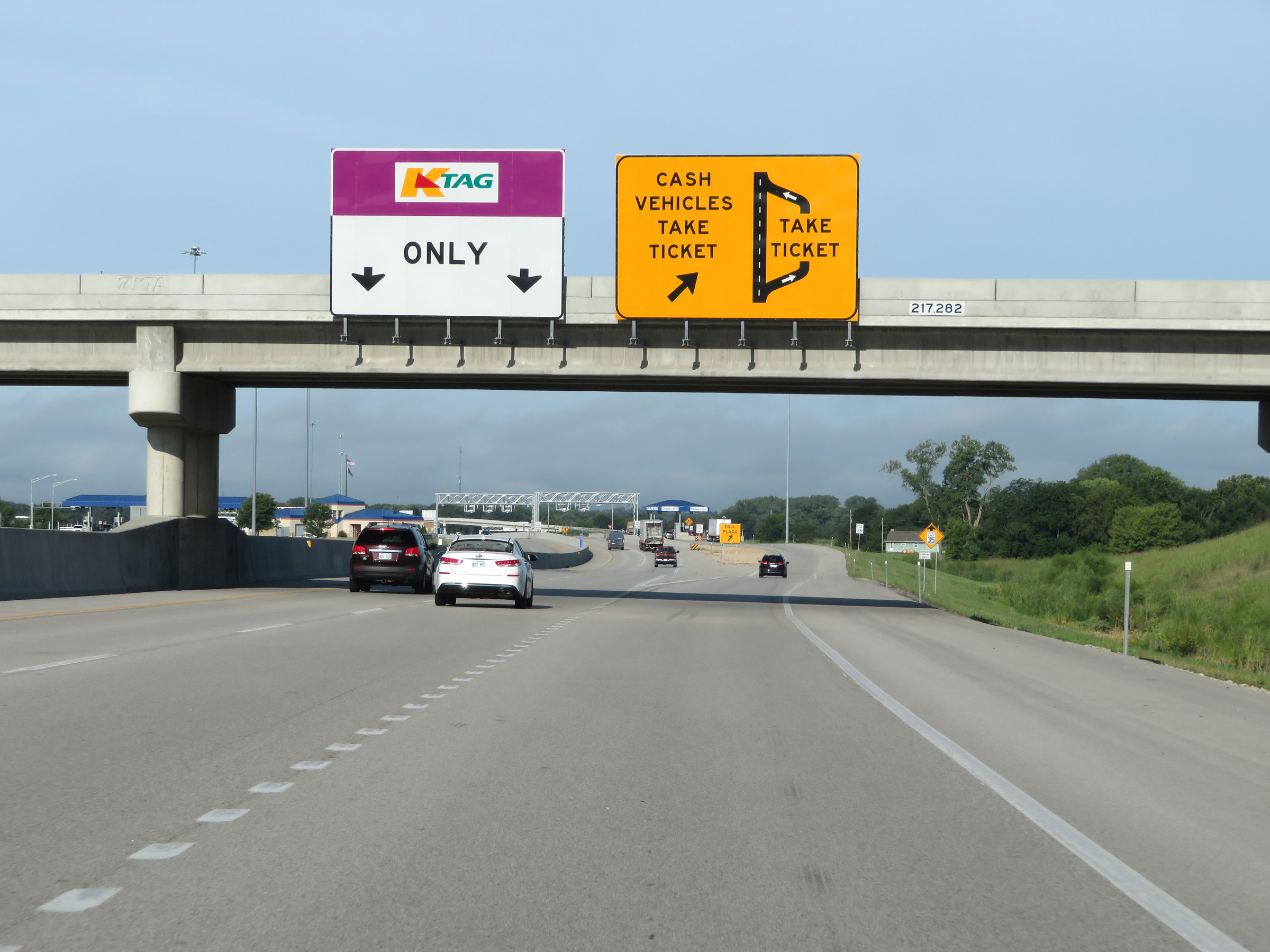 |
Interstate 70 West (Kansas Turnpike) at the ramp to the Eastern Terminal Toll Plaza. Cash customers must exit off here to take a ticket at the toll plaza. K Tag holders can remain on the mainline and pay electronically by passing under the toll gantry ahead. (Photo taken 8/12/20). |
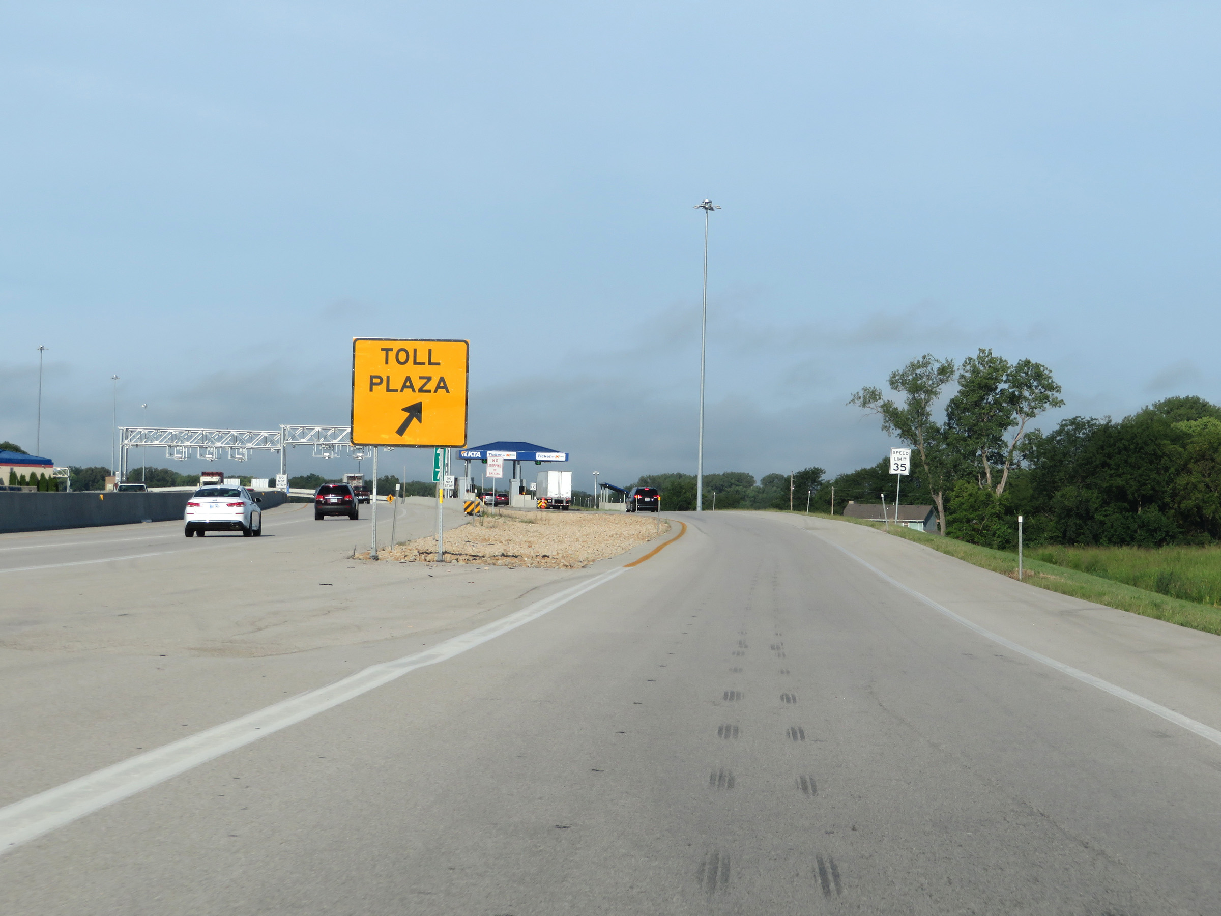 |
A closer view of the ramp to the toll plaza, at mile marker 217. (Photo taken 8/12/20). |
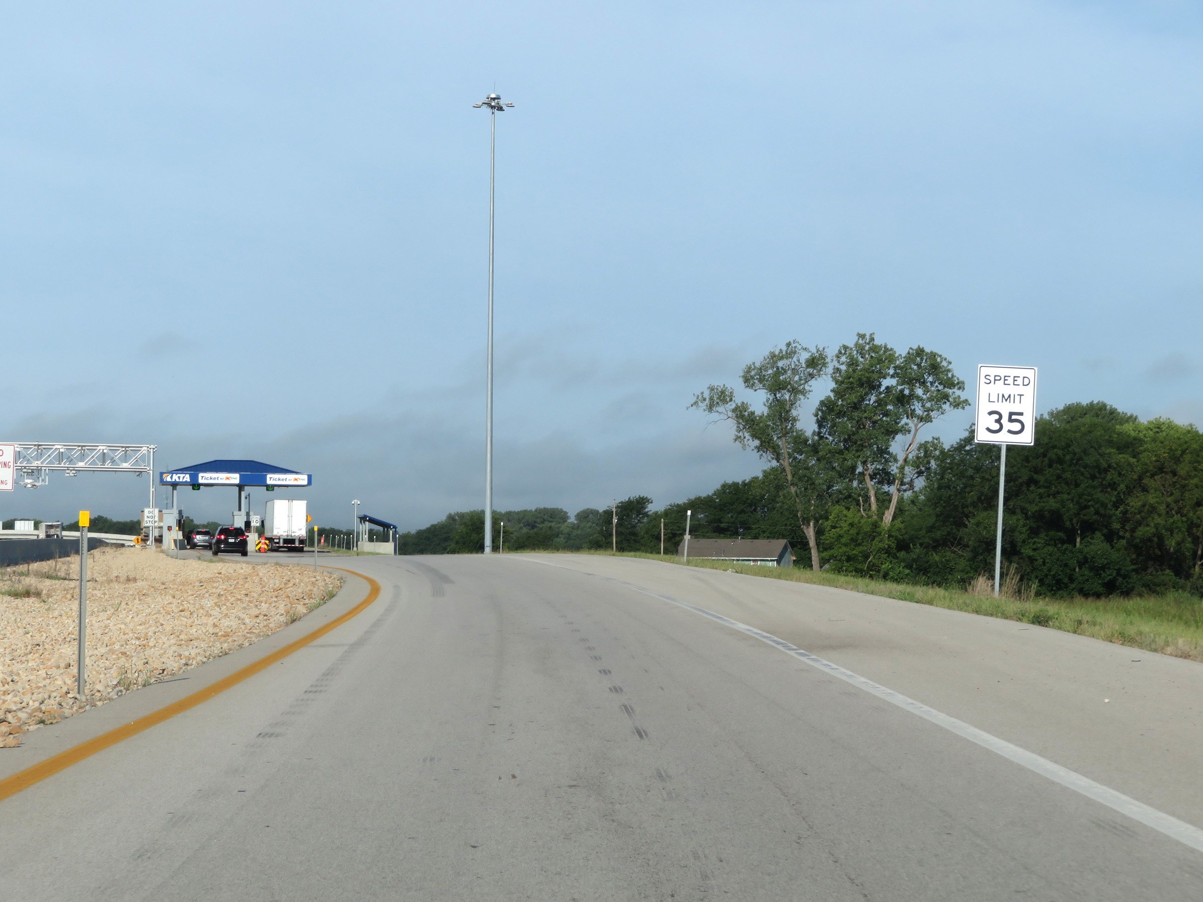 |
Approaching the Eastern Terminal Toll Plaza, the speed limit on the ramp decreases to 35 mph. (Photo taken 8/12/20). |
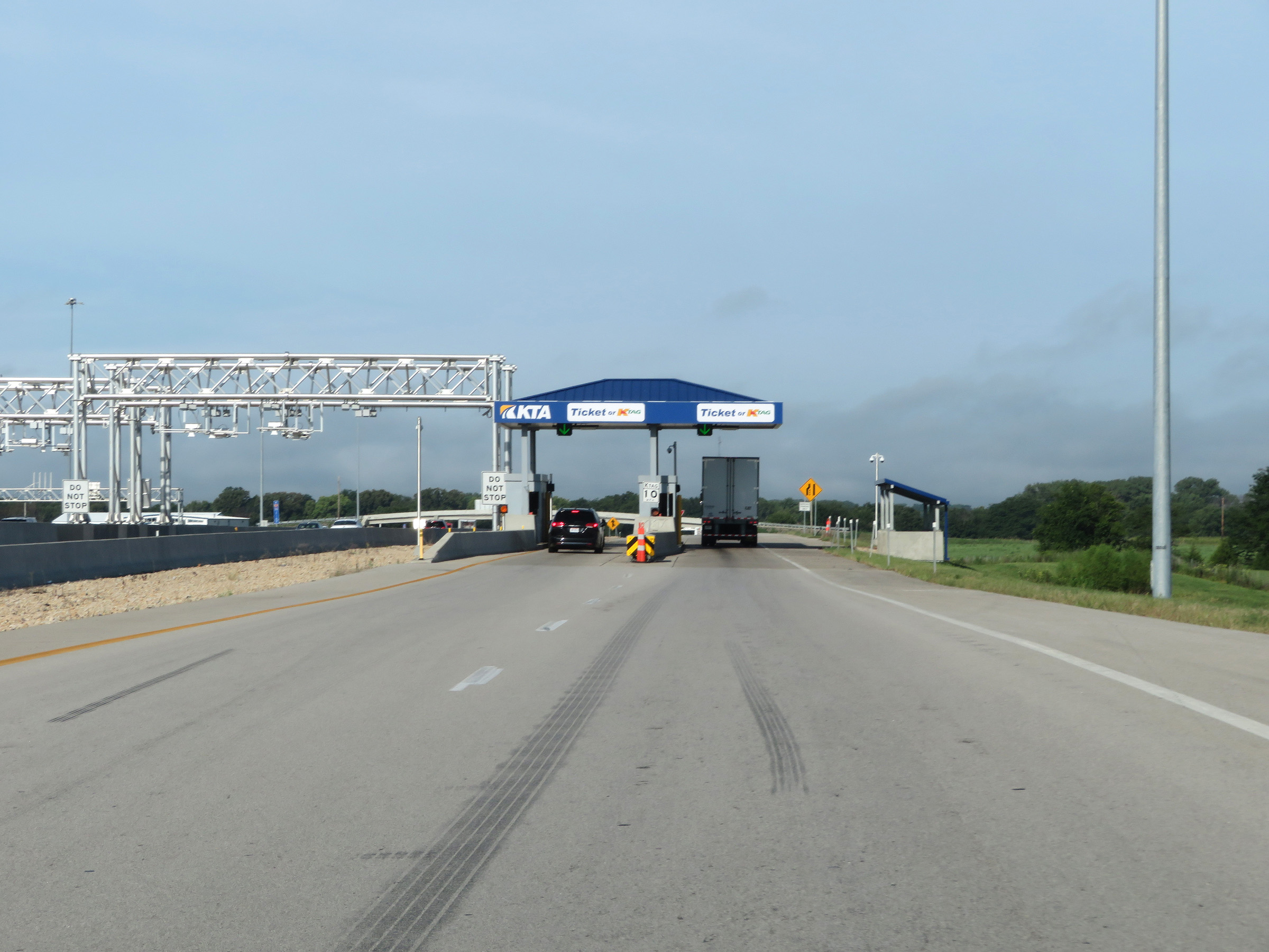 |
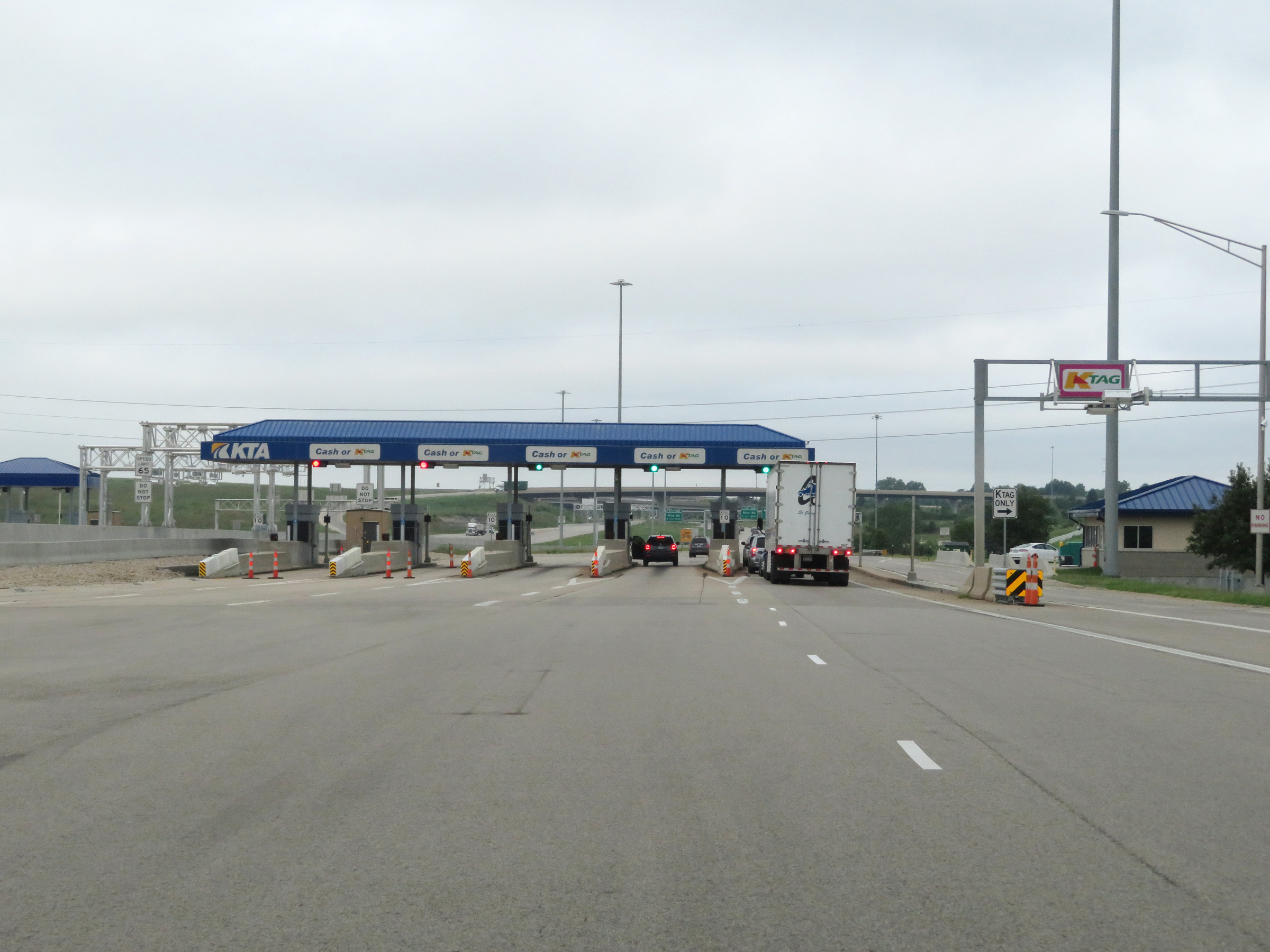
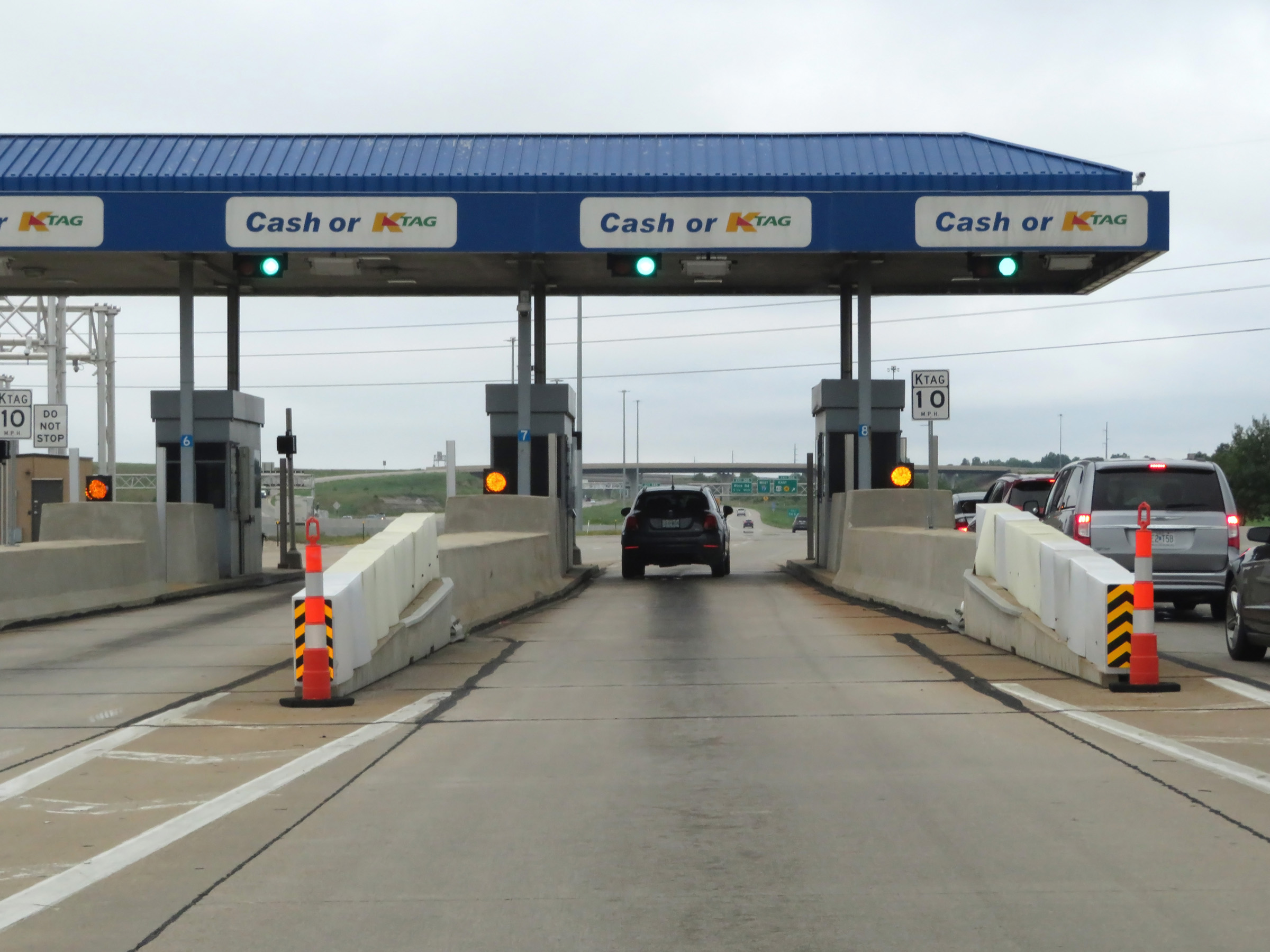
A view of the Eastern Terminal Toll Plaza and the toll gantry over the mainline for K Tag holders. K Tag is also accepted at both lanes of the toll plaza. (Photo taken 8/12/20). |
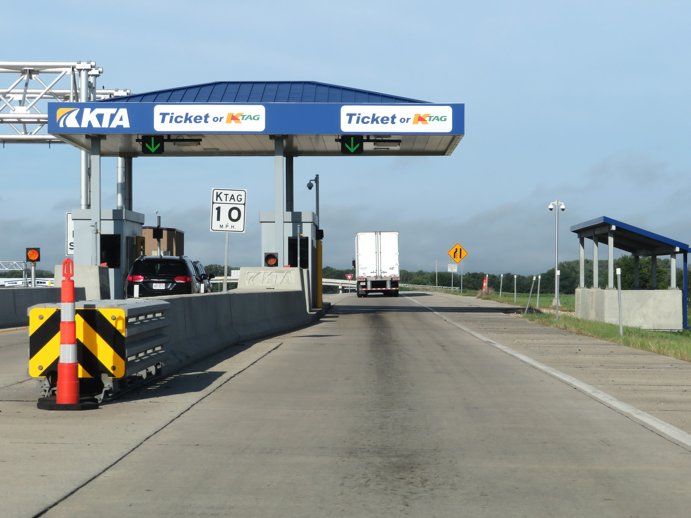 |
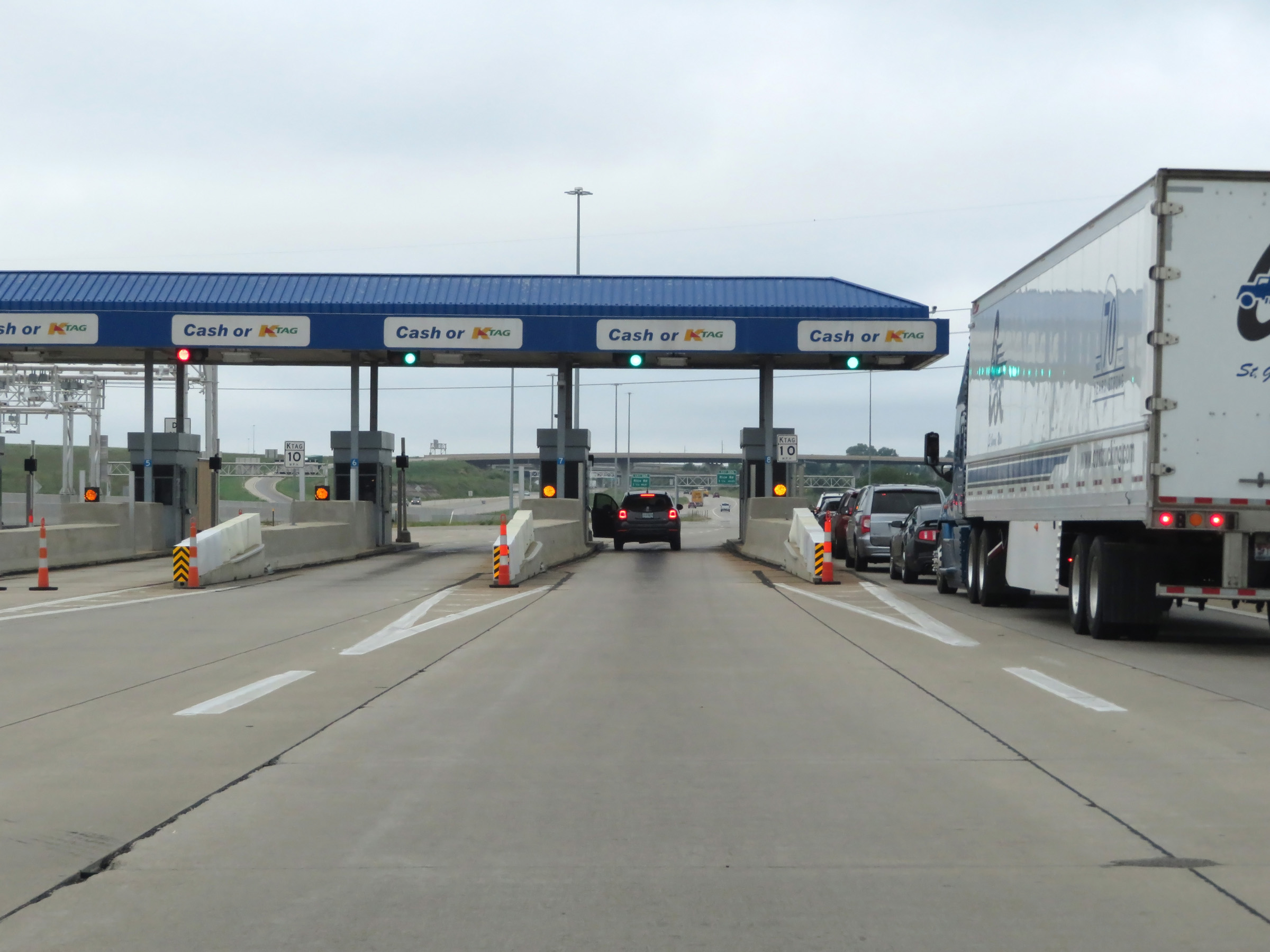
Interstate 70 West (Kansas Turnpike) at the Eastern Terminal Toll Plaza. (Photo taken 8/12/20). |
 |
View as you leave the Eastern Terminal Toll Plaza. (Photo taken 8/12/20). |
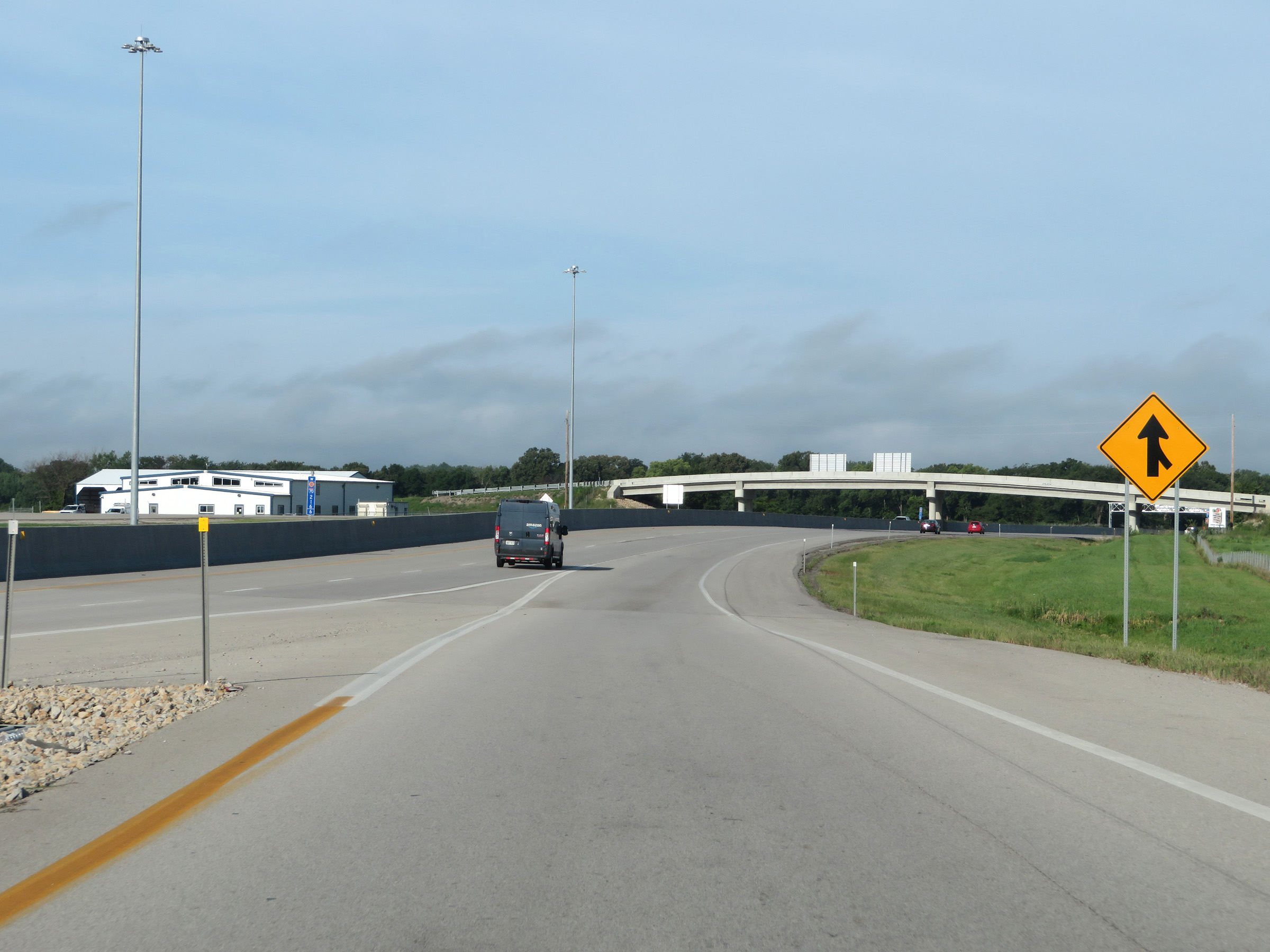 |
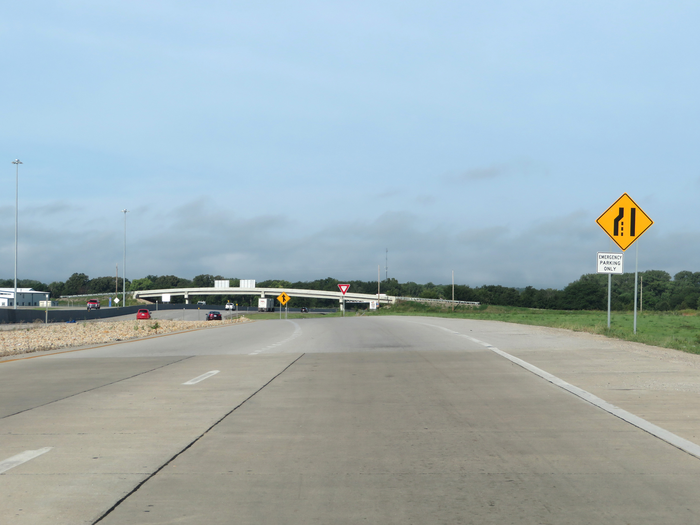
Interstate 70 West (Kansas Turnpike) as the ramp from the Eastern Terminal Toll Plaza merges back into the mainline. (Photo taken 8/12/20). |
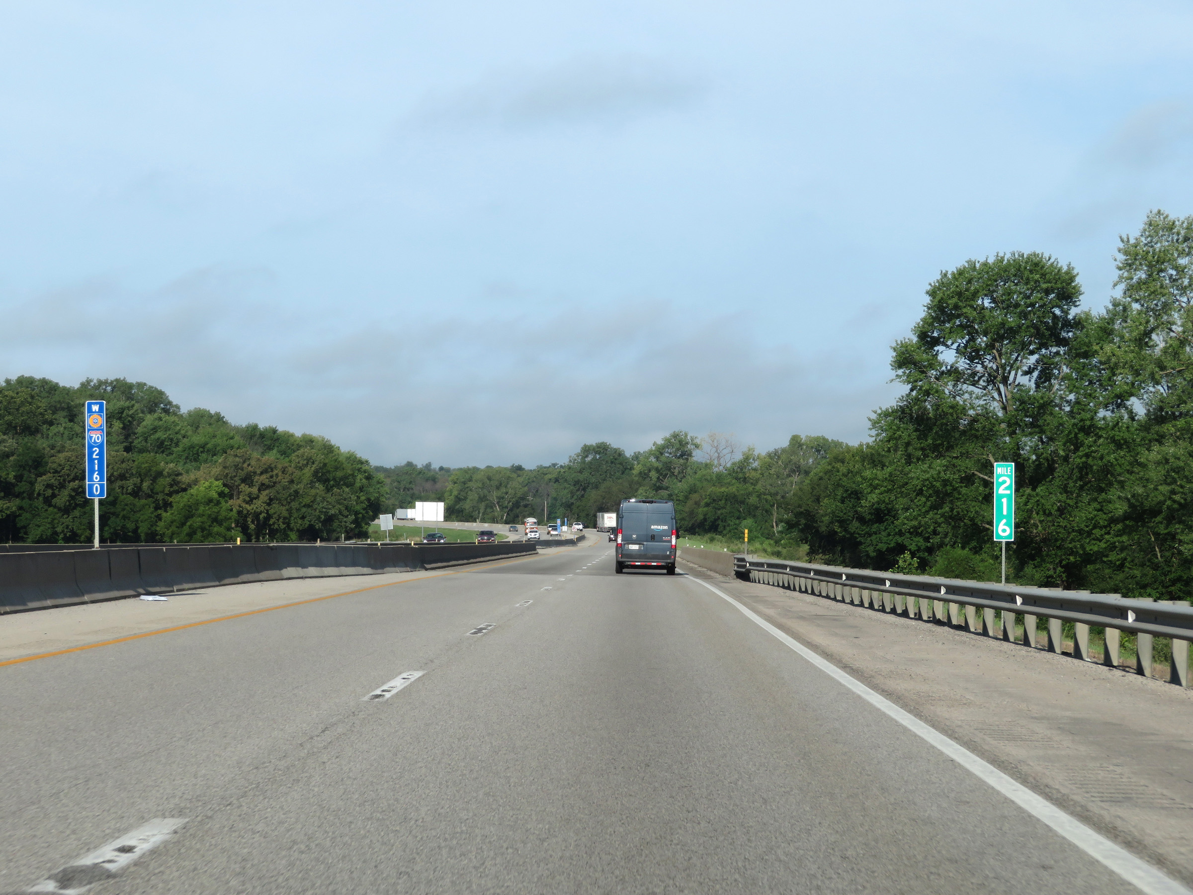 |
View on Interstate 70 West (Kansas Turnpike) at mile marker 216. (Photo taken 8/12/20). |
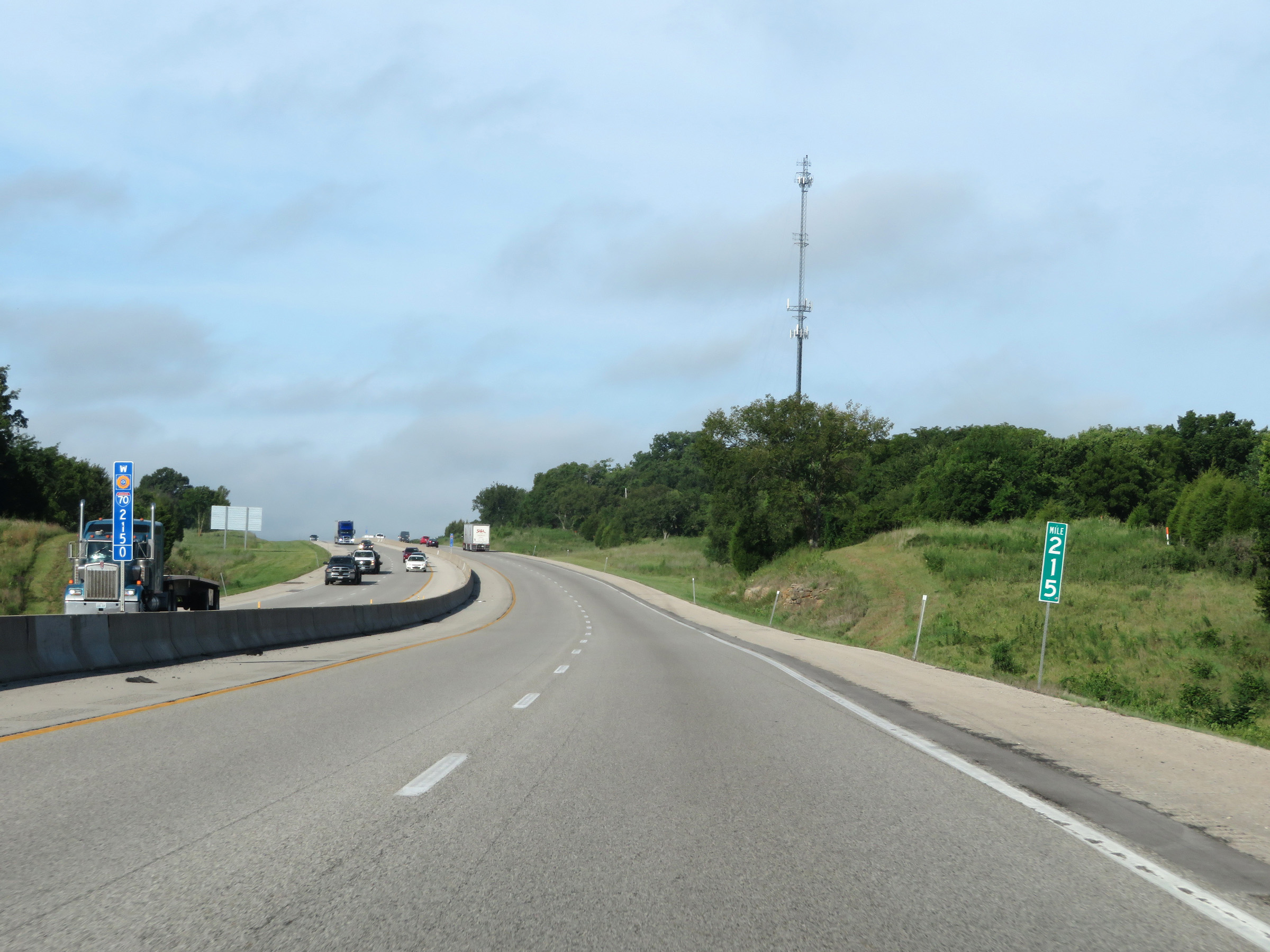 |
Interstate 70 West (Kansas Turnpike) at mile marker 215. (Photo taken 8/12/20). |
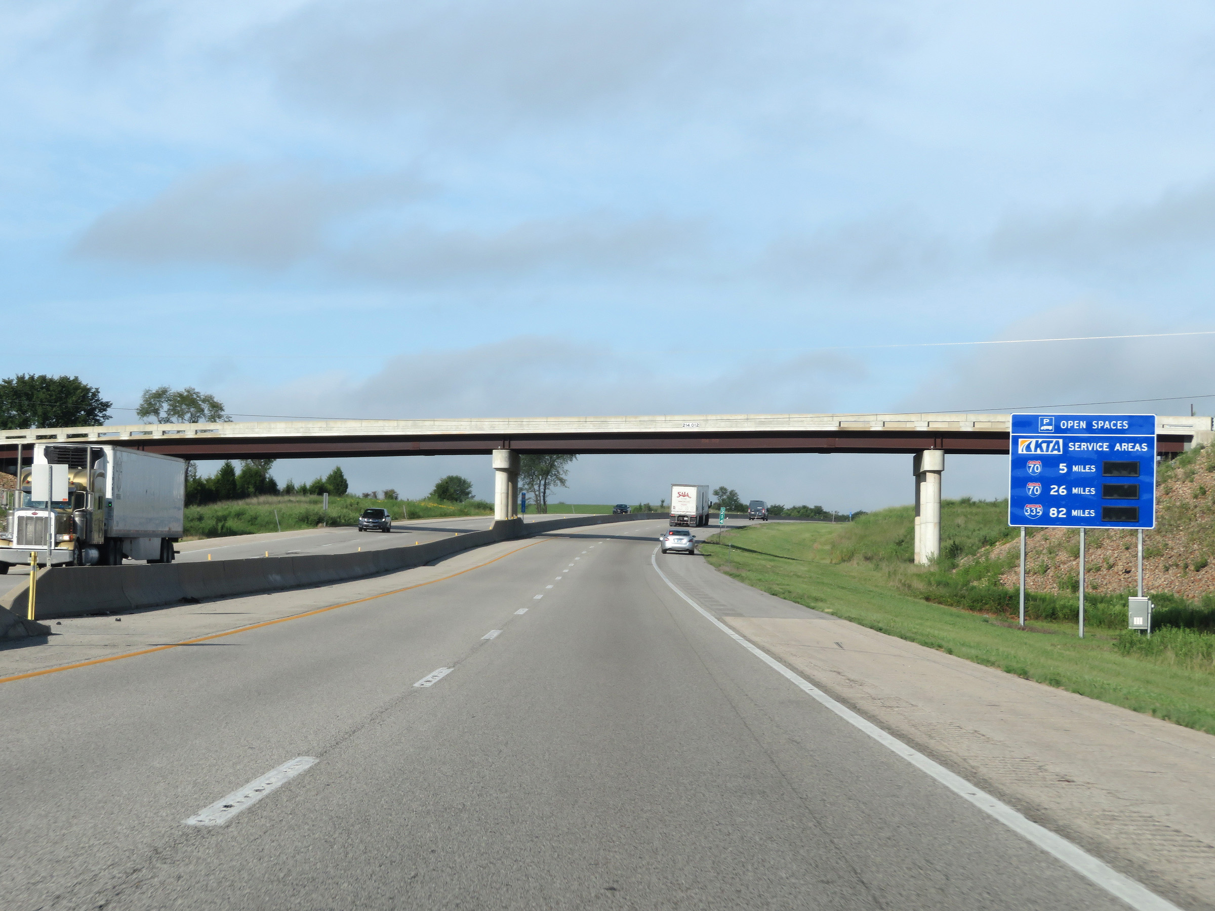 |
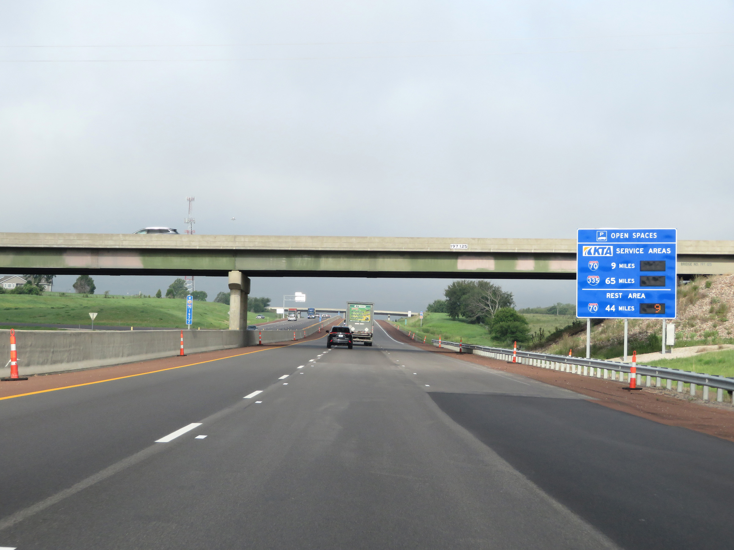
There are two service areas on the Interstate 70 portion of the Kansas Turnpike. This sign shows the distances to them and dynamically displays the number of currently available truck parking spaces. (Photo taken 8/12/20). |
 |
Interstate 70 West (Kansas Turnpike) approaching Exit 212 - 1 mile. (Photo taken 8/12/20). |
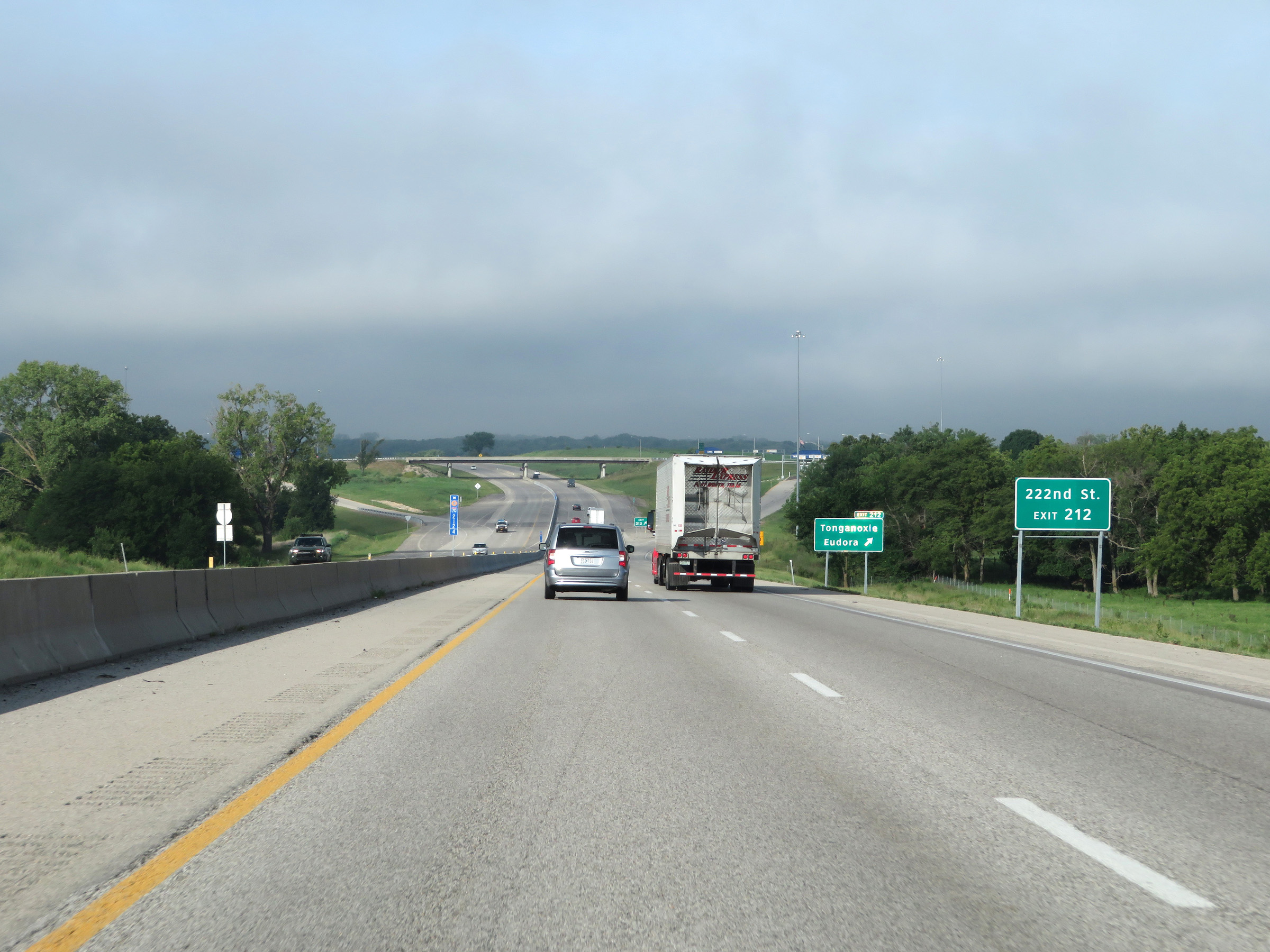 |
Take Exit 212 to 222nd St. (Photo taken 8/12/20). |
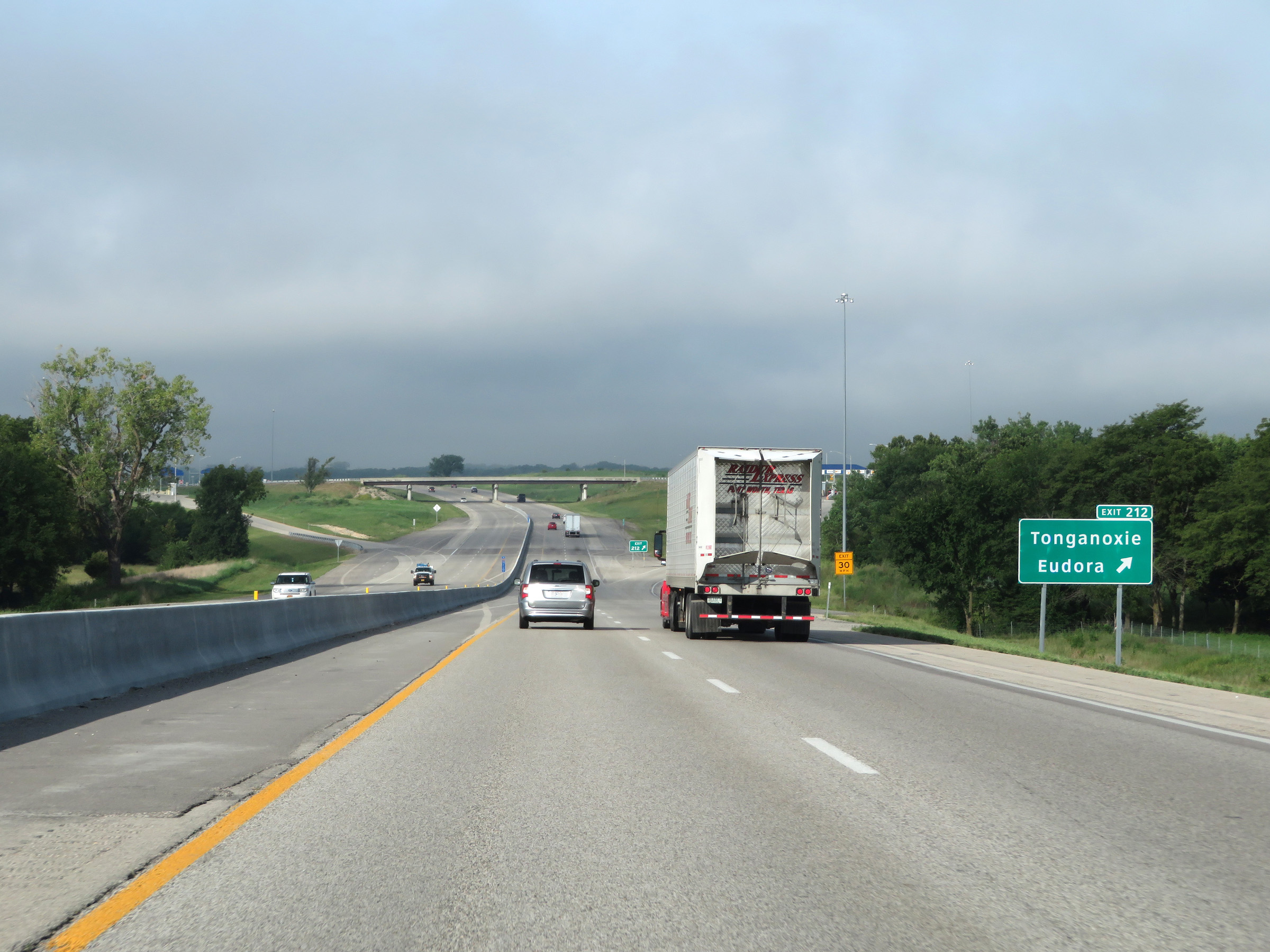 |
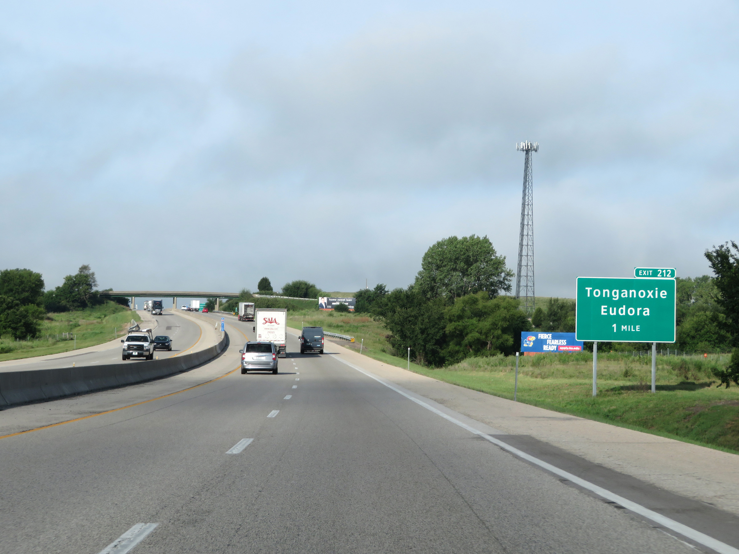
Interstate 70 West (Kansas Turnpike) at Exit 212: Tonganoxie / Eudora (Photo taken 8/12/20). |
 |
Interstate 70 West / Kansas Turnpike reassurance shields. (Photo taken 8/12/20). |
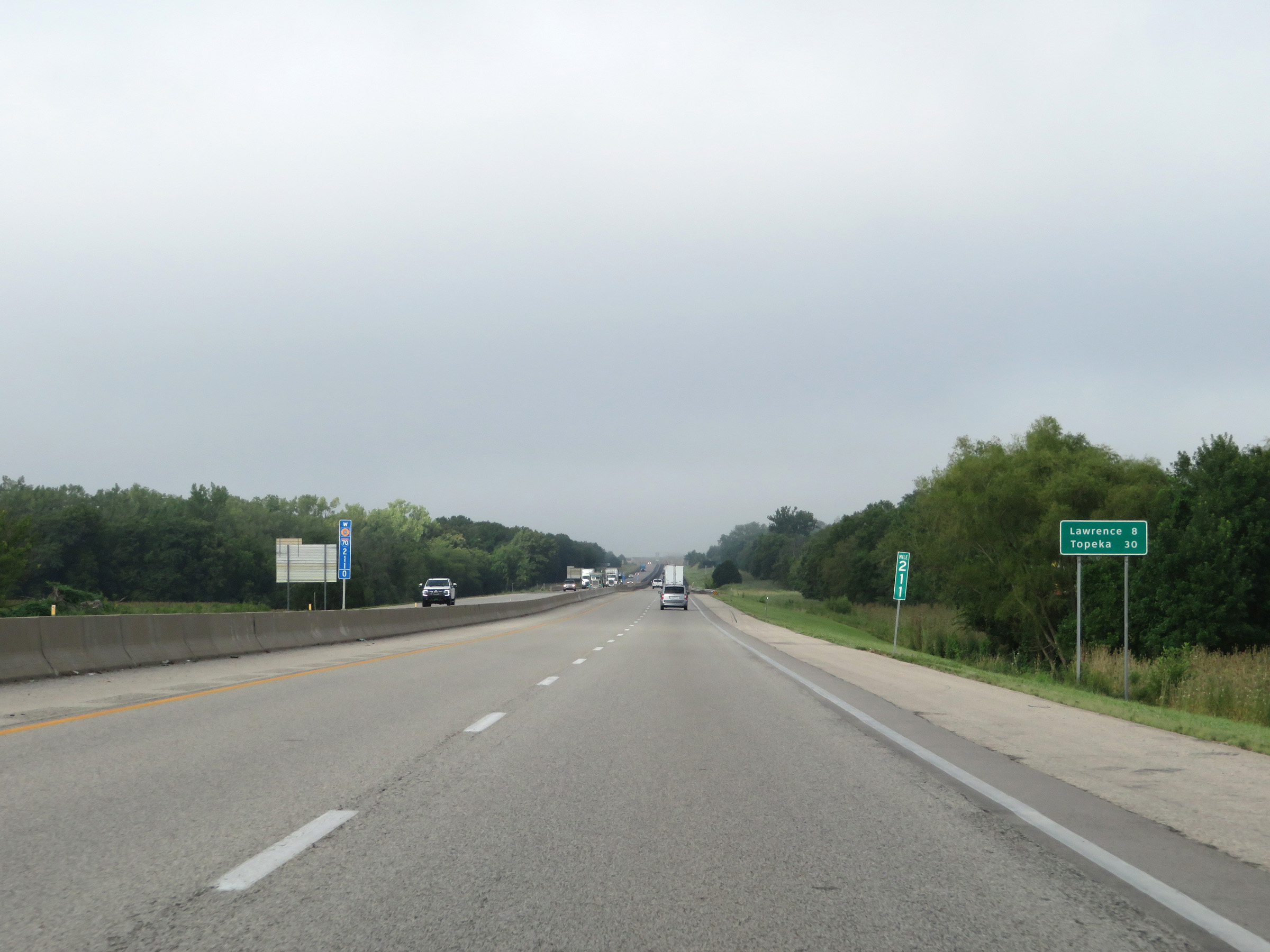 |
Mileage sign at mile marker 211. It's 8 miles to Lawrence and 30 miles to Topeka. (Photo taken 8/12/20). |
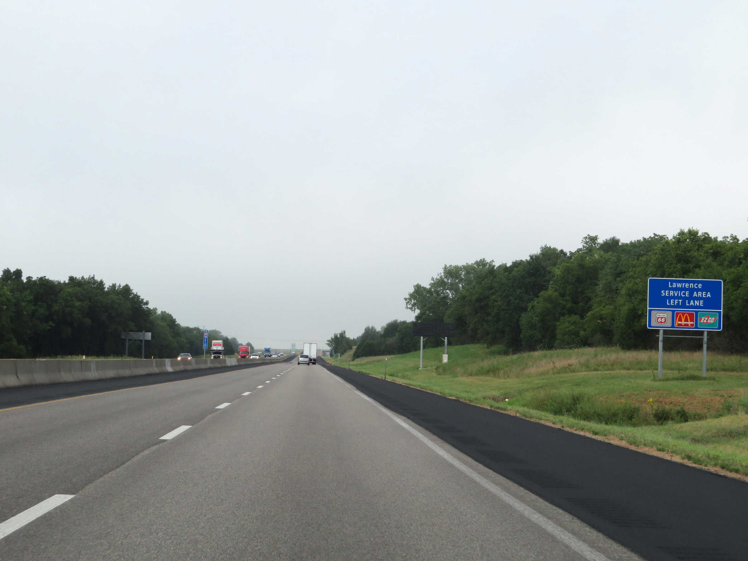 |
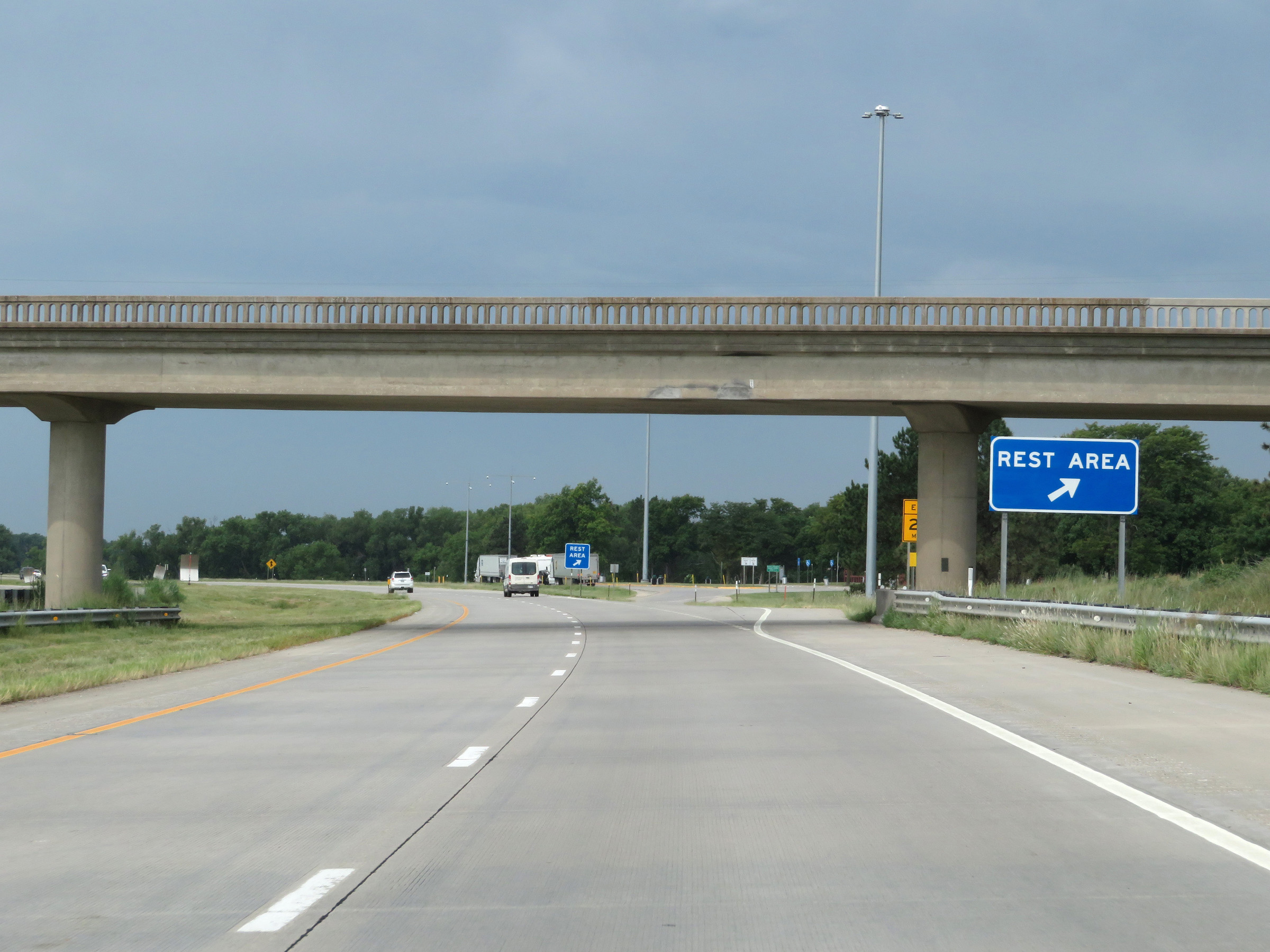
Approaching the Lawrence Service Area, this sign shows some of the services available there. The ramp to the Service Area will be on the left ahead. (Photo taken 8/12/20). |
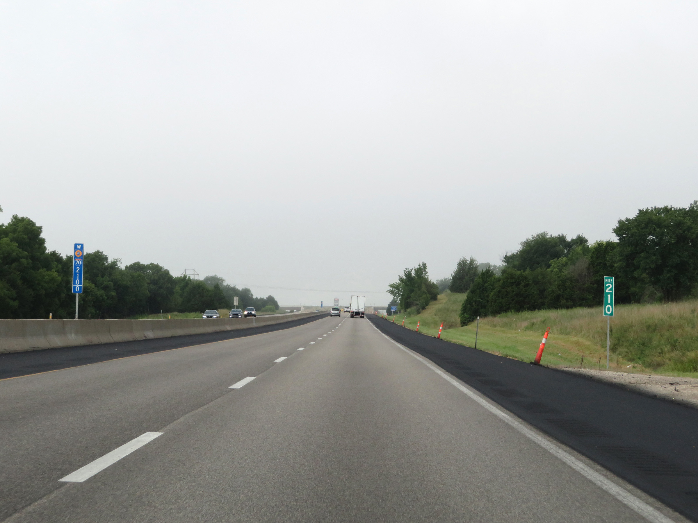 |
View on Interstate 70 West (Kansas Turnpike) at mile marker 210. (Photo taken 8/12/20). |
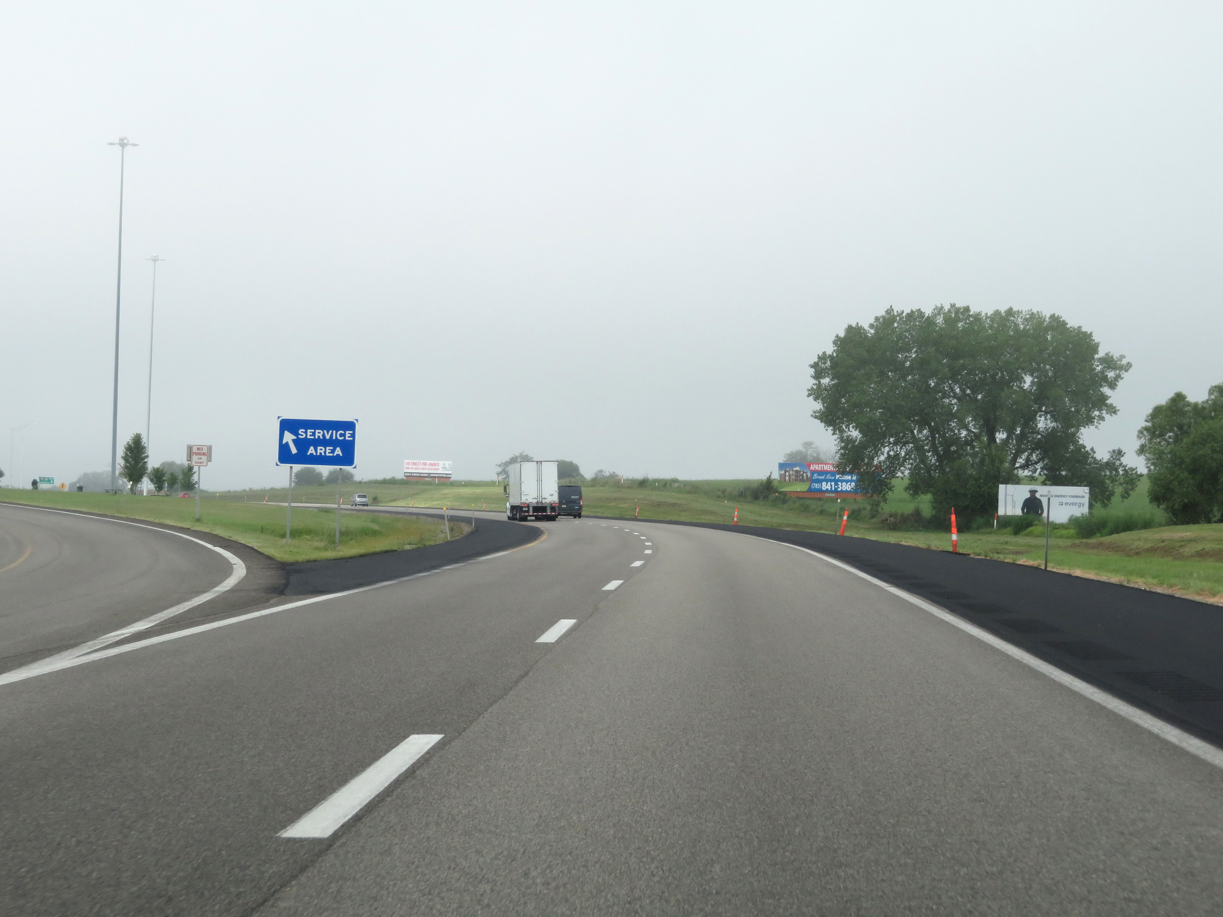 |
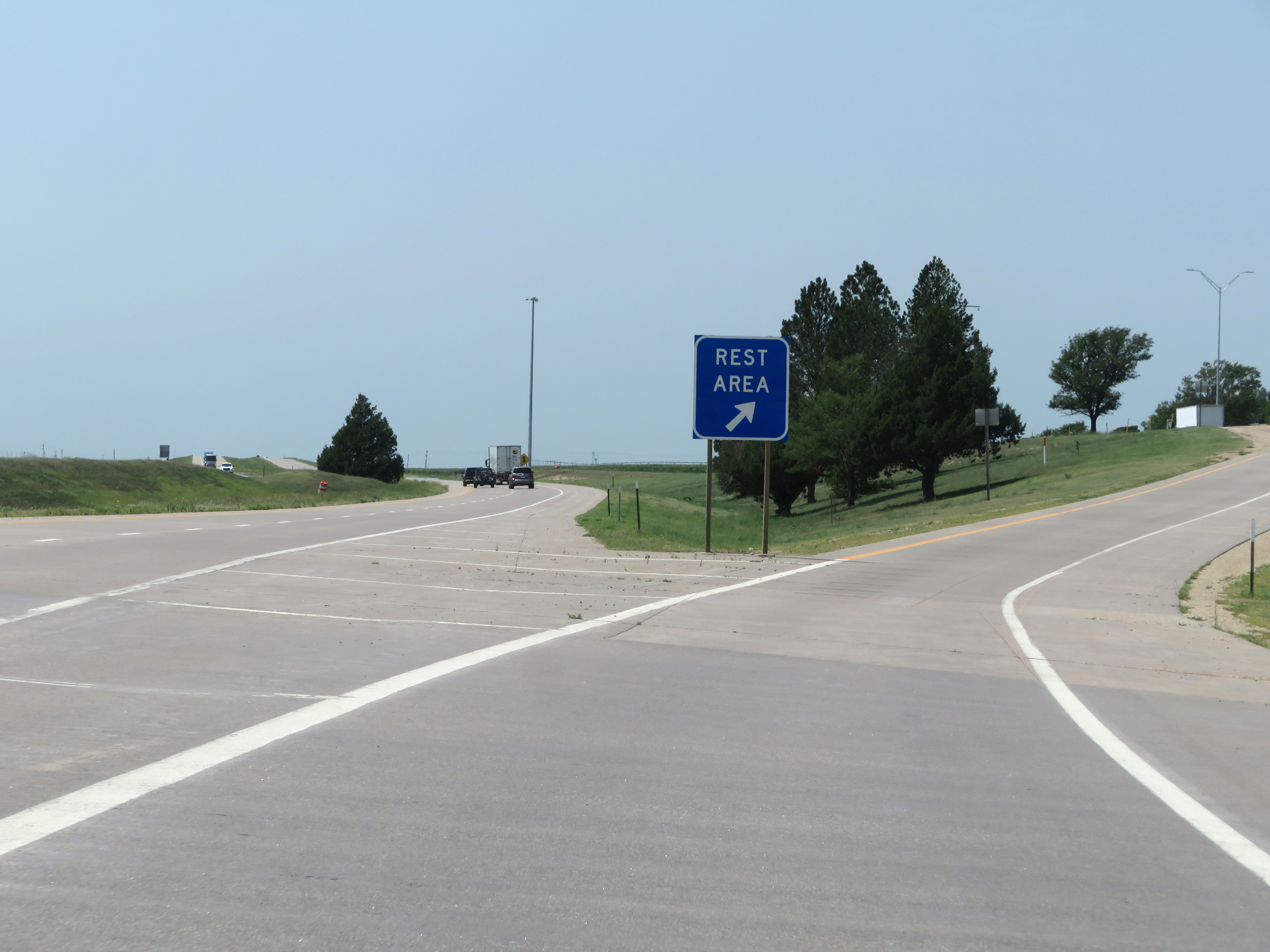
Interstate 70 West (Kansas Turnpike) at the Lawrence Service Area. (Photo taken 8/12/20). |
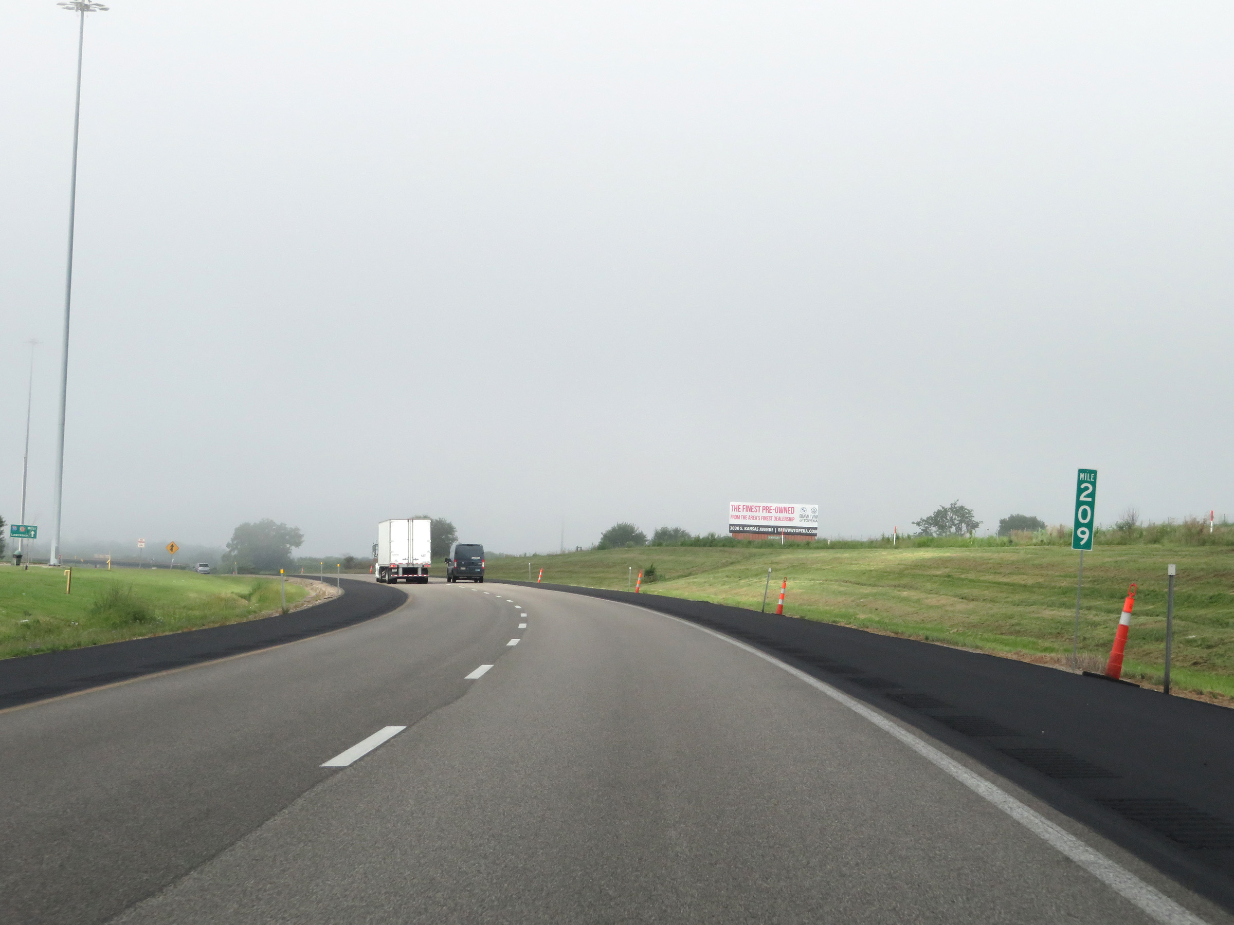 |
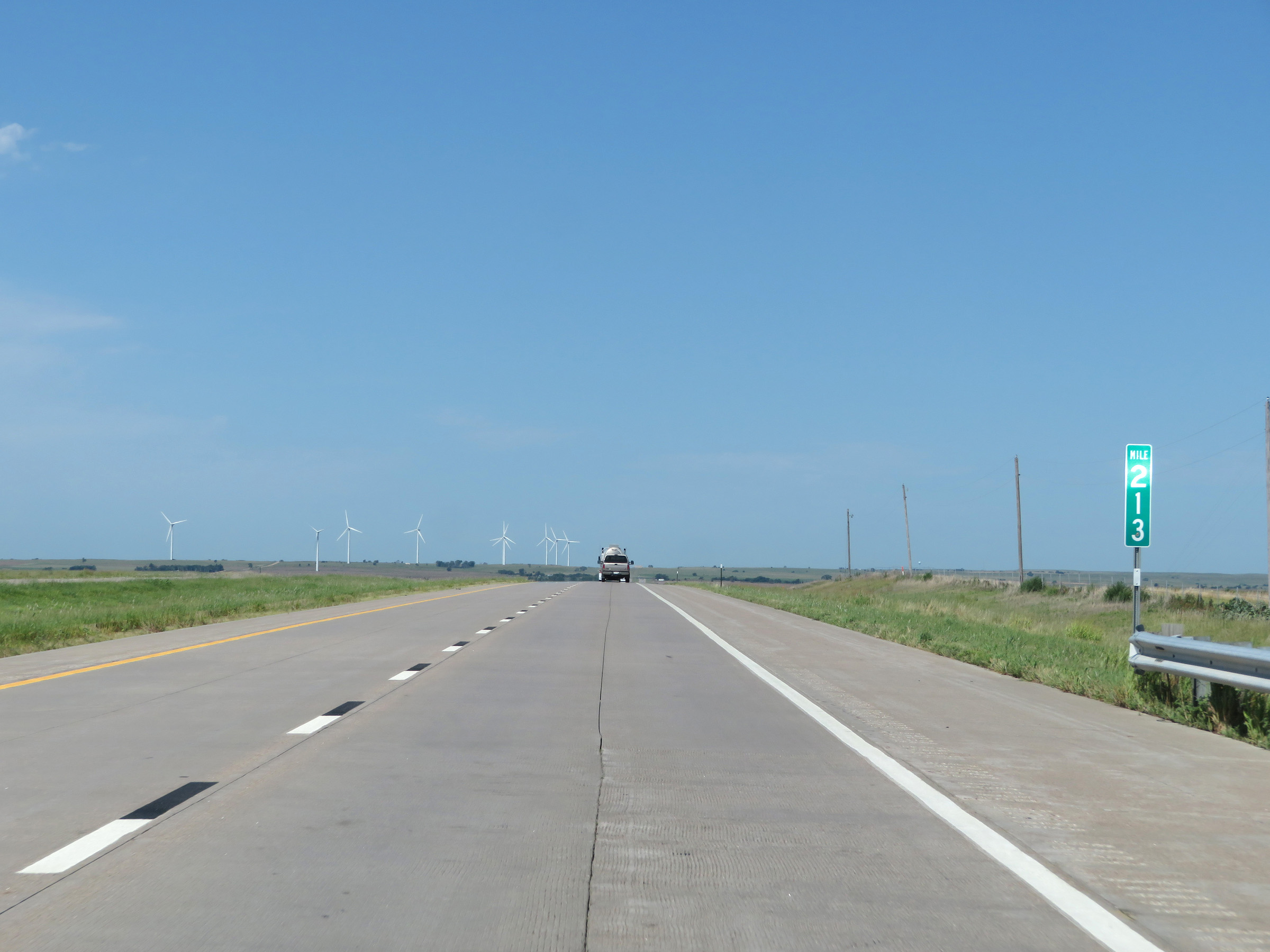
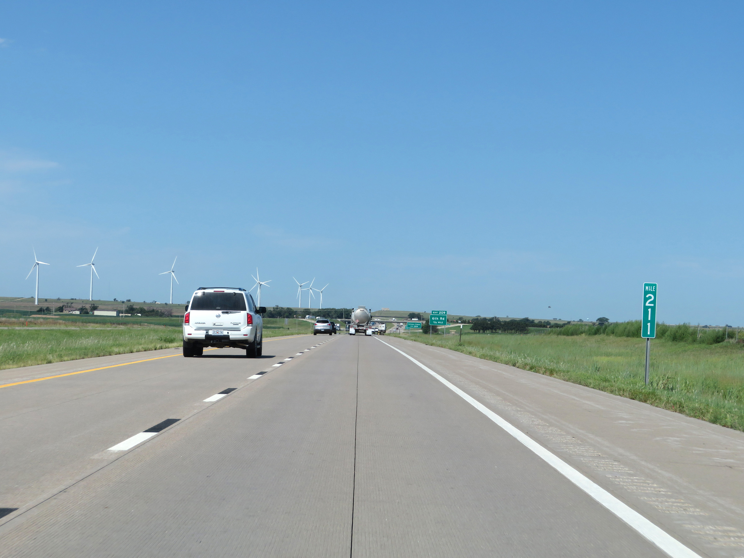
Interstate 70 West (Kansas Turnpike) at mile marker 209. (Photo taken 8/12/20). |
 |
The speed limits remain 75 mph maximum and 40 mph minimum. (Photo taken 8/12/20). |
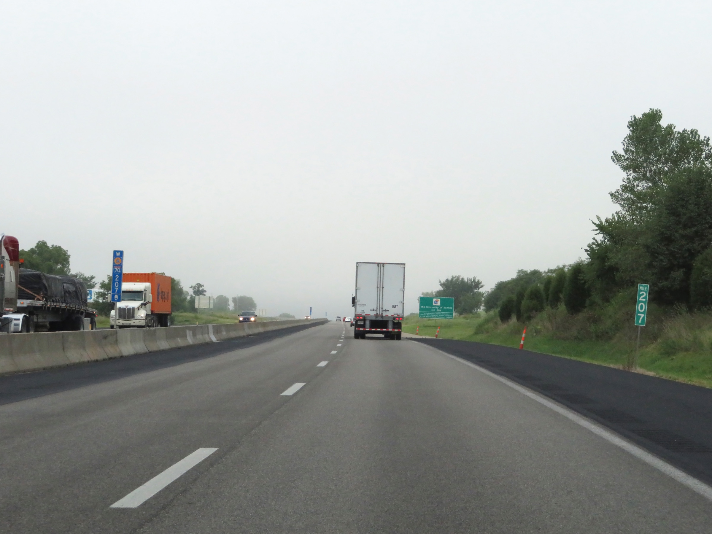 |
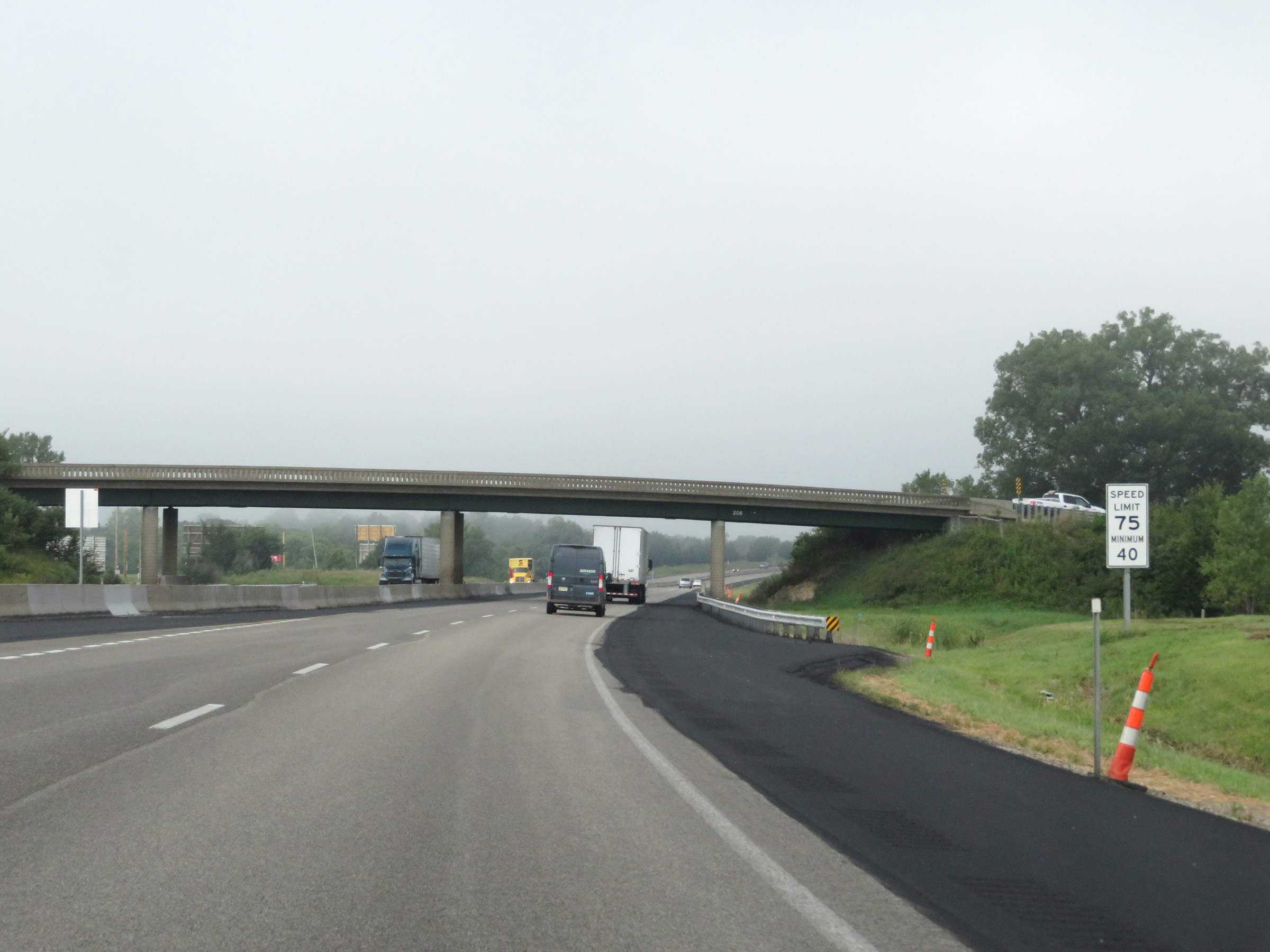
View on Interstate 70 West (Kansas Turnpike) at mile marker 207. (Photo taken 8/12/20). |
 |
Take Exit 204 to The University of Kansas. (Photo taken 8/12/20). |
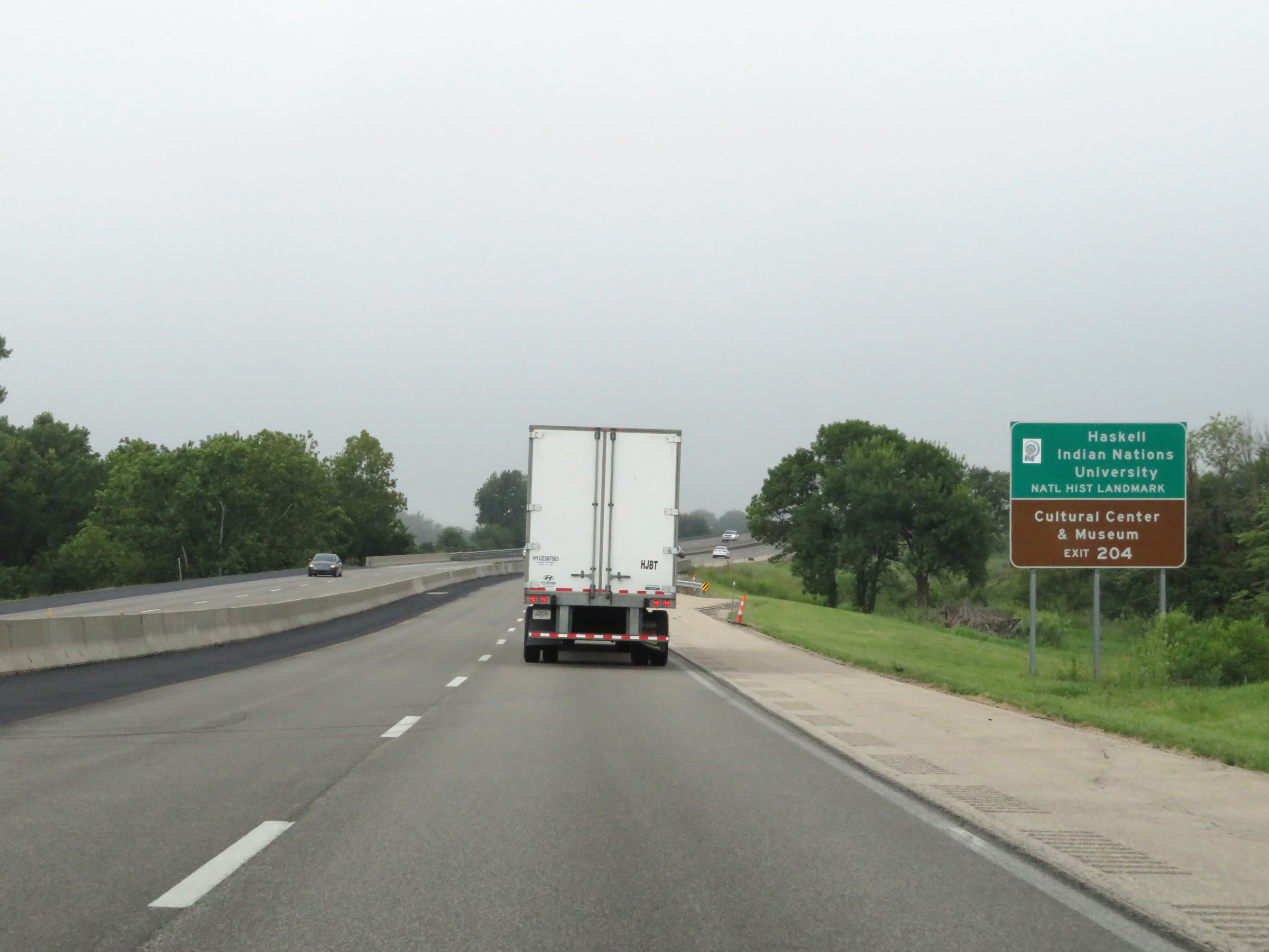 |
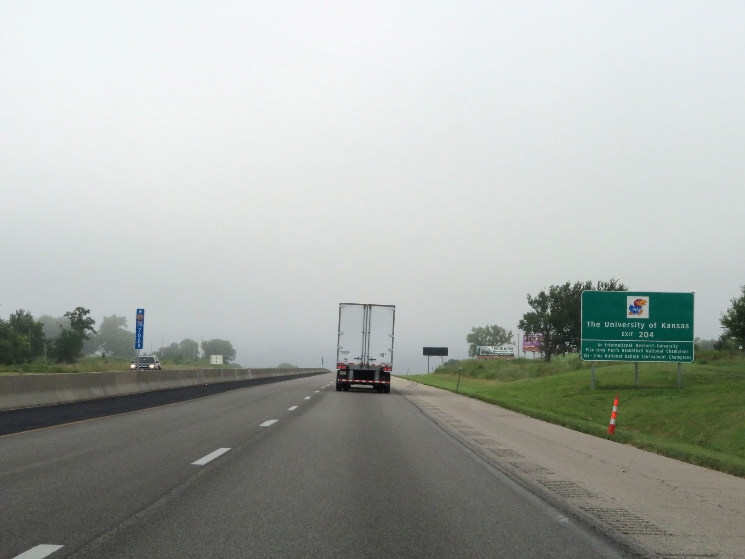
Also take Exit 204 to Haskell Indian Nations University National Historic Landmark and the Cultural Center & Museum. (Photo taken 8/12/20). |
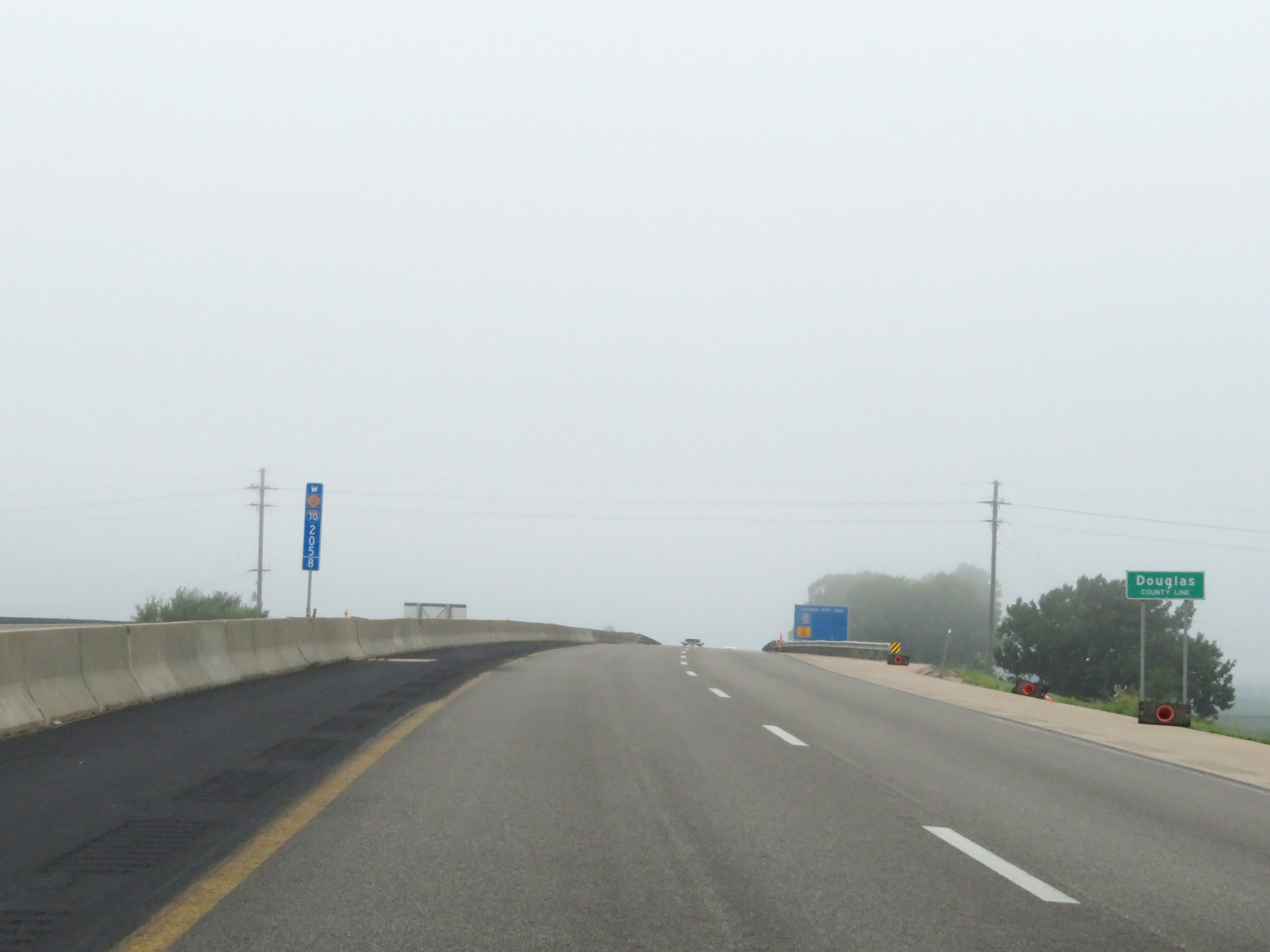 |
Interstate 70 West (Kansas Turnpike) as it enters Douglas County. (Photo taken 8/12/20). |
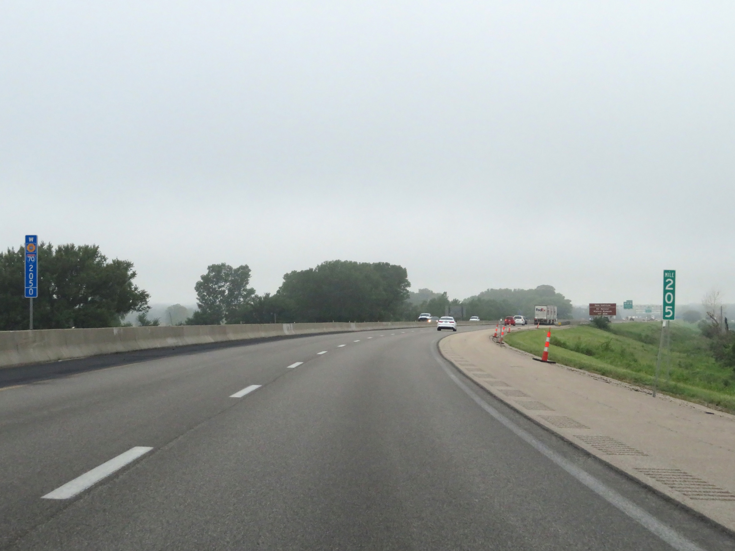 |
View on Interstate 70 West (Kansas Turnpike) at mile marker 205. (Photo taken 8/12/20). |
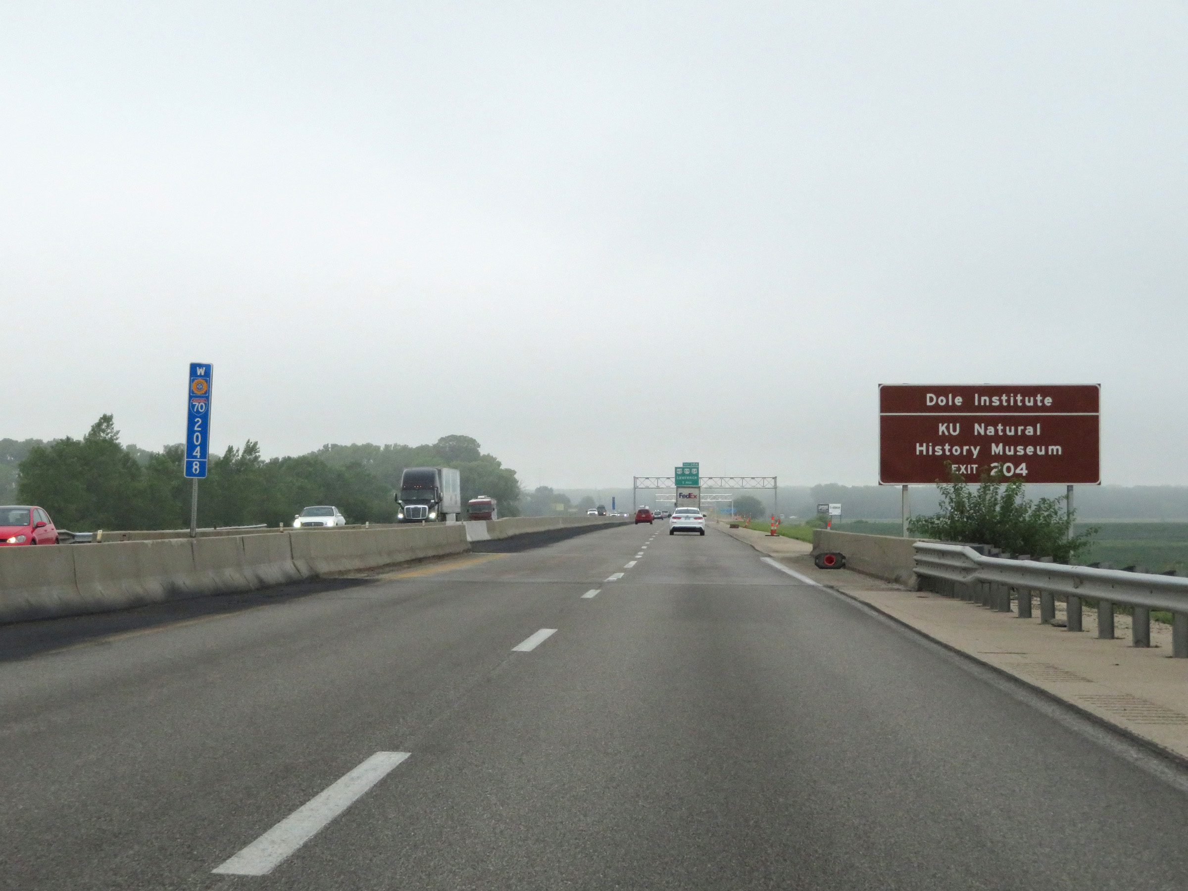 |
Take Exit 204 to the Dole Institute and KU Natural History Museum as well. (Photo taken 8/12/20). |
 |
Interstate 70 West (Kansas Turnpike) approaching Exit 204 - 1 mile. (Photo taken 8/12/20). |
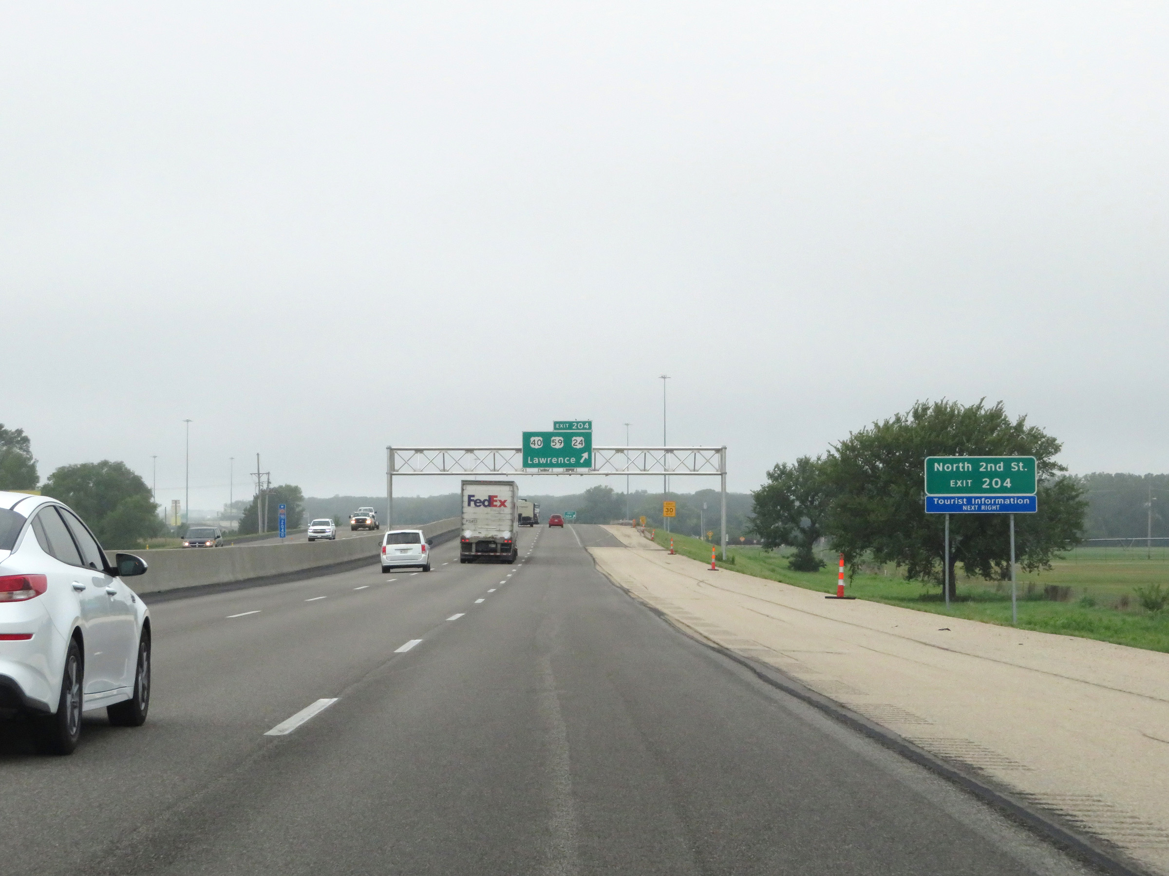 |
North 2nd St can be accessed via Exit 204. (Photo taken 8/12/20). |
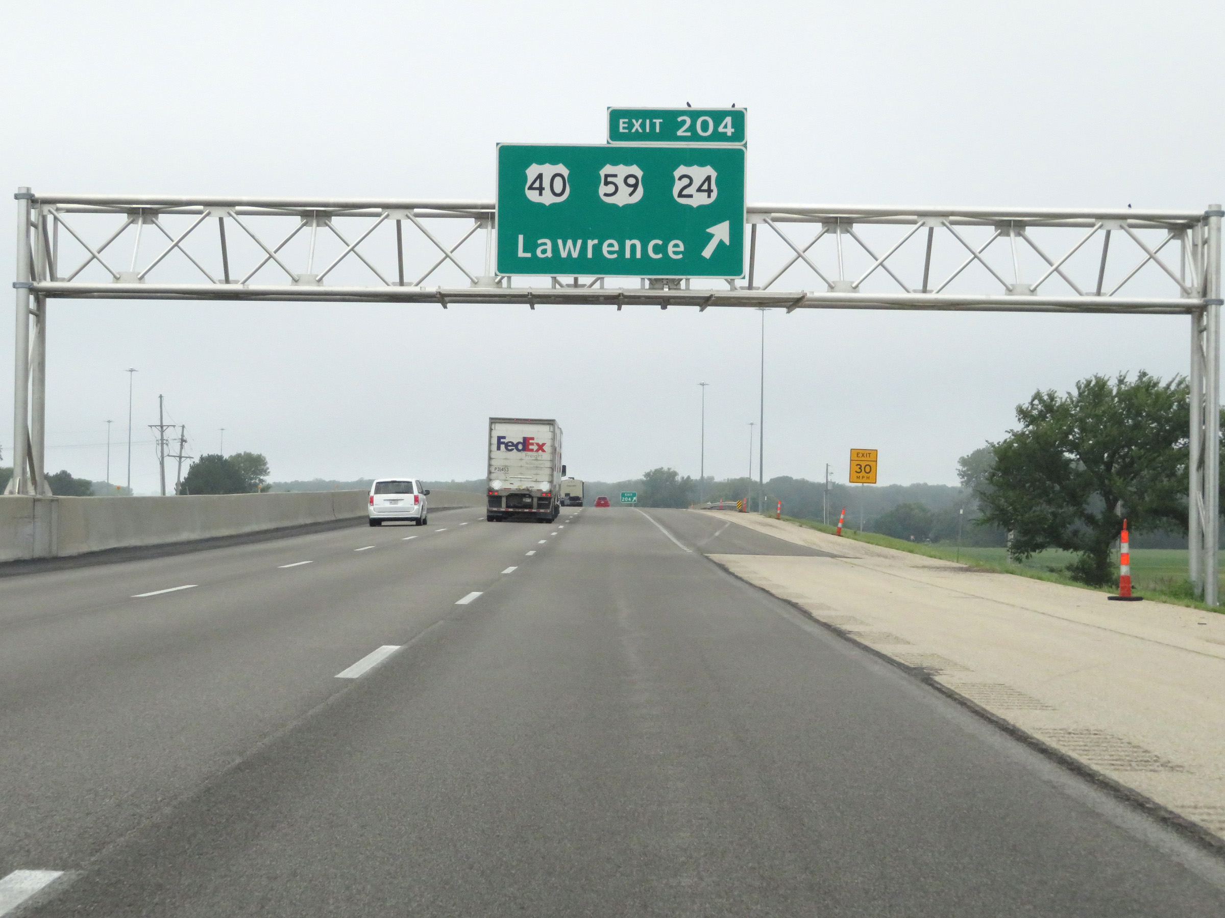 |
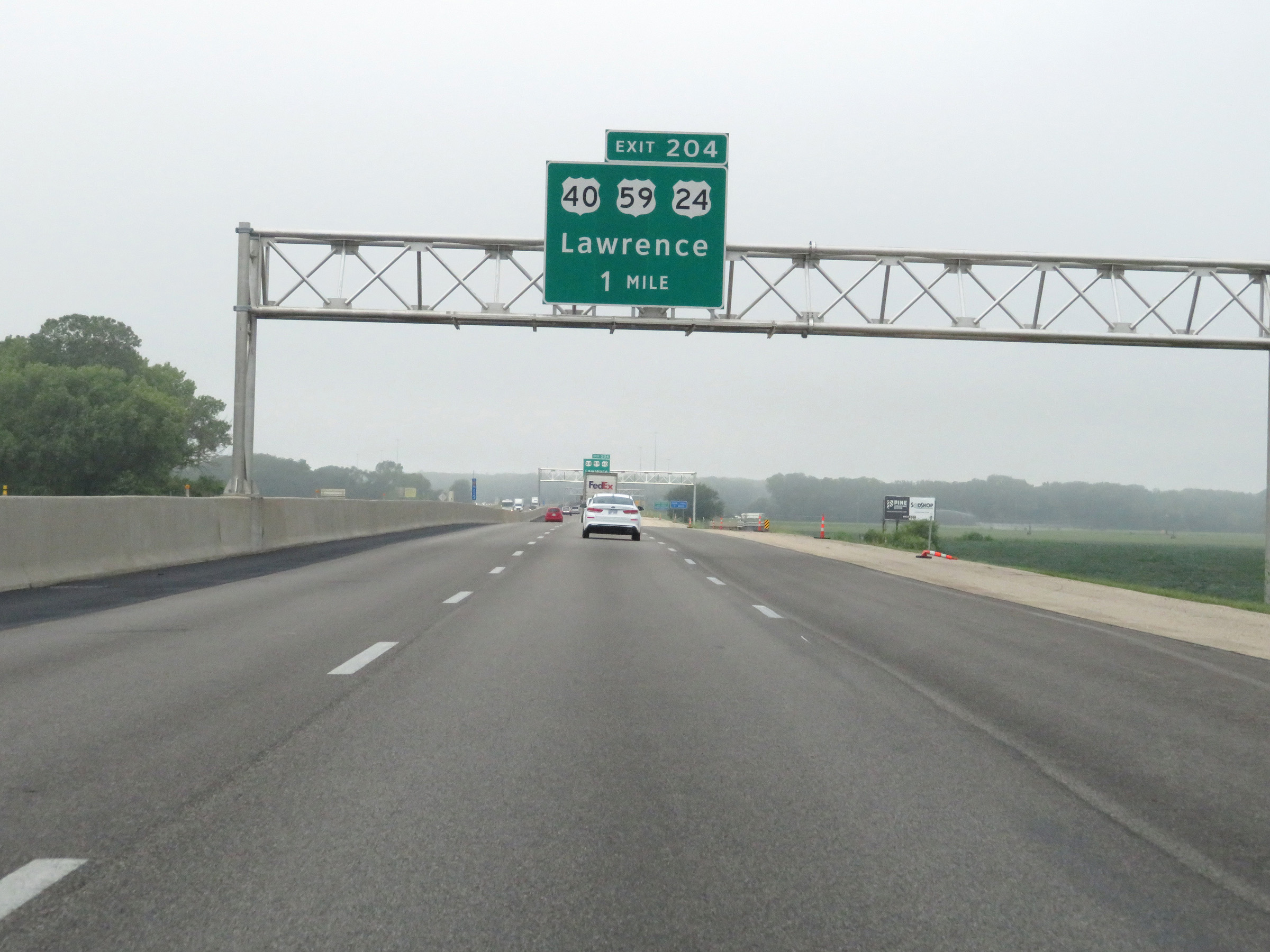
Interstate 70 West (Kansas Turnpike) at Exit 204: US 40 / US 59 / US 24 - Lawrence (Photo taken 8/12/20). |
Section 2: Lawrence (Exit 204) to Topeka (Exit 362A)
 |
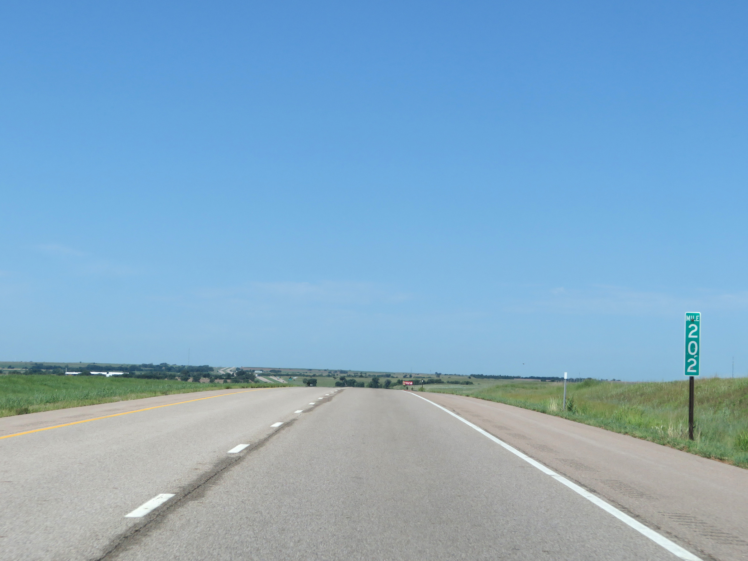
Interstate 70 West (Kansas Turnpike) approaching Exit 202 - 1 mile. (Photo taken 8/12/20). |
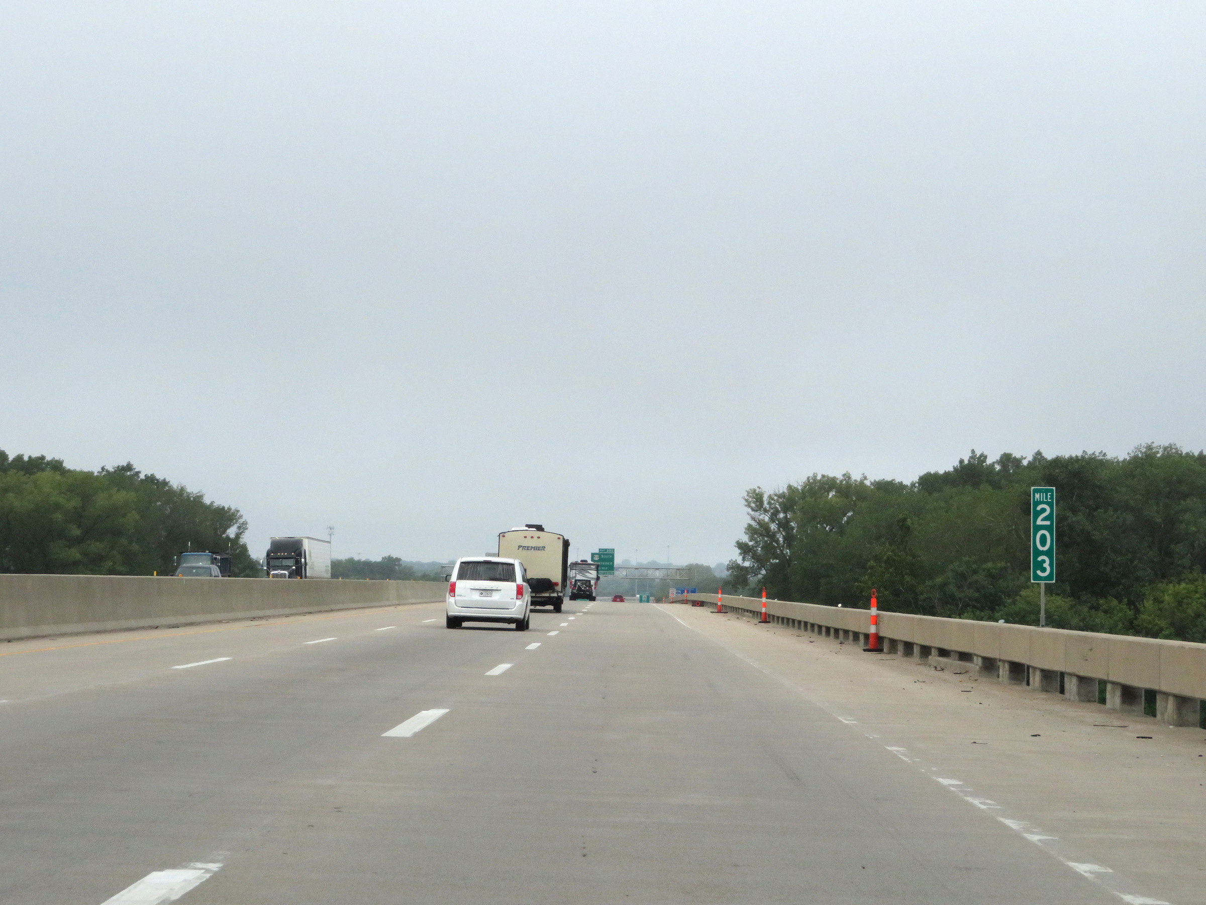 |
View on Interstate 70 West (Kansas Turnpike) at mile marker 203. (Photo taken 8/12/20). |
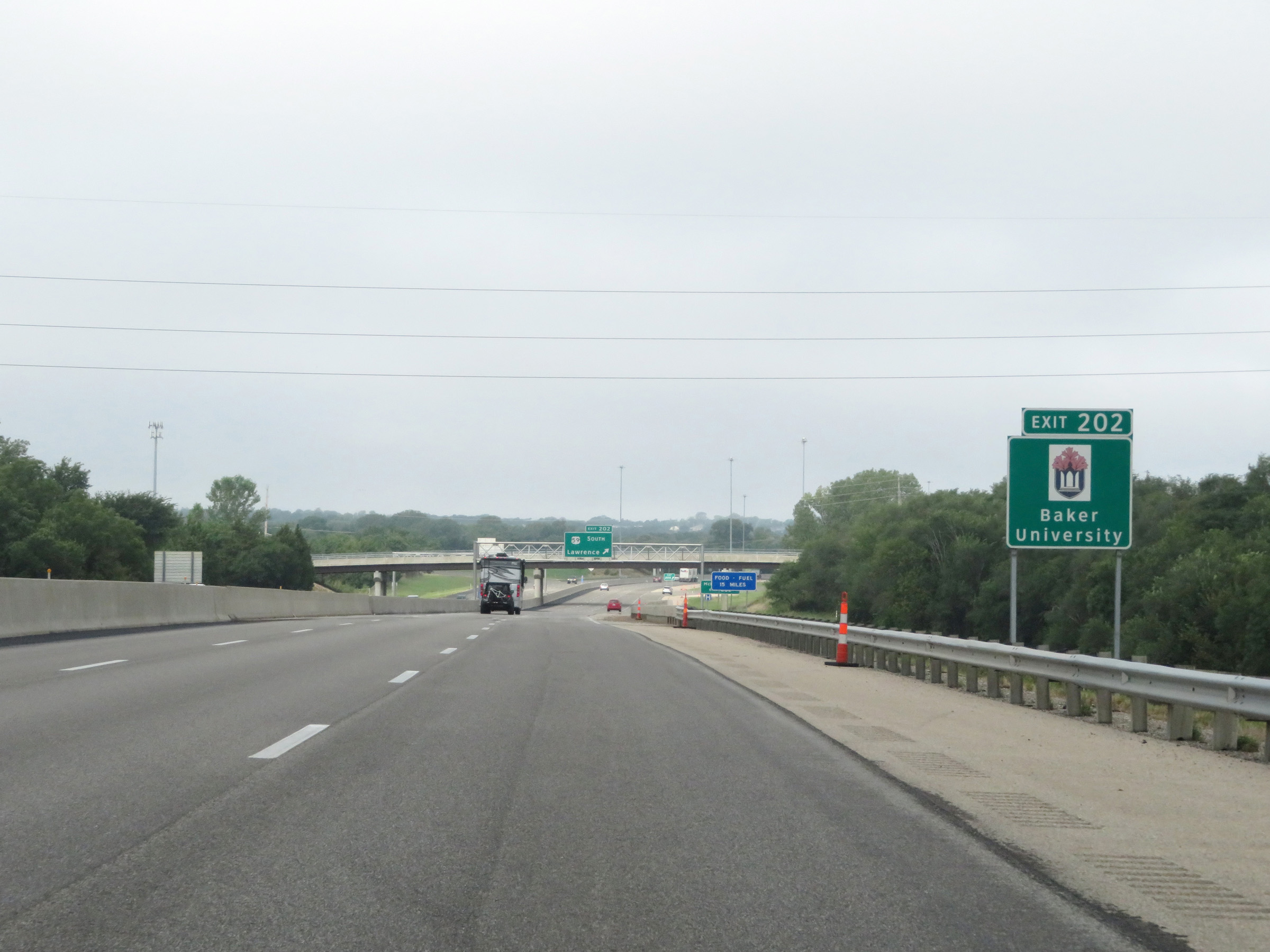 |
Take Exit 202 to Baker University. (Photo taken 8/12/20). |
 |
Also take Exit 202 to McDonald Dr. (Photo taken 8/12/20). |
 |
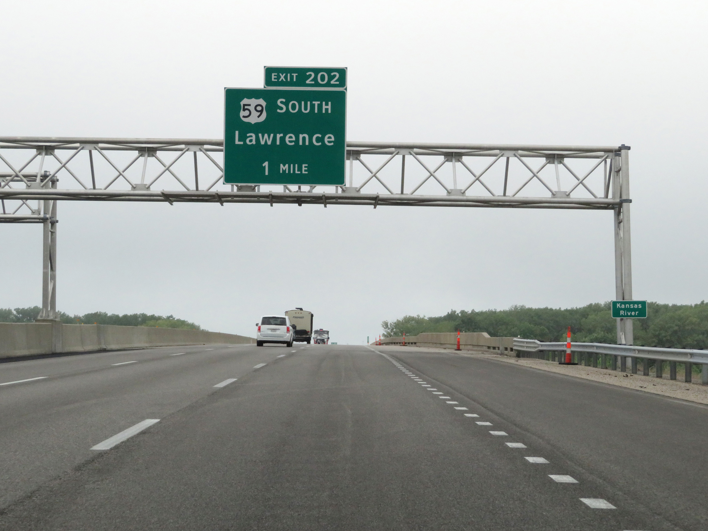
Interstate 70 West (Kansas Turnpike) at Exit 202: US 59 South - Lawrence (Photo taken 8/12/20). |
 |
Mileage sign on Interstate 70 West (Kansas Turnpike) at mile marker 201. It's 5 miles to the K-10 interchange, 20 miles to Topeka, and 560 miles to Denver. (Photo taken 8/12/20). |
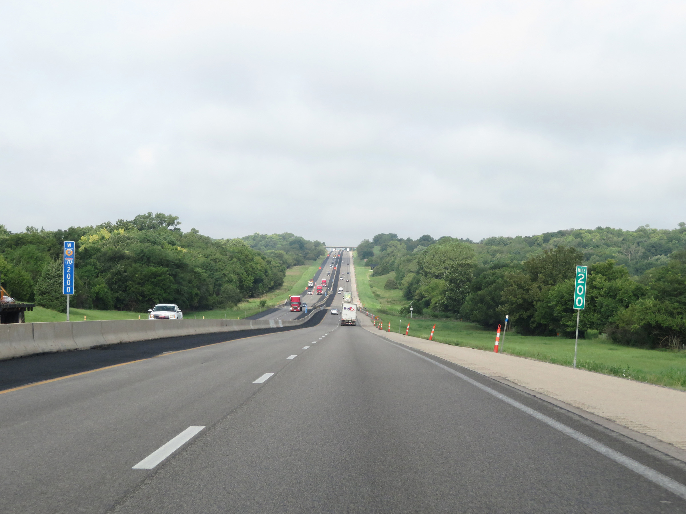 |
View on Interstate 70 West (Kansas Turnpike) at mile marker 200. (Photo taken 8/12/20). |
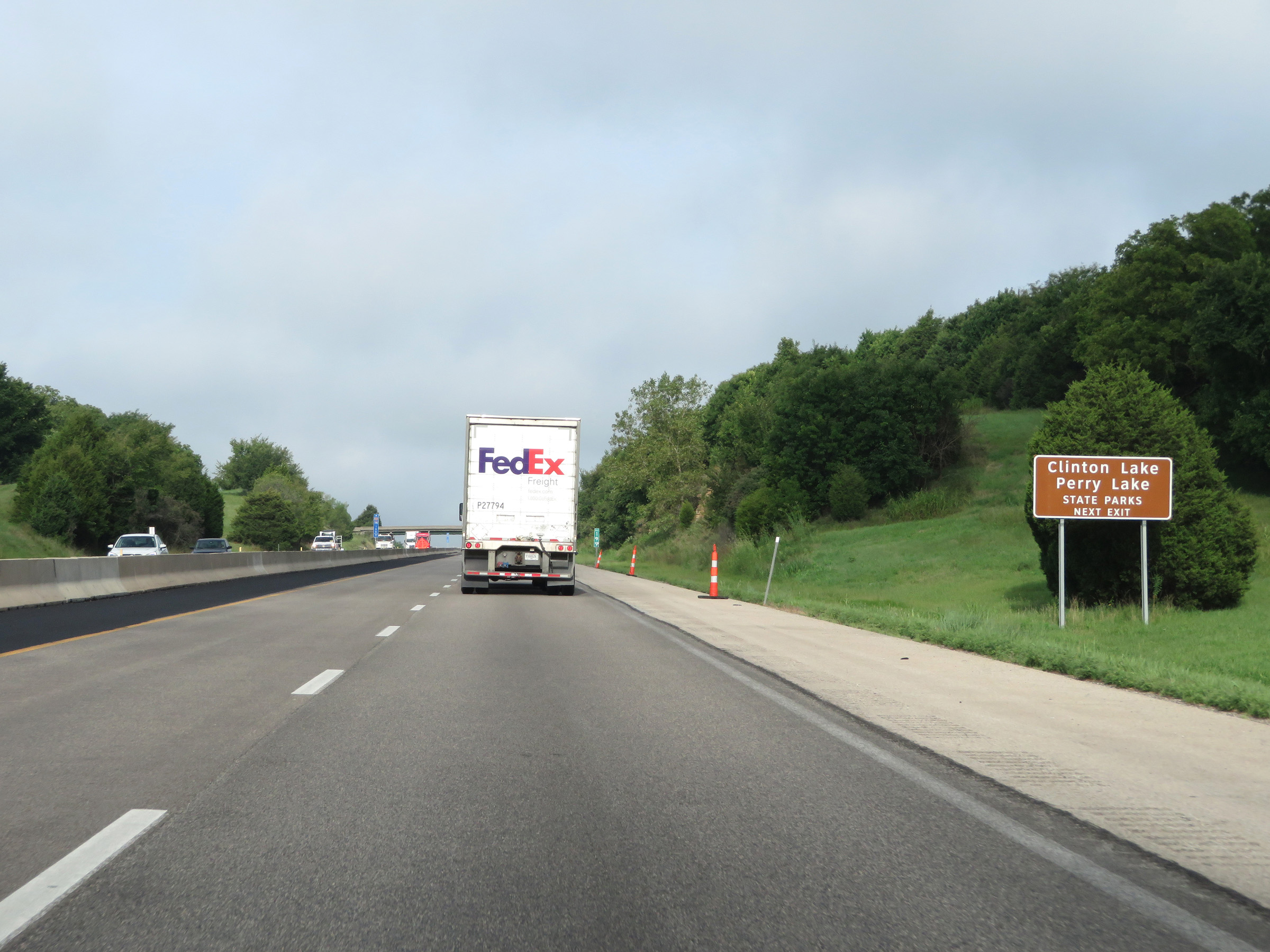 |
Take Exit 197 to Clinton Lake and Perry Lake State Parks. (Photo taken 8/12/20). |
 |
Interstate 70 West (Kansas Turnpike) approaching Exit 197 - 1 mile. (Photo taken 8/12/20). |
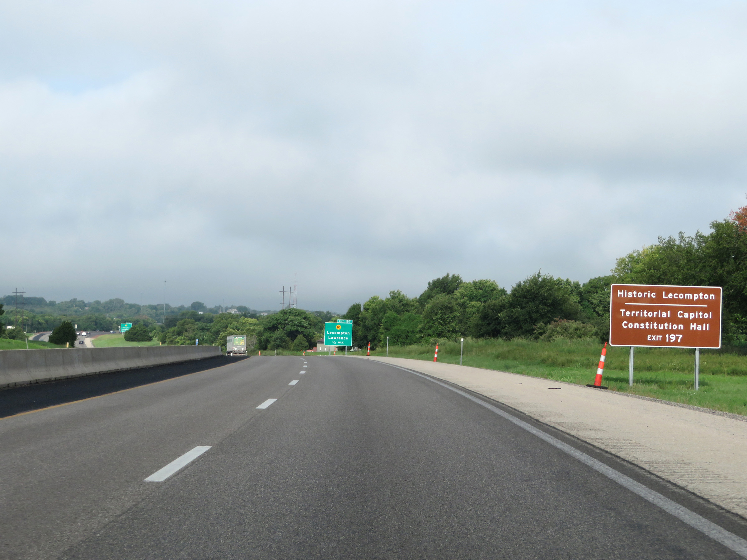 |
Take Exit 197 to Historic Lecompton and the Territorial Capitol Constitution Hall. (Photo taken 8/12/20). |
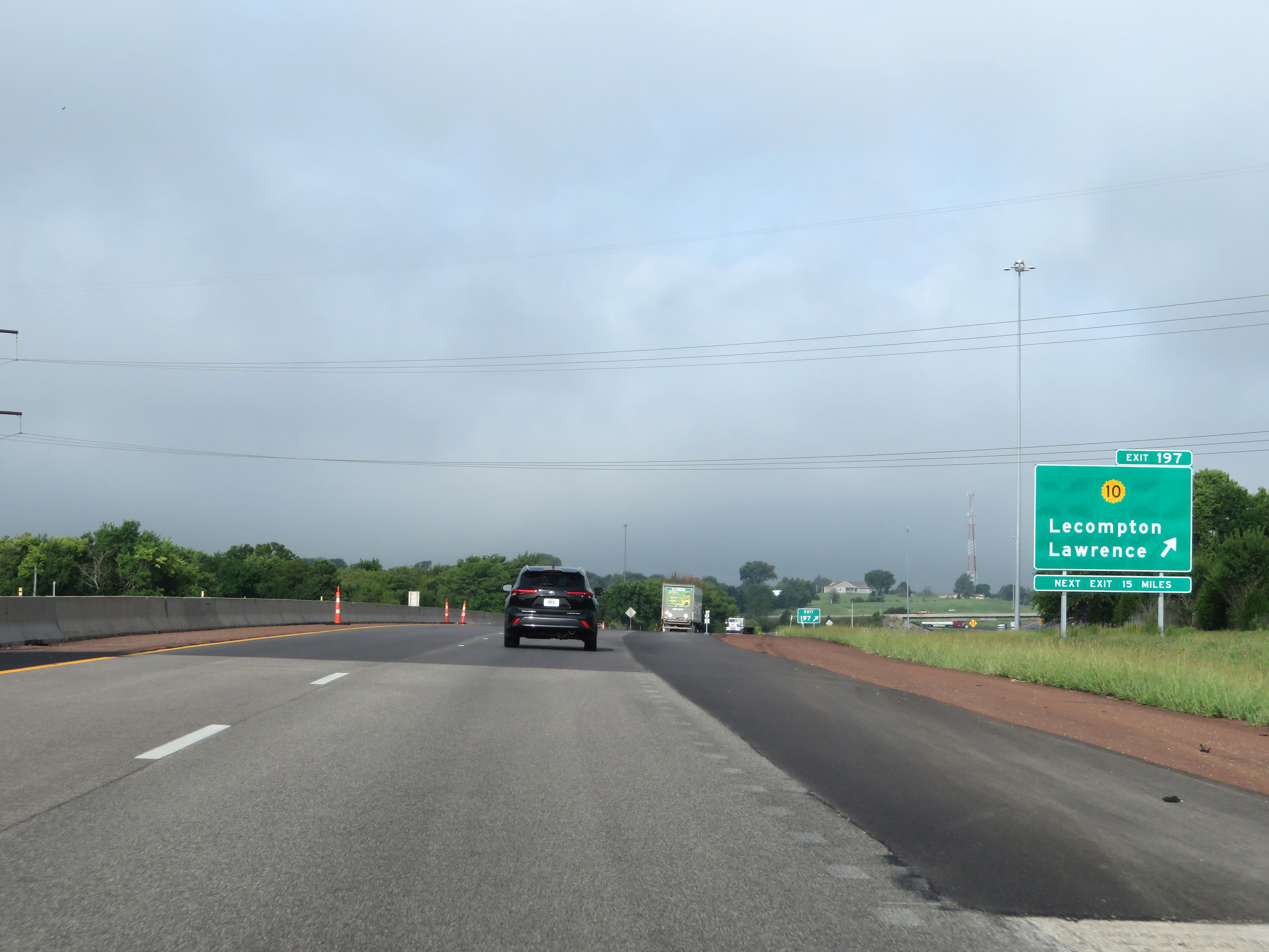 |
Interstate 70 West (Kansas Turnpike) at Exit 197: K-10 - Lecompton / Lawrence (Photo taken 8/12/20). |
 |
This sign dynamically shows the number of currently available truck parking spaces at the next two service areas on the Kansas Turnpike, as well as at the next Rest Area on Interstate 70 after it leaves the turnpike. (Photo taken 8/12/20). |
 |
The speed limits remain 75 mph maximum and 40 mph minimum. (Photo taken 8/12/20). |
 |
View on Interstate 70 West (Kansas Turnpike) at mile marker 195. (Photo taken 8/12/20). |
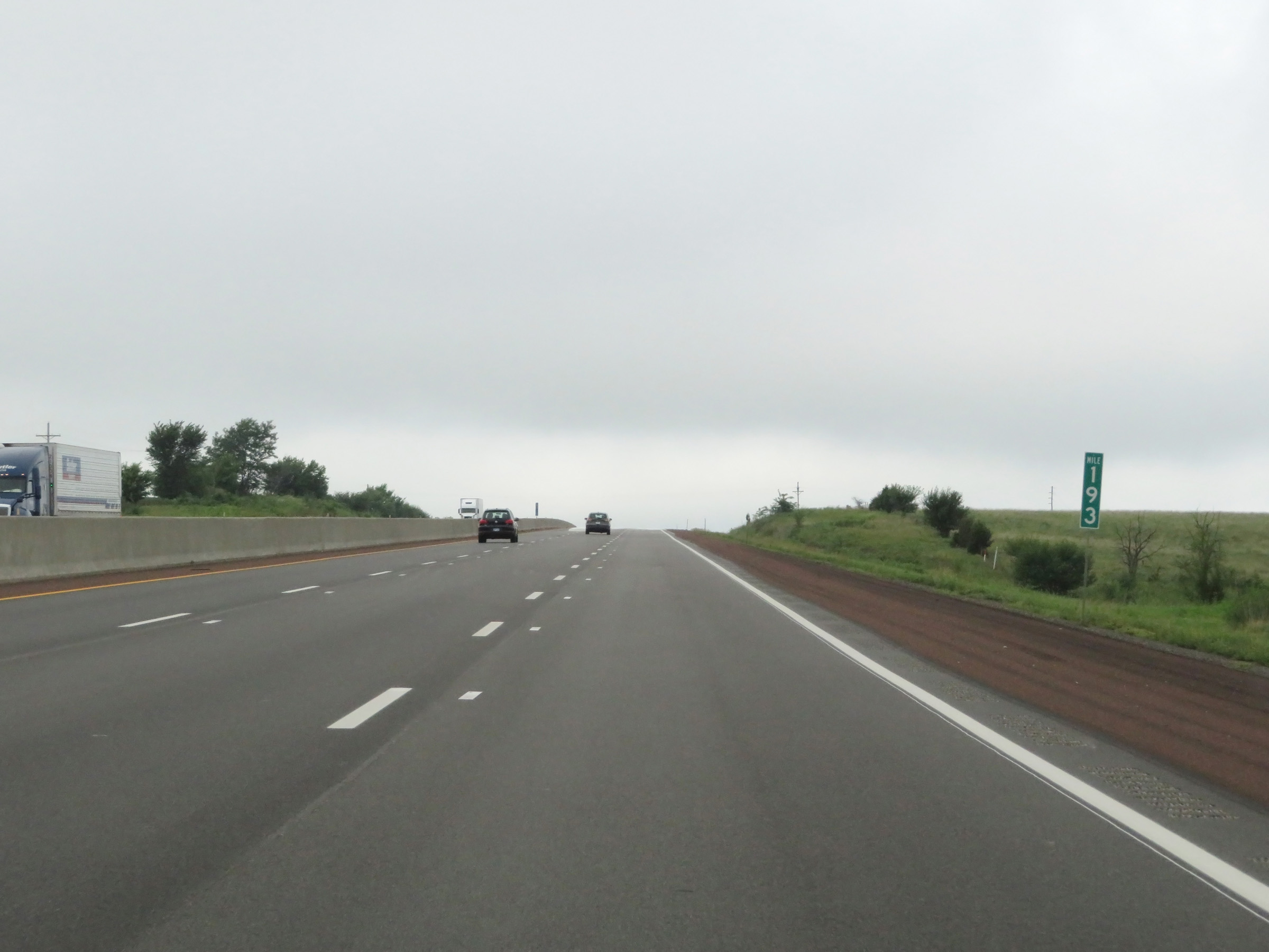 |
Interstate 70 West (Kansas Turnpike) at mile marker 193. (Photo taken 8/12/20). |
 |
View on Interstate 70 West (Kansas Turnpike) at mile marker 191. (Photo taken 8/12/20). |
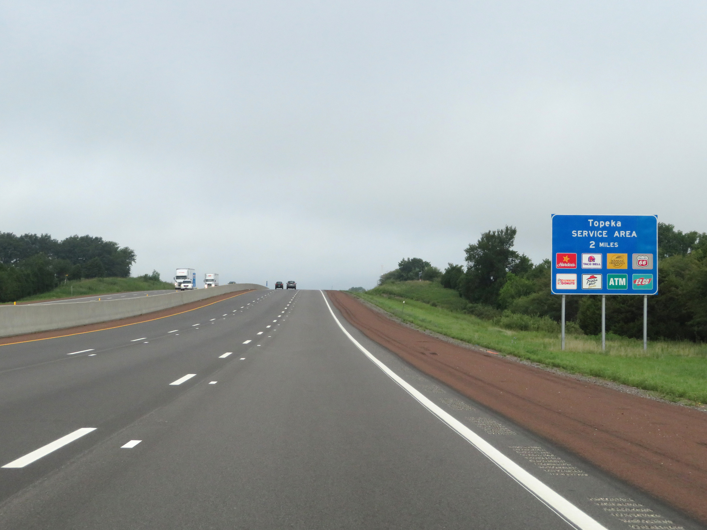 |
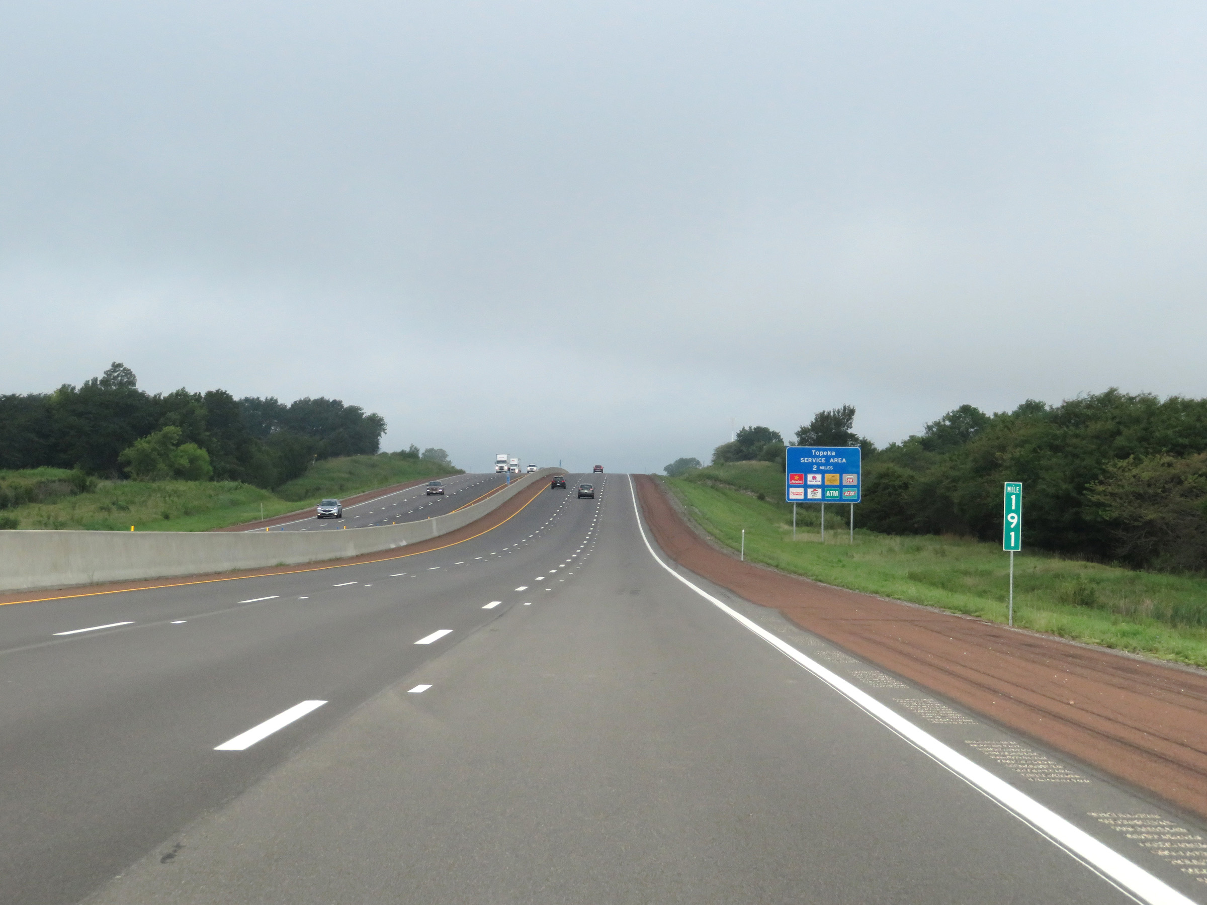
The Topeka Service Area is 2 miles ahead, and this sign lists the services available there. This will be the final service area on the Kansas Turnpike portion of Interstate 70 West. (Photo taken 8/12/20). |
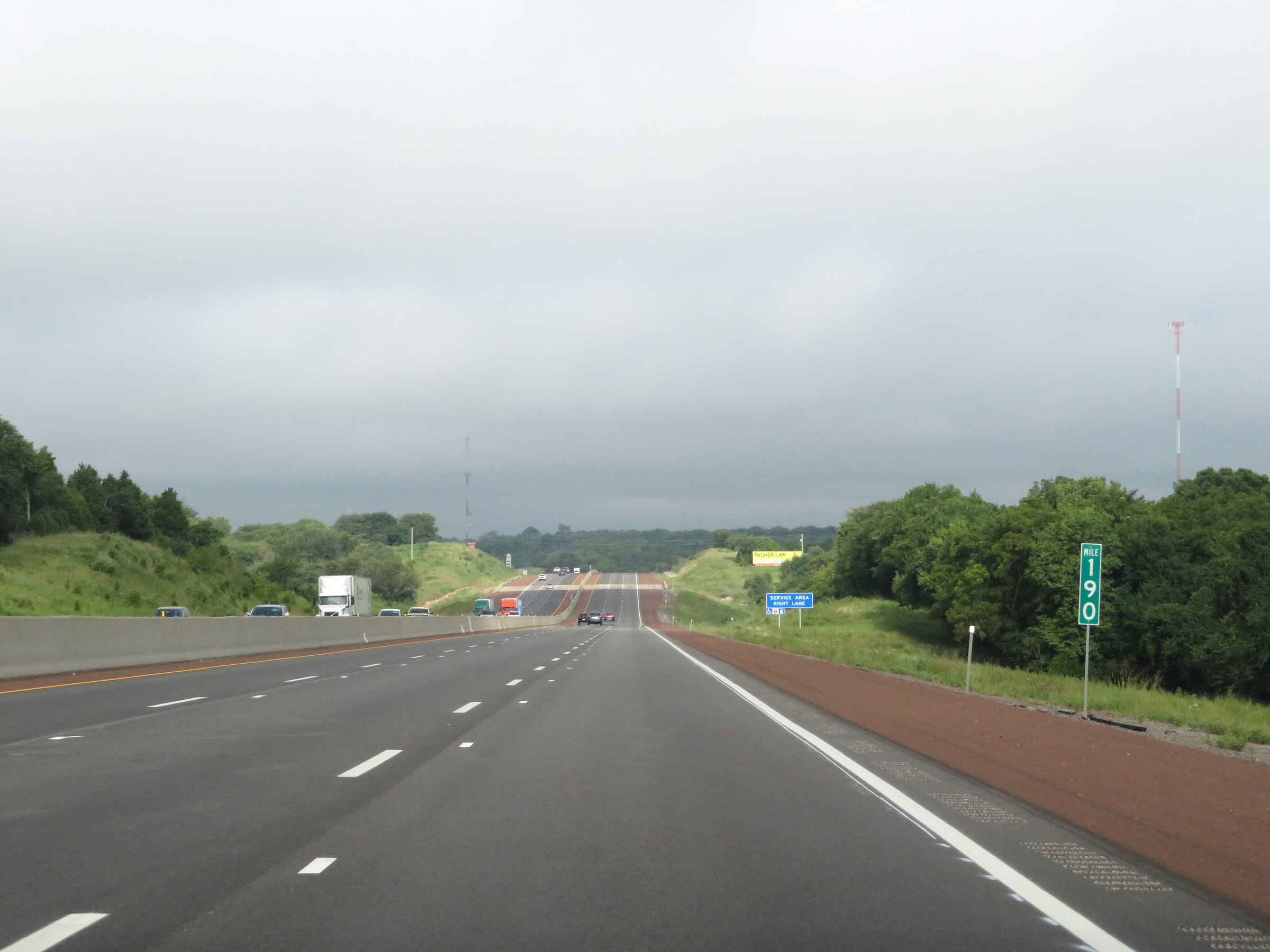 |
Interstate 70 West (Kansas Turnpike) at mile marker 190. (Photo taken 8/12/20). |
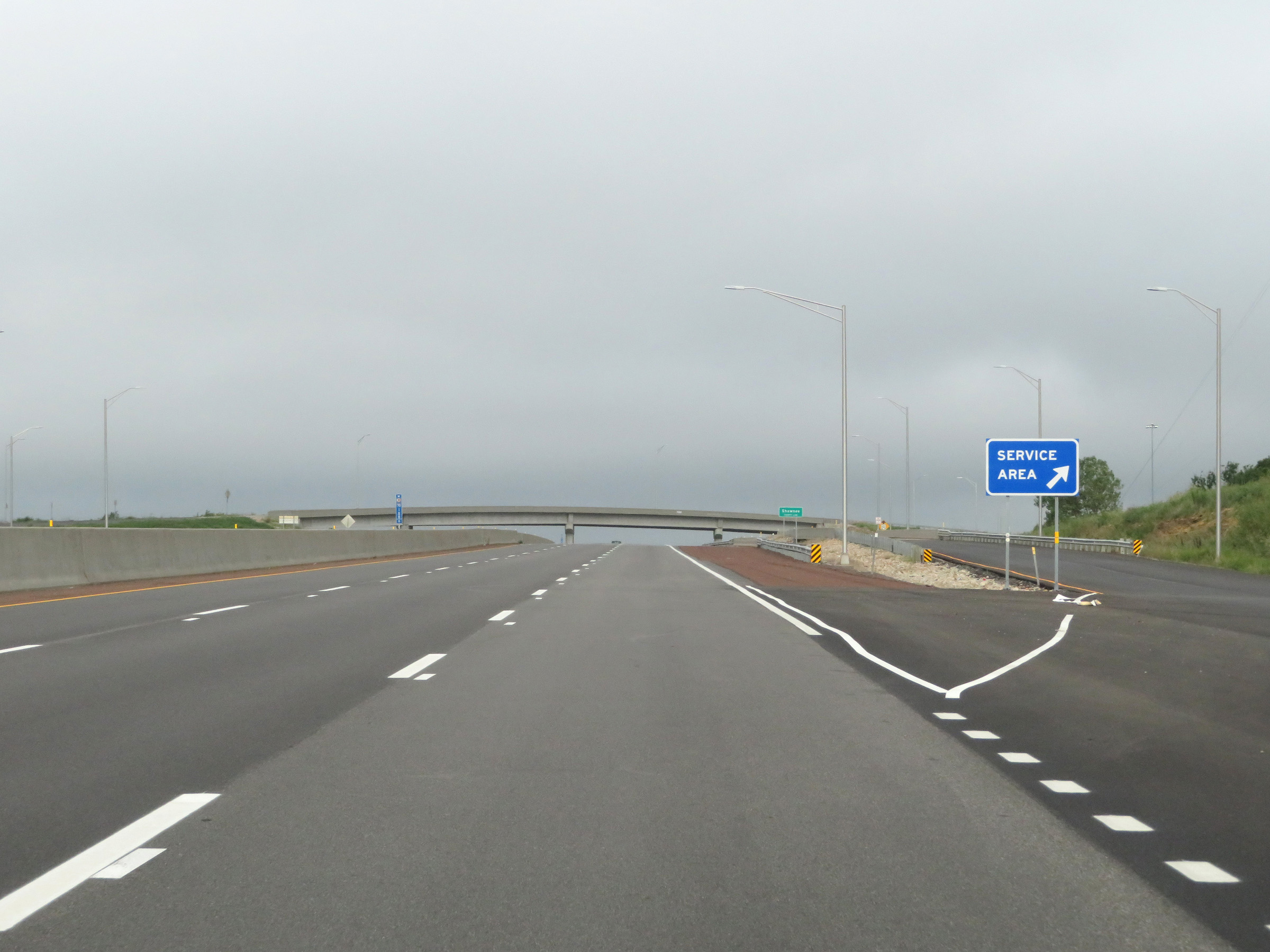 |
Interstate 70 West (Kansas Turnpike) at the Topeka Service Area. (Photo taken 8/12/20). |
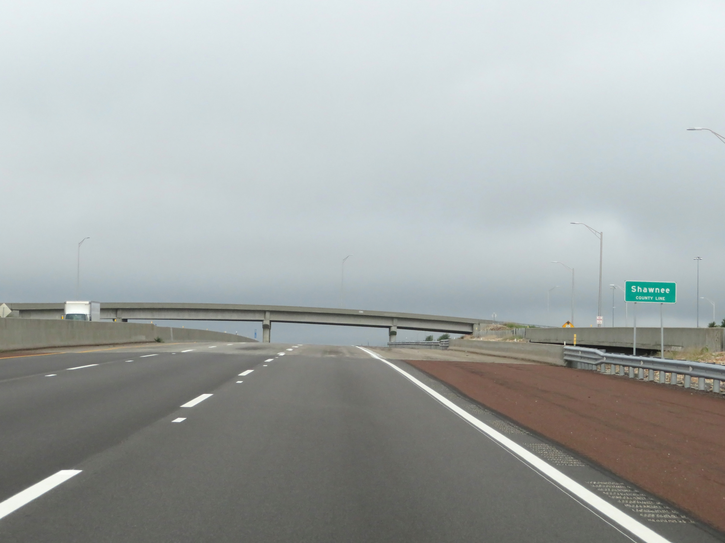 |
At the Topeka Service Area, Interstate 70 West (Kansas Turnpike) enters Shawnee County. (Photo taken 8/12/20). |
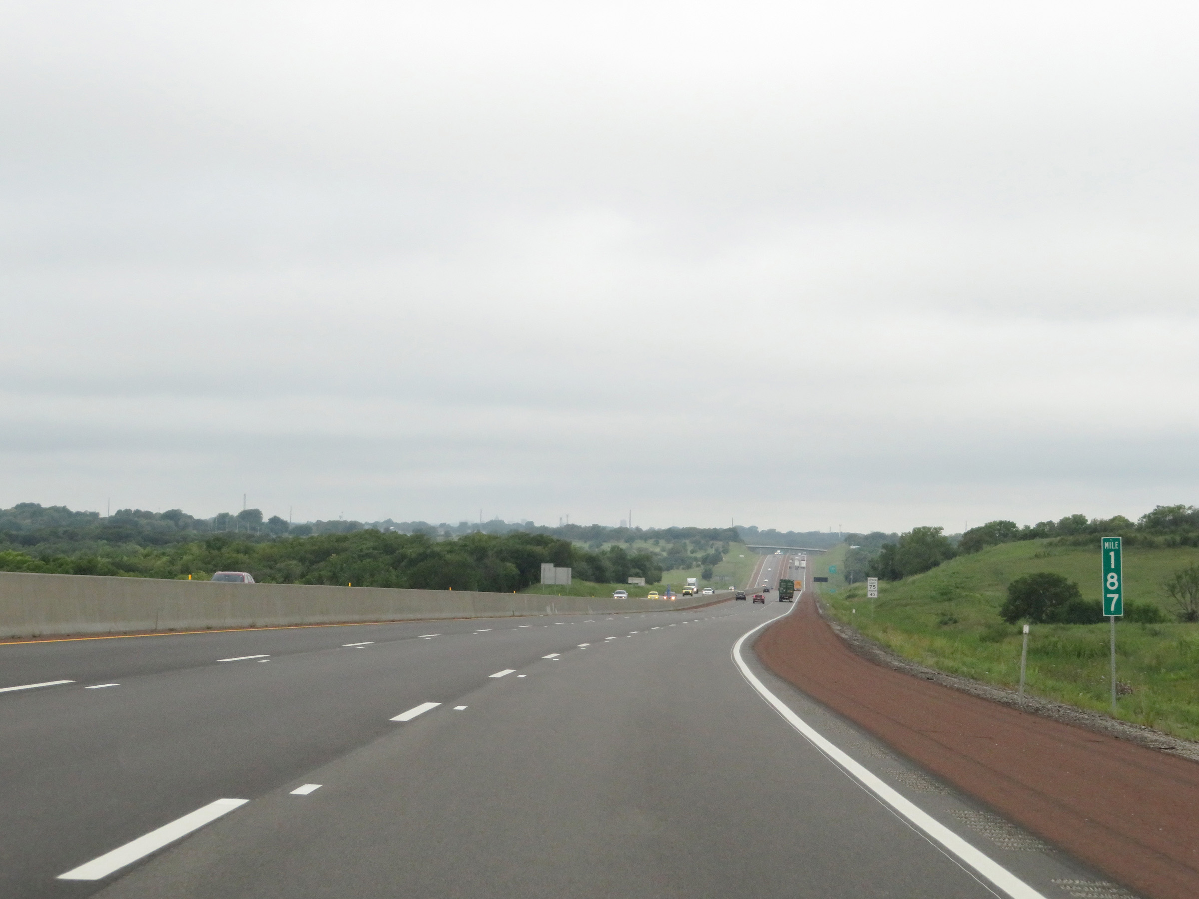 |
View on Interstate 70 West (Kansas Turnpike) at mile marker 187. (Photo taken 8/12/20). |
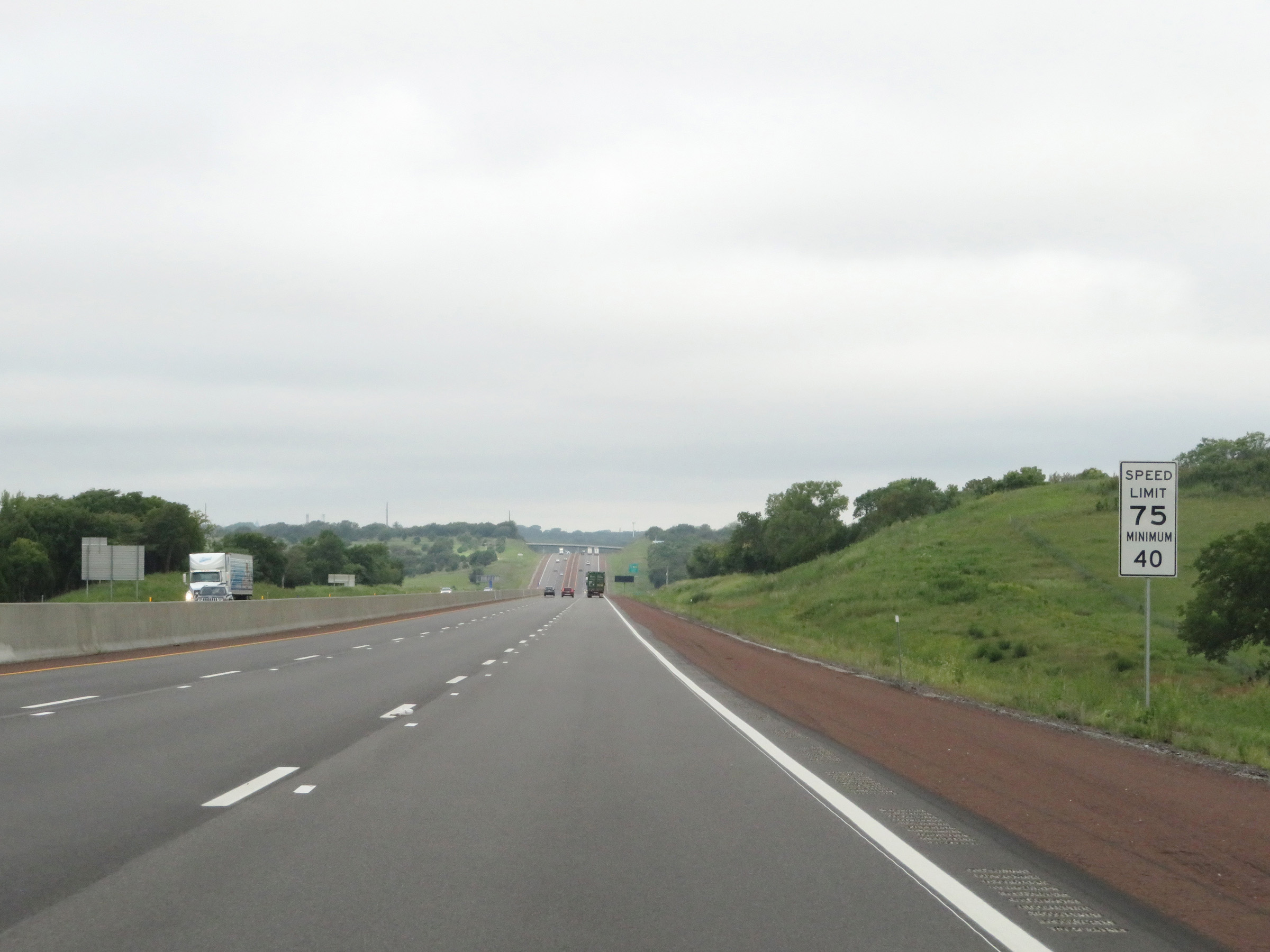 |
The speed limits remain 75 mph maximum and 40 mph minimum. These are the standard speed limits on most rural Interstate highways in Kansas. (Photo taken 8/12/20). |
 |
Take either of the next 2 exits (on the Kansas Turnpike, that is) to Topeka. (Photo taken 8/12/20). |
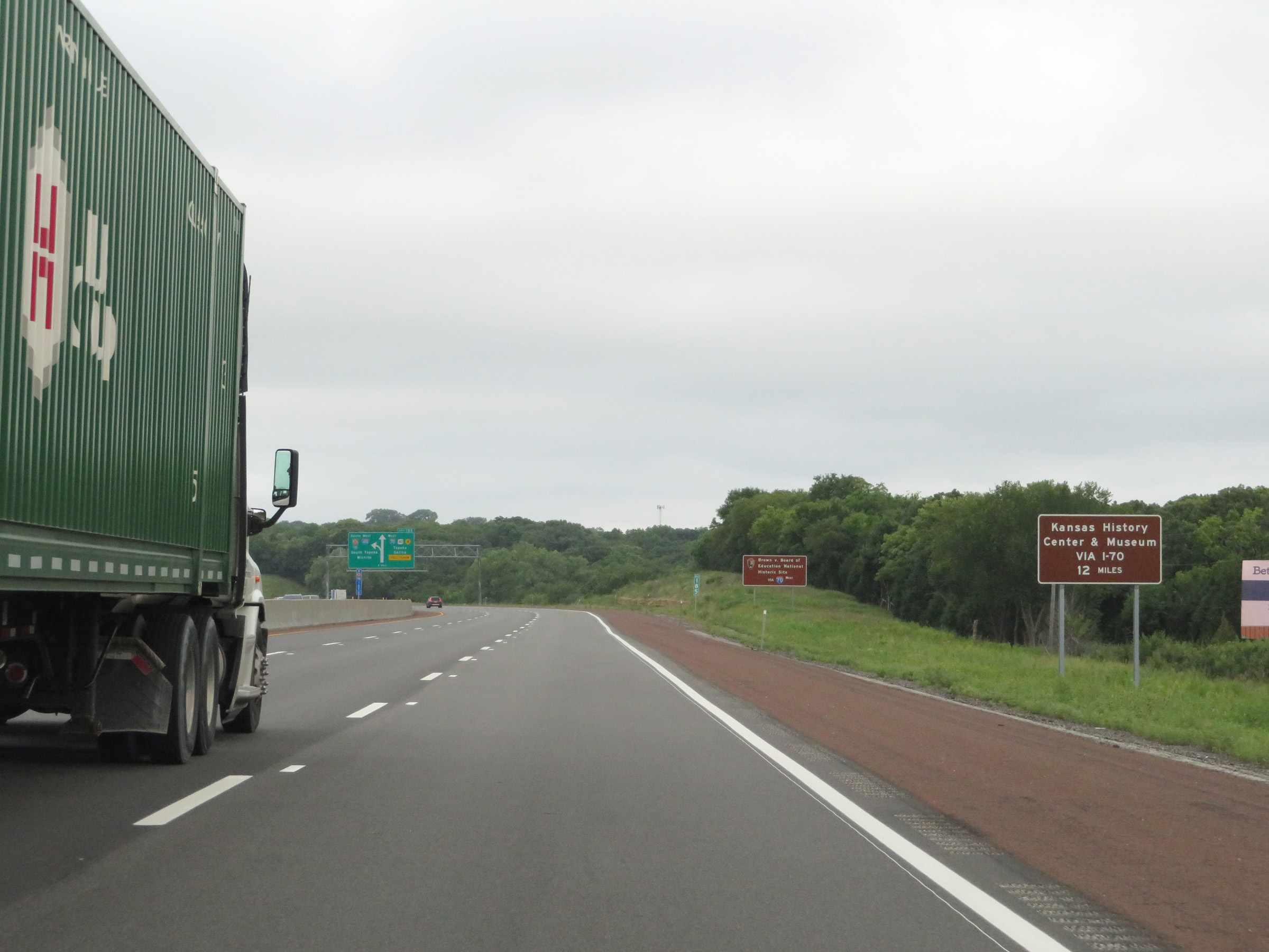 |
Traffic to the Kansas History Center & Museum should follow Interstate 70 West to downtown Topeka via Exit 183. (Photo taken 8/12/20). |
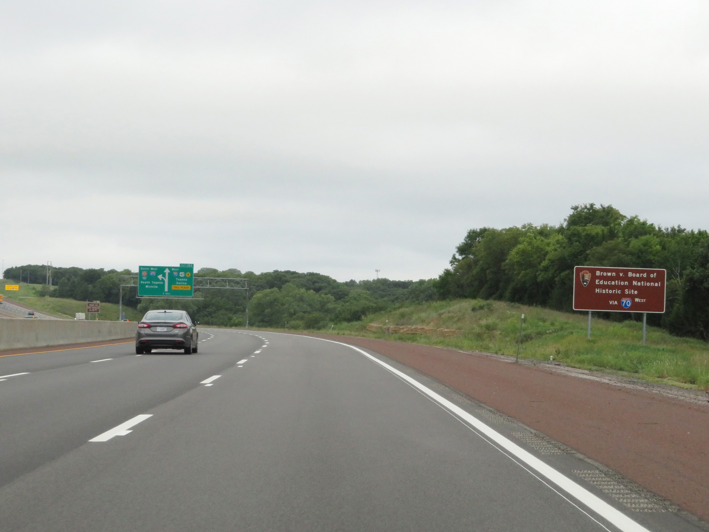 |
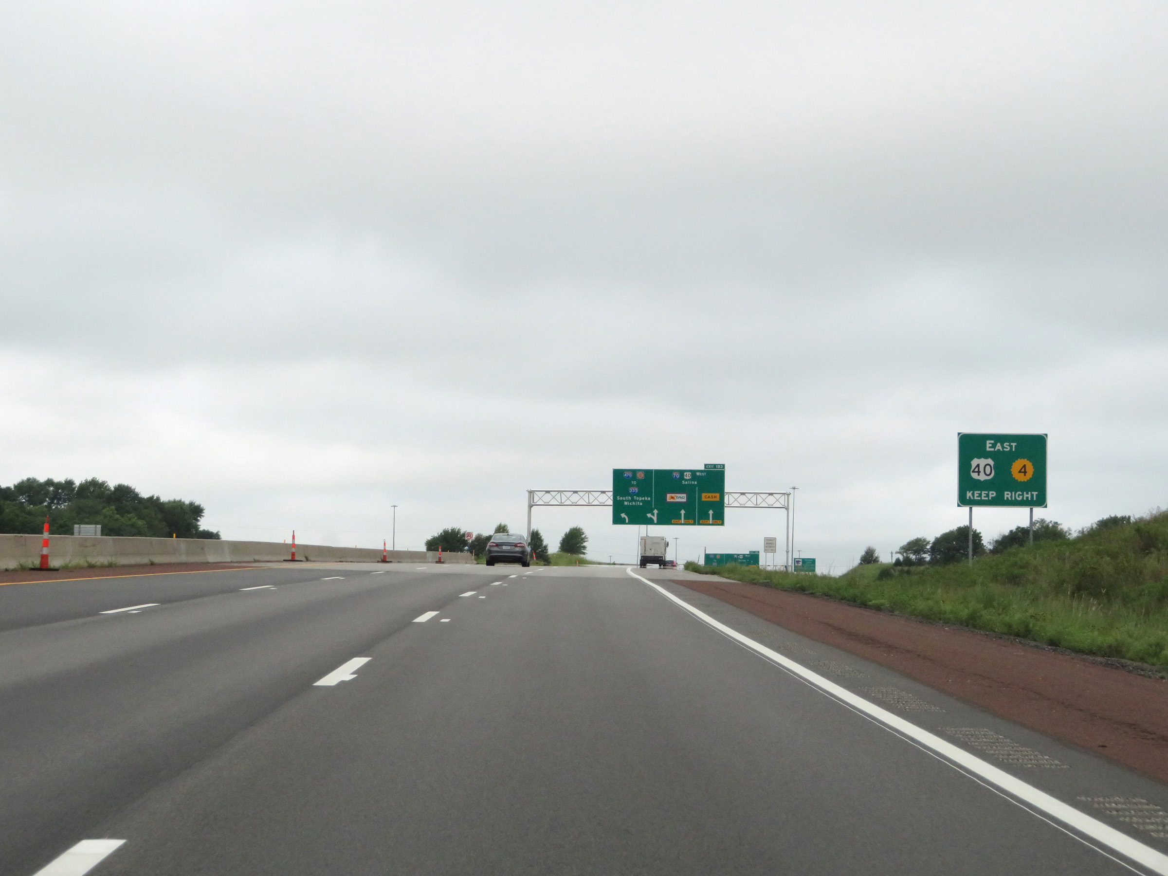
Also take Exit 183 to remain on Interstate 70 West to the Brown v. Board of Education National Historic Site. (Photo taken 8/12/20). |
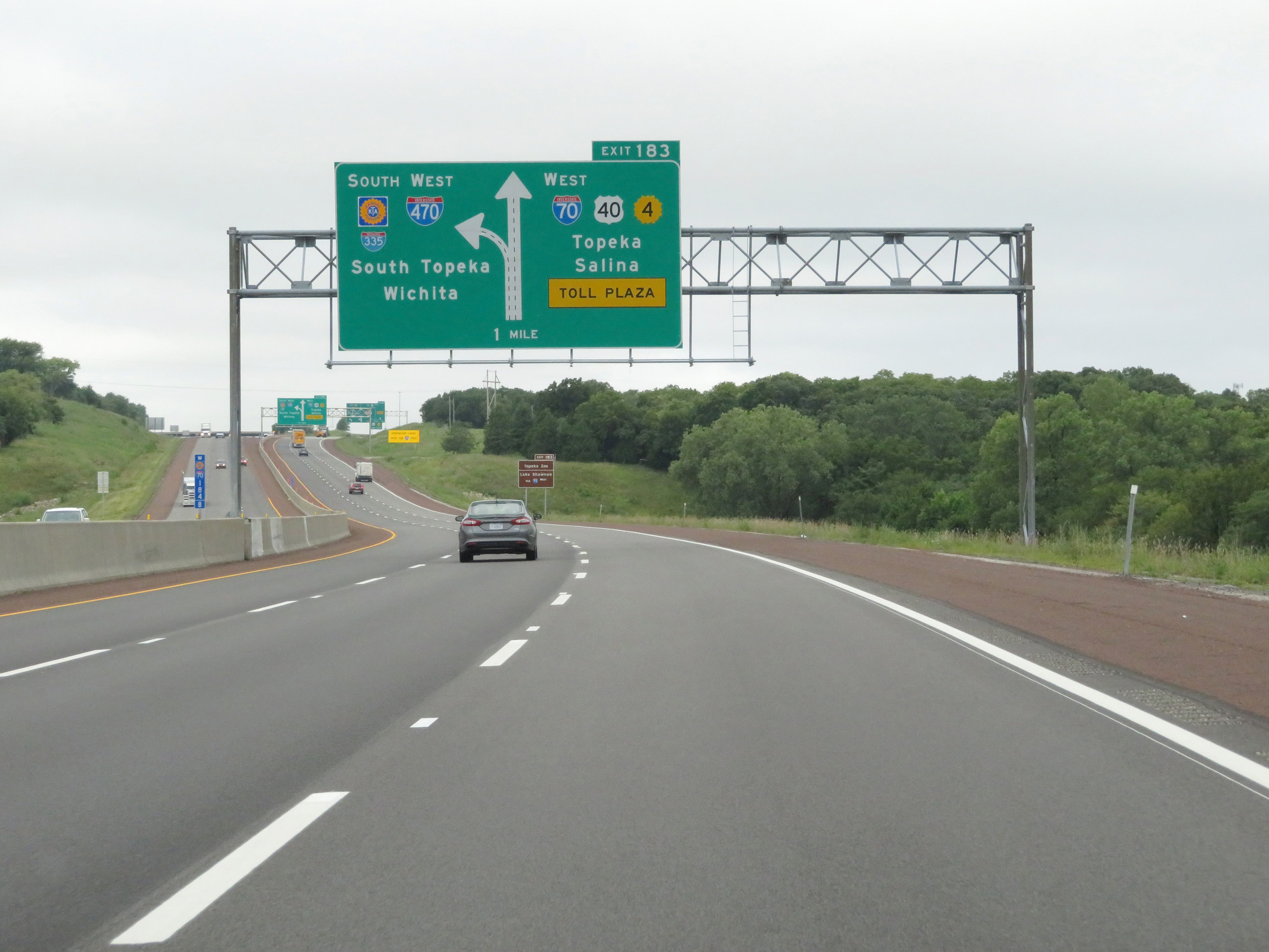 |
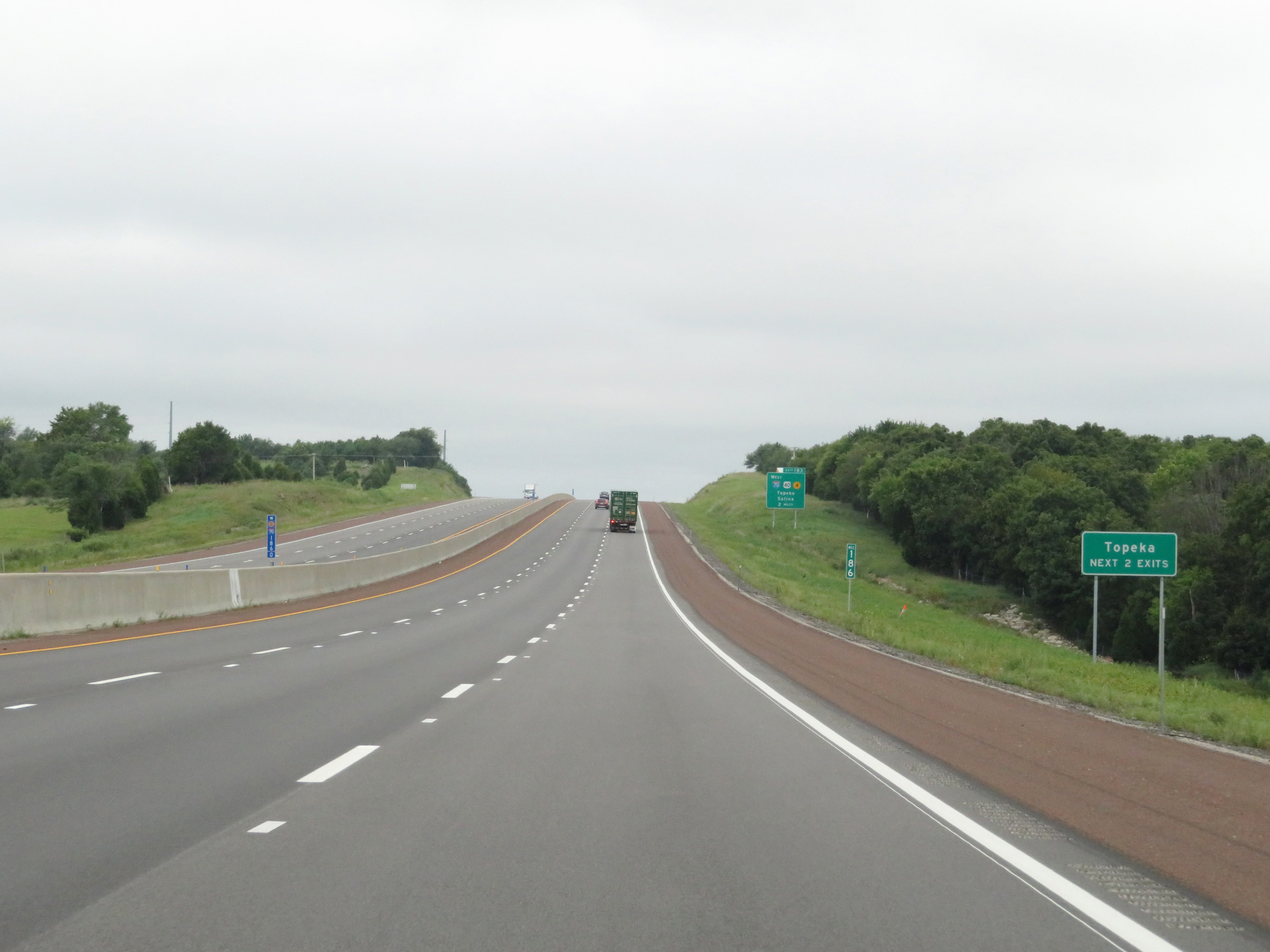
Interstate 70 West (Kansas Turnpike) approaching Exit 183 - 1 mile. At Exit 183, I-70 West will depart the turnpike to head toward downtown Topeka. (Photo taken 8/12/20). |
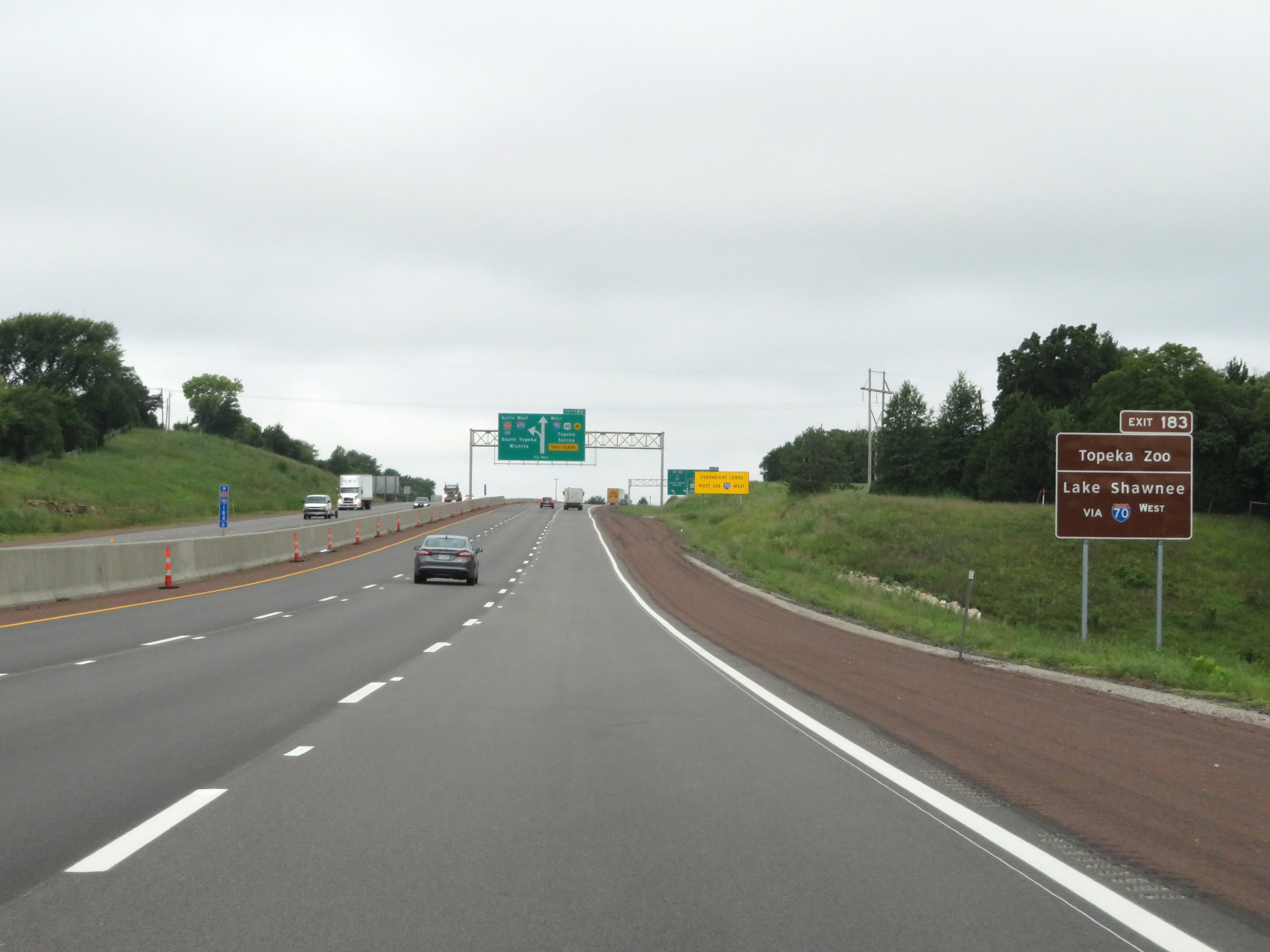 |
Take Exit 183 and remain on Interstate 70 West to the Topeka Zoo and Lake Shawnee as well. (Photo taken 8/12/20). |
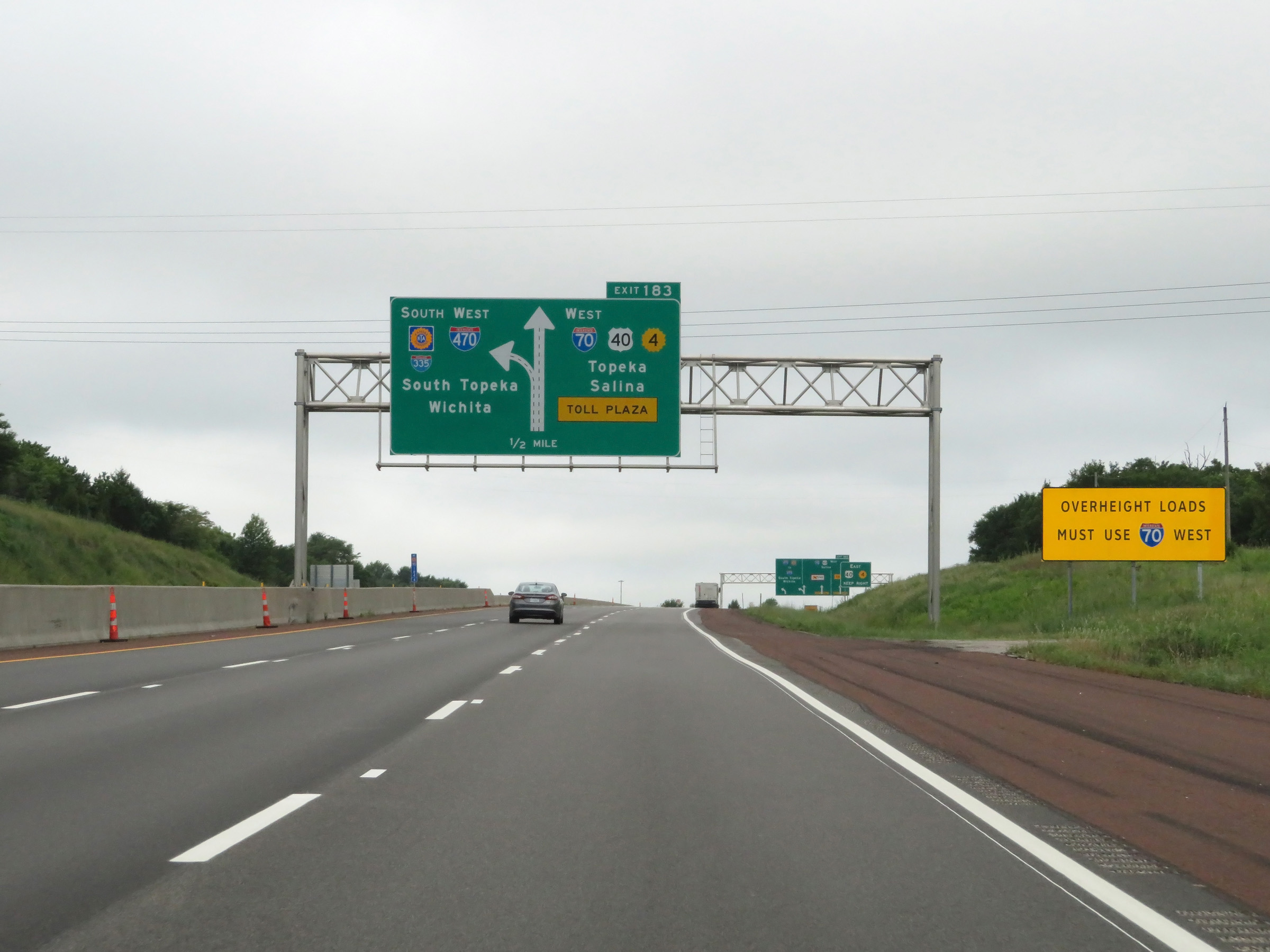 |
This sign warns that all overheight loads must take Exit 183 and remain on Interstate 70 West. (Photo taken 8/12/20). |
 |
Take Exit 183 and remain on Interstate 70 West to US 40 East and K-4 East. (Photo taken 8/12/20). |
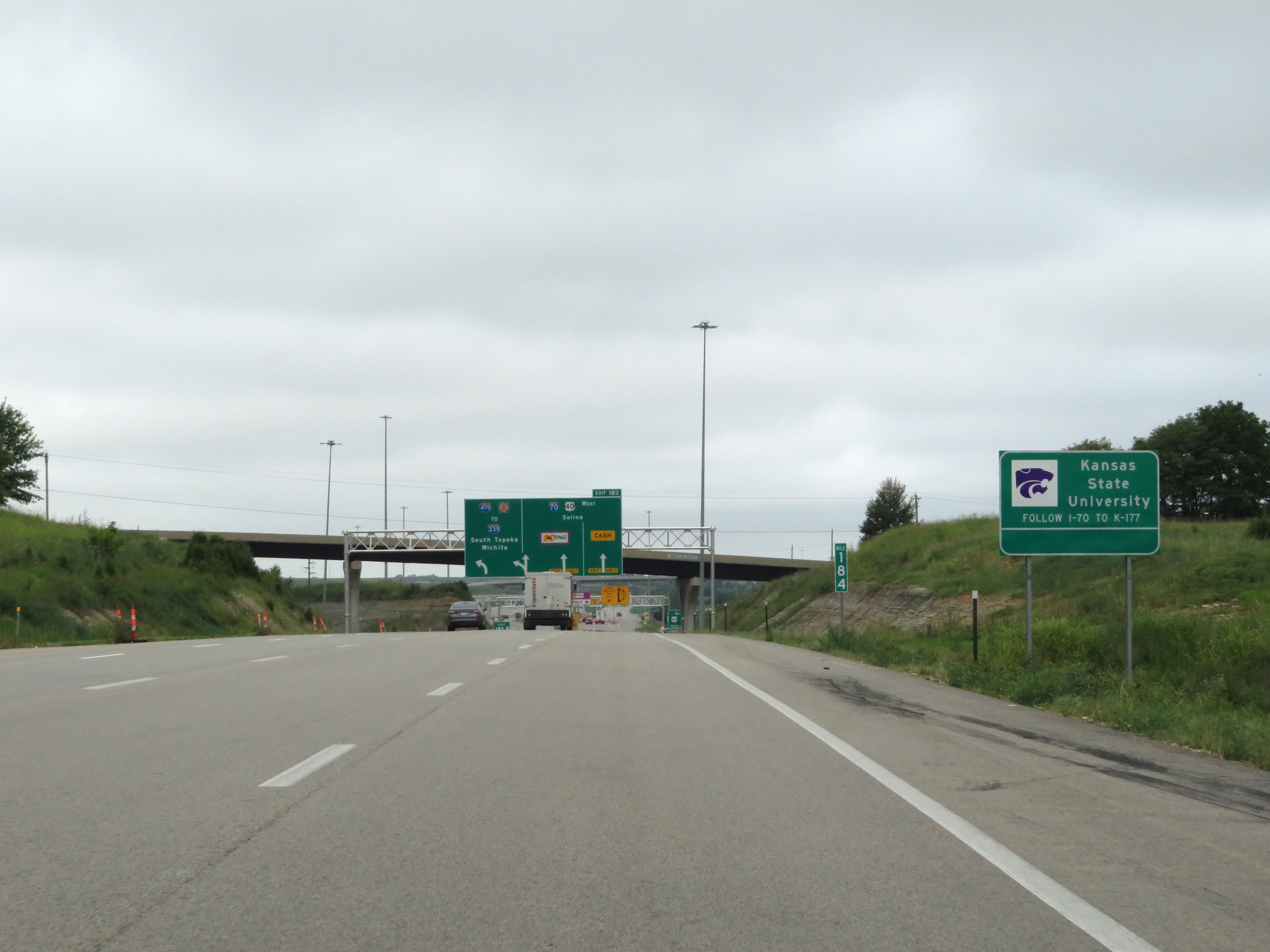 |
Traffic to Kansas State University should take Exit 183 to remain on Interstate 70 West to Manhattan. (Photo taken 8/12/20). |
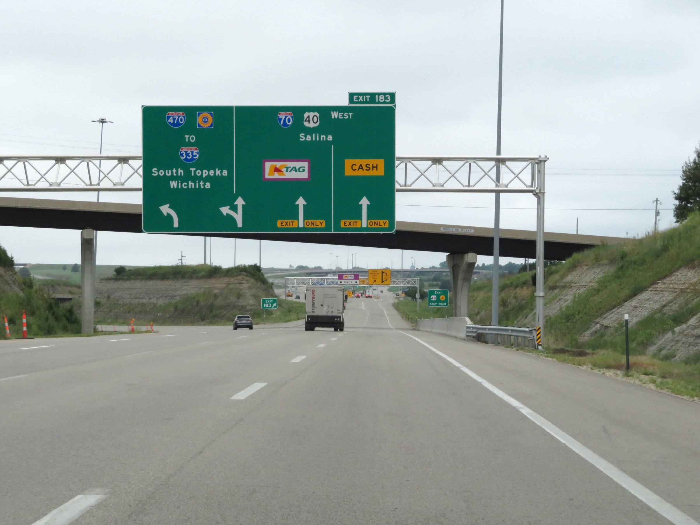 |
Interstate 70 West (Kansas Turnpike) at Exit 183: Interstate 70 West / US 40 West - Salina (Photo taken 8/12/20). |
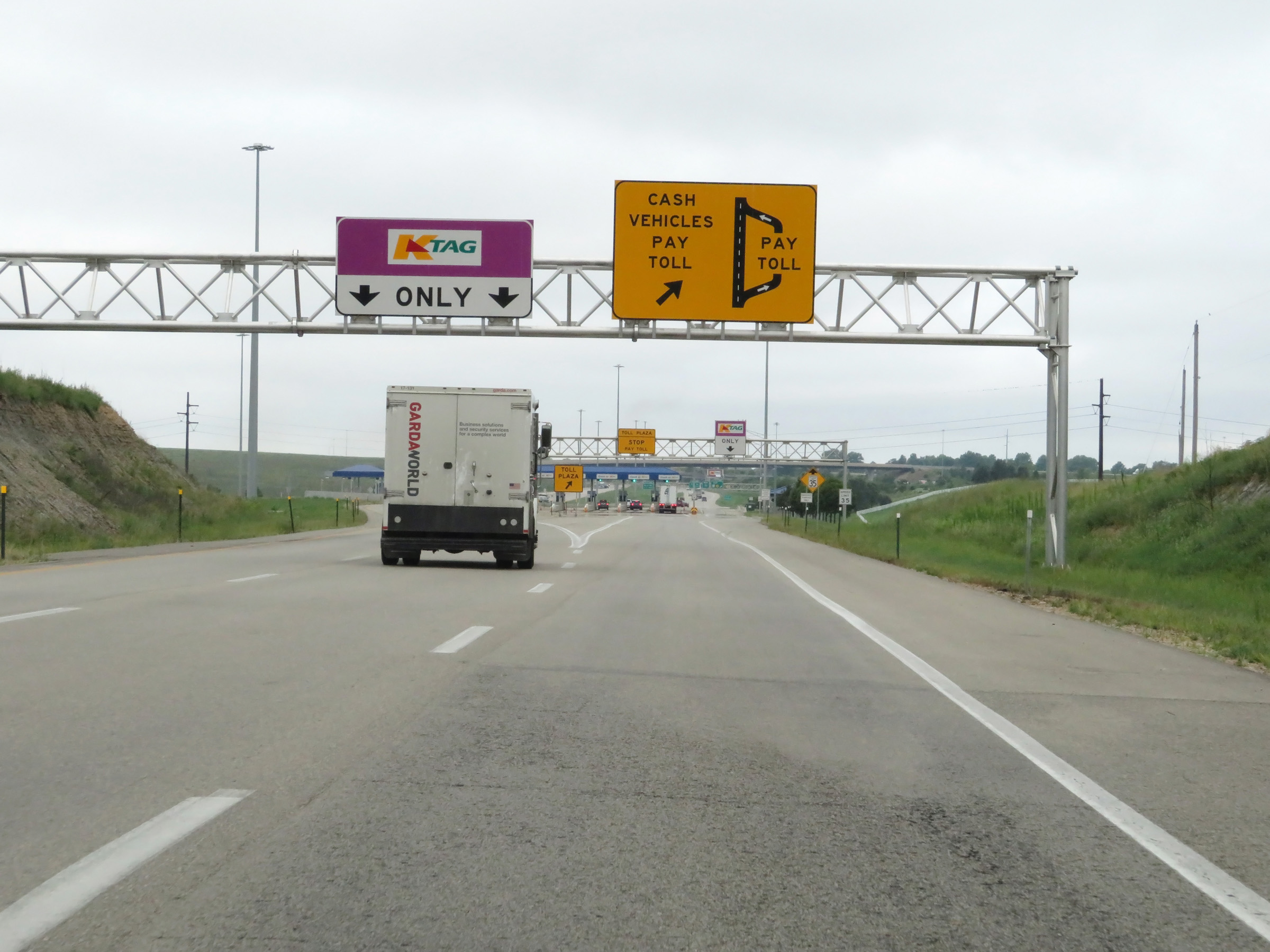 |
Almost immediately after Interstate 70 West departs the Kansas Turnpike is the ramp to the East Topeka Interchange Toll Plaza. Cash customers must exit off to the right to enter the plaza and present their ticket to pay. K Tag holders can keep left and pay electronically via the express lanes' toll gantry. (Photo taken 8/12/20). |
 |
View of the ramp to the East Topeka Interchange Toll Plaza on Interstate 70 West. (Photo taken 8/12/20). |
 |
Approaching the toll plaza, K Tag holders can also pay electronically by keeping to the right to pass under the toll gantry to the right of the plaza. K Tag is also accepted at all the cash lanes at the plaza. (Photo taken 8/12/20). |
 |
View of the East Topeka Interchange Toll Plaza and its toll gantries on Interstate 70 West. (Photo taken 8/12/20). |
 |
Interstate 70 West approaching the toll plaza. (Photo taken 8/12/20). |
 |
A closer view of the East Topeka Interchange Toll Plaza on Interstate 70 West. (Photo taken 8/12/20). |
 |
Interstate 70 West leaving the East Topeka Interchange Toll Plaza. (Photo taken 8/12/20). |
 |
The four lanes leaving the toll plaza quickly become a single lane ahead. (Photo taken 8/12/20). |
 |
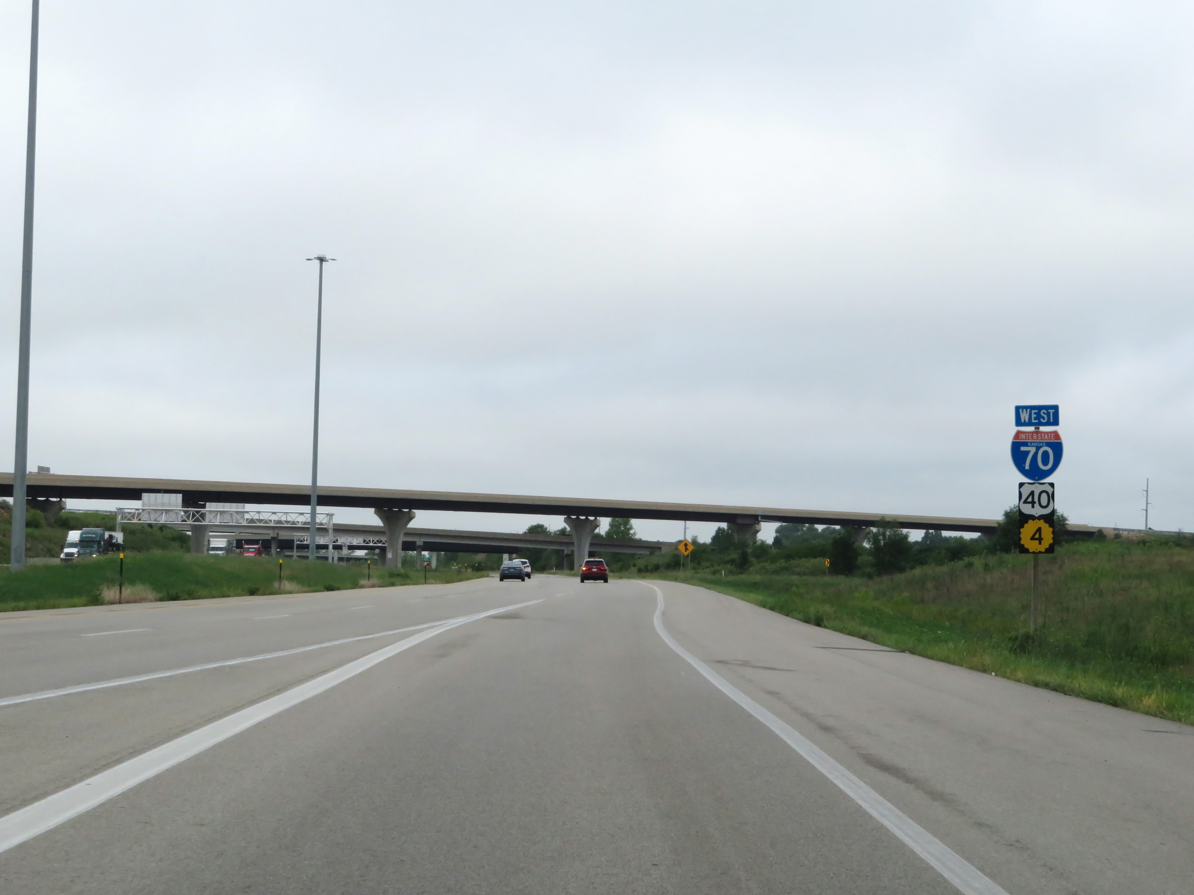
Interstate 70 West at Exit 366: US 40 East / K-4 East. This exit is only accessible from the toll plaza, and cannot be accessed from the express toll lanes (seen here on the left). Now that it has departed the Kansas Turnpike, the mileposts and exit numbers return to being based off the total mileage of I-70. (Photo taken 8/12/20). |
 |
State-named Interstate 70 West reassurance shield as its current single lane leaving the East Topeka Interchange Toll Plaza prepares to merge back into the express toll lanes, once again forming the mainline. (Photo taken 8/12/20). |
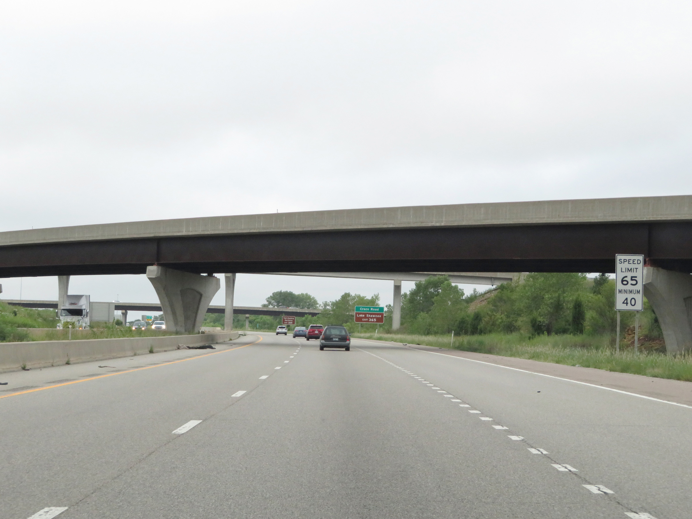 |
Approaching downtown Topeka, the maximum speed limit on Interstate 70 West is reduced to 65 mph. The minimum remains 40 mph as usual. (Photo taken 8/12/20). |
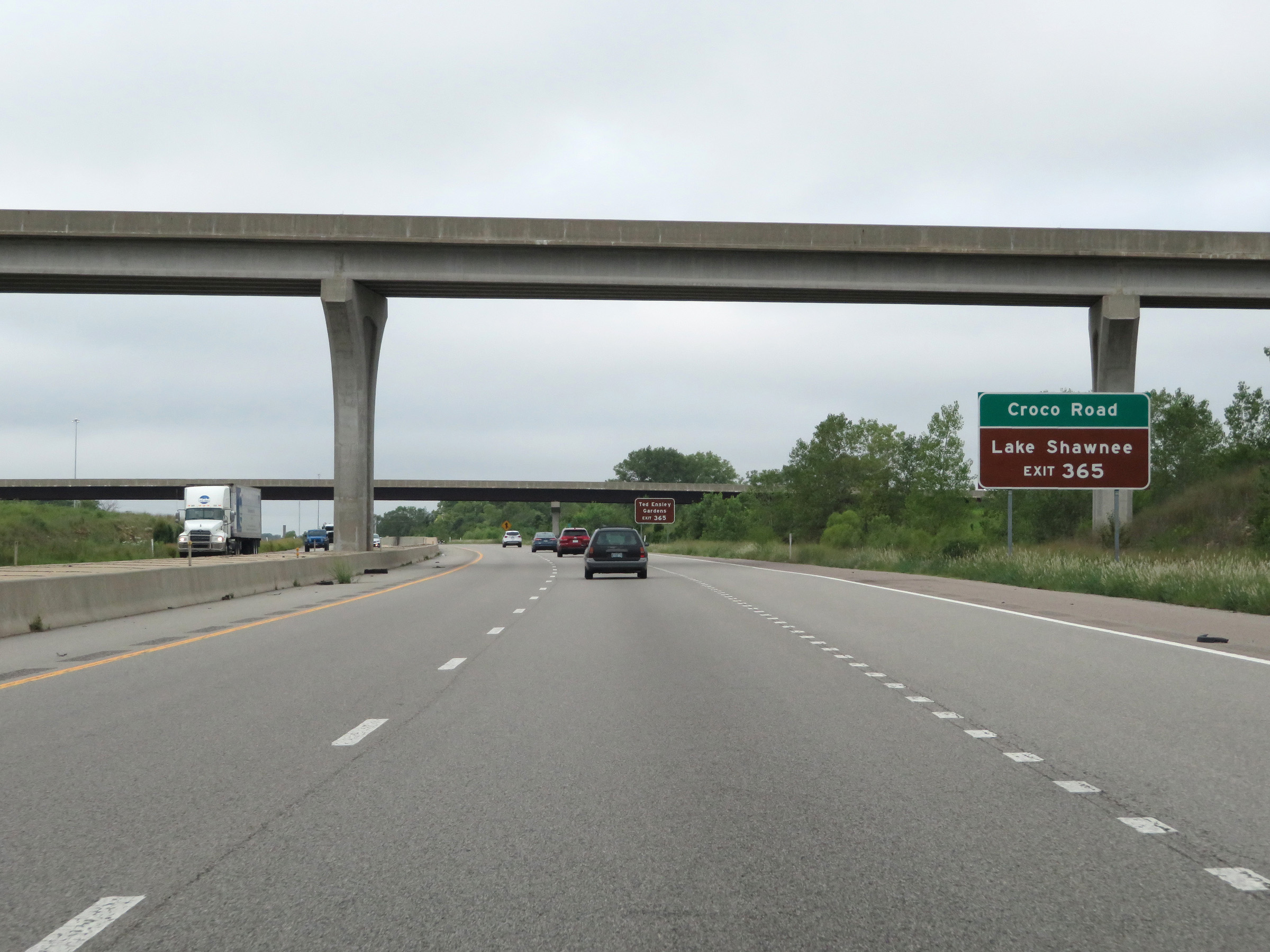 |
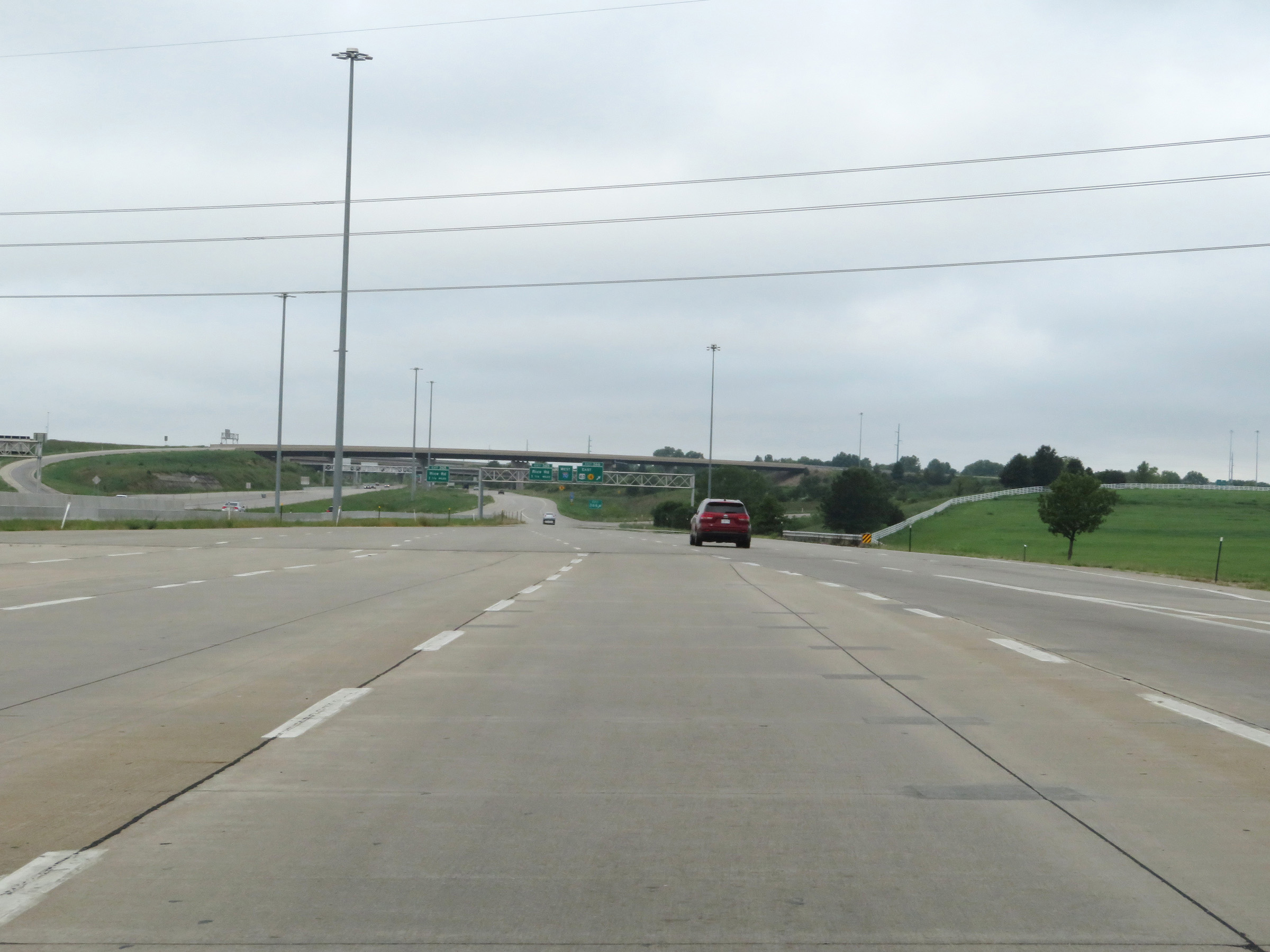
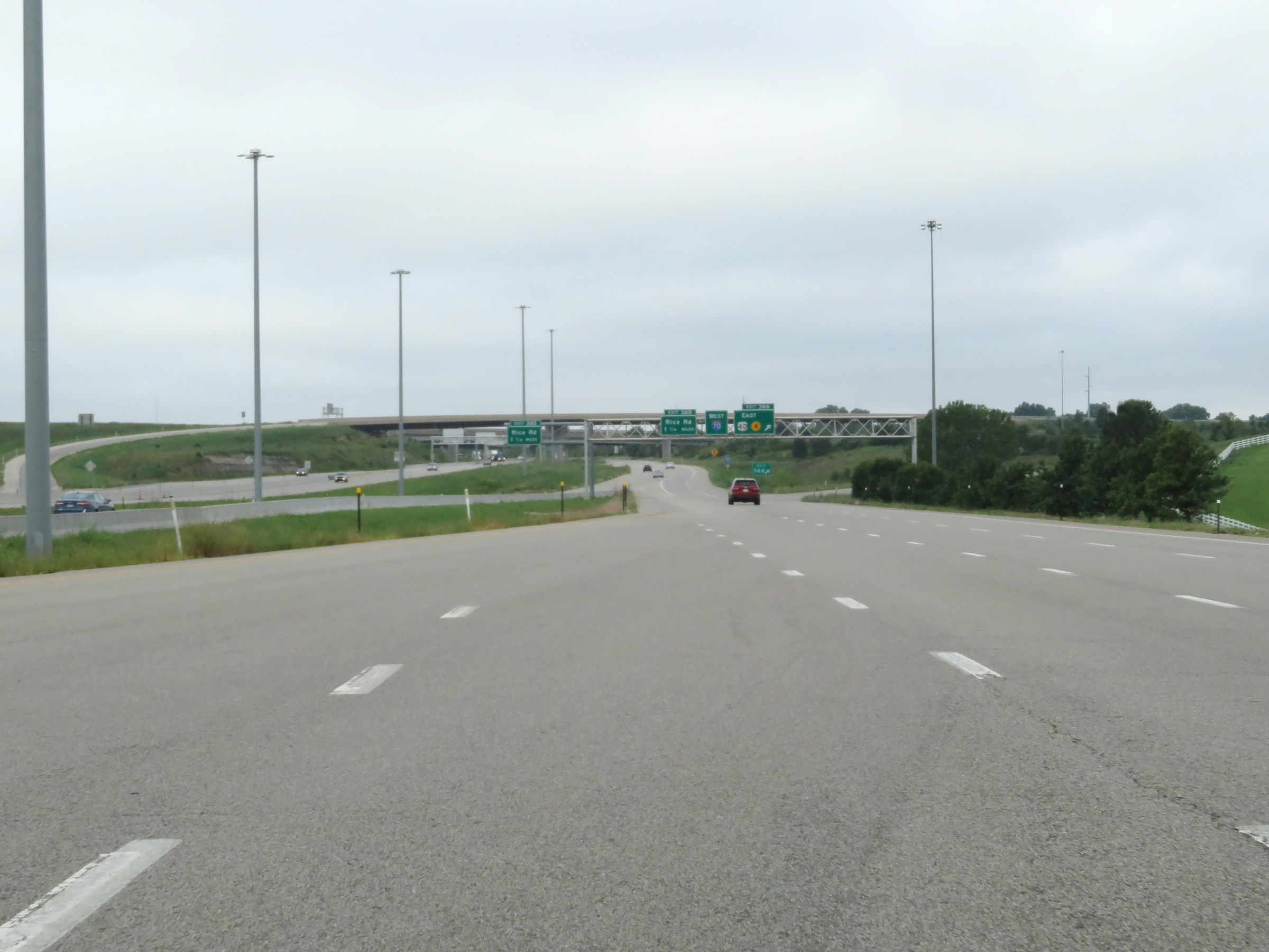
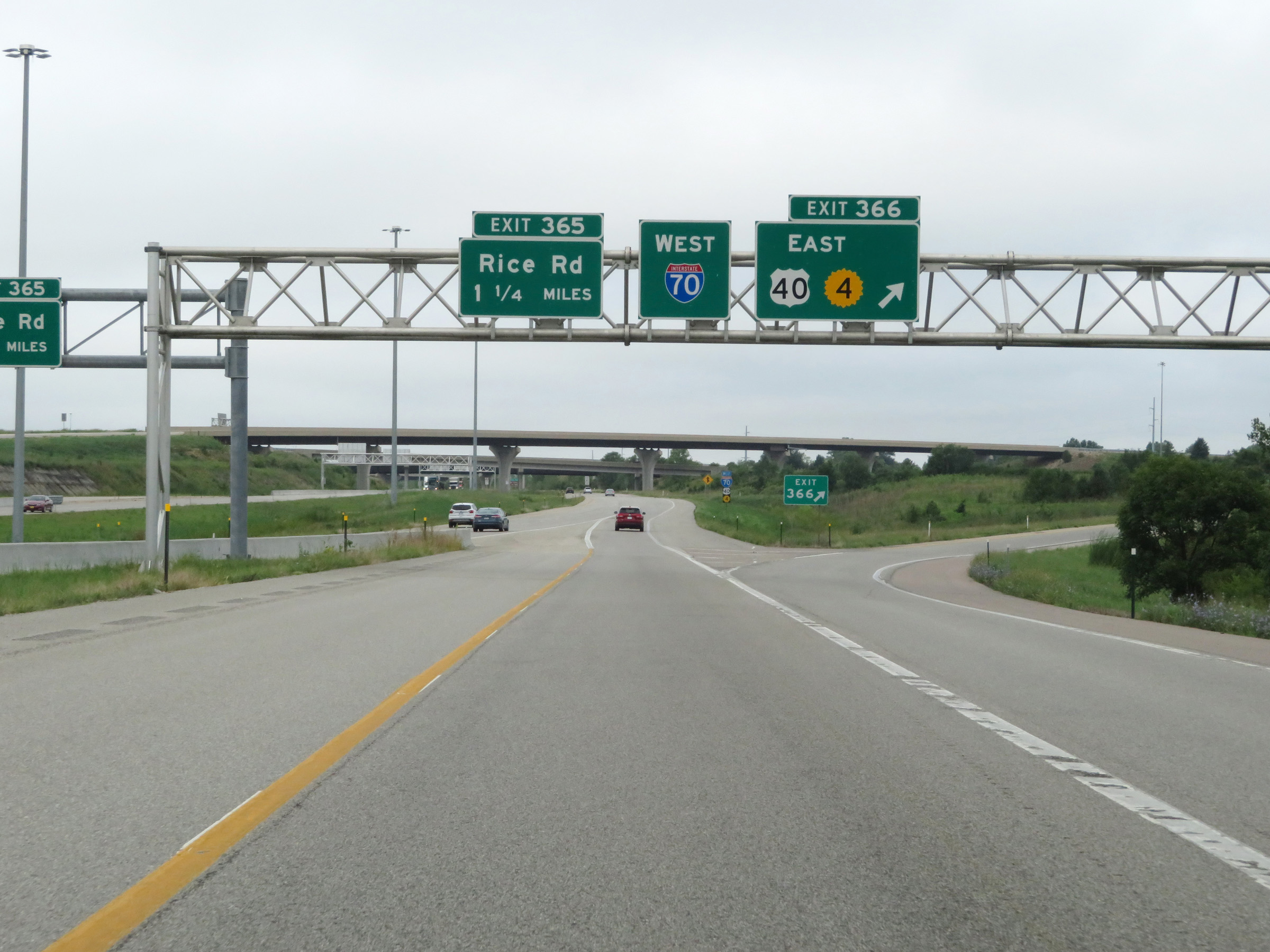
Take Exit 365 to Croco Road and Lake Shawnee. (Photo taken 8/12/20). |
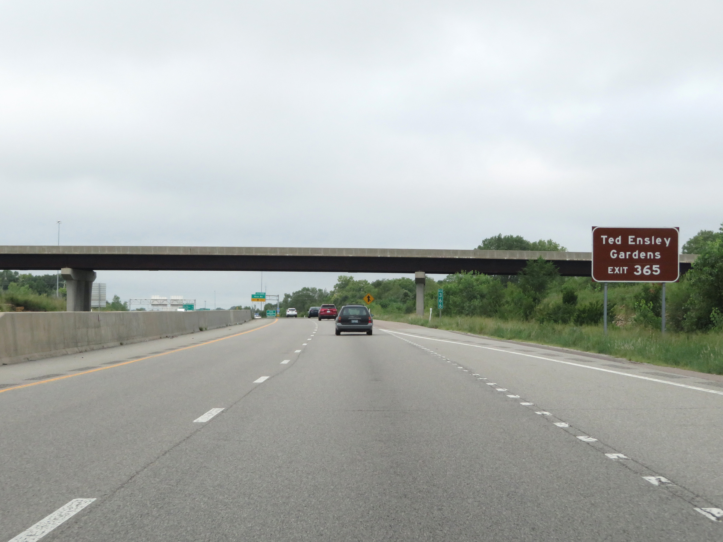 |
Also take Exit 365 to Ted Ensley Gardens. (Photo taken 8/12/20). |
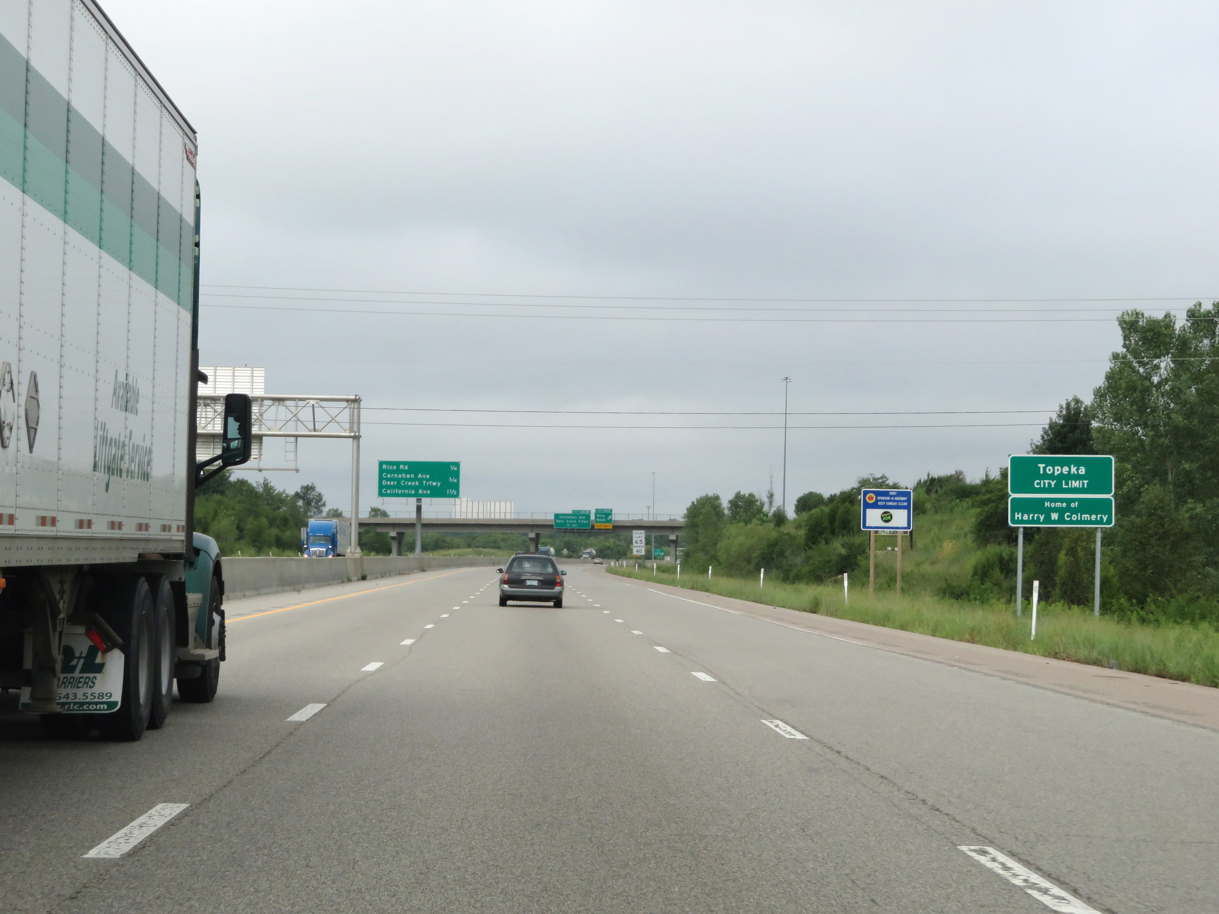 |
Interstate 70 West as it enters the Topeka city limits. (Photo taken 8/12/20). |
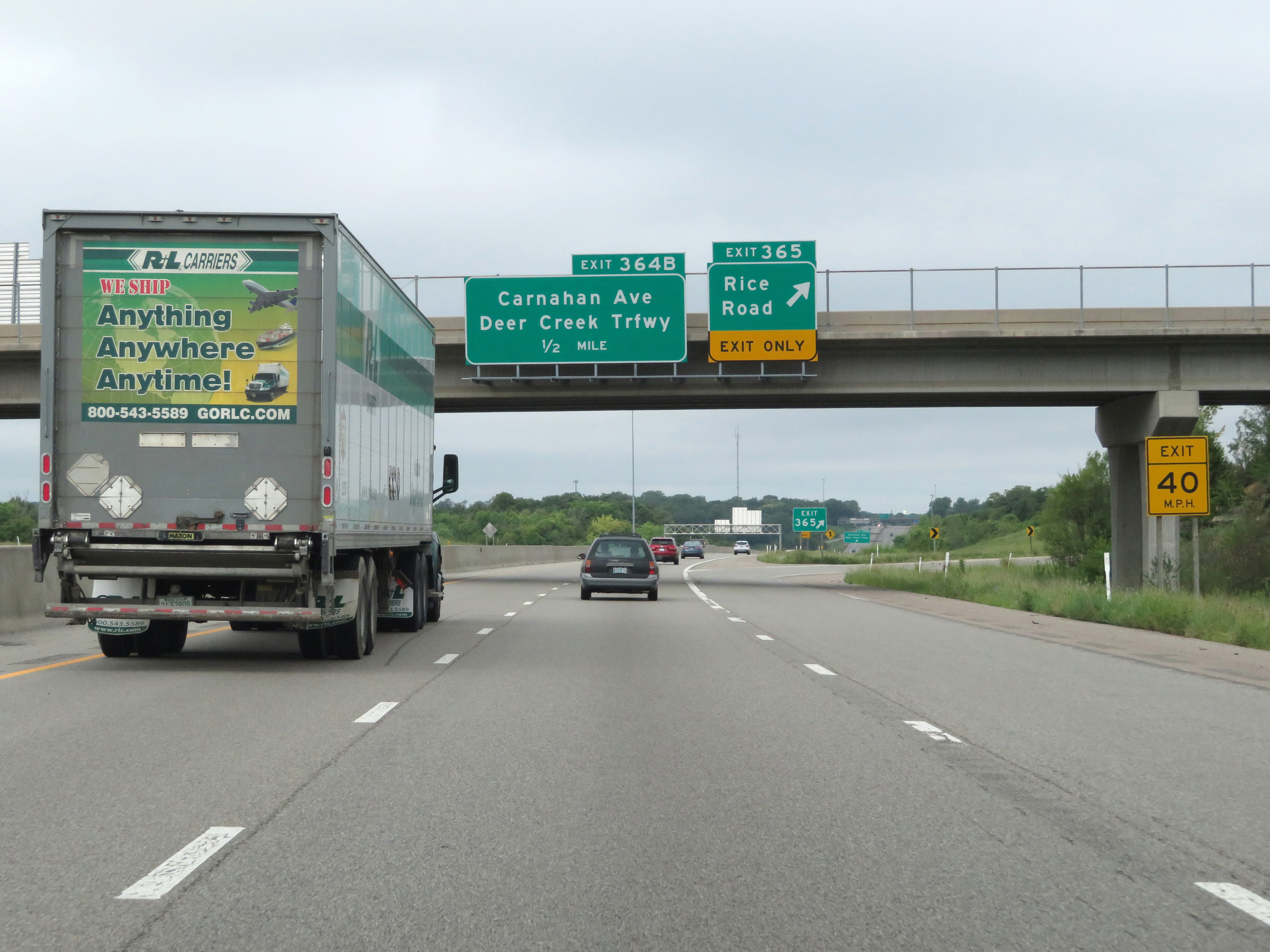 |
Interstate 70 West at Exit 365: Rice Road (Photo taken 8/12/20). |
 |
Interstate 70 West at Exit 364B: Carnahan Ave / Deer Creek Trafficway (Photo taken 8/12/20). |
 |
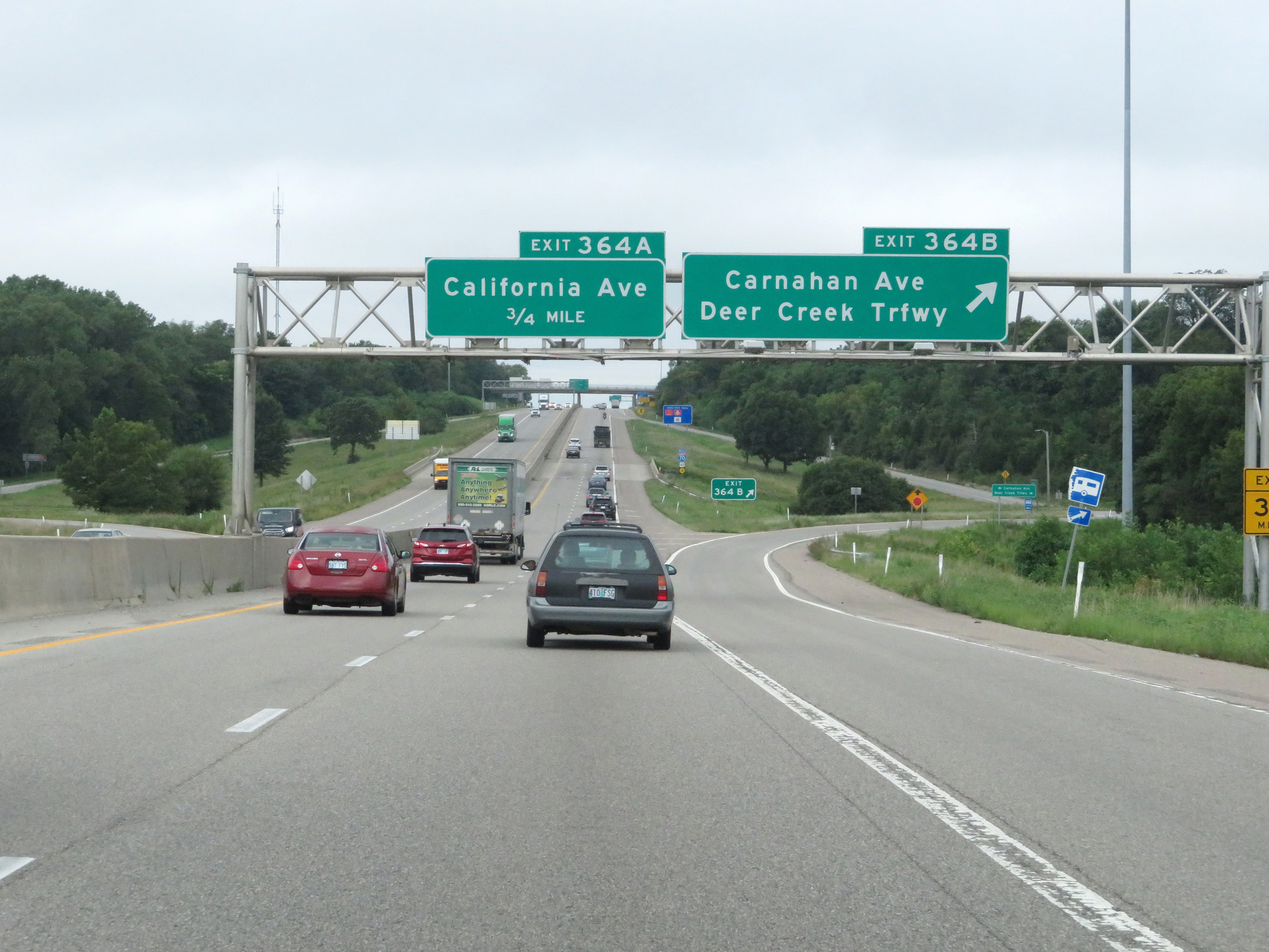
Overhead mileage sign listing the distances to the next three exits on Interstate 70 West in Topeka. (Photo taken 8/12/20). |
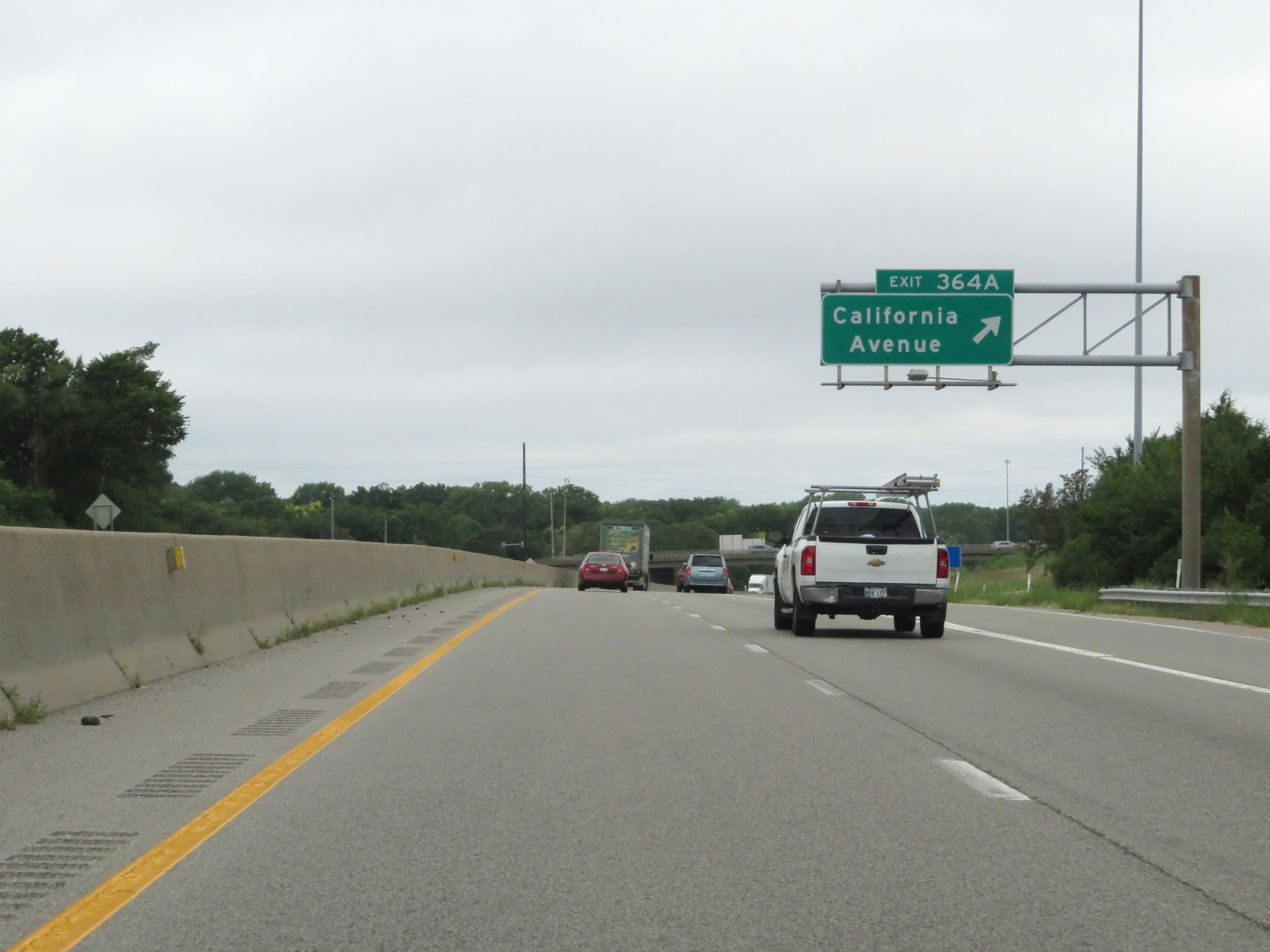 |
Interstate 70 West at Exit 364A: California Avenue (Photo taken 8/12/20). |
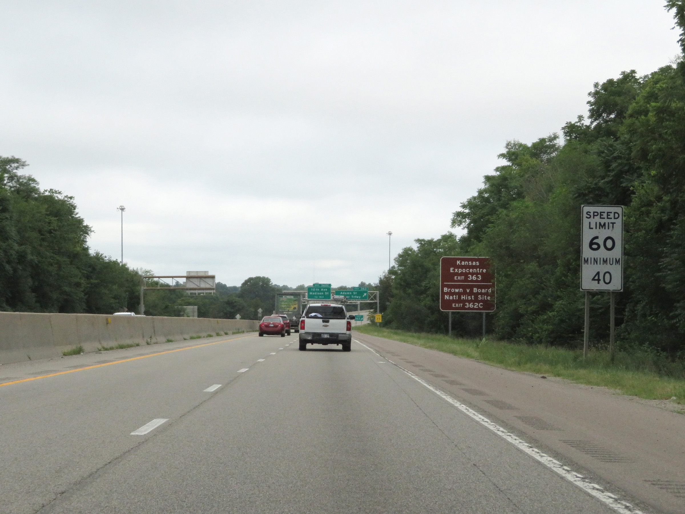 |
Entering the downtown area, the maximum speed limit decreases further to 60 mph while the minimum speed limit remains 40 mph. (Photo taken 8/12/20). |
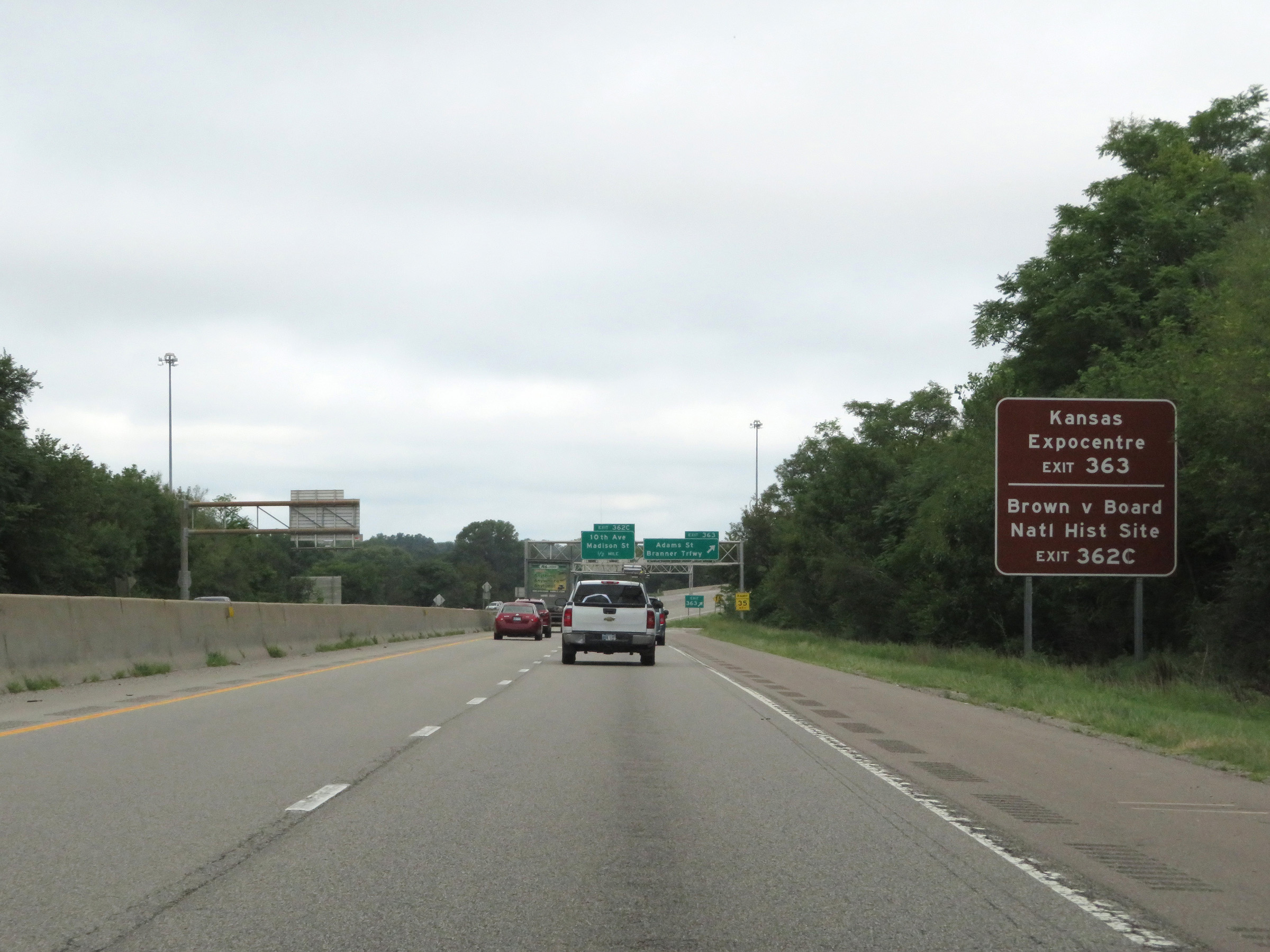 |
Take Exit 363 to Kansas Expocentre and the Brown v Board of Education National Historic Site. (Photo taken 8/12/20). |
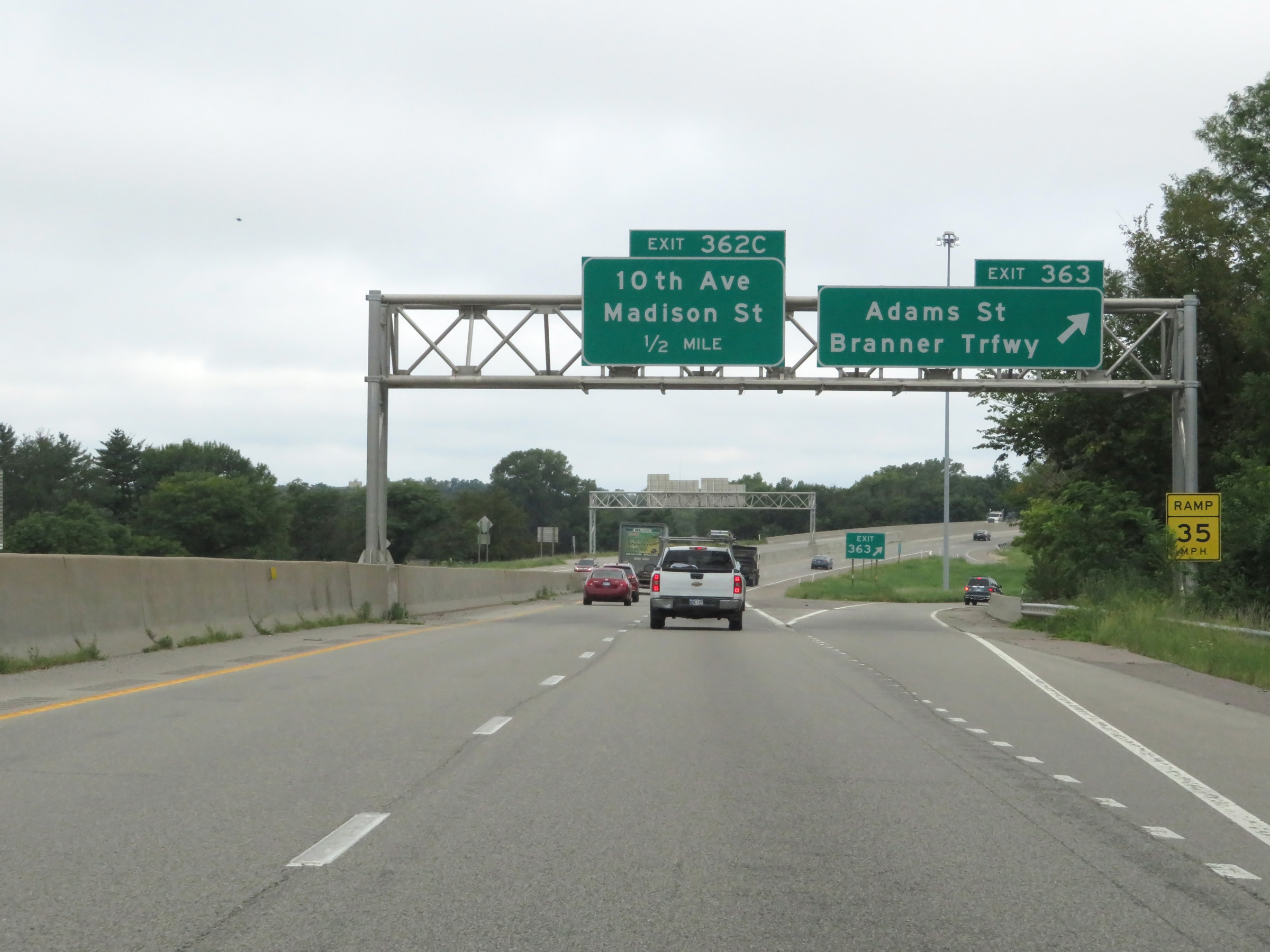 |
Interstate 70 West at Exit 363: Adams St / Branner Trafficway (Photo taken 8/12/20). |
 |
View on Interstate 70 West at mile marker 363 as it approaches downtown Topeka. (Photo taken 8/12/20). |
 |
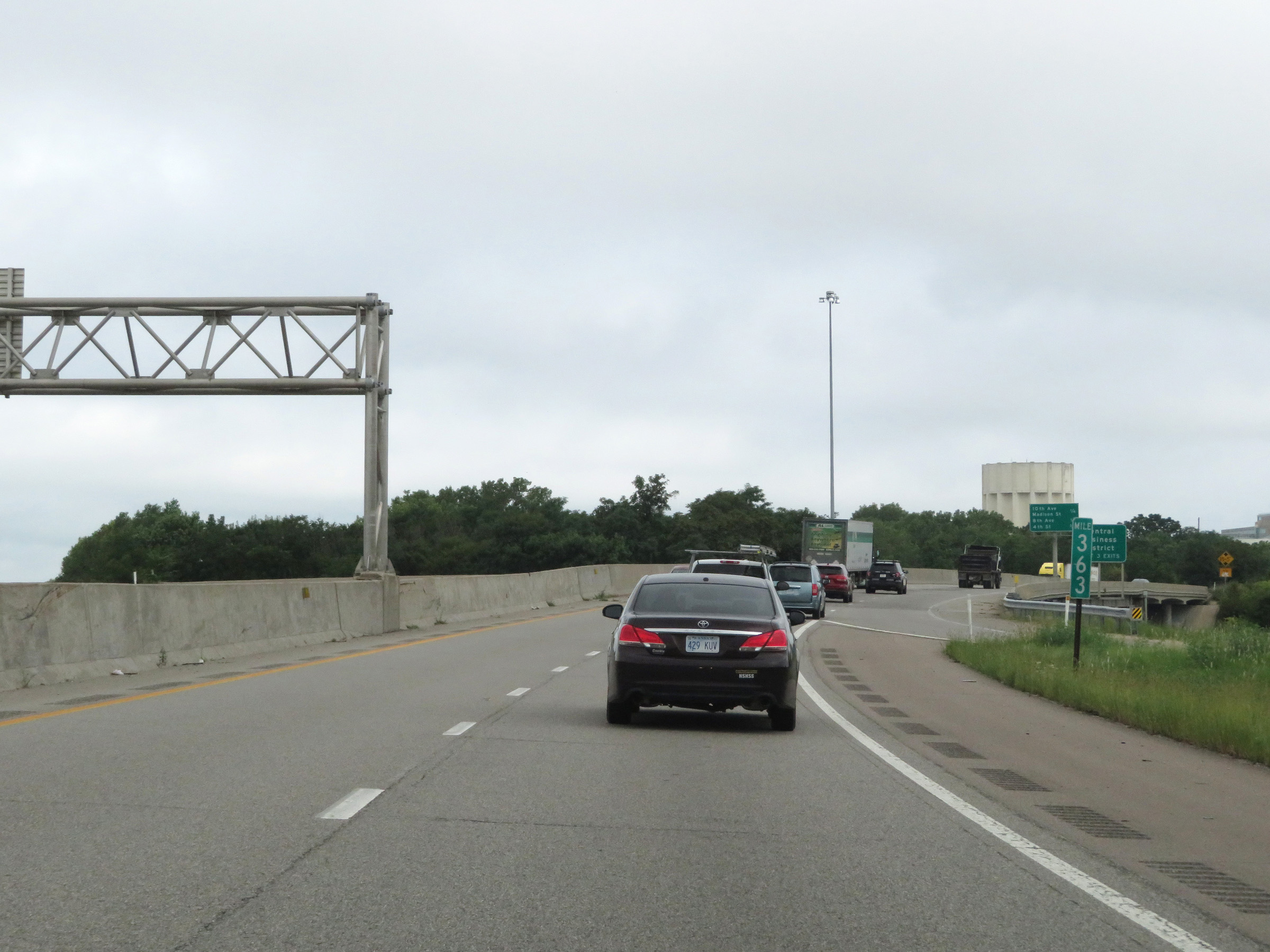
Take any of the next 3 exits to the Central Business District. (Photo taken 8/12/20). |
 |
State-named Interstate 70 West reassurance shield as we get a view of the Kansas State Capitol. (Photo taken 8/12/20). |
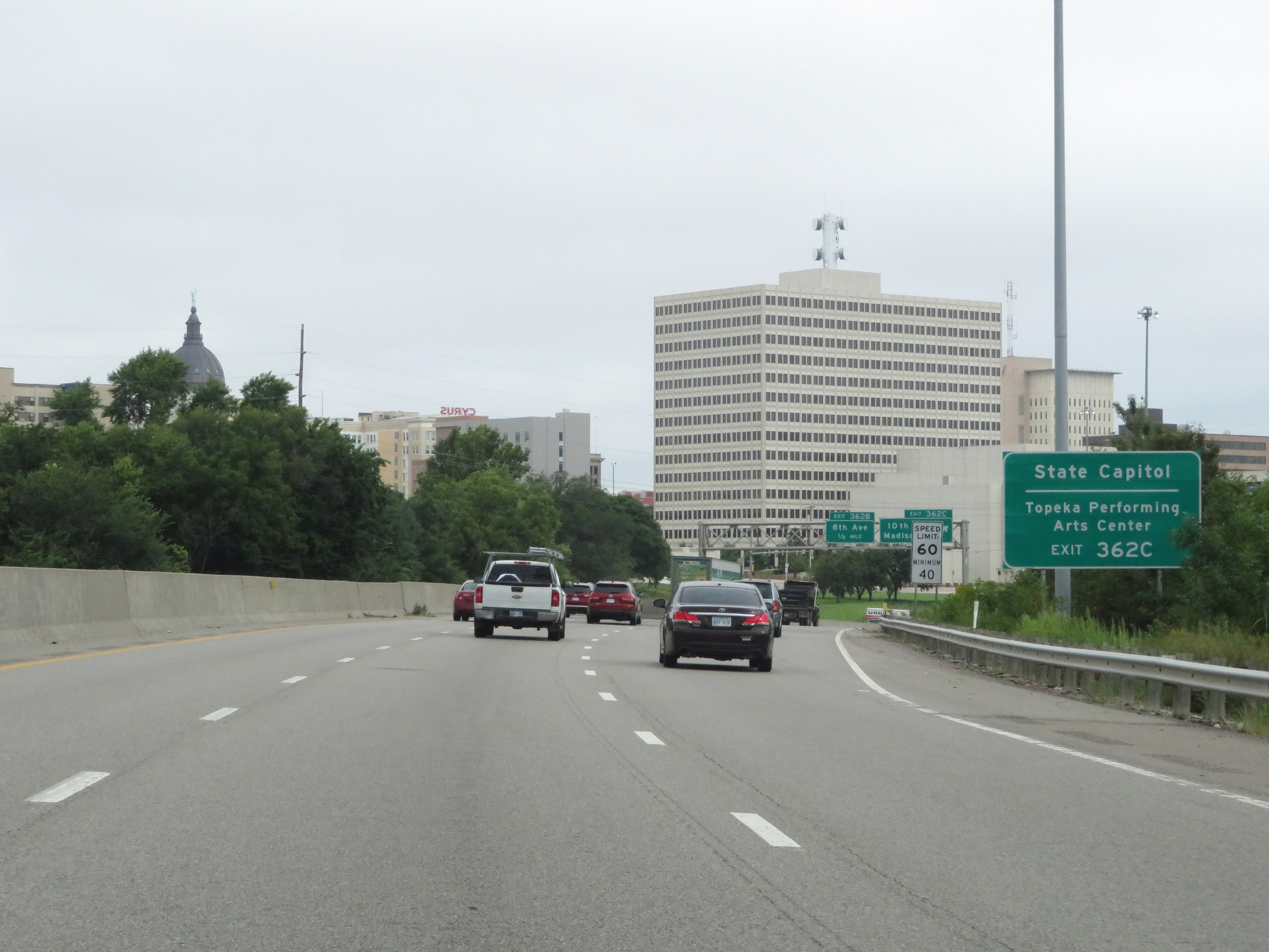 |
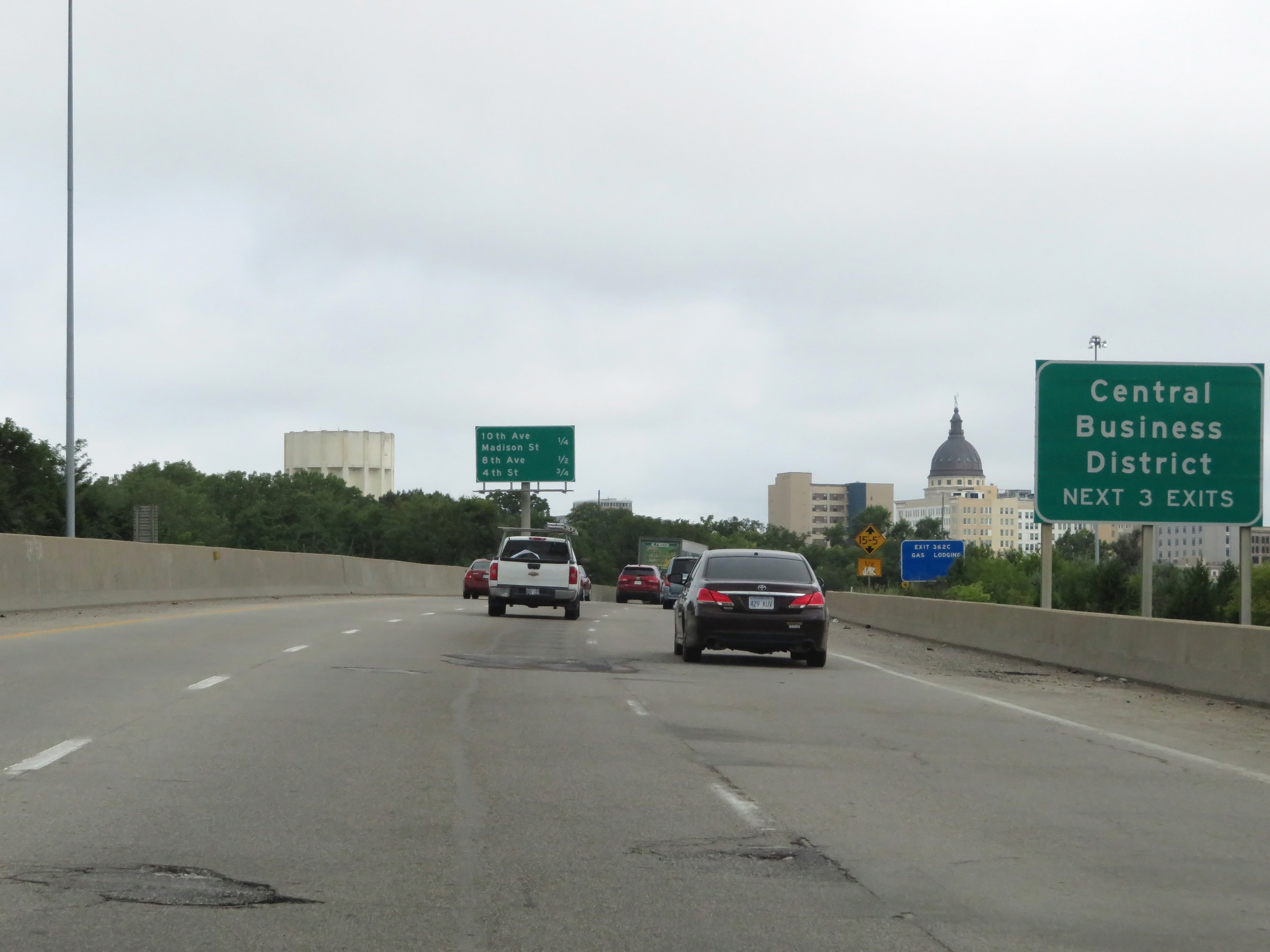
Take Exit 362C to the State Capitol and Topeka Performing Arts Center. (Photo taken 8/12/20). |
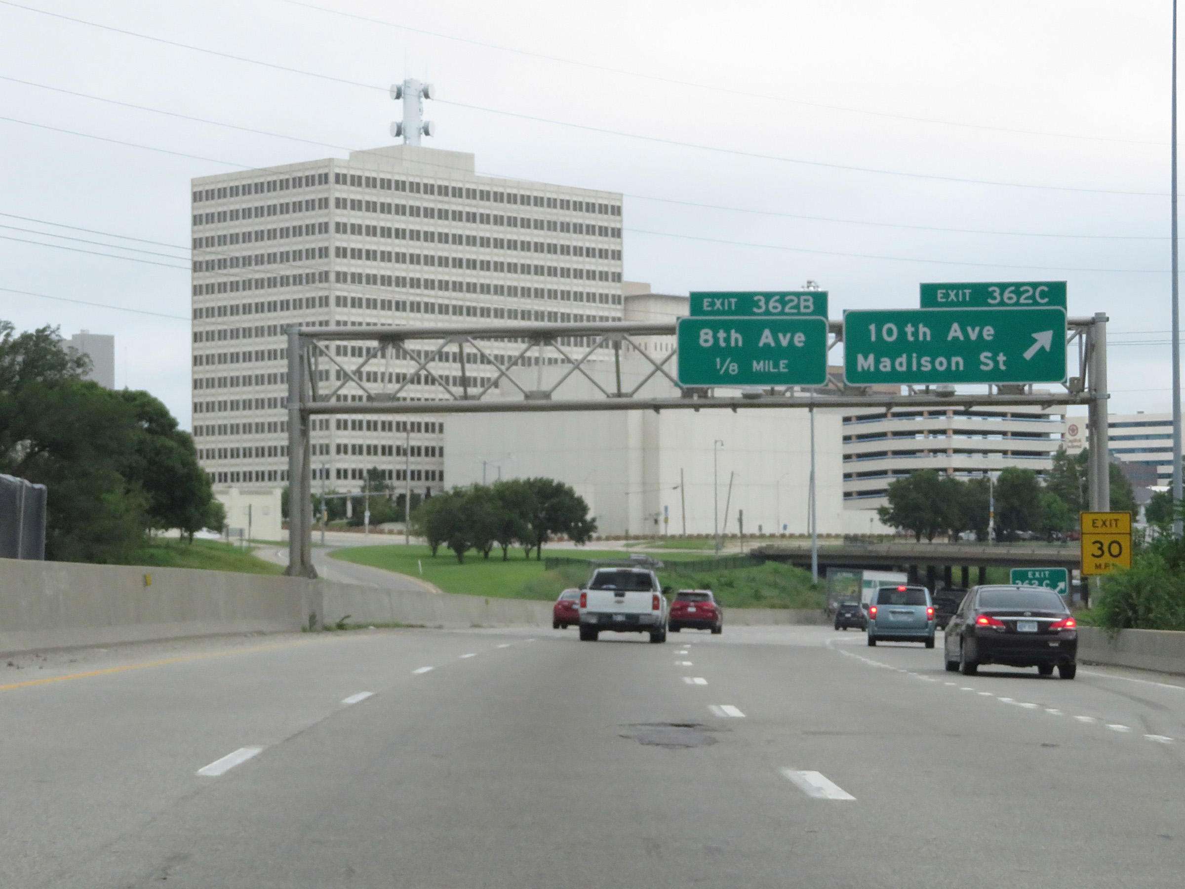 |
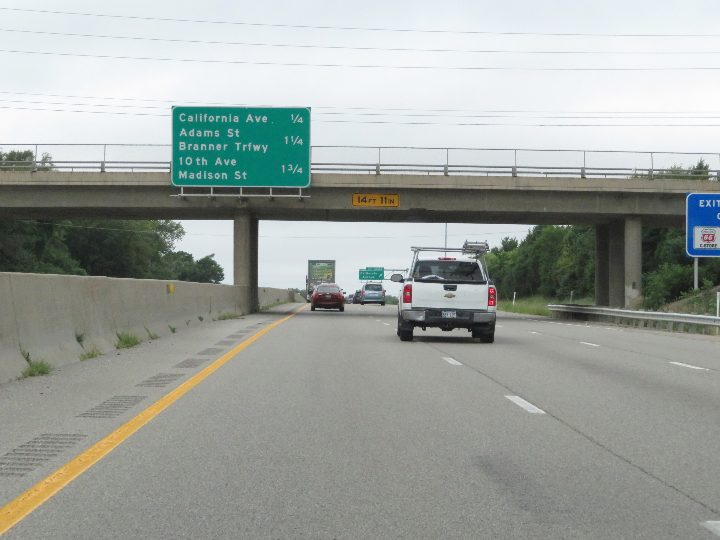
Interstate 70 West at Exit 362C: 10th Ave / Madison St (Photo taken 8/12/20). |
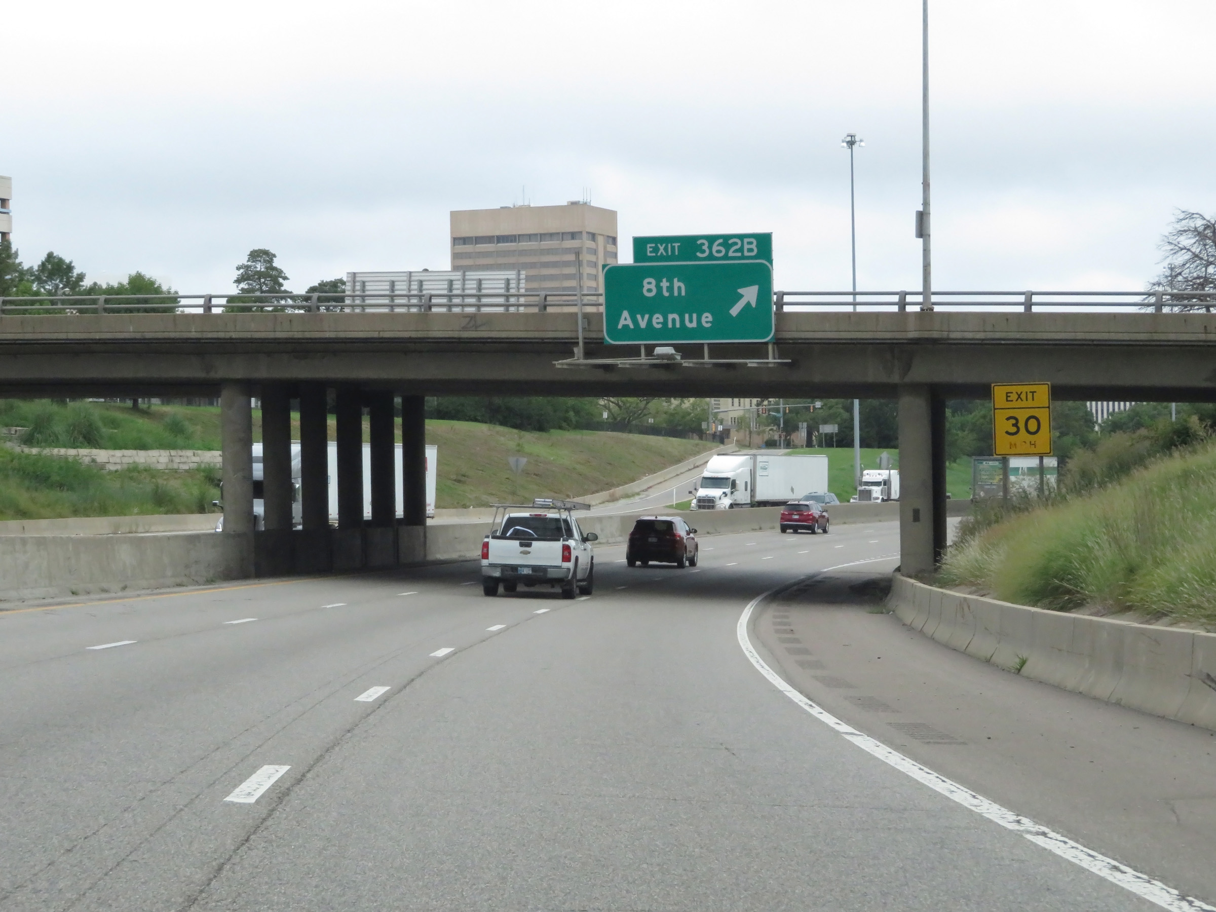 |
Interstate 70 West at Exit 362B: 8th Avenue (Photo taken 8/12/20). |
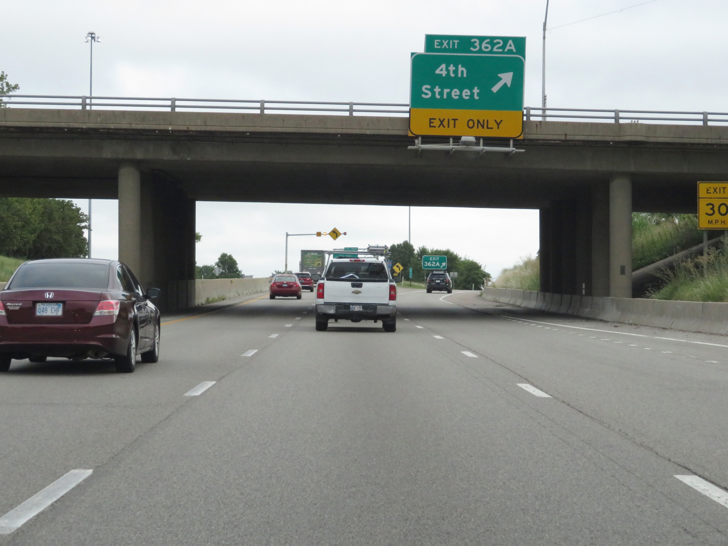 |
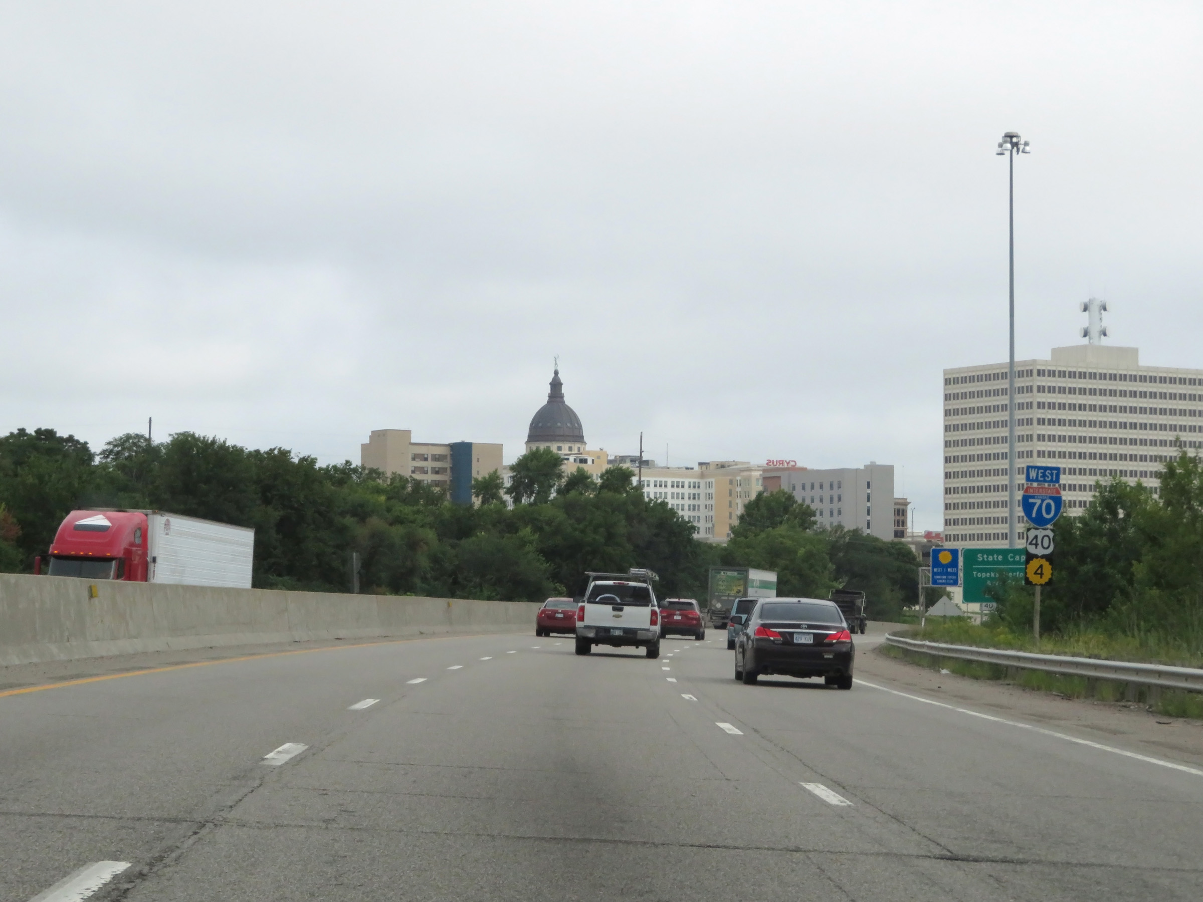
Interstate 70 West at Exit 362A: 4th Street (Photo taken 8/12/20). |
Section 3: Topeka (Exit 362A) to Manhattan (Exit 313)
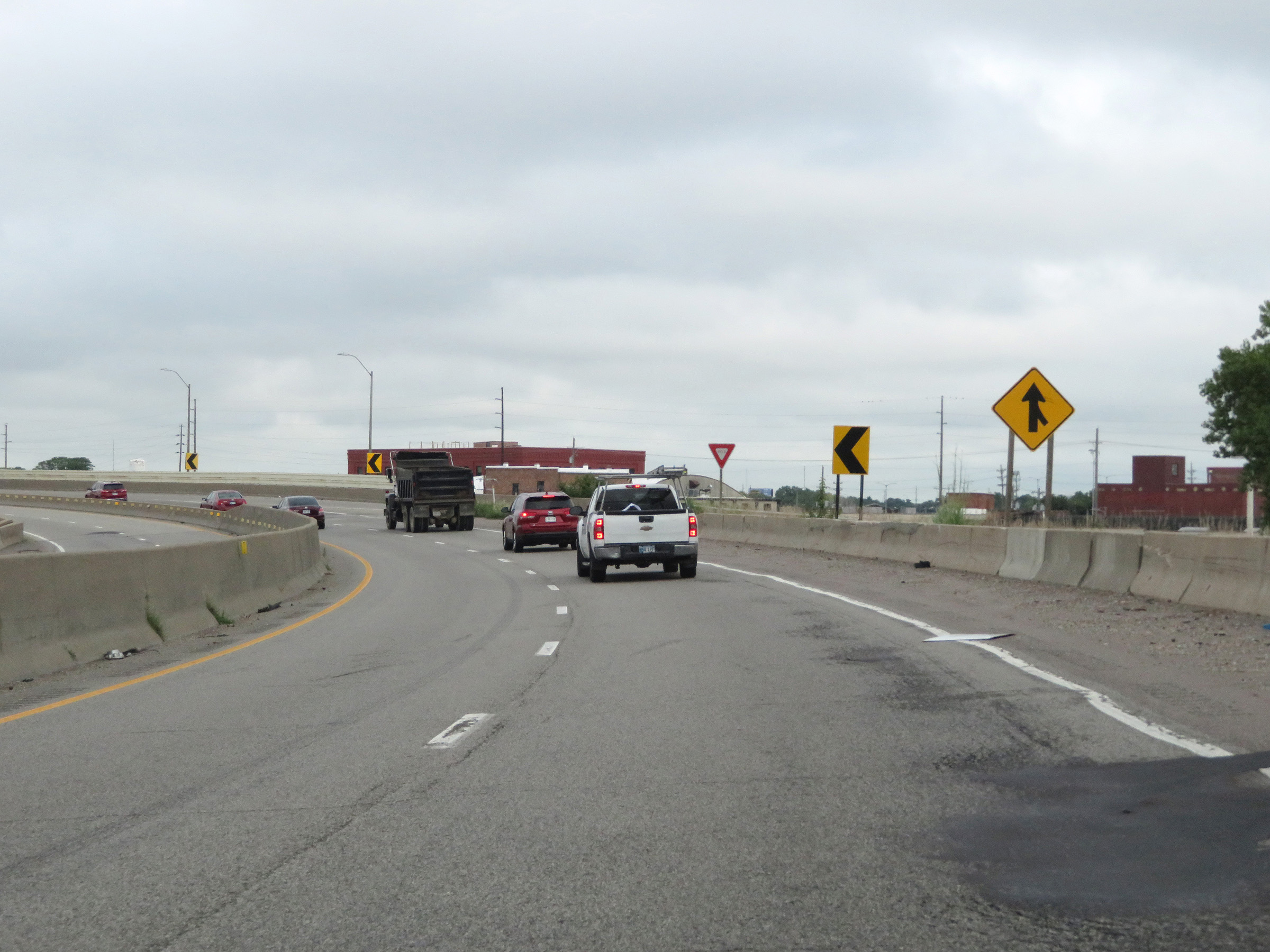 |
After running north for a brief time in downtown Topeka, Interstate 70 West beginis to curve back to the west just beyond Exit 362A. (Photo taken 8/12/20). |
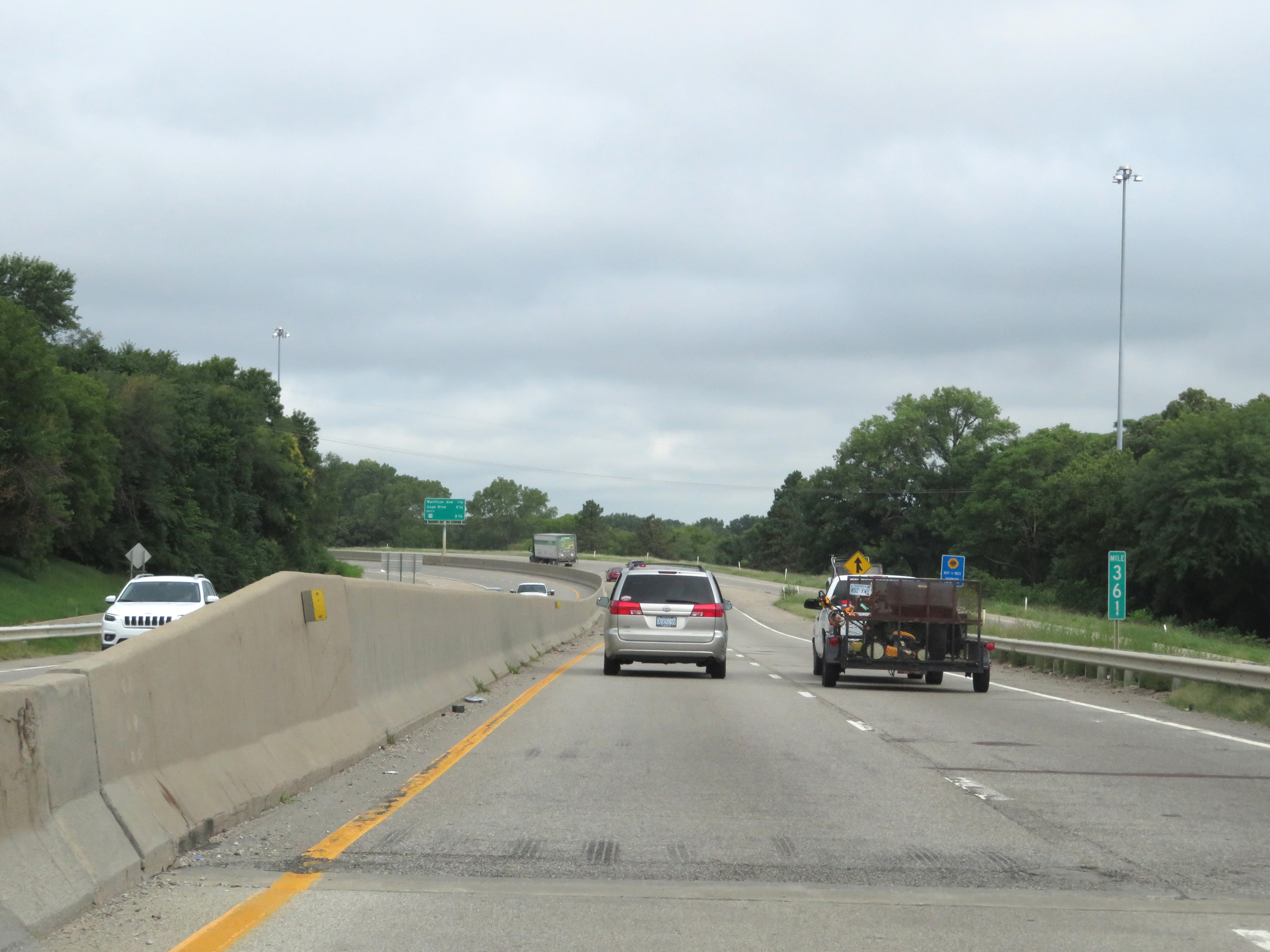 |
View on Interstate 70 West at mile marker 361. (Photo taken 8/12/20). |
 |
Another overhead mileage sign showing the next three exits on Interstate 70 West and the distances to them. (Photo taken 8/12/20). |
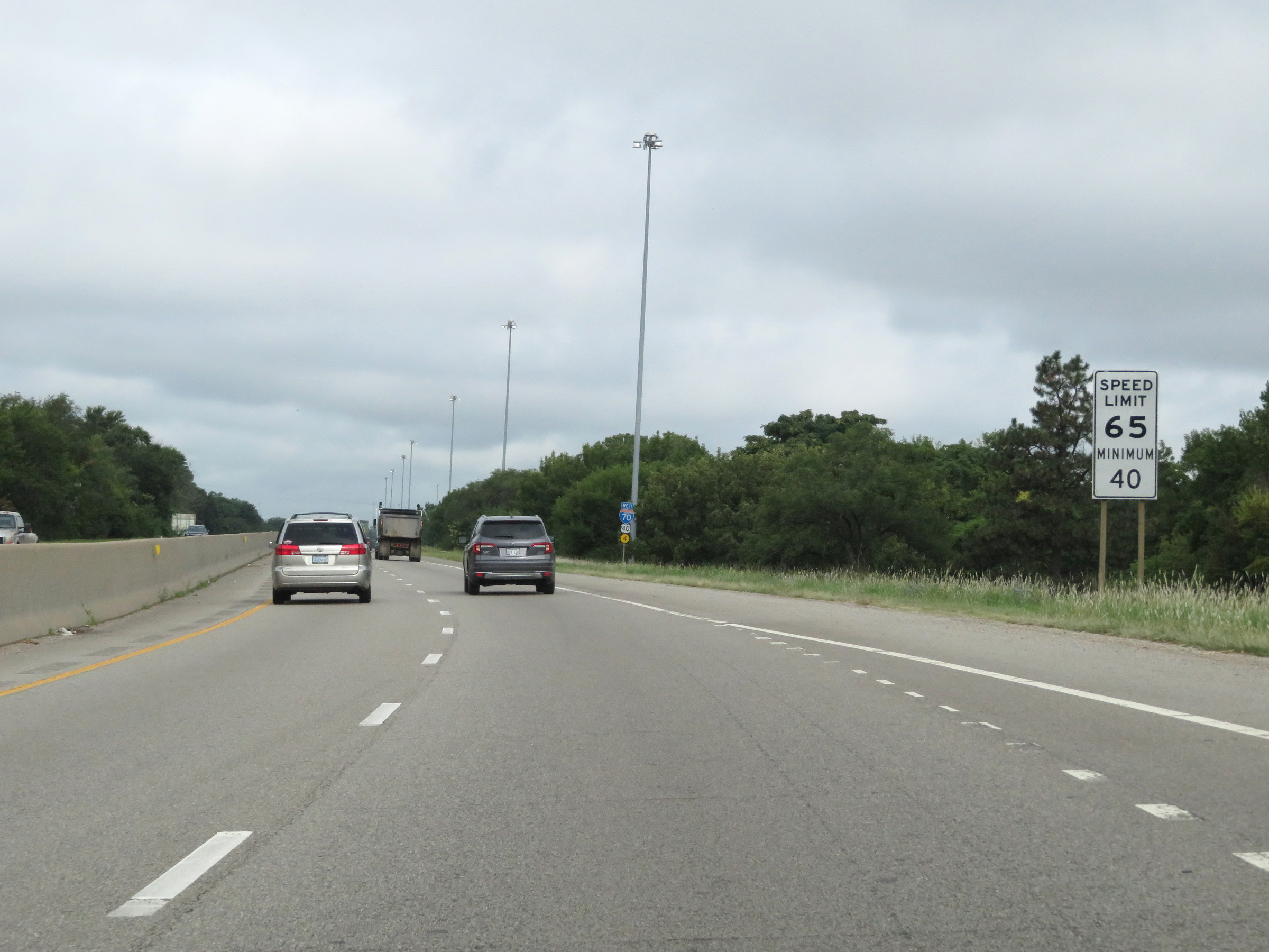 |
Near mile marker 360, the maximum speed limit increases to 65 mph once again as Interstate 70 West prepares to leave downtown Topeka. (Photo taken 8/12/20). |
 |
Interstate 70 West at mile marker 360. (Photo taken 8/12/20). |
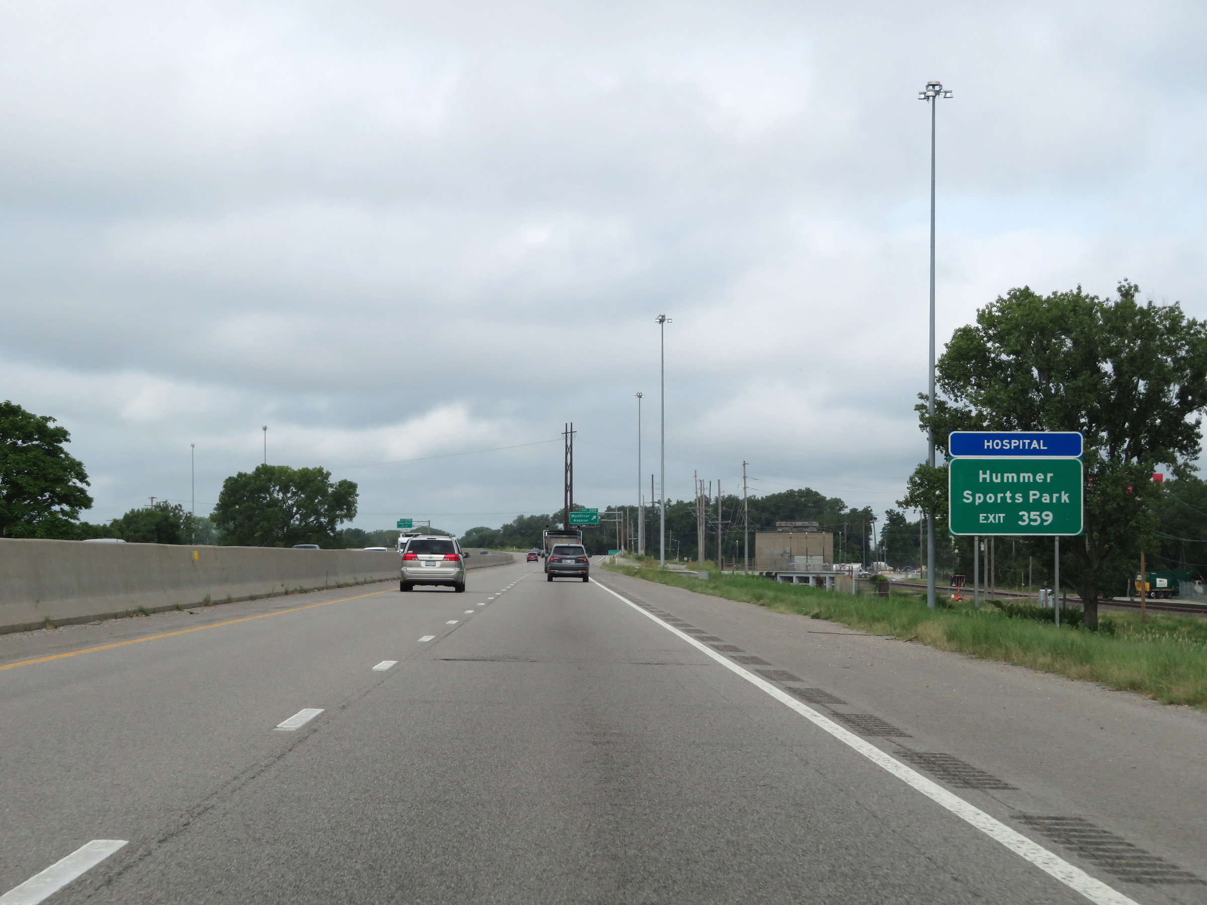 |
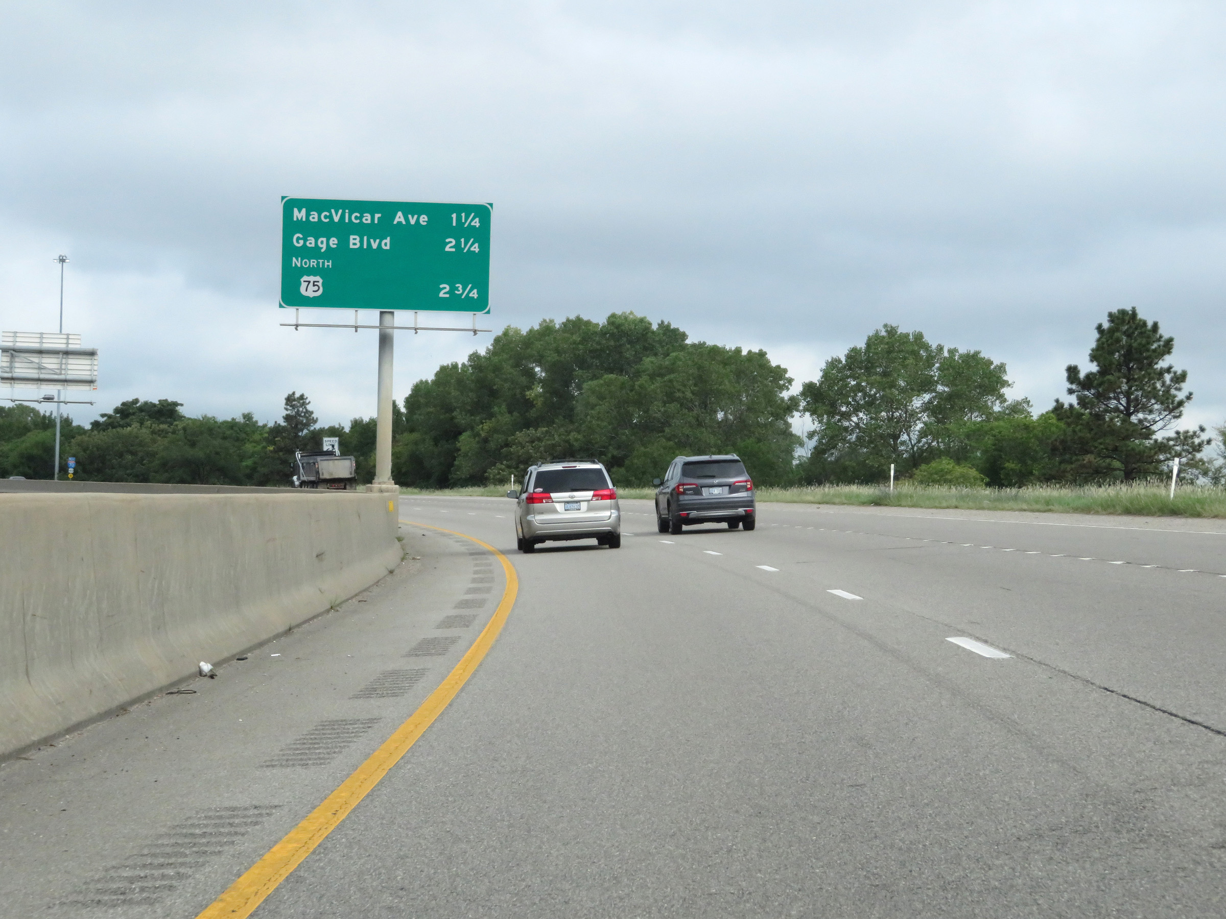
Take Exit 359 to Hummer Sports Park. (Photo taken 8/12/20). |
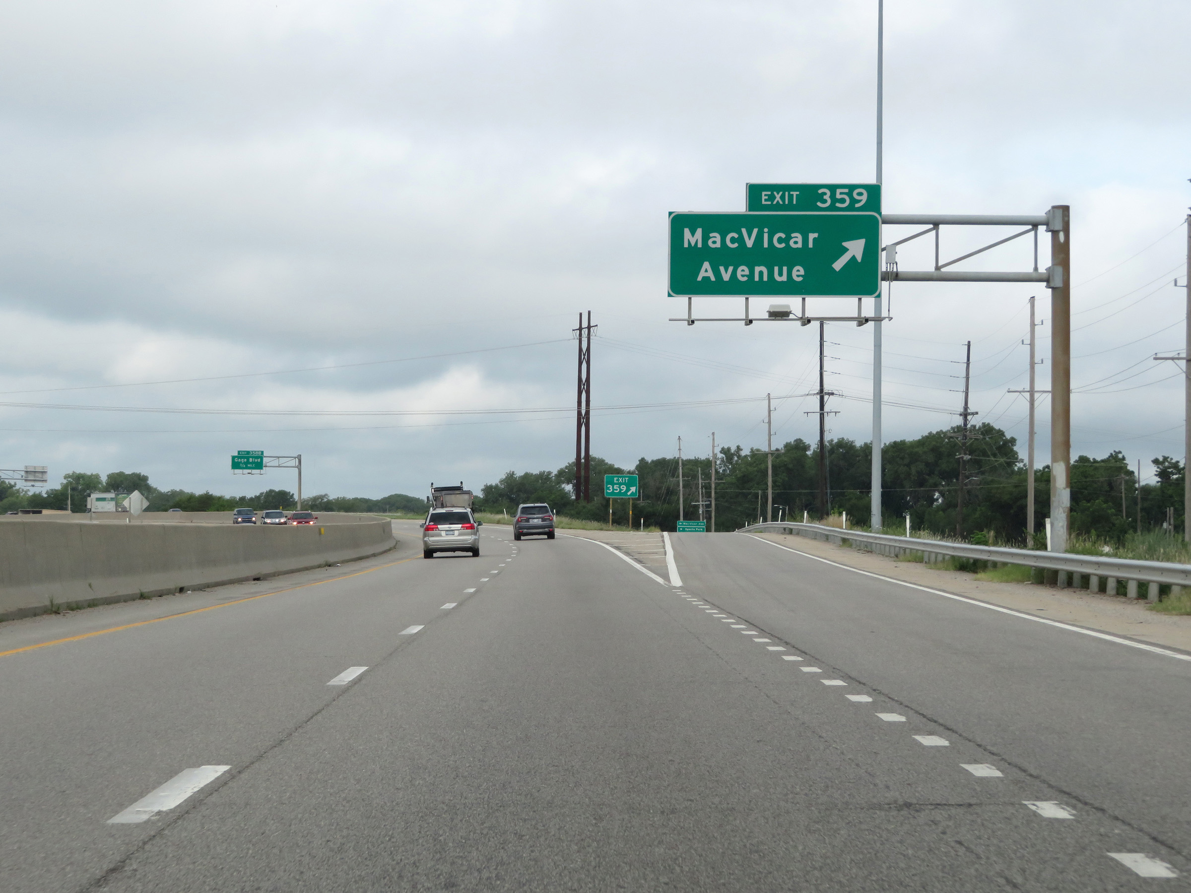 |
Interstate 70 West at Exit 359: MacVicar Avenue (Photo taken 8/12/20). |
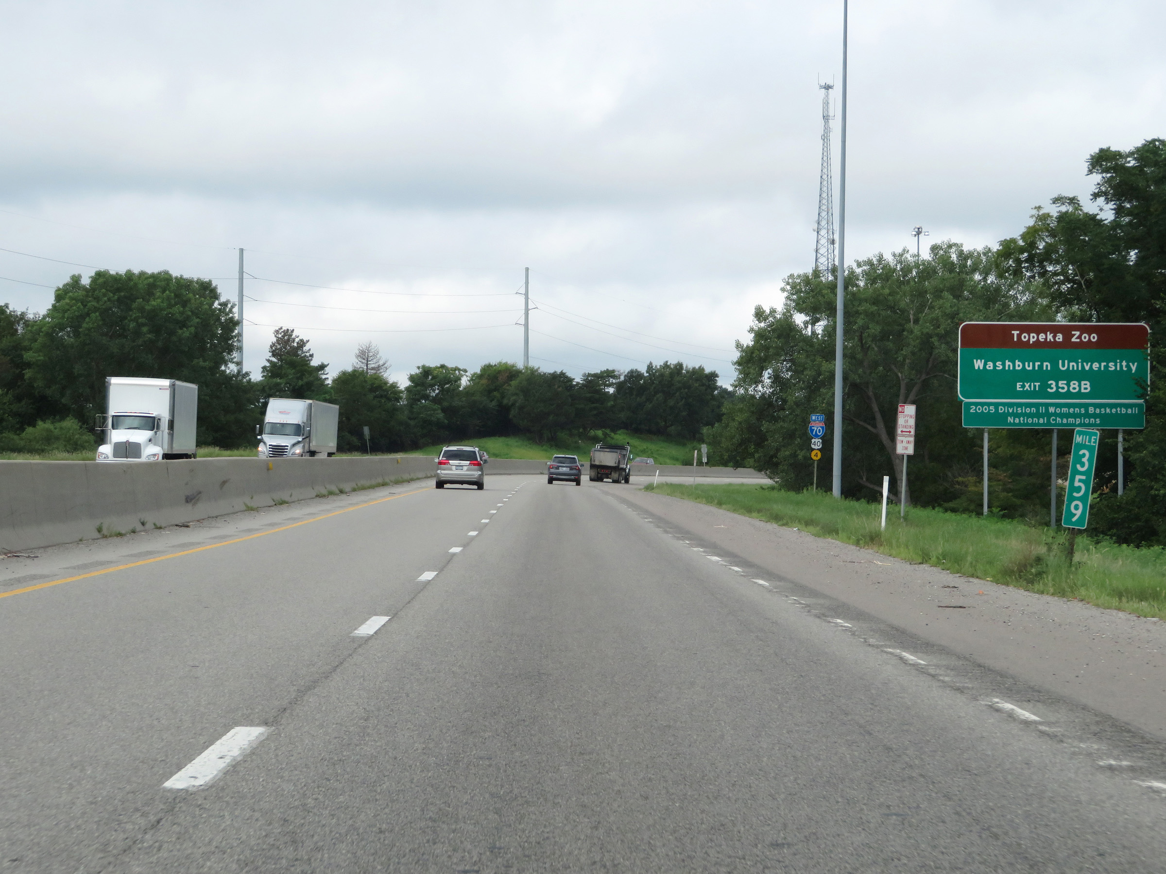 |
Take Exit 358B to the Topeka Zoo and Washburn University. (Photo taken 8/12/20). |
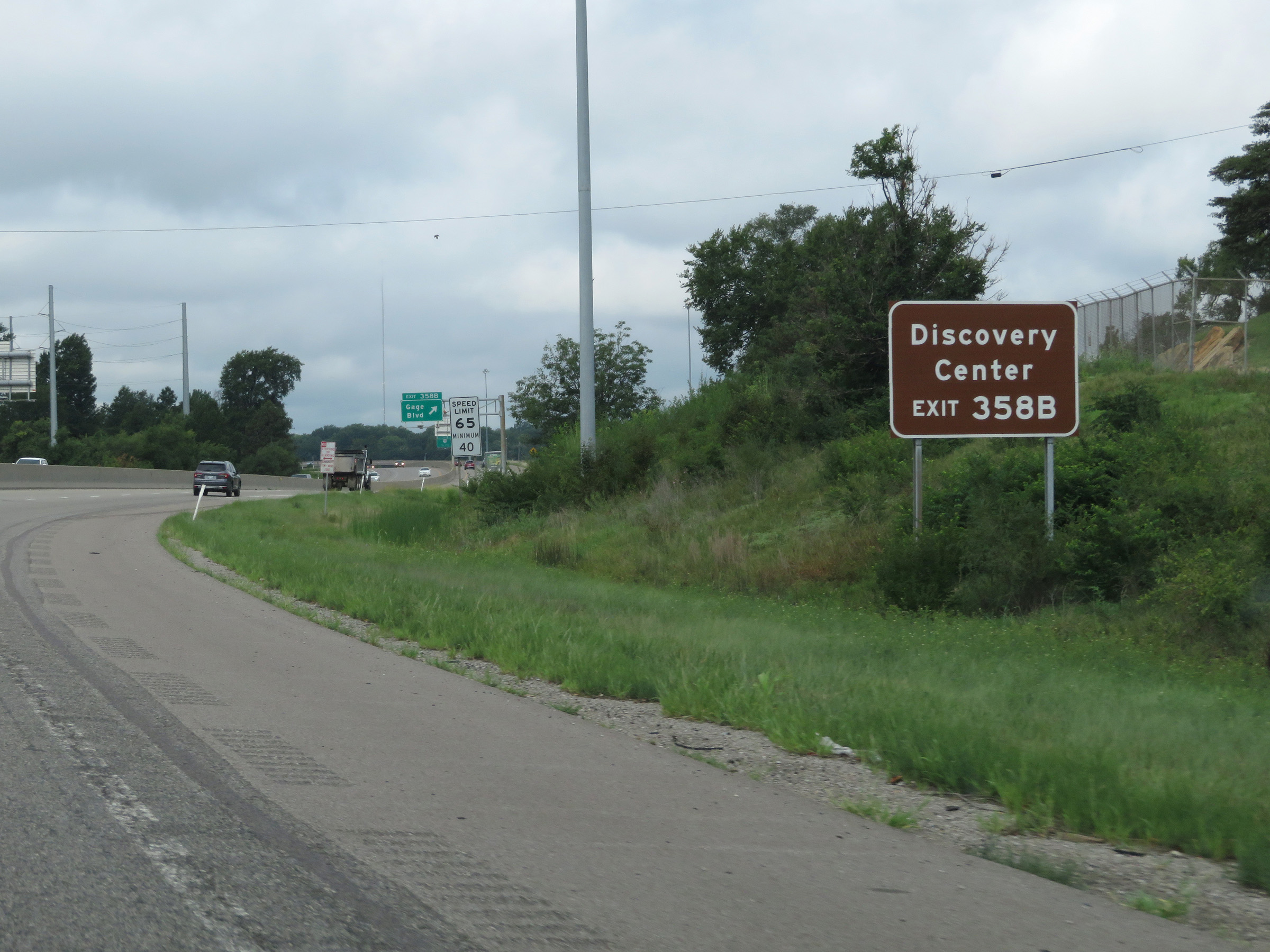 |
Also take Exit 358B to the Kansas Children's Discovery Center. (Photo taken 8/12/20). |
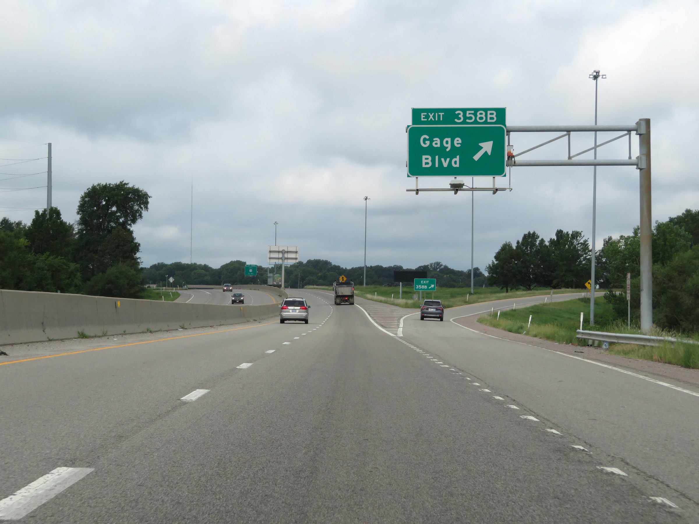 |
Interstate 70 West at Exit 358B: Gage Blvd (Photo taken 8/12/20). |
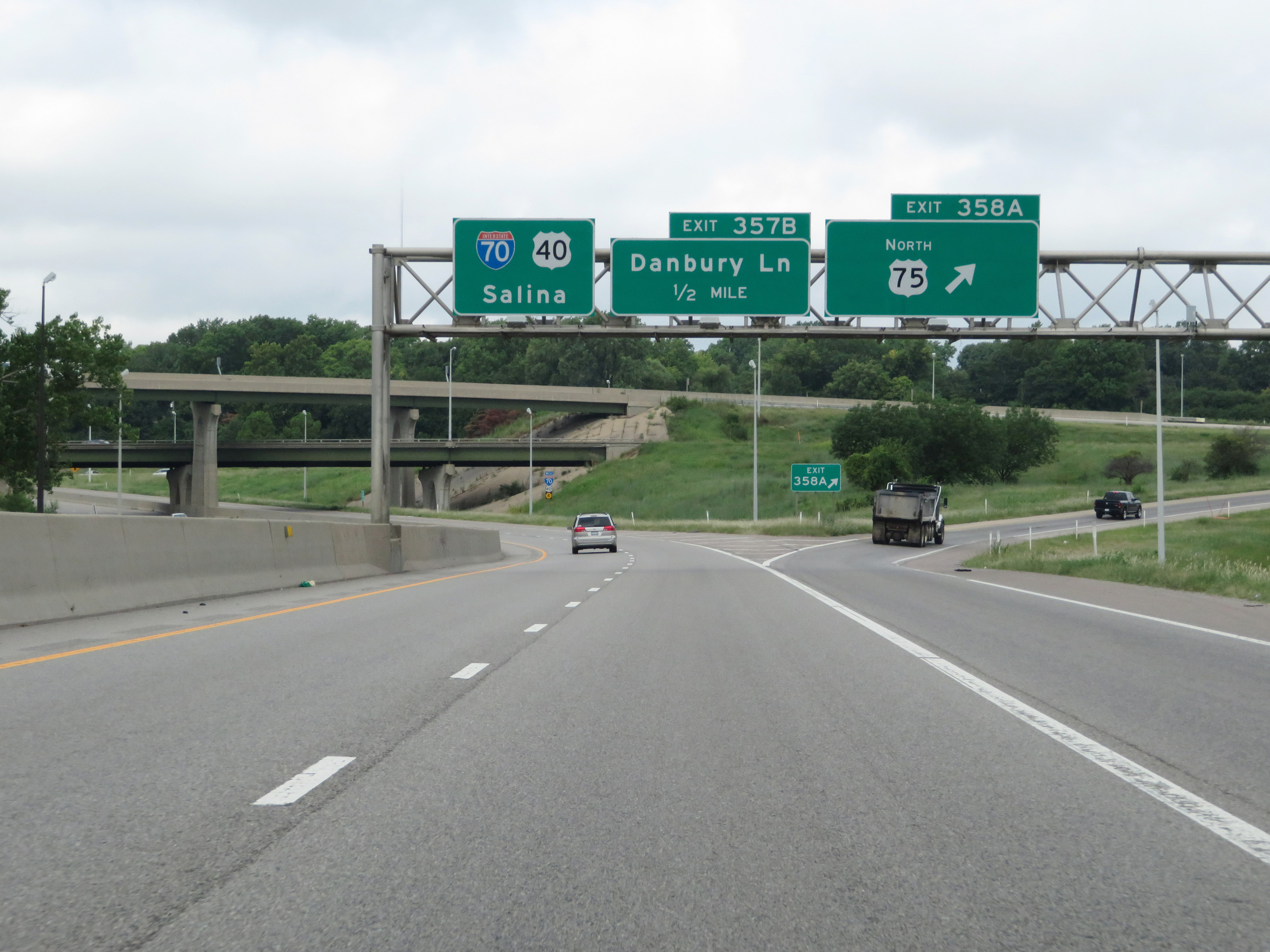 |
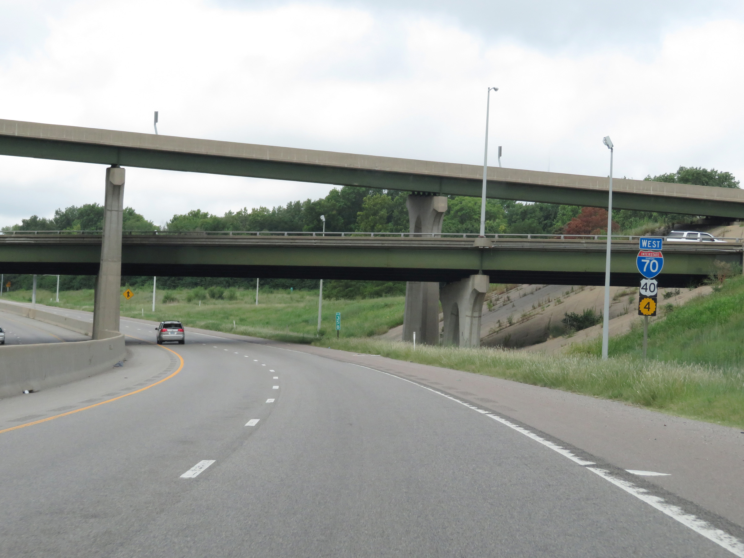
Interstate 70 West at Exit 358A: US 75 North (Photo taken 8/12/20). |
 |
State-named Interstate 70 West reassurance shield. (Photo taken 8/12/20). |
 |
Overhead mileage sign listing the distances to three of the remaining Topeka exits on Interstate 70 West. (Photo taken 8/12/20). |
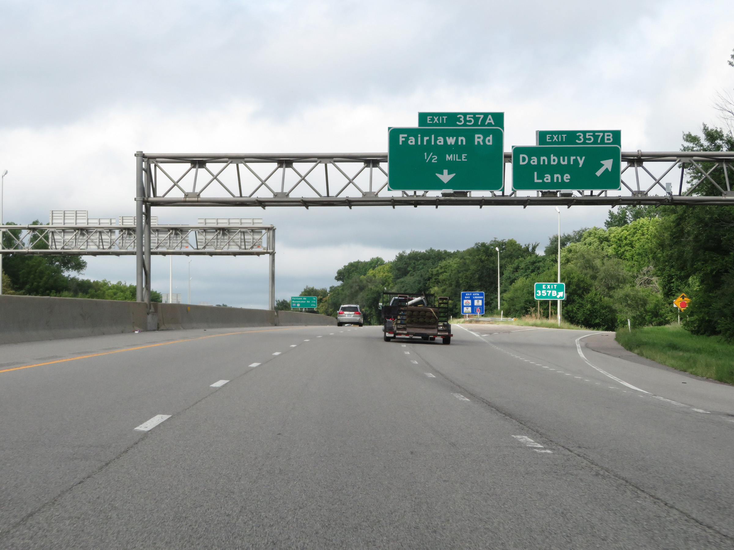 |
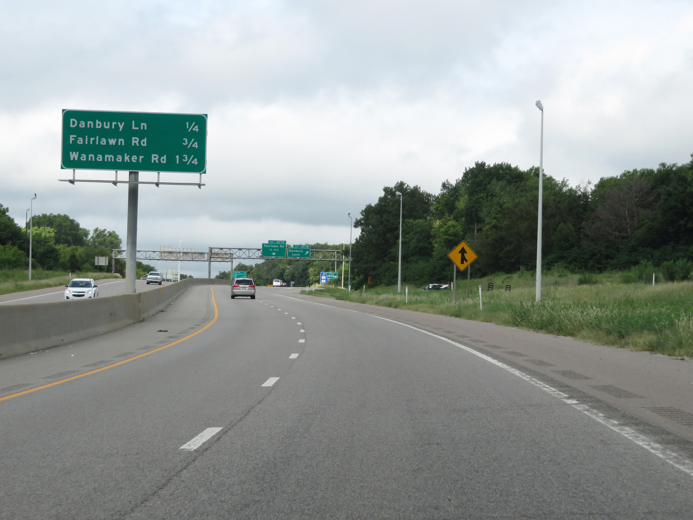
Interstate 70 West at Exit 357B: Danbury Lane (Photo taken 8/12/20). |
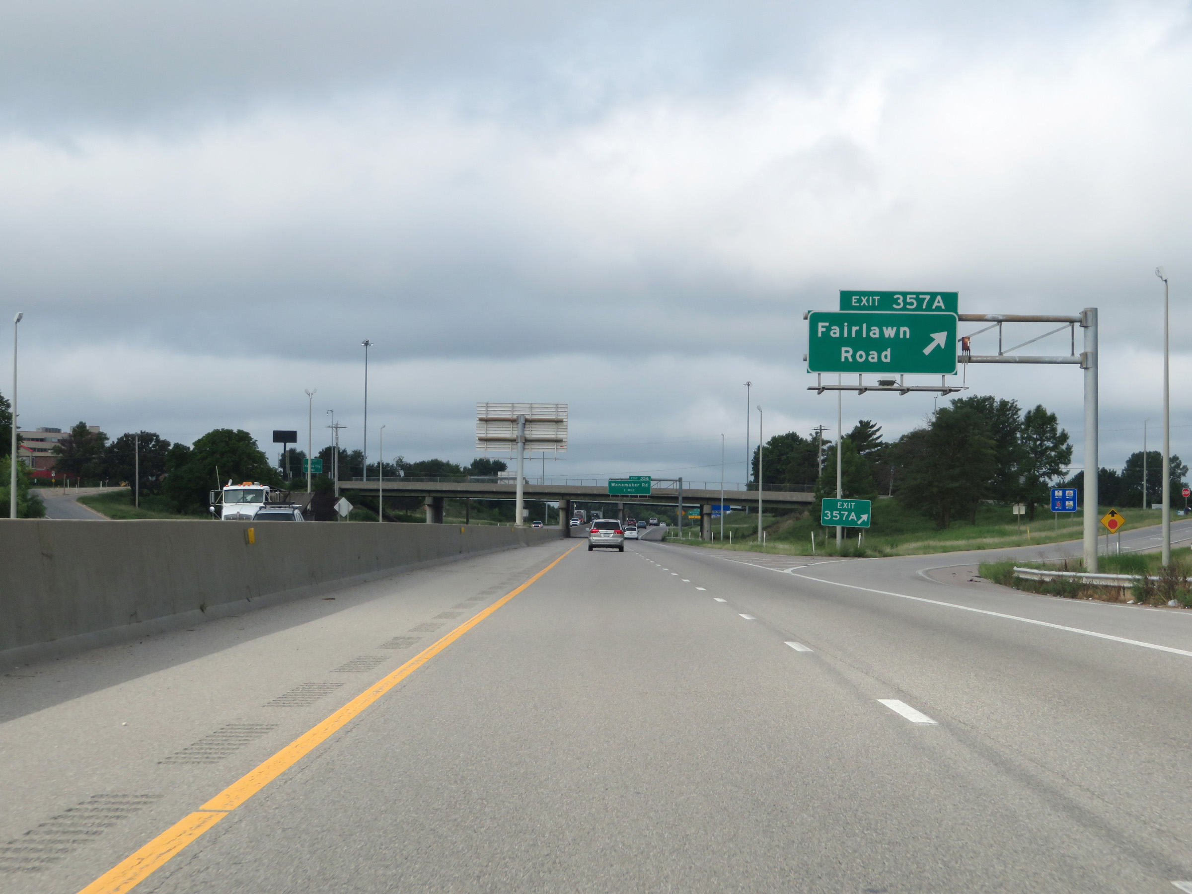 |
Interstate 70 West at Exit 357A: Fairlawn Road (Photo taken 8/12/20). |
 |
The speed limits remain 65 mph maximum and 40 mph minimum. (Photo taken 8/12/20). |
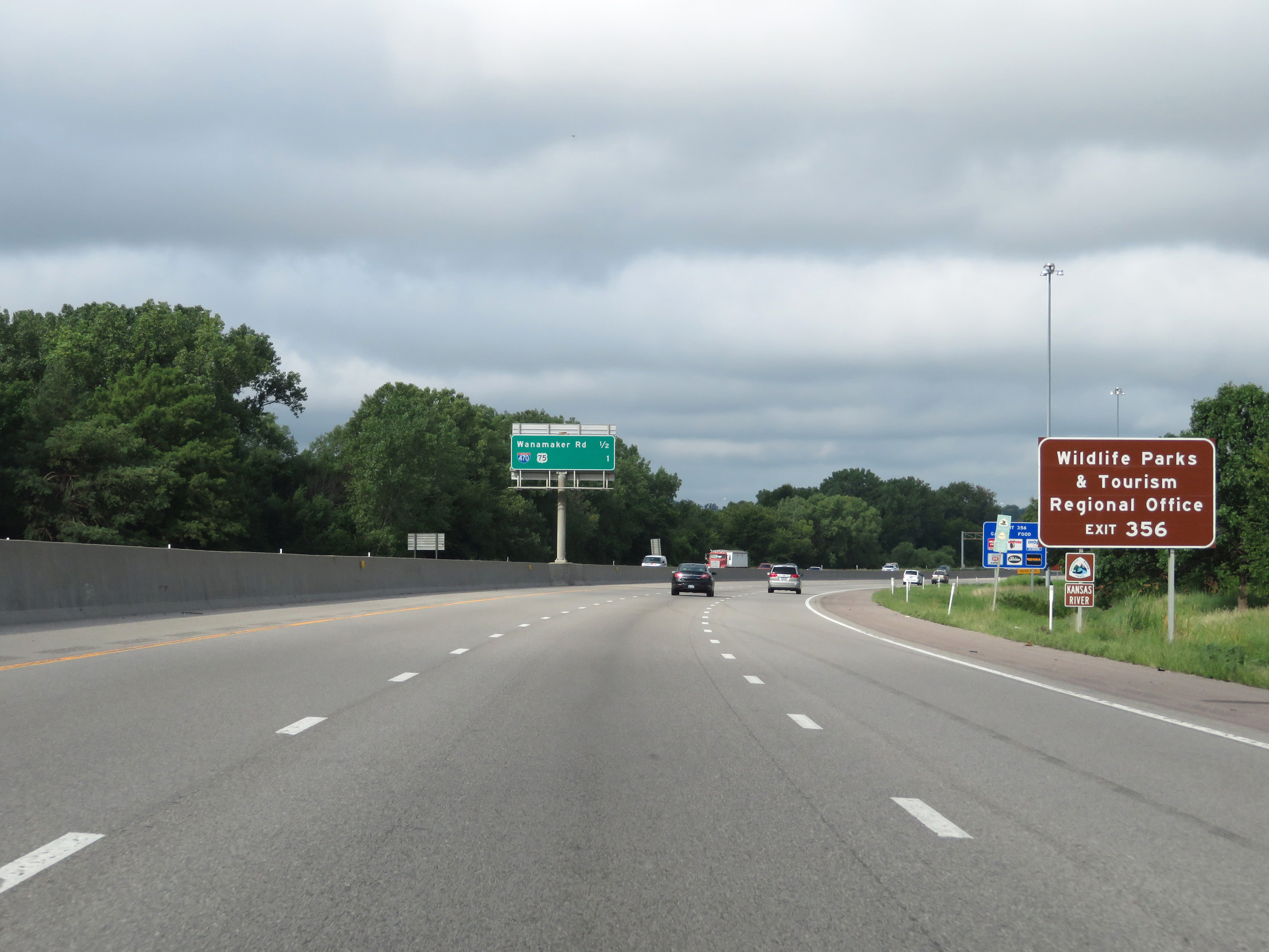 |
Take Exit 356 to the Wildlife Parks & Tourism Regional Office. (Photo taken 8/12/20). |
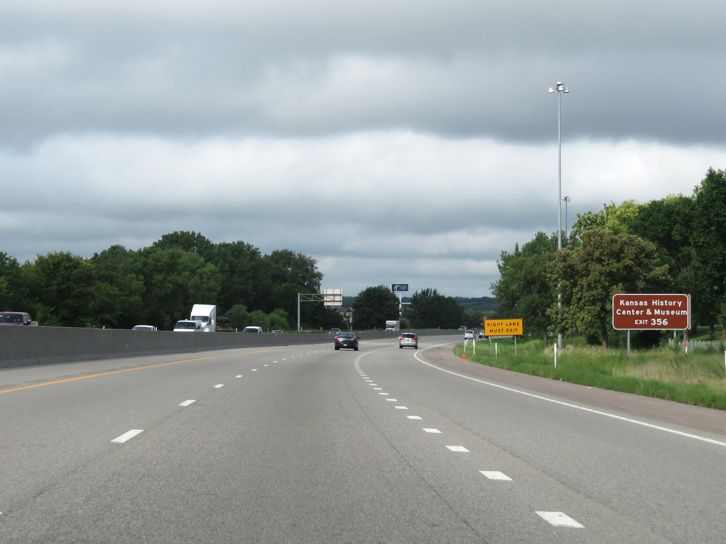 |
Also take Exit 356 to the Kansas History Center & Museum. (Photo taken 8/12/20). |
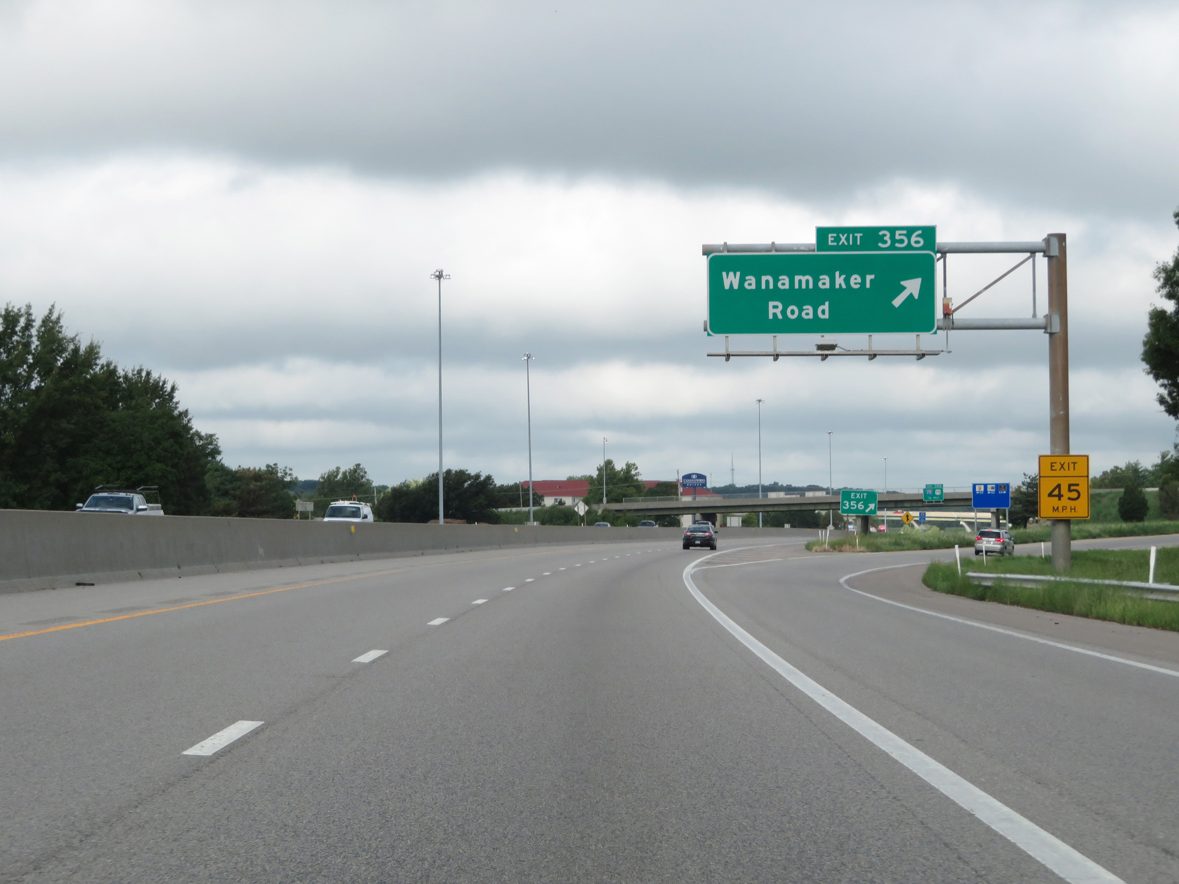 |
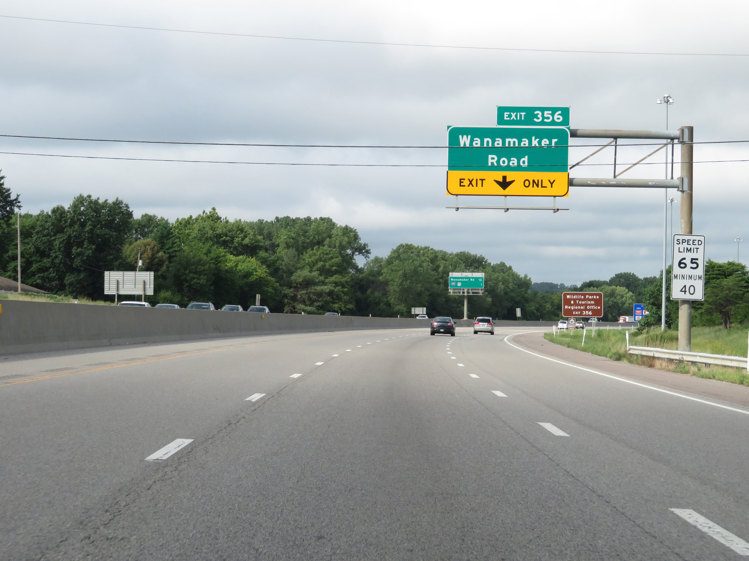
Interstate 70 West at Exit 356: Wanamaker Road (Photo taken 8/12/20). |
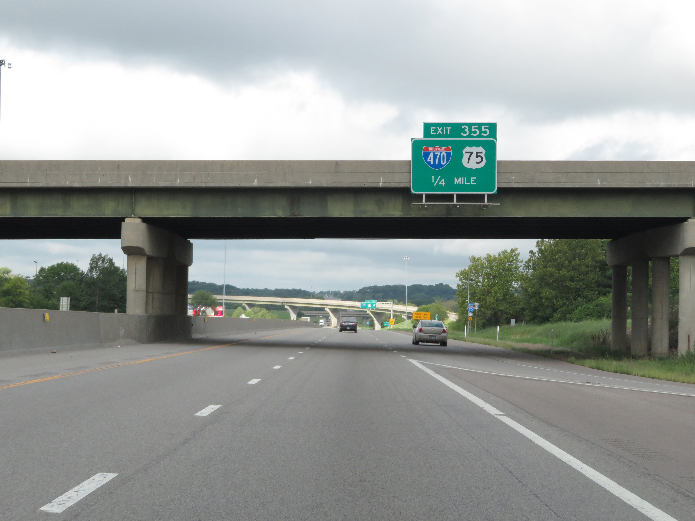 |
Interstate 70 West approaching Exit 355 - 1/4 mile. (Photo taken 8/12/20). |
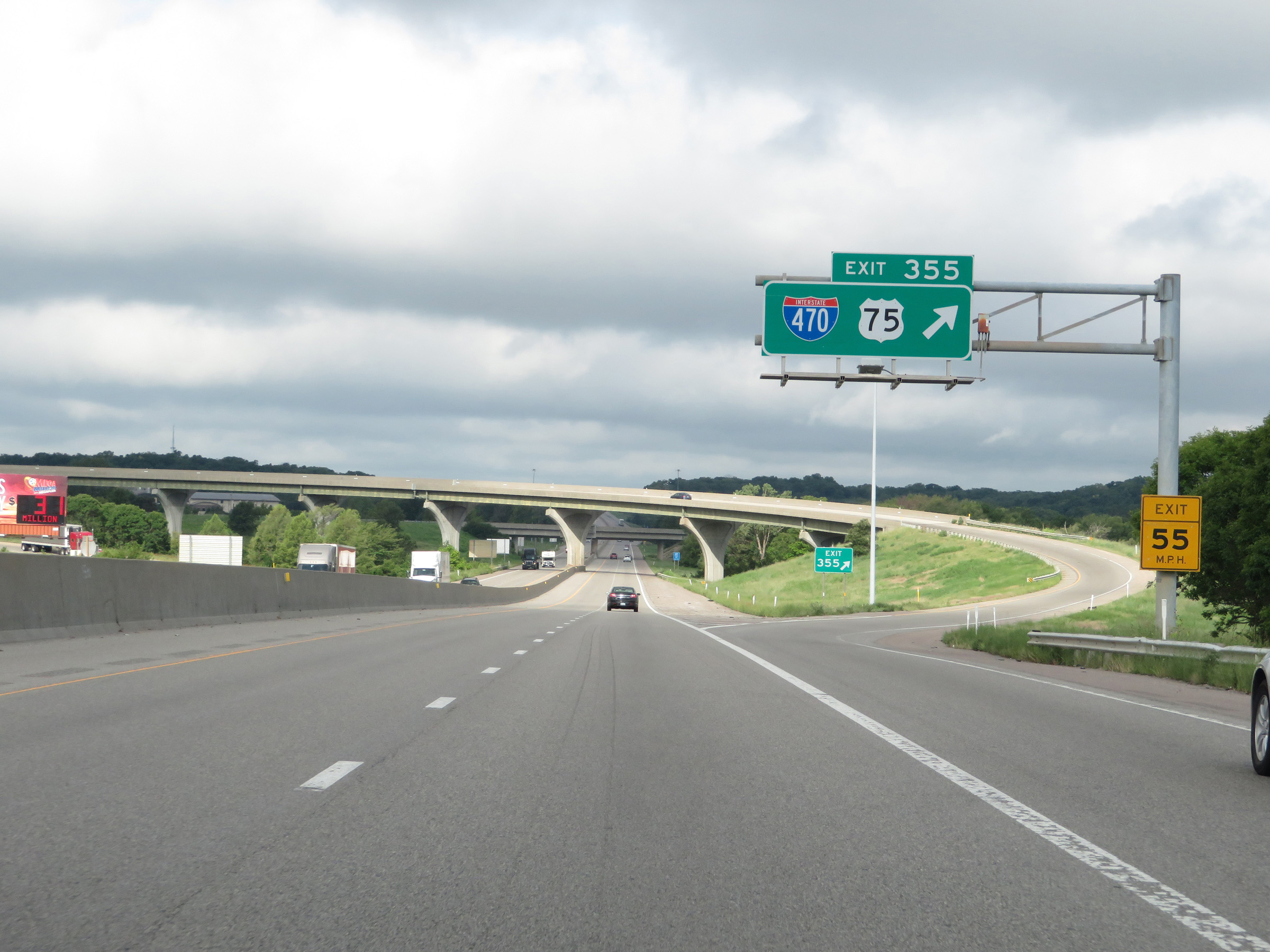 |
Interstate 70 West at Exit 355: Interstate 470 / US 75 (Photo taken 8/12/20). |
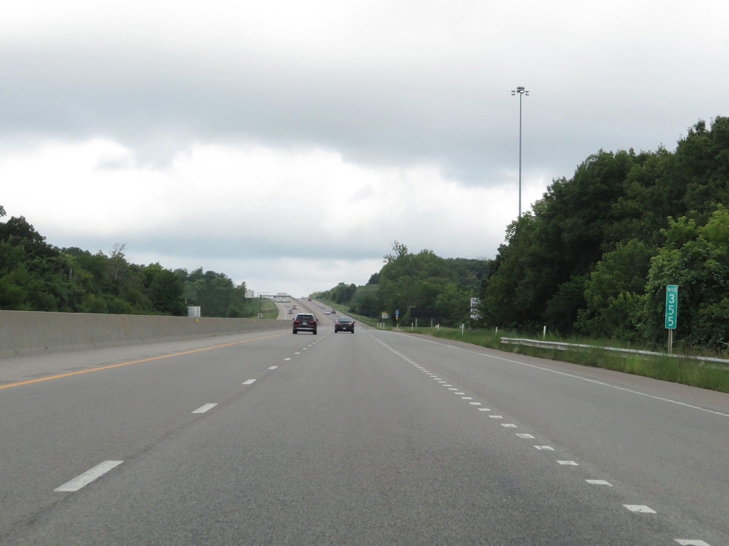 |
View on Interstate 70 West at mile marker 355, as traffic from Interstate 470 West merges into it from the right. (Photo taken 8/12/20). |
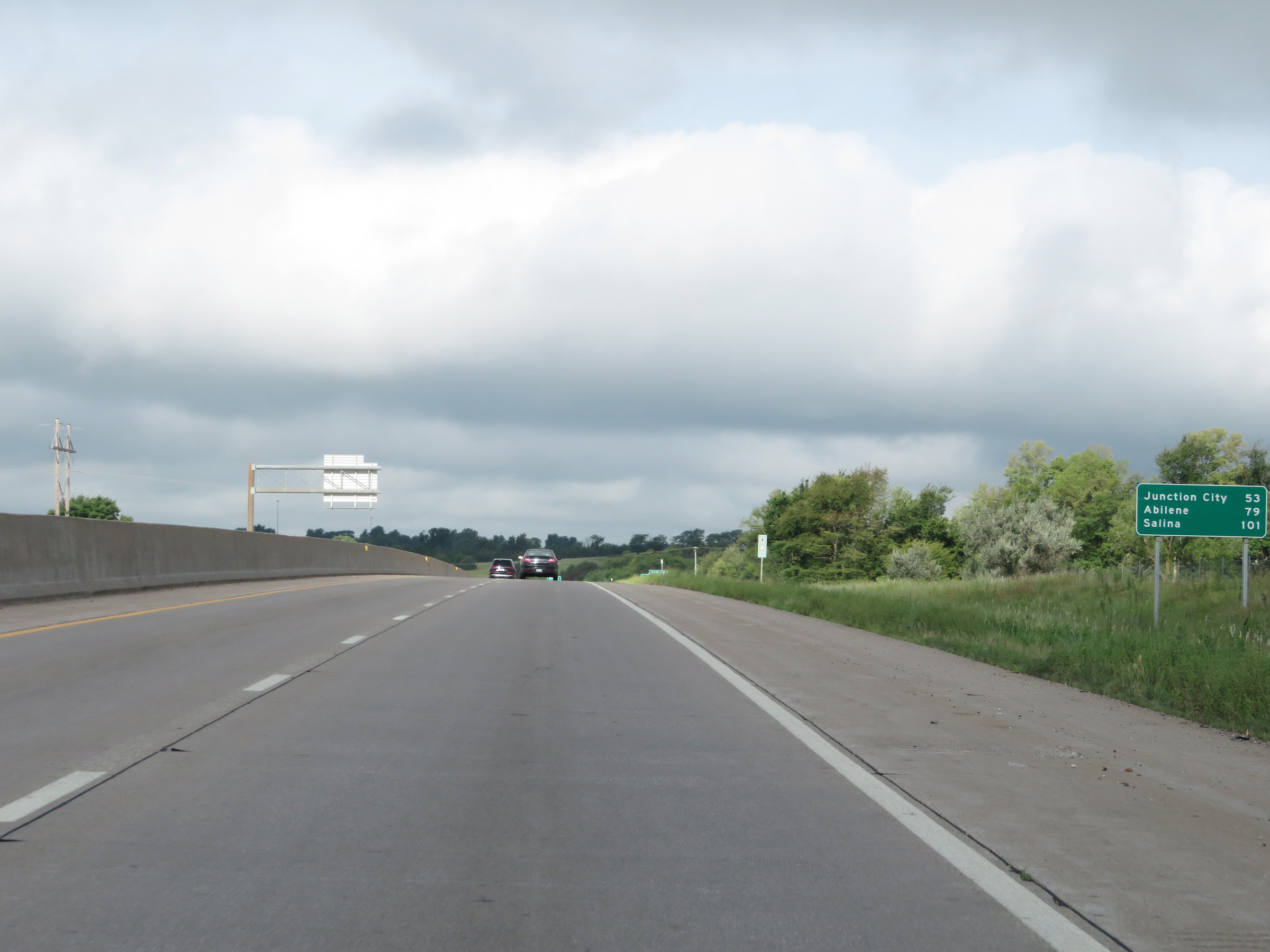 |
Mileage sign on Interstate 70 West. It's 53 miles to Junction City, 79 miles to Abilene, and 101 miles to Salina. (Photo taken 8/12/20). |
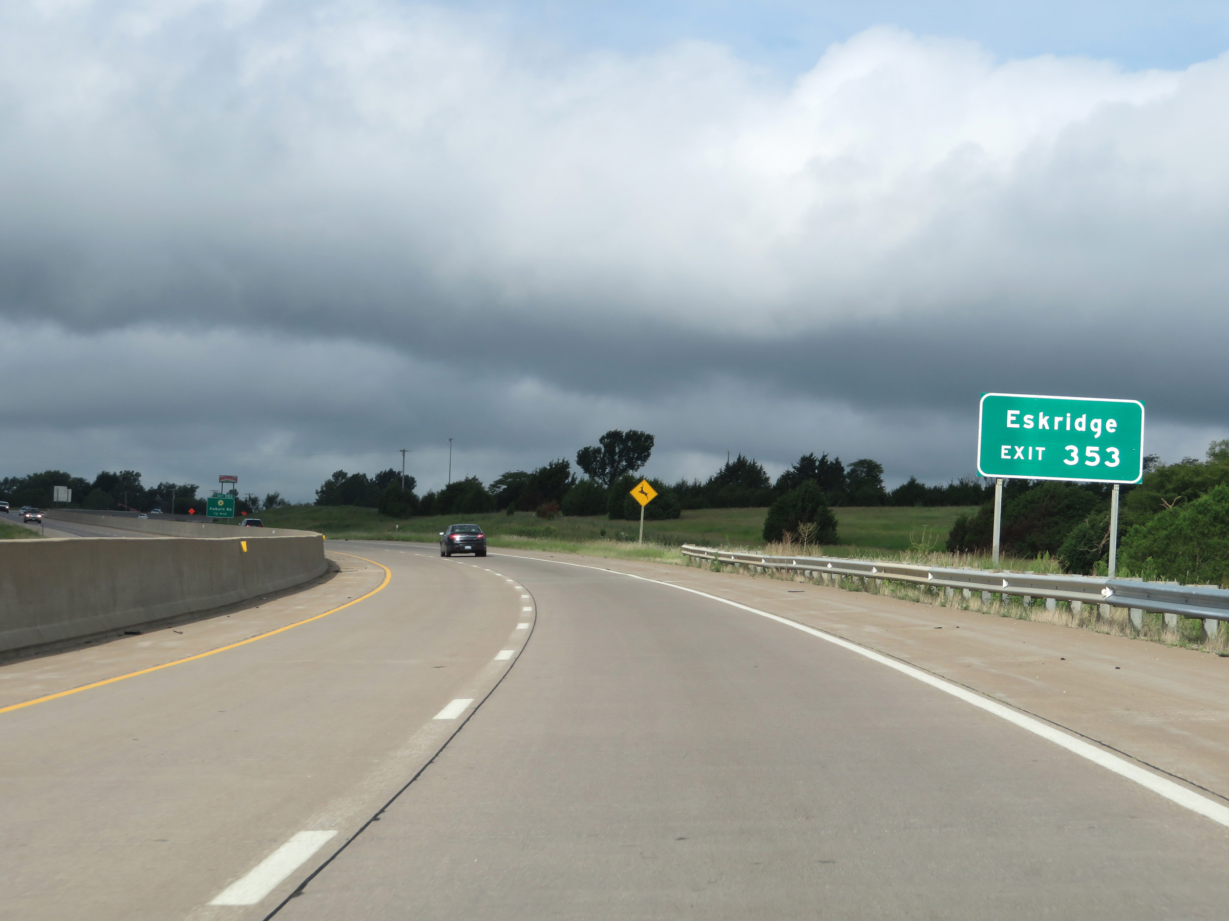 |
Take Exit 353 to Eskridge. (Photo taken 8/12/20). |
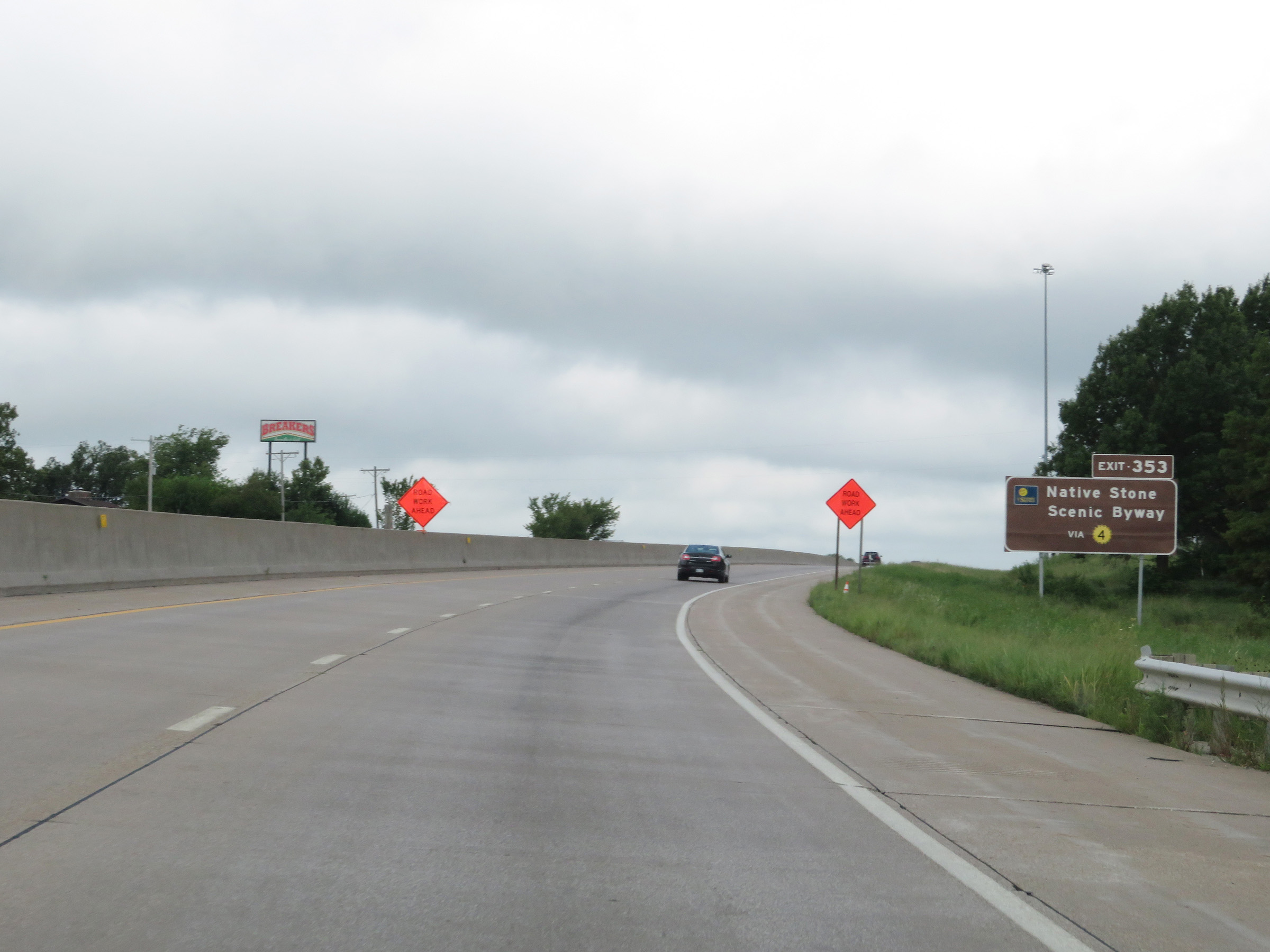 |
Also take Exit 353 to the Native Stone Scenic Byway via K-4. (Photo taken 8/12/20). |
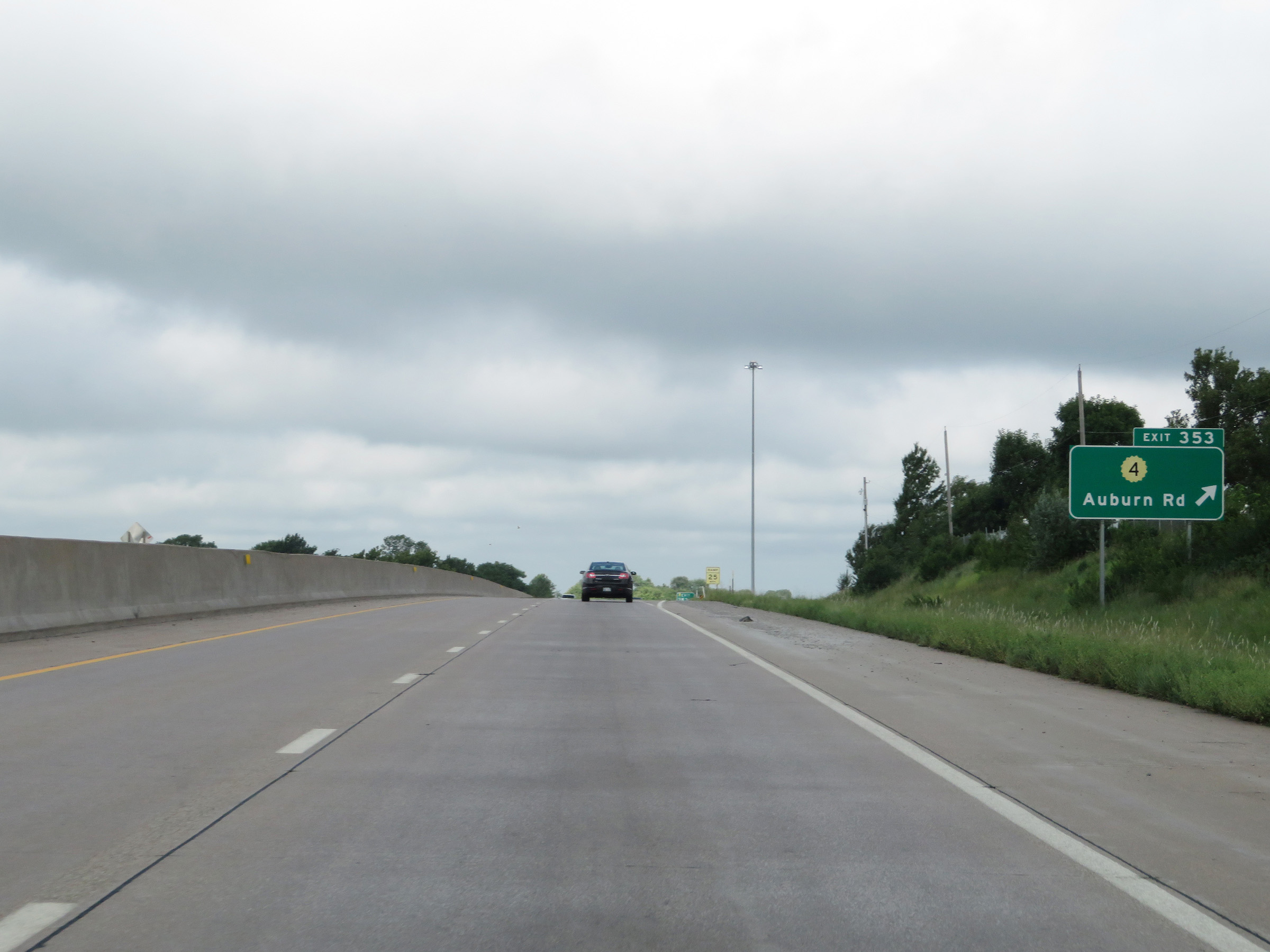 |
Interstate 70 West at Exit 353: K-4 - Auburn Rd (Photo taken 8/12/20). |
 |
West of Exit 353, the maximum speed limit increases to 75 mph once again. The minimum speed limit remains 40 mph. These are the standard speed limits on most rural Interstate highways in Kansas. (Photo taken 8/12/20). |
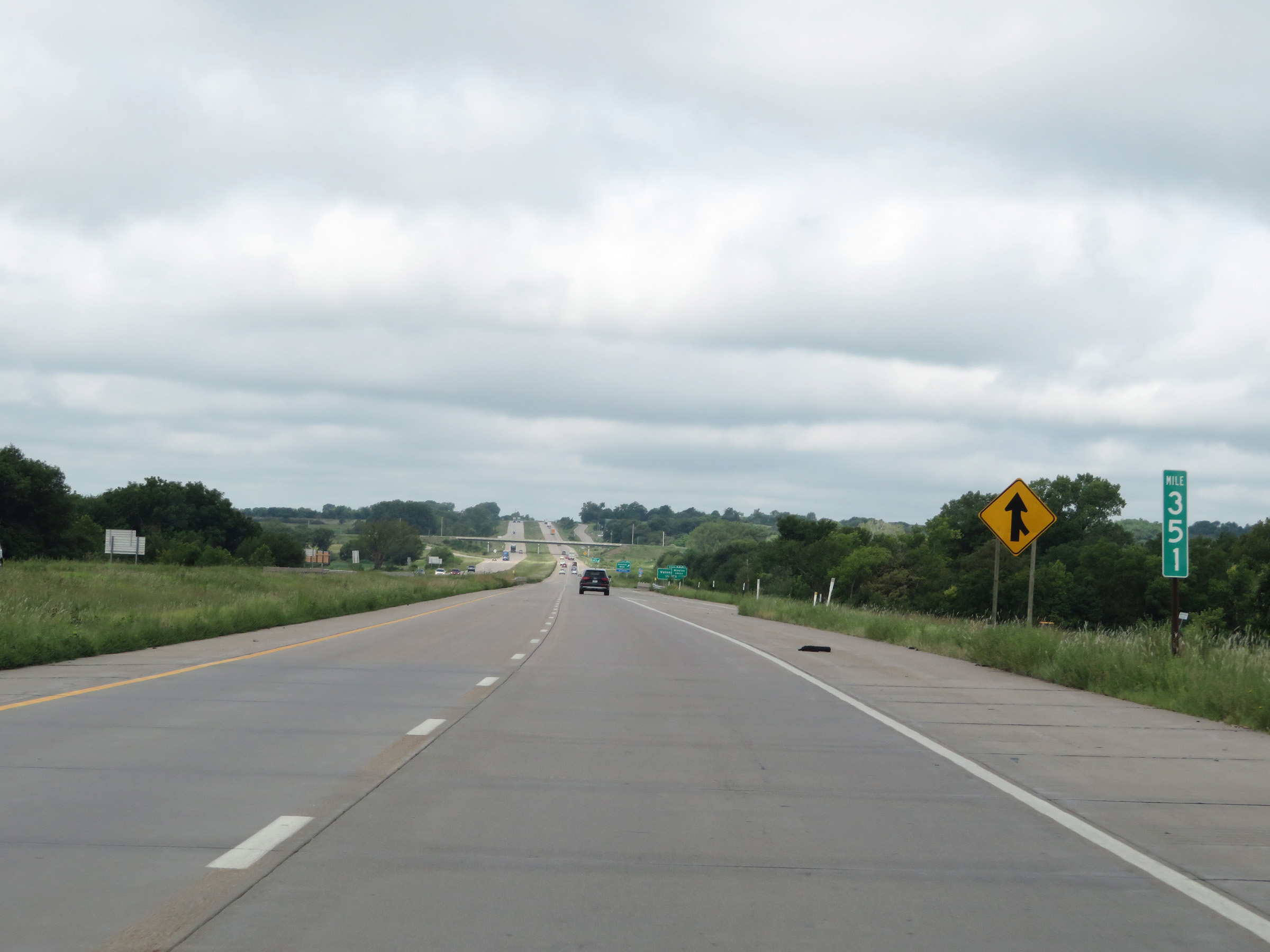 |
View on Interstate 70 West at mile marker 351. (Photo taken 8/12/20). |
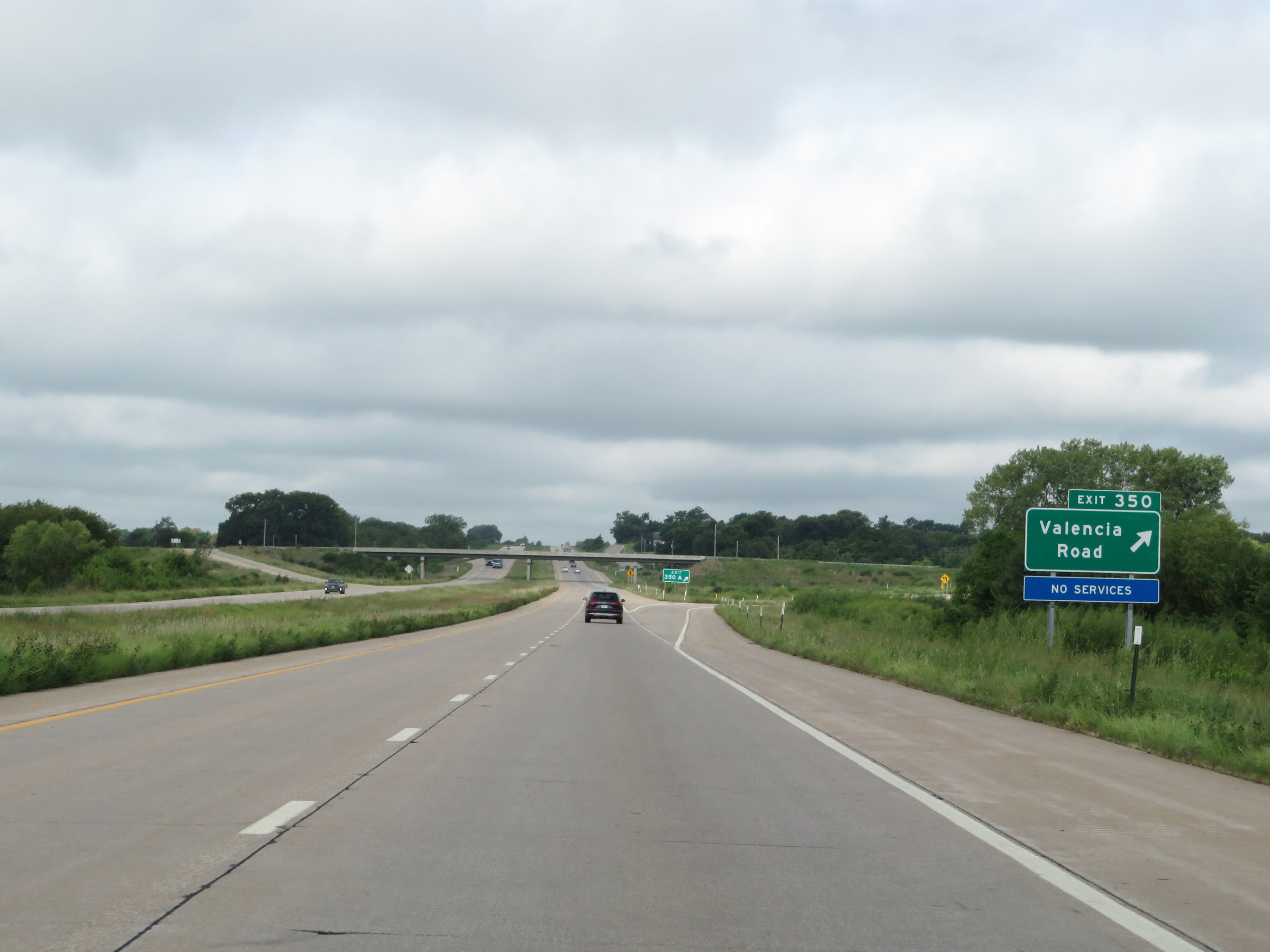 |
Interstate 70 West at Exit 350: Valencia Road (Photo taken 8/12/20). |
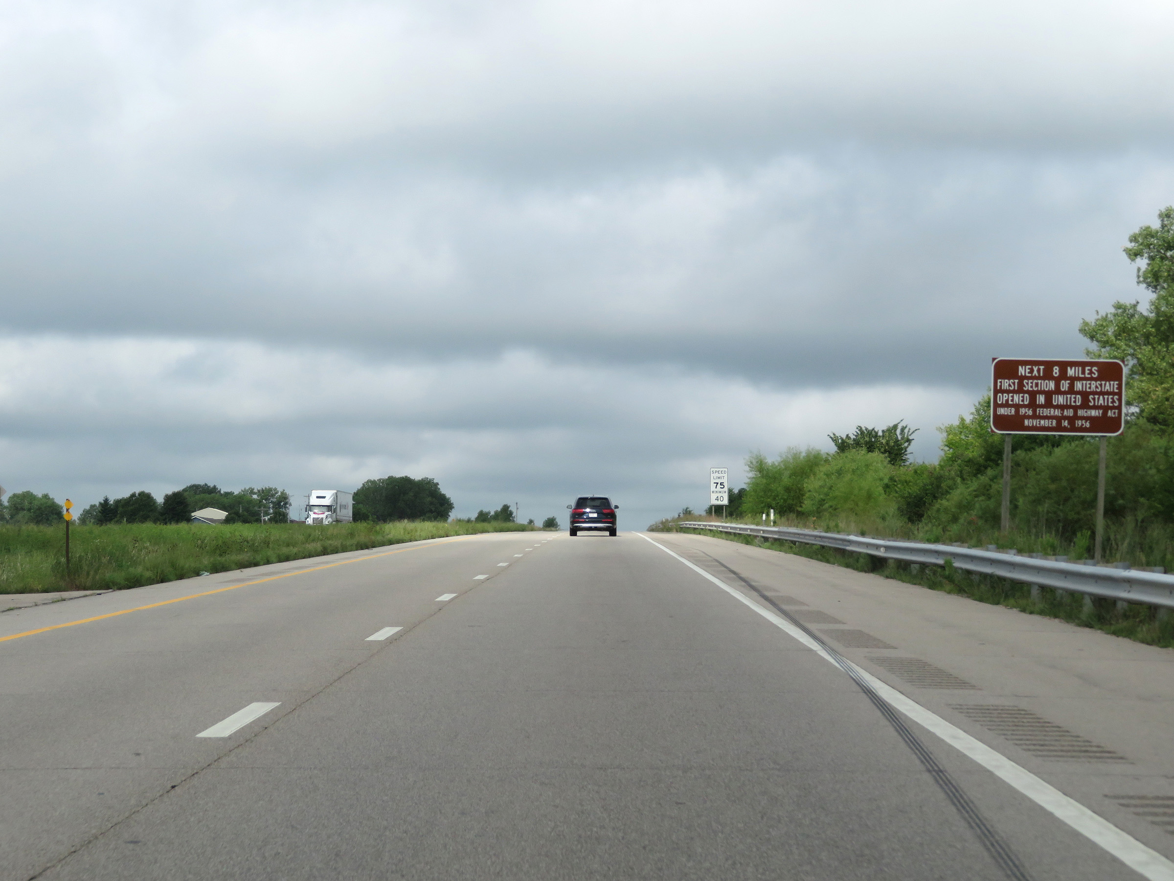 |
As this sign reads, the next 8 miiles of Interstate 70 West made up the first section of Interstate opened in the United States under the Federal-Aid Highway Act on November 13, 1956. (Photo taken 8/12/20). |
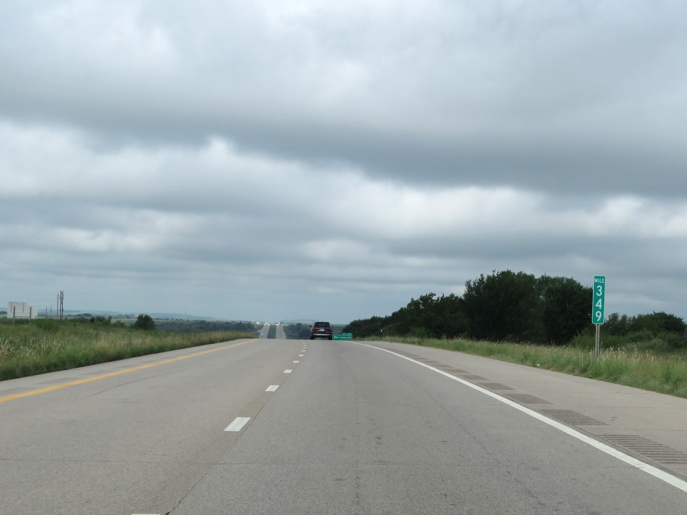 |
Interstate 70 West at mile marker 349. (Photo taken 8/12/20). |
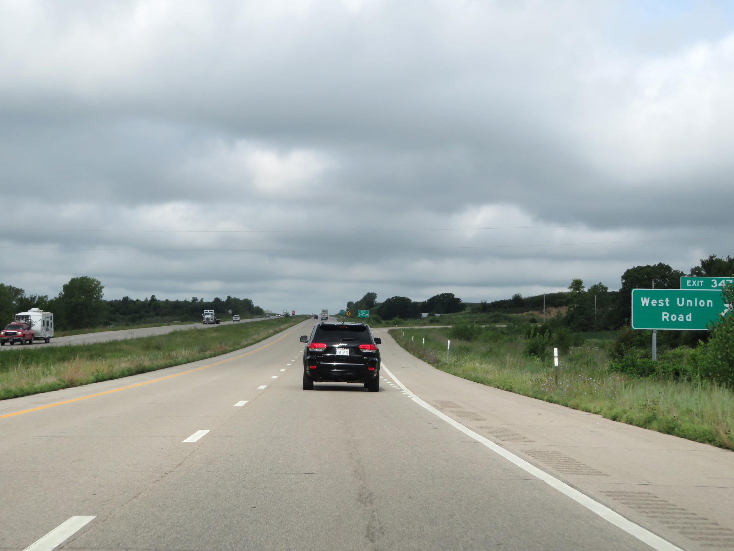 |
Interstate 70 West at Exit 347: West Union Road (Photo taken 8/12/20). |
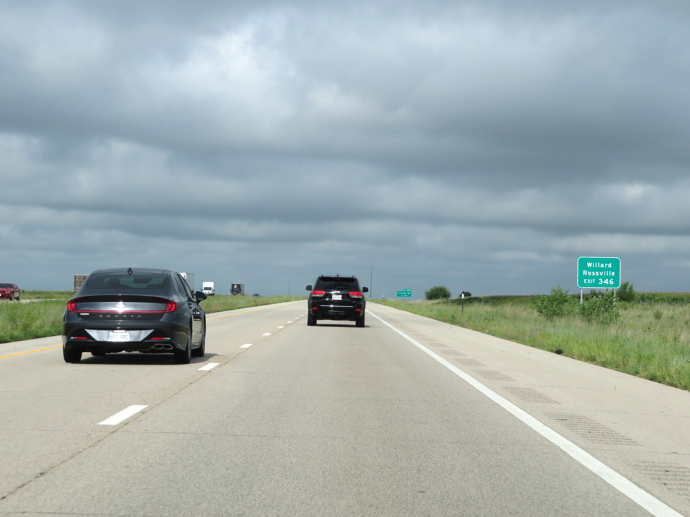 |
Take Exit 346 to Willard and Rossville. (Photo taken 8/12/20). |
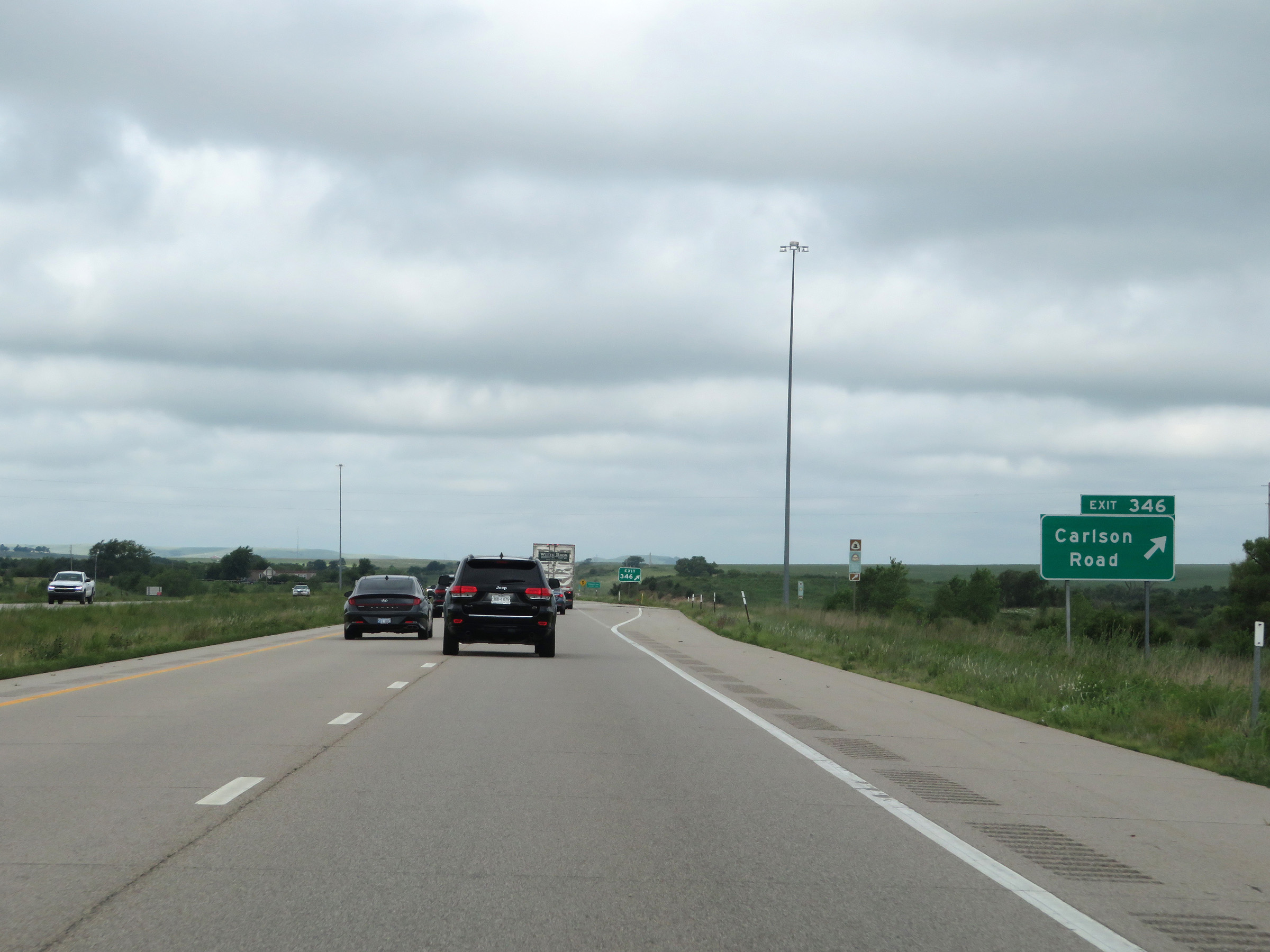 |
Interstate 70 West at Exit 346: Carlson Road (Photo taken 8/12/20). |
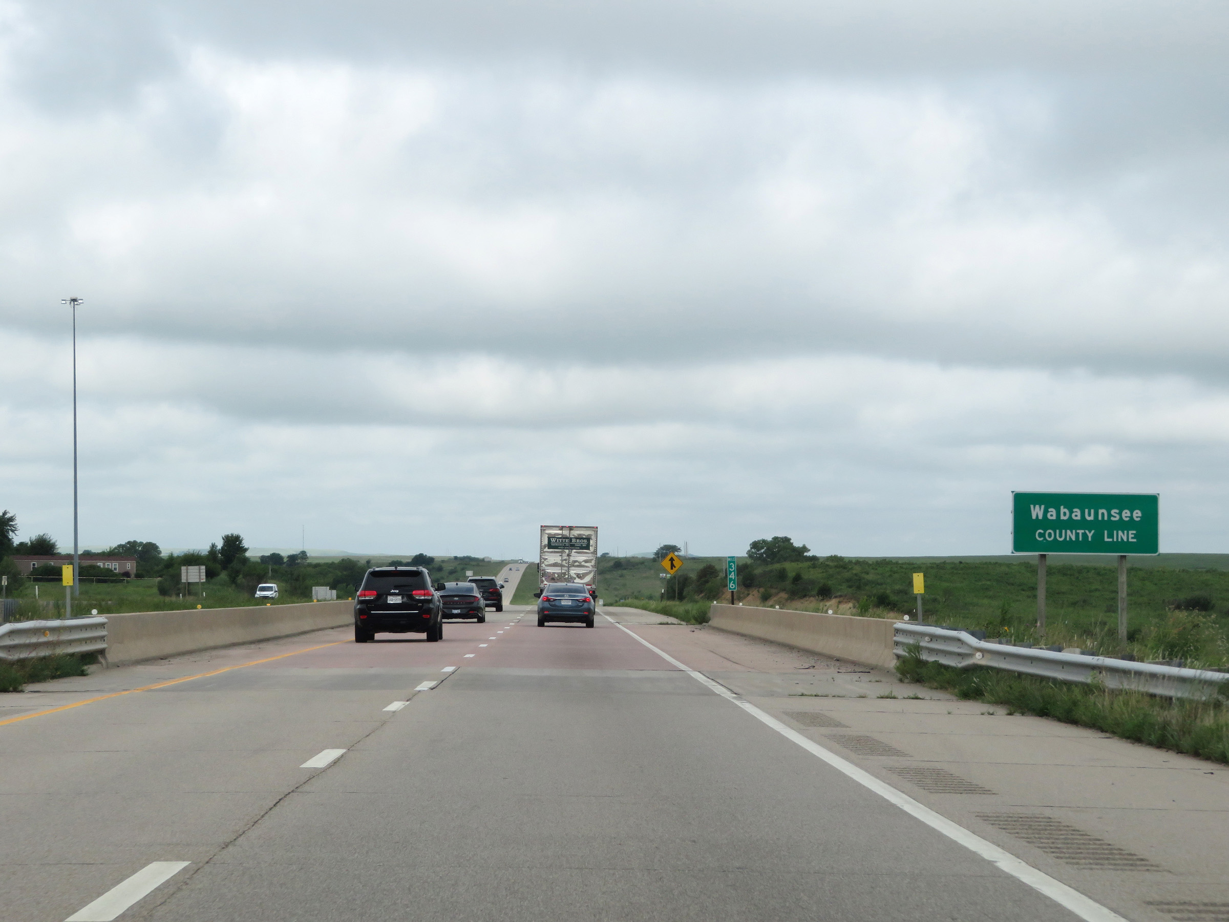 |
Interstate 70 West as it enters Wabaunsee County at mile marker 346. (Photo taken 8/12/20). |
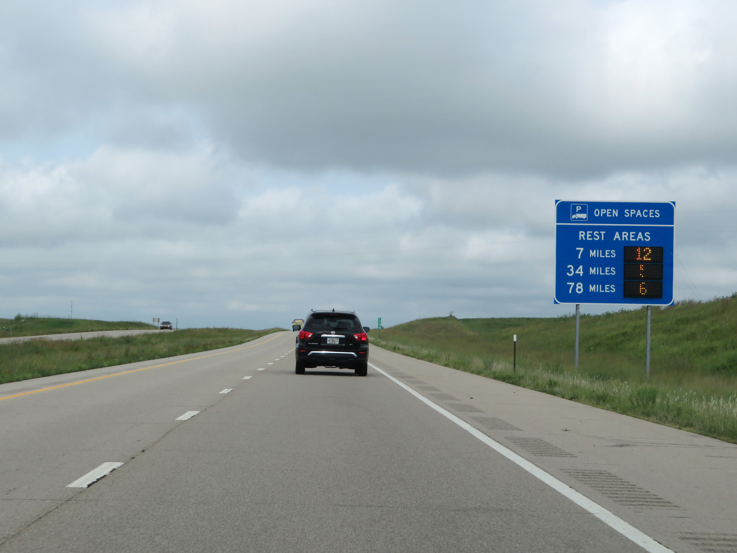 |
Dynamic truck parking availability sign on Interstate 70 West, showing the number of currently available truck parking spaces at the next 3 Rest Areas. (Photo taken 8/12/20). |
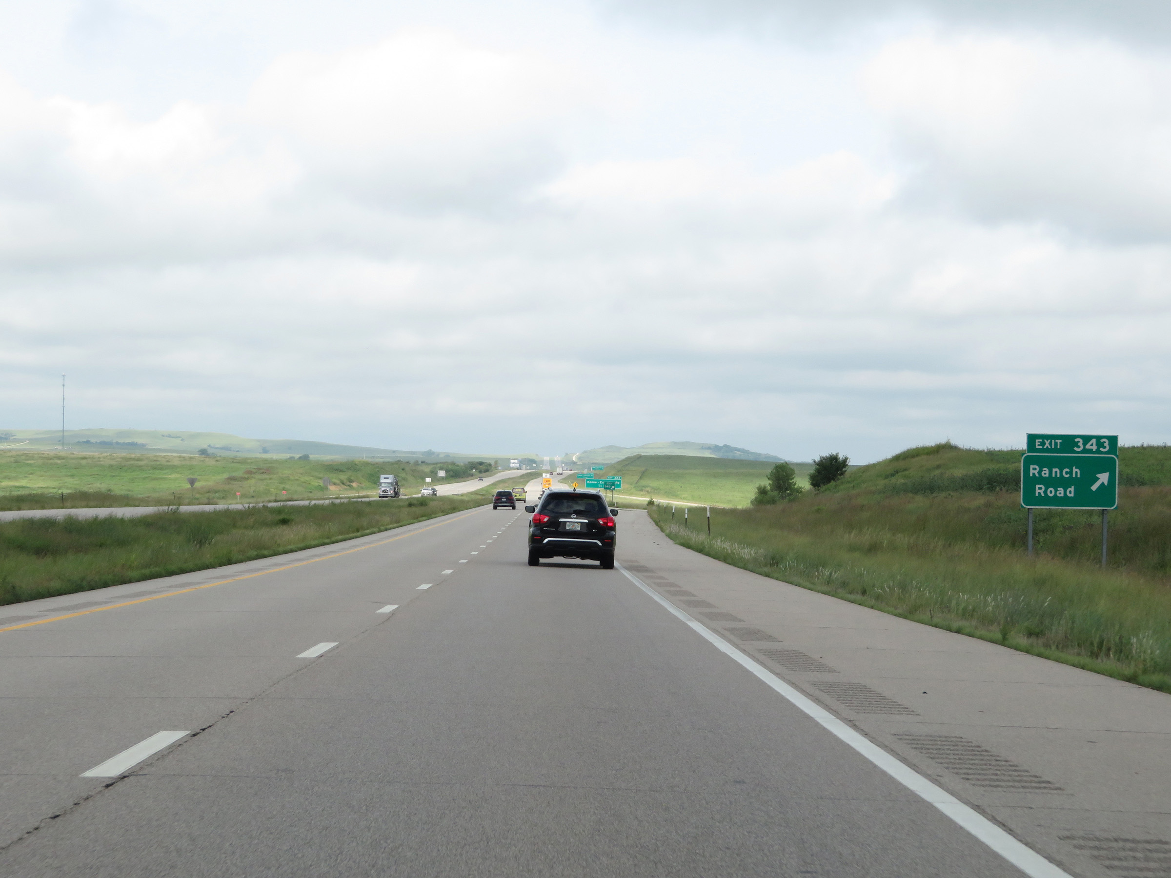 |
Interstate 70 West at Exit 343: Ranch Road (Photo taken 8/12/20). |
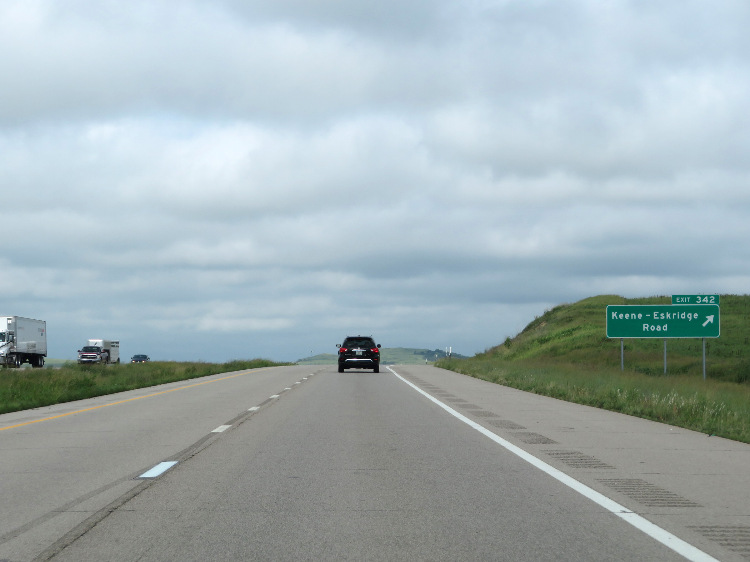 |
Interstate 70 West at Exit 342: Keene-Eskridge Road (Photo taken 8/12/20). |
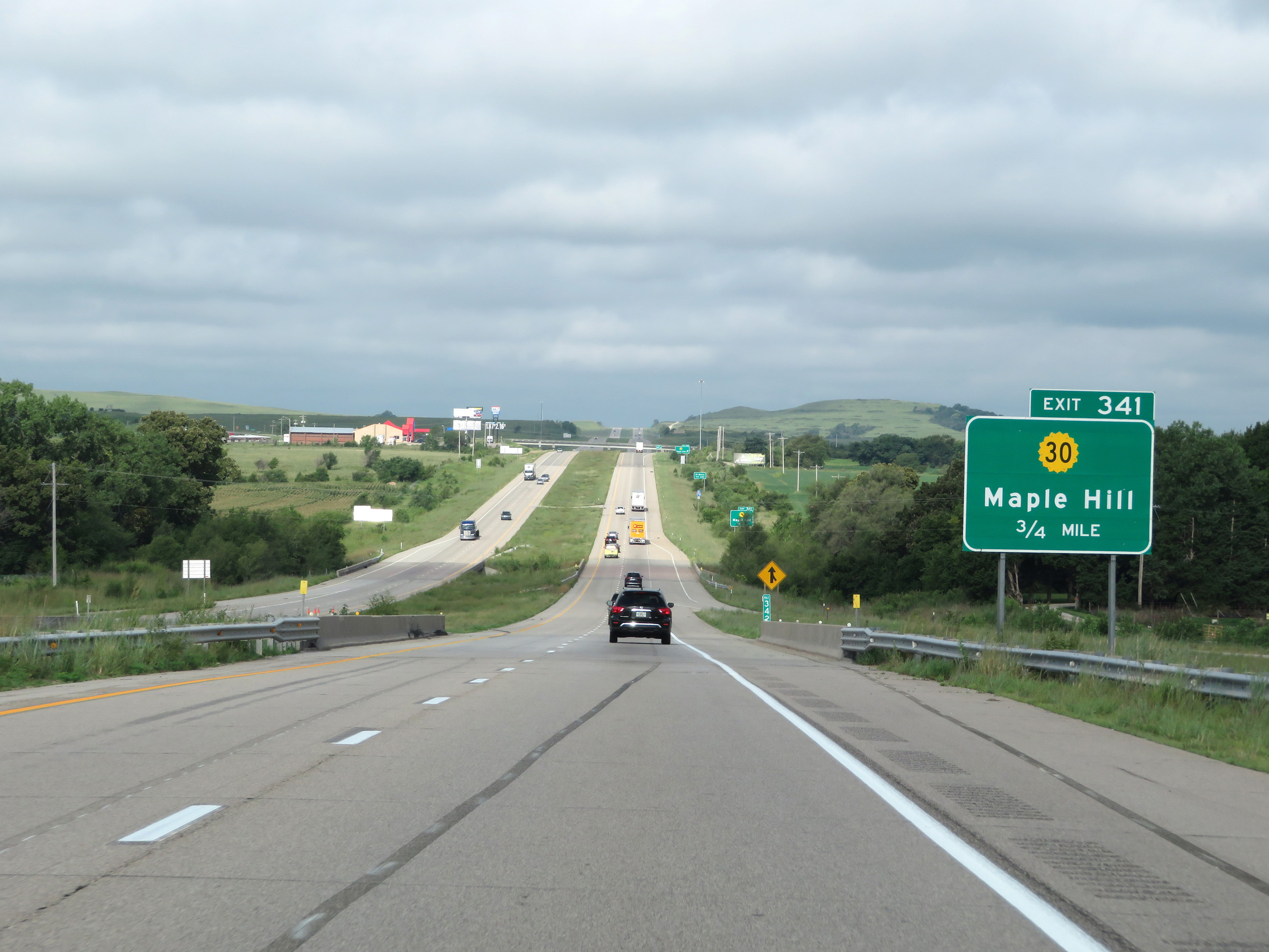 |
Interstate 70 West approaching Exit 341 - 3/4 mile. (Photo taken 8/12/20). |
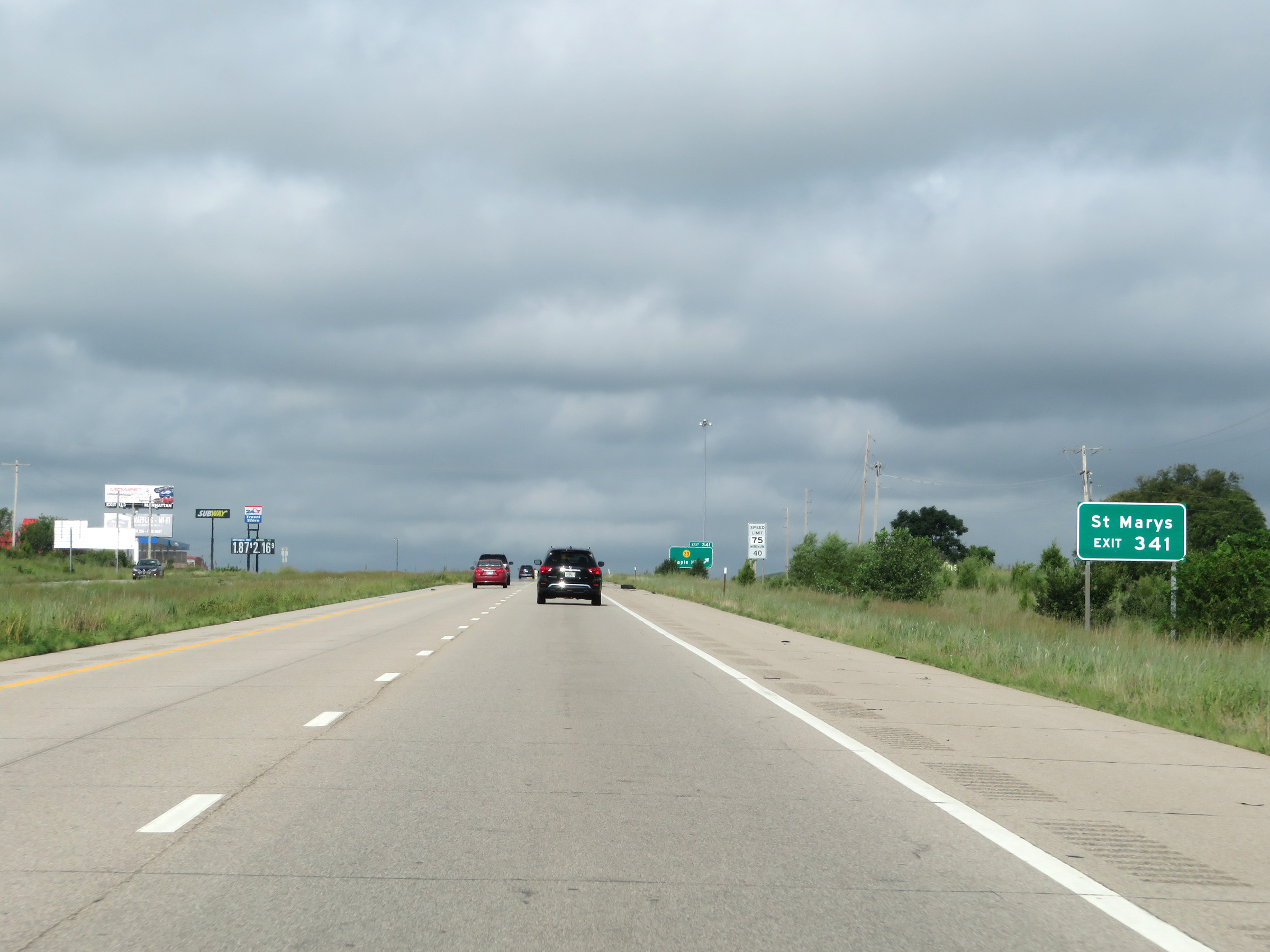 |
Take Exit 341 to St Marys. (Photo taken 8/12/20). |
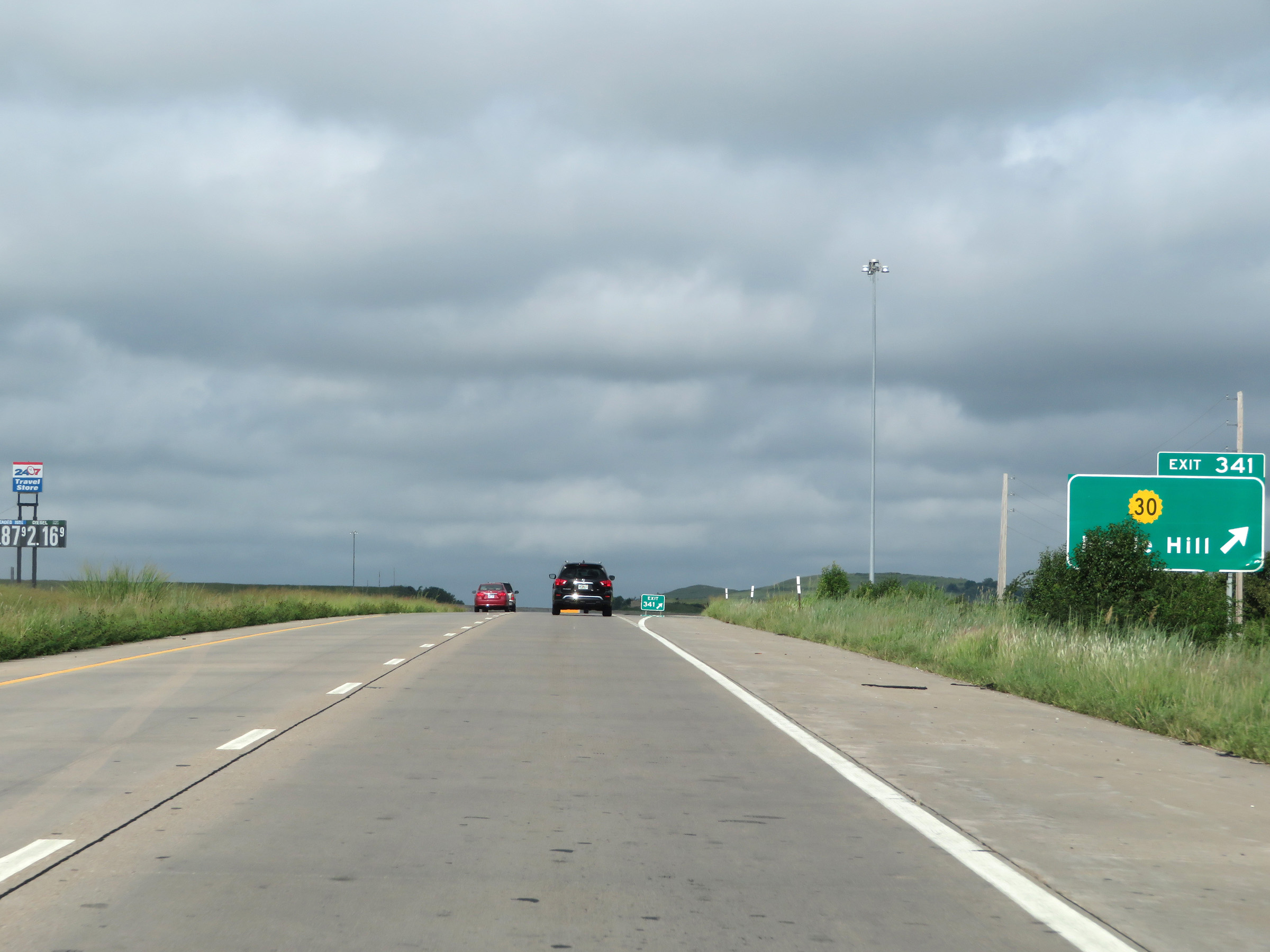 |
Interstate 70 West at Exit 341: K-30 - Maple Hill (Photo taken 8/12/20). |
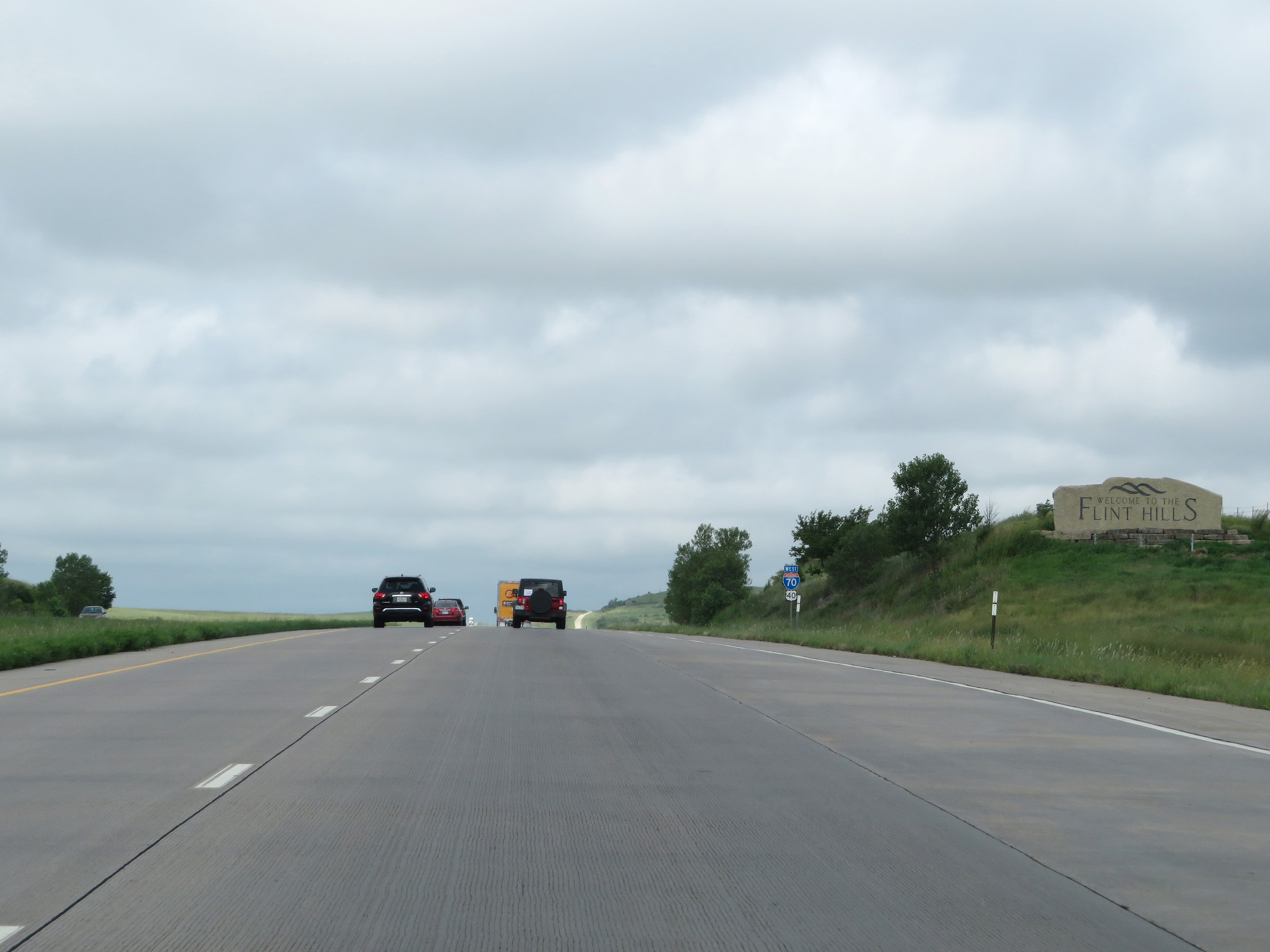 |
Interstate 70 West as it enters the Flint Hills region. (Photo taken 8/12/20). |
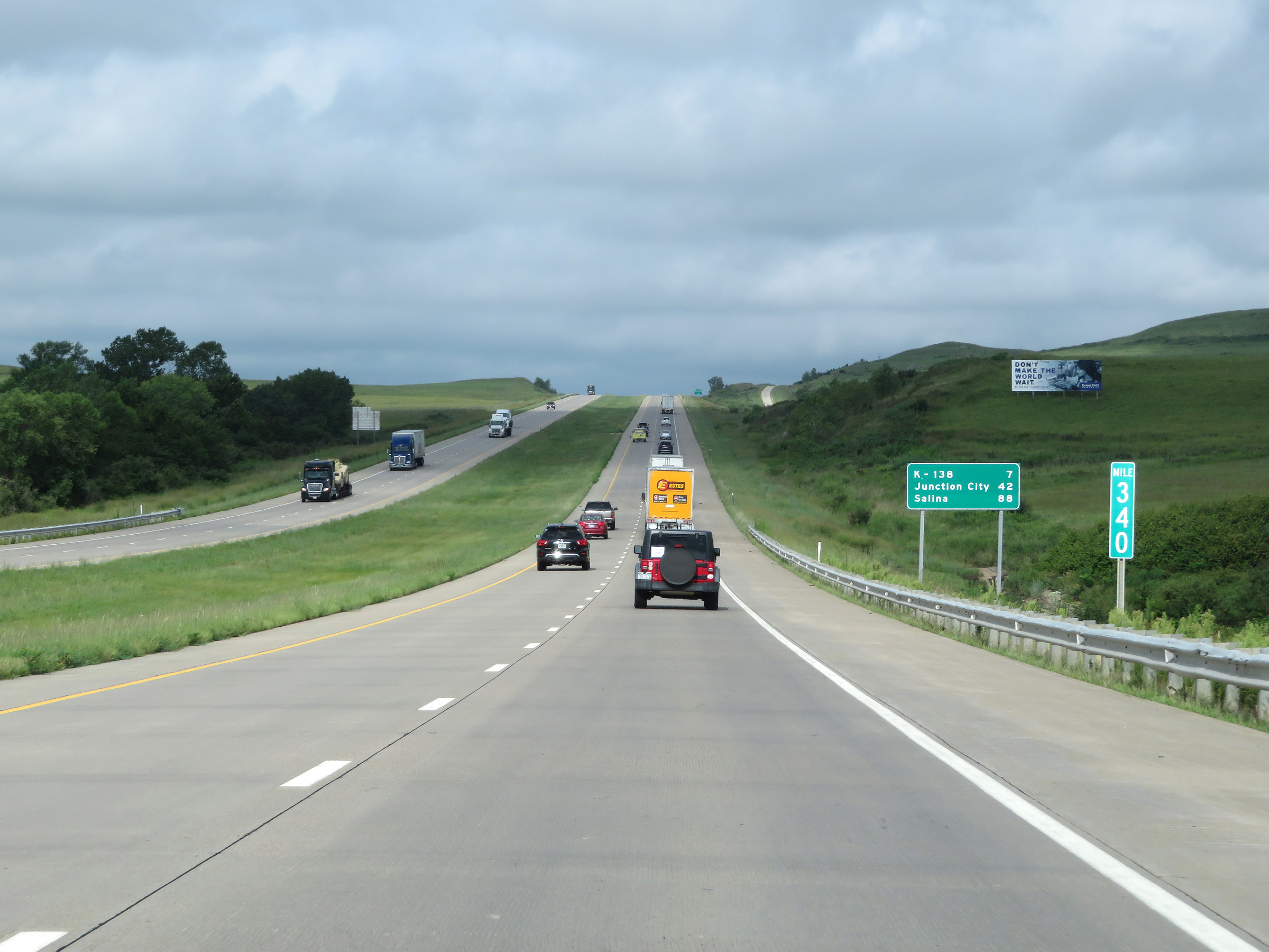 |
View on Interstate 70 West at mile marker 340. (Photo taken 8/12/20). |
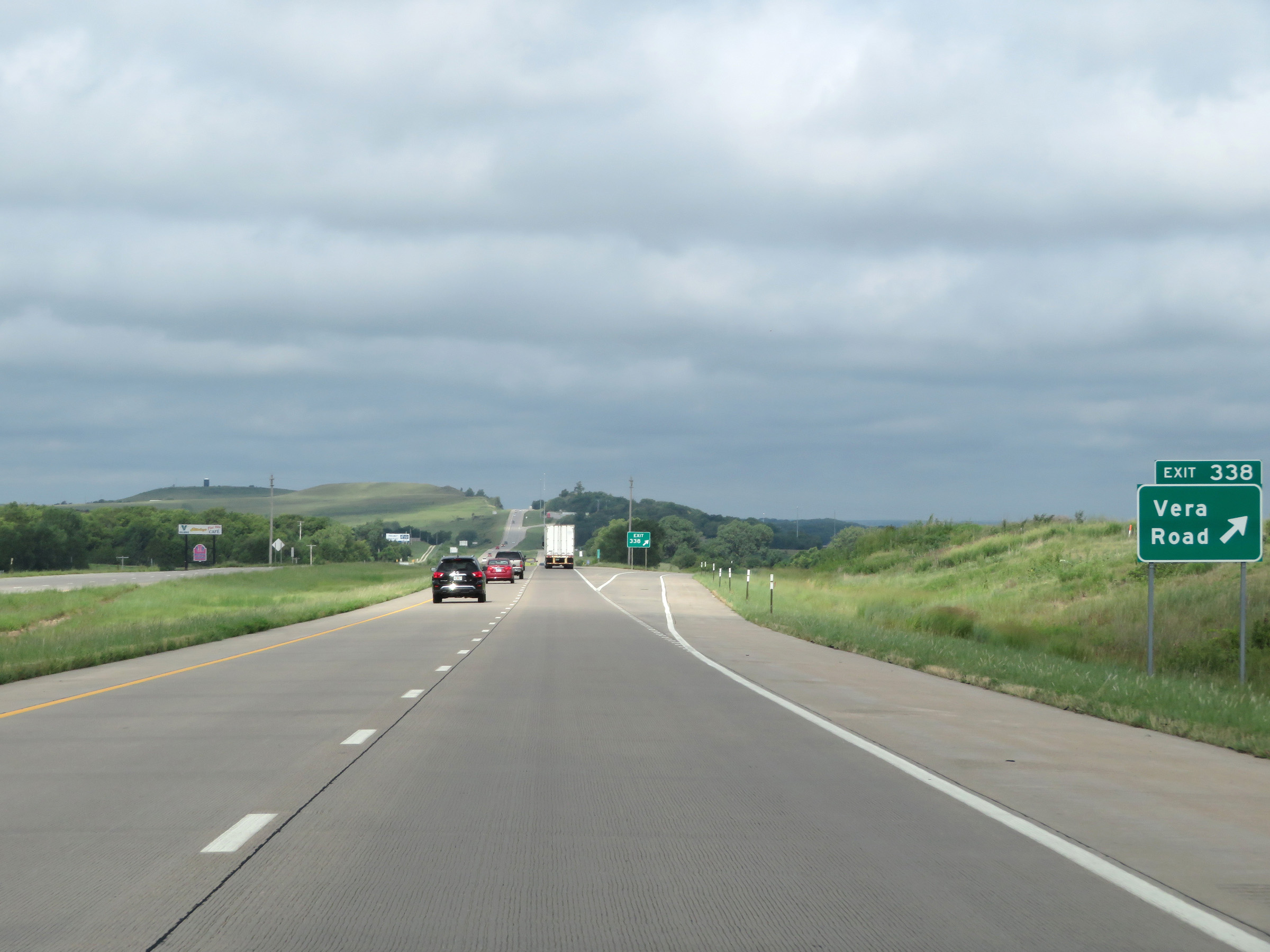 |
Interstate 70 West at Exit 338: Vera Road (Photo taken 8/12/20). |
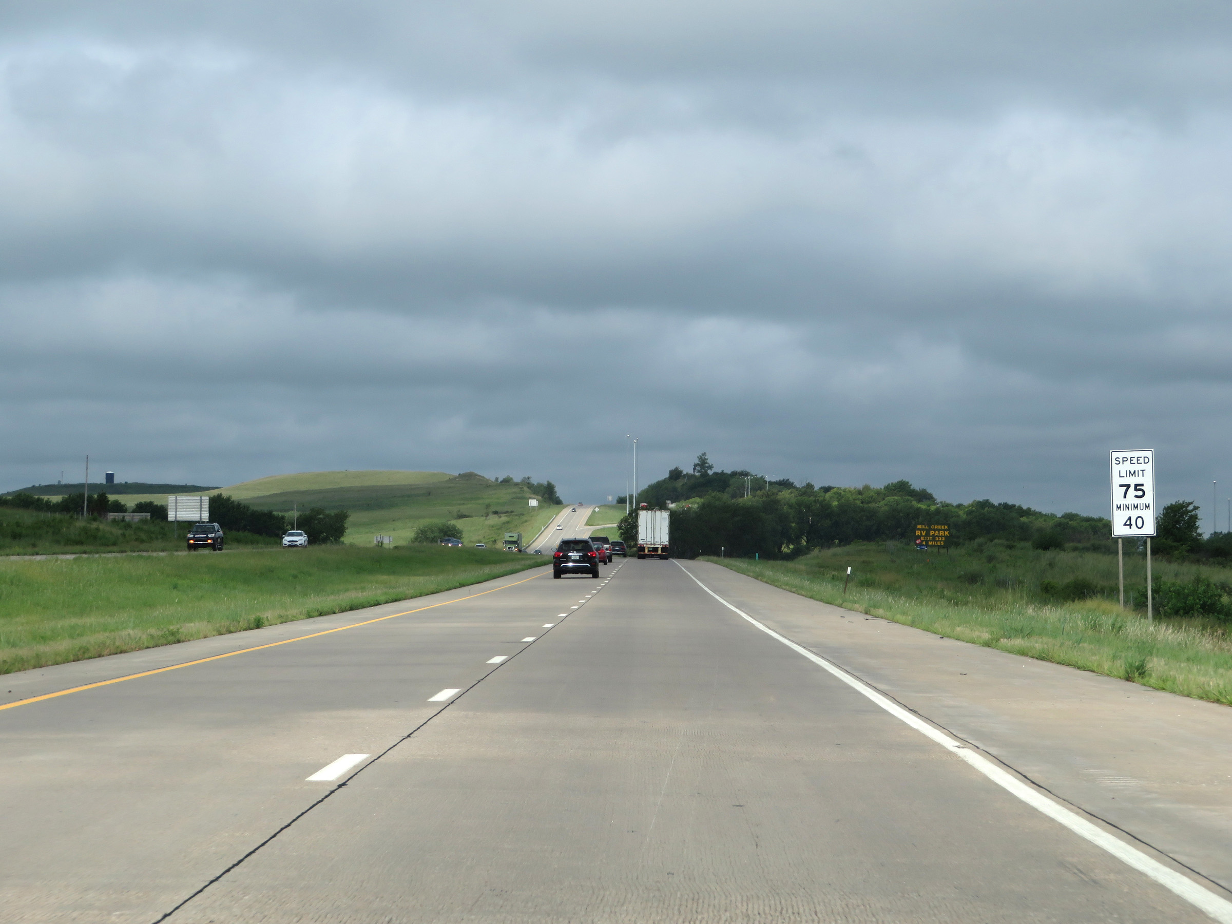 |
The speed limits remain 75 mph maximum and 40 mph minimum. (Photo taken 8/12/20). |
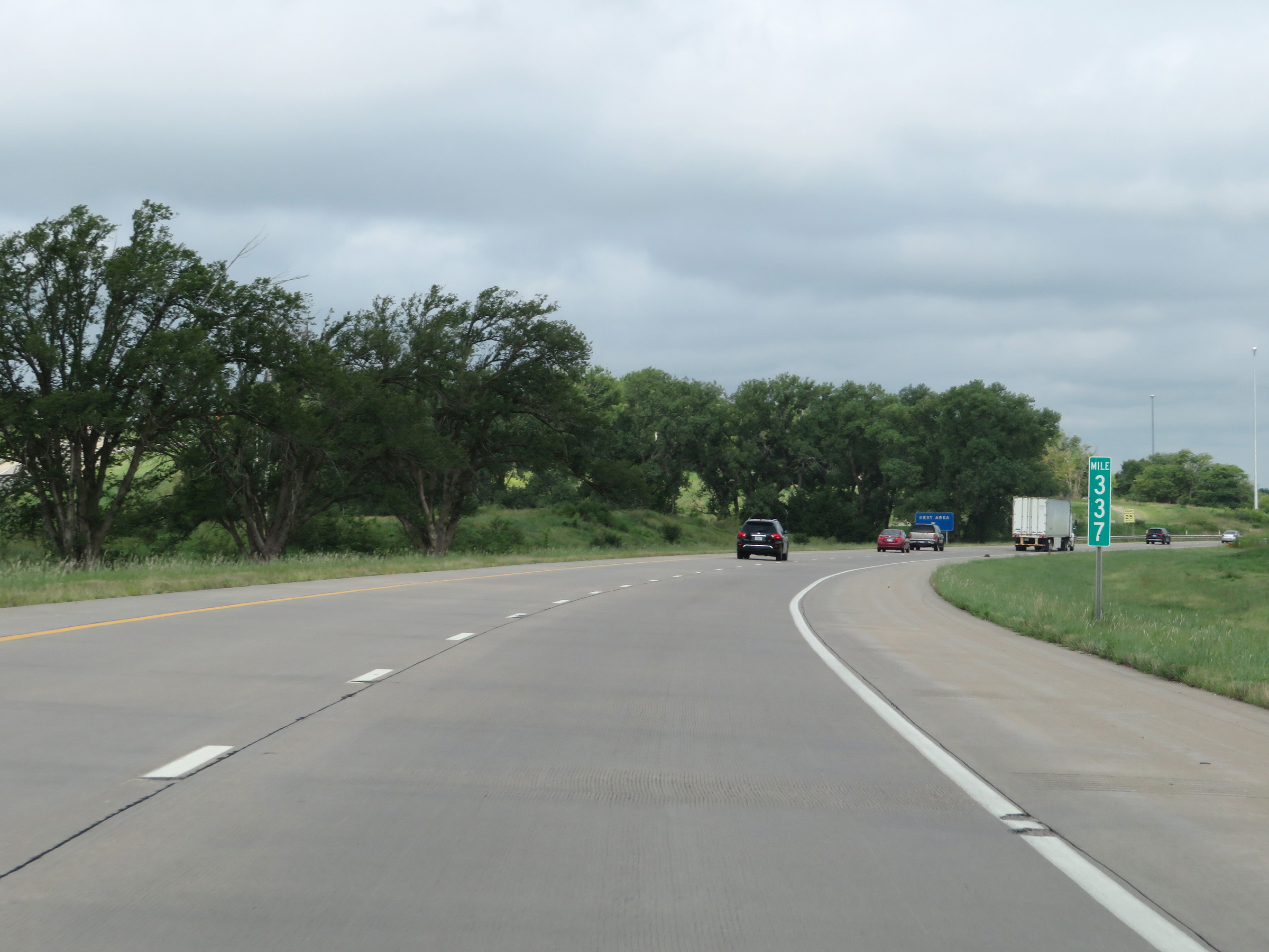 |
Interstate 70 West at mile marker 337. (Photo taken 8/12/20). |
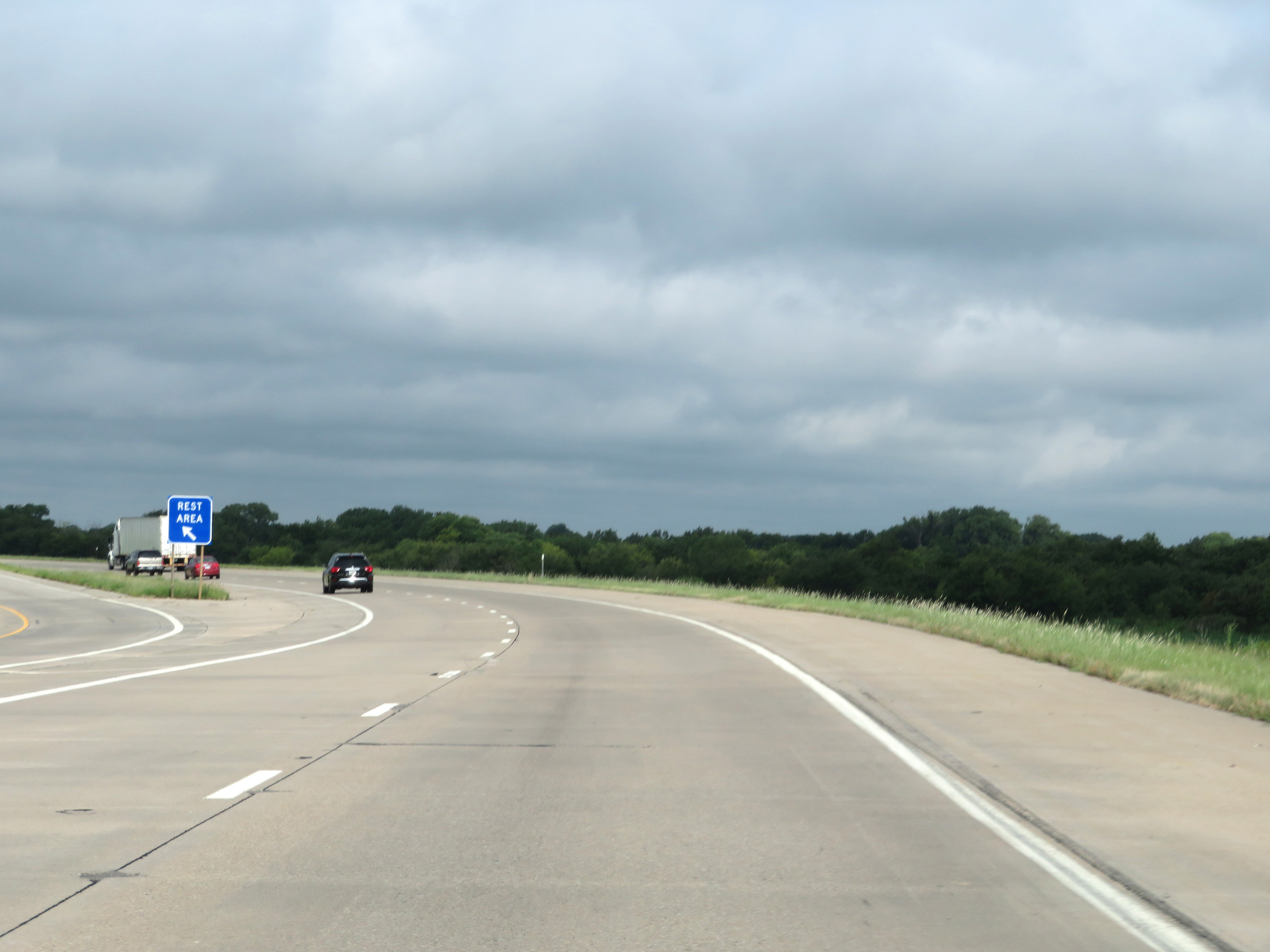 |
Rest Area on Interstate 70 West (in the median) in Wabaunsee County. (Photo taken 8/12/20). |
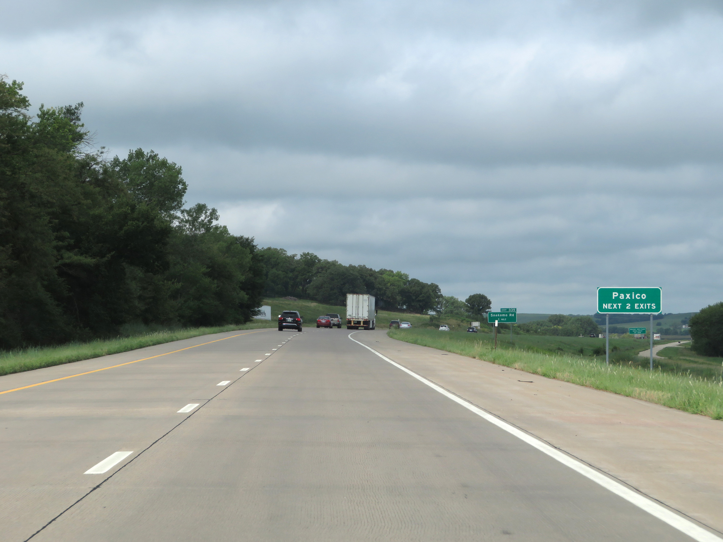 |
Take either of the next 2 exits to Paxico. (Photo taken 8/12/20). |
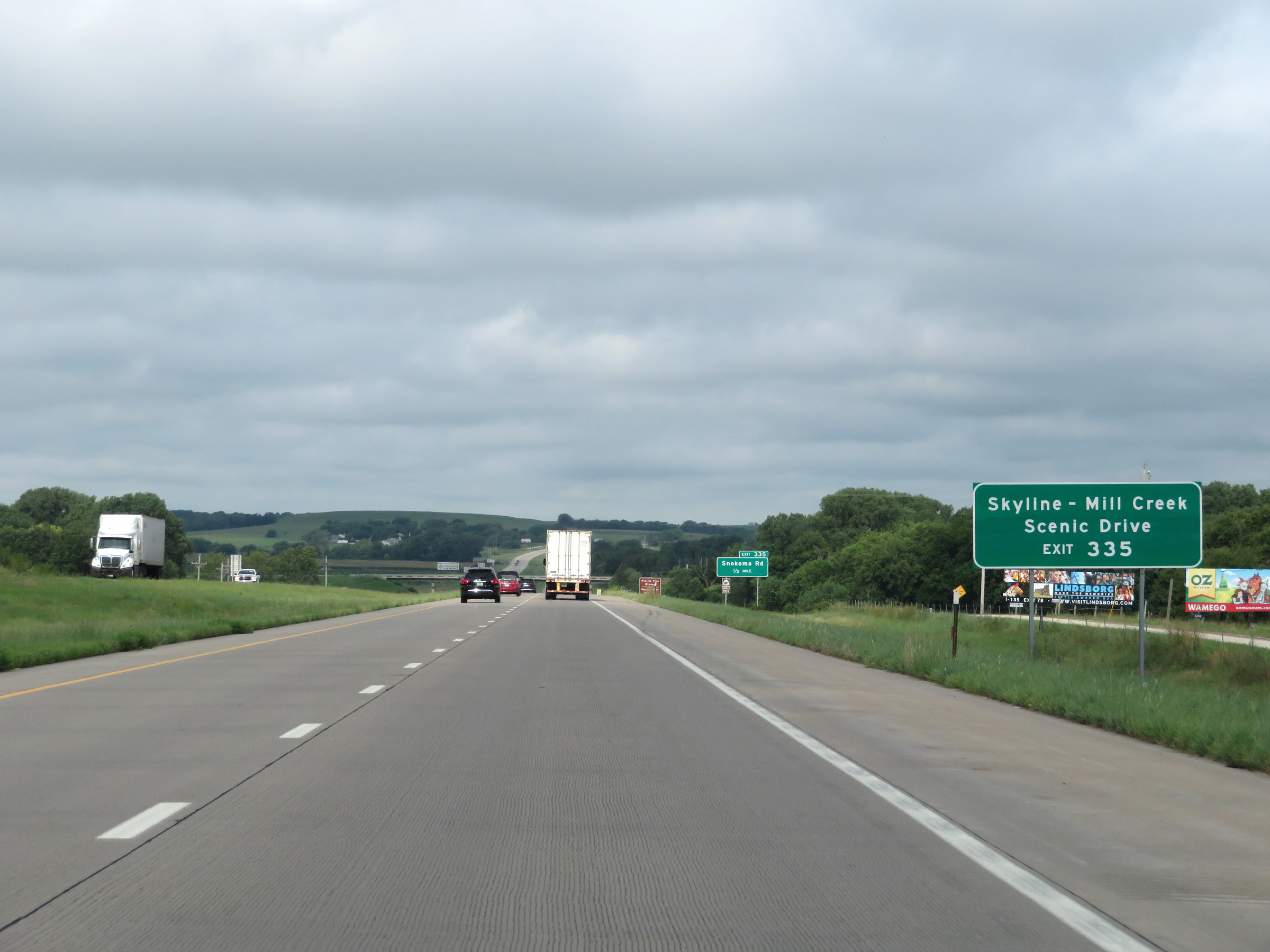 |
Take Exit 335 to Skyline-Mill Creek Scenic Drive. (Photo taken 8/12/20). |
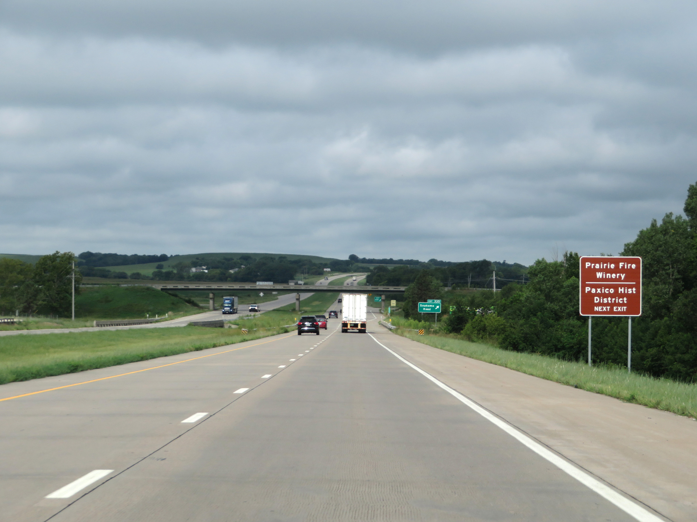 |
Also take Exit 335 to Prairie Fire Winery and Paxico Historic District. (Photo taken 8/12/20). |
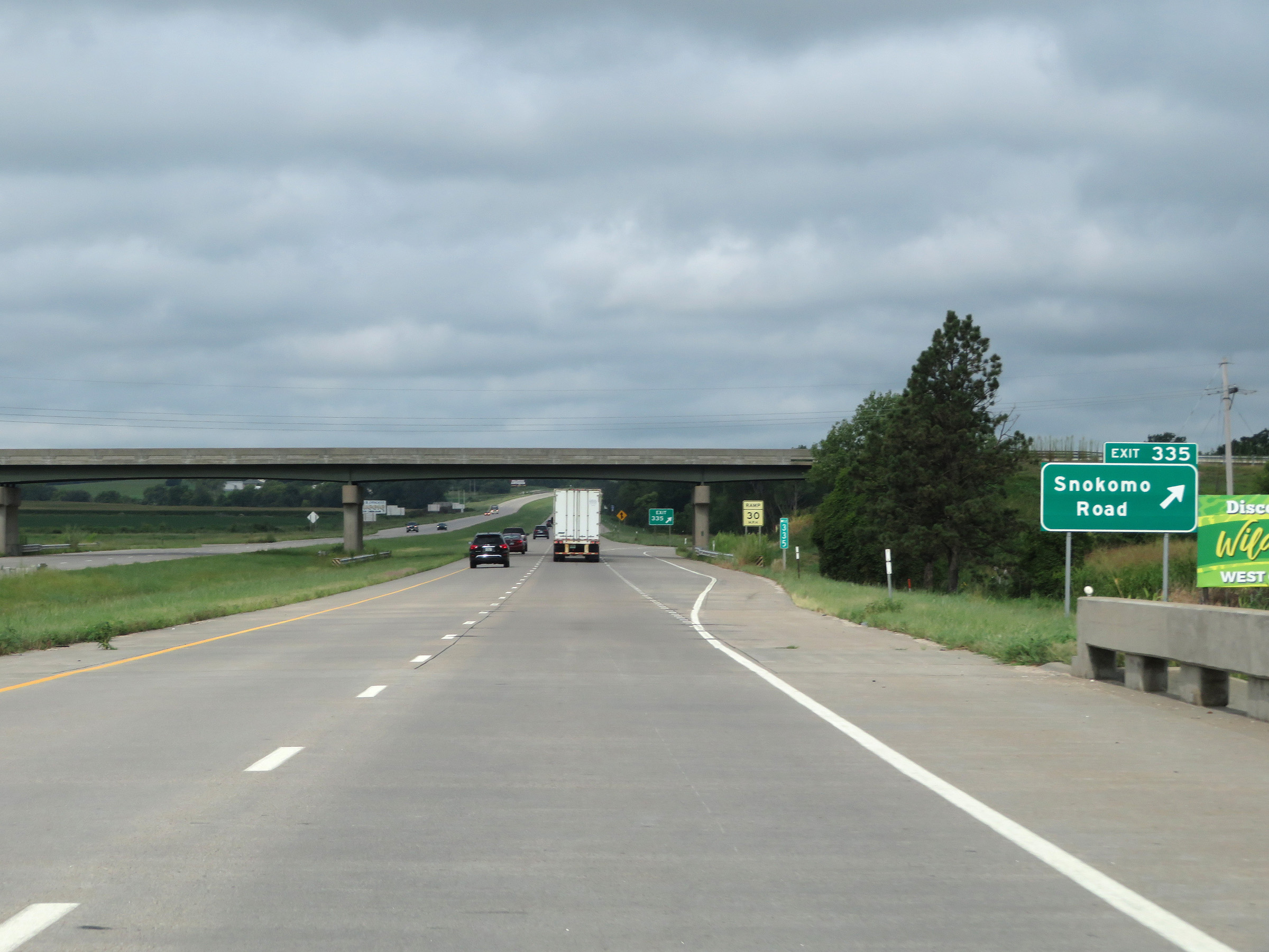 |
Interstate 70 West at Exit 335: Snokomo Road (Photo taken 8/12/20). |
 |
Interstate 70 West at Exit 333: K-138 - Paxico (Photo taken 8/12/20). |
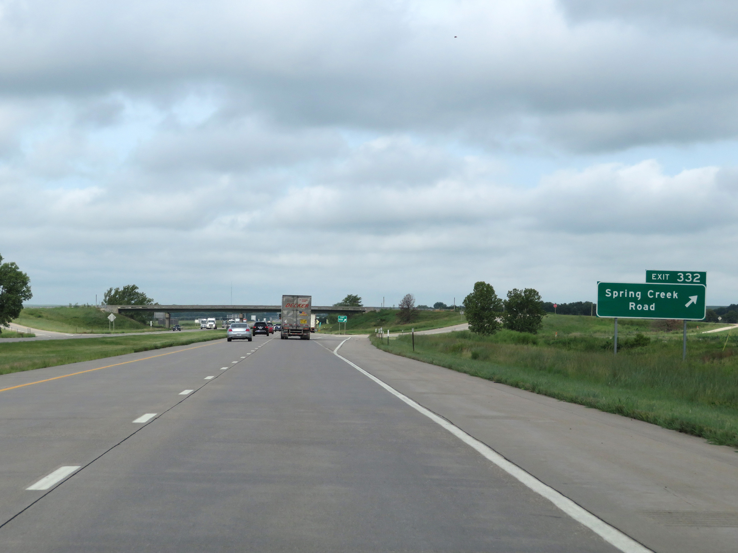 |
Interstate 70 West at Exit 332: Spring Creek Road (Photo taken 8/12/20). |
 |
View on Interstate 70 West at mile marker 331. (Photo taken 8/12/20). |
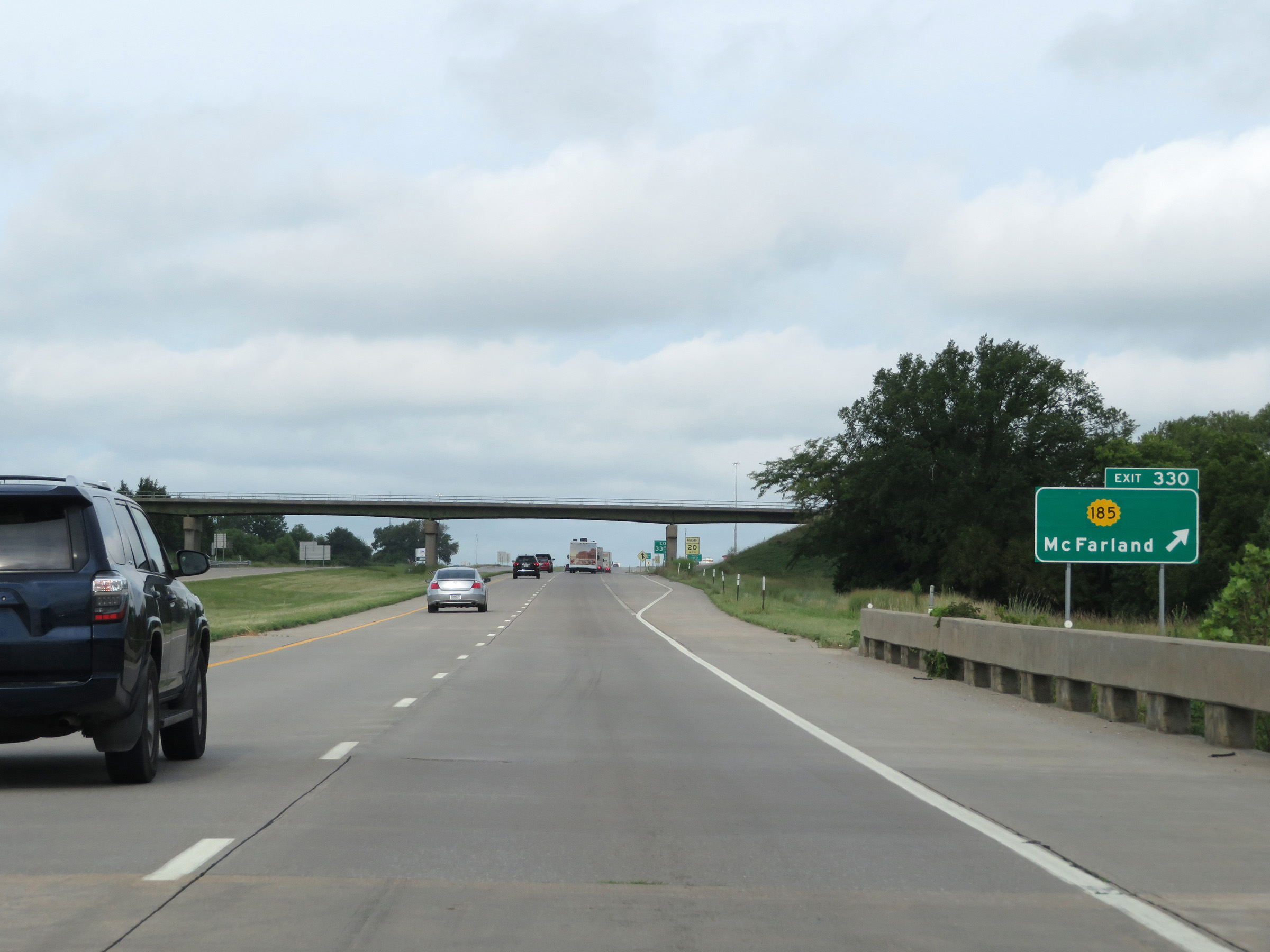 |
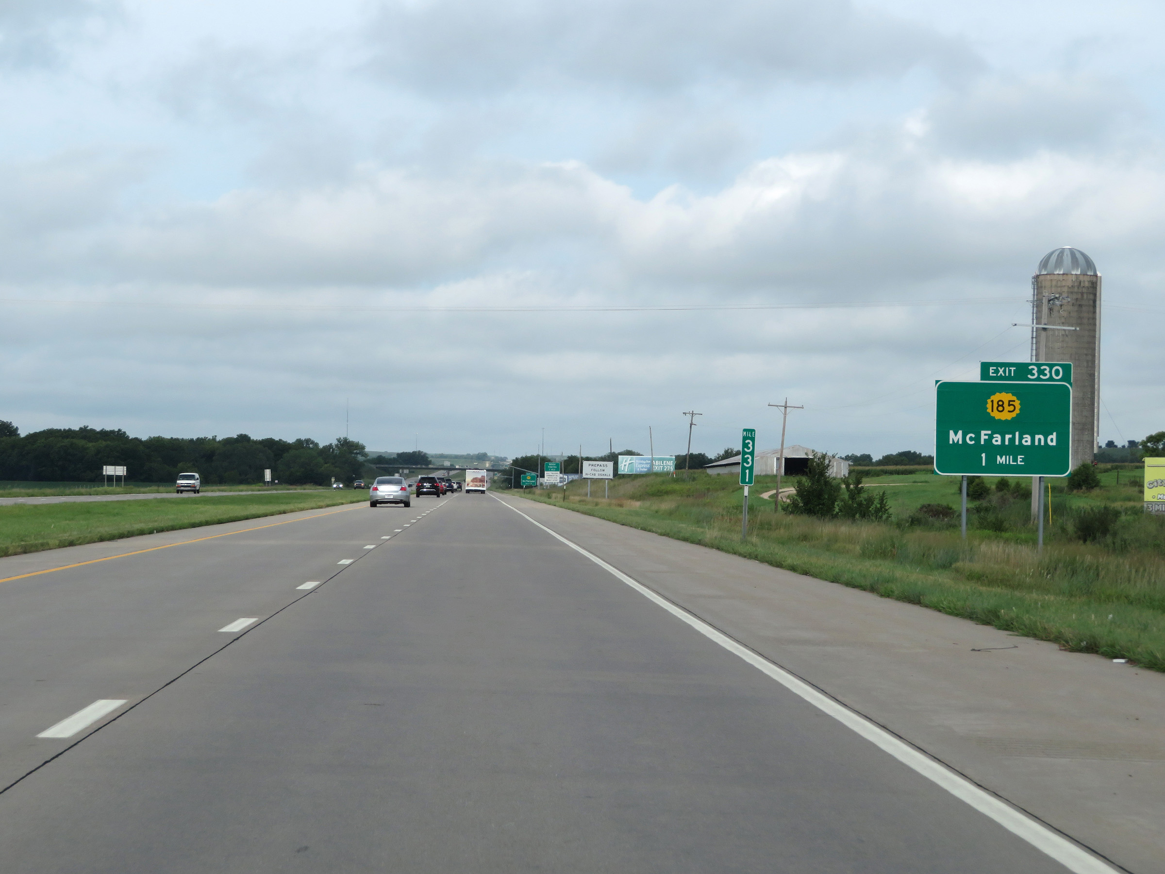
Interstate 70 West at Exit 330: K-185 - McFarland (Photo taken 8/12/20). |
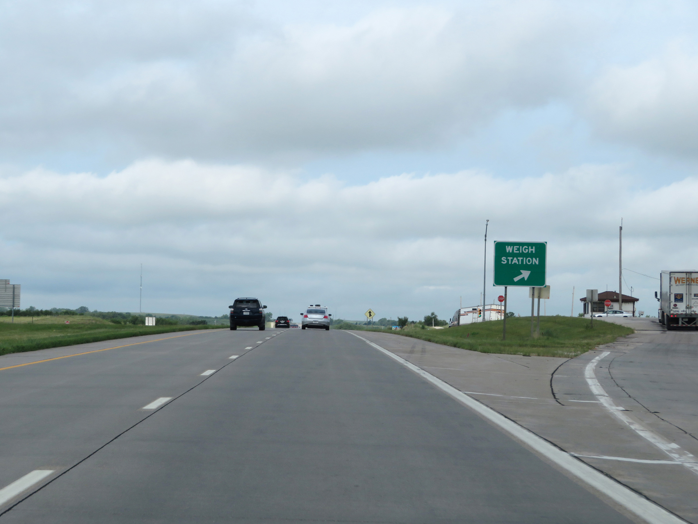 |
Weigh Station on Interstate 70 West in Wabaunsee County. (Photo taken 8/12/20). |
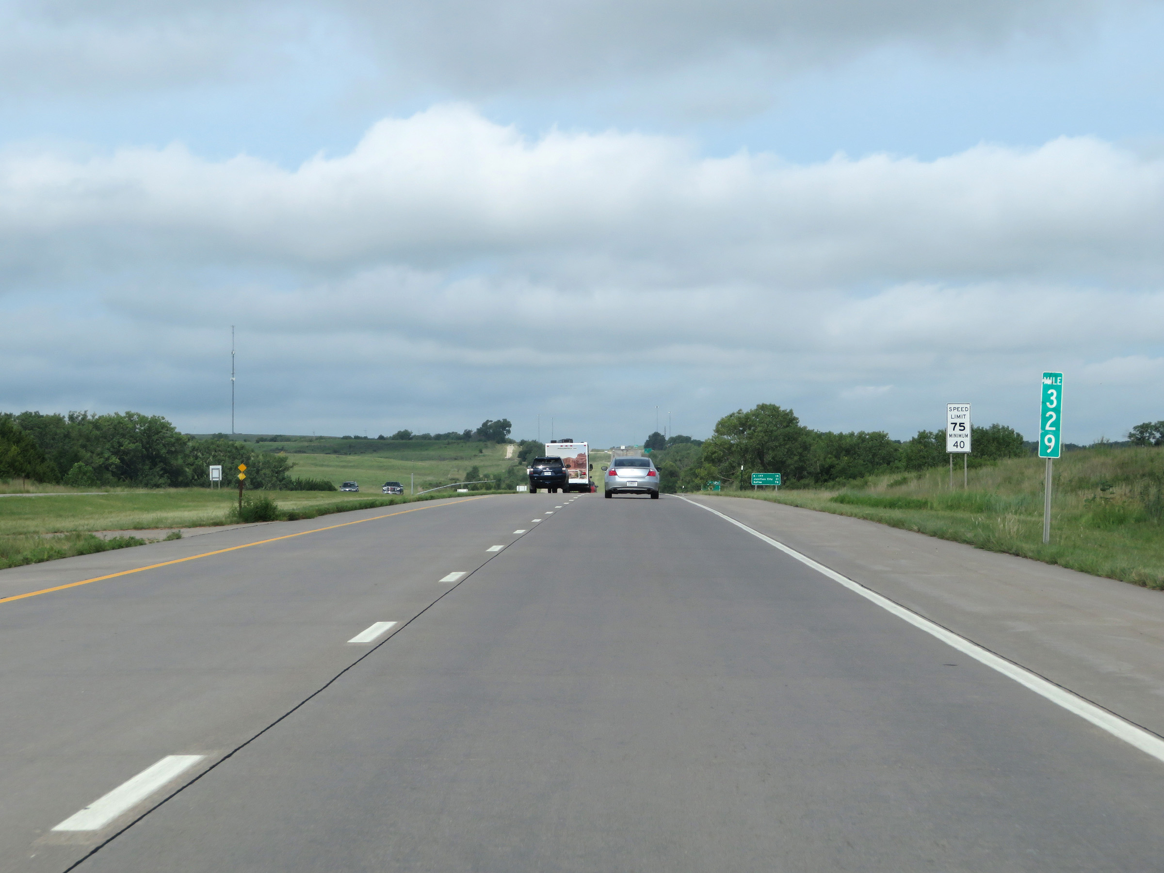 |
Interstate 70 West at mile marker 329. (Photo taken 8/12/20). |
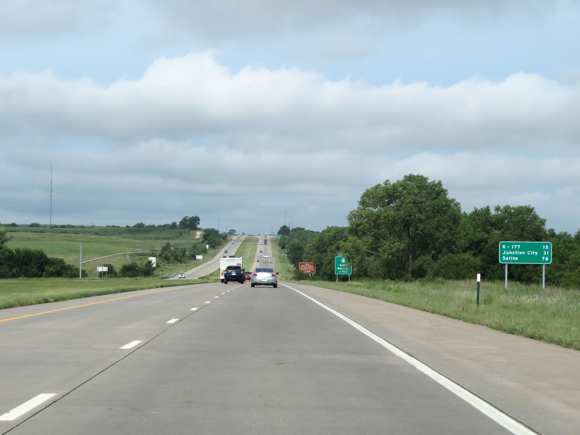 |
Another mileage sign on Interstate 70 West. It's 15 miles to the junction of K-177, 31 miles to Junction City, and 76 miles to Salina. (Photo taken 8/12/20). |
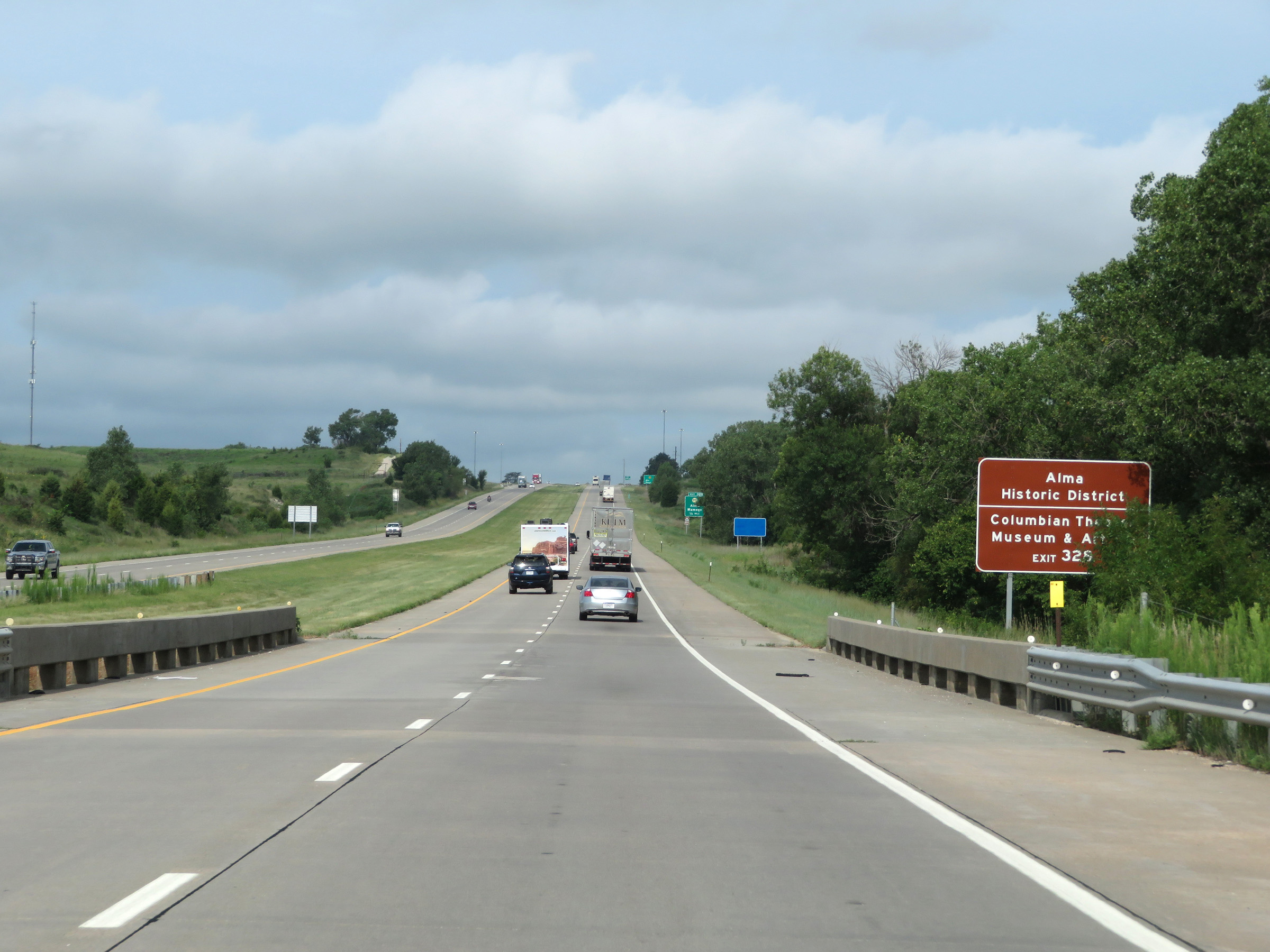 |
Take Exit 328 to Alma Historic District and the Columbian Theatre Museum & Art. (Photo taken 8/12/20). |
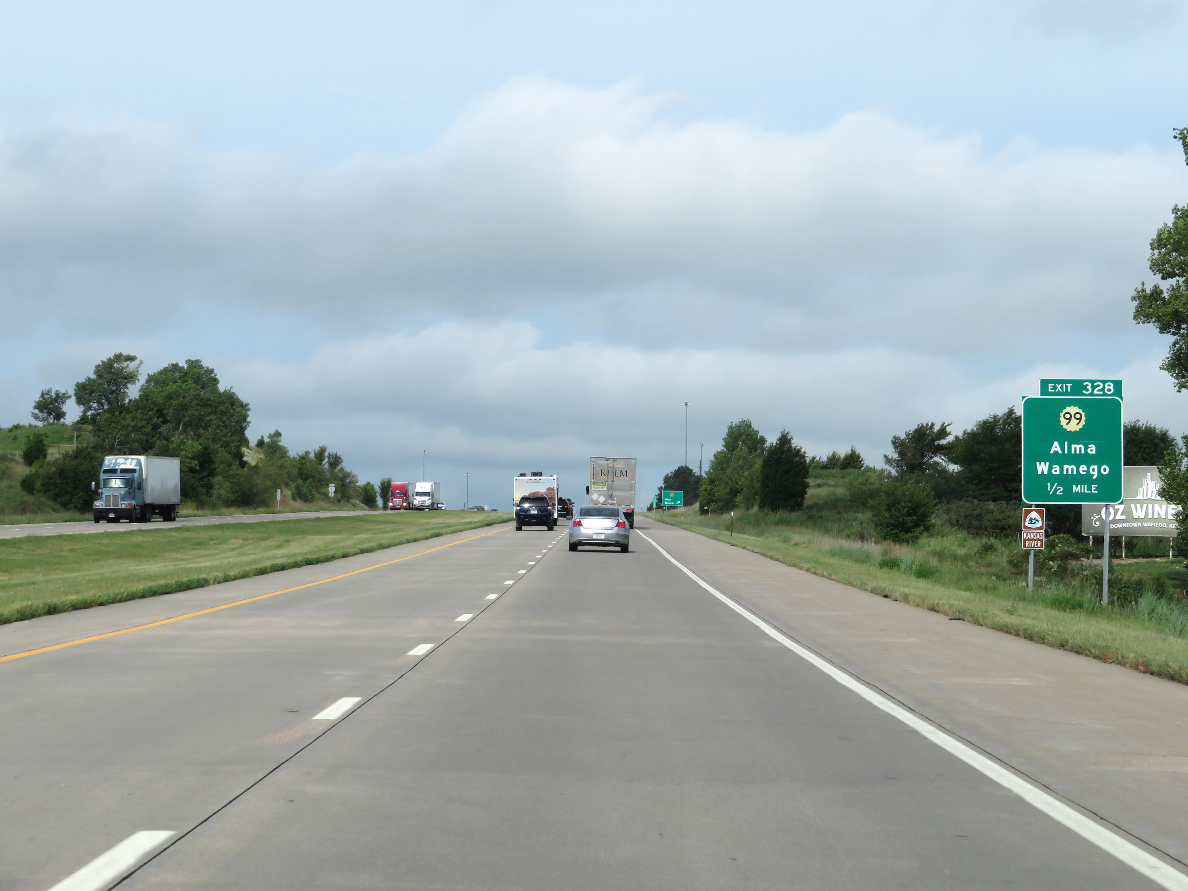 |
Interstate 70 West approaching Exit 328 - 1/2 mile. (Photo taken 8/12/20). |
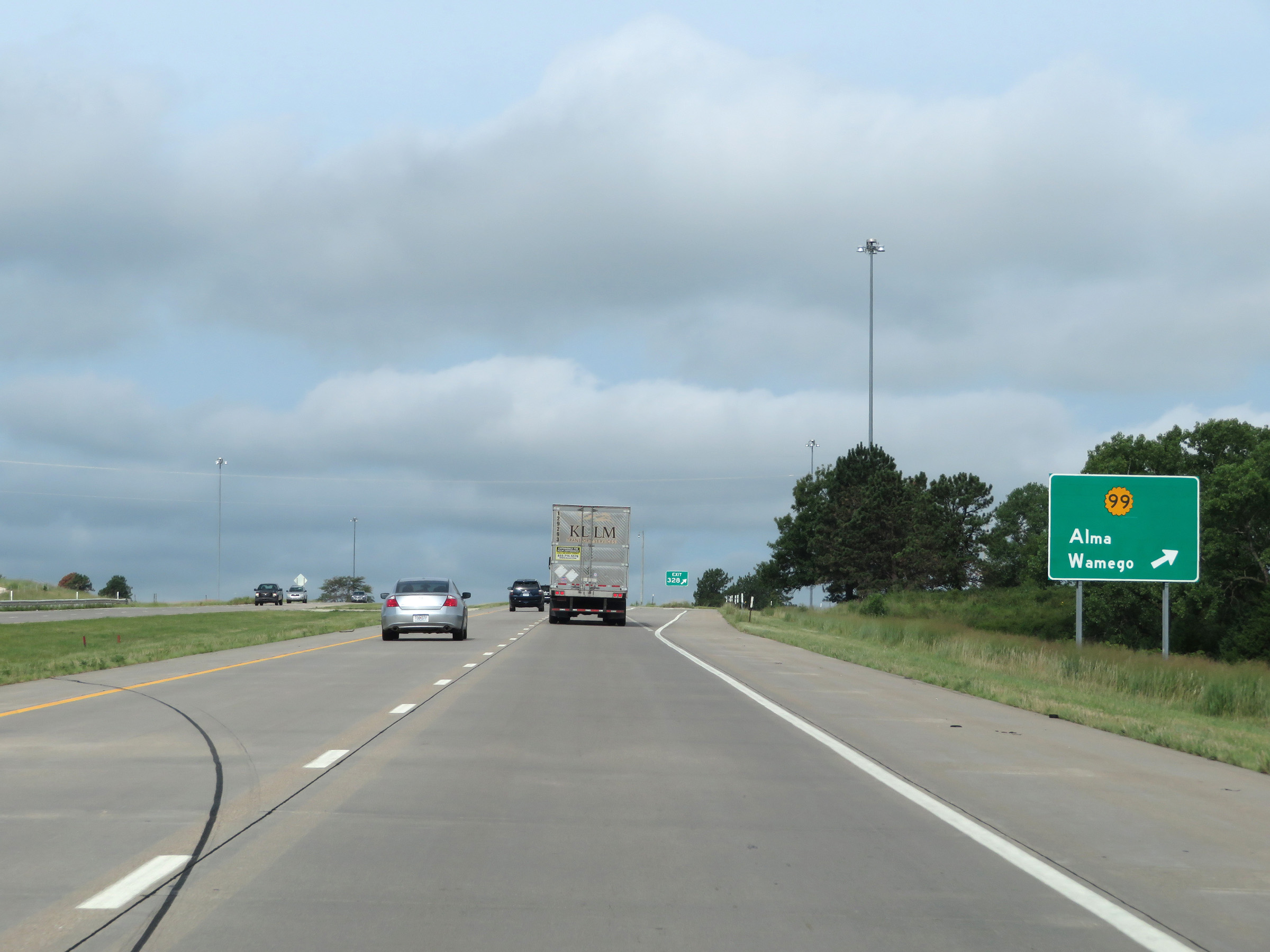 |
Interstate 70 West at Exit 328: K-99 - Alma / Wamego (Photo taken 8/12/20). |
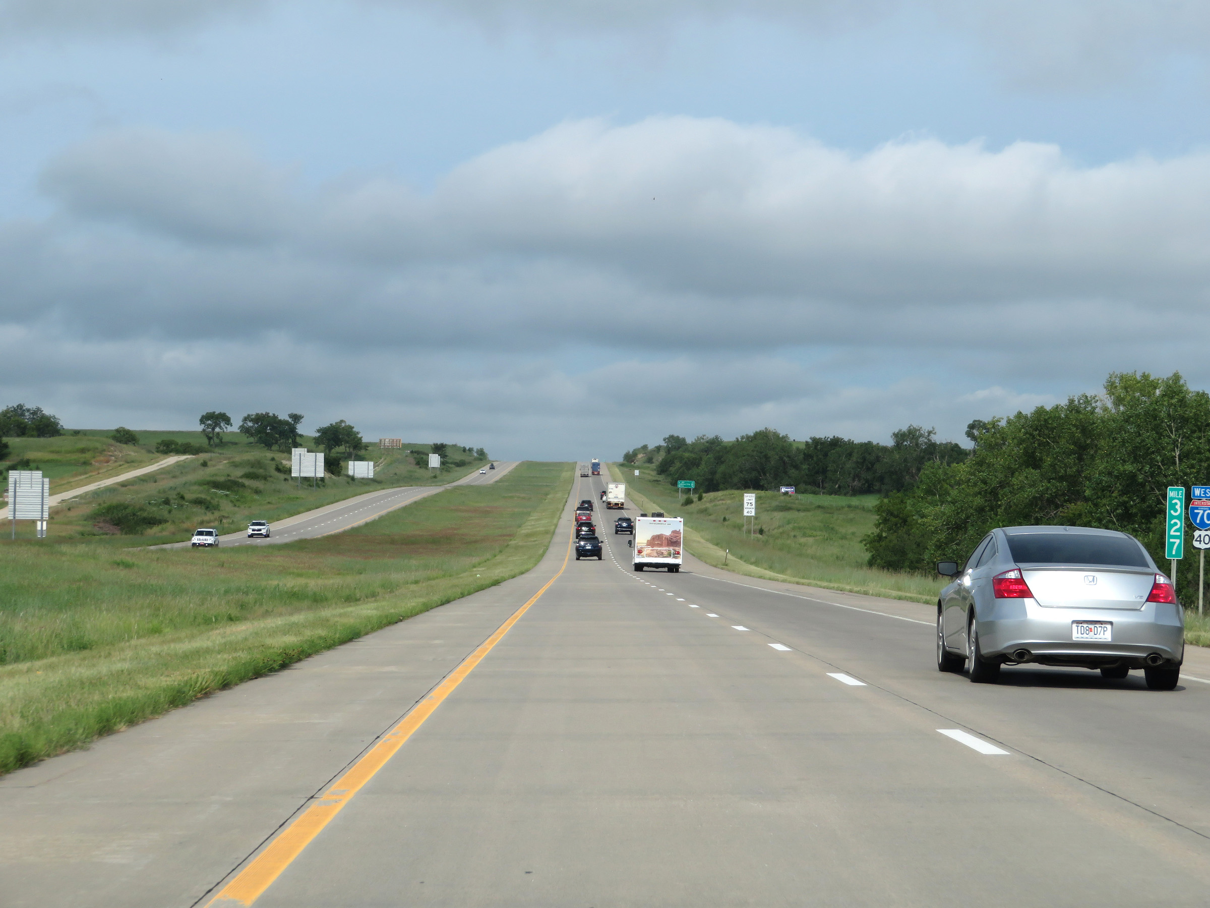 |
View on Interstate 70 West at mile marker 327. (Photo taken 8/12/20). |
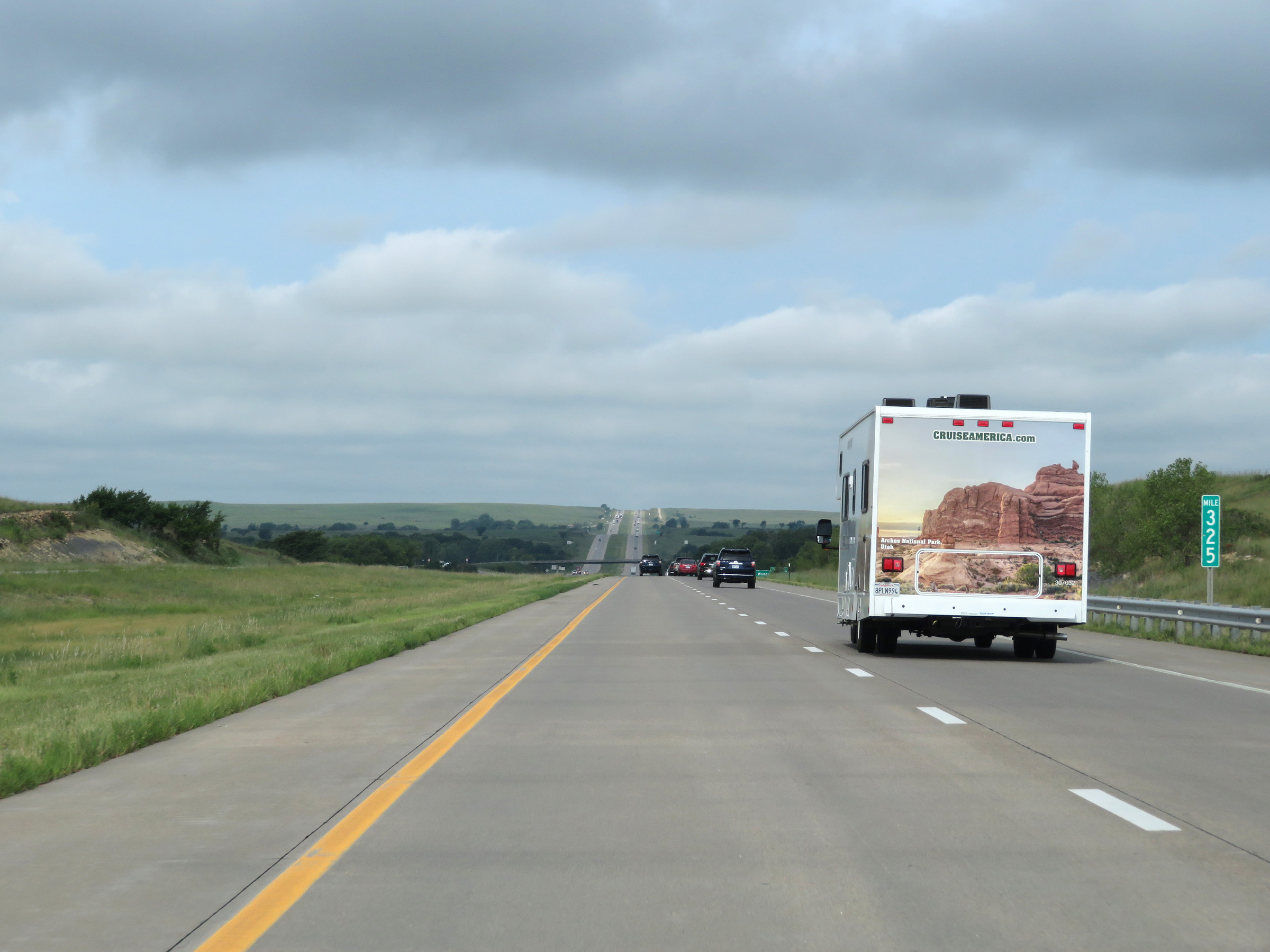 |
Interstate 70 West at mile marker 325. (Photo taken 8/12/20). |
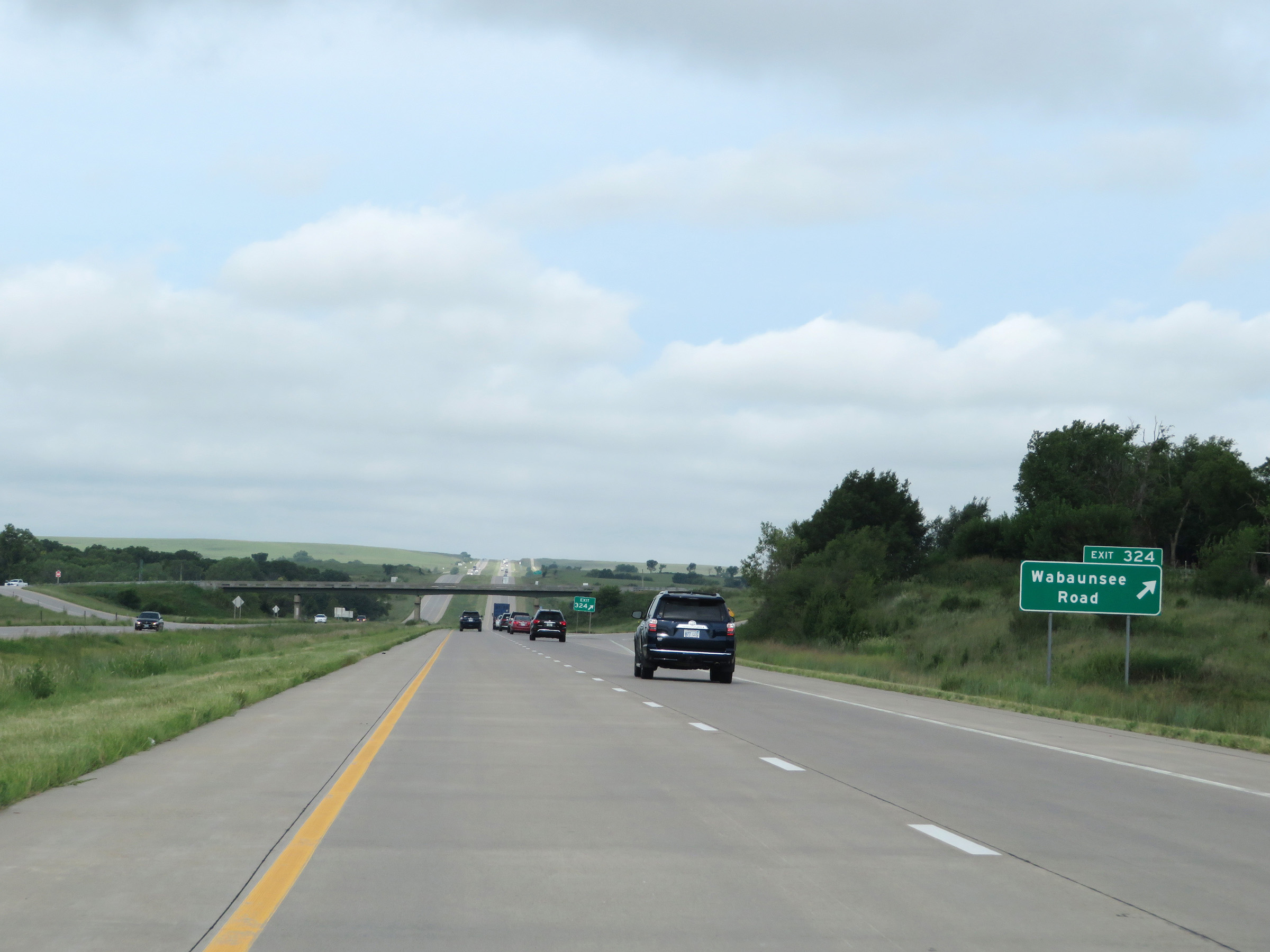 |
Interstate 70 West at Exit 324: Wabaunsee Road (Photo taken 8/12/20). |
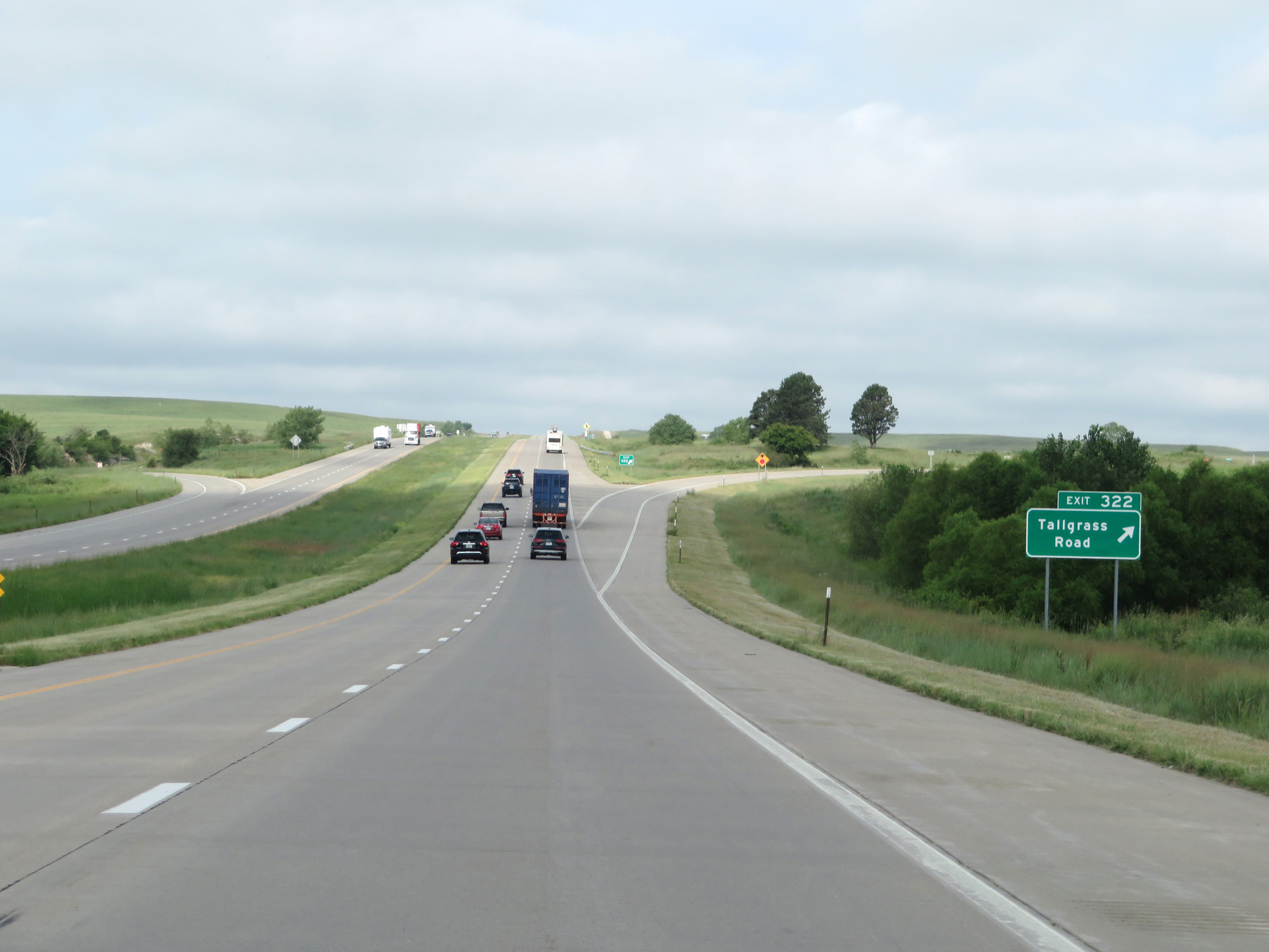 |
Interstate 70 West at Exit 322: Tallgrass Road (Photo taken 8/12/20). |
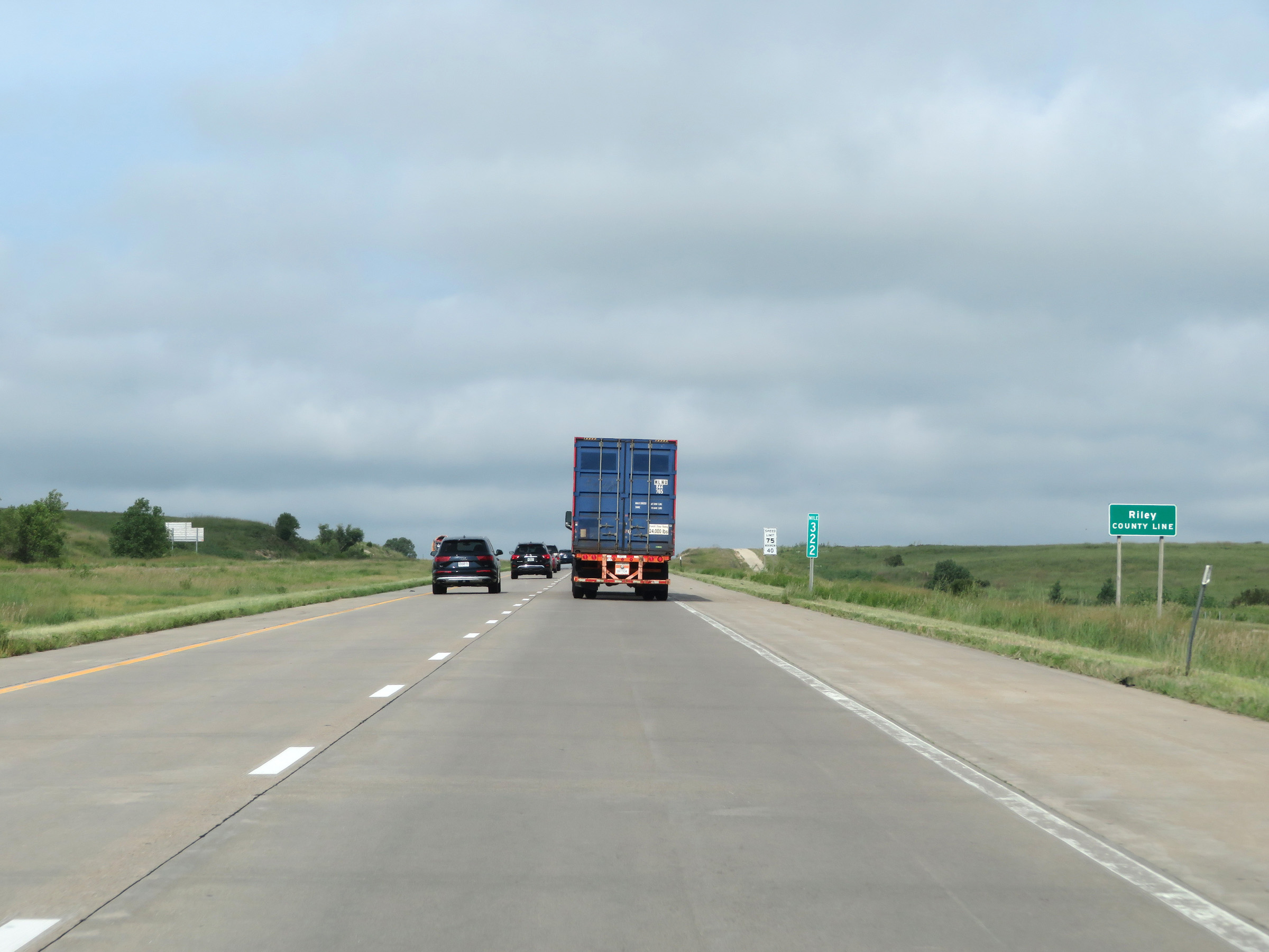 |
Entering Riley County on Interstate 70 West at mile marker 322. (Photo taken 8/12/20). |
 |
View on Interstate 70 West at mile marker 321. (Photo taken 8/12/20). |
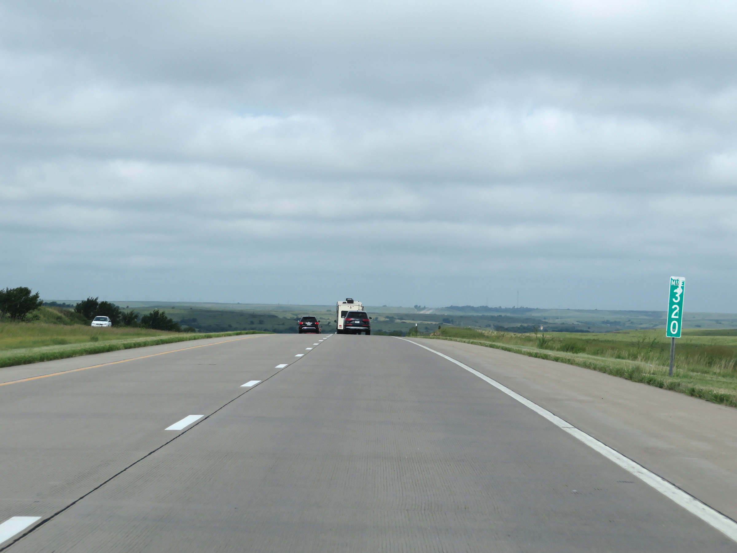 |
Interstate 70 West at mile marker 320. (Photo taken 8/12/20). |
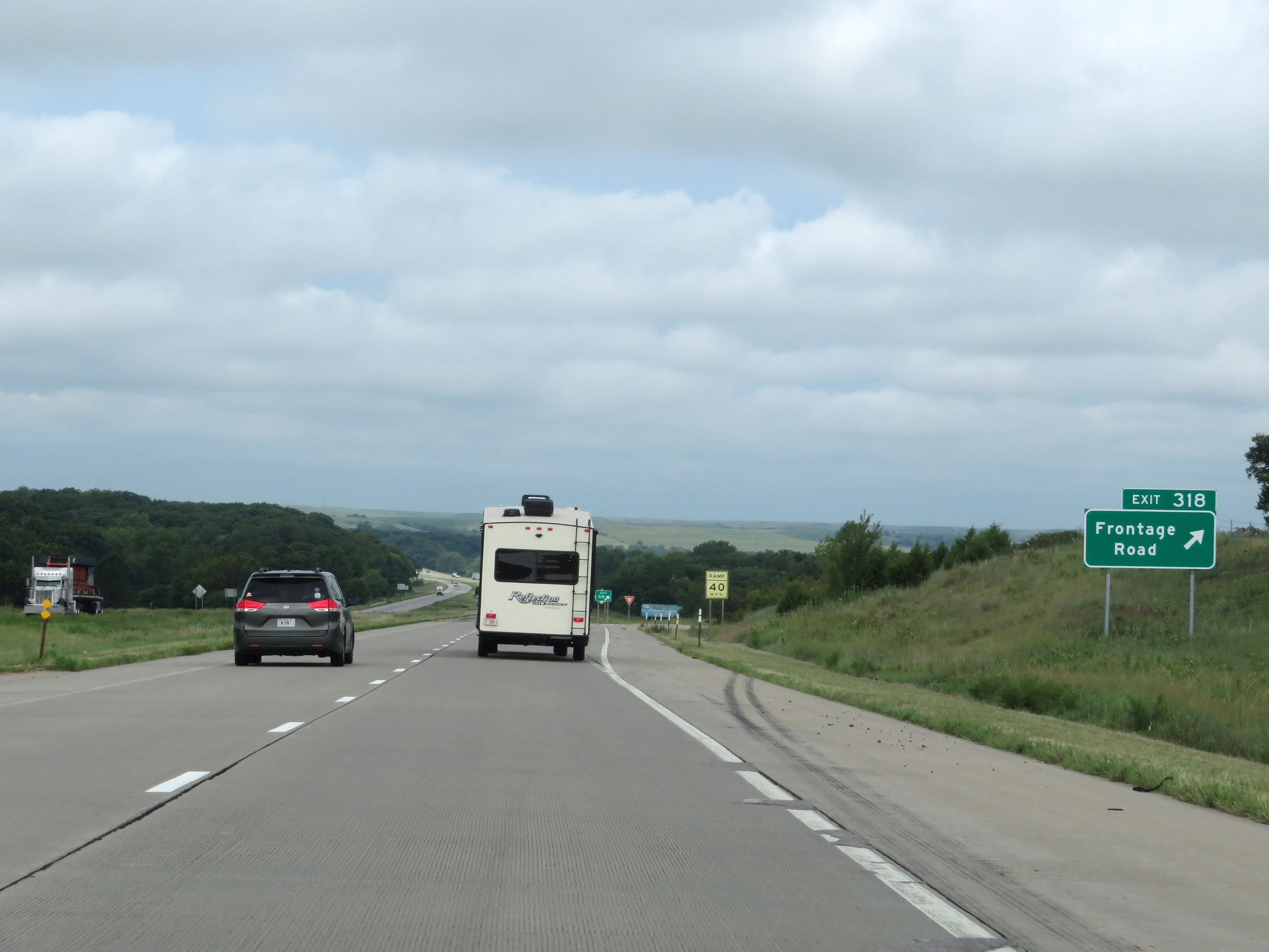 |
Interstate 70 West at Exit 318: Frontage Road (Photo taken 8/12/20). |
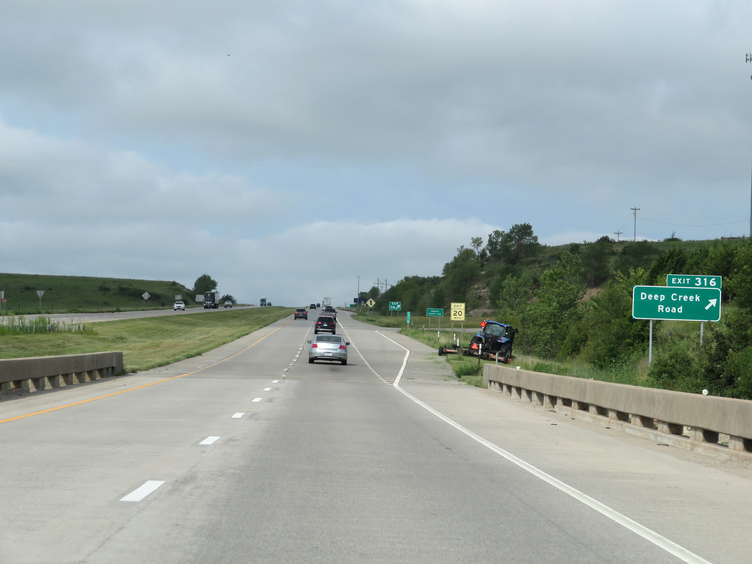 |
Interstate 70 West at Exit 316: Deep Creek Road (Photo taken 8/12/20). |
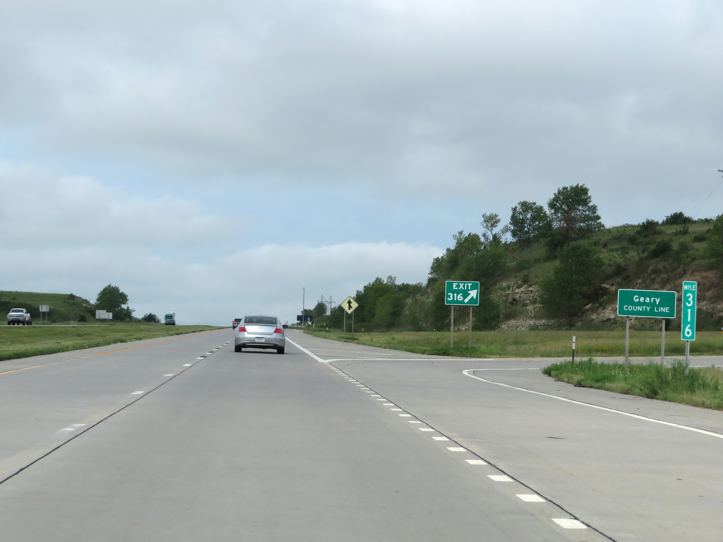 |
At Exit 316 (and mile marker 316), Interstate 70 West enters Geary County. (Photo taken 8/12/20). |
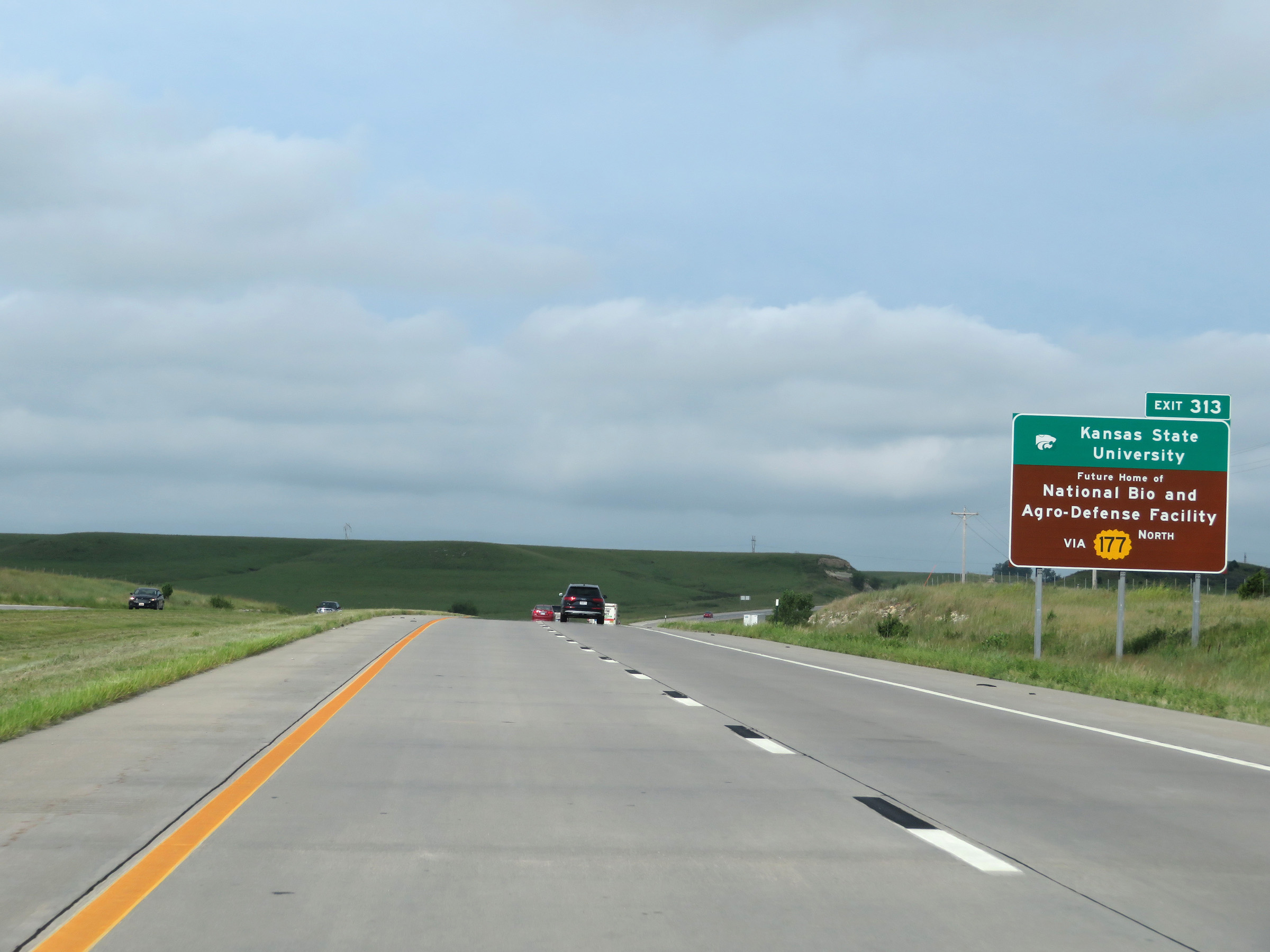 |
Take Exit 313 to Kansas State University and the Future Home of the National Bio and Agro-Defense Facility via K-177 North. (Photo taken 8/12/20). |
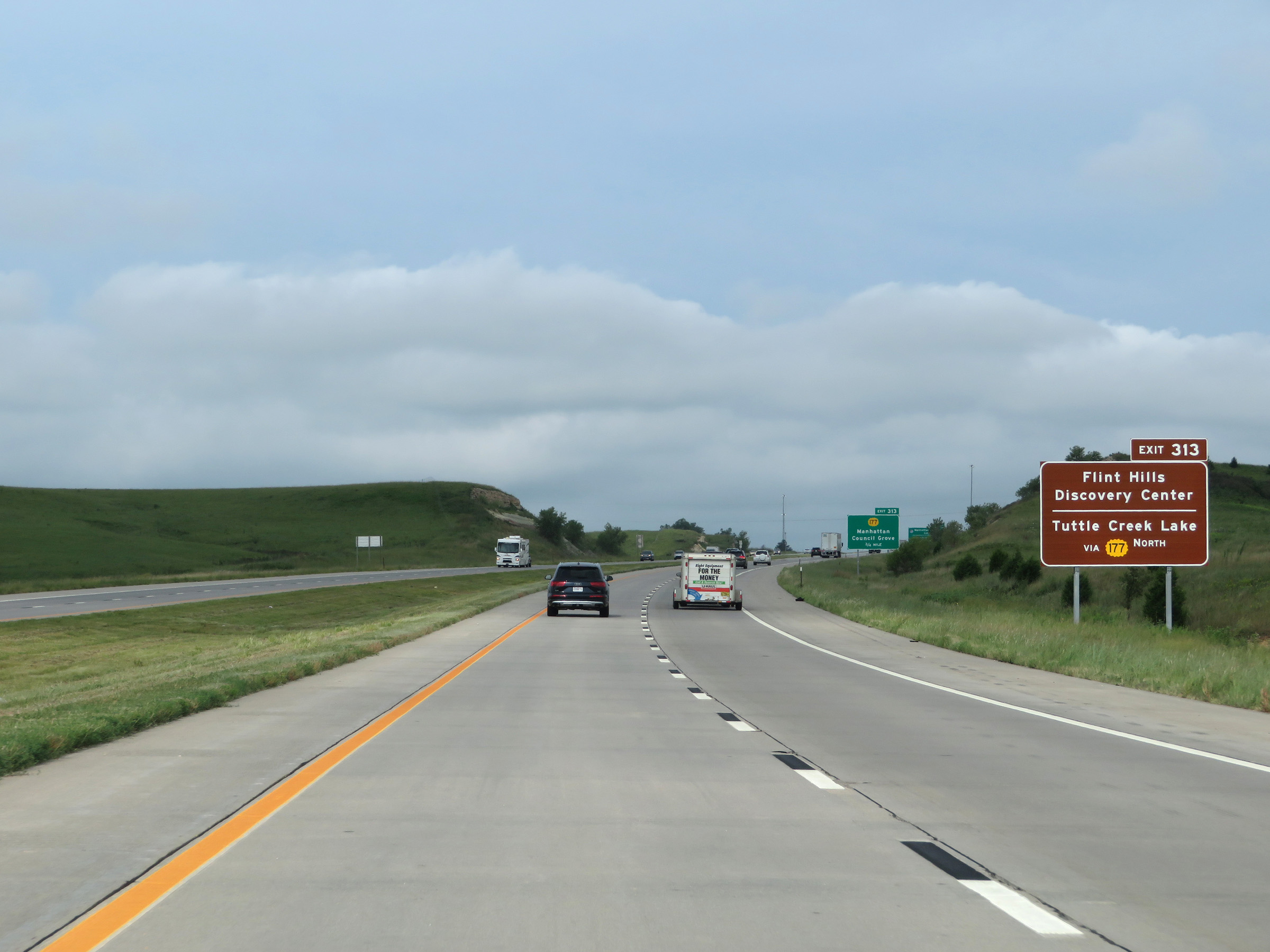 |
Also take Exit 313 to the Flint Hills Discovery Center and Tuttle Creek Lake via K-177 North. (Photo taken 8/12/20). |
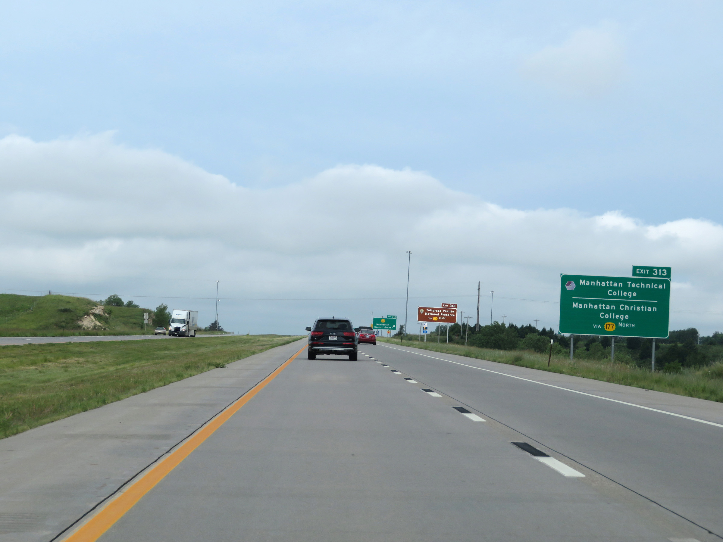 |
Manhattan Technical College and Manhattan Christian College can also be accessed via Exit 313 and K-177 North. (Photo taken 8/12/20). |
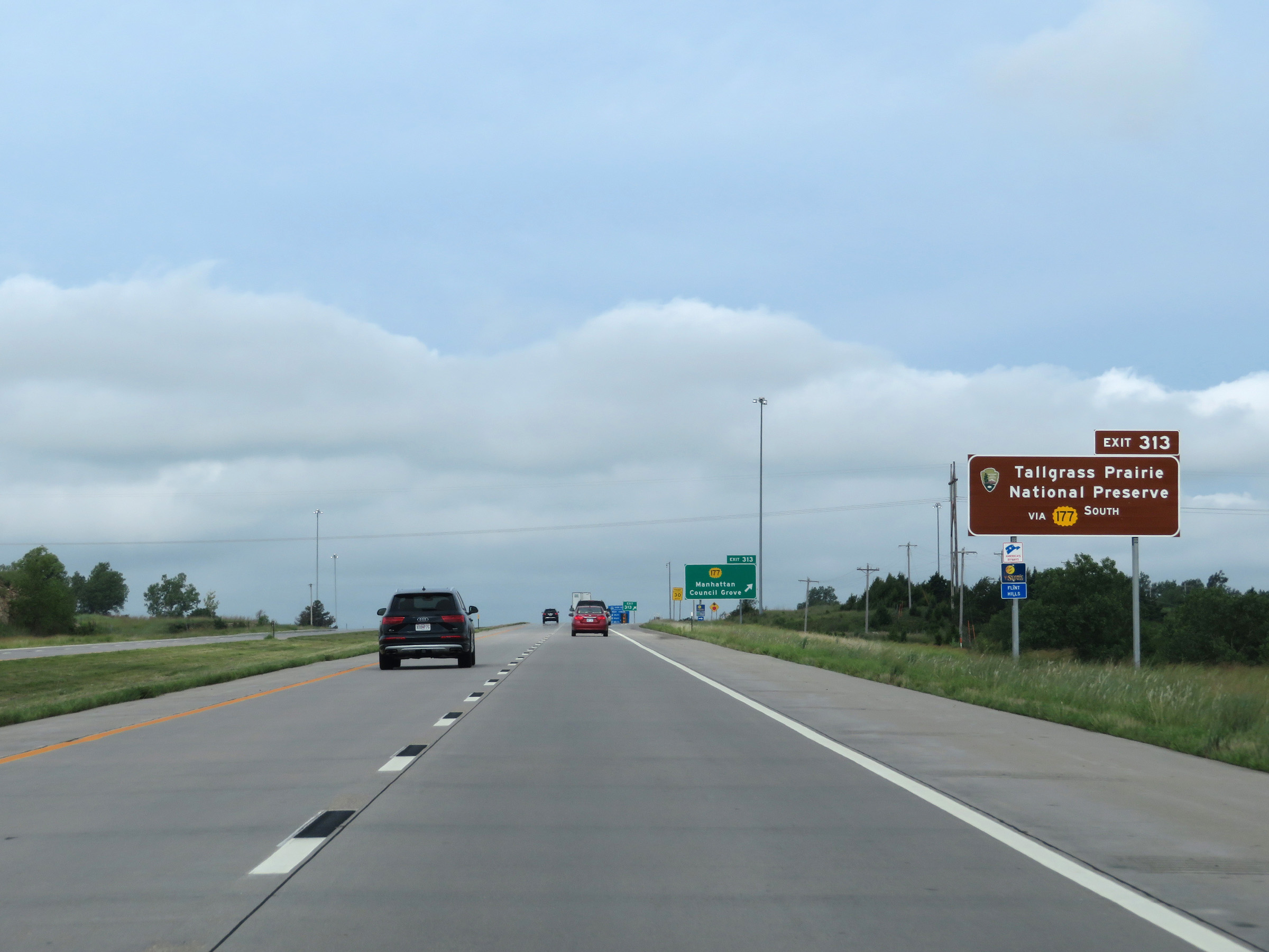 |
Take Exit 313 to the Tallgrass Prairie National Preserve via K-177 South as well. (Photo taken 8/12/20). |
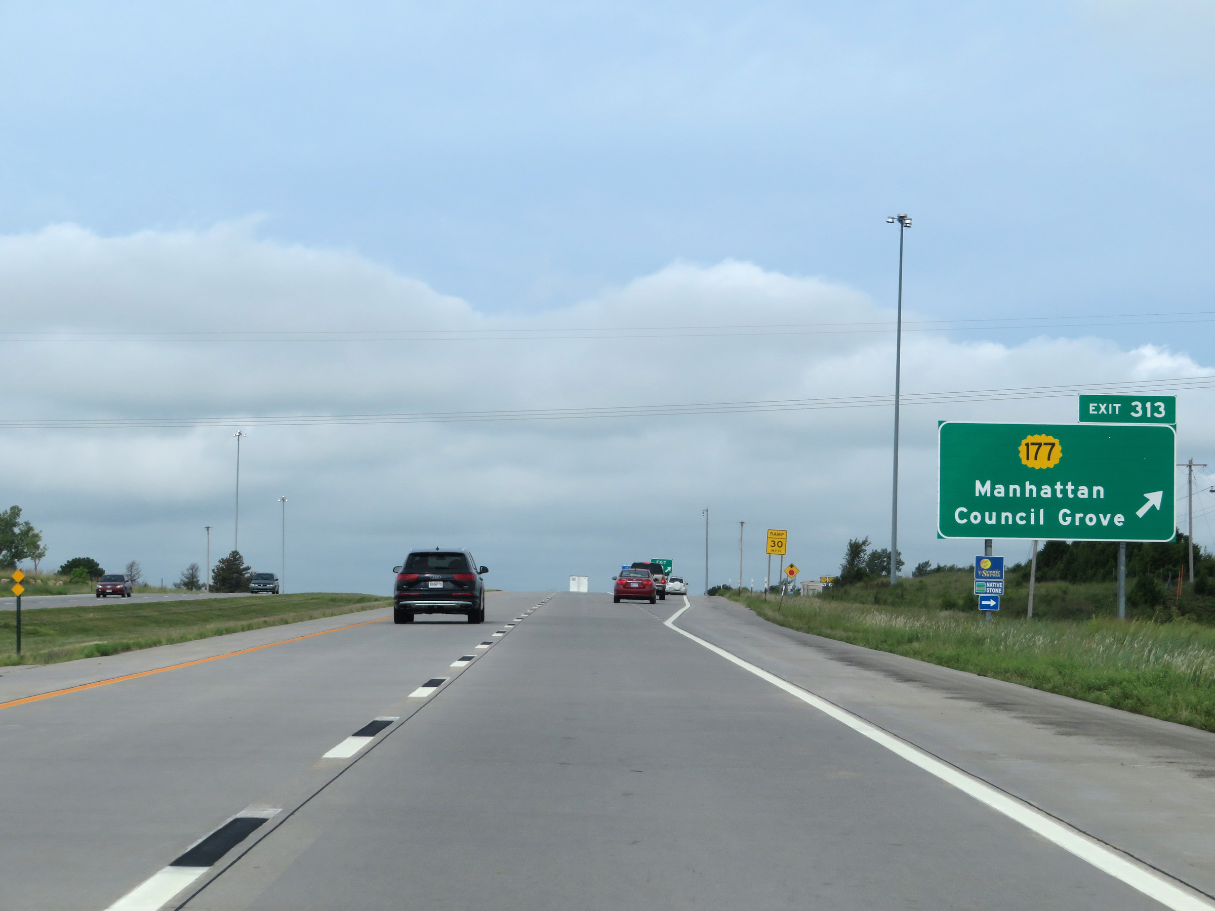 |
Interstate 70 West at Exit 313: K-177 - Manhattan / Council Grove (Photo taken 8/12/20). |
Section 4: Manhattan (Exit 313) to Salina (Exit 252)
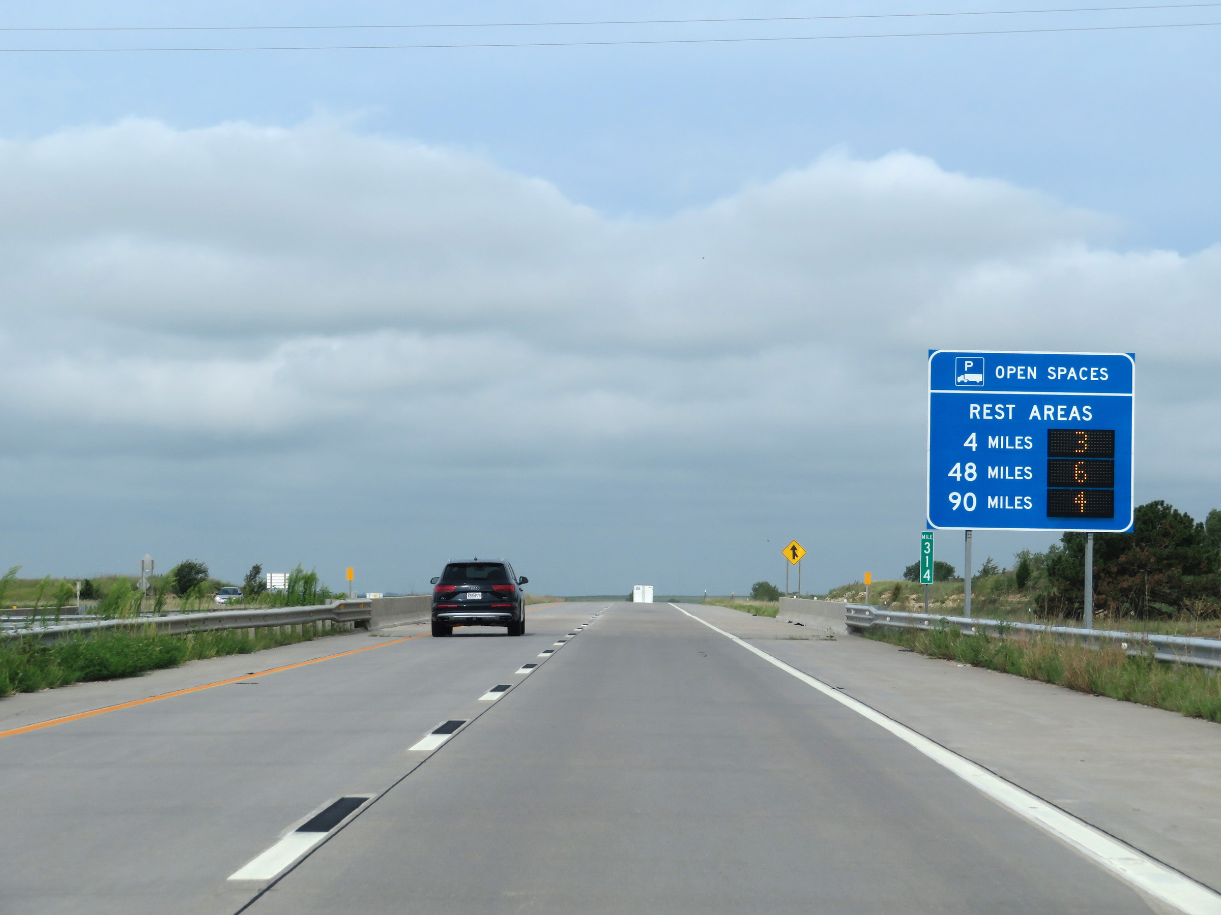 |
Another sign, at mile marker 314, listing the distances to the next 3 Rest Areas on Interstate 70 West and dynamically displaying the number of currently available truck parking spaces at each of them. (Photo taken 8/12/20). |
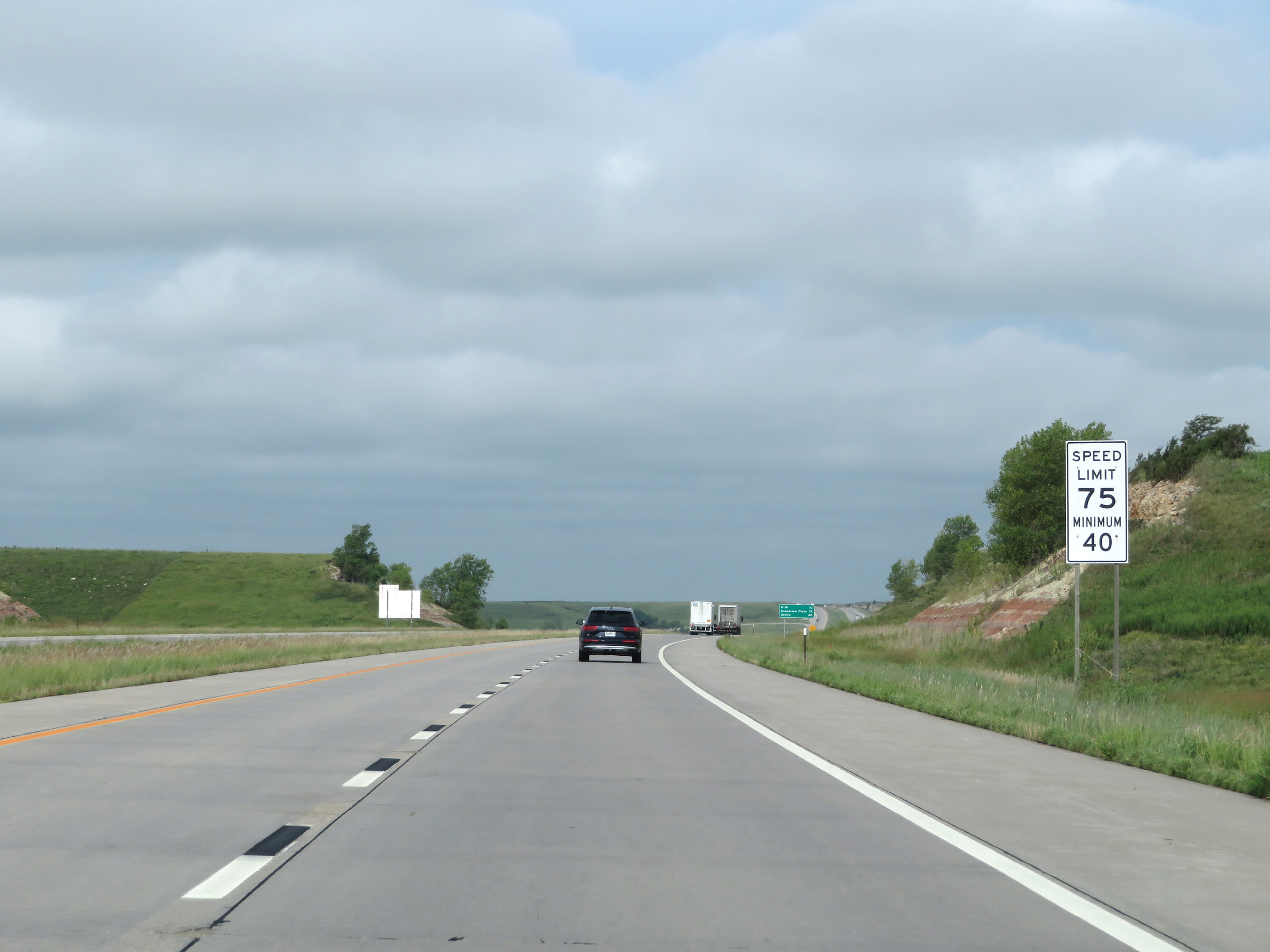 |
The speed limits remain 75 mph maximum and 40 mph minimum. These are the standard speed limits on most rural Interstate highways in Kansas. (Photo taken 8/12/20). |
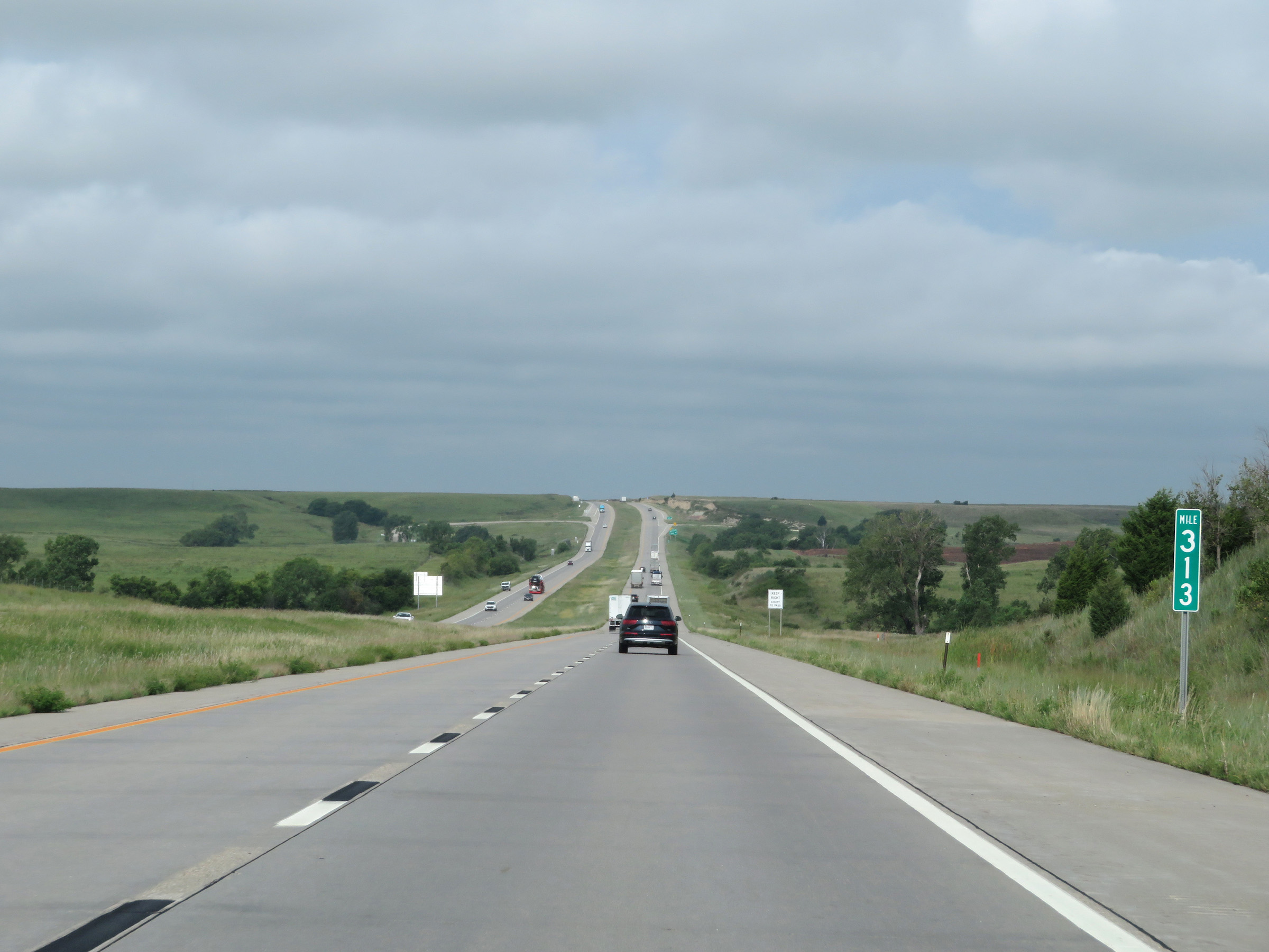 |
View on Interstate 70 West at mile marker 313. (Photo taken 8/12/20). |
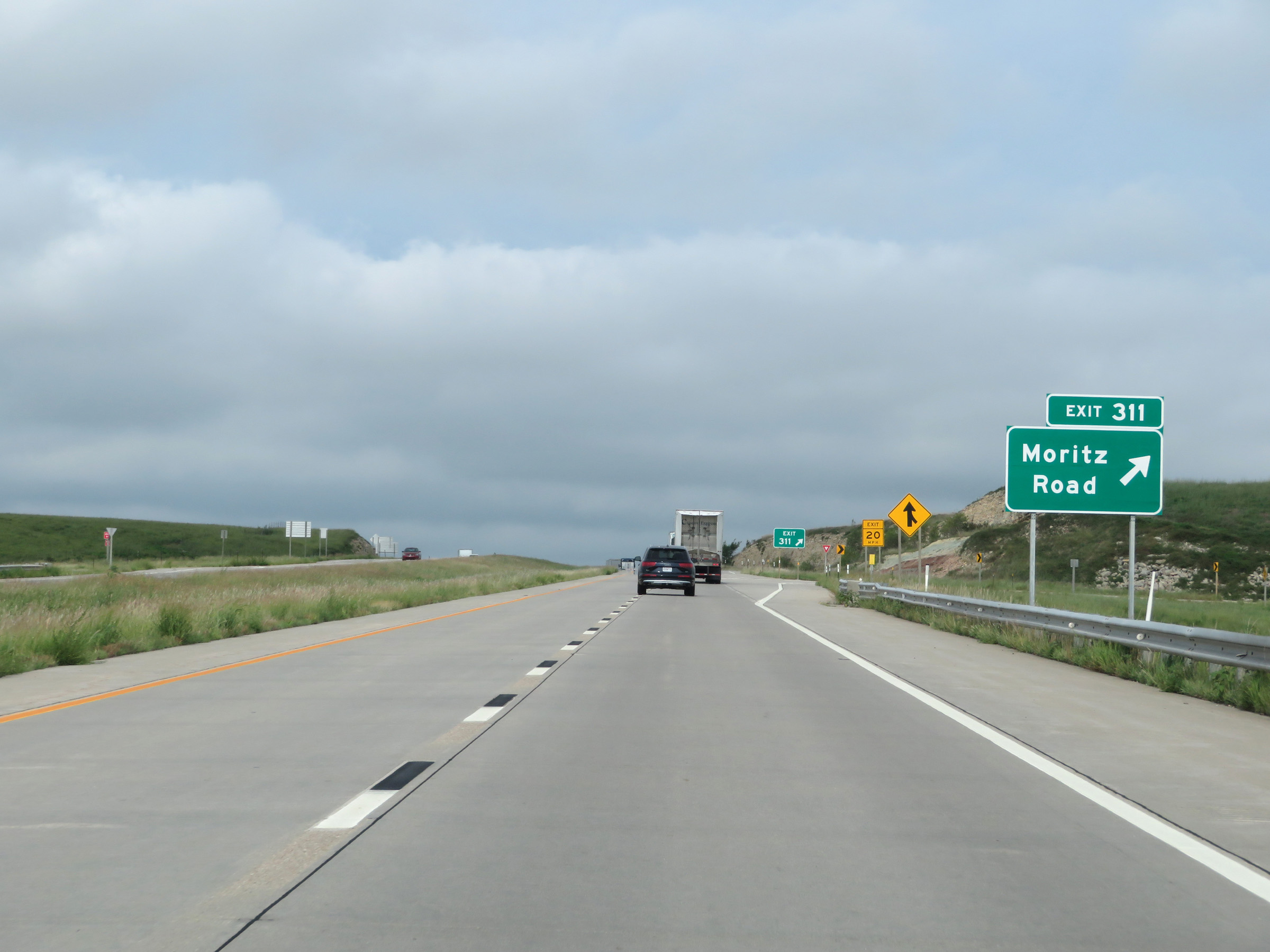 |
Interstate 70 West at Exit 311: Moritz Road (Photo taken 8/12/20). |
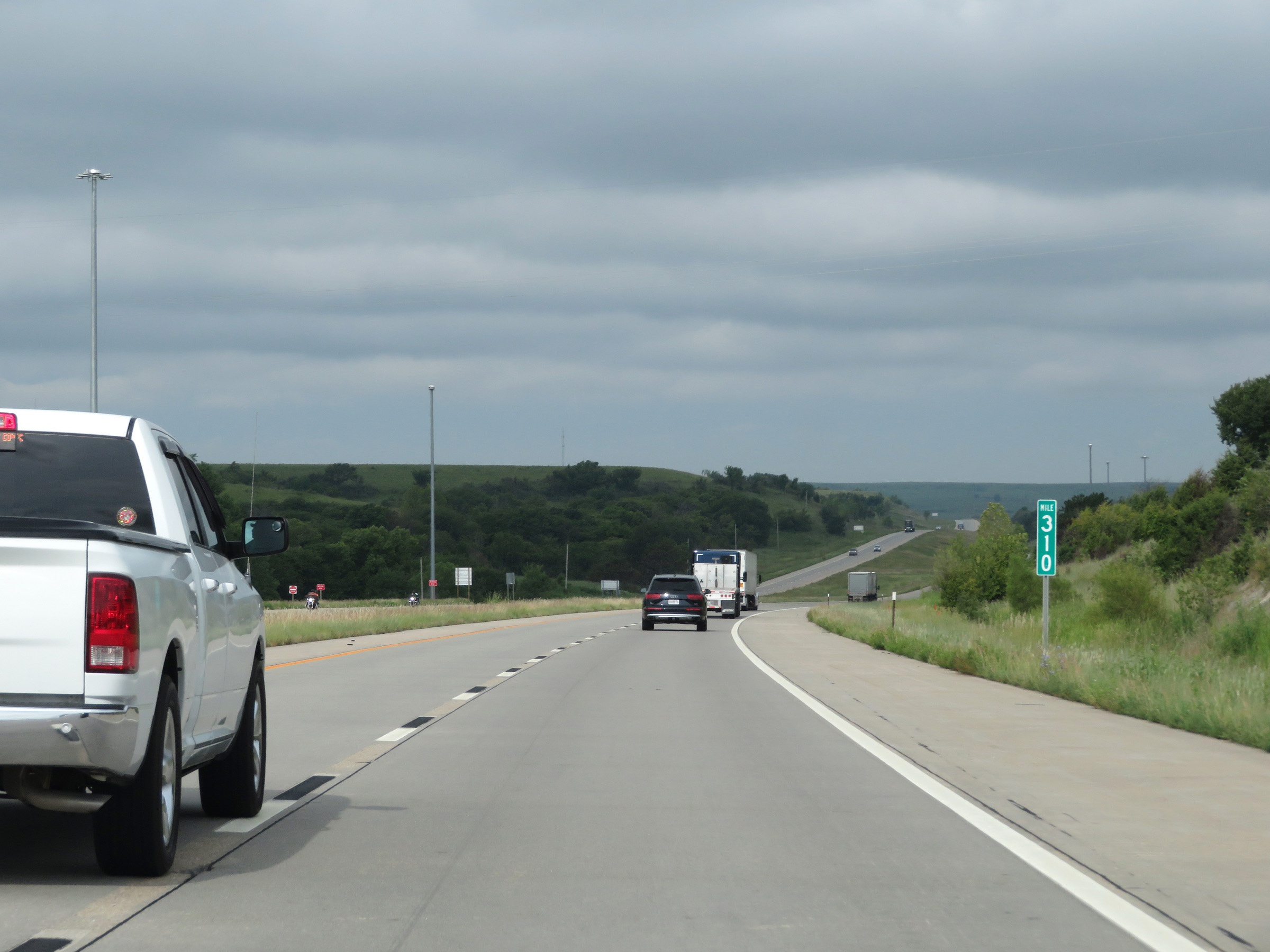 |
Interstate 70 West at mile marker 310. (Photo taken 8/12/20). |
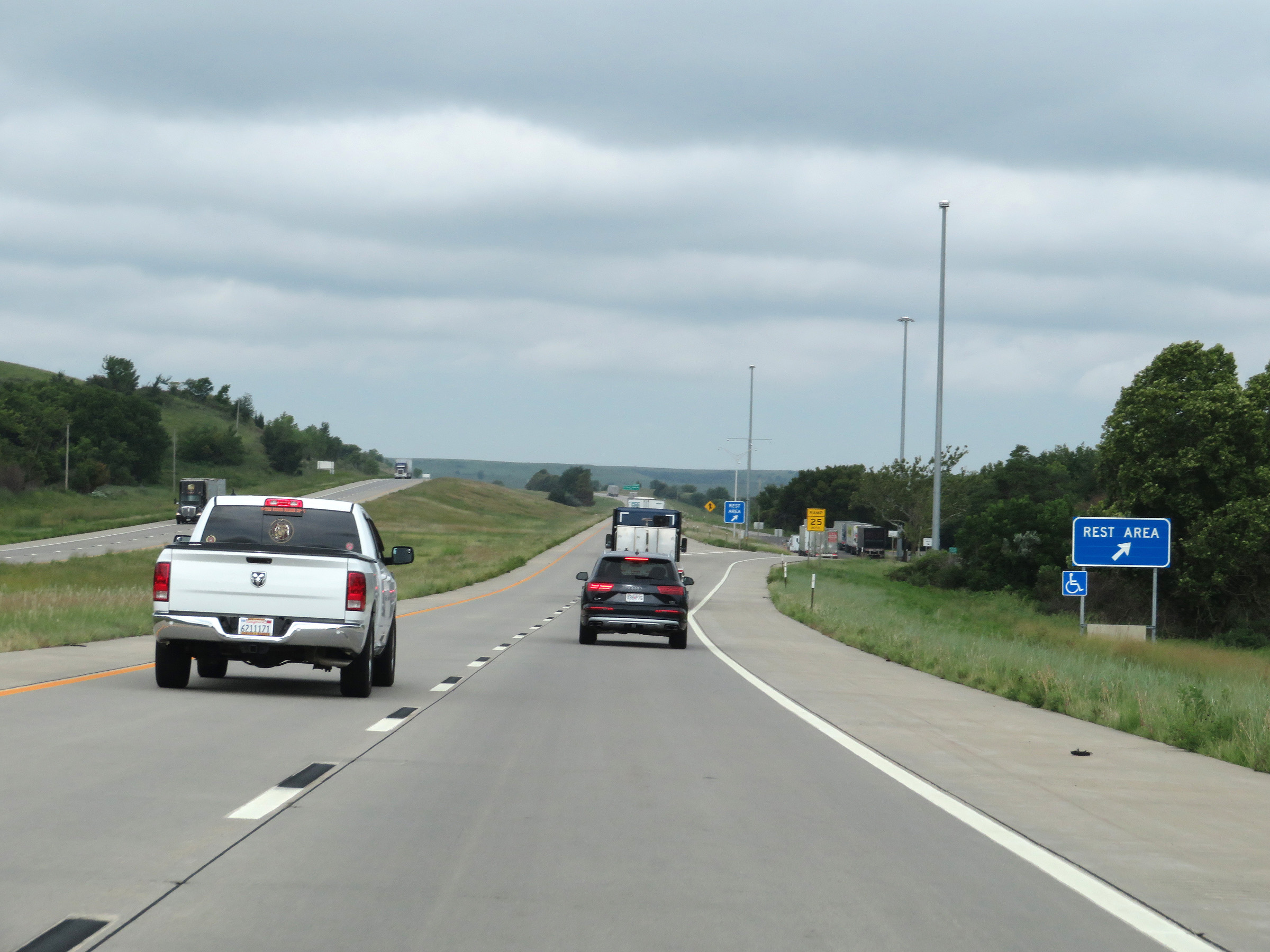 |
Rest Area on Interstate 70 West in Geary County. (Photo taken 8/12/20). |
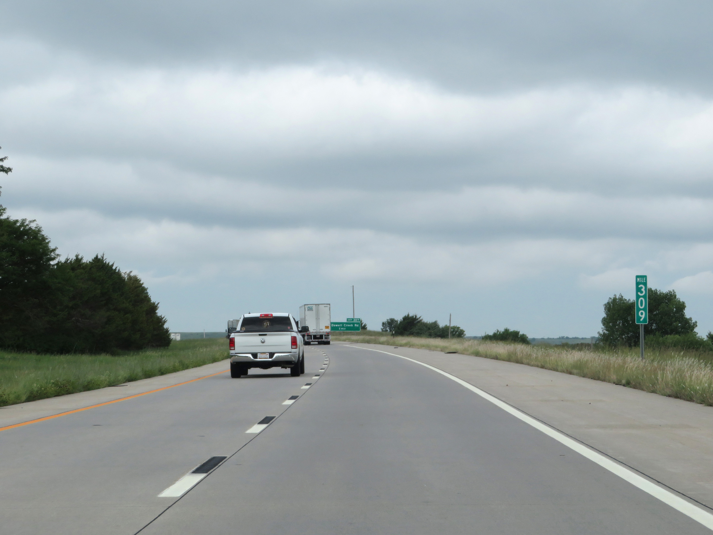 |
View on Interstate 70 West at mile marker 309. (Photo taken 8/12/20). |
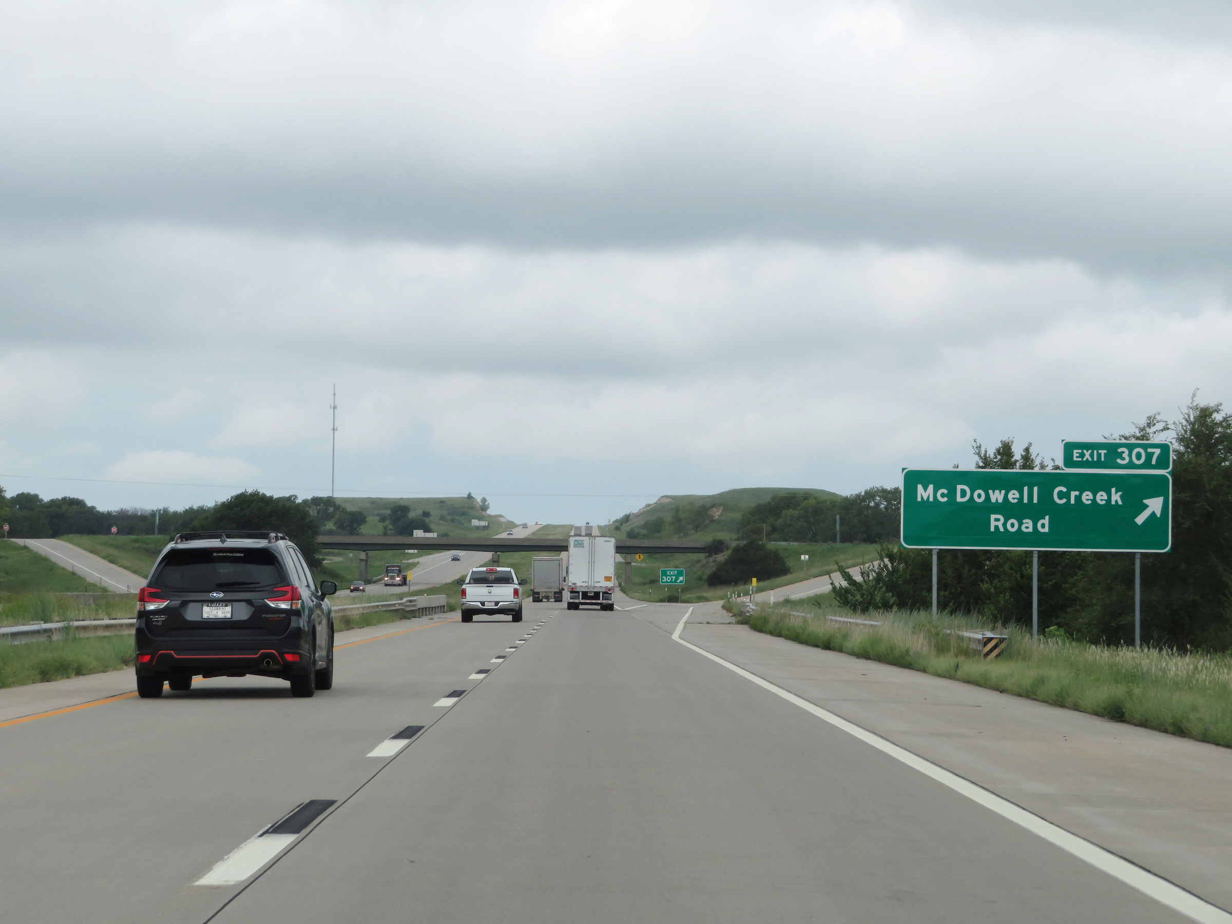 |
Interstate 70 West at Exit 307: McDowell Creek Road (Photo taken 8/12/20). |
 |
View on Interstate 70 West at mile marker 305. (Photo taken 8/12/20). |
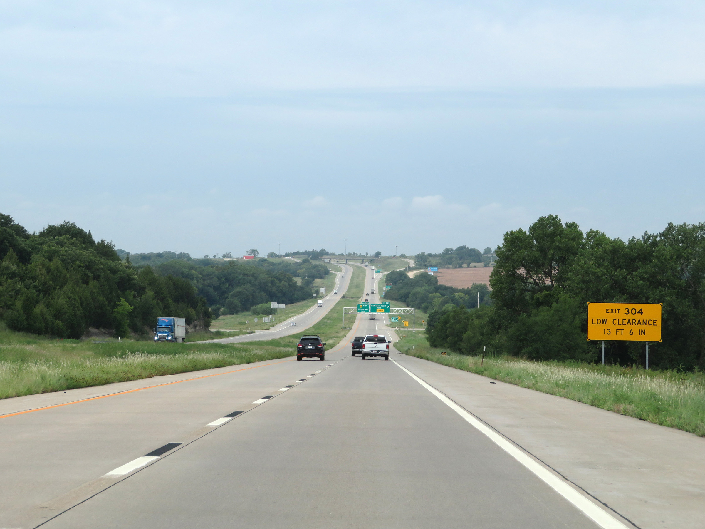 |
This sign warns that Exit 304 will encounter a low clearance underpass as it loops around and passes under Interstate 70. Maximum height for the low clearance is 13'6". (Photo taken 8/12/20). |
 |
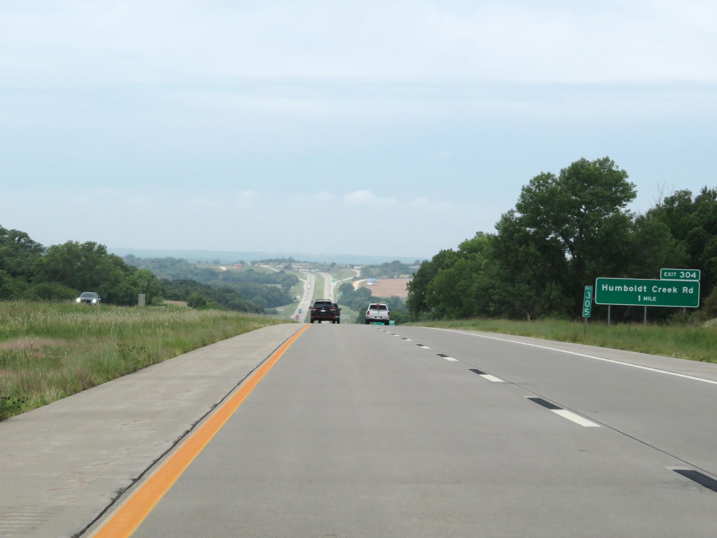
Interstate 70 West at Exit 304: Humboldt Creek Road (Photo taken 8/12/20). |
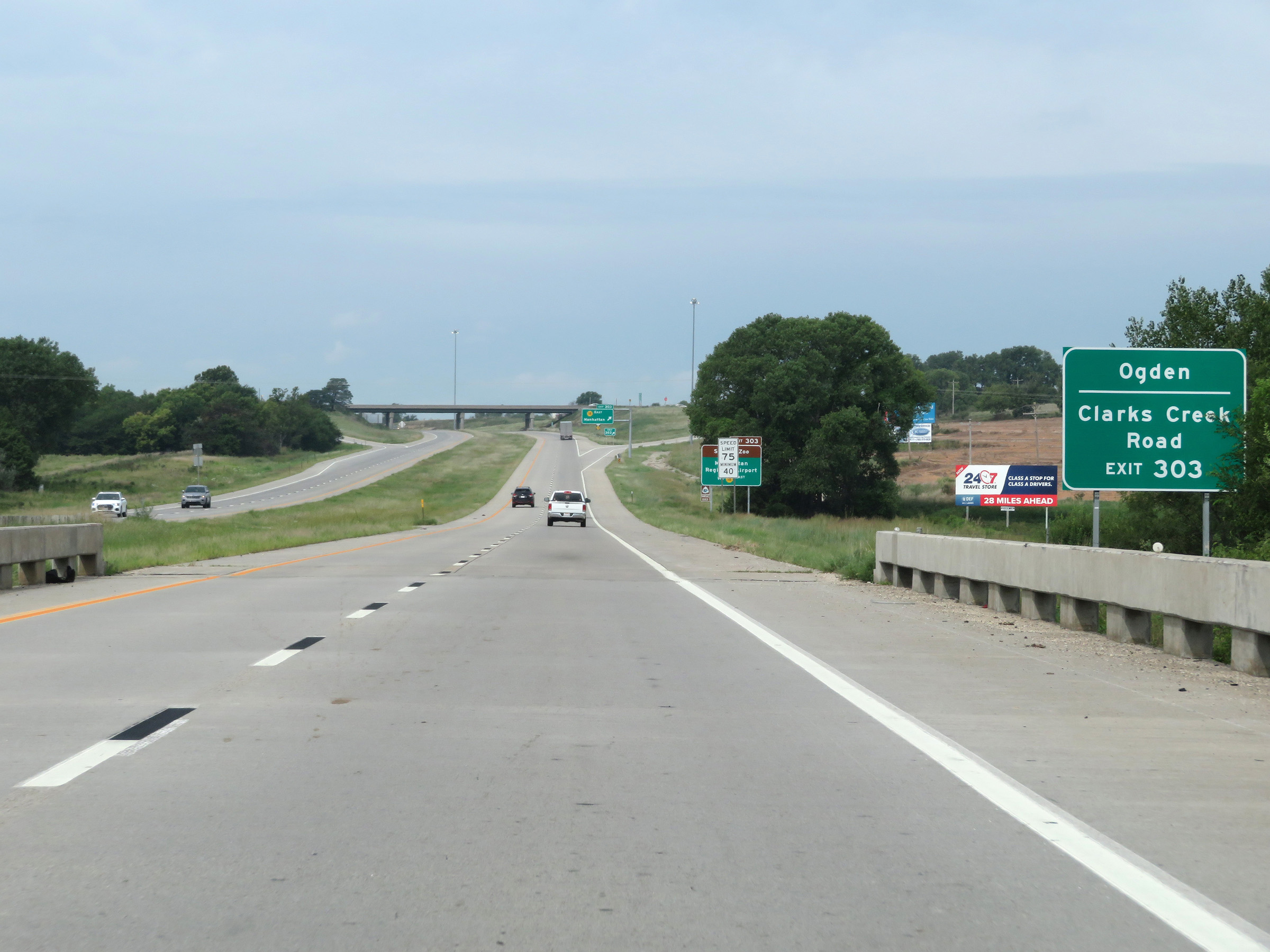 |
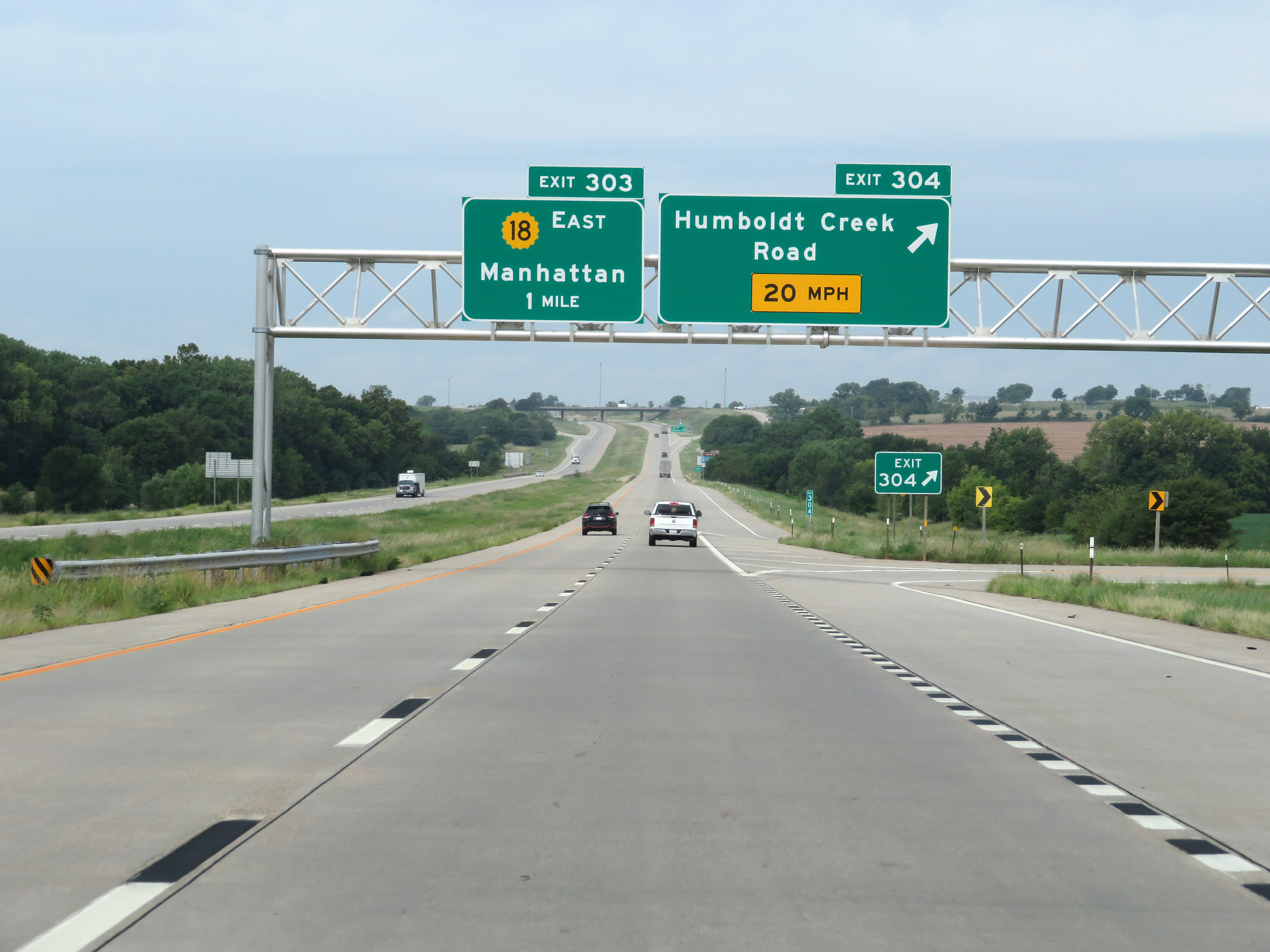
Take Exit 303 to Ogden and Clarks Creek Road. (Photo taken 8/12/20). |
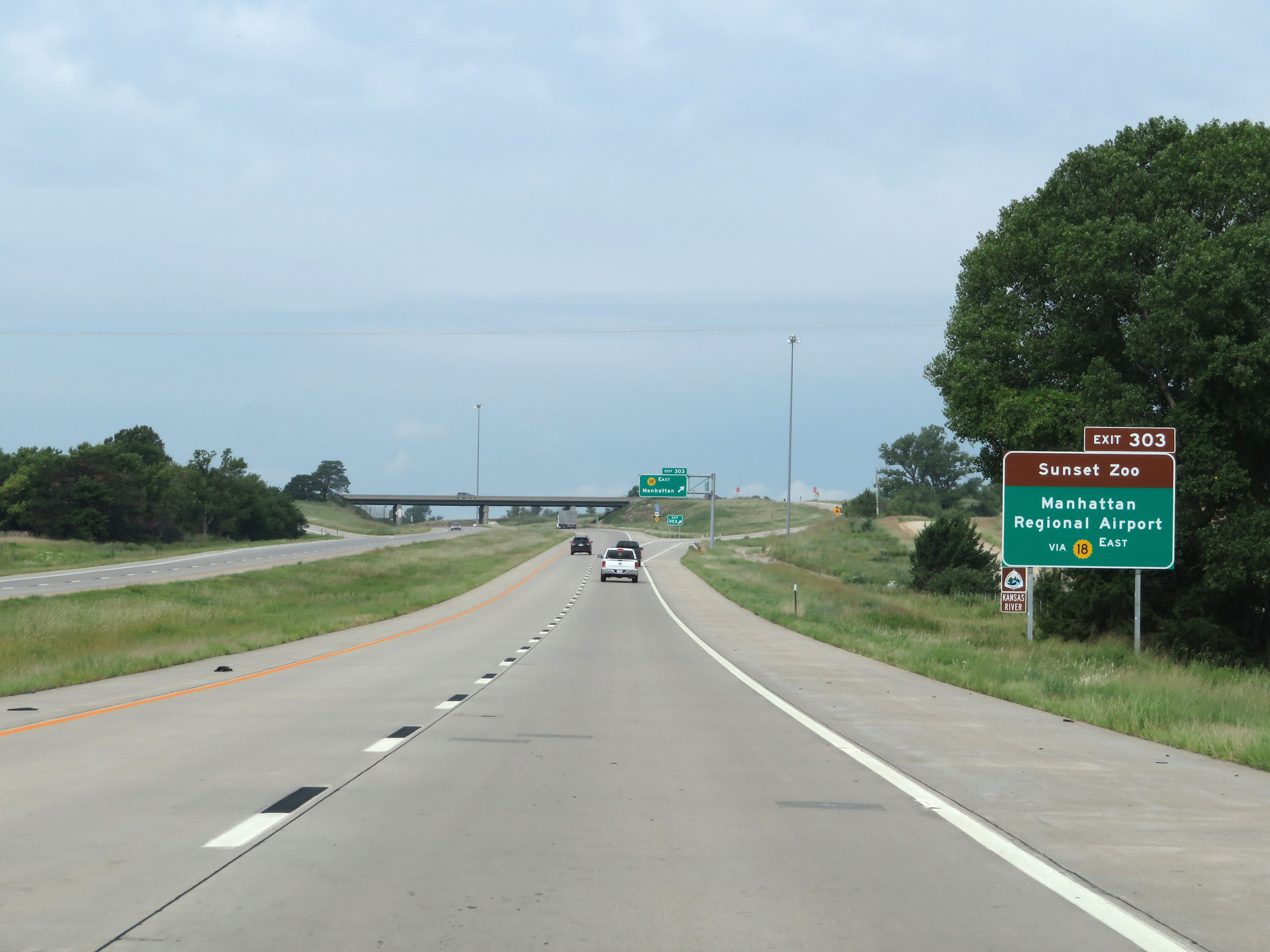 |
Also take Exit 303 to Sunset Zoo and Manhattan Regional Airport. (Photo taken 8/12/20). |
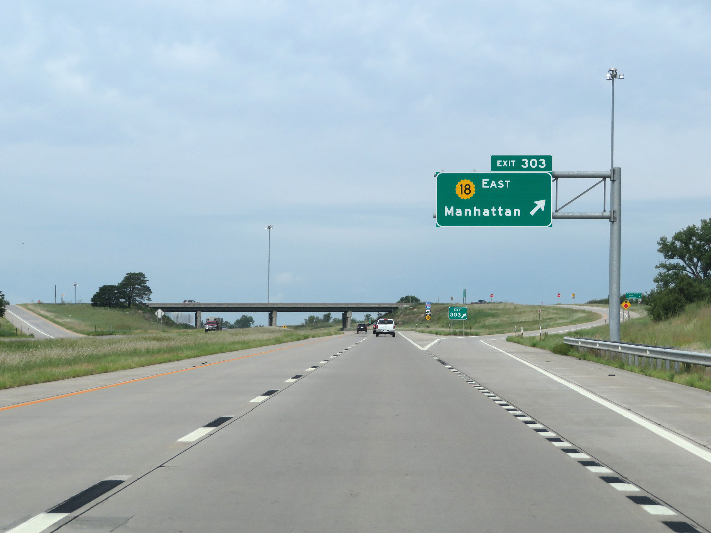 |
Interstate 70 West at Exit 303: K-18 East - Manhattan (Photo taken 8/12/20). |
 |
State-named Interstate 70 West reassurance shield as it approaches Fort Riley. (Photo taken 8/12/20). |
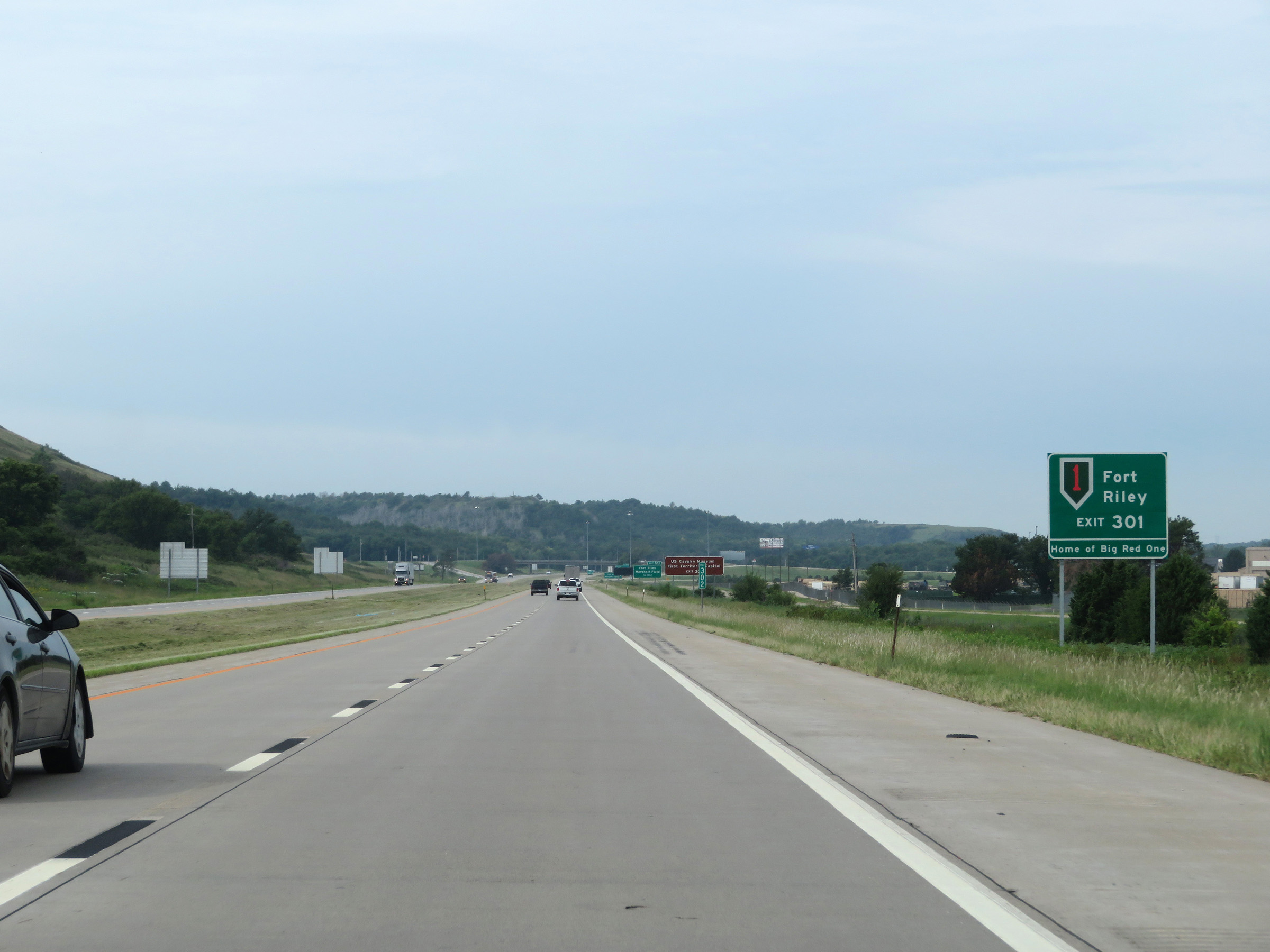 |
Take Exit 301 to Fort Riley, the Home of Big Red One. (Photo taken 8/12/20). |
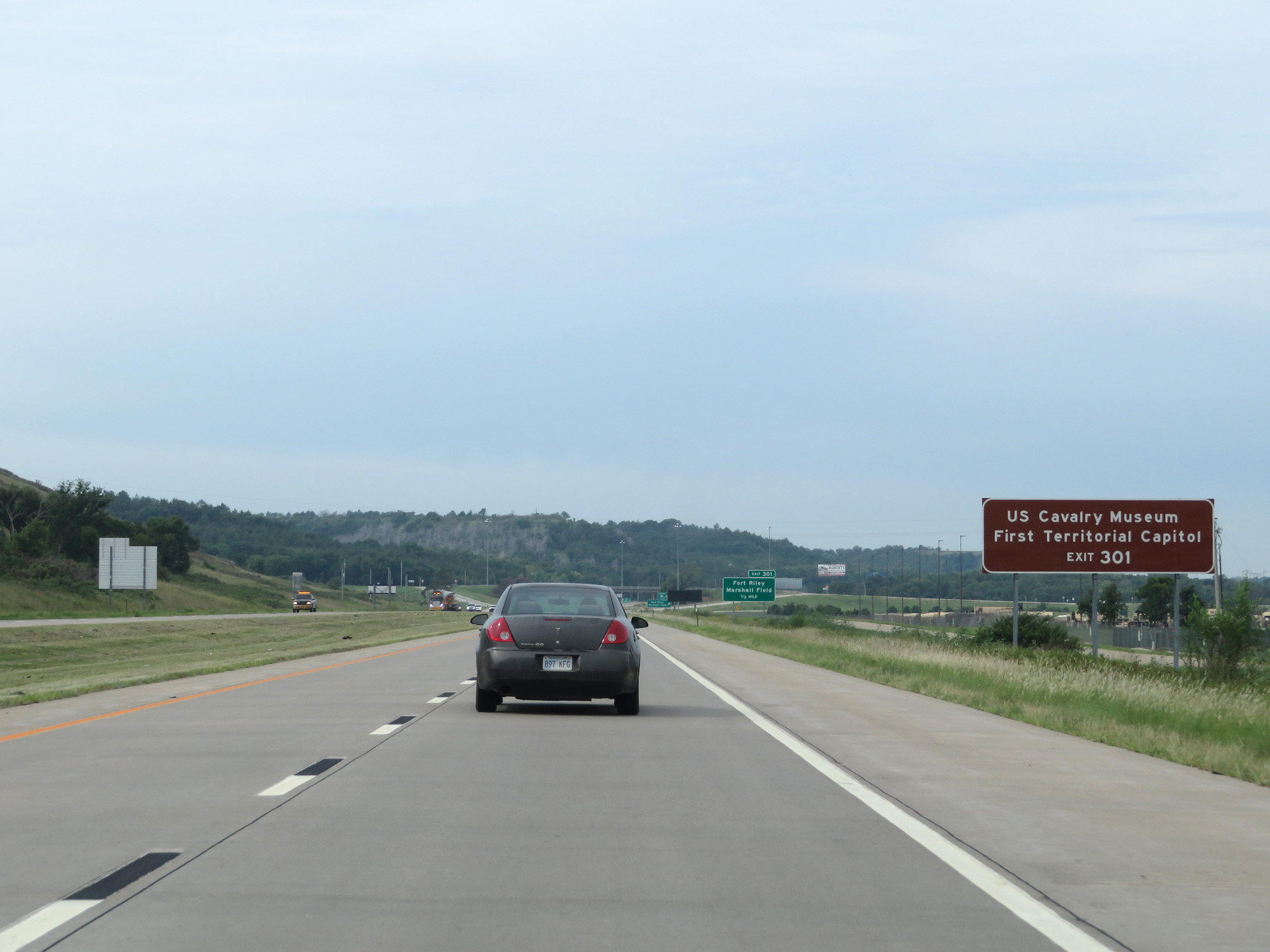 |
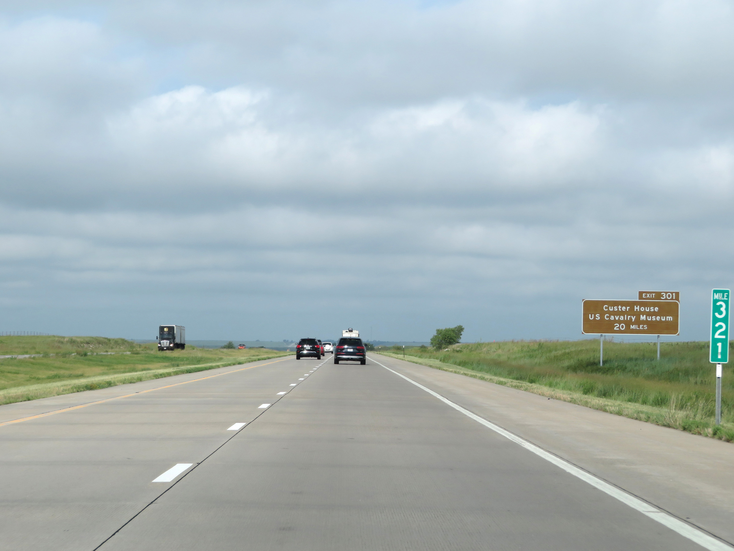
Also take Exit 301 to the US Cavalry Museum and First Territorial Capitol. (Photo taken 8/12/20). |
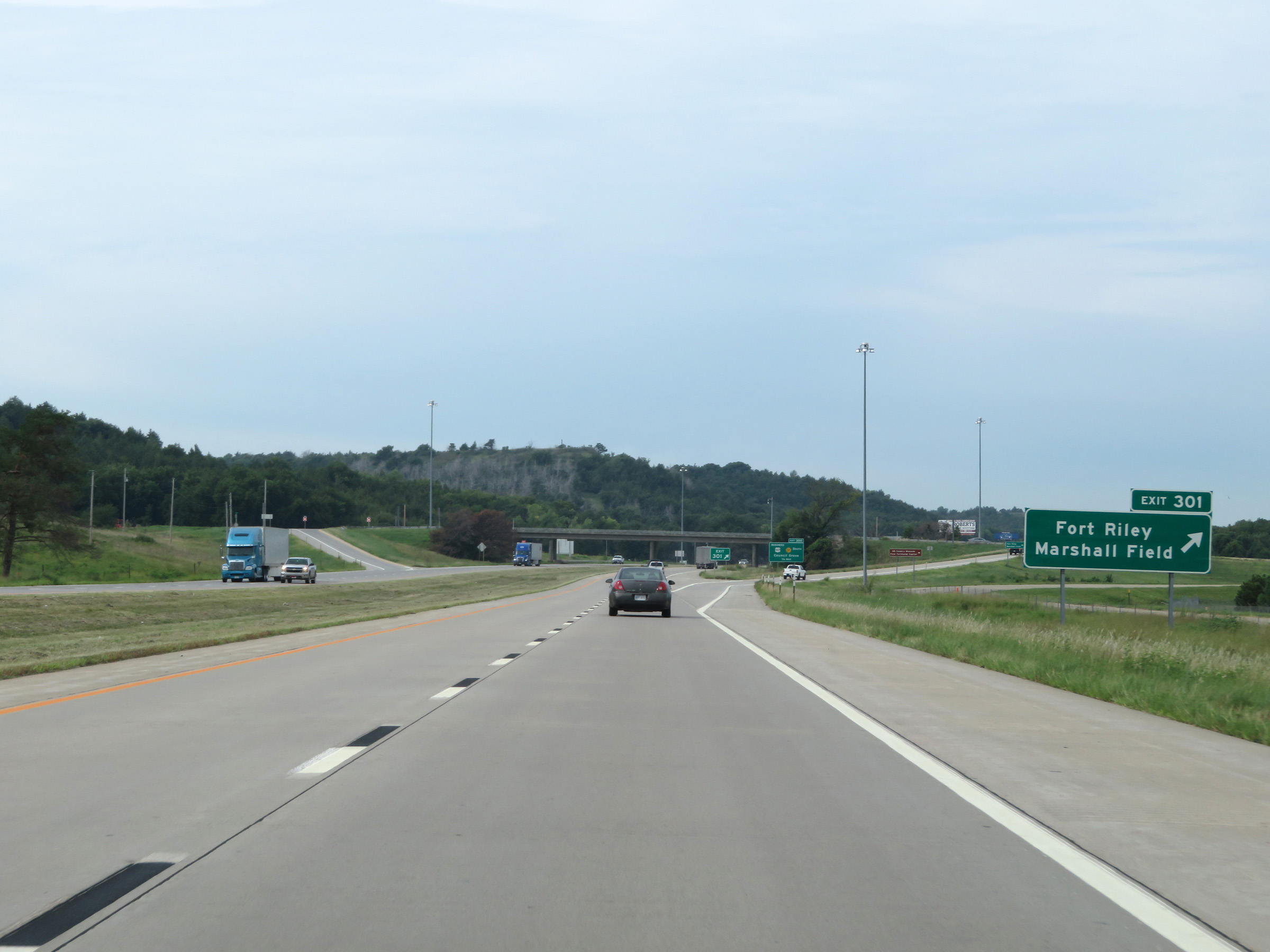 |
Interstate 70 West at Exit 301: Fort Riley / Marshall Field (Photo taken 8/12/20). |
 |
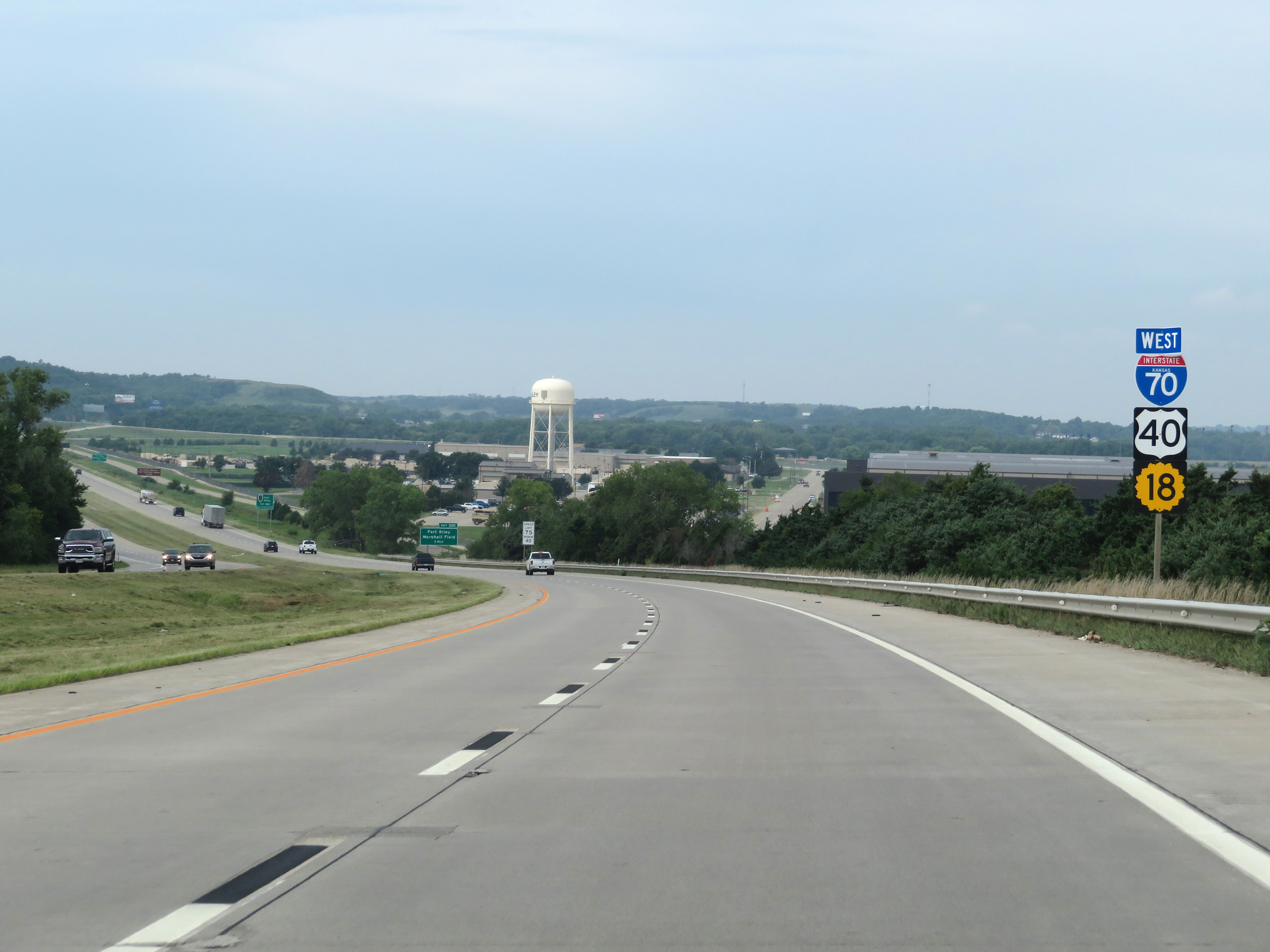
Interstate 70 West approaching Exit 300 - 3/4 mile. (Photo taken 8/12/20). |
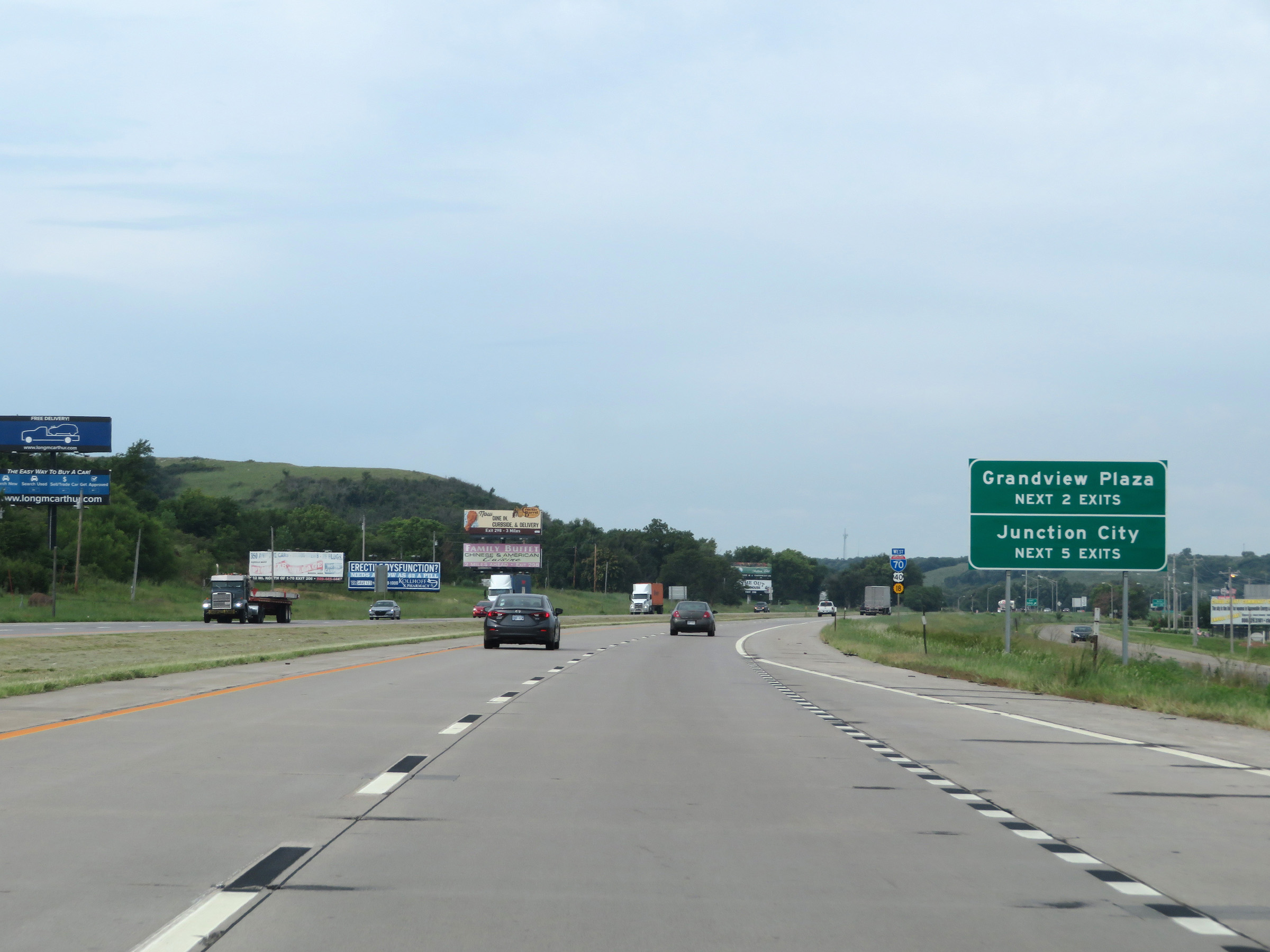 |
Take either of the next 2 exits to Grandview Plaza. Take any of the next 5 exits to Junction City. (Photo taken 8/12/20). |
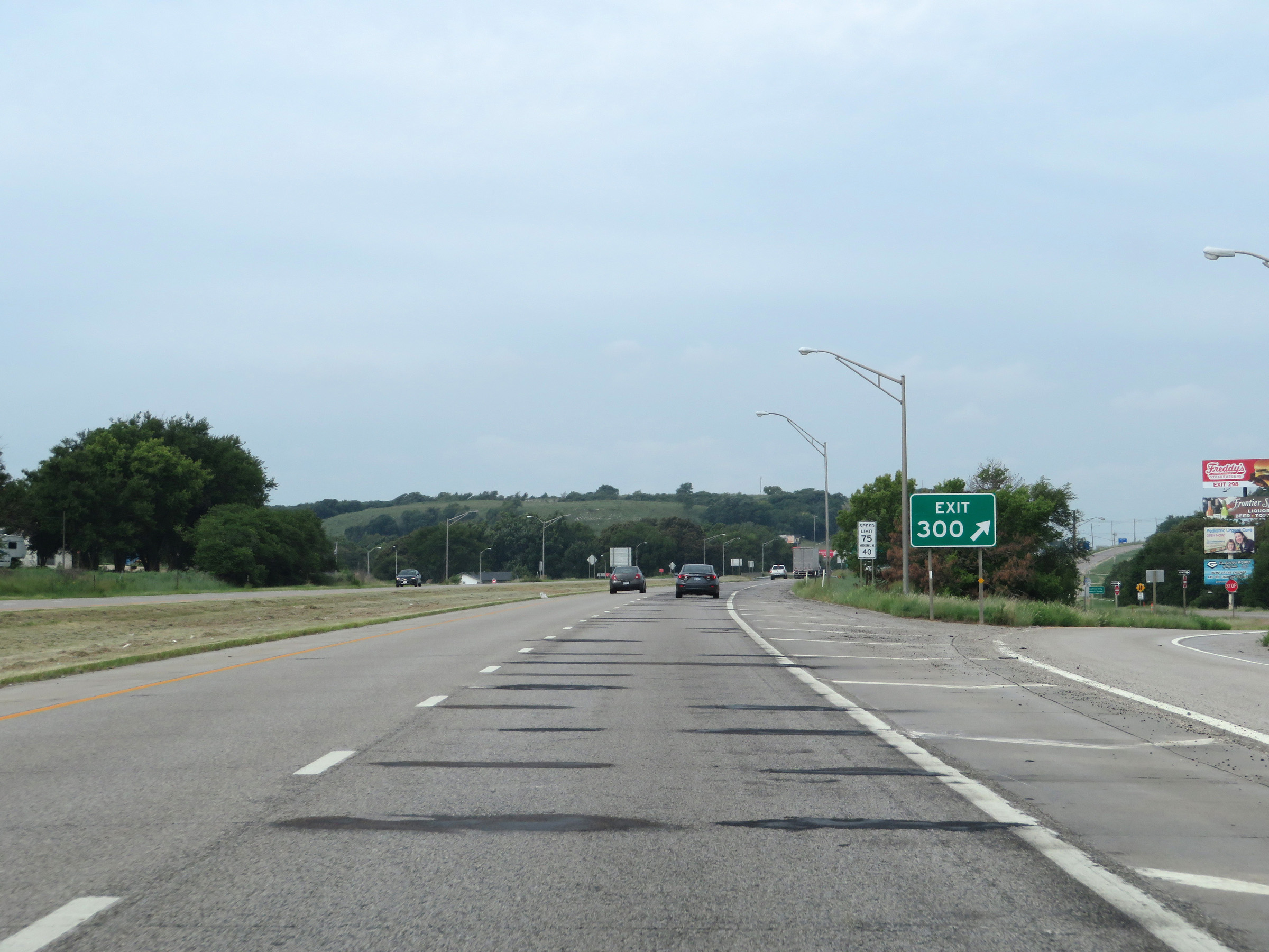 |
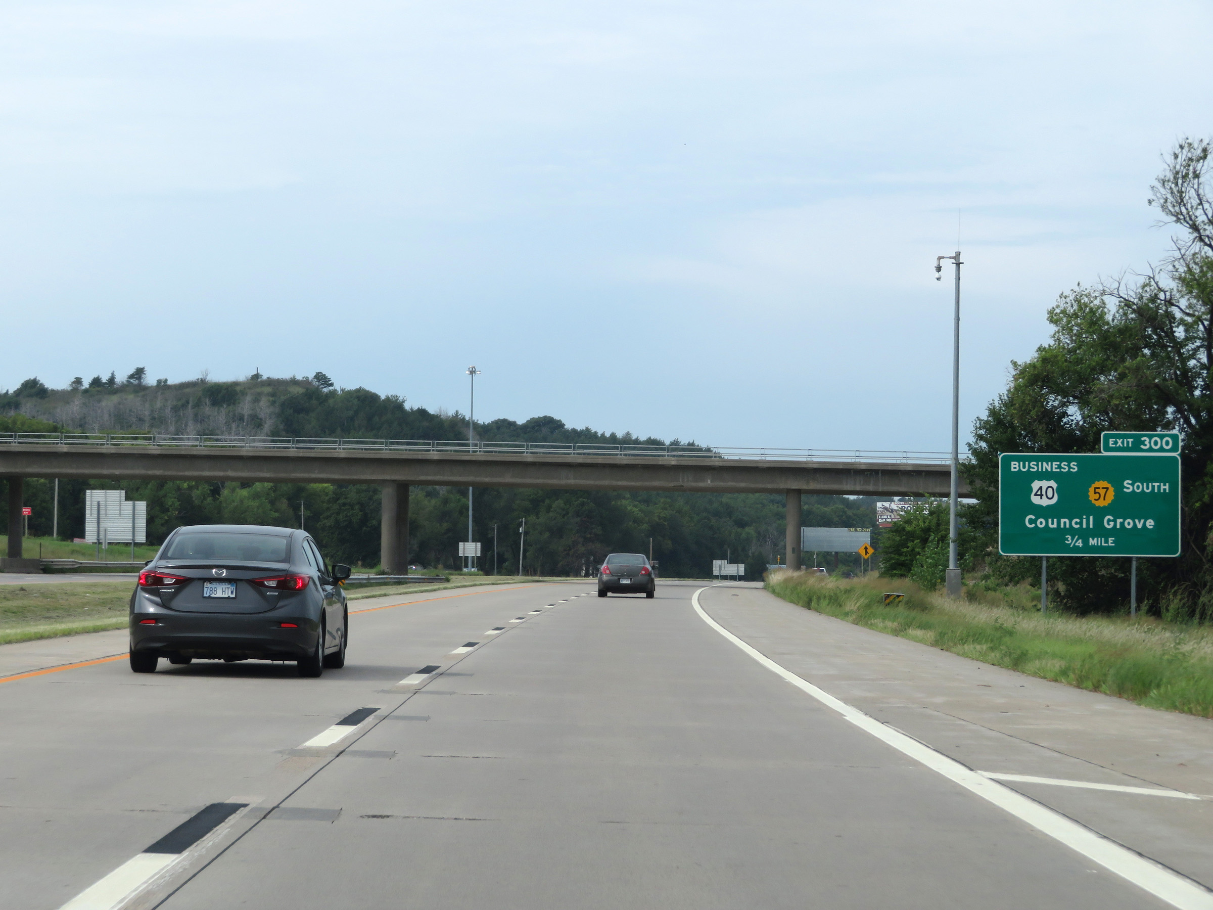
Interstate 70 West at Exit 300: US 40 Business / K-57 South - Council Grove (Photo taken 8/12/20). |
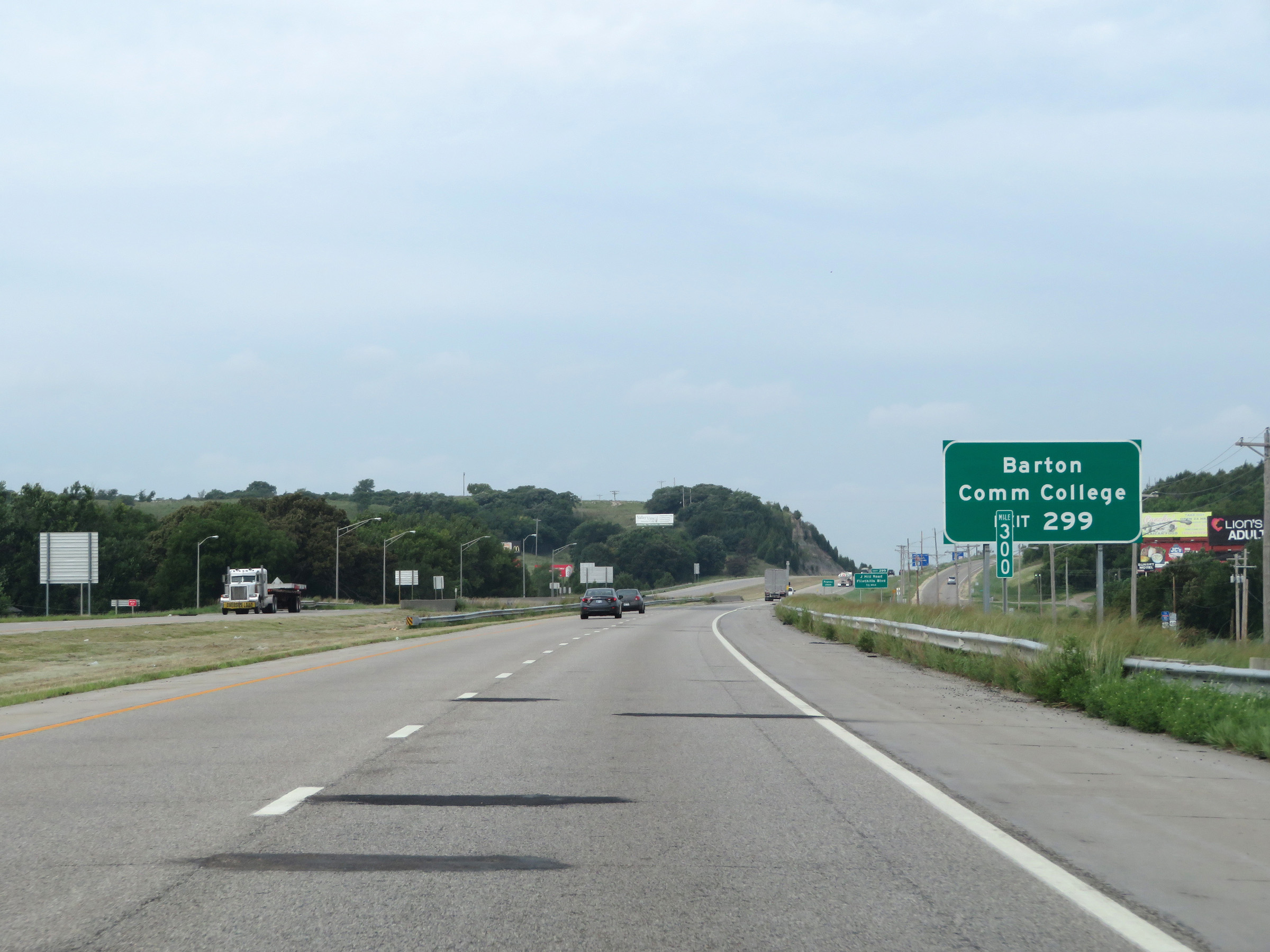 |
Take Exit 299 to Barton Community College. (Photo taken 8/12/20). |
 |
Interstate 70 West approaching Exit 299 - 1/2 mile. (Photo taken 8/12/20). |
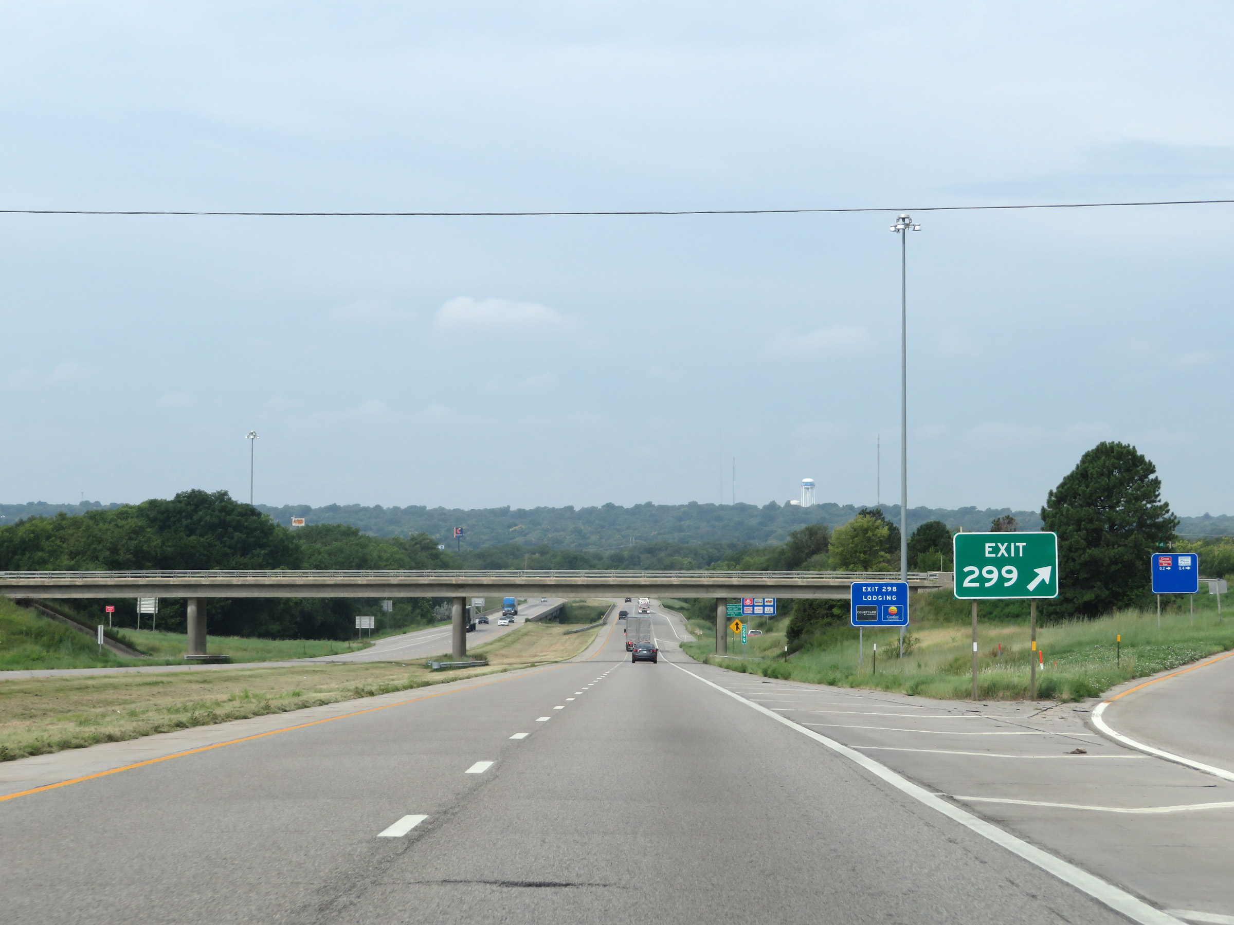 |
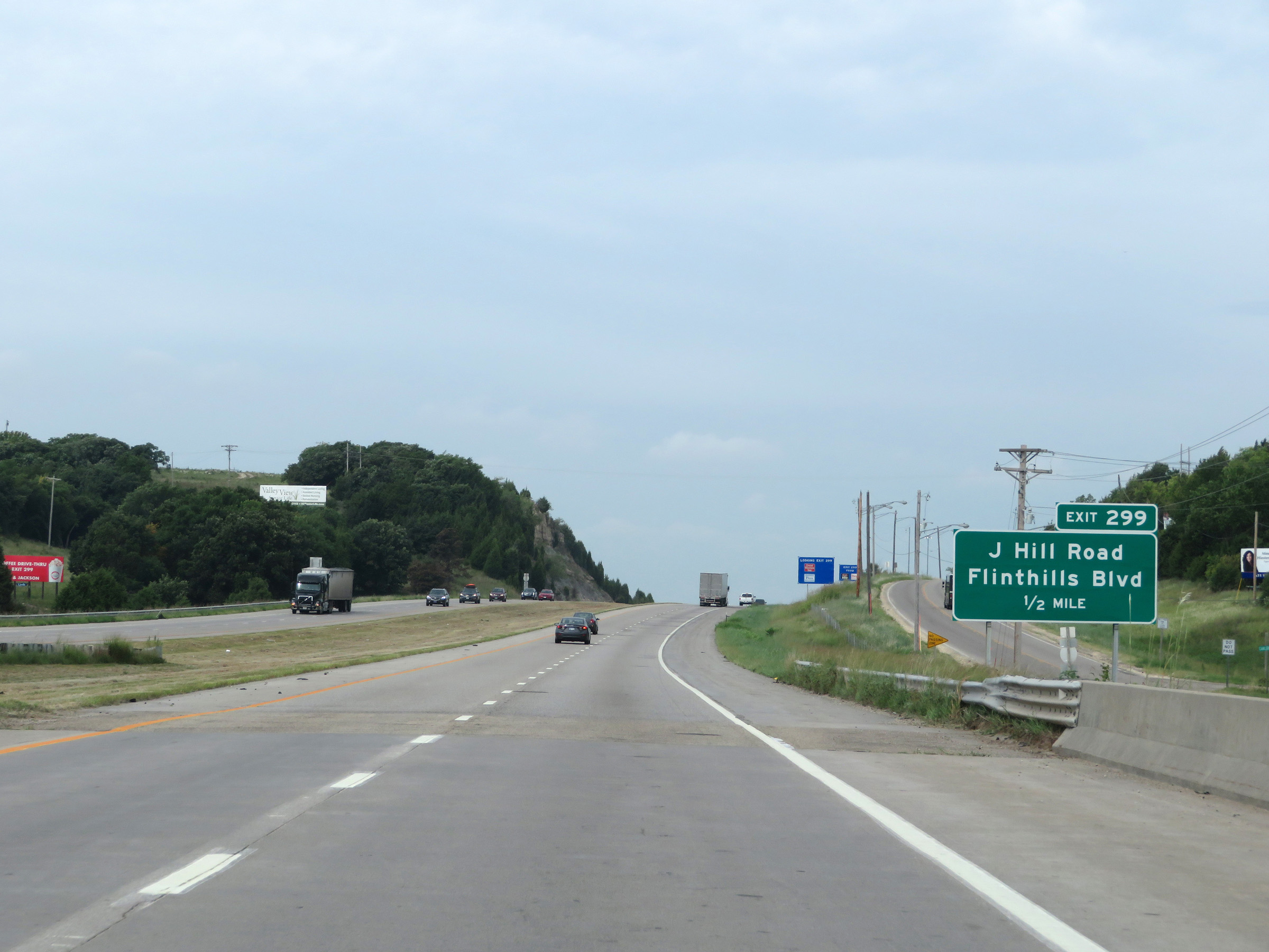
Interstate 70 West at Exit 299: J Hill Road / Flinthills Blvd (Photo taken 8/12/20). |
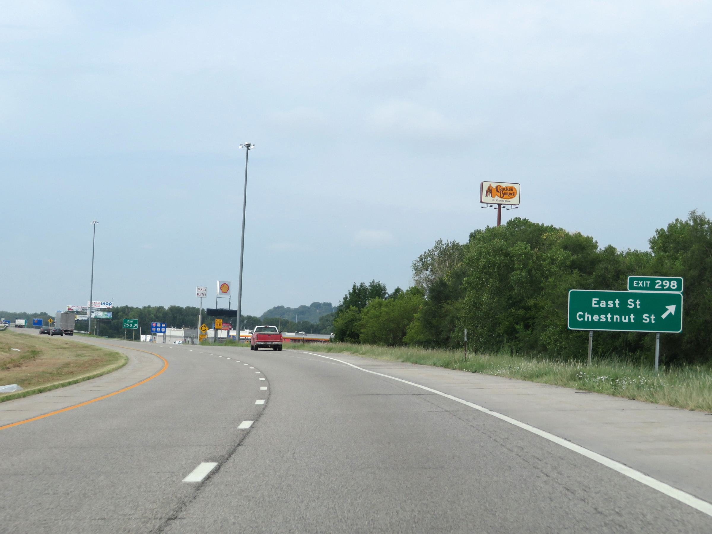 |
Interstate 70 West at Exit 298: East St / Chestnut St (Photo taken 8/12/20). |
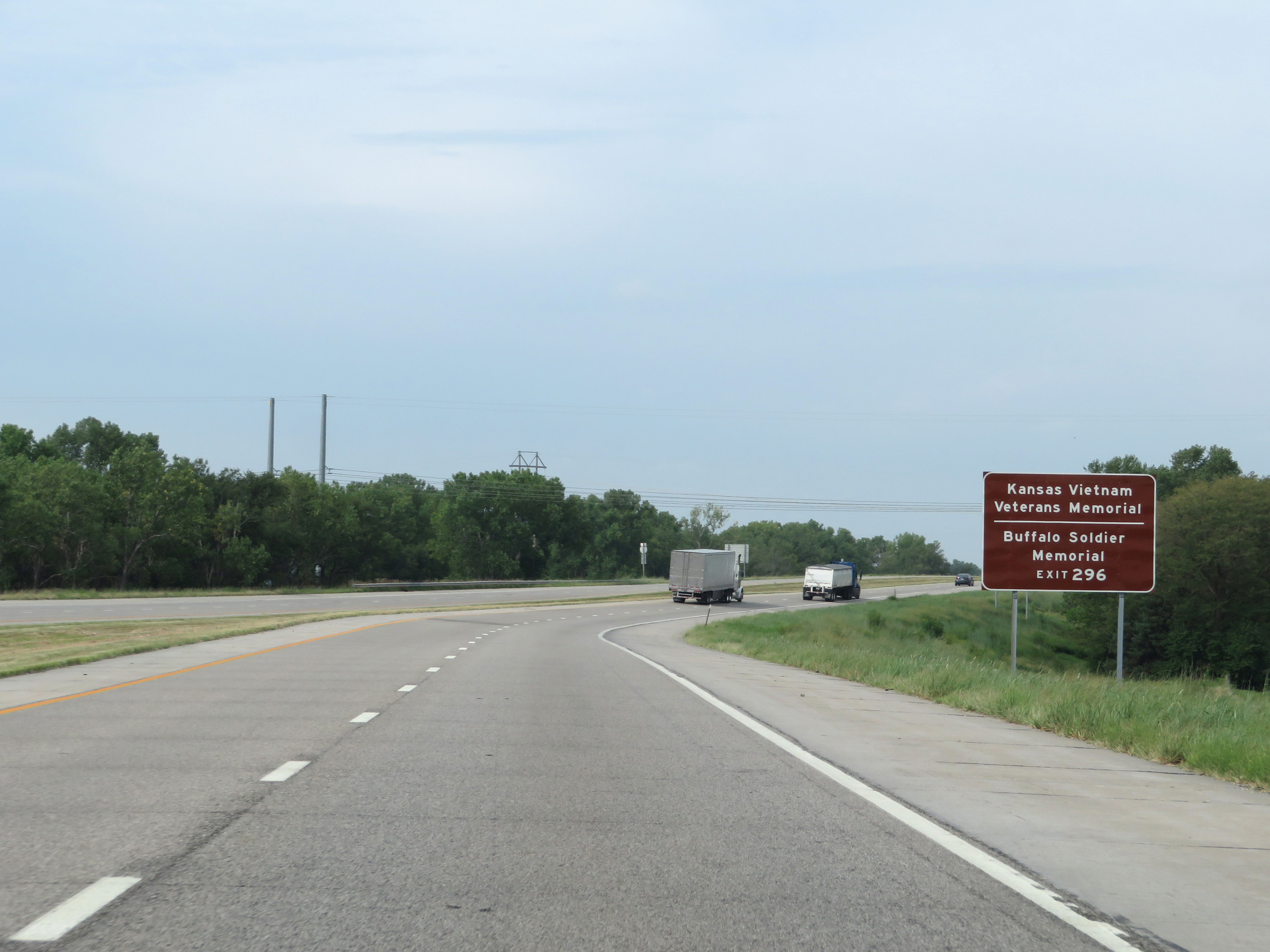 |
Take Exit 296 to the Kansas Vietnam Veterans Memorial and the Buffalo Soldier Memorial. (Photo taken 8/12/20). |
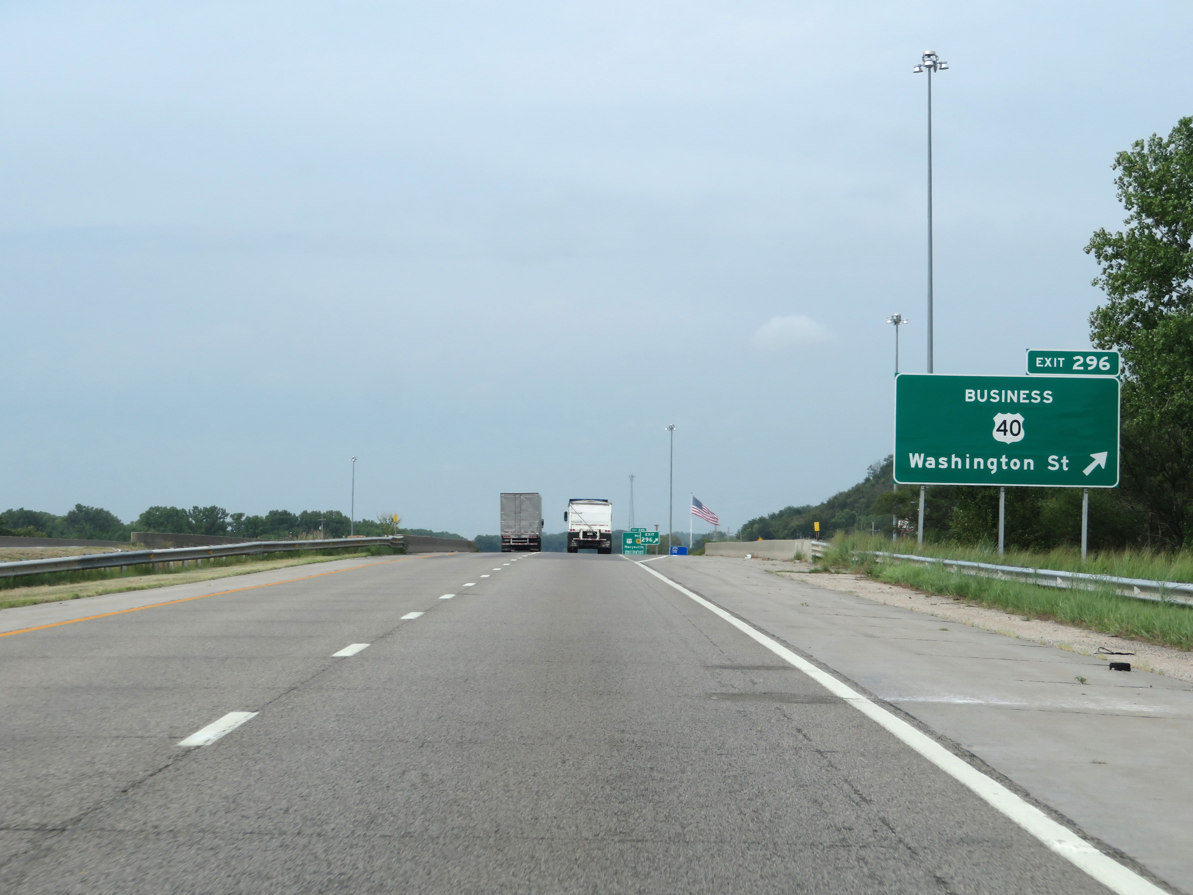 |
Interstate 70 West at Exit 296: US 40 Business - Washington St (Photo taken 8/12/20). |
 |
State-named Interstate 70 West reassurance shield in Junction City. (Photo taken 8/12/20). |
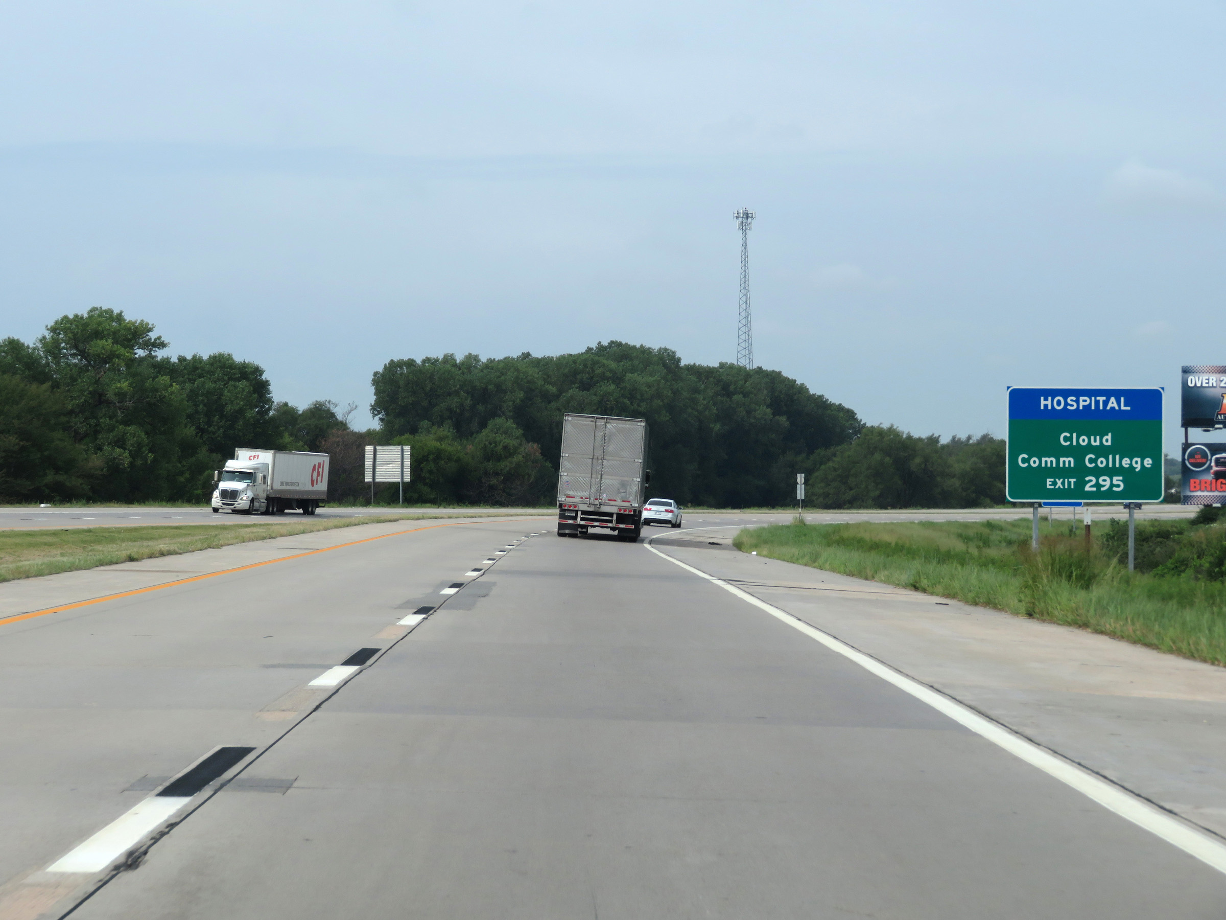 |
Take Exit 295 to Cloud Community College. (Photo taken 8/12/20). |
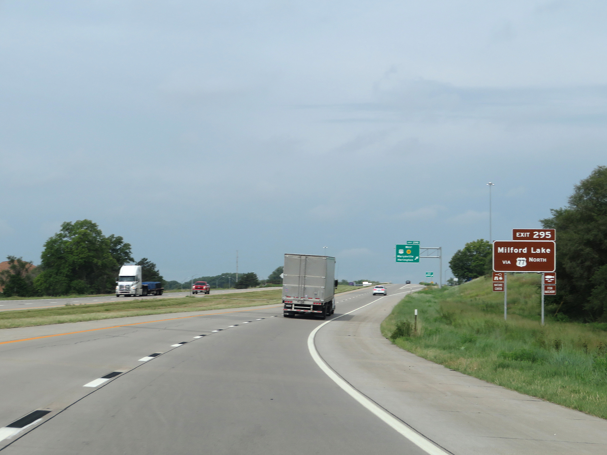 |
Also take Exit 295 to Milford Lake via US 77 North. (Photo taken 8/12/20). |
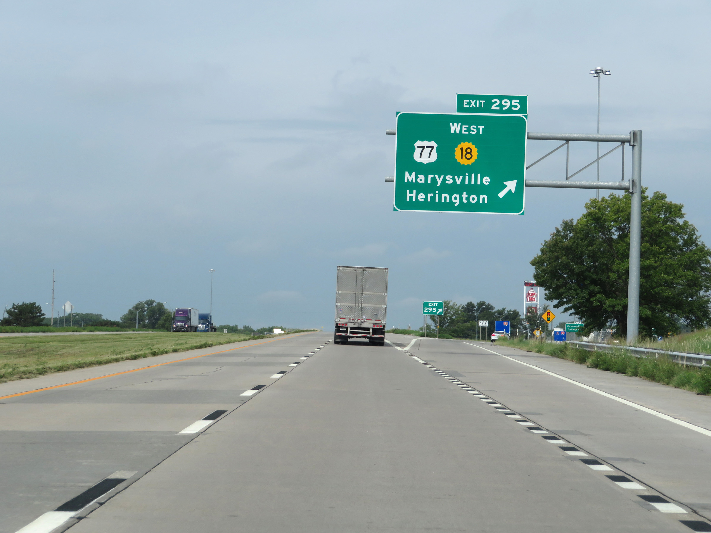 |
Interstate 70 West at Exit 295: US 77 / K-18 West - Marysville / Herington (Photo taken 8/12/20). |
 |
Speed limit sign on Interstate 70 West. The speed limits remain the rural standard 75 mph maximum and 40 mph minimum. (Photo taken 8/12/20). |
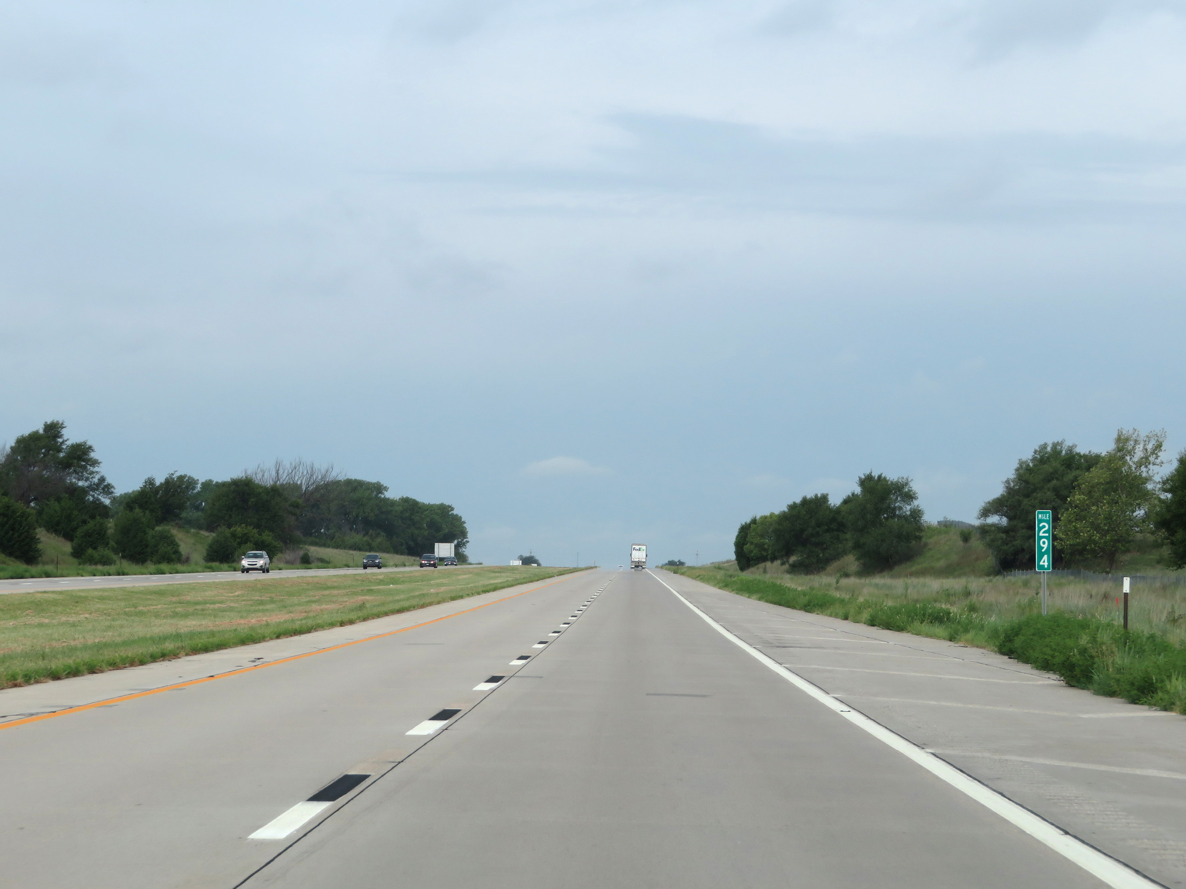 |
View on Interstate 70 West at mile marker 294. (Photo taken 8/12/20). |
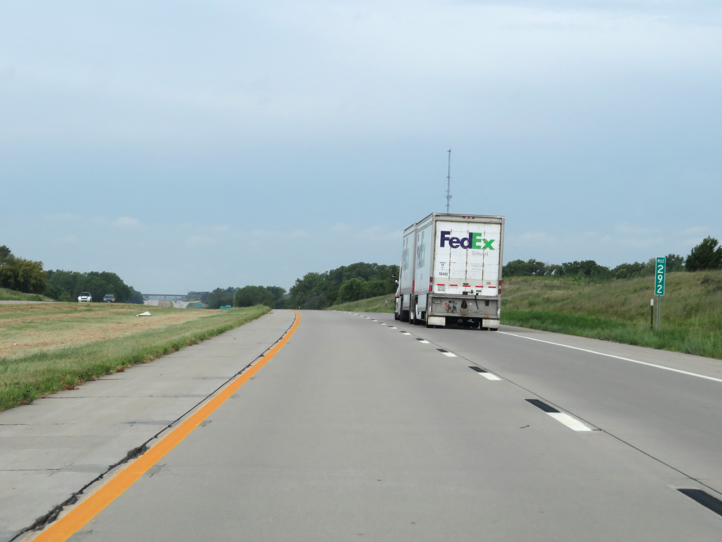 |
Interstate 70 West at mile marker 292. (Photo taken 8/12/20). |
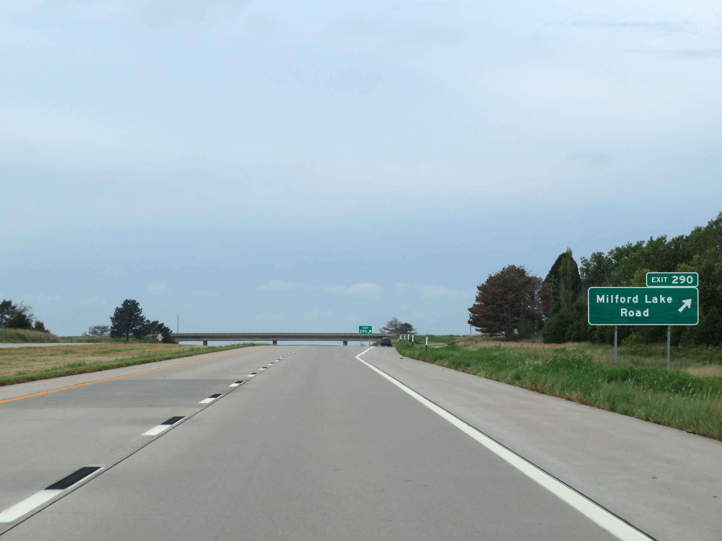 |
Interstate 70 West at Exit 290: Milford Lake Road (Photo taken 8/12/20). |
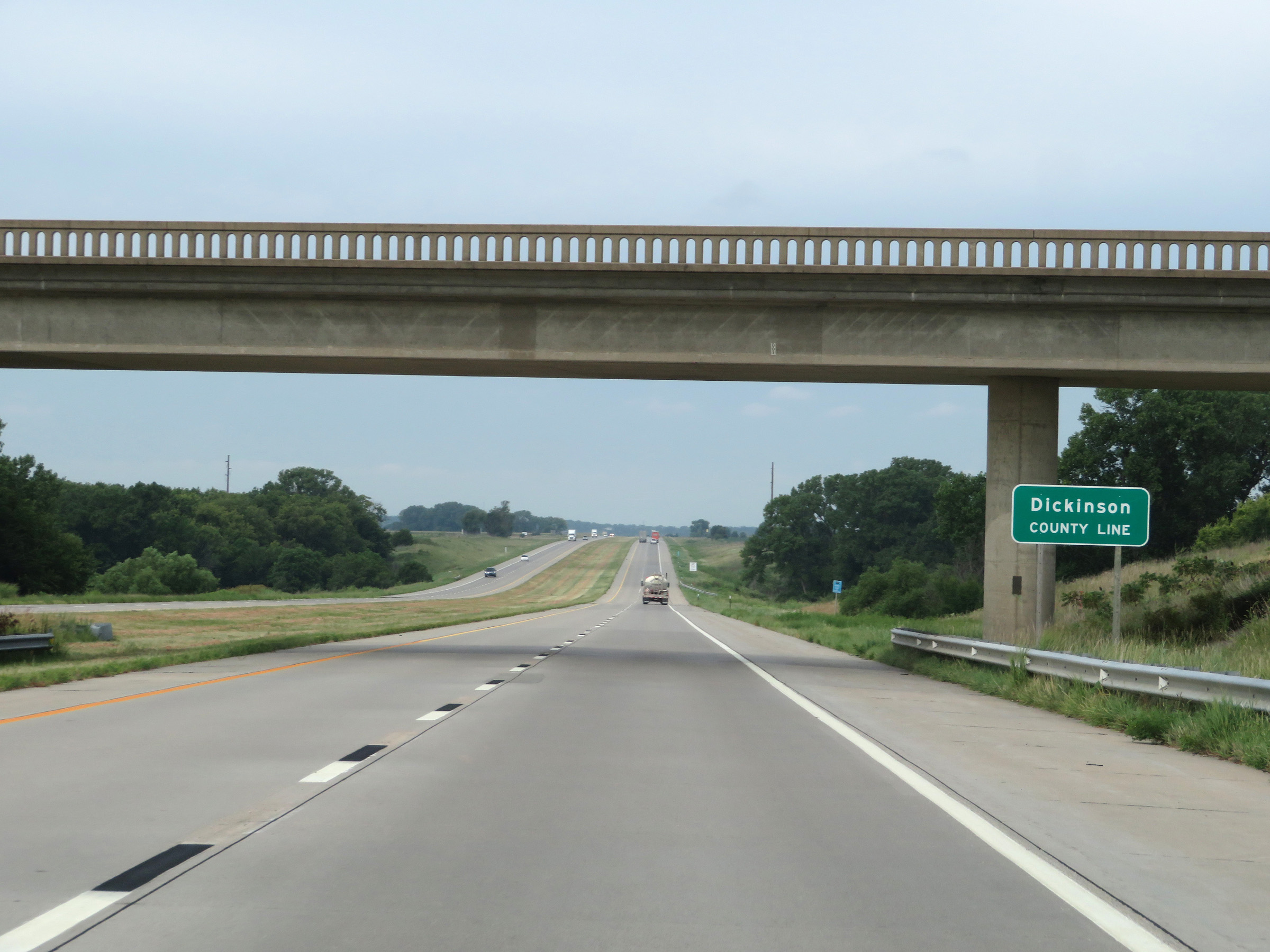 |
Interstate 70 West as it enters Dickinson County. (Photo taken 8/12/20). |
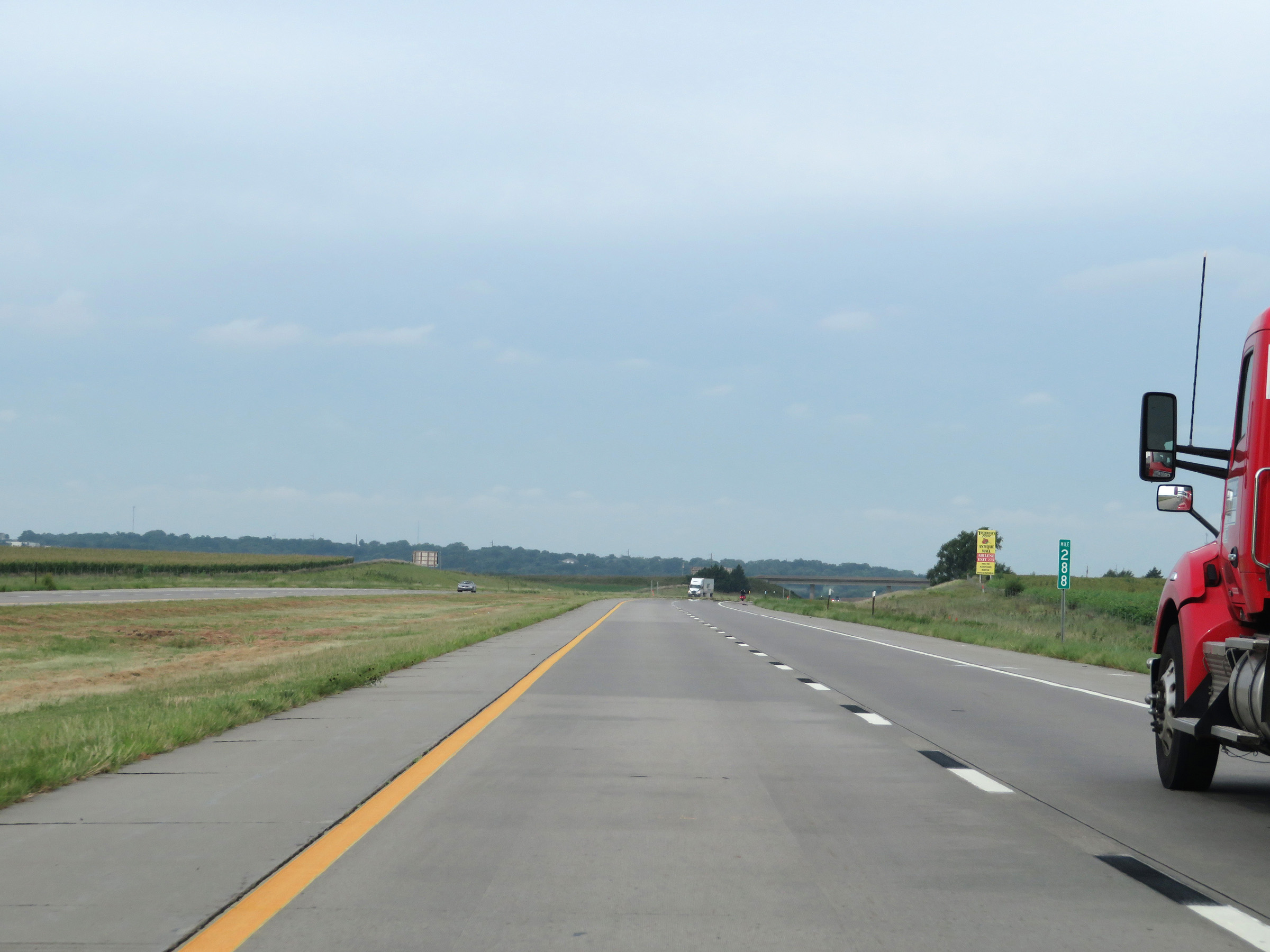 |
View on Interstate 70 West at mile marker 288. (Photo taken 8/12/20). |
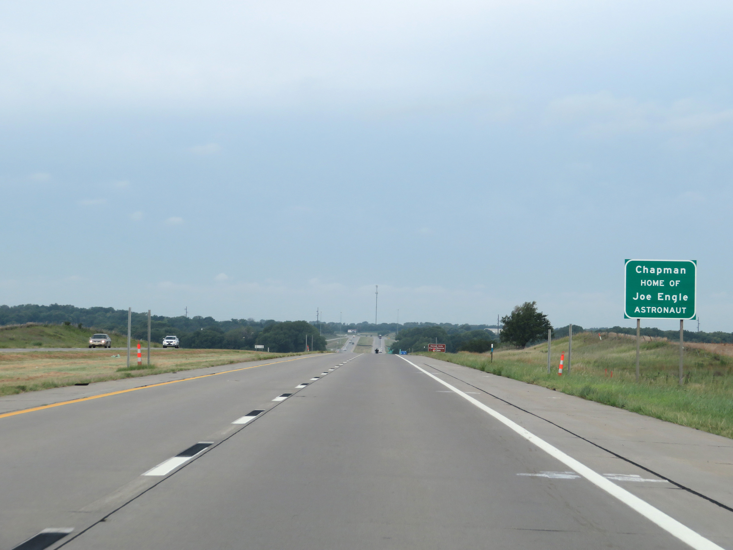 |
Interstate 70 West as it enters the town of Chapman, which is the home of astronaut Joe Engle. (Photo taken 8/12/20). |
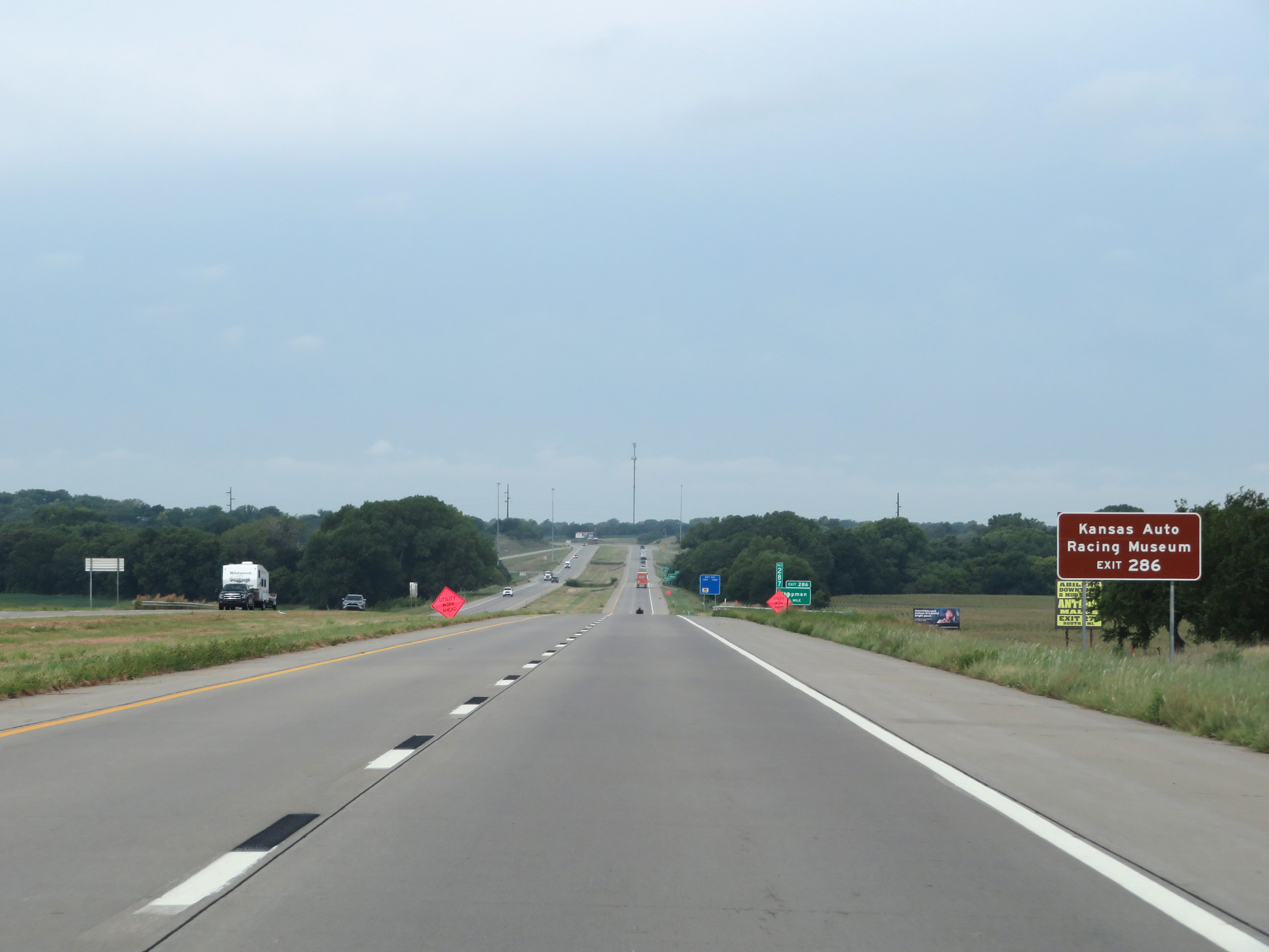 |
Take Exit 286 to the Kansas Auto Racing Museum. (Photo taken 8/12/20). |
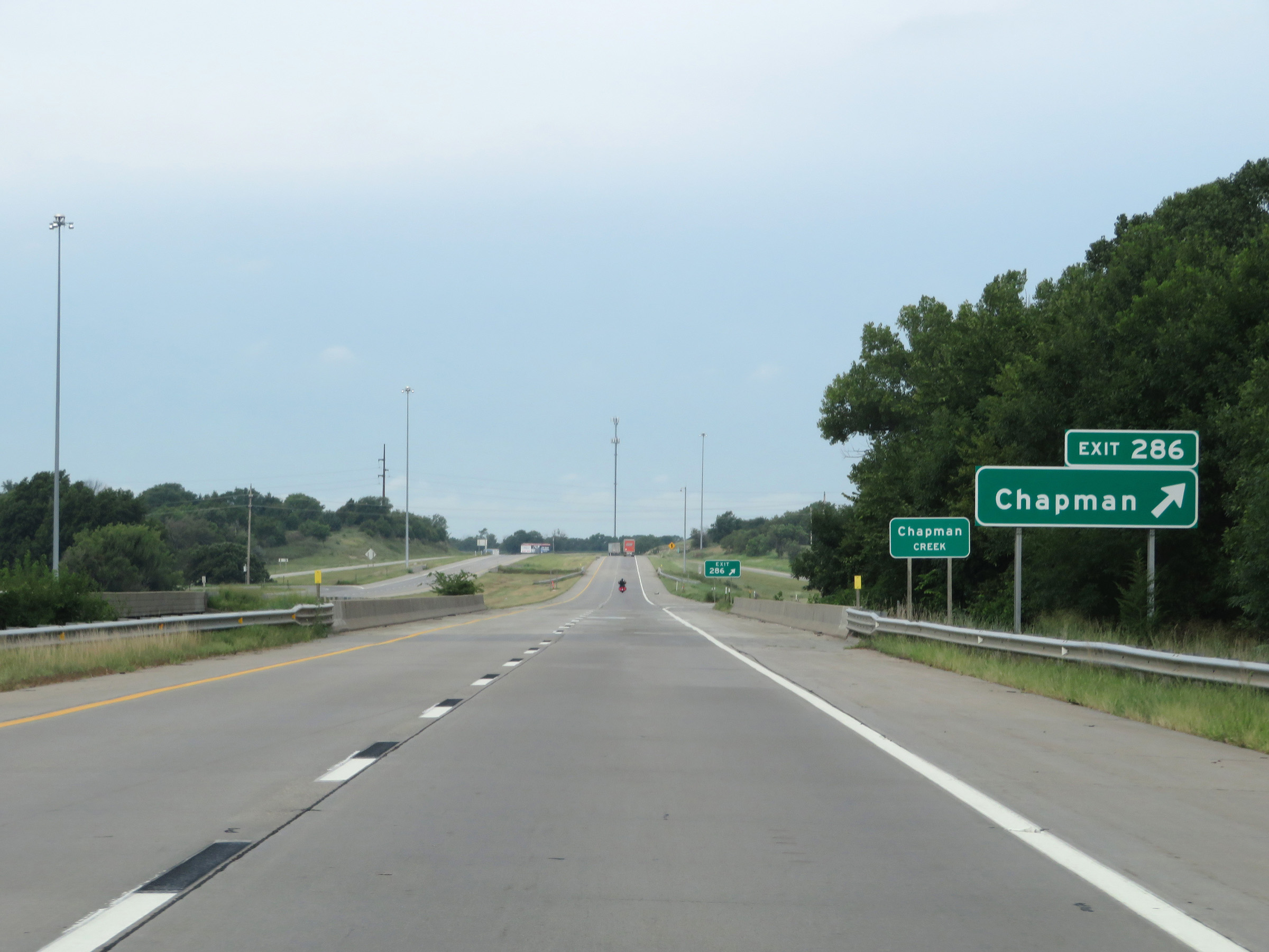 |
Interstate 70 West at Exit 286: Chapman (Photo taken 8/12/20). |
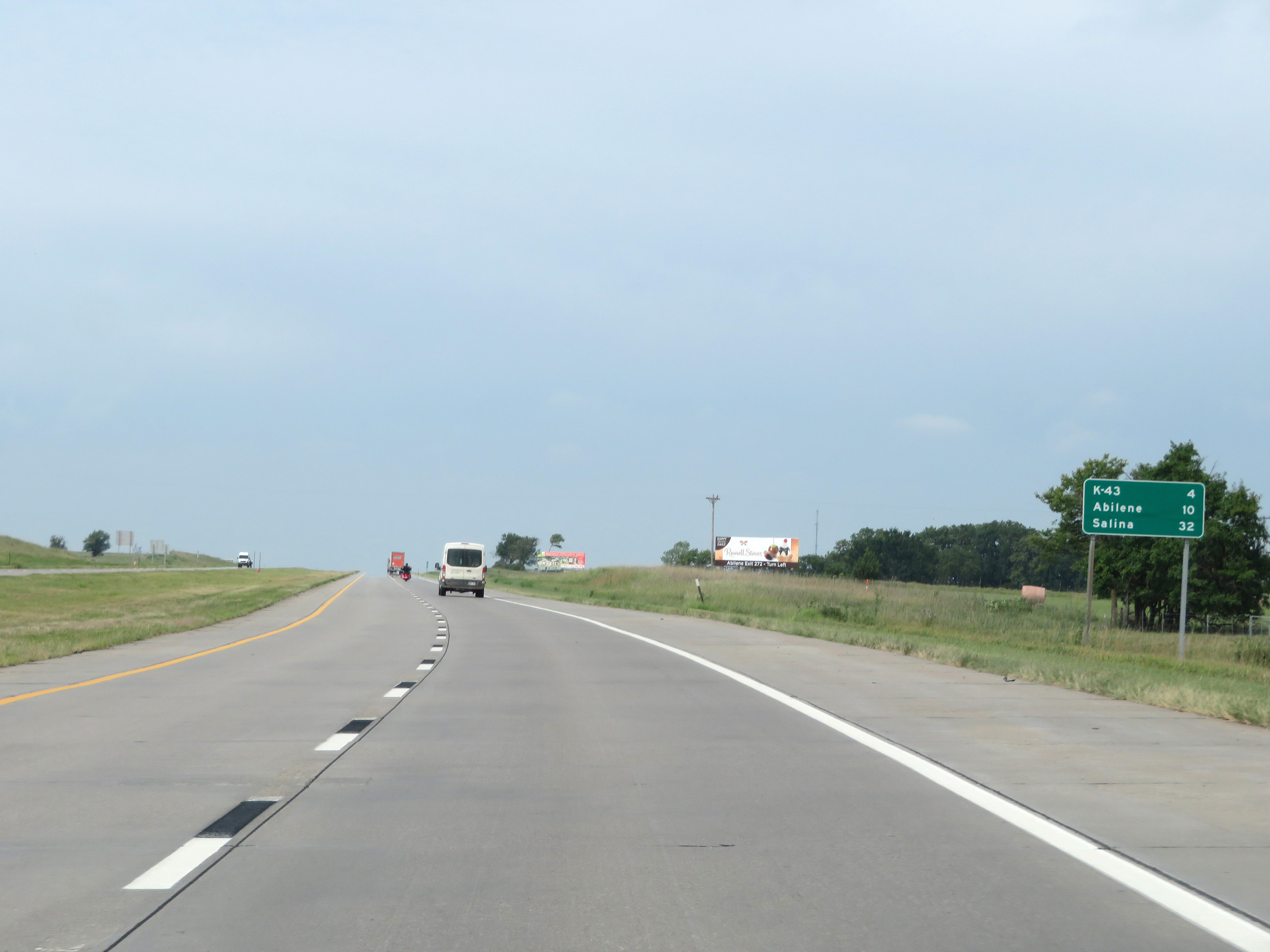 |
Mileage sign on Interstate 70 West. It's 4 miles to the junction of K-43, 10 miles to Abilene, and 32 miles to Salina. (Photo taken 8/12/20). |
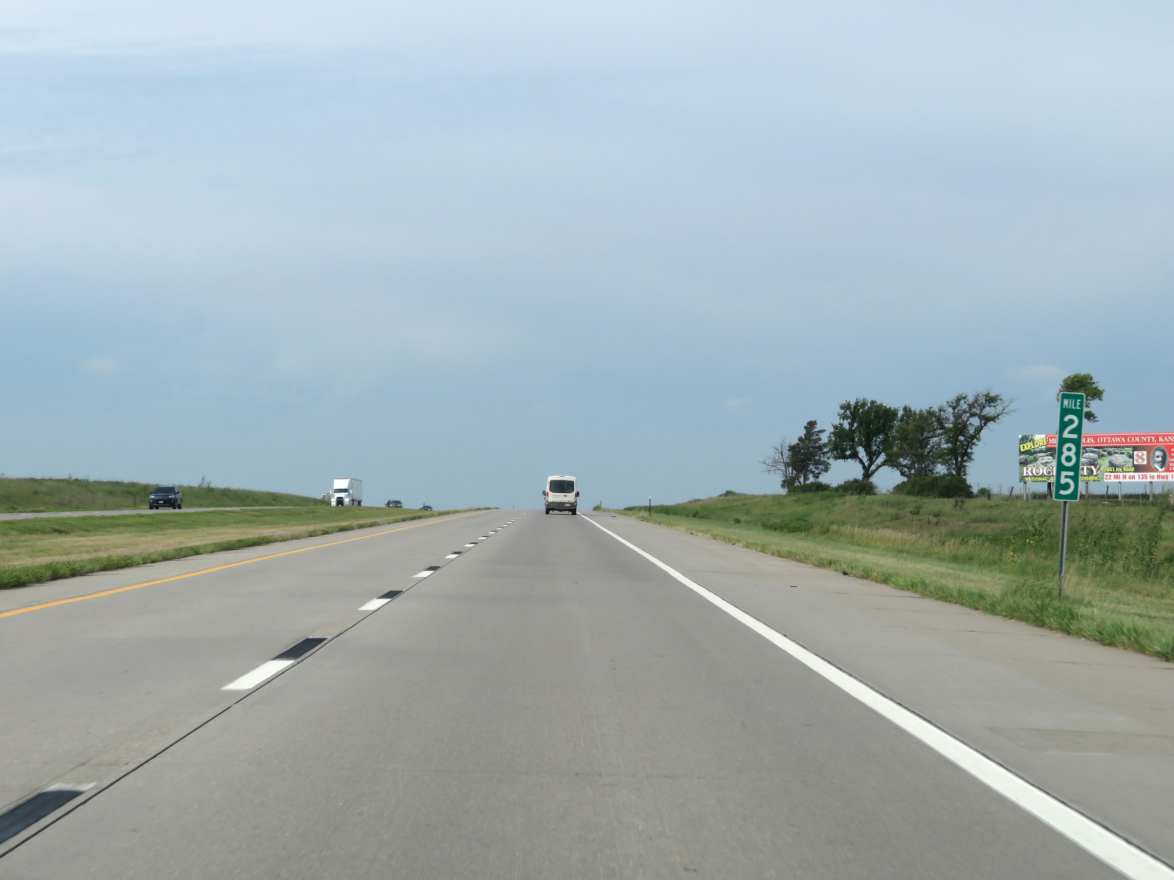 |
View on Interstate 70 West at mile marker 285. (Photo taken 8/12/20). |
 |
Interstate 70 West at mile marker 282. (Photo taken 8/12/20). |
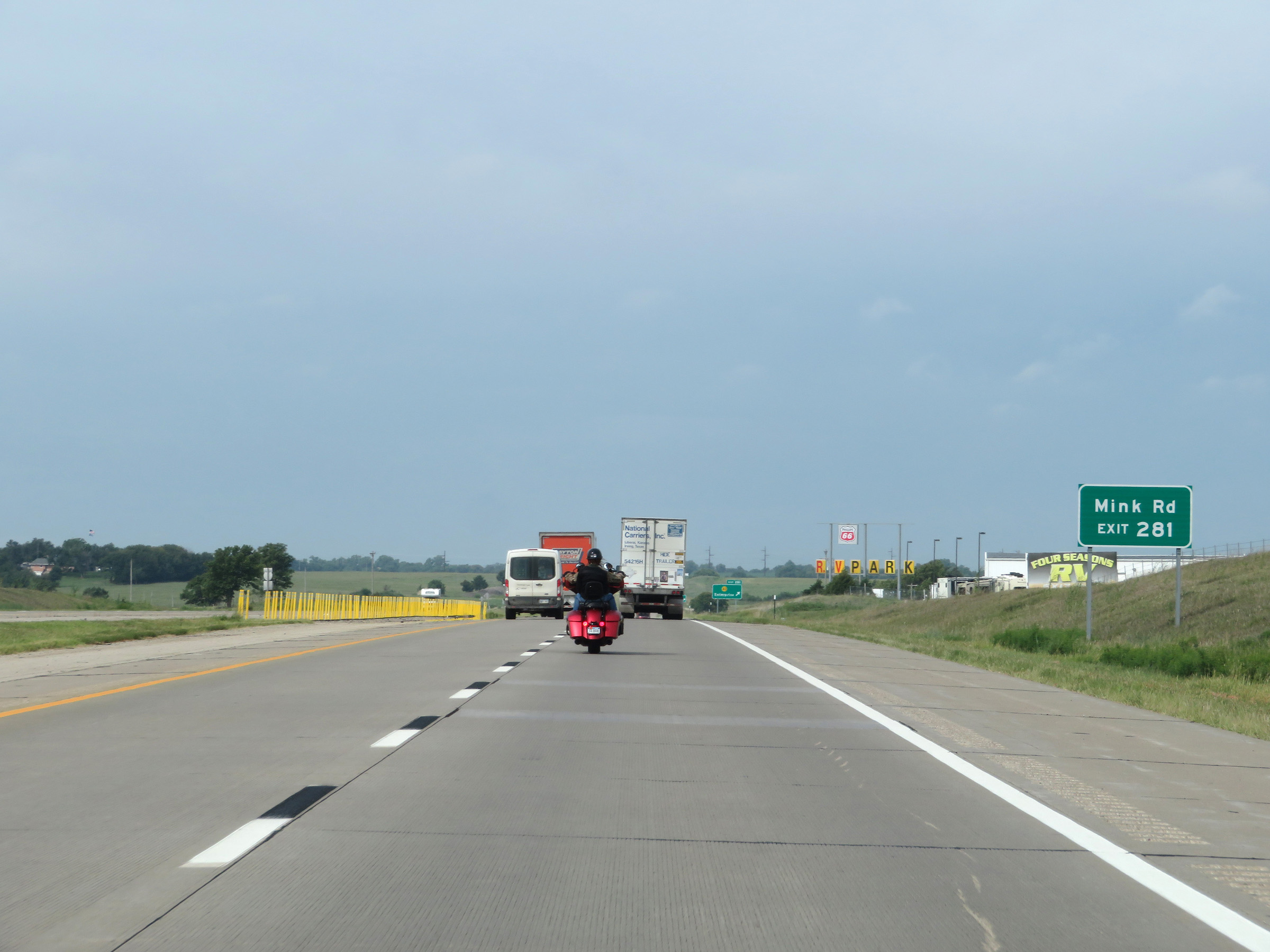 |
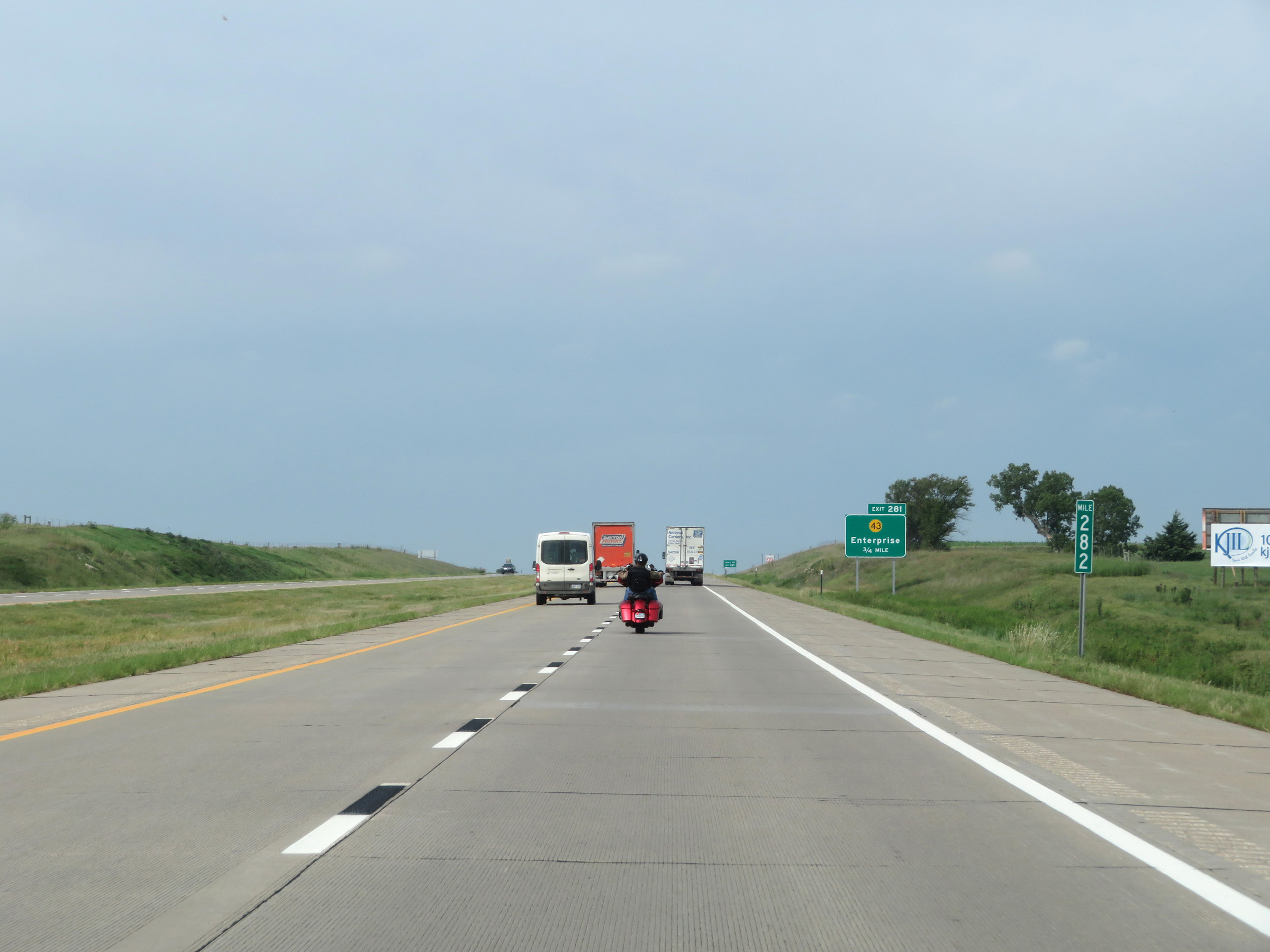
Take Exit 281 to Mink Rd. (Photo taken 8/12/20). |
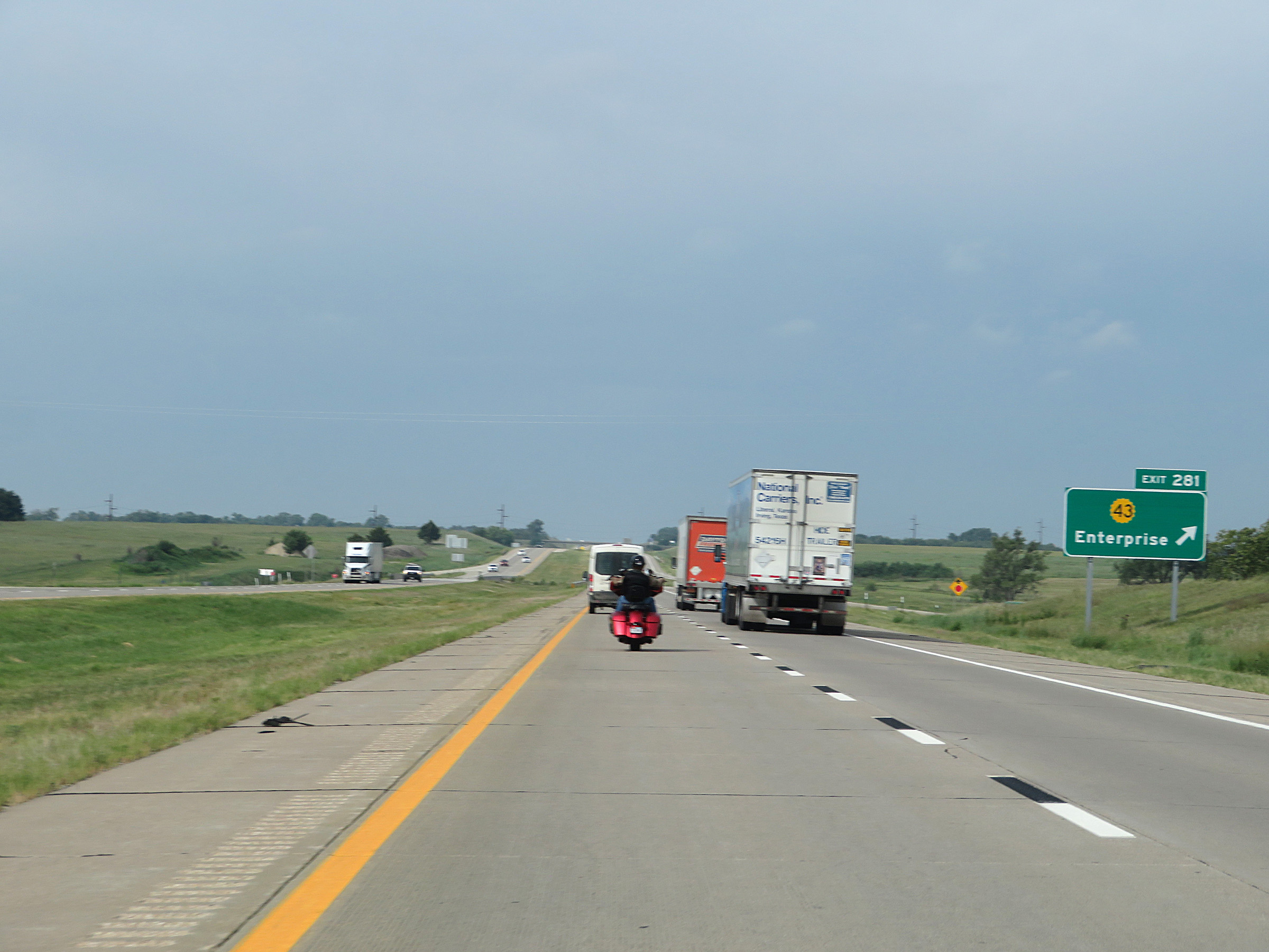 |
Interstate 70 West at Exit 281: K-43 - Enterprise (Photo taken 8/12/20). |
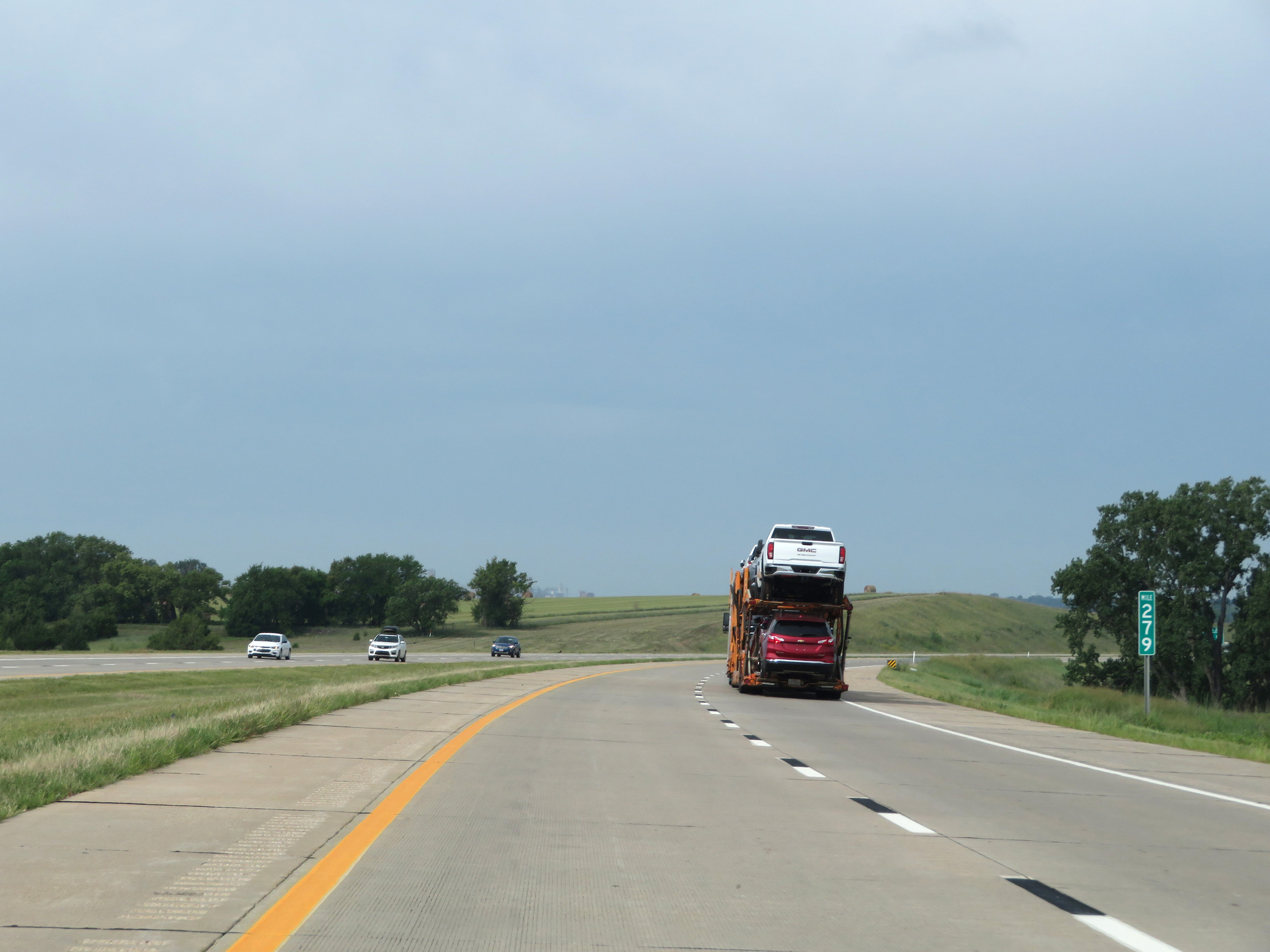 |
View on Interstate 70 West at mile marker 279. (Photo taken 8/12/20). |
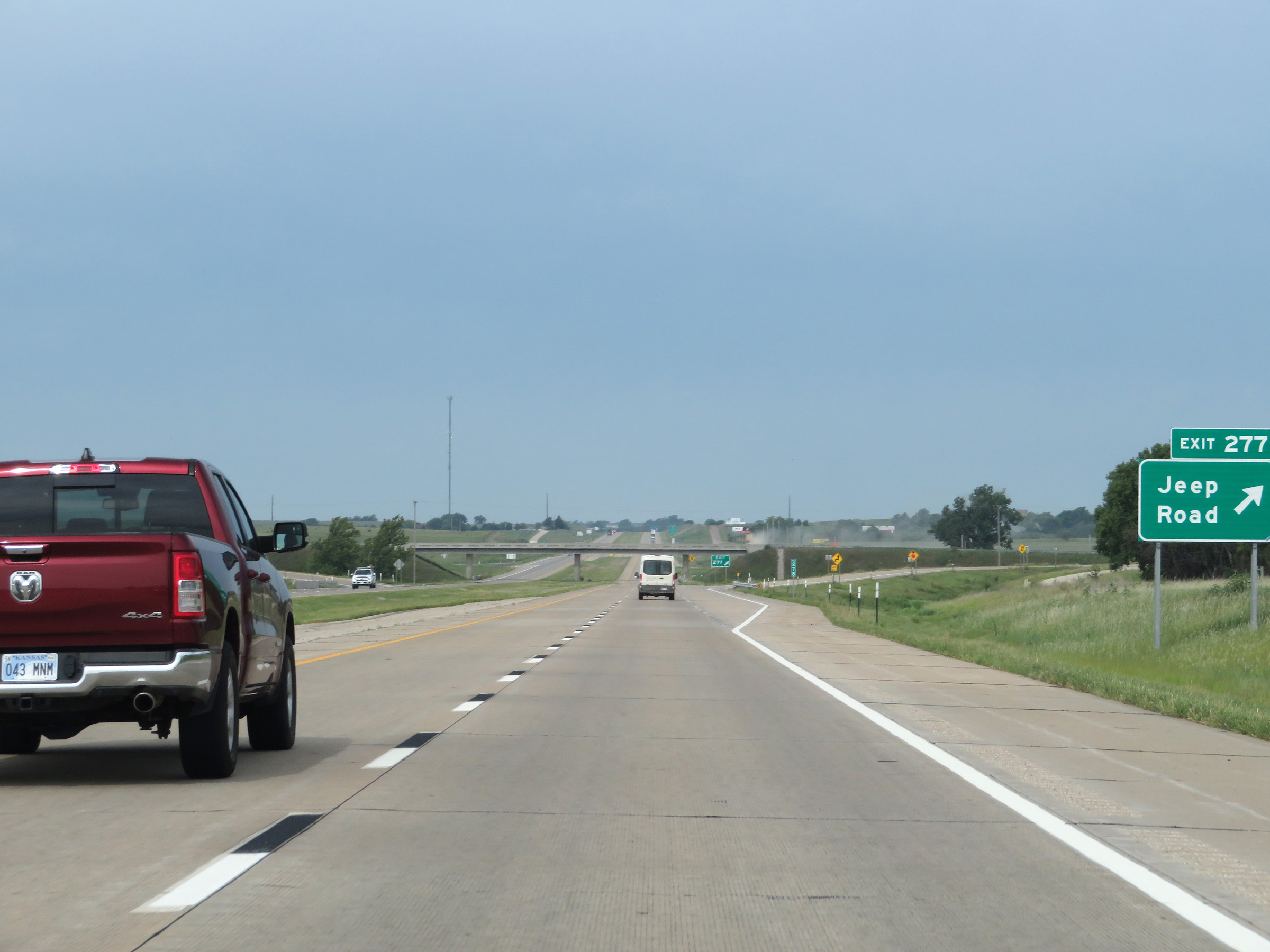 |
Interstate 70 West at Exit 277: Jeep Road (Photo taken 8/12/20). |
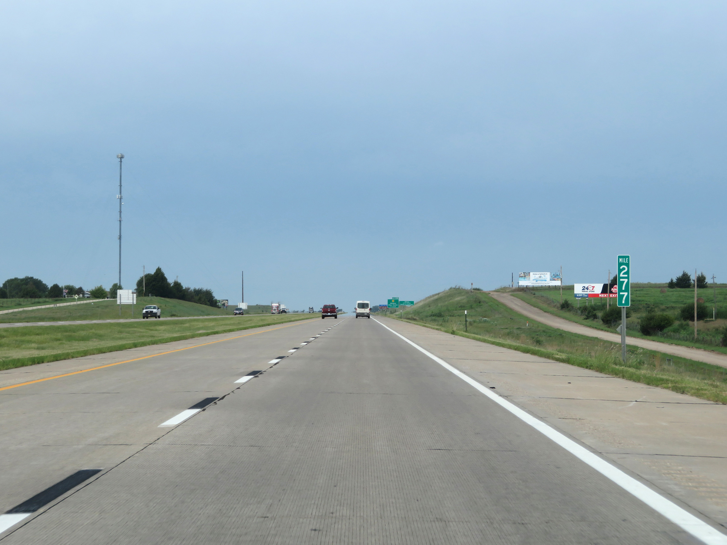 |
Interstate 70 West at mile marker 277. (Photo taken 8/12/20). |
 |
Interstate 70 West as it enters Abilene, the home of President Dwight D. Eisenhower. Eisenhower is the father of the Interstate Highway System, and in my opinion, one of the best presidents the US has ever had. (Photo taken 8/12/20). |
 |
Take Exit 275 to the 1901 Parker Carousel. (Photo taken 8/12/20). |
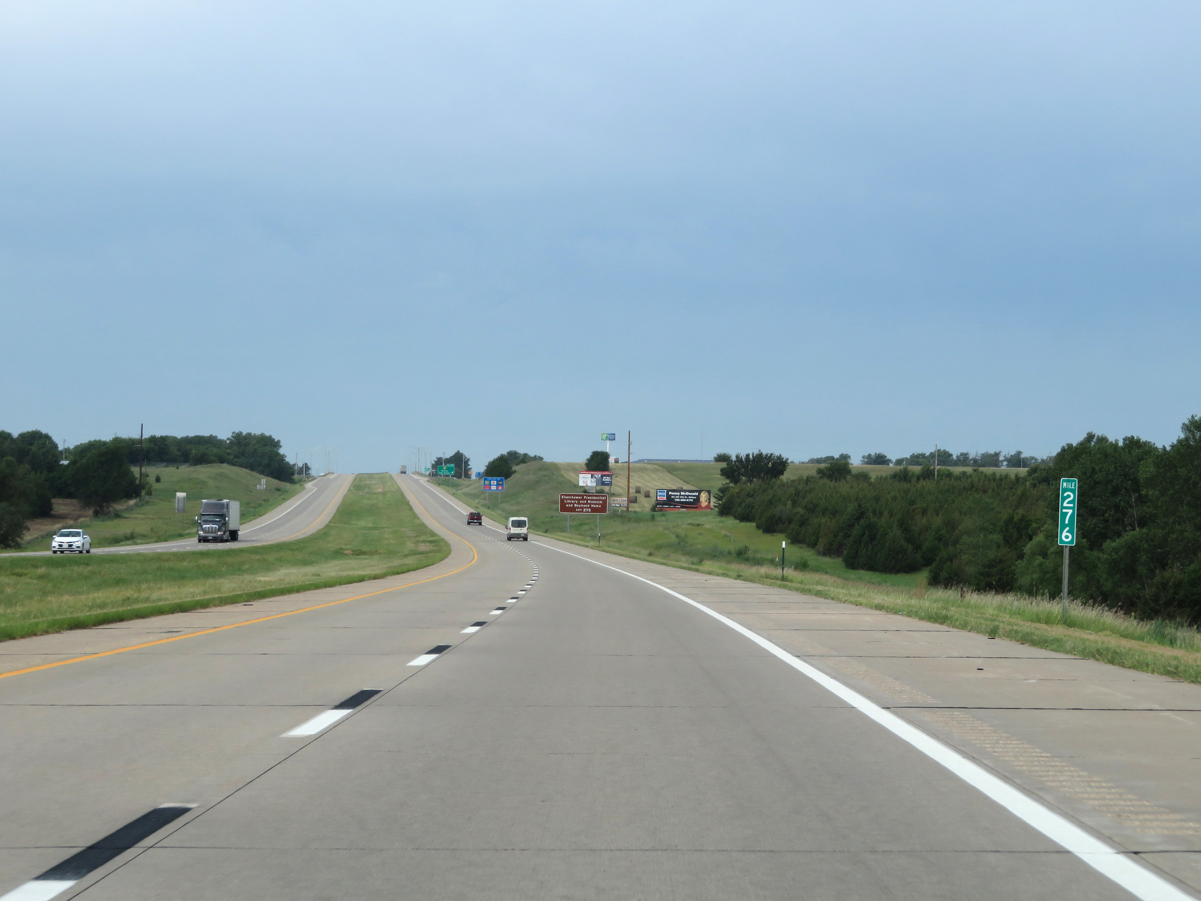 |
View on Interstate 70 West at mile marker 276. (Photo taken 8/12/20). |
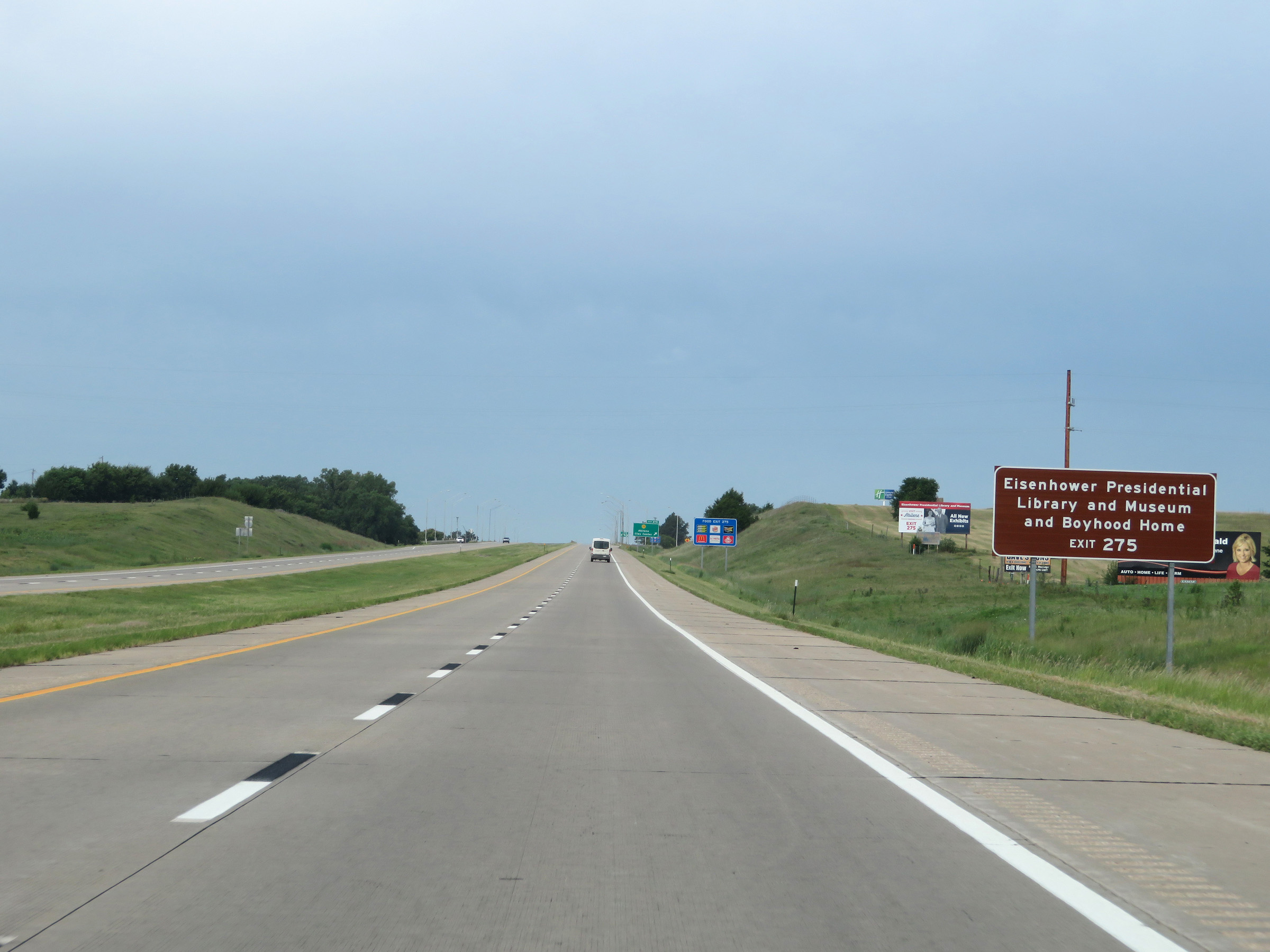 |
Also take Exit 275 to the Eisenhower Presidential Library and Museum, as well as Ike's Boyhood Home. (Photo taken 8/12/20). |
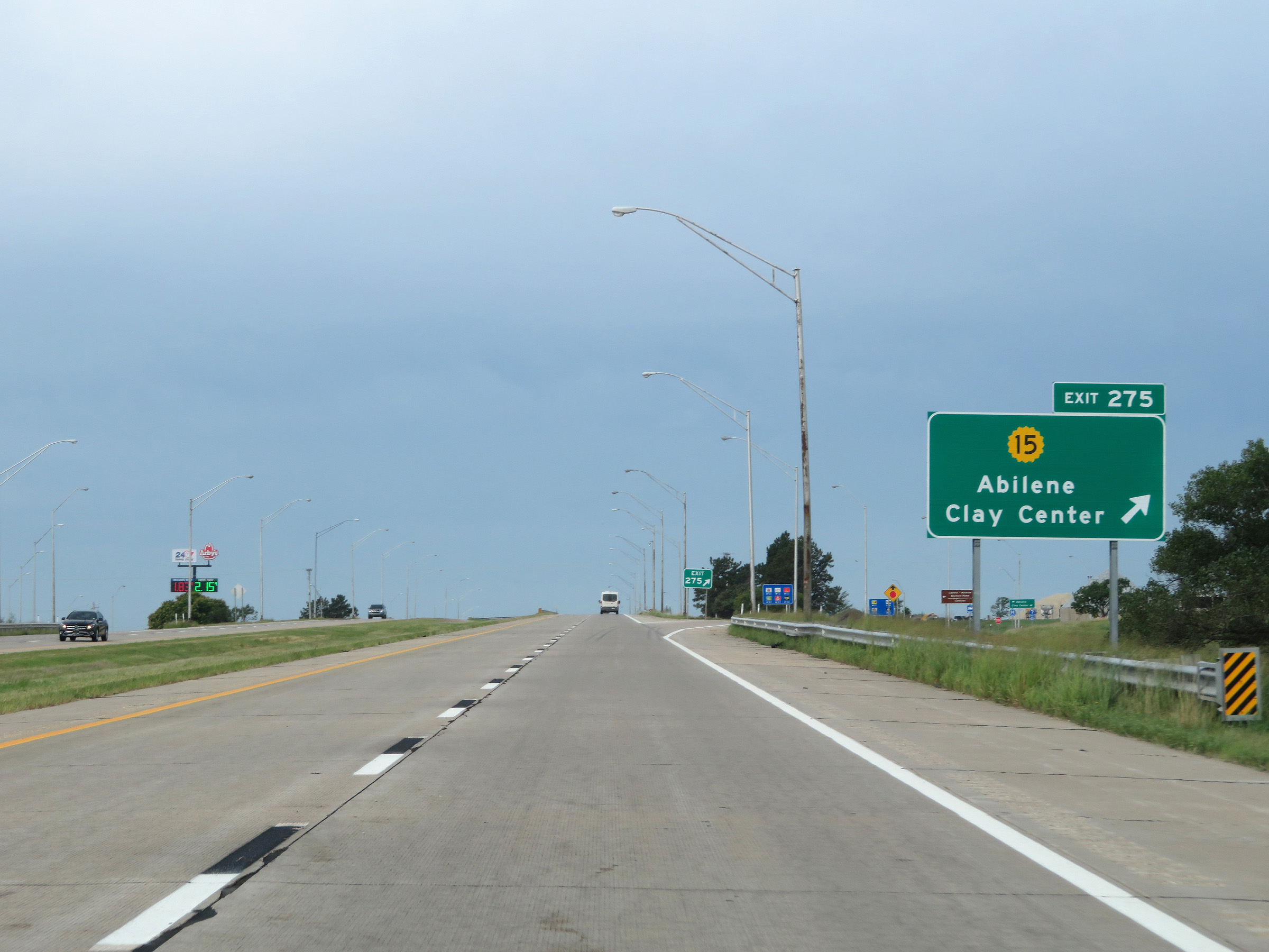 |
Interstate 70 West at Exit 275: K-15 - Abilene / Clay Center (Photo taken 8/12/20). |
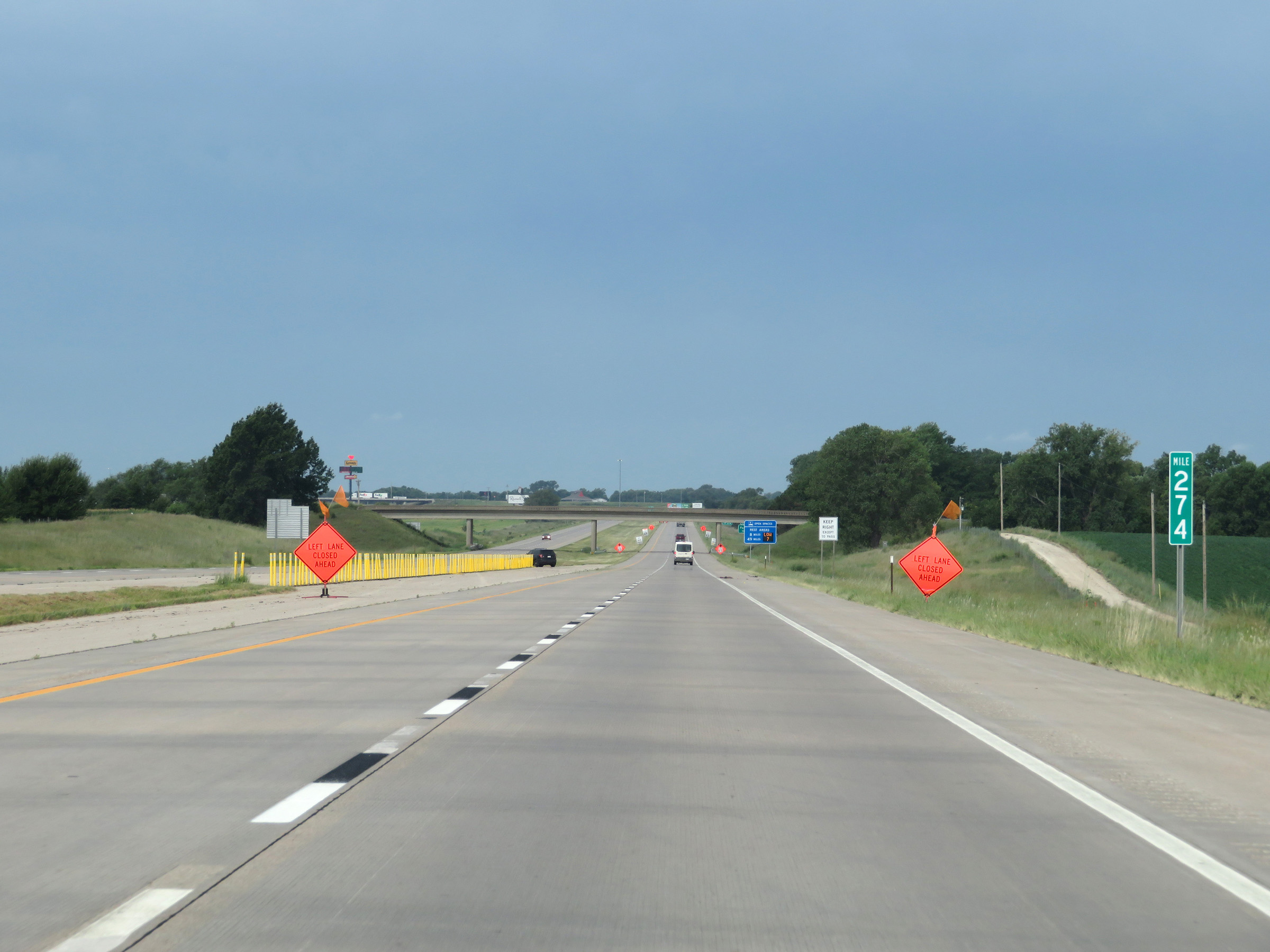 |
View on Interstate 70 West at mile marker 274. (Photo taken 8/12/20). |
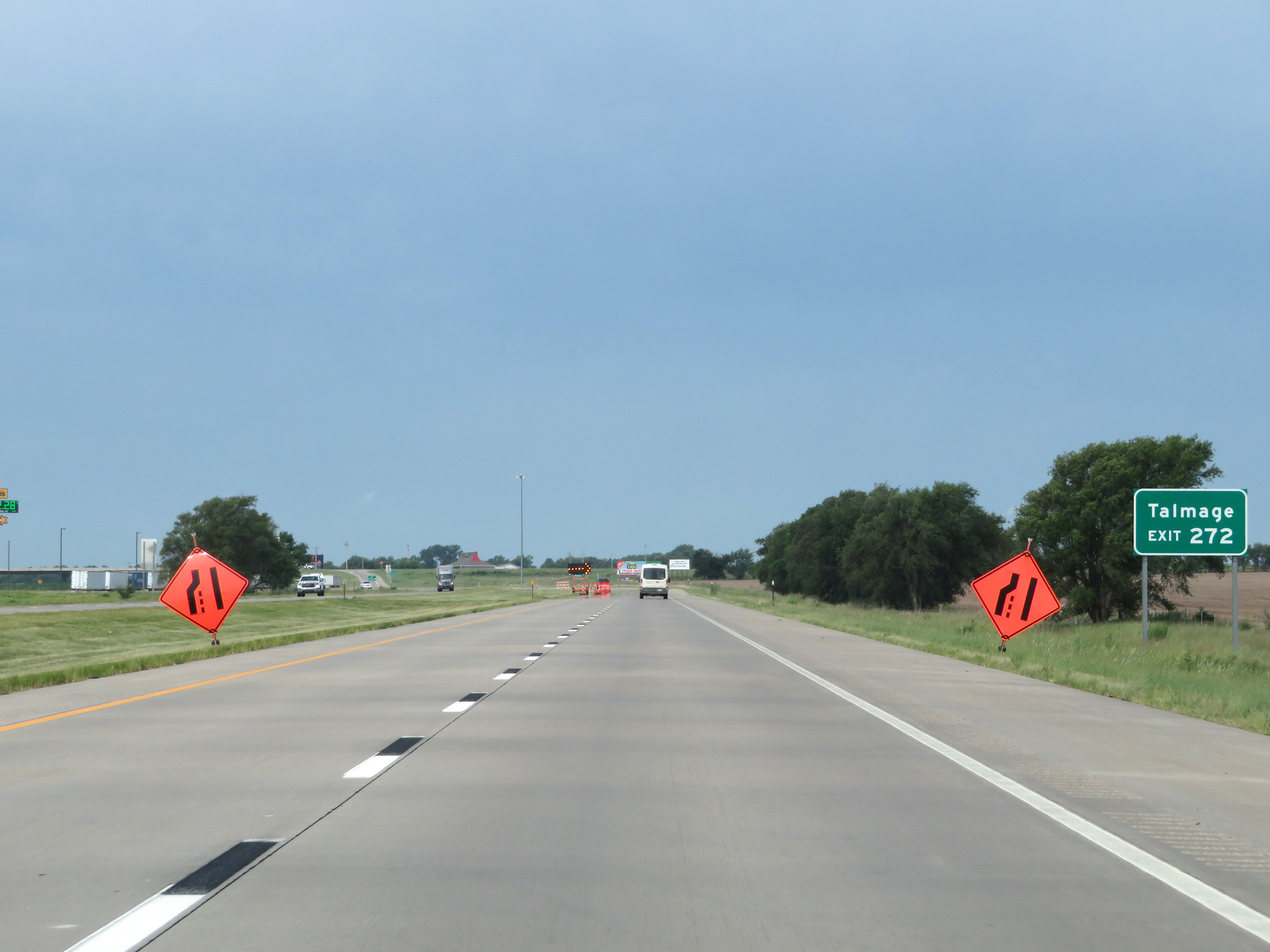 |
Take Exit 272 to Talmage. (Photo taken 8/12/20). |
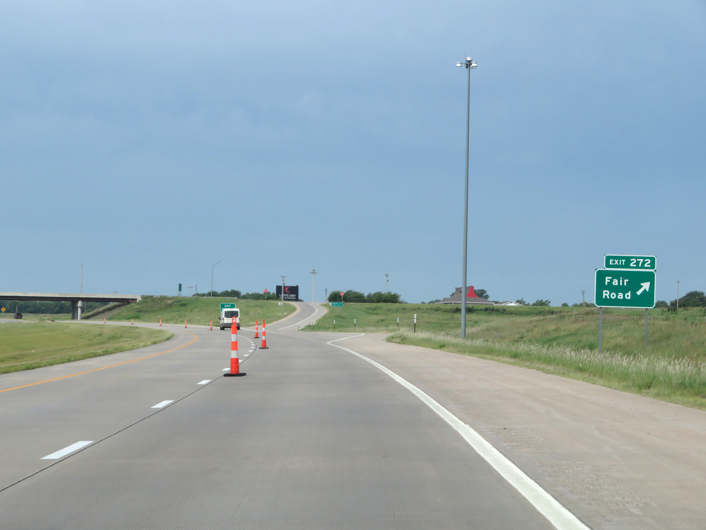 |
Interstate 70 West at Exit 272: Fair Road (Photo taken 8/12/20). |
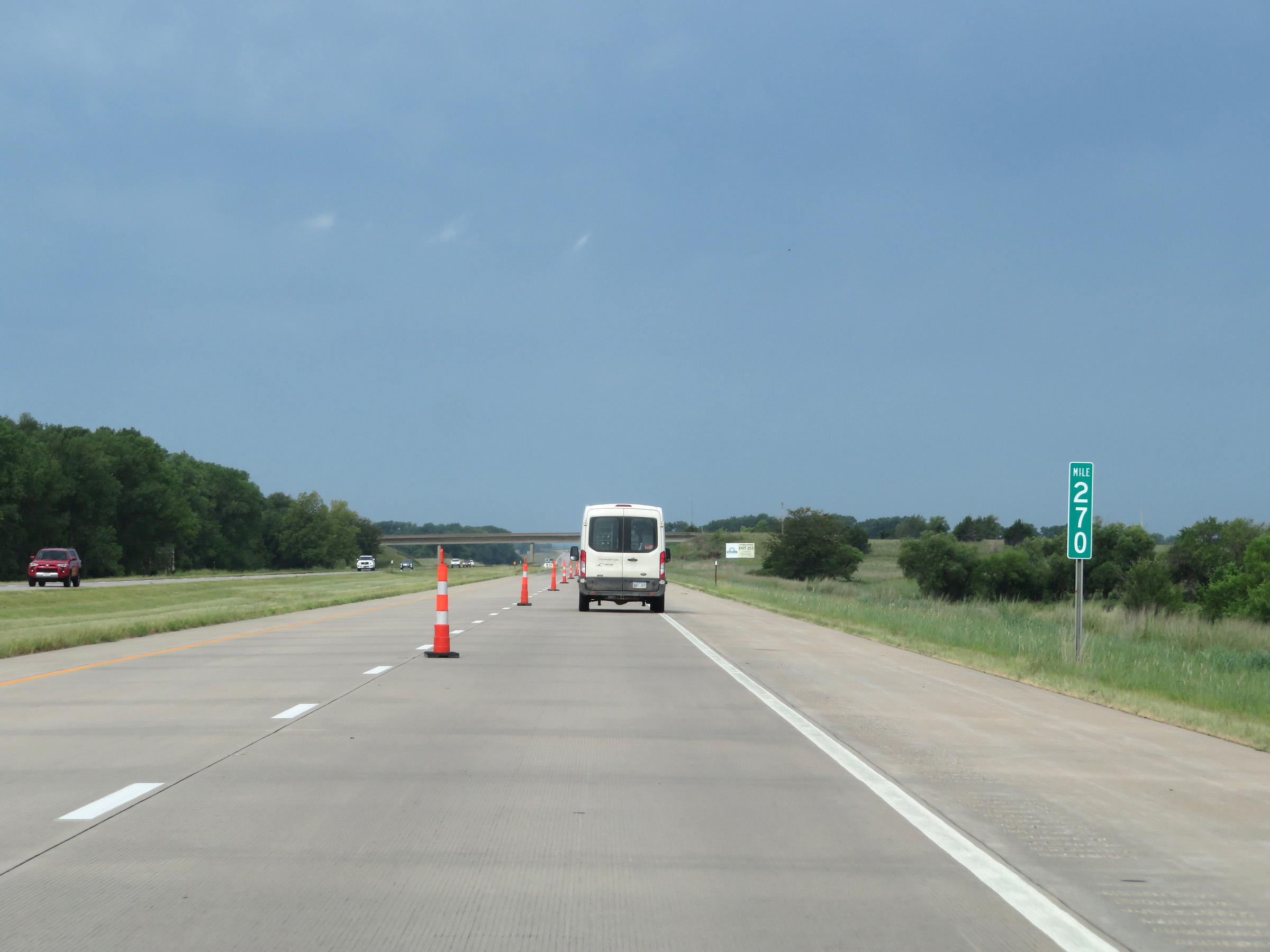 |
Interstate 70 West at mile marker 270. (Photo taken 8/12/20). |
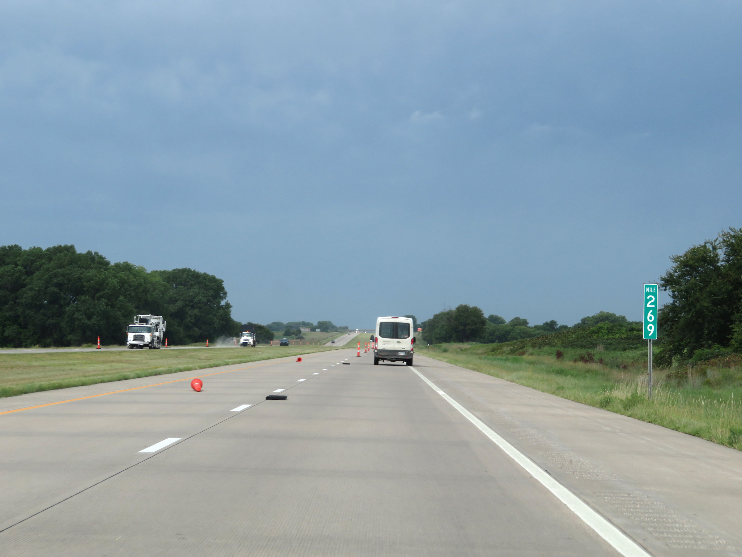 |
View on Interstate 70 West at mile marker 269. (Photo taken 8/12/20). |
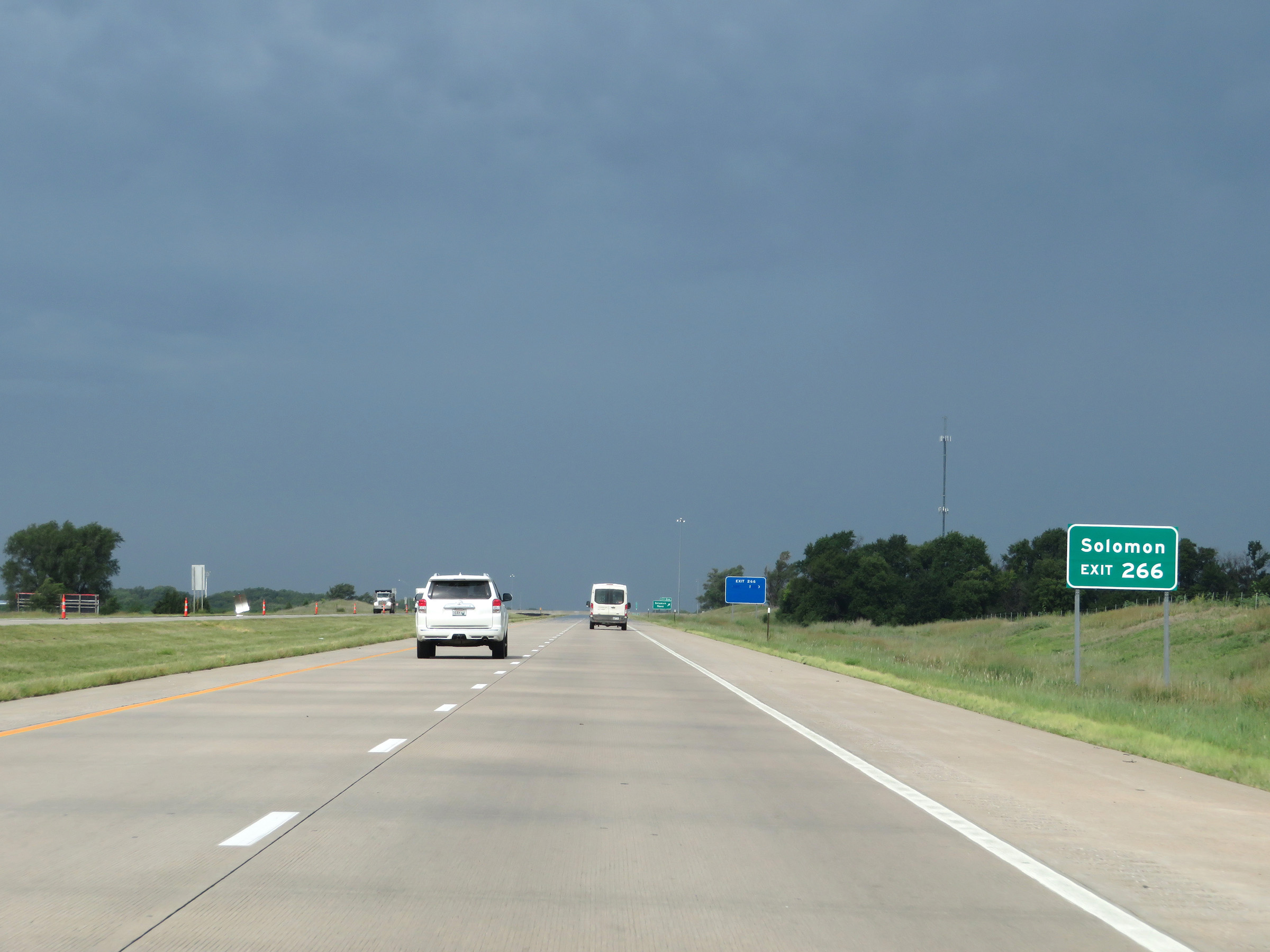 |
Take Exit 266 to Solomon. (Photo taken 8/12/20). |
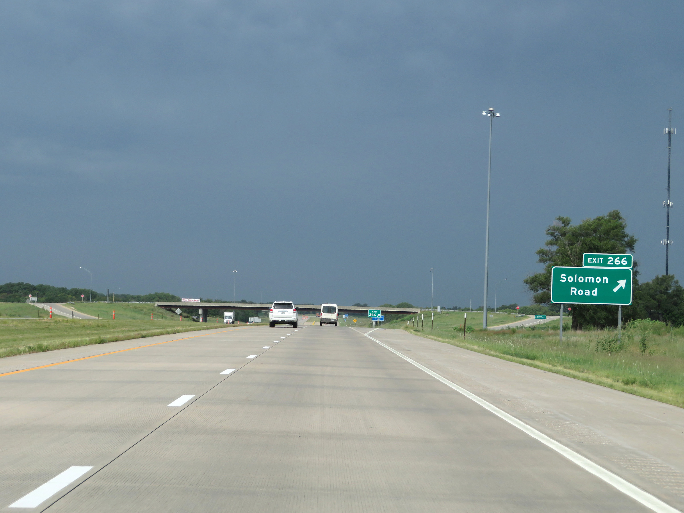 |
Interstate 70 West at Exit 266: Solomon Road (Photo taken 8/12/20). |
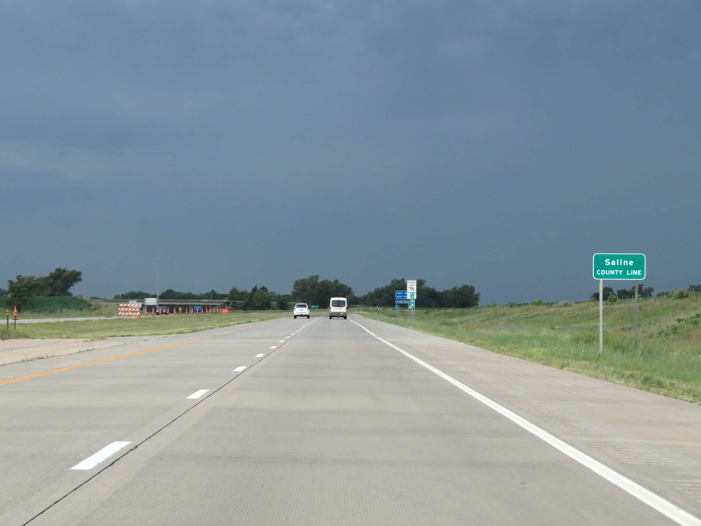 |
Interstate 70 West as it enters Saline County at mile marker 266. (Photo taken 8/12/20). |
 |
The speed limits remain 75 mph maximum and 40 mph minimum. (Photo taken 8/12/20). |
 |
Rest Area on Interstate 70 West in Saline County. (Photo taken 8/12/20). |
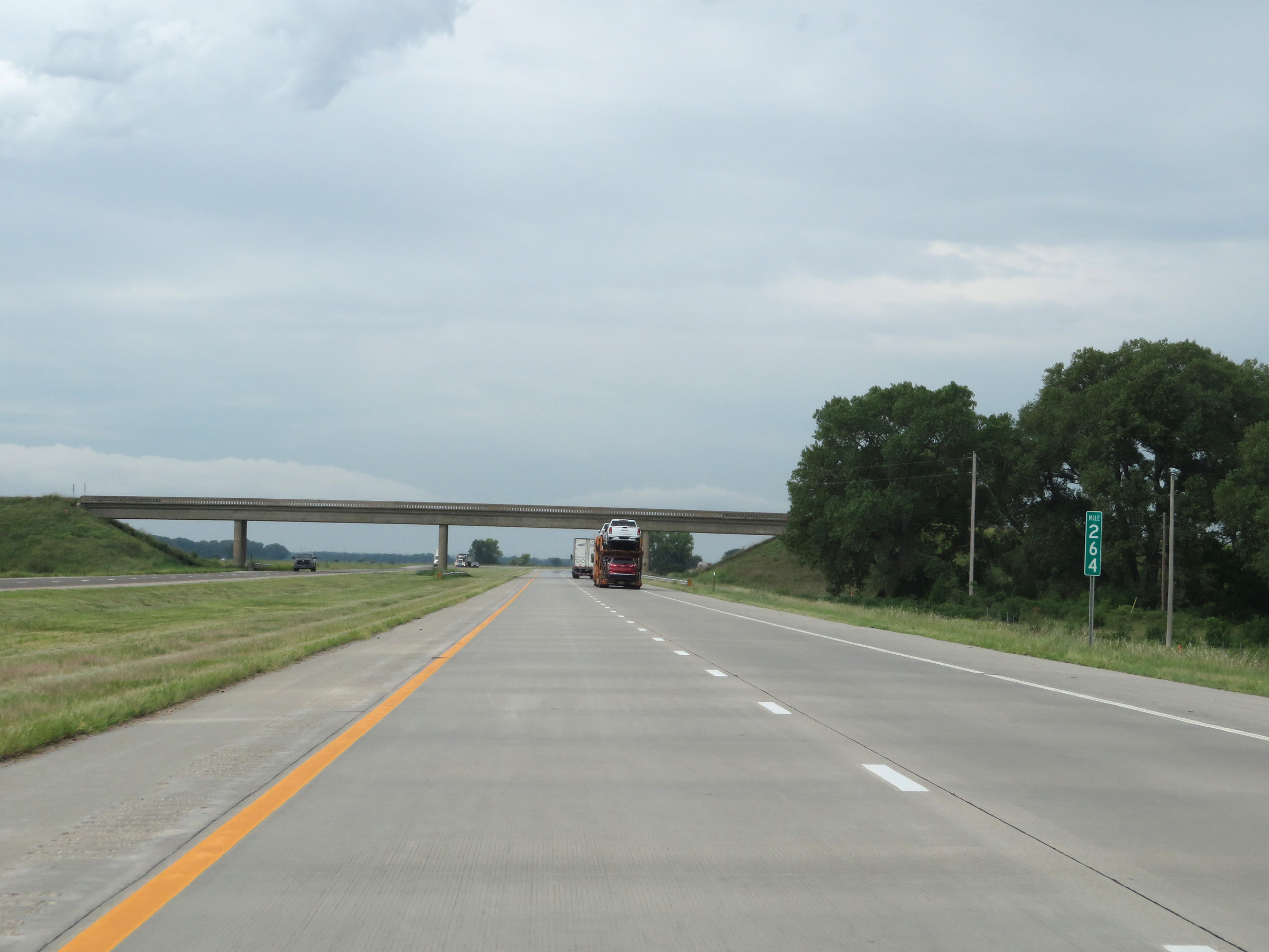 |
View on Interstate 70 West at mile marker 264. (Photo taken 8/12/20). |
 |
Interstate 70 West at mile marker 262. (Photo taken 8/12/20). |
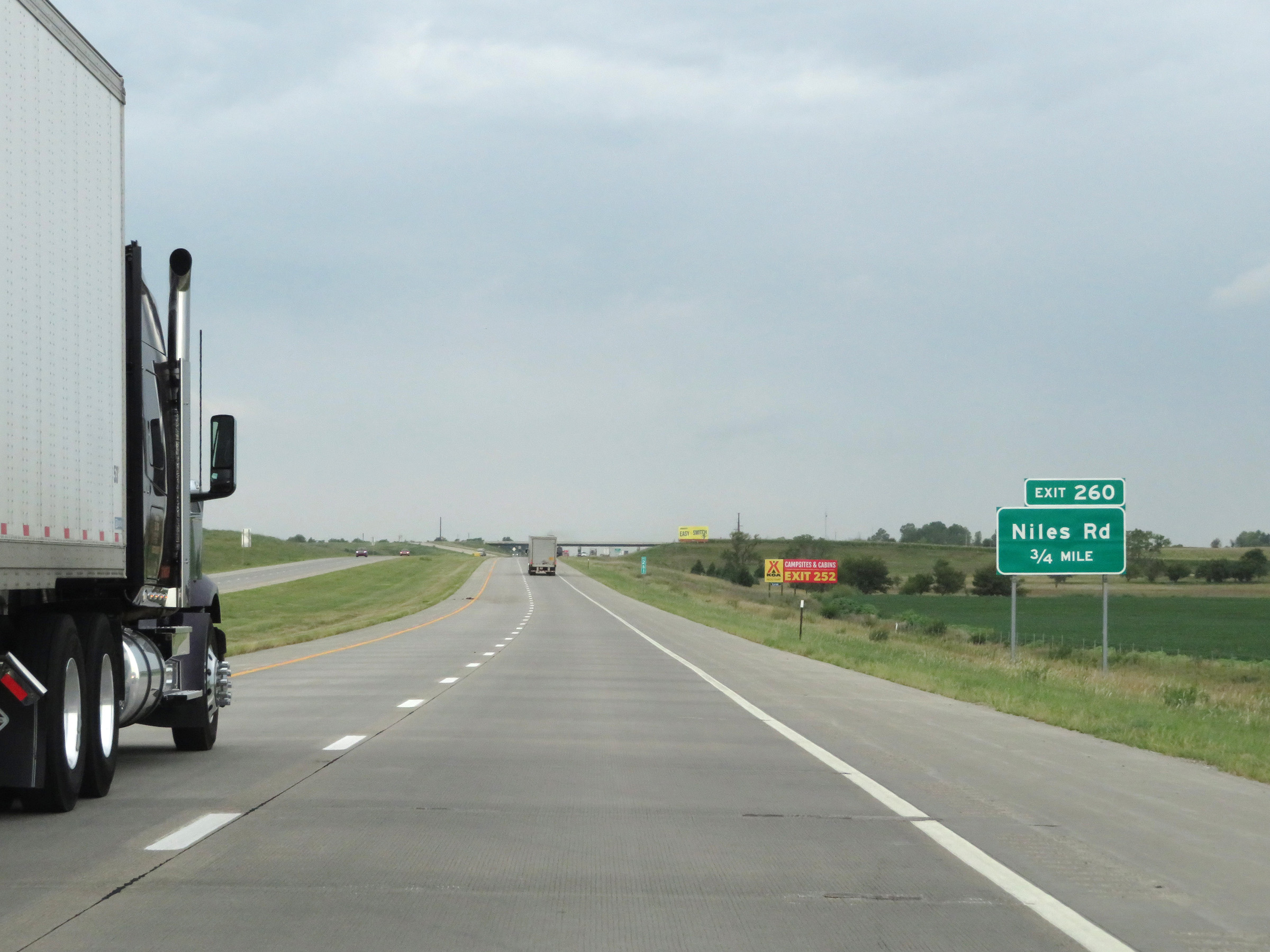 |
Interstate 70 West approaching Exit 260 - 3/4 mile. (Photo taken 8/12/20). |
 |
Interstate 70 West at Exit 260: Niles Rd (Photo taken 8/12/20). |
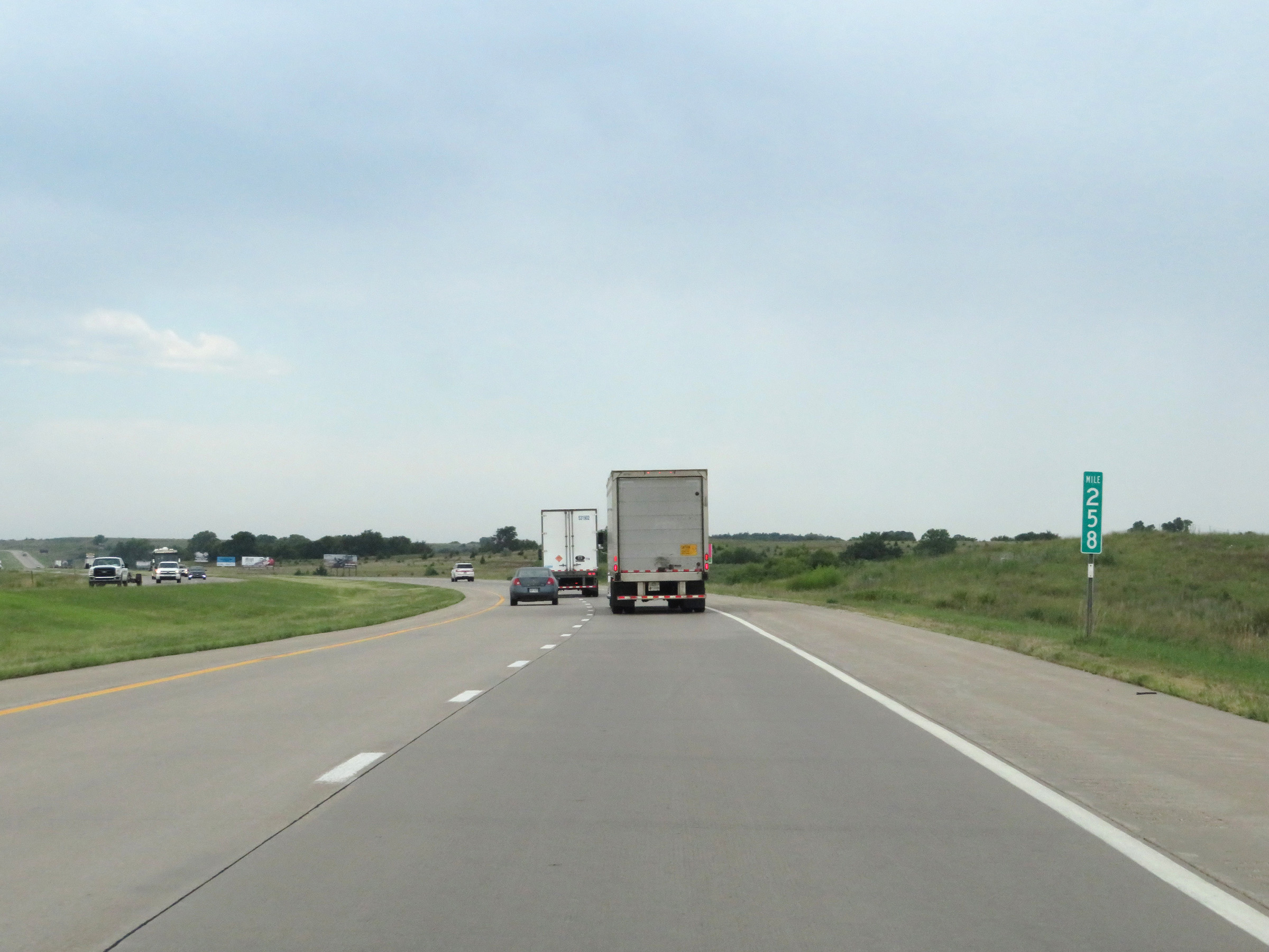 |
View on Interstate 70 West at mile marker 258. (Photo taken 8/12/20). |
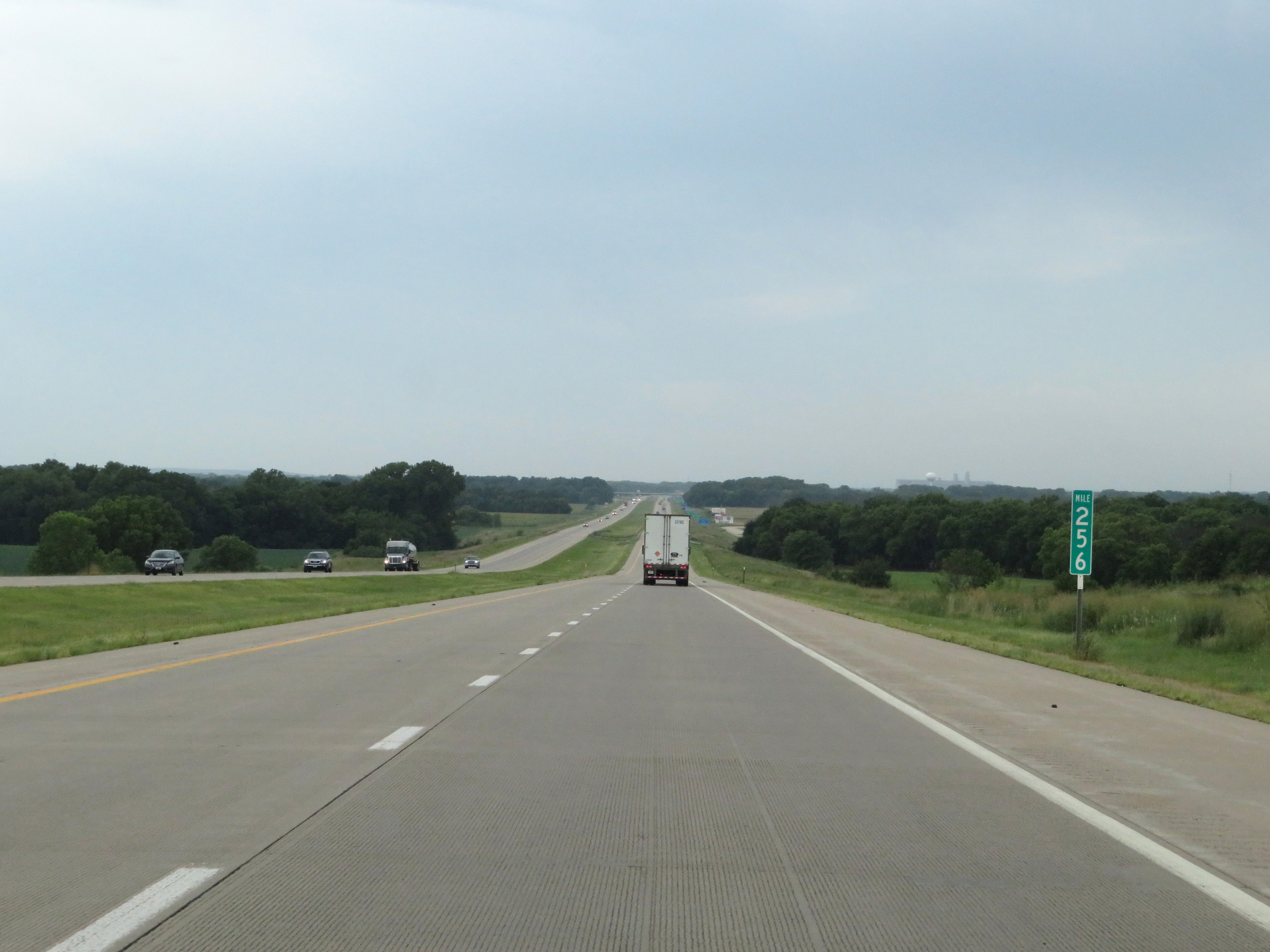 |
Interstate 70 West at mile marker 256. (Photo taken 8/12/20). |
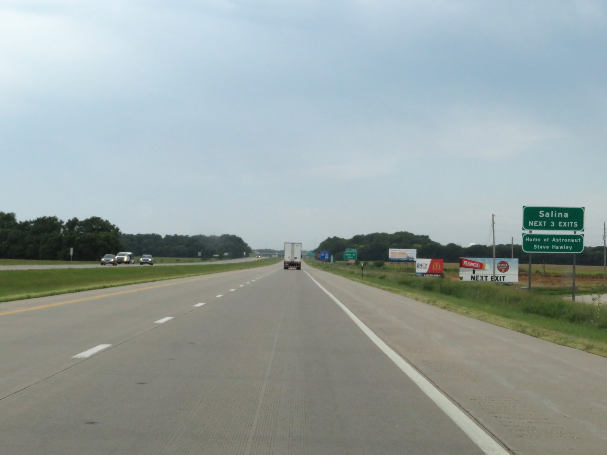 |
Take any of the next 3 exits to Salina. (Photo taken 8/12/20). |
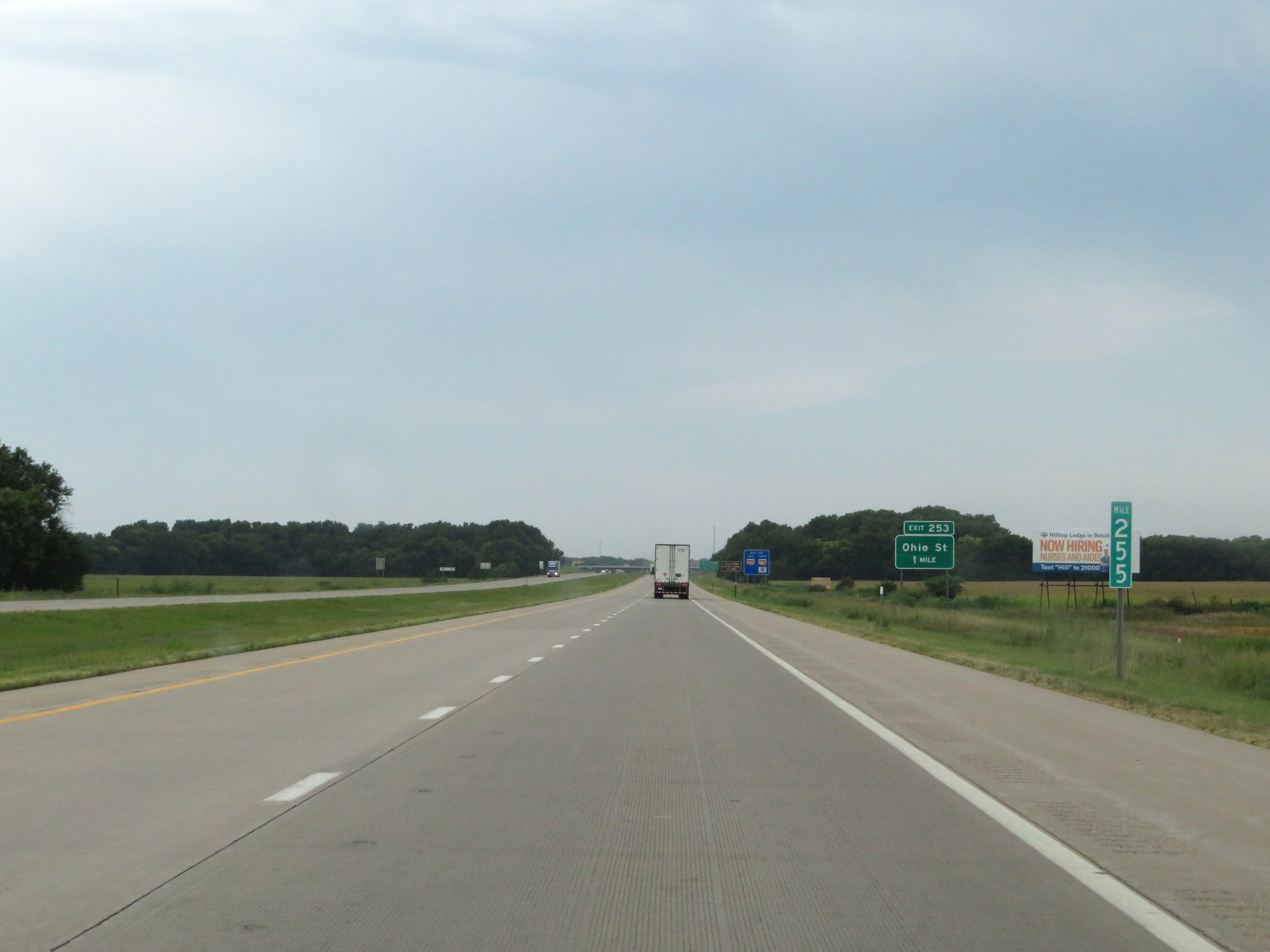 |
View on Interstate 70 West at mile marker 255. (Photo taken 8/12/20). |
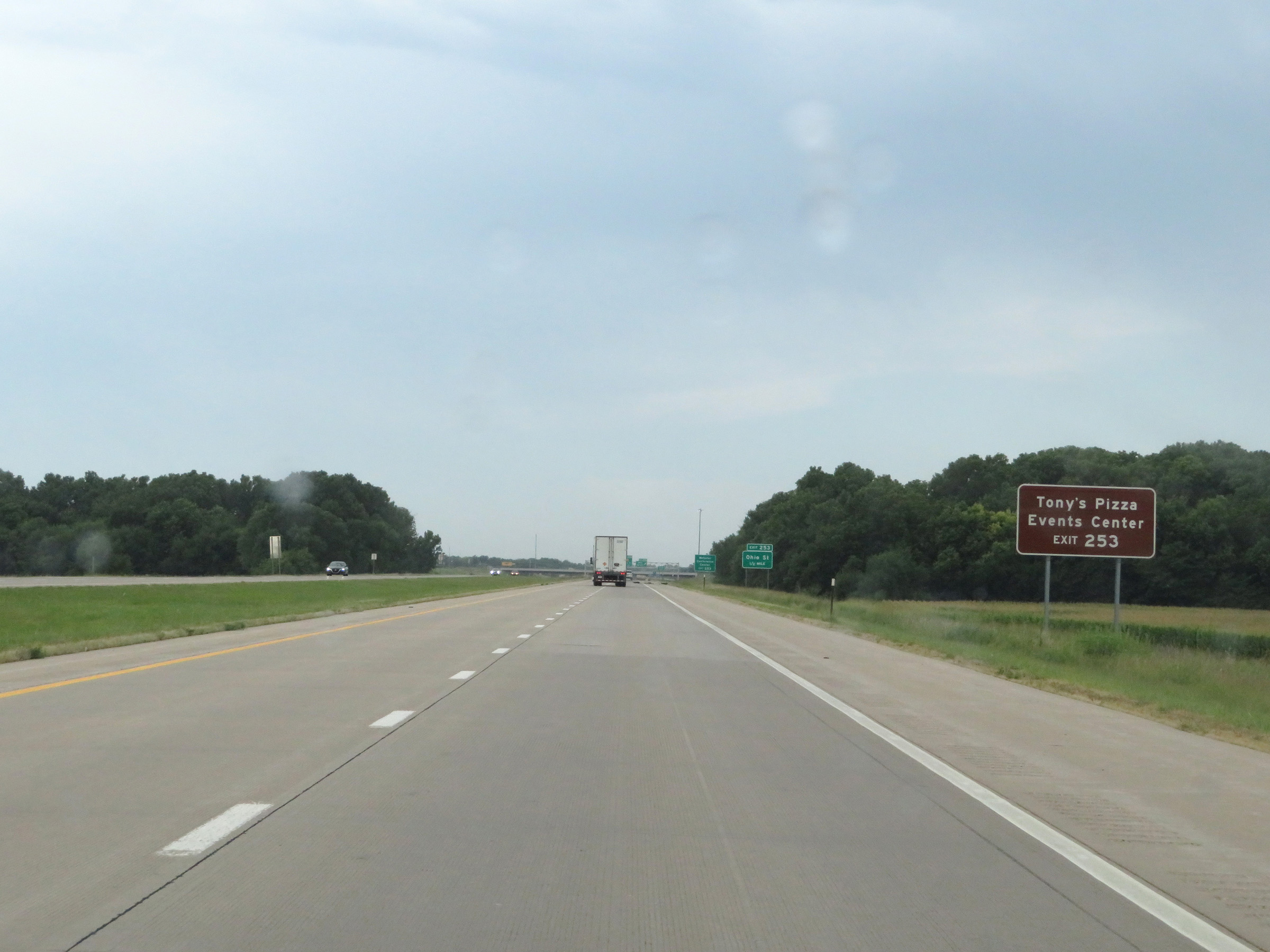 |
Take Exit 253 to the Tony's Pizza Events Center. (Photo taken 8/12/20). |
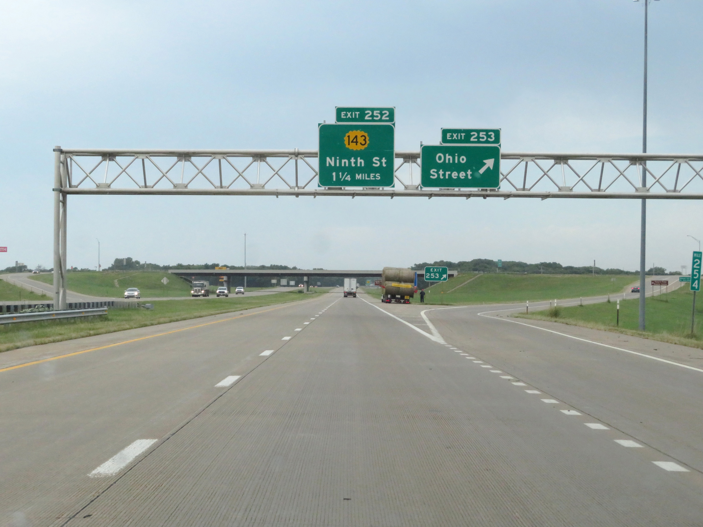 |
Interstate 70 West at Exit 253: Ohio Street (Photo taken 8/12/20). |
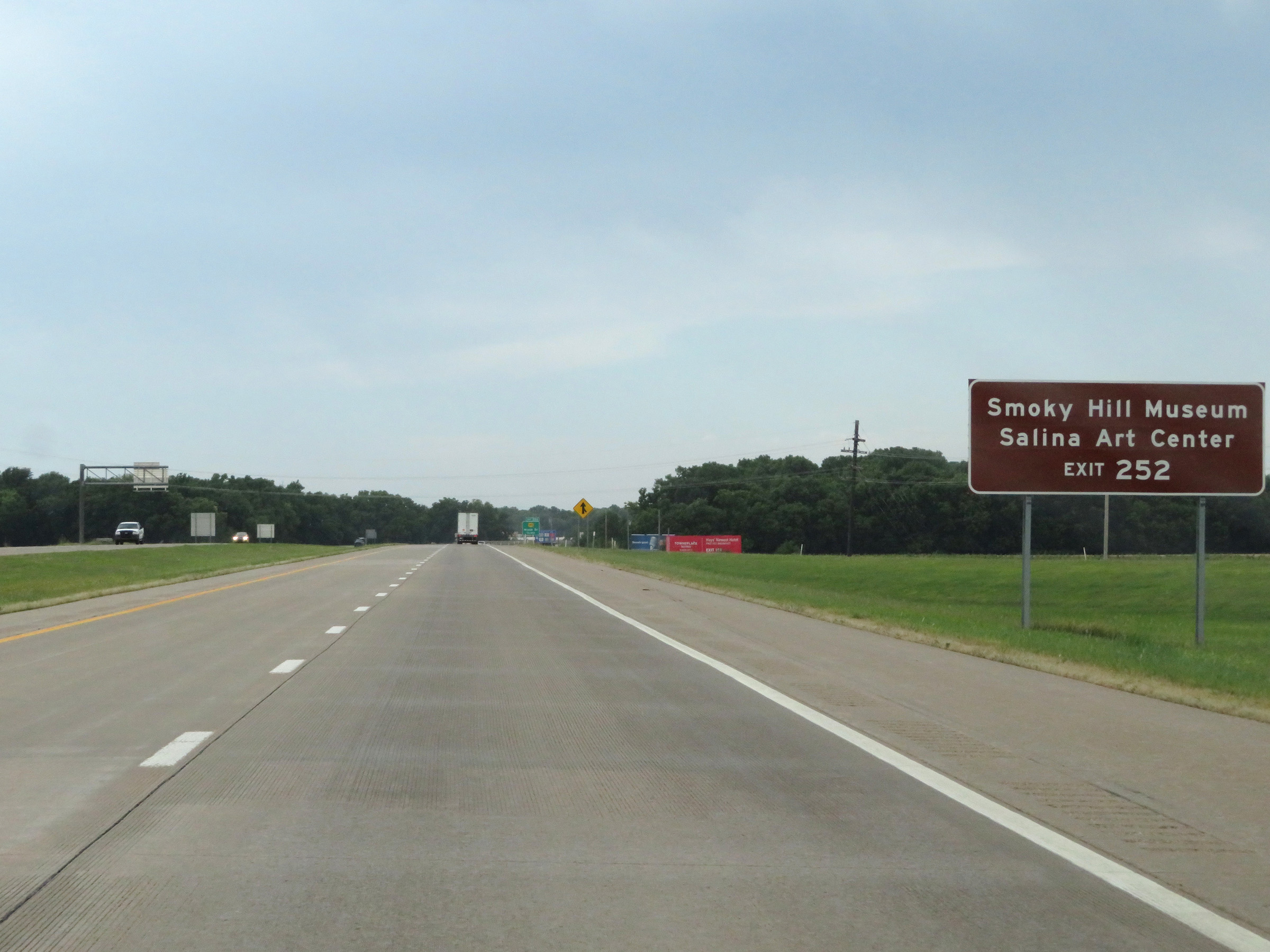 |
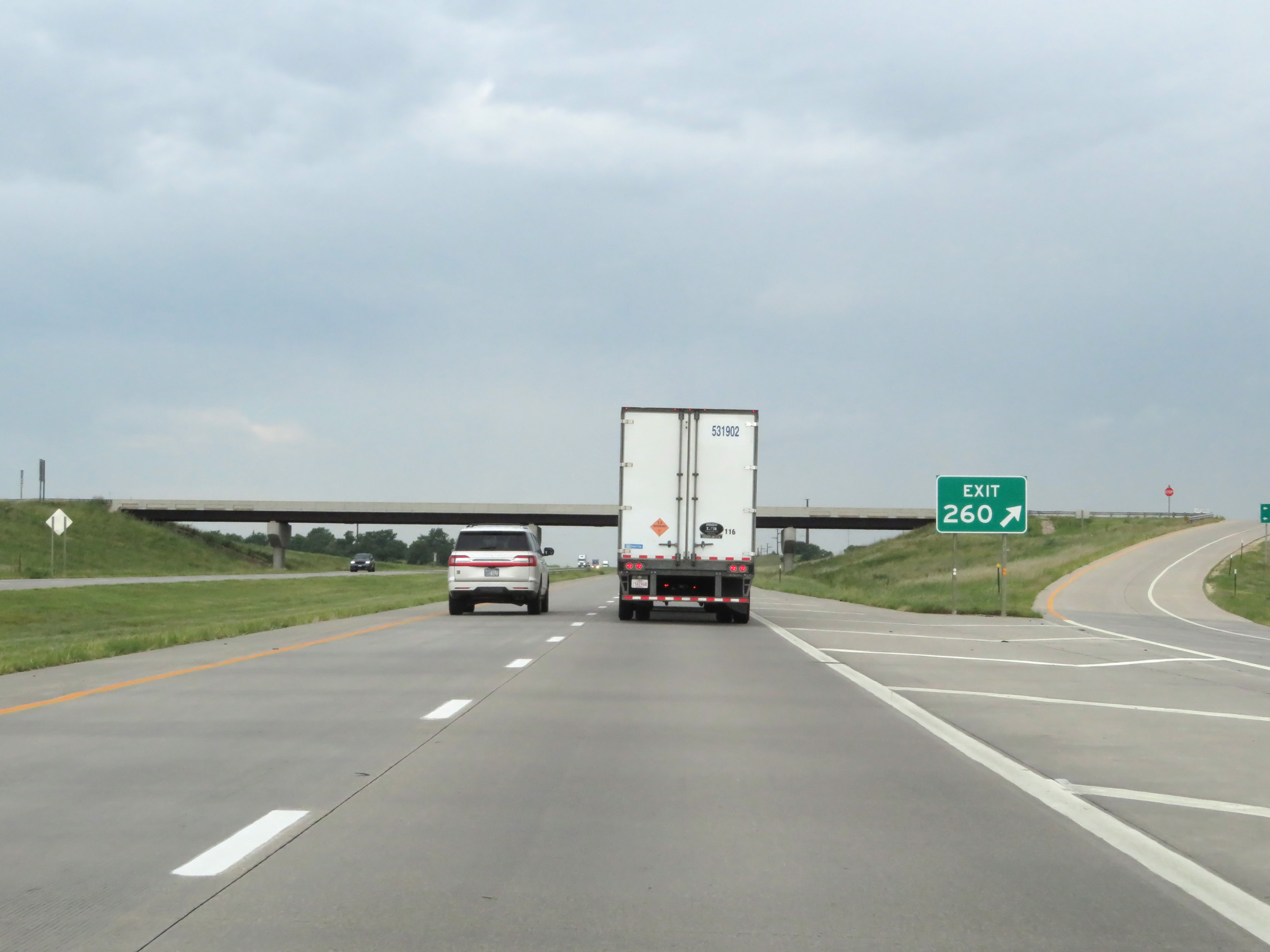
Take Exit 252 to Smoky Hill Museum and the Salina Art Center. (Photo taken 8/12/20). |
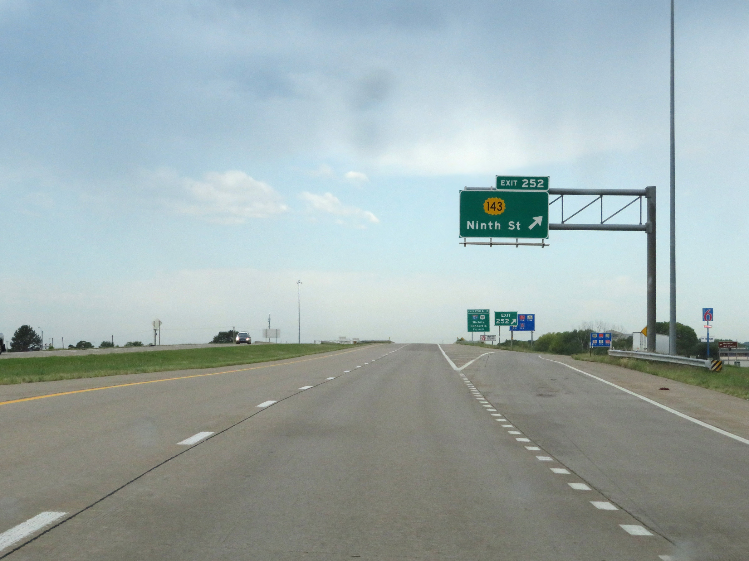 |
Interstate 70 West at Exit 252: K-143 - Ninth St (Photo taken 8/12/20). |
Section 5: Salina (Exit 252) to Russell (Exit 184)
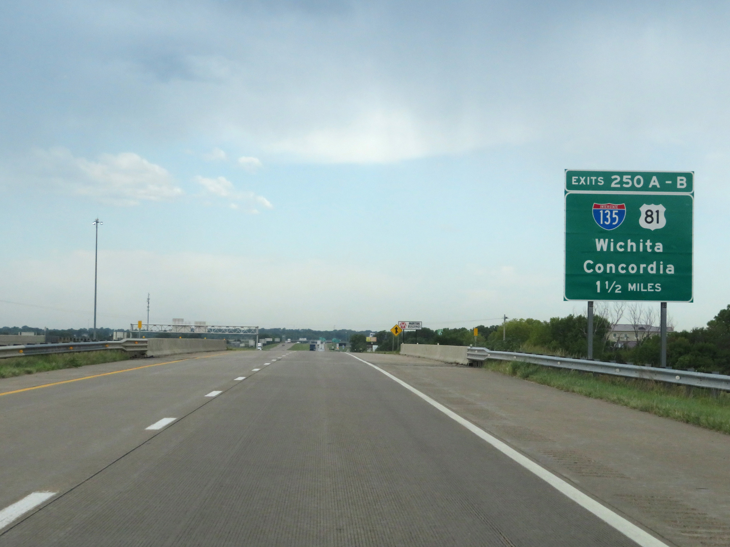 |
Interstate 70 West approaching Exits 250B-A - 1 1/2 miles. (Photo taken 8/12/20). |
 |
Save for any construction zone speed limits, the speed limits on Interstate 70 West remain 75 mph maximum and 40 mph minimum the rest of the way to the Colorado border. (Photo taken 8/12/20). |
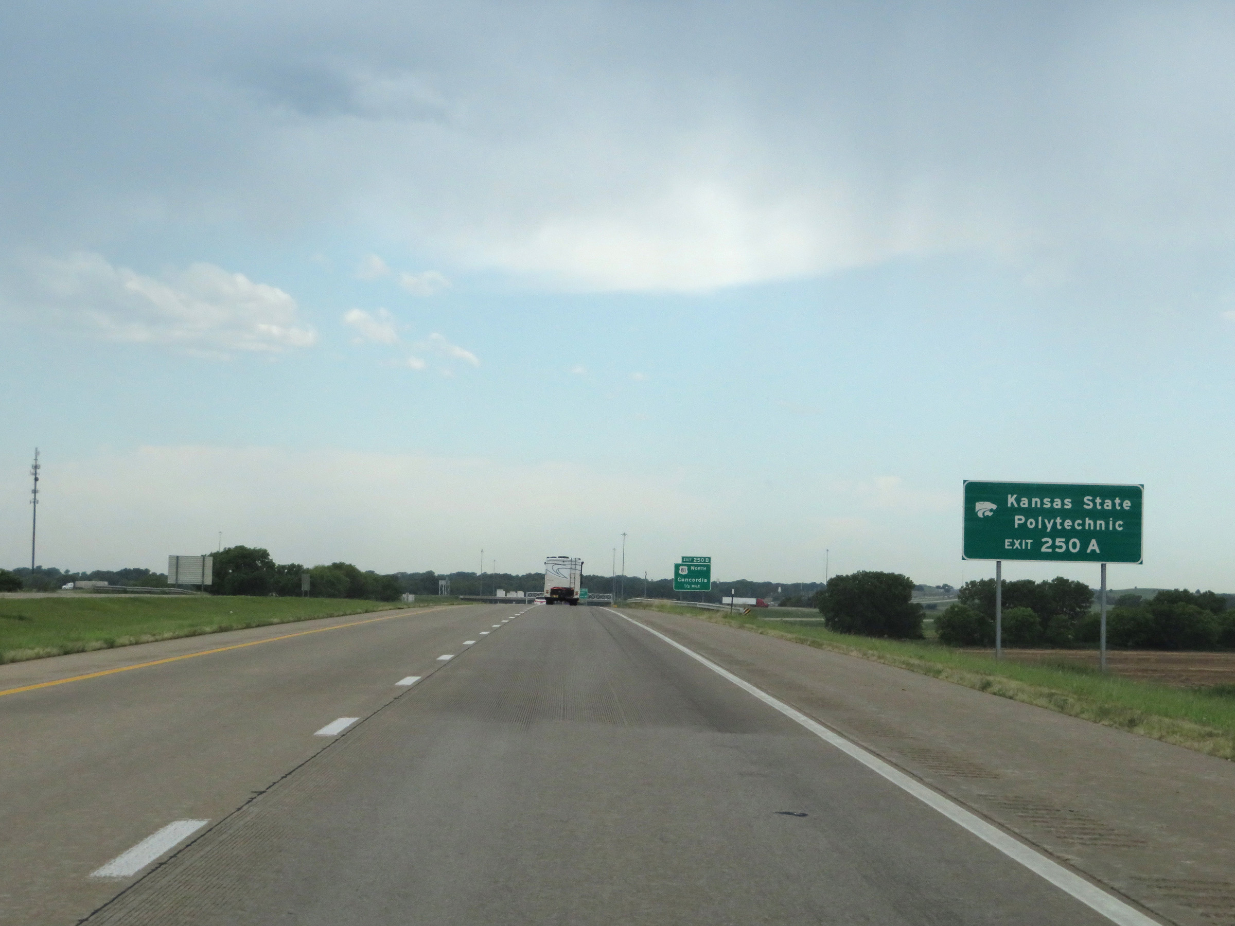 |
Take Exit 250A (Interstate 135 South) to Kansas State Polytechnic. (Photo taken 8/12/20). |
 |
Interstate 70 West at Exit 250B: US 81 North - Concordia (Photo taken 8/12/20). |
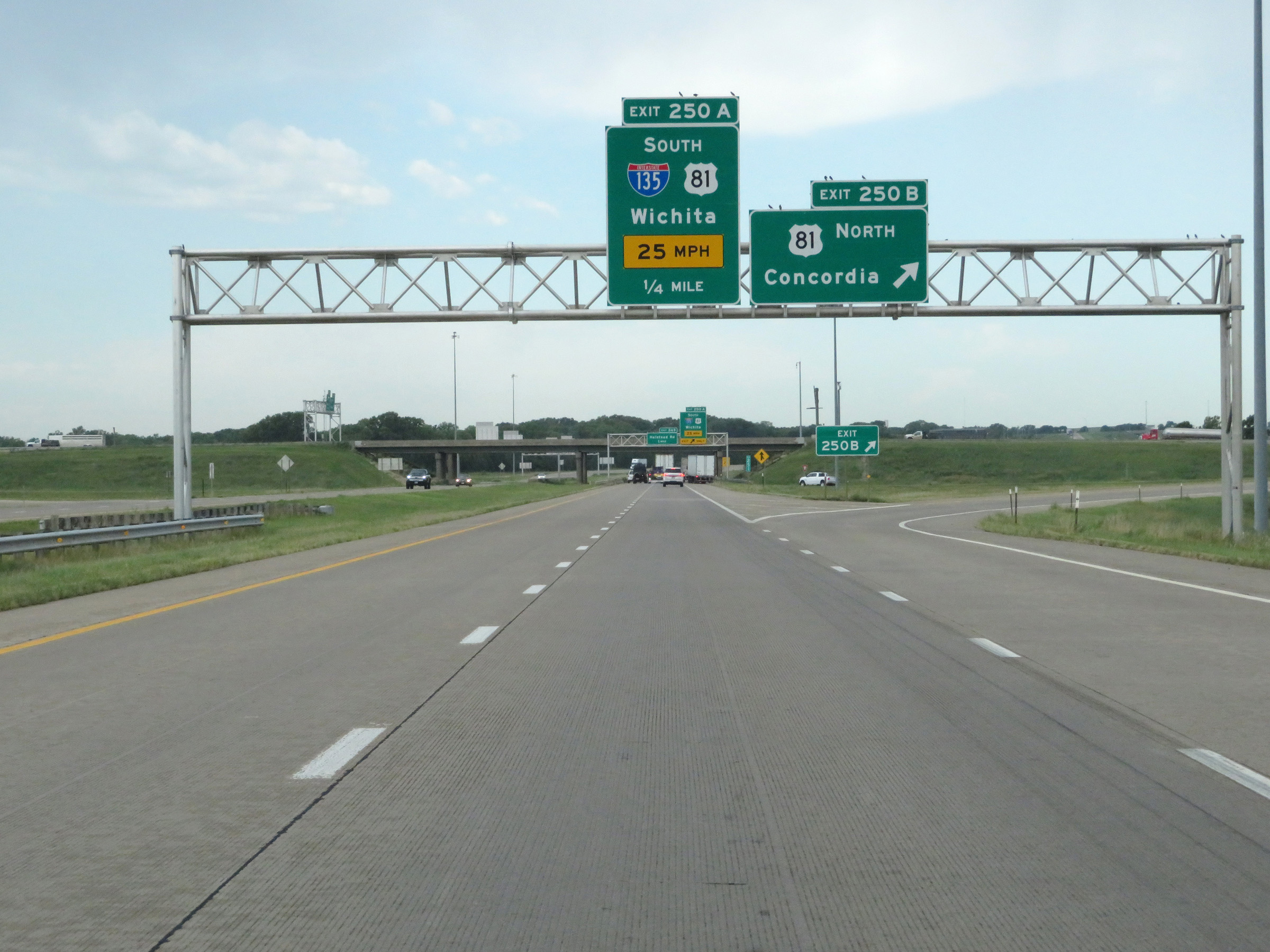
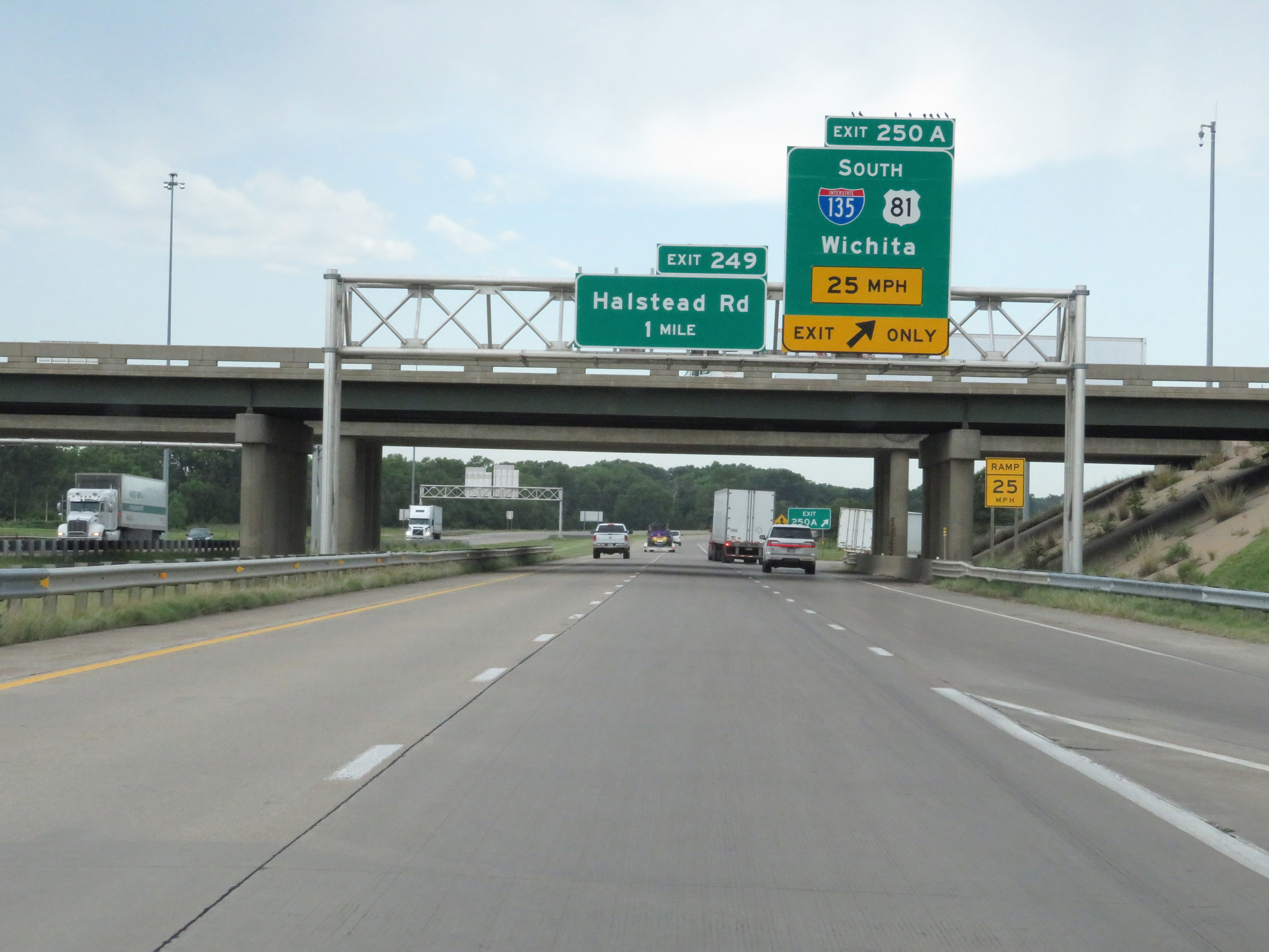 |
Interstate 70 West at Exit 250A: Interstate 135 South / US 81 South - Wichita (Photo taken 8/12/20). |
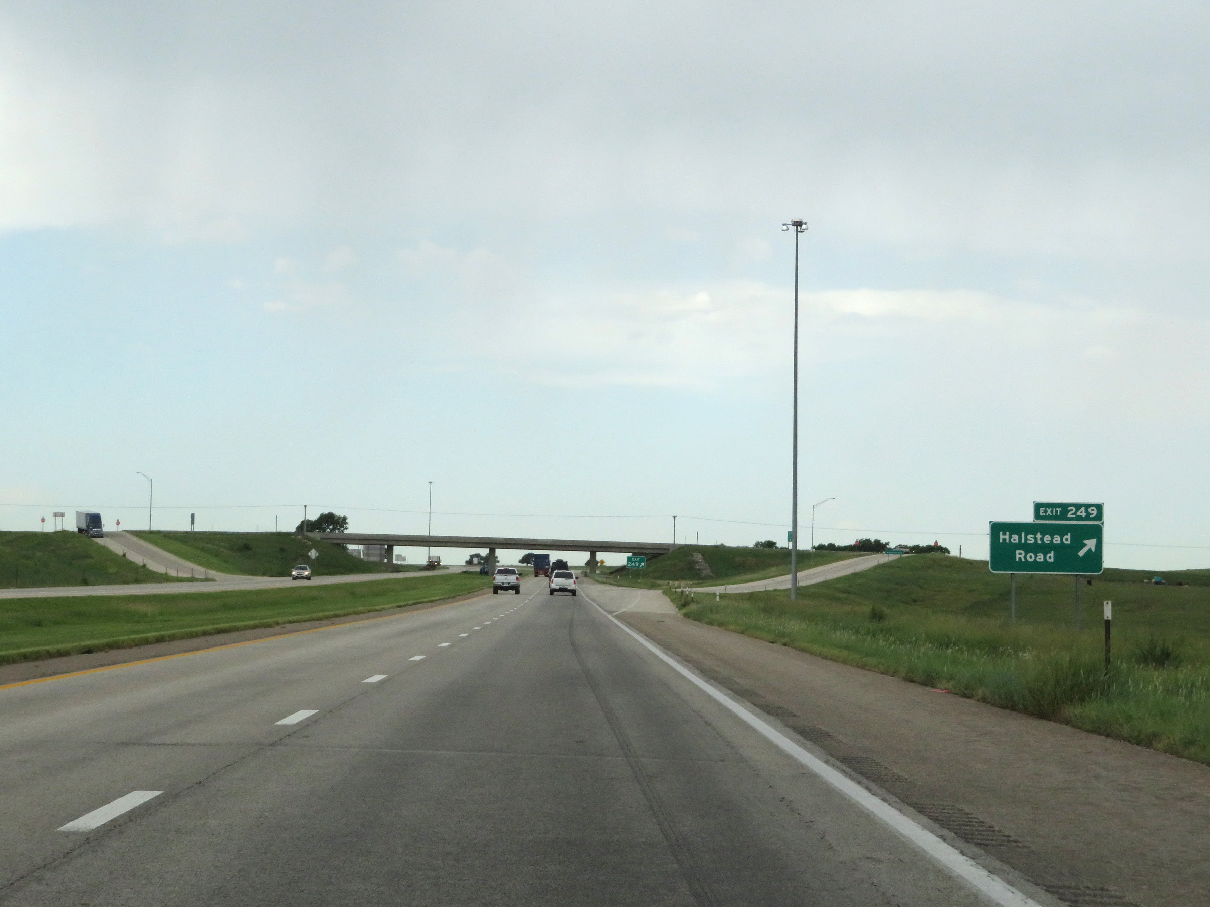 |
Interstate 70 West at Exit 249: Halstead Road (Photo taken 8/12/20). |
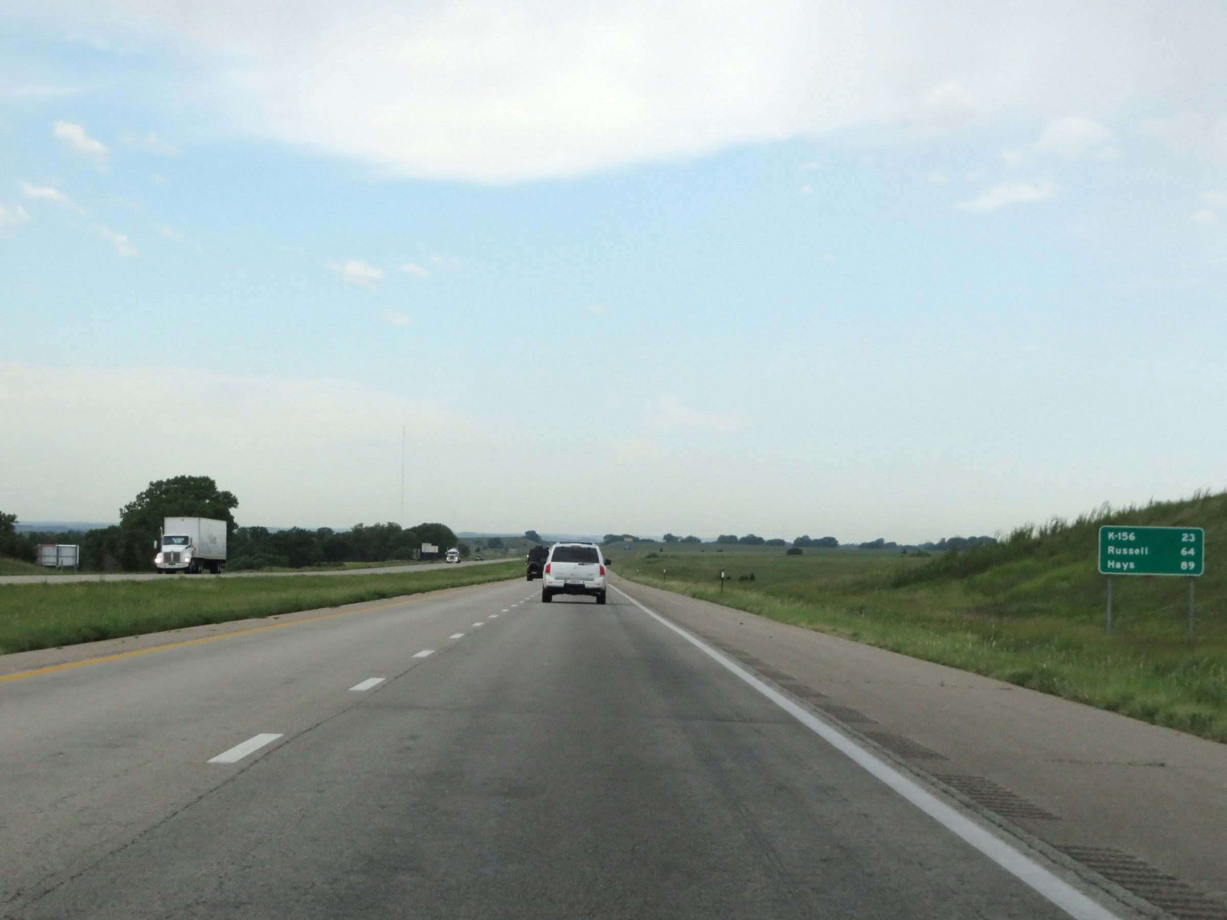 |
Another mileage sign on Interstate 70 West. It's 23 miles to the junction of K-156, 64 miles to Russell, and 89 miles to Hays. (Photo taken 8/12/20). |
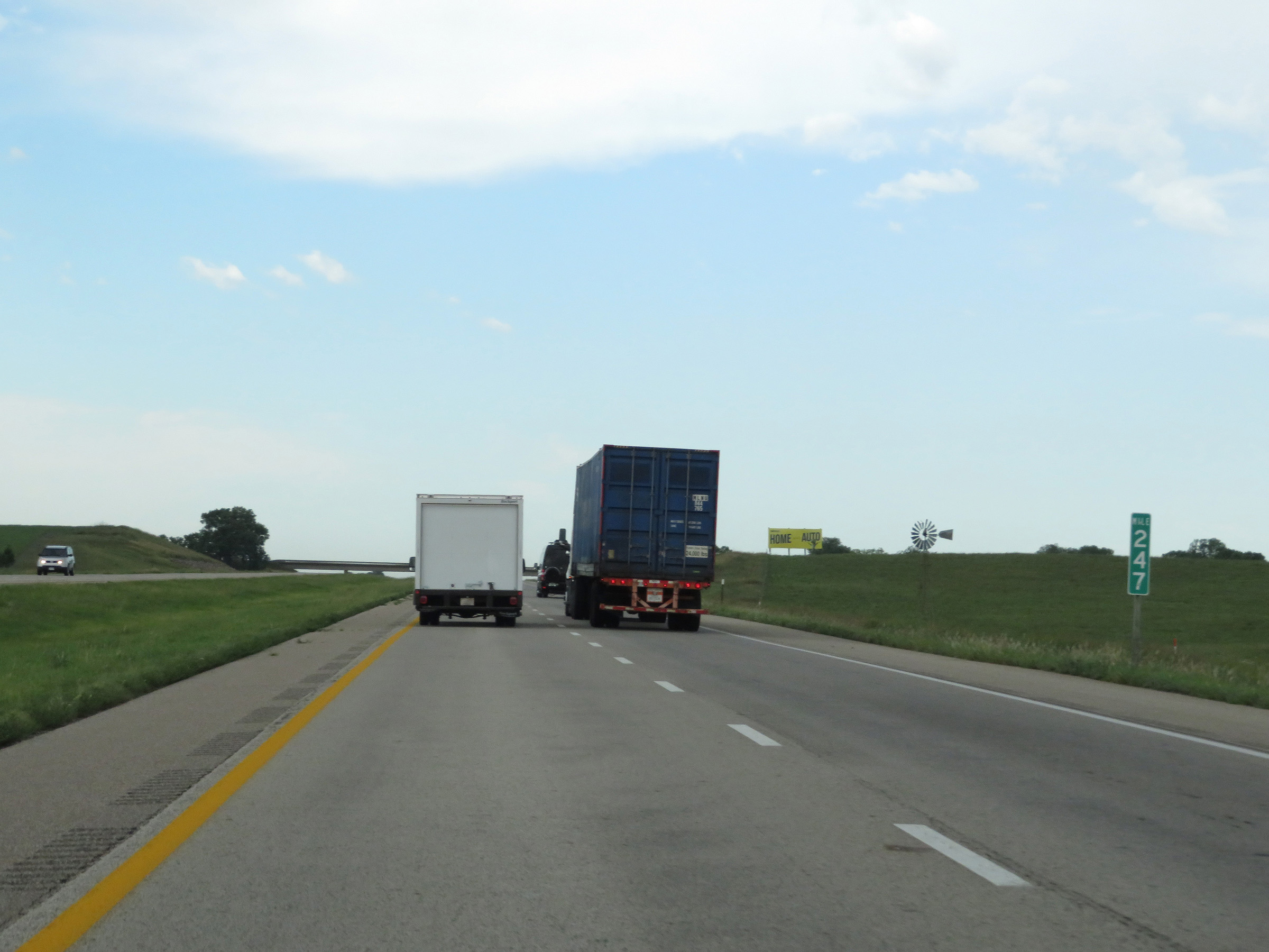 |
Interstate 70 West at mile marker 247. (Photo taken 8/12/20). |
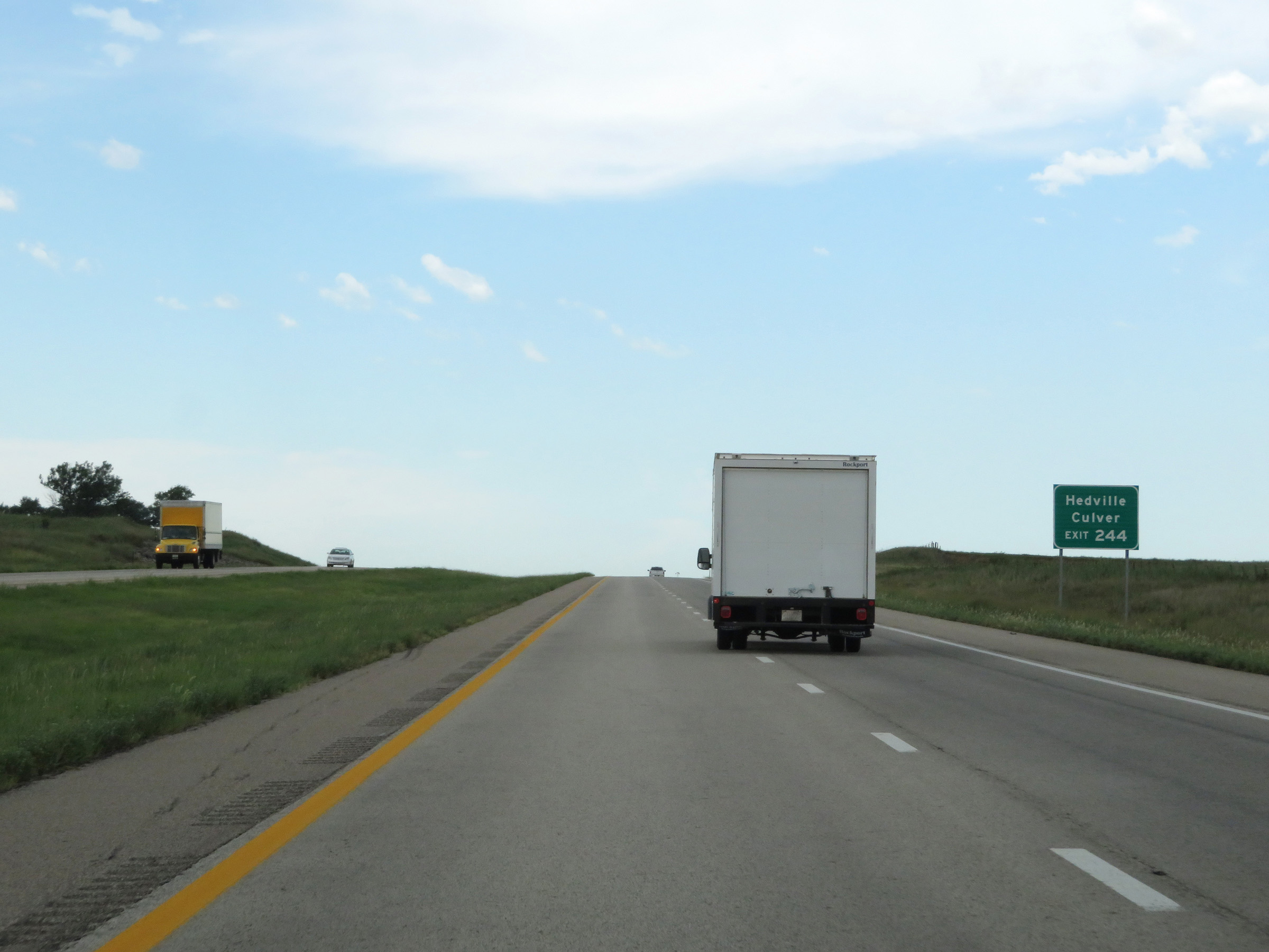 |
Take Exit 244 to Hedville and Culver. (Photo taken 8/12/20). |
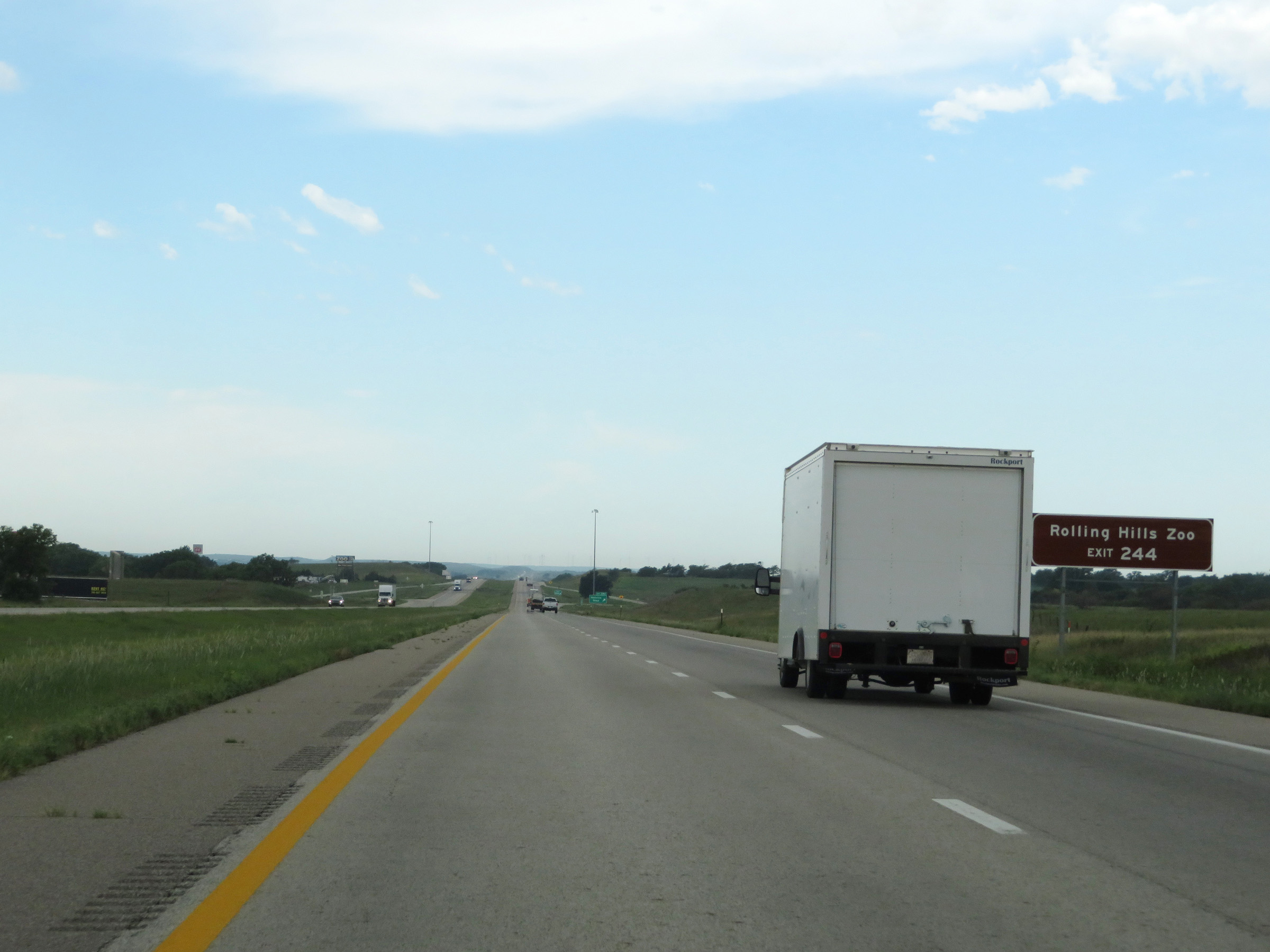 |
Also take Exit 244 to Rolling Hills Zoo. (Photo taken 8/12/20). |
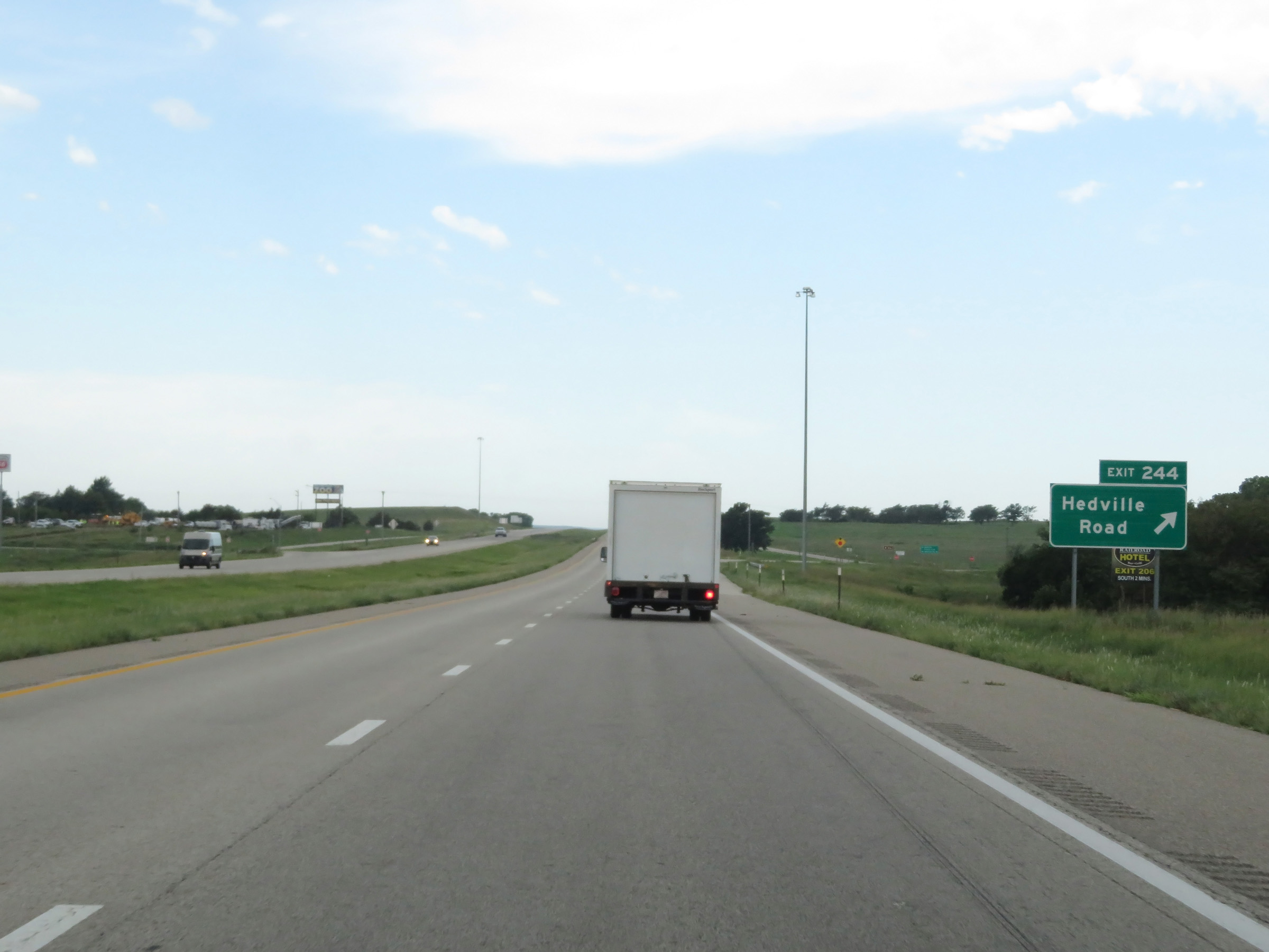 |
Interstate 70 West at Exit 244: Hedville Road (Photo taken 8/12/20). |
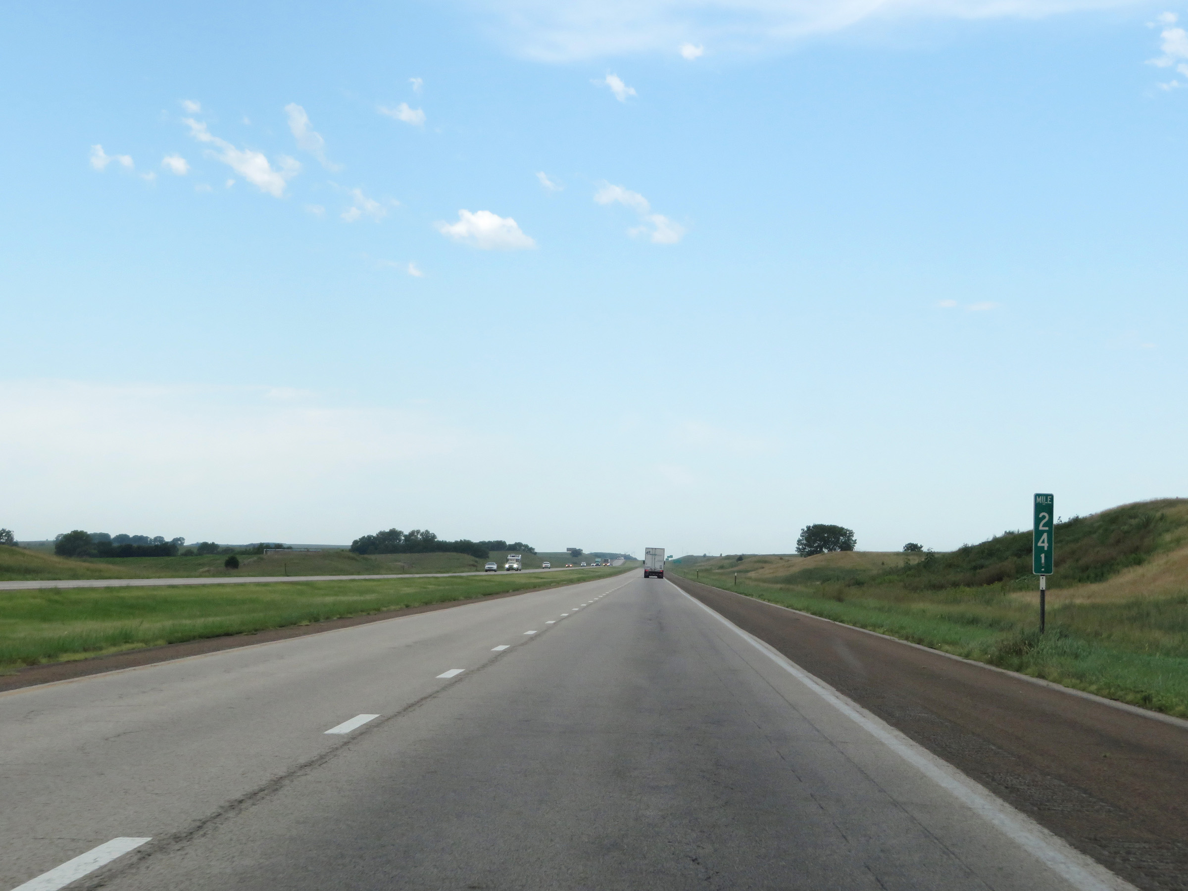 |
View on Interstate 70 West at mile marker 241. (Photo taken 8/12/20). |
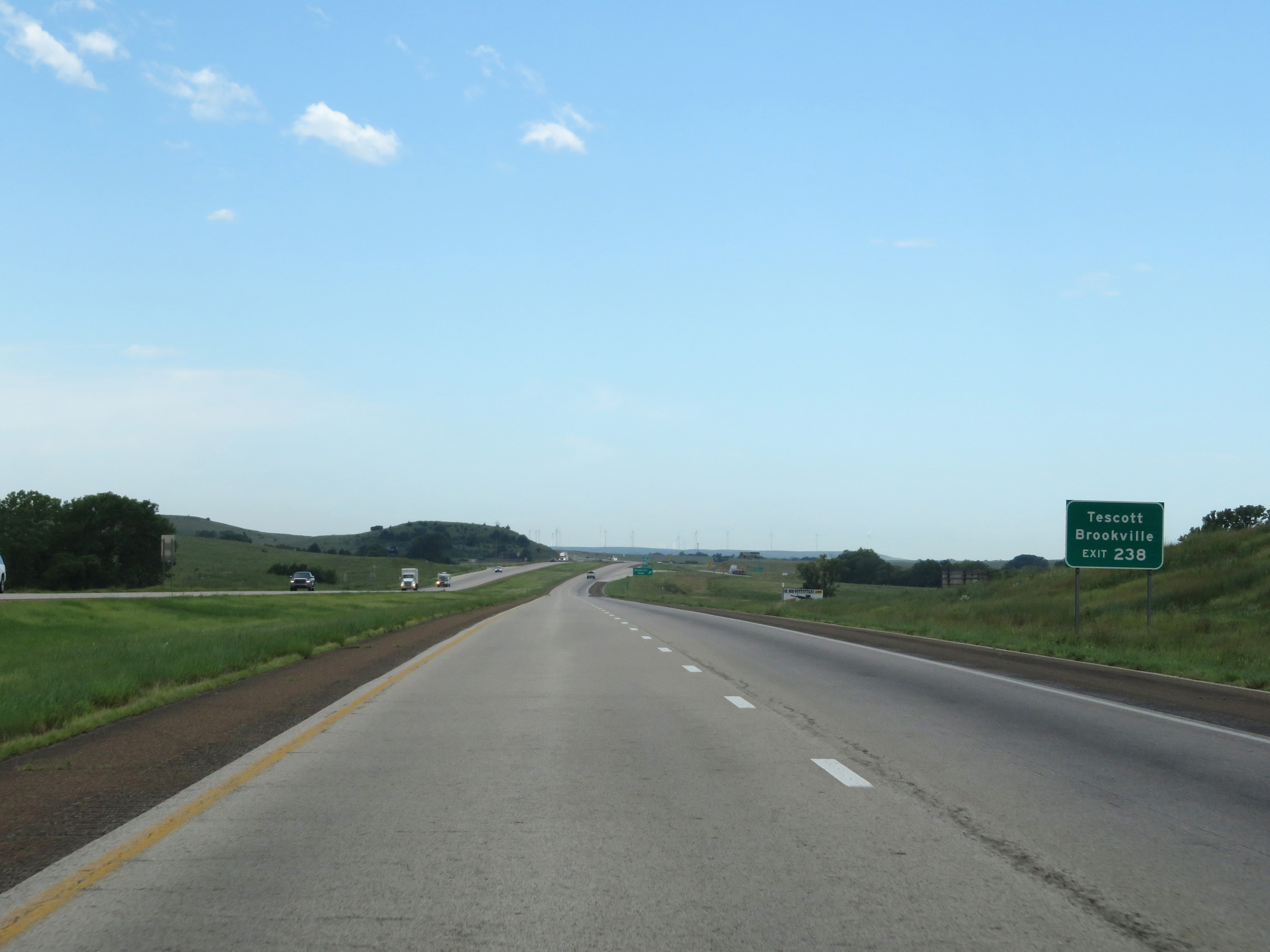 |
Take Exit 238 to Tescoot and Brookville. (Photo taken 8/12/20). |
 |
Interstate 70 West at Exit 238: Brookville Road (Photo taken 8/12/20). |
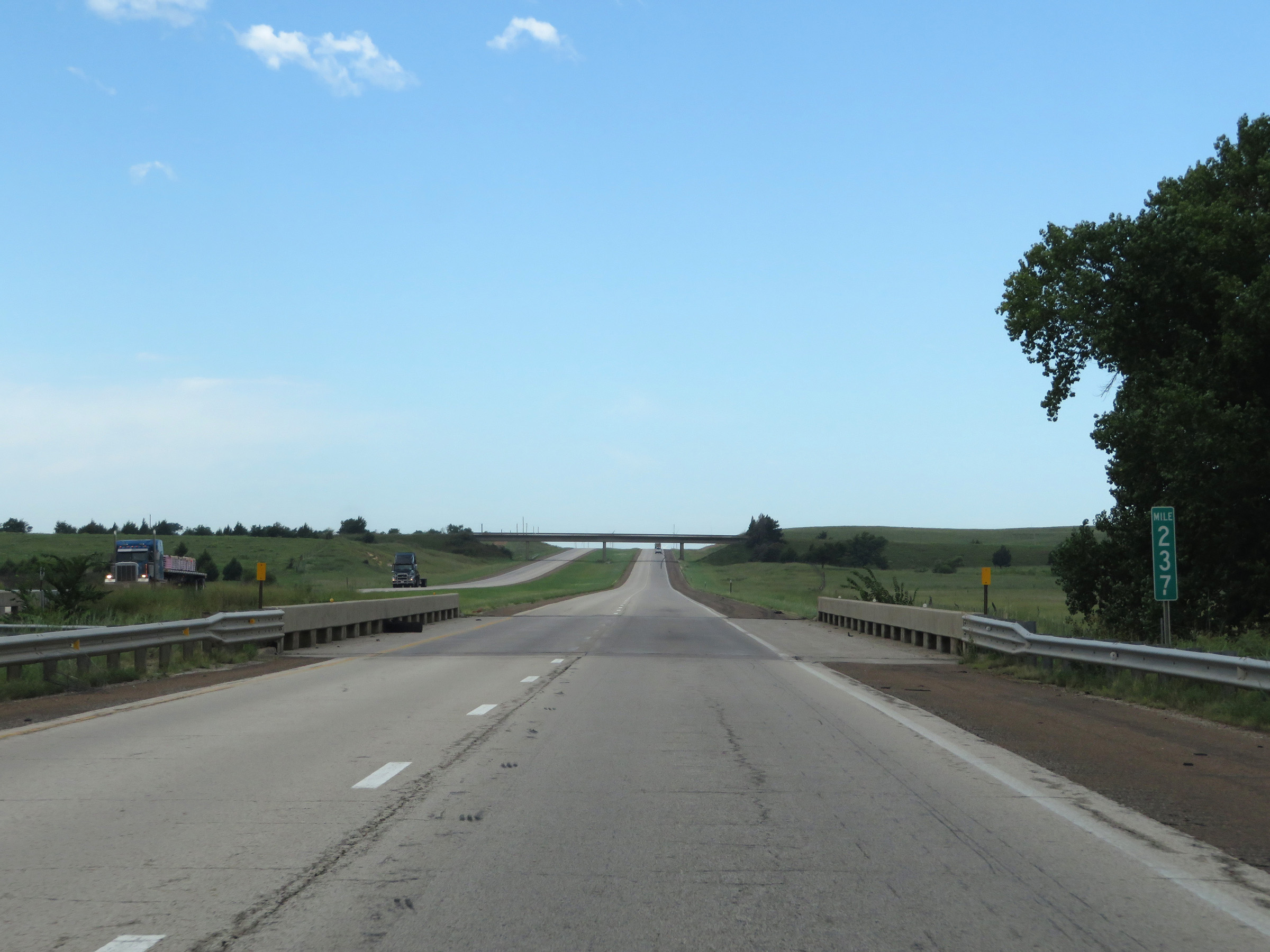 |
View on Interstate 70 West at mile marker 237. (Photo taken 8/12/20). |
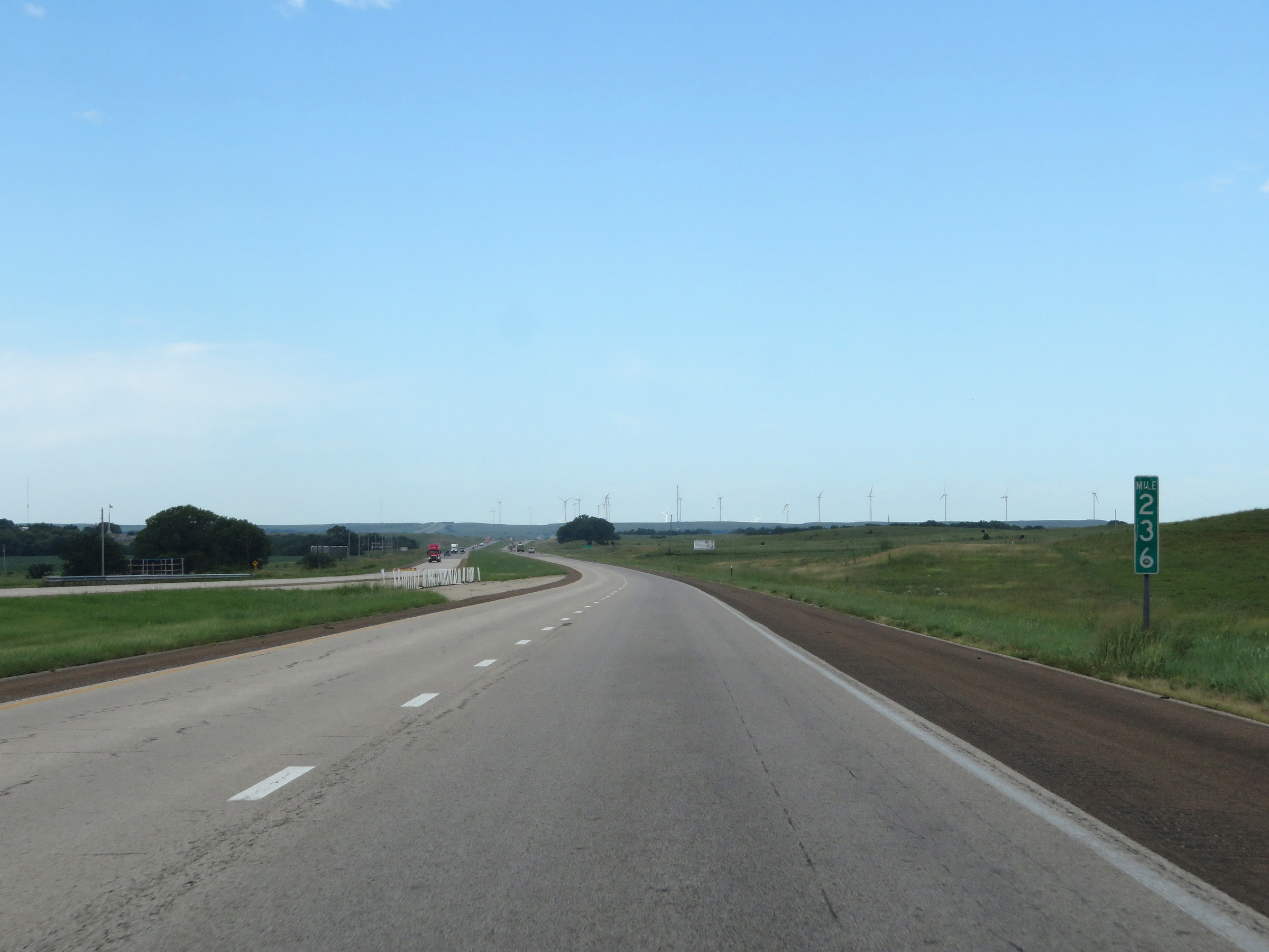 |
Interstate 70 West at mile marker 236. (Photo taken 8/12/20). |
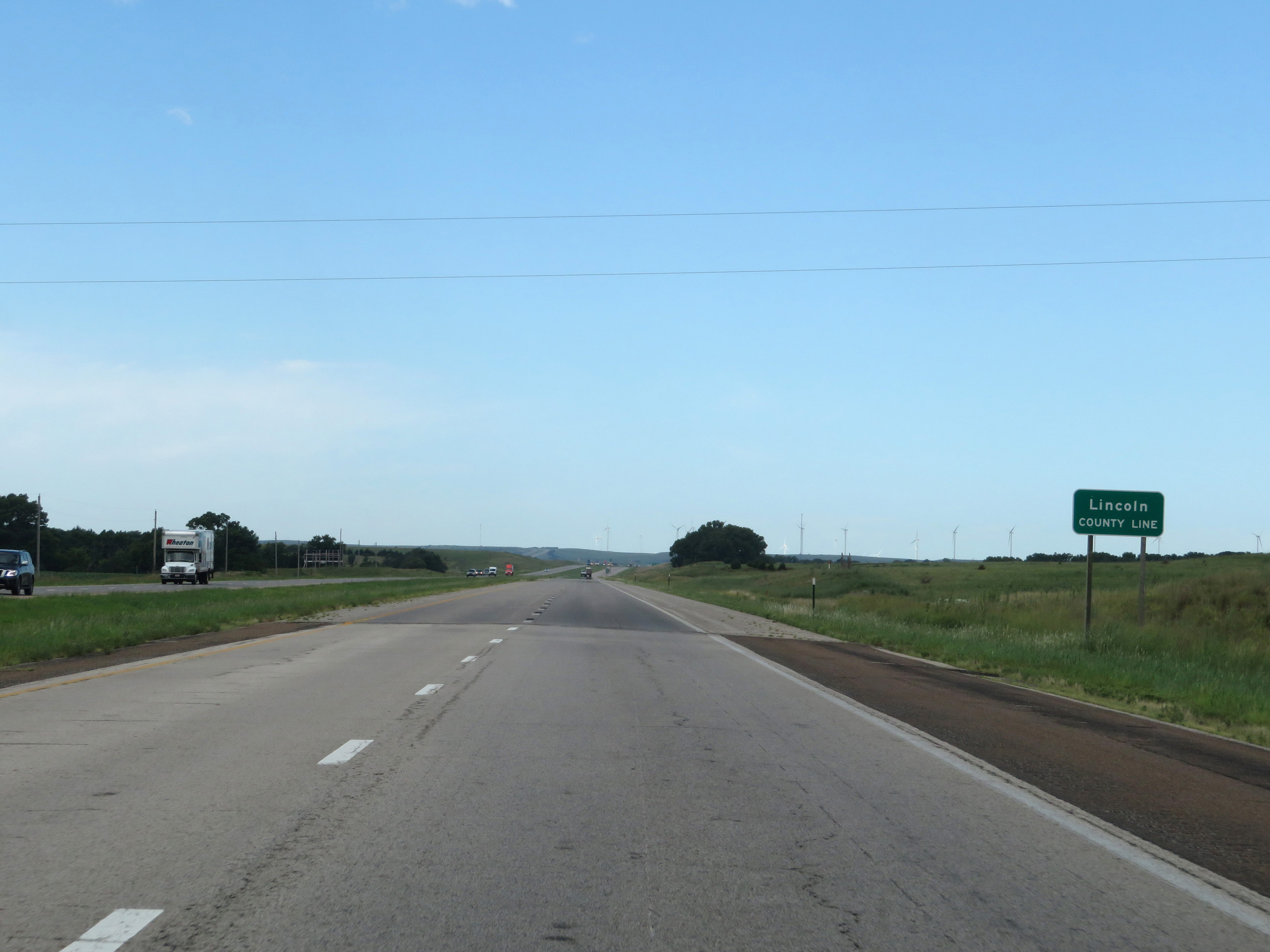 |
Interstate 70 West as it enters Lincoln County. (Photo taken 8/12/20). |
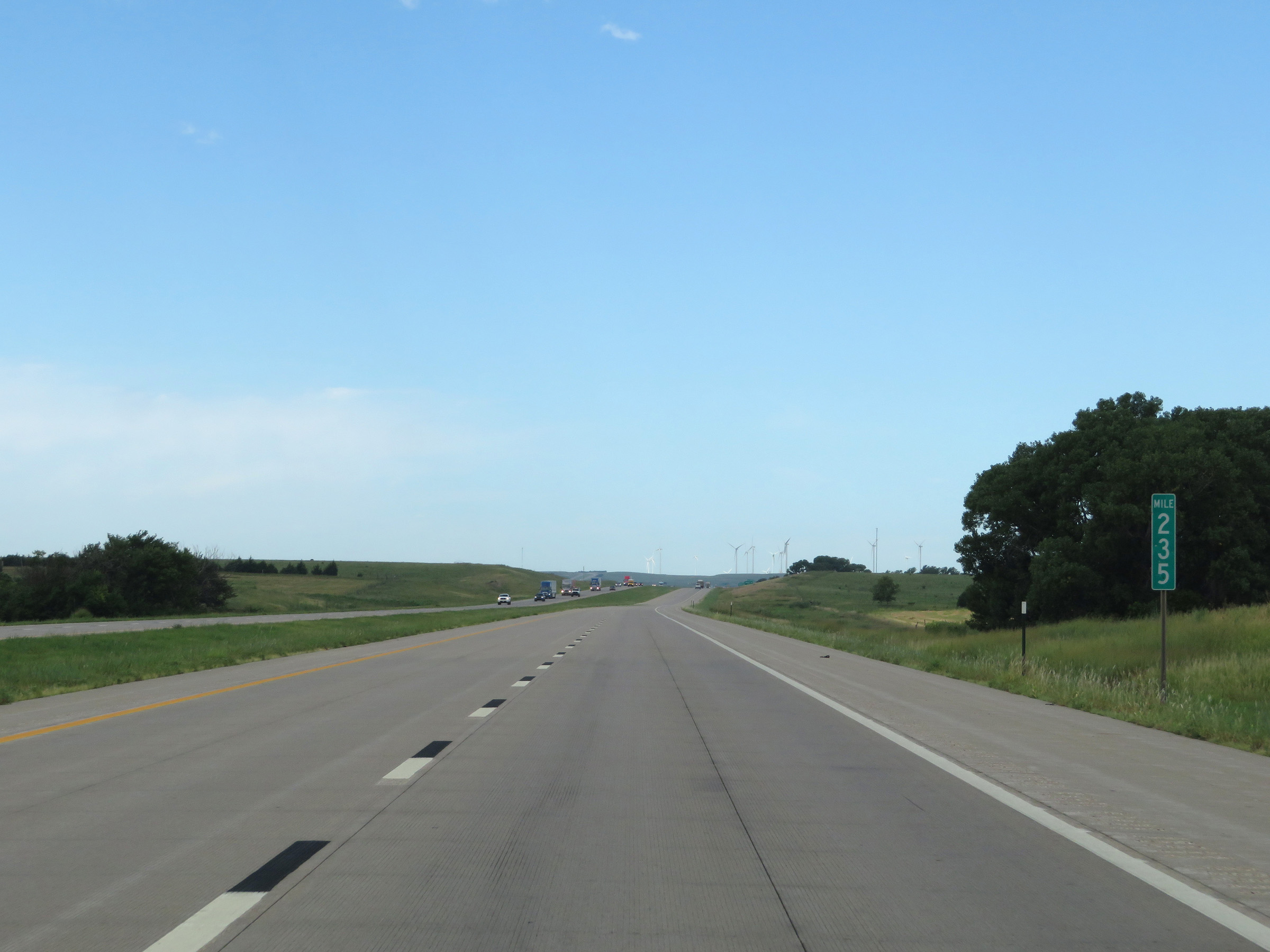 |
View on Interstate 70 West at mile marker 235. (Photo taken 8/12/20). |
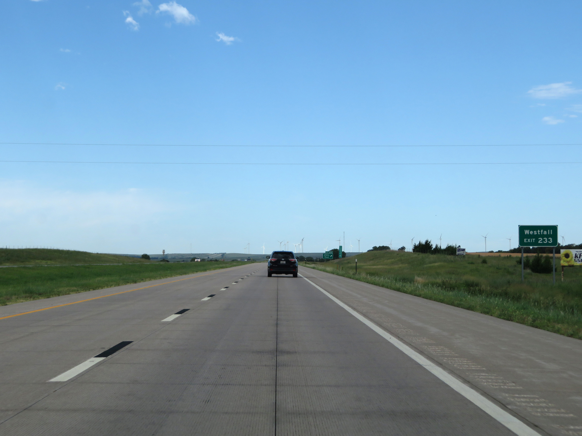 |
Take Exit 233 to Westfall. (Photo taken 8/12/20). |
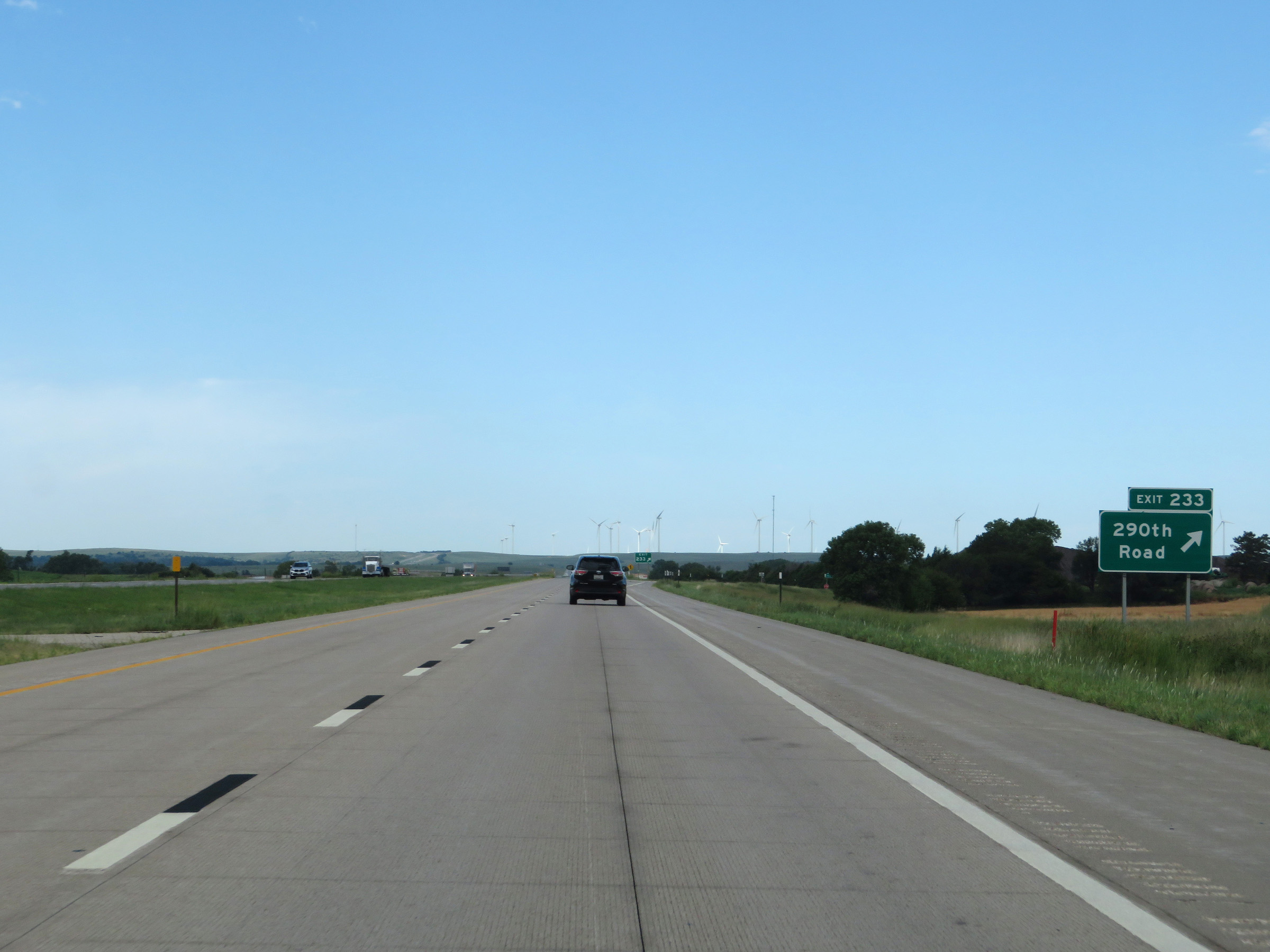 |
Interstate 70 West at Exit 233: 290th Road (Photo taken 8/12/20). |
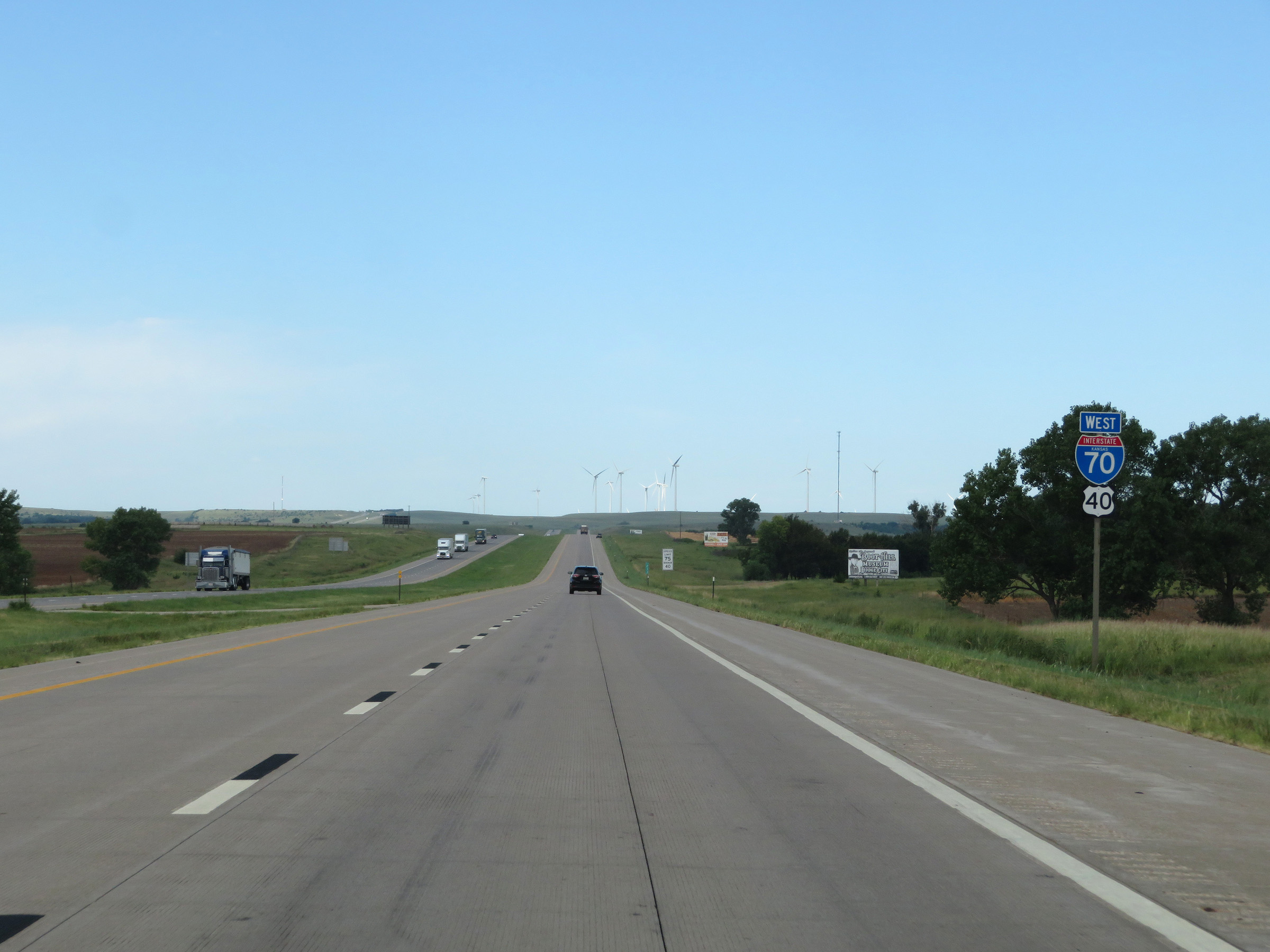 |
Another state-named Interstate 70 West reassurance shield. (Photo taken 8/12/20). |
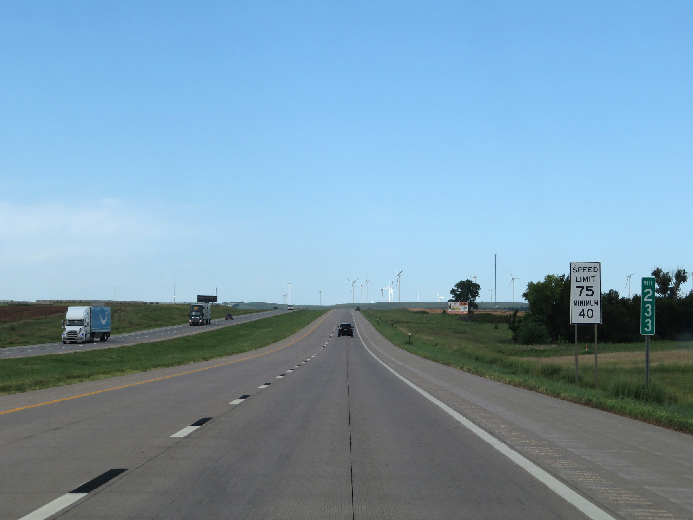 |
View on Interstate 70 West at mile marker 233. The speed limits remain 75 mph maximum and 40 mph minimum. (Photo taken 8/12/20). |
 |
View on Interstate 70 West at mile marker 231. (Photo taken 8/12/20). |
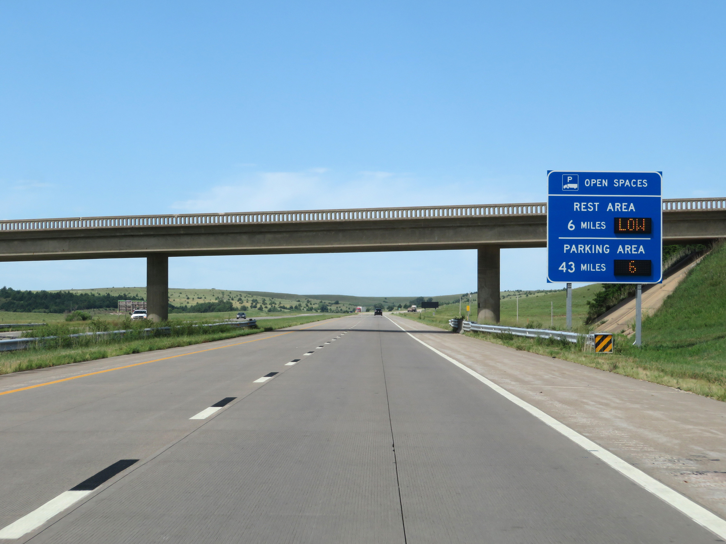 |
Another sign dynamically showing the number of available truck parking spaces at the next 2 Rest Areas on Interstate 70 West. (Photo taken 8/12/20). |
 |
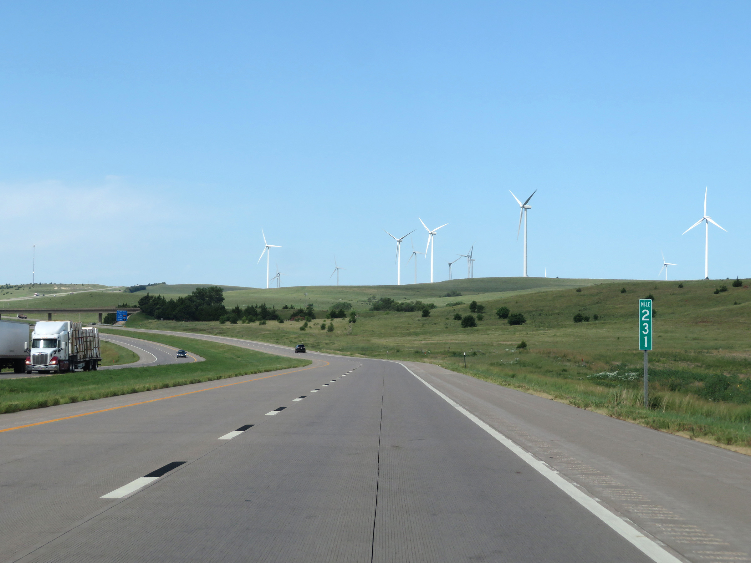
Interstate 70 West at mile marker 230. (Photo taken 8/12/20). |
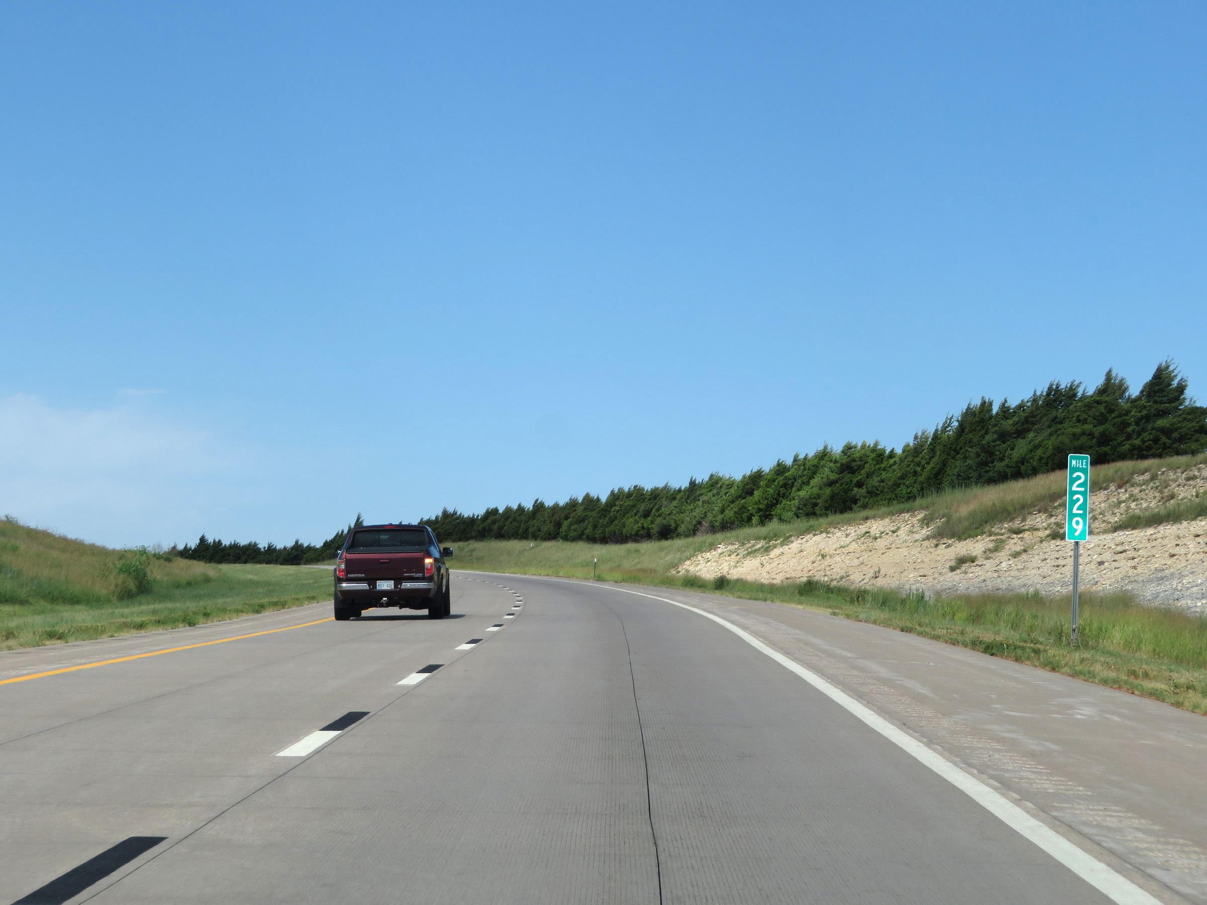 |
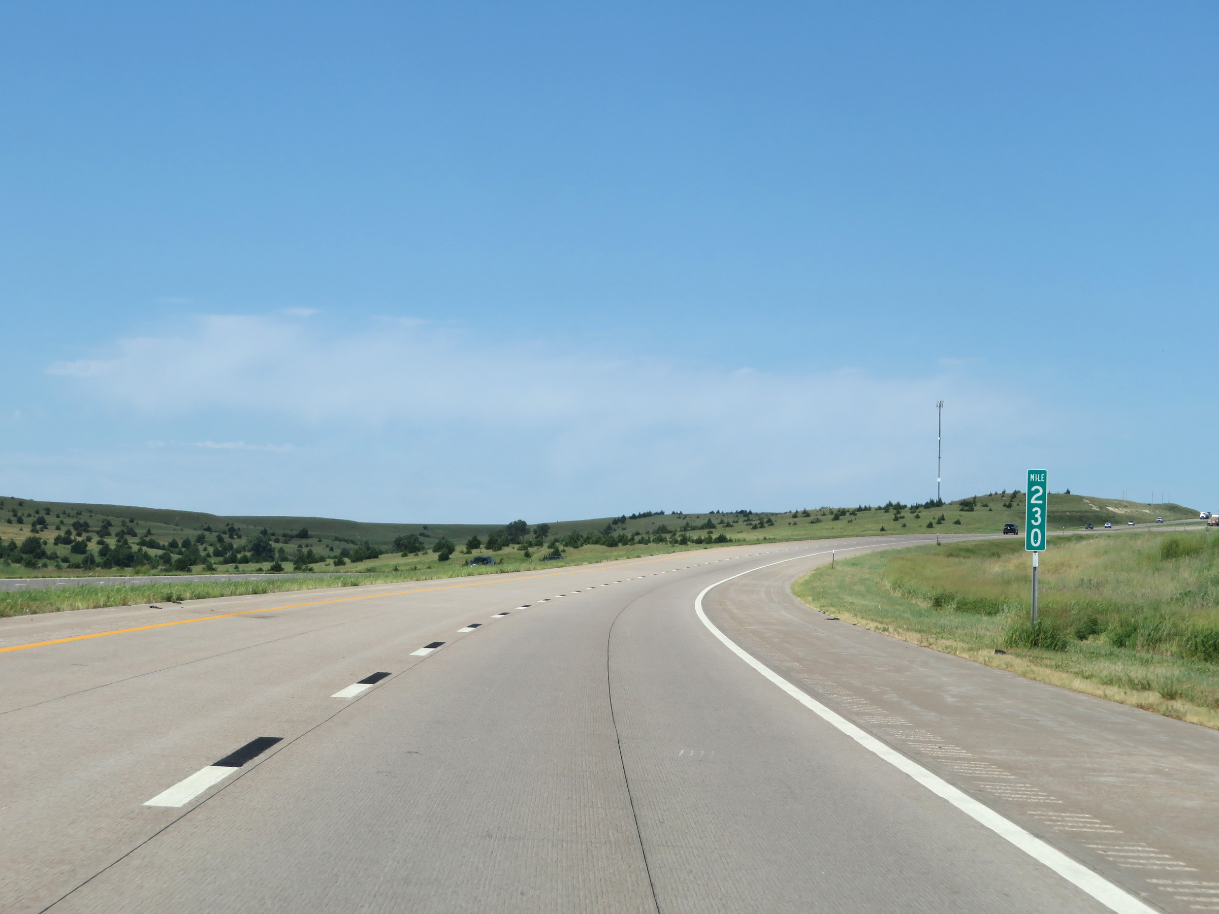
View on Interstate 70 West at mile marker 229. (Photo taken 8/12/20). |
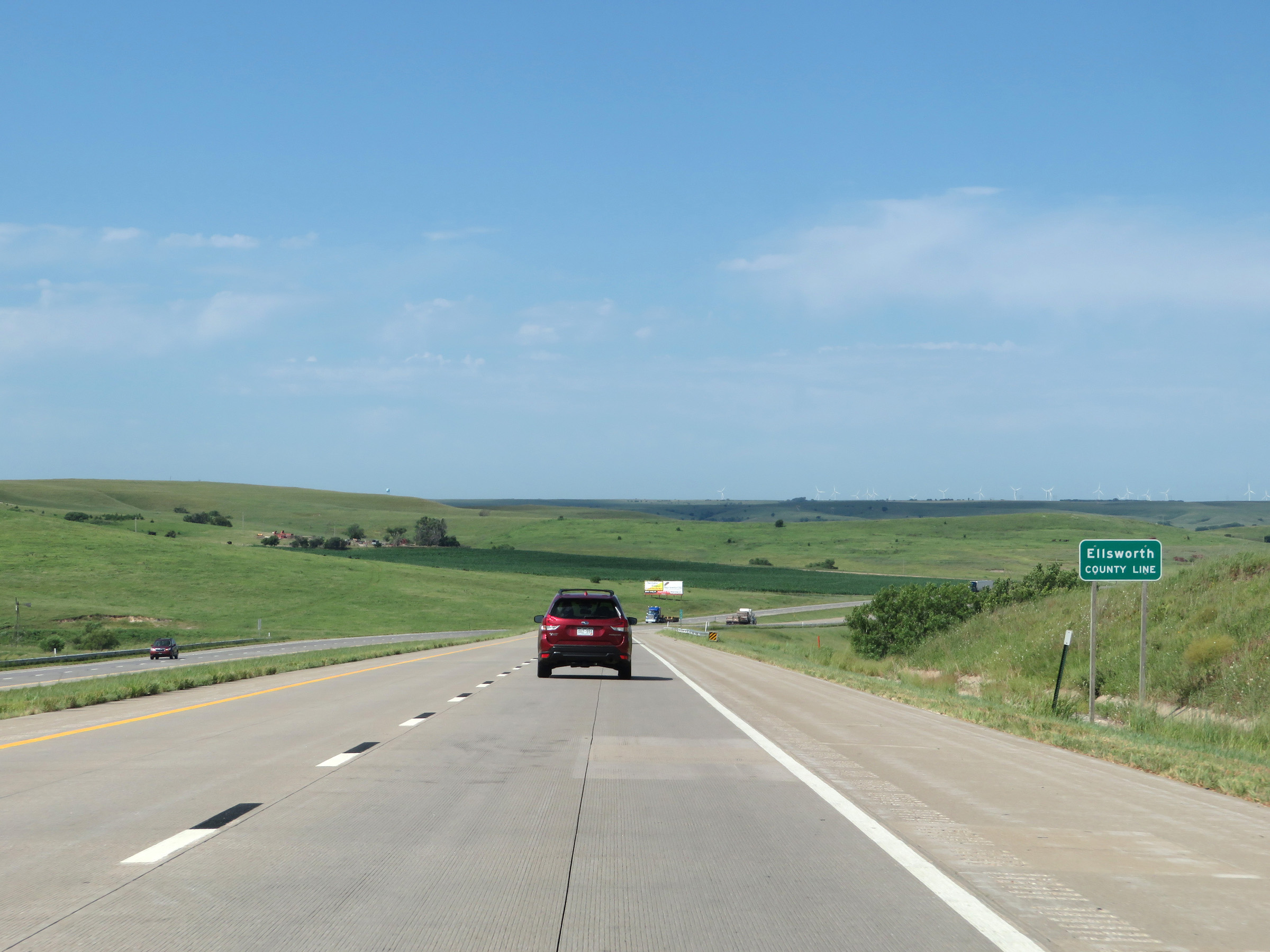 |
Interstate 70 West as it enters Ellsworth County. (Photo taken 8/12/20). |
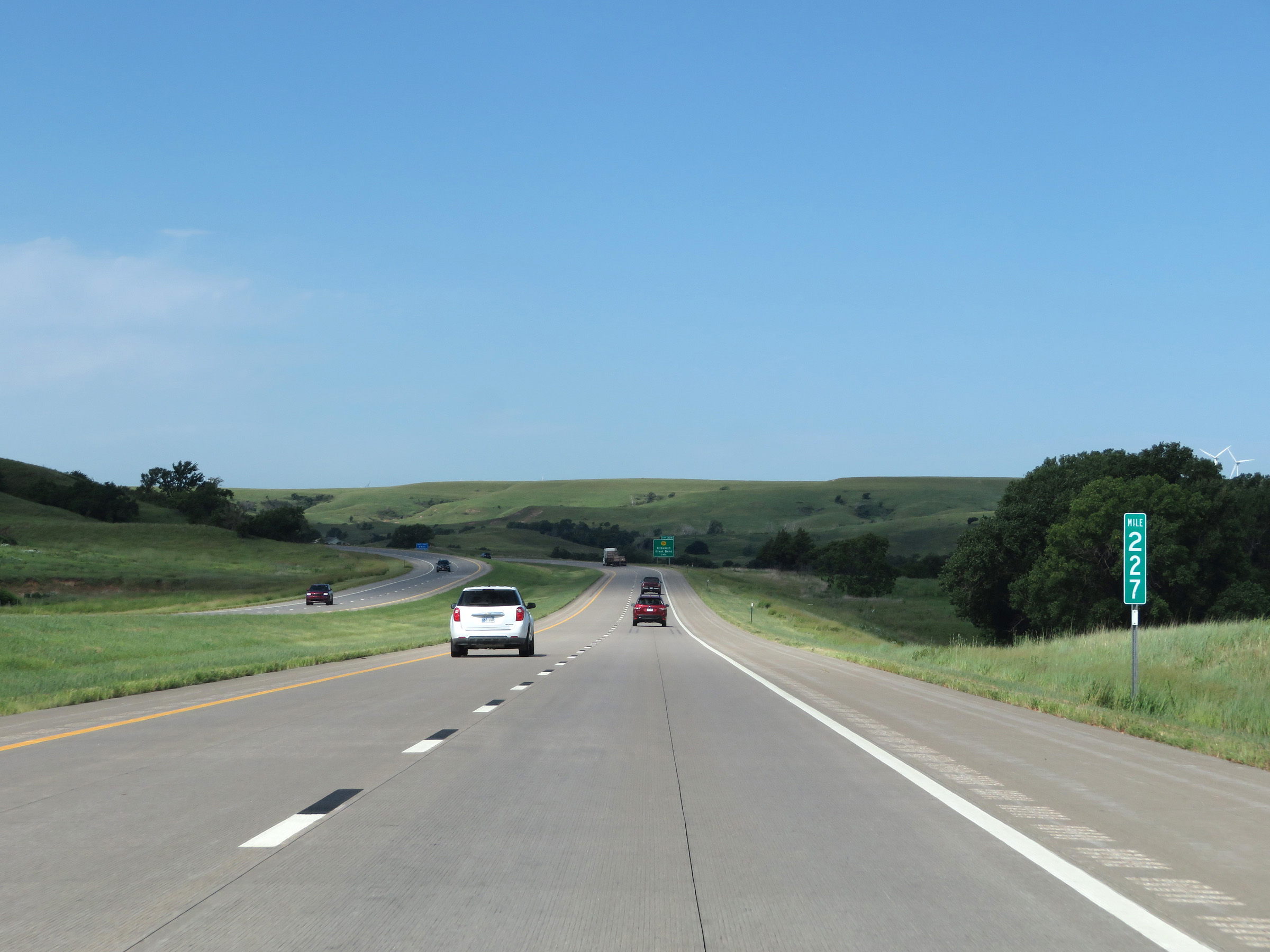 |
View on Interstate 70 West at mile marker 227. (Photo taken 8/12/20). |
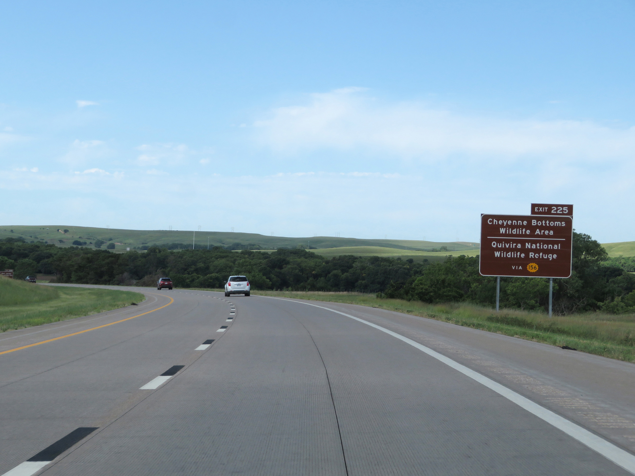 |
Take Exit 225 to Cheyenne Bottoms Wildlife Area and Quivira National Wildlife Refuge via K-156. (Photo taken 8/12/20). |
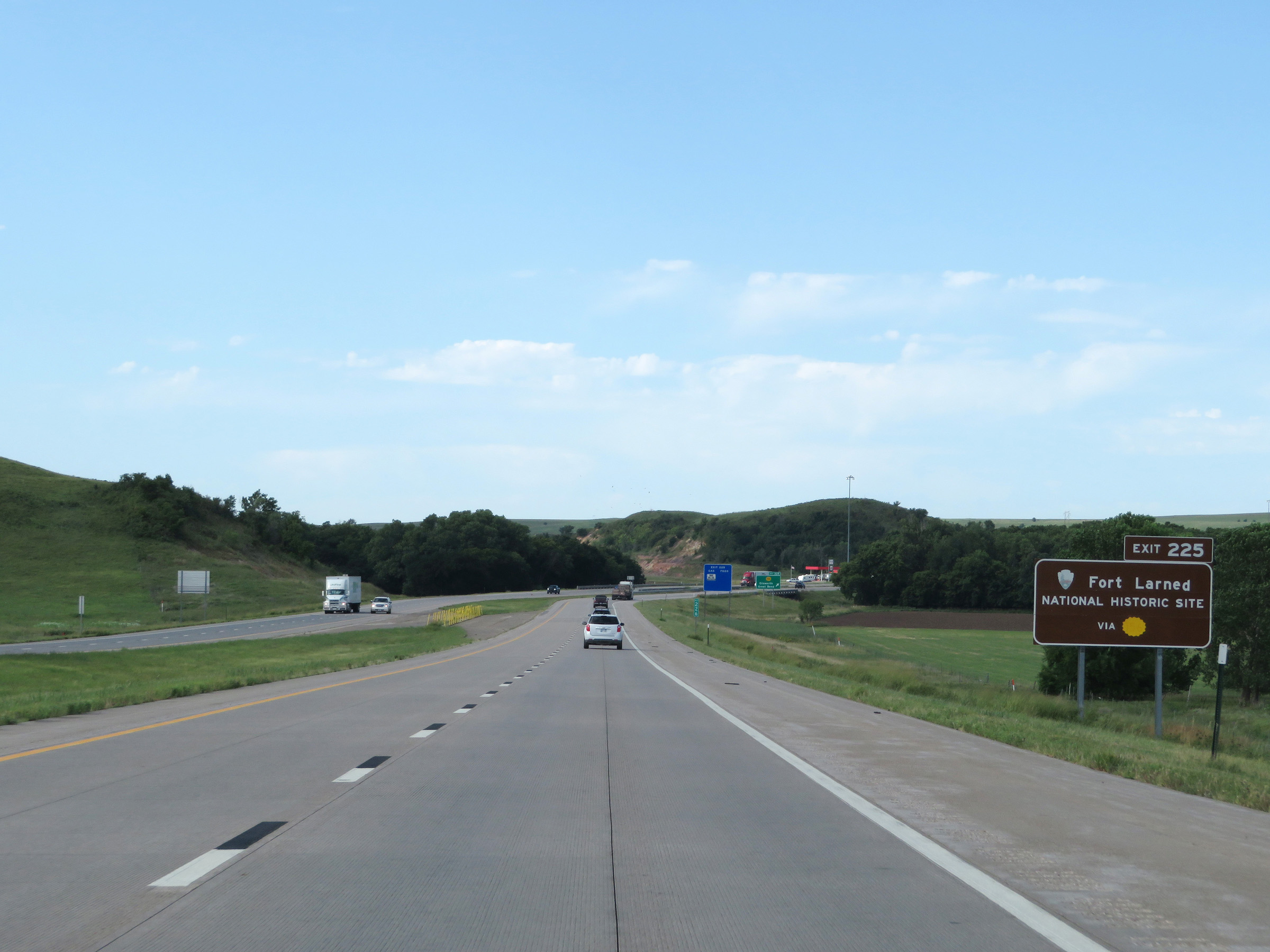 |
Also take Exit 225 to Fort Larned National Historic Site. (Photo taken 8/12/20). |
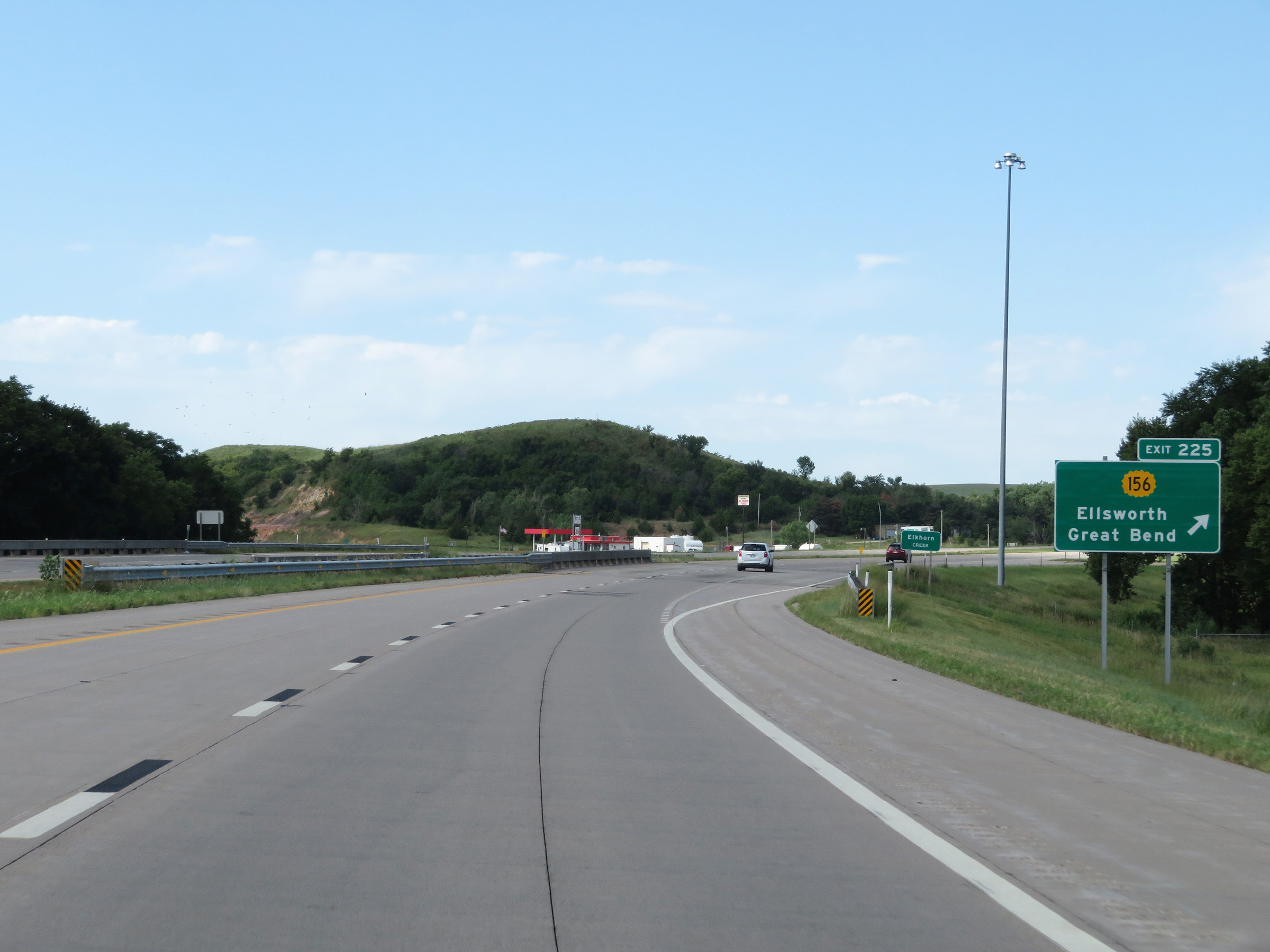 |
Interstate 70 West at Exit 225: K-156 - Ellsworth / Great Bend (Photo taken 8/12/20). |
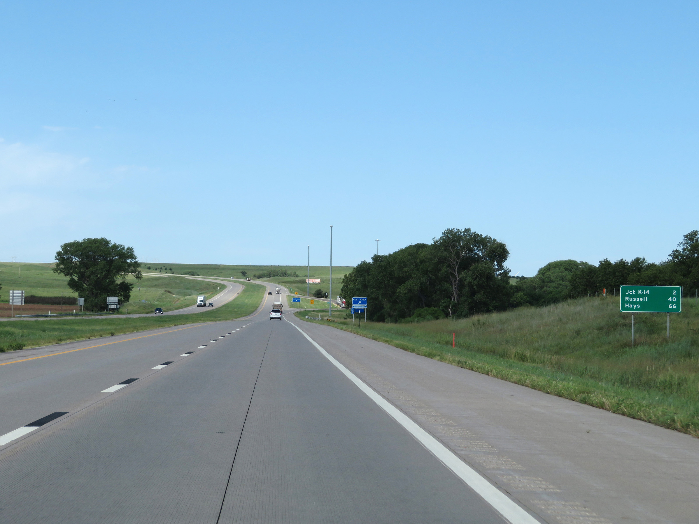 |
Mileage sign on Interstate 70 West. It's 2 miles to the junction of K-14, 40 miles to Russell, and 66 miles to Hays. (Photo taken 8/12/20). |
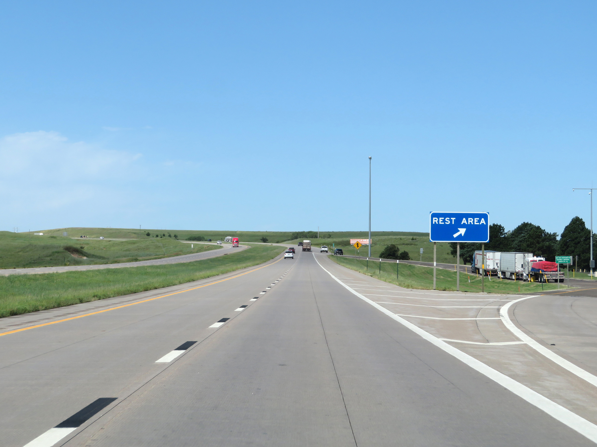 |
Rest Area on Interstate 70 West in Ellsworth County. (Photo taken 8/12/20). |
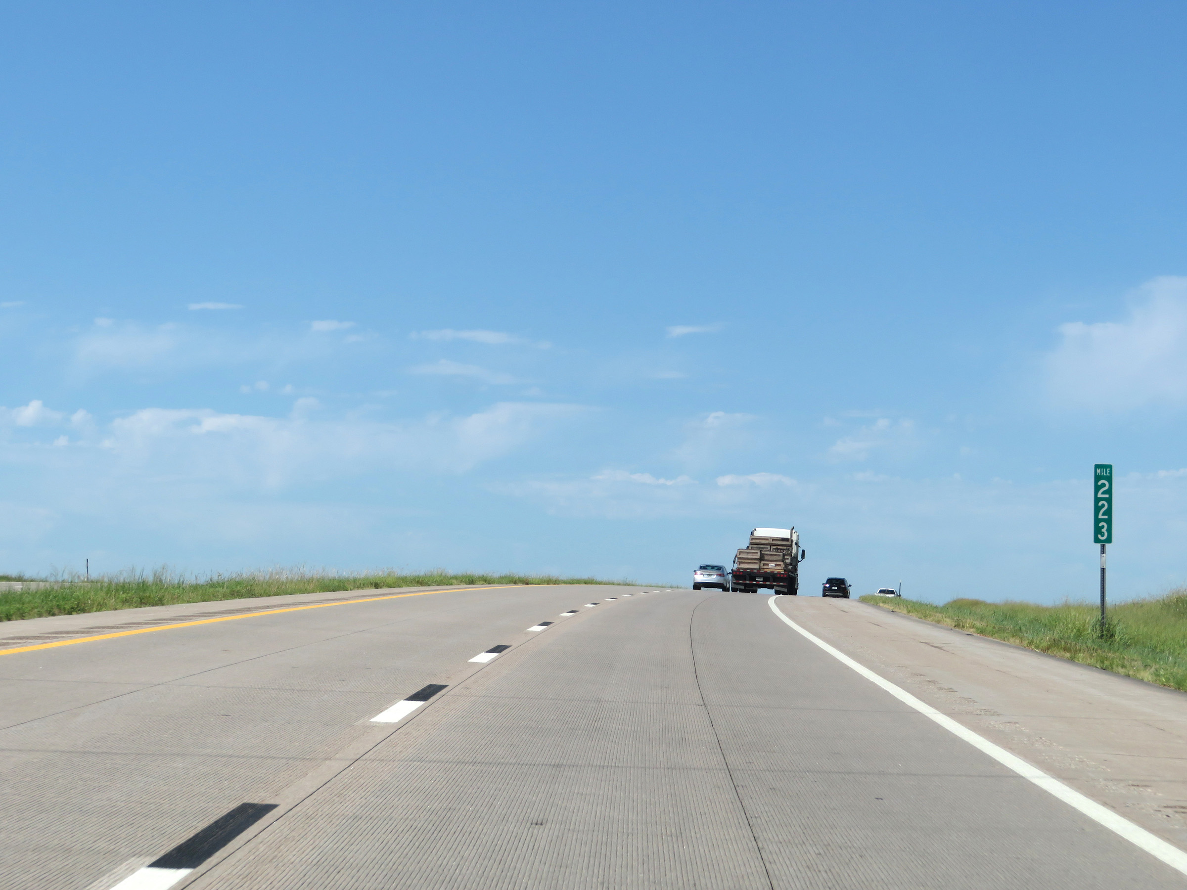 |
Interstate 70 West at mile marker 223. West of Salina, Interstate 70 begins to gradually (and I mean, VERY gradually) gain altitude. (Photo taken 8/12/20). |
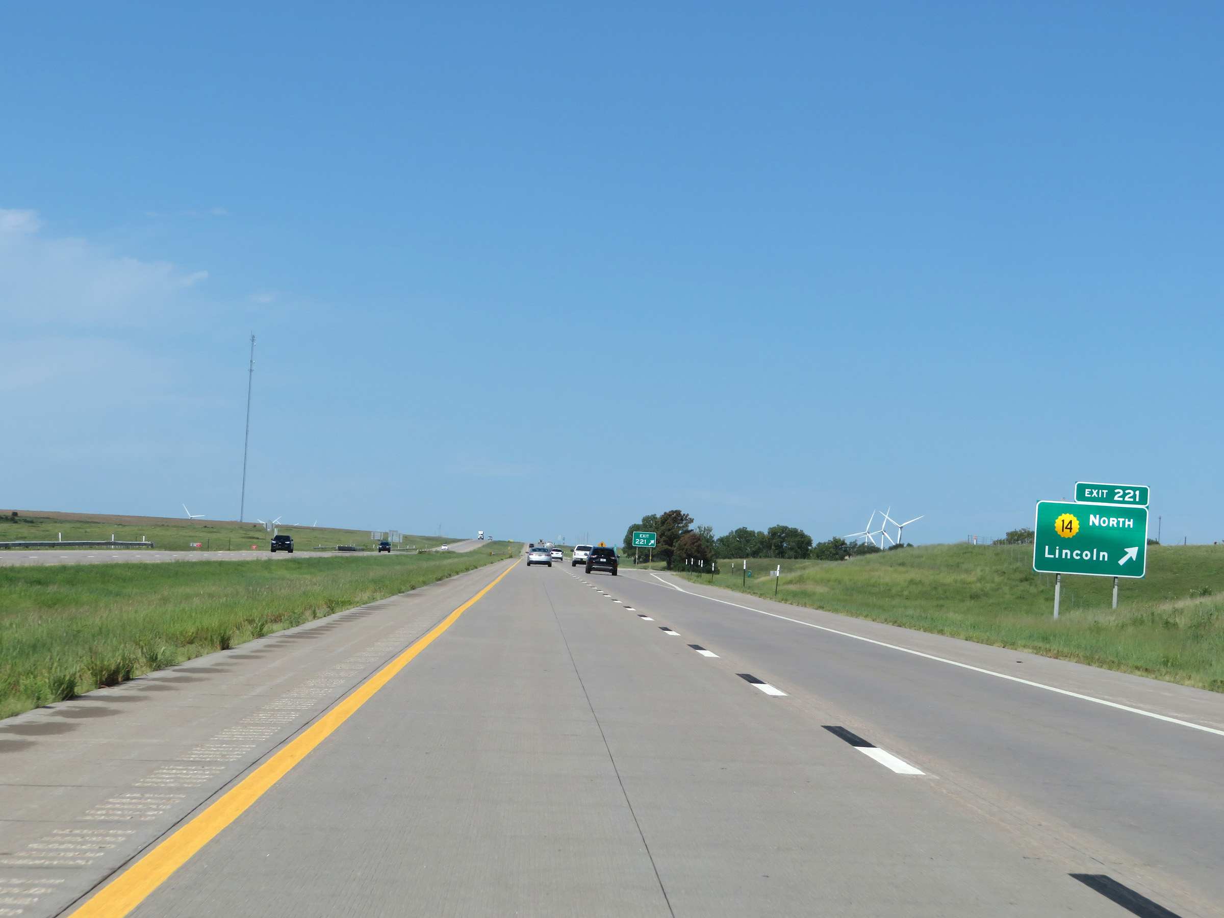 |
Interstate 70 West at Exit 221: K-14 North - Lincoln (Photo taken 8/12/20). |
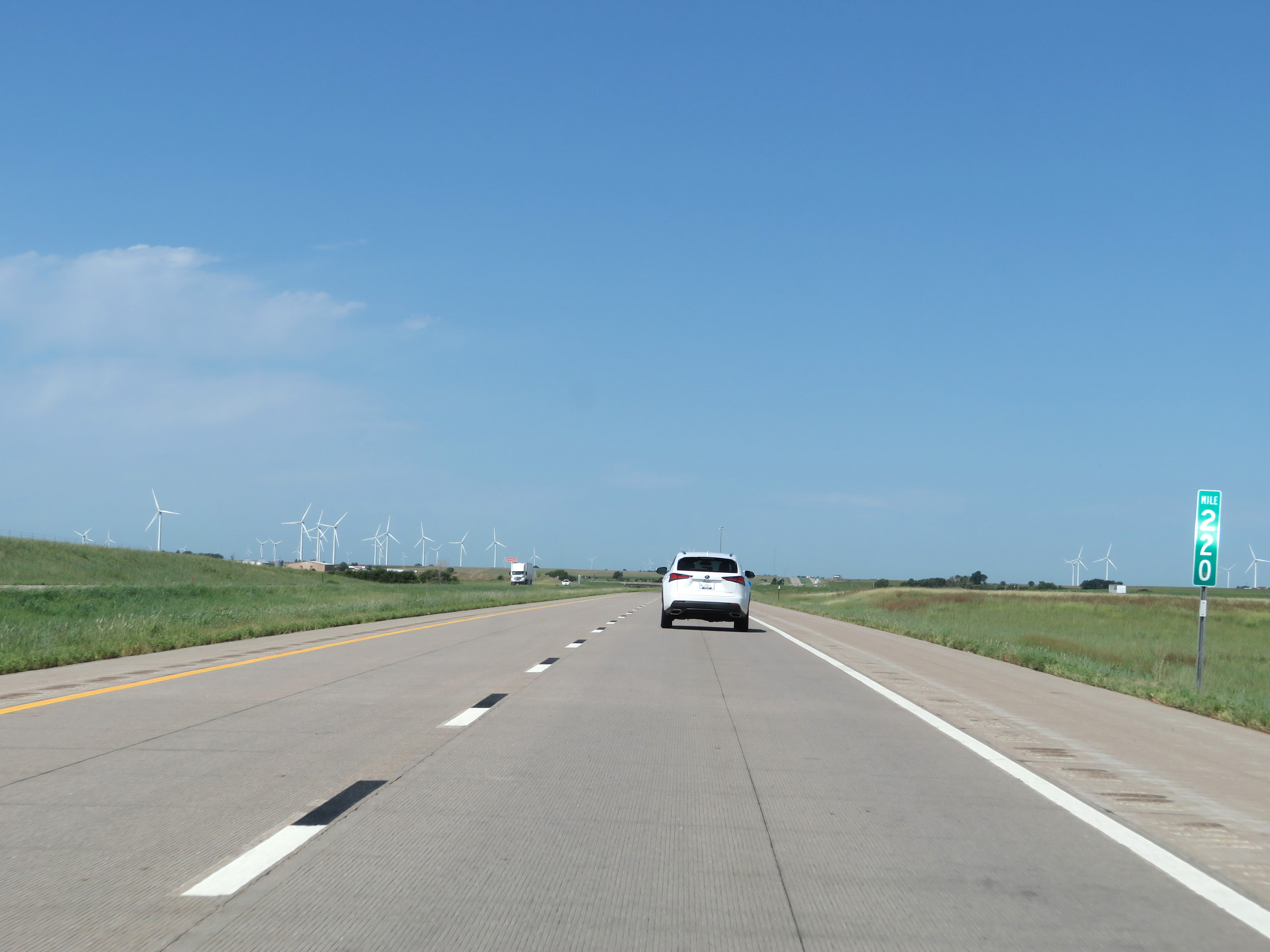 |
View on Interstate 70 West at mile marker 220. (Photo taken 8/12/20). |
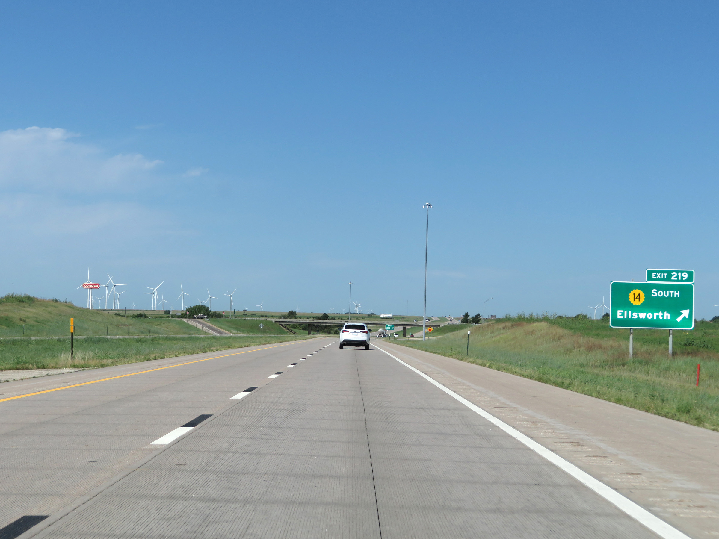 |
Interstate 70 West at Exit 219: K-14 South - Ellsworth (Photo taken 8/12/20). |
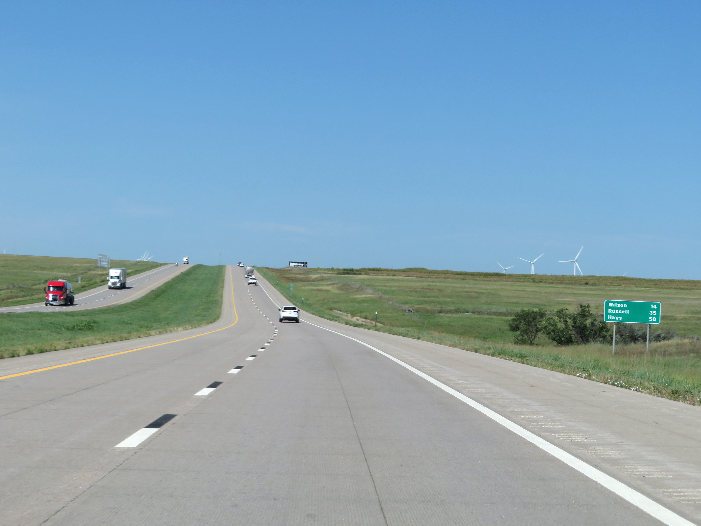 |
Mileage sign on Interstate 70 West. It's 14 miles to Wilson, 35 miles to Russell, and 58 miles to Hays. (Photo taken 8/12/20). |
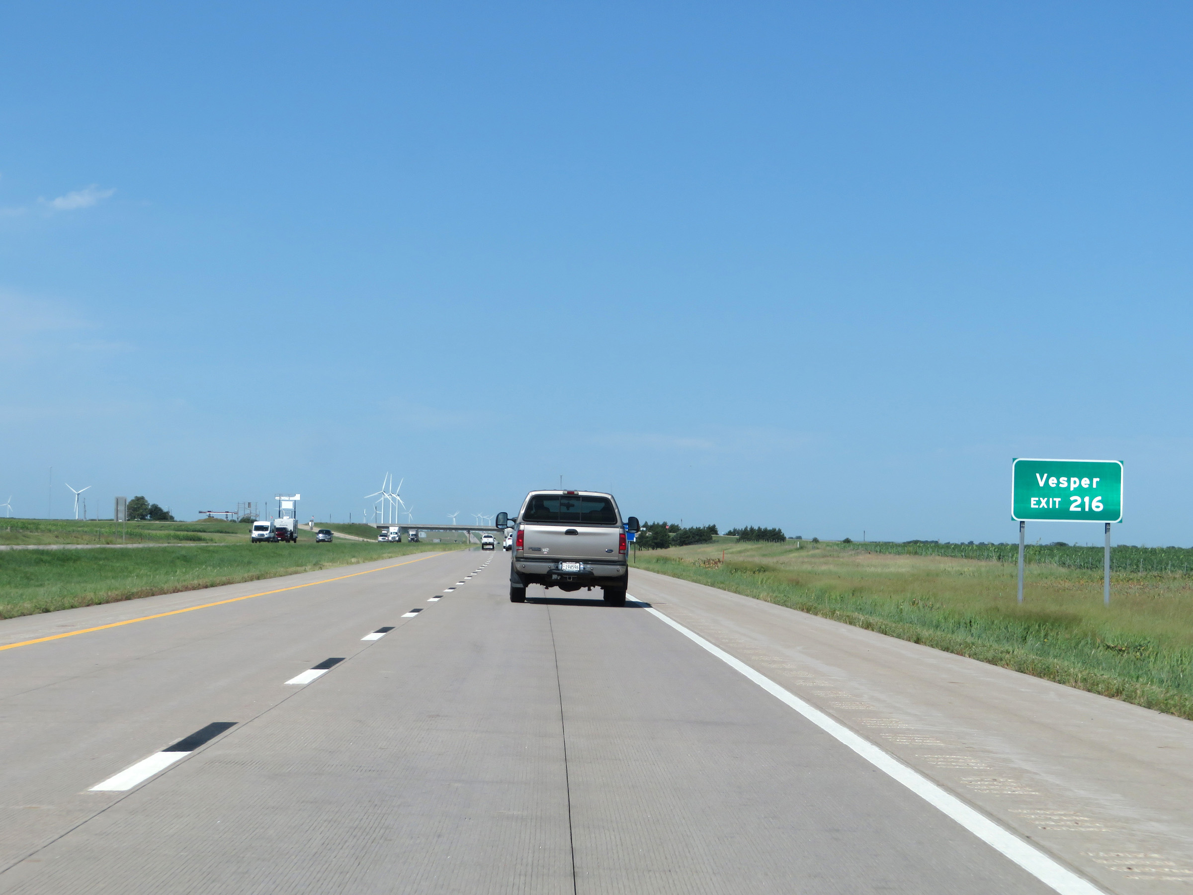 |
Take Exit 216 to Vesper. (Photo taken 8/12/20). |
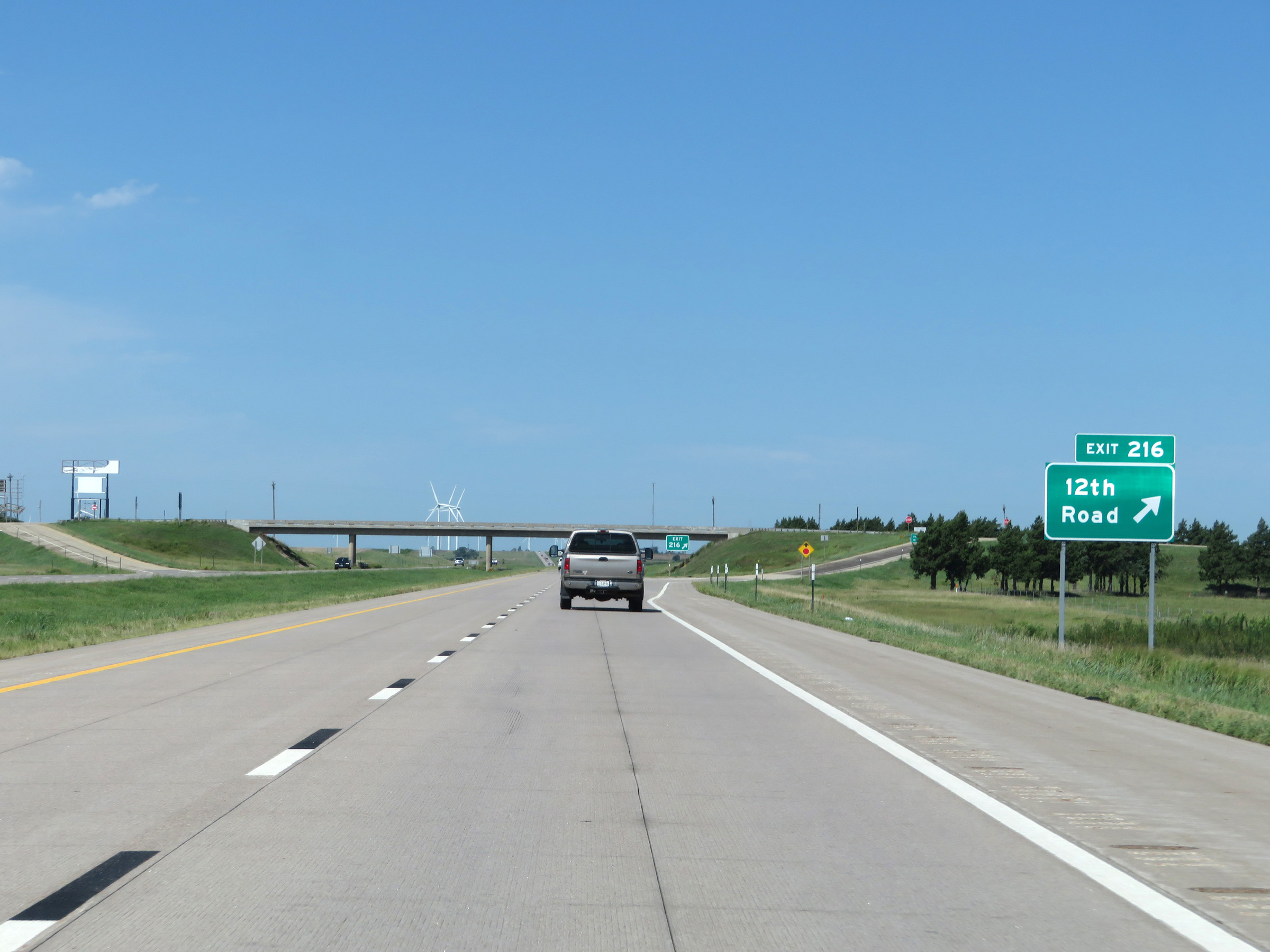 |
Interstate 70 West at Exit 216: 12th Road (Photo taken 8/12/20). |
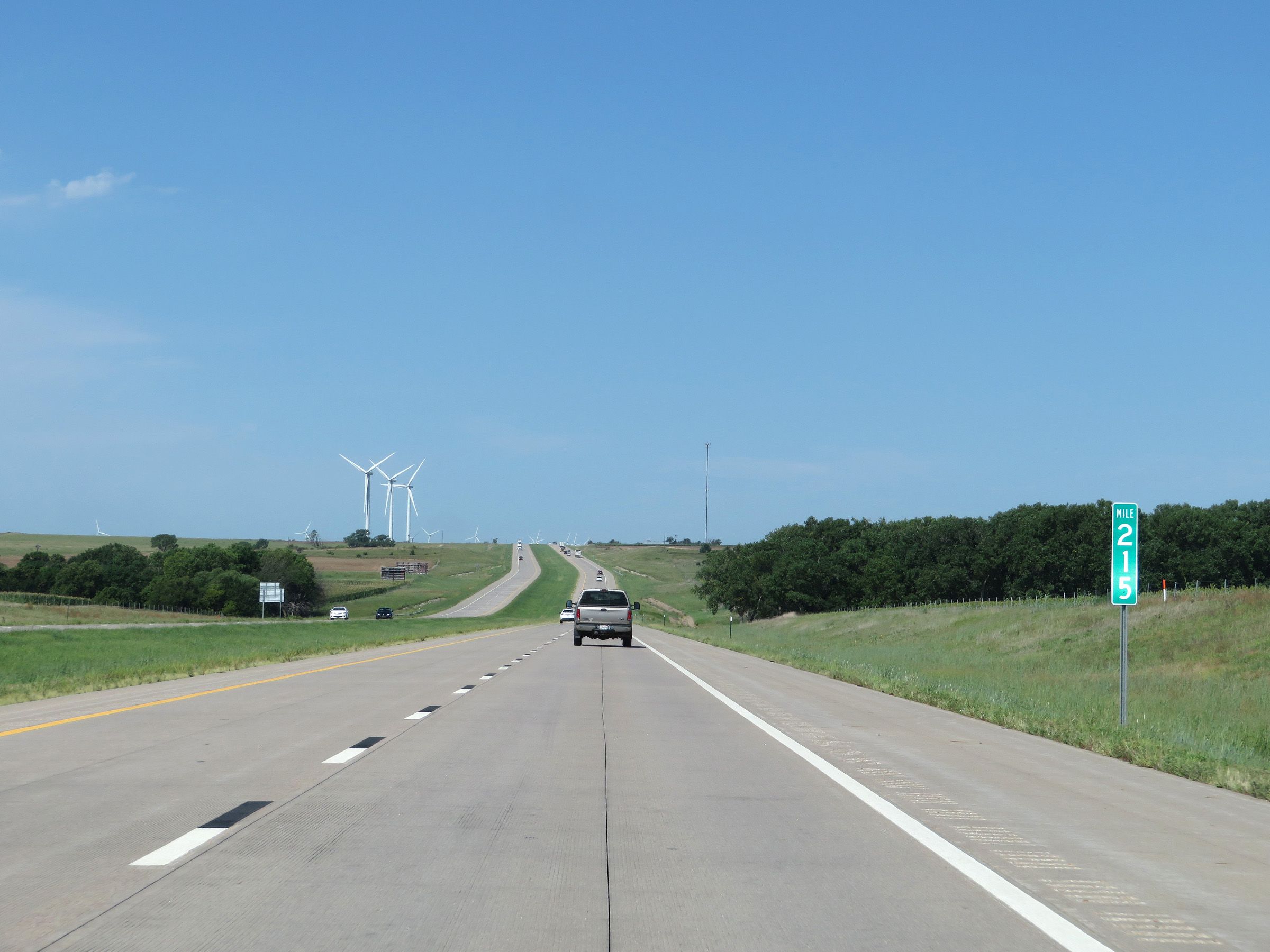 |
View on Interstate 70 West at mile marker 215. (Photo taken 8/12/20). |
 |
Interstate 70 West at mile marker 213. (Photo taken 8/12/20). |
 |
View on Interstate 70 West at mile marker 211. (Photo taken 8/12/20). |
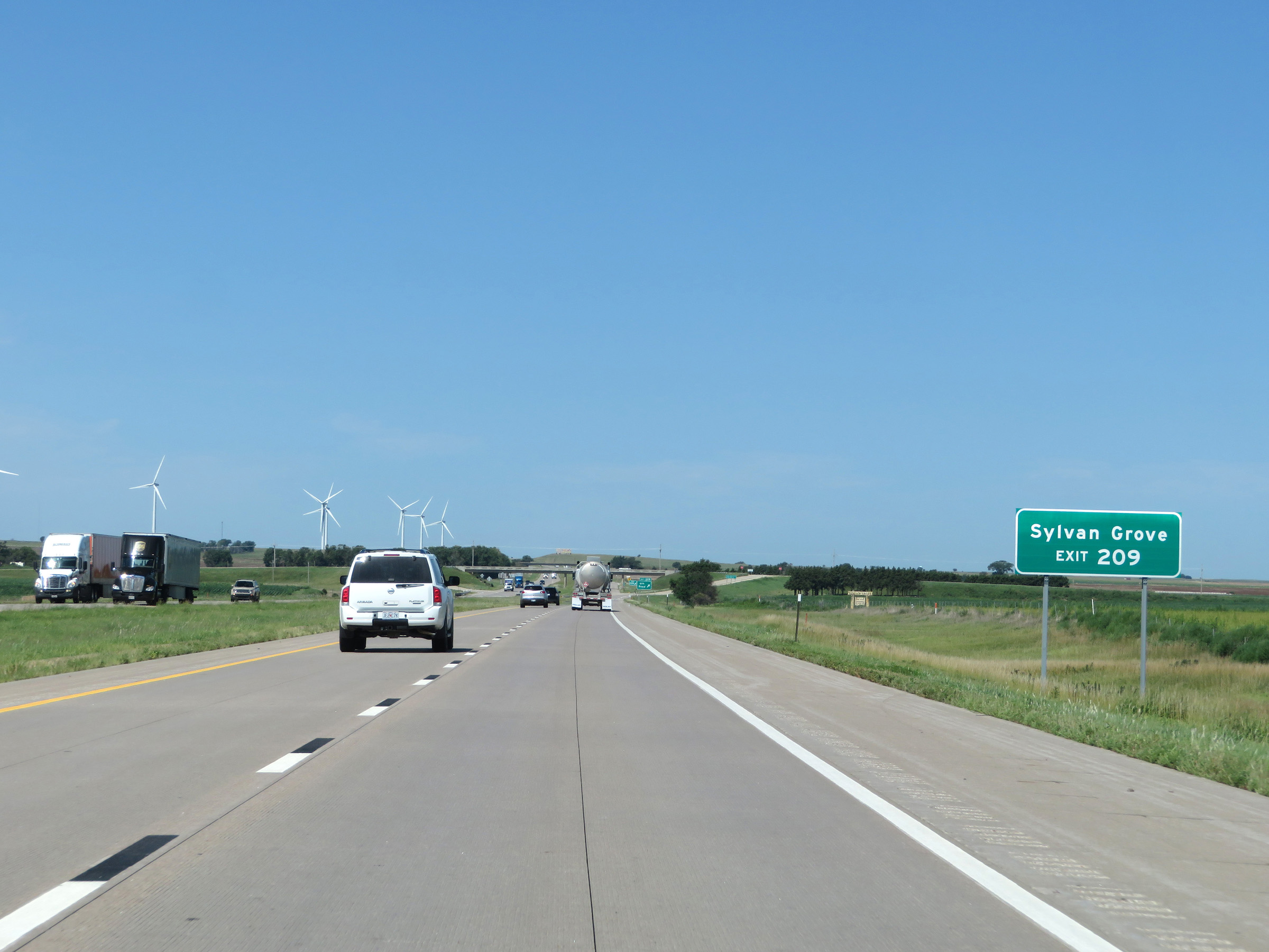 |
Take Exit 209 to Sylvan Grove. (Photo taken 8/12/20). |
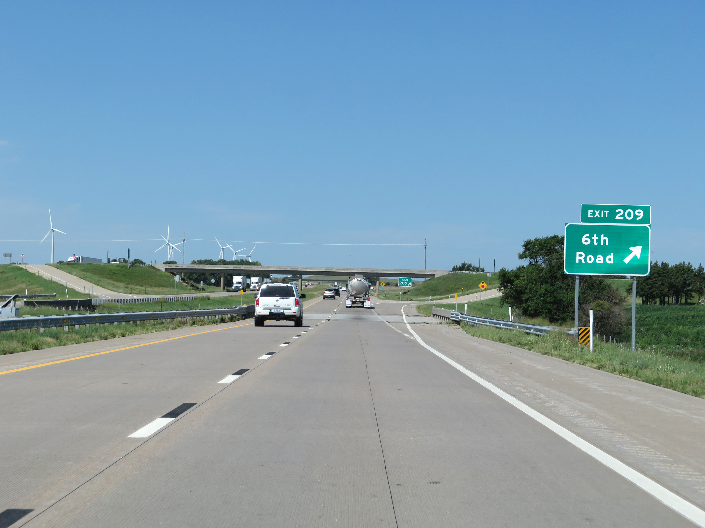 |
Interstate 70 West at Exit 209: 6th Road (Photo taken 8/12/20). |
 |
The speed limits remain 75 mph maximum and 40 mph minimum. (Photo taken 8/12/20). |
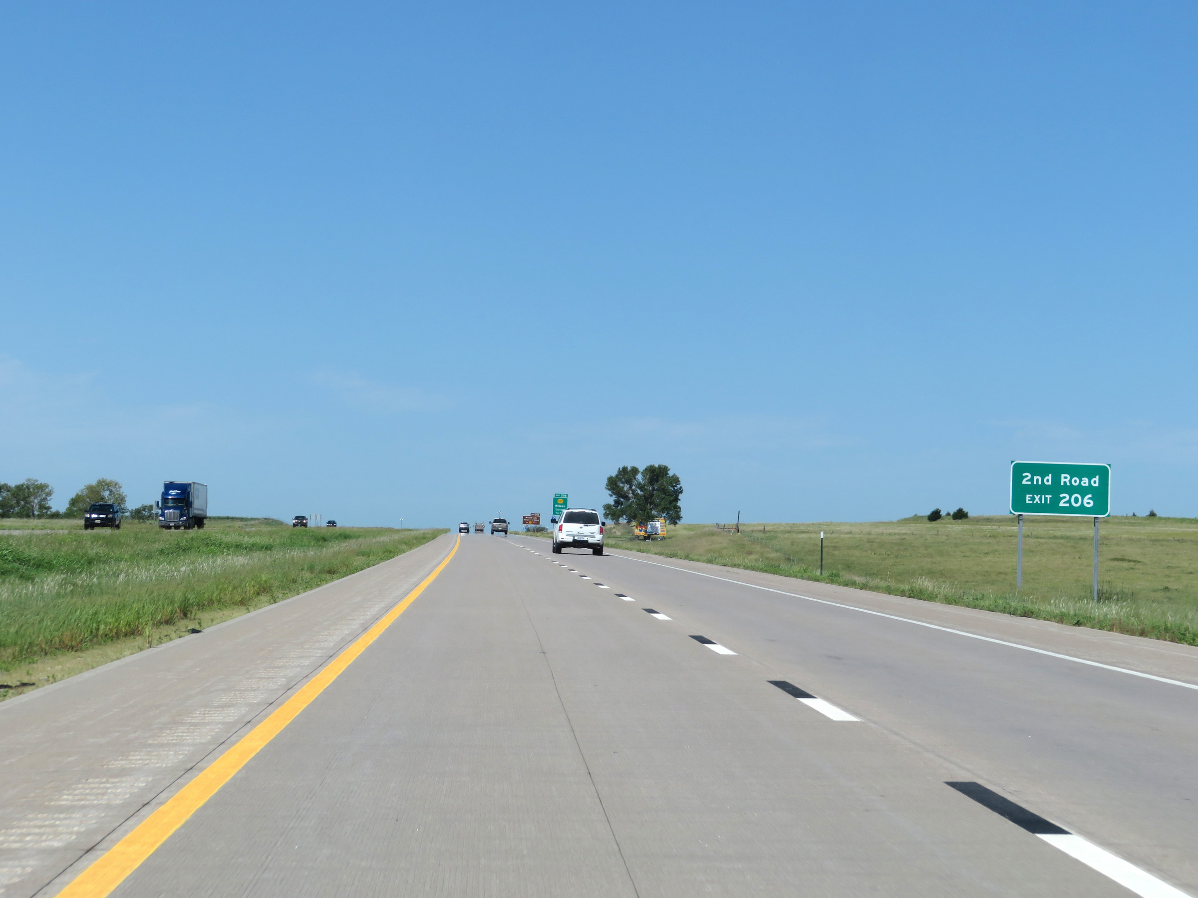 |
Take Exit 206 to 2nd Road. (Photo taken 8/12/20). |
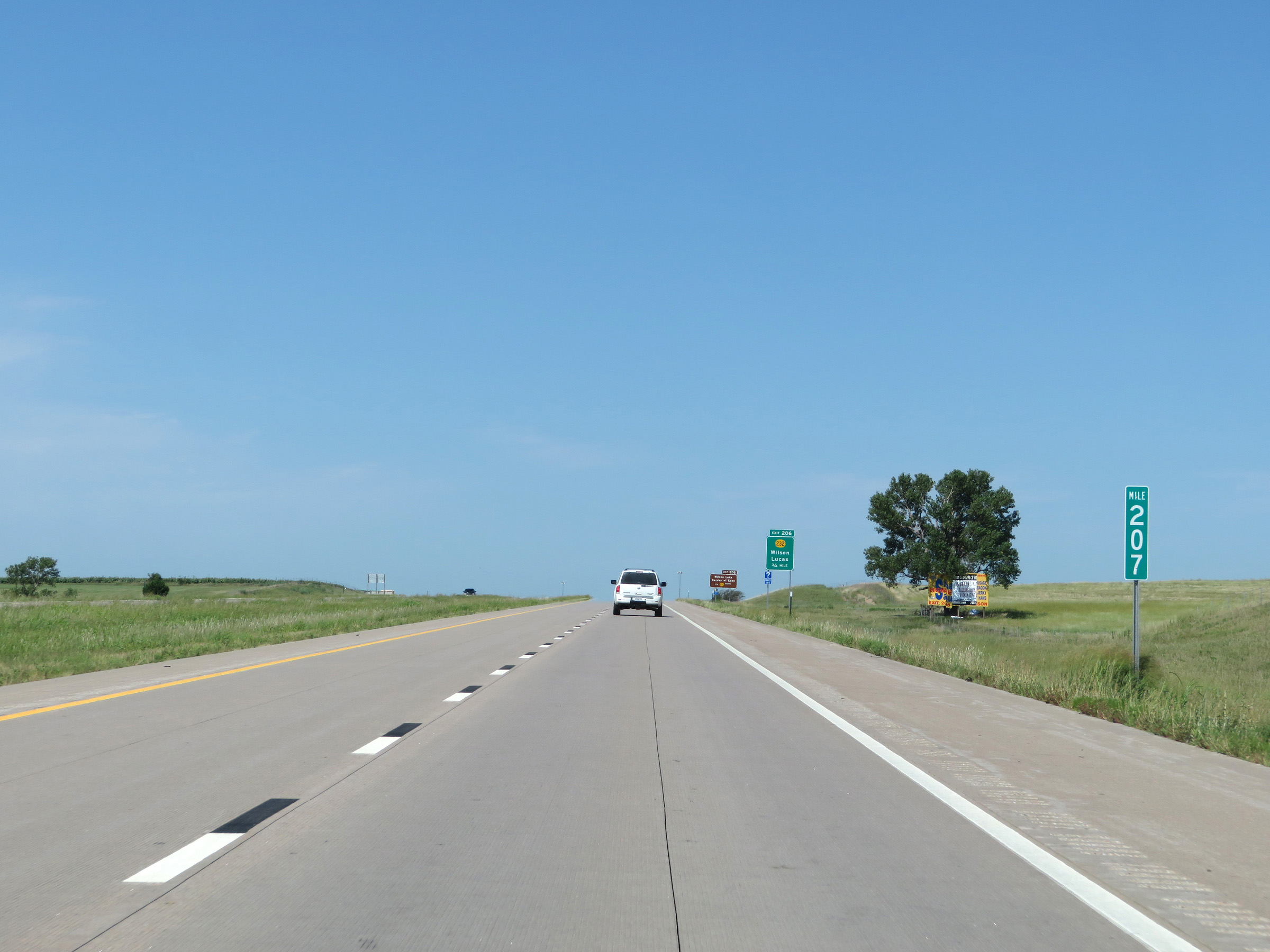 |
View on Interstate 70 West at mile marker 207. (Photo taken 8/12/20). |
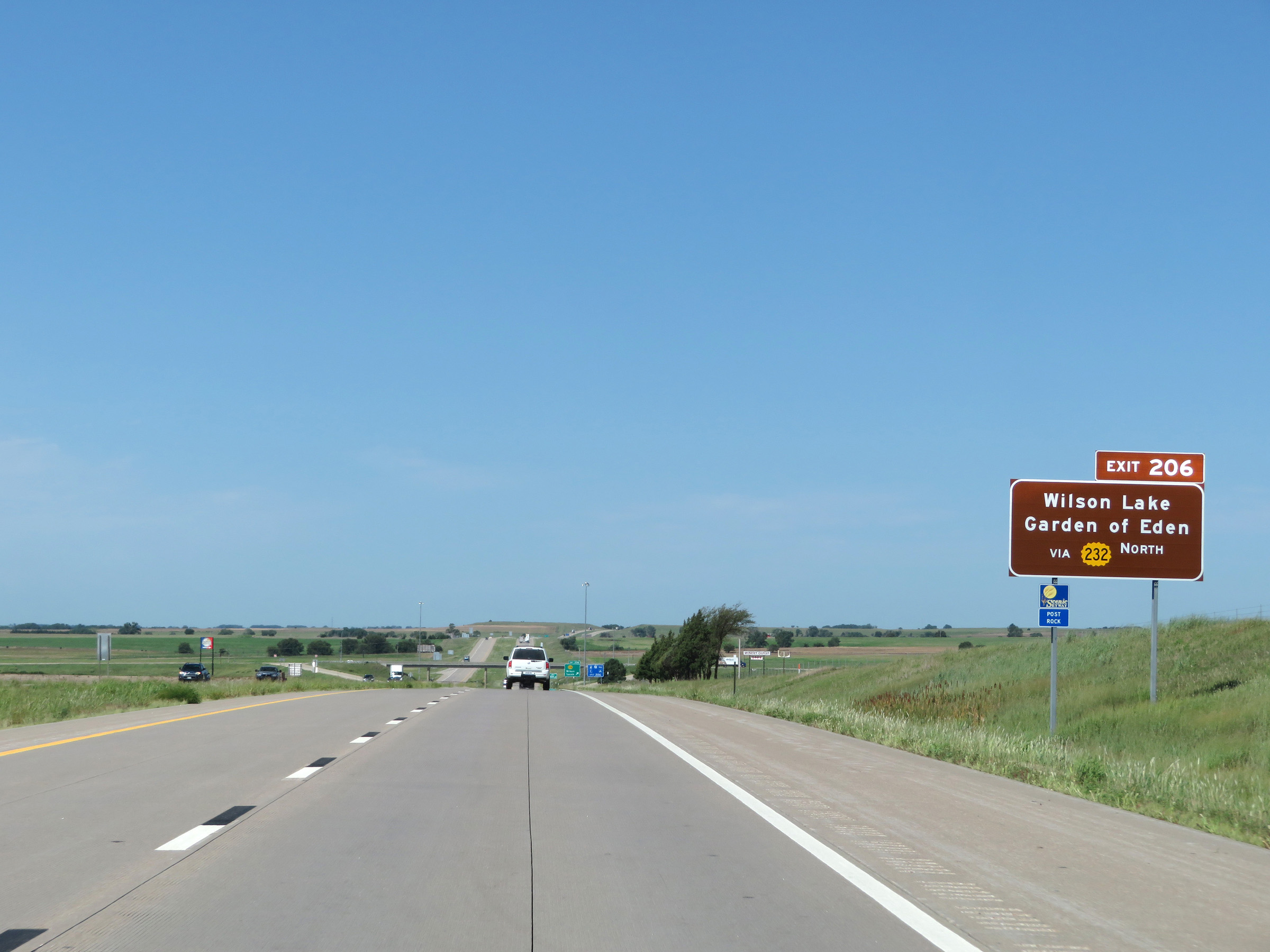 |
Take Exit 206 to Wilson Lake and the Garden of Eden folk art environment. (Photo taken 8/12/20). |
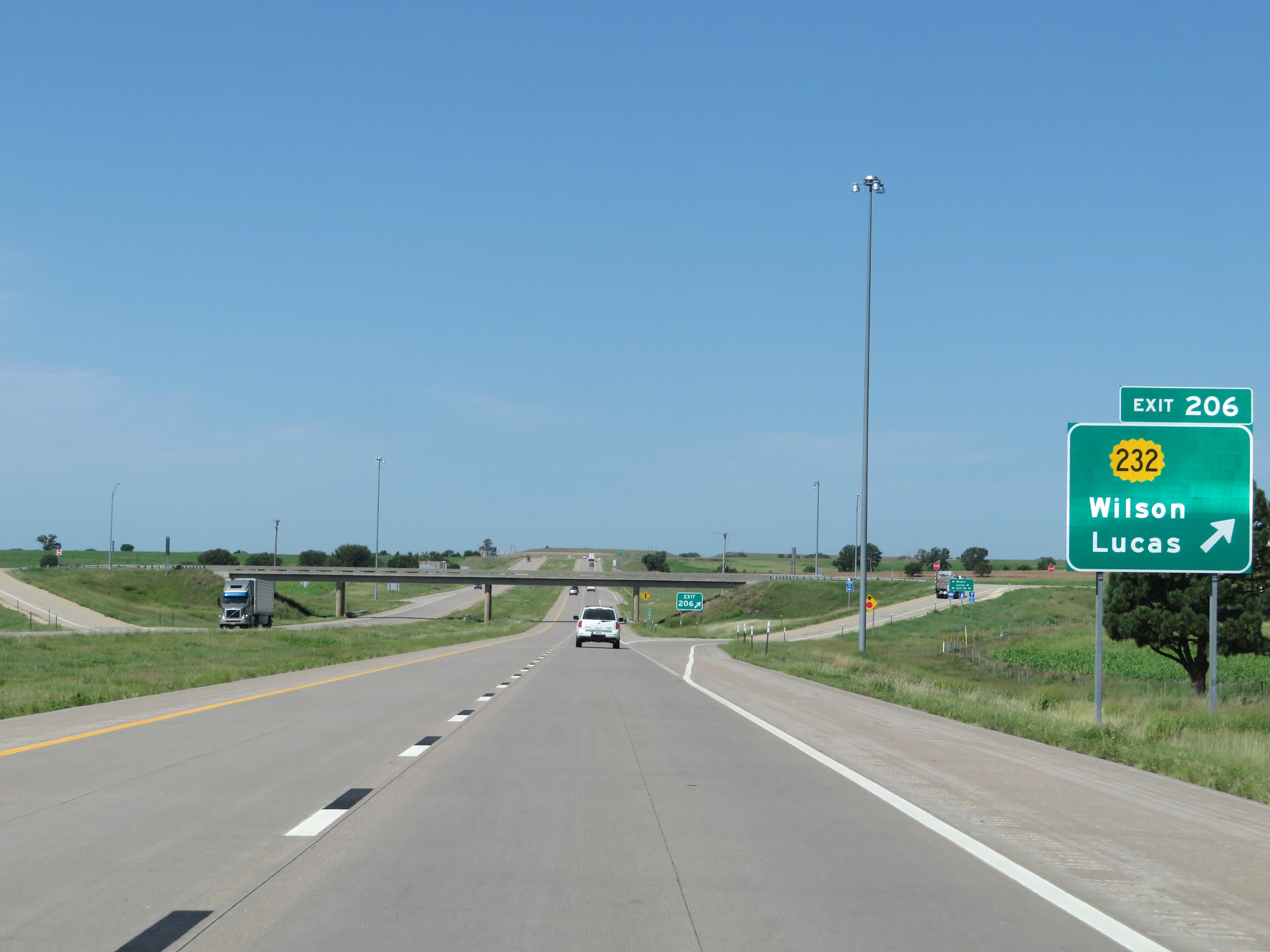 |
Interstate 70 West at Exit 206: K-232 - Wilson / Lucas (Photo taken 8/12/20). |
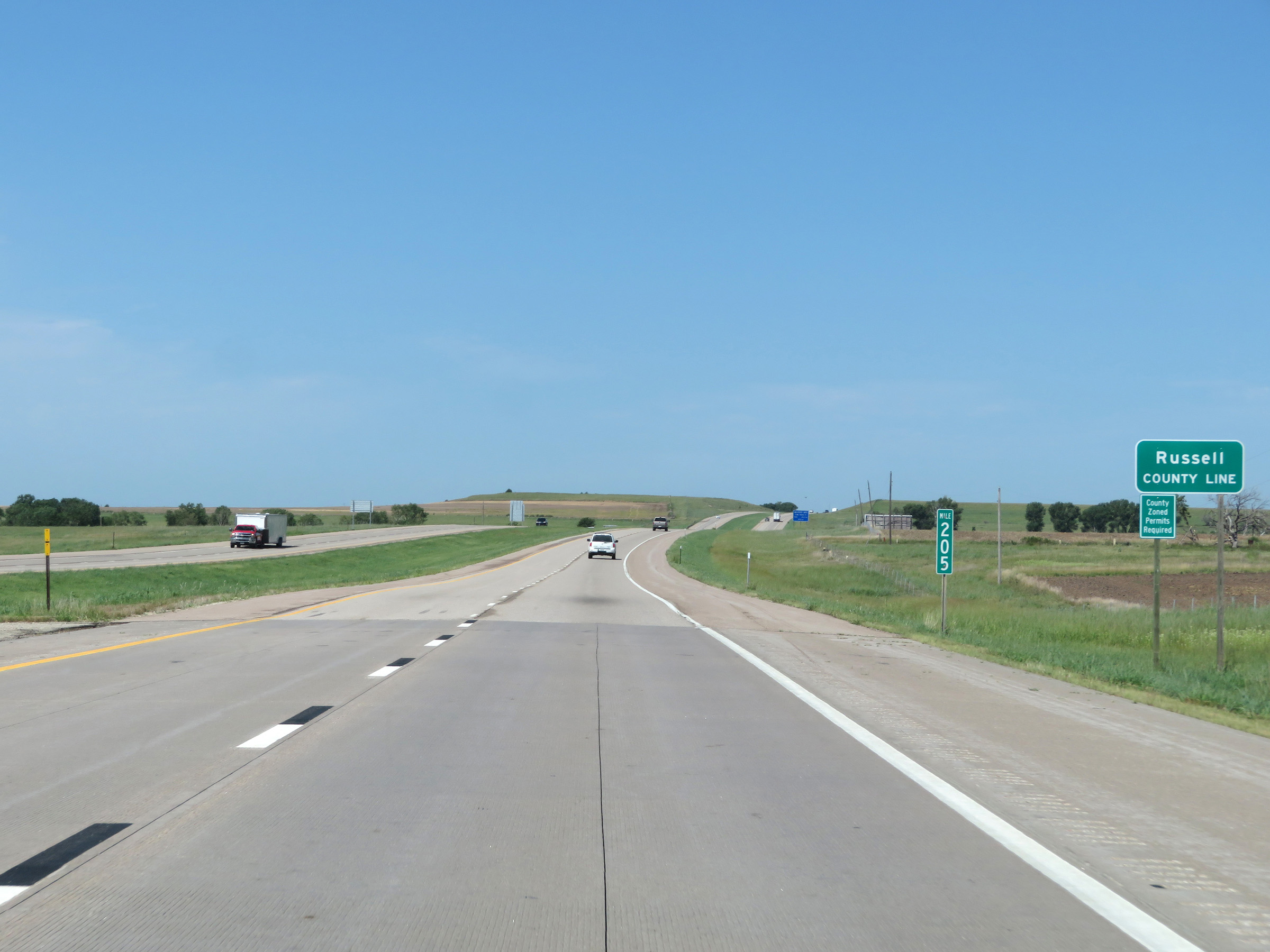 |
At mile marker 205, Interstate 70 West enters Russell County. (Photo taken 8/12/20). |
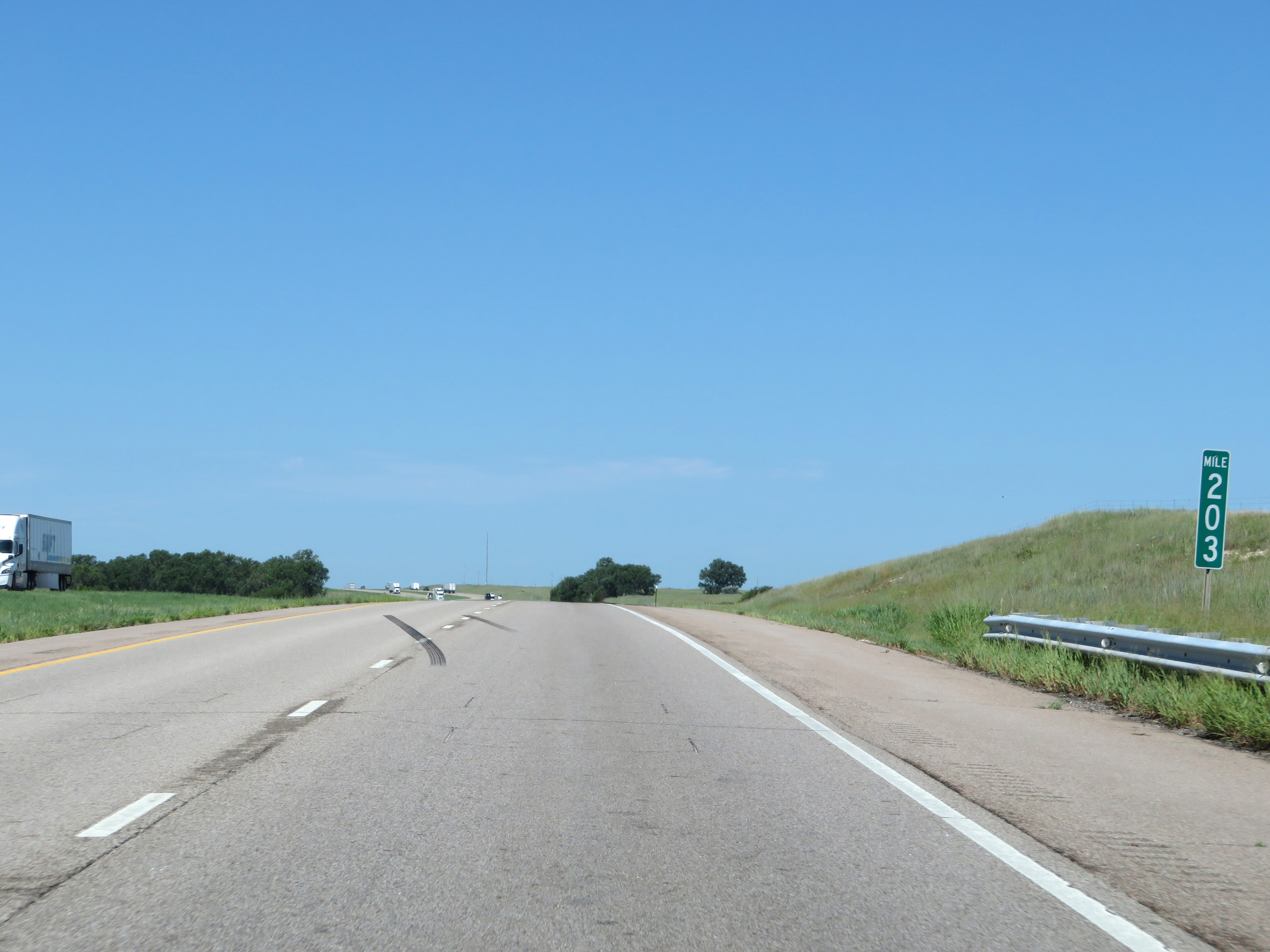 |
View on Interstate 70 West at mile marker 203. (Photo taken 8/12/20). |
 |
Interstate 70 West at mile marker 202. (Photo taken 8/12/20). |
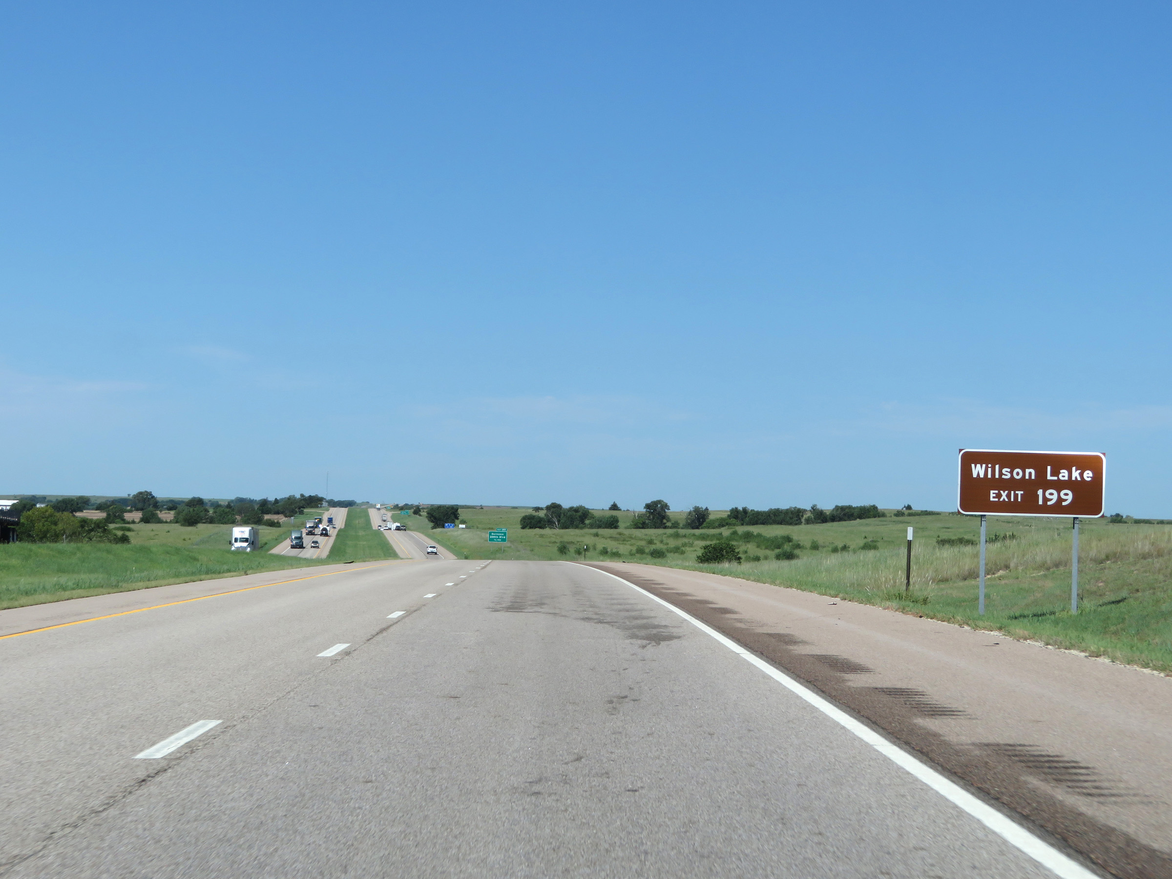 |
Take Exit 199 to Wilson Lake. (Photo taken 8/12/20). |
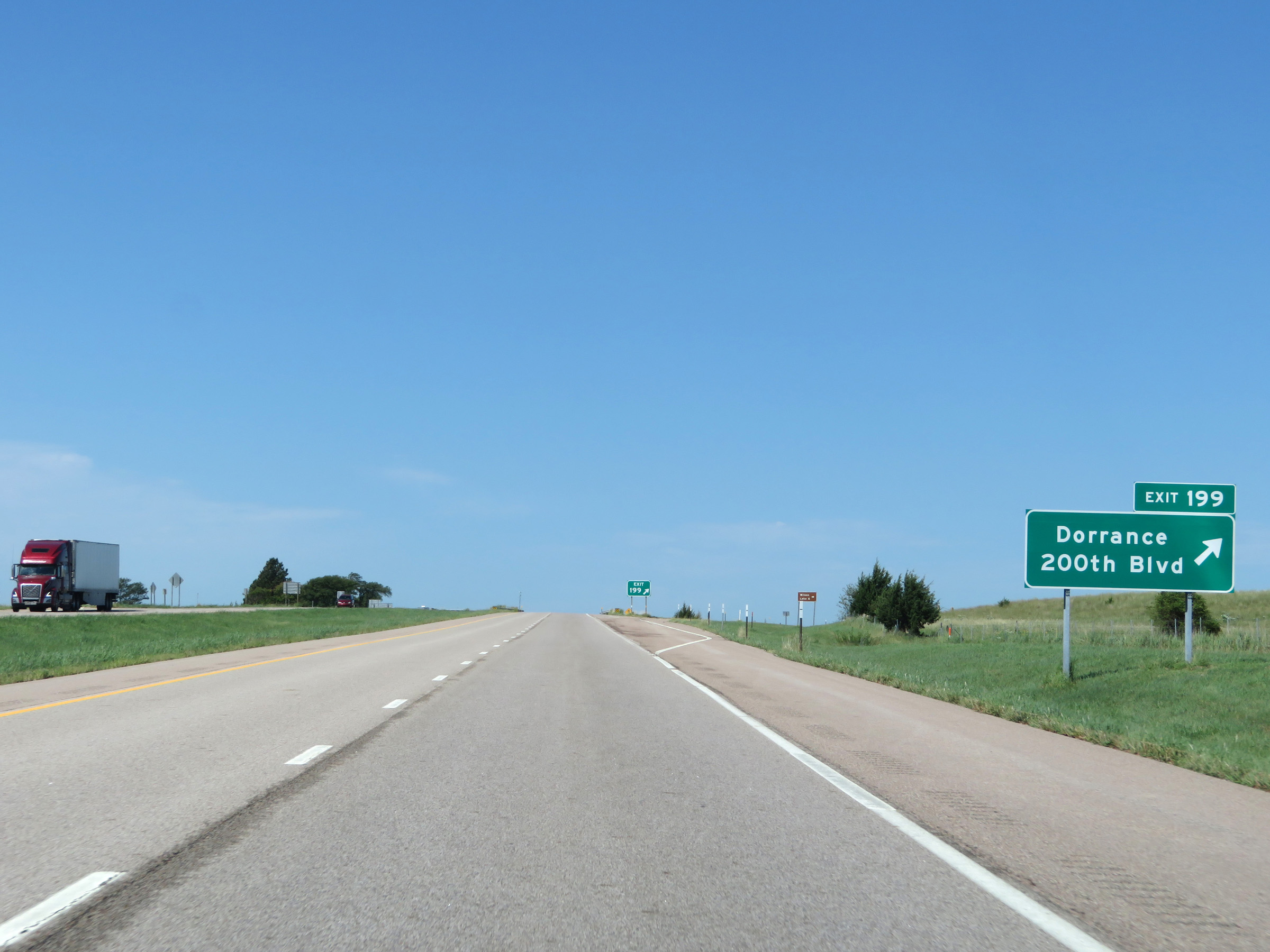 |
Interstate 70 West at Exit 199: Dorrance / 200th Blvd (Photo taken 8/12/20). |
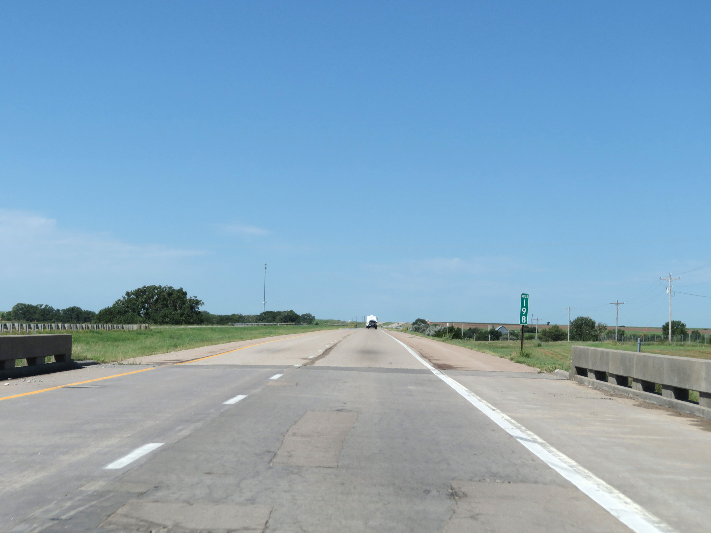 |
View on Interstate 70 West at mile marker 198. (Photo taken 8/12/20). |
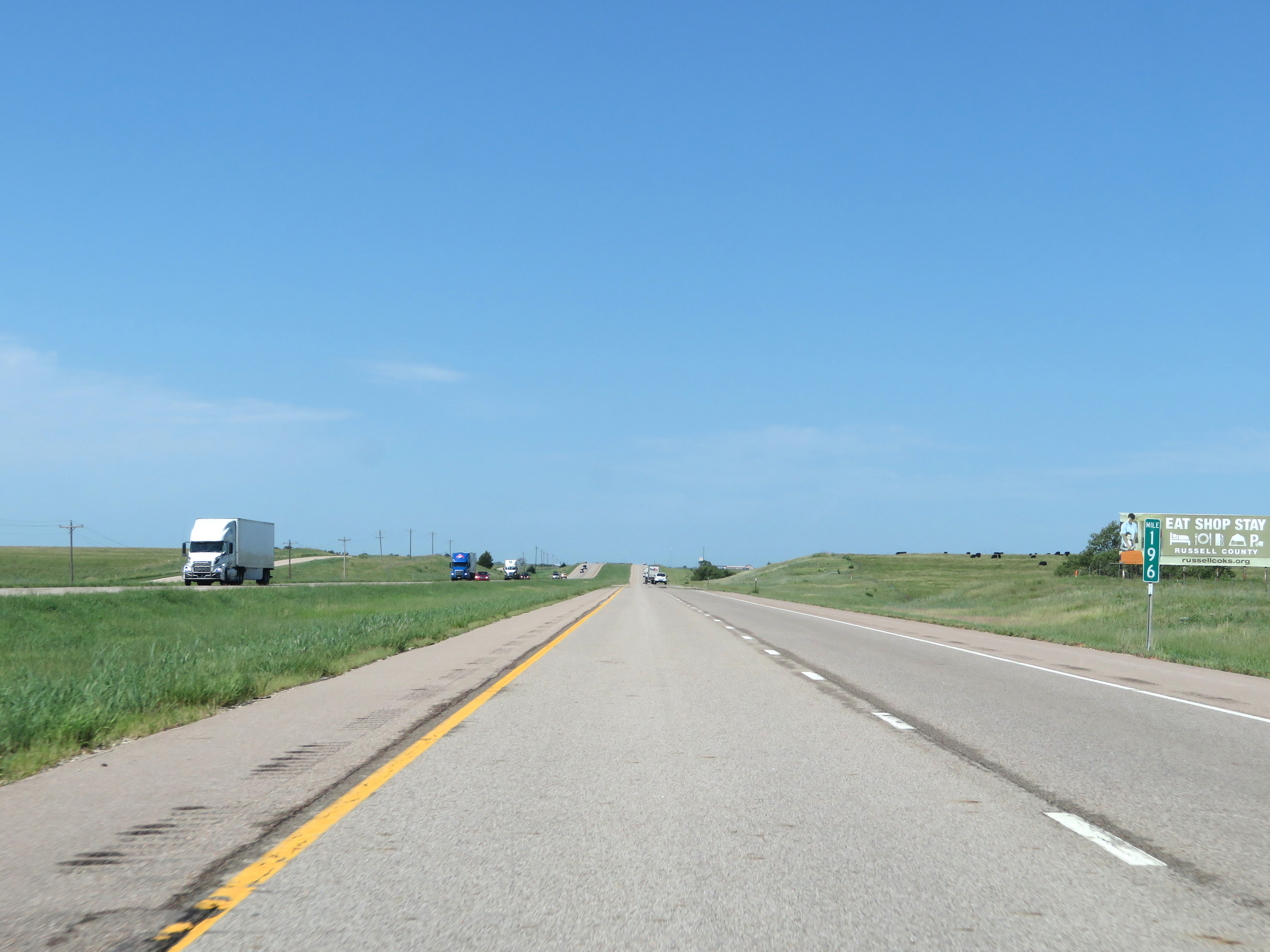 |
Interstate 70 West at mile marker 196. (Photo taken 8/12/20). |
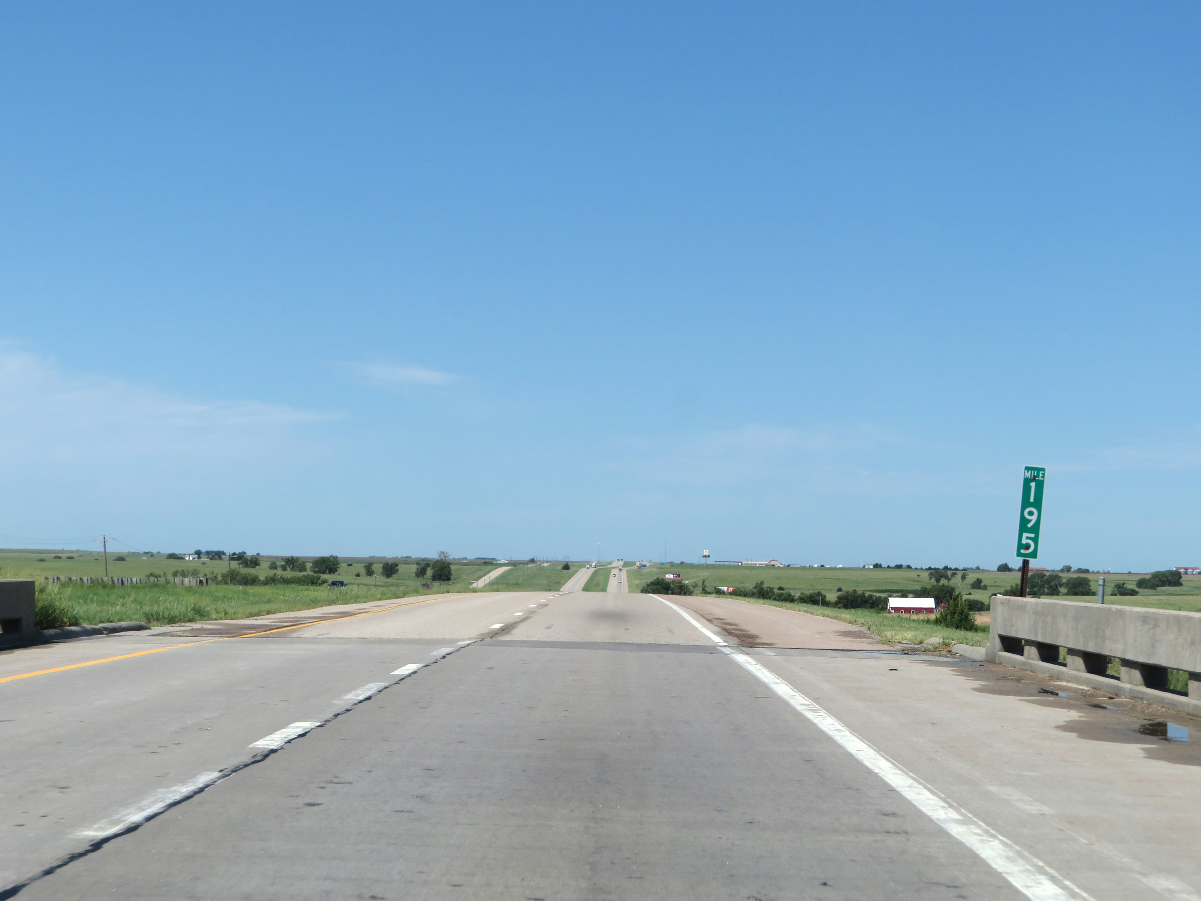 |
View on Interstate 70 West at mile marker 195. (Photo taken 8/12/20). |
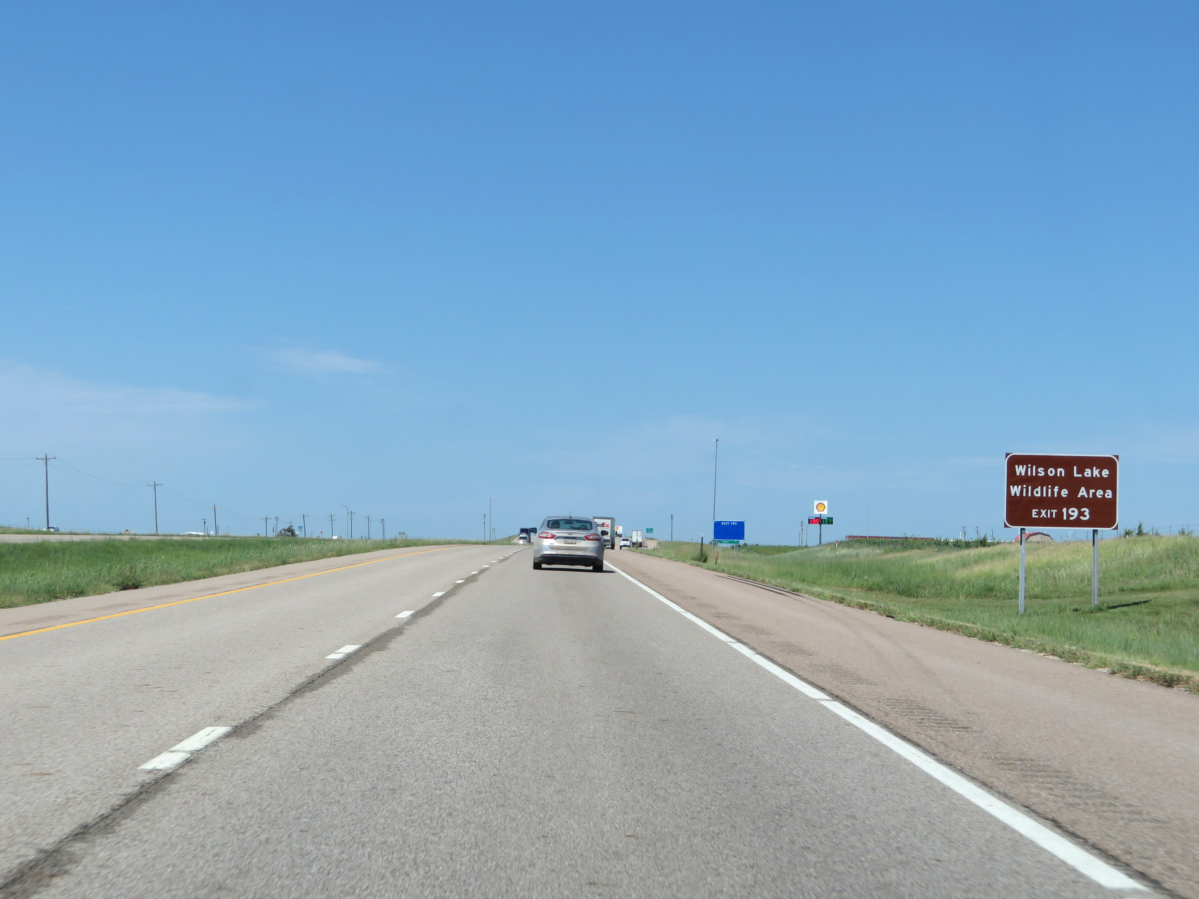 |
Take Exit 193 to Wilson Lake Wildlife Area. (Photo taken 8/12/20). |
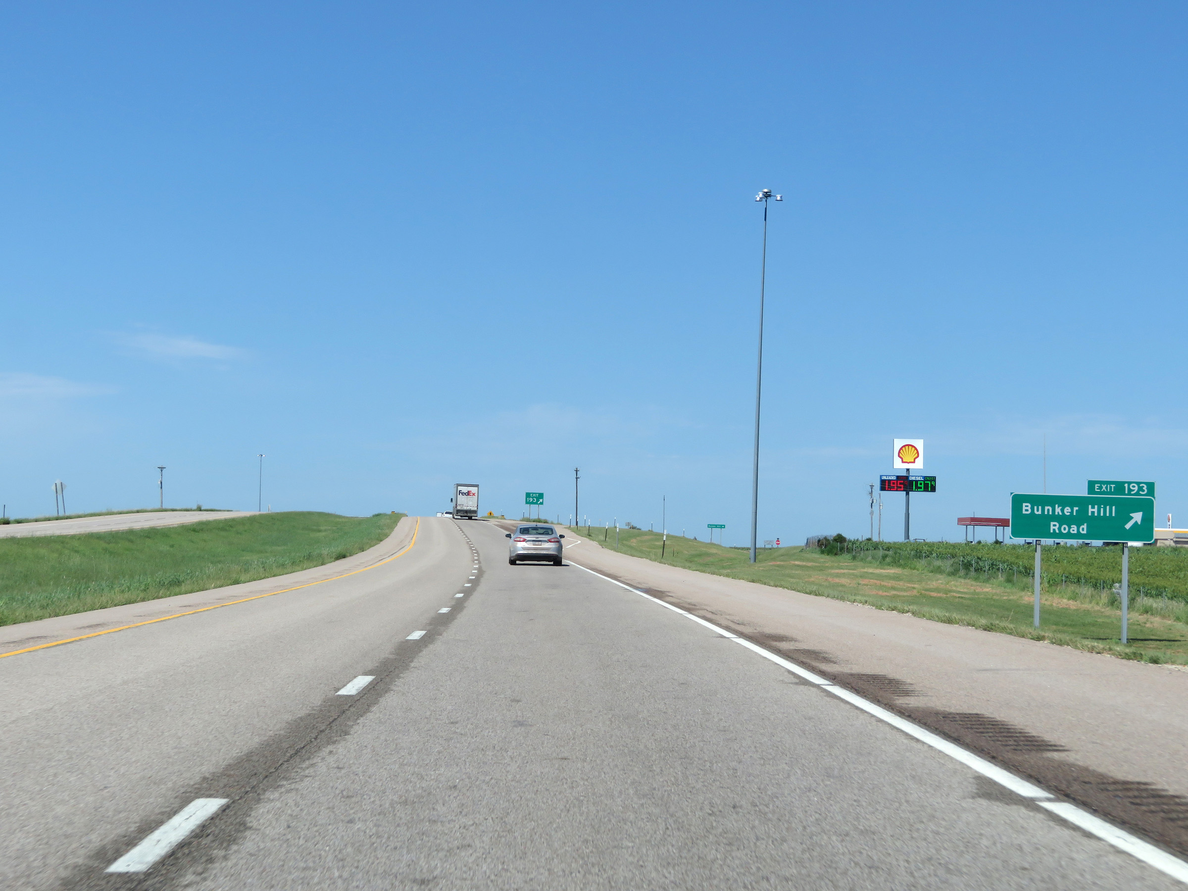 |
Interstate 70 West at Exit 193: Bunker Hill Road (Photo taken 8/12/20). |
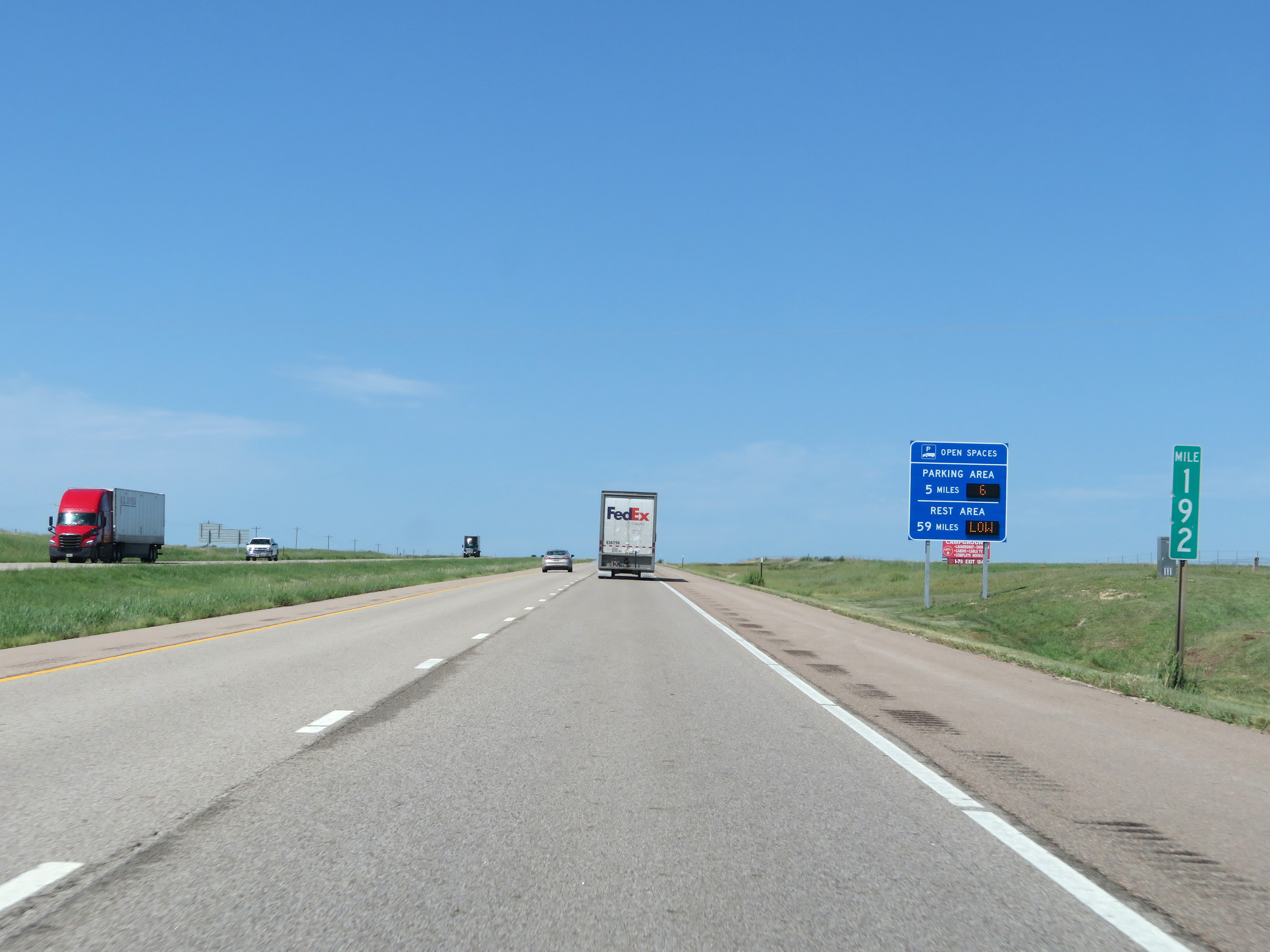 |
View on Interstate 70 West at mile marker 192. (Photo taken 8/12/20). |
 |
Take either of the next 2 exits to Russell. (Photo taken 8/12/20). |
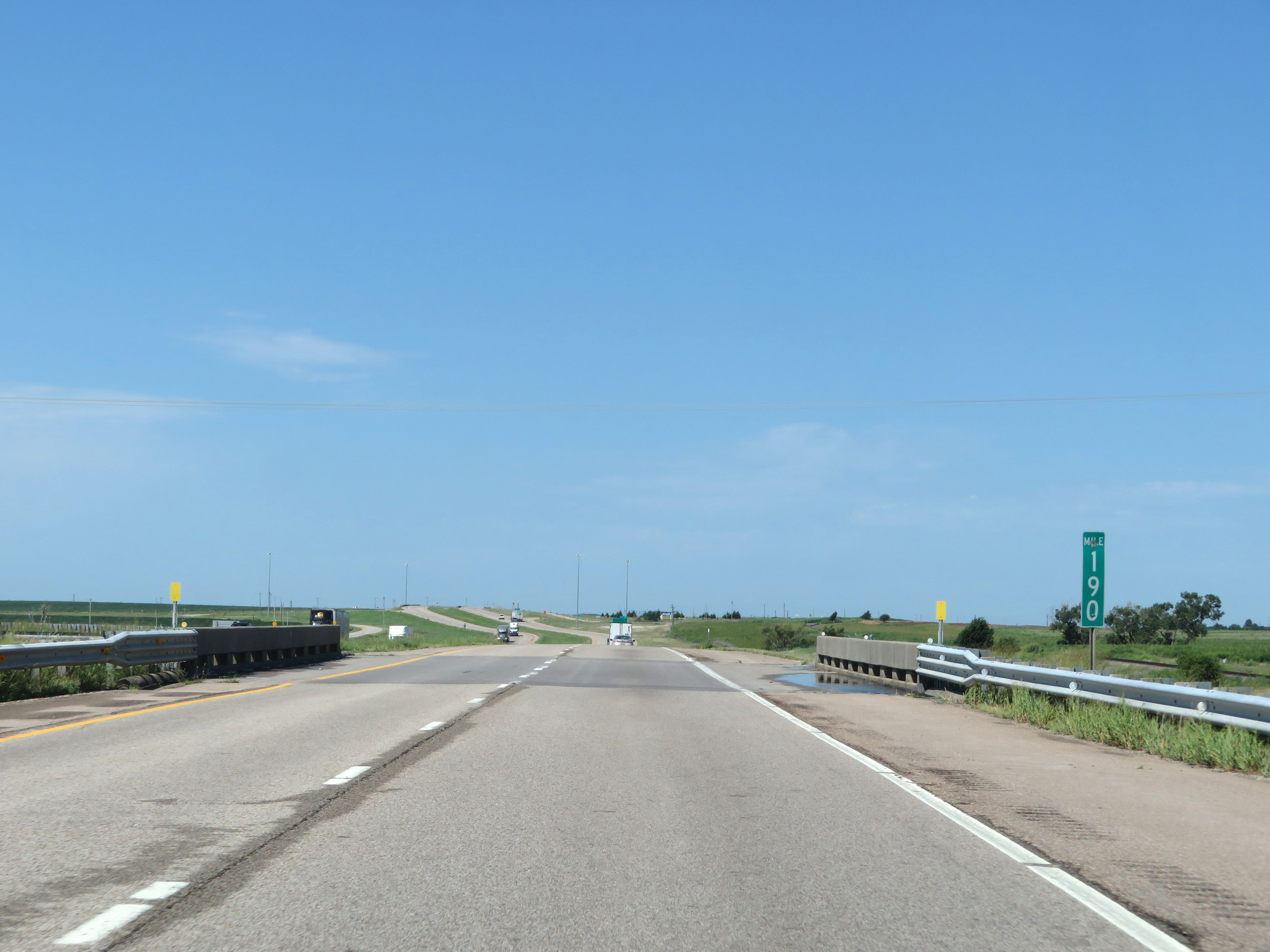 |
Interstate 70 West at mile marker 190. (Photo taken 8/12/20). |
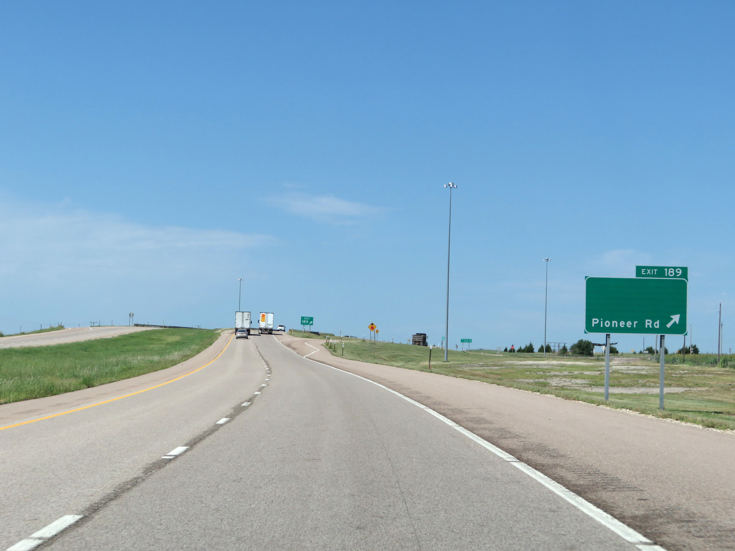 |
Interstate 70 West at Exit 189: Pioneer Rd (Photo taken 8/12/20). |
 |
Another state-named Interstate 70 West reassurance shields. (Photo taken 8/12/20). |
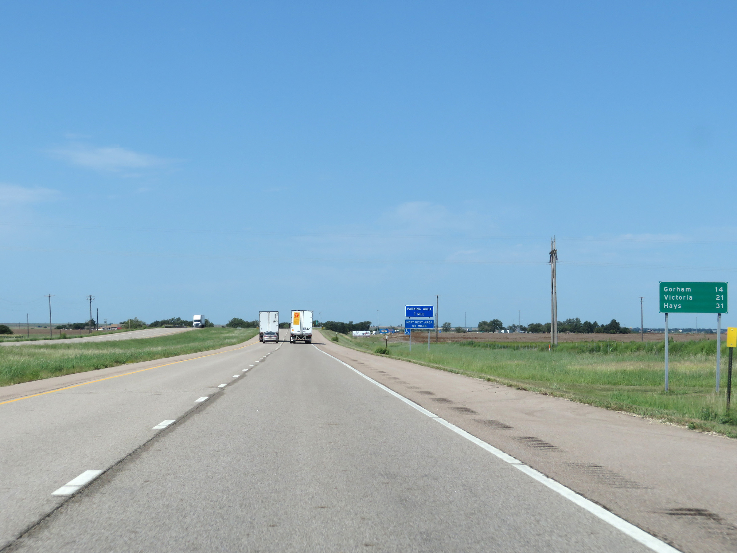 |
Mileage sign on Interstate 70 West. It's 14 miles to Gorham, 21 miles to Victoria, and 31 miles to Hays. (Photo taken 8/12/20). |
 |
Parking Area on Interstate 70 West in Russell County. (Photo taken 8/12/20). |
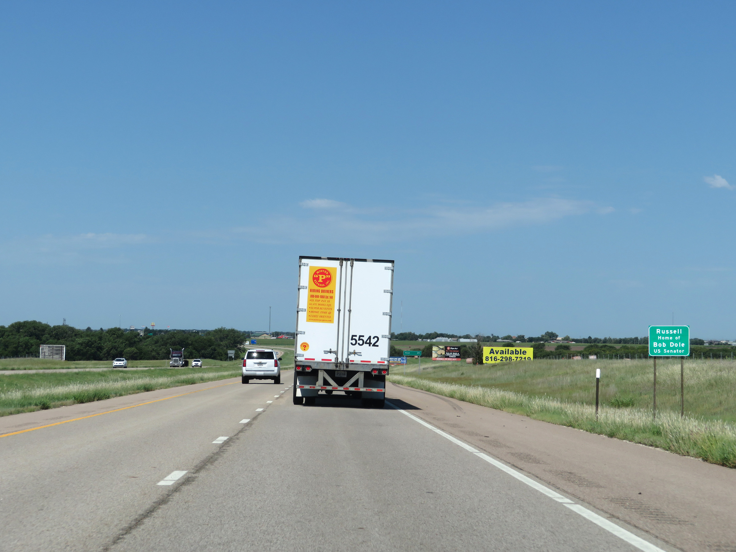 |
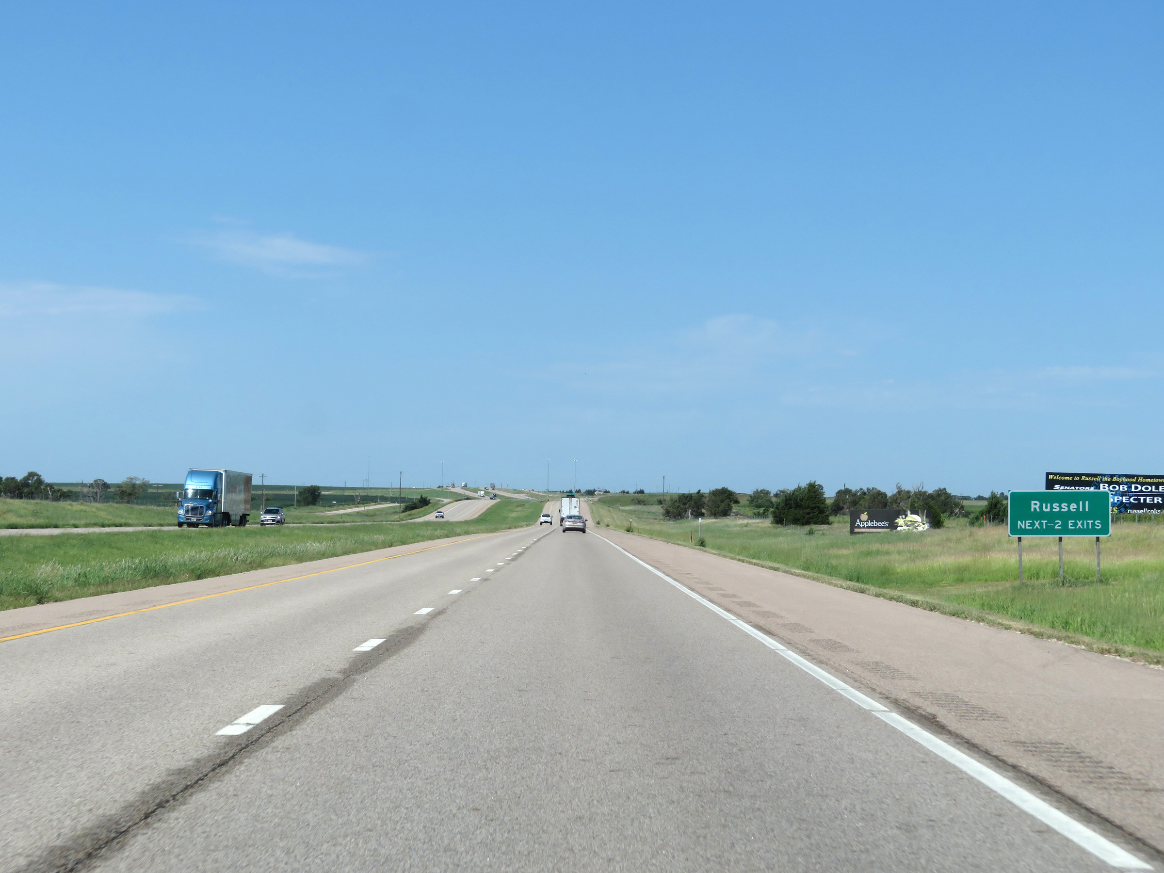
Entering Russell, this sign states that it is the hometown of US Senator Bob Dole. (Photo taken 8/12/20). |
 |
When the lights on this sign are flashing, it means that Interstate 70 West is closed beyond Exit 184. If this is the case, all traffic must take Exit 184. These signs are common in central and western states along stretches of Interstate which see severe winter weather conditions regularly. (Photo taken 8/12/20). |
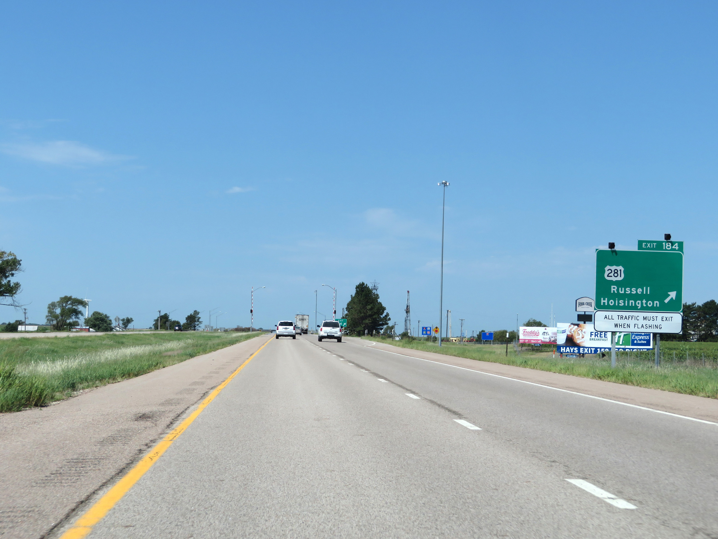 |
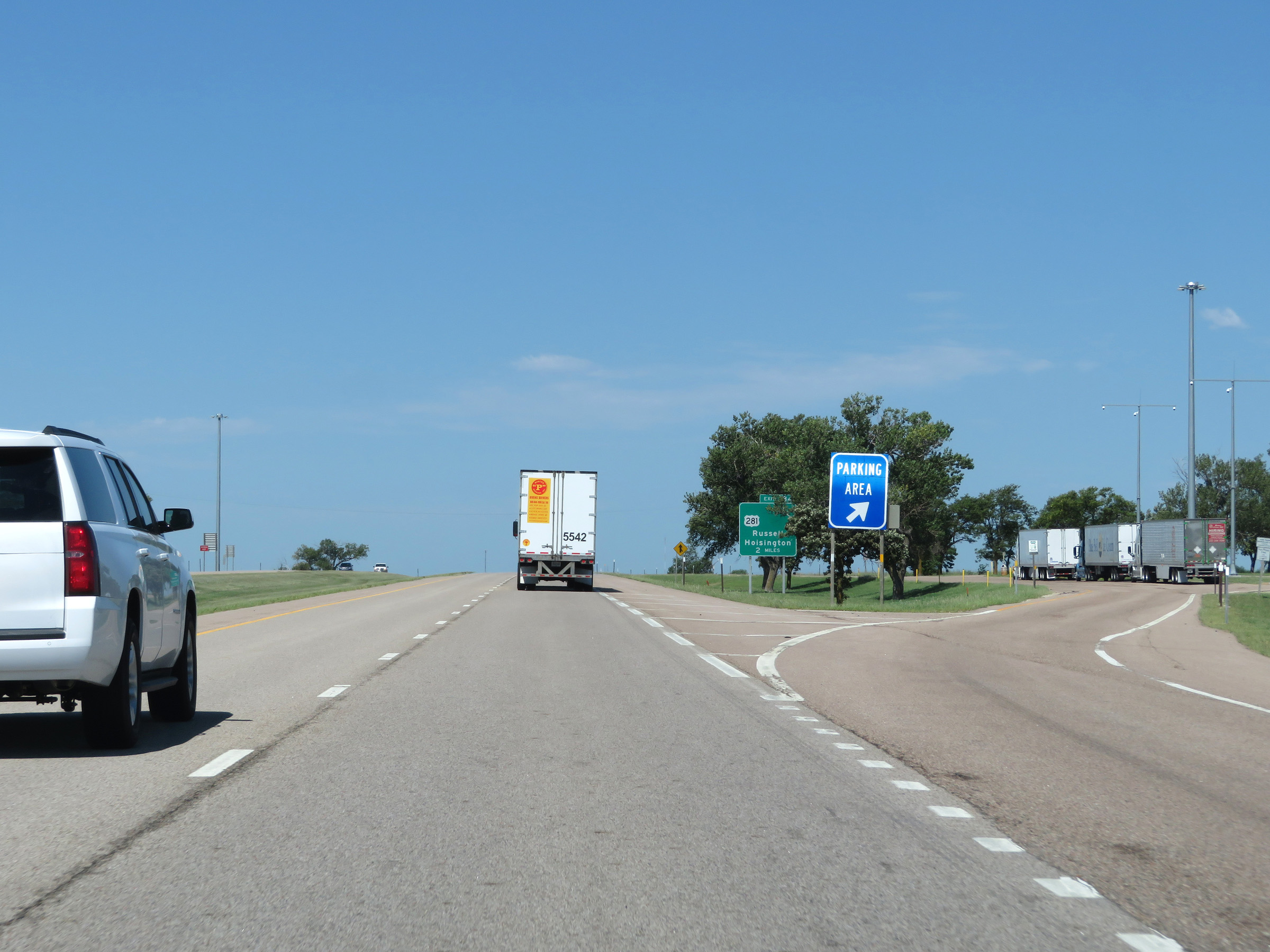
Interstate 70 West at Exit 184: US 281 - Russell / Hoisington (Photo taken 8/12/20). |
Section 6: Russell (Exit 184) to WaKeeney (Exit 127)
 |
Interstate 70 West at mile marker 185. (Photo taken 8/12/20). |
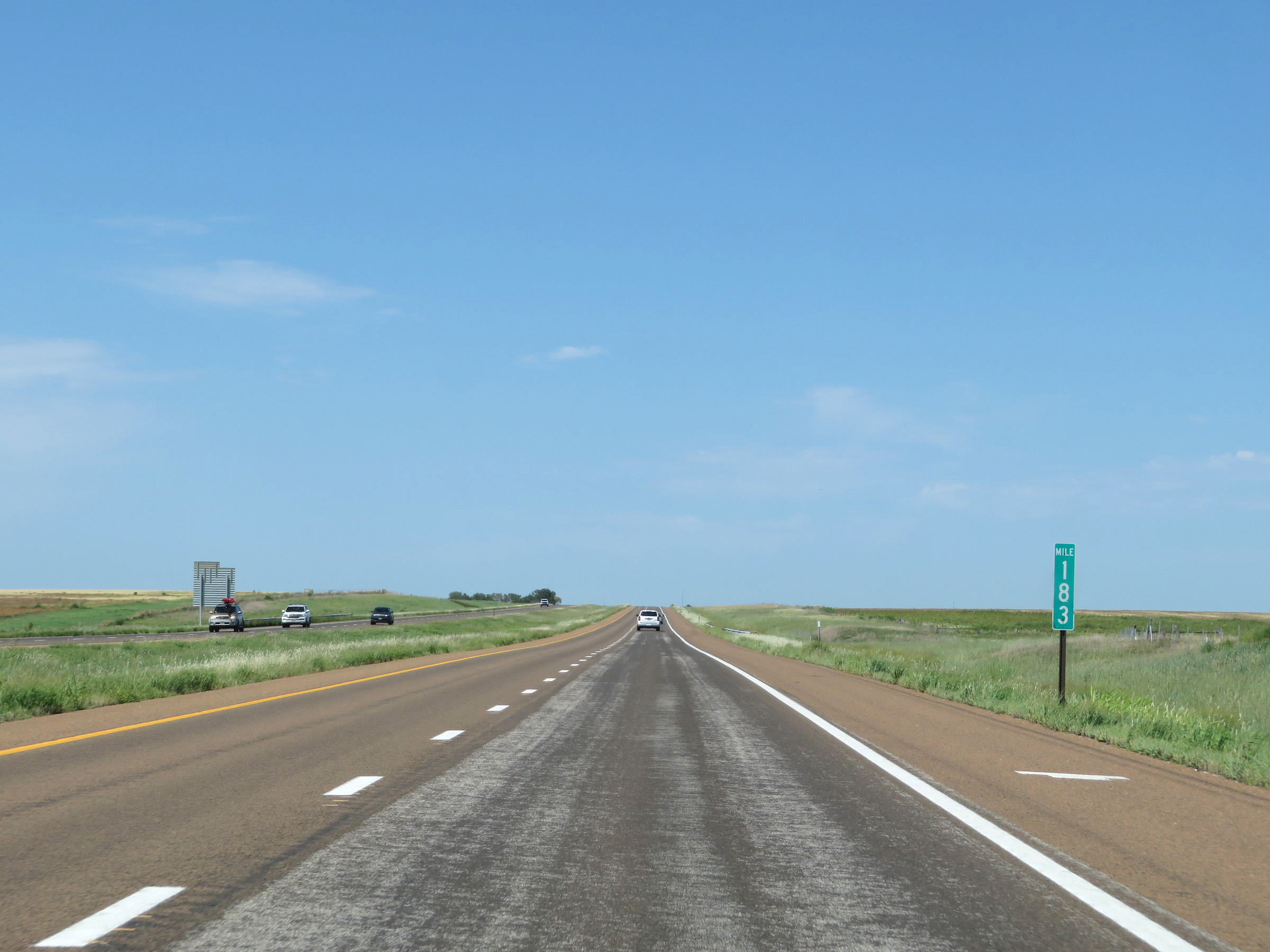 |
View on Interstate 70 West at mile marker 183. (Photo taken 8/12/20). |
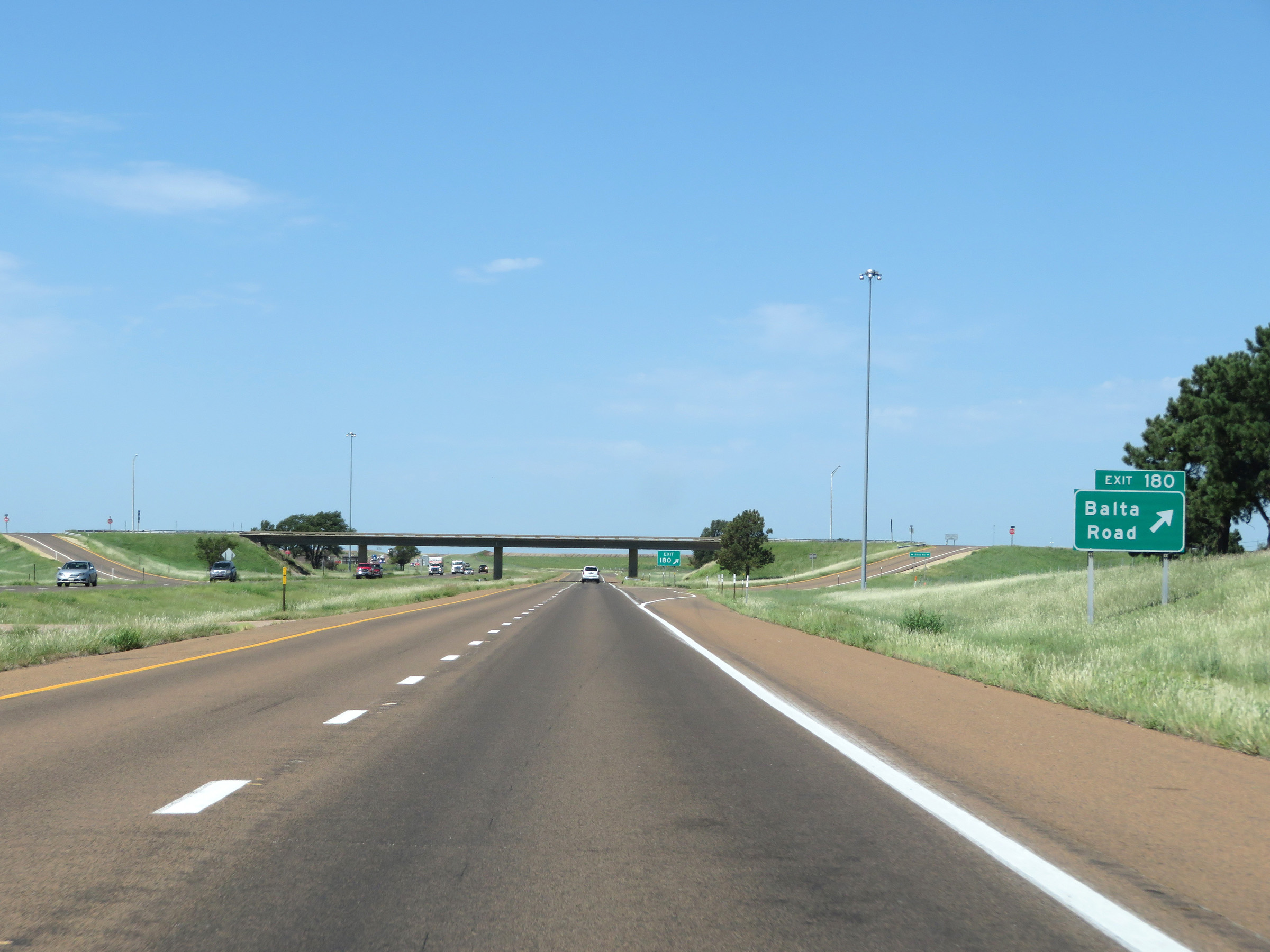 |
Interstate 70 West at Exit 180: Balta Road (Photo taken 8/12/20). |
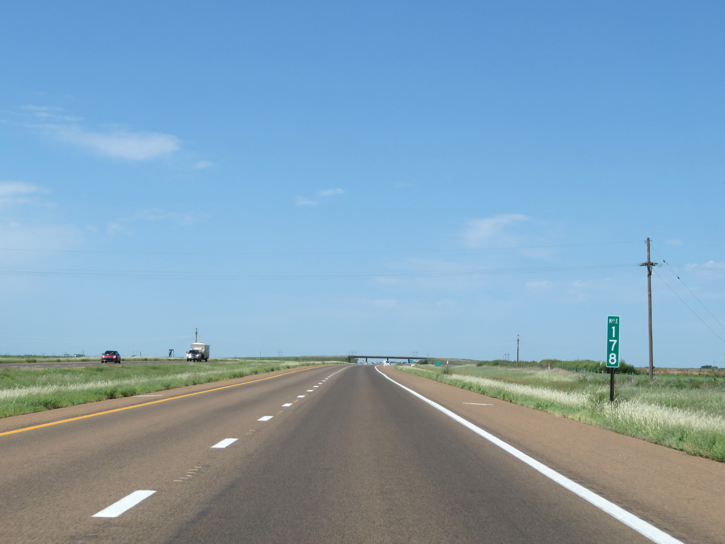 |
View on Interstate 70 West at mile marker 178. (Photo taken 8/12/20). |
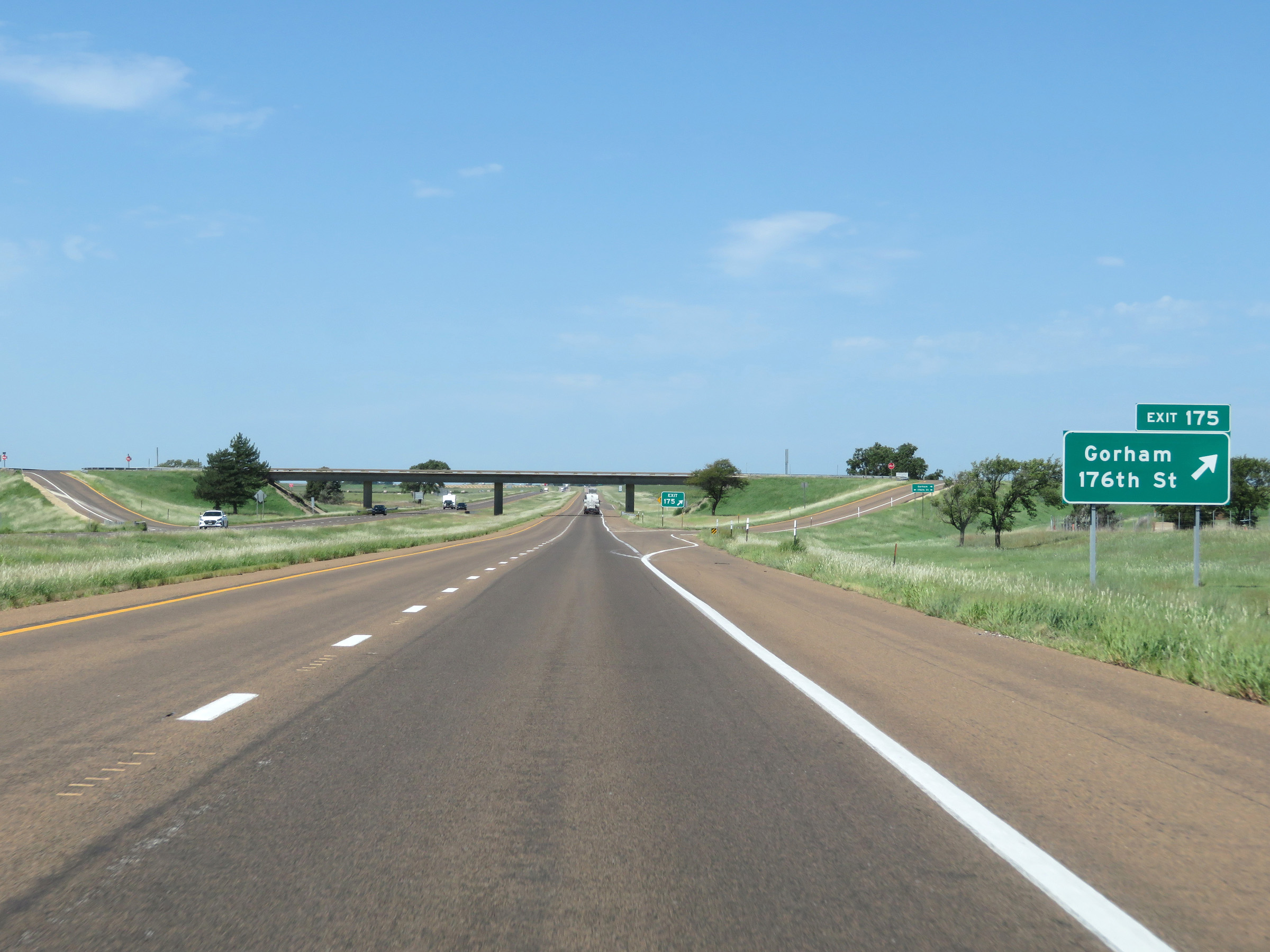 |
Interstate 70 West at Exit 175: Gorham / 176th St (Photo taken 8/12/20). |
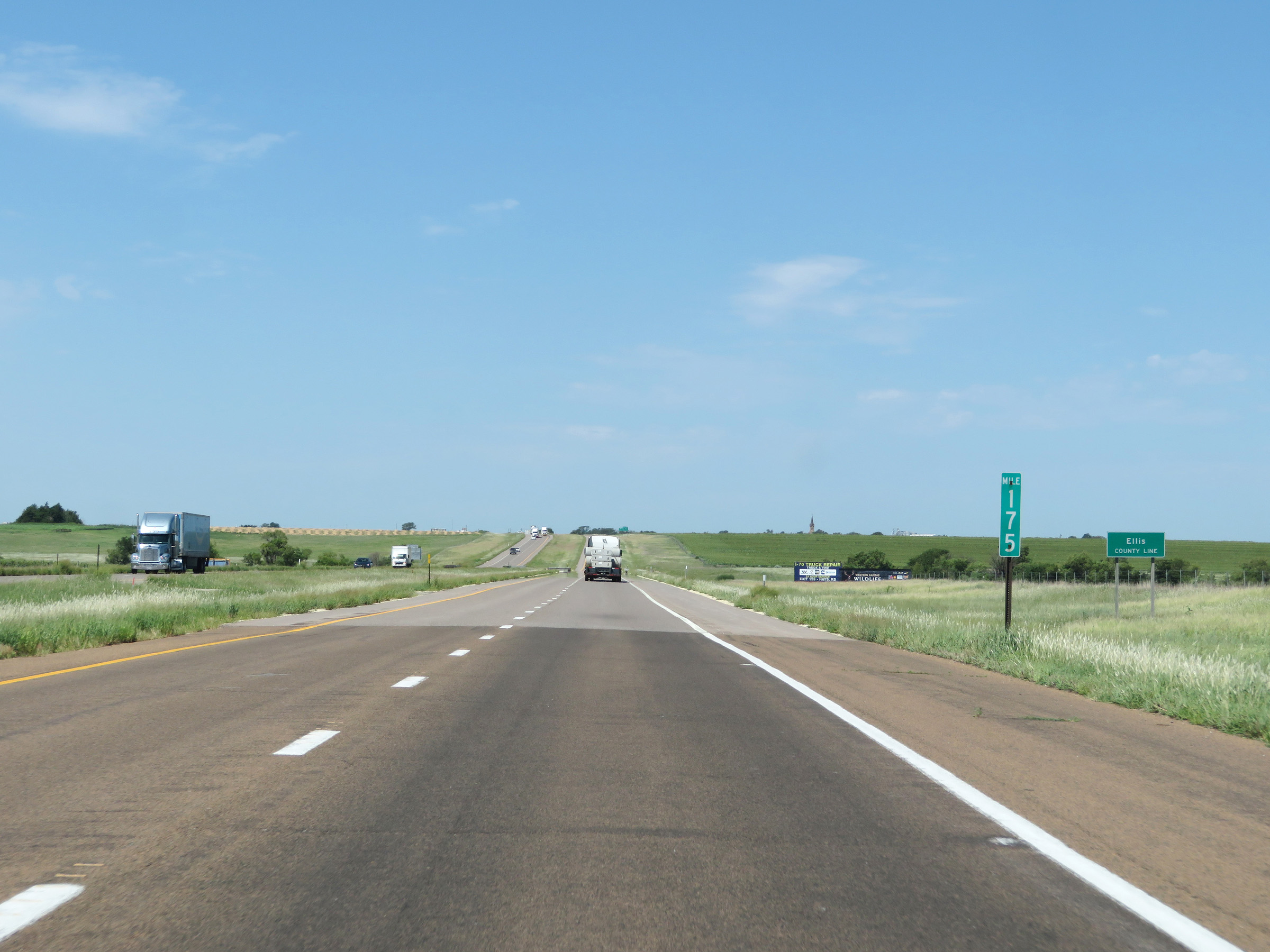 |
Interstate 70 West as it enters Ellis County at mile marker 175. (Photo taken 8/12/20). |
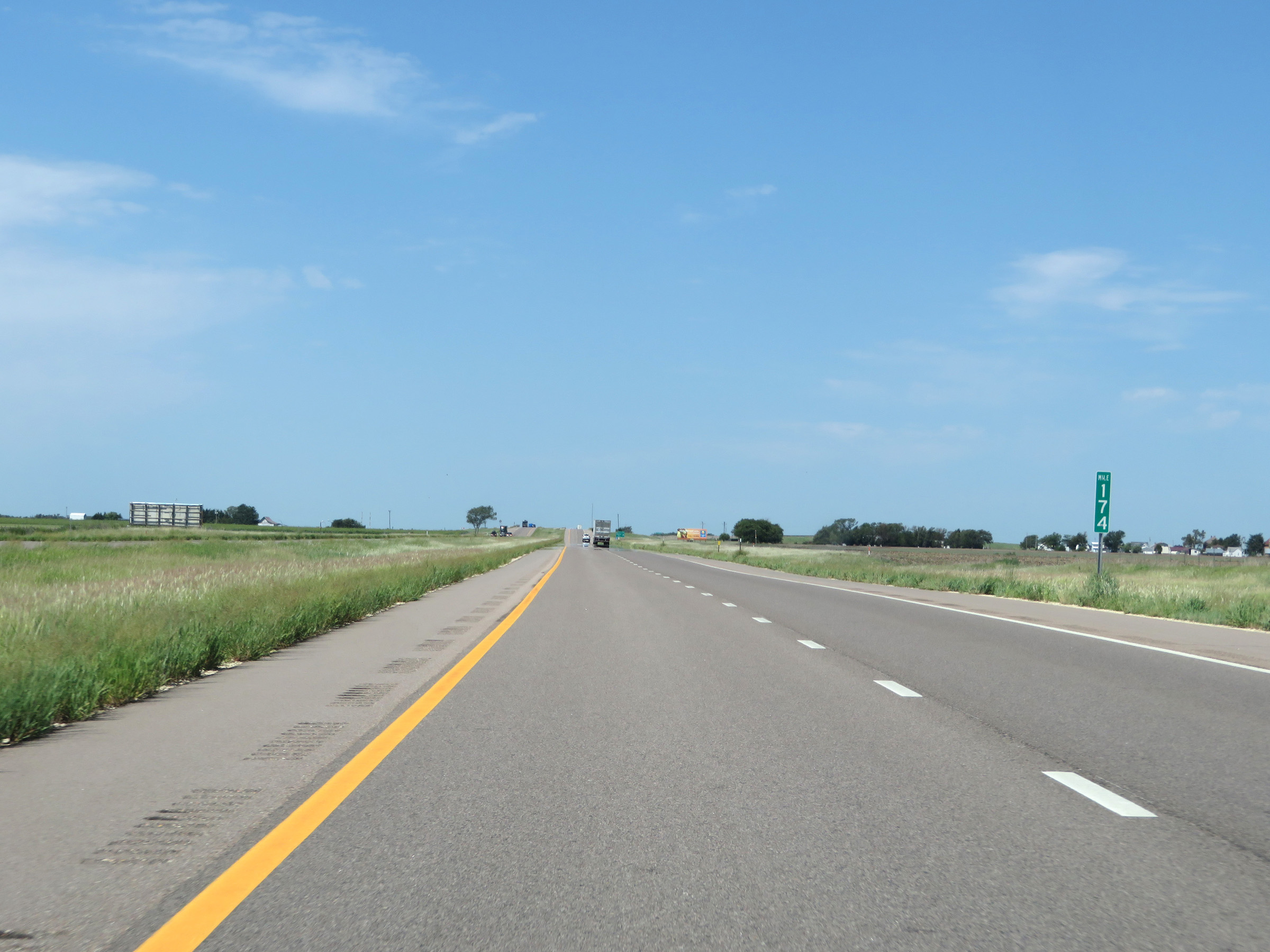 |
View on Interstate 70 West at mile marker 174. (Photo taken 8/12/20). |
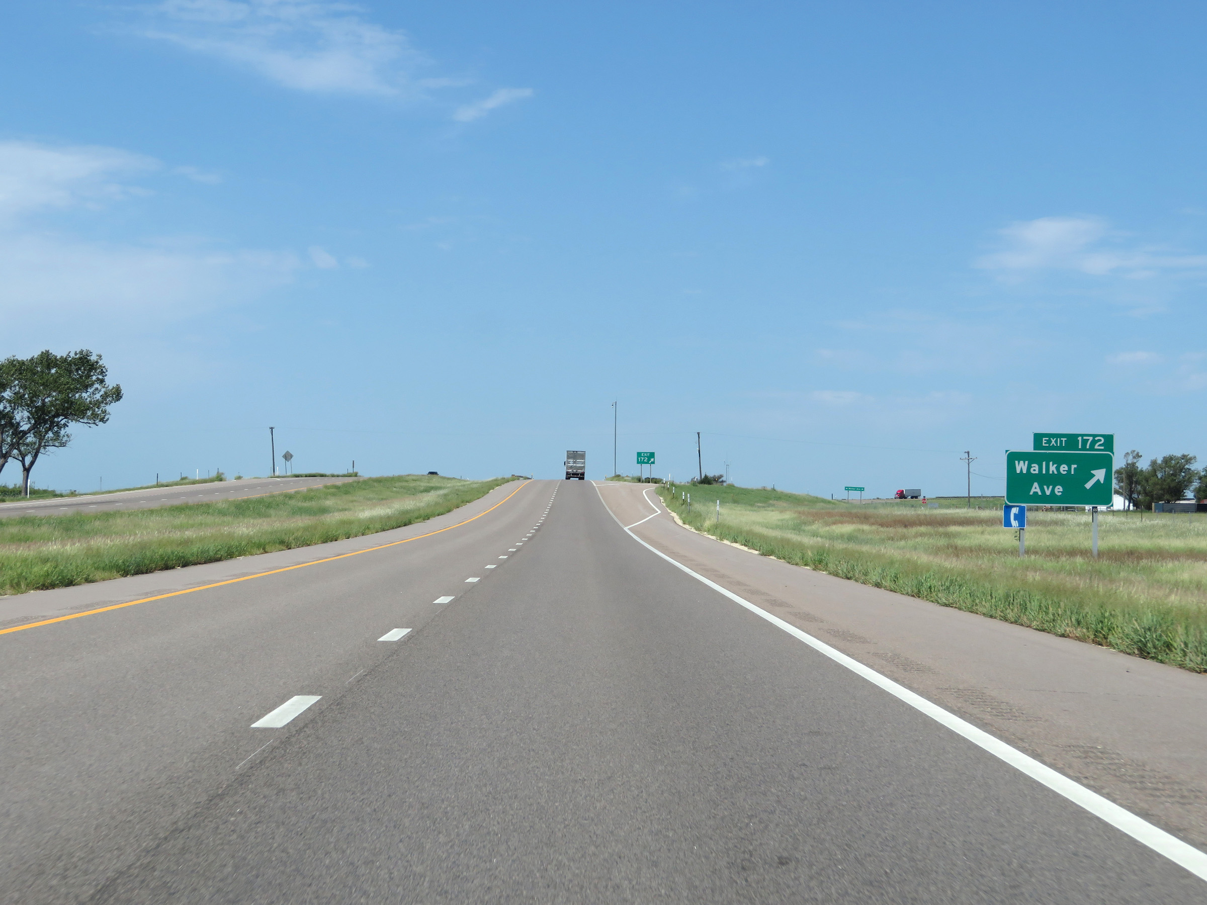 |
Interstate 70 West at Exit 172: Walker Ave (Photo taken 8/12/20). |
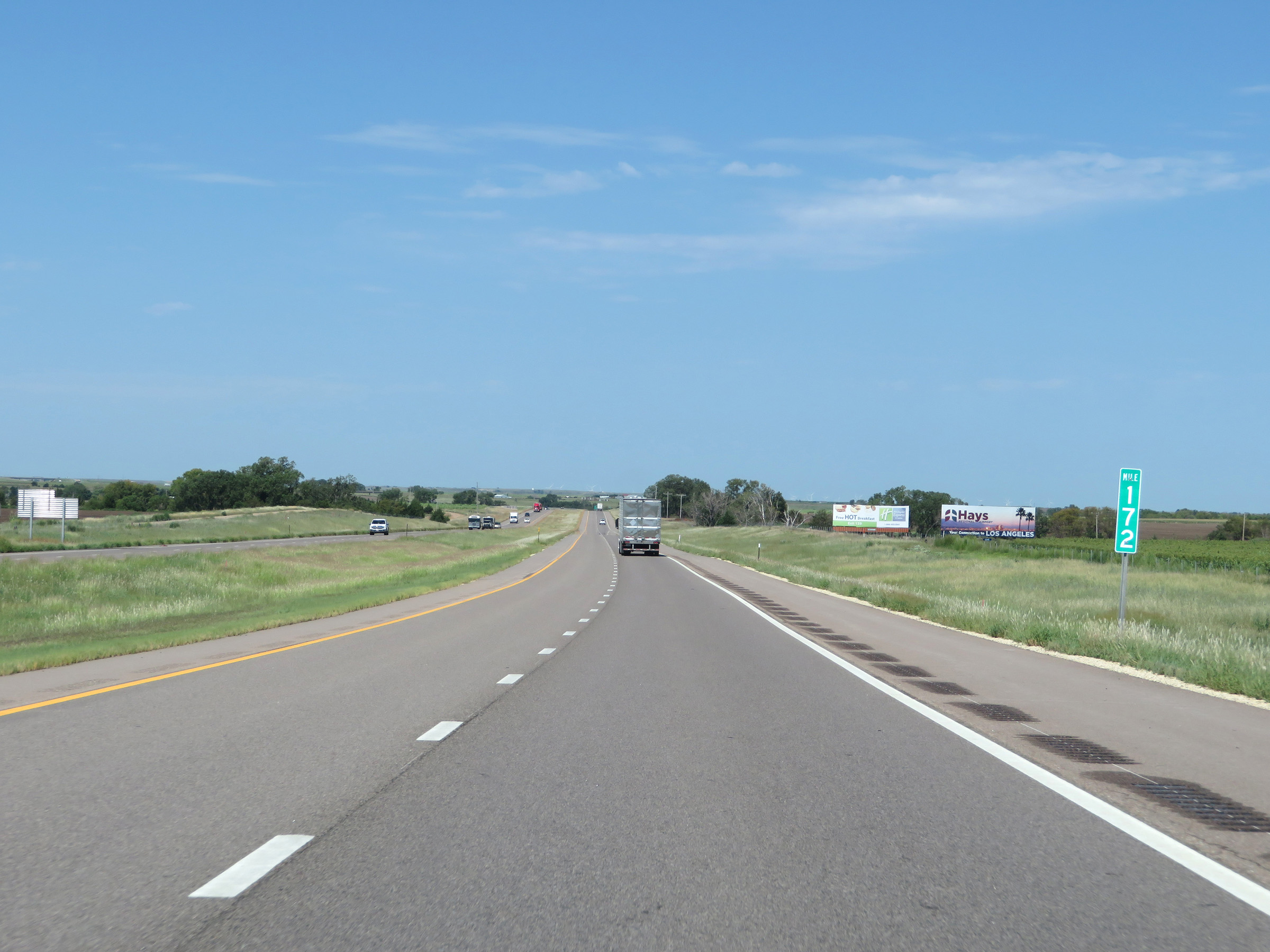 |
Interstate 70 West at mile marker 172. (Photo taken 8/12/20). |
 |
View on Interstate 70 West at mile marker 170. (Photo taken 8/12/20). |
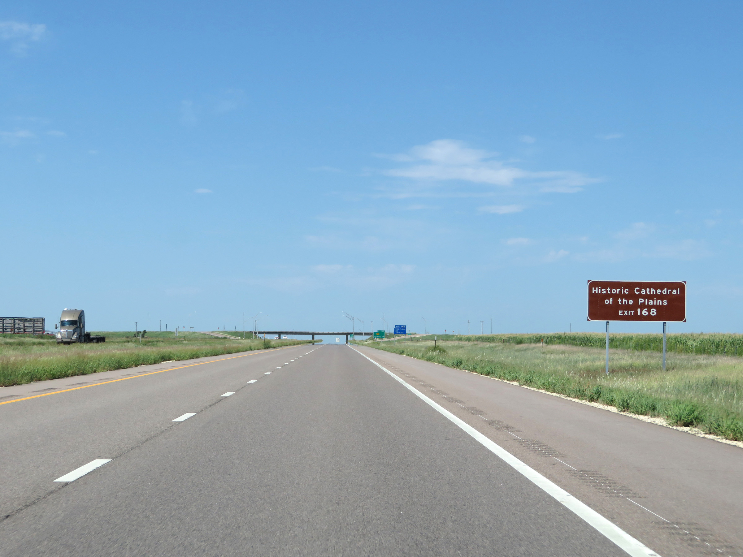 |
Take Exit 168 to the Historic Cathedral of the Plains. (Photo taken 8/12/20). |
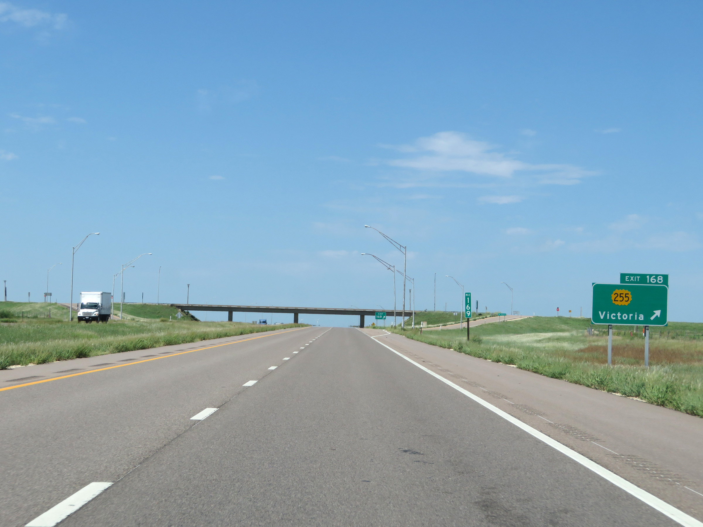 |
Interstate 70 West at Exit 168: K-255 - Victoria (Photo taken 8/12/20). |
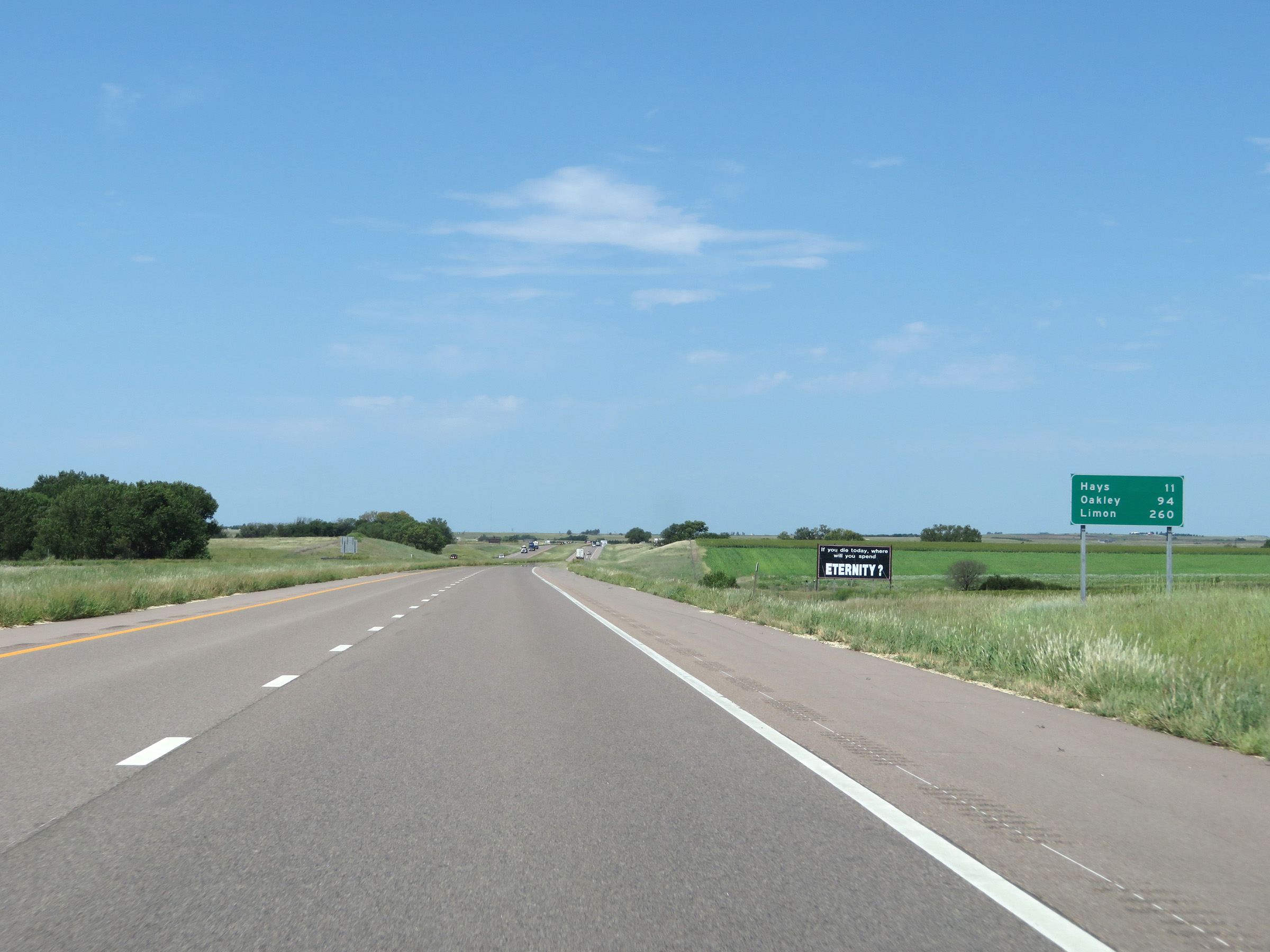 |
Another mileage sign on Interstate 70 West. It's 11 miles to Hays, 94 miles to Oakley, and 260 miles to Limon. (Photo taken 8/12/20). |
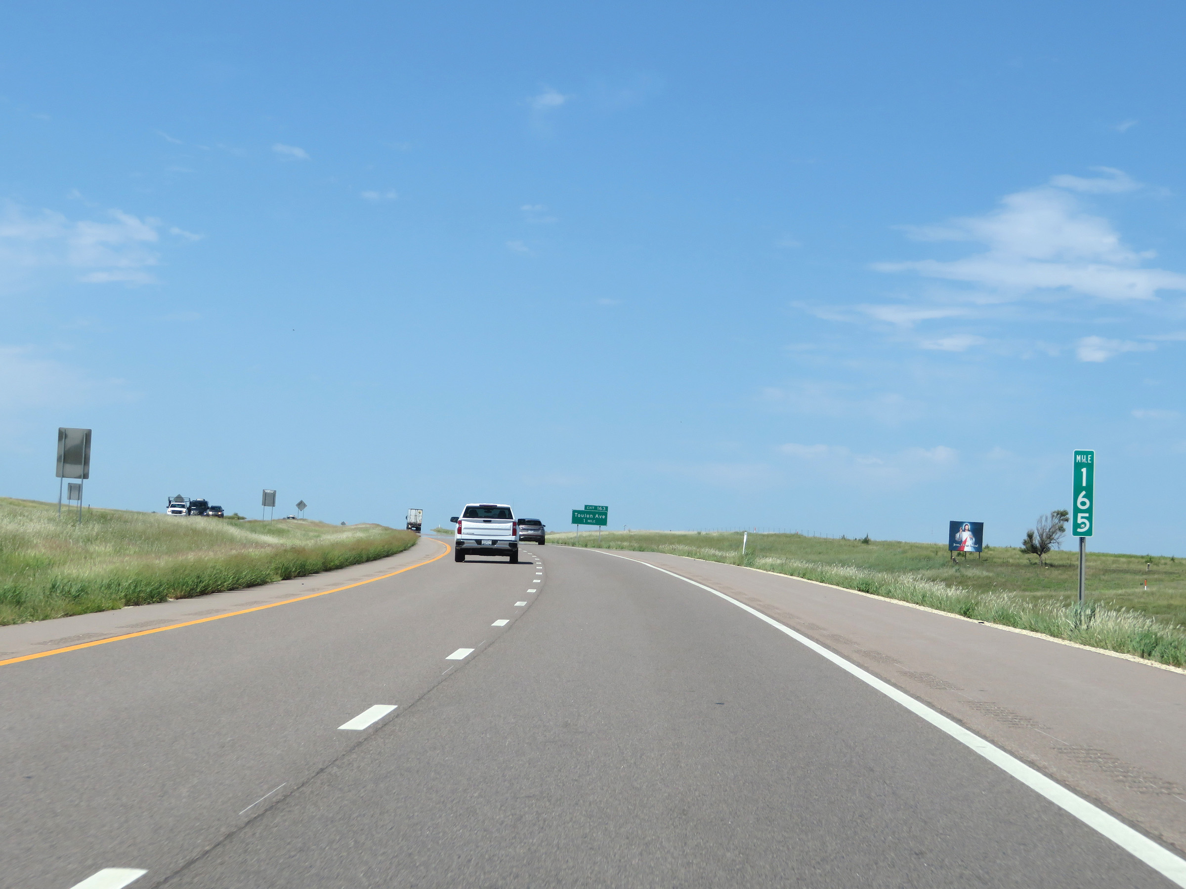 |
View on Interstate 70 West at mile marker 165, as it continues to very gradually gain altitude the rest of the way to the Colorado border. (Photo taken 8/12/20). |
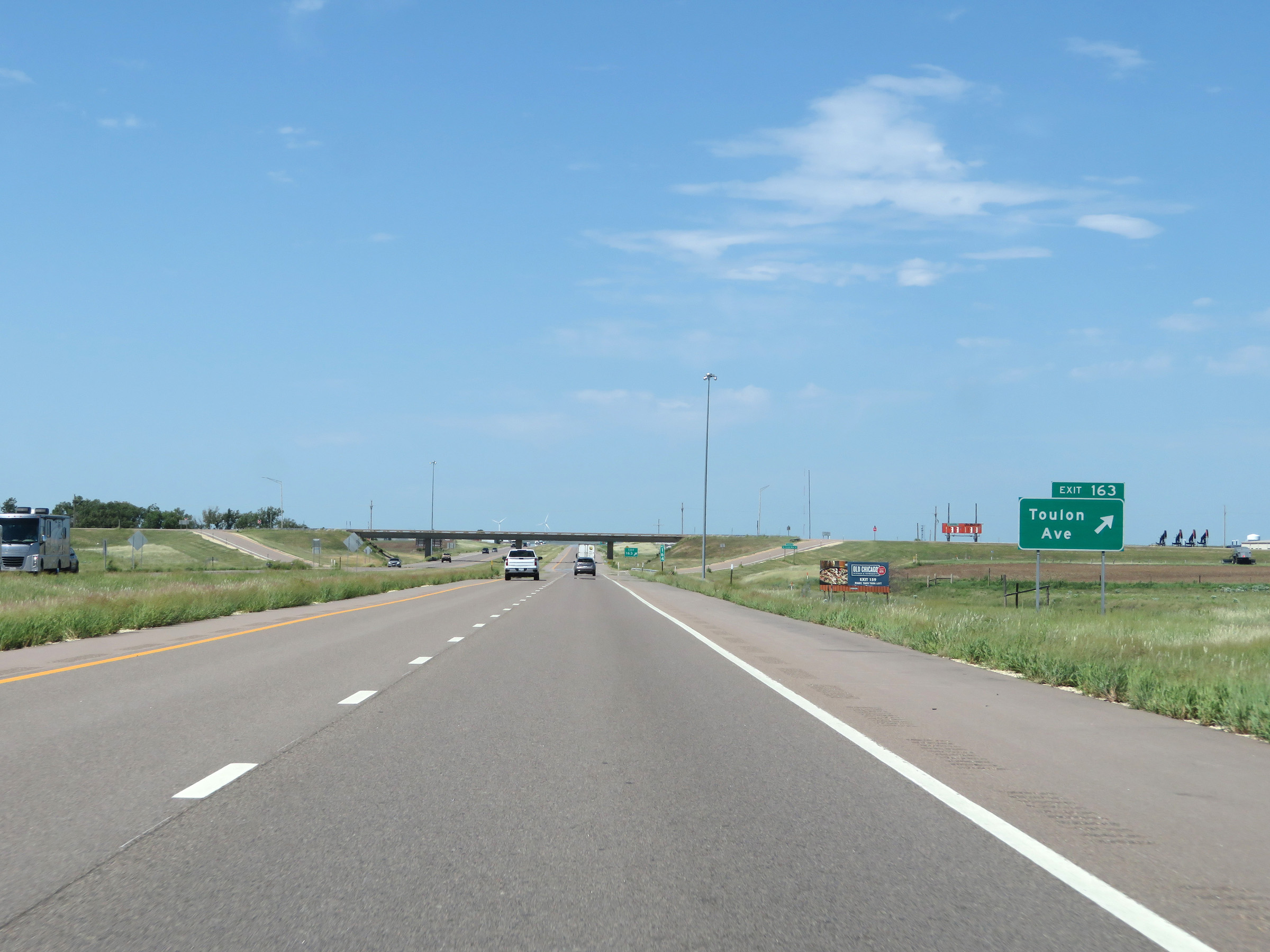 |
Interstate 70 West at Exit 163: Toulon Ave (Photo taken 8/12/20). |
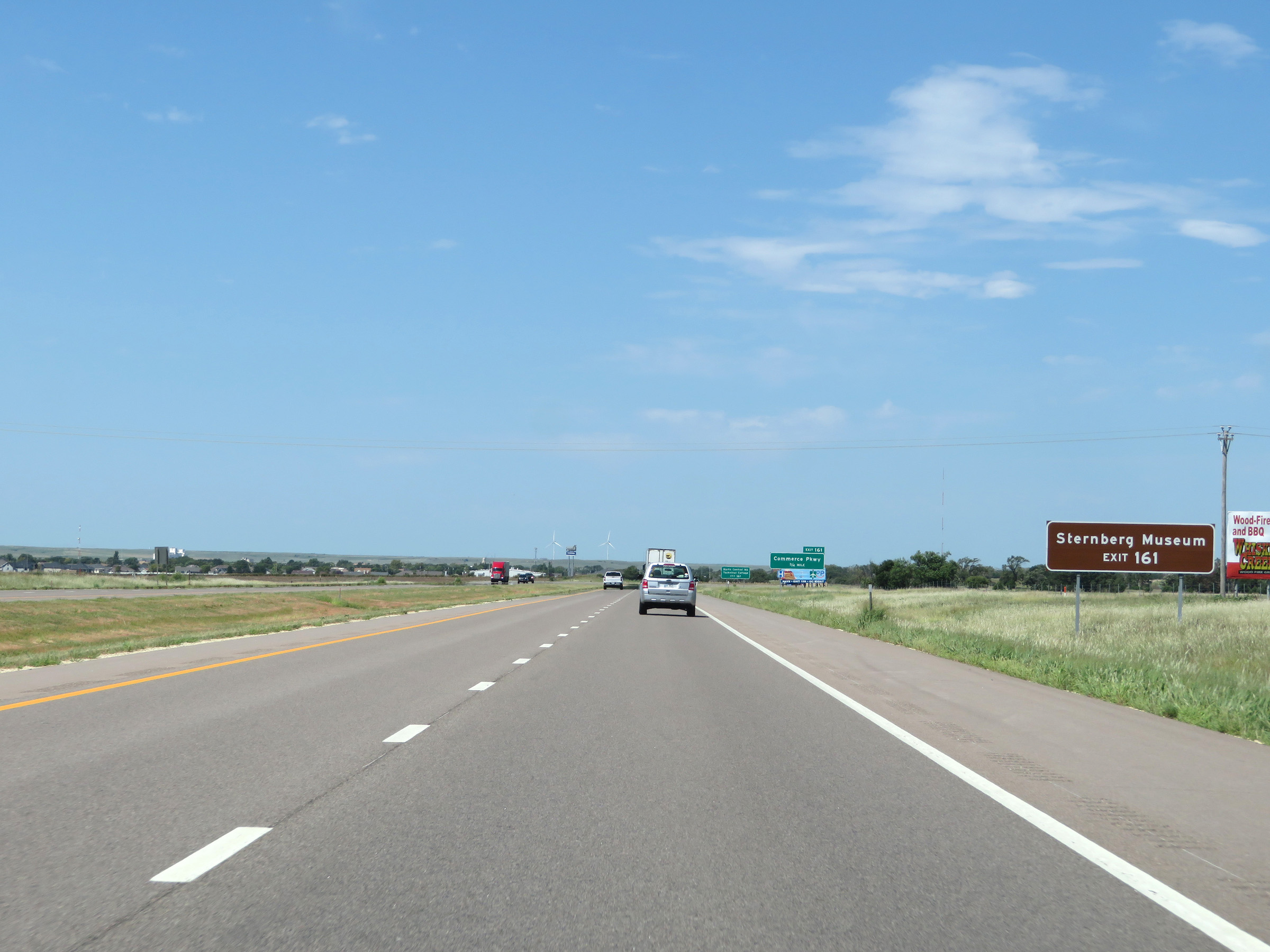 |
Take Exit 161 to the Sternberg Museum. (Photo taken 8/12/20). |
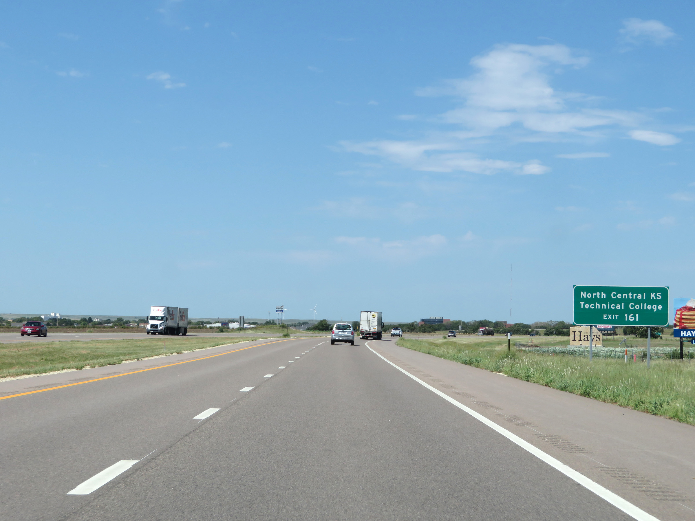 |
Also take Exit 161 to North Central Kansas Technical College. (Photo taken 8/12/20). |
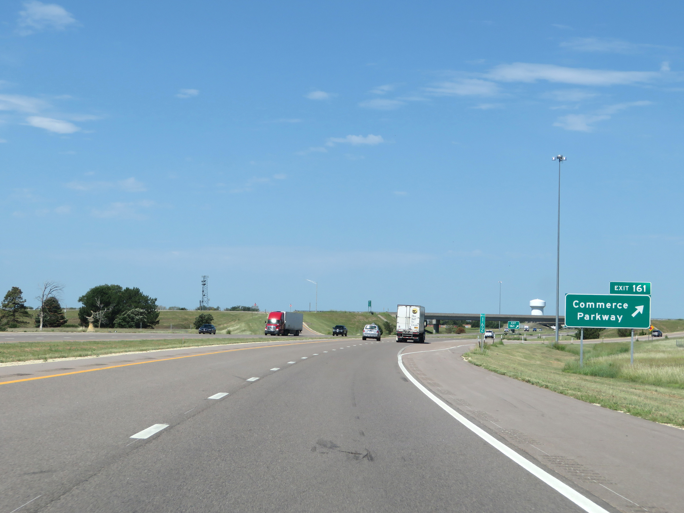 |
Interstate 70 West at Exit 161: Commerce Parkway (Photo taken 8/12/20). |
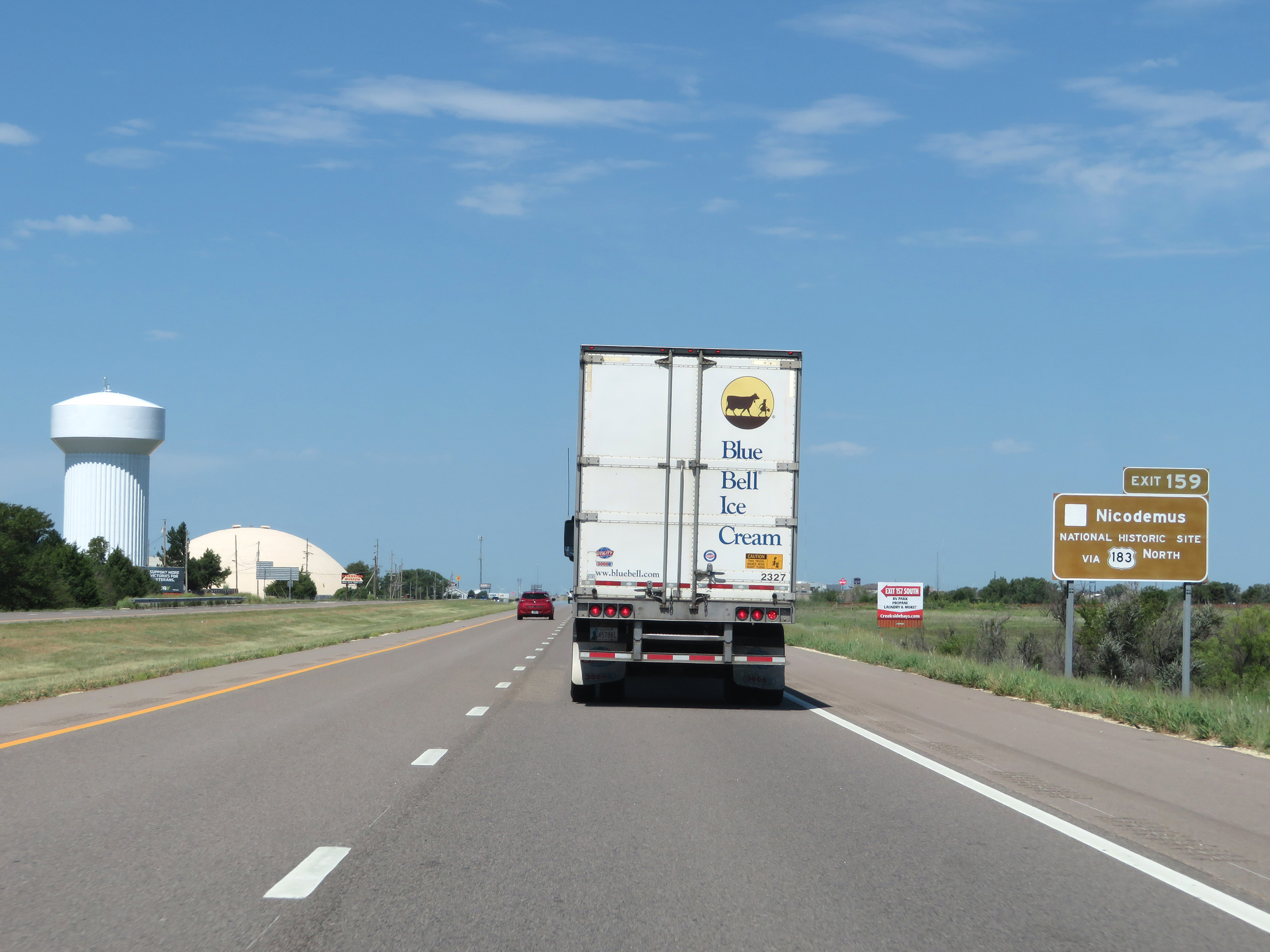 |
Take Exit 159 to Nicodemus National Historic Site via US 183 North. (Photo taken 8/12/20). |
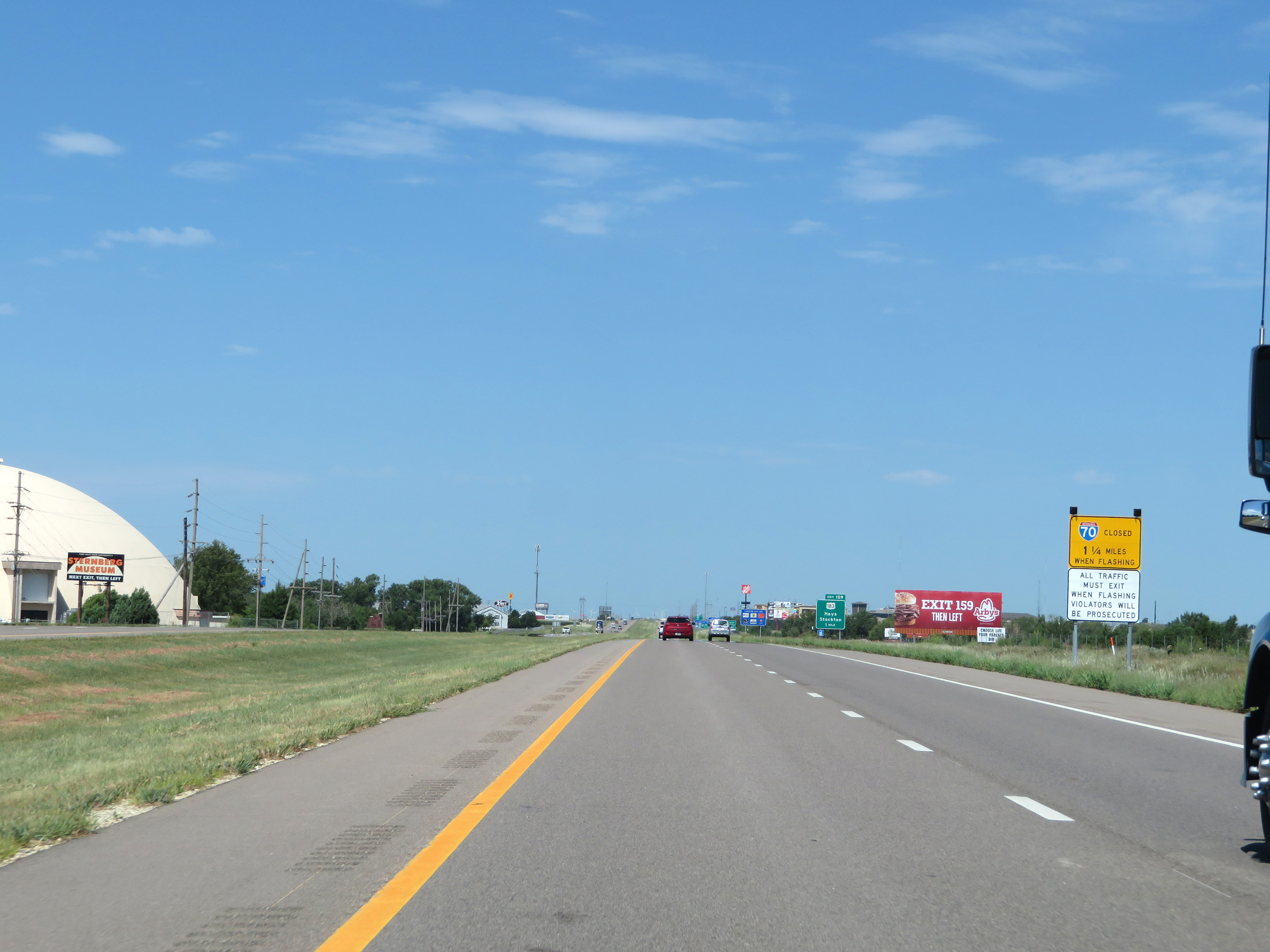 |
Again, when the lights on this sign are flashing, Interstate 70 West is closed beyond Exit 159 and all traffic must exit. (Photo taken 8/12/20). |
 |
Interstate 70 West approaching Exit 159 - 1 mile. (Photo taken 8/12/20). |
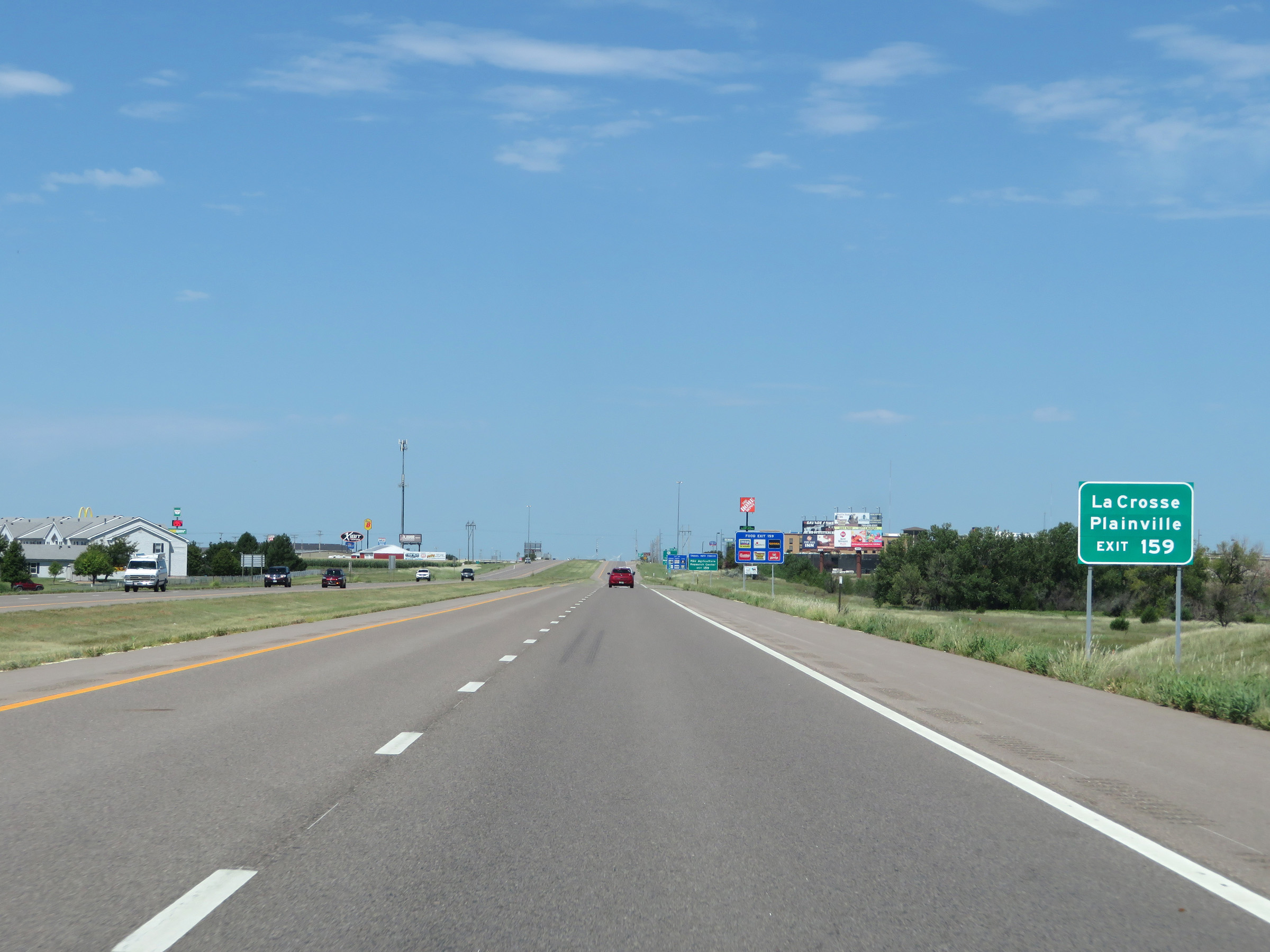 |
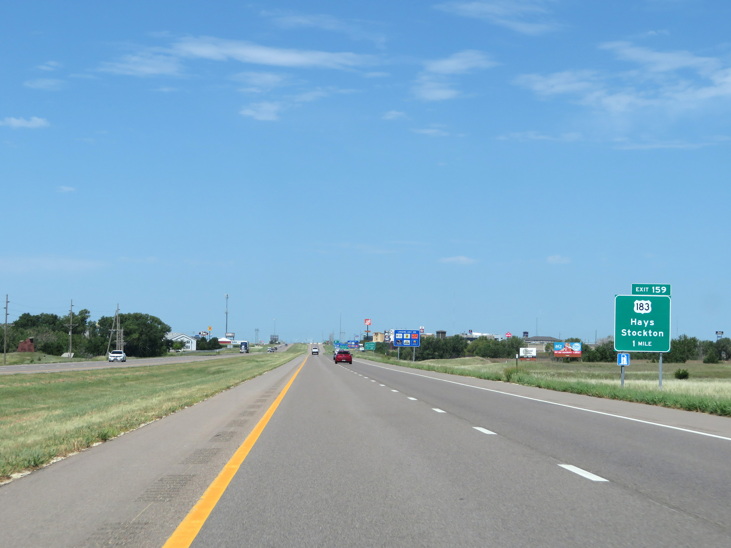
Also take Exit 159 to La Crosse and Plainville. (Photo taken 8/12/20). |
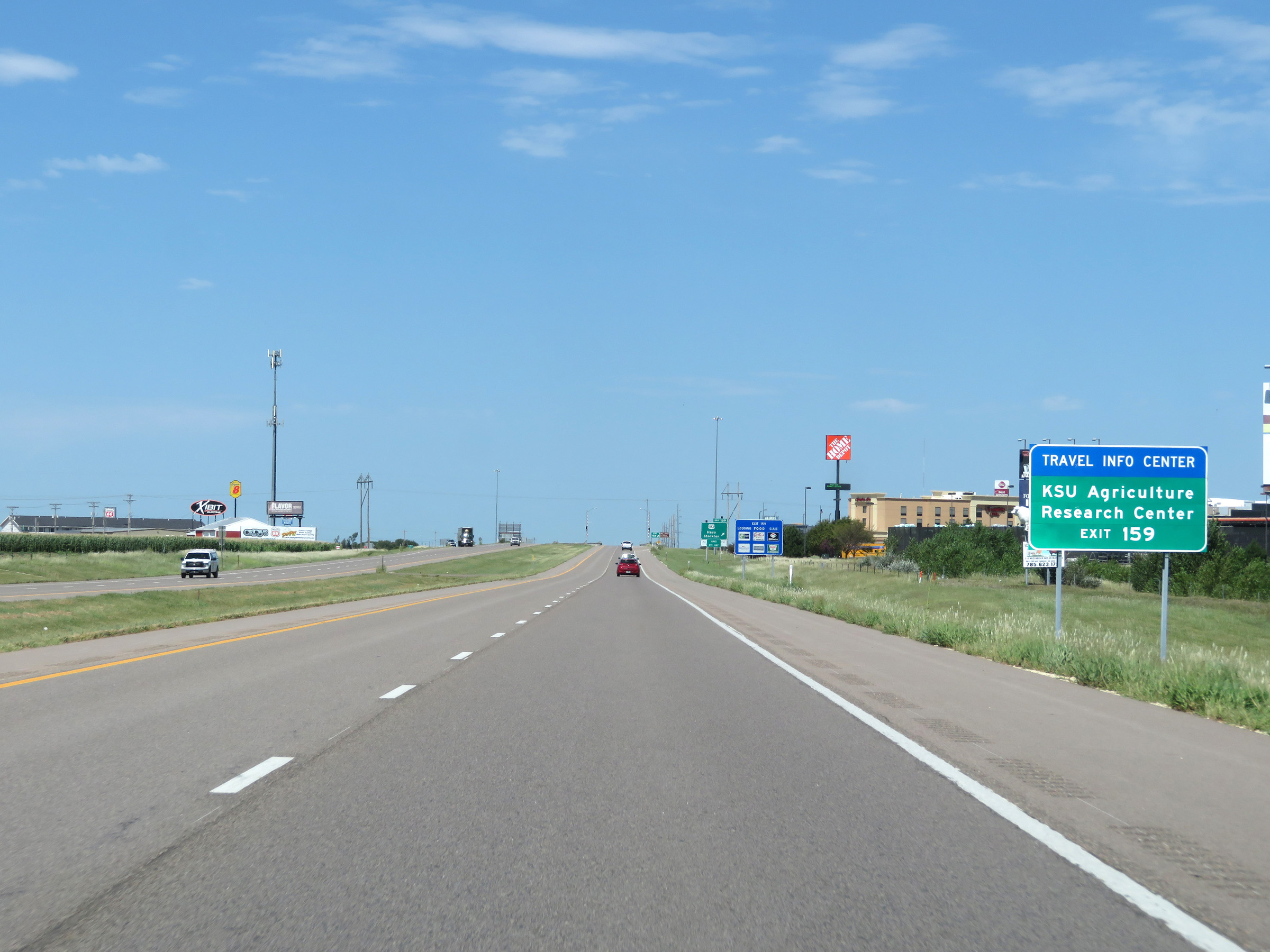 |
Take Exit 159 to the KSU Agricultural Research Center as well. (Photo taken 8/12/20). |
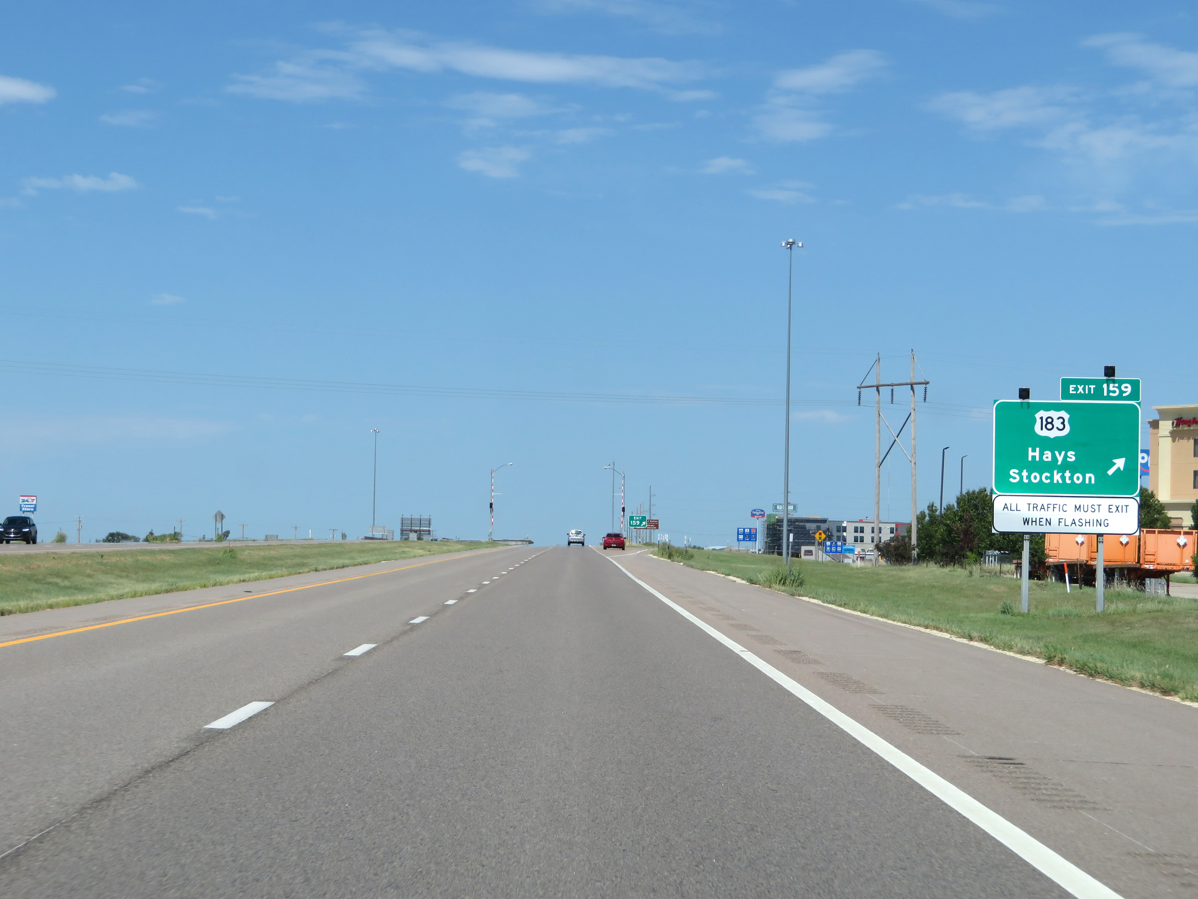 |
Interstate 70 West at Exit 159: US 183 - Hays / Stockton (Photo taken 8/12/20). |
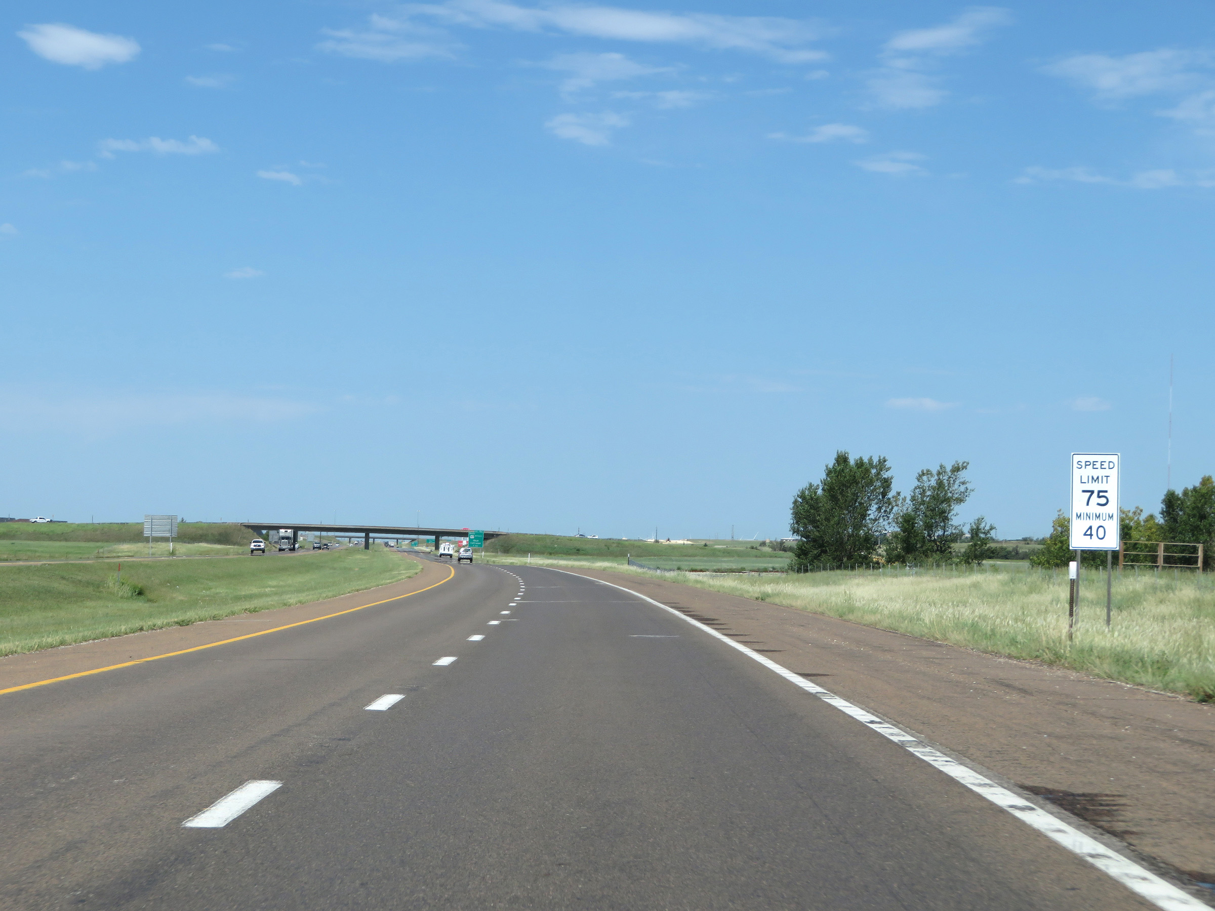 |
The speed limits remain 75 mph maximum and 40 mph minimum through Hays. (Photo taken 8/12/20). |
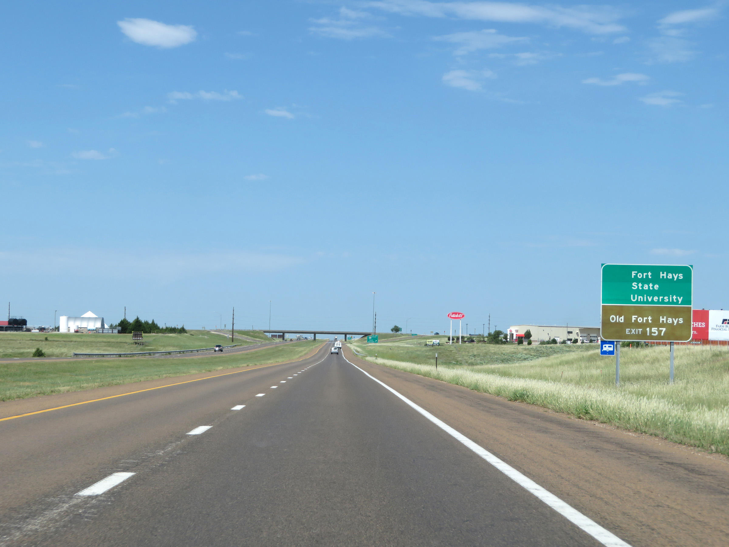 |
Take Exit 157 to Fort Hays State University and Old Fort Hays. (Photo taken 8/12/20). |
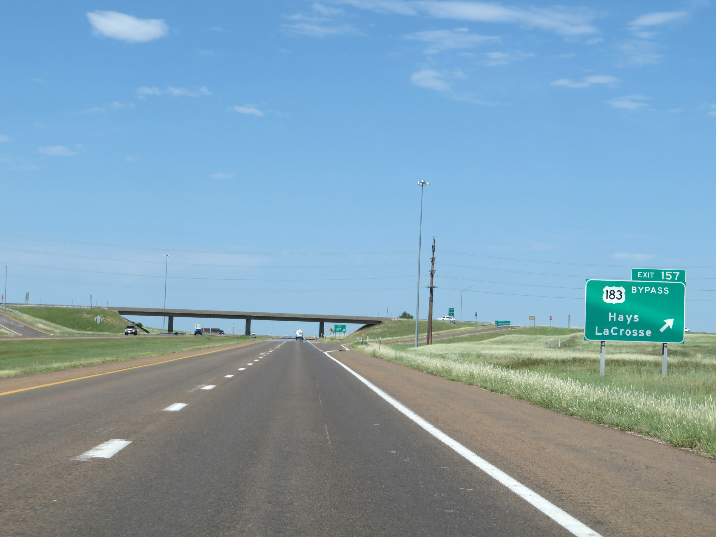 |
Interstate 70 West at Exit 157: US 183 Bypass - Hays / La Crosse (Photo taken 8/12/20). |
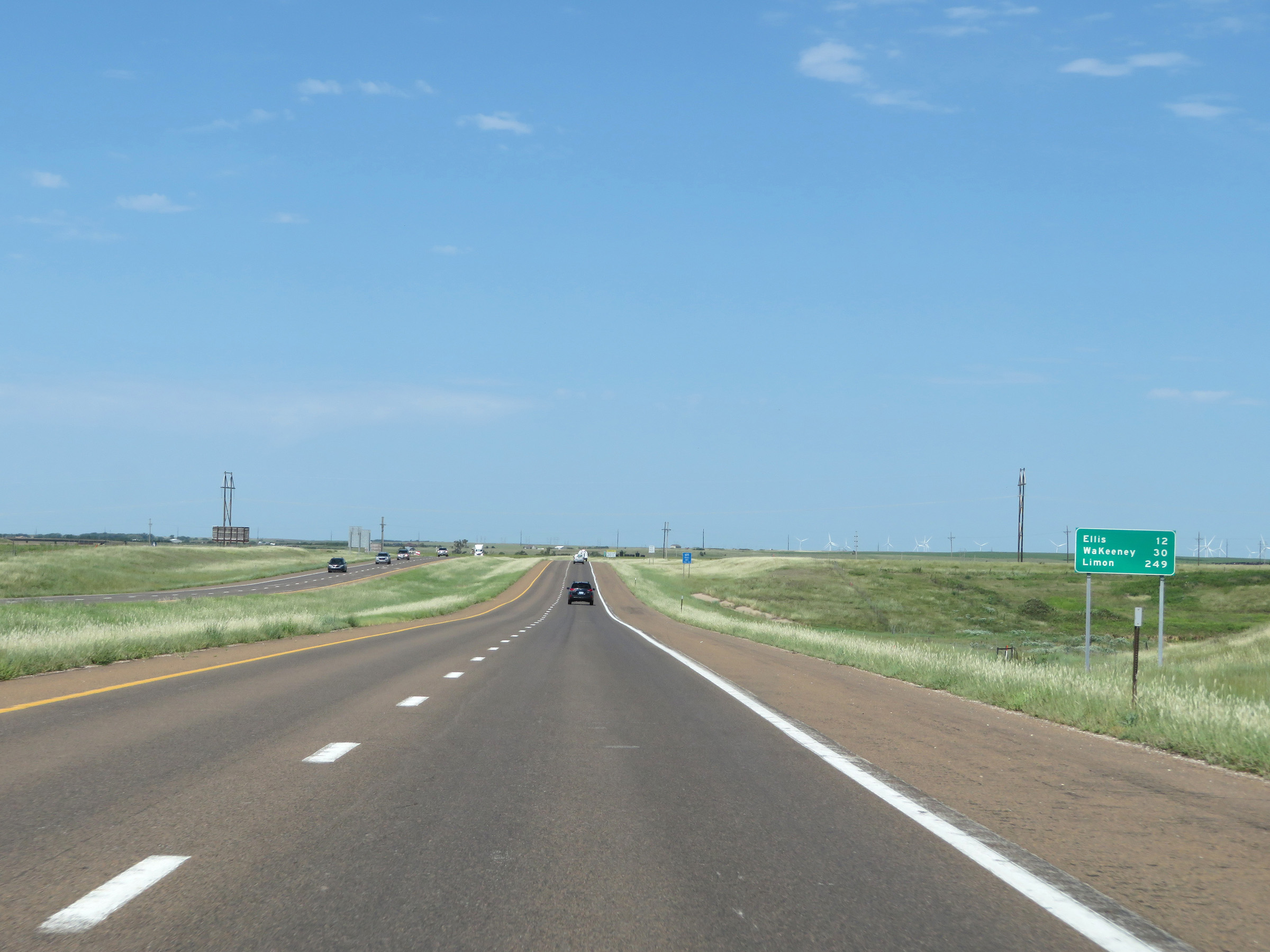 |
Mileage sign on Interstate 70 West as it leaves Hays. It's 12 miles to Ellis, 30 miles to WaKeeney, and 249 miles to Limon. (Photo taken 8/12/20). |
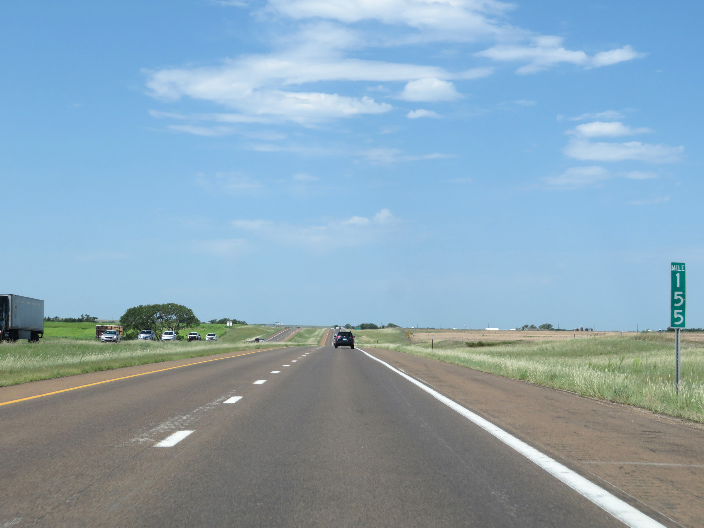 |
View on Interstate 70 West at mile marker 155. (Photo taken 8/12/20). |
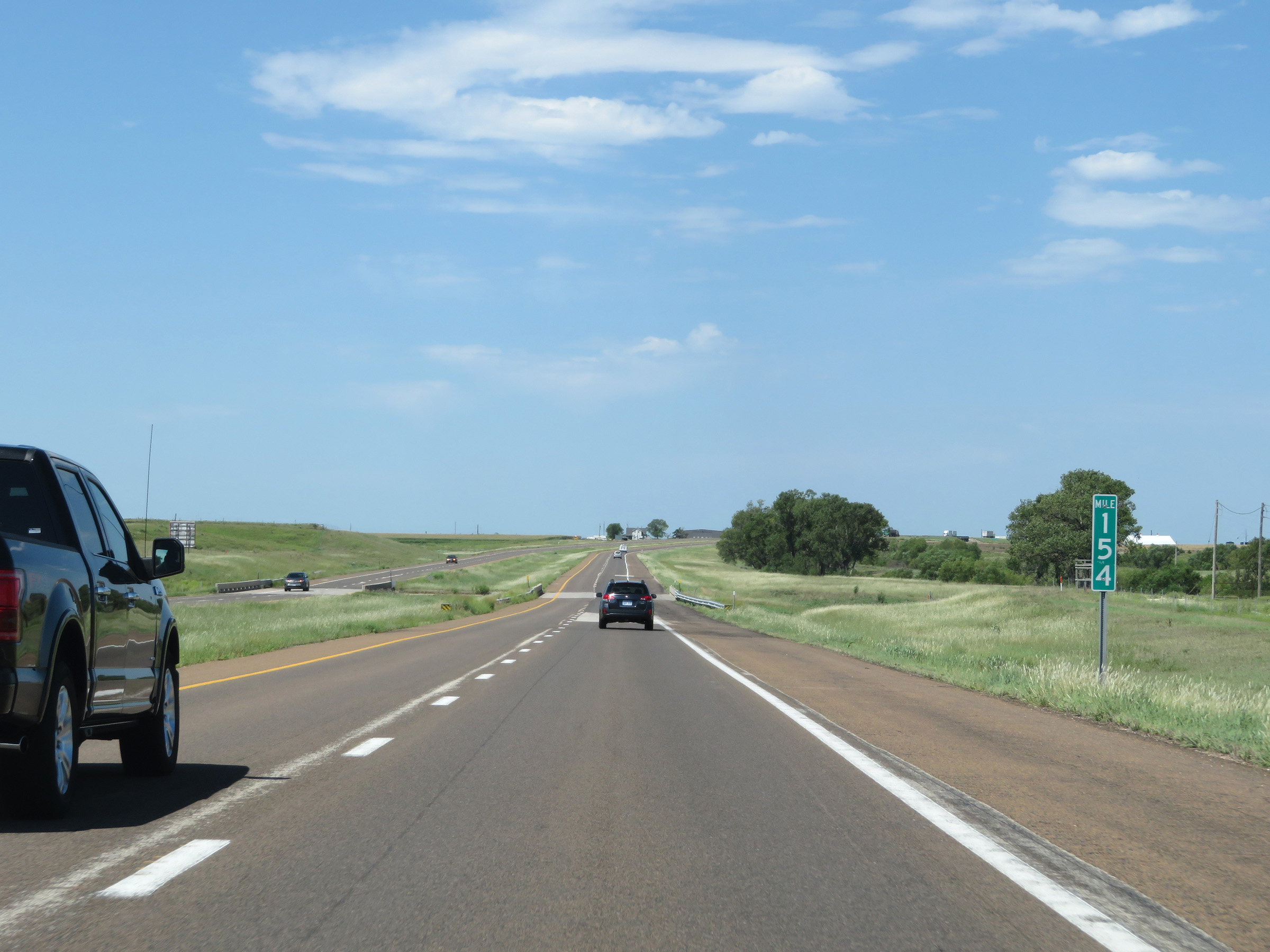 |
Interstate 70 West at mile marker 154. (Photo taken 8/12/20). |
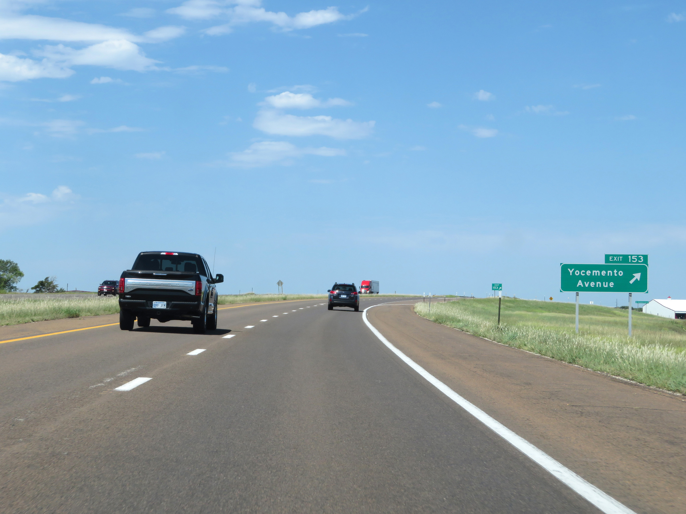 |
Interstate 70 West at Exit 153: Yocemento Avenue (Photo taken 8/12/20). |
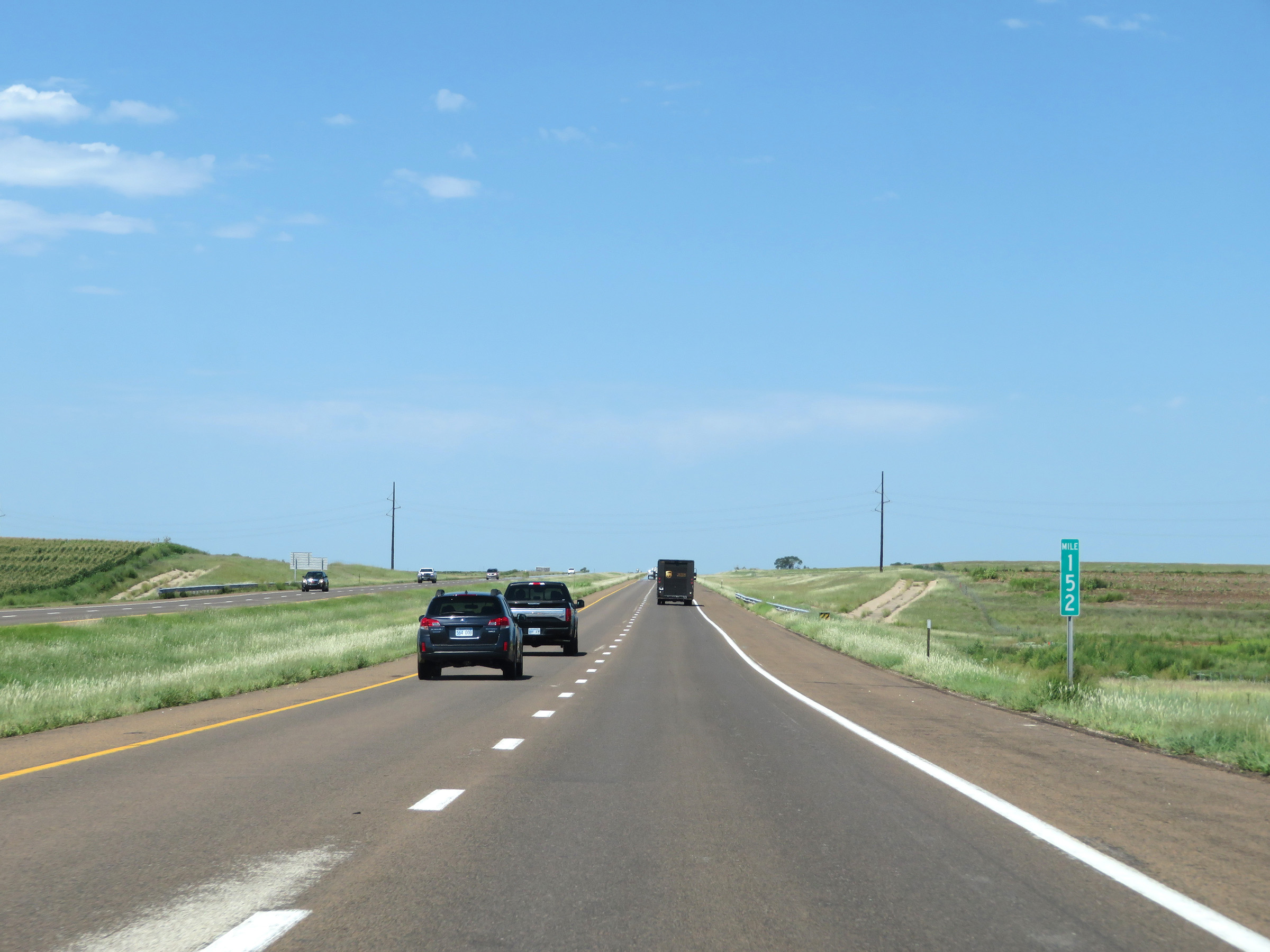 |
View on Interstate 70 West at mile marker 152. (Photo taken 8/12/20). |
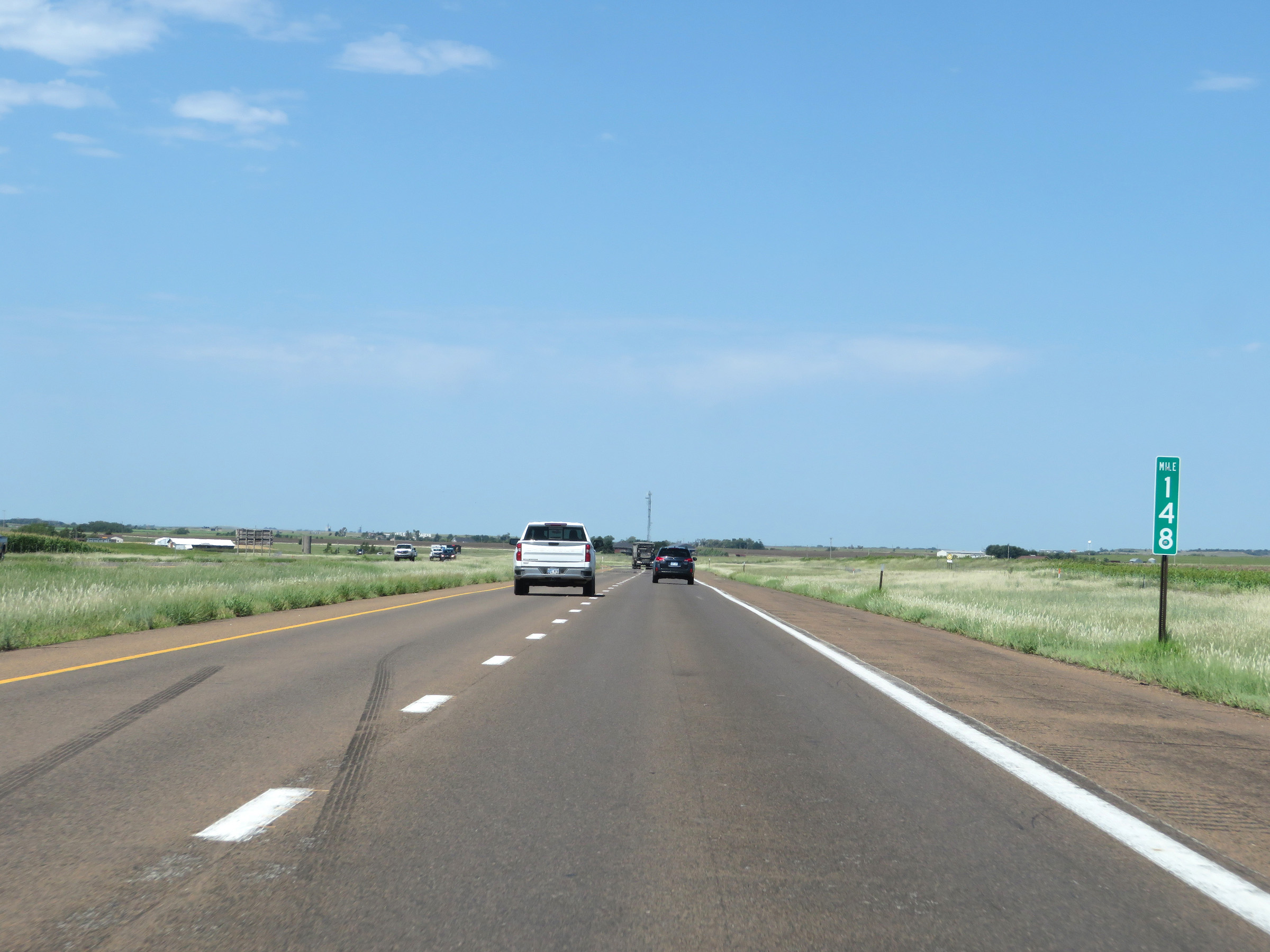 |
Interstate 70 West at mile marker 148. (Photo taken 8/12/20). |
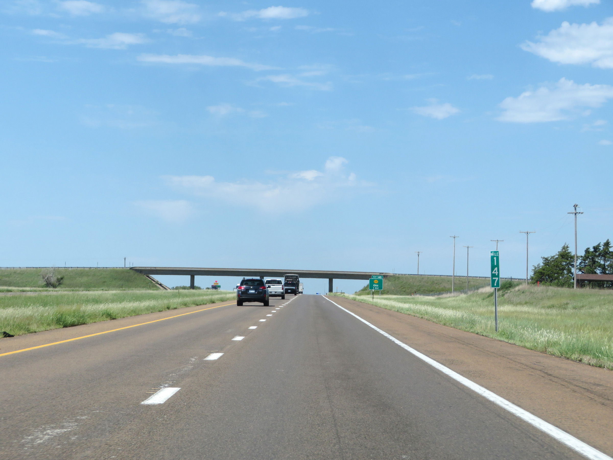 |
Mile marker 147 on Interstate 70 West in Ellis County. (Photo taken 8/12/20). |
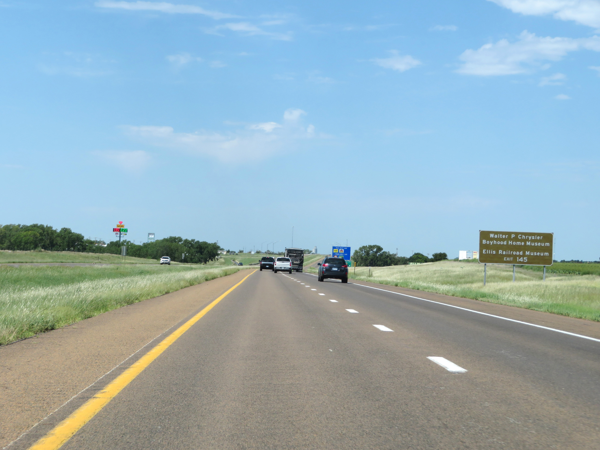 |
Take Exit 145 to the Walter P. Chrysler Boyhood Home Museum and the Ellis Railroad Museum. (Photo taken 8/12/20). |
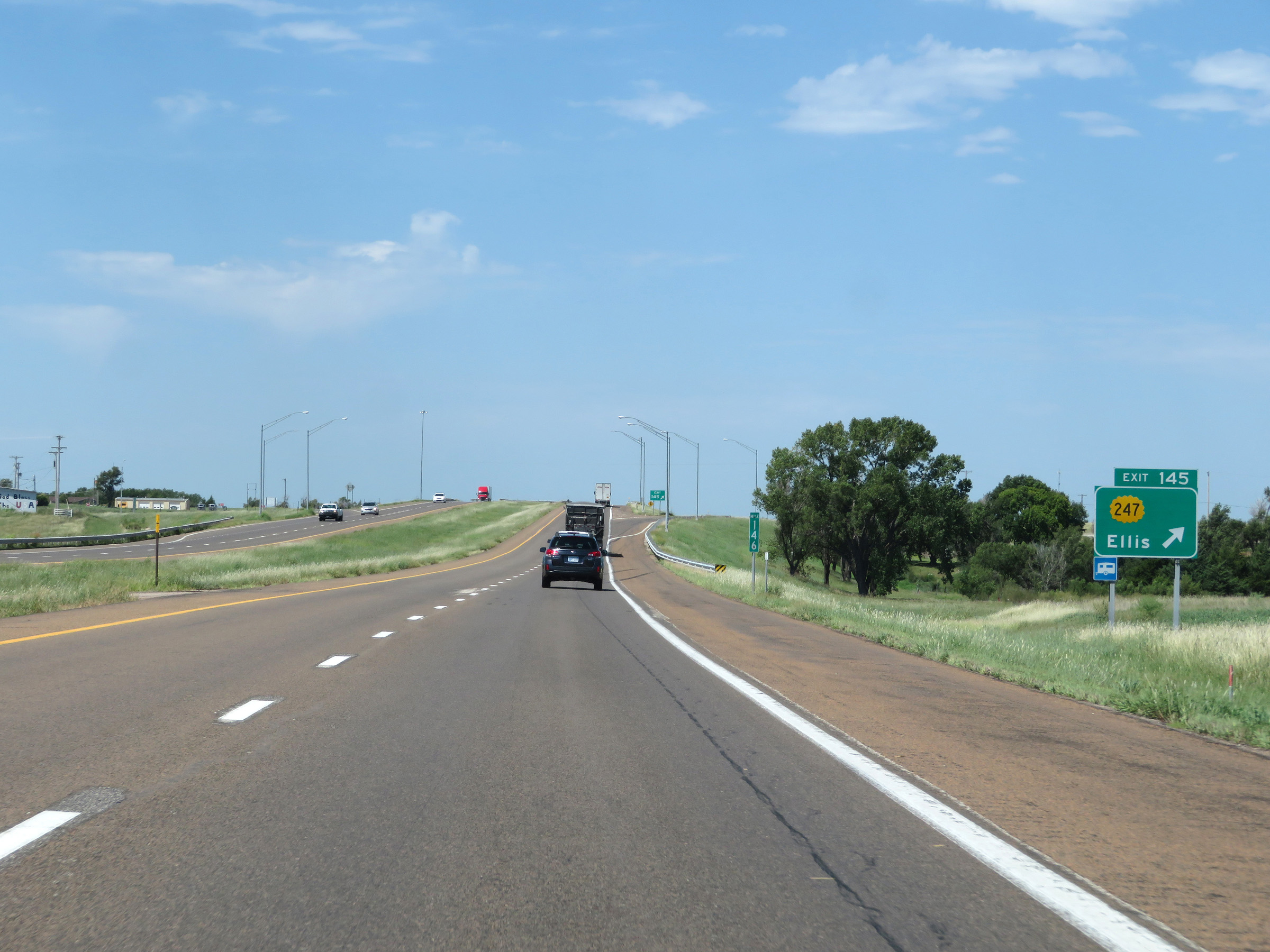 |
Interstate 70 West at Exit 145: K-247 - Ellis (Photo taken 8/12/20). |
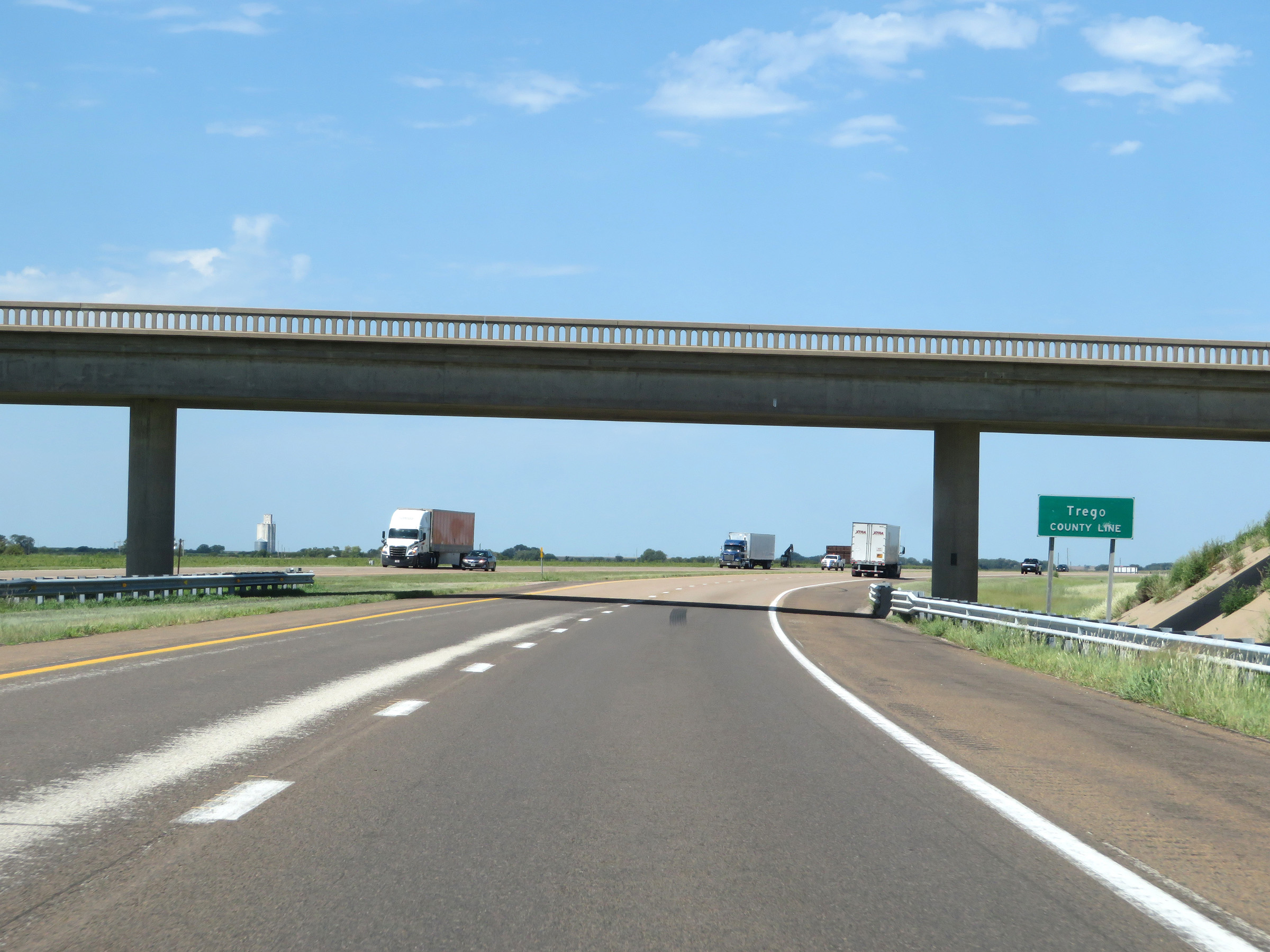 |
Interstate 70 West as it enters Trego County. (Photo taken 8/12/20). |
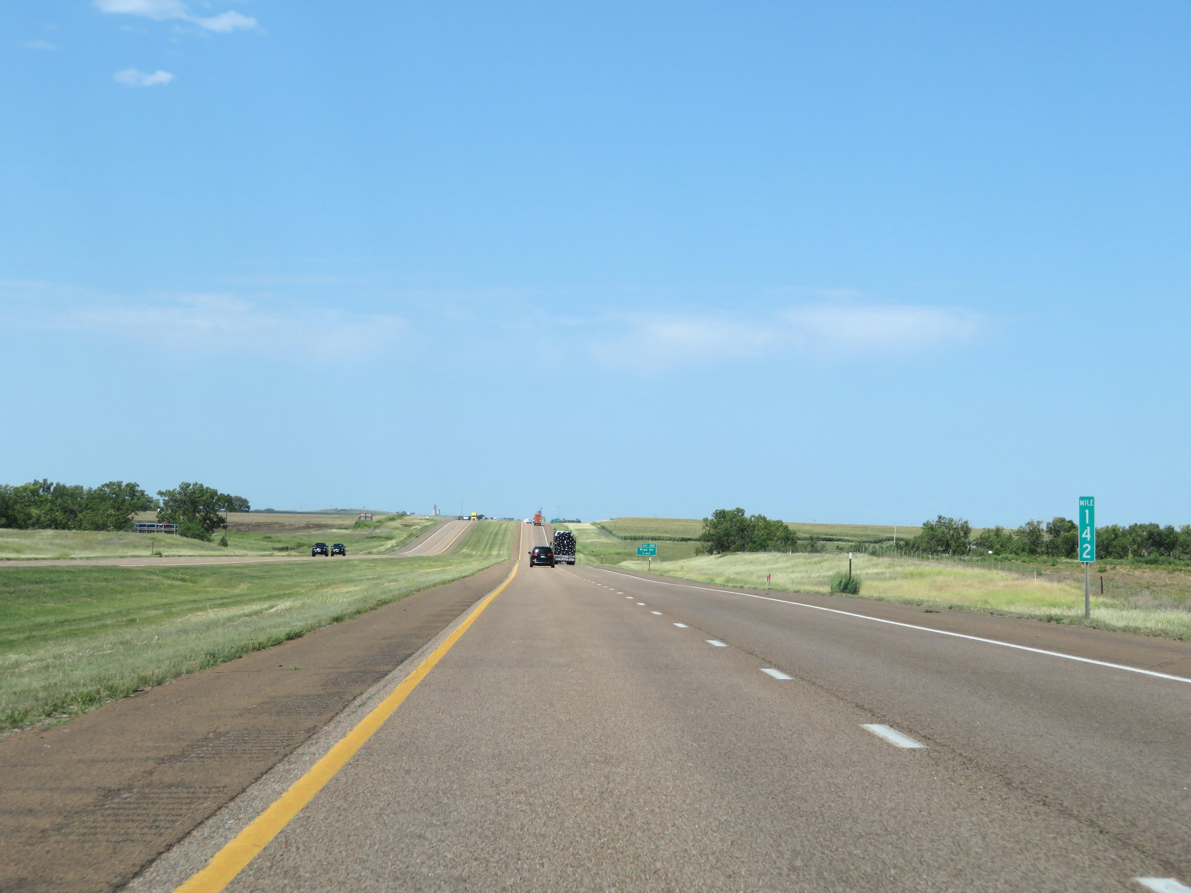 |
View on Interstate 70 West at mile marker 142. (Photo taken 8/12/20). |
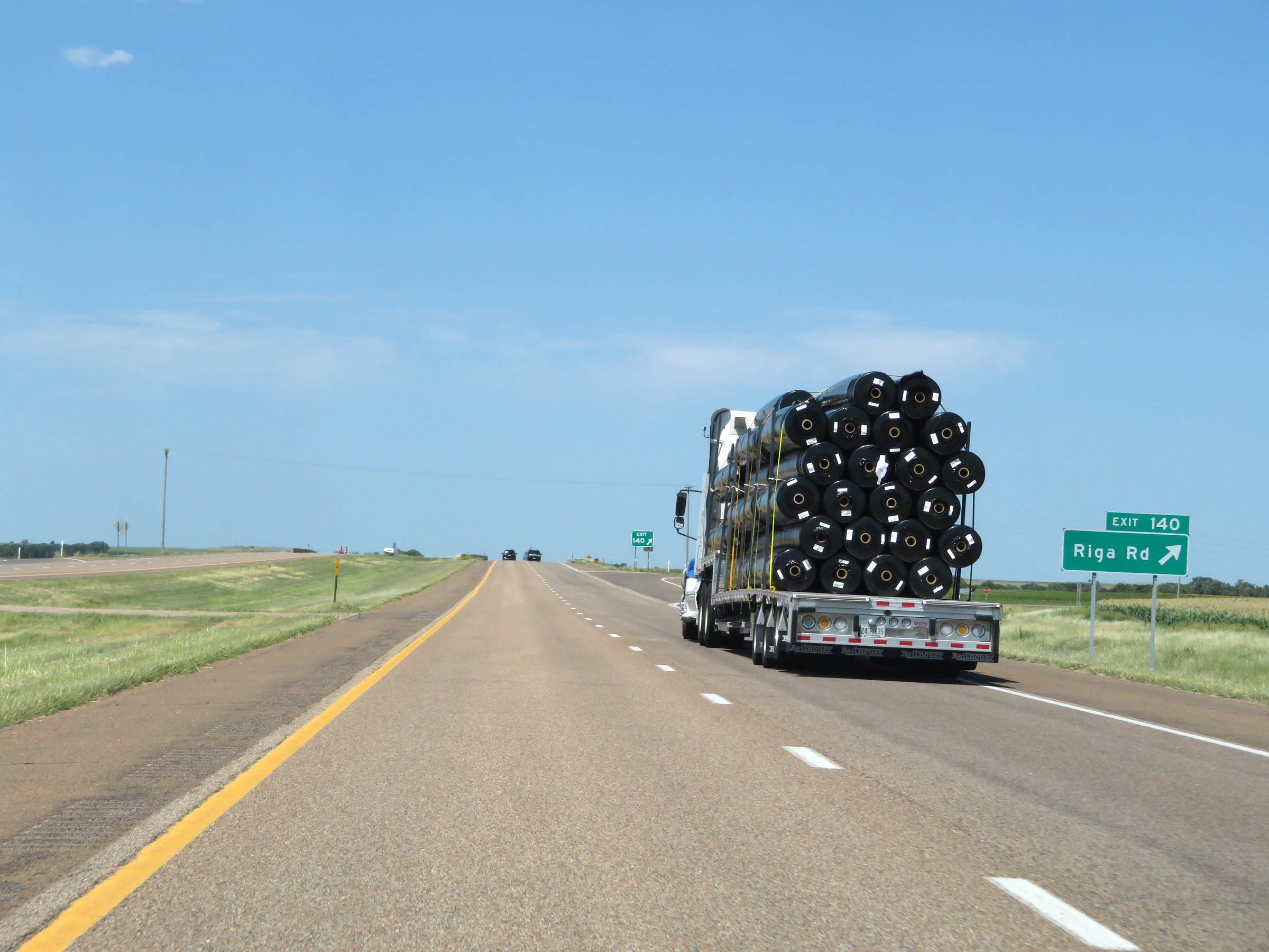 |
Interstate 70 West at Exit 140: Riga Rd (Photo taken 8/12/20). |
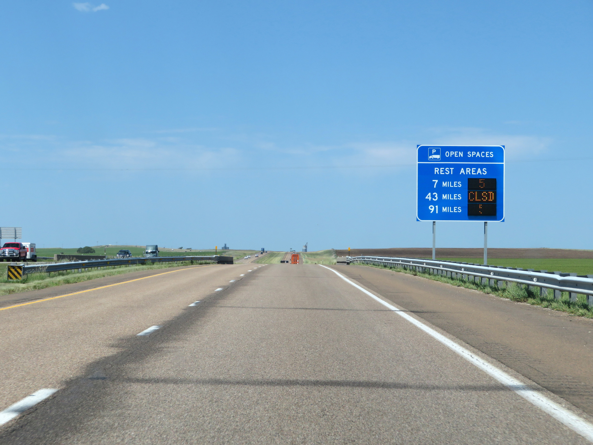 |
Another sign showing the distances to the next three Rest Areas on Interstate 70 West, while dynamically displaying the number of currently available truck parking spaces at each one. (Photo taken 8/12/20). |
 |
View on Interstate 70 West at mile marker 138. (Photo taken 8/12/20). |
 |
Interstate 70 West at mile marker 137. (Photo taken 8/12/20). |
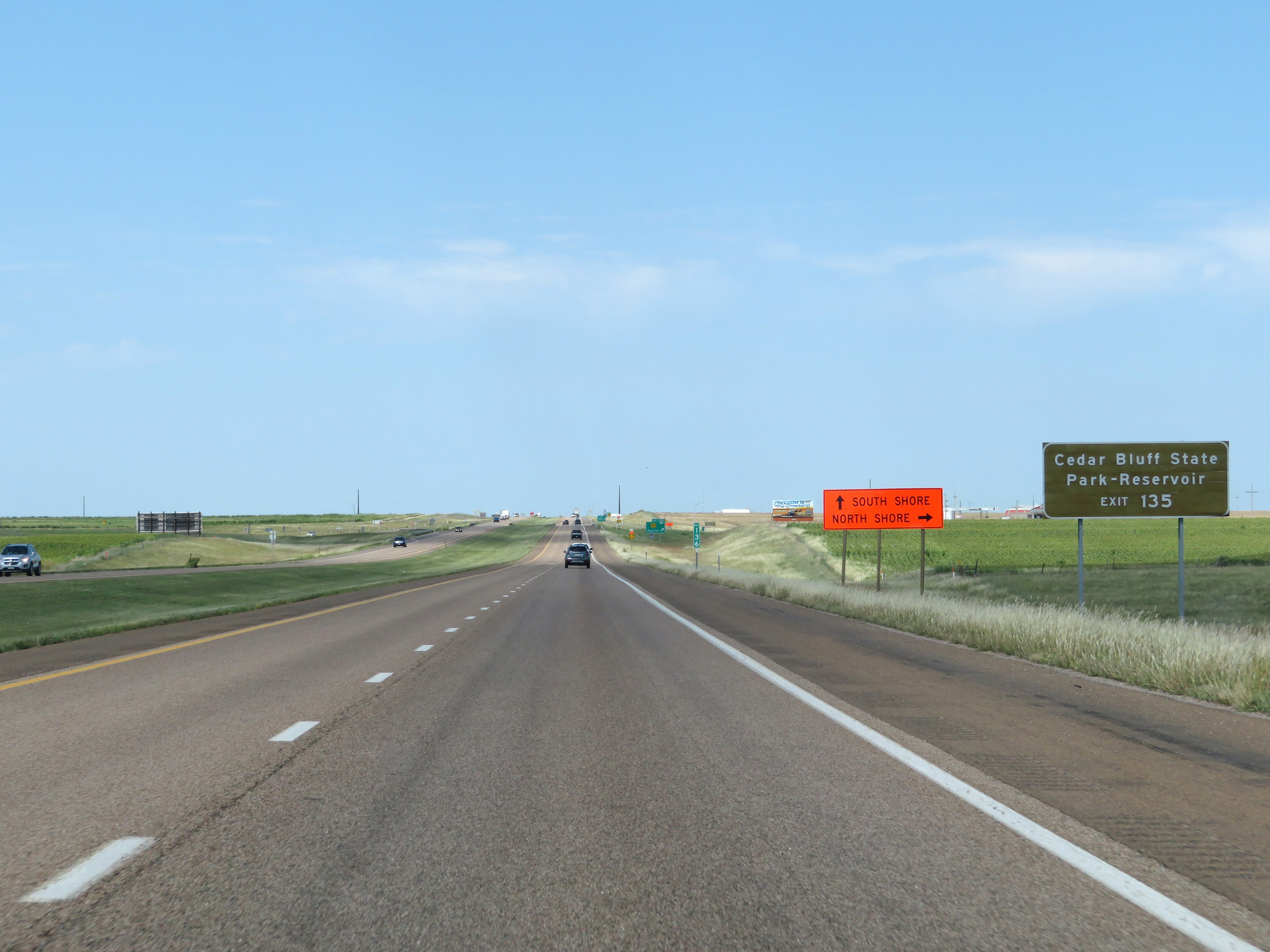 |
Take Exit 135 to Cedar Bluff State Park and Reservoir. (Photo taken 8/12/20). |
 |
Interstate 70 West at Exit 135: K-147 - Ogallah (Photo taken 8/12/20). |
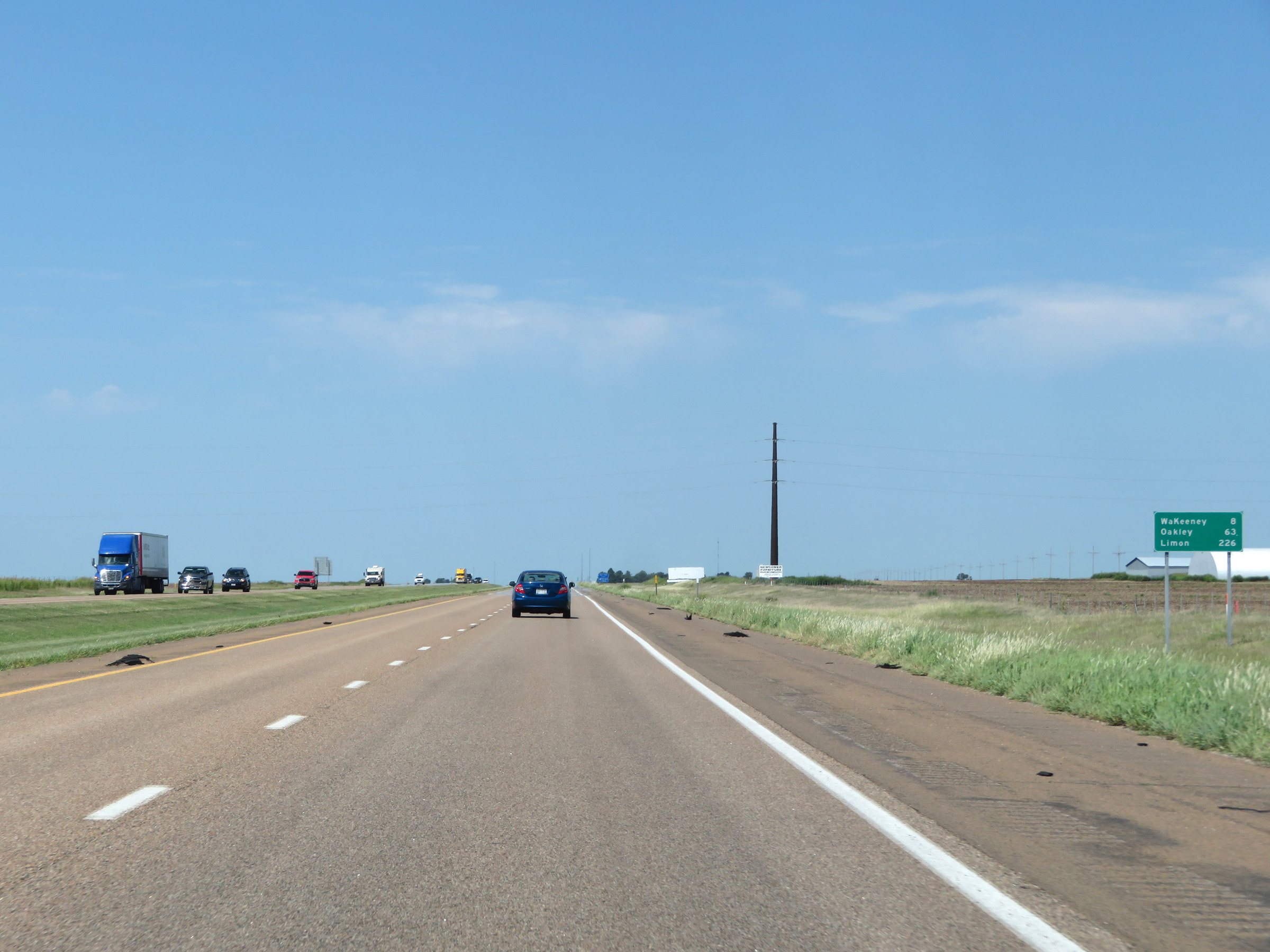 |
Another mileage sign on Interstate 70 West. It's 8 miles to WaKeeney, 63 miles to Oakley, and 226 miles to Limon. (Photo taken 8/12/20). |
 |
View on Interstate 70 West at mile marker 134. (Photo taken 8/12/20). |
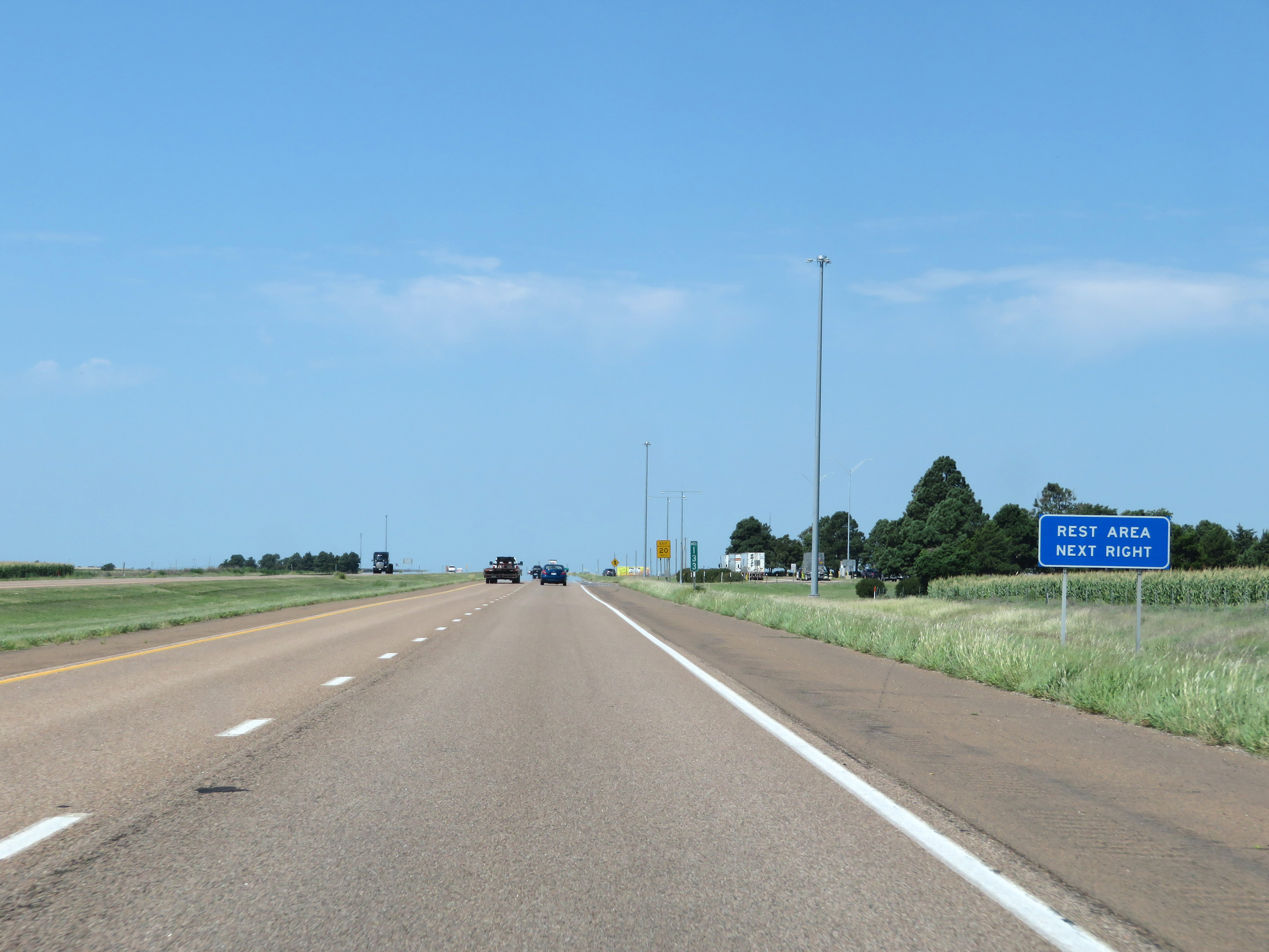 |
Rest Area on Interstate 70 West at mile marker 133 in Trego County. (Photo taken 8/12/20). |
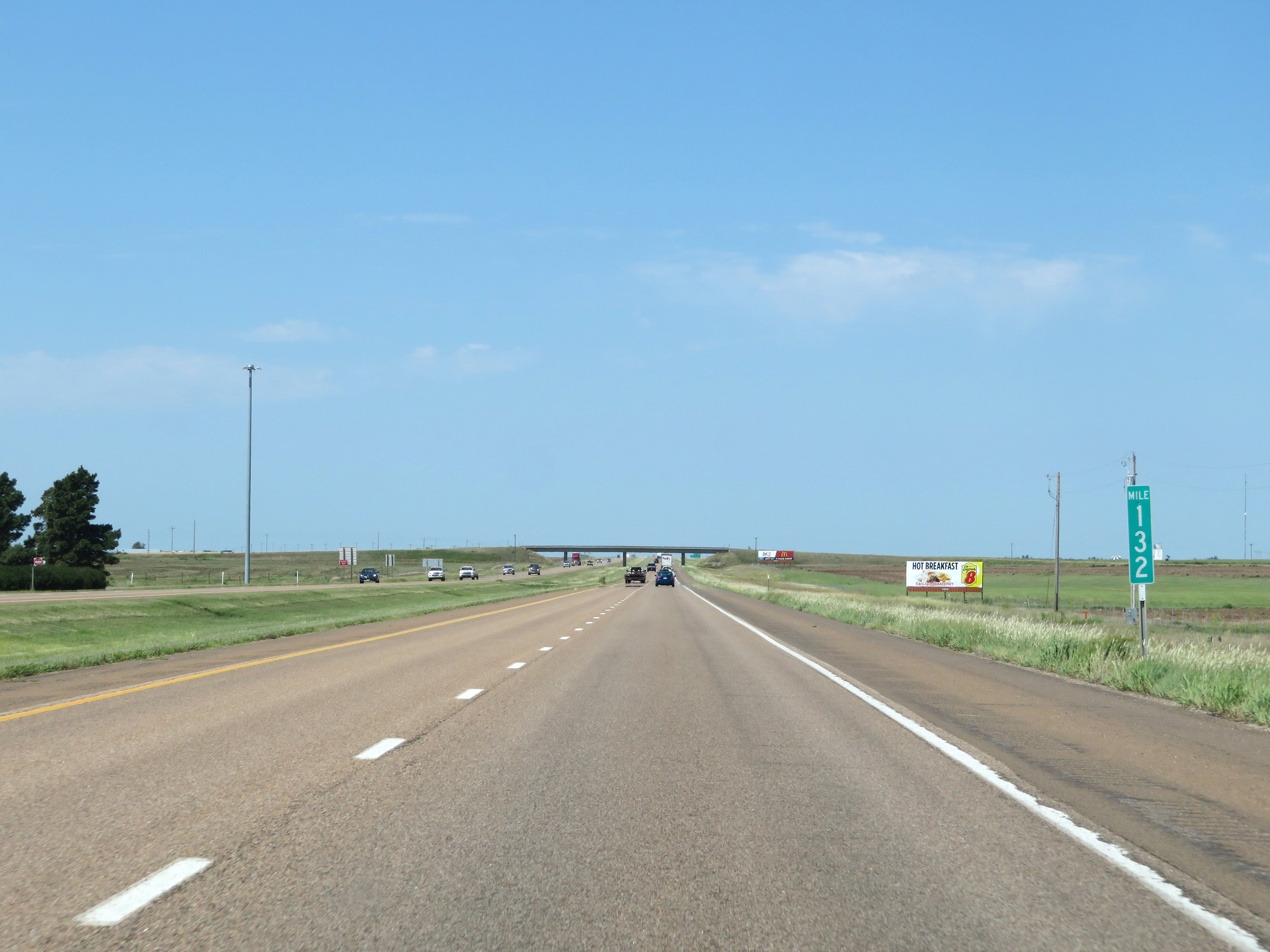 |
Interstate 70 West at mile marker 132. (Photo taken 8/12/20). |
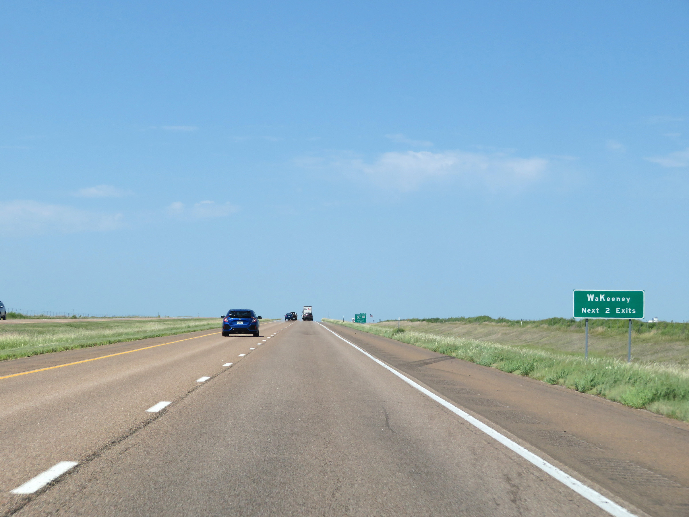 |
Take either of the next 2 exits to WaKeeney. (Photo taken 8/12/20). |
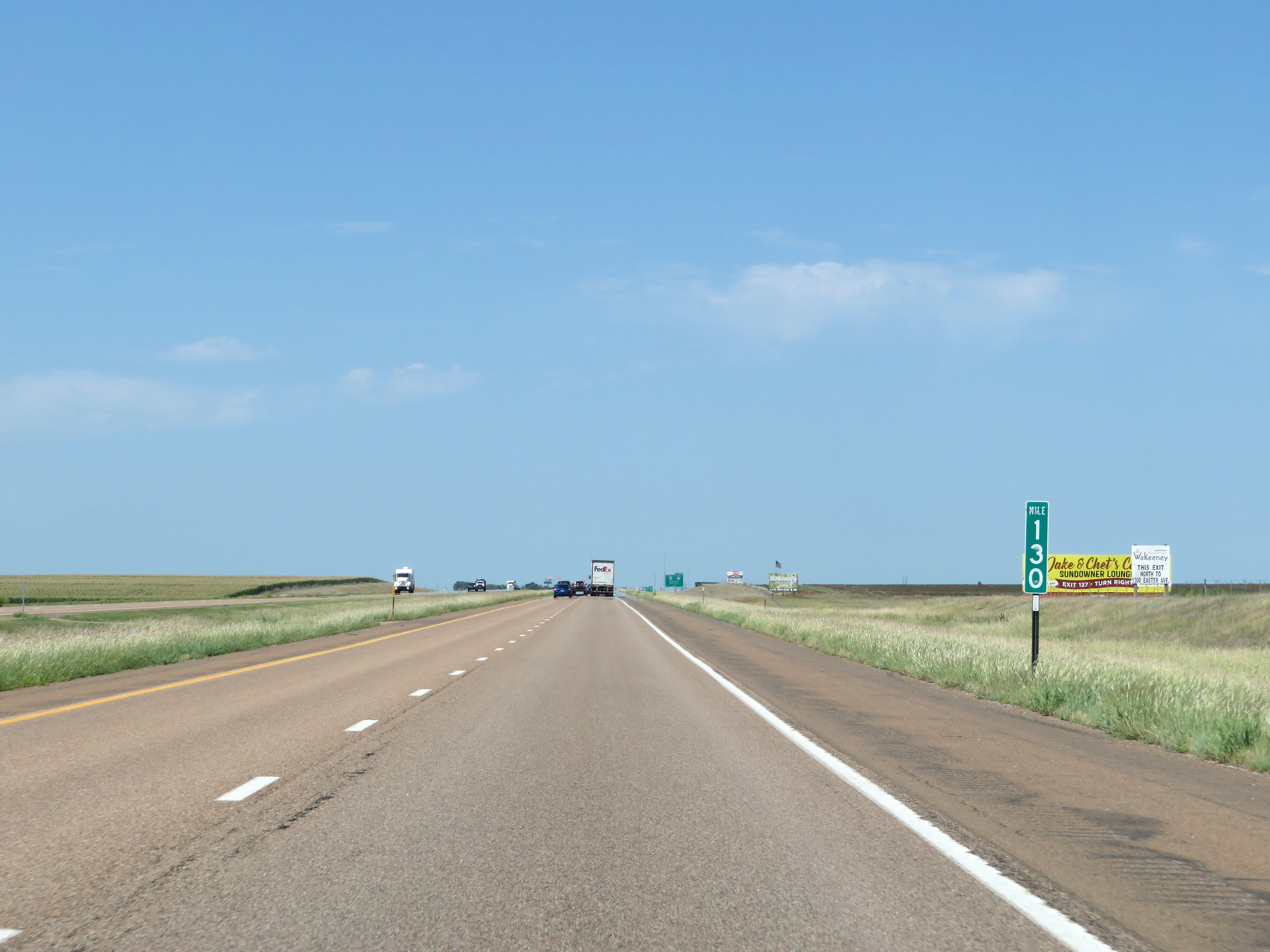 |
View on Interstate 70 West at mile marker 130. (Photo taken 8/12/20). |
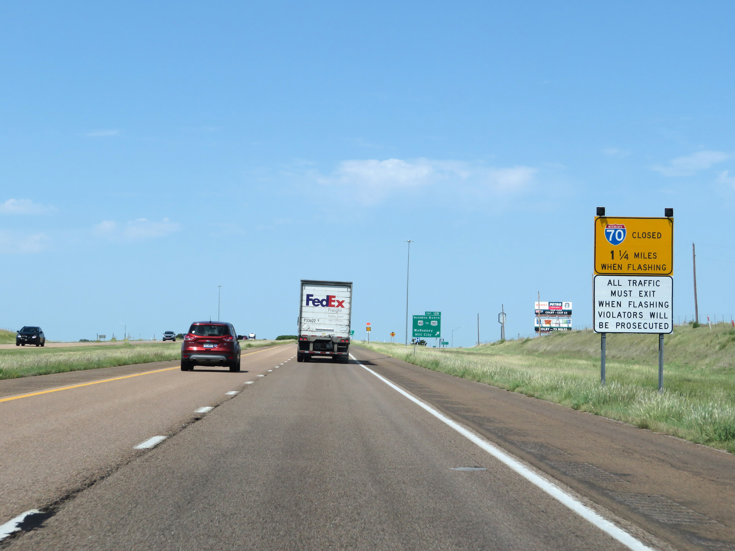 |
When the lights on this sign are flashing, Interstate 70 West is closed beyond Exit 128 and all traffic must exit. (Photo taken 8/12/20). |
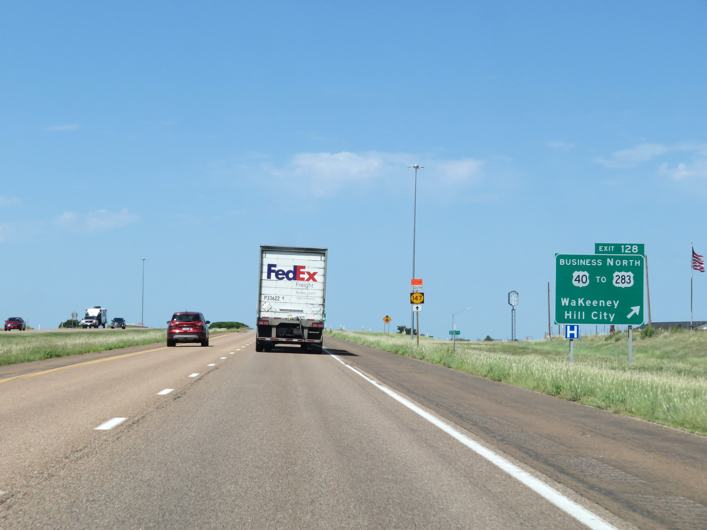 |
Interstate 70 West at Exit 128: US 40 Business / To Interstate 283 North - WaKeeney / Hill City (Photo taken 8/12/20). |
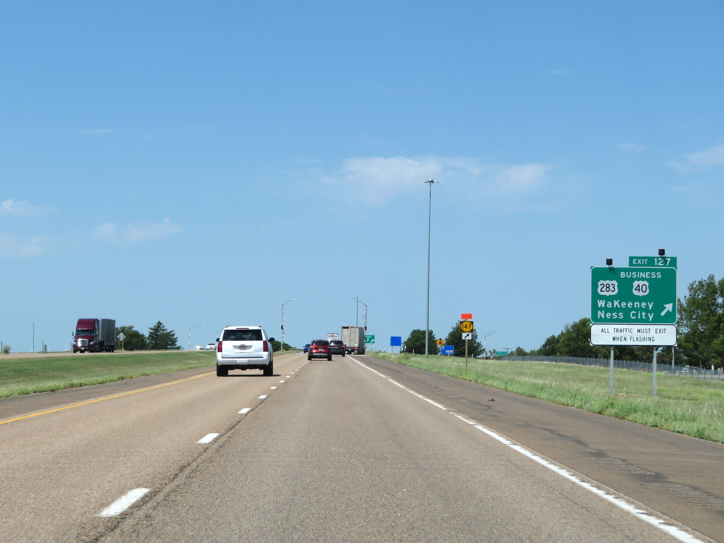 |
Interstate 70 West at Exit 127: US 283 / US 40 Business - WaKeeney / Ness City (Photo taken 8/12/20). |
Section 7: WaKeeney (Exit 127) to Colby (Exit 53)
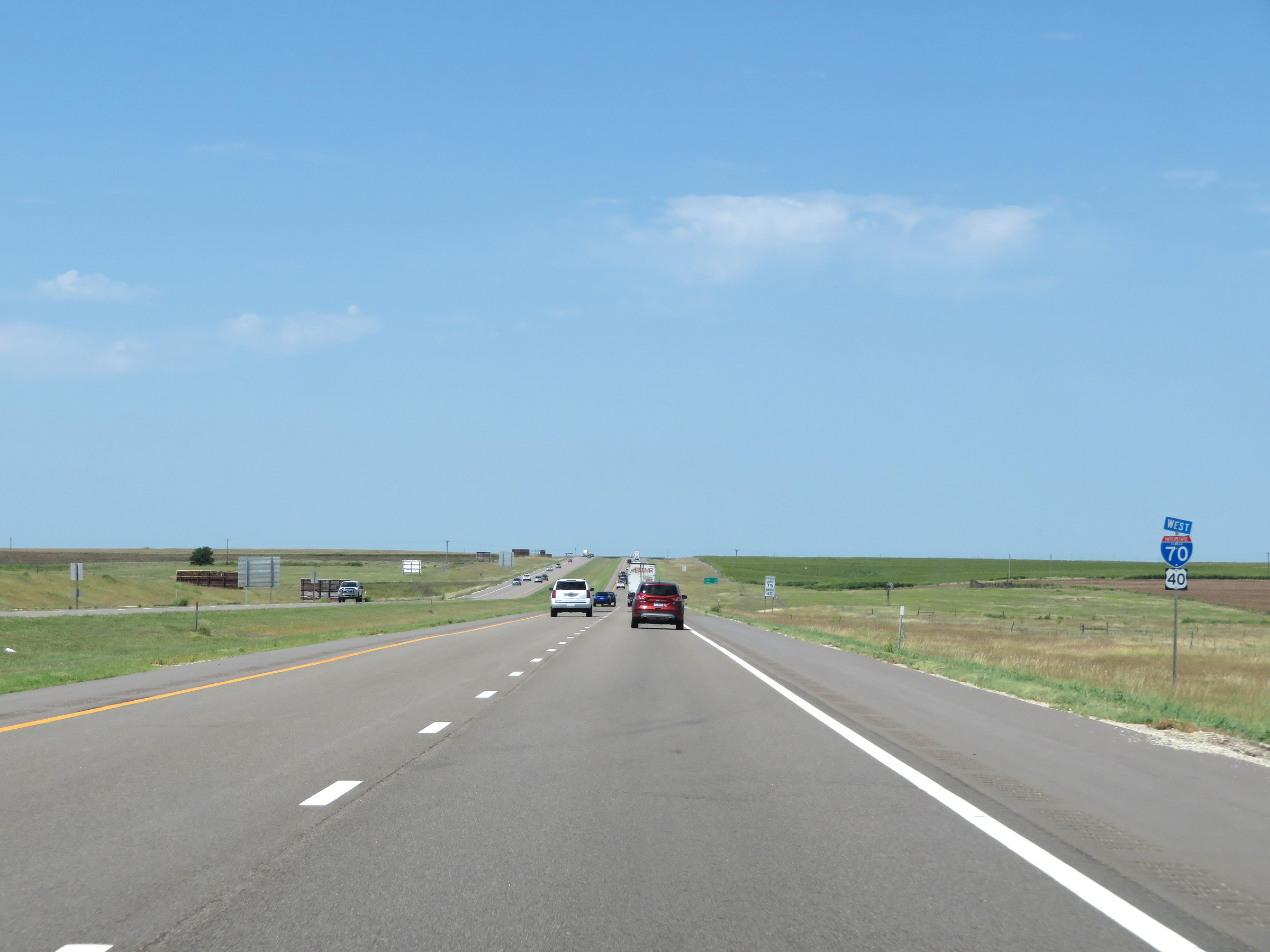 |
State-named Interstate 70 West reassurance shield. (Photo taken 8/12/20). |
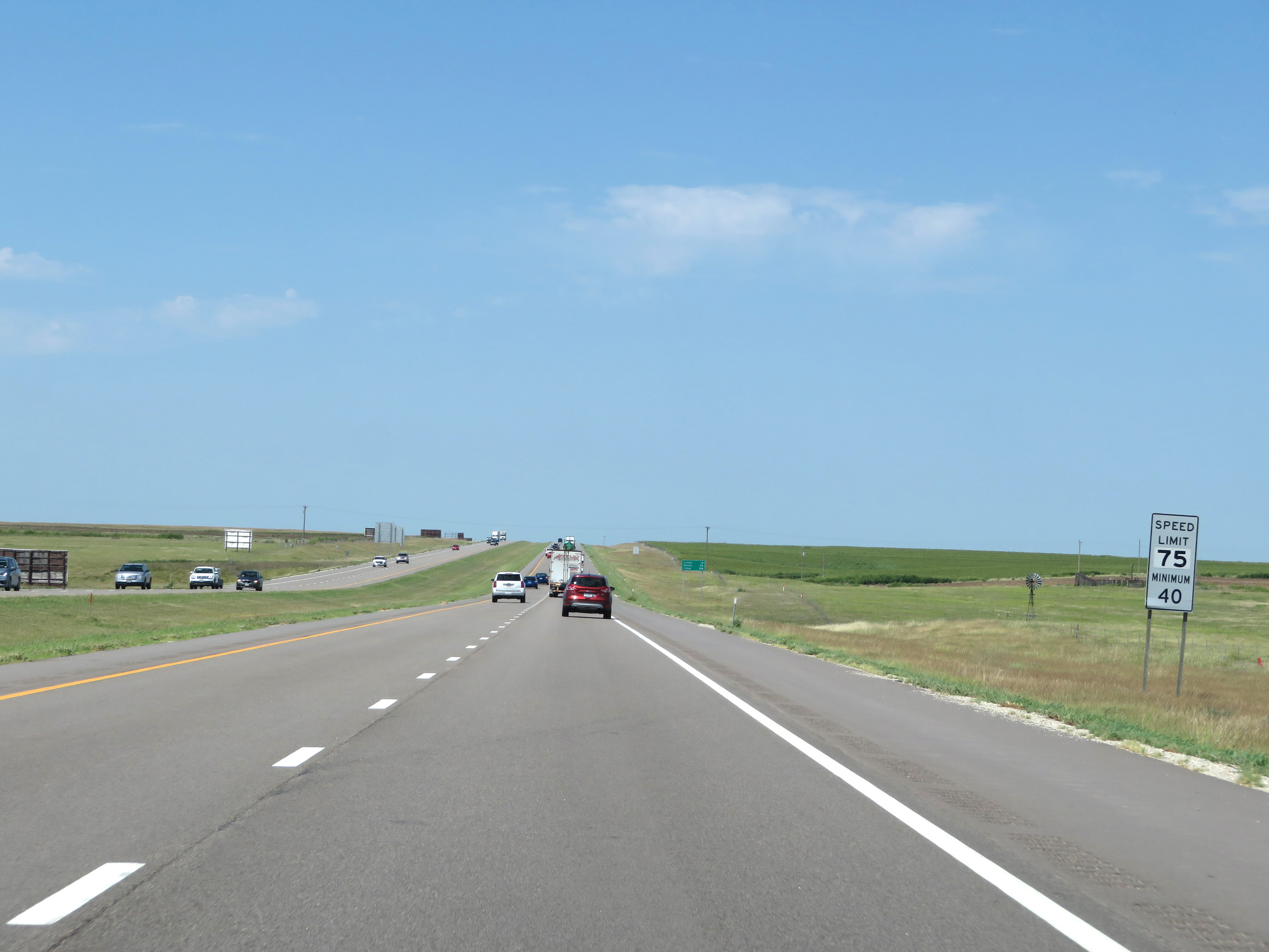 |
The speed limits remain the rural standard 75 mph maximum and 40 mph minimum. (Photo taken 8/12/20). |
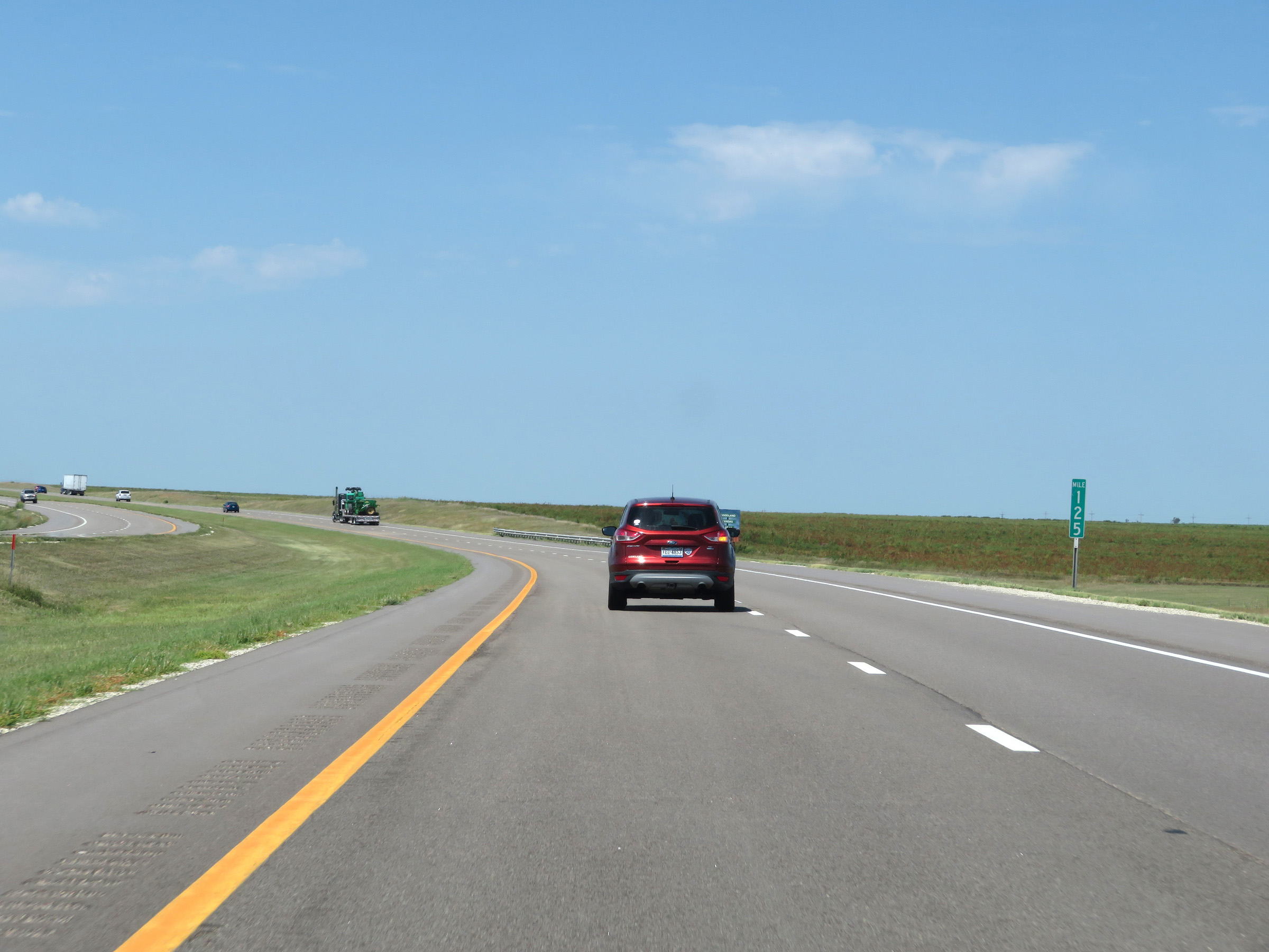 |
View on Interstate 70 West at mile marker 125. (Photo taken 8/12/20). |
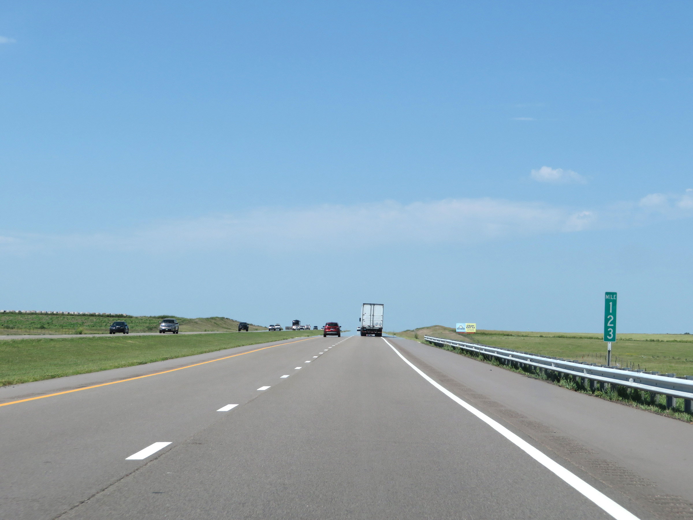 |
Interstate 70 West at mile marker 123. (Photo taken 8/12/20). |
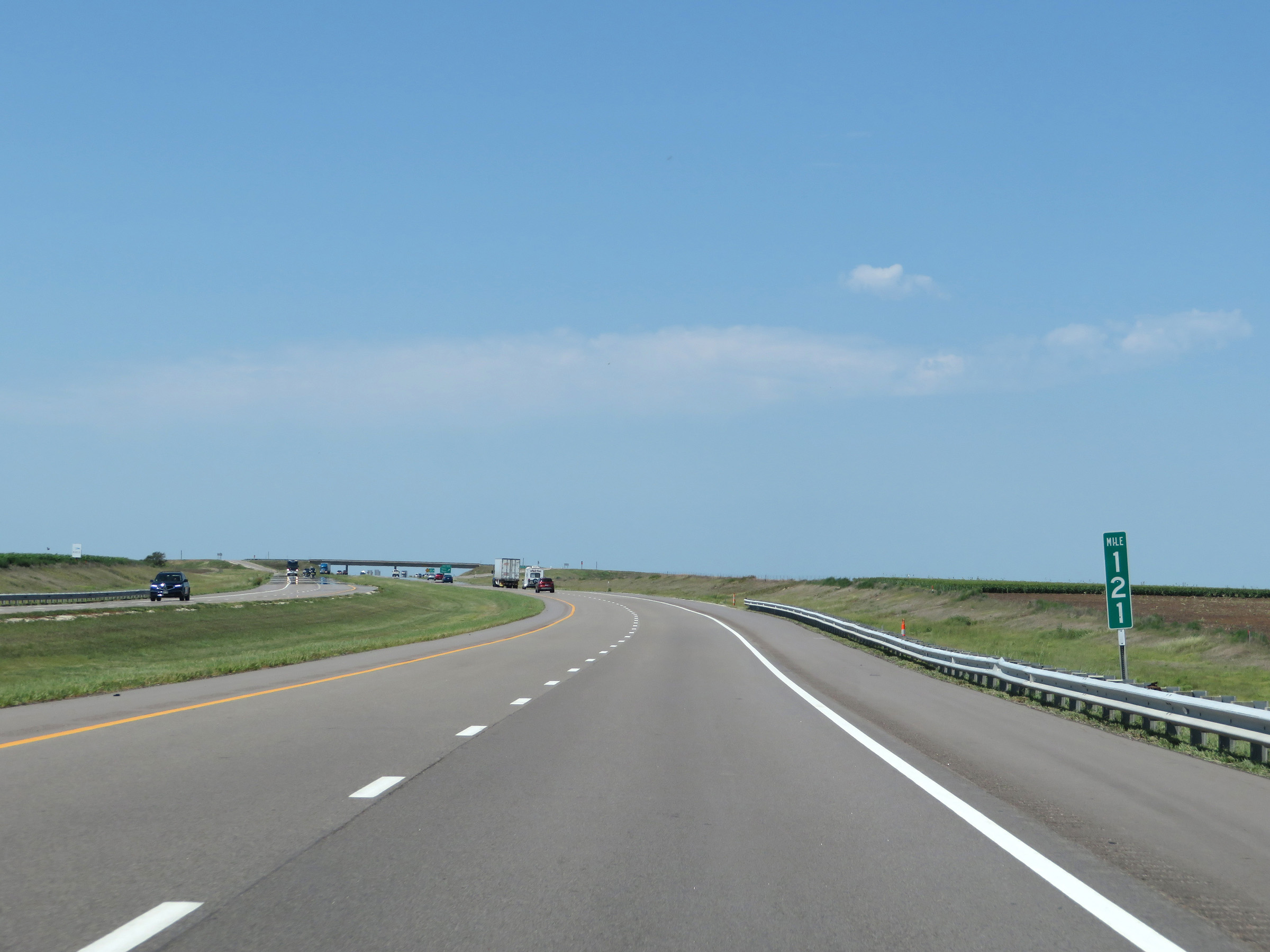 |
View on Interstate 70 West at mile marker 121. (Photo taken 8/12/20). |
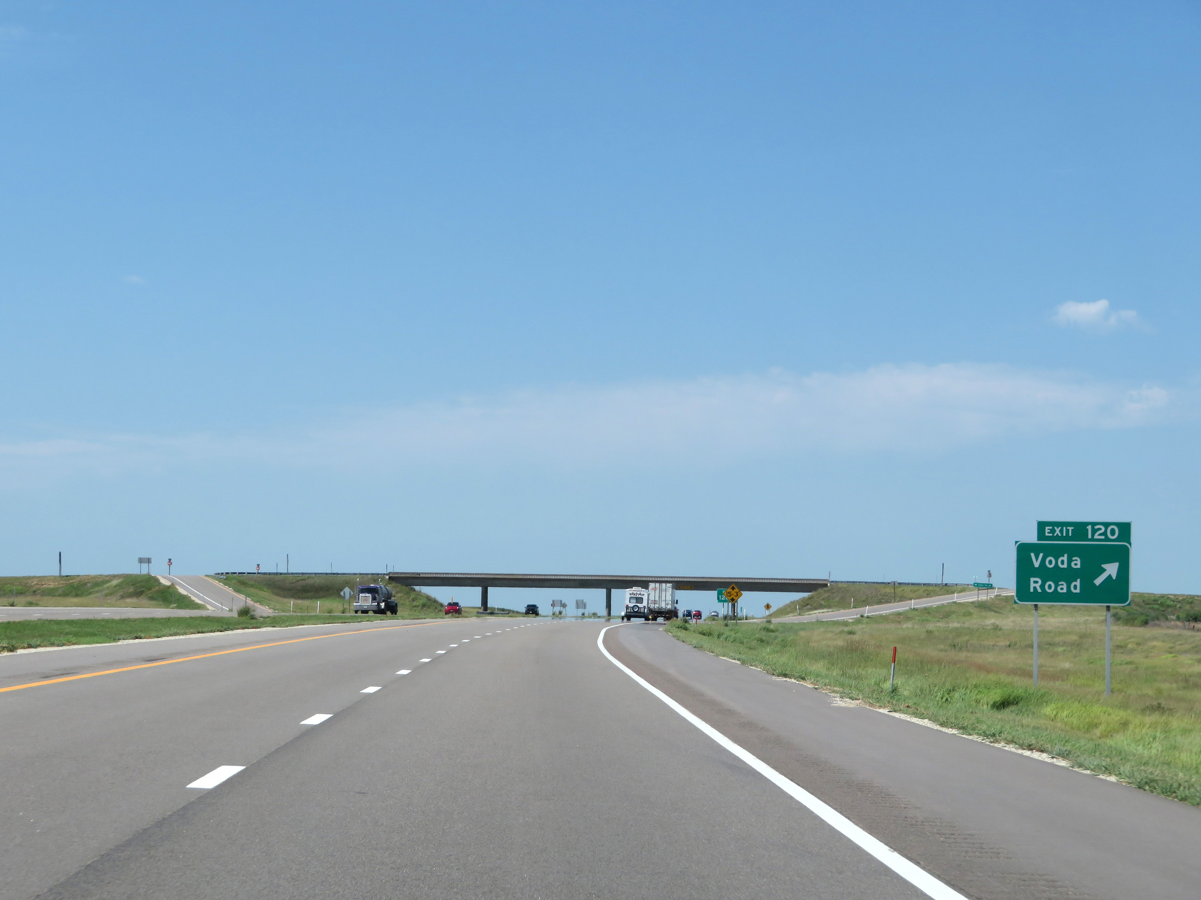 |
Interstate 70 West at Exit 120: Voda Road (Photo taken 8/12/20). |
 |
Mile marker 118 on Interstate 70 West in Trego County. (Photo taken 8/12/20). |
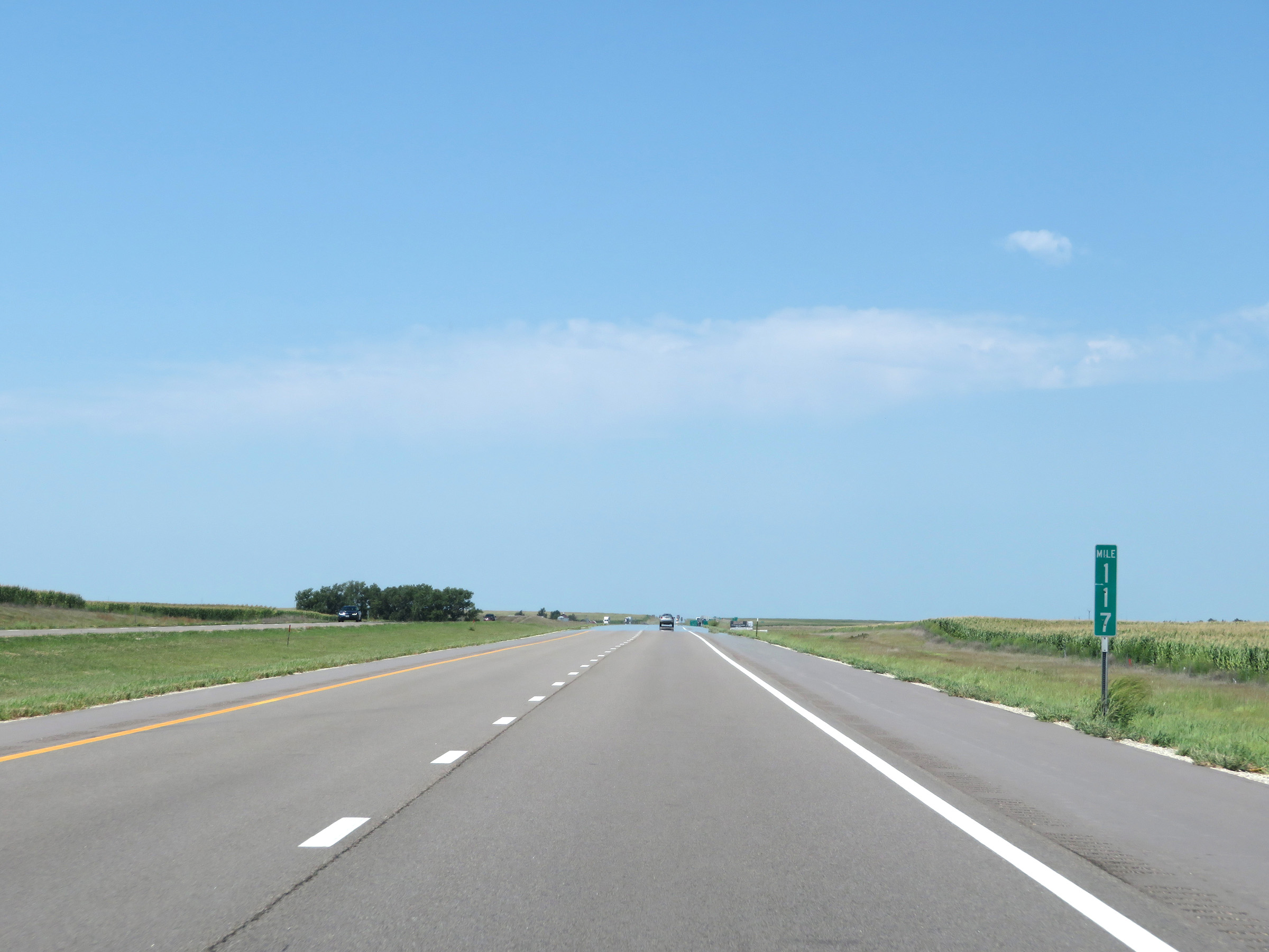 |
View on Interstate 70 West at mile marker 117. (Photo taken 8/12/20). |
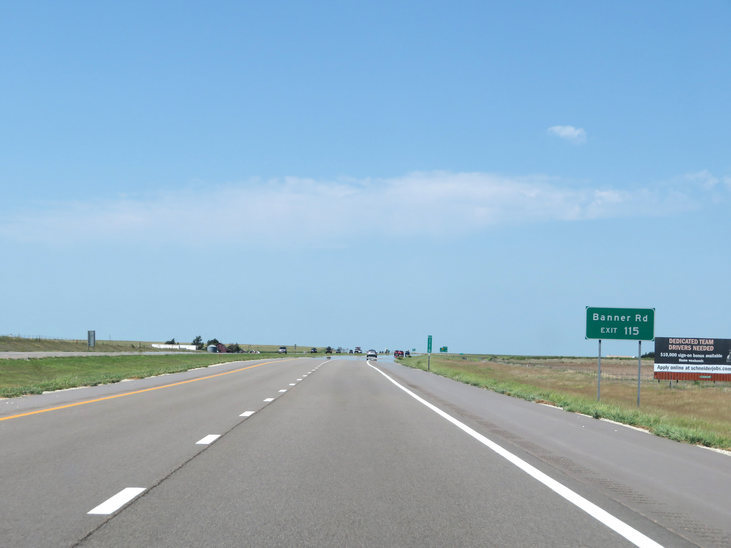 |
Take Exit 115 to Banner Rd. (Photo taken 8/12/20). |
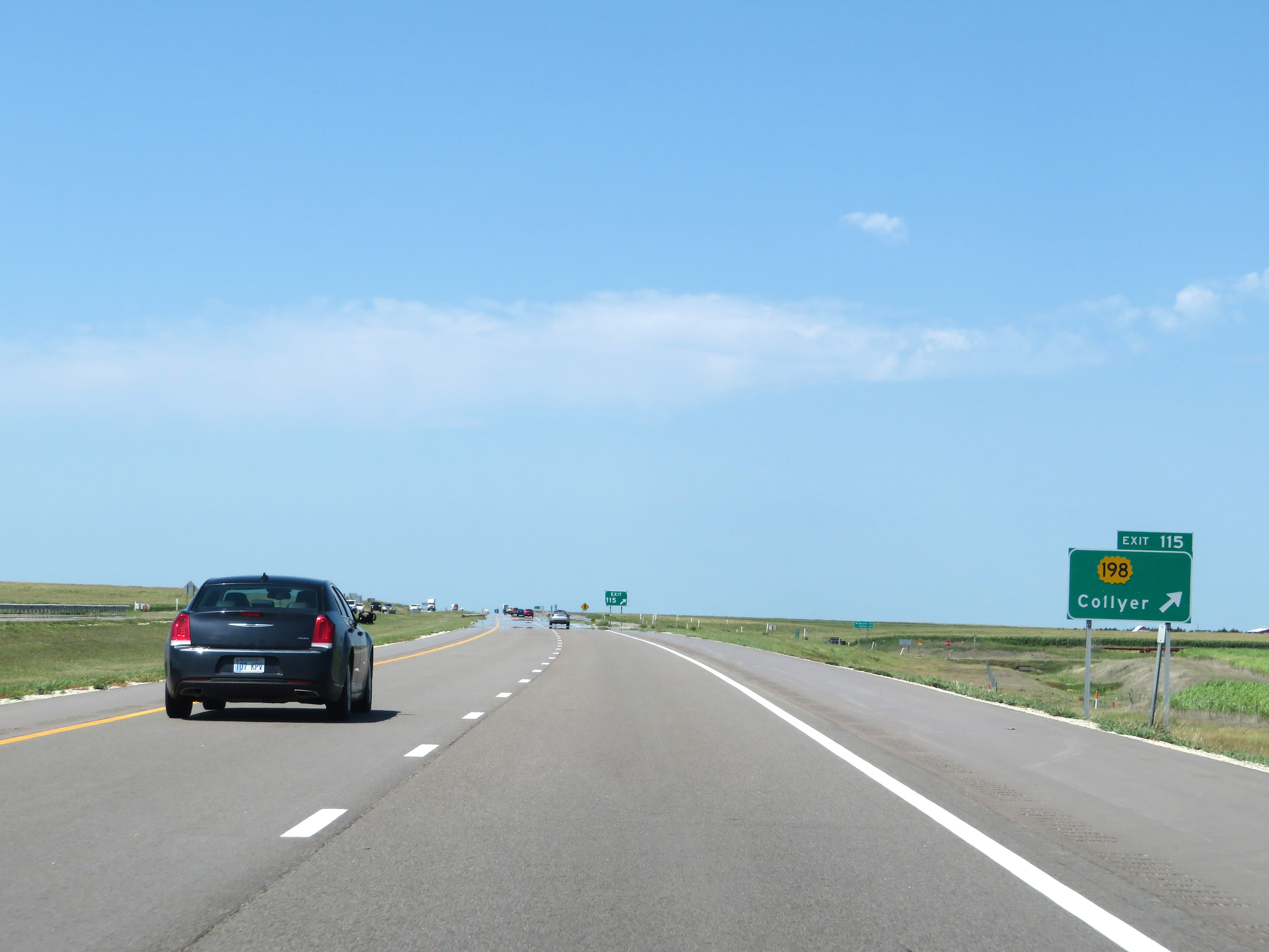 |
Interstate 70 West at Exit 115: K-198 - Collyer (Photo taken 8/12/20). |
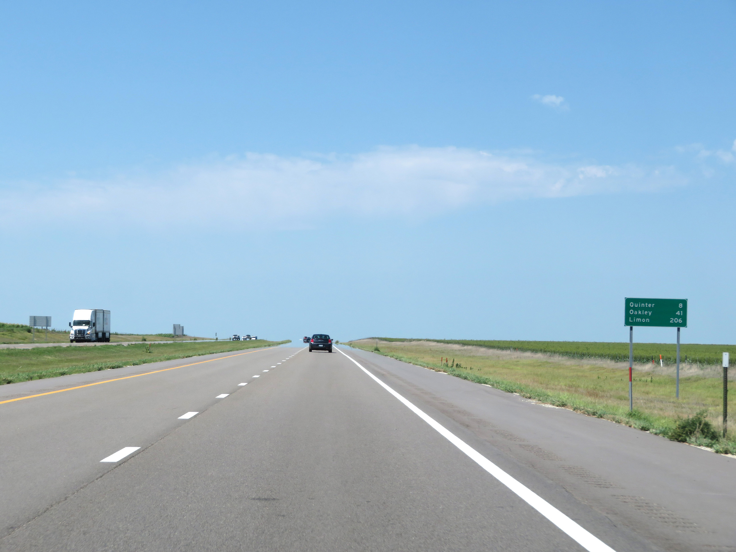 |
Another mileage sign on Interstate 70 West. It's 8 miles to Quinter, 41 miles to Oakley, and 206 miles to Limon. (Photo taken 8/12/20). |
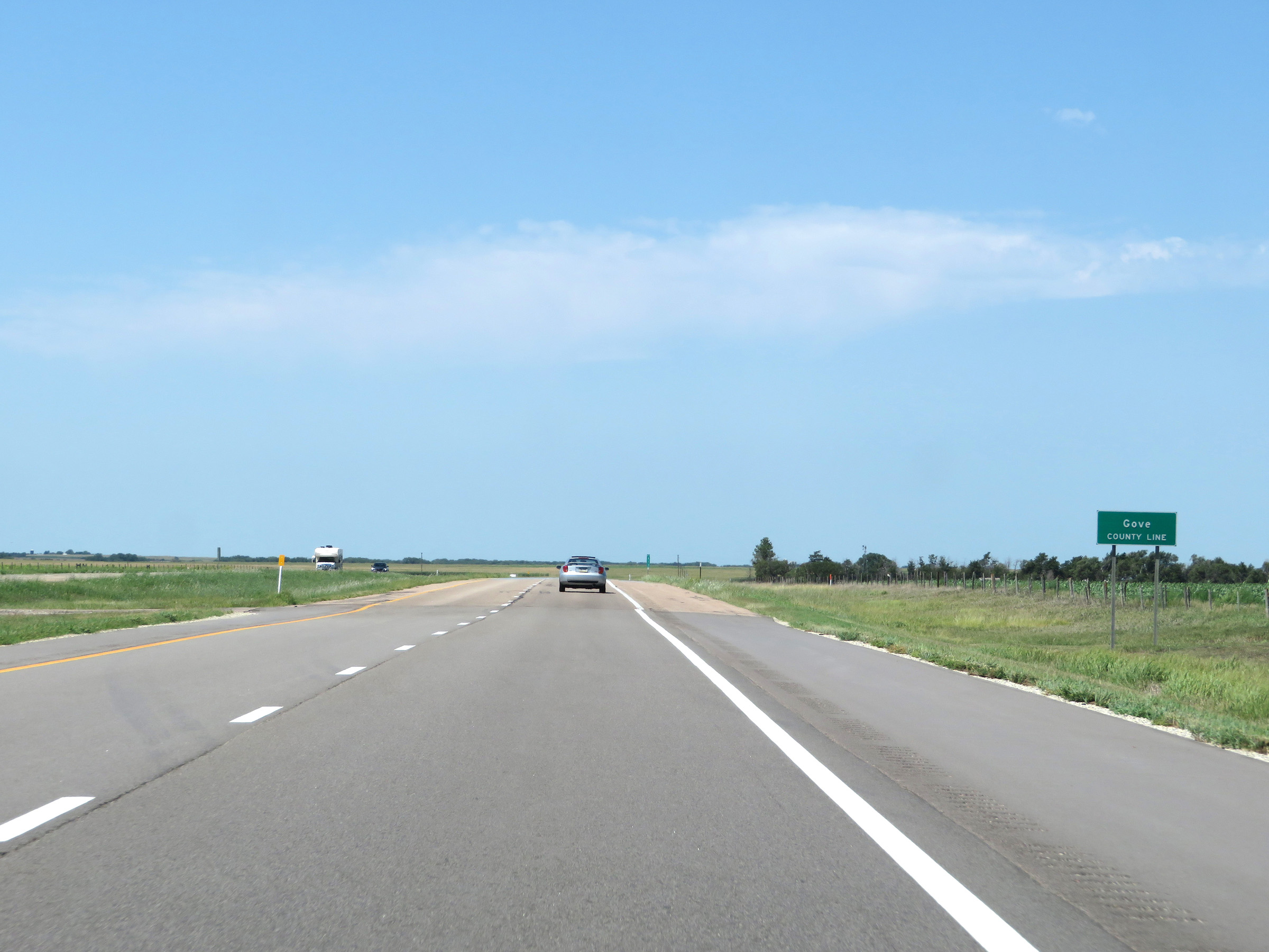 |
Interstate 70 West as it enters Gove County. (Photo taken 8/12/20). |
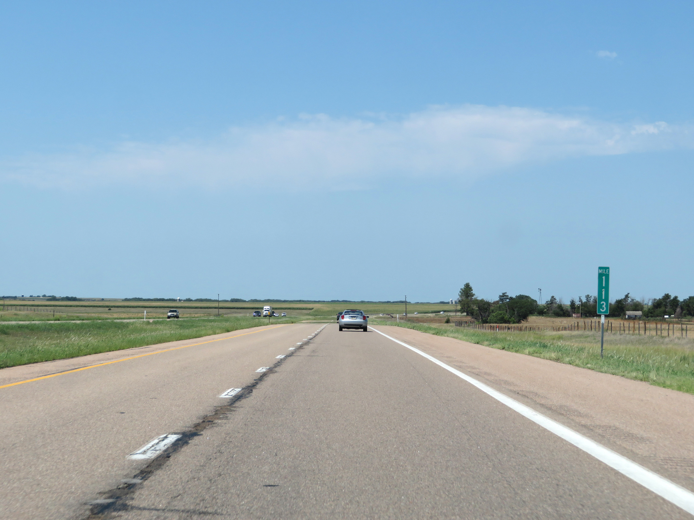 |
View on Interstate 70 West at mile marker 113. (Photo taken 8/12/20). |
 |
Interstate 70 West at mile marker 111. (Photo taken 8/12/20). |
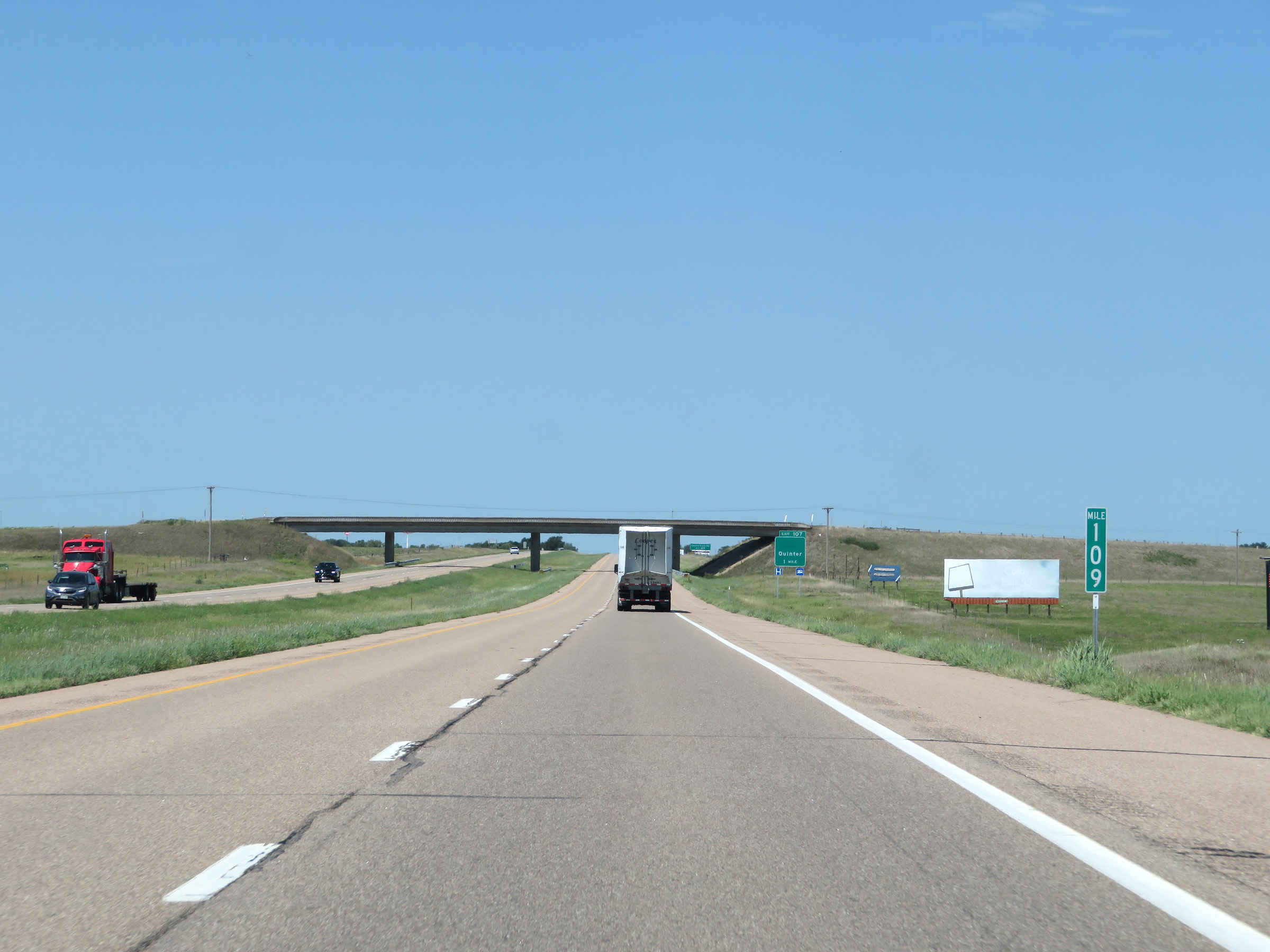 |
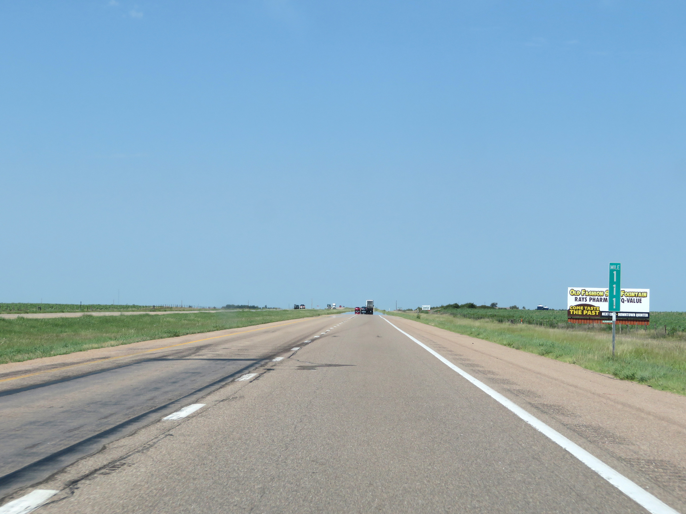
Mile marker 109 on Interstate 70 West in Gove County. (Photo taken 8/12/20). |
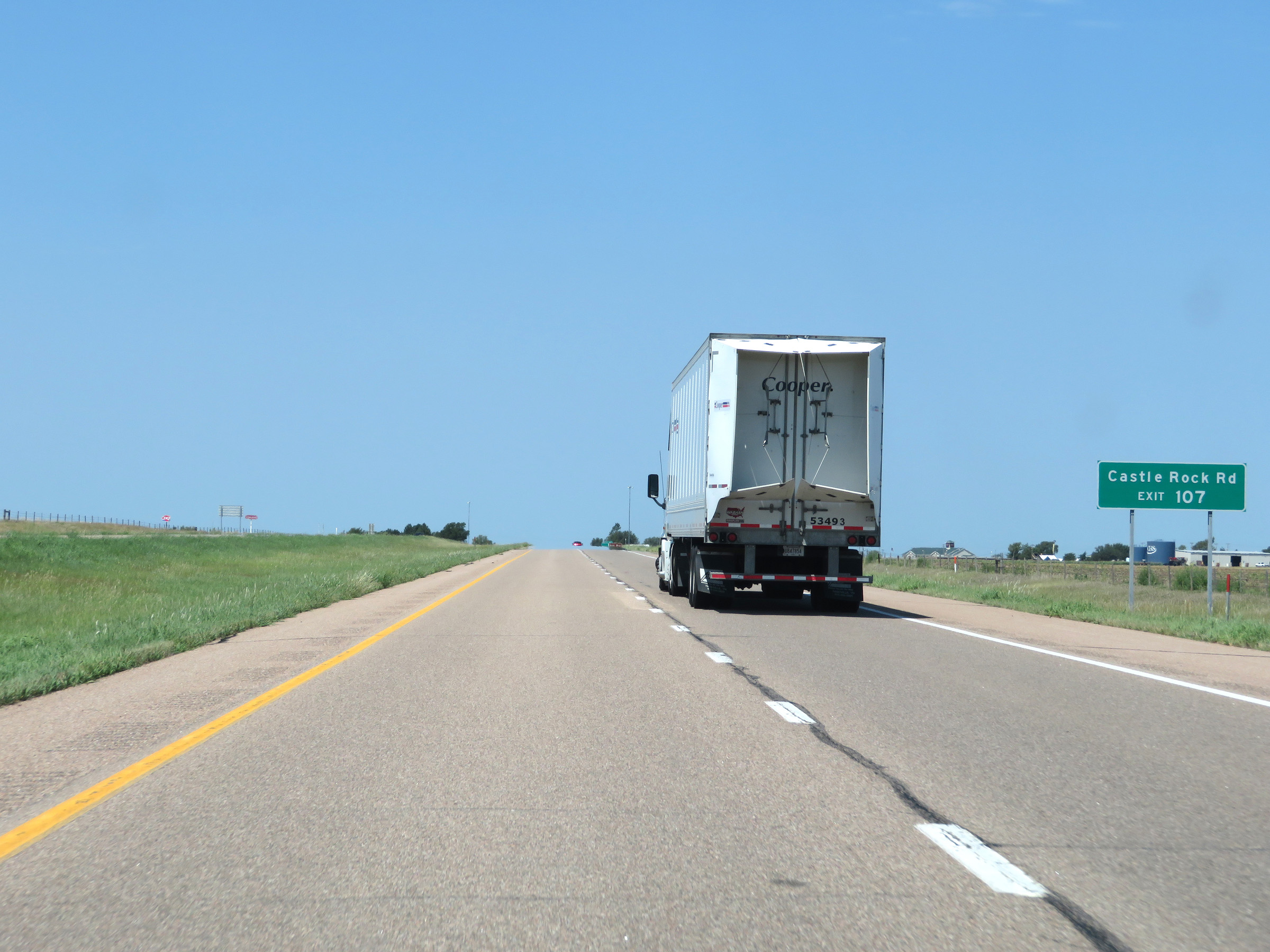 |
Take Exit 107 to Castle Rock Rd. (Photo taken 8/12/20). |
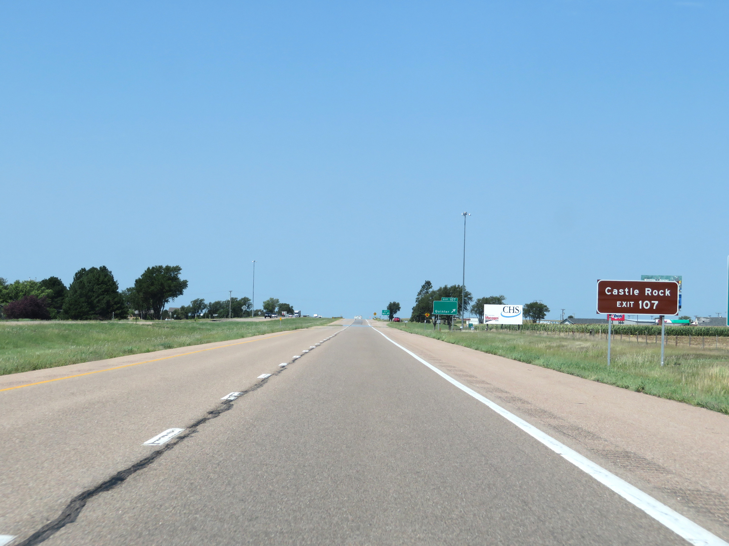 |
Also take Exit 107 to Castle Rock. (Photo taken 8/12/20). |
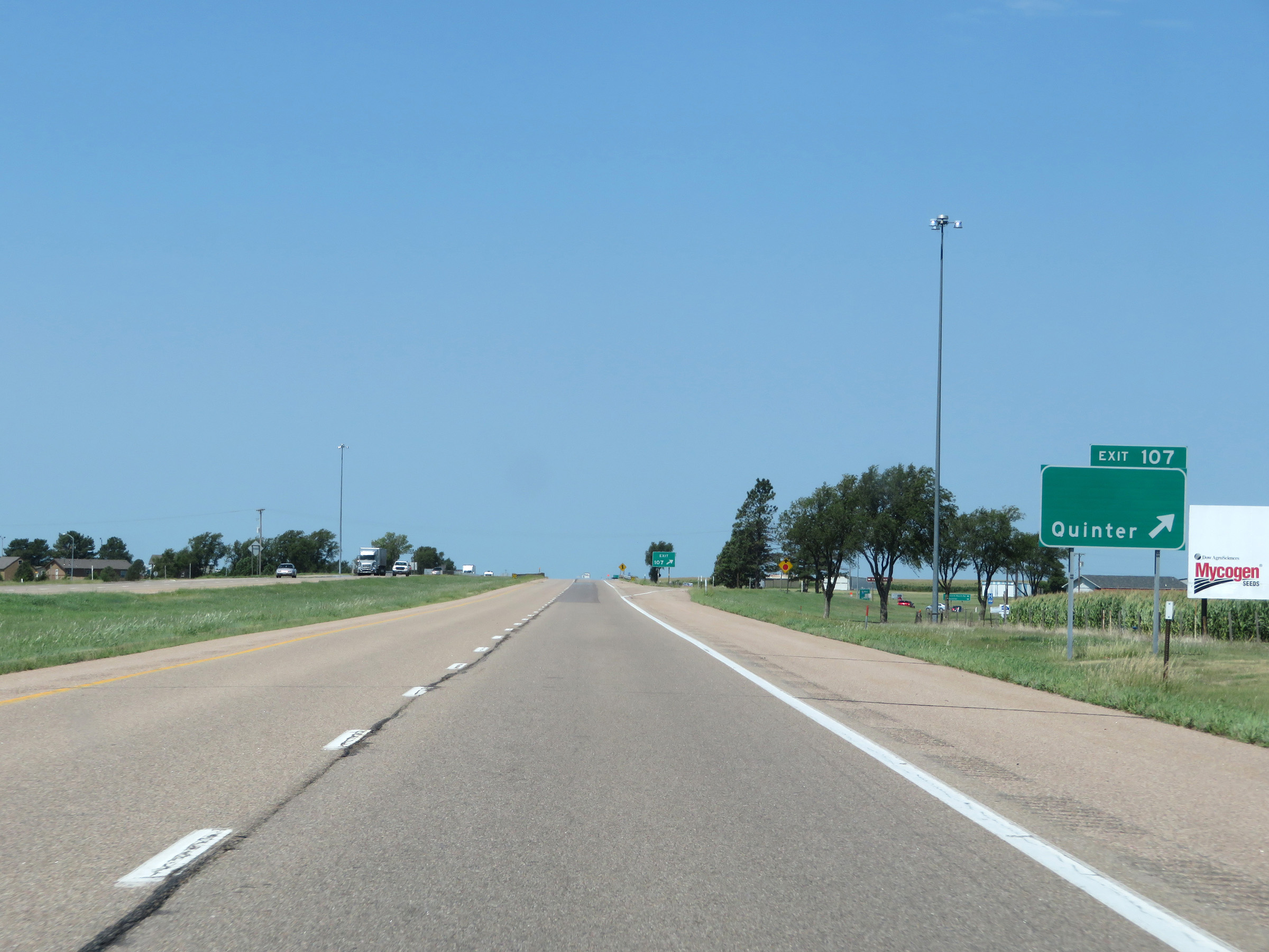 |
Interstate 70 West at Exit 107: Quinter (Photo taken 8/12/20). |
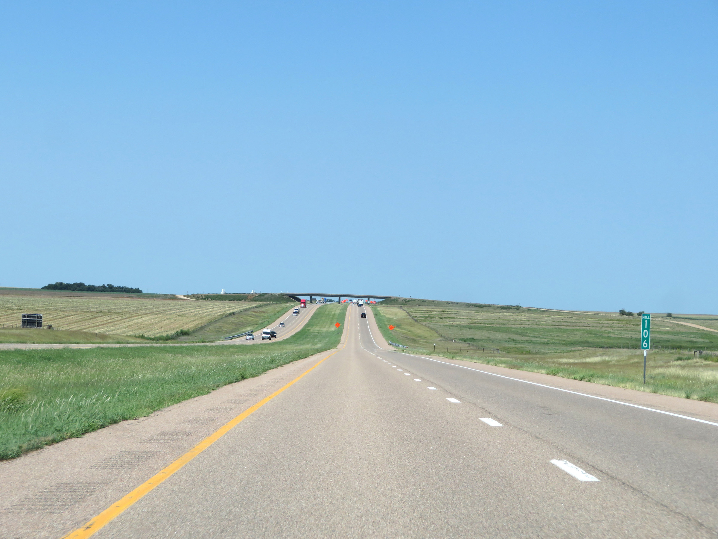 |
View on Interstate 70 West at mile marker 106. (Photo taken 8/12/20). |
 |
Interstate 70 West in Gove County. (Photo taken 8/12/20). |
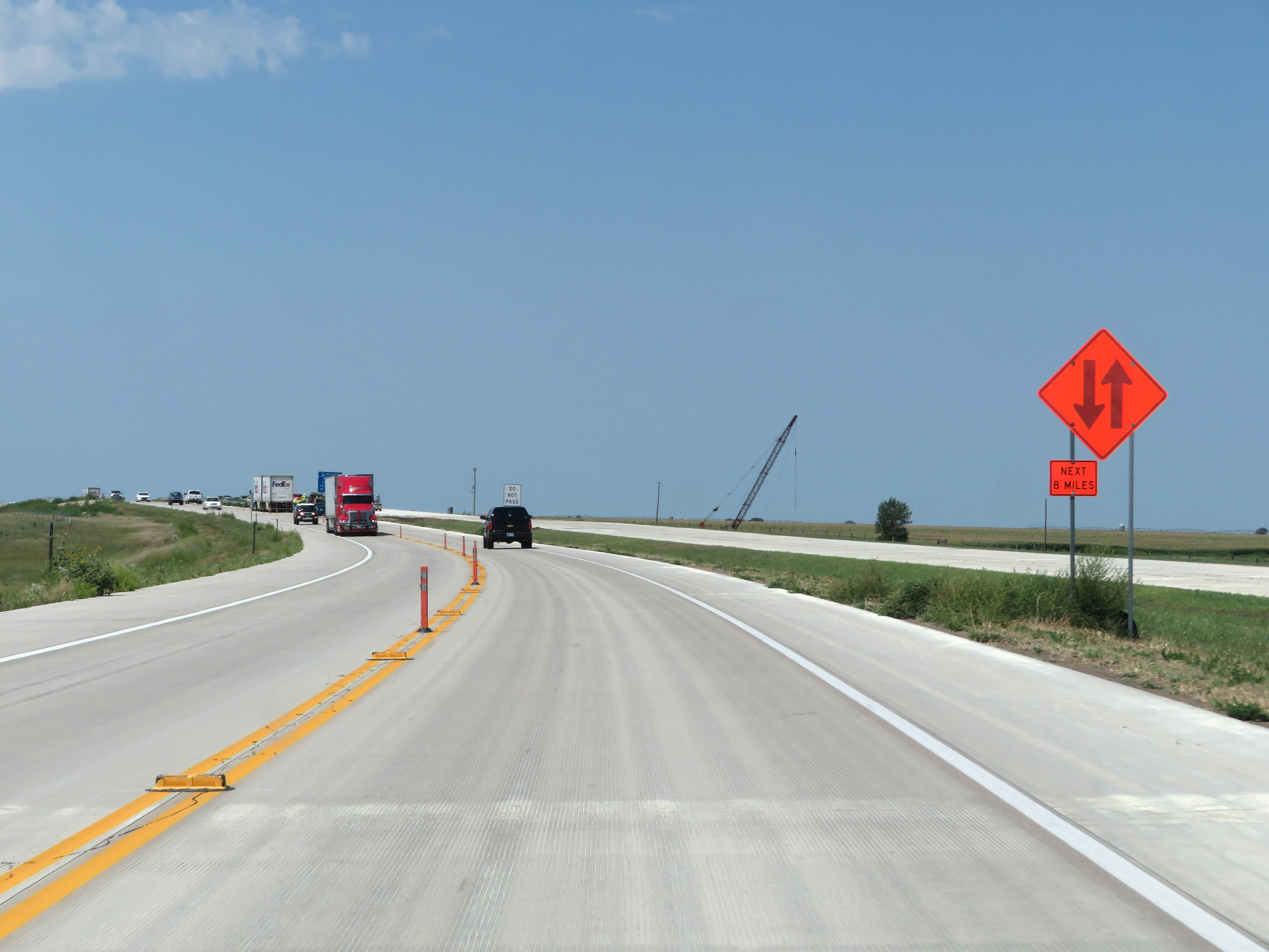 |
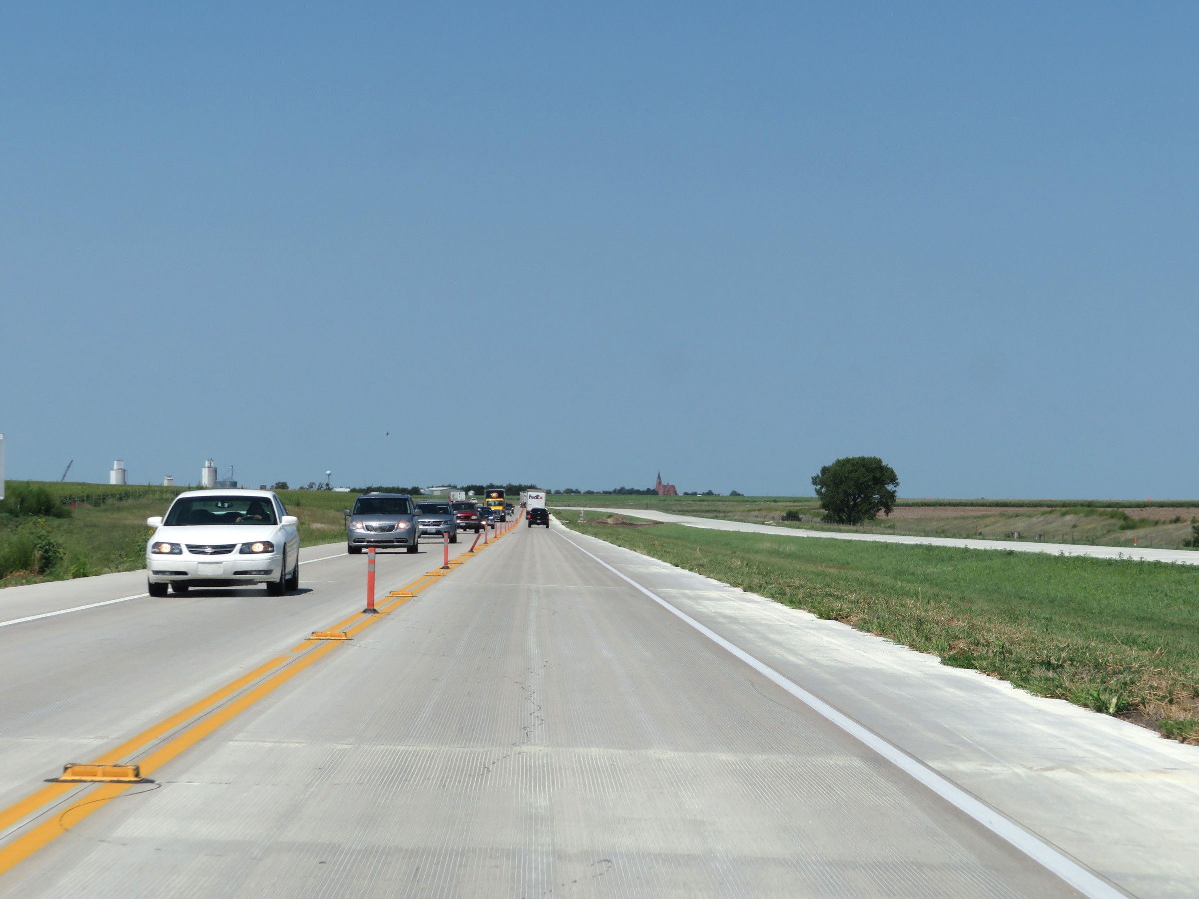
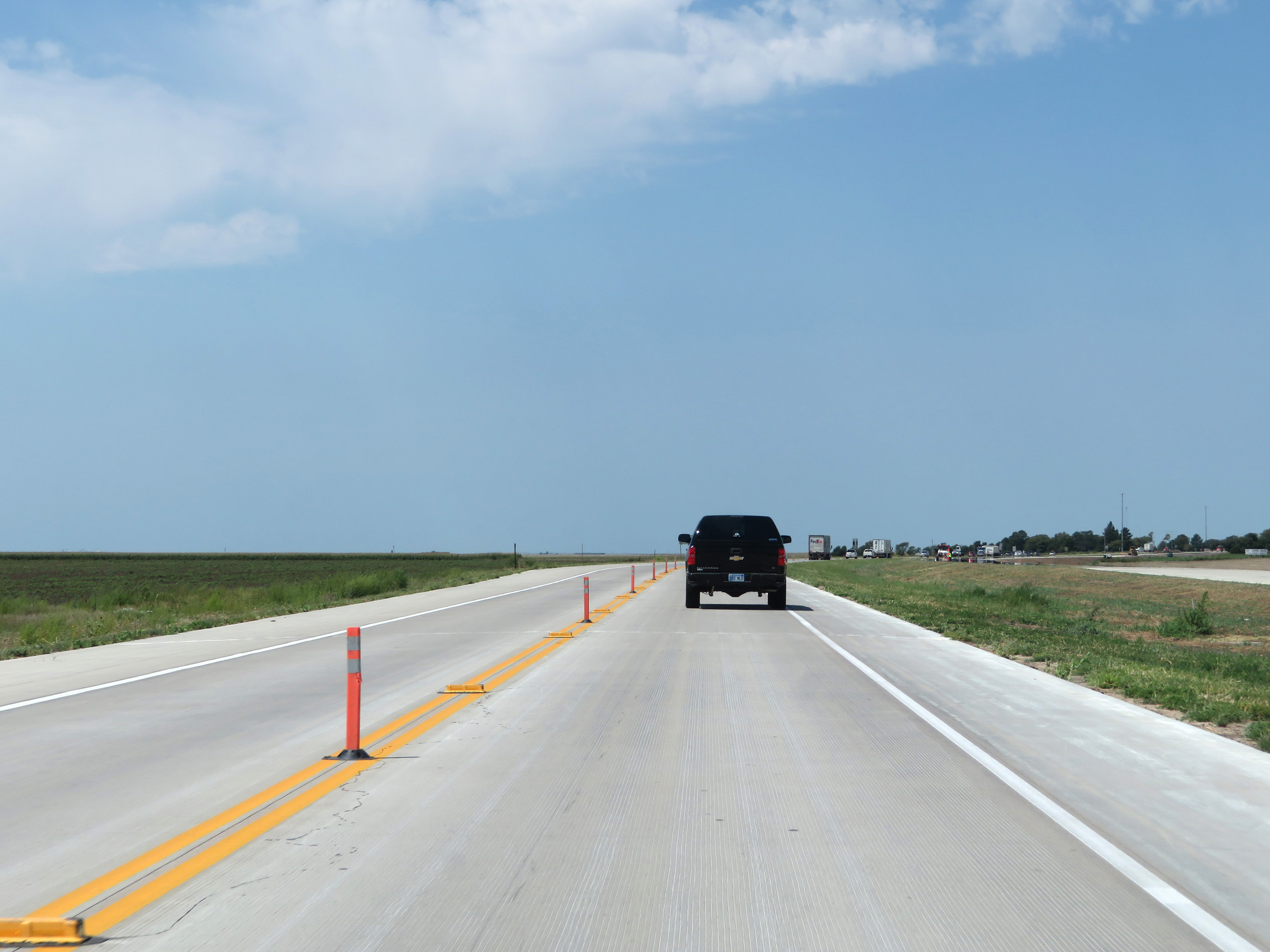
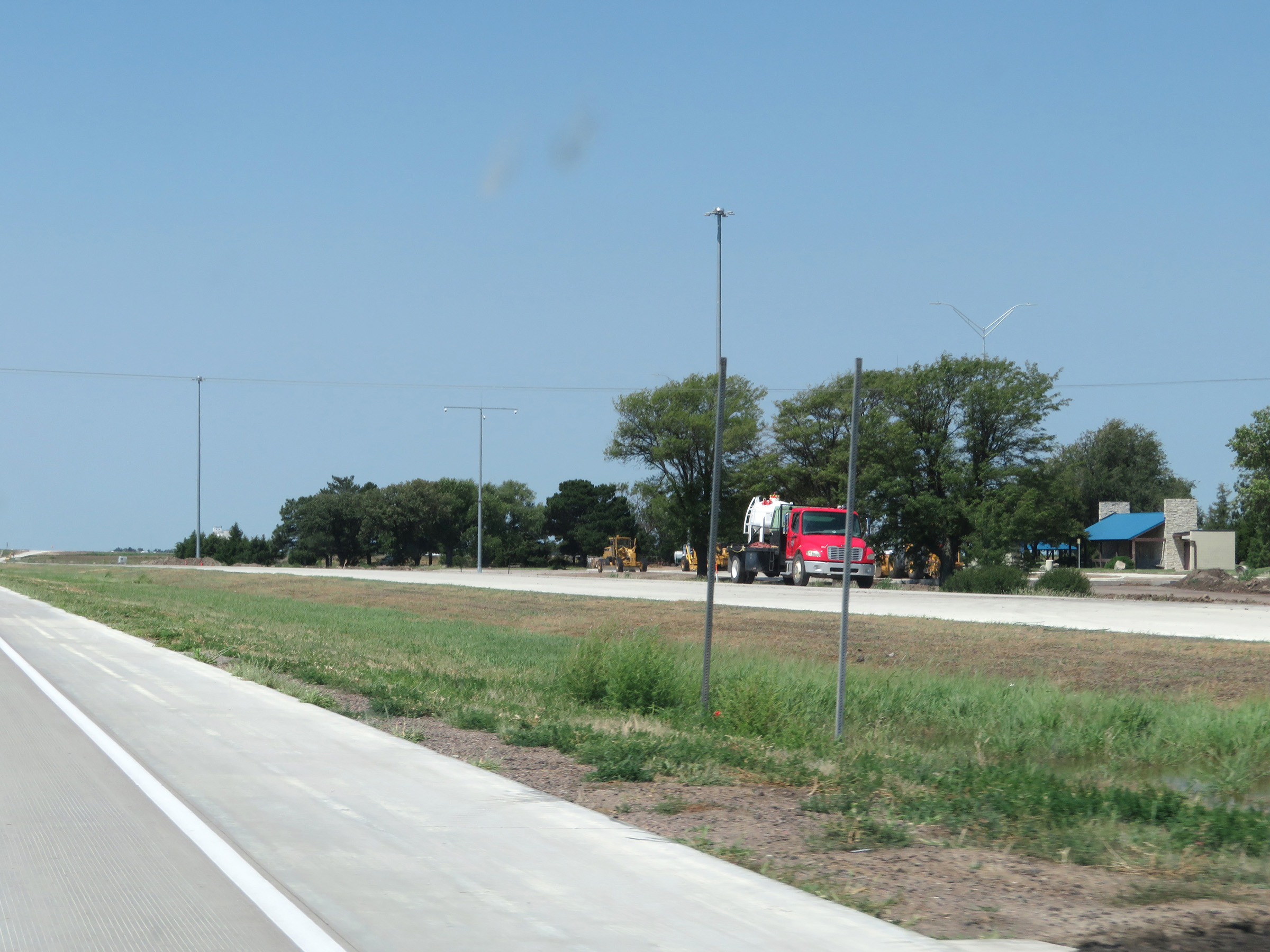
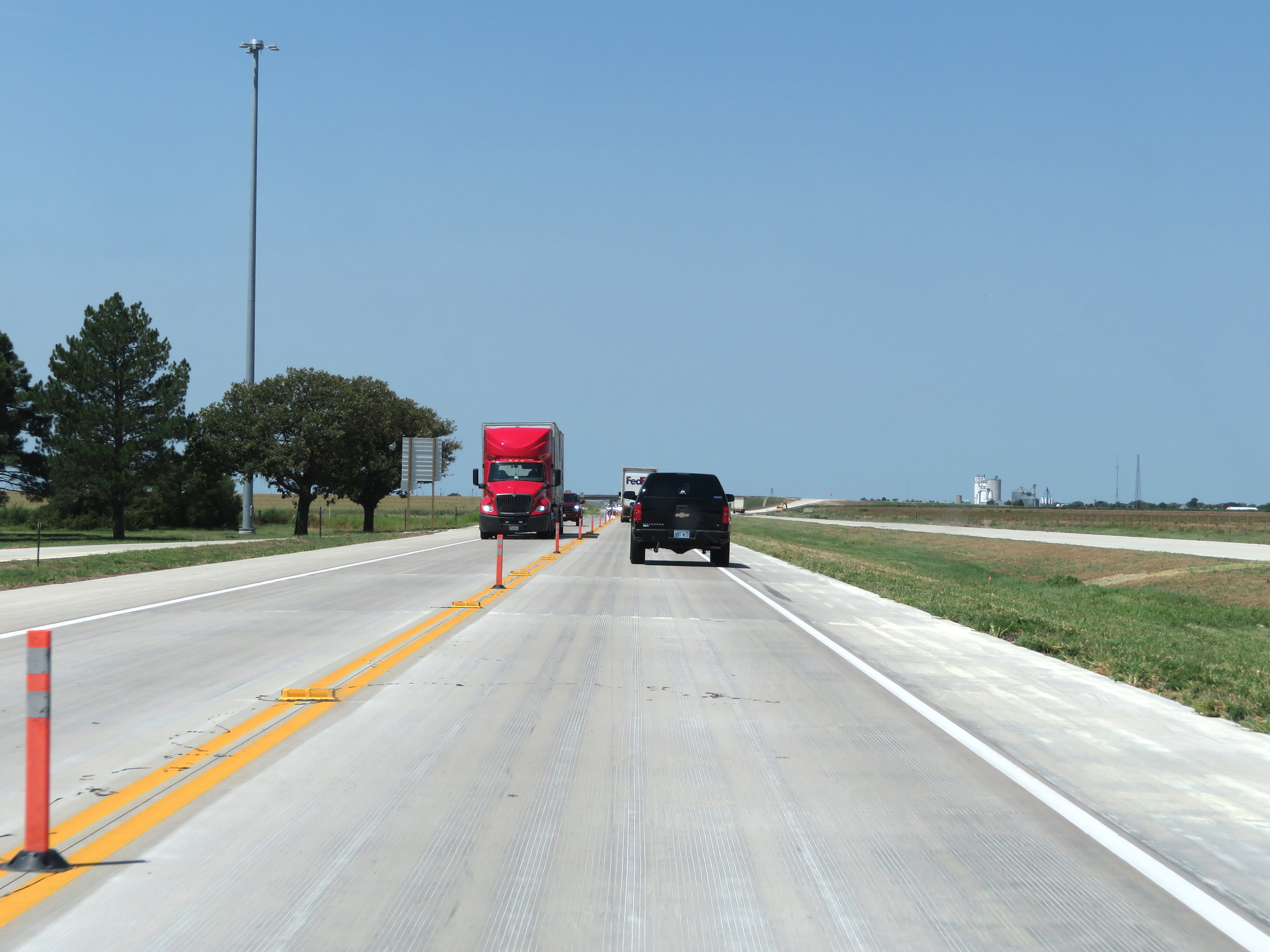
Another view on Interstate 70 West as it heads through a lengthy construction zone. (Photo taken 8/12/20). |
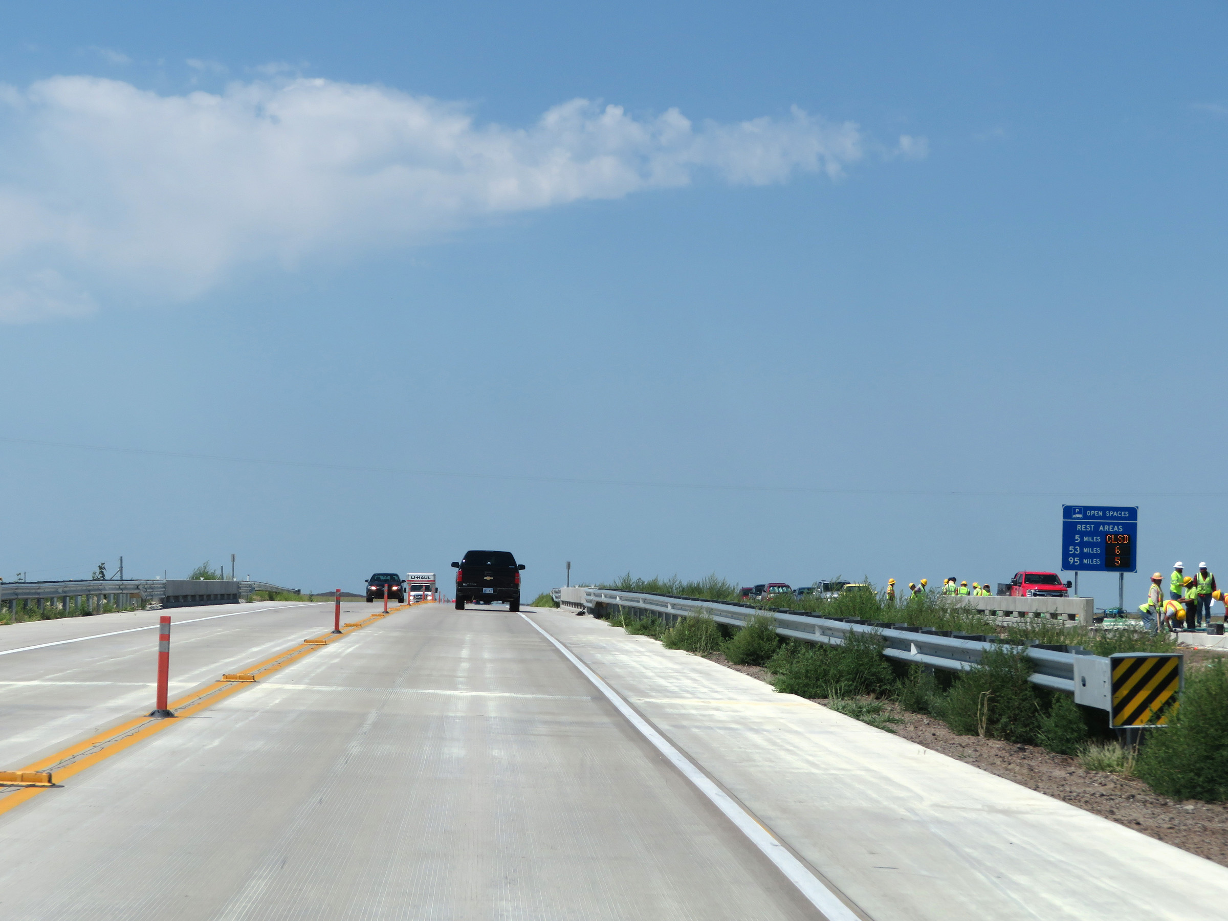 |
Rest Area mileage sign on Interstate 70 West in Gove County, showing the distances to the next 3 Rest Areas and dynamically displaying the number of currently available truck parking spaces at each of them. (Photo taken 8/12/20). |
 |
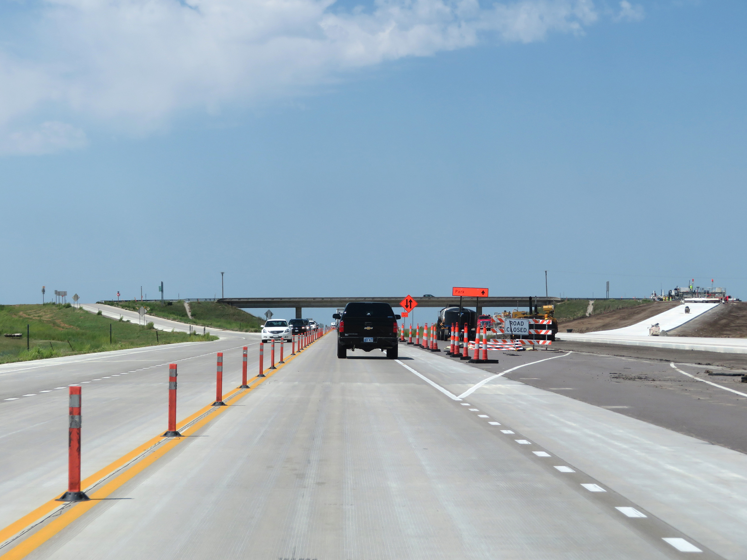
View on Interstate 70 West in Gove County. (Photo taken 8/12/20). |
 |
Interstate 70 West at Exit 99: K-211 - Park (Photo taken 8/12/20). |
 |
Interstate 70 West in Gove County, near mile marker 98. (Photo taken 8/12/20). |
 |
Rest Area (closed at the time) on Interstate 70 West in Gove County. (Photo taken 8/12/20). |
 |
View on Interstate 70 West near mile marker 96. (Photo taken 8/12/20). |
 |
Interstate 70 West at Exit 95: K-23 North - Grainfield / Hoxie (Photo taken 8/12/20). |
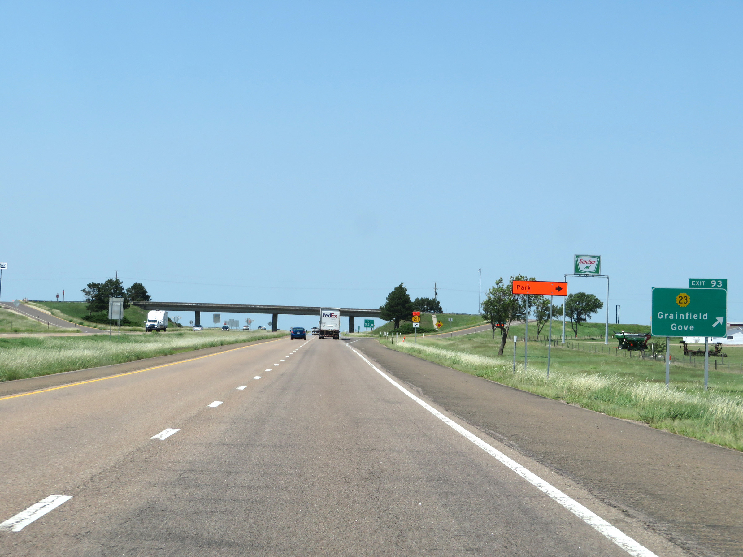 |
Interstate 70 West at Exit 93: K-23 - Grainfield / Gove (Photo taken 8/12/20). |
 |
View on Interstate 70 West at mile marker 91. (Photo taken 8/12/20). |
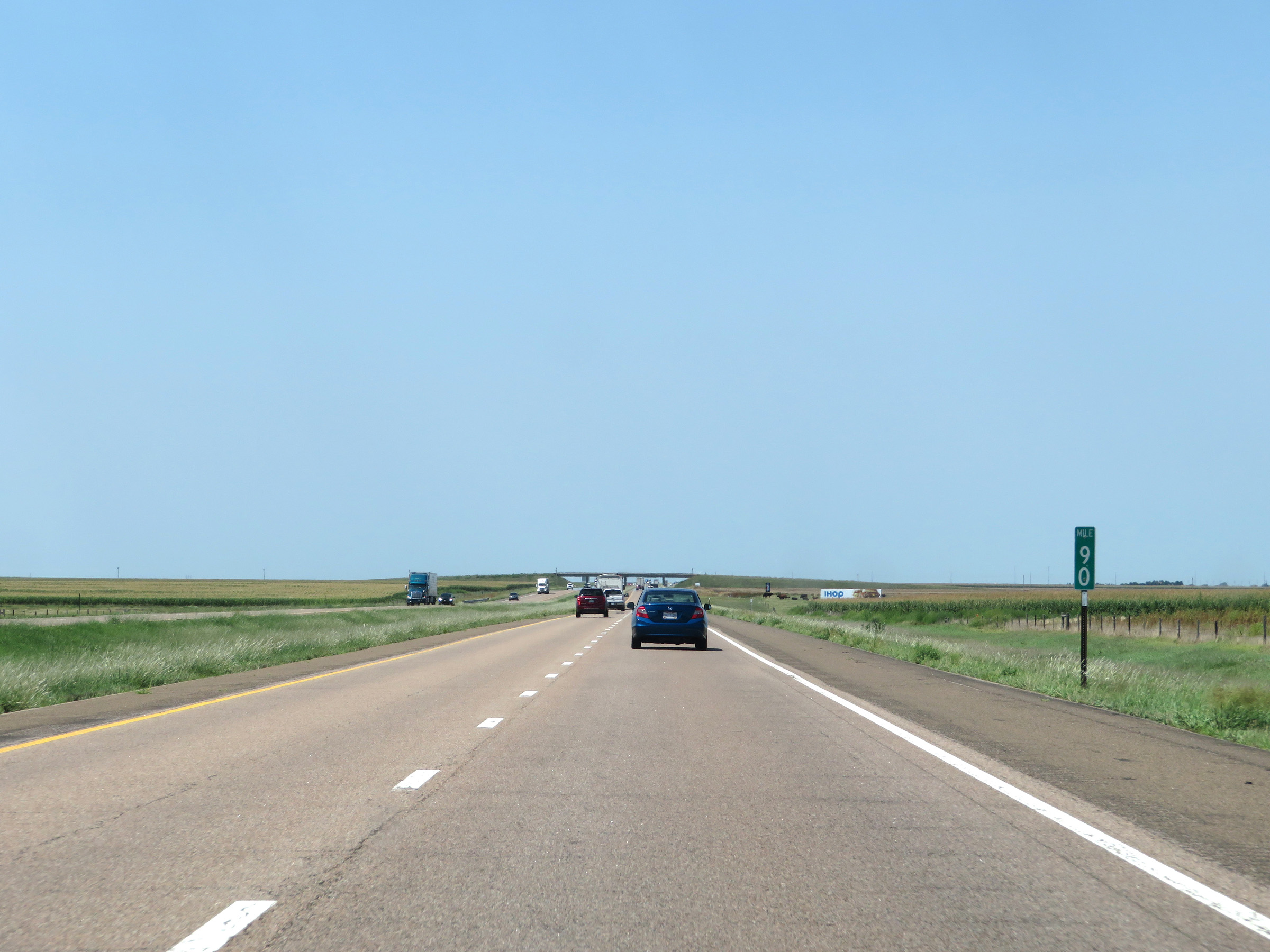 |
Interstate 70 West at mile marker 90. (Photo taken 8/12/20). |
 |
View on Interstate 70 West at mile marker 88. (Photo taken 8/12/20). |
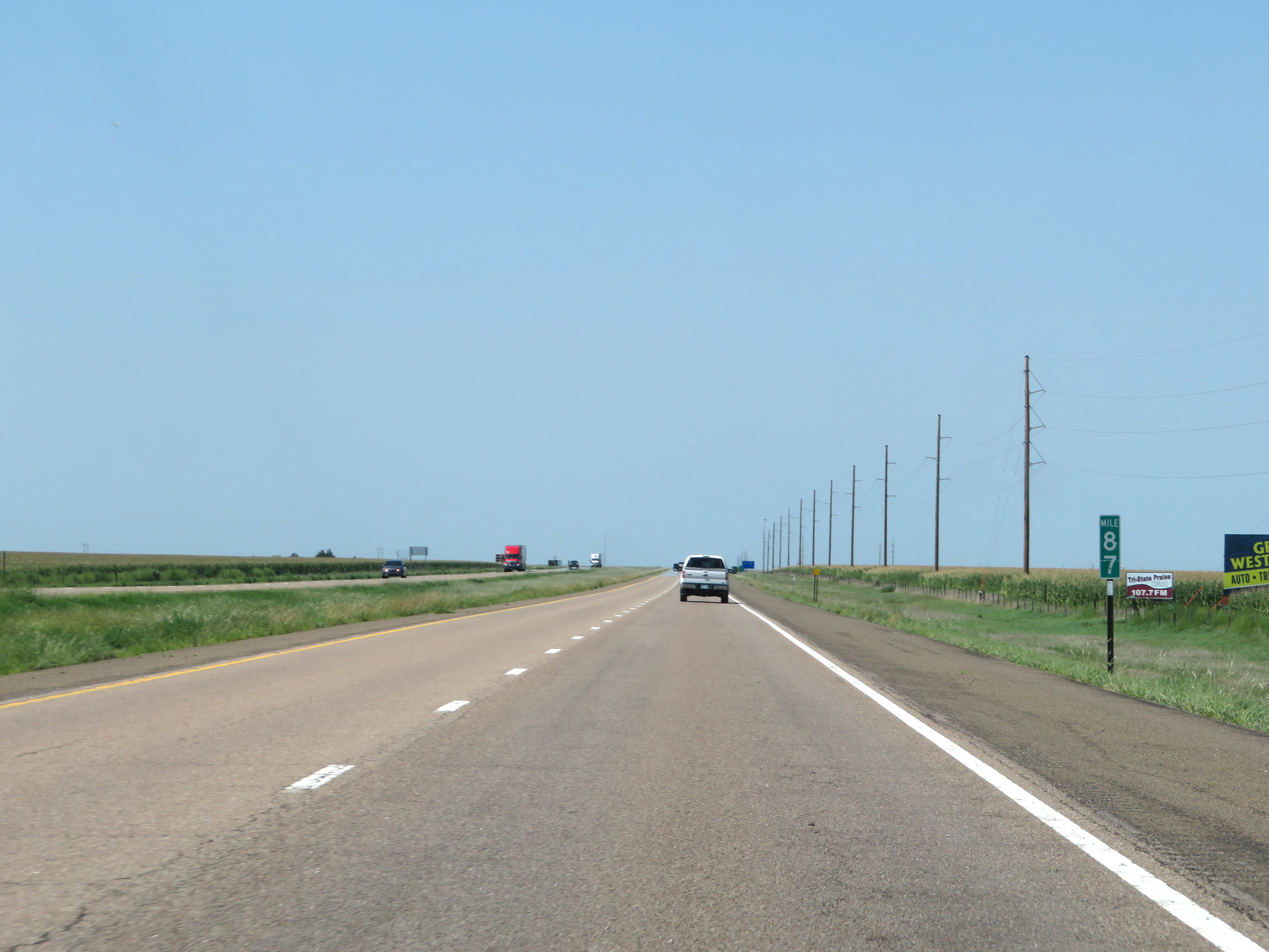 |
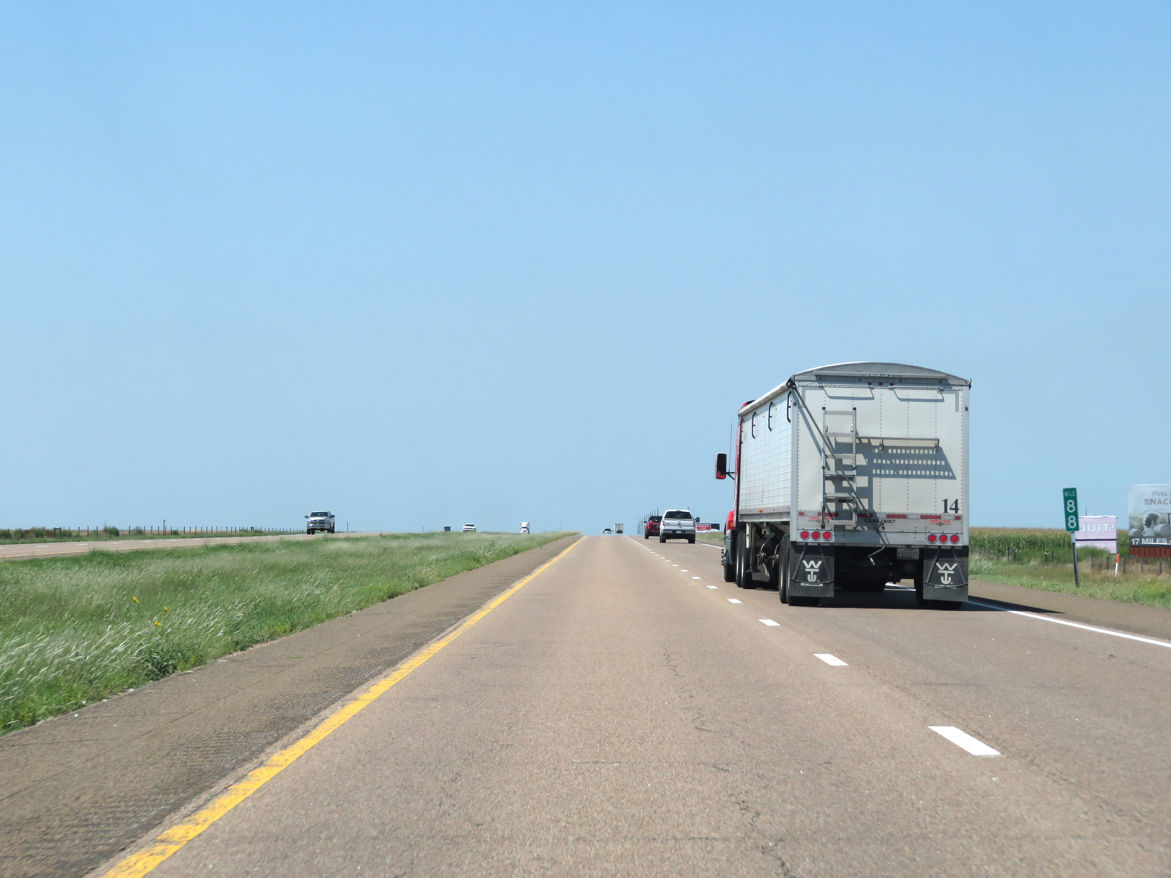
Mile marker 87 on Interstate 70 West in Gove County. (Photo taken 8/12/20). |
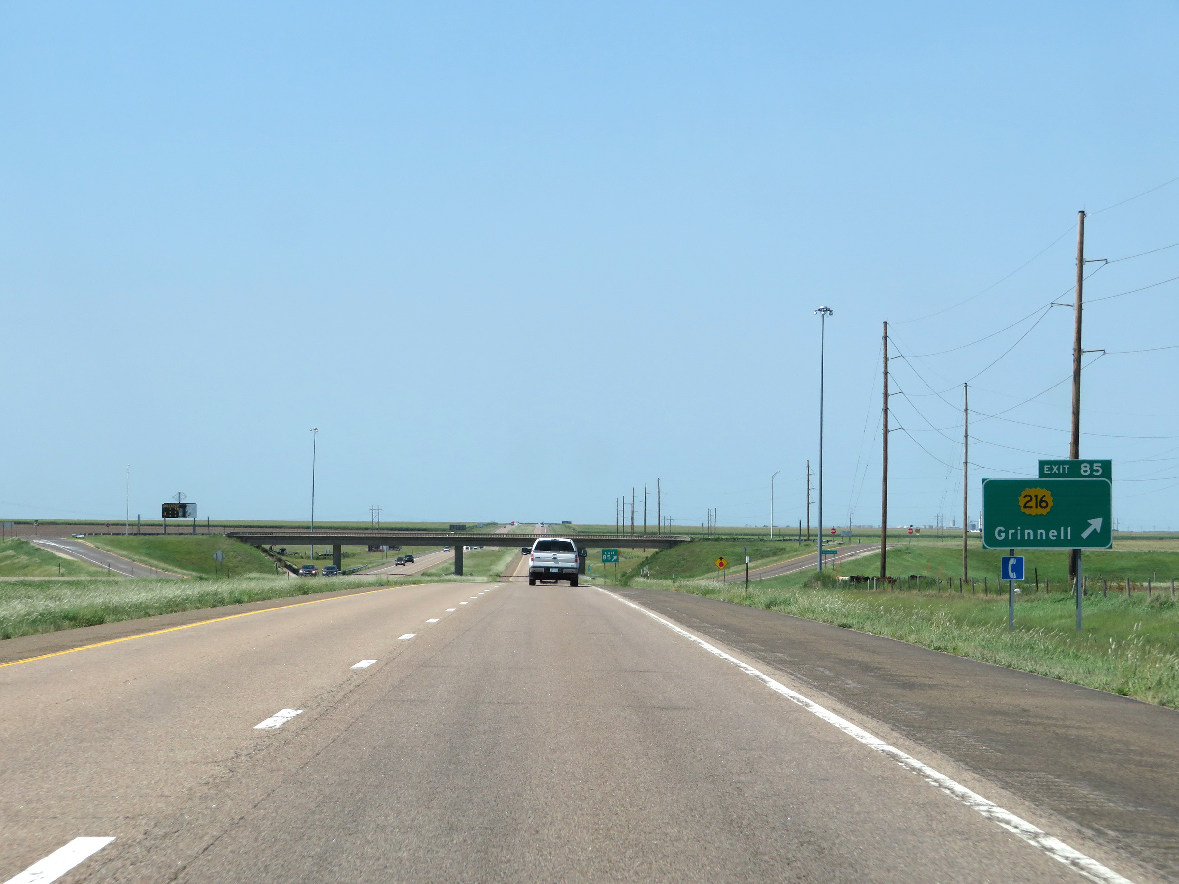 |
Interstate 70 West at Exit 85: K-216 - Grinnell (Photo taken 8/12/20). |
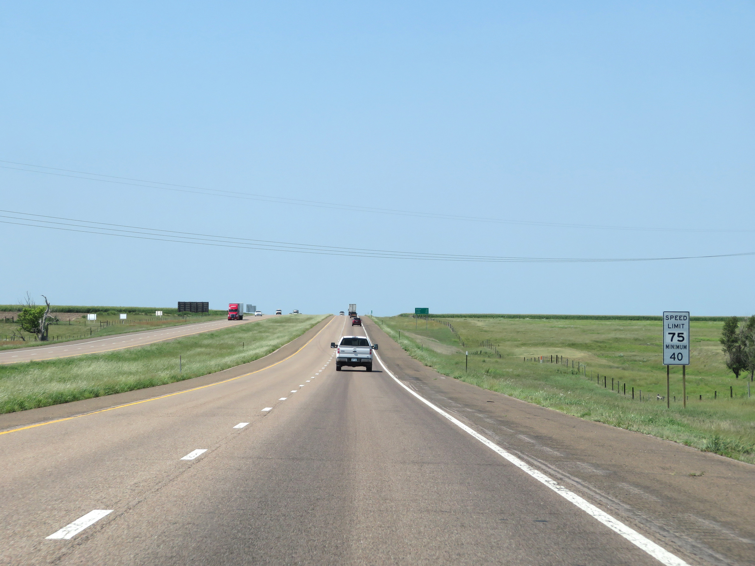 |
The speed limits remain 75 mph maximum and 40 mph minimum. (Photo taken 8/12/20). |
 |
Mileage sign on Interstate 70 West. It's 12 miles to Oakley, 34 miles to Colby, and 176 miles to Limon. (Photo taken 8/12/20). |
 |
View on Interstate 70 West at mile marker 84. (Photo taken 8/12/20). |
 |
Interstate 70 West at mile marker 81. (Photo taken 8/12/20). |
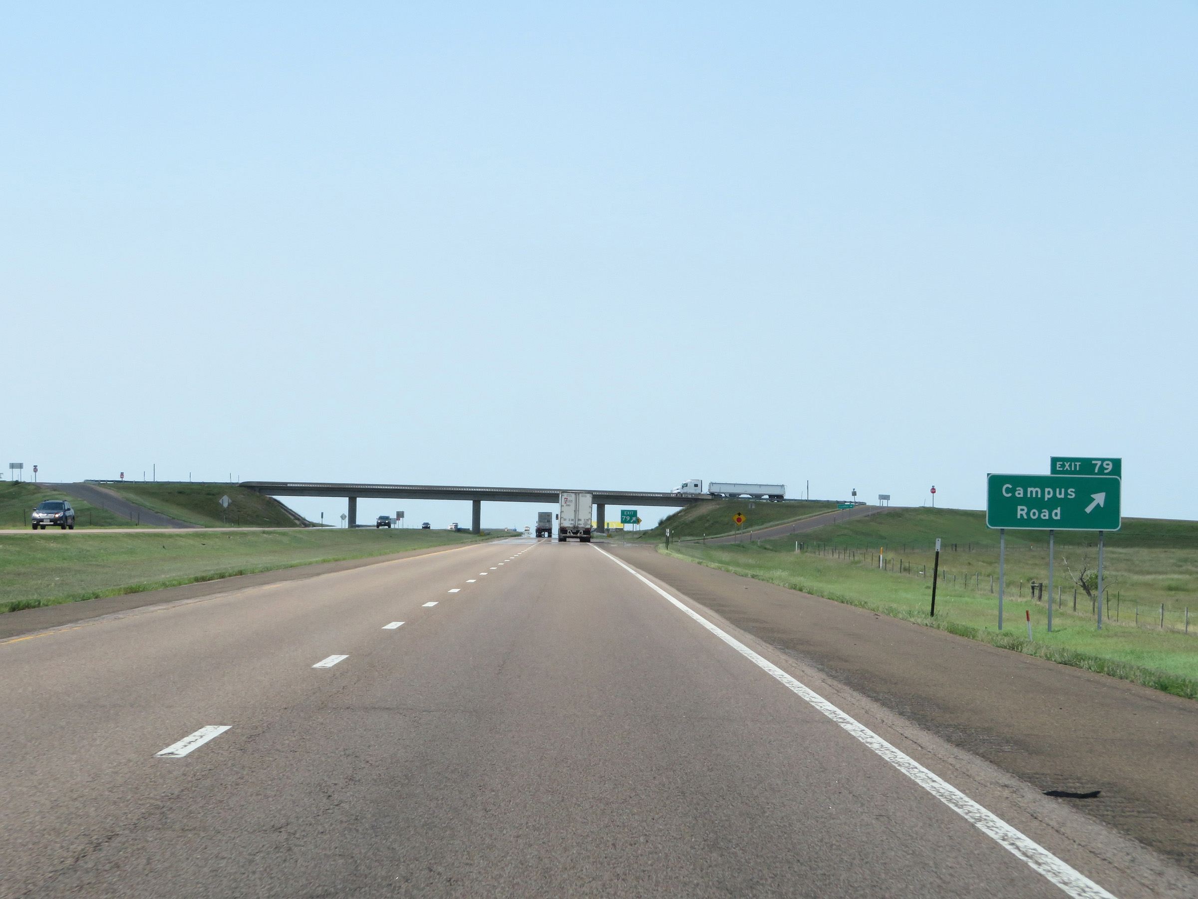 |
Interstate 70 West at Exit 79: Campus Road (Photo taken 8/12/20). |
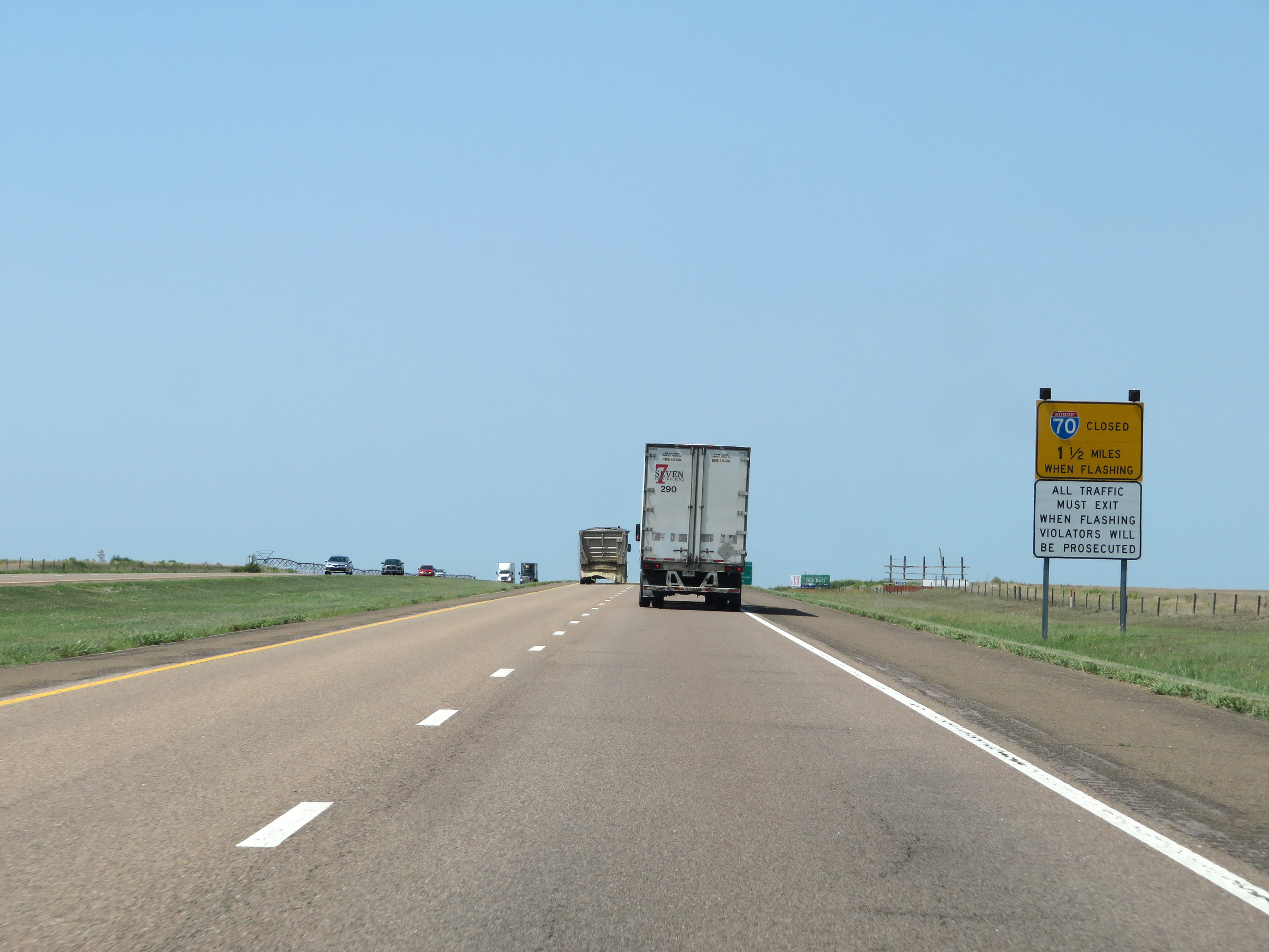 |
Again, flashing lights on this sign mean that Interstate 70 West is closed ahead beyond Exit 76 and all traffic must exit. (Photo taken 8/12/20). |
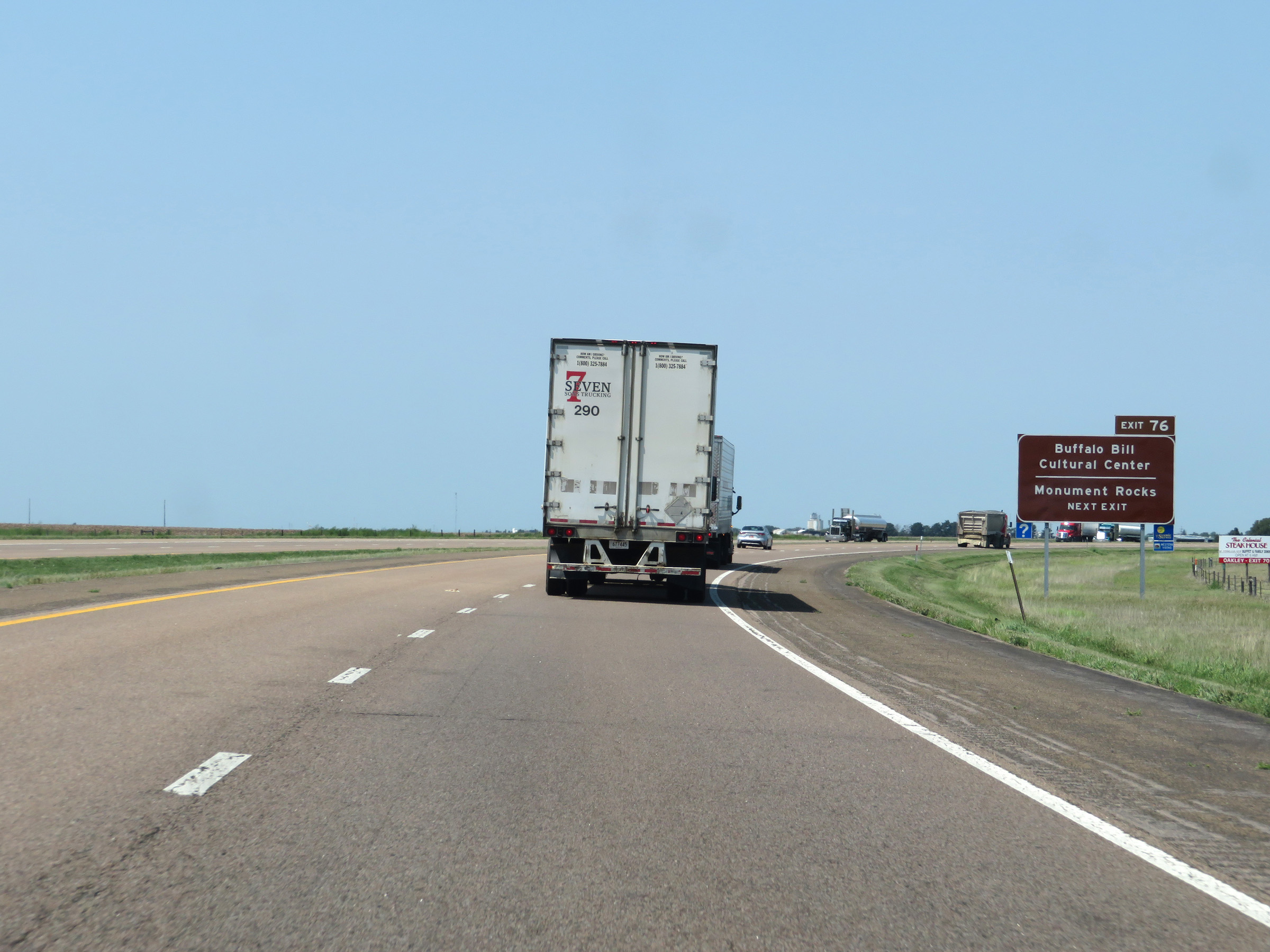 |
Take Exit 76 to the Buffalo Bill Cultural Center and Monument Rocks. (Photo taken 8/12/20). |
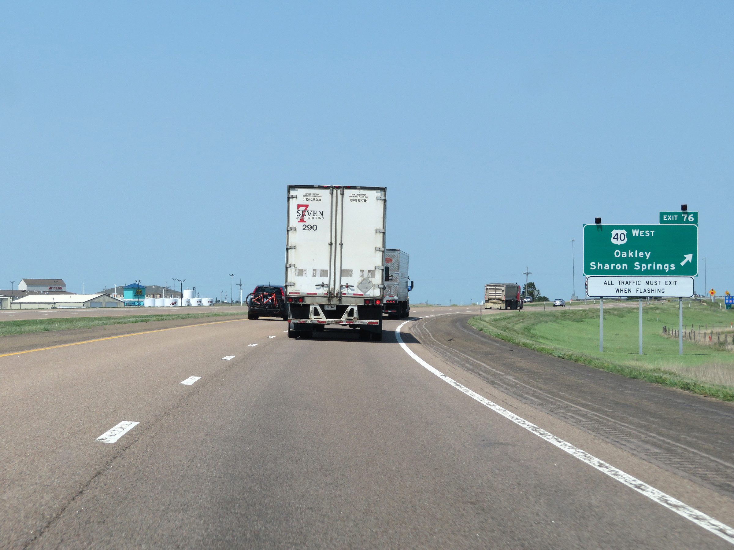 |
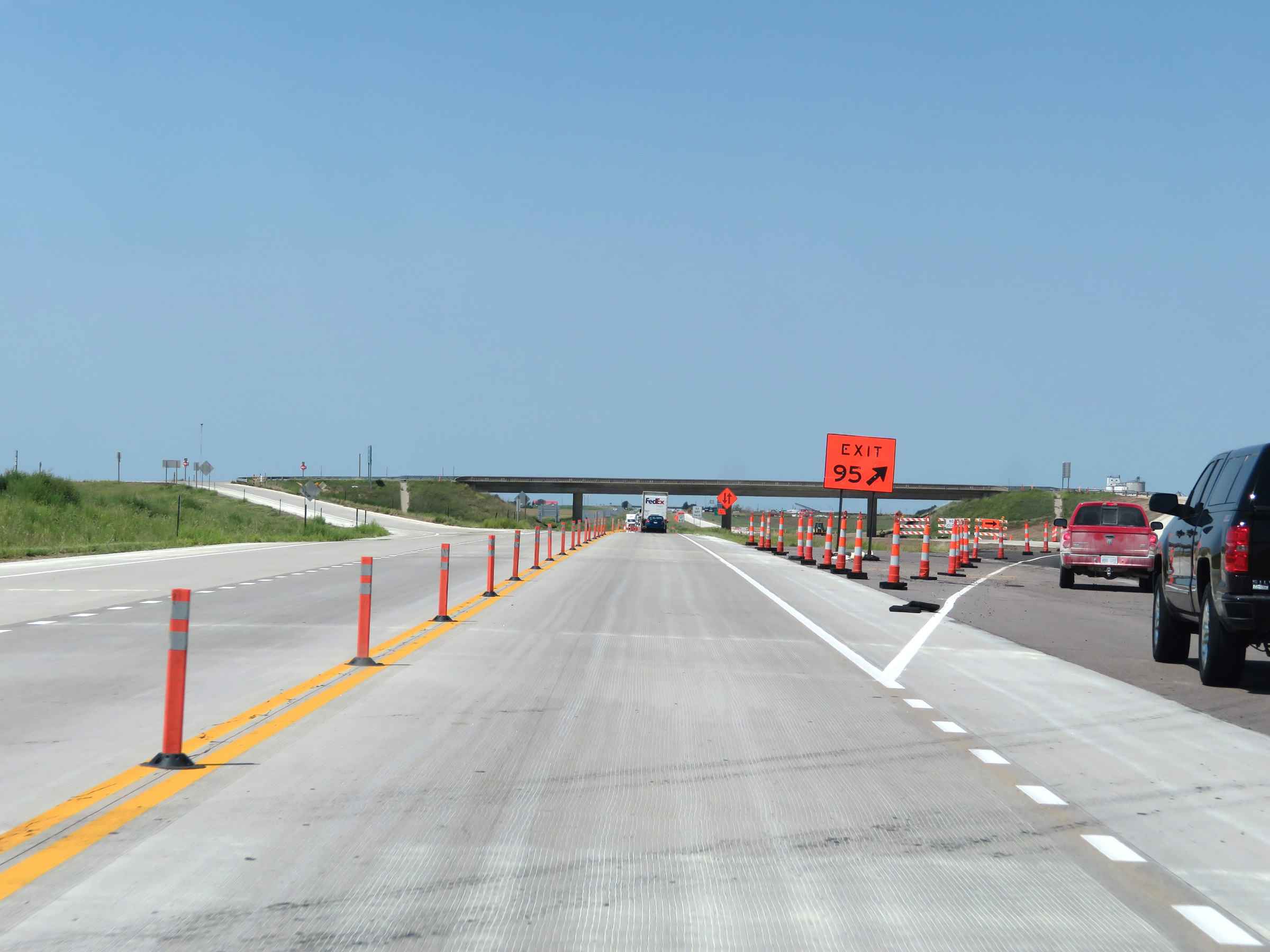
Interstate 70 West at Exit 76: US 40 West - Oakley / Sharon Springs (Photo taken 8/12/20). |
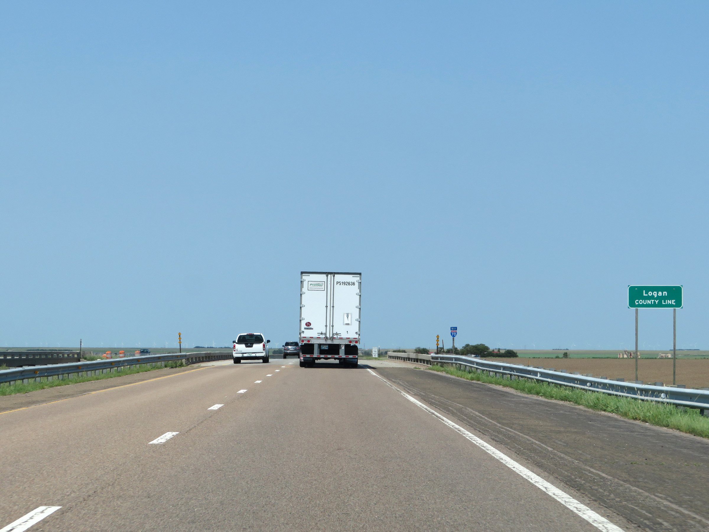 |
Interstate 70 West as it briefly dips into Logan County. (Photo taken 8/12/20). |
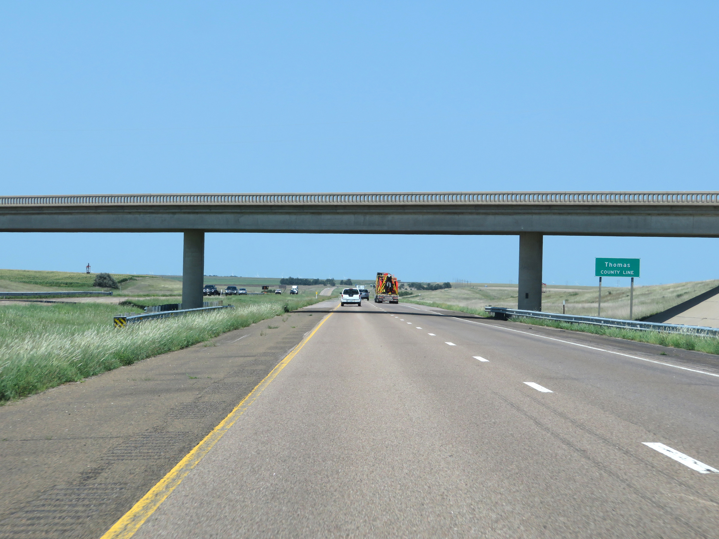 |
Shorty after, Interstate 70 West enter Thomas County. (Photo taken 8/12/20). |
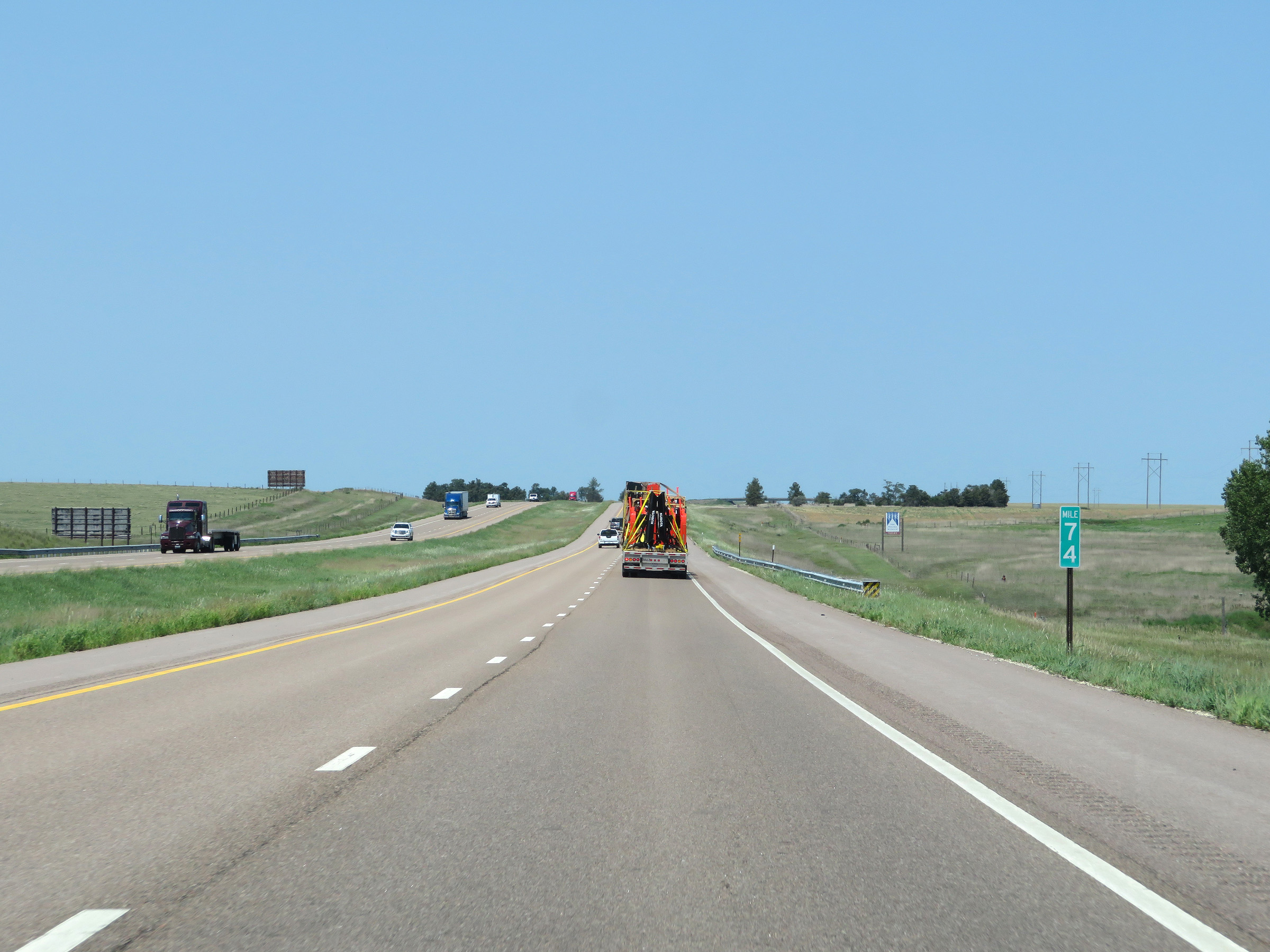 |
View on Interstate 70 West at mile marker 74. (Photo taken 8/12/20). |
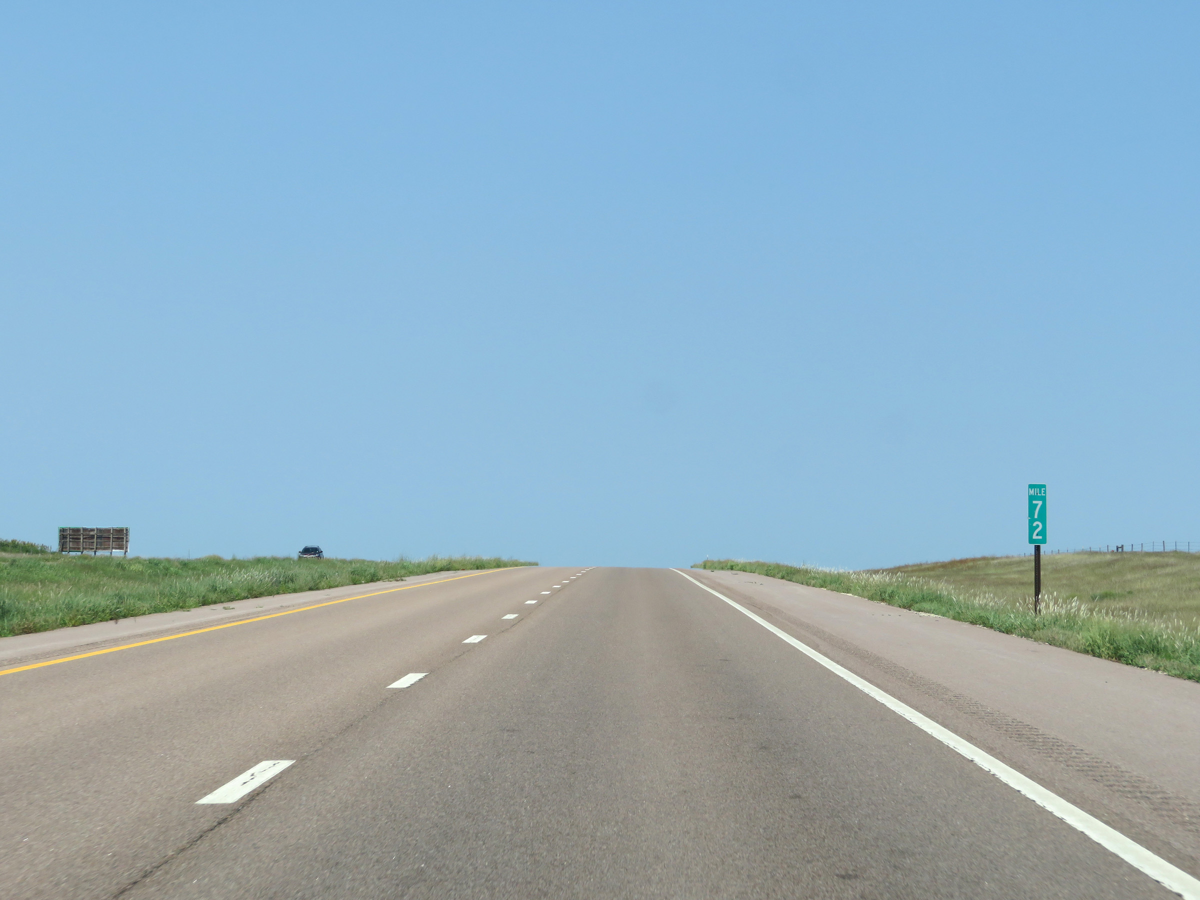 |
Interstate 70 West at mile marker 72. (Photo taken 8/12/20). |
 |
Interstate 70 West approaching Exit 70 - 1 1/4 miles. (Photo taken 8/12/20). |
 |
Take Exit 70 to Rexford. (Photo taken 8/12/20). |
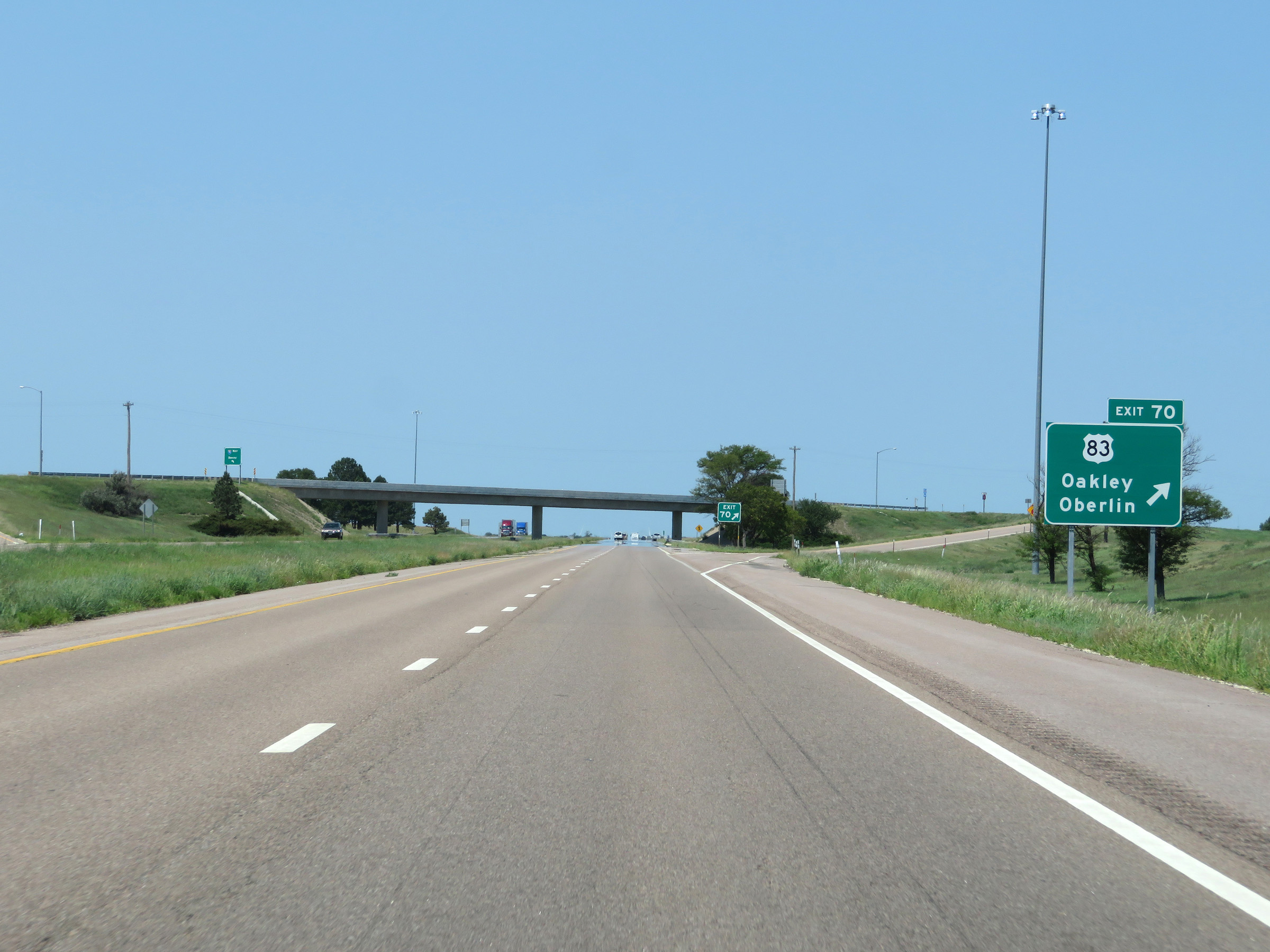 |
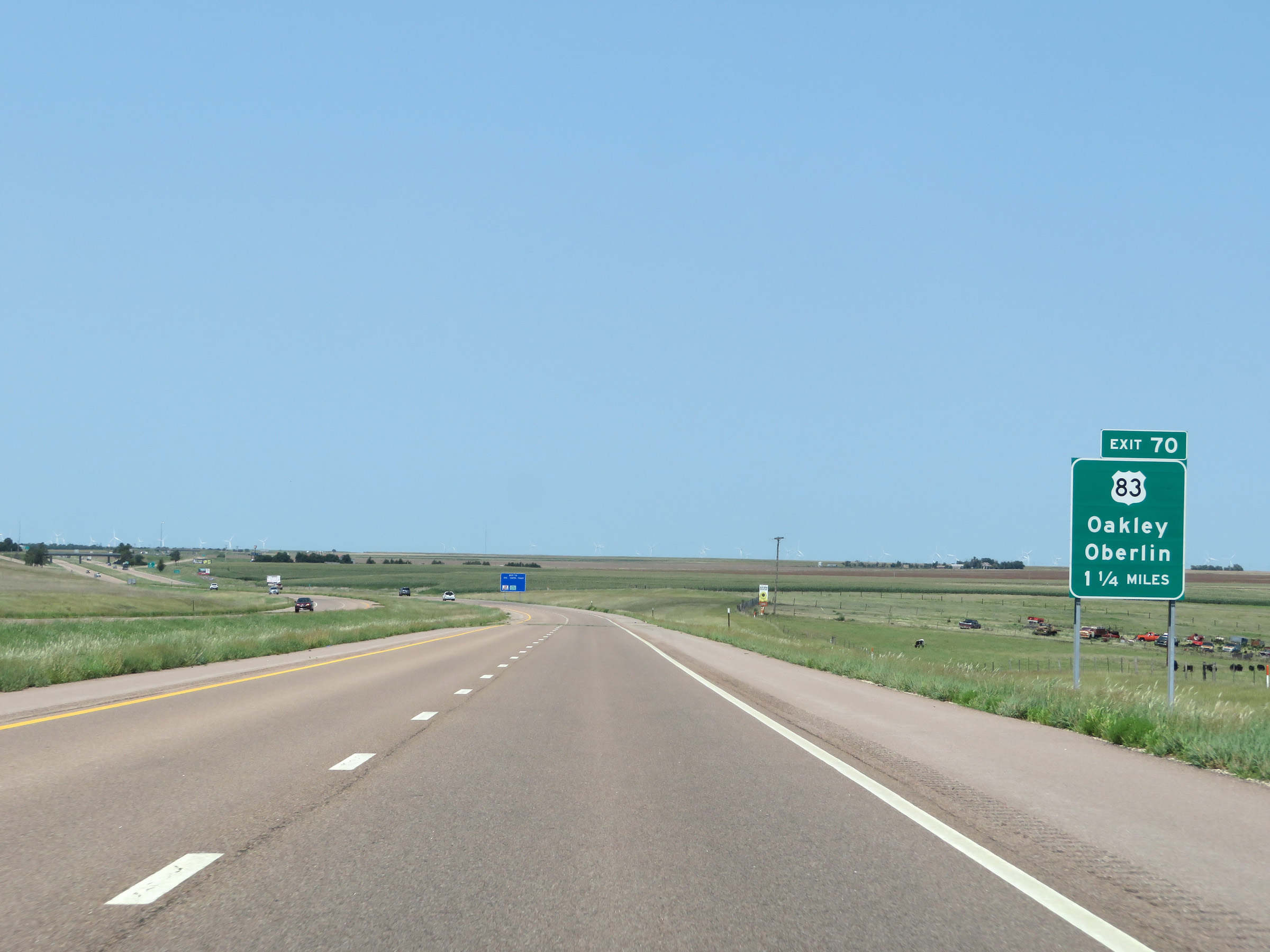
Interstate 70 West at Exit 70: US 83 - Oakley / Oberlin (Photo taken 8/12/20). |
 |
Another state-named Interstate 70 West reassurance shield. (Photo taken 8/12/20). |
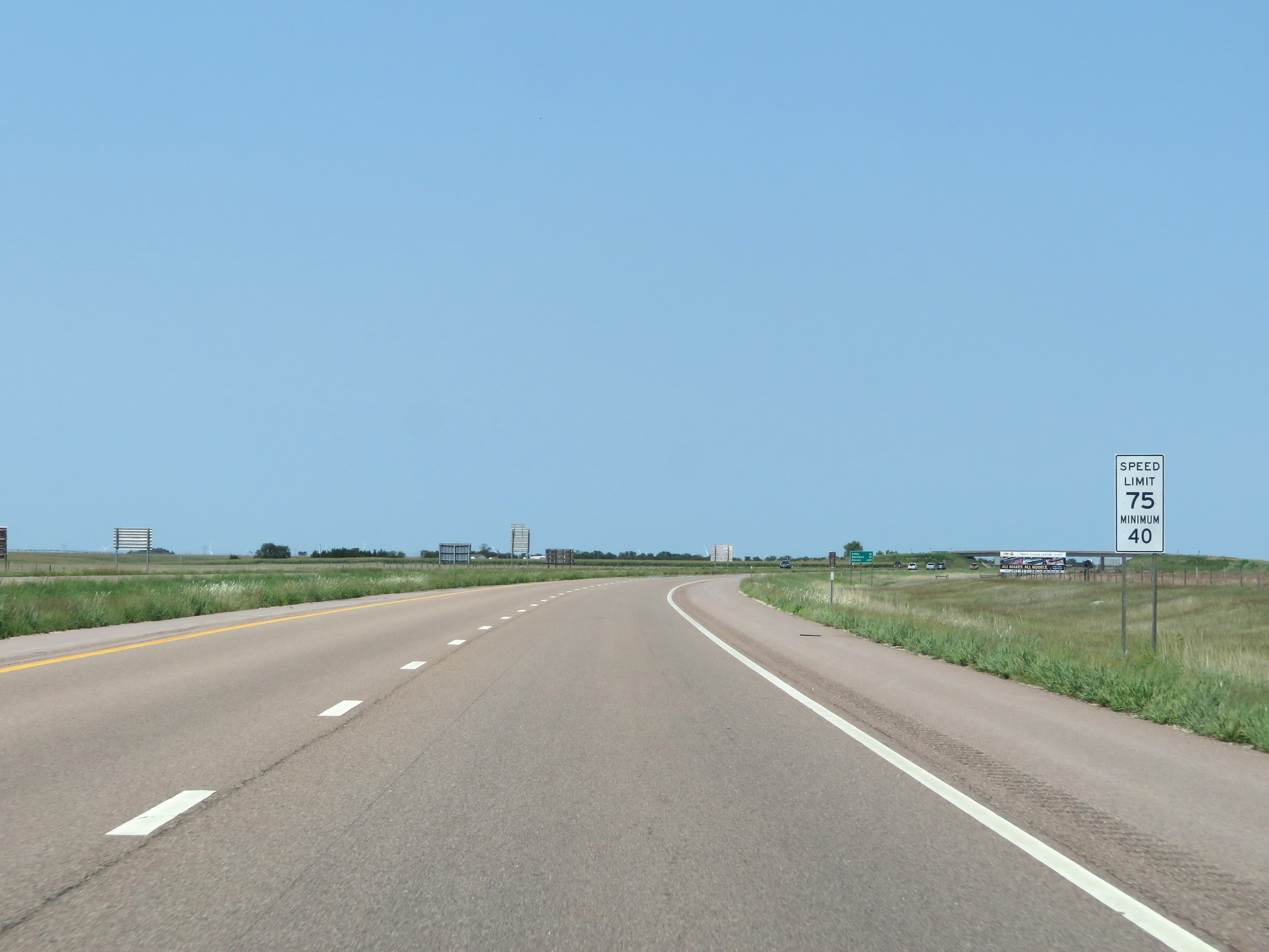 |
The speed limits remain 75 mph maximum and 40 mph minimum. These are the standard speed limits on most rural Interstate highways in Kansas. (Photo taken 8/12/20). |
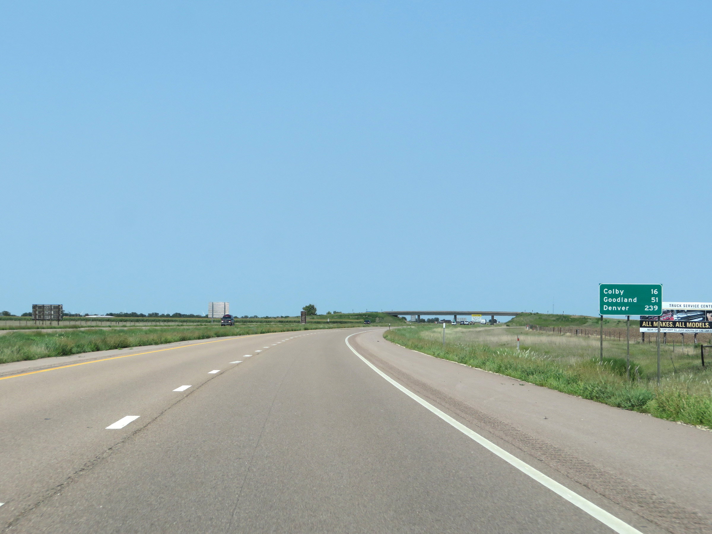 |
Another mileage sign on Interstate 70 West. It's 16 miles to Colby, 51 miles to Goodland, and 239 miles to Denver. (Photo taken 8/12/20). |
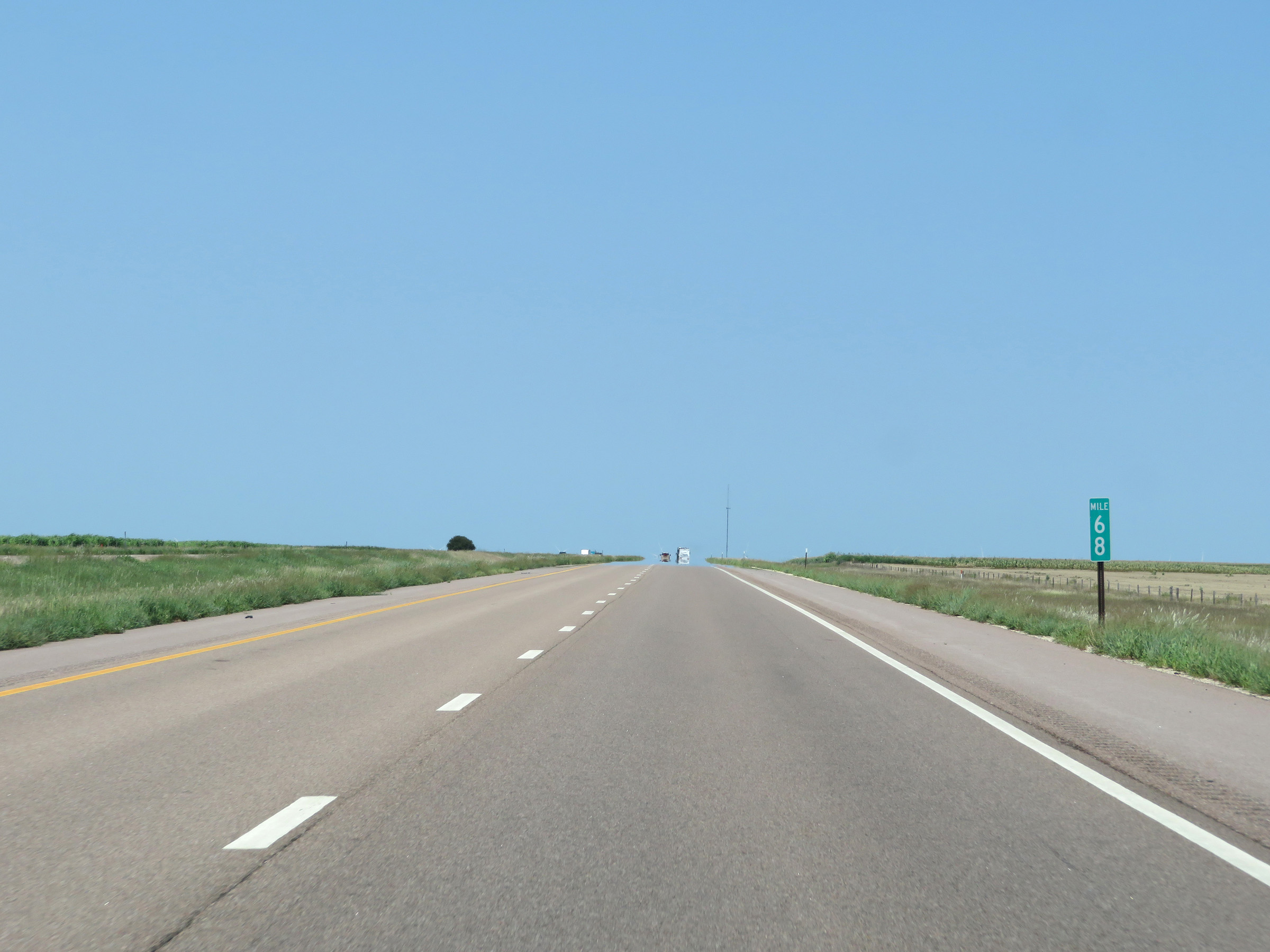 |
View on Interstate 70 West at mile marker 68. (Photo taken 8/12/20). |
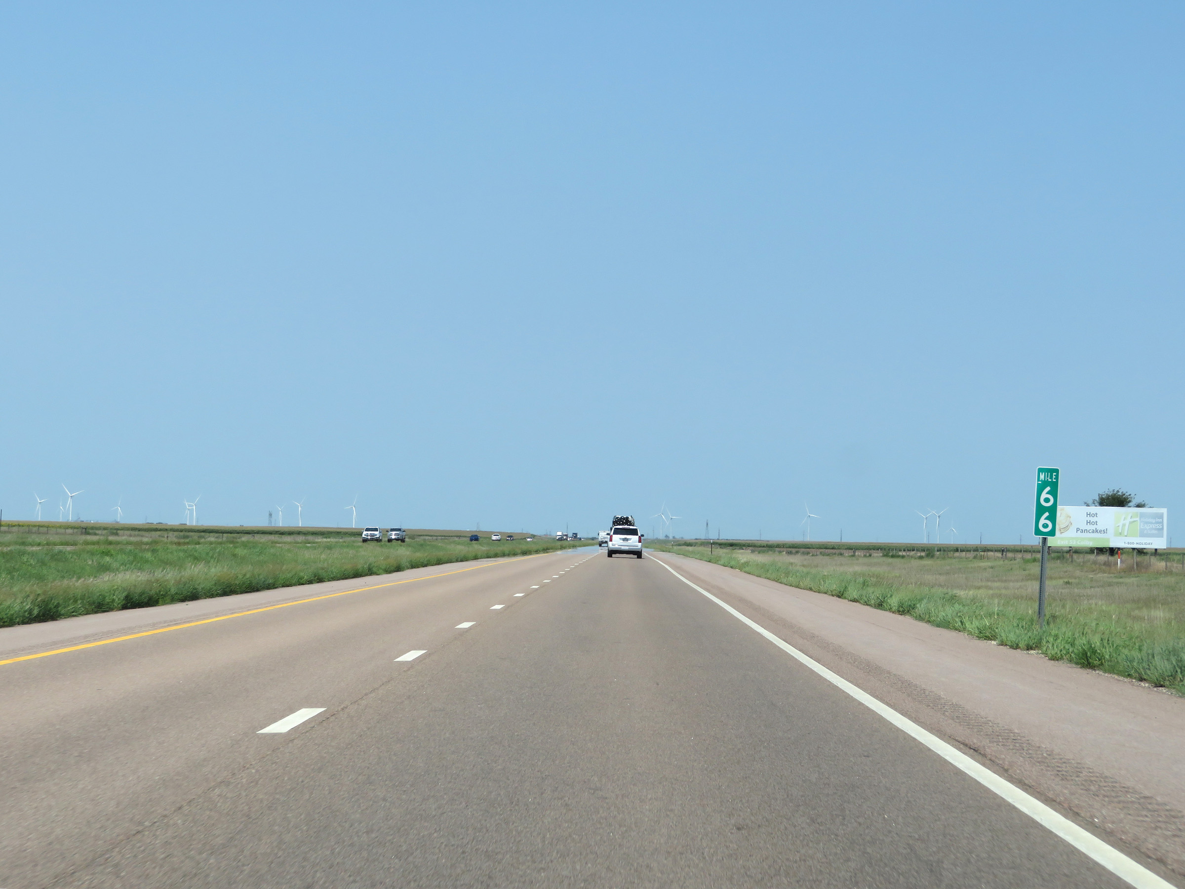 |
Interstate 70 West at mile marker 66. (Photo taken 8/12/20). |
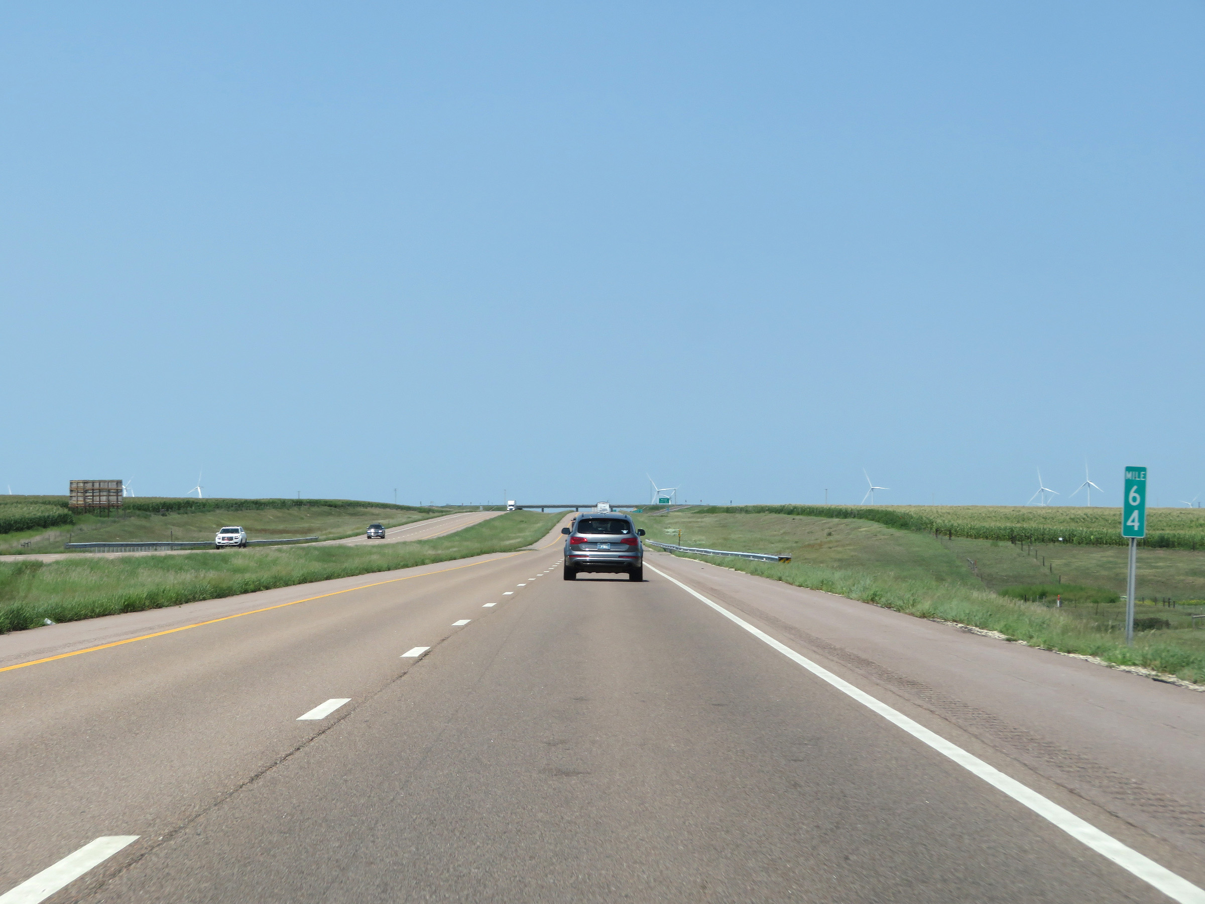 |
Mile marker 64 on Interstate 70 West in Thomas County. (Photo taken 8/12/20). |
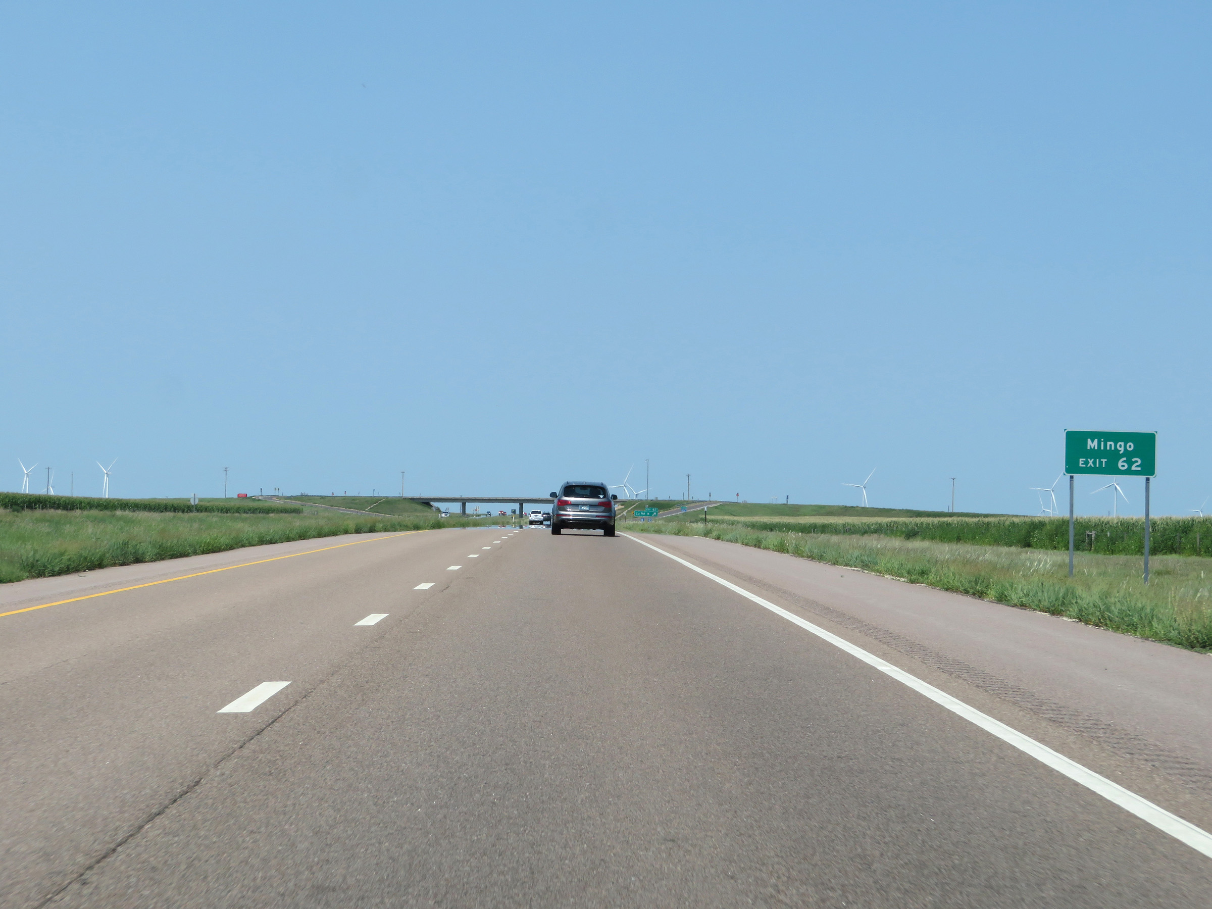 |
Take Exit 62 to Mingo. (Photo taken 8/12/20). |
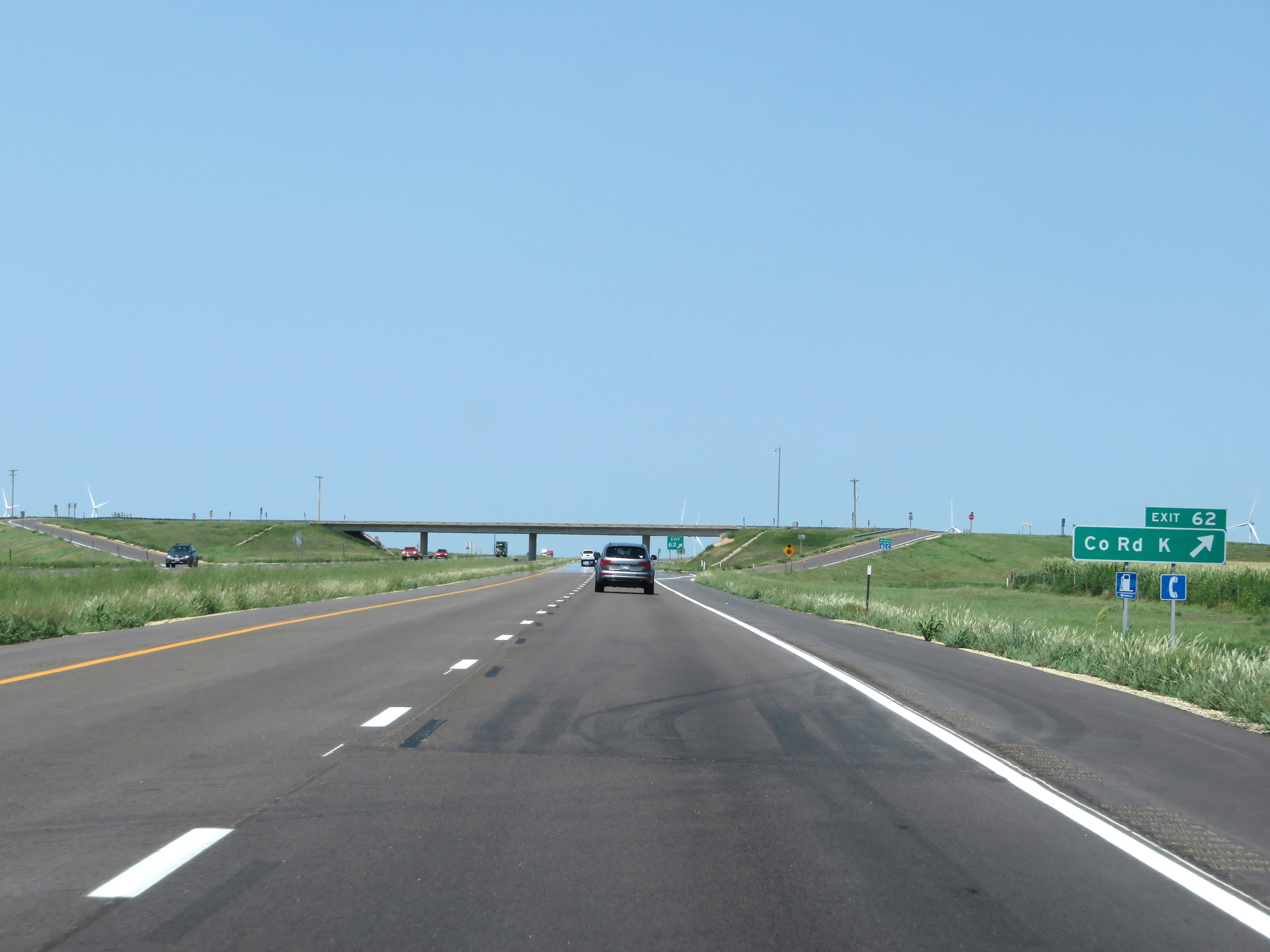 |
Interstate 70 West at Exit 62: County Rd K (Photo taken 8/12/20). |
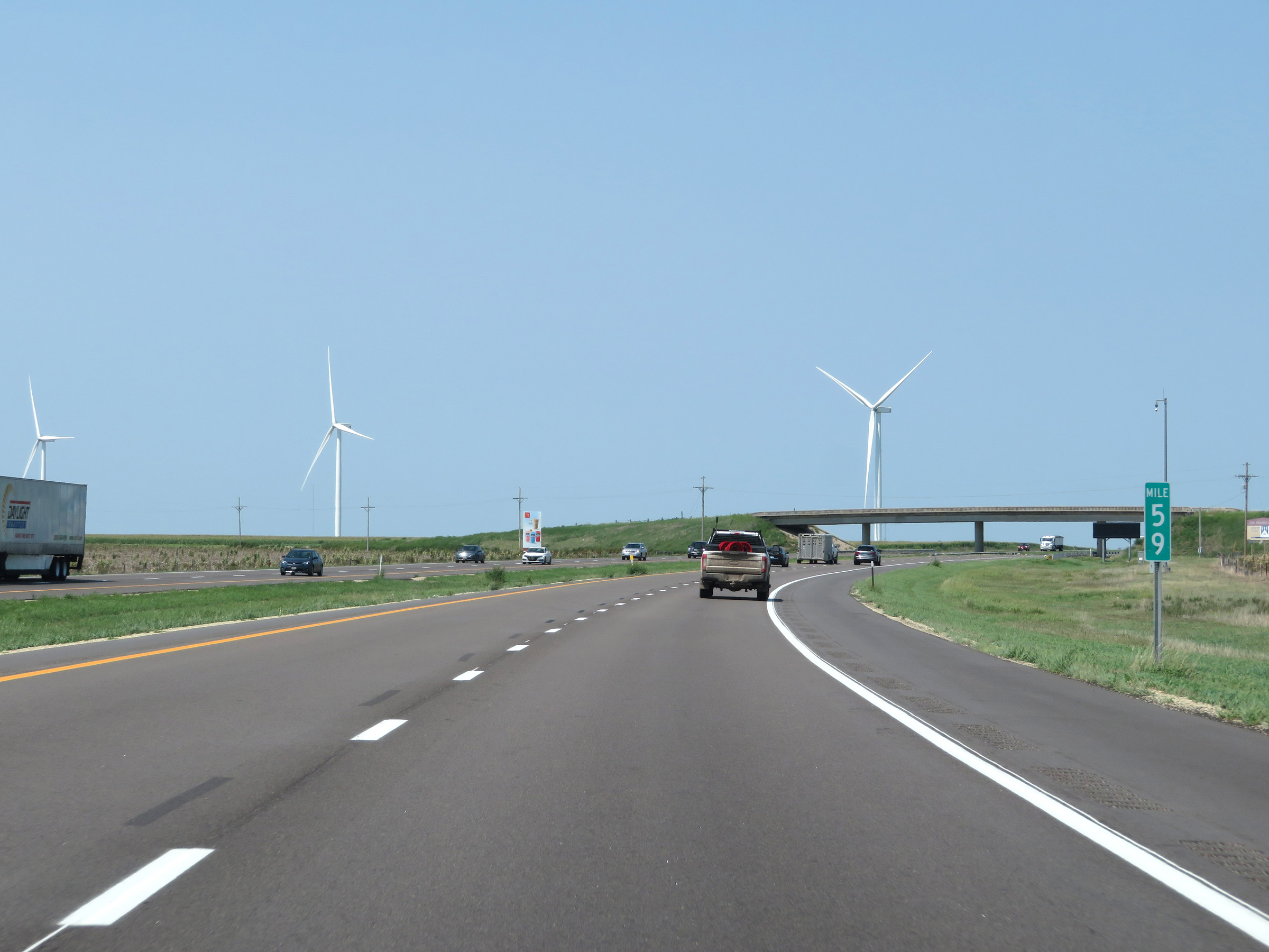 |
View on Interstate 70 West at mile marker 59. (Photo taken 8/12/20). |
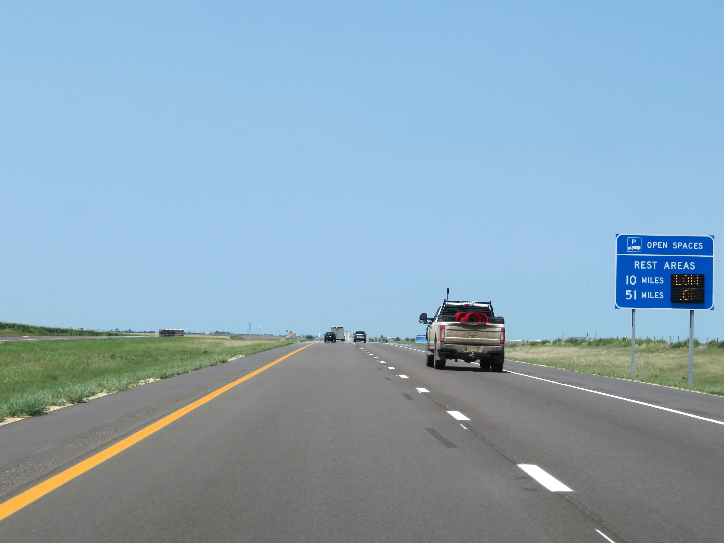 |
Sign listing the distances to the two remaining Rest Areas on Interstate 70 West in Kansas and dynamically displaying the number of currently available truck parking spaces at each of them. (Photo taken 8/12/20). |
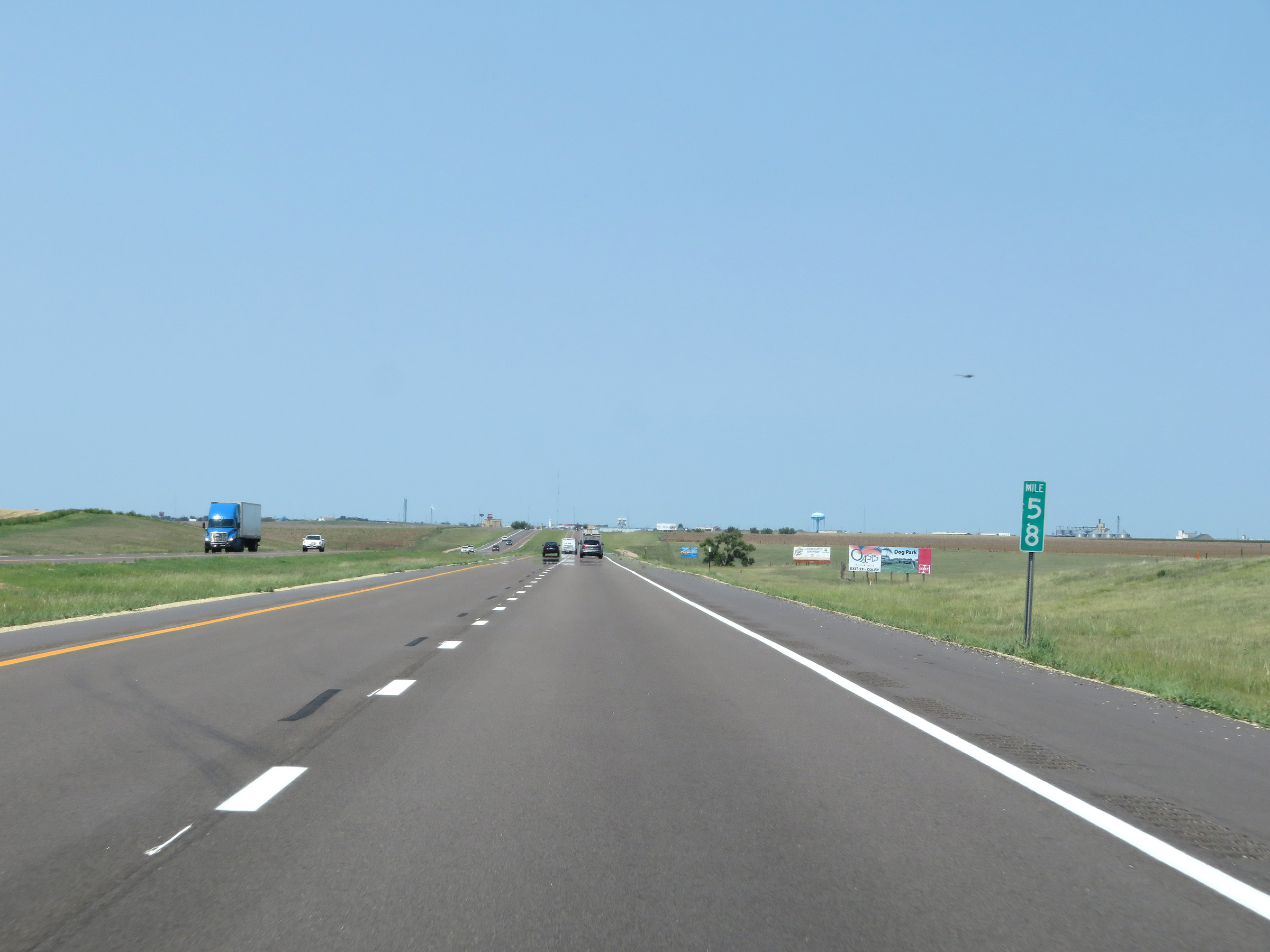 |
Interstate 70 West at mile marker 58. (Photo taken 8/12/20). |
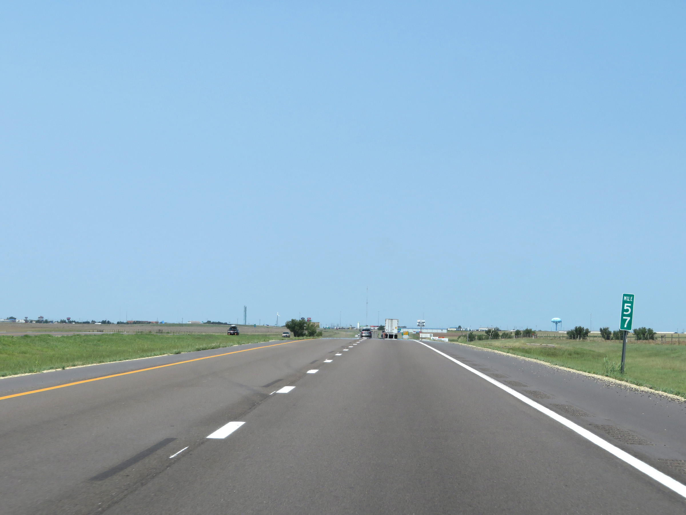 |
Mile marker 57 on Interstate 70 West in Thomas County. (Photo taken 8/12/20). |
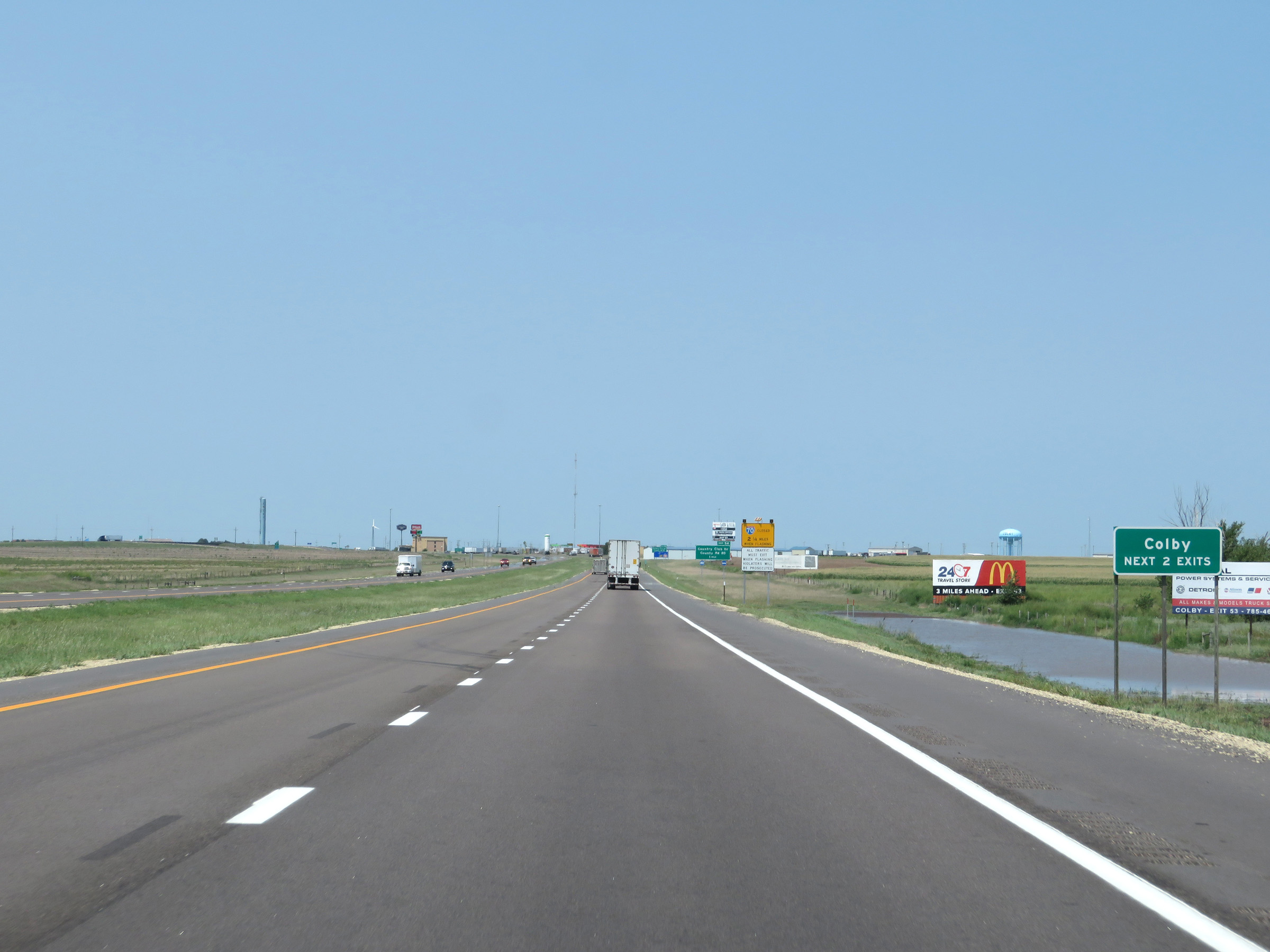 |
Take either of the next 2 exits to Colby. (Photo taken 8/12/20). |
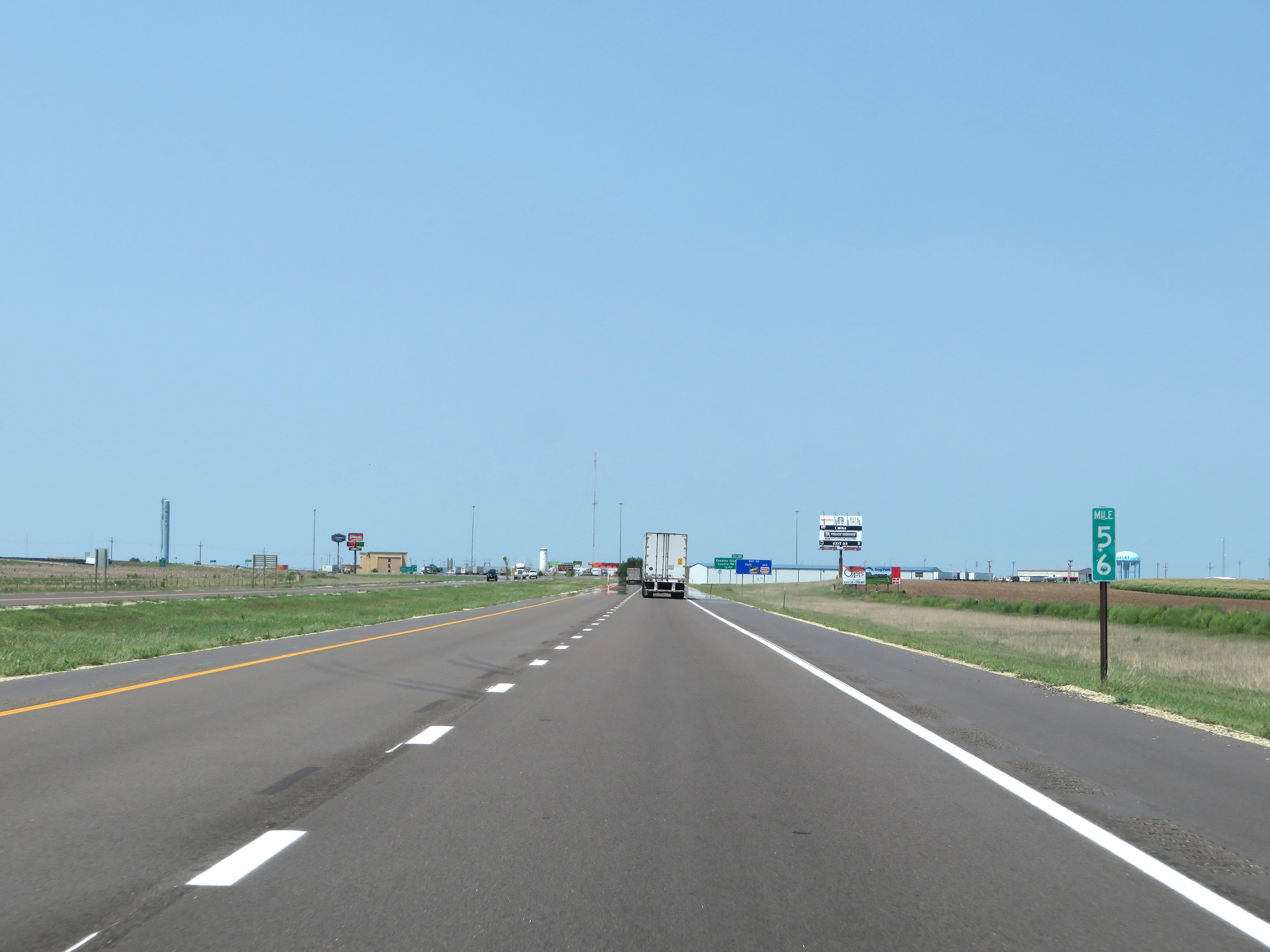 |
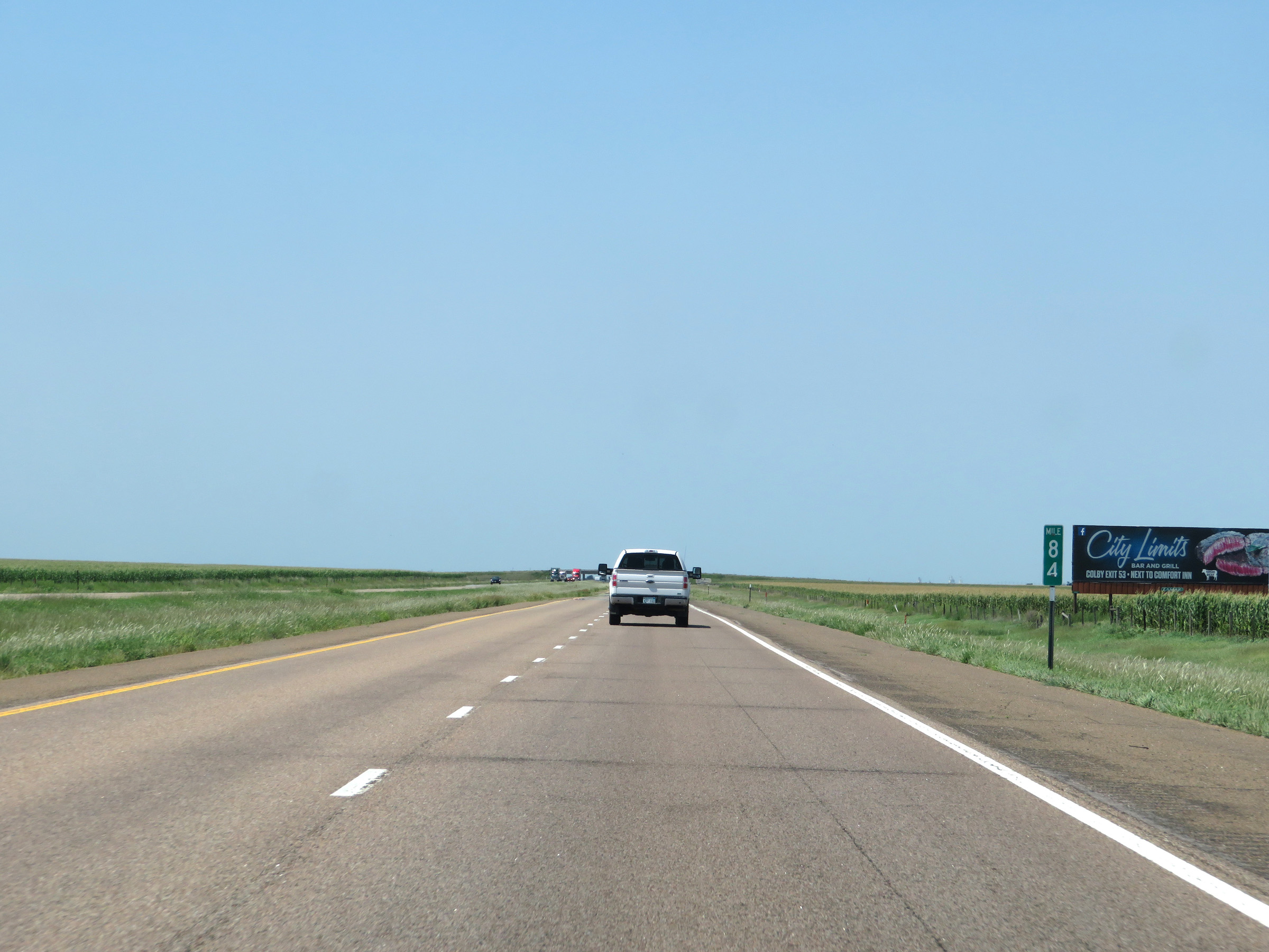
View on Interstate 70 West at mile marker 56, approaching Colby. (Photo taken 8/12/20). |
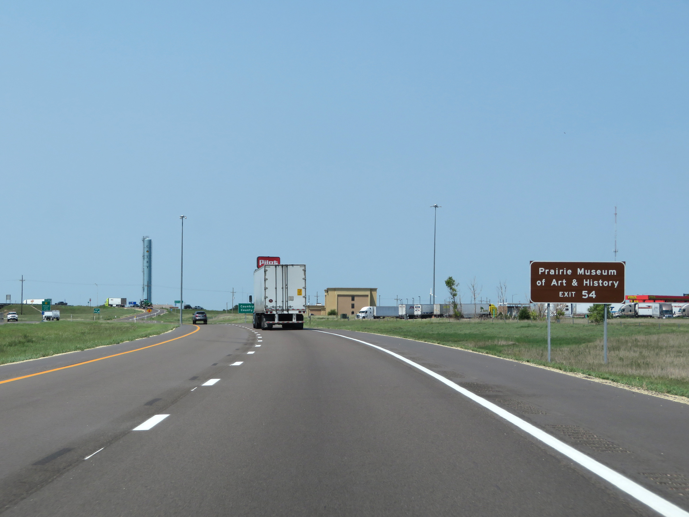 |
Take Exit 54 to the Prairie Museum of Art & History. (Photo taken 8/12/20). |
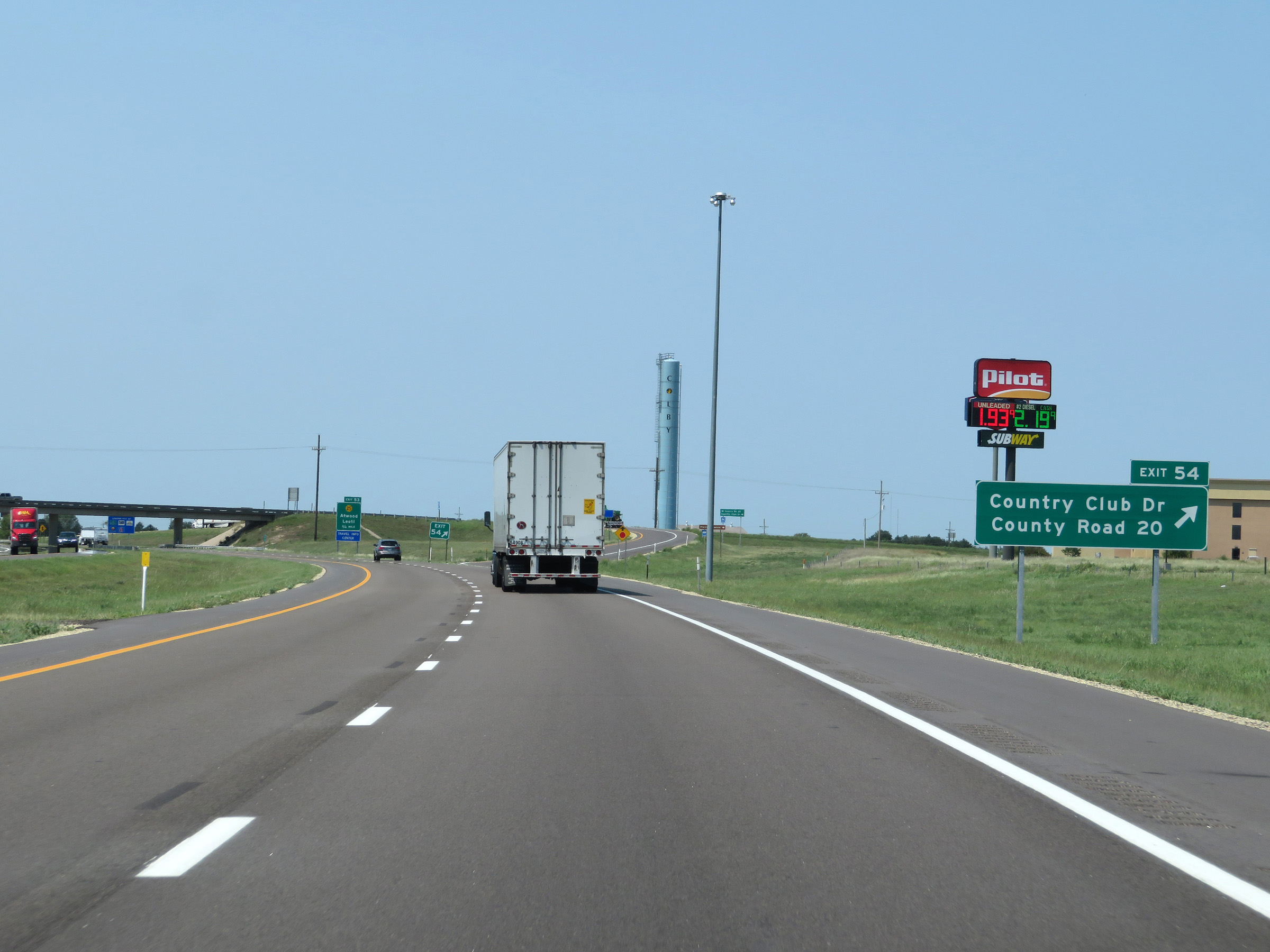 |
Interstate 70 West at Exit 54: Country Club Dr / County Road 20 (Photo taken 8/12/20). |
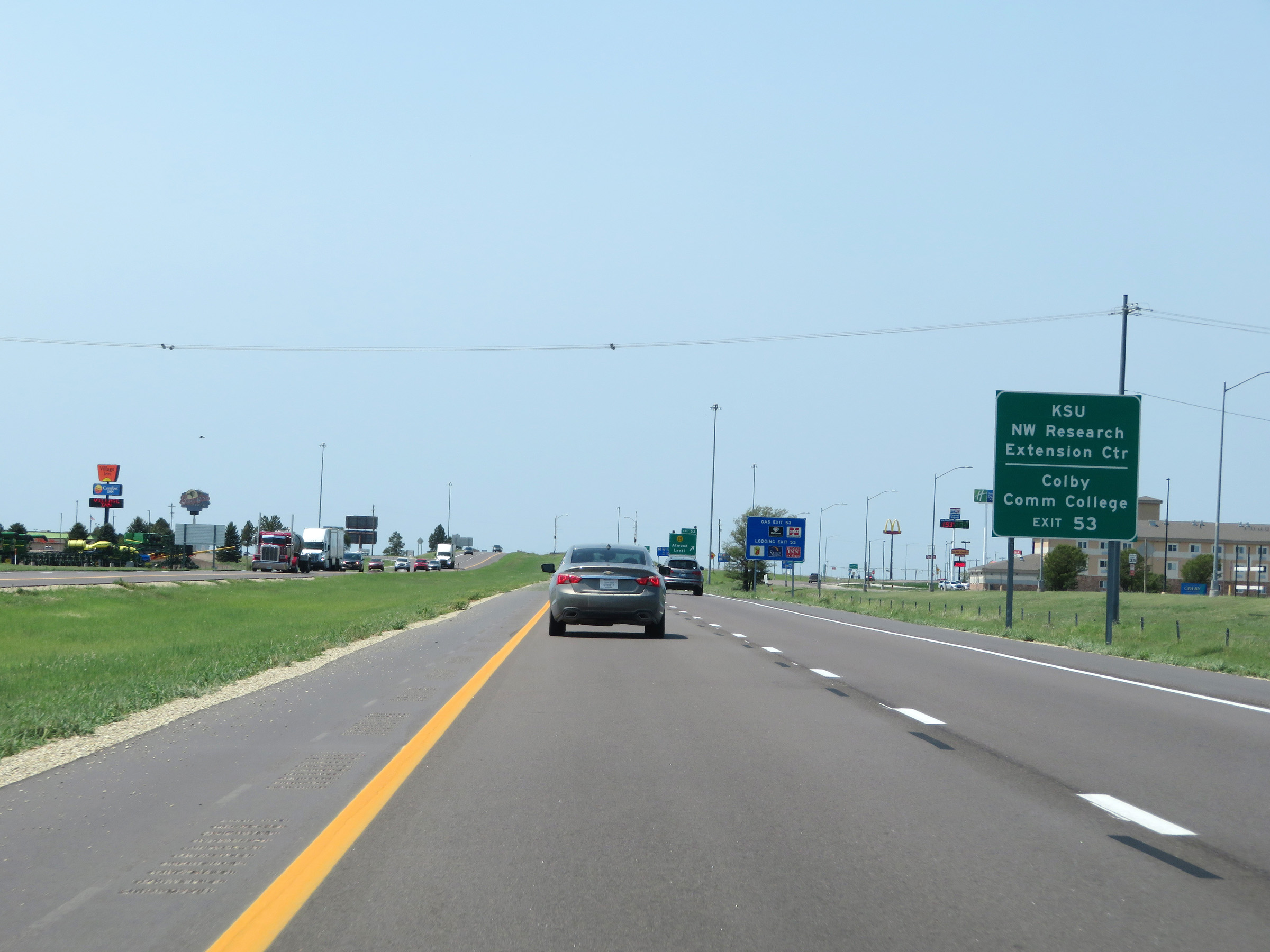 |
Take Exit 53 to KSU NW Research Extension Center and Colby Community College. (Photo taken 8/12/20). |
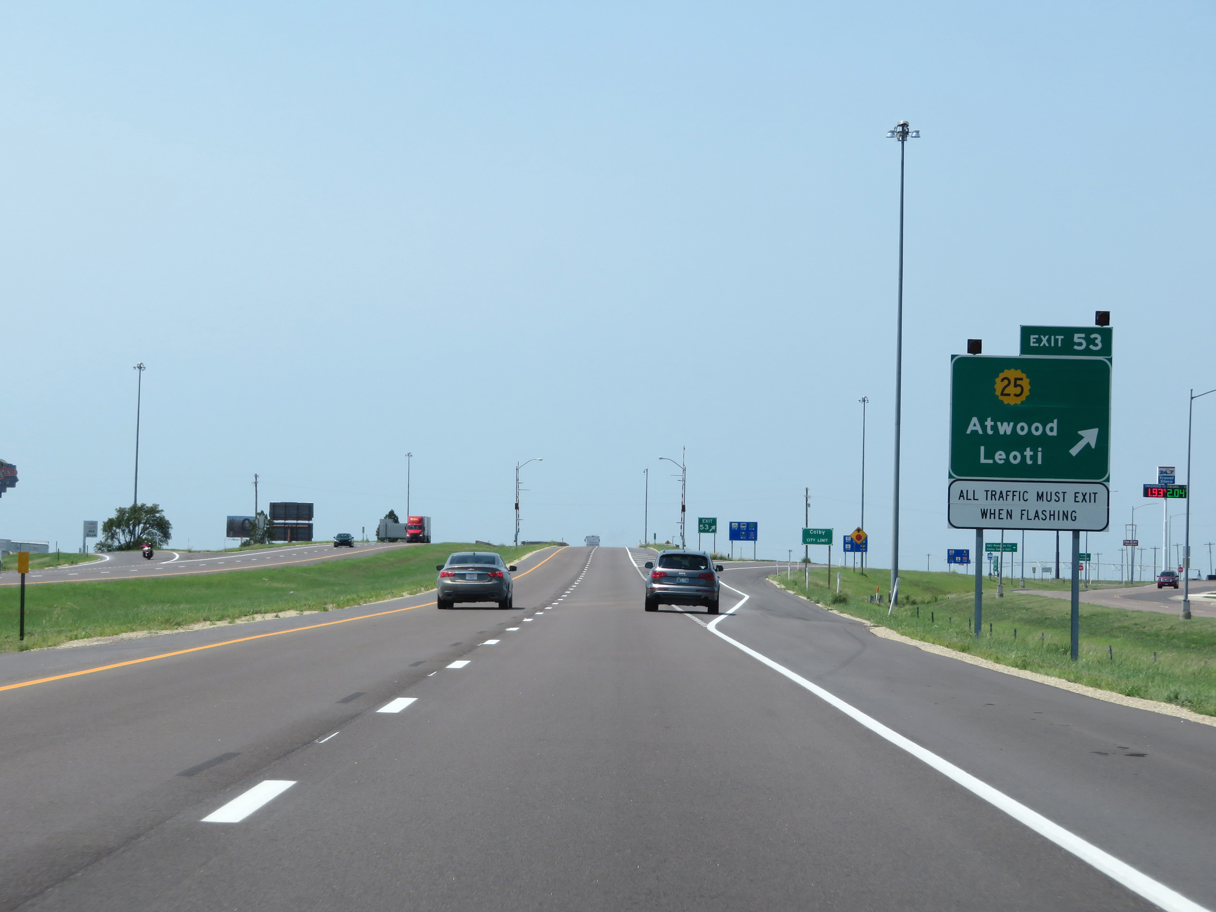 |
Interstate 70 West at Exit 53: K-25 - Atwood / Leoti (Photo taken 8/12/20). |
Section 8: Colby (Exit 53) to Colorado Border
 |
Interstate 70 West reassurance shield as it leaves the Colby area. (Photo taken 8/12/20). |
 |
The speed limits remain 75 mph maximum and 40 mph minimum. (Photo taken 8/12/20). |
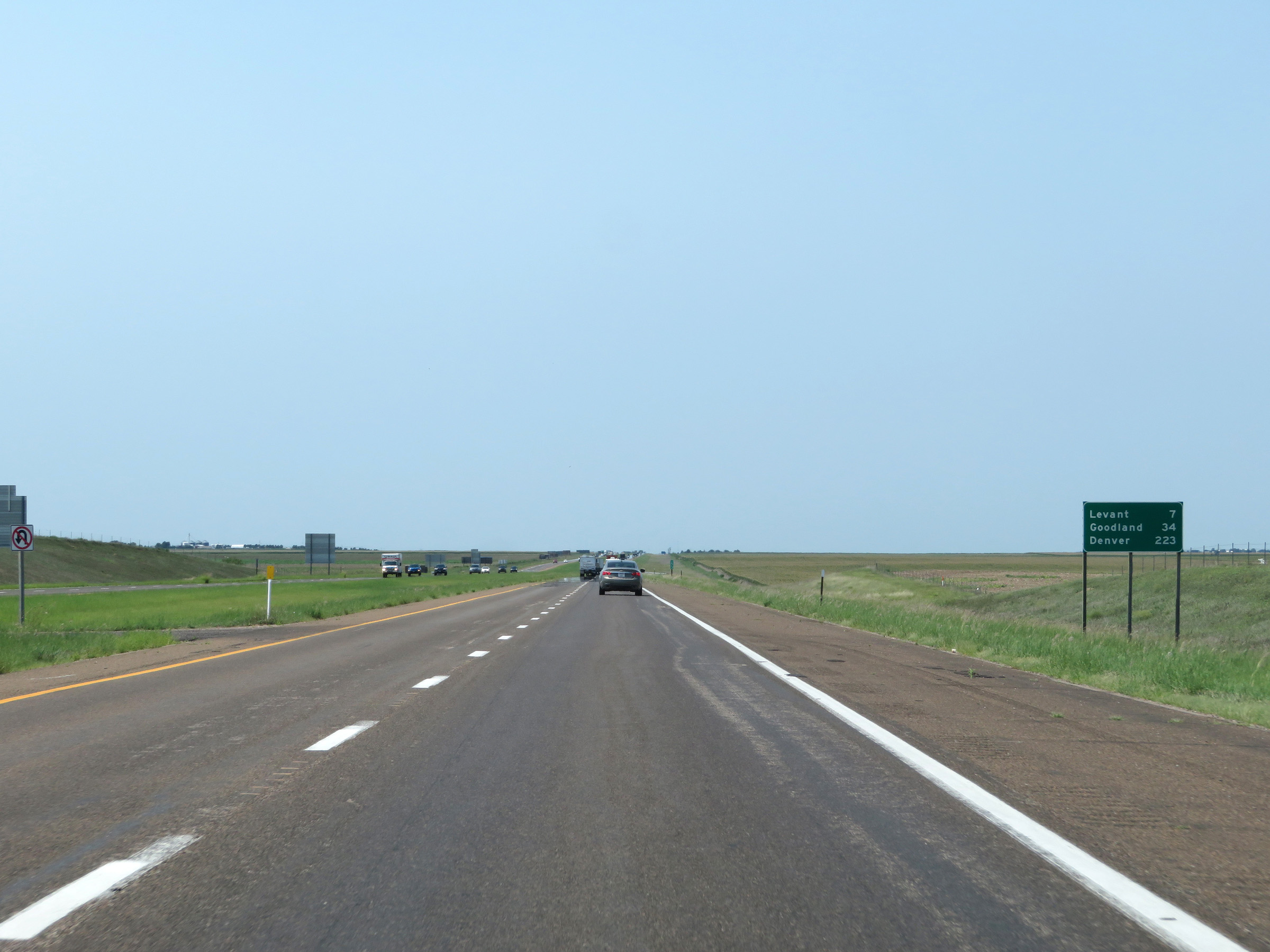 |
Mileage sign on Interstate 70 West. It's 7 miles to Levant, 34 miles to Goodland, and 223 miles to Denver. (Photo taken 8/12/20). |
 |
View on Interstate 70 West at mile marker 51. (Photo taken 8/12/20). |
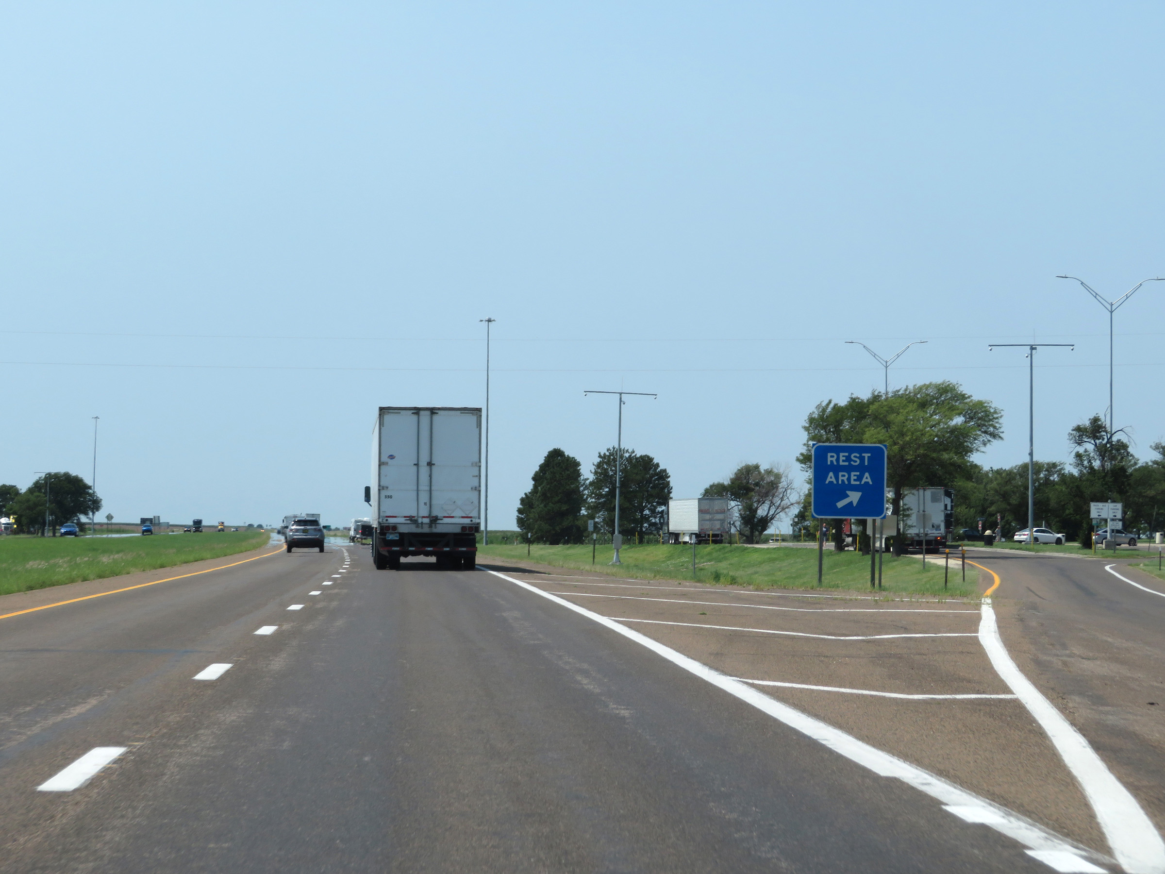 |
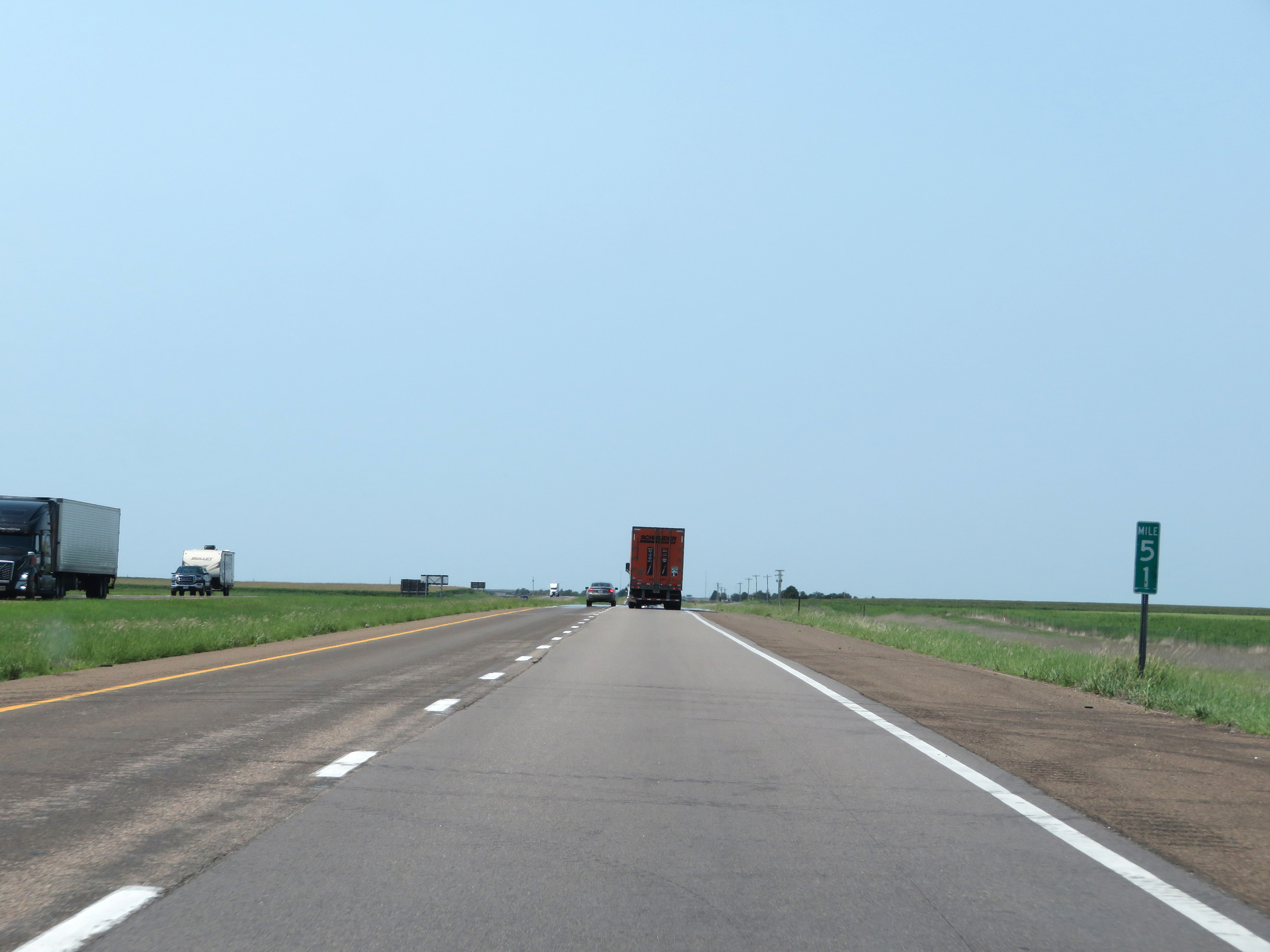
Rest Area on Interstate 70 West in Thomas County. (Photo taken 8/12/20). |
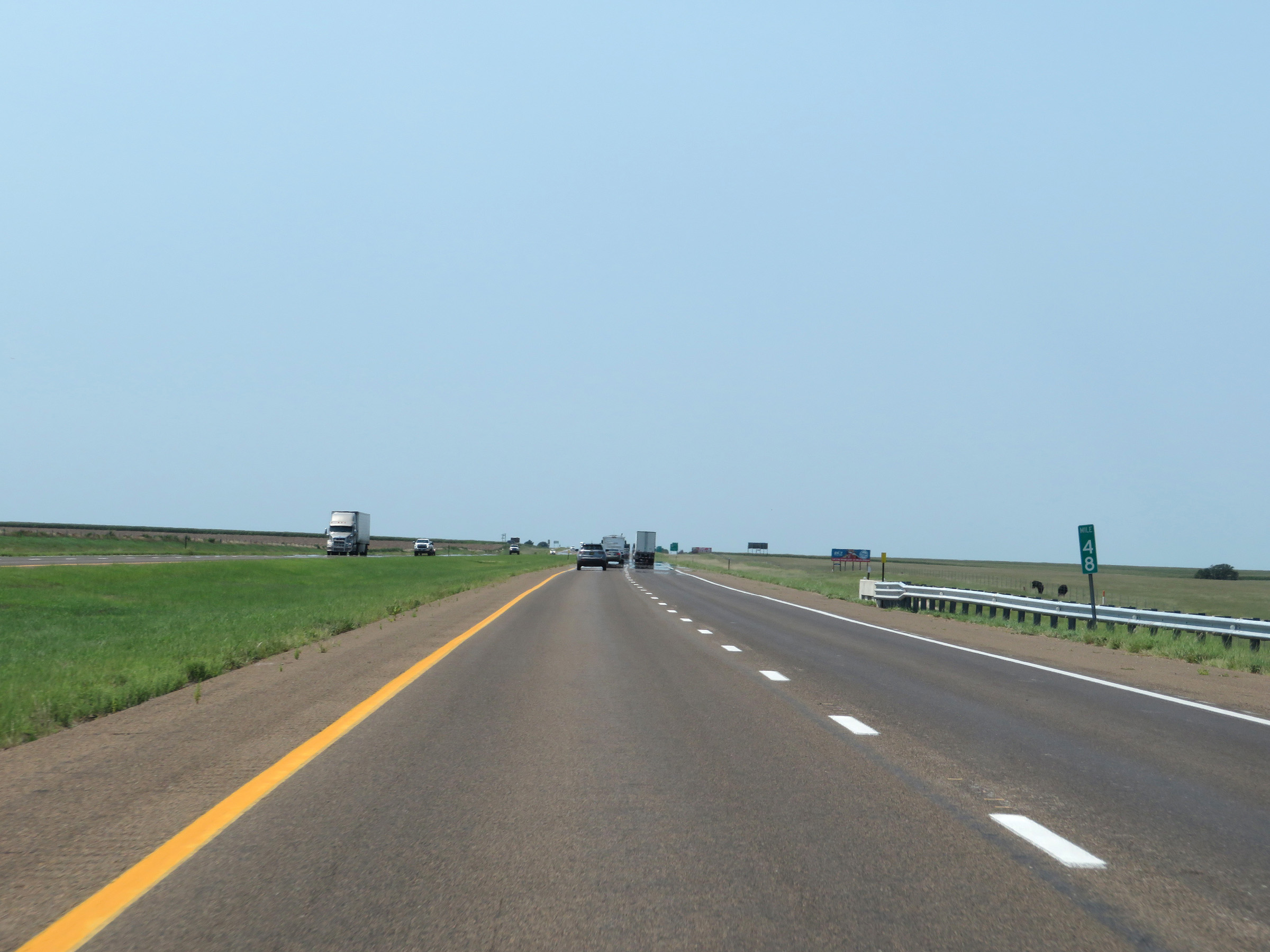 |
Interstate 70 West at mile marker 48. (Photo taken 8/12/20). |
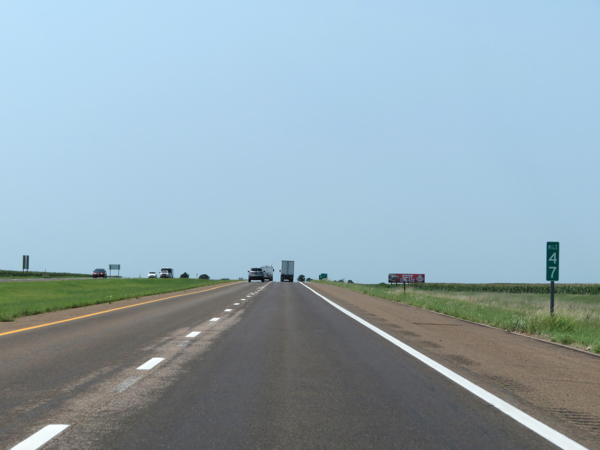 |
View on Interstate 70 West at mile marker 47. (Photo taken 8/12/20). |
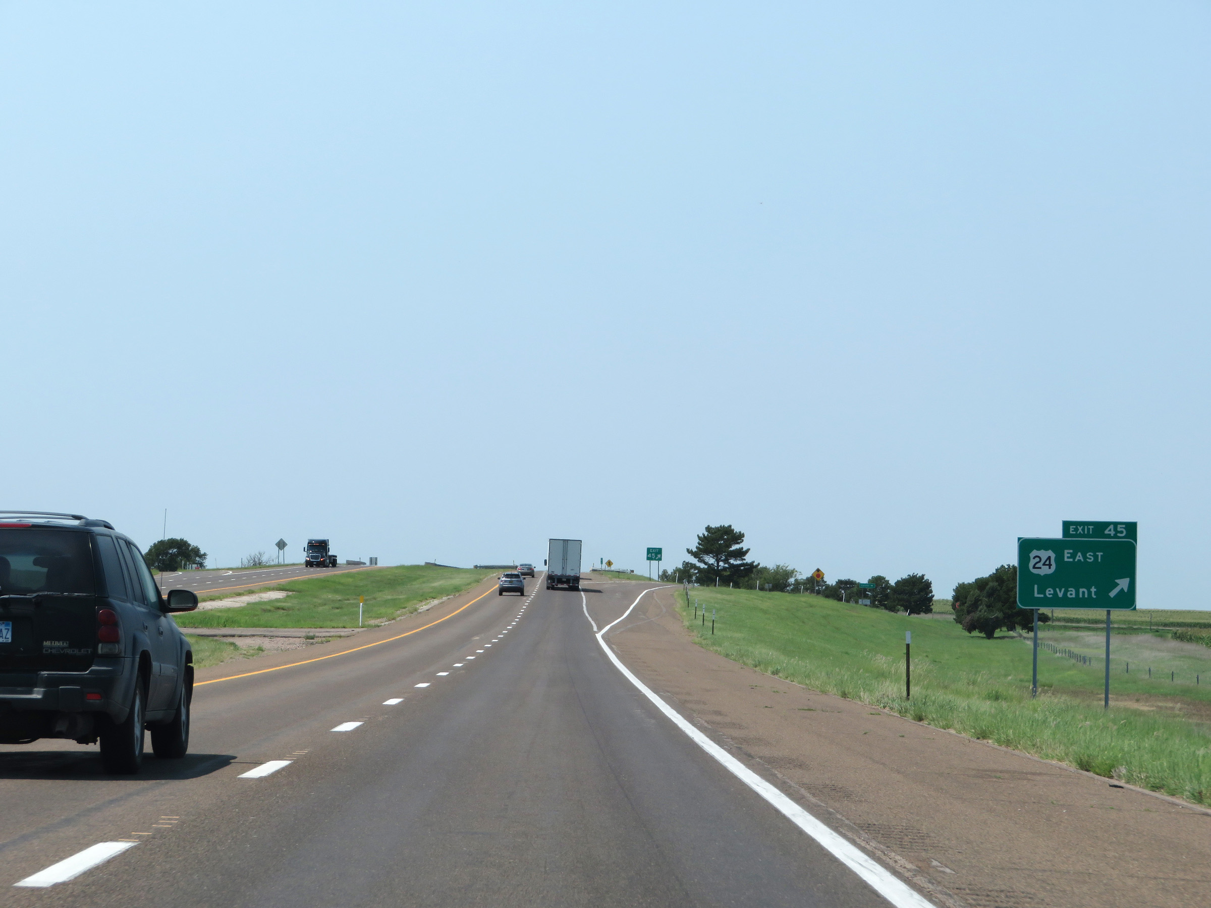 |
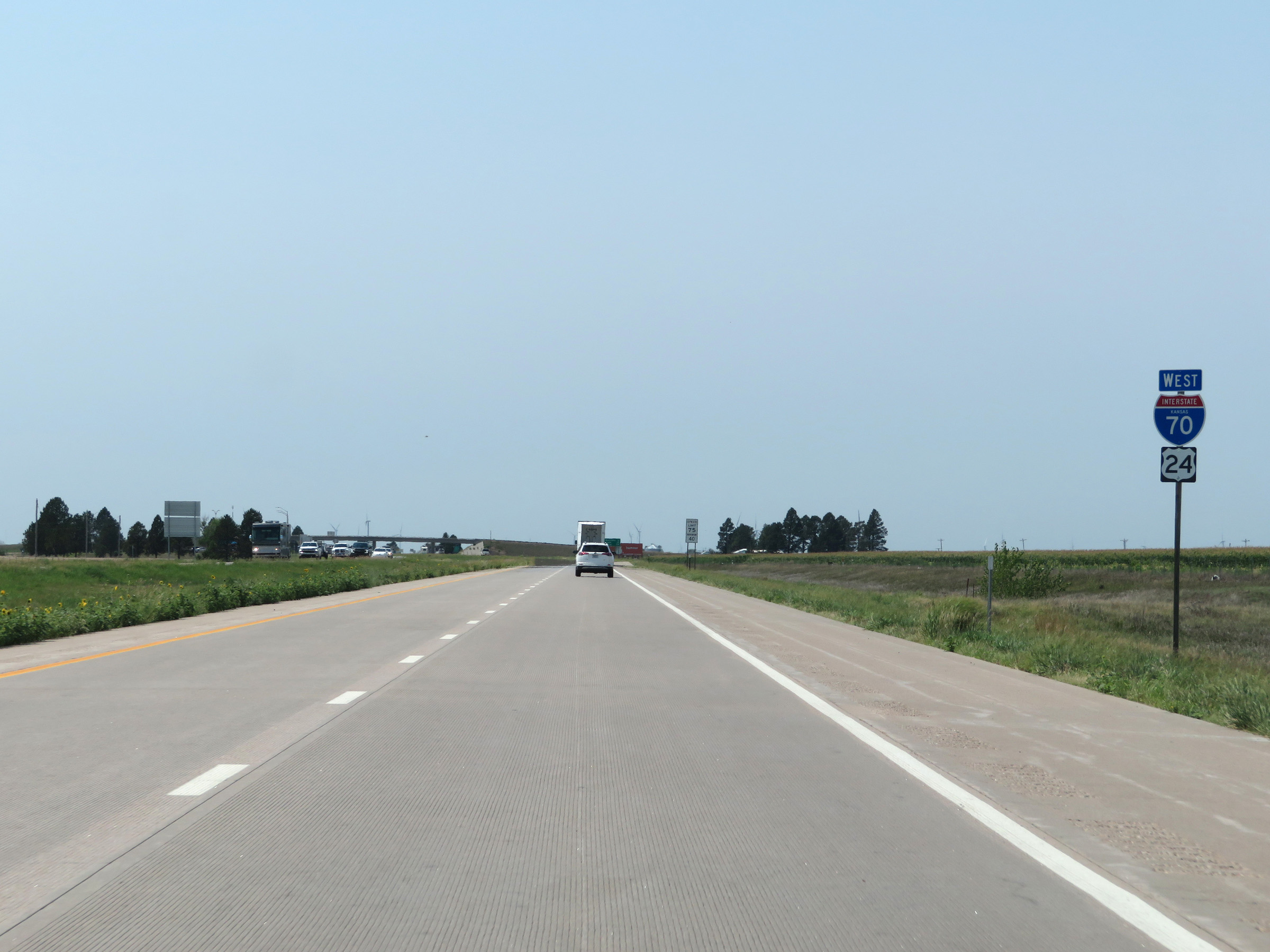
Interstate 70 West at Exit 45: US 24 East - Levant (Photo taken 8/12/20). |
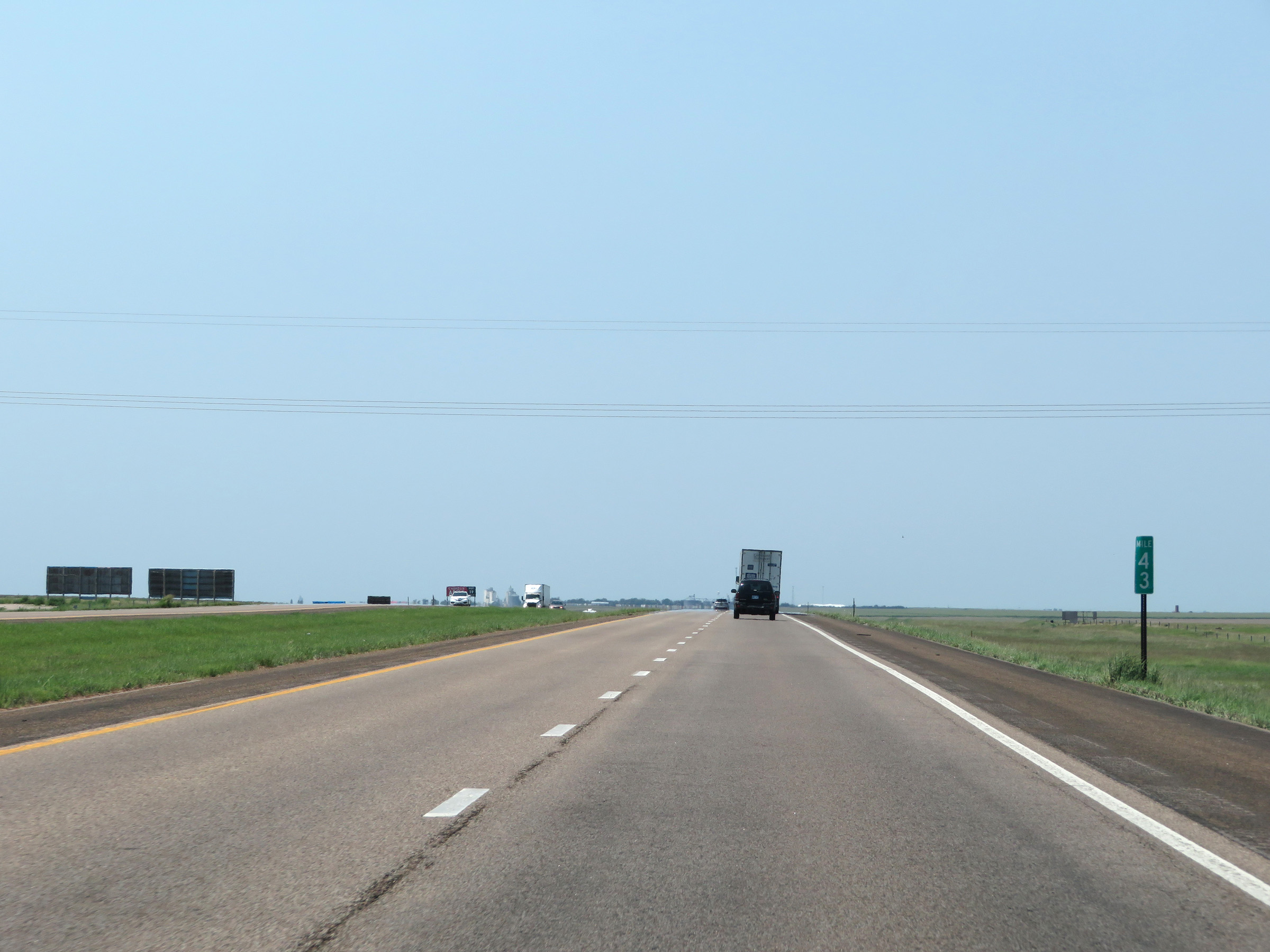 |
Interstate 70 West at mile marker 43. (Photo taken 8/12/20). |
 |
View on Interstate 70 West at mile marker 42. (Photo taken 8/12/20). |
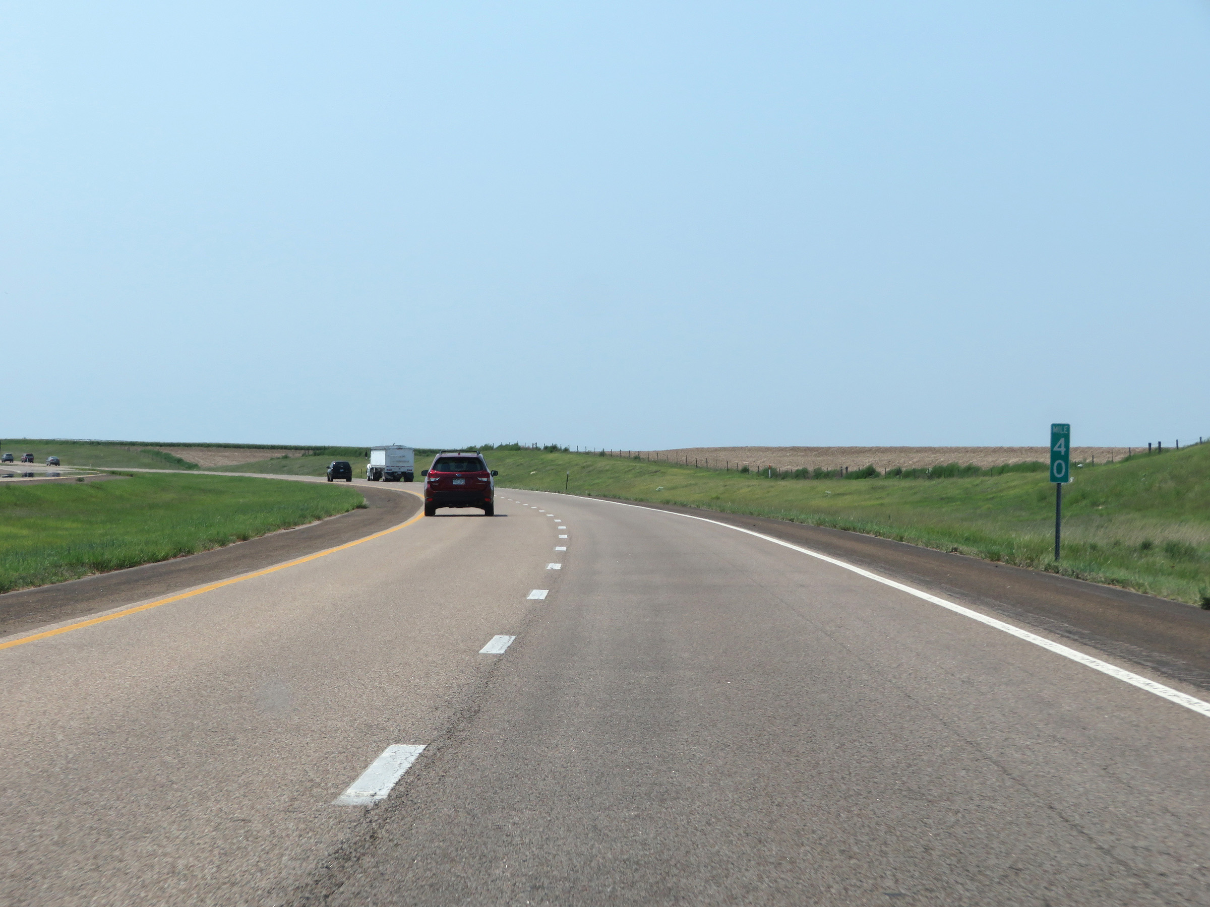 |
Mile marker 40 on Interstate 70 West in Thomas County. (Photo taken 8/12/20). |
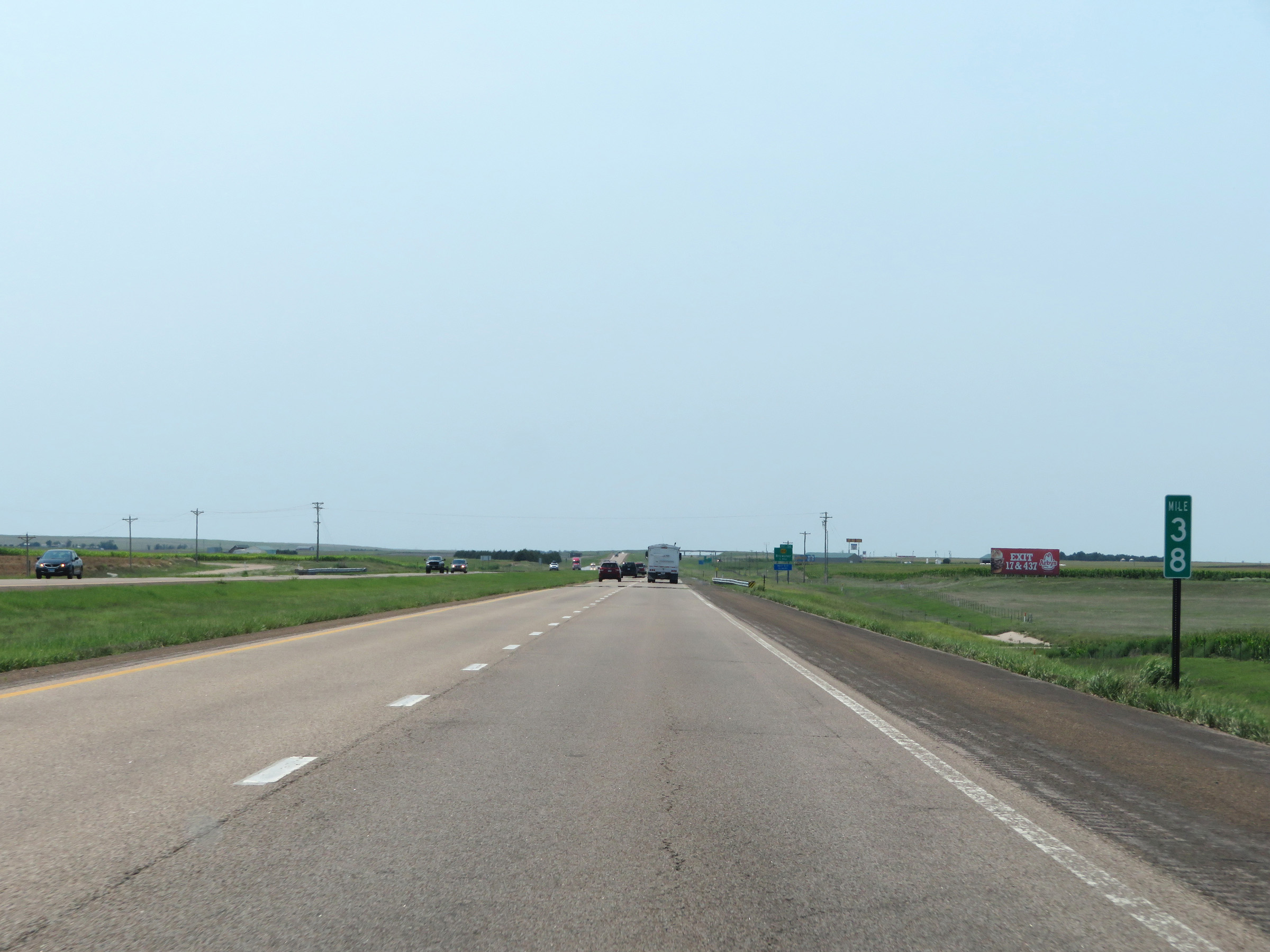 |
Interstate 70 West at mile marker 38. (Photo taken 8/12/20). |
 |
Interstate 70 West at Exit 36: K-184 - Brewster (Photo taken 8/12/20). |
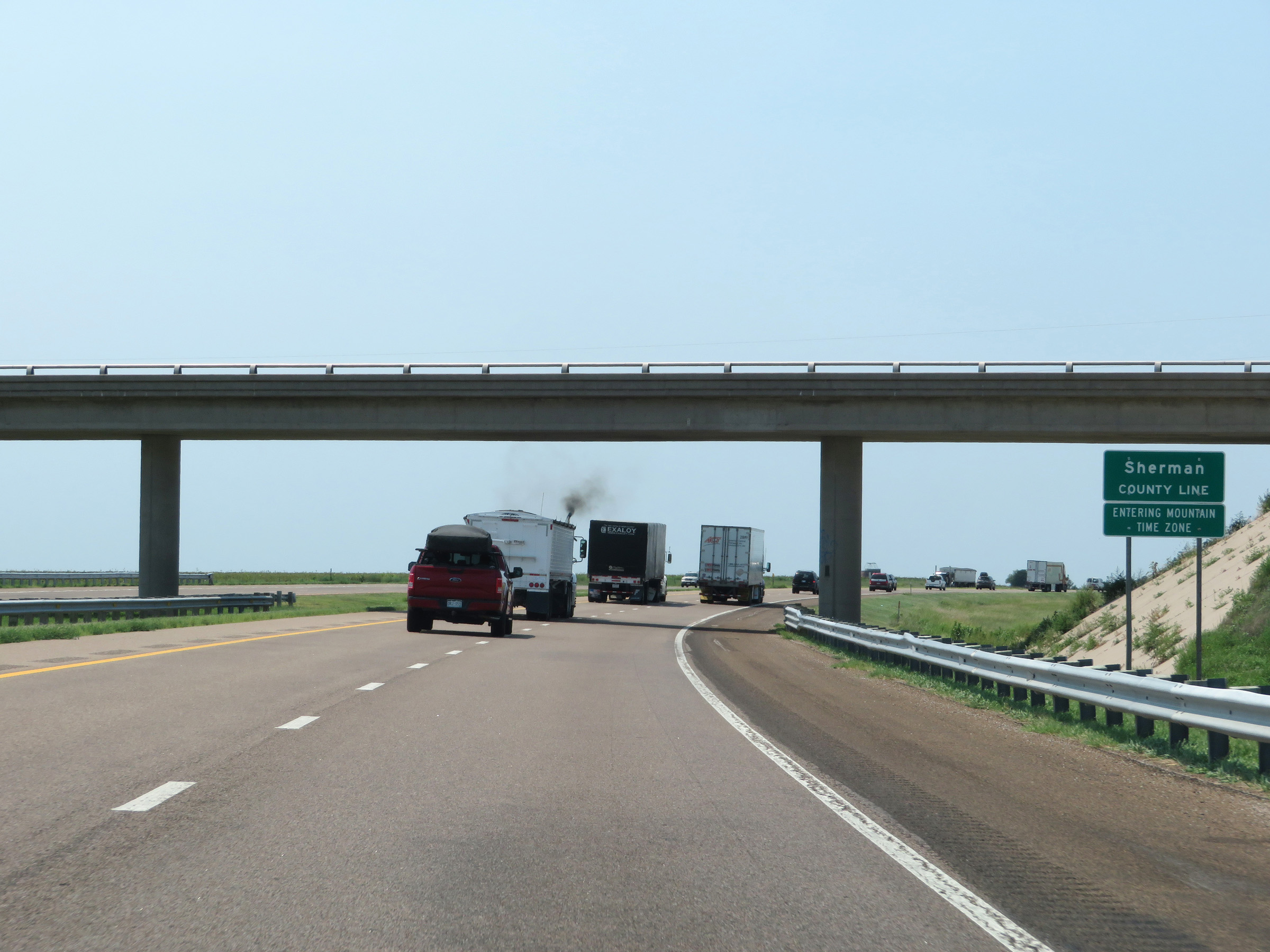 |
Interstate 70 West as it enters Sherman County and in turn, the Mountain Time Zone. (Photo taken 8/12/20). |
 |
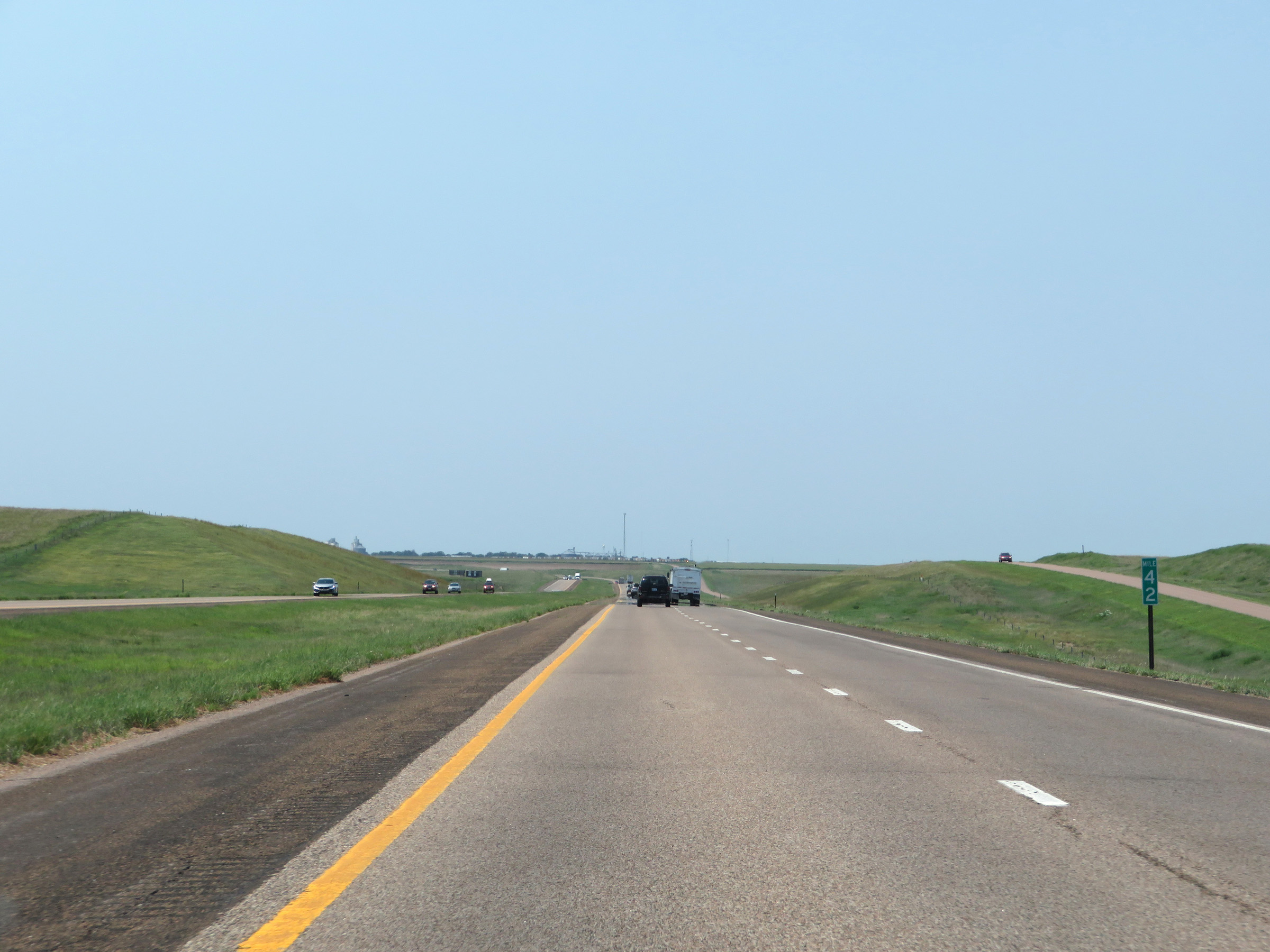
Mile marker 35 on Interstate 70 West in Sherman County. (Photo taken 8/12/20). |
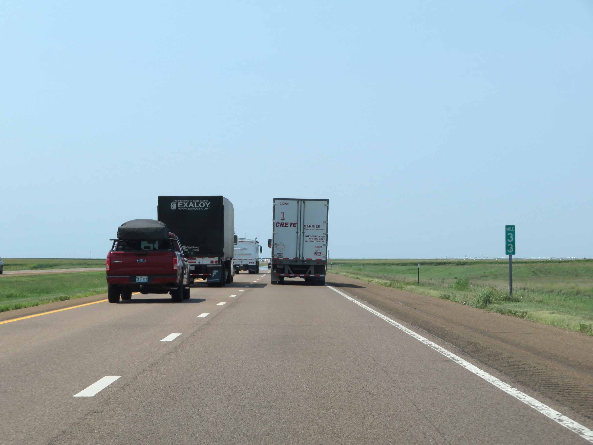 |
Interstate 70 West at mile marker 33. (Photo taken 8/12/20). |
 |
View on Interstate 70 West at mile marker 31. (Photo taken 8/12/20). |
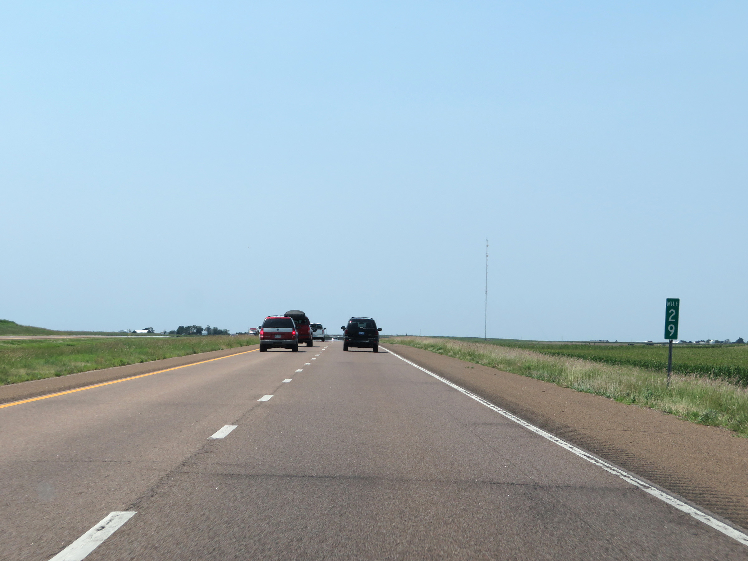 |
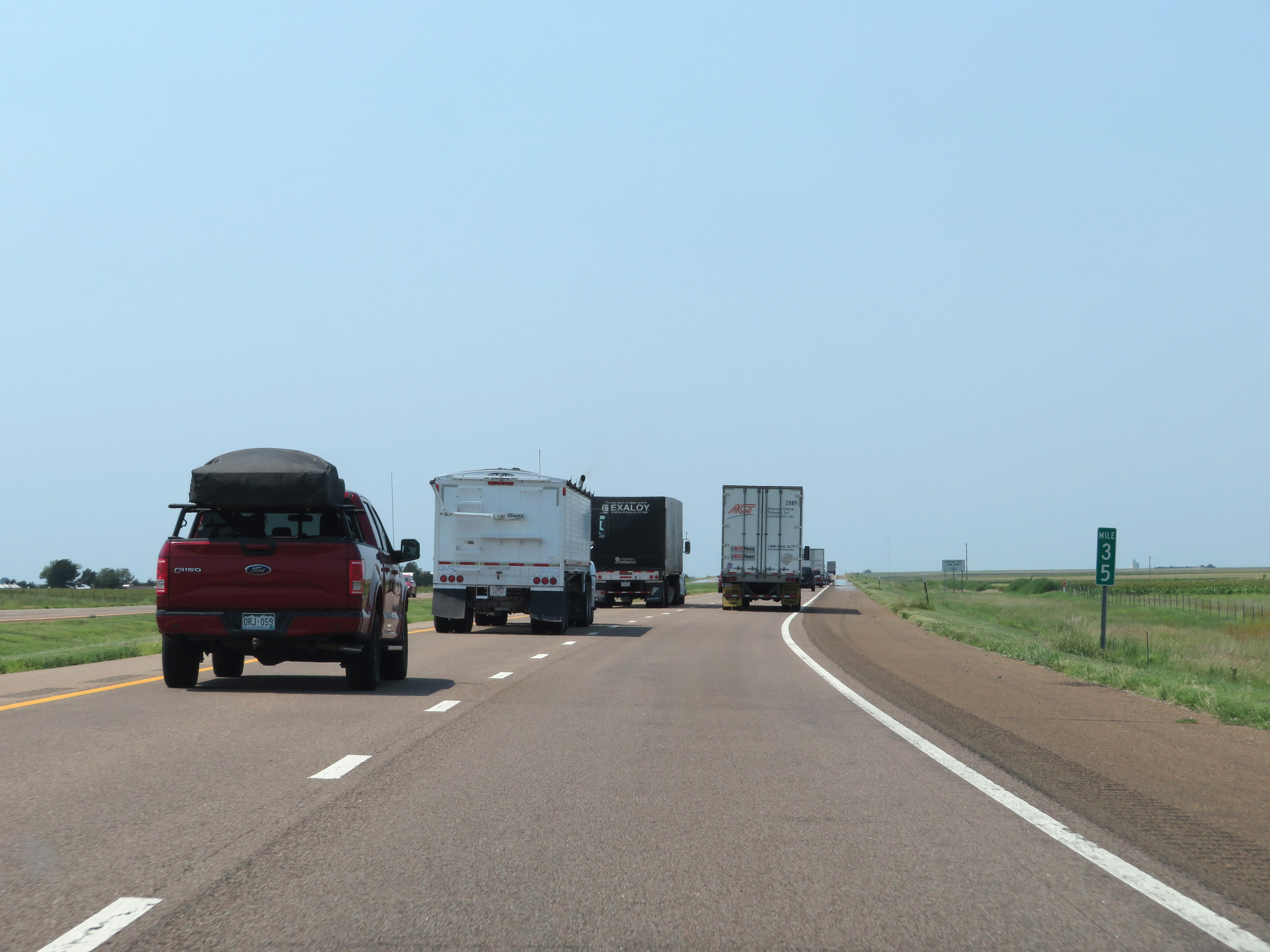
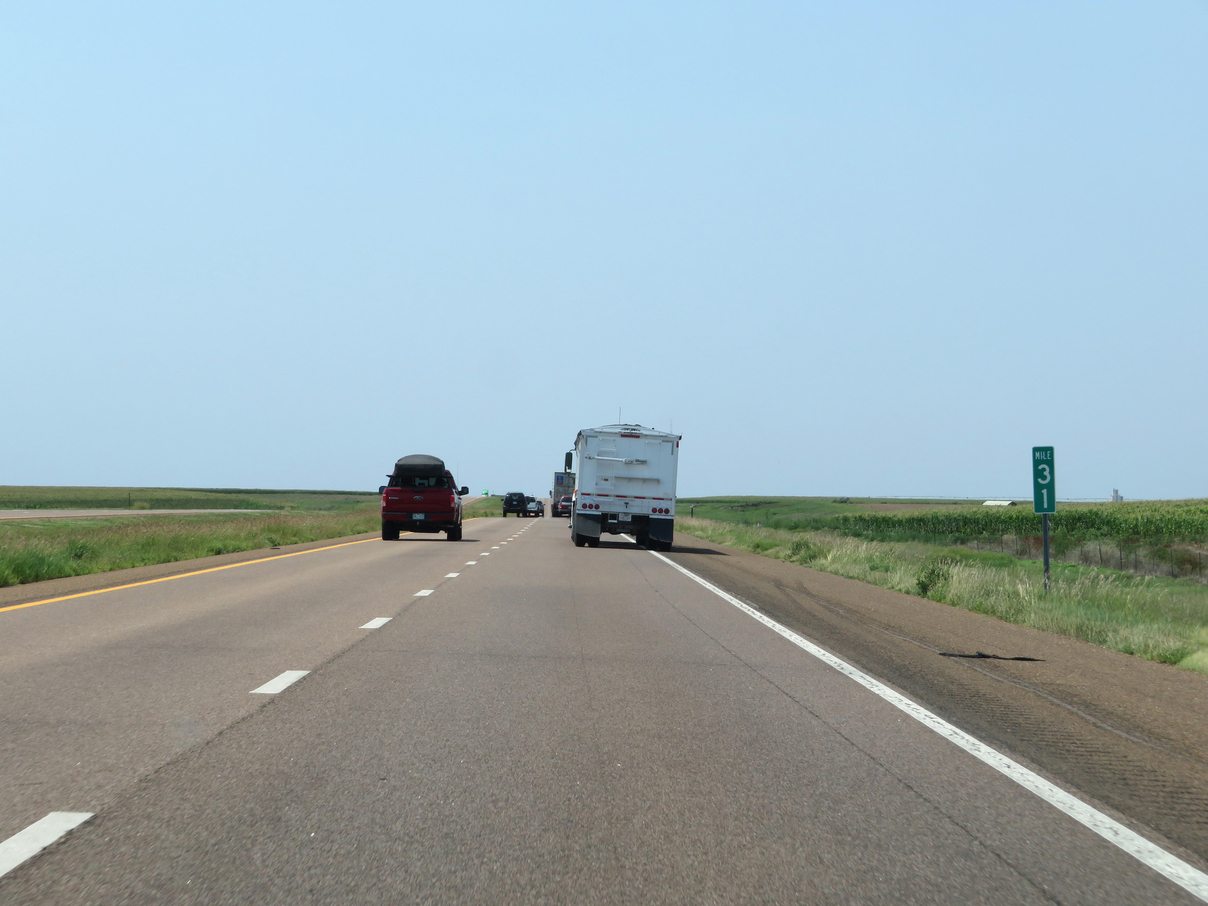
Interstate 70 West at mile marker 29. (Photo taken 8/12/20). |
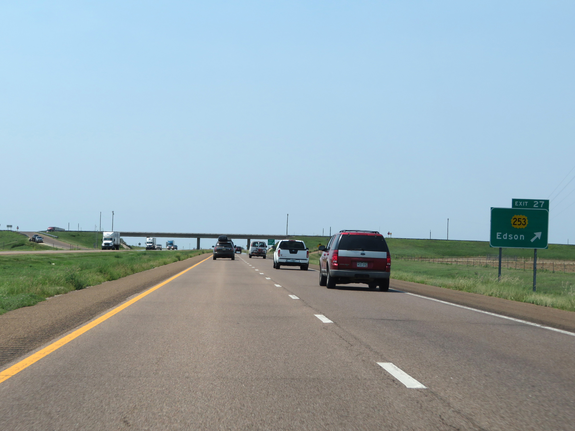 |
Interstate 70 West at Exit 27: K-253 - Edson (Photo taken 8/12/20). |
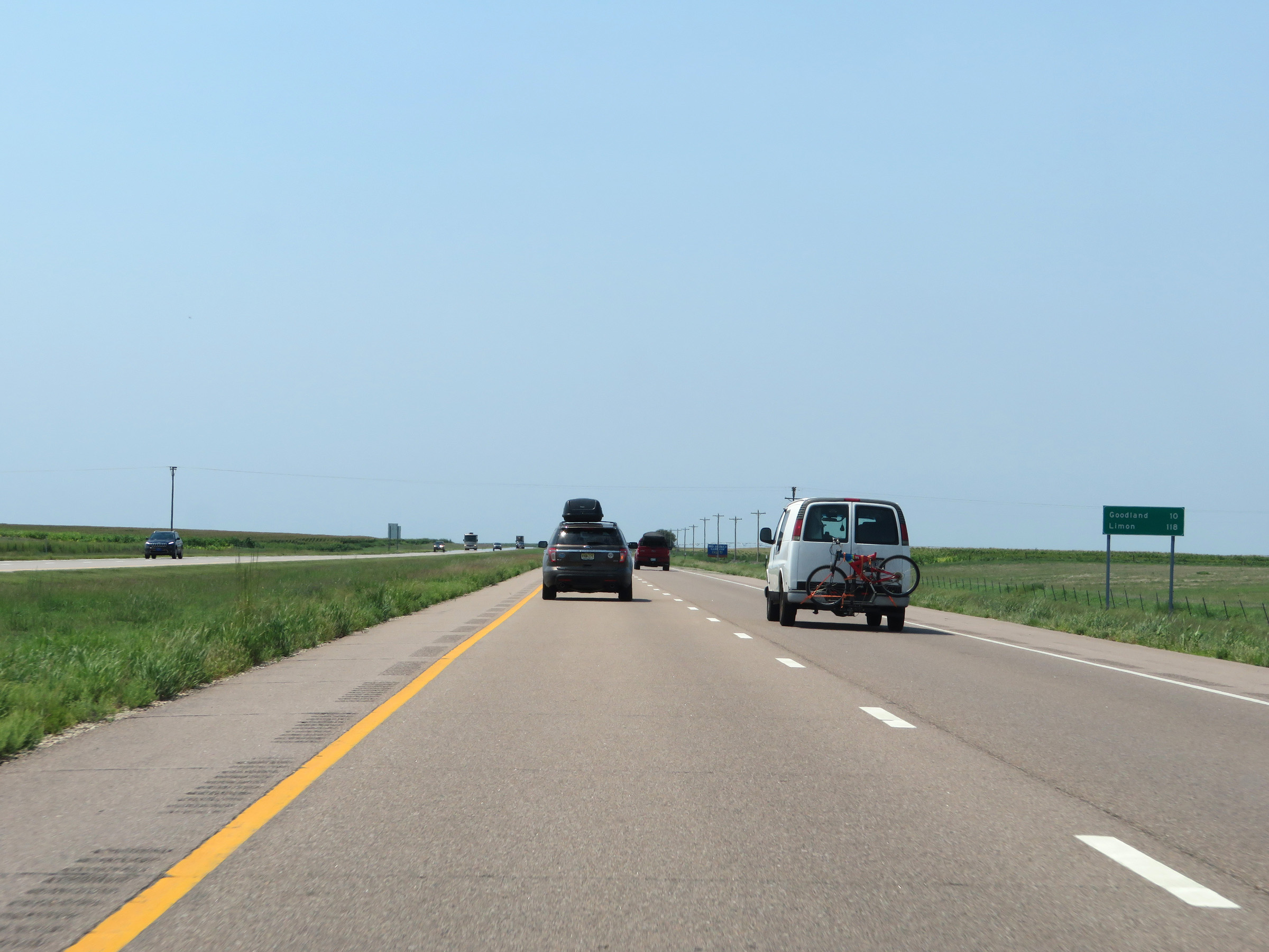 |
Another mileage sign on Interstate 70 West. It's 10 miles to Goodland and 118 miles to Limon. (Photo taken 8/12/20). |
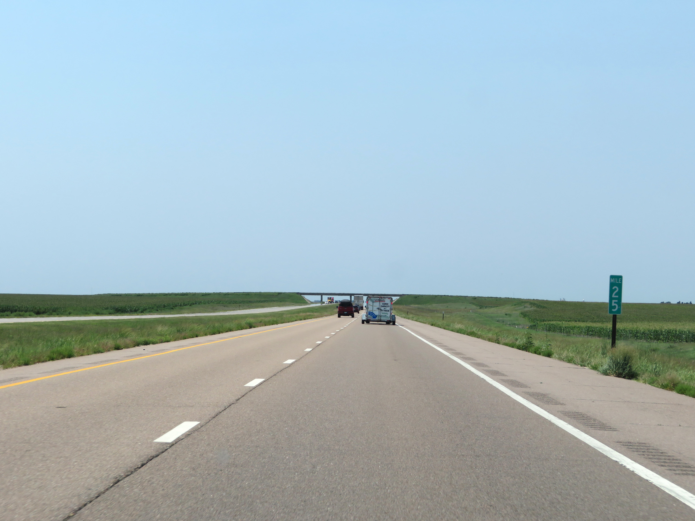 |
View on Interstate 70 West at mile marker 25. (Photo taken 8/12/20). |
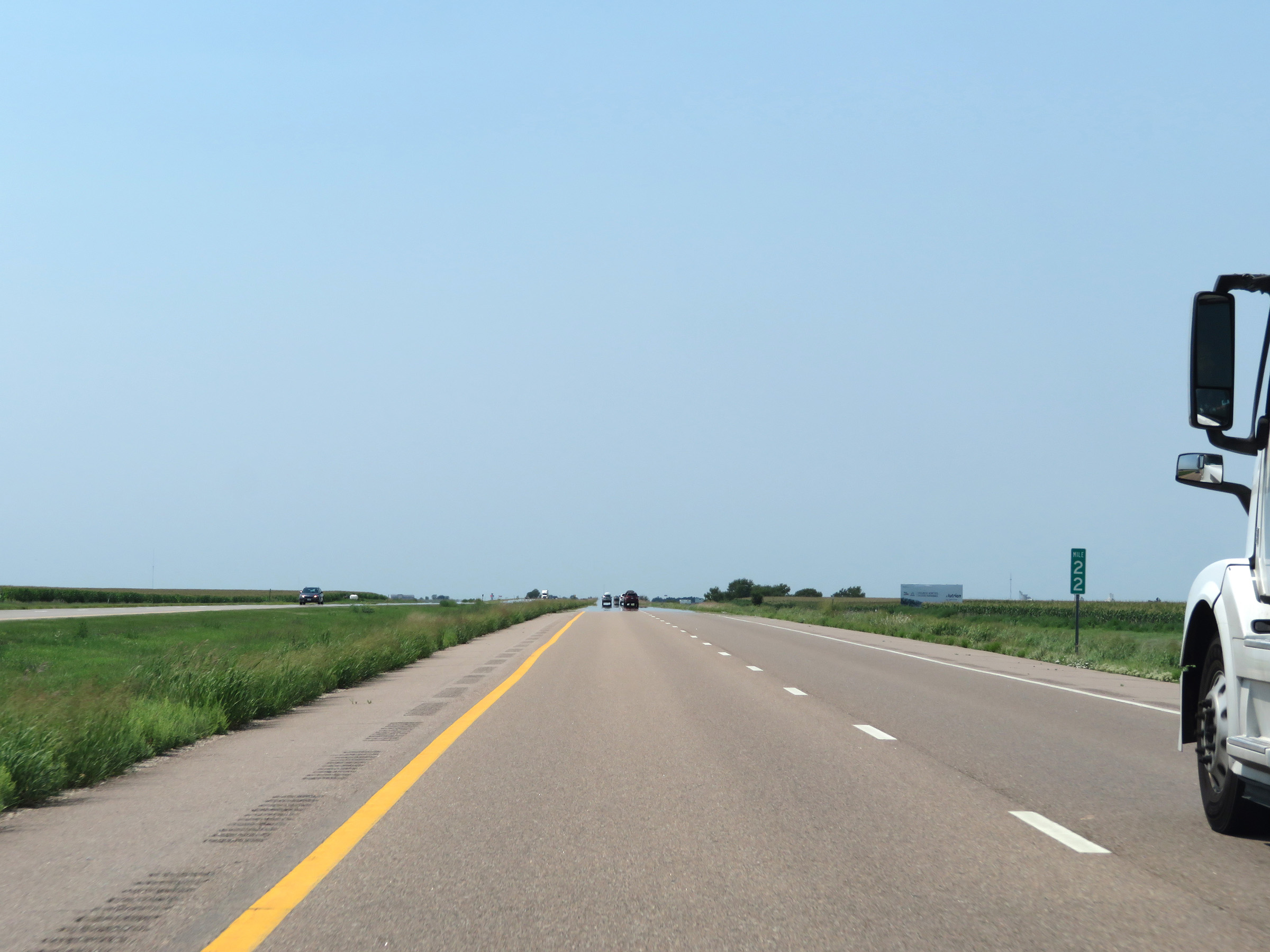 |
Interstate 70 West at mile marker 22. (Photo taken 8/12/20). |
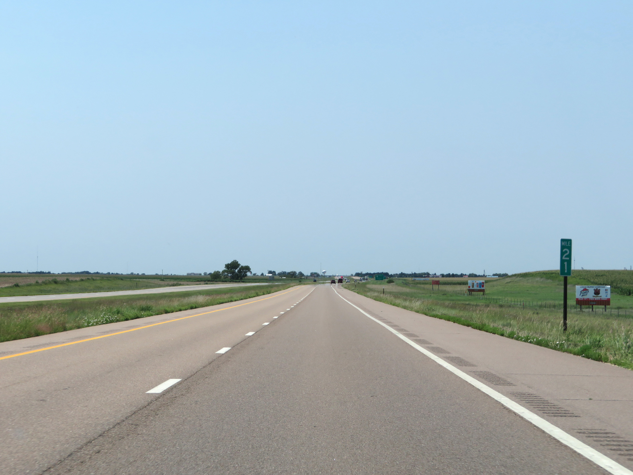 |
View on Interstate 70 West at mile marker 21. (Photo taken 8/12/20). |
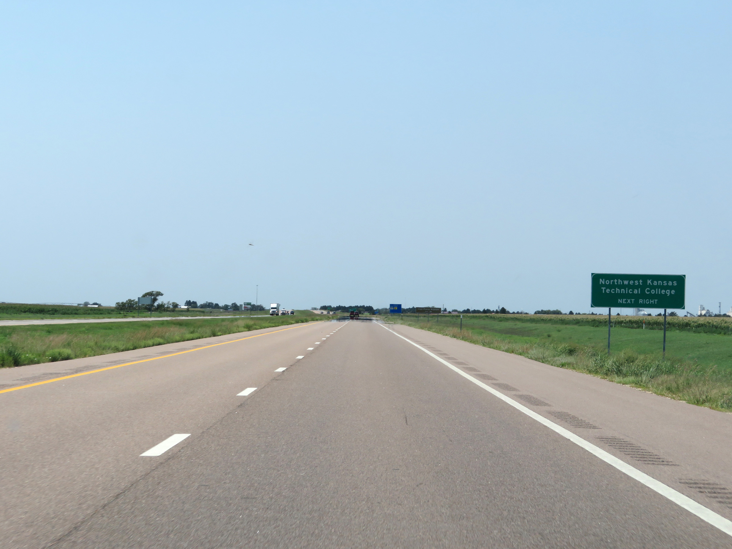 |
Take Exit 19 to Northwest Kansas Technical College. (Photo taken 8/12/20). |
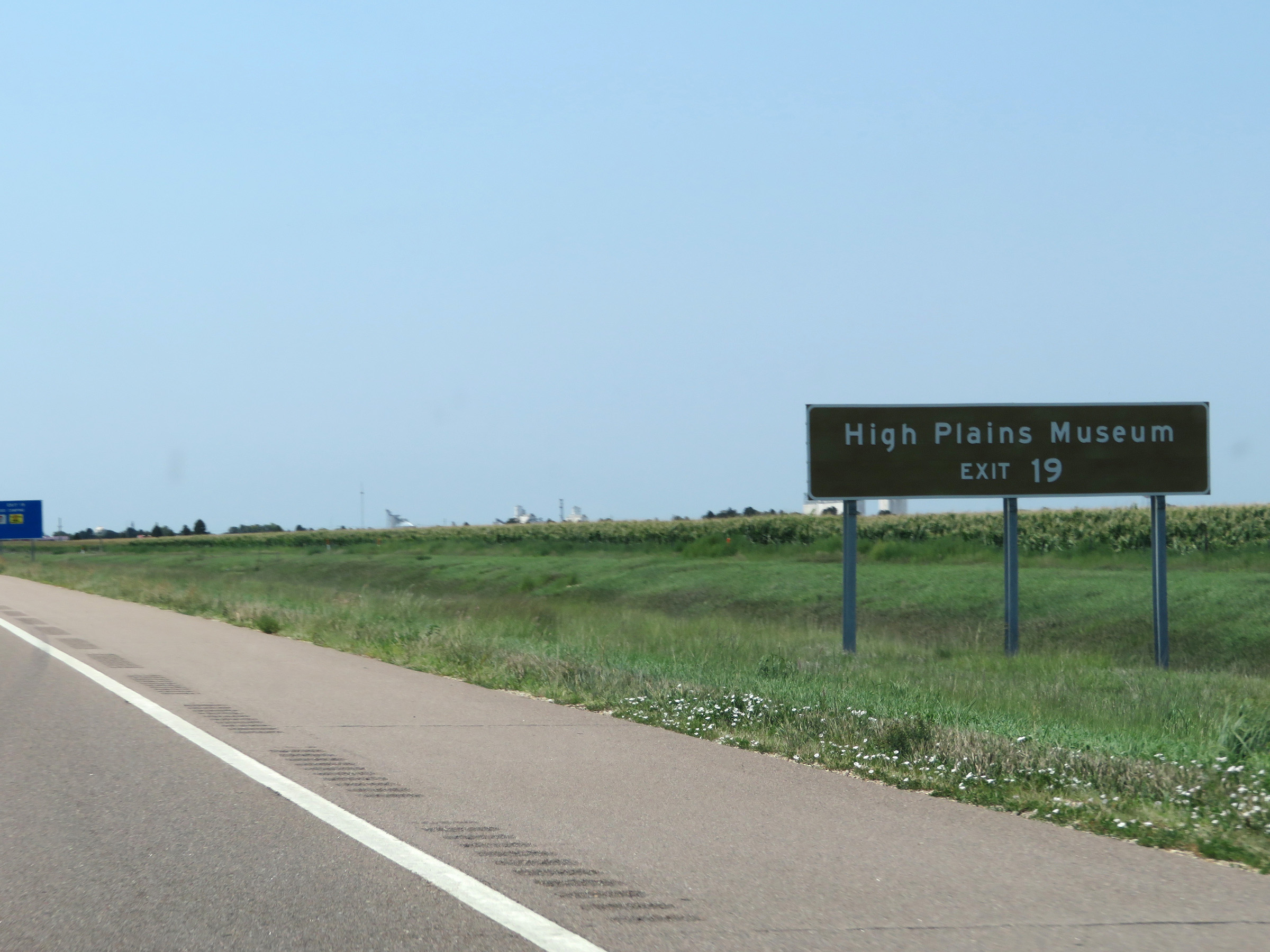 |
Also take Exit 19 to the High Plains Museum. (Photo taken 8/12/20). |
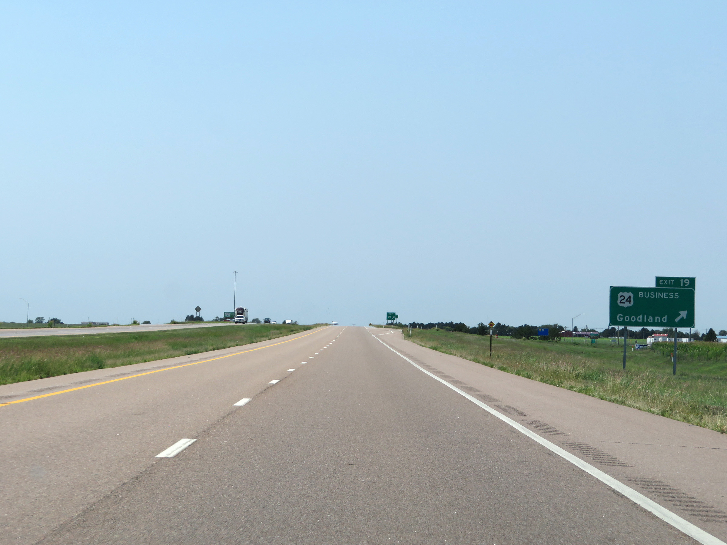 |
Interstate 70 West at Exit 19: US 24 Business - Goodland (Photo taken 8/12/20). |
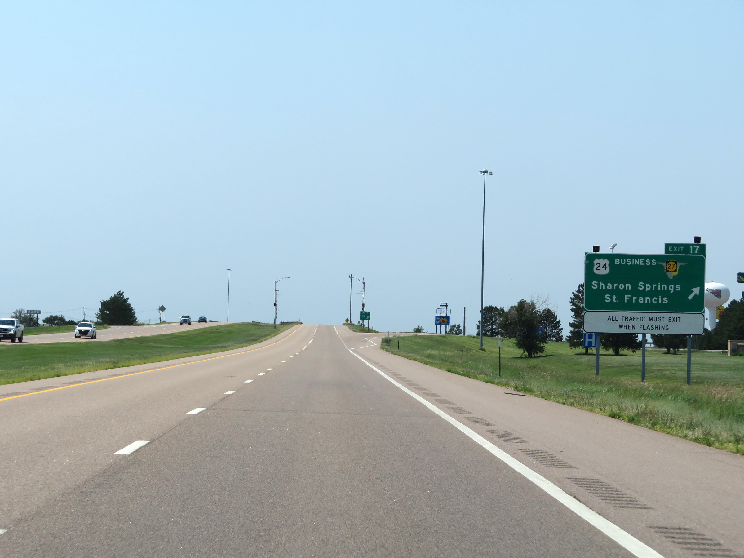 |
Interstate 70 West at Exit 17: US 24 Business / K-27 - Sharon Springs / St. Francis (Photo taken 8/12/20). |
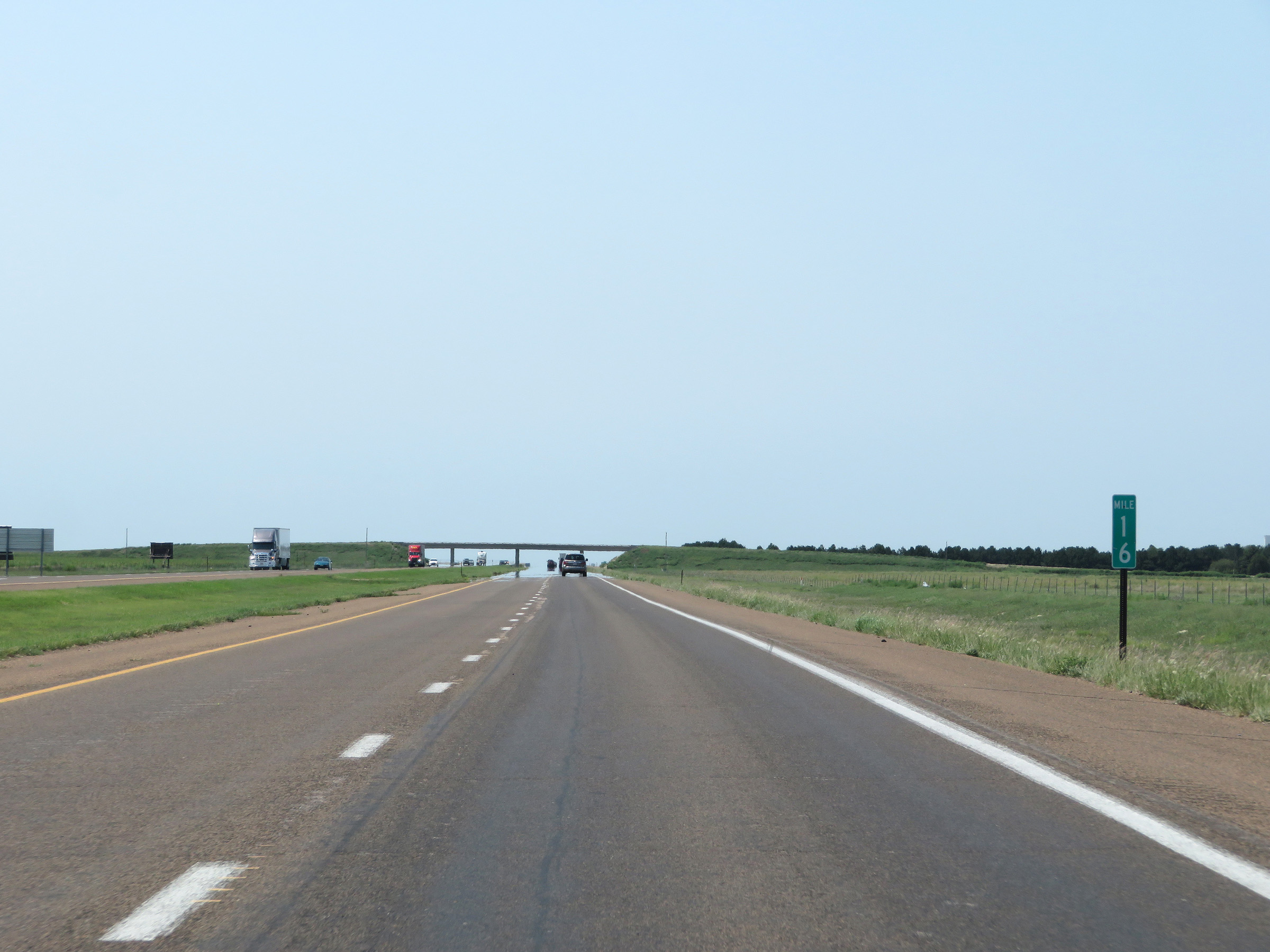 |
View on Interstate 70 West at mile marker 16. (Photo taken 8/12/20). |
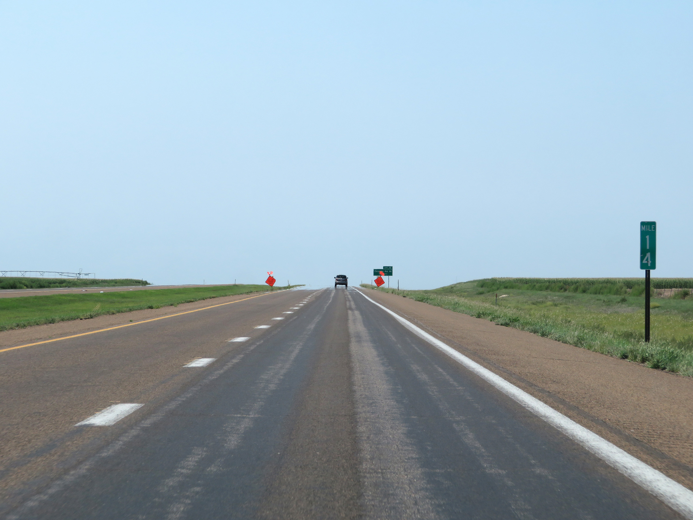 |
Interstate 70 West at mile marker 14. (Photo taken 8/12/20). |
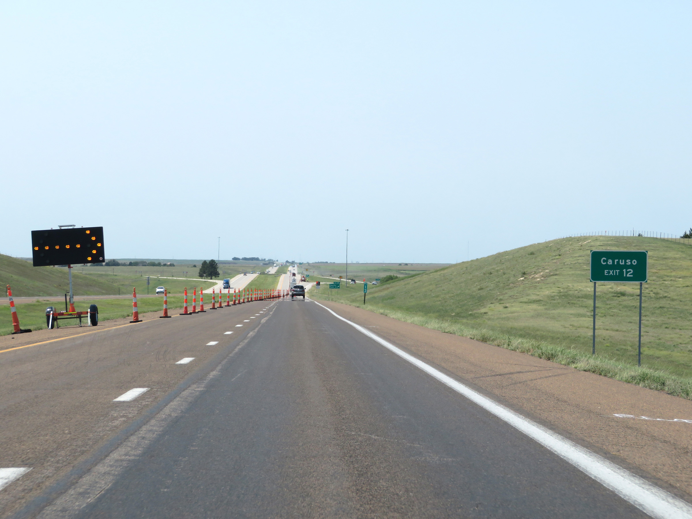 |
Take Exit 12 to Caruso. (Photo taken 8/12/20). |
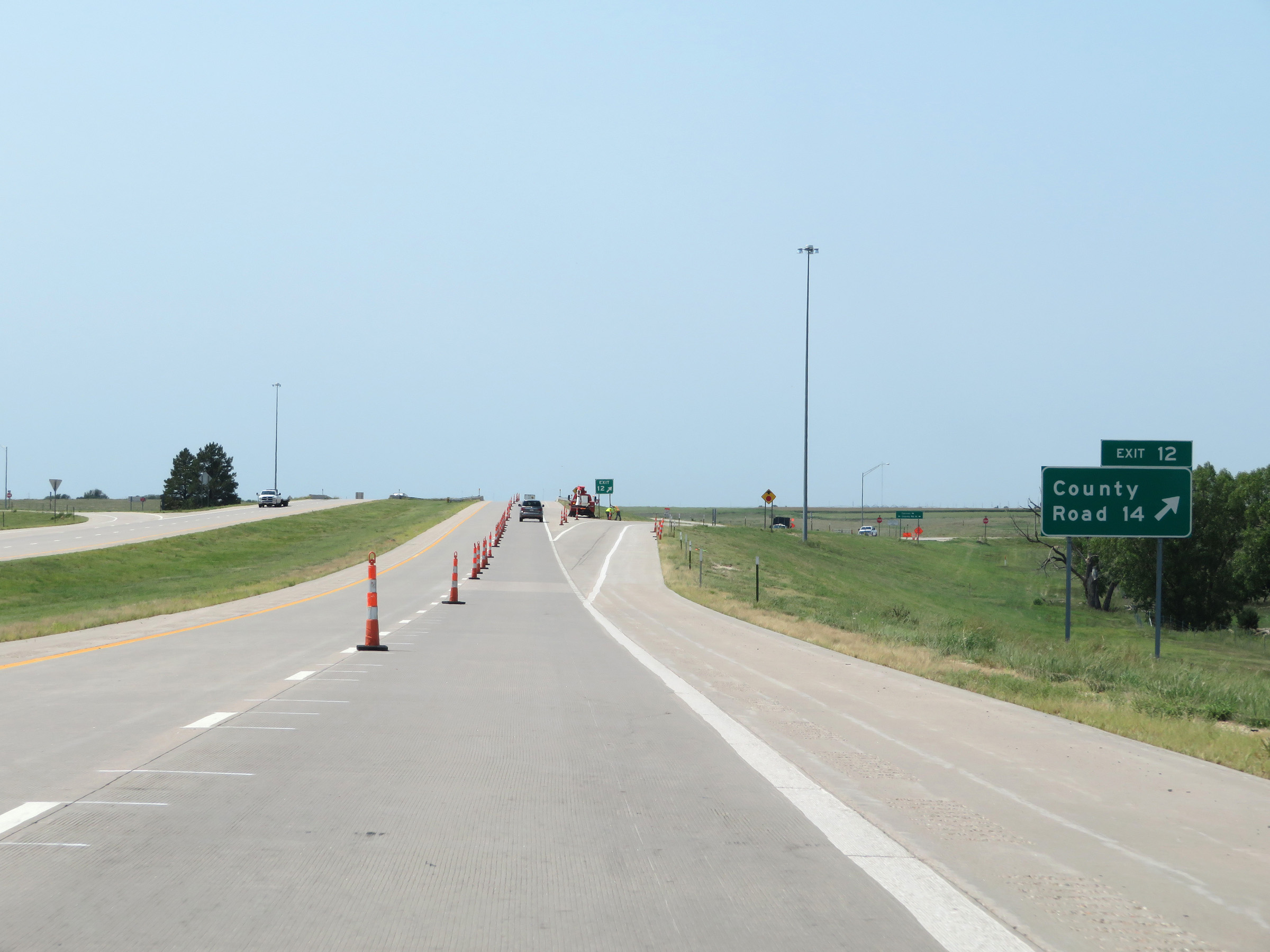 |
Interstate 70 West at Exit 12: County Road 14 (Photo taken 8/12/20). |
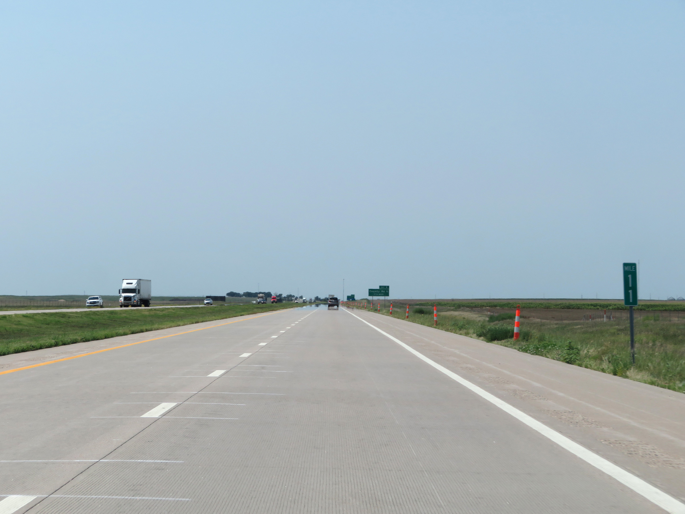 |
View on Interstate 70 West at mile marker 11. (Photo taken 8/12/20). |
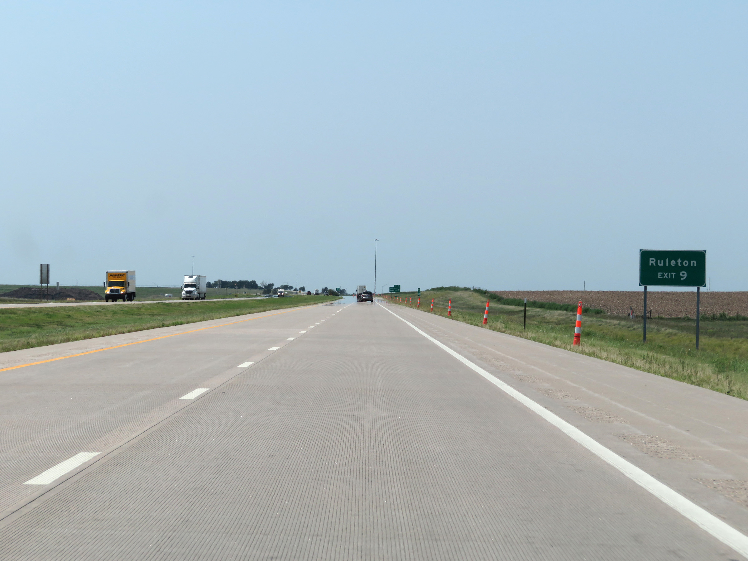 |
Take Exit 9 to Ruleton. (Photo taken 8/12/20). |
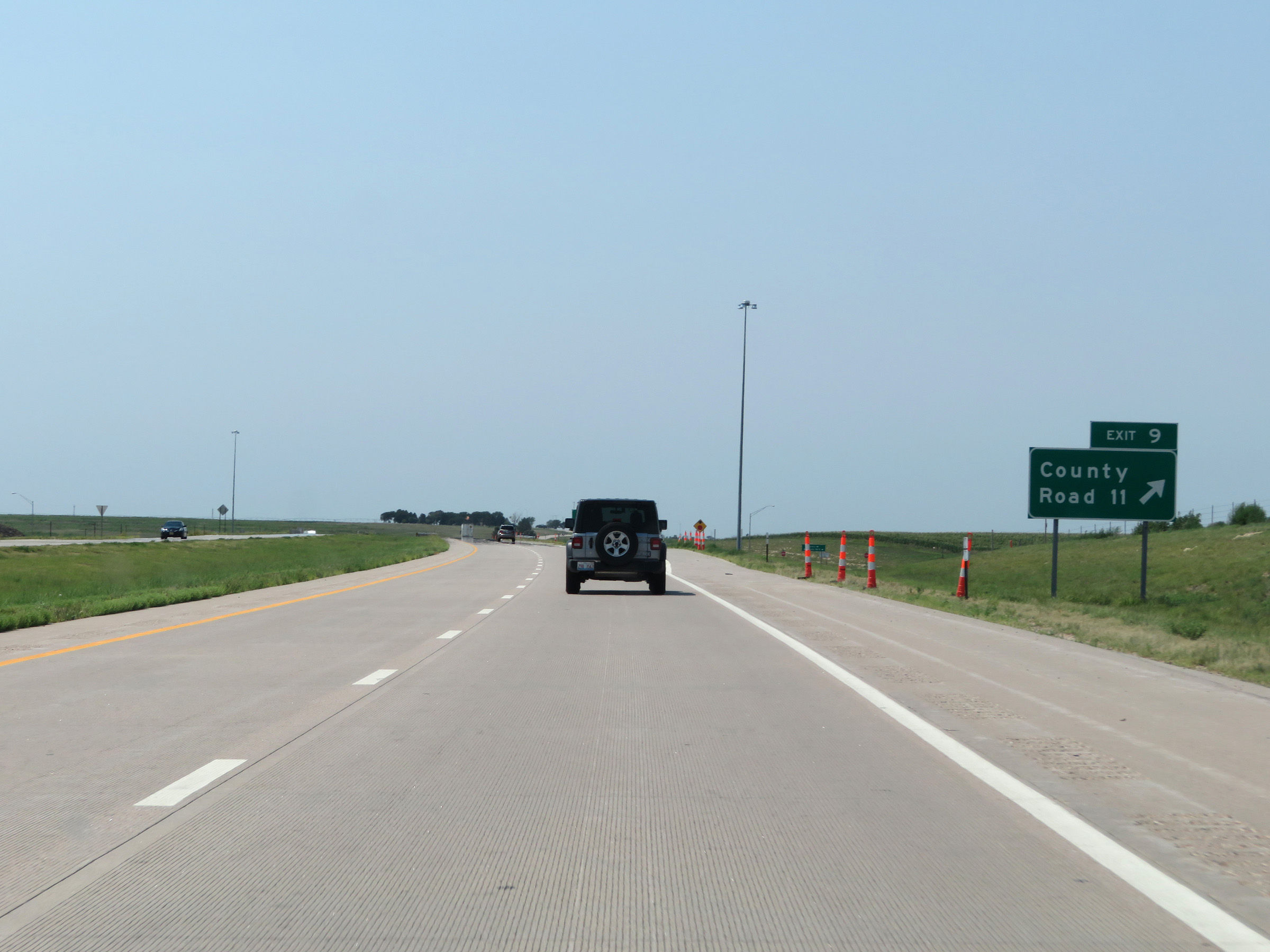 |
Interstate 70 West at Exit 9: County Road 11 (Photo taken 8/12/20). |
 |
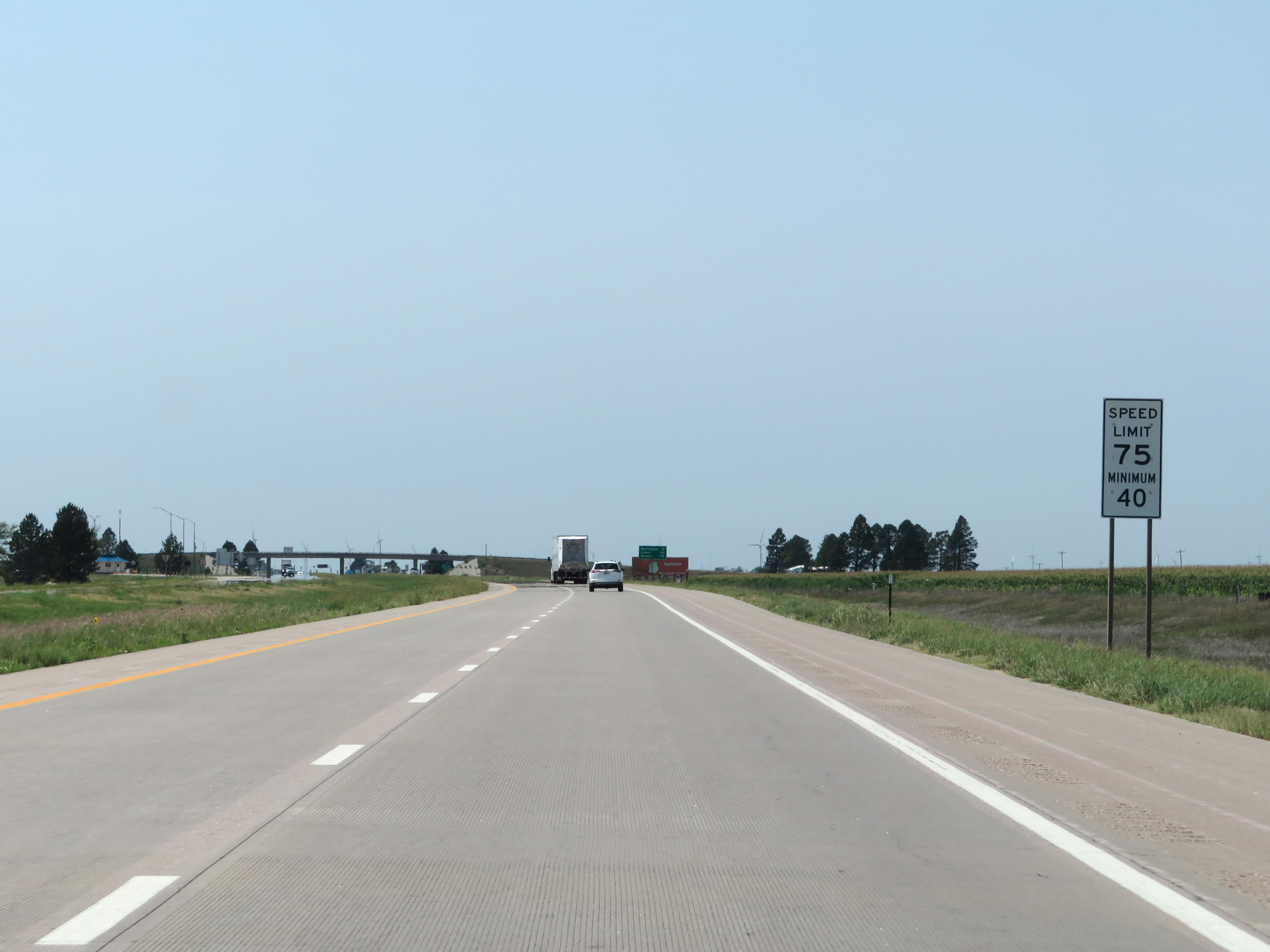
The speed limits remain 75 mph maximum and 40 mph minimum. These are the standard speed limits on most rural Interstate highways in Kansas. (Photo taken 8/12/20). |
 |
View on Interstate 70 West at mile marker 8. (Photo taken 8/12/20). |
 |
Rest Area on Interstate 70 West in Sherman County. (Photo taken 8/12/20). |
 |
Interstate 70 West at mile marker 6. (Photo taken 8/12/20). |
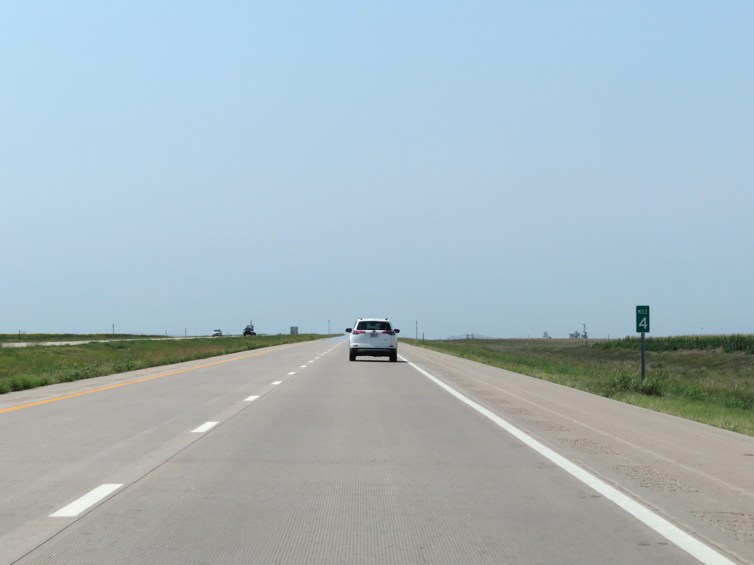 |
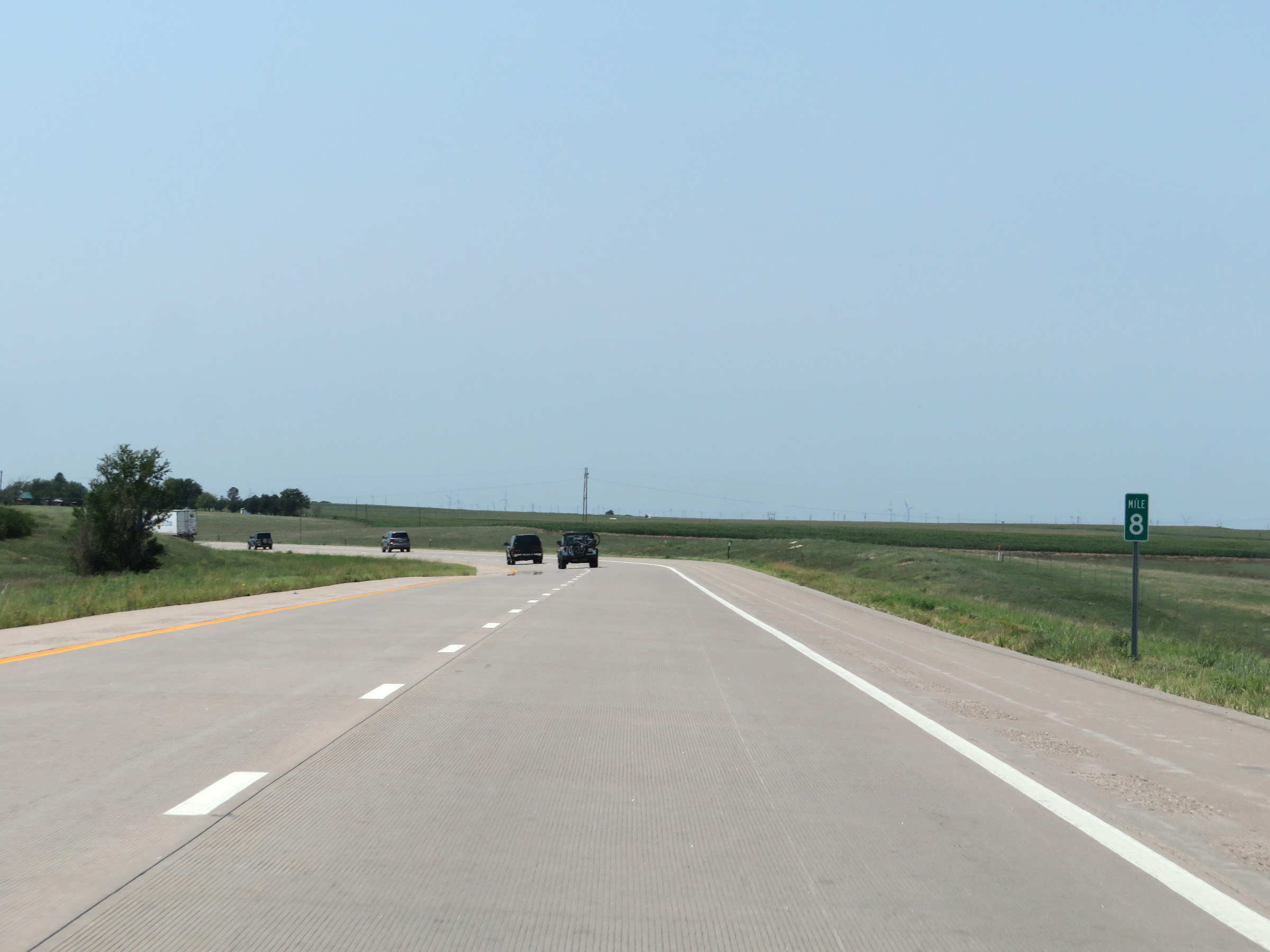
View on Interstate 70 West at mile marker 4. (Photo taken 8/12/20). |
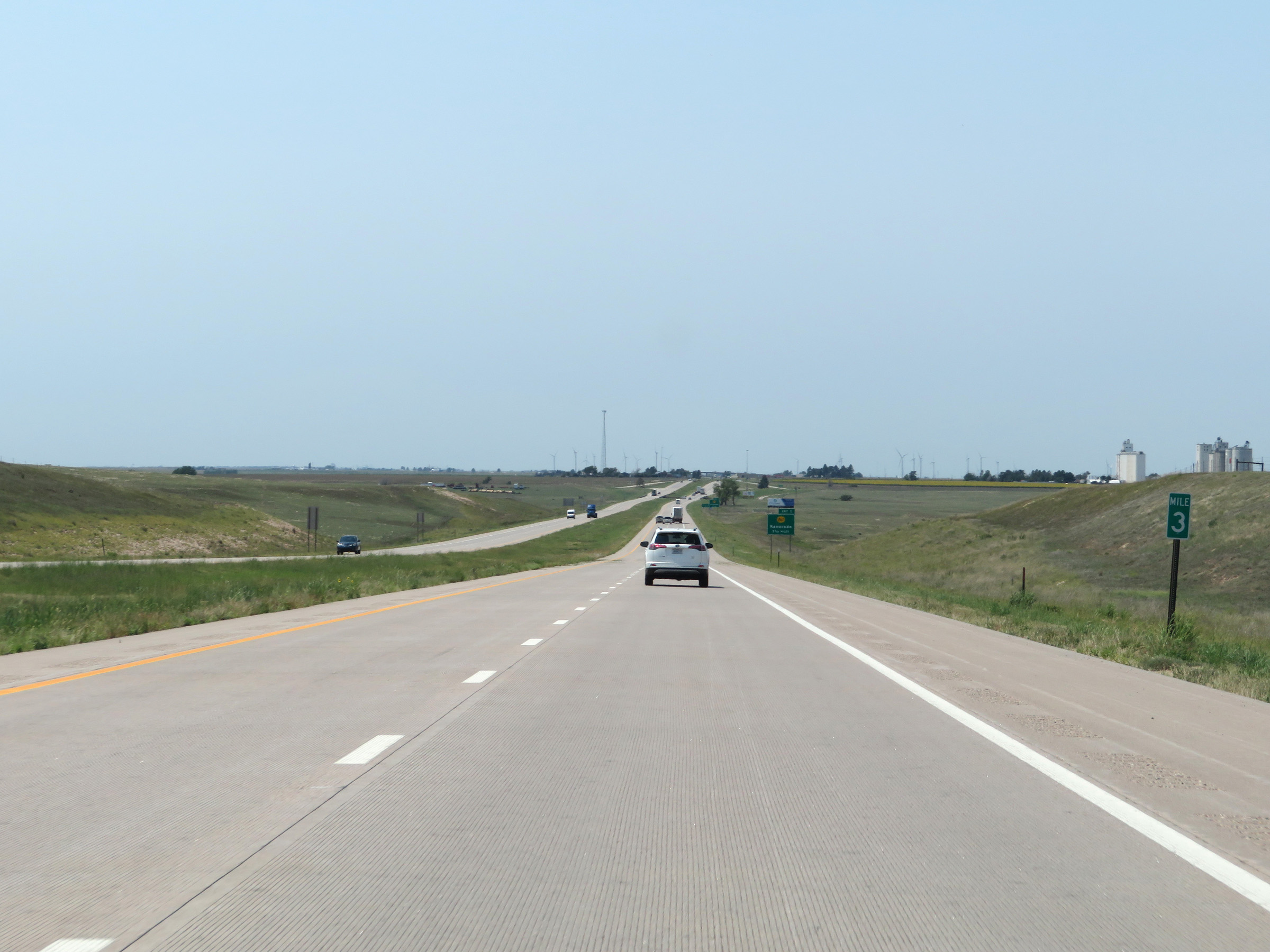 |
Interstate 70 West at mile marker 3. (Photo taken 8/12/20). |
 |
Interstate 70 West approaching Exit 1 - 3/4 mile. (Photo taken 8/12/20). |
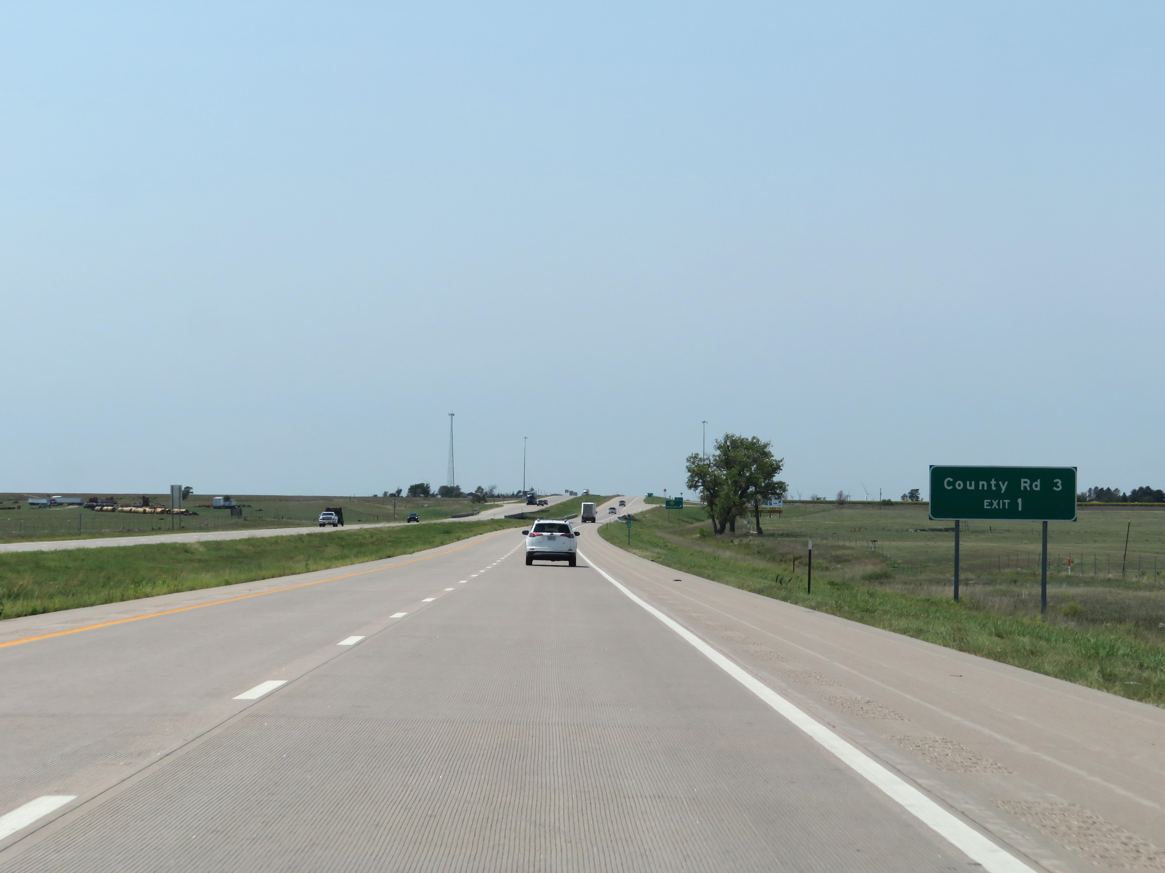 |
Take Exit 1 to County Rd 3. (Photo taken 8/12/20). |
 |
View on Interstate 70 West at mile marker 2. (Photo taken 8/12/20). |
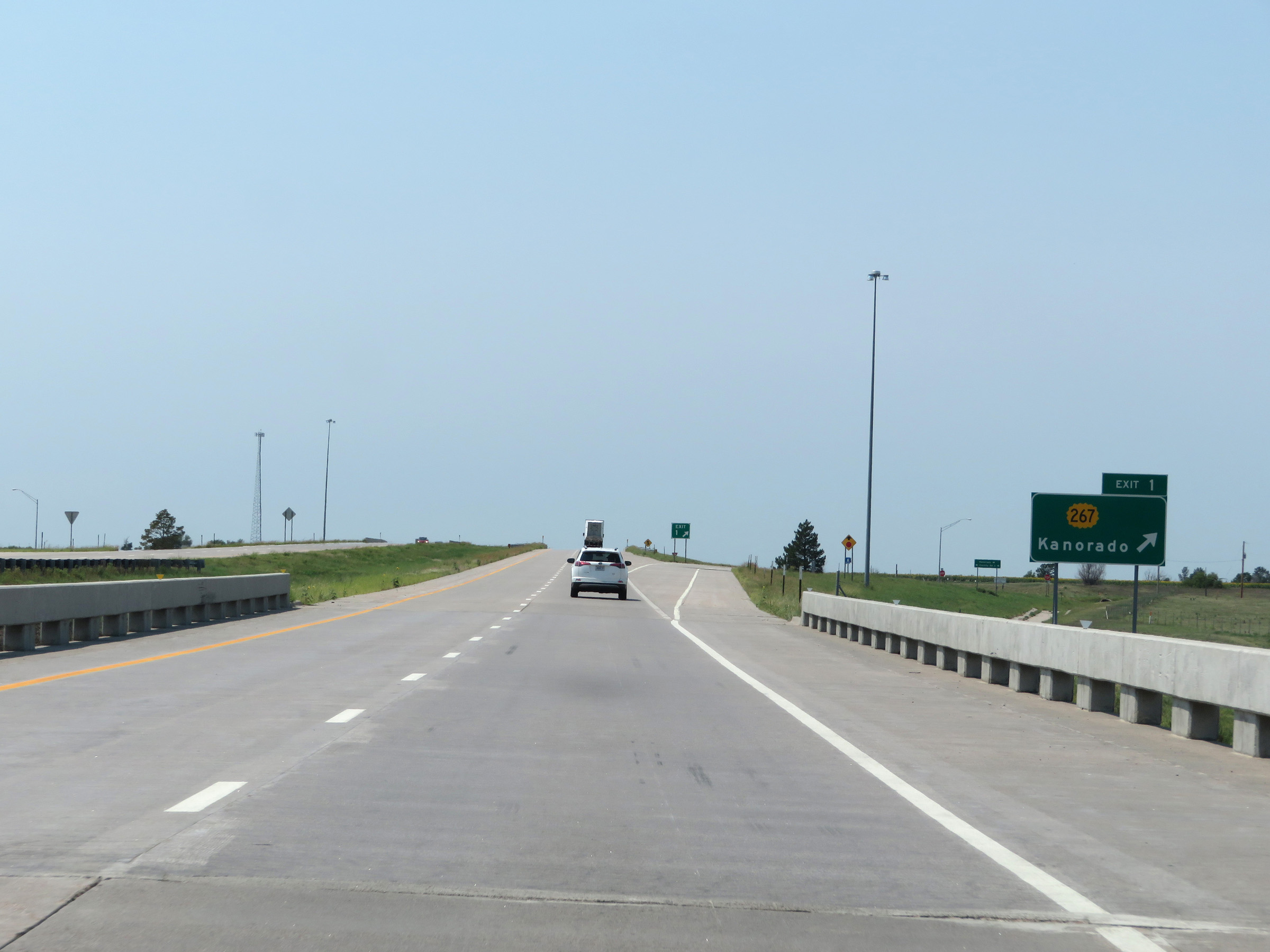 |
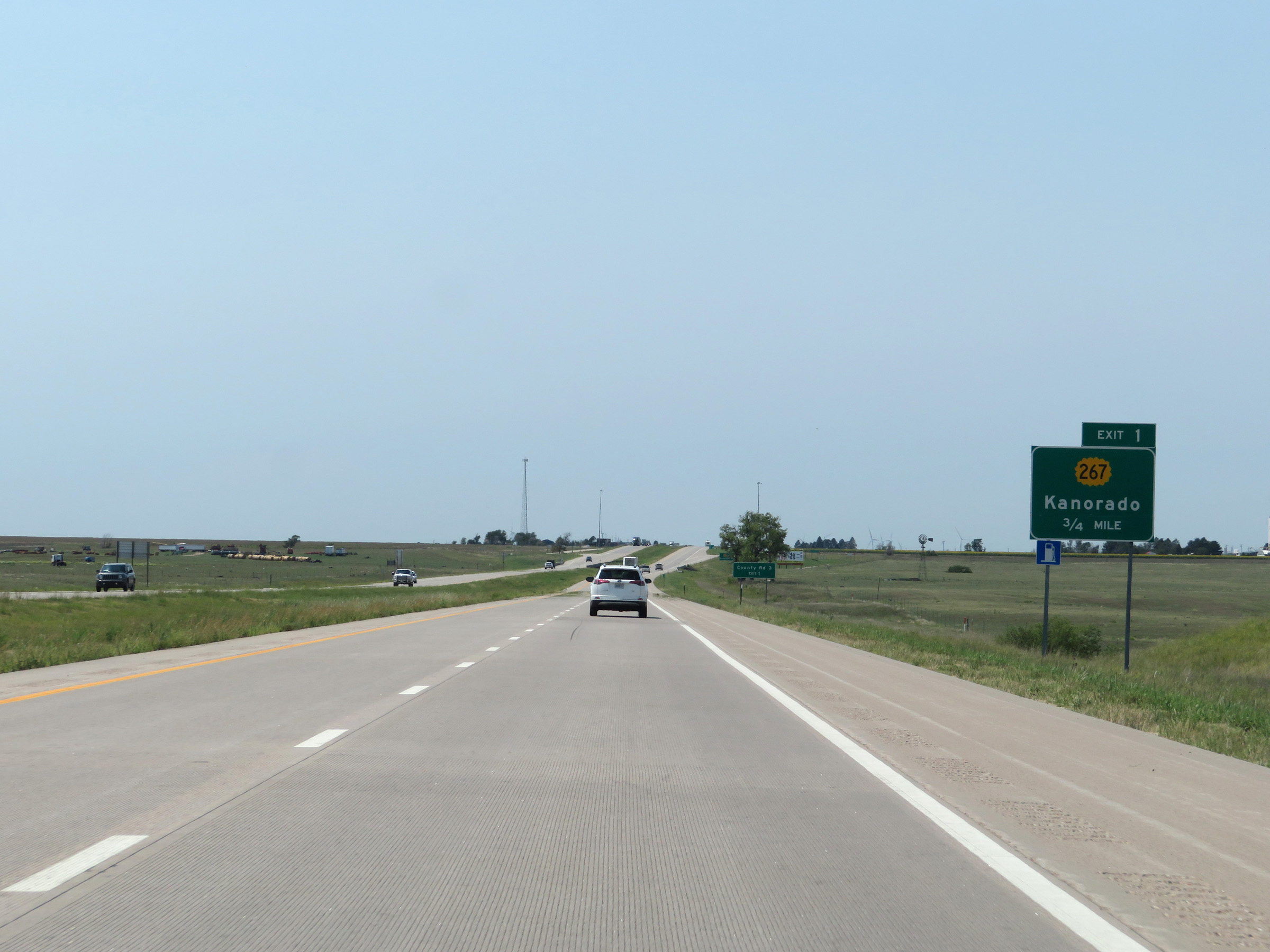
Interstate 70 West at Exit 1: K-267 - Kanorado (Photo taken 8/12/20). |
 |
View on Interstate 70 West at mile marker 1. (Photo taken 8/12/20). |
 |
One final state-named Interstate 70 West reassurance shield. (Photo taken 8/12/20). |
 |
The speed limits remain 75 mph maximum and 40 mph minimum. (Photo taken 8/12/20). |
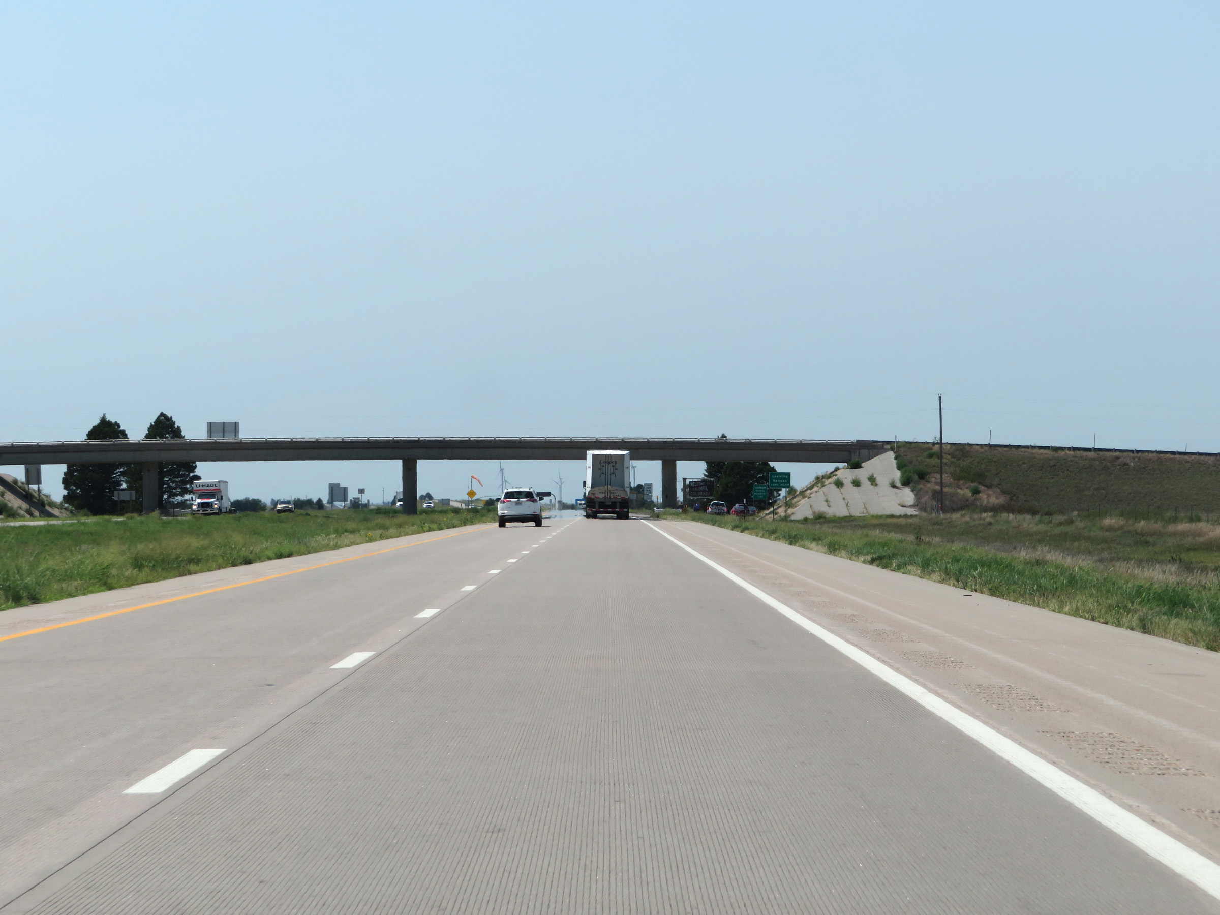 |
Interstate 70 West as it prepares to leave Kansas after a 424-mile journey across the Sunflower State to enter Colorado. (Photo taken 8/12/20). |
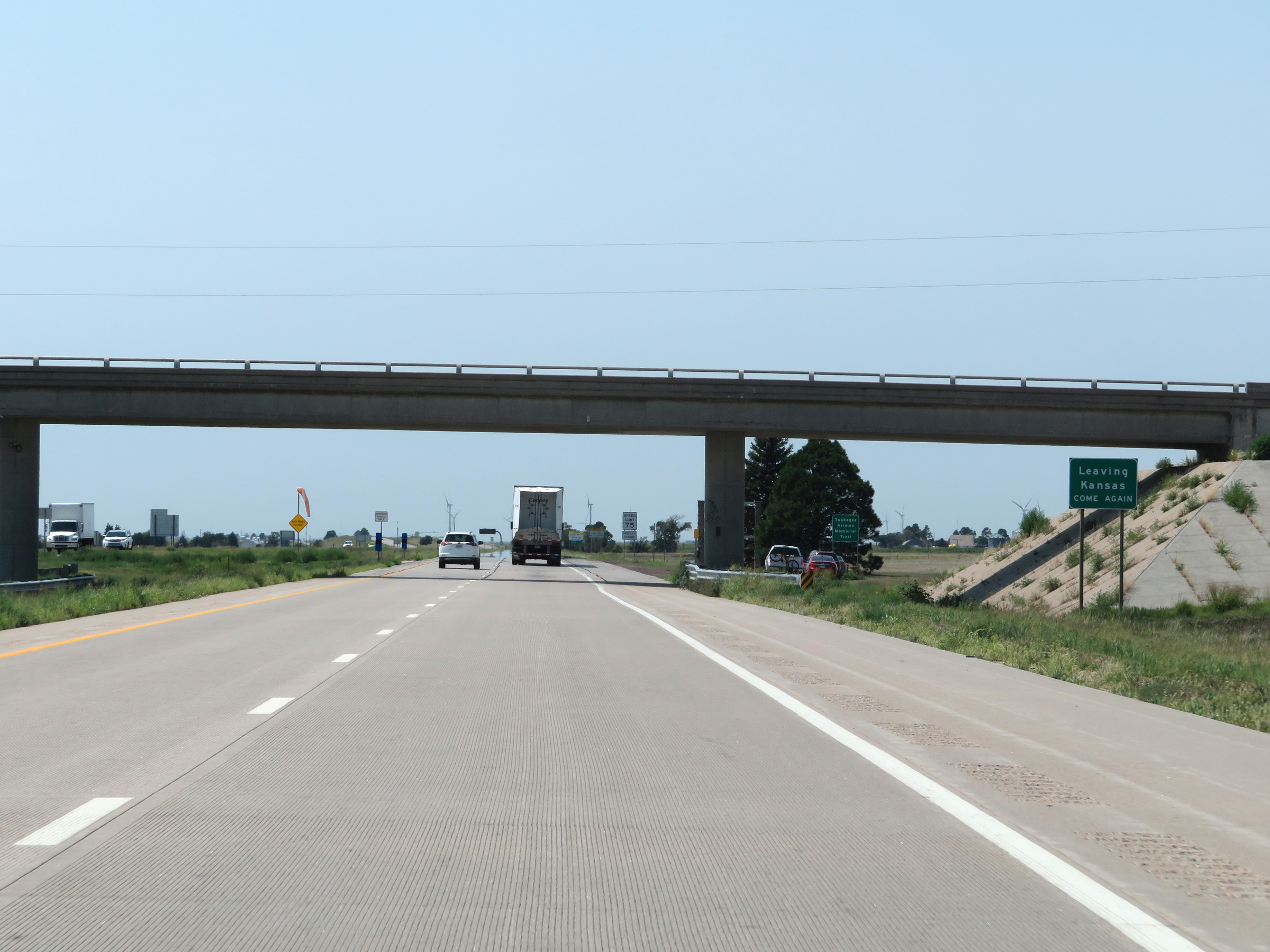 |
At the Colorado state line, this sign states that you're now leaving Kansas and you're encouraged to come again. (Photo taken 8/12/20). |