Road Information |
||
 |
||
| Total Mileage in State: | 96 miles | |
| Northern End: | At I-70, in Salina | |
| Southern End: | At I-35 (Kansas Turnpike), in Wichita | |
| Mileage covered in Photos: | 96 miles | |
| Counties covered in Photos: | Sedgwick, Harvey, McPherson, Saline | |
| Major Junctions in Photos: | I-235, in Wichita I-235/K-96/K-254, in Wichita US 50, in Newton US 56, in McPherson I-70, in Salina |
|
| Control Cities in Photos: | Wichita, Newton, McPherson, Salina | |
Northbound
- Section 1: Interstate 35 (Kansas Turnpike) to Park City (Exit 14)
- Section 2: Park City (Exit 14) to McPherson (Exit 60)
- Section 3: McPherson (Exit 60) to Interstate 70
Section 1: Interstate 35 (Kansas Turnpike) to Park City (Exit 14)
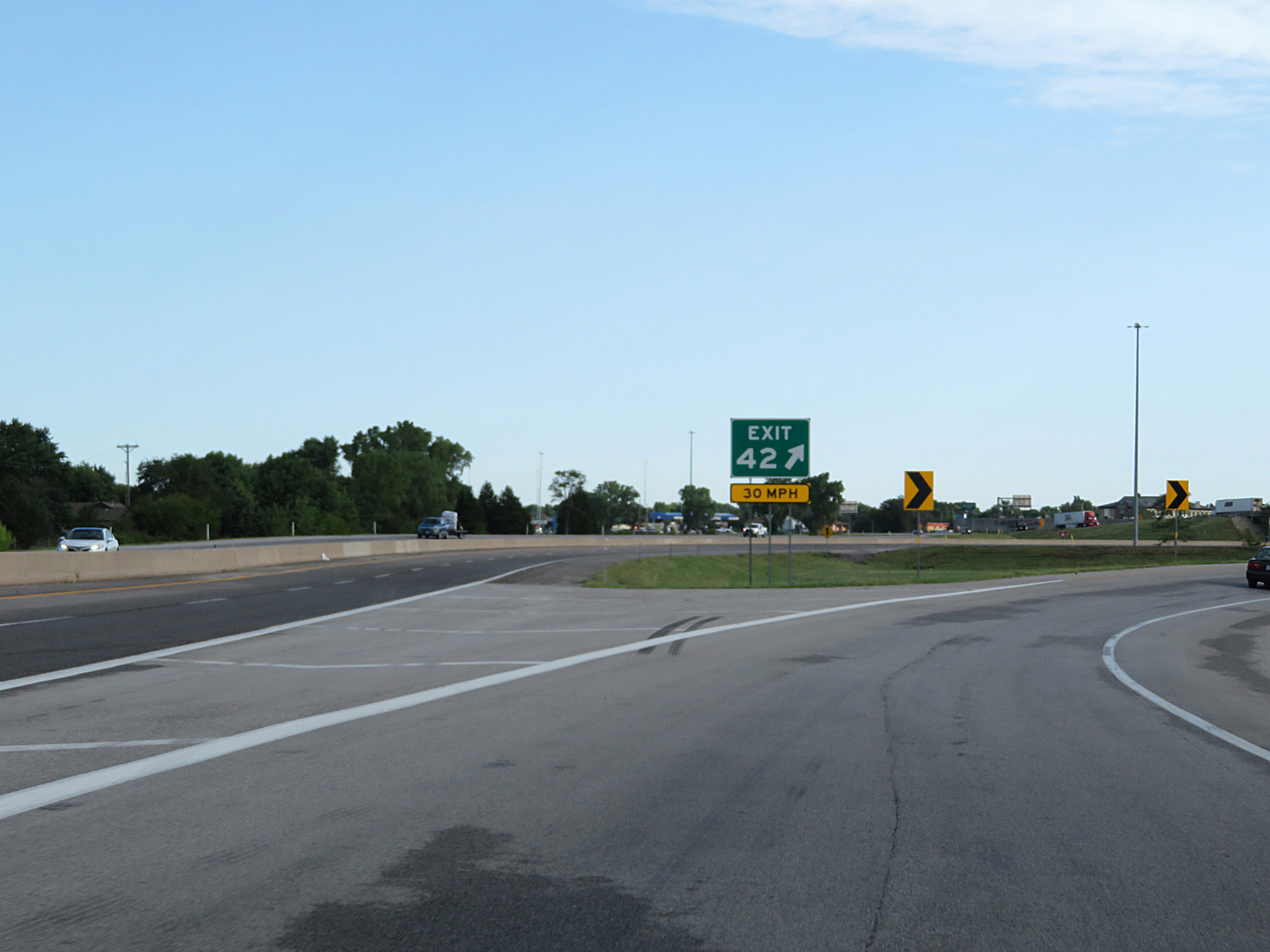 |
Interstate 135 North begins here, on the ramp for Exit 42 on Interstate 35 North (Kansas Turnpike) on the south side of Wichita. (Photo taken 8/11/20). |
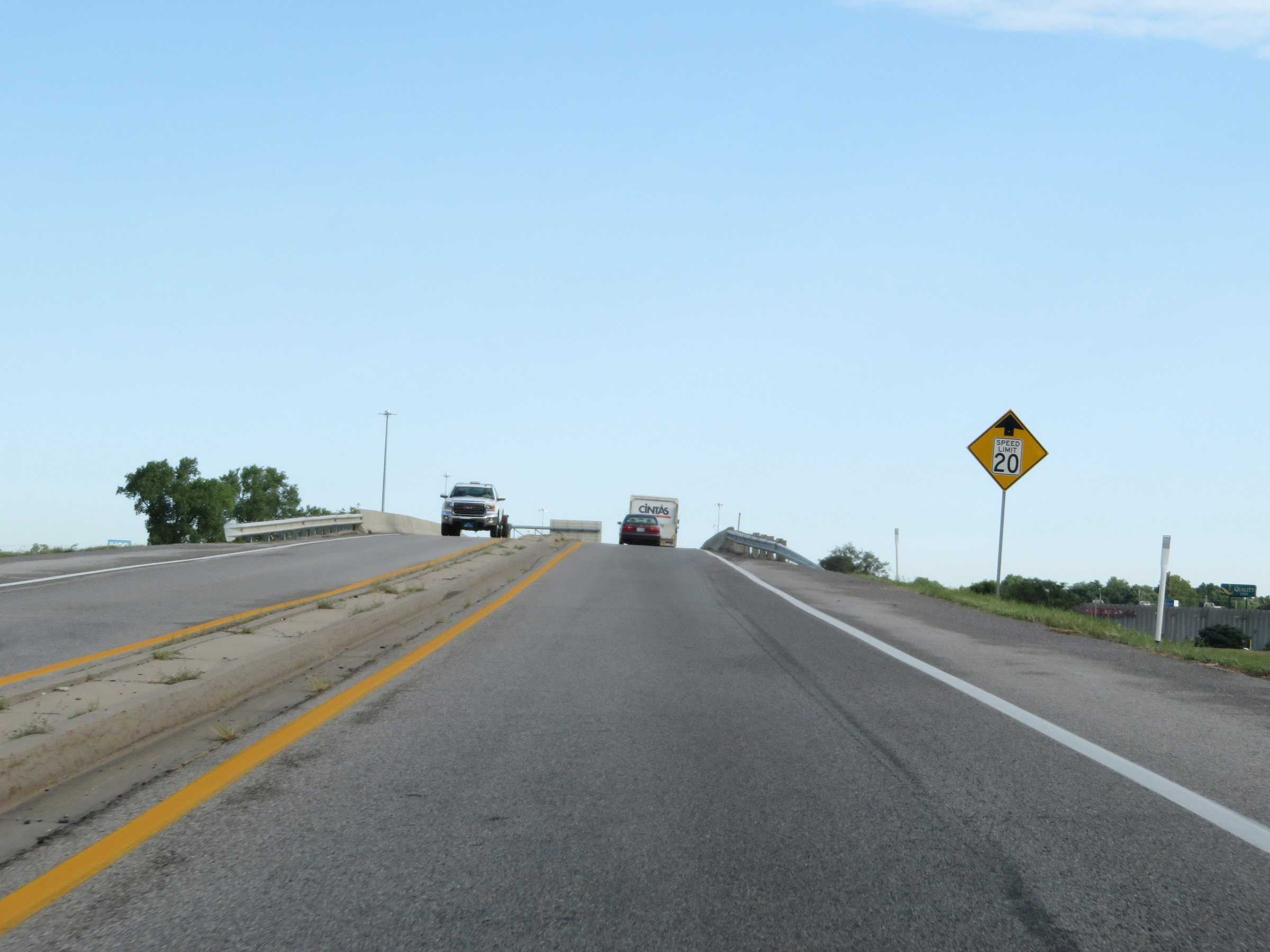 |
Since we're coming off the Kansas Turnpike to go onto Interstate 135 North, the toll plaza for Exit 42 is just ahead. The speed limit will be reduced to 20 mph ahead approaching the toll plaza. (Photo taken 8/11/20). |
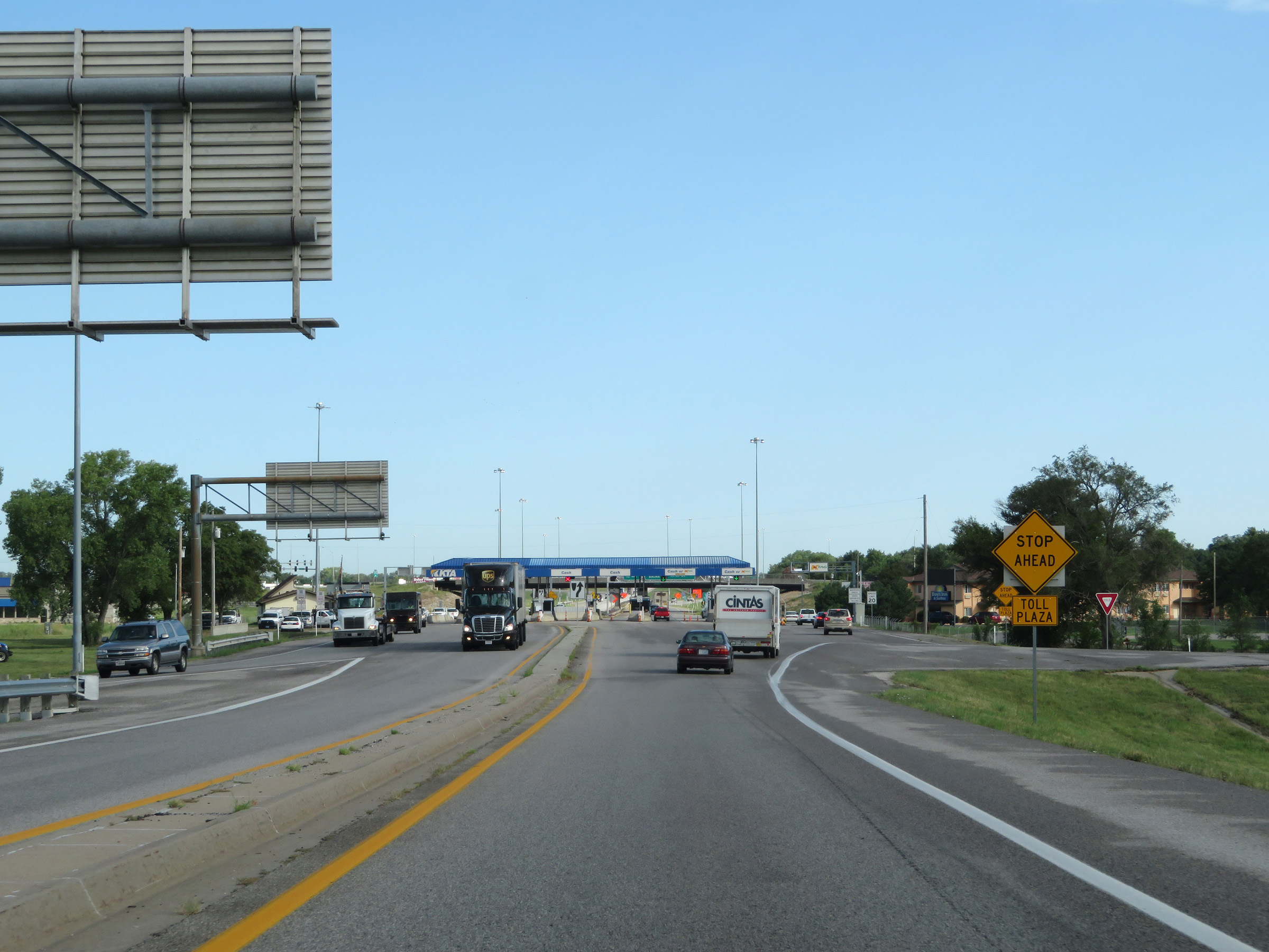 |
Interstate 135 North as its ramp from Interstate 35 North (Kansas Turnpike) begins to approach the toll plaza for Exit 42, which now comes into view. (Photo taken 8/11/20). |
 |
Interstate 135 North approaching the toll plaza for the Kansas Turnpike. (Photo taken 8/11/20). |
 |
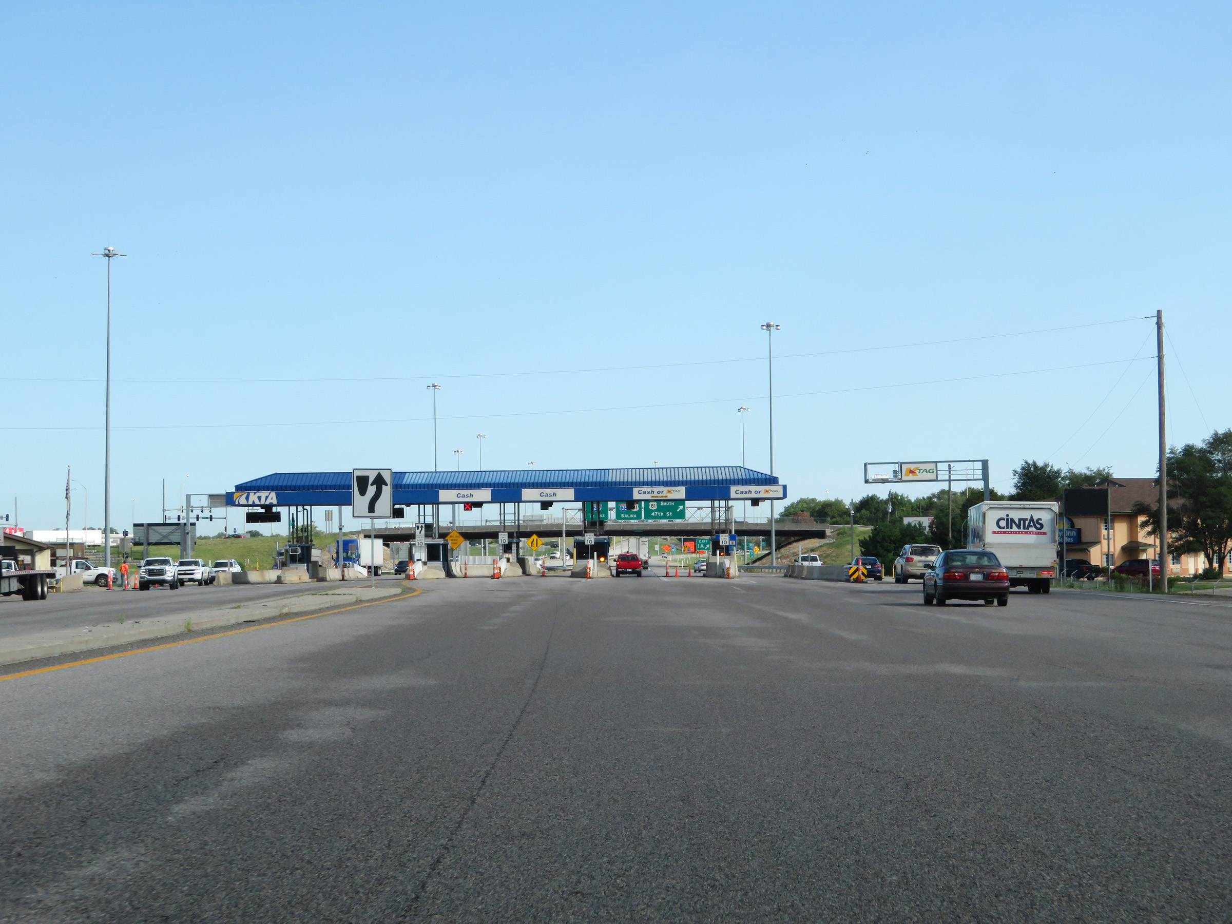
View of the toll plaza for Exit 42 on Interstate 135 North. The leftmost lanes are for cash customers only. K Tag holders can use either of the two right lanes, or the express toll lane to the right of the toll plaza to pay electronically. (Photo taken 8/11/20). |
 |
Leaving the toll plaza on Interstate 135 North at mile marker 0.4, which implies that the measured mile for I-135 begins on the ramps for Exit 42 off Interstate 35 (Kansas Turnpike). (Photo taken 8/11/20). |
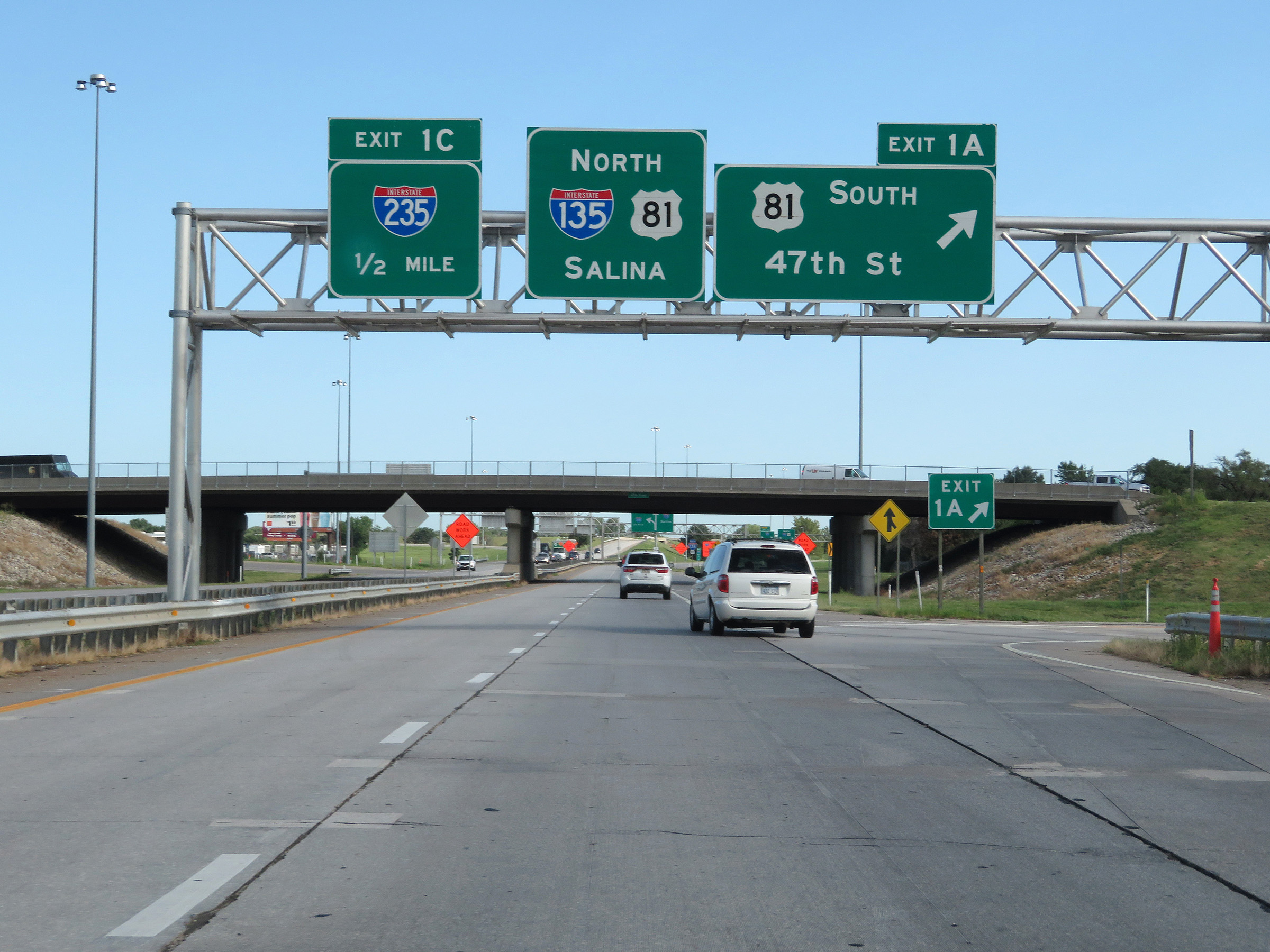 |
Interstate 135 North at Exit 1A: US 81 South - 47th St. US 81 will run concurrently with I-135 for the remainder of I-135 beyond this point. (Photo taken 8/11/20). |
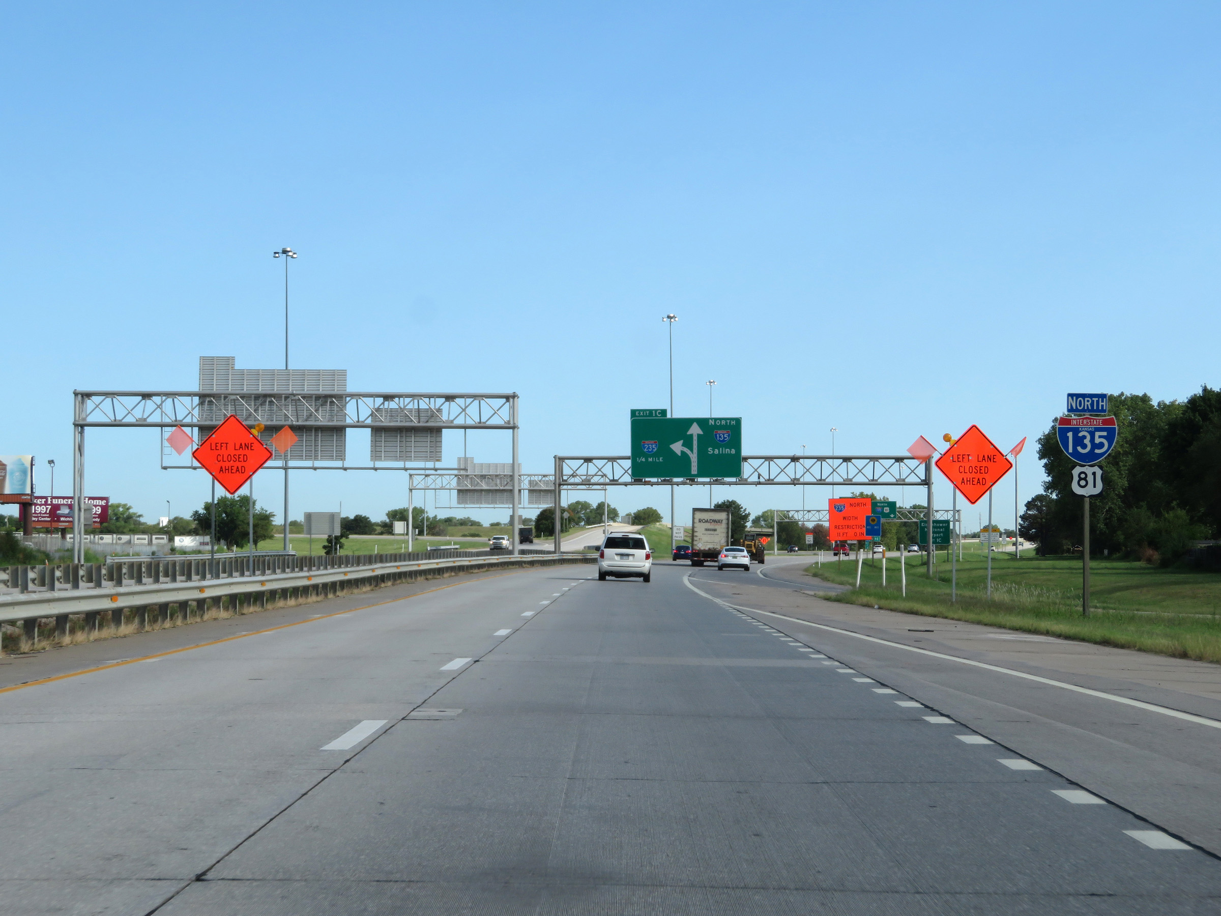 |
State-named Interstate 135 North reassurance shield approaching Exit 1C. (Photo taken 8/11/20). |
 |
Interstate 135 North approaching Exit 1C - 1/4 mile on the left. (Photo taken 8/11/20). |
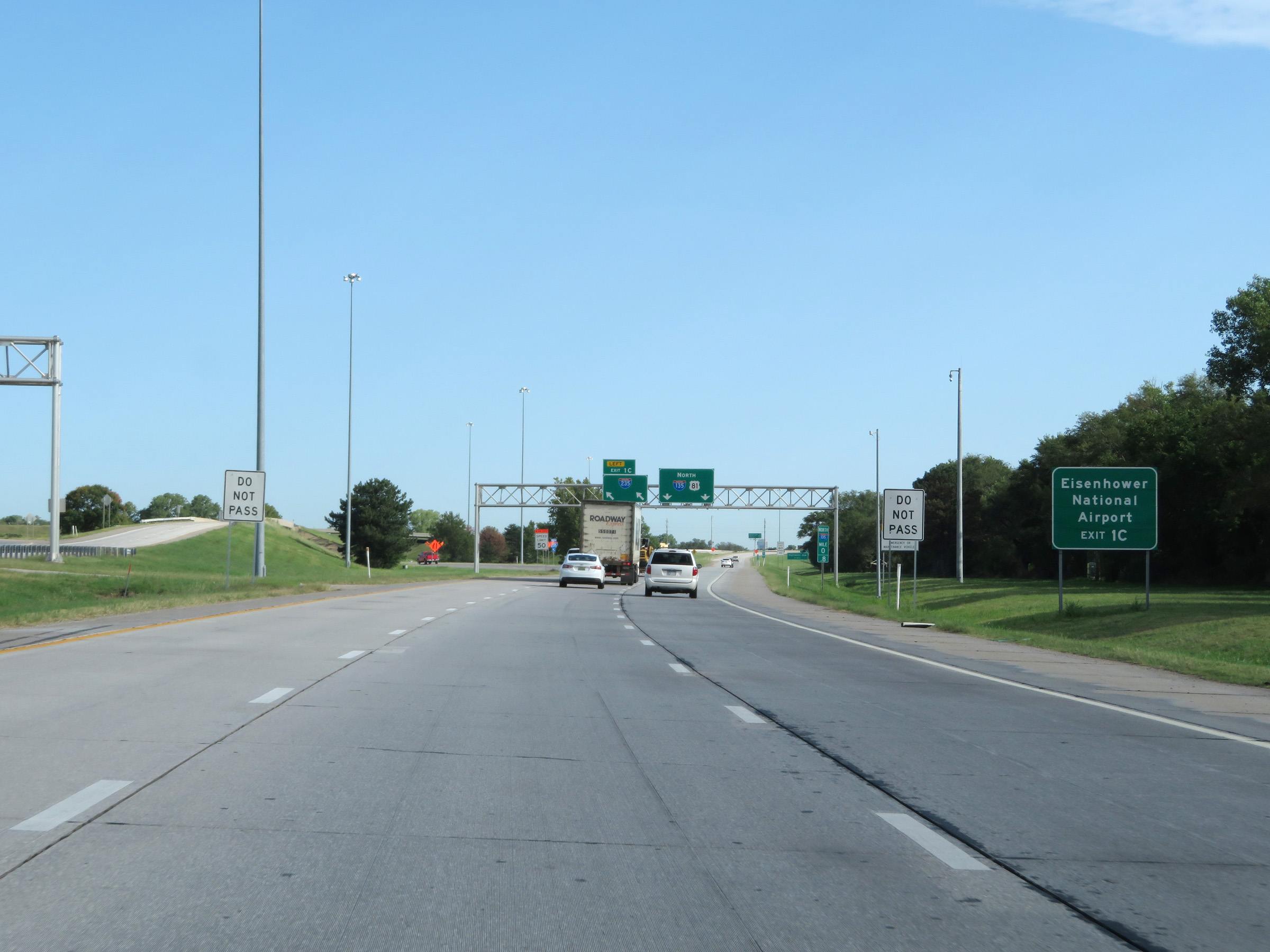 |
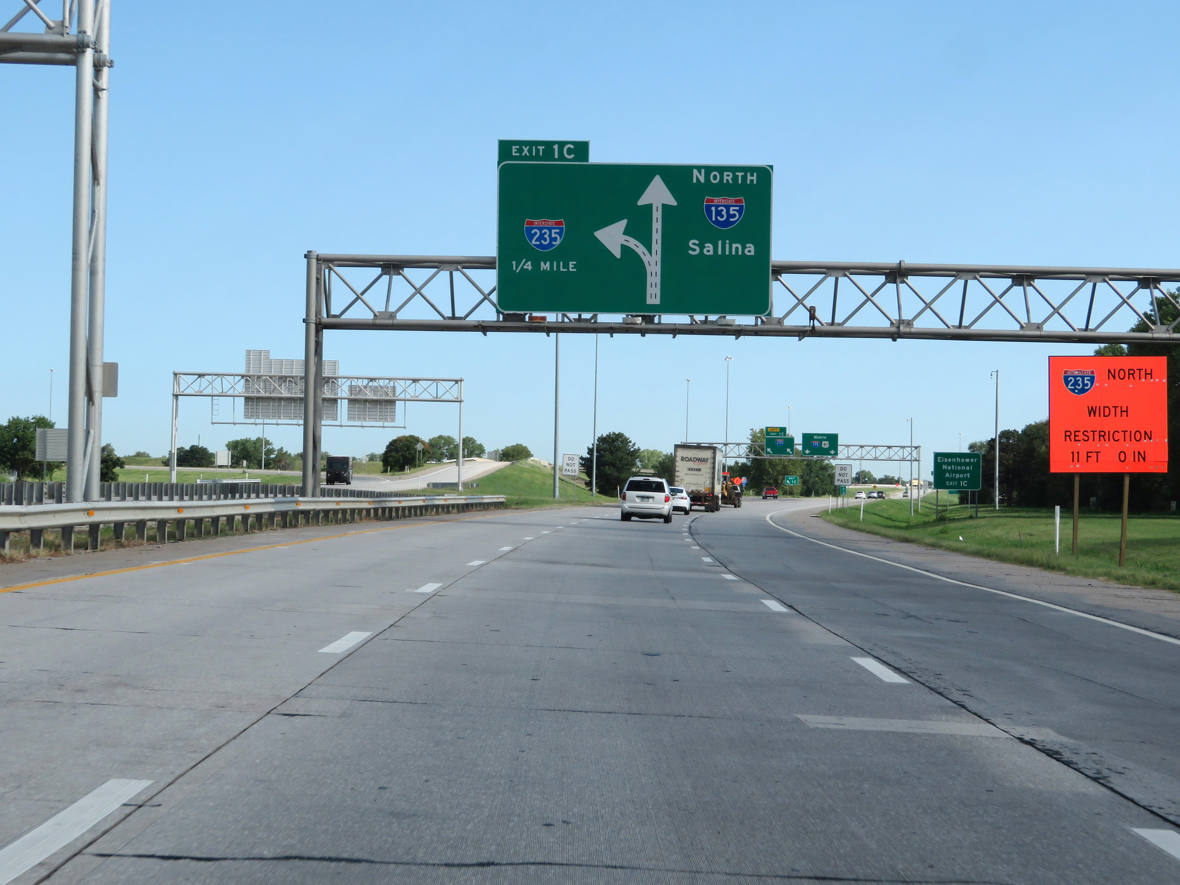
Take Exit 1C (Interstate 235 North) to Eisenhower National Airport. (Photo taken 8/11/20). |
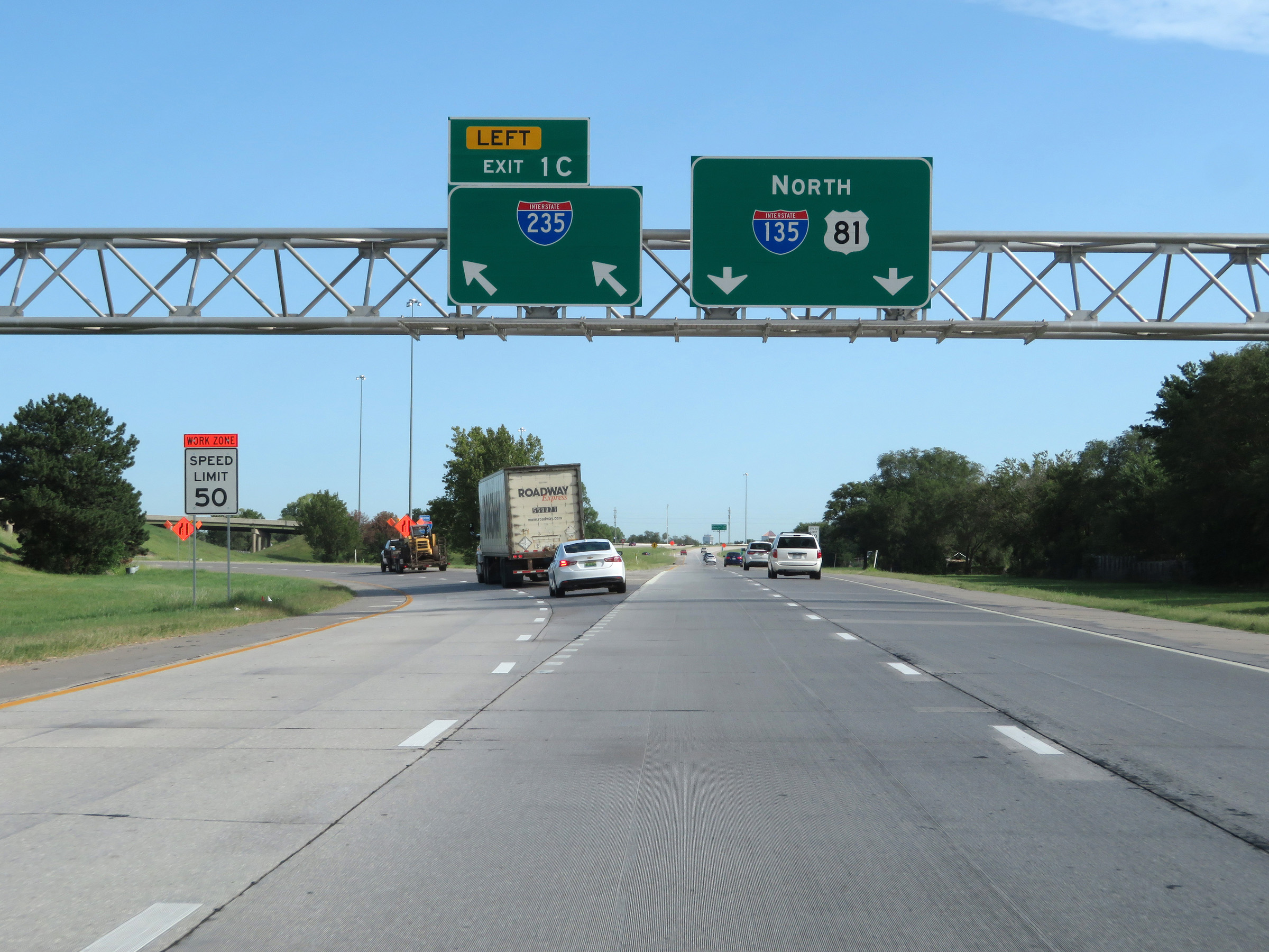 |
Interstate 135 North at Exit 1C: Interstate 235 North (Photo taken 8/11/20). |
 |
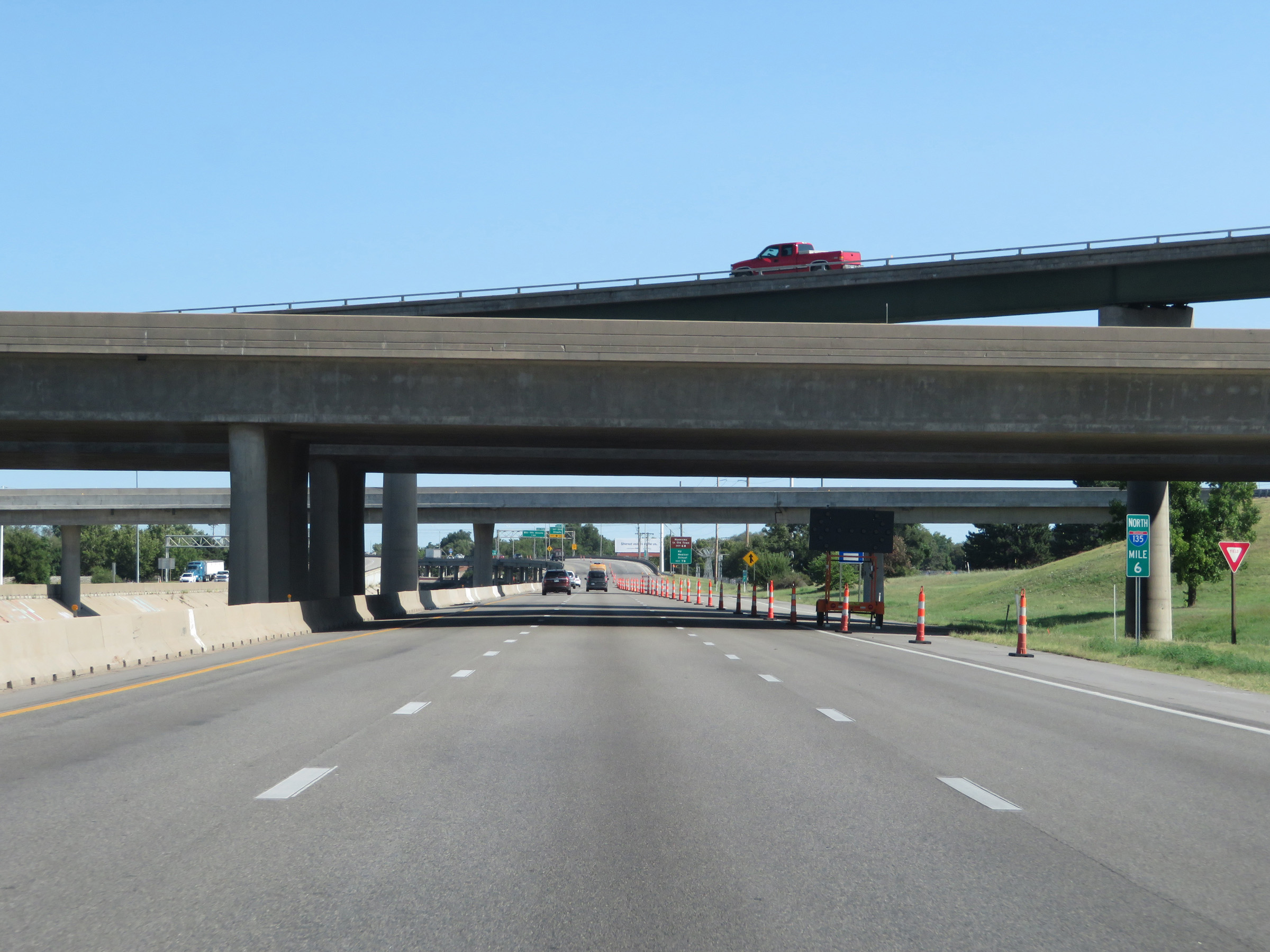
View on Interstate 135 North at mile marker 1.4. (Photo taken 8/11/20). |
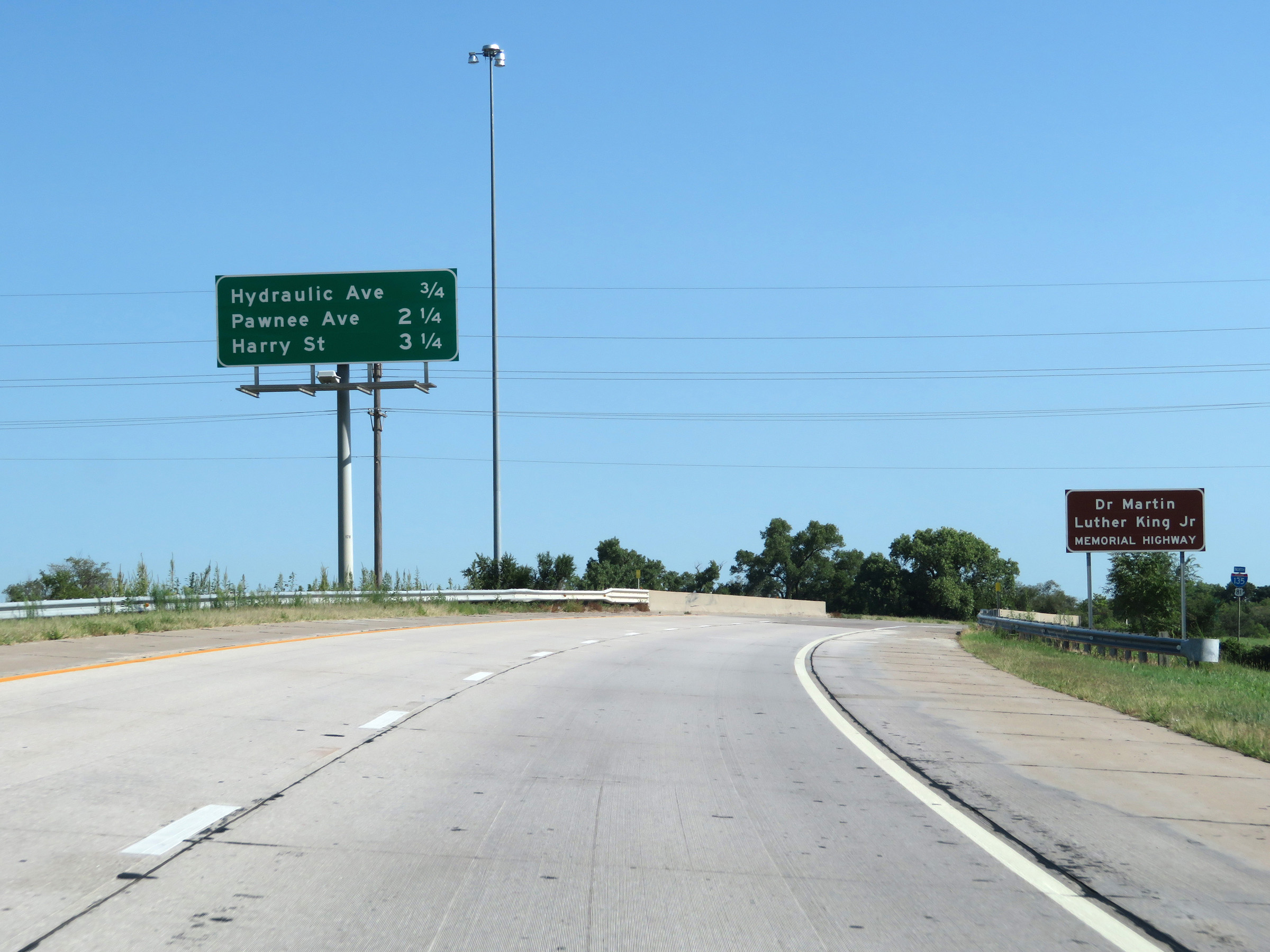 |
Overhead mileage sign listing the distances to the next three exits on Interstate 135 North. I-135 through the Wichita area is also known as Dr. Martin Luther King Jr. Memorial Highway. (Photo taken 8/11/20). |
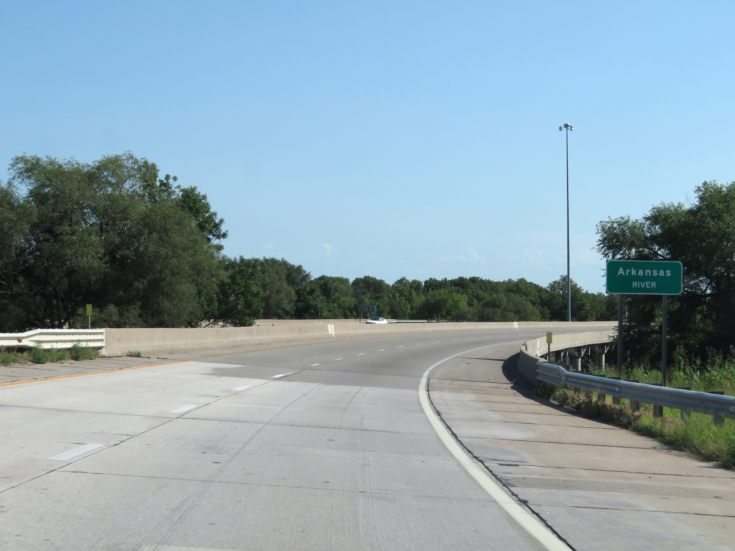 |
Interstate 135 North as it crosses the Arkansas River in Wichita. (Photo taken 8/11/20). |
 |
The speed limits on Interstate 135 North start out at 60 mph maximum and 40 mph minimum in Wichita. (Photo taken 8/11/20). |
 |
Interstate 135 North at Exit 2: Hydraulic Avenue (Photo taken 8/11/20). |
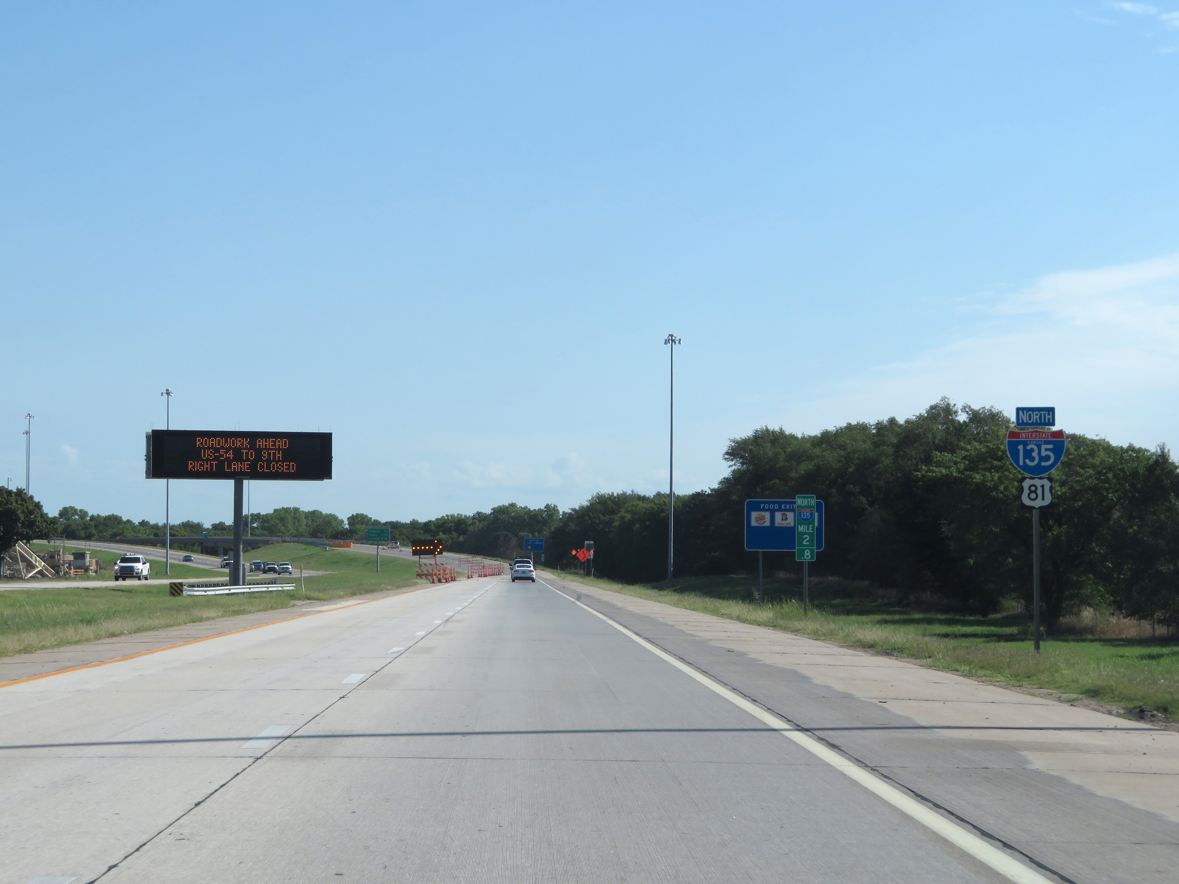 |
Another state-named Interstate 135 North reassurance shield at mile marker 2.8. (Photo taken 8/11/20). |
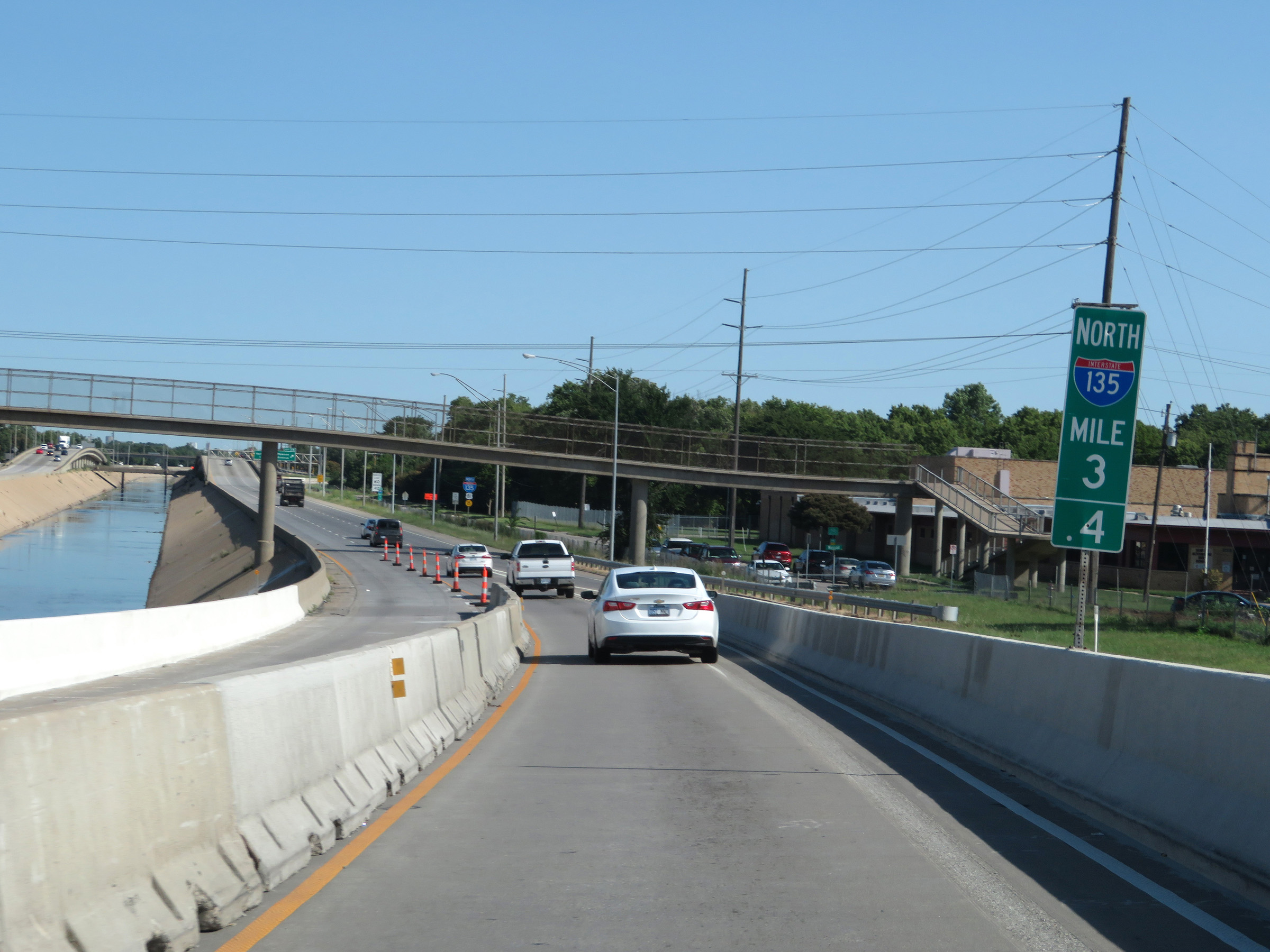 |
View on Interstate 135 North at mile marker 3.4. (Photo taken 8/11/20). |
 |
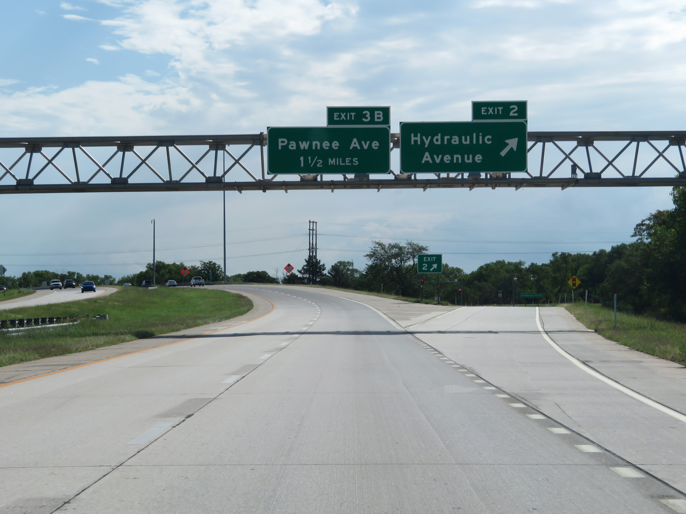
Interstate 135 North at Exit 3B: Pawnee Avenue (Photo taken 8/11/20). |
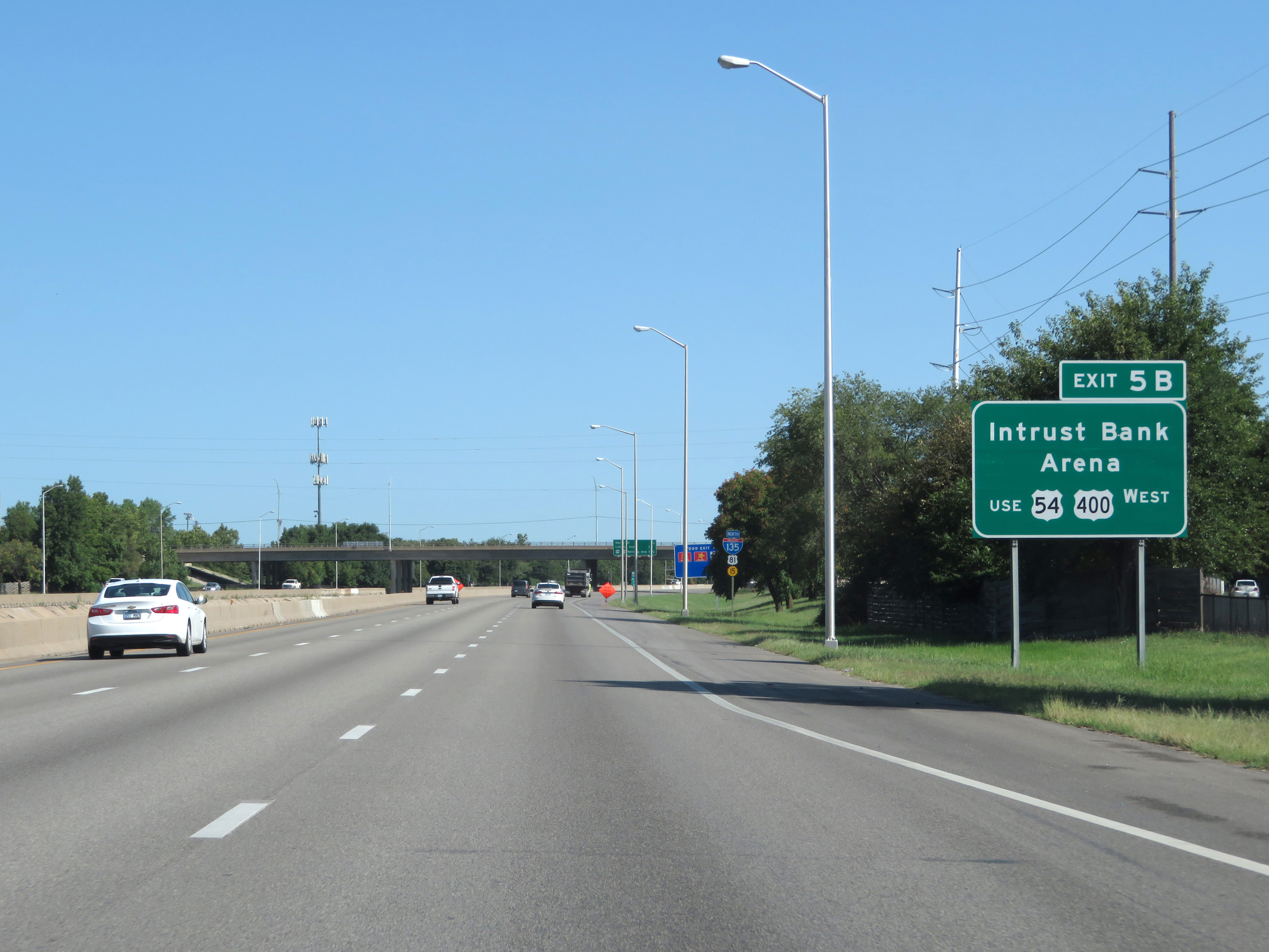 |
Take Exit 5B to Intrust Bank Arena. (Photo taken 8/11/20). |
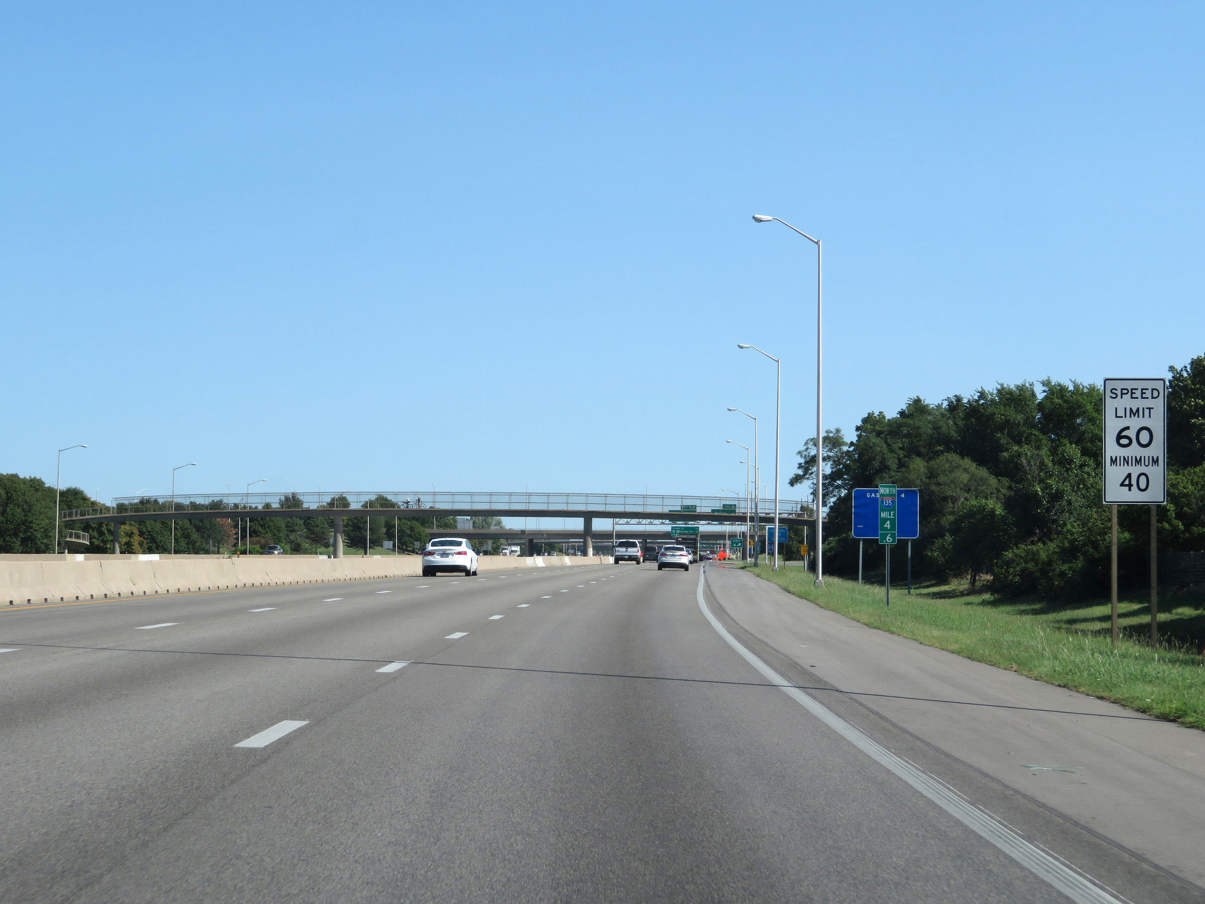 |
The speed limits remain 60 mph maximum and 40 mph minimum. (Photo taken 8/11/20). |
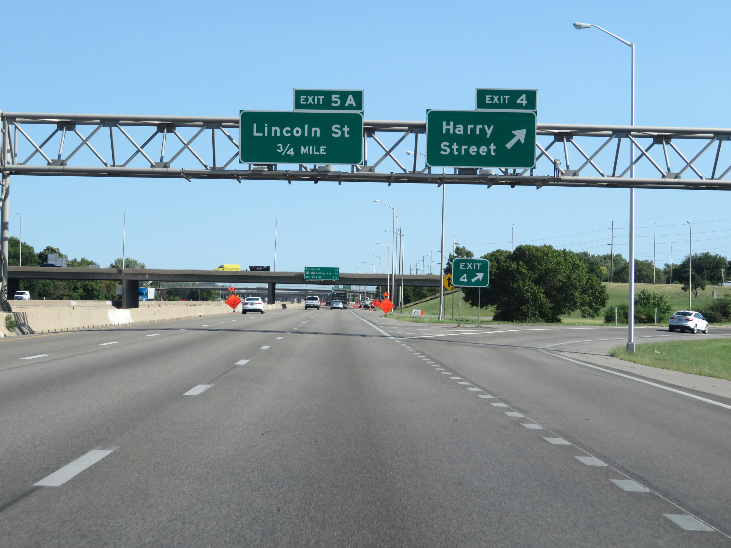 |
Interstate 135 North at Exit 4: Harry Street (Photo taken 8/11/20). |
 |
Another overhead mileage sign listing the distances to the three upcoming interchanges in Wichita. (Photo taken 8/11/20). |
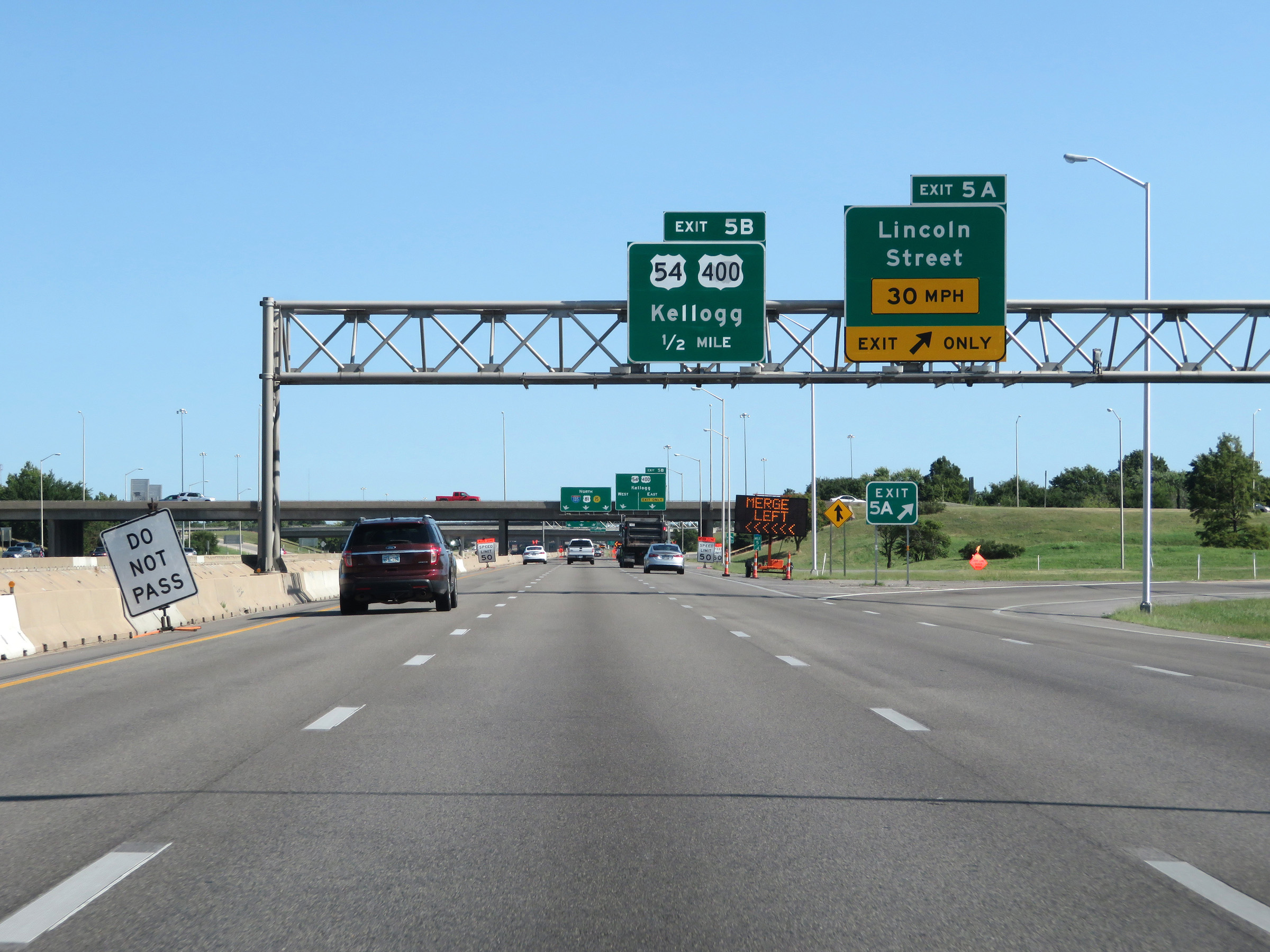 |
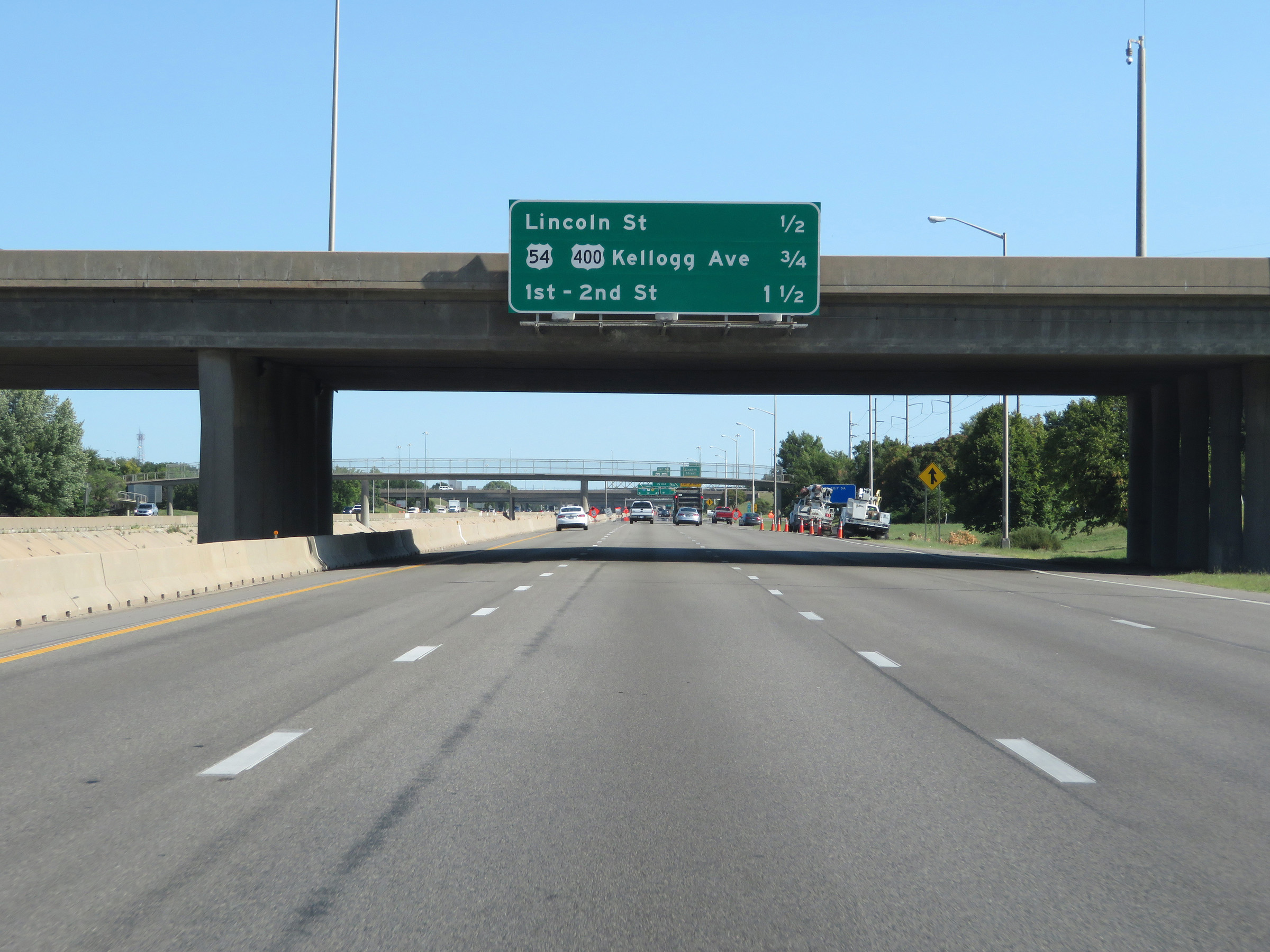
Interstate 135 North at Exit 5A: Lincoln Street (Photo taken 8/11/20). |
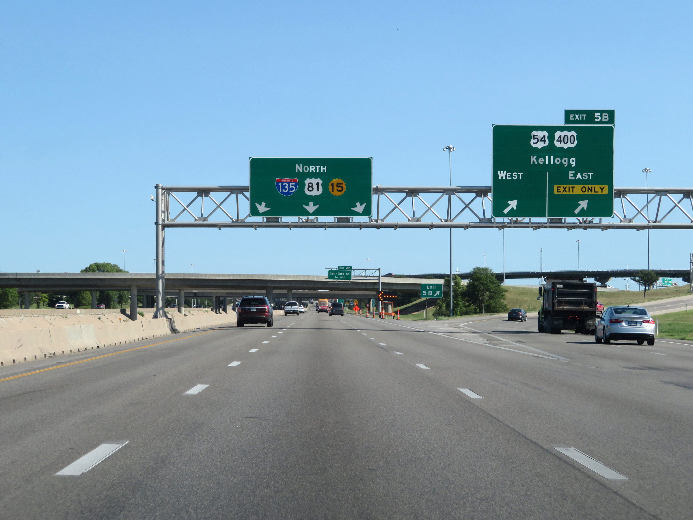 |
Interstate 135 North at Exit 5B: US 54 / US 400 - Kellogg Ave (Photo taken 8/11/20). |
 |
View on Interstate 135 North at mile marker 6. (Photo taken 8/11/20). |
 |
Take Exit 6B to Museums in Old Town. Take Exit 7B to KU Medical School. (Photo taken 8/11/20). |
 |
Interstate 135 North at Exit 6B: 1st St / 2nd St (Photo taken 8/11/20). |
 |
View on Interstate 135 North at mile marker 7. (Photo taken 8/11/20). |
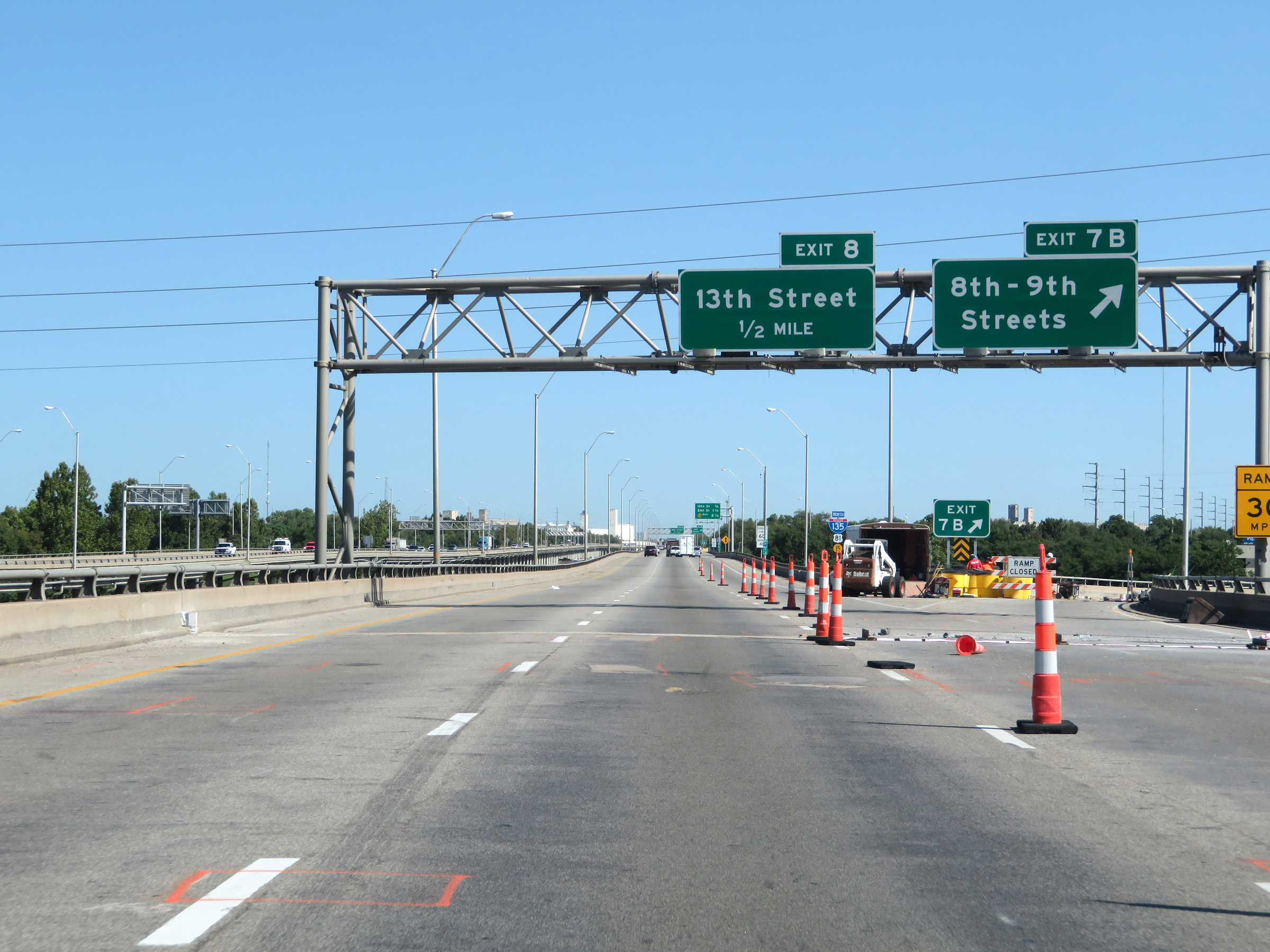 |
Interstate 135 North at Exit 7B: 8th St / 9th St (Photo taken 8/11/20). |
 |
State-named Interstate 135 North reassurance shield. (Photo taken 8/11/20). |
 |
Interstate 135 North at Exit 8: 13th Street (Photo taken 8/11/20). |
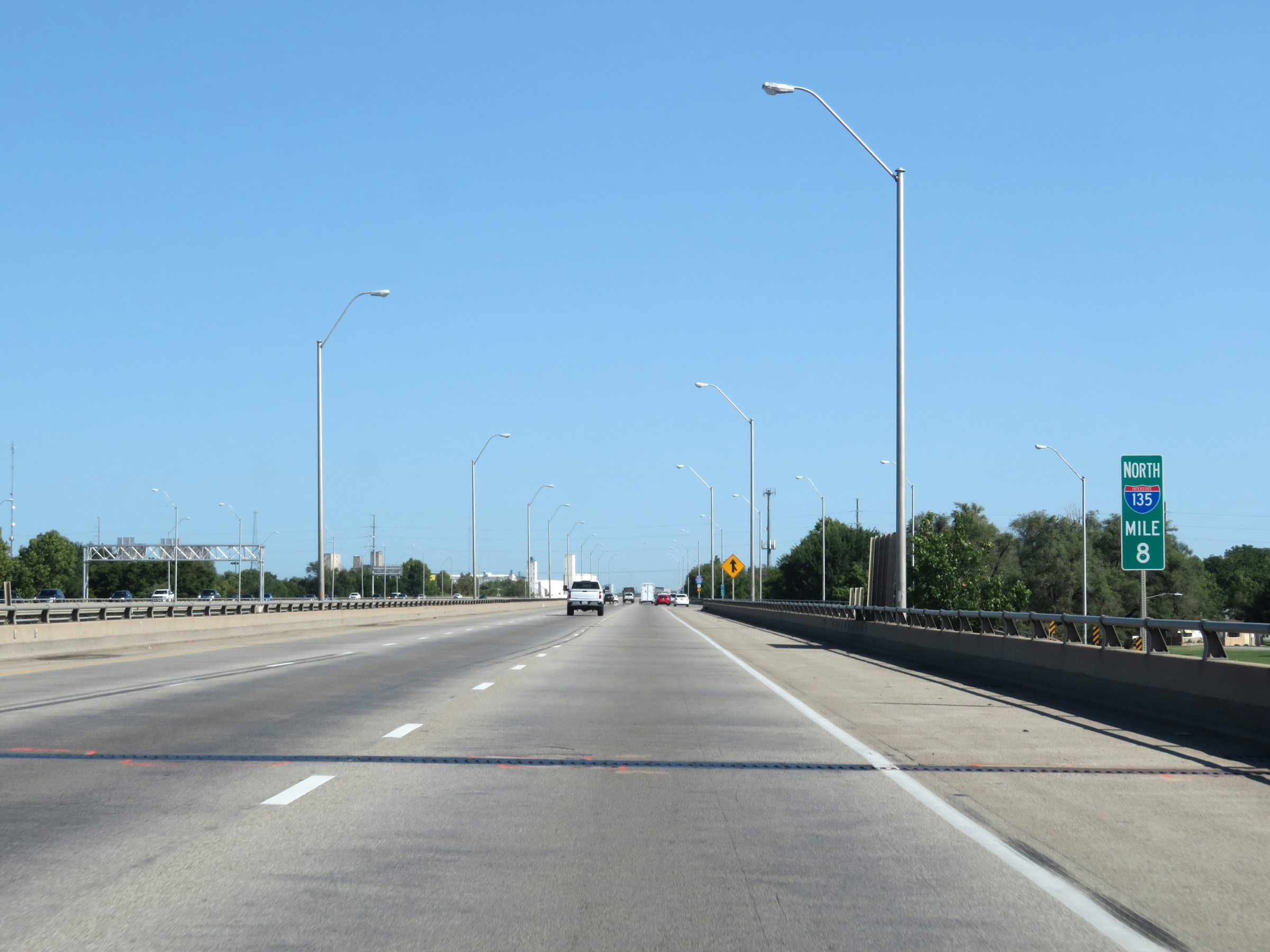 |
Interstate 135 North at mile marker 8. (Photo taken 8/11/20). |
 |
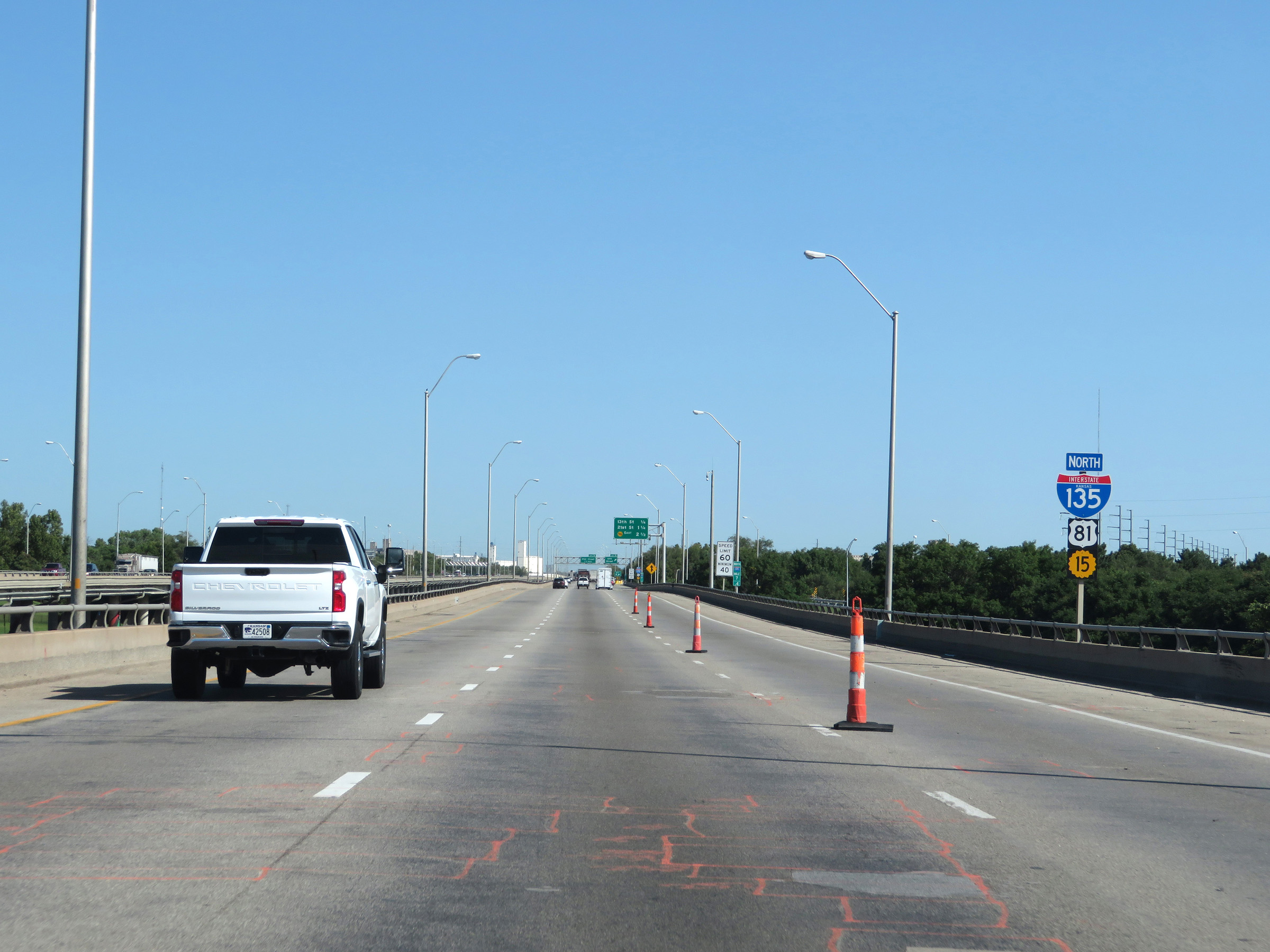
View on Interstate 135 North at mile marker 8.4. (Photo taken 8/11/20). |
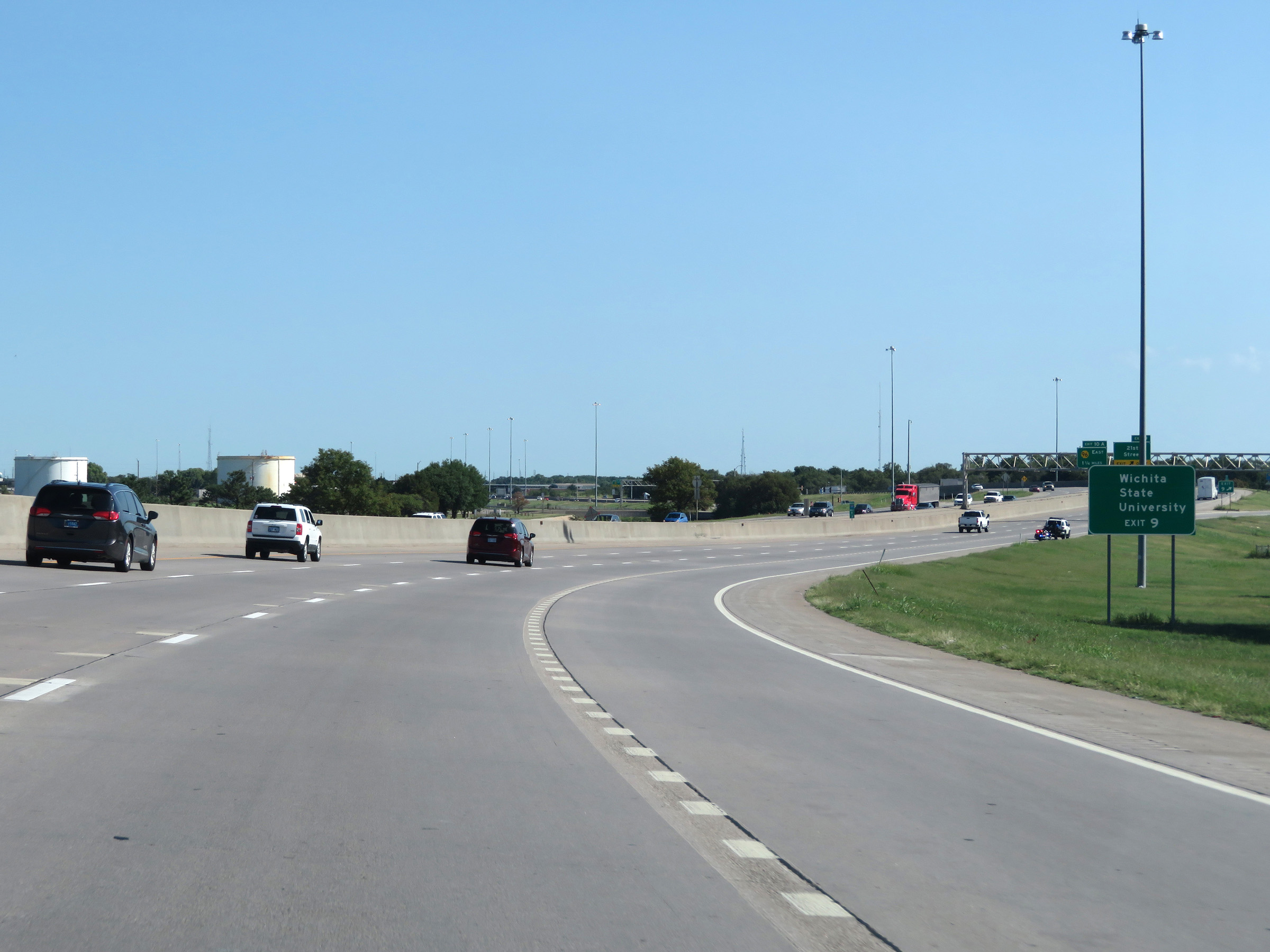 |
Take Exit 9 to Wichita State University. (Photo taken 8/11/20). |
 |
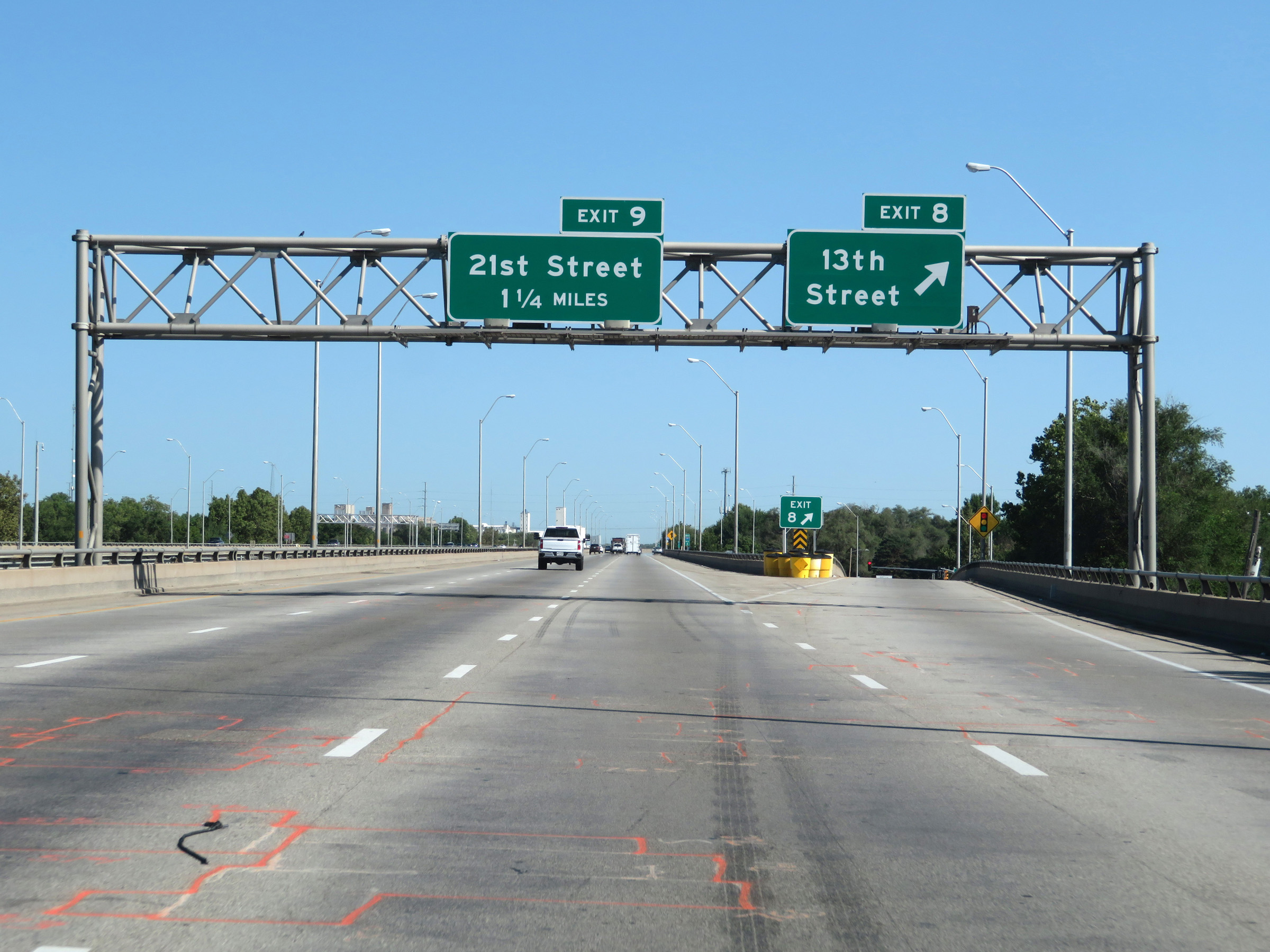
Interstate 135 North at Exit 9: 21st Street (Photo taken 8/11/20). |
 |
Another overhead mileage sign listing the distances to the three upcoming interchanges on Interstate 135 North. (Photo taken 8/11/20). |
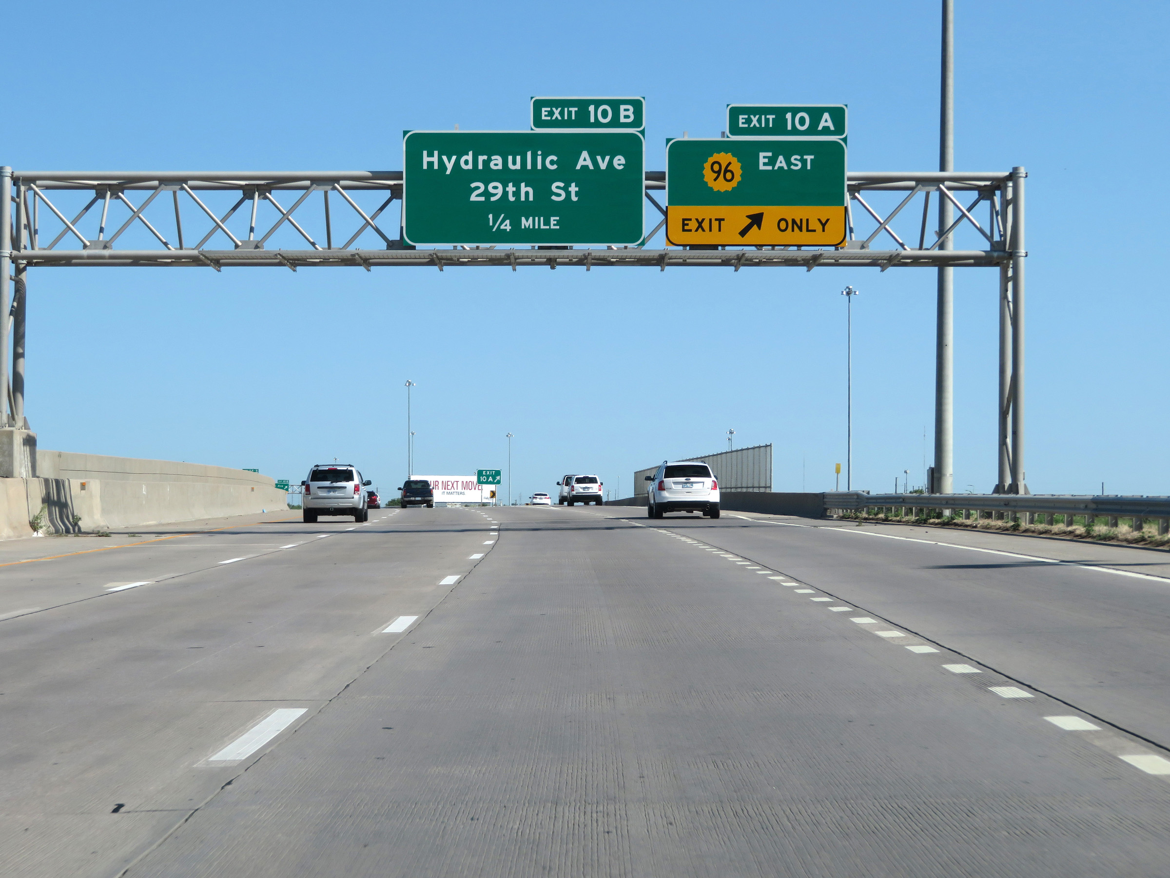 |
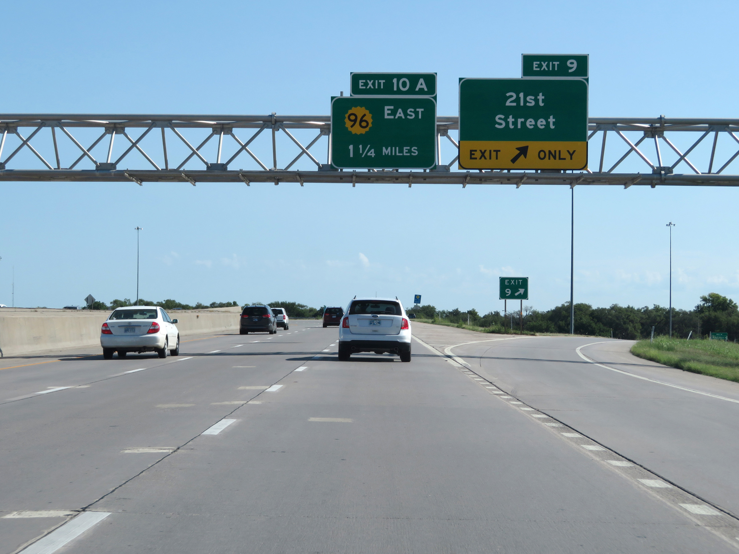
Interstate 135 North at Exit 10A: K-96 East (Photo taken 8/11/20). |
 |
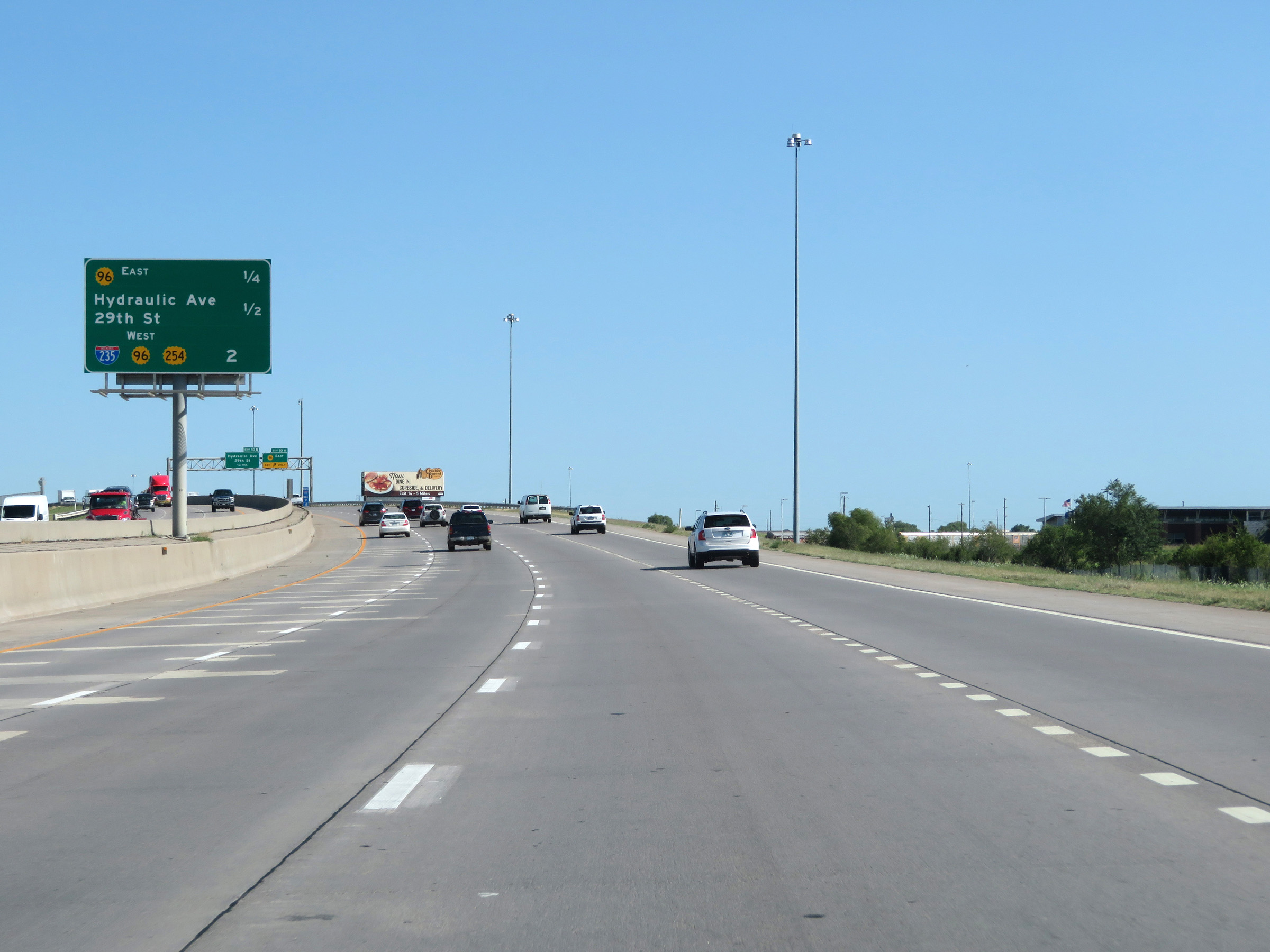
Interstate 135 North at Exit 10B: Hydraulic Ave / 29th St (Photo taken 8/11/20). |
 |
View on Interstate 135 North at mile marker 11. (Photo taken 8/11/20). |
 |
Interstate 135 North approaching Exit 11B - 1/2 mile. (Photo taken 8/11/20). |
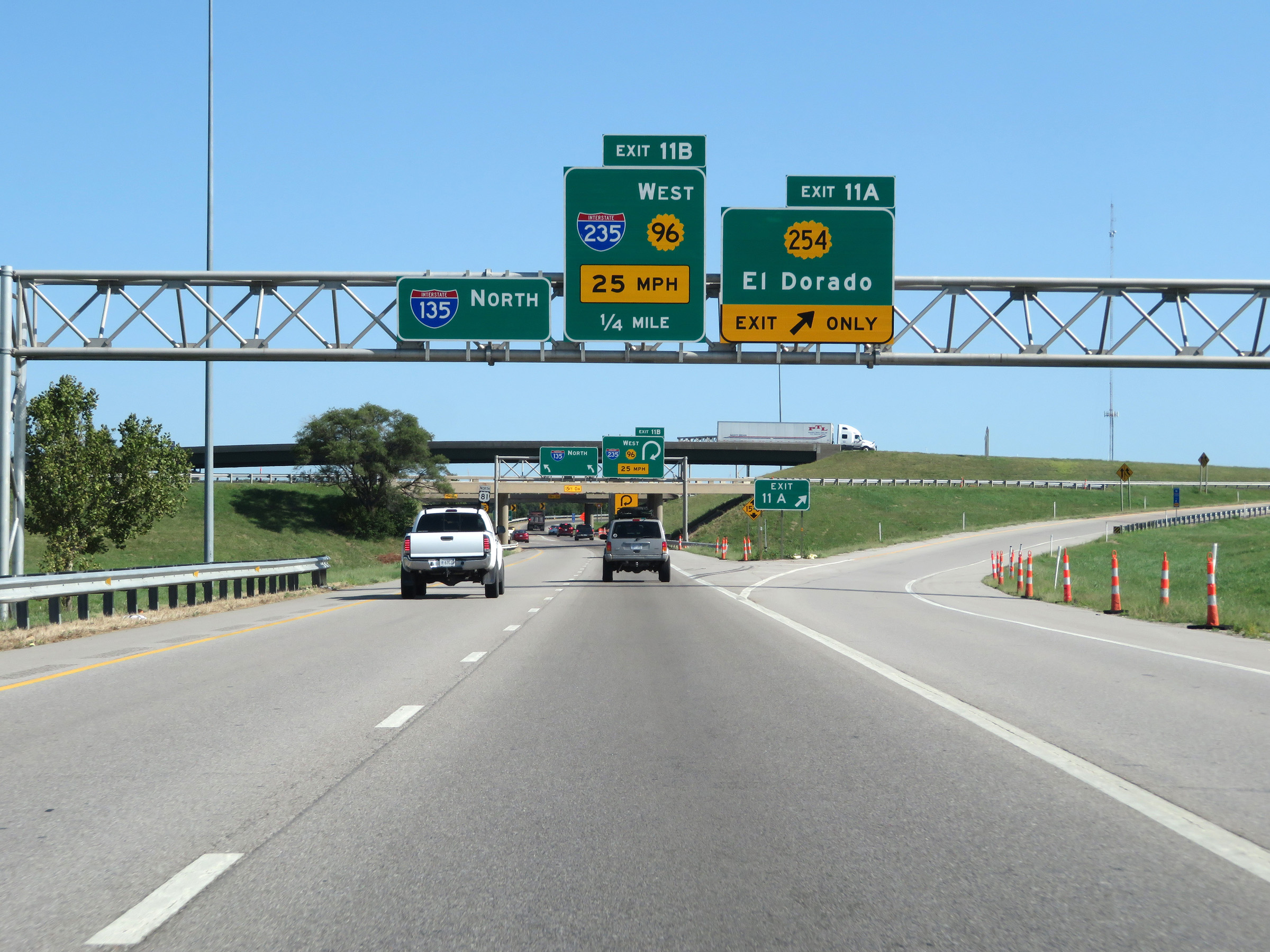 |
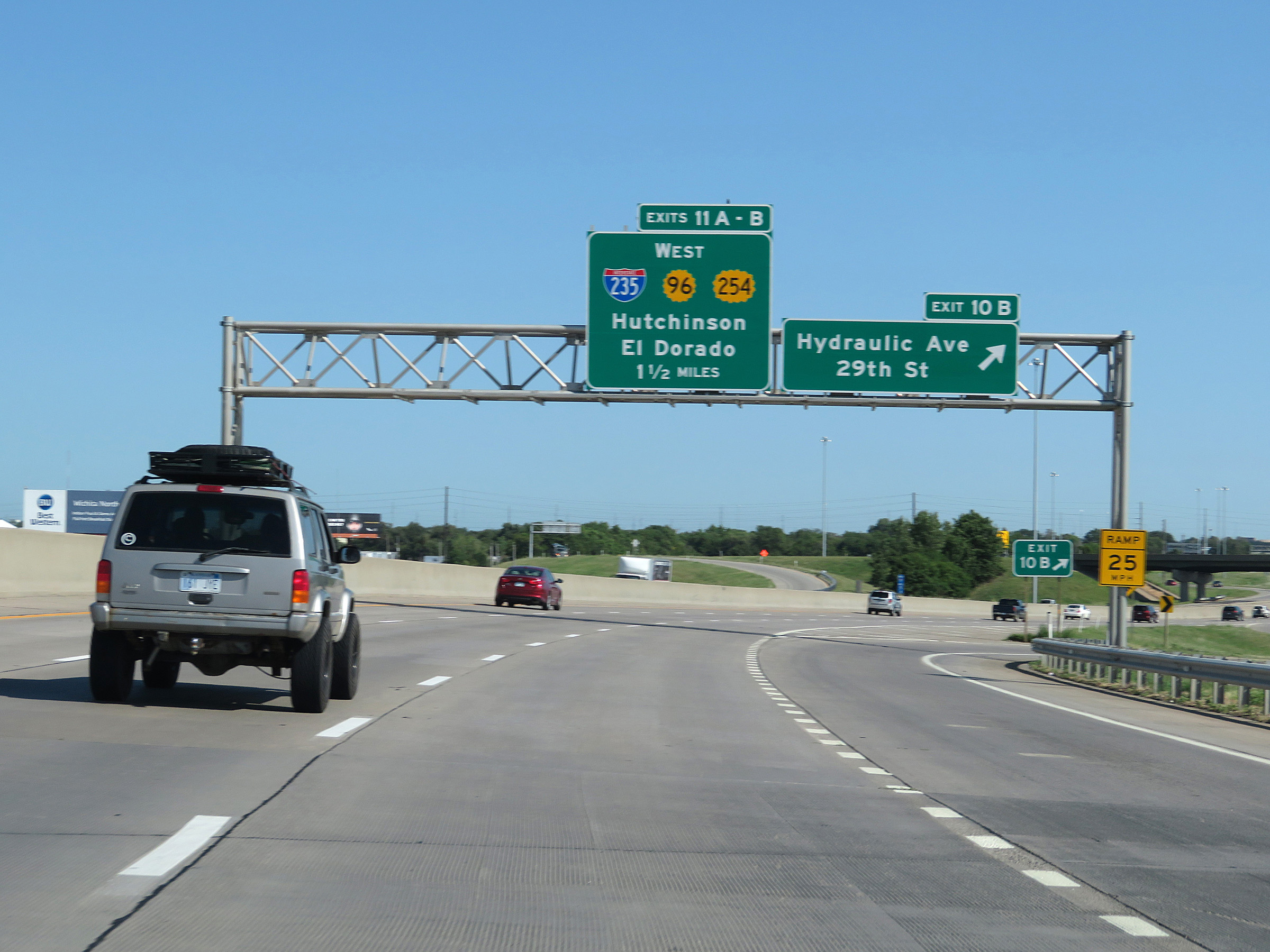
Interstate 135 North at Exit 11A: K-254 - El Dorado (Photo taken 8/11/20). |
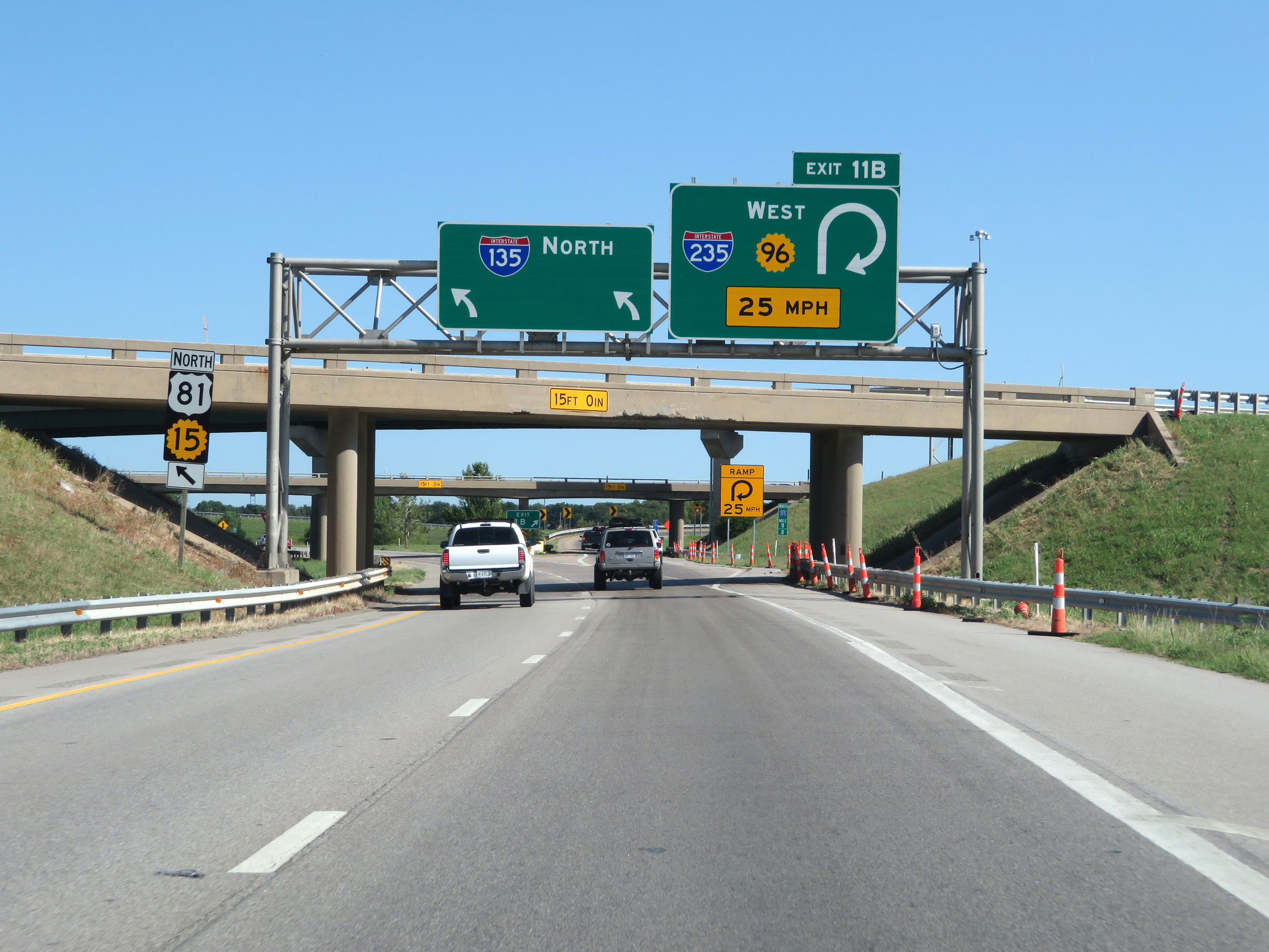 |
Interstate 135 North at Exit 11B: Interstate 235 South / K-96 West (Photo taken 8/11/20). |
 |
Interstate 135 North at mile marker 12. (Photo taken 8/11/20). |
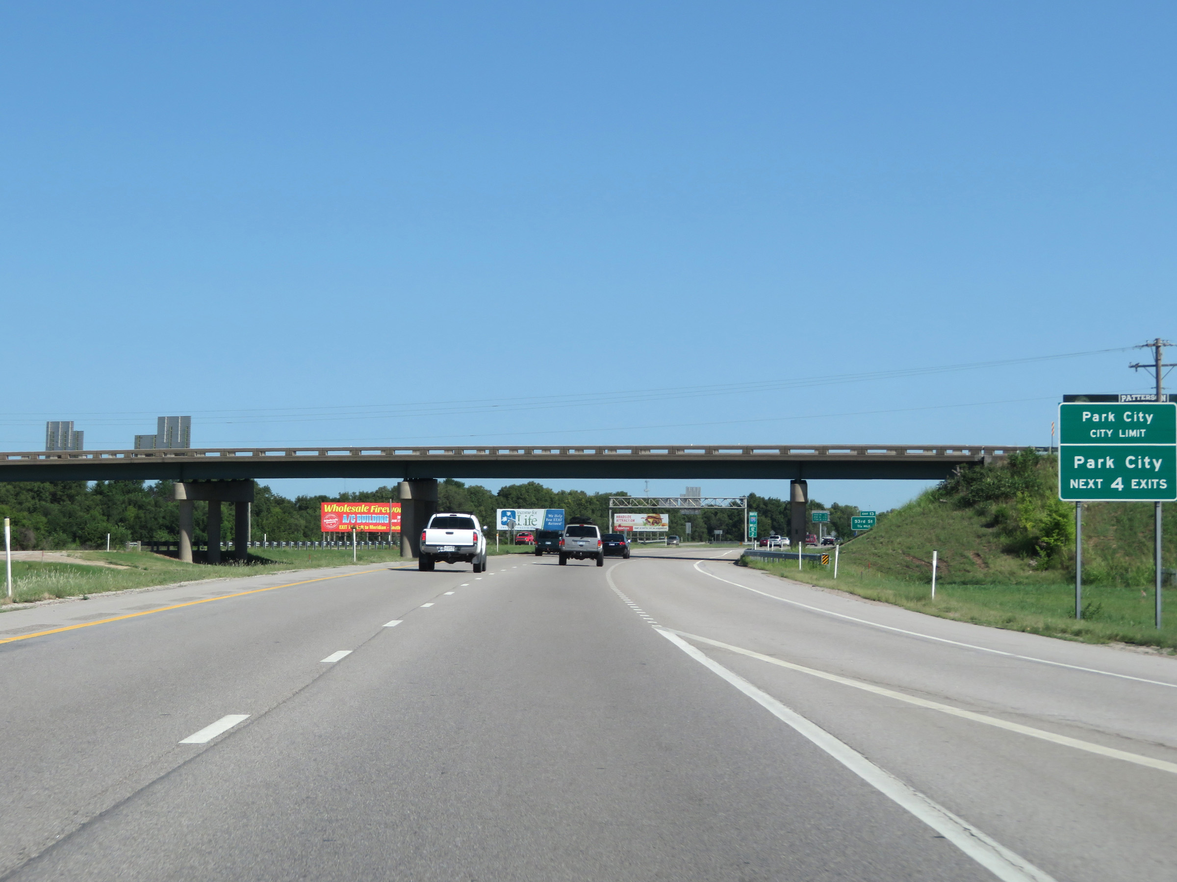 |
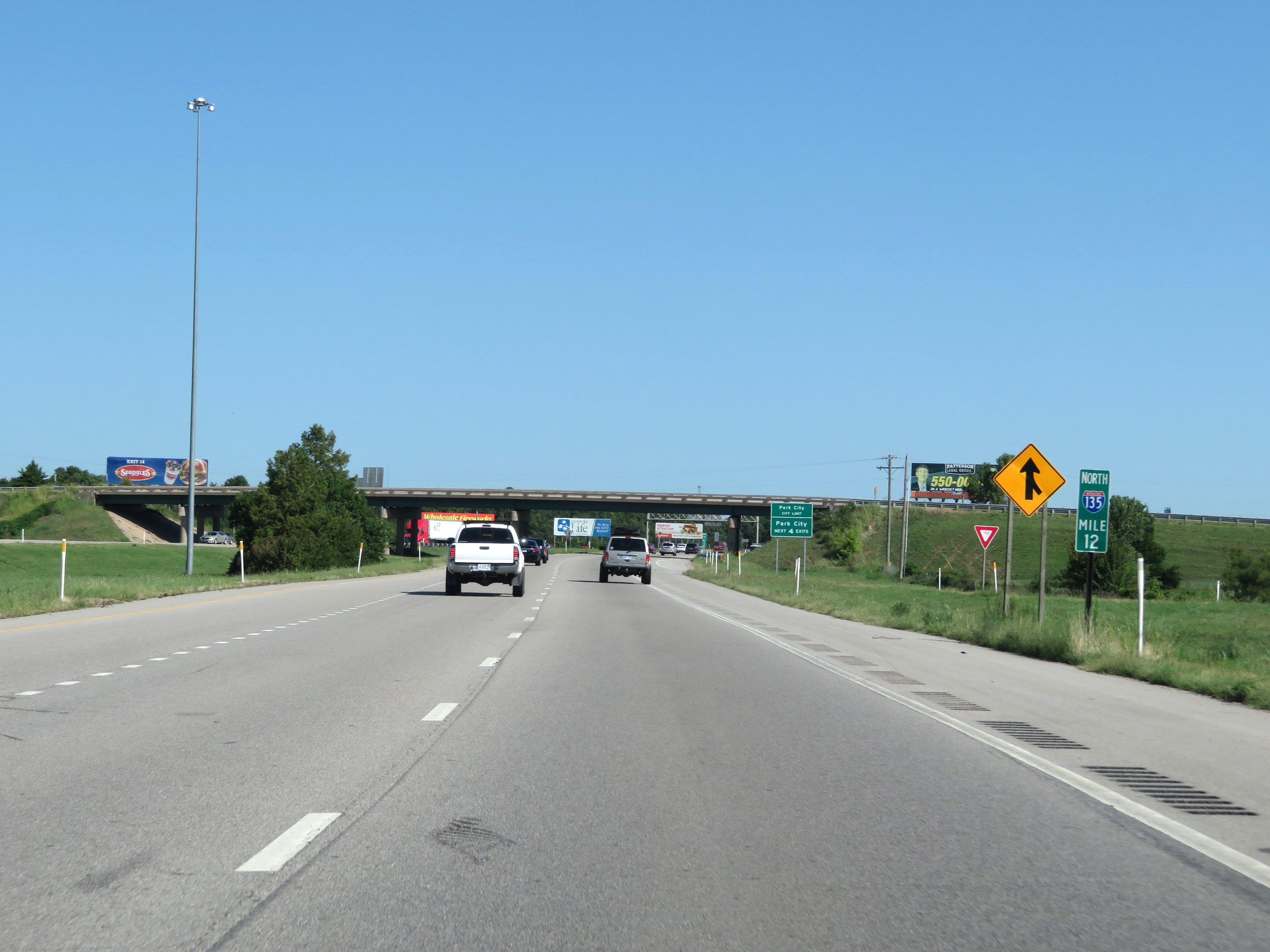
Take any of the next 4 exits to Park City. (Photo taken 8/11/20). |
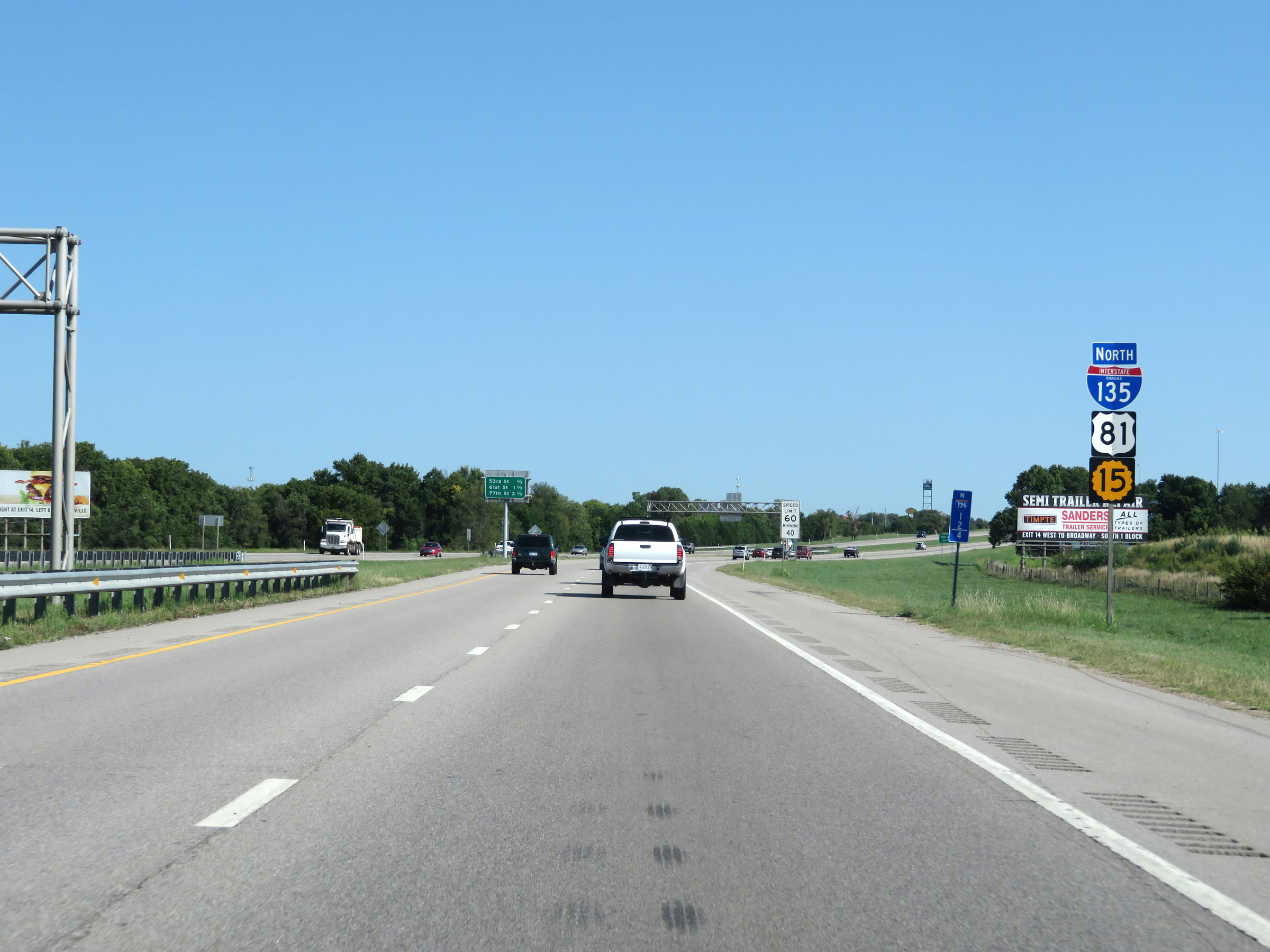 |
State-named Interstate 135 North reassurance shield along with US 81 North / K-15 North markers. (Photo taken 8/11/20). |
 |
Even after leaving Wichita and entering Park City, the maximum speed limit remains 60 mph. The minimum remains 40 mph as usual. (Photo taken 8/11/20). |
 |
Take Exit 13 to Bel Aire. (Photo taken 8/11/20). |
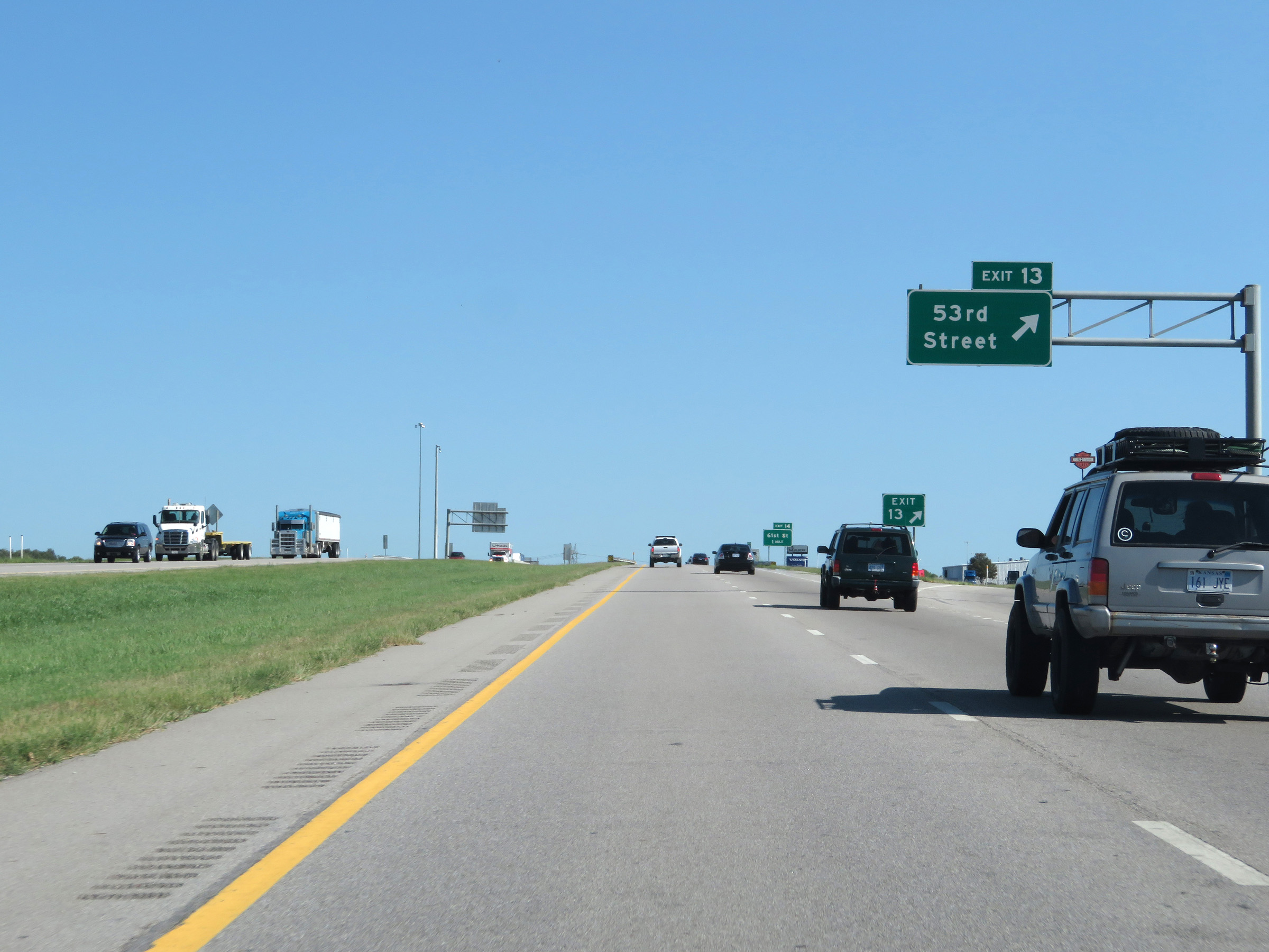 |
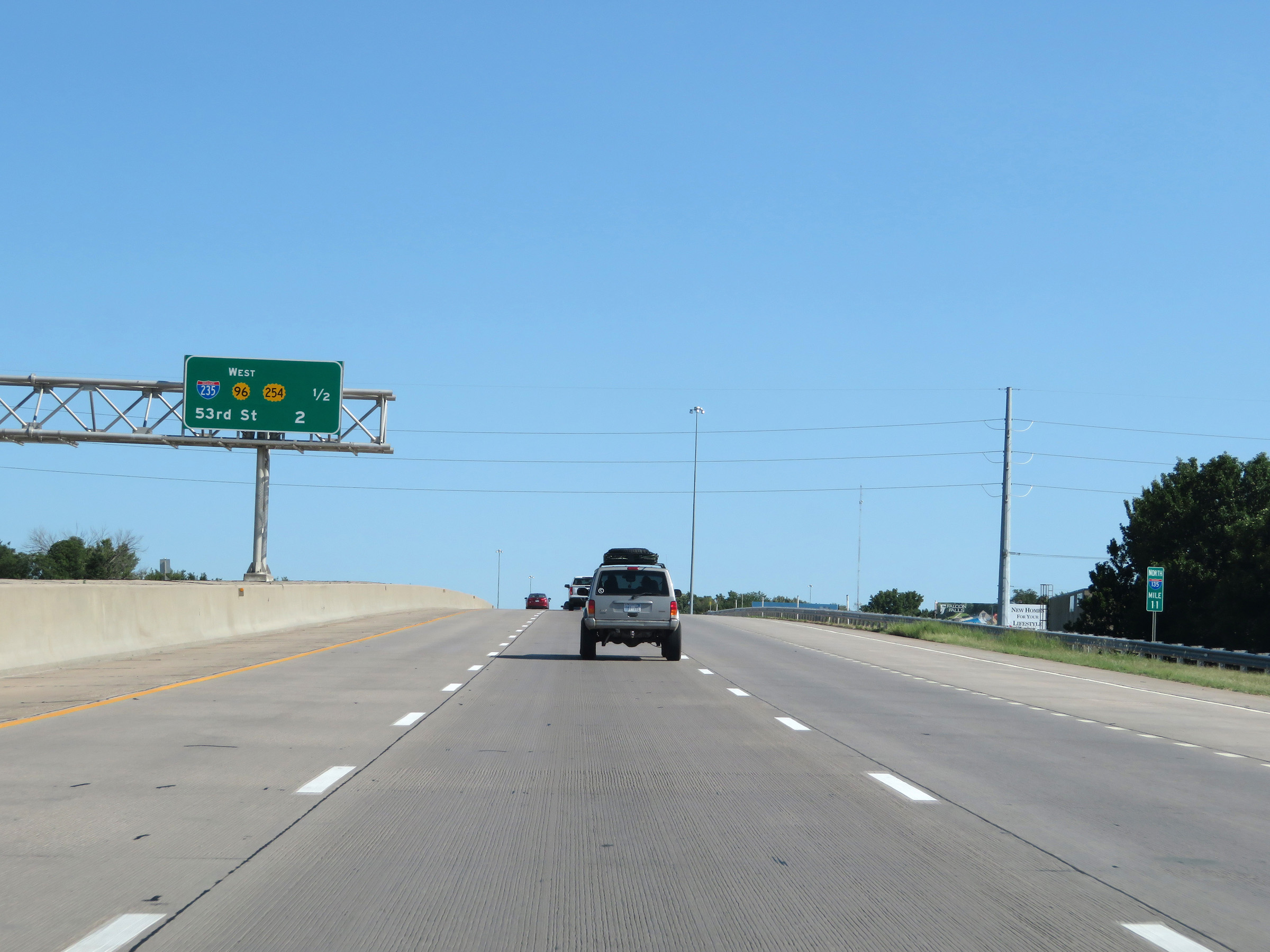
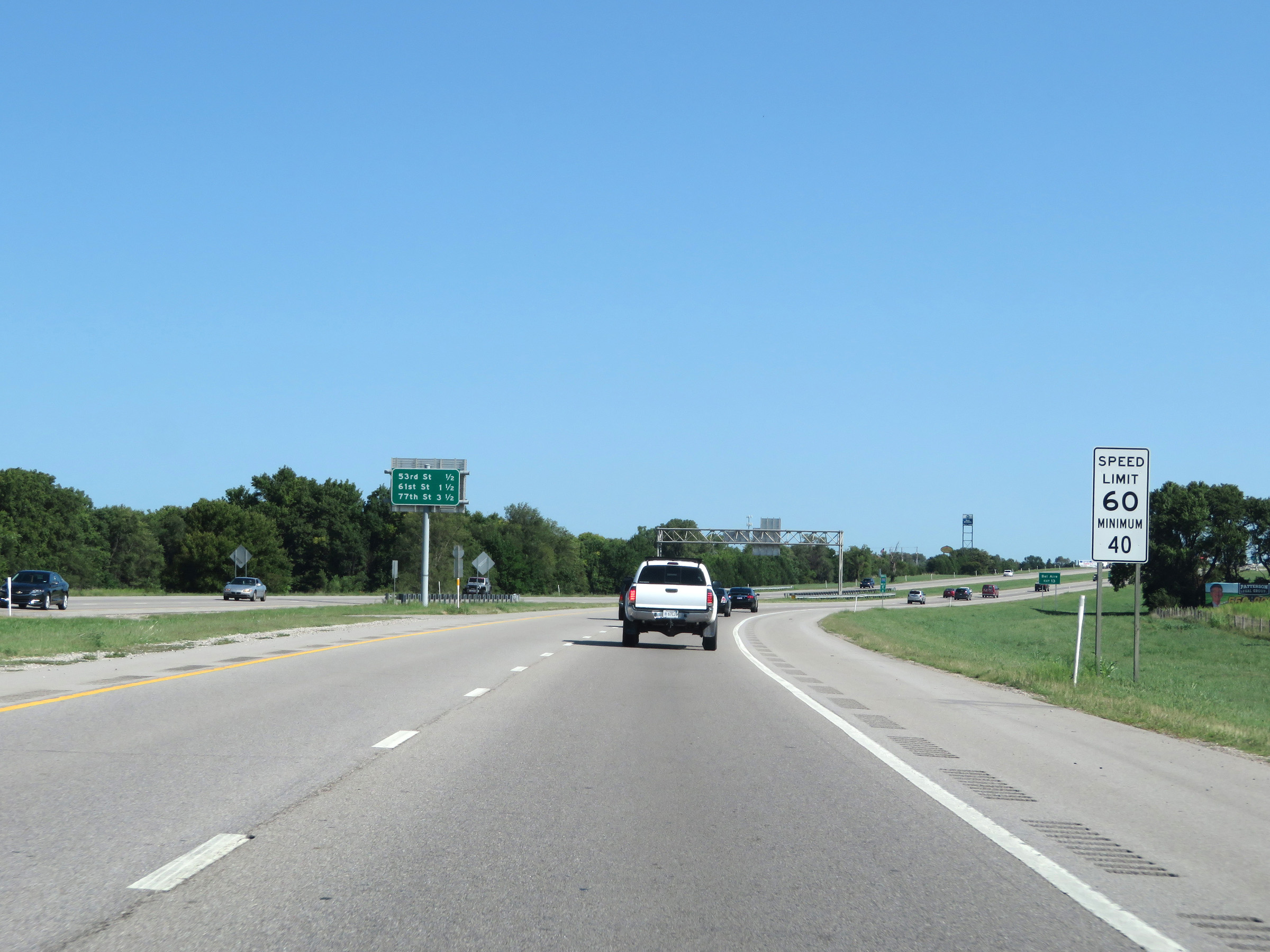
Interstate 135 North at Exit 13: 53rd Street (Photo taken 8/11/20). |
 |
North of Exit 13, the maximum speed limit finally increases to 70 mph. The minimum remains 40 mph as usual. (Photo taken 8/11/20). |
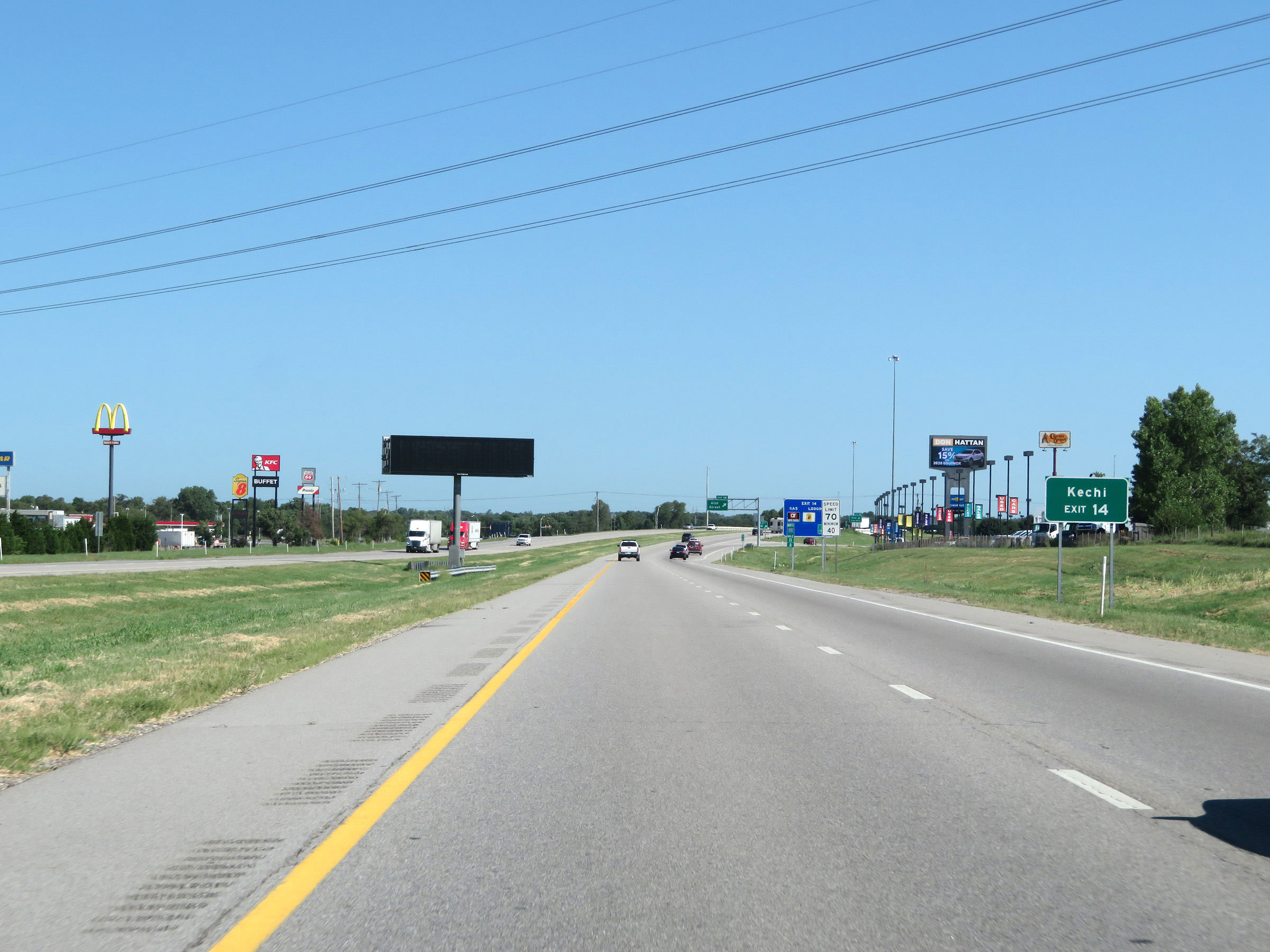 |
Take Exit 14 to Kechi. (Photo taken 8/11/20). |
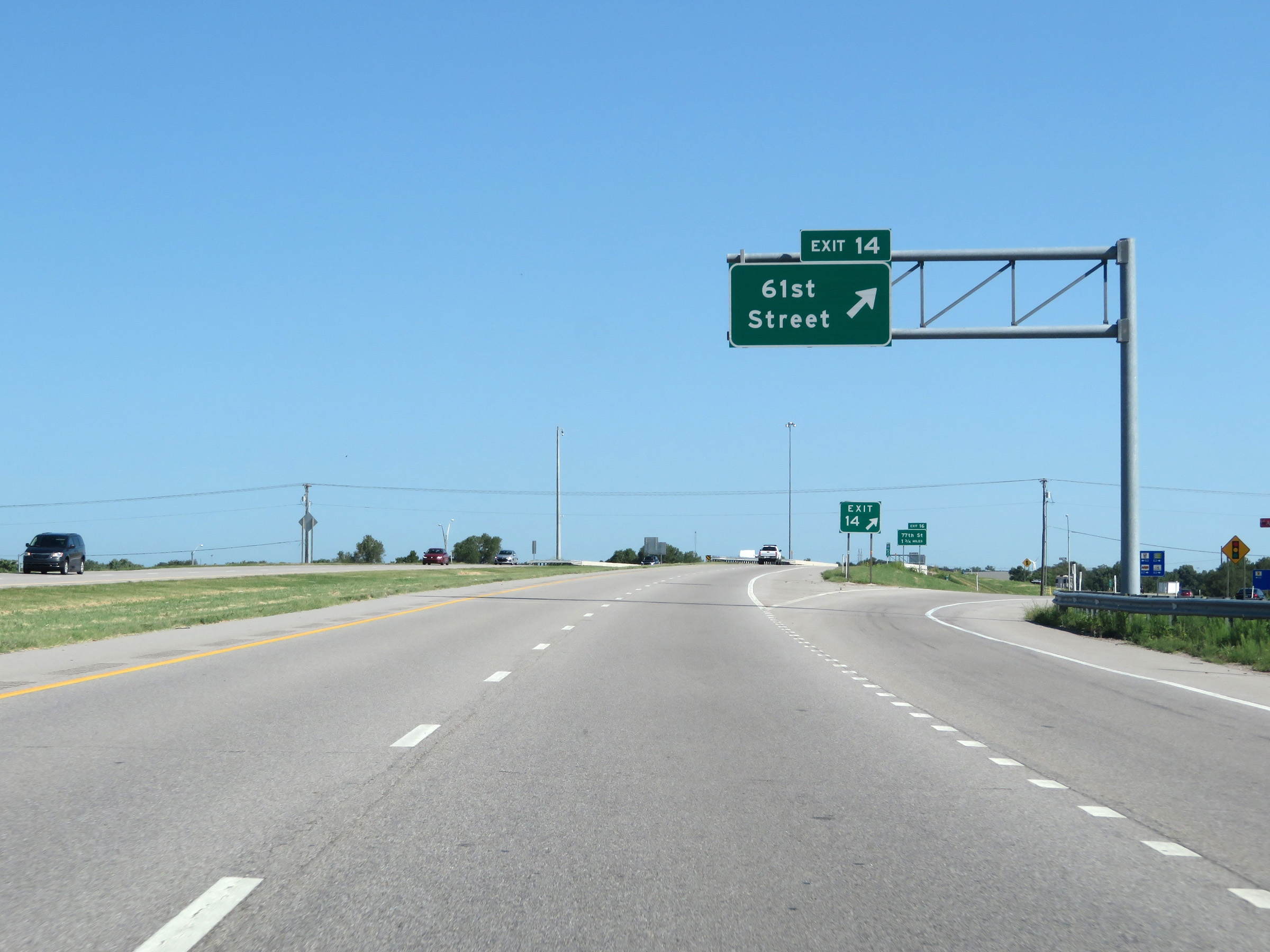 |
Interstate 135 North at Exit 14: 61st Street (Photo taken 8/11/20). |
Section 2: Park City (Exit 14) to McPherson (Exit 60)
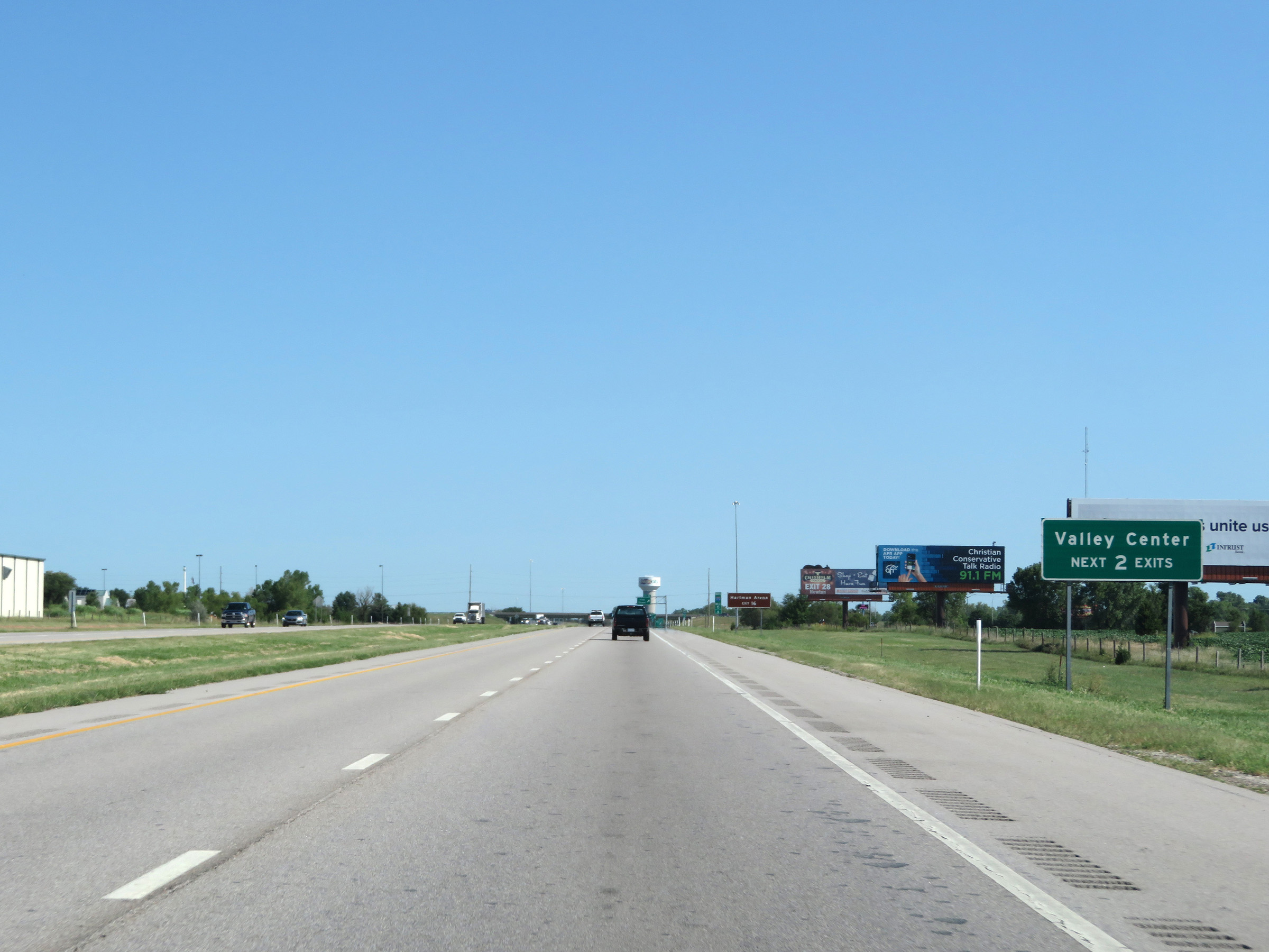 |
Take either of the next 2 exits to Valley Center. (Photo taken 8/11/20). |
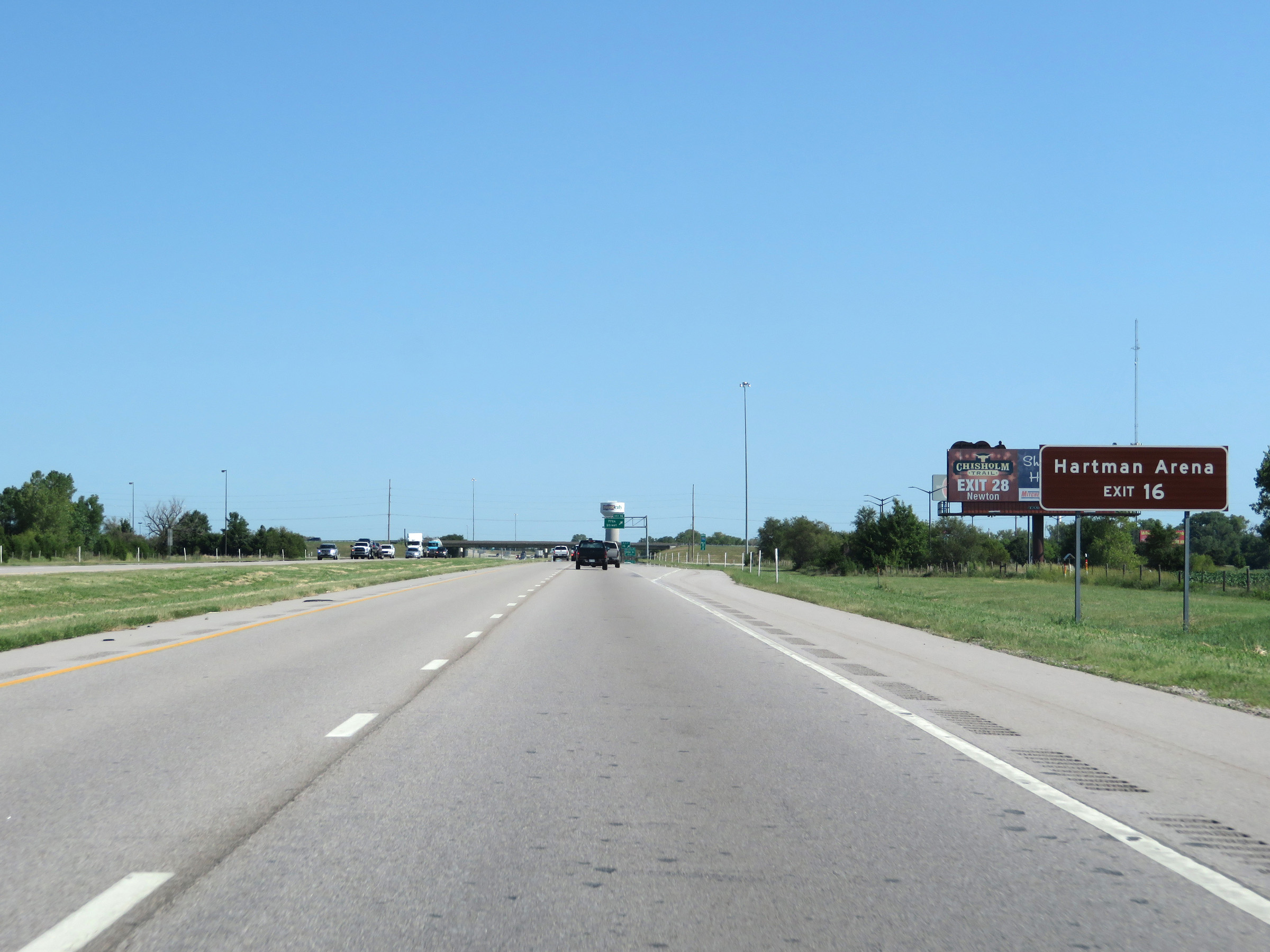 |
Take Exit 16 to Hartman Arena. (Photo taken 8/11/20). |
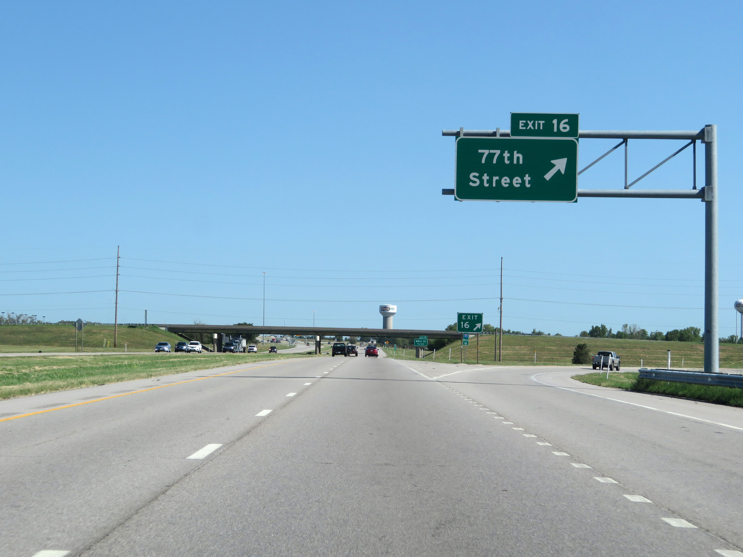 |
Interstate 135 North at Exit 16: 77th Street (Photo taken 8/11/20). |
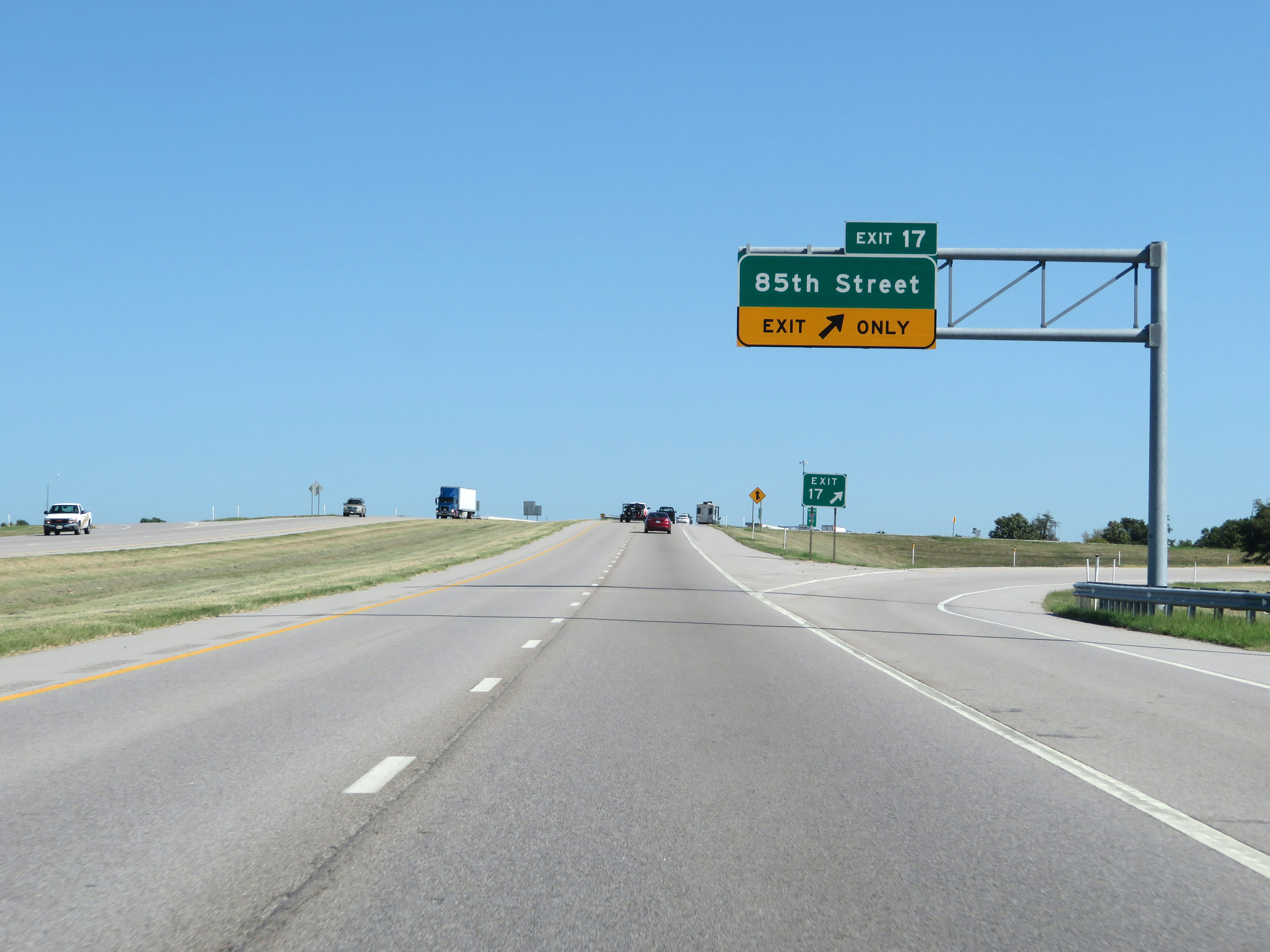 |
Interstate 135 North at Exit 17: 85th Street (Photo taken 8/11/20). |
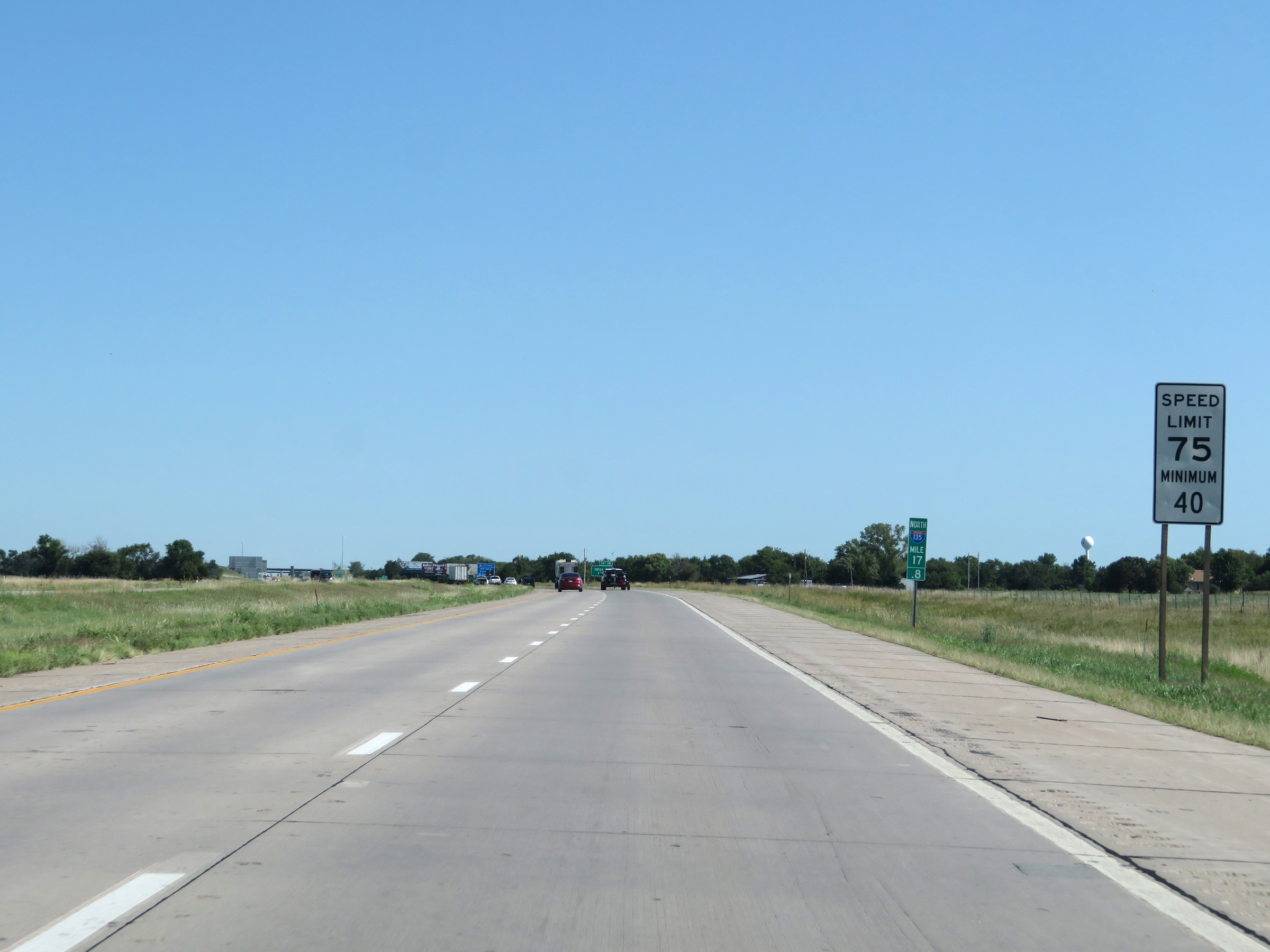 |
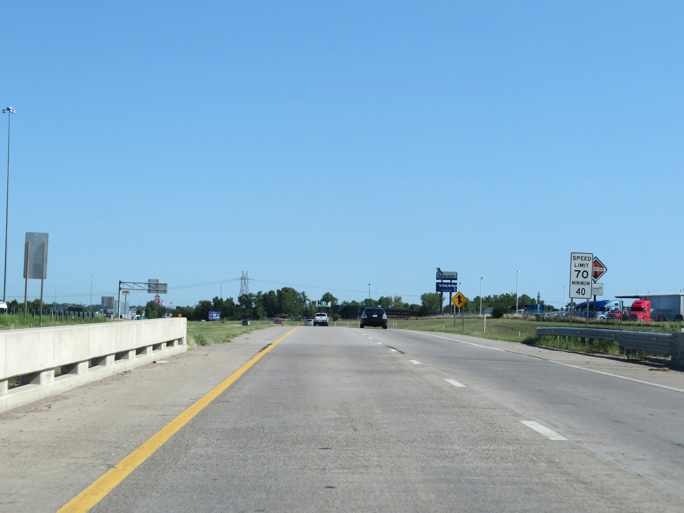
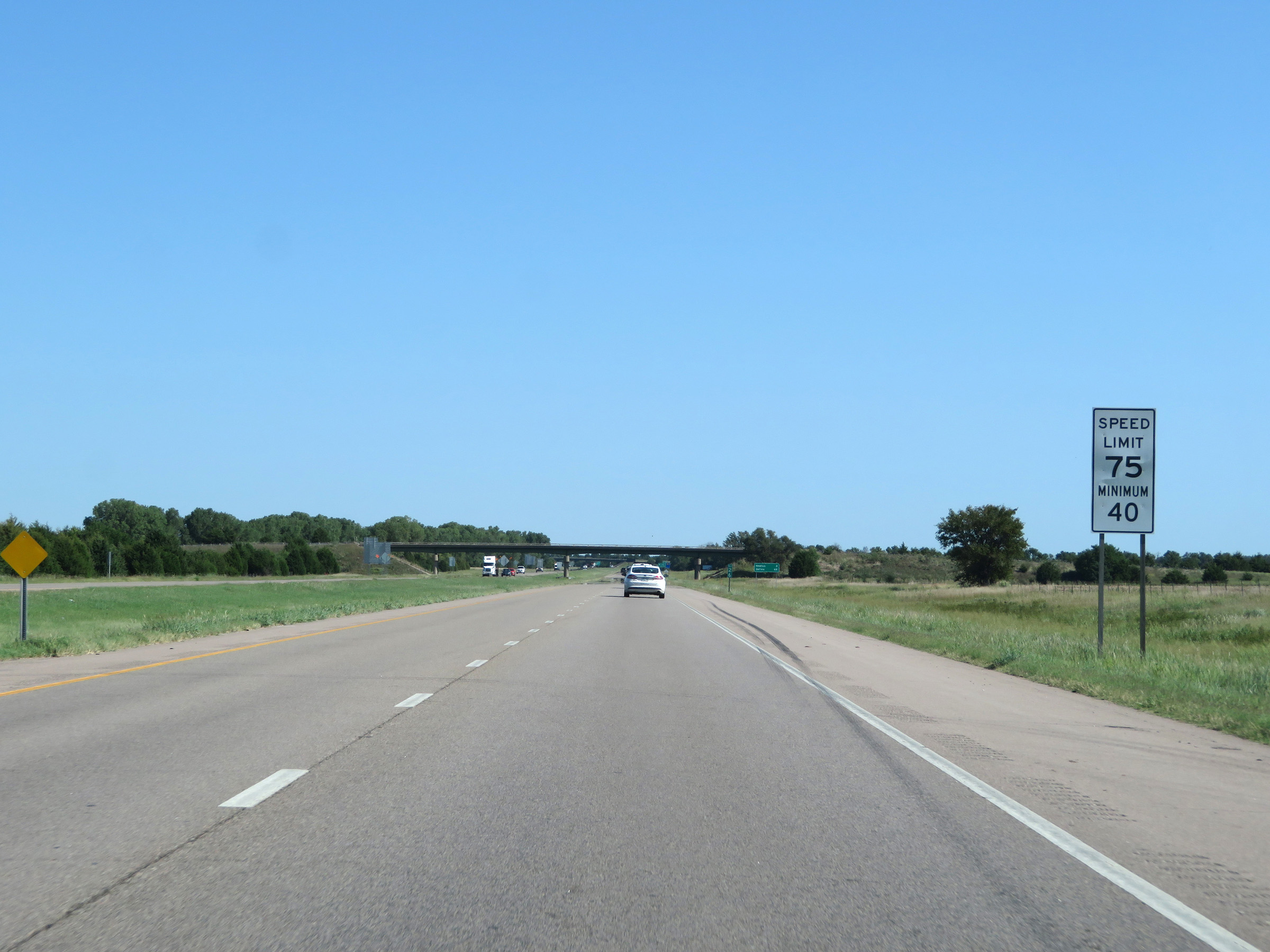
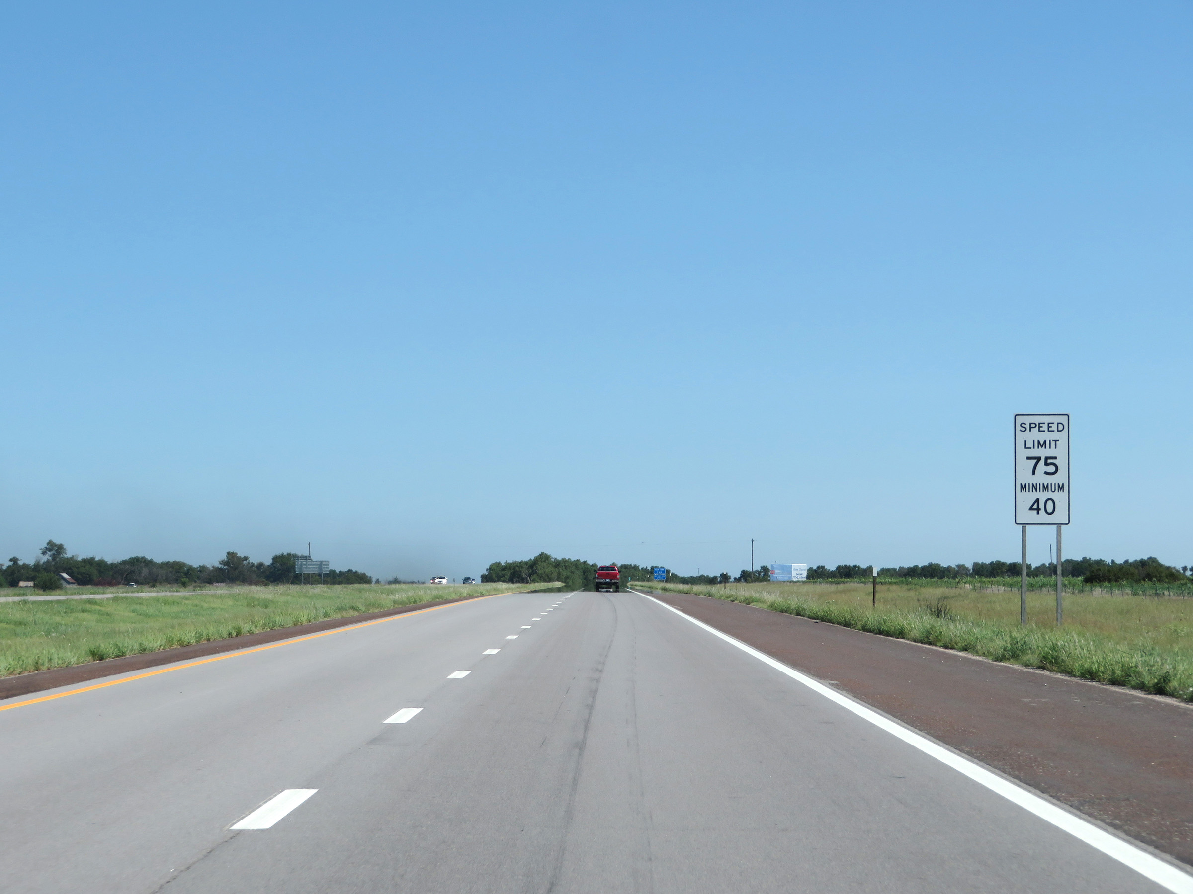
At mile marker 17.8, the maximum speed limit increases to 75 mph. The minimum speed limit remains 40 mph. These are the standard speed limits on most rural Interstate highways in Kansas. (Photo taken 8/11/20). |
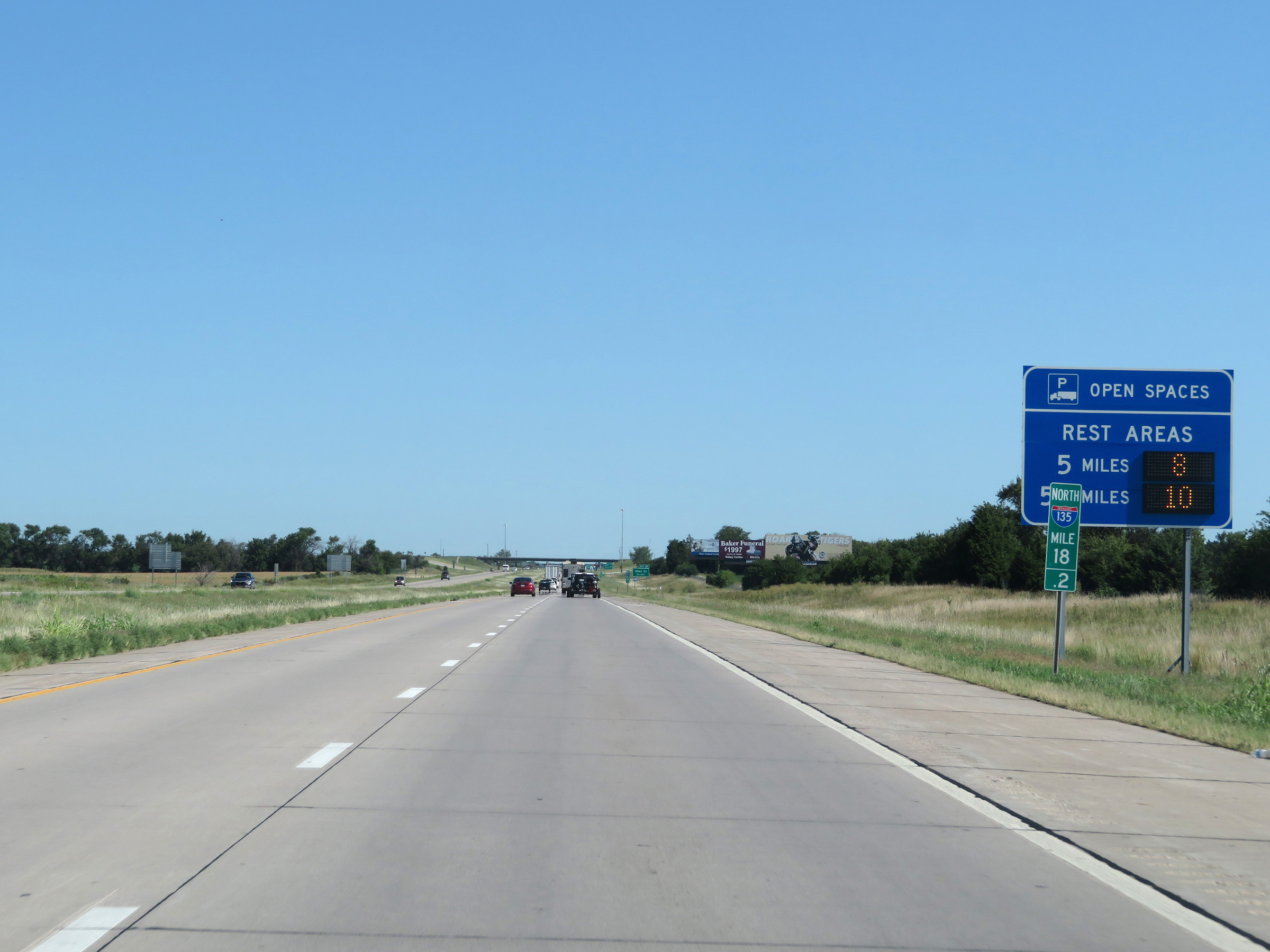 |
This sign at mile marker 18.2 dynamically displays the number of open truck parking spaces at the two Rest Areas ahead on Interstate 135 North. (Photo taken 8/11/20). |
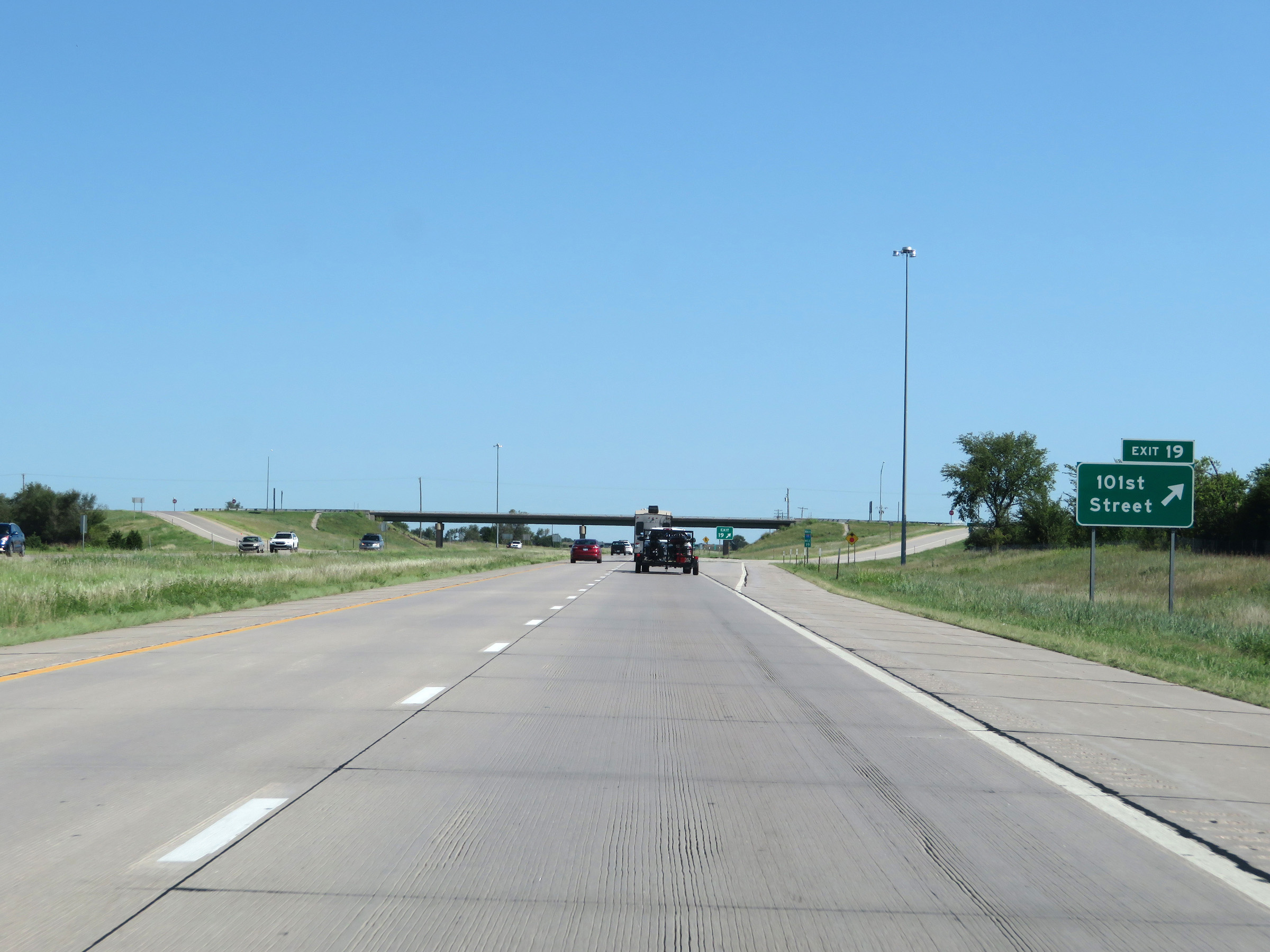 |
Interstate 135 North at Exit 19: 101st Street (Photo taken 8/11/20). |
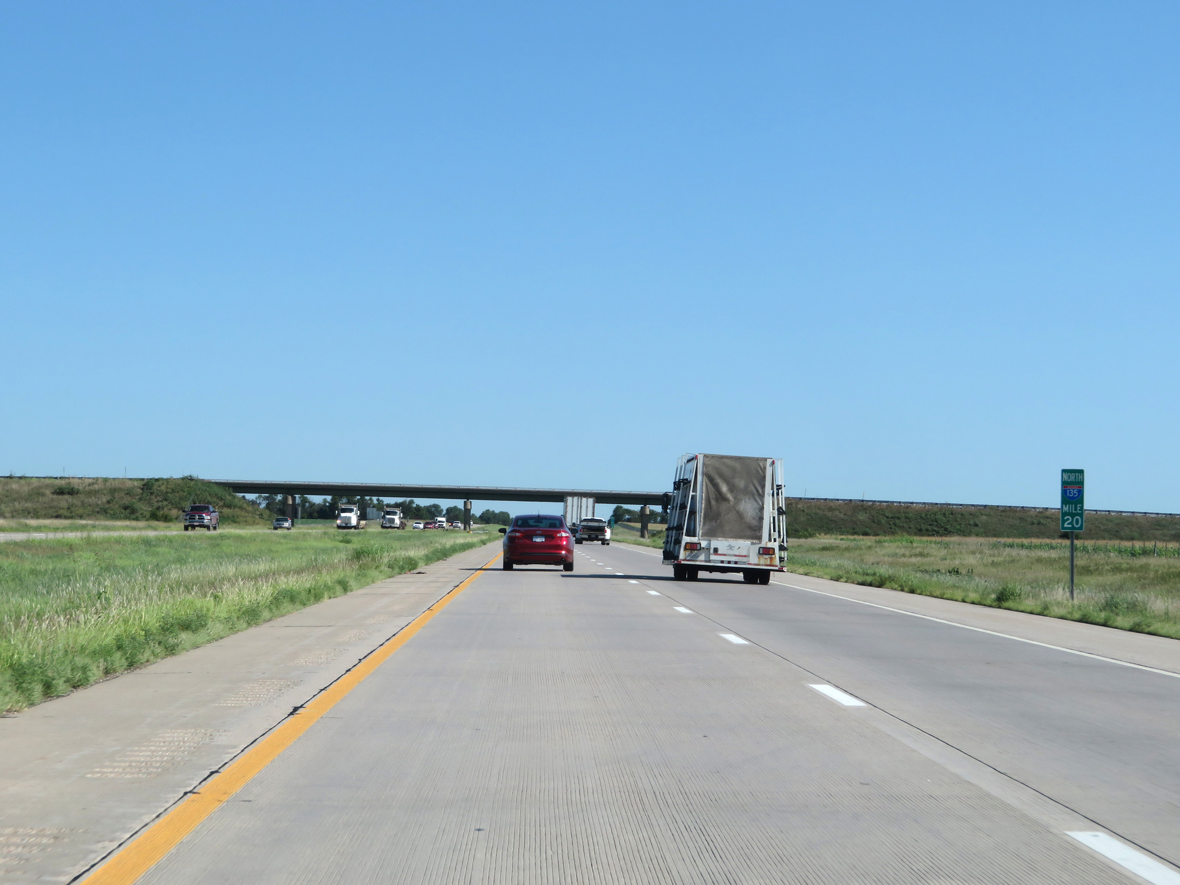 |
View on Interstate 135 North at mile marker 20. (Photo taken 8/11/20). |
 |
Interstate 135 North approaching Exit 22 - 1 mile. (Photo taken 8/11/20). |
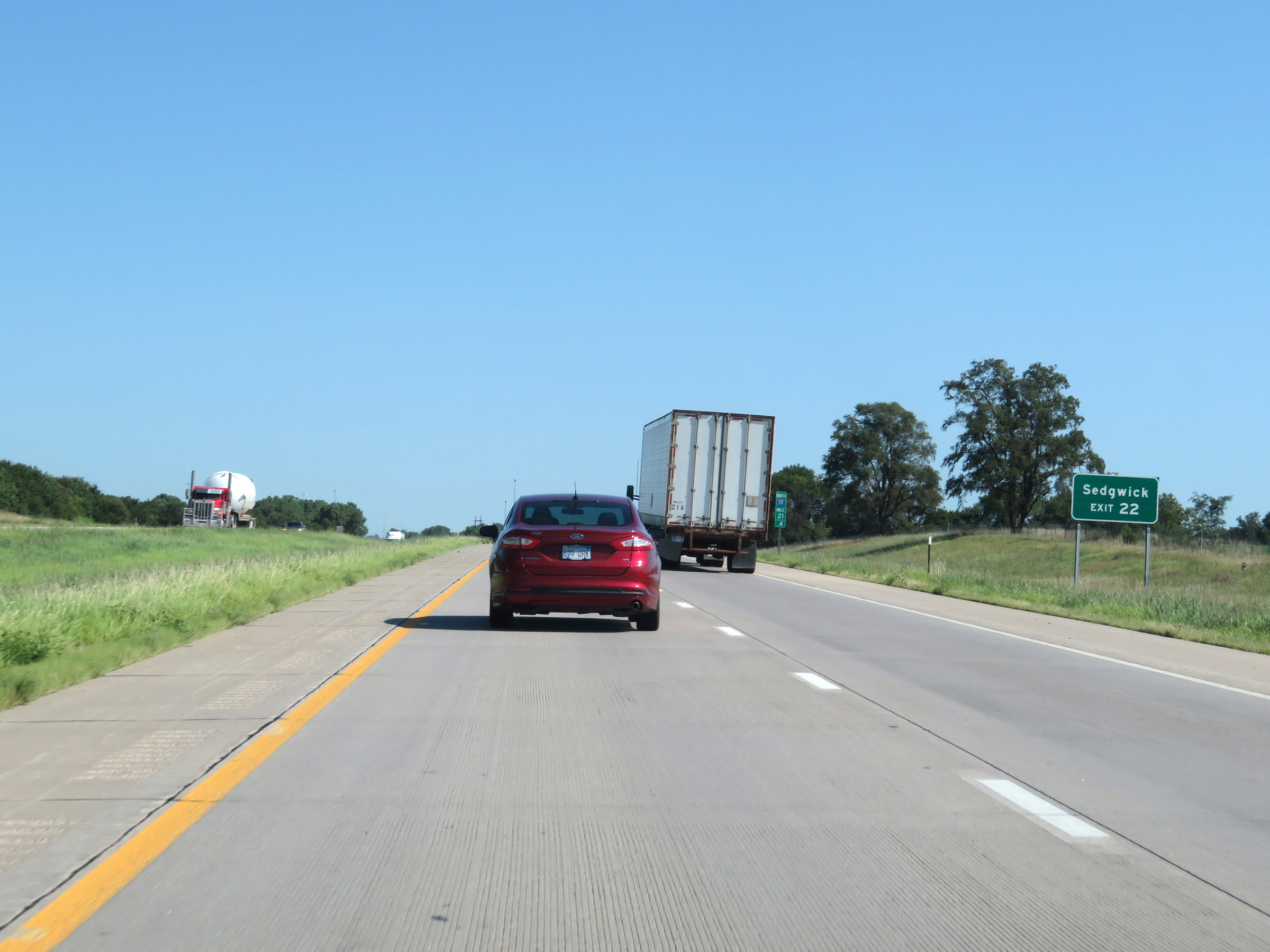 |
Take Exit 22 to Sedgwick. (Photo taken 8/11/20). |
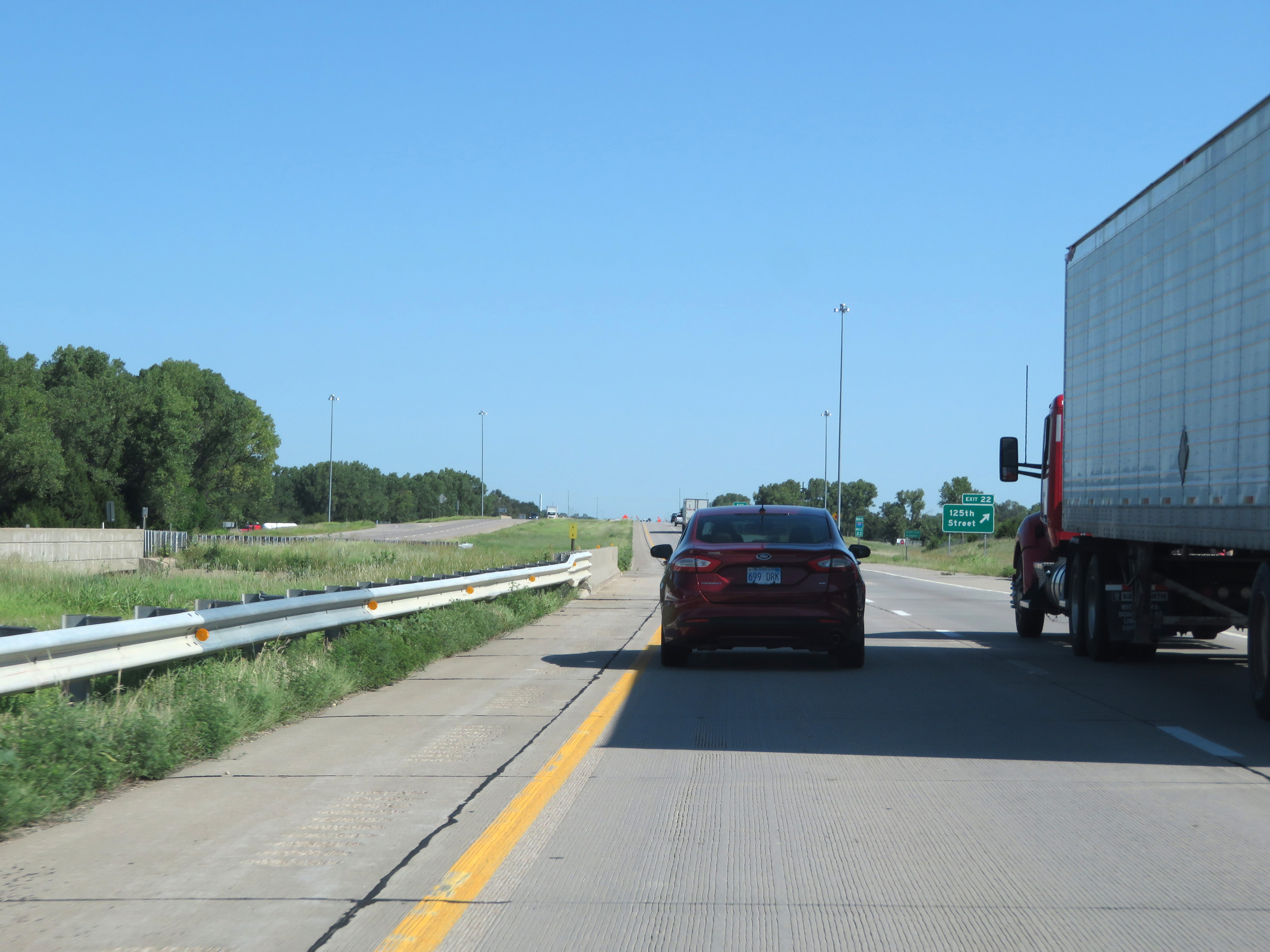 |
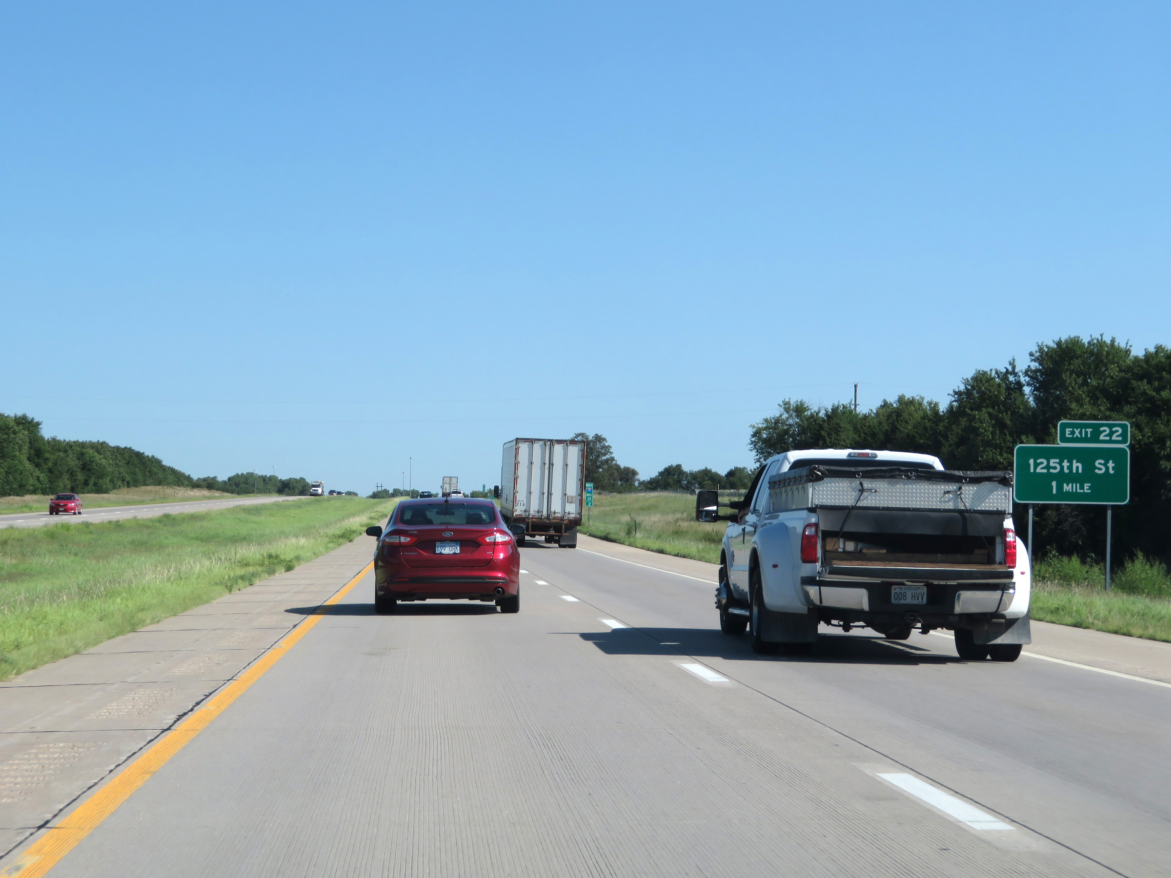
Interstate 135 North at Exit 22: 125th Street (Photo taken 8/11/20). |
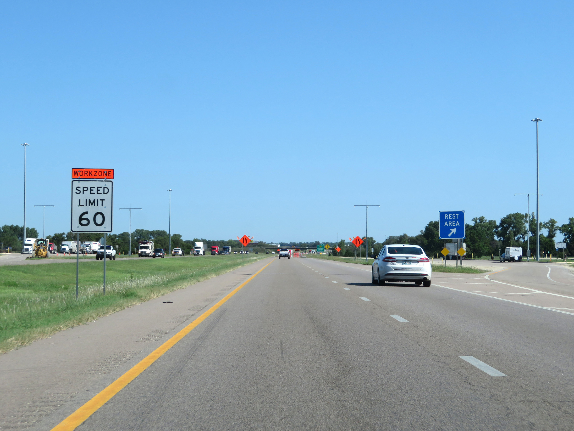 |
Rest Area on Interstate 135 North in Harvey County. (Photo taken 8/11/20). |
 |
View on Interstate 135 North at mile marker 24. (Photo taken 8/11/20). |
 |
Take Exit 25 to Grace Hill Winery. (Photo taken 8/11/20). |
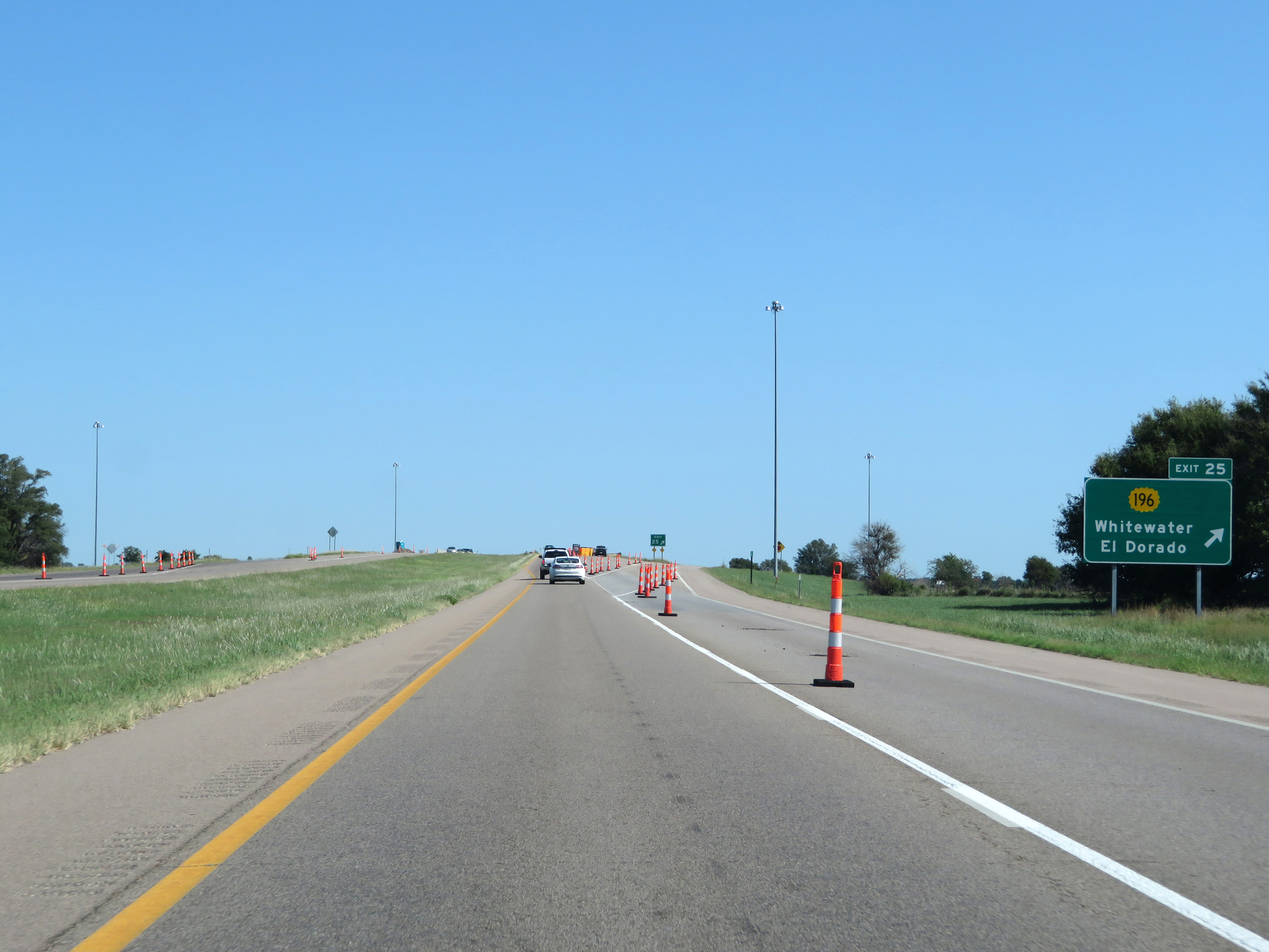 |
Interstate 135 North at Exit 25: K-196 - Whitewater / El Dorado (Photo taken 8/11/20). |
 |
Interstate 135 North / US 81 North / K-15 North reassurance shields. (Photo taken 8/11/20). |
 |
The speed limits remain 75 mph maximum and 40 mph minimum. (Photo taken 8/11/20). |
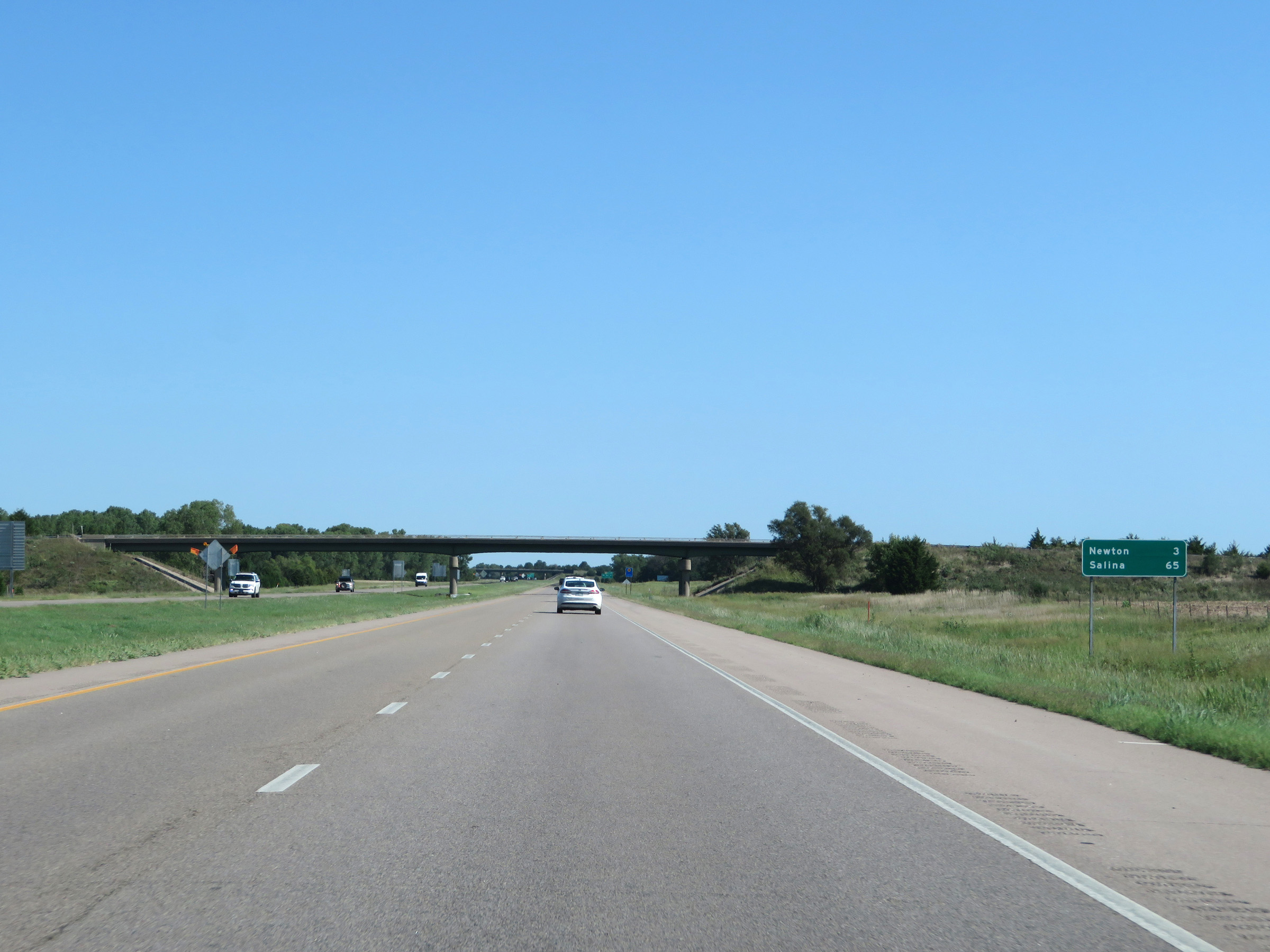 |
Mileage sign on Interstate 135 North. It's 3 miles to Newton and 65 miles to Salina. (Photo taken 8/11/20). |
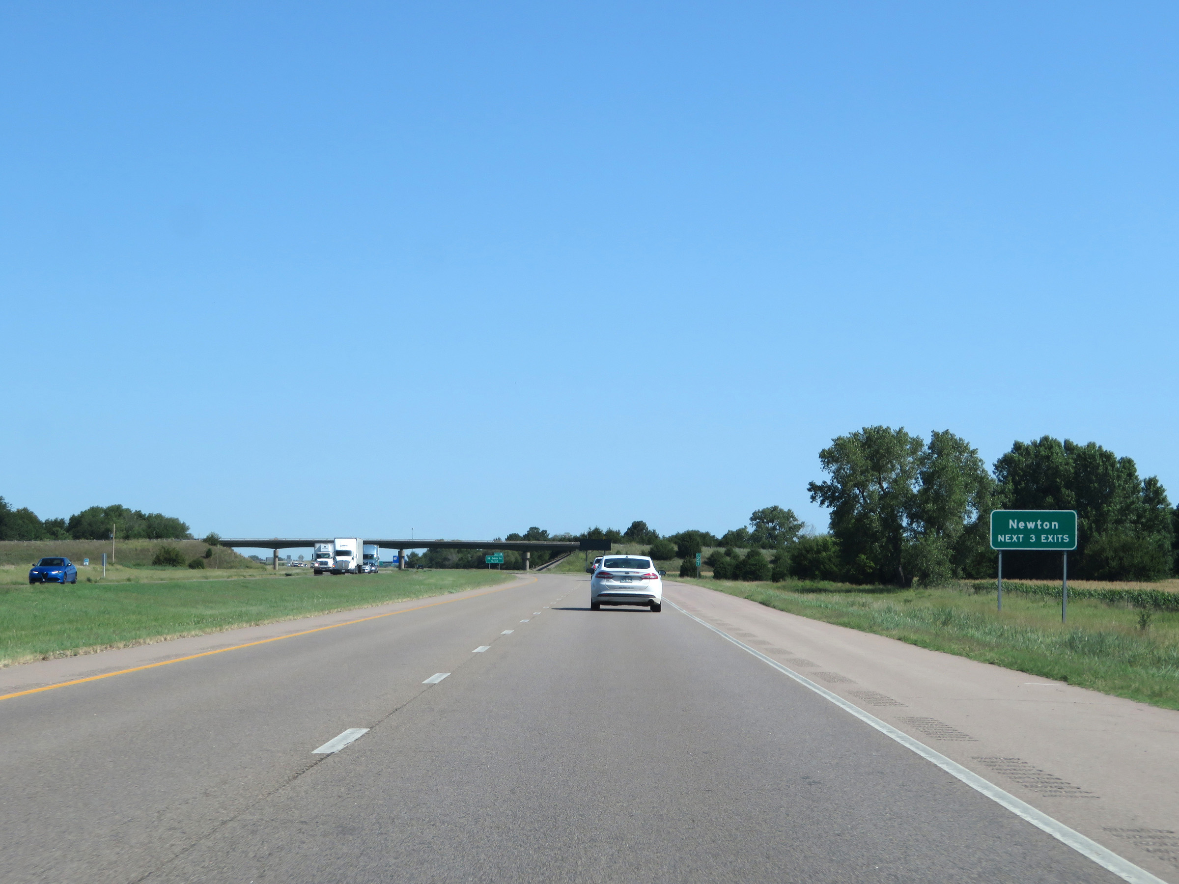 |
Take any of the next 3 exits to Newton. (Photo taken 8/11/20). |
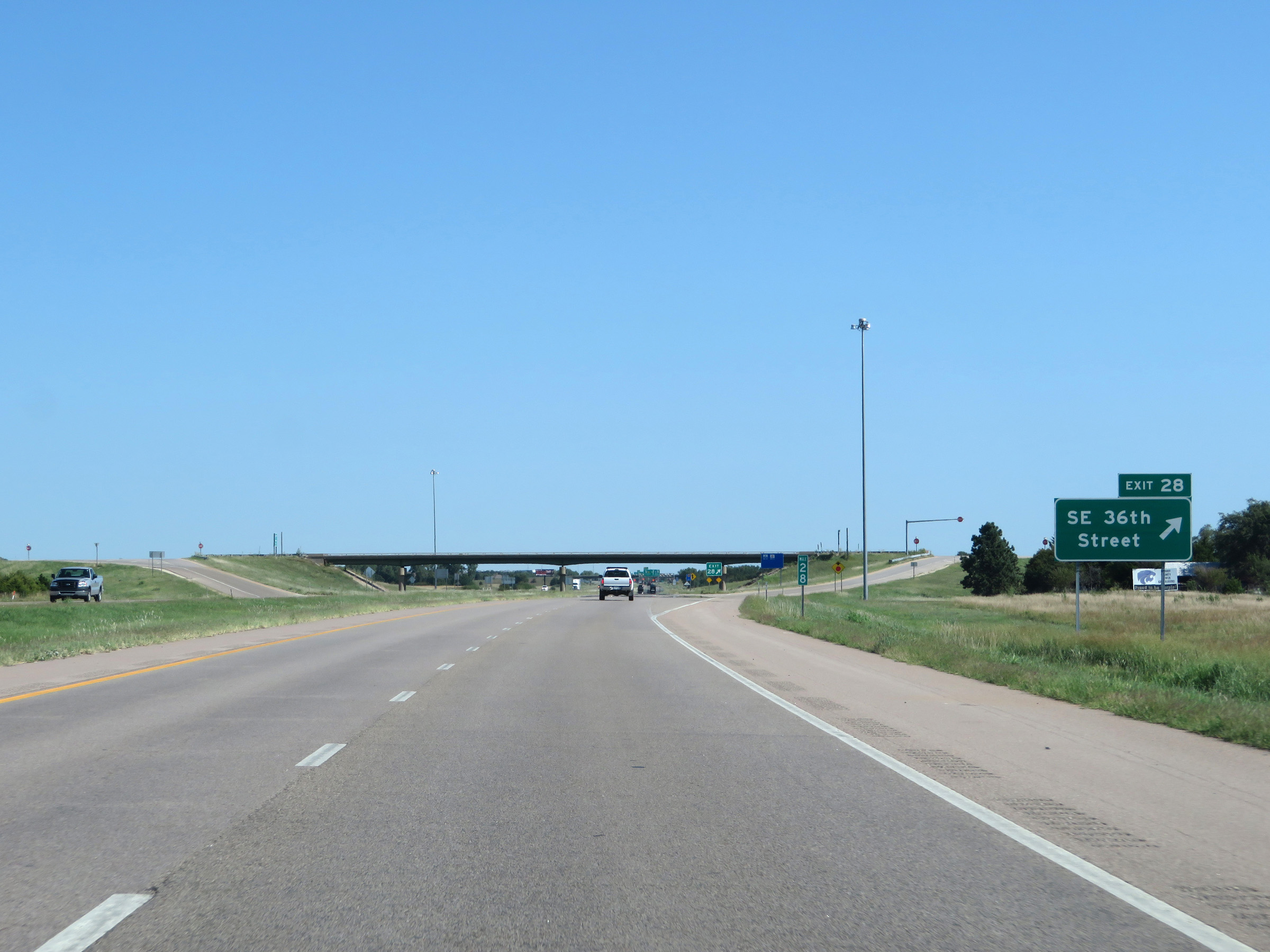 |
Interstate 135 North at Exit 28: SE 36th Street (Photo taken 8/11/20). |
 |
Interstate 135 North at mile marker 29. Exit 30 is 1 mile ahead on the left. (Photo taken 8/11/20). |
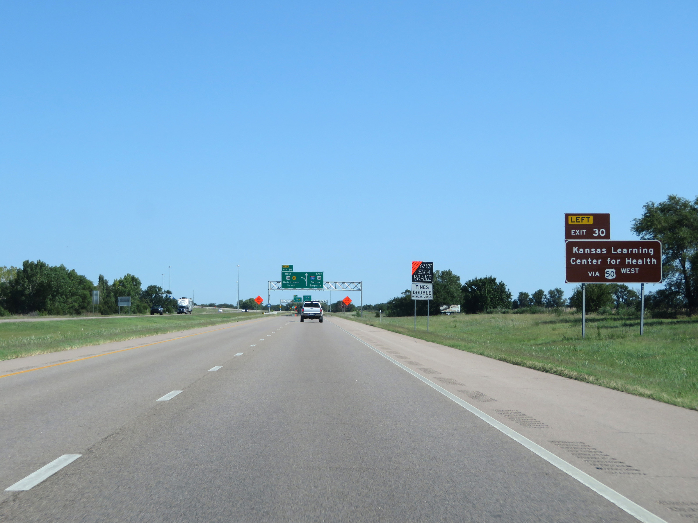 |
Take Exit 30 to the Kansas Learning Center for Health via US 50 West. (Photo taken 8/11/20). |
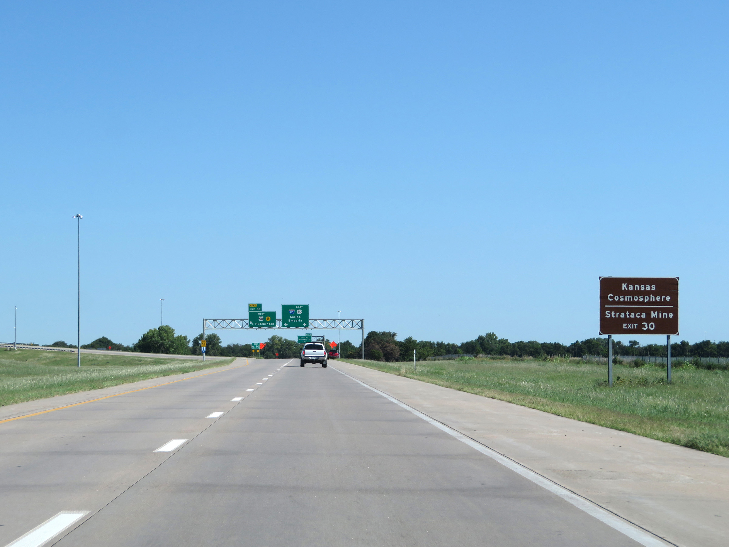 |
Also take Exit 30 (US 50 West) to Kansas Cosmosphere and Strataca Mine. (Photo taken 8/11/20). |
 |
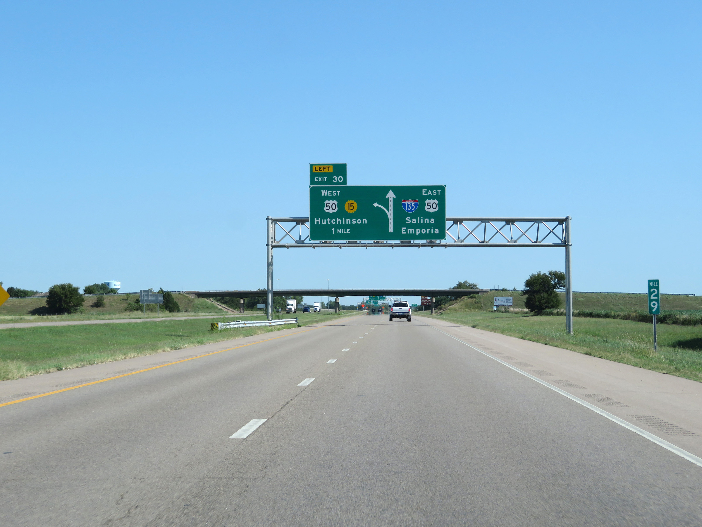
Interstate 135 North at Exit 30: US 50 West / K-15 North - Hutchinson (Photo taken 8/11/20). |
 |
Alongside this overhead mileage sign listing the distances to the next two exits on Interstate 135 North is this sign stating that Exit 31 is the last exit to Newton. (Photo taken 8/11/20). |
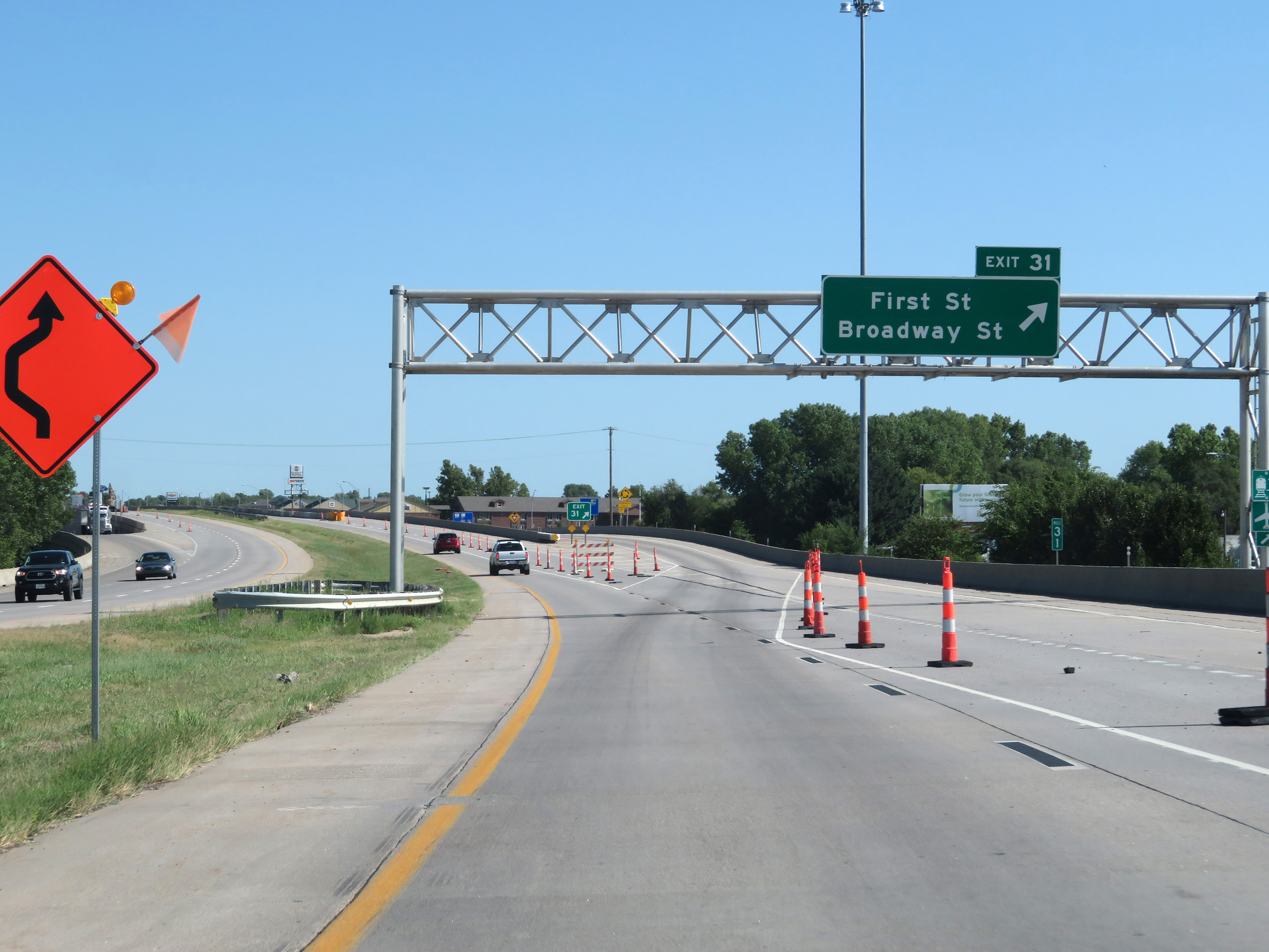 |
Interstate 135 North at Exit 31: First St / Broadway St (Photo taken 8/11/20). |
 |
Interstate 135 North at Exit 33: US 50 East - Peabody / Emporia (Photo taken 8/11/20). |
 |
View on Interstate 135 North at mile marker 33. (Photo taken 8/11/20). |
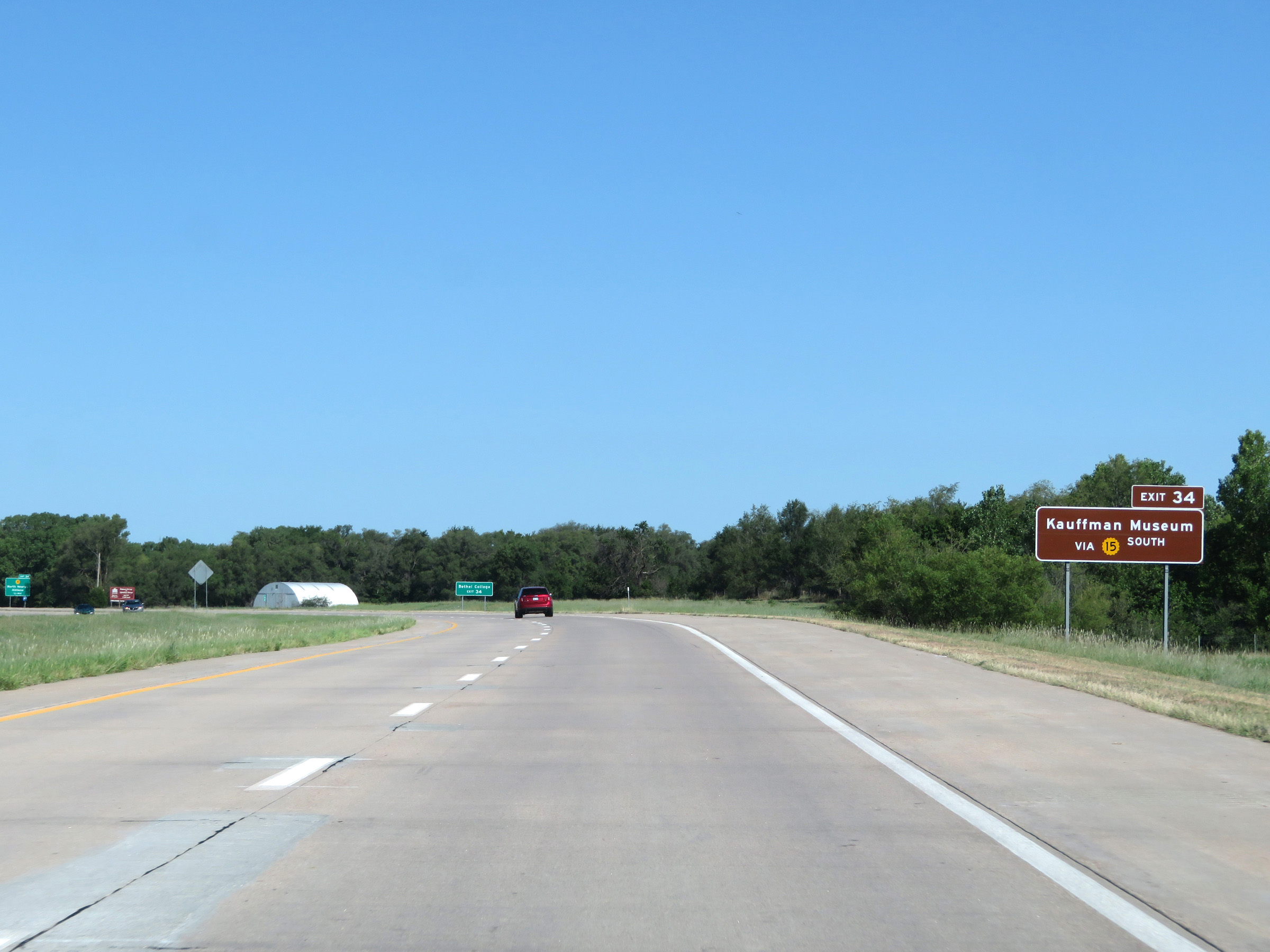 |
Take Exit 34 to Kauffman Museum via K-15 South. (Photo taken 8/11/20). |
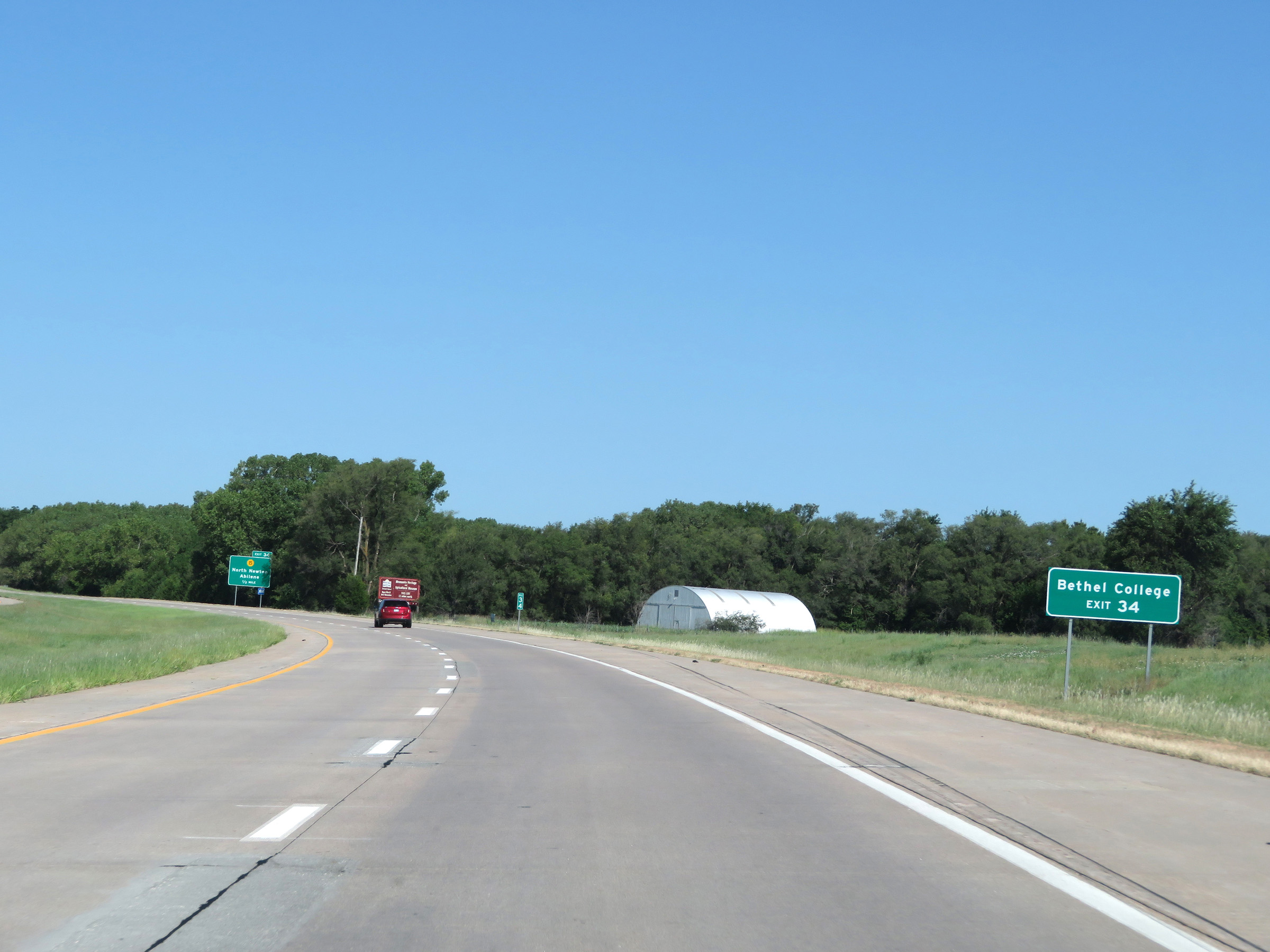 |
Also take Exit 34 to Bethel College. (Photo taken 8/11/20). |
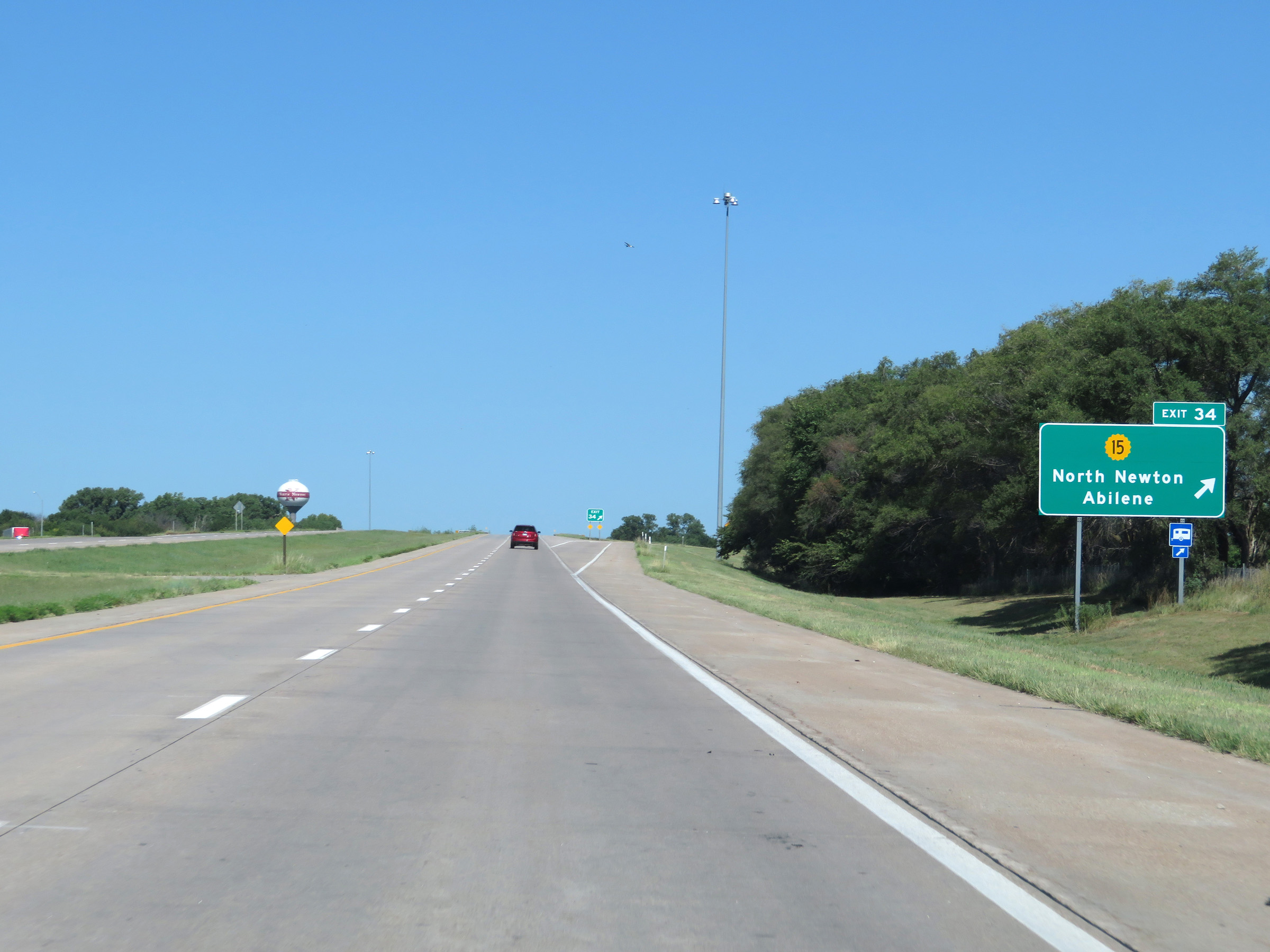 |
Interstate 135 North at Exit 34: K-15 - North Newton / Abilene (Photo taken 8/11/20). |
 |
Another state-named Interstate 135 North reassurance shield alongside a US 81 North reassurance shield. (Photo taken 8/11/20). |
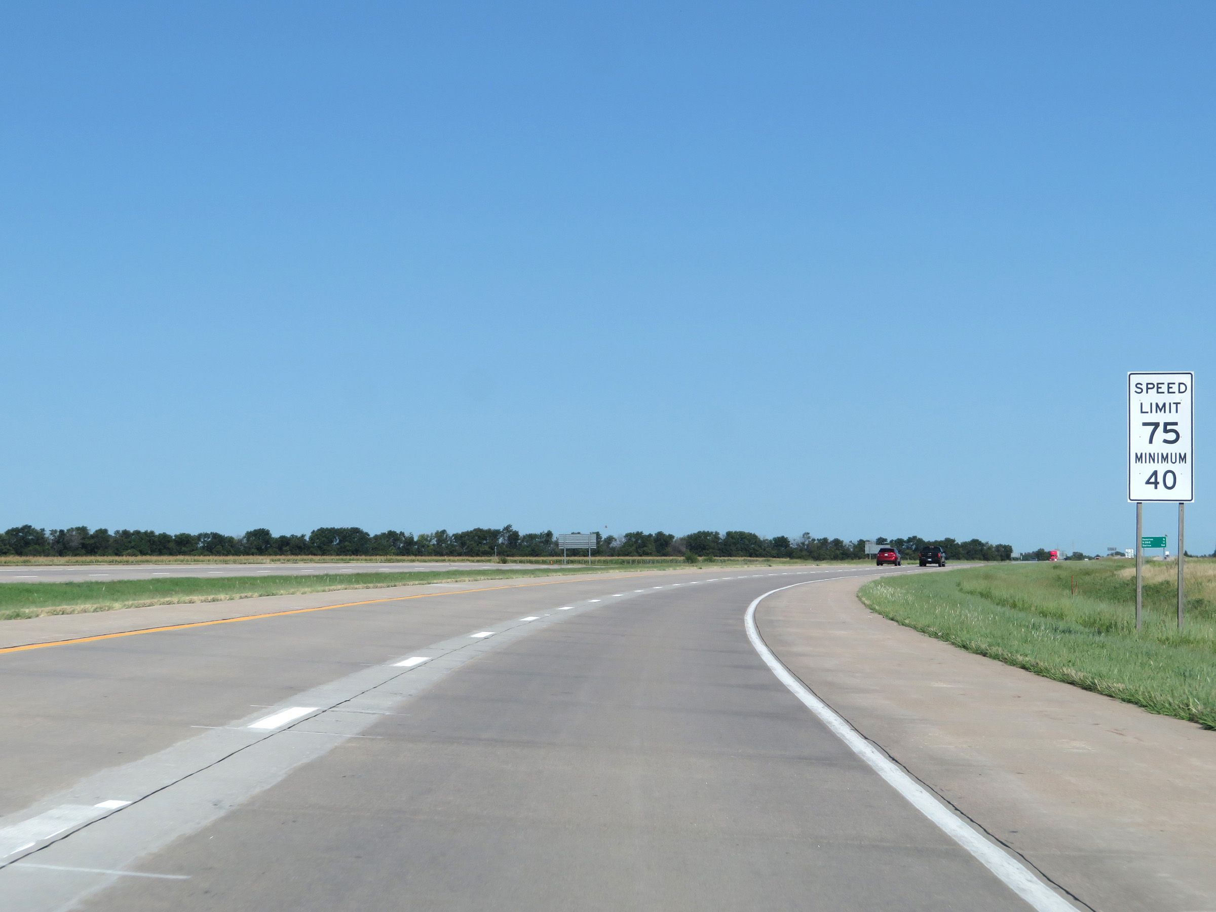 |
Speed limit sign on Interstate 135 North. The speed limits remain 75 mph maximum and 40 mph minimum. (Photo taken 8/11/20). |
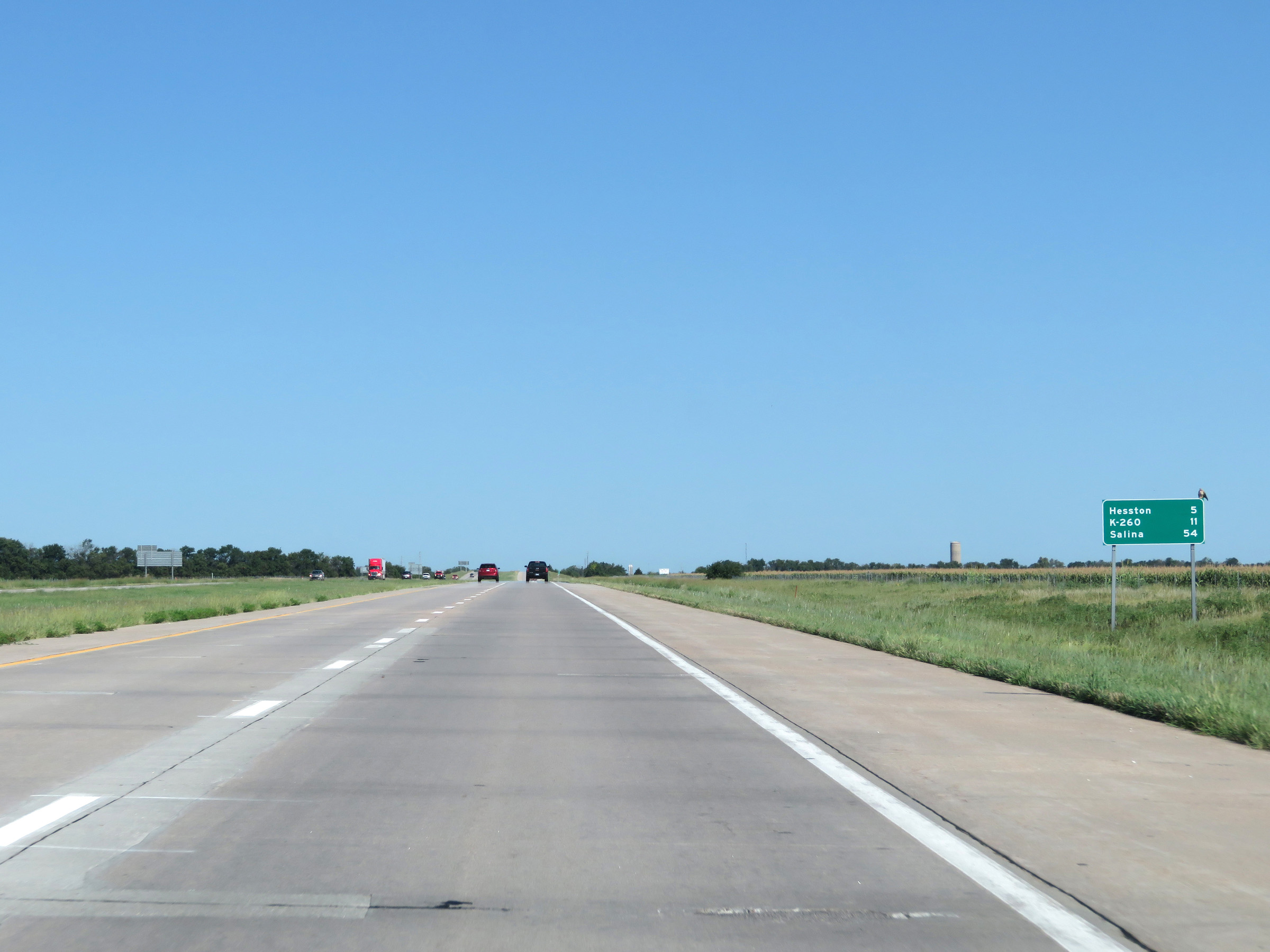 |
Mileage sign on Interstate 135 North. It's 5 miles to Hesston, 11 miles to the junction of K-260, and 54 miles to Salina. (Photo taken 8/11/20). |
 |
View on Interstate 135 North at mile marker 37. (Photo taken 8/11/20). |
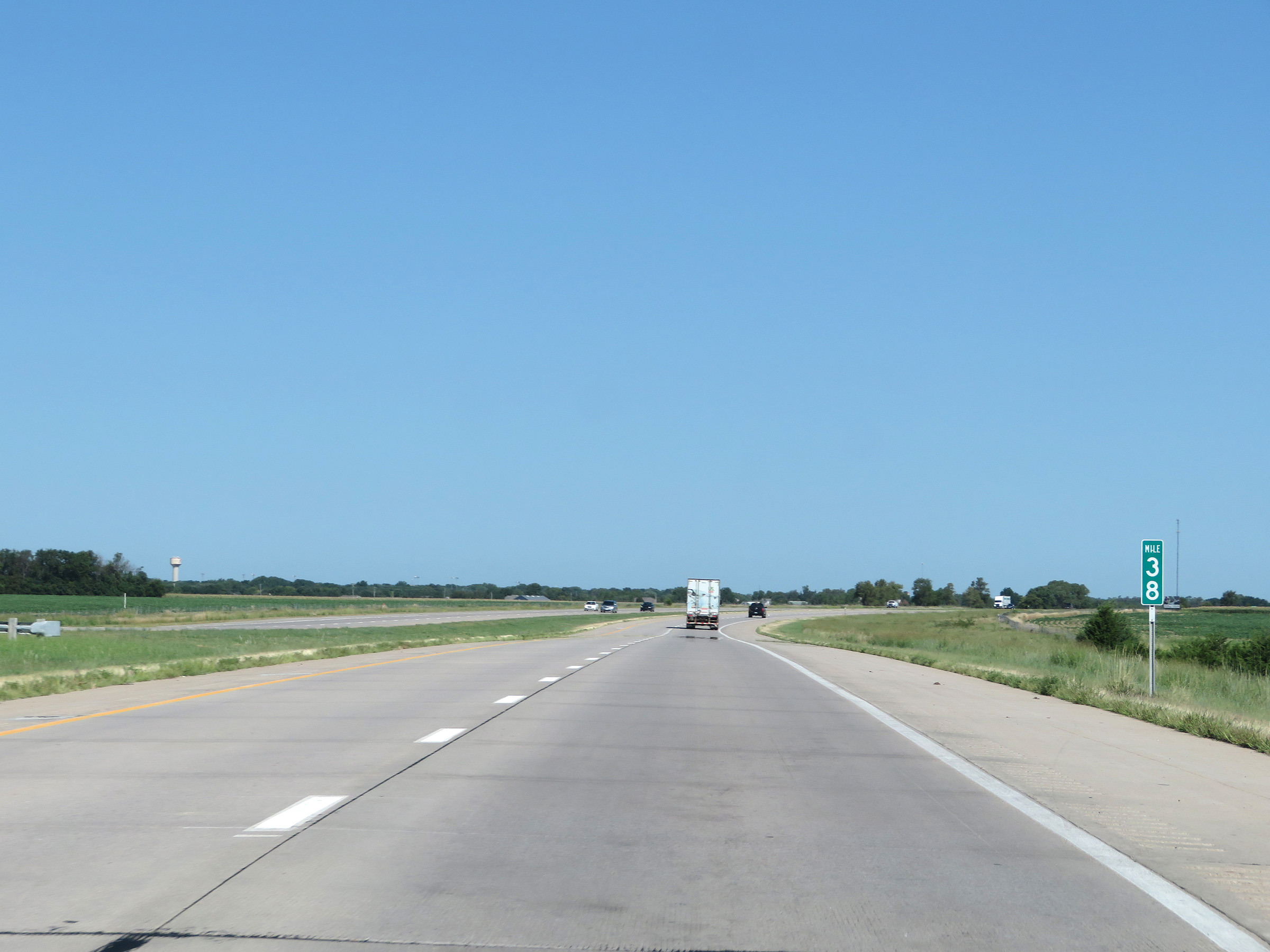 |
Interstate 135 North at mile marker 38. (Photo taken 8/11/20). |
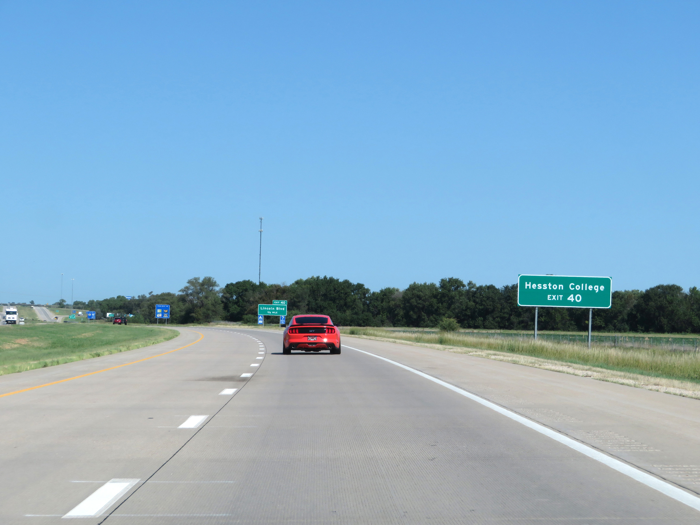 |
Take Exit 40 to Hesston College. (Photo taken 8/11/20). |
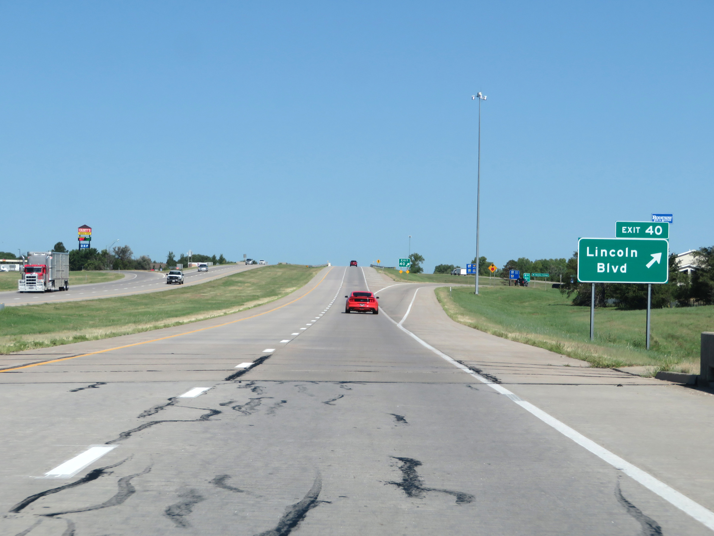 |
Interstate 135 North at Exit 40: Lincoln Blvd (Photo taken 8/11/20). |
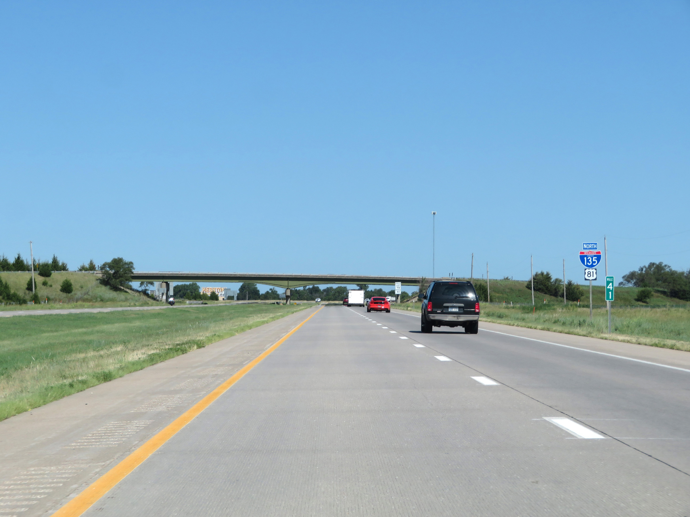 |
View on Interstate 135 North at mile marker 41. (Photo taken 8/11/20). |
 |
Interstate 135 North at mile marker 43. (Photo taken 8/11/20). |
 |
Entering McPherson County on Interstate 135 North. (Photo taken 8/11/20). |
 |
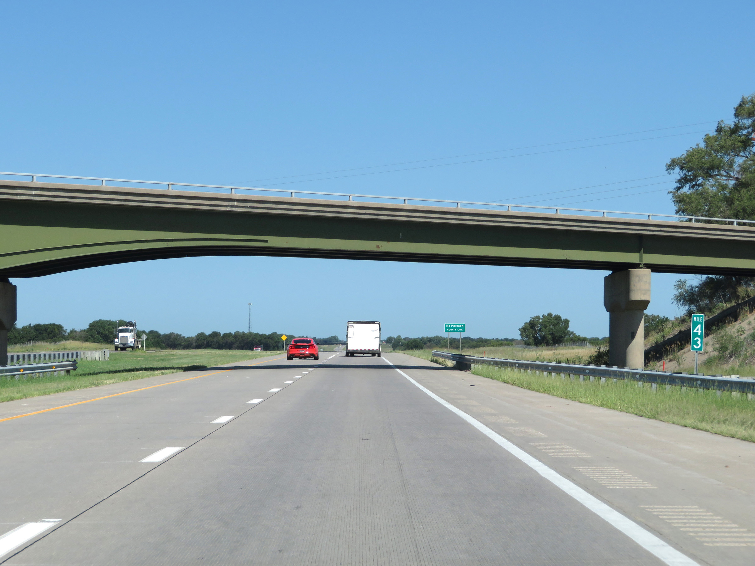
Mile marker 44 on Interstate 135 North in McPherson County. (Photo taken 8/11/20). |
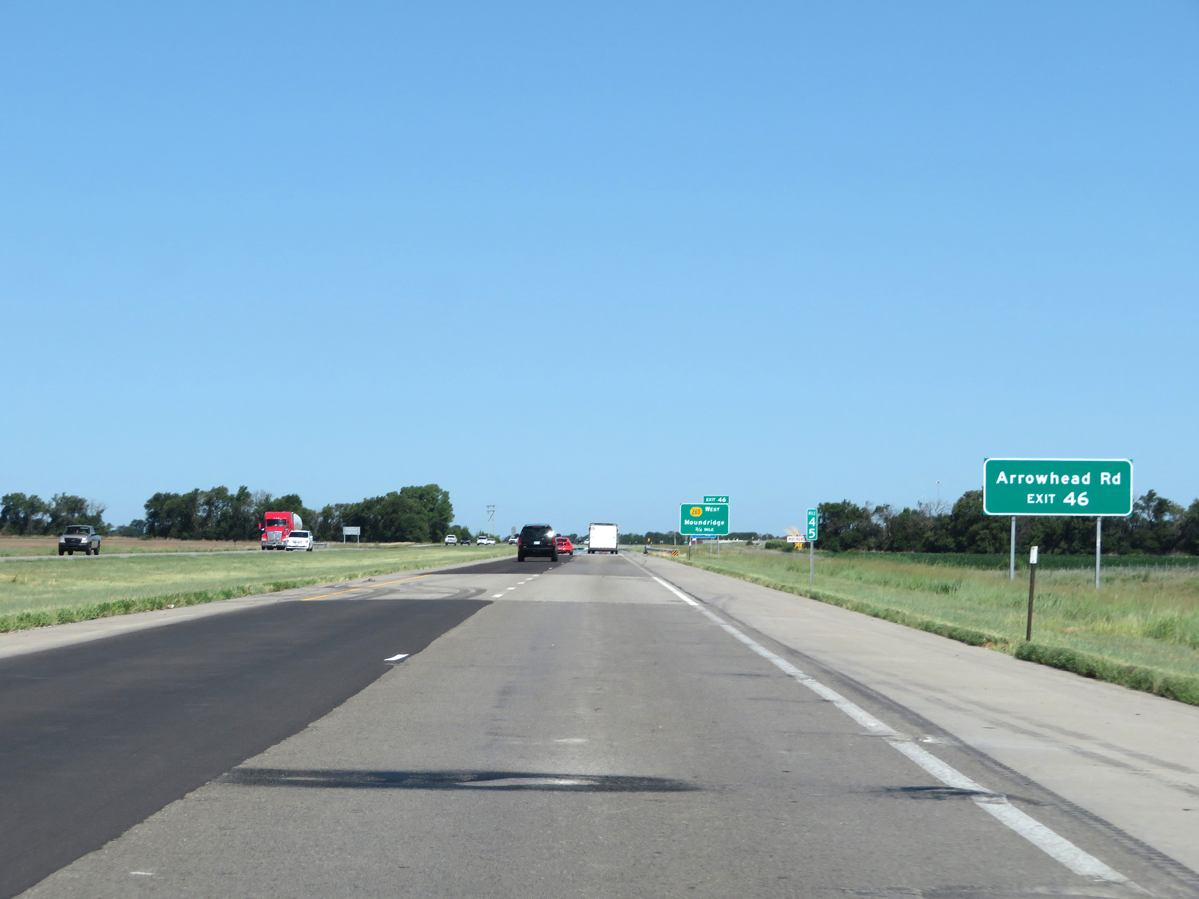 |
Take Exit 46 to Arrowhead Rd. (Photo taken 8/11/20). |
 |
Interstate 135 North at Exit 46: K-260 West - Moundridge (Photo taken 8/11/20). |
 |
View on Interstate 135 North at mile marker 47. (Photo taken 8/11/20). |
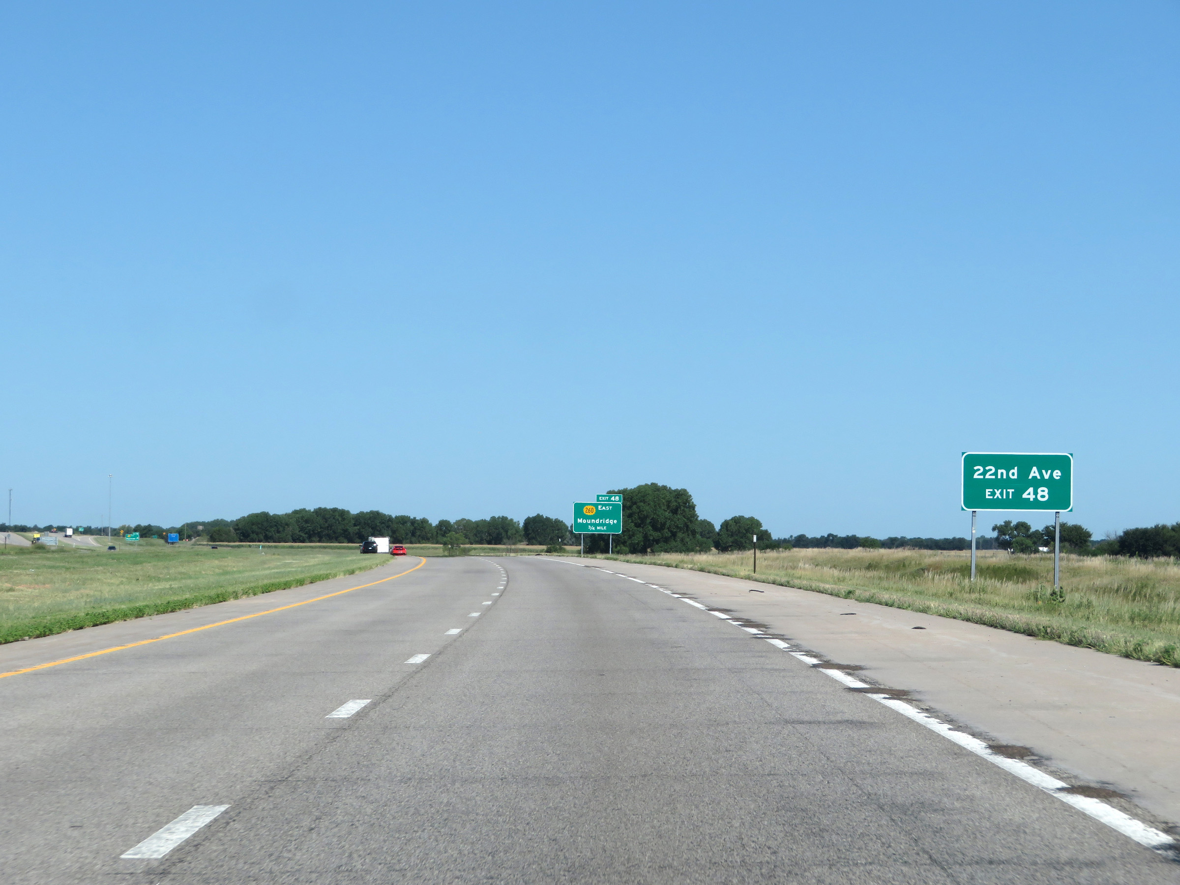 |
Take Exit 48 to 22nd Ave. (Photo taken 8/11/20). |
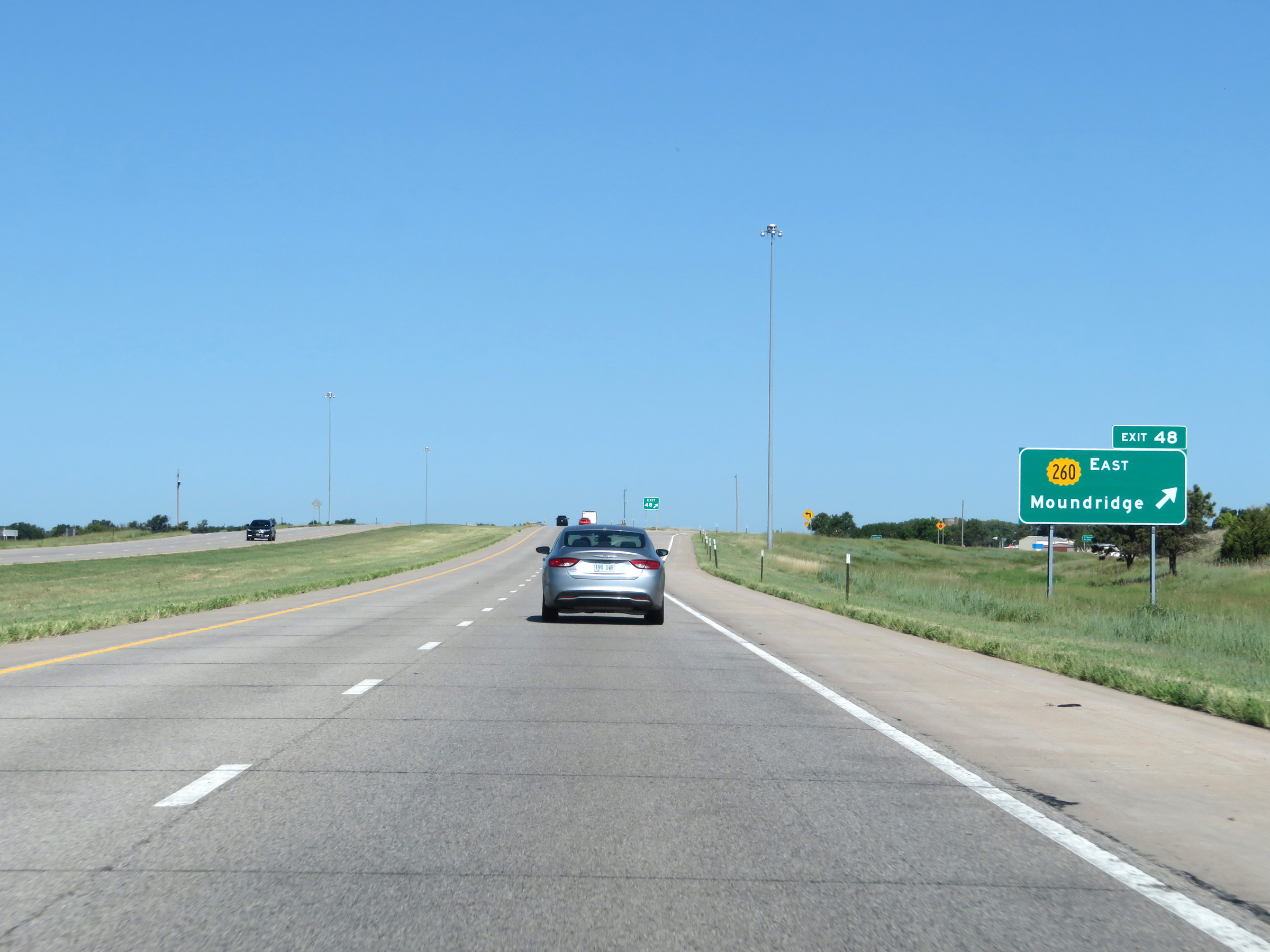 |
Interstate 135 North at Exit 48: K-260 East - Moundridge (Photo taken 8/11/20). |
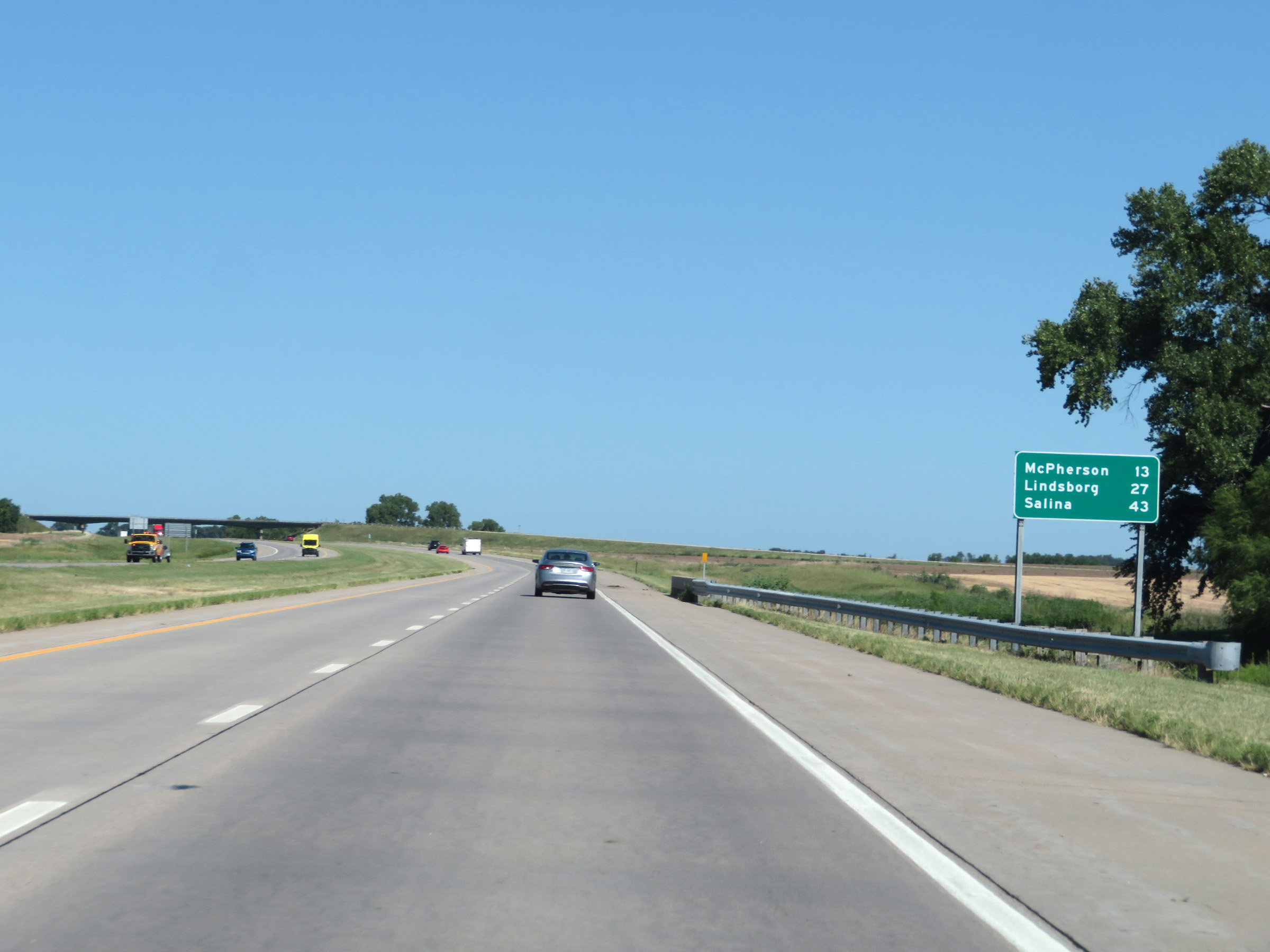 |
Another mileage sign on Interstate 135 North. It's 13 miles to McPherson, 27 miles to Lindsborg, and 43 miles to Salina. (Photo taken 8/11/20). |
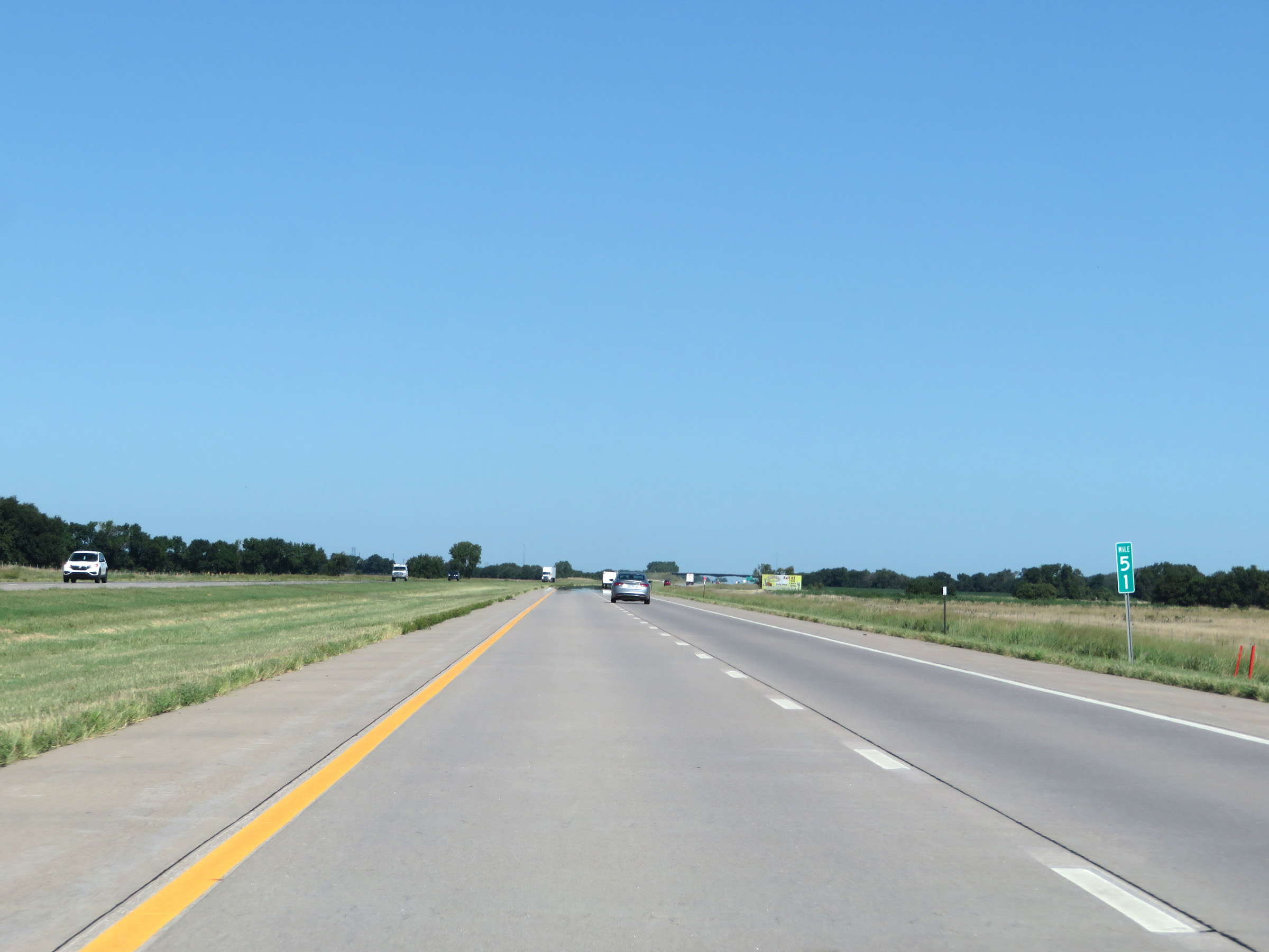 |
View on Interstate 135 North at mile marker 51. (Photo taken 8/11/20). |
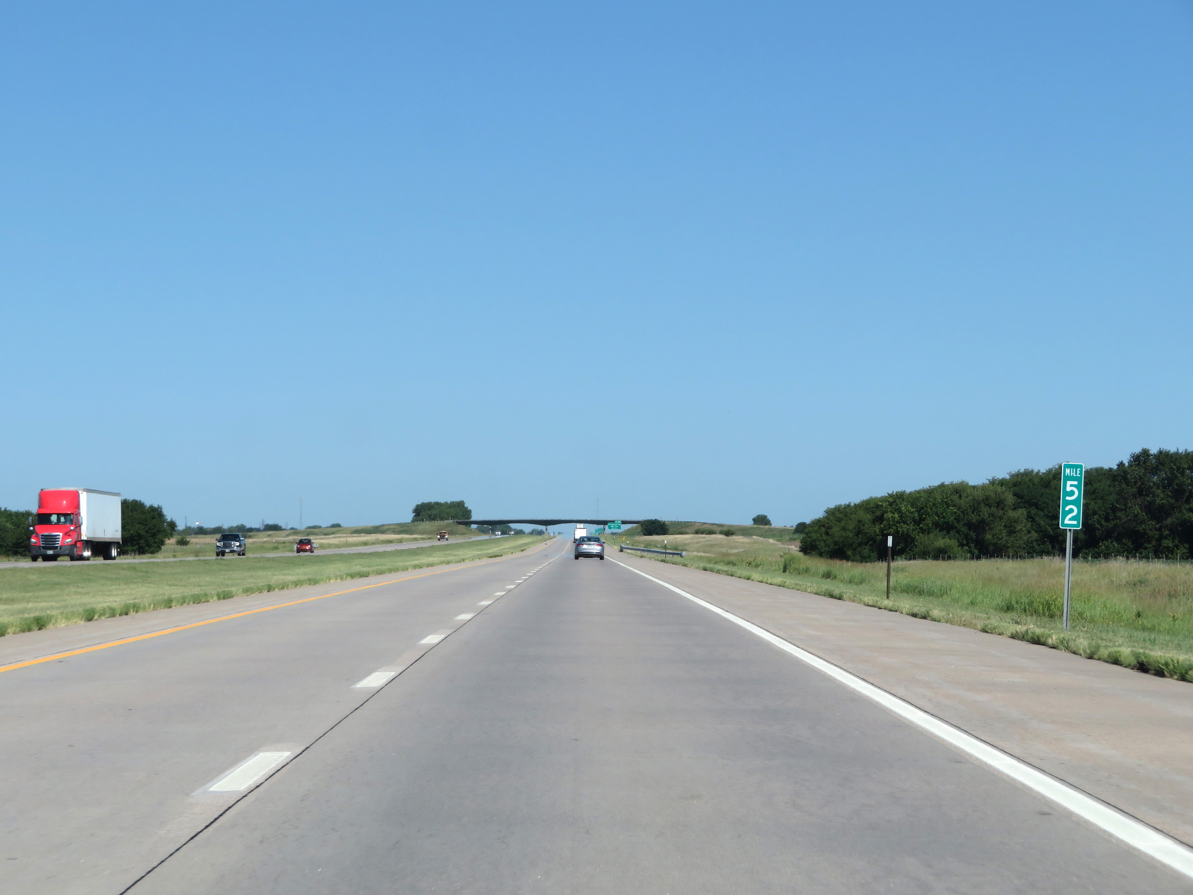 |
Interstate 135 North at mile marker 52. (Photo taken 8/11/20). |
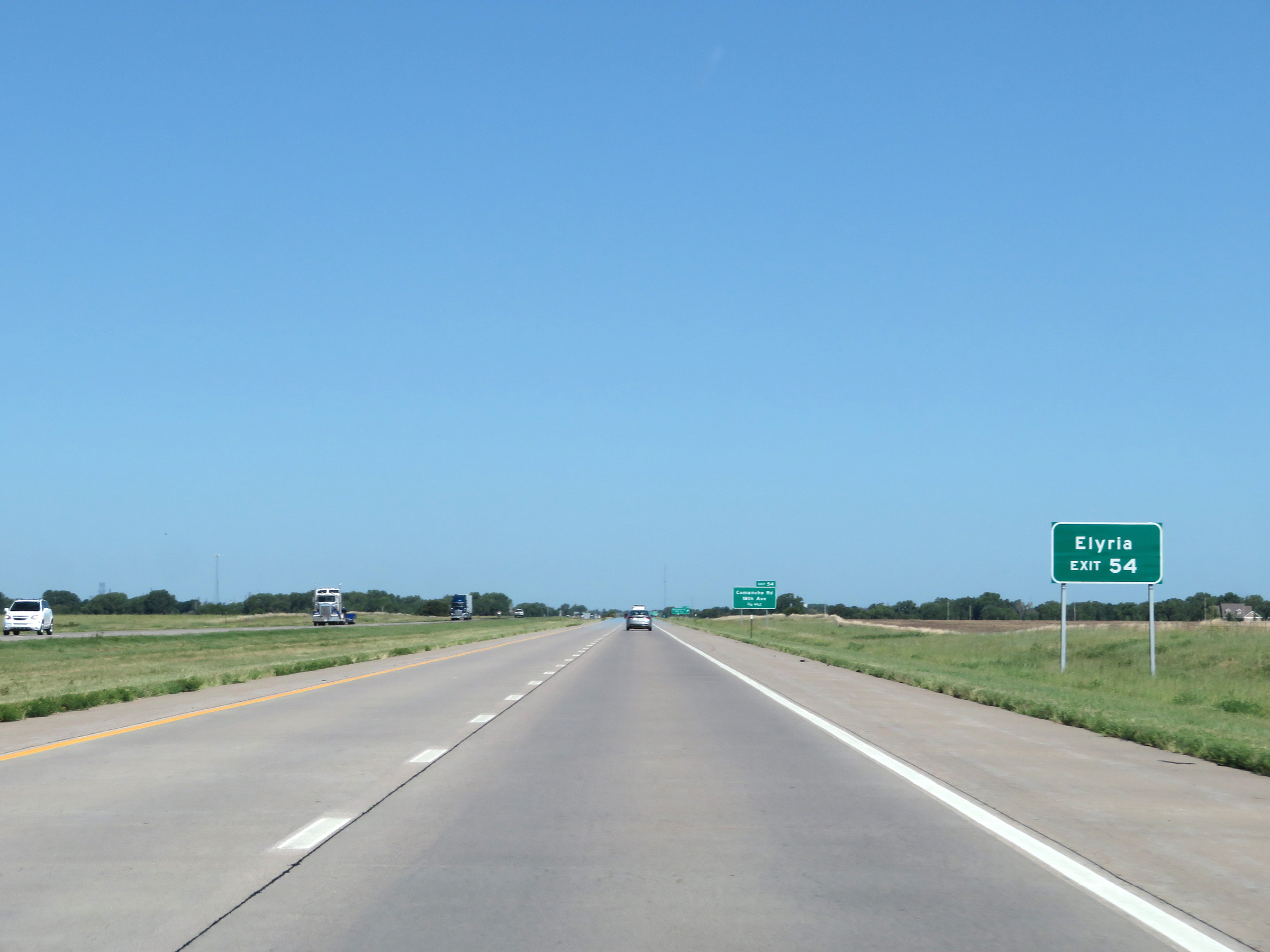 |
Take Exit 54 to Elyria. (Photo taken 8/11/20). |
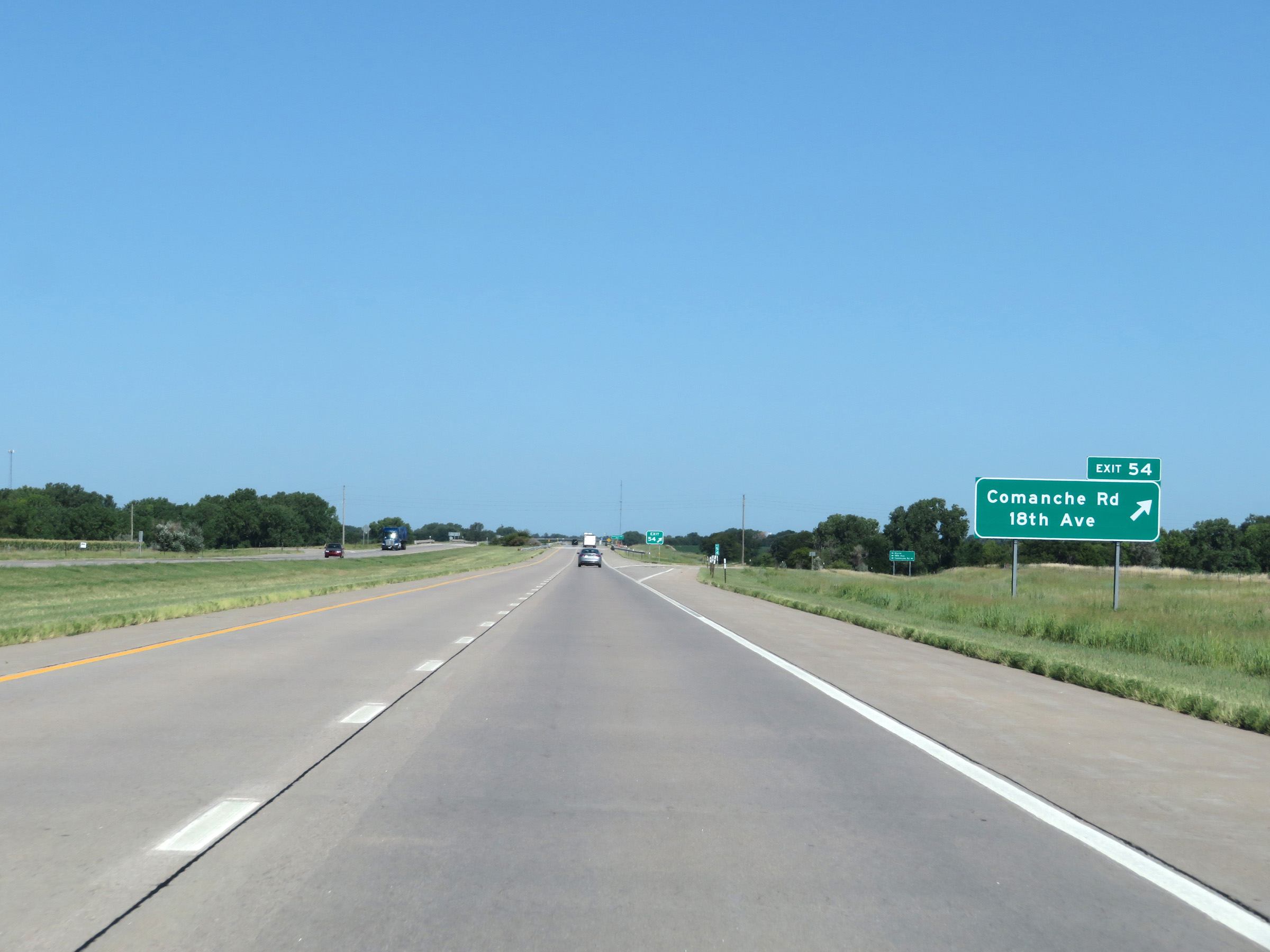 |
Interstate 135 North at Exit 54: Comanche Rd / 18th Ave (Photo taken 8/11/20). |
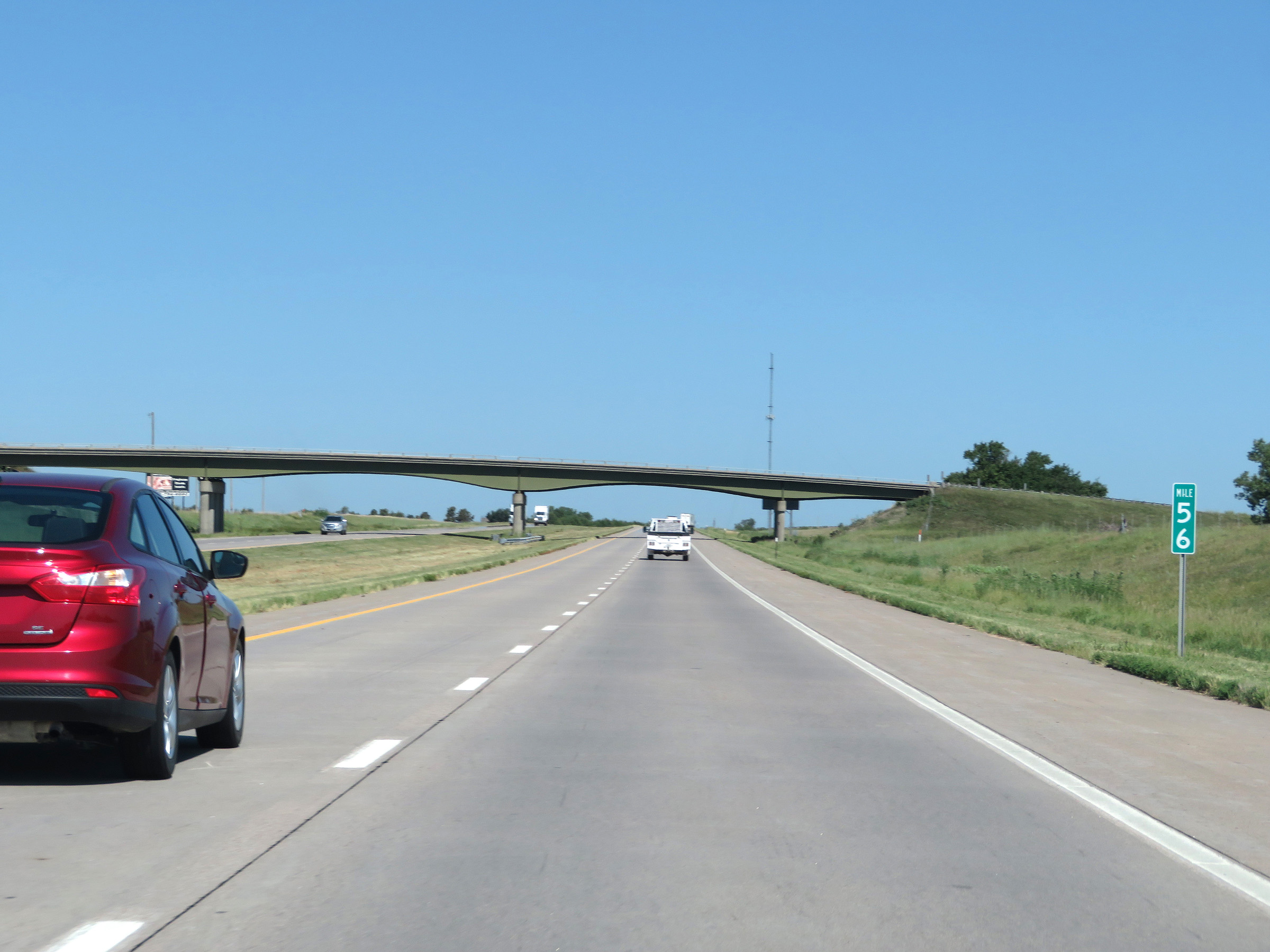 |
Interstate 135 North at mile marker 56. (Photo taken 8/11/20). |
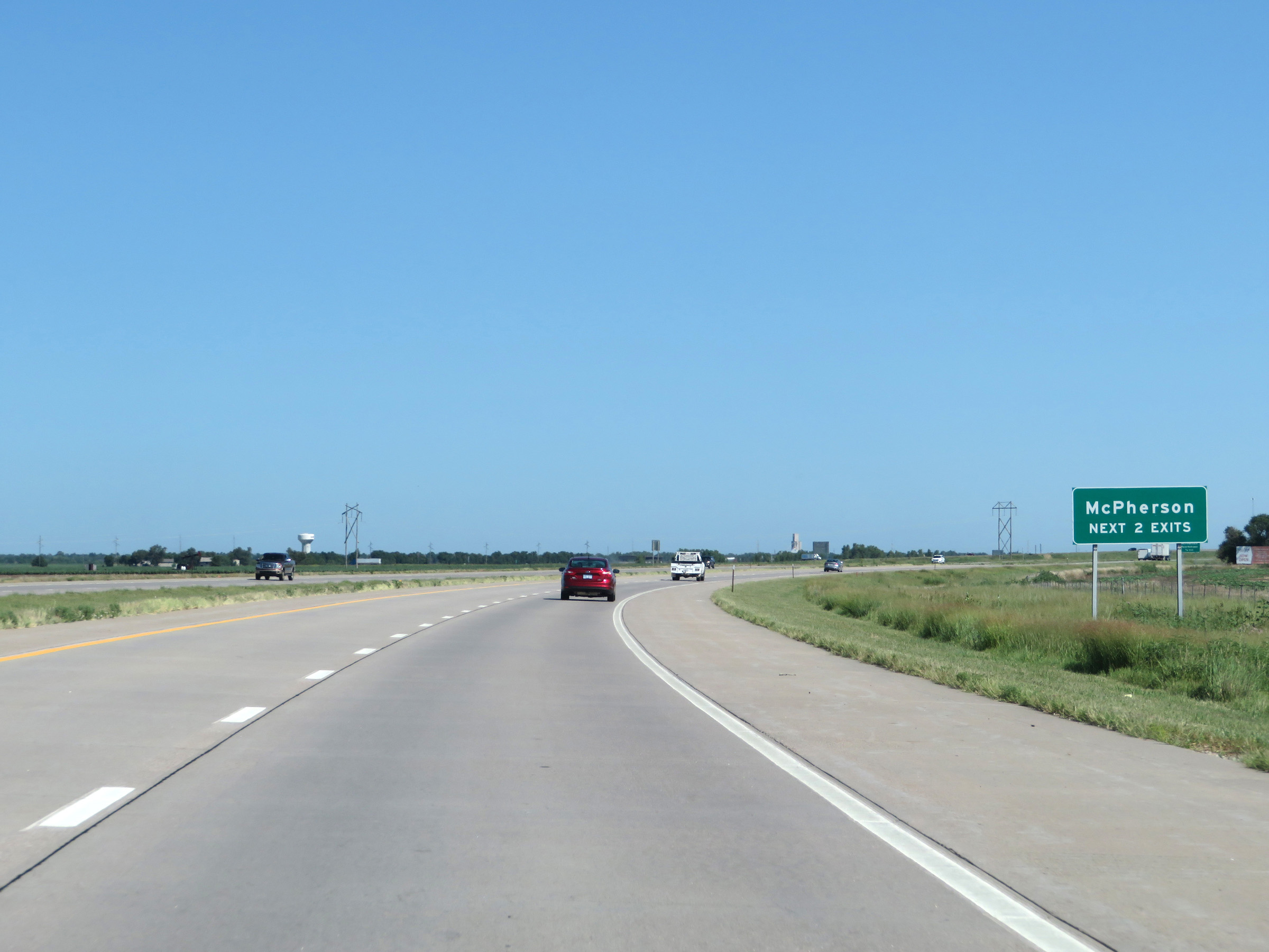 |
Take either of the next 2 exits to McPherson. (Photo taken 8/11/20). |
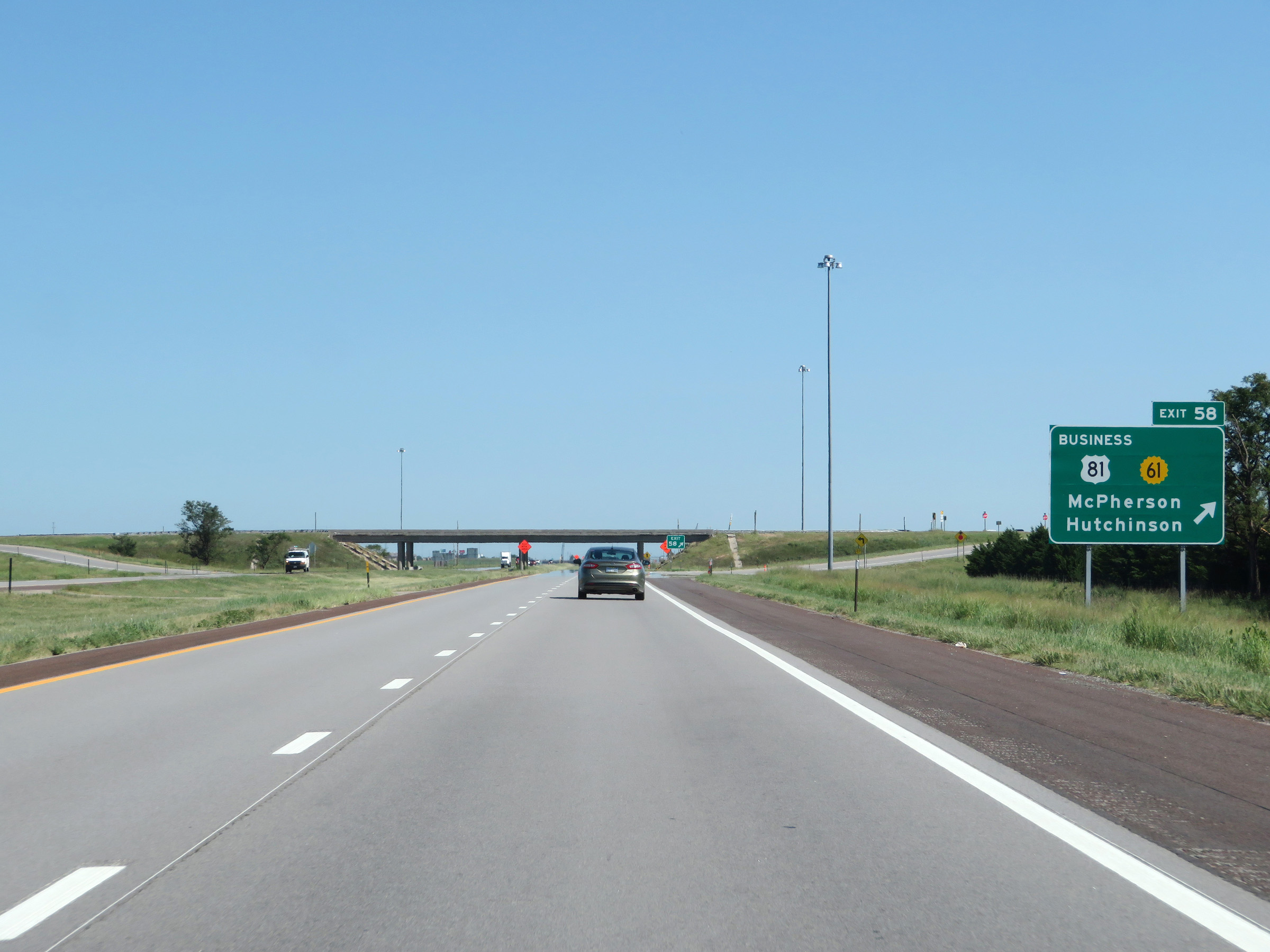 |
Interstate 135 North at Exit 58: US 81 Business / K-61 - McPherson / Hutchinson (Photo taken 8/11/20). |
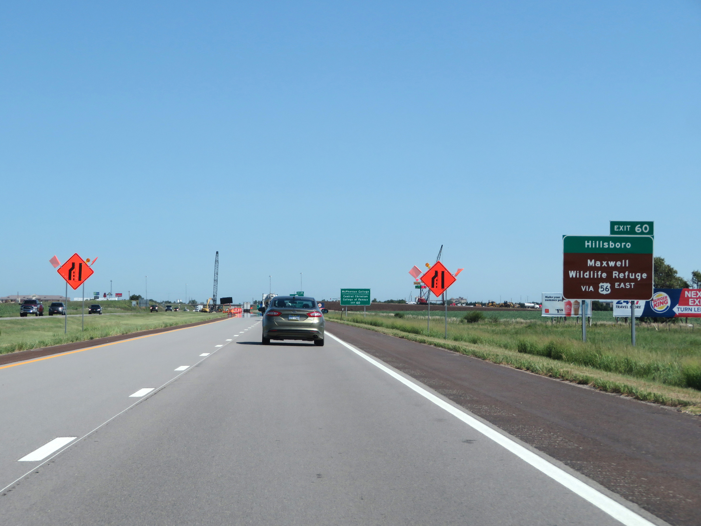 |
Take Exit 60 to Hillsboro and Maxwell Wildlife Refuge. (Photo taken 8/11/20). |
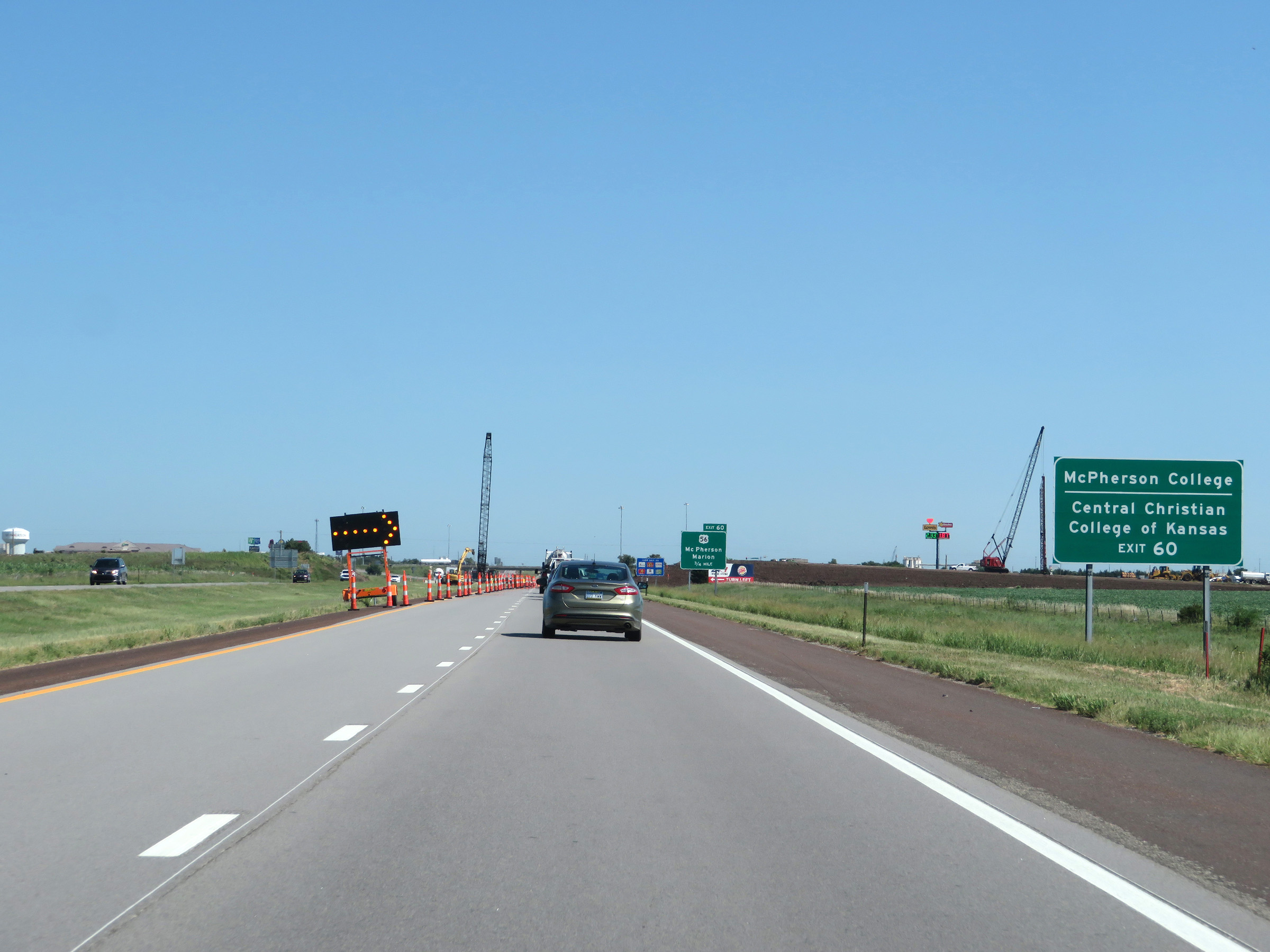 |
Also take Exit 60 to McPherson College and Central Christian College of Kansas. (Photo taken 8/11/20). |
 |
Interstate 135 North approaching Exit 60 - 3/4 mile. (Photo taken 8/11/20). |
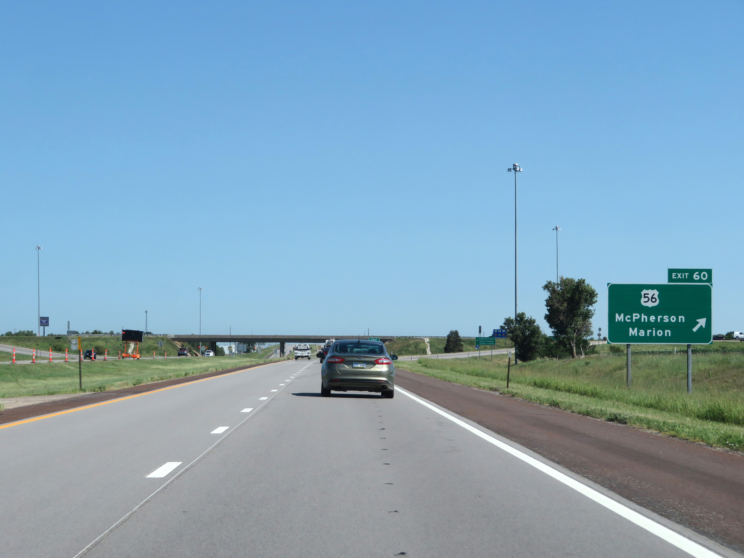 |
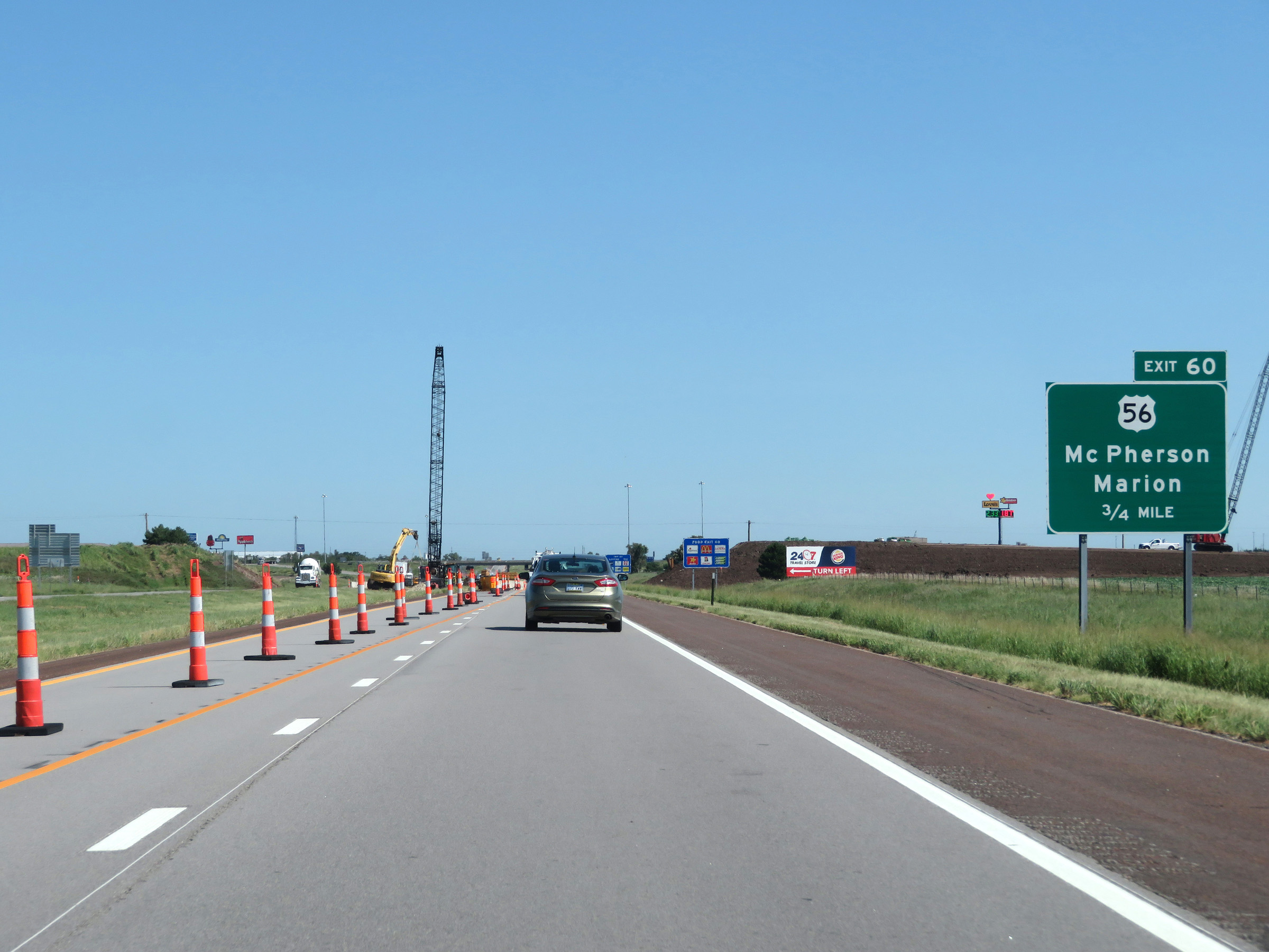
Interstate 135 North at Exit 60: US 56 - McPherson / Marion (Photo taken 8/11/20). |
Section 3: McPherson (Exit 60) to Interstate 70
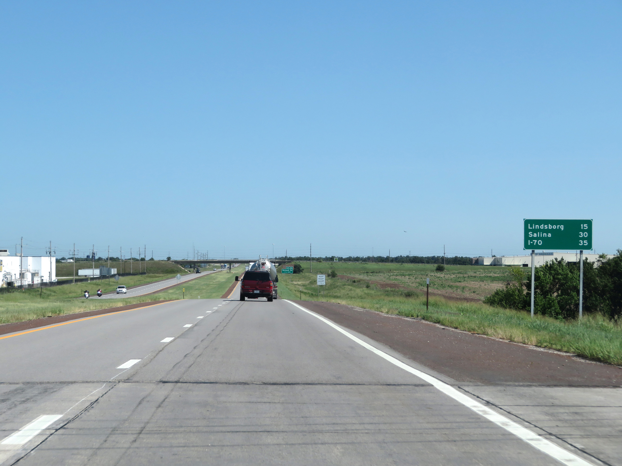 |
Mileage sign on Interstate 135 North. It's 15 miles to Lindsborg, 30 miles to Salina, and 35 miles to the junction of Interstate 70. (Photo taken 8/11/20). |
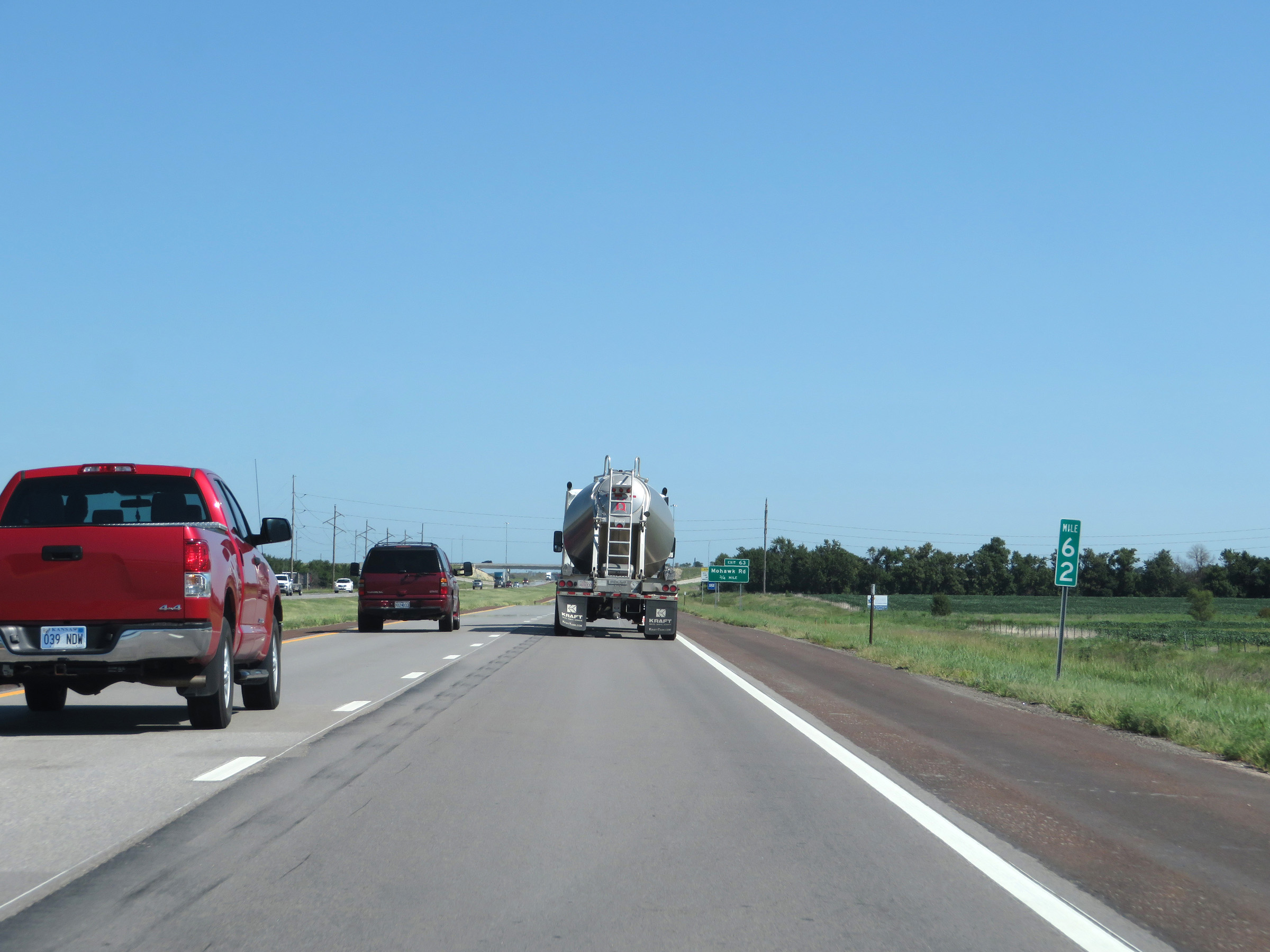 |
Interstate 135 North at mile marker 62. (Photo taken 8/11/20). |
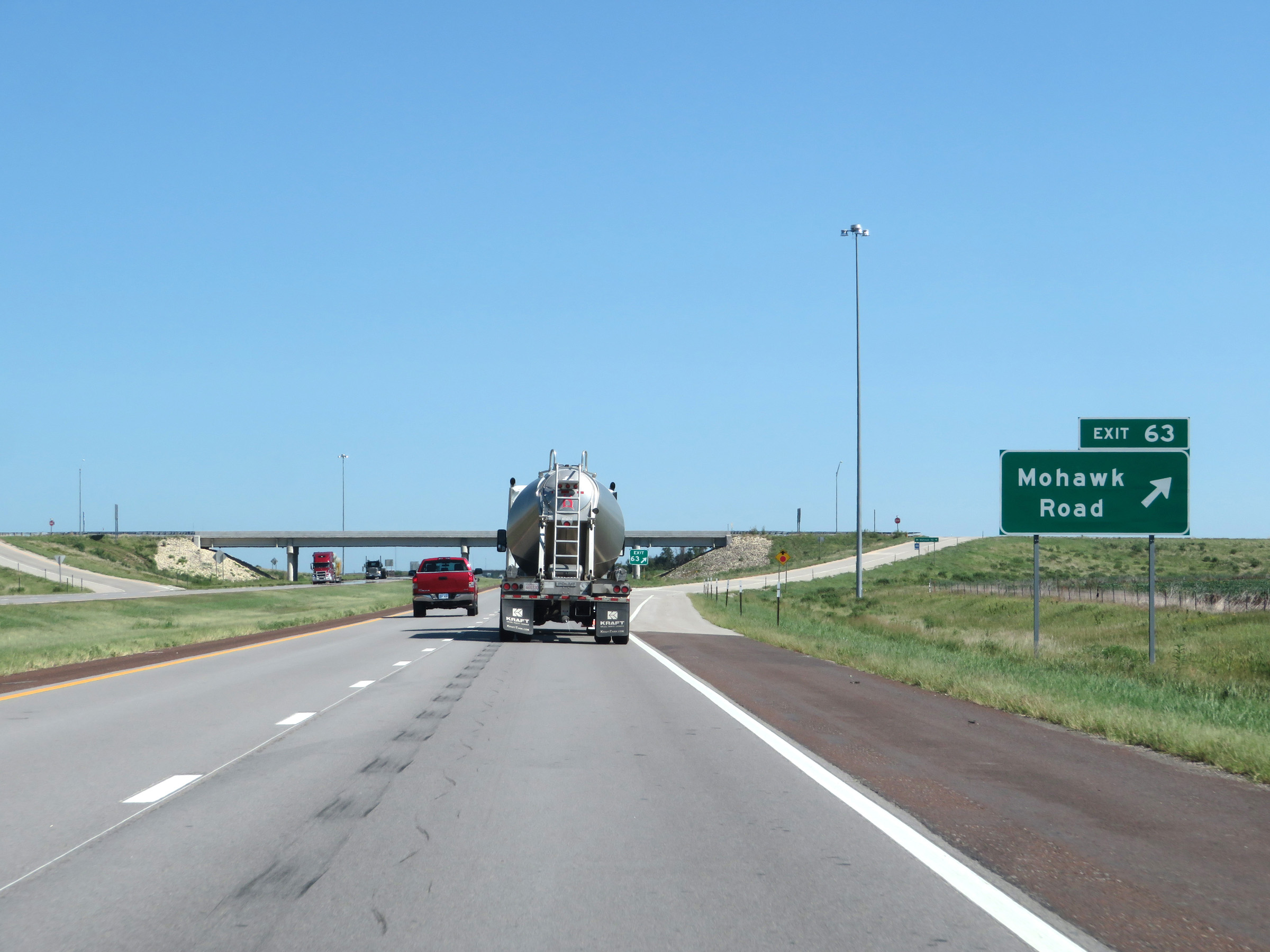 |
Interstate 135 North at Exit 63: Mohawk Road (Photo taken 8/11/20). |
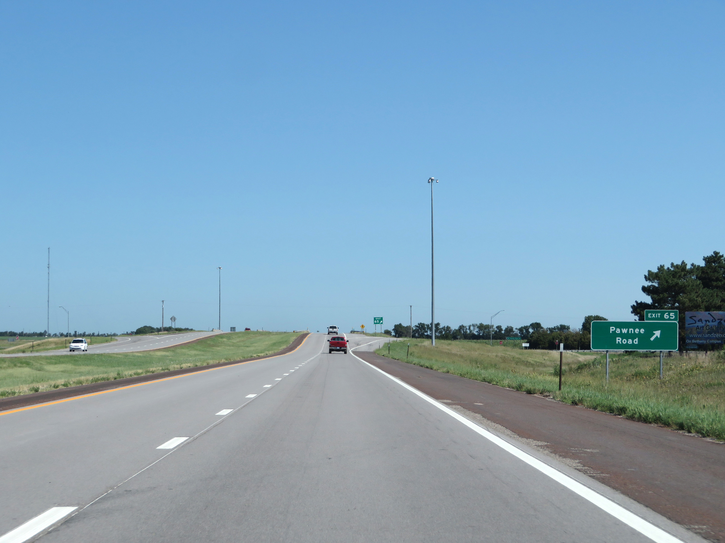 |
Interstate 135 North at Exit 65: Pawnee Road (Photo taken 8/11/20). |
 |
State-named Interstate 135 North reassurance shield alongside a US 81 north reassurance shield. (Photo taken 8/11/20). |
 |
The speed limits remain 75 mph maximum and 40 mph minimum. These are the standard speed limits on most rural Interstate highways in Kansas. (Photo taken 8/11/20). |
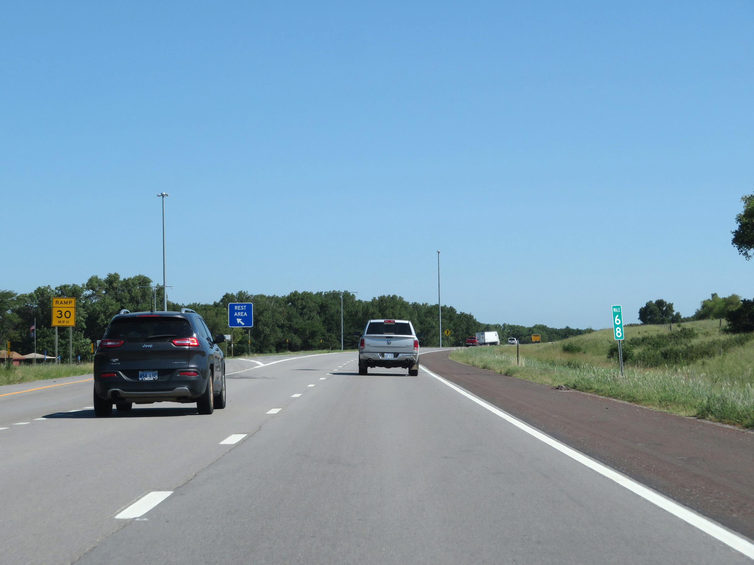 |
Rest Area on Interstate 135 North in McPherson County at mile marker 68, on the left. (Photo taken 8/11/20). |
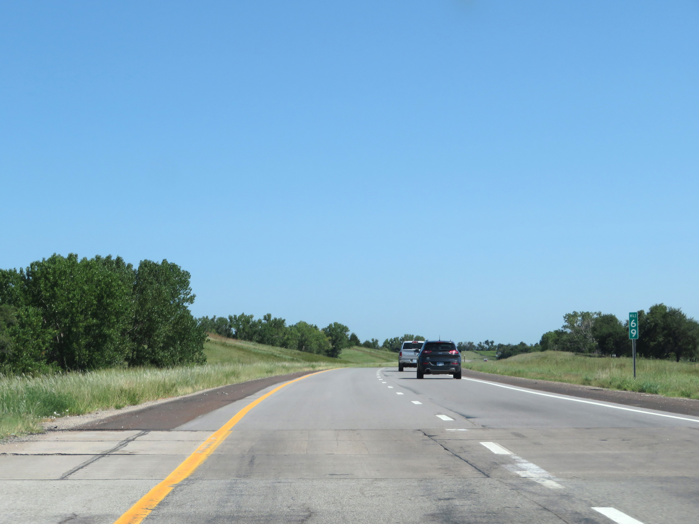 |
View on Interstate 135 North at mile marker 69. (Photo taken 8/11/20). |
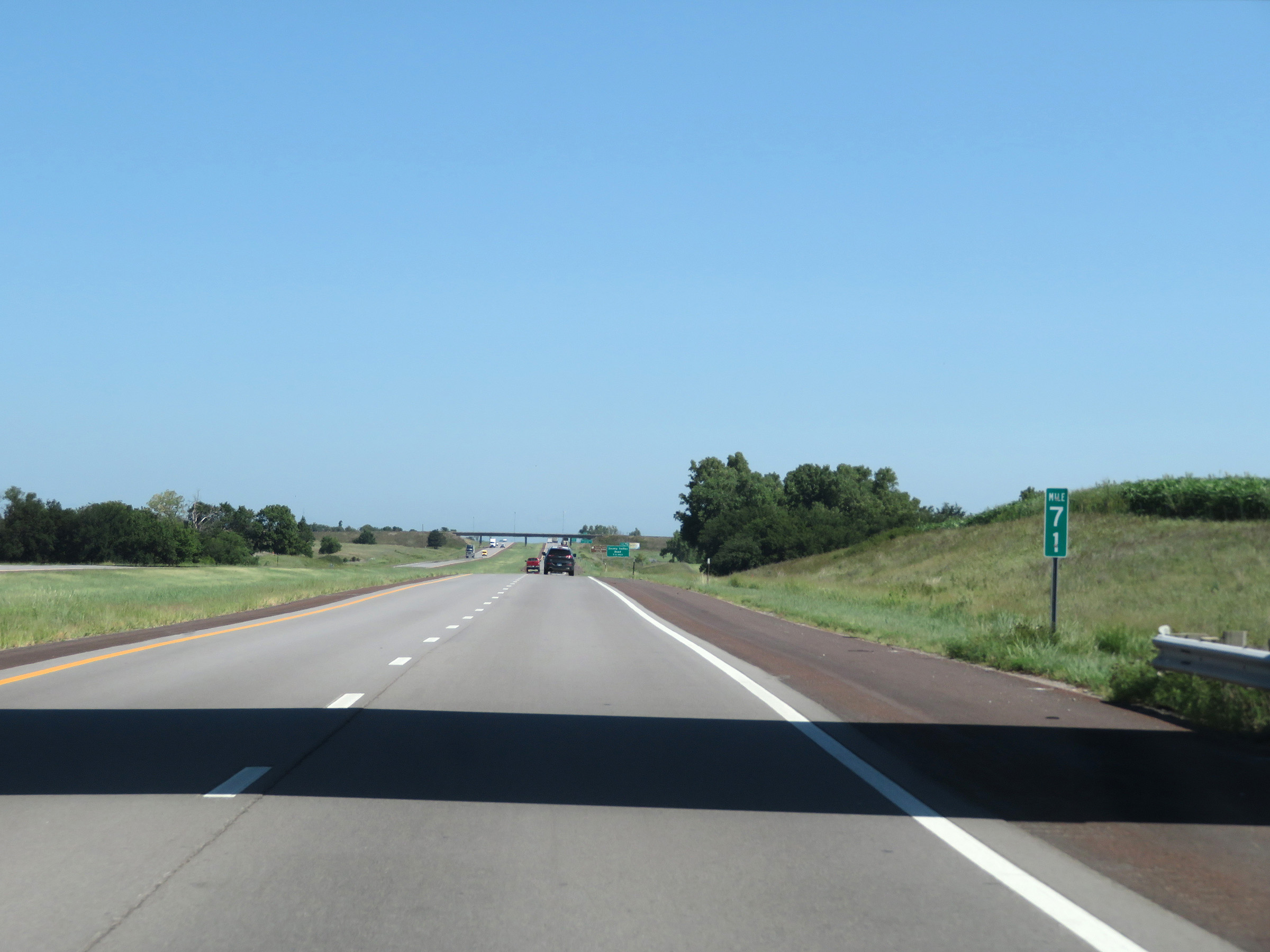 |
Interstate 135 North at mile marker 71. (Photo taken 8/11/20). |
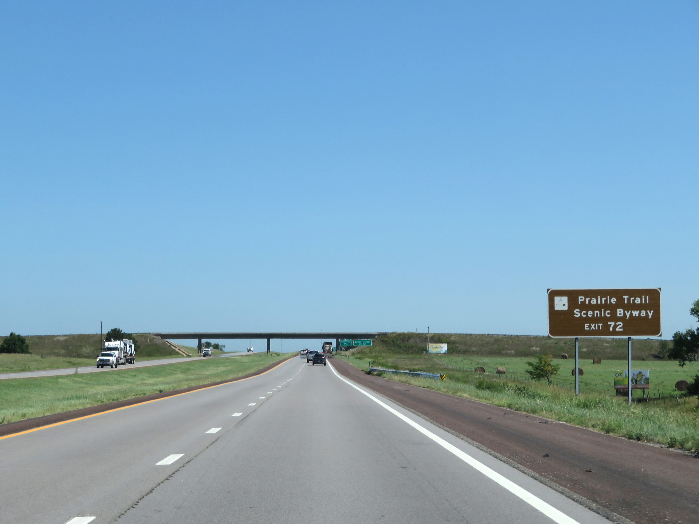 |
Take Exit 72 to Prairie Trail Scenic Byway. (Photo taken 8/11/20). |
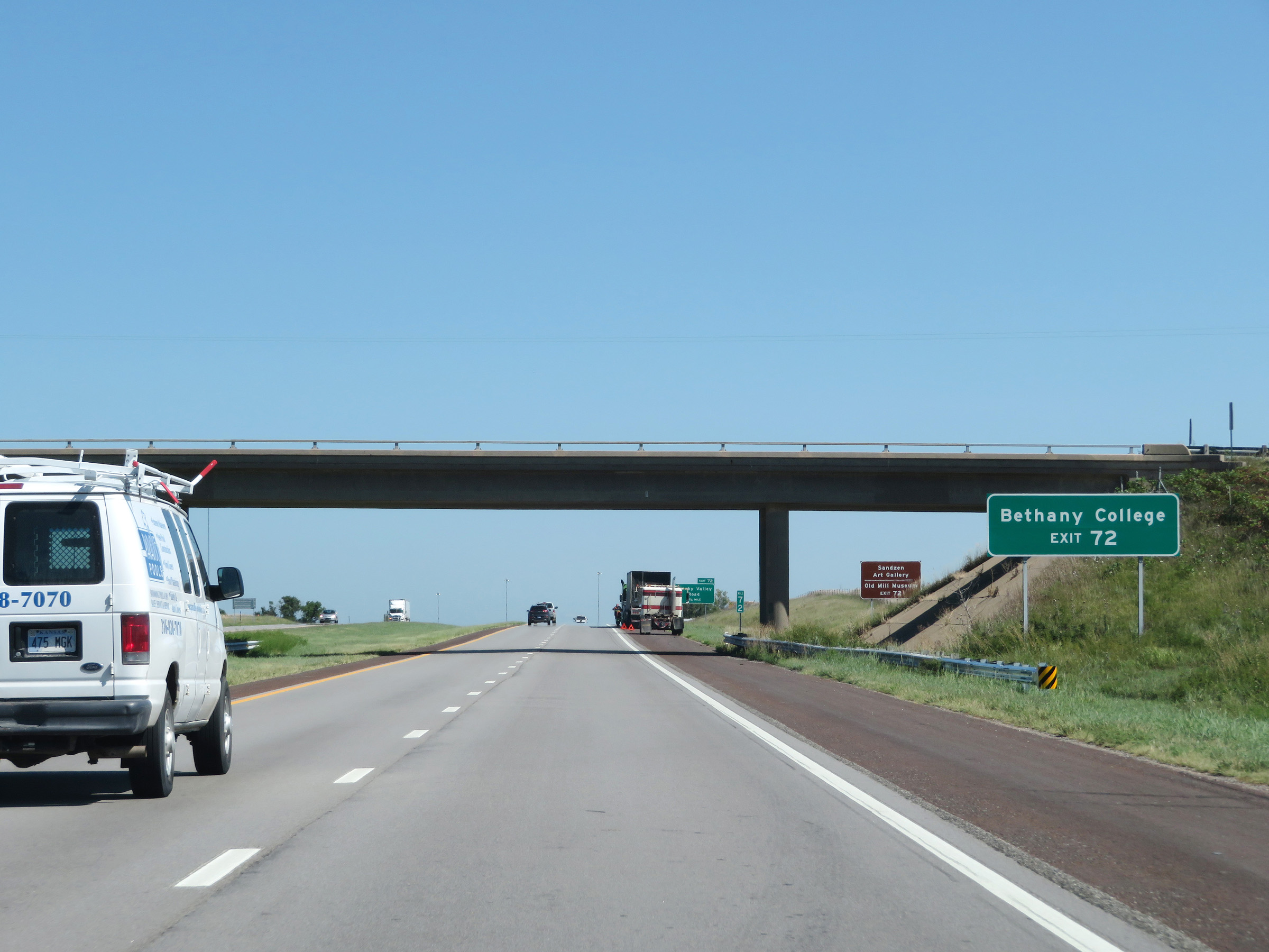 |
Also take Exit 72 to Bethany College. (Photo taken 8/11/20). |
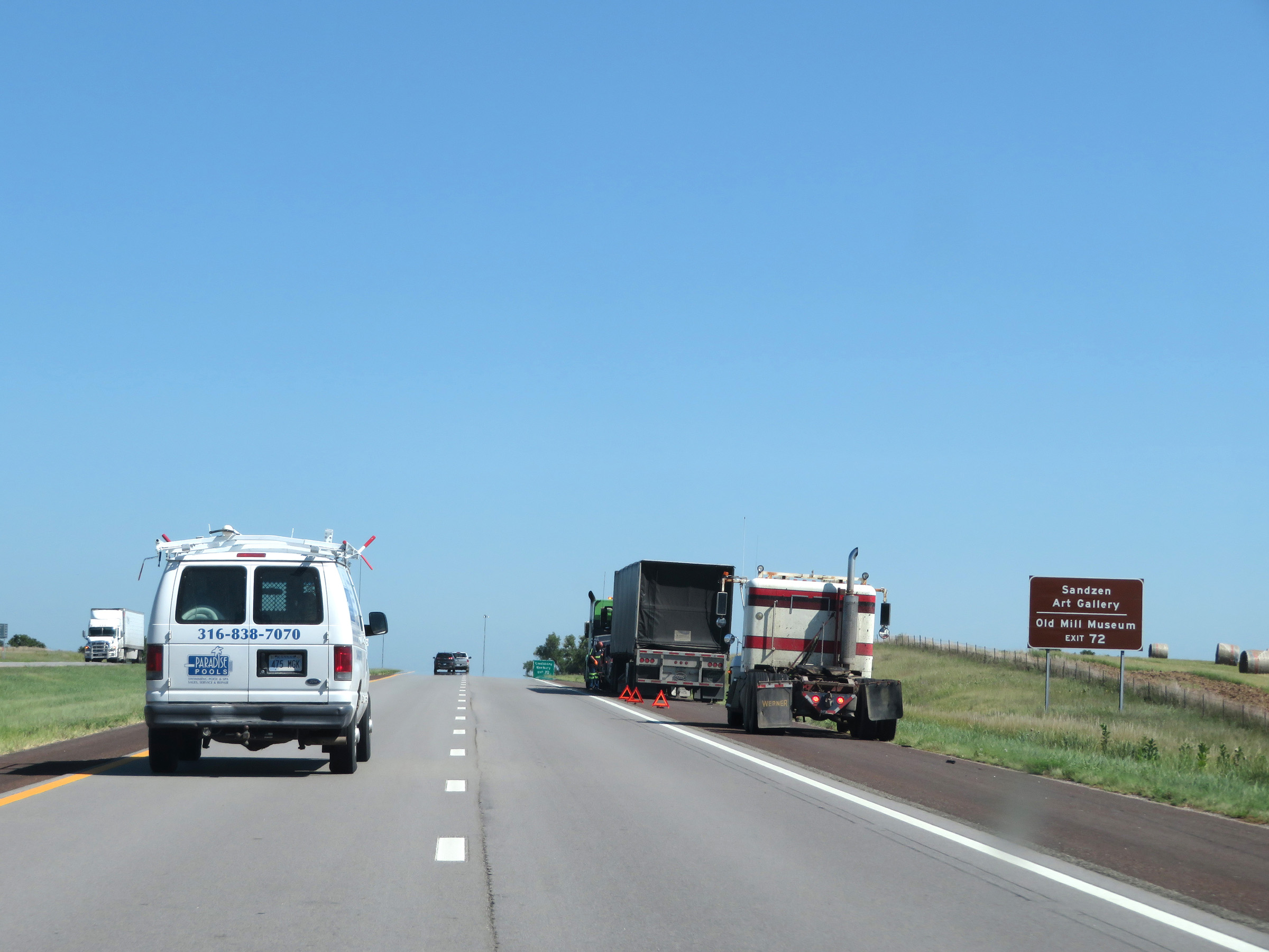 |
Take Exit 72 to Sandzen Art Gallery and the Old Mill Museum as well. (Photo taken 8/11/20). |
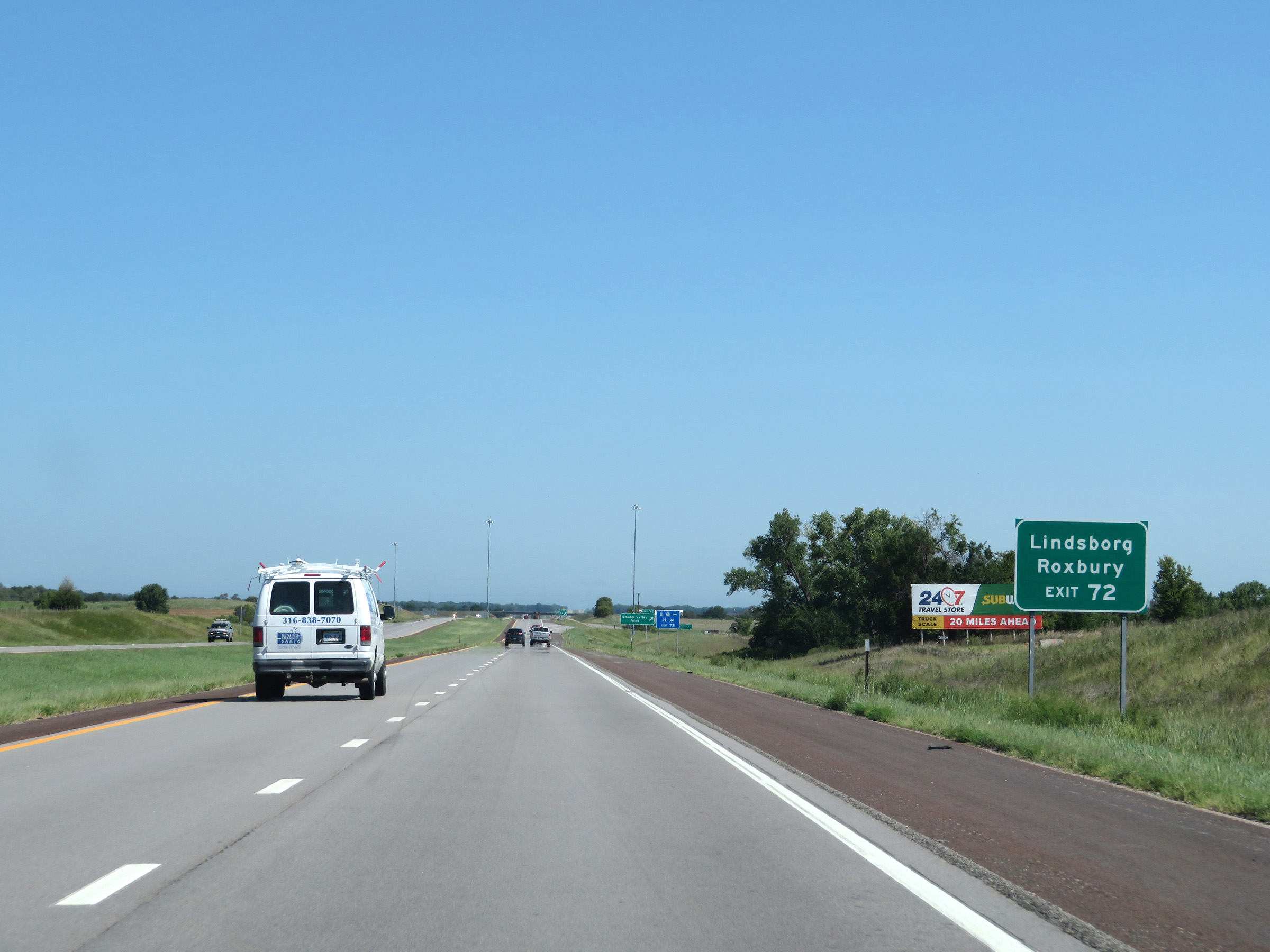 |
The towns of Lindsborg and Roxbuy can be accessed via Exit 72. (Photo taken 8/11/20). |
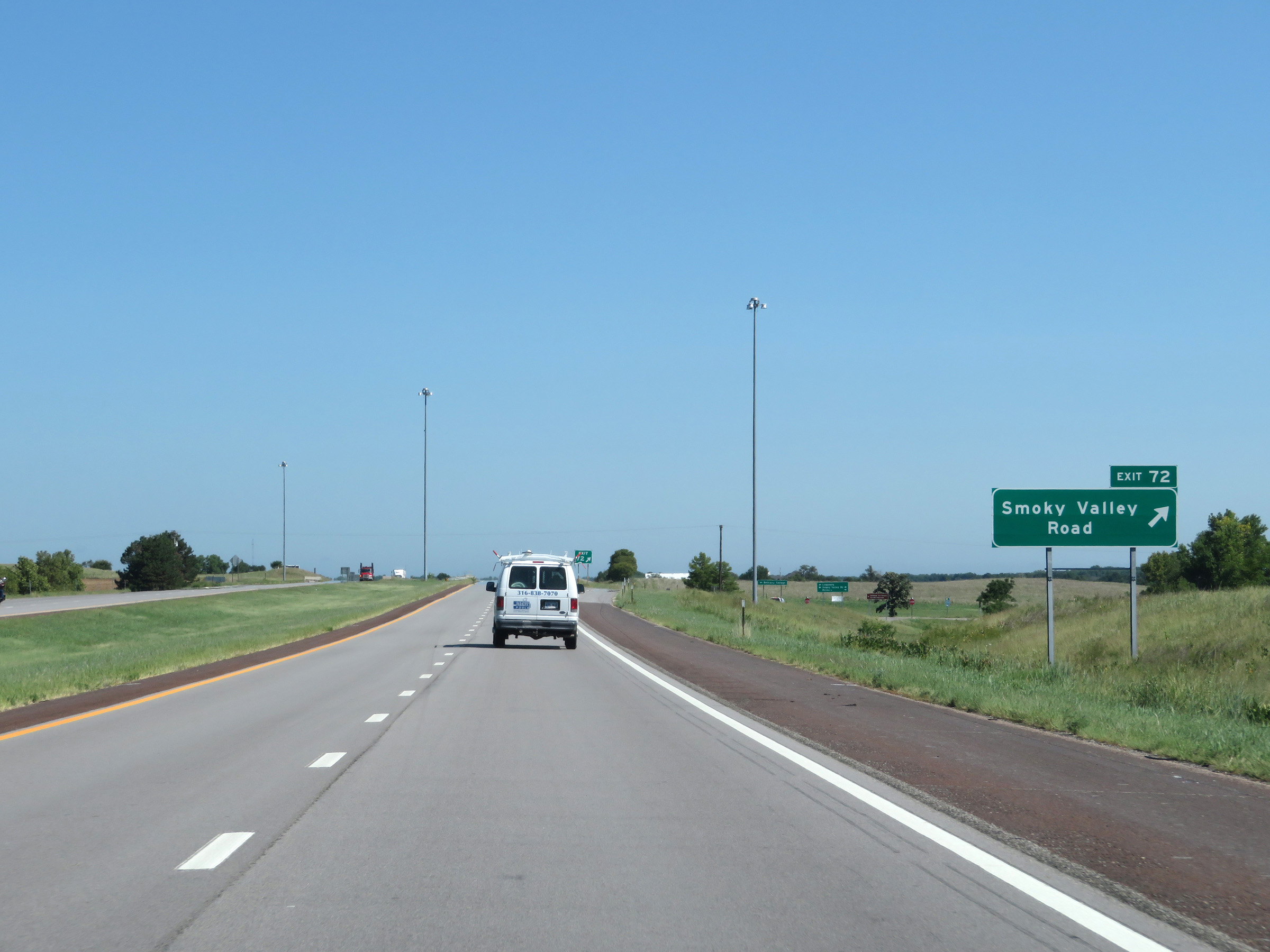 |
Interstate 135 North at Exit 72: Smoky Valley Road (Photo taken 8/11/20). |
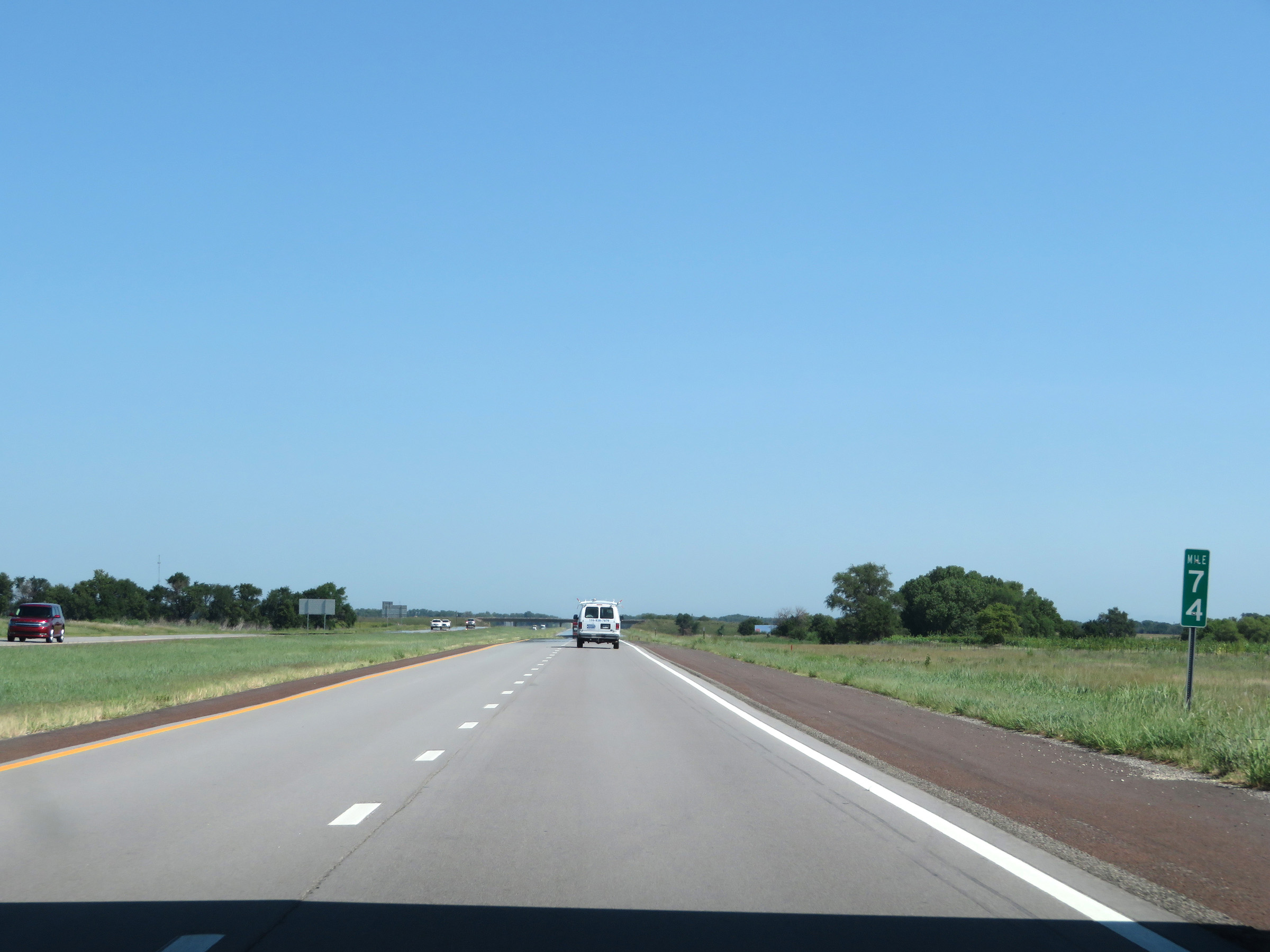 |
View on Interstate 135 North at mile marker 74. (Photo taken 8/11/20). |
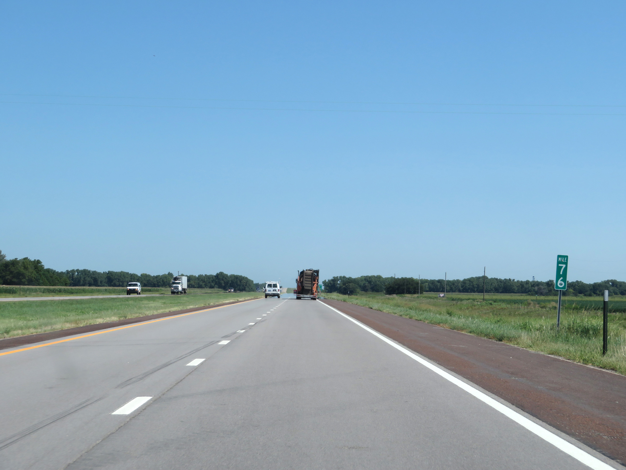 |
Interstate 135 North at mile marker 76. (Photo taken 8/11/20). |
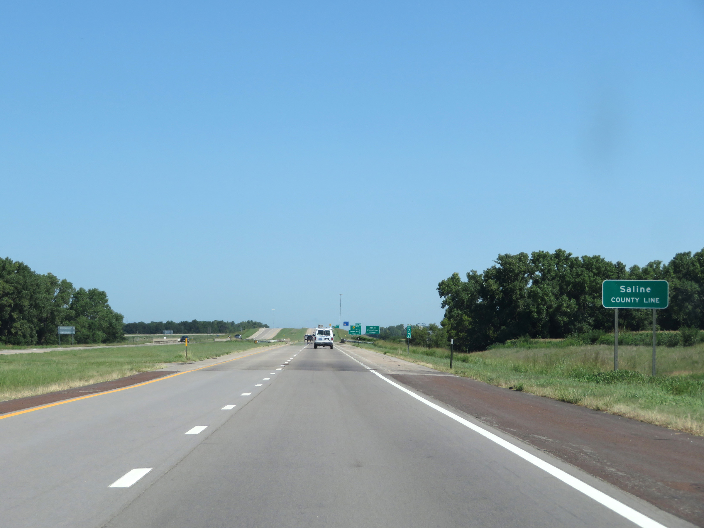 |
Interstate 135 North as it enters Saline County. (Photo taken 8/11/20). |
 |
Interstate 135 North at Exit 78: K-4 West - Lindsborg / Bridgeport (Photo taken 8/11/20). |
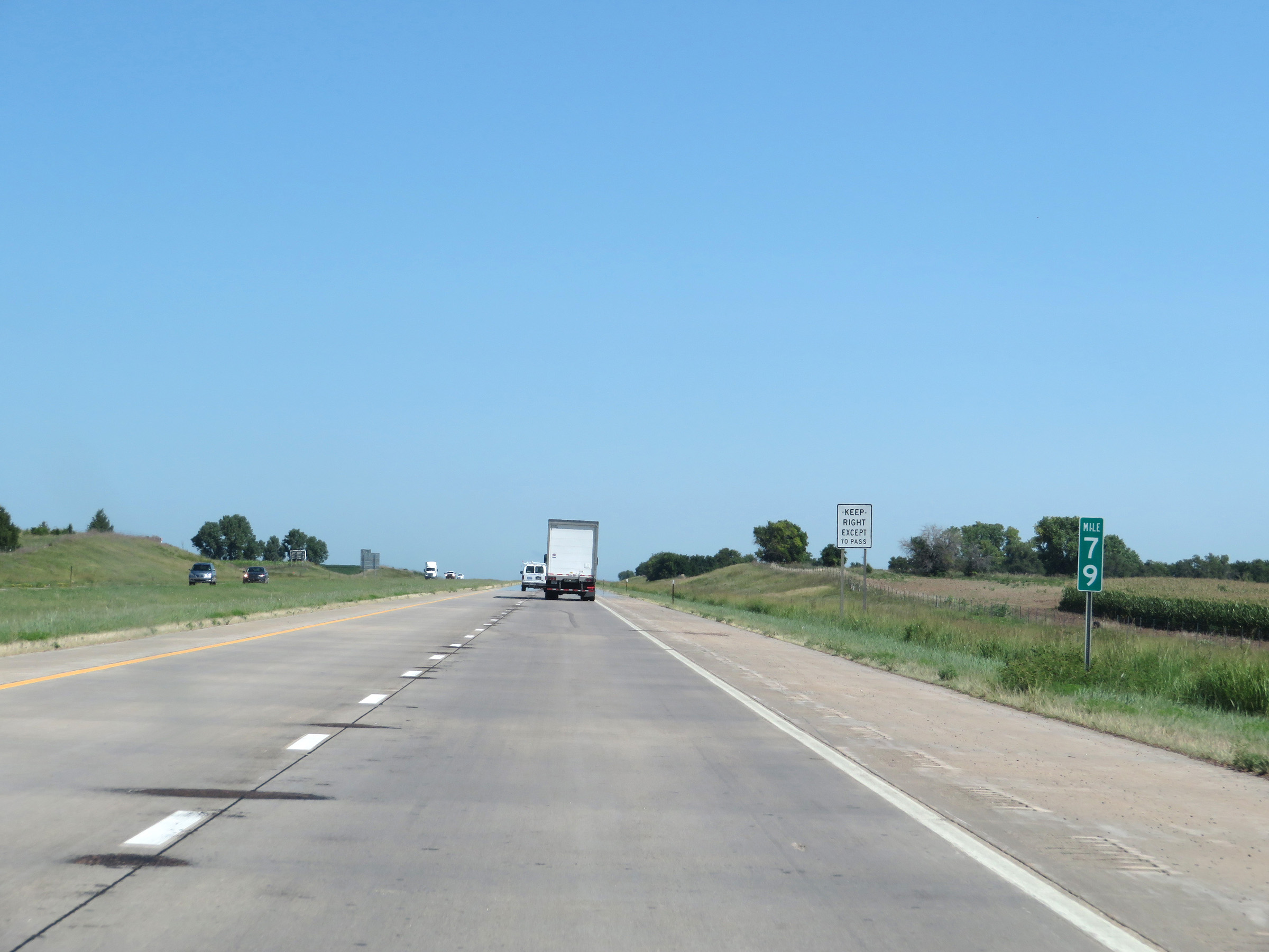 |
View on Interstate 135 North at mile marker 79. (Photo taken 8/11/20). |
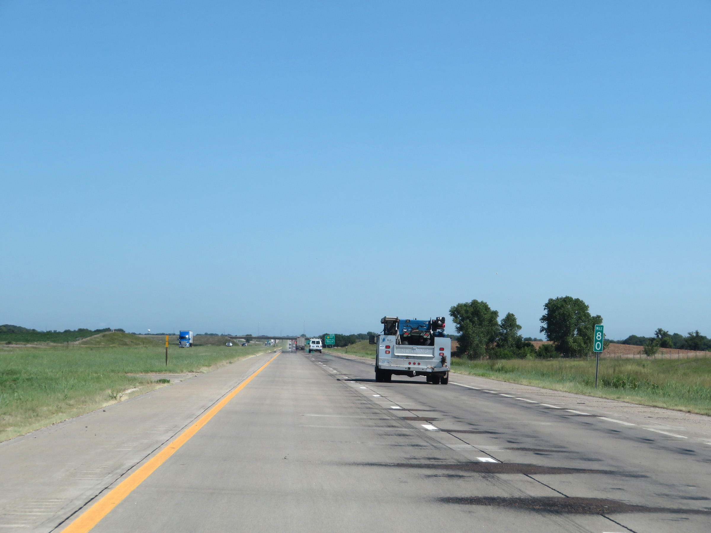 |
Interstate 135 North at mile marker 80. (Photo taken 8/11/20). |
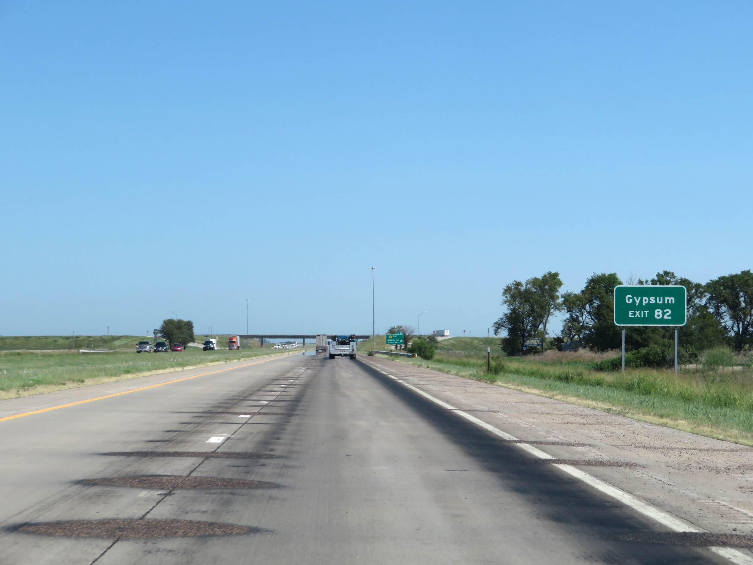 |
Take Exit 82 to Gypsum. (Photo taken 8/11/20). |
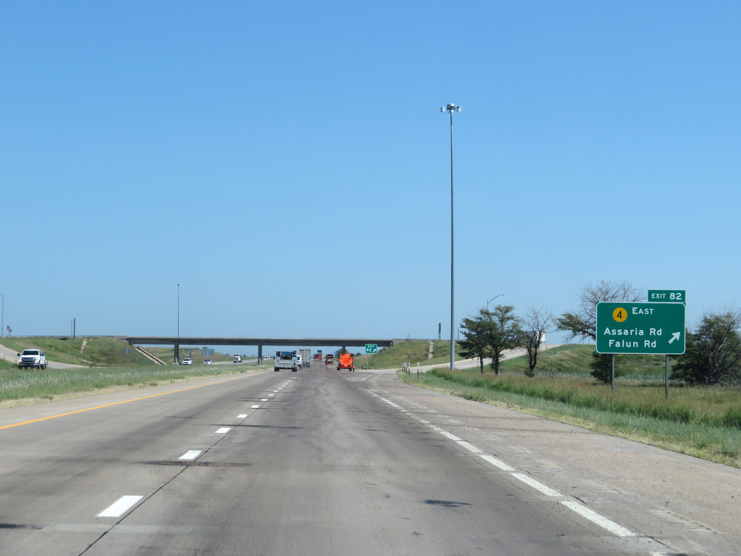 |
Interstate 135 North at Exit 82: K-4 East - Assaria Rd / Falun Rd (Photo taken 8/11/20). |
 |
Another mileage sign on Interstate 135 North. It's 6 miles to Salina, 12 miles to the junction of Interstate 70 (and the northern terminus of I-135), and 61 miles to Concordia via US 81 North. (Photo taken 8/11/20). |
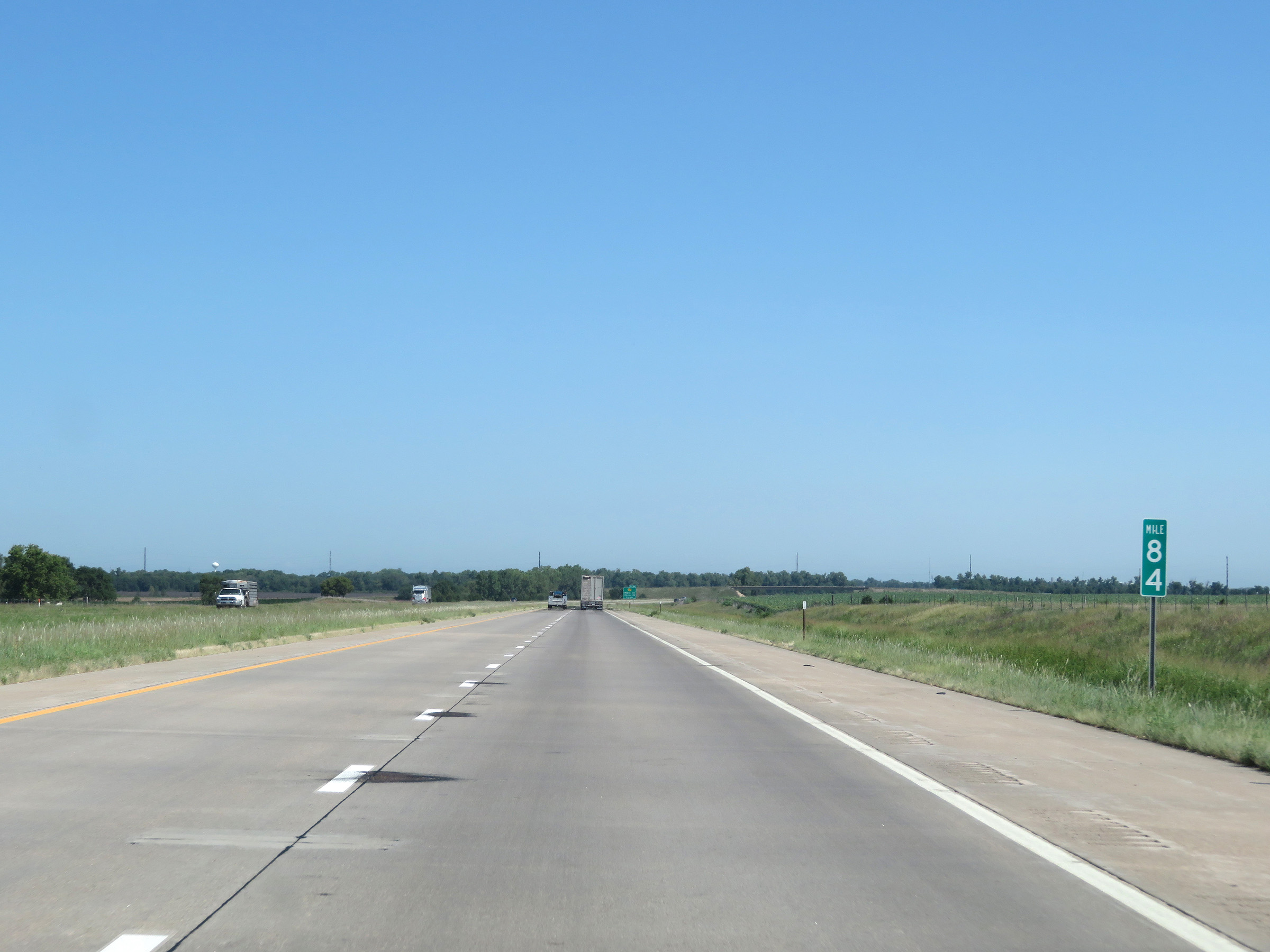 |
View on Interstate 135 North at mile marker 84. (Photo taken 8/11/20). |
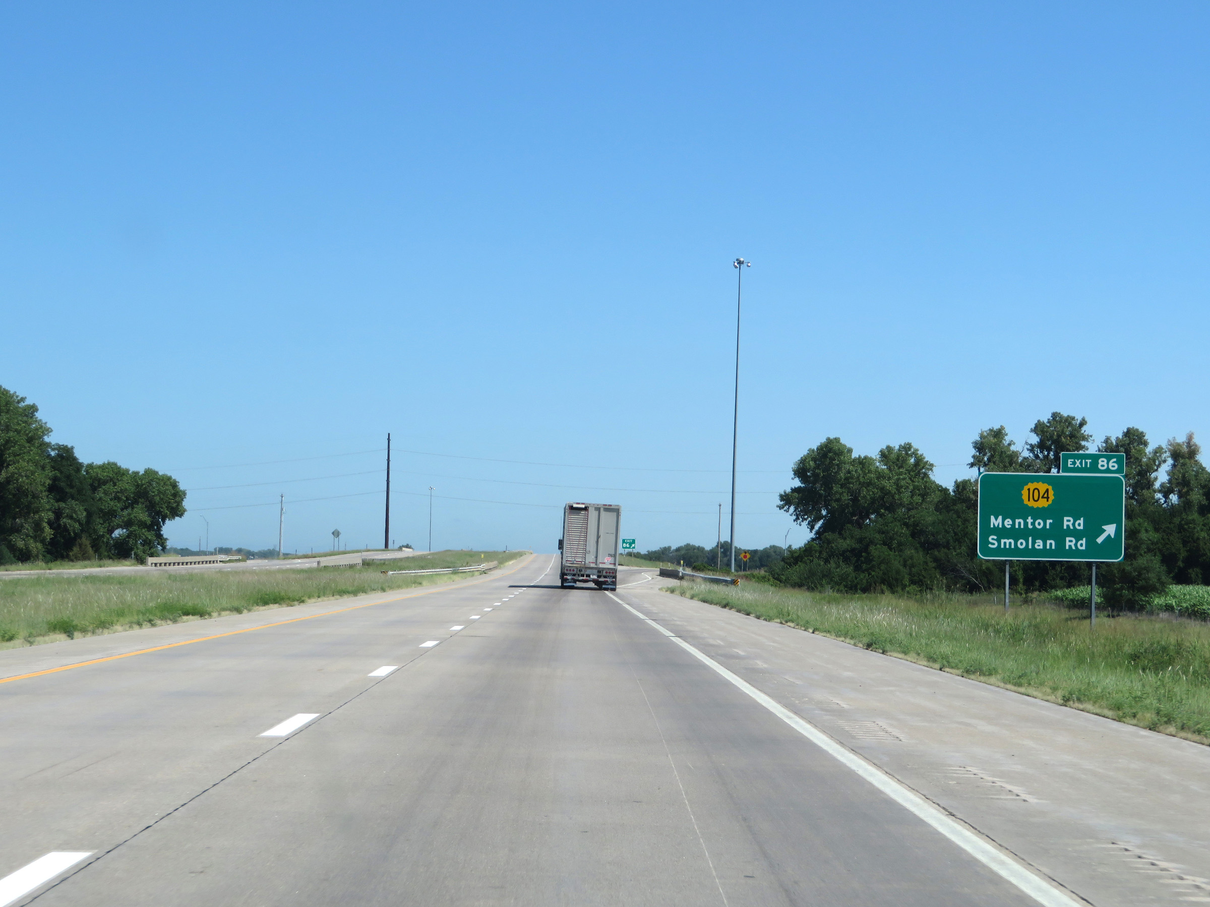 |
Interstate 135 North at Exit 86: K-104 - Mentor Rd / Smolan Rd (Photo taken 8/11/20). |
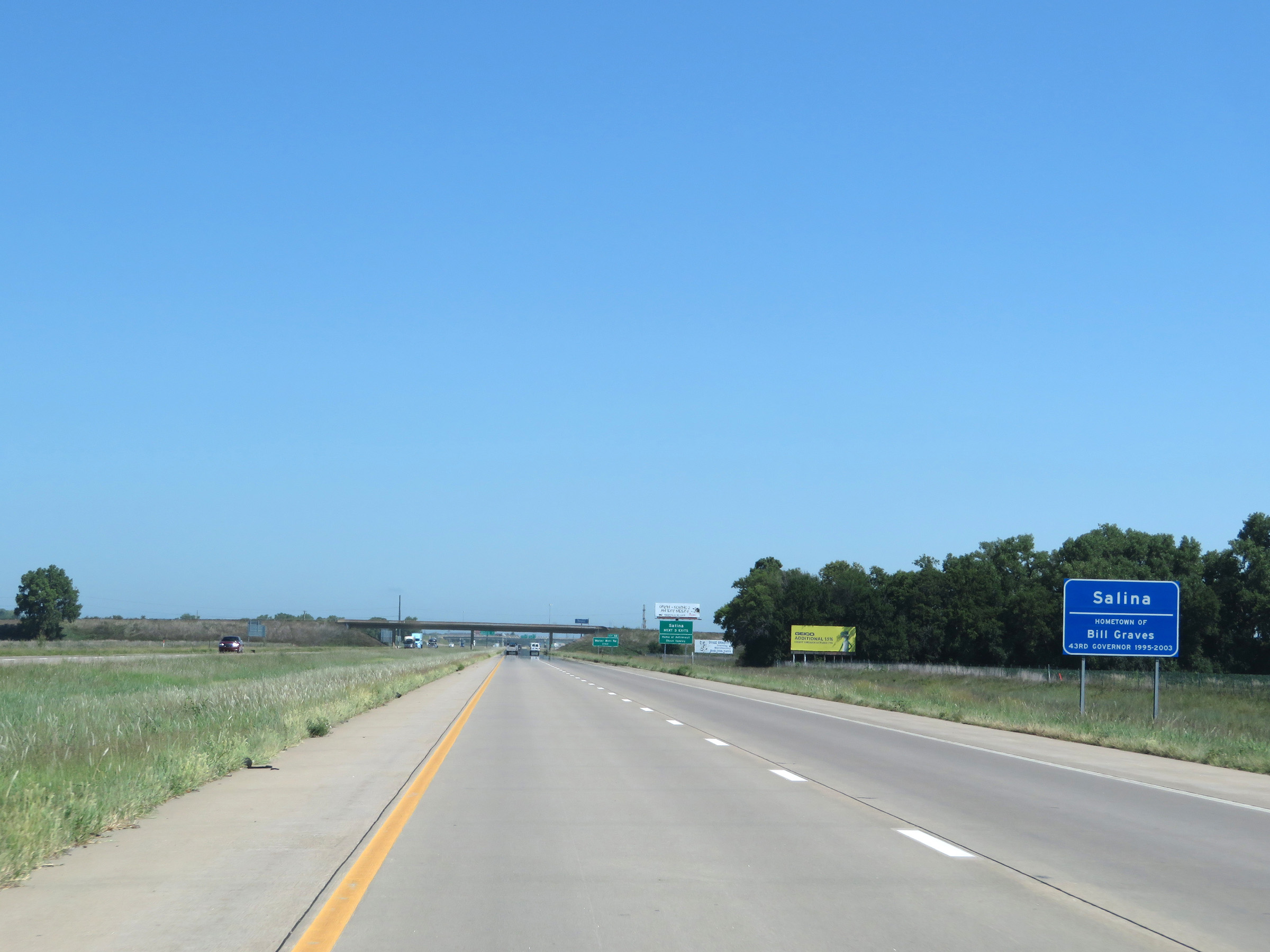 |
Interstate 135 North as it enters the Salina area. As this sign reads, Salina is the home of the 43rd Governor of Kansas, Bill Graves. (Photo taken 8/11/20). |
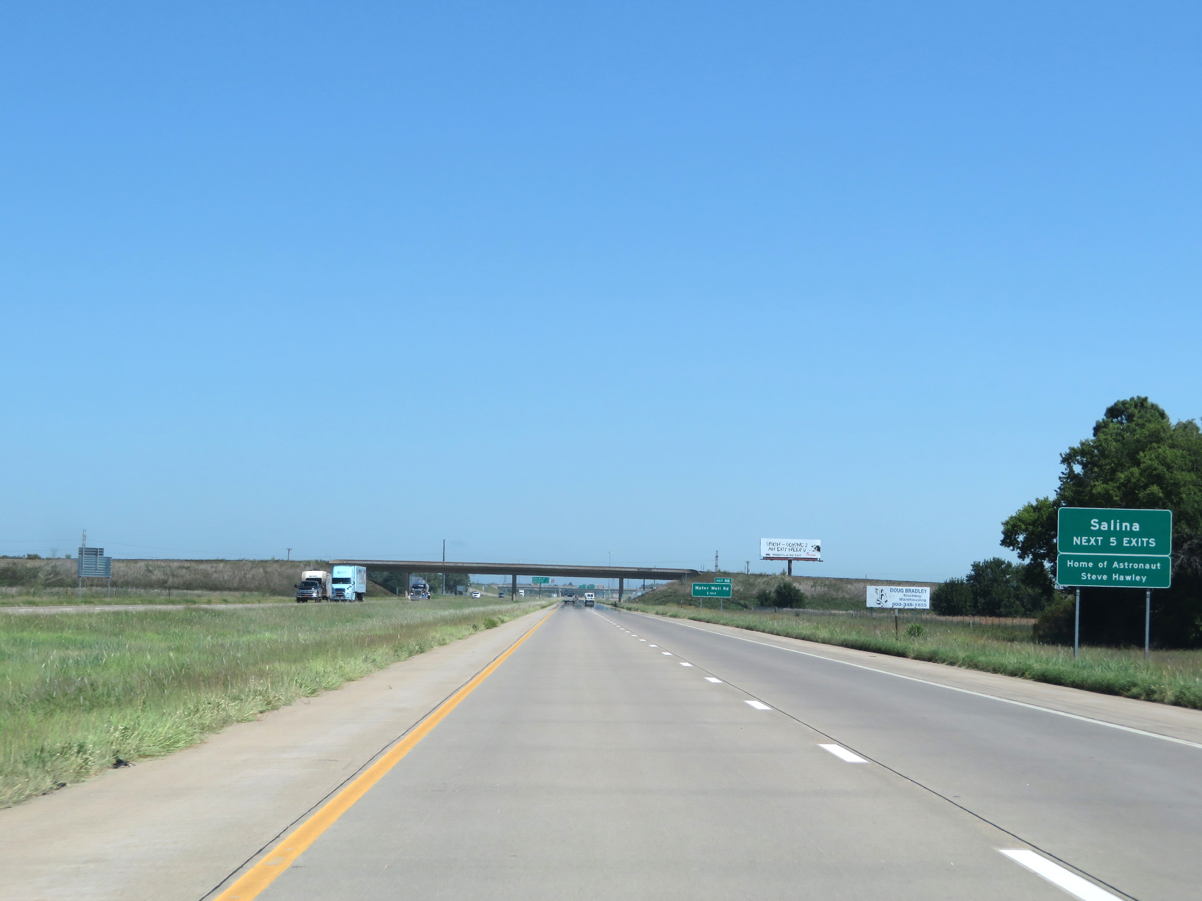 |
Take any of the next 5 exits to Salina. Salina is also the home of Astronaut Steve Hawley. (Photo taken 8/11/20). |
 |
Overhead mileage sign listing the distances to the first three exits to Salina on Interstate 135 North. (Photo taken 8/11/20). |
 |
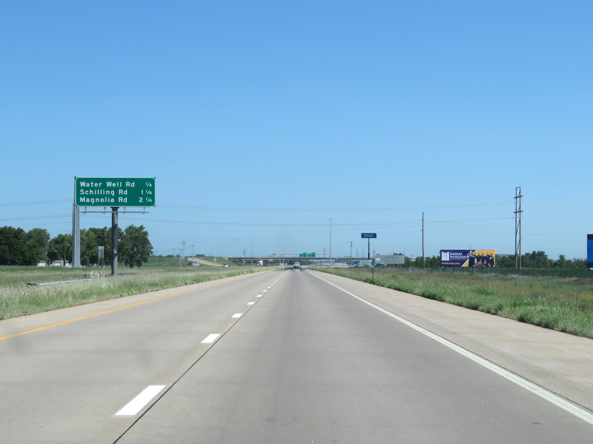
Interstate 135 North at Exit 88: Water Well Road (Photo taken 8/11/20). |
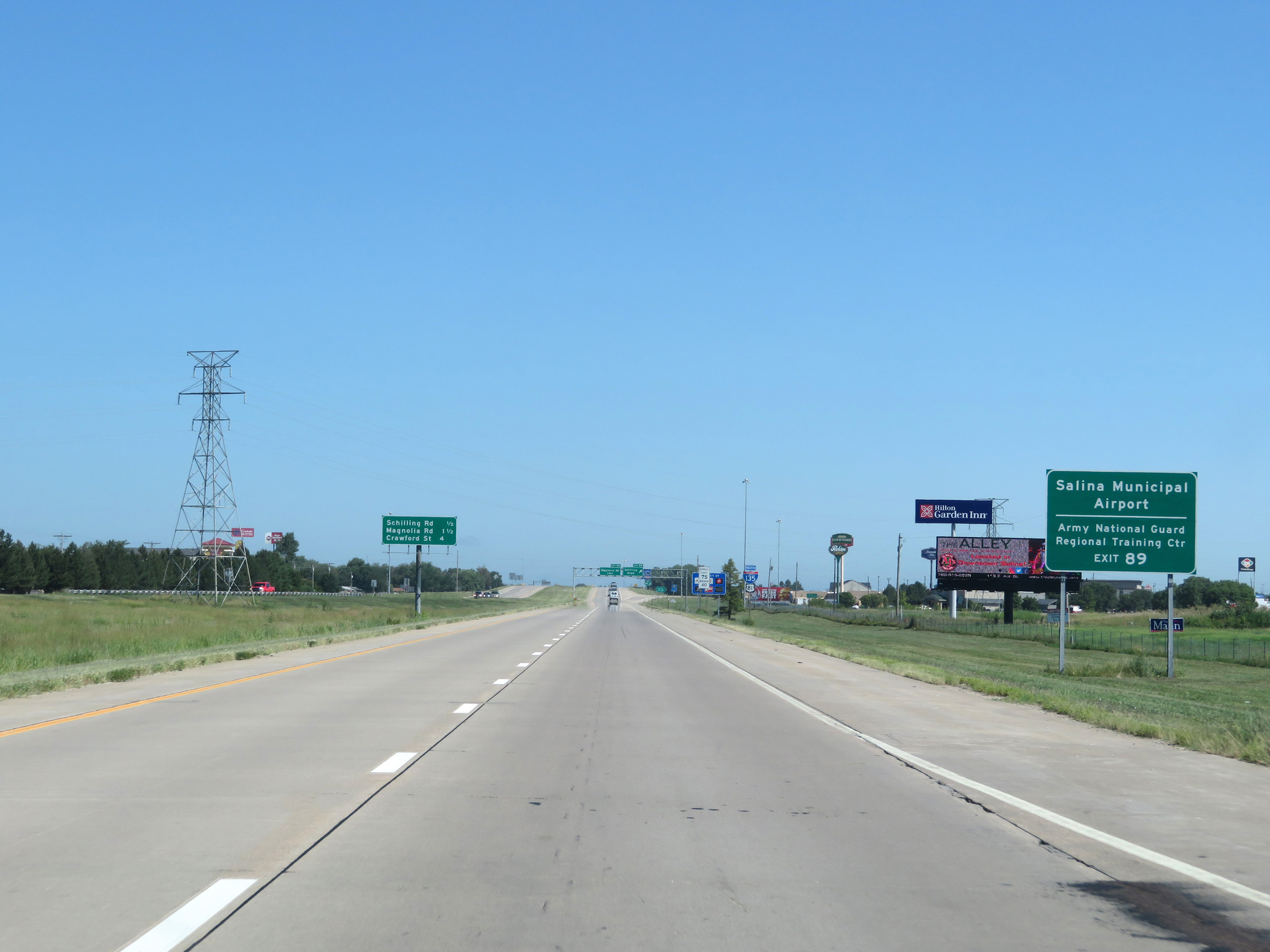 |
Take Exit 89 to Salina Municipal Airport and the Army National Guard Regional Training Center. (Photo taken 8/11/20). |
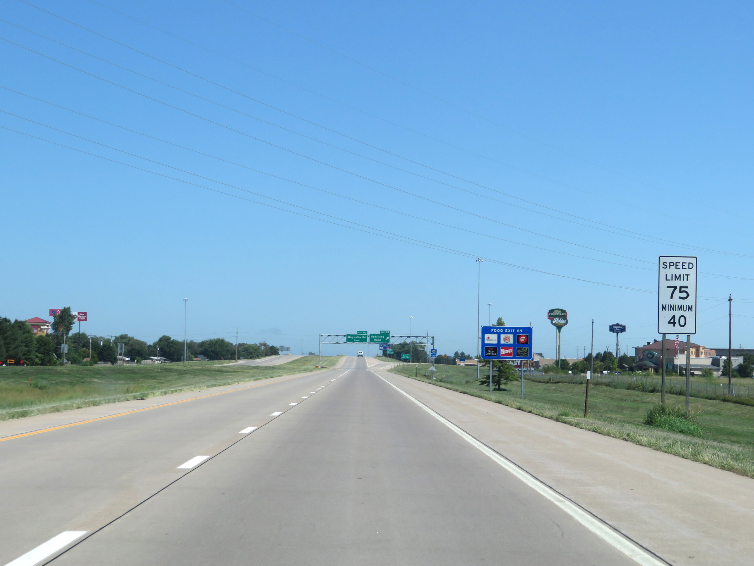 |
The speed limits remain 75 mph maximum and 40 mph minimum throughout the Salina area the whole way to the northern terminus of Interstate 135. (Photo taken 8/11/20). |
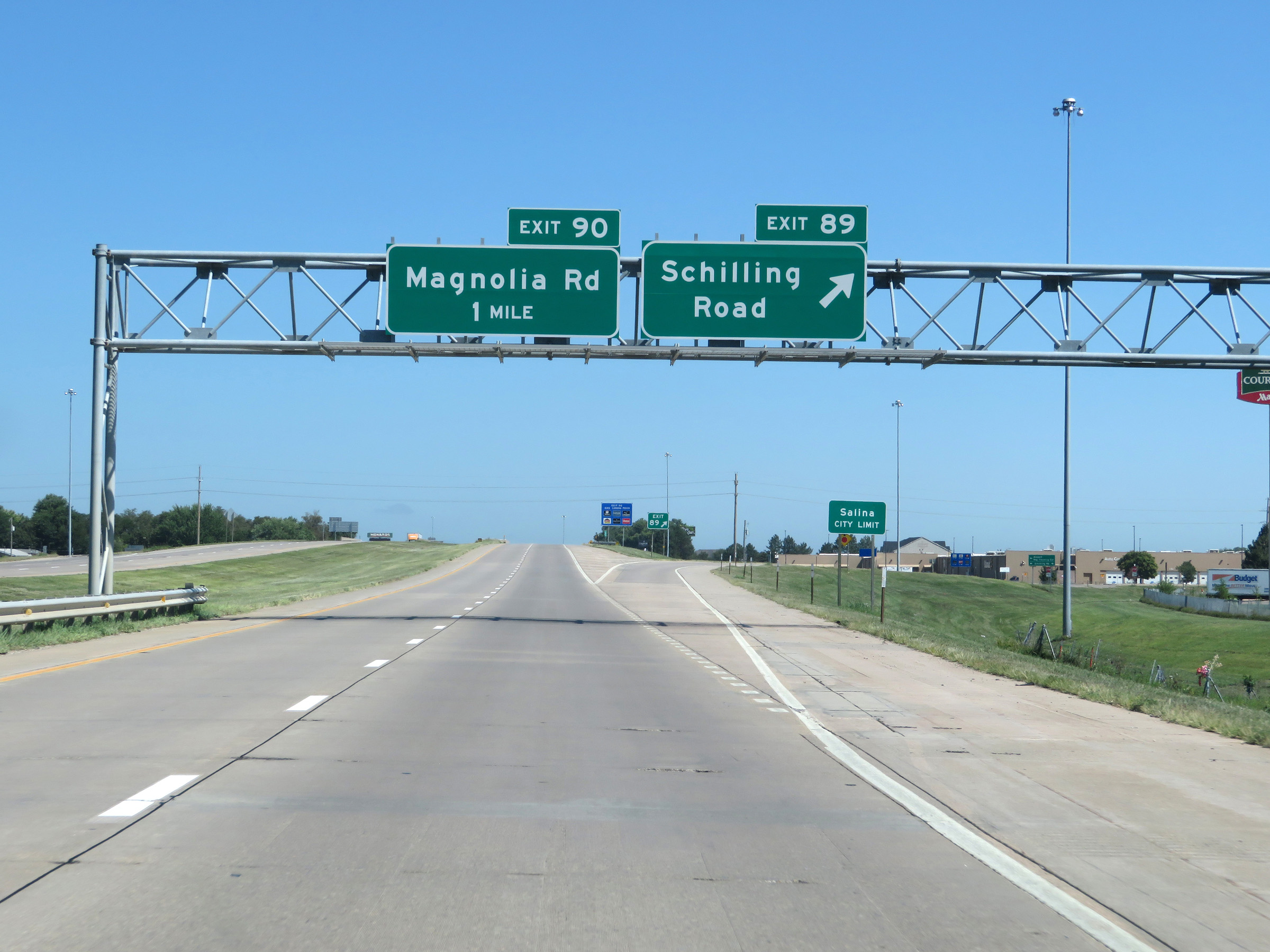 |
Interstate 135 North at Exit 89: Schilling Road (Photo taken 8/11/20). |
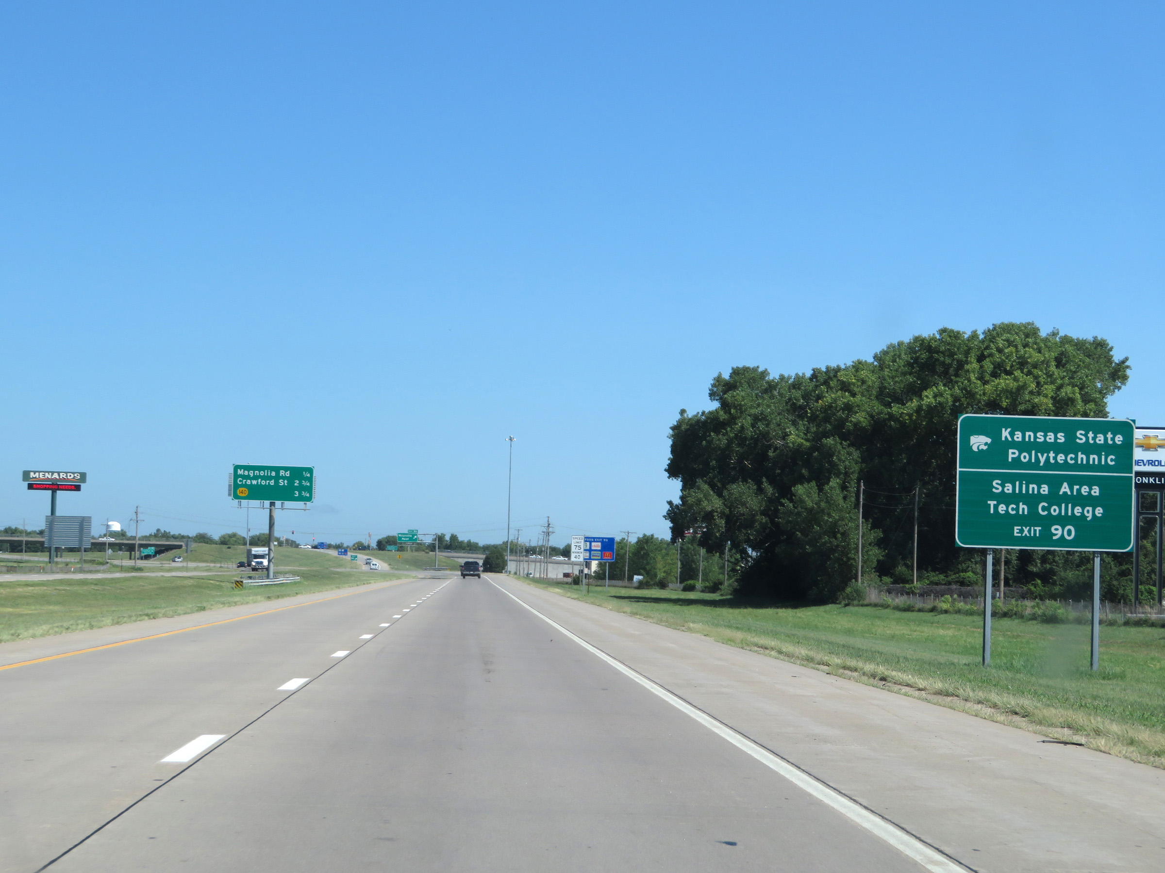 |
Take Exit 90 to Kansas State Polytechnic and Salina Area Tech College. (Photo taken 8/11/20). |
 |
Interstate 135 North at Exit 90: Magnolia Road (Photo taken 8/11/20). |
 |
State-named Interstate 135 North reassurance shield alongside a US 81 North reassurance marker. (Photo taken 8/11/20). |
 |
View on Interstate 135 North at mile marker 91. (Photo taken 8/11/20). |
 |
Take Exit 92 to the KU School of Medicine Salina Campus. (Photo taken 8/11/20). |
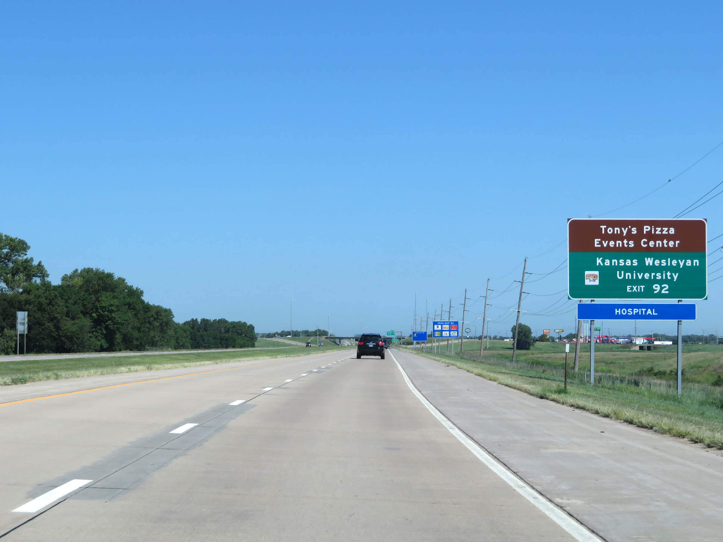 |
Also take Exit 92 to Tony's Pizza Event Center and Kansas Wesleyan University. (Photo taken 8/11/20). |
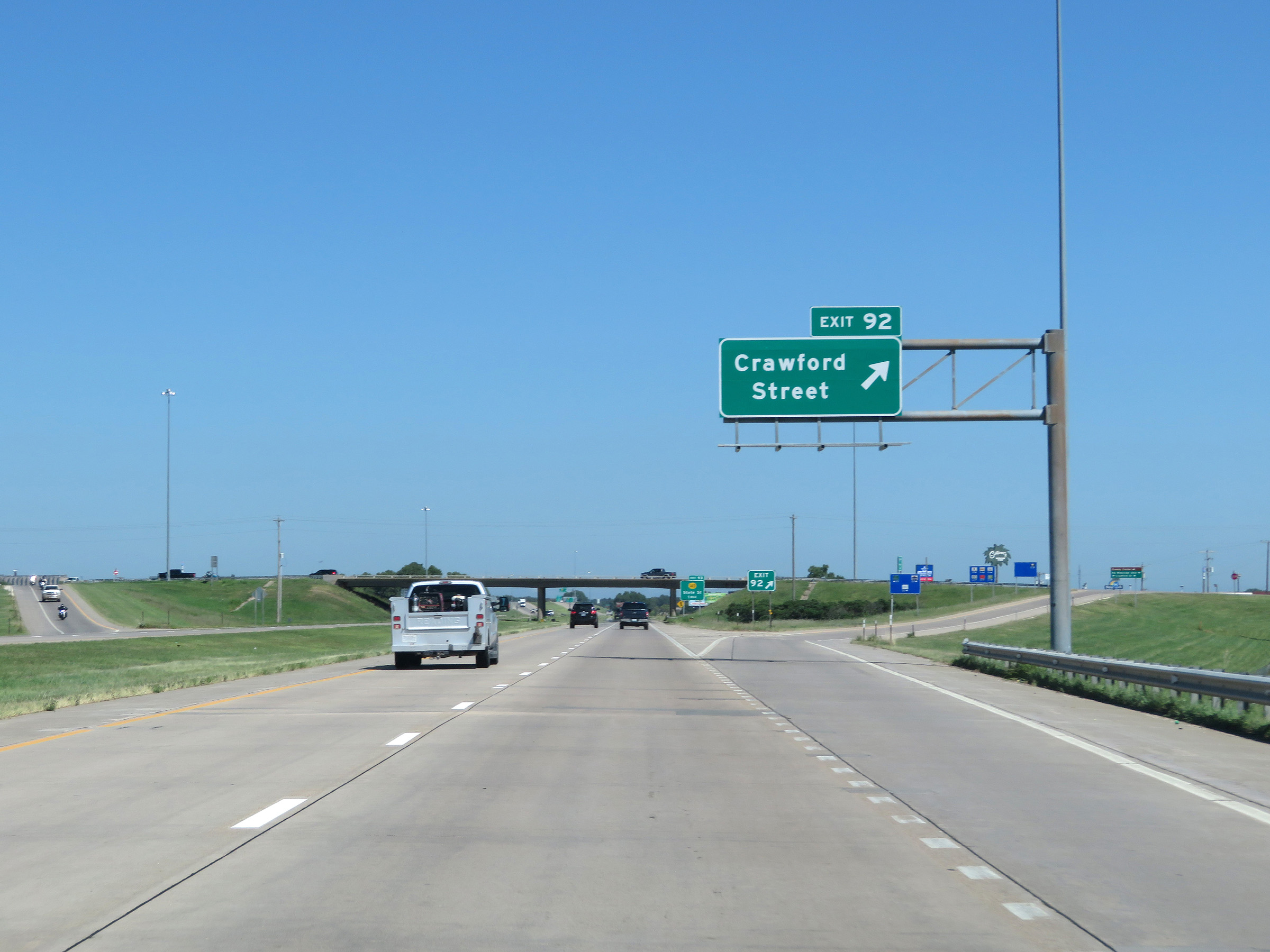 |
Interstate 135 North at Exit 92: Crawford Street (Photo taken 8/11/20). |
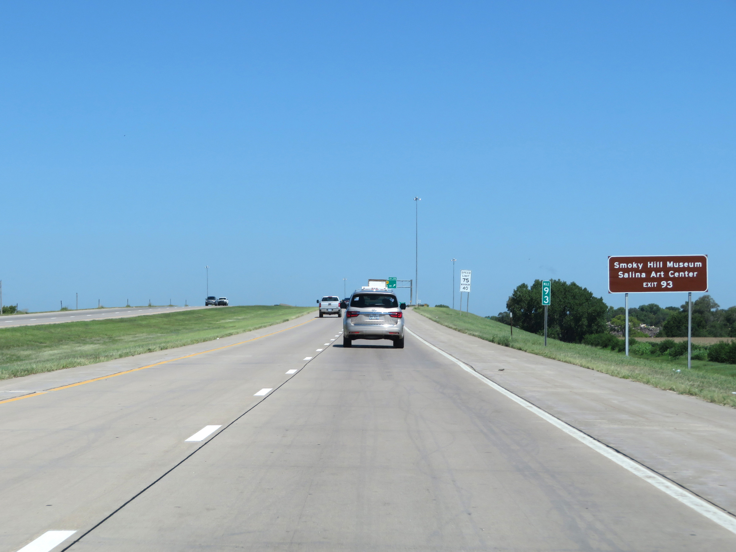 |
Take Exit 93 to Smoky Hill Museum and Salina Art Center. (Photo taken 8/11/20). |
 |
Interstate 135 North at Exit 93: K-140 - State St (Photo taken 8/11/20). |
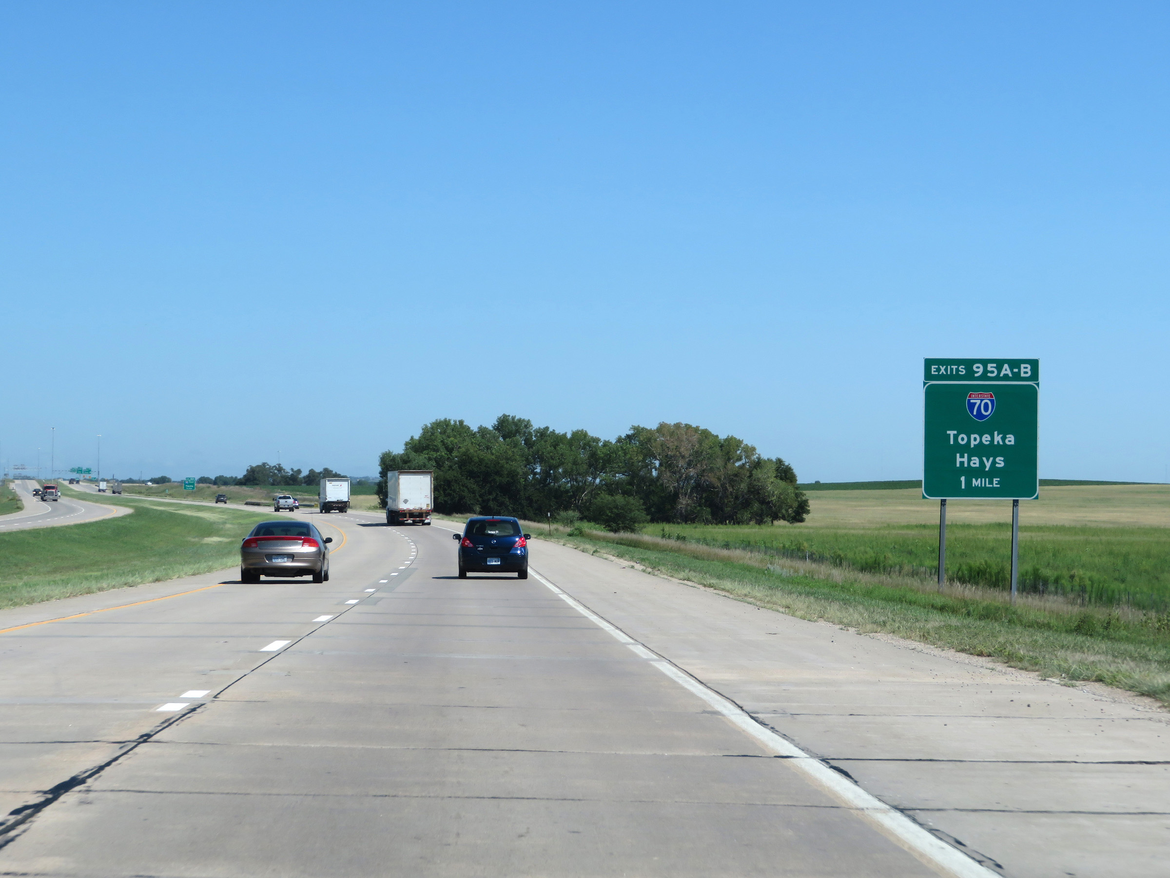 |
Interstate 135 North approaching the junction of Interstate 70 via Exits 95A-B - 1 mile. (Photo taken 8/11/20). |
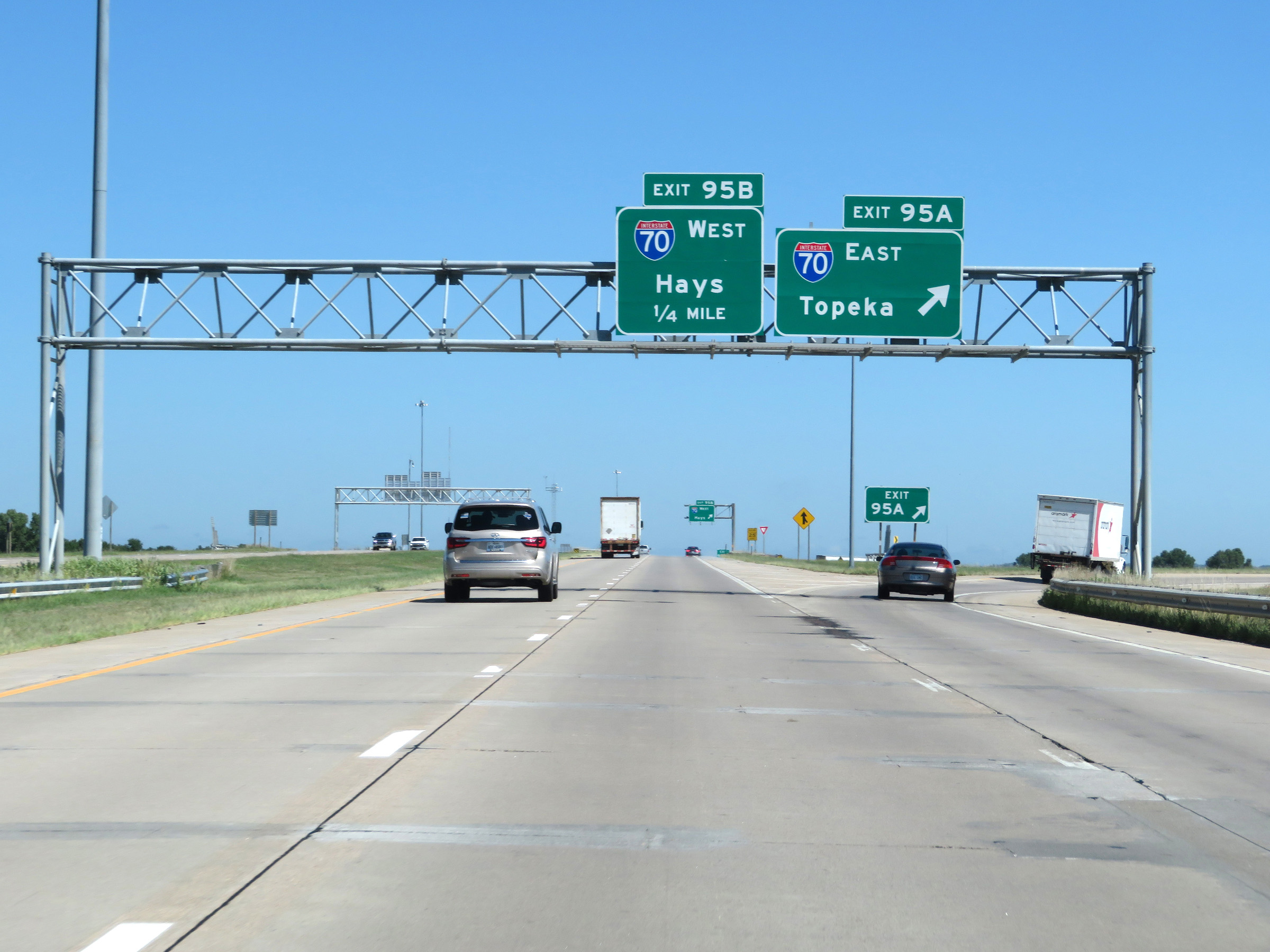 |
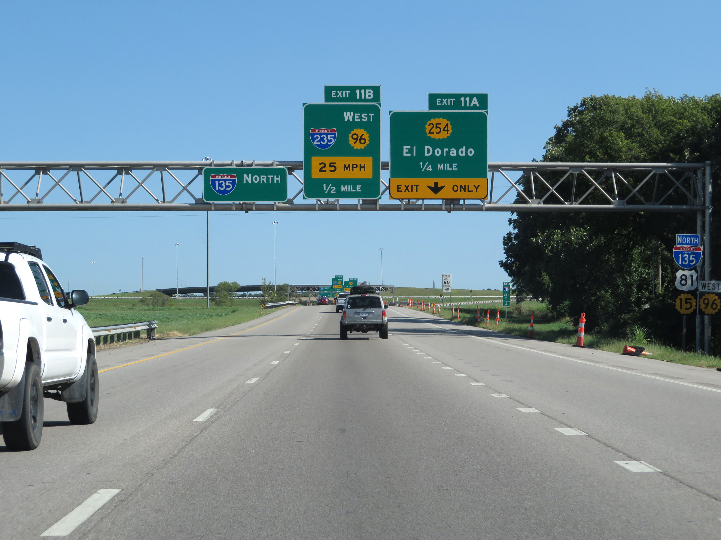
Interstate 135 North at Exit 95A: Interstate 70 East - Topeka (Photo taken 8/11/20). |
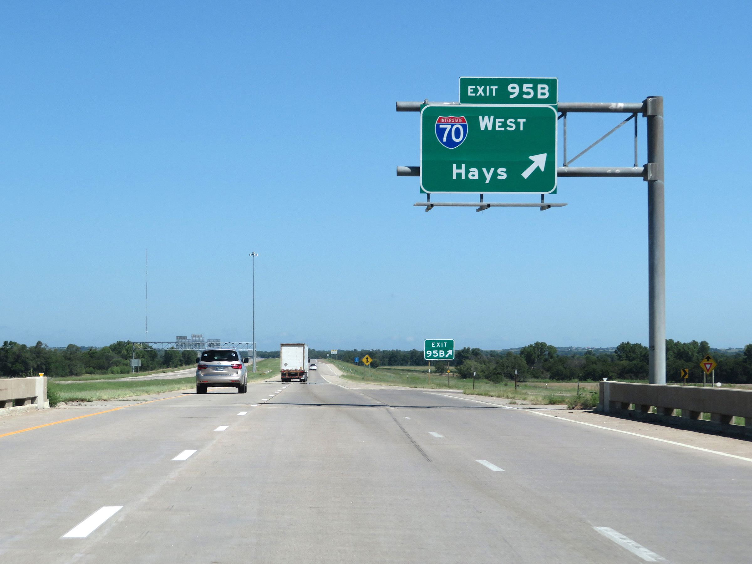 |
Interstate 135 North at Exit 95B: Interstate 70 West - Hays (Photo taken 8/11/20). |
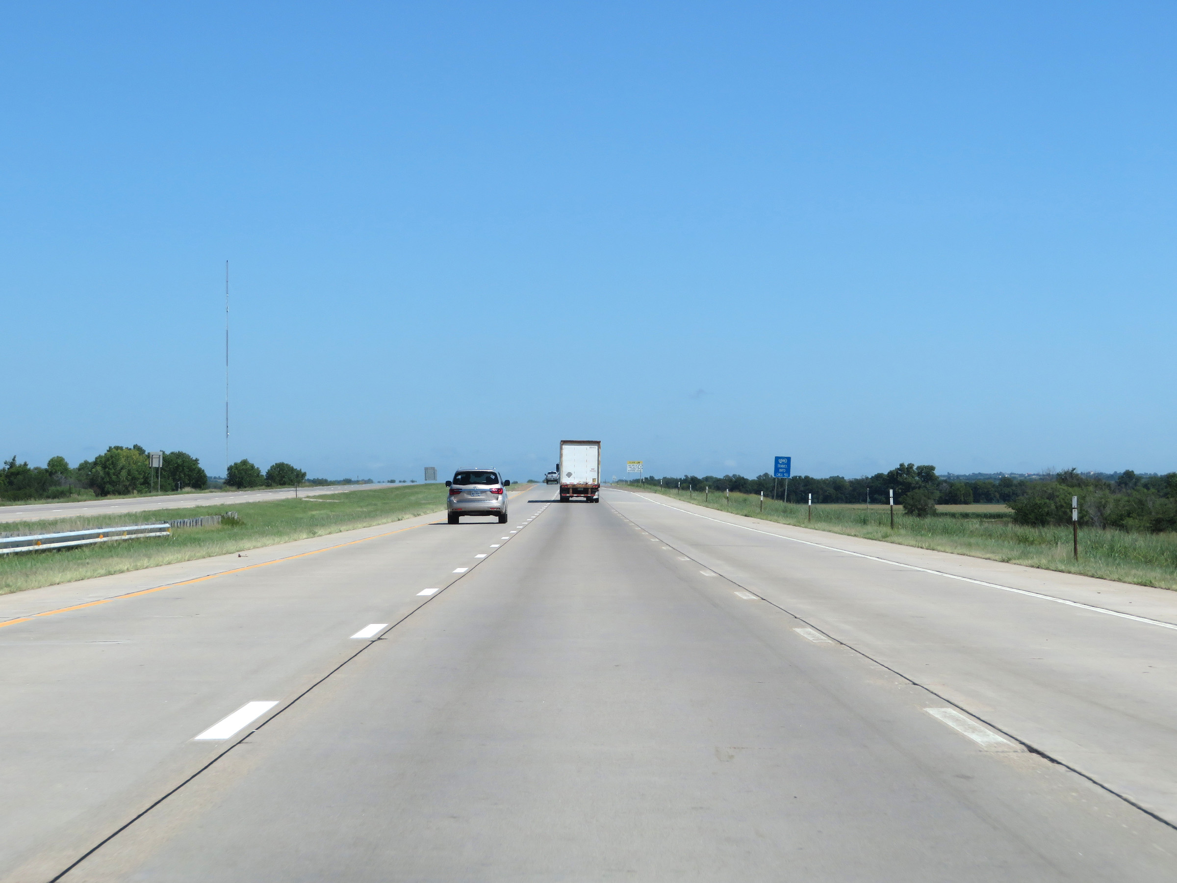 |
Interstate 135 reaches its northern terminus here, just north of Exit 95B. US 81 North continues north toward Concordia after I-135 ends. (Photo taken 8/11/20). |
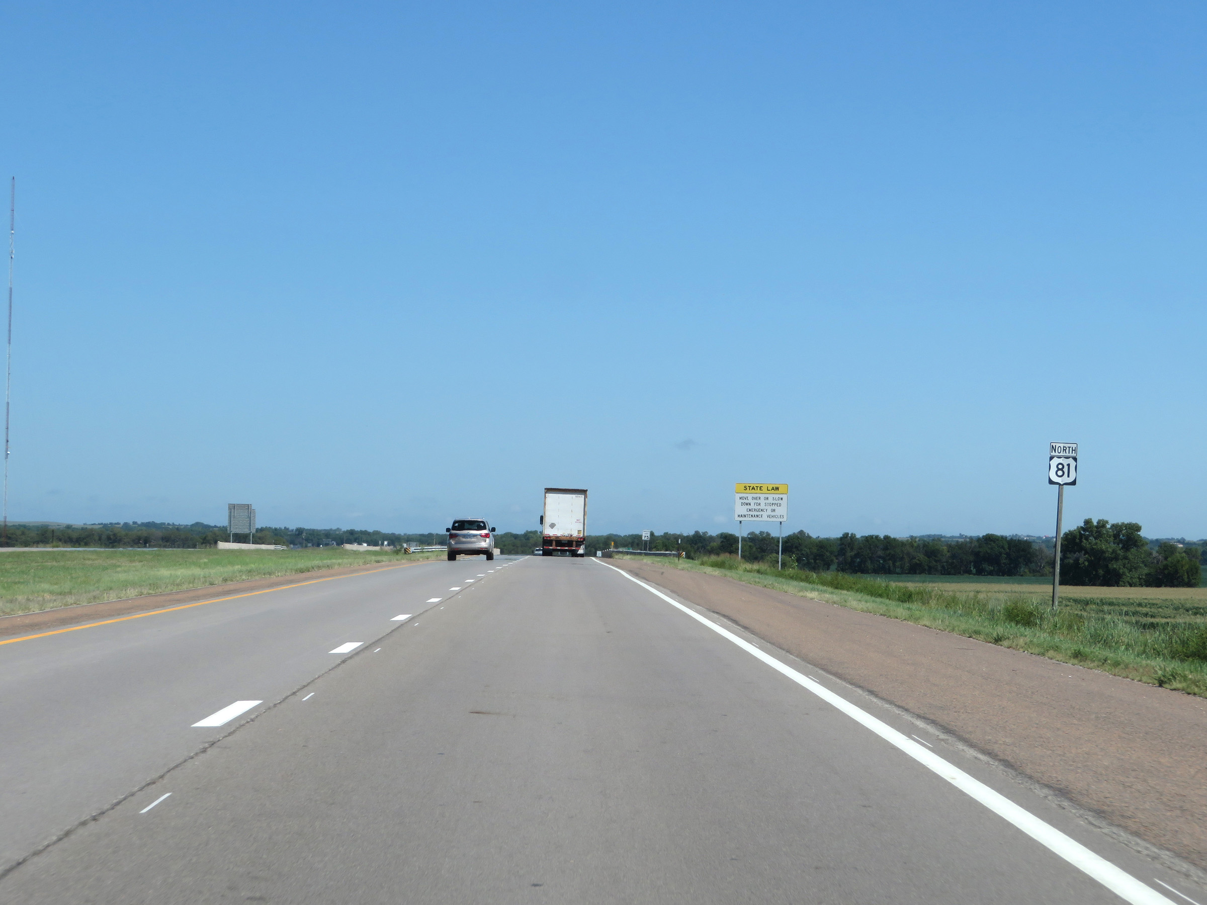 |
US 81 North reassurance shield just beyond the northern terminus of Interstate 135 in Salina. (Photo taken 8/11/20). |