Road Information |
||
 |
||
| Total Mileage in State: | 0.7 miles | |
| Eastern End: | At US 6, in Council Bluffs | |
| Western End: | At Nebraska state line | |
| Mileage covered in Photos: | 0.7 miles | |
| Counties covered in Photos: | Pottawattamie | |
| Major Junctions in Photos: | I-29, in Council Bluffs | |
| Control Cities in Photos: | Council Bluffs | |
Eastbound
 |
Interstate 480 East as it enters Iowa from downtown Omaha by crossing the Missouri River. (Photo taken 5/29/16). |
 |
Still crossing the Missouri River, this sign warns that Interstate 480 East will end beyond the junction of Interstate 29, at which point it will proceed as US 6 East into Council Bluffs. (Photo taken 5/29/16). |
 |
Interstate 480 East at Exit 0: Riverfront. Notice that despite its very brief duration in Iowa, the mileage and exit numbers do not carry over from Nebraska on Interstate 480. (Photo taken 5/29/16). |
 |
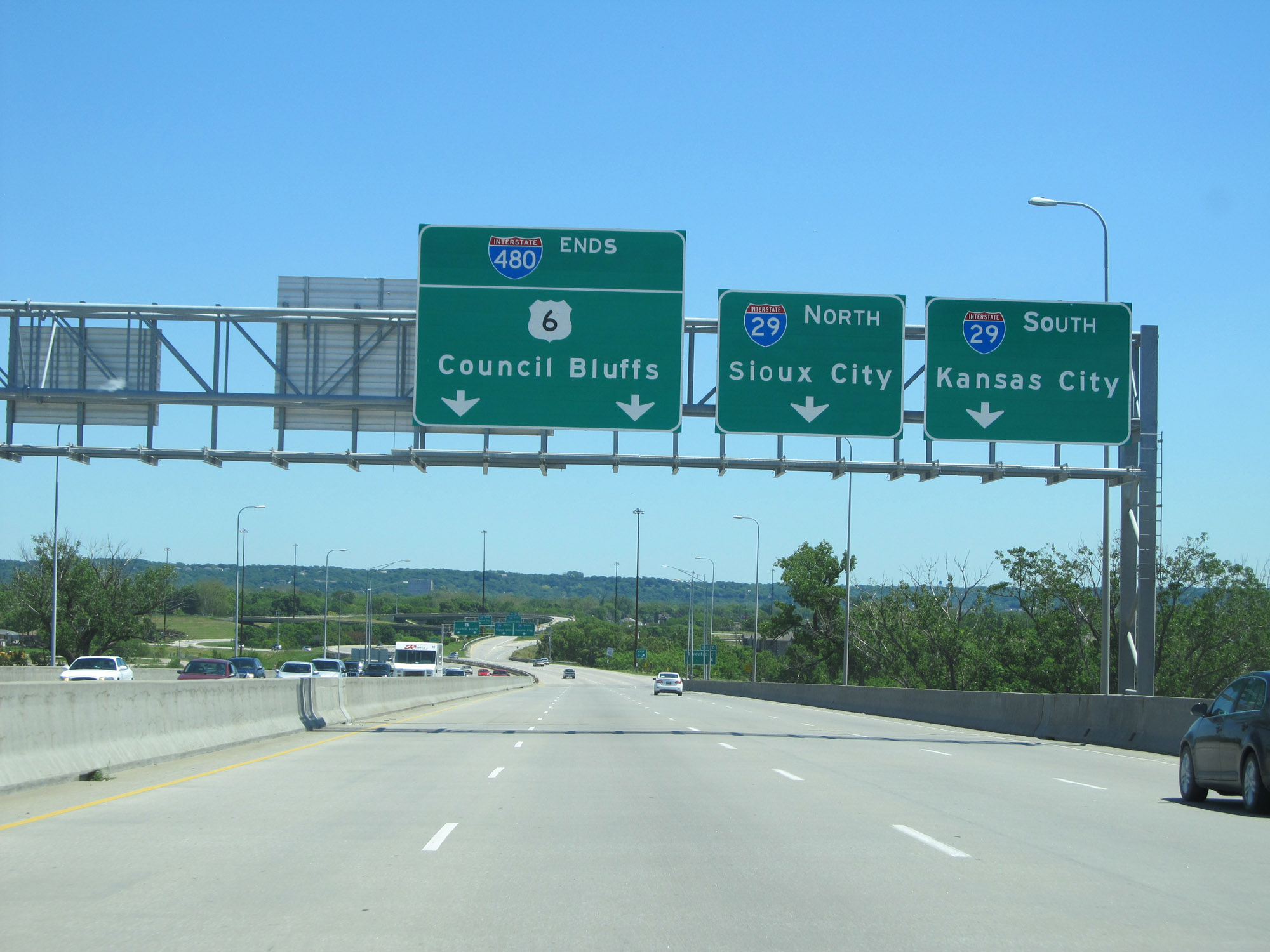
Interstate 480 East at Exit: Interstate 29 - Sioux City / Kansas City (Photo taken 5/29/16). |
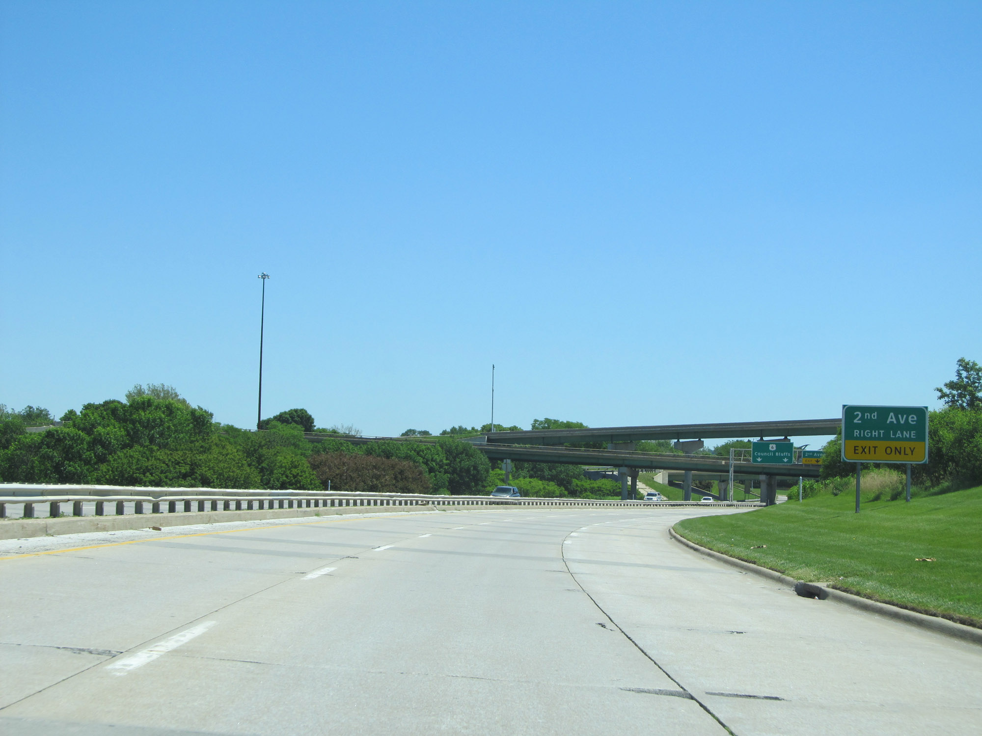 |
Approaching the eastern terminus of Interstate 480, this sign warns that traffic to 2nd Ave should use the right lane ahead. (Photo taken 5/29/16). |
 |
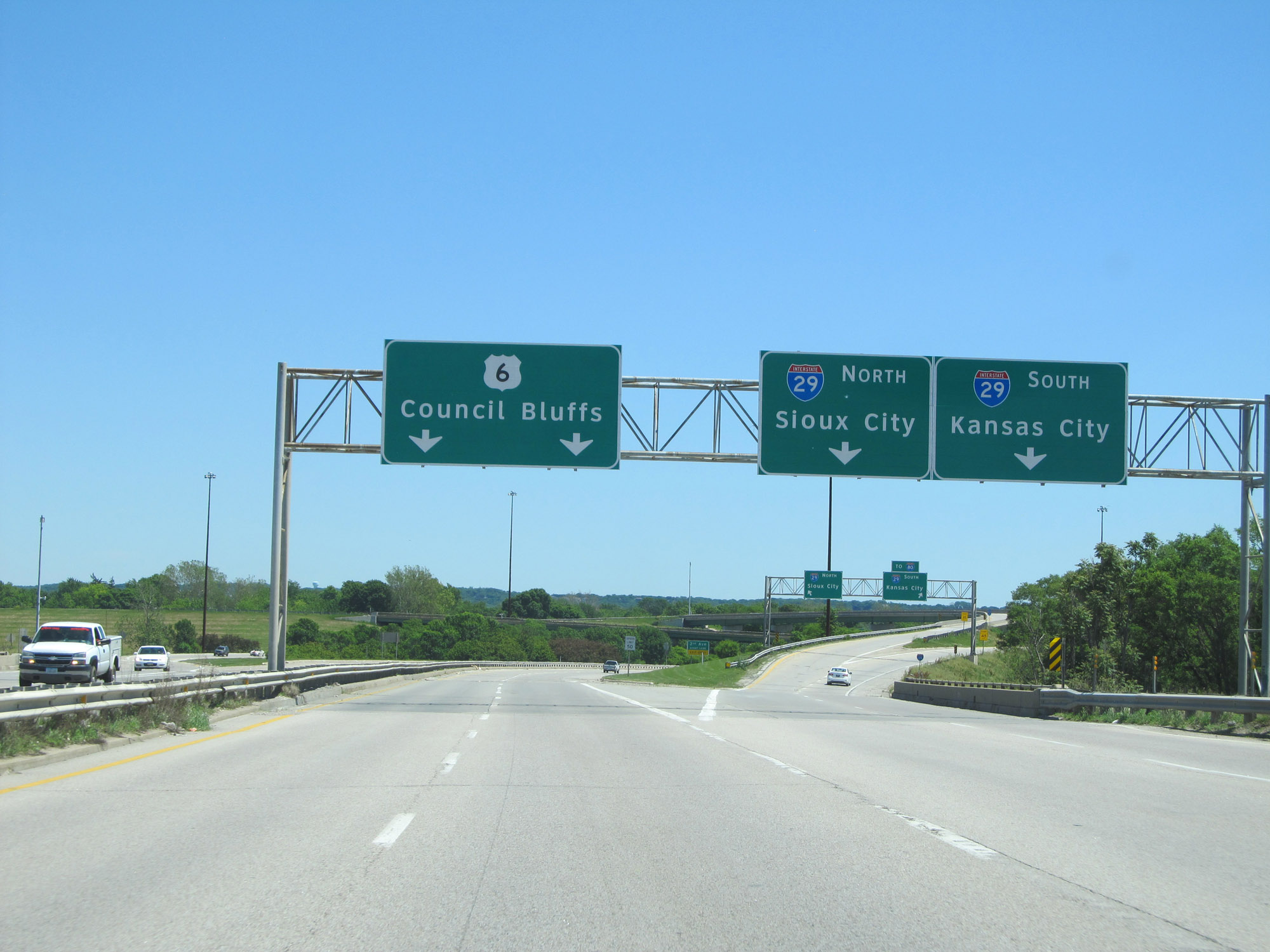
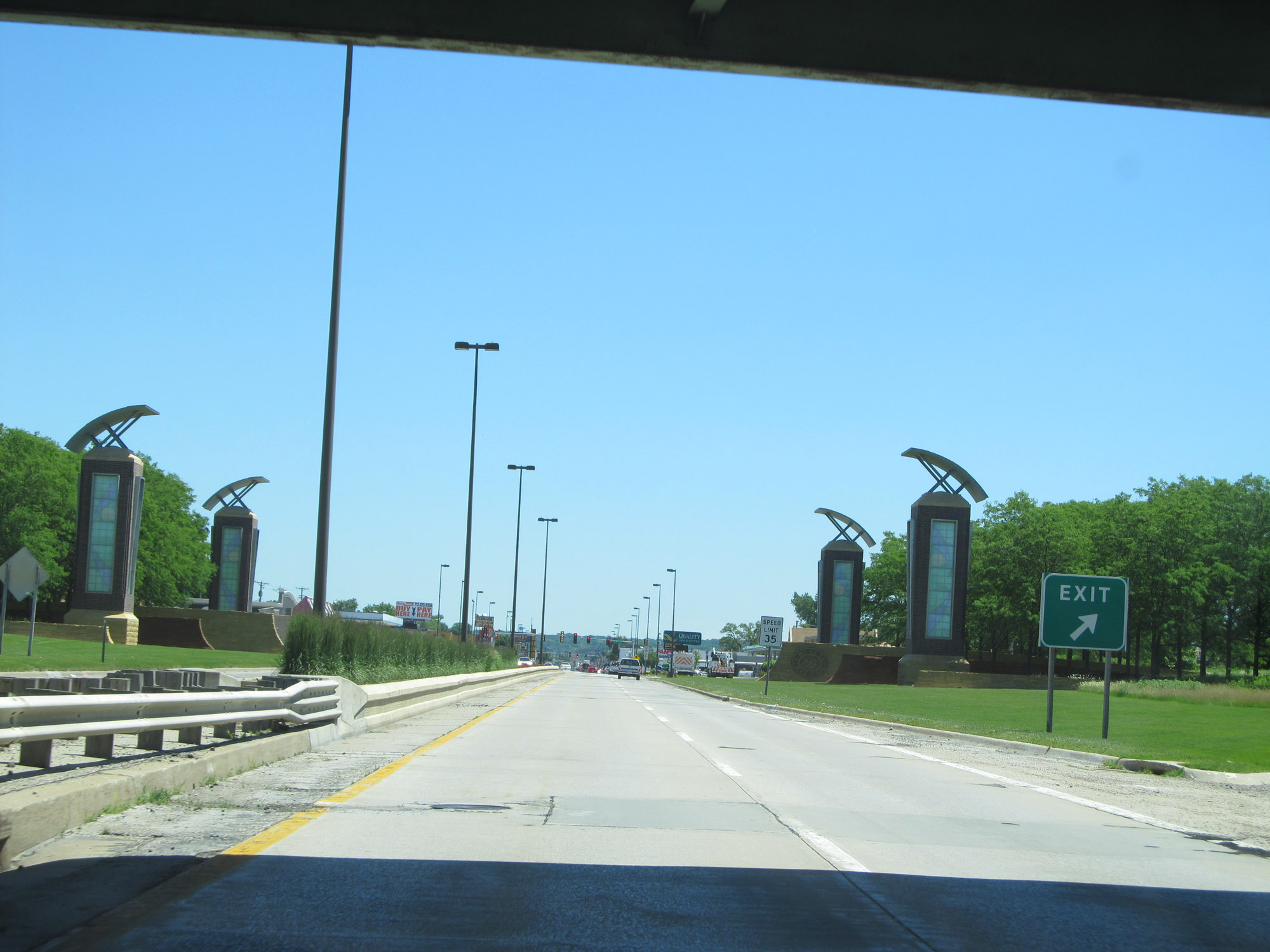
Interstate 480 East as it reaches its eastern terminus. From here, the two eastbound lanes will continue into Council Bluffs as US 6 East. (Photo taken 5/29/16). |
 |
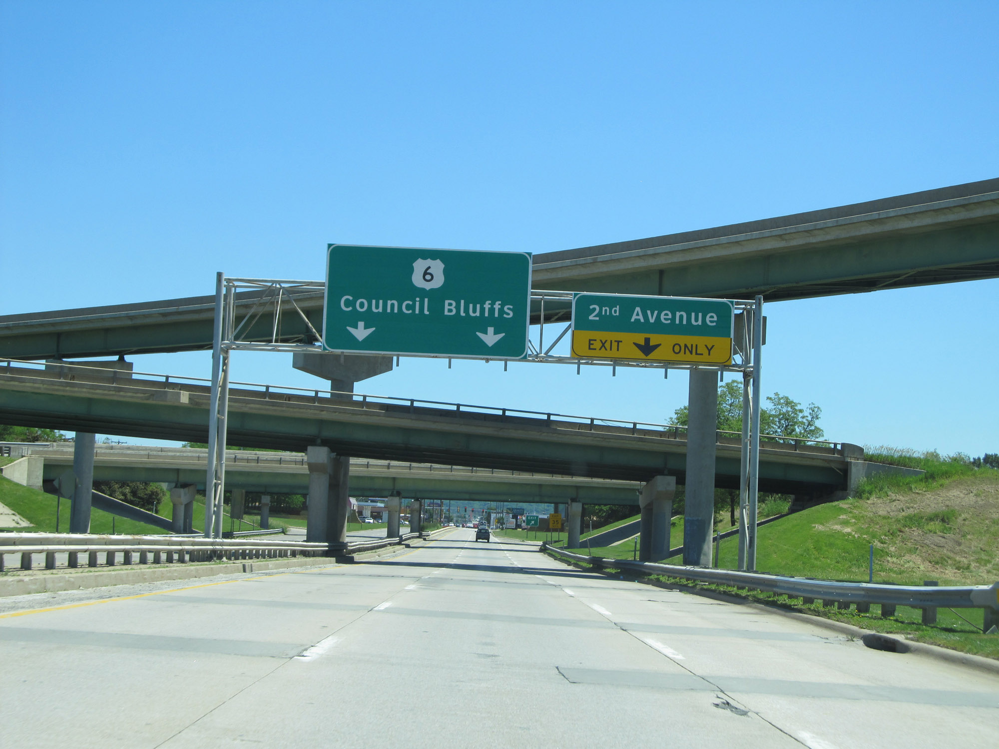
US 6 East at the ramp to 2nd Ave just beyond the eastern terminus of Interstate 480 in Council Bluffs. (Photo taken 5/29/16). |