Road Information |
||
 |
||
| Total Mileage in State: | 73 miles | |
| Northern End: | At US 218, in Waterloo | |
| Southern End: | At I-80, in Coralville | |
| Mileage covered in Photos: | 73 miles | |
| Counties covered in Photos: | Black Hawk, Buchanan, Benton, Linn, Johnson | |
| Major Junctions in Photos: | US 20, near Evansdale US 30, in Cedar Rapids I-80, in Coralville |
|
| Control Cities in Photos: | Waterloo, Cedar Rapids, Iowa City | |
Southbound
- Section 1: Waterloo to Cedar Rapids (Exit 22)
- Section 2: Cedar Rapids (Exit 22) to Interstate 80
Section 1: Waterloo to Cedar Rapids (Exit 22)
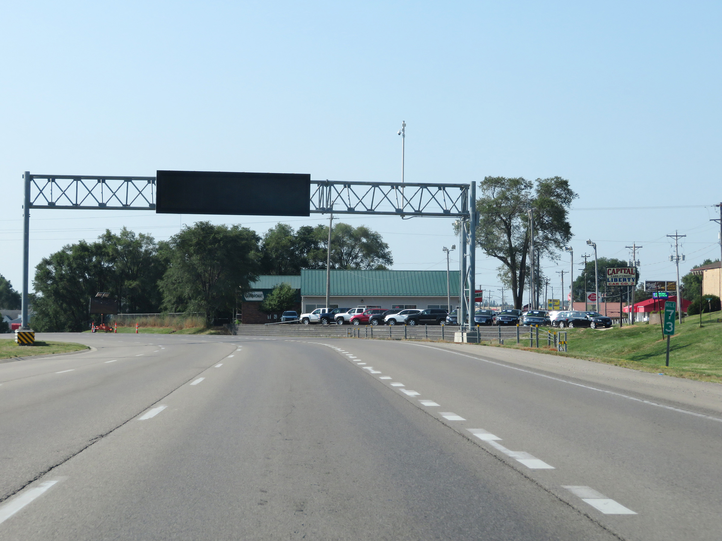 |
Interstate 380 South as it begins at mile marker 73, just south of a traffic signal at East Mitchell Ave in Waterloo. (Photo taken 8/8/20). |
 |
Interstate 380 South at Exit 72: San Marnan Dr. The speed limits on Interstate 380 South start out at 55 mph maximum and 40 mph minimum. (Photo taken 8/8/20). |
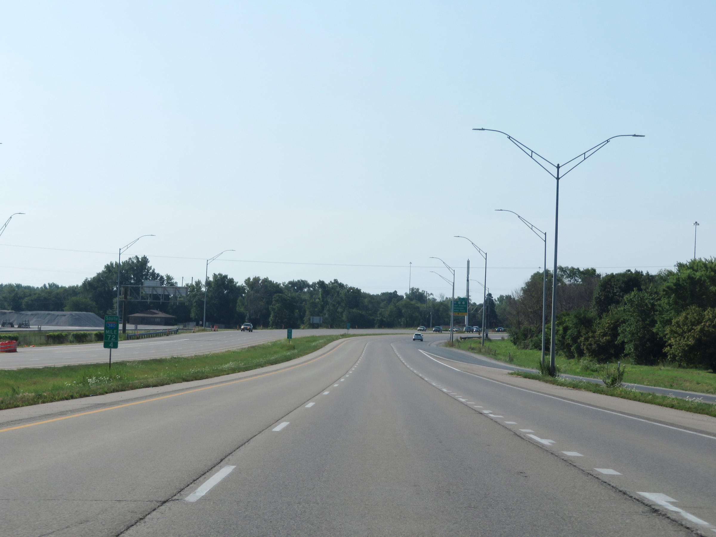 |
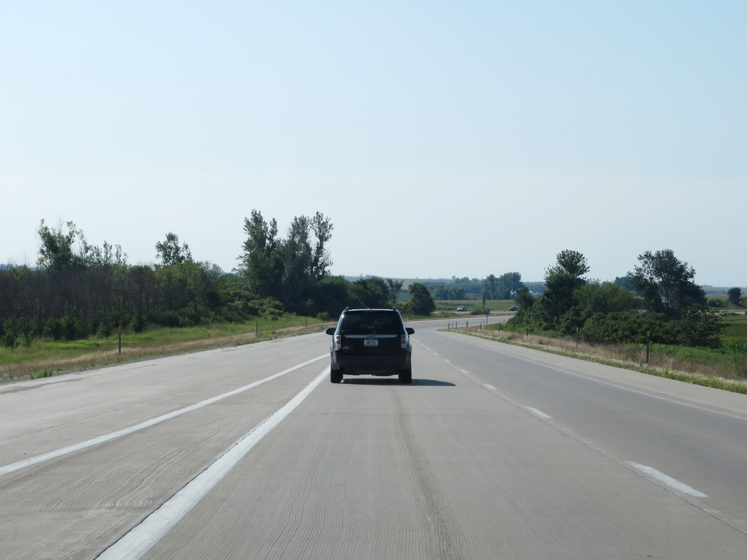
View on Interstate 380 South at mile marker 72.4. (Photo taken 8/8/20). |
 |
Ahead, Interstate 380 South thru traffic will need to use the right lane as it becomes an Exit Only lane just before joining US 20 East. (Photo taken 8/8/20). |
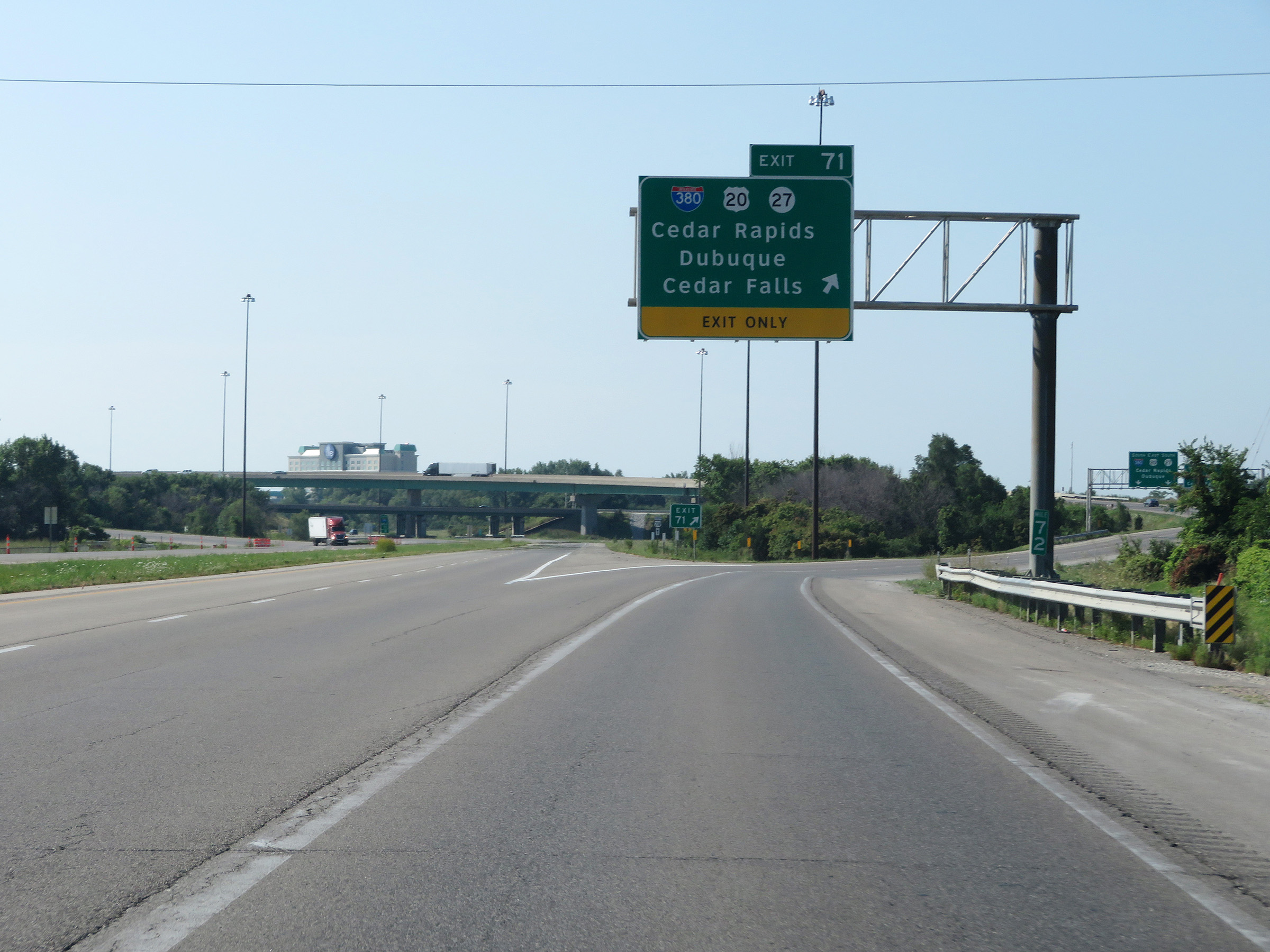 |
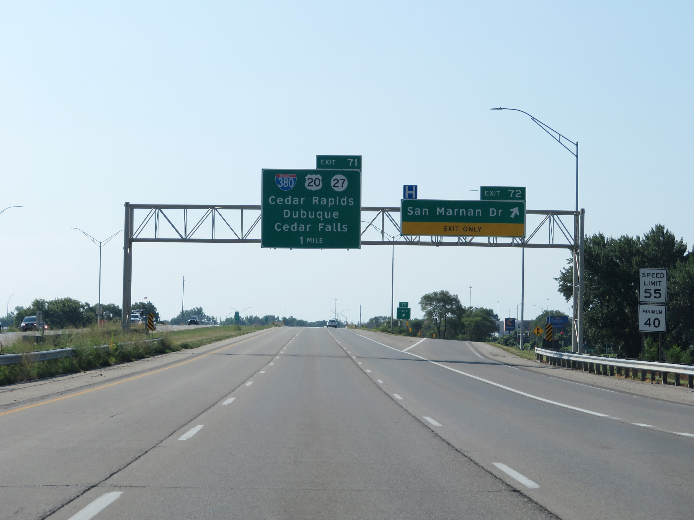
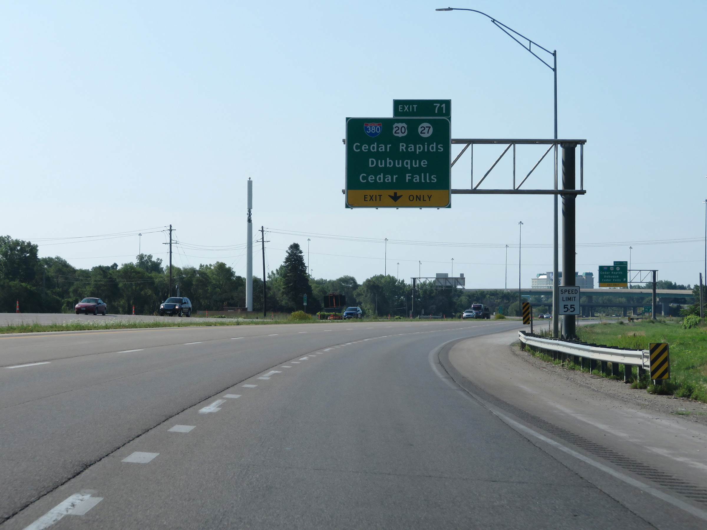
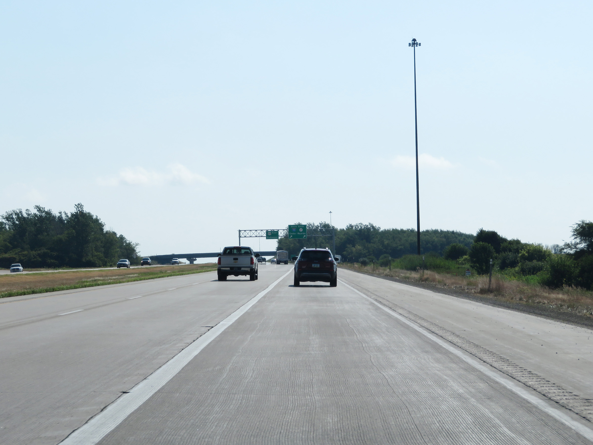
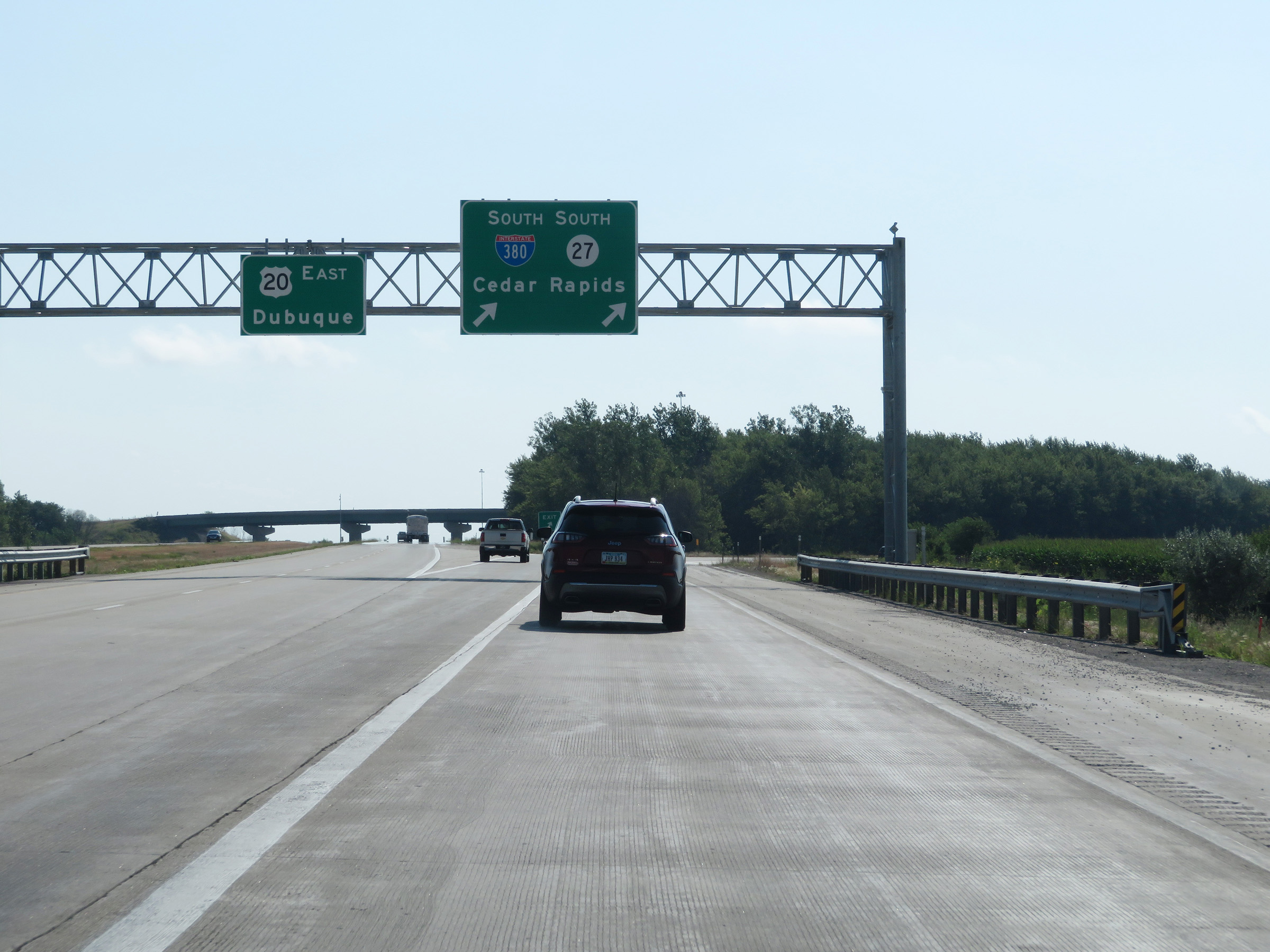
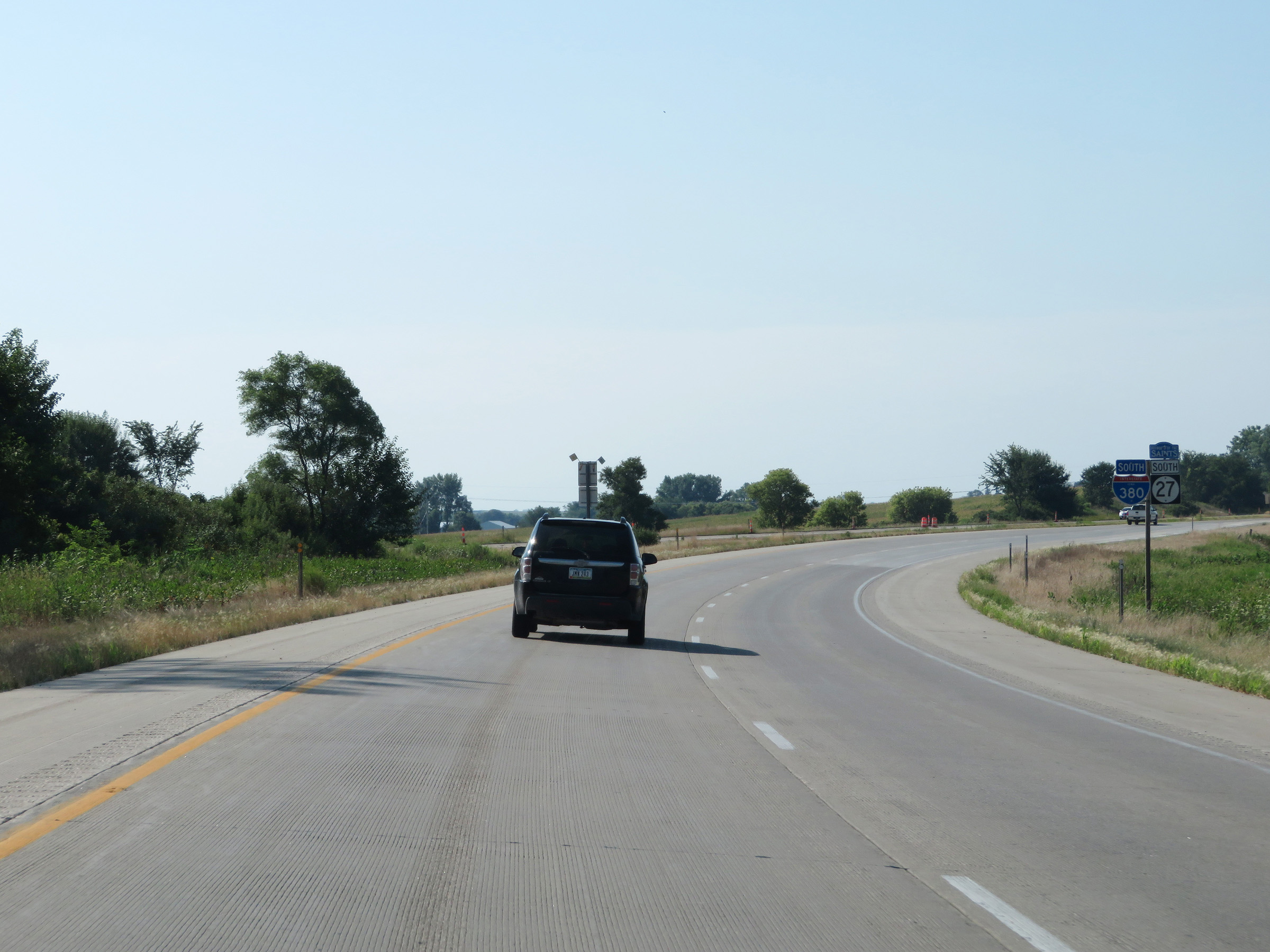
Interstate 380 South at Exit 71: Interstate 380 South / US 20 / IA 27 - Cedar Rapids / Dubuque / Cedar Falls. The two left lanes continue south as US 218 as I-380 South will join US 20 East at this point. (Photo taken 8/8/20). |
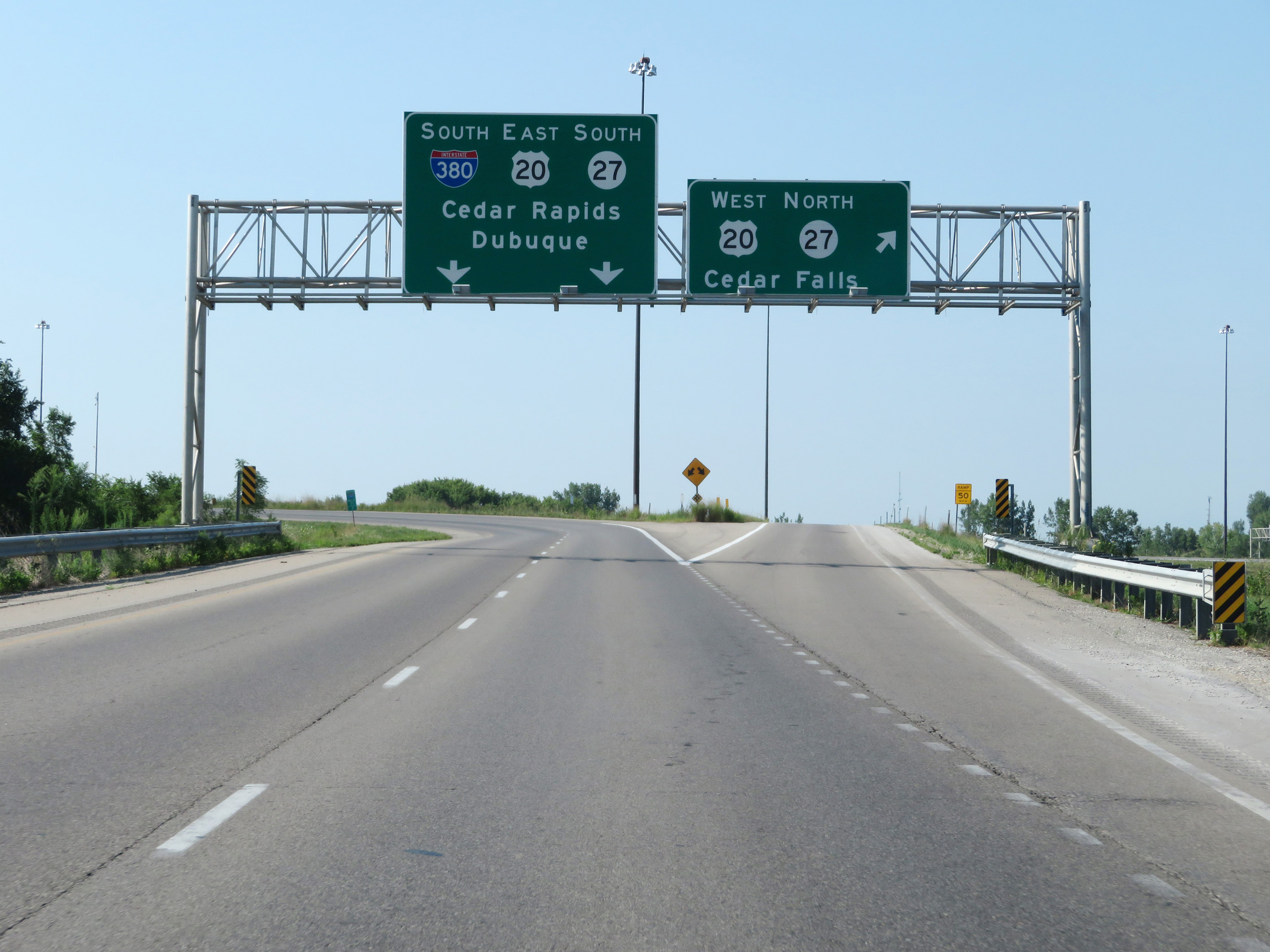 |
Interstate 380 South at Exit: US 20 West / IA 27 North - Cedar Falls (Photo taken 8/8/20). |
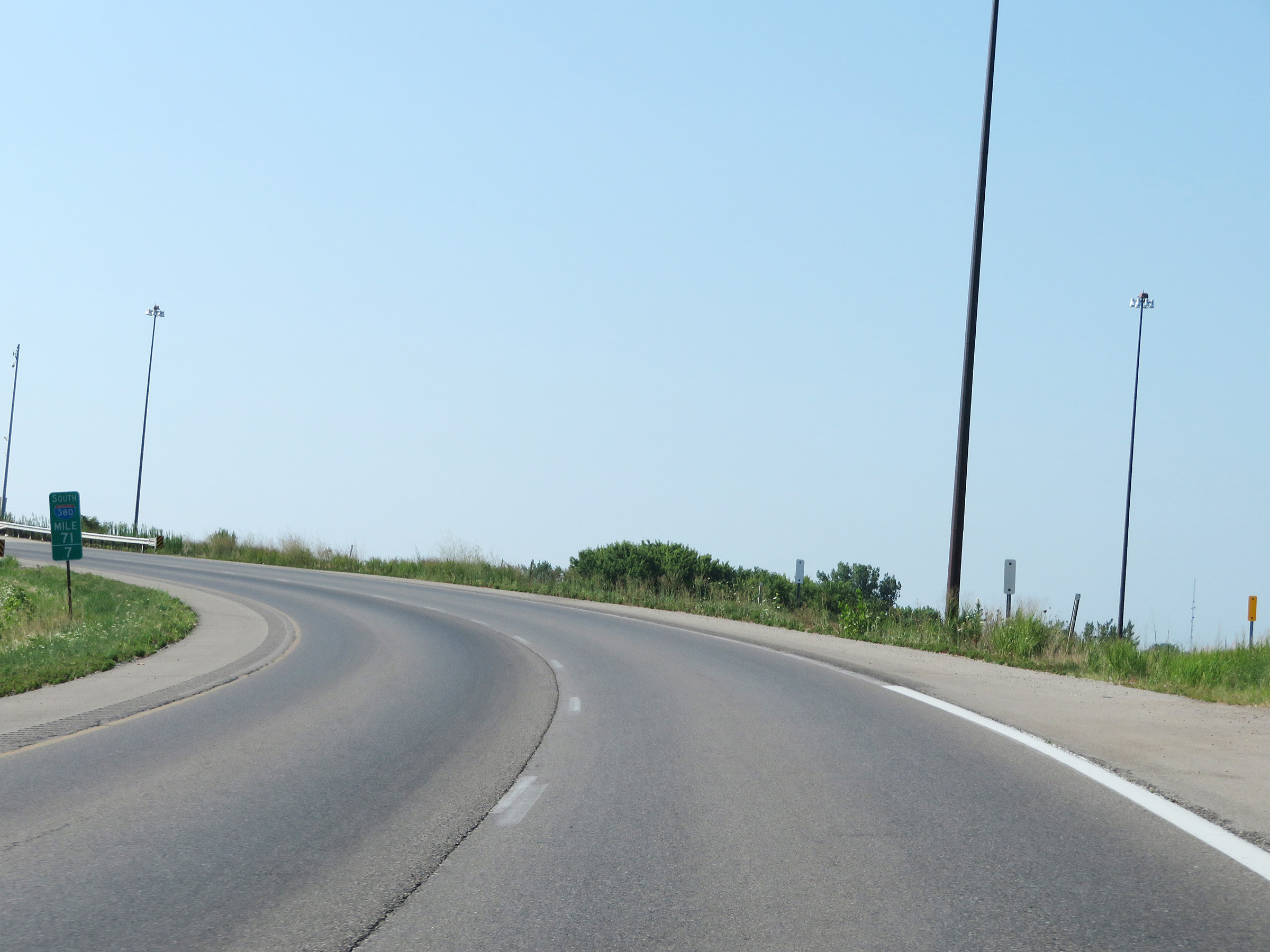 |
View on Interstate 380 South as it curves to the east at mile marker 71.7 in preparation for joining up with US 20 East. (Photo taken 8/8/20). |
 |
Interstate 380 South as it passes over US 20 and will merge with its eastbound lanes ahead. (Photo taken 8/8/20). |
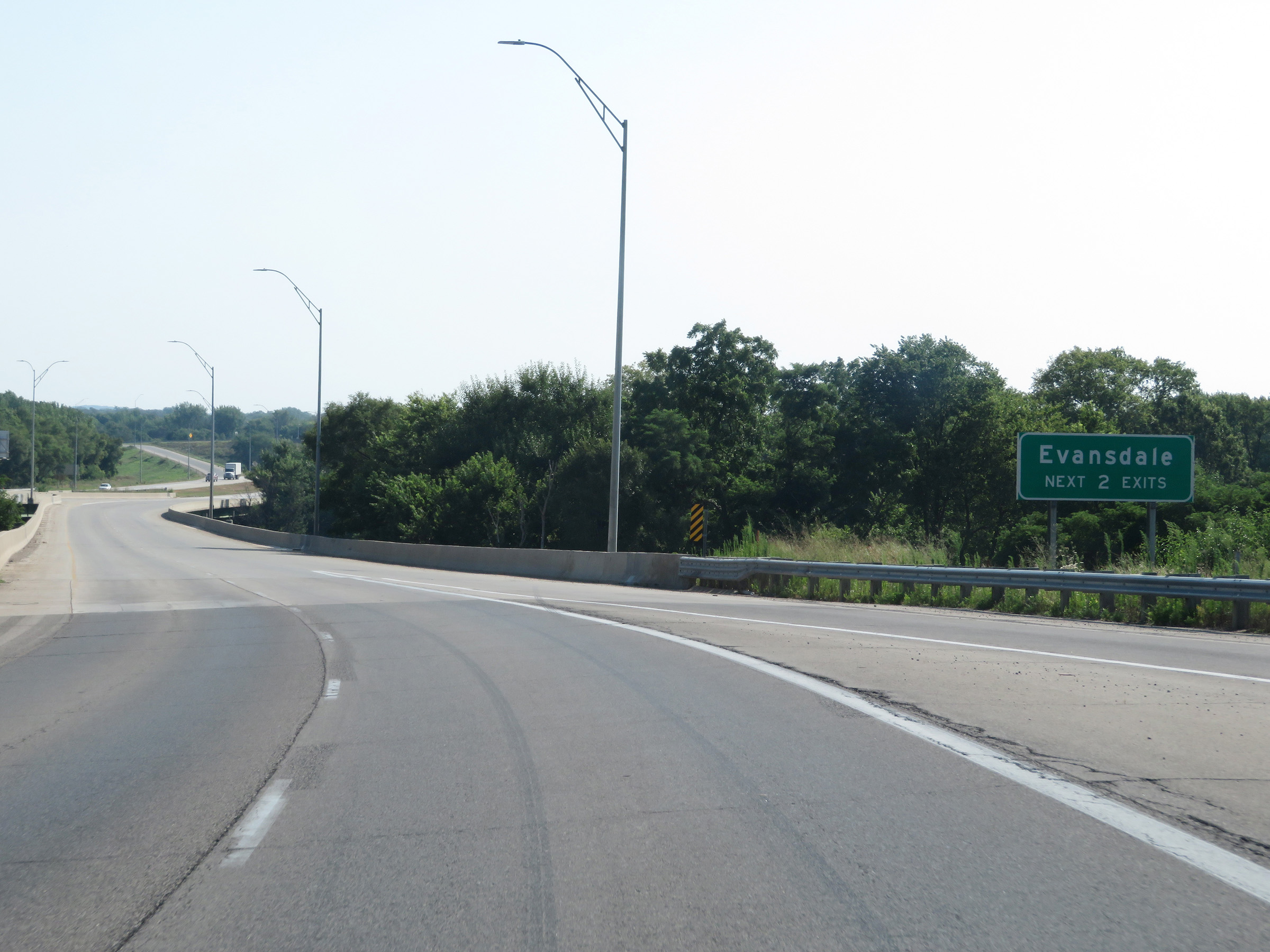 |
Take either of the next 2 exits to Evansdale. (Photo taken 8/8/20). |
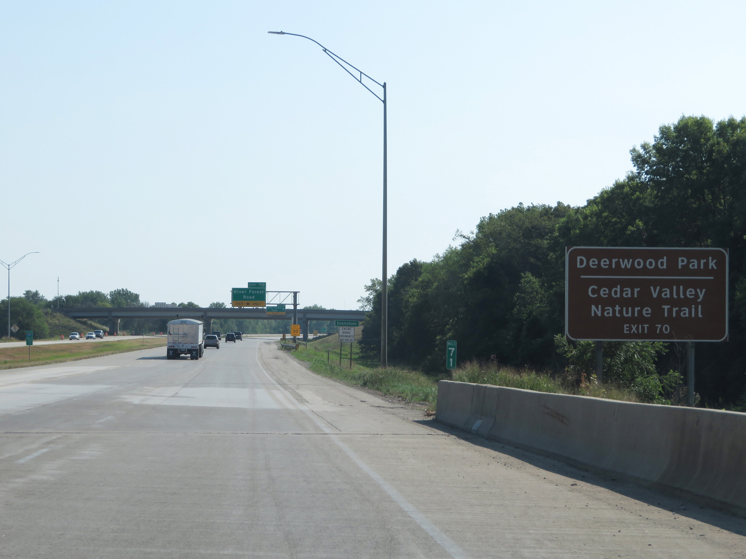 |
Take Exit 70 to Deerwood Park and Cedar Valley Nature Trail. (Photo taken 8/8/20). |
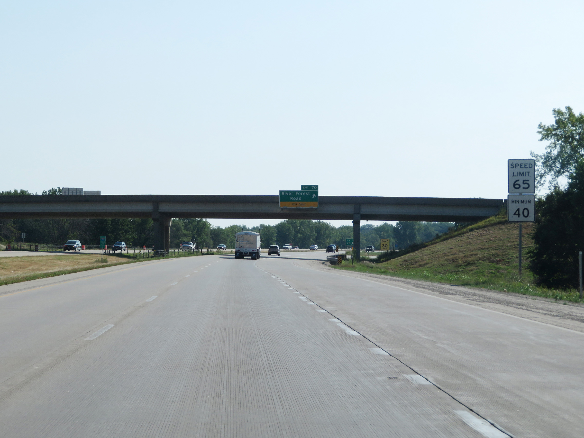 |
As the Interstate 380 South / US 20 East concurrency begins in Evansdale, the maximum speed limit increases to 65 mph. The minimum speed limit remains 40 mph. (Photo taken 8/8/20). |
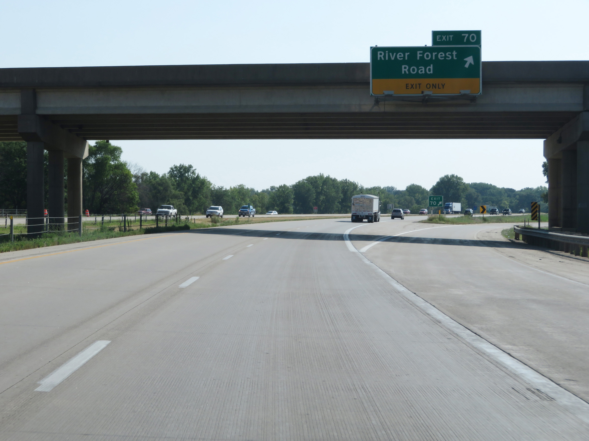 |
Interstate 380 South at Exit 70: River Forest Road (Photo taken 8/8/20). |
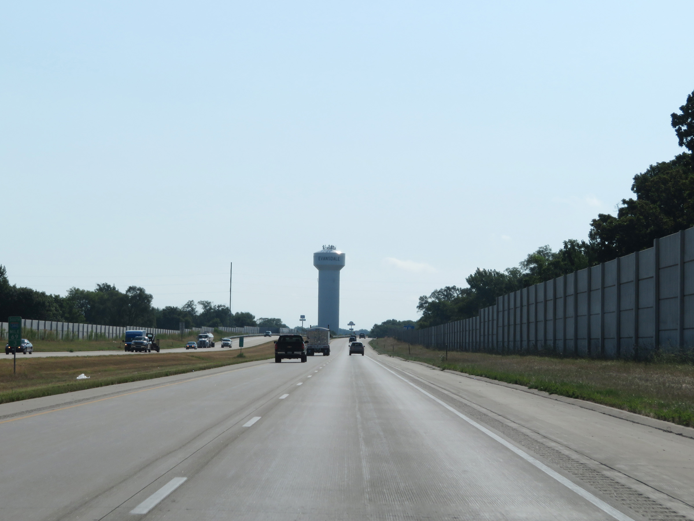 |
View on Interstate 380 South at mile marker 69.3 in Evansdale. (Photo taken 8/8/20). |
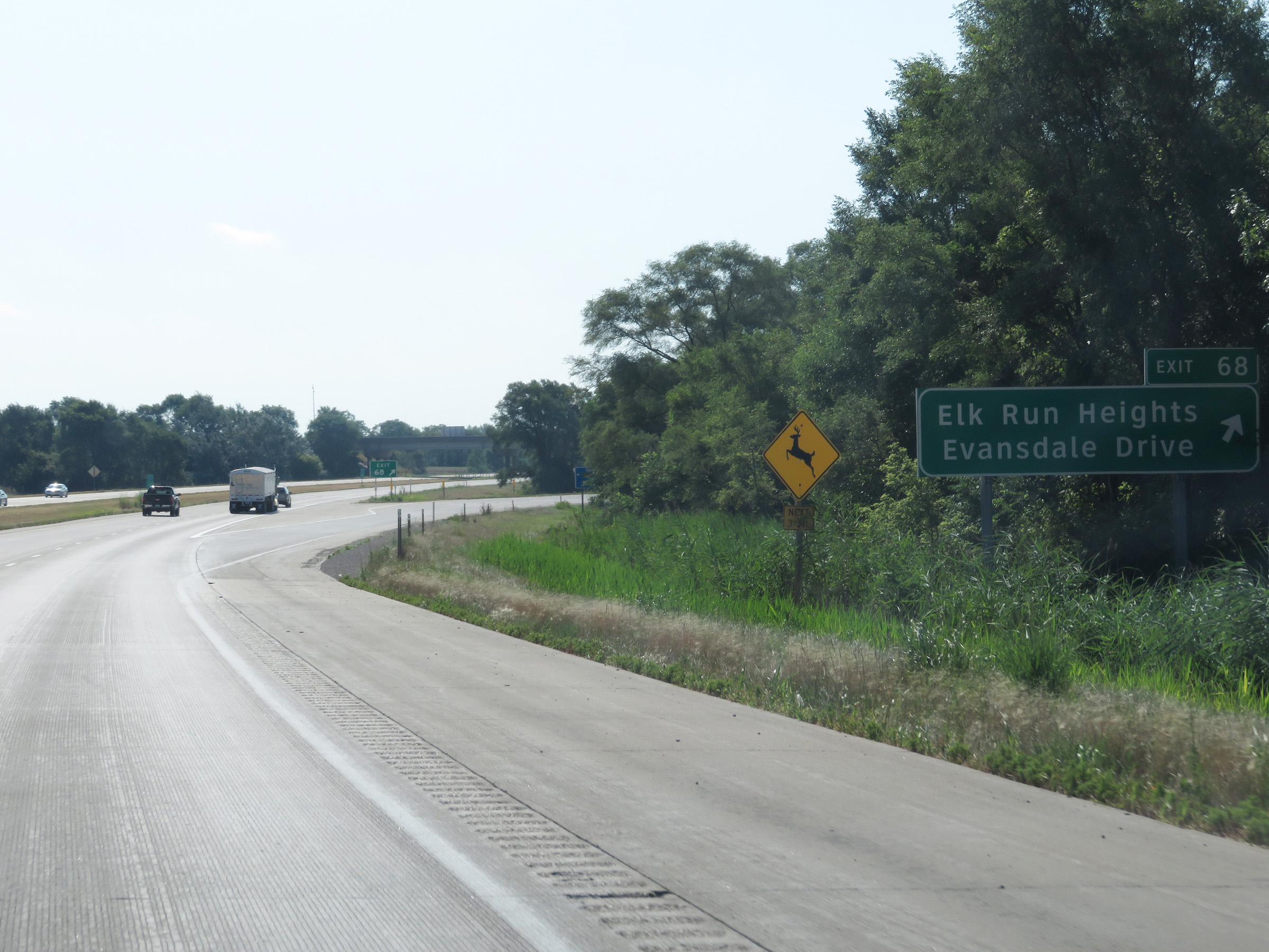 |
Interstate 380 South at Exit 68: Elk Run Heights / Evansdale Drive (Photo taken 8/8/20). |
 |
State-named Interstate 380 South reassurance shield during its concurrency with US 20 East / IA 27 South in Evansdale at mile marker 68. (Photo taken 8/8/20). |
 |
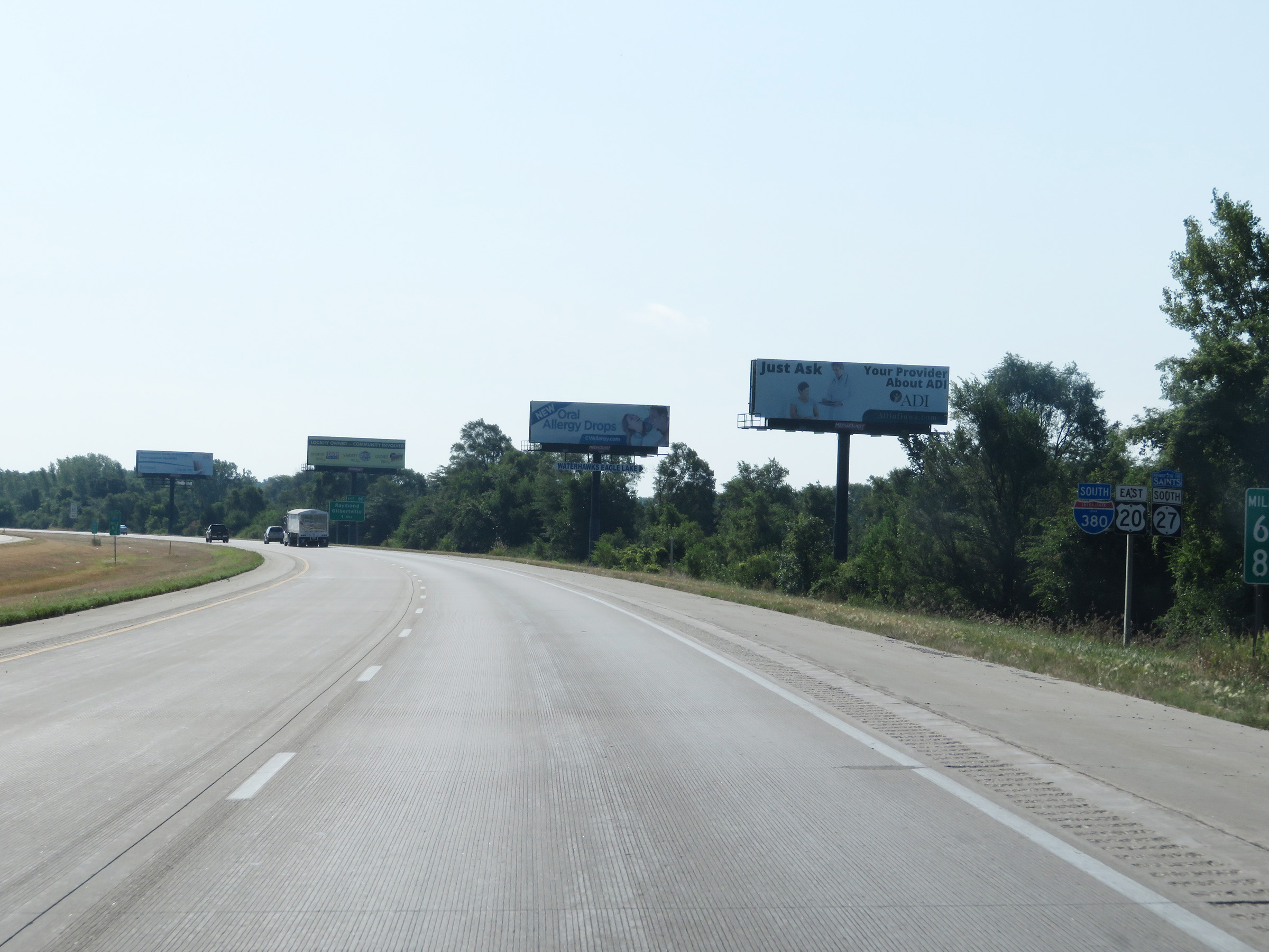
Advance signage for the departure of Interstate 380 South and IA 27 South from US 20, which will occur 2 miles ahead. (Photo taken 8/8/20). |
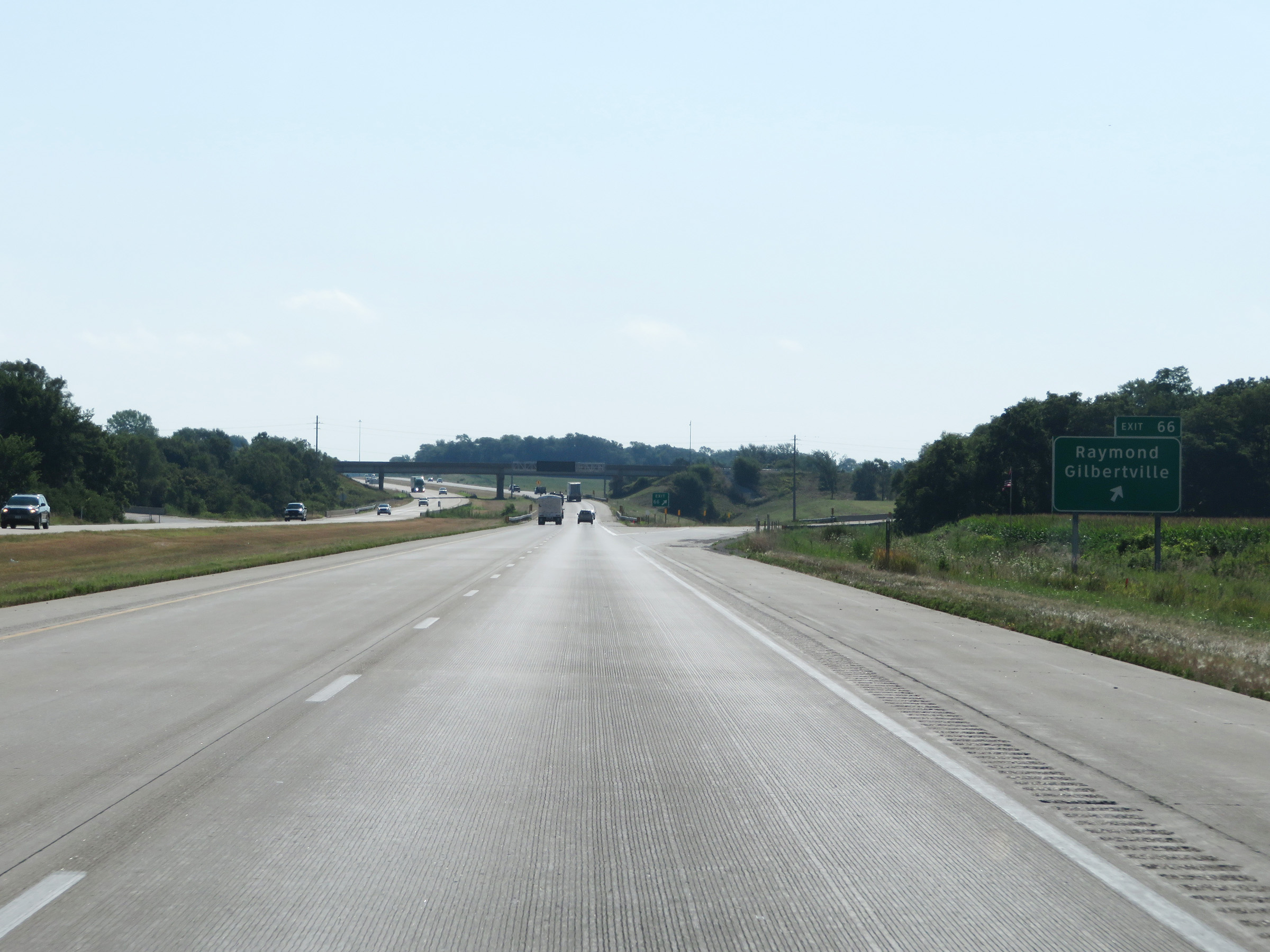 |
Interstate 380 South at Exit 66: Raymond / Gilbertville (Photo taken 8/8/20). |
 |
Approaching the unnumbered departure of Interstate 380 South / IA 27 South from US 20 East, the right lane will become an Exit Only lane to I-380 South / IA 27 South. (Photo taken 8/8/20). |
 |
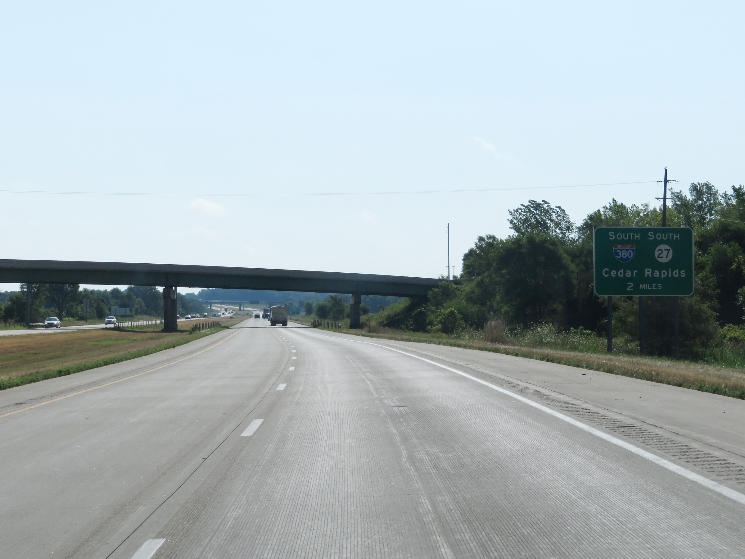
Interstate 380 South as it departs US 20 East along with IA 27 South. (Photo taken 8/8/20). |
 |
Interstate 380 South maintains two thru lanes as it curves to the south to head toward Cedar Rapids. (Photo taken 8/8/20). |
 |
View on Interstate 380 South as the ramp from US 20 West merges into it on the left. (Photo taken 8/8/20). |
 |
Another state-named Interstate 380 South reassurance shield after its departure from US 20 East. (Photo taken 8/8/20). |
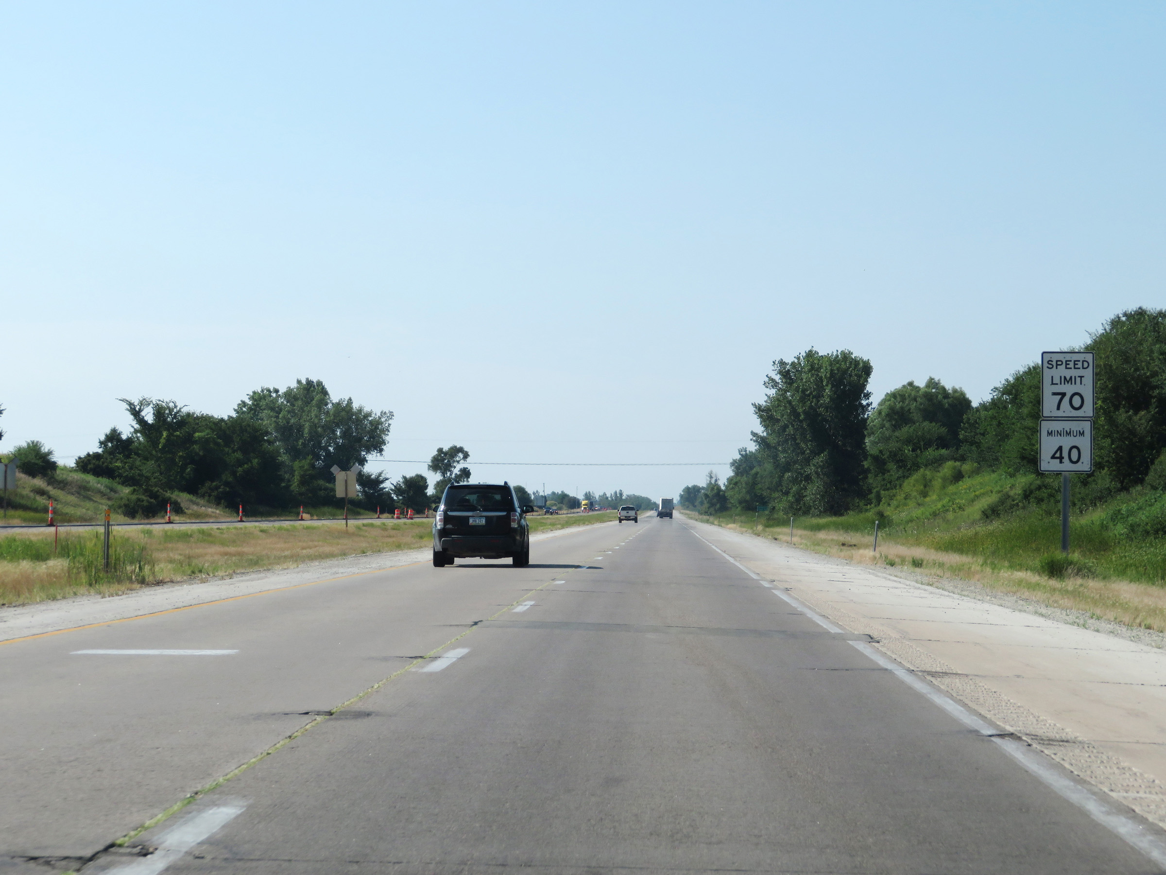 |
After departing from US 20 East, the maximum speed limit on Interstate 380 South increases to 70 mph. The minimum speed limit remains 40 mph. These are the standard speed limits on most rural Interstate highways in Iowa. (Photo taken 8/8/20). |
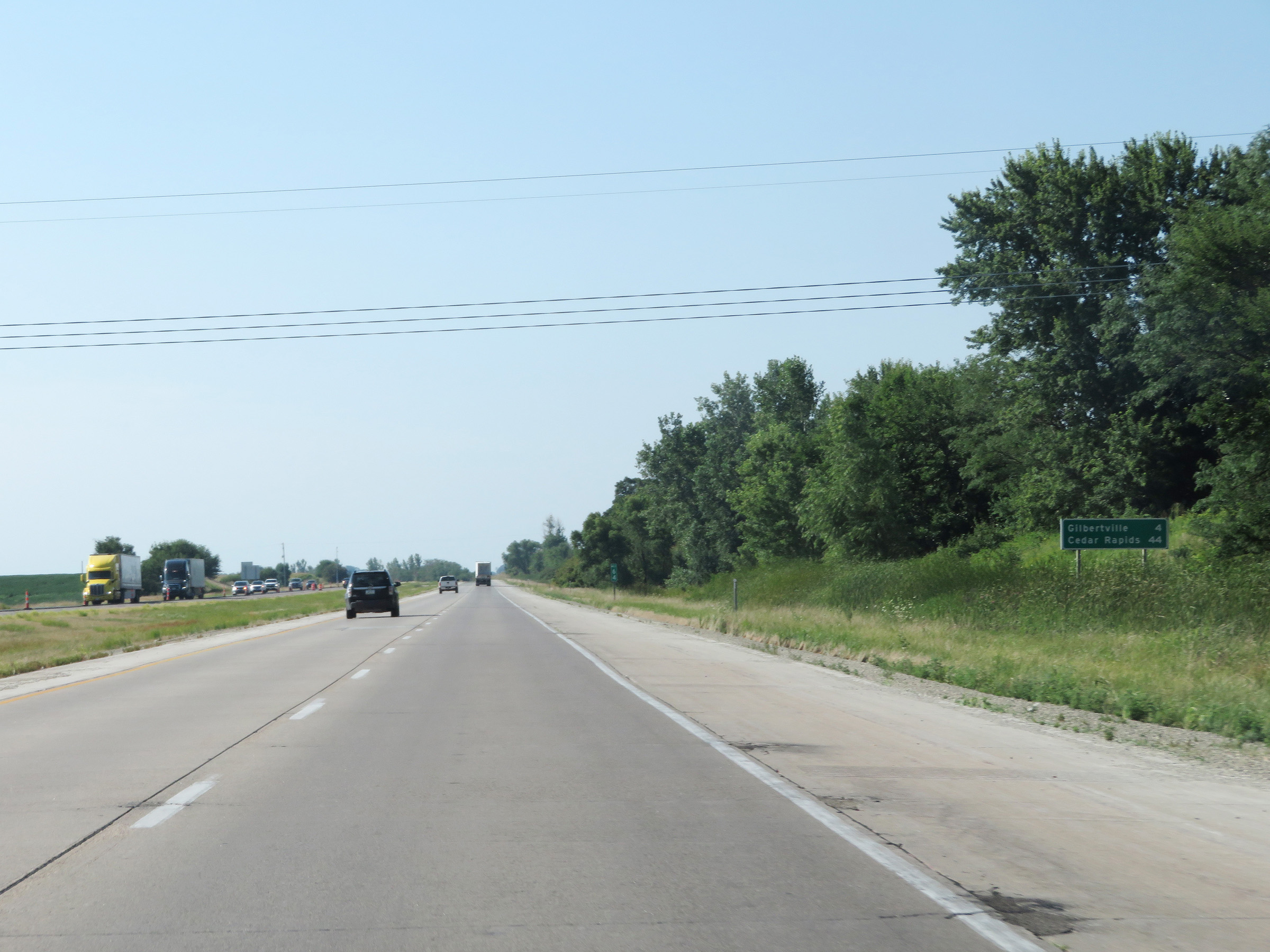 |
Mileage sign at mile marker 64. It's 4 miles to Gilbertville and 44 miles to Cedar Rapids. (Photo taken 8/8/20). |
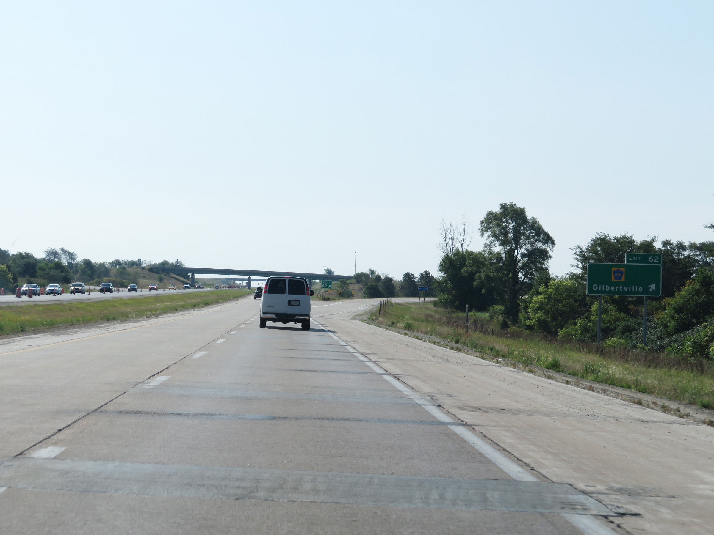 |
Interstate 380 South at Exit 62: CR D38 - Gilbertville (Photo taken 8/8/20). |
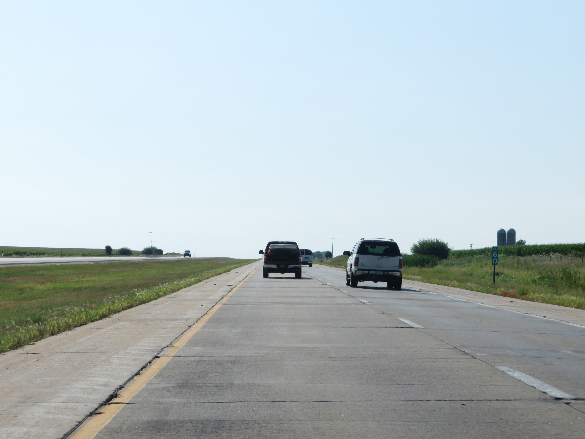 |
Mile marker 60 on Interstate 380 South in Black Hawk County. (Photo taken 8/8/20). |
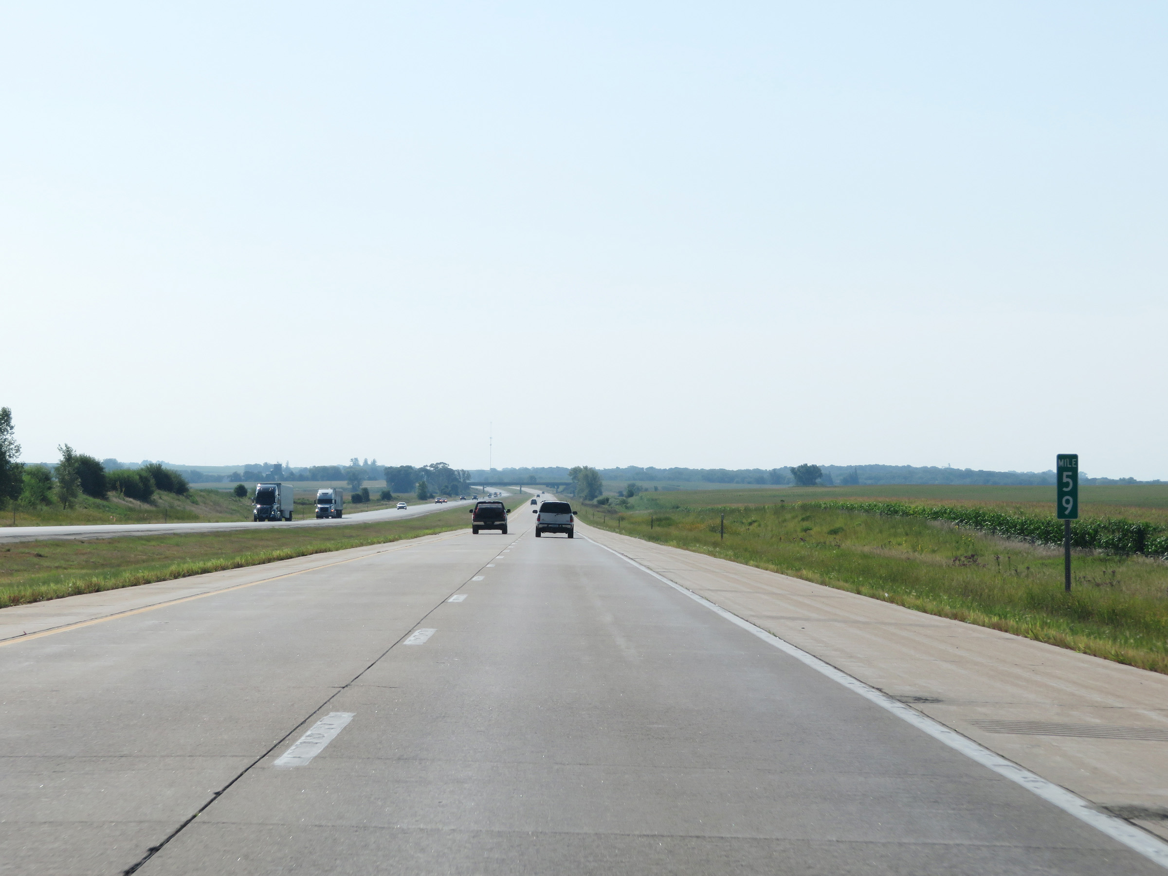 |
View on Interstate 380 South at mile marker 59. (Photo taken 8/8/20). |
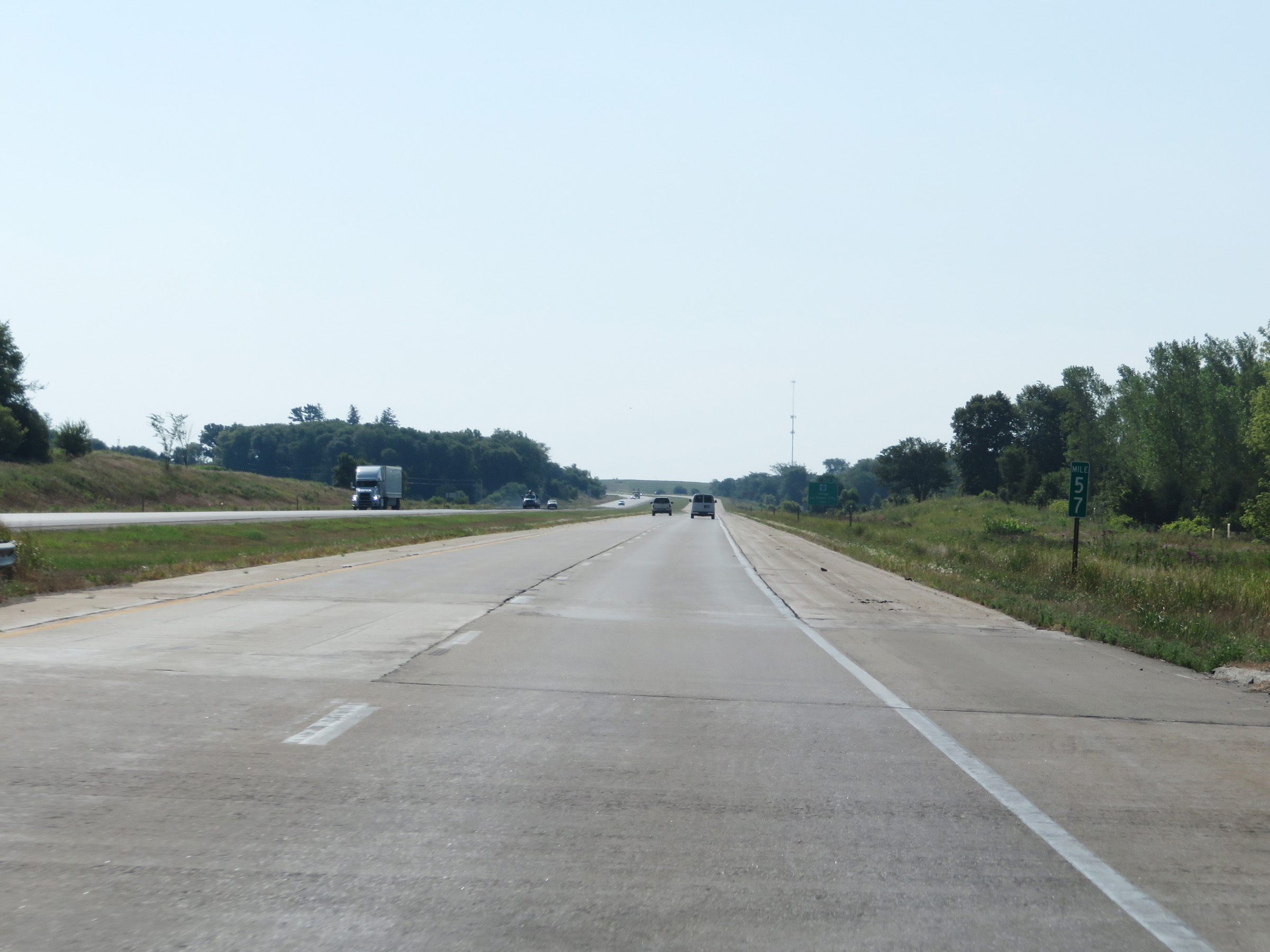 |
Interstate 380 South at mile marker 57. (Photo taken 8/8/20). |
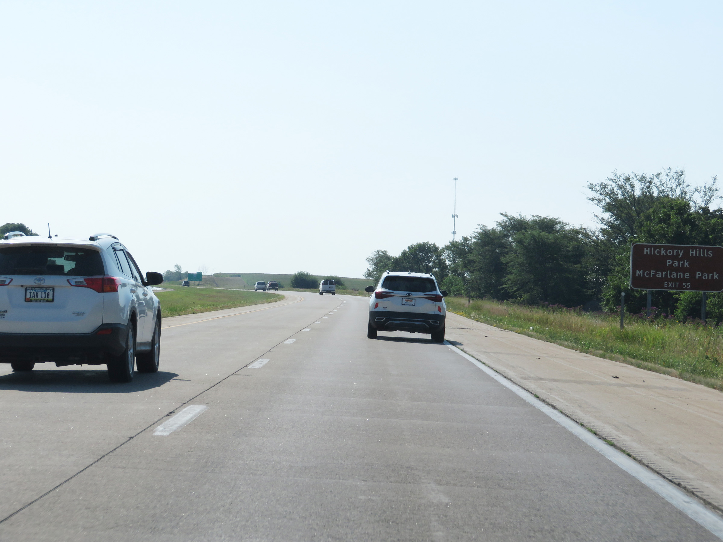 |
Take Exit 55 to Hickory Hills Park and McFarlane Park. (Photo taken 8/8/20). |
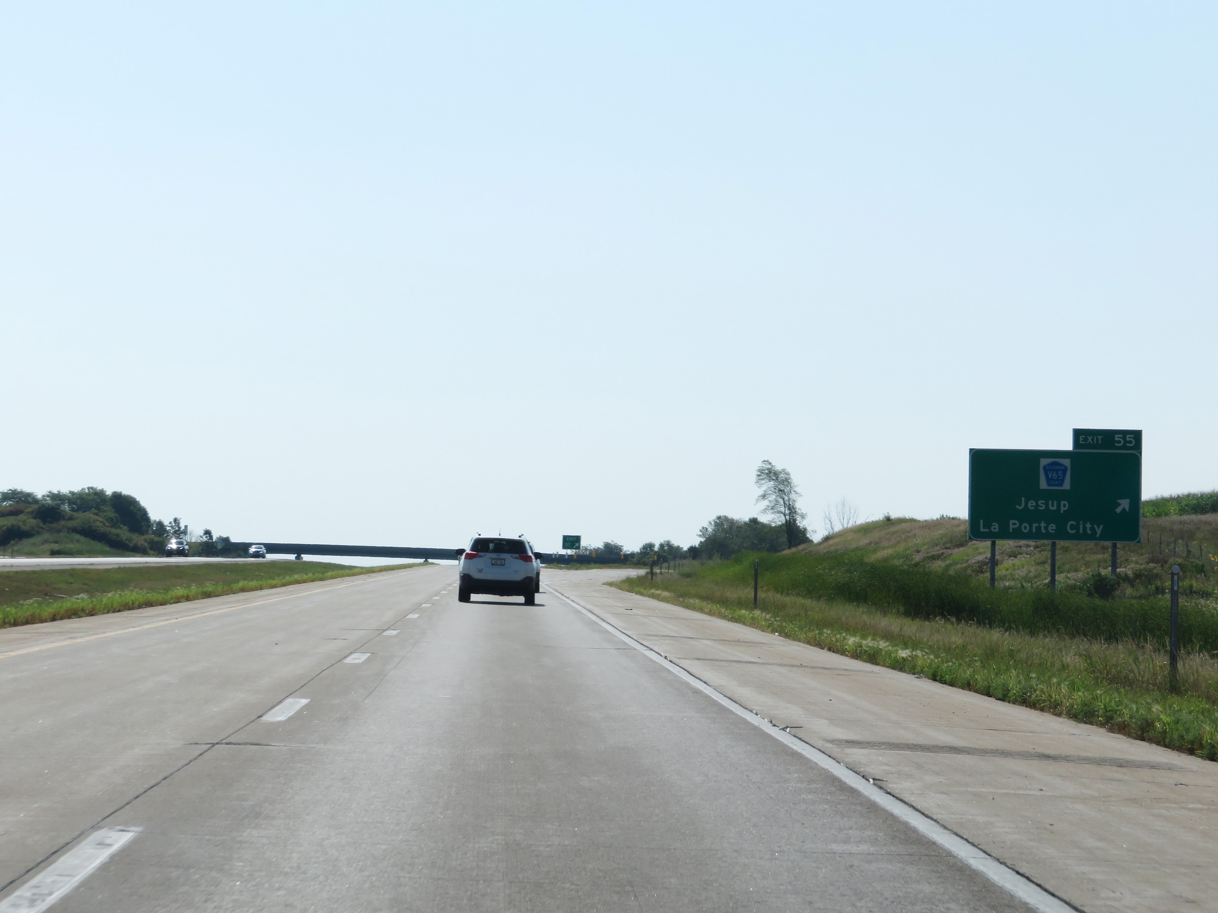 |
Interstate 380 South at Exit 55: CR V65 - Jesup / La Porte City (Photo taken 8/8/20). |
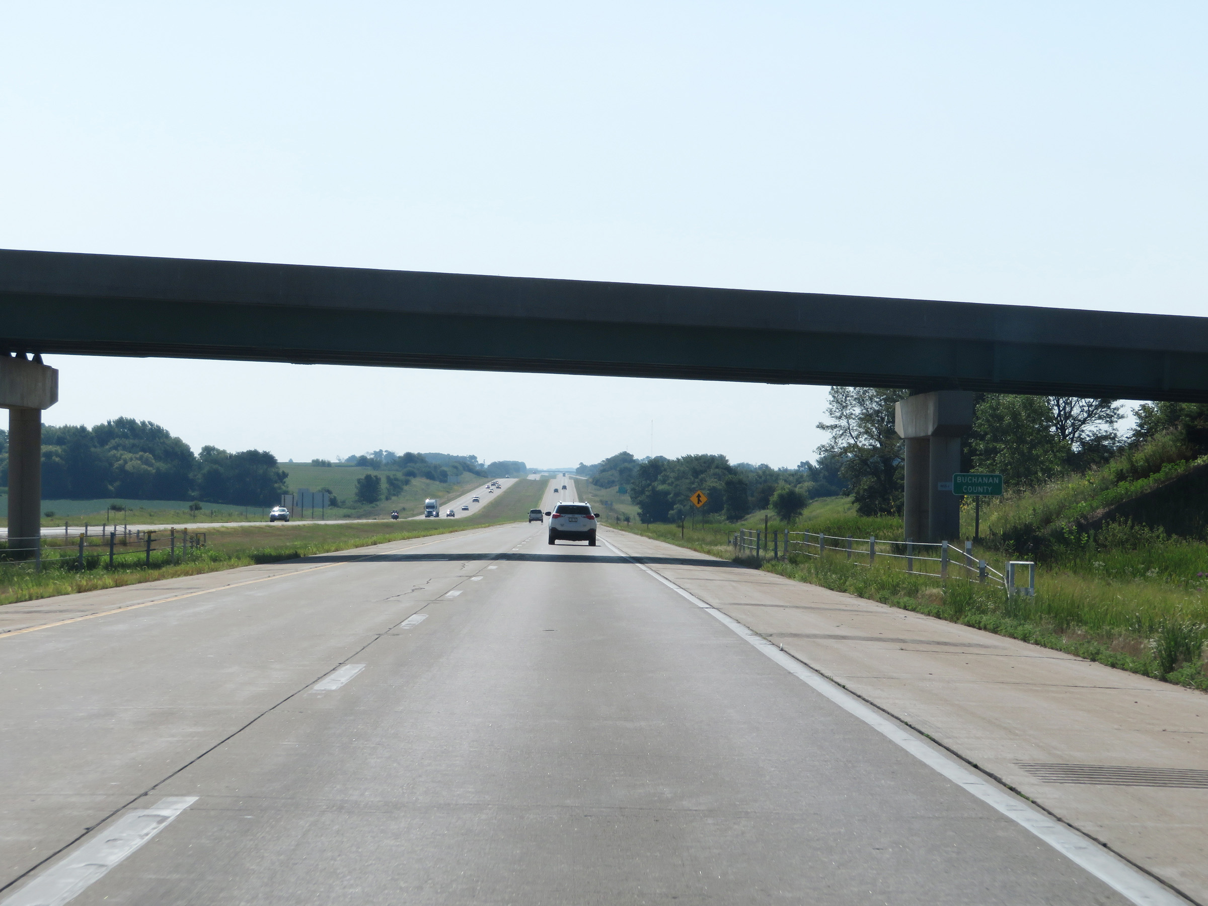 |
Interstate 380 South as it enters Buchanan County. (Photo taken 8/8/20). |
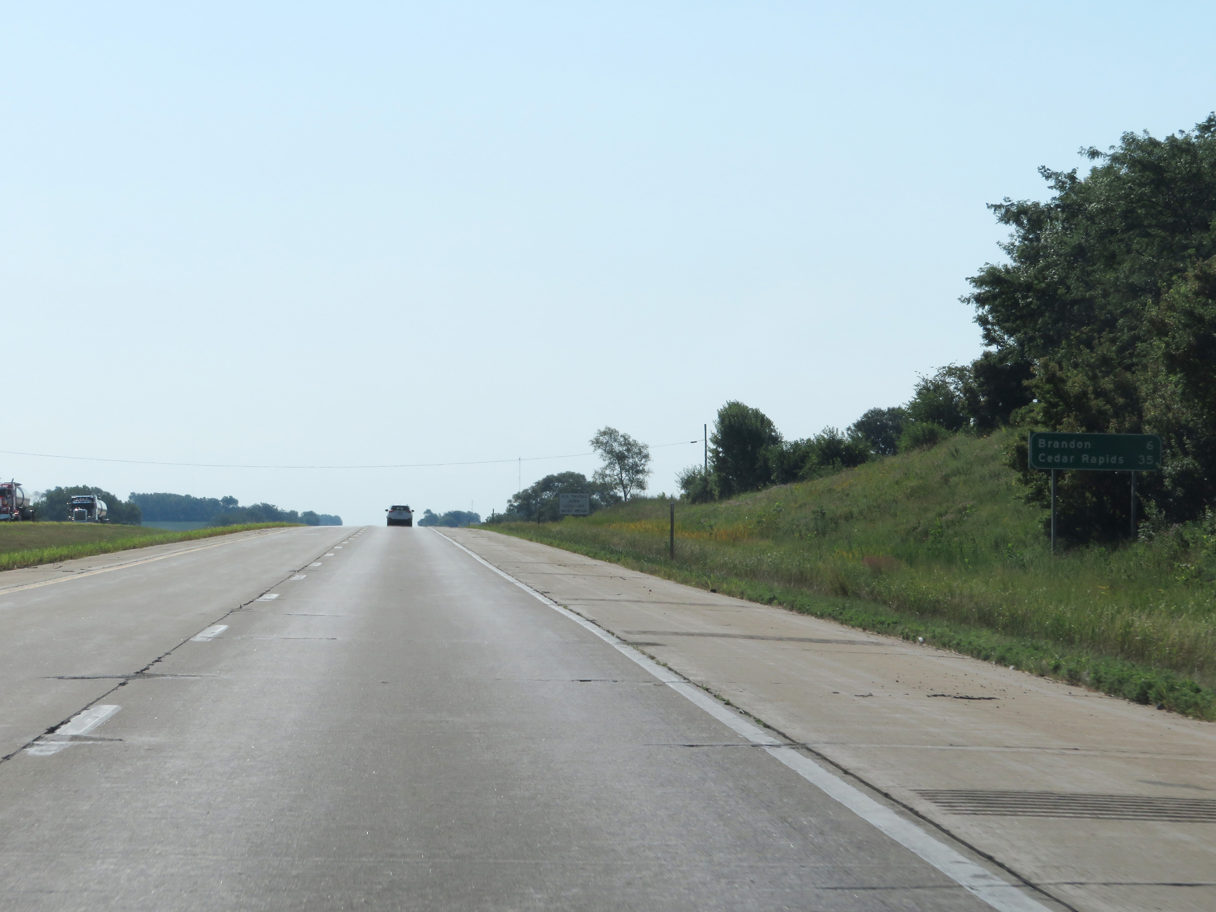 |
Another mileage sign on Interstate 380 South. It's 6 miles to Brandon and 35 miles to Cedar Rapids. (Photo taken 8/8/20). |
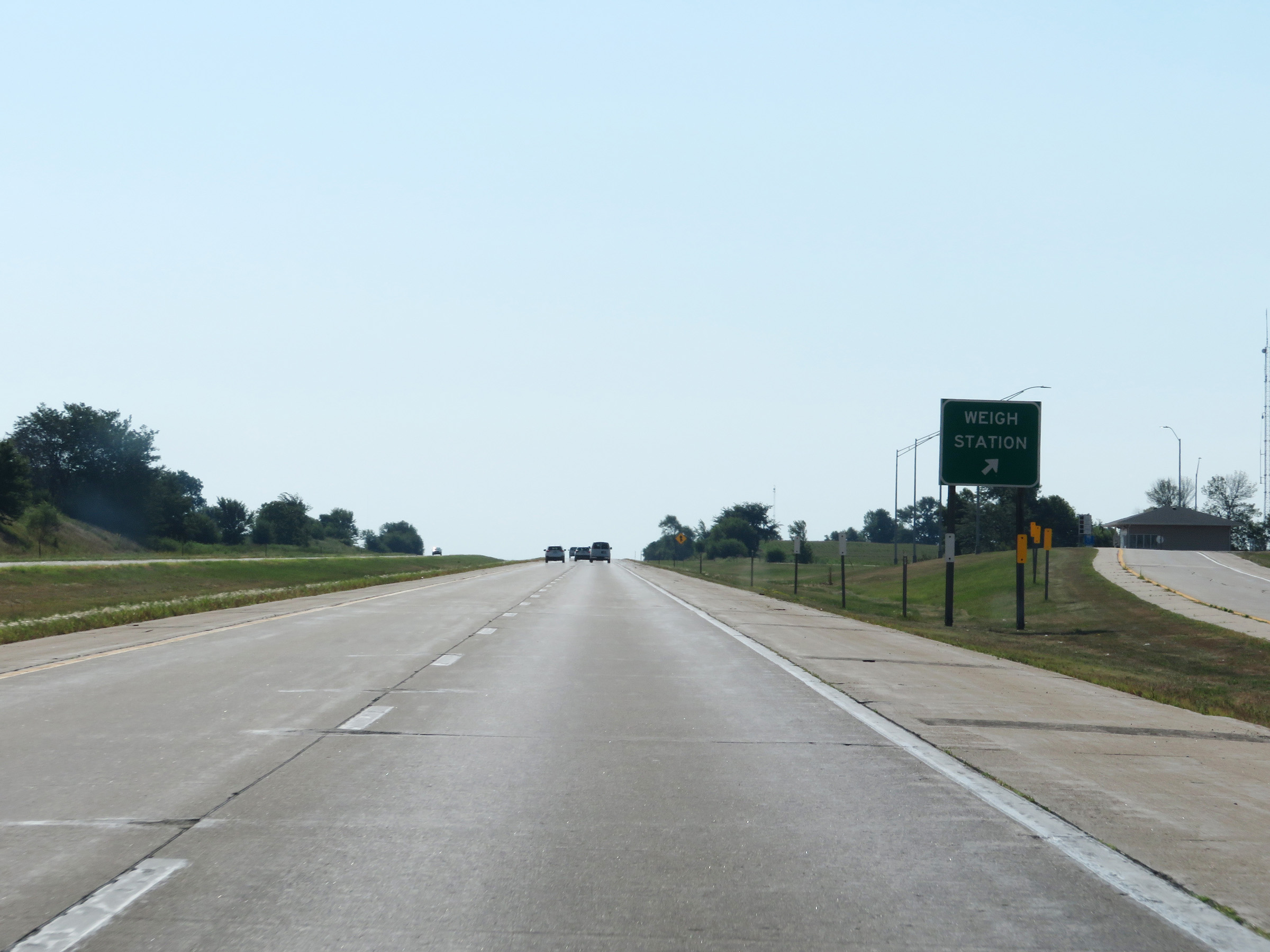 |
Weigh Station on Interstate 380 South in Buchanan County. (Photo taken 8/8/20). |
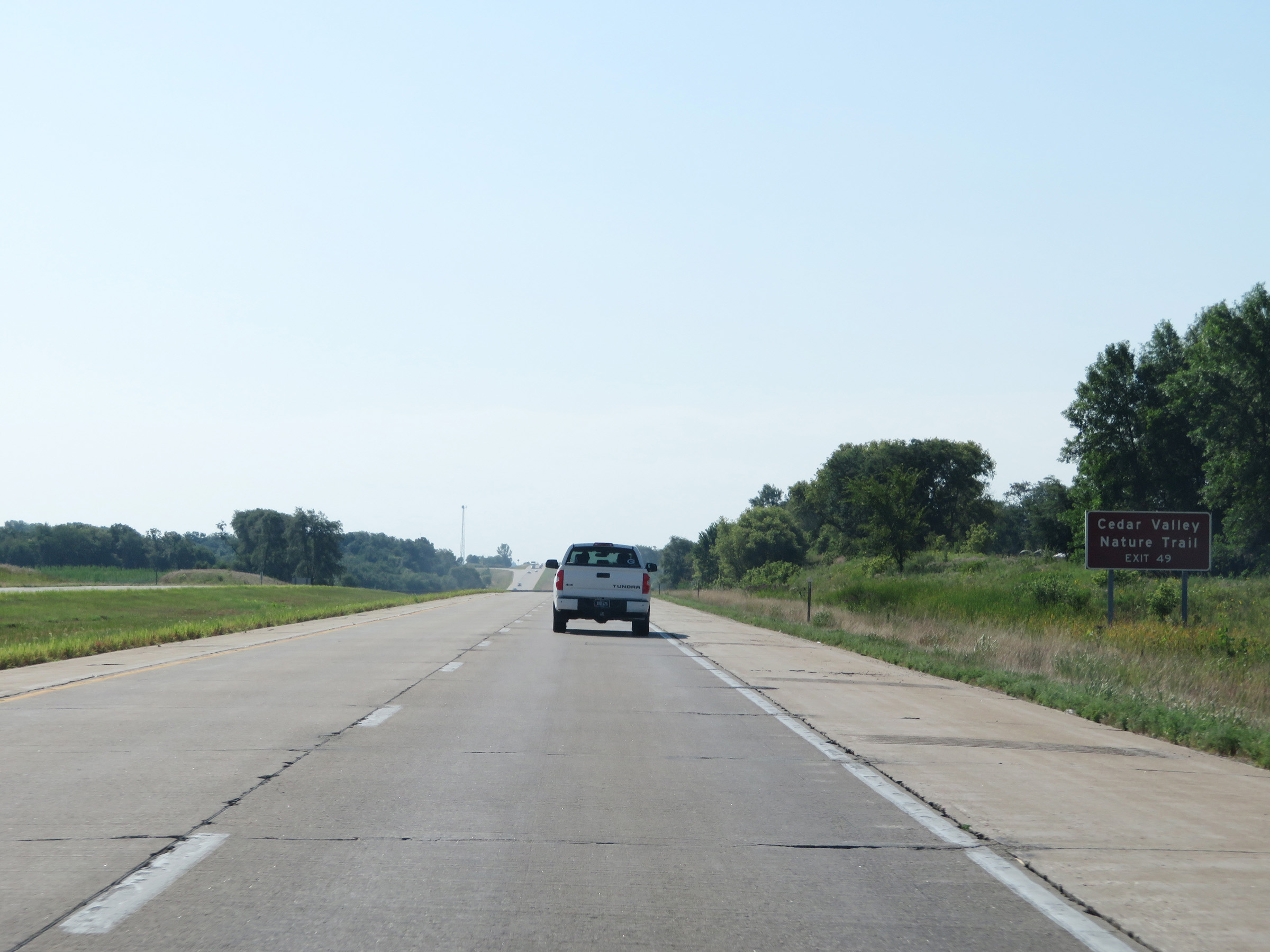 |
Take Exit 49 to Cedar Valley Nature Trail. (Photo taken 8/8/20). |
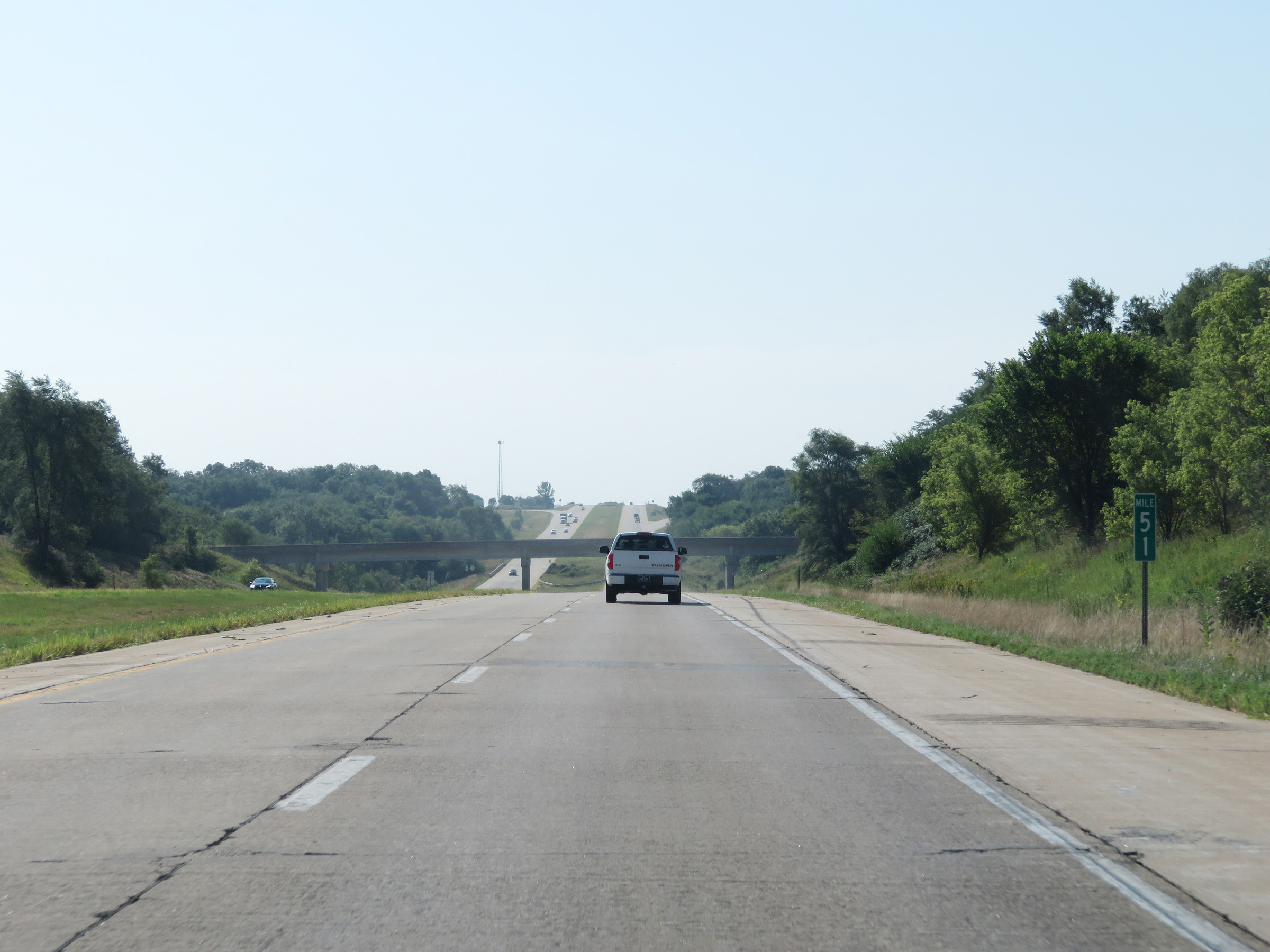 |
Interstate 380 South at mile marker 51. (Photo taken 8/8/20). |
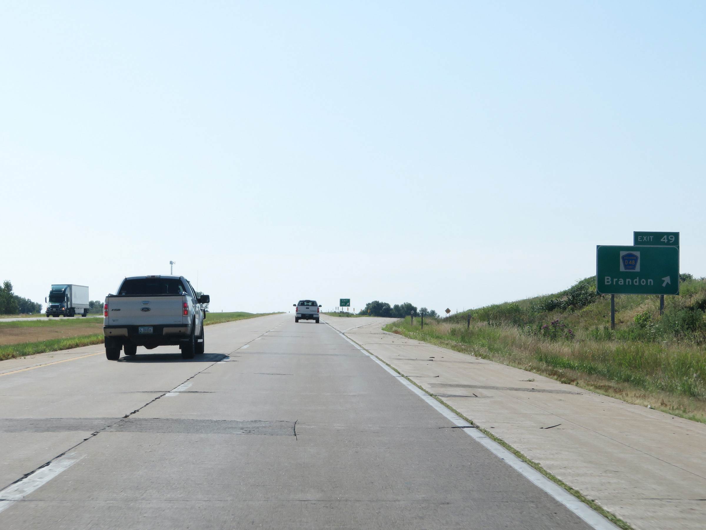 |
Interstate 380 South at Exit 49: CR D48 - Brandon (Photo taken 8/8/20). |
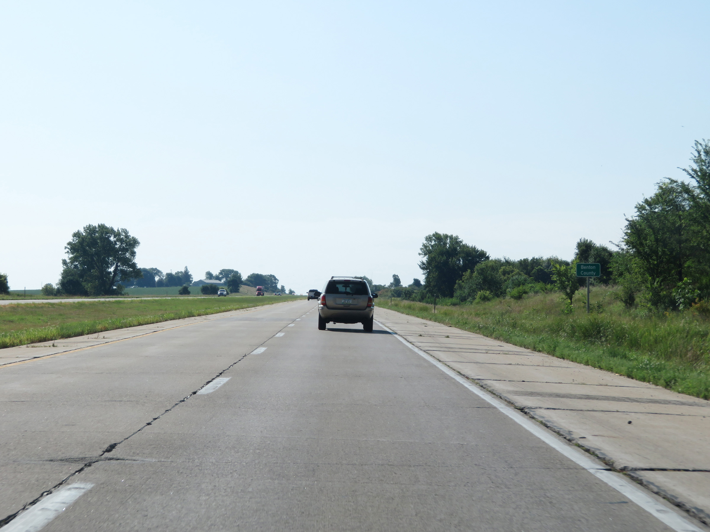 |
Interstate 380 South as it enters Benton County. (Photo taken 8/8/20). |
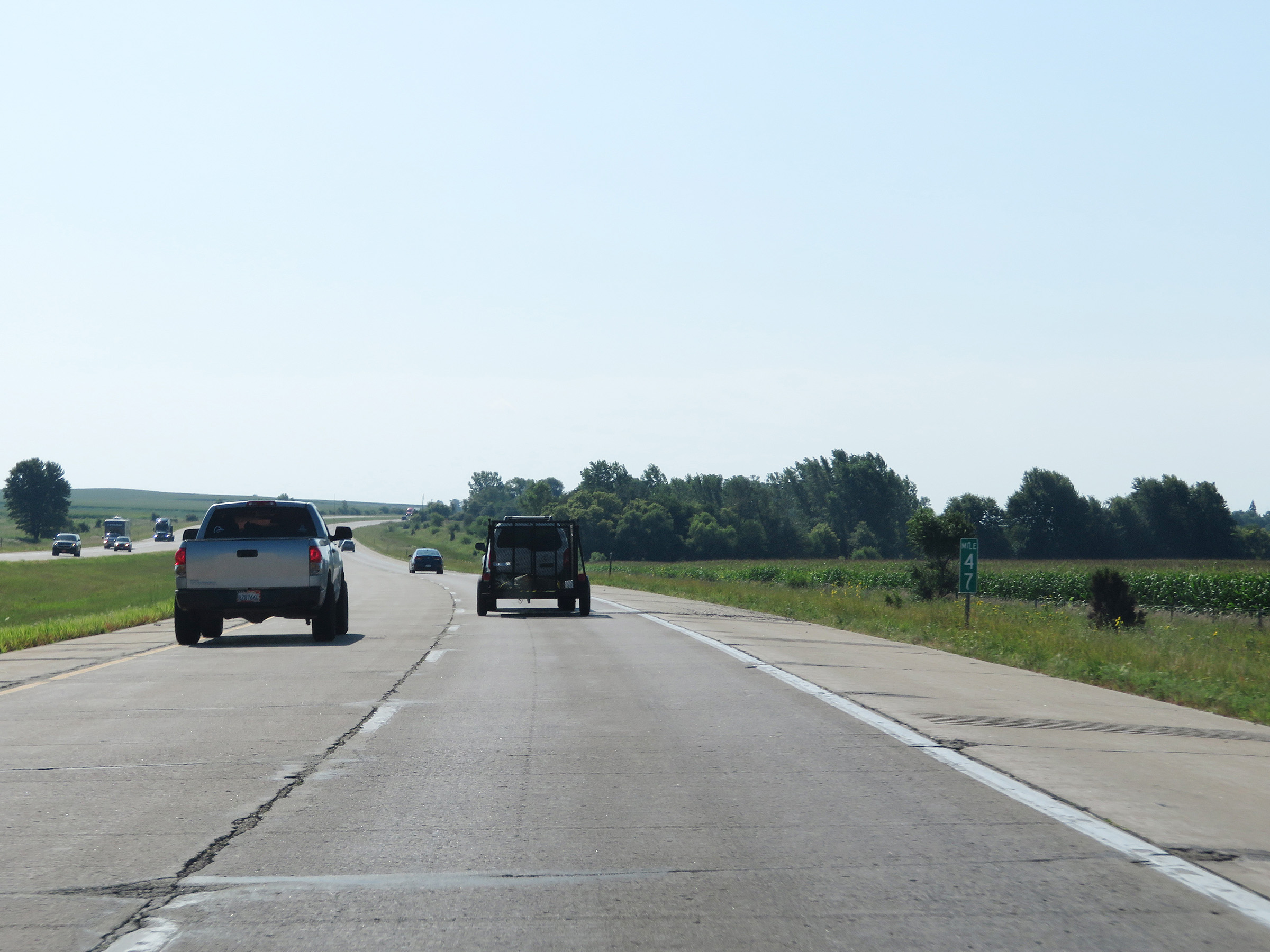 |
Interstate 380 South at mile marker 47. (Photo taken 8/8/20). |
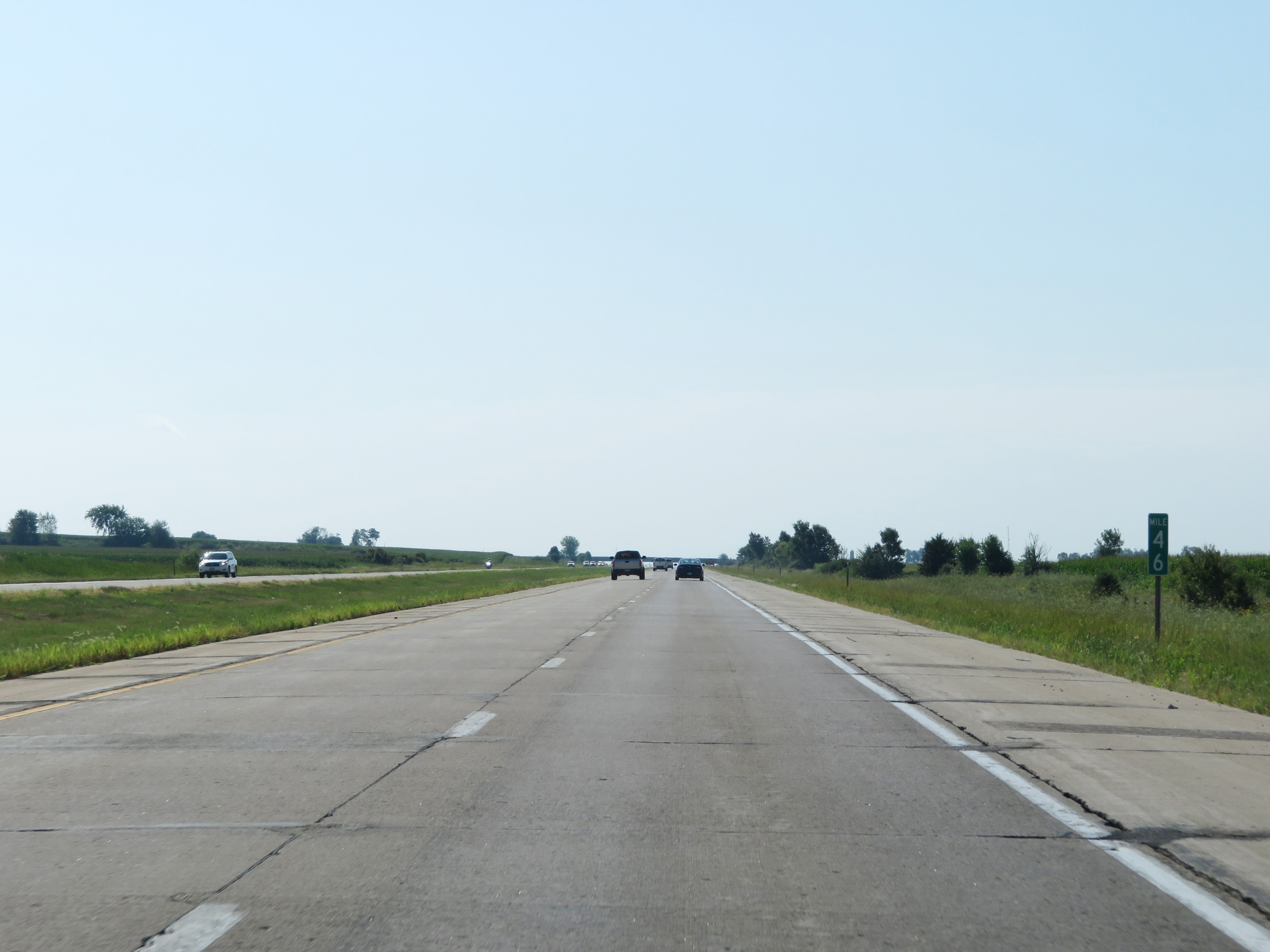 |
View on Interstate 380 South at mile marker 46. (Photo taken 8/8/20). |
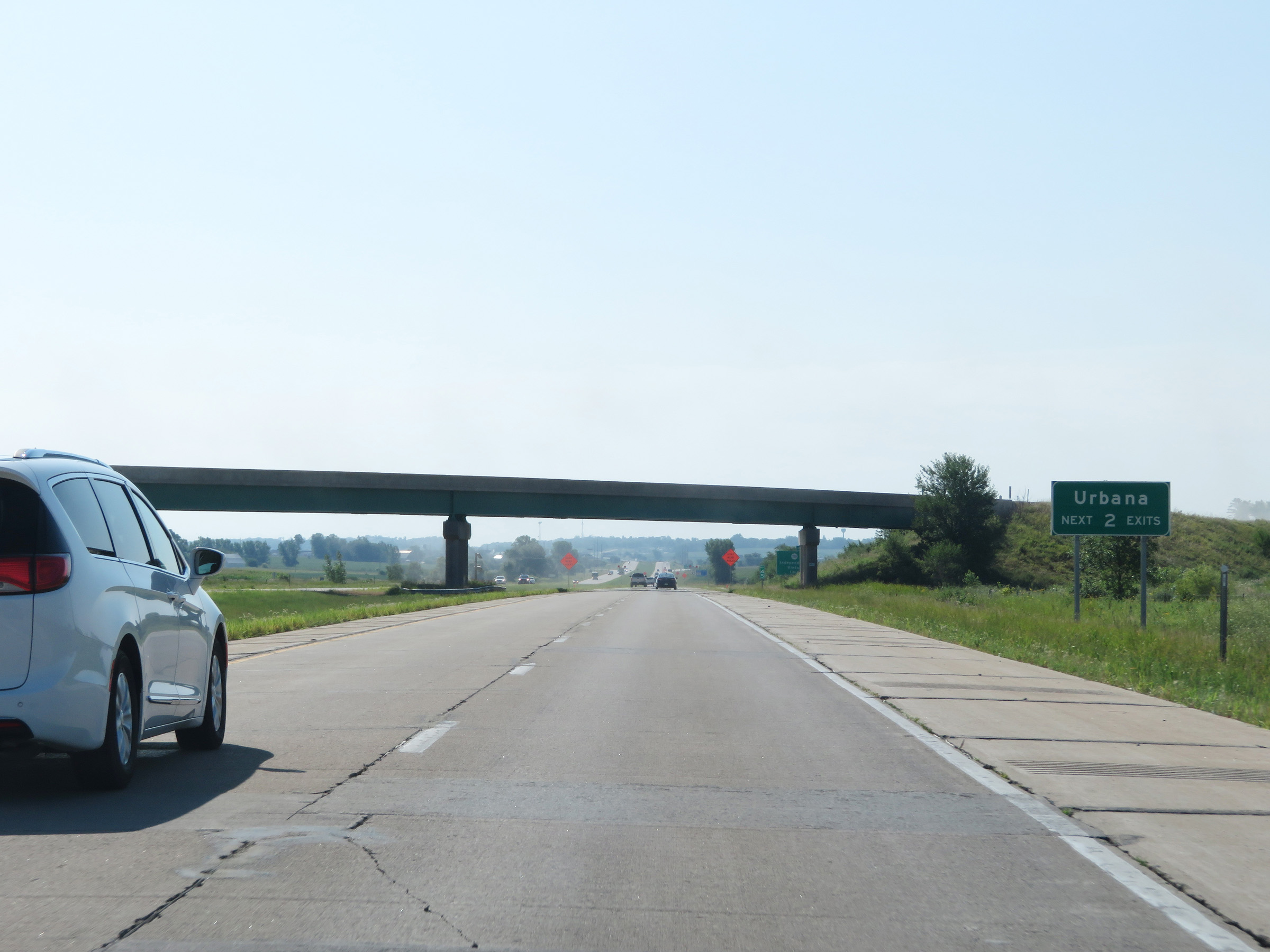 |
Take either of the next 2 exits to Urbana. (Photo taken 8/8/20). |
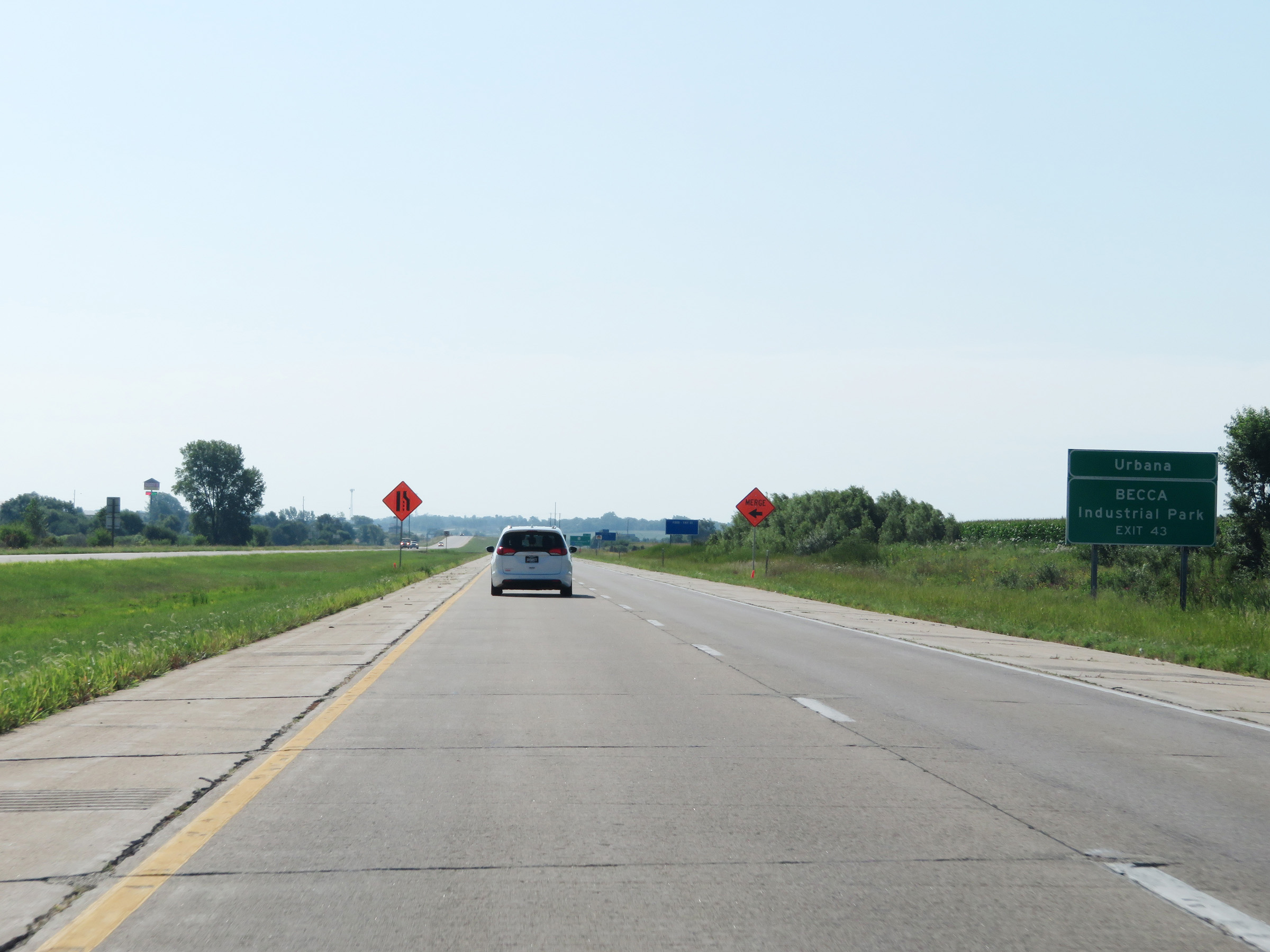 |
Take Exit 43 to Urbana and BECCA Industrial Park. (Photo taken 8/8/20). |
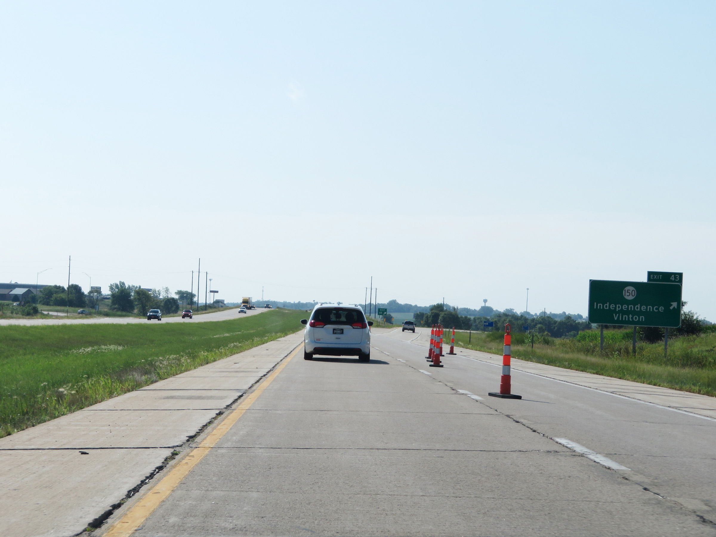 |
Interstate 380 South at Exit 43: IA 150 - Independence / Vinton (Photo taken 8/8/20). |
 |
State-named Interstate 380 South reassurance shield at mile marker 43. (Photo taken 8/8/20). |
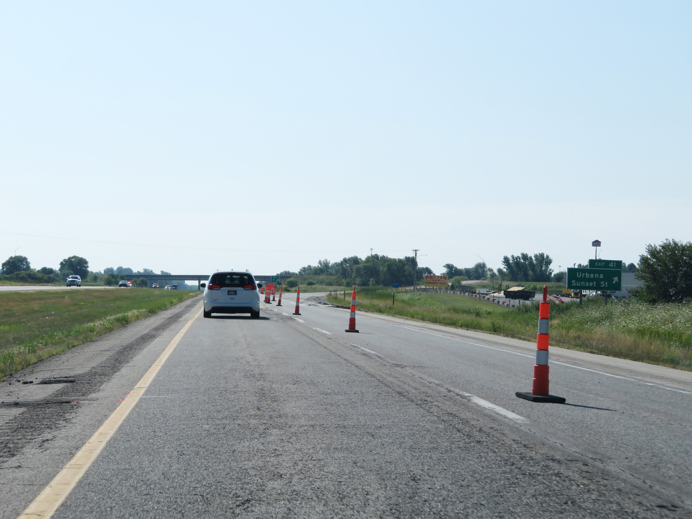 |
Interstate 380 South at Exit 41: Urbana / Sunset St (Photo taken 8/8/20). |
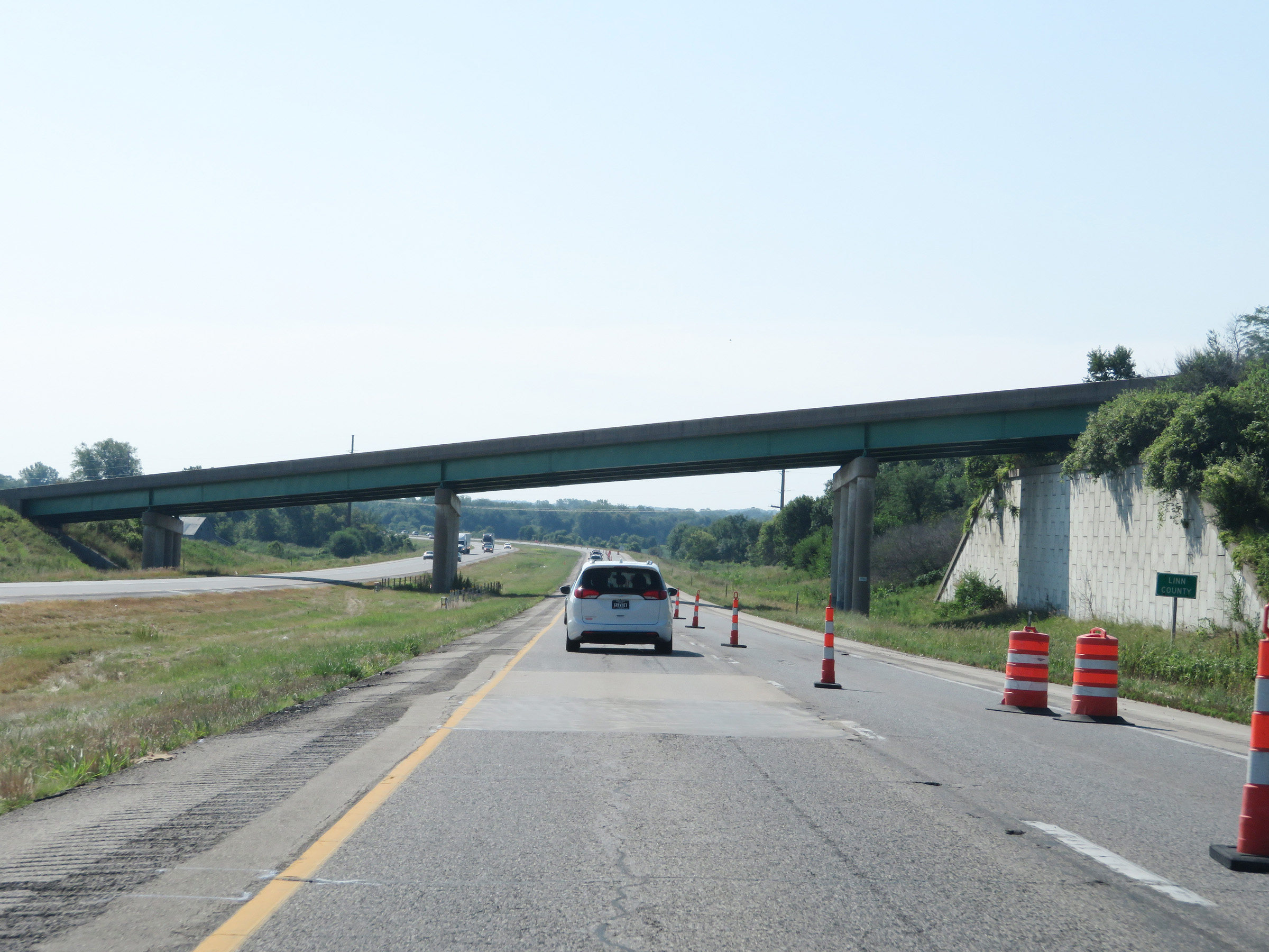 |
South of Exit 41, Interstate 380 South enters Linn County. (Photo taken 8/8/20). |
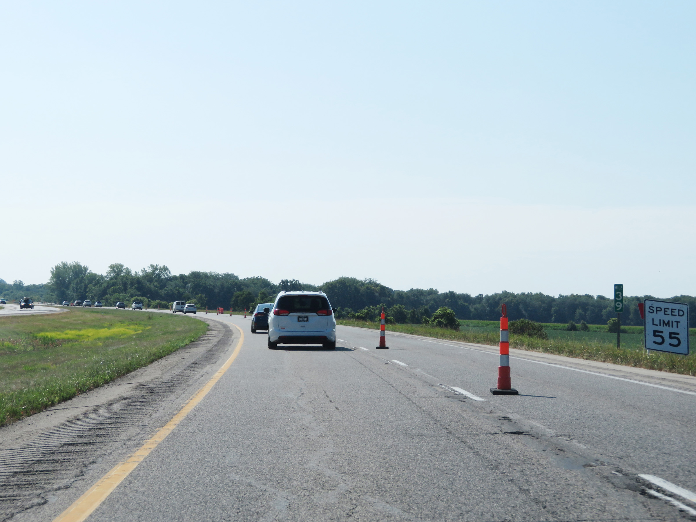 |
Interstate 380 South at mile marker 39. (Photo taken 8/8/20). |
 |
Mile marker 38 on Interstate 380 South in Linn County. (Photo taken 8/8/20). |
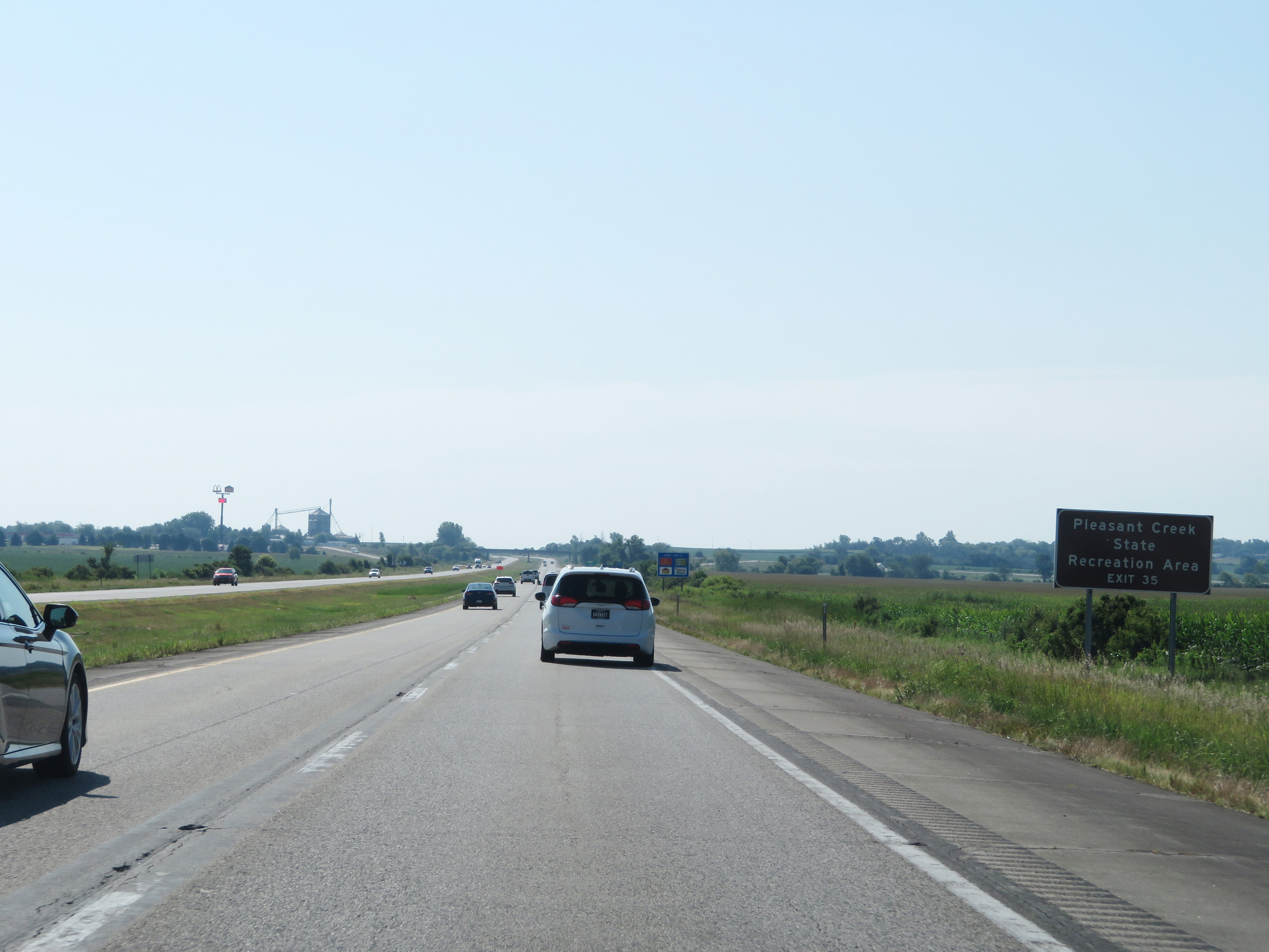 |
Take Exit 35 to Pleasant Creek State Recreation Area. (Photo taken 8/8/20). |
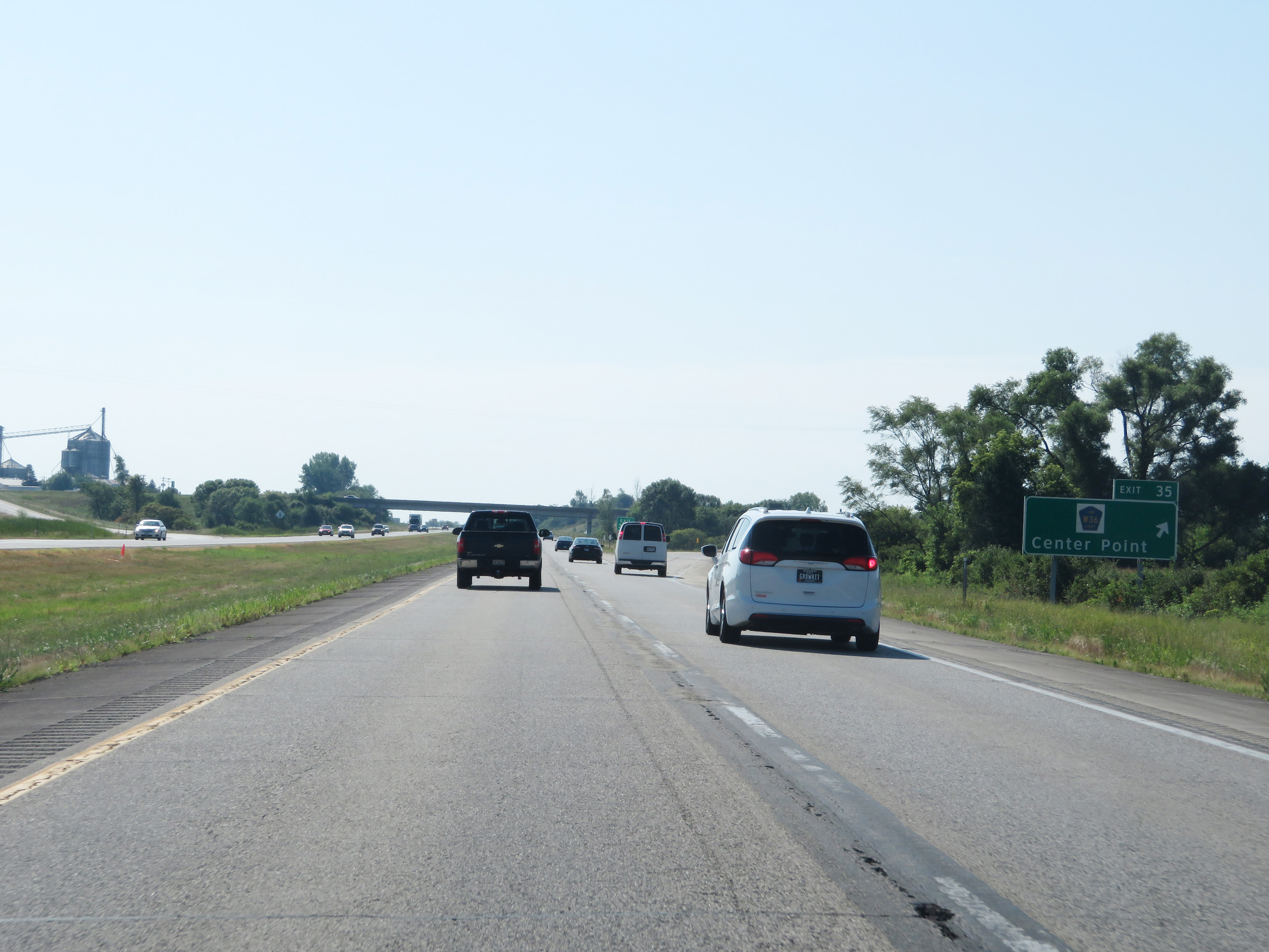 |
Interstate 380 South at Exit 35: CR W36 - Center Point (Photo taken 8/8/20). |
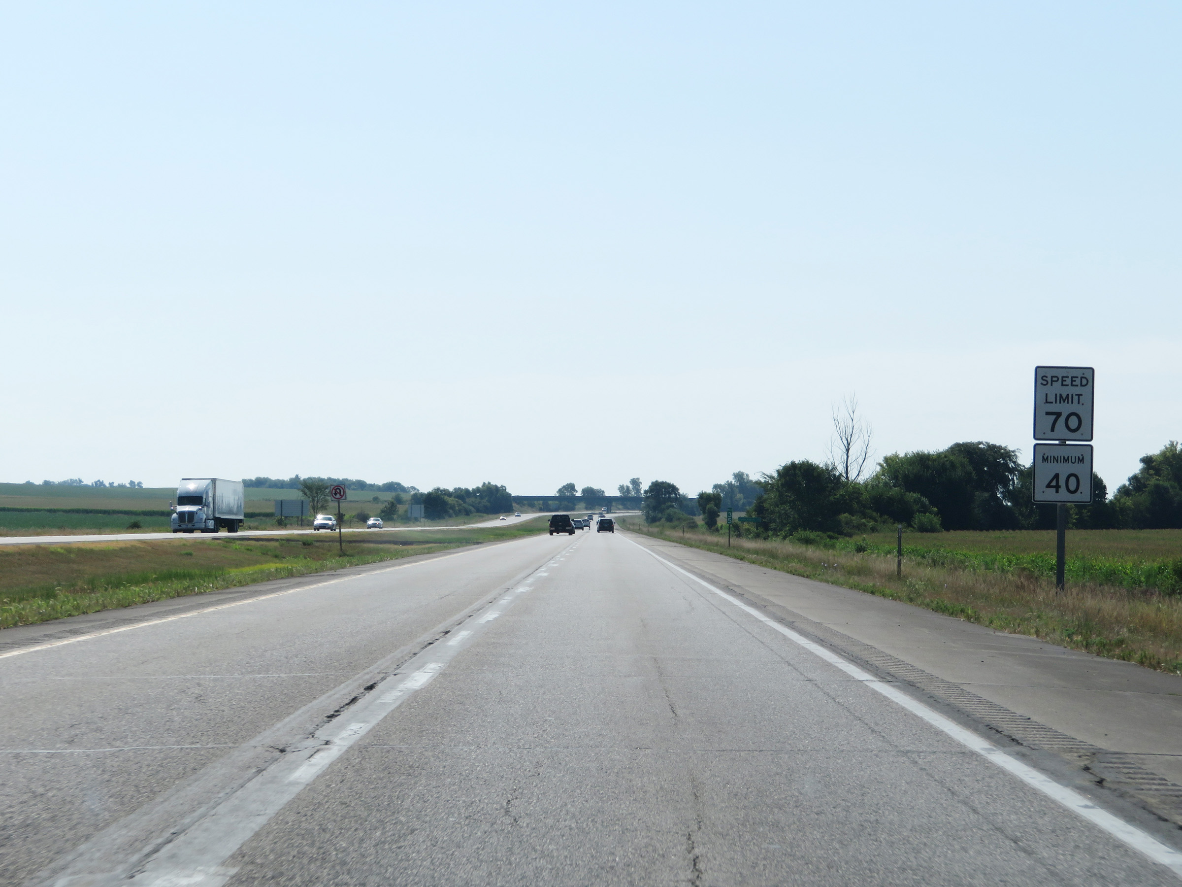 |
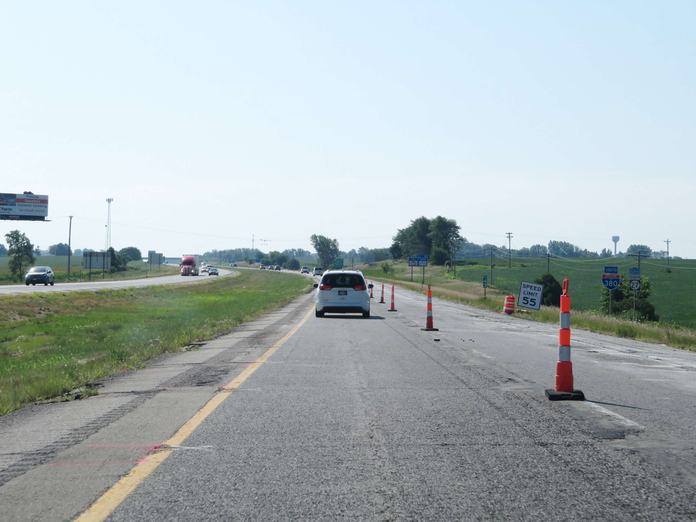
Speed limit signage at mile marker 35. The speed limits remain the rural standard 70 mph maximum and 40 mph minimum. (Photo taken 8/8/20). |
 |
View on Interstate 380 South at mile marker 34. (Photo taken 8/8/20). |
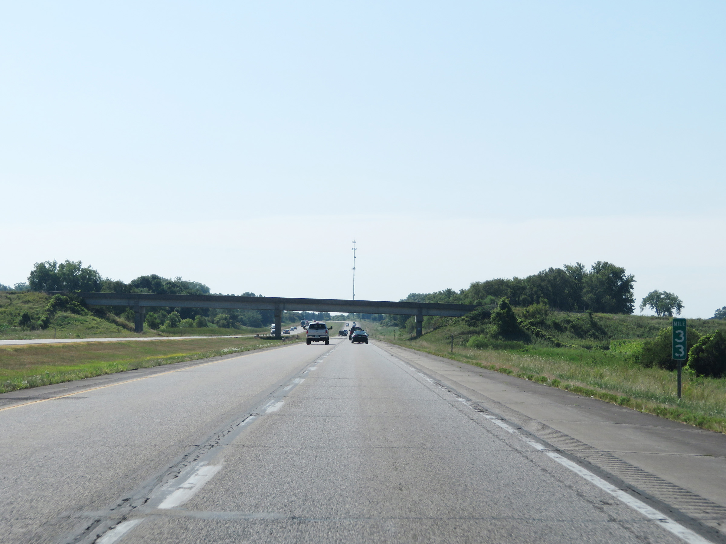 |
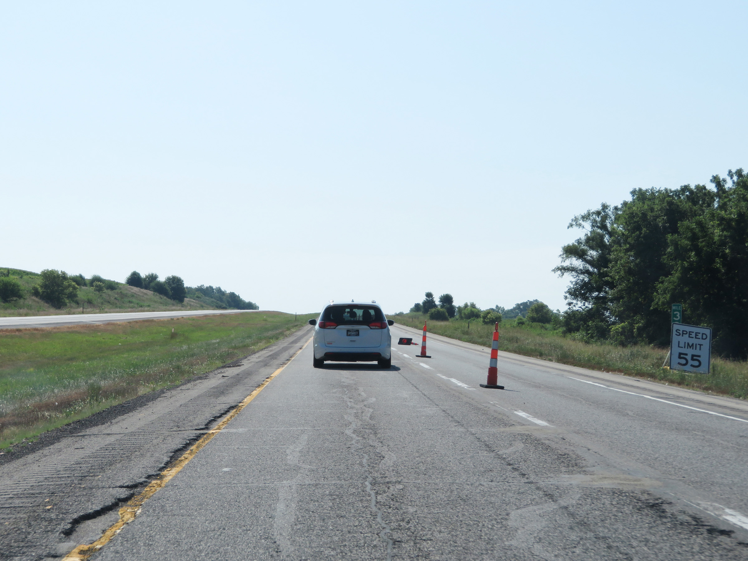
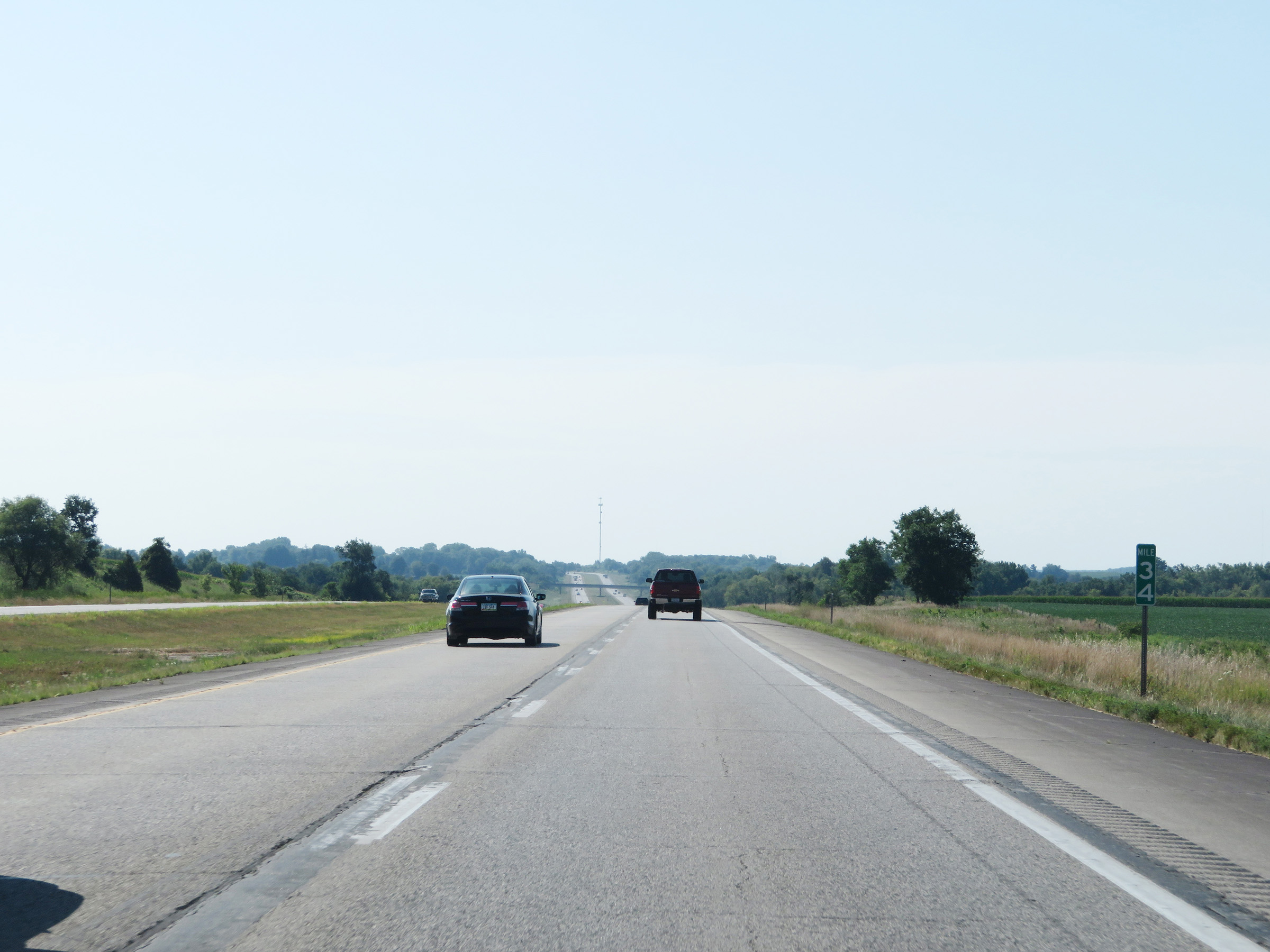
Mile marker 33 on Interstate 380 South in Linn County. (Photo taken 8/8/20). |
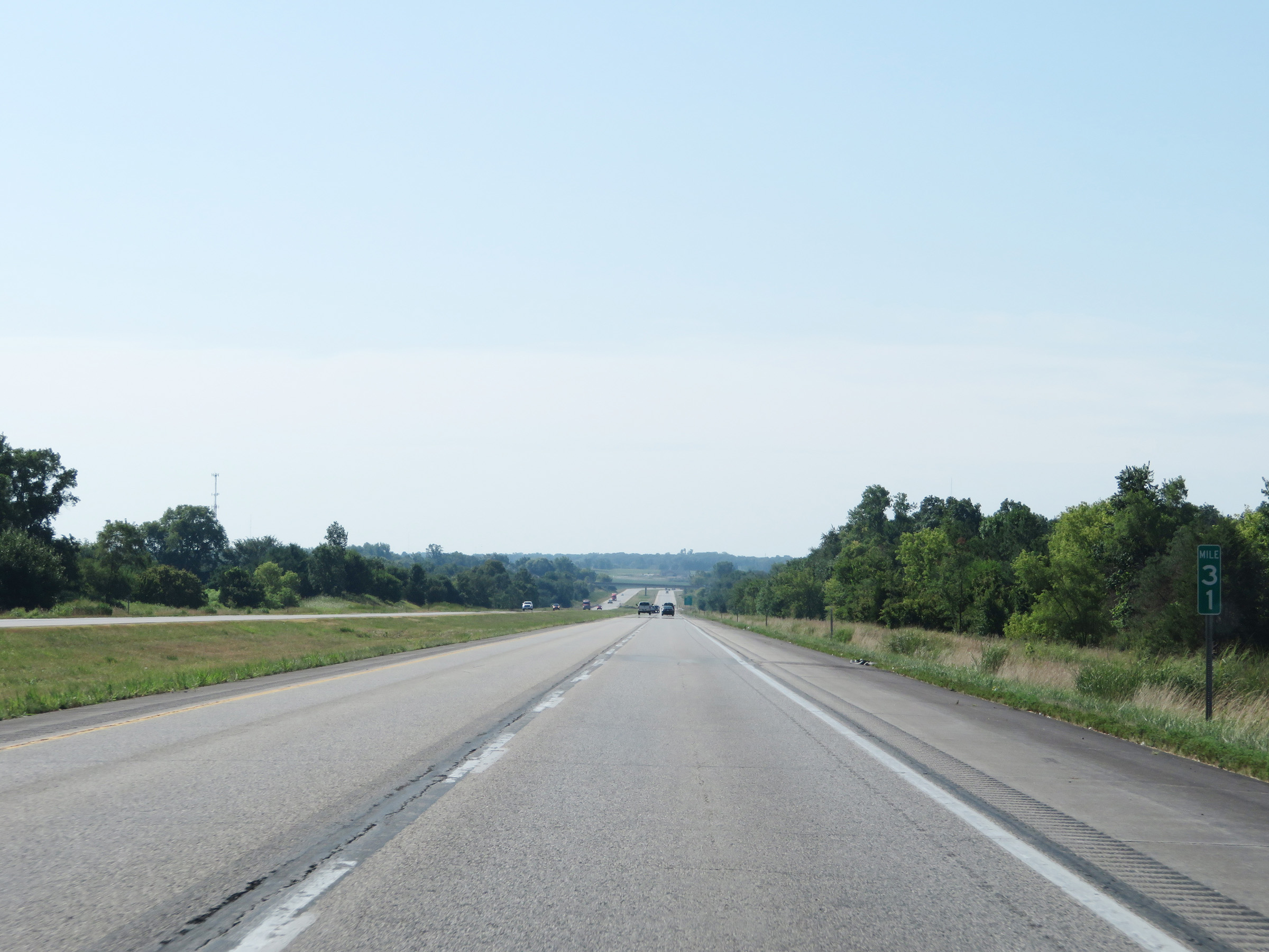 |
Interstate 380 South at mile marker 31. (Photo taken 8/8/20). |
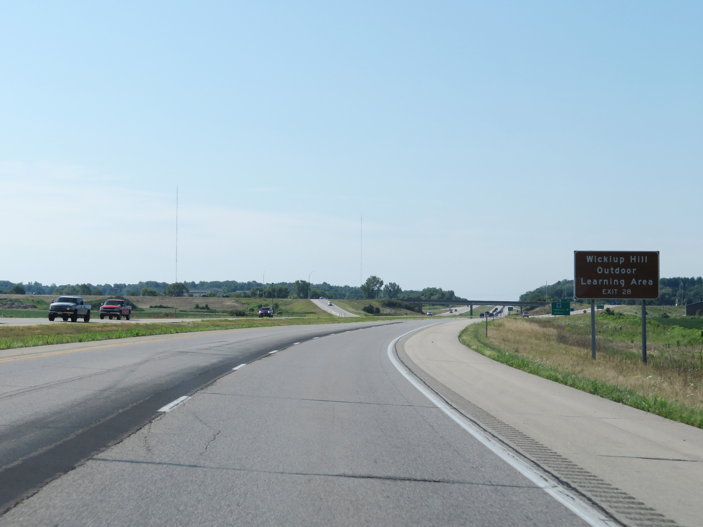 |
Take Exit 28 to Wickiup Hill Outdoor Learning Area. (Photo taken 8/8/20). |
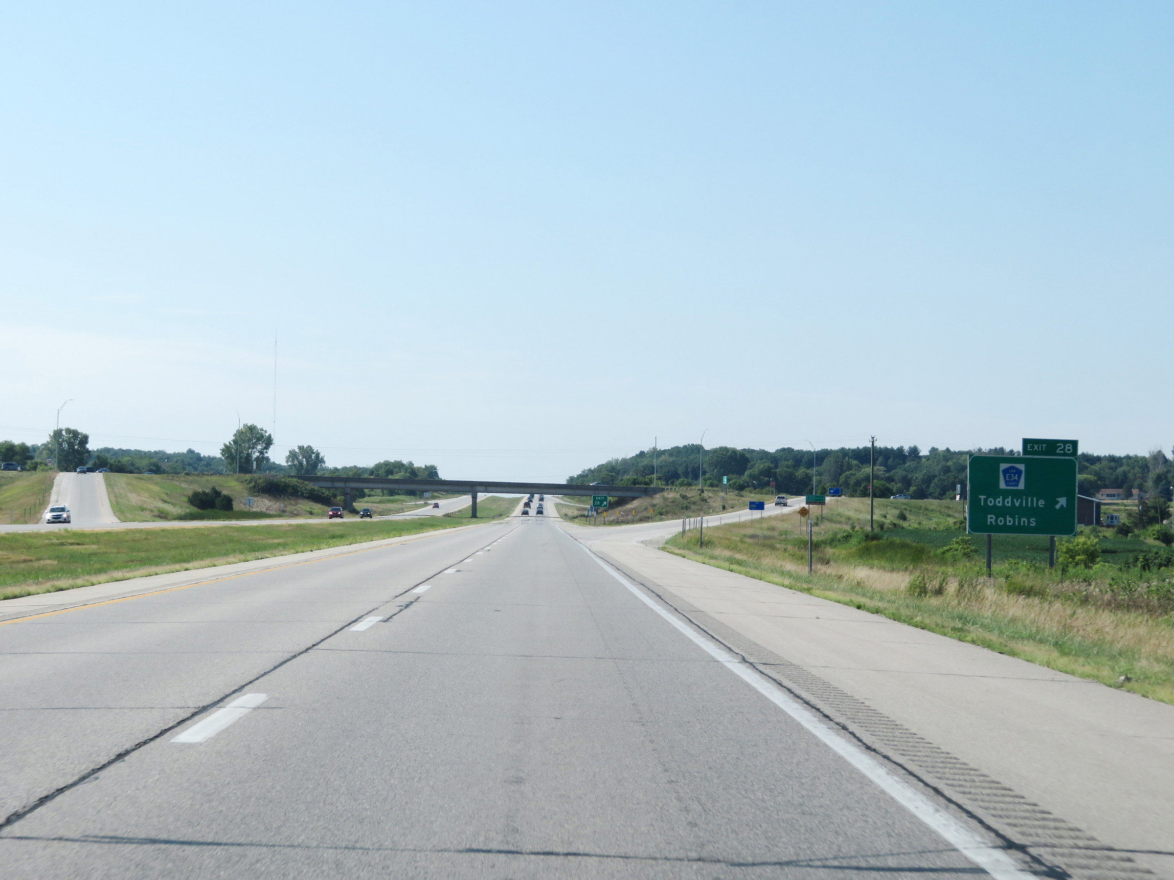 |
Interstate 380 South at Exit 28: CR E34 - Toddville / Robins (Photo taken 8/8/20). |
 |
Another state-named Interstate 380 South reassurance shield. (Photo taken 8/8/20). |
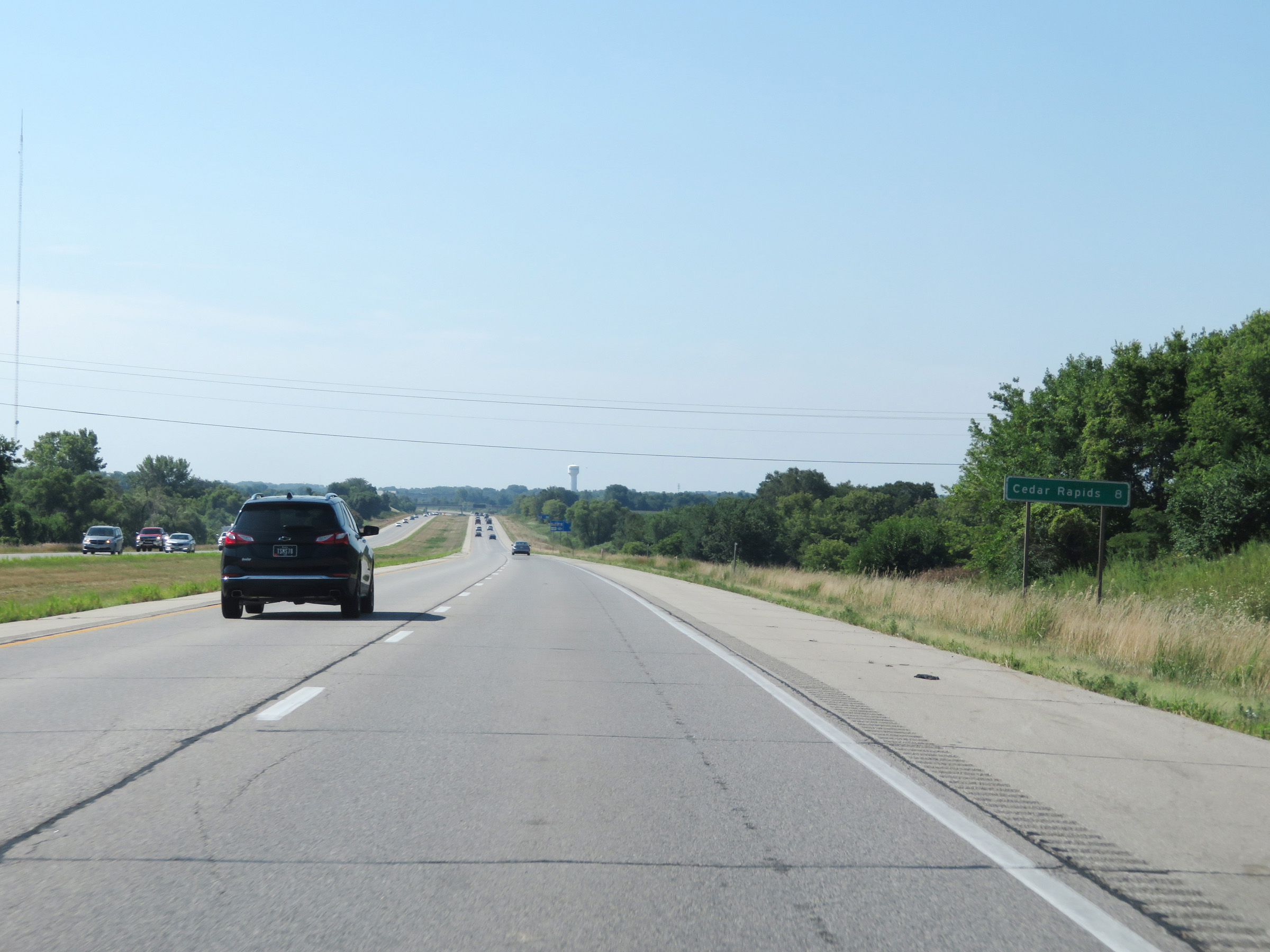 |
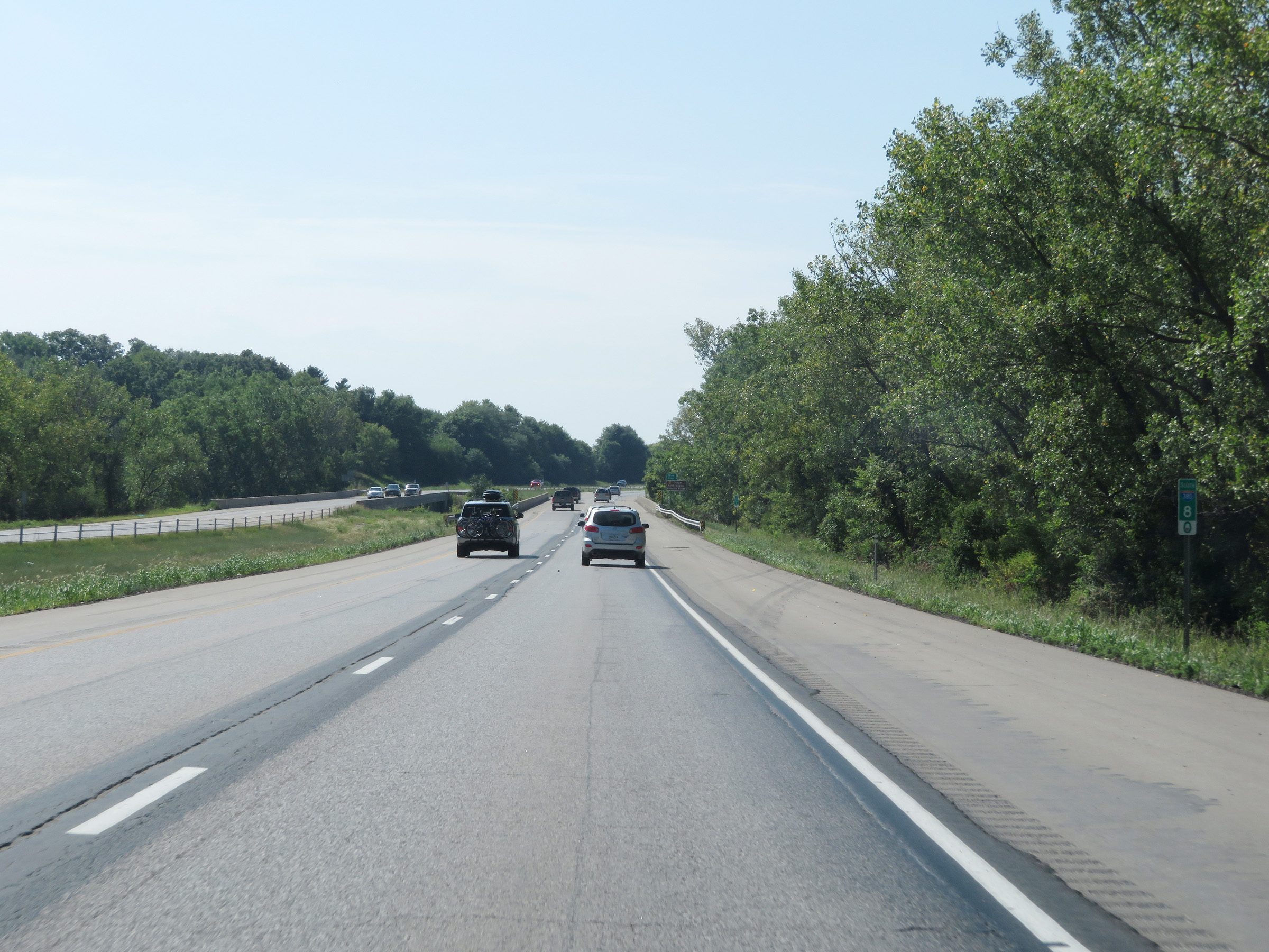
Cedar Rapids is now just 8 miles ahead. (Photo taken 8/8/20). |
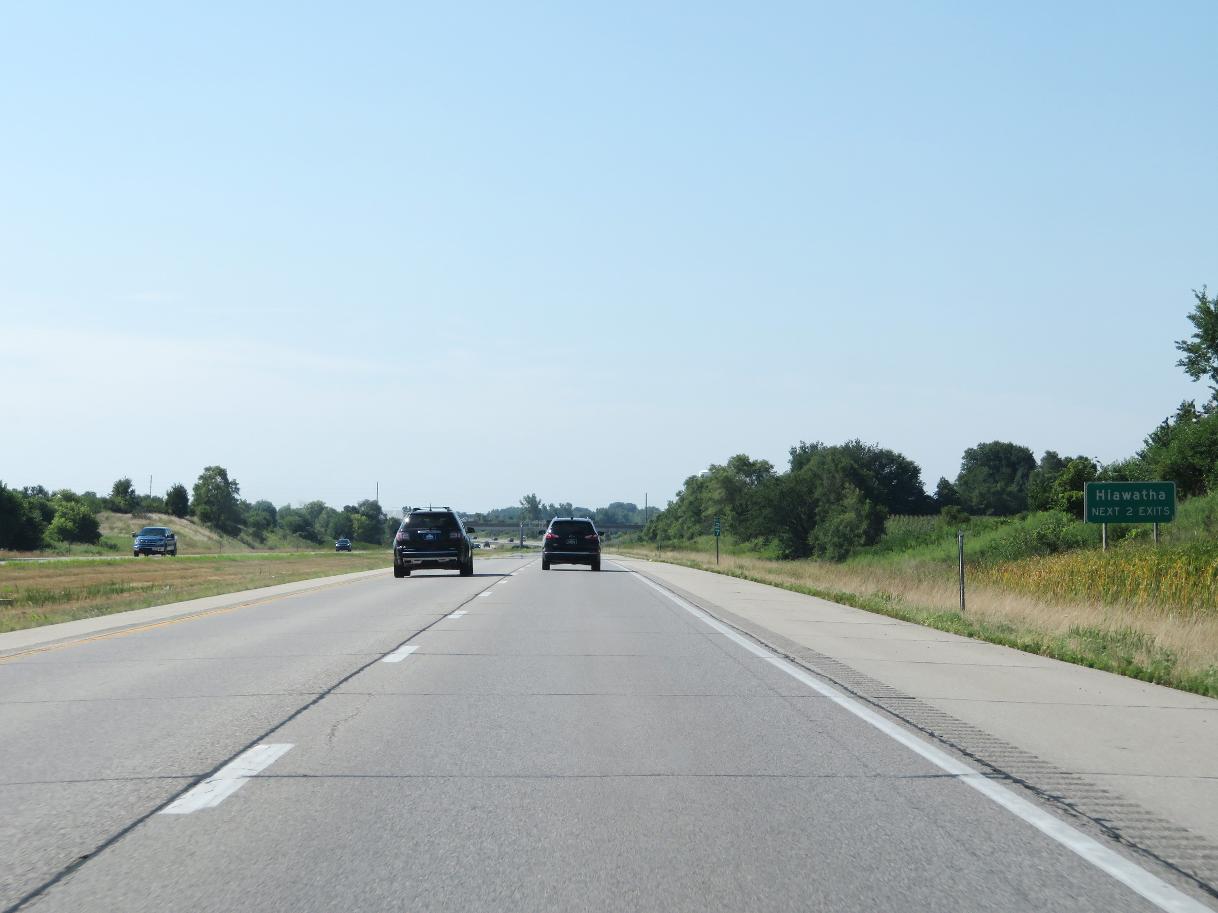 |
Take either of the next 2 exits to Hiawatha. (Photo taken 8/8/20). |
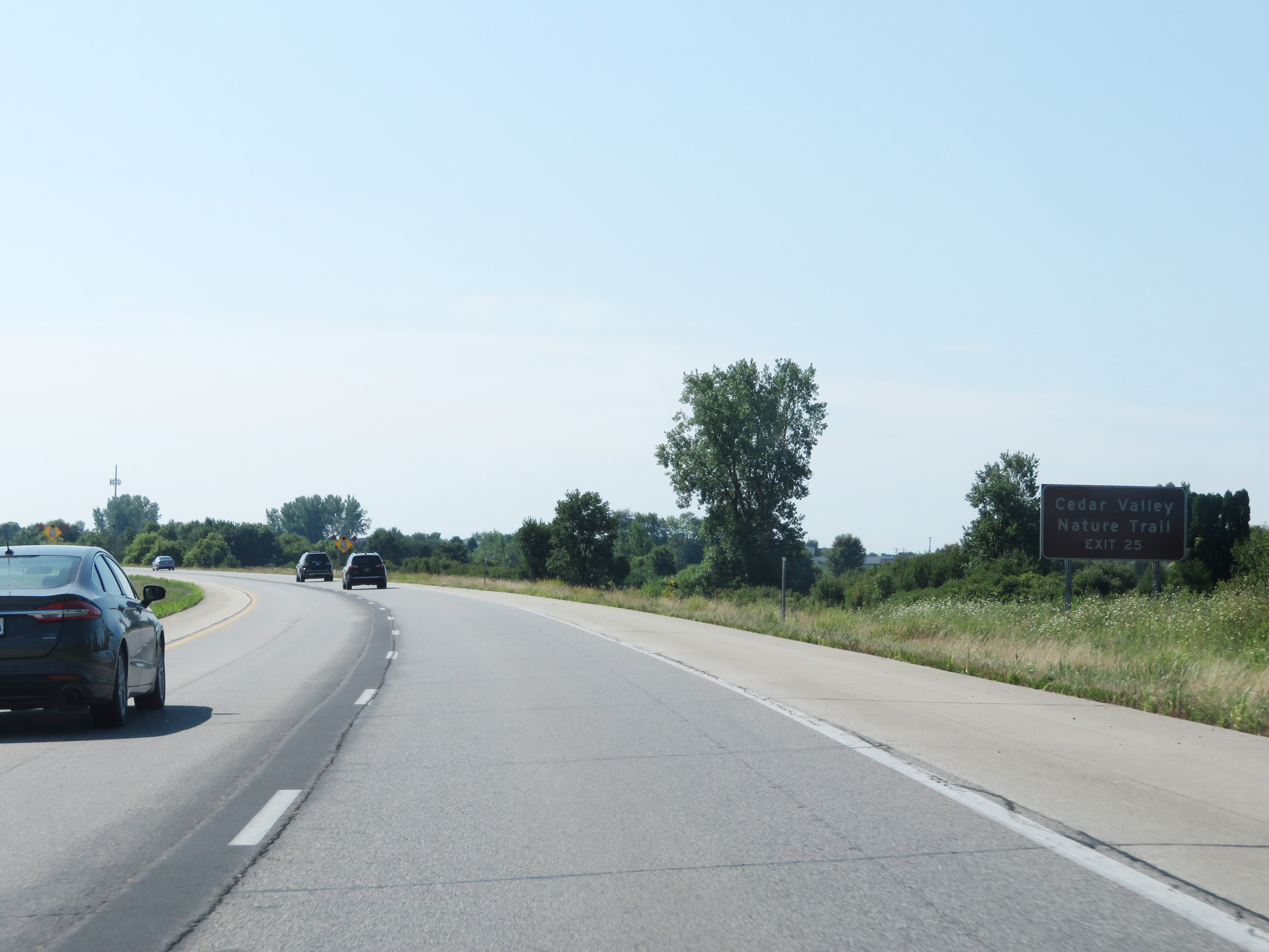 |
Take Exit 25 to Cedar Valley Nature Trail. (Photo taken 8/8/20). |
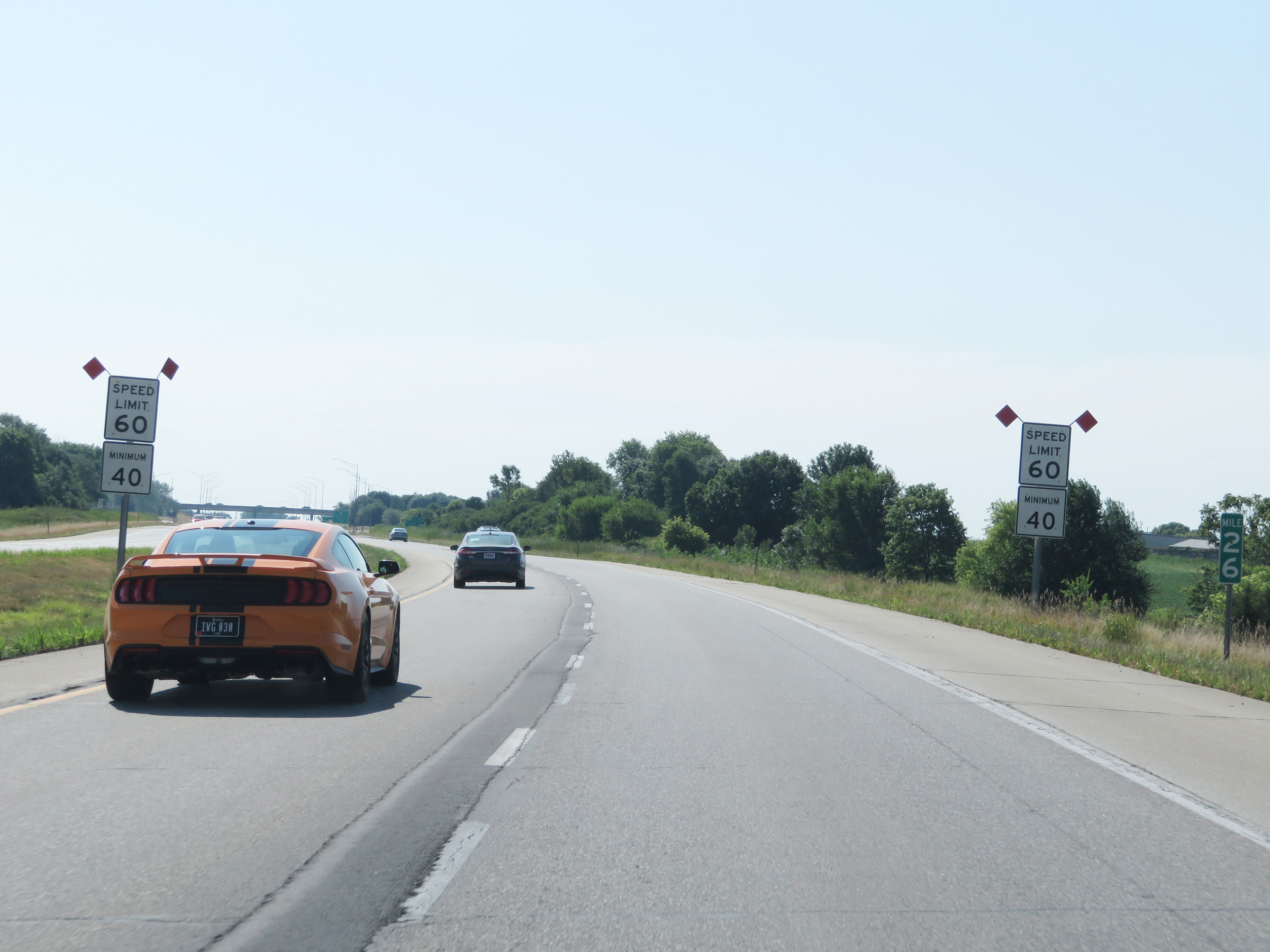 |
At mile marker 26, the maximum speed limit on Interstate 380 South decreases to 60 mph. The minimum speed limit remains 40 mph. (Photo taken 8/8/20). |
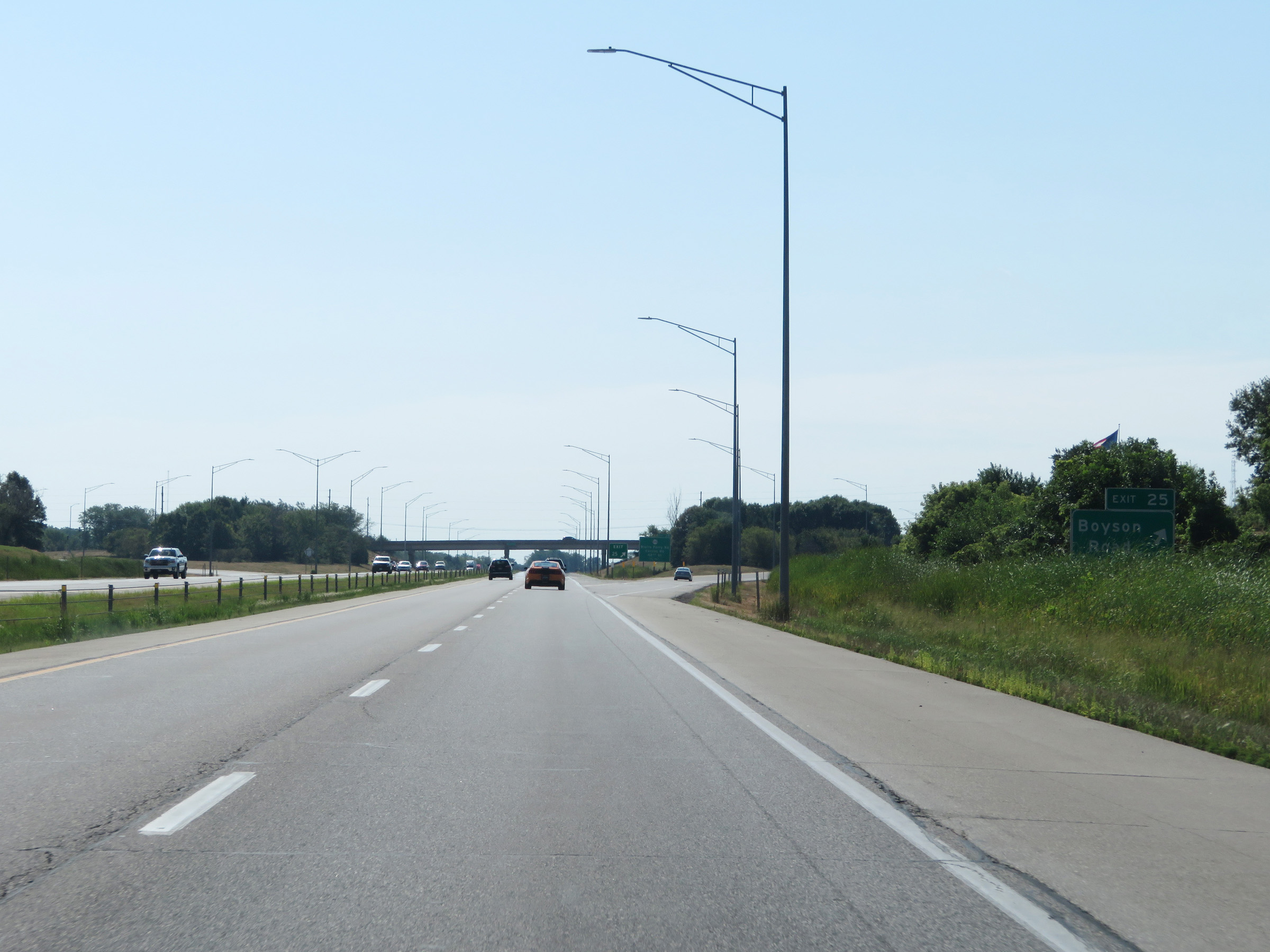 |
Interstate 380 South at Exit 25: Boyson Road (Photo taken 8/8/20). |
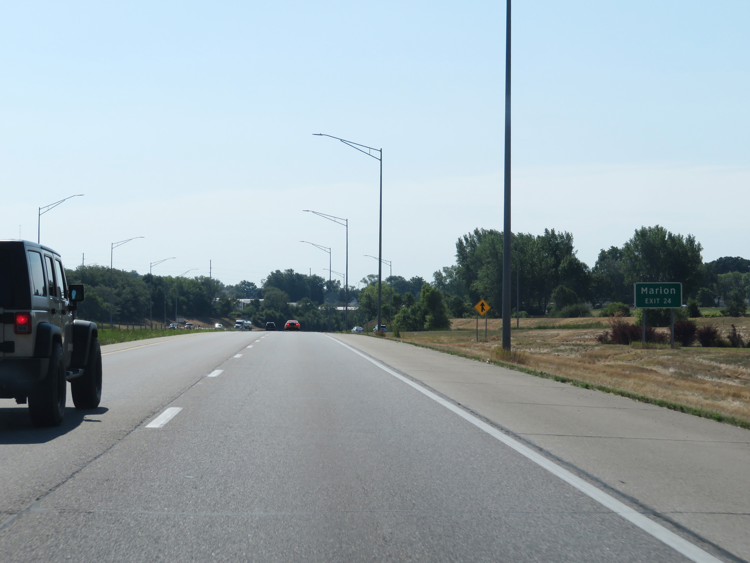 |
Take Exit 24 to Marion. (Photo taken 8/8/20). |
 |
Interstate 380 South at Exit 24: IA 100 - Blairs Ferry Rd / Collins Rd / 42nd St (Photo taken 8/8/20). |
 |
Overhead mileage sign listing the distances to the next three exits on Interstate 380 South as it enters the Cedar Rapids city limits. (Photo taken 8/8/20). |
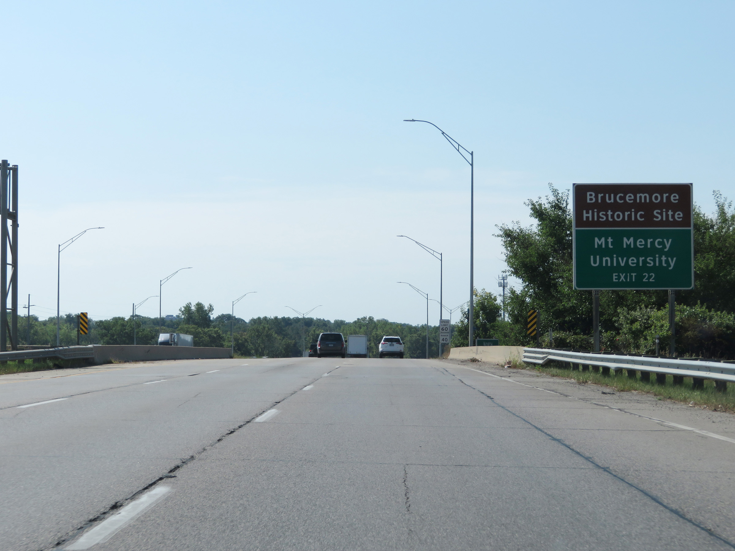 |
Take Exit 22 to the Brucemore Historic Site and Mt. Mercy University. (Photo taken 8/8/20). |
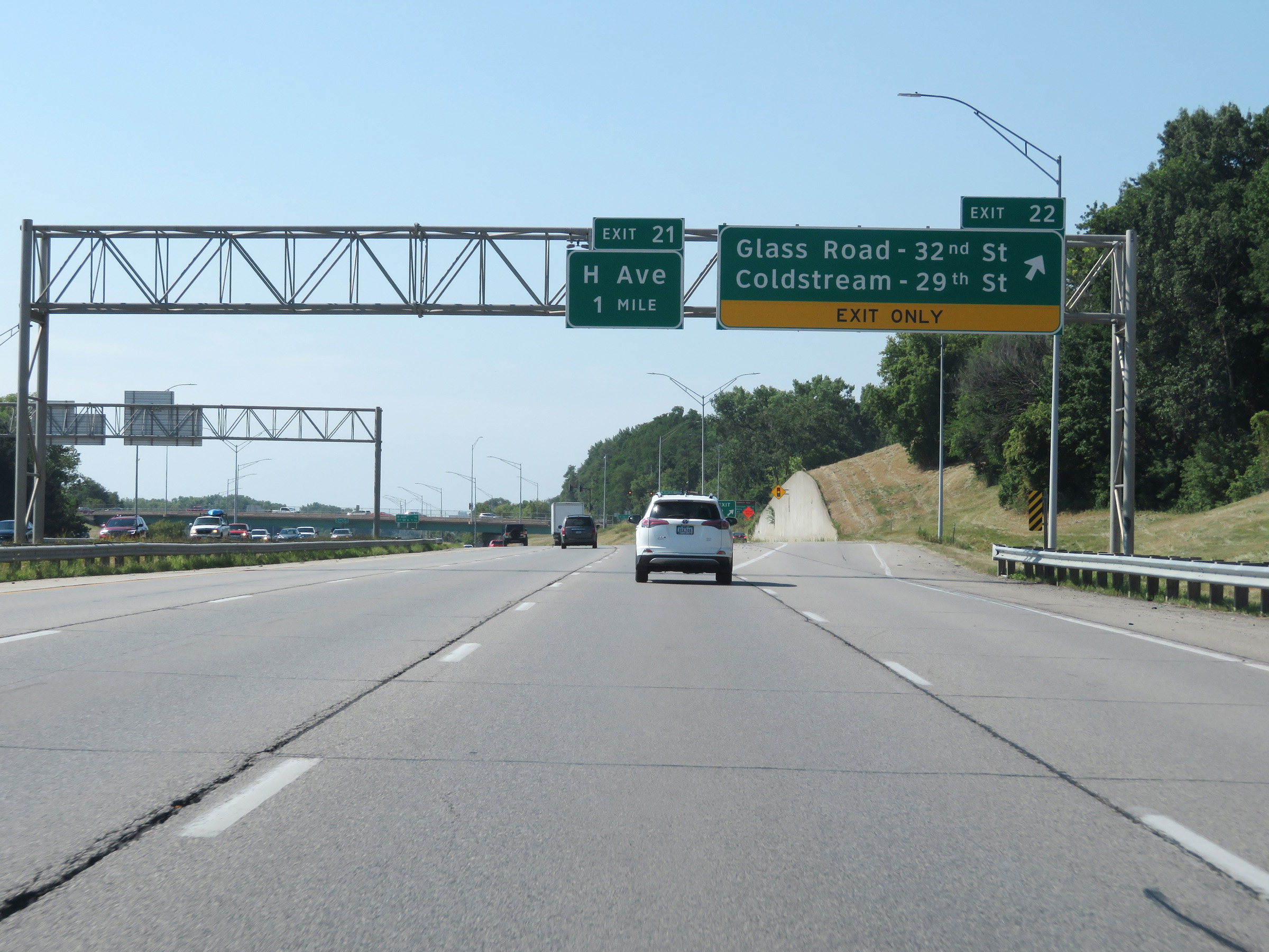 |
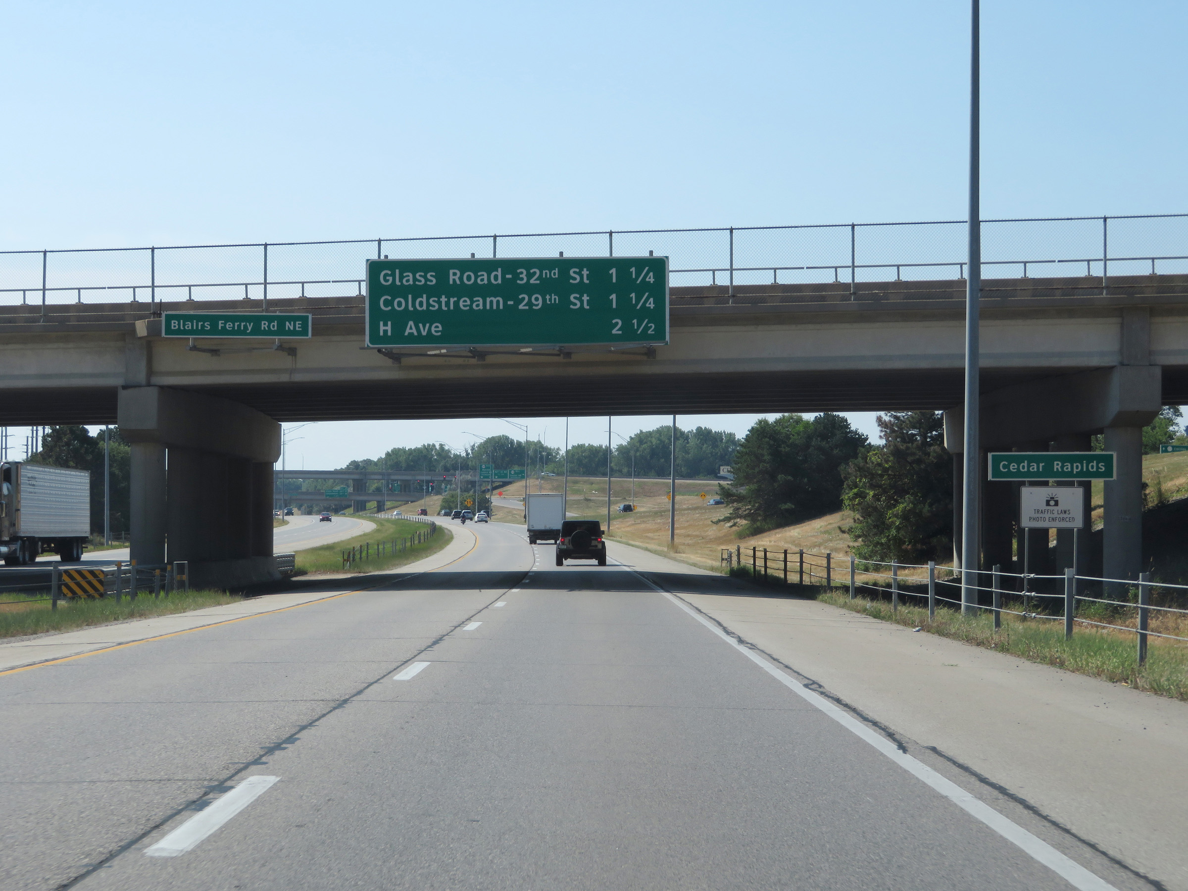
Interstate 380 South at Exit 22: Glass Road - 32nd St / Coldstream - 29th St (Photo taken 8/8/20). |
Section 2: Cedar Rapids (Exit 22) to Interstate 80
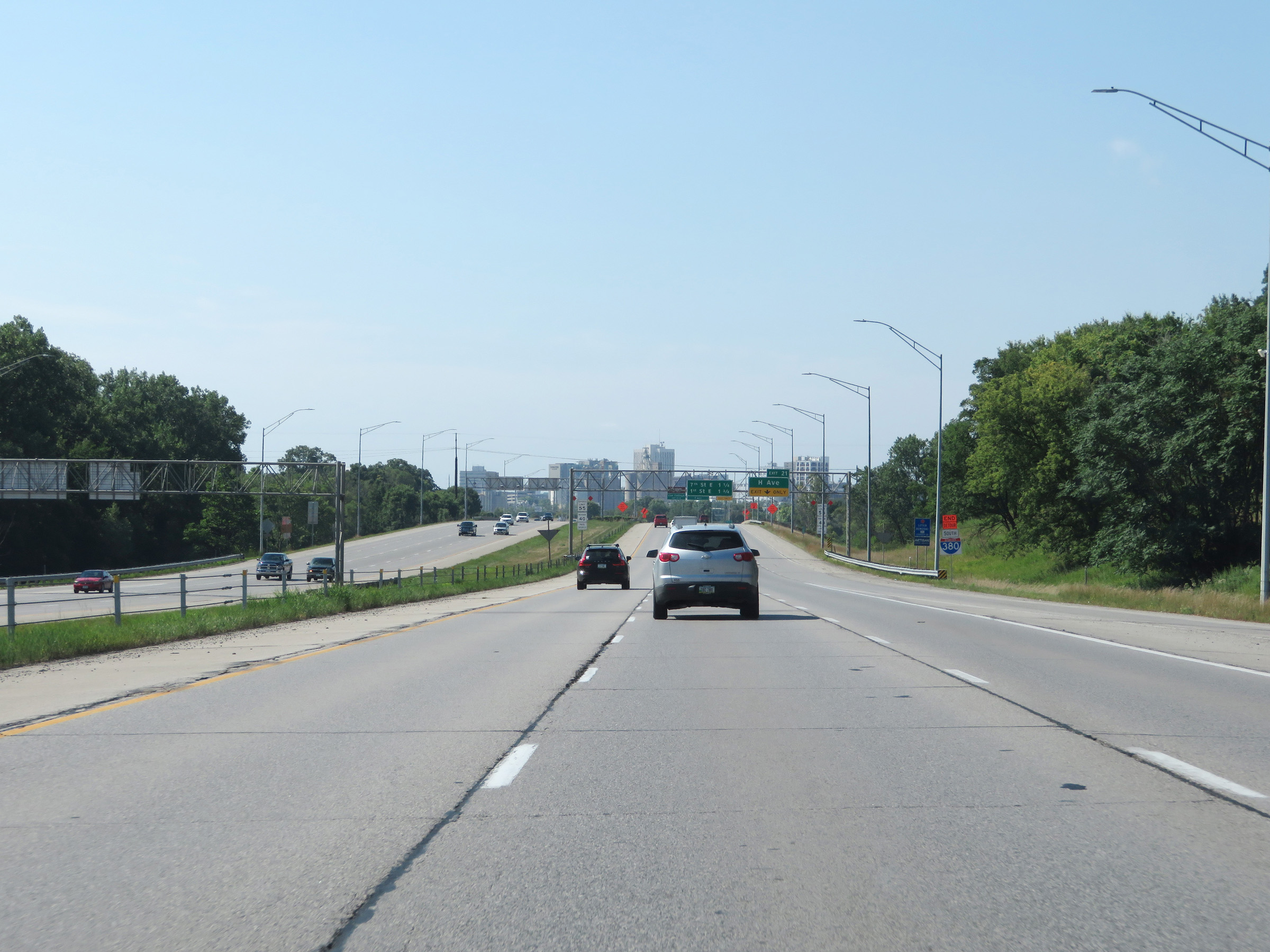 |
Interstate 380 South as downtown Cedar Rapids comes into view ahead. (Photo taken 8/8/20). |
 |
At mile marker 22, the maximum speed limit is decreased to 55 mph while the minimum speed limit remains 40 mph as Interstate 380 South approaches downtown Cedar Rapids. (Photo taken 8/8/20). |
 |
Interstate 380 South at Exit 21: H Ave (Photo taken 8/8/20). |
 |
View on Interstate 380 South at mile marker 21, as it curve hard to the west in downtown Cedar Rapids. (Photo taken 8/8/20). |
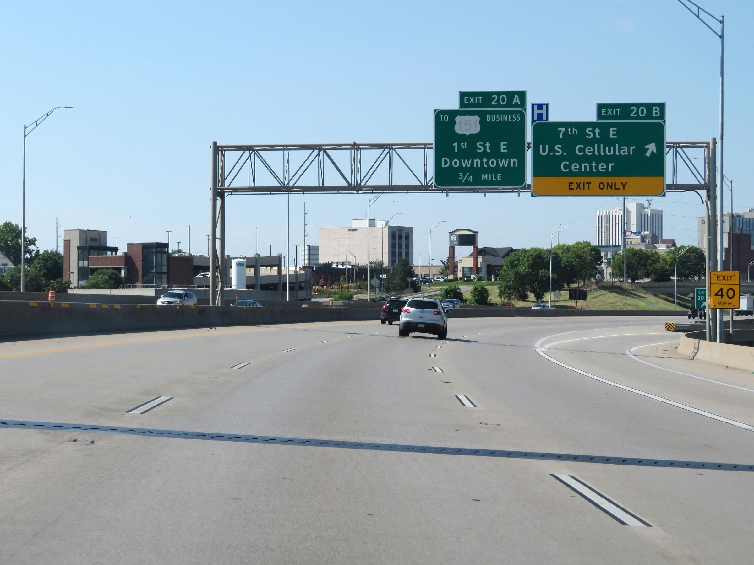 |
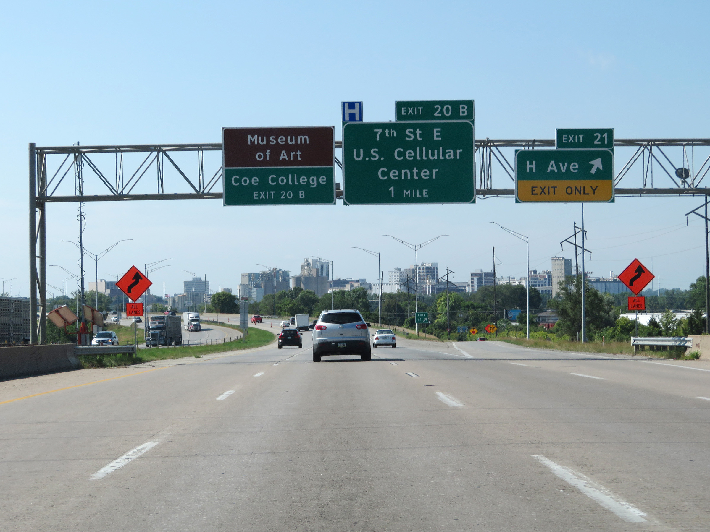
Interstate 380 South at Exit 20B: 7th St E / U.S. Cellular Center (Photo taken 8/8/20). |
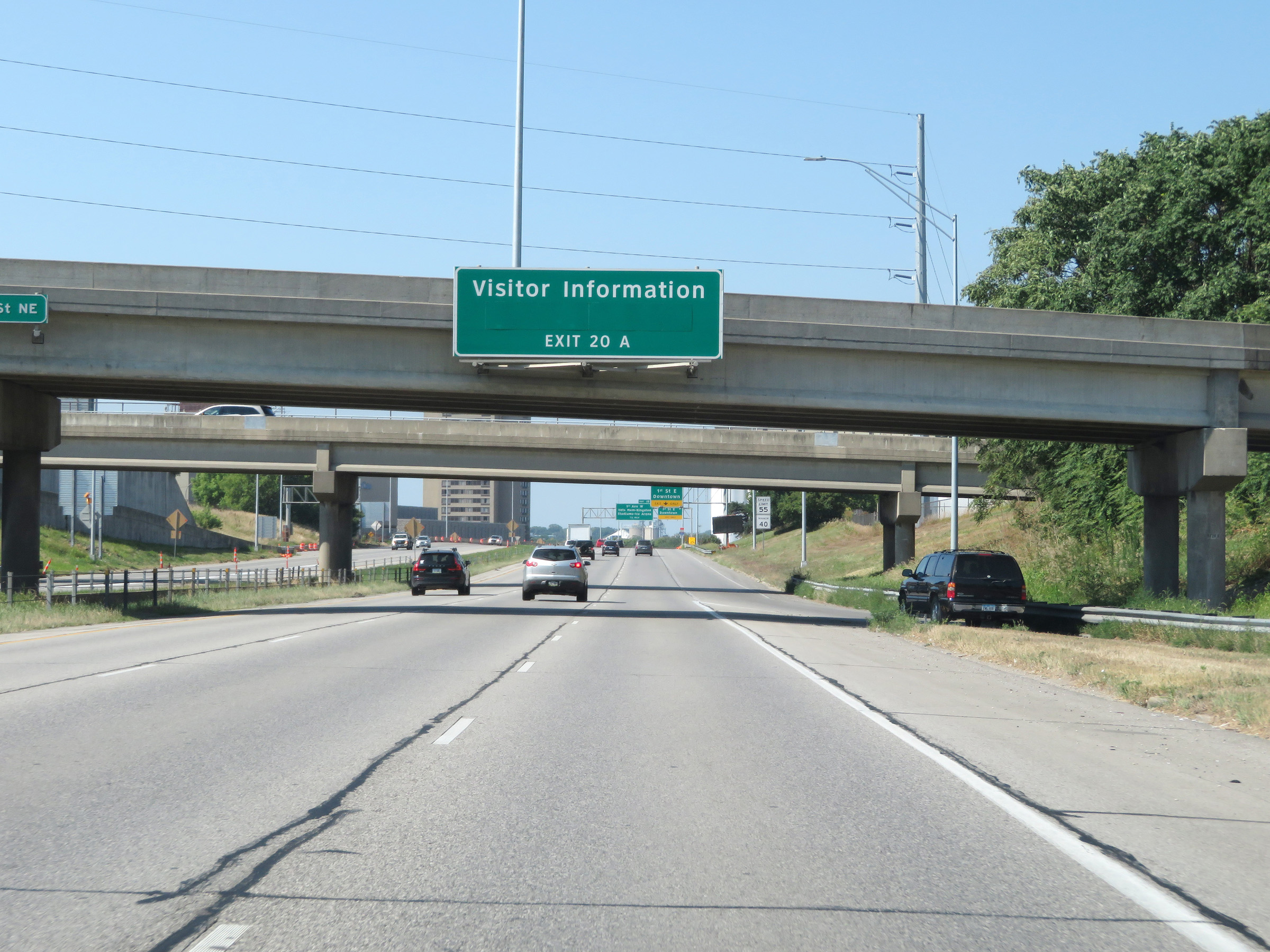 |
Visitor Information is available off Exit 20A. (Photo taken 8/8/20). |
 |
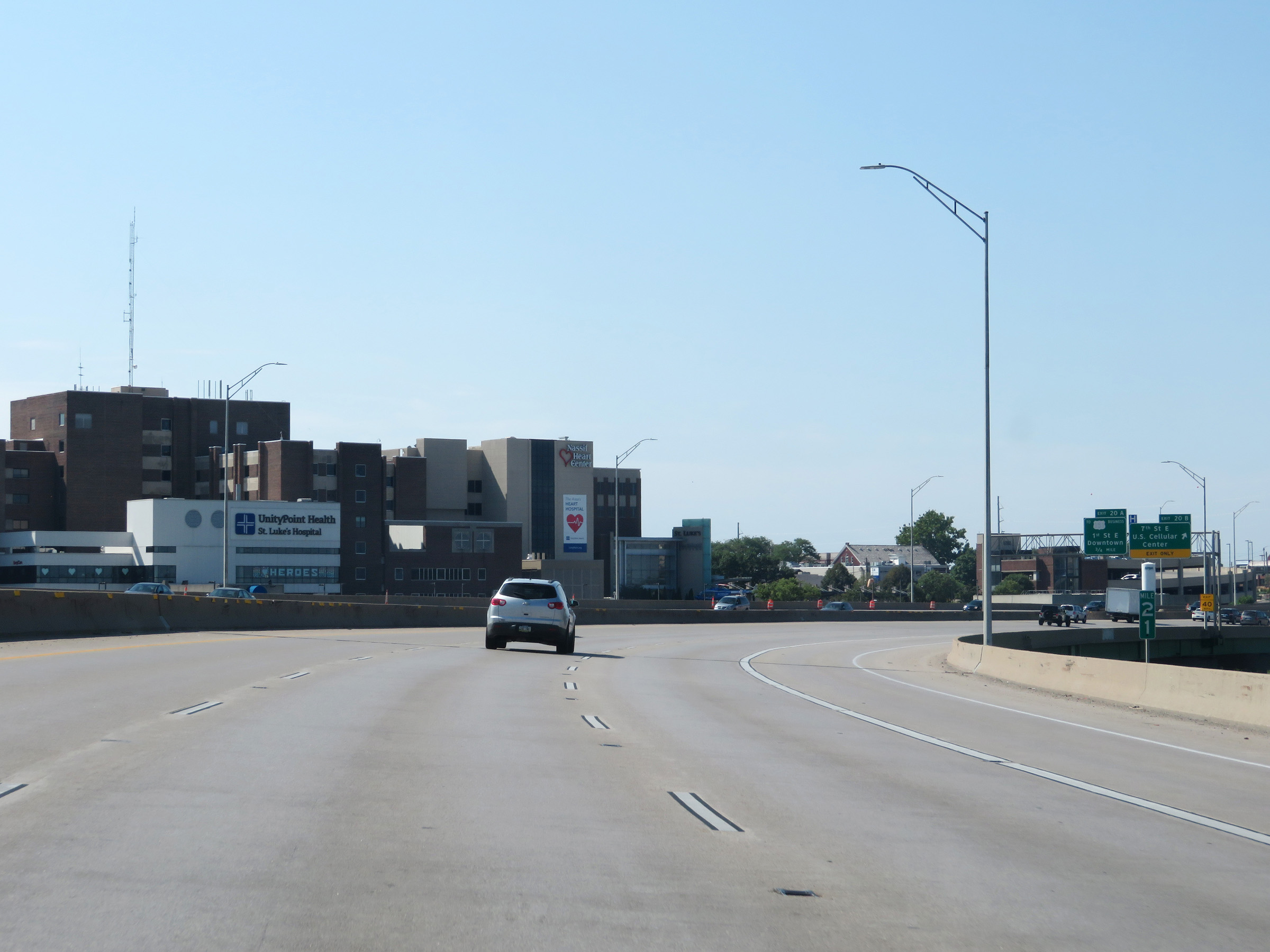
Interstate 380 South at Exit 20A: To US 151 Business - 1st St East / Downtown (Photo taken 8/8/20). |
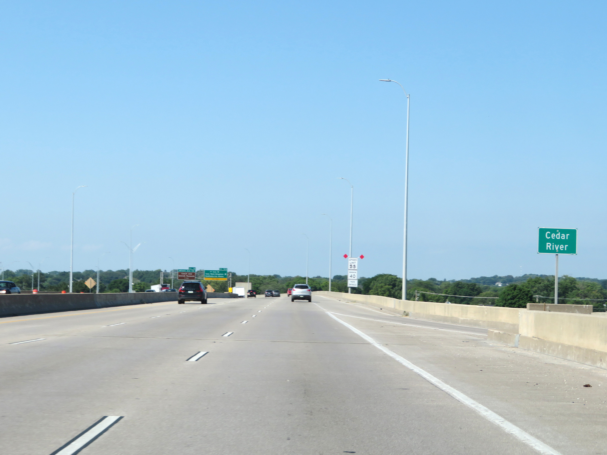 |
As Interstate 380 South crosses the Cedar River, it prepares to curve back to the south ahead. (Photo taken 8/8/20). |
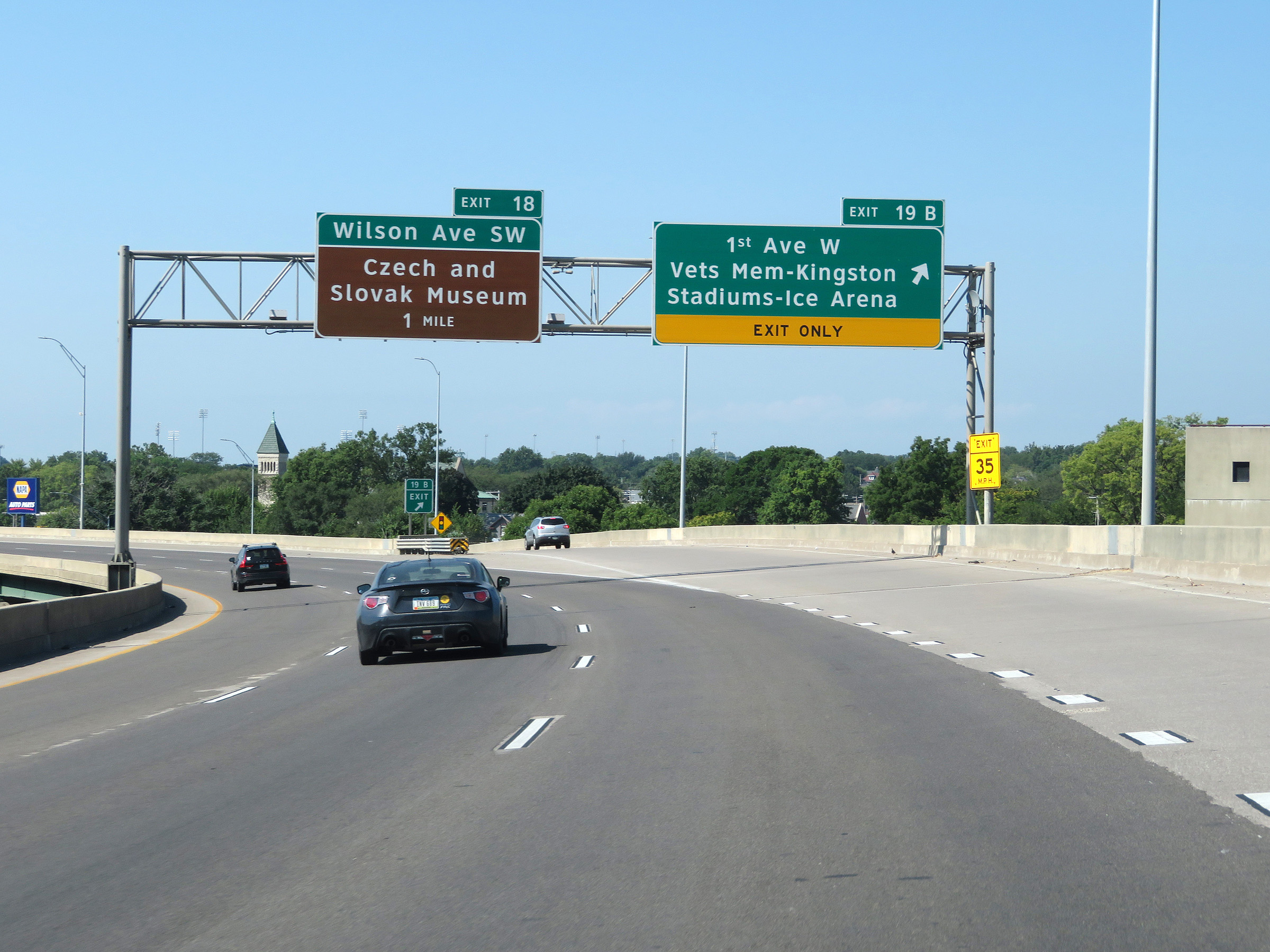 |
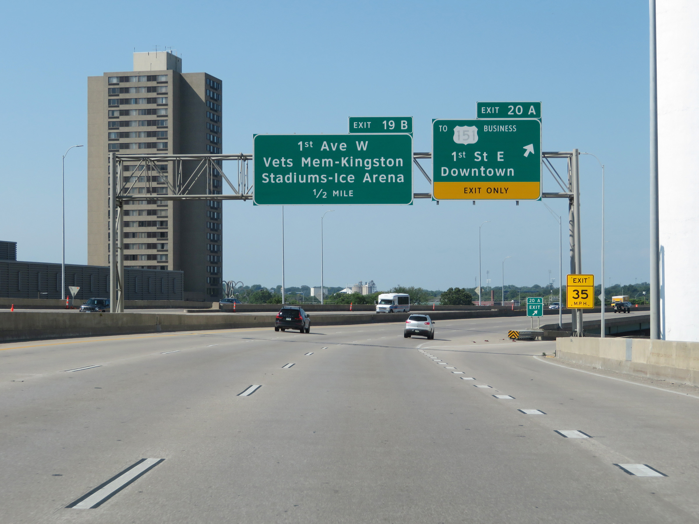
Interstate 380 South at Exit 19B: 1st Ave West / Veterans Memorial Stadium / Kingston Stadium / Ice Arena (Photo taken 8/8/20). |
 |
South of Exit 19B, the maximum speed limit on Interstate 380 South increases to 60 mph once again as it leaves downtown Cedar Rapids. The minimum speed limit remains 40 mph. (Photo taken 8/8/20). |
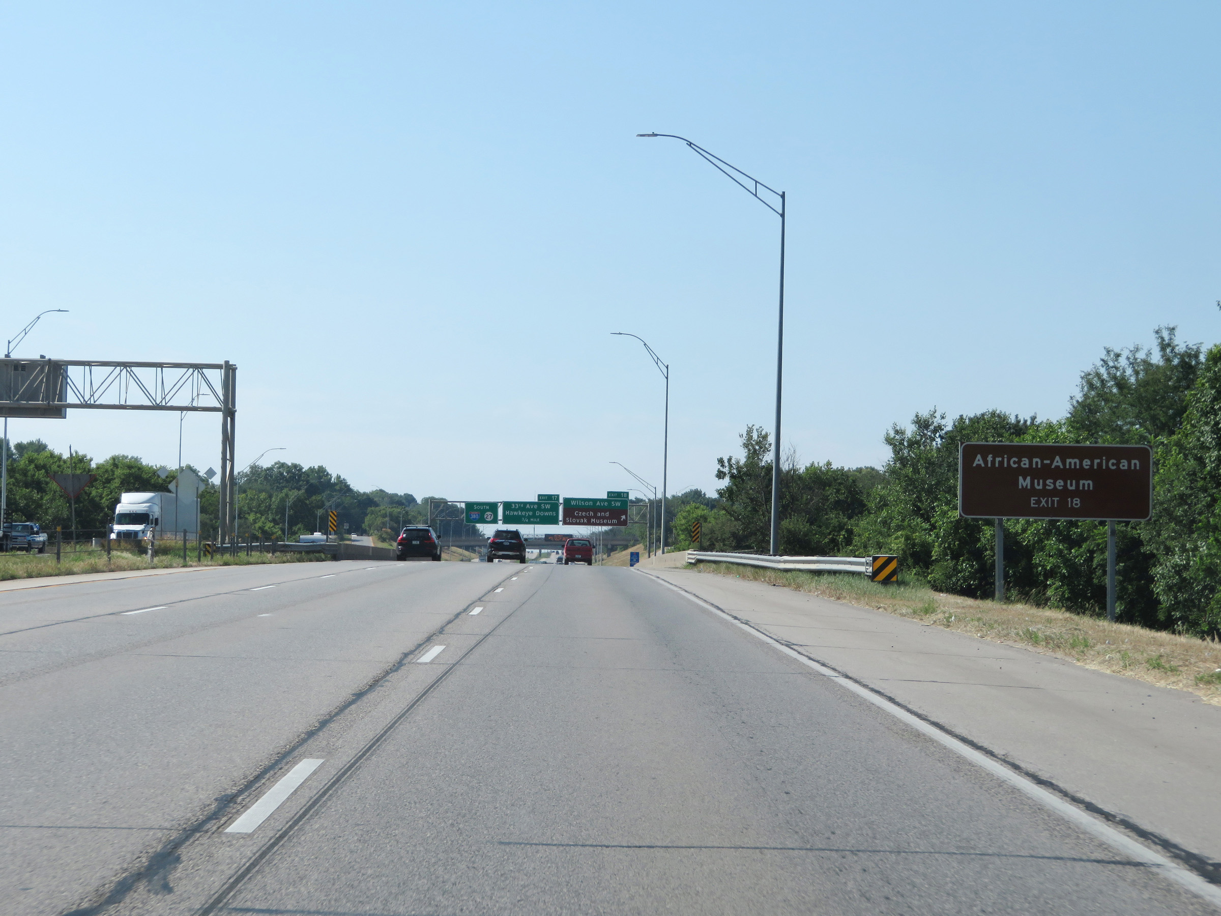 |
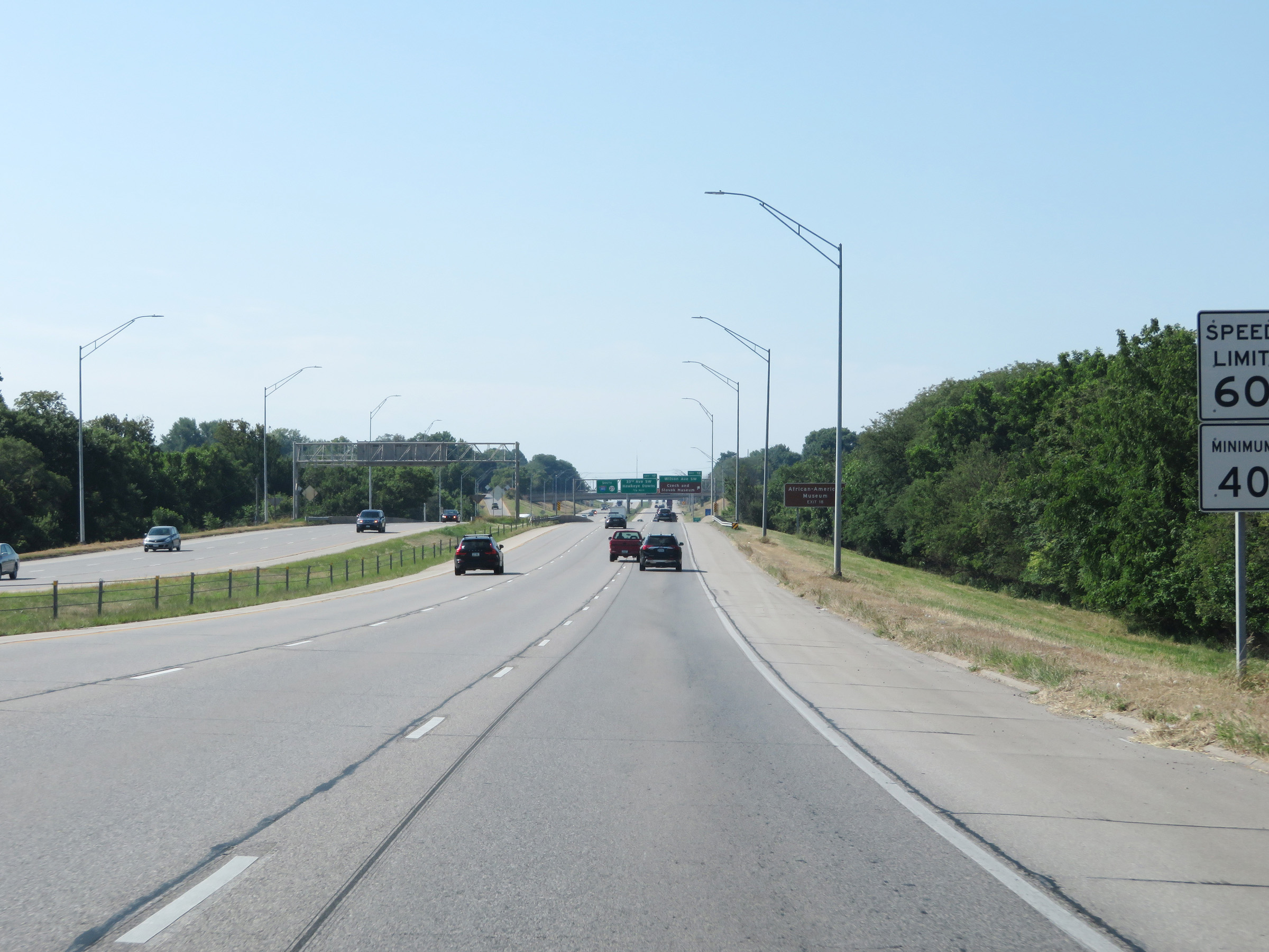
Take Exit 18 to the African American Museum. (Photo taken 8/8/20). |
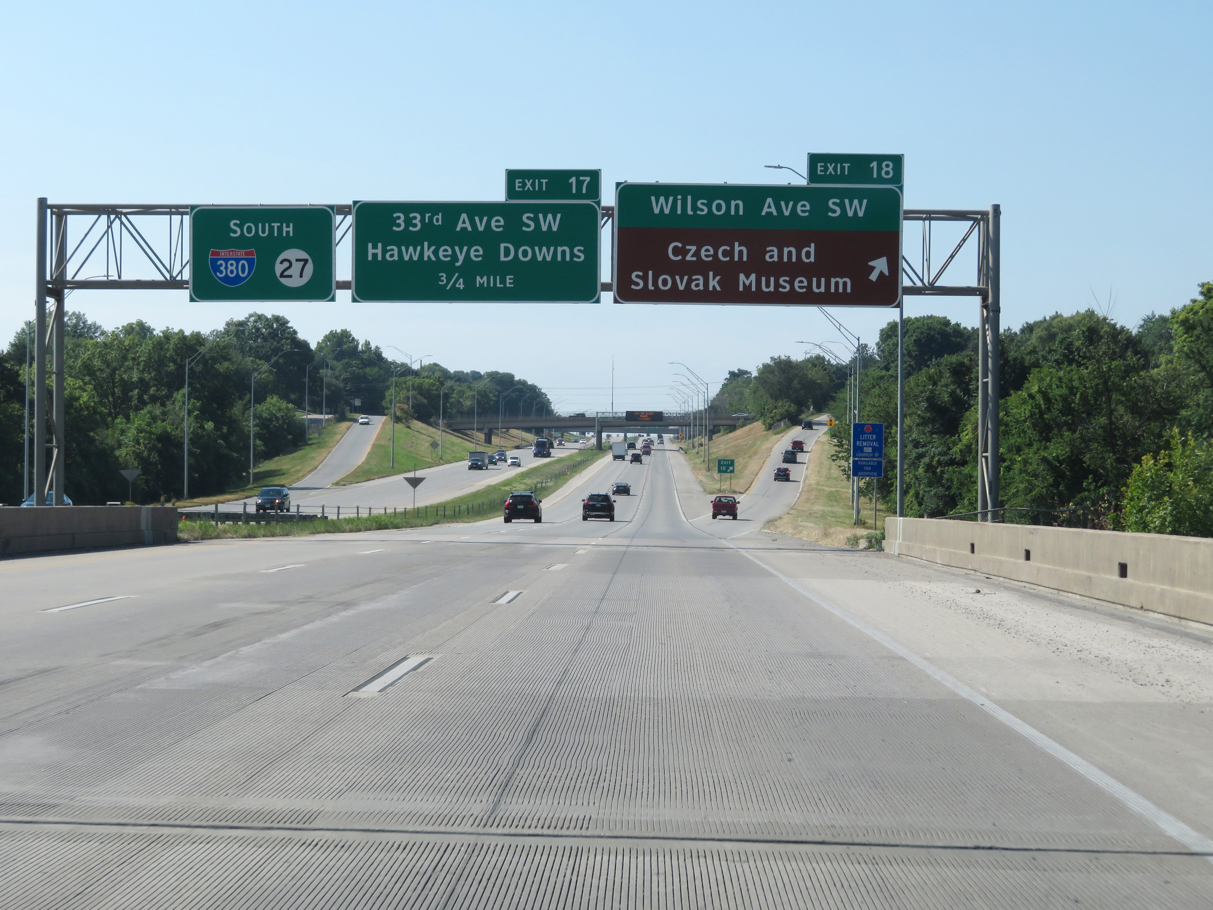 |
Interstate 380 South at Exit 18: Wilson Ave Southwest / Czech and Slovak Museum (Photo taken 8/8/20). |
 |
Another state-named Interstate 380 South reassurance shield. (Photo taken 8/8/20). |
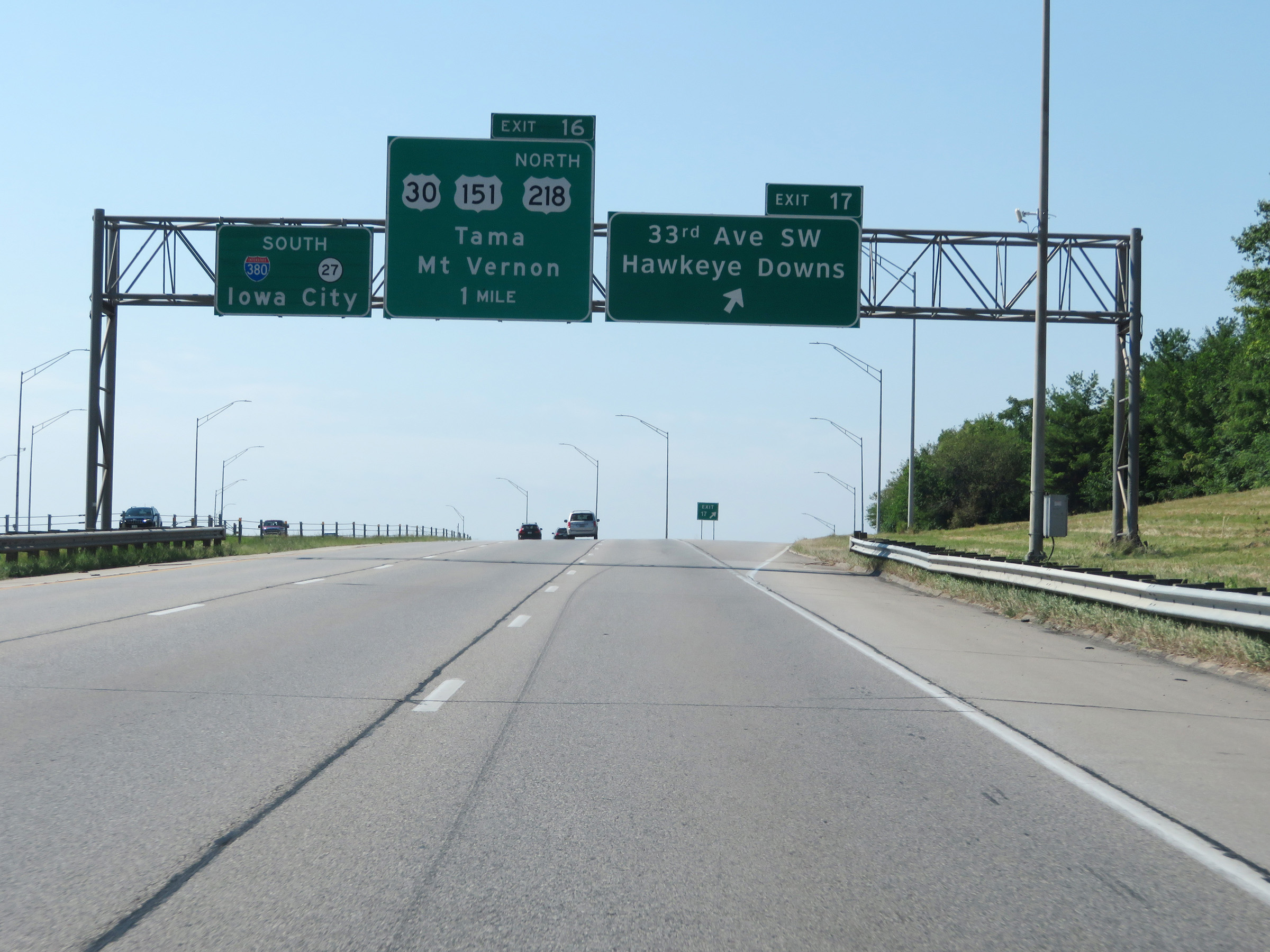 |
Interstate 380 South at Exit 17: 33rd Ave SW / Hawkeye Downs (Photo taken 8/8/20). |
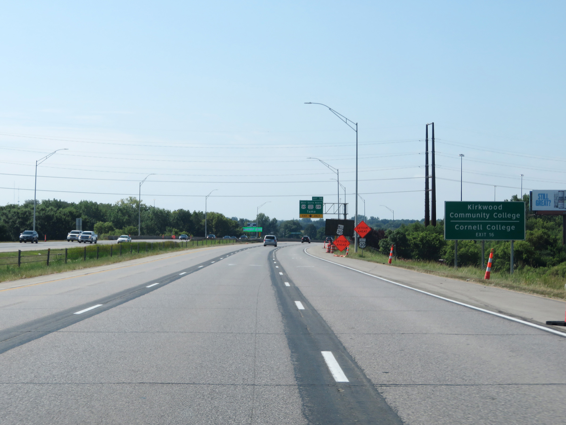 |
Take Exit 16 to Kirkwood Community College and Cornell College. (Photo taken 8/8/20). |
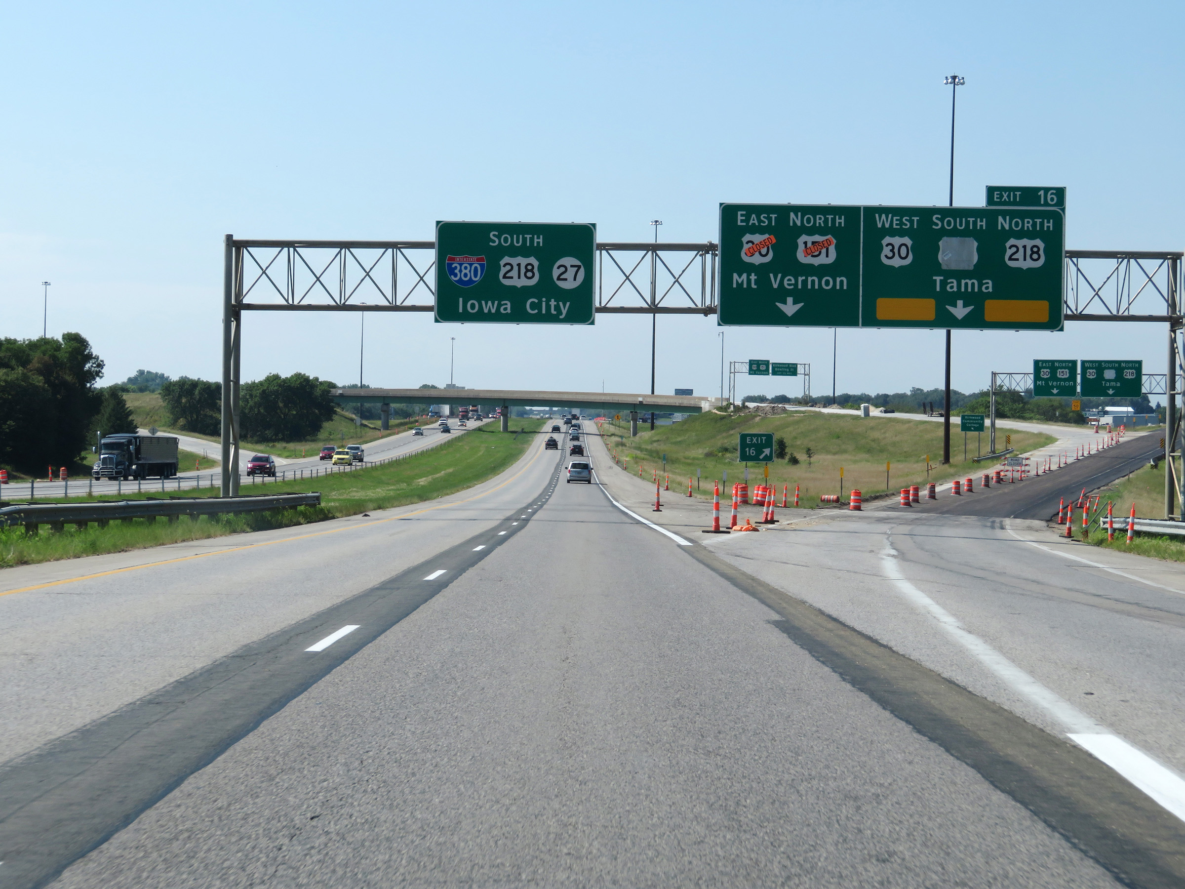 |
Interstate 380 South at Exit 16: US 30 / US 151 / US 218 North - Mt. Vernon / Tama (Photo taken 8/8/20). |
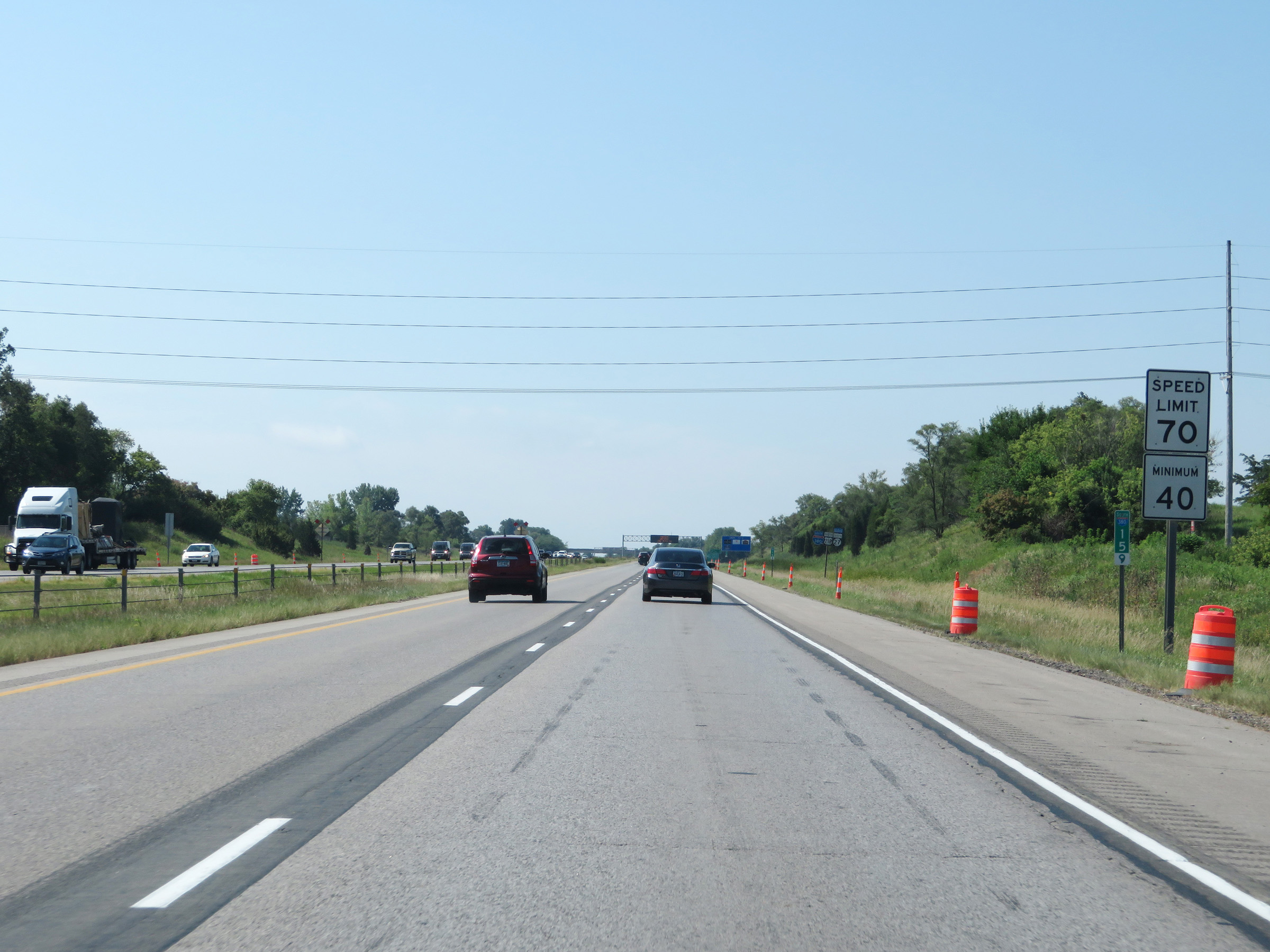 |
At mile marker 15.9, the maximum speed limit increases to the rural standard 70 mph once again. The minimum speed limit remains 40 mph. (Photo taken 8/8/20). |
 |
Mileage sign on Interstate 380 South. It's 4 miles to the Airport, 23 miles to Iowa City, and 68 miles to Mt. Pleasant. (Photo taken 8/8/20). |
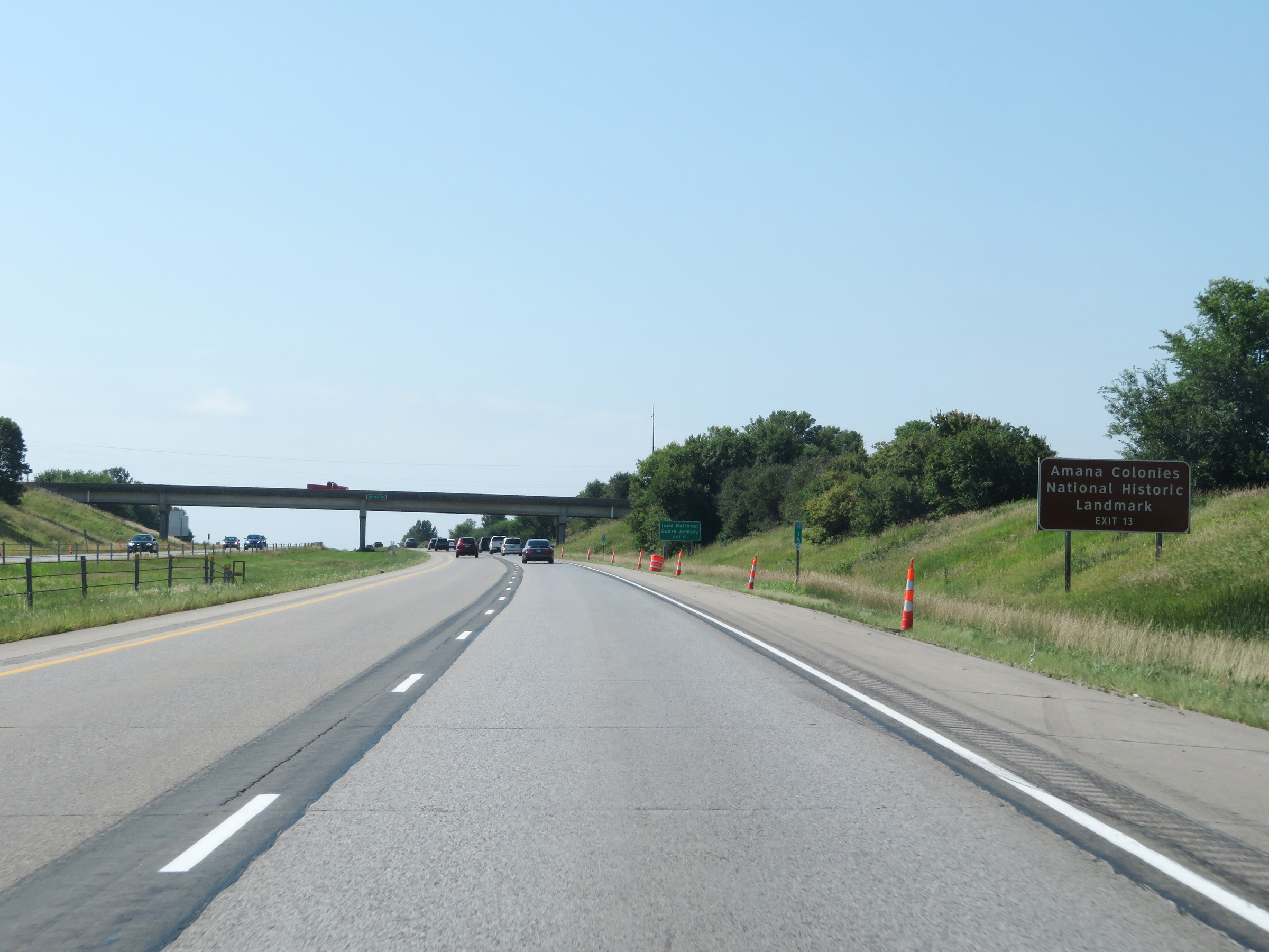 |
Take Exit 13 to the Amana Colonies National Historic Landmark. (Photo taken 8/8/20). |
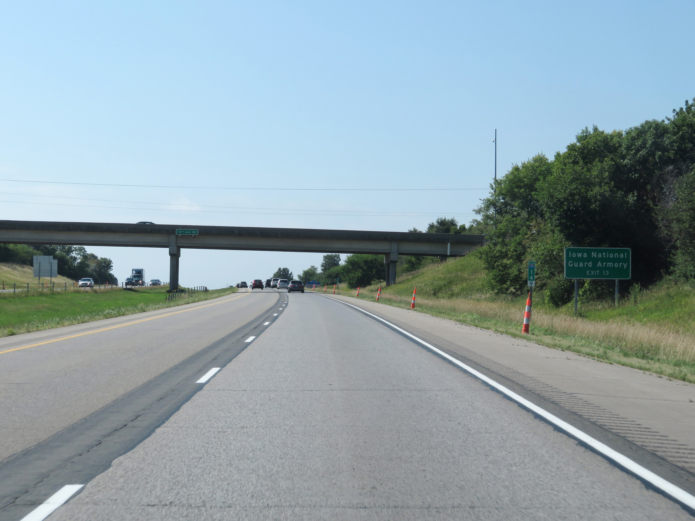 |
Also take Exit 13 to the Iowa National Guard Armory. (Photo taken 8/8/20). |
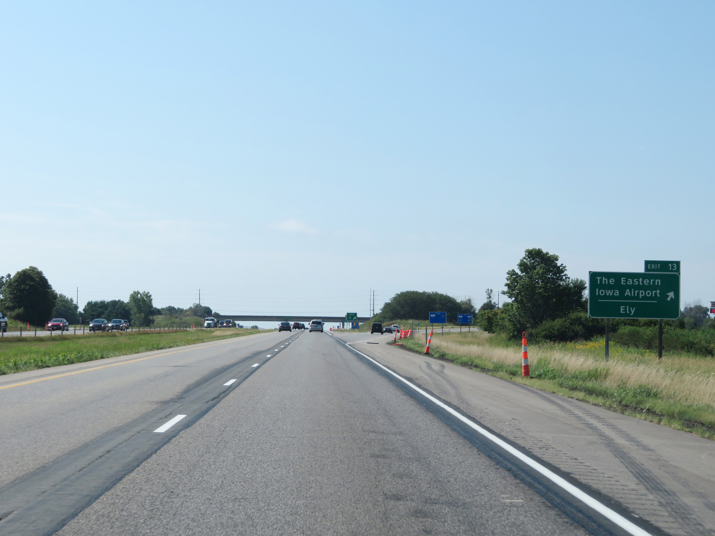 |
Interstate 380 South at Exit 13: The Eastern Iowa Airport / Ely (Photo taken 8/8/20). |
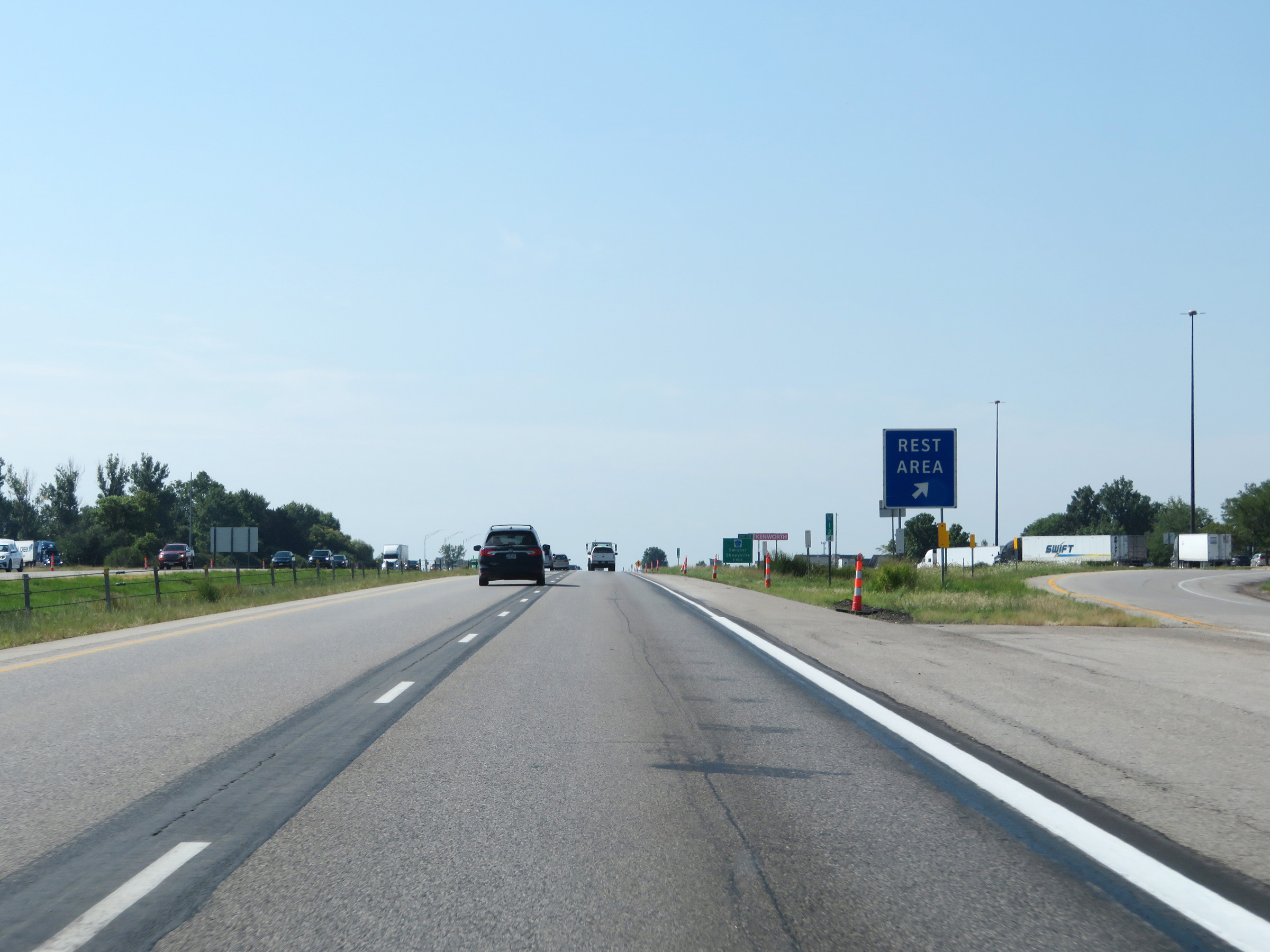 |
Rest Area on Interstate 380 South in southern Linn County. (Photo taken 8/8/20). |
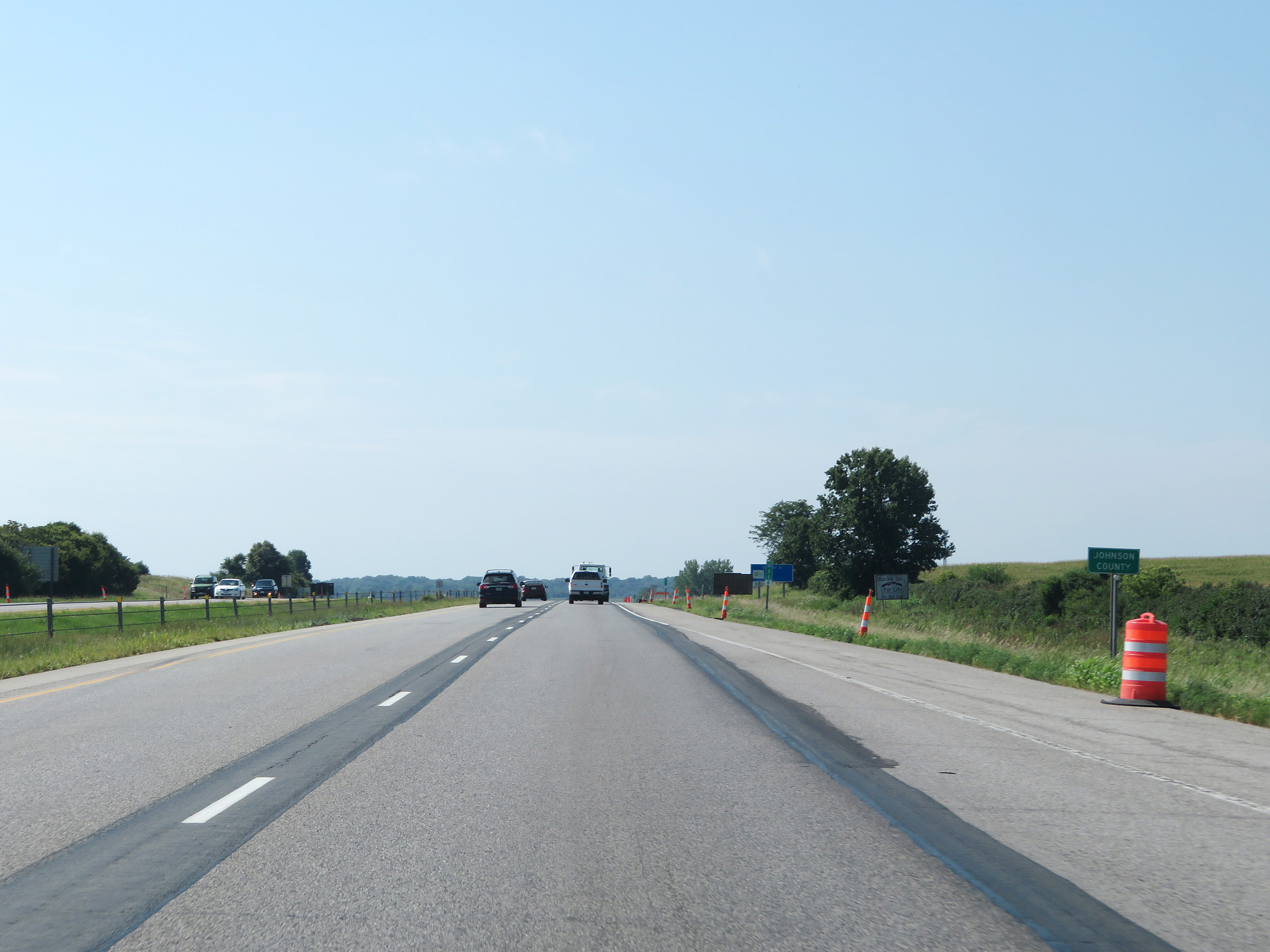 |
Just south of the Rest Area, Interstate 380 South enters Johnson County. (Photo taken 8/8/20). |
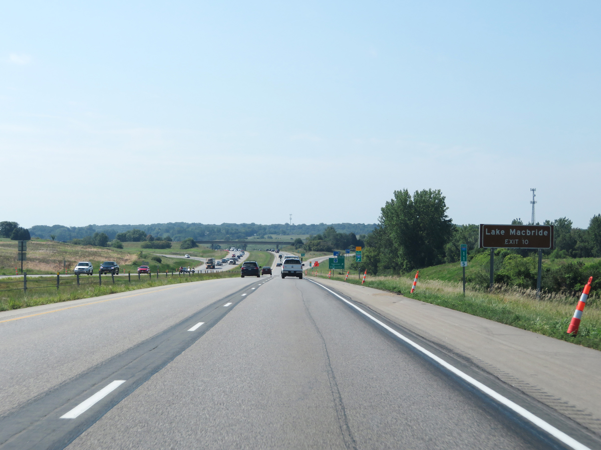 |
Take Exit 10 to Lake Macbride. (Photo taken 8/8/20). |
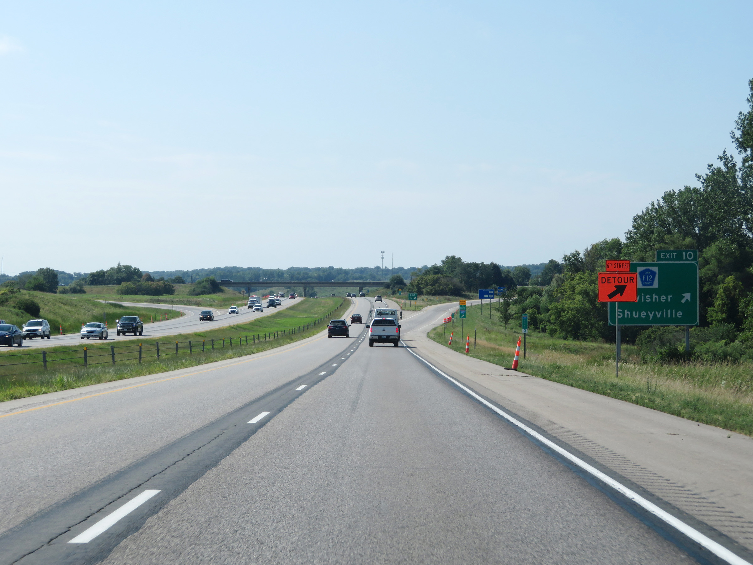 |
Interstate 380 South at Exit 10: CR F12 - Swisher / Shueyville (Photo taken 8/8/20). |
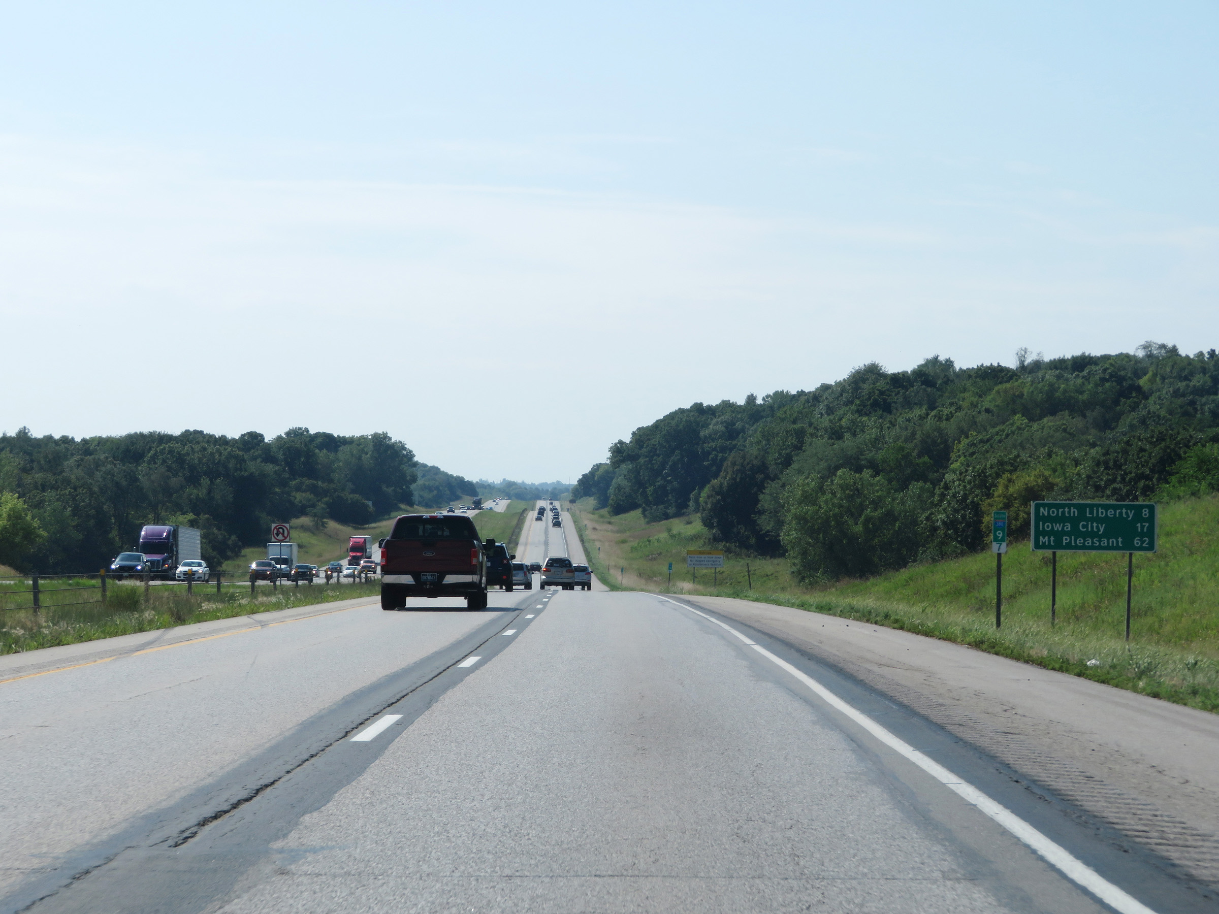 |
Another mileage sign on Interstate 380 South at mile marker 9.7. It's 8 miles to North Liberty, 17 miles to Iowa City, and 62 miles to Mt. Pleasant. (Photo taken 8/8/20). |
 |
View on Interstate 380 South at mile marker 8. (Photo taken 8/8/20). |
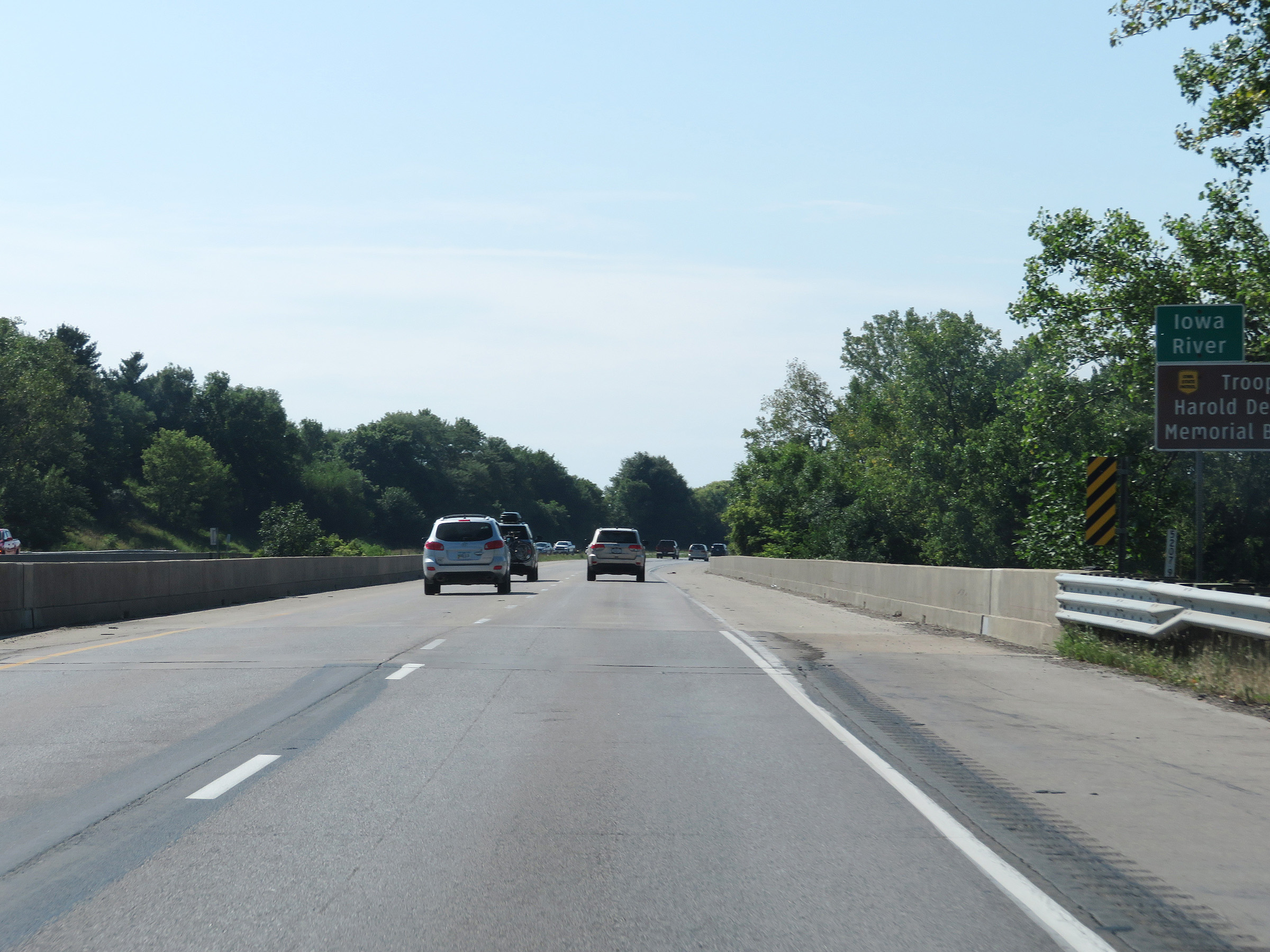 |
Interstate 380 South as it crosses the Iowa River. (Photo taken 8/8/20). |
 |
Mile marker 6.5 on Interstate 380 South in Johnson County. (Photo taken 8/8/20). |
 |
View on Interstate 380 South at mile marker 5. (Photo taken 8/8/20). |
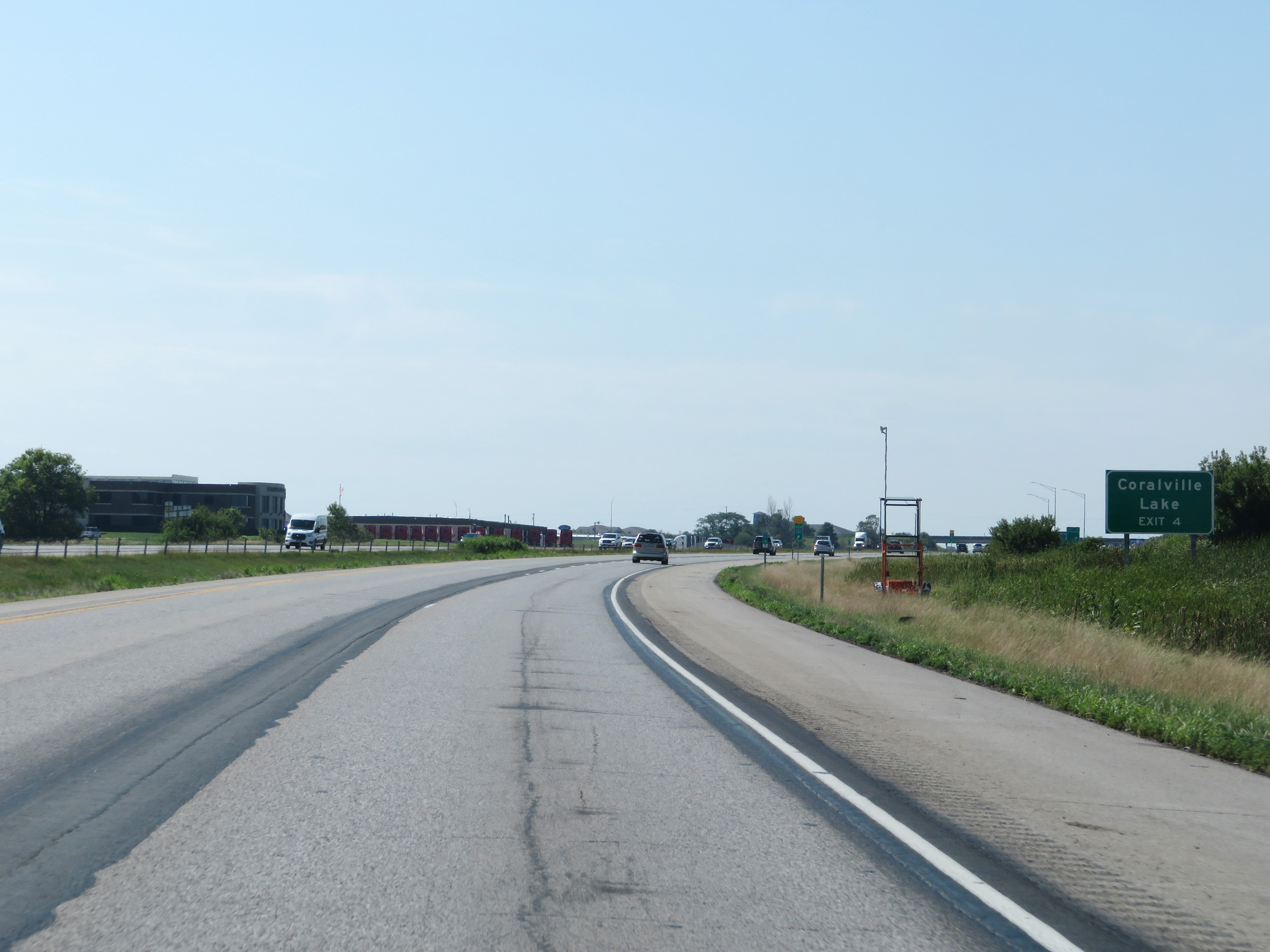 |
Take Exit 4 to Coralville Lake. (Photo taken 8/8/20). |
 |
Interstate 380 South at Exit 4: CR F28 - North Liberty (Photo taken 8/8/20). |
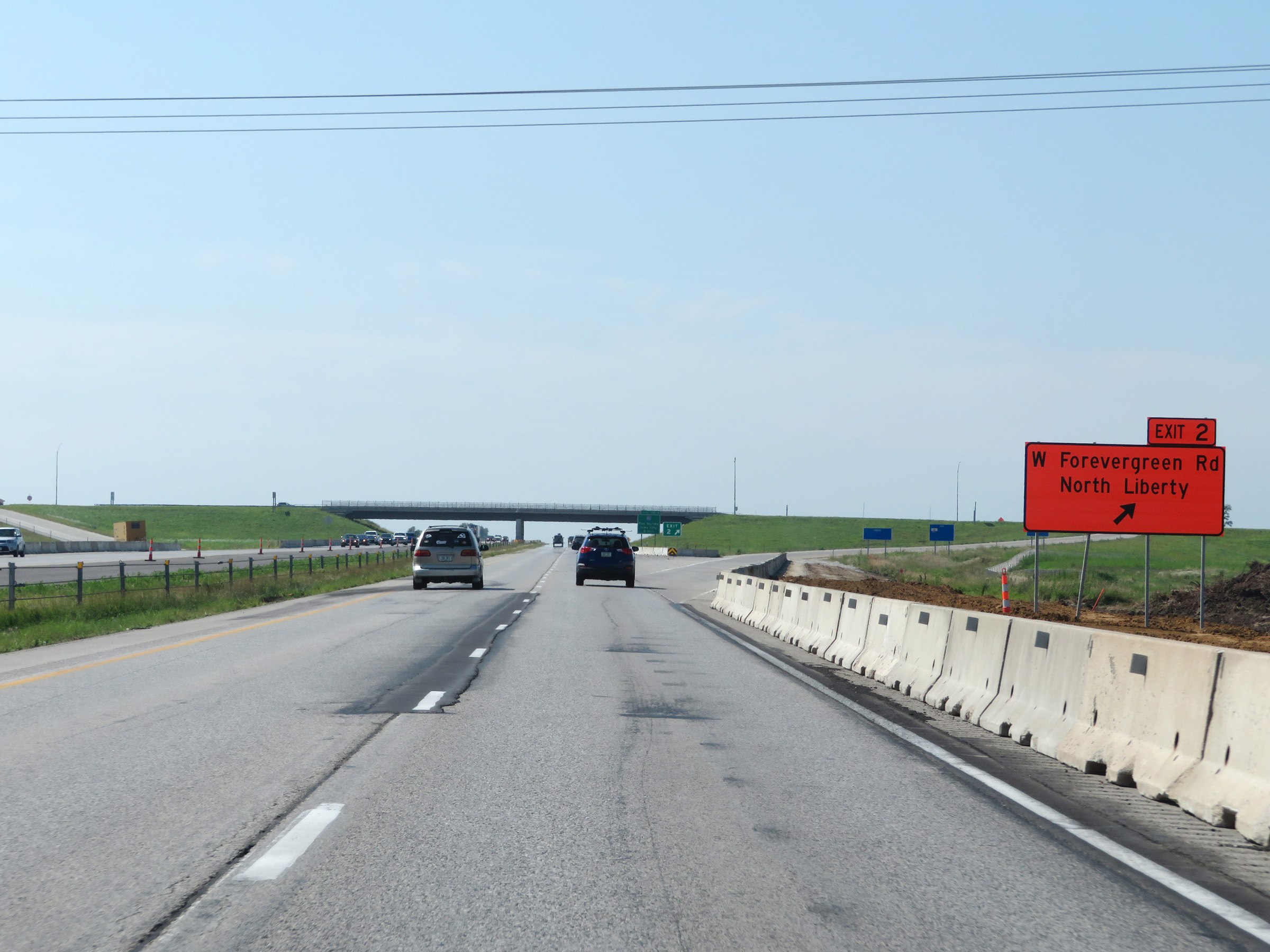 |
Interstate 380 South at Exit 2: West Forevergreen Rd / North Liberty (Photo taken 8/8/20). |
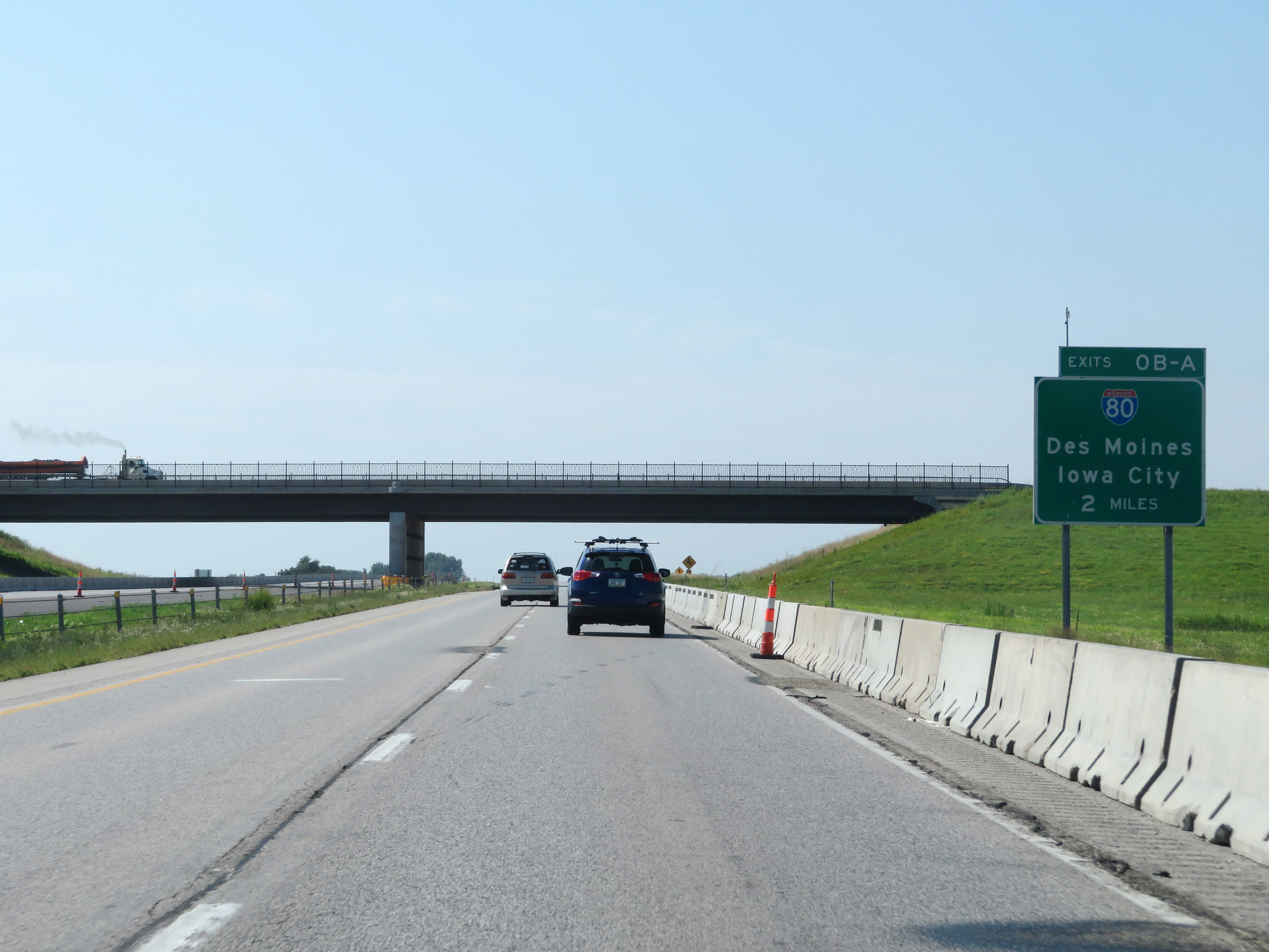 |
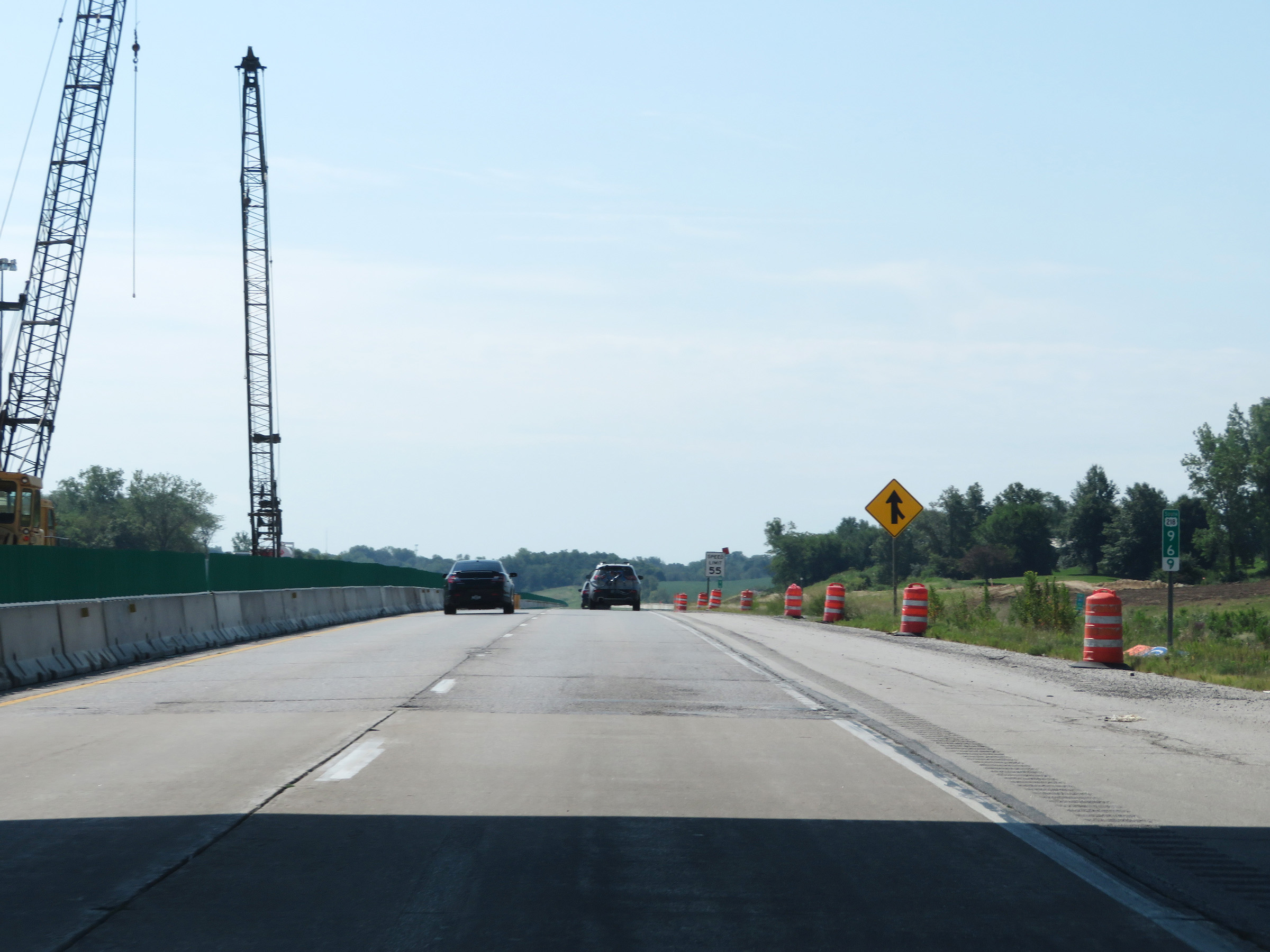
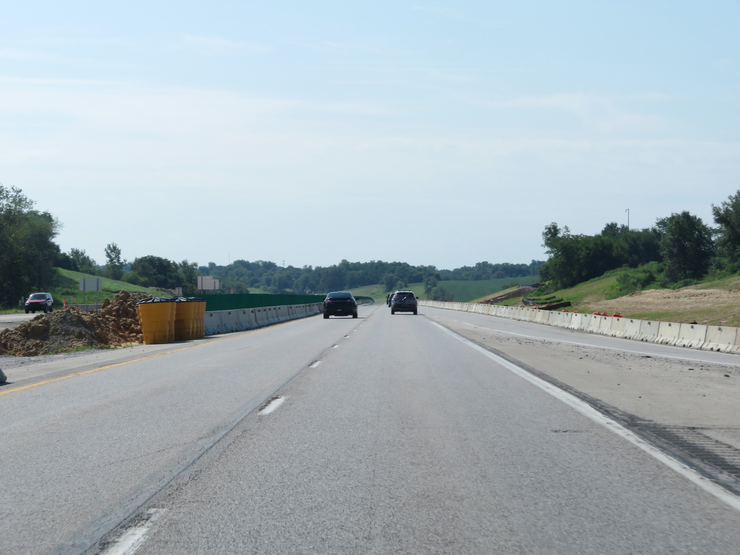
Advance signage for the junction of Interstate 80 via Exits 0B-A, which will mark the southern terminus of Interstate 380 two miles ahead. (Photo taken 8/8/20). |
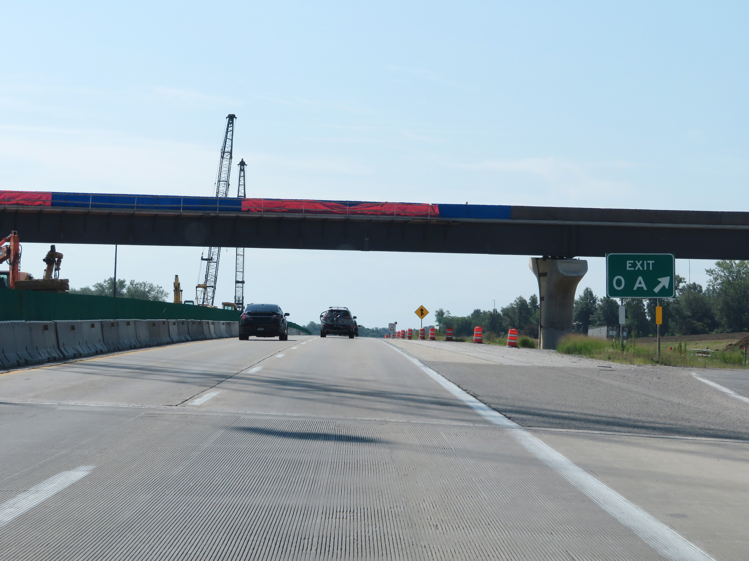
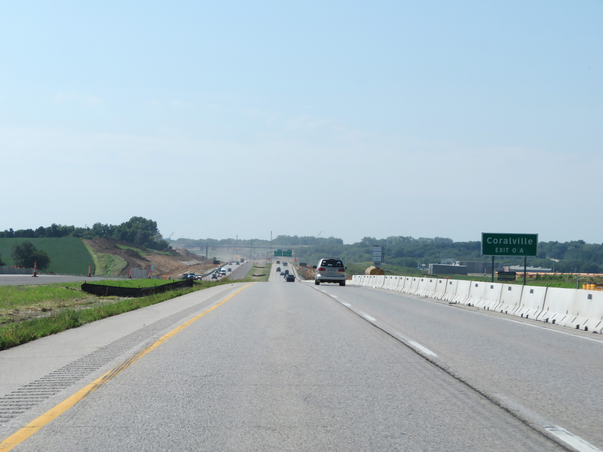 |
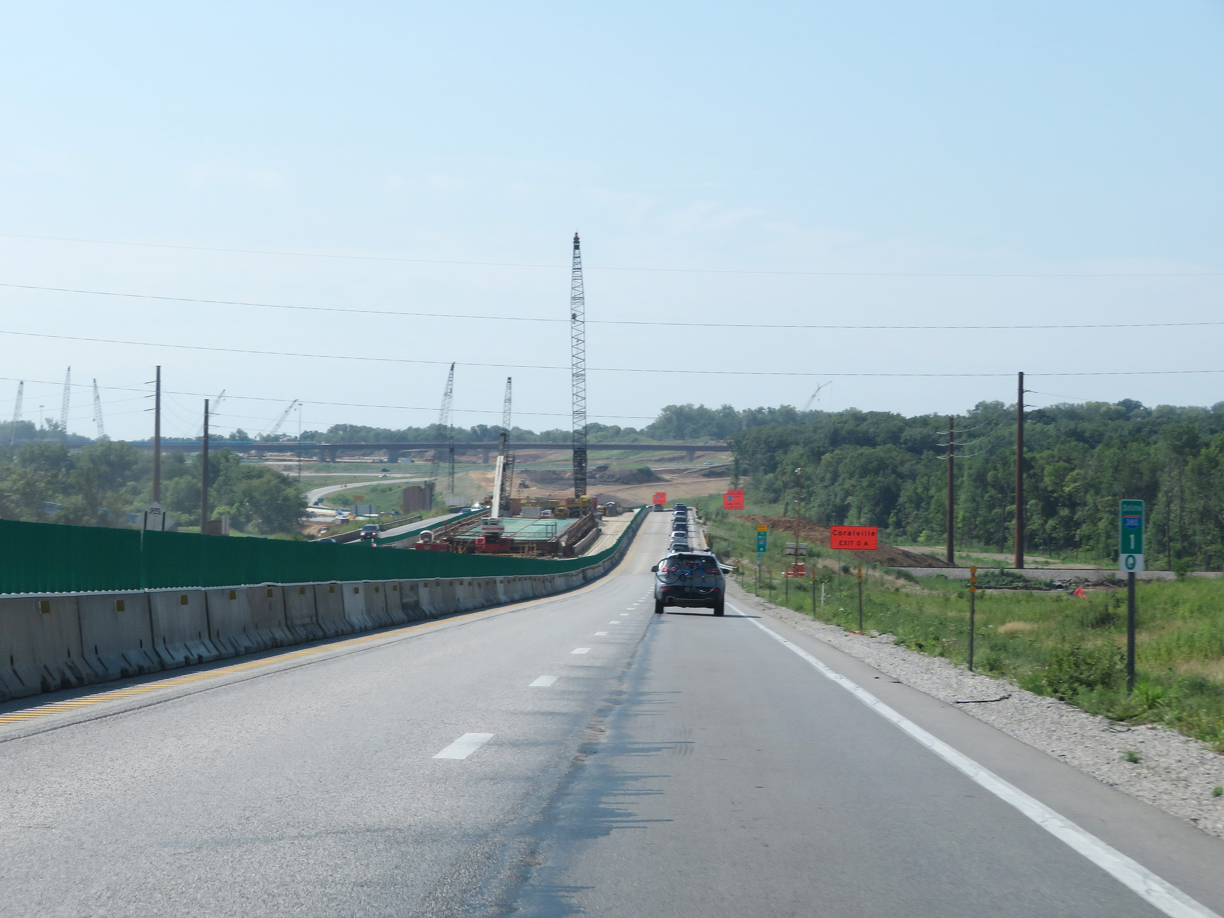
Take Exit 0A (Interstate 80 East) to Coralville. (Photo taken 8/8/20). |
 |
Interstate 380 South approaching Exit 0B - 1 mile. (Photo taken 8/8/20). |
 |
View on Interstate 380 South at mile marker 1. (Photo taken 8/8/20). |
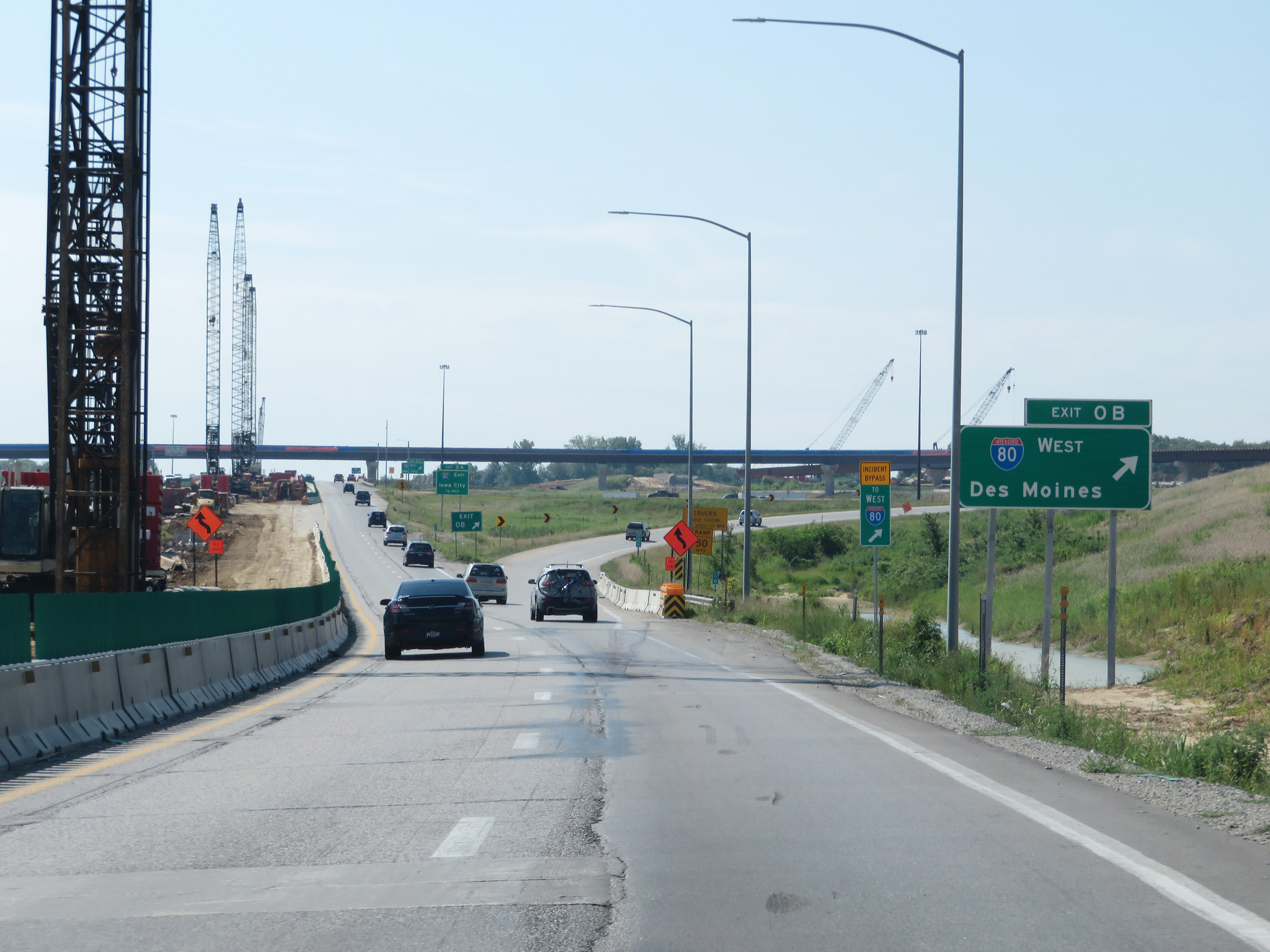 |
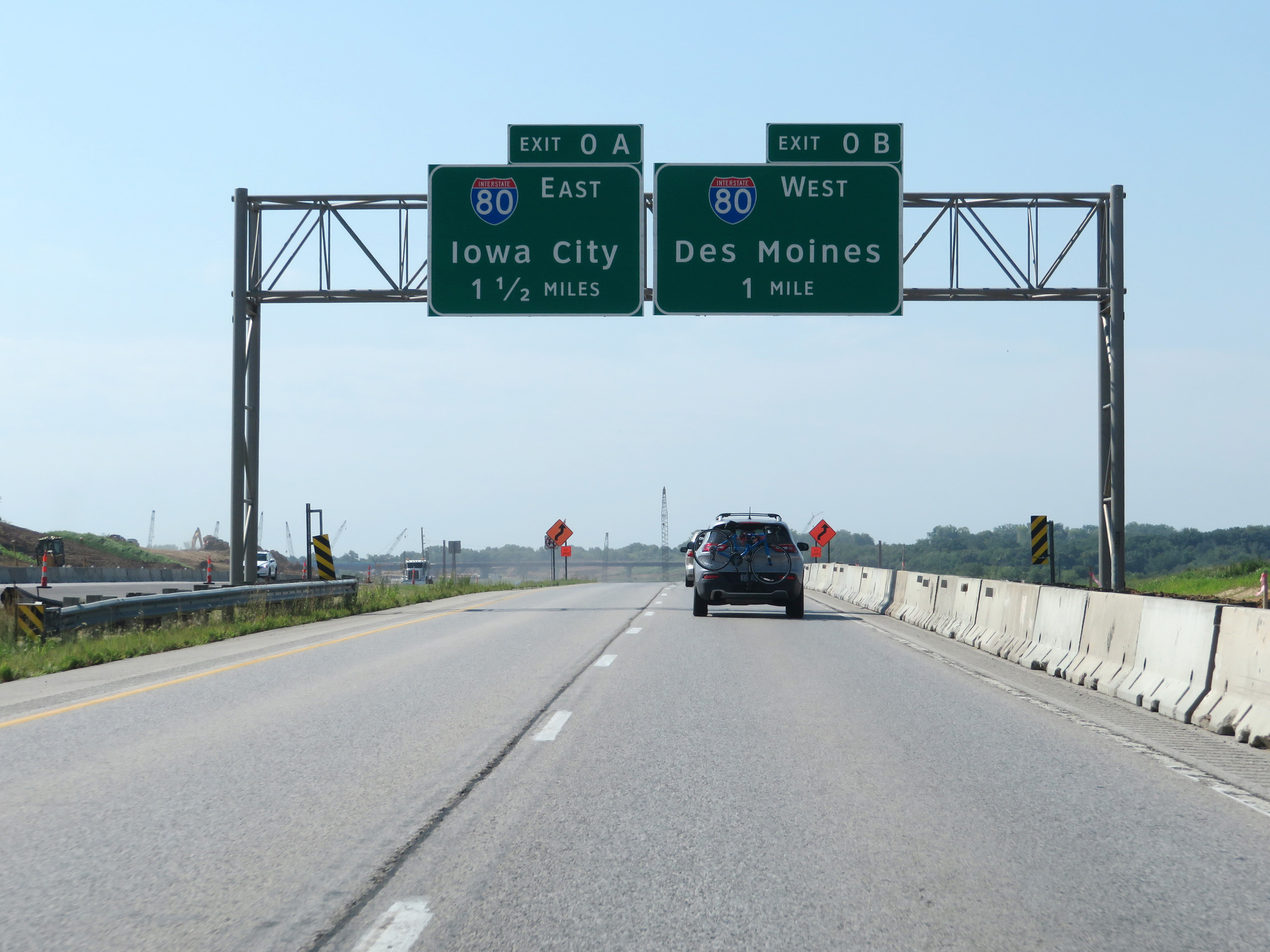
Interstate 380 South at Exit 0B: Interstate 80 West - Des Moines (Photo taken 8/8/20). |
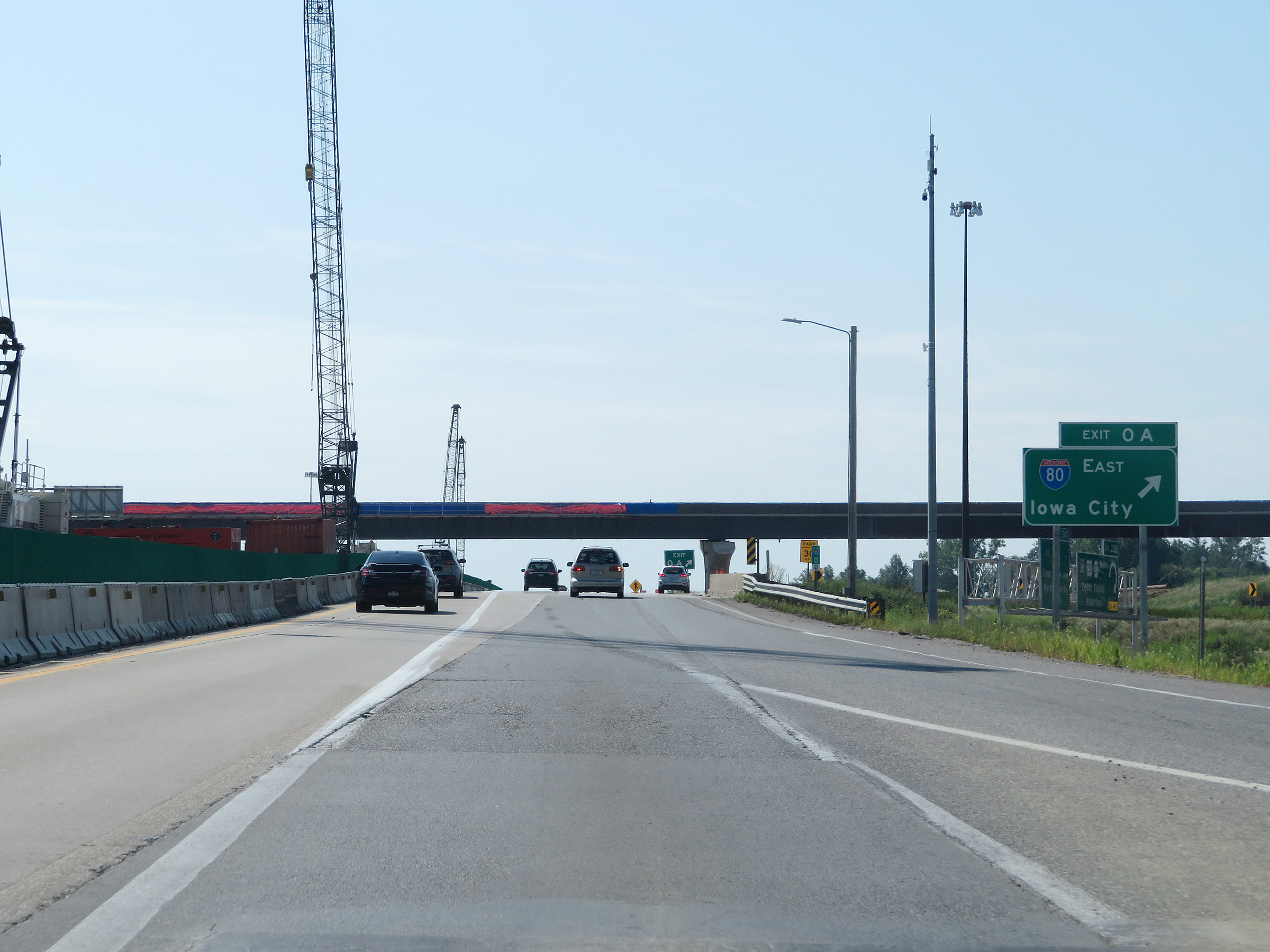 |
Interstate 380 South at Exit 0A: Interstate 80 East - Iowa City (Photo taken 8/8/20). |
 |
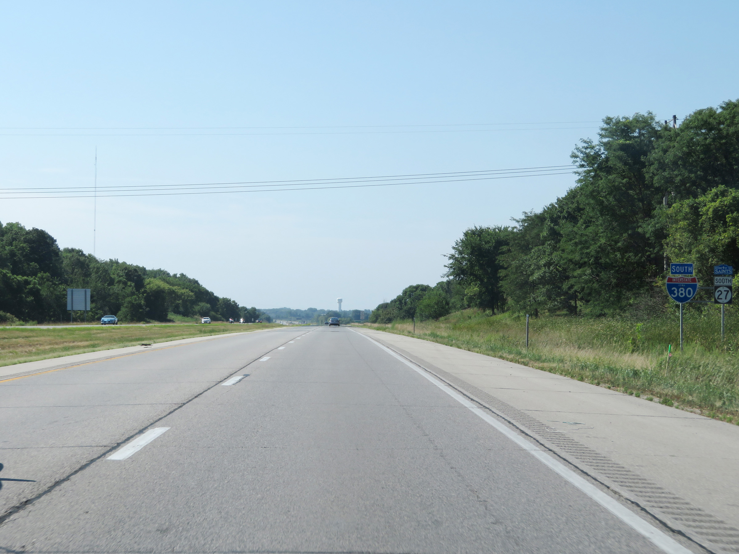
Gore point signage for Exit 0A as Interstate 380 reaches its southern terminus. (Photo taken 8/8/20). |
 |
The two lanes of Interstate 380 South continue as US 218 South, seen here on this milepost. (Photo taken 8/8/20). |
 |
View on US 218 South beyond the southern terminus of Interstate 380. (Photo taken 8/8/20). |