Road Information |
||
 |
||
| Total Mileage in State: | 151 miles | |
| Northern End: | At South Dakota state line | |
| Southern End: | At Missouri state line | |
| Mileage covered in Photos: | 151 miles | |
| Counties covered in Photos: | Fremont, Mills, Pottawattamie, Harrison, Monona, Woodbury | |
| Major Junctions in Photos: | I-80, in Council Bluffs I-480, in Council Bluffs I-680, near Crescent I-880, near Missouri Valley I-129, in Sioux City |
|
| Control Cities in Photos: | Hamburg, Council Bluffs, Sioux City | |
Northbound
- Section 1: Missouri Border to Council Bluffs (Exit 50)
- Section 2: Council Bluffs (Exit 50) to Onawa (Exit 112)
- Section 3: Onawa (Exit 112) to South Dakota Border
Section 1: Missouri Border to Council Bluffs (Exit 50)
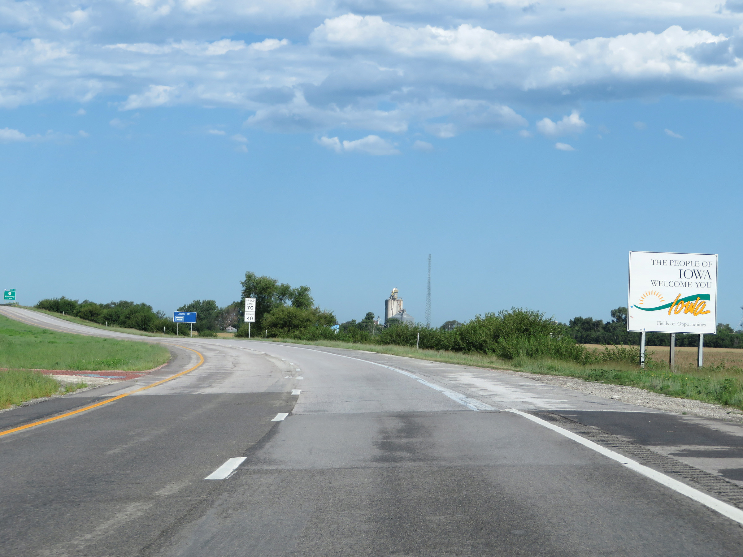 |
Iowa welcome sign as Interstate 29 North enters the Hawkeye State from Missouri. (Photo taken 8/9/20). |
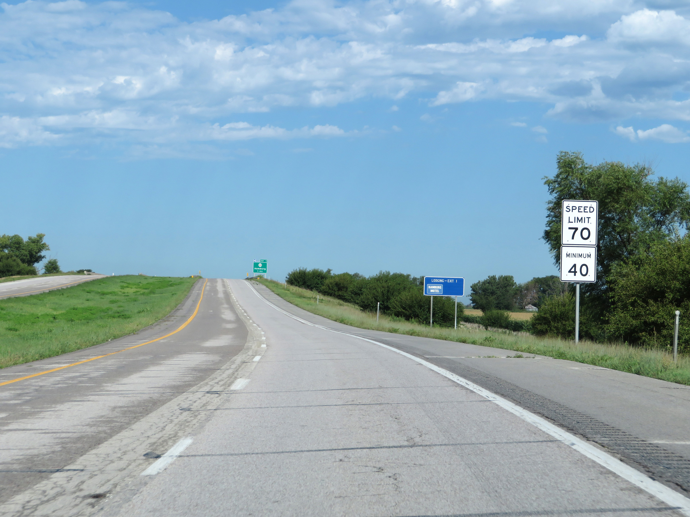 |
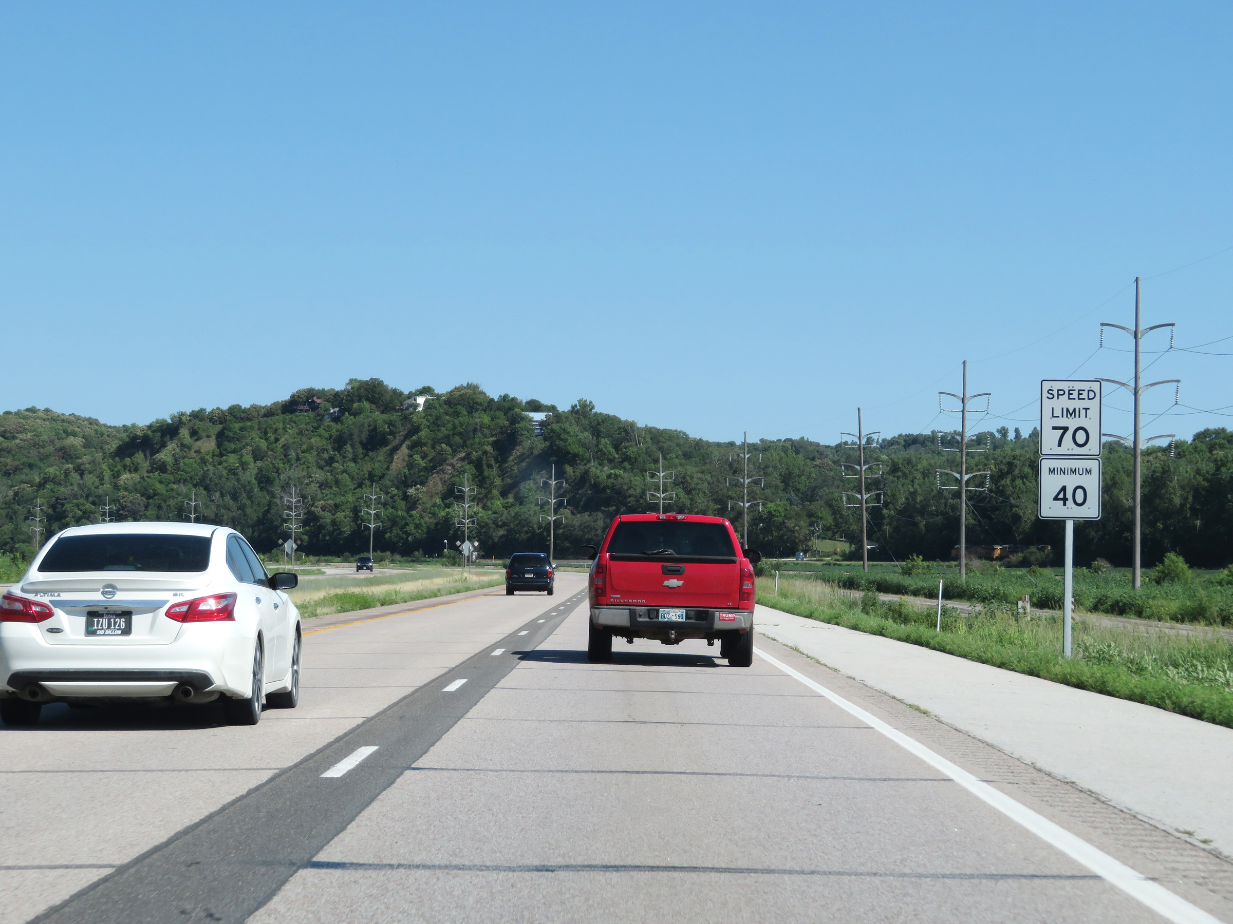
The speed limits on Interstate 29 North start out at 70 mph maximum and 40 mph minimum. These are the standard speed limits on most rural Interstate highways in Iowa. (Photo taken 8/9/20). |
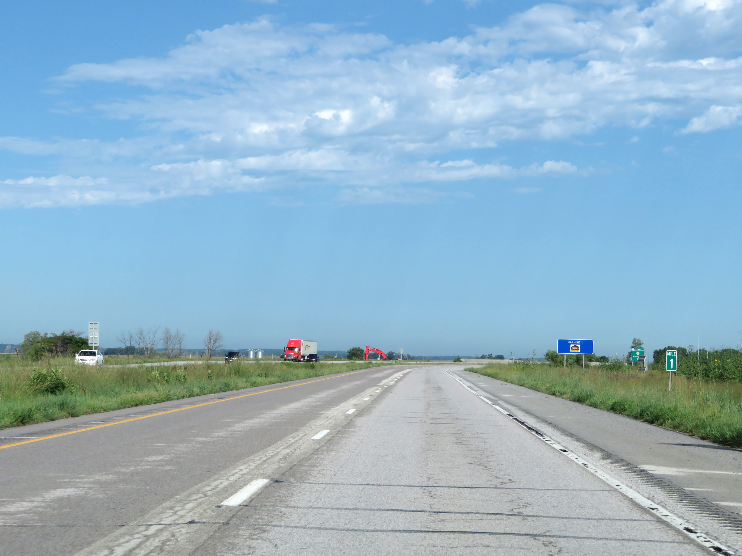 |
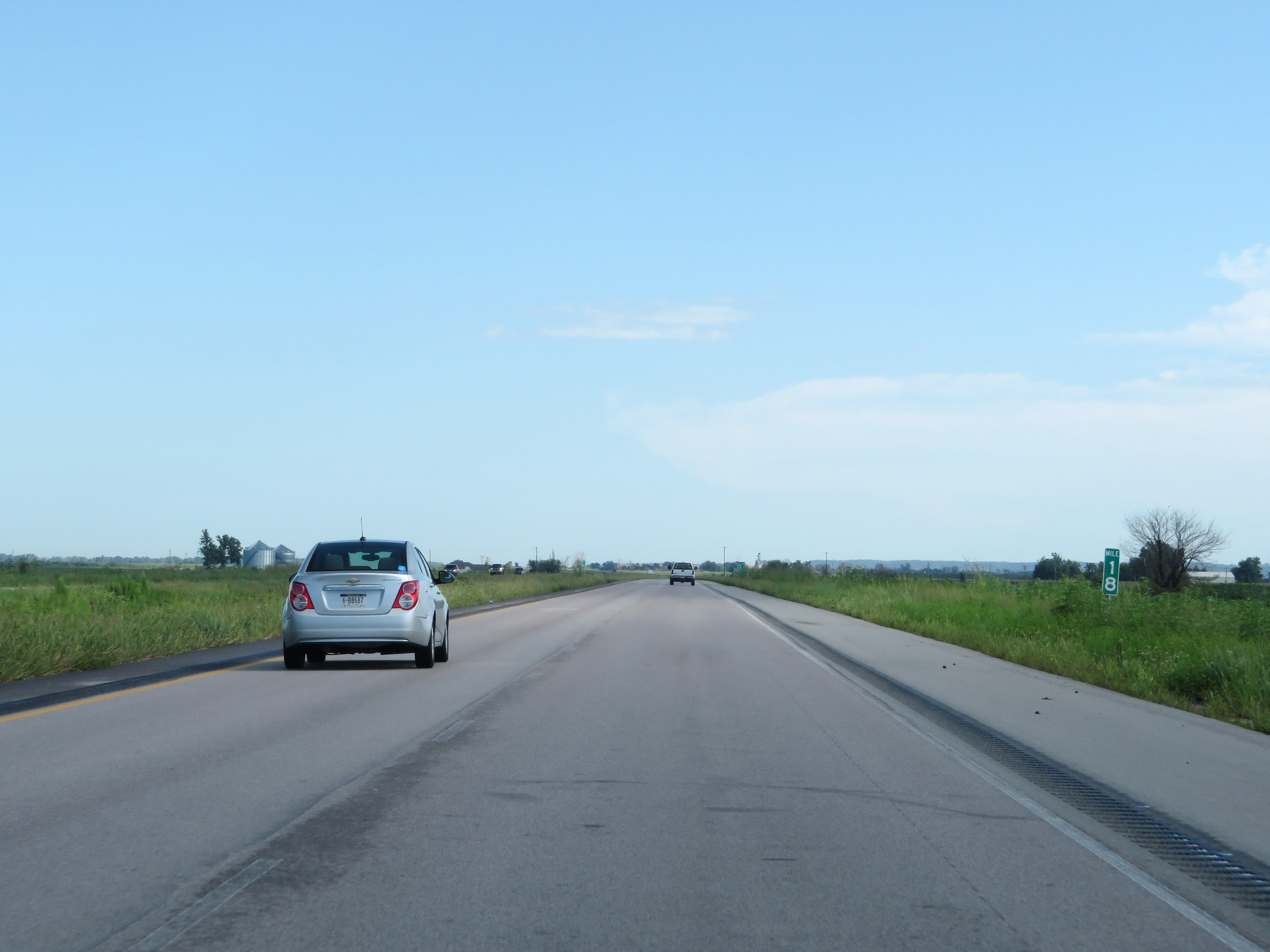
View on Interstate 29 North at mile marker 1. (Photo taken 8/9/20). |
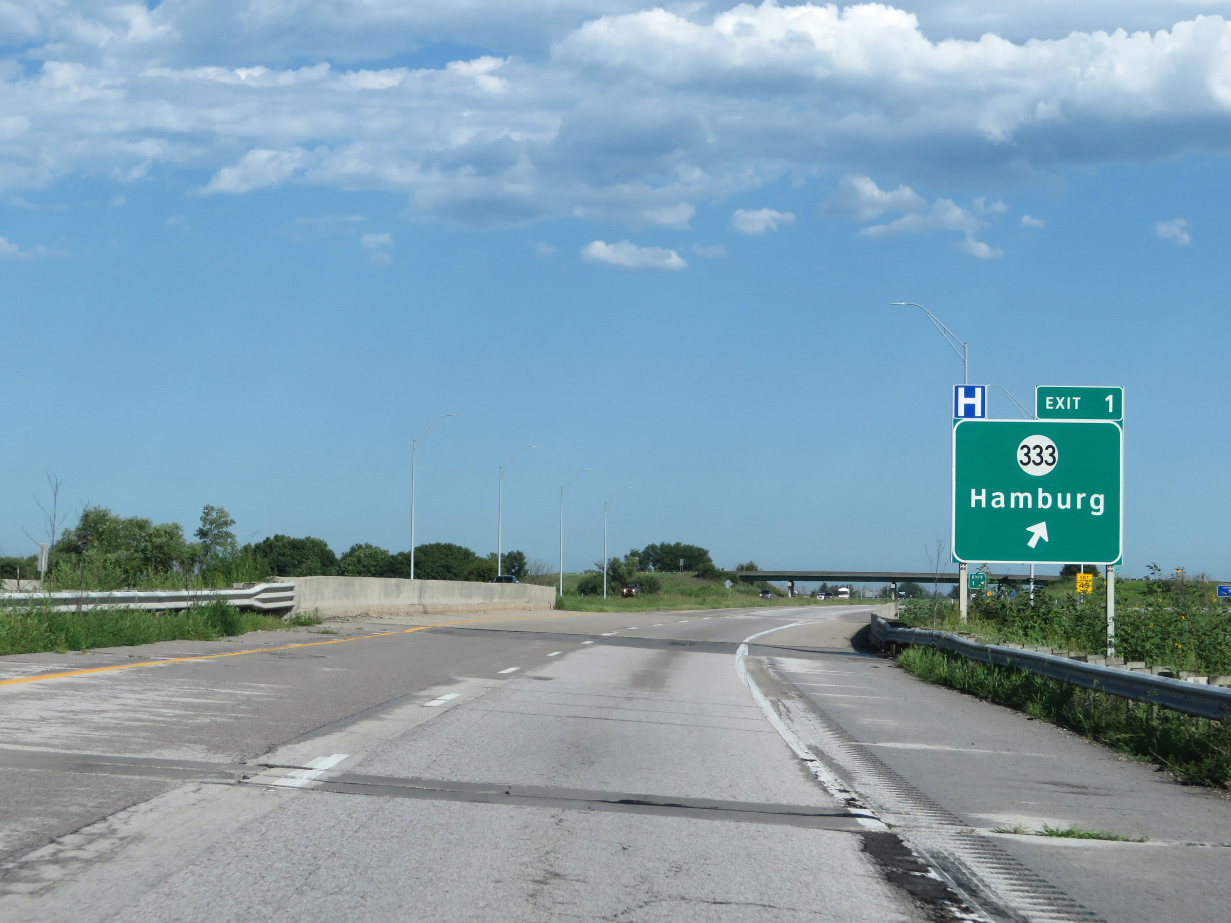 |
Interstate 29 North at Exit 1: IA 333 - Hamburg (Photo taken 8/9/20). |
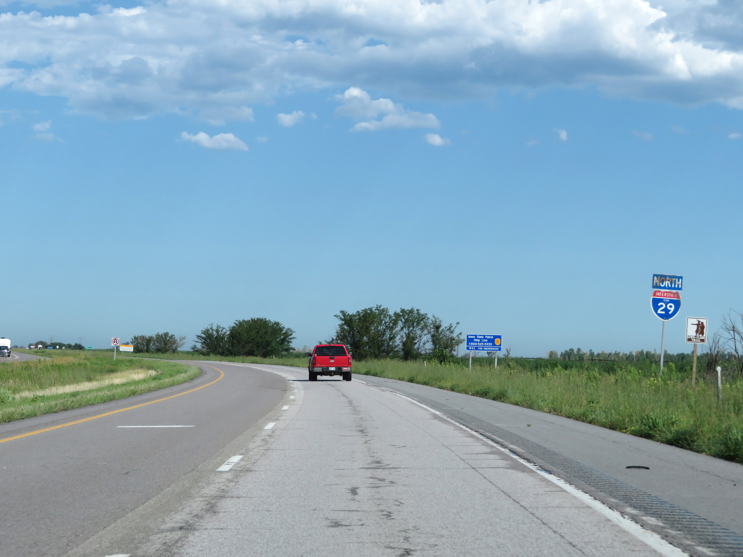 |
State-named Interstate 29 North reassurance shield. (Photo taken 8/9/20). |
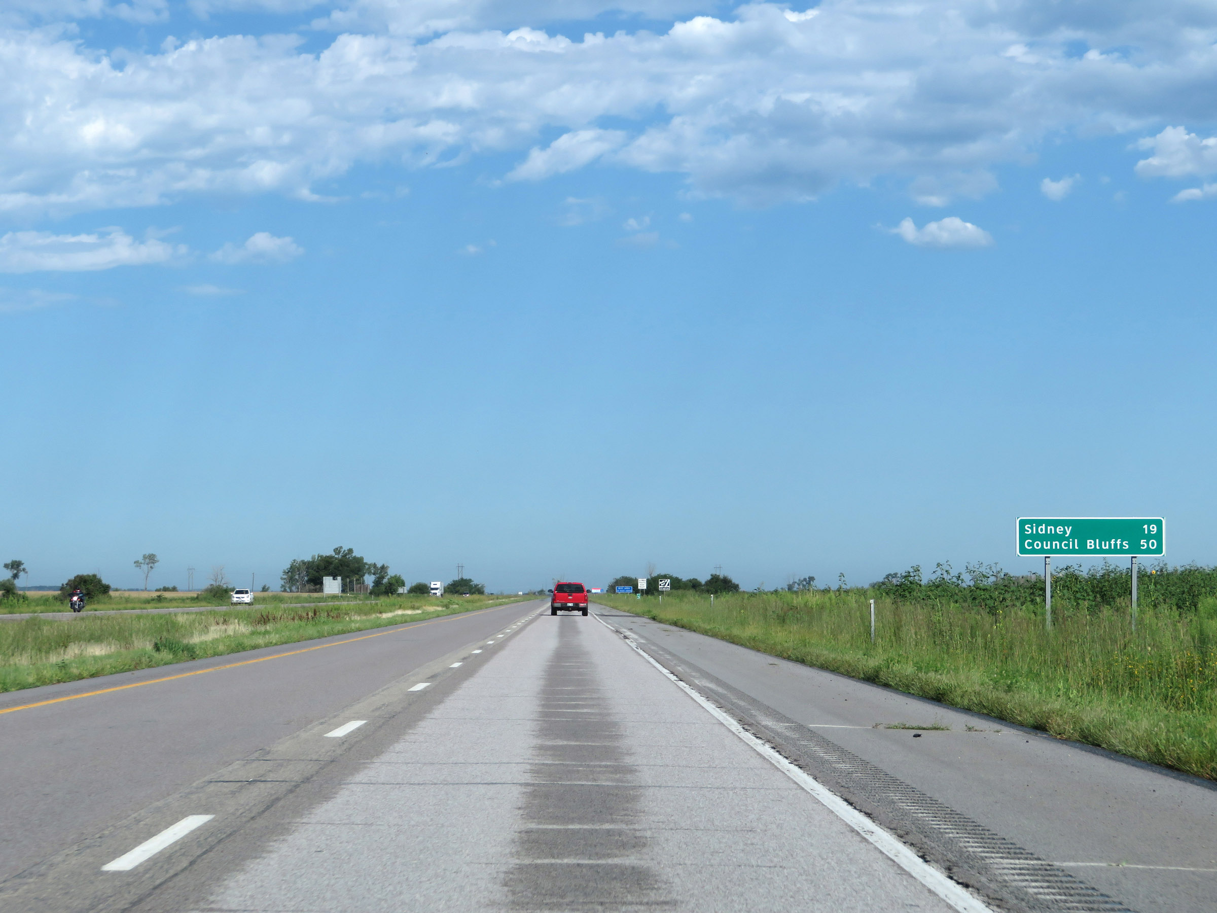 |
Mileage sign on Interstate 29 North. It's 19 miles to Sidney and 50 miles to Council Bluffs. (Photo taken 8/9/20). |
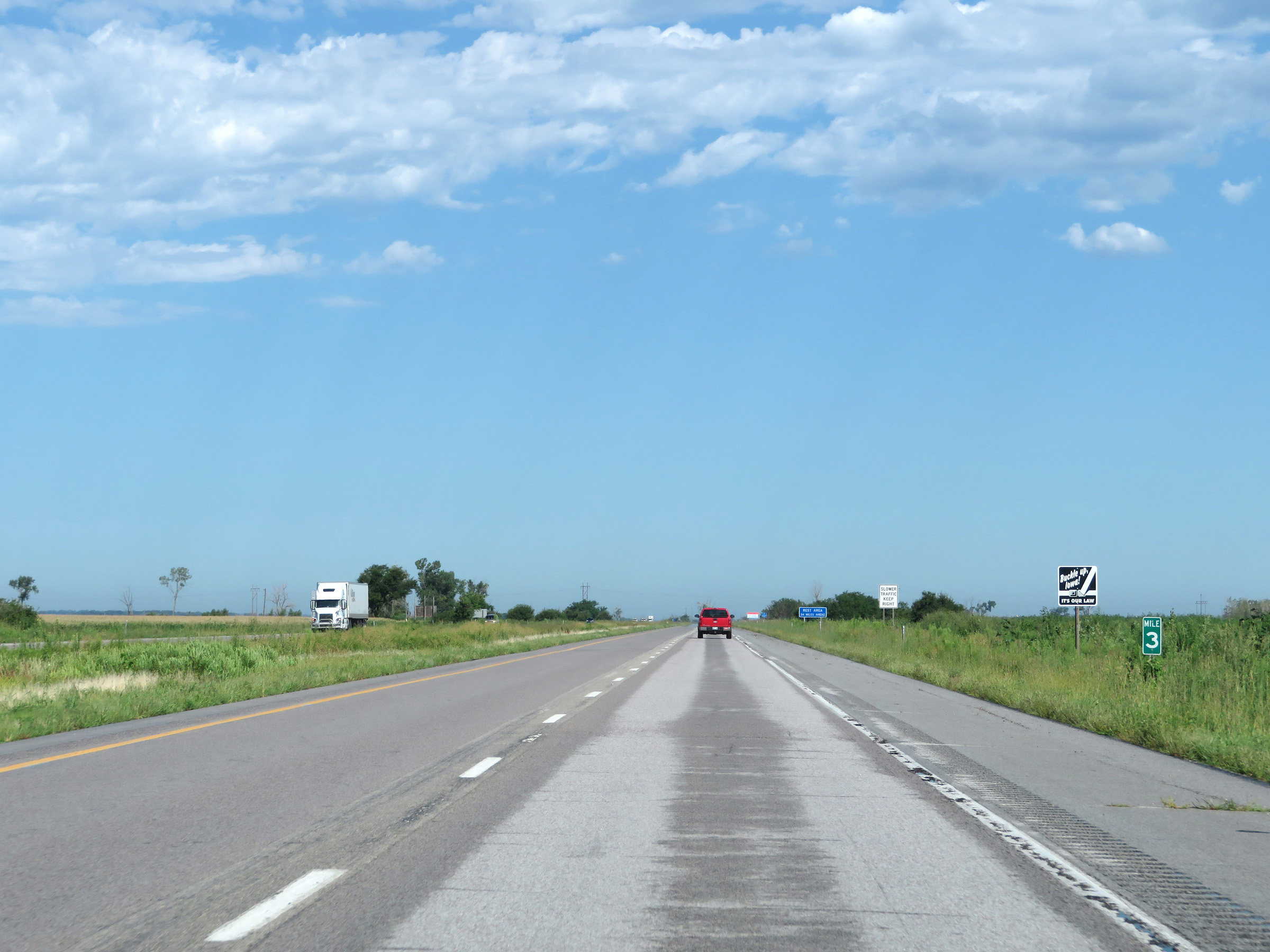 |
Interstate 29 North at mile marker 3. (Photo taken 8/9/20). |
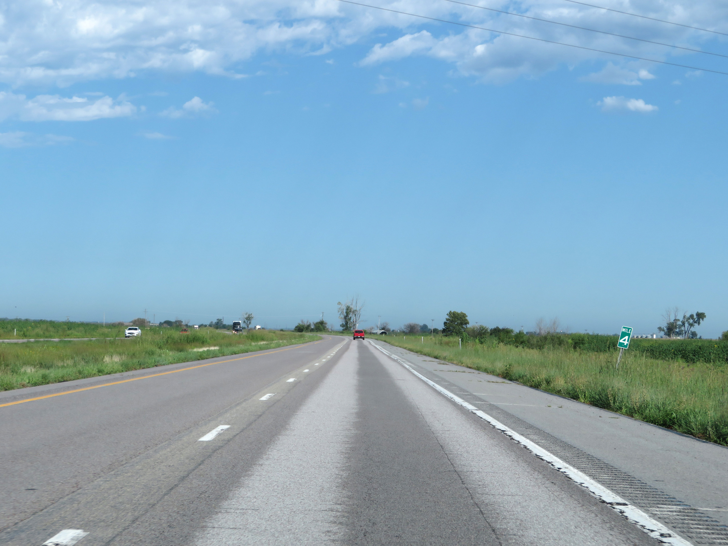 |
View on Interstate 29 North at mile marker 4. (Photo taken 8/9/20). |
 |
Interstate 29 North at mile marker 6. (Photo taken 8/9/20). |
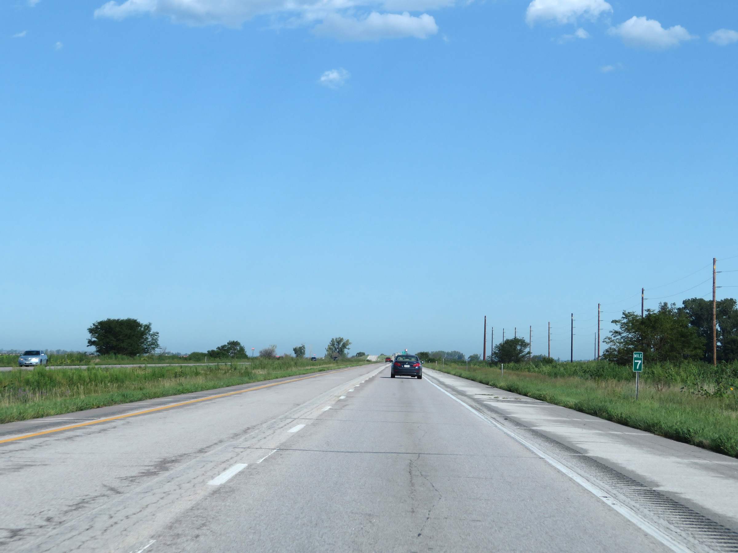 |
Mile marker 7 on Interstate 29 North in Fremont County. (Photo taken 8/9/20). |
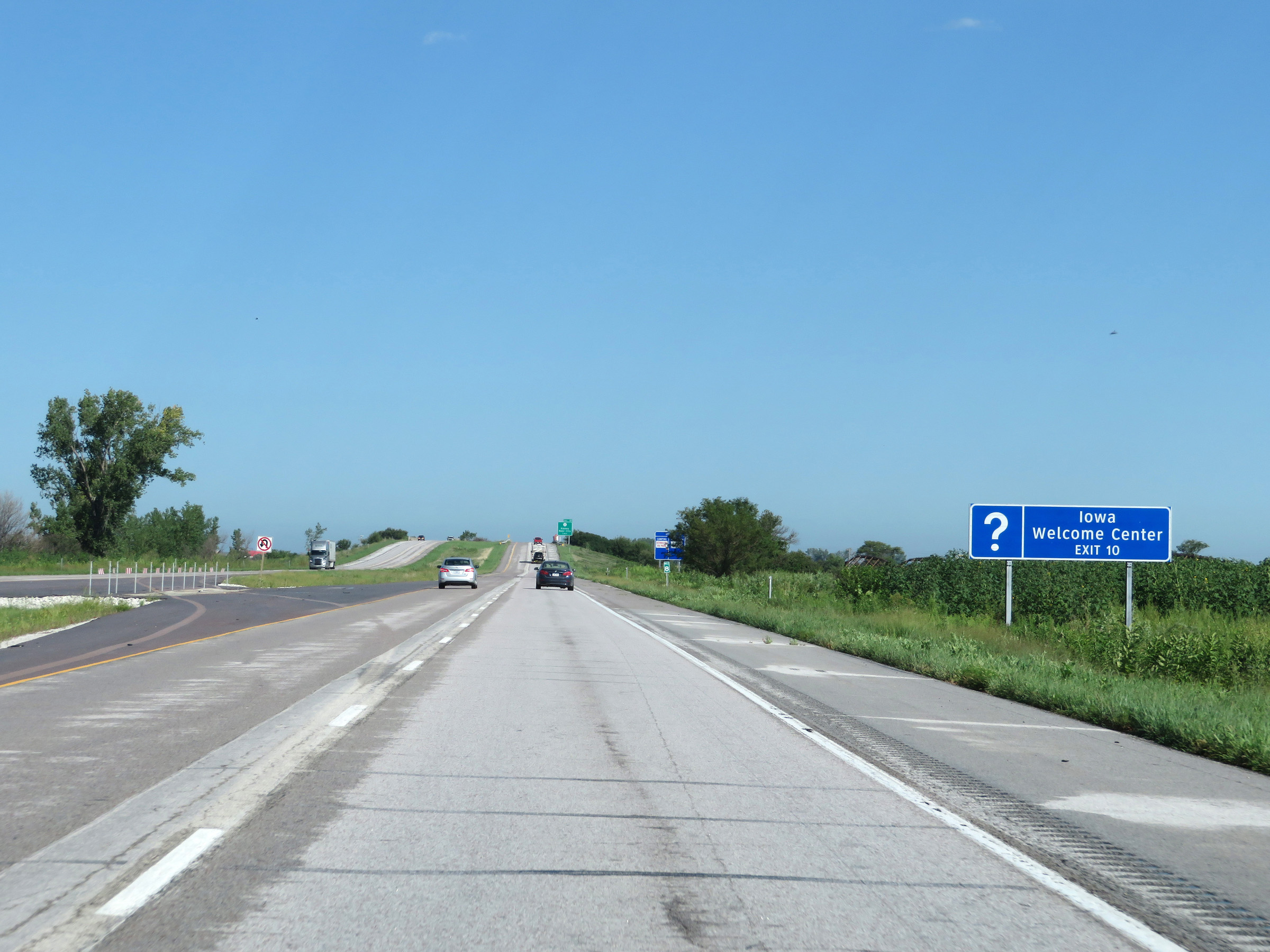 |
Take Exit 10 to an Iowa Welcome Center. (Photo taken 8/9/20). |
 |
Also take Exit 10 to Waubonsie State Park, Arbor Lodge State Park, and Arbor Day Farm. (Photo taken 8/9/20). |
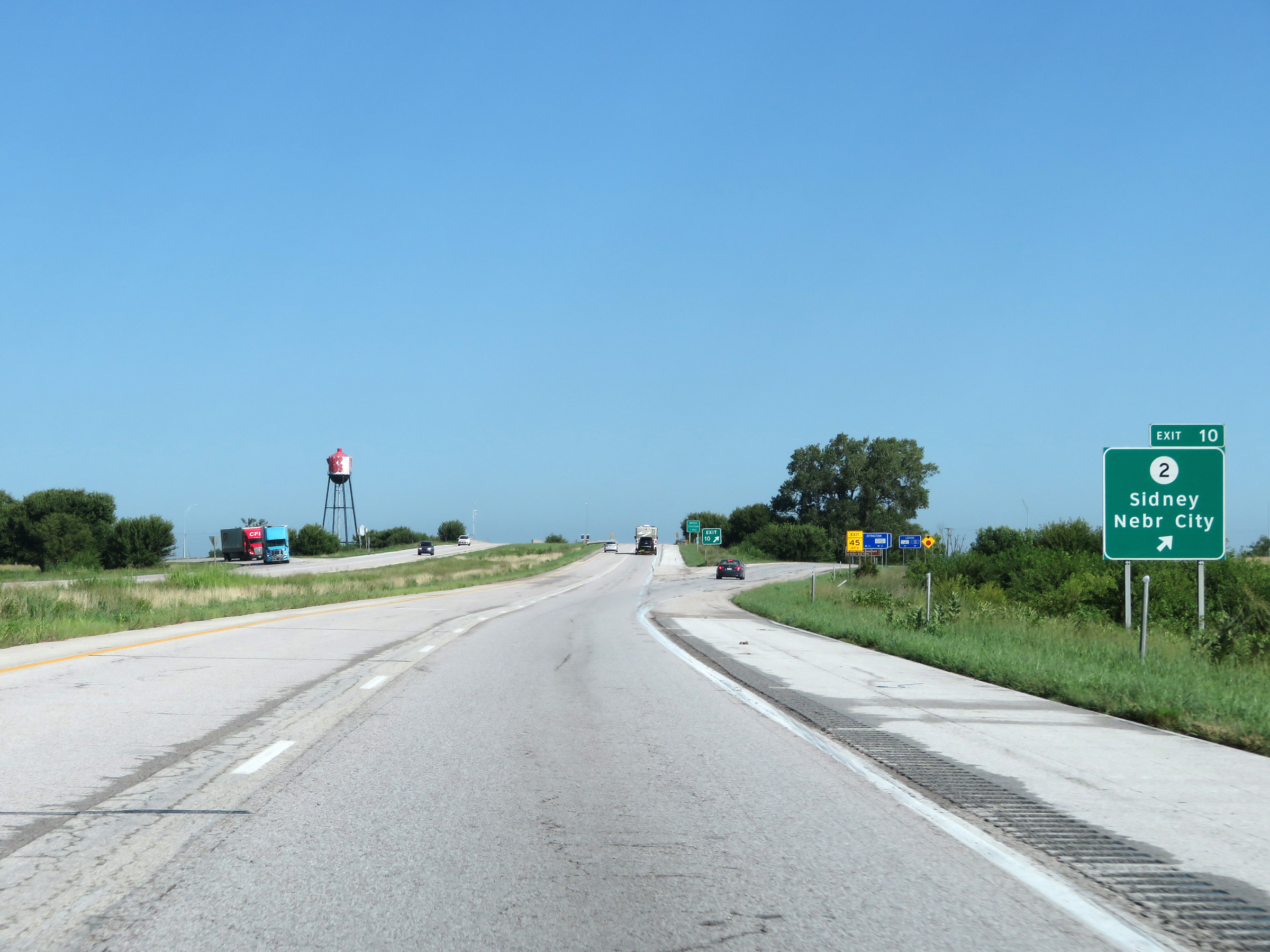 |
Interstate 29 North at Exit 10: IA 2 - Sidney / Nebraska City (Photo taken 8/9/20). |
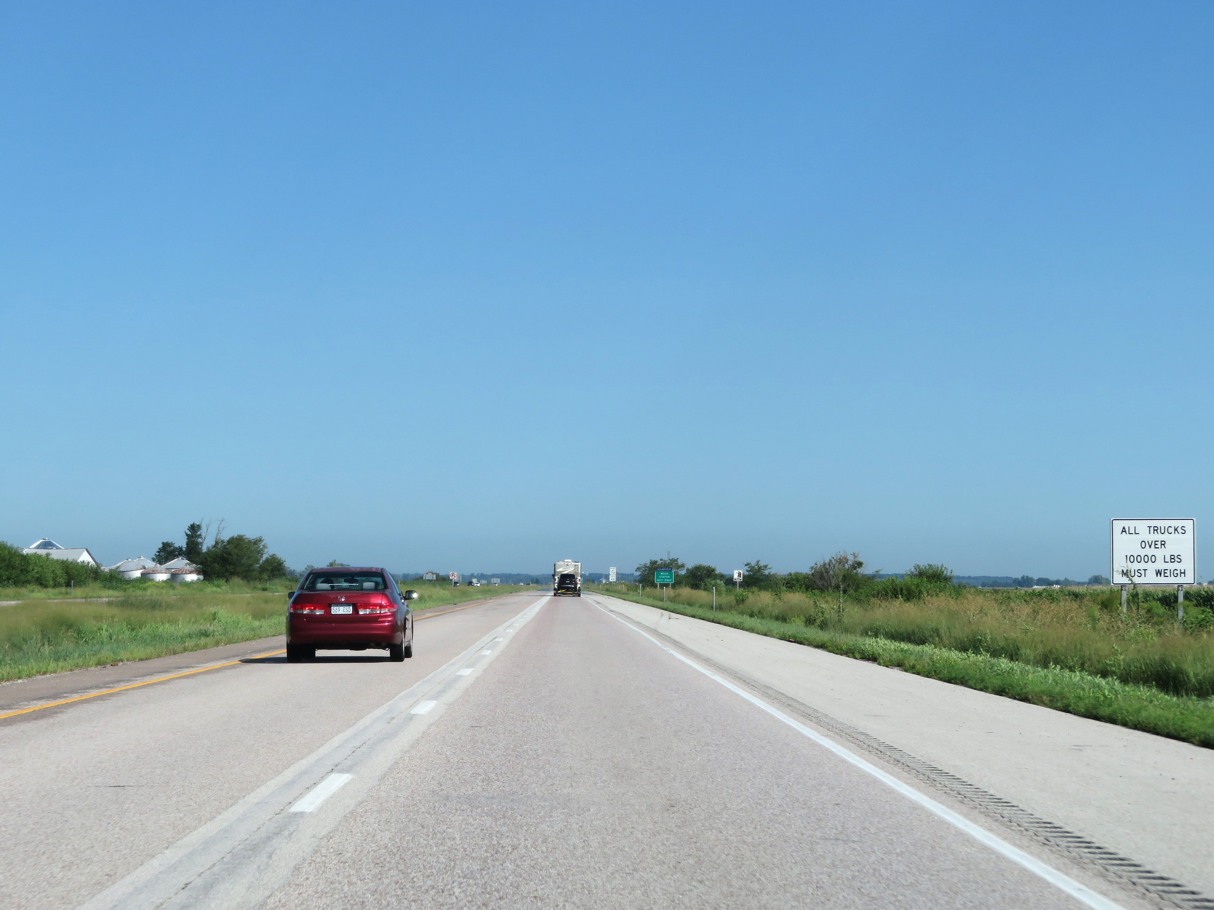 |
All trucks over 10,000 pounds must enter the Weigh Station ahead when it is open. (Photo taken 8/9/20). |
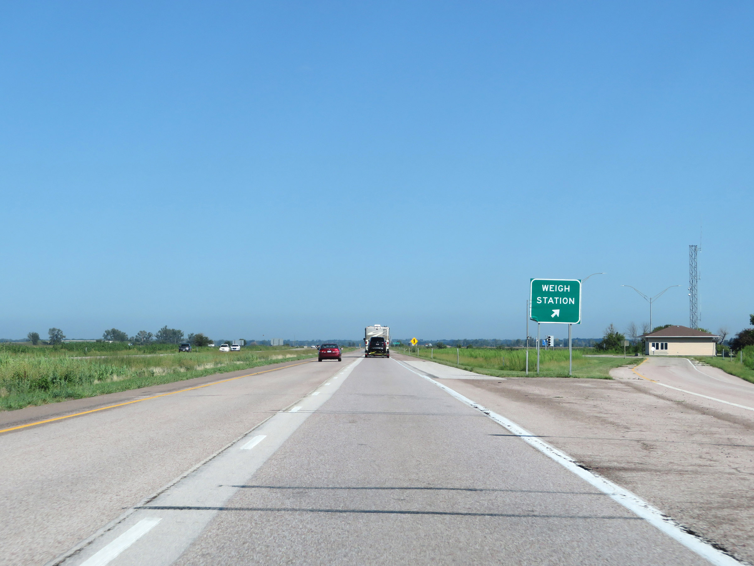 |
Weigh Station on Interstate 29 North in Fremont County. (Photo taken 8/9/20). |
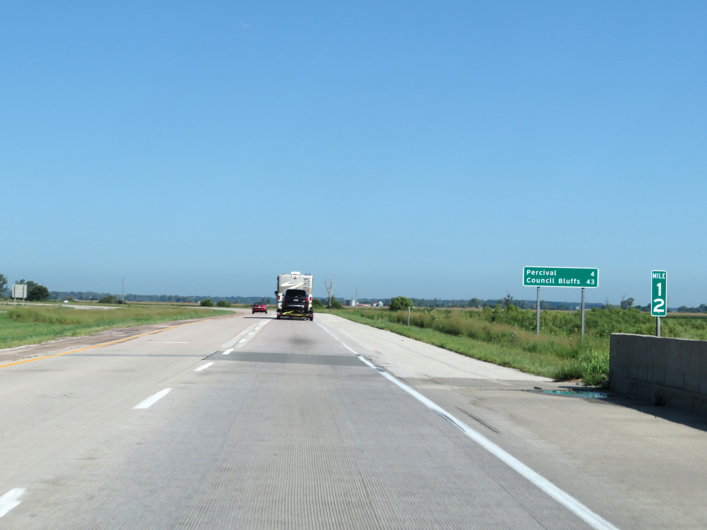 |
Mileage sign at mile marker 12. I'ts 4 miles to Percival and 43 miles to Council Bluffs. (Photo taken 8/9/20). |
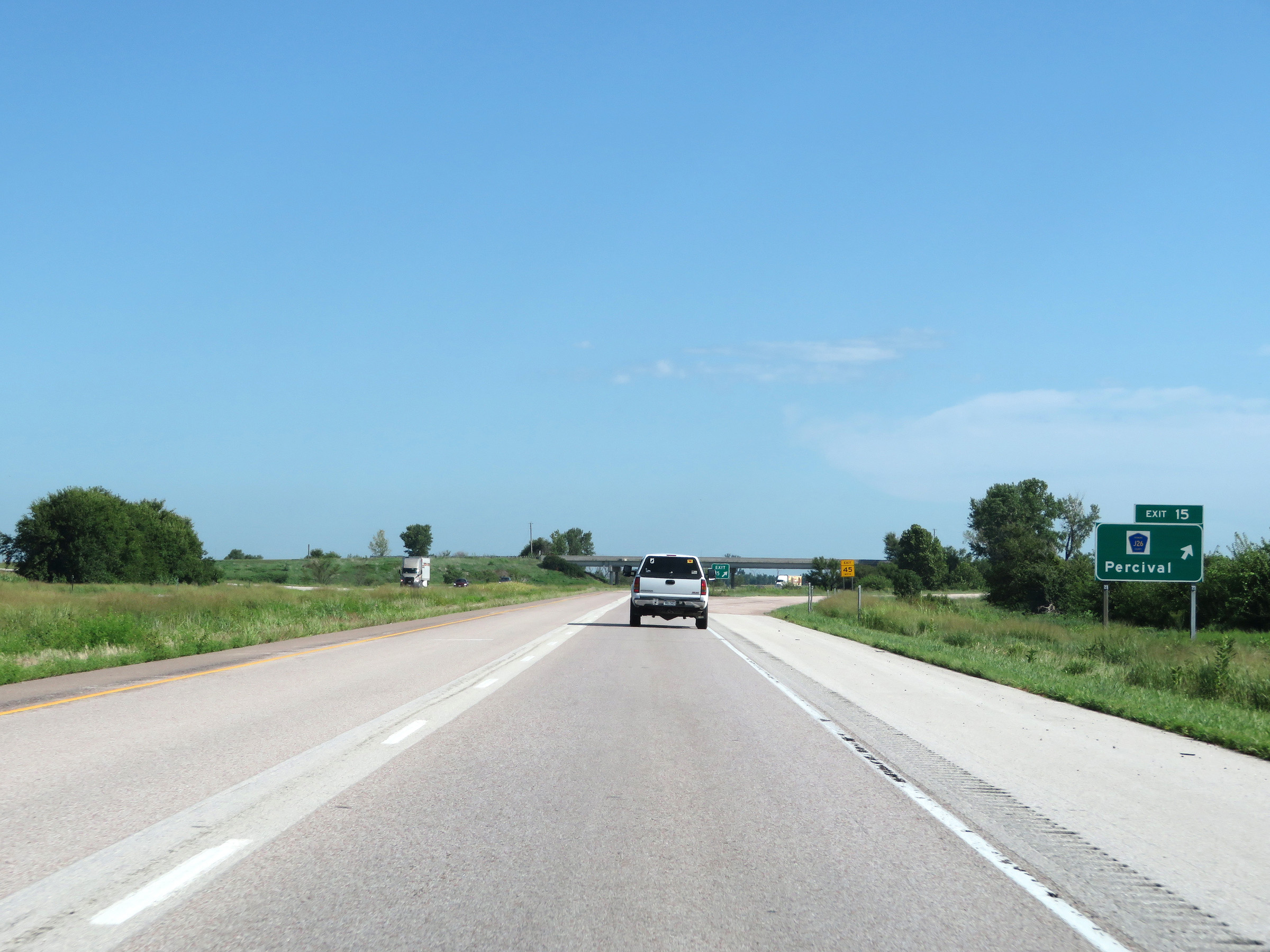 |
Interstate 29 North at Exit 15: CR J26 - Percival (Photo taken 8/9/20). |
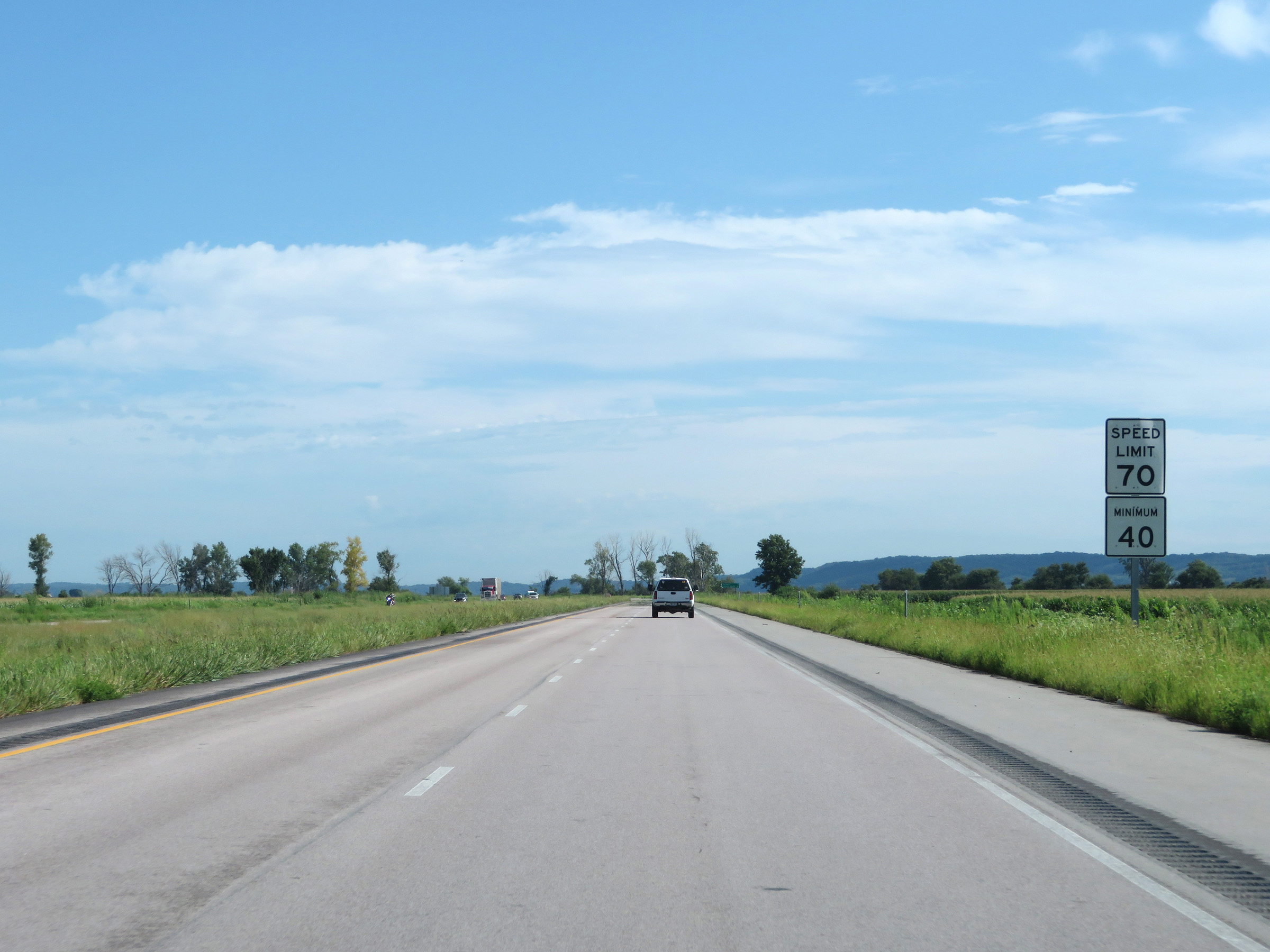 |
The speed limits remain 70 mph maximum and 40 mph minimum. (Photo taken 8/9/20). |
 |
View on Interstate 29 North at mile marker 18. (Photo taken 8/9/20). |
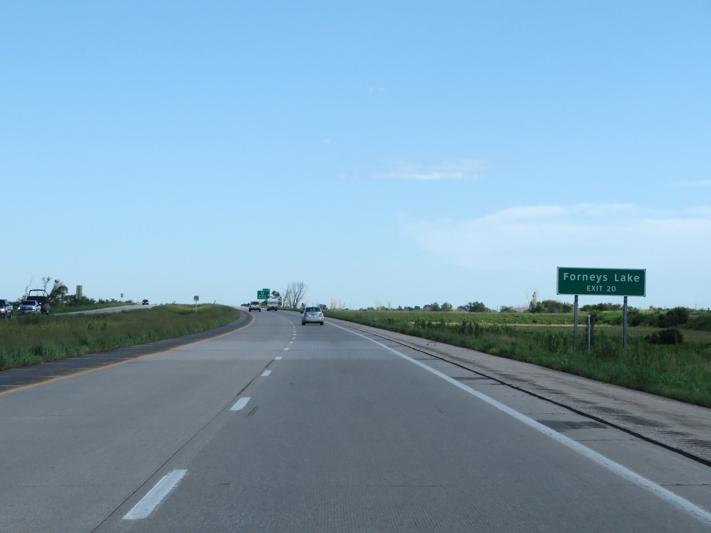 |
Take Exit 20 to Forneys Lake. (Photo taken 8/9/20). |
 |
Interstate 29 North at exit 20: CR J24 - McPaul / Thurman (Photo taken 8/9/20). |
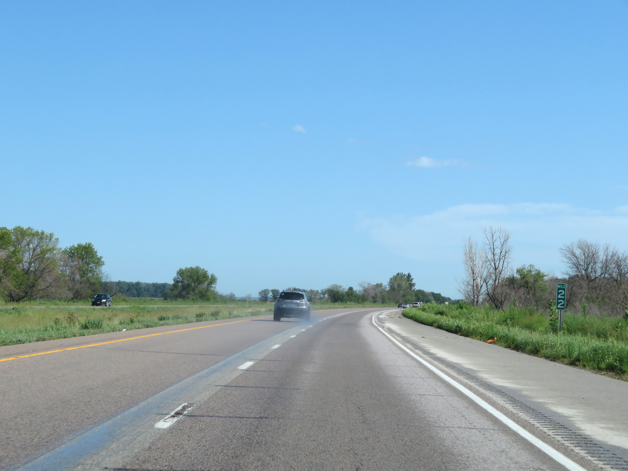 |
View on Interstate 29 North at mile marker 22. (Photo taken 8/9/20). |
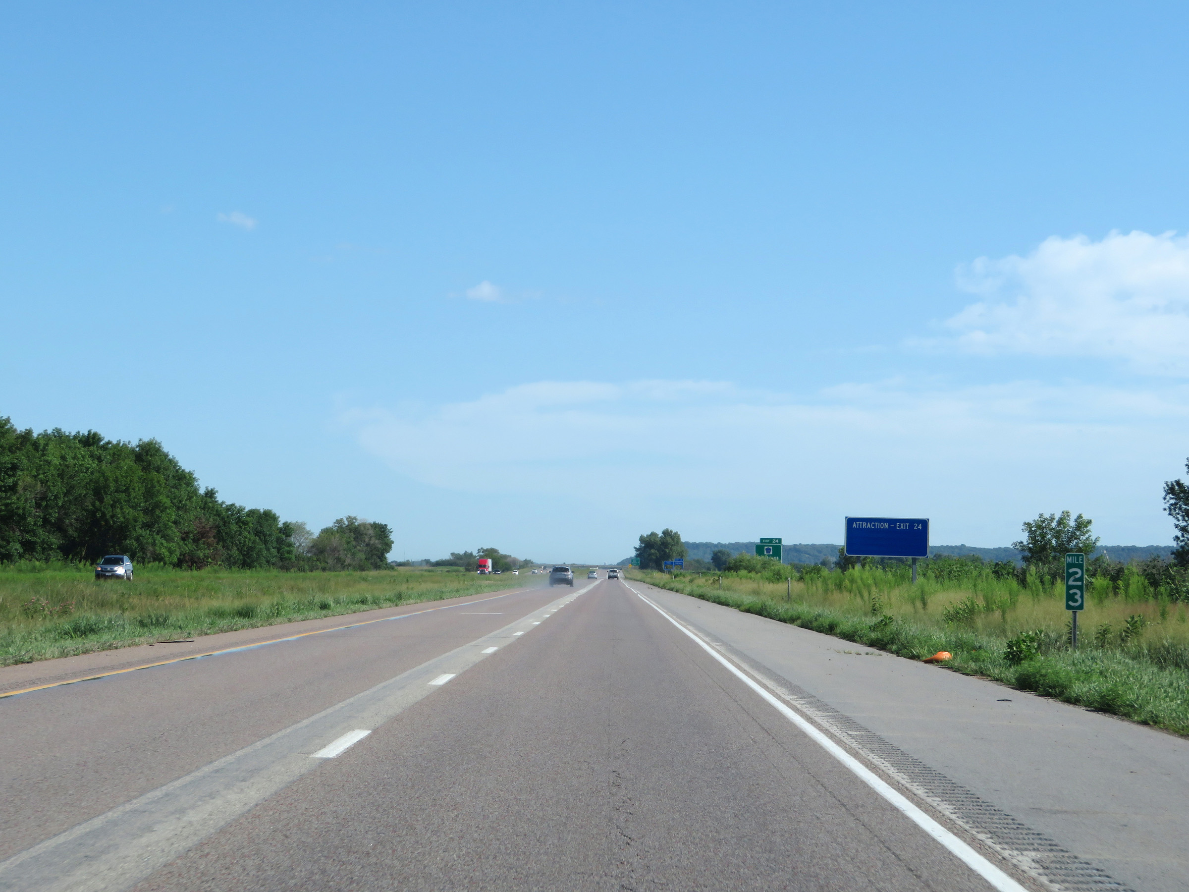 |
Interstate 29 North at mile marker 23. (Photo taken 8/9/20). |
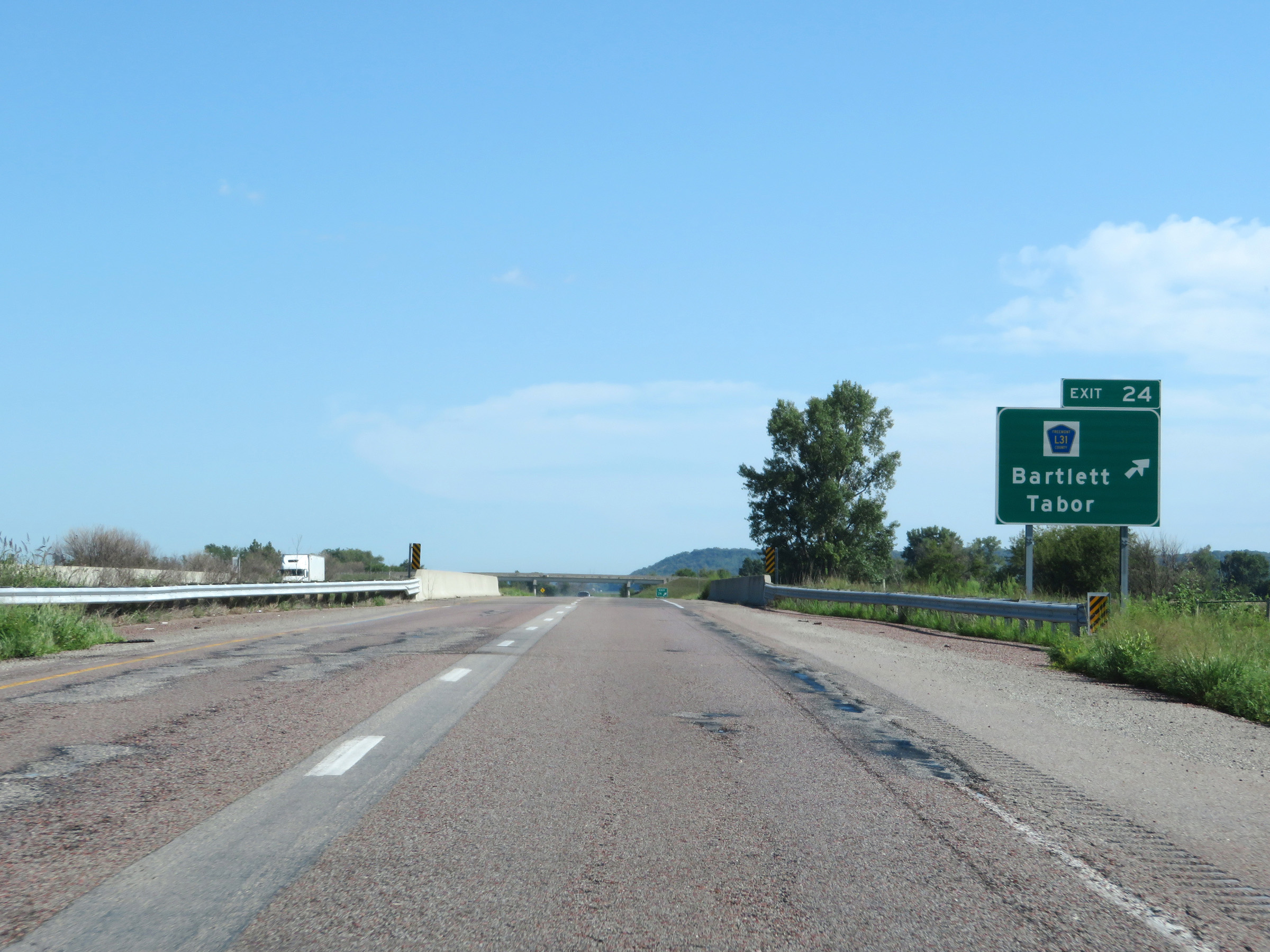 |
Interstate 29 North at Exit 24: CR L31 - Bartlett / Tabor (Photo taken 8/9/20). |
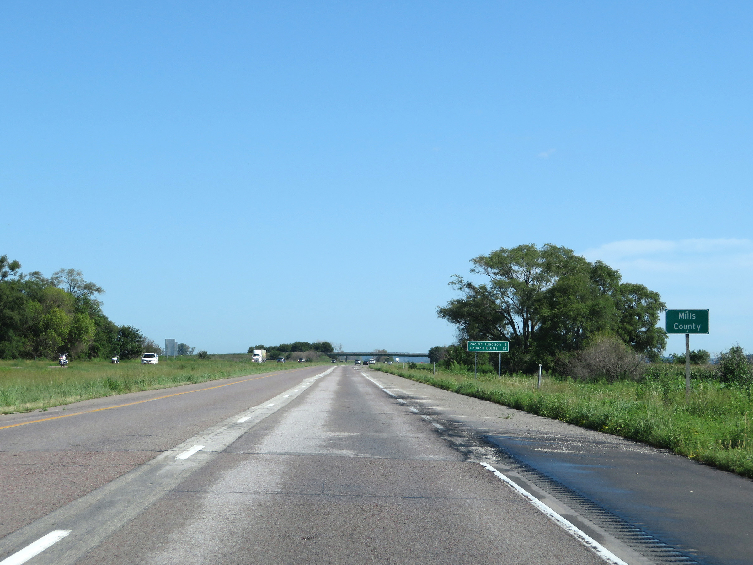 |
Interstate 29 North as it enters Mills County. (Photo taken 8/9/20). |
 |
View on Interstate 29 North at mile marker 26. (Photo taken 8/9/20). |
 |
Mile marker 27 on Interstate 29 North in Mills County. (Photo taken 8/9/20). |
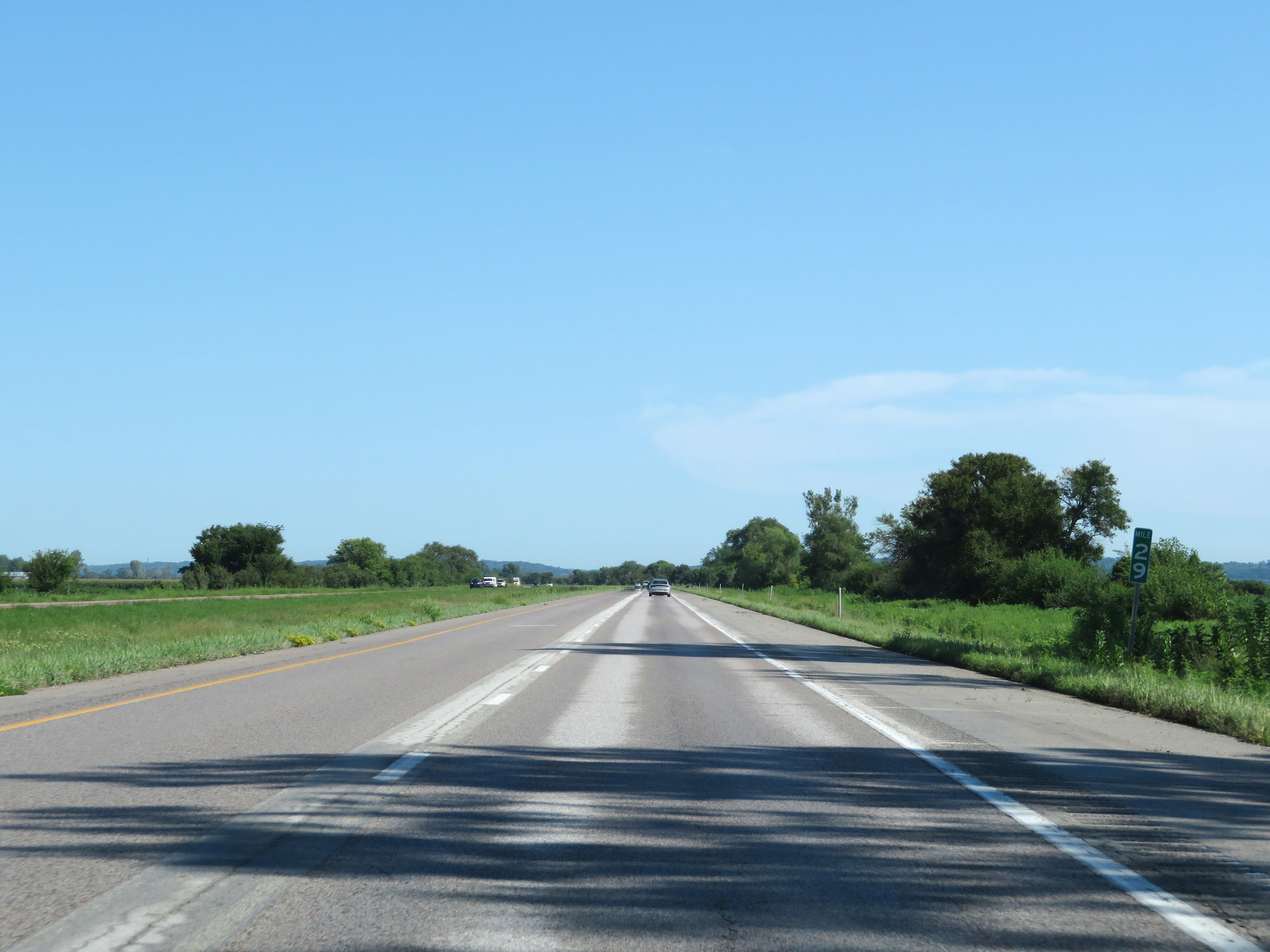 |
Interstate 29 North at mile marker 29. (Photo taken 8/9/20). |
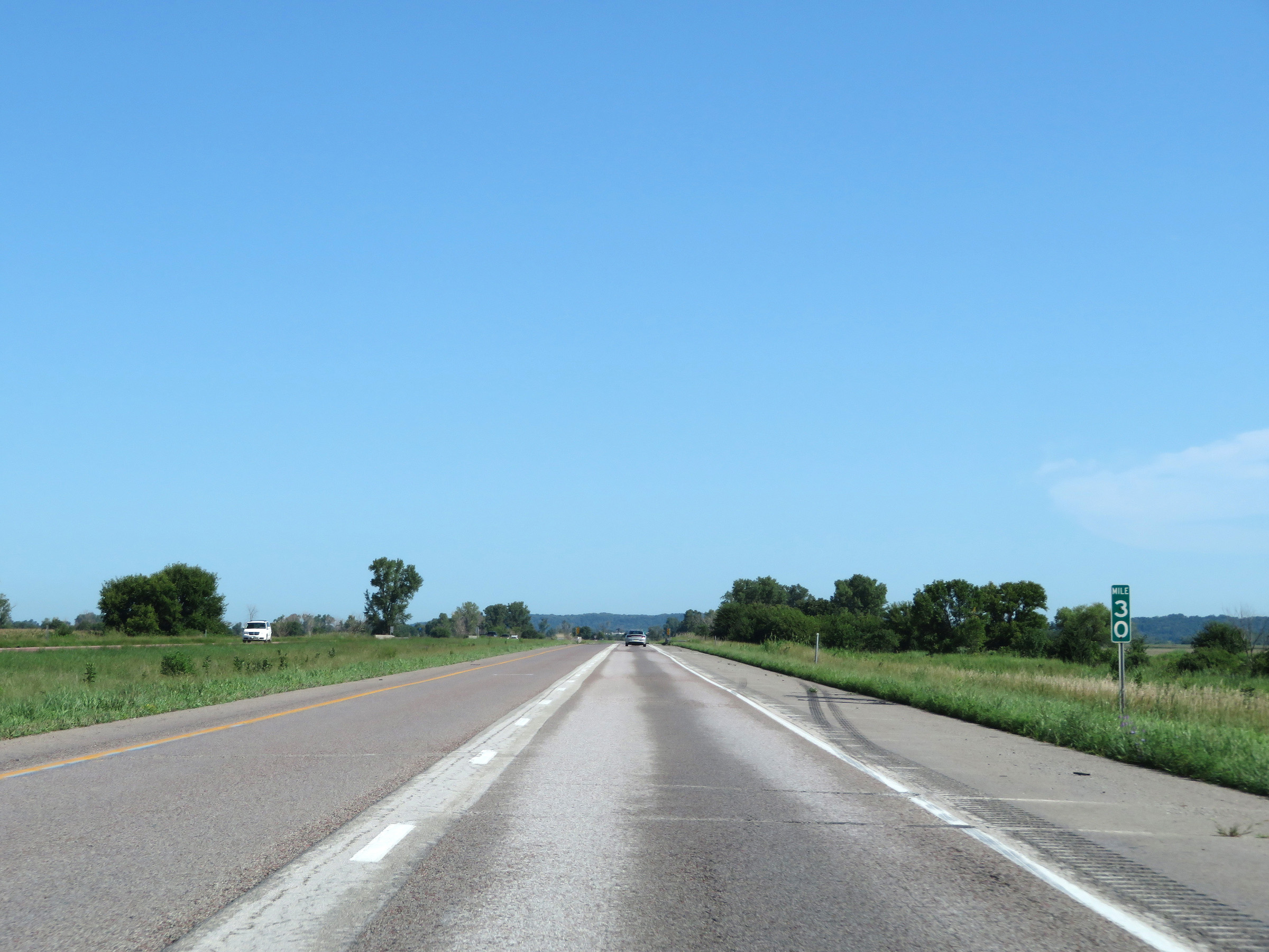 |
View on Interstate 29 North at mile marker 30. (Photo taken 8/9/20). |
 |
Mile marker 31 on Interstate 29 North in Mills County. (Photo taken 8/9/20). |
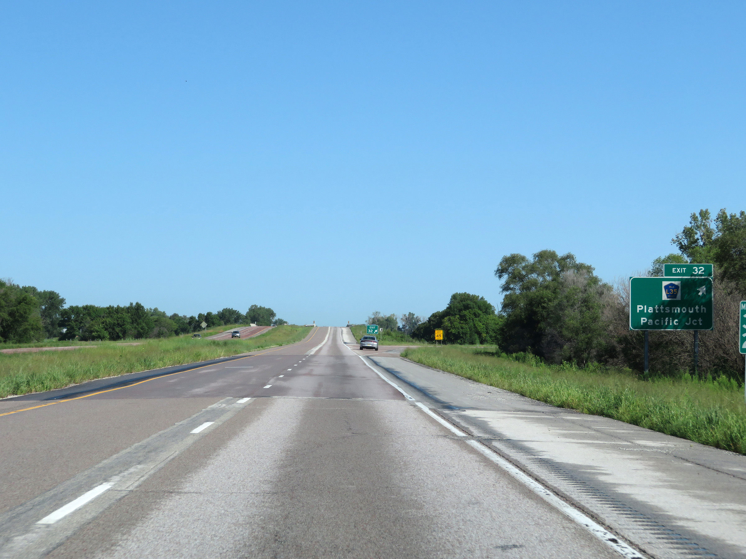 |
Interstate 29 North at Exit 32: CR L35 - Plattsmouth / Pacific Junction (Photo taken 8/9/20). |
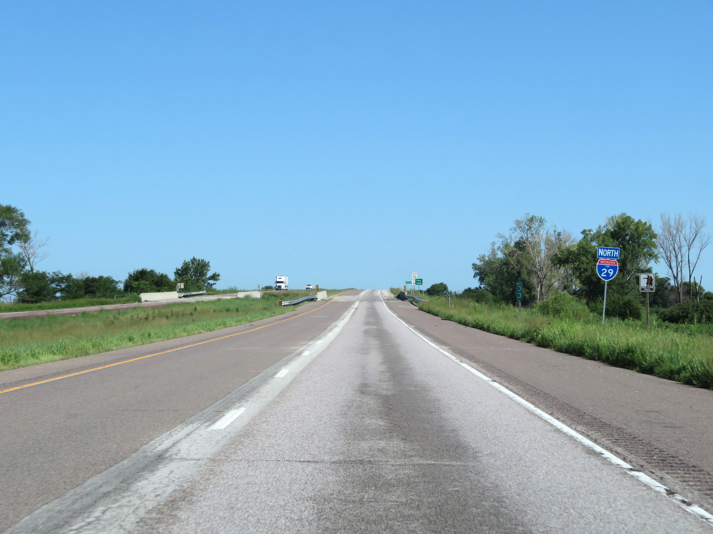 |
Another state-named Interstate 29 North reassurance shield at mile marker 33. (Photo taken 8/9/20). |
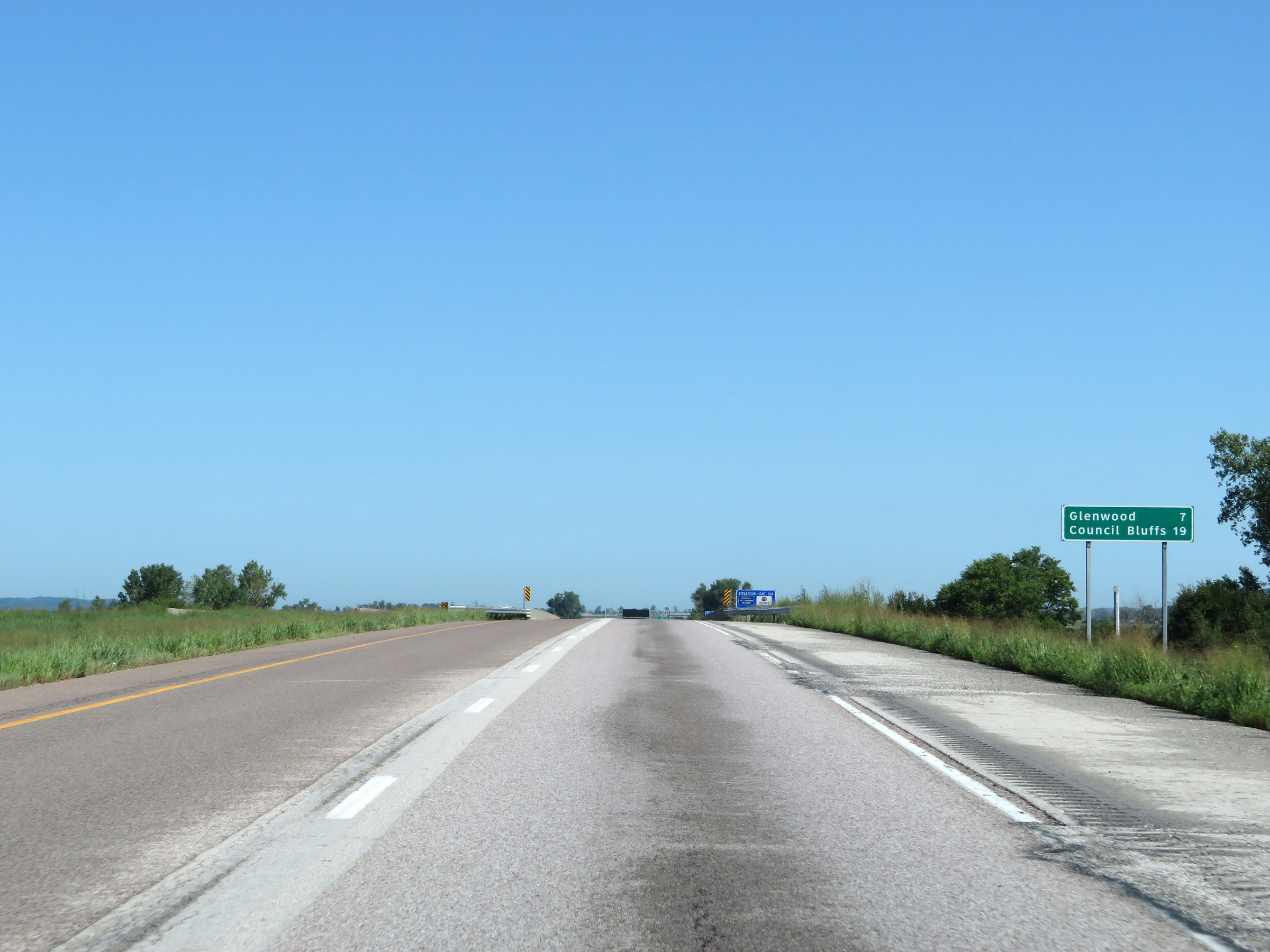 |
Mileage sign on Interstate 29 North. It's 7 miles to Glenwood and 19 miles to Council Bluffs. (Photo taken 8/9/20). |
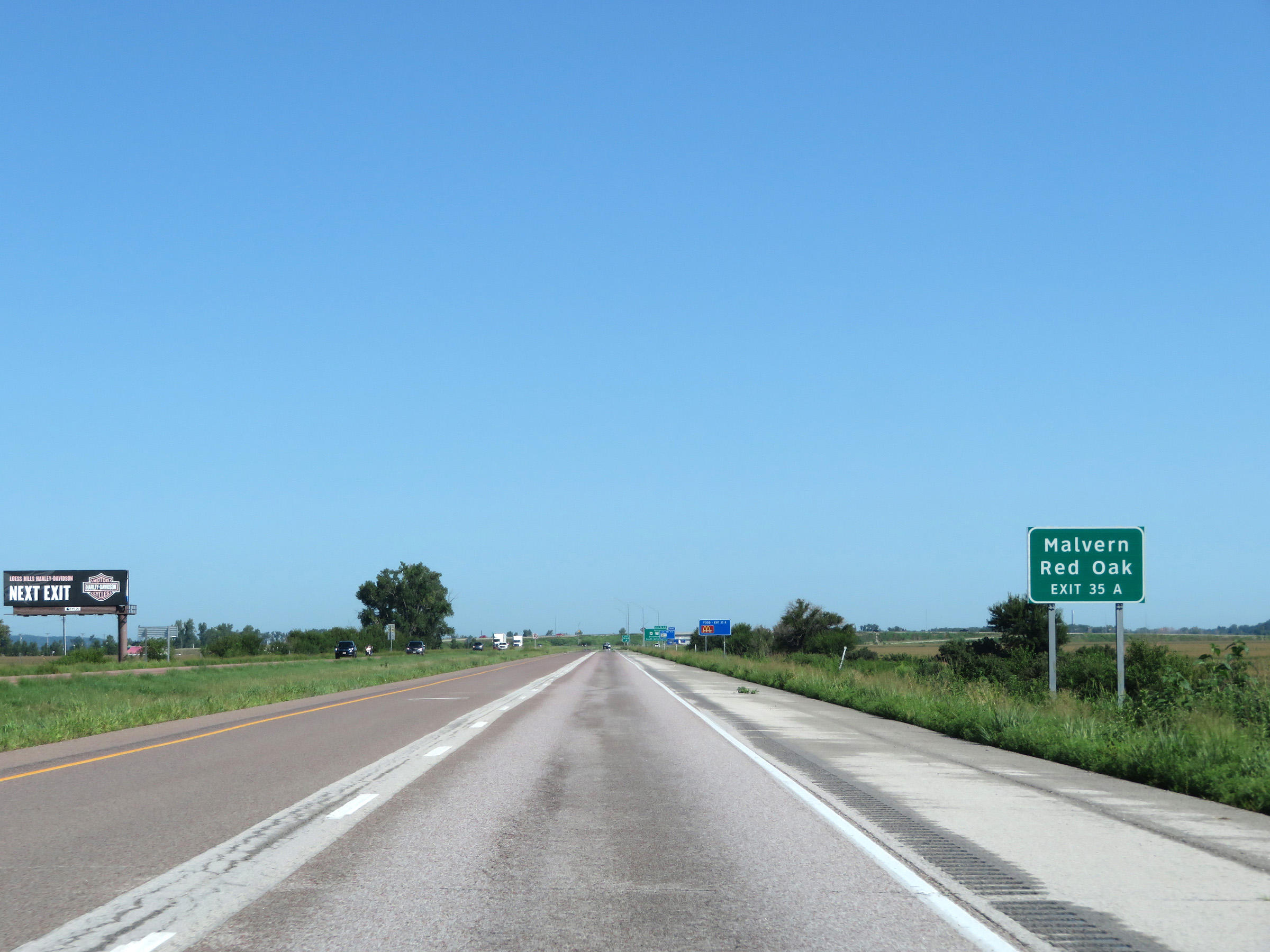 |
Take Exit 35A to Malvern and Red Oak. (Photo taken 8/9/20). |
 |
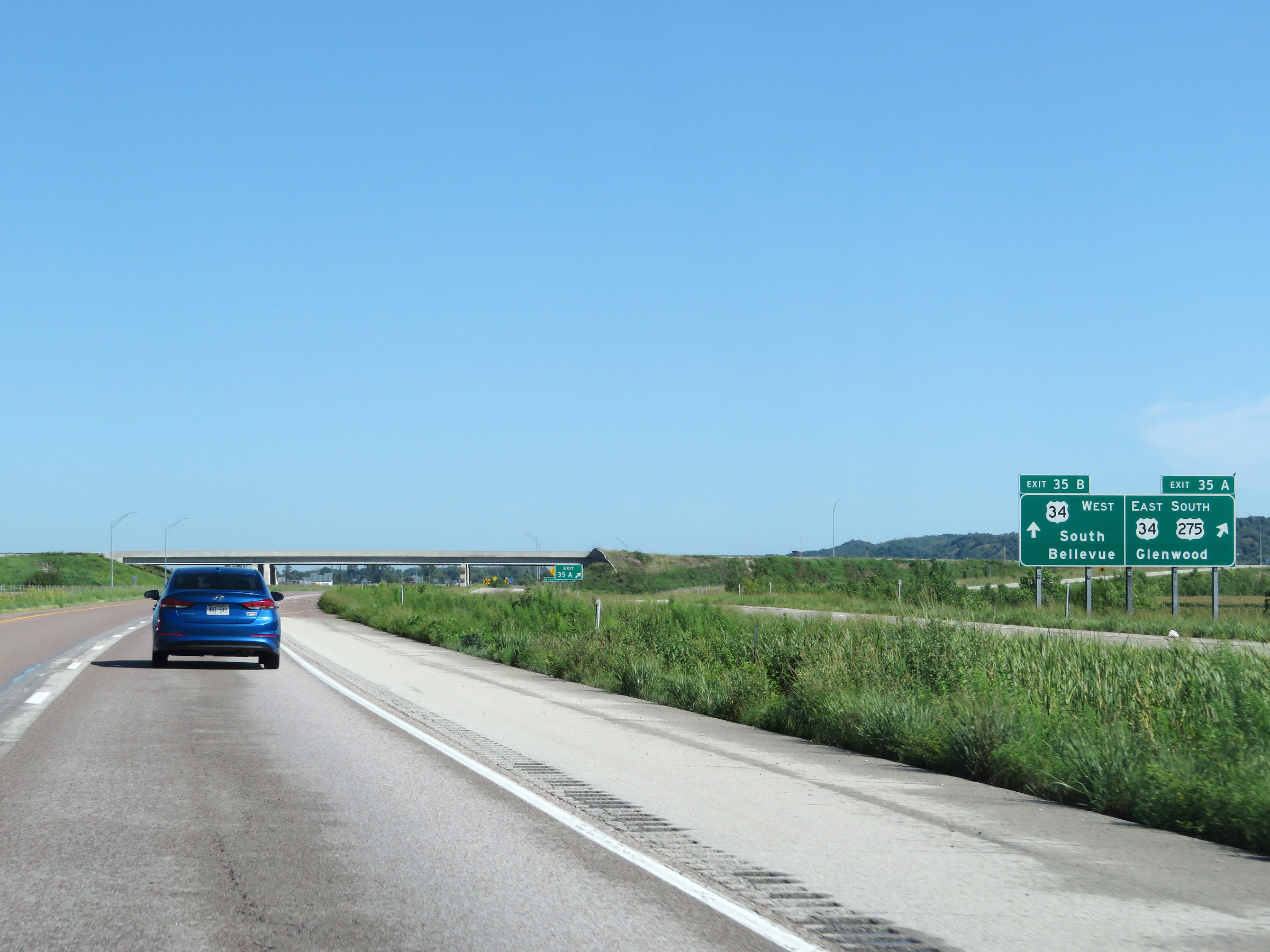
Interstate 29 North at Exits 35A-B: US 34 / US 275 South - Glenwood / South Bellevue (Photo taken 8/9/20). |
 |
View of the ramp to Exits 35A-B as it splits into two separate ramps for Exit 35A and Exit 35B. (Photo taken 8/9/20). |
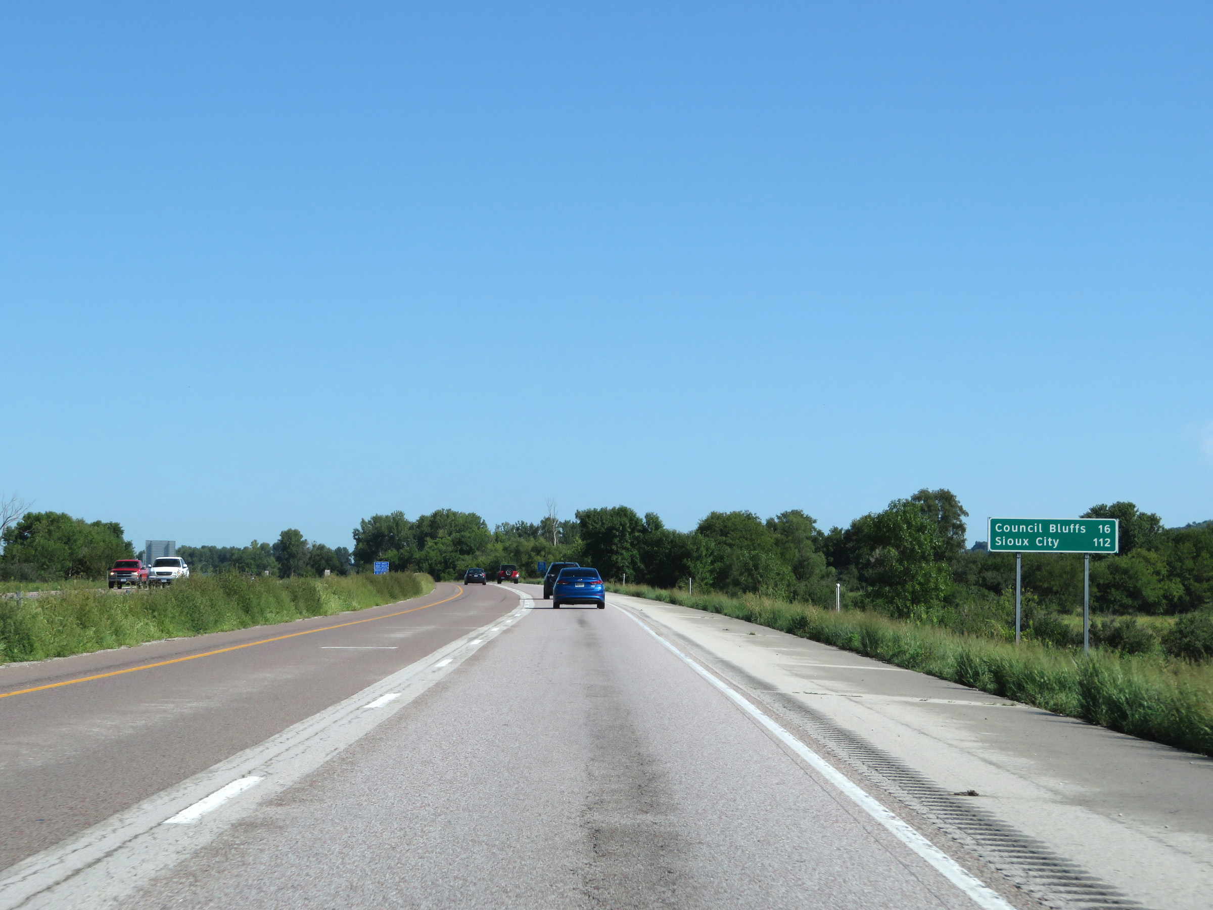 |
Another mileage sign on Interstate 29 North. It's 16 miles to Council Bluffs and 112 miles to Sioux City. (Photo taken 8/9/20). |
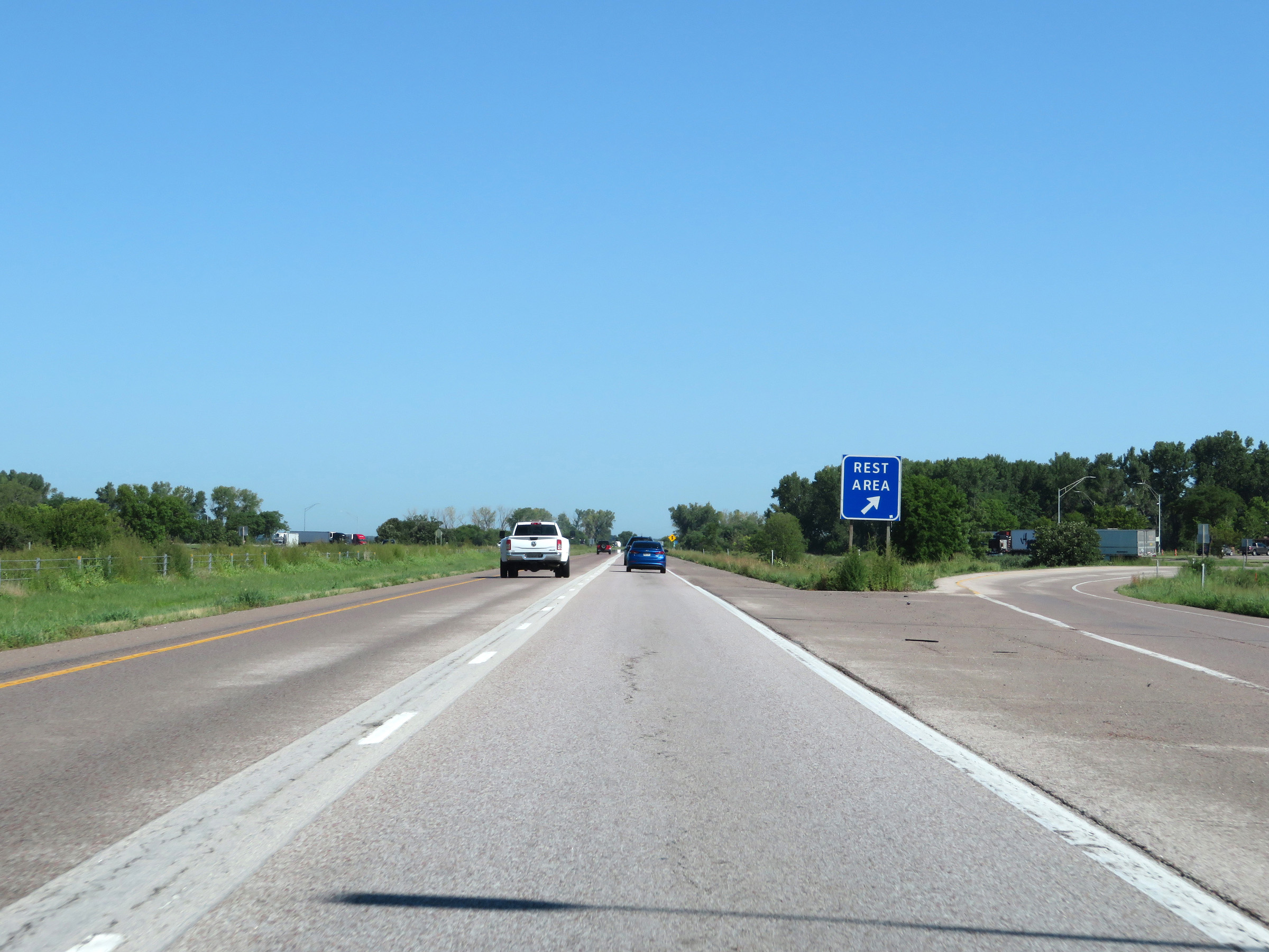 |
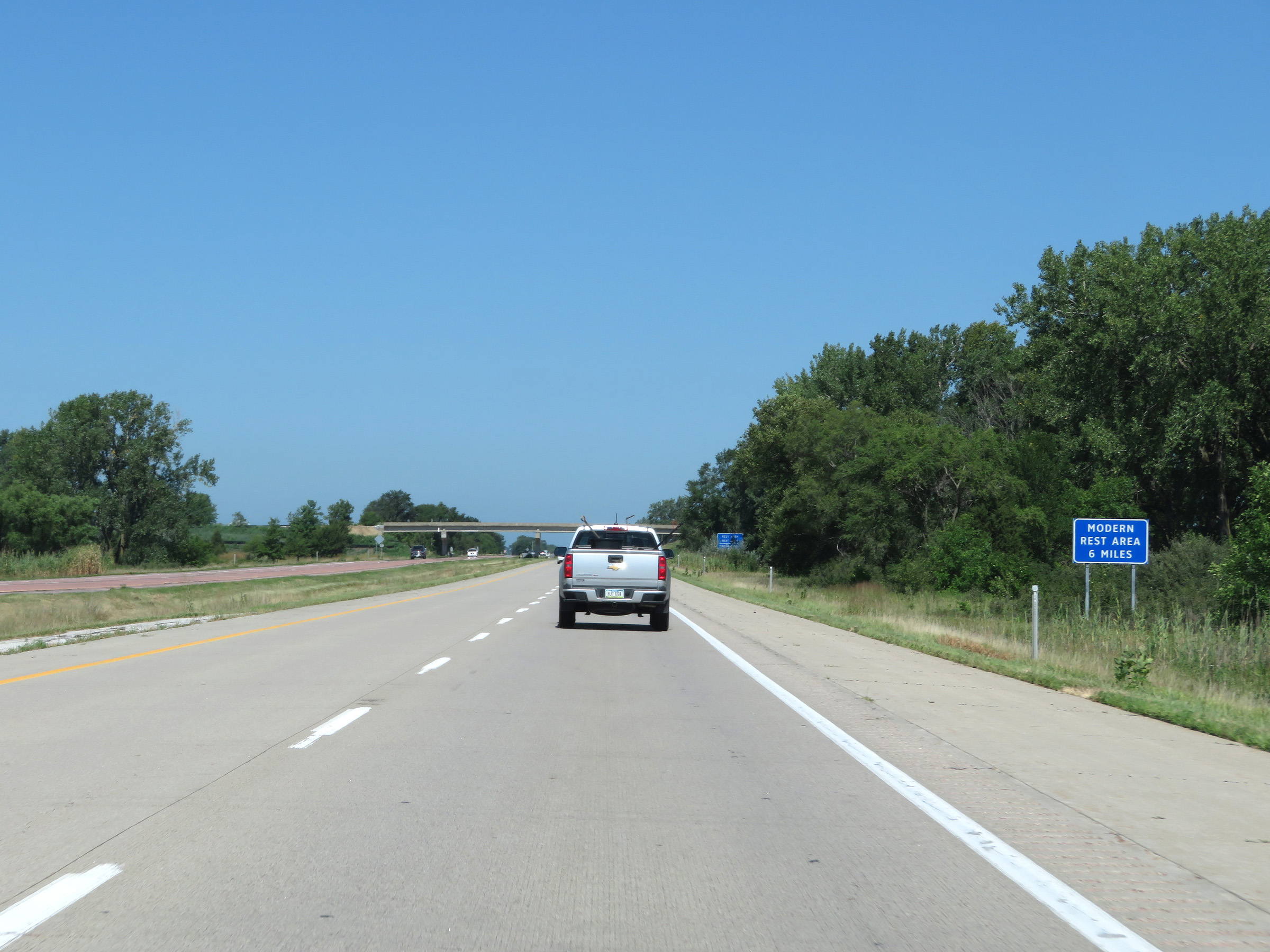
Rest Area on Interstate 29 North in Mills County. (Photo taken 8/9/20). |
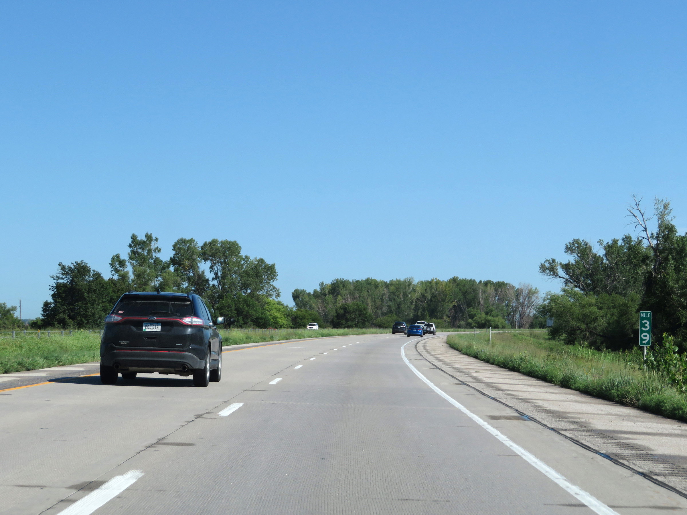 |
View on Interstate 29 North at mile marker 39. (Photo taken 8/9/20). |
 |
Interstate 29 North at mile marker 40. (Photo taken 8/9/20). |
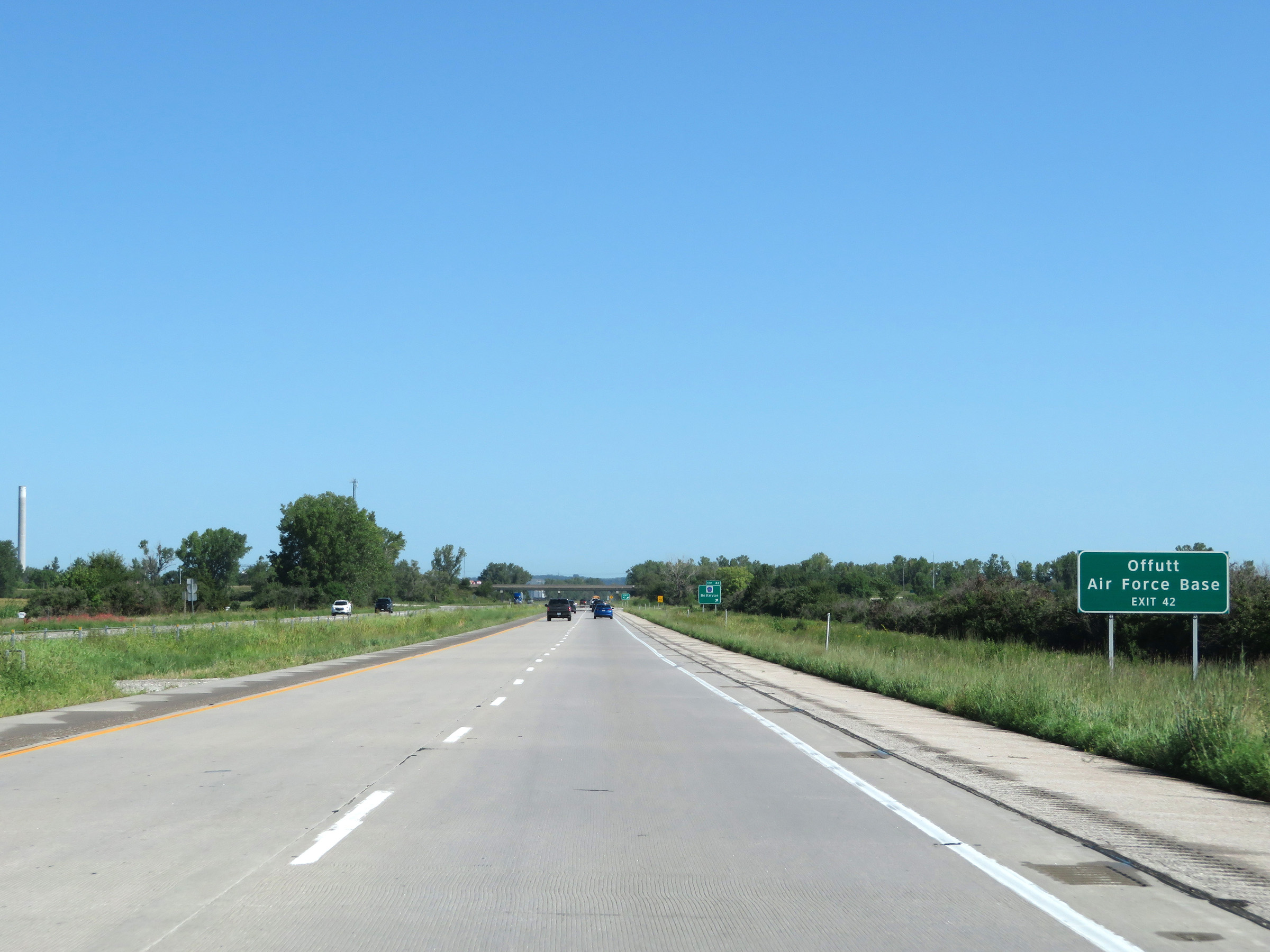 |
Take Exit 42 to Offutt Air Force Base. (Photo taken 8/9/20). |
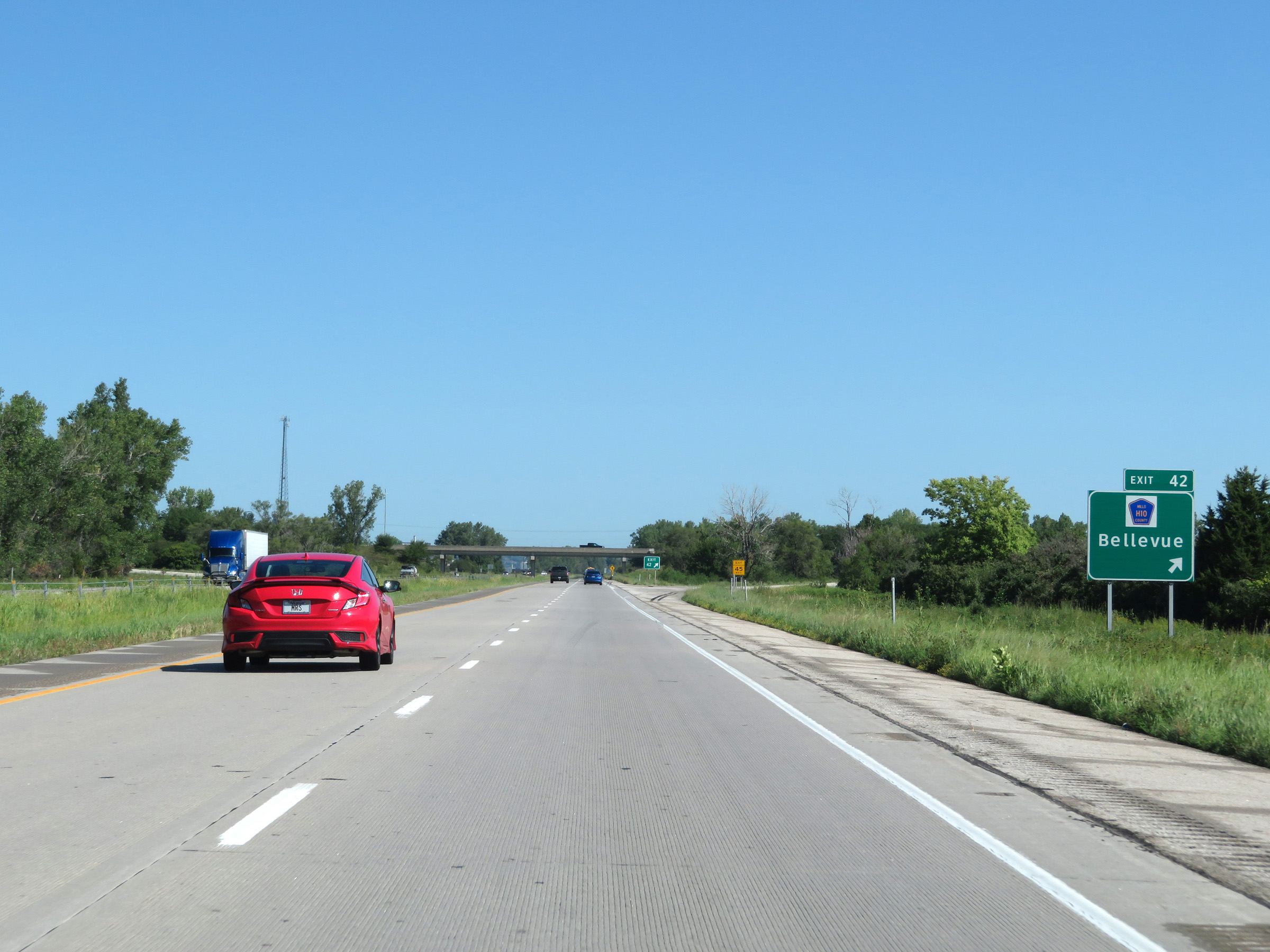 |
Interstate 29 North at Exit 42: CR H10 - Bellevue (Photo taken 8/9/20). |
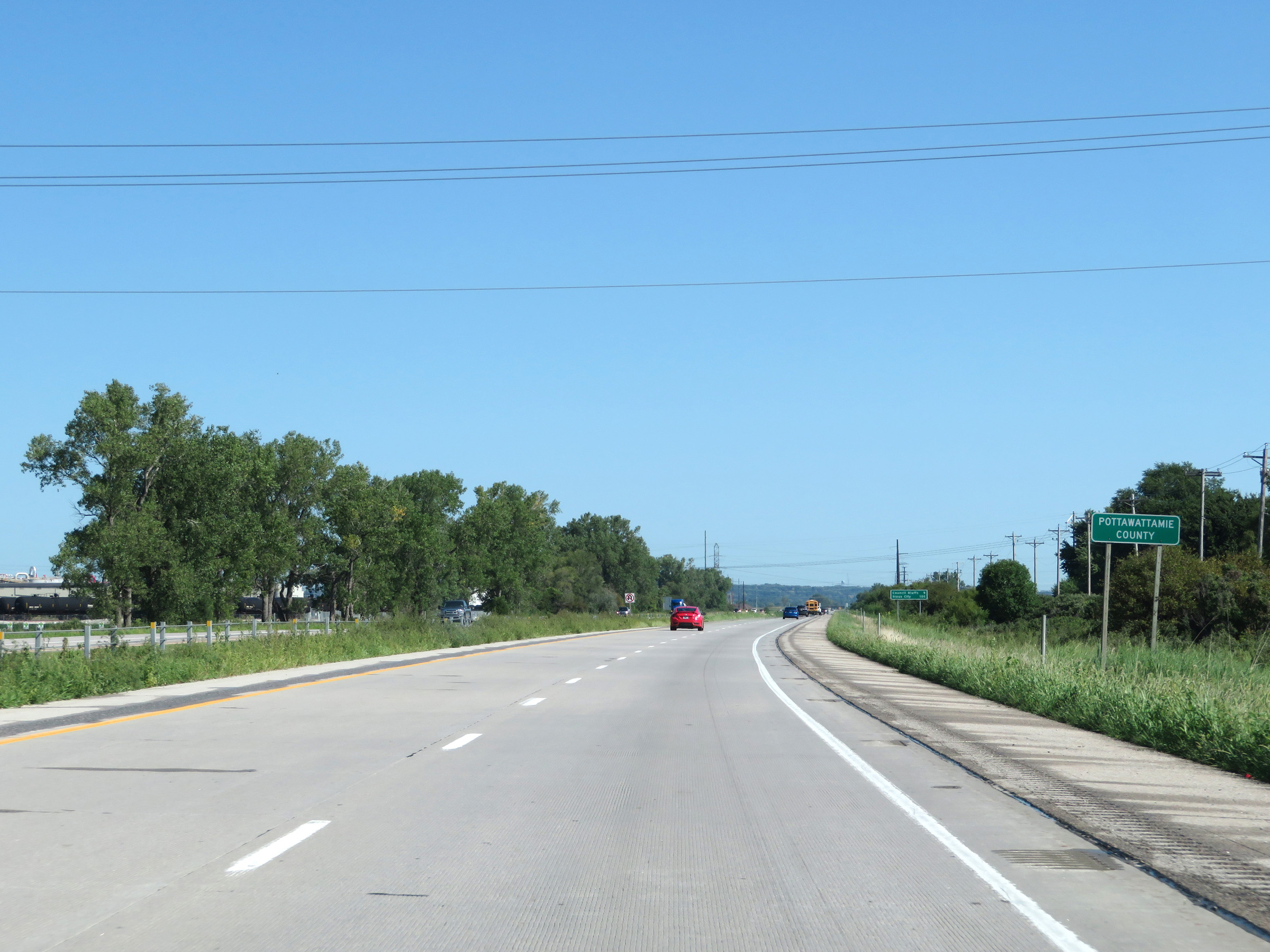 |
Interstate 29 North as it enters Pottawattamie County. (Photo taken 8/9/20). |
 |
Mileage sign on Interstate 29 North. It's 9 miles to Council Bluffs and 105 miles to Sioux City. (Photo taken 8/9/20). |
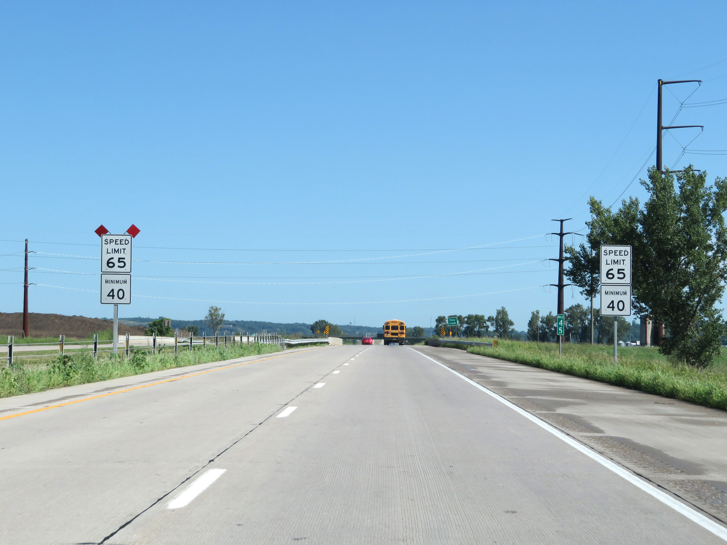 |
At mile marker 45, the maximum speed limit decreases to 65 mph as Interstate 29 North nears the Council Bluffs area. The minimum speed limit remains 40 mph as usual. (Photo taken 8/9/20). |
 |
View on Interstate 29 North at mile marker 46. (Photo taken 8/9/20). |
 |
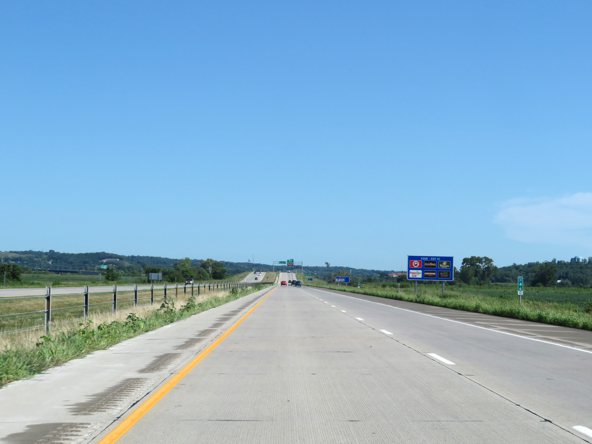
Take any of the next 8 exits to Council Bluffs, despite the sign reading "next 8 miles". (Photo taken 8/9/20). |
 |
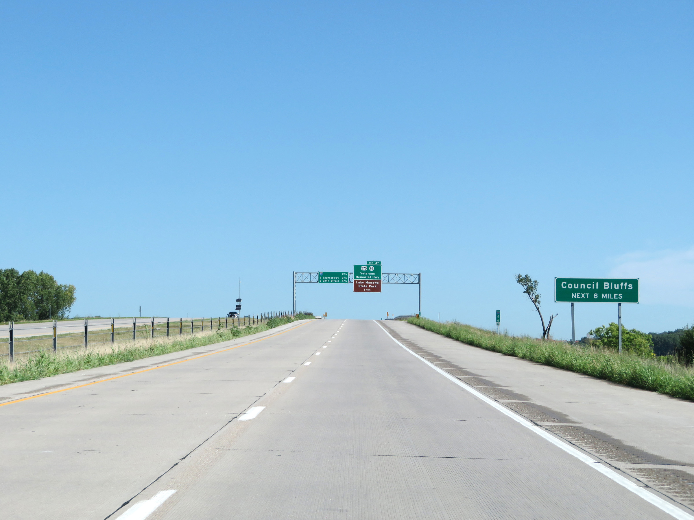
At mile marker 47.2, the maximum speed limit decreases further to 55 mph as Interstate 29 North enters the Council Bluffs area. (Photo taken 8/9/20). |
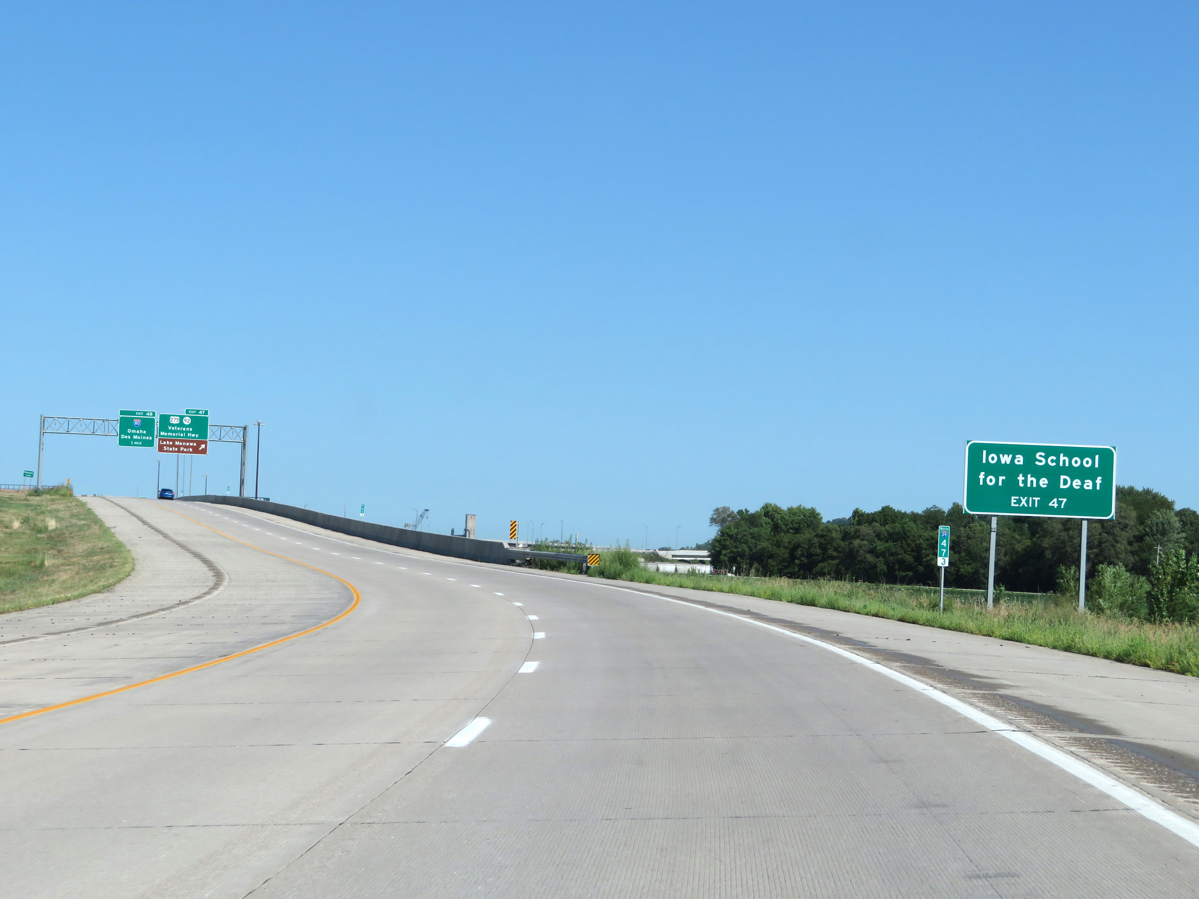 |
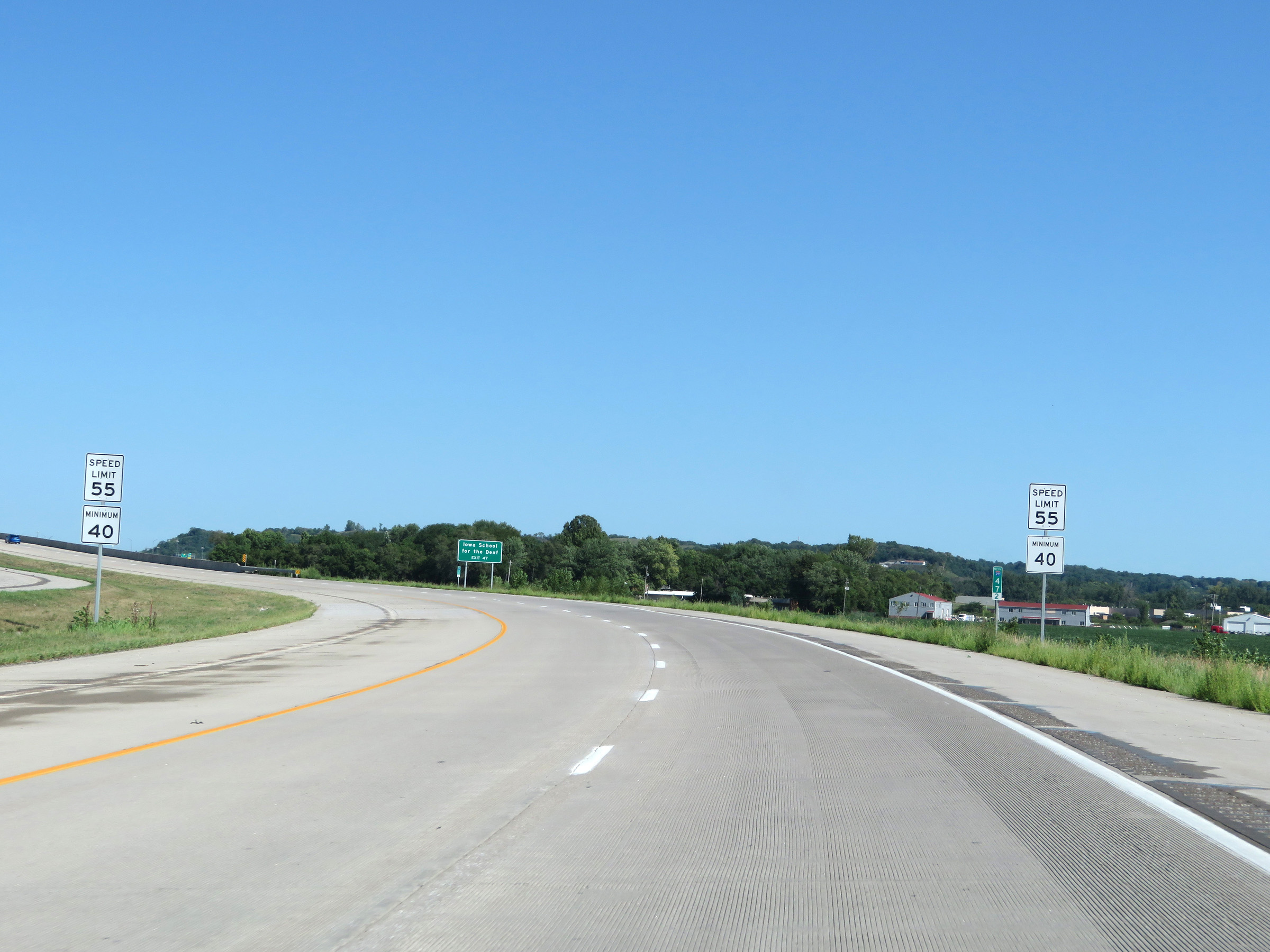
Take Exit 47 to Iowa School for the Deaf. (Photo taken 8/9/20). |
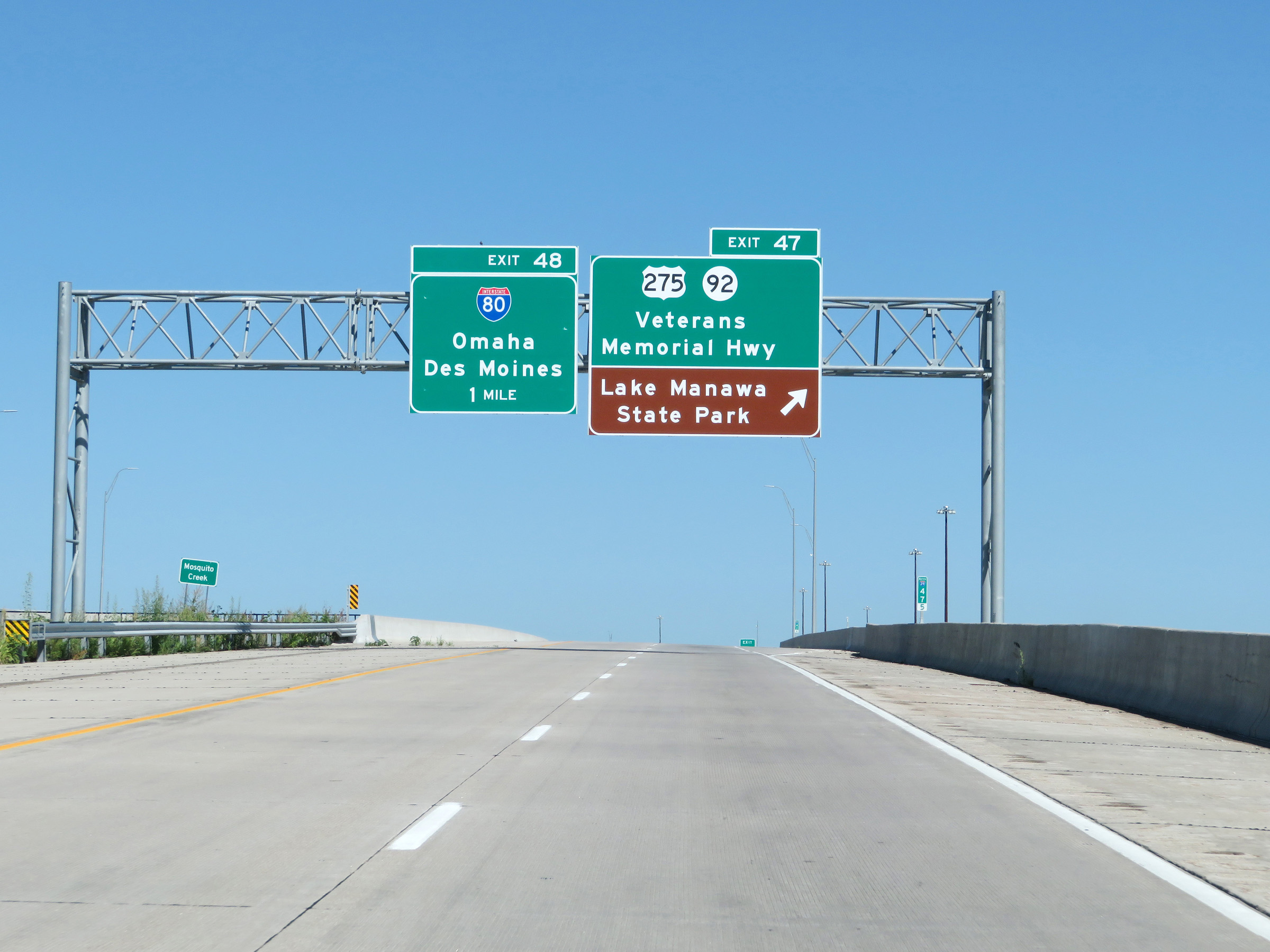 |
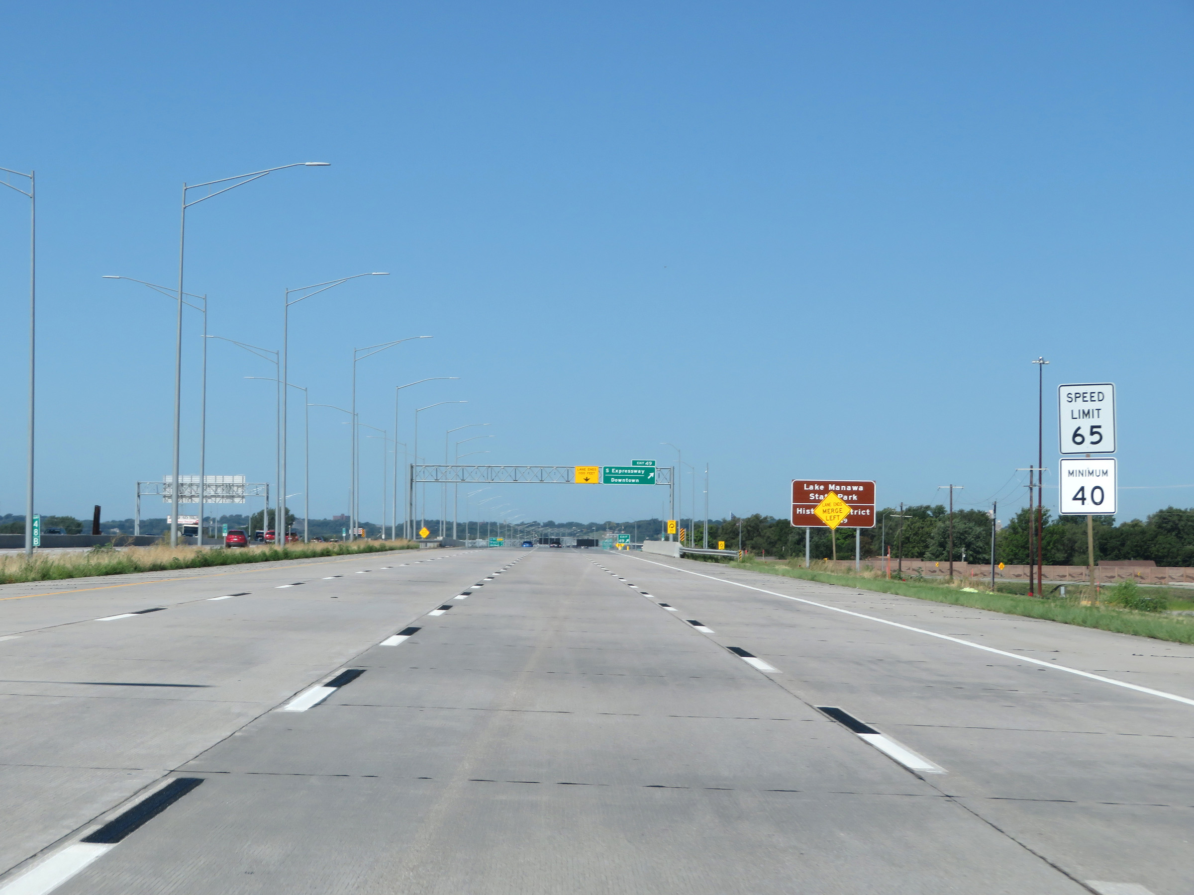
Interstate 29 North at Exit 47: US 275 / IA 92 - Veterans Memorial Hwy / Lake Manawa State Park (Photo taken 8/9/20). |
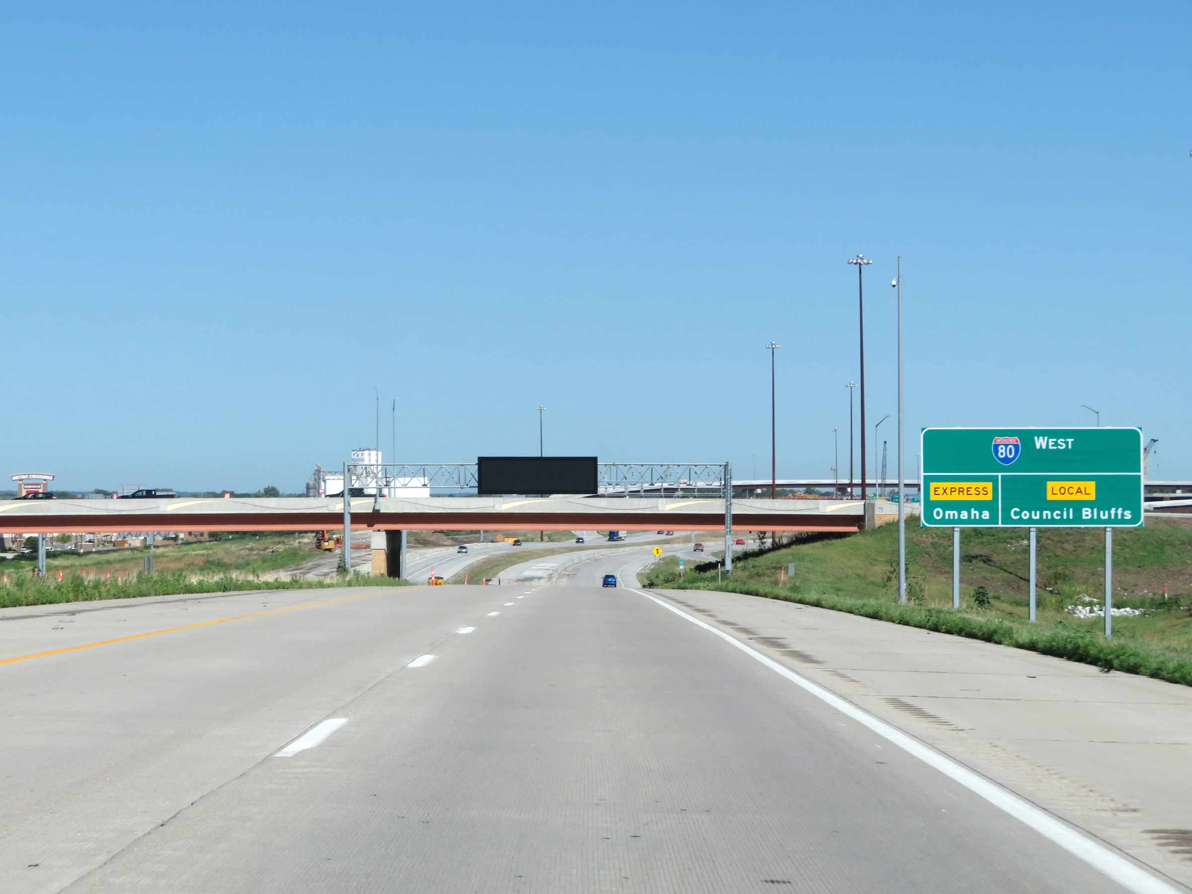 |
Ahead, at the junction of Interstate 80, there will be two separate ramps leading to local lanes and express lanes. I-80 West thru traffic to Omaha and points west should use the express lanes. Local I-80 traffic should use the local lanes to access all the exits to Council Bluffs. (Photo taken 8/9/20). |
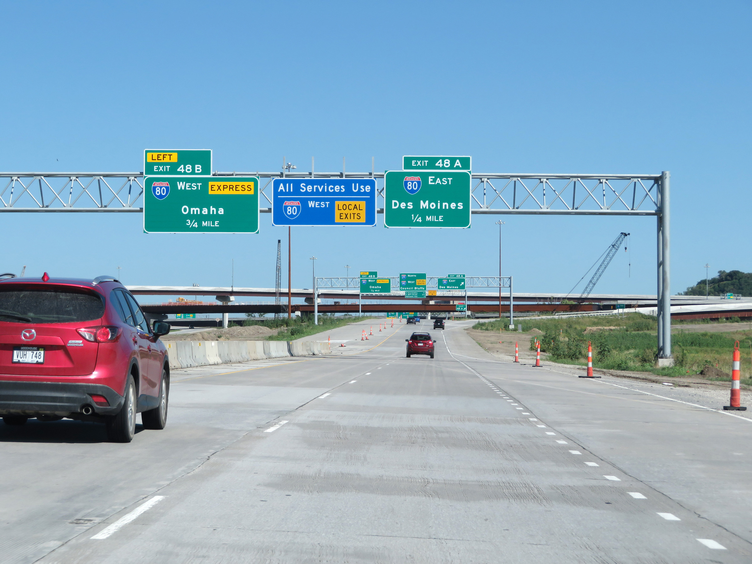 |
Interstate 29 North approaching Exit 48A - 1/4 mile. Again, all local I-80 West traffic should use the local lanes (remain on Interstate 29 North) to access all exits to Council Bluffs. (Photo taken 8/9/20). |
 |
Interstate 29 North at Exit 48A: Interstate 80 East - Des Moines (Photo taken 8/9/20). |
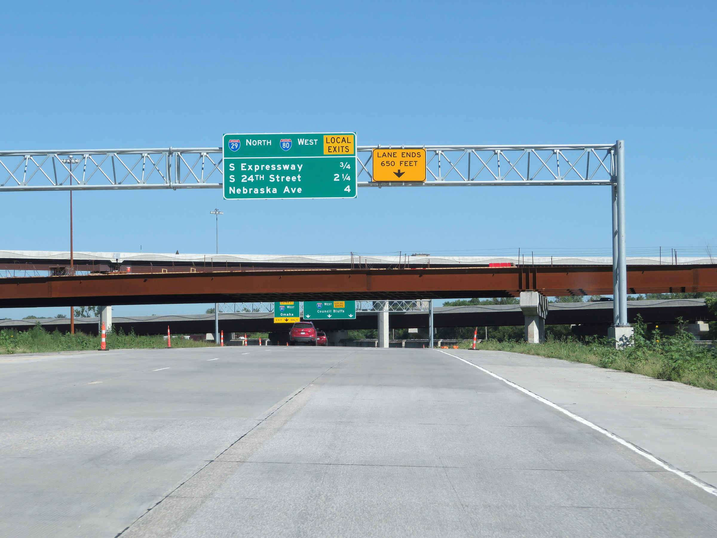 |
This overhead mileage sign lists the distances to the three upcoming exits on Interstate 29 North / Interstate 80 West Local Lanes. If you're planning to take I-80 West but needing to take one of these three exits, follow the local lanes for I-80 West. (Photo taken 8/9/20). |
 |
Interstate 29 North as it prepares to pass underneath Interstate 80 and the ramp from I-29 South to I-80 East. (Photo taken 8/9/20). |
 |
Interstate 29 North at Exit 48B: Interstate 80 West Express Lanes - Omaha (Photo taken 8/9/20). |
 |
View of the ramp for Exit 48B, on the left. Interstate 29 North is now heading west through the Council Bluffs area and remains separate from Interstate 80 West's express lanes. Formerly, I-29 and I-80 ran concurrently through the area until these two separate alignments were built to separate I-80 West thru traffic from I-29 North thru traffic and local traffic to the upcoming Council Bluffs exits. (Photo taken 8/9/20). |
 |
The maximum speed limit increases to 65 mph once again as the Interstate 29 North / Interstate 80 West (Local) concurrency begins. (Photo taken 8/9/20). |
 |
Take Exit 49 to Lake Manawa State Park and the Historic District. During the Interstate 29 / Interstate 80 (Local) concurrency, the exit numbers and mileage are based on the mileage of I-29. In the I-80 West express lanes, the mile markers still reflect the mileage of I-80. (Photo taken 8/9/20). |
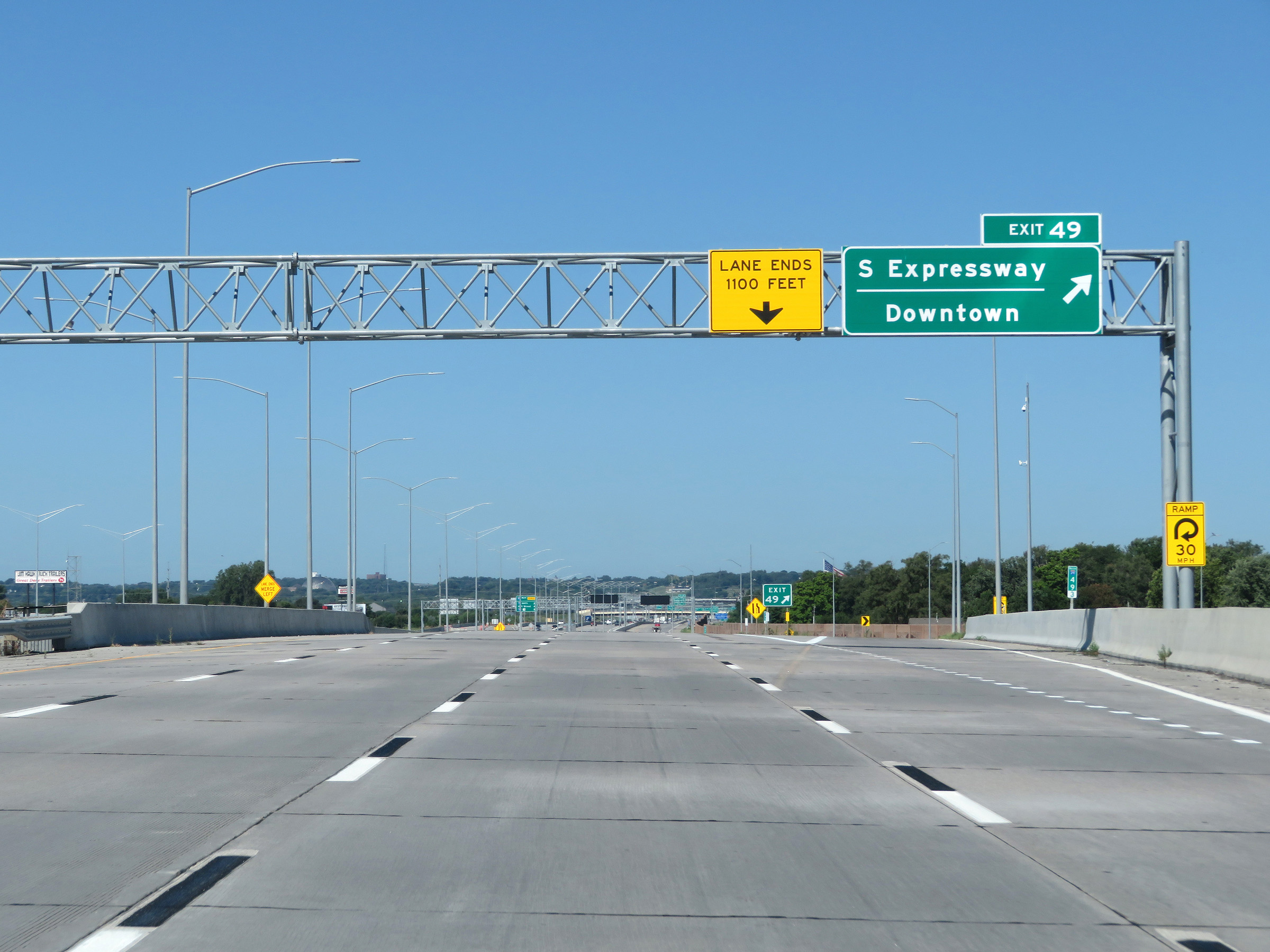 |
Interstate 29 North / Interstate 80 West (Local) at Exit 49: S Expressway / Downtown (Photo taken 8/9/20). |
 |
Interstate 29 North / Interstate 80 West (Local) at mile marker 49.6. We can clearly see the I-80 Express Lanes on the left, with an overhead mileage sign listing the distances to the next three exits accessible from the express lanes. The first accessible exit from the express lanes is to I-29 North, 2 miles ahead. (Photo taken 8/9/20). |
 |
Interstate 29 North reassurance shield. (Photo taken 8/9/20). |
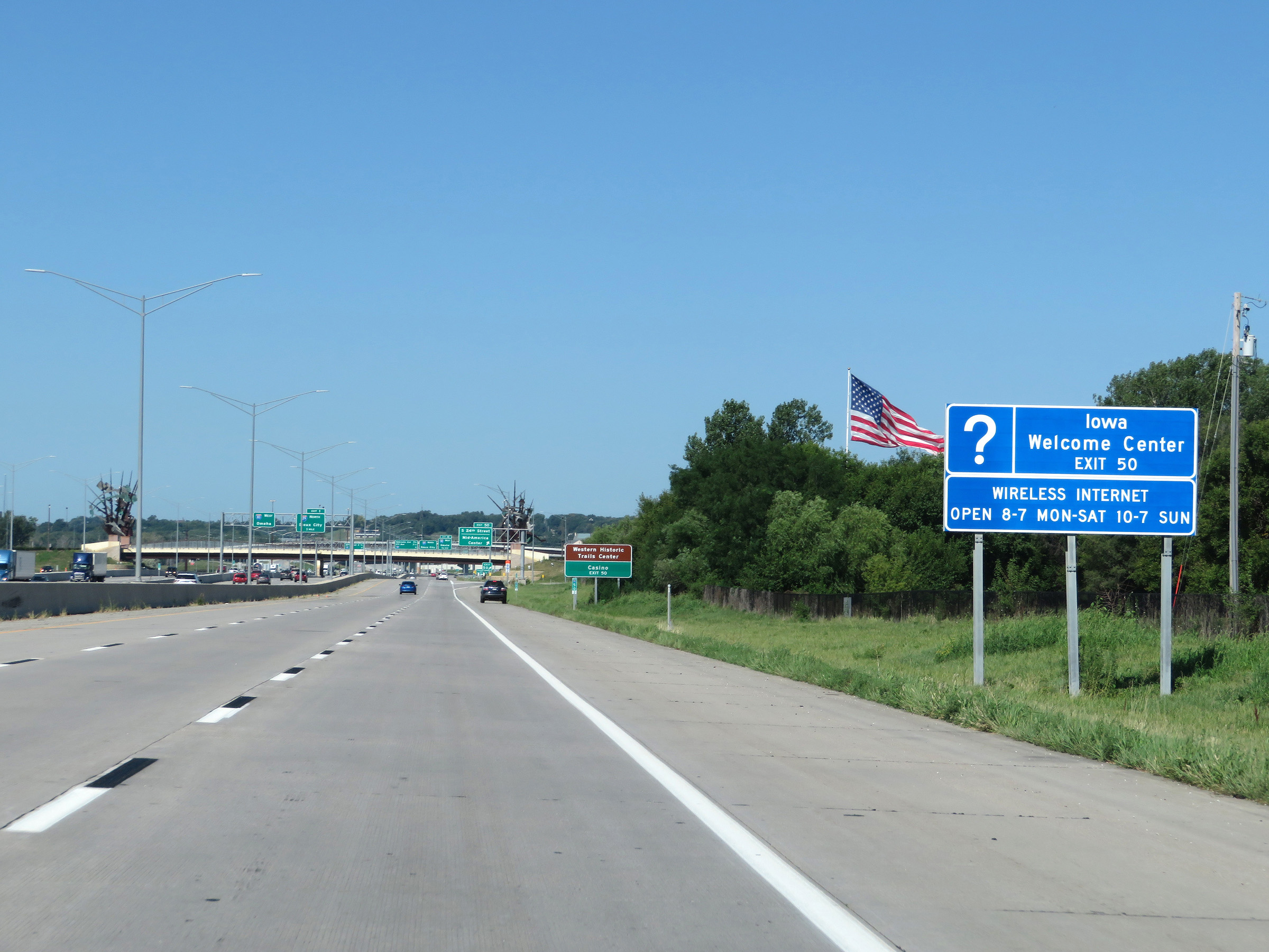 |
Take Exit 50 to an Iowa Welcome Center. (Photo taken 8/9/20). |
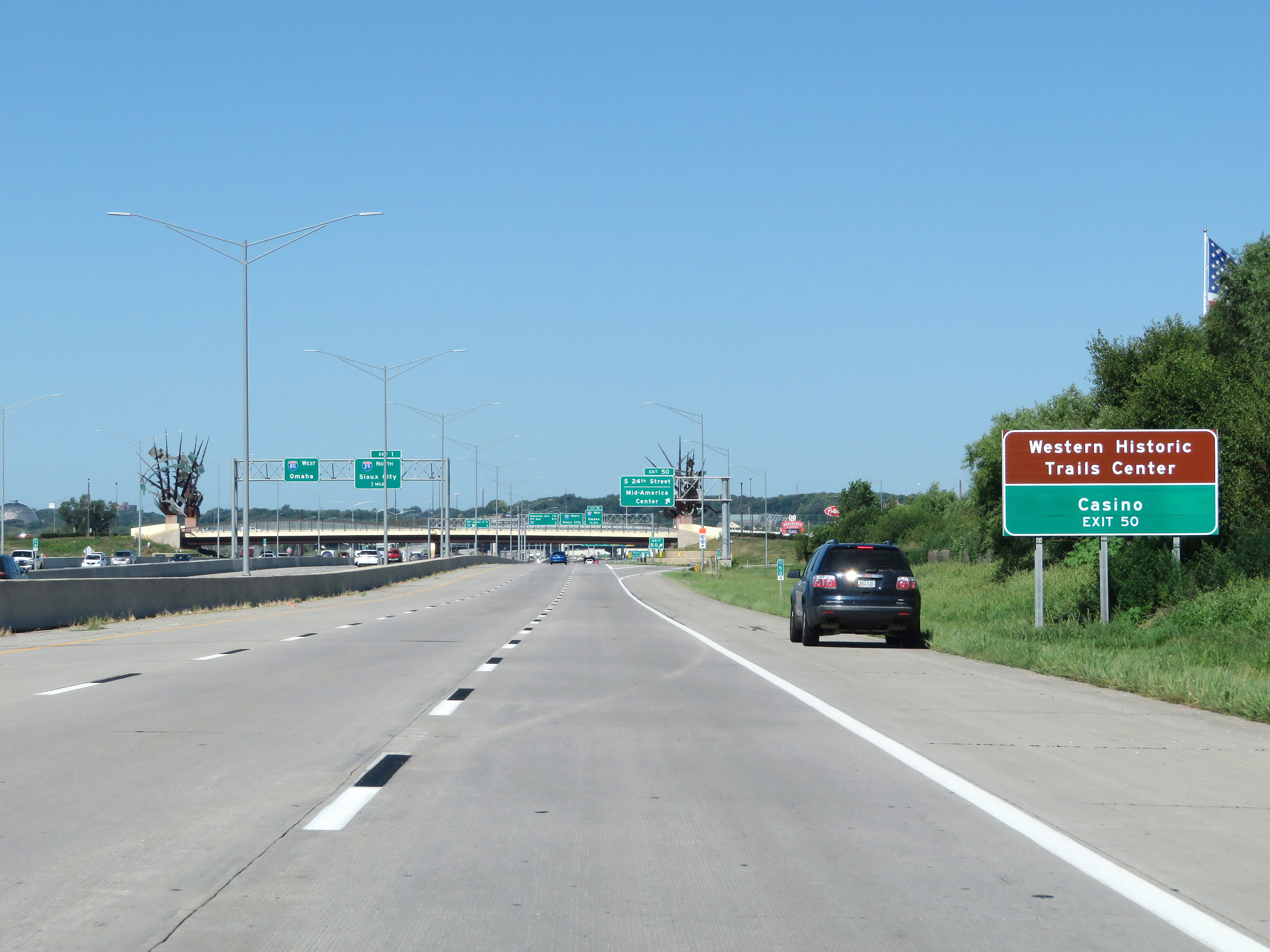 |
Also take Exit 50 to Western Historic Trails Center and the local Casino. (Photo taken 8/9/20). |
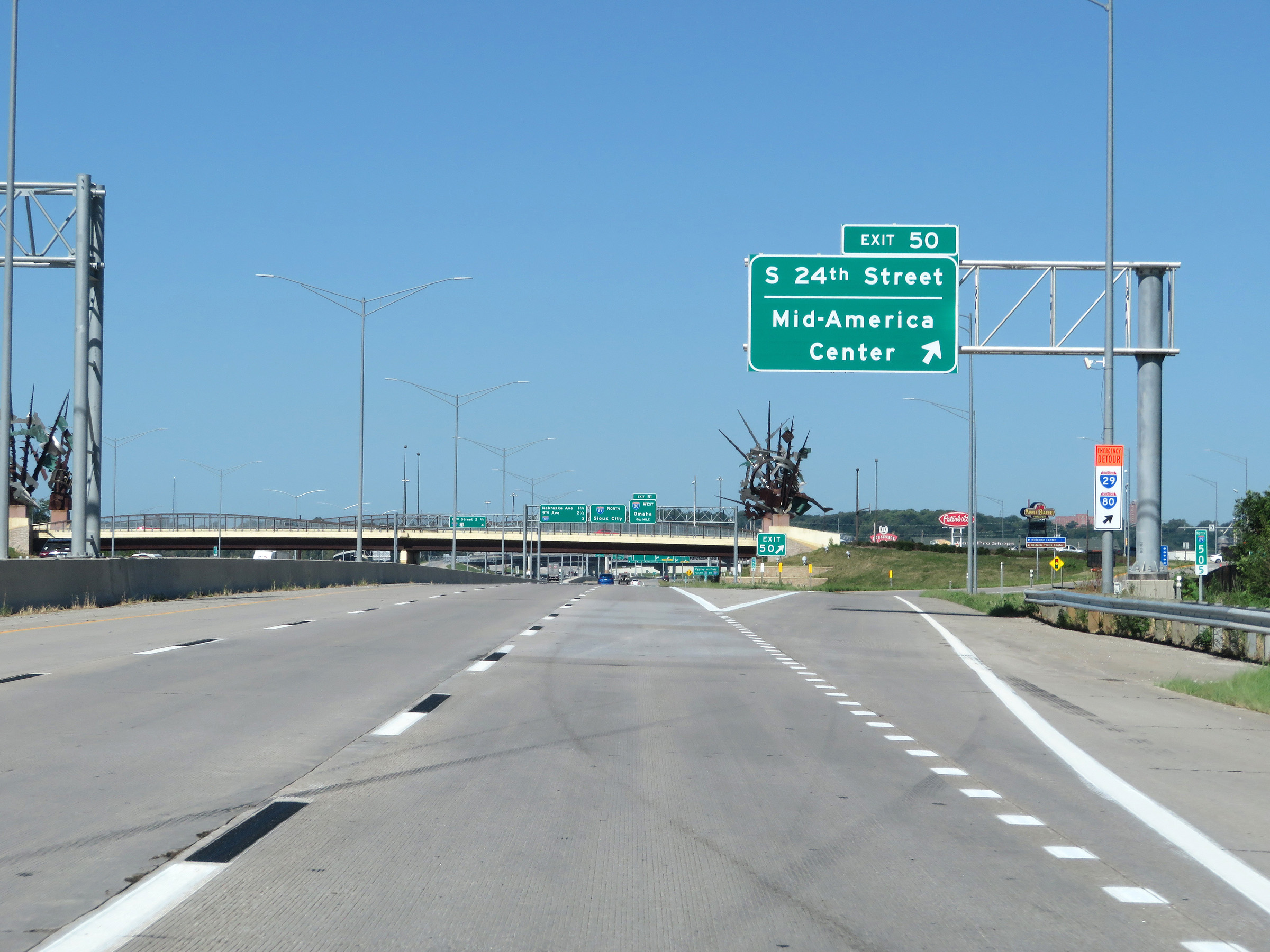 |
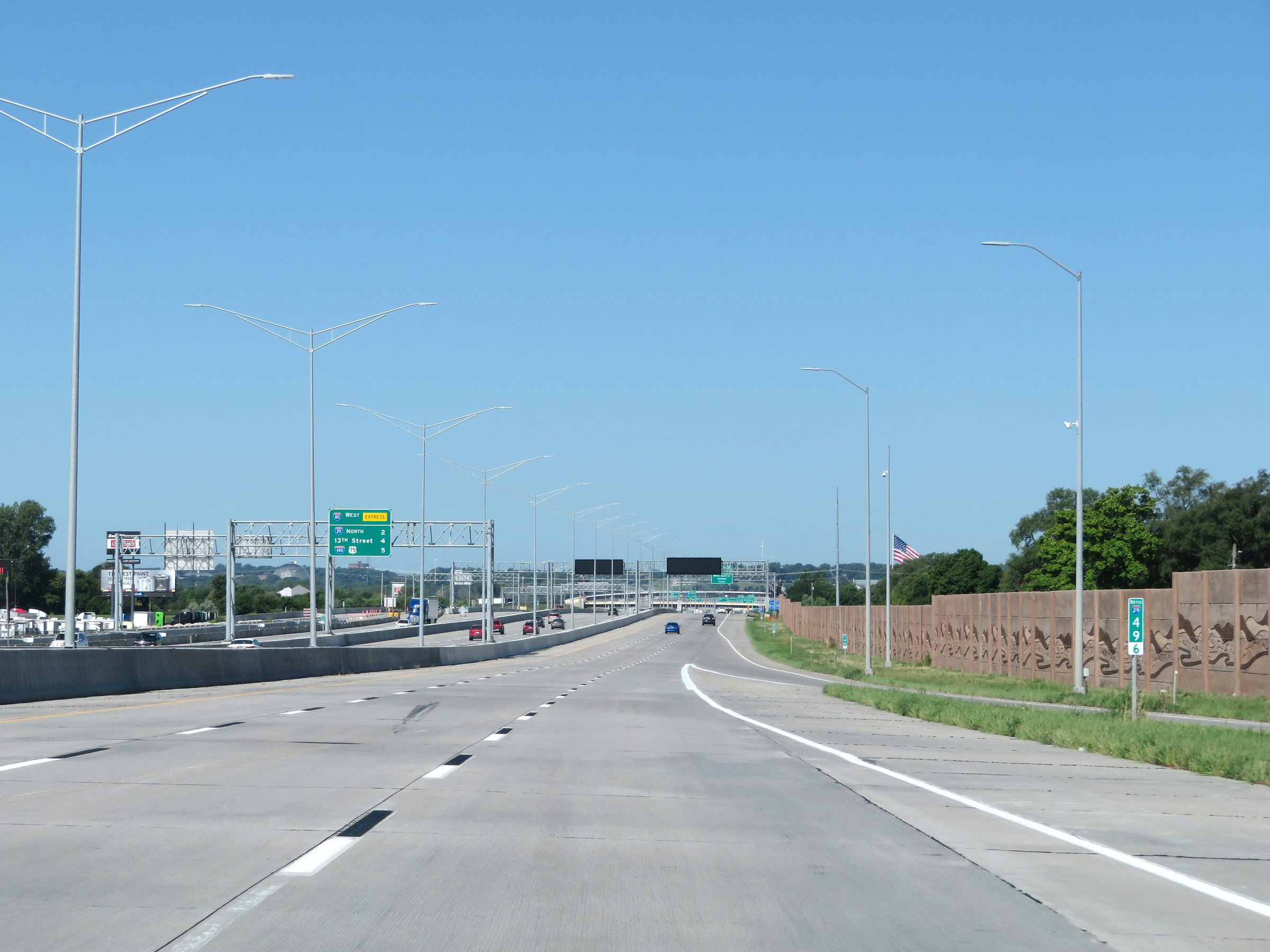
Interstate 29 North / Interstate 80 West (Local) at Exit 50: S 24th Street / Mid-America Center (Photo taken 8/9/20). |
Section 2: Council Bluffs (Exit 50) to Onawa (Exit 112)
 |
Interstate 29 North / Interstate 80 West (Local) approaching Exit 51 - 3/4 mile. The upcoming exits on the overhead mileage sign seen here are only accessible from Interstate 29 North. (Photo taken 8/9/20). |
 |
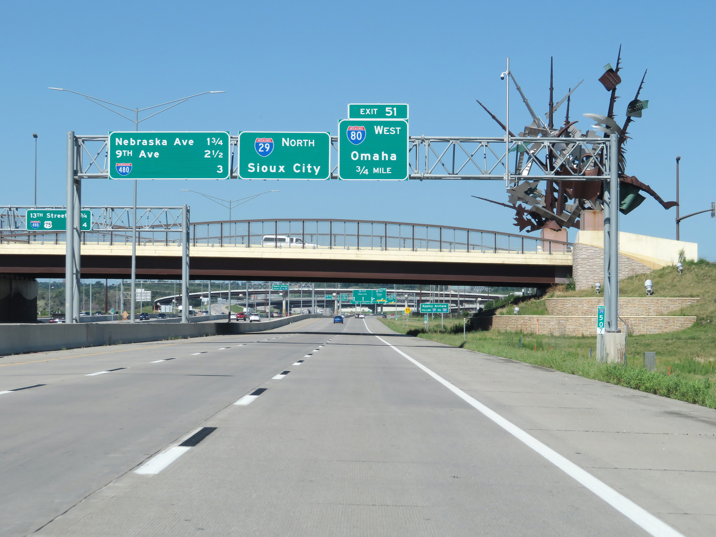
Traffic to Eppley Airfield should follow Interstate 29 North to Interstate 480 (Exit 53B). (Photo taken 8/9/20). |
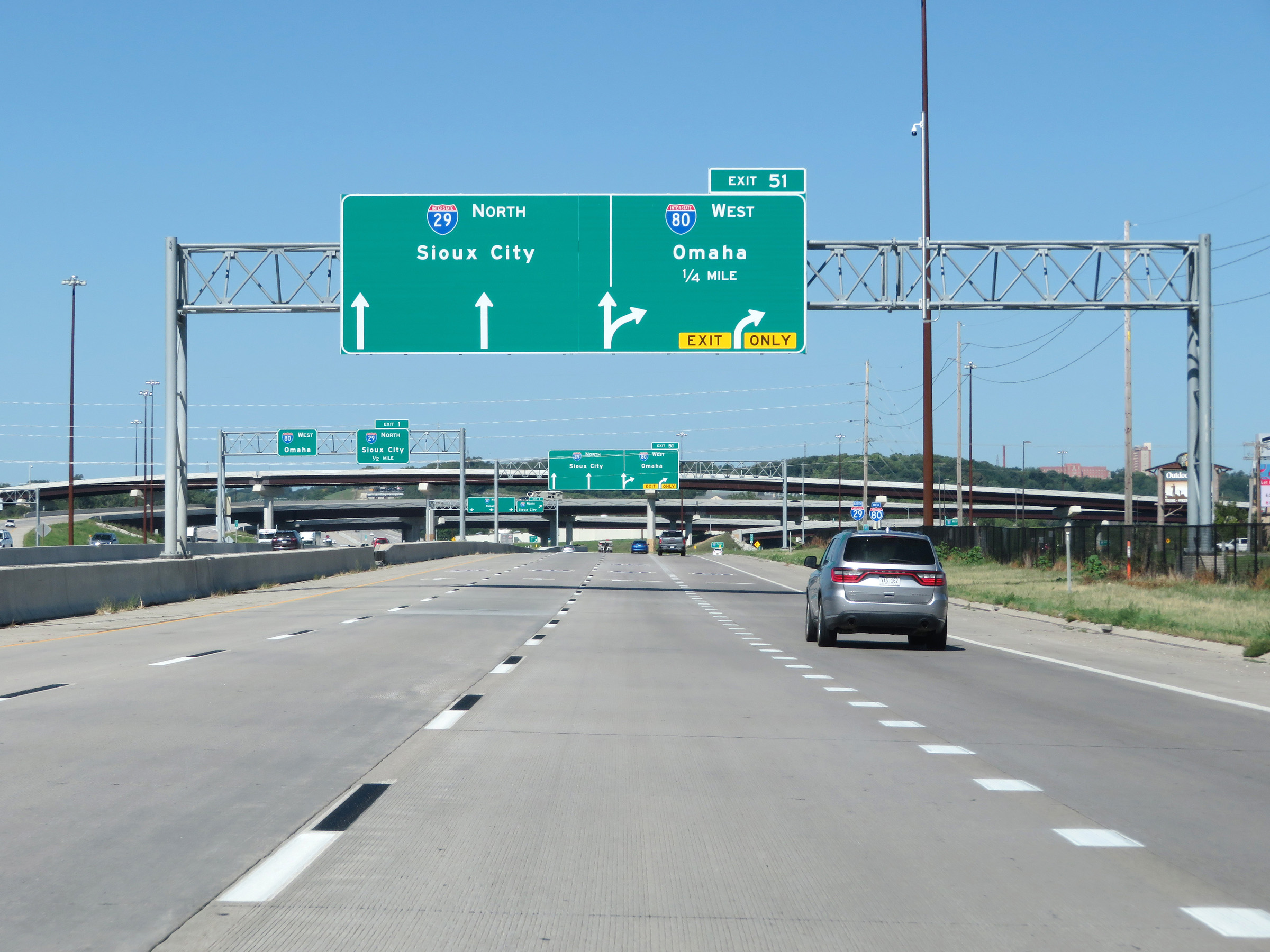 |
Interstate 29 North / Interstate 80 West (Local) approaching Exit 51 - 1/4 mile. After Exit 51, the local/express lane configuration comes to an end and I-29 will curve back to the north. (Photo taken 8/9/20). |
 |
Interstate 29 North / Interstate 80 West (Local) at Exit 51: Interstate 80 West - Omaha (Photo taken 8/9/20). |
 |
A view of the ramp for Exit 51, which takes the Interstate 80 West local lanes back into combination with its express lanes, still seen here on the left. (Photo taken 8/9/20). |
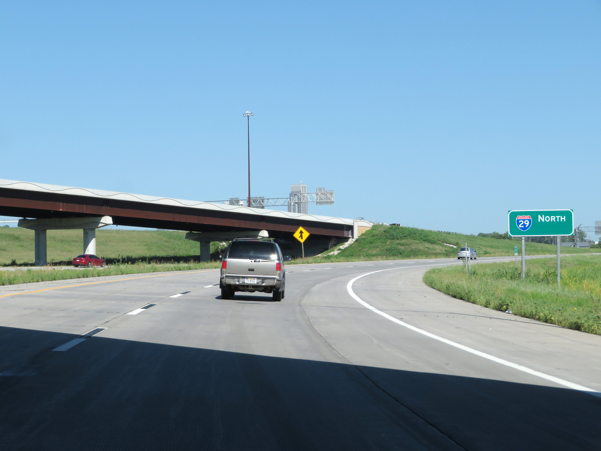 |
Interstate 29 North reassurance shield as it curves back to the north and traffic from Interstate 80 West's express lanes via Exit 1 prepares to merge into I-29 North ahead on the left. (Photo taken 8/9/20). |
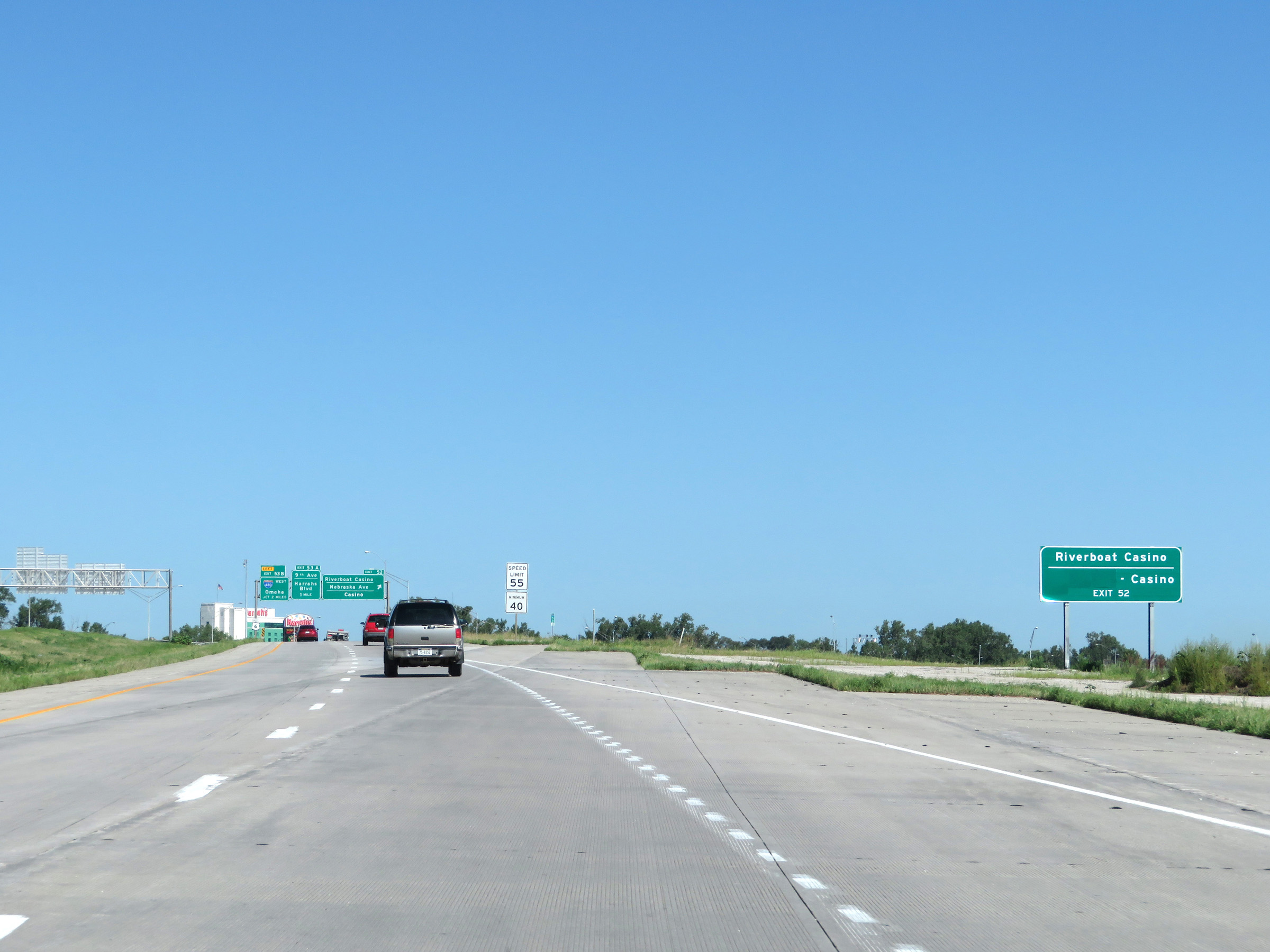 |
Take Exit 52 to the Riverboat Casino. (Photo taken 8/9/20). |
 |
Approaching Exit 52, the maximum speed limit on Interstate 29 North decreases to 55 mph once again. (Photo taken 8/9/20). |
 |
Interstate 29 North at Exit 52: Riverboat Casino / Nebraska Ave / Casino (Photo taken 8/9/20). |
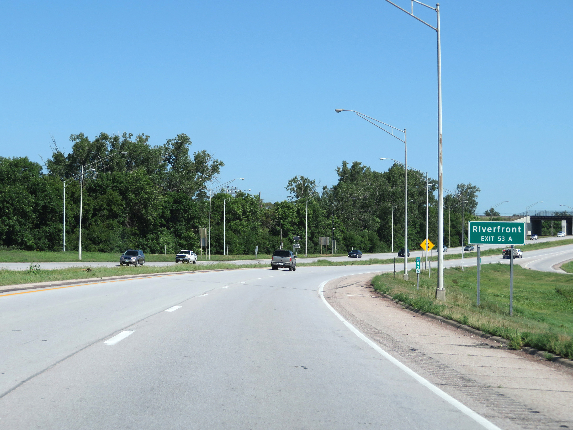 |
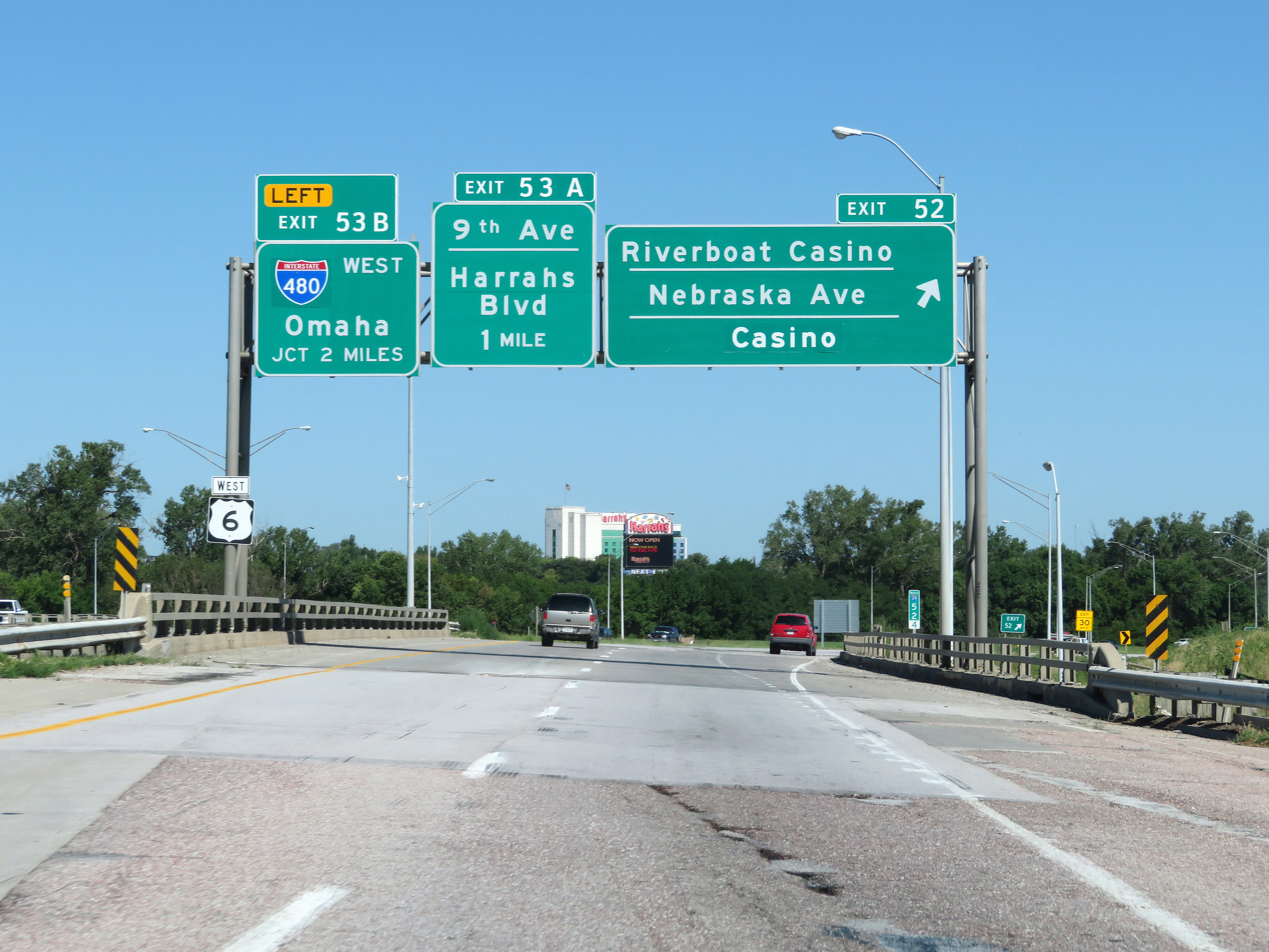
Take Exit 53A to the Riverfront. (Photo taken 8/9/20). |
 |
Interstate 29 North at Exit 53A: Casino / 9th Ave / Harrah's Blvd (Photo taken 8/9/20). |
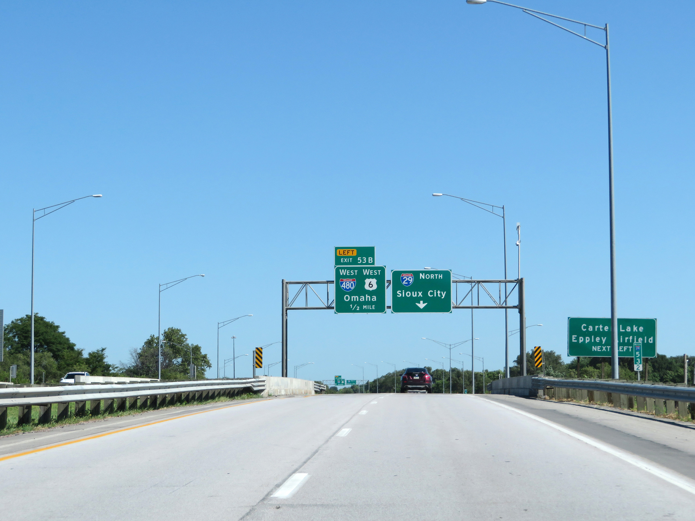 |
Take Exit 53B (Interstate 480 West) to Carter Lake and Eppley Airfield. (Photo taken 8/9/20). |
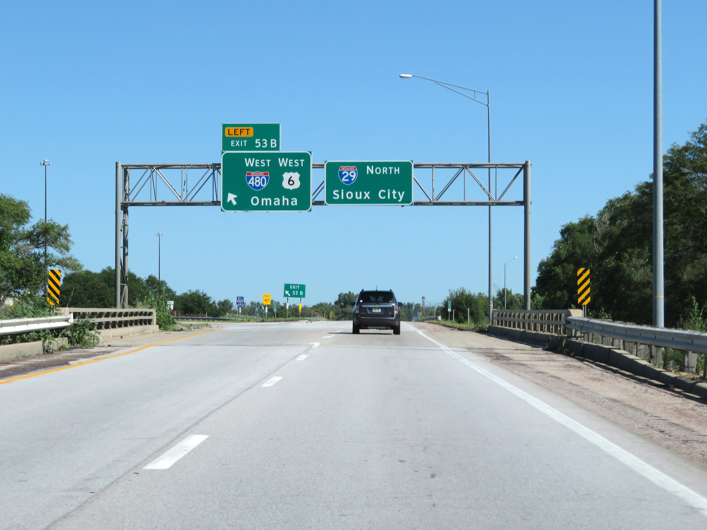 |
Interstate 29 North at Exit 53B: Interstate 480 West / US 6 West - Omaha (Photo taken 8/9/20). |
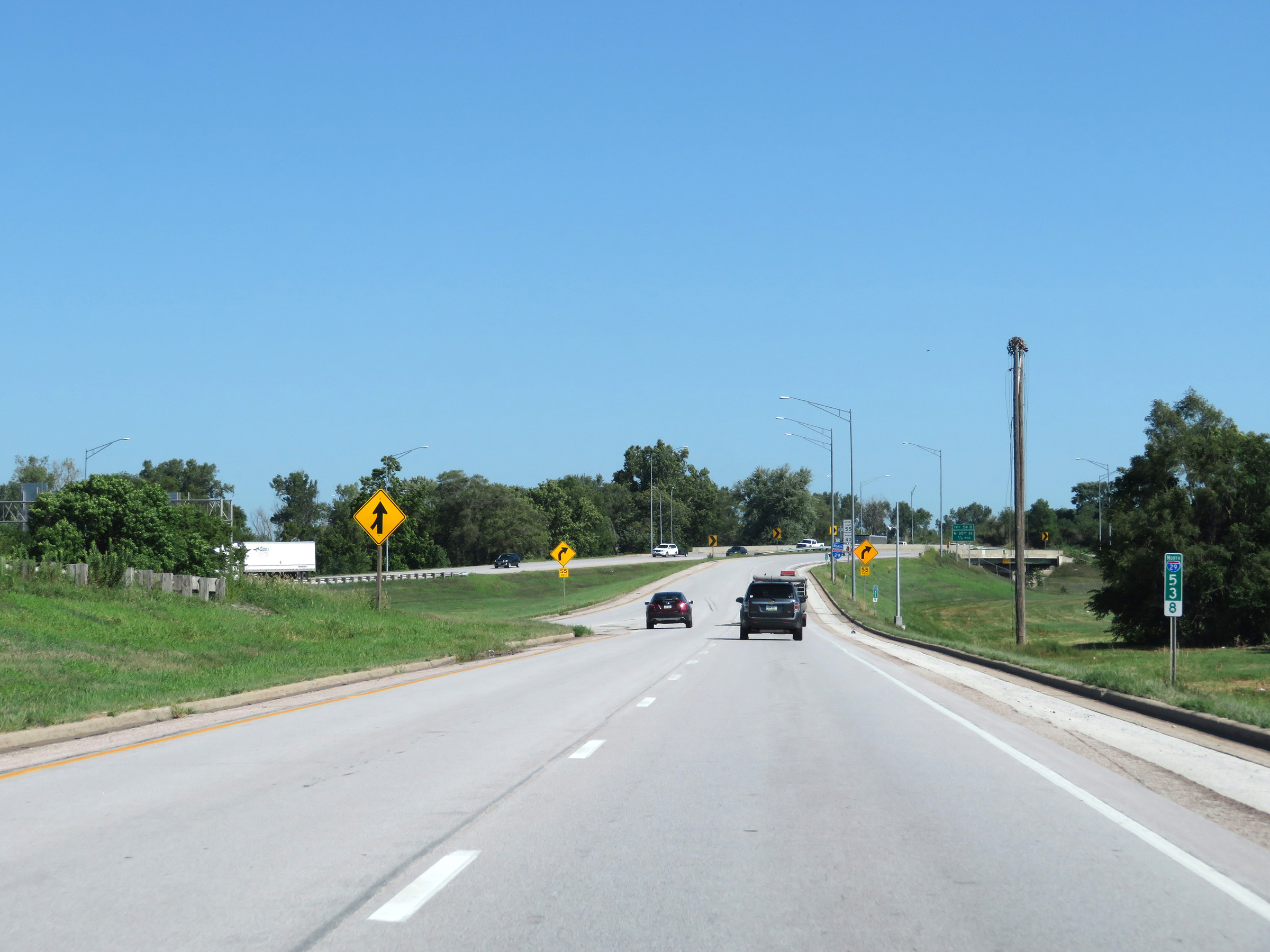 |
View on Interstate 29 North at mile marker 53.8, as traffic from Interstate 480 East merges in on the left. (Photo taken 8/9/20). |
 |
Another state-named Interstate 29 North reassurance shield. (Photo taken 8/9/20). |
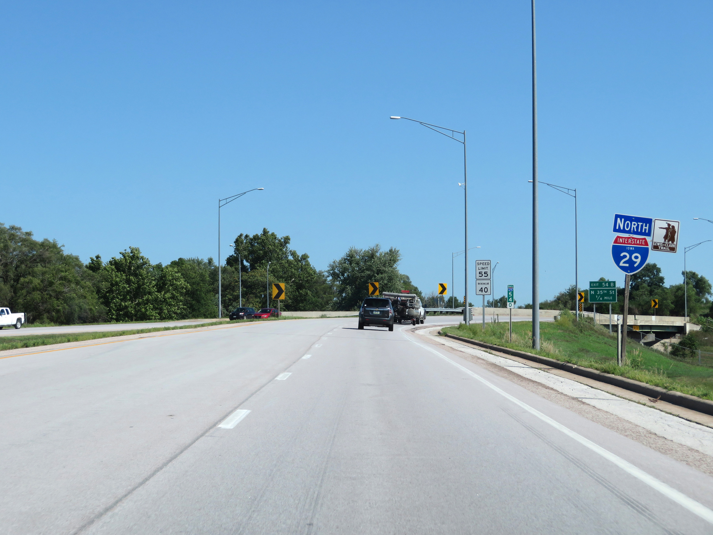
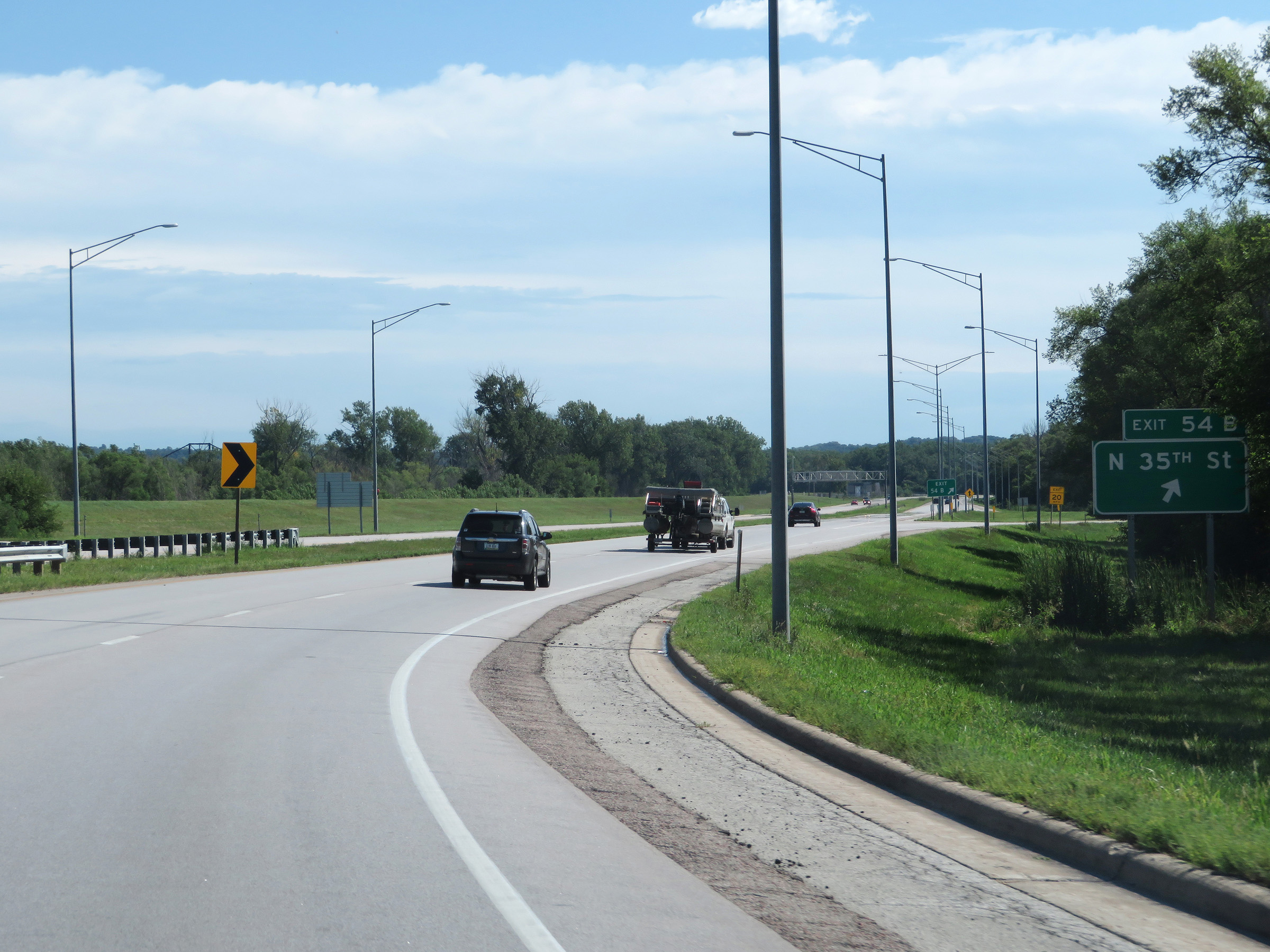 |
Interstate 29 North at Exit 54B: N 35th St (Photo taken 8/9/20). |
 |
Gore point signage for Exit 54B on Interstate 29 North. (Photo taken 8/9/20). |
 |
The speed limits on Interstate 29 North remain 55 mph maximum and 40 mph minimum. (Photo taken 8/9/20). |
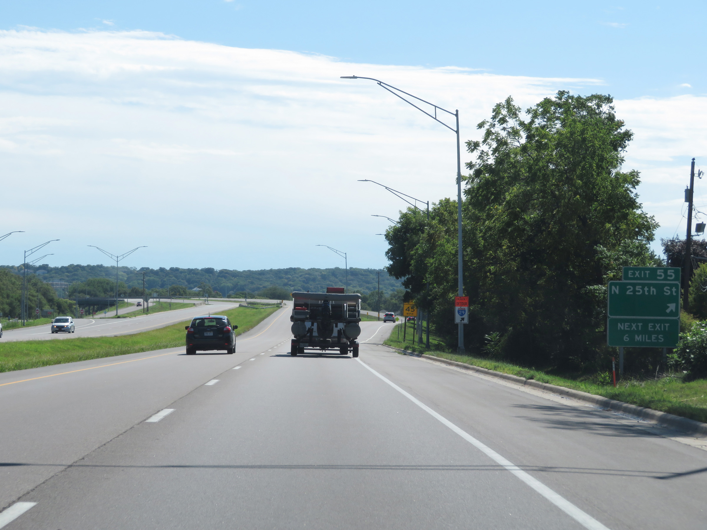 |
Interstate 29 North at Exit 55: N 25th St (Photo taken 8/9/20). |
 |
View on Interstate 29 North at mile marker 56. (Photo taken 8/9/20). |
 |
Just north of mile marker 56, the maximum speed limit increases to 65 mph once again. (Photo taken 8/9/20). |
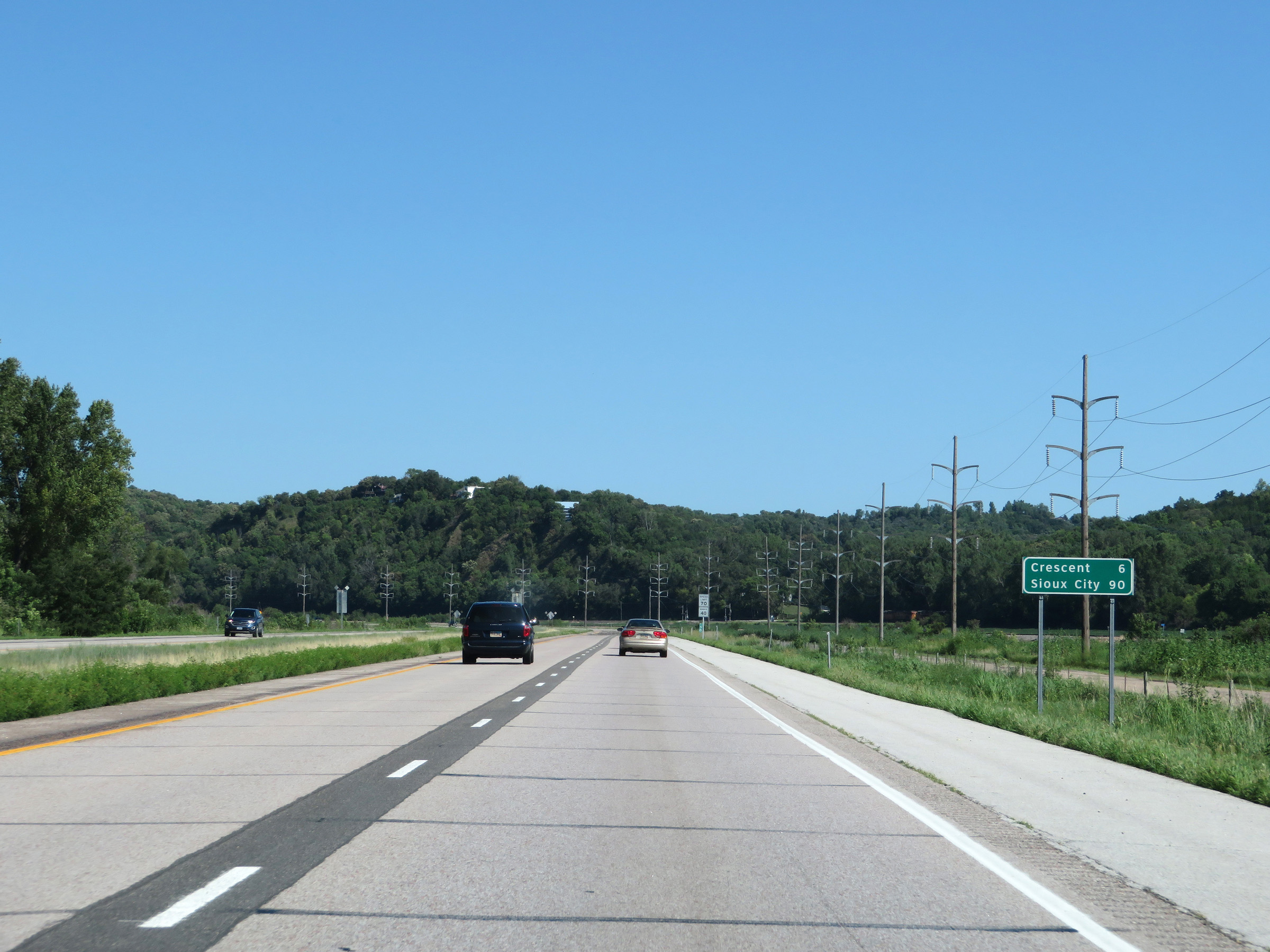 |
Mileage sign on Interstate 29 North. It's 6 miles to Crescent and 90 miles to Sioux City. (Photo taken 8/9/20). |
 |
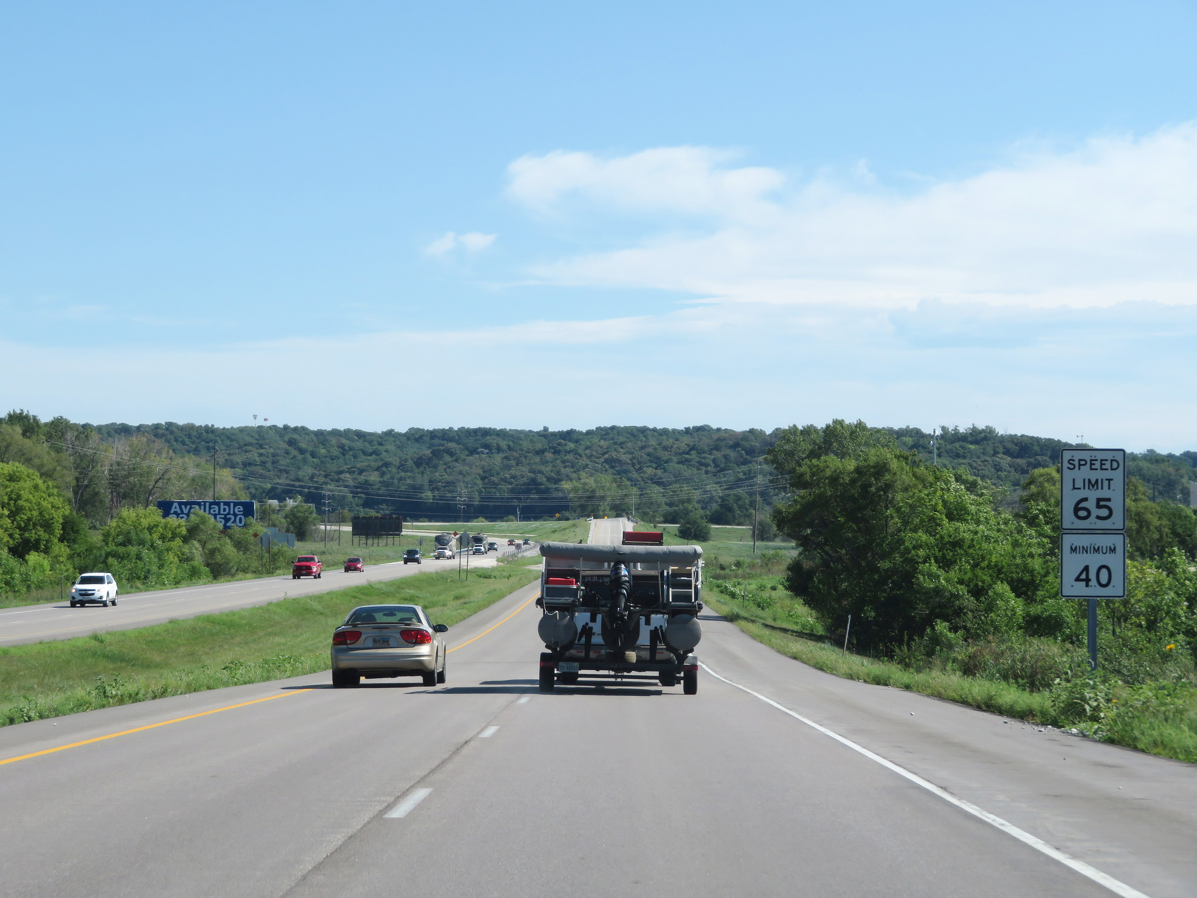
Not long after increasing to 65 mph, the standard rural speed limits of 70 mph maximum and 40 mph minimum resume. (Photo taken 8/9/20). |
 |
View on Interstate 29 North at mile marker 59. (Photo taken 8/9/20). |
 |
Interstate 29 North approaching Exits 61A-B - 1 mile. (Photo taken 8/9/20). |
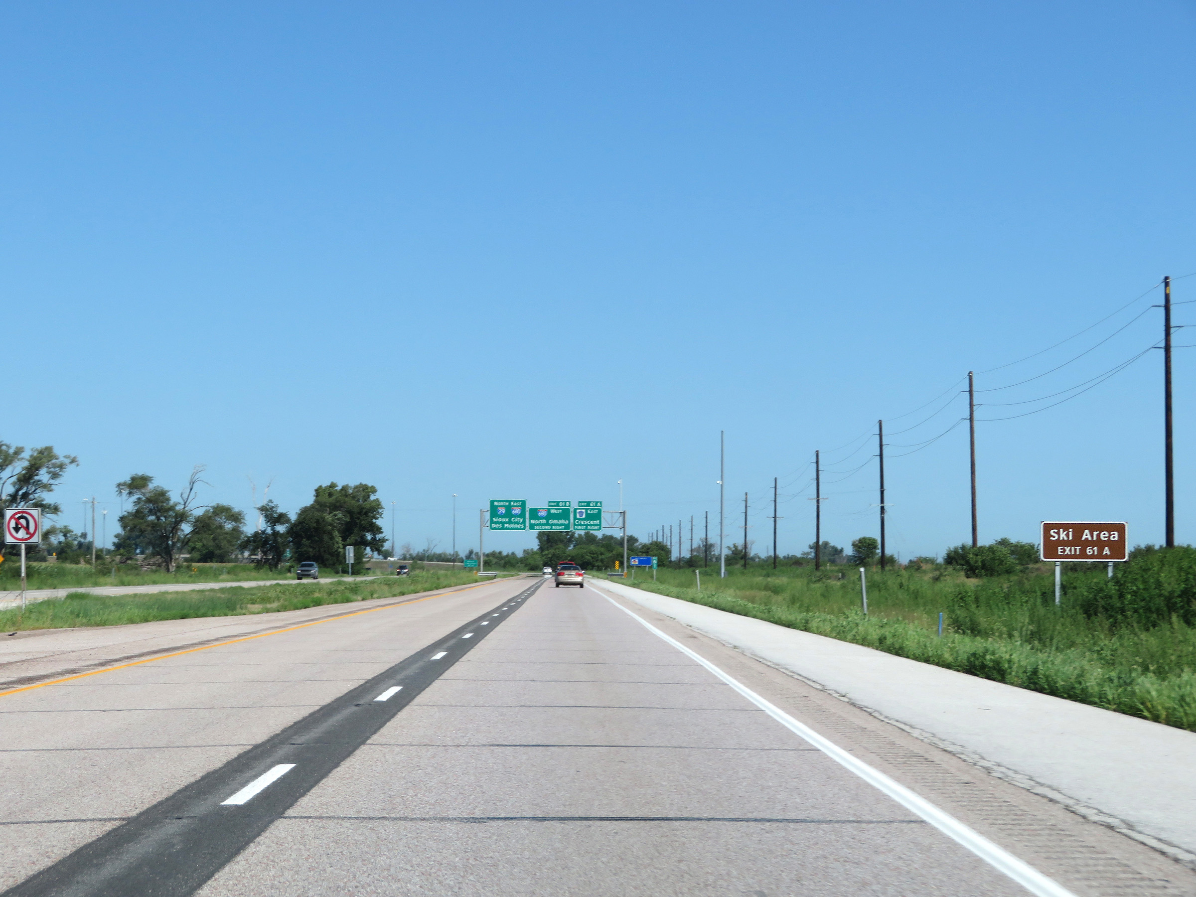 |
Take Exit 61A to Ski Area. (Photo taken 8/9/20). |
 |
Take Exit 61B to Mormon Trail Center via Interstate 680 West. (Photo taken 8/9/20). |
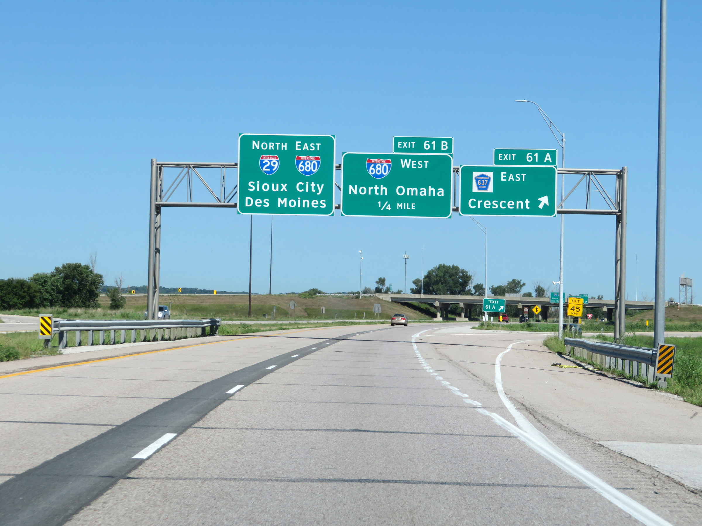 |
Interstate 29 North at Exit 61A: CR G37 East - Crescent (Photo taken 8/9/20). |
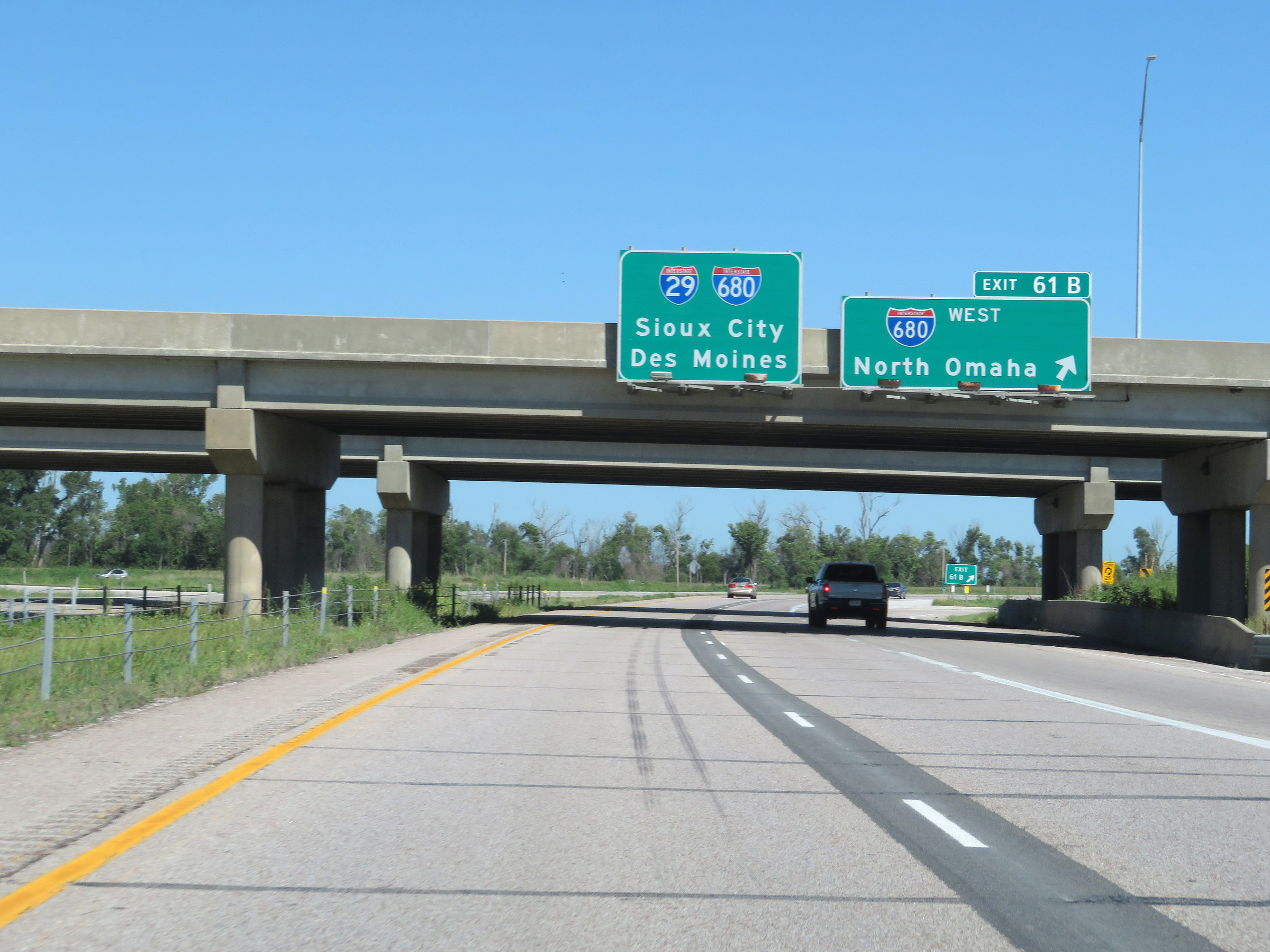 |
Interstate 29 North at Exit 61B: Interstate 680 West - North Omaha. The overhead reasurrance marker here is outdated; Interstate 680 was truncated to end here, at I-29. It no longer runs concurrently with I-29, and its segment from I-29 to Interstate 80 was redesignated as Interstate 880, as we will see later on. (Photo taken 8/9/20). |
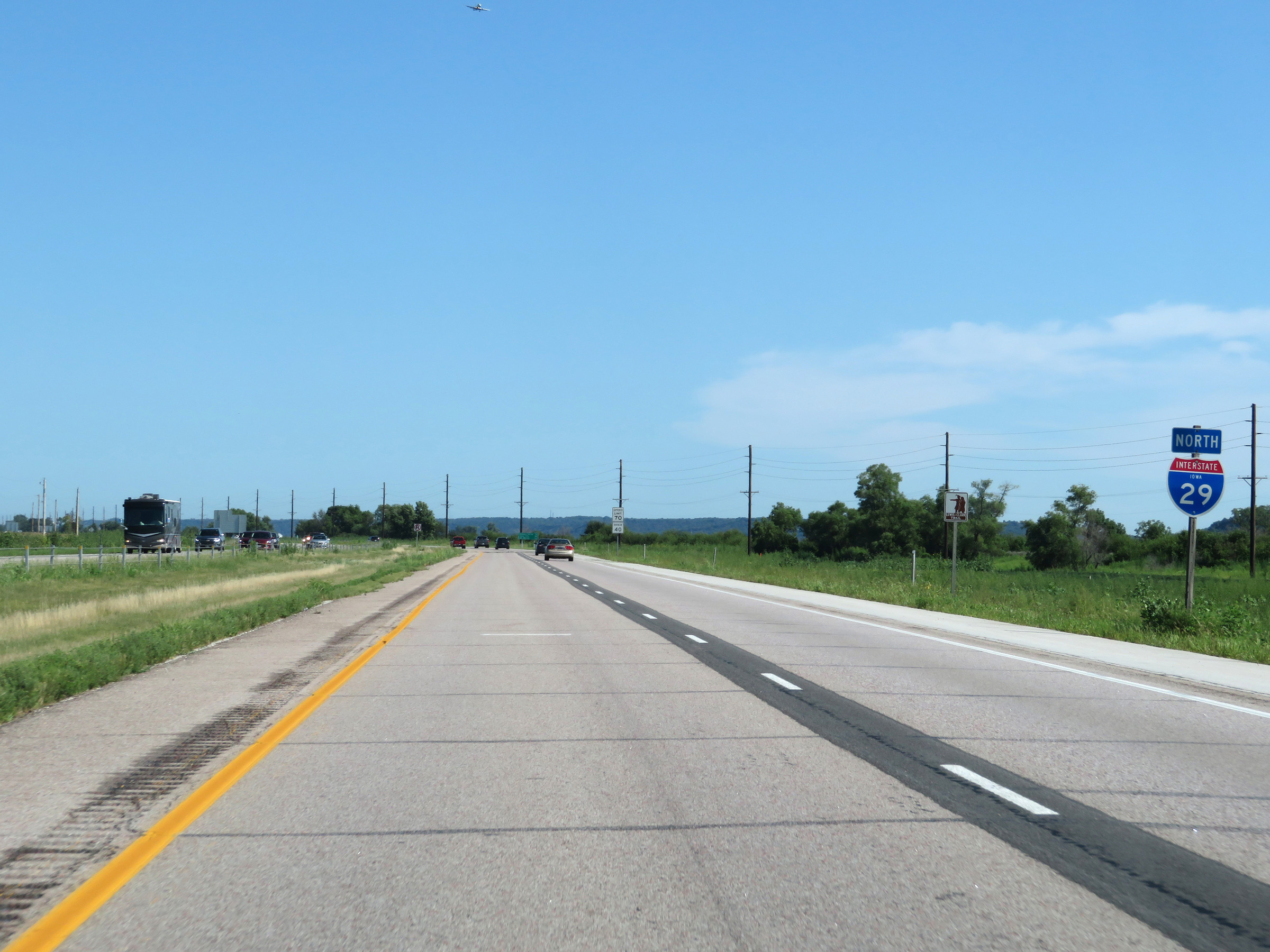 |
State-named Interstate 29 North reassurance shield. (Photo taken 8/9/20). |
 |
The speed limits remain 70 mph maximum and 40 mph minimum. (Photo taken 8/9/20). |
 |
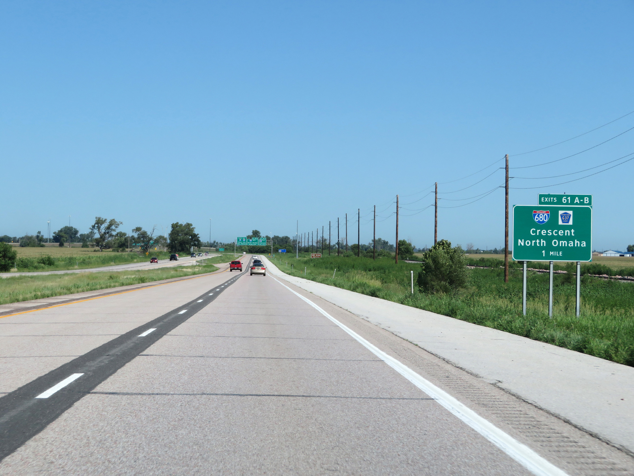
Mileage sign on Interstate 29 North. It's 14 miles to Missouri Valley, 86 miles to Sioux City, and 131 miles to Des Moines (via Interstate 880 East). (Photo taken 8/9/20). |
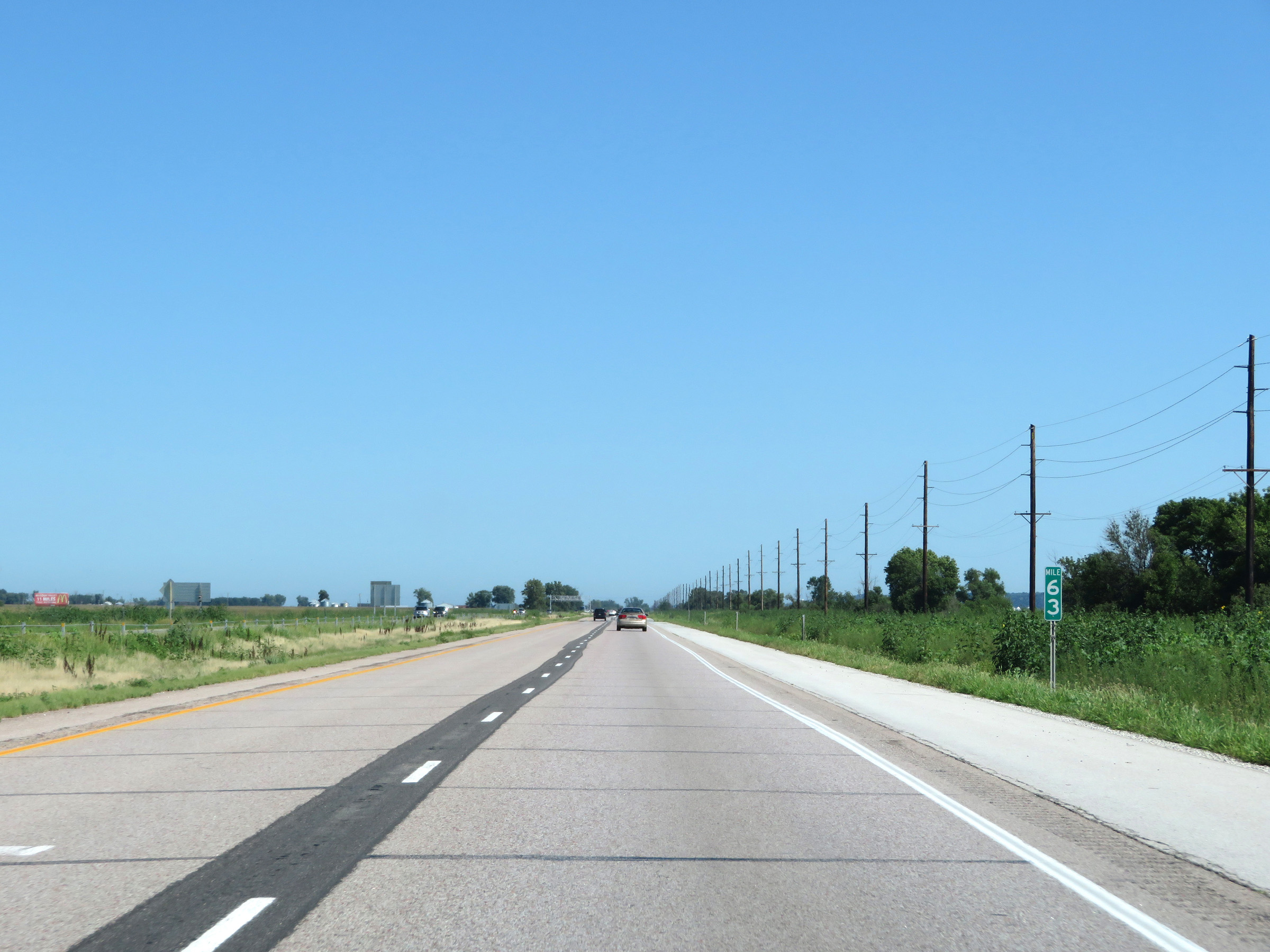 |
View on Interstate 29 North at mile marker 63. (Photo taken 8/9/20). |
 |
Interstate 29 North at mile marker 65. (Photo taken 8/9/20). |
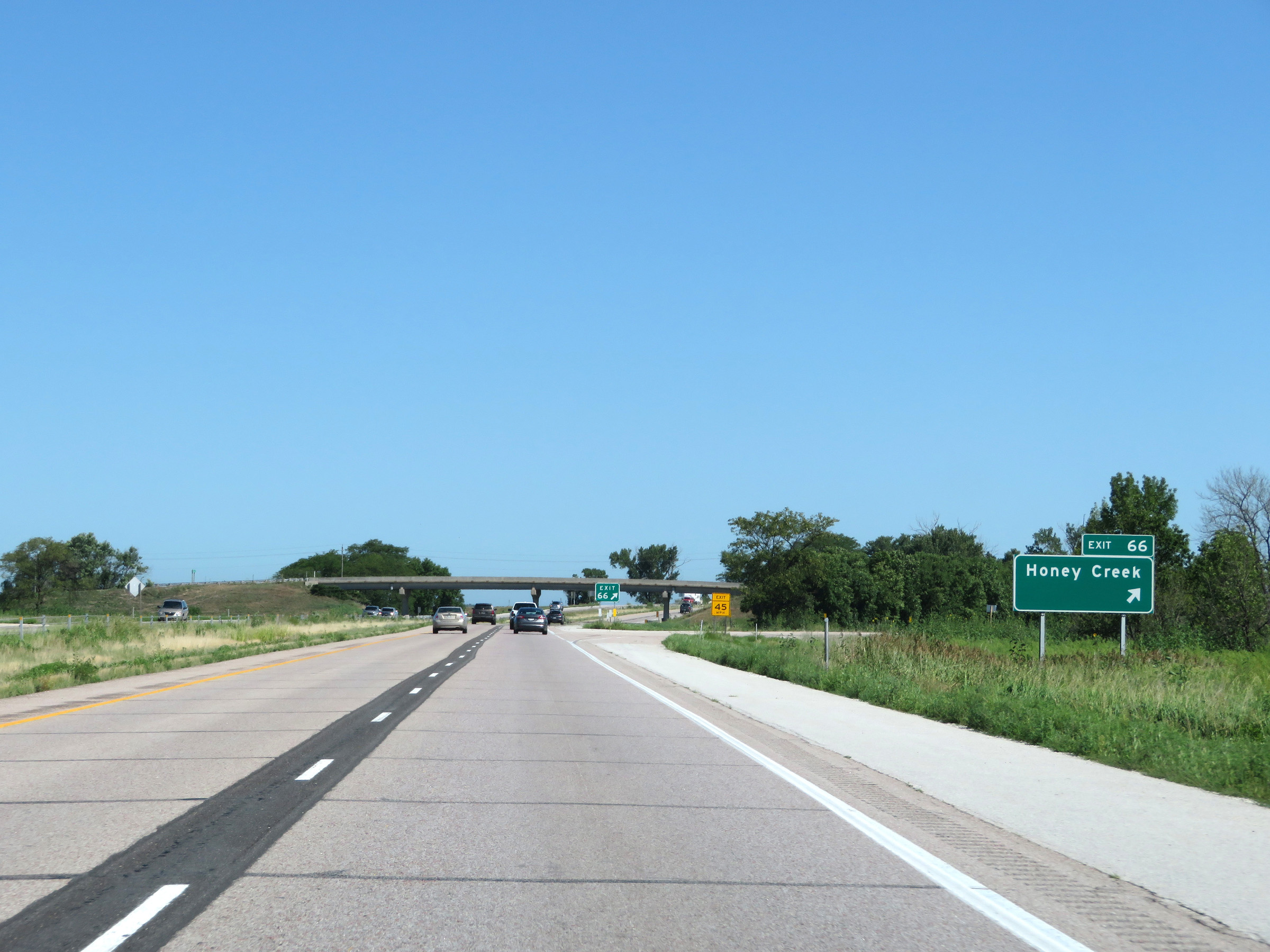 |
Interstate 29 North at Exit 66: Honey Creek (Photo taken 8/9/20). |
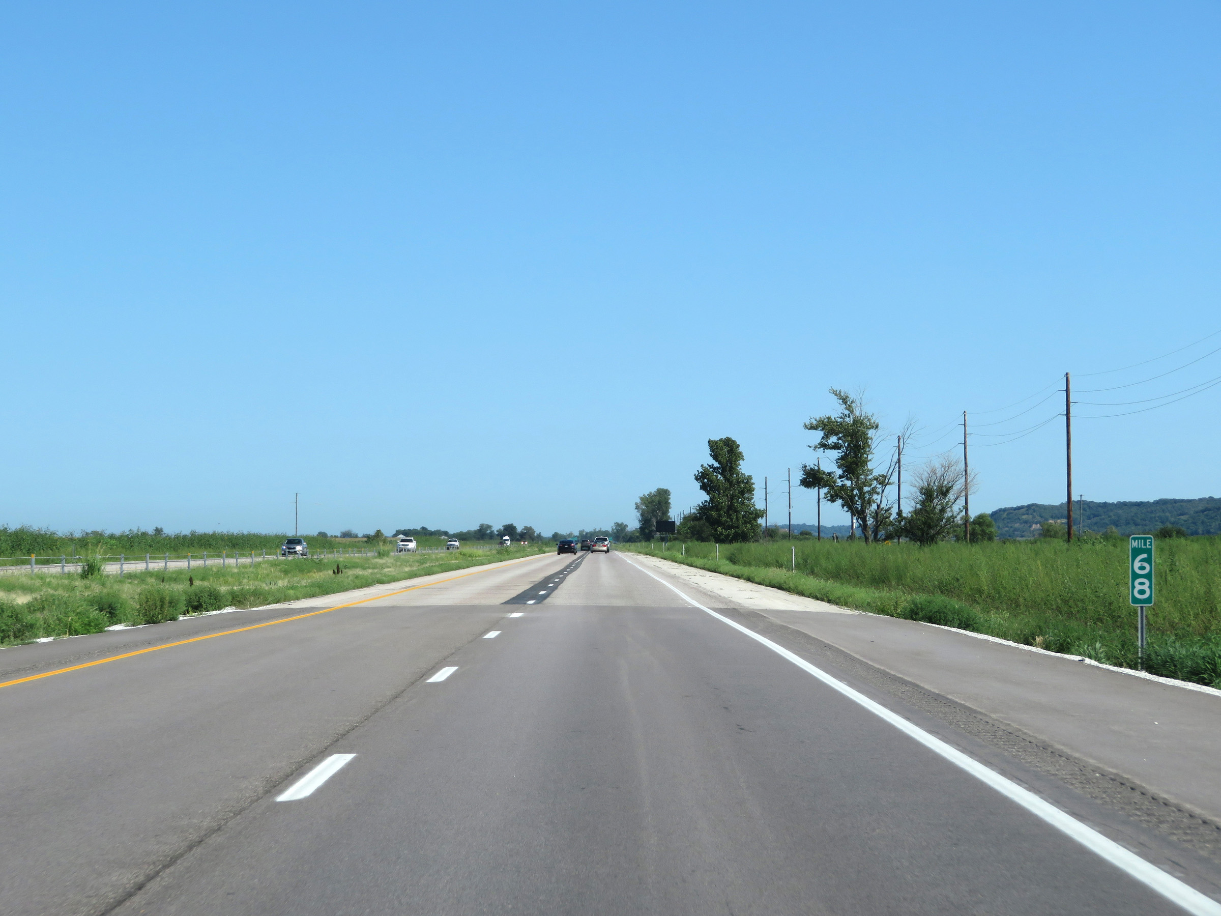 |
View on Interstate 29 North at mile marker 68. (Photo taken 8/9/20). |
 |
Interstate 29 North at mile marker 70. (Photo taken 8/9/20). |
 |
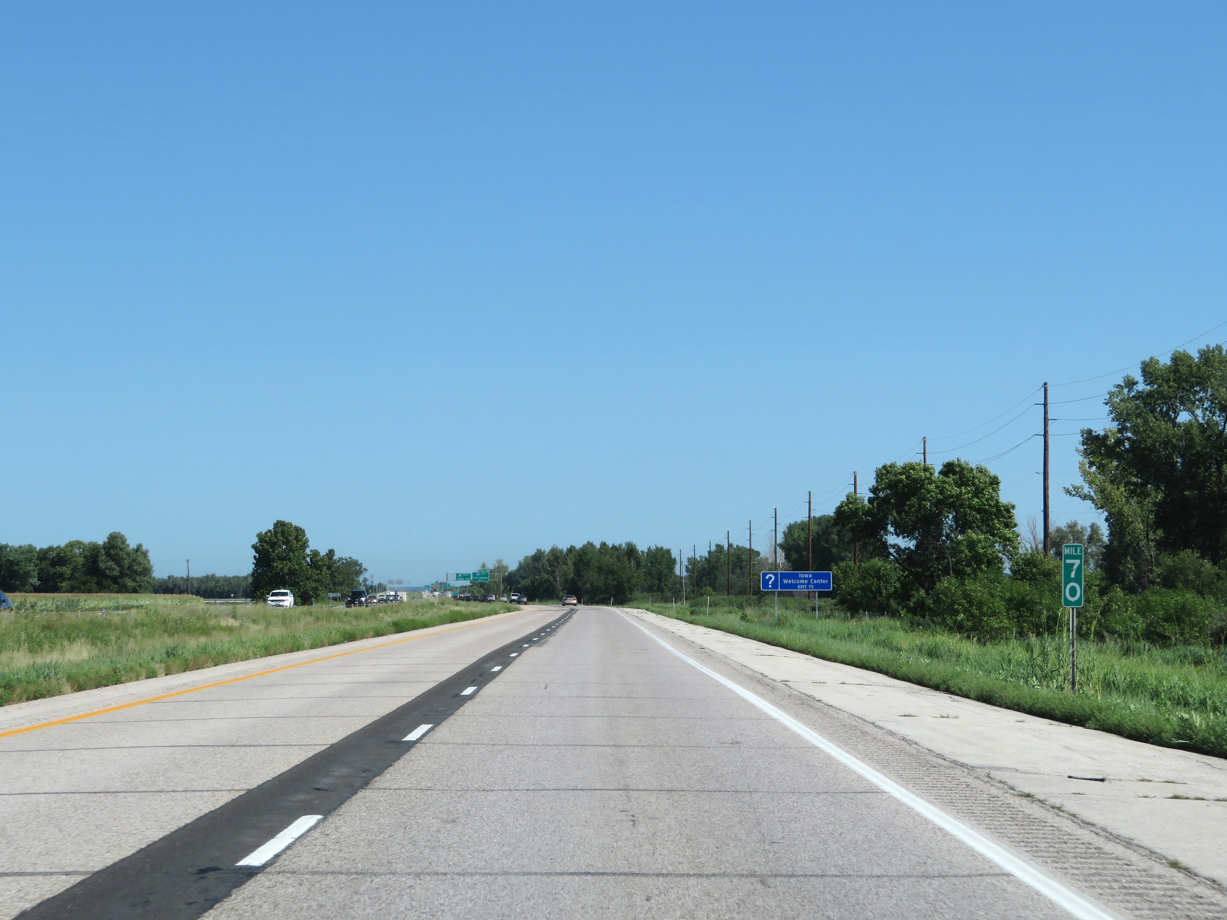
Interstate 29 North approaching Exit 71 - 3/4 mile. (Photo taken 8/9/20). |
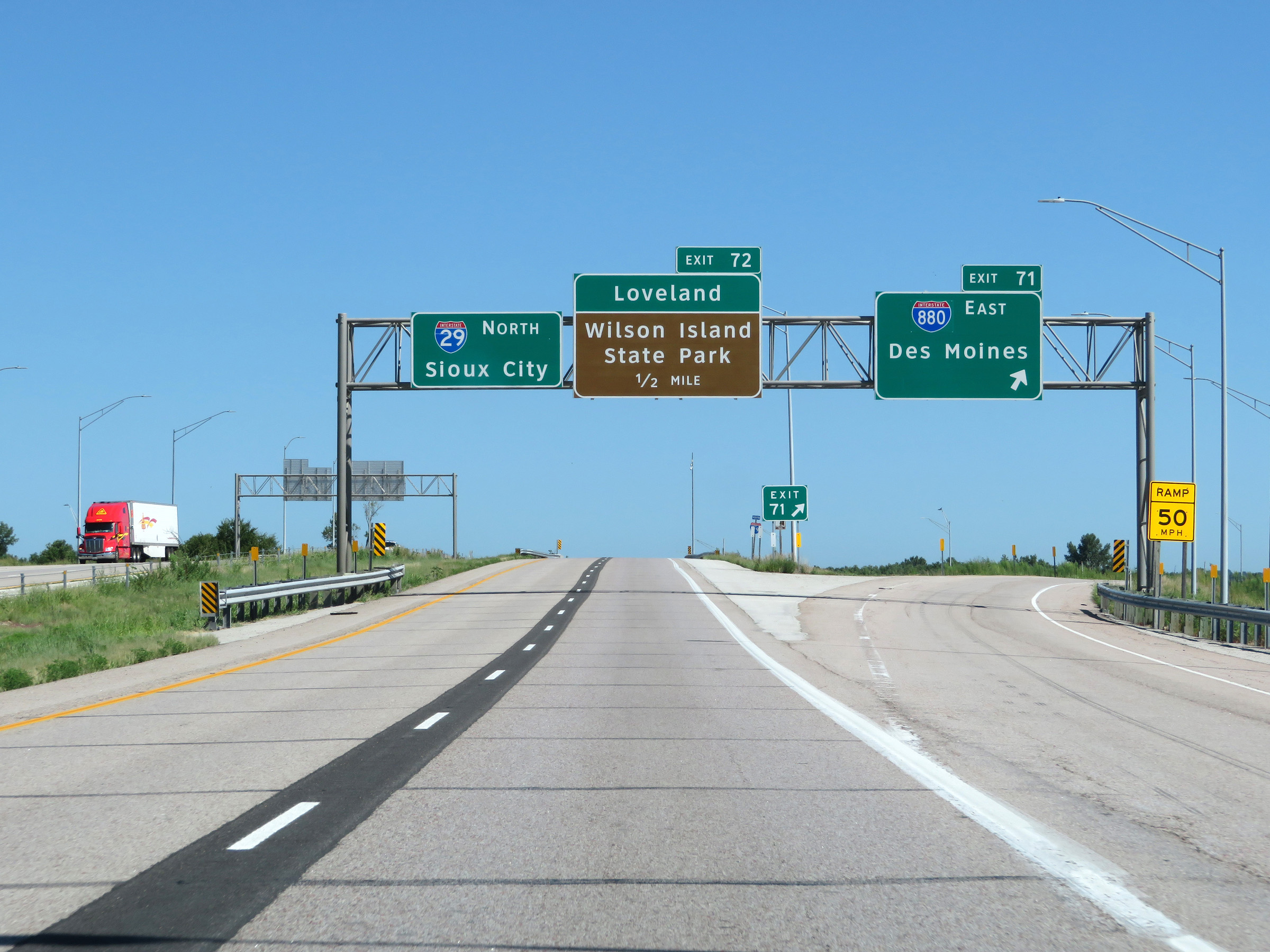 |
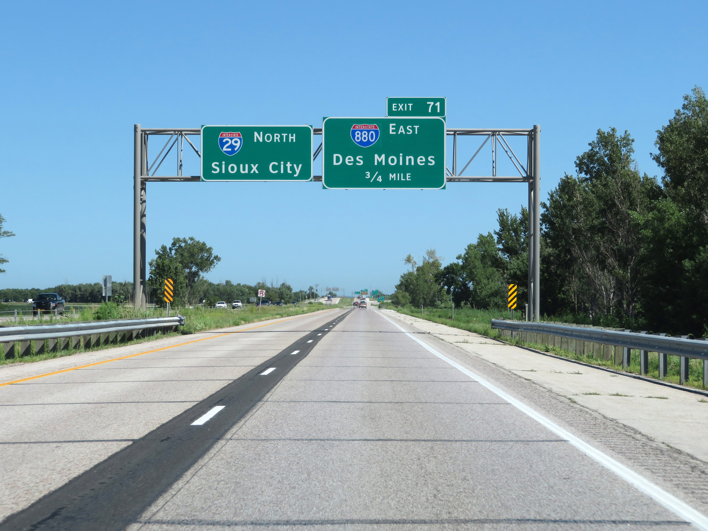
Interstate 29 North at Exit 71: Interstate 880 East - Des Moines (Photo taken 8/9/20). |
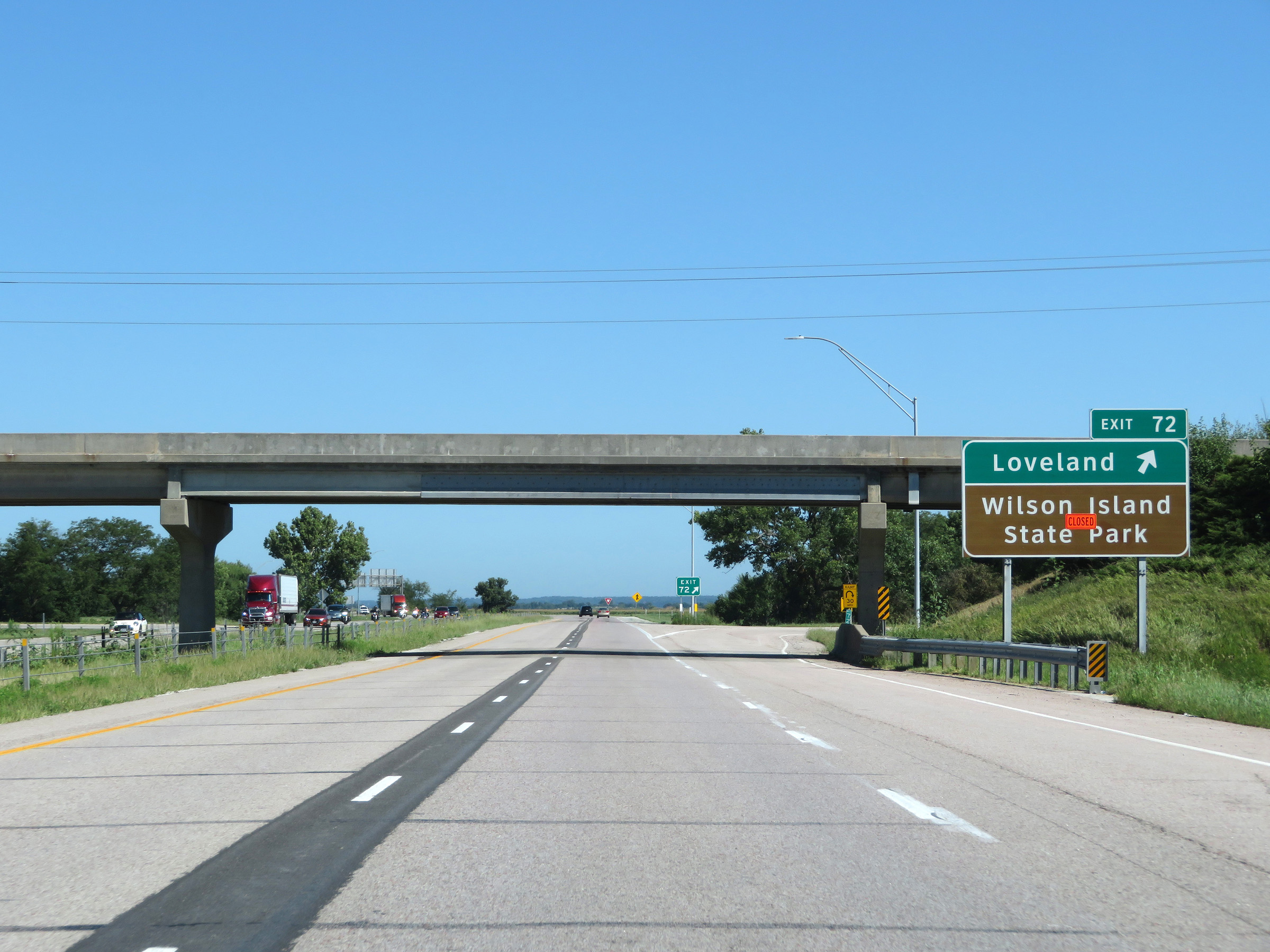 |
Interstate 29 North at Exit 72: Loveland / Wilson Island State Park (Photo taken 8/9/20). |
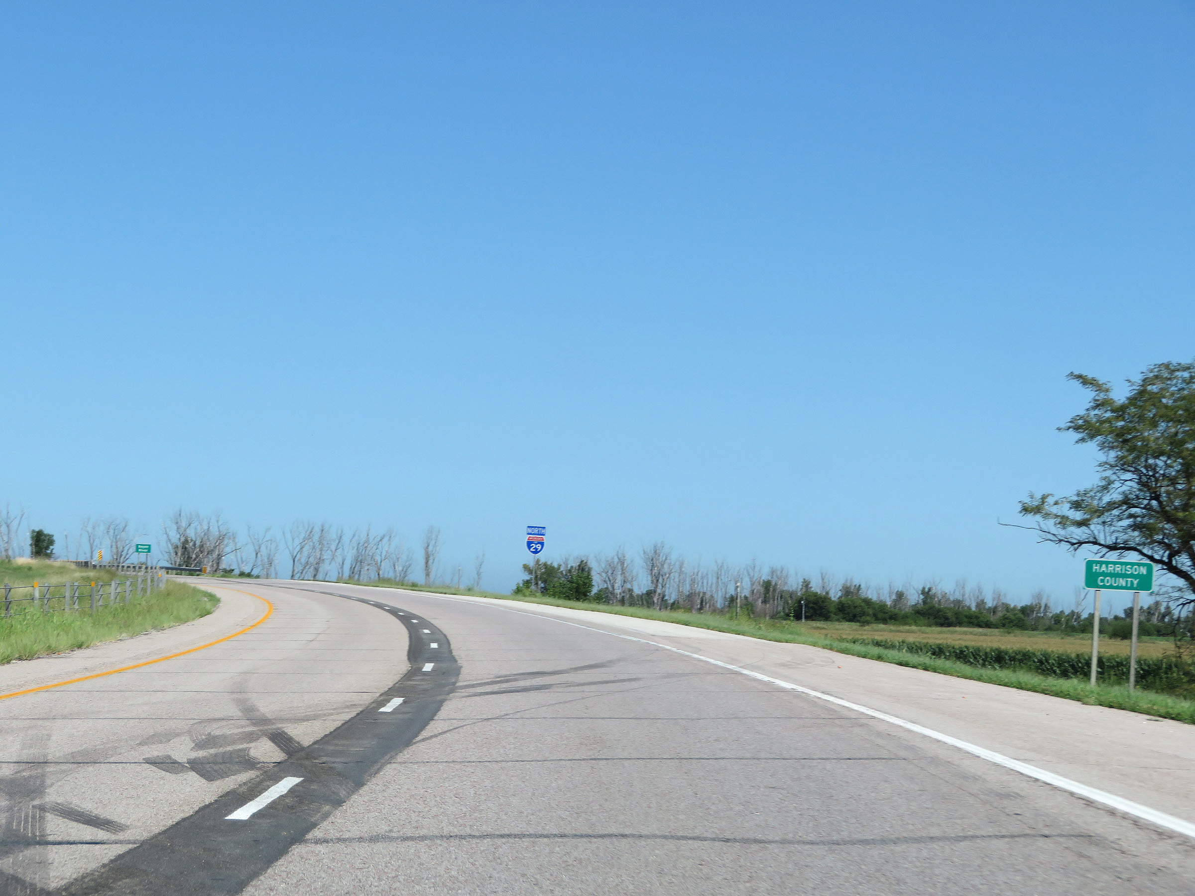 |
North of Exit 72, Interstate 29 North enters Harrison County. (Photo taken 8/9/20). |
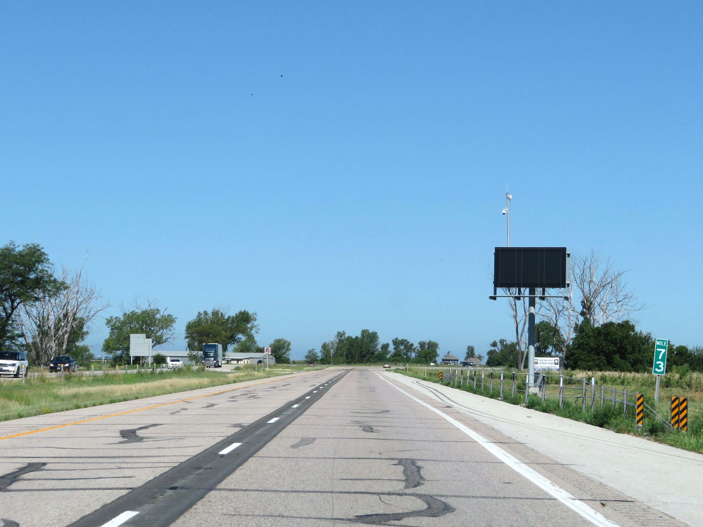 |
View on Interstate 29 North at mile marker 73. (Photo taken 8/9/20). |
 |
Mileage sign on Interstate 29 North. It's 4 miles to Missouri Valley and 75 miles to Sioux City. (Photo taken 8/9/20). |
 |
Mile marker 74 on Interstate 29 North in Harrison County. (Photo taken 8/9/20). |
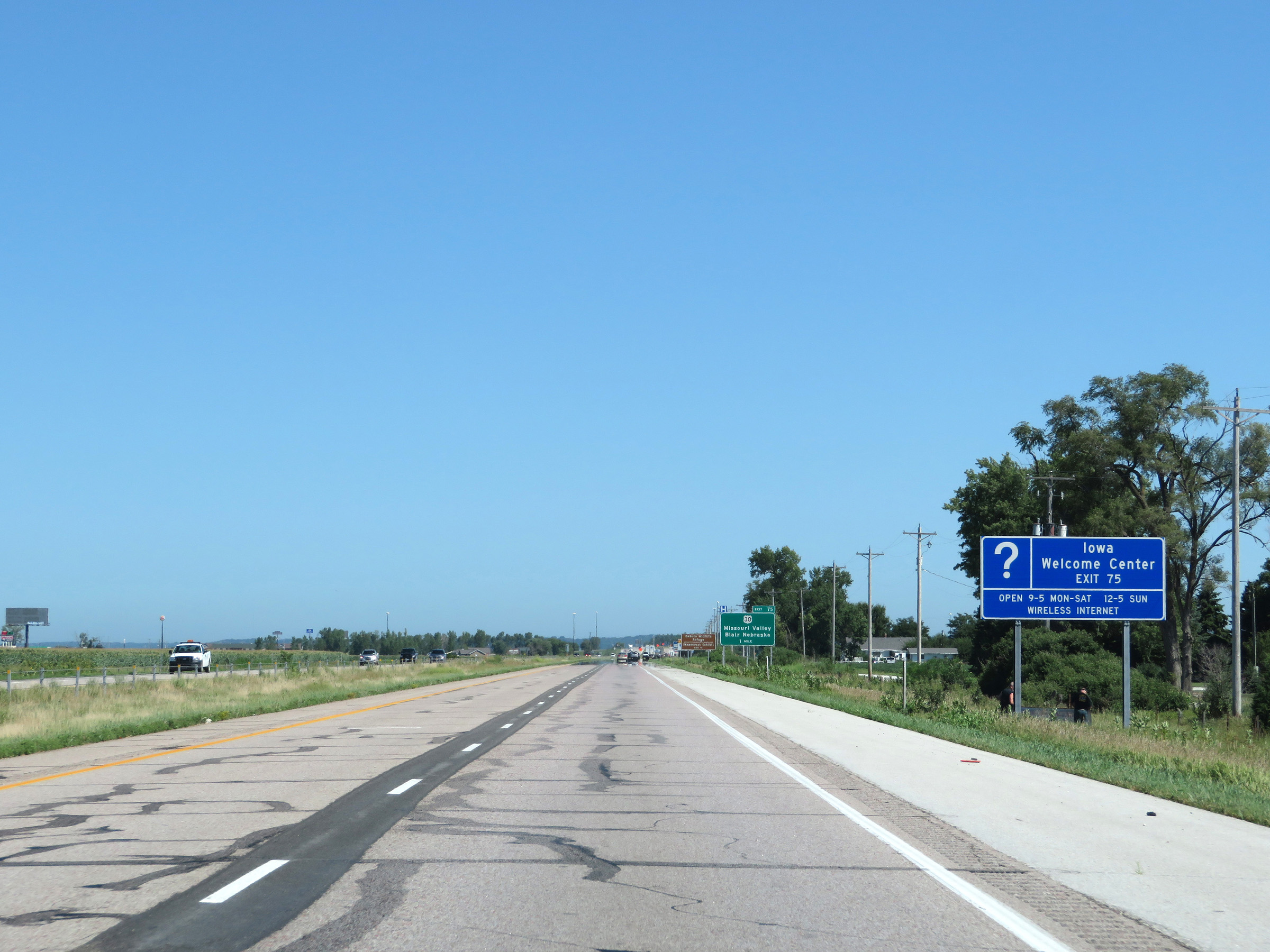 |
Take Exit 75 to an Iowa Welcome Center. (Photo taken 8/9/20). |
 |
Interstate 29 North approaching Exit 75 - 1 mile. (Photo taken 8/9/20). |
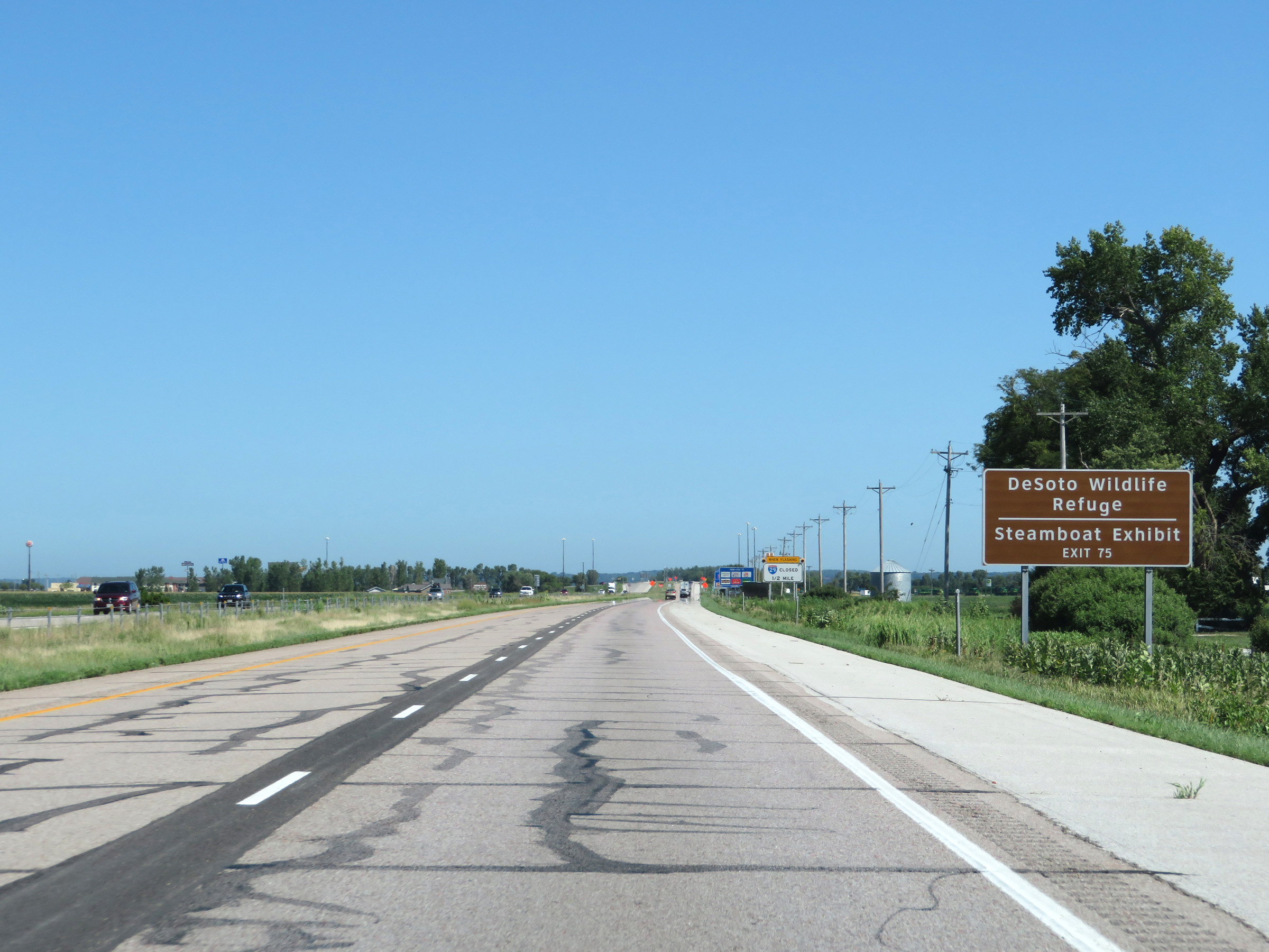 |
Also take Exit 75 to DeSoto Wildlife Refuge and the Steamboat Exhibit. (Photo taken 8/9/20). |
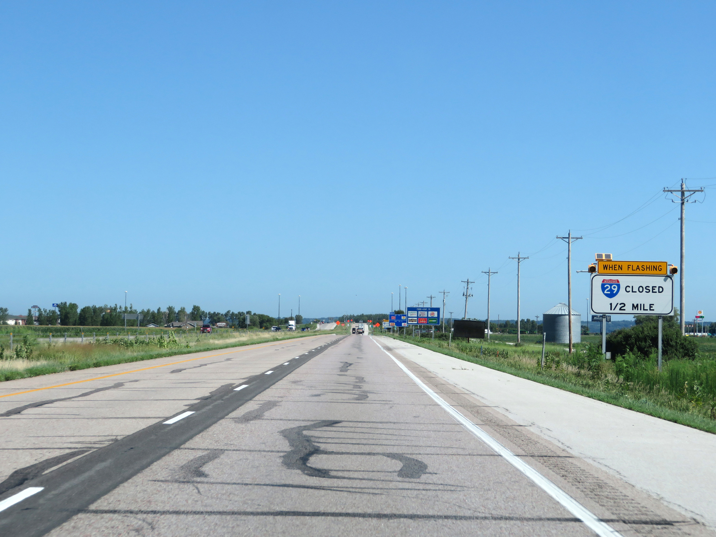 |
When the lights on this sign are flashing, Interstate 29 North is closed ahead and all traffic must take Exit 75. (Photo taken 8/9/20). |
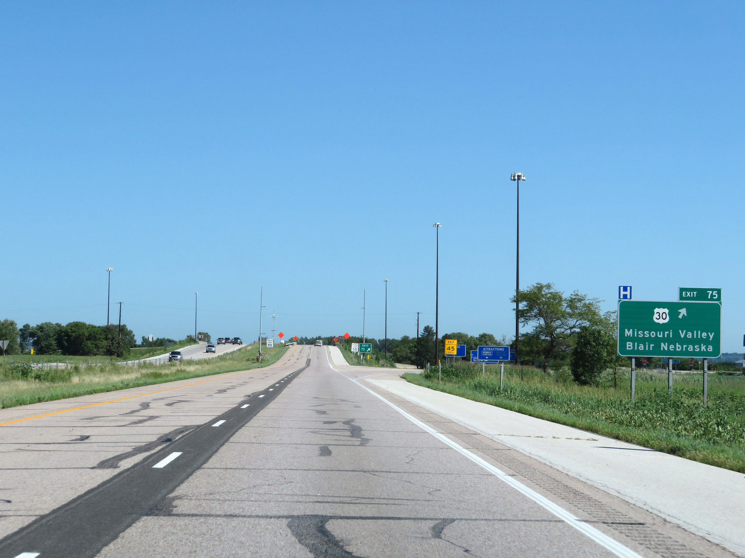 |
Interstate 29 North at Exit 75: US 30 - Missouri Valley / Blair, NE (Photo taken 8/9/20). |
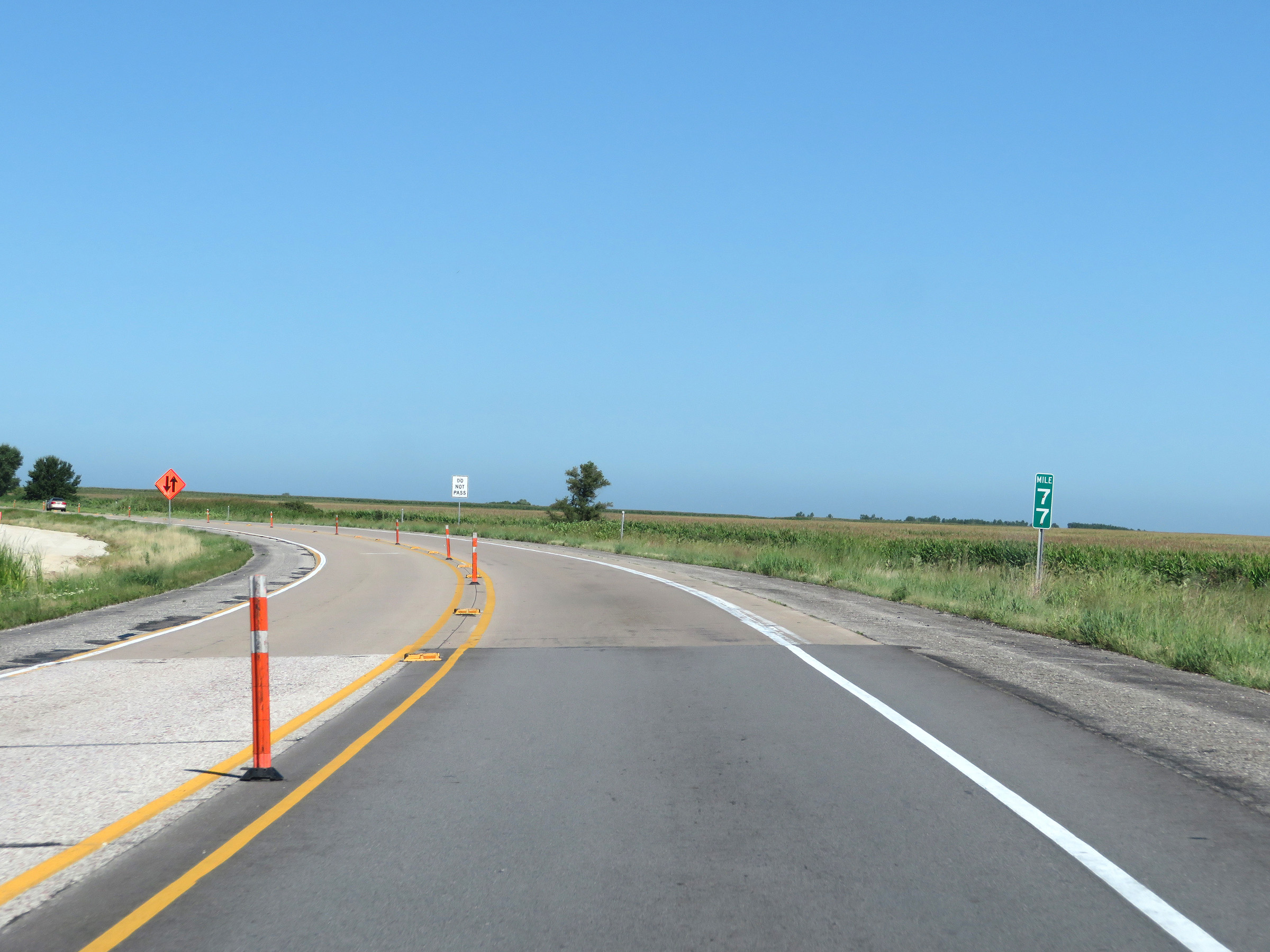 |
View on Interstate 29 North at mile marker 77. (Photo taken 8/9/20). |
 |
Rest Area on Interstate 29 North in Harrison County. (Photo taken 8/9/20). |
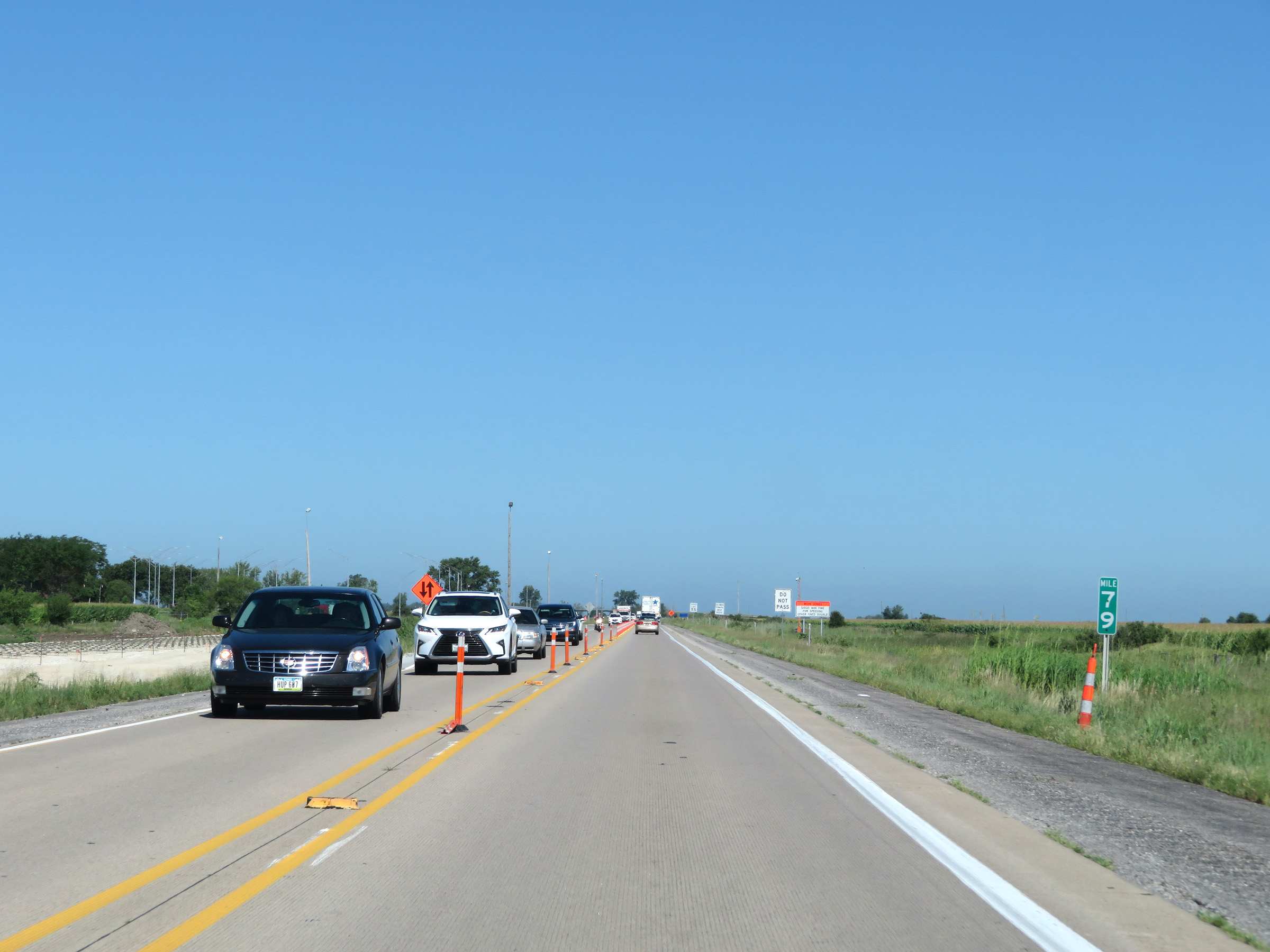 |
Interstate 29 North at mile marker 79. (Photo taken 8/9/20). |
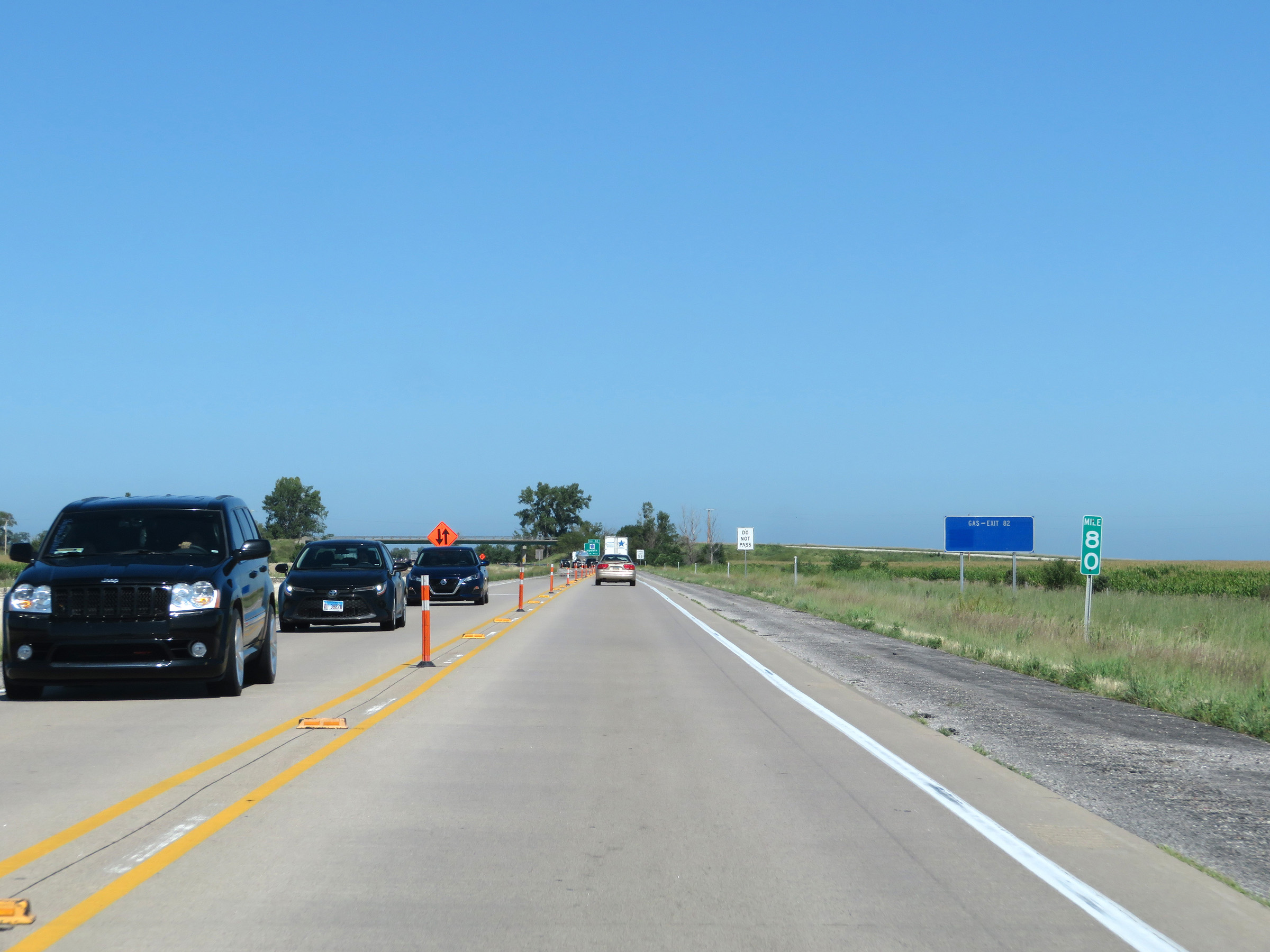 |
View on Interstate 29 North at mile marker 80. (Photo taken 8/9/20). |
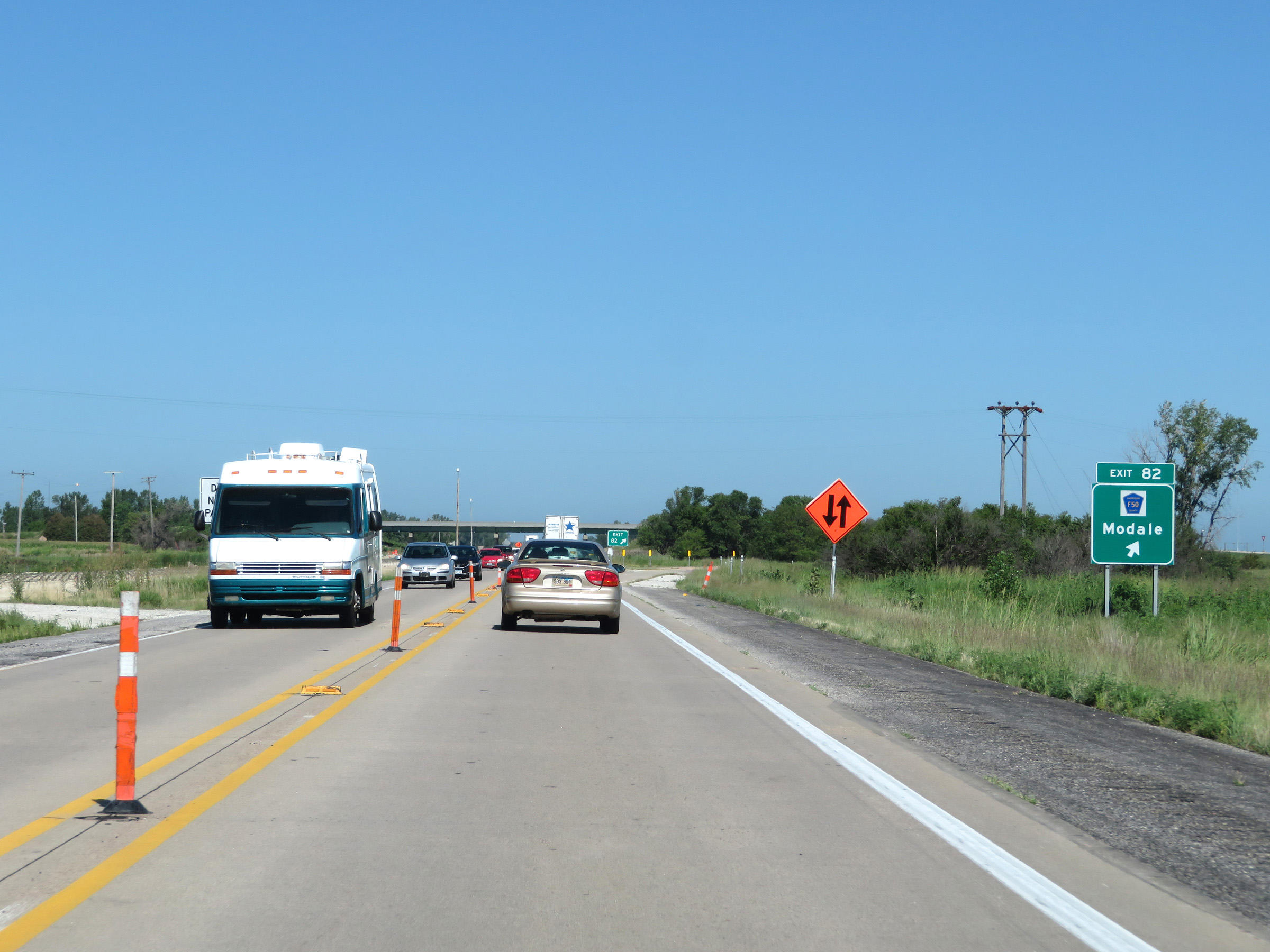 |
Interstate 29 North at Exit 82: CR F50 - Modale (Photo taken 8/9/20). |
 |
Interstate 29 North at mile marker 85. (Photo taken 8/9/20). |
 |
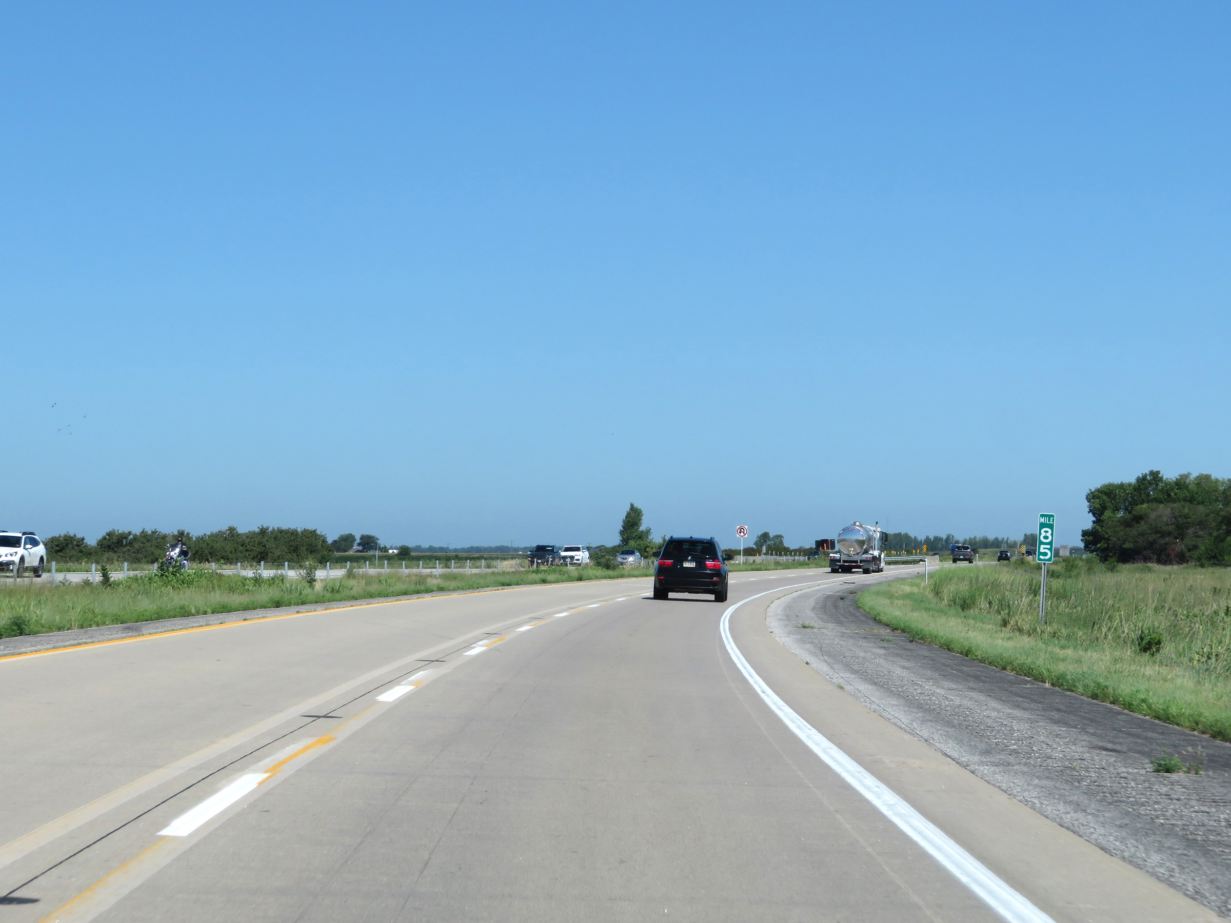
View on Interstate 29 North at mile marker 86. (Photo taken 8/9/20). |
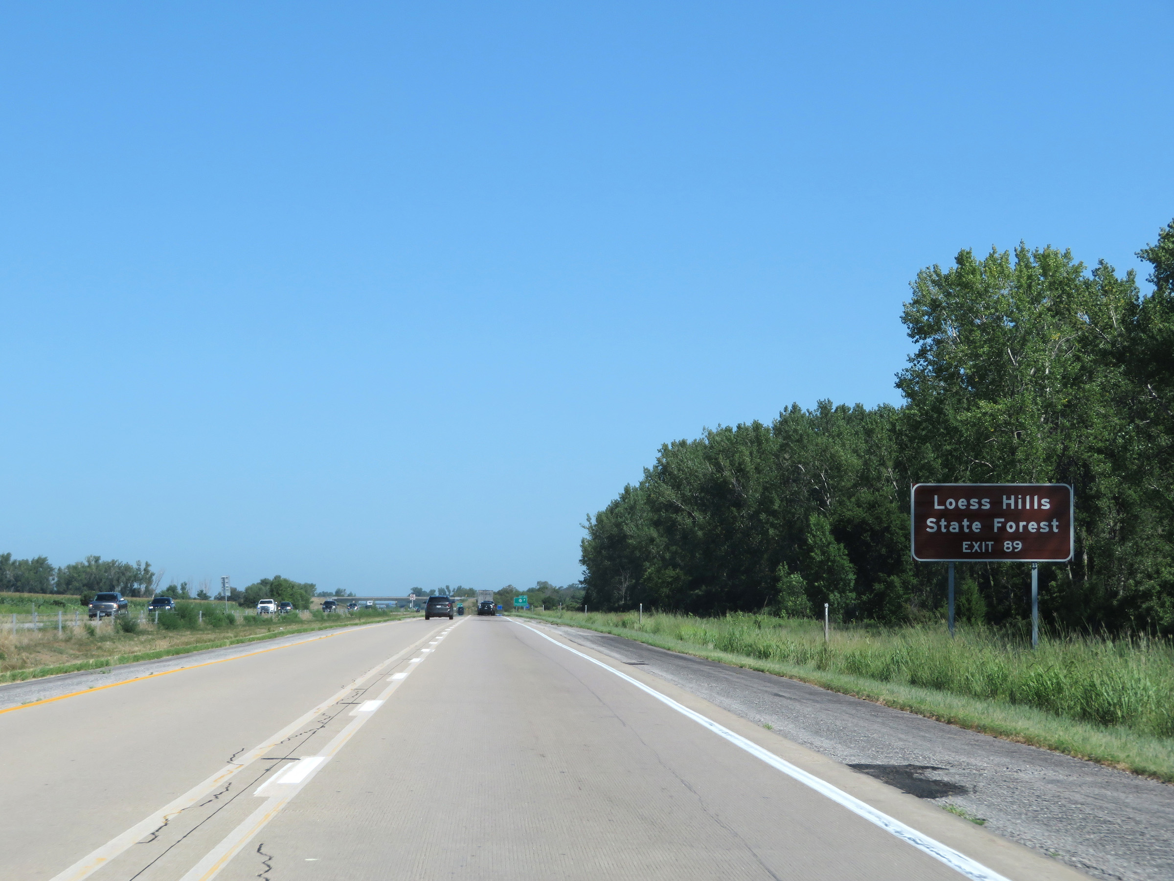 |
Take Exit 89 to Loess Hills State Forest. (Photo taken 8/9/20). |
 |
Interstate 29 North at Exit 89: IA 127 - Mondamin (Photo taken 8/9/20). |
 |
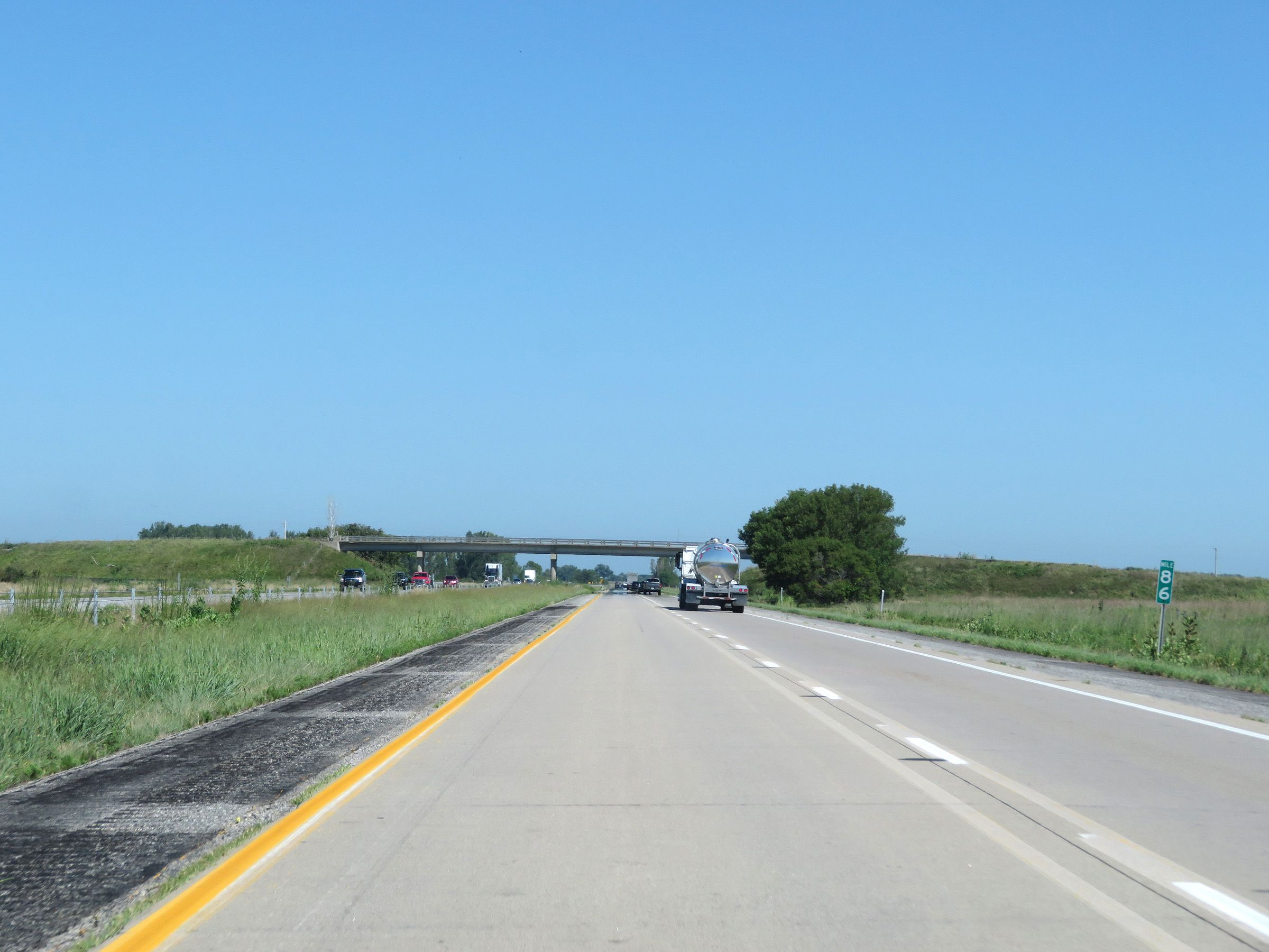
Mile marker 90 on Interstate 29 North in Harrison County. (Photo taken 8/9/20). |
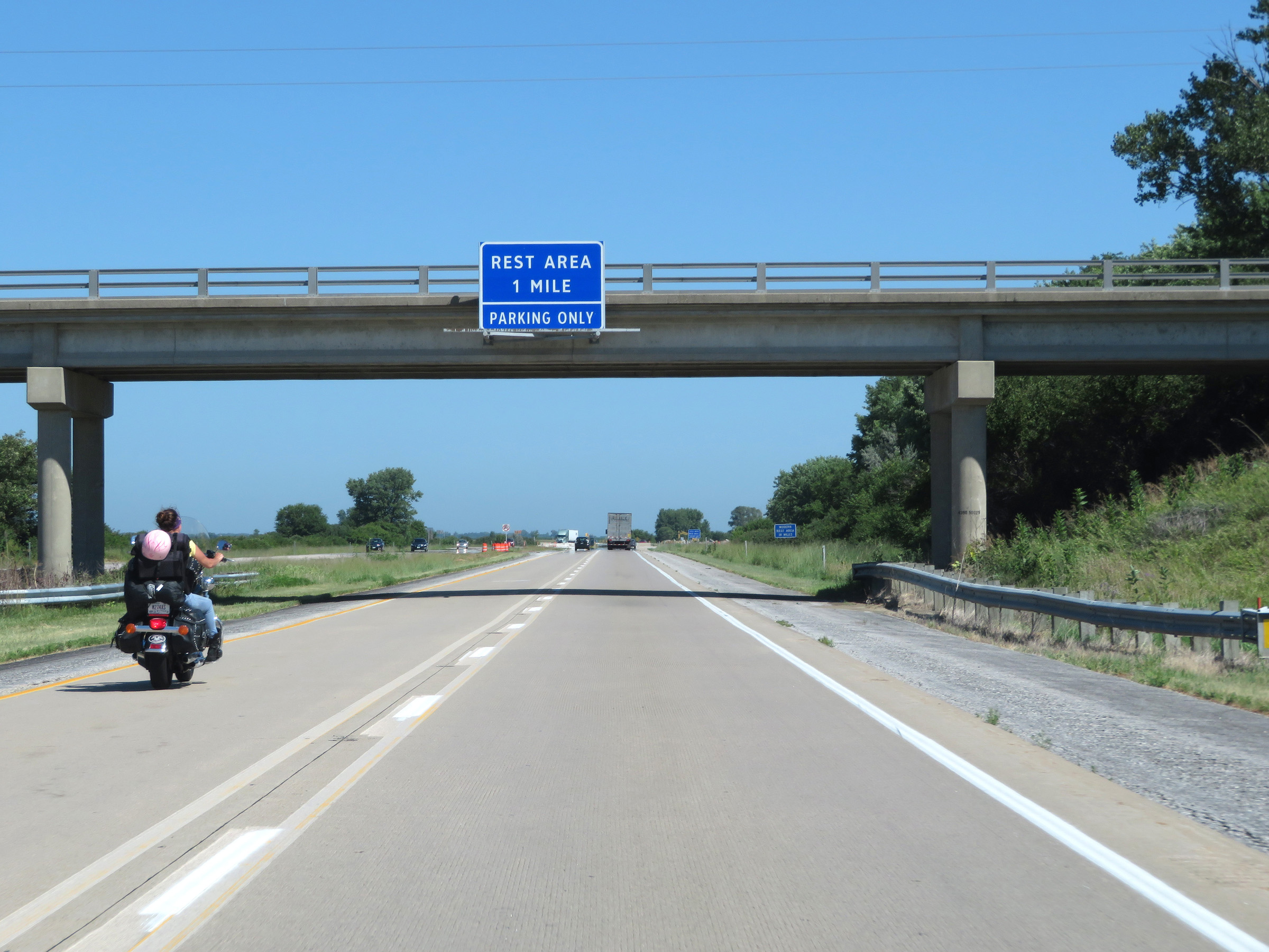 |
The Rest Area 1 mile ahead is for parking only and has no facilities. (Photo taken 8/9/20). |
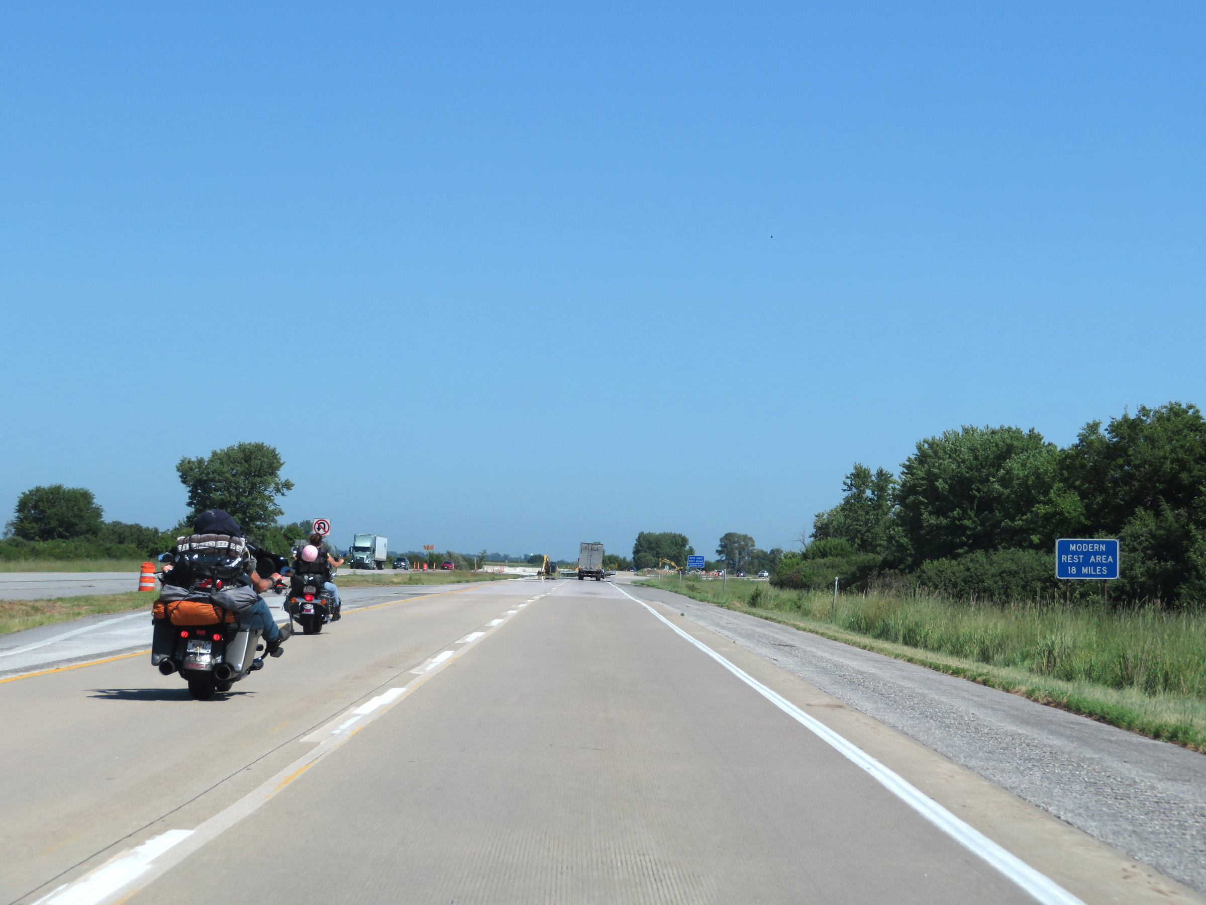 |
The next "modern" Rest Area (one with facilities) is 18 miles ahead. (Photo taken 8/9/20). |
 |
Rest Area (Parking Only) on Interstate 29 North in Harrison County. (Photo taken 8/9/20). |
 |
View on Interstate 29 North at mile marker 93. (Photo taken 8/9/20). |
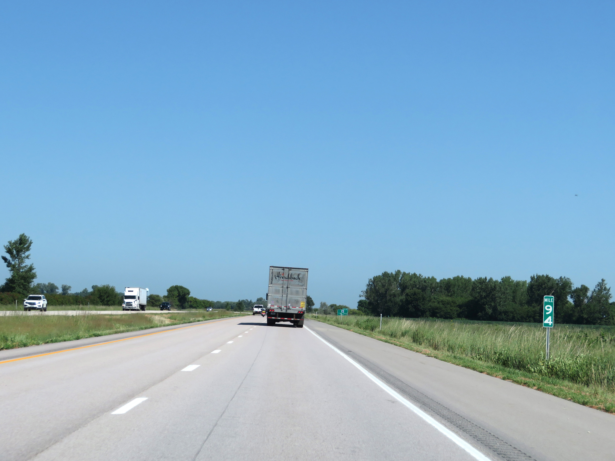 |
Interstate 29 North at mile marker 94. (Photo taken 8/9/20). |
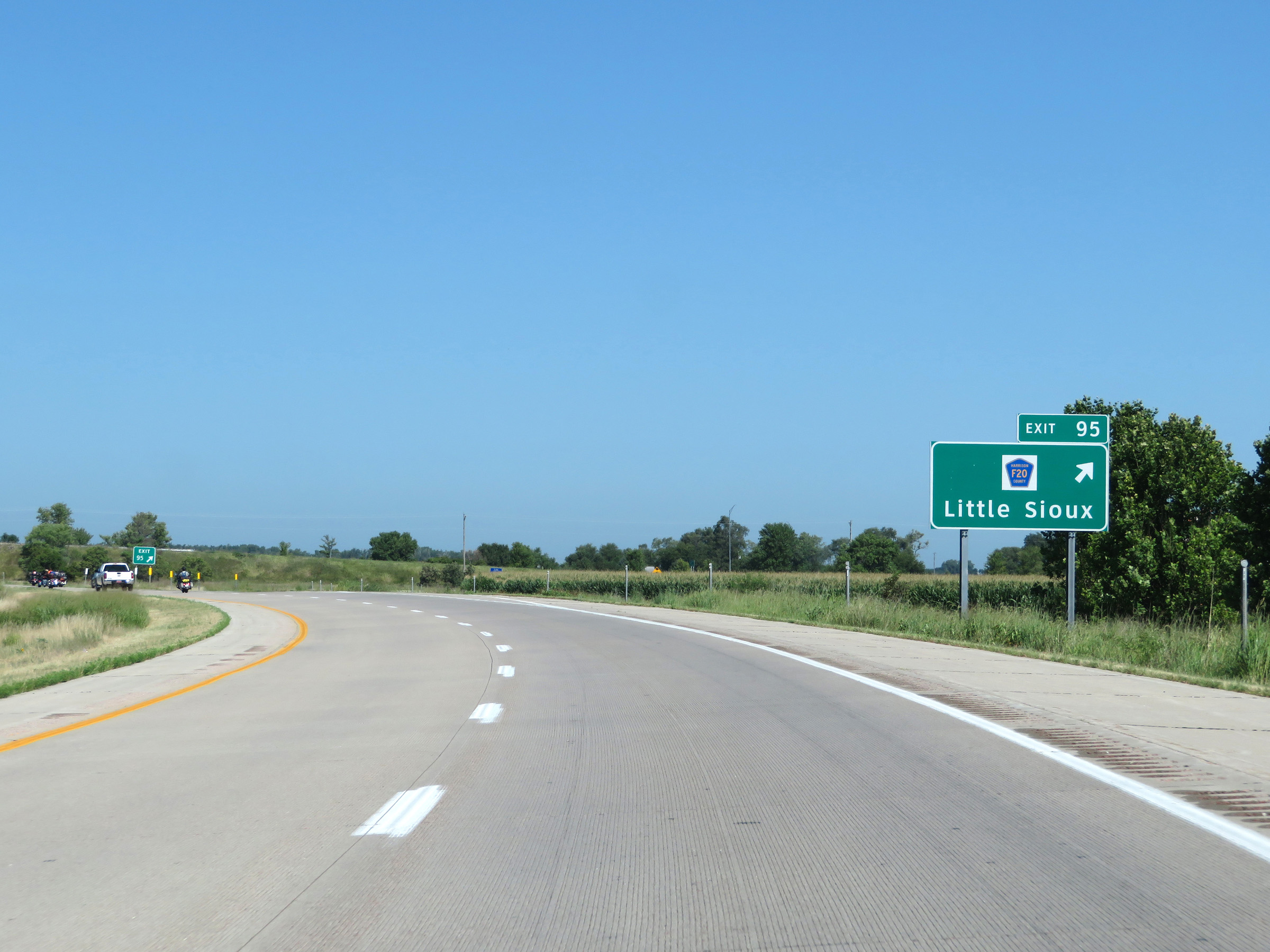 |
Interstate 29 North at Exit 95: CR F20 - Little Sioux (Photo taken 8/9/20). |
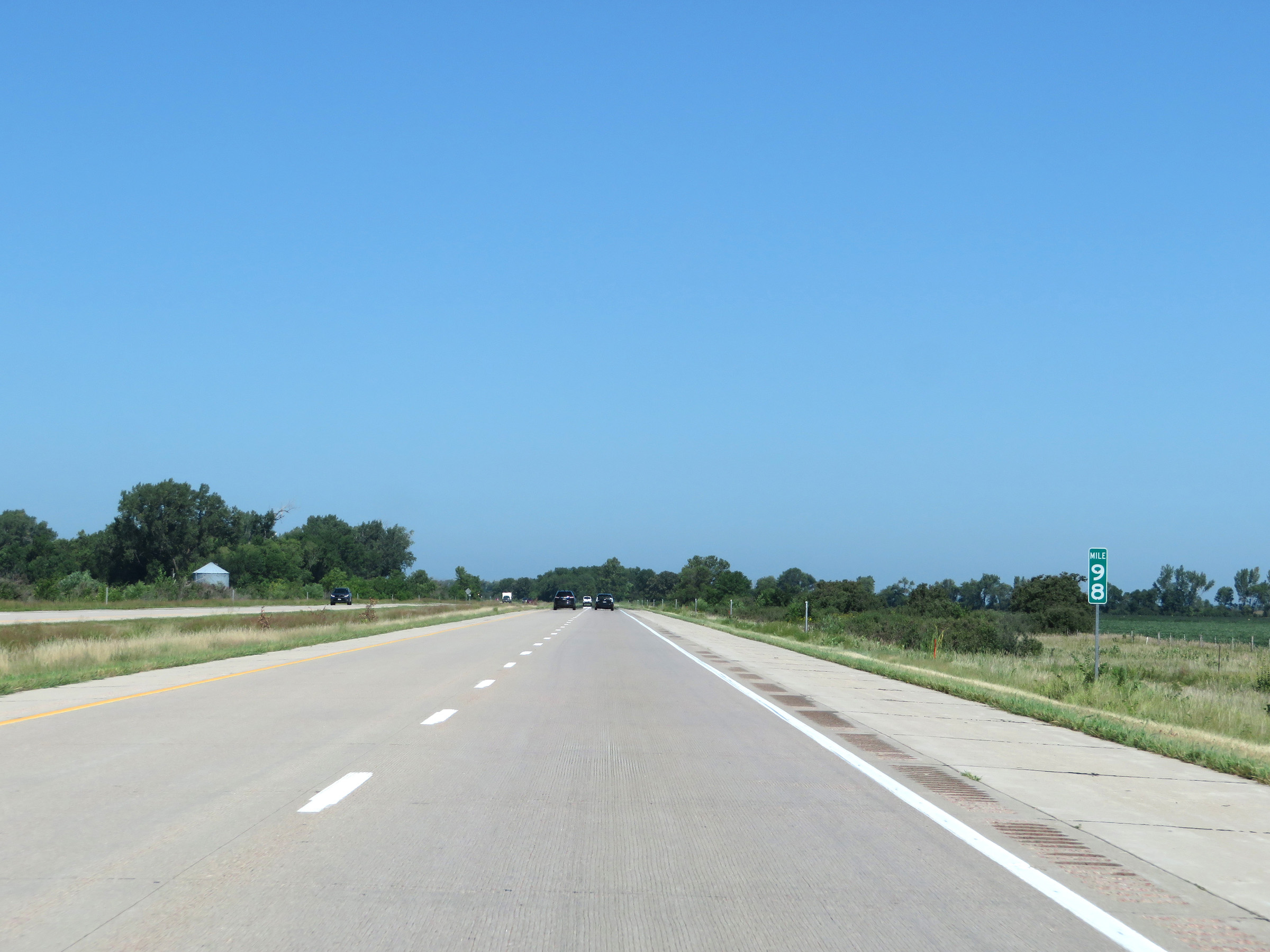 |
View on Interstate 29 North at mile marker 98. (Photo taken 8/9/20). |
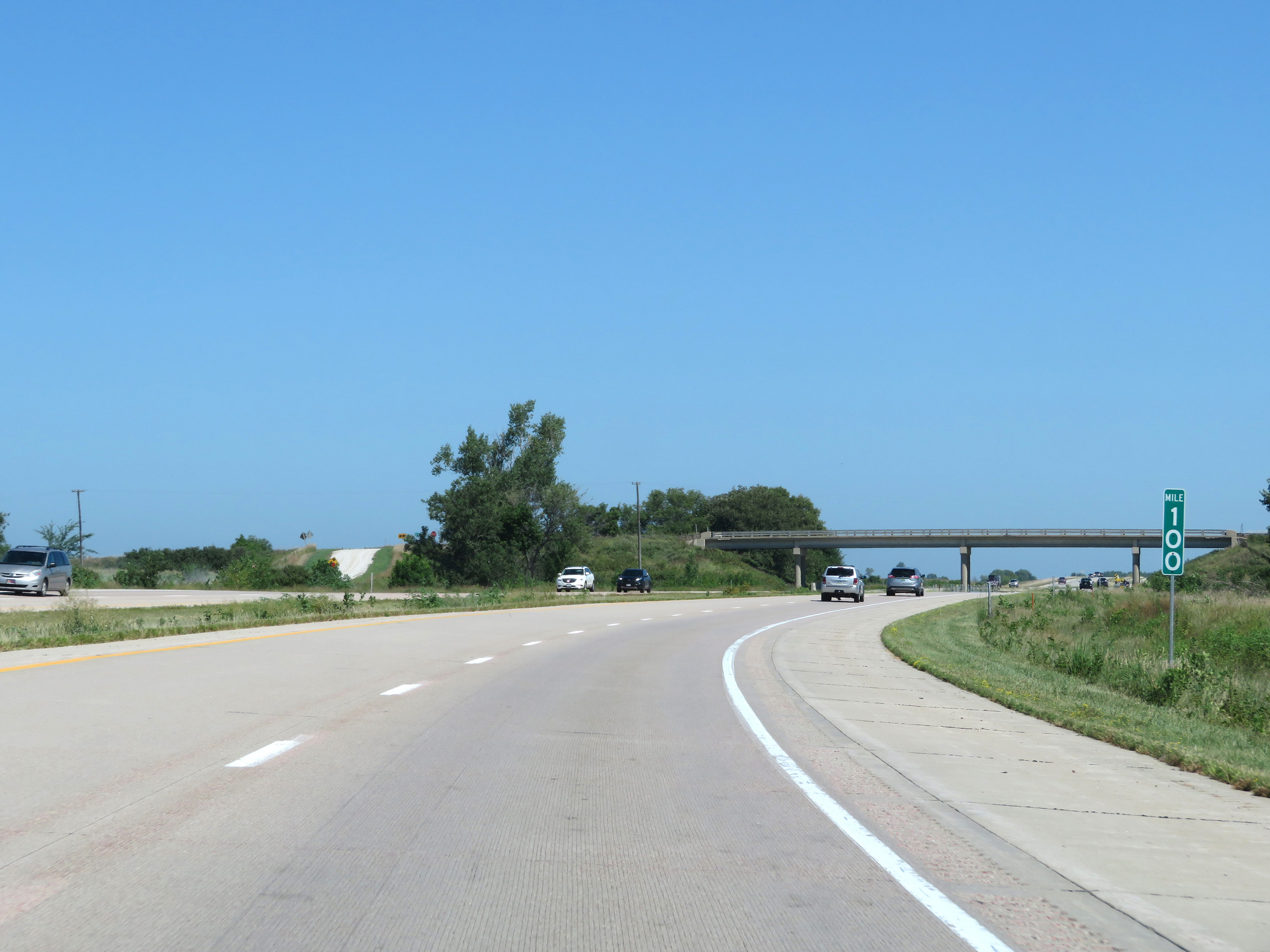 |
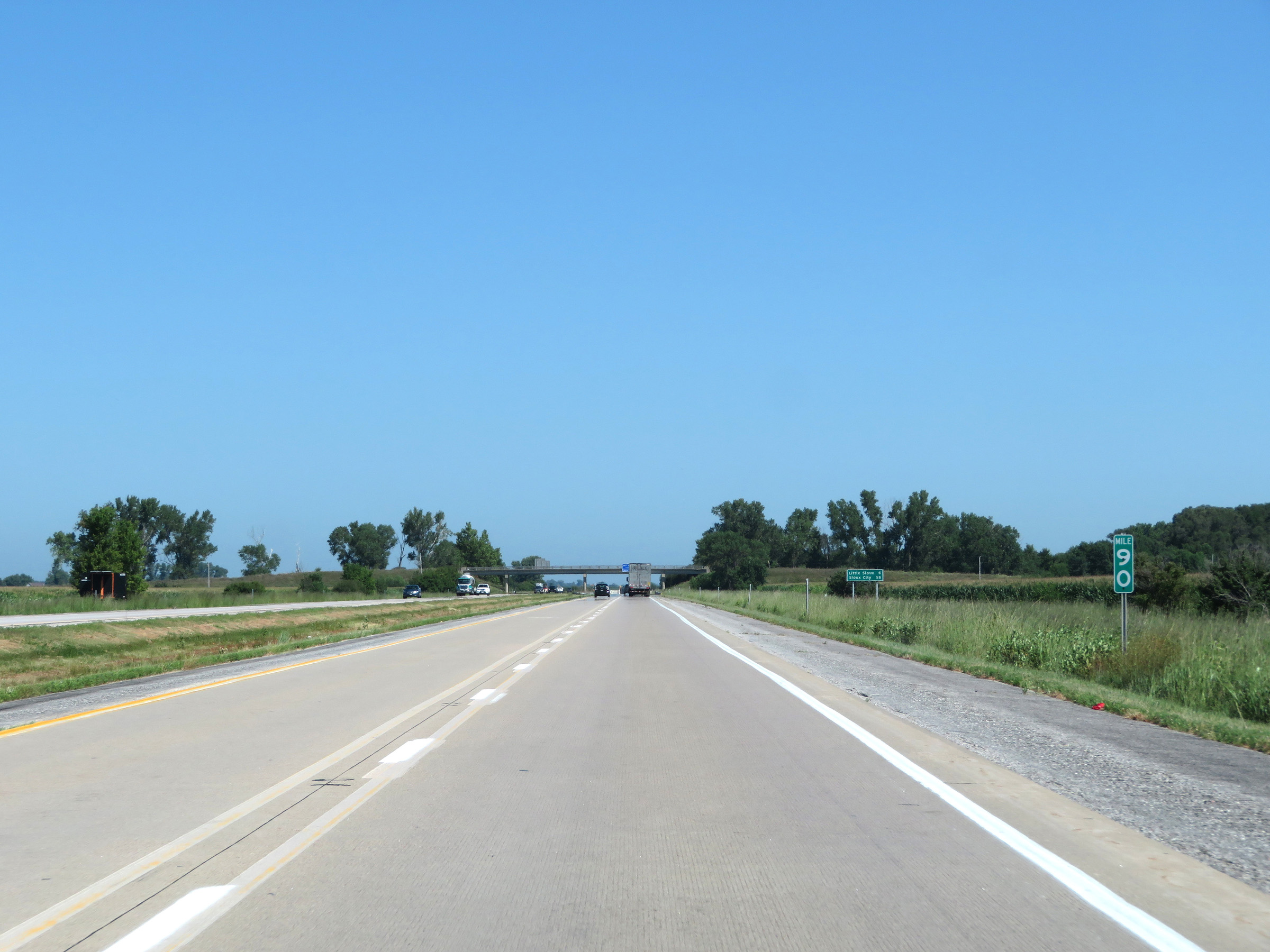
Mile marker 100 on Interstate 29 North in Harrison County. (Photo taken 8/9/20). |
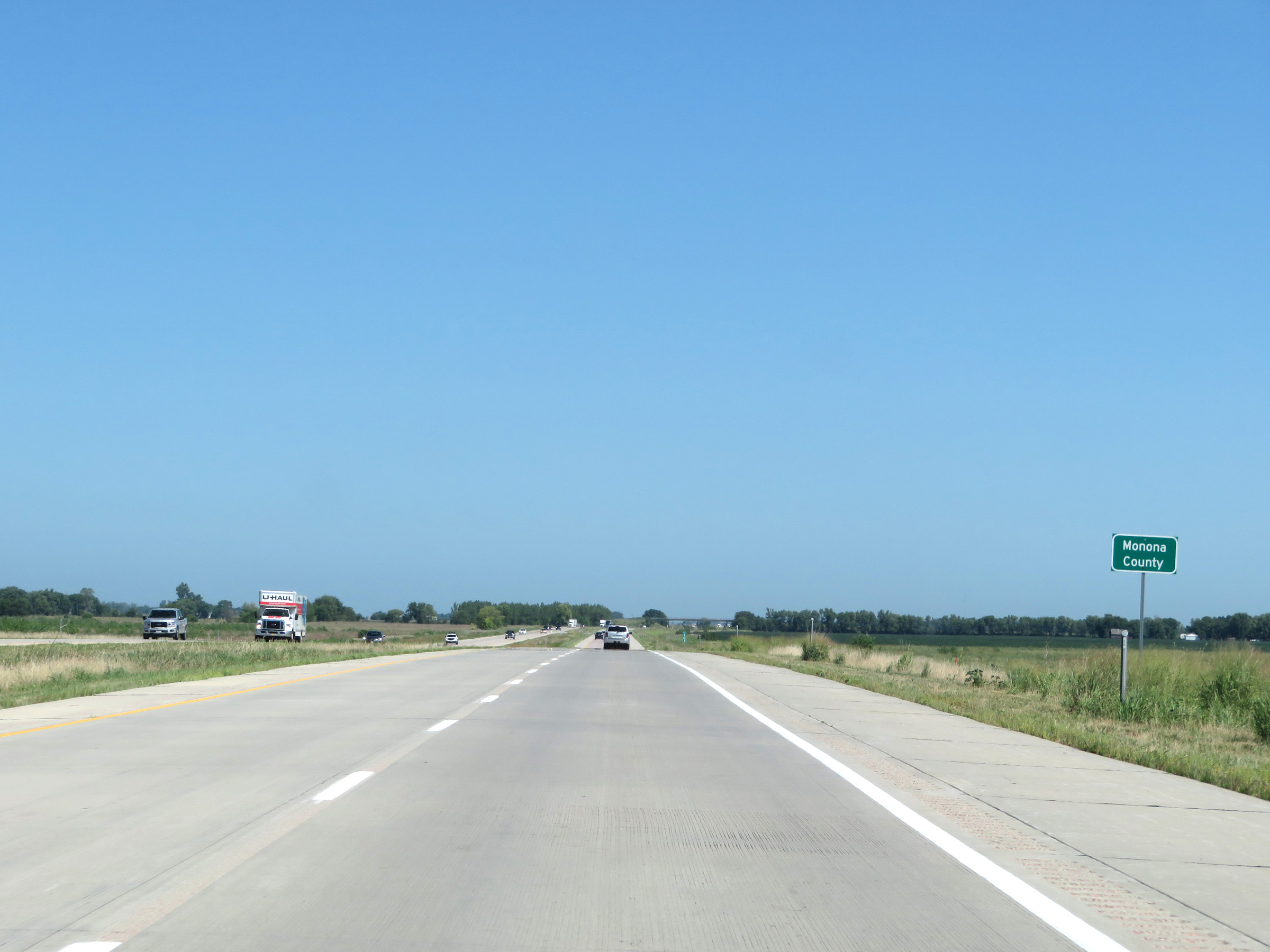 |
Interstate 29 North as it enters Monona County. (Photo taken 8/9/20). |
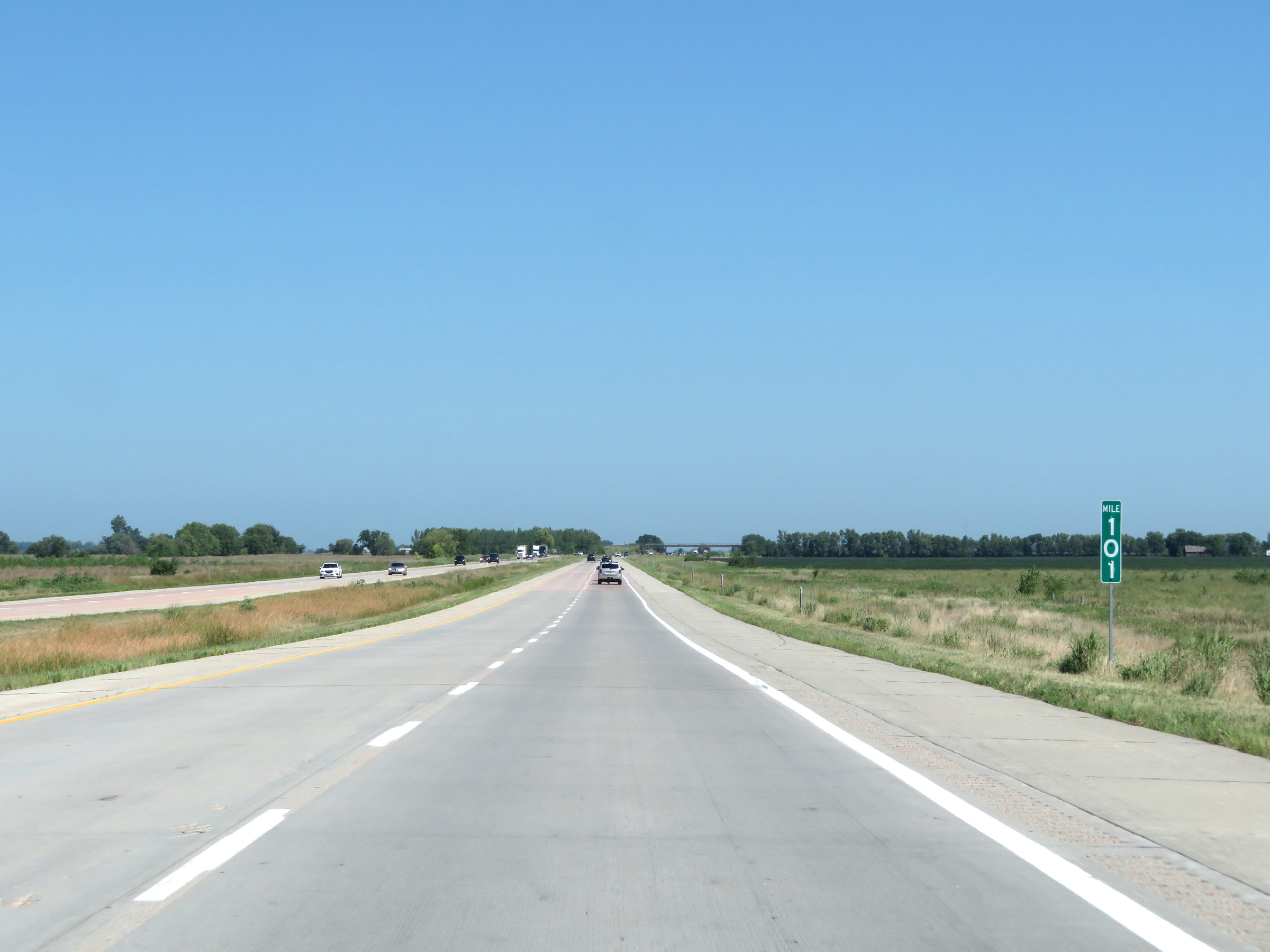 |
View on Interstate 29 North at mile marker 101. (Photo taken 8/9/20). |
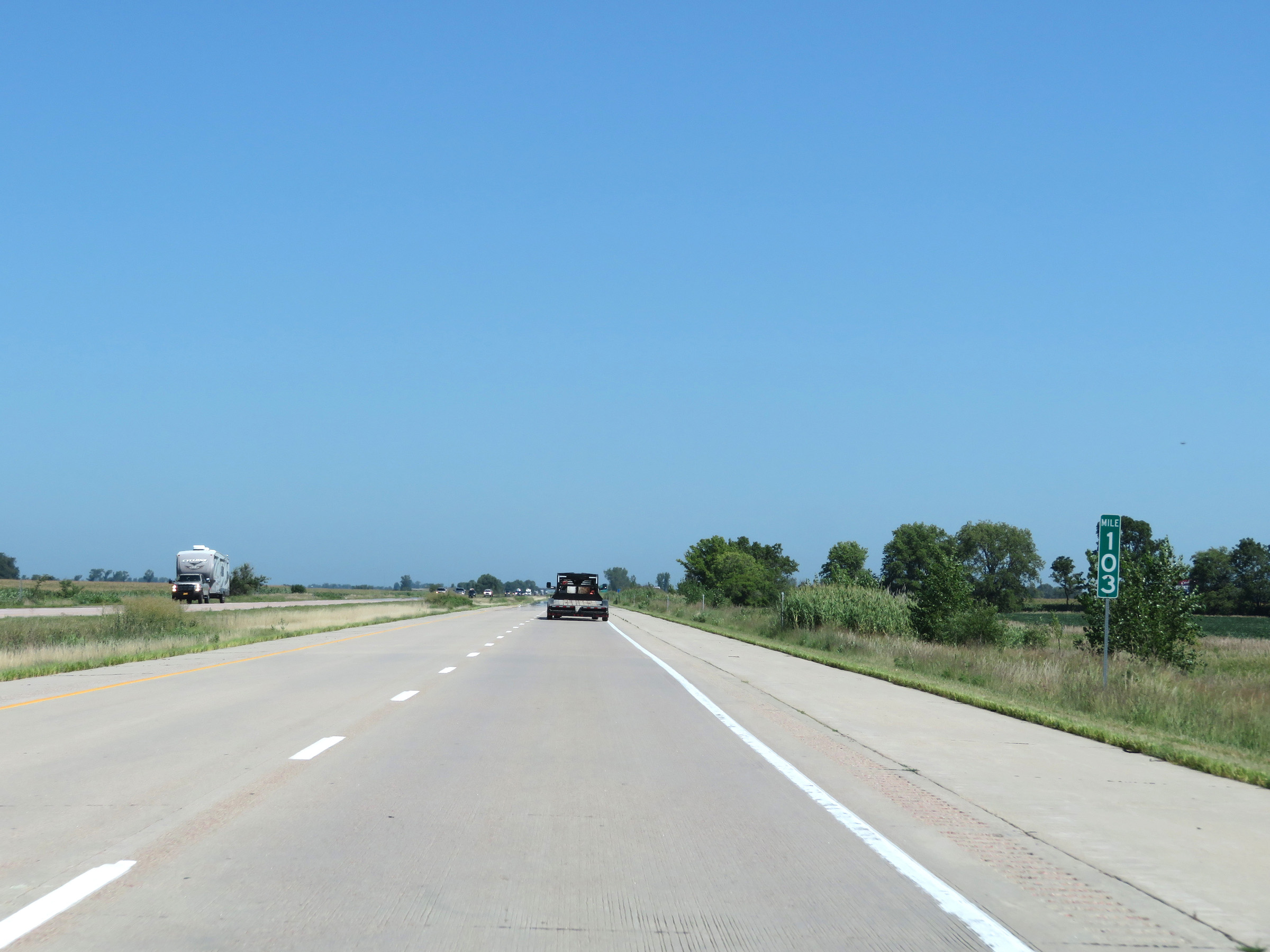 |
Interstate 29 North at mile marker 103. (Photo taken 8/9/20). |
 |
Interstate 29 North at Exit 105: CR E60 - Blencoe (Photo taken 8/9/20). |
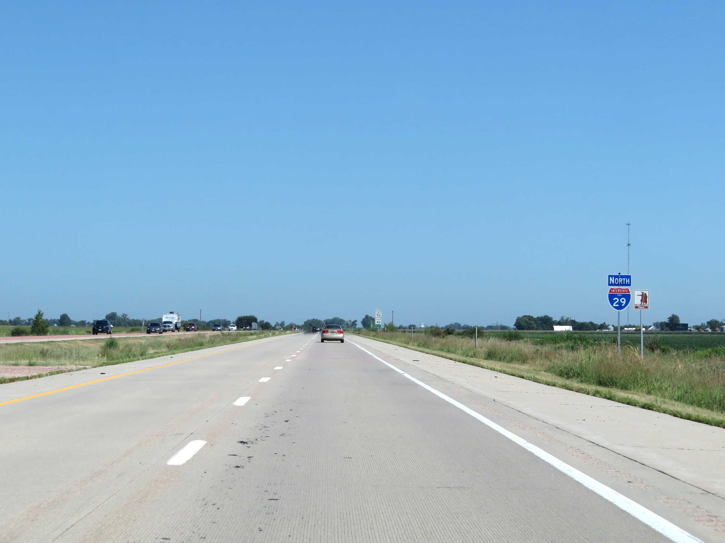 |
Another state-named Interstate 29 North reassurance shield. (Photo taken 8/9/20). |
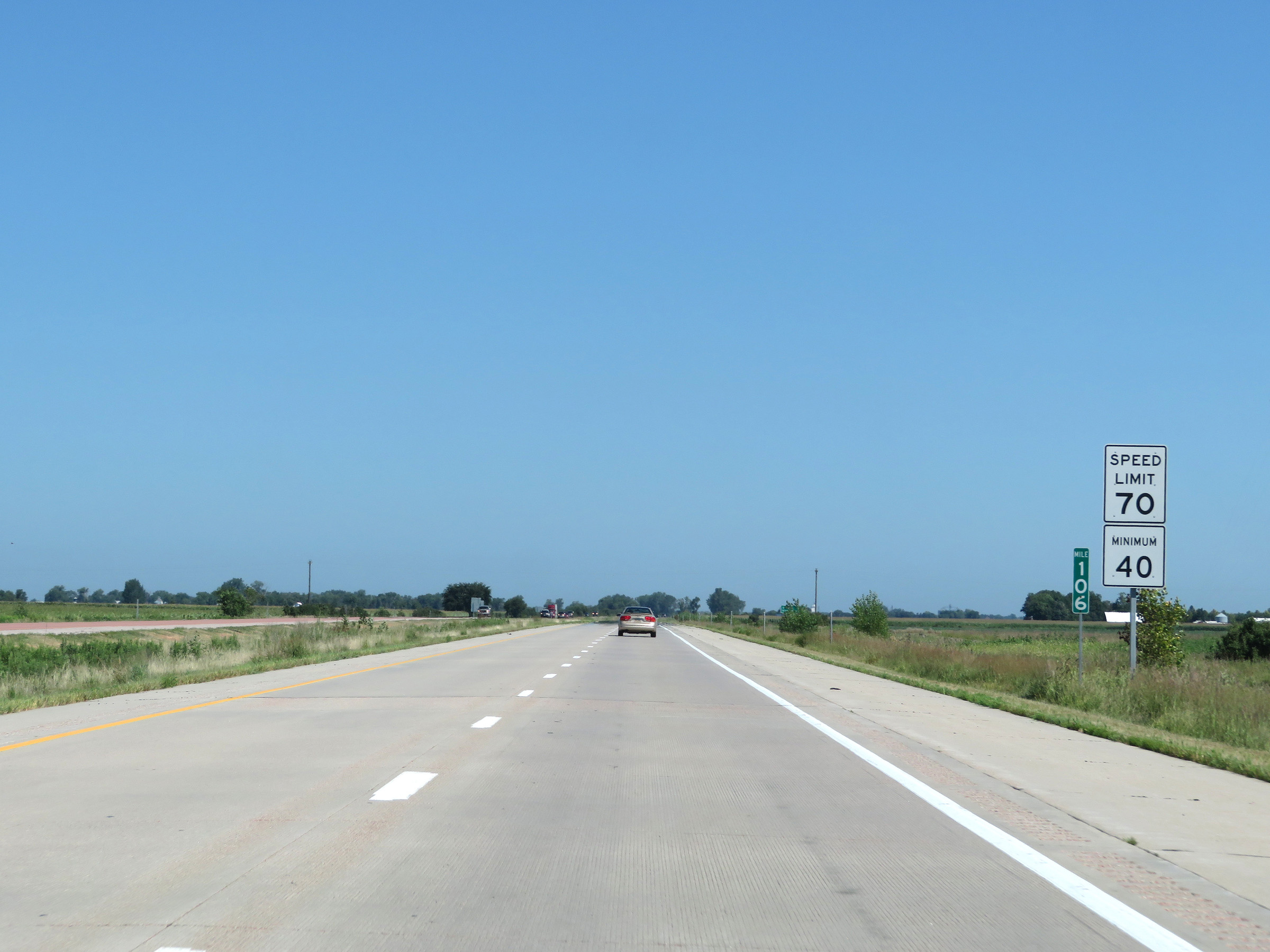 |
Speed limit signs at mile marker 106. The speed limits remain 70 mph maximum and 40 mph minimum. These are the standard speed limits on most rural Interstate highways in Iowa. (Photo taken 8/9/20). |
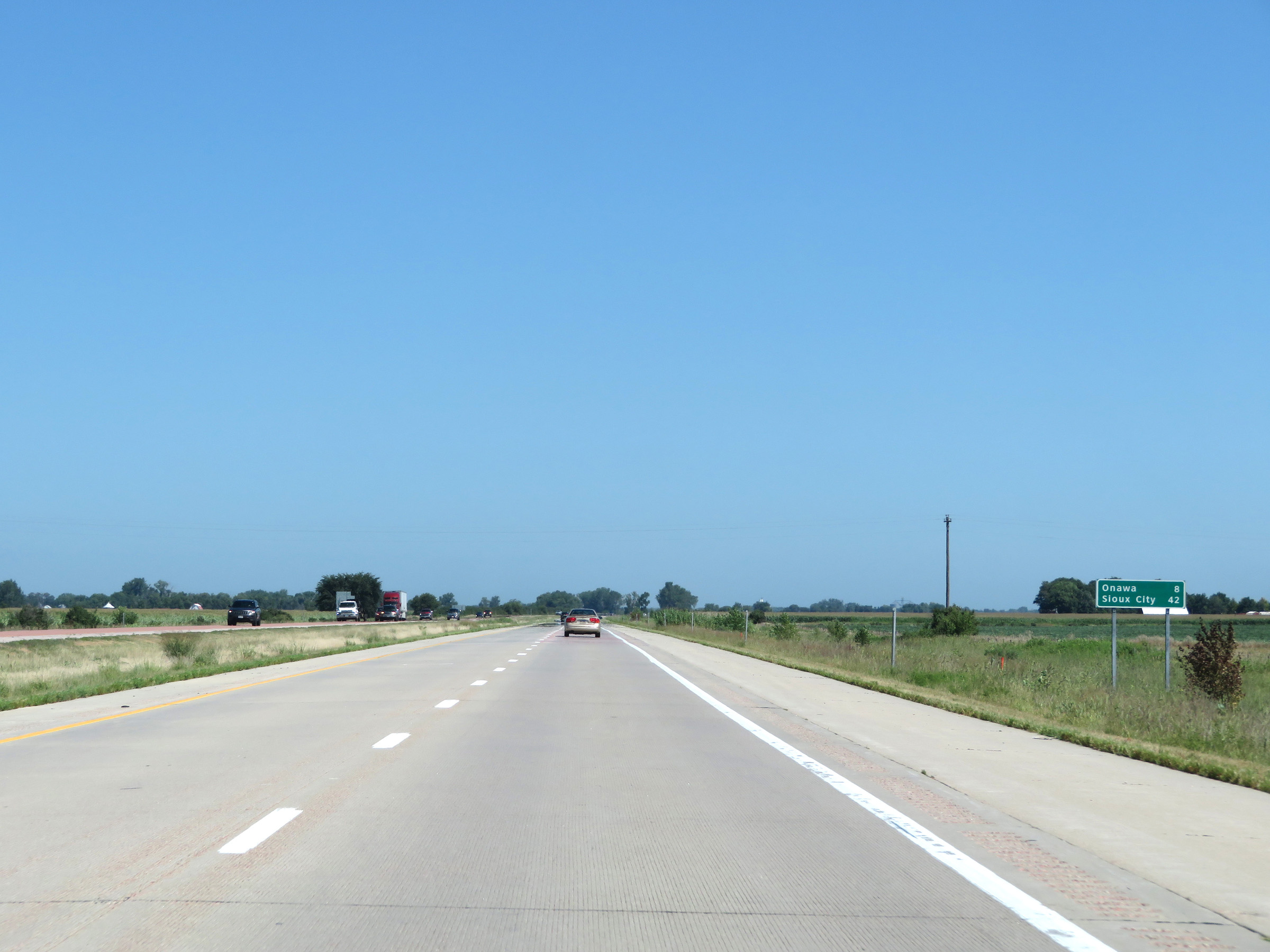 |
Mileage sign on Interstate 29 North. It's 8 miles to Onawa and 42 miles to Sioux City. (Photo taken 8/9/20). |
 |
View on Interstate 29 North at mile marker 108. (Photo taken 8/9/20). |
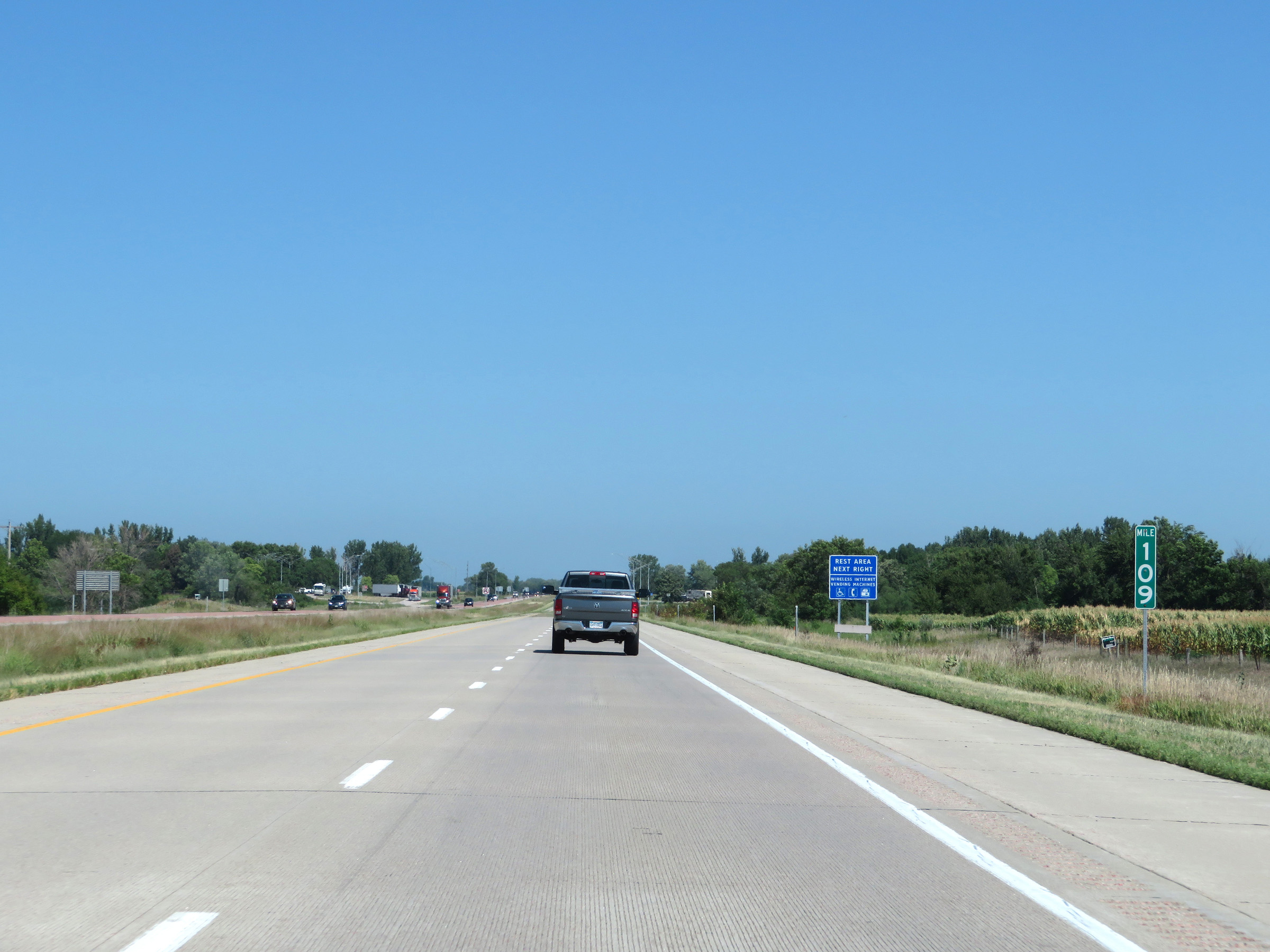 |
Interstate 29 North at mile marker 109. (Photo taken 8/9/20). |
 |
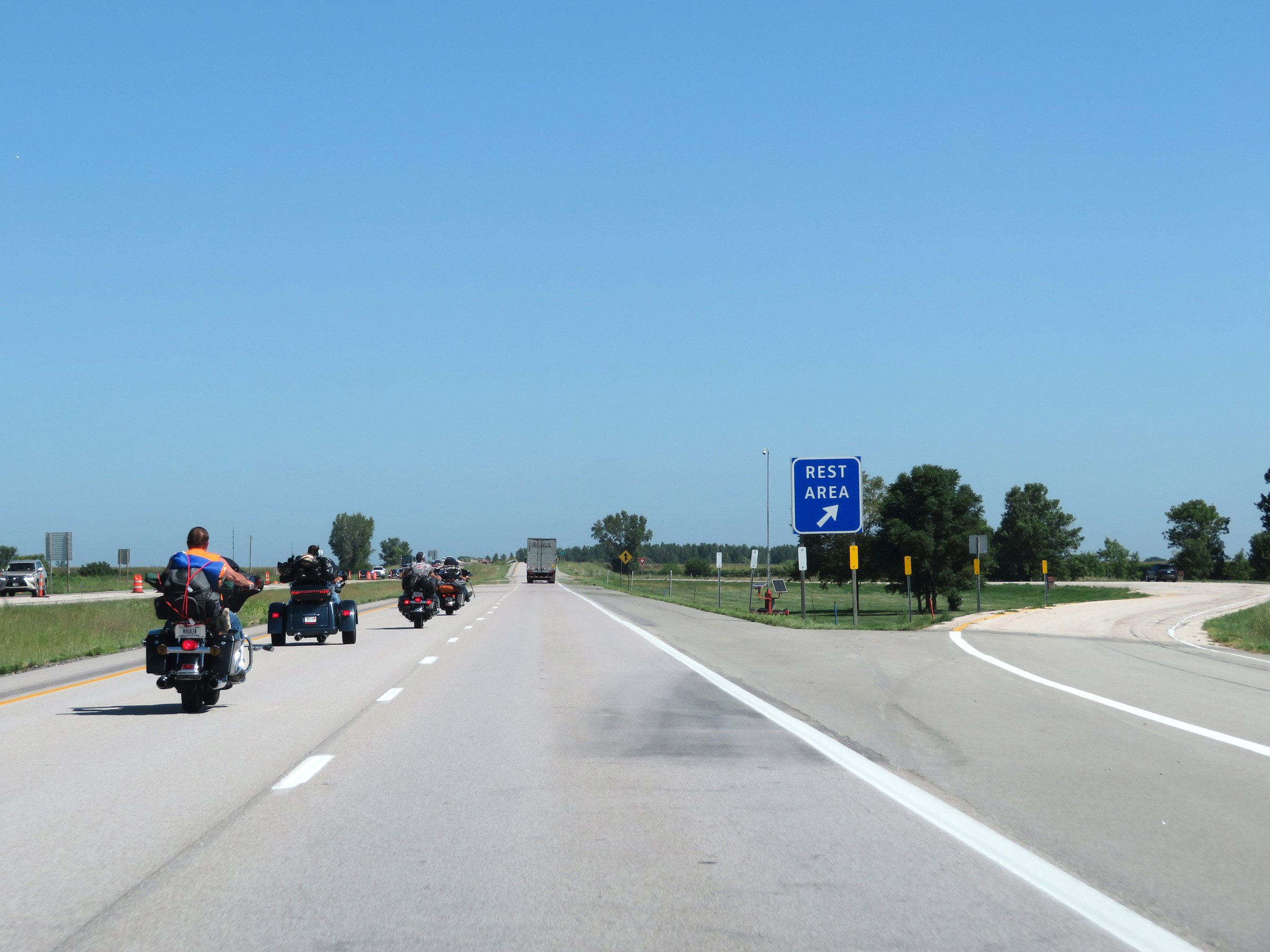
Rest Area on Interstate 29 North in Monona County. (Photo taken 8/9/20). |
 |
Take Exit 112 to the local Casino and the Omaha Indian Reservation. (Photo taken 8/9/20). |
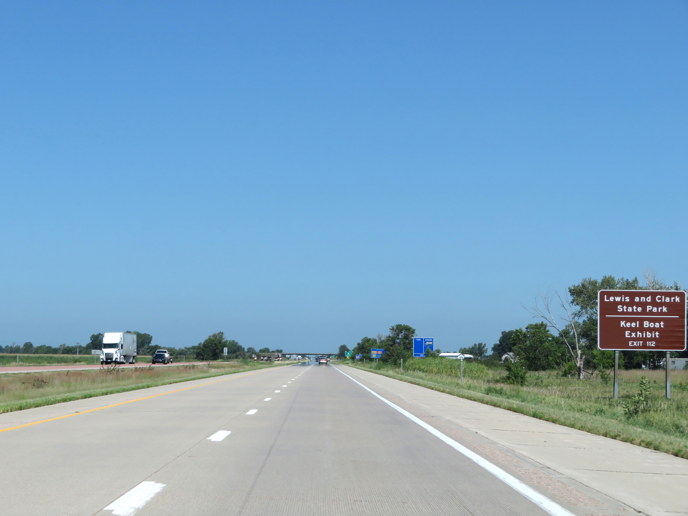 |
Also take Exit 112 to Lewis and Clark State Park and the Keel Boat Exhibit. (Photo taken 8/9/20). |
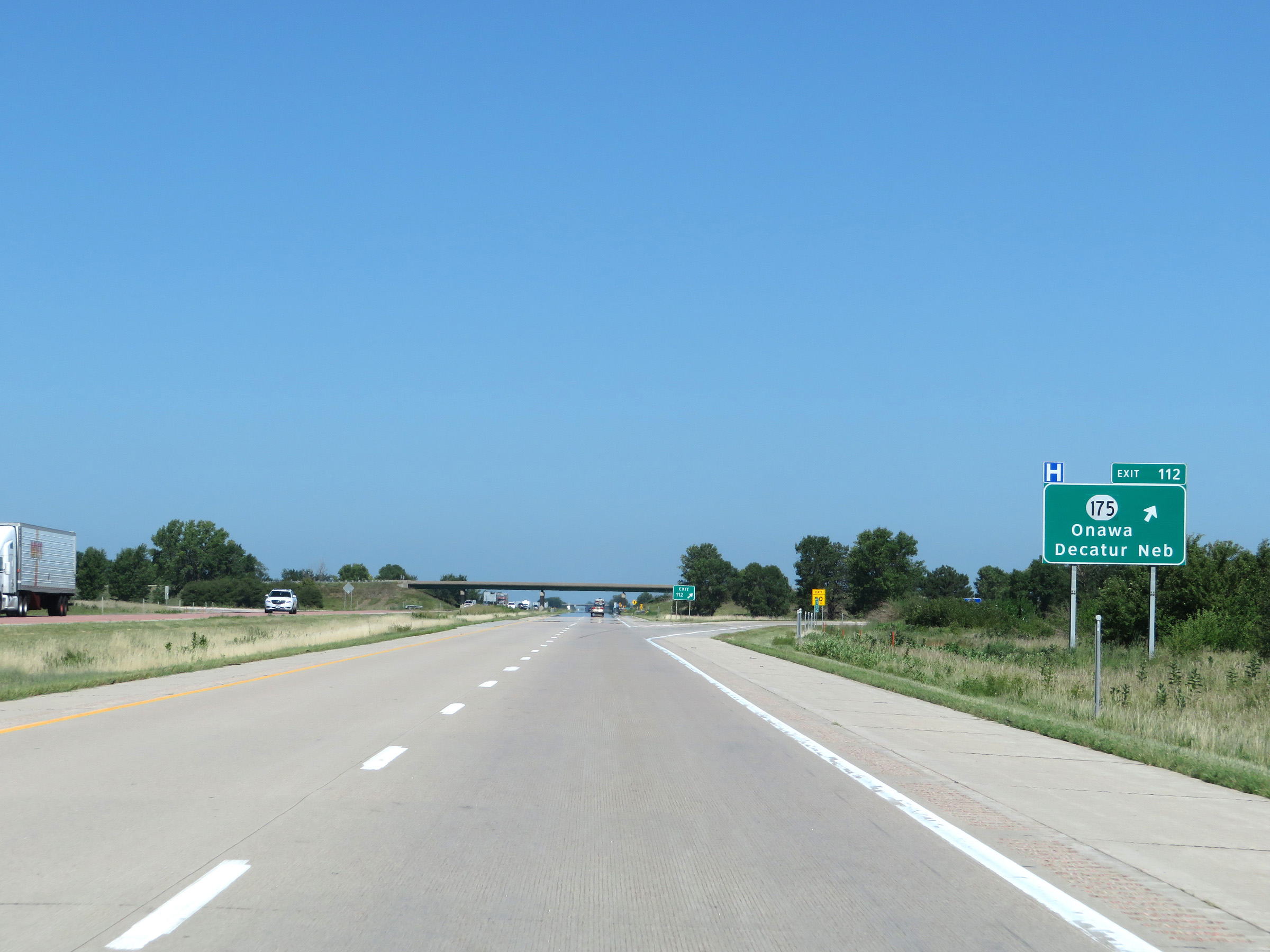 |
Interstate 29 North at Exit 112: IA 175 - Onawa / Decatur, NE (Photo taken 8/9/20). |
Section 3: Onawa (Exit 112) to South Dakota Border
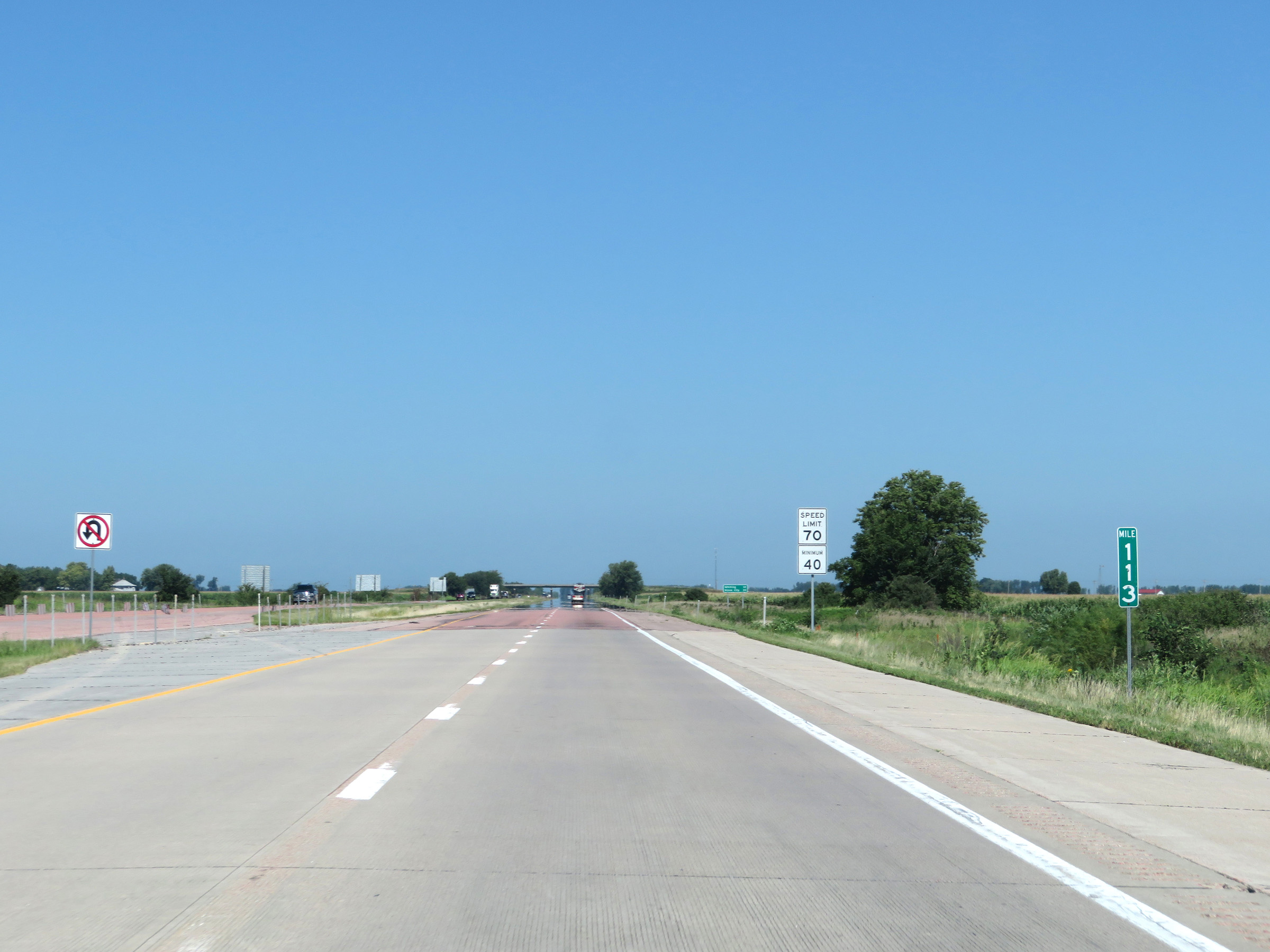 |
View on Interstate 29 North at mile marker 113. (Photo taken 8/9/20). |
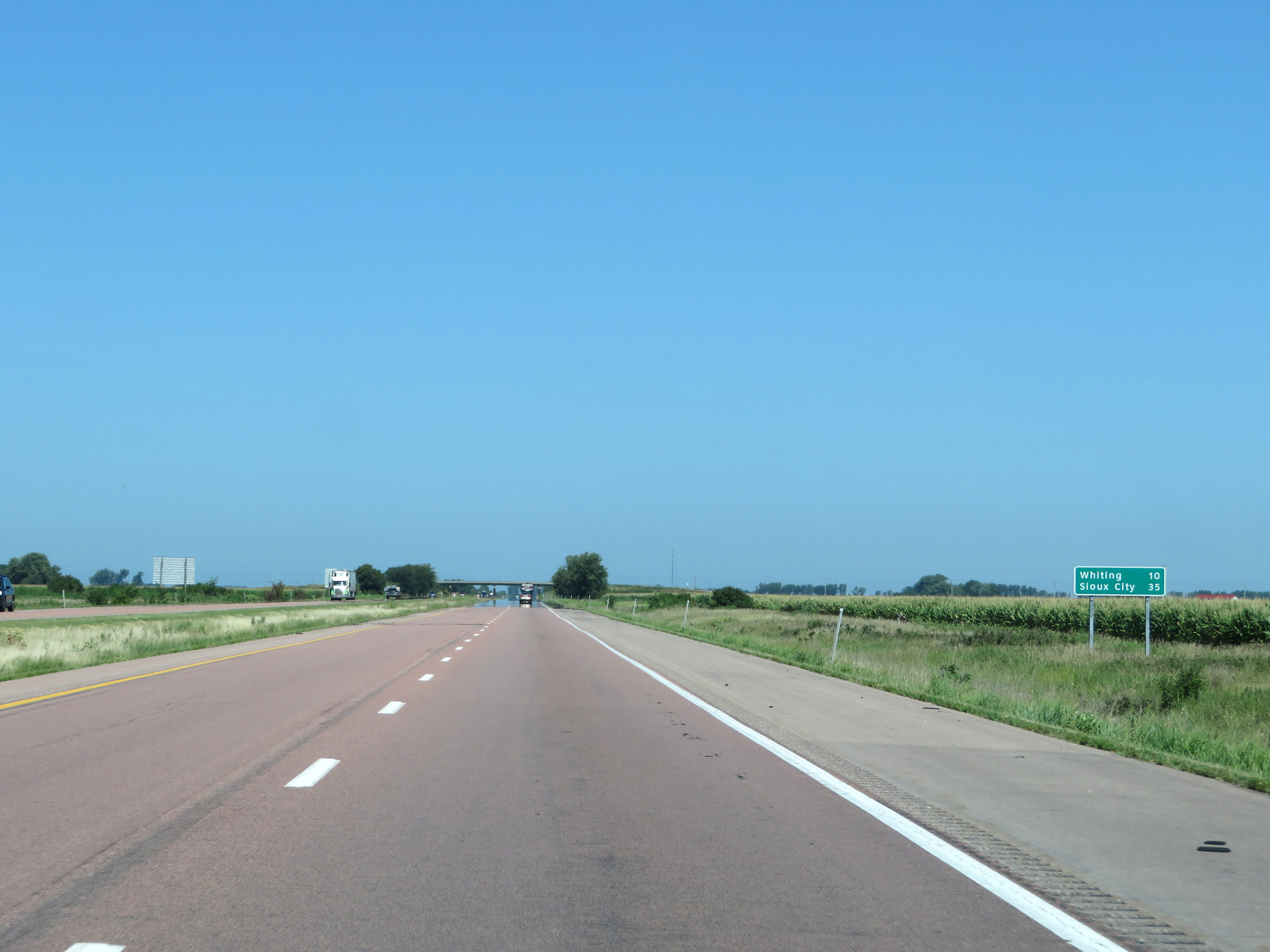 |
Another mileage sign on Interstate 29 North. It's 10 miles to Whiting and 35 miles to Sioux City. (Photo taken 8/9/20). |
 |
Interstate 29 North at mile marker 116. (Photo taken 8/9/20). |
 |
Mile marker 118 on Interstate 29 North in Monona County. (Photo taken 8/9/20). |
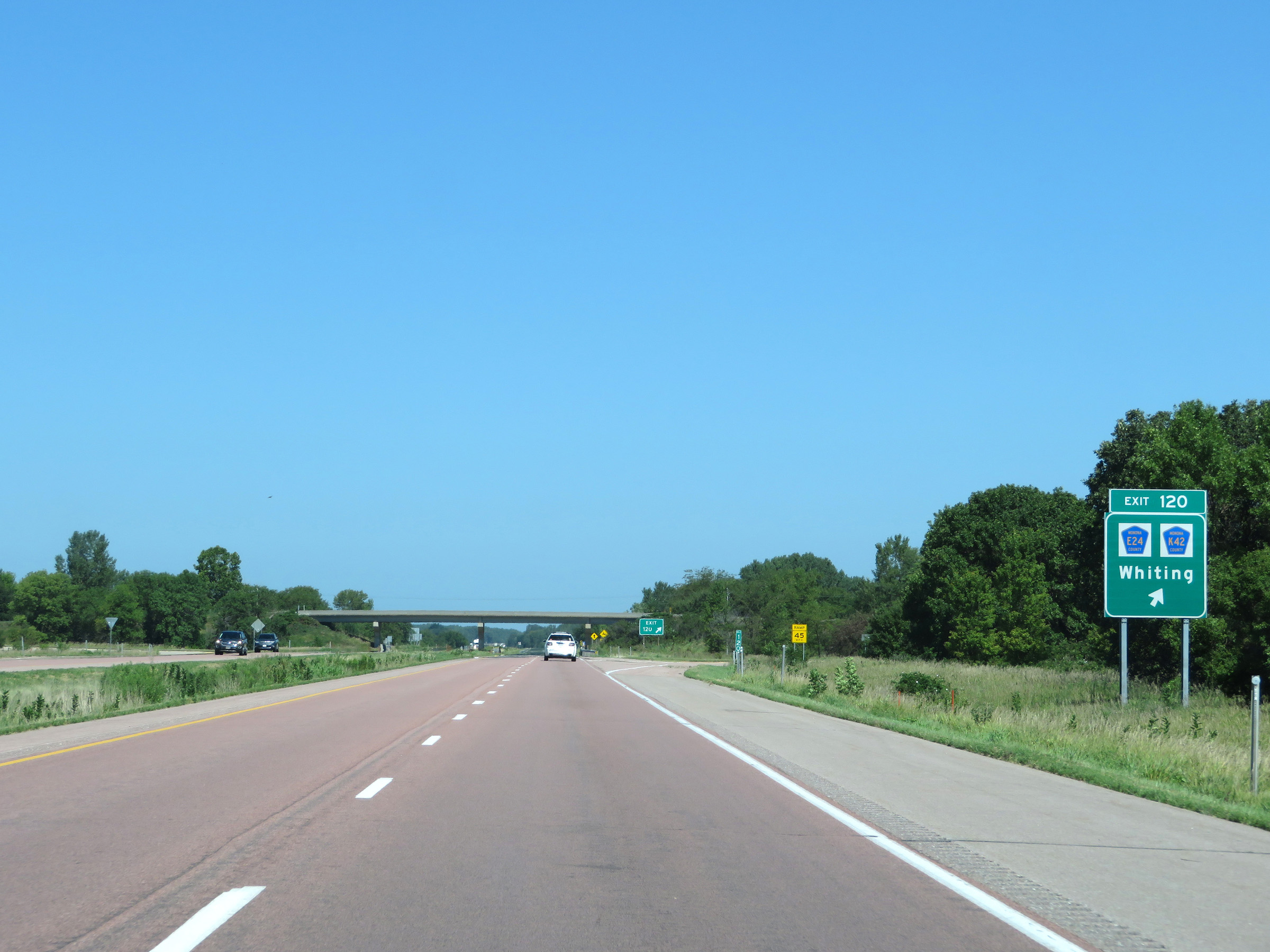 |
Interstate 29 North at Exit 120: CR E24 / CR K42 - Whiting (Photo taken 8/9/20). |
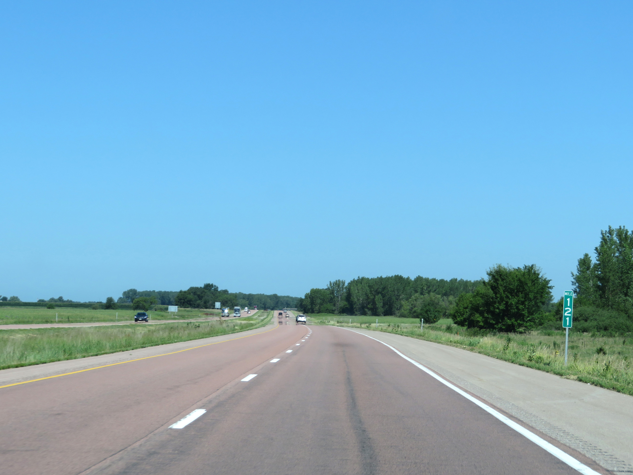 |
View on Interstate 29 North at mile marker 121. (Photo taken 8/9/20). |
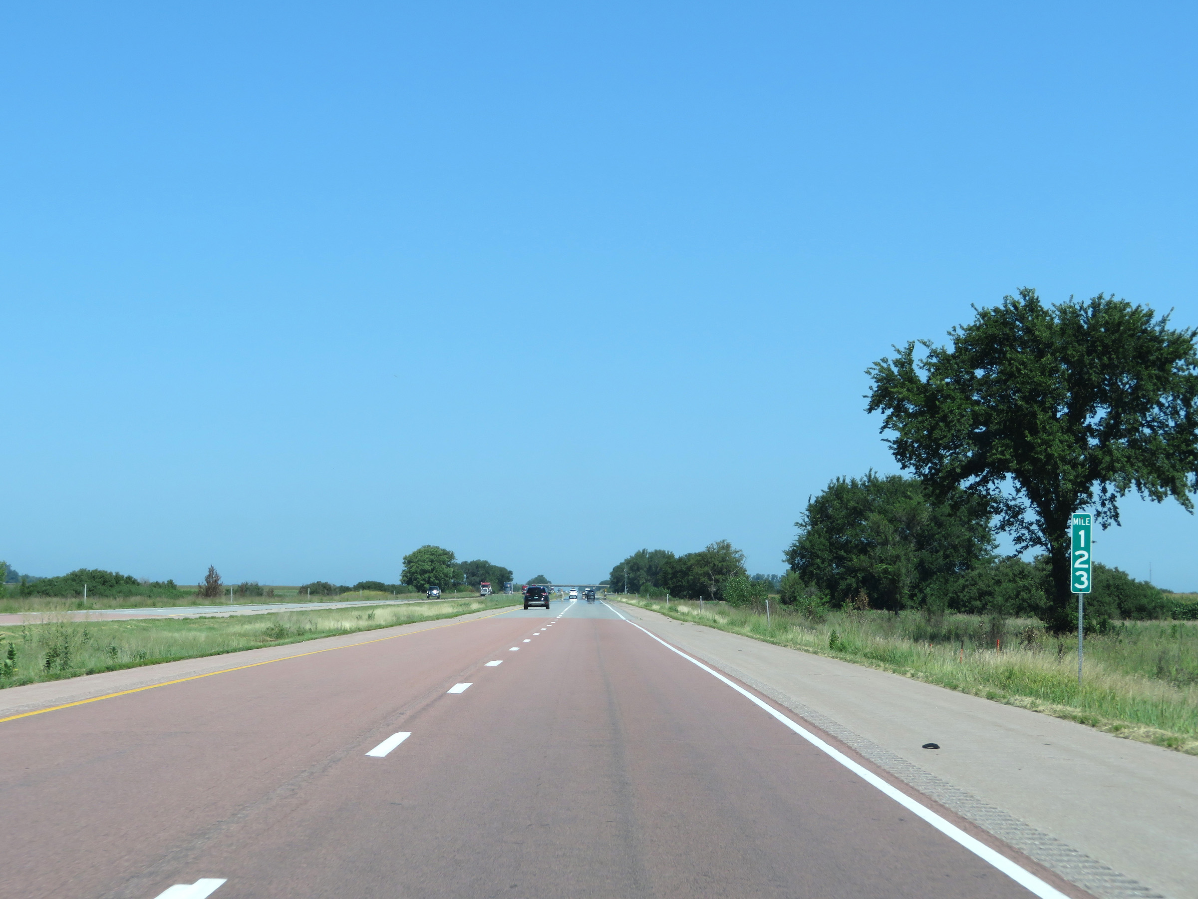 |
Interstate 29 North at mile marker 123. (Photo taken 8/9/20). |
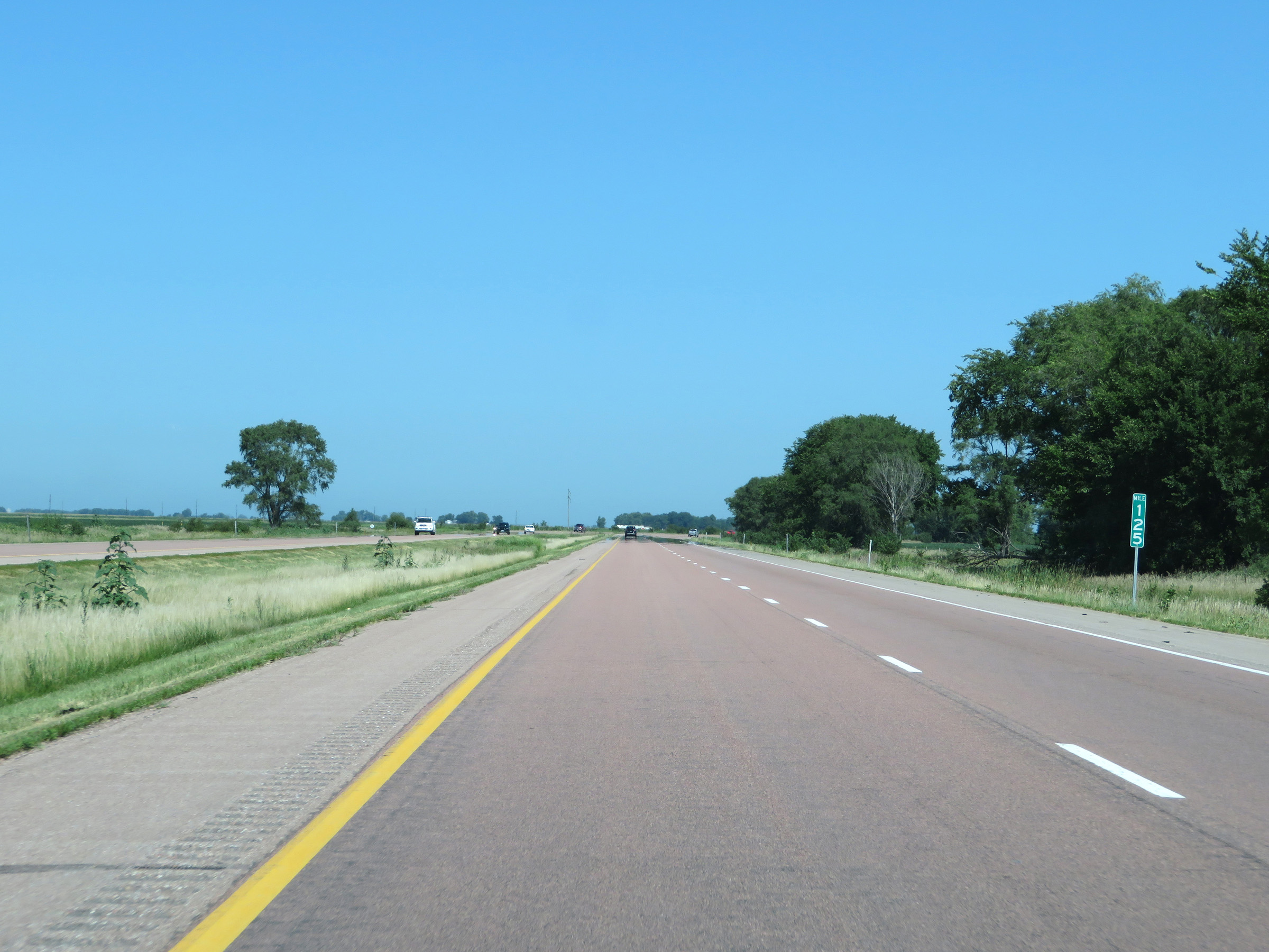 |
View on Interstate 29 North at mile marker 125. (Photo taken 8/9/20). |
 |
Interstate 29 North as it enters Woodbury County. Take Exit 127 to WinnaVegas Casino and the Nation of the Winnebago Tribe. (Photo taken 8/9/20). |
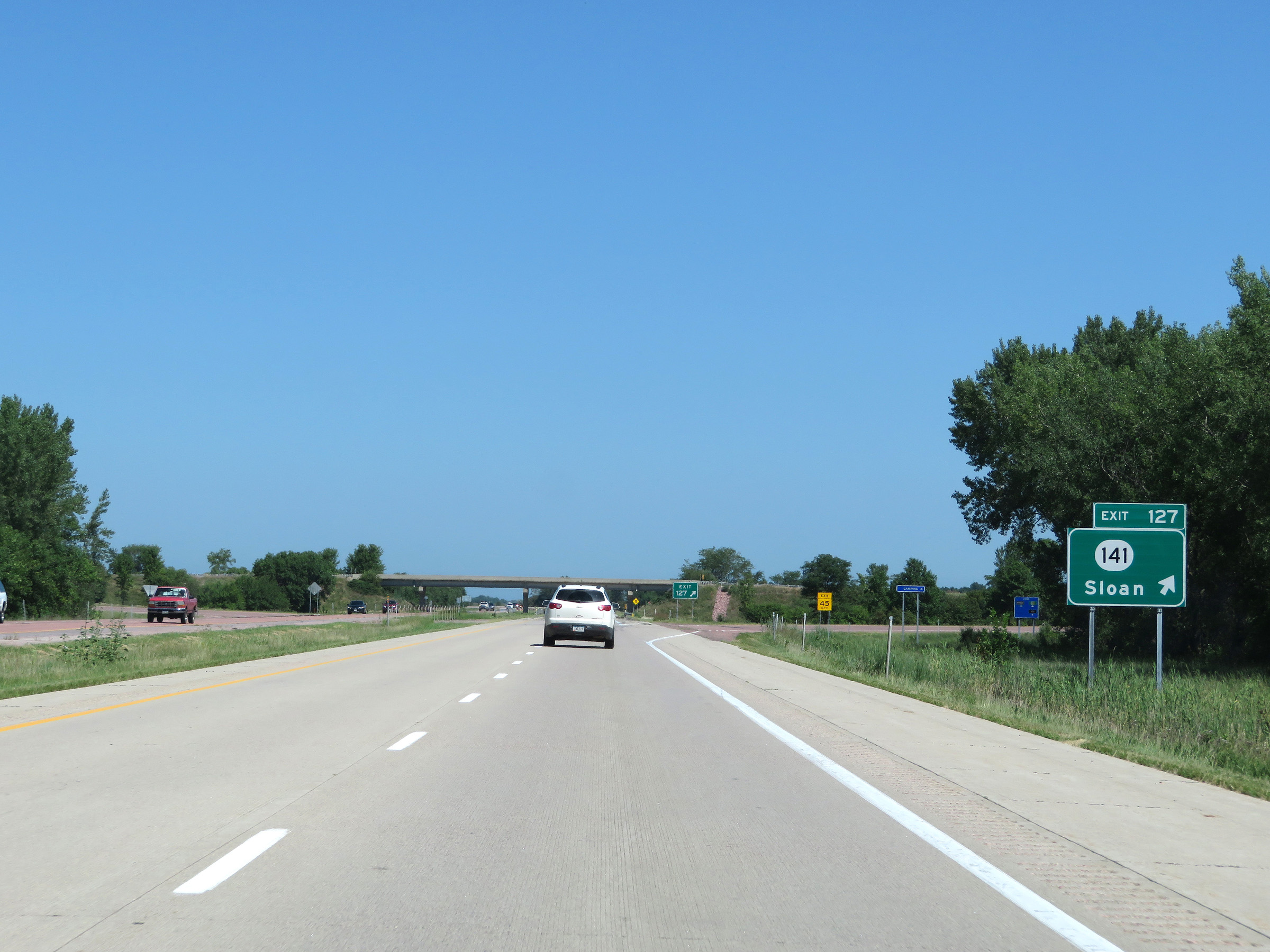 |
Interstate 29 North at Exit 127: IA 141 - Sloan (Photo taken 8/9/20). |
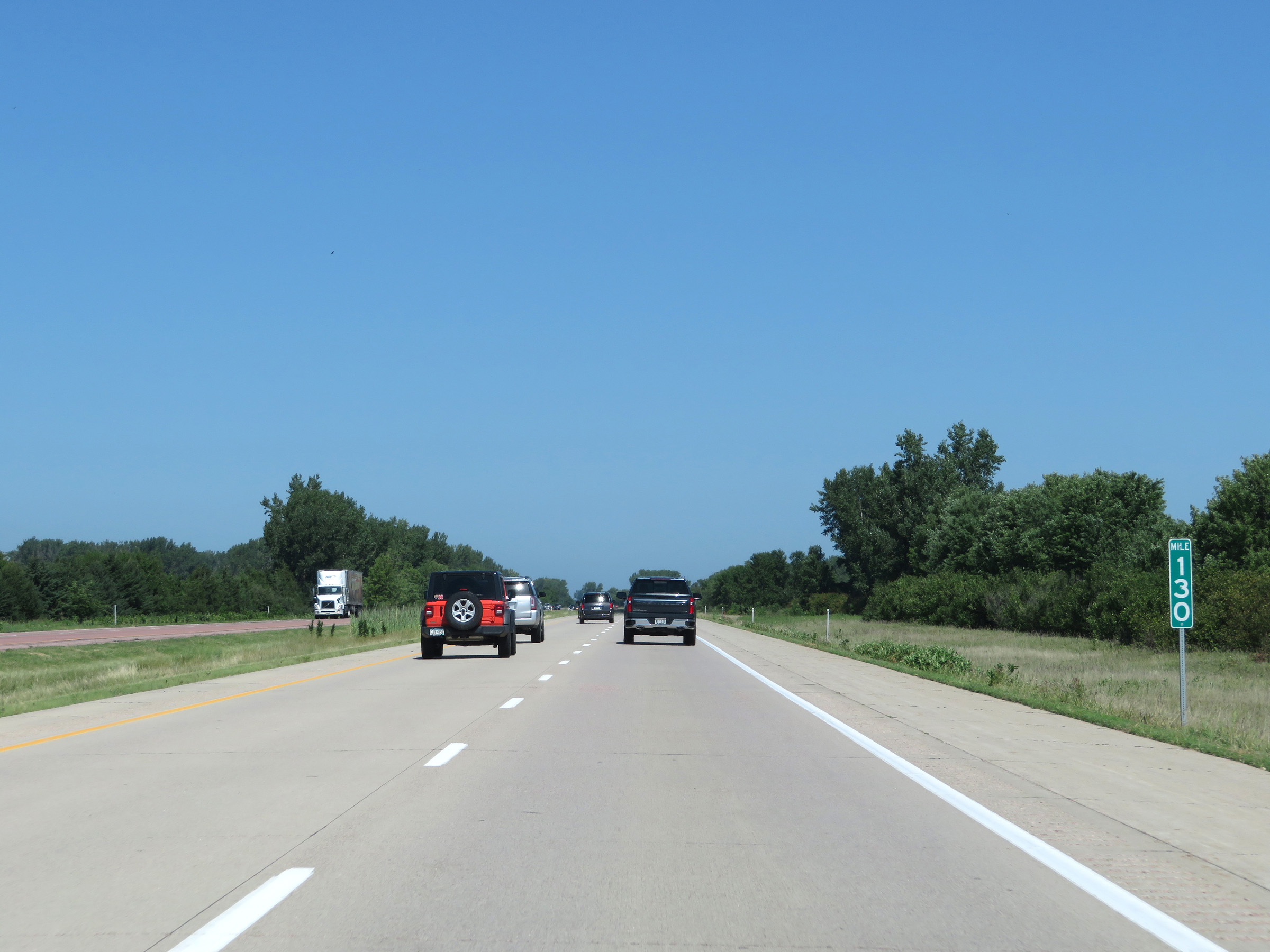 |
Interstate 29 North at mile marker 130. (Photo taken 8/9/20). |
 |
The upcoming Rest Area is Parking Only and has no facilities. The next "modern" Rest Area is 6 miles ahead. (Photo taken 8/9/20). |
 |
Rest Area (Parking Only) on Interstate 29 North in Woodbury County. (Photo taken 8/9/20). |
 |
View on Interstate 29 North at mile marker 133. (Photo taken 8/9/20). |
 |
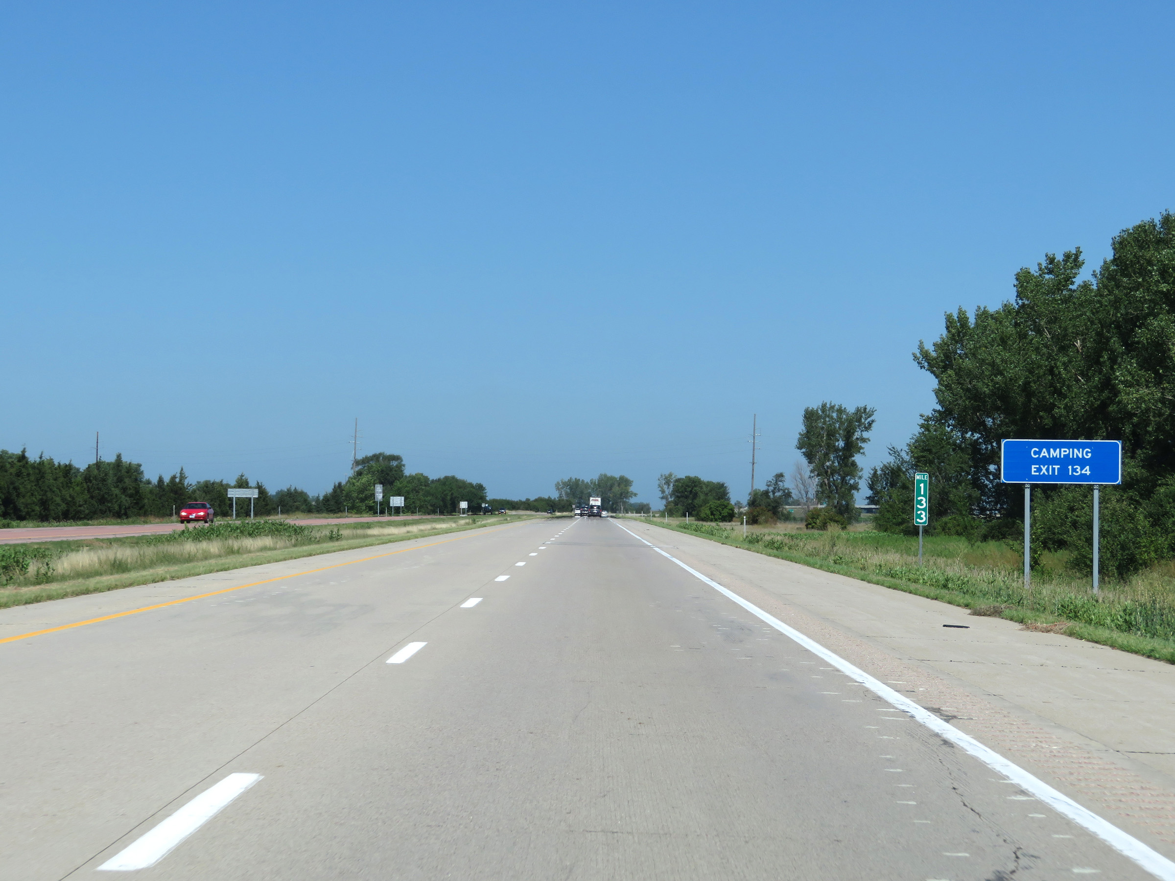
Interstate 29 North at Exit 134: CR K25 - Salix (Photo taken 8/9/20). |
 |
Mileage sign on Interstate 29 North. It's 7 miles to Sergeant Bluff and 14 miles to Sioux City. (Photo taken 8/9/20). |
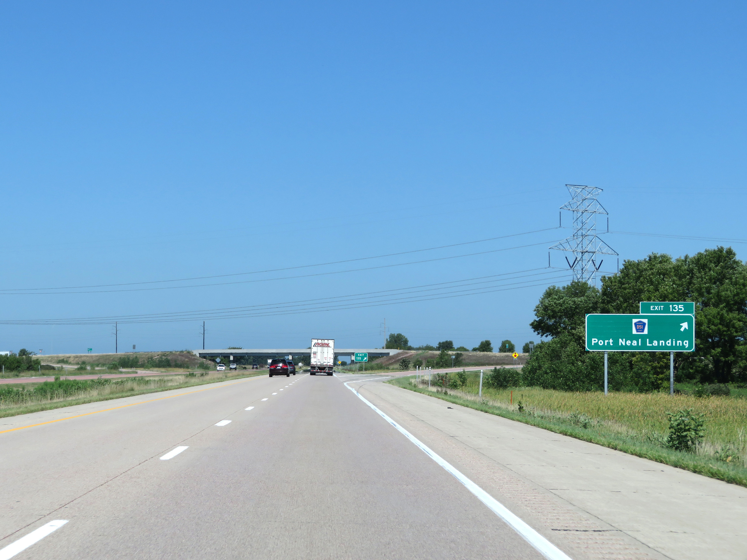 |
Interstate 29 North at Exit 135: CR D51 - Port Neal Landing (Photo taken 8/9/20). |
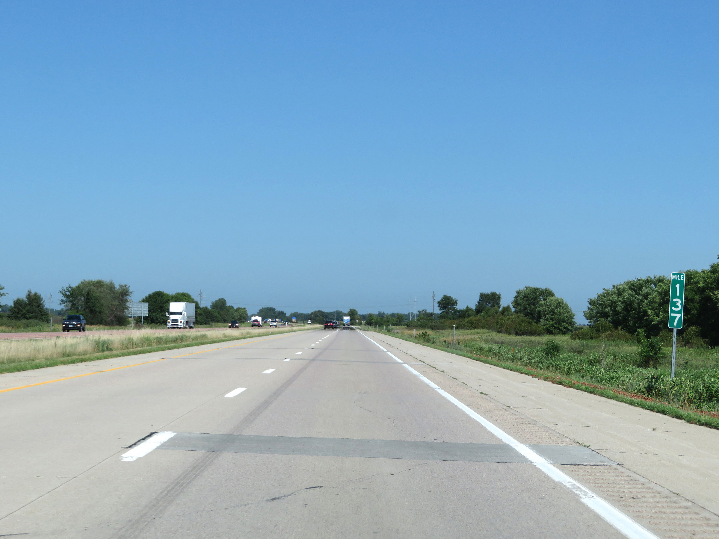 |
View on Interstate 29 North at mile marker 137. (Photo taken 8/9/20). |
 |
Interstate 29 North at mile marker 138. (Photo taken 8/9/20). |
 |
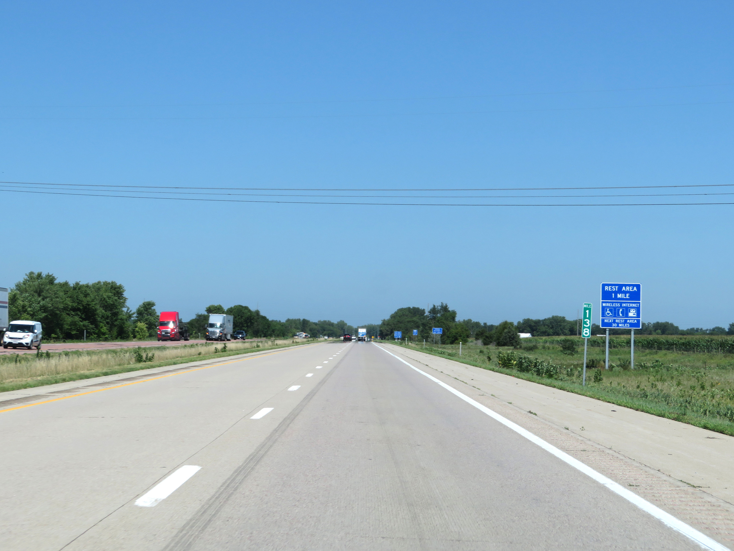
Rest Area on Interstate 29 North in Woodbury County. (Photo taken 8/9/20). |
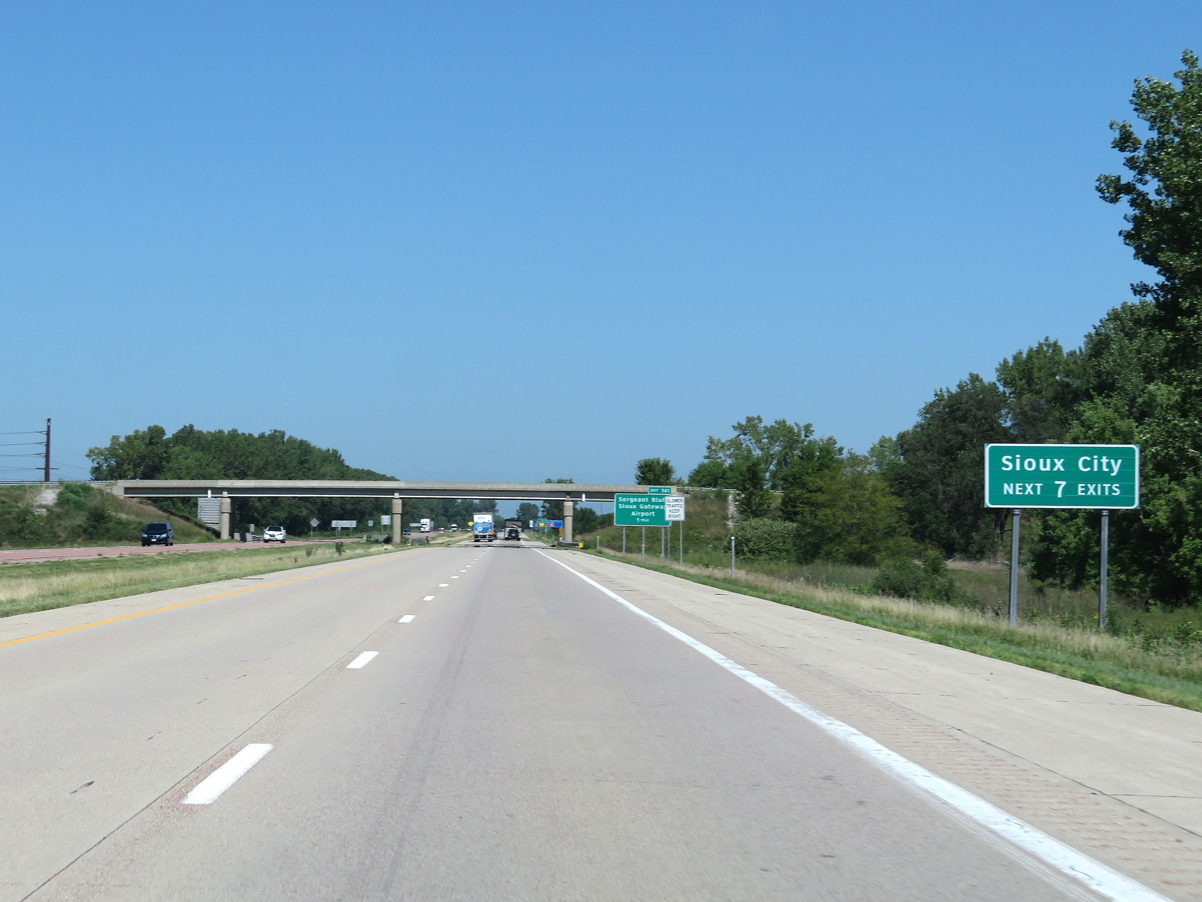 |
Take any of the next 7 exits to Sioux City. (Photo taken 8/9/20). |
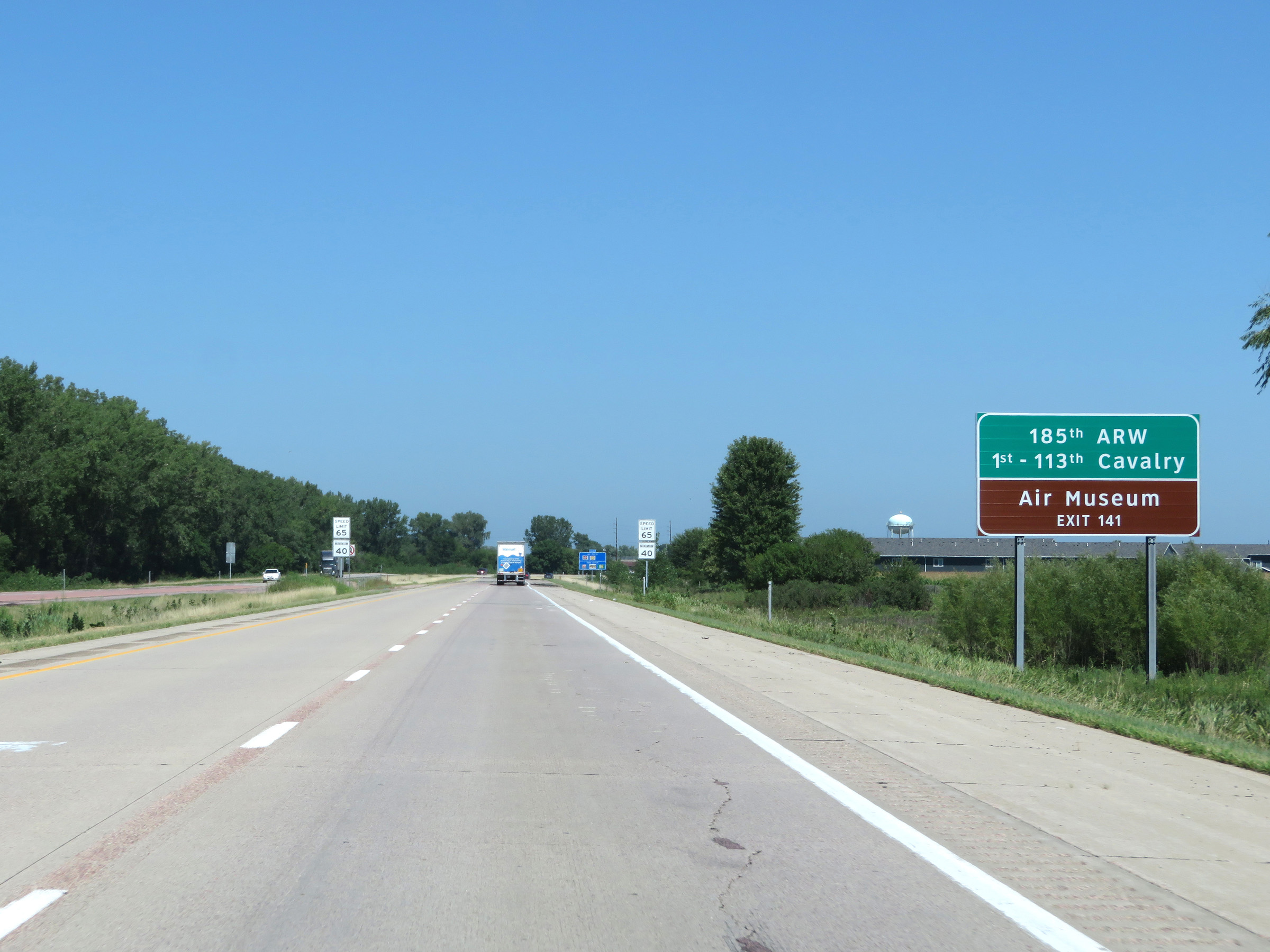 |
Take Exit 141 to the 185th Air Refueling Wing, 1st-113th Cavalry, and Air Museum. (Photo taken 8/9/20). |
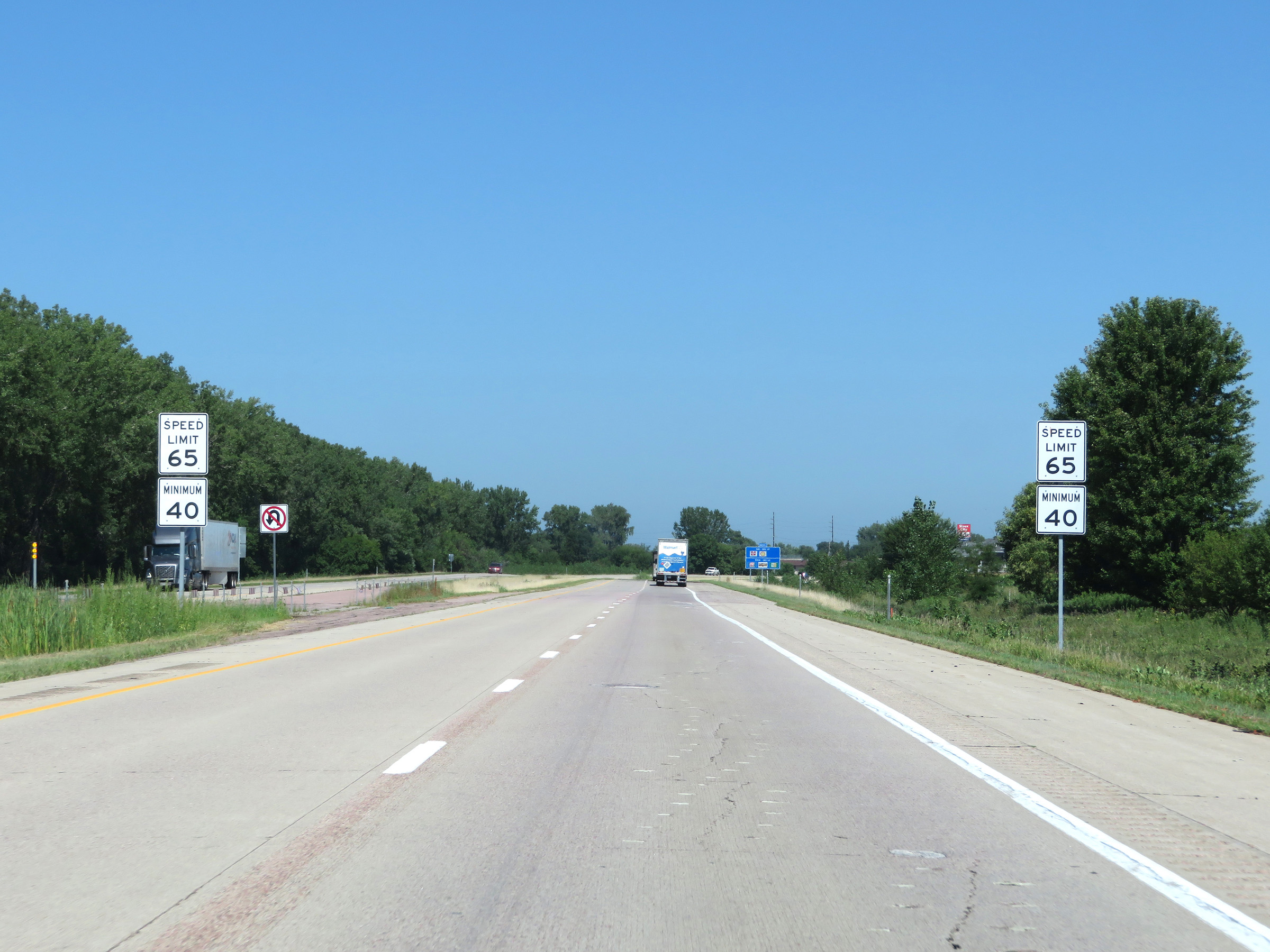 |
Approaching Exit 141 and the Sioux Falls area, the maximum speed limit decreases to 65 mph once again. The minimum speed limit remains 40 mph as usual. (Photo taken 8/9/20). |
 |
Interstate 29 North at Exit 141: Sergeant Bluff / Sioux Gateway Airport (Photo taken 8/9/20). |
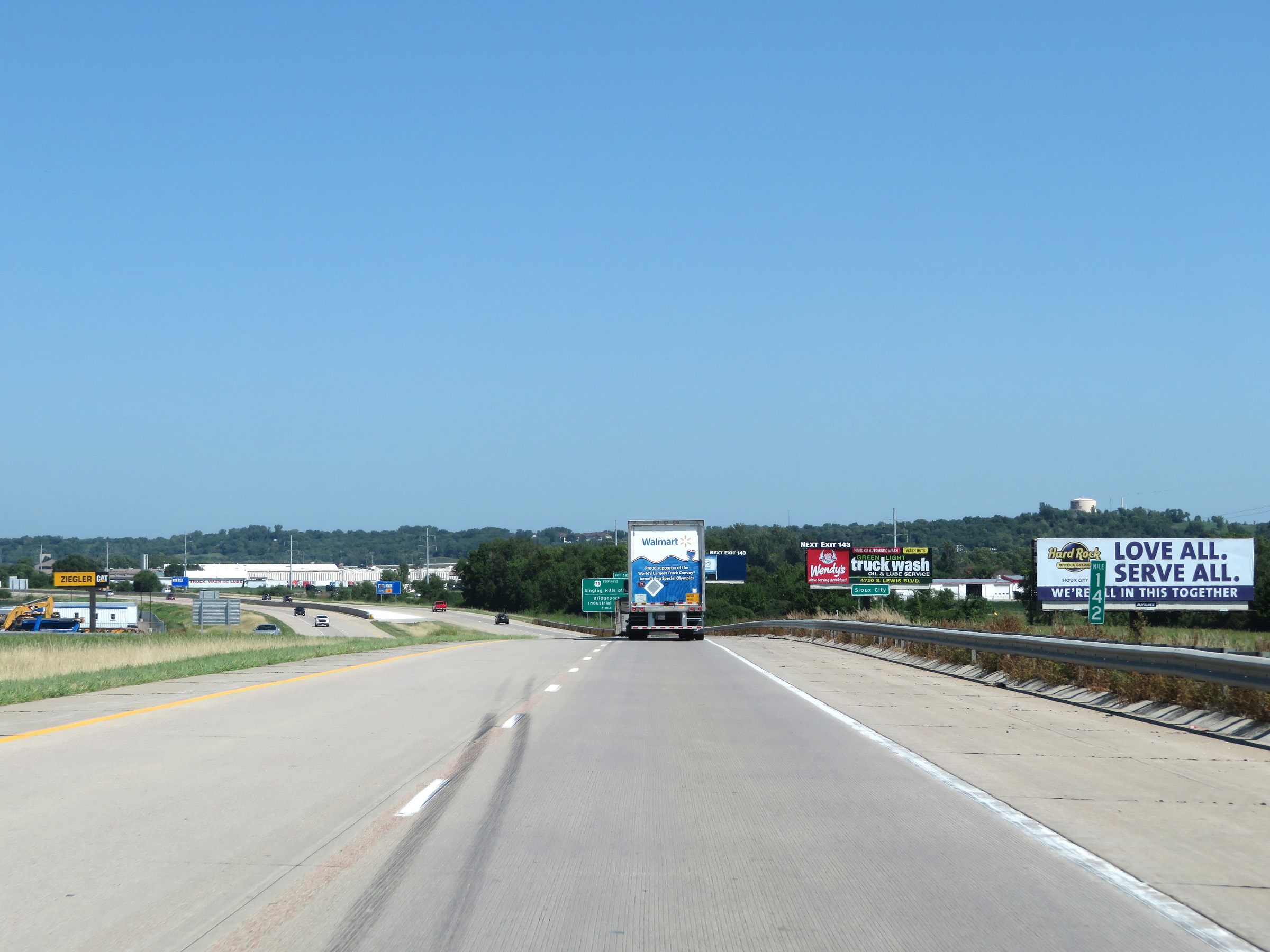 |
View on Interstate 29 North at mile marker 142. (Photo taken 8/9/20). |
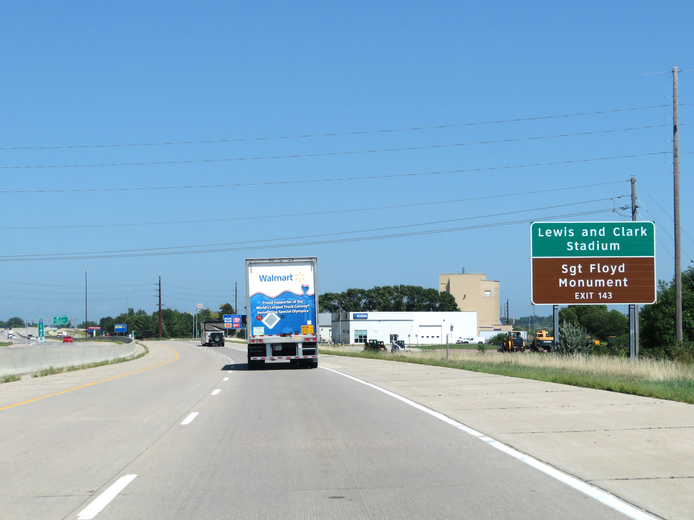 |
Take Exit 143 to Lewis and Clark Stadium and the Sergeant Floyd Monument. (Photo taken 8/9/20). |
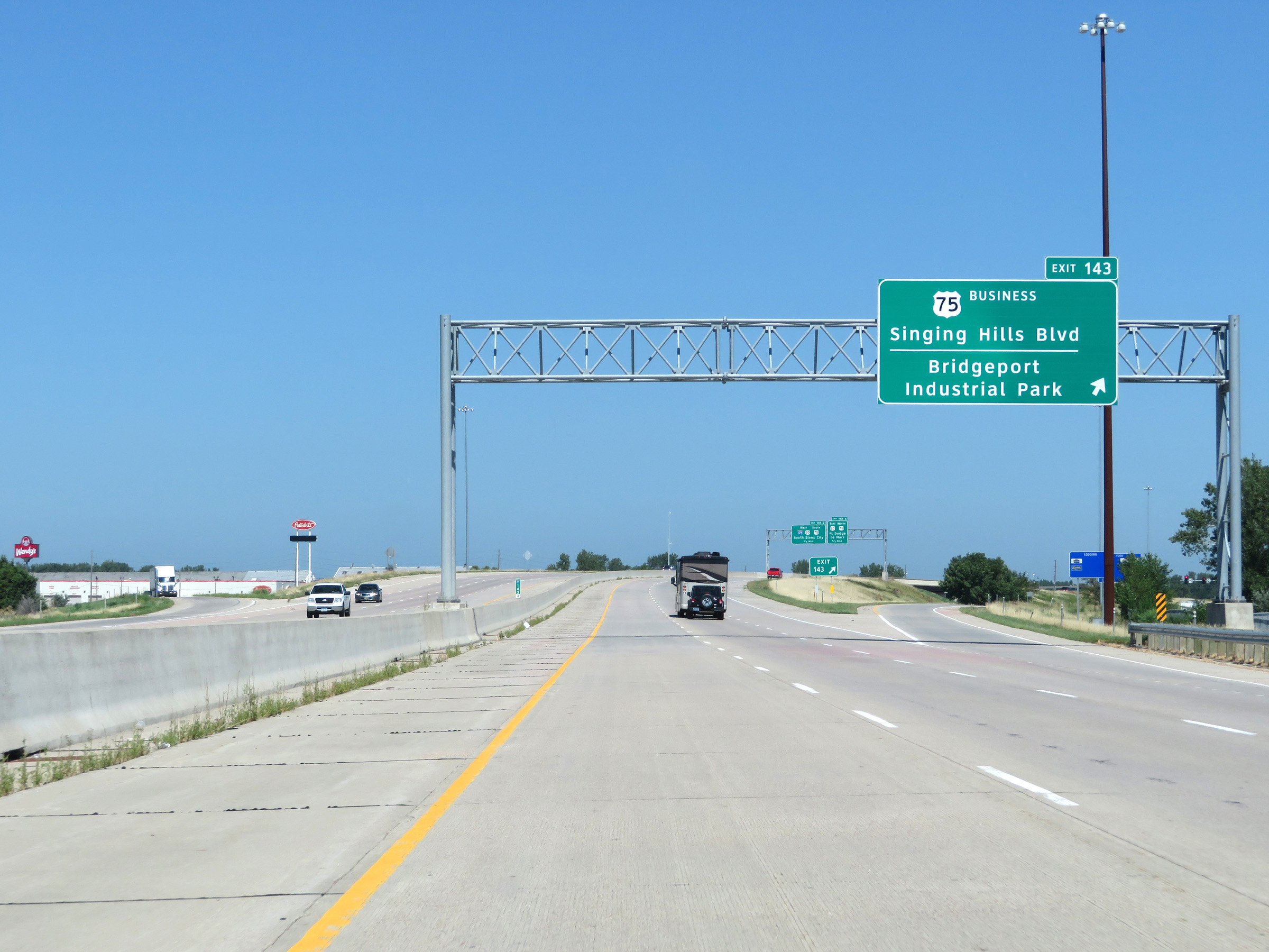 |
Interstate 29 North at Exit 143: US 75 Business - Singing Hills Blvd / Bridgeport Industrial Park (Photo taken 8/9/20). |
 |
Interstate 29 North approaching Exit 144B - 3/4 mile. (Photo taken 8/9/20). |
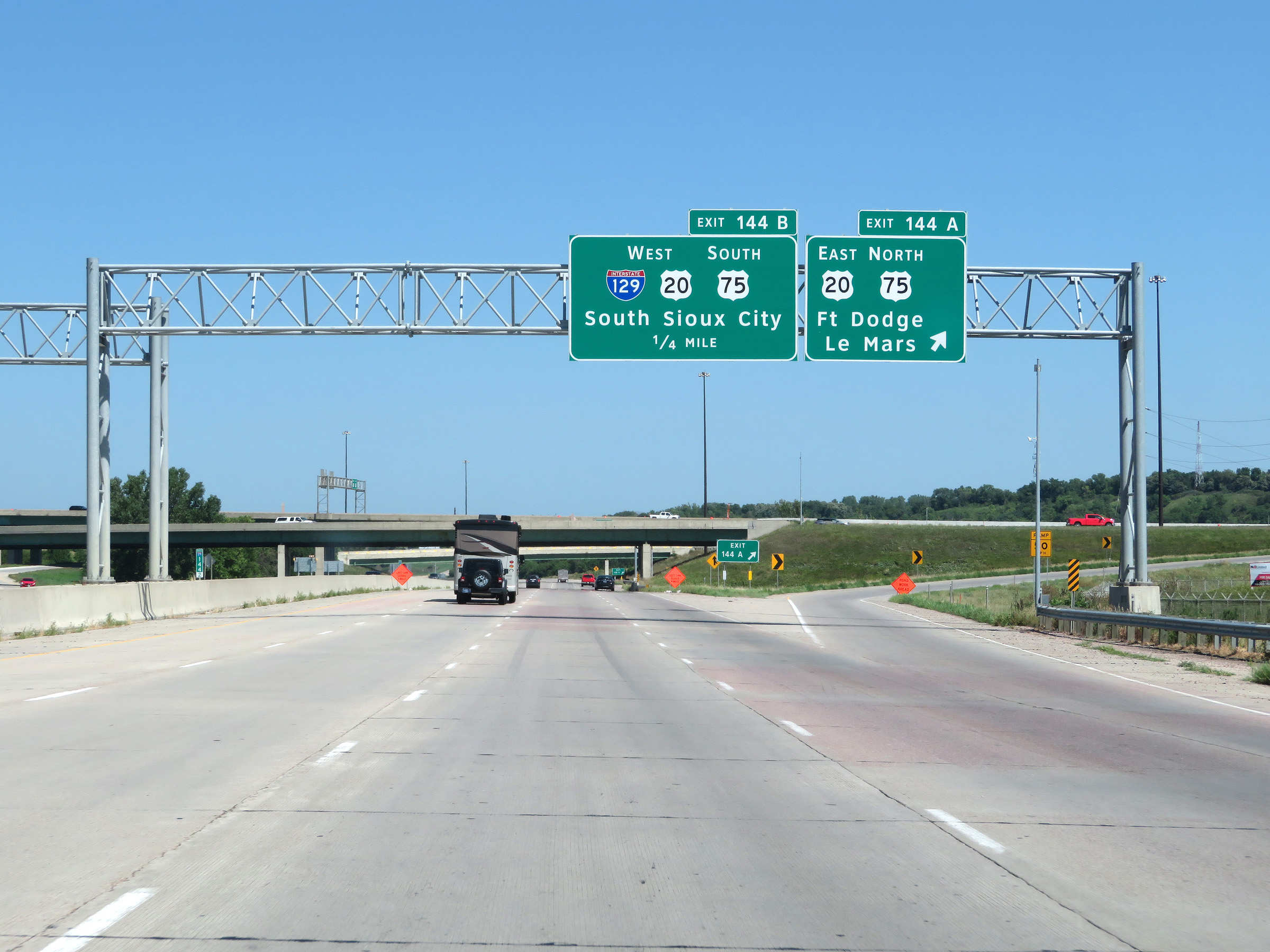 |
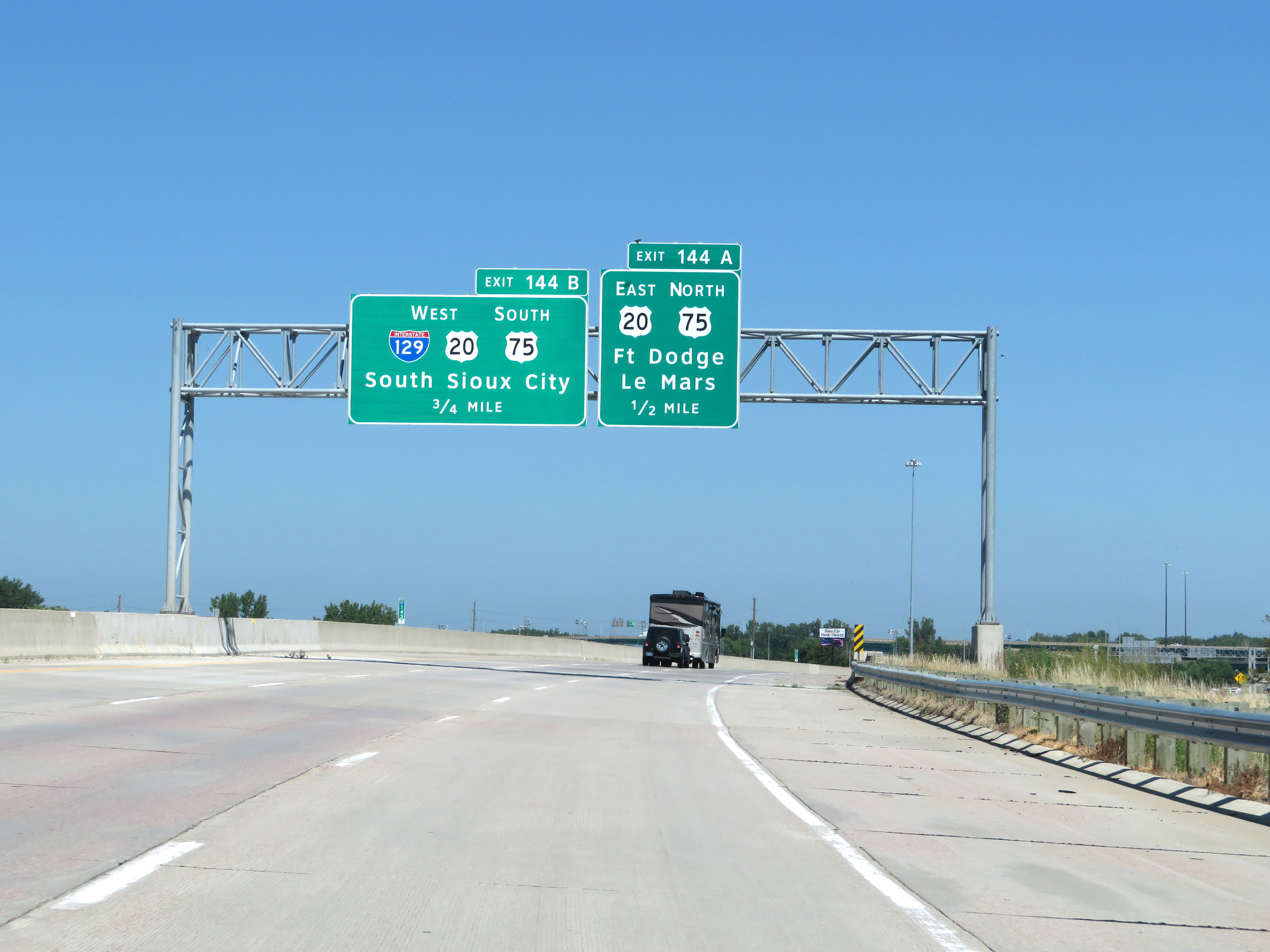
Interstate 29 North at Exit 144A: US 20 East / US 75 North - Fort Dodge / Le Mars (Photo taken 8/9/20). |
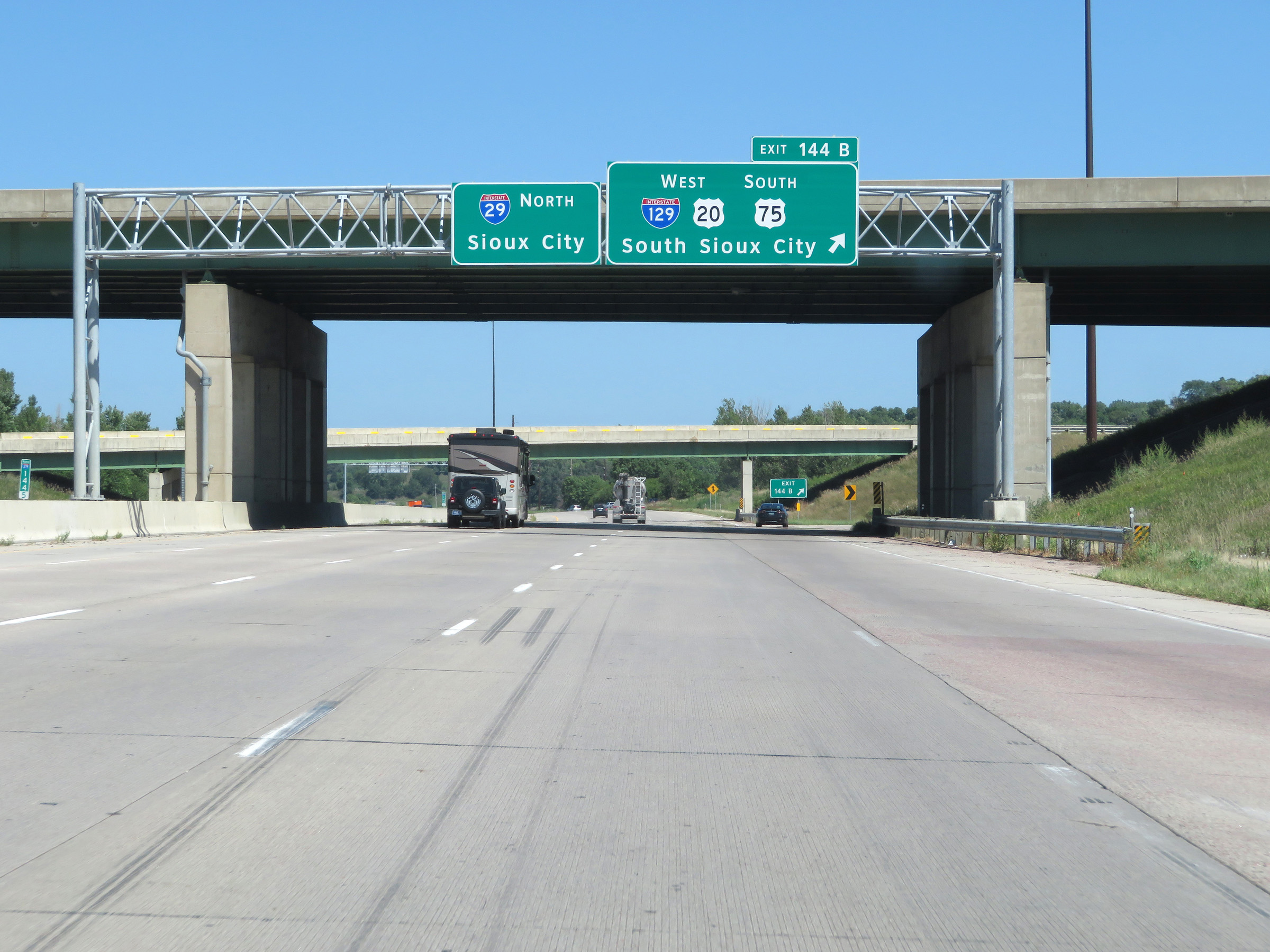 |
Interstate 29 North at Exit 144B: Interstate 129 West / US 20 West / US 75 South - South Sioux City (Photo taken 8/9/20). |
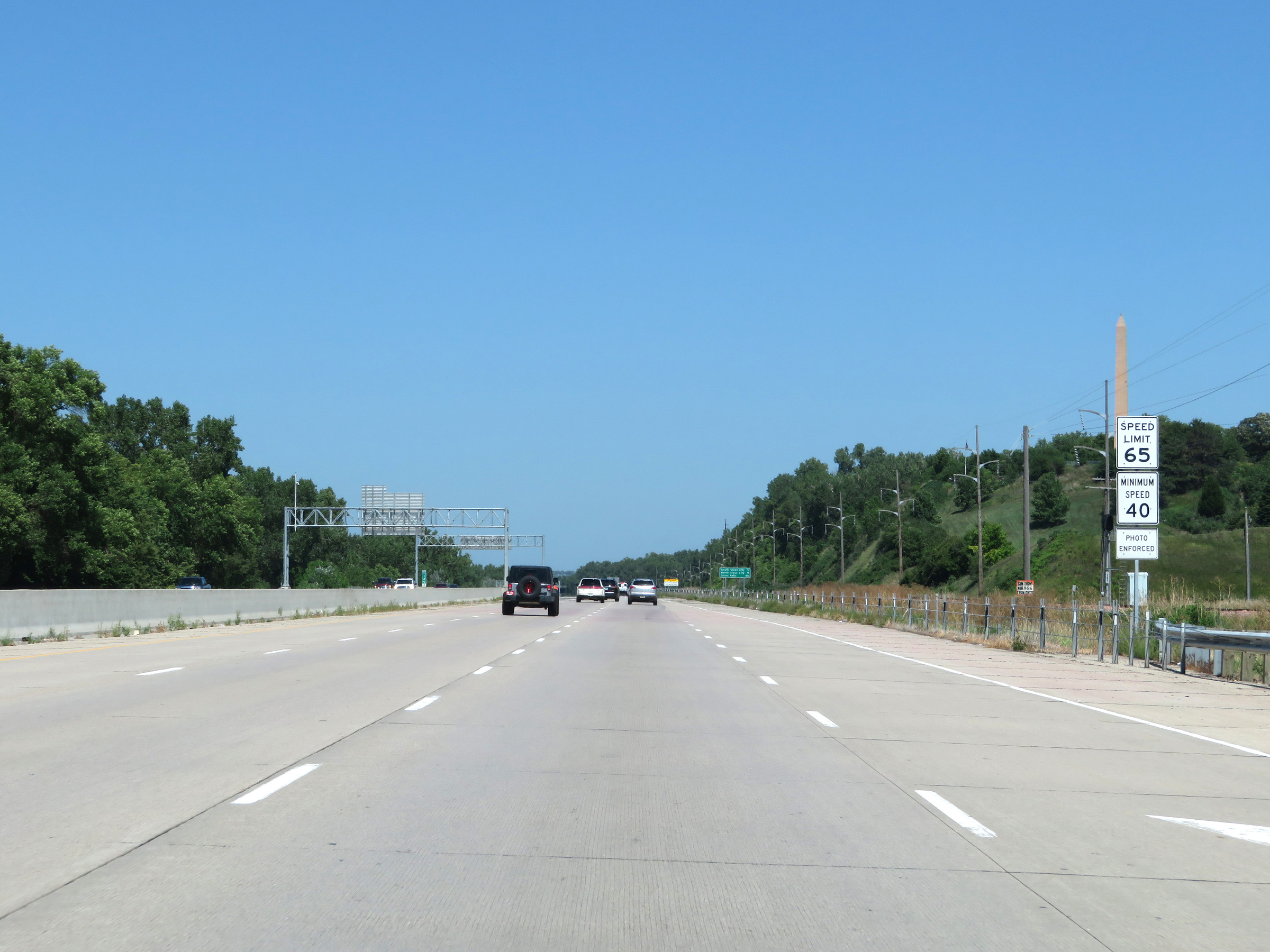 |
The speed limits remain 65 mph maximum and 40 mph minimum as Interstate 29 North nears downtown Sioux City. (Photo taken 8/9/20). |
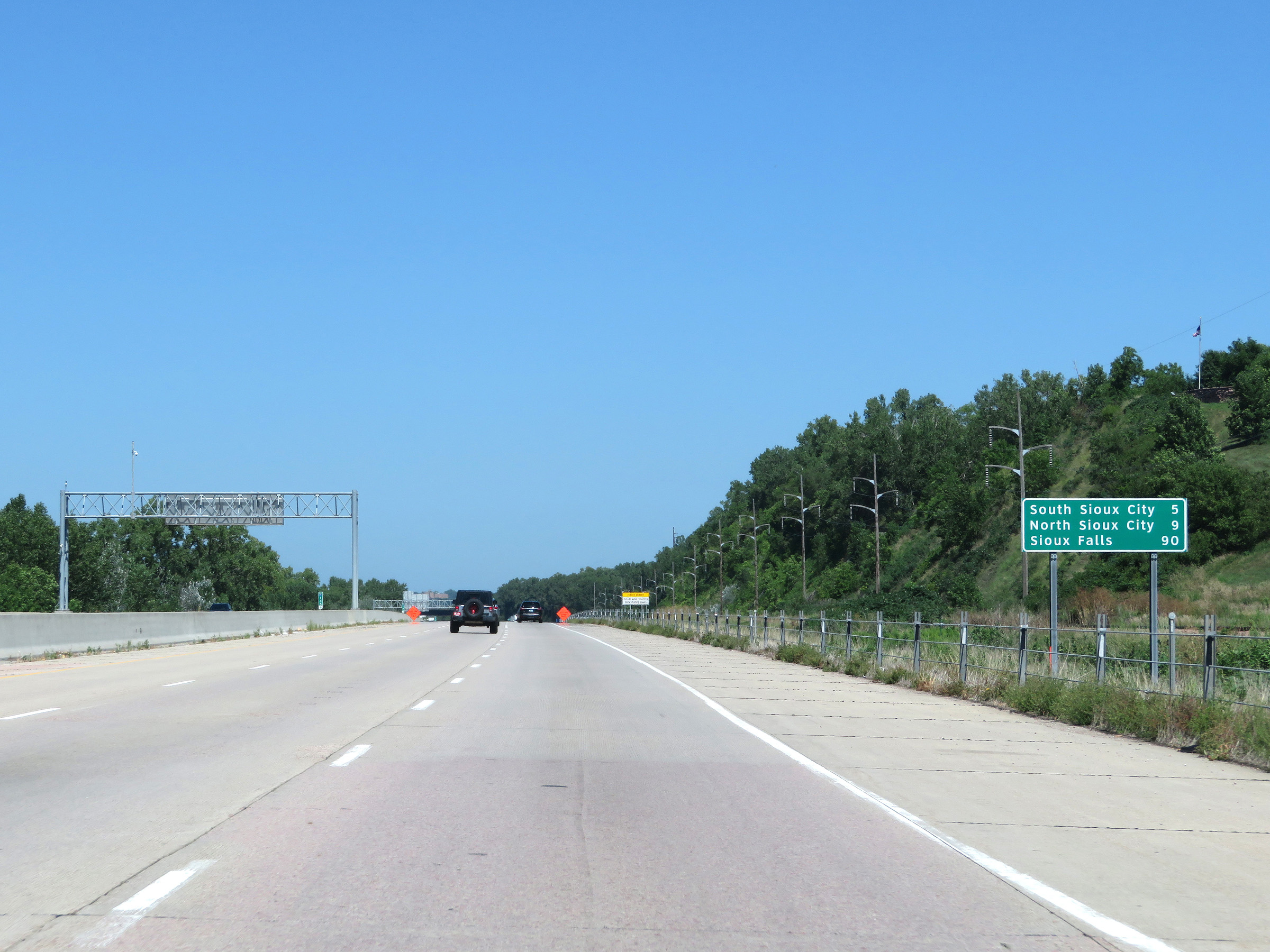 |
Another mileage sign on Interstate 29 North. It's 5 miles to South Sioux City, 9 miles to North Sioux City, and 90 miles to Sioux Falls. (Photo taken 8/9/20). |
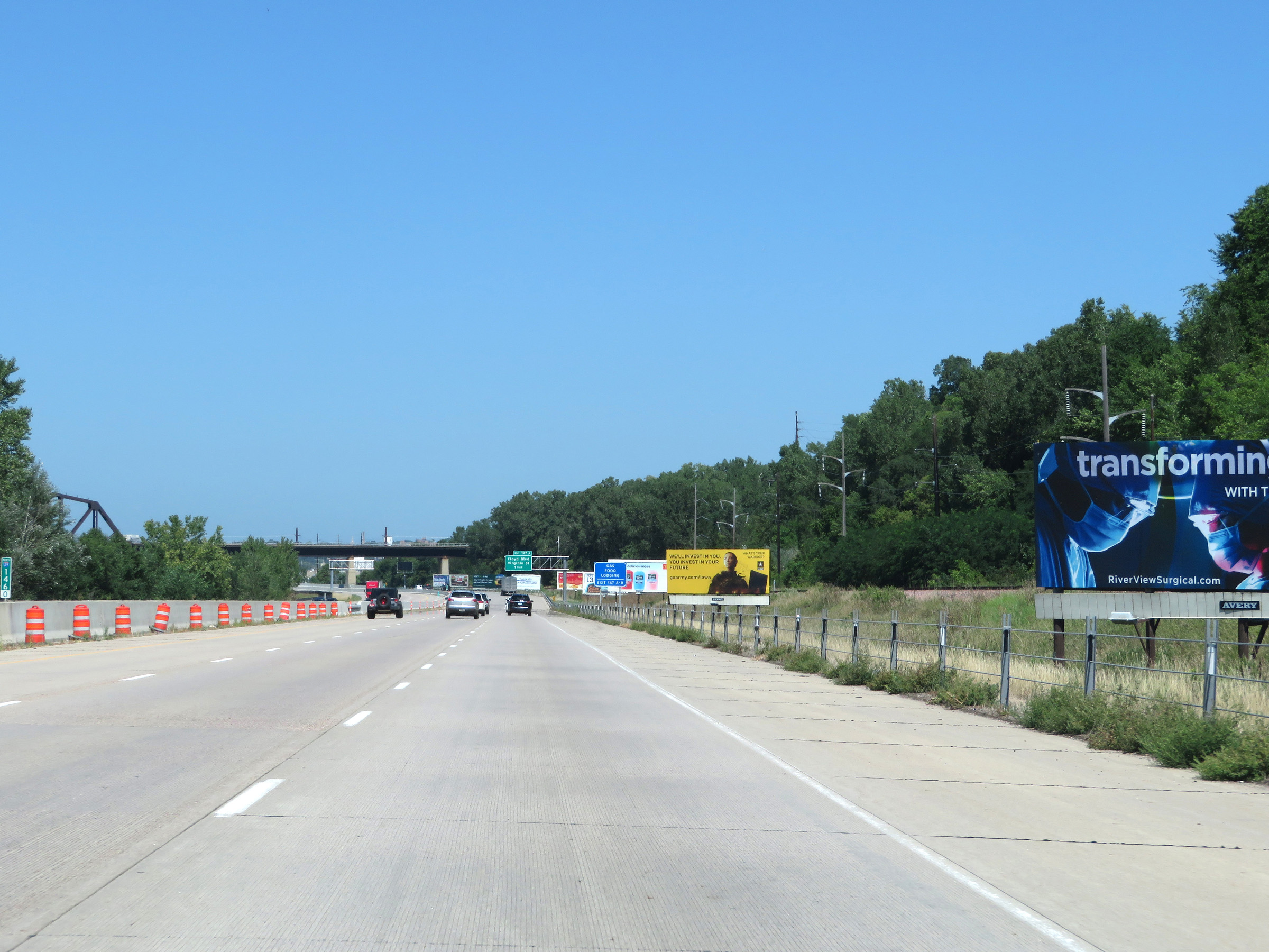 |
View on Interstate 29 North at mile marker 146. (Photo taken 8/9/20). |
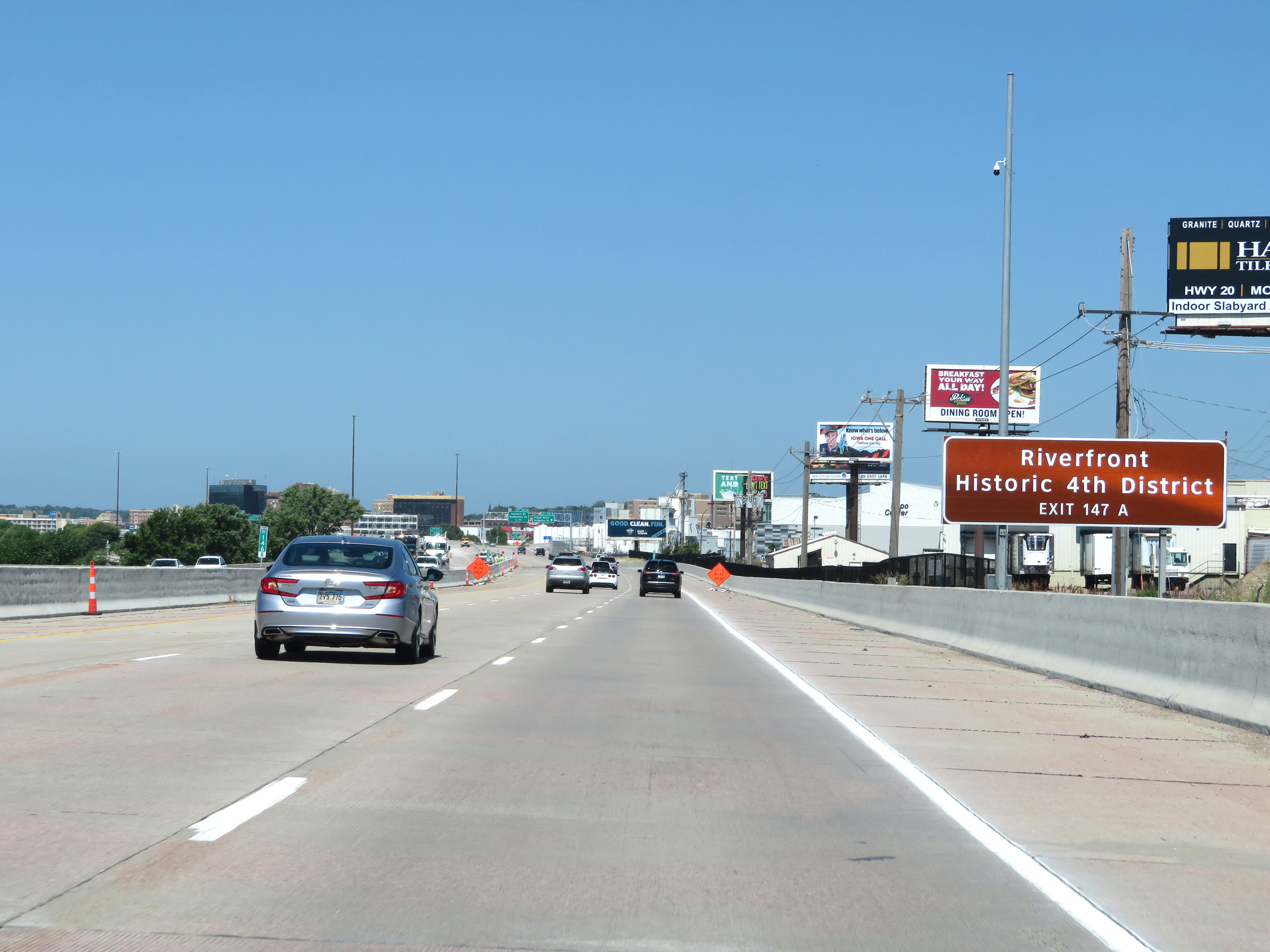 |
Take Exit 147A to the Riverfront and Historic 4th District. (Photo taken 8/9/20). |
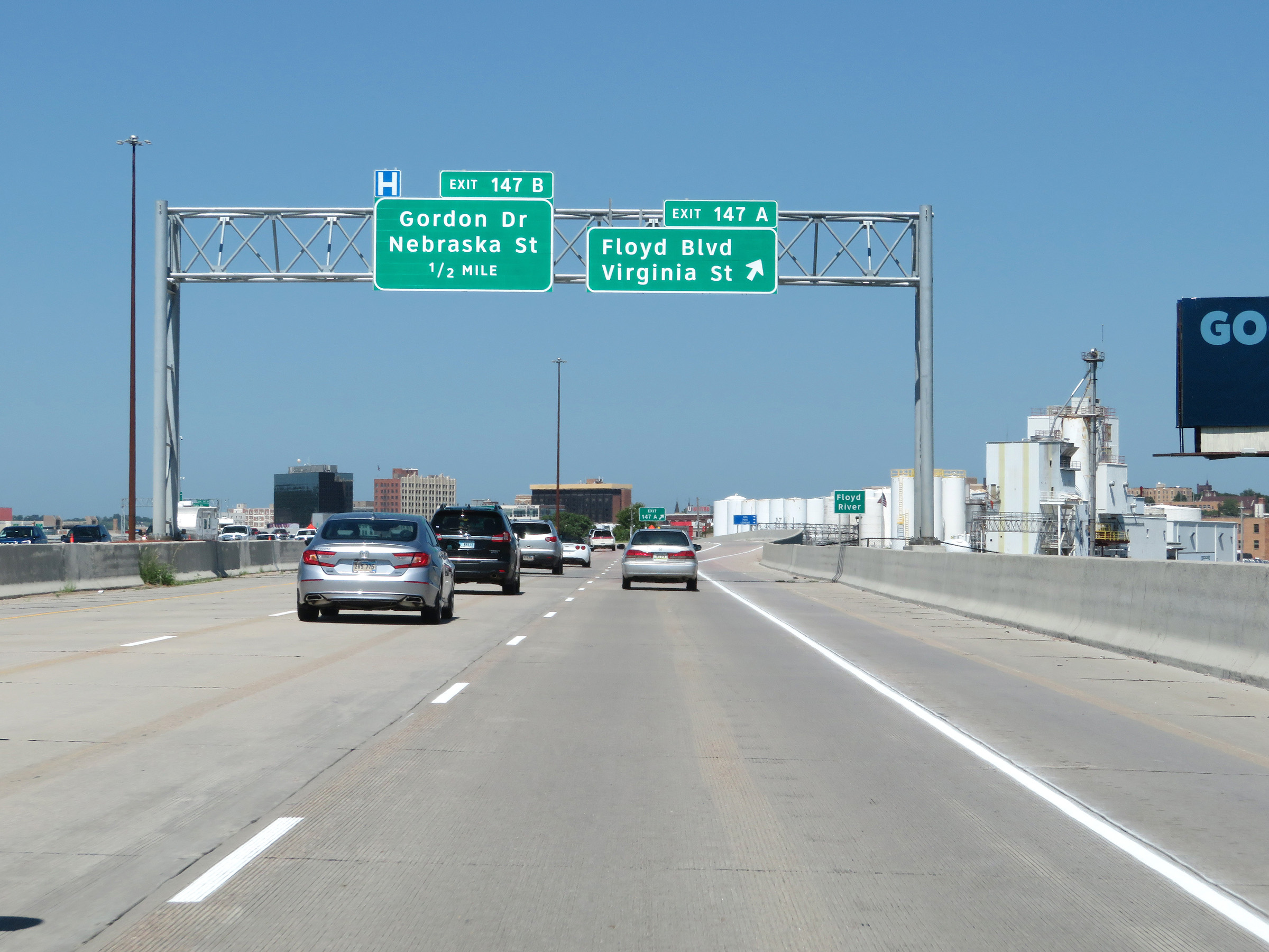 |
Interstate 29 North at Exit 147A: Floyd Blvd / Virginia St (Photo taken 8/9/20). |
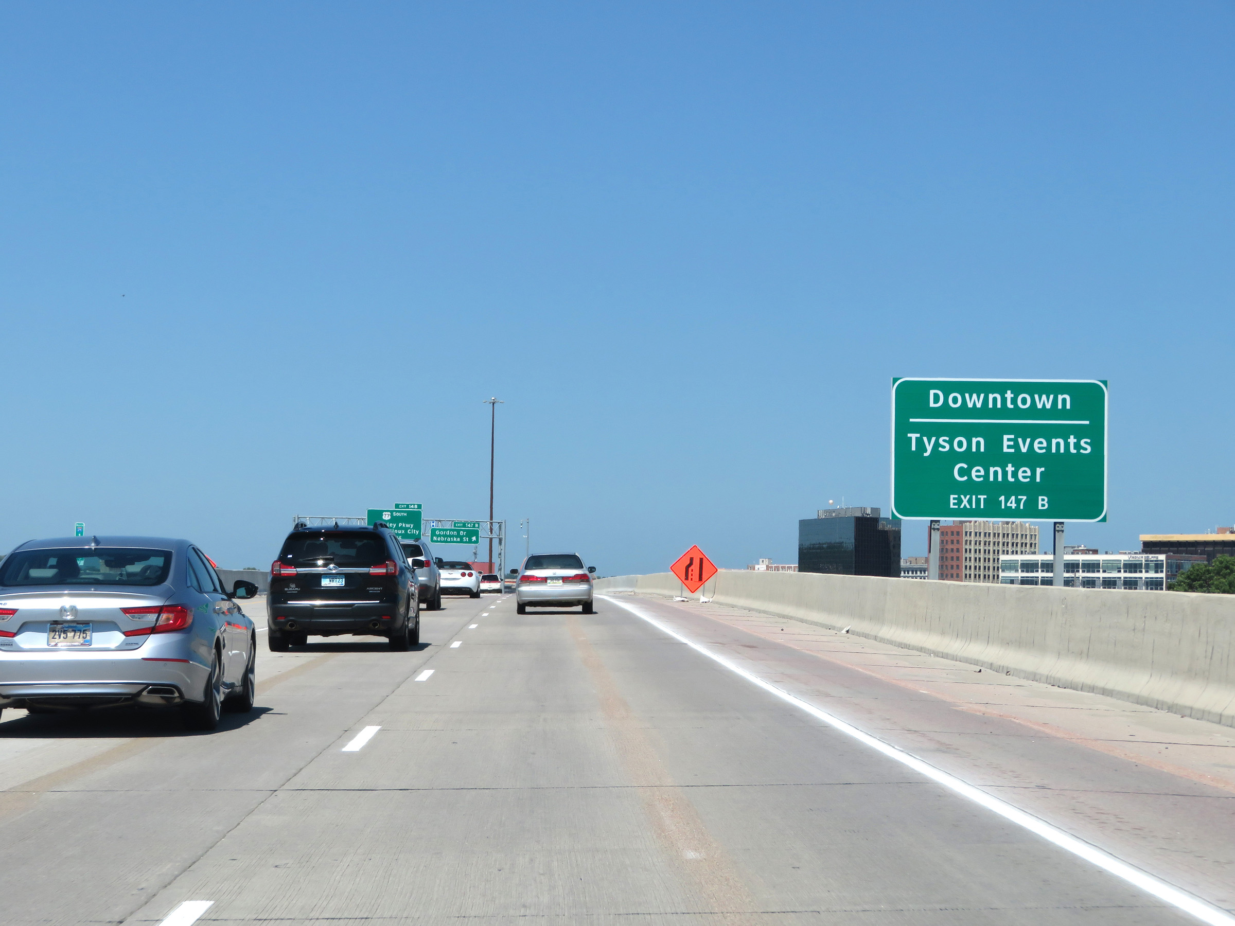 |
Take Exit 147B to Downtown and the Tyson Events Center. (Photo taken 8/9/20). |
 |
Interstate 29 North at Exit 147B: Gordon Dr / Nebraska St (Photo taken 8/9/20). |
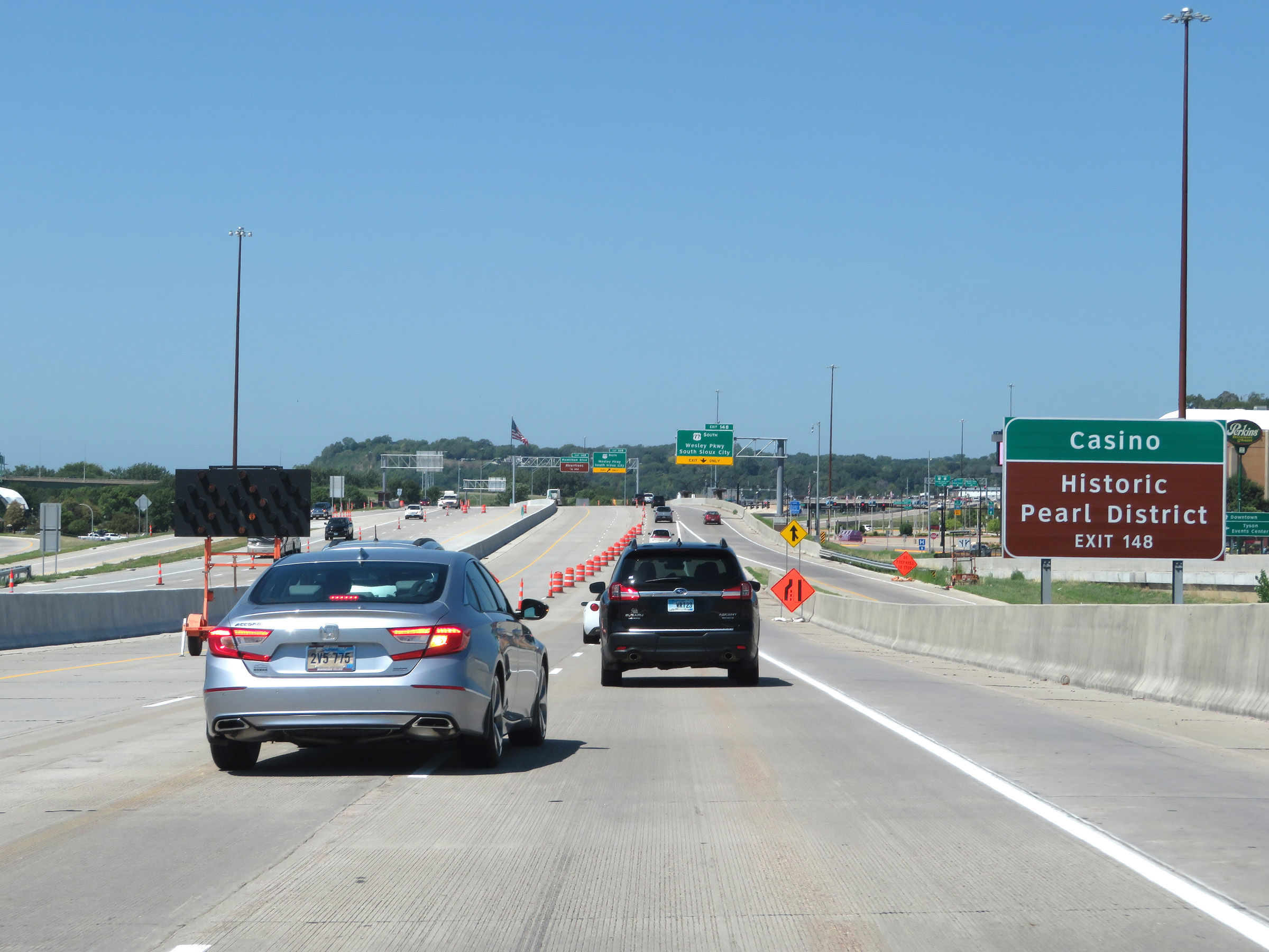 |
Take Exit 148 to Hard Rock Hotel & Casino and the Historic Pearl District. (Photo taken 8/9/20). |
 |
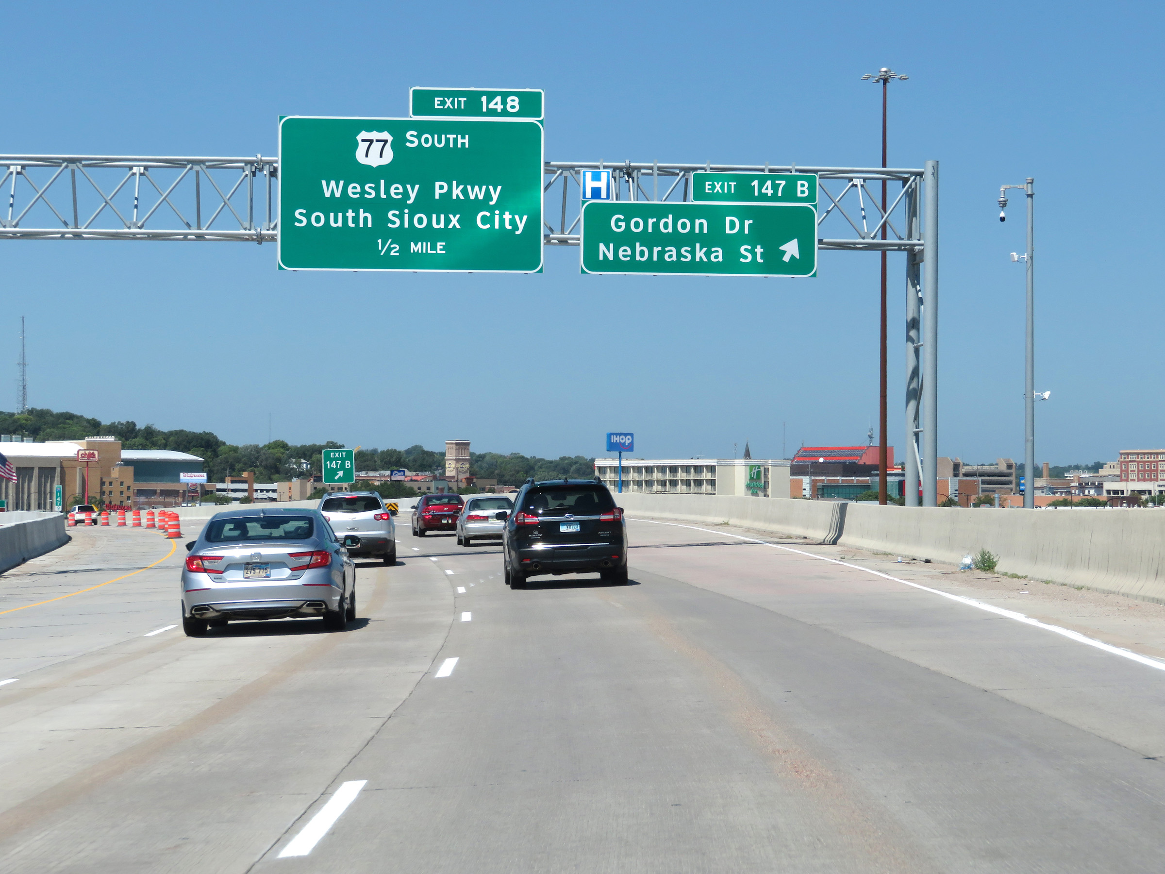
Interstate 29 North at Exit 148: US 77 South - Wesley Pkwy / South Sioux City (Photo taken 8/9/20). |
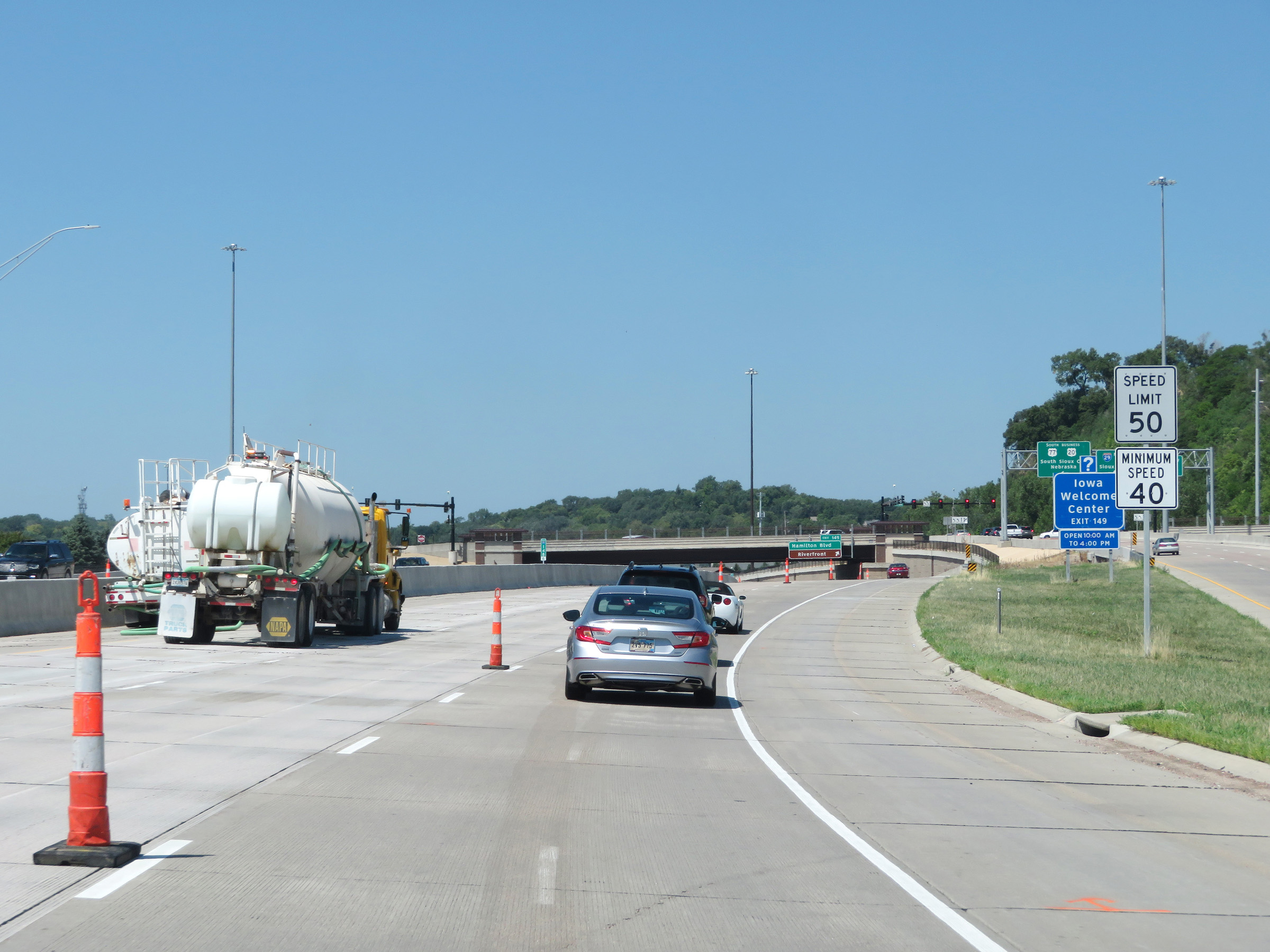 |
Through downtown Sioux City, the maximum speed limit is 50 mph. (Photo taken 8/9/20). |
 |
Take Exit 149 to the Iowa Welcome Center. (Photo taken 8/9/20). |
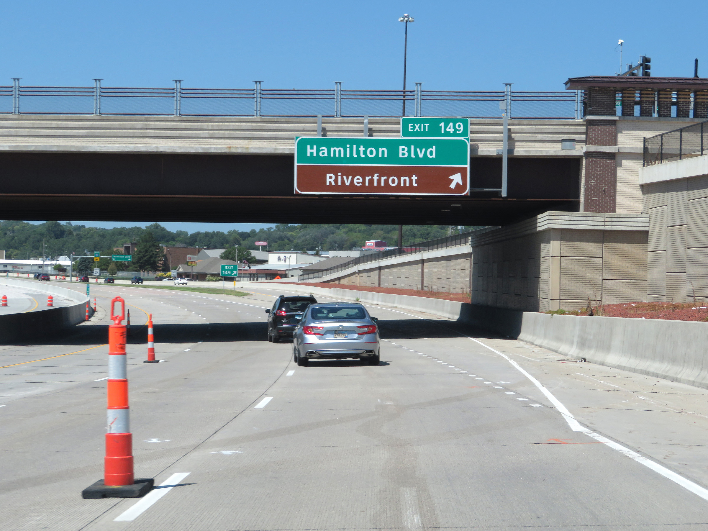 |
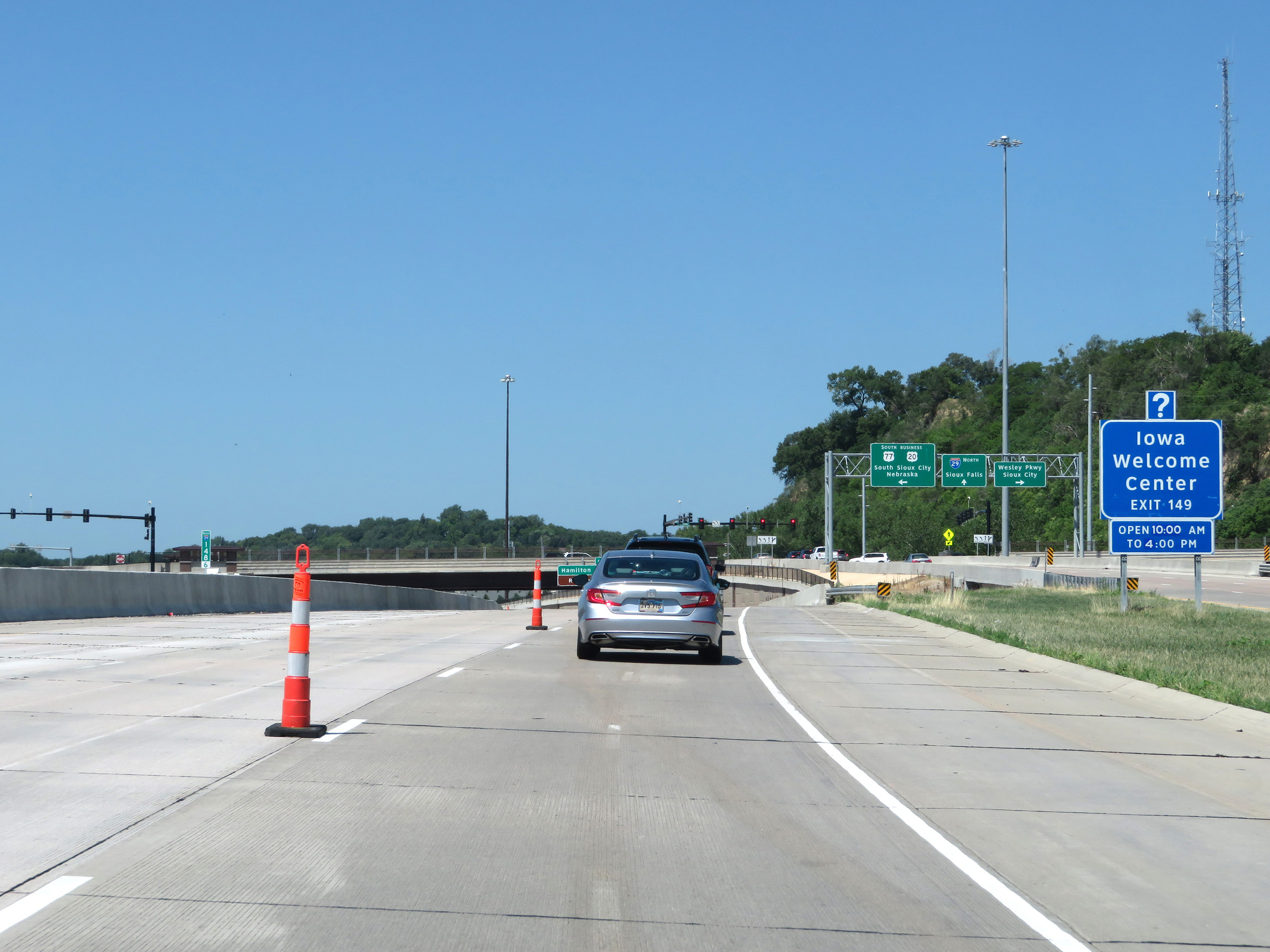
Interstate 29 North at Exit 149: Hamilton Blvd / Riverfront (Photo taken 8/9/20). |
 |
View on Interstate 29 North at mile marker 149, as it begins to leave the downtown area. (Photo taken 8/9/20). |
 |
Interstate 29 North reassurance shield. (Photo taken 8/9/20). |
 |
Leaving the downtown Sioux City area, the maximum speed limit increases to 65 mph once again. (Photo taken 8/9/20). |
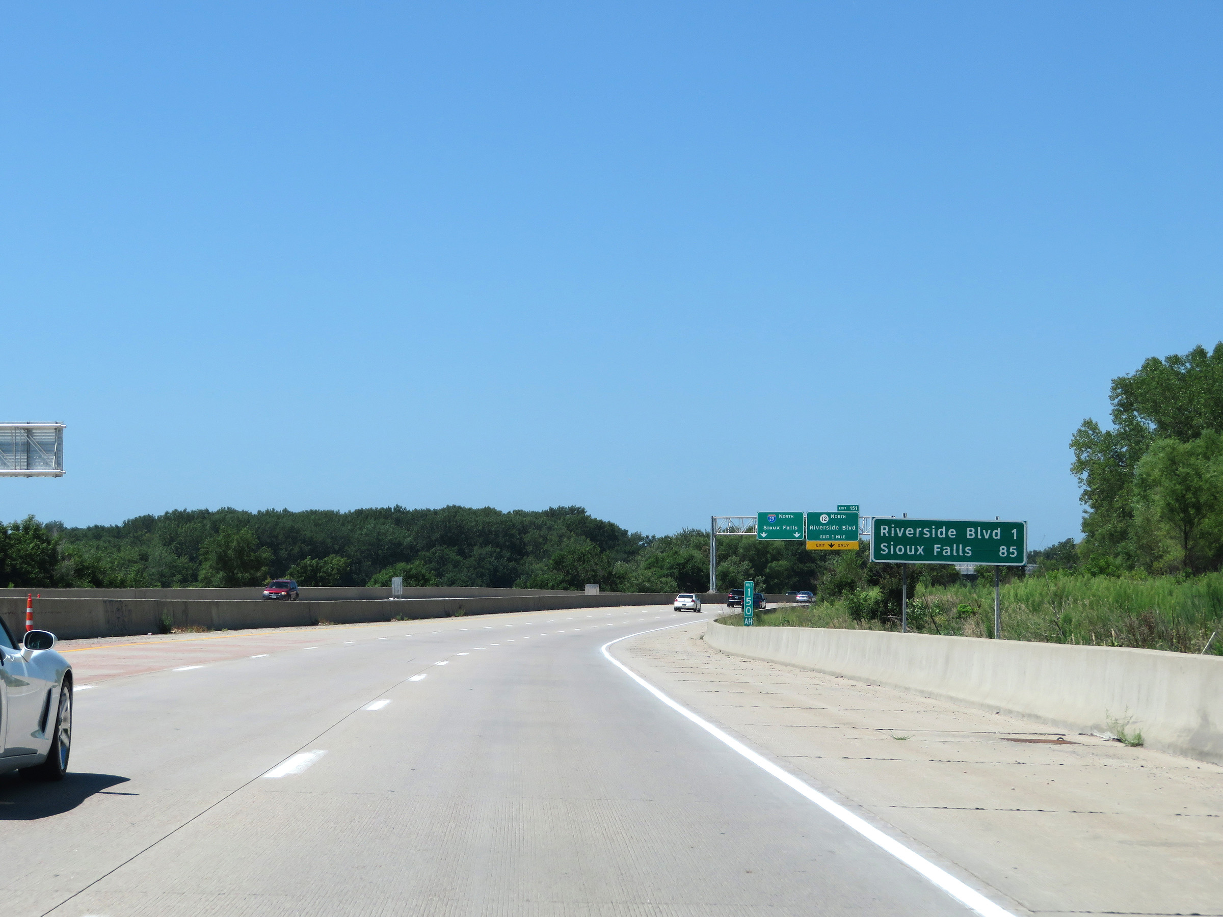 |
Mileage sign at mile marker 150. It's 1 mile to the junction of Riverside Blvd and 85 miles to Sioux Falls. (Photo taken 8/9/20). |
 |
Take Exit 151 to Stone State Park and Dorothy Pecaut Nature Center. (Photo taken 8/9/20). |
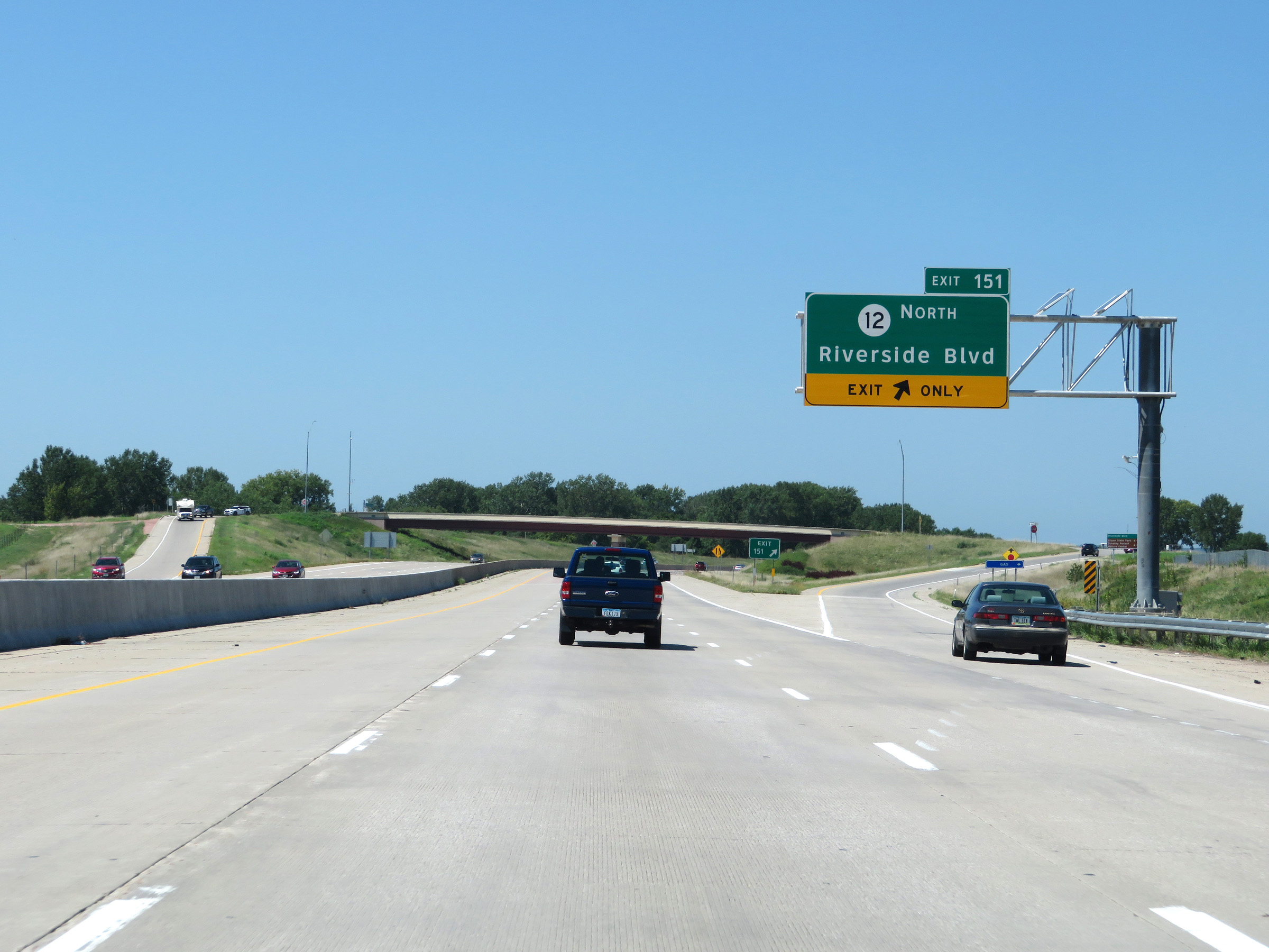 |
Interstate 29 North at Exit 151: IA 12 North - Riverside Blvd (Photo taken 8/9/20). |
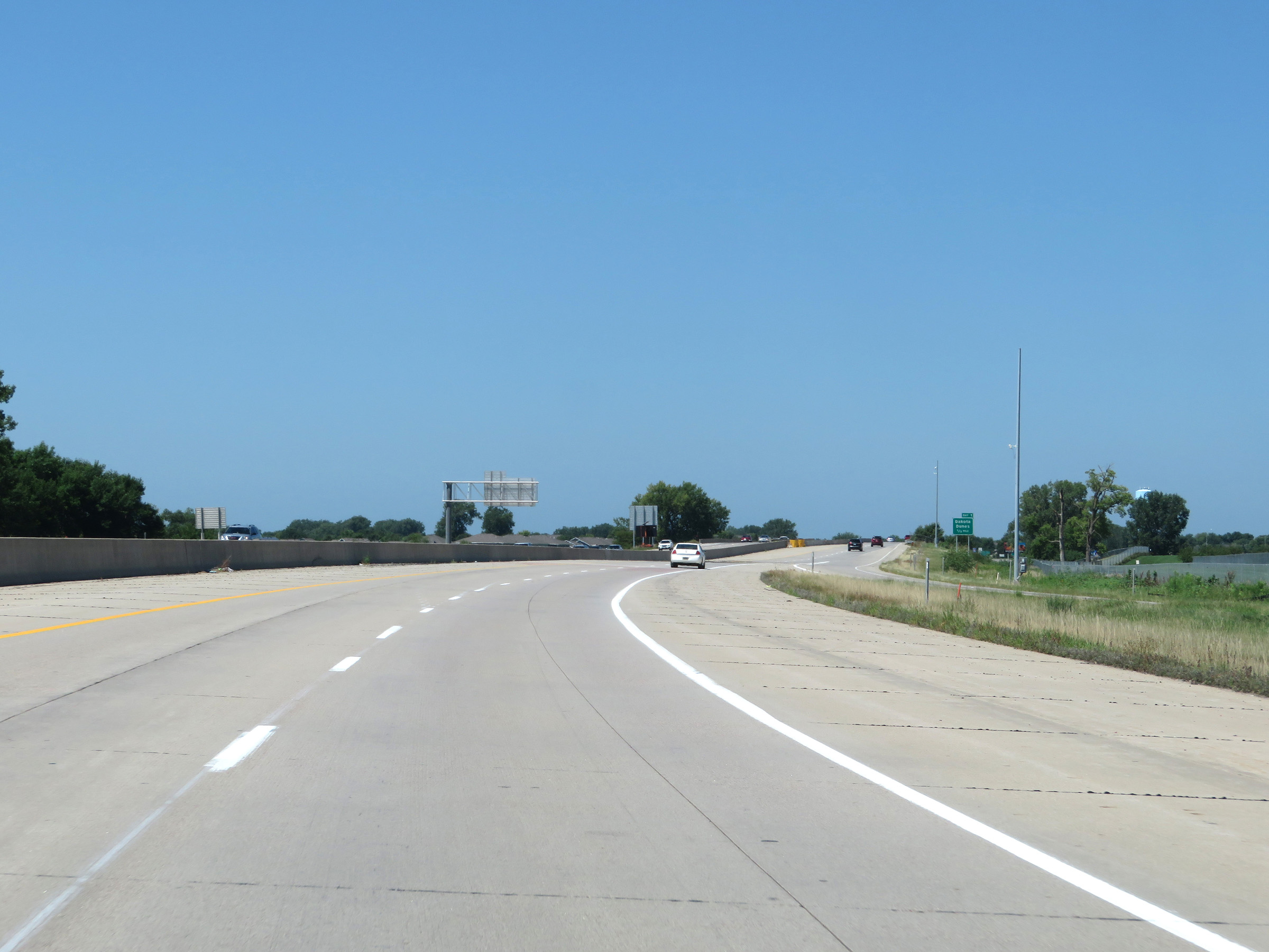 |
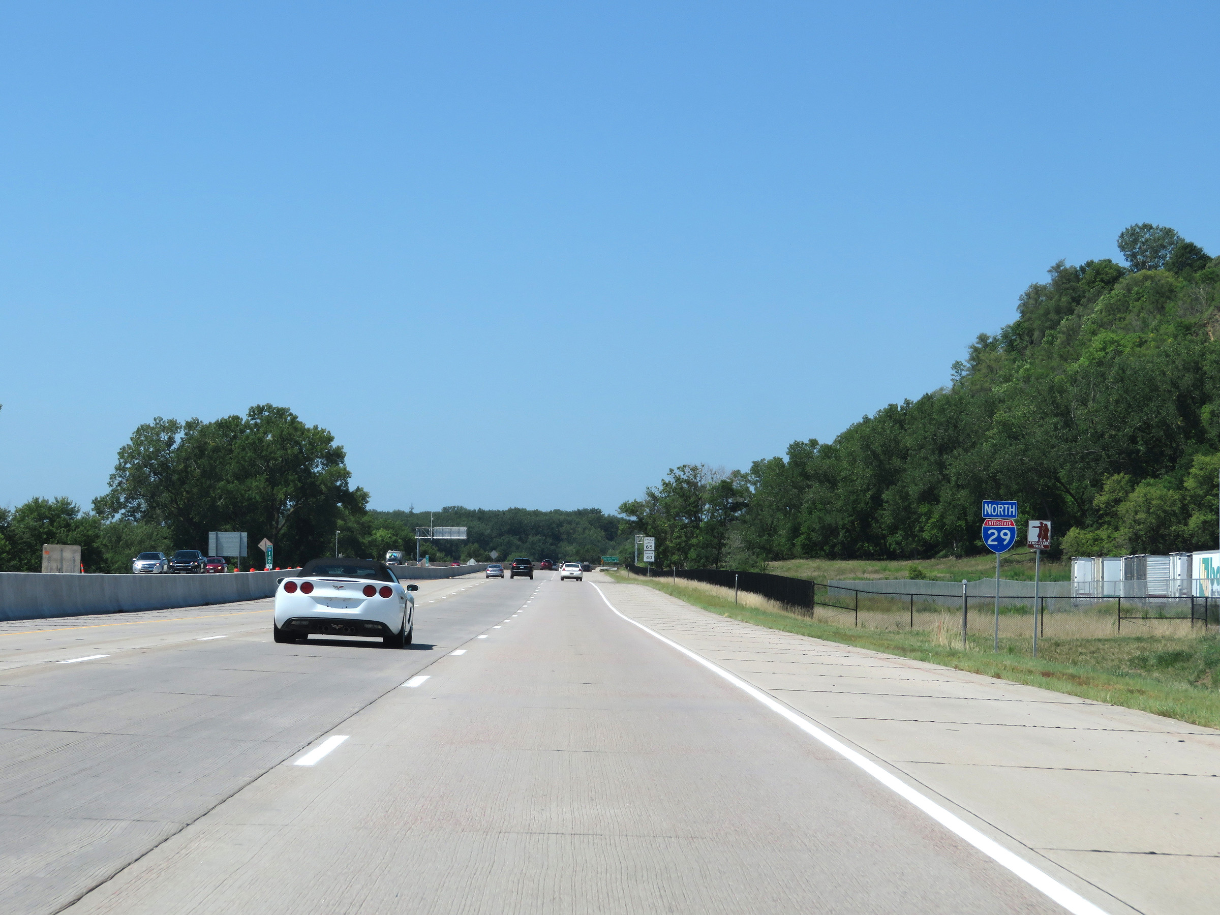
View on Interstate 29 North as it nears the South Dakota border, which will be marked by the Big Sioux River. (Photo taken 8/9/20). |
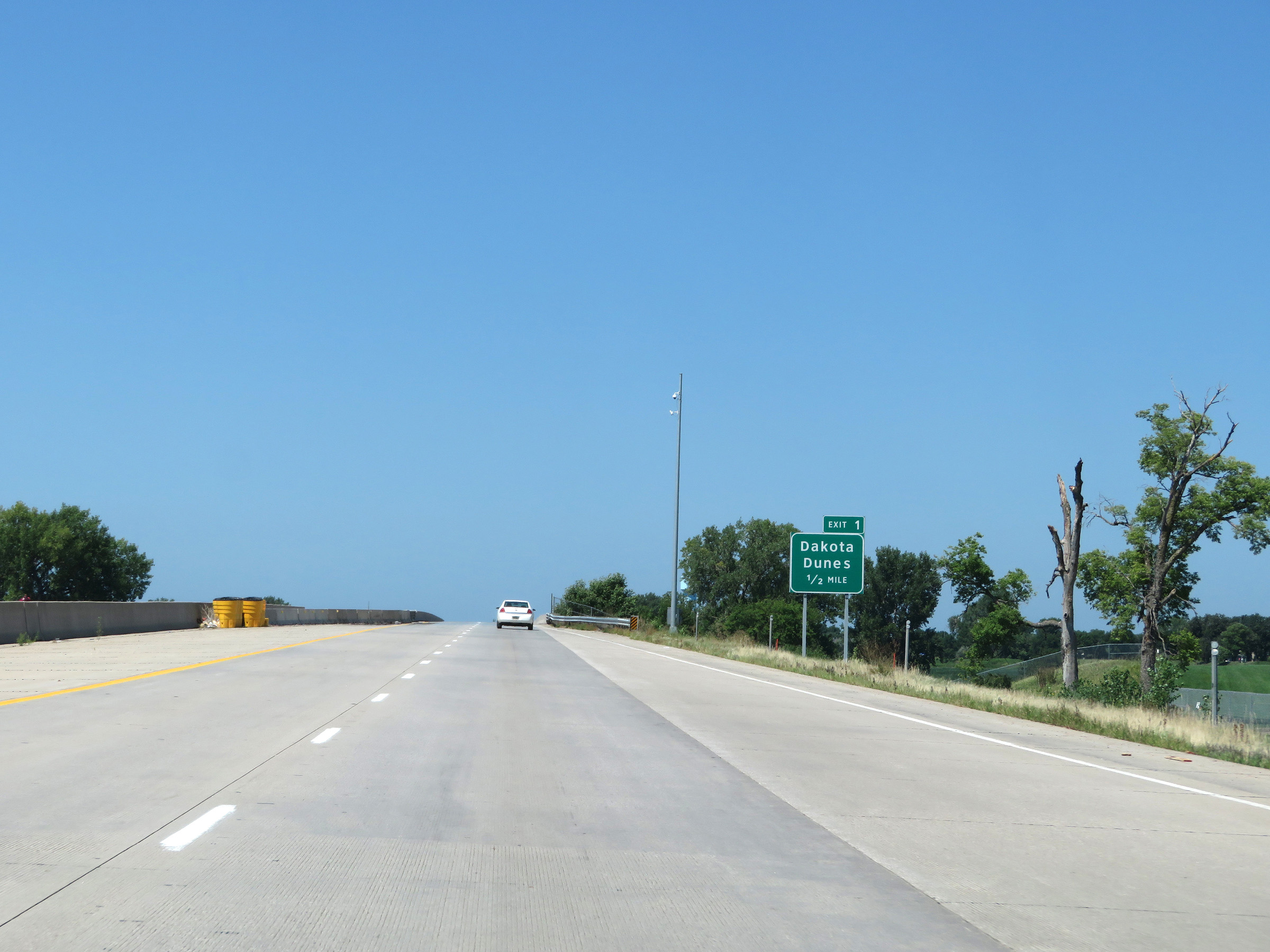 |
Advance signage for Exit 1, which will occur shorty after crossing the state line ahead into South Dakota. (Photo taken 8/9/20). |
 |
Interstate 29 North as it crosses the Big Sioux River into South Dakota. (Photo taken 8/9/20). |