Road Information |
||
 |
||
| Total Mileage in State: | 171 miles | |
| Eastern End: | At Ohio state line | |
| Western End: | At Illinois state line | |
| Mileage covered in Photos: | 171 miles | |
| Counties covered in Photos: | Dearborn, Ripley, Franklin, Decatur, Shelby, Marion, Hendricks, Boone, Montgomery, Fountain, Vermillion | |
| Major Junctions in Photos: | I-465, in Indianapolis I-65, in Indianapolis I-70, in Indianapolis US 41, near Veedersburg |
|
| Control Cities in Photos: | Shelbyville, Indianapolis, Brownsburg, Crawfordsville | |
Westbound
- Section 1: Ohio Border to Shelbyville (Exit 113)
- Section 2: Shelbyville (Exit 113) to Indianapolis (Exit 14)
- Section 3: Indianapolis (Exit 14) to Illinois Border
Section 1: Ohio Border to Shelbyville (Exit 113)
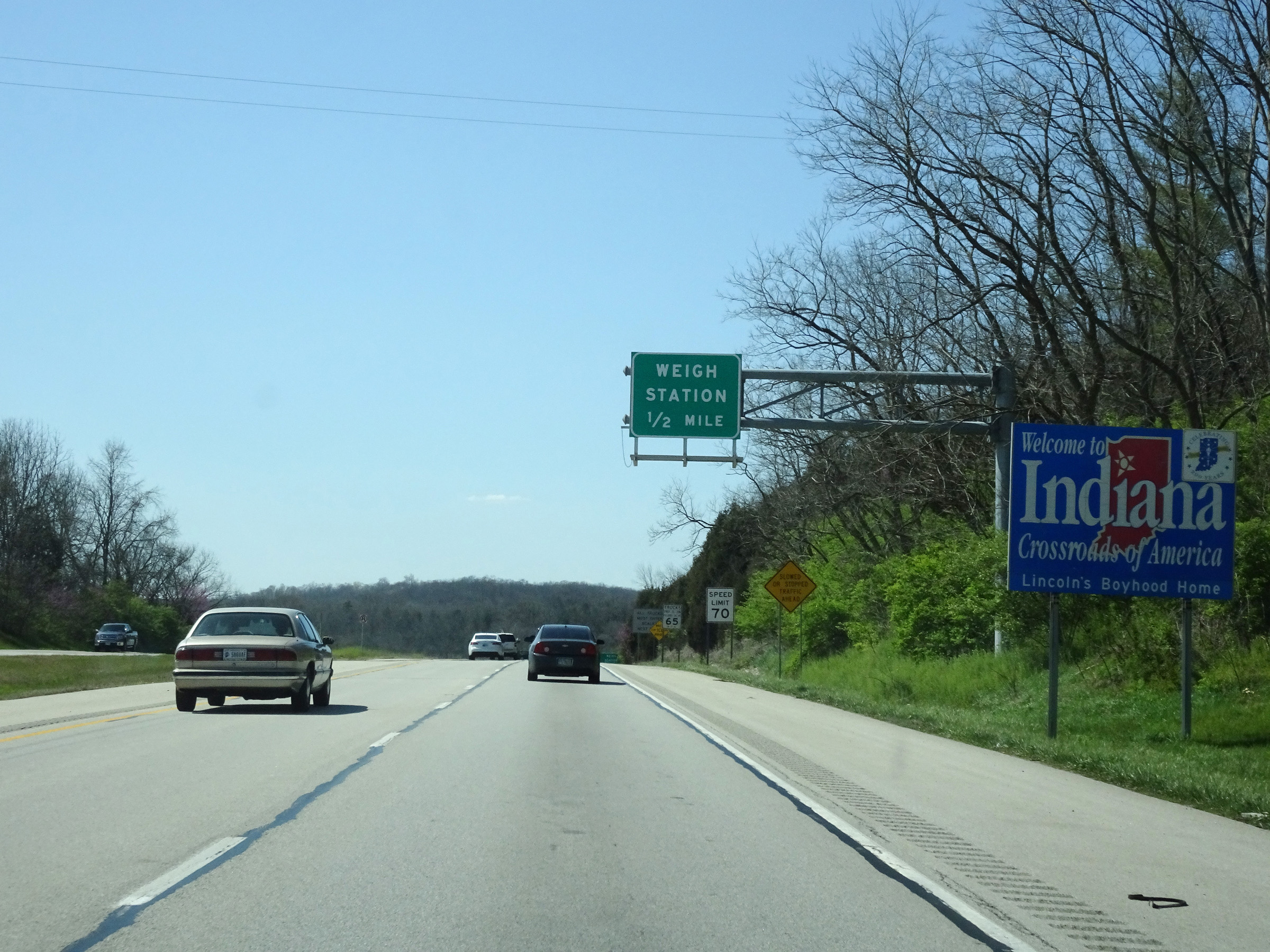 |
Indiana welcome sign as Interstate 74 West enters the Hoosier State from Ohio. (Photo taken 4/16/16). |
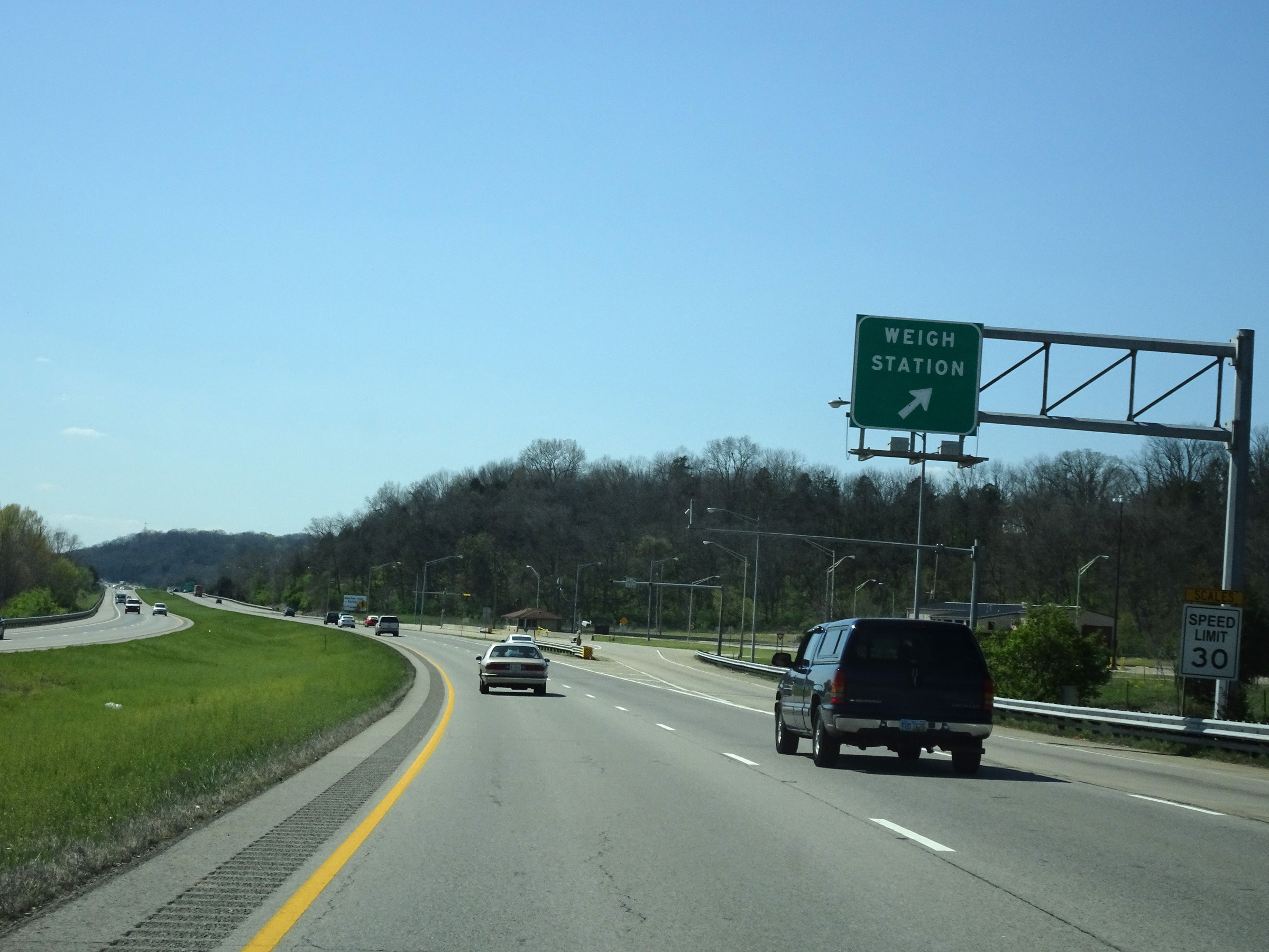 |
Weigh Station on Interstate 74 West in Dearborn County. (Photo taken 4/16/16). |
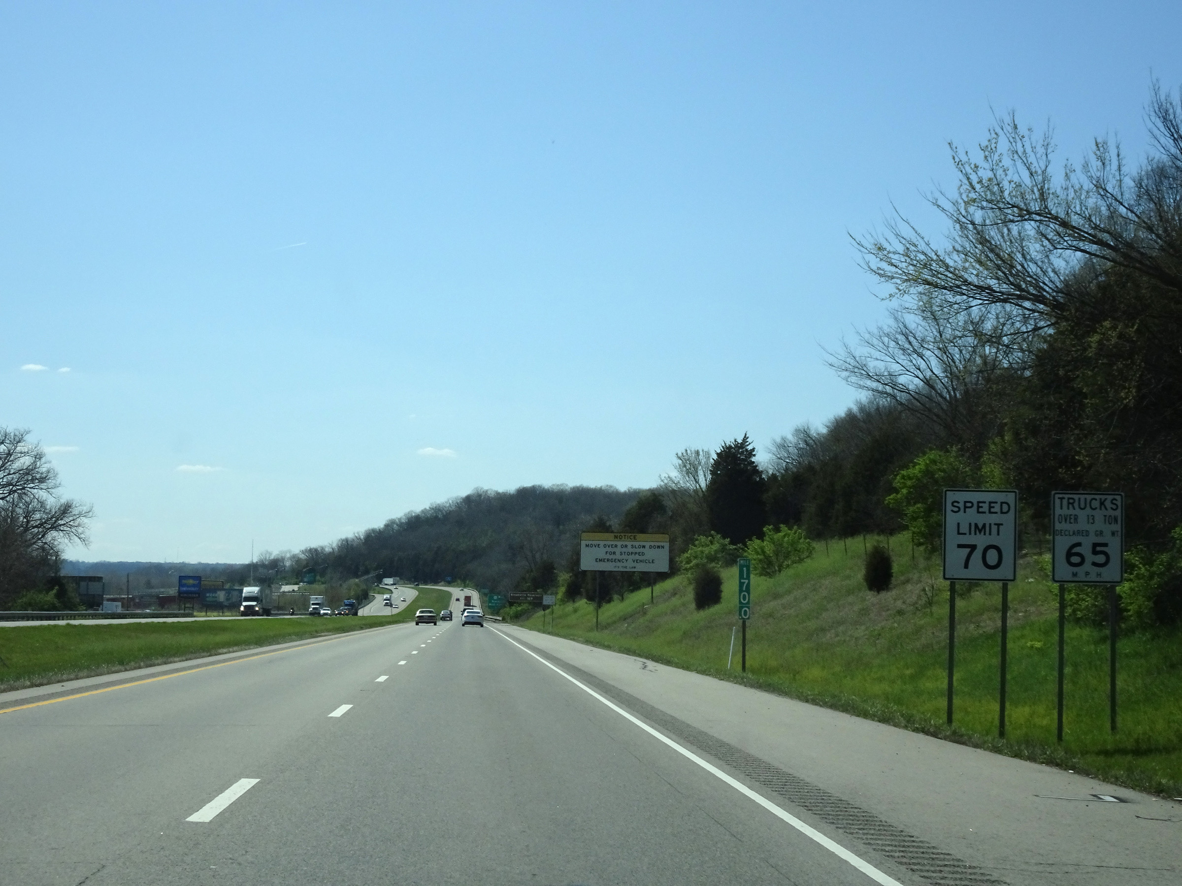 |
Speed limit signs at mile marker 170. The speed limits on Interstate 74 West start out at 70 mph for automobiles and 65 mph for trucks. These are the standard speed limits on most rural Interstate highways in Indiana. (Photo taken 4/16/16). |
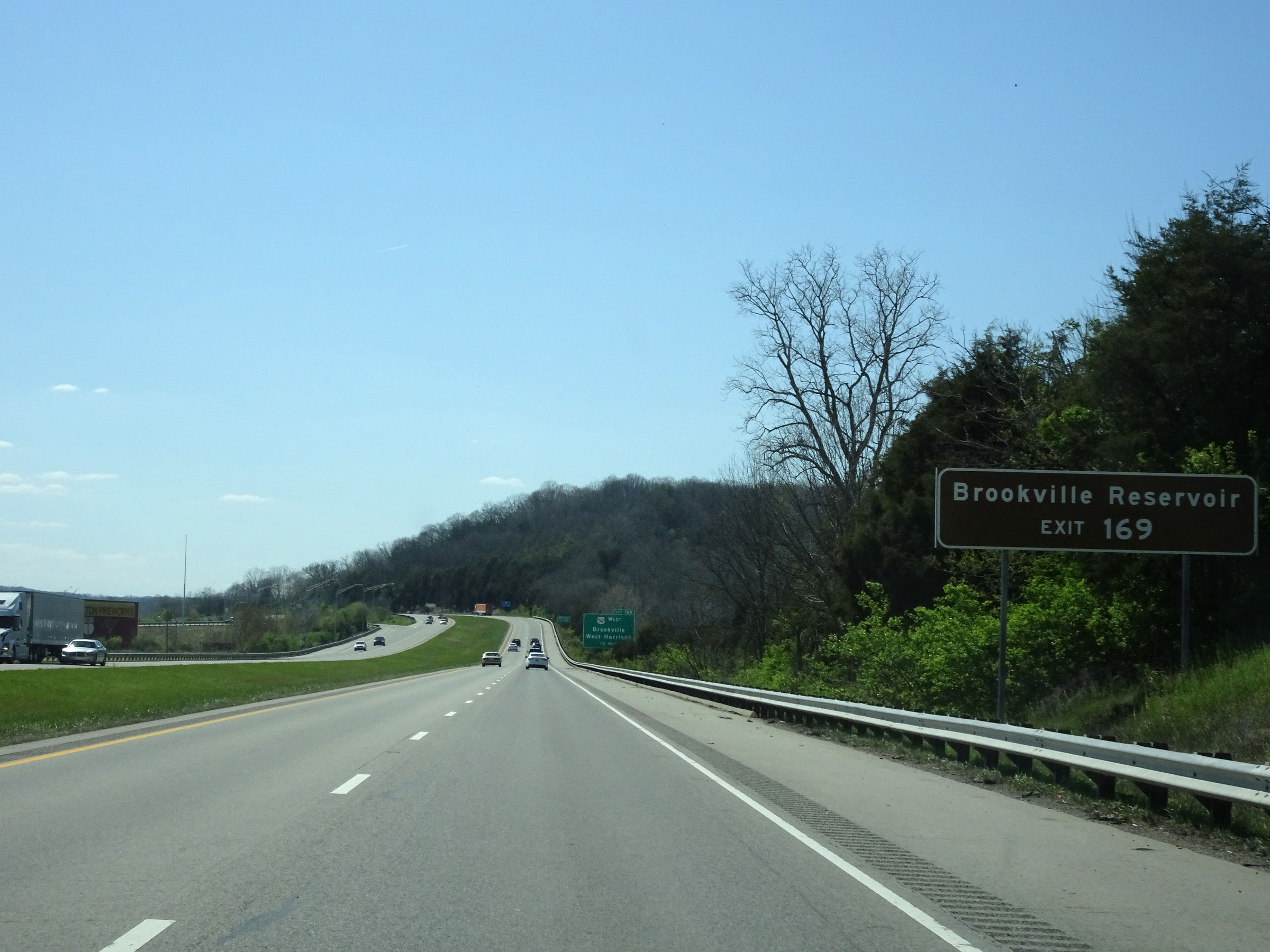 |
Take Exit 169 to Brookville Reservoir. (Photo taken 4/16/16). |
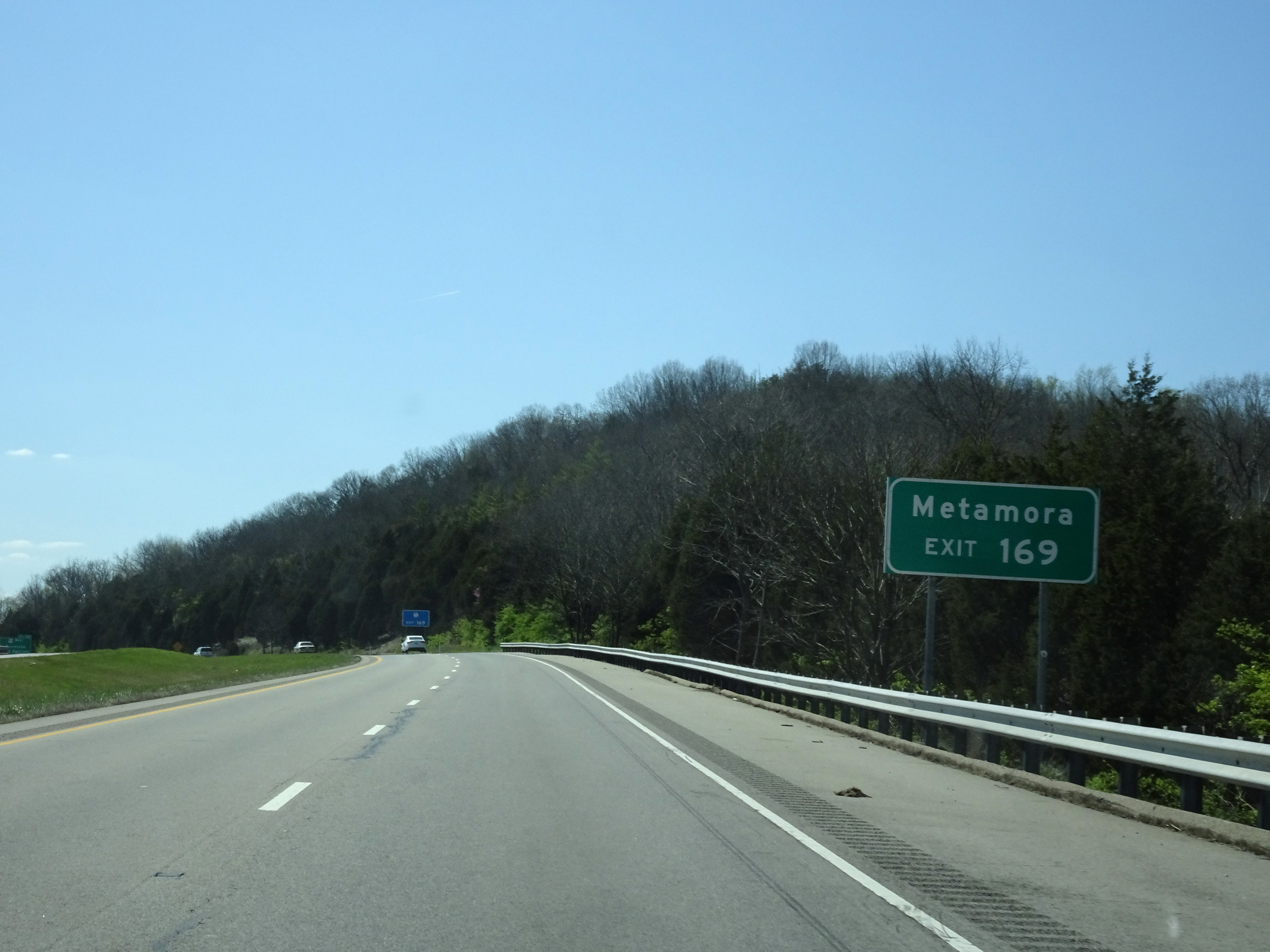 |
Also take Exit 169 to Metamora. (Photo taken 4/16/16). |
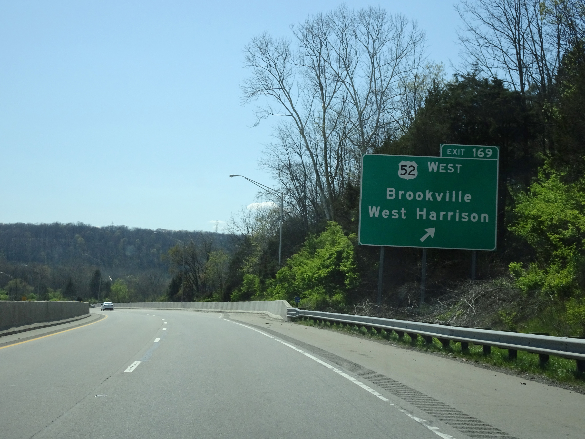 |
Interstate 74 West at Exit 169: US 52 West - Brookville / West Harrison (Photo taken 4/16/16). |
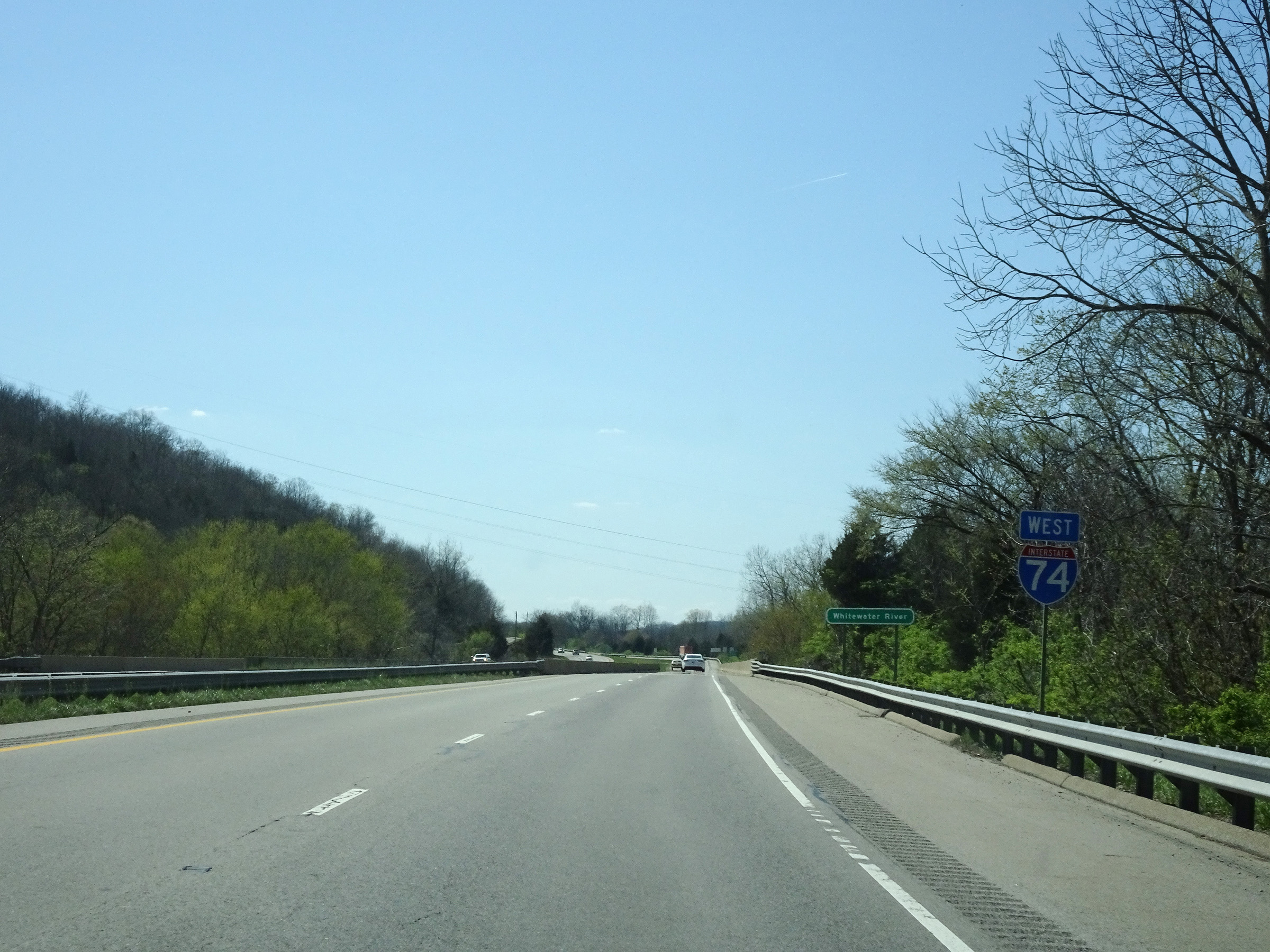 |
Interstate 74 West reassurance shield. (Photo taken 4/16/16). |
 |
Mileage sign on Interstate 74 West. It's 6 miles to Saint Leon and 80 miles to Indianapolis. (Photo taken 4/16/16). |
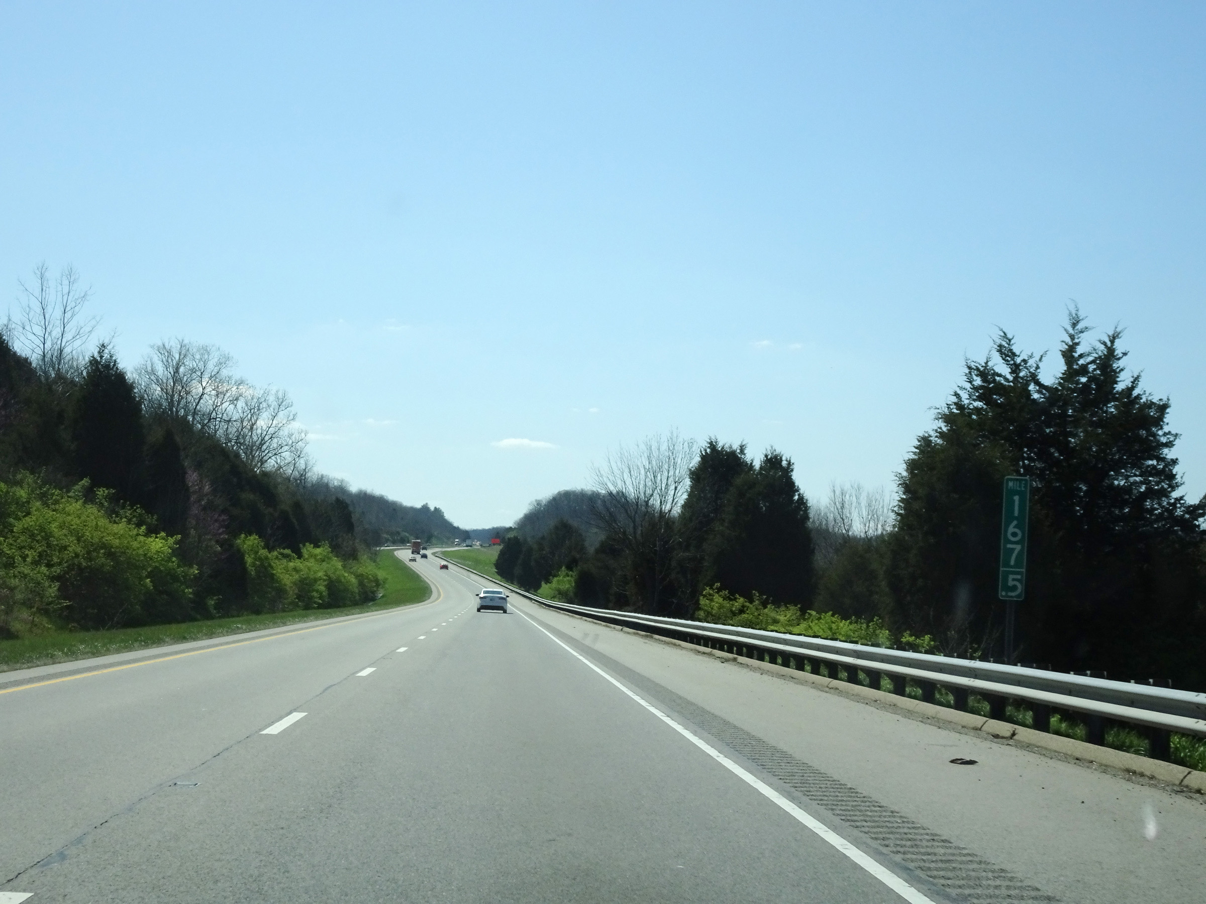 |
View on Interstate 74 West at mile marker 167.5. (Photo taken 4/16/16). |
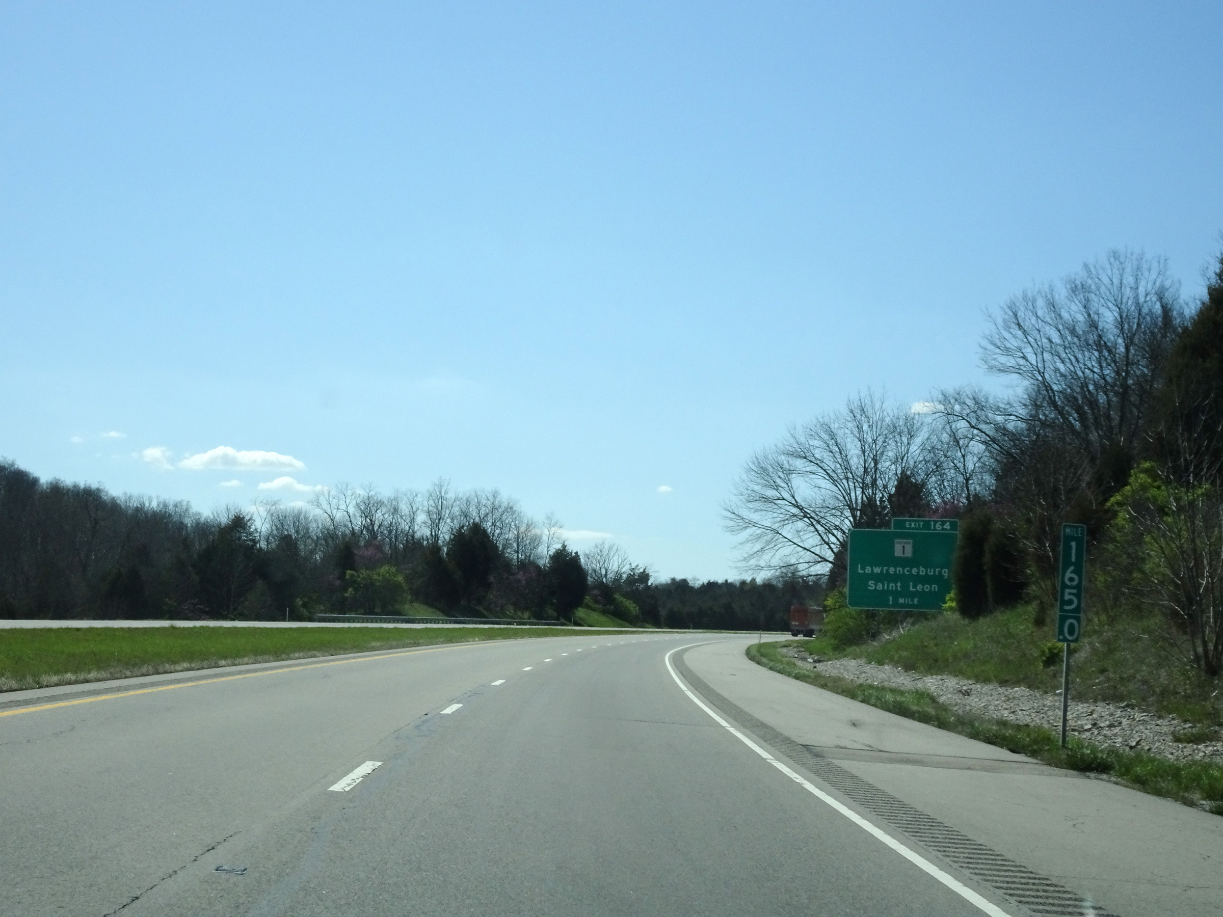 |
Interstate 74 West at mile marker 165. (Photo taken 4/16/16). |
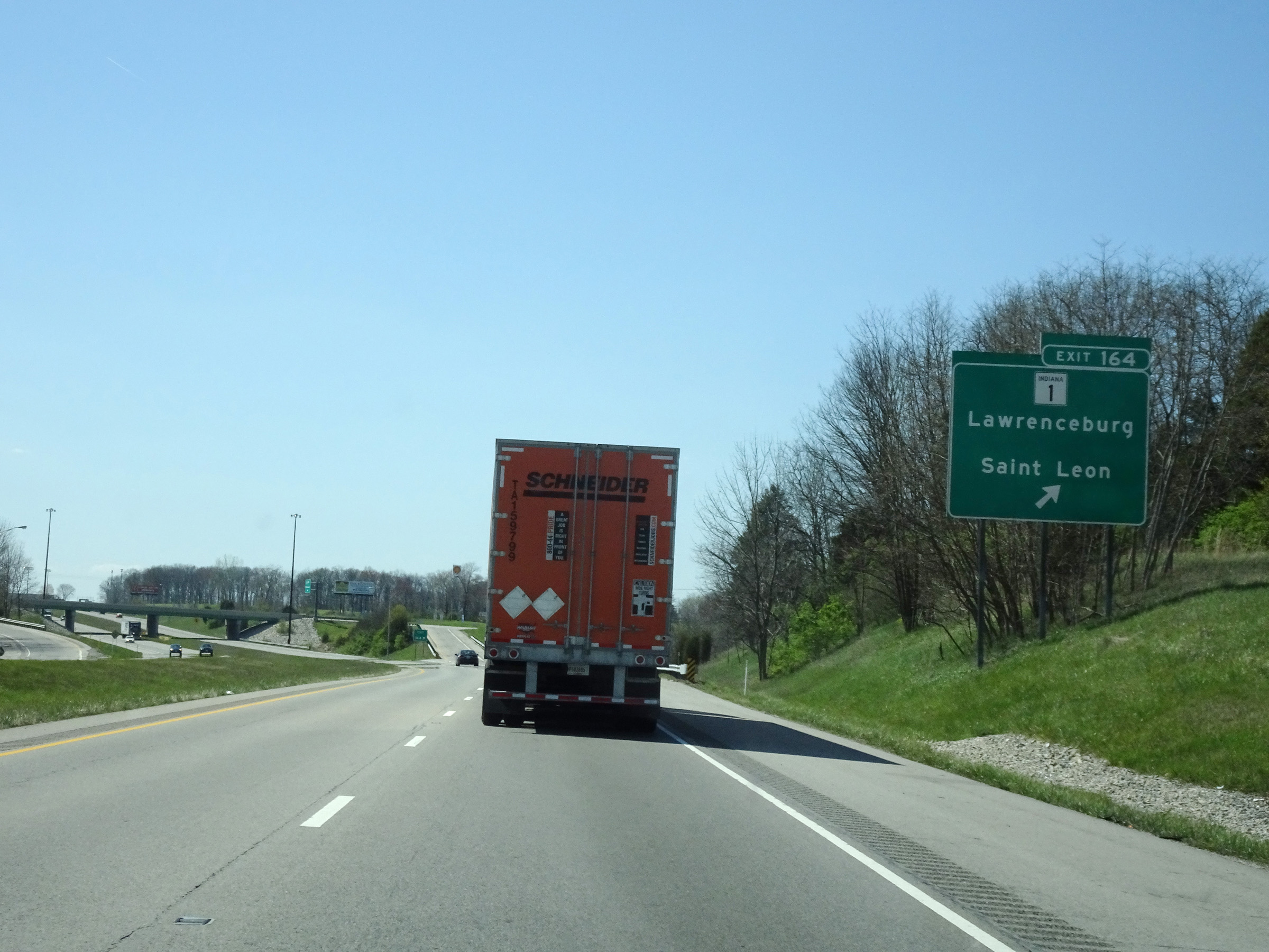 |
Interstate 74 West at Exit 164: IN 1 - Lawrenceburg / Saint Leon (Photo taken 4/16/16). |
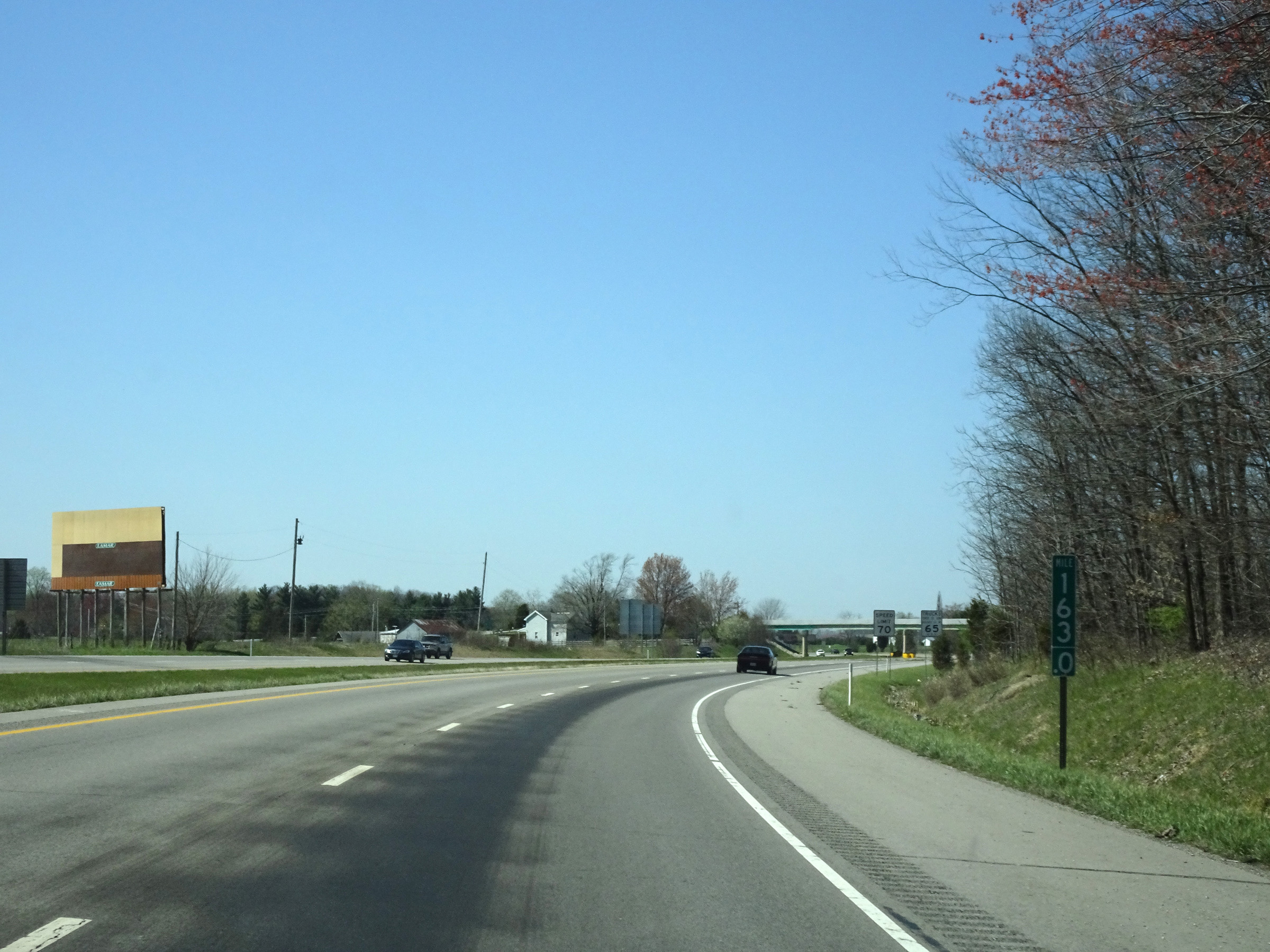 |
Mile marker 163 on Interstate 74 West in Dearborn County. (Photo taken 4/16/16). |
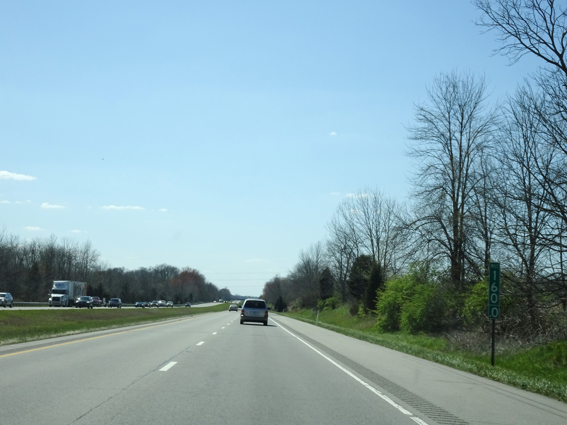 |
Interstate 74 West at mile marker 160. (Photo taken 4/16/16). |
 |
View on Interstate 74 West at mile marker 158. (Photo taken 4/16/16). |
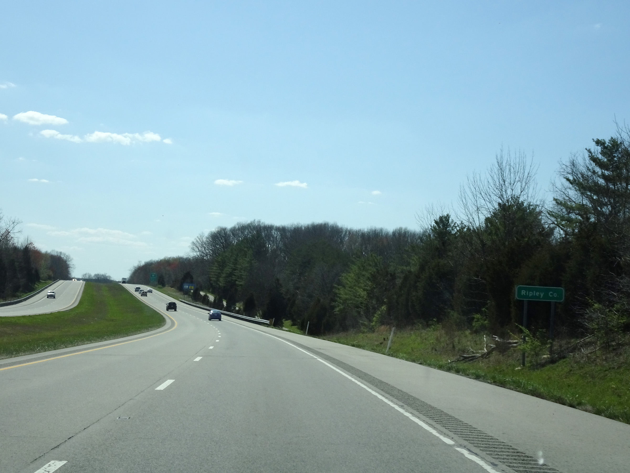 |
Interstate 74 West as it enters Ripley County. (Photo taken 4/16/16). |
 |
Interstate 74 West at Exit 156: IN 101 - Sunman / Milan (Photo taken 4/16/16). |
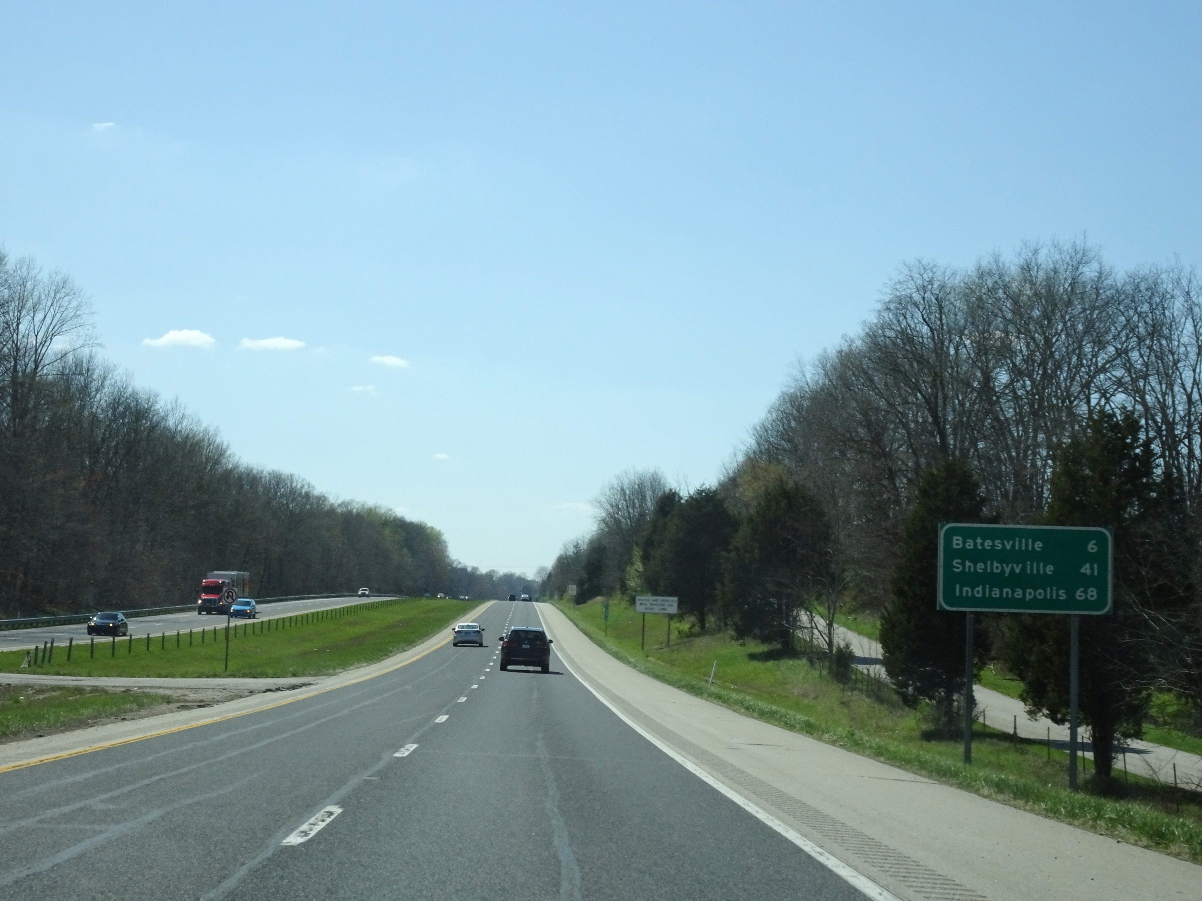 |
Mileage sign on Interstate 74 West. It's 6 miles to Batesville, 41 miles to Shelbyville, and 68 miles to Indianapolis. (Photo taken 4/16/16). |
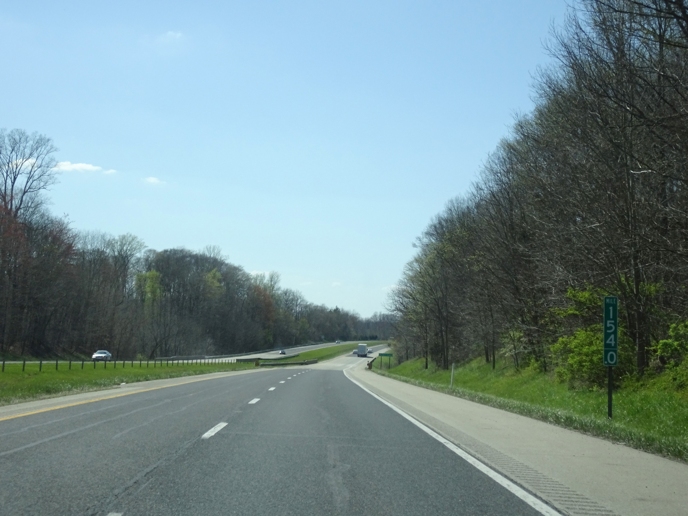 |
View on Interstate 74 West at mile marker 154. (Photo taken 4/16/16). |
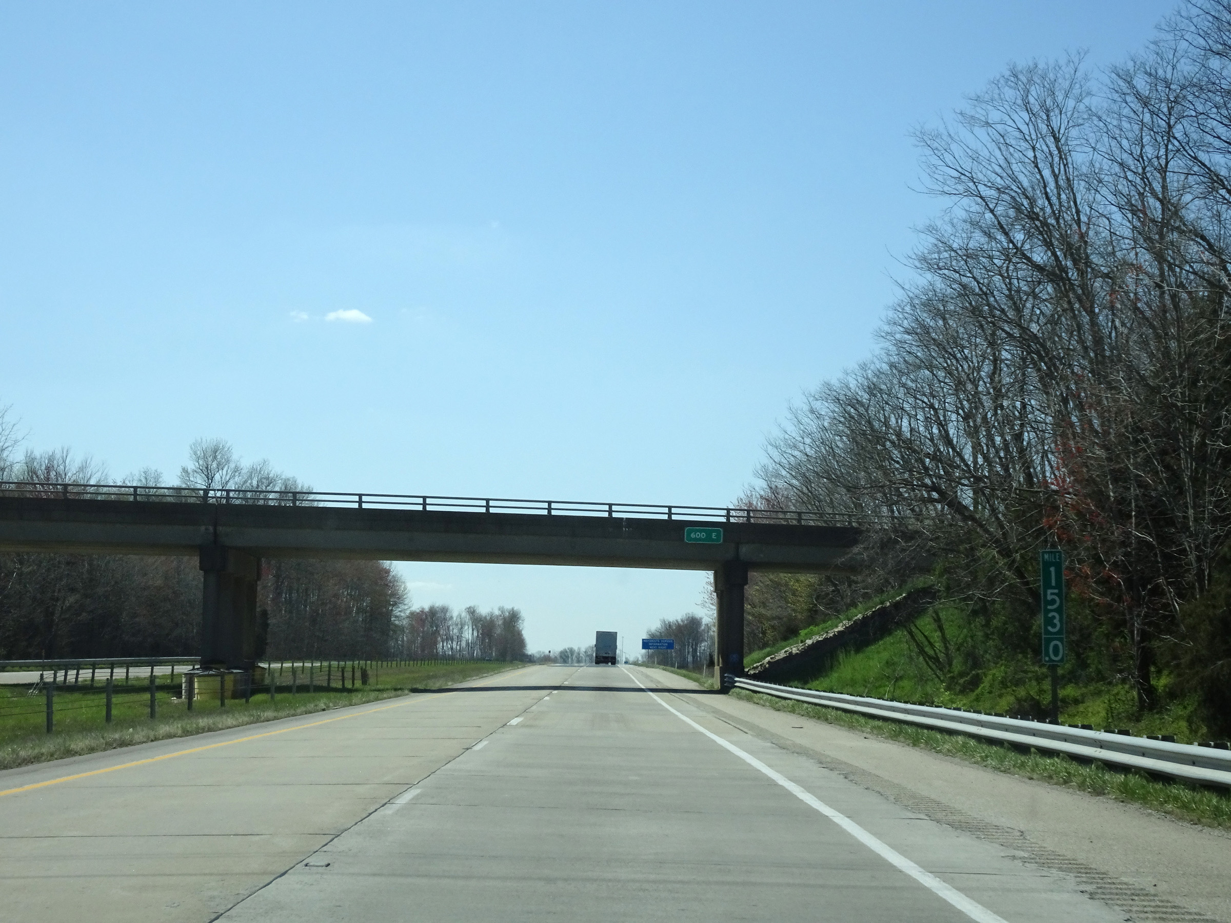 |
Interstate 74 West at mile marker 153. (Photo taken 4/16/16). |
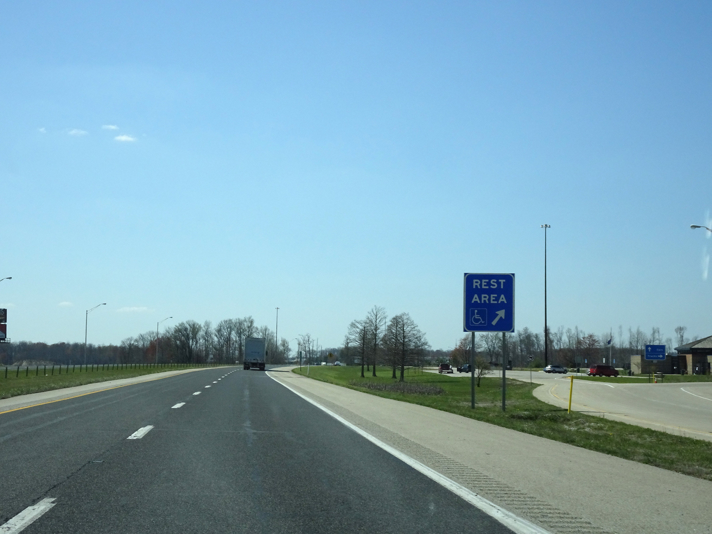 |
Rest Area on Interstate 74 West in Ripley County. (Photo taken 4/16/16). |
 |
Take Exit 149 to Ivy Tech State College. (Photo taken 4/16/16). |
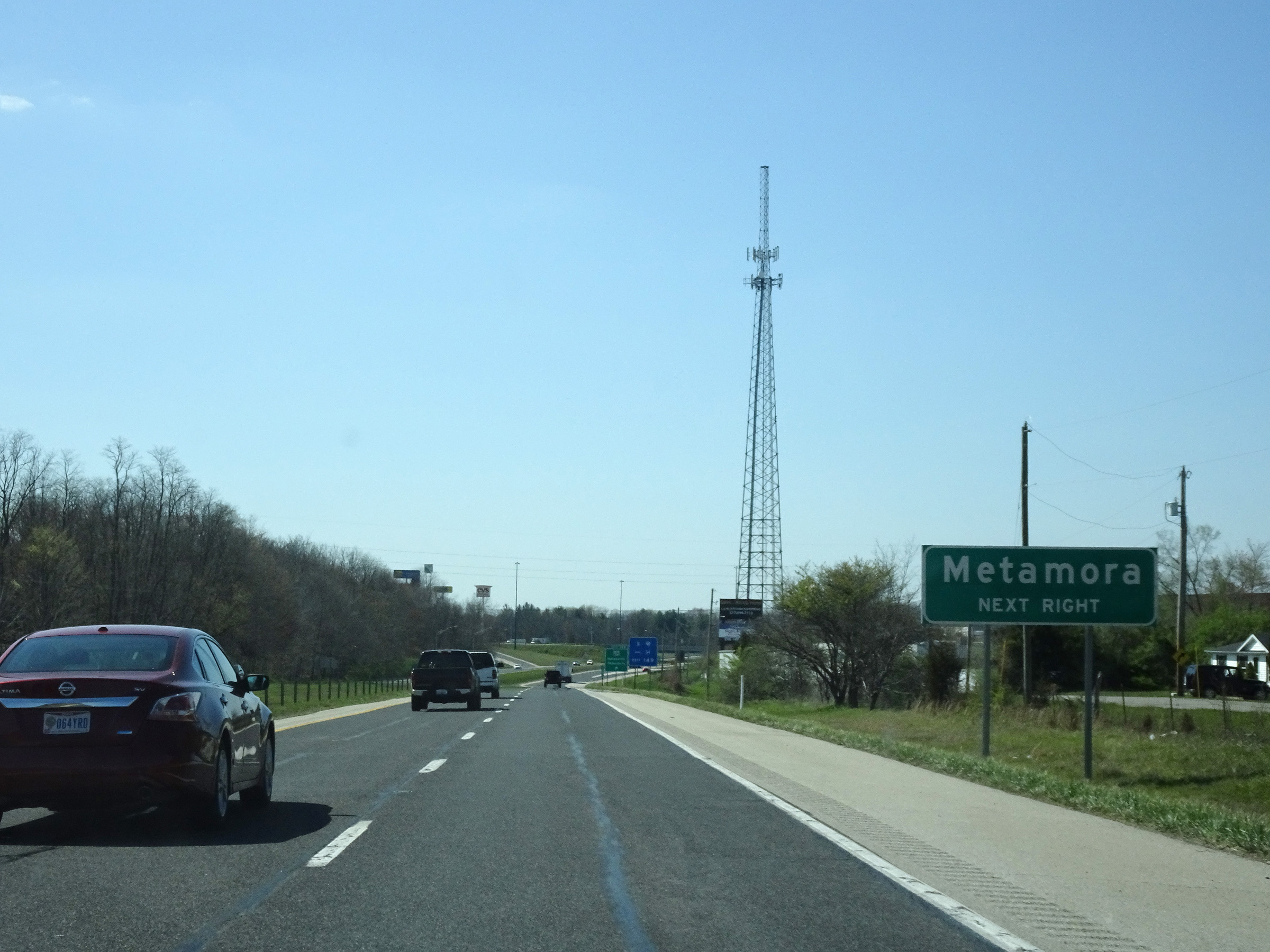 |
Also take Exit 149 to Metamora. (Photo taken 4/16/16). |
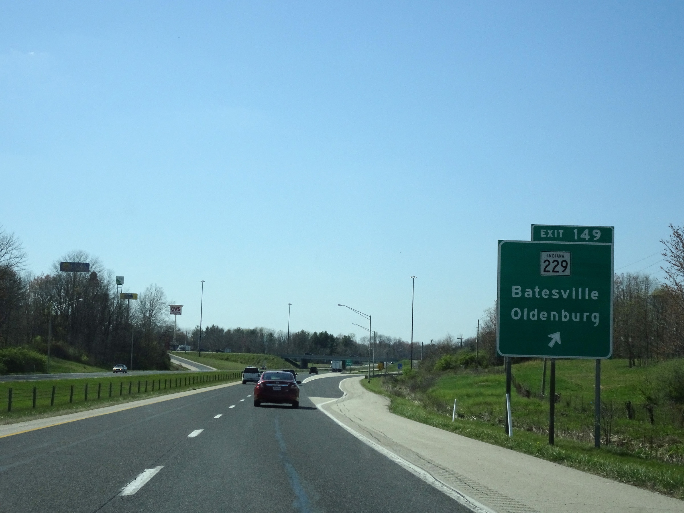 |
Interstate 74 West at Exit 149: IN 229 - Batesville / Oldenburg (Photo taken 4/16/16). |
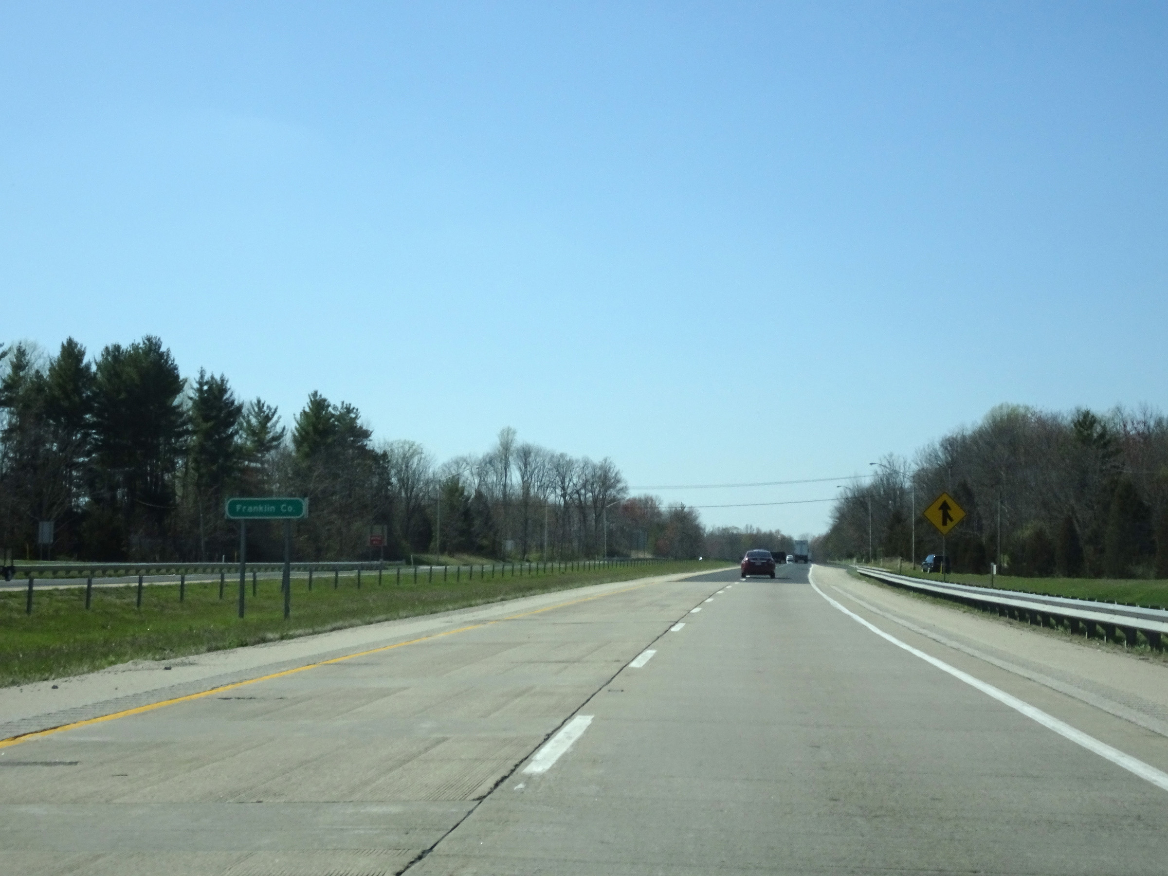 |
Entering Franklin County on Interstate 74 West. (Photo taken 4/16/16). |
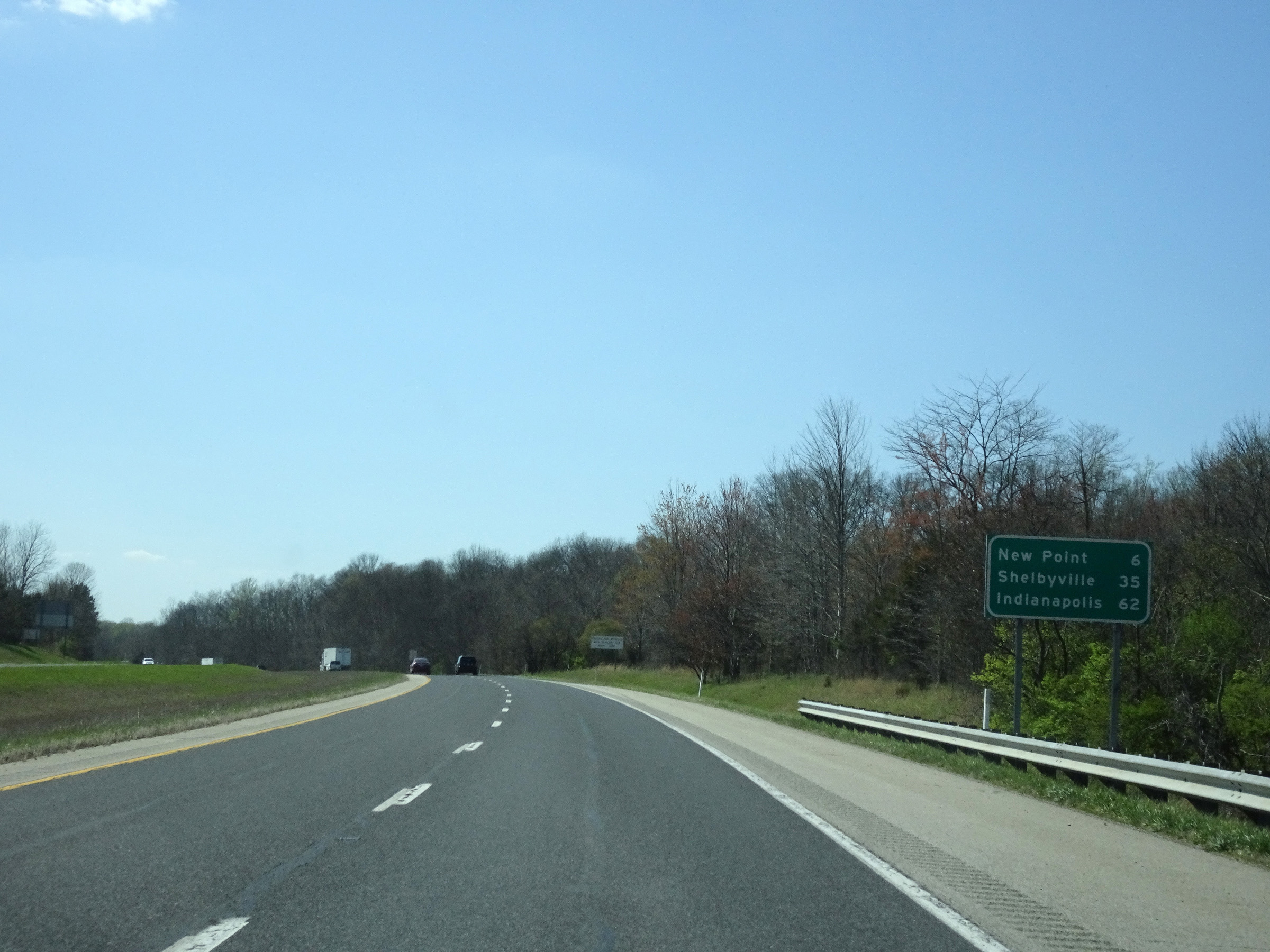 |
Another mileage sign on Interstate 74 West. It's 6 miles to New Point, 35 miles to Shelbyville, and 62 miles to Indianapolis. (Photo taken 4/16/16). |
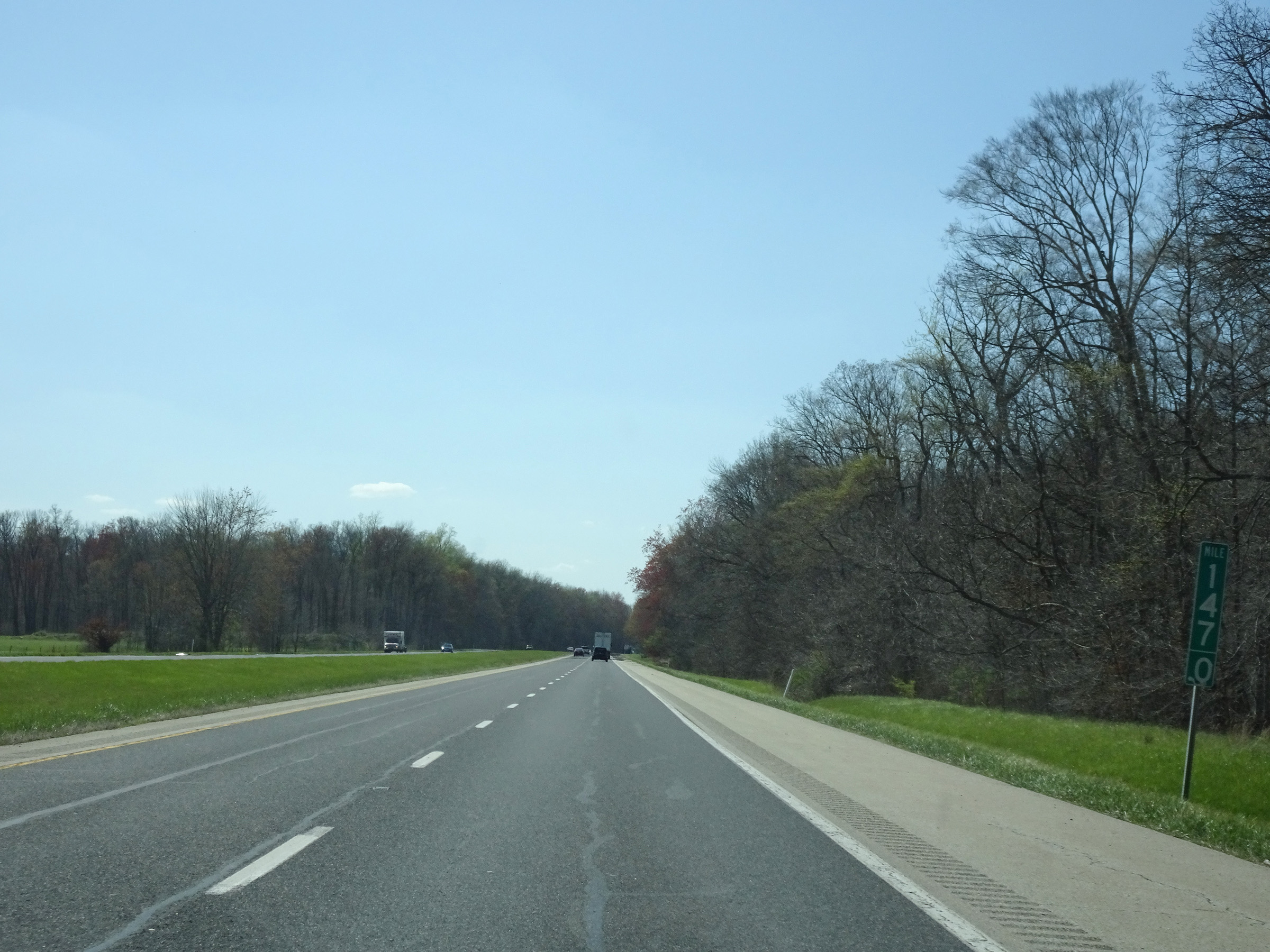 |
View on Interstate 74 West at mile marker 147. (Photo taken 4/16/16). |
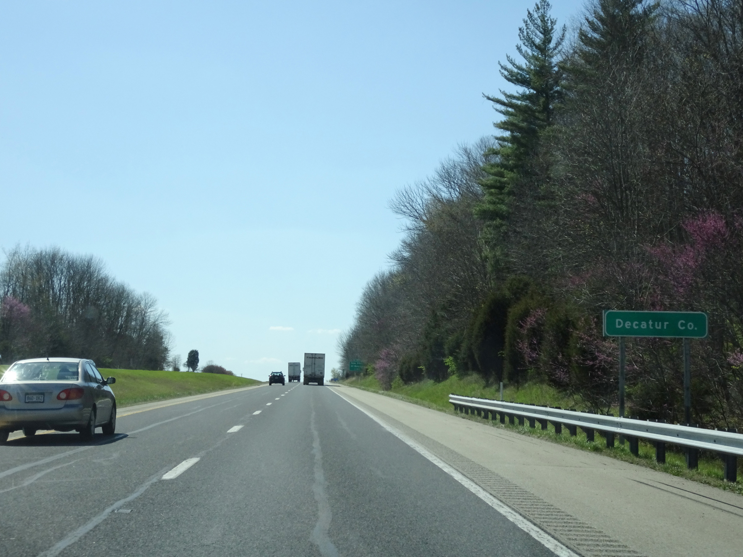 |
Interstate 74 West as it enters Decatur County. (Photo taken 4/16/16). |
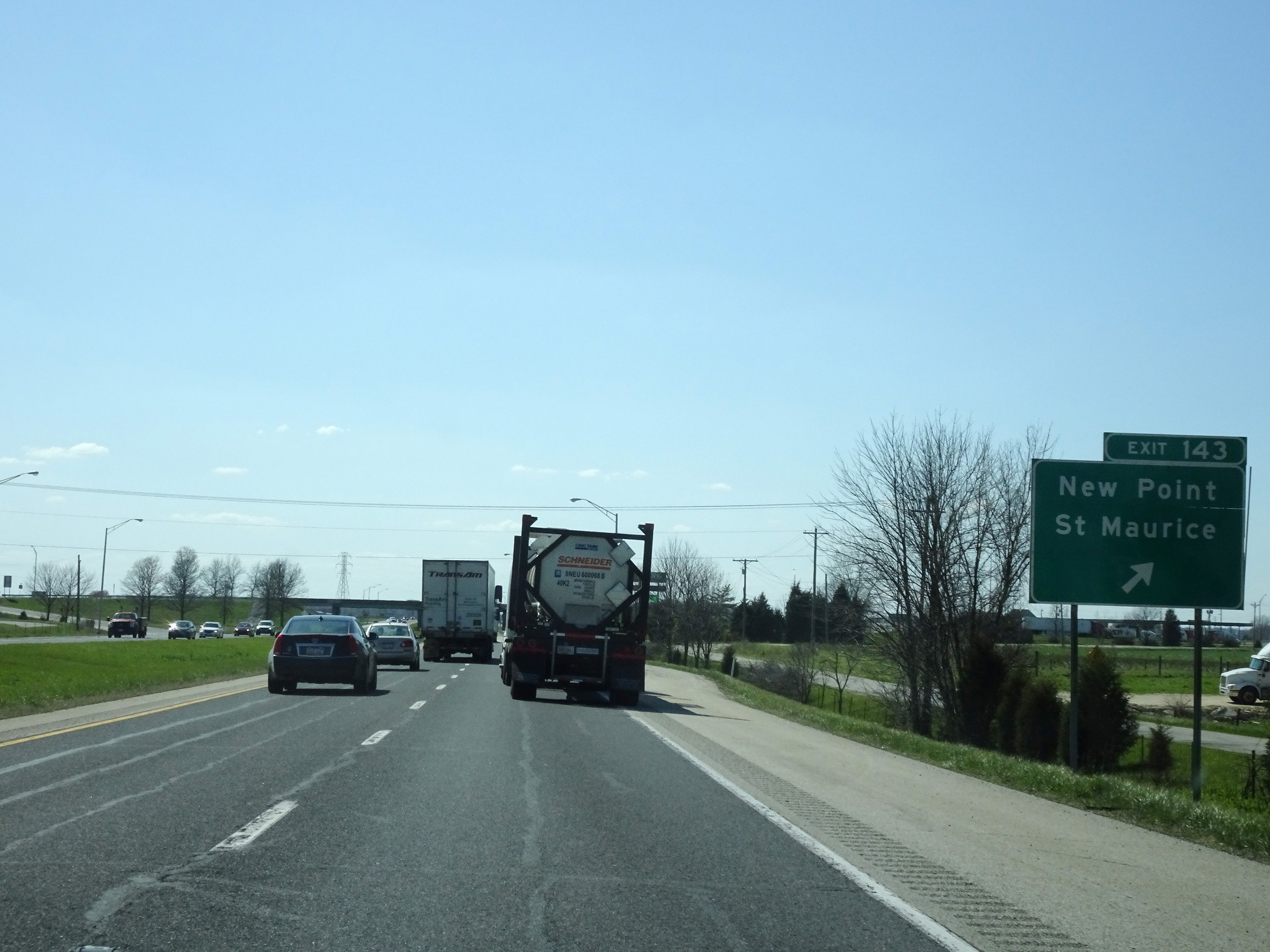 |
Interstate 74 West at Exit 143: New Point / St Maurice (Photo taken 4/16/16). |
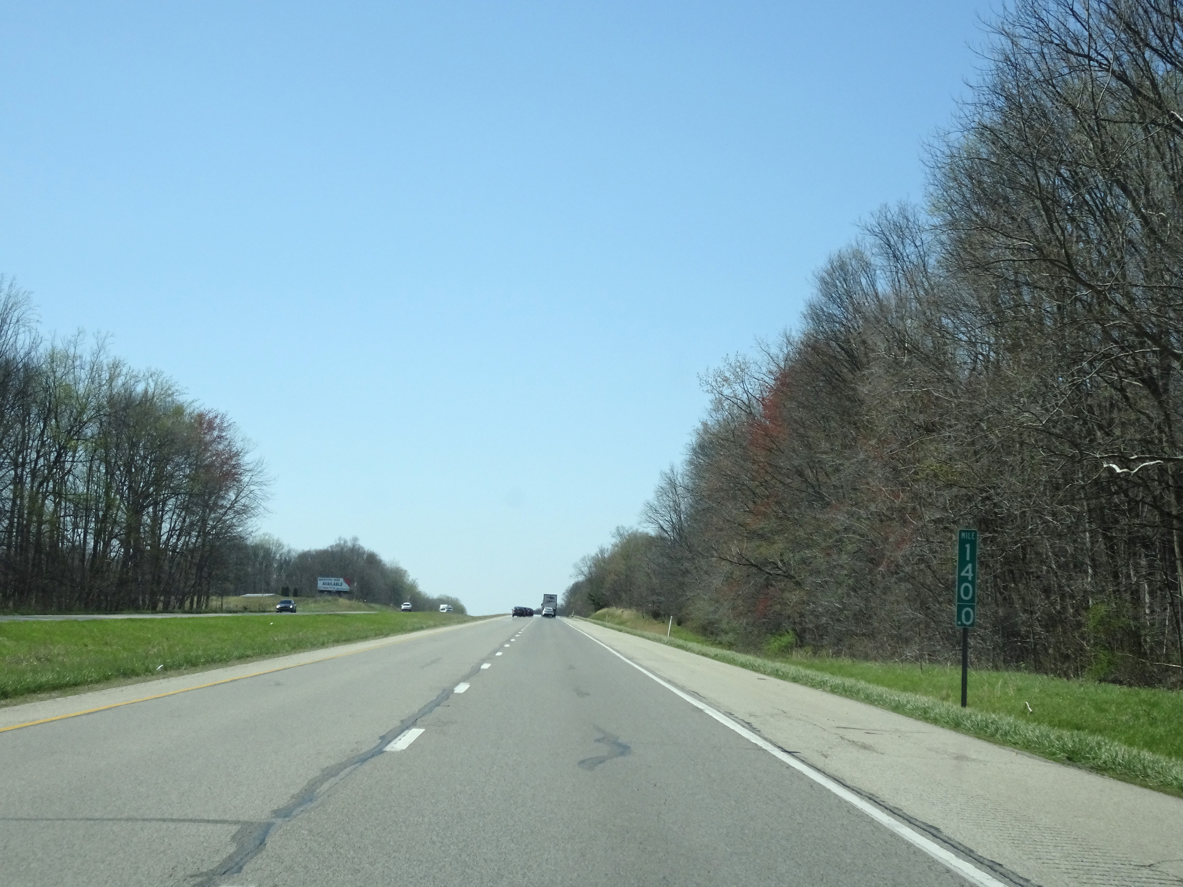 |
Mile marker 140 on Interstate 74 West in Decatur County. (Photo taken 4/16/16). |
 |
View on Interstate 74 West at mile marker 139. (Photo taken 4/16/16). |
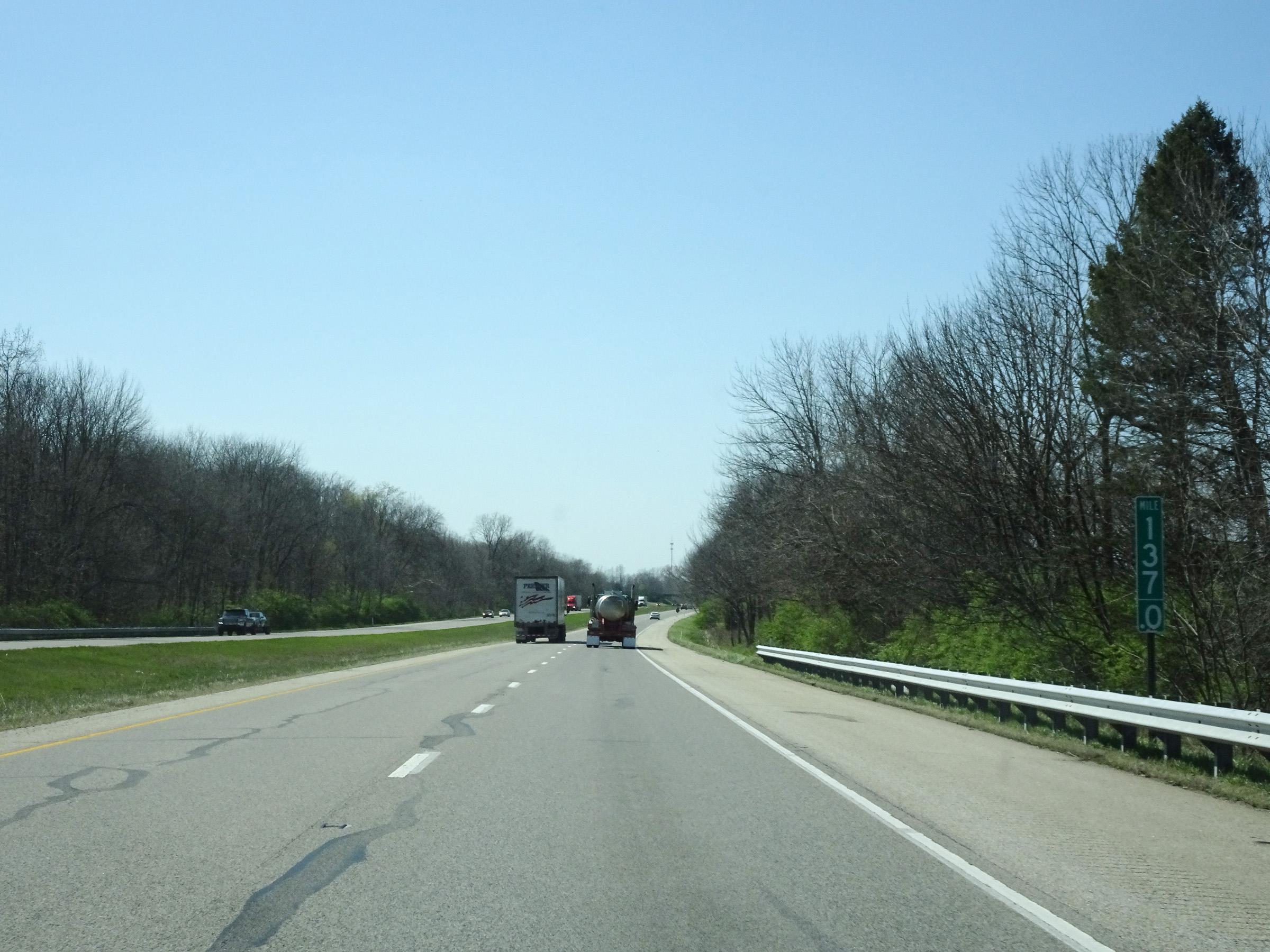 |
Interstate 74 West at mile marker 137. (Photo taken 4/16/16). |
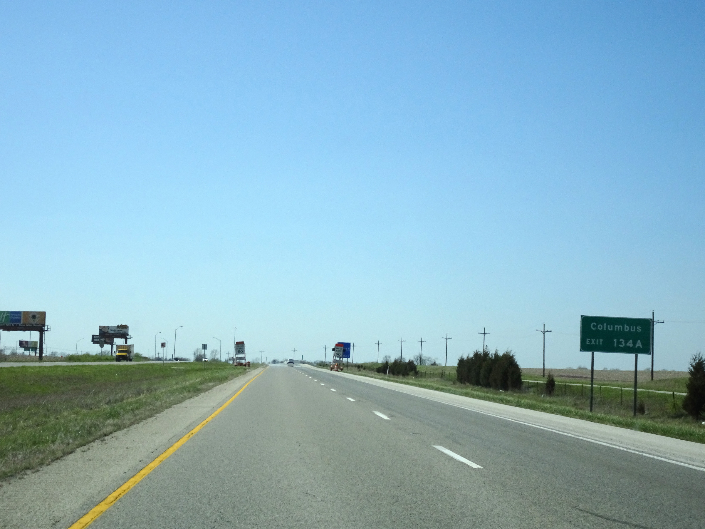 |
Take Exit 134A to Columbus. (Photo taken 4/16/16). |
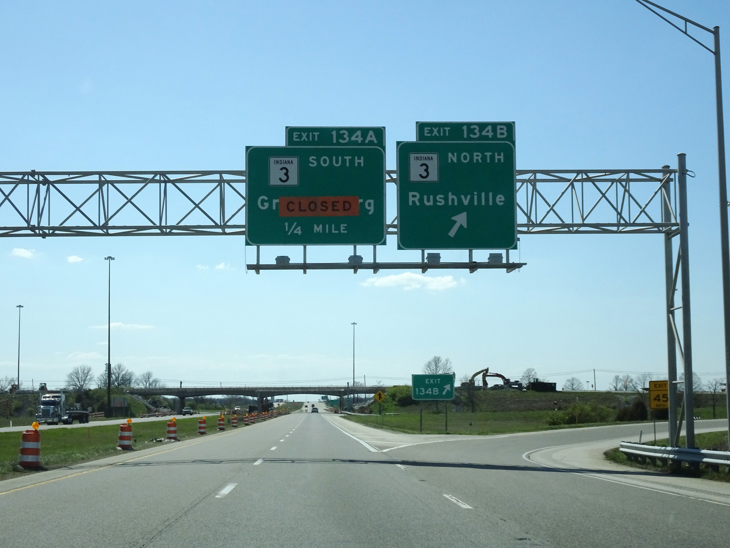 |
Interstate 74 West at Exit 134B: IN 3 North - Rushville (Photo taken 4/16/16). |
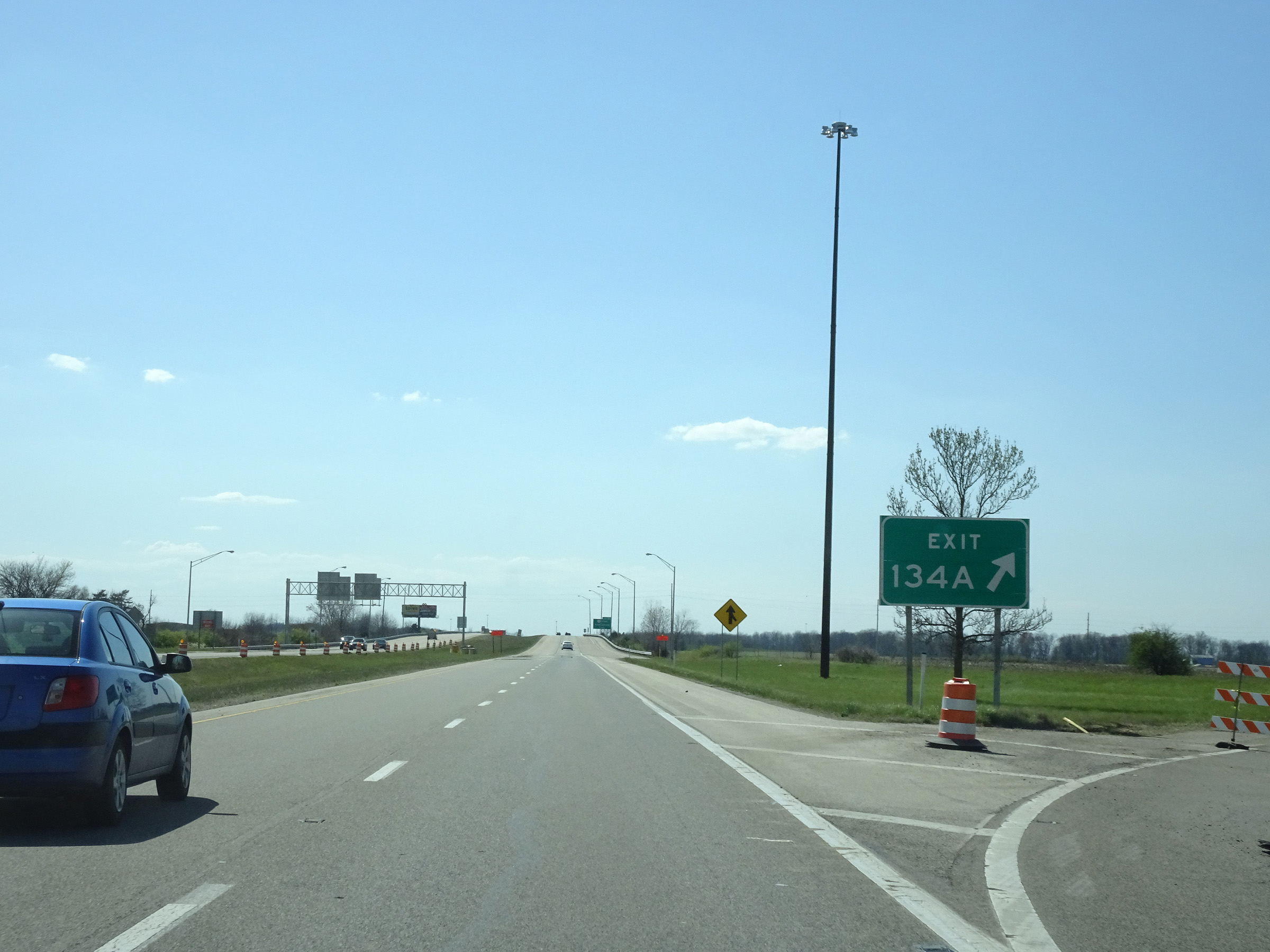 |
Interstate 74 West at Exit 134A: IN 3 South - Greensburg (Photo taken 4/16/16). |
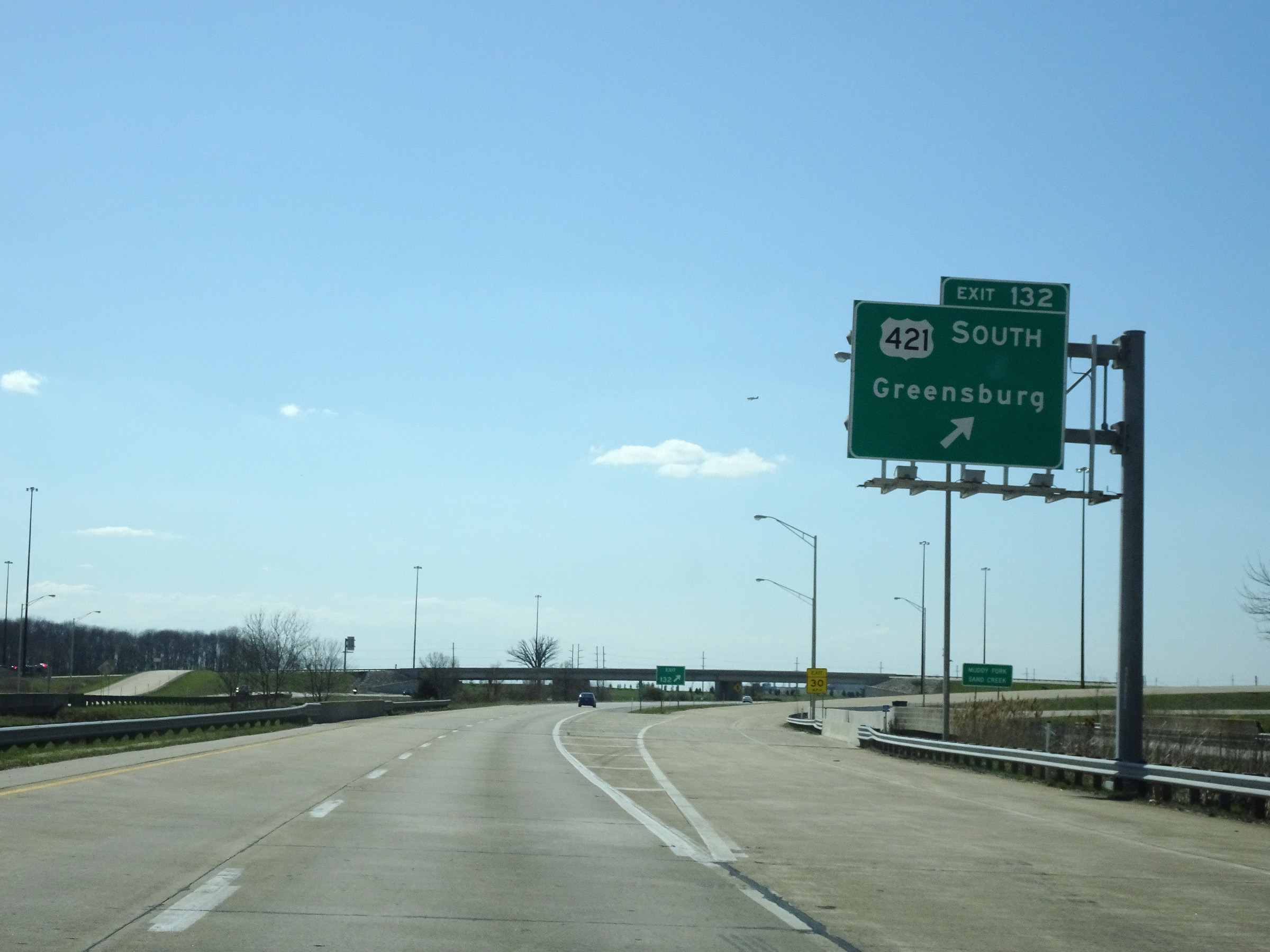 |
Interstate 74 West at Exit 132: US 421 South - Greensburg (Photo taken 4/16/16). |
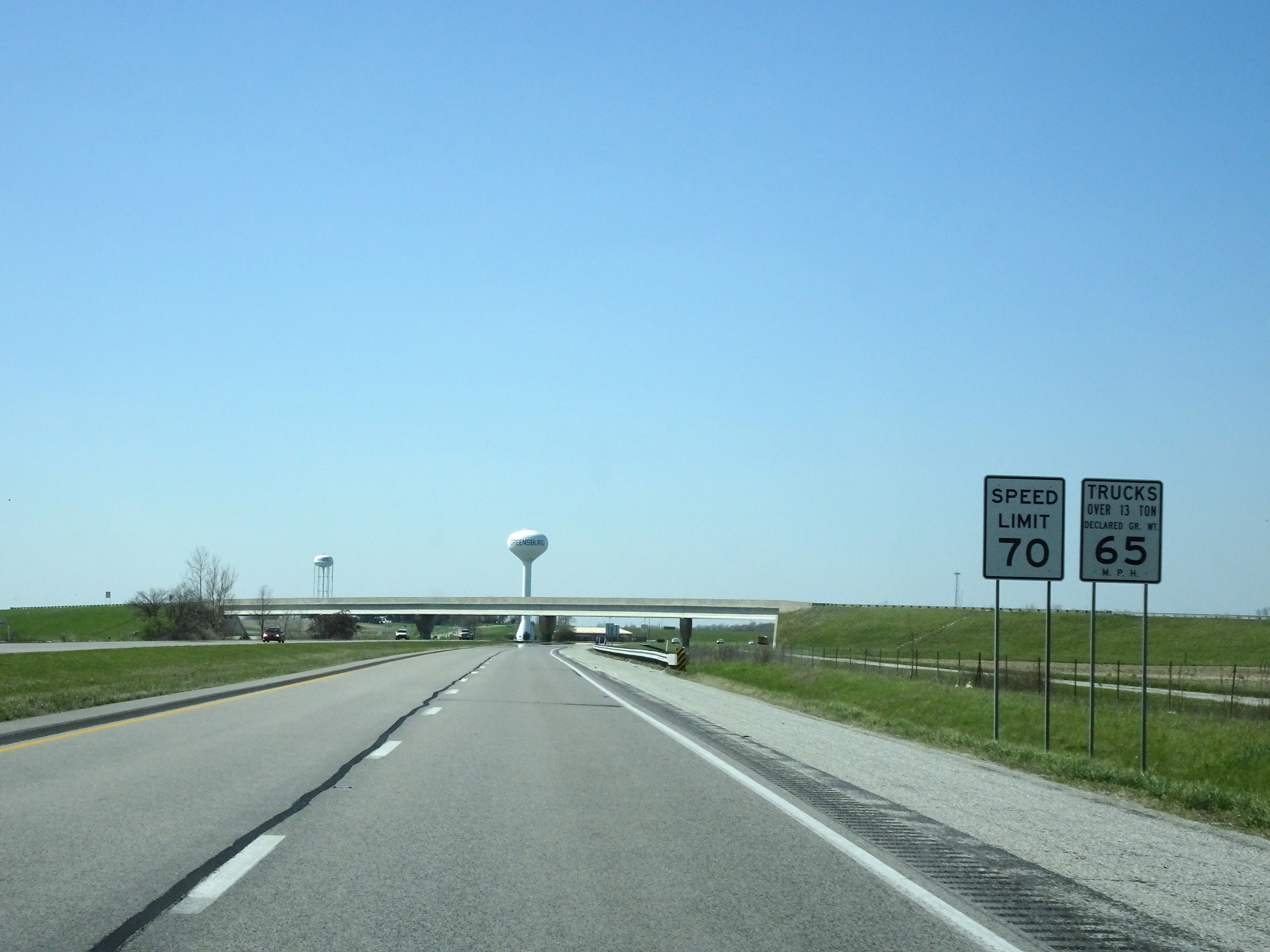 |
The speed limits remain 70 mph for automobiles and 65 mph for trucks. (Photo taken 4/16/16). |
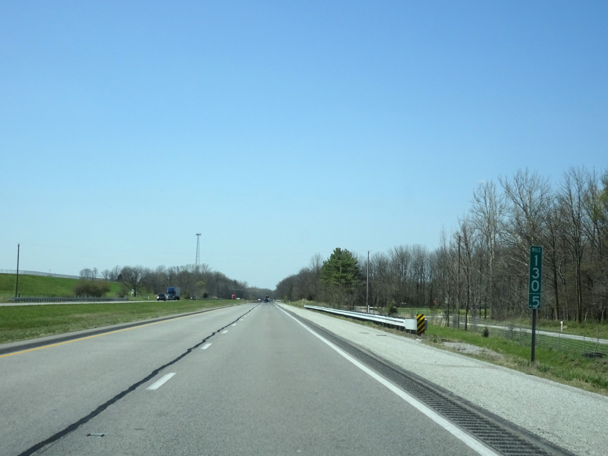 |
View on Interstate 74 West at mile marker 130.5. (Photo taken 4/16/16). |
 |
Interstate 74 West at mile marker 129. (Photo taken 4/16/16). |
 |
Mile marker 126 on Interstate 74 West in Decatur County. (Photo taken 4/16/16). |
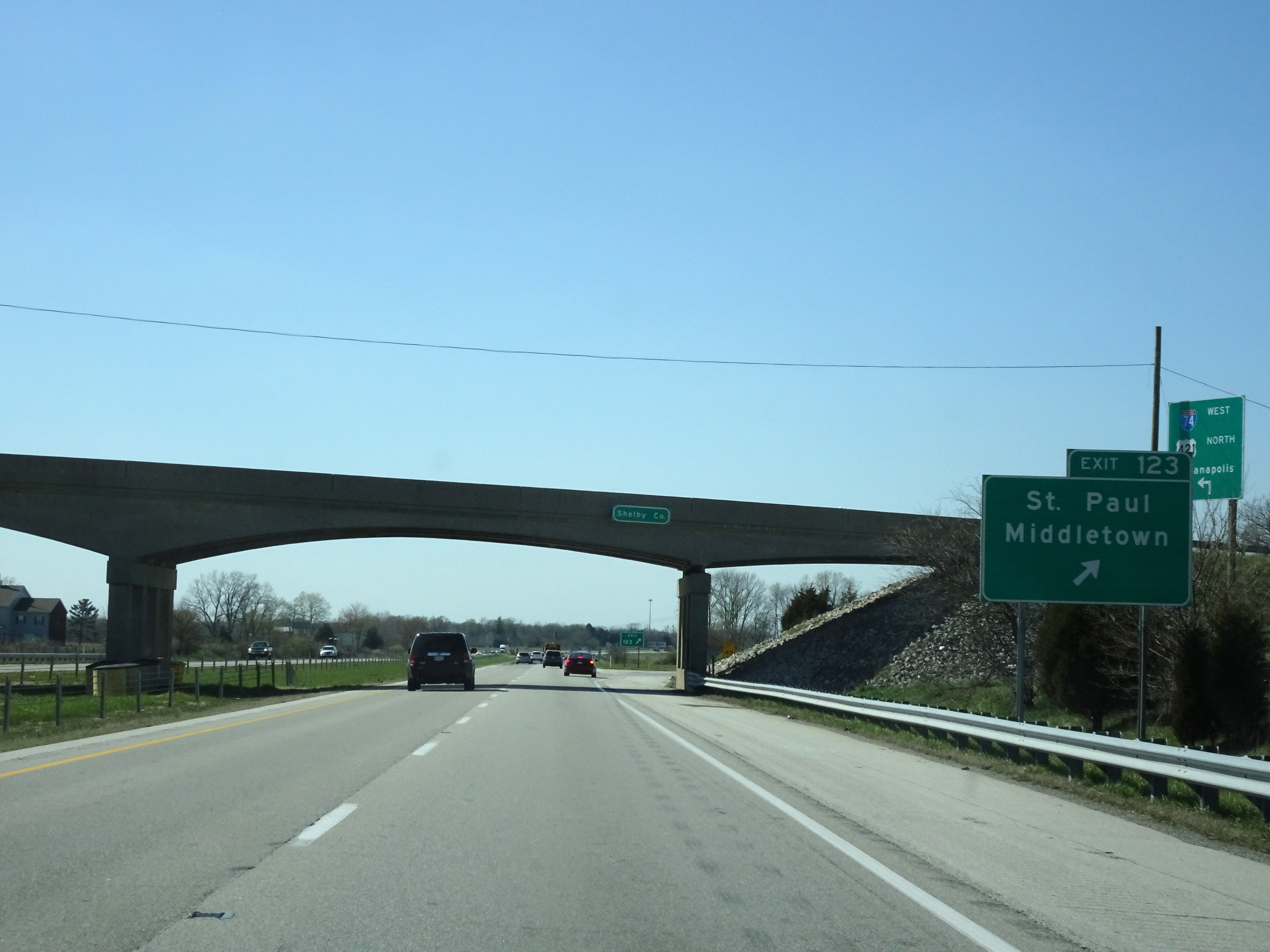 |
Interstate 74 West at Exit 123: St. Paul / Middletown (Photo taken 4/16/16). |
 |
View on Interstate 74 West at mile marker 121. (Photo taken 4/16/16). |
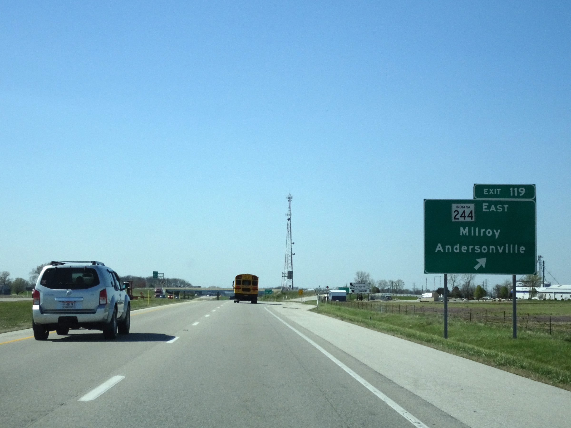 |
Interstate 74 West at Exit 119: IN 244 East - Milroy / Andersonville (Photo taken 4/16/16). |
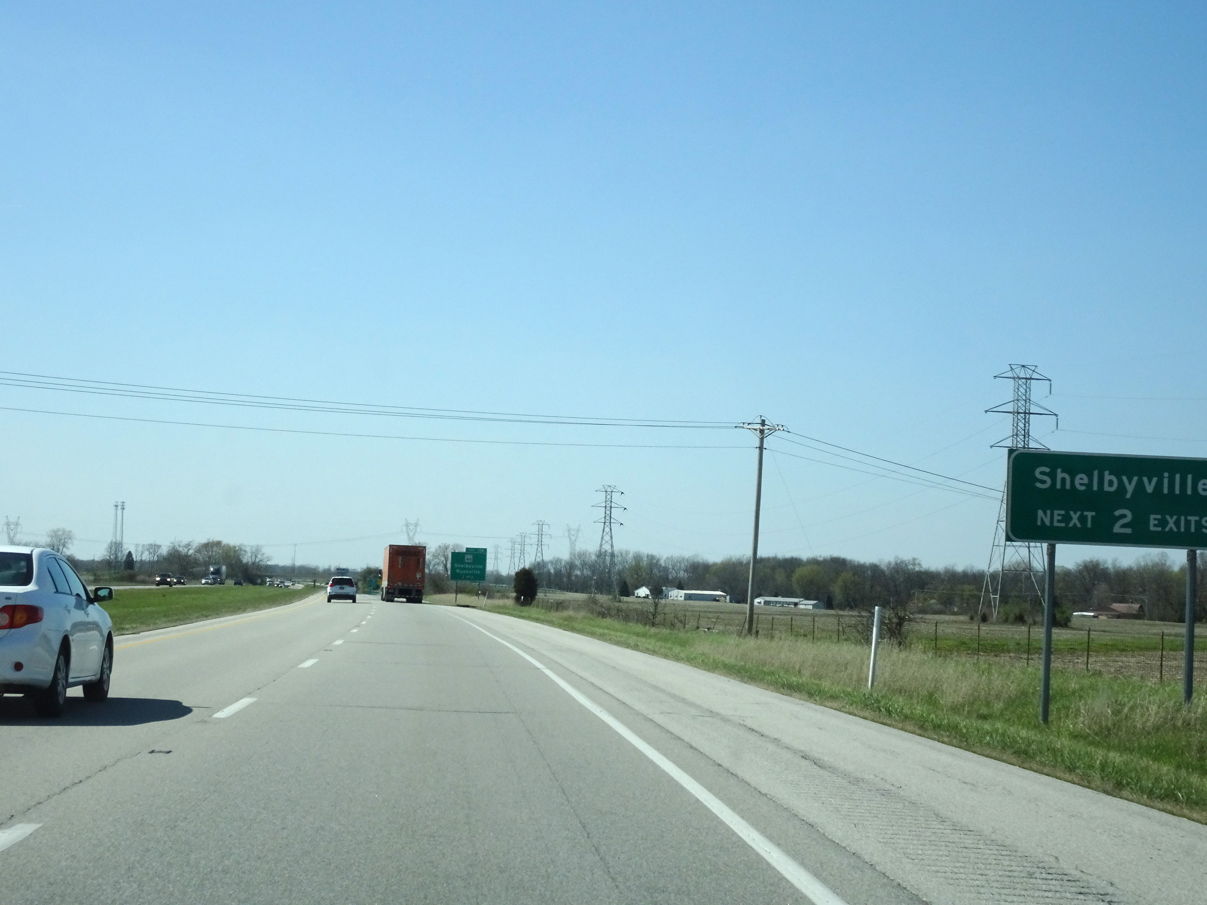 |
Take either of the next 2 exits to Shelbyville. (Photo taken 4/16/16). |
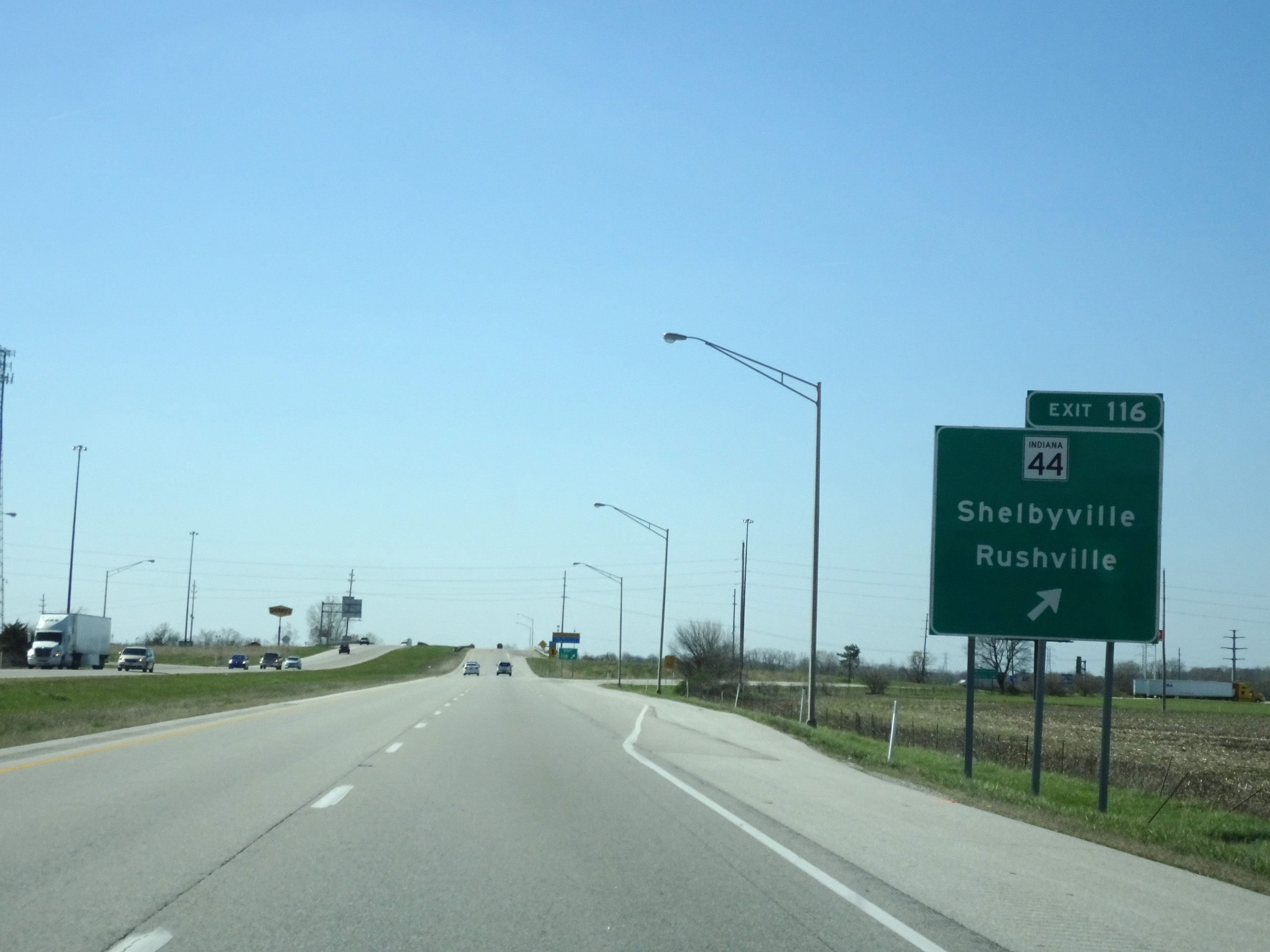 |
Interstate 74 West at Exit 116: IN 44 - Shelbyville / Rushville (Photo taken 4/16/16). |
 |
Mile marker 115 on Interstate 74 West in Shelby County. (Photo taken 4/16/16). |
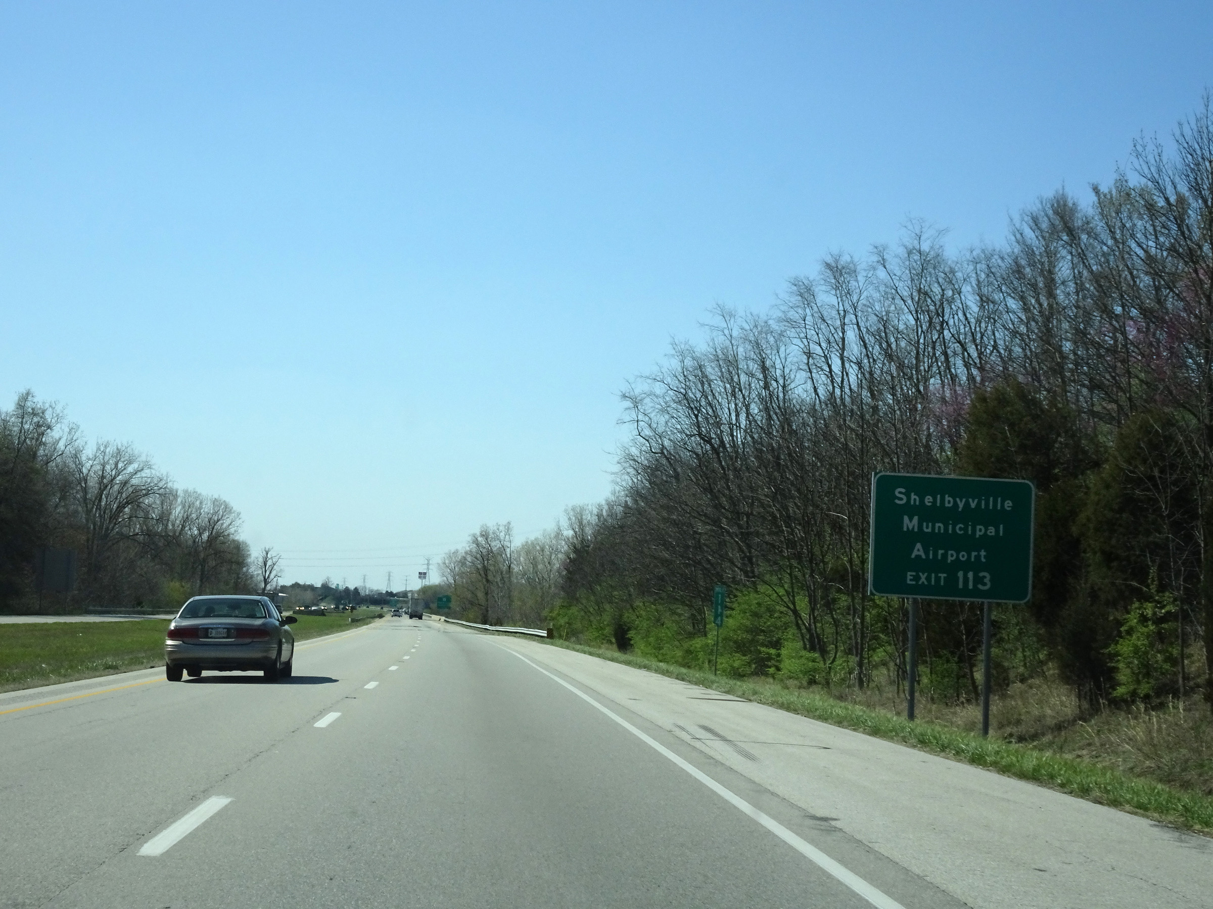 |
Take Exit 113 to Shelbyville Municipal Airport. (Photo taken 4/16/16). |
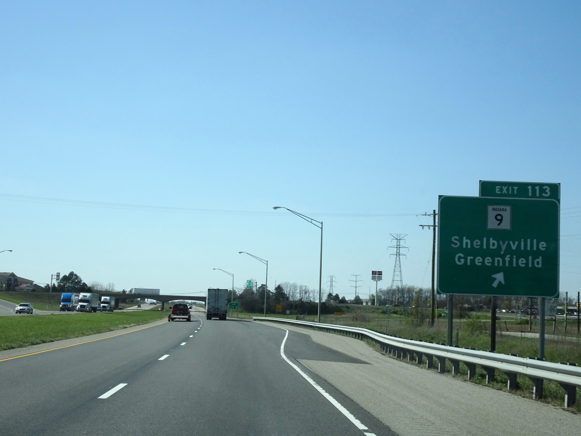 |
Interstate 74 West at Exit 113: IN 9 - Shelbyville / Greenfield (Photo taken 4/16/16). |
Section 2: Shelbyville (Exit 113) to Indianapolis (Exit 14)
 |
Interstate 74 West reassurance shield. (Photo taken 4/17/16). |
 |
View on Interstate 74 West at mile marker 111. (Photo taken 4/17/16). |
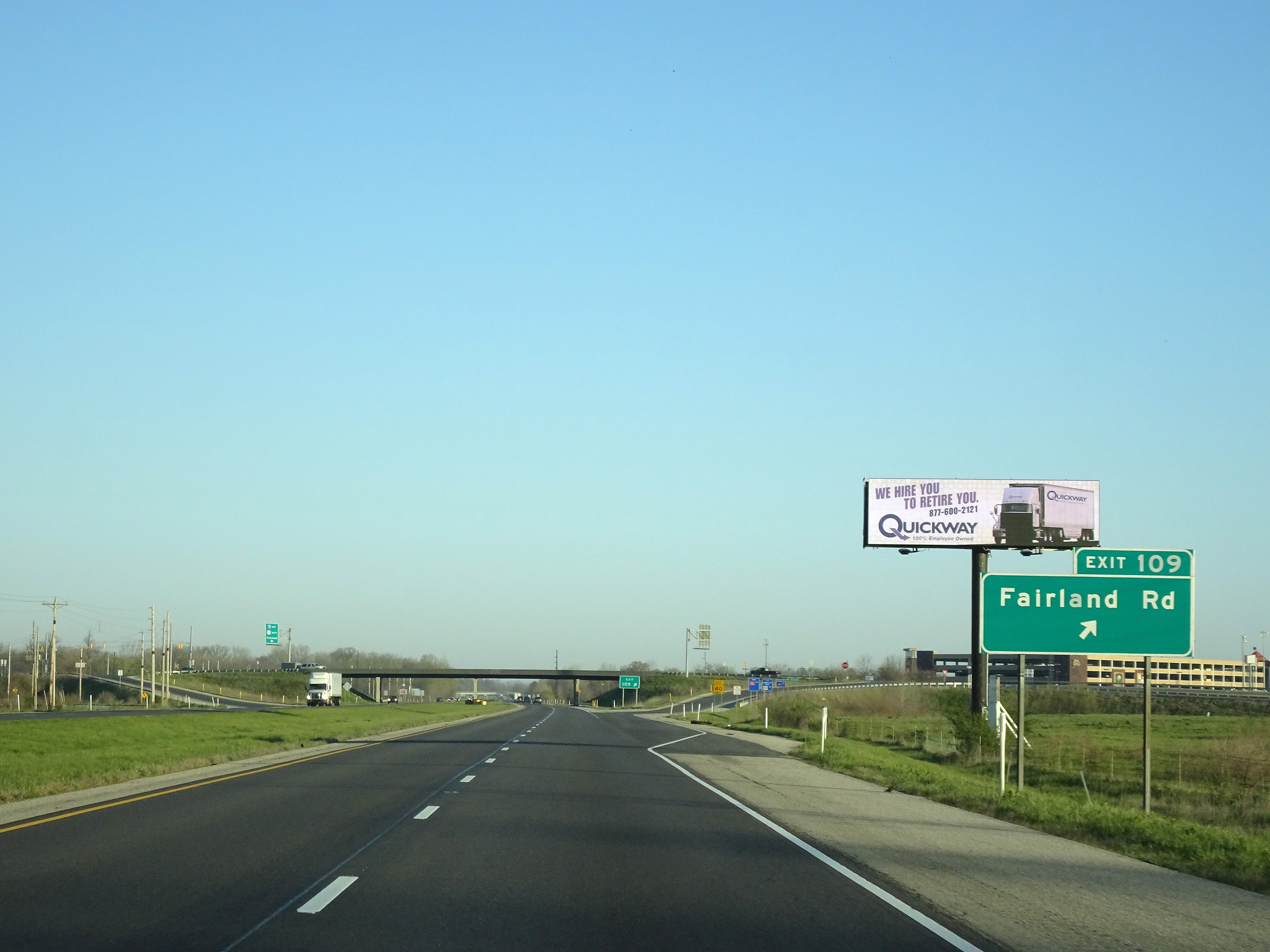 |
Interstate 74 West at Exit 109: Fairland Rd (Photo taken 4/17/16). |
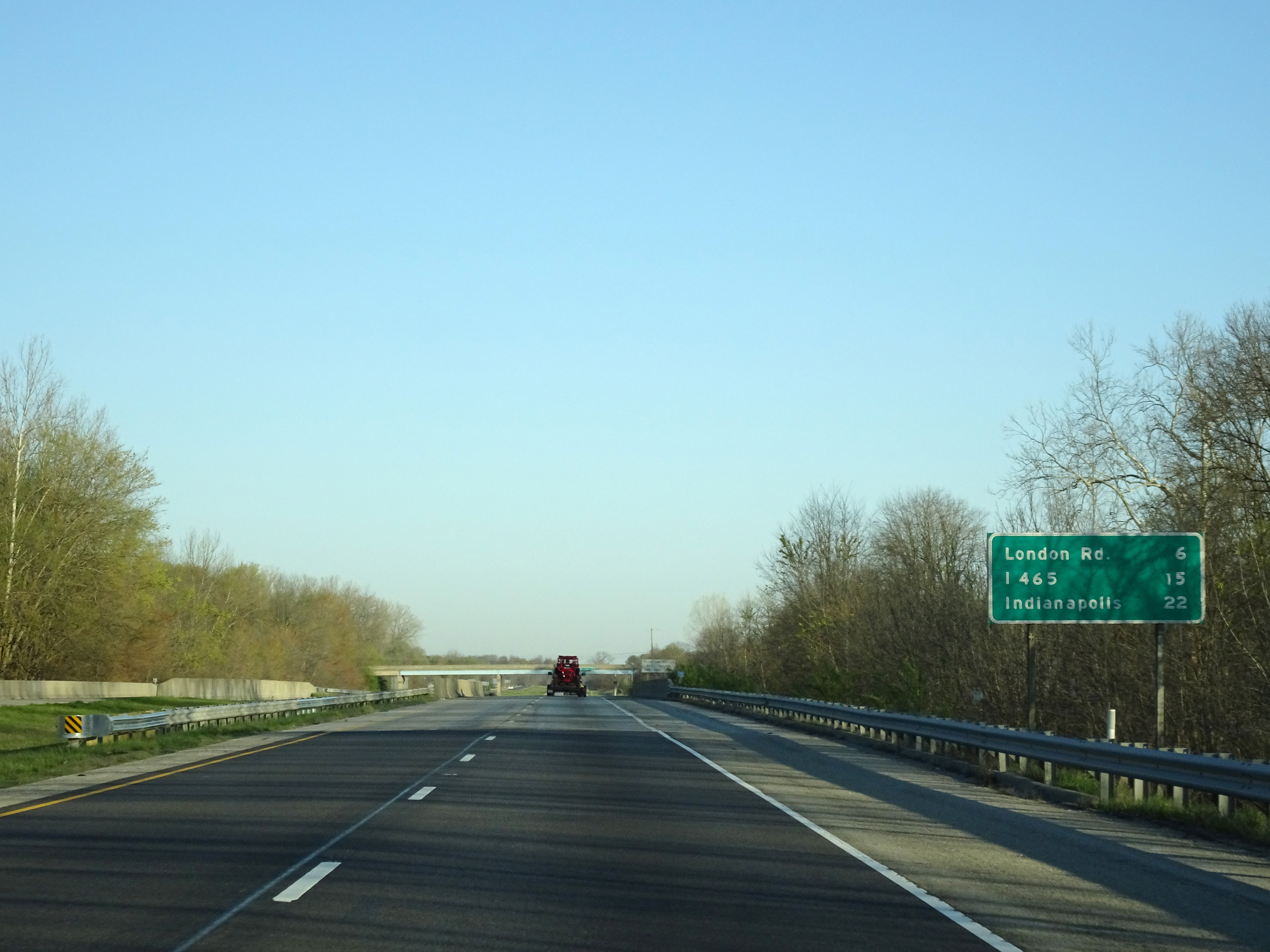 |
Another mileage sign on Interstate 74 West. It's 6 miles to the junction of London Rd, 15 miles to the junction of Interstate 465, and 22 miles to Indianapolis. (Photo taken 4/17/16). |
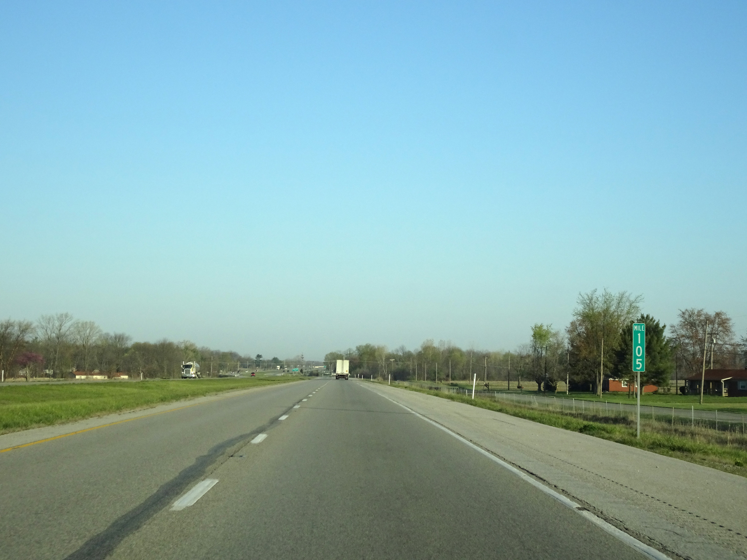 |
View on Interstate 74 West at mile marker 105. (Photo taken 4/17/16). |
 |
Take Exit 103 to Boggstown. (Photo taken 4/17/16). |
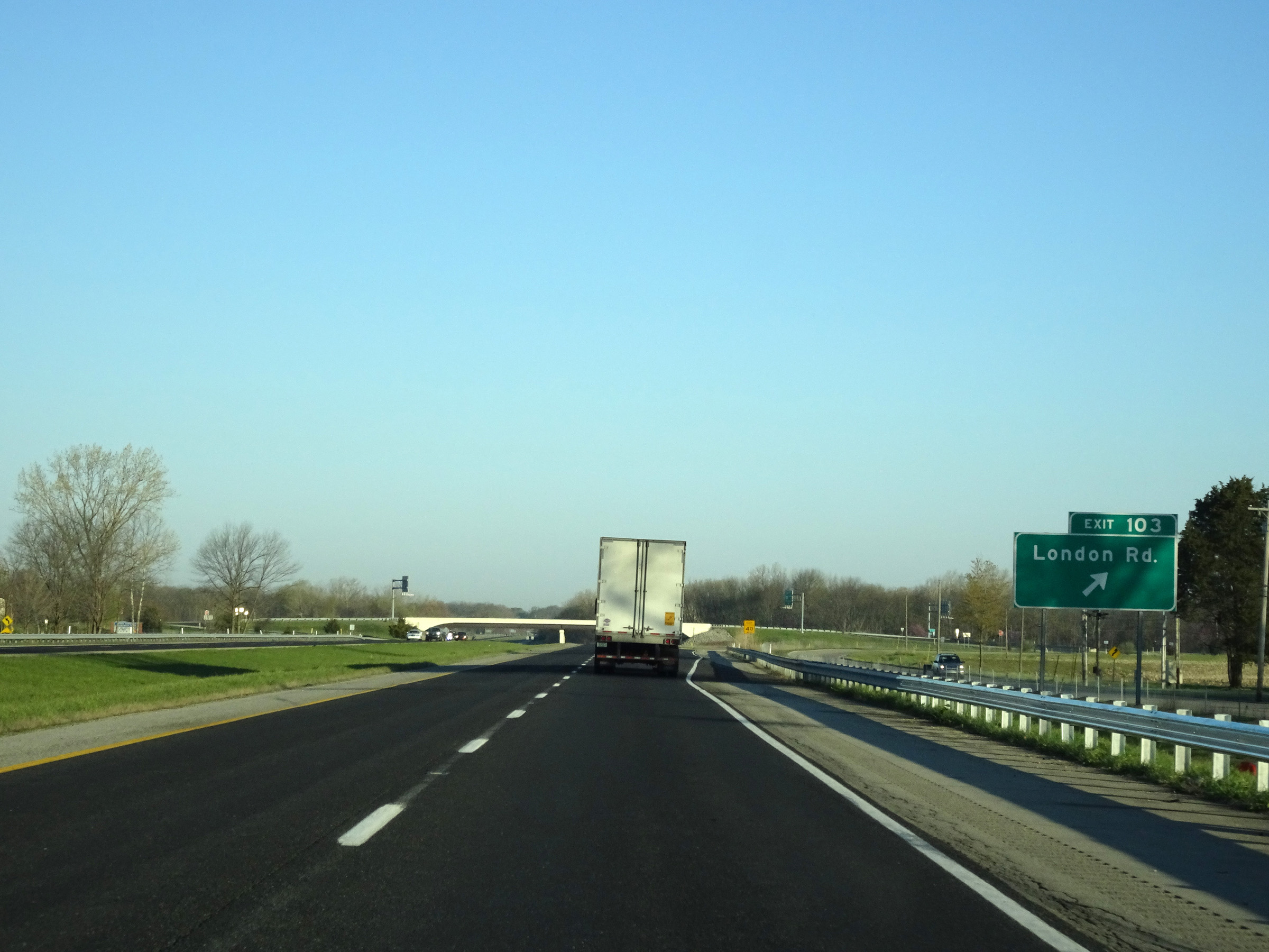 |
Interstate 74 West at Exit 103: London Rd (Photo taken 4/17/16). |
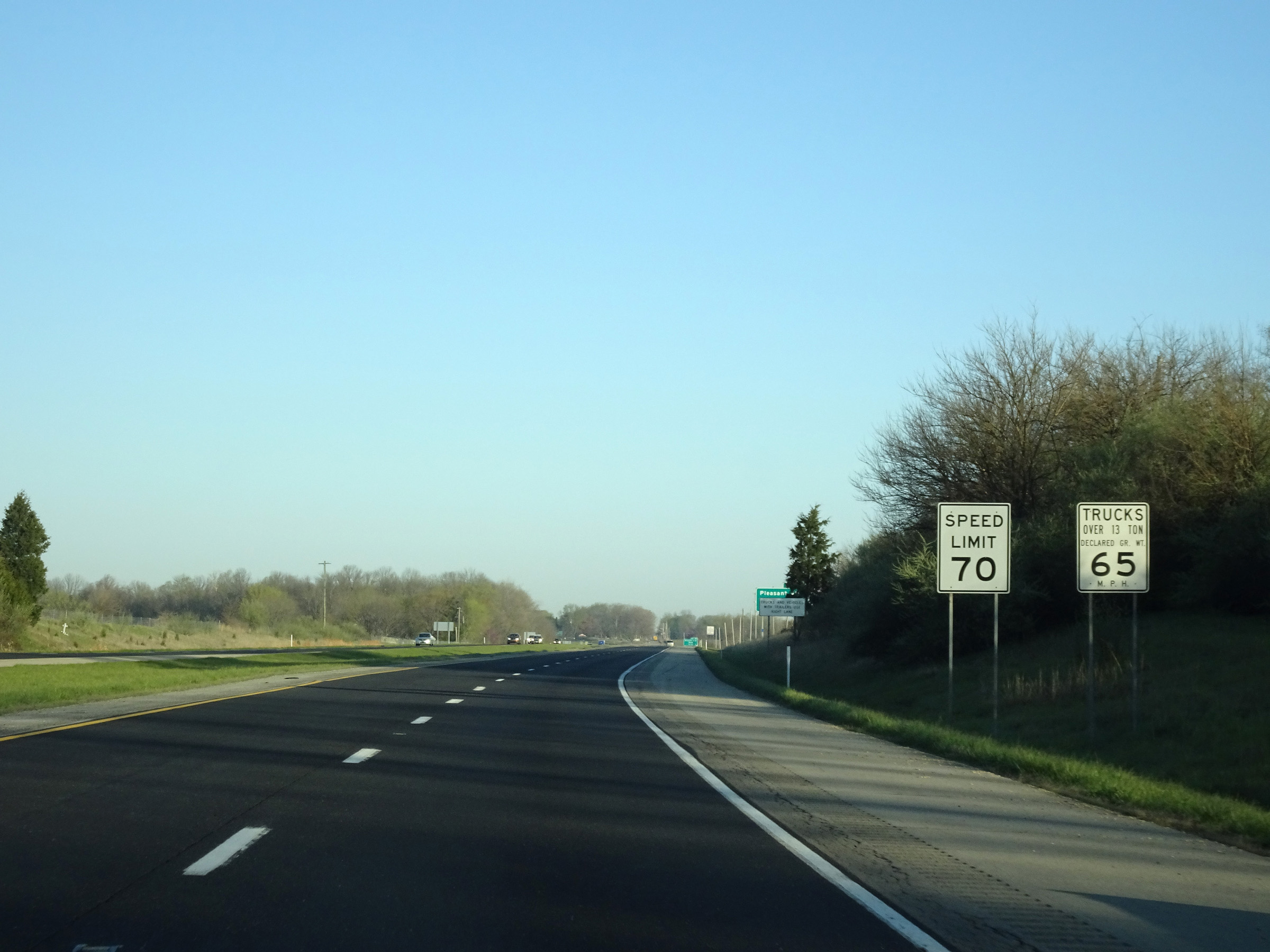 |
The speed limits remain the rural standard 70 mph for automobiles and 65 mph for trucks. (Photo taken 4/17/16). |
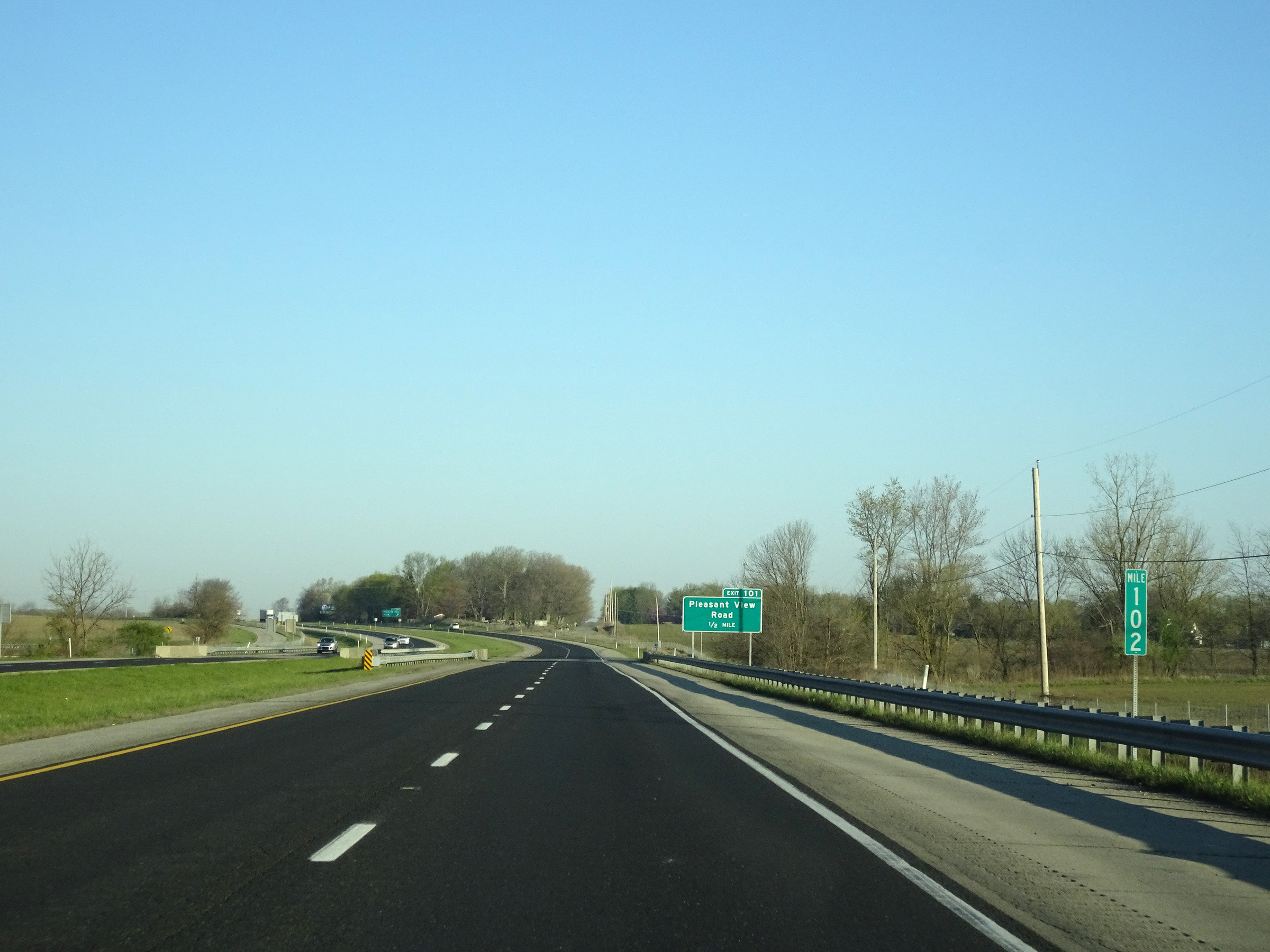 |
View on Interstate 74 West at mile marker 102. (Photo taken 4/17/16). |
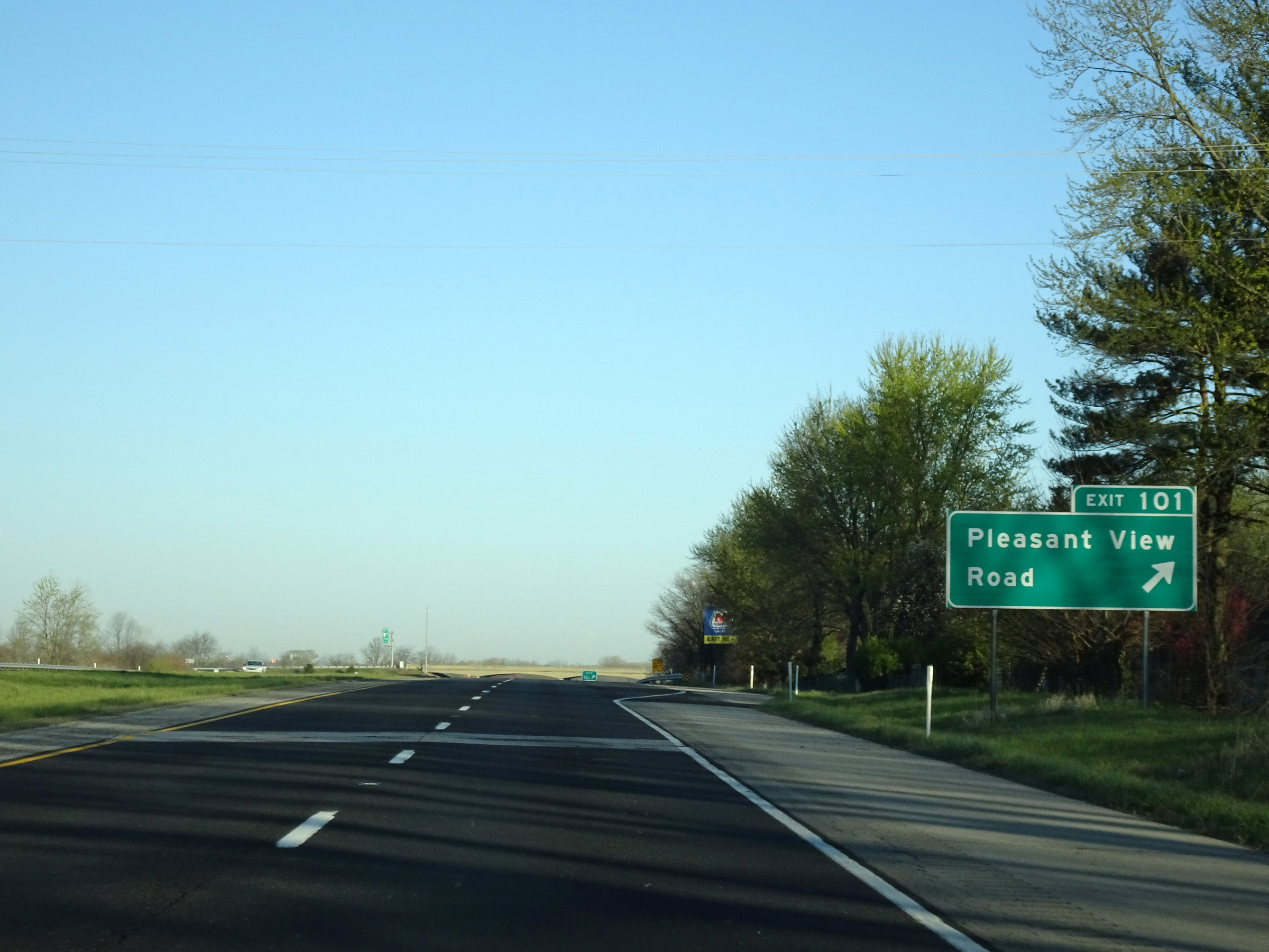 |
Interstate 74 West at Exit 101: Pleasant View Road (Photo taken 4/17/16). |
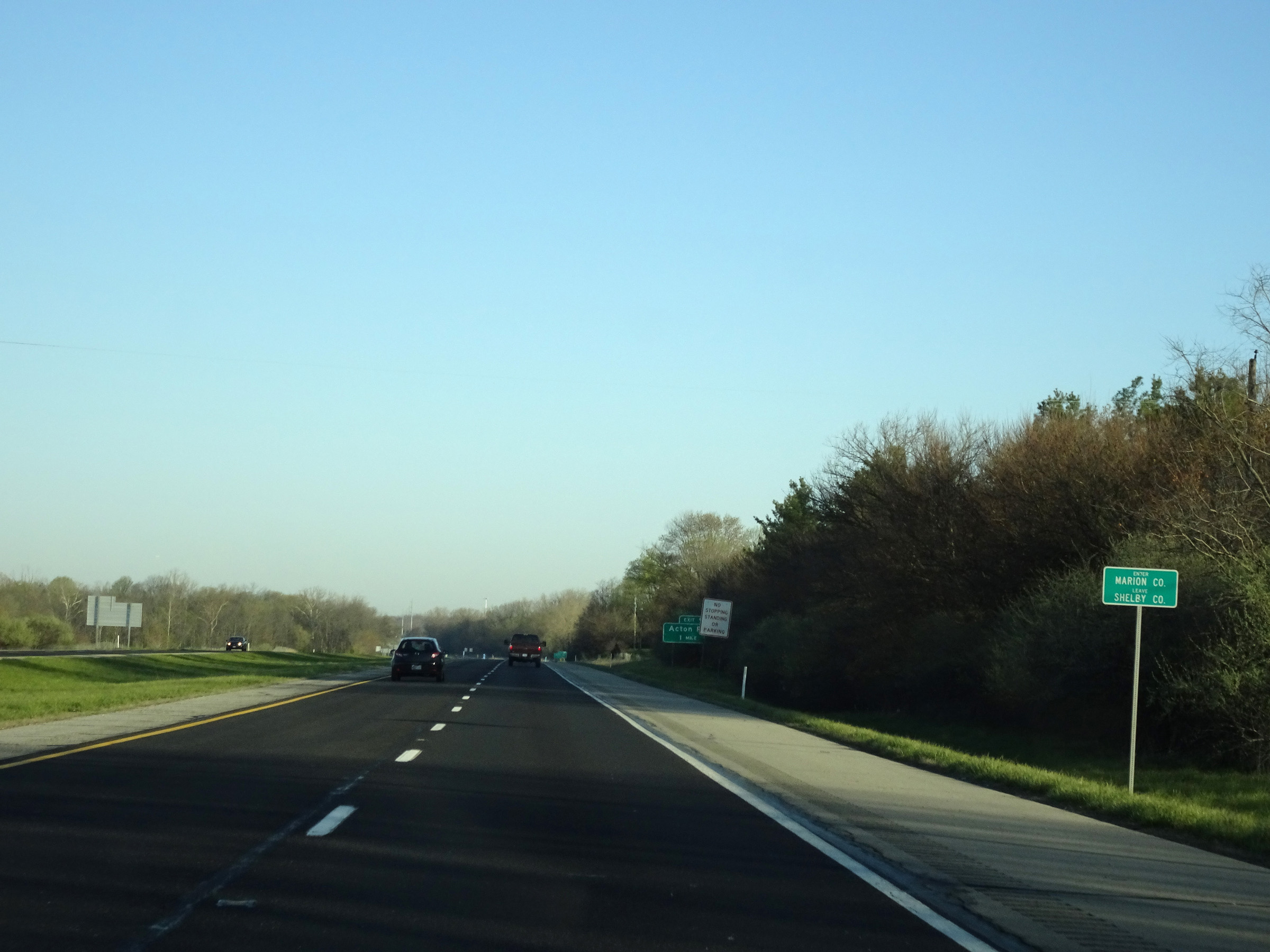 |
Interstate 74 West as it enters Marion County. (Photo taken 4/17/16). |
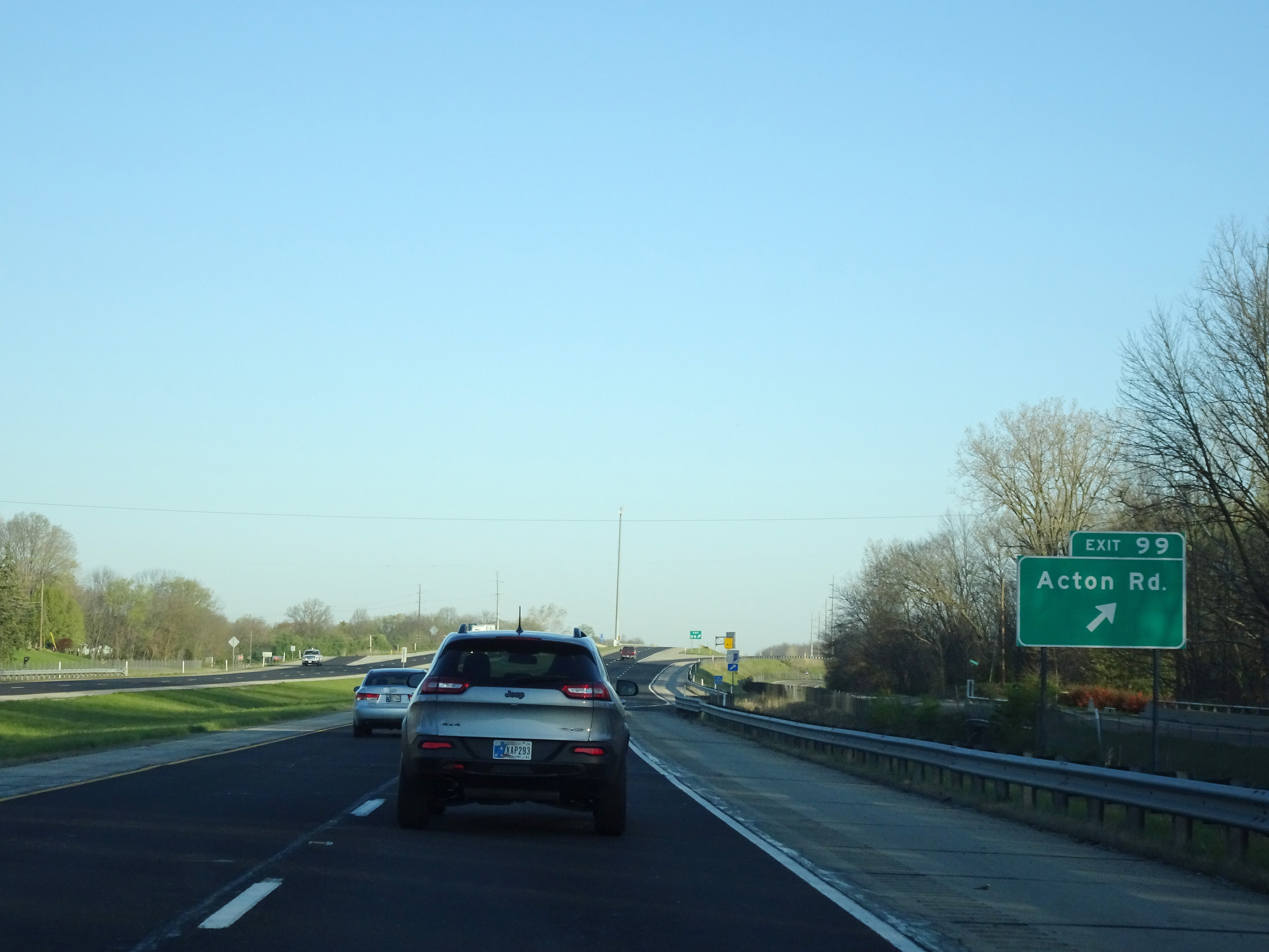 |
Interstate 74 West at Exit 99: Acton Rd (Photo taken 4/17/16). |
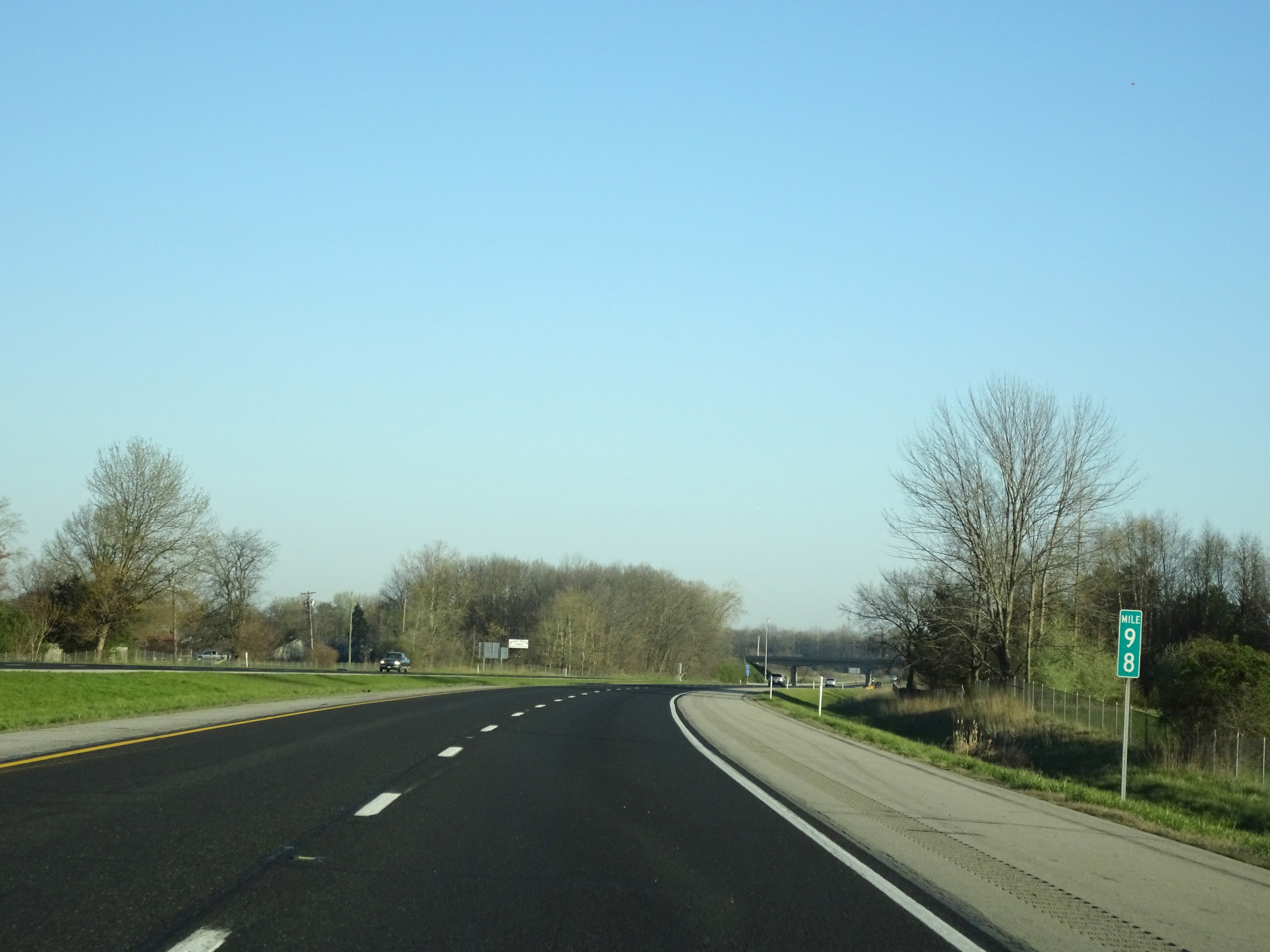 |
Mile marker 98 on Interstate 74 West in Marion County. (Photo taken 4/17/16). |
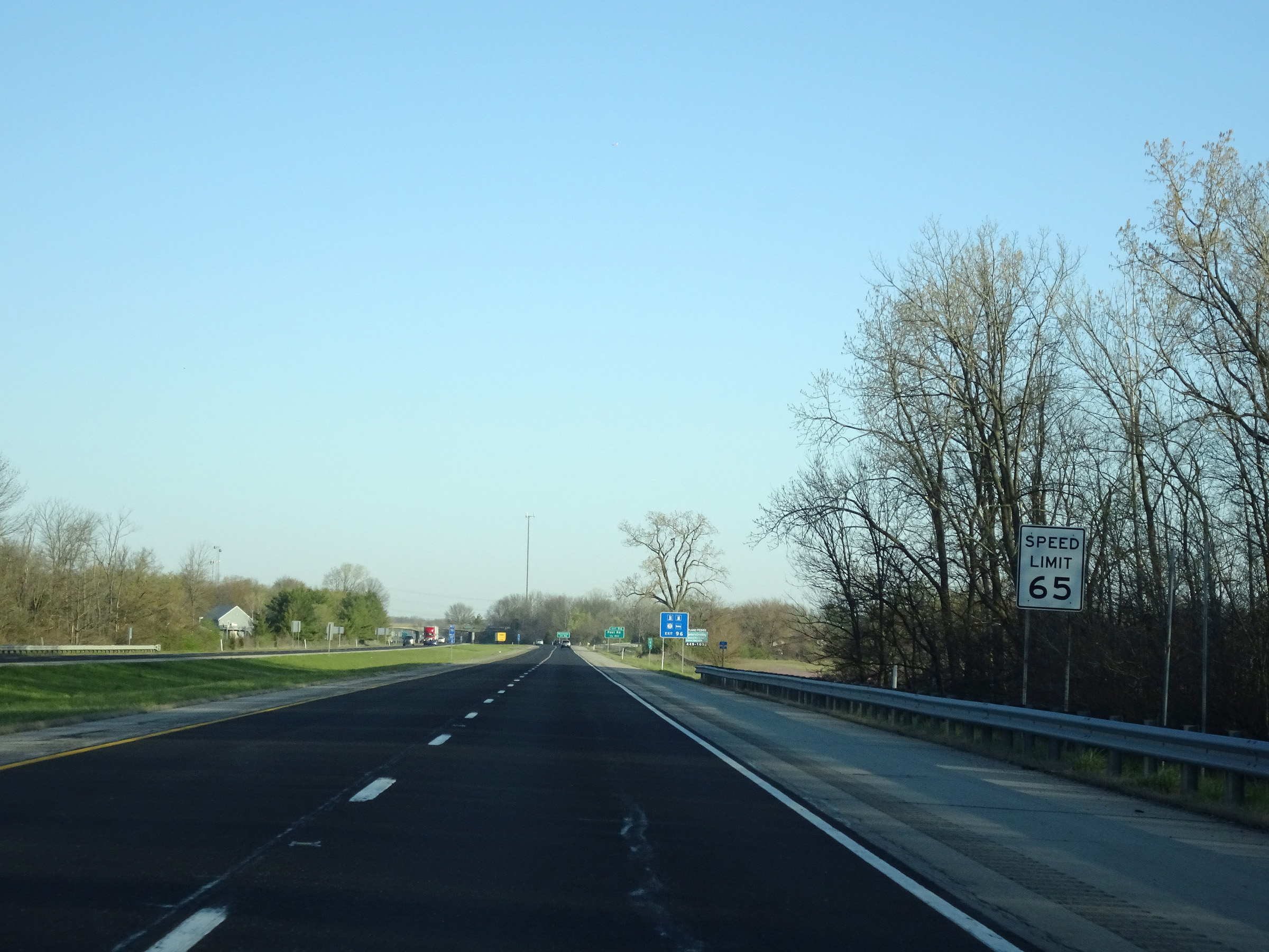 |
Upon entering Marion County, the speed limit decreases to 65 mph for automobiles and remains 65 mph for trucks. (Photo taken 4/17/16). |
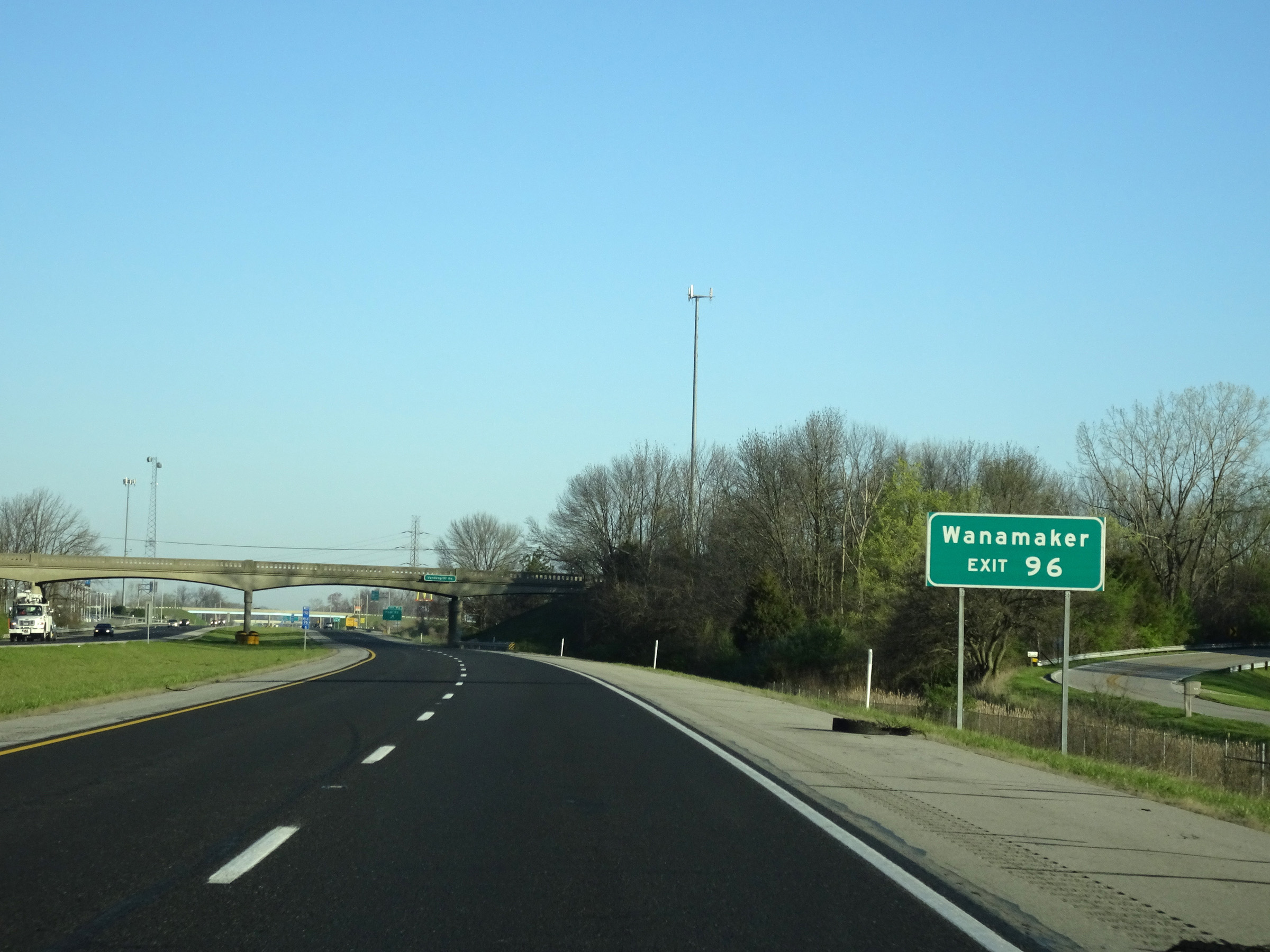 |
Take Exit 96 to Wanamaker. (Photo taken 4/17/16). |
 |
Interstate 74 West at Exit 96: Post Rd (Photo taken 4/17/16). |
 |
View on Interstate 74 West at mile marker 95. (Photo taken 4/17/16). |
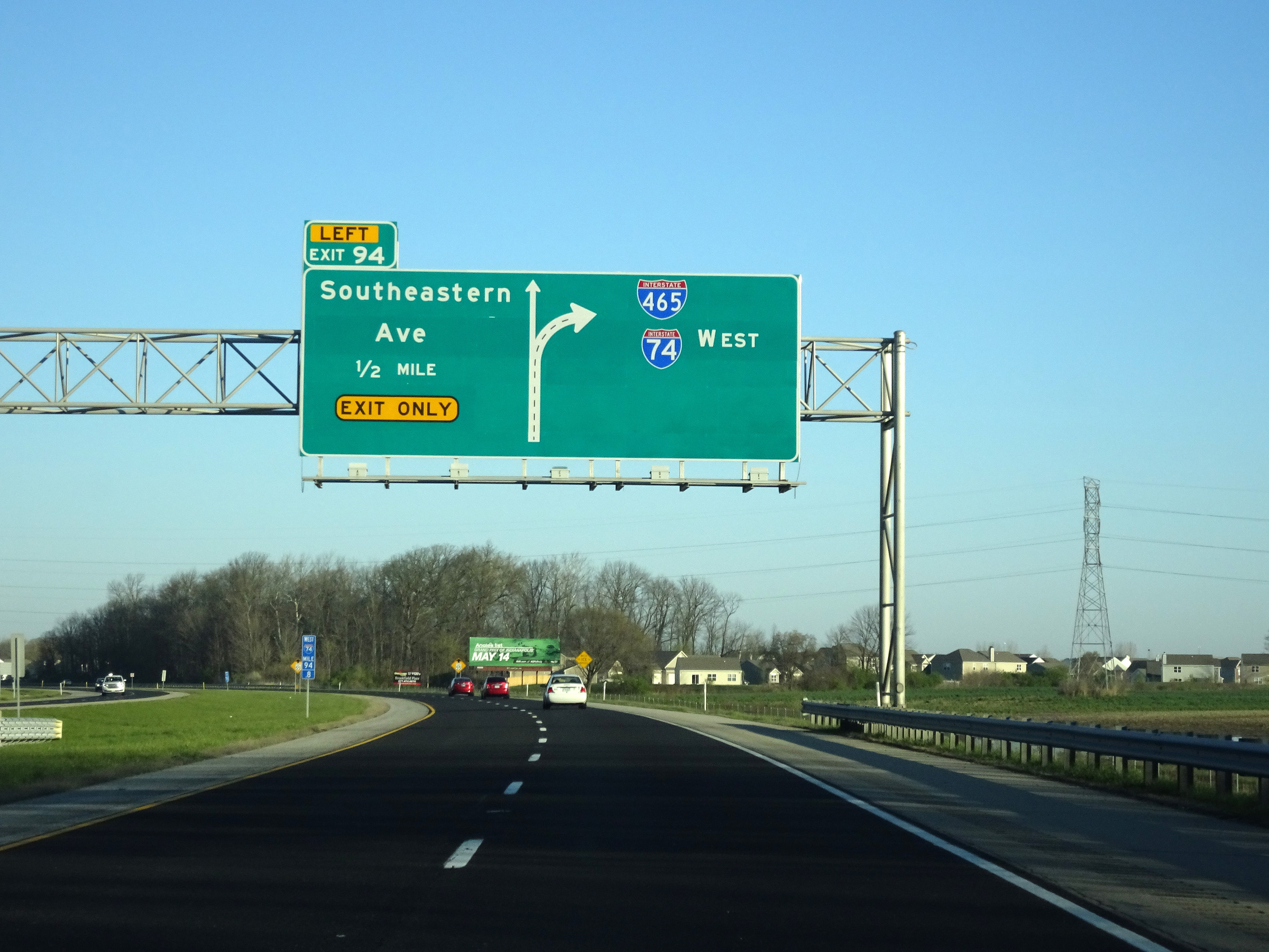 |
Interstate 74 West approaching Exit 94 and the junction of Interstate 465 - 1/2 mile. (Photo taken 4/17/16). |
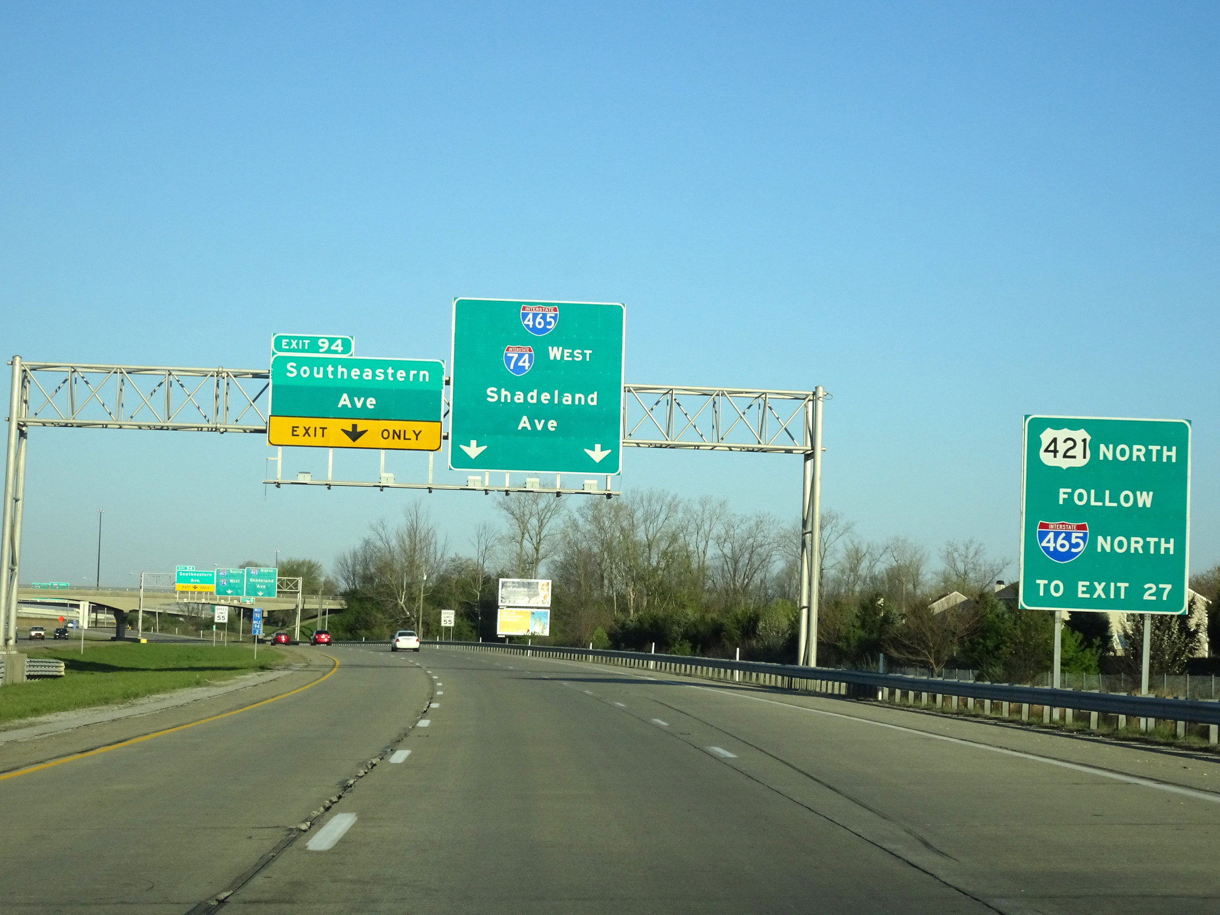 |
US 421 North thru traffic should follow Interstate 465 North to Exit 27. (Photo taken 4/17/16). |
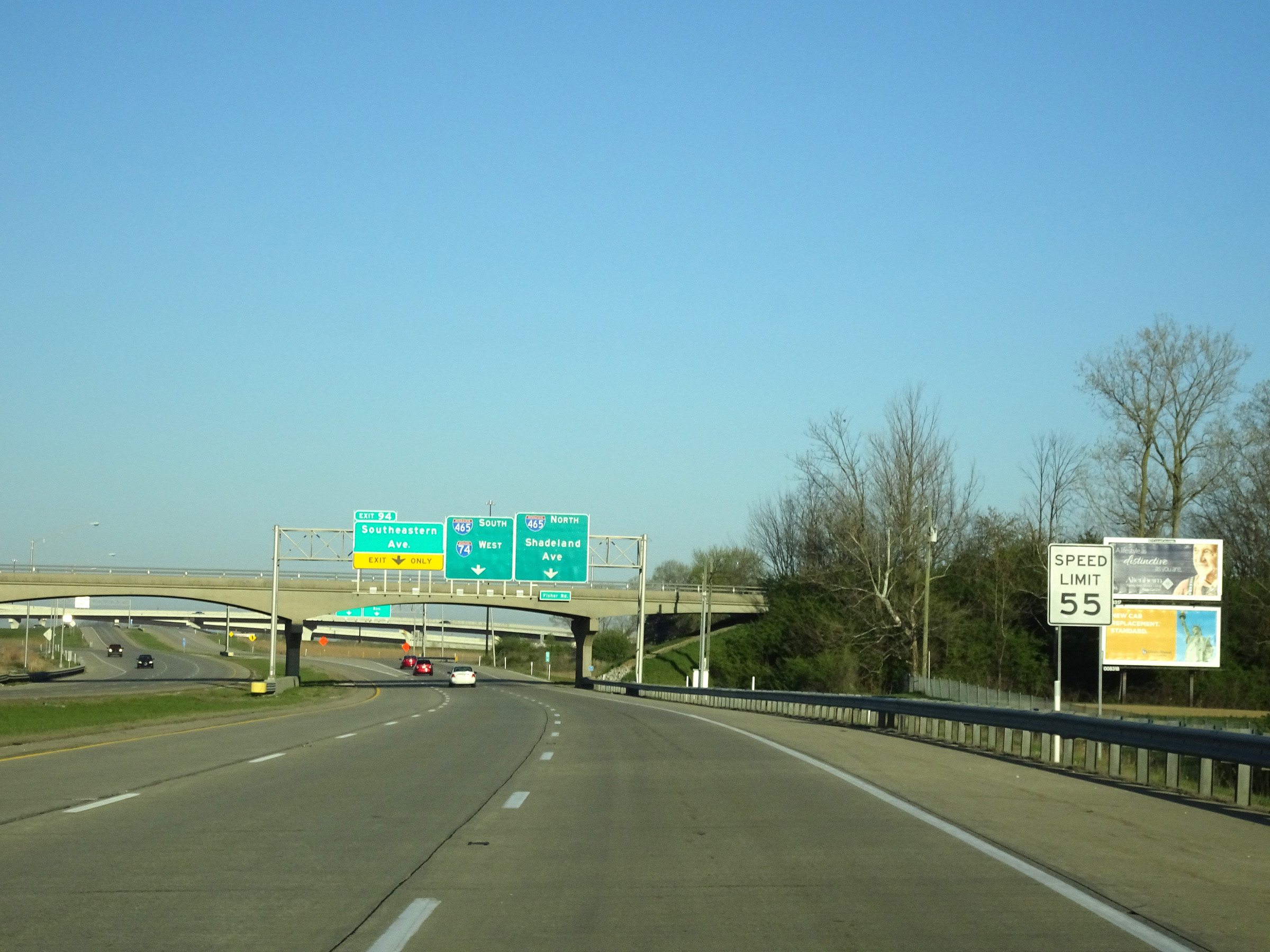 |
Approaching Exit 94, the speed limit decreases to 55 mph for all traffic. (Photo taken 4/17/16). |
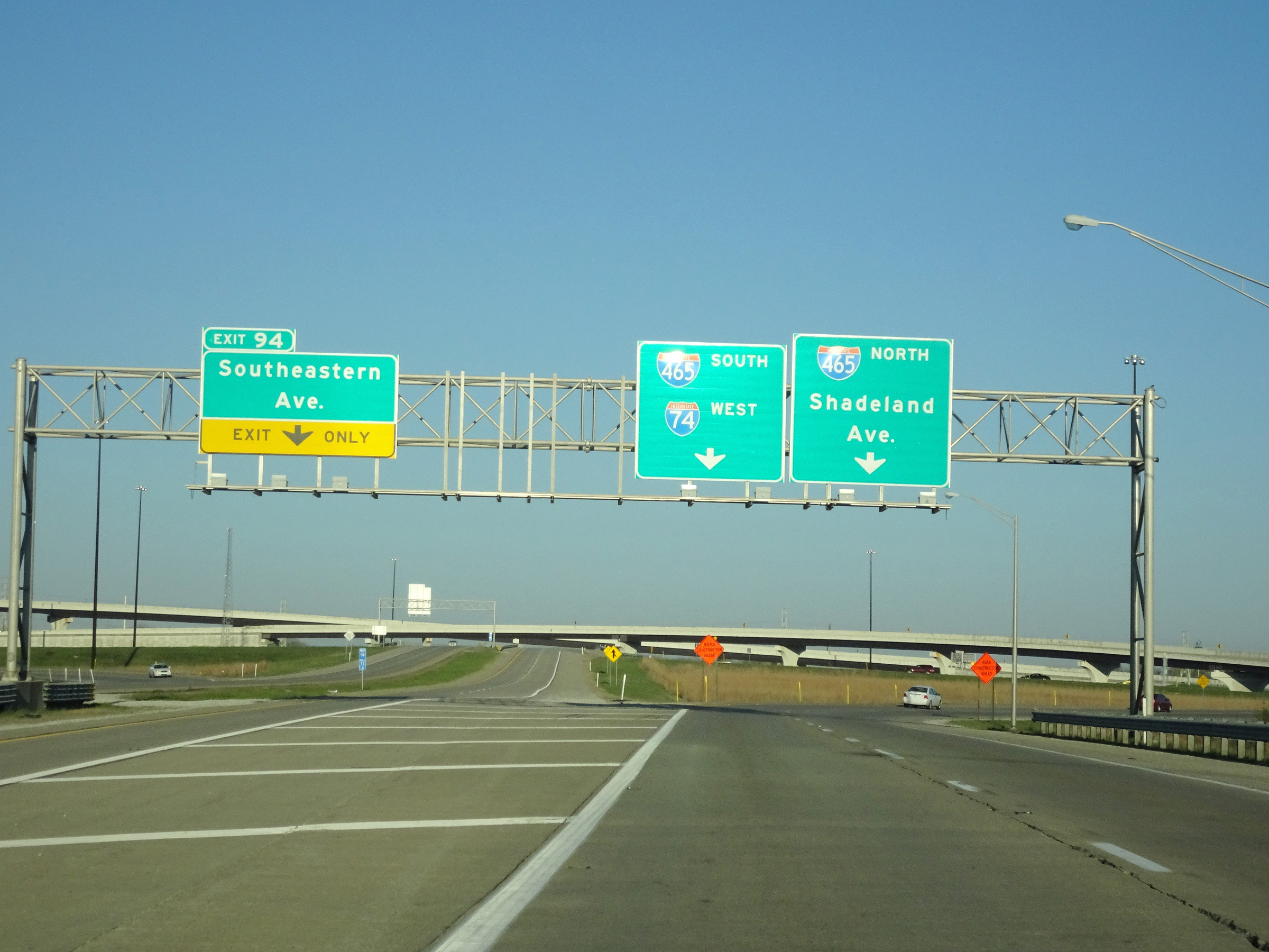 |
Interstate 74 West at Exit 94: Southeastern Ave (Photo taken 4/17/16). |
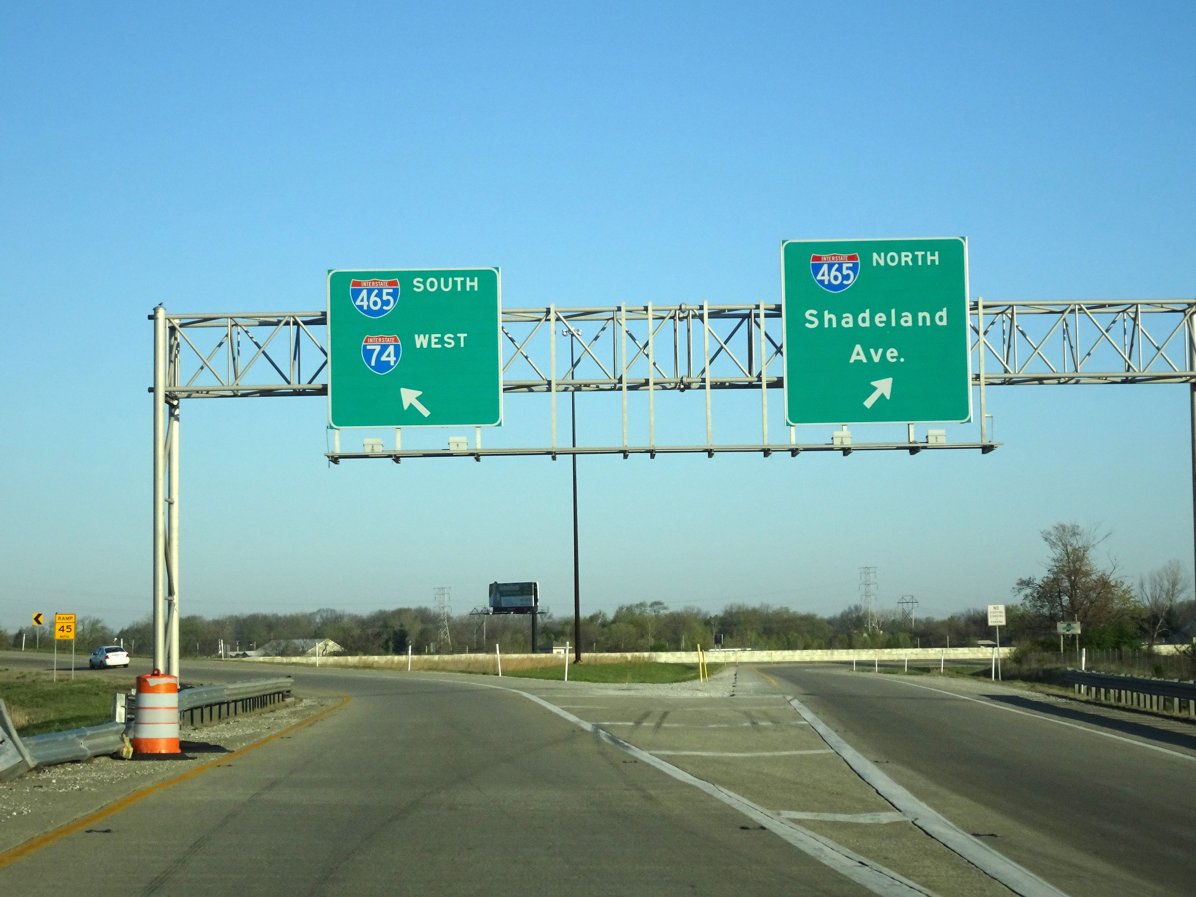 |
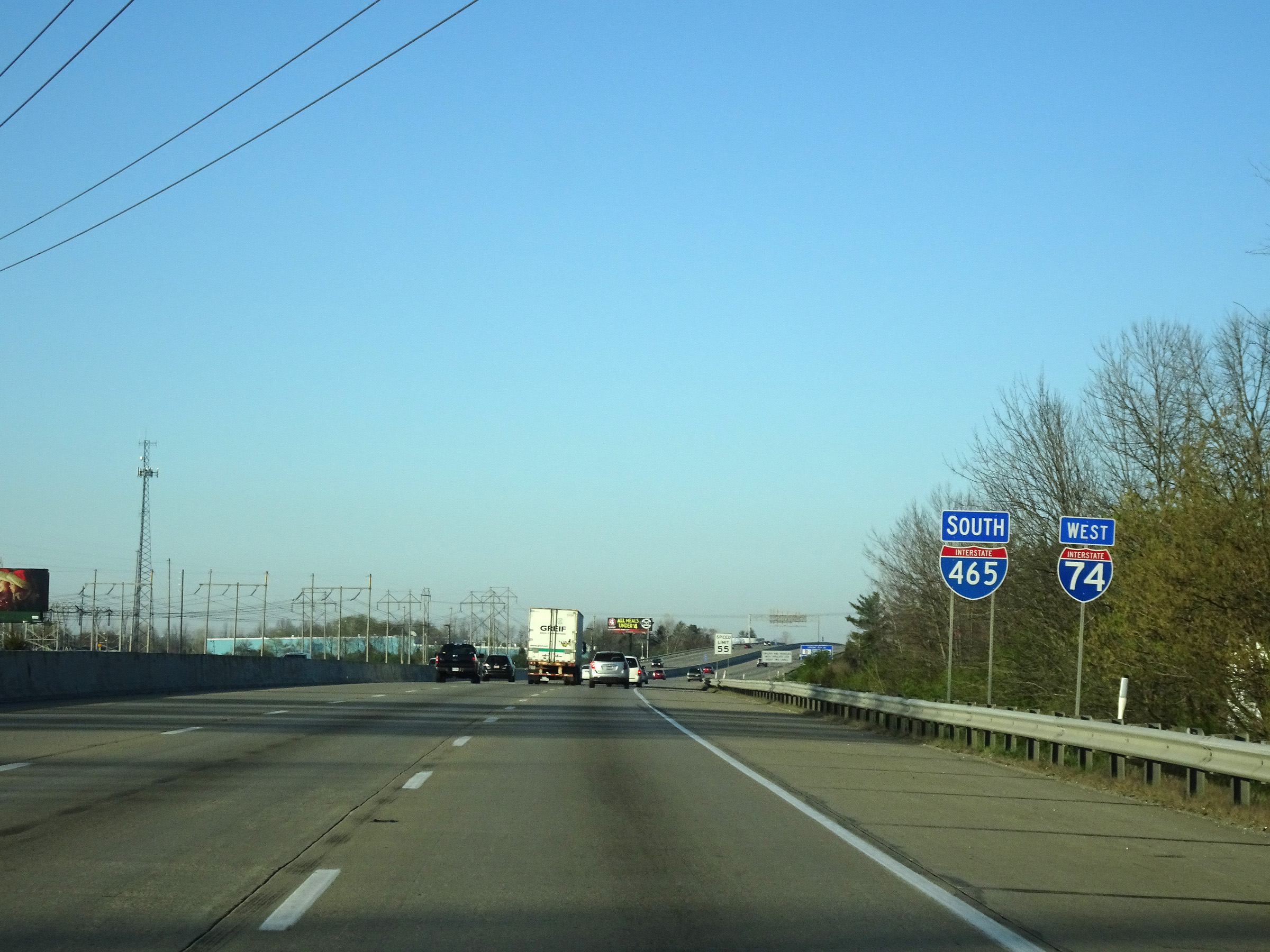
The thru lanes of Interstate 74 West split into the ramps to Interstate 465 North and Interstate 465 South at this point. Interstate 74 West will merge into Interstate 465 South (Inner Loop) ahead and run concurrently with it for the next 20 miles. (Photo taken 4/17/16). |
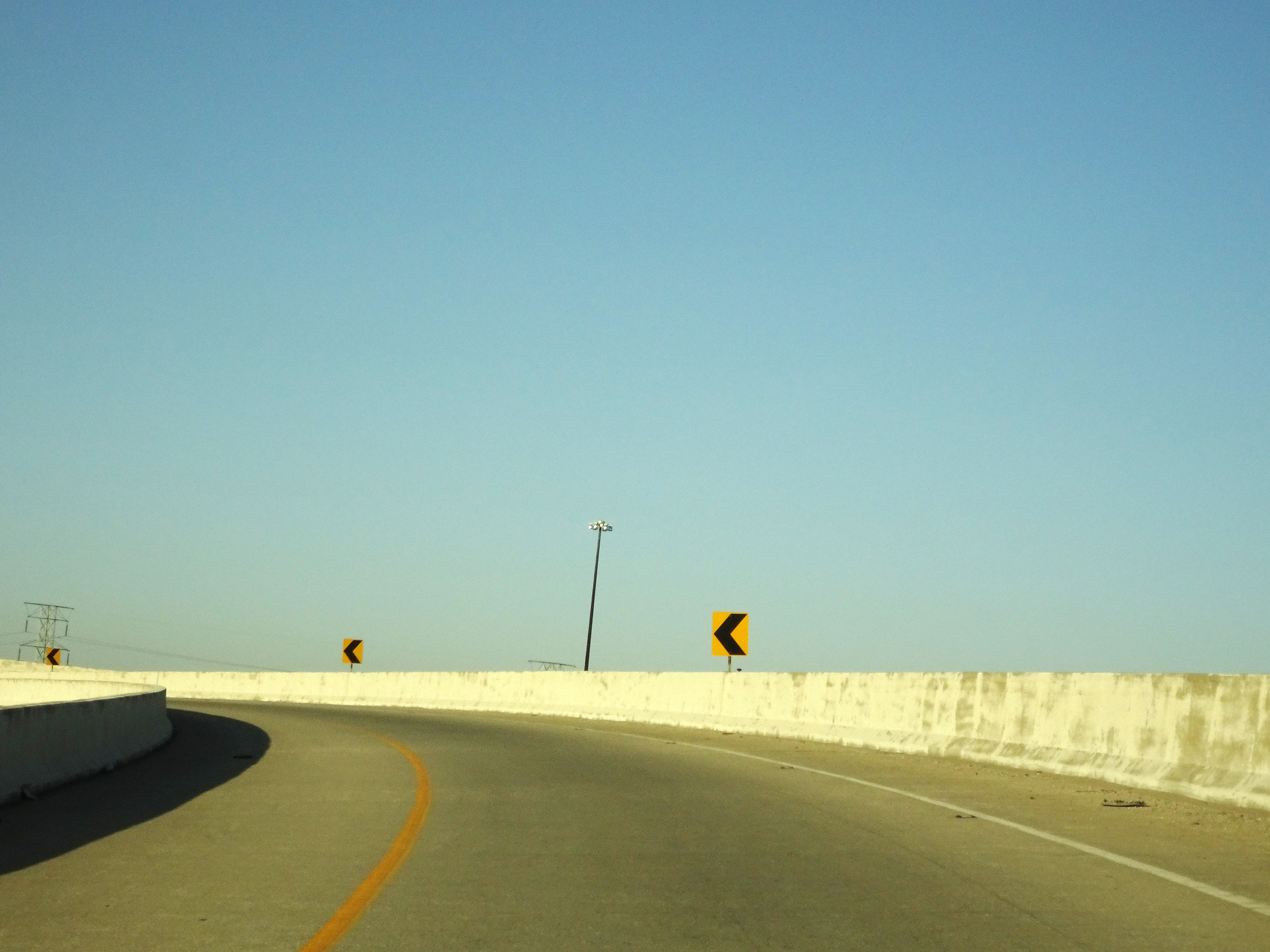 |
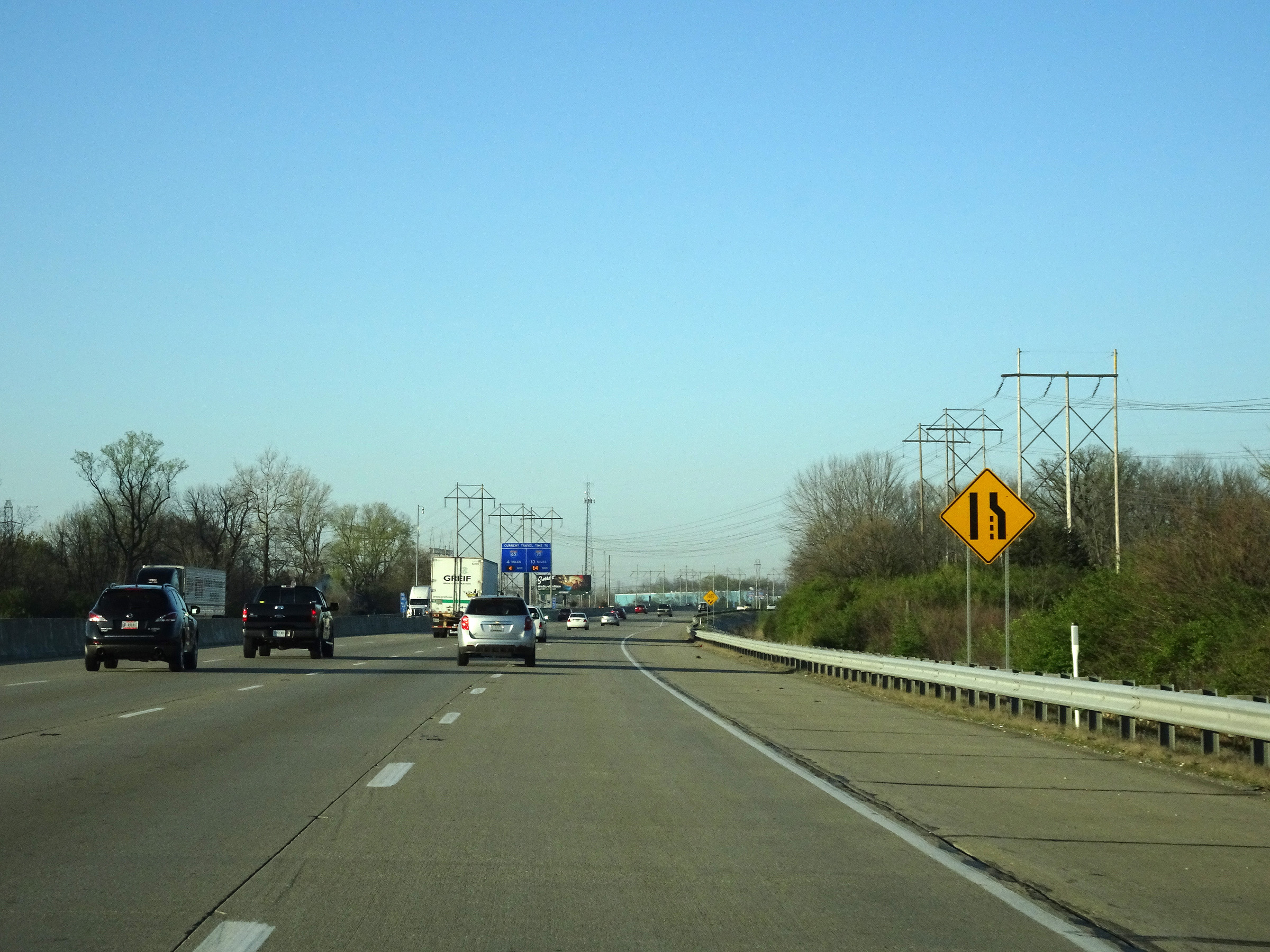
Interstate 74 West as it is reduced to a single lane in preparation for merging into the inner loop of Interstate 465 ahead. (Photo taken 4/17/16). |
 |
View on the ramp as Interstate 465 traffic comes into view straight ahead. (Photo taken 4/17/16). |
 |
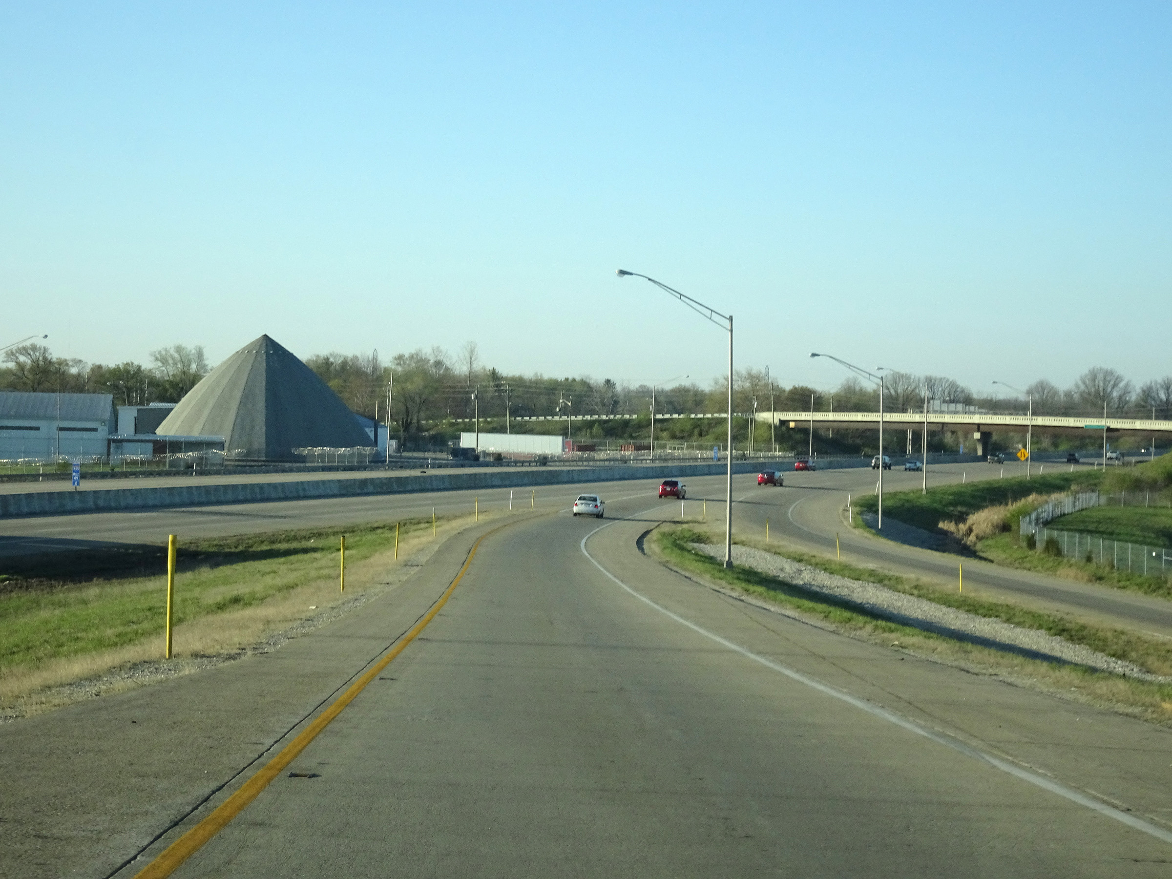
Interstate 74 West as it merges into the inner loop of Interstate 465 at the southeastern corner of the Indianapolis area. Again, I-74 West will run concurrently with I-465 Inner Loop for the next 20 miles. During this concurrency, the mileage and exit numbers are based on the total mileage of I-465. (Photo taken 4/17/16). |
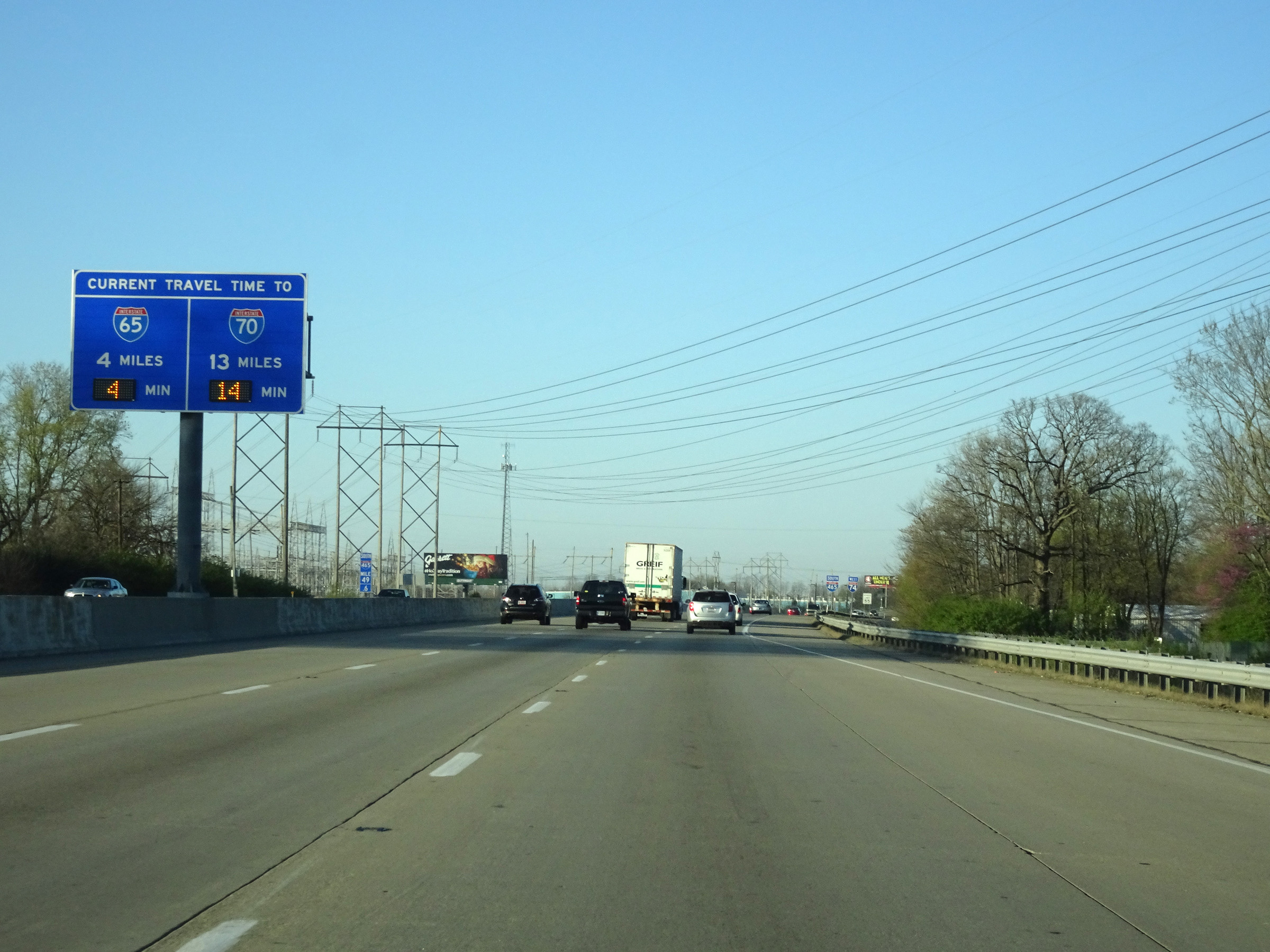 |
This overhead signage in the median dynamically shows the current travel times to Interstate 65 and Interstate 70 via Interstate 74 West / Interstate 465 Inner Loop, along with the distances to the interchanges. (Photo taken 4/17/16). |
 |
Interstate 74 West / Interstate 465 South reassurance shields. (Photo taken 4/17/16). |
 |
The speed limit on Interstate 74 West during its concurrency with Interstate 465 Inner Loop is 55 mph for all traffic. (Photo taken 4/17/16). |
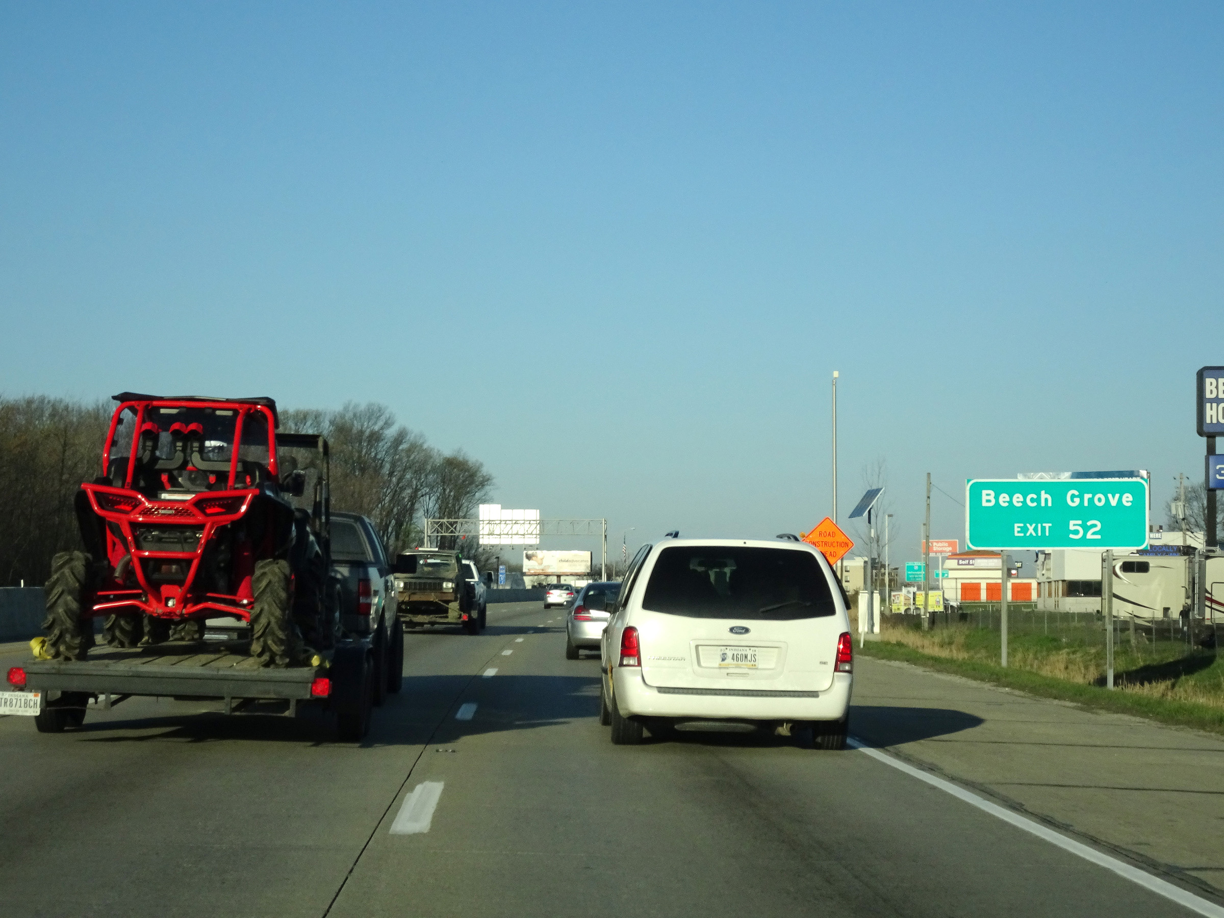 |
Take Exit 52 to Beech Grove. (Photo taken 4/17/16). |
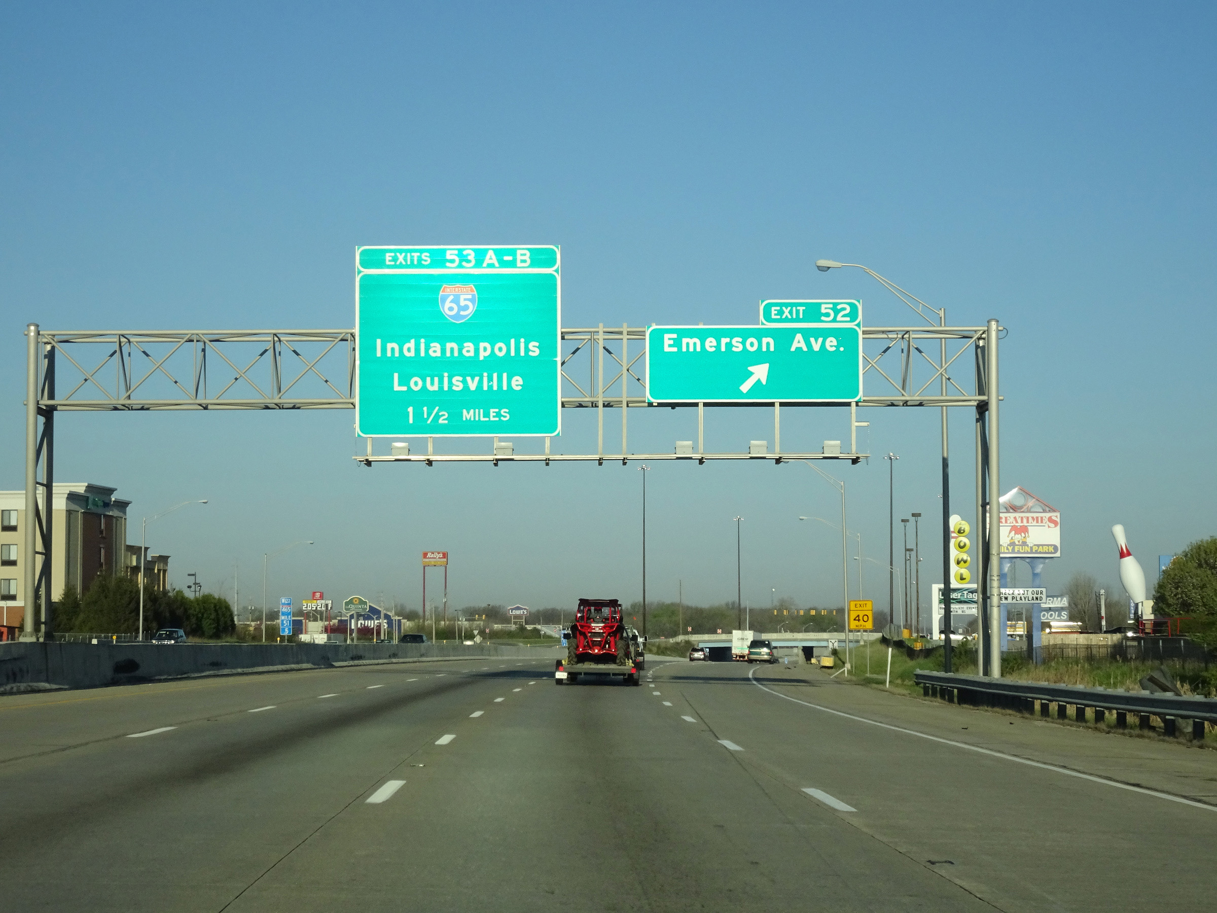 |
Interstate 74 West / Interstate 465 Inner Loop (South) at Exit 52: Emerson Ave (Photo taken 4/17/16). |
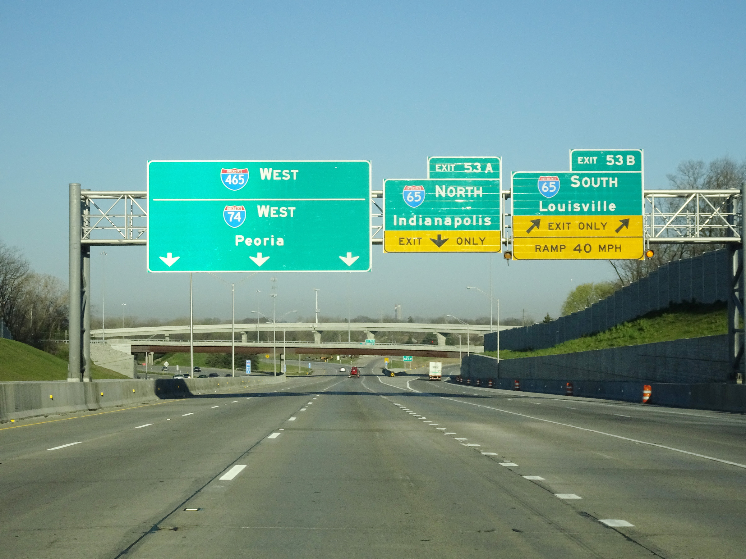 |
Interstate 74 West / Interstate 465 Inner Loop (West) at Exit 53B: Interstate 65 South - Louisville (Photo taken 4/17/16). |
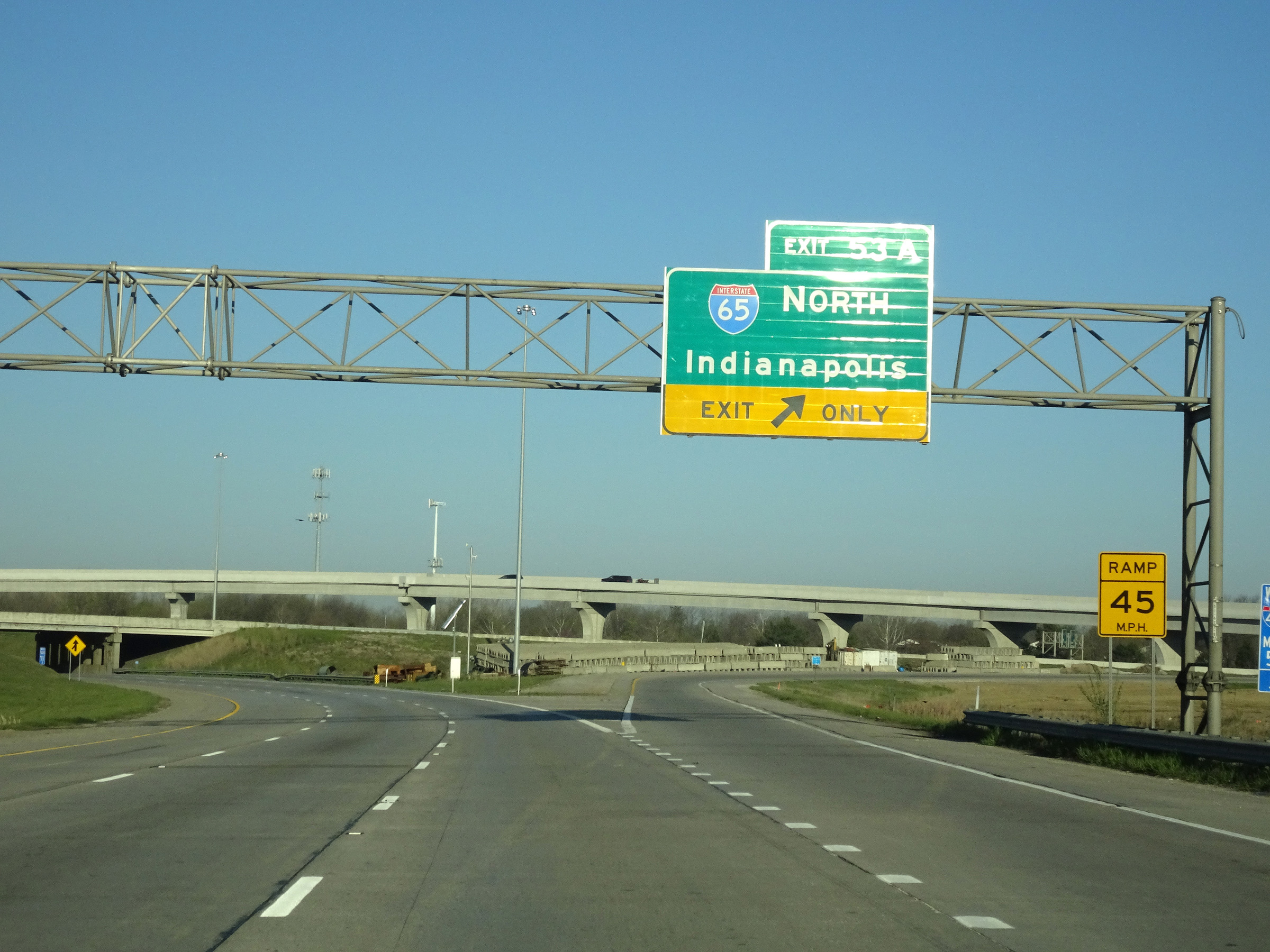 |
Interstate 74 West / Interstate 465 Inner Loop (West) at Exit 53A: Interstate 65 North - Indianapolis (Photo taken 4/17/16). |
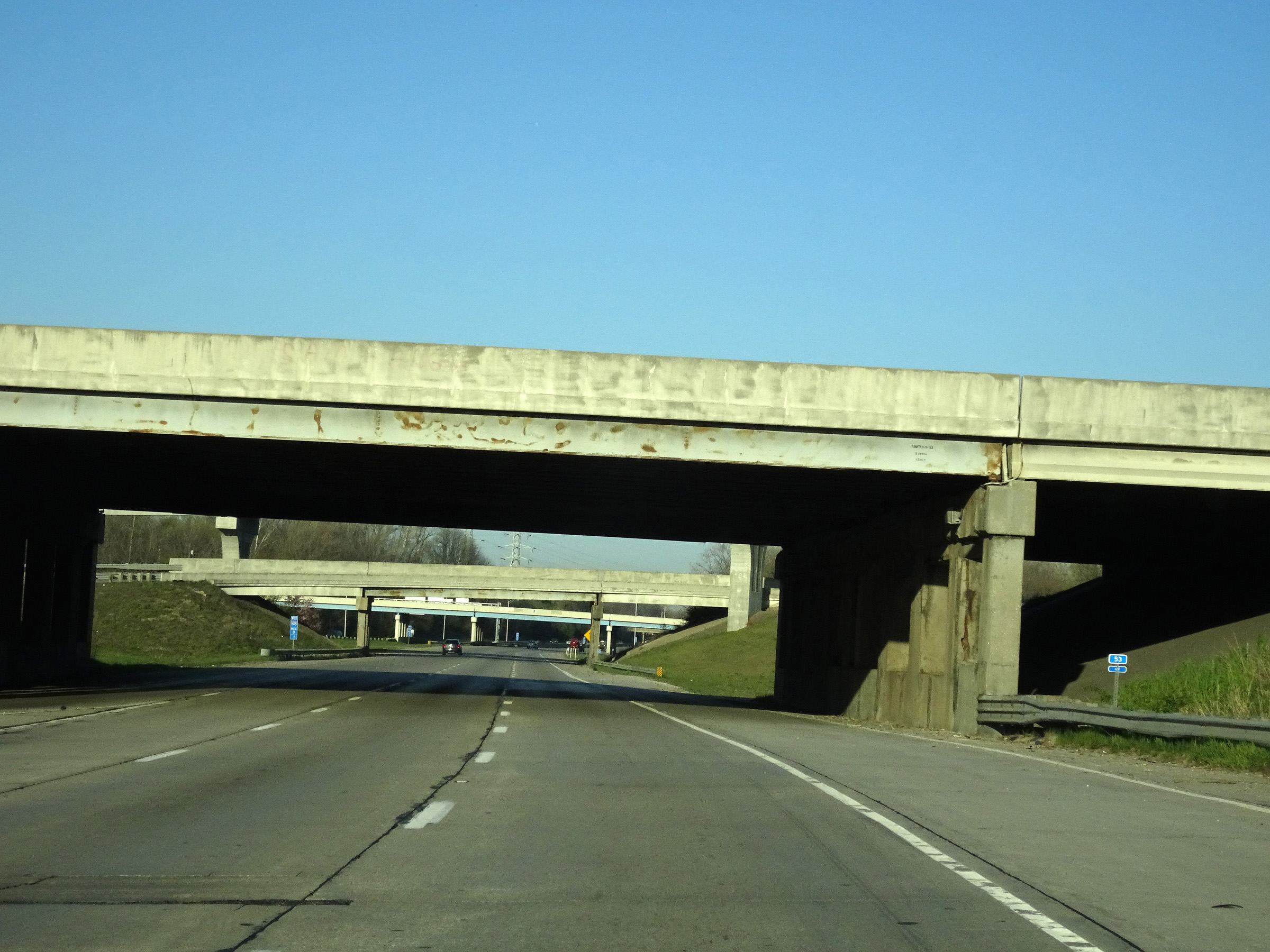 |
Interstate 74 West / Interstate 465 Inner Loop (West) as they prepare to pass under Interstate 65 to the south of downtown Indianapolis. It is at this point that the mileage and exit numbers, based on the mileage of I-465, reset to 0. (Photo taken 4/17/16). |
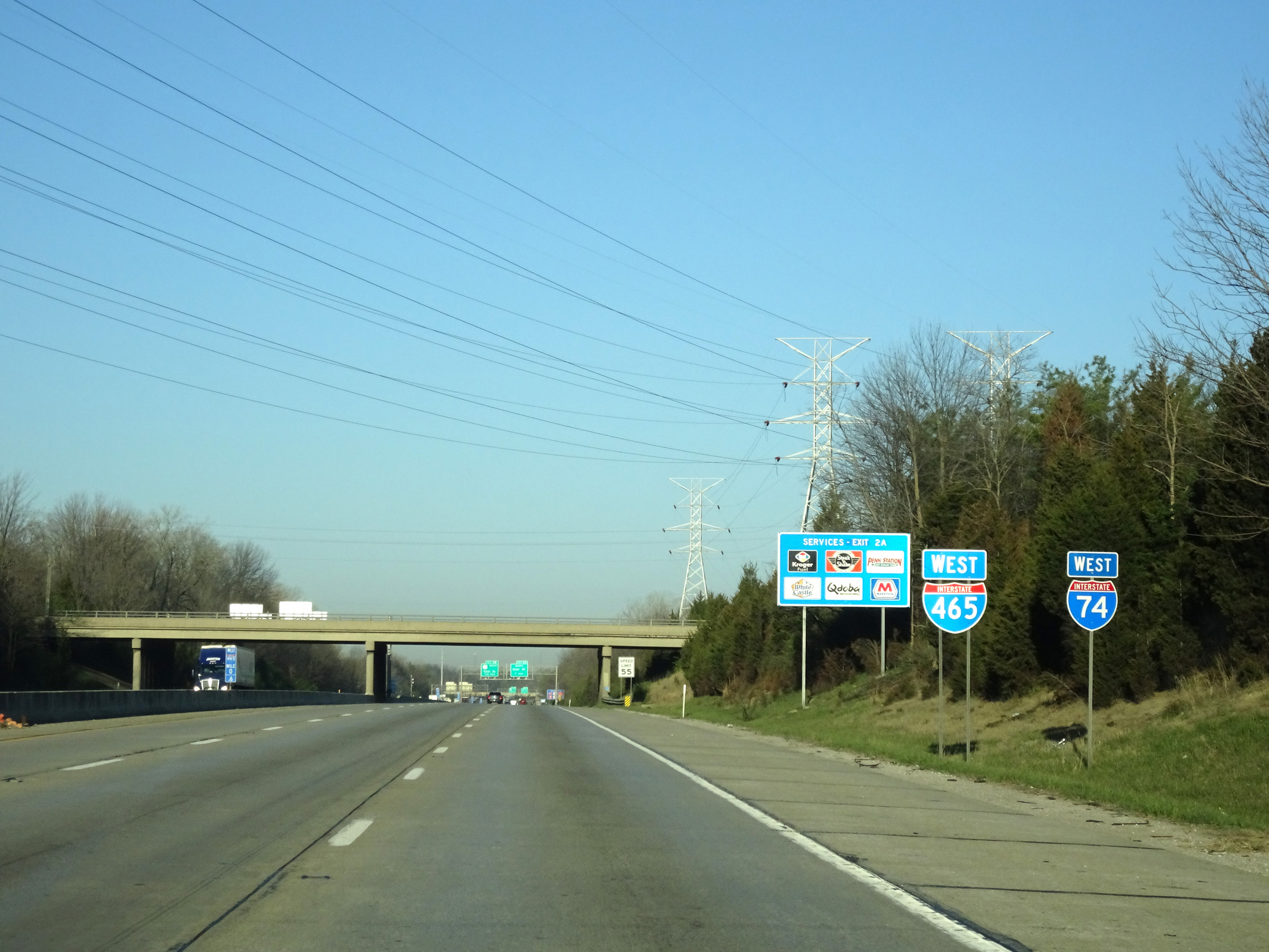 |
A set of Interstate 74 West / Interstate 465 West reassurance shields. (Photo taken 4/17/16). |
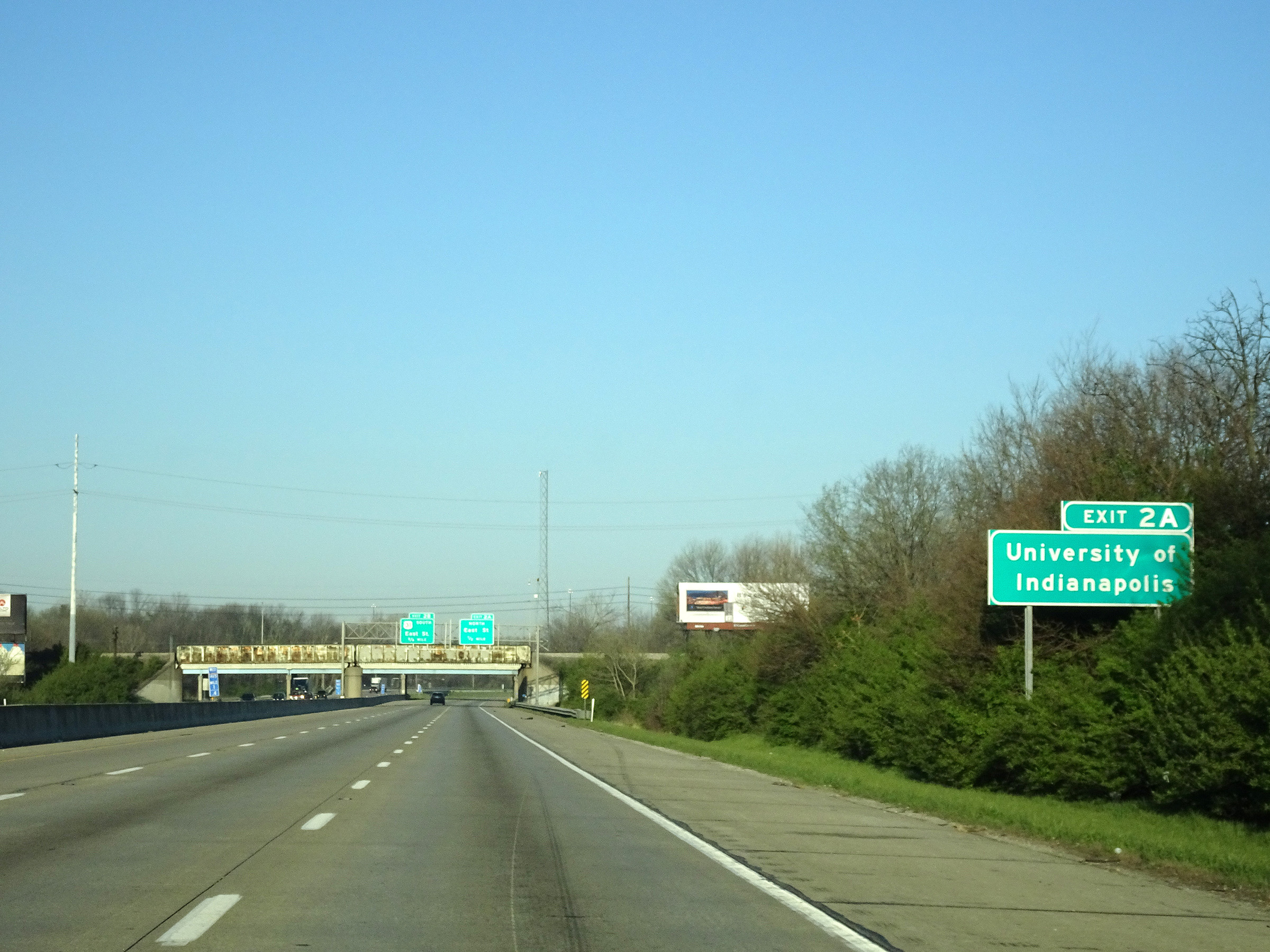 |
Take Exit 2A to the University of Indianapolis. (Photo taken 4/17/16). |
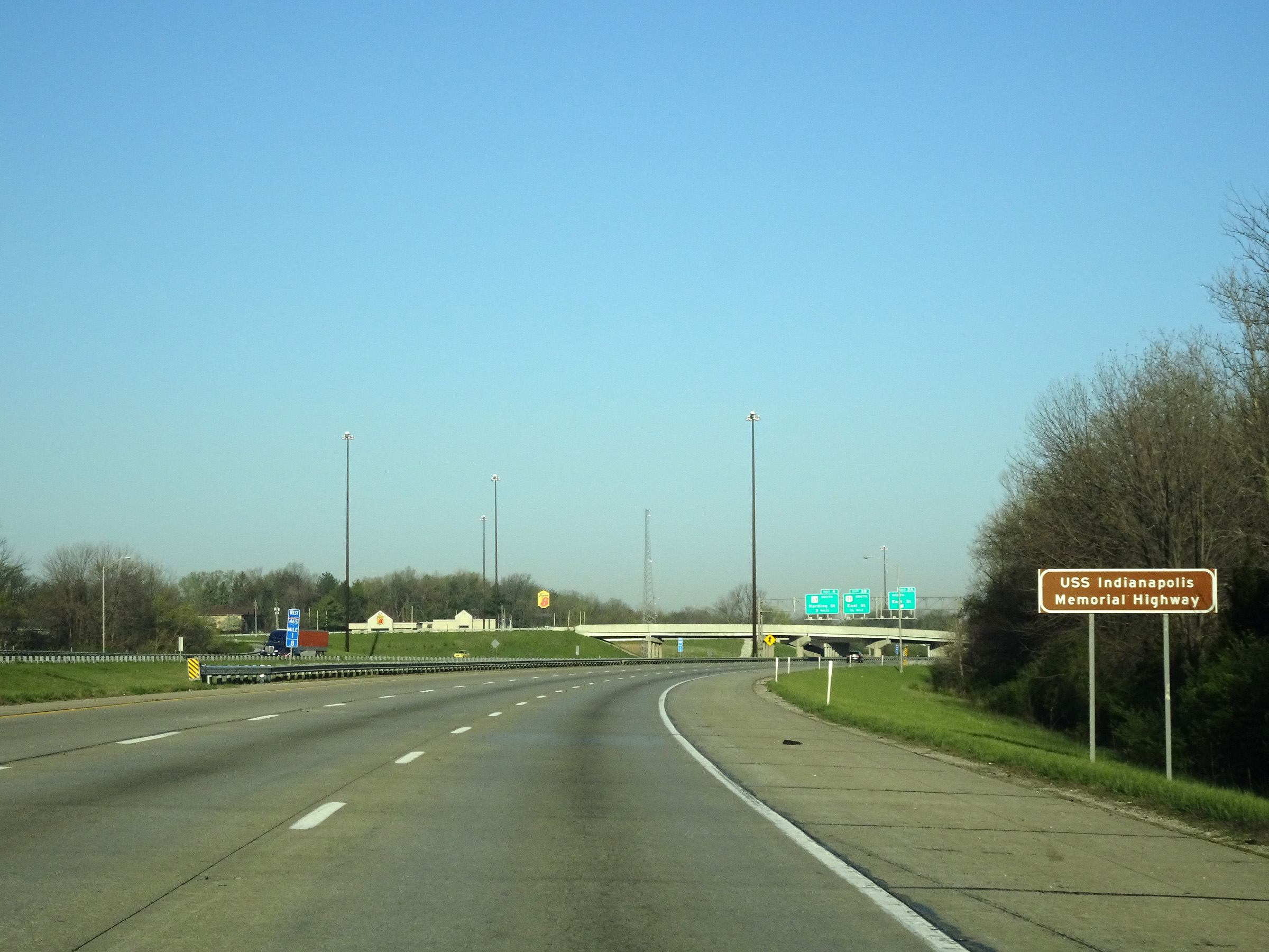 |
Interstate 465 is also known as the USS Indianapolis Memorial Highway, as this sign reads. (Photo taken 4/17/16). |
 |
Interstate 74 West / Interstate 465 Inner Loop (West) at Exit 2A: East St North (Photo taken 4/17/16). |
 |
Interstate 74 West / Interstate 465 Inner Loop (West) at Exit 2B: US 31 South - East St (Photo taken 4/17/16). |
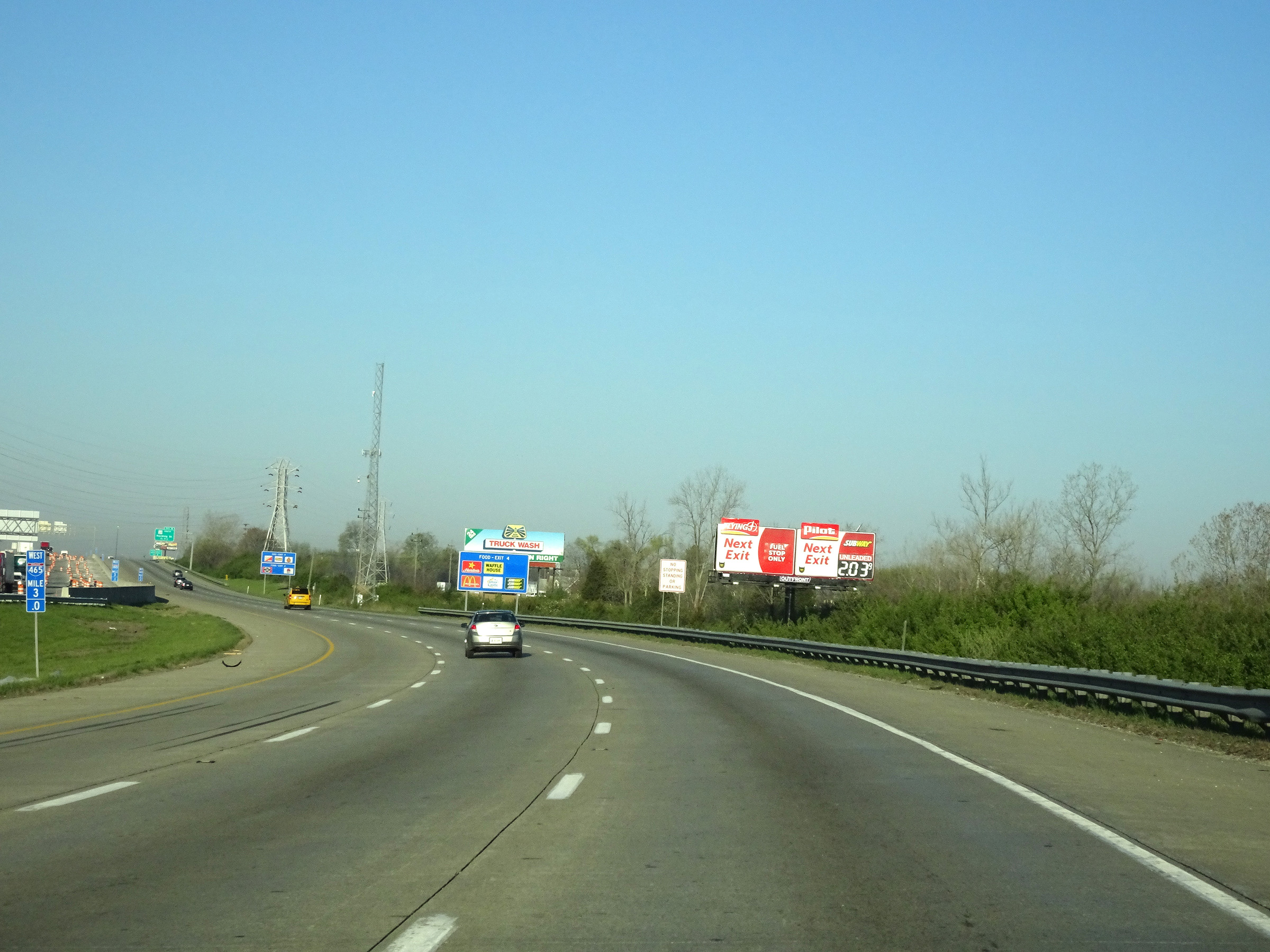 |
View on Interstate 74 West / Interstate 465 Inner Loop (West) at mile marker 3. (Photo taken 4/17/16). |
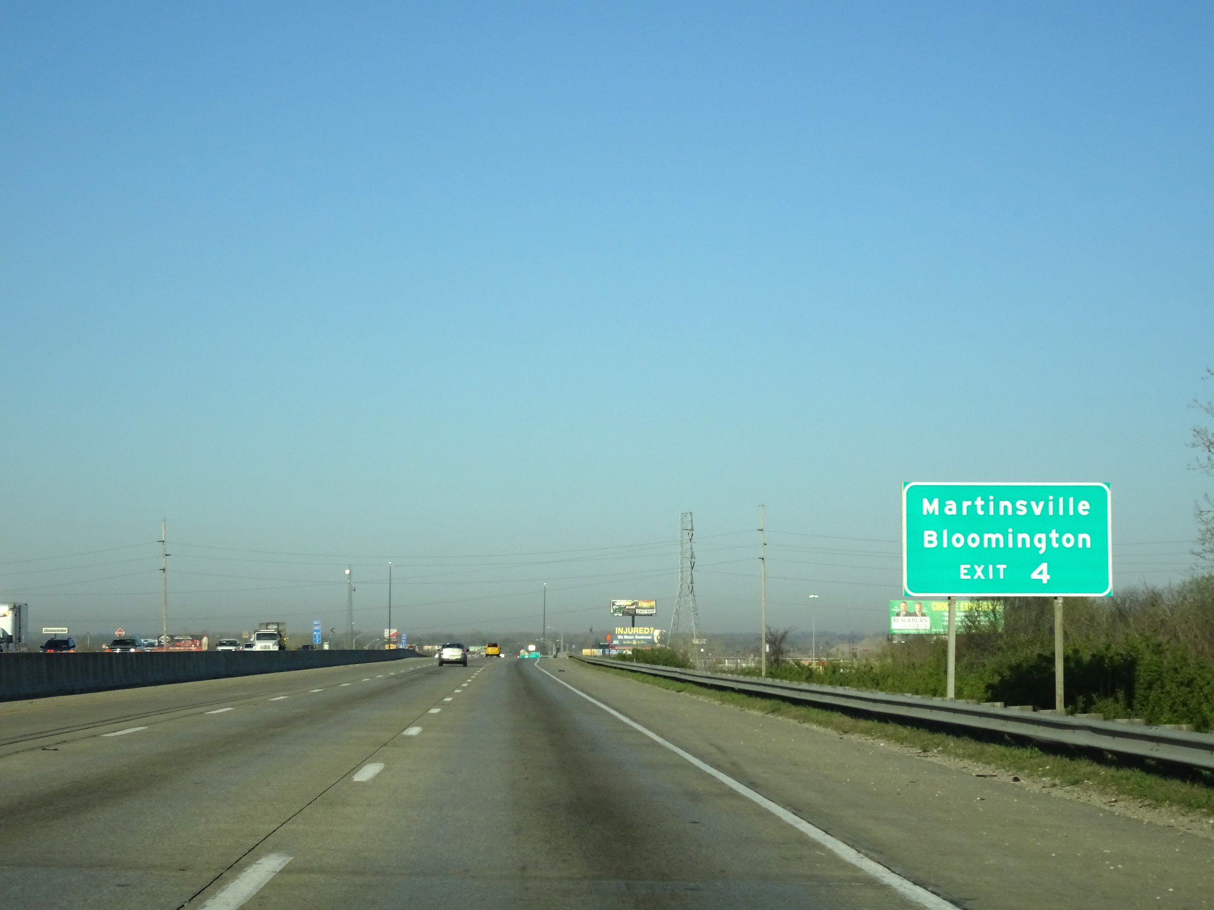 |
Take Exit 4 to Martinsville and Bloomington. (Photo taken 4/17/16). |
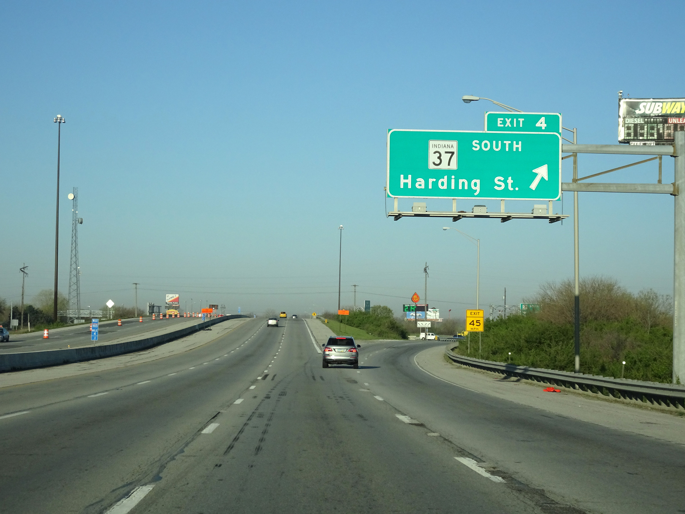 |
Interstate 74 West / Interstate 465 Inner Loop (West) at Exit 4: IN 37 South - Harding St (Photo taken 4/17/16). |
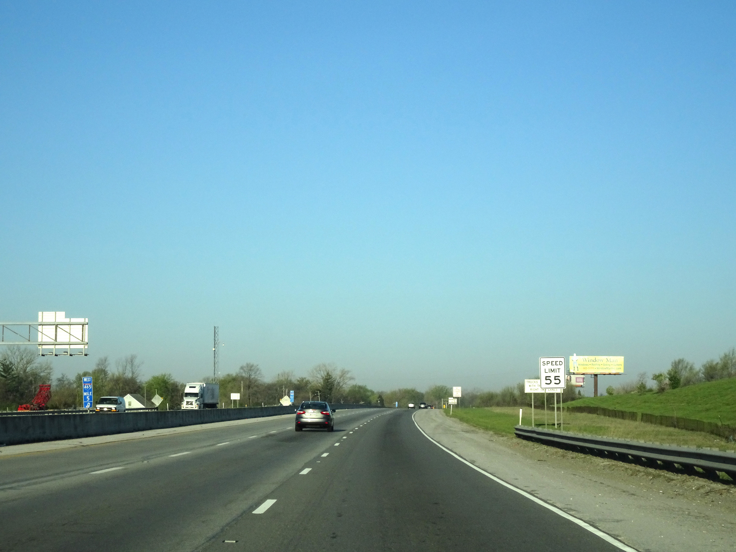 |
Interstate 74 West / Interstate 465 Inner Loop (West) at mile marker 5. (Photo taken 4/17/16). |
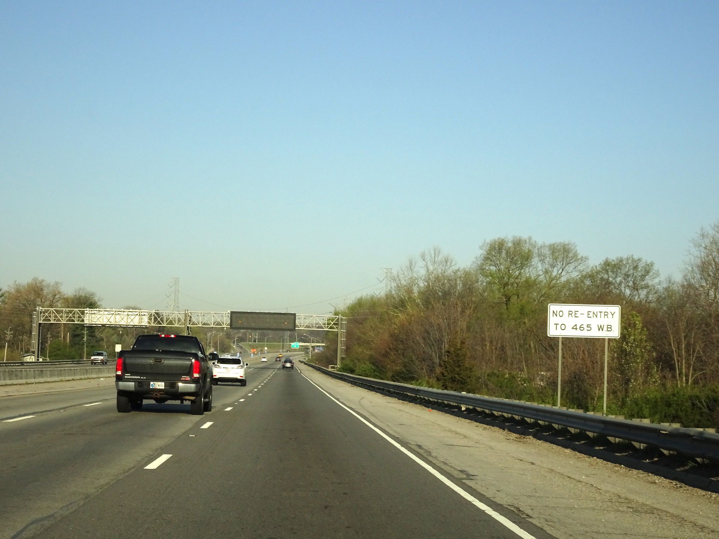 |
As this sign warns, there is no re-entry to Interstate 465 Inner Loop (West) at the next exit (Exit 7). (Photo taken 4/17/16). |
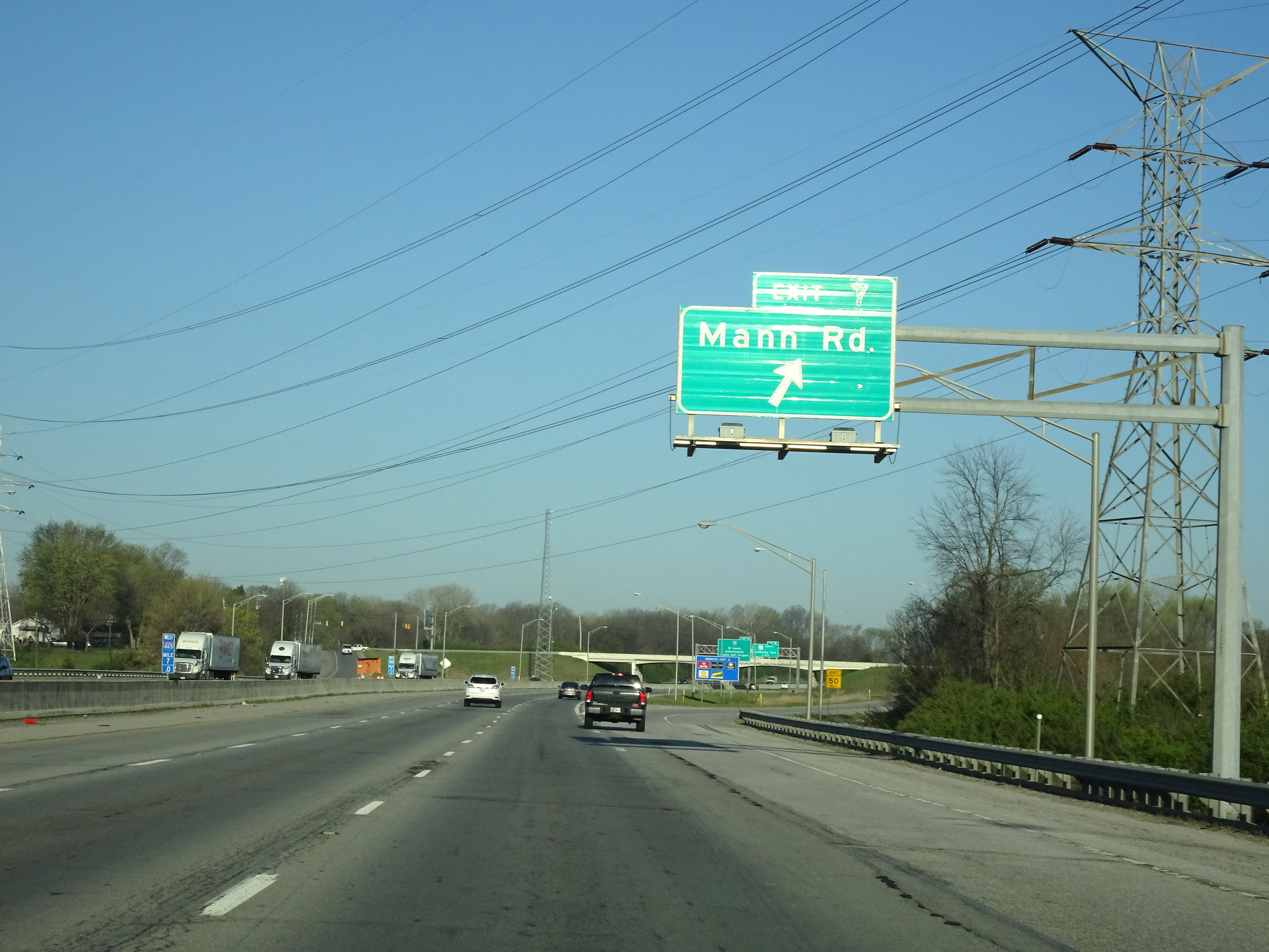 |
Interstate 74 West / Interstate 465 Inner Loop (West) at Exit 7: Mann Rd (Photo taken 4/17/16). |
 |
Take Exit 8 to Mooresville. (Photo taken 4/17/16). |
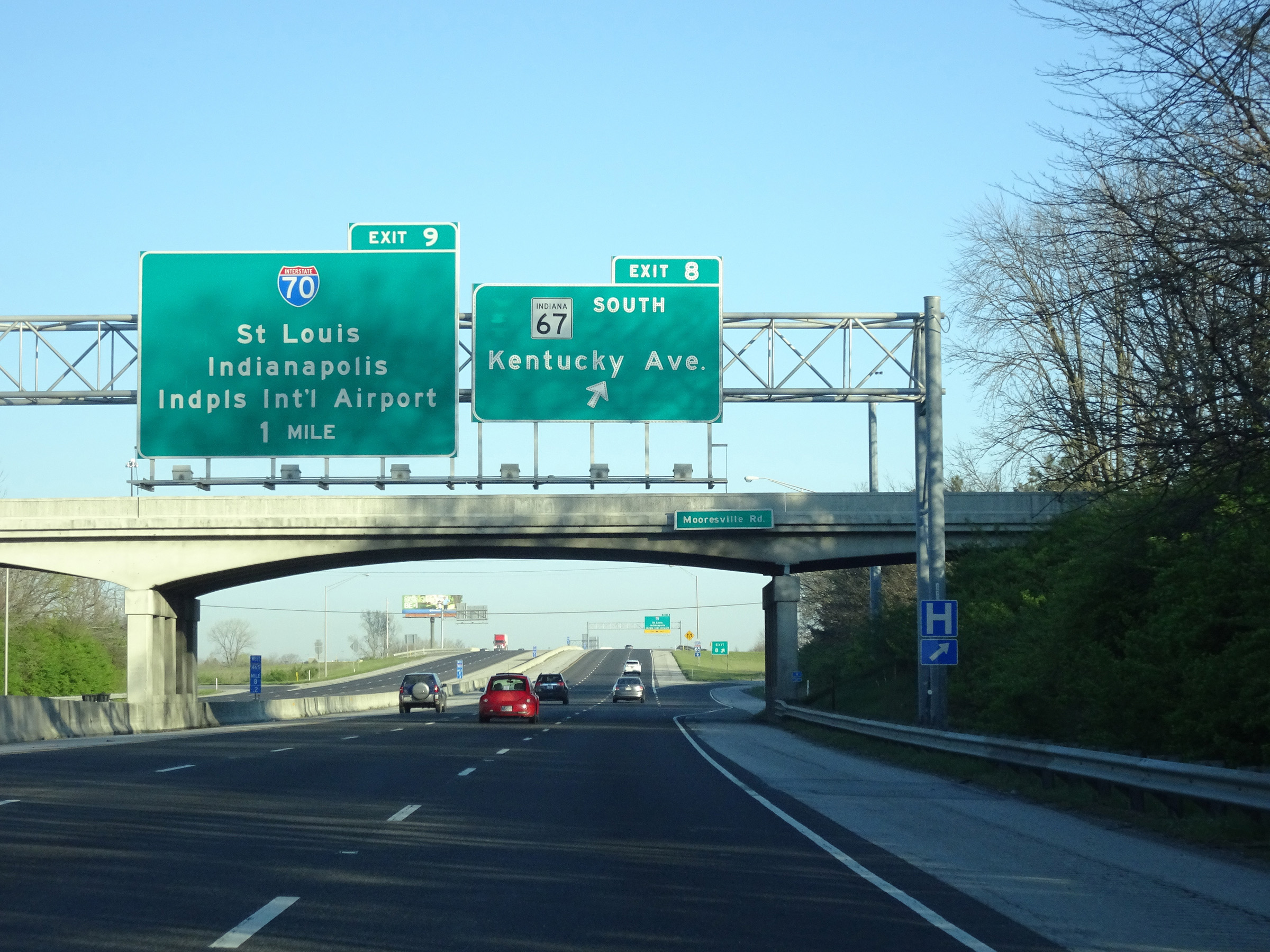 |
Interstate 74 West / Interstate 465 Inner Loop (West) at Exit 8: IN 67 South - Kentucky Ave (Photo taken 4/17/16). |
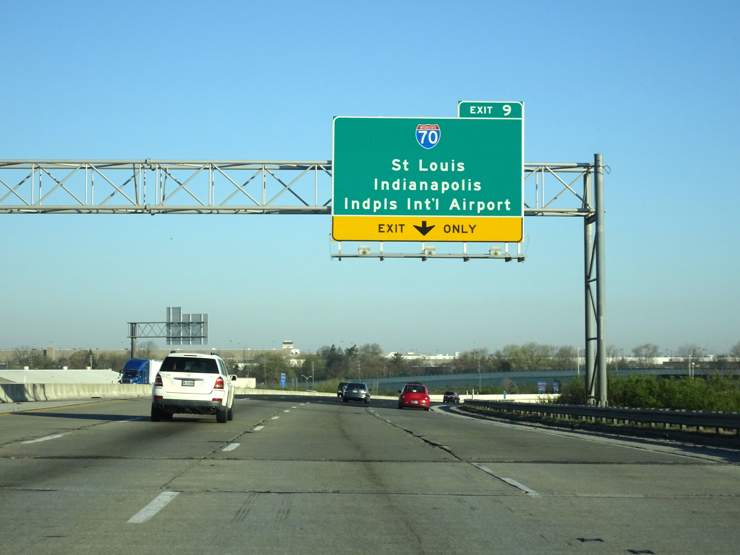 |
Interstate 74 West / Interstate 465 Inner Loop (West) approaching Exit 9. The right lane will become an Exit Only lane for Exit 9. (Photo taken 4/17/16). |
 |
Interstate 74 West / Interstate 465 Inner Loop (West) as the duplex curves to the north approaching the junction of Interstate 70. (Photo taken 4/17/16). |
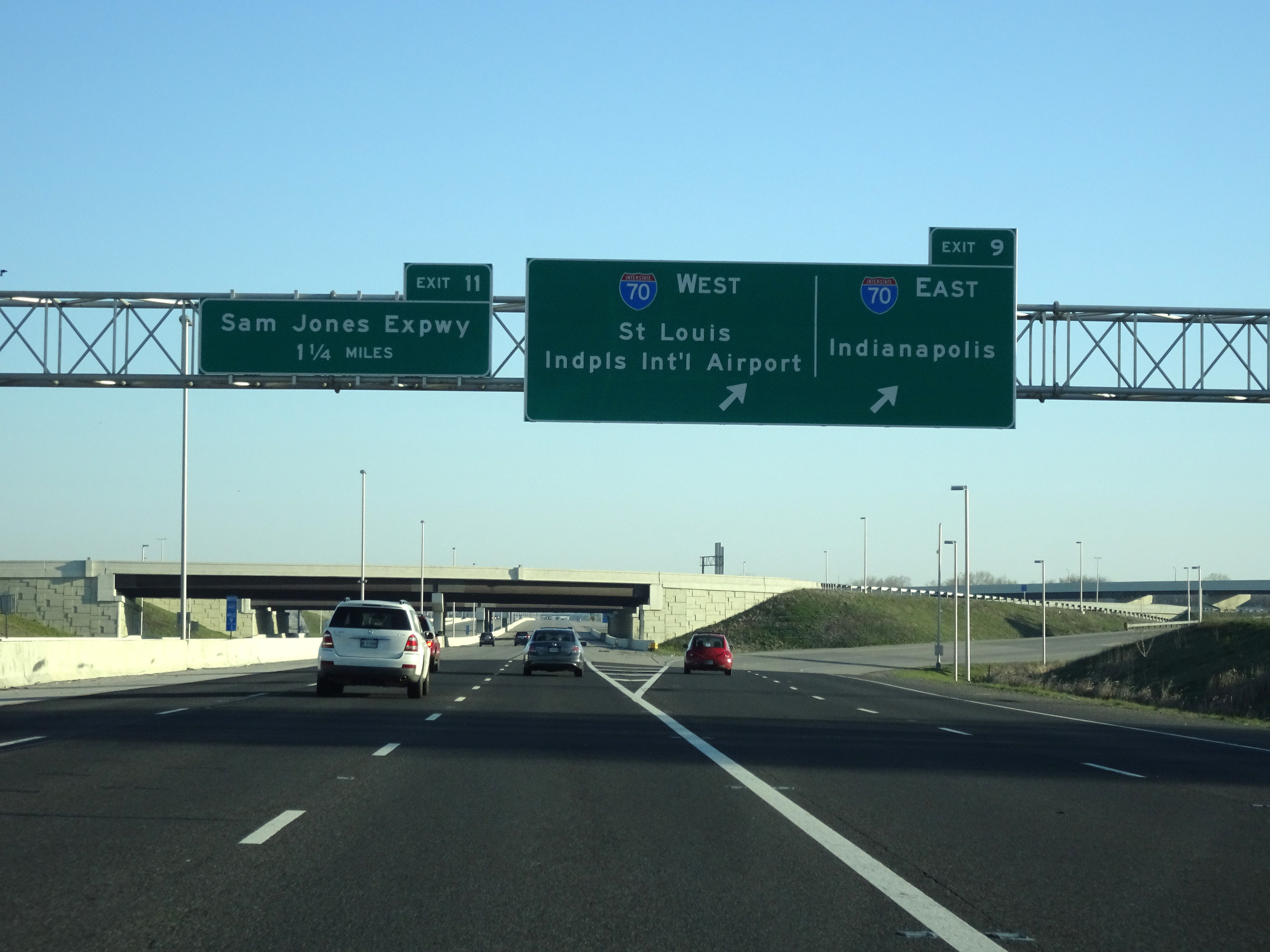 |
Interstate 74 West / Interstate 465 Inner Loop (North) at Exit 9: Interstate 70 - St Louis / Indianapolis International Airport / Indianapolis (Photo taken 4/17/16). |
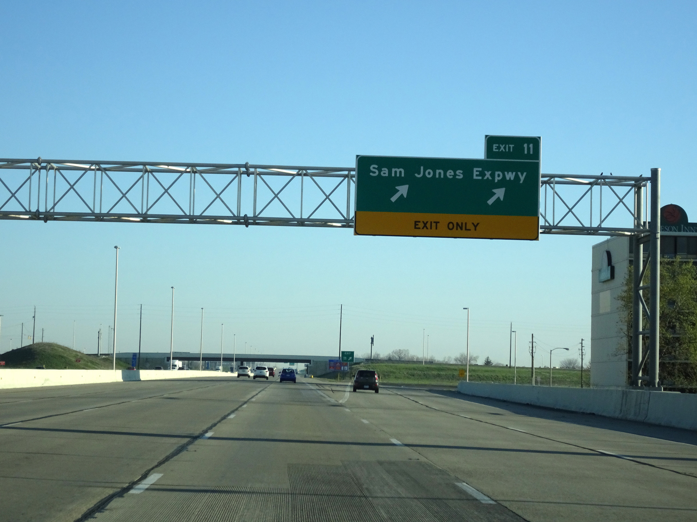 |
Interstate 74 West / Interstate 465 Inner Loop (North) at Exit 11: Sam Jones Expressway (Photo taken 4/17/16). |
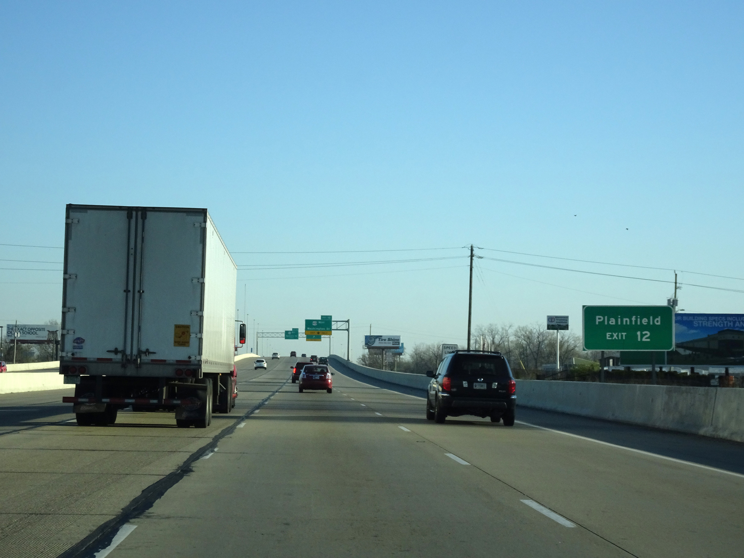 |
Take Exit 12 to Plainfield. (Photo taken 4/17/16). |
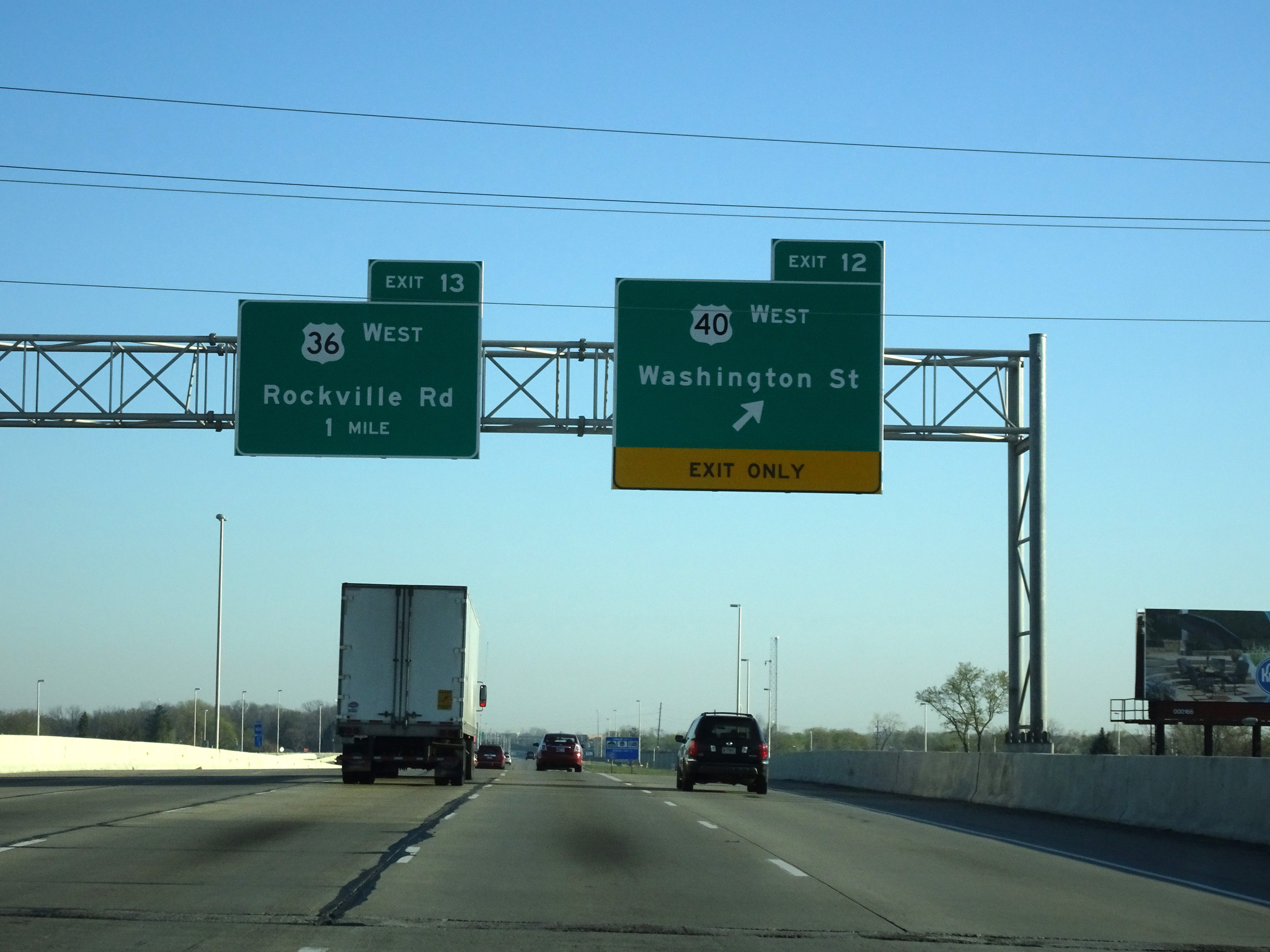 |
Interstate 74 West / Interstate 465 Inner Loop (North) at Exit 12: US 40 West - Washington St (Photo taken 4/17/16). |
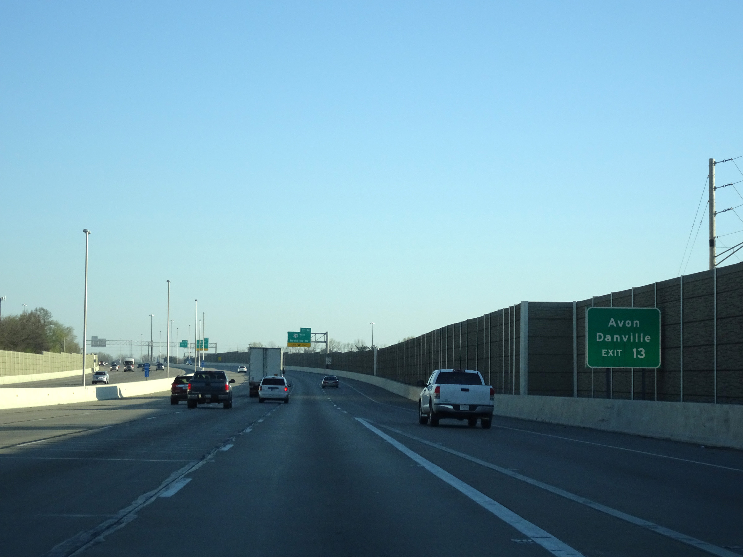 |
Take Exit 13 to Avon and Danville. (Photo taken 4/17/16). |
 |
Interstate 74 West / Interstate 465 Inner Loop (North) at Exit 13: US 36 West - Rockville Rd (Photo taken 4/17/16). |
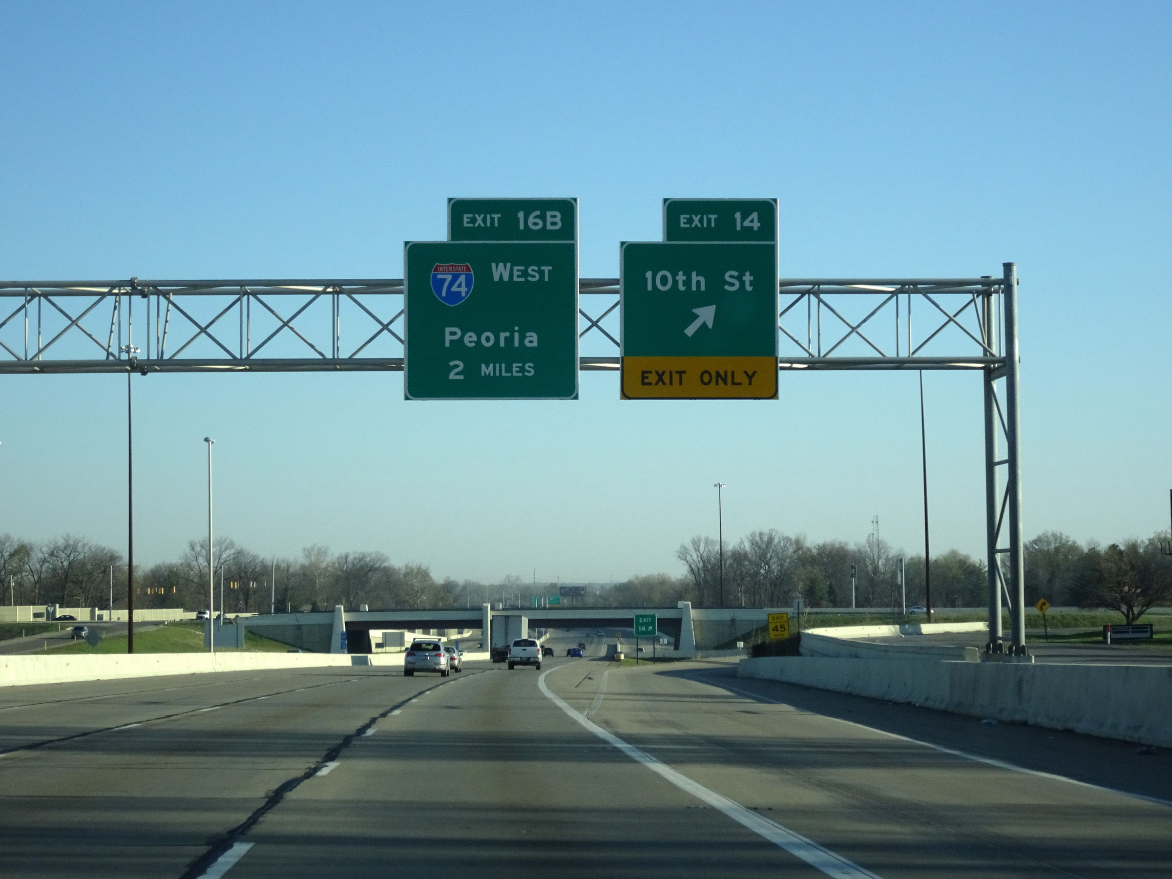 |
Interstate 74 West / Interstate 465 Inner Loop (North) at Exit 14: 10th St (Photo taken 4/17/16). |
Section 3: Indianapolis (Exit 14) to Illinois Border
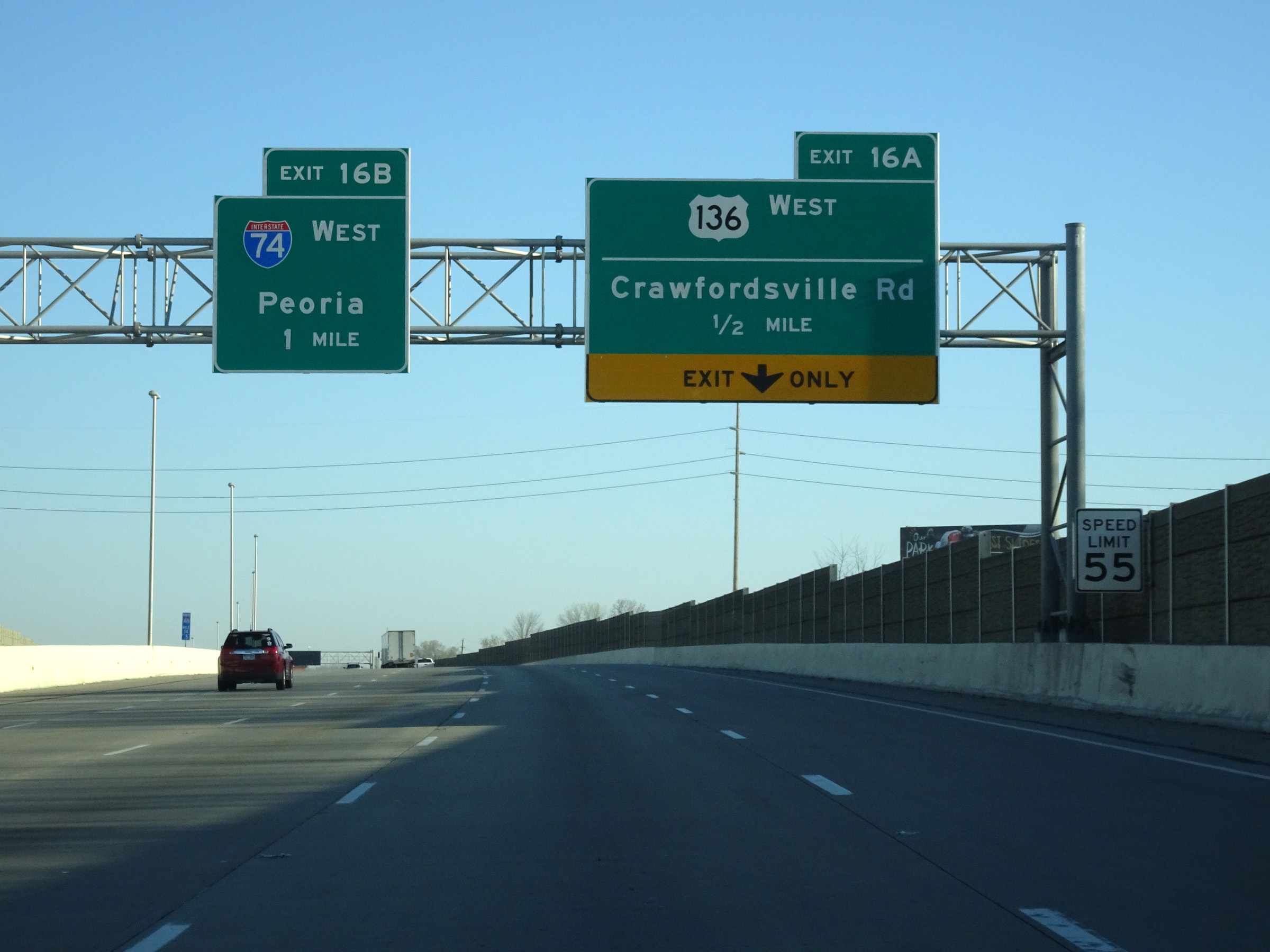 |
Interstate 74 West / Interstate 465 Inner Loop (North) approaching the departure of I-74 from I-465 via Exit 16B - 1 mile. (Photo taken 4/17/16). |
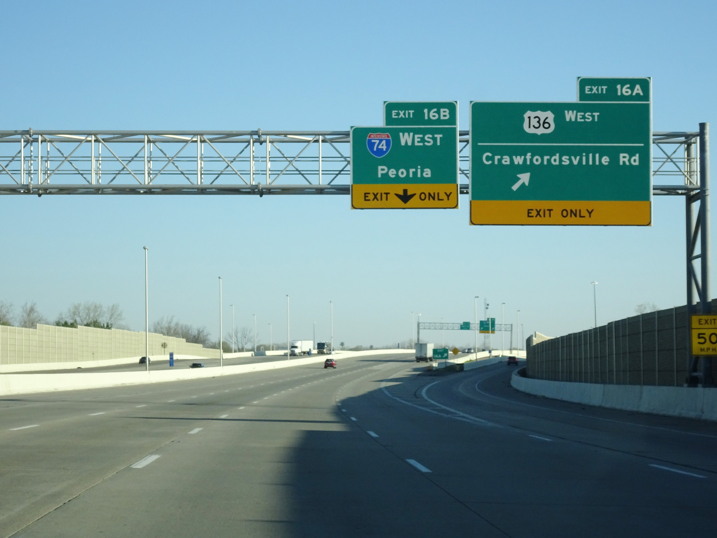 |
Interstate 74 West / Interstate 465 Inner Loop (North) at Exit 16A: US 136 West - Crawfordsville Rd (Photo taken 4/17/16). |
 |
Interstate 74 West / Interstate 465 Inner Loop (North) at Exit 16B: Interstate 74 West - Peoria (Photo taken 5/15/18). |
 |
View of the ramp for Exit 16B as Interstate 74 West departs Interstate 465 Inner Loop (North) on the west side of Indianapolis. (Photo taken 5/15/18). |
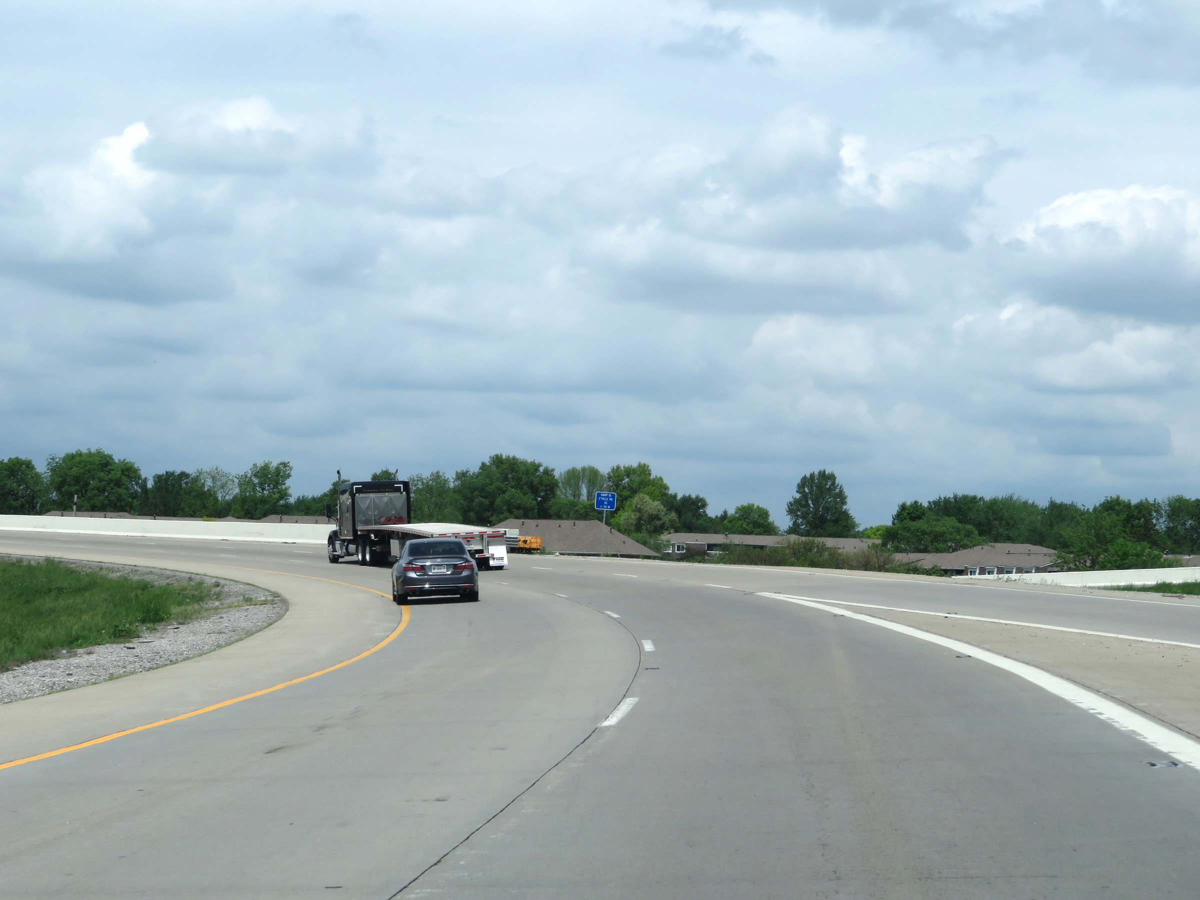 |
View on Interstate 74 West as it curves to the west and prepares to fly over Interstate 465. (Photo taken 5/15/18). |
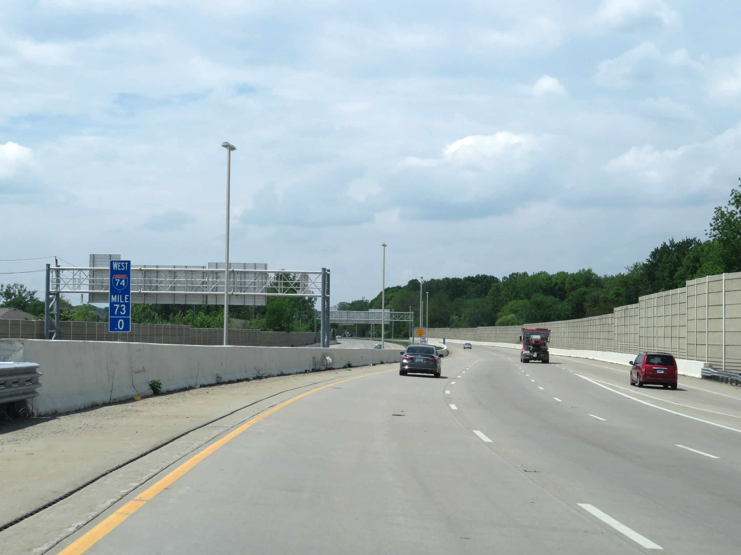 |
Interstate 74 West at mile marker 73. (Photo taken 5/15/18). |
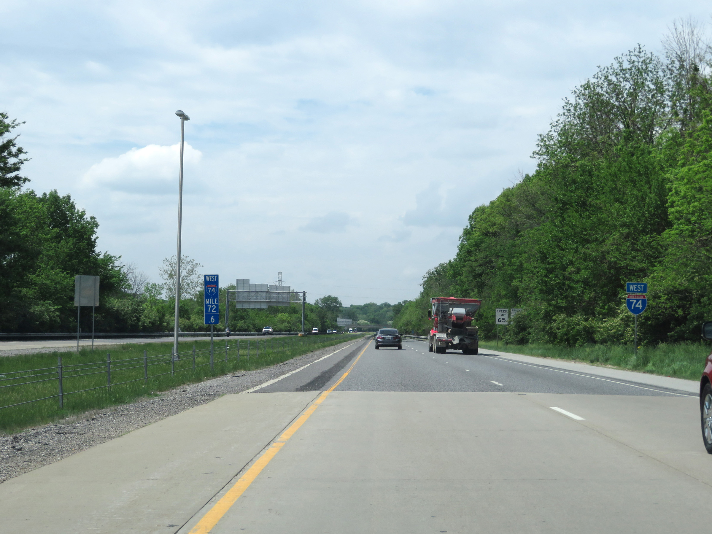 |
Interstate 74 West reassurance shield at mile marker 72.6. (Photo taken 5/15/18). |
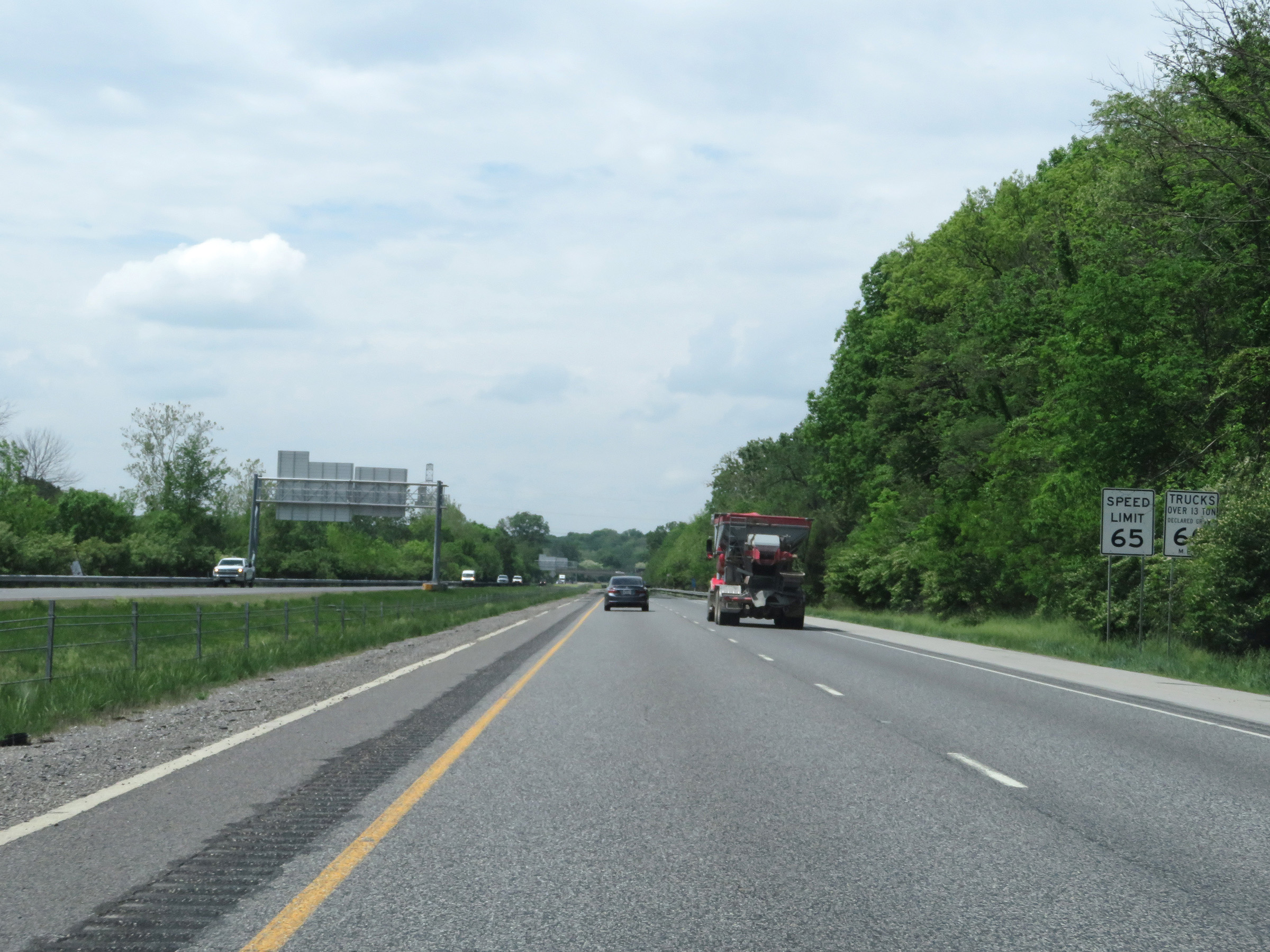 |
Speed limit signs just beyond mile marker 72.6. After departing Interstate 465, the speed limits on Interstate 74 West increase to 65 mph for automobiles and 60 mph for trucks. (Photo taken 5/15/18). |
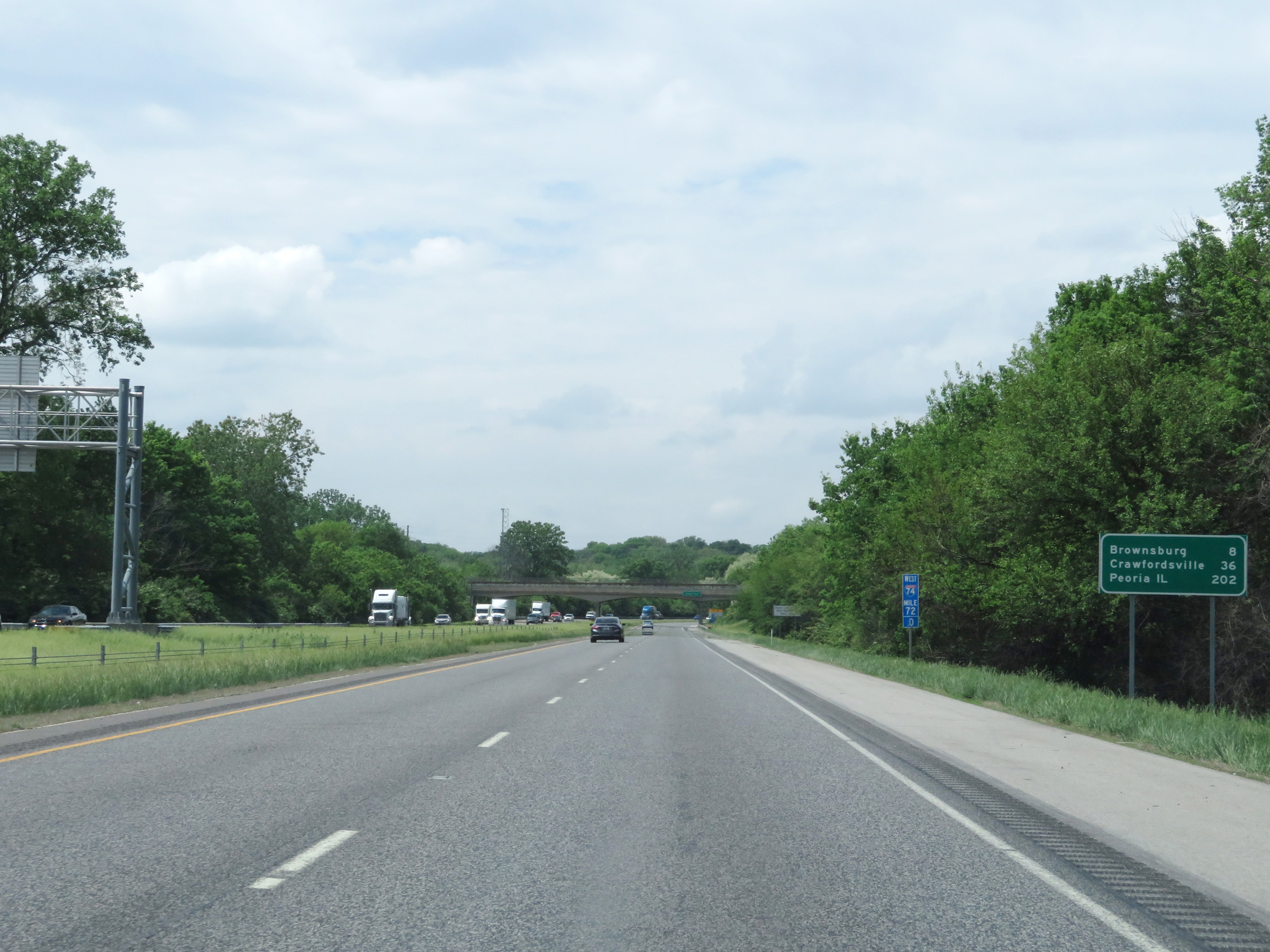 |
Mileage sign on Interstate 74 West at mile marker 72. It's 8 miles to Brownsburg, 36 miles to Crawfordsville, and 202 miles to Peoria, IL. (Photo taken 5/15/18). |
 |
View on Interstate 74 West at mile marker 71. (Photo taken 5/15/18). |
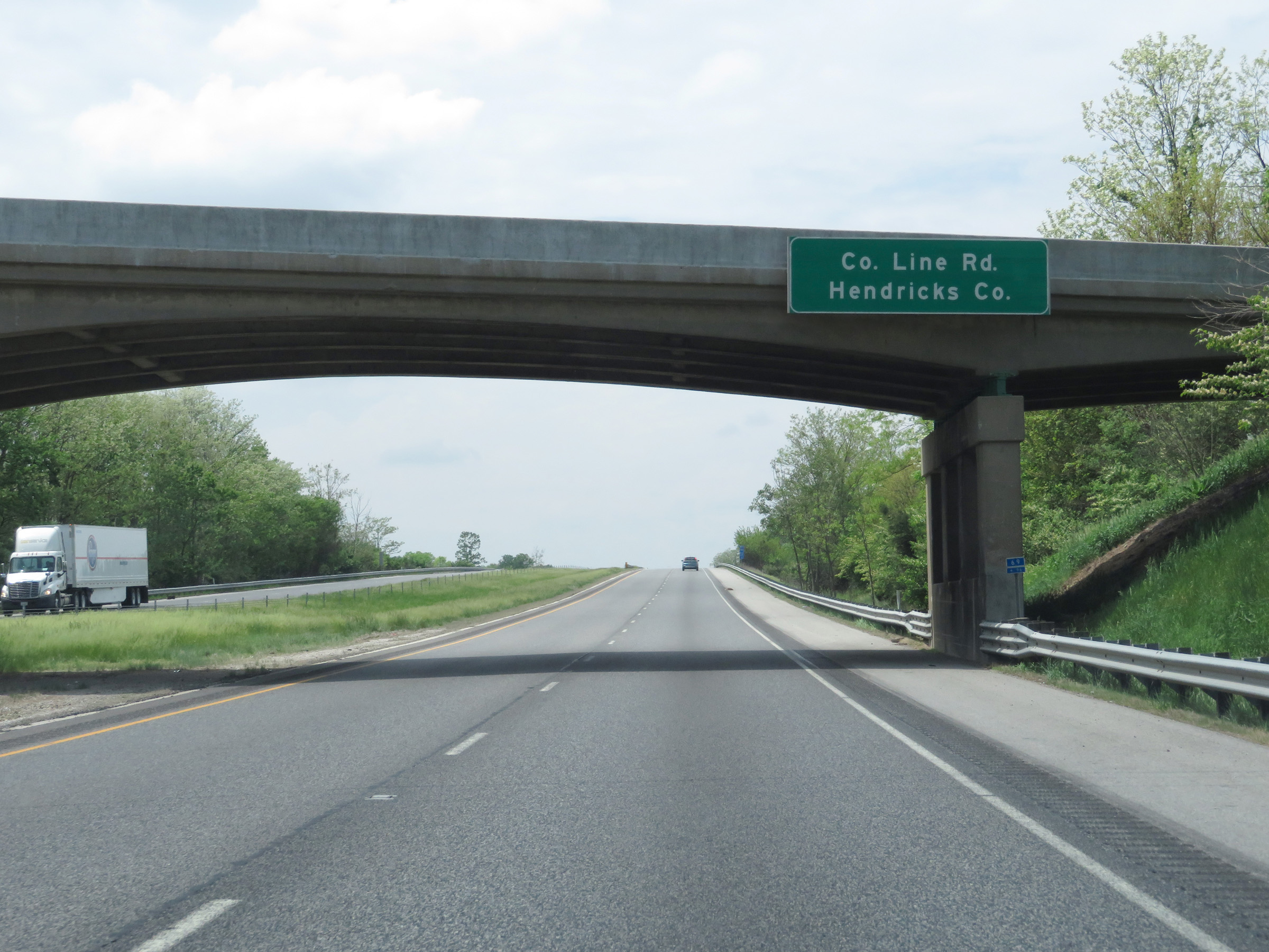 |
Interstate 74 West as it enters Hendricks County. (Photo taken 5/15/18). |
 |
Take Exit 68 to Lucas Oil Raceway. (Photo taken 5/15/18). |
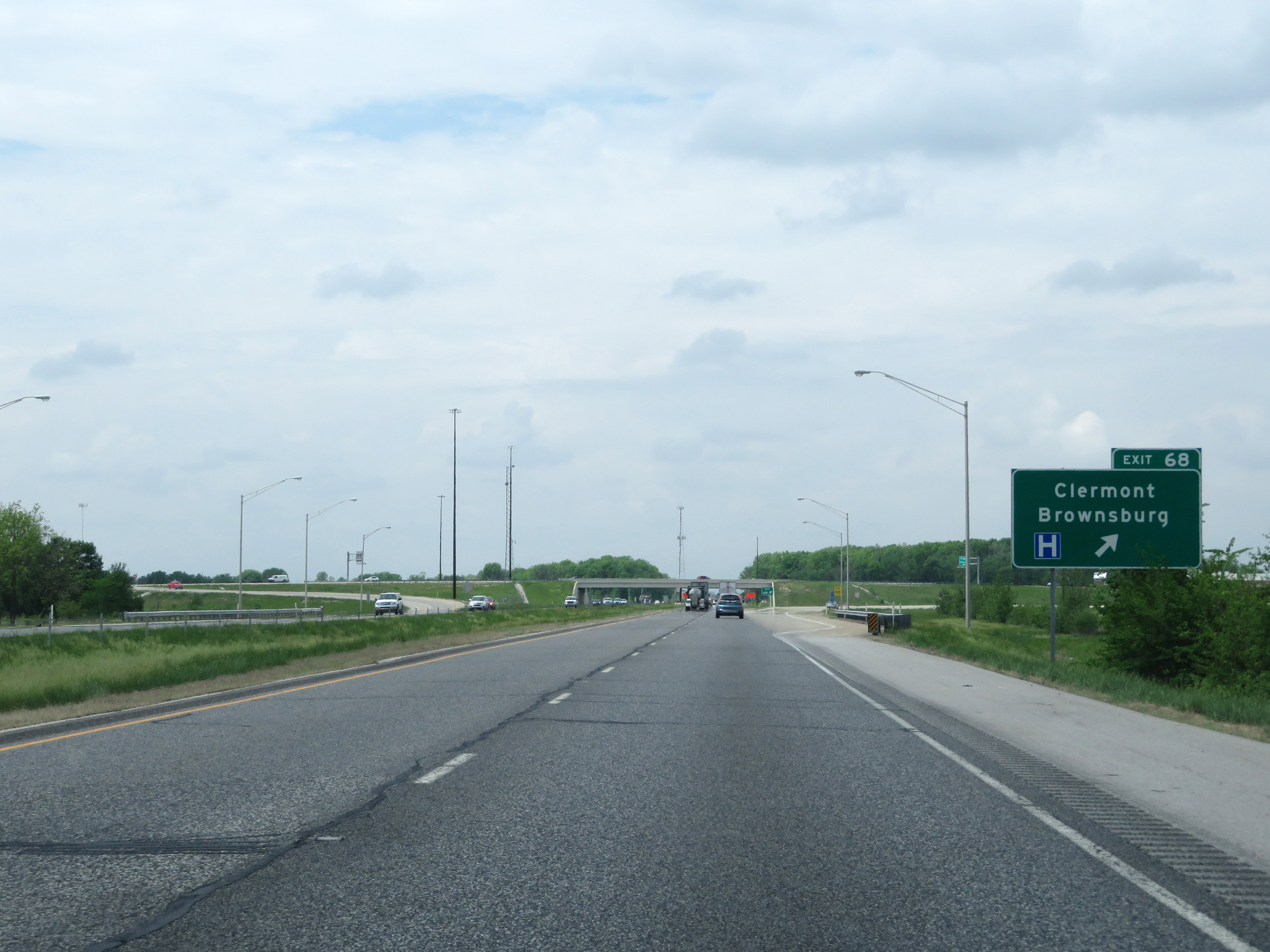 |
Interstate 74 West at Exit 68: Clermont / Brownsburg (Photo taken 5/15/18). |
 |
Interstate 74 West at Exit 66: IN 267 North - Brownsburg (Photo taken 5/15/18). |
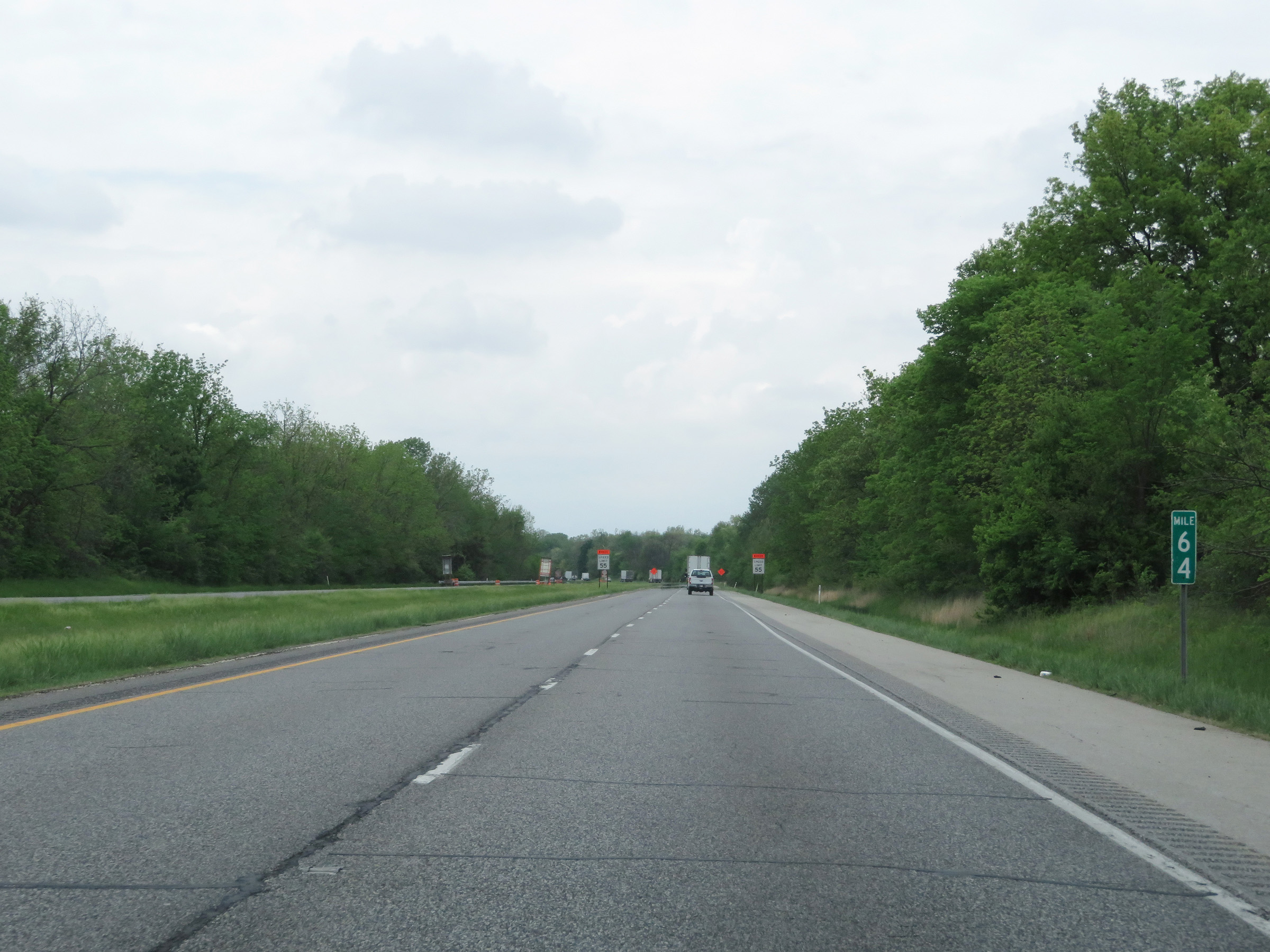 |
View on Interstate 74 West at mile marker 64. (Photo taken 5/15/18). |
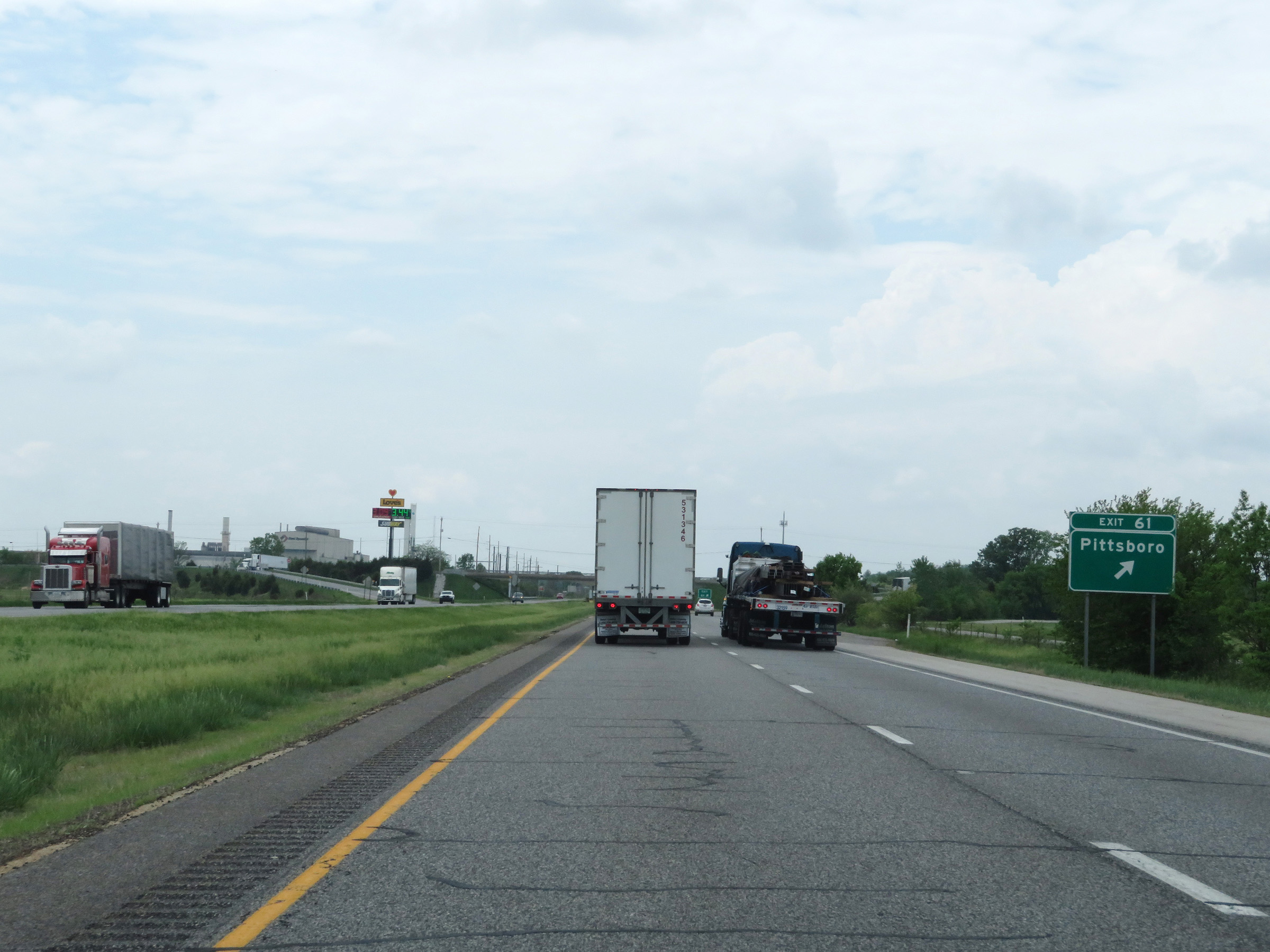 |
Interstate 74 West at Exit 61: Pittsboro (Photo taken 5/15/18). |
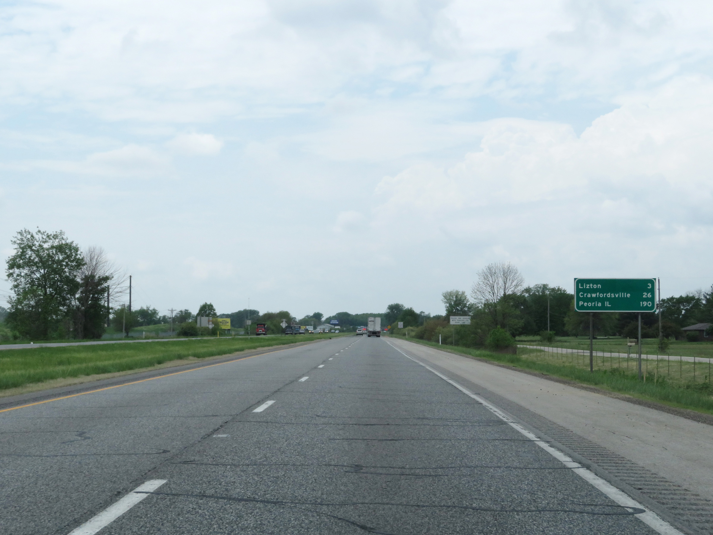 |
Another mileage sign on Interstate 74 West. It's 3 miles to Lizton, 26 miles to Crawfordsville, and 190 miles to Peoria, IL. (Photo taken 5/15/18). |
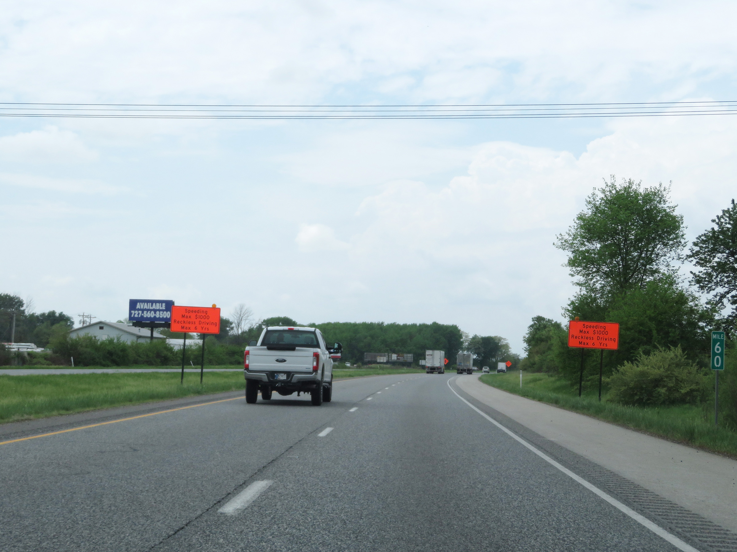 |
Mile marker 60 on Interstate 74 West in Hendricks County. (Photo taken 5/15/18). |
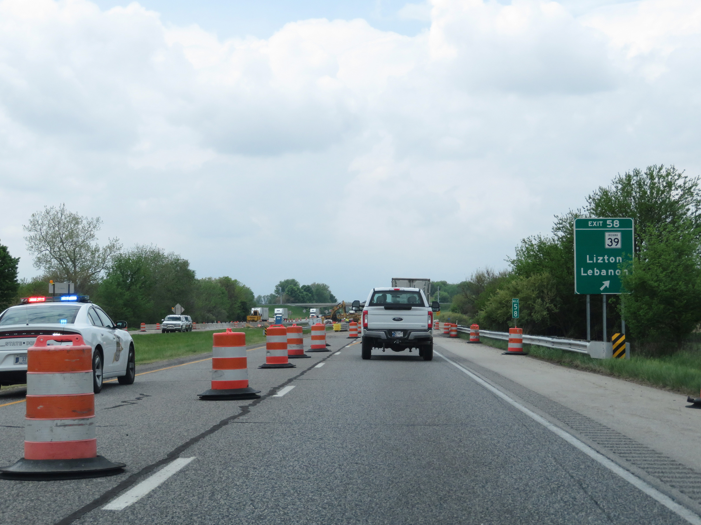 |
Interstate 74 West at Exit 58: IN 39 - Lizton / Lebanon (Photo taken 5/15/18). |
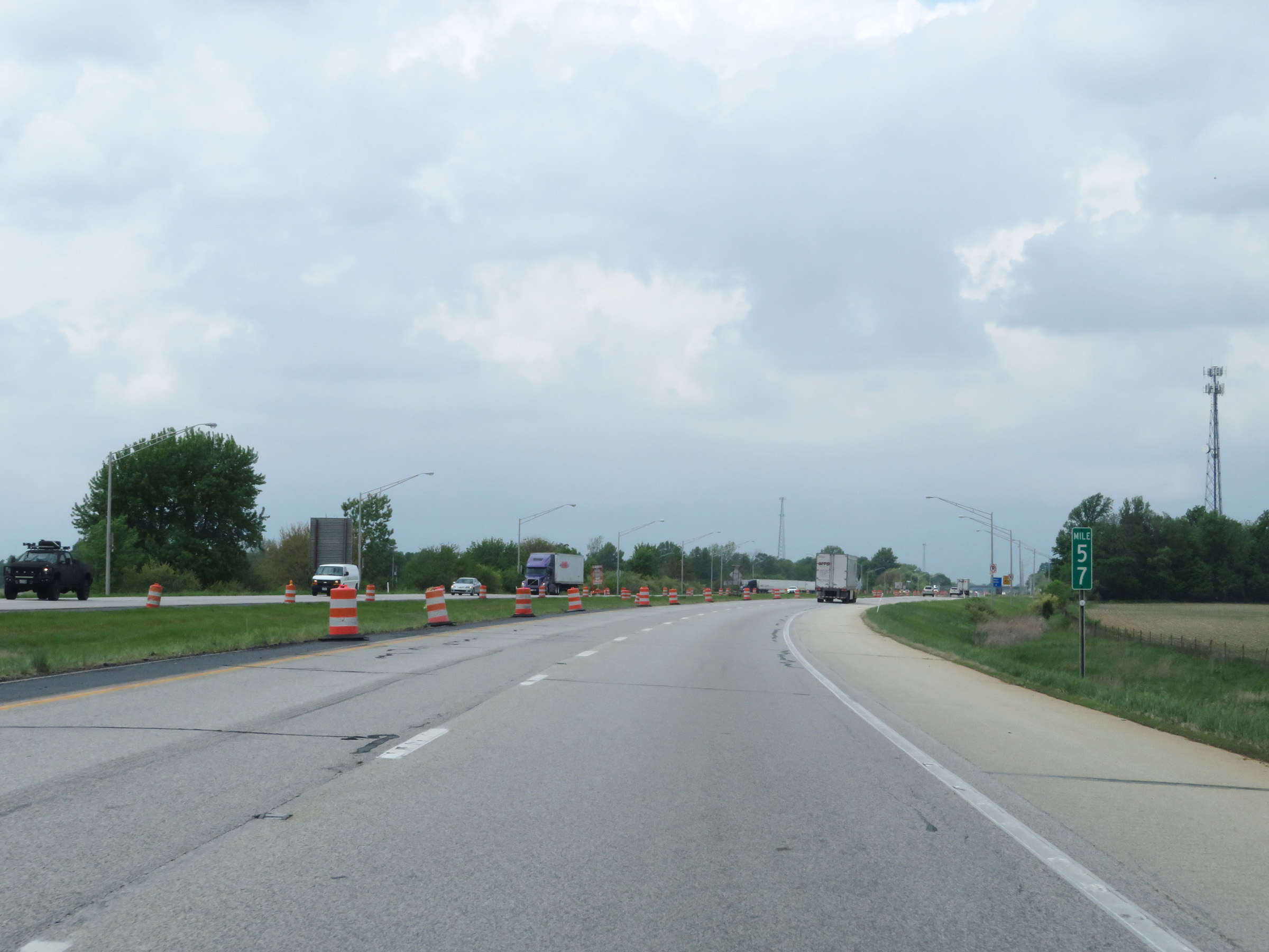 |
View on Interstate 74 West at mile marker 57. (Photo taken 5/15/18). |
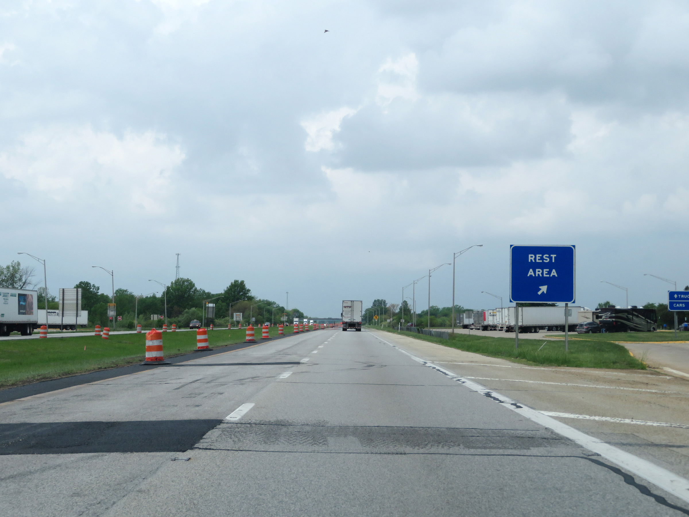 |
Rest Area on Interstate 74 West in Hendricks County. (Photo taken 5/15/18). |
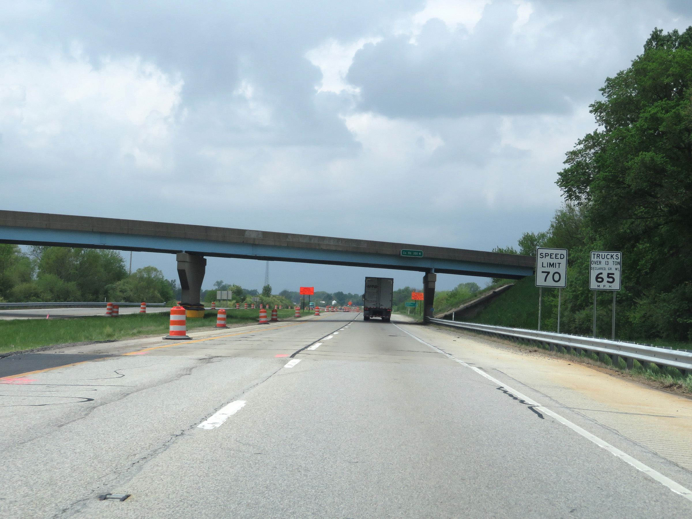 |
As Interstate 74 West prepares to leave Hendricks County, the speed limits increase to 70 mph for automobiles and 65 mph for trucks. These are the standard speed limits on most rural Interstate highways in Indiana. (Photo taken 5/15/18). |
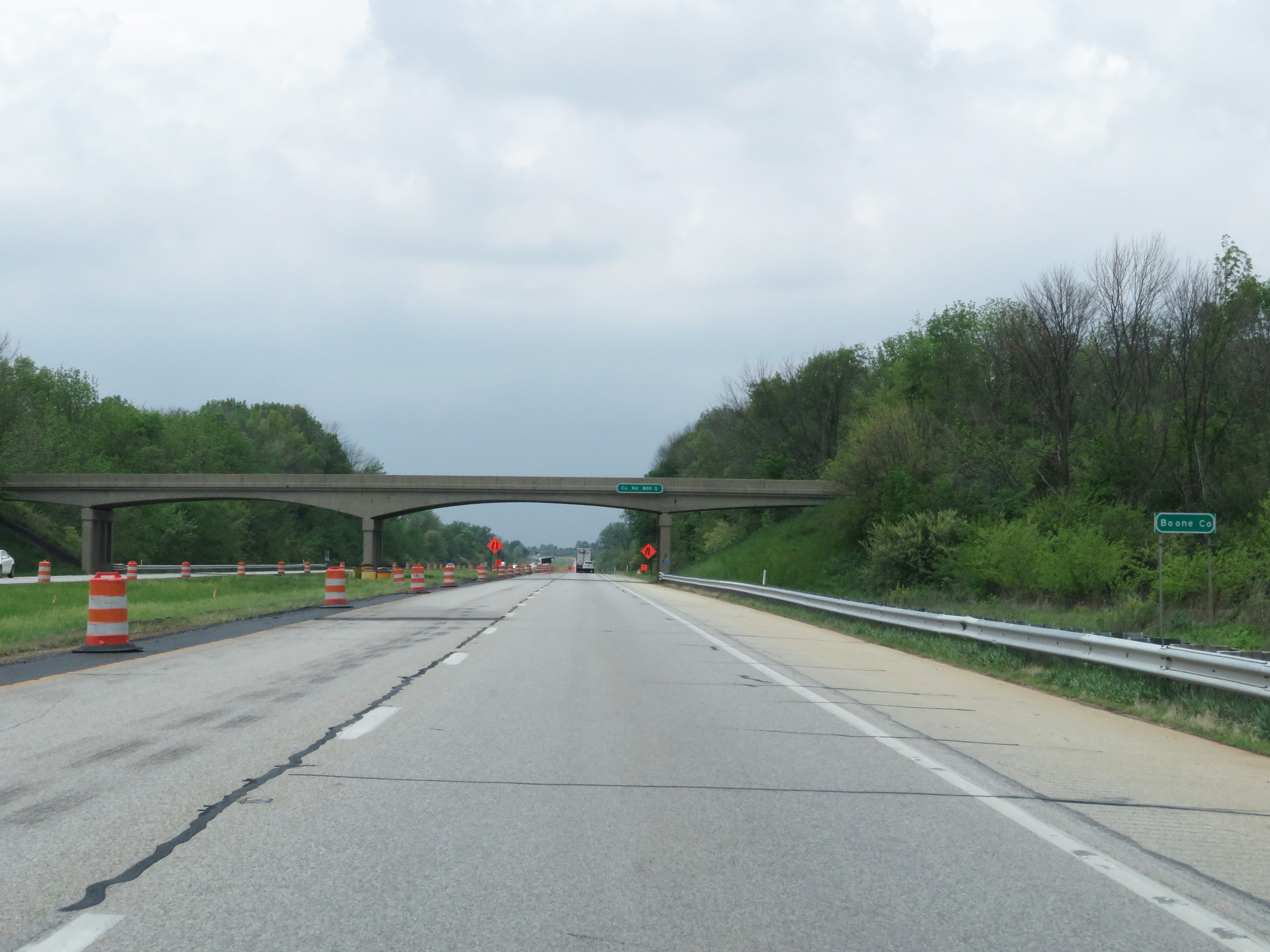 |
Entering Boone County on Interstate 74 West. (Photo taken 5/15/18). |
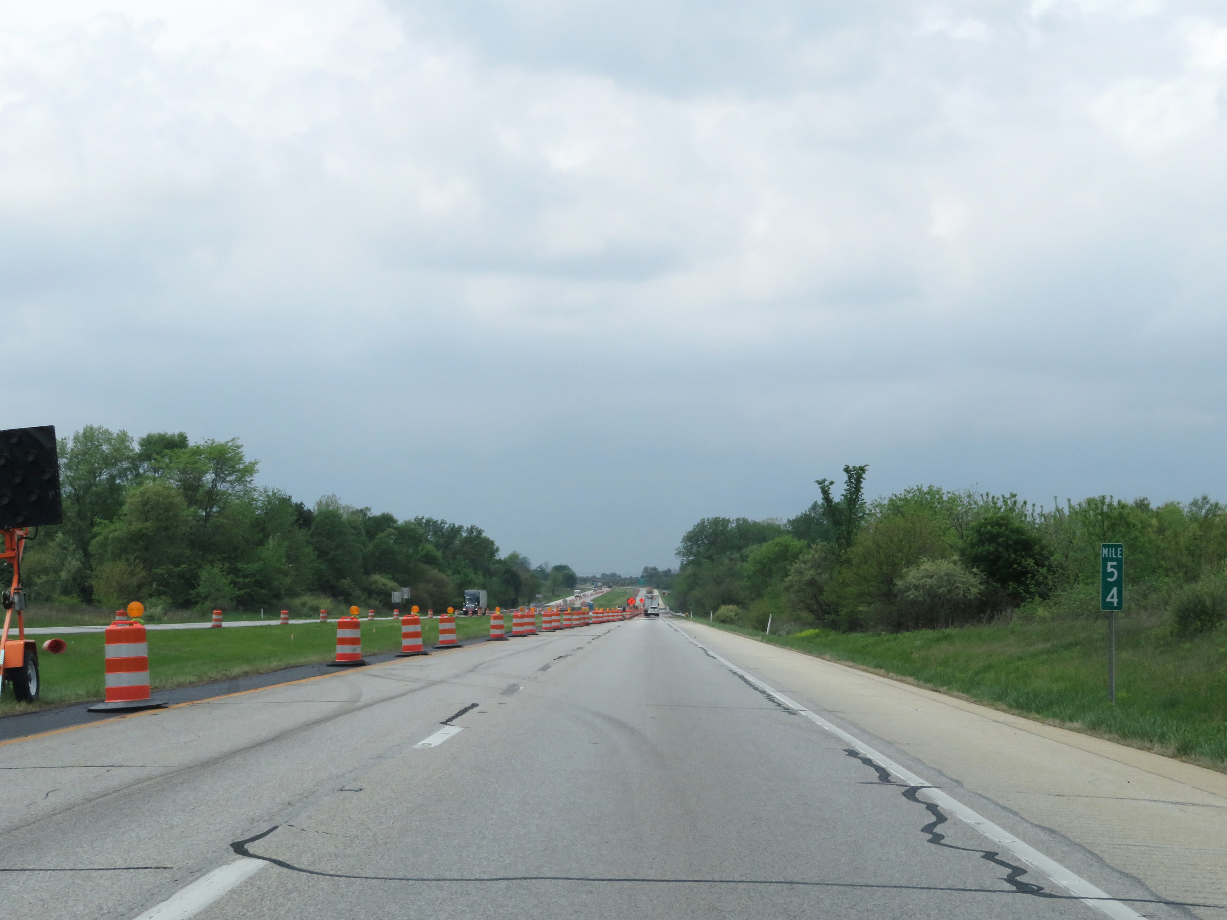 |
View on Interstate 74 West at mile marker 54. (Photo taken 5/15/18). |
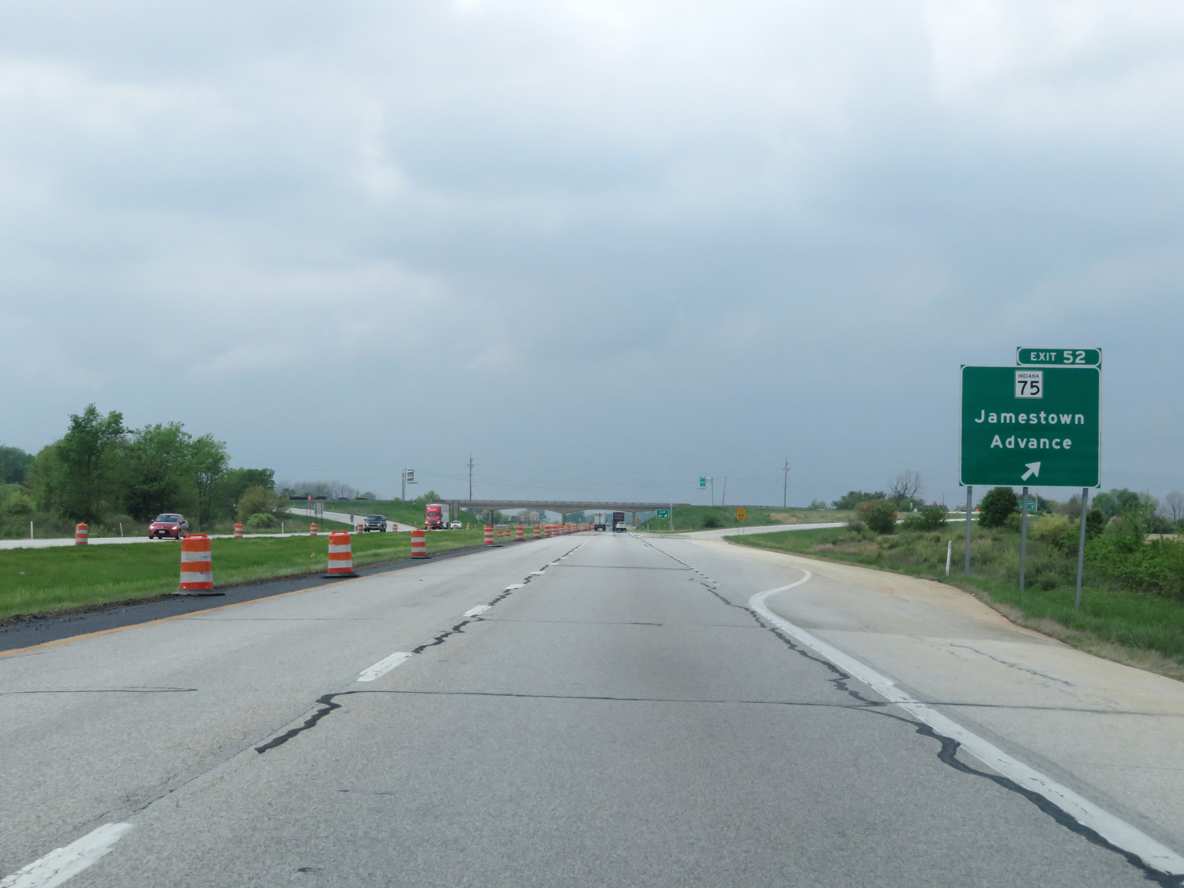 |
Interstate 74 West at Exit 52: IN 75 - Jamestown / Advance (Photo taken 5/15/18). |
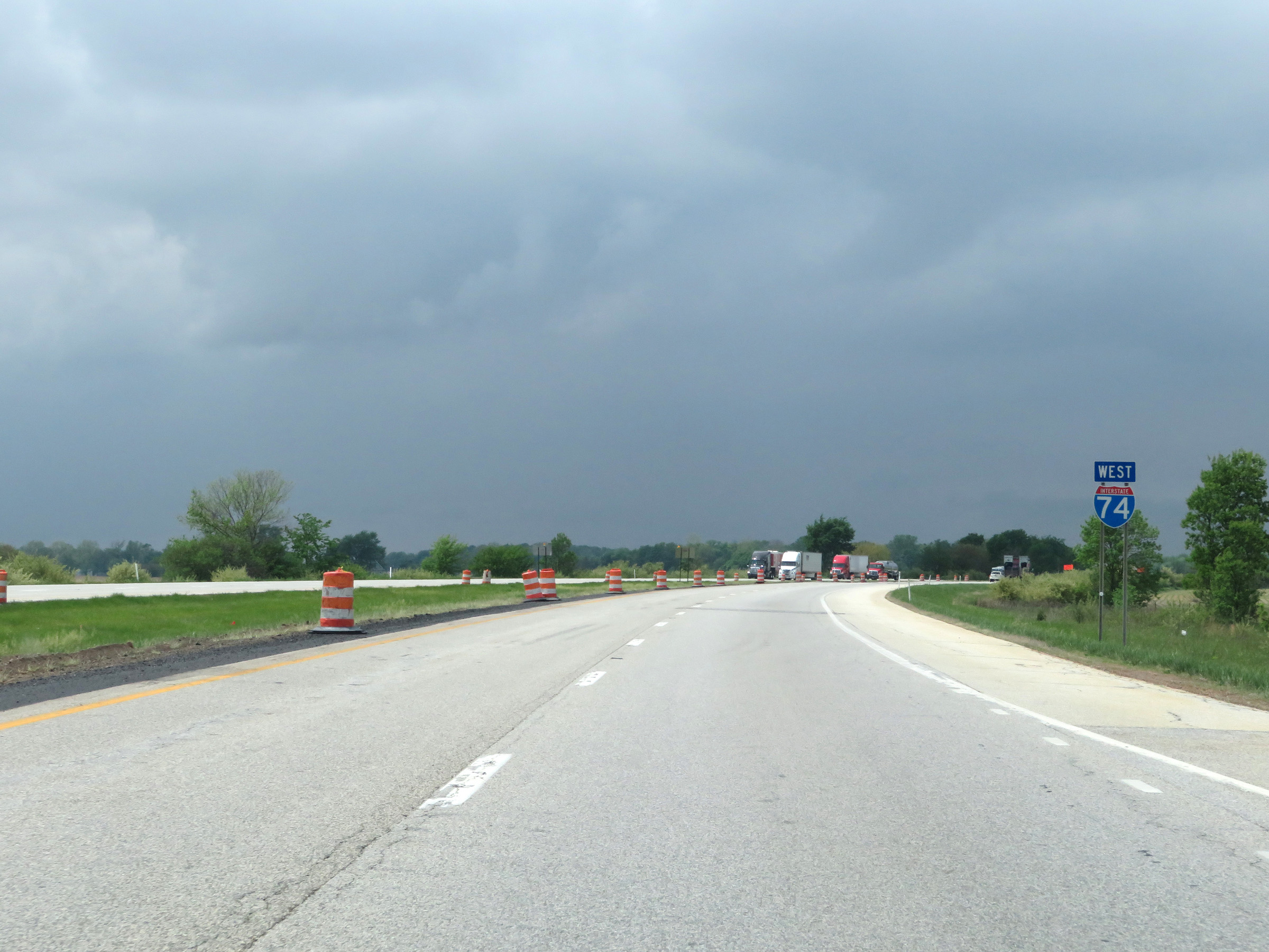 |
Another Interstate 74 West reassurance shield. (Photo taken 5/15/18). |
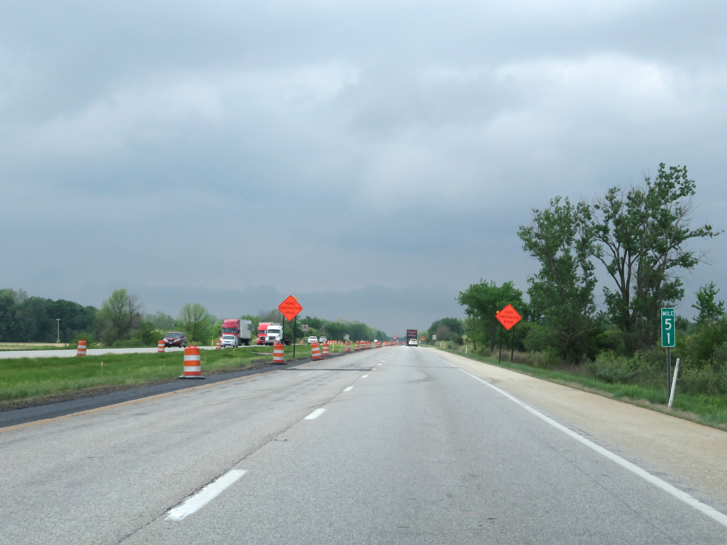 |
Mile marker 51 on Interstate 74 West in Boone County. (Photo taken 5/15/18). |
 |
Interstate 74 West at mile marker 49. (Photo taken 5/15/18). |
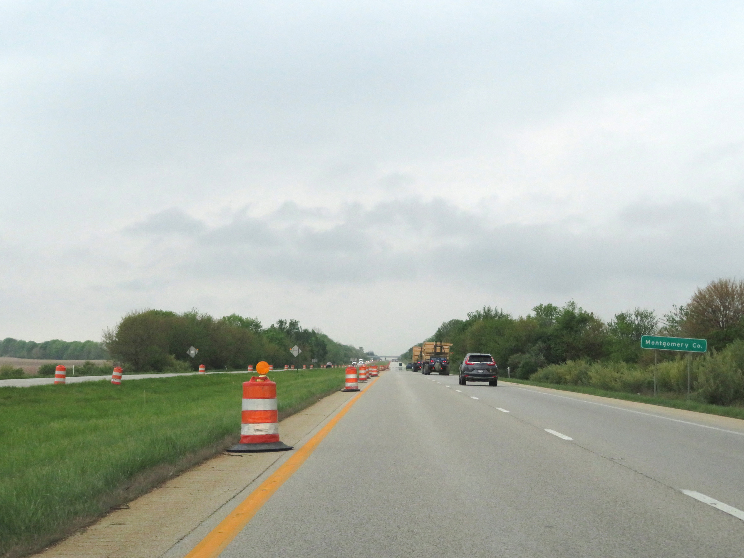 |
Interstate 74 West as it enters Montgomery County. (Photo taken 5/15/18). |
 |
View on Interstate 74 West at mile marker 46. (Photo taken 5/15/18). |
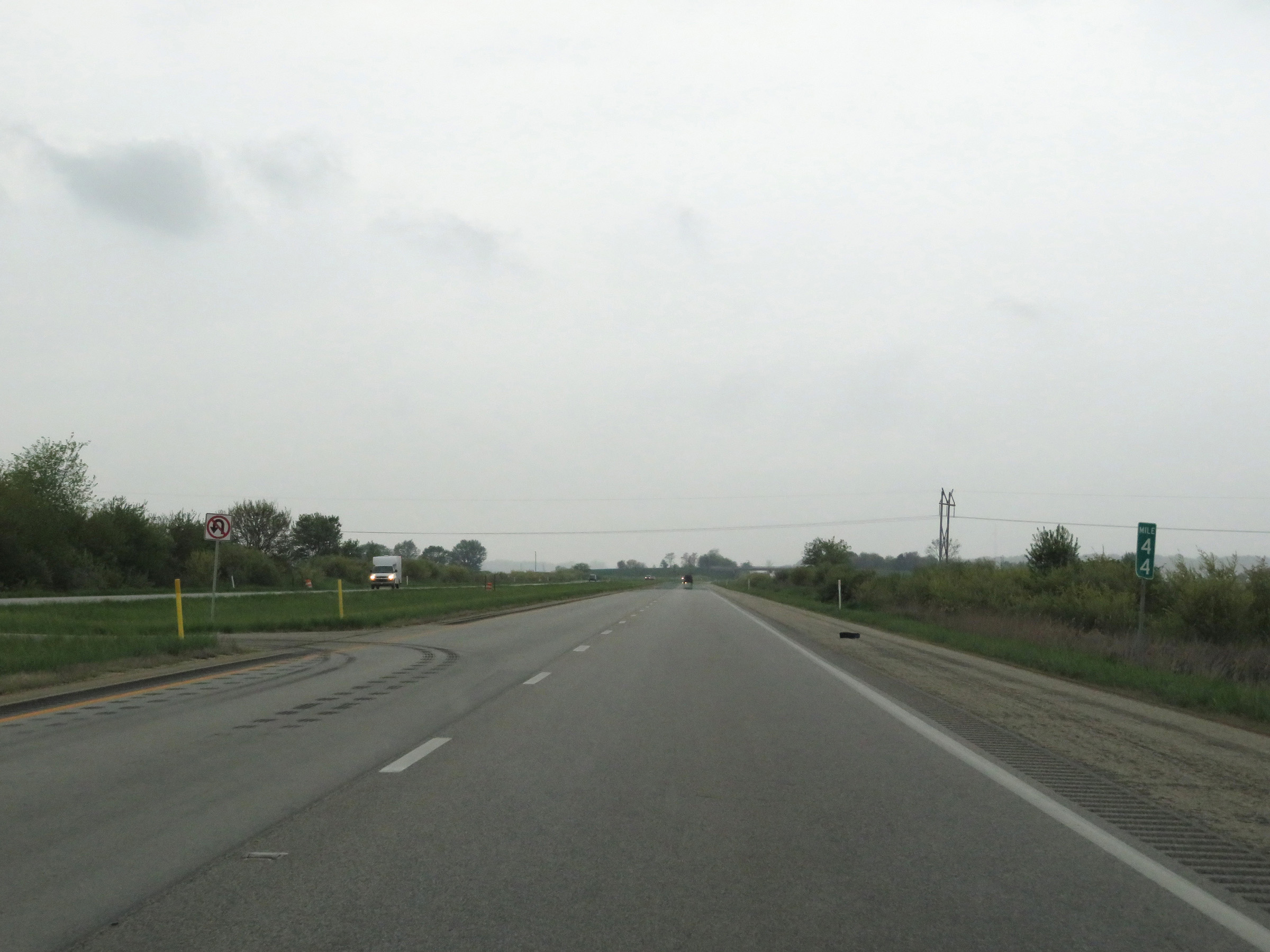 |
Interstate 74 West at mile marker 44. (Photo taken 5/15/18). |
 |
Mile marker 42 on Interstate 74 West in Montgomery County. (Photo taken 5/15/18). |
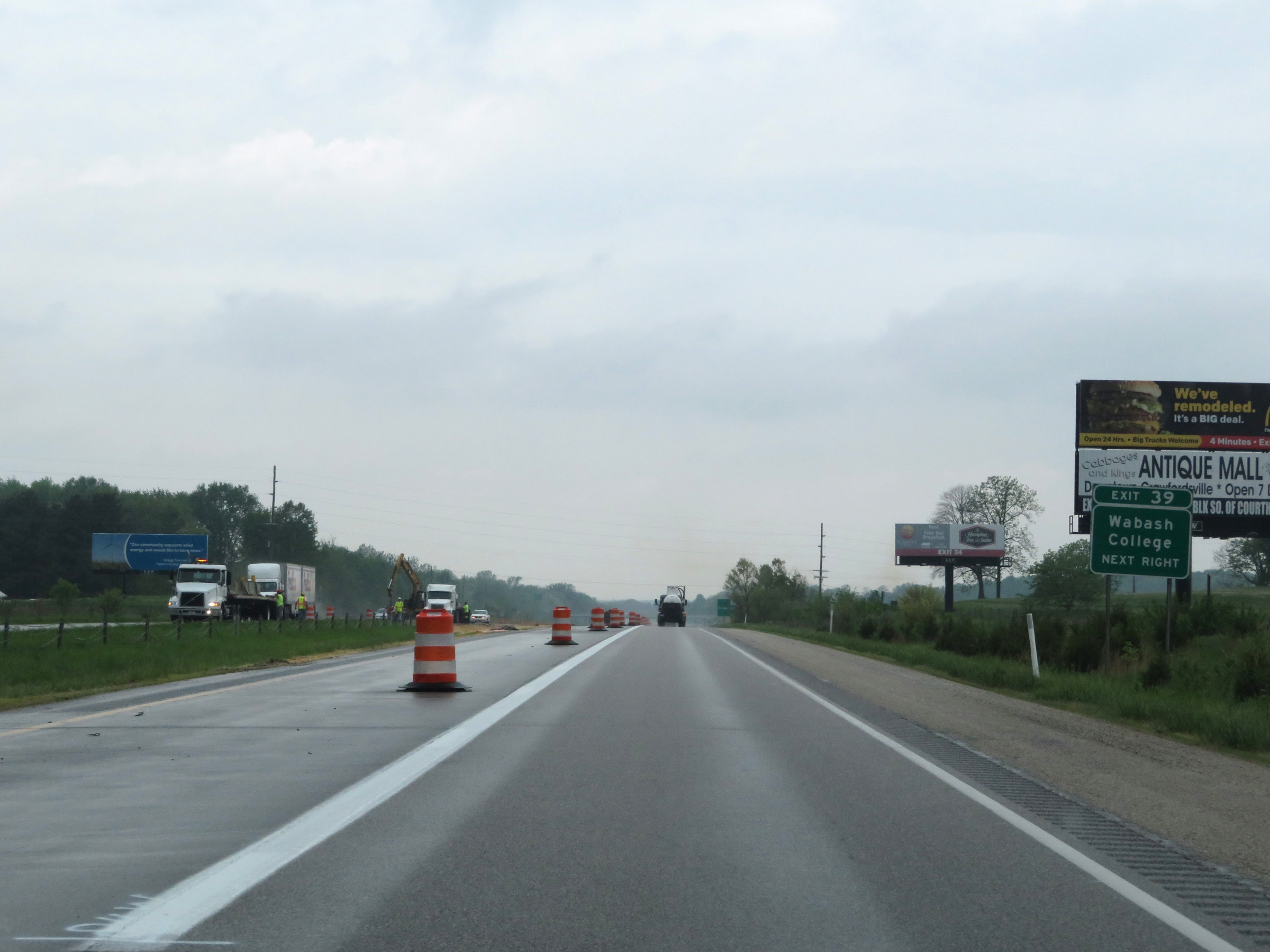 |
Take Exit 39 to Wabash College. (Photo taken 5/15/18). |
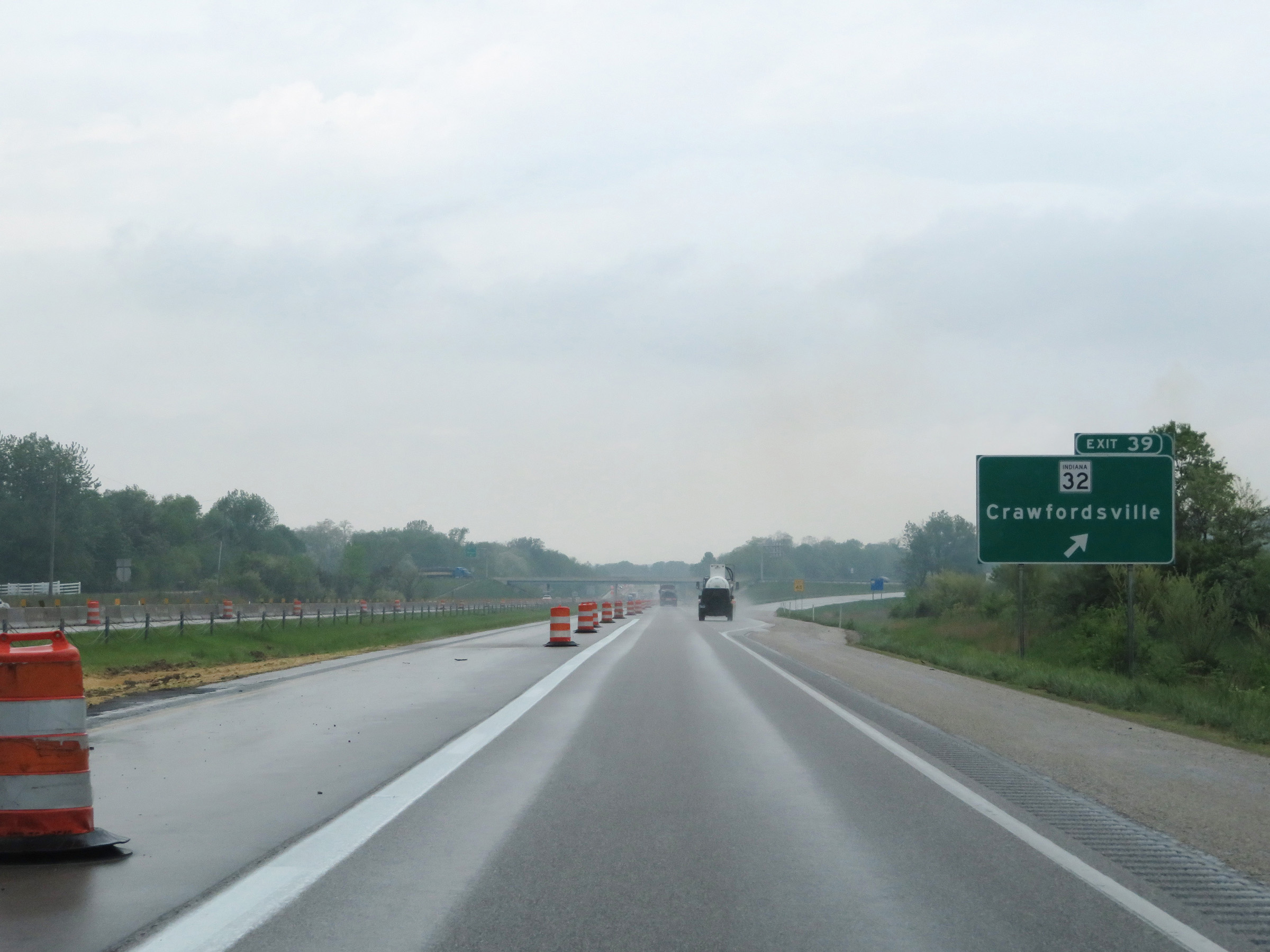 |
Interstate 74 West at Exit 39: IN 32 - Crawfordsville (Photo taken 5/15/18). |
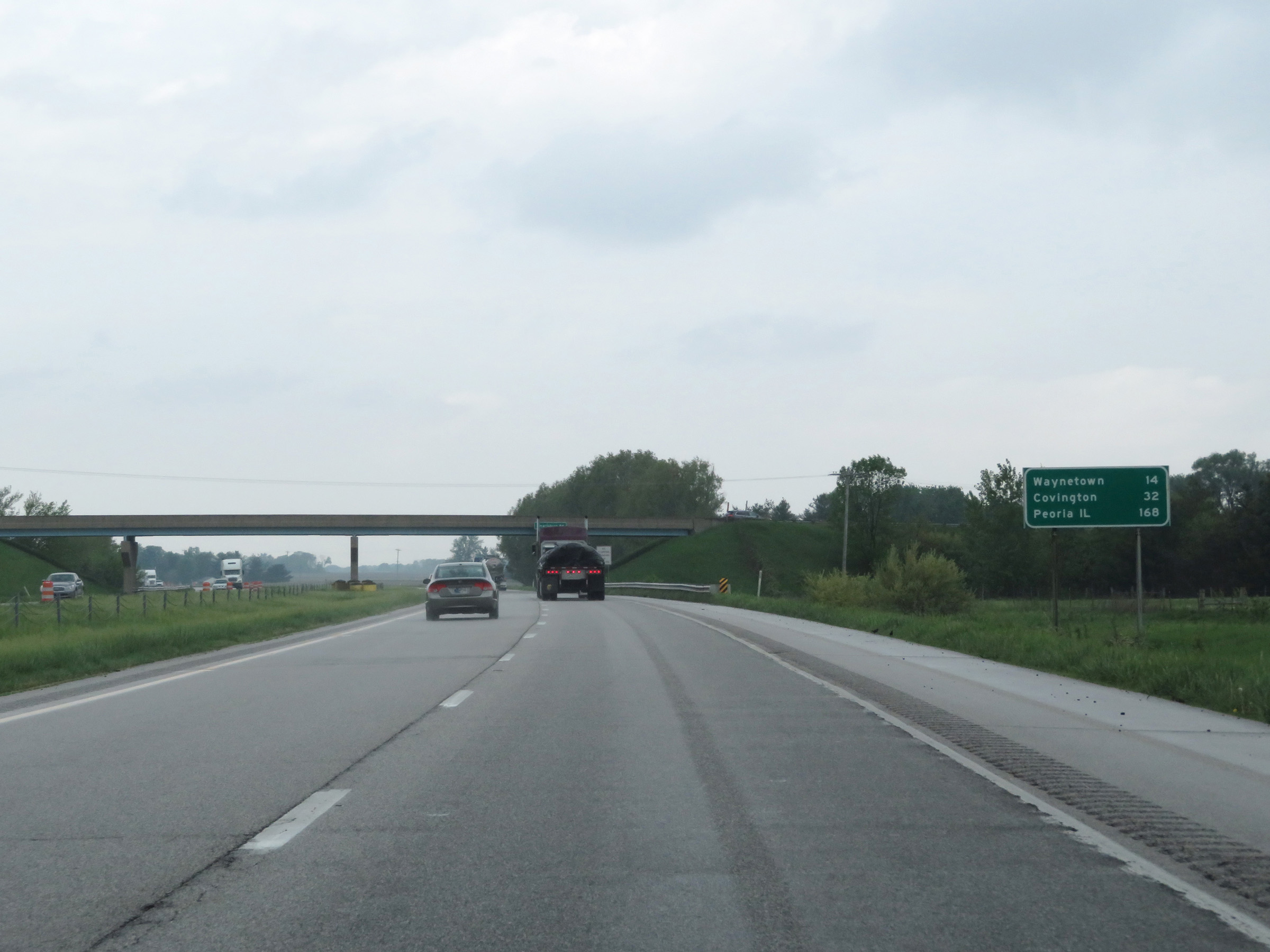 |
Mileage sign on Interstate 74 West. It's 14 miles to Waynetown, 32 miles to Covington, and 168 miles to Peoria, IL. (Photo taken 5/15/18). |
 |
Interstate 74 West at mile marker 37. (Photo taken 5/15/18). |
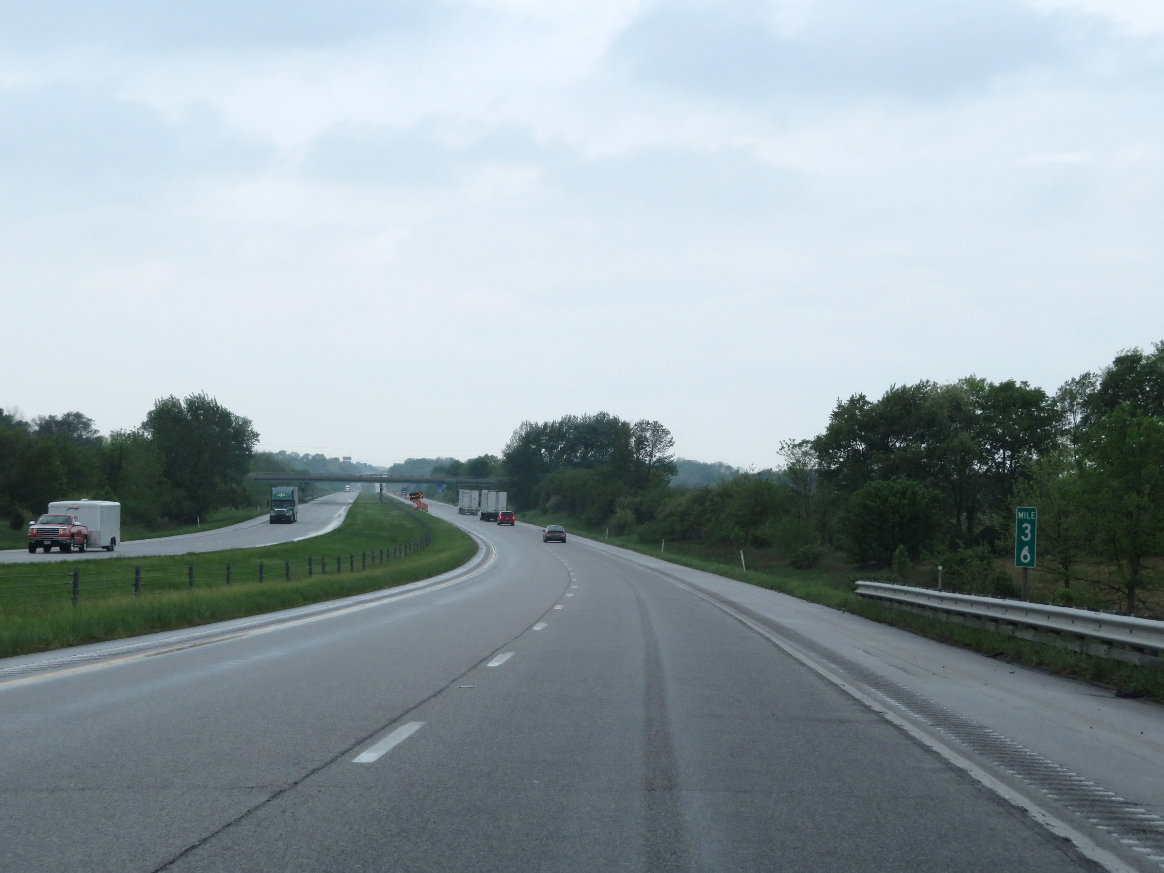 |
View on Interstate 74 West at mile marker 36. (Photo taken 5/15/18). |
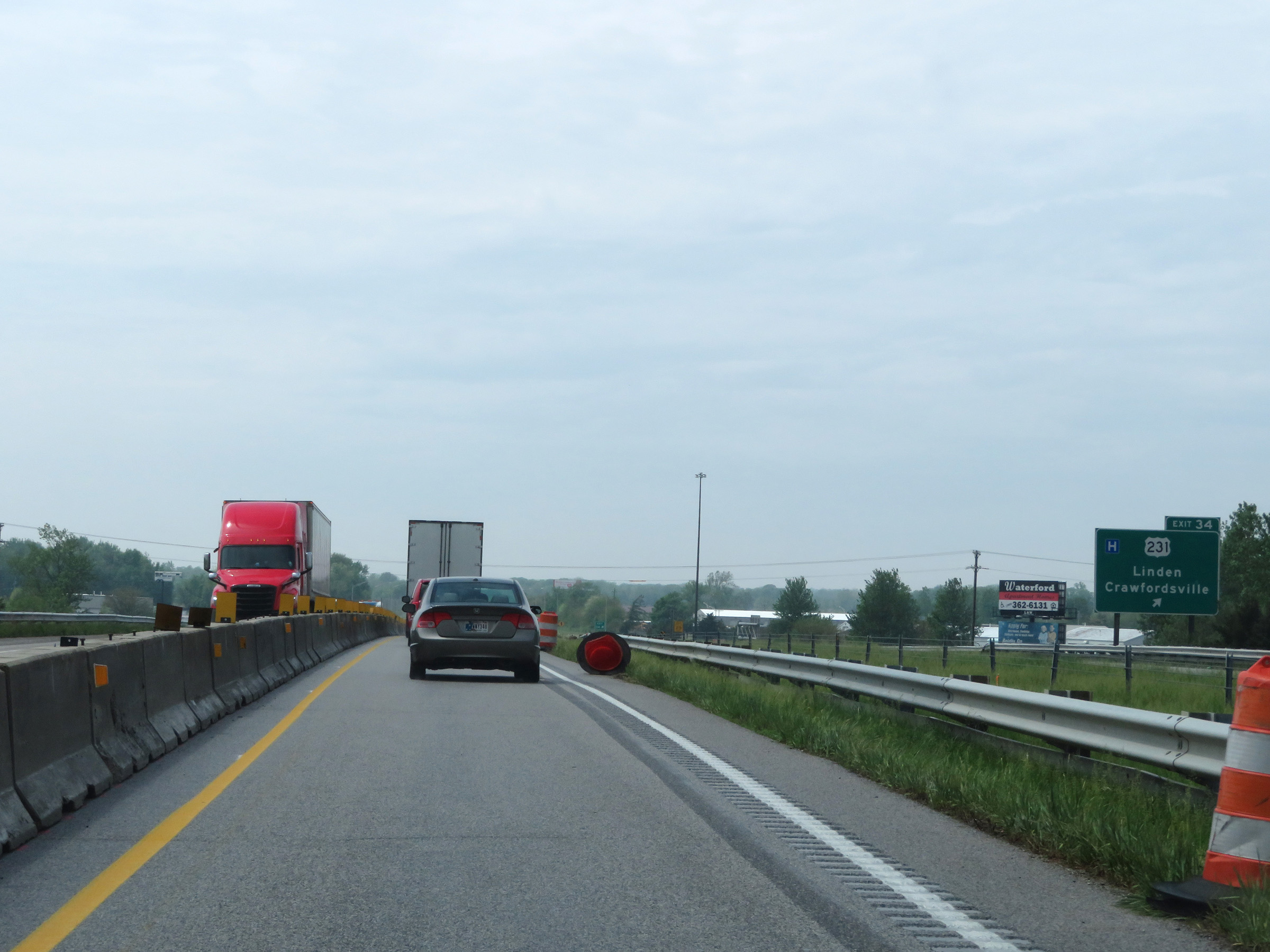 |
Interstate 74 West at Exit 34: US 231 - Linden / Crawfordsville (Photo taken 5/15/18). |
 |
Mile marker 32 on Interstate 74 West in Montgomery County. (Photo taken 5/15/18). |
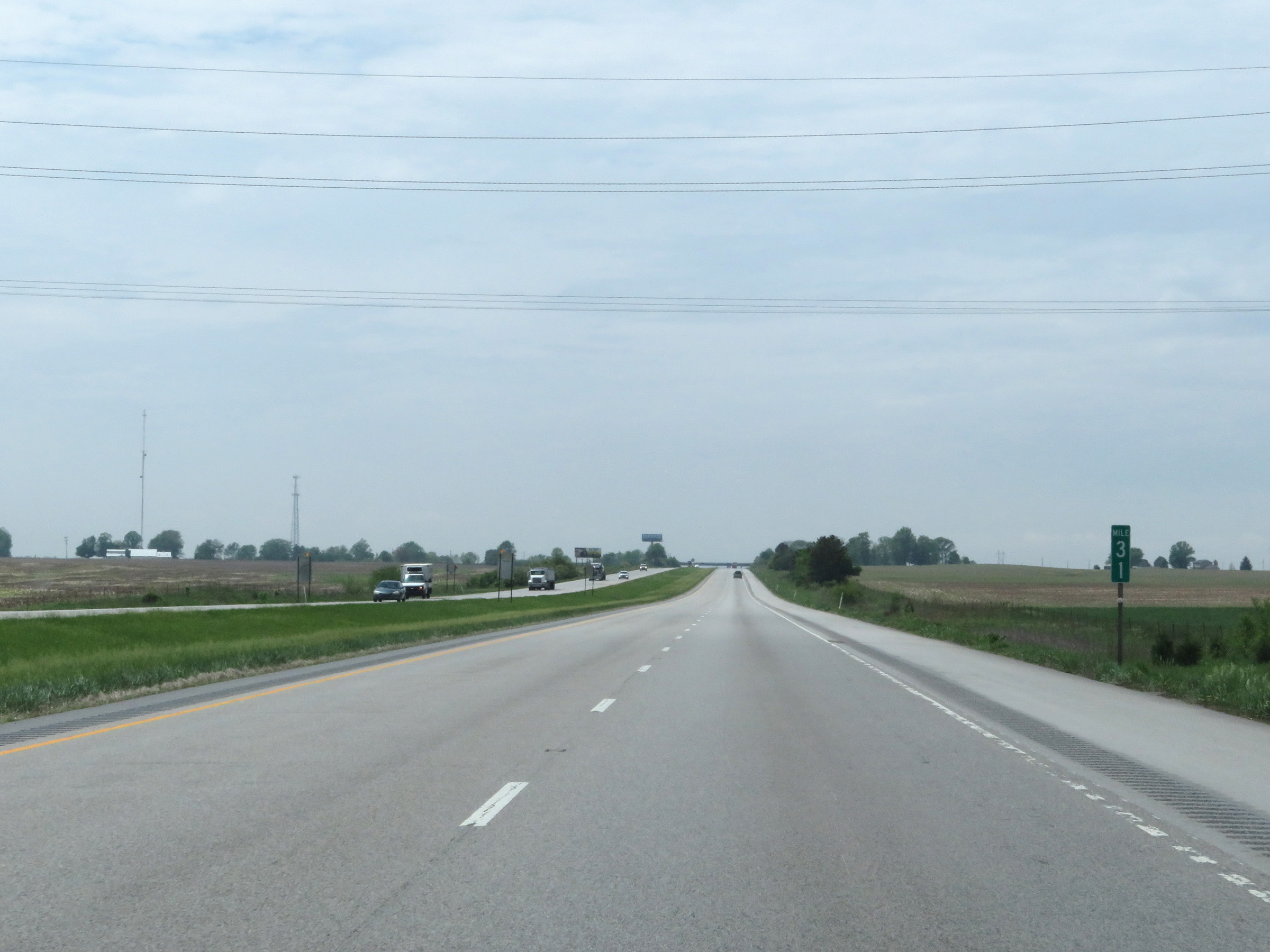 |
View on Interstate 74 West at mile marker 31. (Photo taken 5/15/18). |
 |
Interstate 74 West at mile marker 28. (Photo taken 5/15/18). |
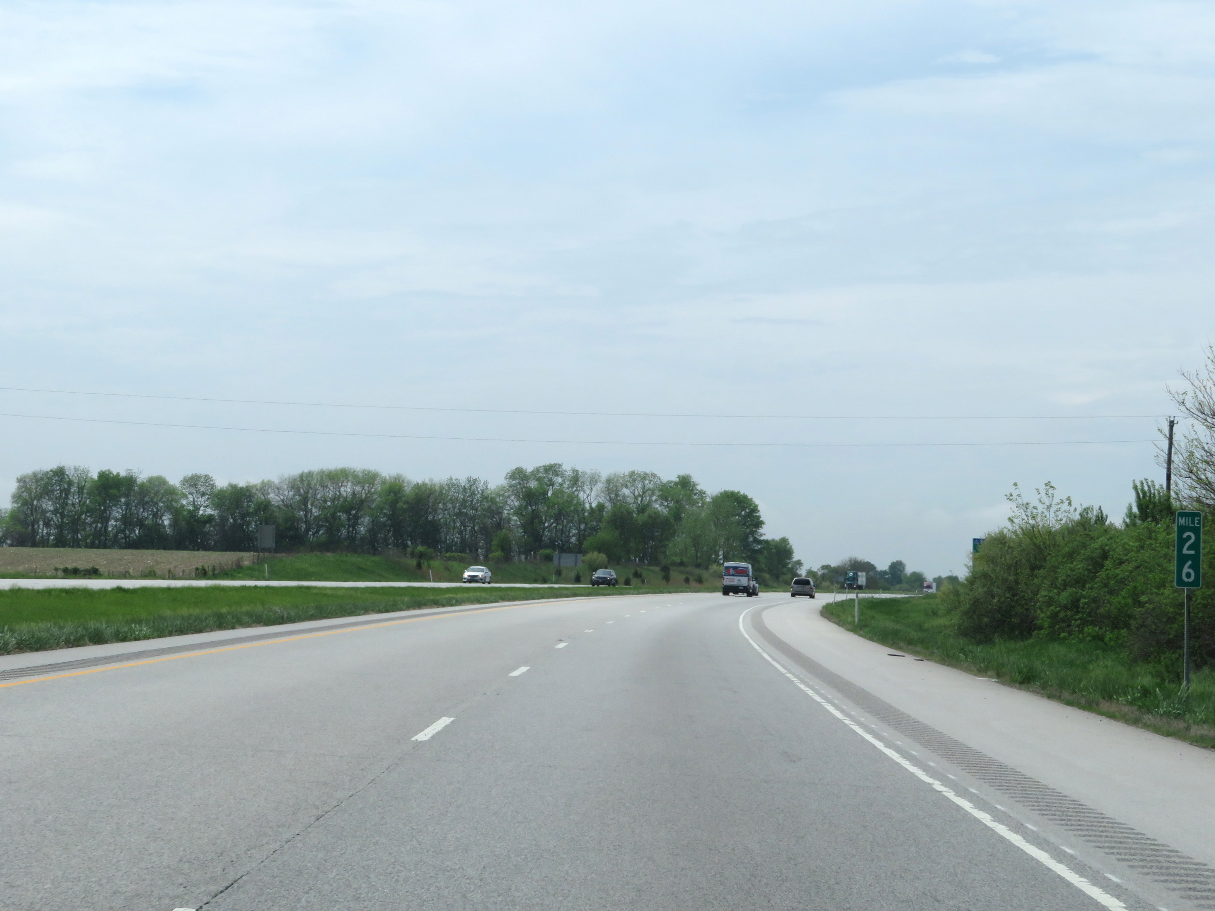 |
Mile marker 26 on Interstate 74 West in Montgomery County. (Photo taken 5/15/18). |
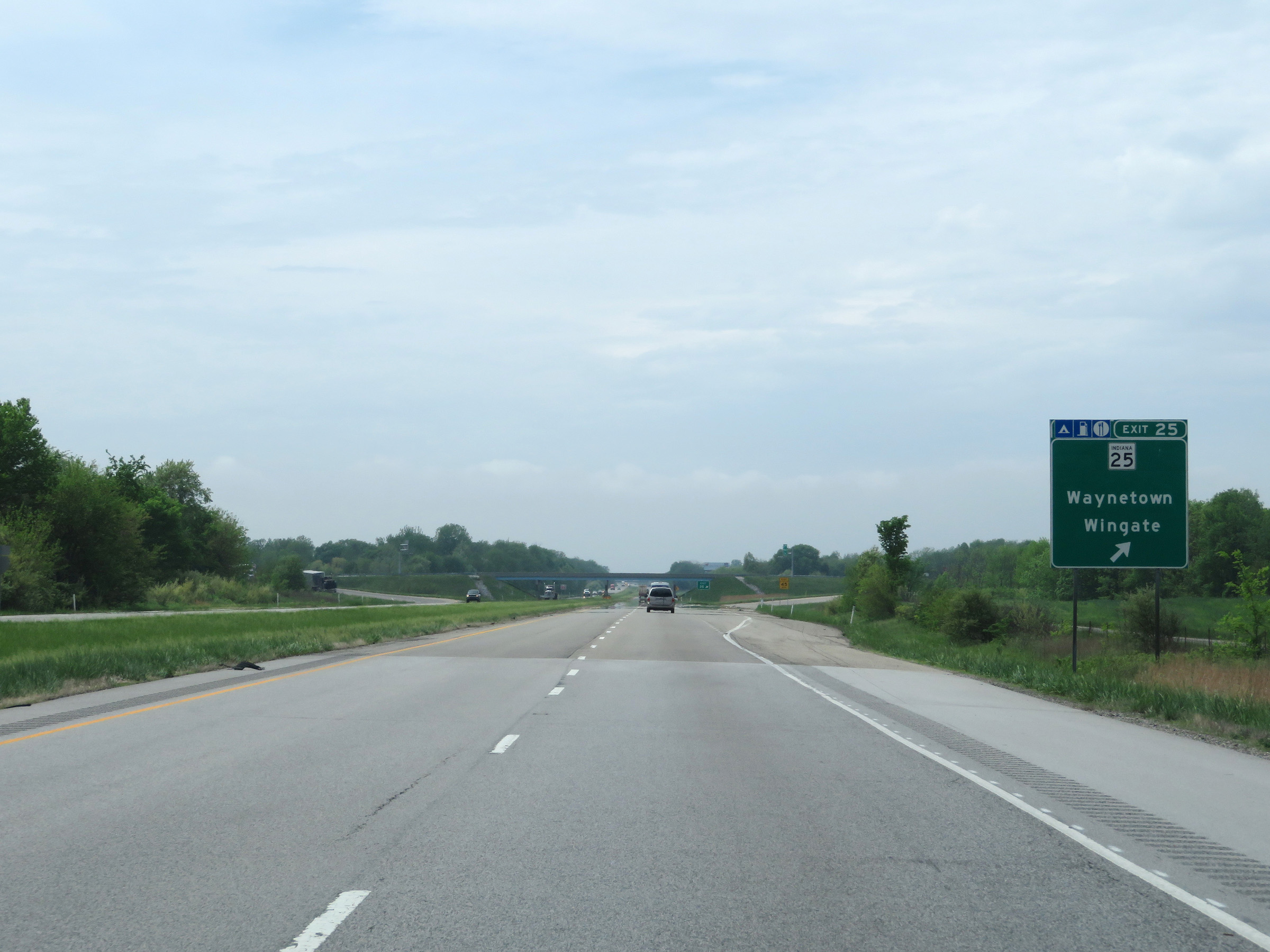 |
Interstate 74 West at Exit 25: IN 25 - Waynetown / Wingate (Photo taken 5/15/18). |
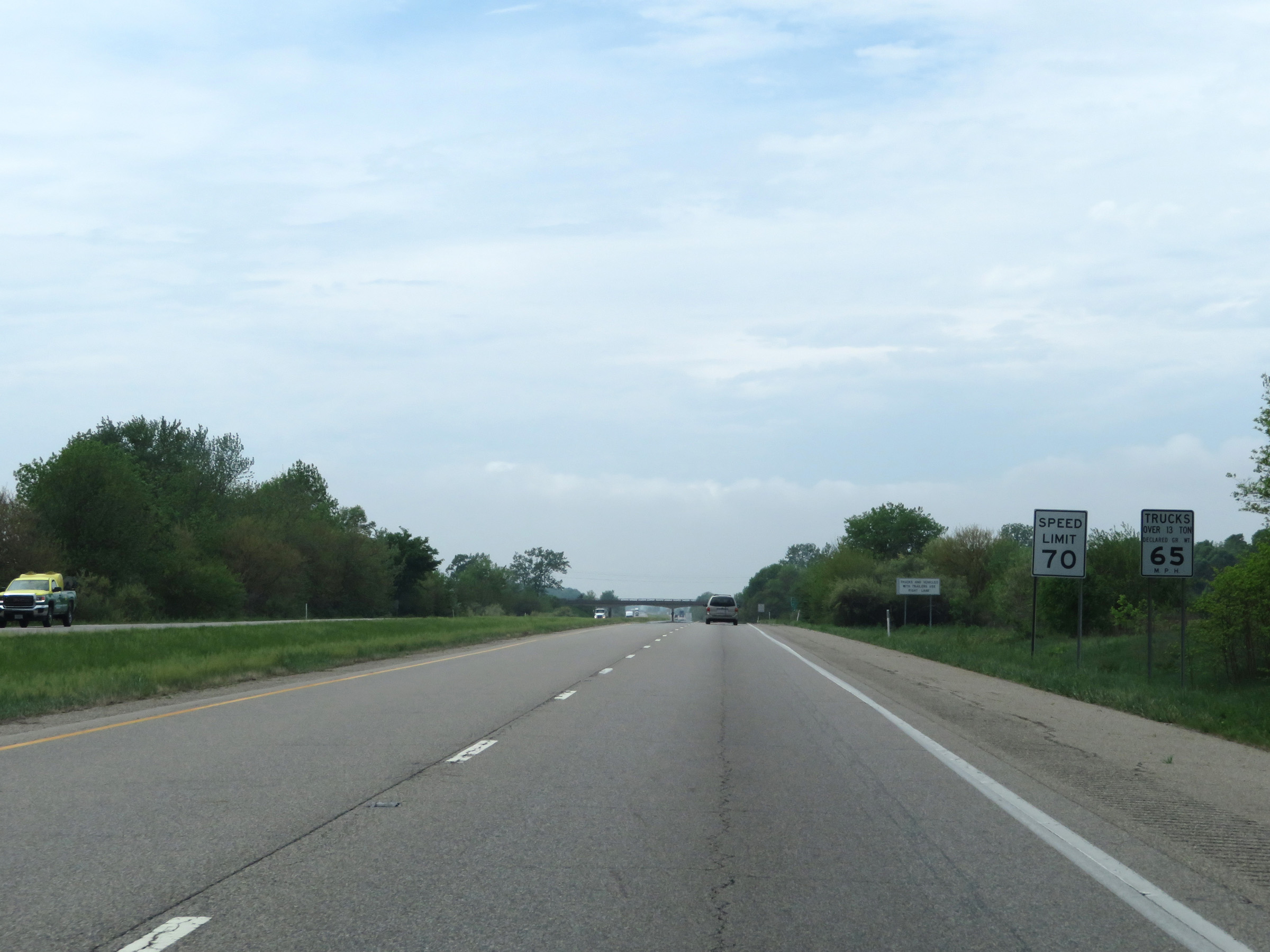 |
The speed limits remain 70 mph for automobiles and 65 mph for trucks. (Photo taken 5/15/18). |
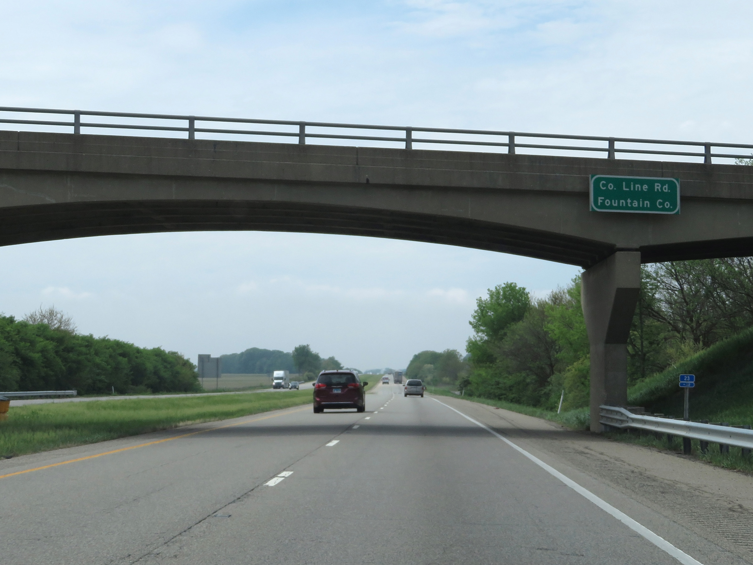 |
Interstate 74 West as it enters Fountain County. (Photo taken 5/15/18). |
 |
View on Interstate 74 West at mile marker 23. (Photo taken 5/15/18). |
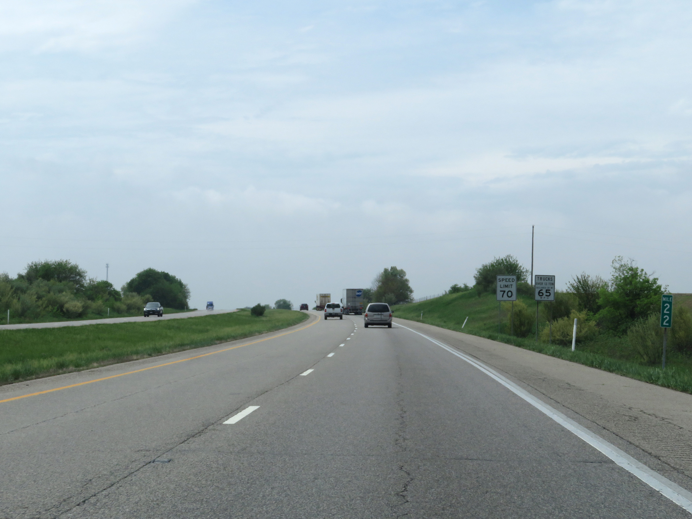 |
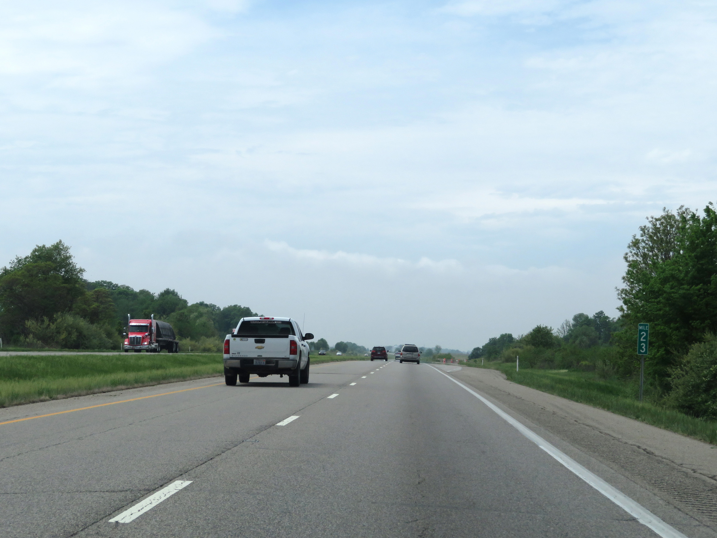
Interstate 74 West at mile marker 22. (Photo taken 5/15/18). |
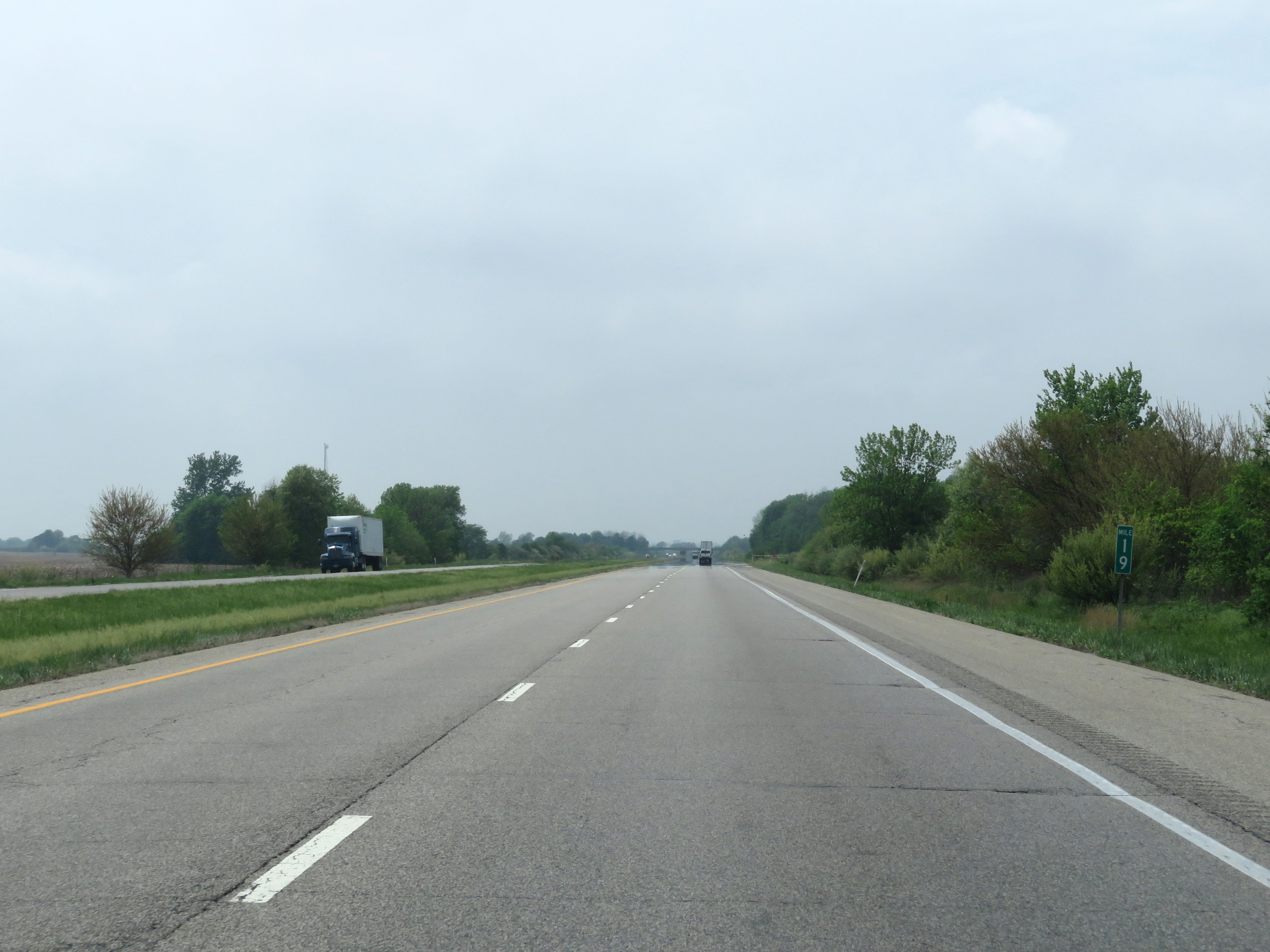 |
Mile marker 19 on Interstate 74 West in Fountain County. (Photo taken 5/15/18). |
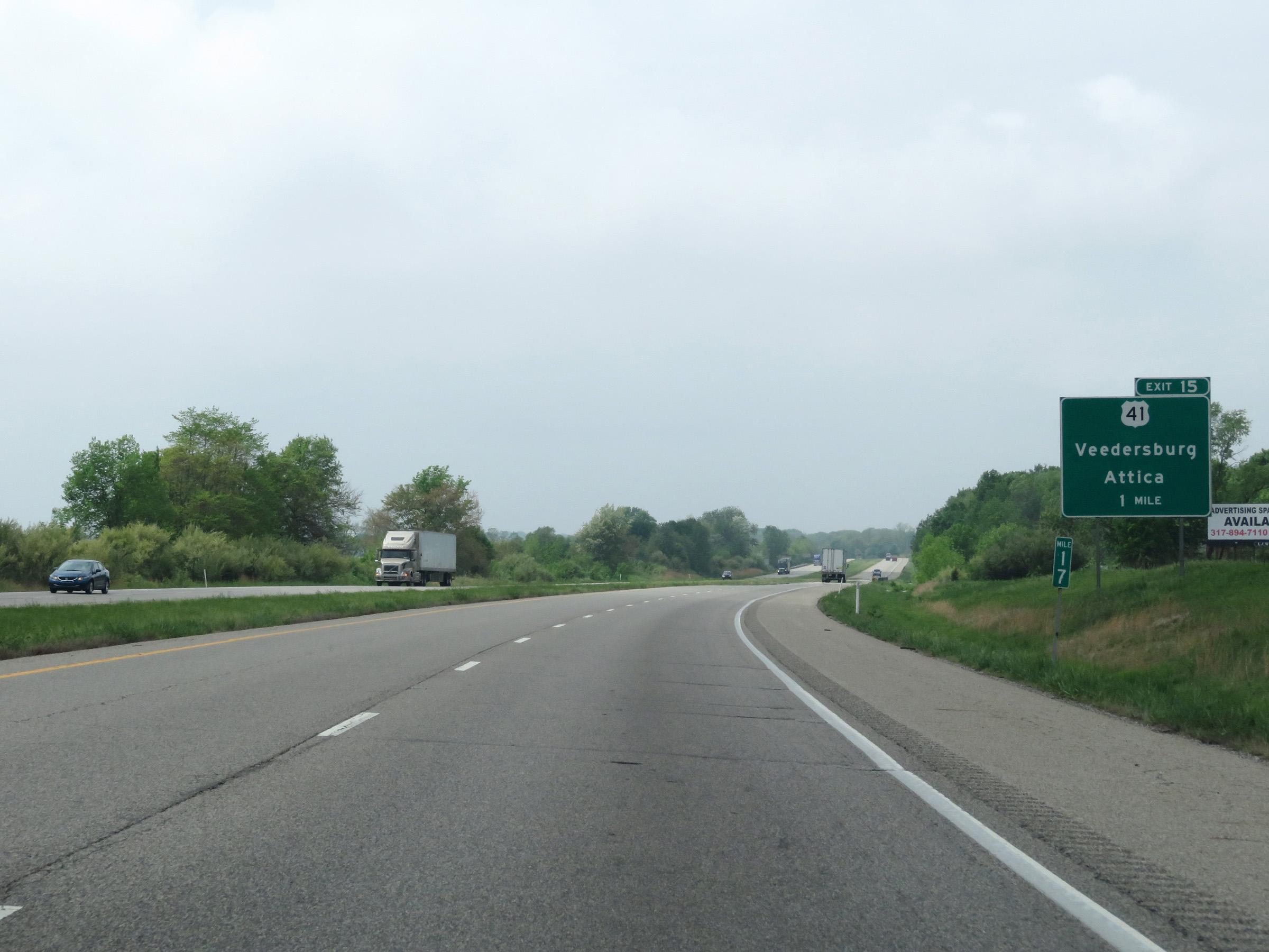 |
View on Interstate 74 West at mile marker 17. (Photo taken 5/15/18). |
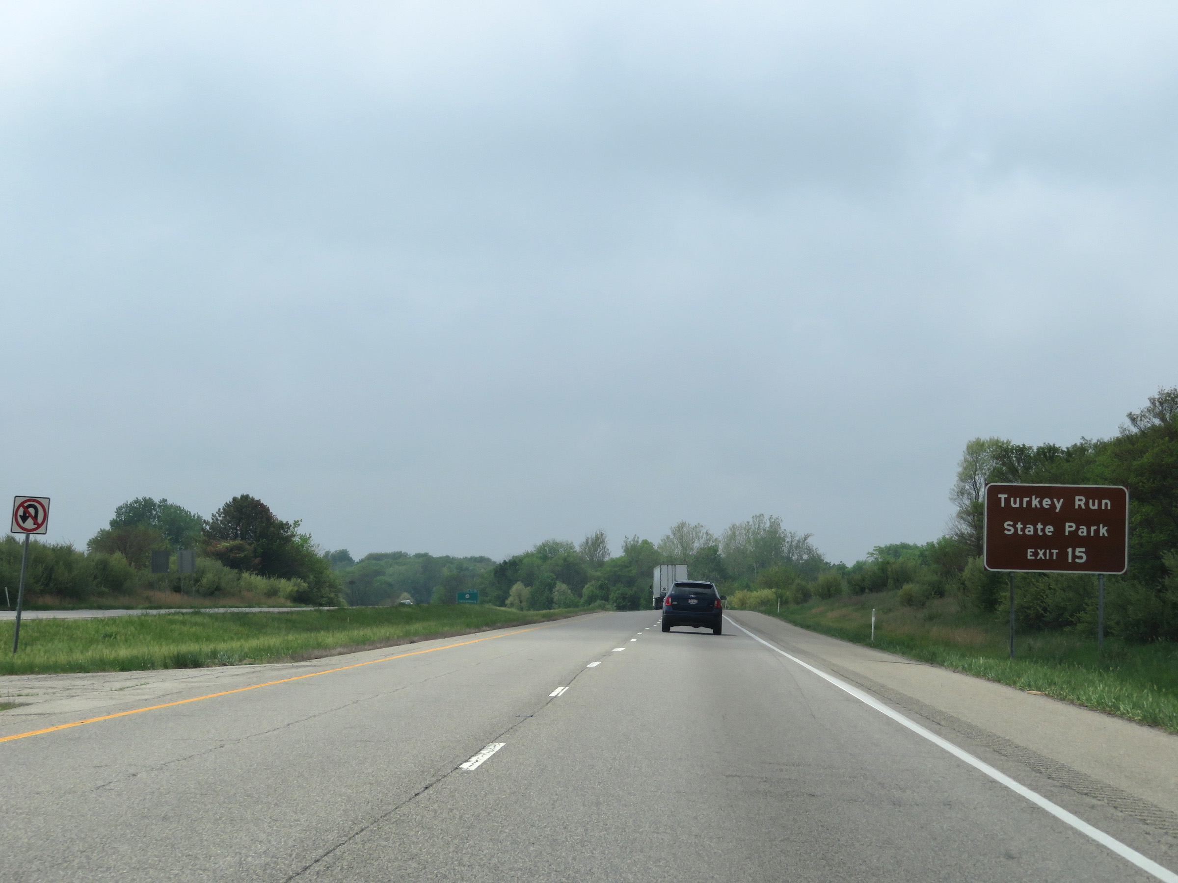 |
Take Exit 15 to Turkey Run State Park. (Photo taken 5/15/18). |
 |
Interstate 74 West at Exit 15: US 41 - Veedersburg / Attica (Photo taken 5/15/18). |
 |
Mile marker 13 on Interstate 74 West in Fountain County. (Photo taken 5/15/18). |
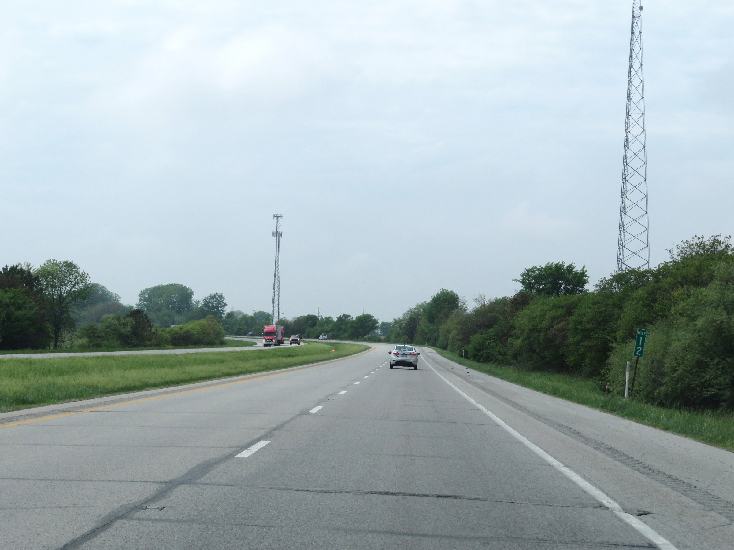 |
View on Interstate 74 West at mile marker 12. (Photo taken 5/15/18). |
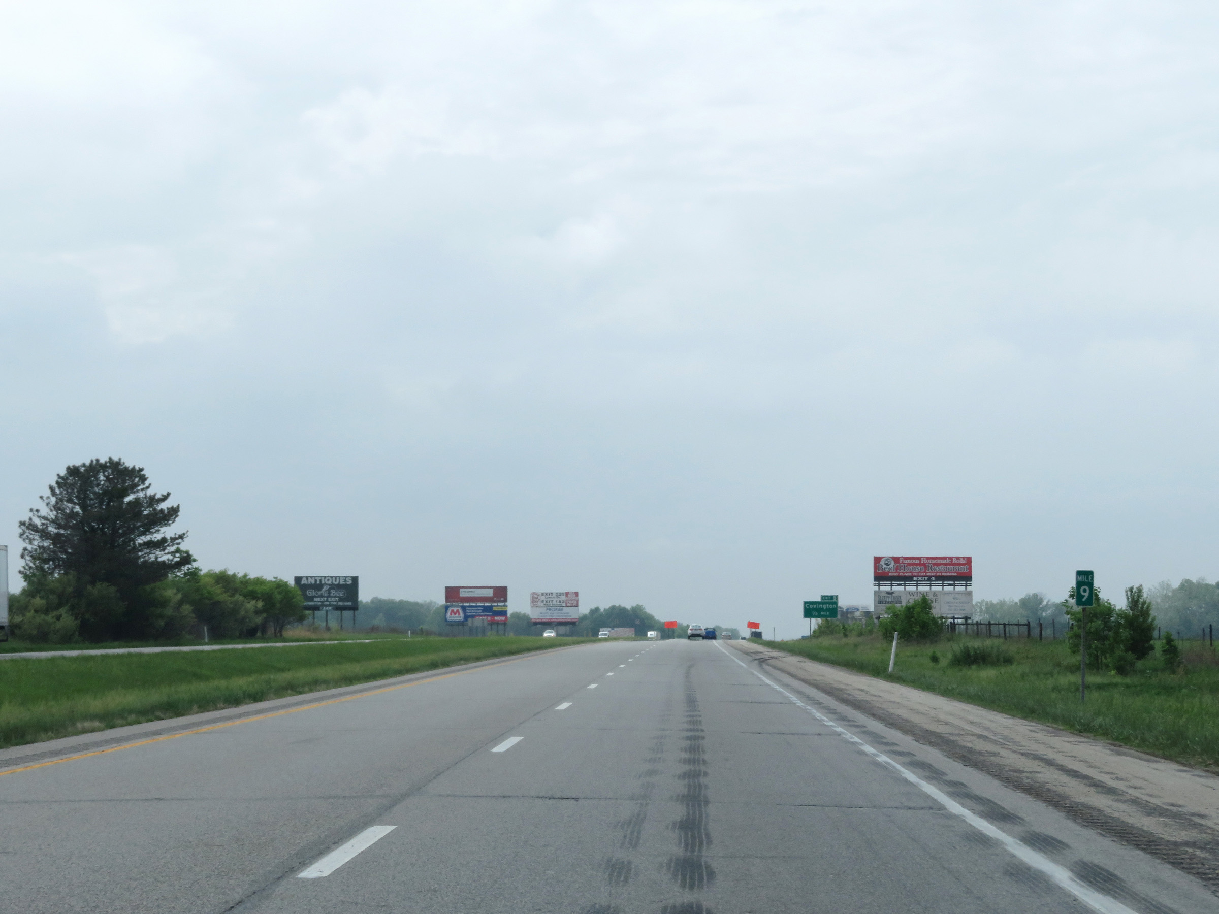 |
Interstate 74 West at mile marker 9. (Photo taken 5/15/18). |
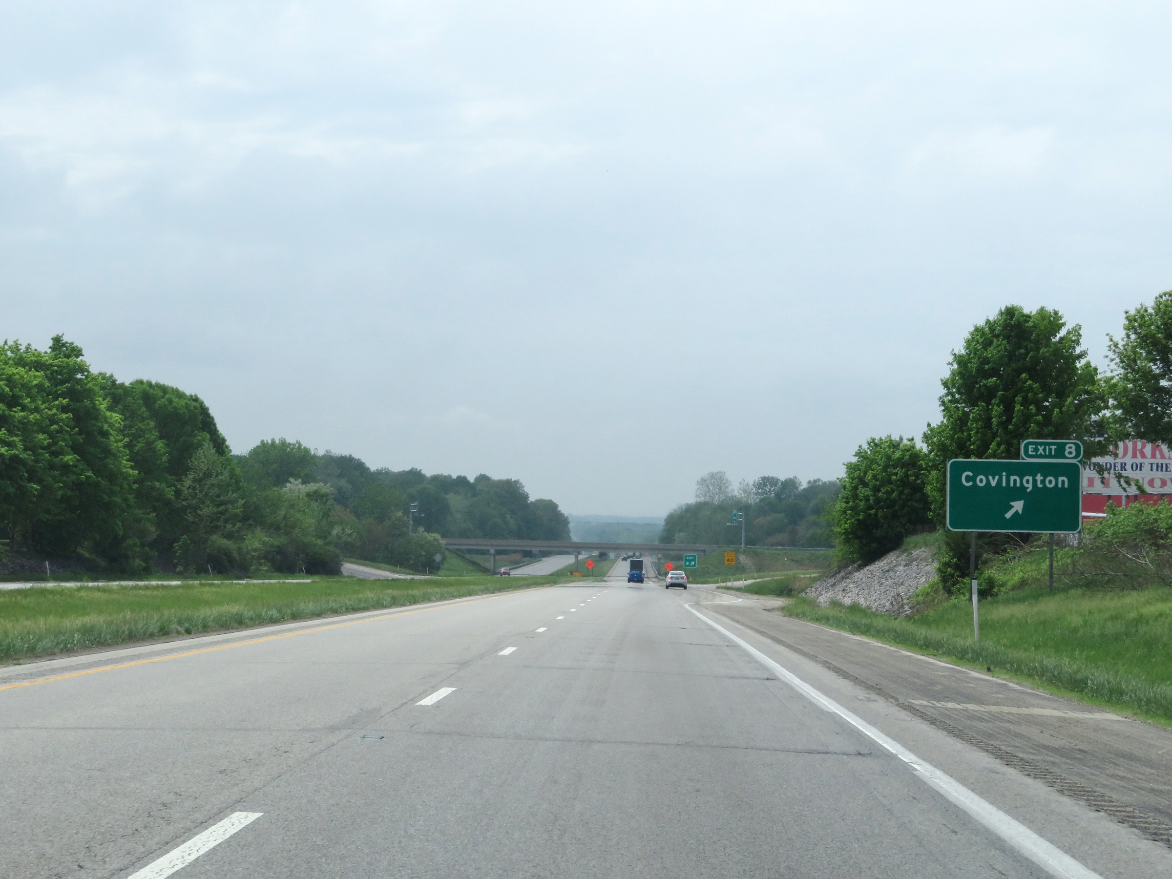 |
Interstate 74 West at Exit 8: Covington (Photo taken 5/15/18). |
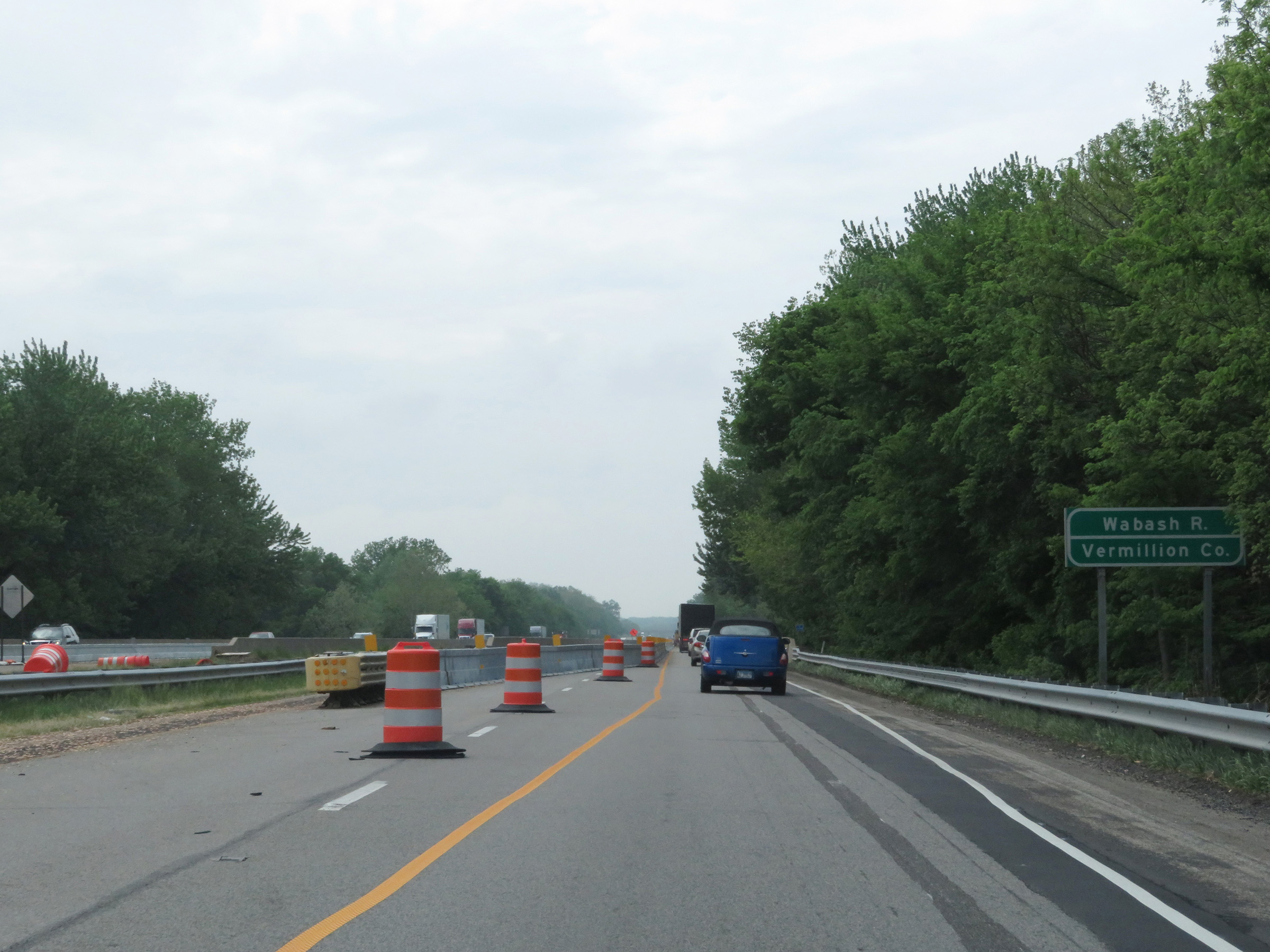 |
Interstate 74 West as it prepares to cross the Wabash River and enter Vermillion County. (Photo taken 5/15/18). |
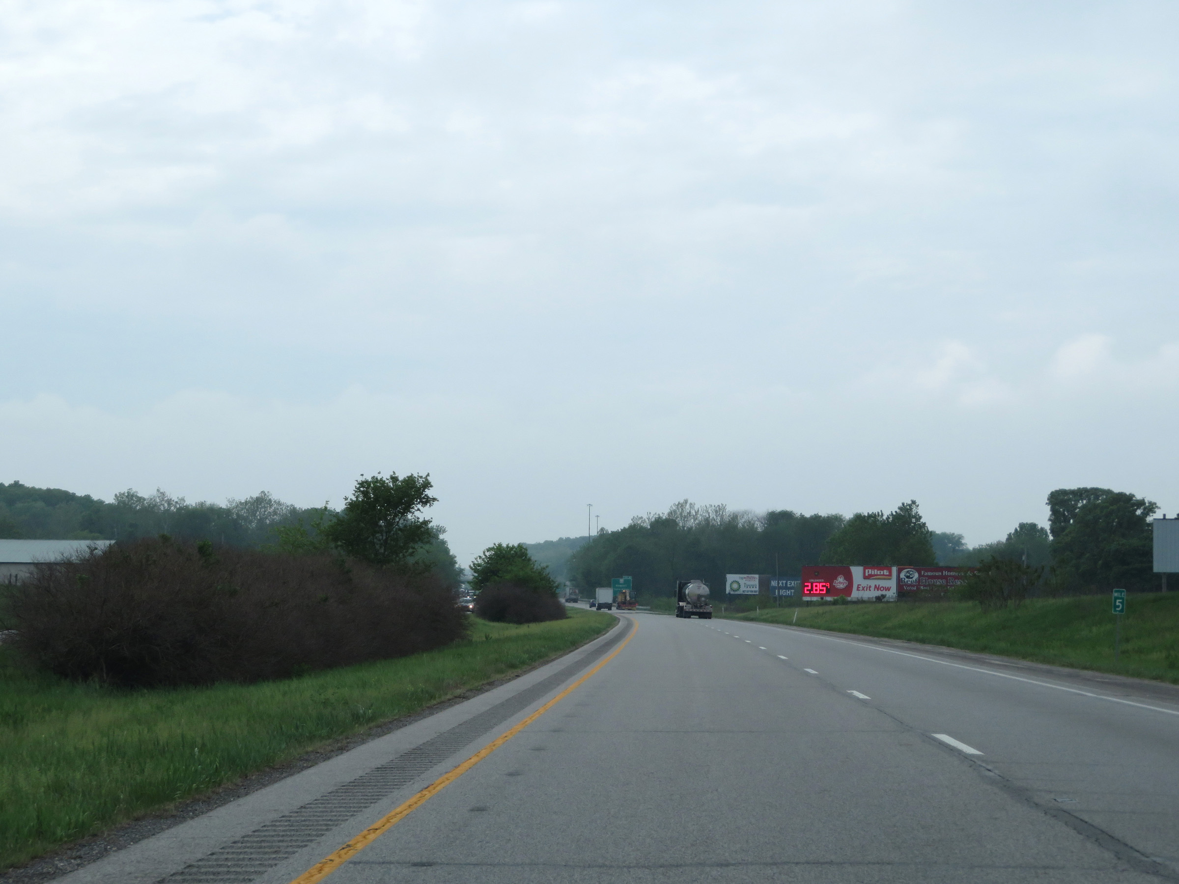 |
View on Interstate 74 West at mile marker 5. (Photo taken 5/15/18). |
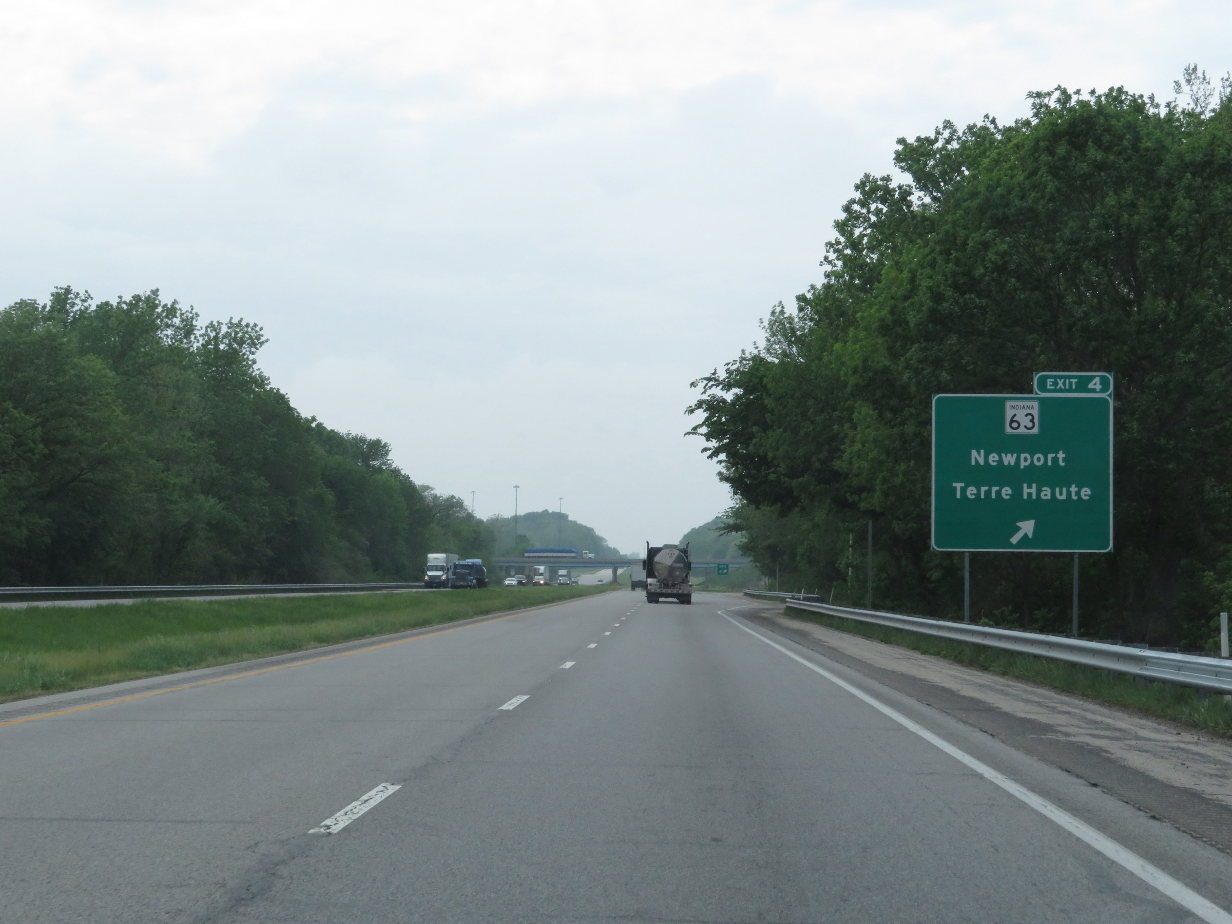 |
Interstate 74 West at Exit 4: IN 63 - Newport / Terre Haute (Photo taken 5/15/18). |
 |
Another mileage sign on Interstate 74 West. It's 10 miles to Danville, 43 miles to Champaign, and 132 miles to Peoria. (Photo taken 5/15/18). |
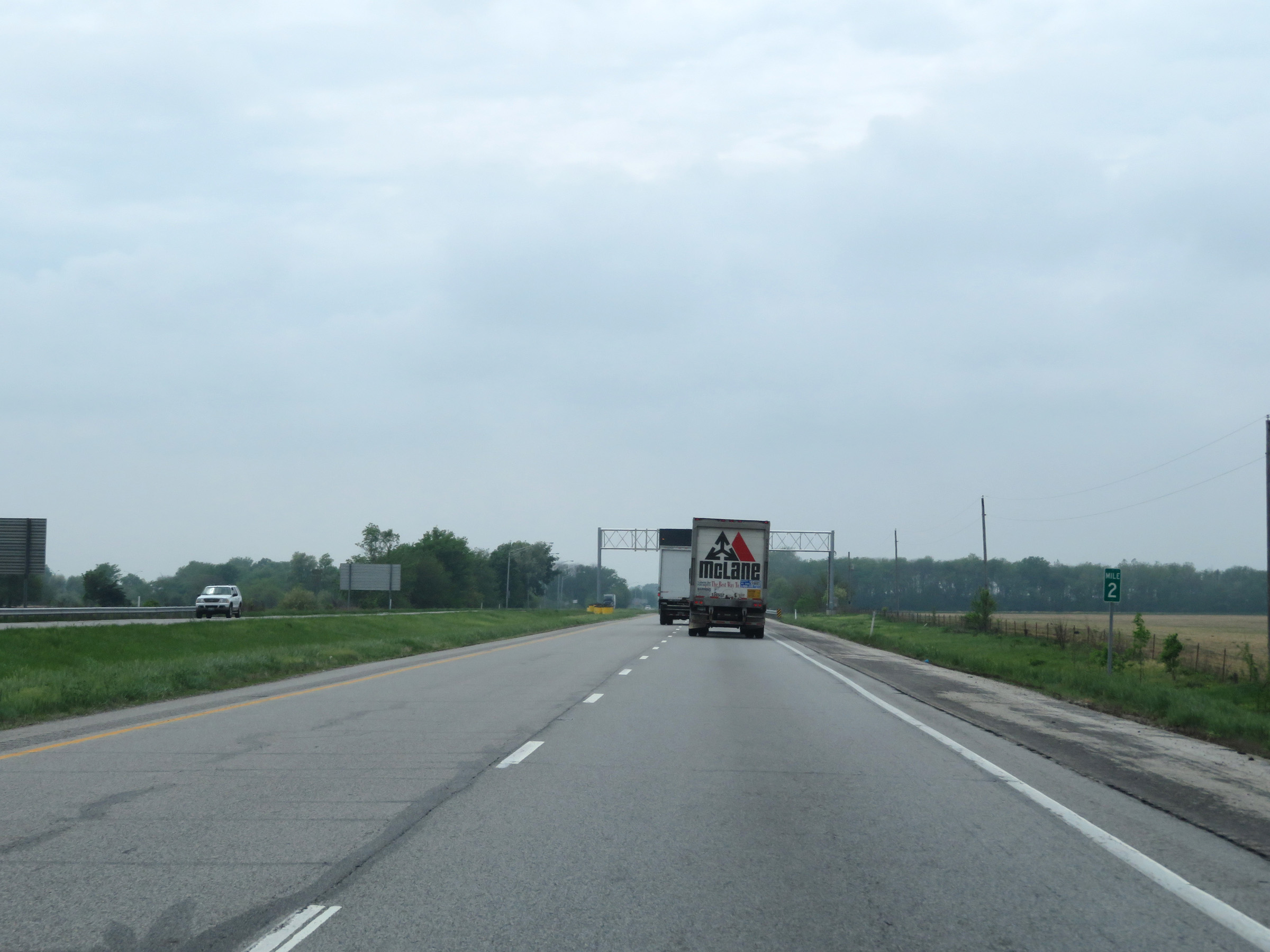 |
Interstate 74 West at mile marker 2. (Photo taken 5/15/18). |
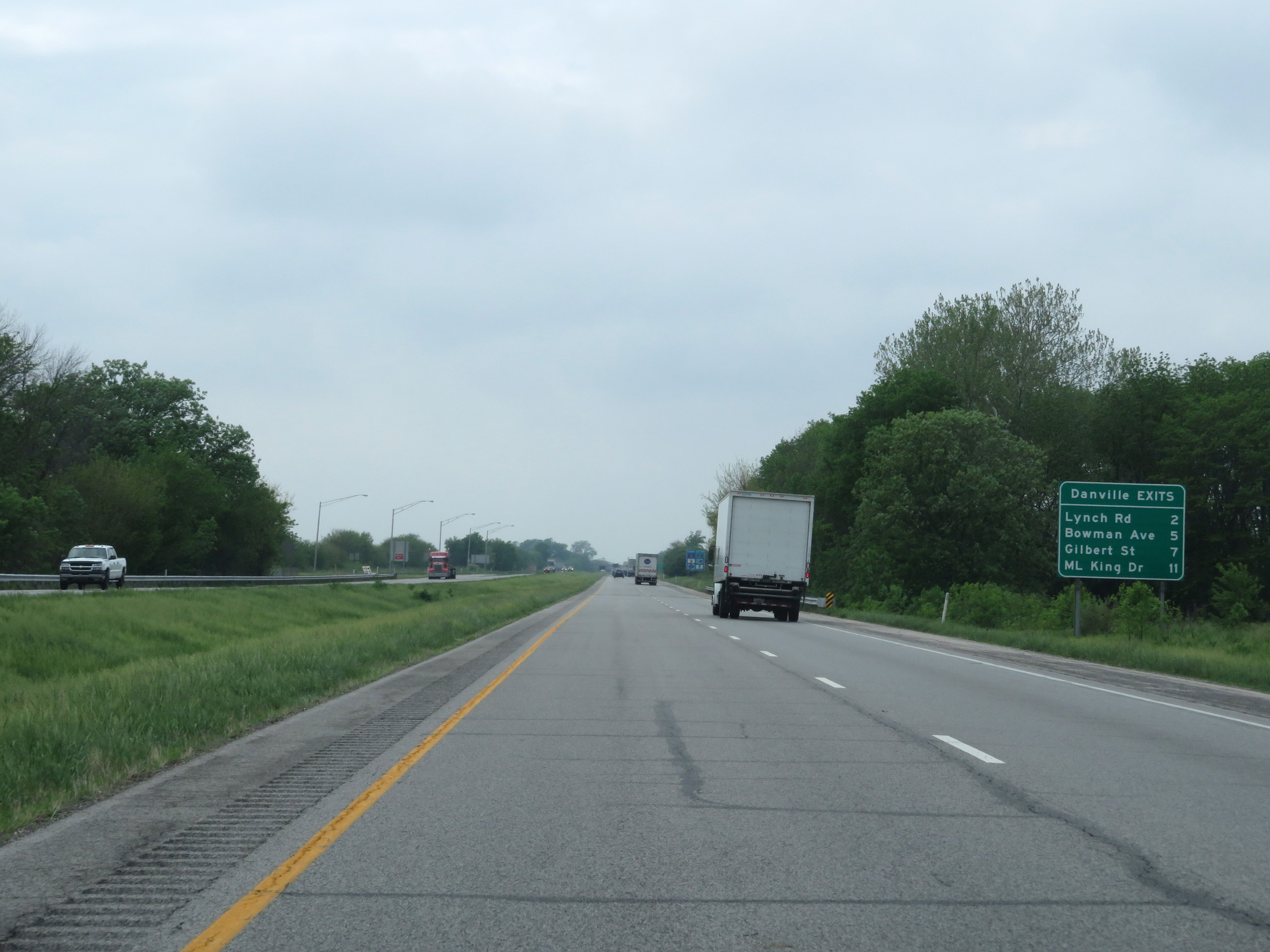 |
Mileage sign listing the distances to the four upcoming exits to Danville on Interstate 74 West once it crosses the state line into Illinois. (Photo taken 5/15/18). |
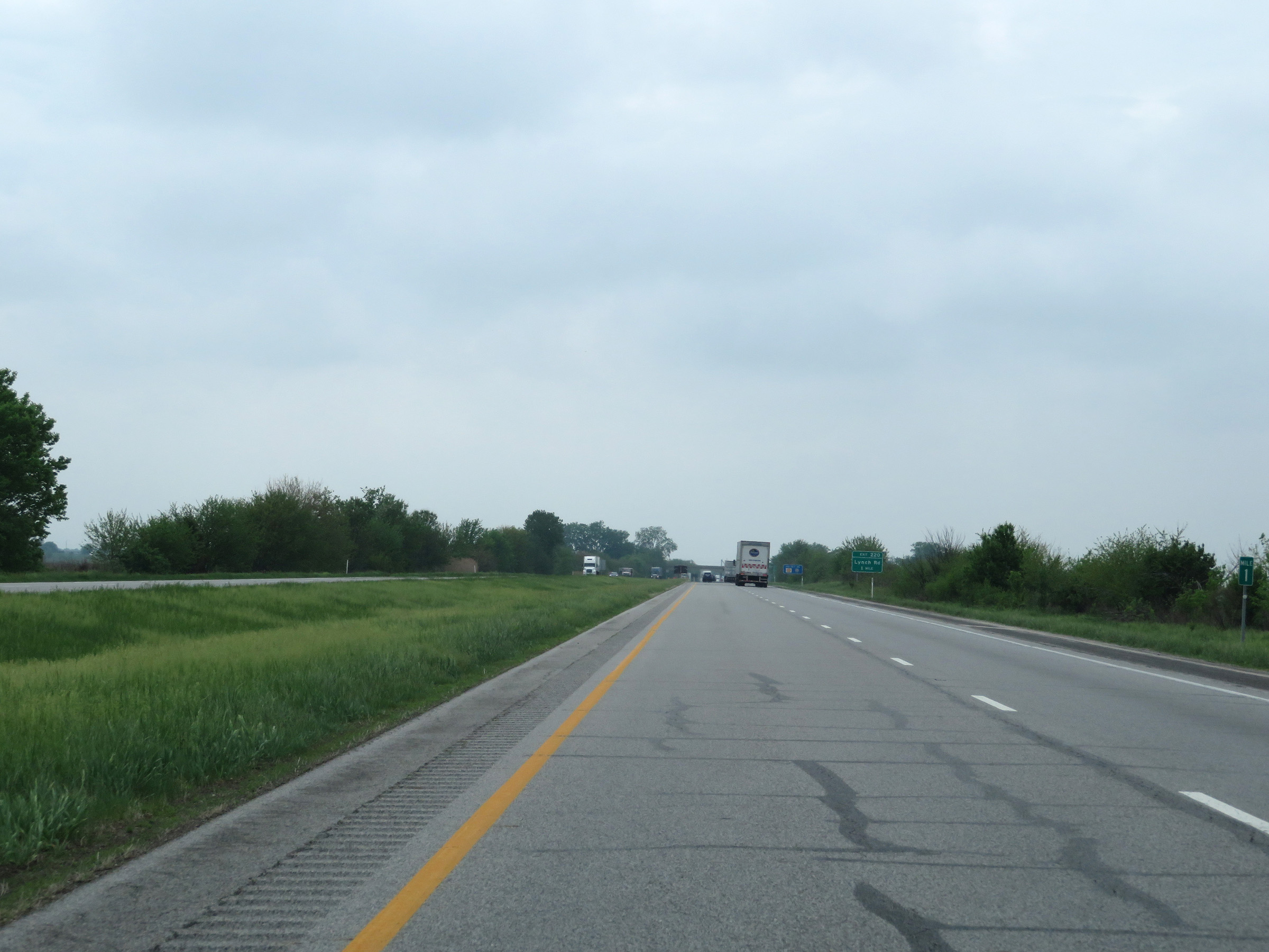 |
View on Interstate 74 West at mile marker 1. (Photo taken 5/15/18). |
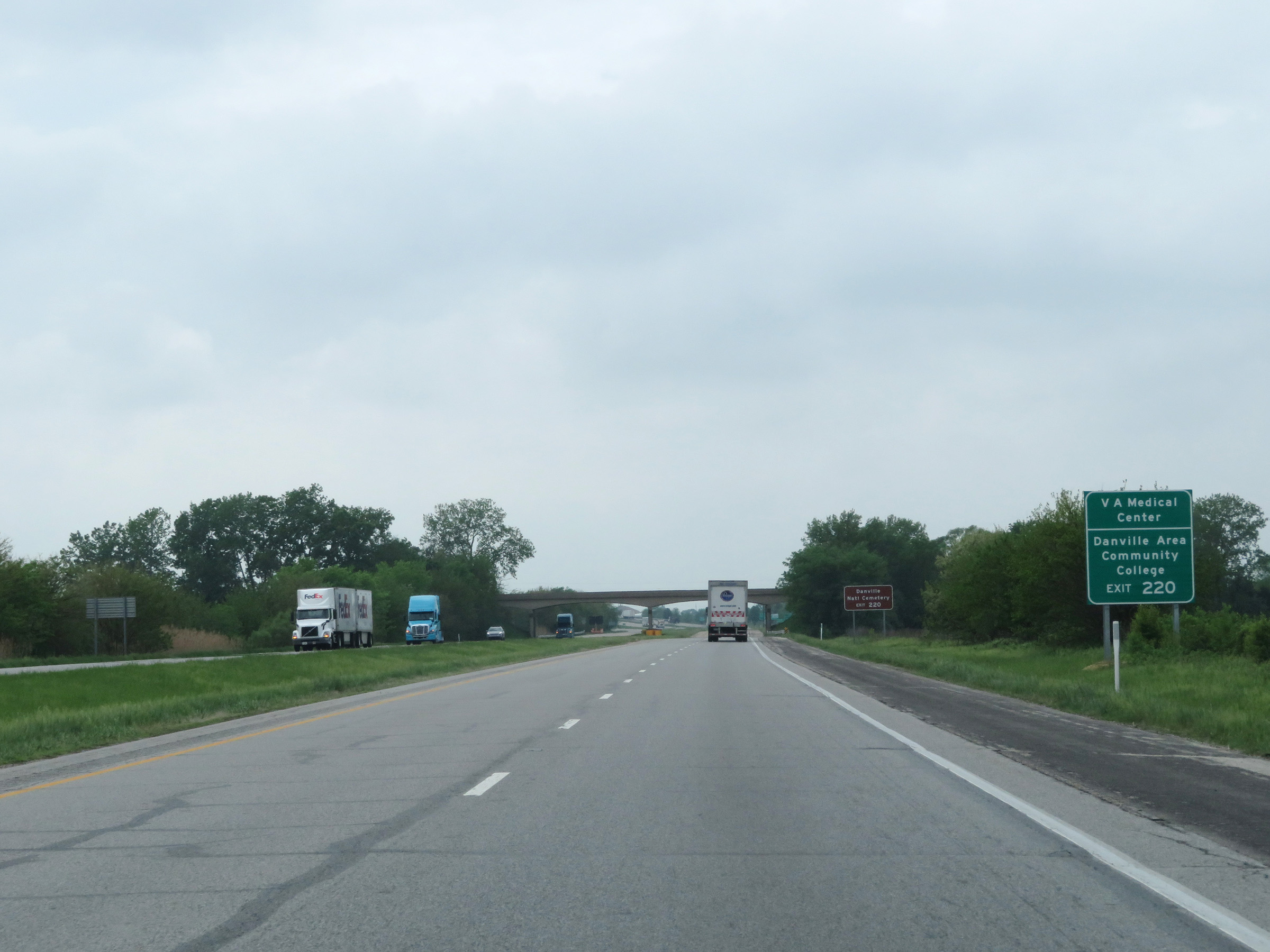 |
Take Exit 220 to the VA Medical Center and Danville Area Community College. (Photo taken 5/15/18). |
 |
Also take Exit 220 to Danville National Cemetery. (Photo taken 5/15/18). |
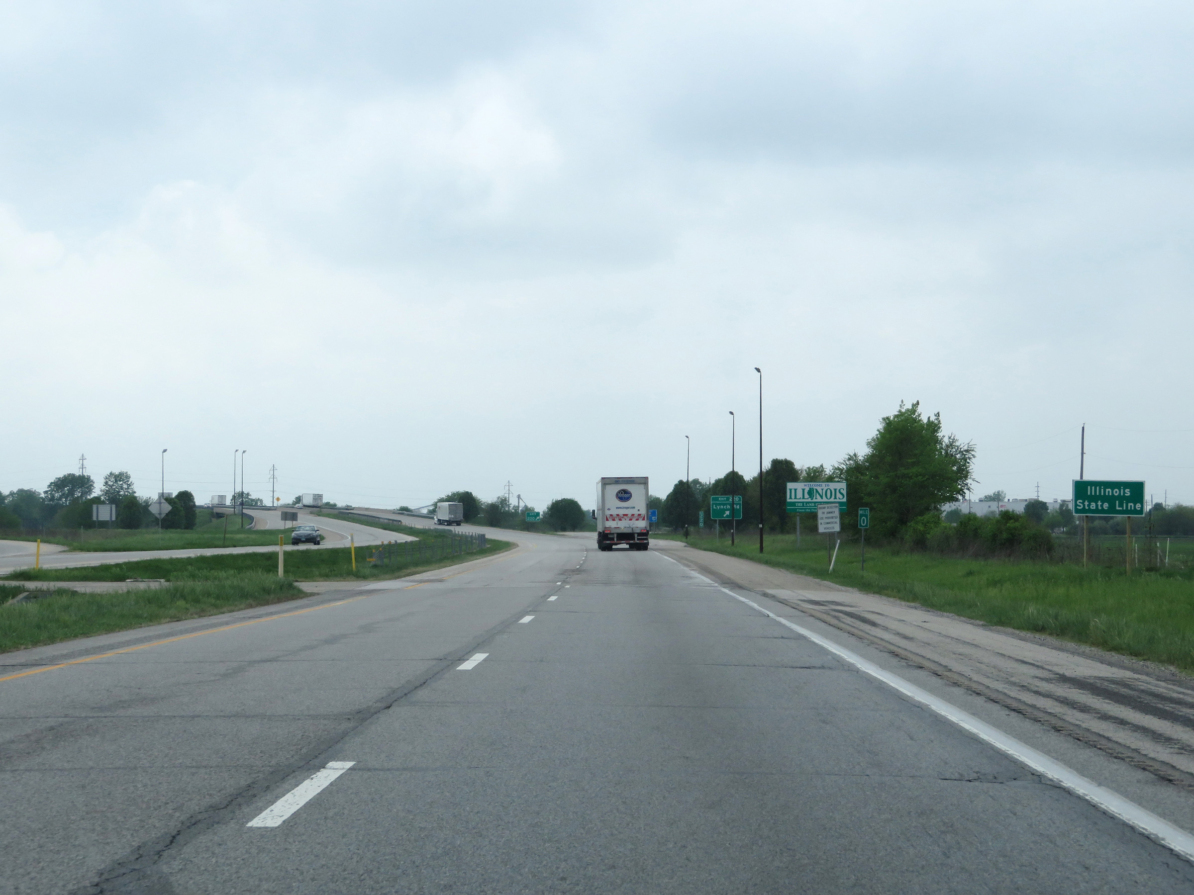 |
Interstate 74 West at mile marker 0 as it crosses the state line into Illinois. (Photo taken 5/15/18). |