Road Information |
||
 |
||
| Total Mileage in State: | 123 miles | |
| Eastern End: | At Kentucky state line | |
| Western End: | At Illinois state line | |
| Mileage covered in Photos: | 123 miles | |
| Counties covered in Photos: | Floyd, Harrison, Crawford, Perry, Dubois, Spencer, Warrick, Gibson, Vanderburgh, Posey | |
| Major Junctions in Photos: | I-265, in New Albany I-69, in Elberfeld US 41, in Haubstadt |
|
| Control Cities in Photos: | New Albany, Ferdinand, Dale, Haubstadt | |
Westbound
- Section 1: Kentucky Border to Ferdinand (Exit 63)
- Section 2: Ferdinand (Exit 63) to Illinois Border
Section 1: Kentucky Border to Ferdinand (Exit 63)
 |
Interstate 64 West as it crosses the Sherman Minton Bridge over the Ohio River, carrying traffic from Kentucky into Indiana. The Sherman Minton Bridge is a double decker, and westbound traffic follows its upper deck. (Photo taken 8/10/19). |
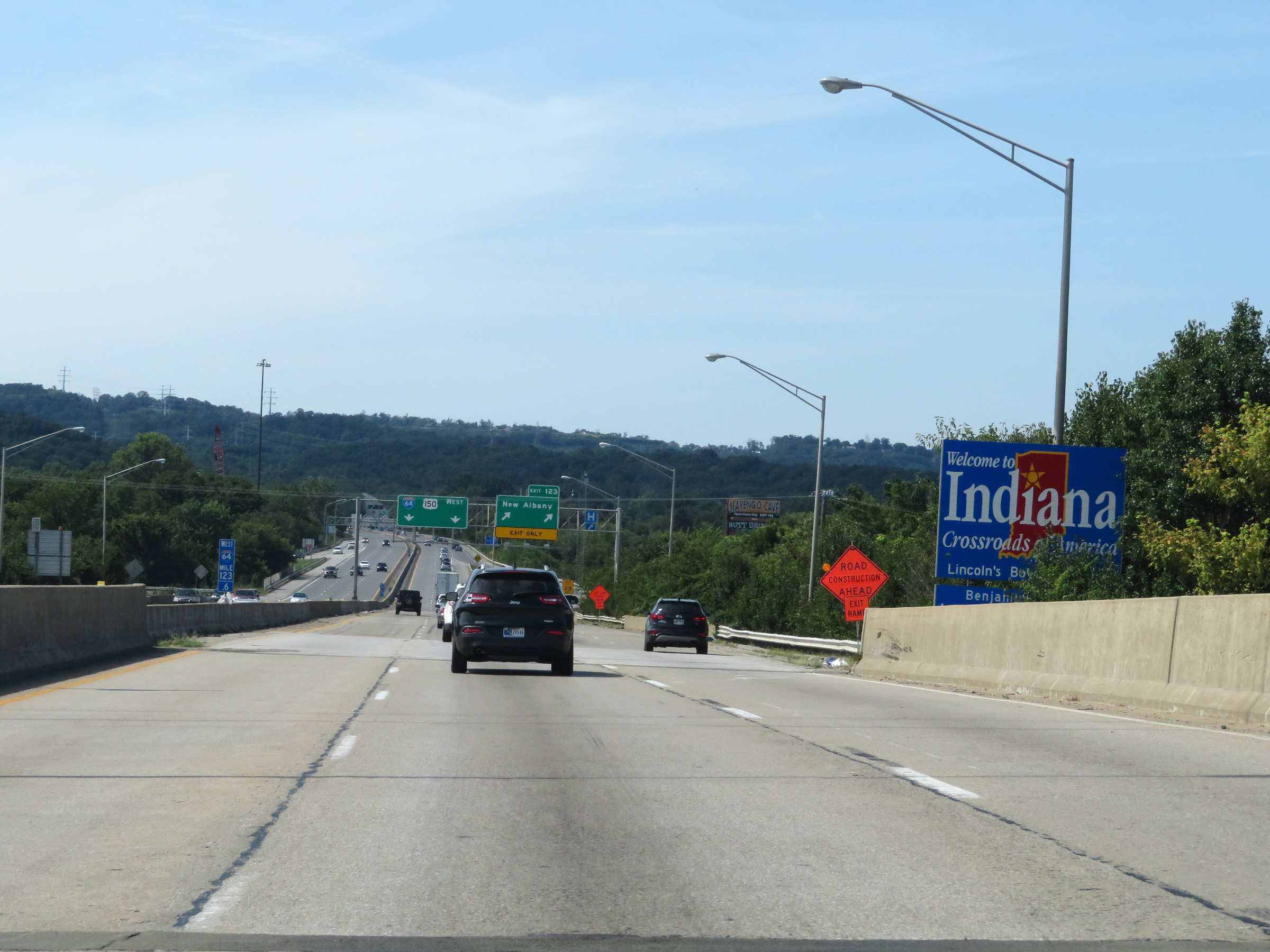 |
Indiana welcome sign as Interstate 64 West descends the Sherman Minton Bridge. (Photo taken 8/10/19). |
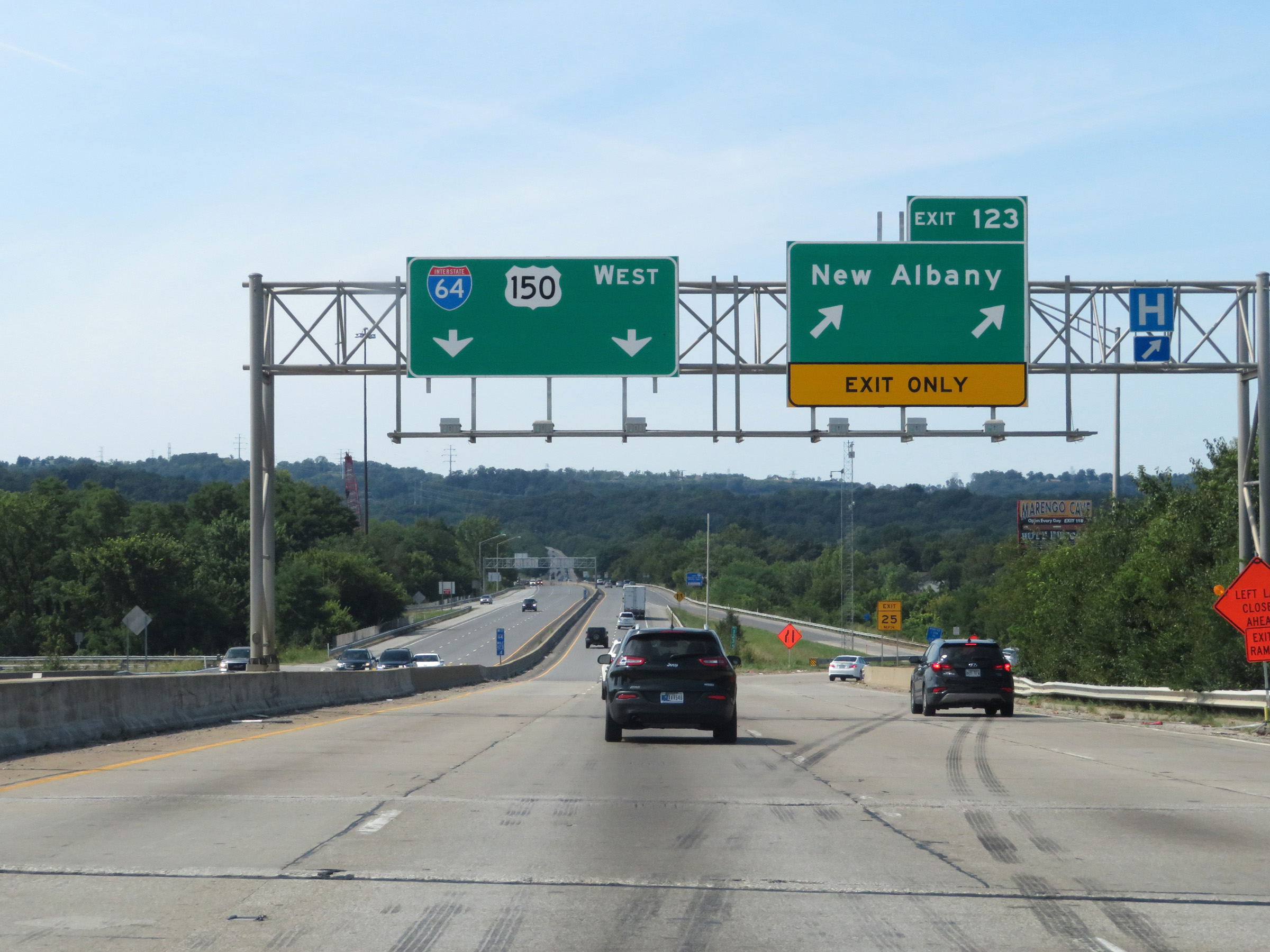 |
Interstate 64 West at Exit 123: New Albany (Photo taken 8/10/19). |
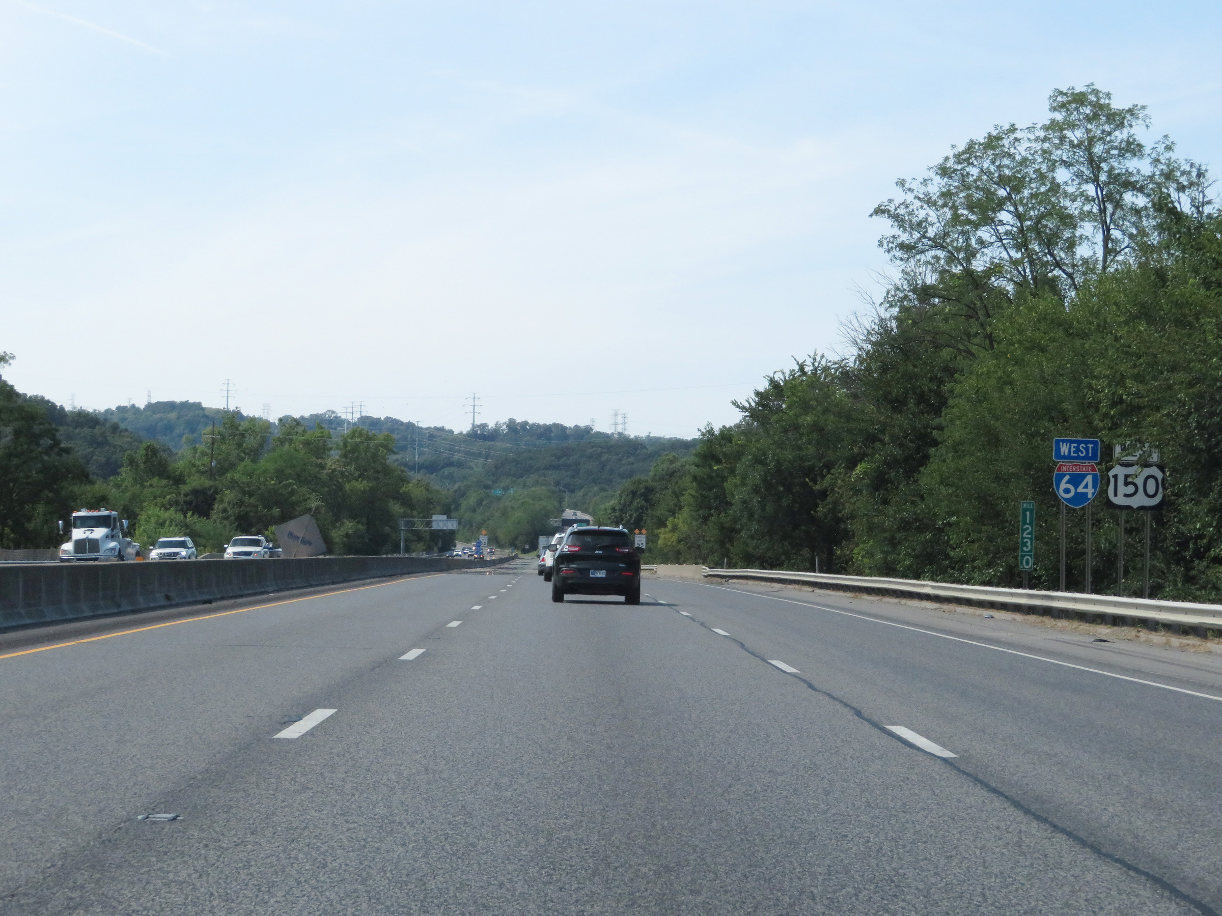 |
Interstate 64 West reassurance shield at mile marker 123. (Photo taken 8/10/19). |
 |
The speed limit starts out at 55 mph for all traffic on Interstate 64 West in Indiana. (Photo taken 8/10/19). |
 |
Interstate 64 West approaching Exit 121 - 1/2 mile. (Photo taken 8/10/19). |
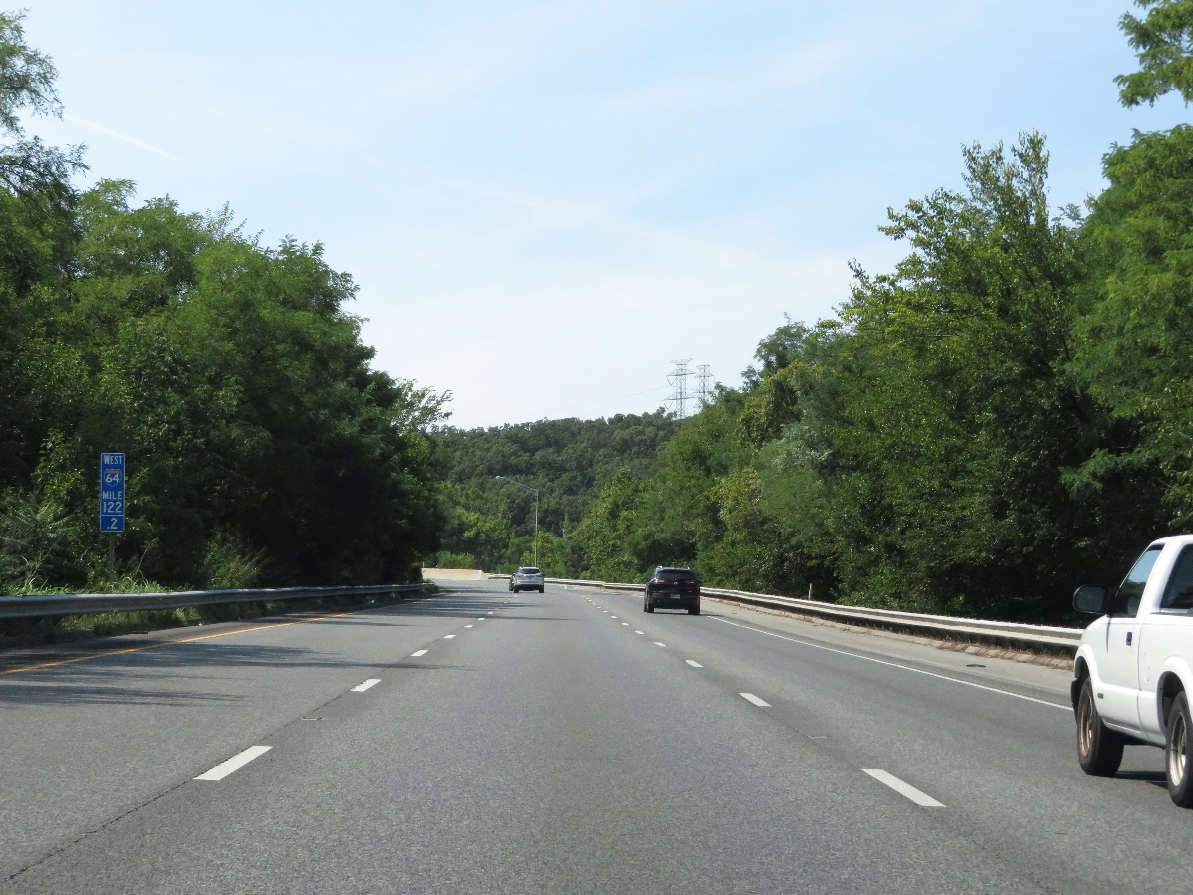 |
View on Interstate 64 West at mile marker 122.2, as it climbs up from the Ohio River. (Photo taken 8/10/19). |
 |
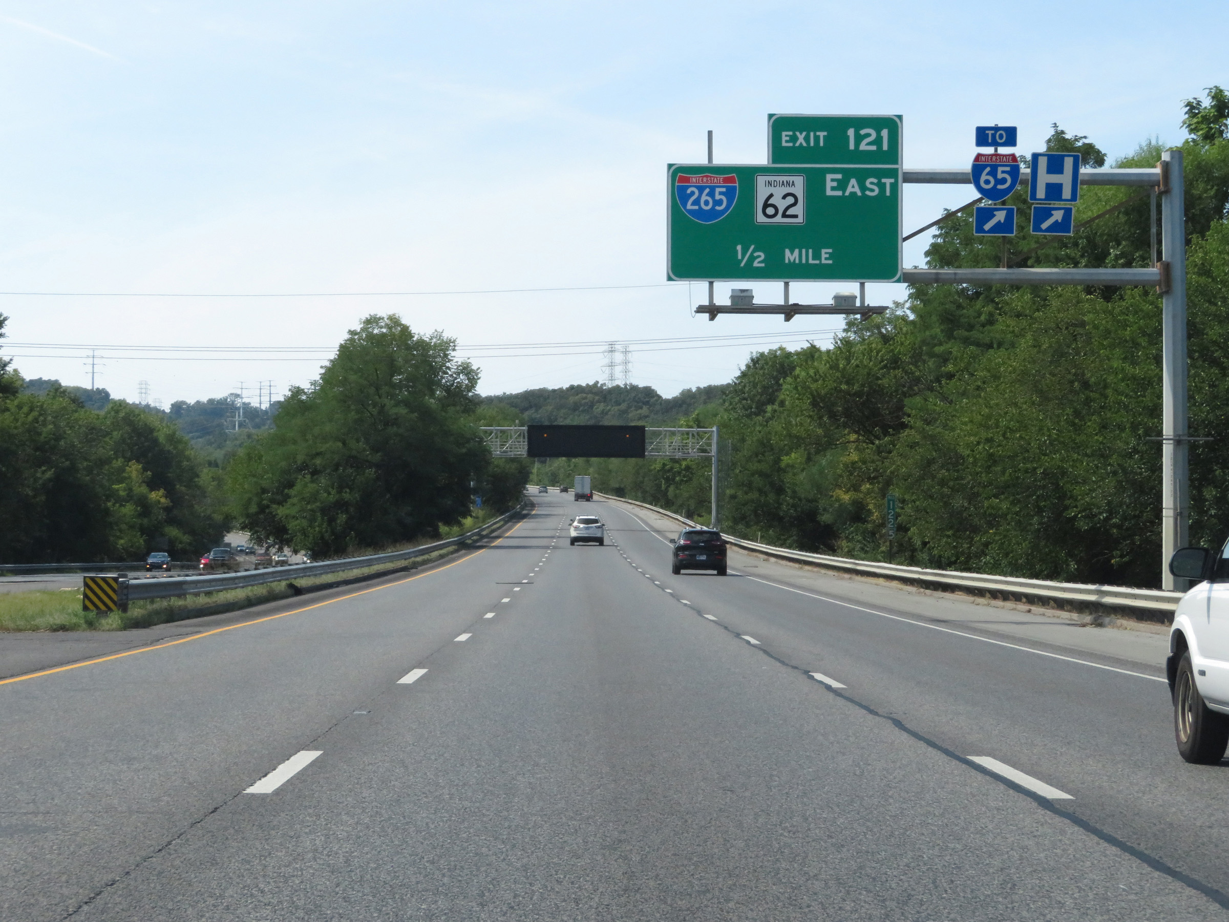
Interstate 64 West at Exit 121: Interstate 265 East / IN 62 East (Photo taken 8/10/19). |
 |
Interstate 64 West at mile marker 120.5, as it continues to climb up from the Ohio River. (Photo taken 8/10/19). |
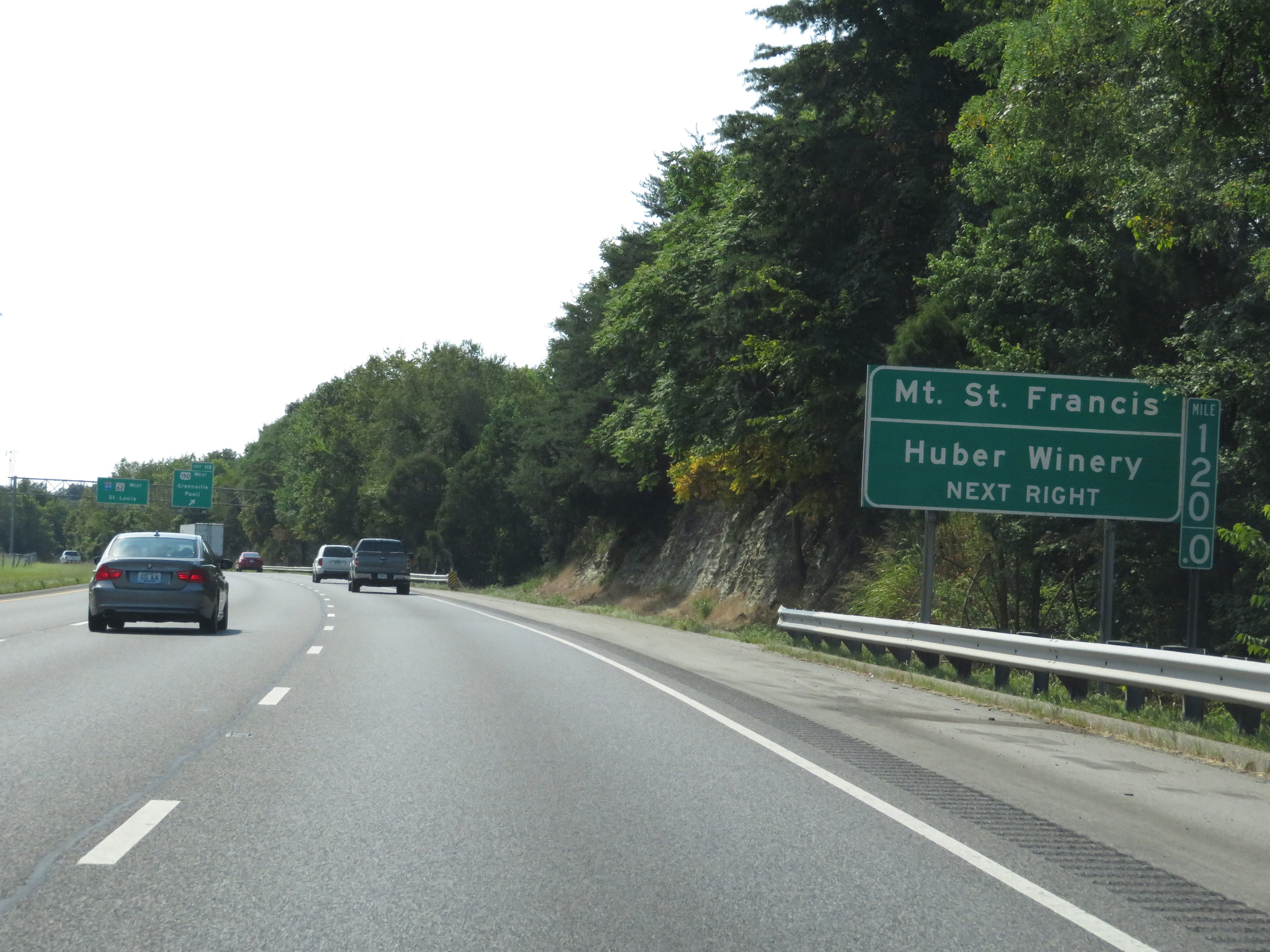 |
Take Exit 119 to Mt. St. Francis and Huber Winery. (Photo taken 8/10/19). |
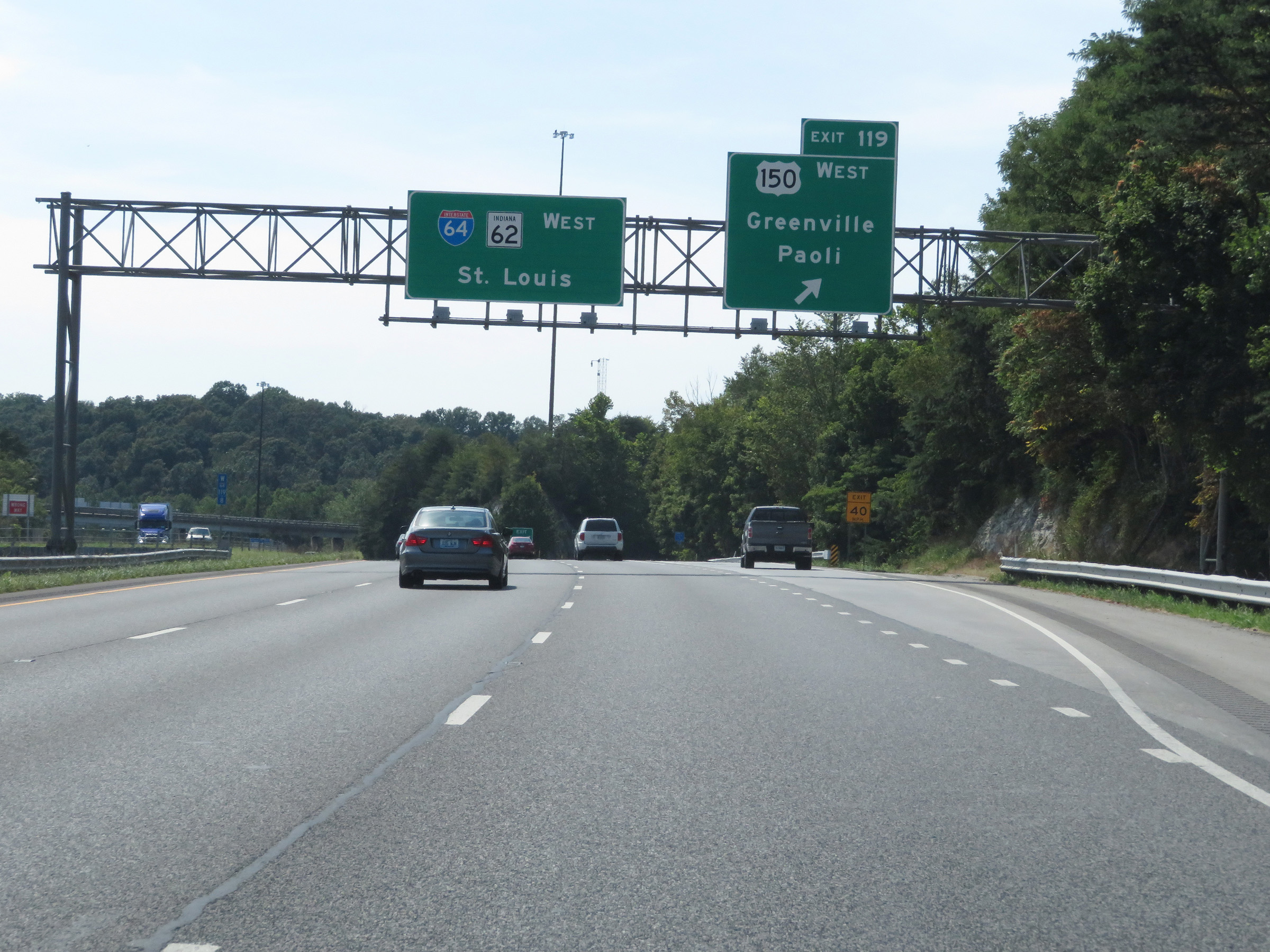 |
Interstate 64 West at Exit 119: US 150 West - Greenville / Paoli (Photo taken 8/10/19). |
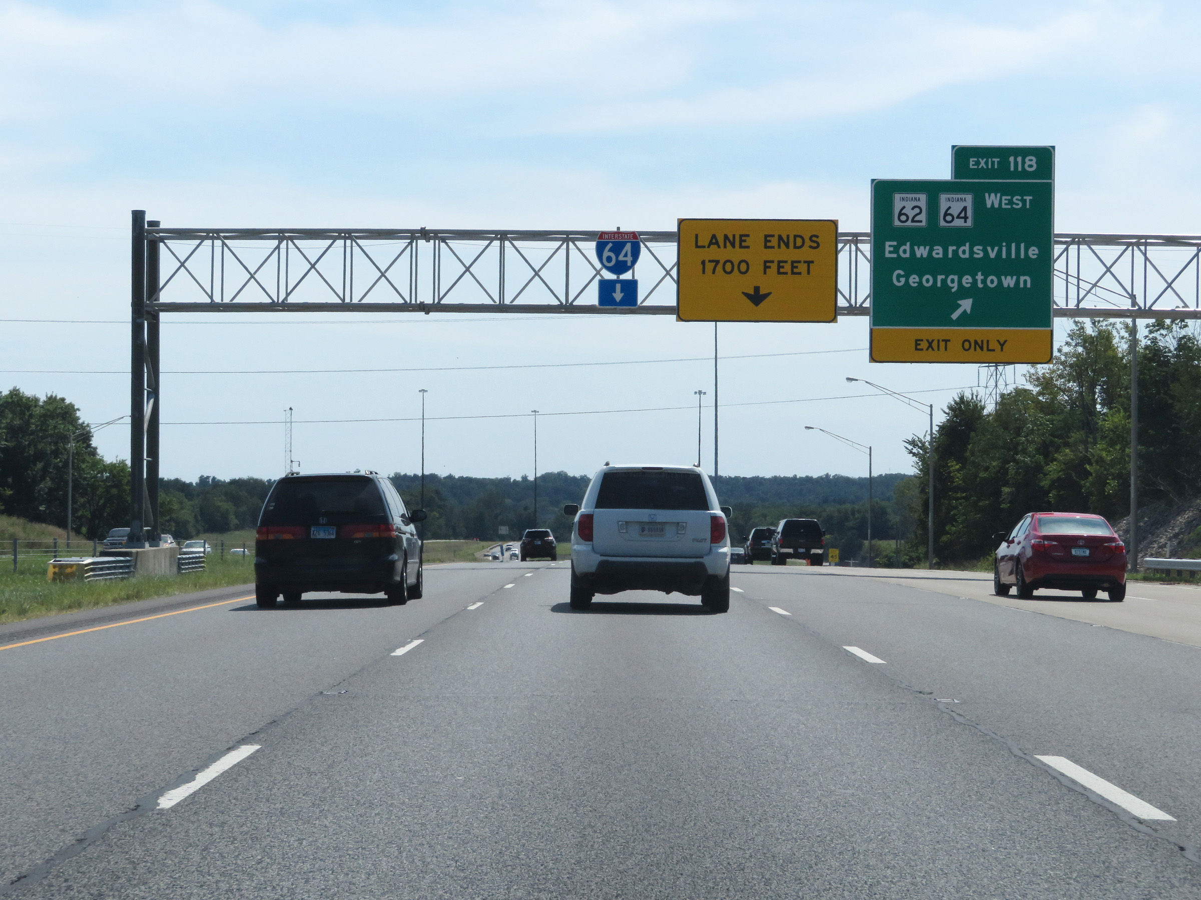 |
Interstate 64 West at Exit 118: IN 62 West / IN 64 West - Edwardsville / Georgetown (Photo taken 8/10/19). |
 |
Beyond Exit 118, the speed limits increase to 70 mph for automobiles and 65 mph for trucks. These are the standard speed limits on most rural Interstate highways in Indiana. (Photo taken 8/10/19). |
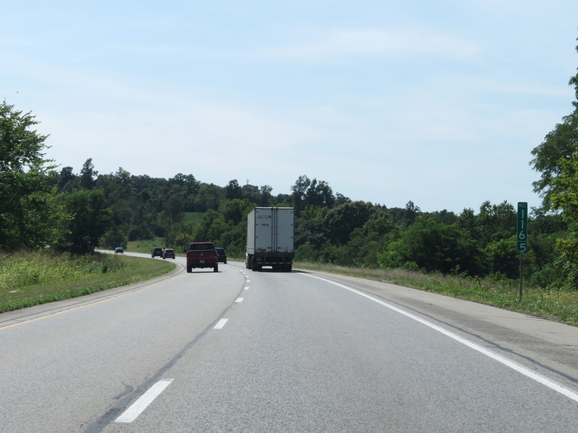 |
View on Interstate 64 West at mile marker 116.5. (Photo taken 8/10/19). |
 |
Closed Rest Area on Interstate 64 West in Floyd County. (Photo taken 8/10/19). |
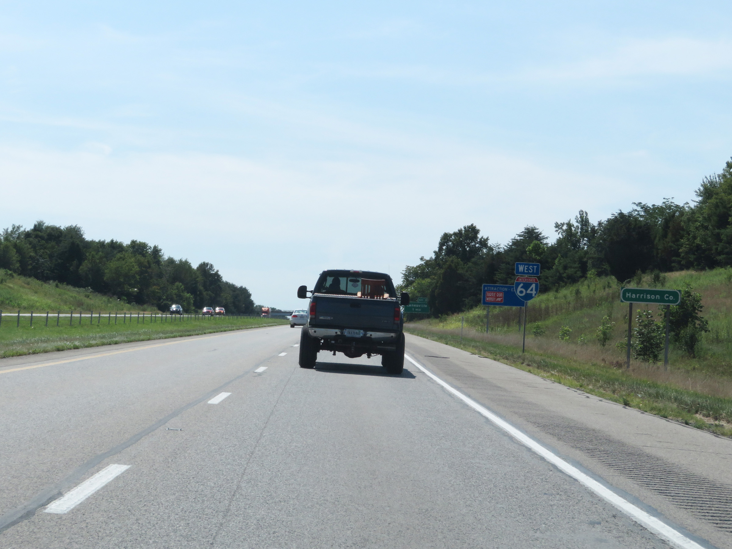 |
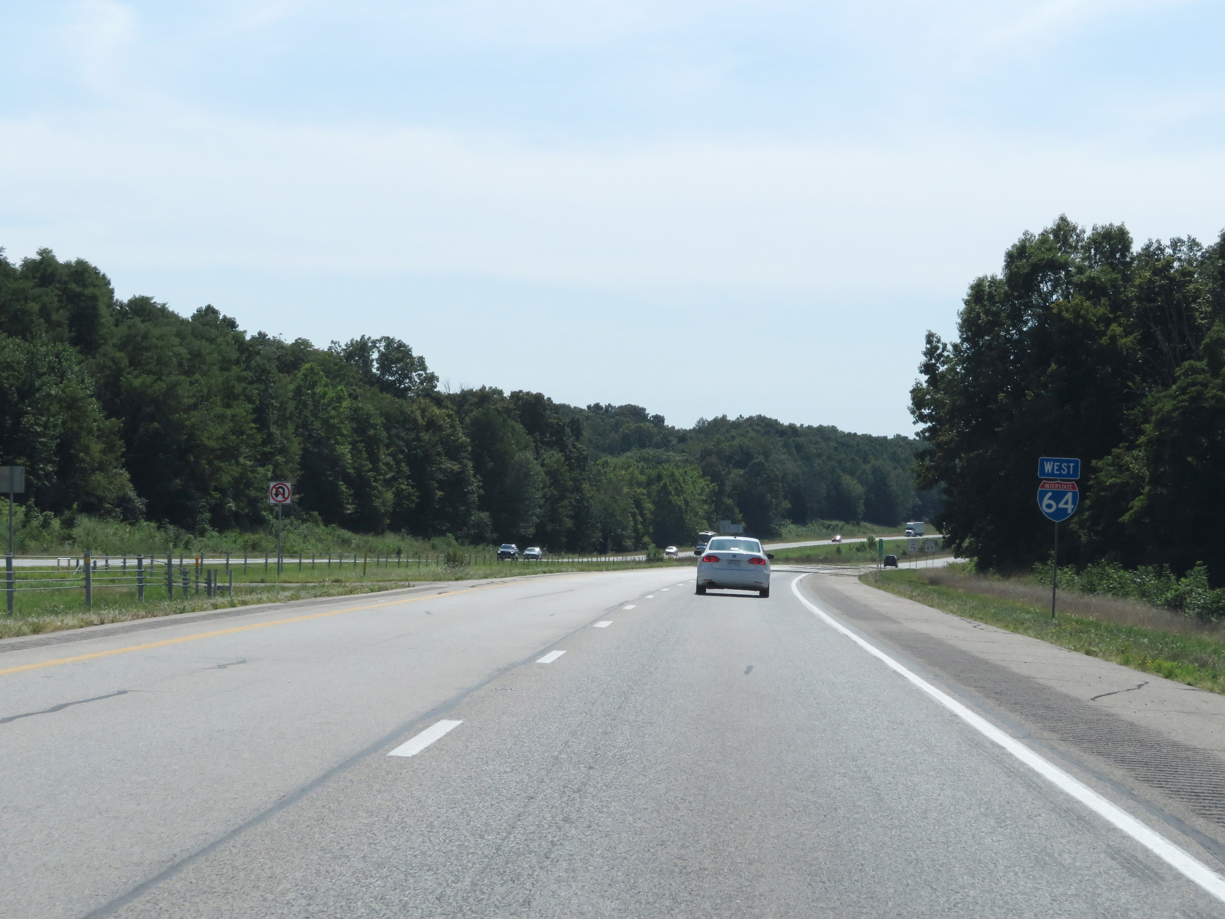
Interstate 64 West as it enters Harrison County. (Photo taken 8/10/19). |
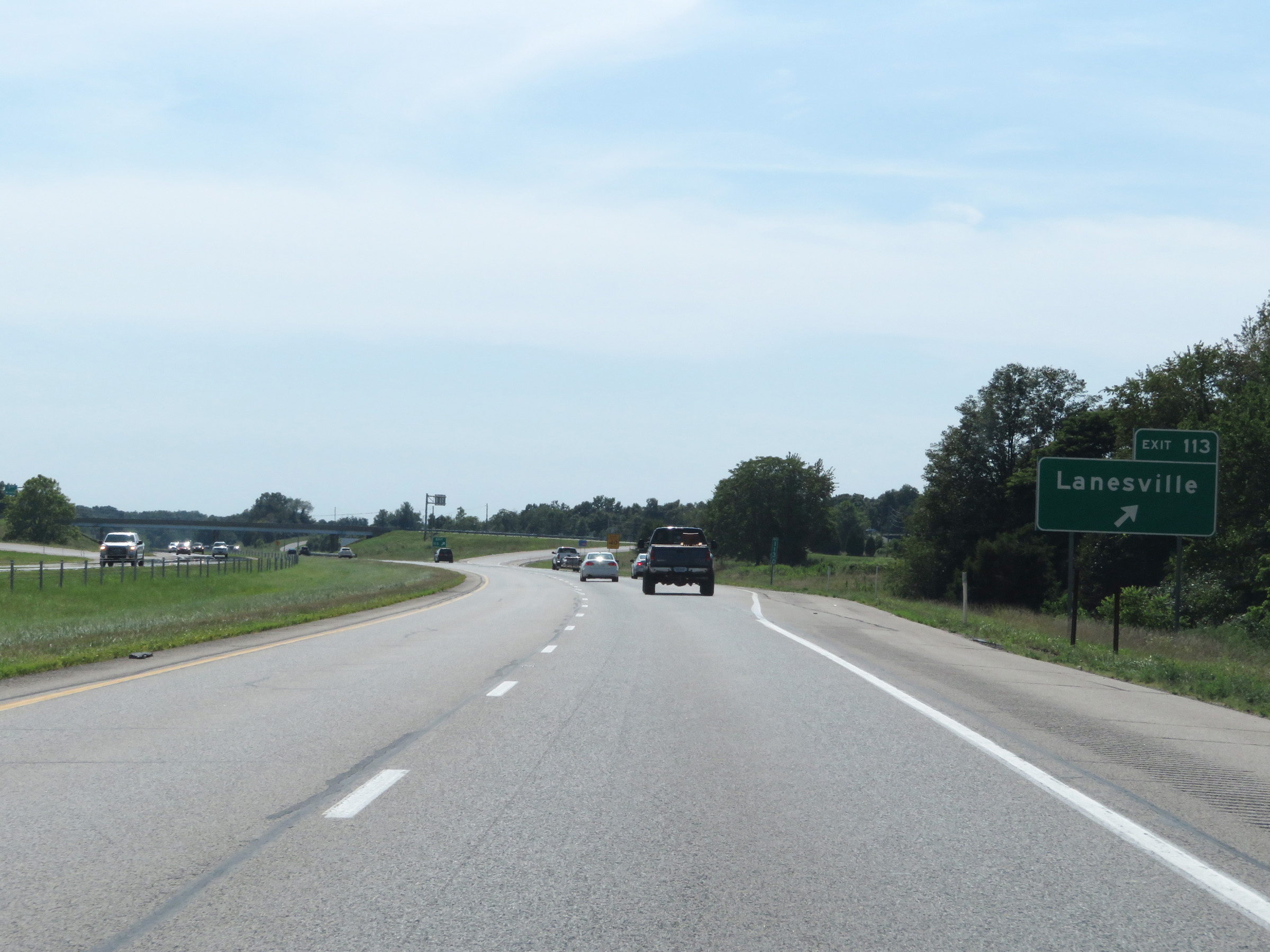 |
Interstate 64 West at Exit 113: Lanesville (Photo taken 8/10/19). |
 |
Another Interstate 64 West reassurance shield. (Photo taken 8/10/19). |
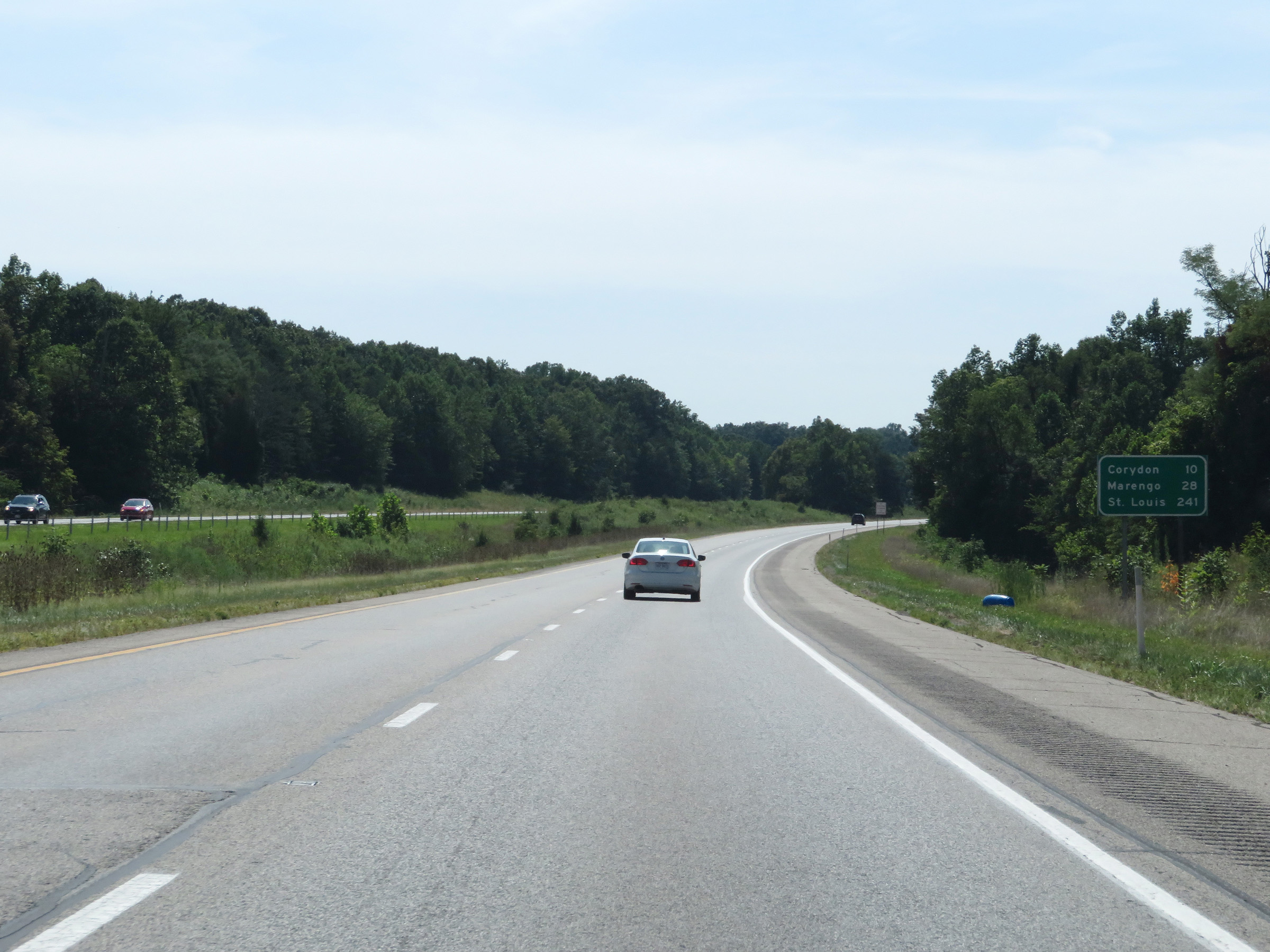 |
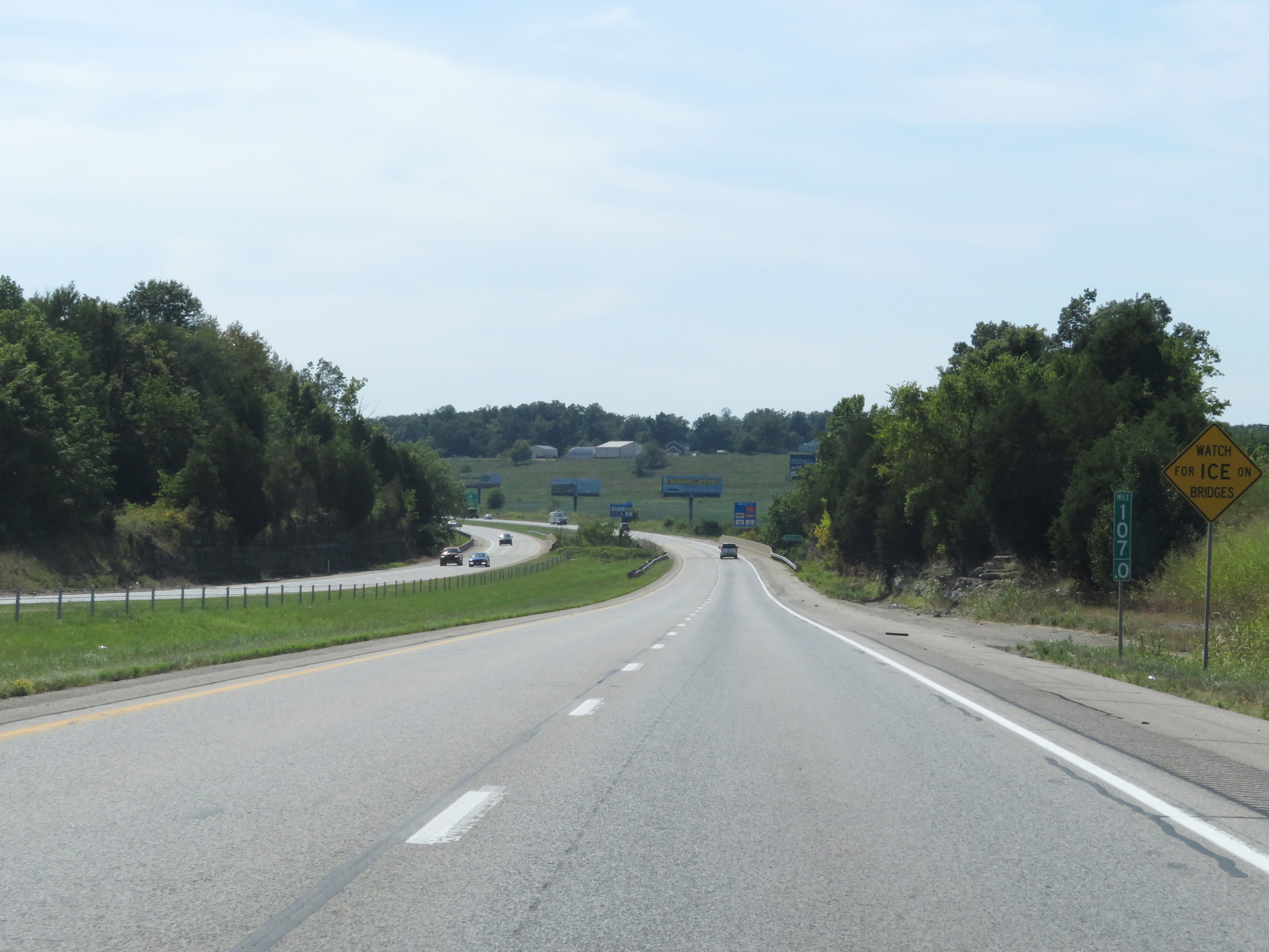
Mileage sign on Interstate 64 West. It's 10 miles to Corydon, 28 miles to Marengo, and 241 miles to St. Louis. (Photo taken 8/10/19). |
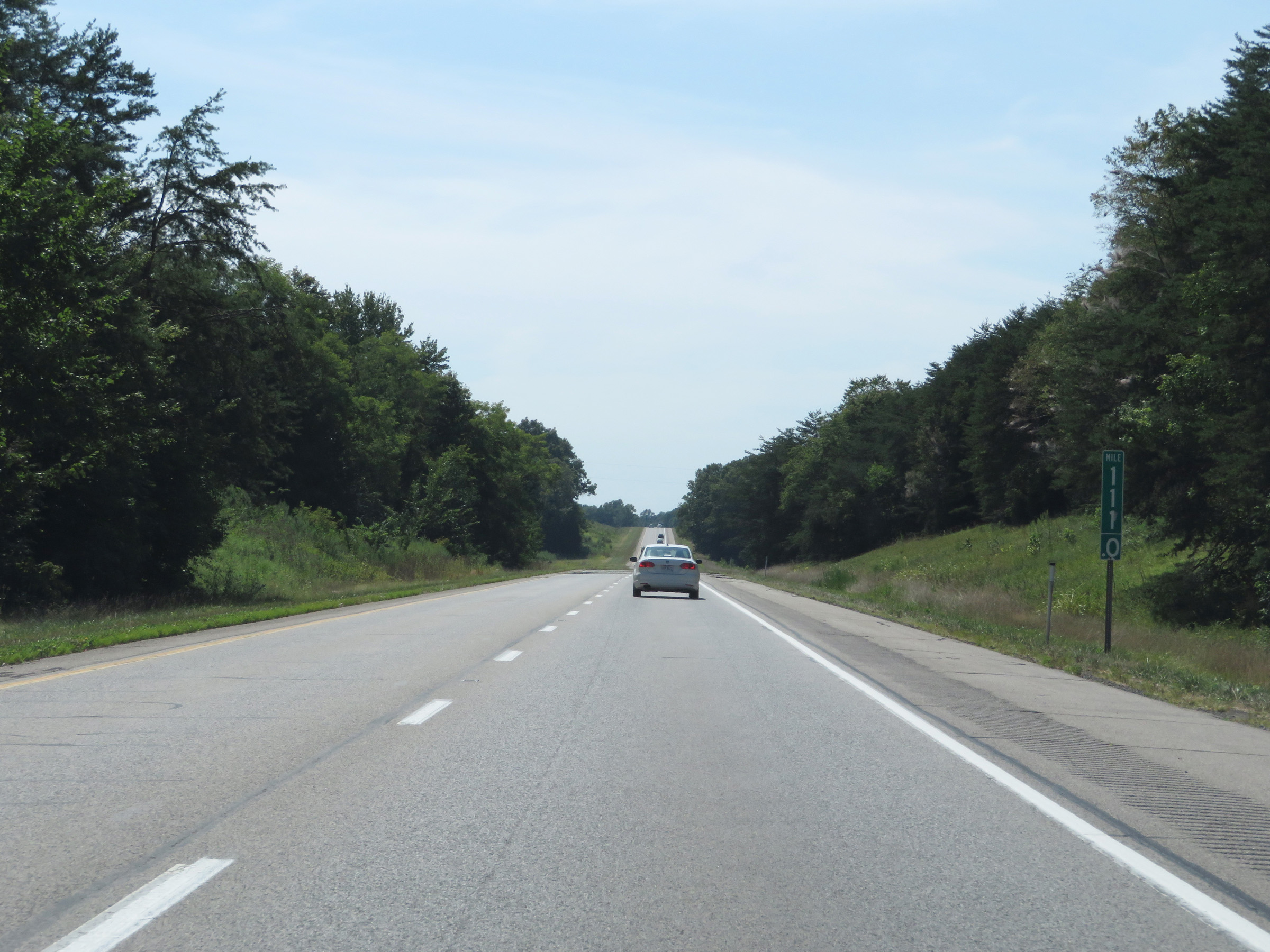 |
Interstate 64 West at mile marker 111. (Photo taken 8/10/19). |
 |
View on Interstate 64 West at mile marker 107. (Photo taken 8/10/19). |
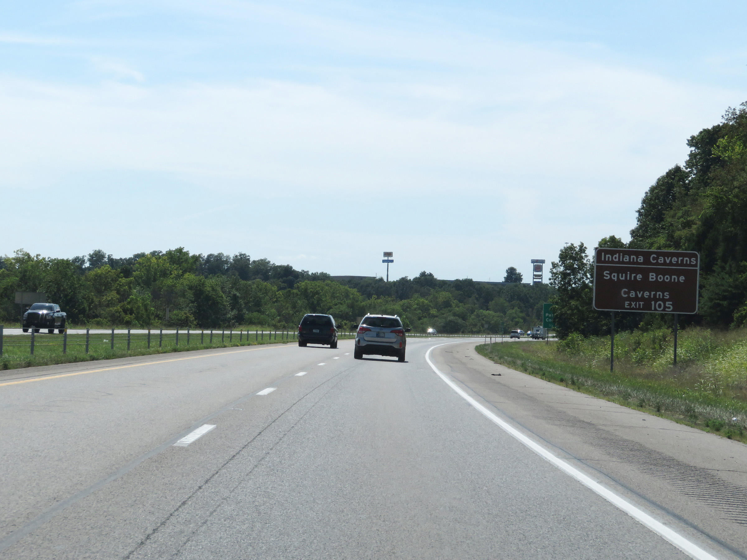 |
Take Exit 105 to Indiana Caverns and Squire Boone Caverns. (Photo taken 8/10/19). |
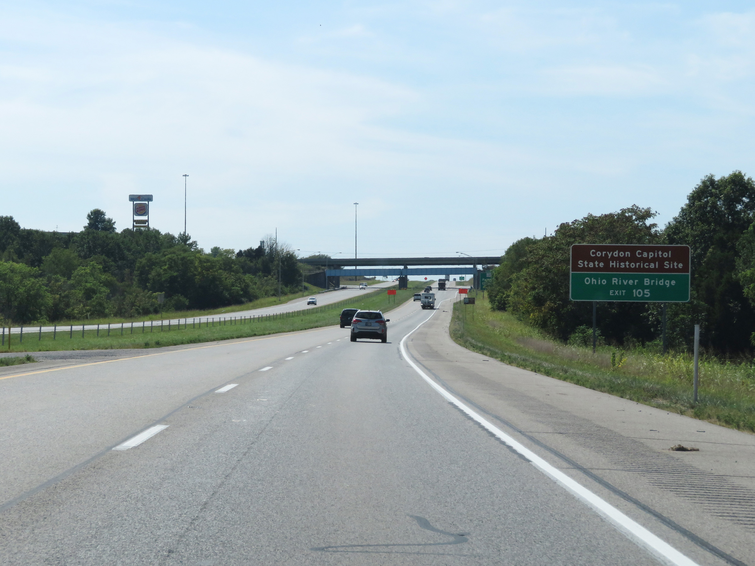 |
Also take Exit 105 to Corydon Capitol State Historic Site and the Ohio River Bridge. (Photo taken 8/10/19). |
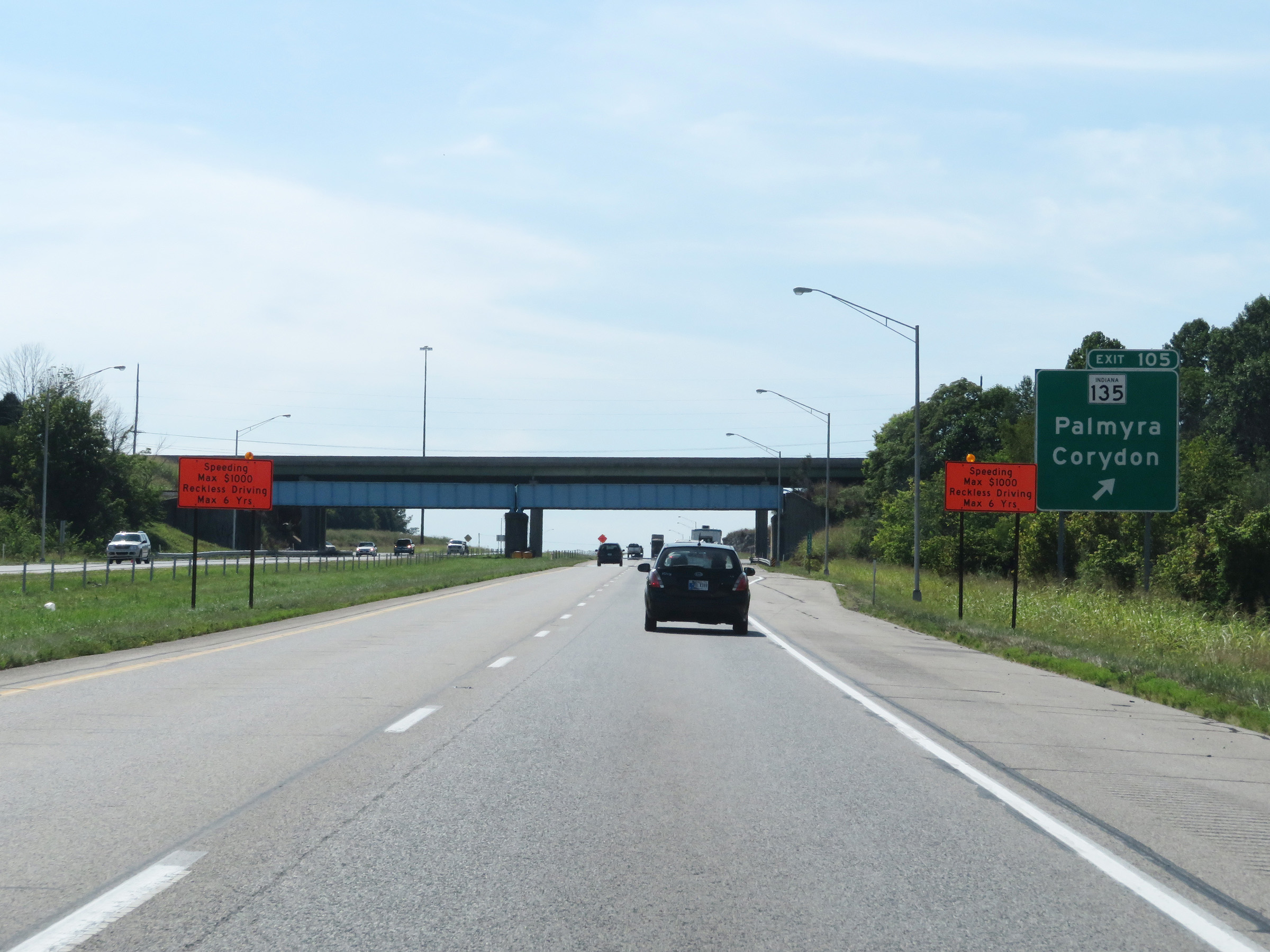 |
Interstate 64 West at Exit 105: IN 135 - Palmyra / Corydon (Photo taken 8/10/19). |
 |
Mile marker 103 on Interstate 64 West in Harrison County. (Photo taken 8/10/19). |
 |
View on Interstate 64 West at mile marker 101. (Photo taken 8/10/19). |
 |
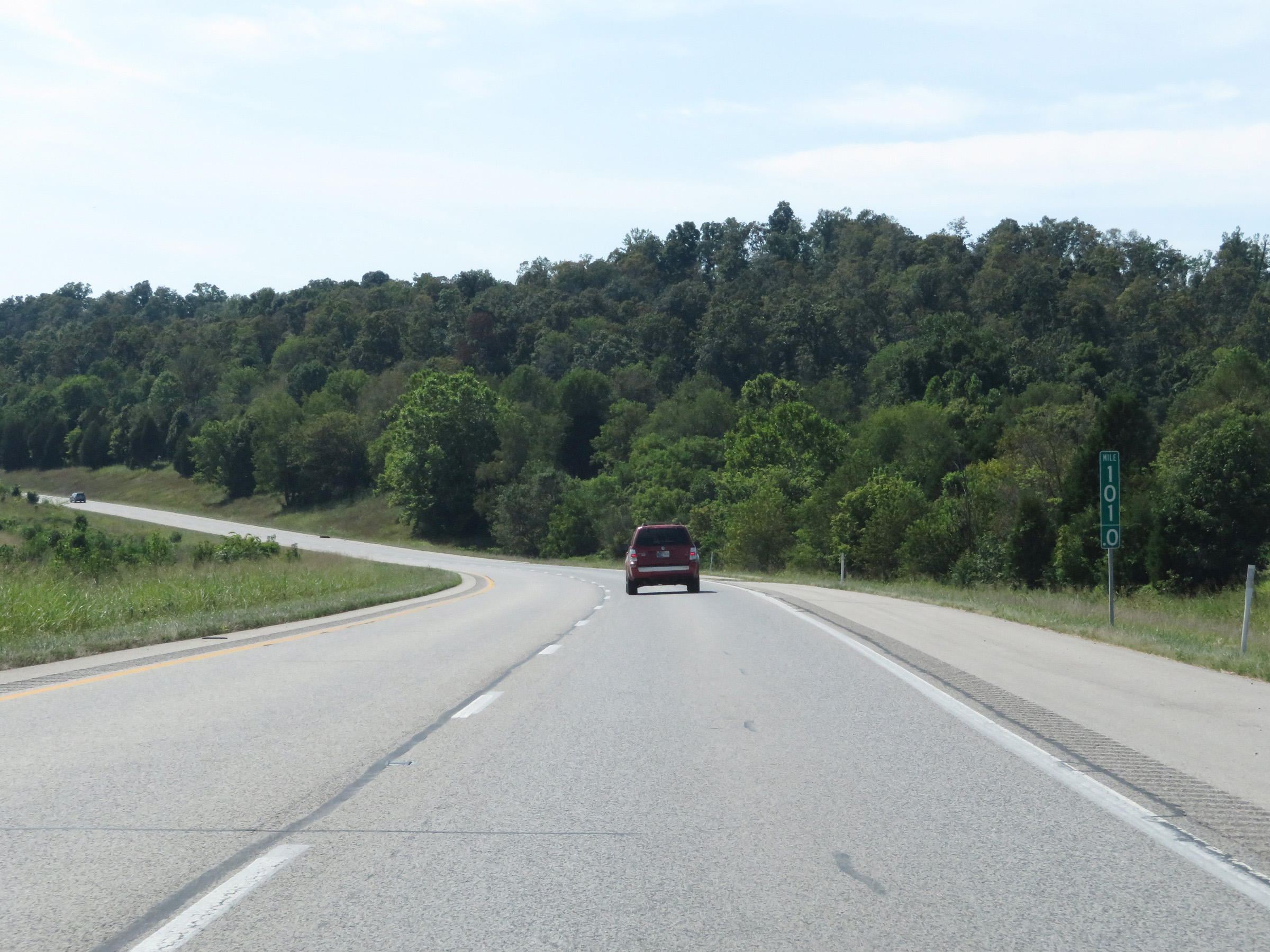
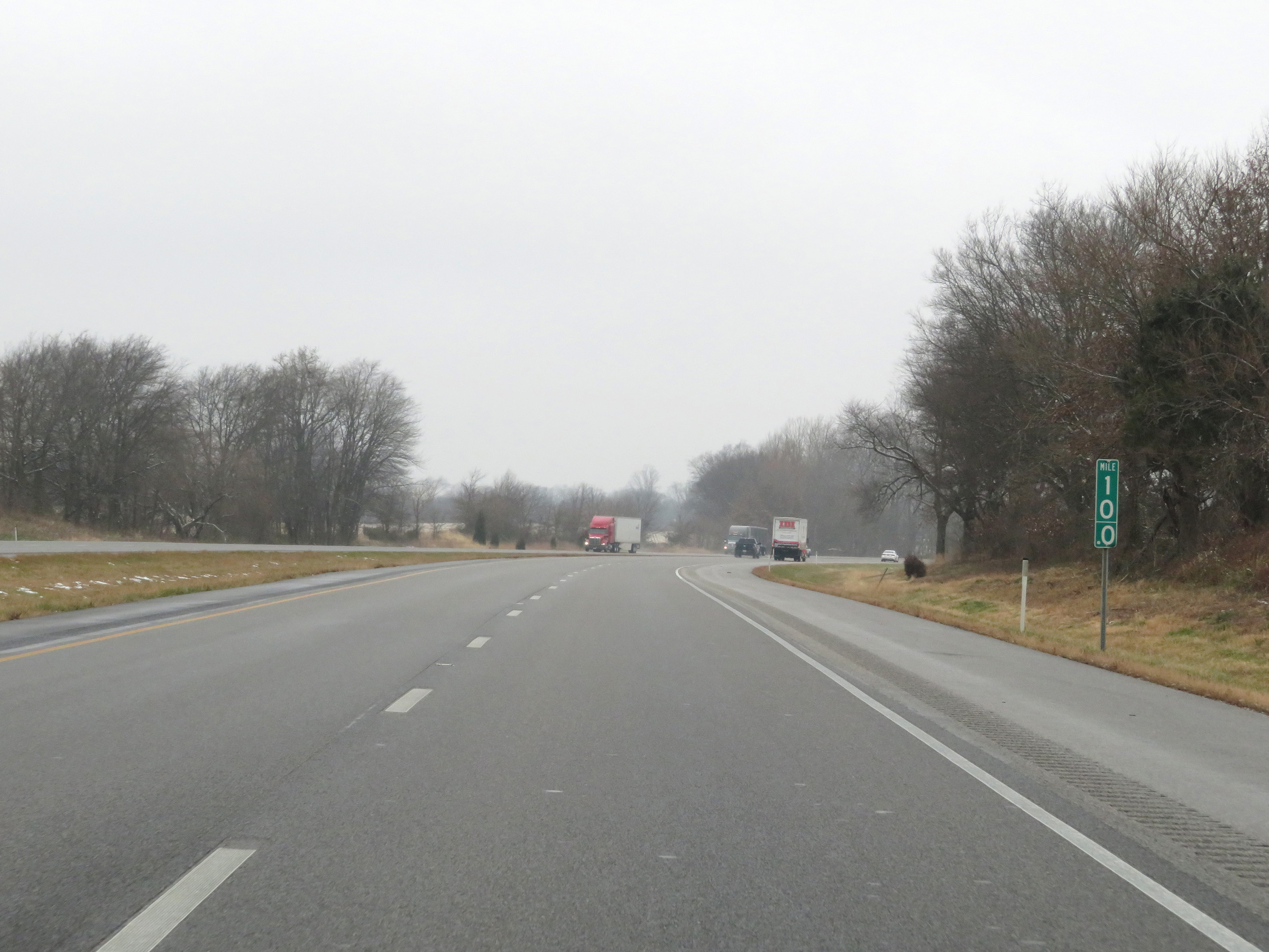
Interstate 64 West at mile marker 100. (Photo taken 8/10/19). |
 |
View on Interstate 64 West at mile marker 98.5. (Photo taken 8/10/19). |
 |
Interstate 64 West at mile marker 97. (Photo taken 8/10/19). |
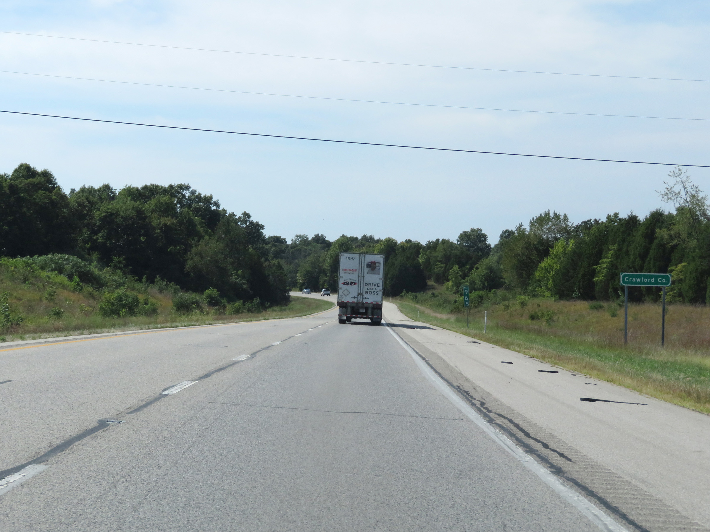 |
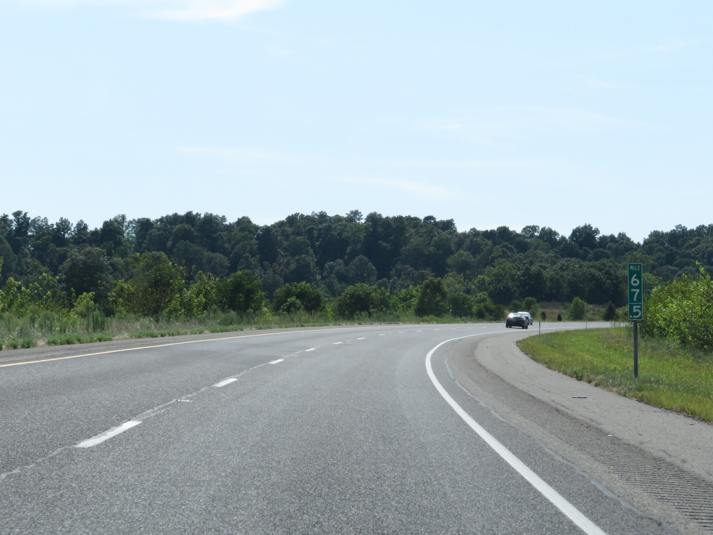
Interstate 64 West as it enters Crawford County at mile marker 96.5. (Photo taken 8/10/19). |
 |
View on Interstate 64 West at mile marker 95. (Photo taken 8/10/19). |
 |
Interstate 64 West at mile marker 94.5. (Photo taken 8/10/19). |
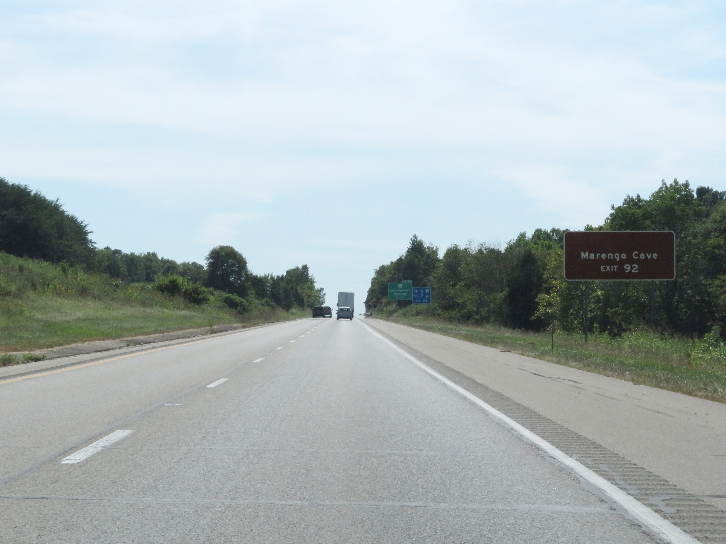 |
Take Exit 92 to Marengo Cave. (Photo taken 8/10/19). |
 |
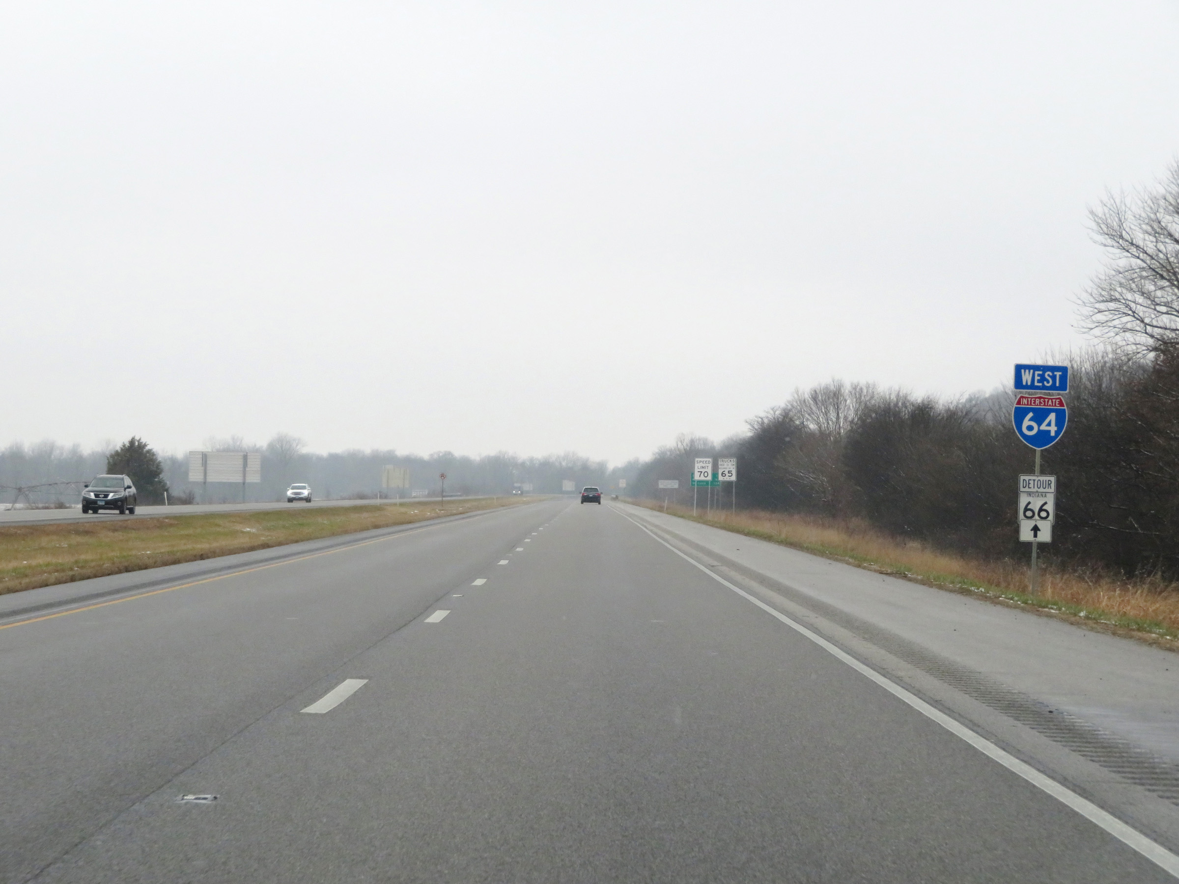
Interstate 64 West at Exit 92: IN 66 - Leavenworth / Marengo (Photo taken 8/10/19). |
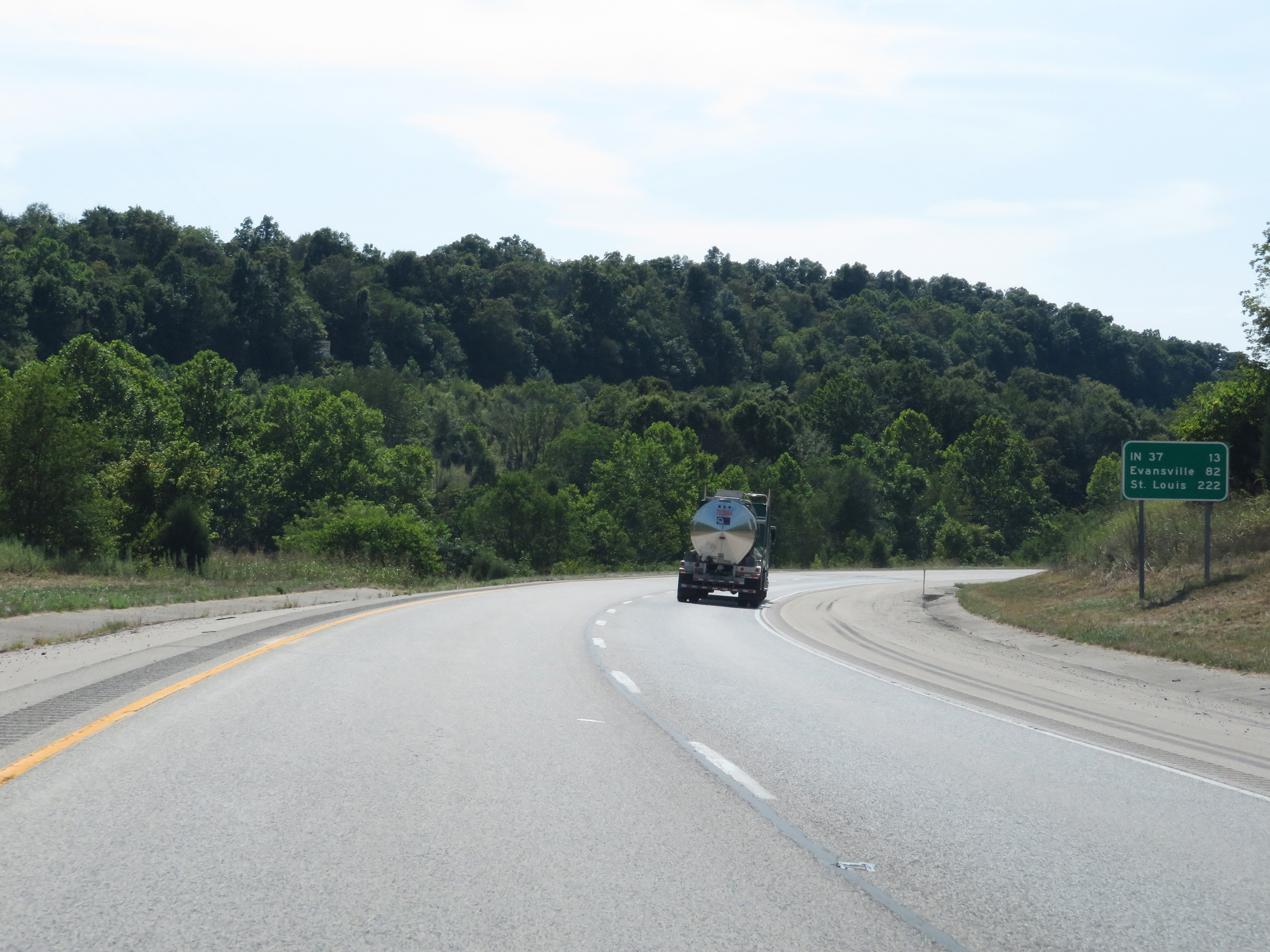 |
Another mileage sign on Interstate 64 West. It's 13 miles to the junction of IN 37, 82 miles to Evansville, and 222 miles to St. Louis. (Photo taken 8/10/19). |
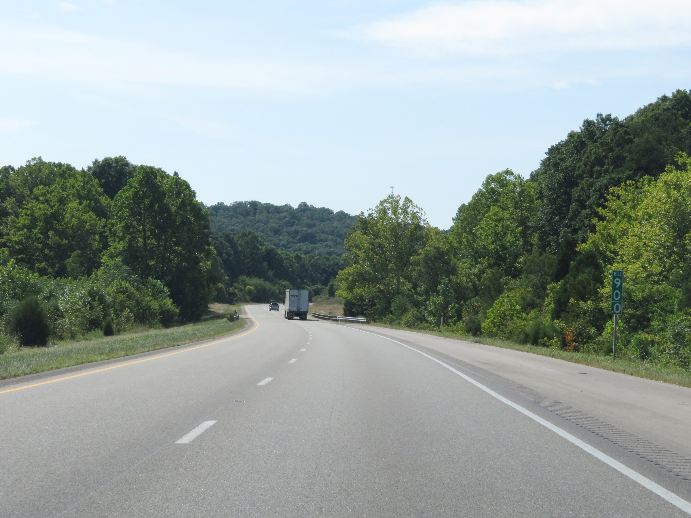 |
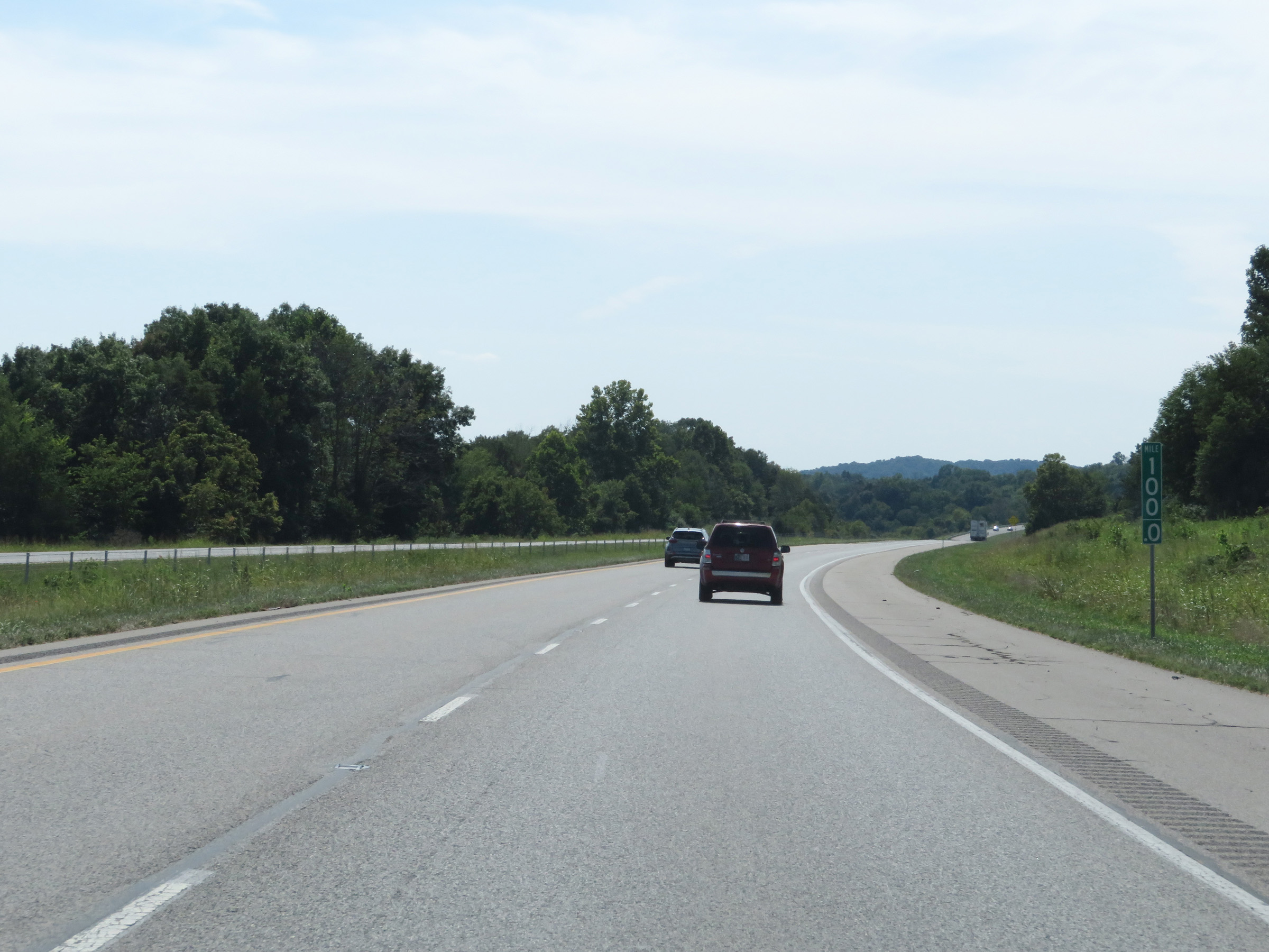
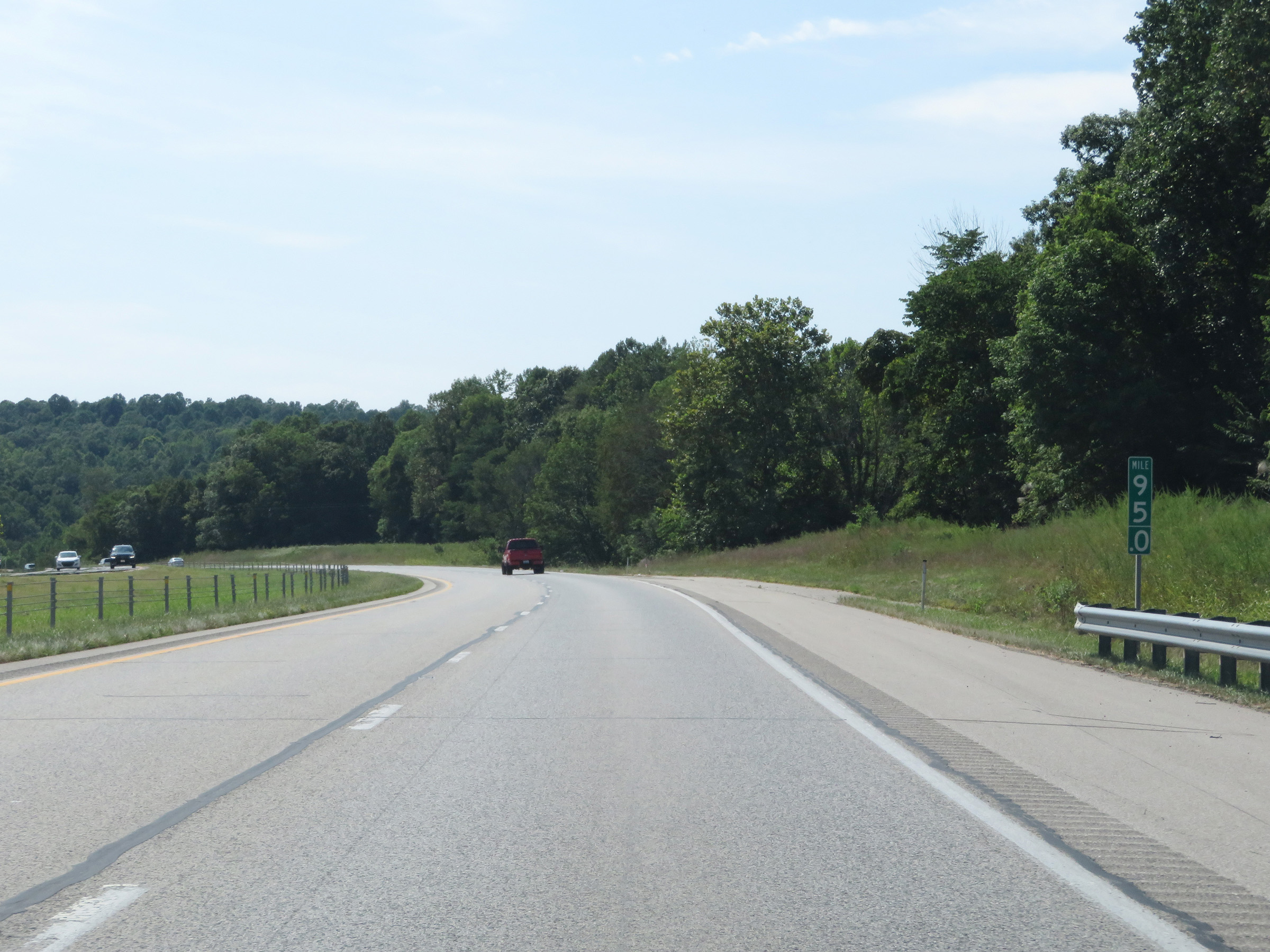
View on Interstate 64 West at mile marker 90. (Photo taken 8/10/19). |
 |
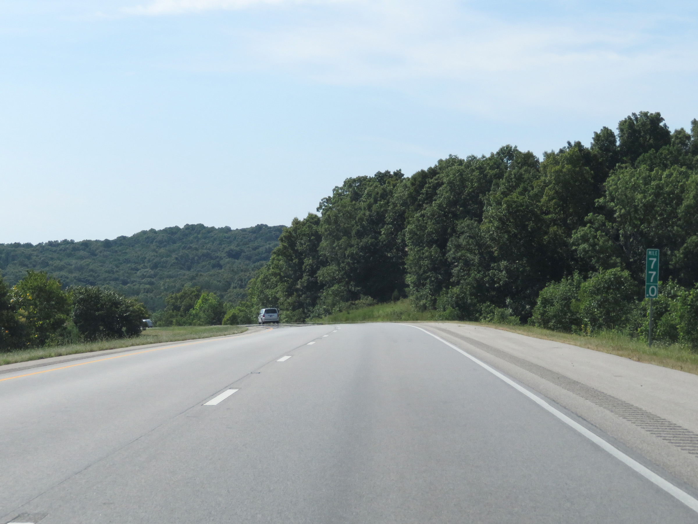
Interstate 64 West as it enters Hoosier National Forest. (Photo taken 8/10/19). |
 |
View on Interstate 64 West at mile marker 87. (Photo taken 8/10/19). |
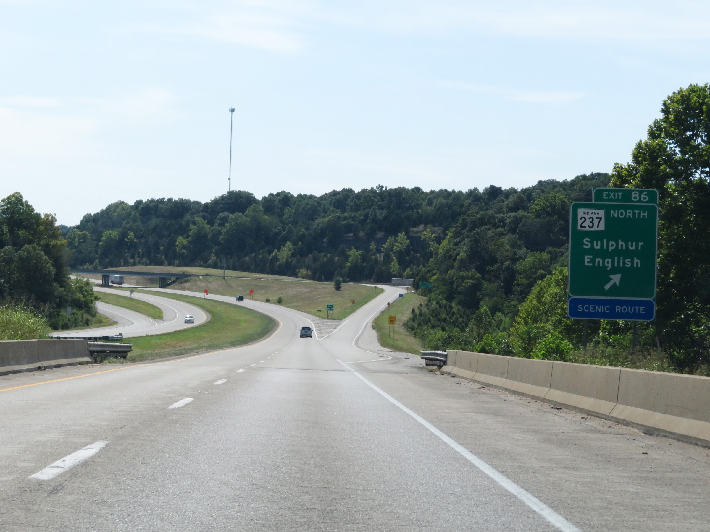 |
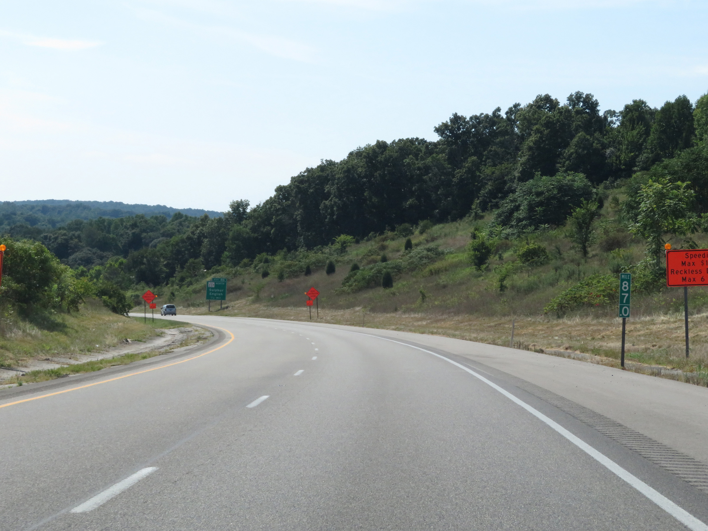
Interstate 64 West at Exit 86: IN 237 North - Sulphur / English (Photo taken 8/10/19). |
 |
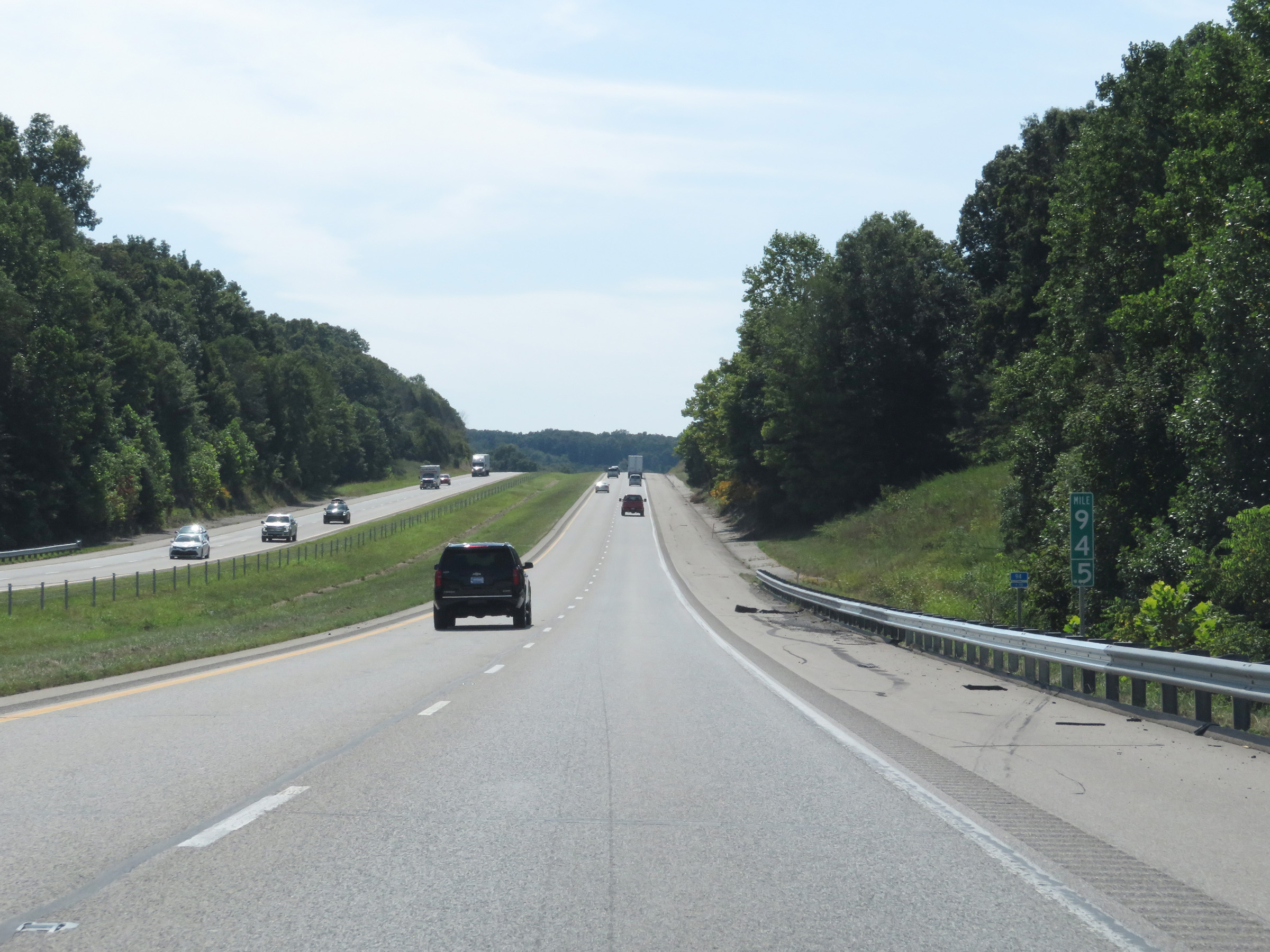
Interstate 64 West at mile marker 84. (Photo taken 8/10/19). |
 |
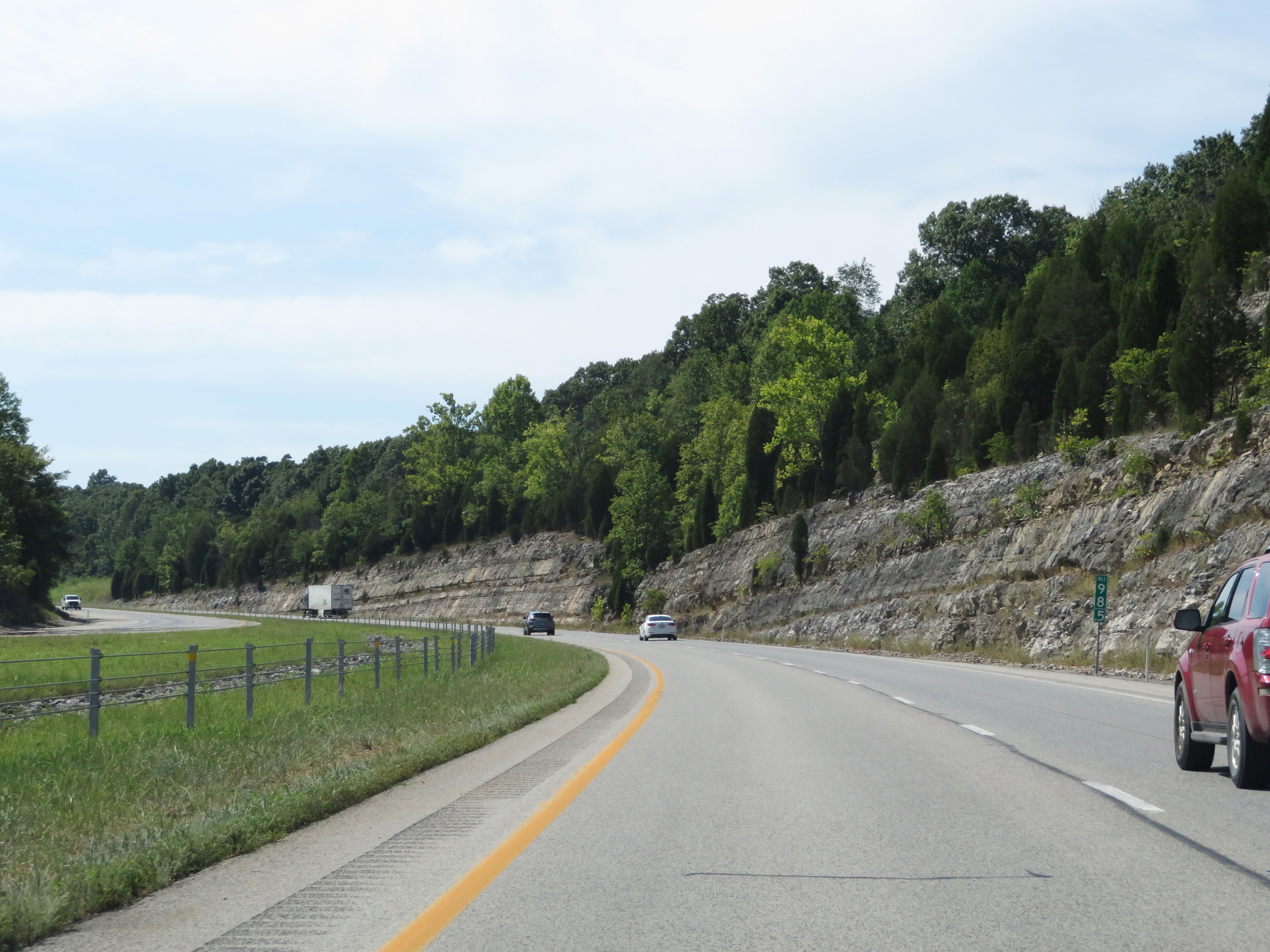
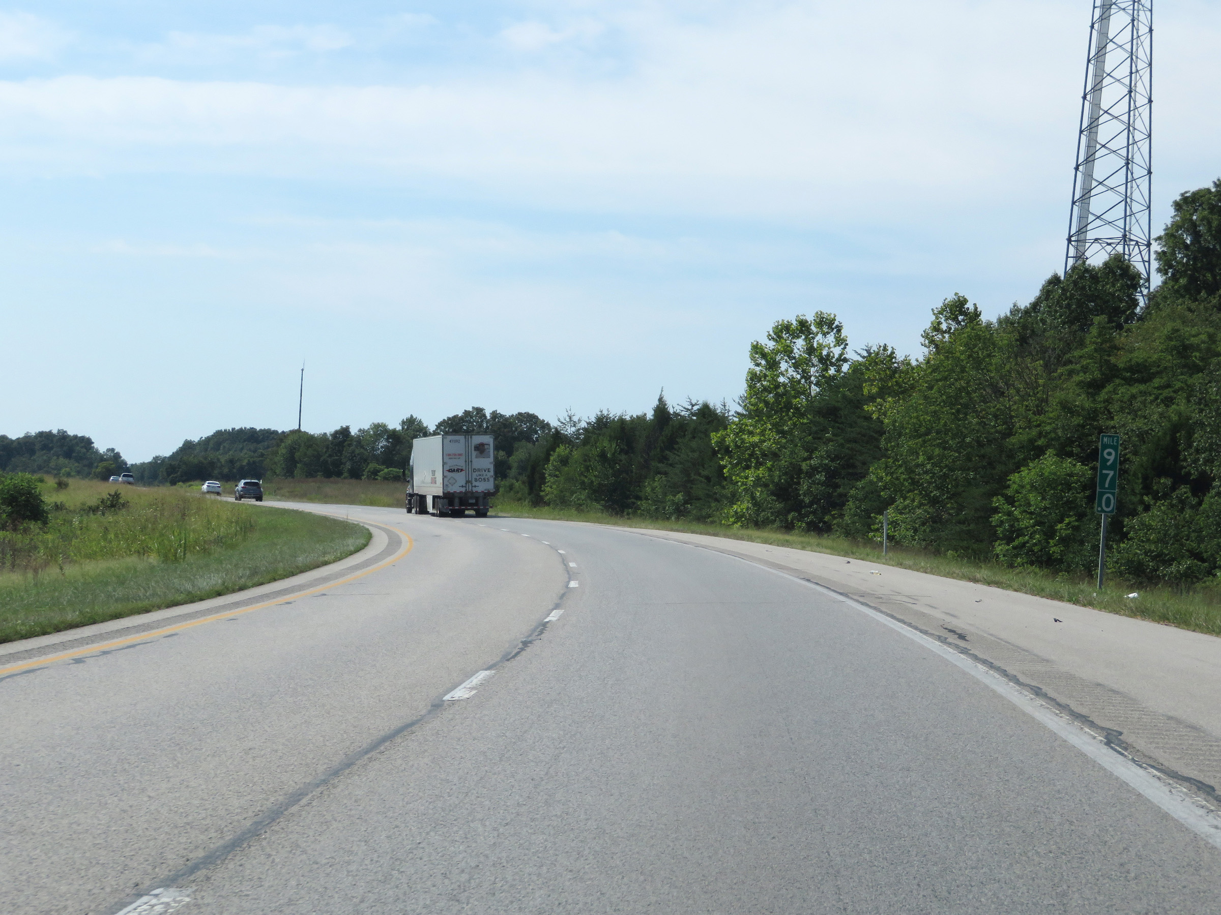
View on Interstate 64 West at mile marker 83. (Photo taken 8/10/19). |
 |
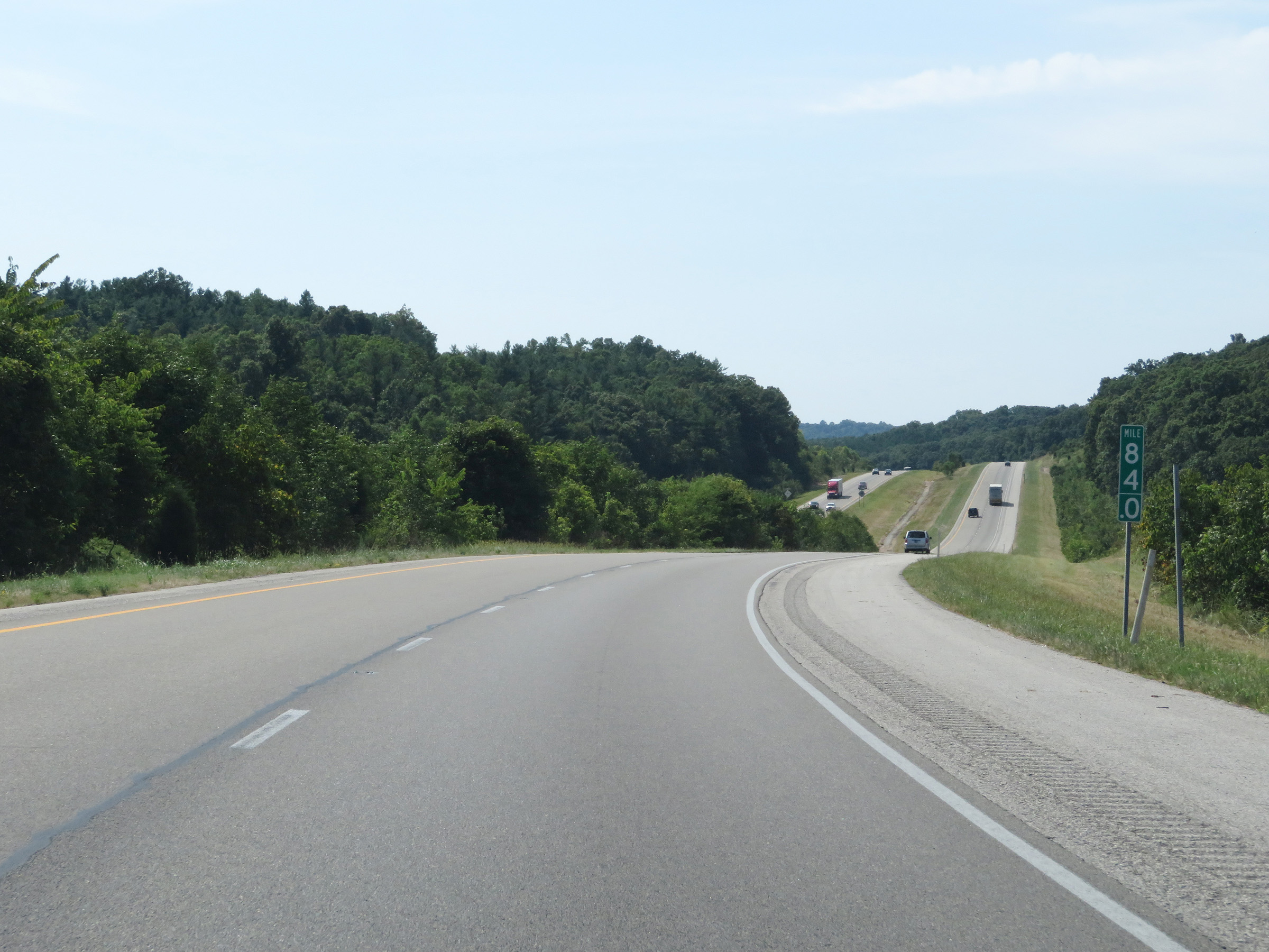
Mile marker 82 on Interstate 64 West in Crawford County. (Photo taken 8/10/19). |
 |
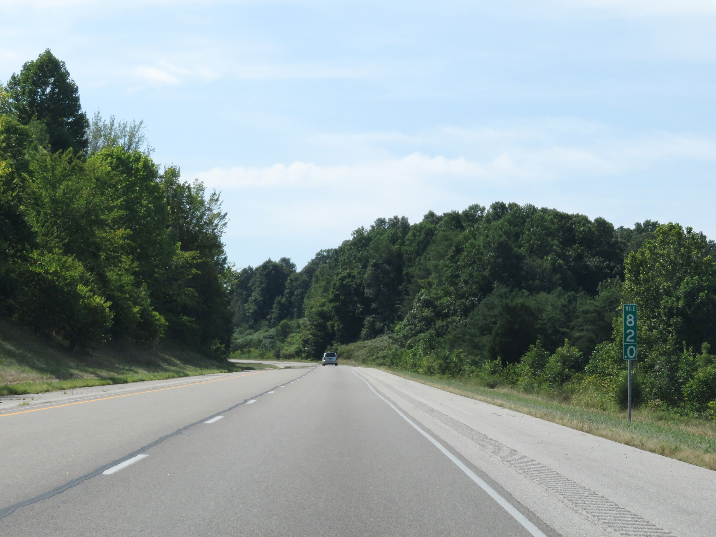
Interstate 64 West at mile marker 81. (Photo taken 8/10/19). |
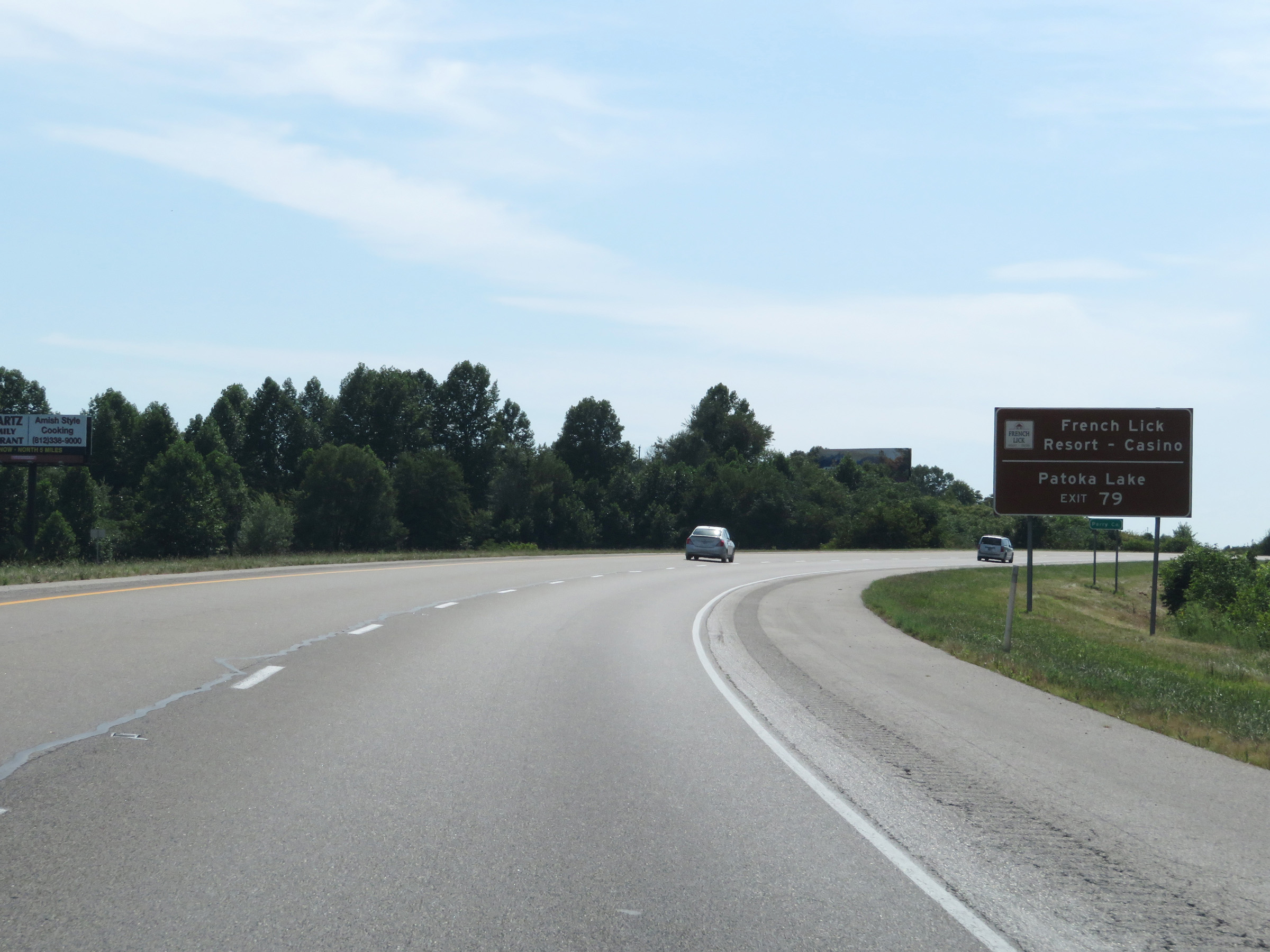 |
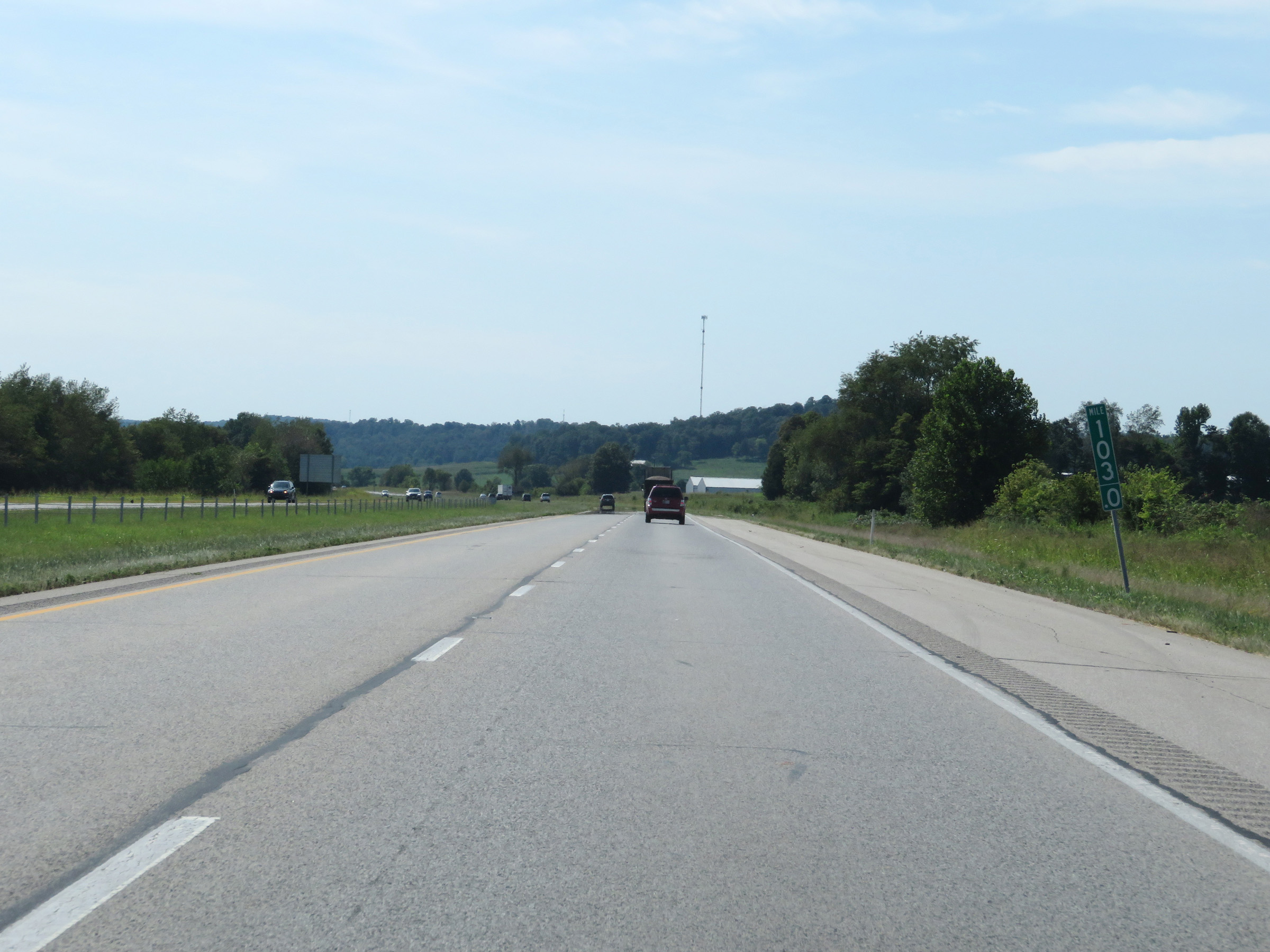
Take Exit 79 to French Lick Resort & Casino and Patoka Lake. (Photo taken 8/10/19). |
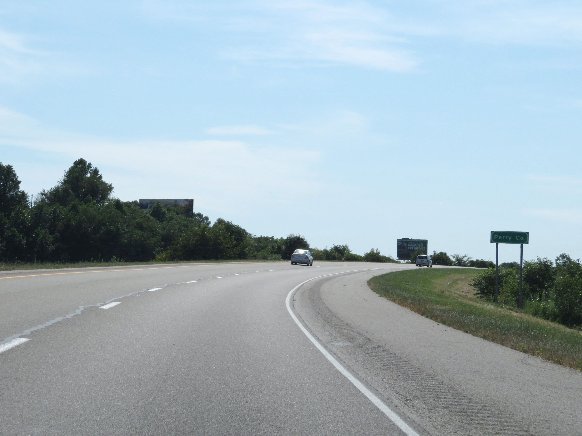 |
Approaching Exit 79, Interstate 64 West enters Perry County. (Photo taken 8/10/19). |
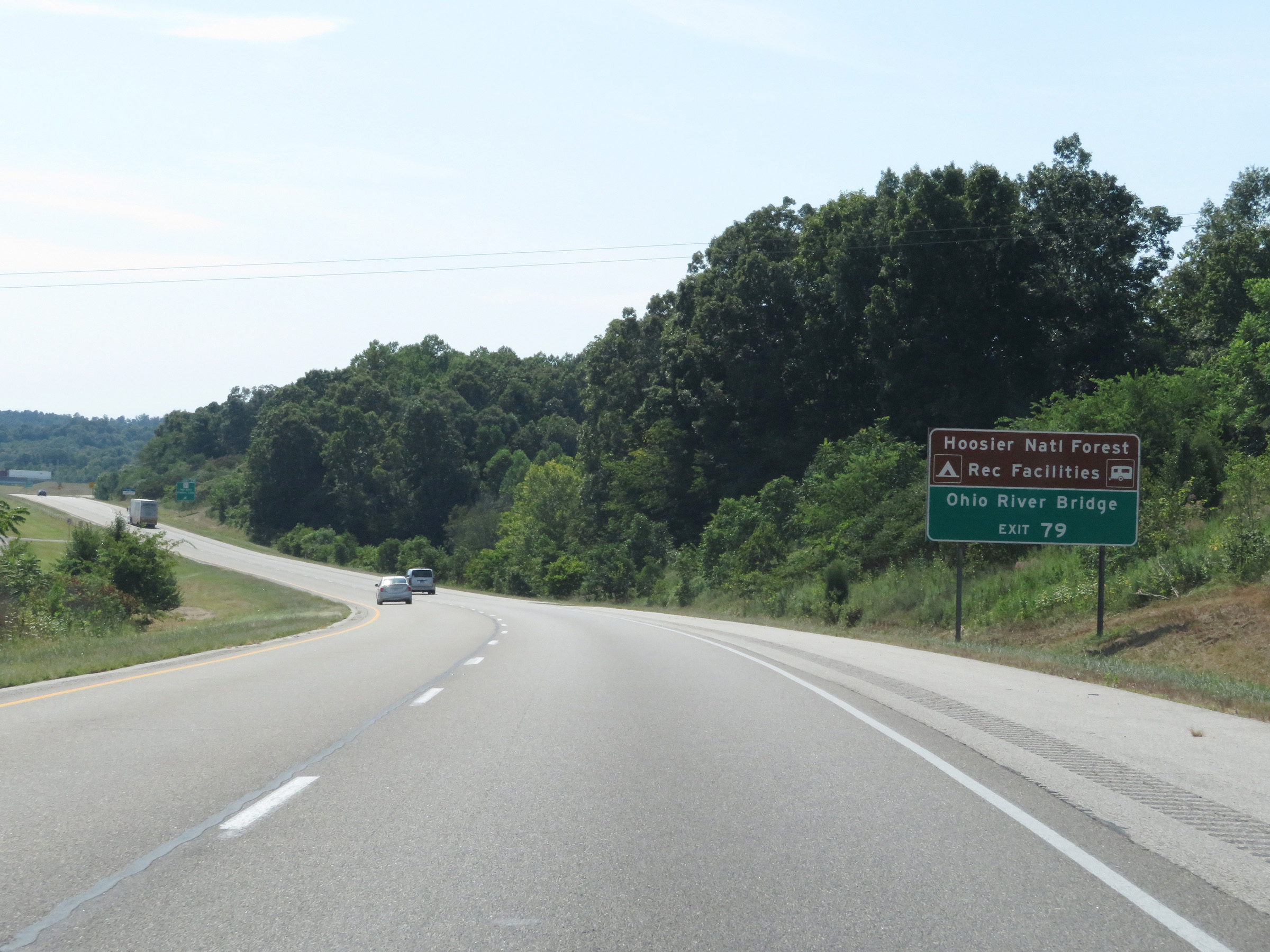 |
Also take Exit 79 to Hoosier National Forest Recreational Facilities and the Ohio River Bridge. (Photo taken 8/10/19). |
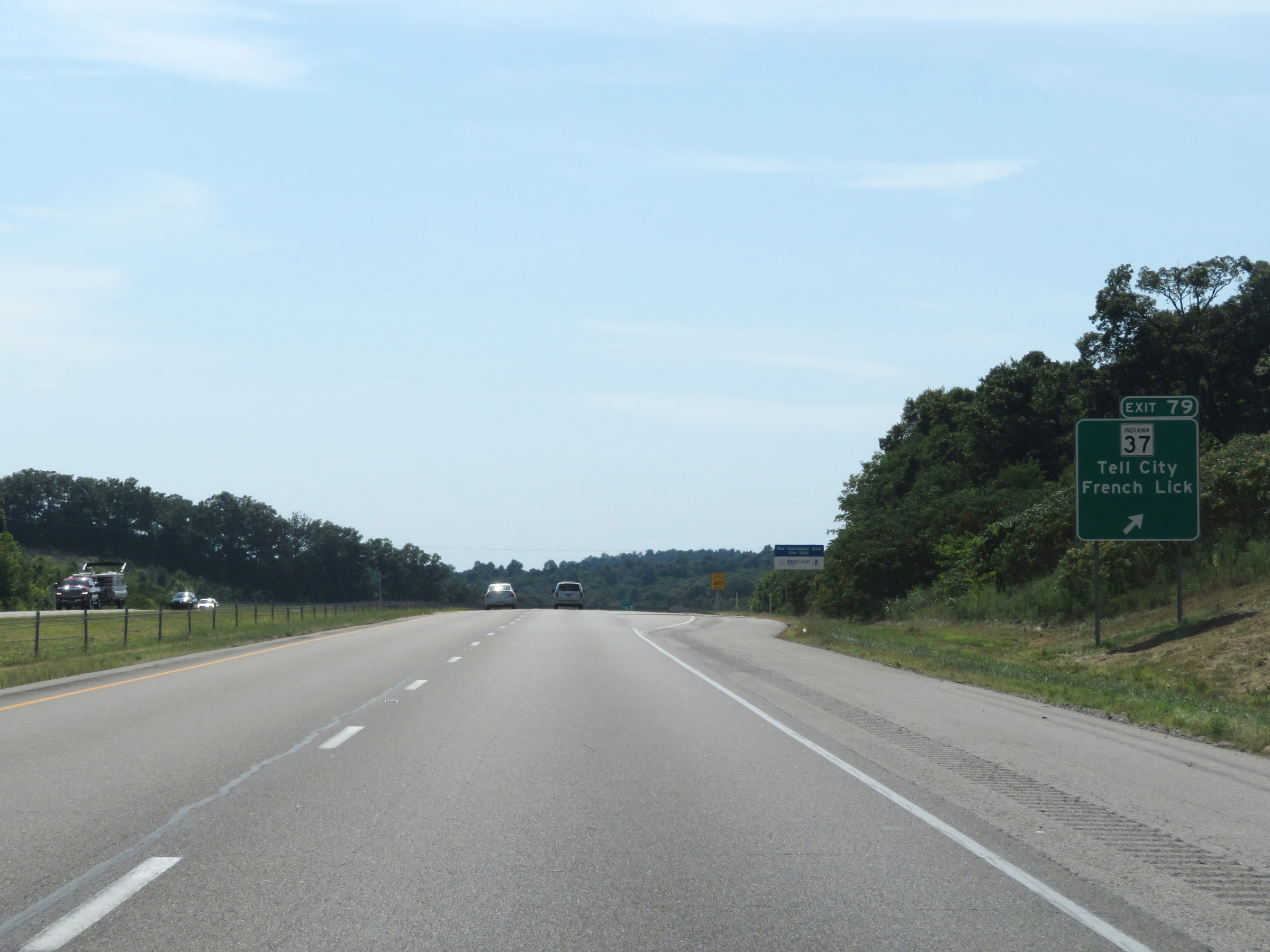 |
Interstate 64 West at Exit 79: IN 37 - Tell City / French Lick (Photo taken 8/10/19). |
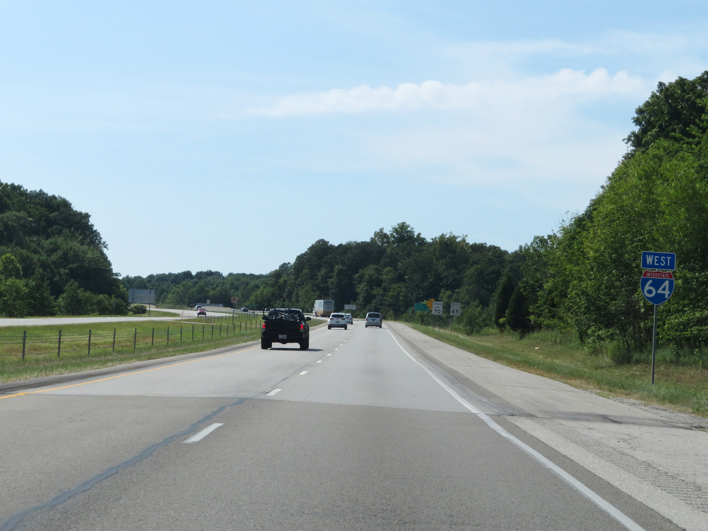 |
Interstate 64 West reassurance shield. (Photo taken 8/10/19). |
 |
View on Interstate 64 West at mile marker 77. (Photo taken 8/10/19). |
 |
Interstate 64 West at mile marker 76. (Photo taken 8/10/19). |
 |
Mile marker 74 on Interstate 64 West in Perry County. (Photo taken 8/10/19). |
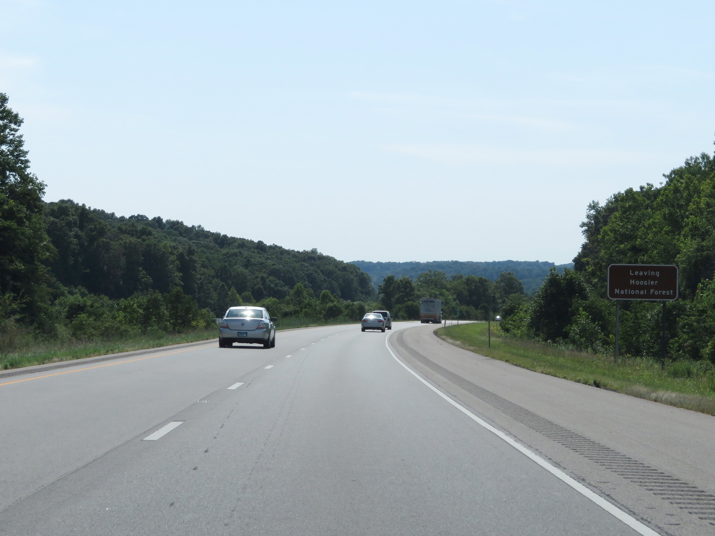 |
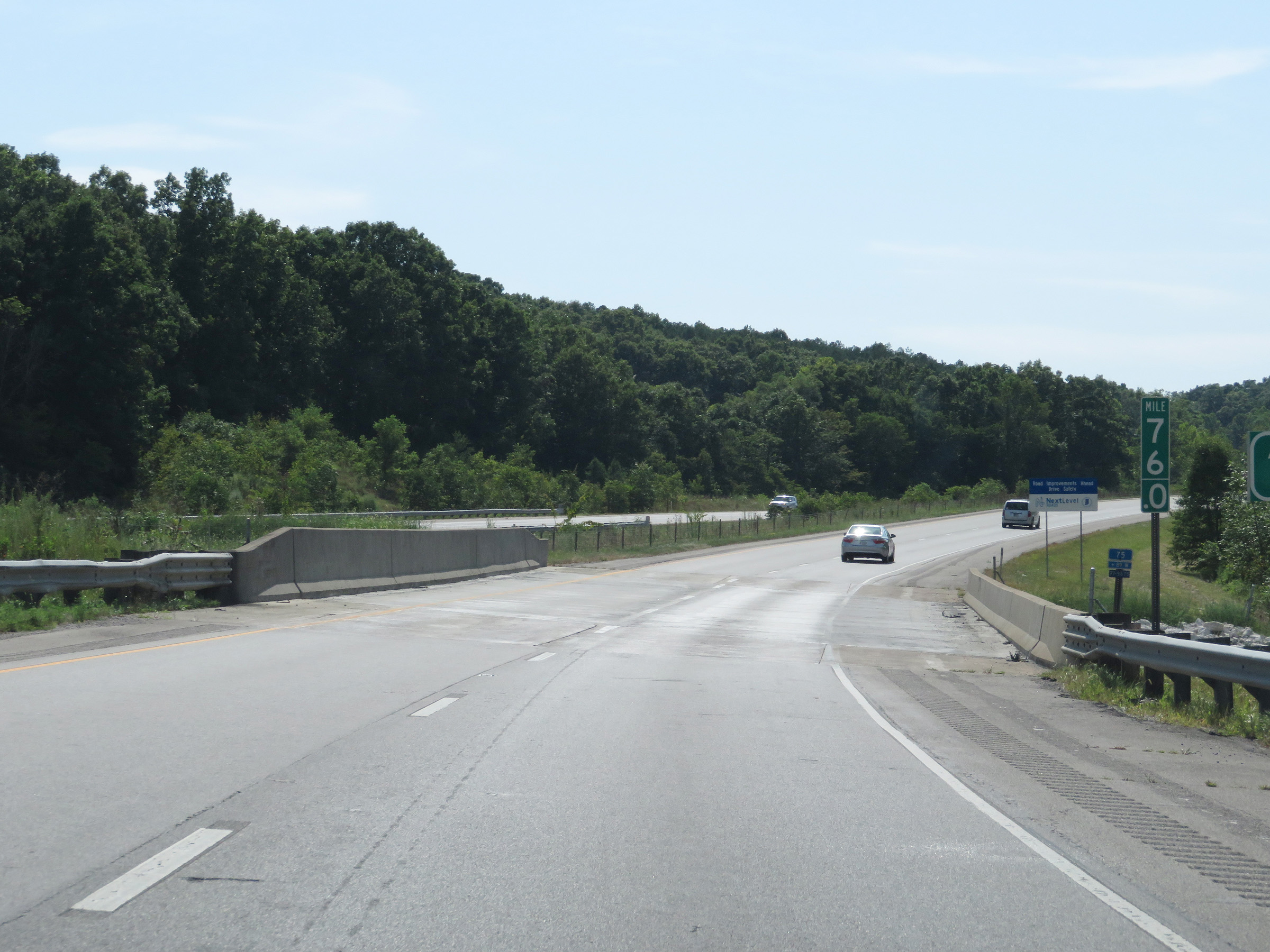
Interstate 64 West as it leaves the Hoosier National Forest. (Photo taken 8/10/19). |
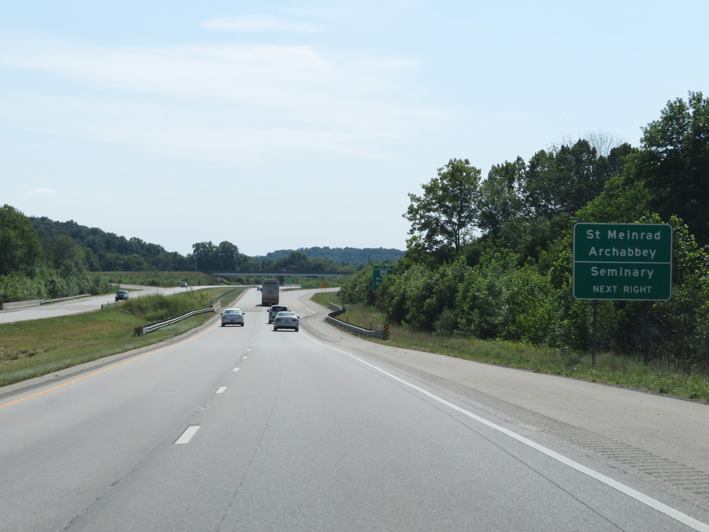 |
Take Exit 72 to St. Meinrad Archabbey and Seminary. (Photo taken 8/10/19). |
 |
Interstate 64 West at Exit 72: IN 145 - Bristow / Birdseye (Photo taken 8/10/19). |
 |
Mileage sign at mile marker 71.5. It's 15 miles to Santa Claus, 20 miles to Dale, and 202 miles to St. Louis. (Photo taken 8/10/19). |
 |
View on Interstate 64 West at mile marker 68.5. (Photo taken 8/10/19). |
 |
Interstate 64 West at mile marker 67.5. (Photo taken 8/10/19). |
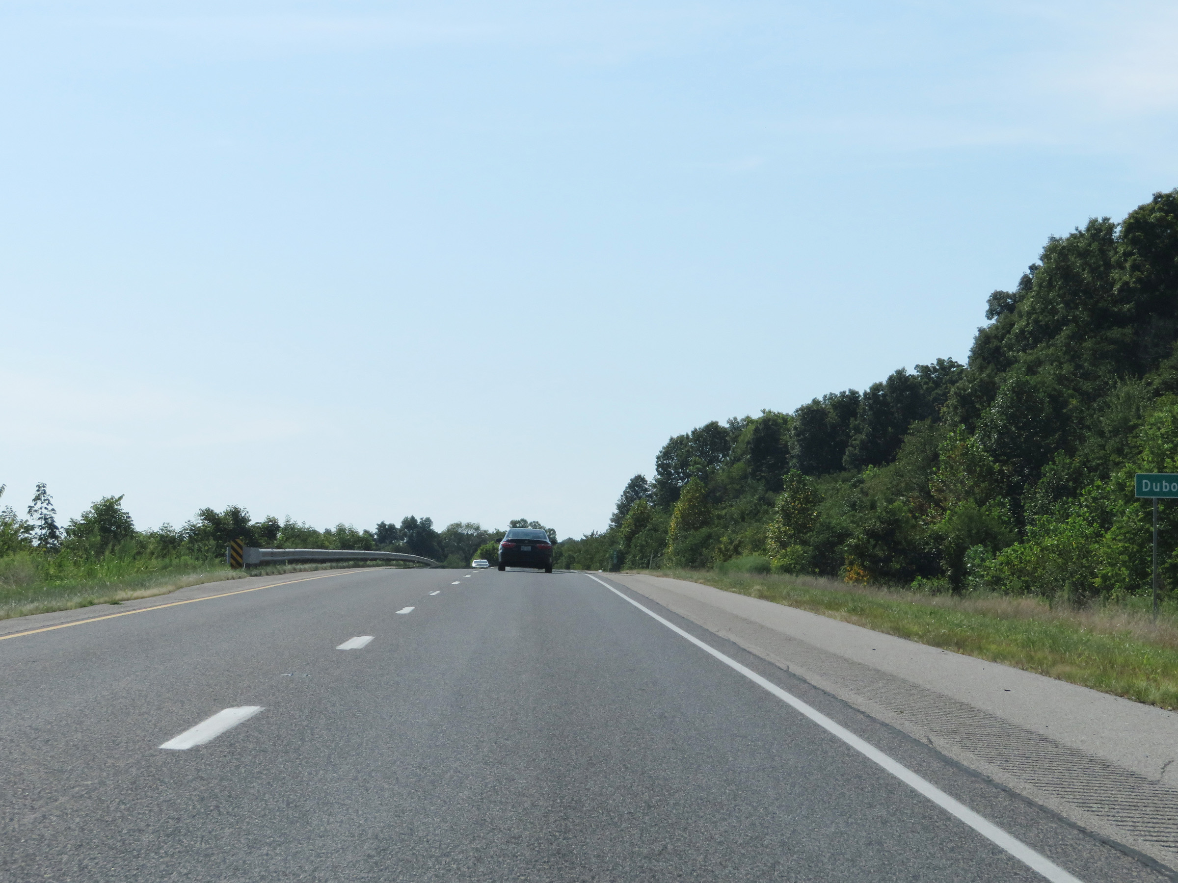 |
Interstate 64 West as it entes Dubois County. (Photo taken 8/10/19). |
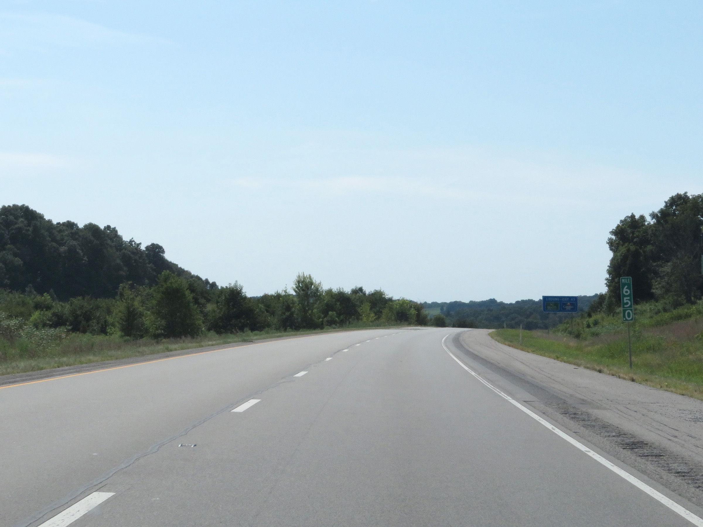 |
View on Interstate 64 West at mile marker 65. (Photo taken 8/10/19). |
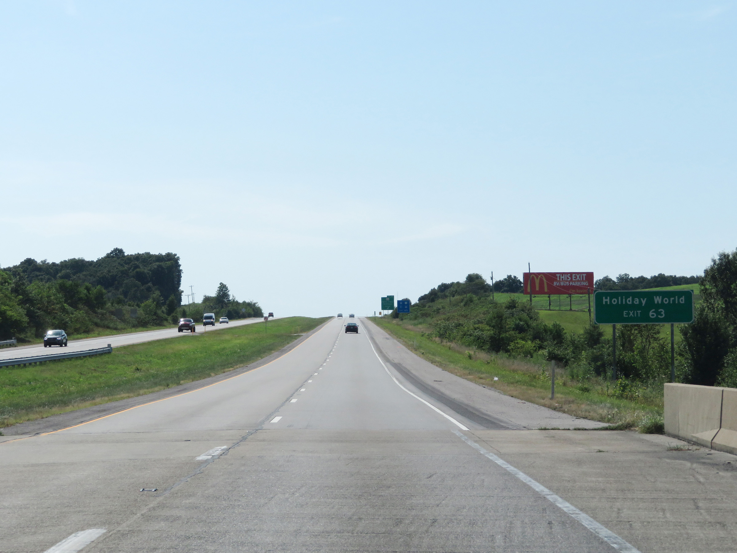 |
Take Exit 63 to Holiday World. (Photo taken 8/10/19). |
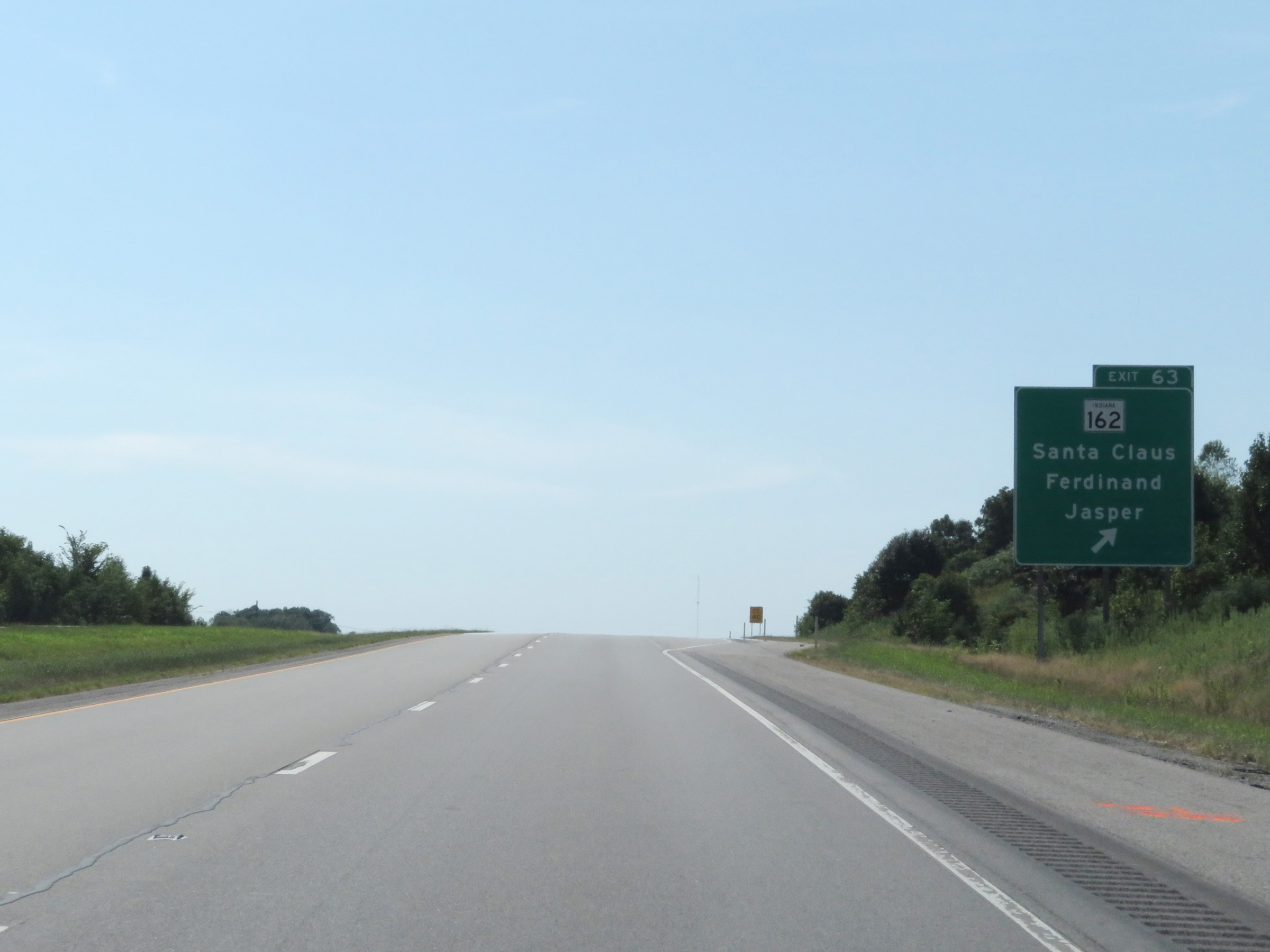 |
Interstate 64 West at Exit 63: IN 162 - Santa Claus / Ferdinand / Jasper (Photo taken 8/10/19). |
Section 2: Ferdinand (Exit 63) to Illinois Border
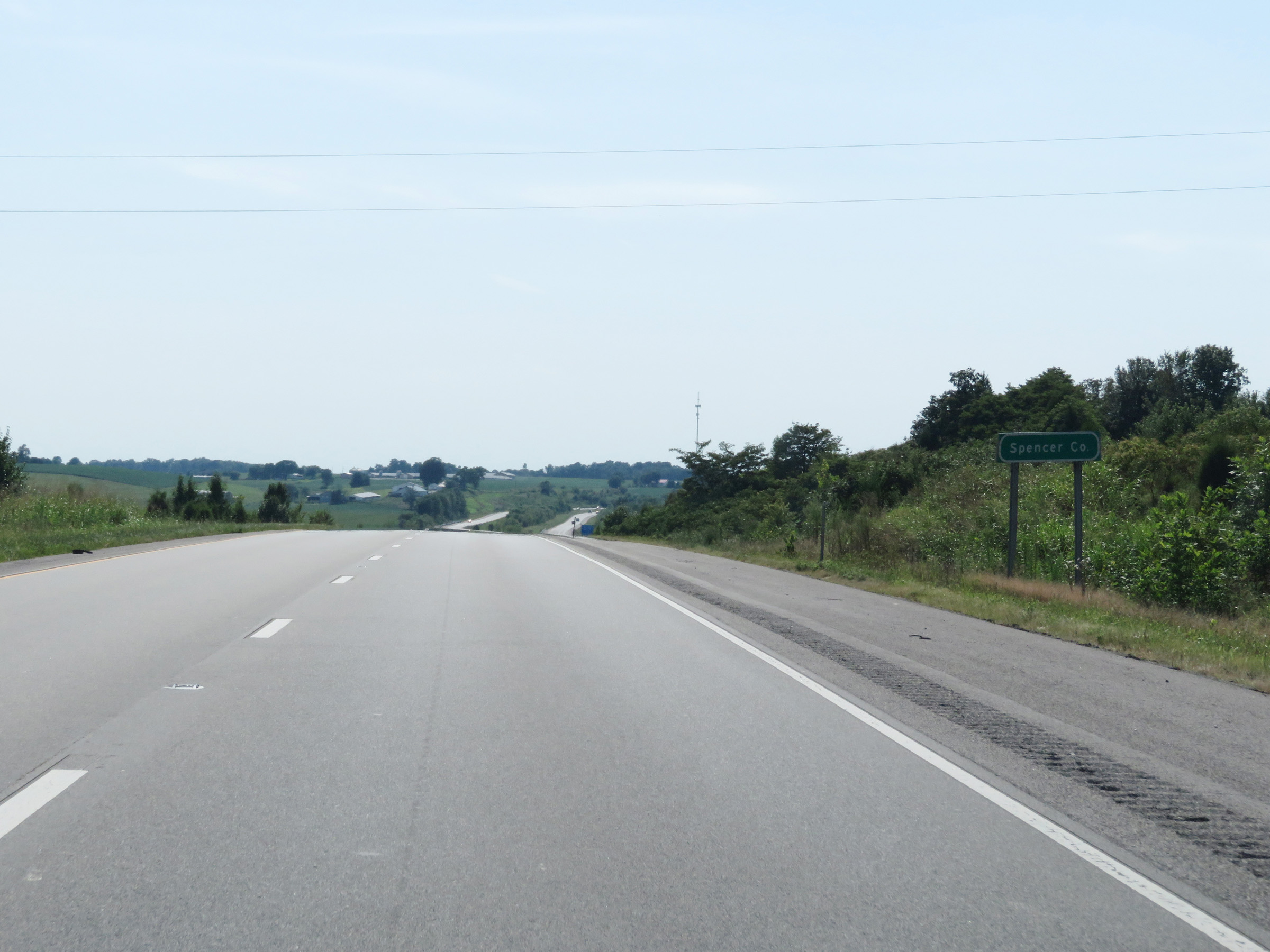 |
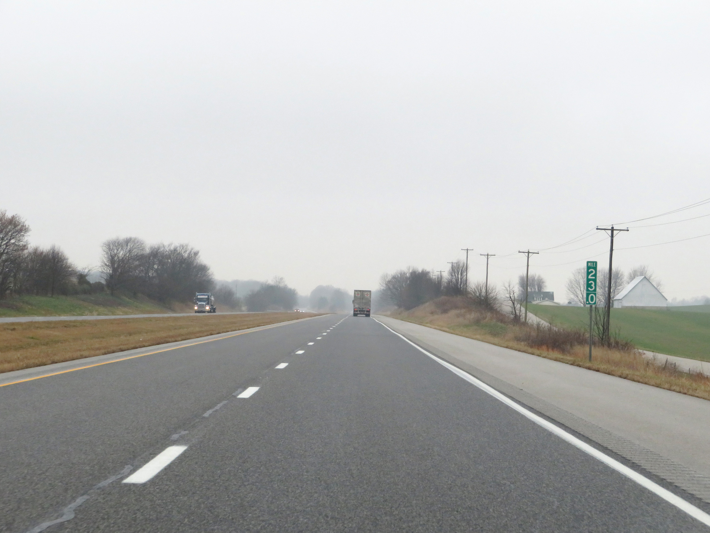
Interstate 64 West as it enters Spencer County, and in turn, the Central Time Zone. (Photo taken 8/10/19). |
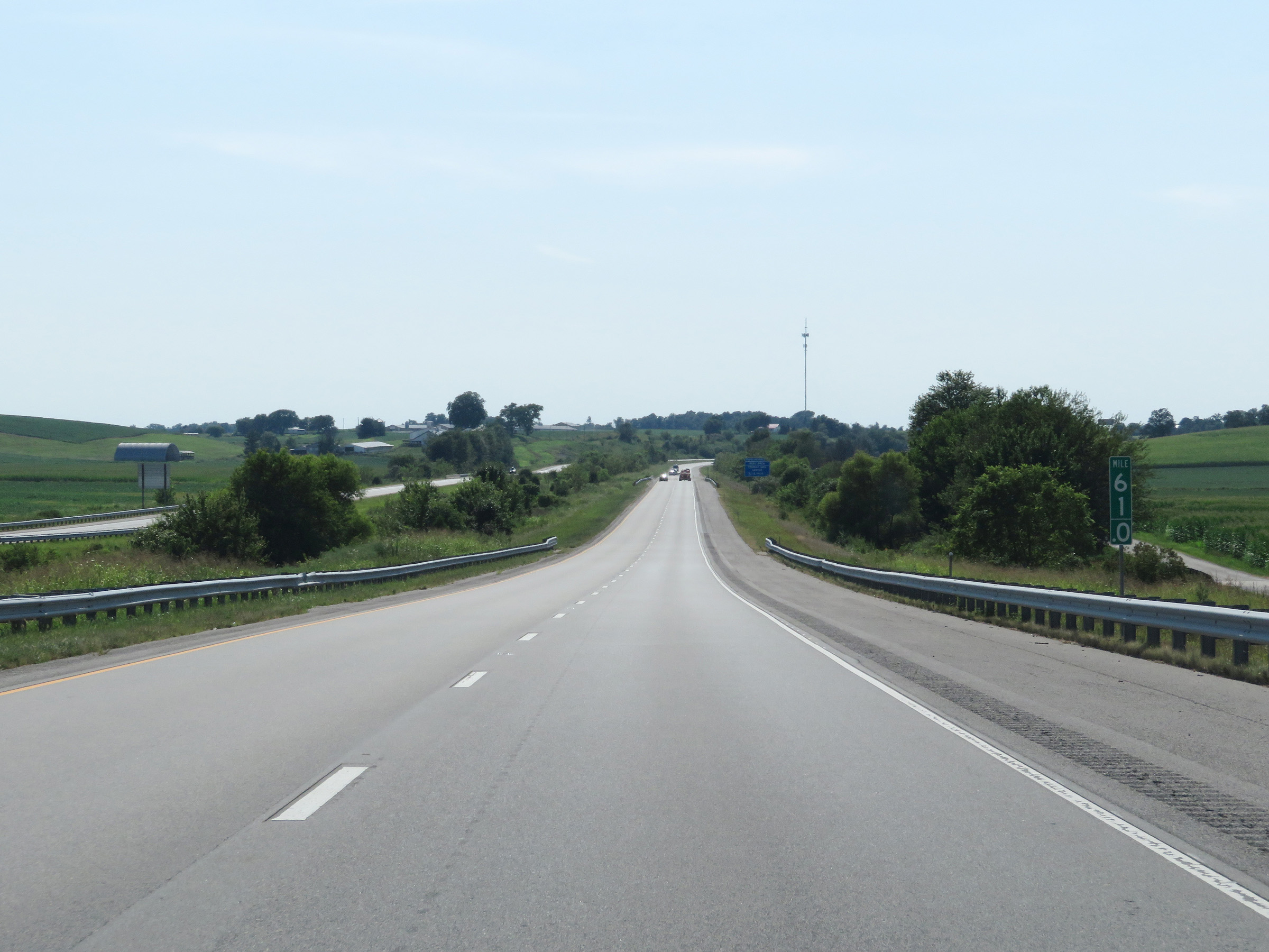 |
View on Interstate 64 West at mile marker 61. (Photo taken 8/10/19). |
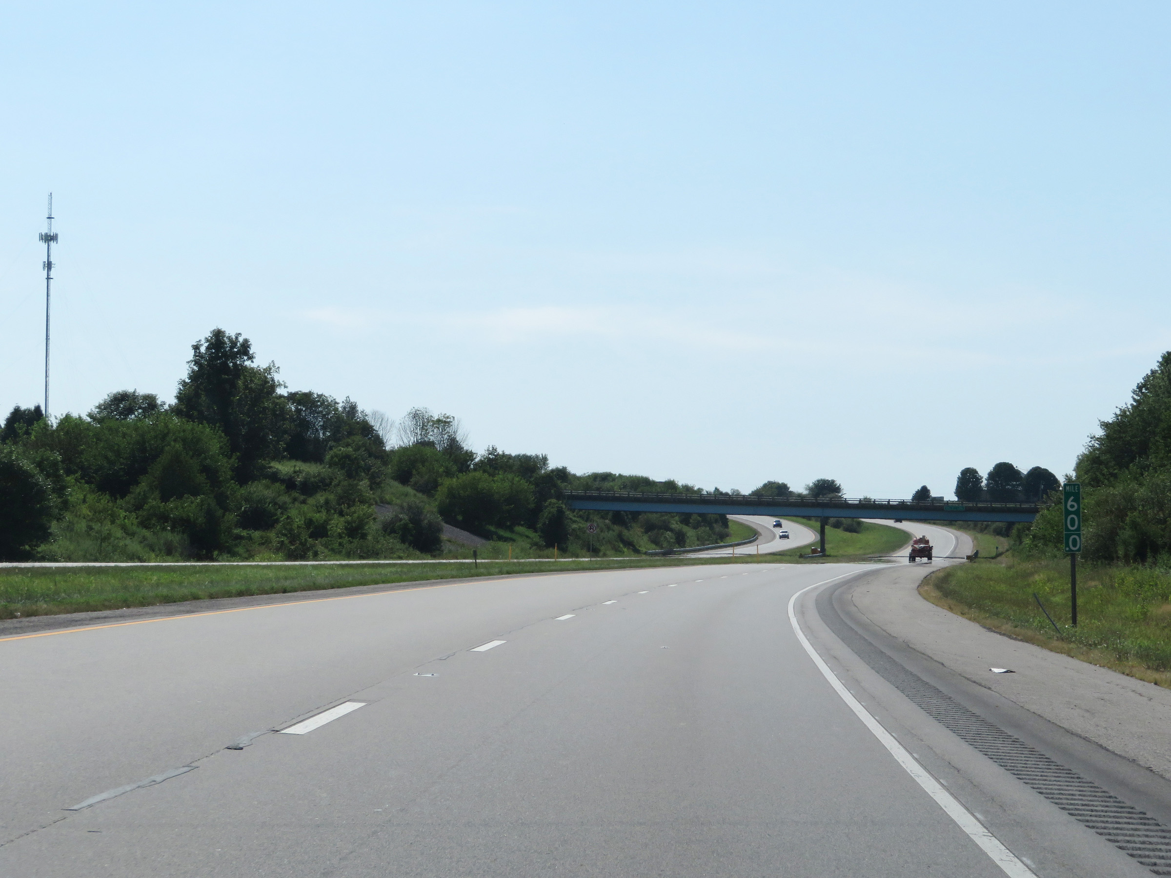 |
Interstate 64 West at mile marker 60. (Photo taken 8/10/19). |
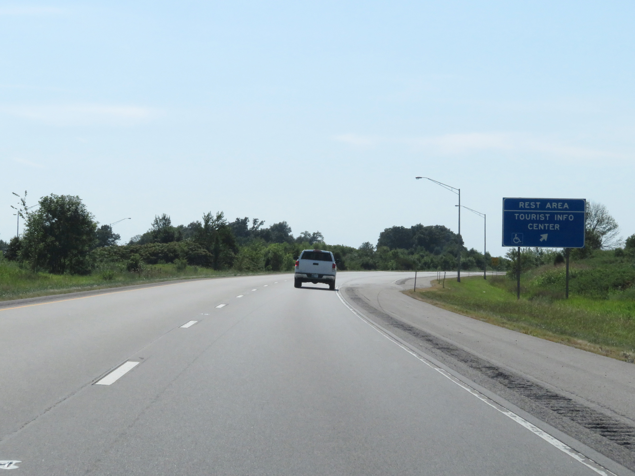 |
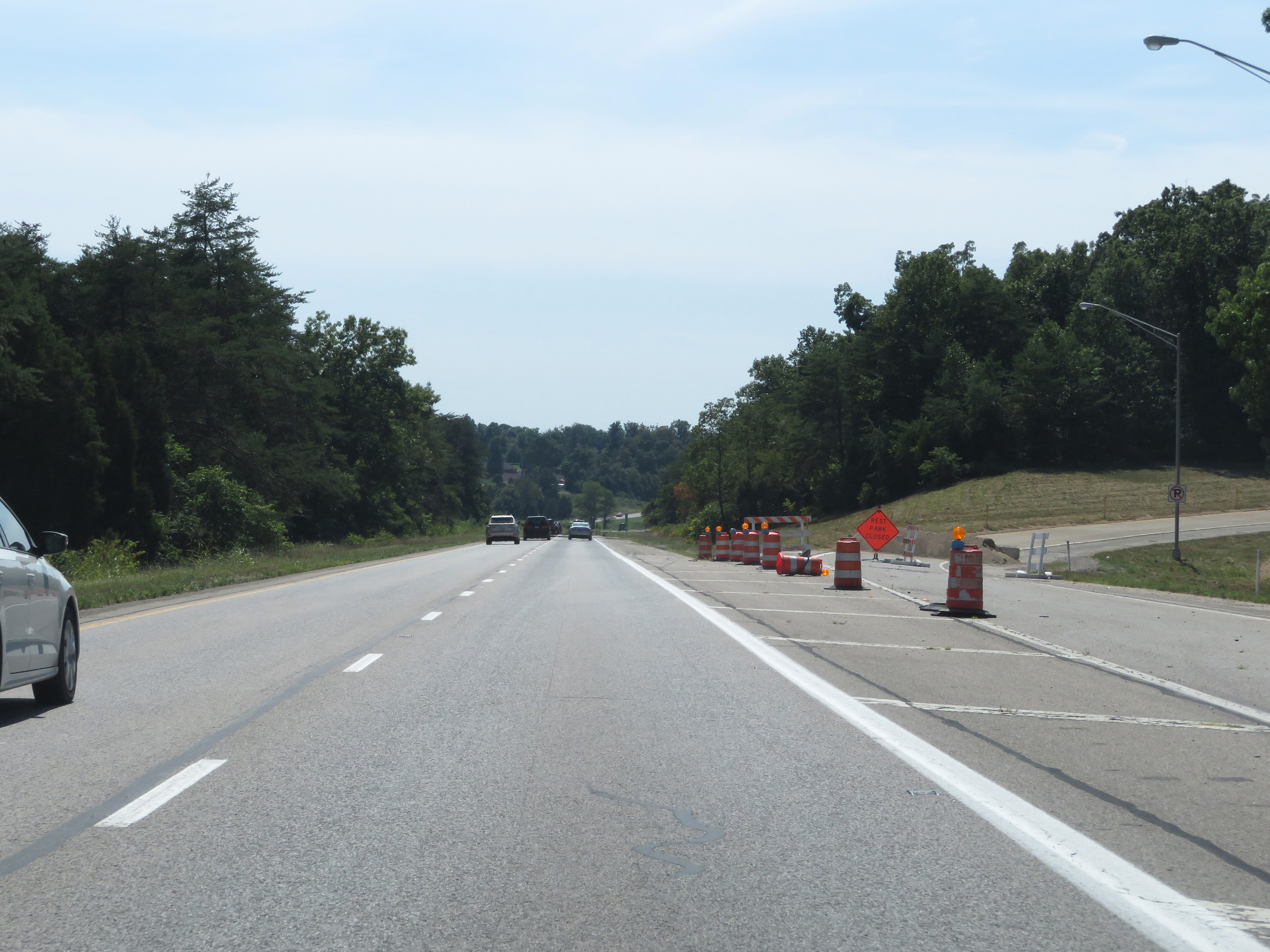
Rest Area / Tourist Info Center on Interstate 64 West in Spencer County. (Photo taken 8/10/19). |
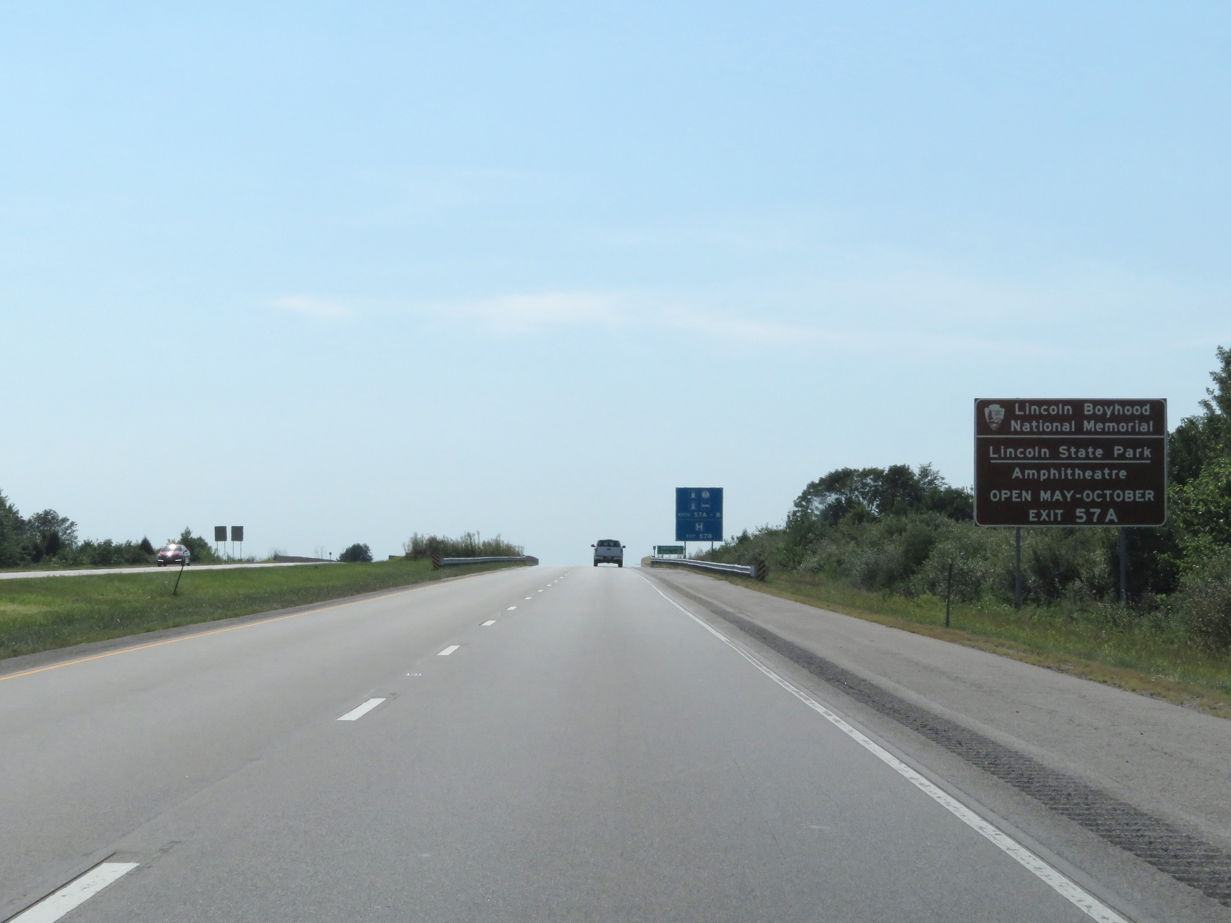 |
Take Exit 57A to the Lincoln Boyhood National Memorial and Lincoln State Park & Amphitheatre. (Photo taken 8/10/19). |
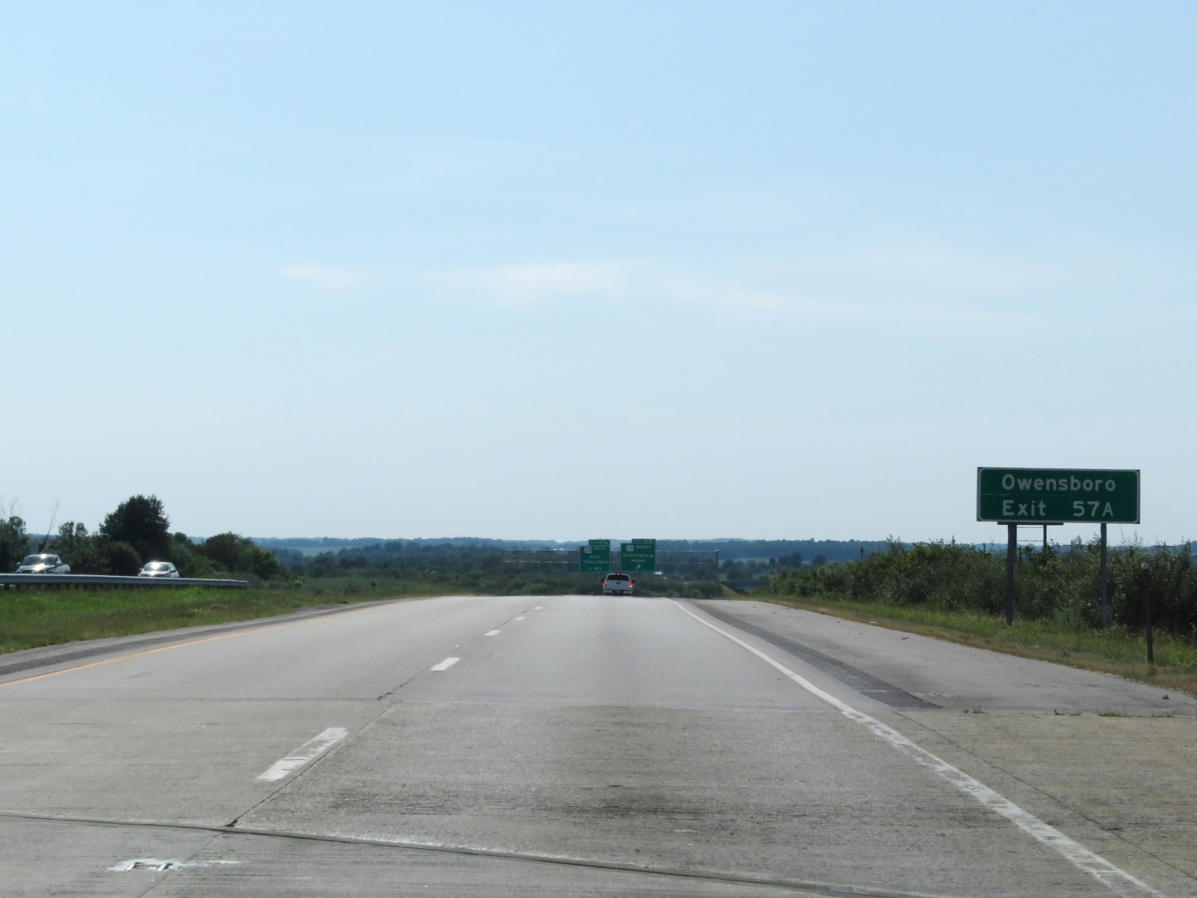 |
Also take Exit 57A to Owensboro, KY. (Photo taken 8/10/19). |
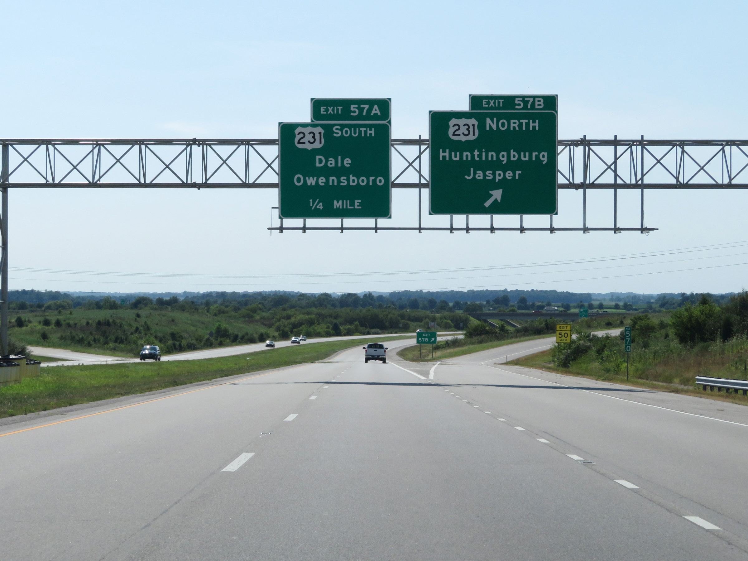 |
Interstate 64 West at Exit 57B: US 231 North - Huntingburg / Jasper (Photo taken 8/10/19). |
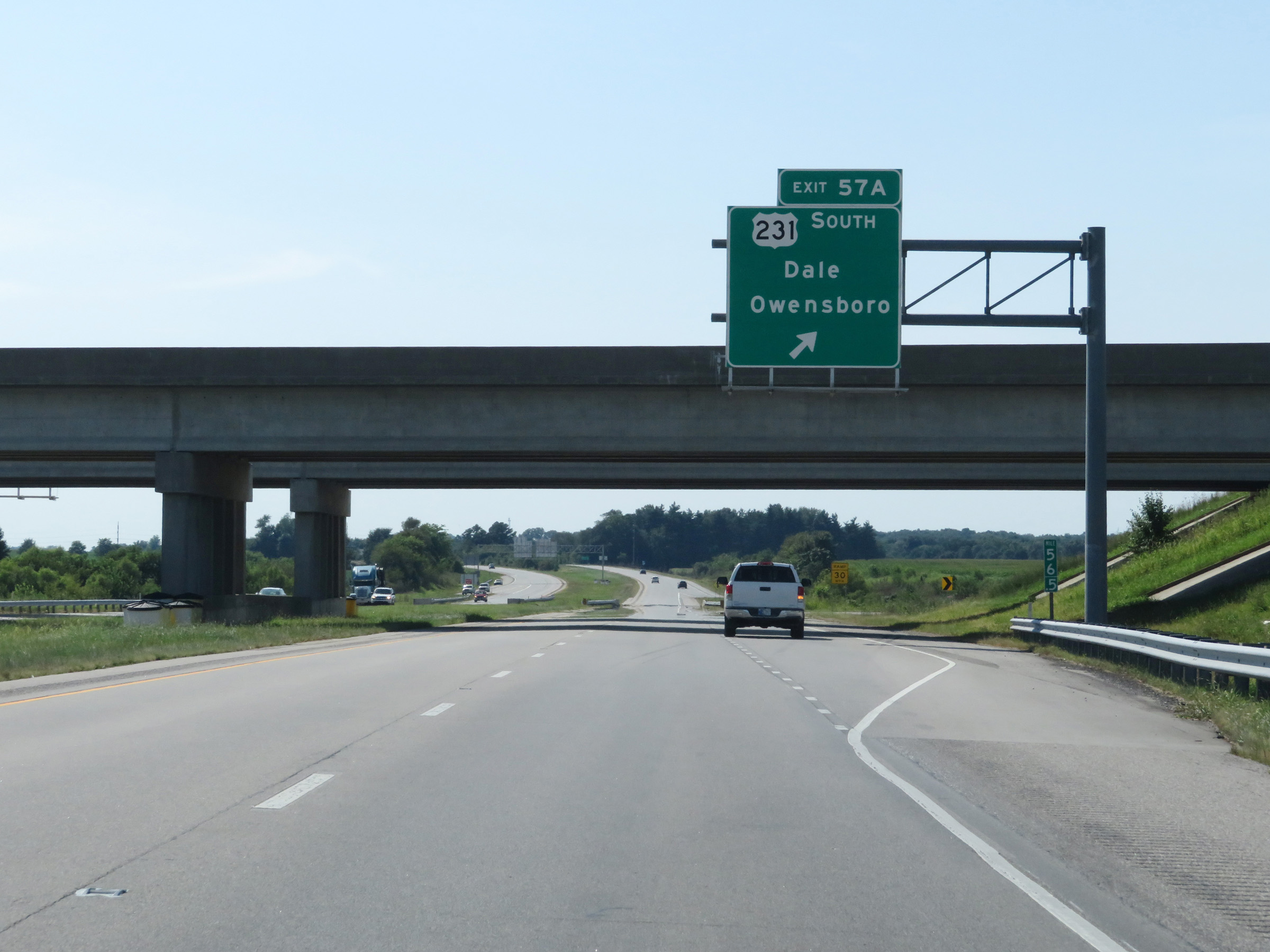 |
Interstate 64 West at Exit 57A: US 231 South - Dale / Owensboro (Photo taken 8/10/19). |
 |
Interstate 64 West as it enters Warrick County. (Photo taken 8/11/19). |
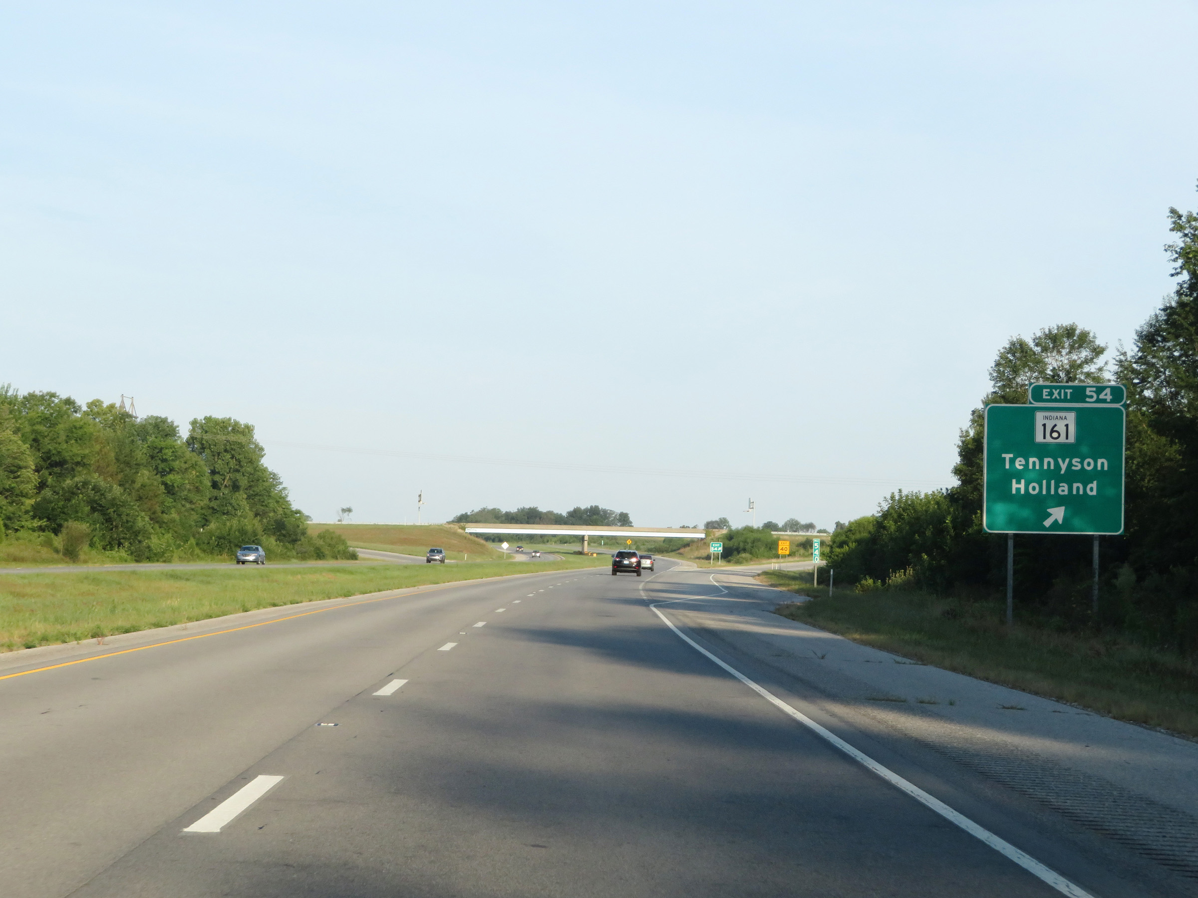 |
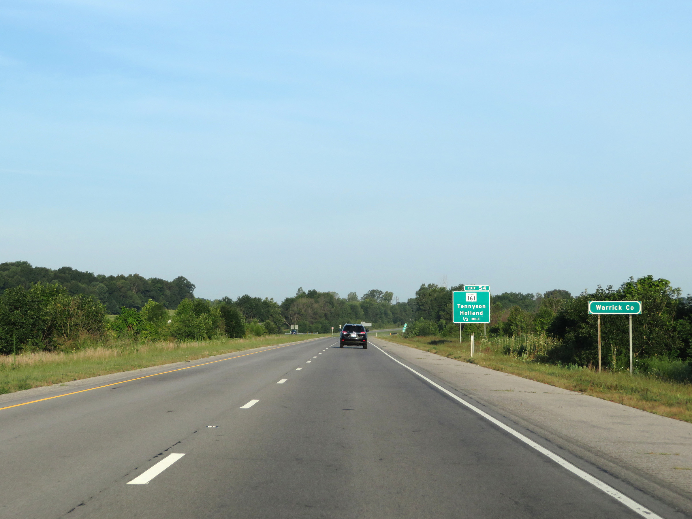
Interstate 64 West at Exit 54: IN 161 - Tennyson / Holland (Photo taken 8/11/19). |
 |
Another Interstate 64 West reassurance shield. (Photo taken 8/11/19). |
 |
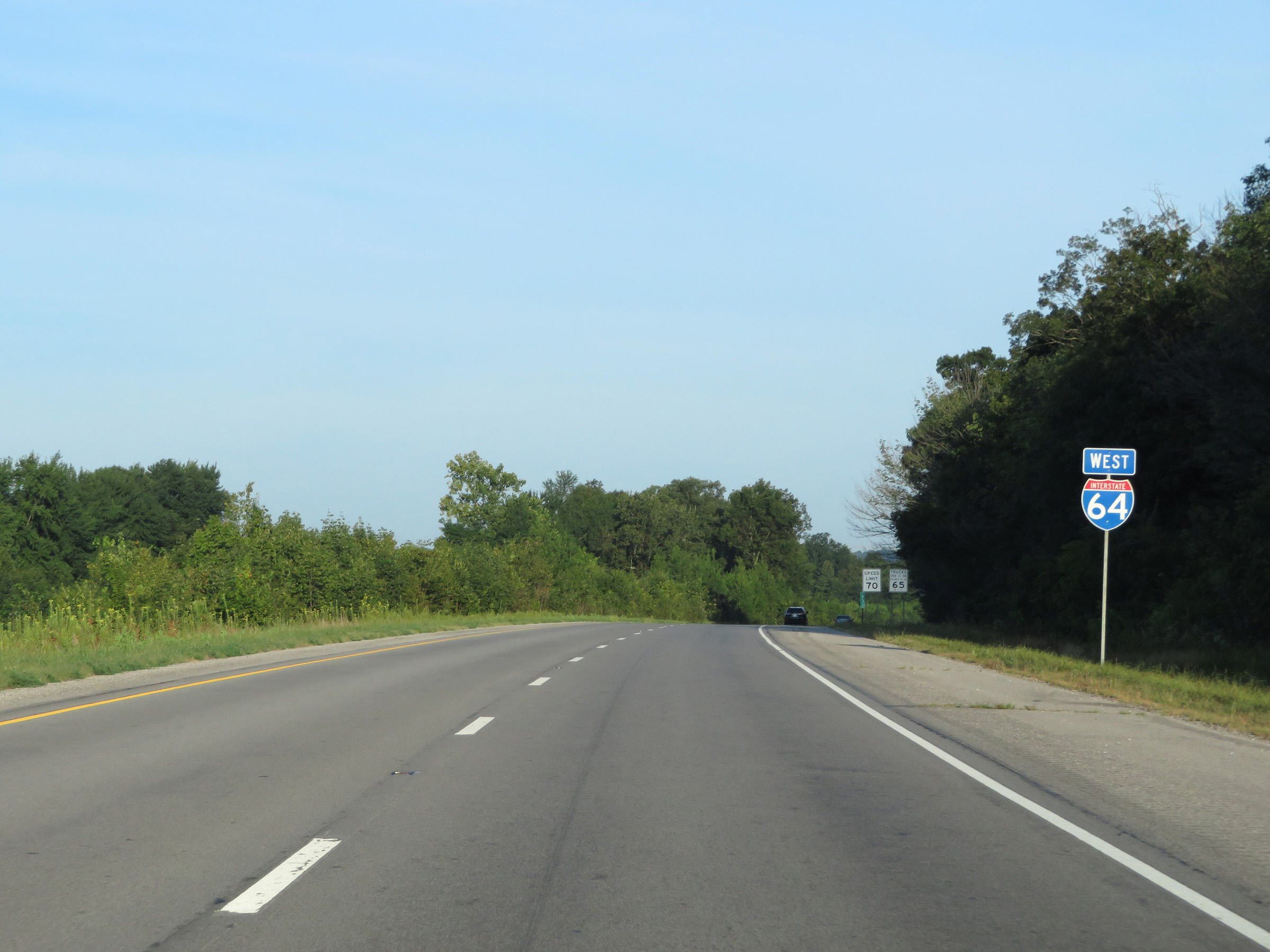
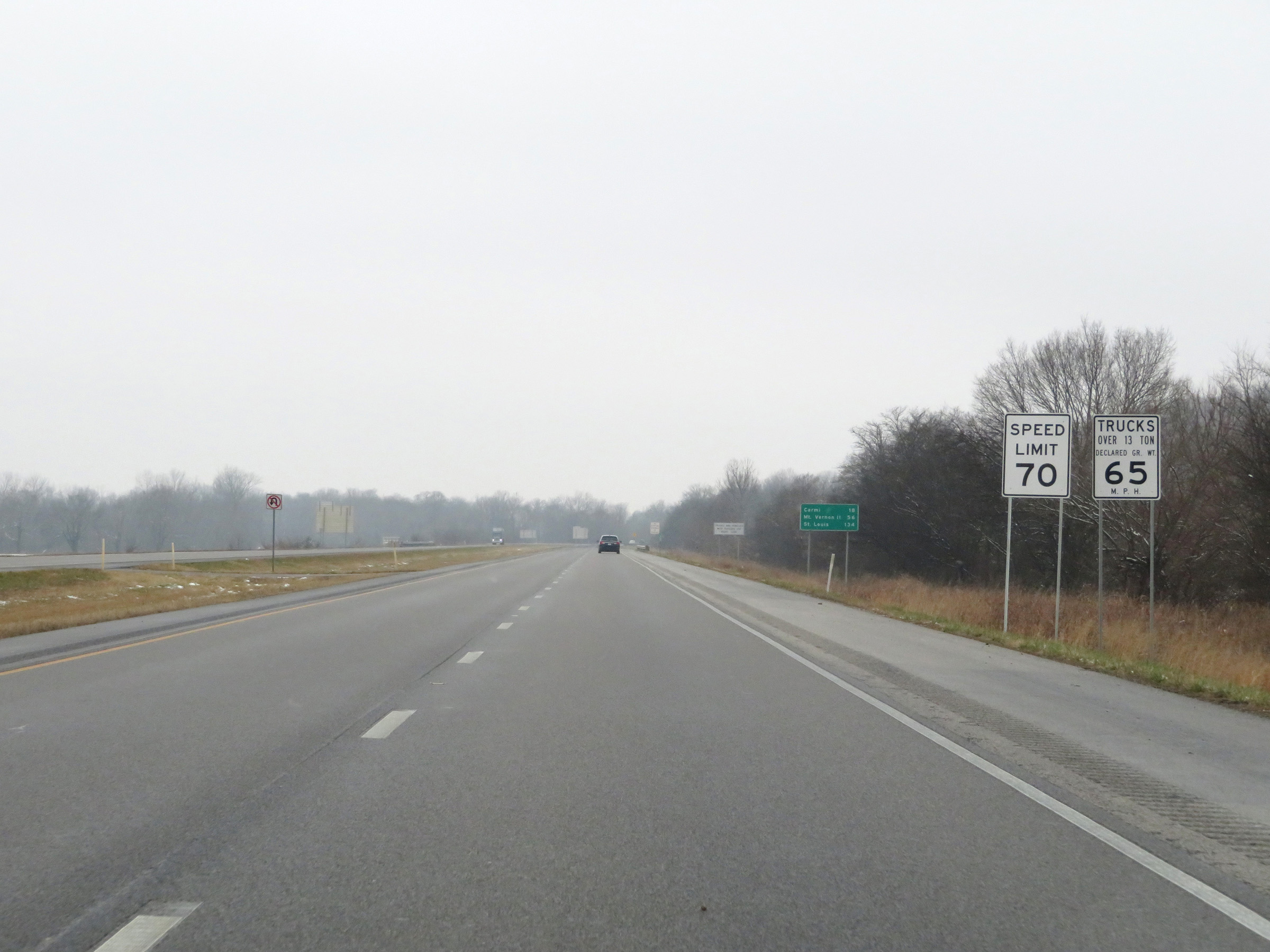
The speed limits remain 70 mph for automobiles and 65 mph for trucks. (Photo taken 8/11/19). |
 |
View on Interstate 64 West at mile marker 51. (Photo taken 8/11/19). |
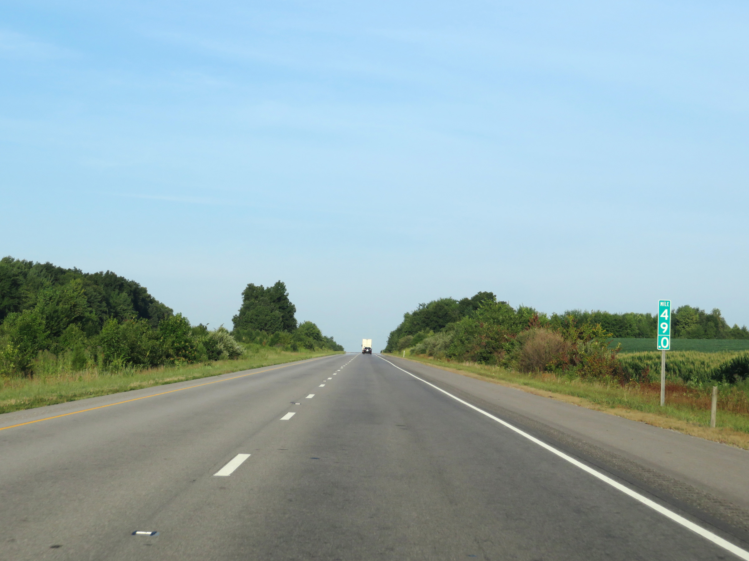 |
Interstate 64 West at mile marker 49. (Photo taken 8/11/19). |
 |
Mile marker 47 on Interstate 64 West in Warrick County. (Photo taken 8/11/19). |
 |
View on Interstate 64 West at mile marker 45. (Photo taken 8/11/19). |
 |
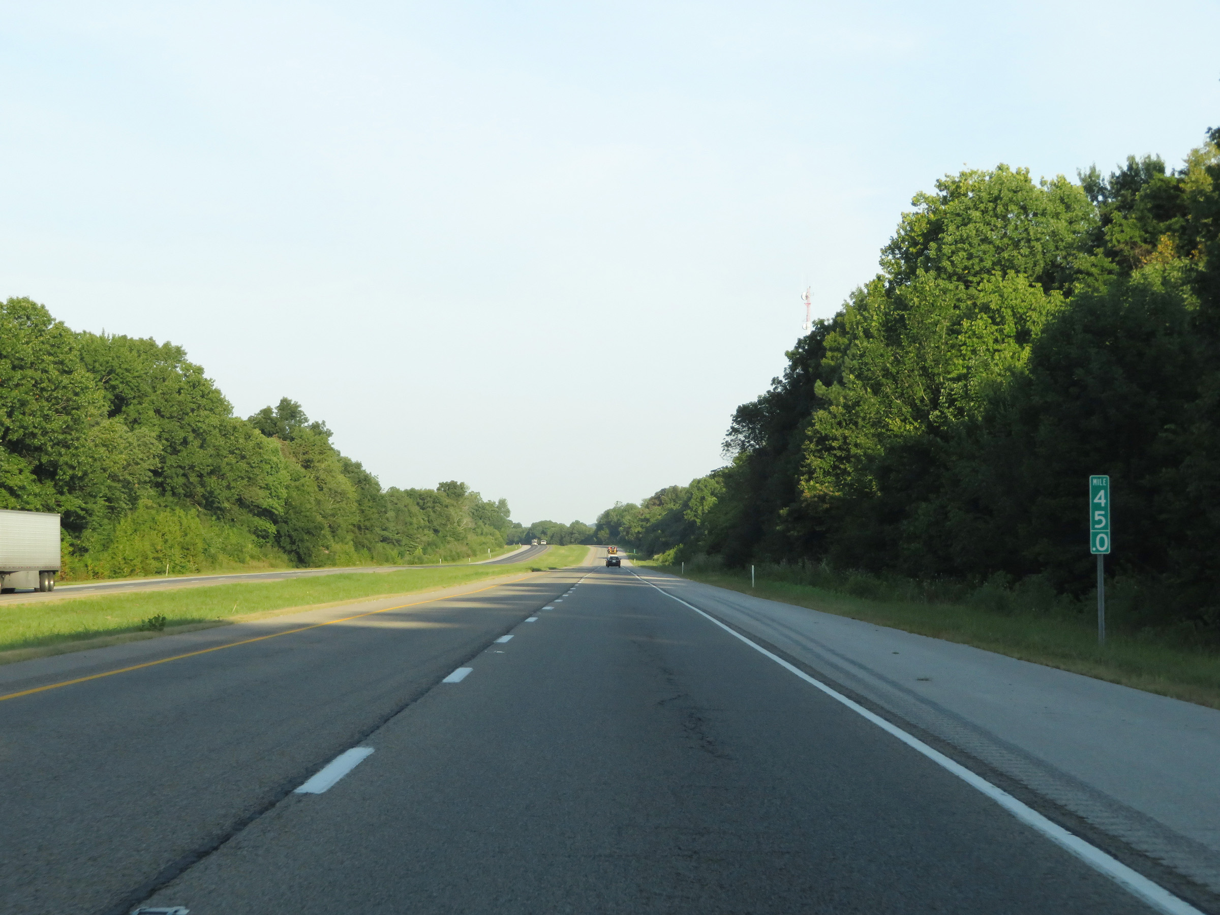
Interstate 64 West at mile marker 44. (Photo taken 8/11/19). |
 |
View on Interstate 64 West at mile marker 41.5. (Photo taken 8/11/19). |
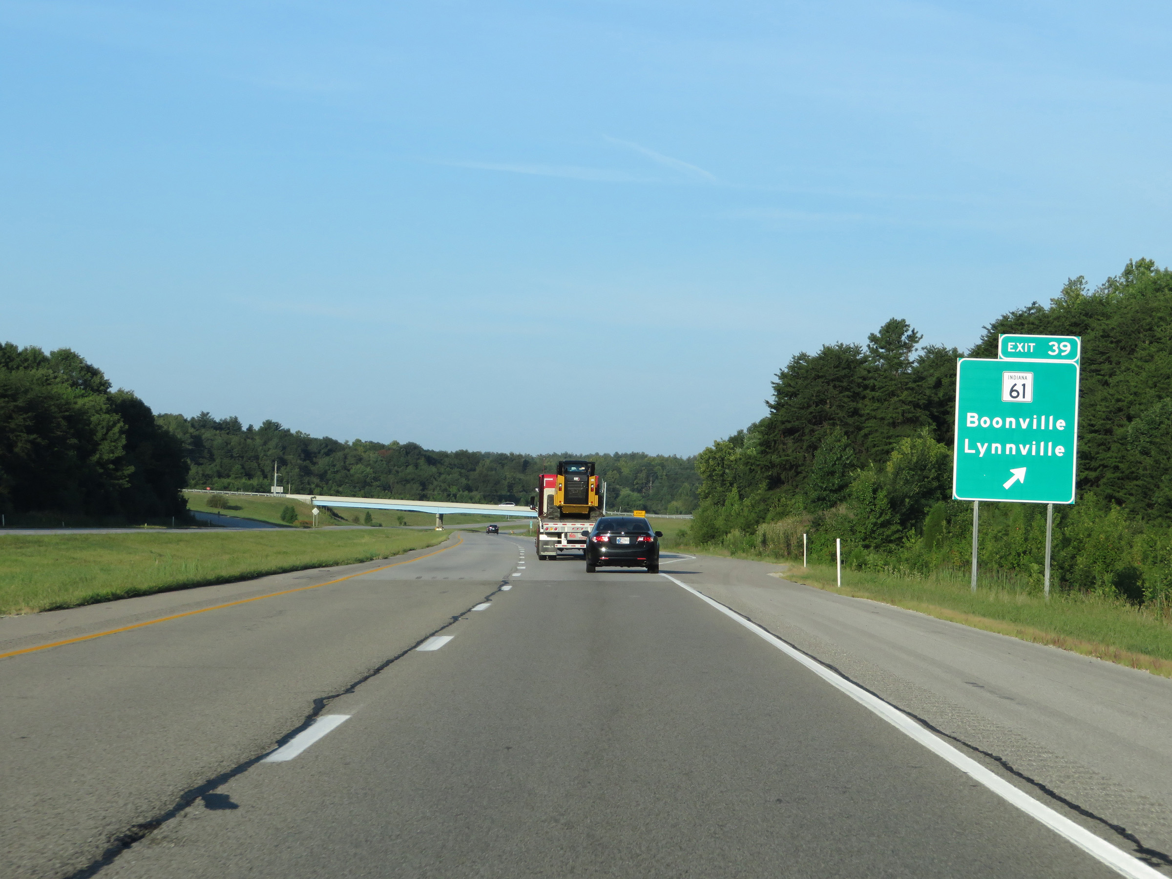 |
Interstate 64 West at Exit 39: IN 61 - Boonville / Lynnville (Photo taken 8/11/19). |
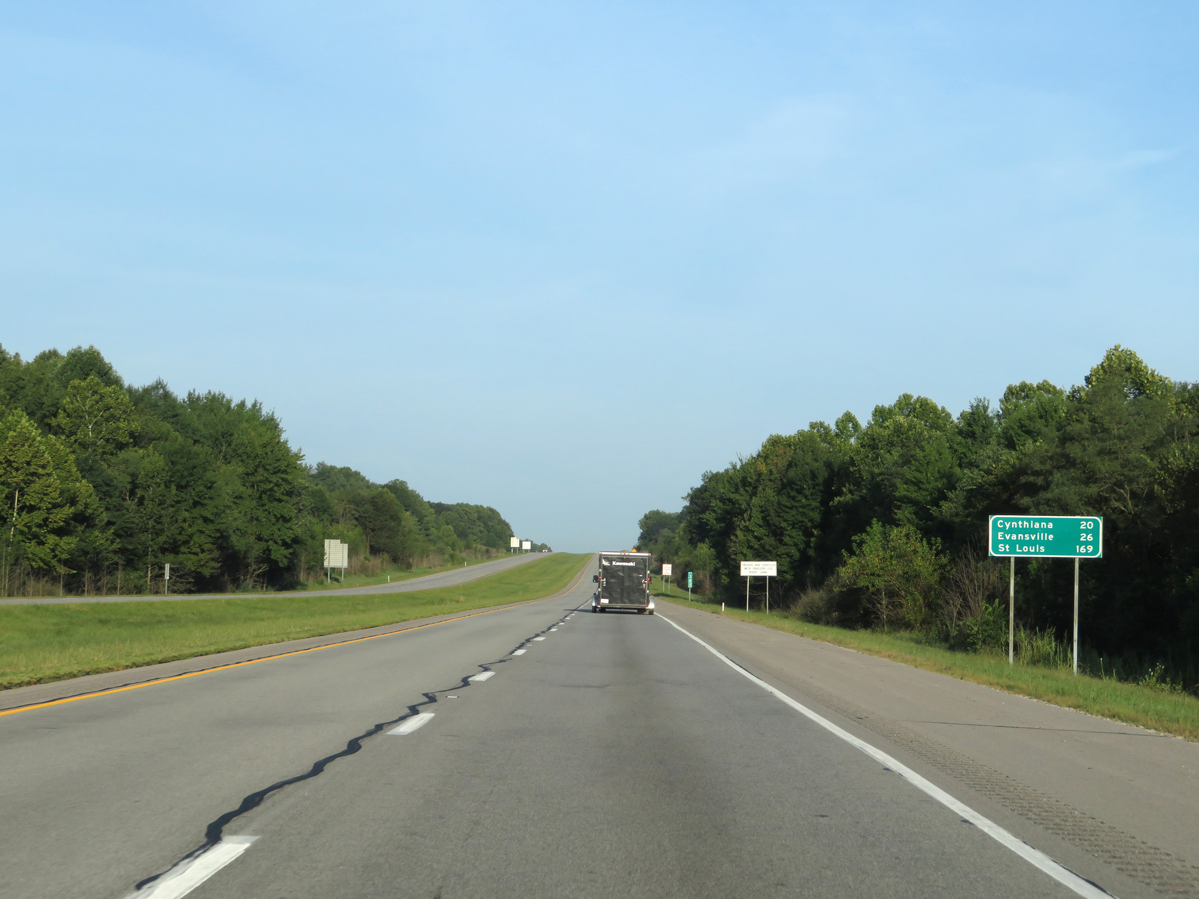 |
Mileage sign on Interstate 64 West. It's 20 miles to Cynthiana, 26 miles to Evansville, and 169 miles to St. Louis. (Photo taken 8/11/19). |
 |
Mile marker 37 on Interstate 64 West in Warrick County. (Photo taken 8/11/19). |
 |
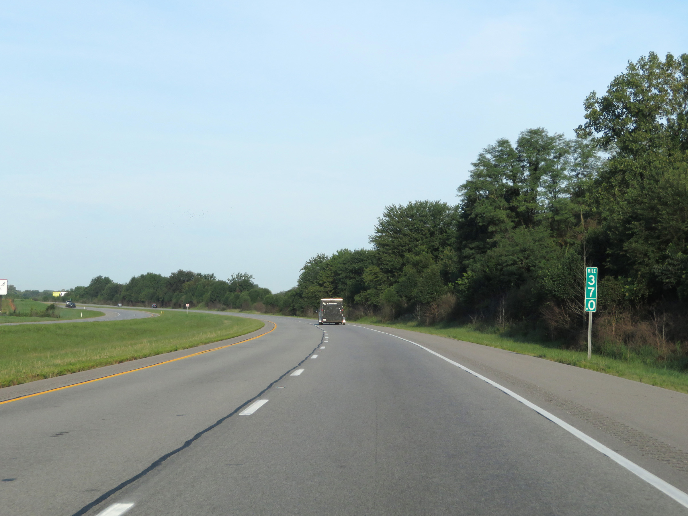
View on Interstate 64 West at mile marker 34. (Photo taken 8/11/19). |
 |
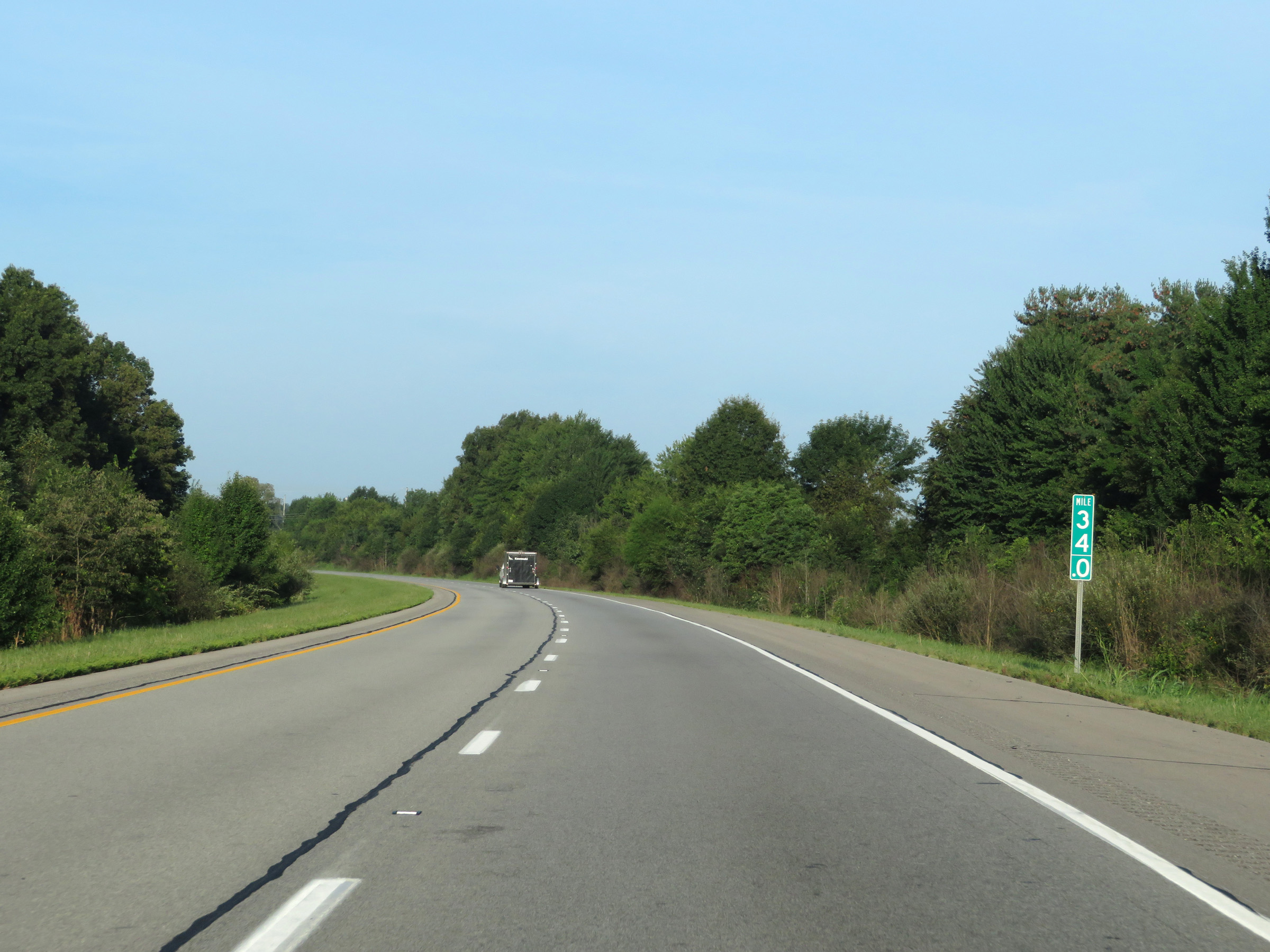
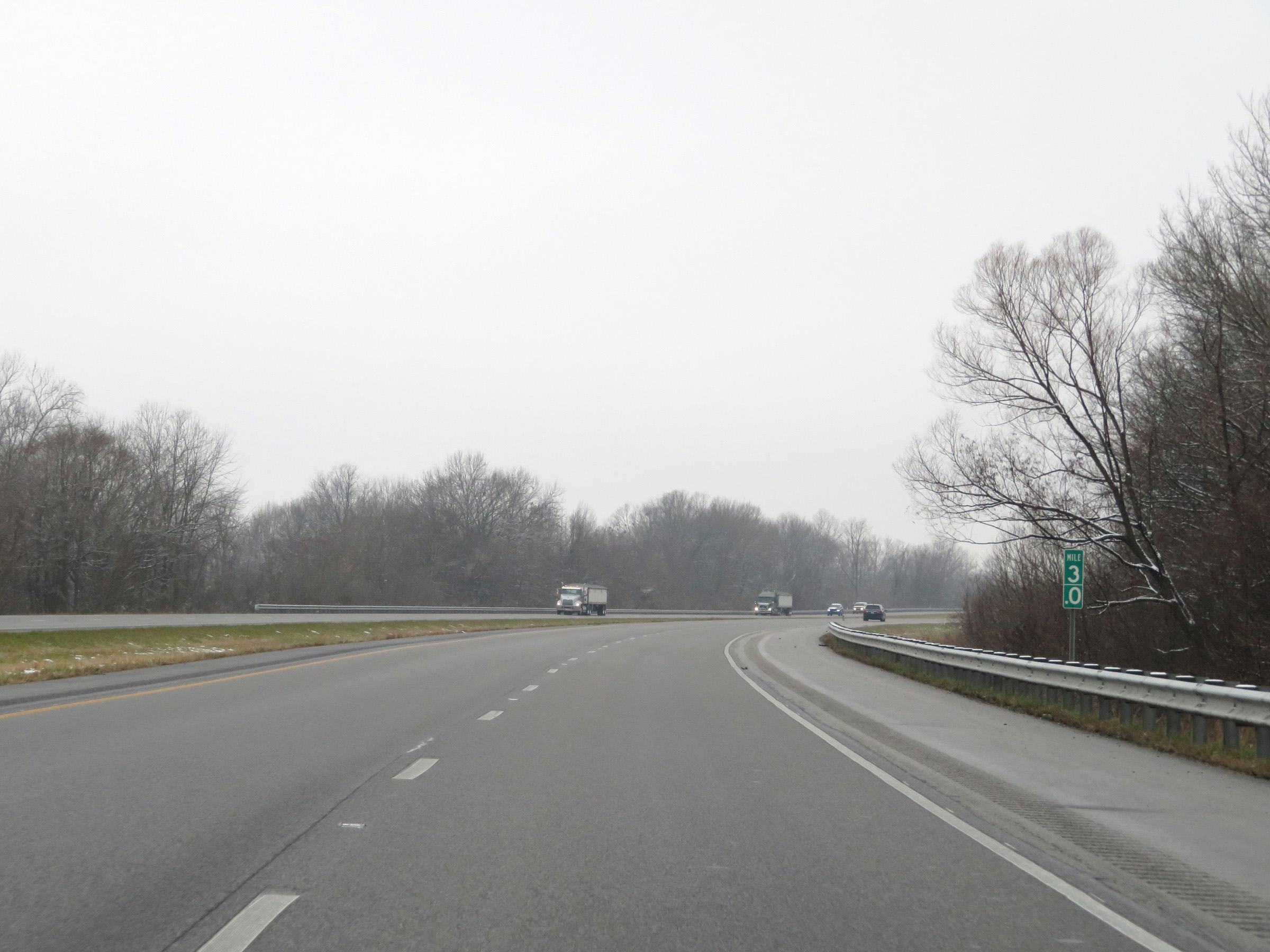
Interstate 64 West at mile marker 33. (Photo taken 8/11/19). |
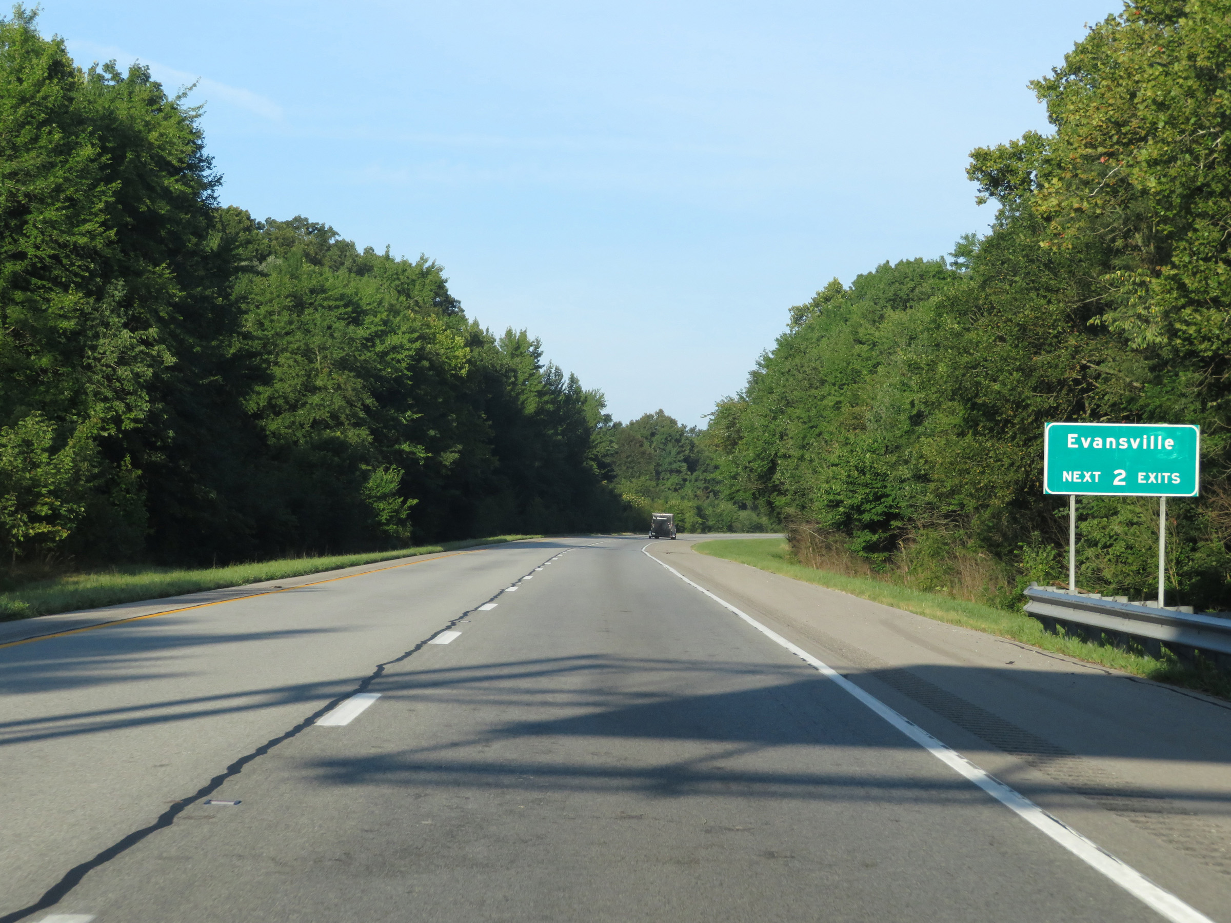 |
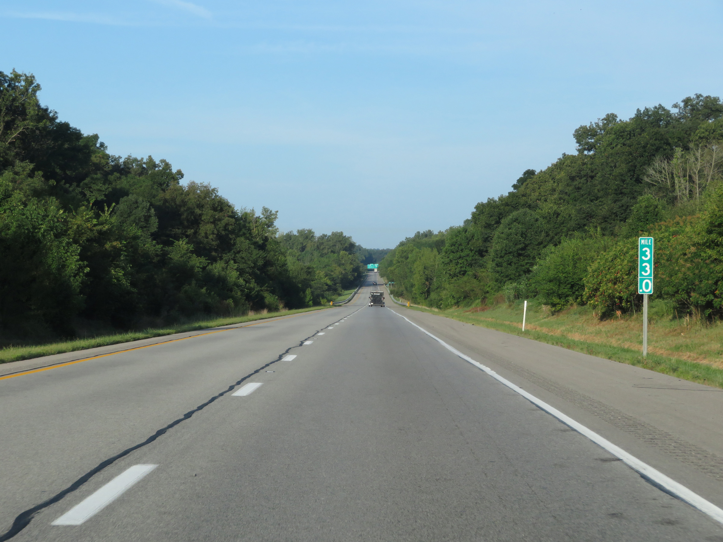
Take either of the next 2 exits to Evansville. (Photo taken 8/11/19). |
 |
Interstate 64 West approaching Exit 29B - 1 mile. (Photo taken 8/11/19). |
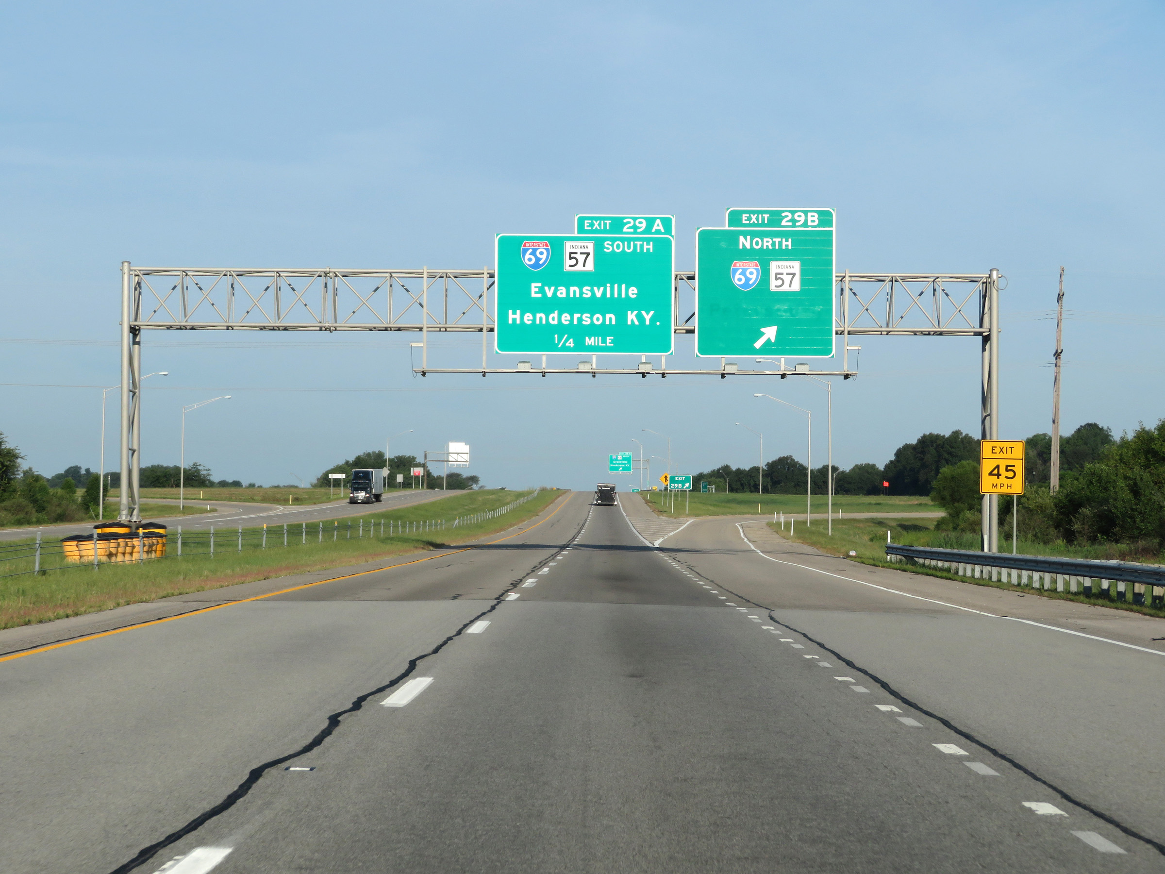 |
Interstate 64 West at Exit 29B: Interstate 69 North / IN 57 North (Photo taken 8/11/19). |
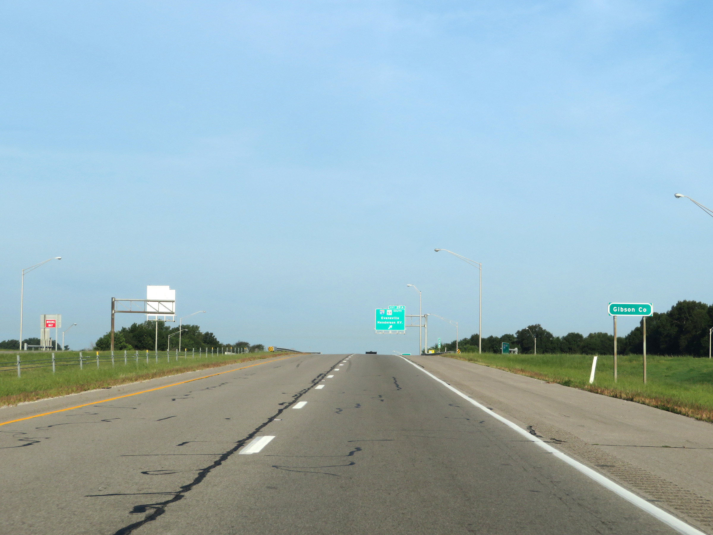 |
Approaching Exit 29A, Interstate 64 West enters Gibson County. (Photo taken 8/11/19). |
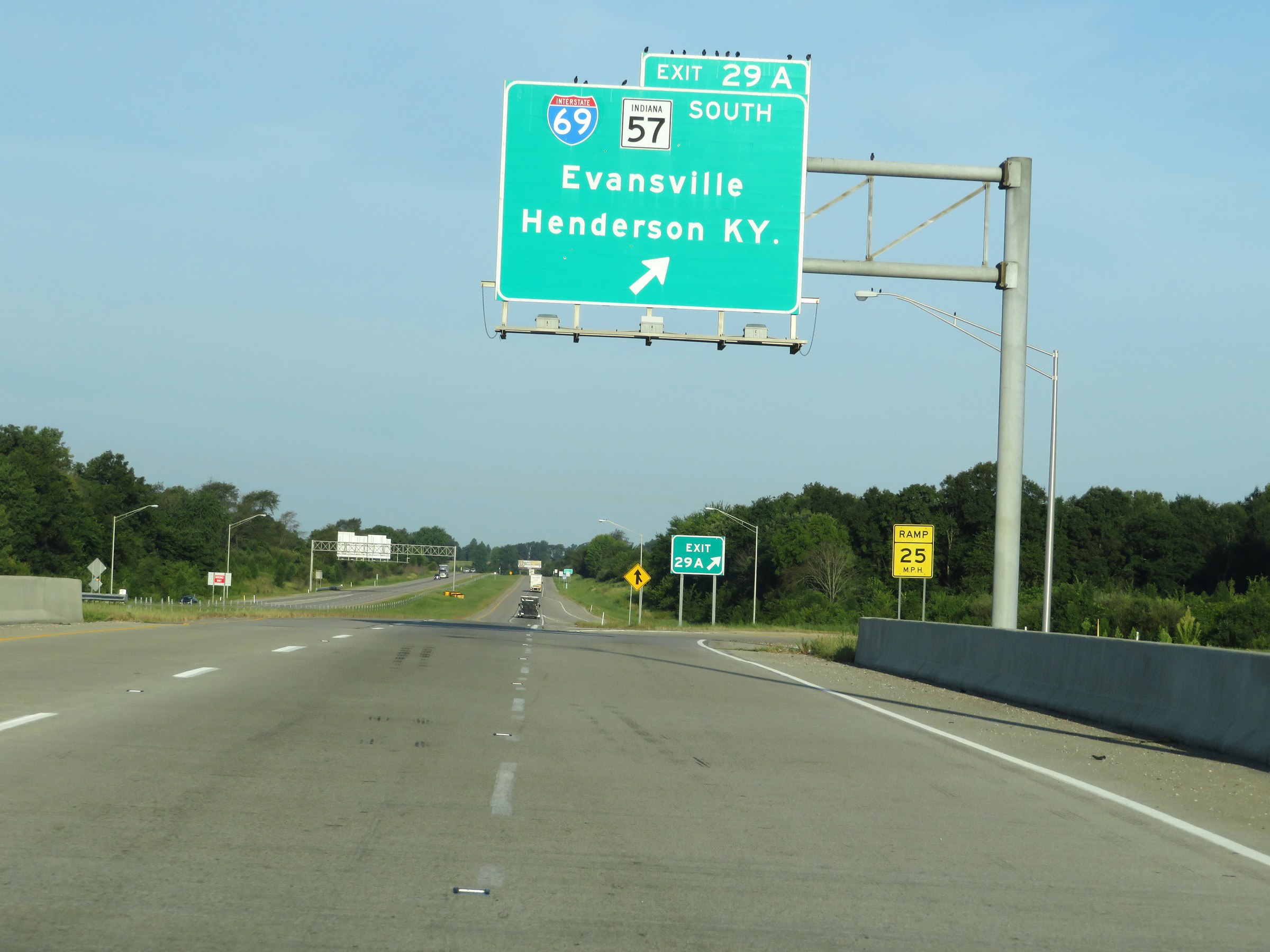 |
Interstate 64 West at Exit 29A: Interstate 69 South / IN 57 South - Evansville / Henderson, KY (Photo taken 8/11/19). |
 |
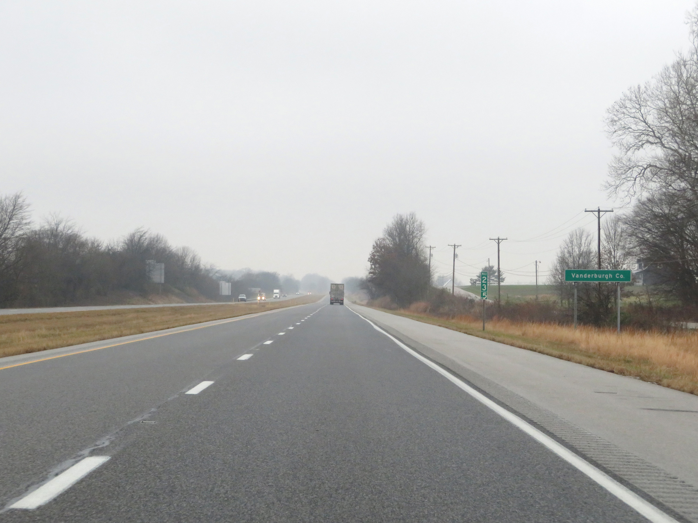
Beyond Exit 29A, Interstate 64 West enters Vanderburgh County. (Photo taken 12/16/20). |
 |
View on Interstate 64 West at mile marker 27. (Photo taken 12/16/20). |
 |
As Interstate 64 West nears mile marker 26, it re-enters Gibson County. (Photo taken 12/16/20). |
 |
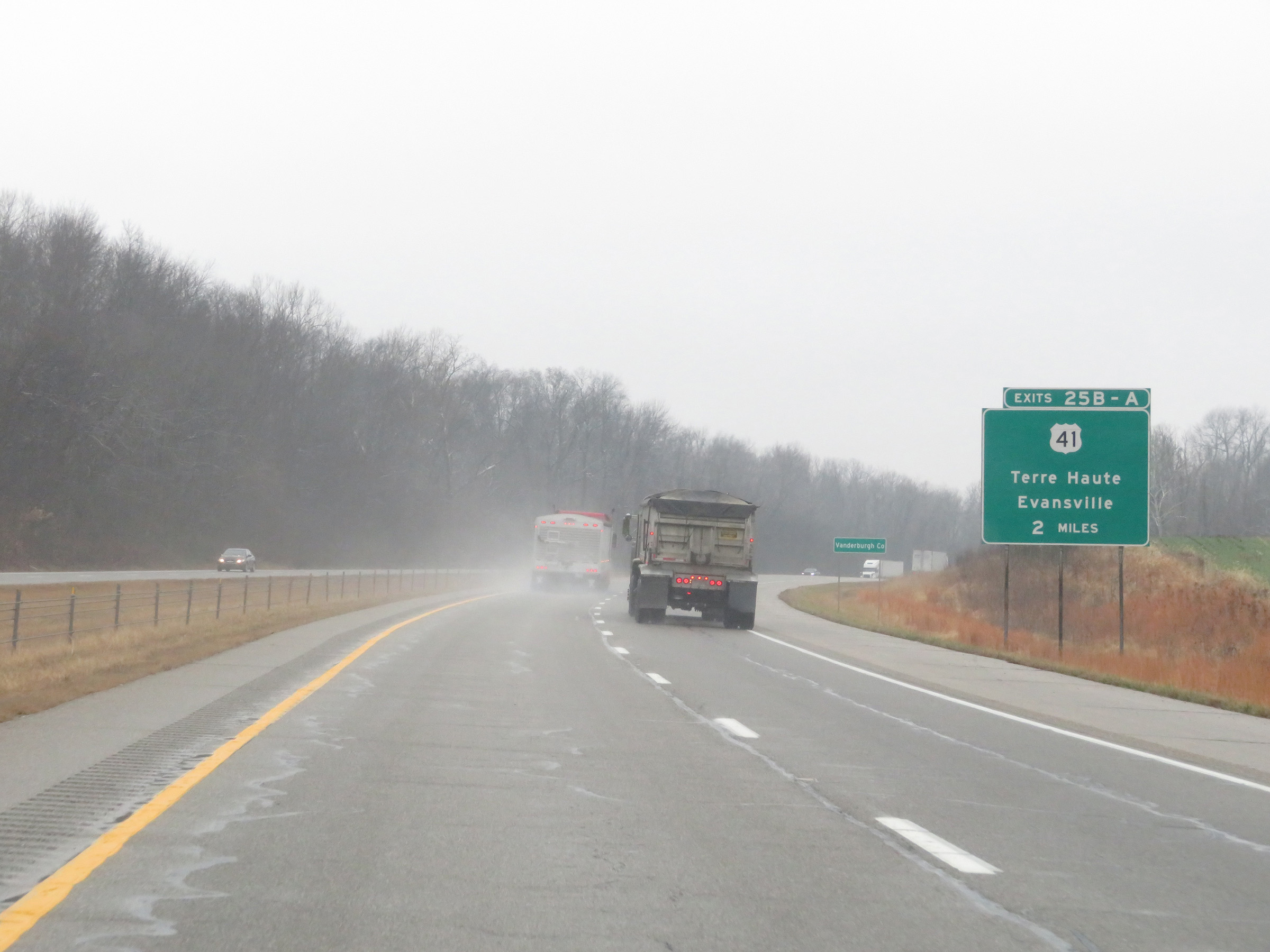
Take Exit 25A (US 41 South) to the local State Police Post and Evansville Regional Airport. (Photo taken 12/16/20). |
 |
Also take Exit 25A (US 41 South) to the University of Evansville and the University of Southern Indiana. (Photo taken 12/16/20). |
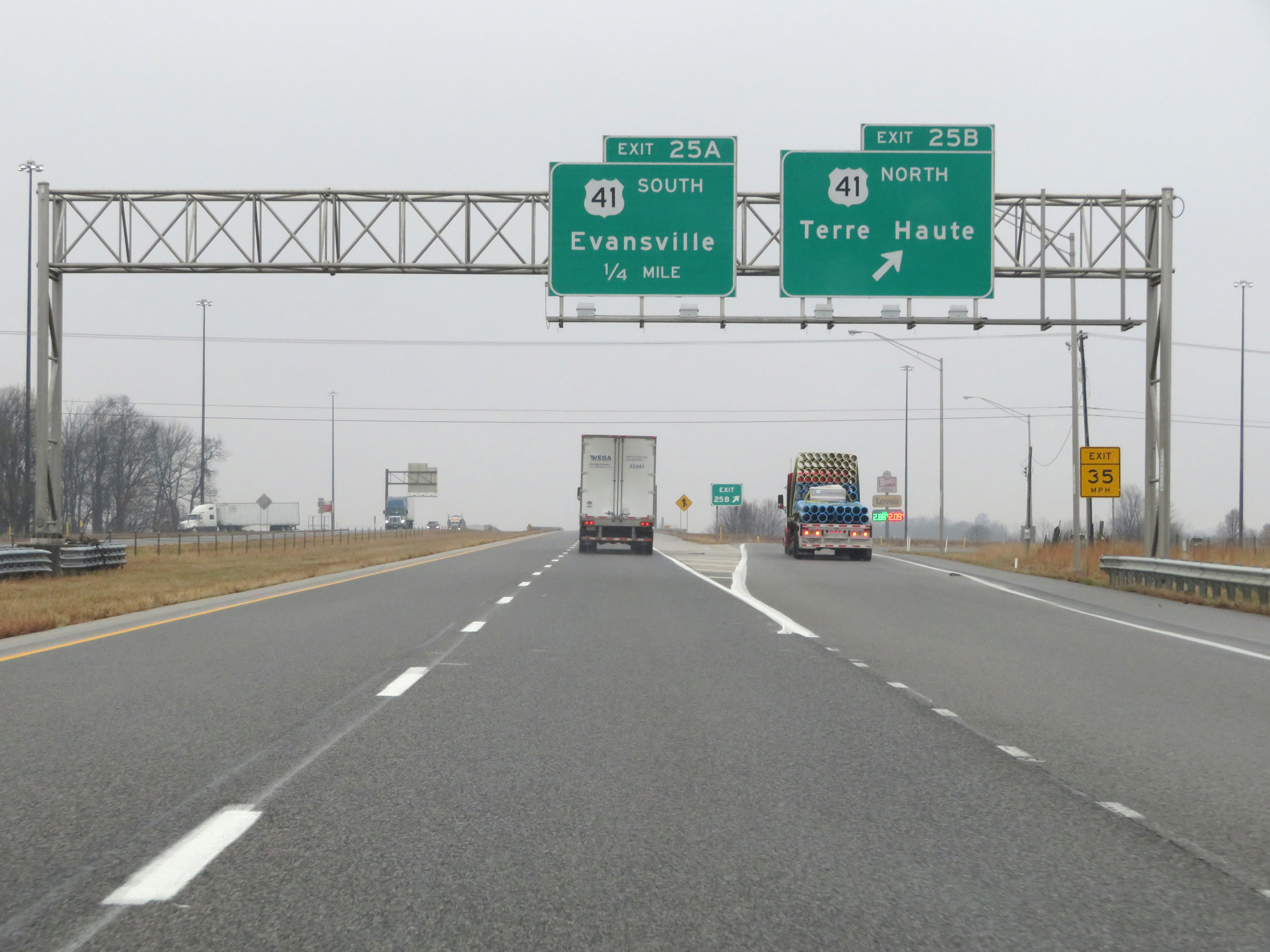 |
Interstate 64 West at Exit 25B: US 41 North - Terre Haute (Photo taken 12/16/20). |
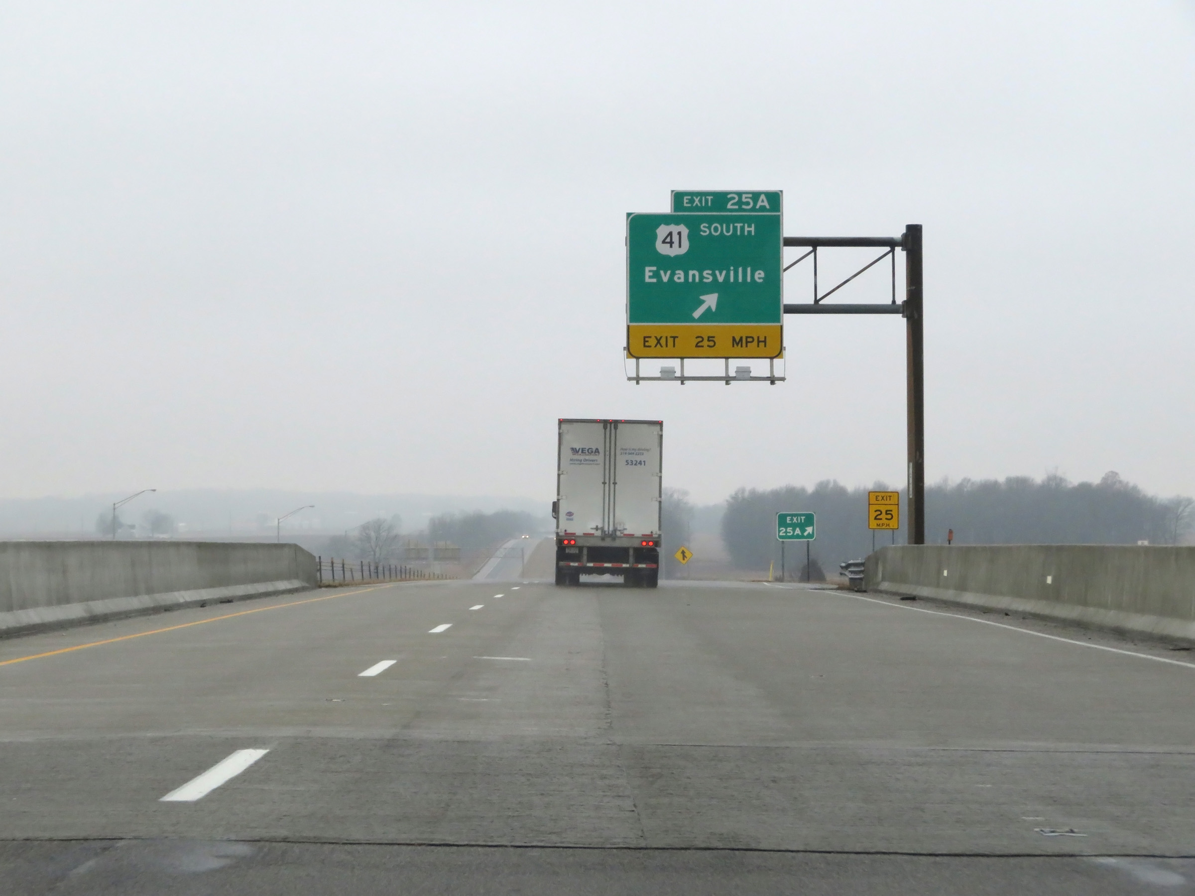 |
Interstate 64 West at Exit 25A: US 41 South - Evansville (Photo taken 12/16/20). |
 |
Interstate 64 West re-enters Vanderburgh County at mile marker 23.5. (Photo taken 12/16/20). |
 |
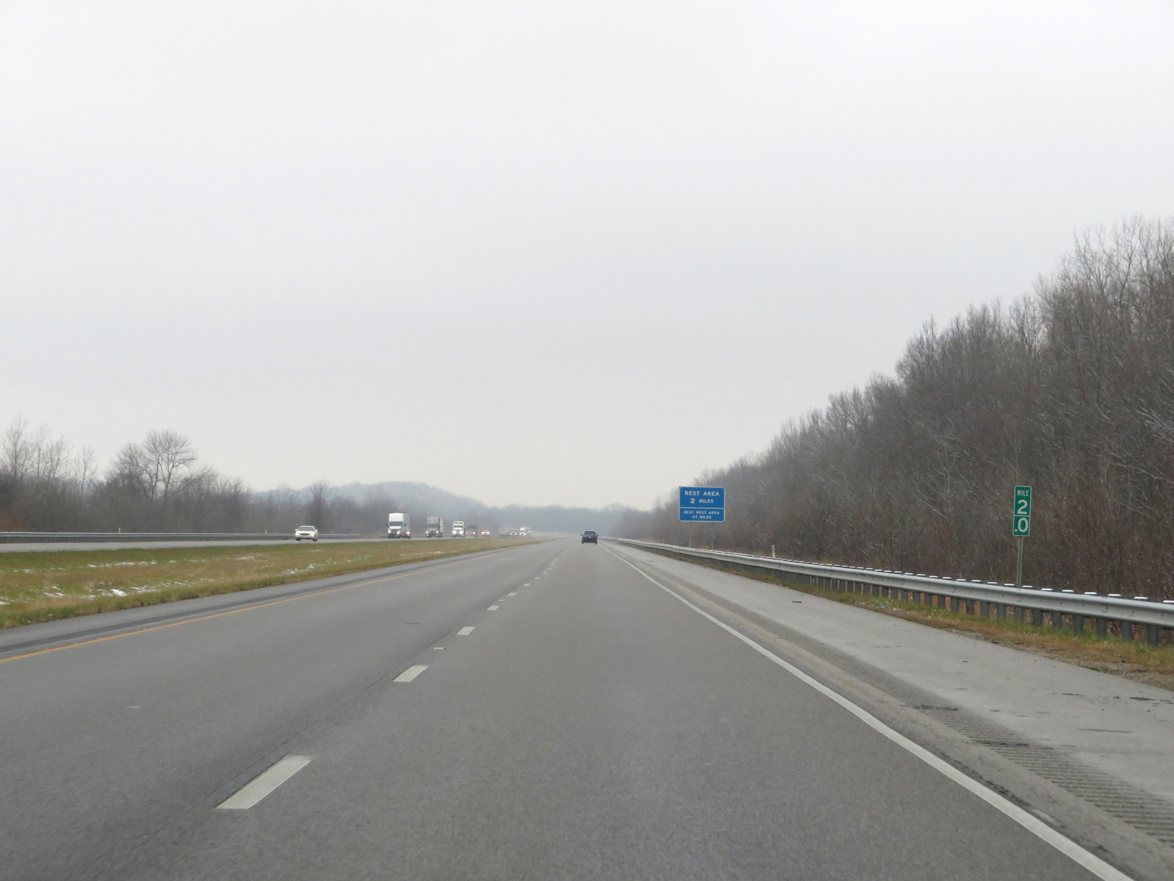
View on Interstate 64 West at mile marker 23. (Photo taken 12/16/20). |
 |
Interstate 64 West at mile marker 22. (Photo taken 12/16/20). |
 |
View on Interstate 64 West at mile marker 20. (Photo taken 12/16/20). |
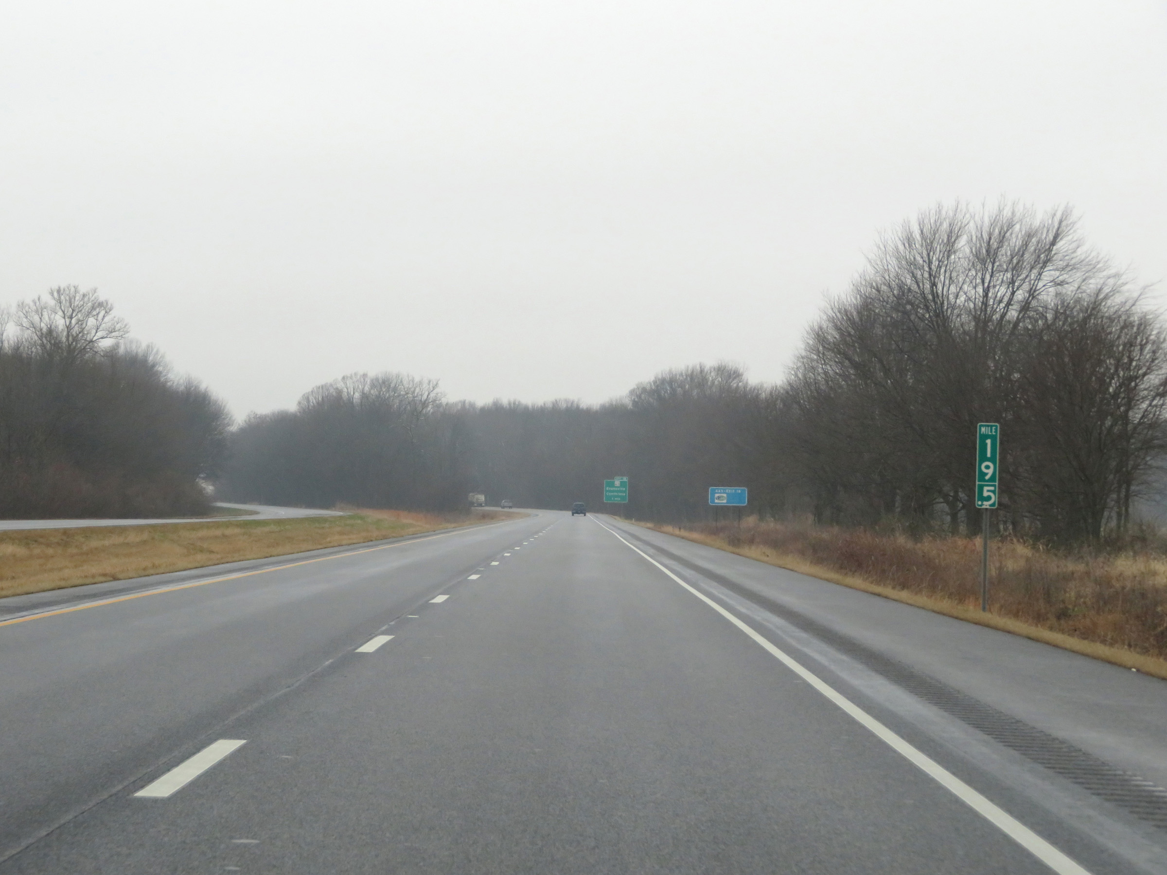 |
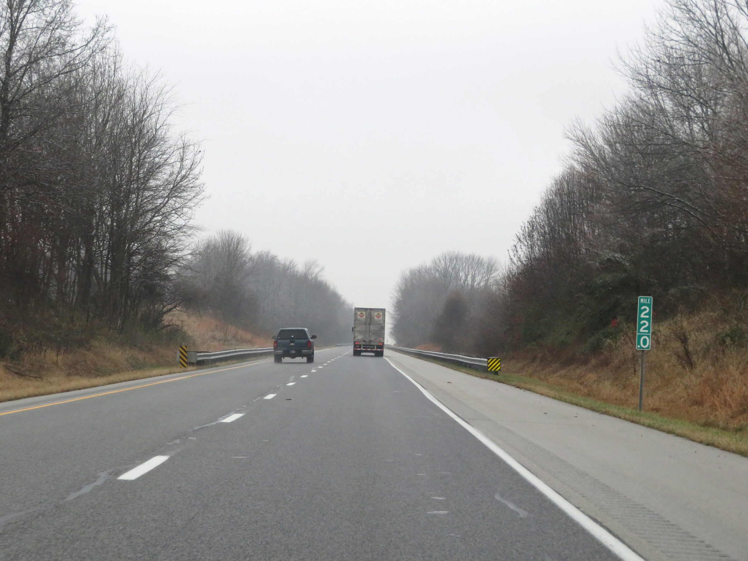
Mile marker 19.5 on Interstate 64 West in Vanderburgh County. (Photo taken 12/16/20). |
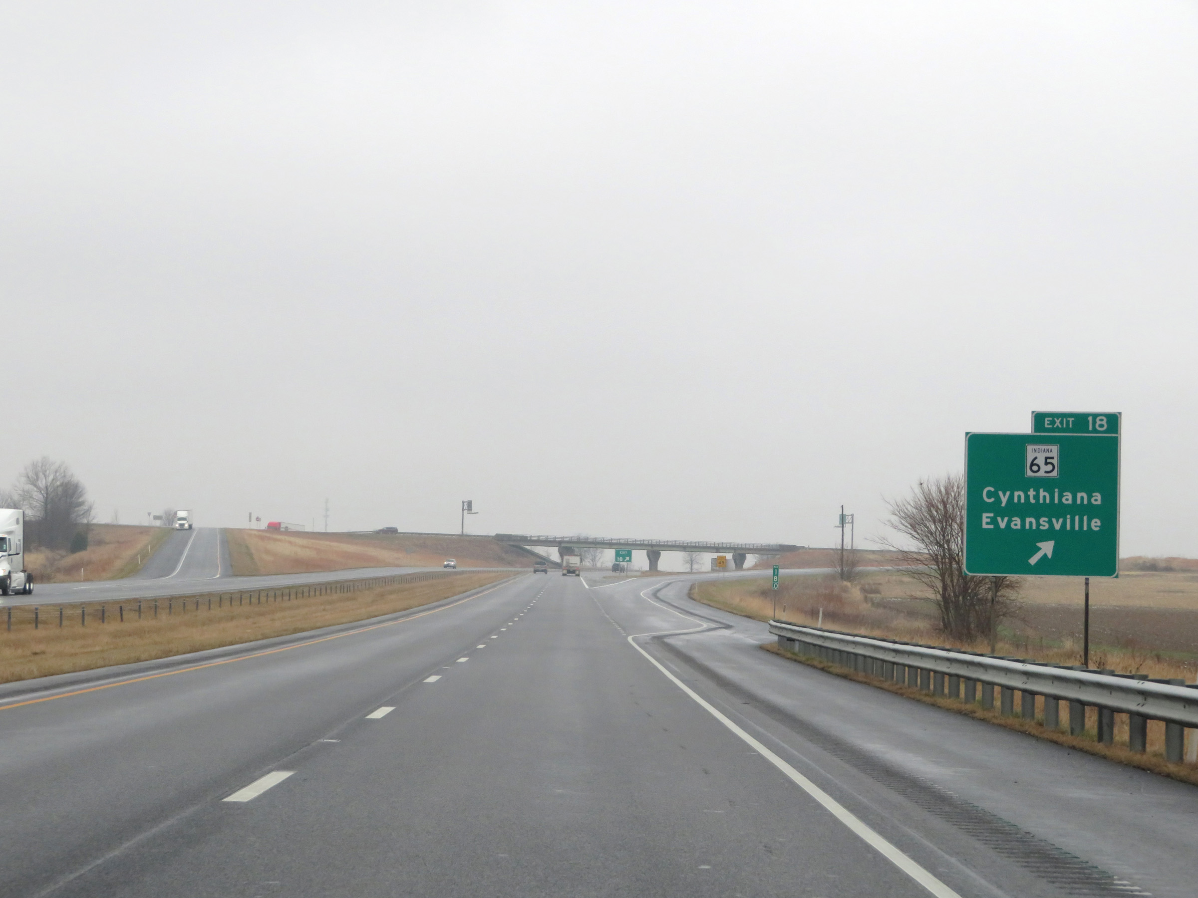 |
Interstate 64 West at Exit 18: IN 65 - Cynthiana / Evansville (Photo taken 12/16/20). |
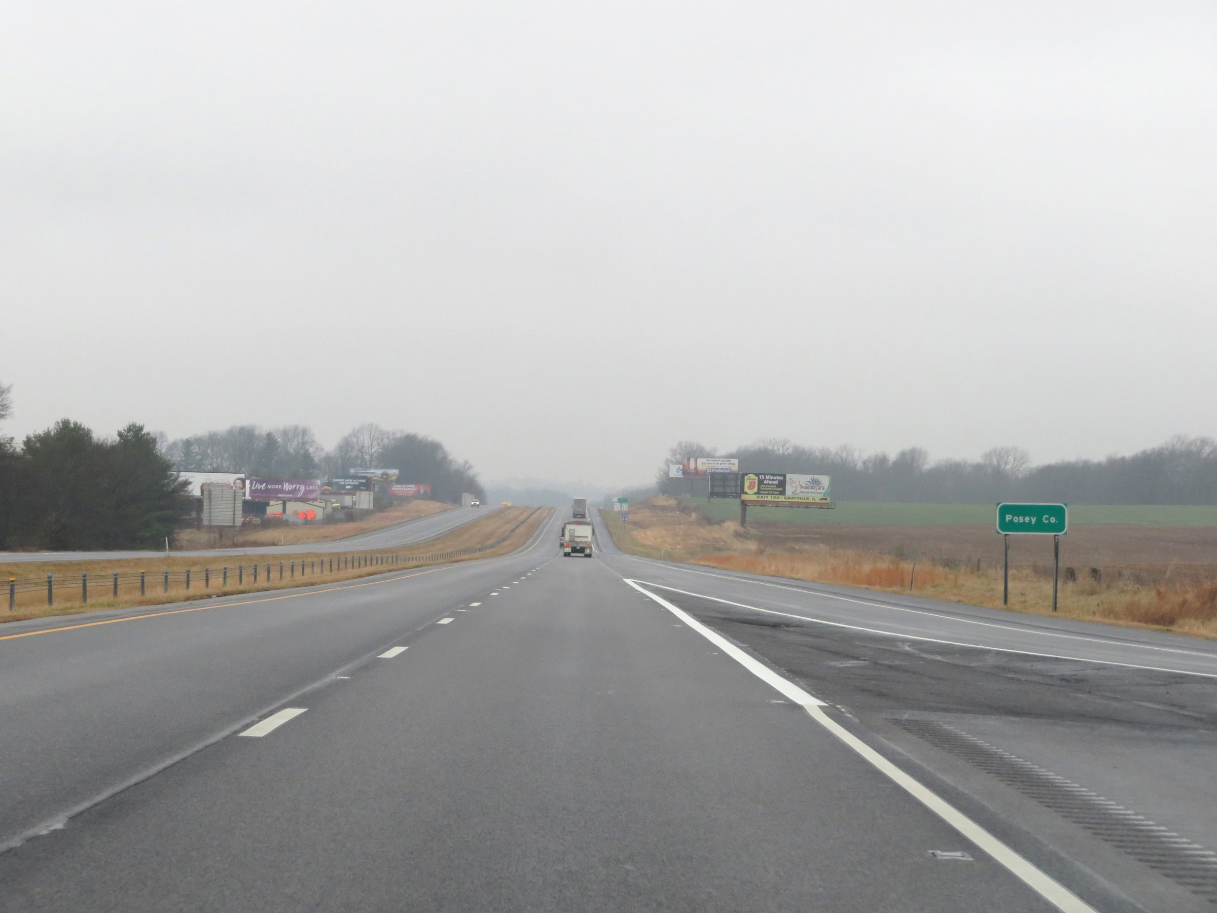 |
Just beyond Exit 18, Interstate 64 West enters Posey County. (Photo taken 12/16/20). |
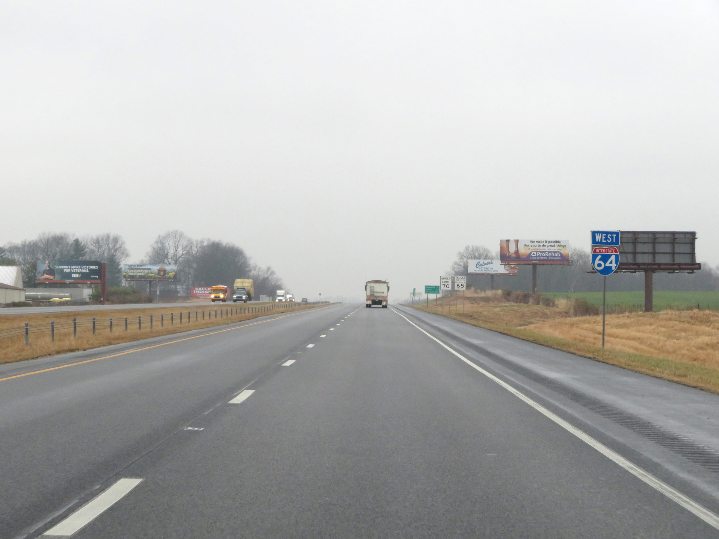 |
Interstate 64 West reassurance shield. (Photo taken 12/16/20). |
 |
The speed limits remain the rural standard 70 mph for automobiles and 65 mph for trucks. (Photo taken 12/16/20). |
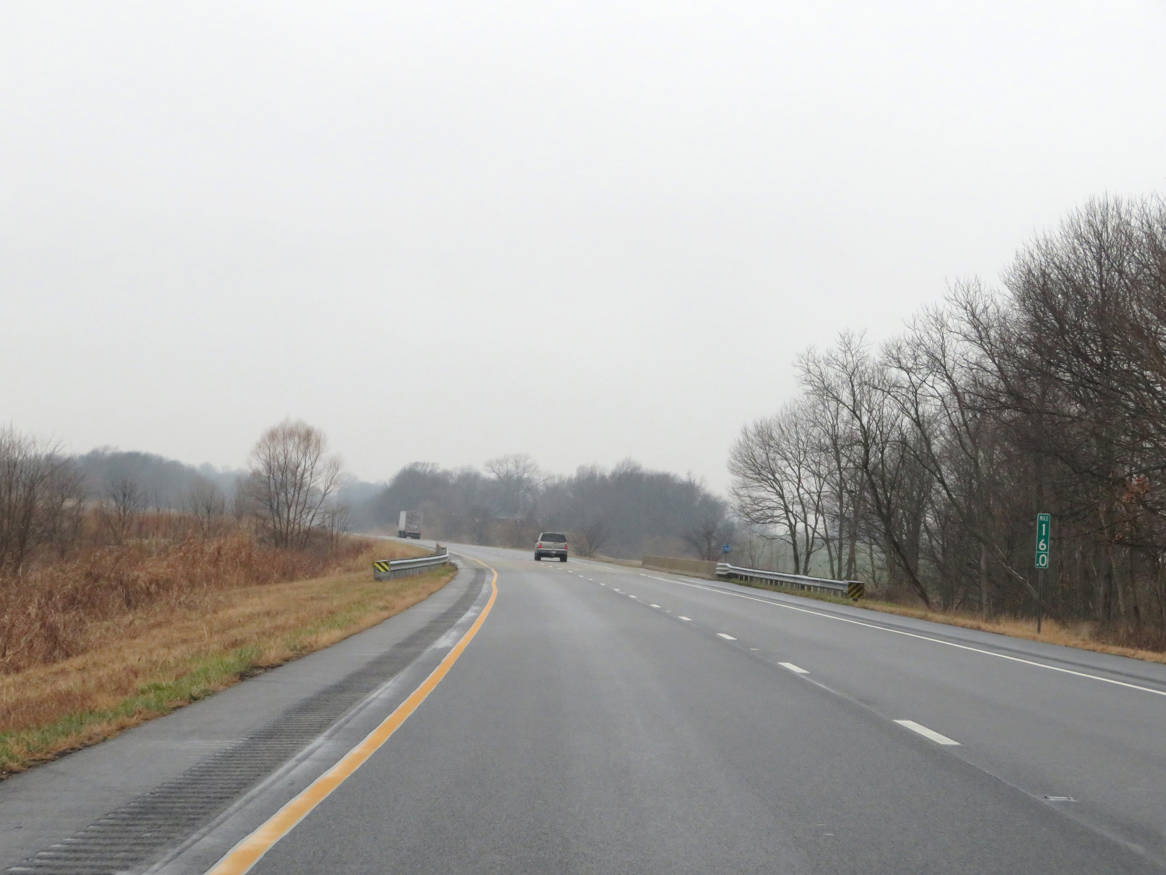 |
View on Interstate 64 West at mile marker 16. (Photo taken 12/16/20). |
 |
Interstate 64 West at mile marker 14. (Photo taken 12/16/20). |
 |
View on Interstate 64 West at mile marker 12.5. (Photo taken 12/16/20). |
 |
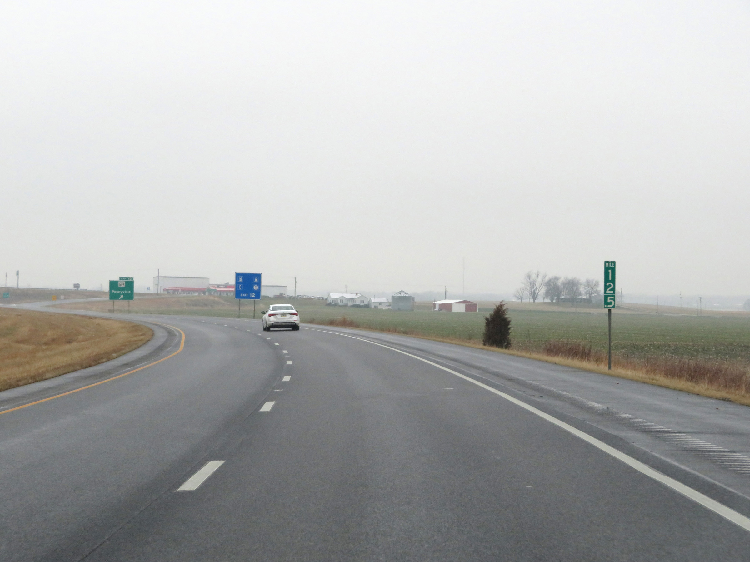
Interstate 64 West at Exit 12: IN 165 - Poseyville (Photo taken 12/16/20). |
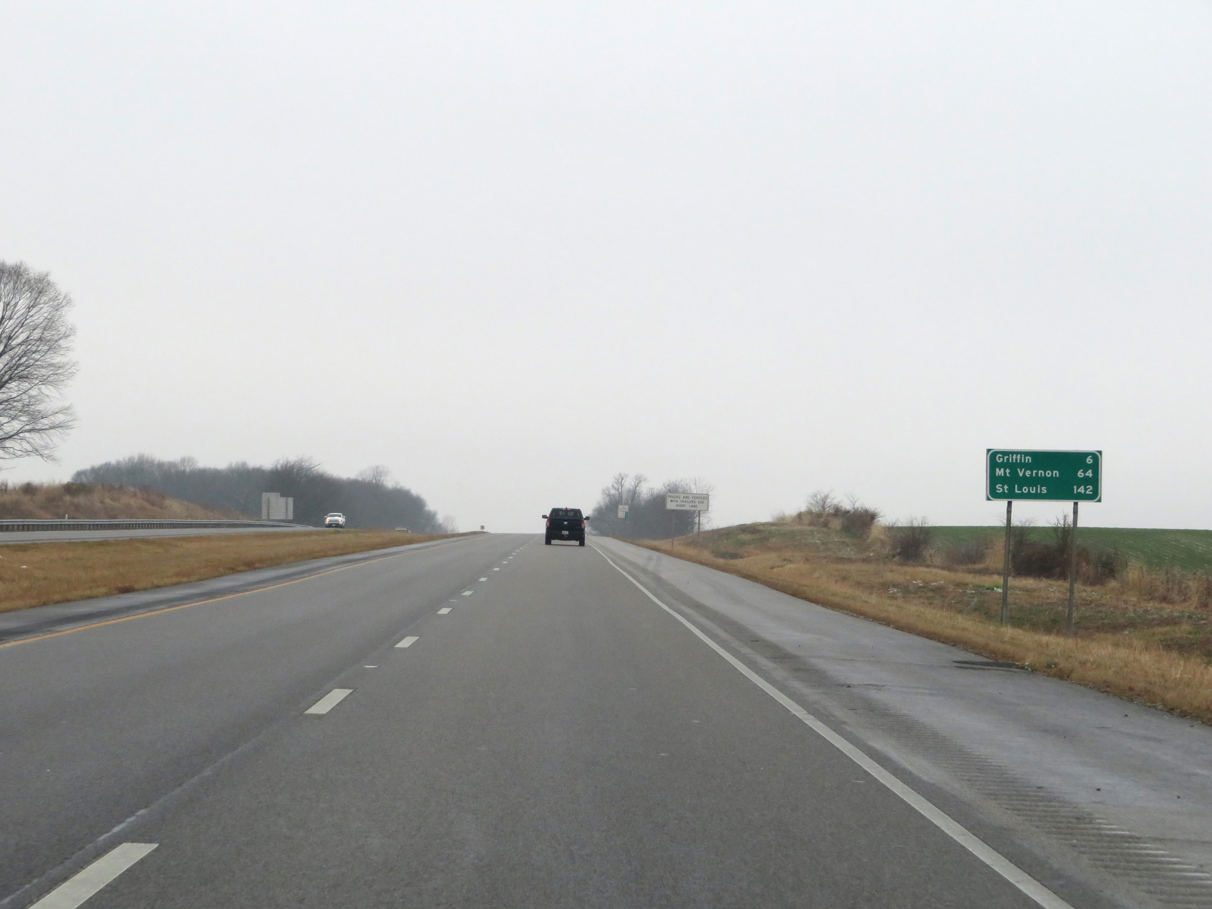 |
Another mileage sign on Interstate 64 West. It's 6 miles to Griffin, 64 miles to Mt. Vernon, and 142 miles to St. Louis. (Photo taken 12/16/20). |
 |
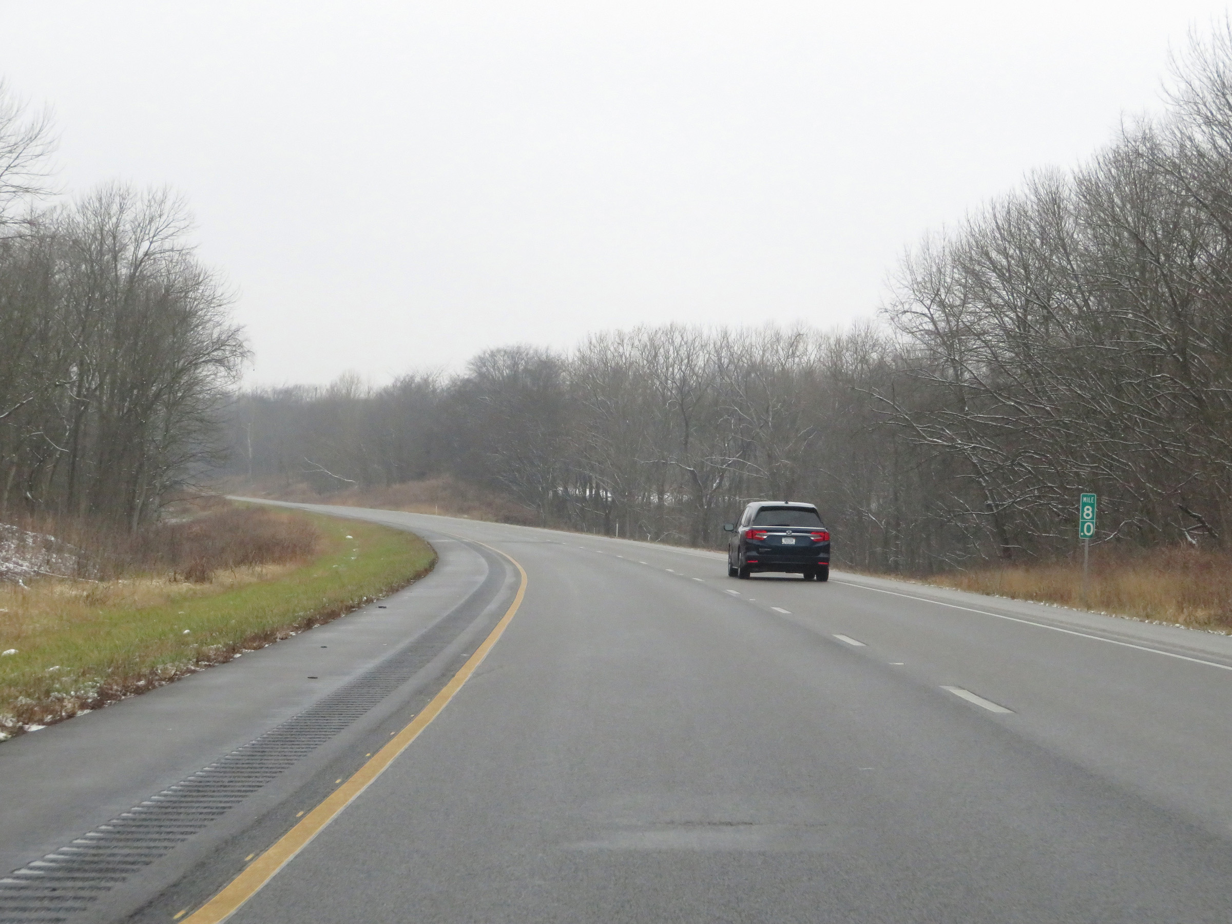
View on Interstate 64 West at mile marker 10. (Photo taken 12/16/20). |
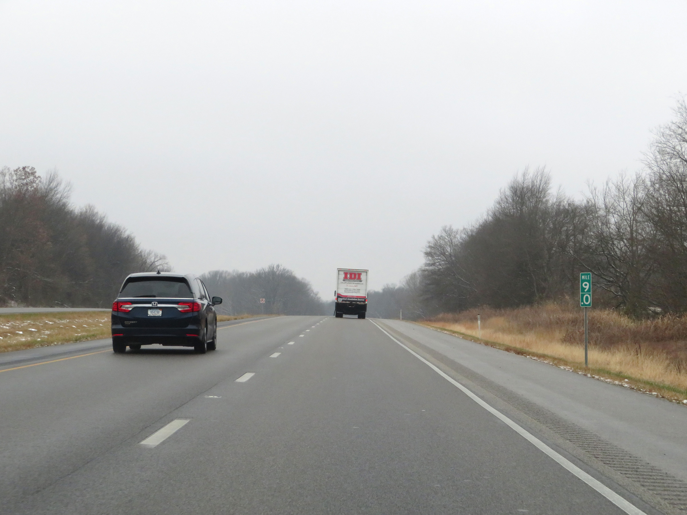 |
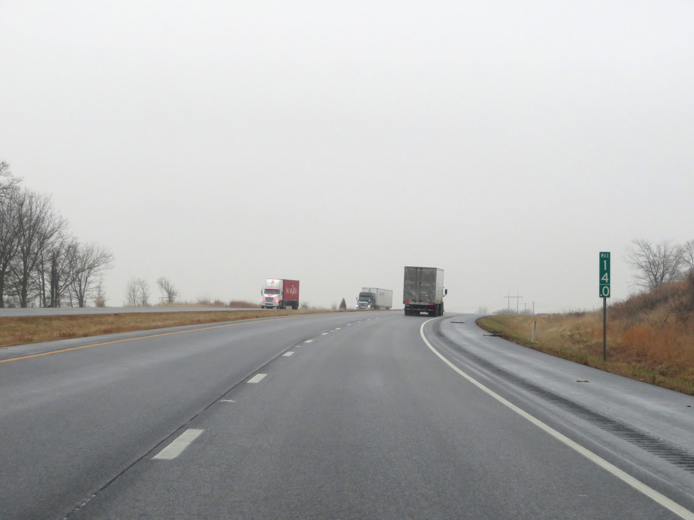
Interstate 64 West at mile marker 9. (Photo taken 12/16/20). |
 |
Mile marker 8 on Interstate 64 West in Posey County. (Photo taken 12/16/20). |
 |
View on Interstate 64 West at mile marker 6. (Photo taken 12/16/20). |
 |
Interstate 64 West approaching Exit 4 - 1/2 mile. (Photo taken 12/16/20). |
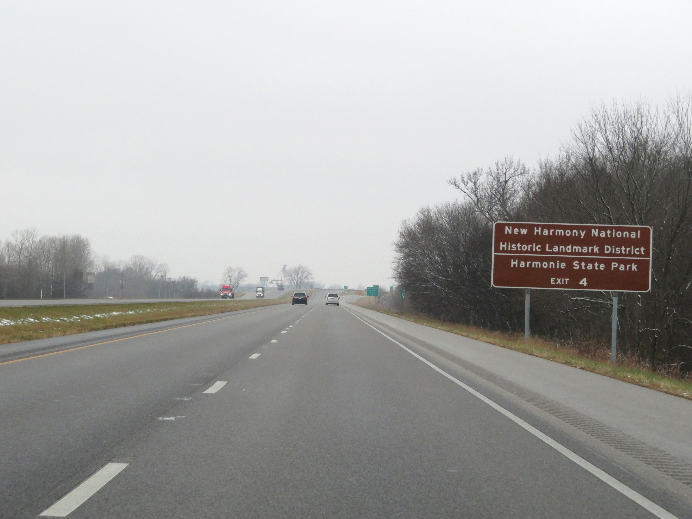 |
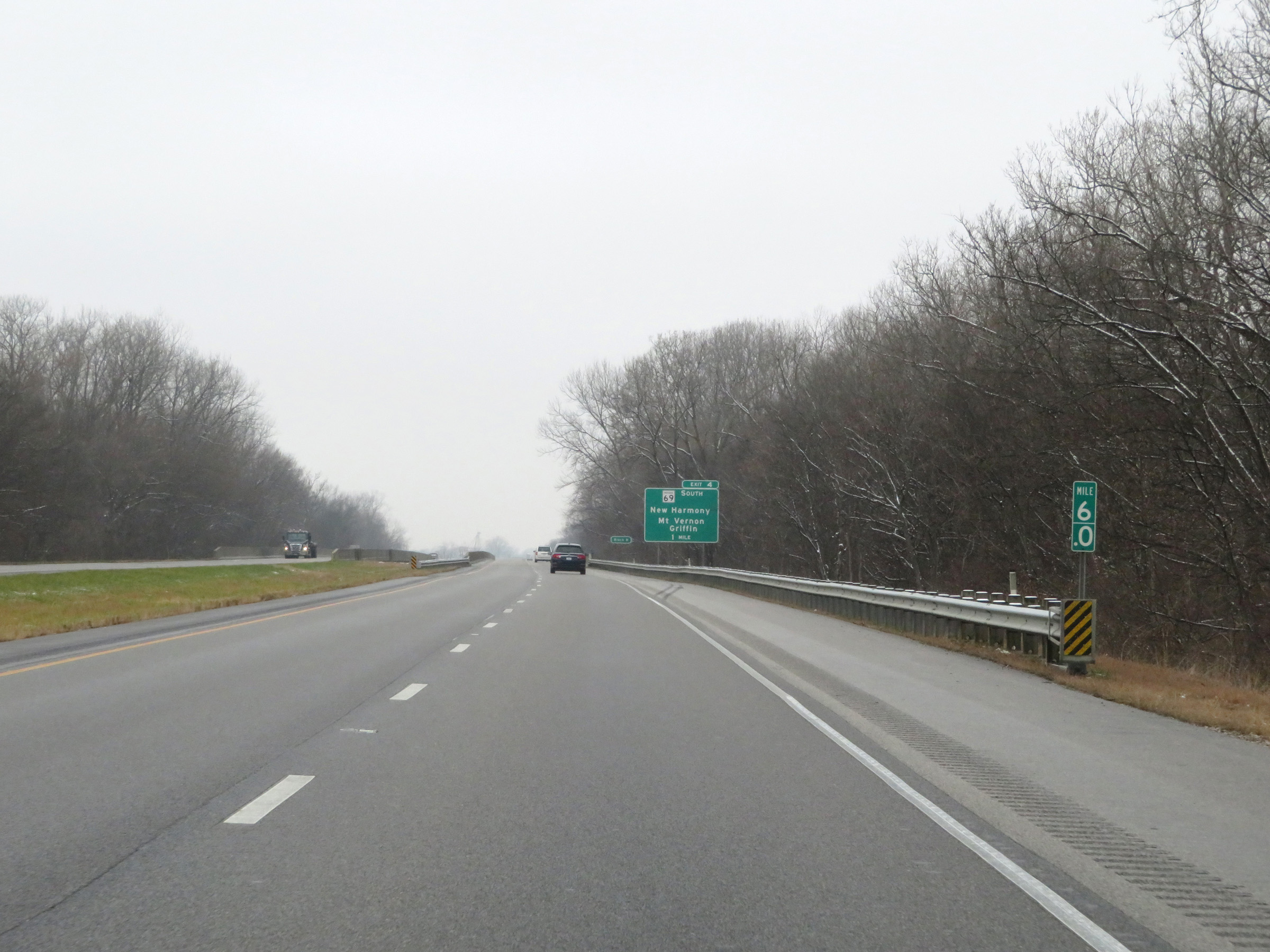
Take Exit 4 to New Harmony National Historic Landmark District and Harmonie State Park. (Photo taken 12/16/20). |
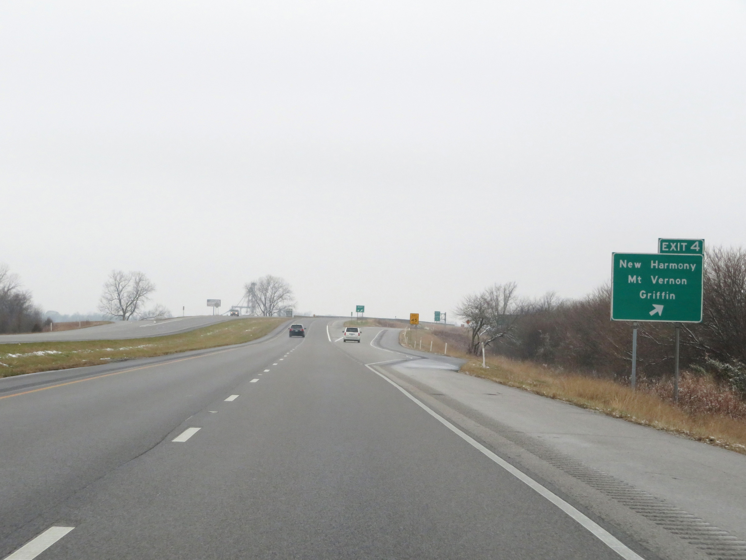 |
Interstate 64 West at Exit 4: IN 69 South - New Harmony / Mt. Vernon / Griffin (Photo taken 12/16/20). |
 |
One final Interstate 64 West reassurance shield. (Photo taken 12/16/20). |
 |
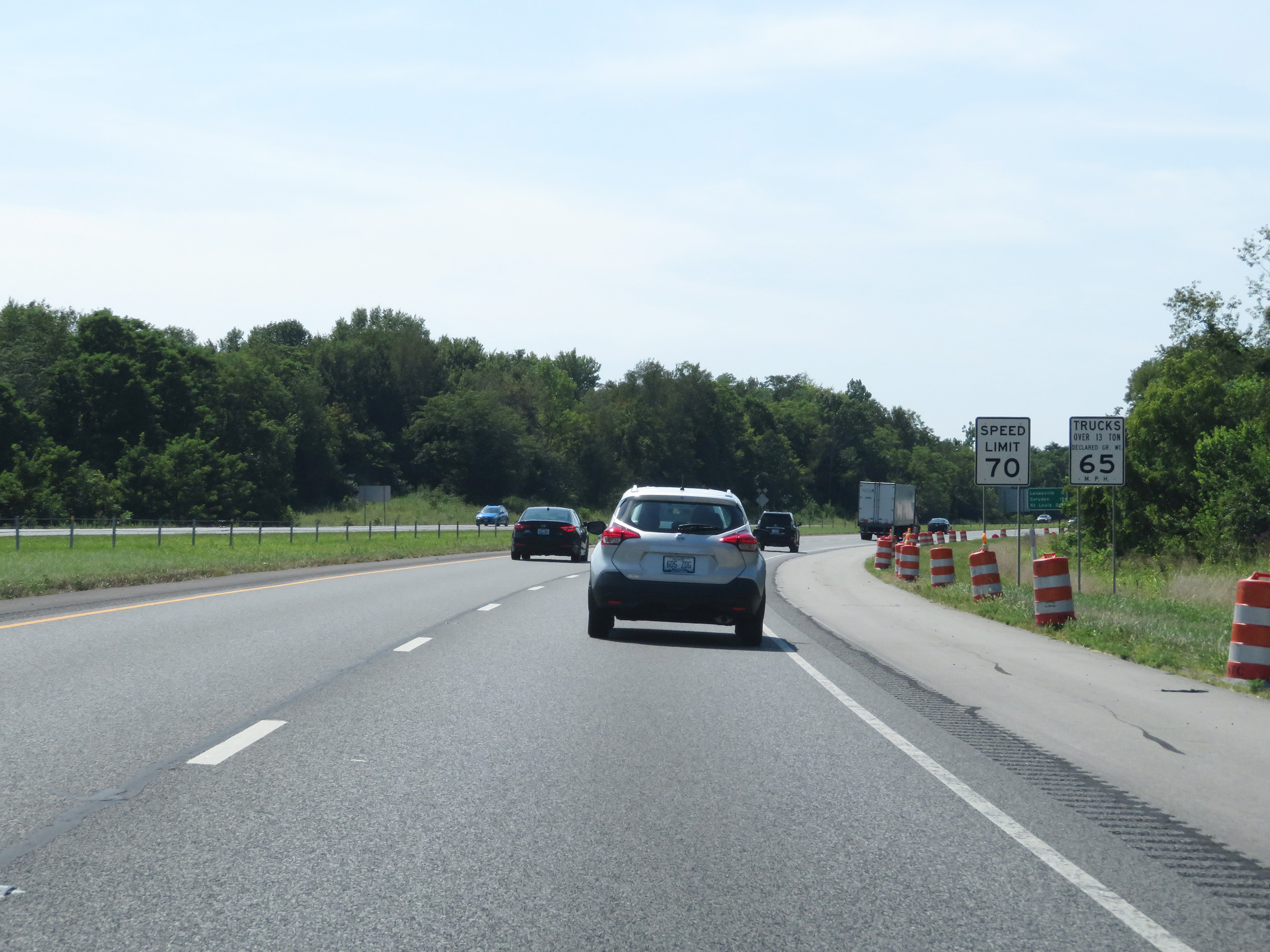
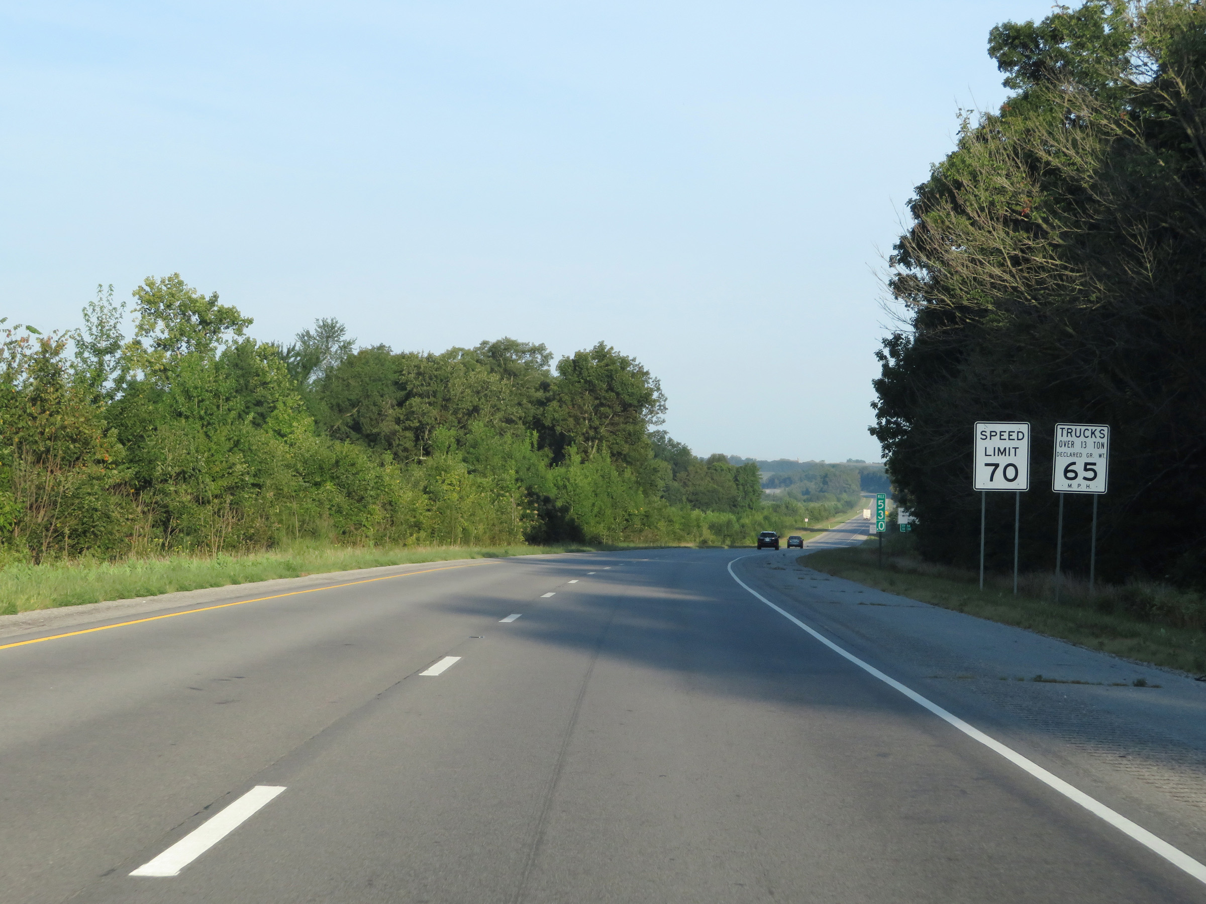
Speed limit signs on Interstate 64 West. The speed limits remain 70 mph for automobiles and 65 mph for trucks. (Photo taken 12/16/20). |
 |
Interstate 64 West at mile marker 3. (Photo taken 12/16/20). |
 |
View on Interstate 64 West at mile marker 2. (Photo taken 12/16/20). |
 |
Interstate 64 West at mile marker 1. (Photo taken 12/16/20). |
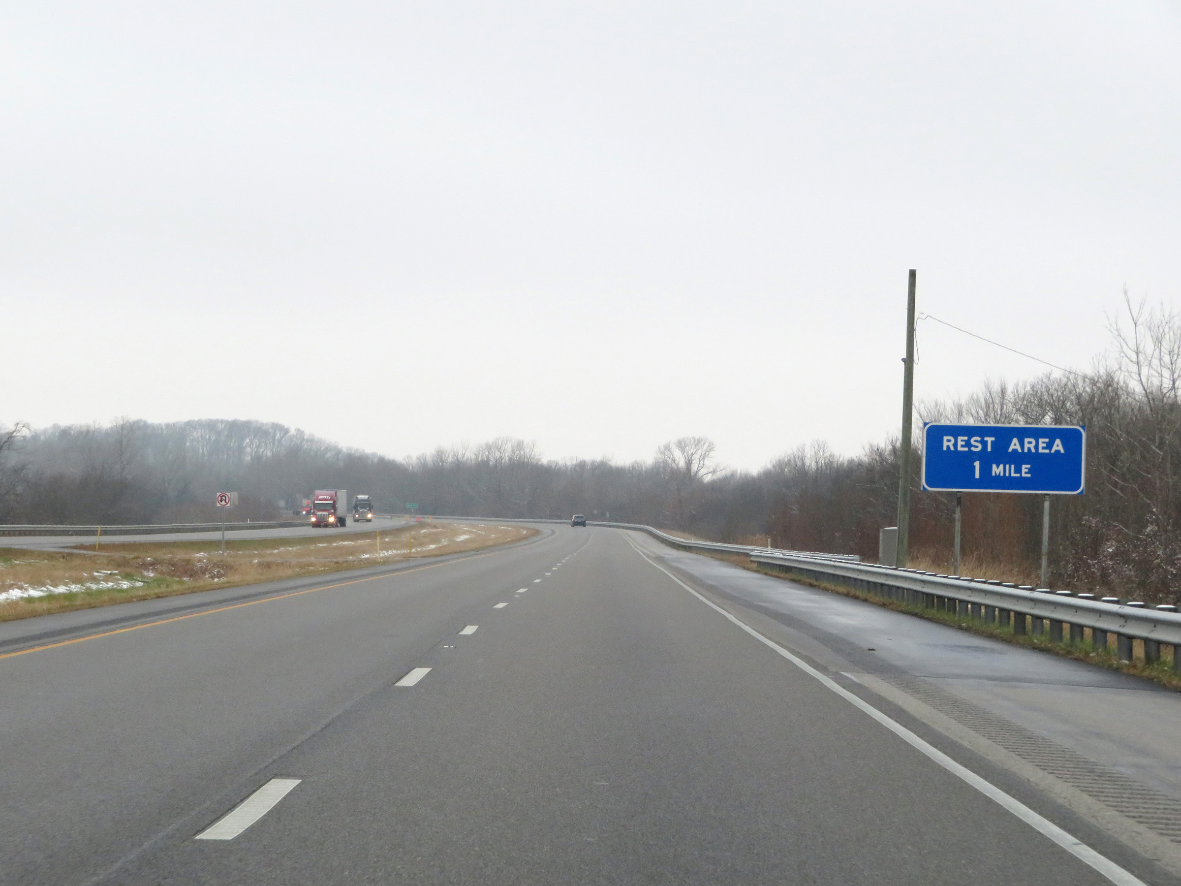 |
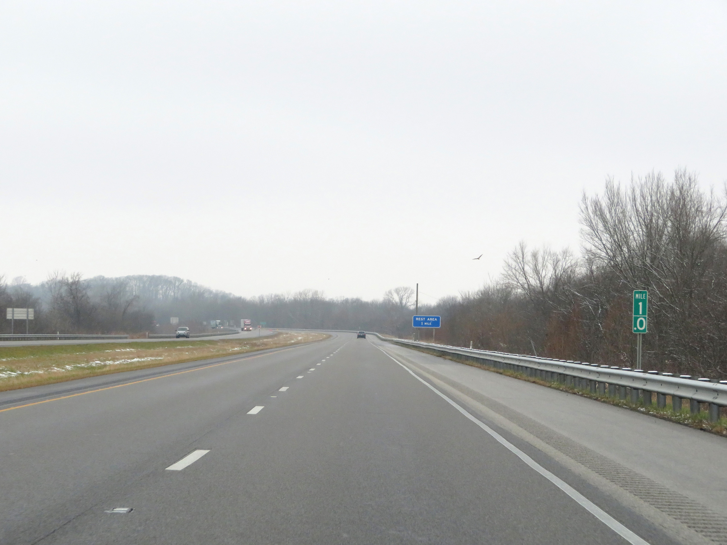
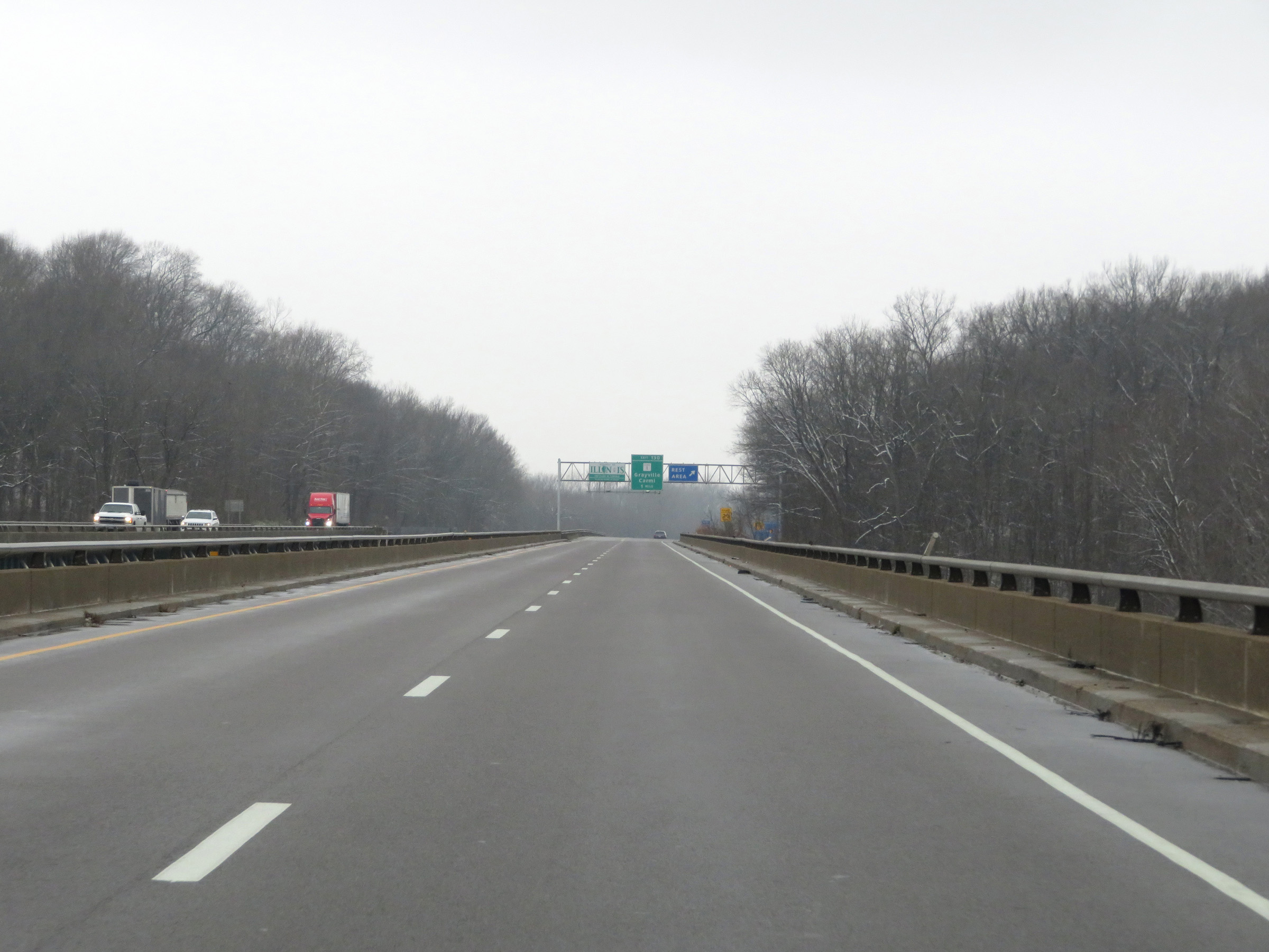
A Rest Area exists 1 mile ahead, immediately upon entering Illinois. (Photo taken 12/16/20). |
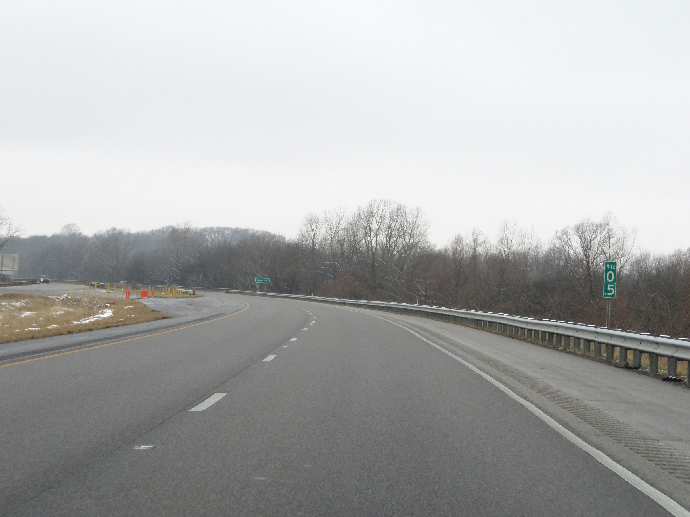 |
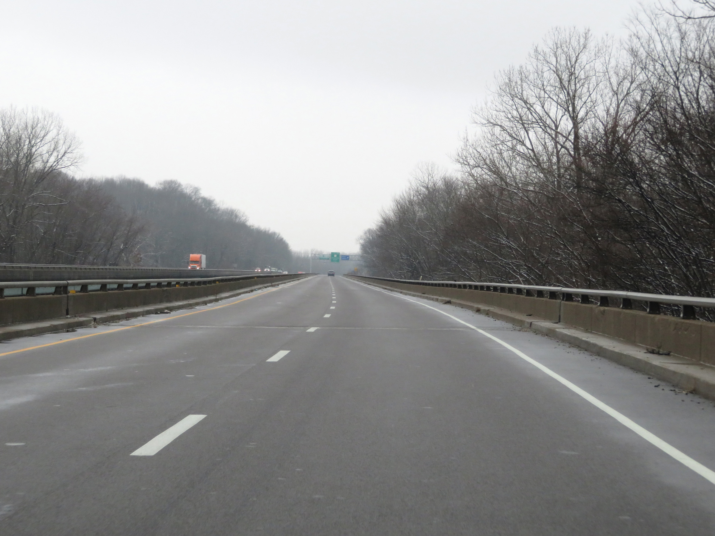
Interstate 64 West at mile marker 0.5, as it approaches the Illinois border. (Photo taken 12/16/20). |
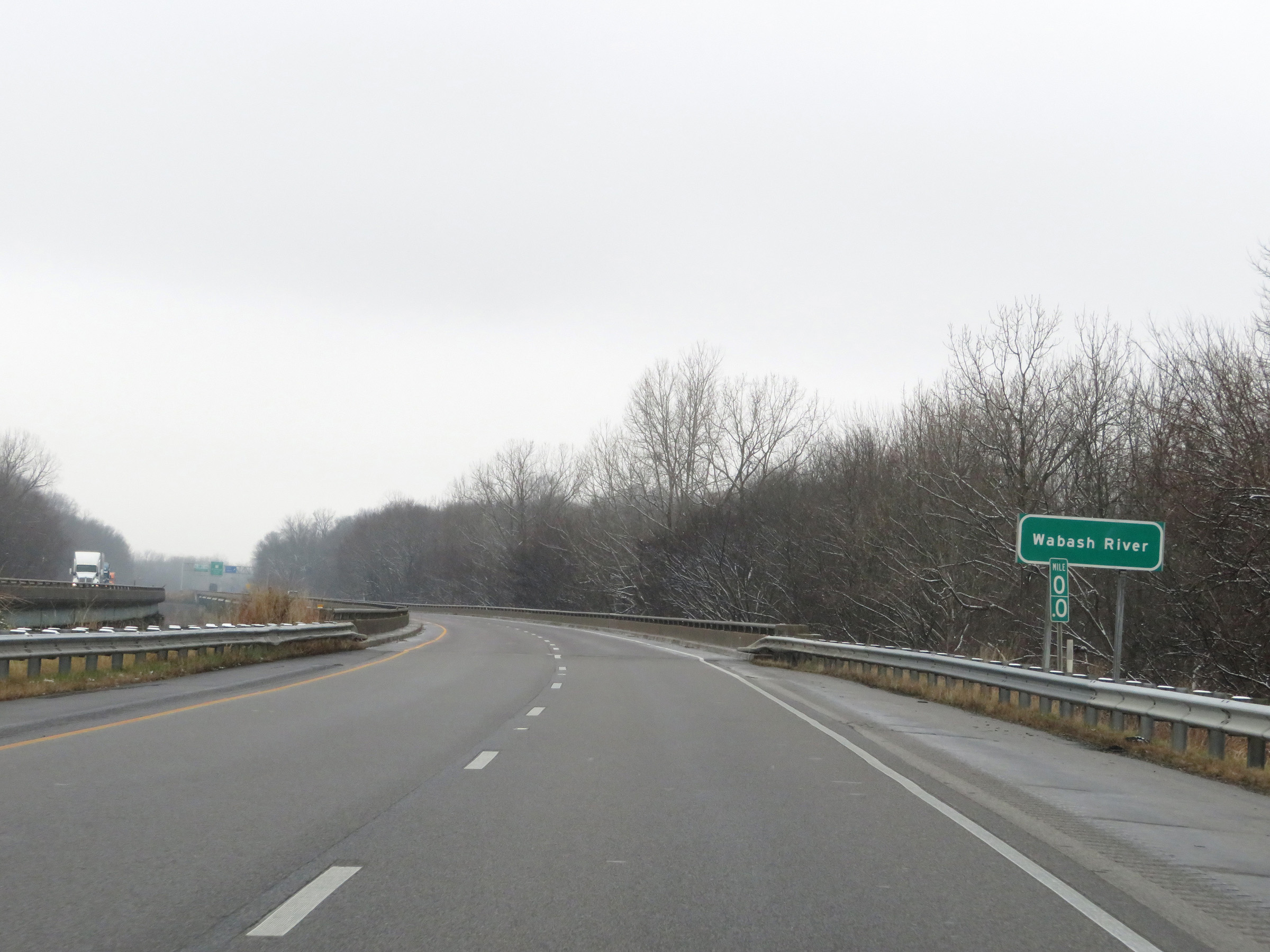 |
At mile marker 0, Interstate 64 West begins to cross the Wabash River. The river will mark the state line of Indiana and Illinois. (Photo taken 12/16/20). |
 |
View on Interstate 64 West as it crosses the Wabash River from Indiana into Illinois. (Photo taken 12/16/20). |
 |
Another view on Interstate 64 West as it continues across the Wabash River and the Illinois welcome sign comes into plain sight. (Photo taken 12/16/20). |