Road Information |
||
 |
||
| Total Mileage in State: | 163 miles | |
| Eastern End: | At Indiana state line | |
| Western End: | At Iowa state line | |
| Mileage covered in Photos: | 163 miles | |
| Counties covered in Photos: | Cook, Will, Kendall, Grundy, LaSalle, Bureau, Henry, Rock Island | |
| Major Junctions in Photos: | I-94/I-294, in South Holland I-57, in Country Club Hills I-355, in New Lenox I-55, in Joliet I-39, near LaSalle I-180, near Princeton I-74, near Colona I-88, near Colona |
|
| Control Cities in Photos: | South Holland, Joliet, Princeton, Rock Island | |
Westbound
- Section 1: Indiana Border to Country Club Hills (Exit 151A)
- Section 2: Country Club Hills (Exit 151A) to Joliet (Exit 131)
- Section 3: Joliet (Exit 131) to Princeton (Exit 61)
- Section 4: Princeton (Exit 61) to Iowa Border
Section 1: Indiana Border to Country Club Hills (Exit 151A)
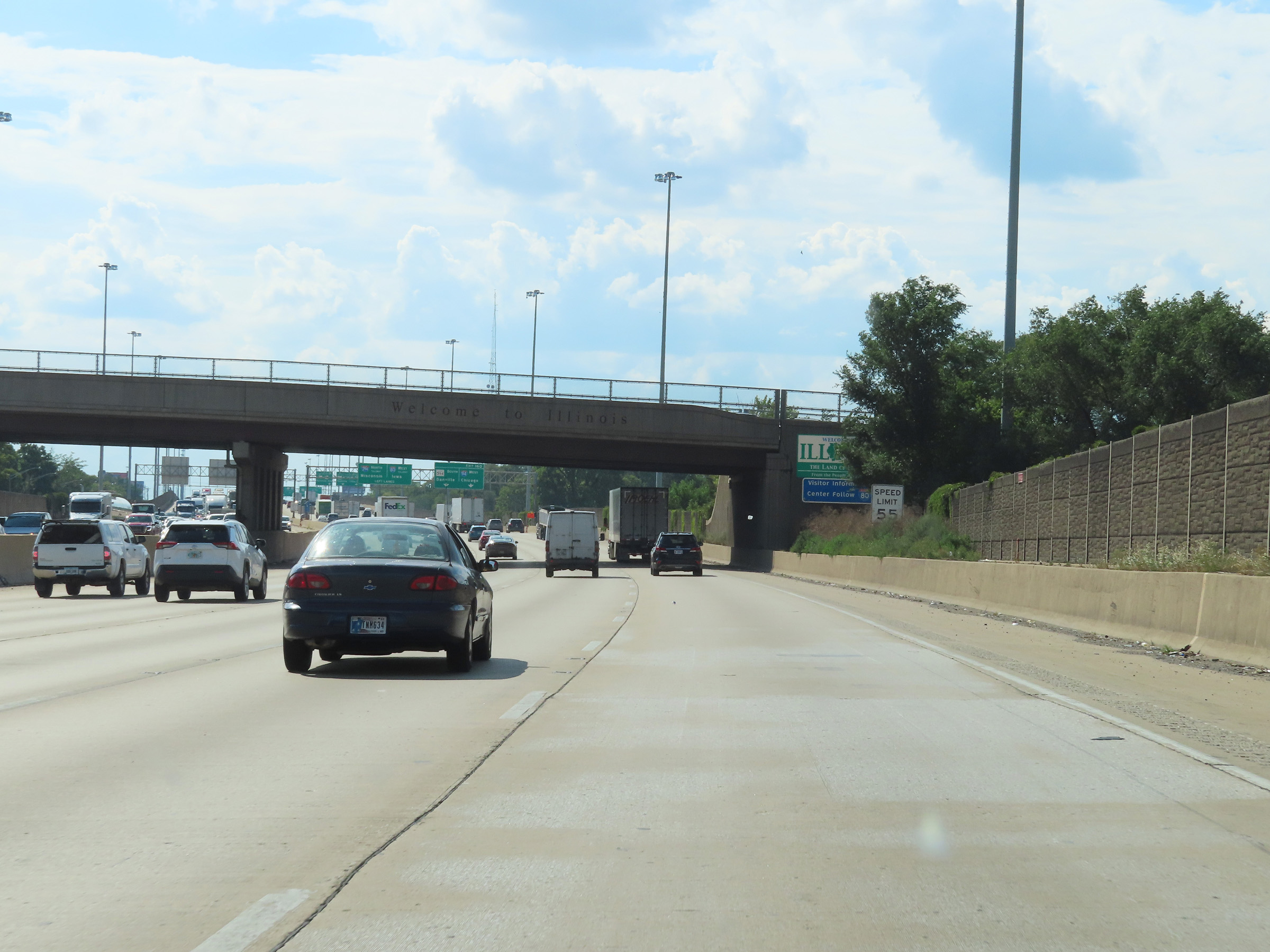 |
Interstate 80 West / Interstate 94 West as they enter Illinois from Indiana. (Photo taken 8/19/22). |
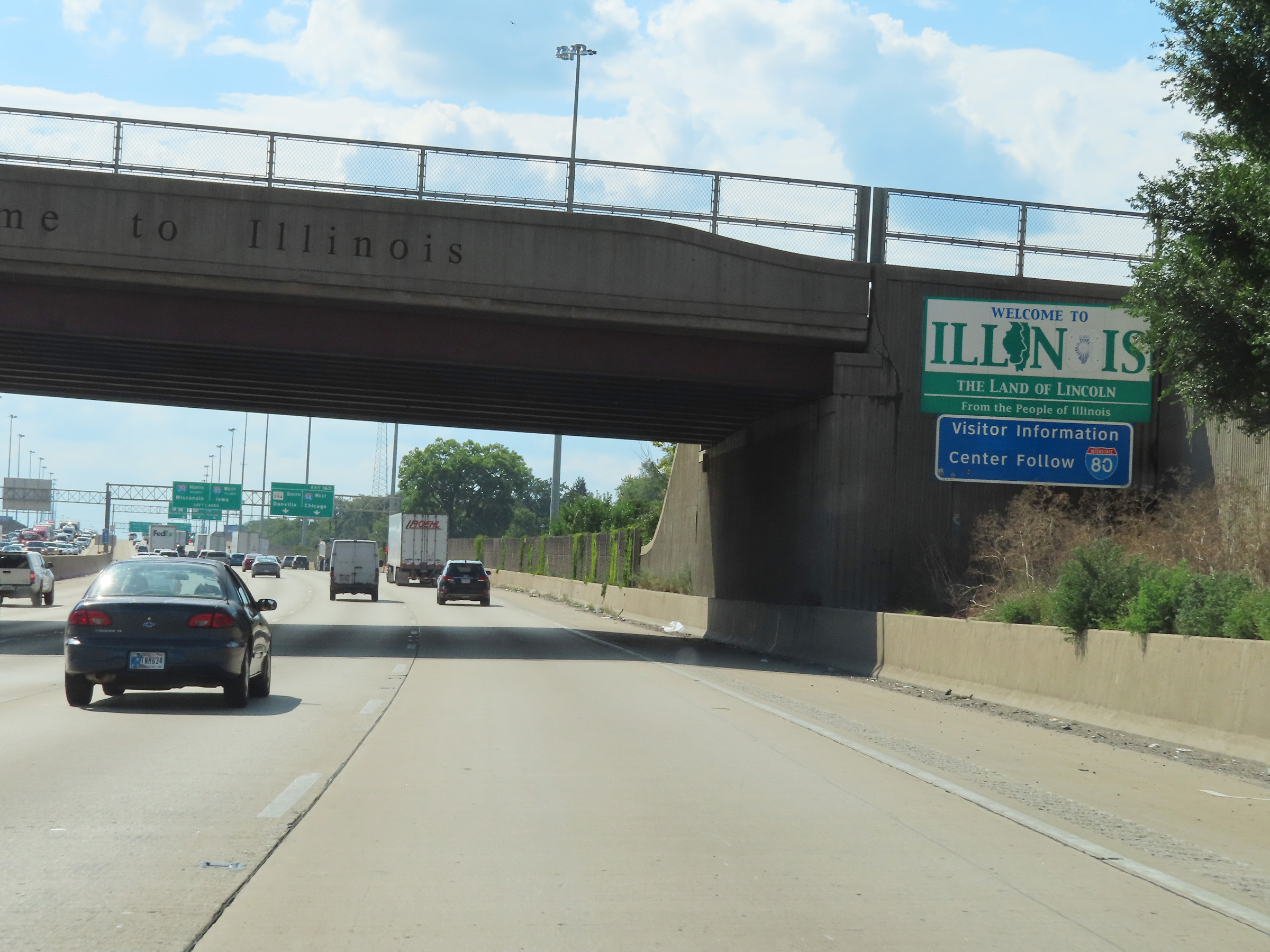 |
Illinois welcome sign on Interstate 80 West / Interstate 94 West. (Photo taken 8/19/22). |
 |
Interstate 80 West / Interstate 94 West approaching Exit 160 - 1/2 mile. I-80 West thru traffic should keep left. (Photo taken 8/19/22). |
 |
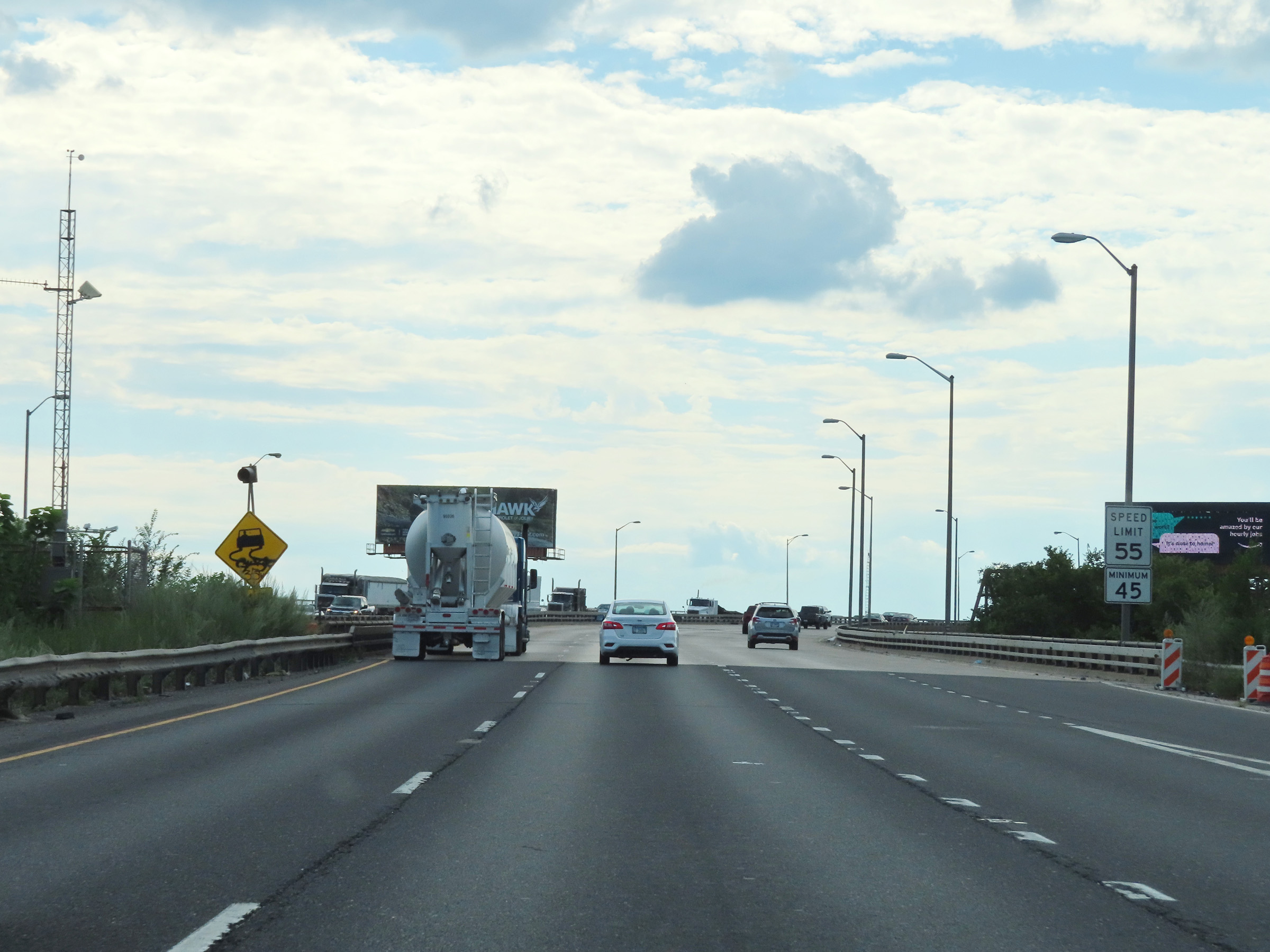
The speed limit on Interstate 80 West / Interstate 94 West in Illinois starts out at 55 mph. (Photo taken 8/19/22). |
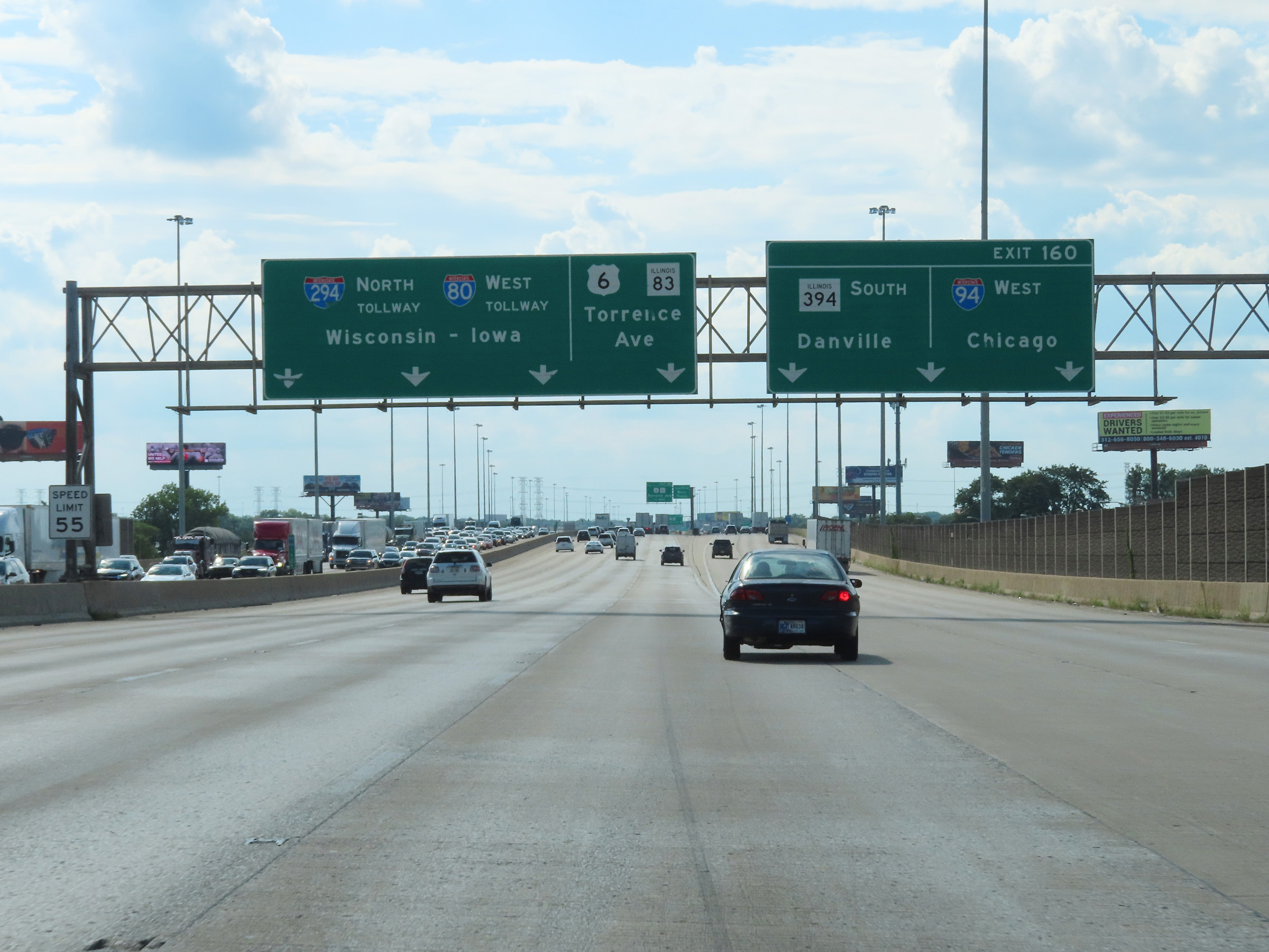 |
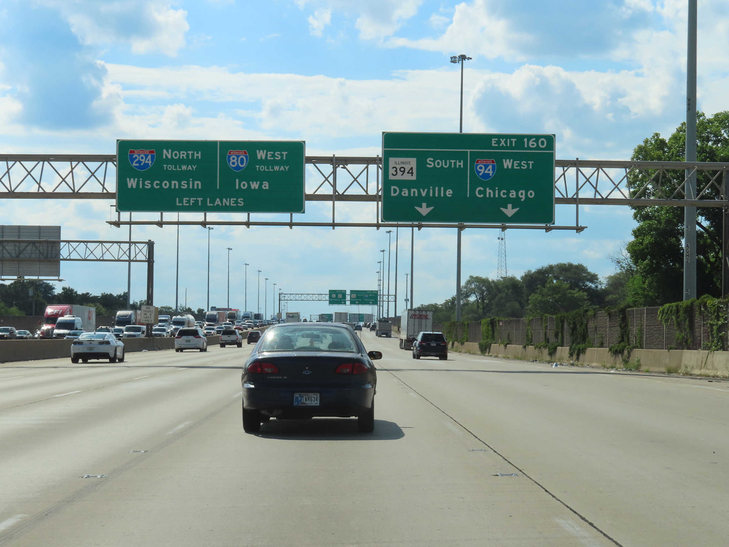
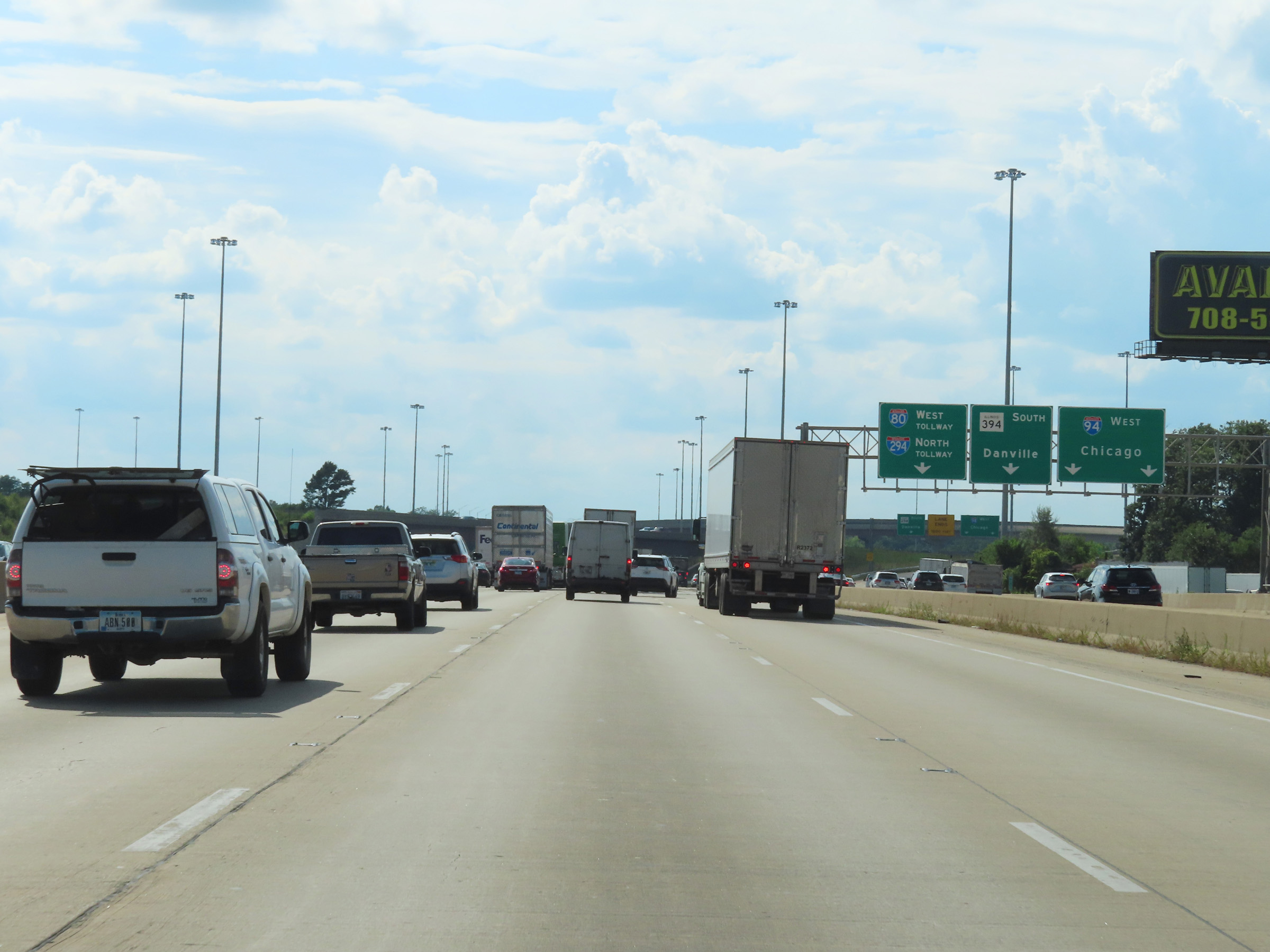
Interstate 80 West / Interstate 94 West at Exit 160: Interstate 94 West / IL 394 South - Chicago / Danville (Photo taken 8/19/22). |
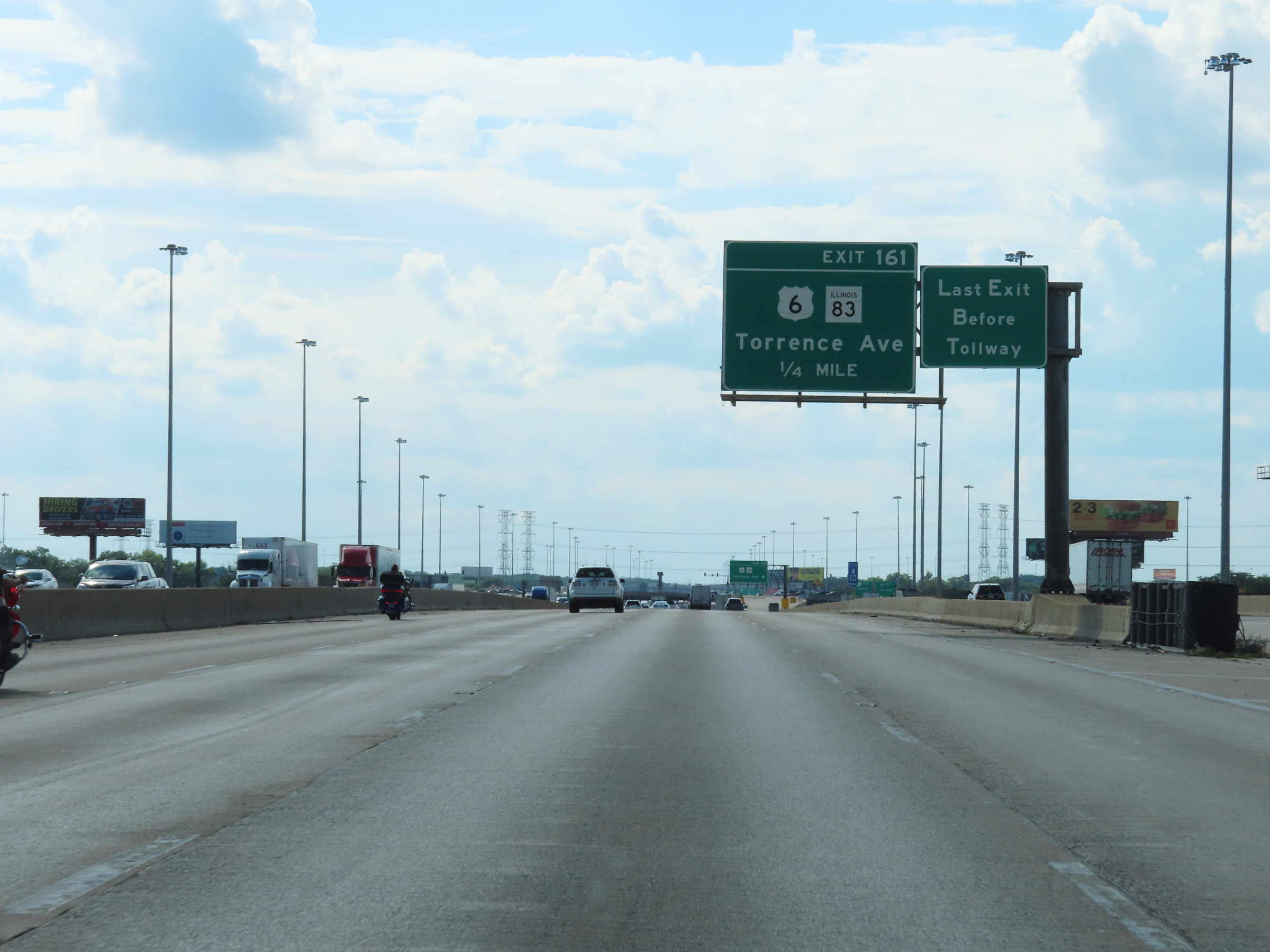 |
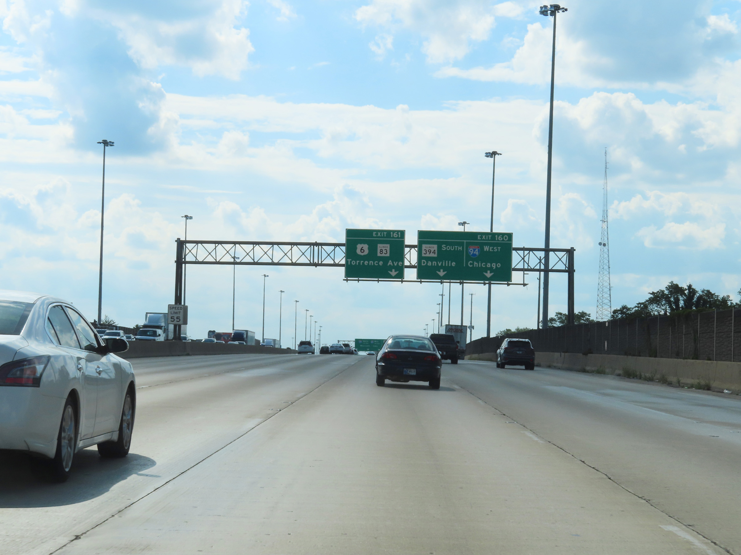
Advance signage for Exit 161, which is the final exit on Interstate 80 West before it joins with Interstate 294 North as part of the Tri-State Tollway. (Photo taken 8/19/22). |
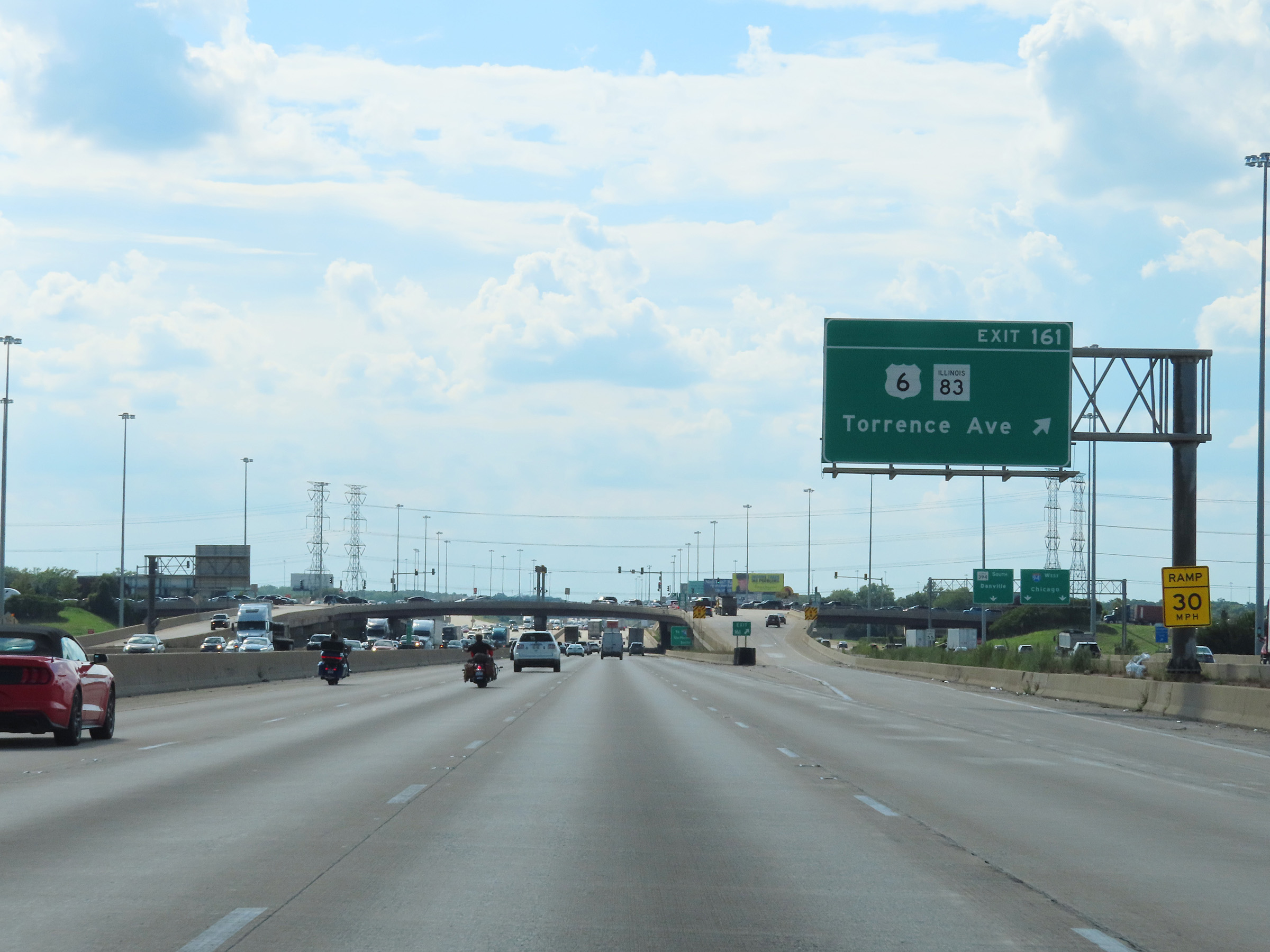 |
Interstate 80 West at Exit 161: US 6 / IL 83 - Torrence Ave (Photo taken 8/19/22). |
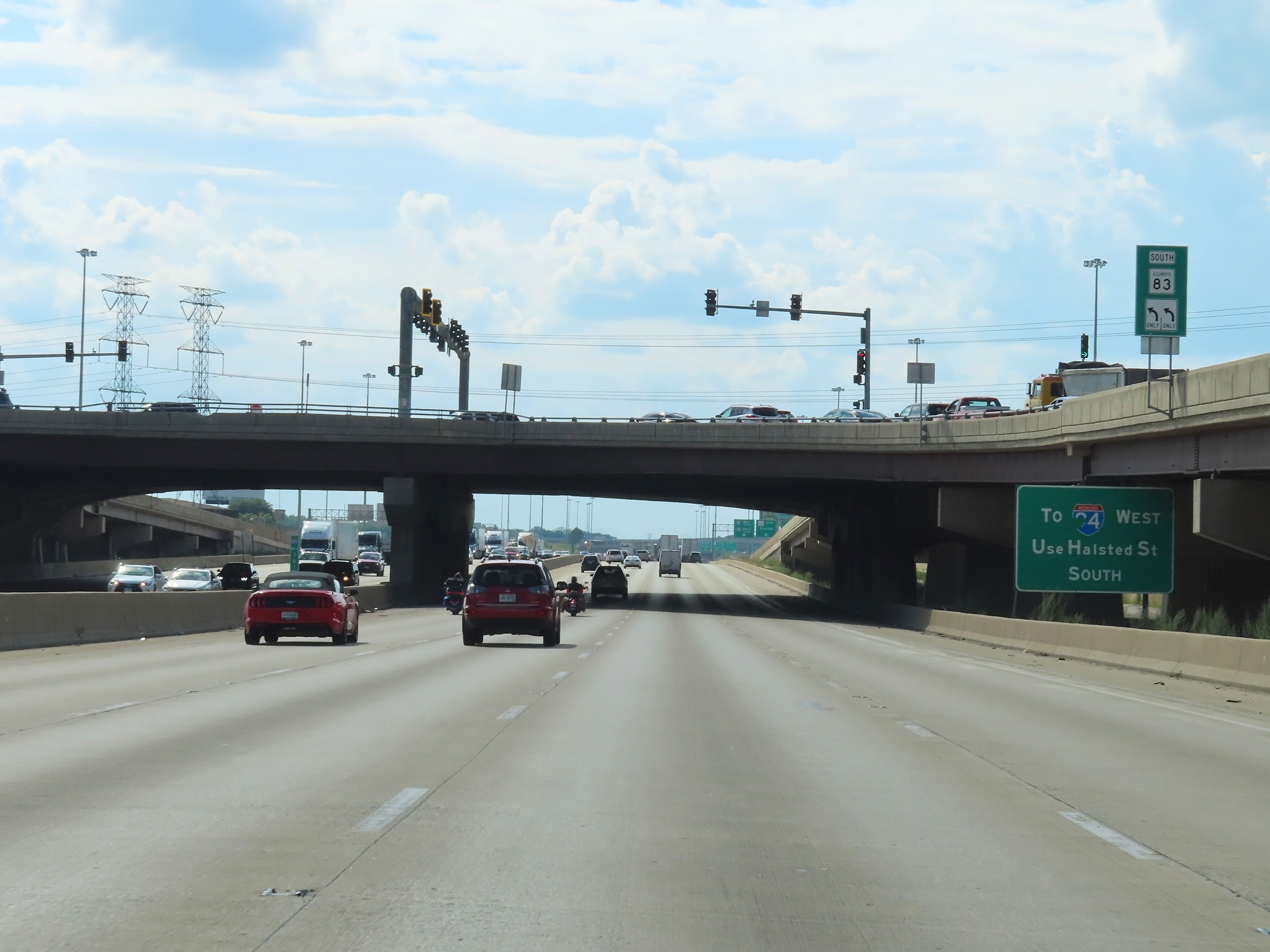 |
Interstate 94 West can be accessed via Halsted St South (Exit 2B ahead). (Photo taken 8/19/22). |
 |
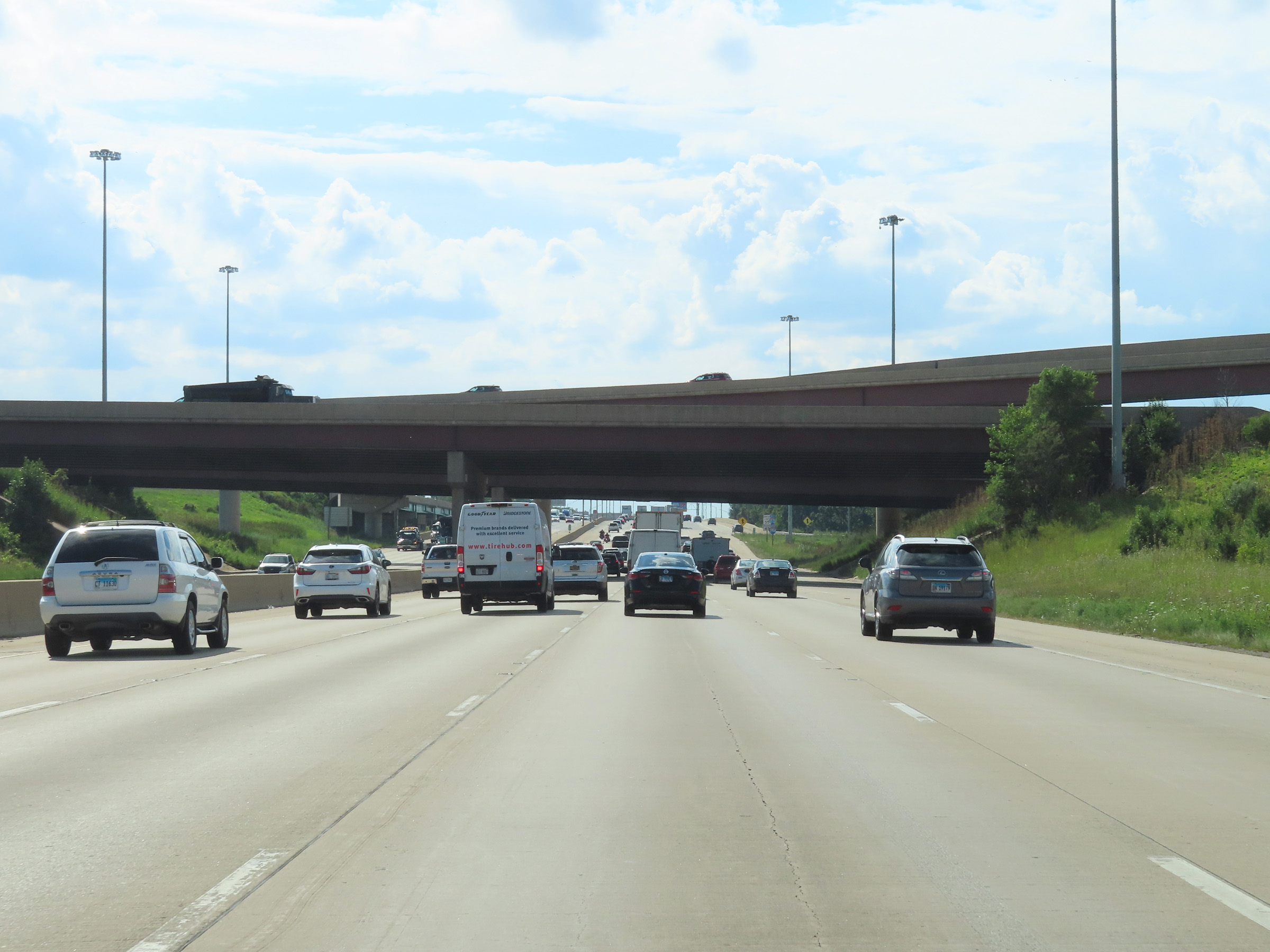
Interstate 94 West traffic, seen on the right here, finally curves to the north to head toward downtown Chicago after running alongside Interstate 80 West since its departure via Exit 160. (Photo taken 8/19/22). |
 |
View on Interstate 80 West as it passes under ramps to and from Interstate 94 / IL 394. It is at this point that Interstate 294 North begins. (Photo taken 8/19/22). |
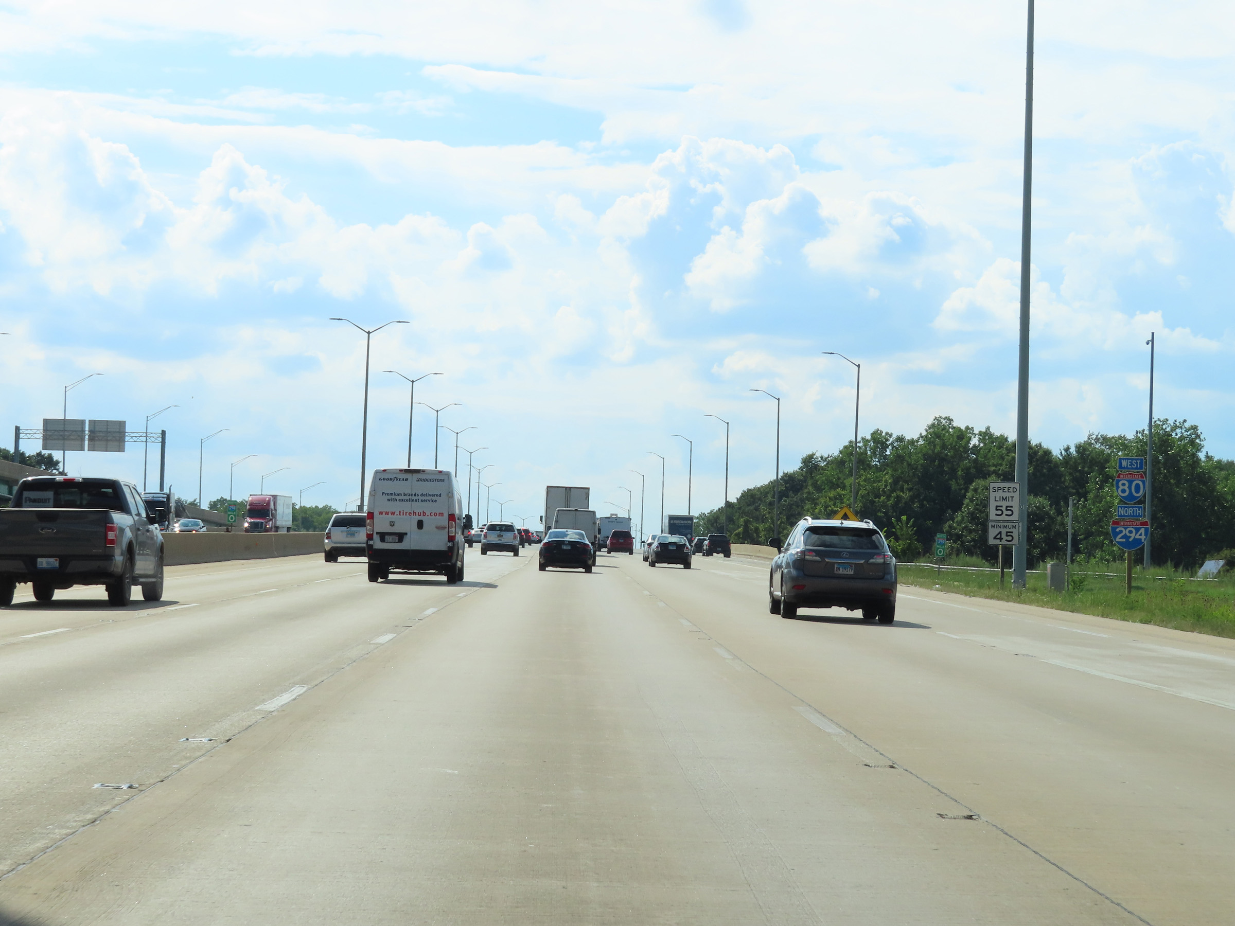 |
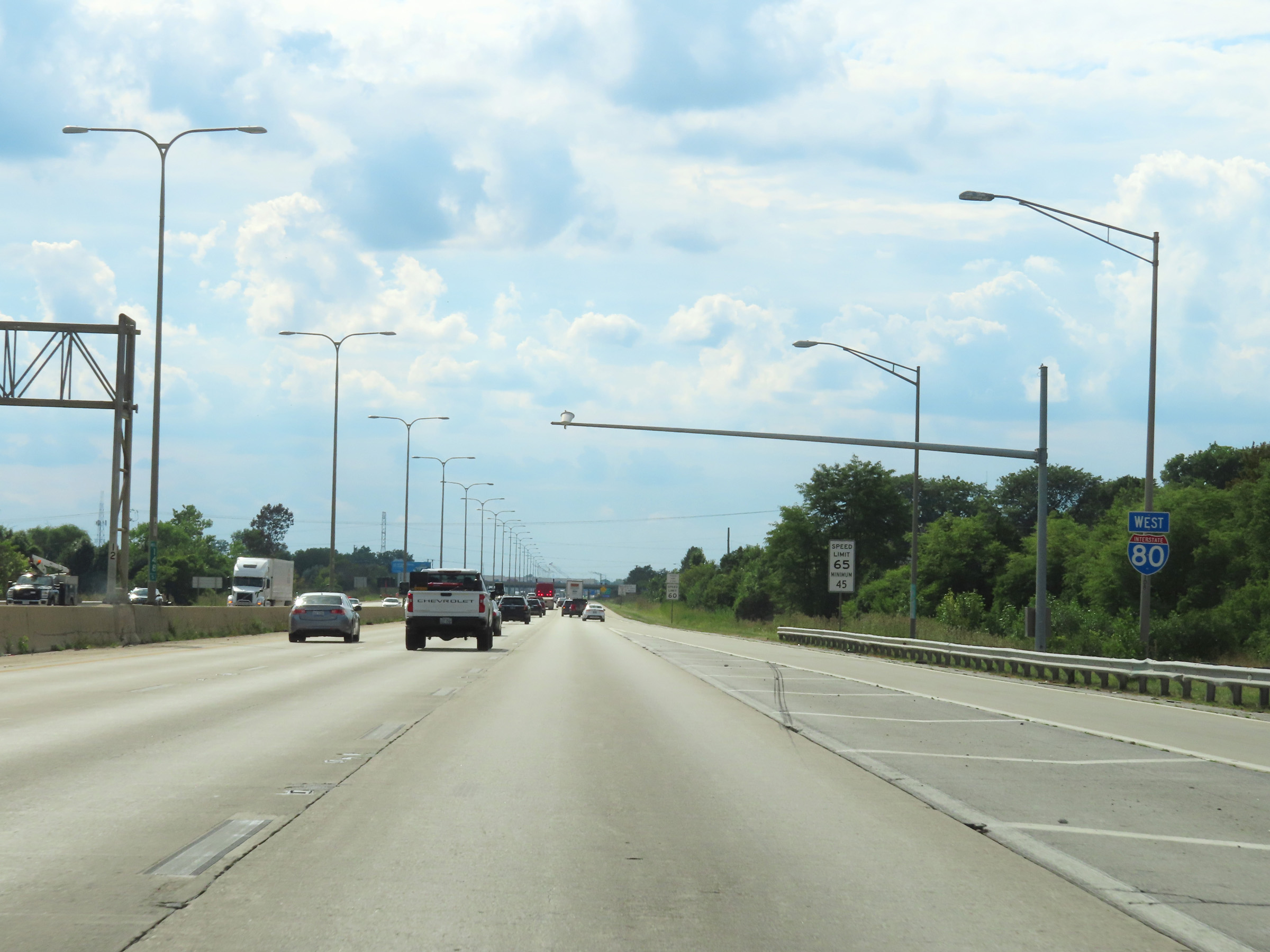
Interstate 80 West / Interstate 294 North reassurance shields as I-294 North begins at mile marker 0. I-80 West and I-294 North will run concurrently as part of the Tri-State Tollway for the next 5 miles. The speed limits during this stretch are 55 mph maximum and 45 mph minimum. (Photo taken 8/19/22). |
 |
During the Interstate 80 / Interstate 294 concurrency, the mileage and exit numbers are based on the total mileage of I-294. (Photo taken 8/19/22). |
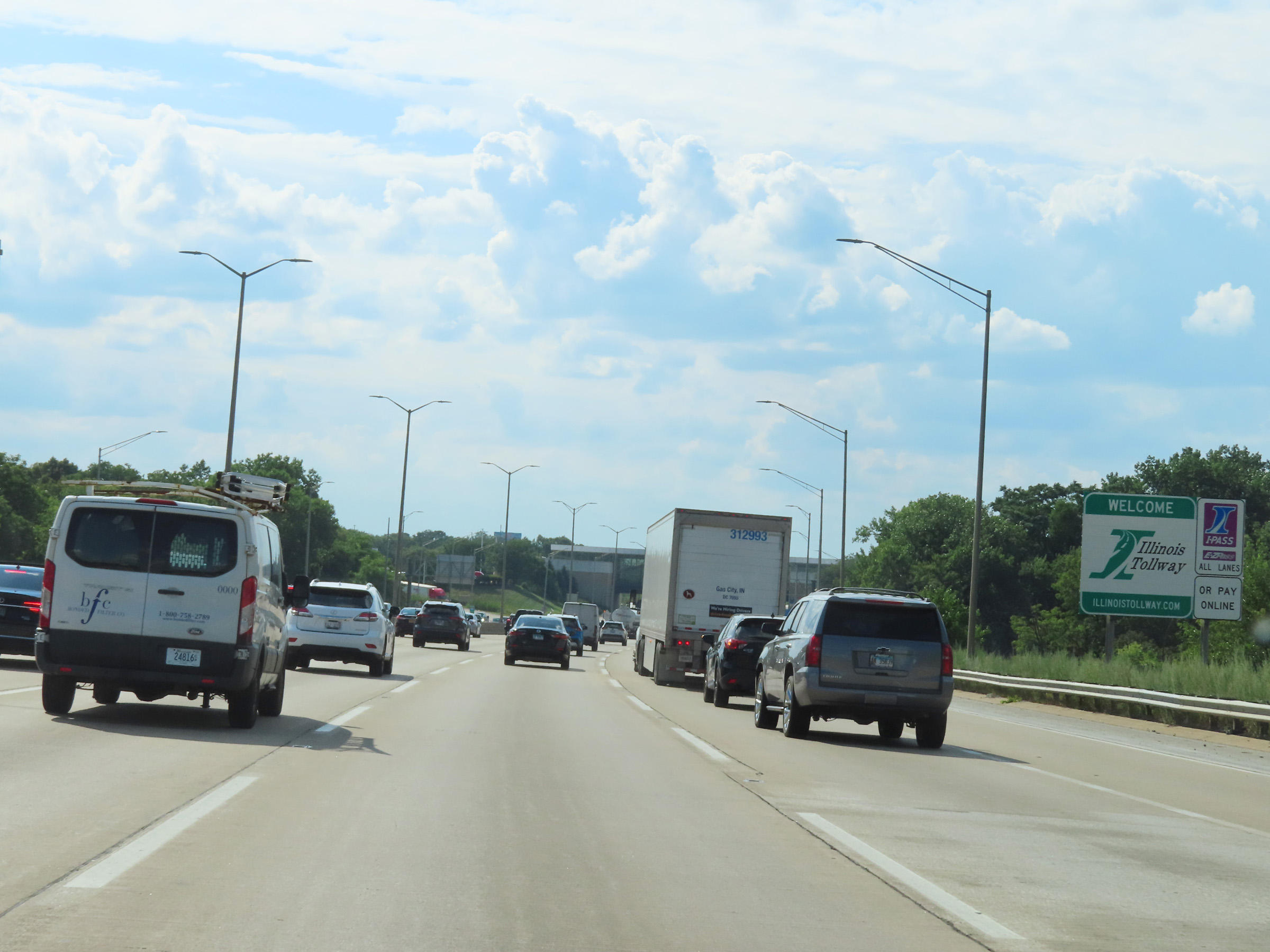 |
This sign welcomes Interstate 80 West / Interstate 294 North traffic to the Illinois Tollway. Again, this stretch of I-80 West which runs concurrently with I-294 North is tolled as part of the Tri-State Tollway. (Photo taken 8/19/22). |
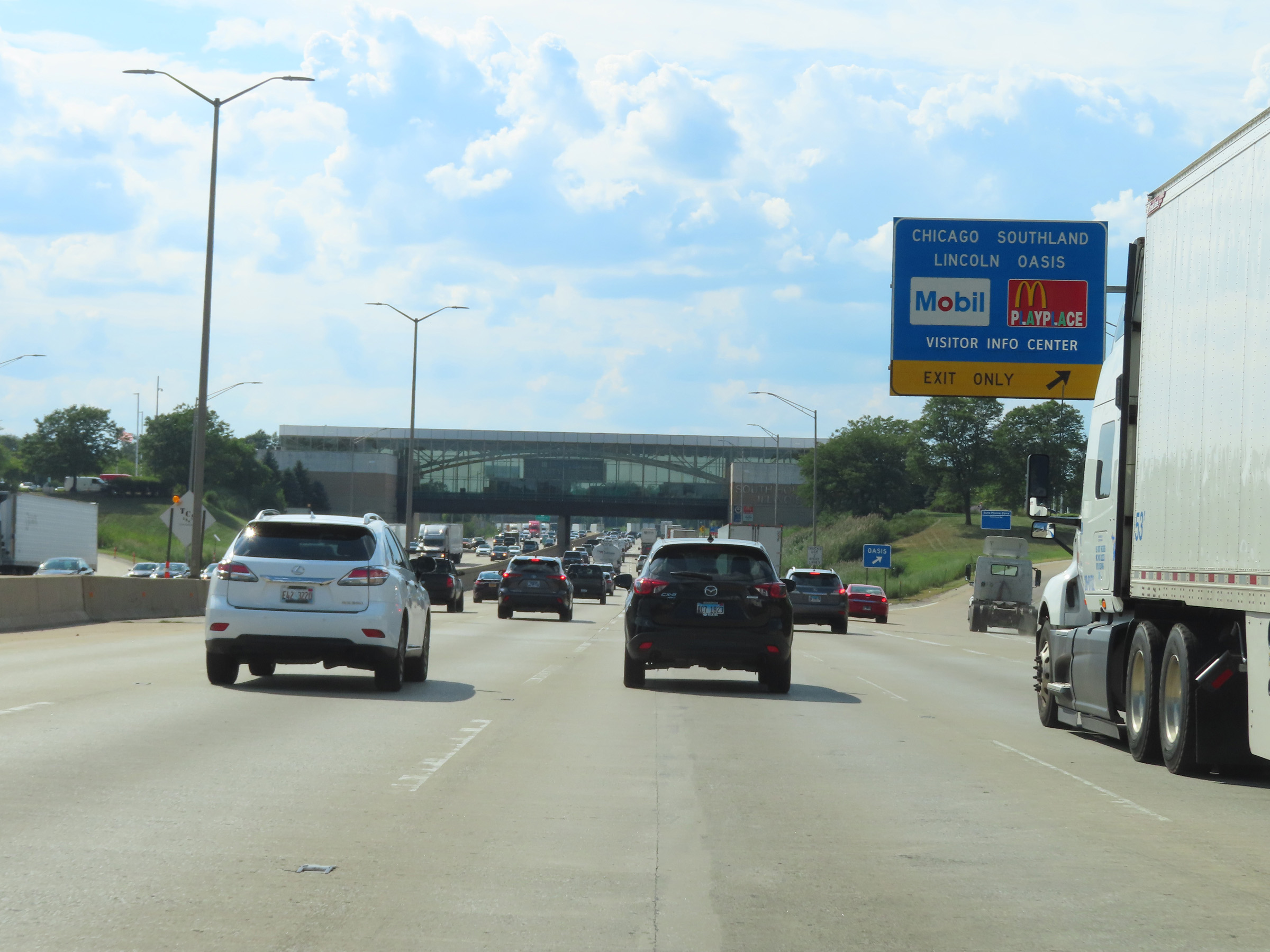 |
Chicago Southland Lincoln Oasis on Interstate 80 West / Interstate 294 North in Cook County. (Photo taken 8/19/22). |
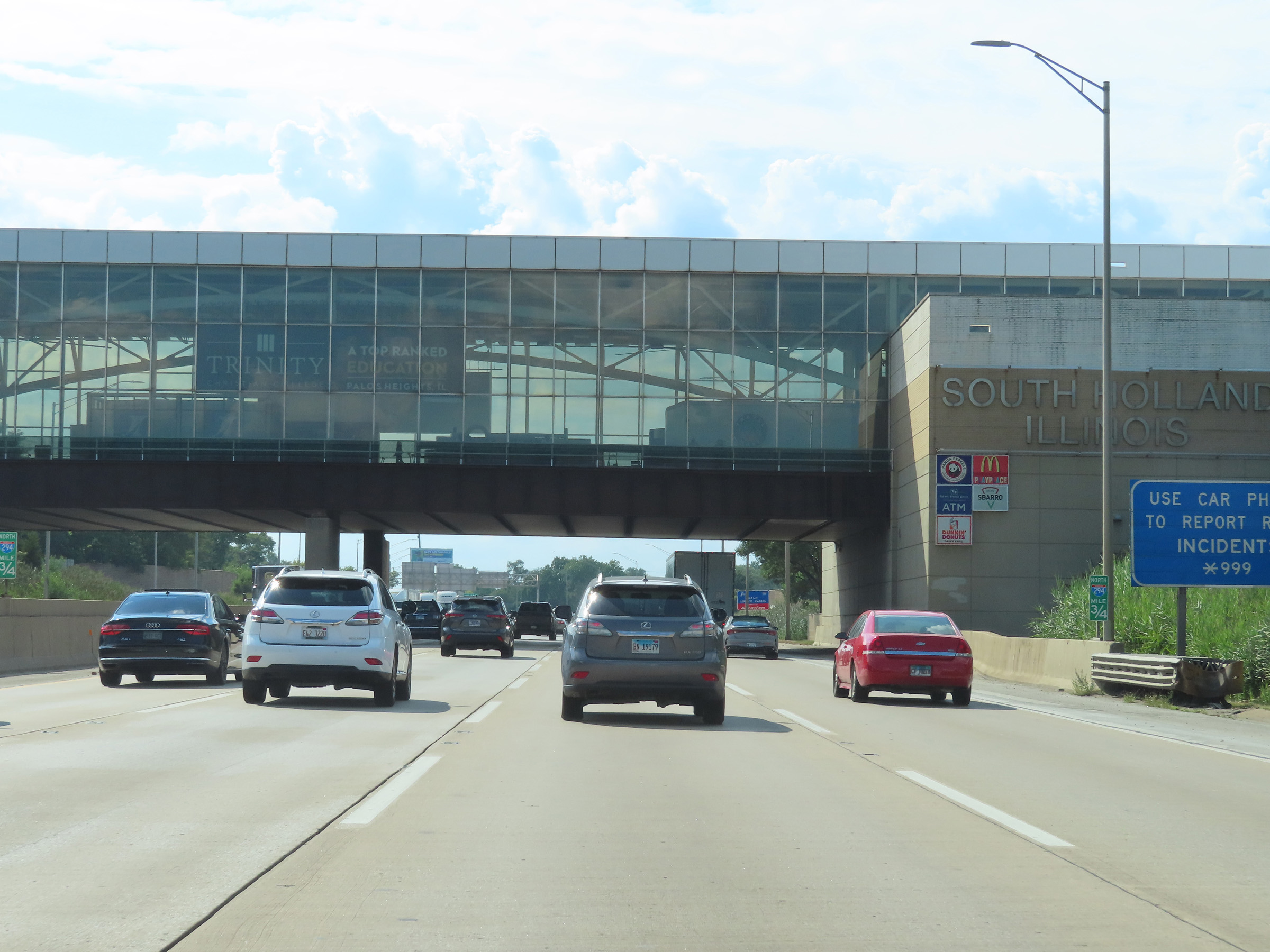 |
Interstate 80 West / Interstate 294 North at mile marker 0.75, as they pass under the Chicago Southland Lincoln Oasis in South Holland. (Photo taken 8/19/22). |
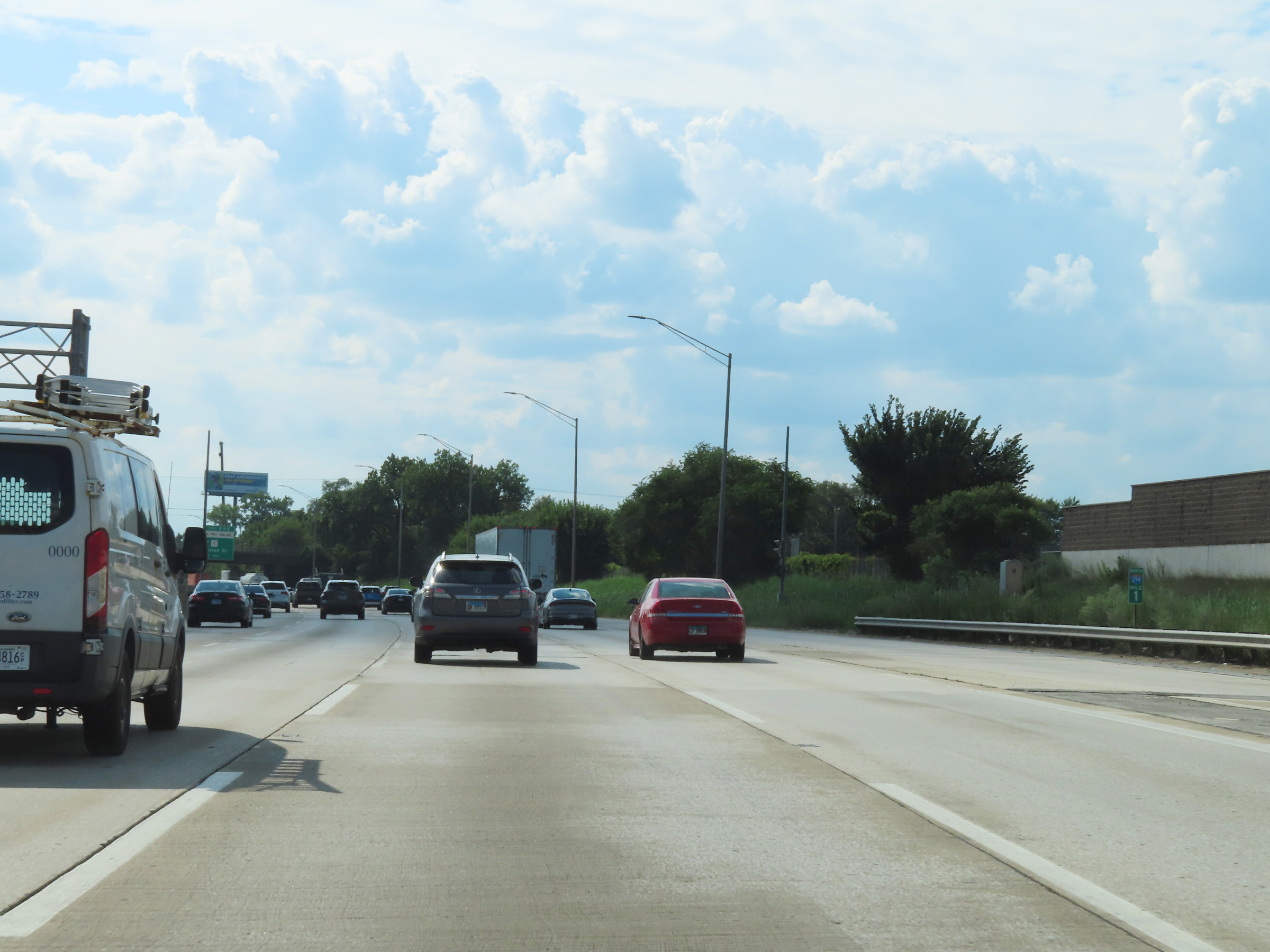 |
Interstate 80 West / Interstate 294 North at mile marker 1. (Photo taken 8/19/22). |
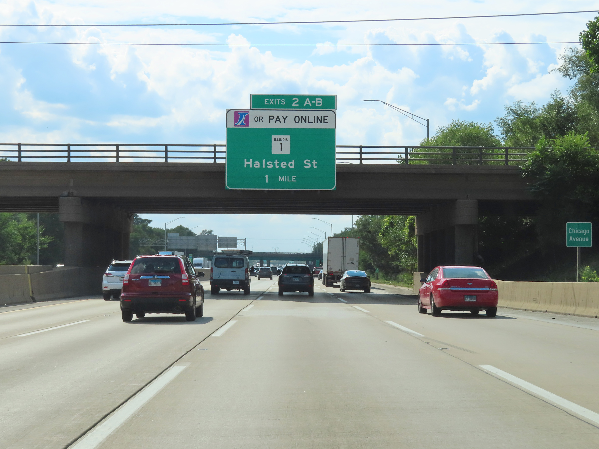 |
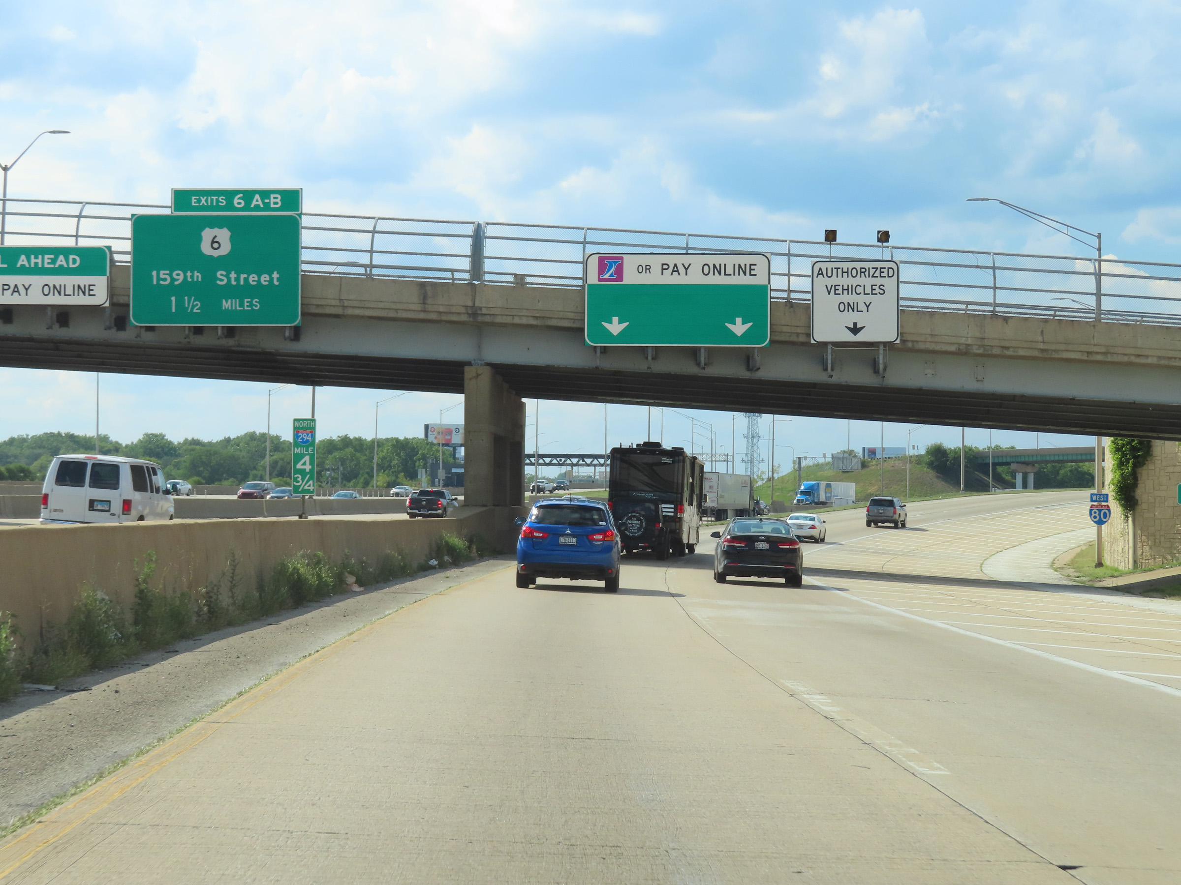
Advance signage for Exits 2A-B on Interstate 80 West / Interstate 294 North - 1 mile ahead. At these exits, I-Pass/EZ Pass and Pay Online are the only payment options. (Photo taken 8/19/22). |
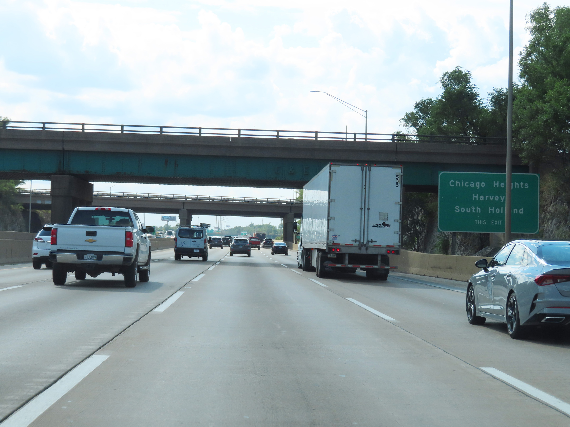 |
Take Exits 2A-B to Chicago Heights, Harvey, and South Holland. (Photo taken 8/19/22). |
 |
View on Interstate 80 West / Interstate 294 North at mile marker 1.75, as the duplex passes over Thornton Quarry. (Photo taken 8/19/22). |
 |
Also take Exits 2A-B to Prairie State College and South Suburban College. (Photo taken 8/19/22). |
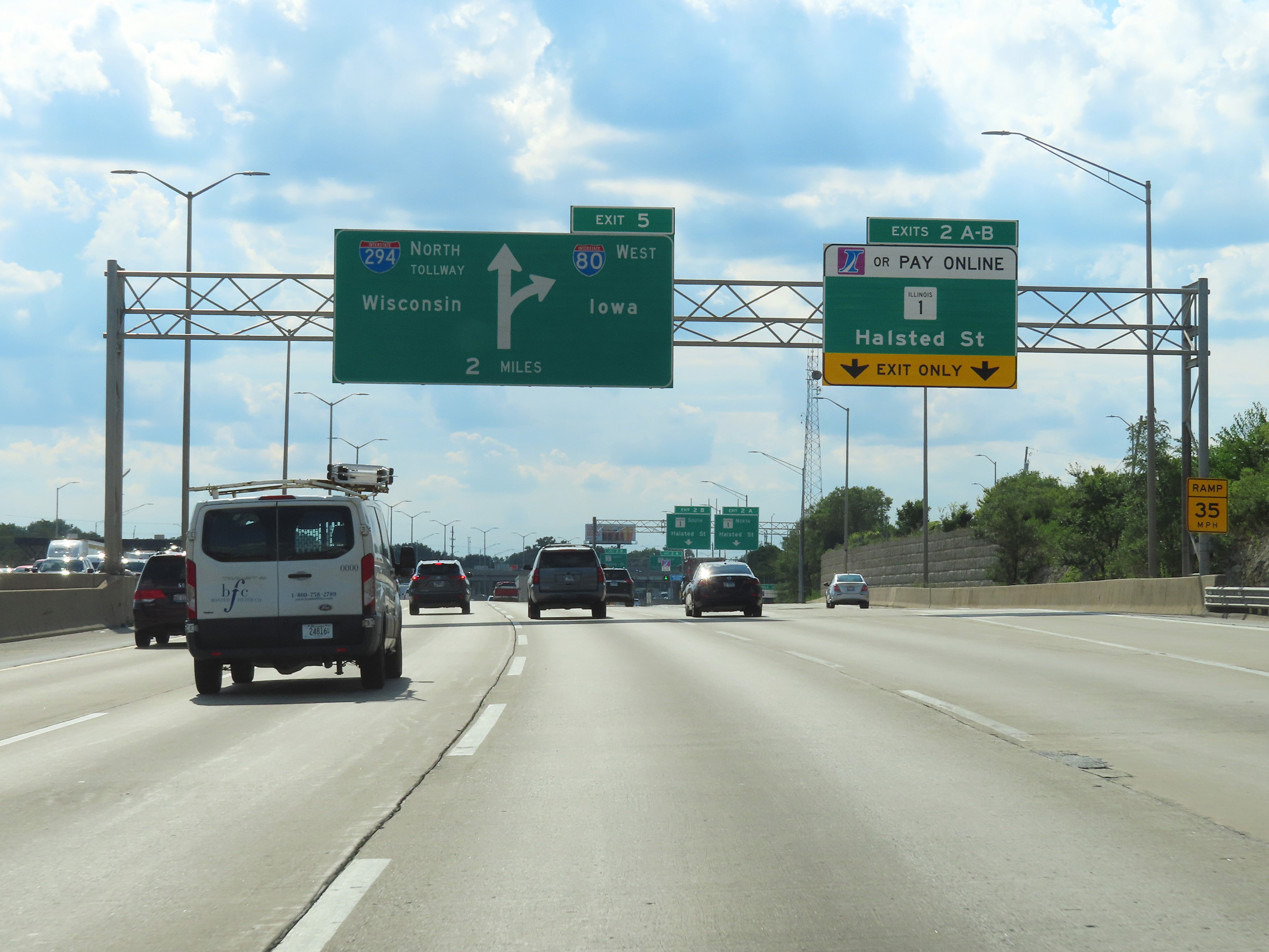 |
Interstate 80 West / Interstate 294 North at Exits 2A-B: IL 1 - Halsted St (Photo taken 8/19/22). |
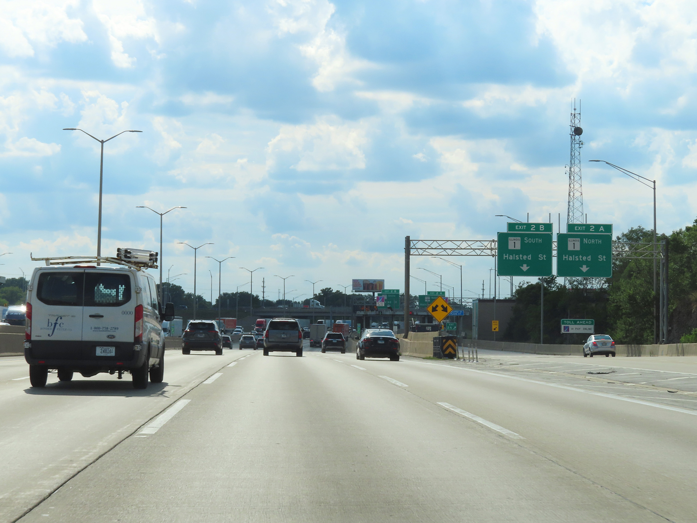 |
Interstate 80 West / Interstate 294 North at Exit 2A: IL 1 North - Halsted St (Photo taken 8/19/22). |
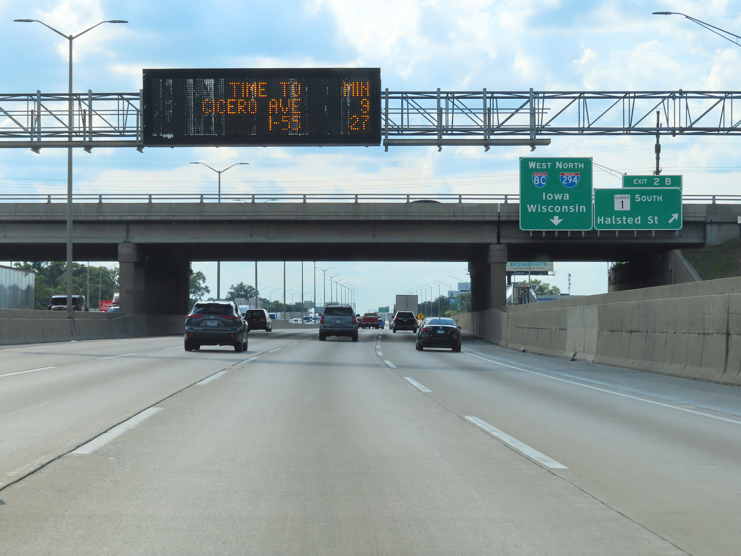 |
Interstate 80 West / Interstate 294 North at Exit 2B: IL 1 South - Halsted St (Photo taken 8/19/22). |
 |
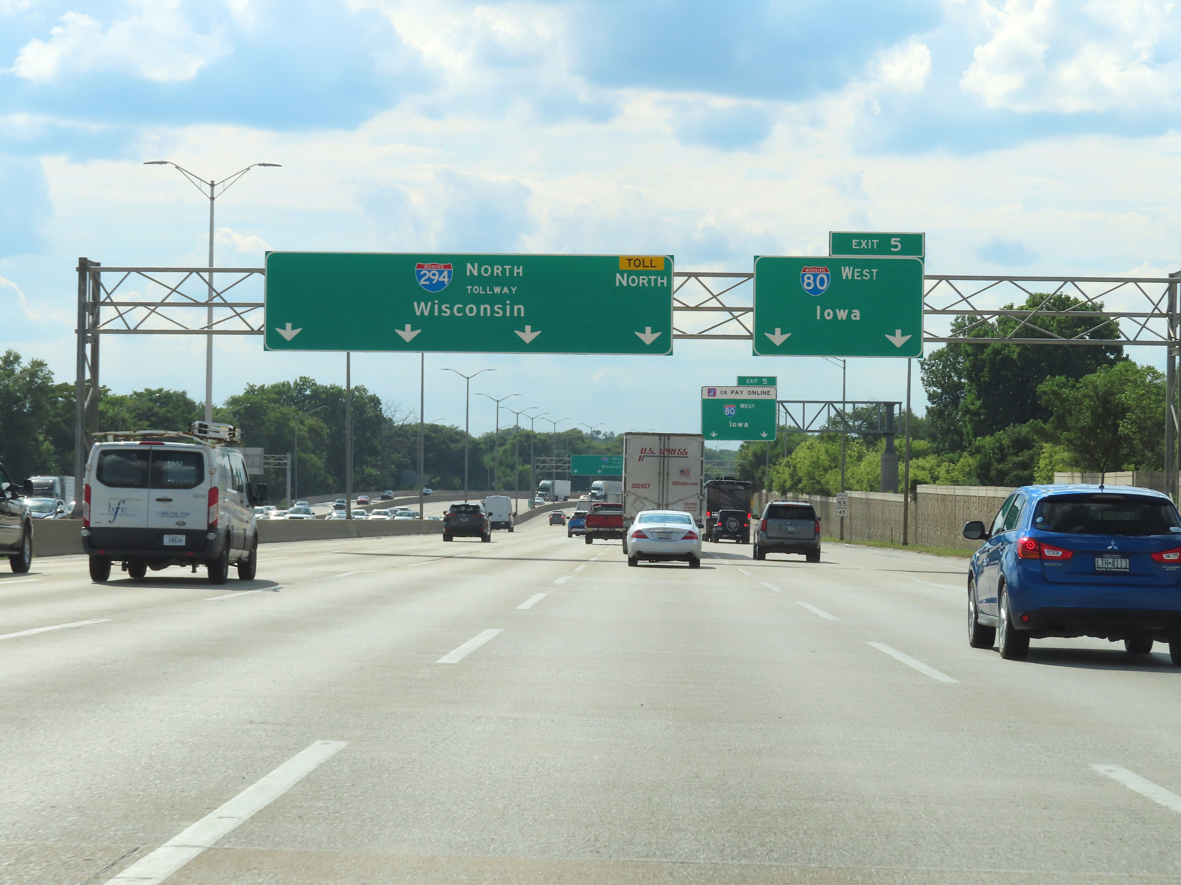
Interstate 80 West / Interstate 294 North approaching Exit 5 - 1 mile. Exit 5 is the point at which I-80 West will depart from I-294 North and will leave the Tri-State Tollway. (Photo taken 8/19/22). |
 |
View on Interstate 80 West / Interstate 294 North at mile marker 3.75. (Photo taken 8/19/22). |
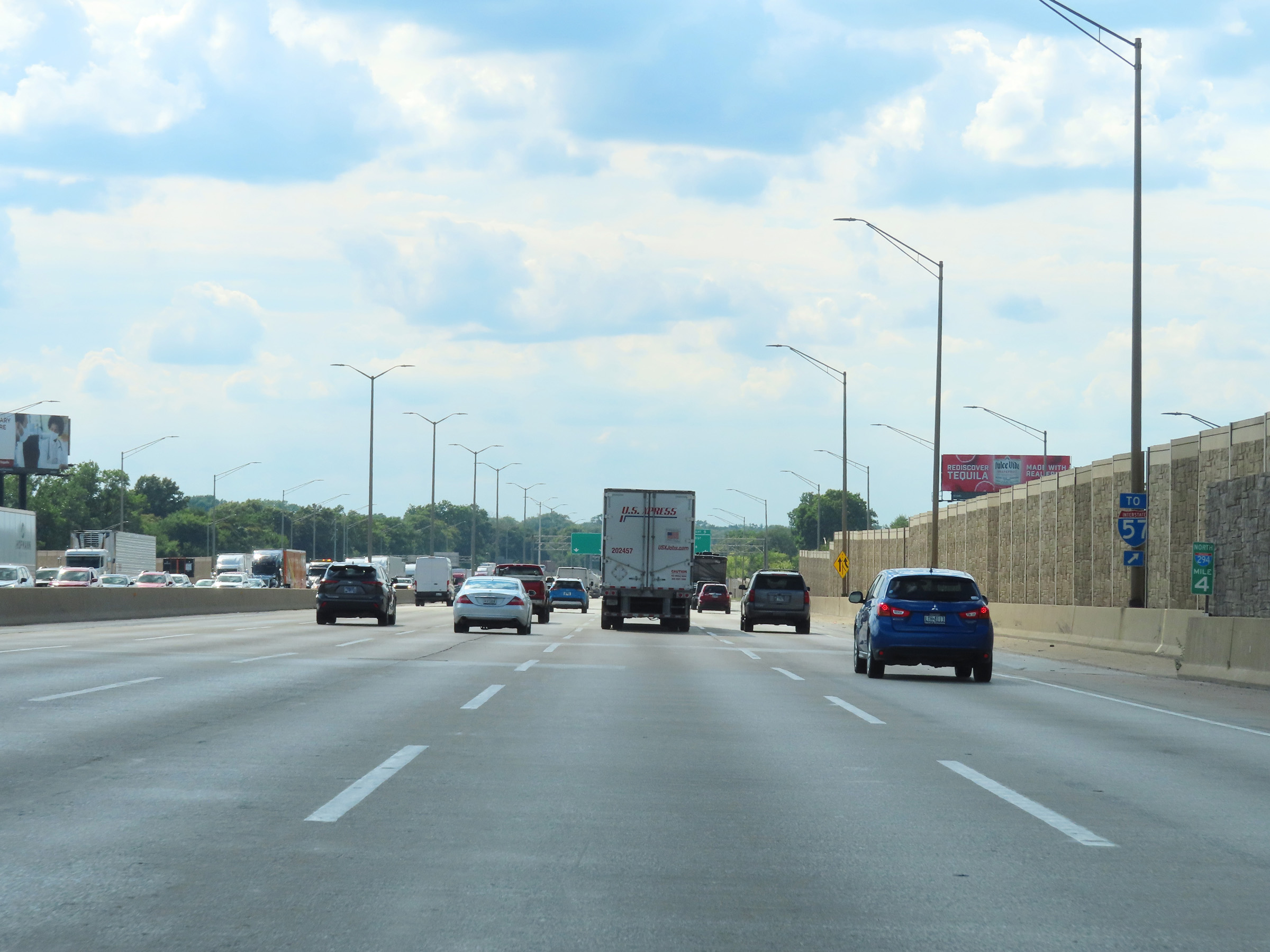 |
This sign at mile marker 4 shows that traffic to Interstate 57 should take Exit 5 ahead and follow Interstate 80 West. (Photo taken 8/19/22). |
 |
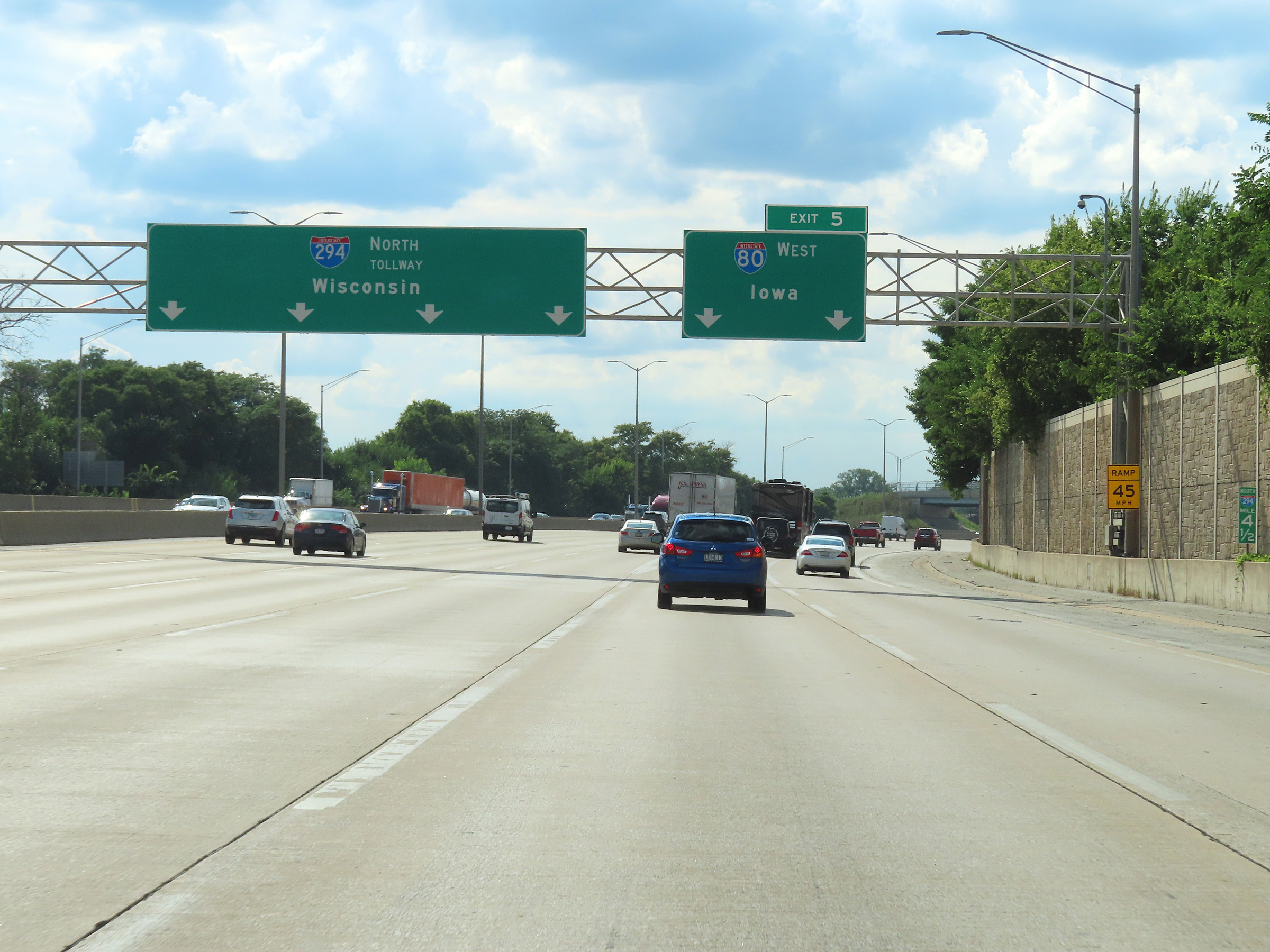
Approaching Exit 5, Interstate 80 West thru traffic must move right and use the two right lanes. (Photo taken 8/19/22). |
 |
Interstate 80 West / Interstate 294 North at Exit 5: Interstate 80 West - Iowa (Photo taken 8/19/22). |
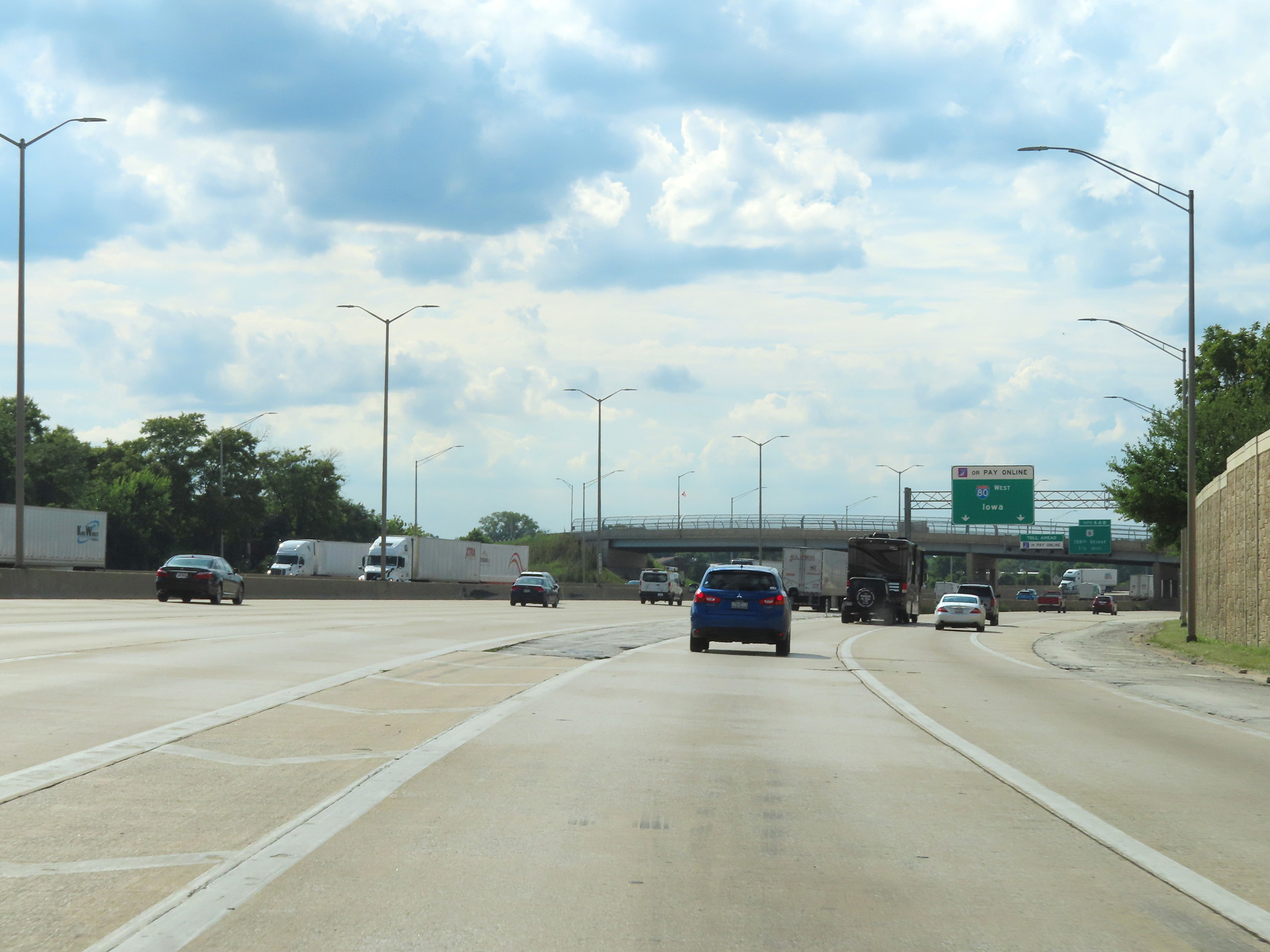 |
View on Interstate 80 West as it departs Interstate 294 North and the Tri-State Tollway via Exit 5. (Photo taken 8/19/22). |
 |
This overhead signage shows that I-Pass/EZ Pass or Pay Online are the only payment options at the I-80 West toll plaza ahead. (Photo taken 8/19/22). |
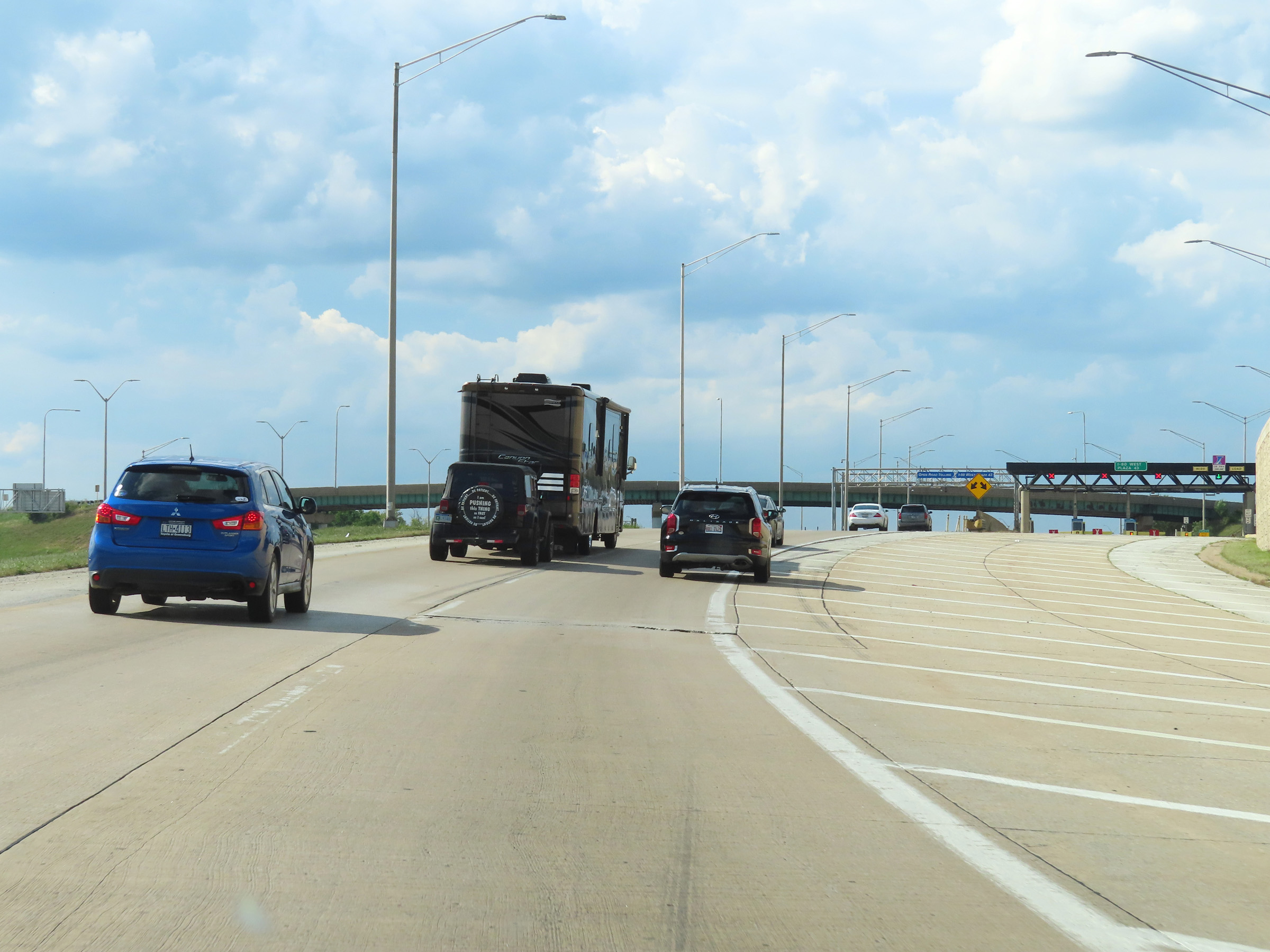 |
View on Interstate 80 West as the I-80 West toll plaza comes into view ahead. (Photo taken 8/19/22). |
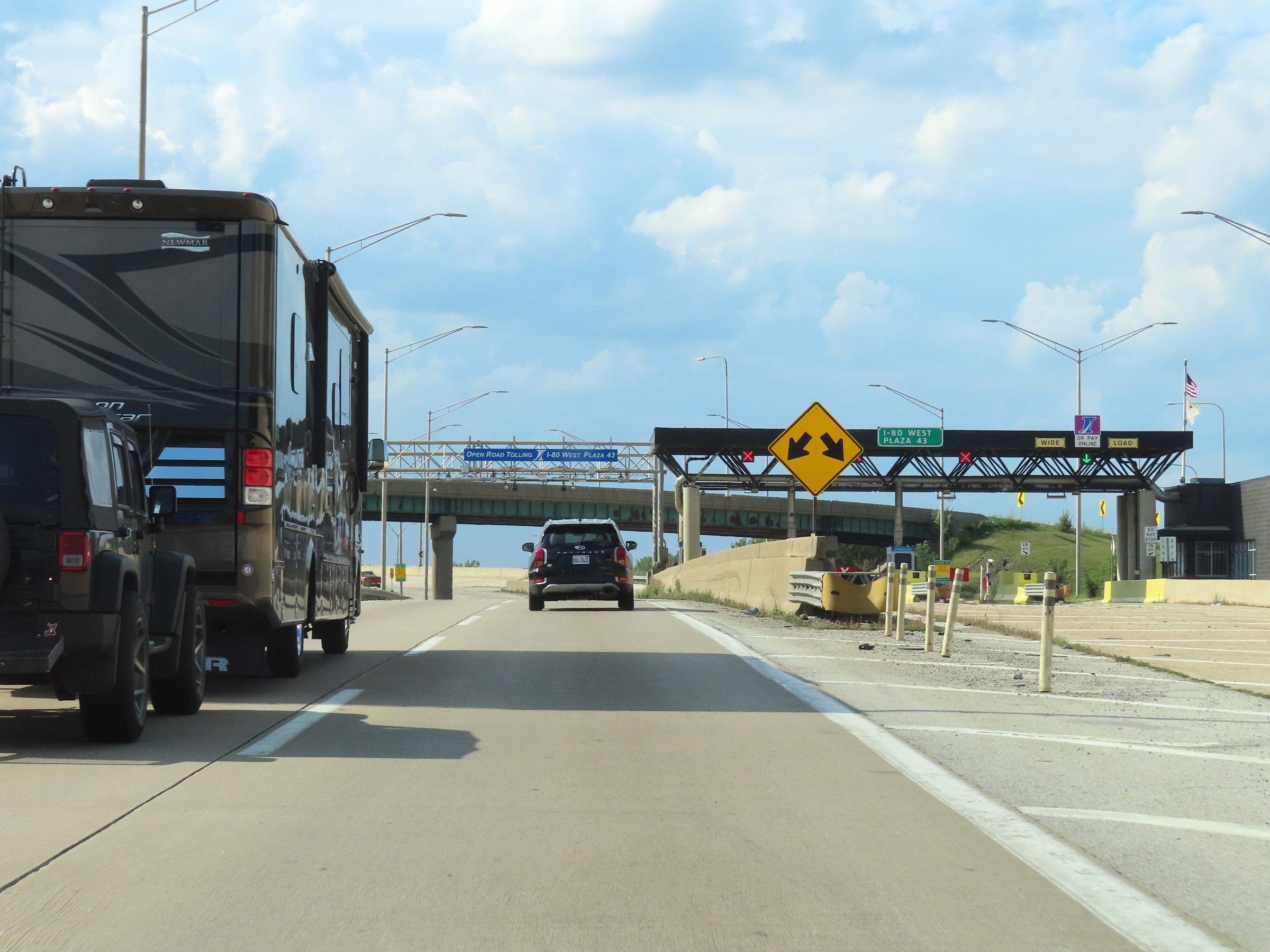 |
Interstate 80 West at the I-80 West toll plaza, as we see the express toll lanes straight ahead and the toll plaza on the right. (Photo taken 8/19/22). |
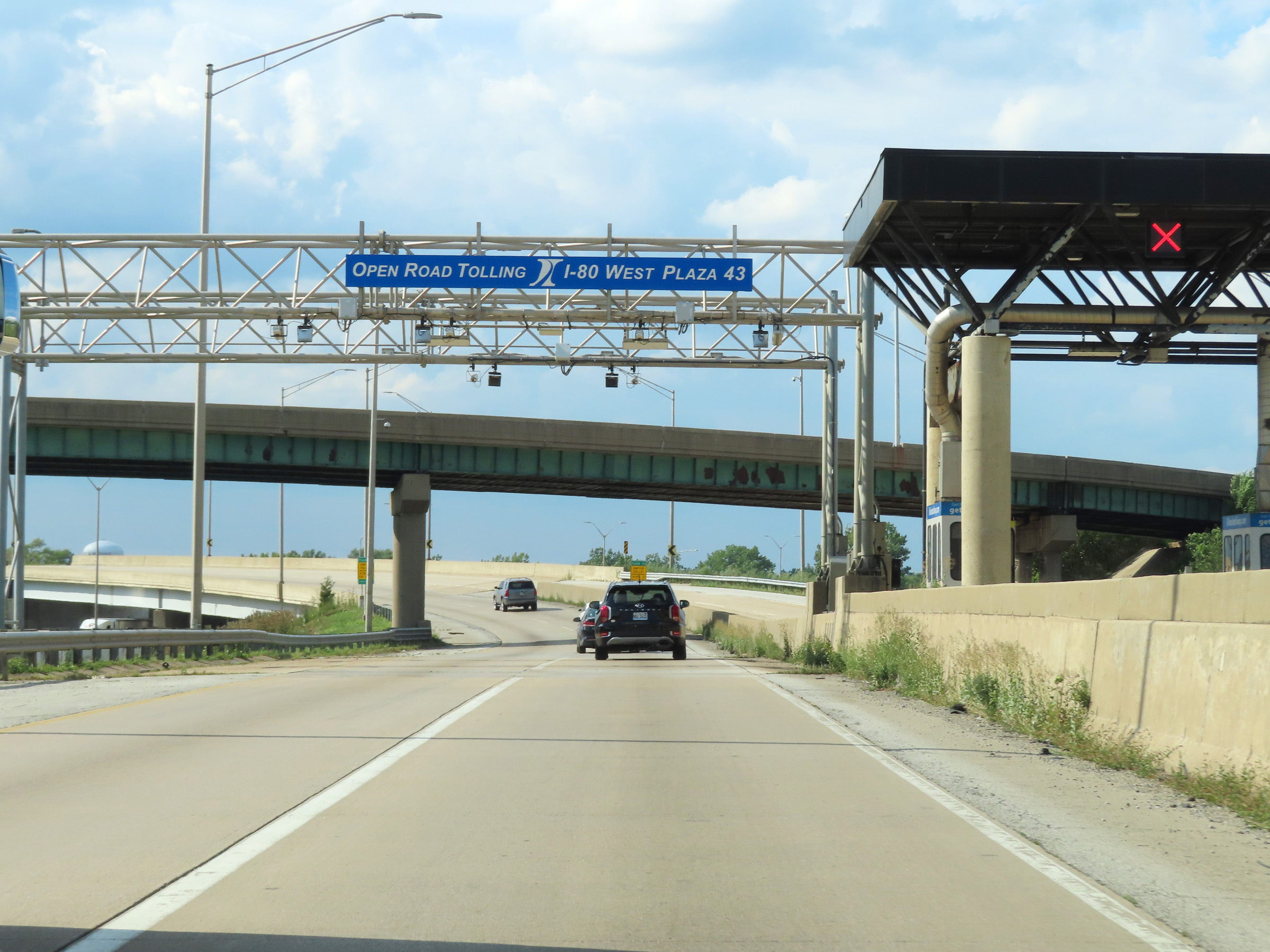 |
View on Interstate 80 West as it passes under the I-80 West toll plaza's toll gantry in the express toll lanes. (Photo taken 8/19/22). |
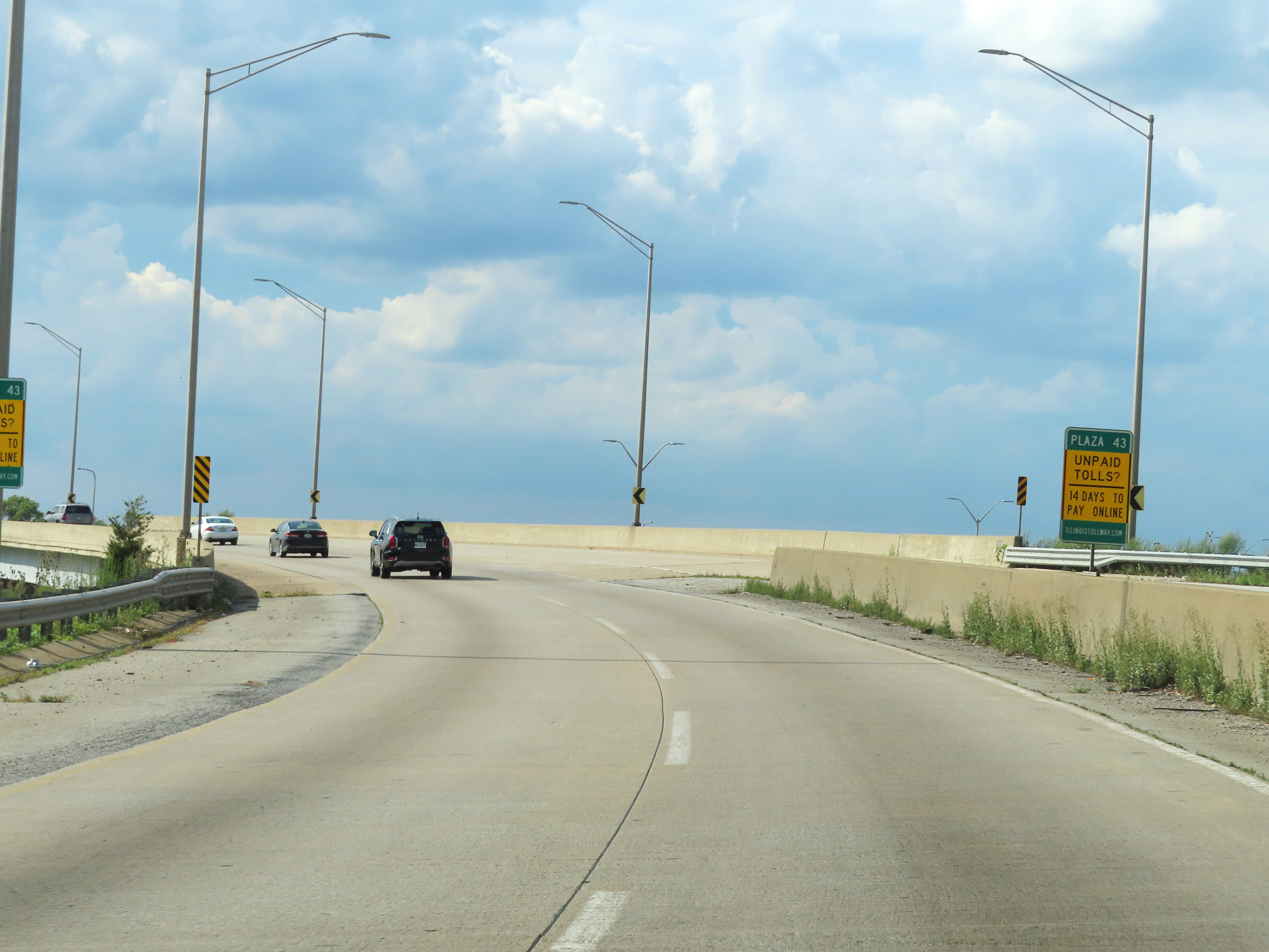 |
As this sign says, if you choose to pay online and don't have an I-Pass/EZ Pass transponder, you have 14 days to pay online at illinoistollway.com. (Photo taken 8/19/22). |
 |
Interstate 80 West maintains two thru lanes leaving the toll plaza as it curves to the west. (Photo taken 8/19/22). |
 |
View on Interstate 80 West as it gains a third thru lane, now facing west after having departed Interstate 294 North. (Photo taken 8/19/22). |
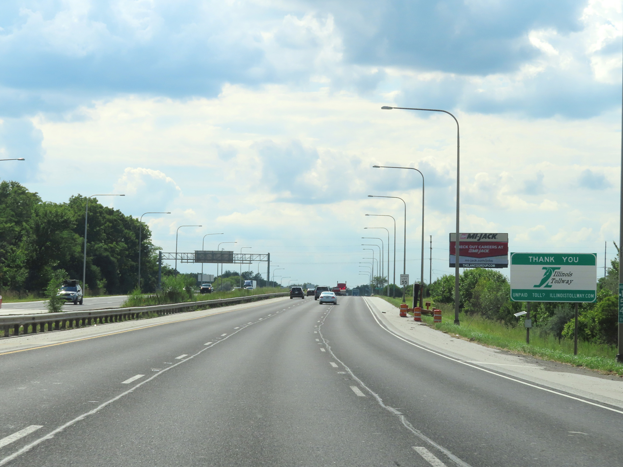 |
This sign at mile marker 154.84 thanks you for using the Illinois Tollway during your brief 5-mile distance on its part of the Tri-State Tollway. (Photo taken 8/19/22). |
 |
The maximum speed limit remains 55 mph on Interstate 80 West. (Photo taken 8/19/22). |
 |
View on Interstate 80 West at mile marker 154. (Photo taken 8/19/22). |
 |
Interstate 80 West approaching Exits 151A-B - 1 mile. Exit 151A will be on the left. (Photo taken 8/19/22). |
 |
Mile marker 152.58 on Interstate 80 West in Cook County. (Photo taken 8/19/22). |
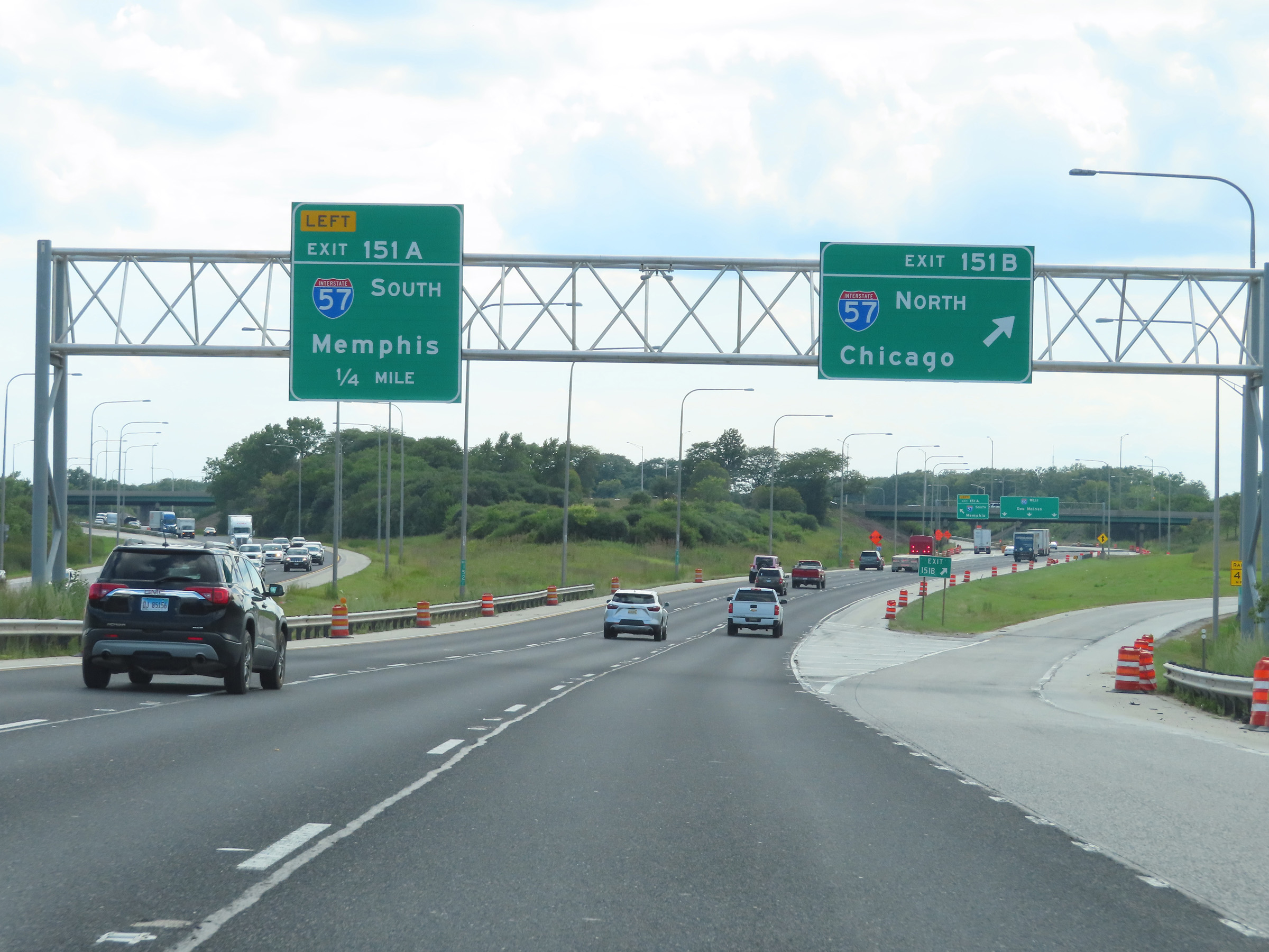 |
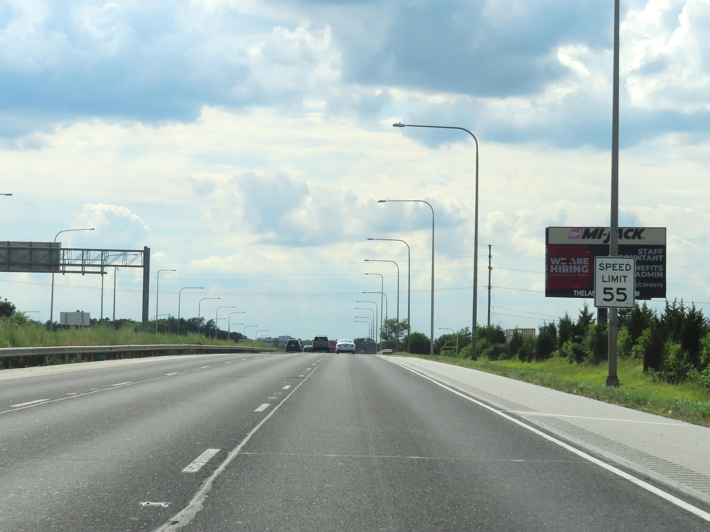
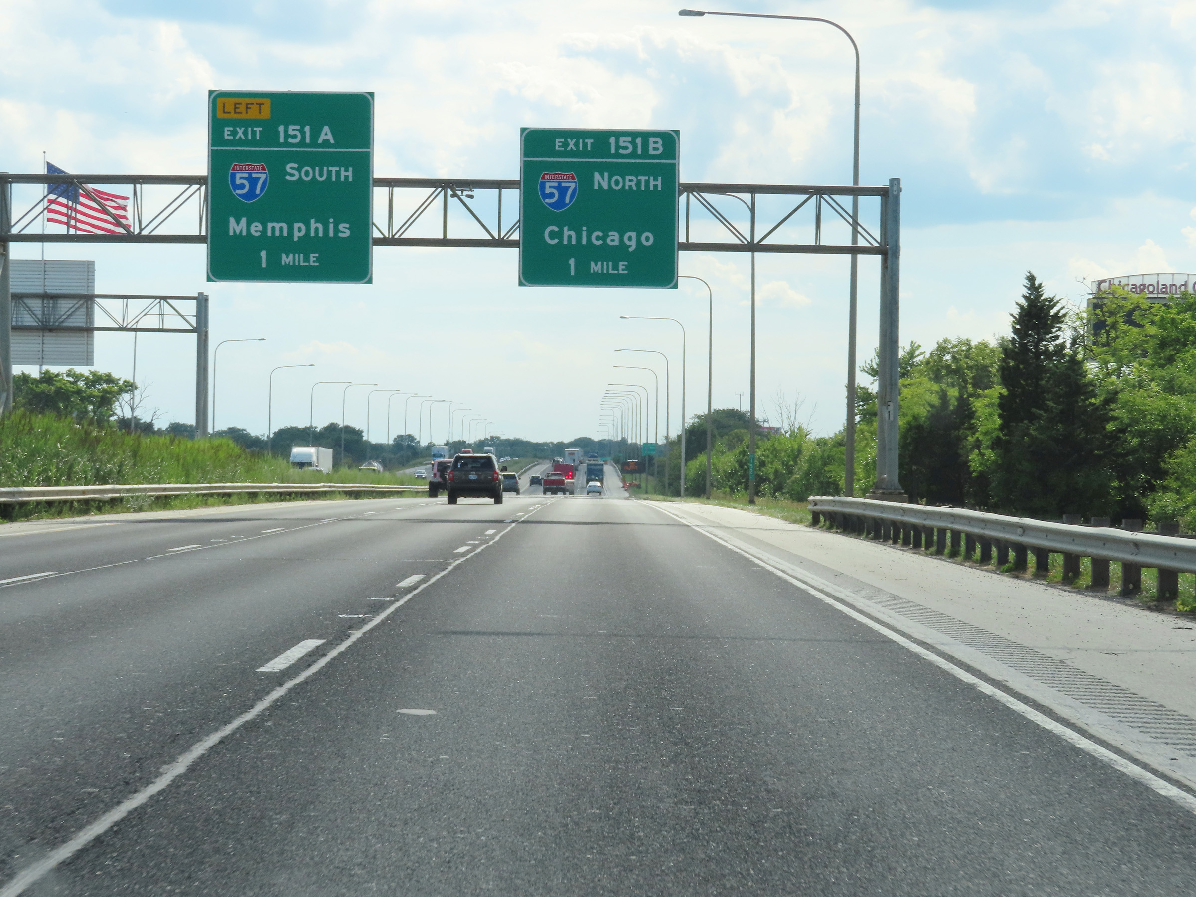
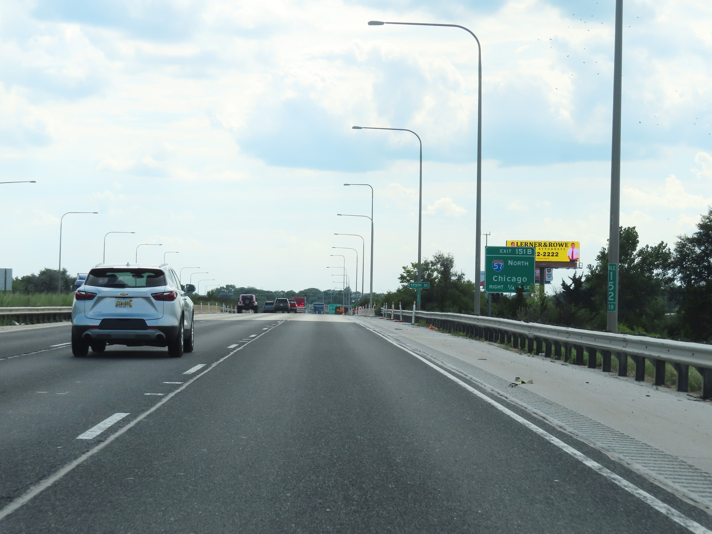
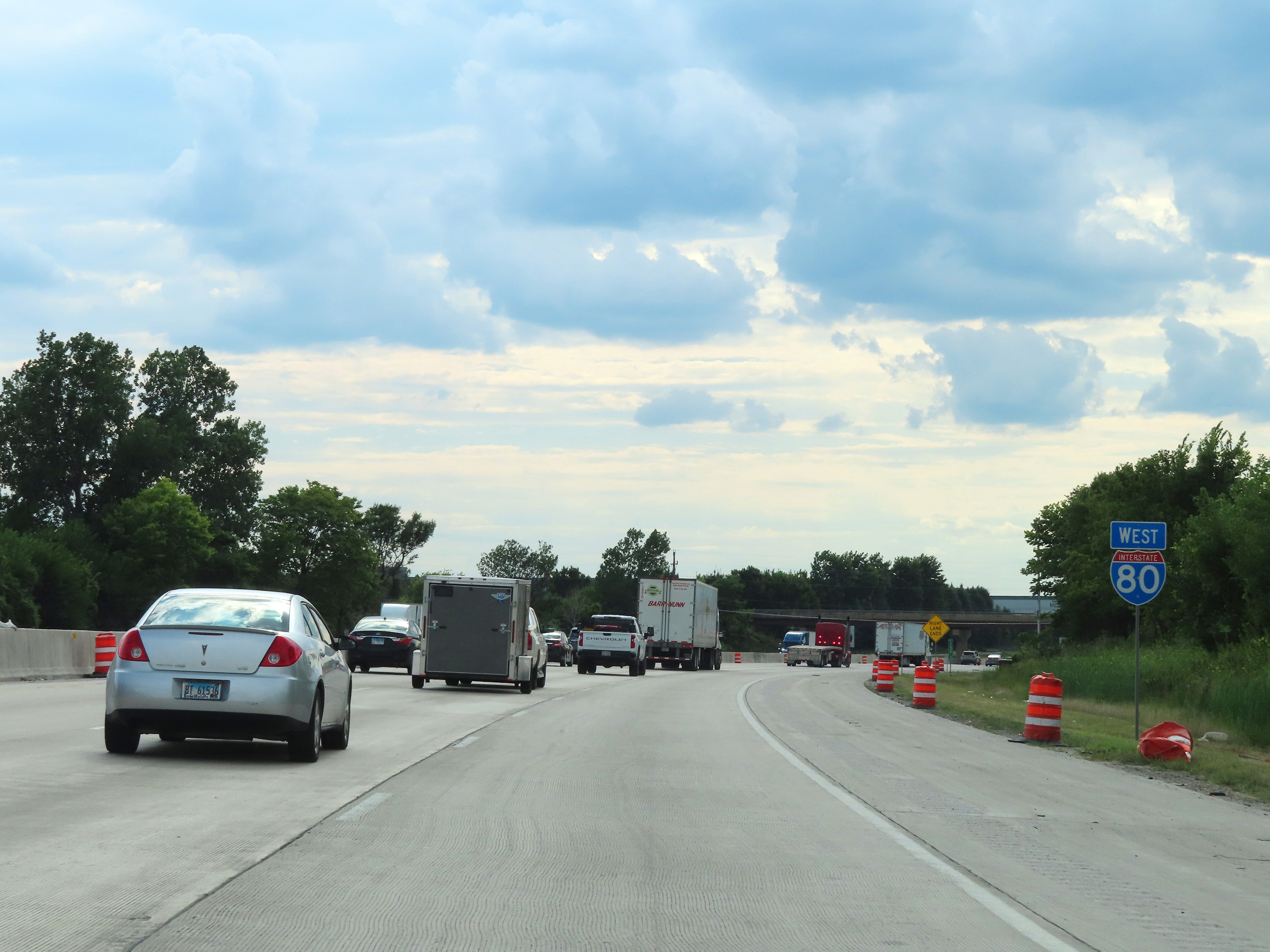
Interstate 80 West at Exit 151B: Interstate 57 North - Chicago (Photo taken 8/19/22). |
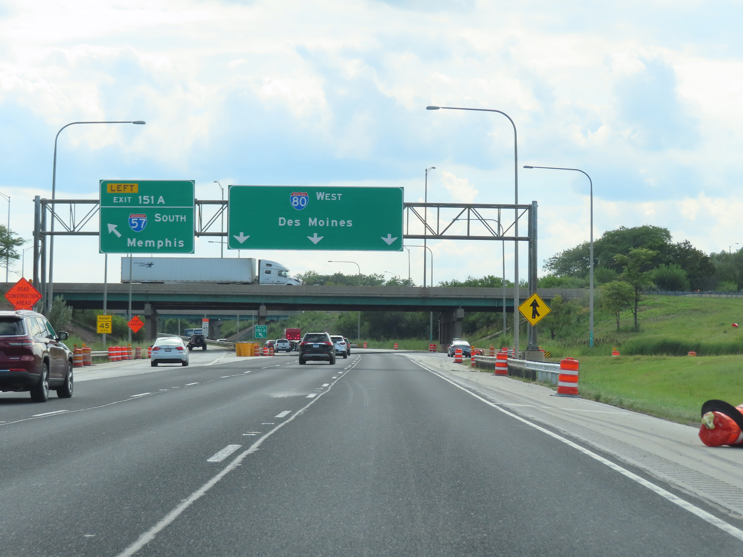 |
Interstate 80 West at Exit 151A: Interstate 57 South - Memphis (Photo taken 8/19/22). |
Section 2: Country Club Hills (Exit 151A) to Joliet (Exit 131)
 |
Interstate 80 West reassurance shield at mile marker 151.04. (Photo taken 8/19/22). |
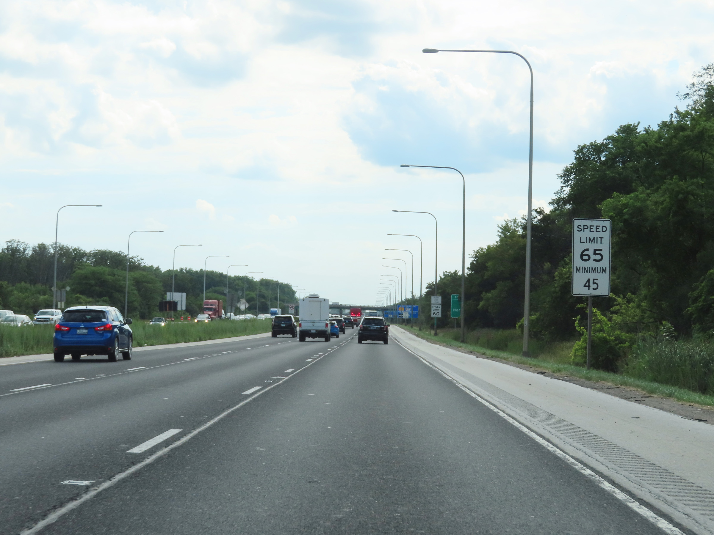 |
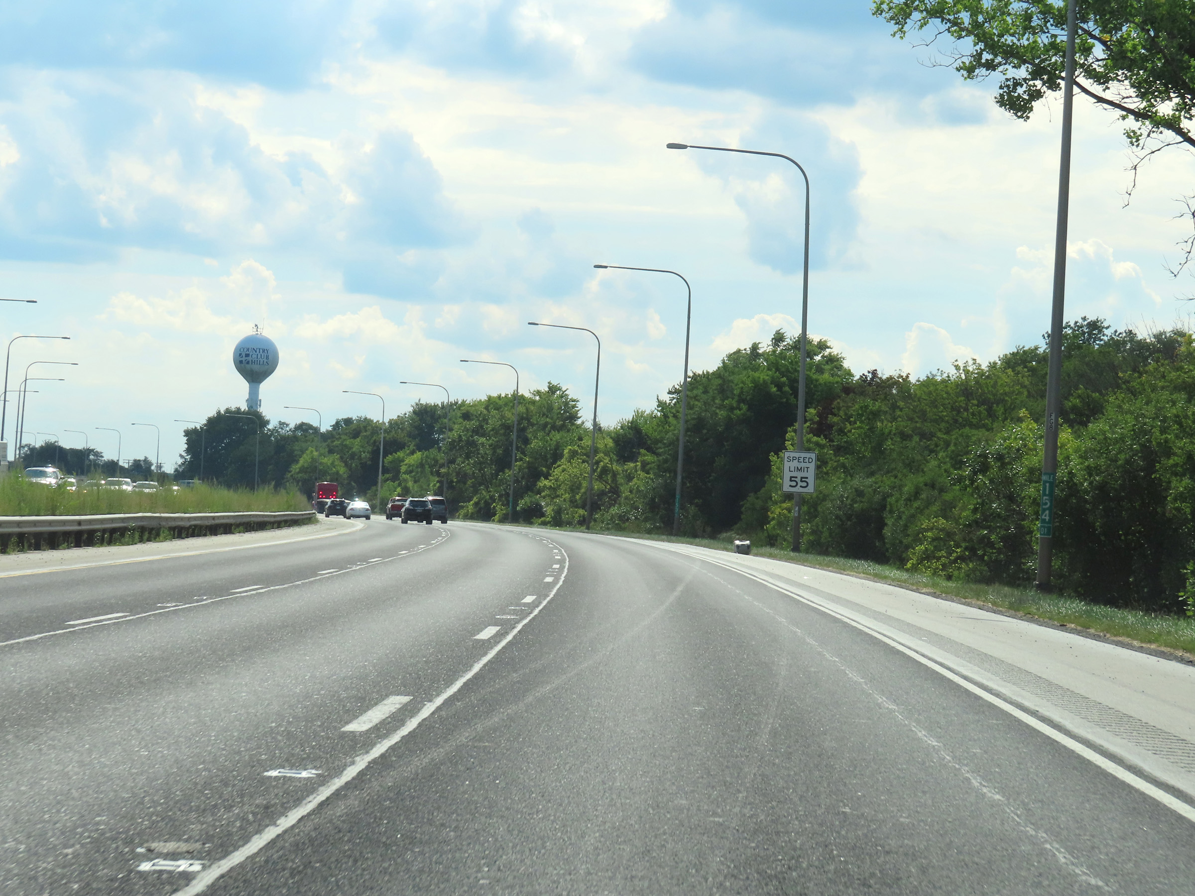
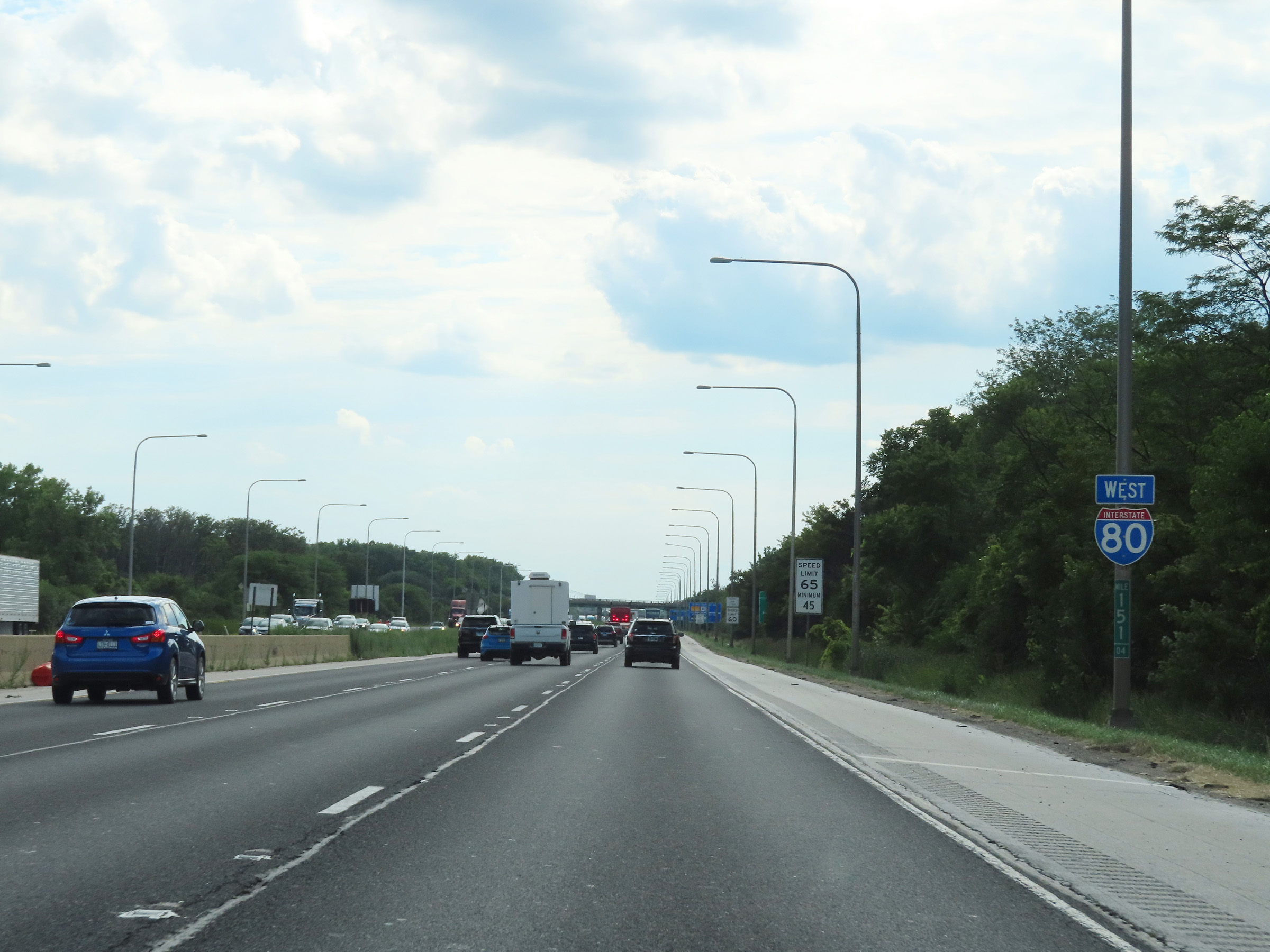
At mile marker 151, the maximum speed limit on Interstate 80 West increases to 65 mph. The minimum speed limit remains 45 mph. (Photo taken 8/19/22). |
 |
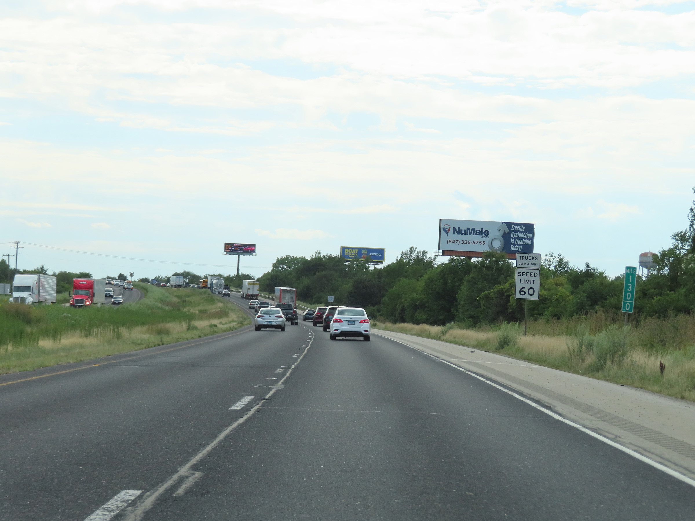
For the time being, the maximum speed limit for trucks over 4 tons on Interstate 80 West in 60 mph. That will change in a bit. (Photo taken 8/19/22). |
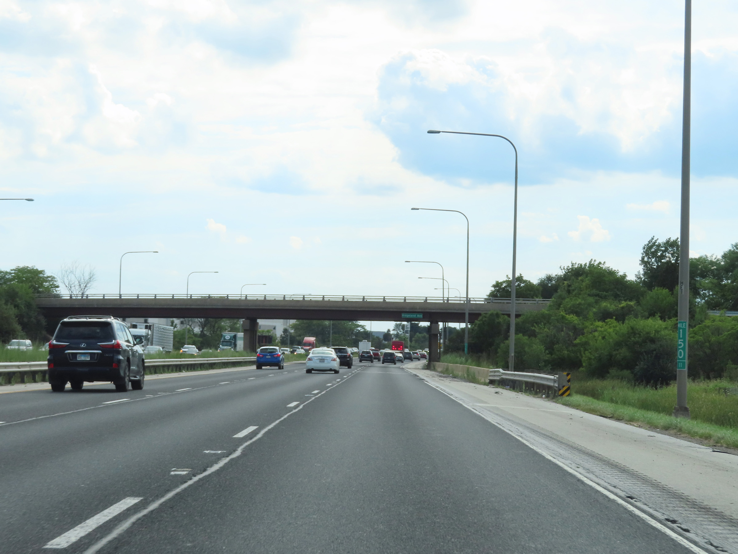 |
View on Interstate 80 West at mile marker 150.11. (Photo taken 8/19/22). |
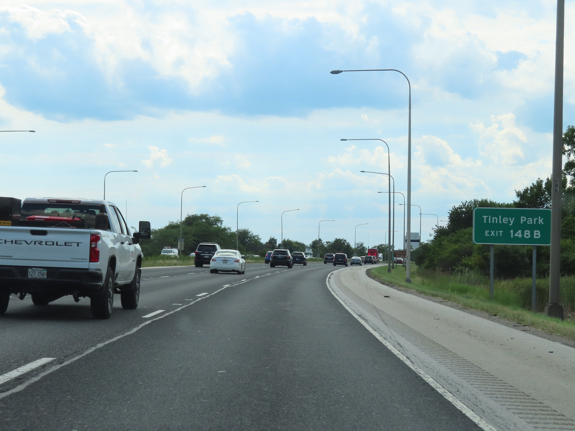 |
Take Exit 148B to Tinley Park. (Photo taken 8/19/22). |
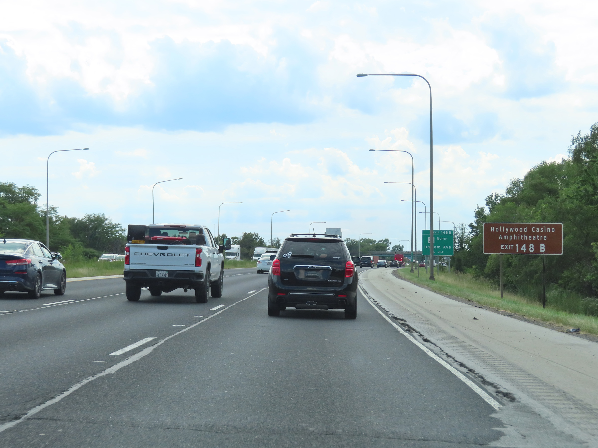 |
Also take Exit 148B to Hollywood Casino Amphitheatre. (Photo taken 8/19/22). |
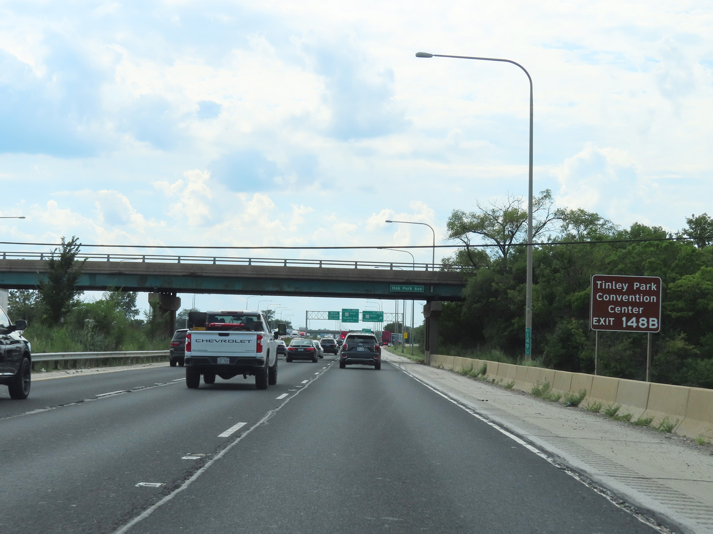 |
Traffic to Tinley Park Convention Center should also use Exit 148B. (Photo taken 8/19/22). |
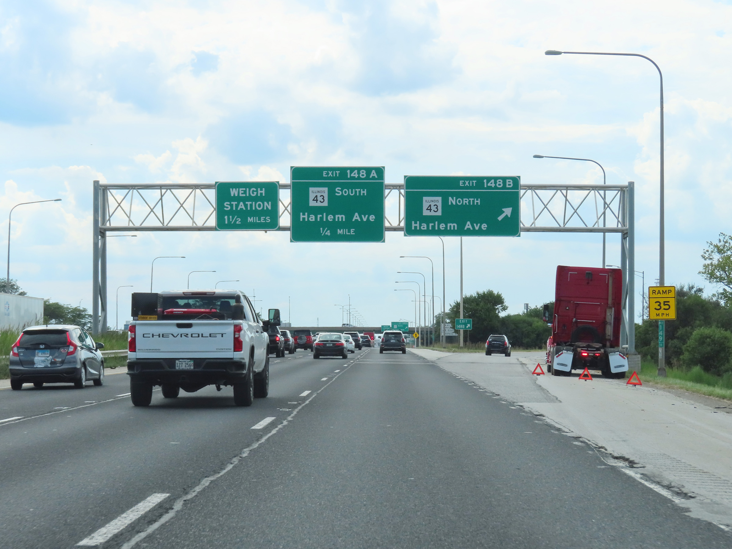 |
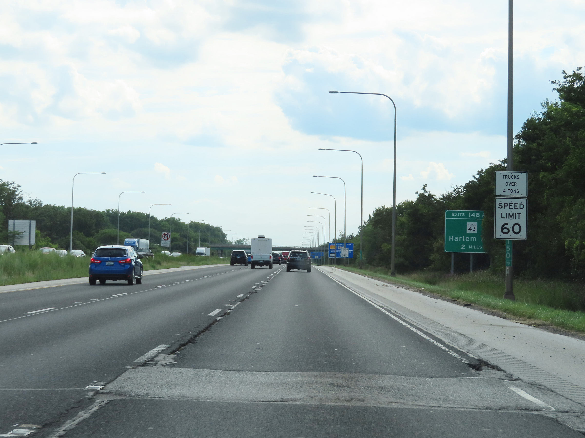
Interstate 80 West at Exit 148B: IL 43 North - Harlem Ave (Photo taken 8/19/22). |
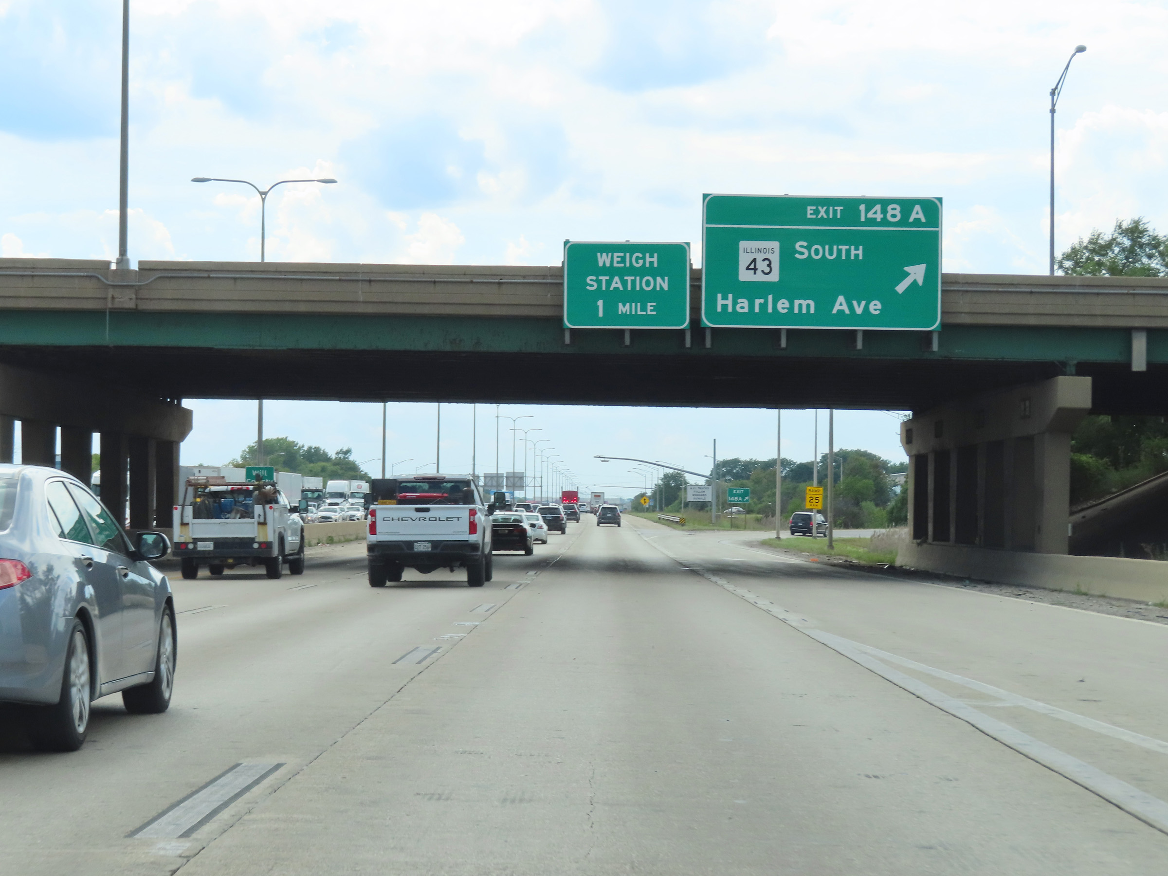 |
Interstate 80 West at Exit 148A: IL 43 South - Harlem Ave (Photo taken 8/19/22). |
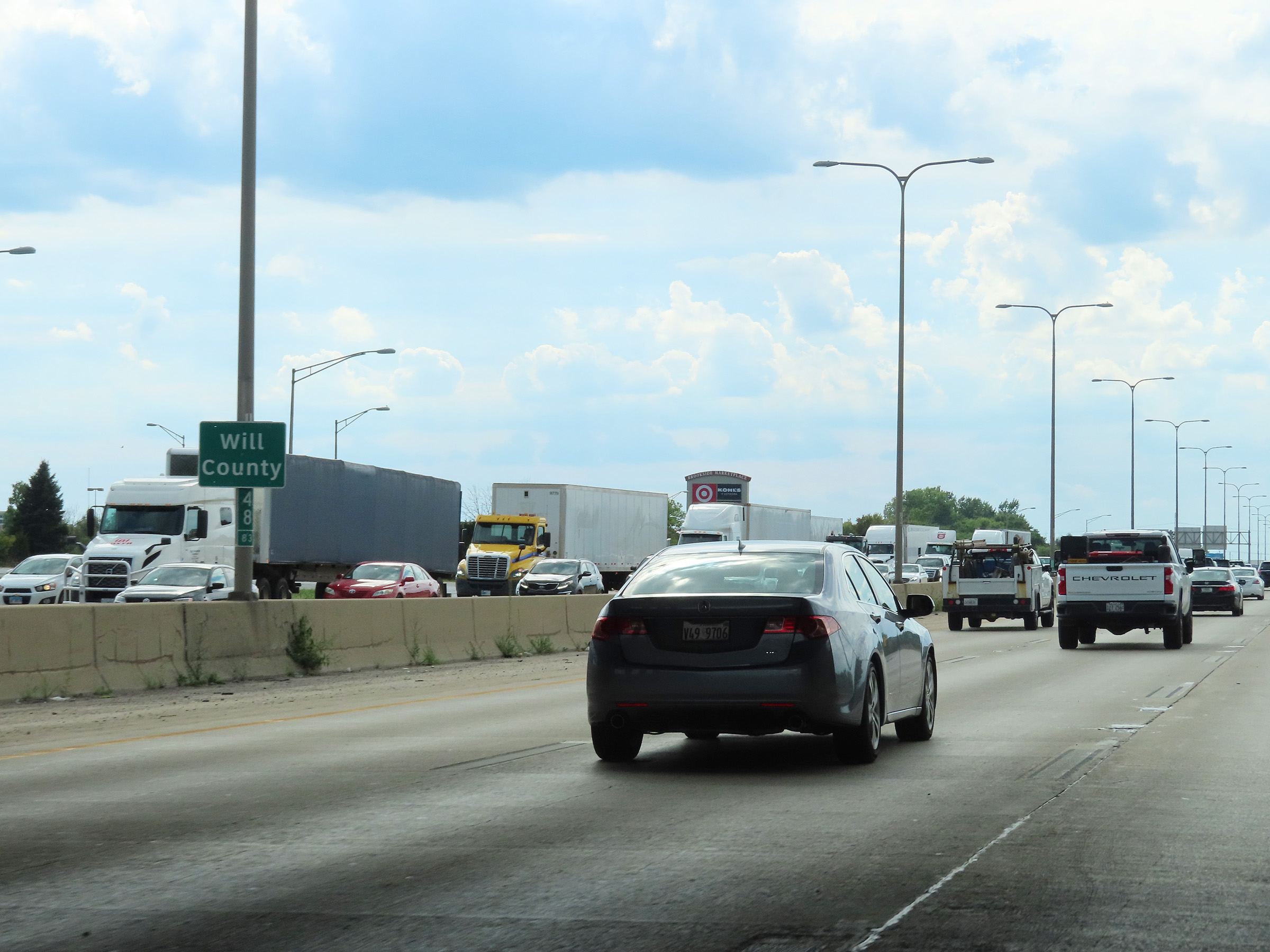 |
Interstate 80 West as it enters Will County. (Photo taken 8/19/22). |
 |
Another Interstate 80 West reassurance shield upon entering Will County. (Photo taken 8/19/22). |
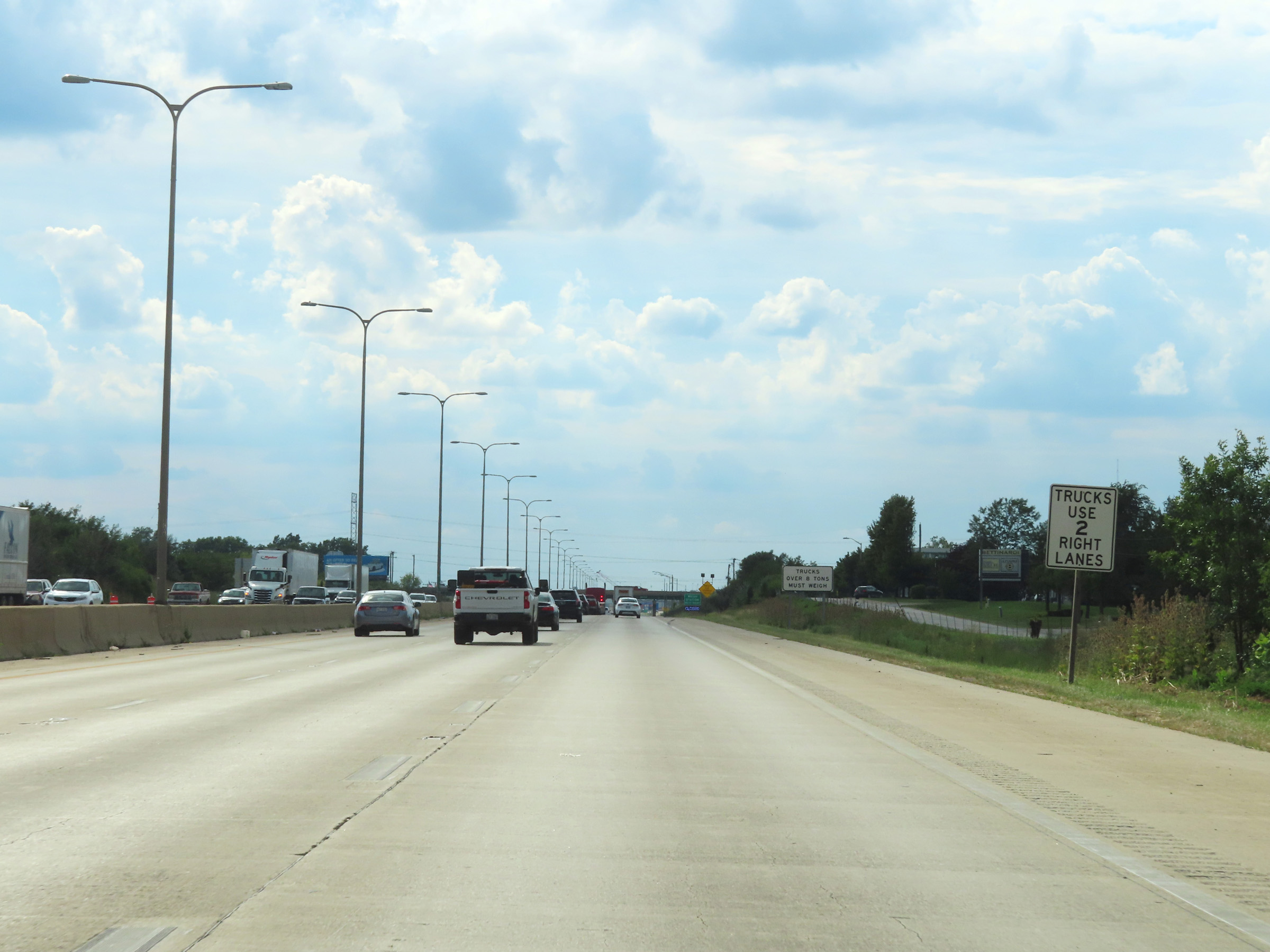 |
While there remains three thru lanes on Interstate 80 West, this sign states that trucks are restricted to the two right lanes. (Photo taken 8/19/22). |
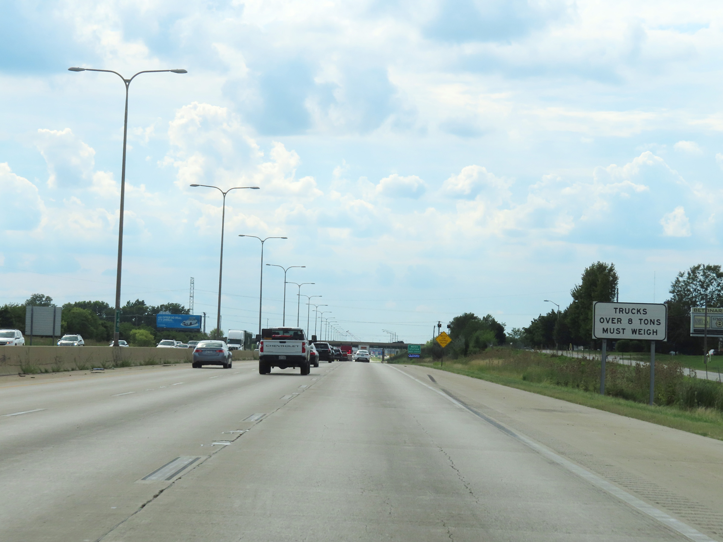 |
All trucks over 8 tons GVWR / GCWR must enter the Weigh Station ahead when it's open. (Photo taken 8/19/22). |
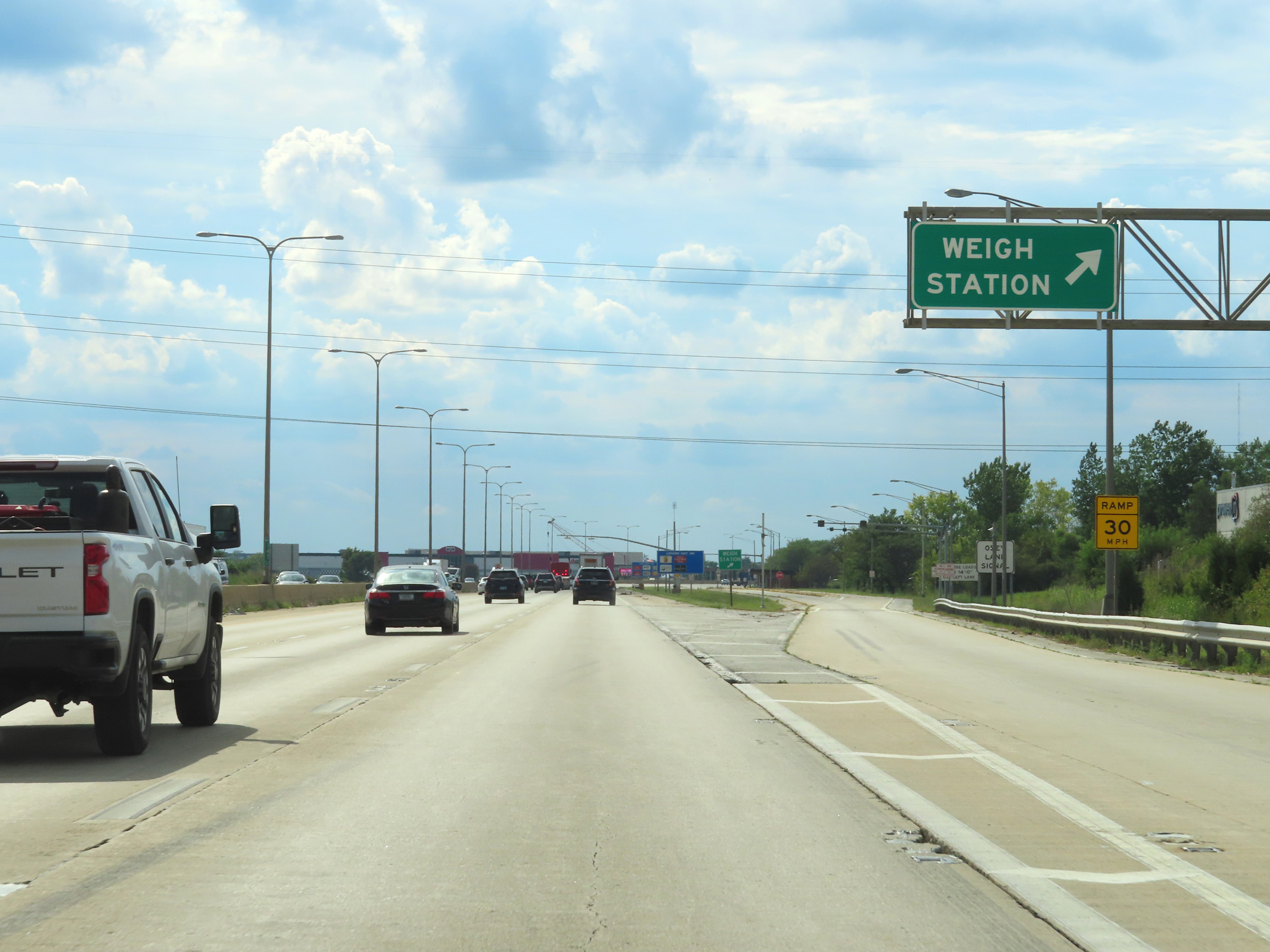 |
Weigh Station on Interstate 80 West in Will County. (Photo taken 8/19/22). |
 |
Interstate 80 West at mile marker 147. (Photo taken 8/19/22). |
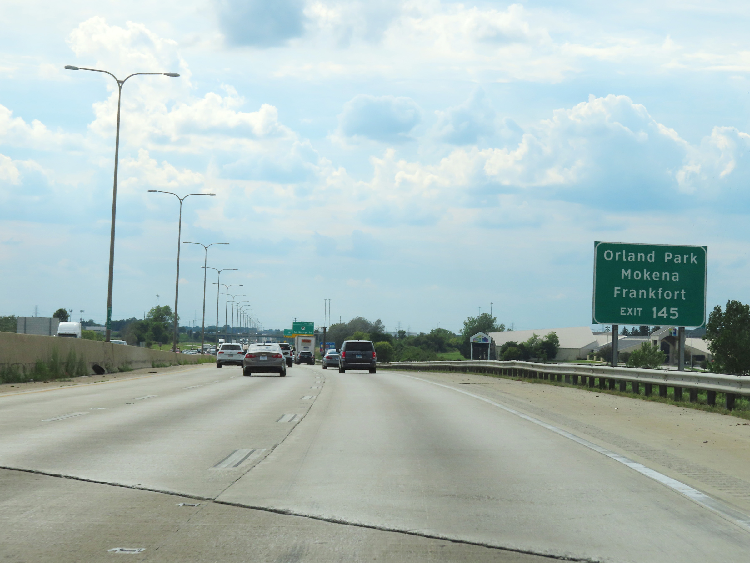 |
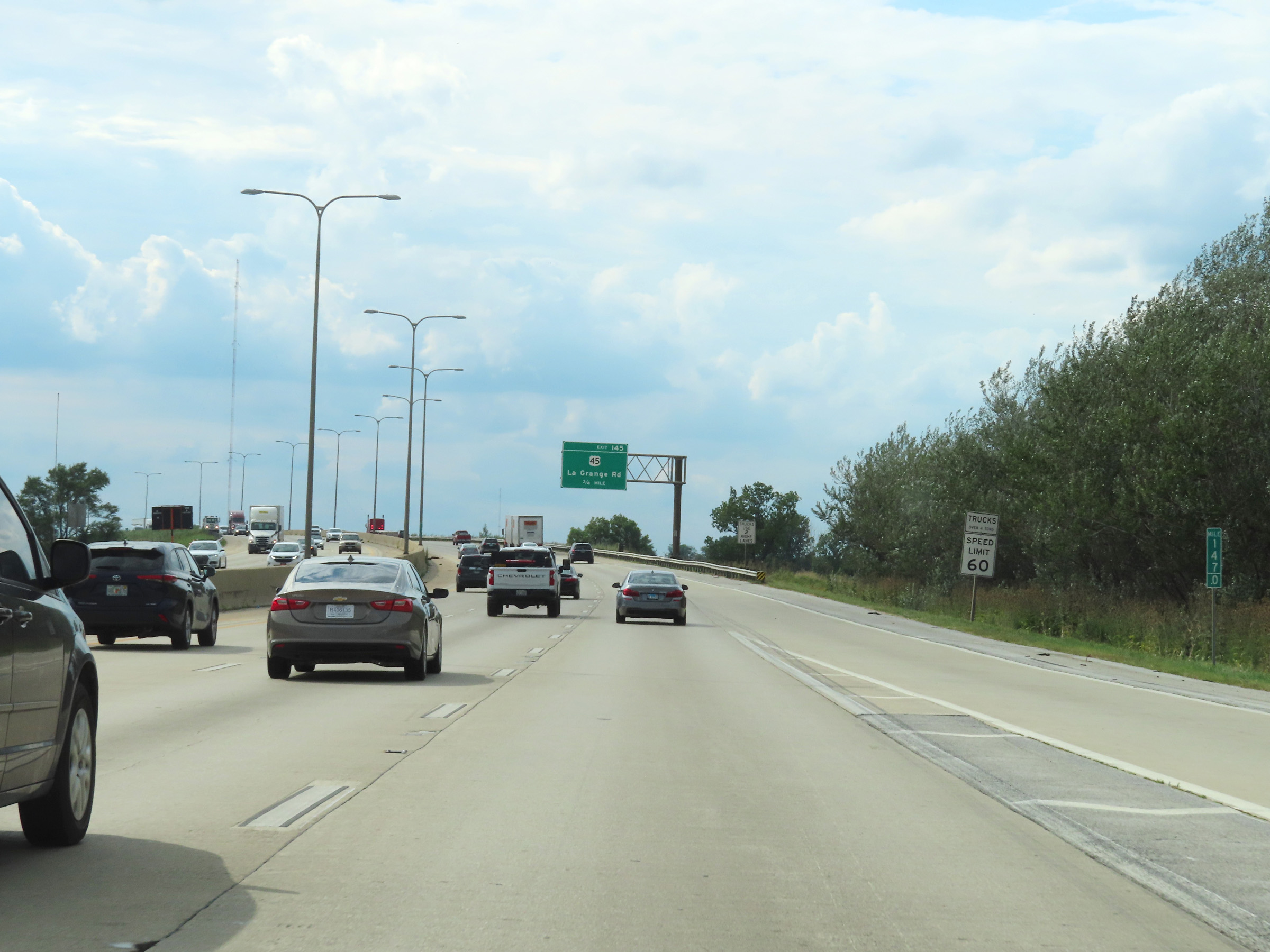
Take Exit 145 to Orland Park, Mokena, and Frankfort. (Photo taken 8/19/22). |
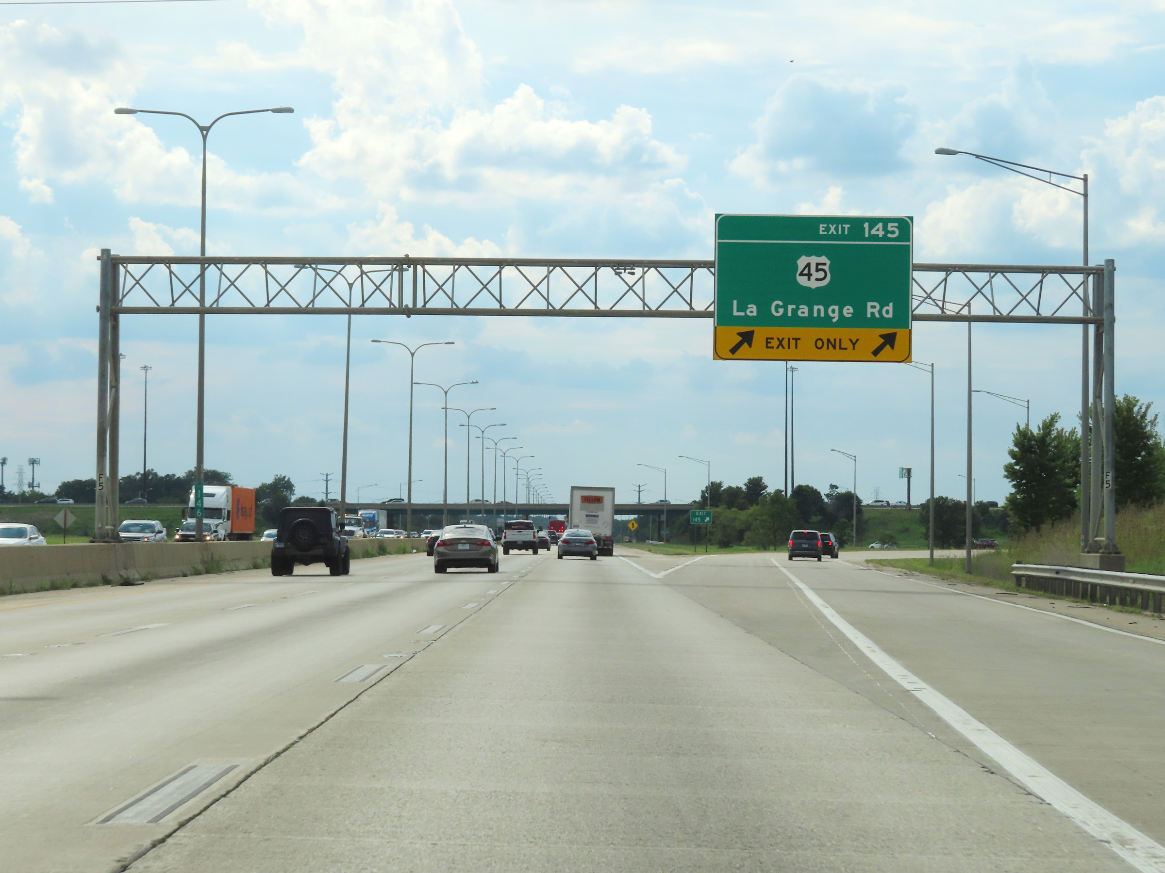 |
Interstate 80 West at Exit 145: US 45 - La Grange Rd (Photo taken 8/19/22). |
 |
Mile marker 144 on Interstate 80 West in Will County. (Photo taken 8/19/22). |
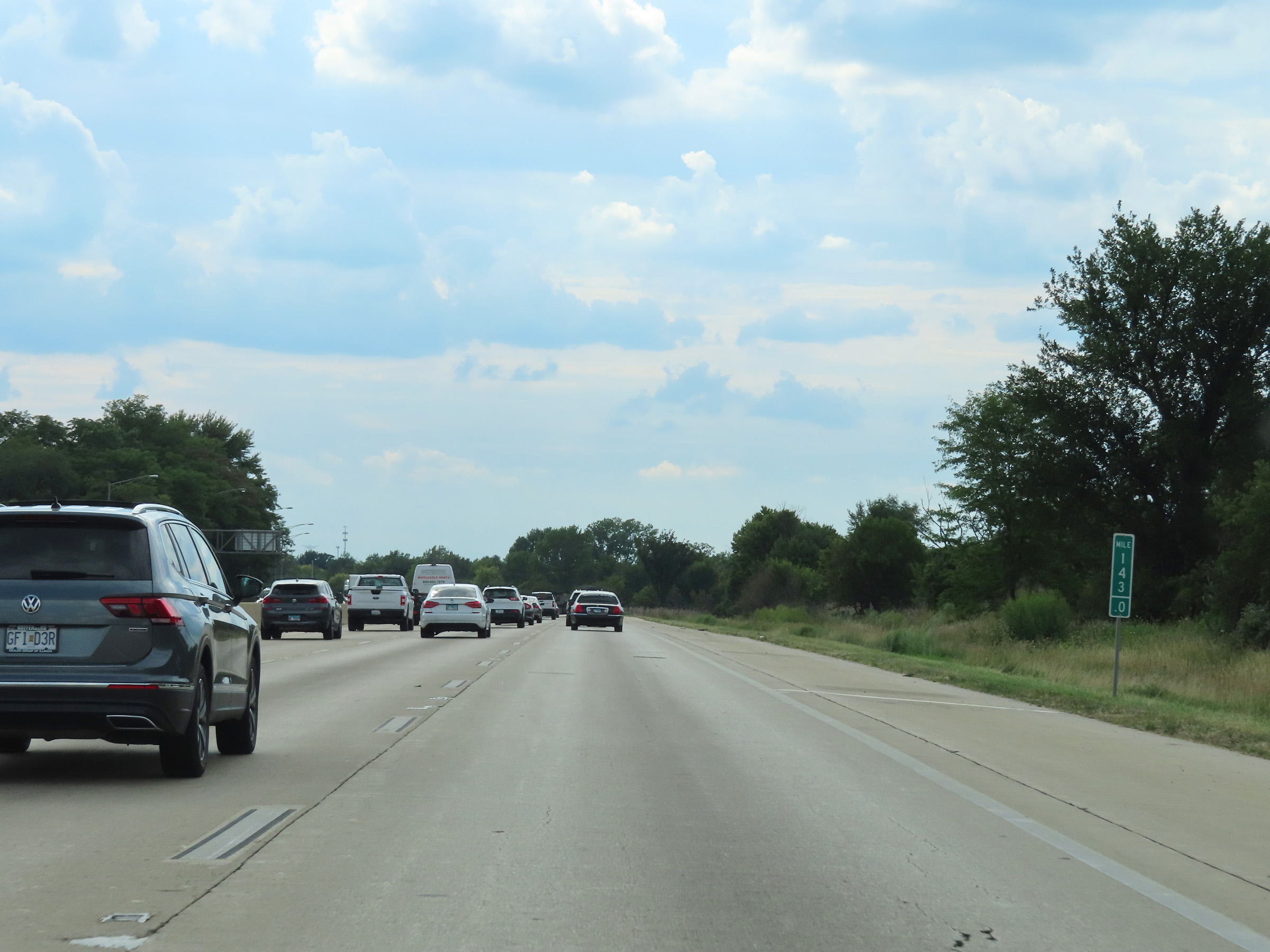 |
View on Interstate 80 West at mile marker 143. (Photo taken 8/19/22). |
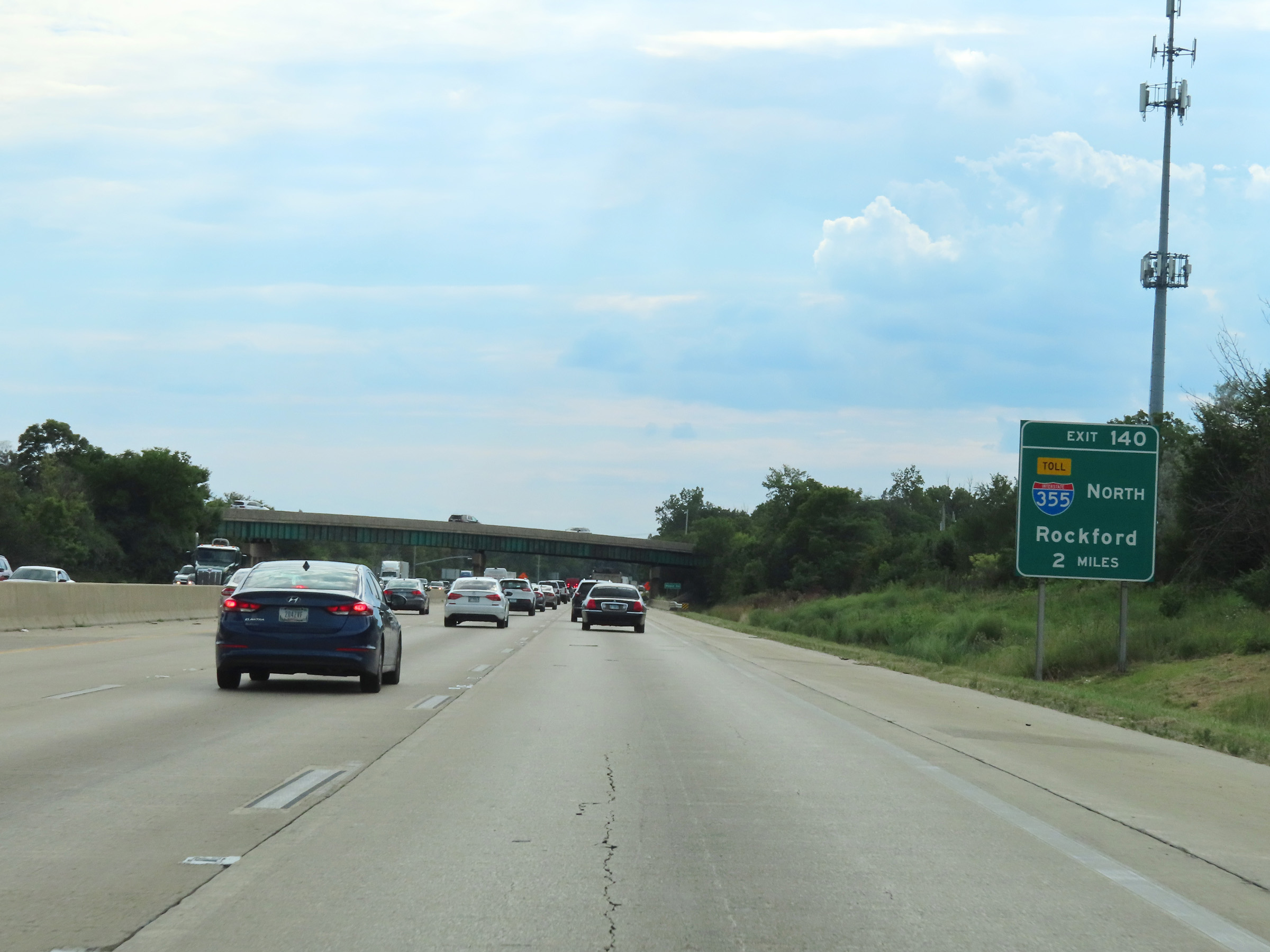 |
Advance signage for Exit 140 - 2 miles ahead. (Photo taken 8/19/22). |
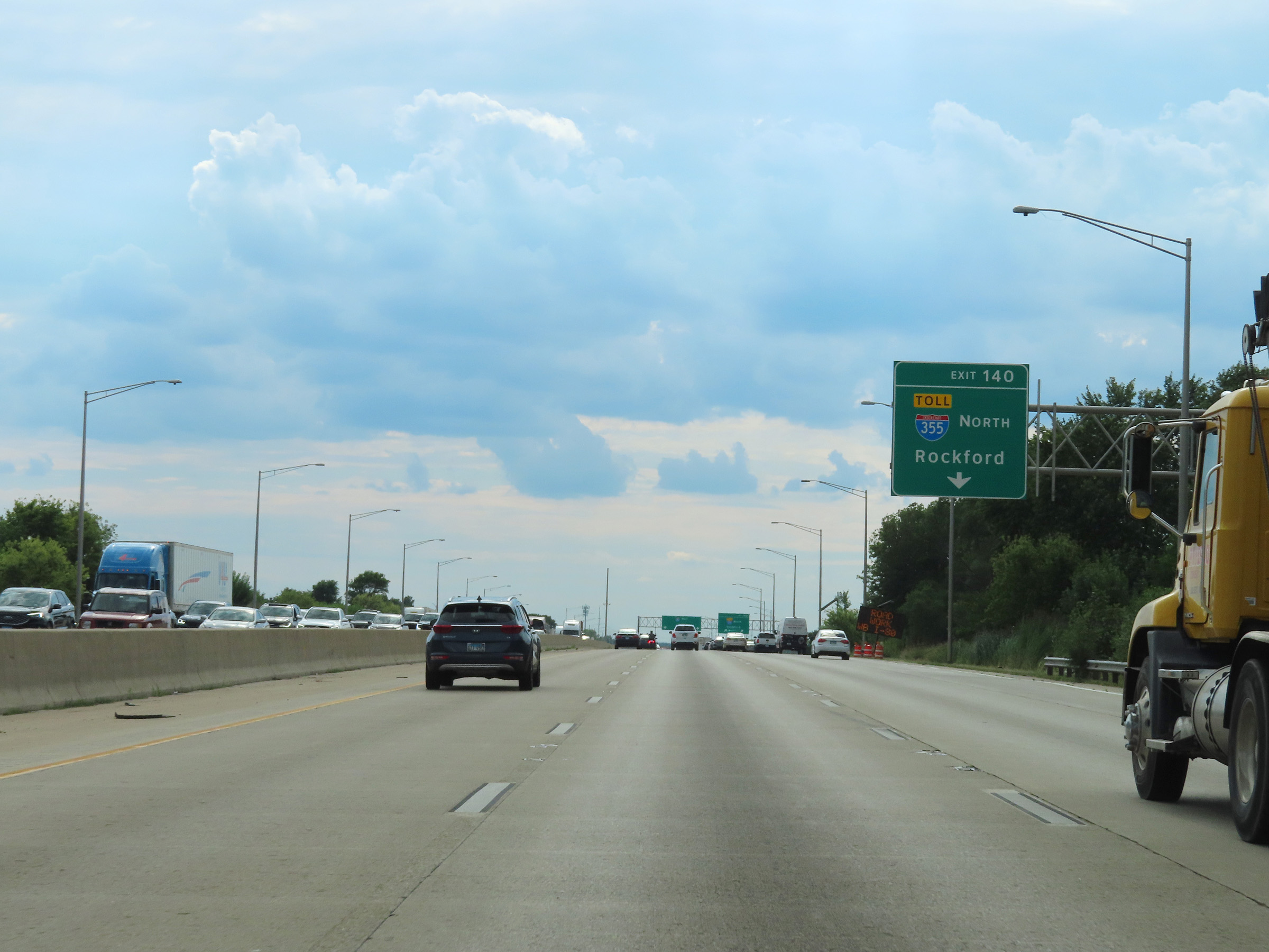 |
Interstate 80 West approaching Exit 140 - 1/4 mile ahead on the right. (Photo taken 8/19/22). |
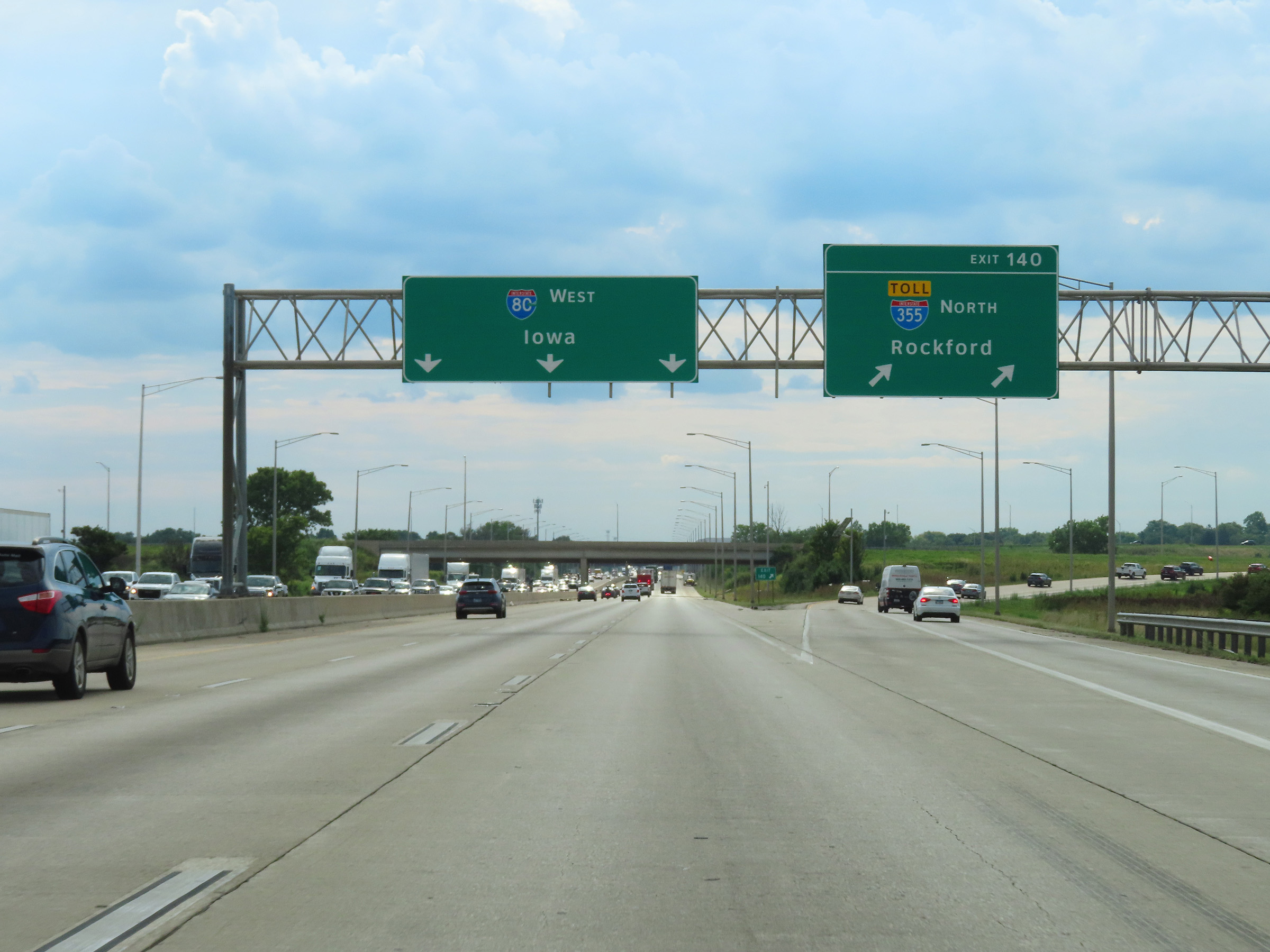 |
Interstate 80 West at Exit 140: Interstate 355 North - Rockford (Photo taken 8/19/22). |
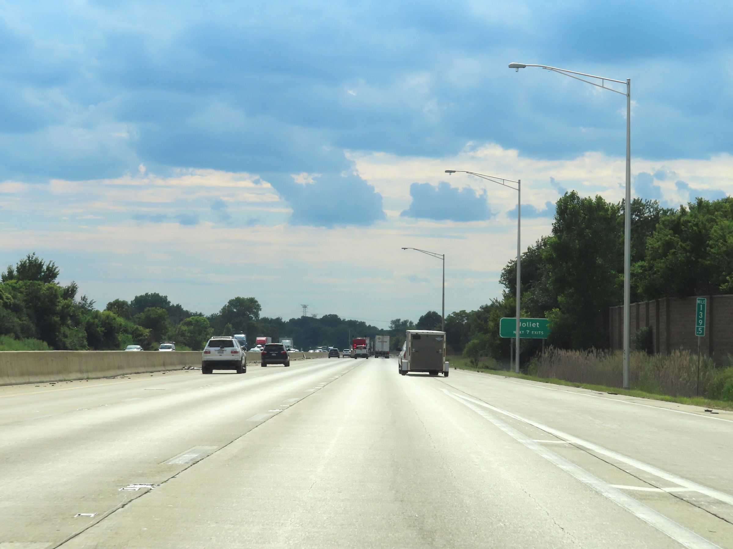 |
Take any of the next 7 exits to Joliet. (Photo taken 8/19/22). |
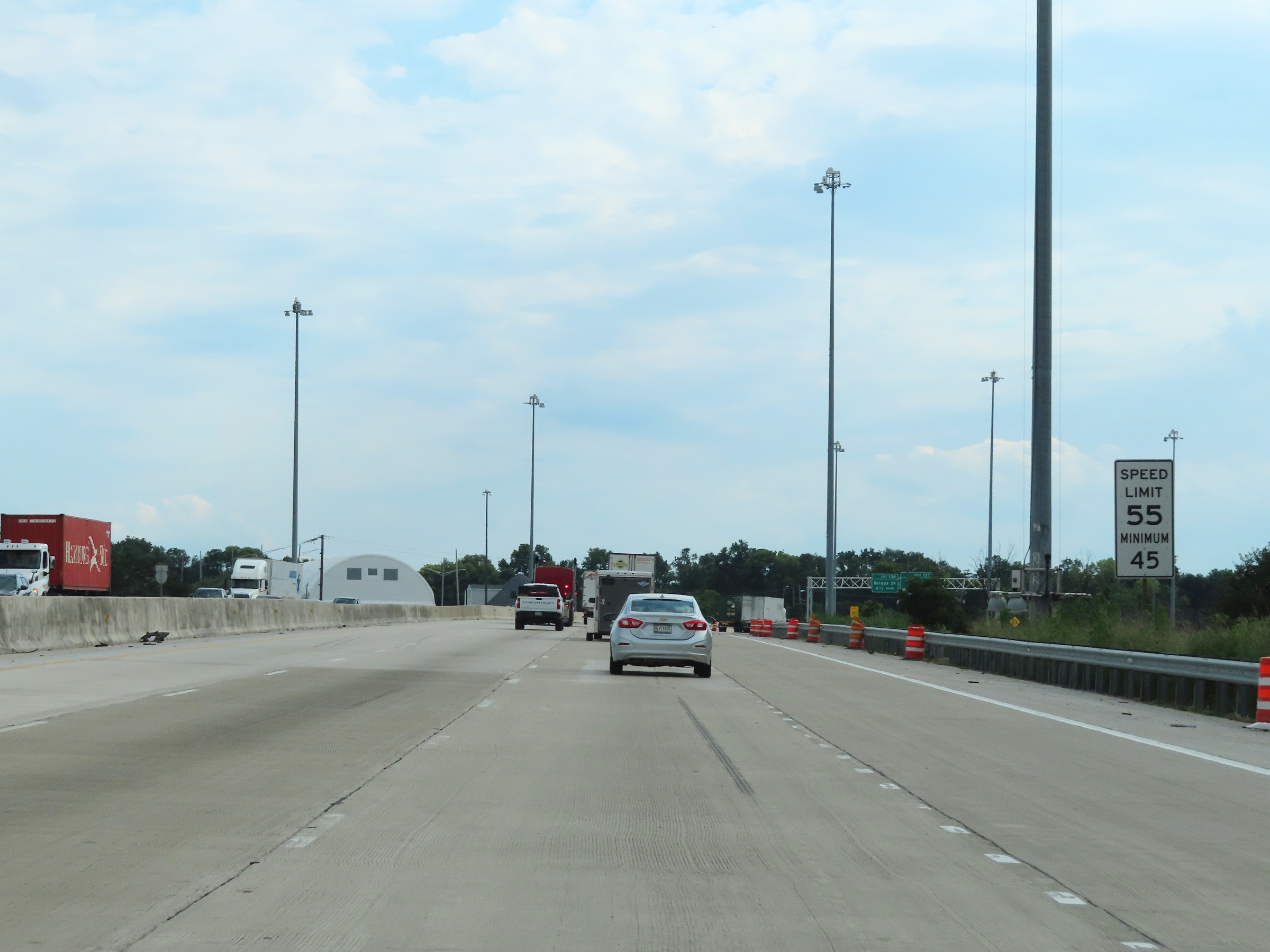 |
As Interstate 80 West enters the Joliet area, the maximum speed limit decreases to 55 mph once again. The minimum speed limit remains 45 mph. (Photo taken 8/19/22). |
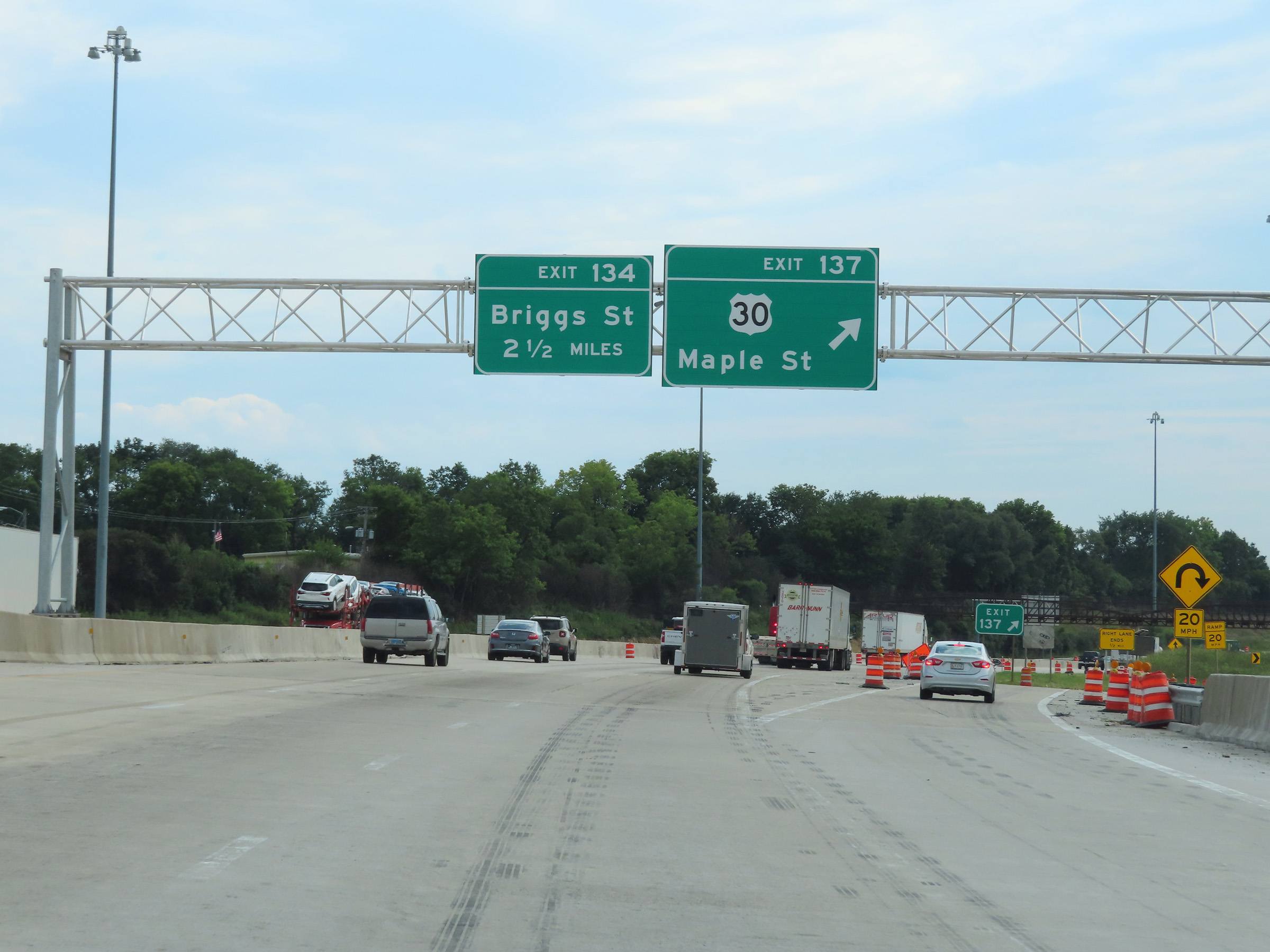 |
Interstate 80 West at Exit 137: US 30 - Maple St (Photo taken 8/19/22). |
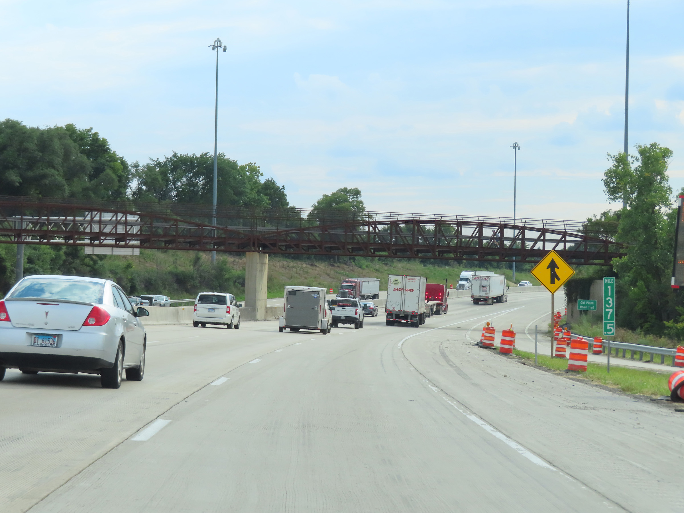 |
View on Interstate 80 West at mile marker 137.5. (Photo taken 8/19/22). |
 |
Interstate 80 West reassurance shield in Joliet. (Photo taken 8/19/22). |
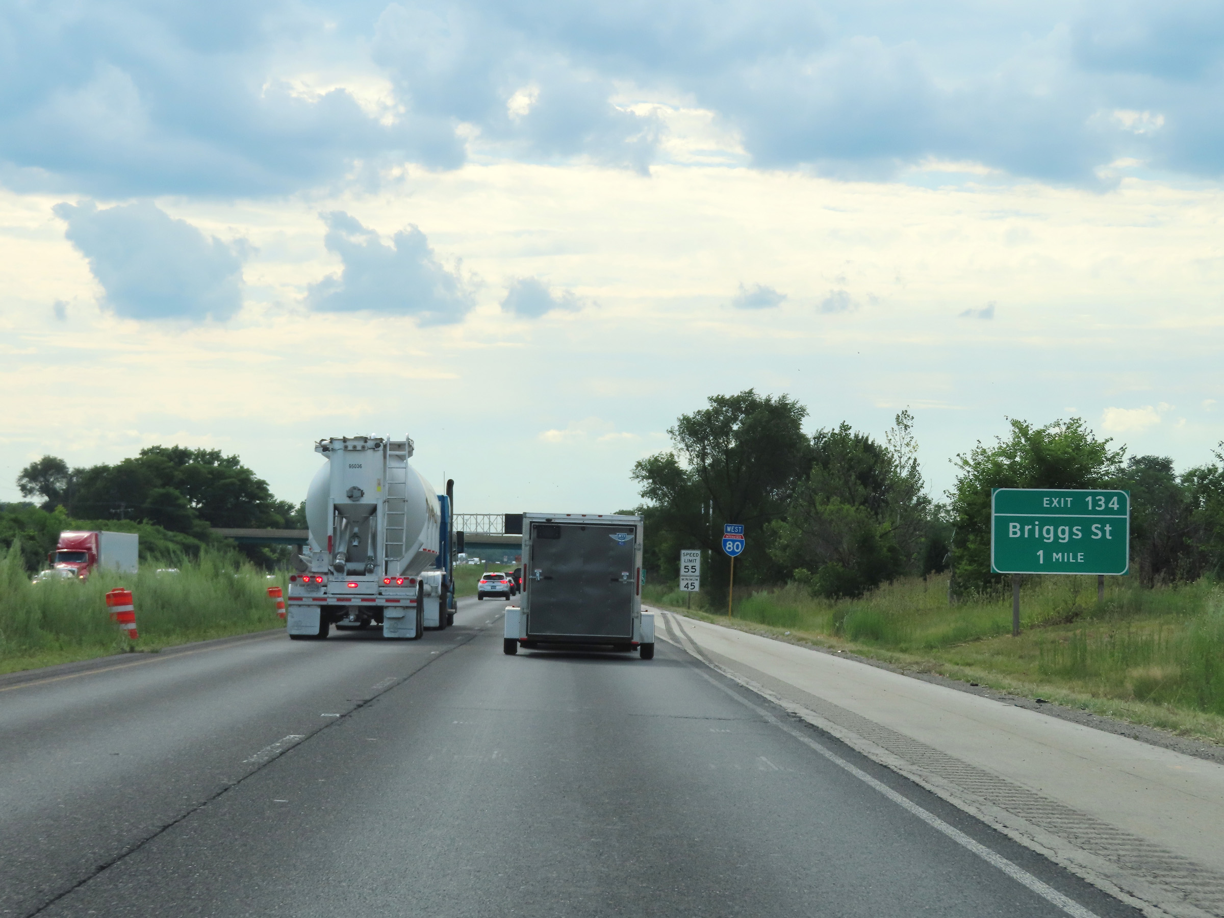 |
Interstate 80 West approaching Exit 134 - 1 mile. (Photo taken 8/19/22). |
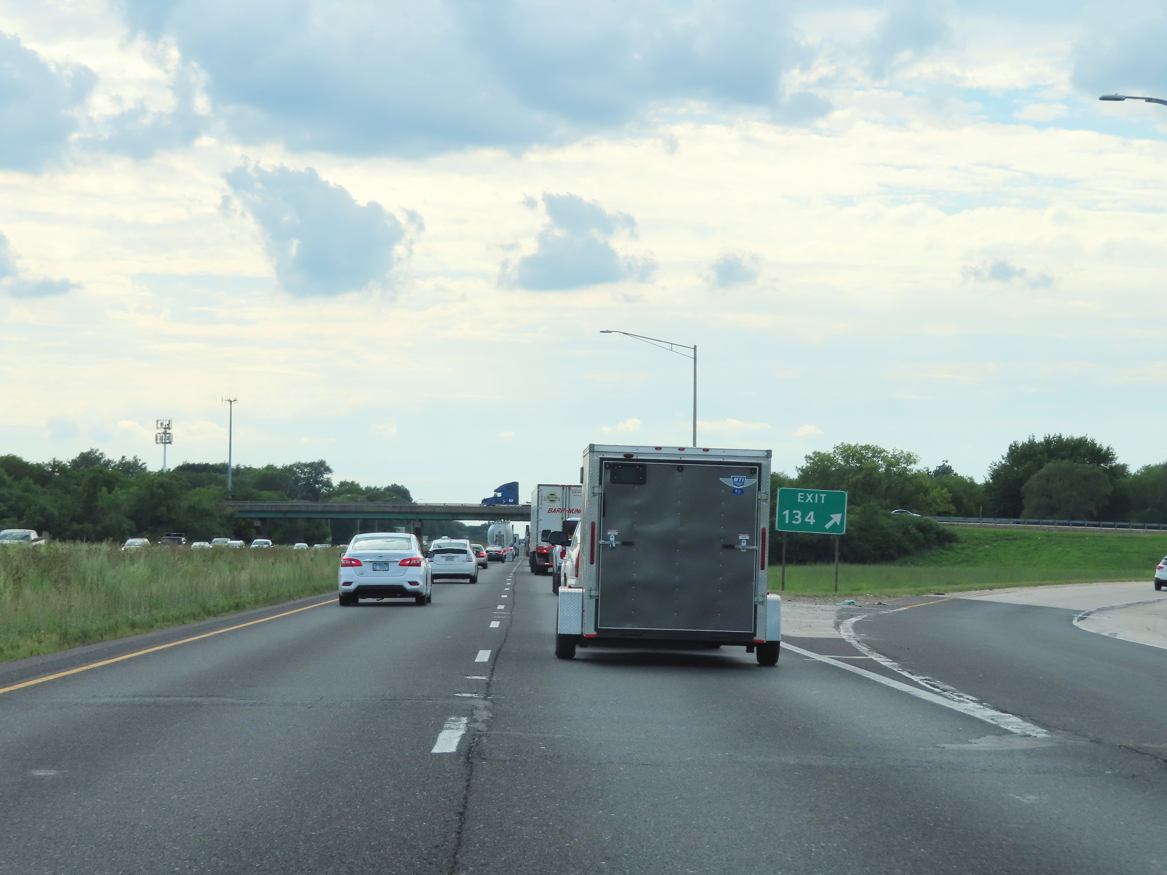 |
Interstate 80 West at Exit 134: Briggs St (Photo taken 8/19/22). |
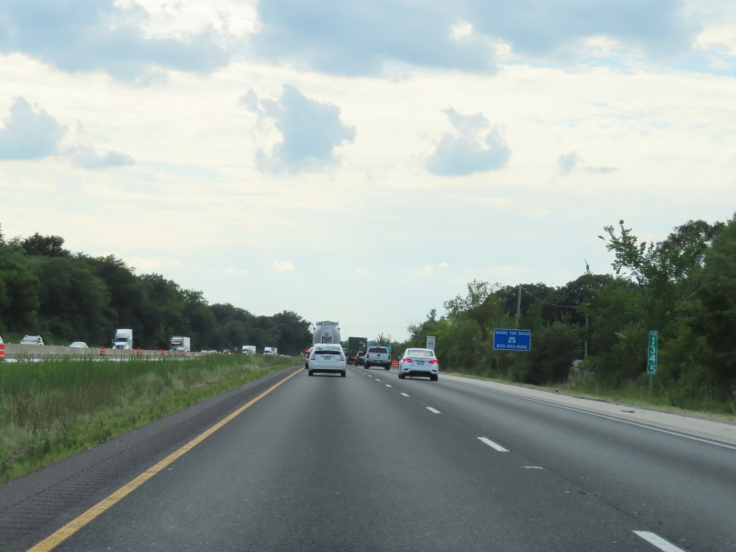 |
Mile marker 134.5 on Interstate 80 West in Will County. (Photo taken 8/19/22). |
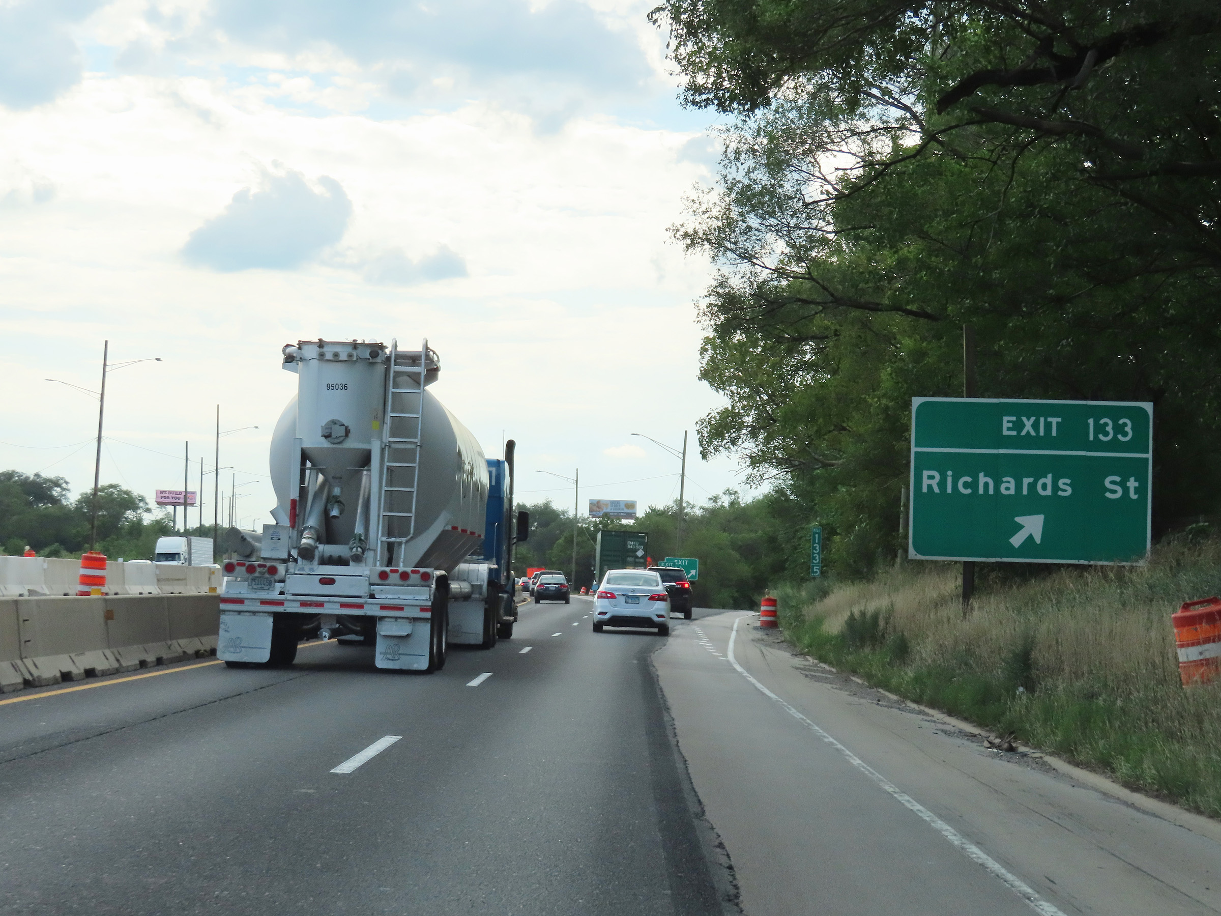 |
Interstate 80 West at Exit 133: Richards St (Photo taken 8/19/22). |
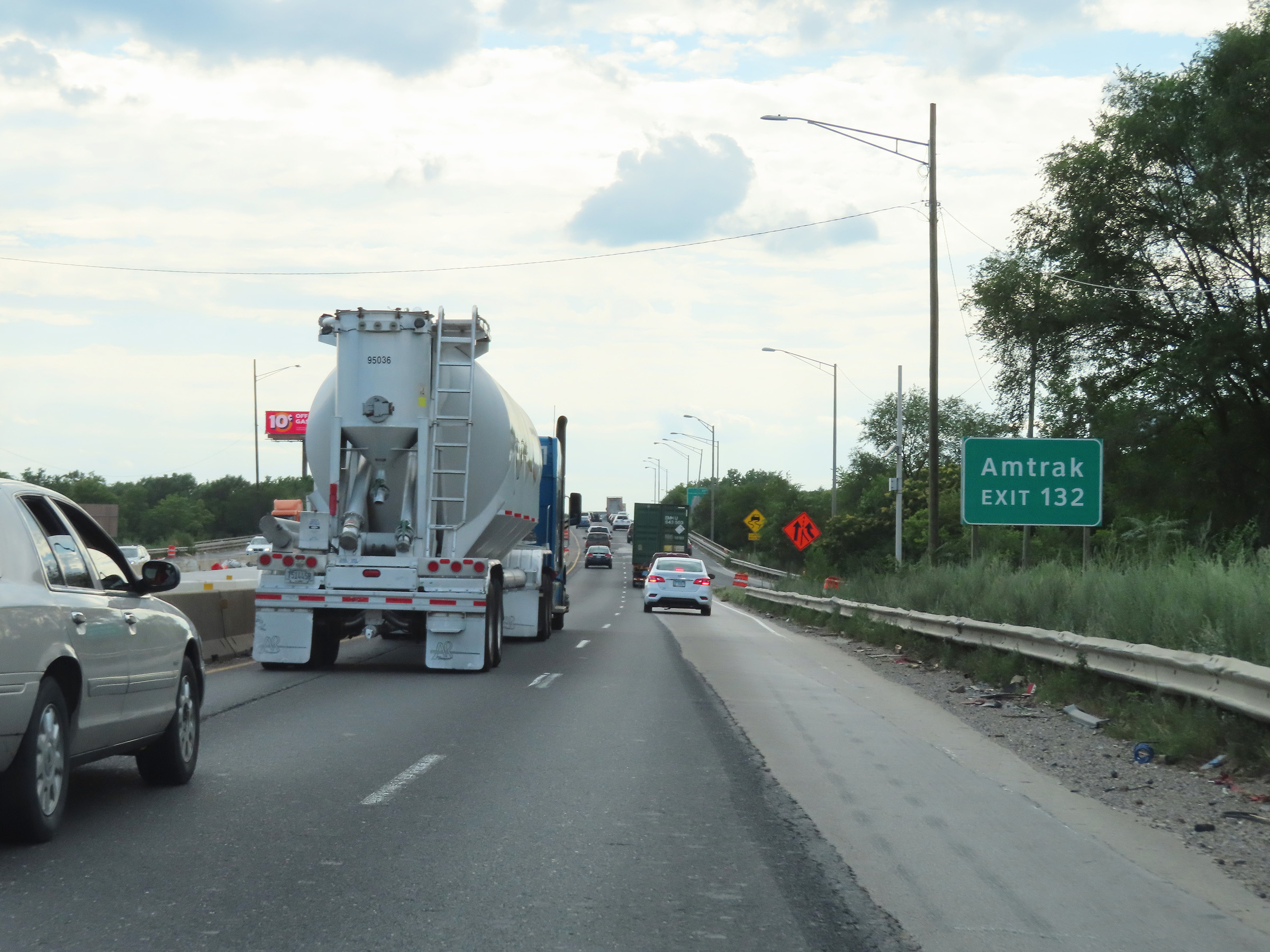 |
Take Exit 132 to the Amtrak Station. (Photo taken 8/19/22). |
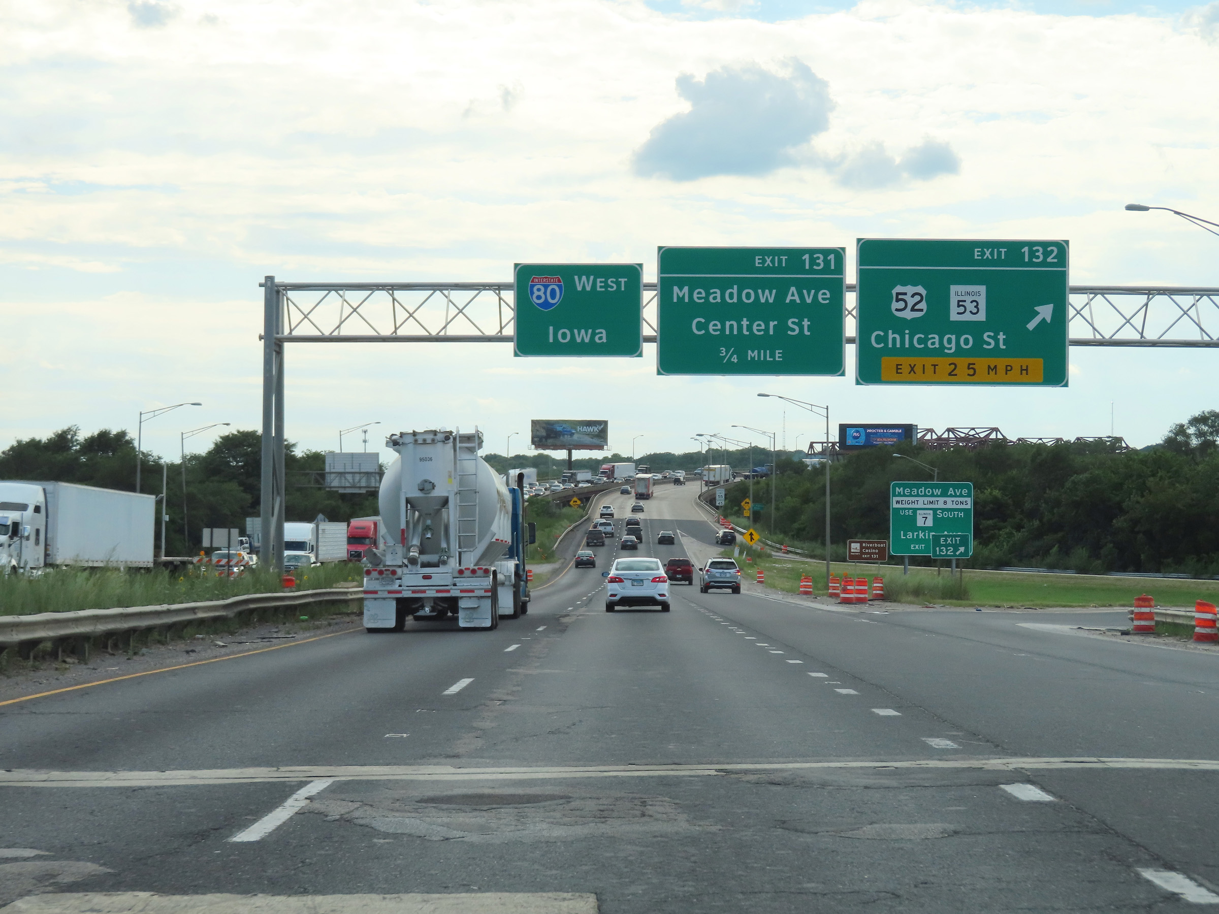 |
Interstate 80 West at Exit 132: US 52 / IL 53 - Chicago St (Photo taken 8/19/22). |
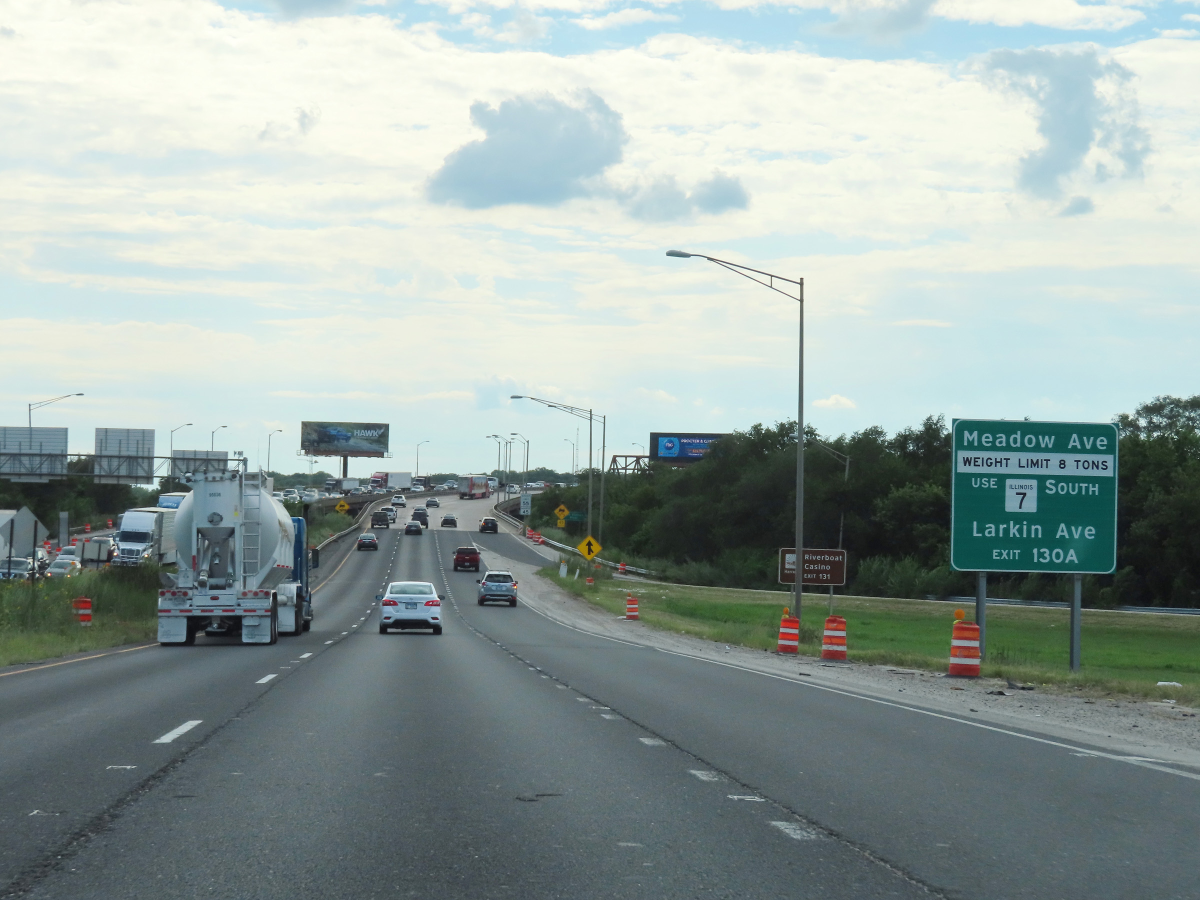 |
Trucks over 8 tons to Meadow Ave should use IL 7 South (Larkin Ave) via Exit 130A. Take Exit 131 to the Riverboat Casino. (Photo taken 8/19/22). |
 |
View on Interstate 80 West as it begins to cross the Des Plaines River Bridge over the Des Plaines River in Joliet. (Photo taken 8/19/22). |
 |
Interstate 80 West as it crosses the Des Plaines River on the Des Plaines River Bridge. (Photo taken 8/19/22). |
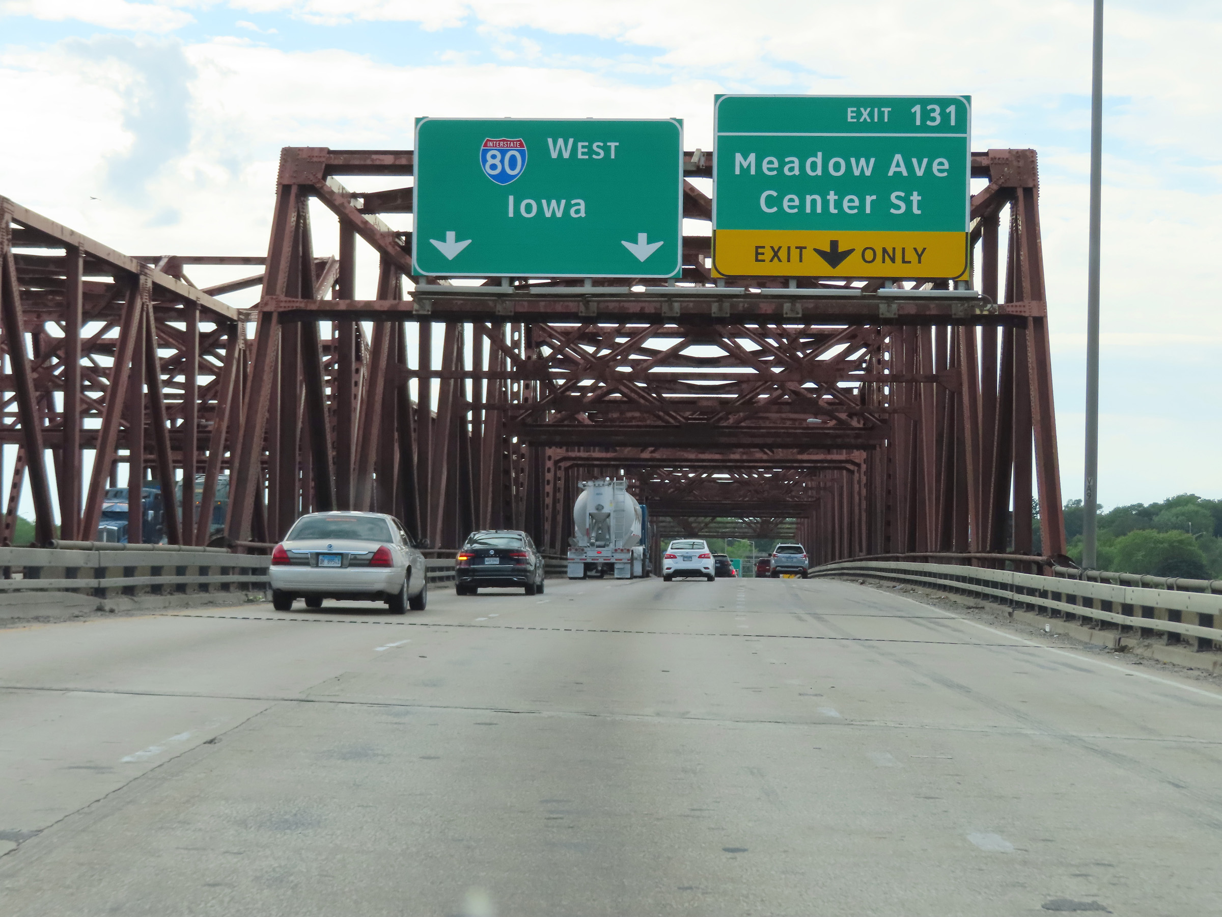 |
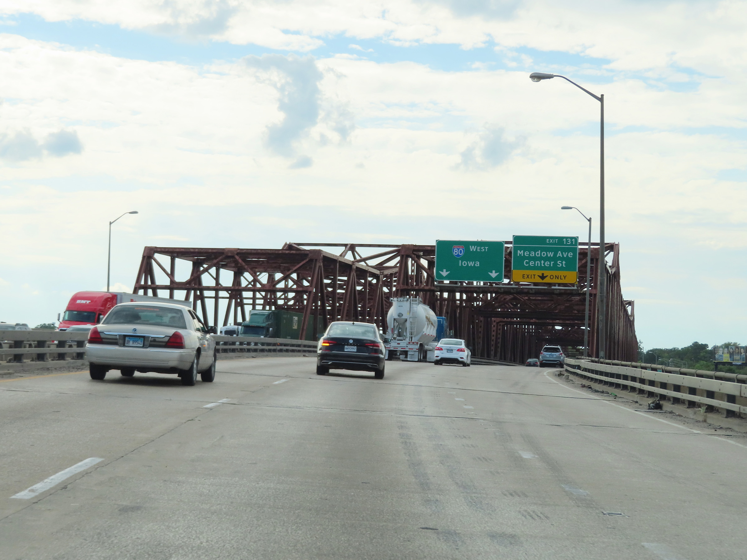
This overhead signage on the Des Plaines River Bridge shows that the right lane will become an Exit Only lane for Exit 131 ahead, immediately on the west side of the bridge. (Photo taken 8/19/22). |
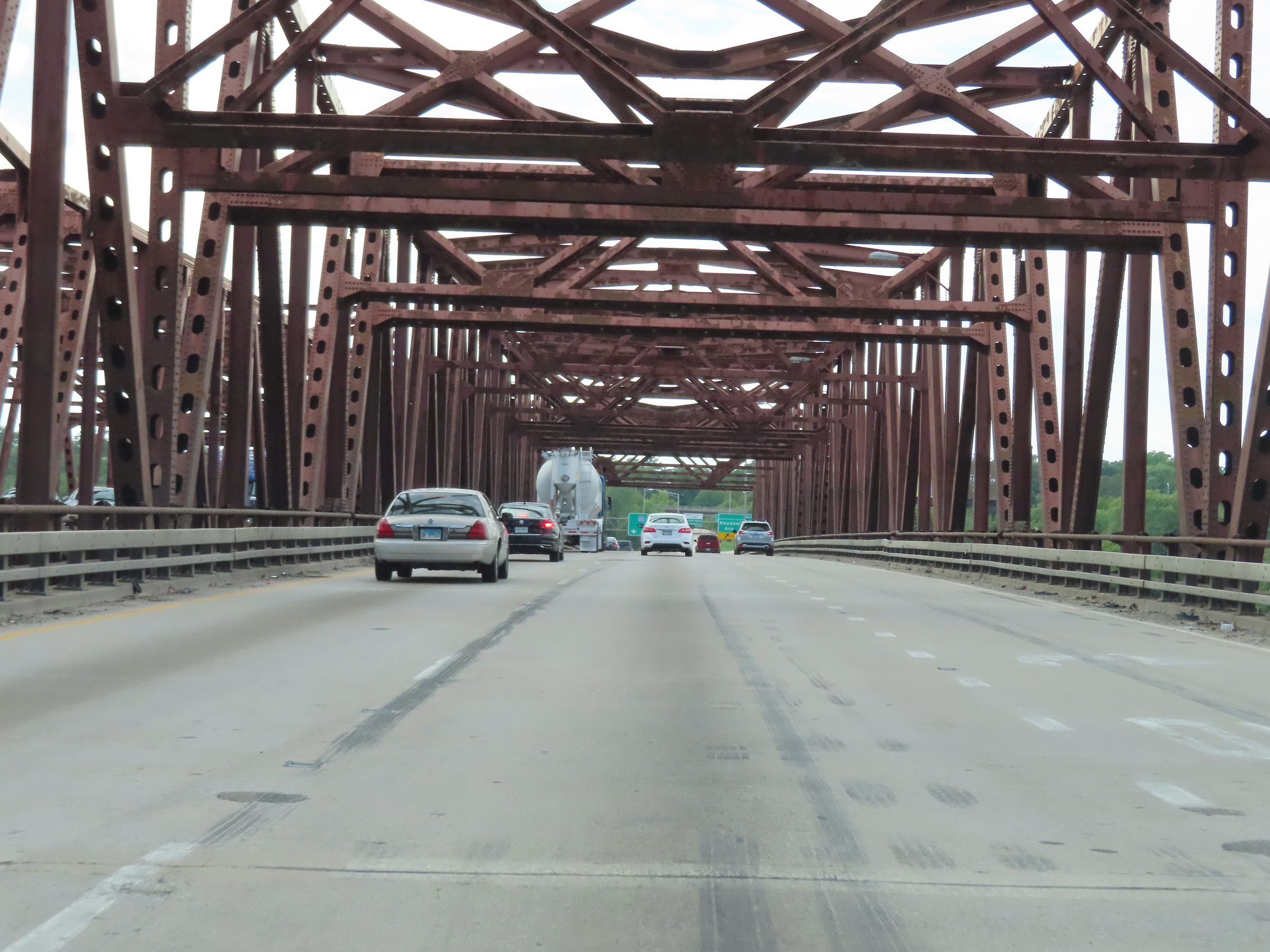 |
View on Interstate 80 West as it reaches the peak of the Des Plaines River Bridge. (Photo taken 8/19/22). |
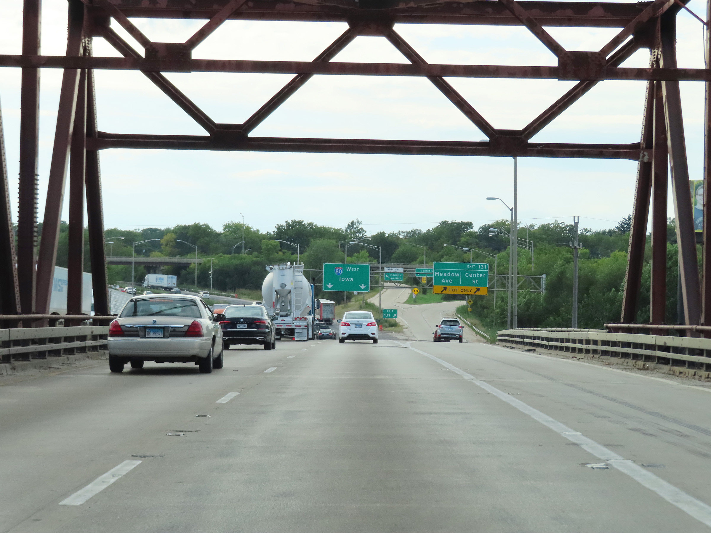 |
Interstate 80 West as it descends the Des Plaines River Bridge over the Des Plaines River and approaches Exit 131. (Photo taken 8/19/22). |
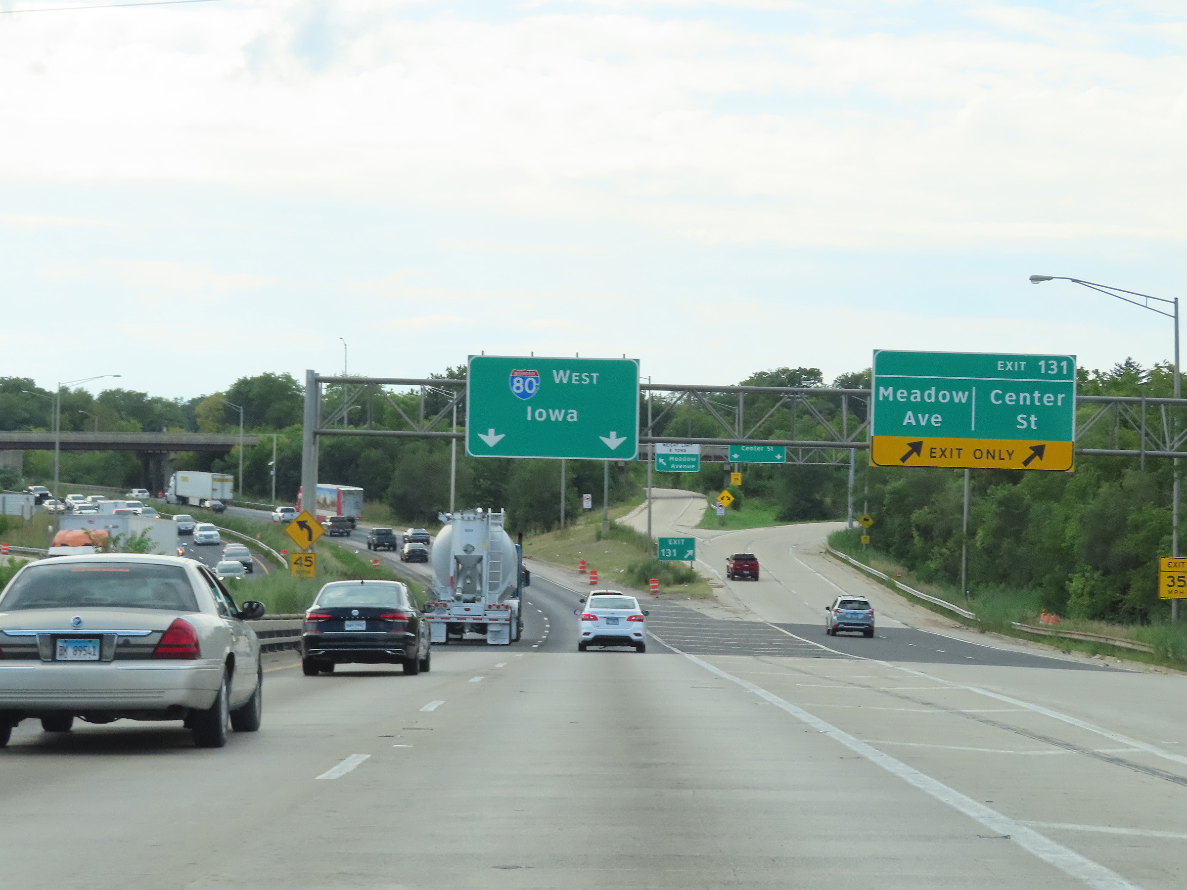 |
Interstate 80 West at Exit 131: Meadow Ave / Center St (Photo taken 8/19/22). |
Section 3: Joliet (Exit 131) to Princeton (Exit 61)
 |
View on Interstate 80 West at mile marker 131.5. (Photo taken 8/19/22). |
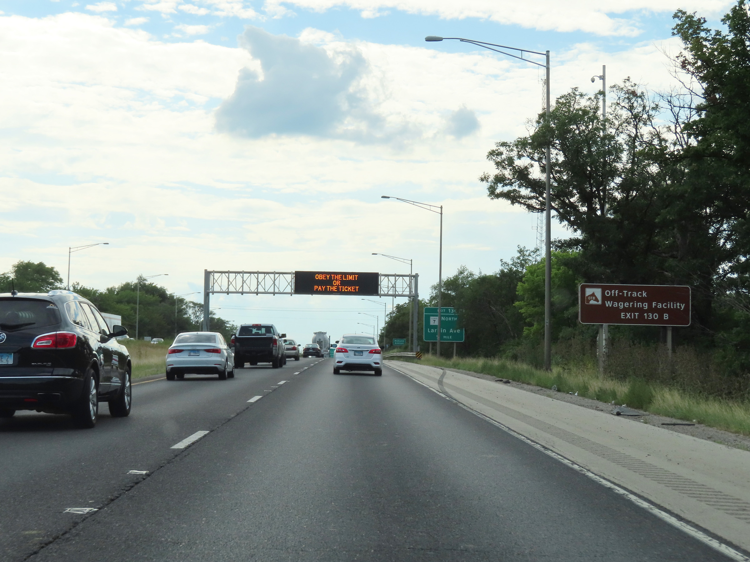 |
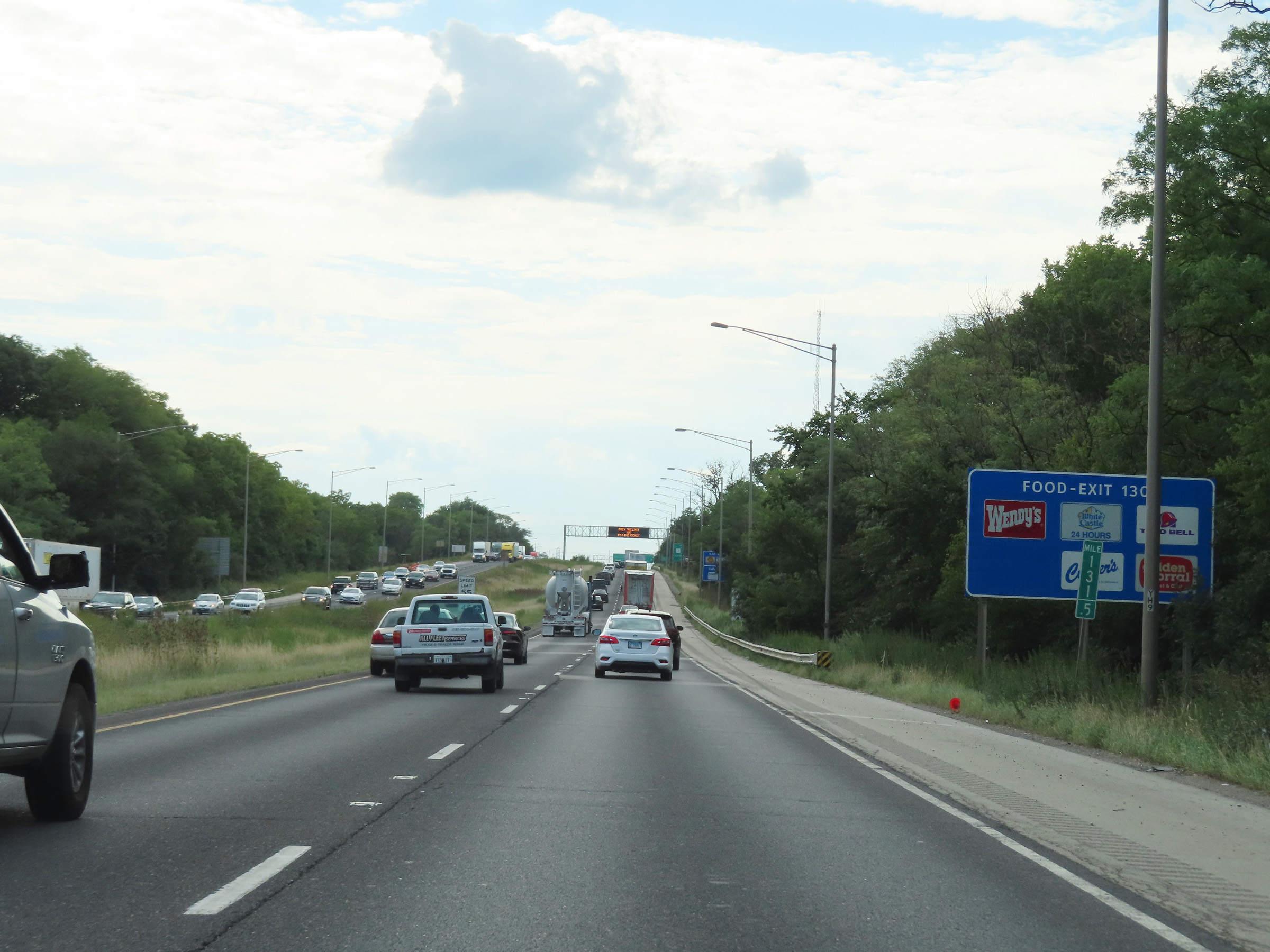
Take Exit 130B to the Off-Track Wagering Facility. (Photo taken 8/19/22). |
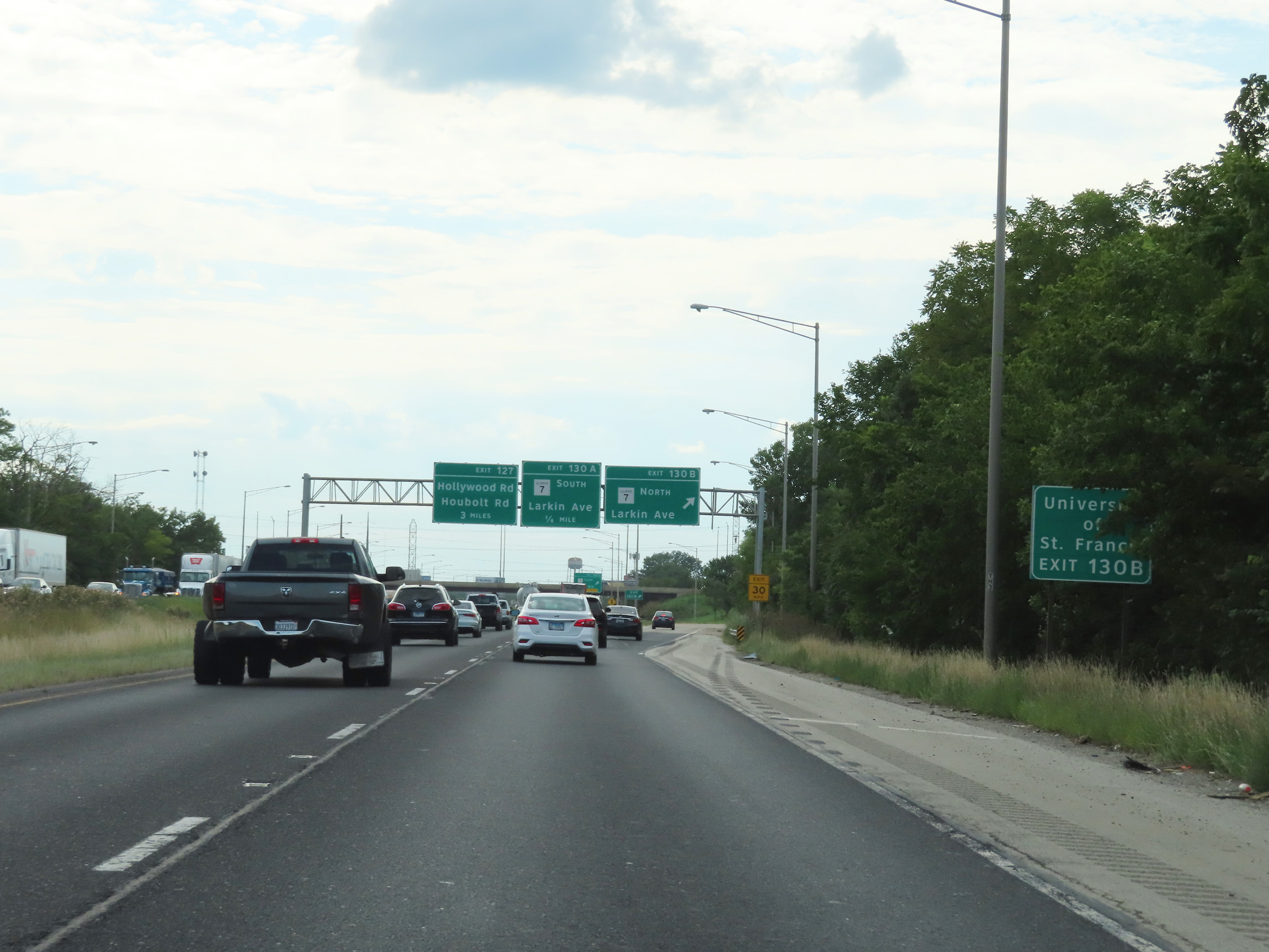 |
Also take Exit 130B to the University of St. Francis. (Photo taken 8/19/22). |
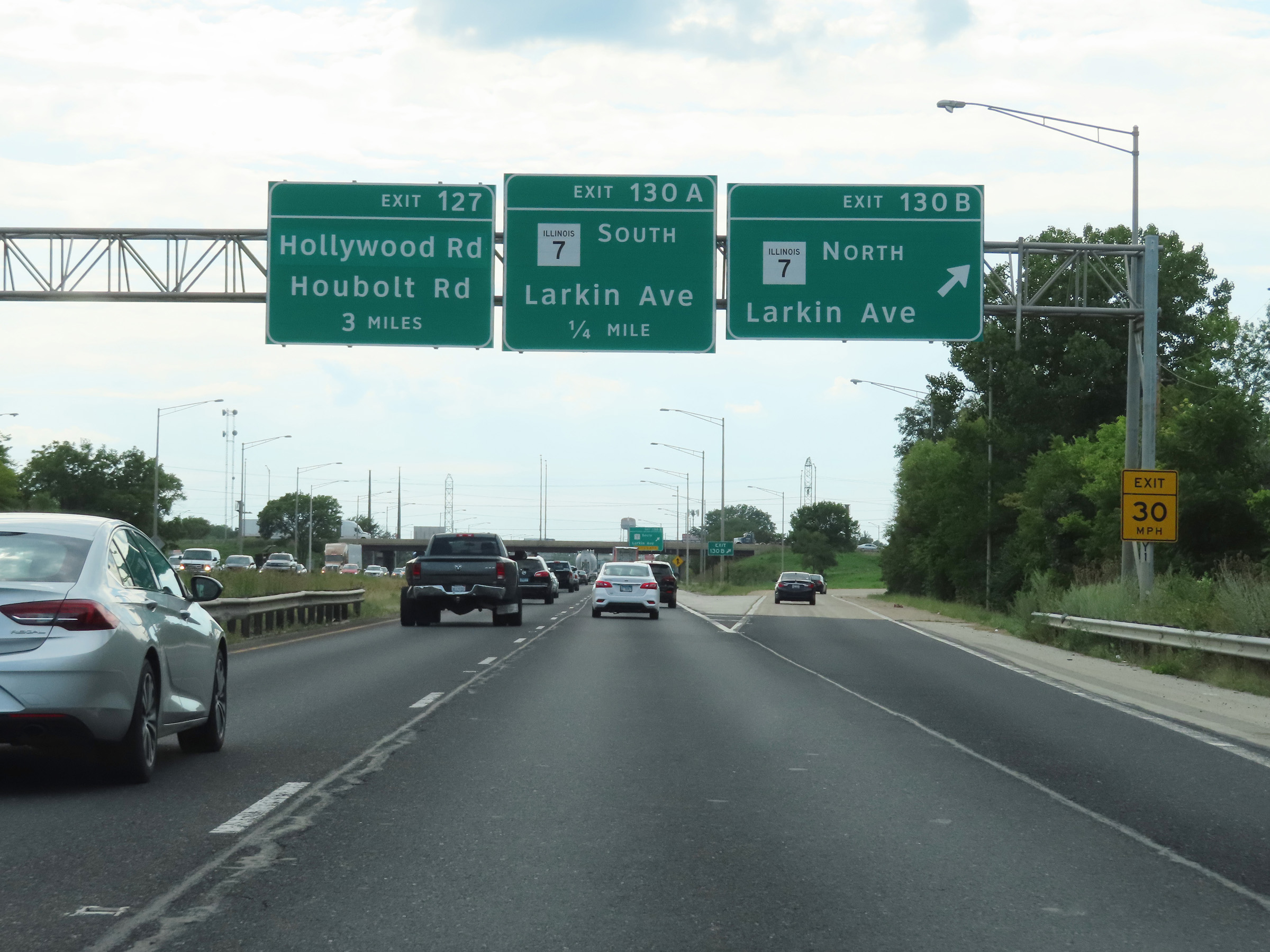 |
Interstate 80 West at Exit 130B: IL 7 North - Larkin Ave (Photo taken 8/19/22). |
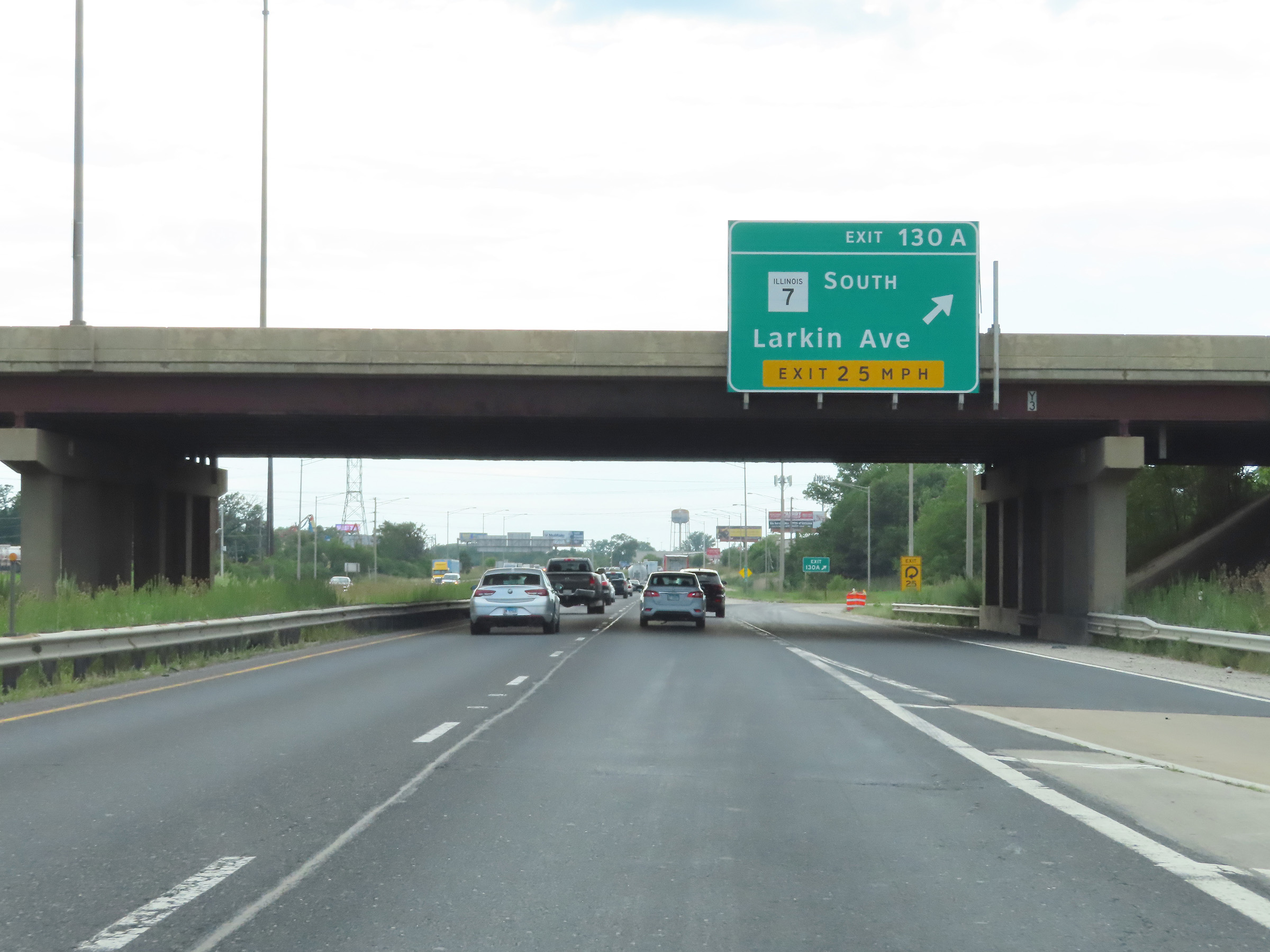 |
Interstate 80 West at Exit 130A: IL 7 South - Larkin Ave (Photo taken 8/19/22). |
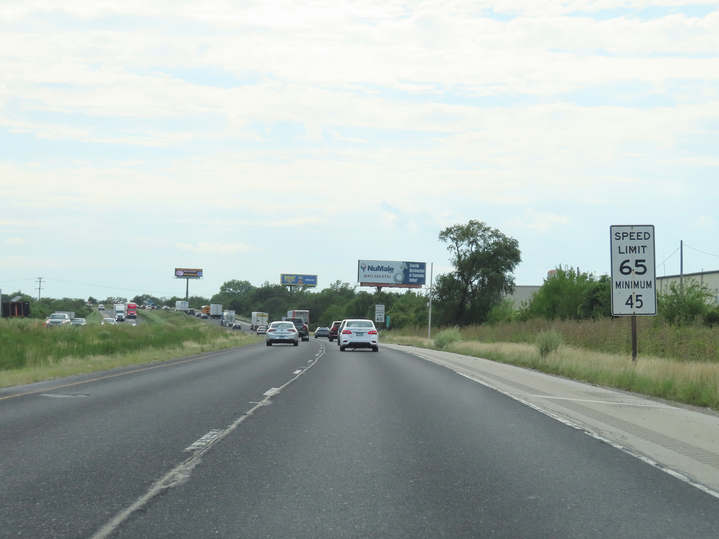 |
West of Exit 130A, the maximum speed limit increases to 65 mph for automobiles once again. The minimum speed limit remains 45 mph. (Photo taken 8/19/22). |
 |
The truck speed limit remains 60 mph until Interstate 80 West leaves Will County. (Photo taken 8/19/22). |
 |
Interstate 80 West at mile marker 129. (Photo taken 8/19/22). |
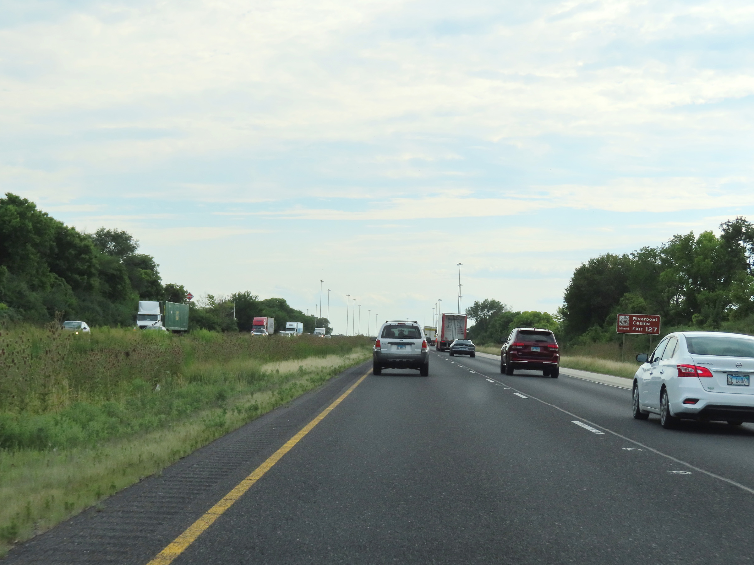 |
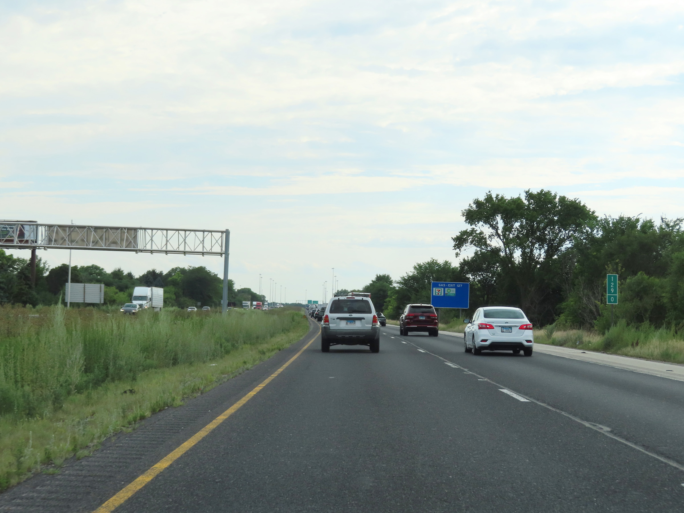
Take Exit 127 to the Riverboat Casino. (Photo taken 8/19/22). |
 |
Also take Exit 127 to Joliet Junior College. (Photo taken 8/19/22). |
 |
Interstate 80 West at Exit 127: Hollywood Rd / Houbolt Rd (Photo taken 8/19/22). |
 |
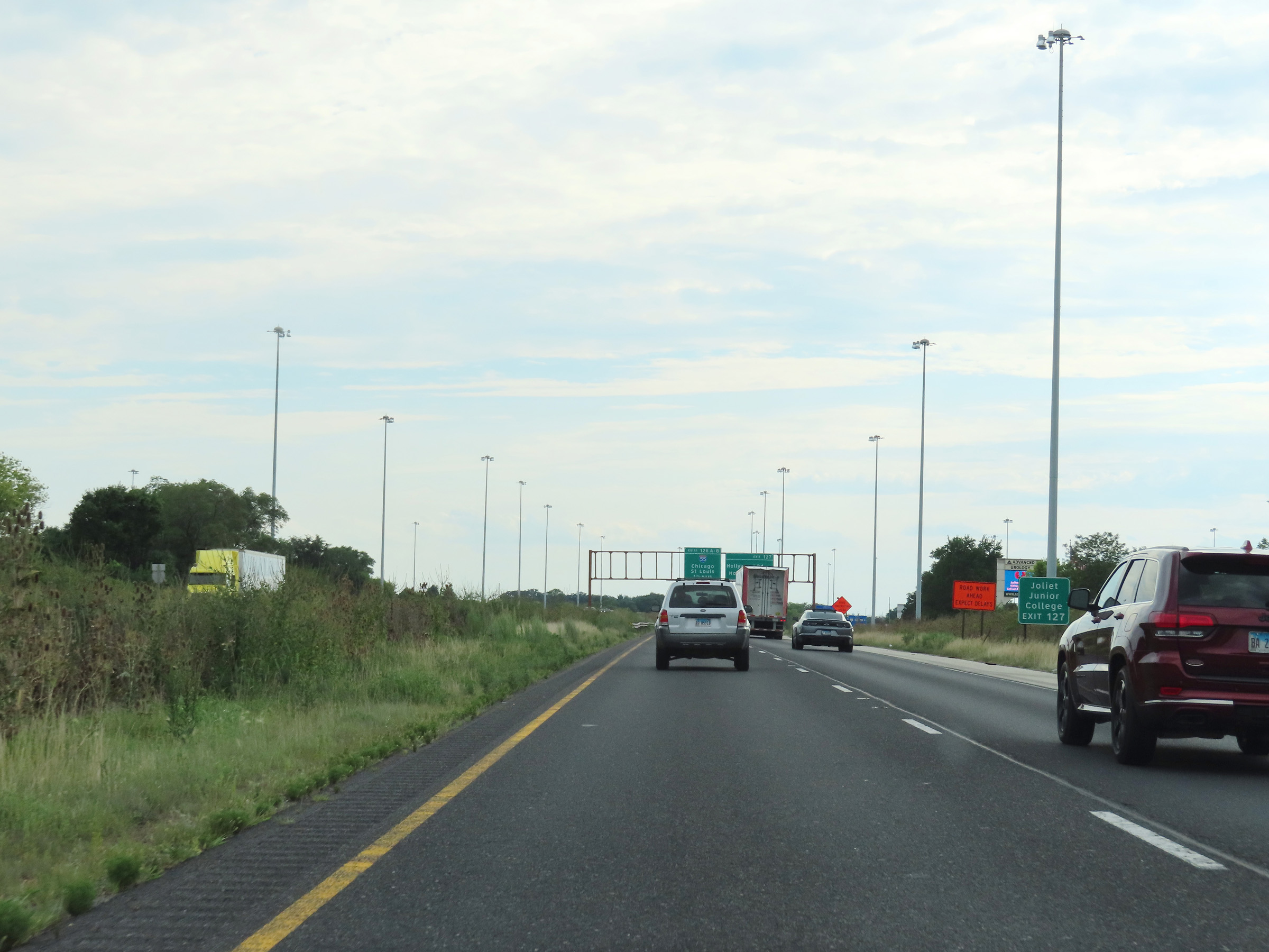
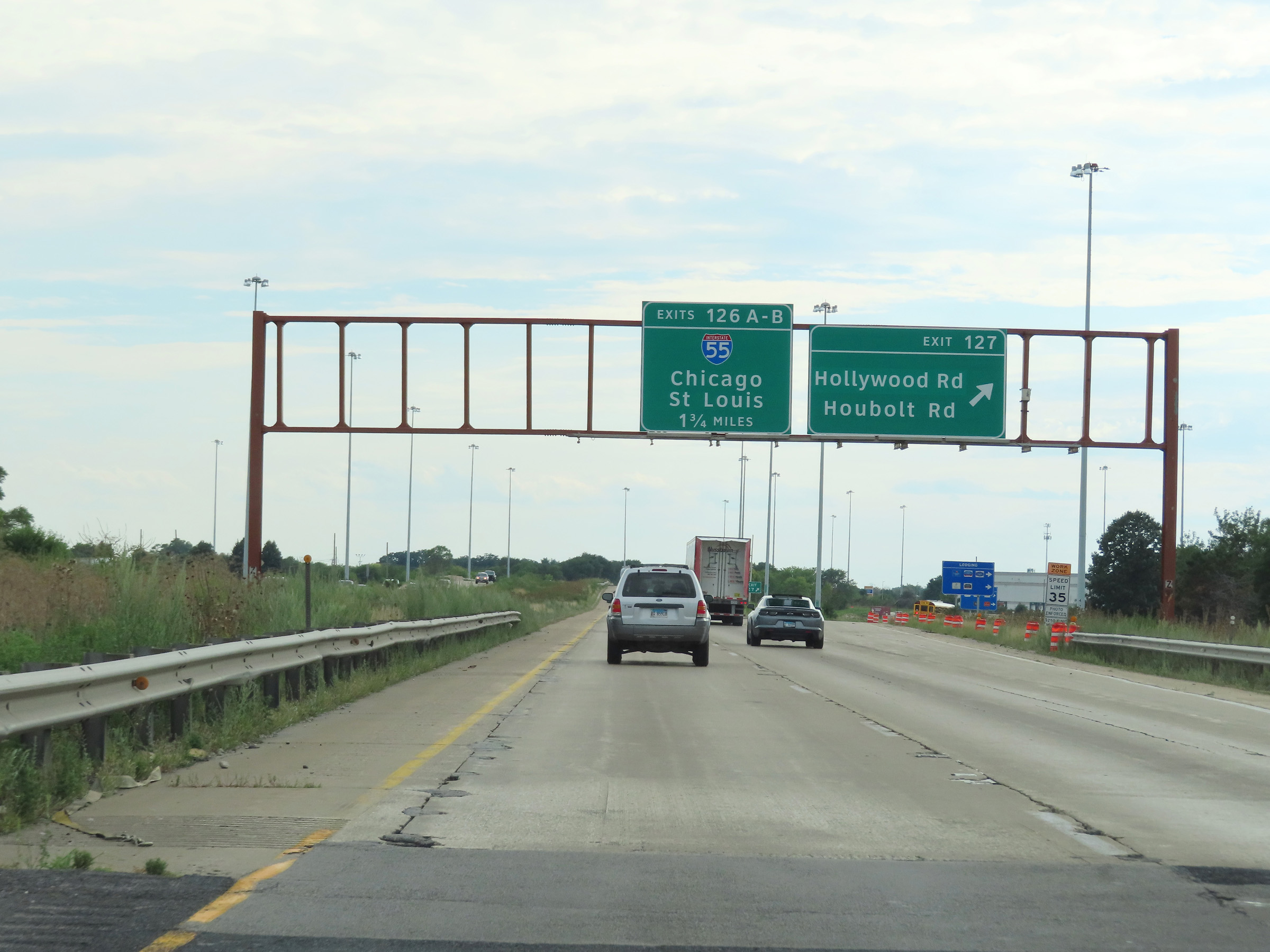
Interstate 80 West approaching Exit 126B - 1 mile. (Photo taken 8/19/22). |
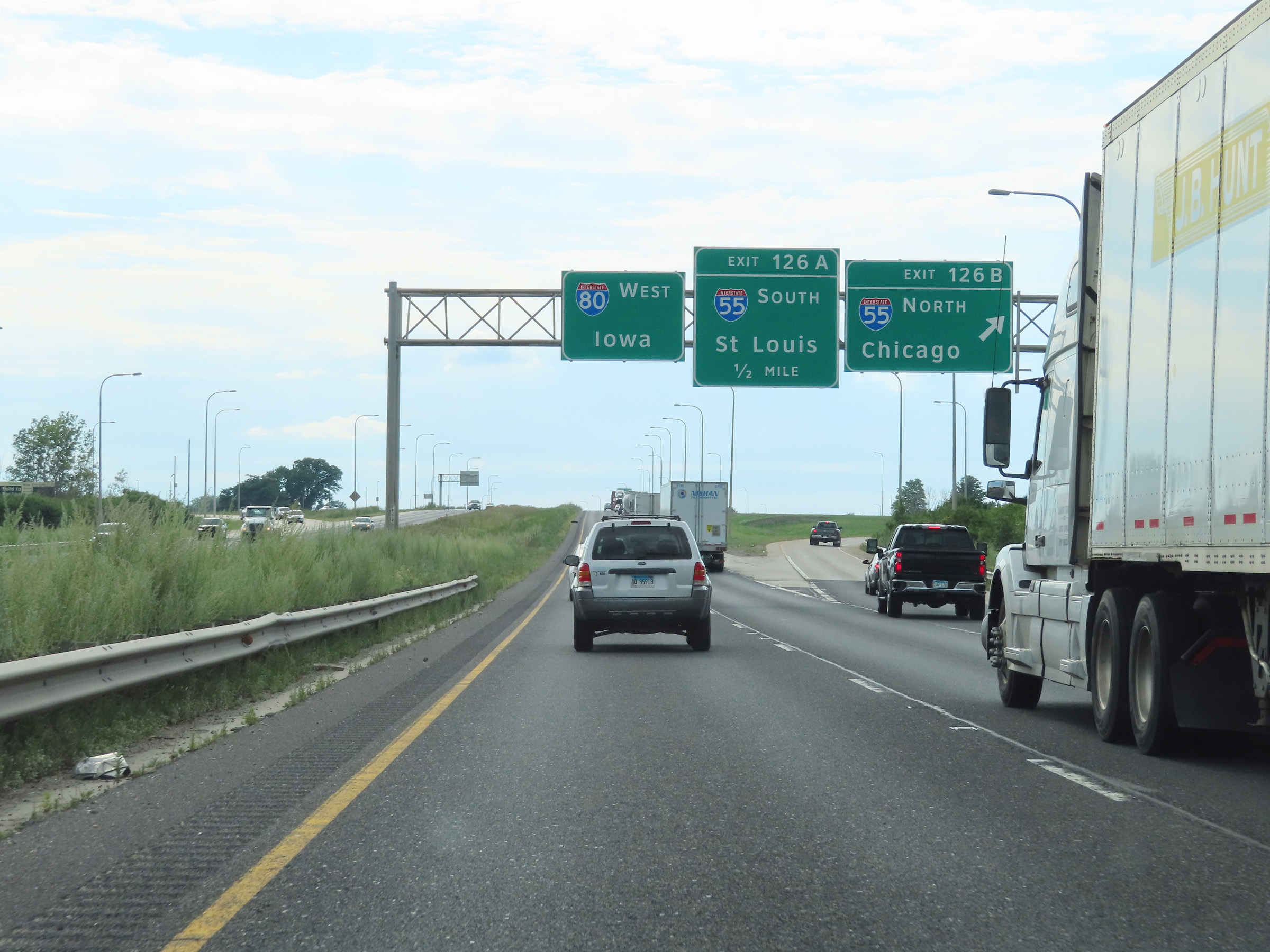 |
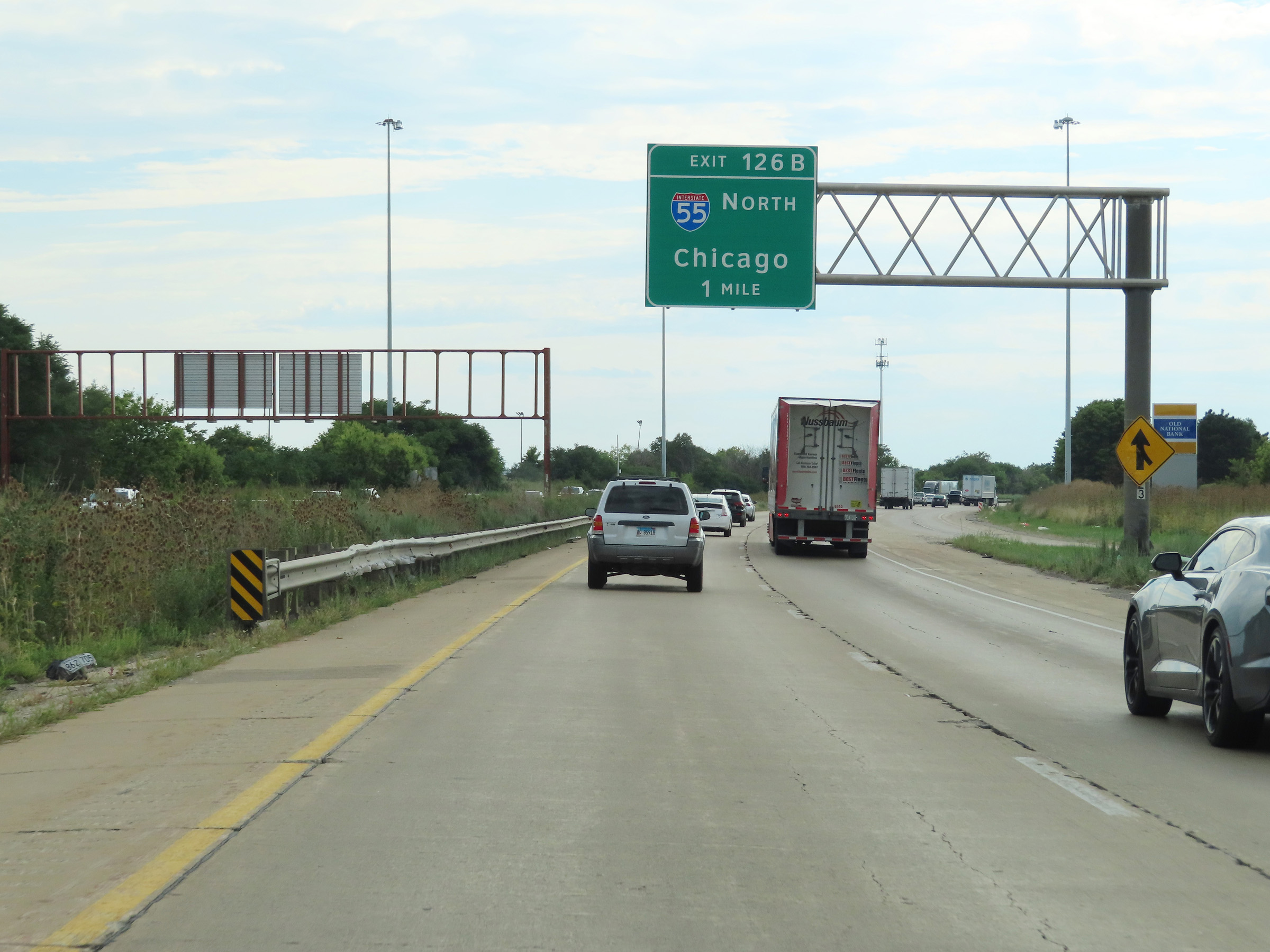
Interstate 80 West at Exit 126B: Interstate 55 North - Chicago (Photo taken 8/19/22). |
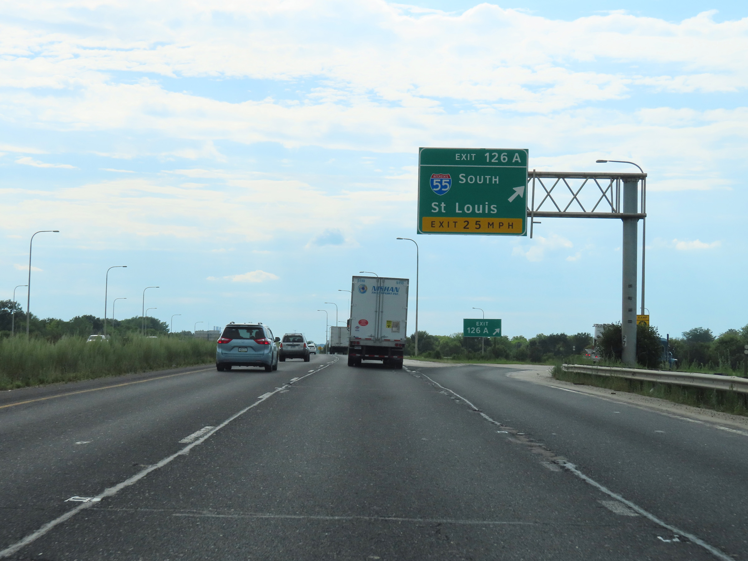 |
Interstate 80 West at Exit 126A: Interstate 55 South - St. Louis (Photo taken 8/19/22). |
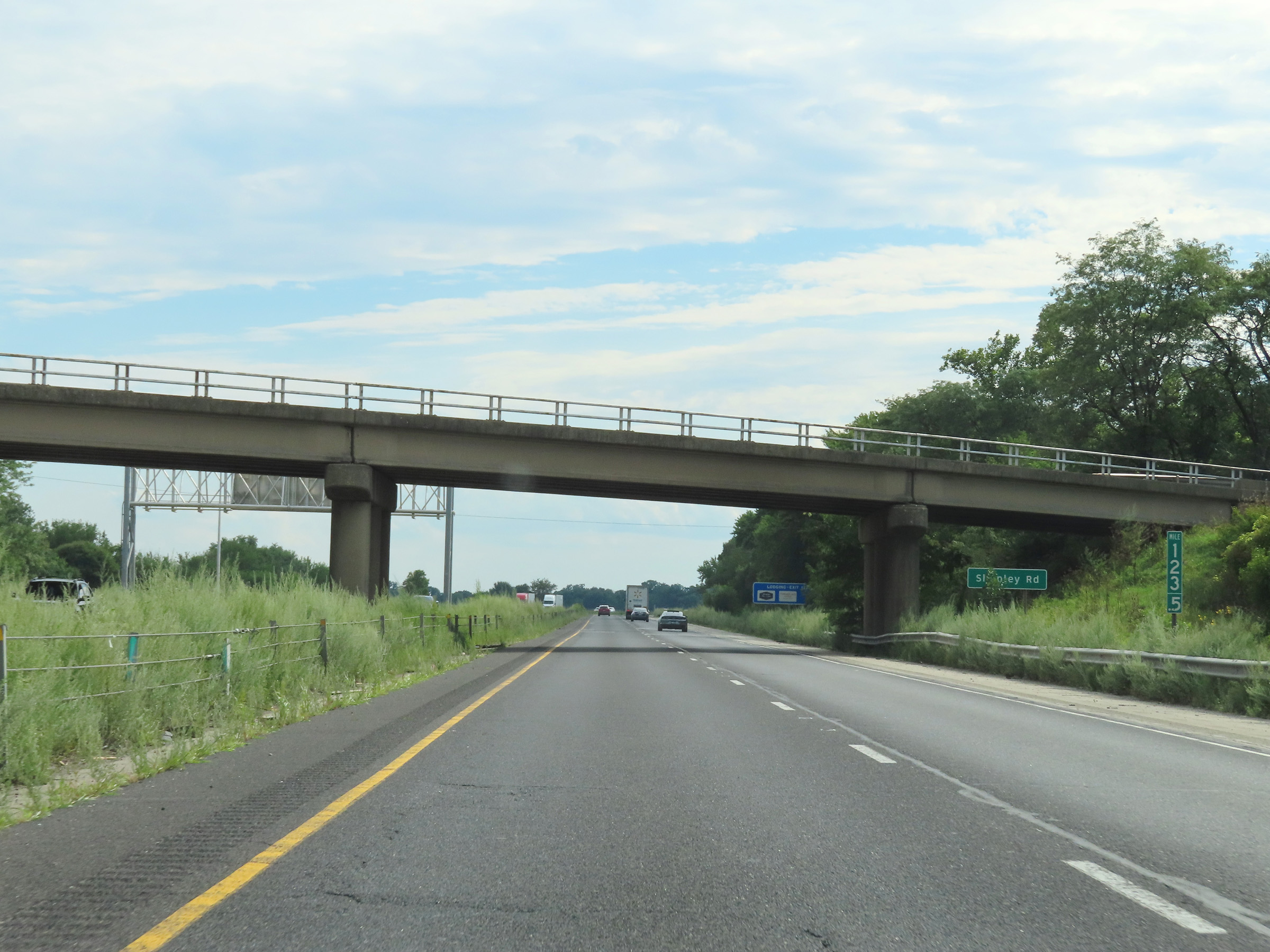 |
Mile marker 123.5 on Interstate 80 West in Will County. (Photo taken 8/19/22). |
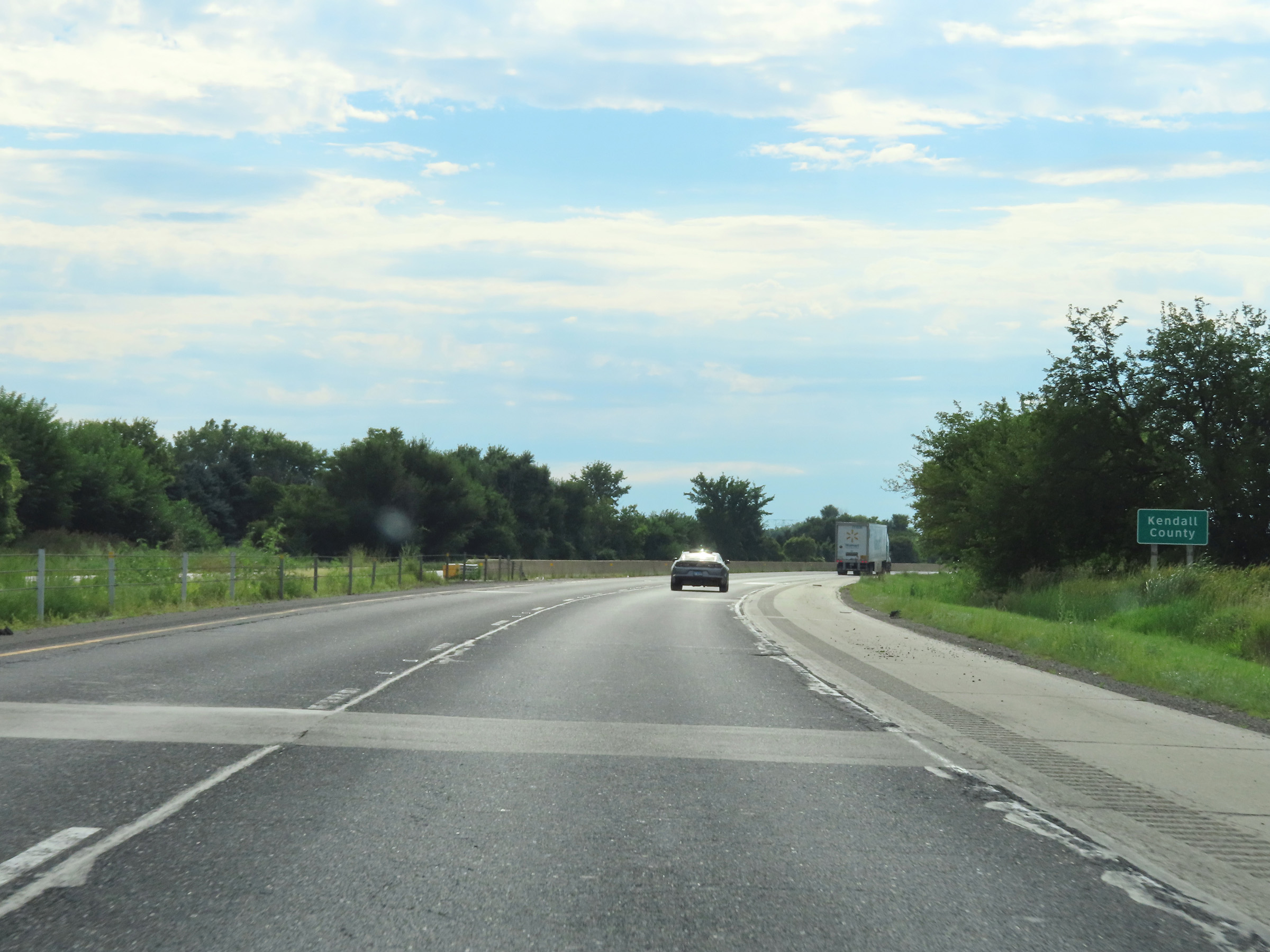 |
Interstate 80 West as it briefly dips into Kendall County. (Photo taken 8/19/22). |
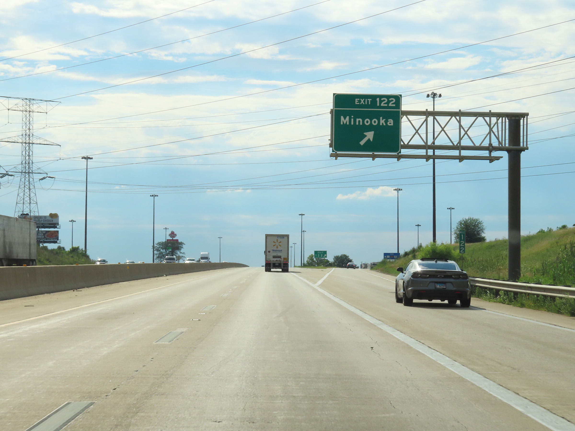 |
Interstate 80 West at Exit 122: Minooka (Photo taken 8/19/22). |
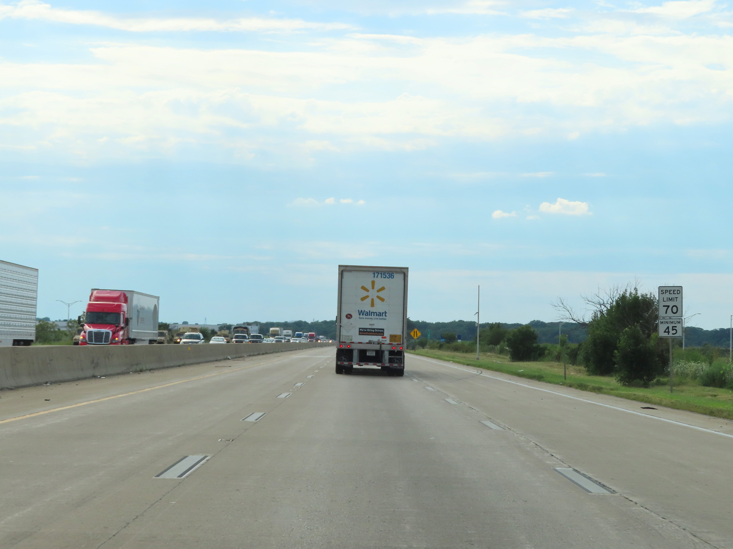 |
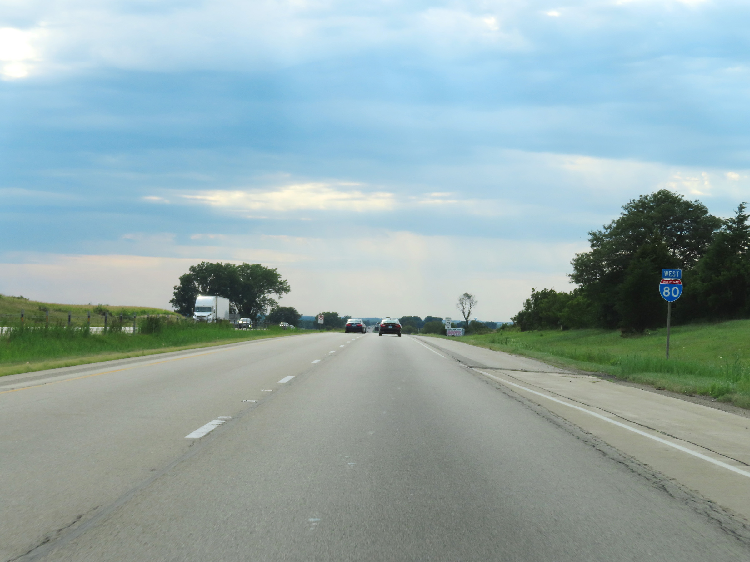
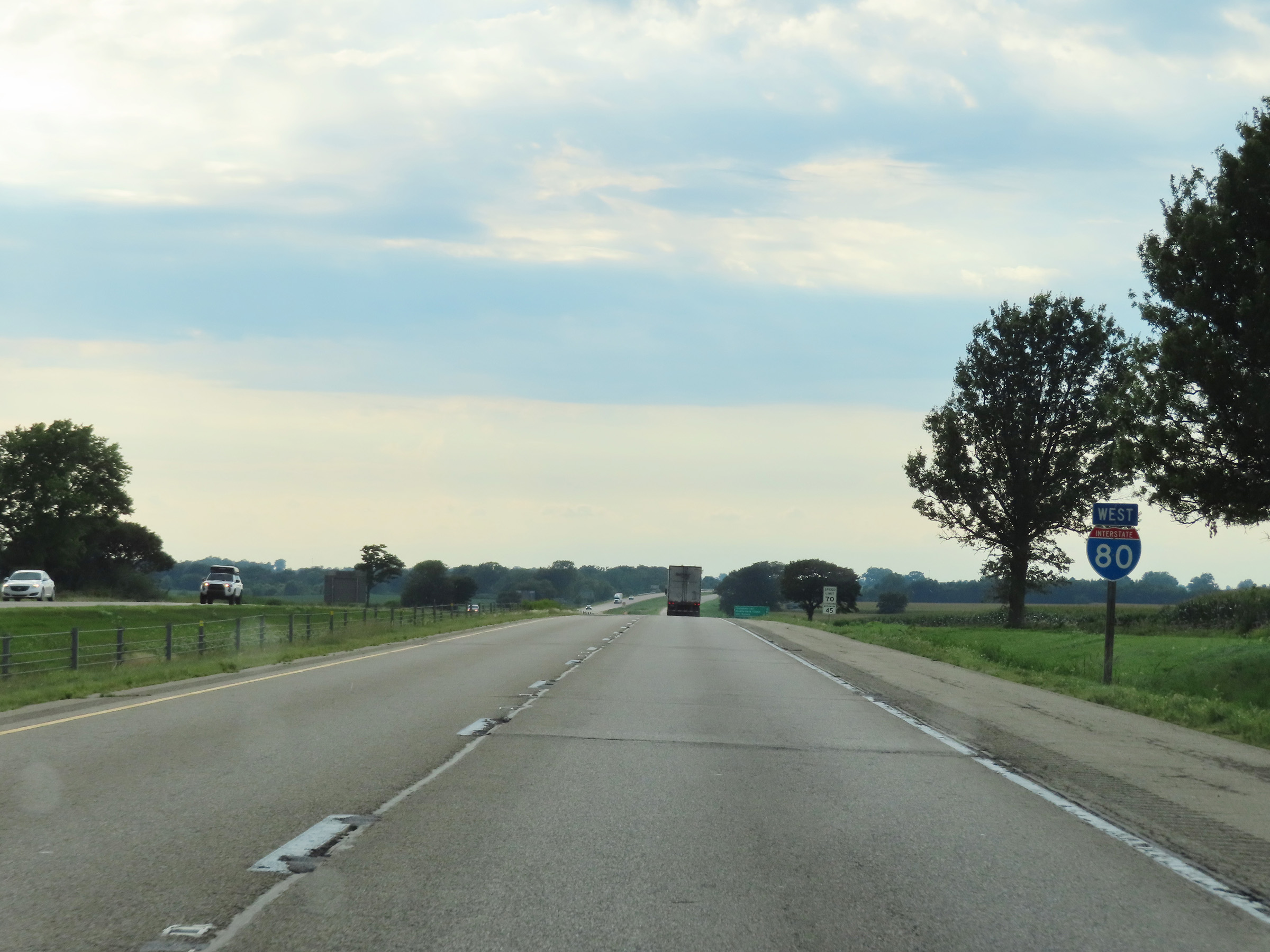
Upon leaving Will County, the maximum speed limit for all traffic increases to 70 mph. The minimum speed limit remains 45 mph as always. (Photo taken 8/19/22). |
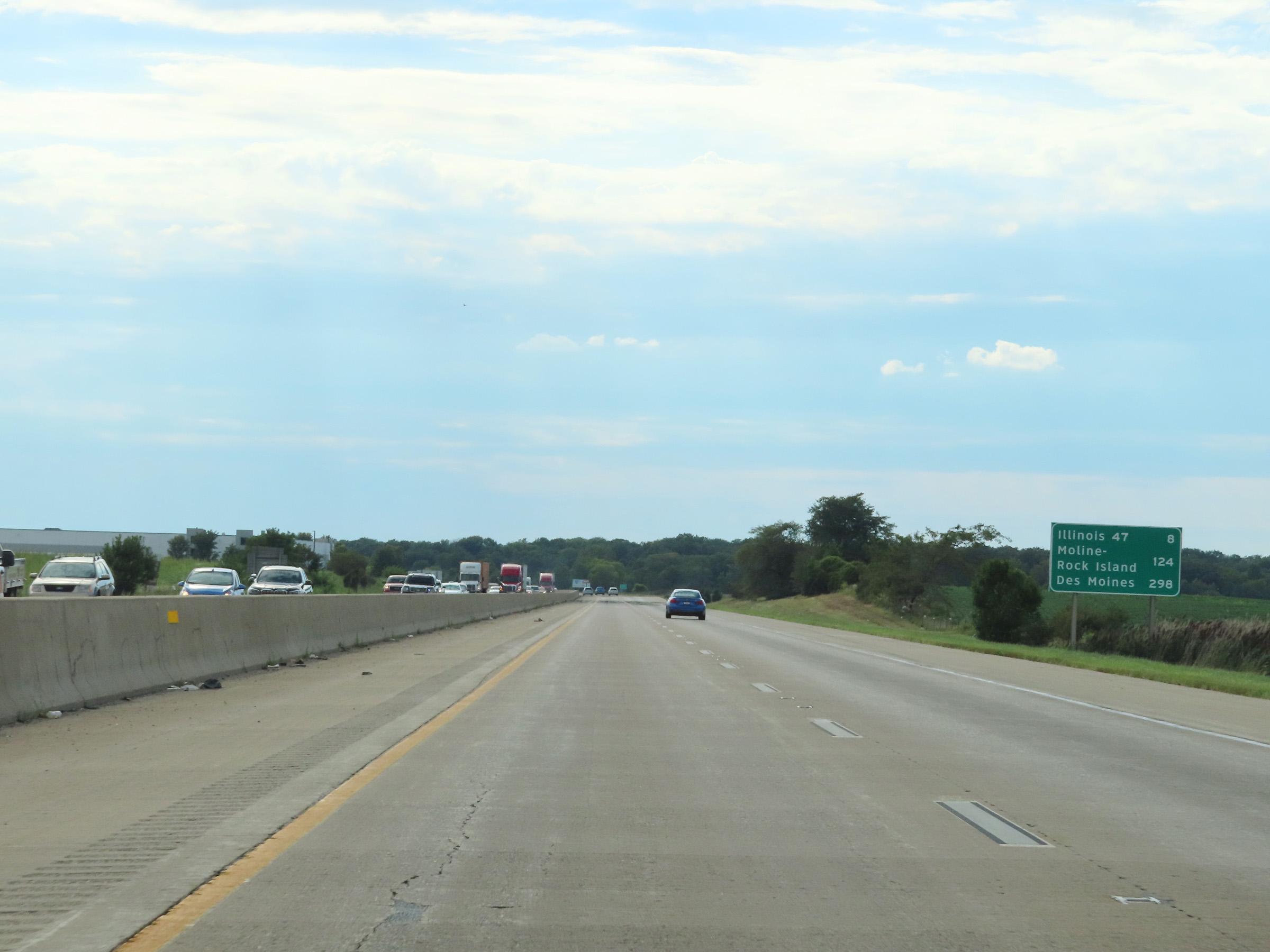 |
Mileage sign on Interstate 80 West. It's 8 miles to the junction of IL 47, 124 miles to Moline-Rock Island, and 298 miles to Des Moines. (Photo taken 8/19/22). |
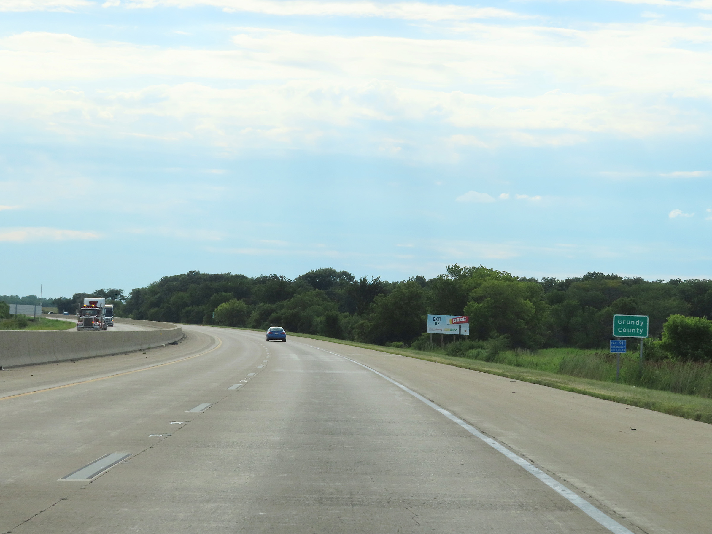 |
Interstate 80 West as it enters Grundy County. (Photo taken 8/19/22). |
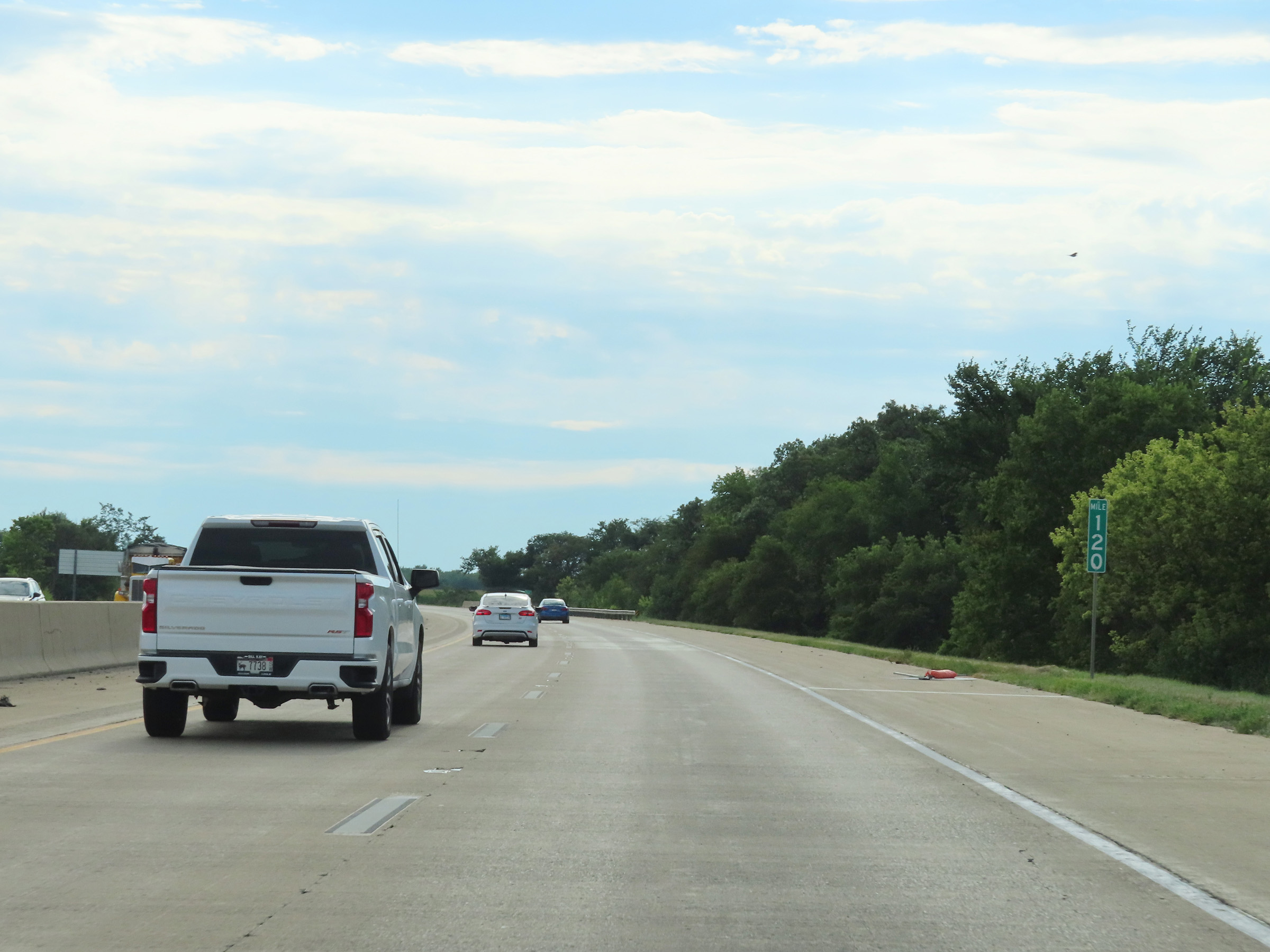 |
View on Interstate 80 West at mile marker 120. (Photo taken 8/19/22). |
 |
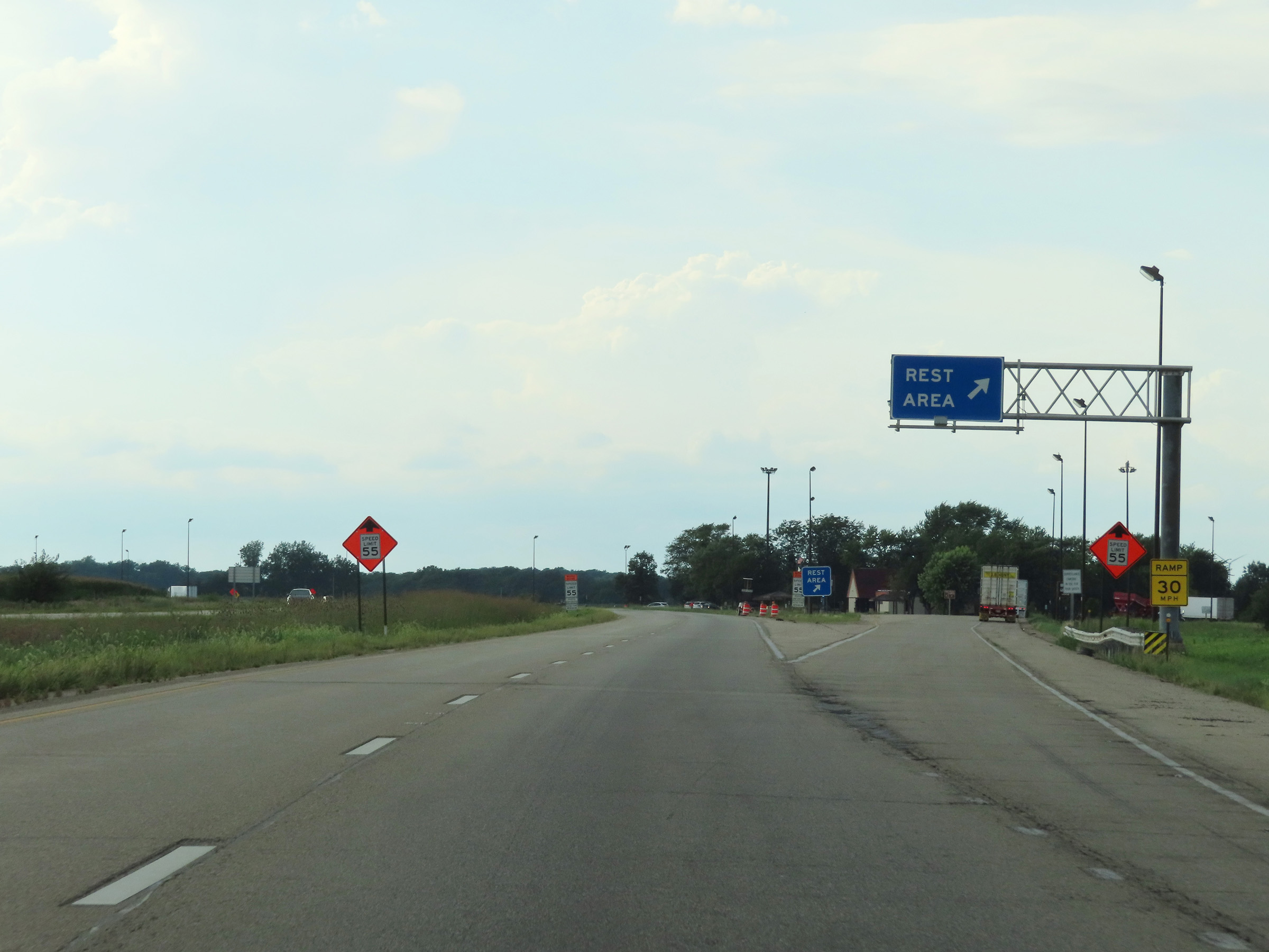
Rest Area on Interstate 80 West in Grundy County. (Photo taken 8/19/22). |
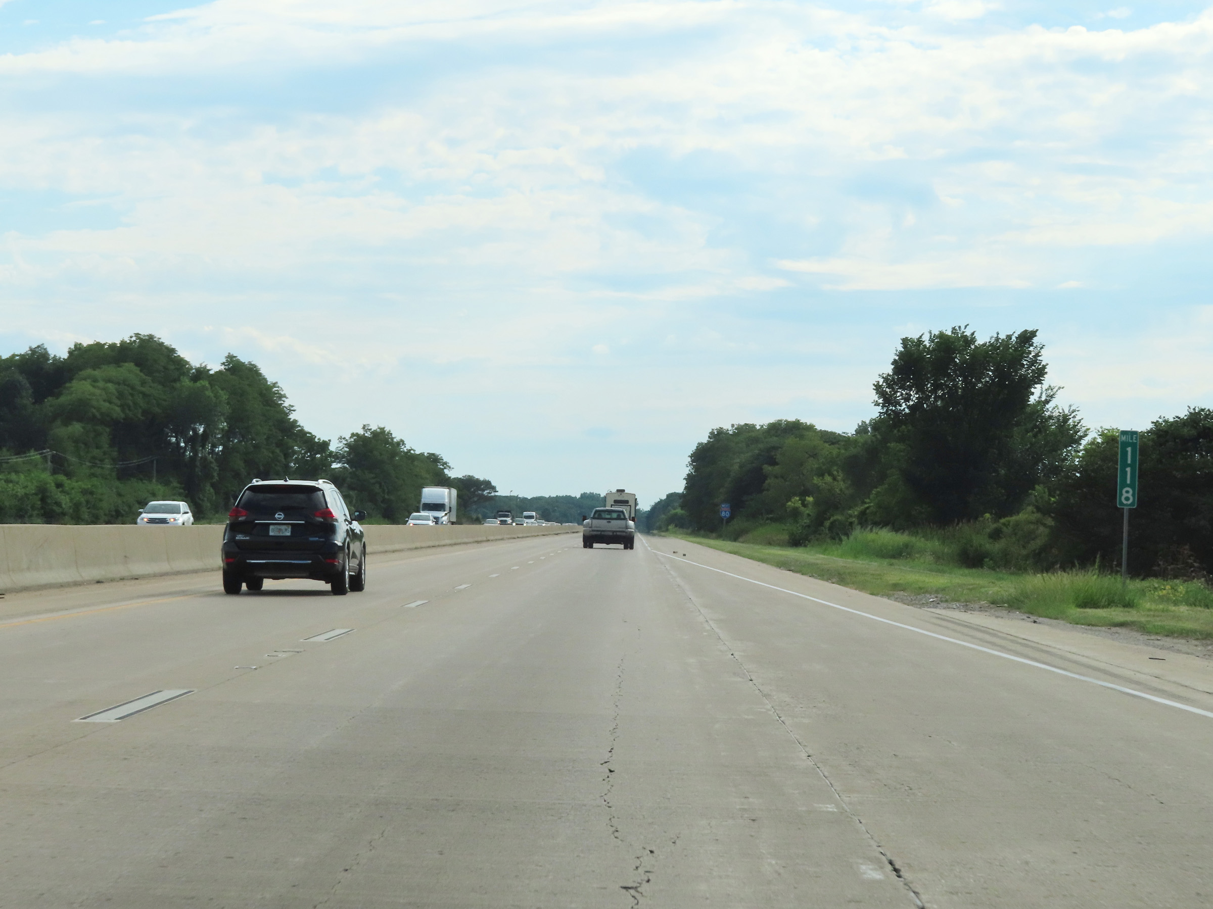 |
Interstate 80 West at mile marker 118. (Photo taken 8/19/22). |
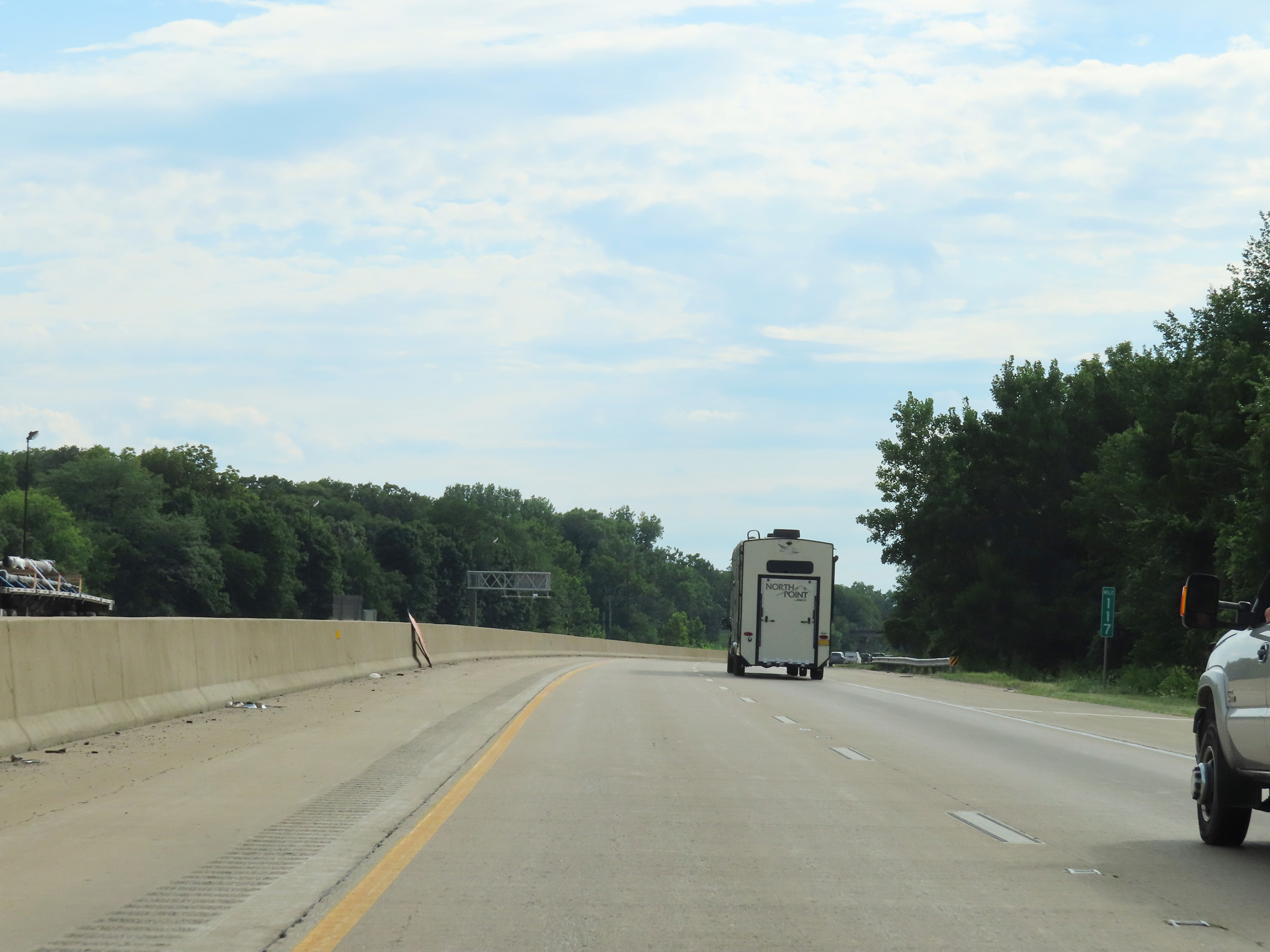 |
Mile marker 117 on Interstate 80 West in Grundy County. (Photo taken 8/19/22). |
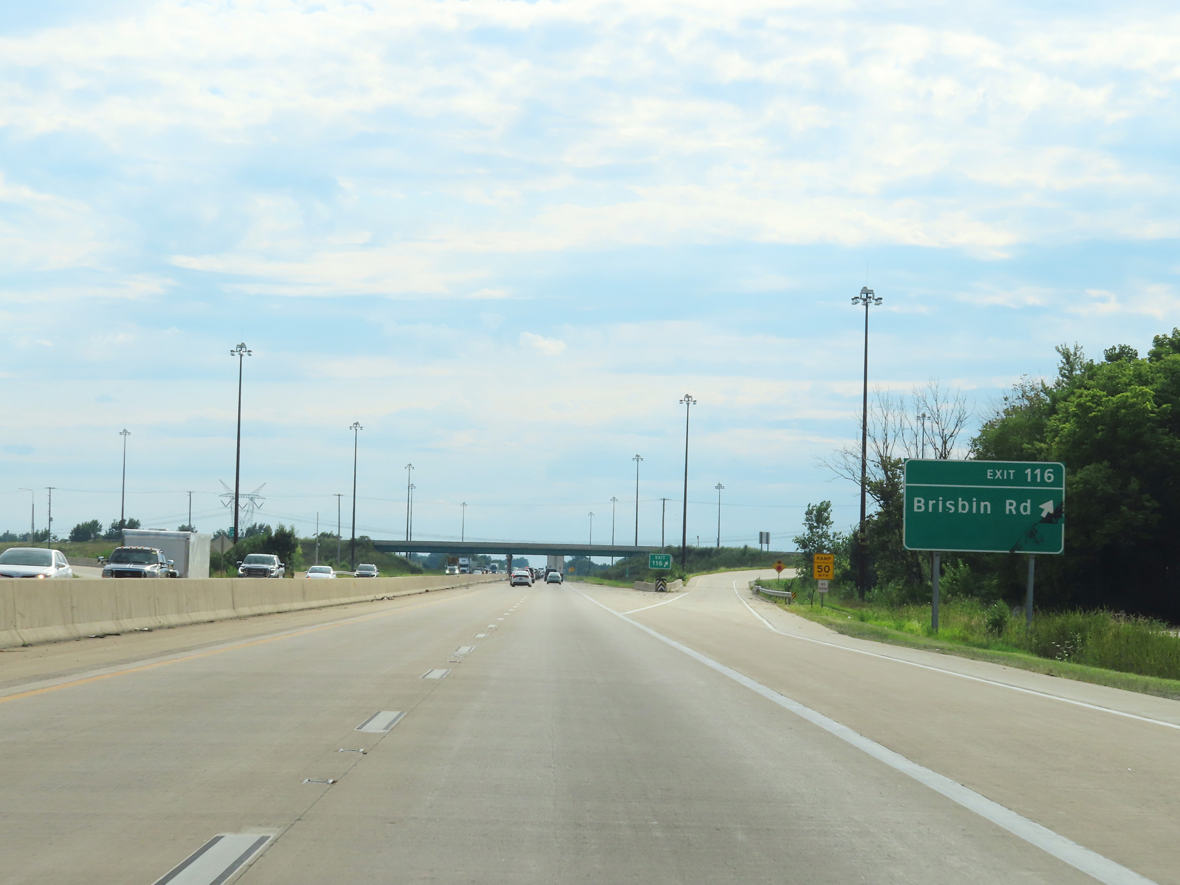 |
Interstate 80 West at Exit 116: Brisbin Rd (Photo taken 8/19/22). |
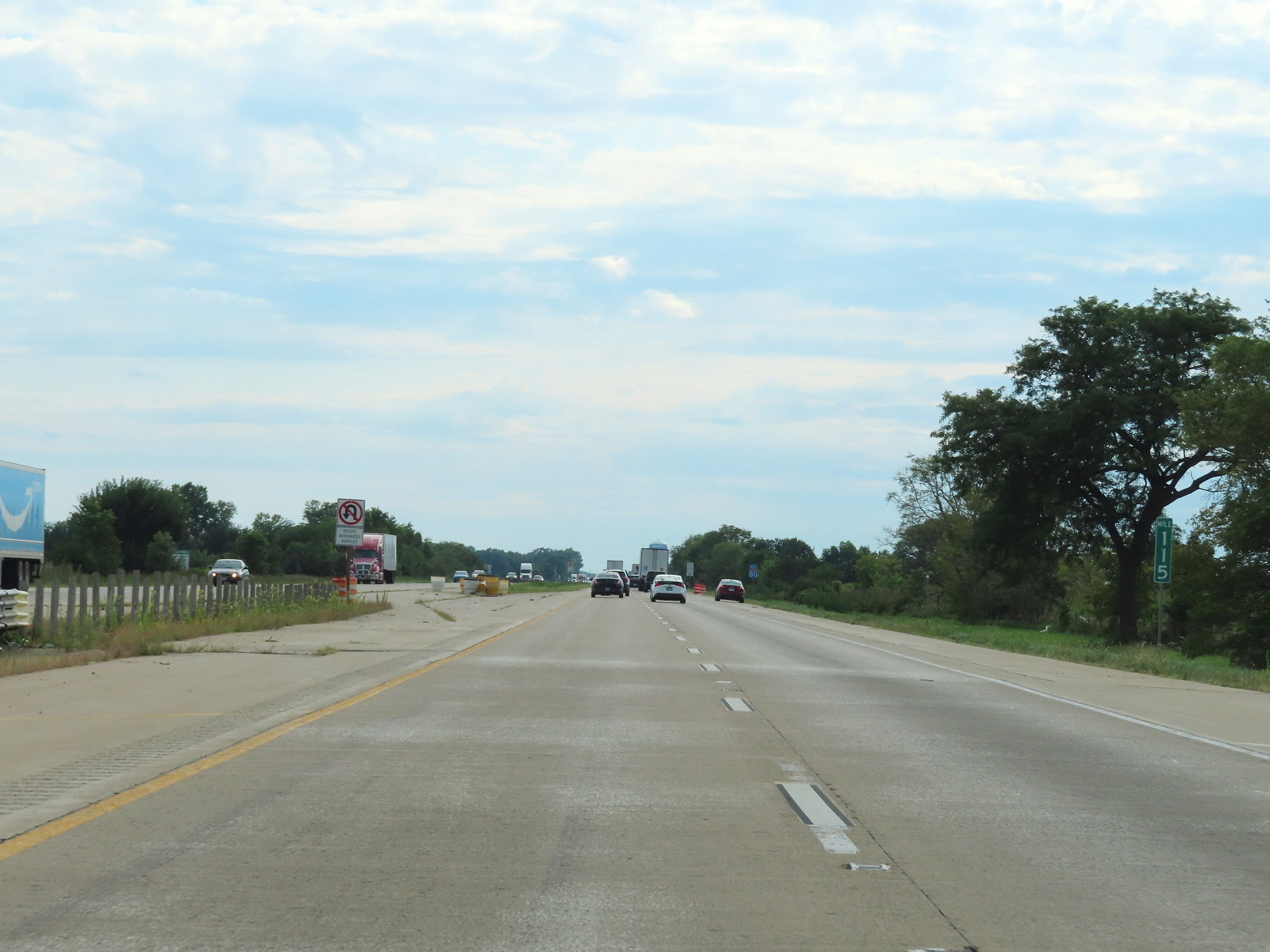 |
View on Interstate 80 West at mile marker 115. (Photo taken 8/19/22). |
 |
Another Interstate 80 West reassurance shield. (Photo taken 8/19/22). |
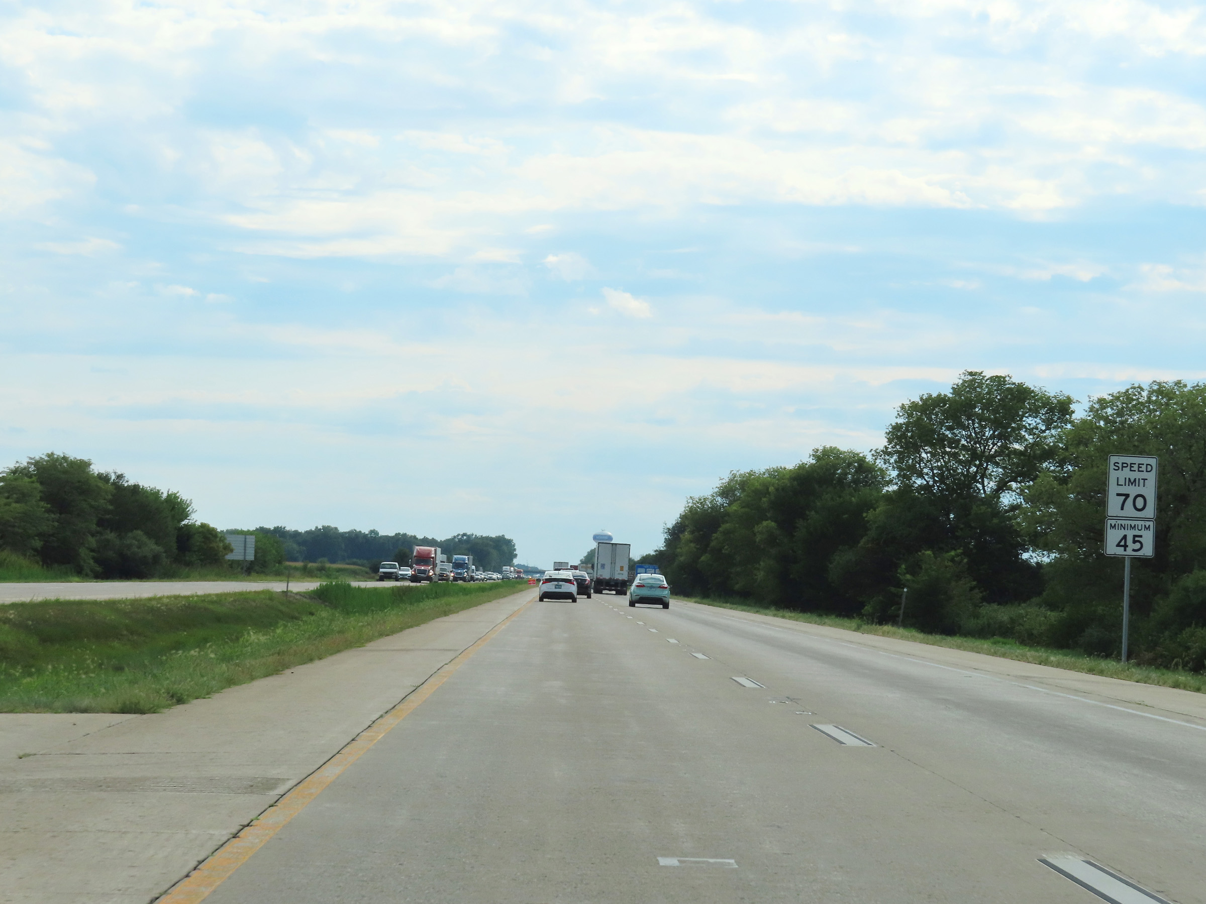 |
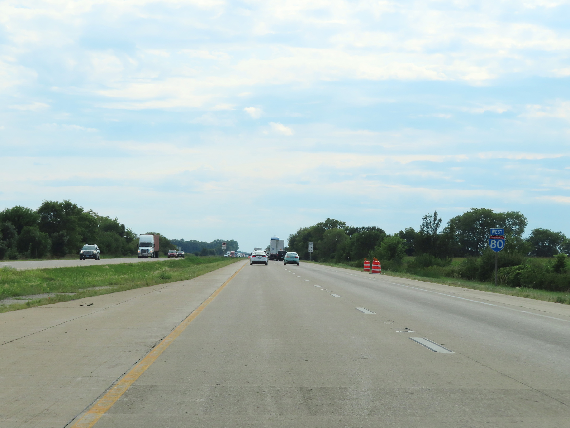
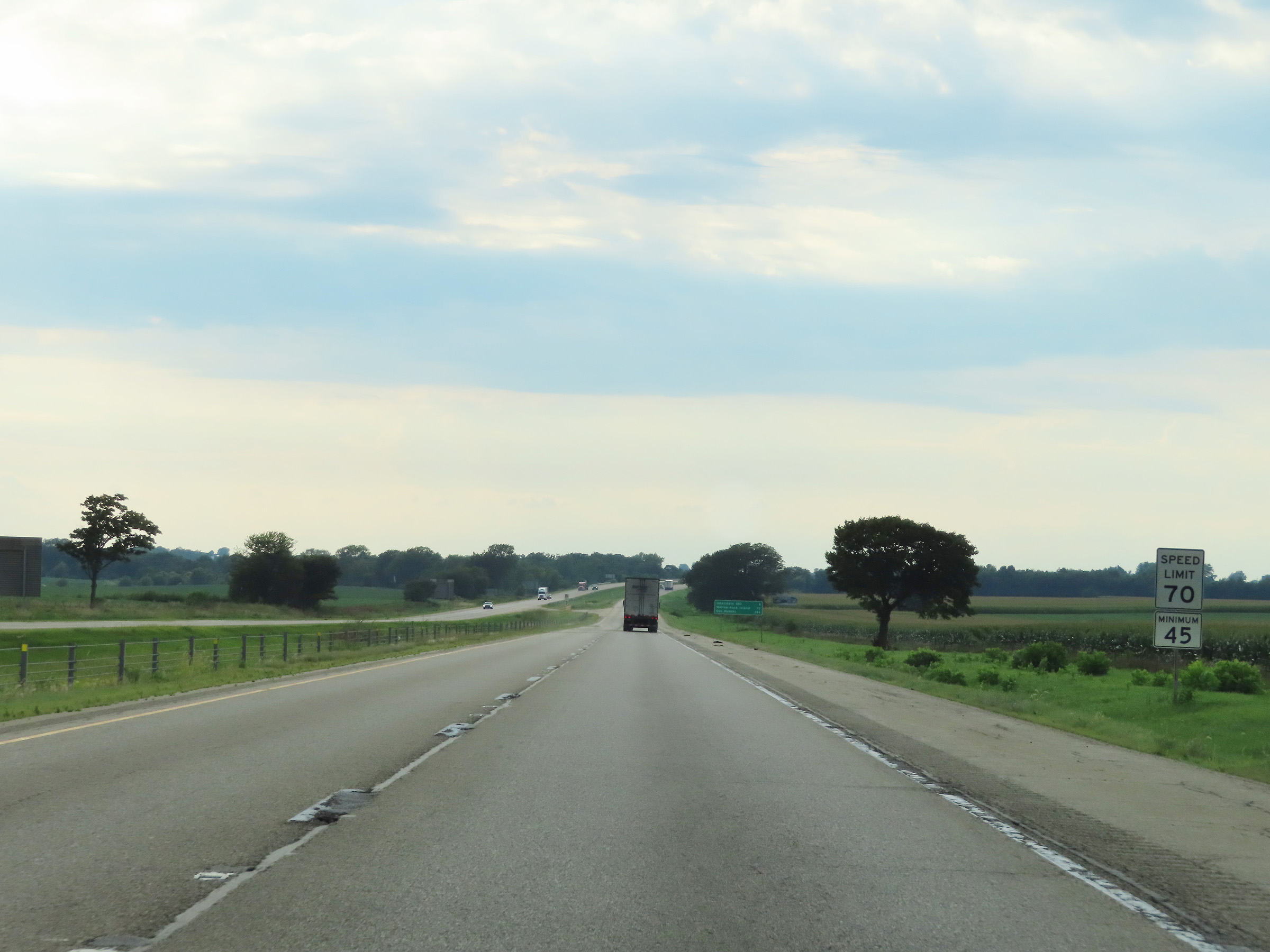
The speed limits remain 70 mph maximum and 45 mph minimum for all traffic on Interstate 80 West. (Photo taken 8/19/22). |
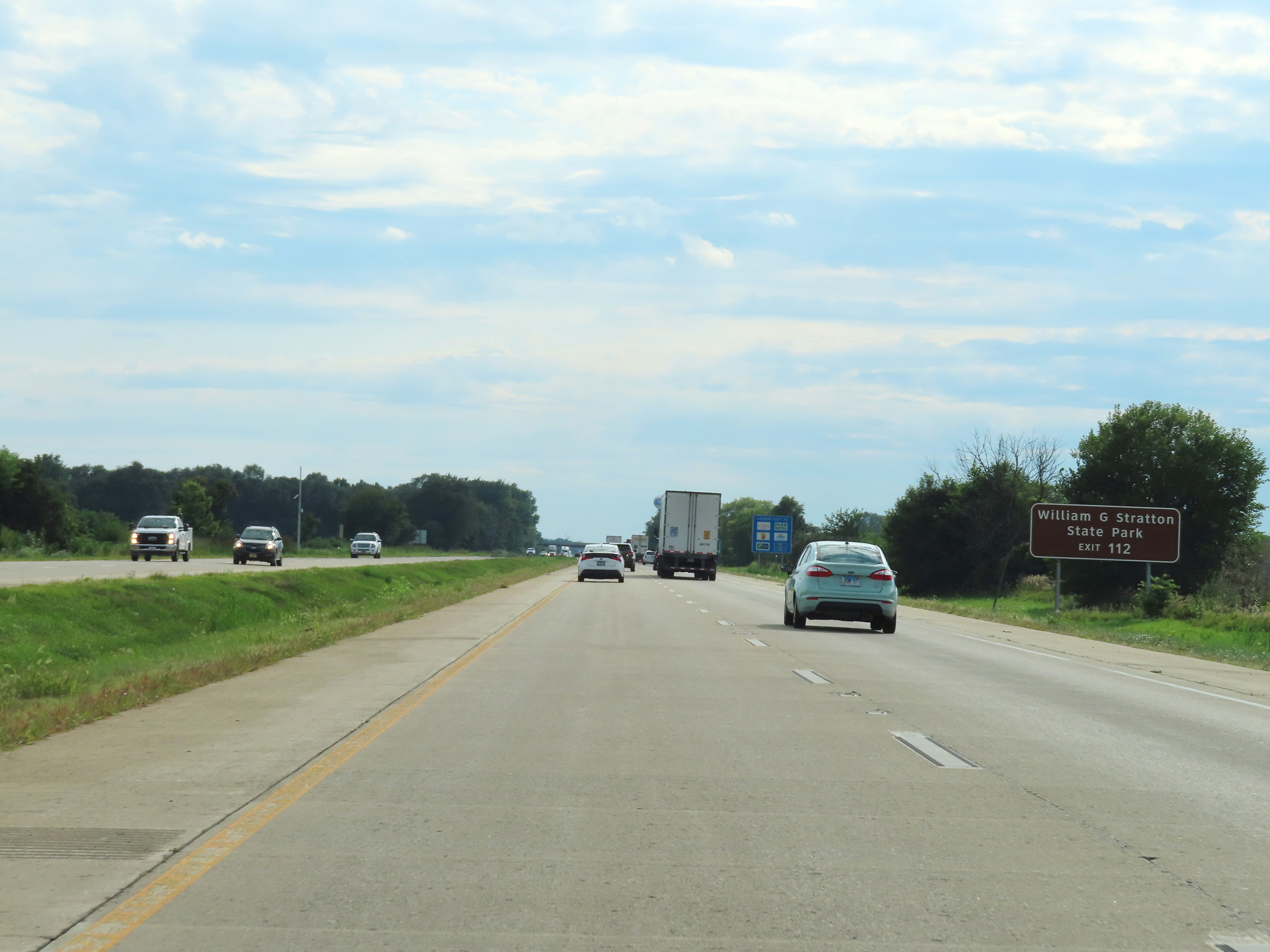 |
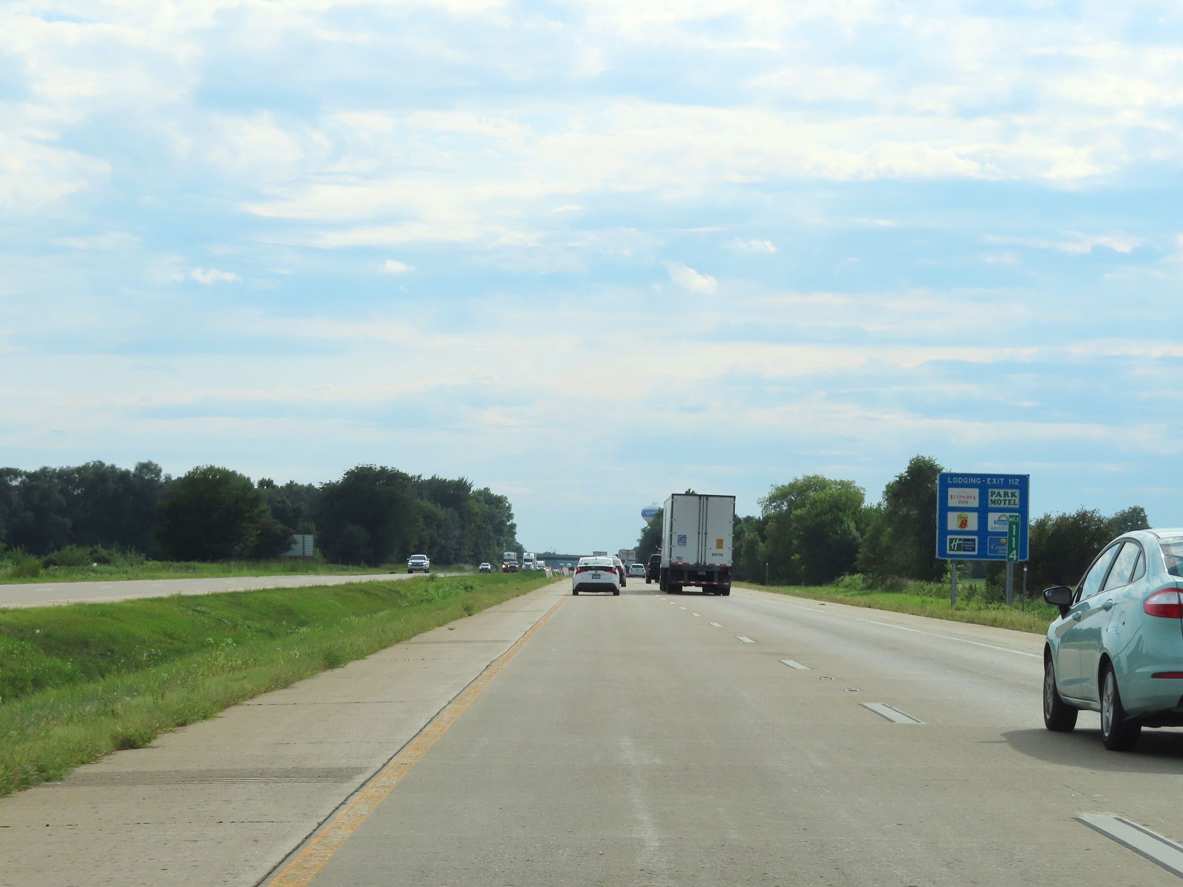
Take Exit 112 to William G. Stratton State Park. (Photo taken 8/19/22). |
 |
Mile marker 114 on Interstate 80 West in Grundy County. (Photo taken 8/19/22). |
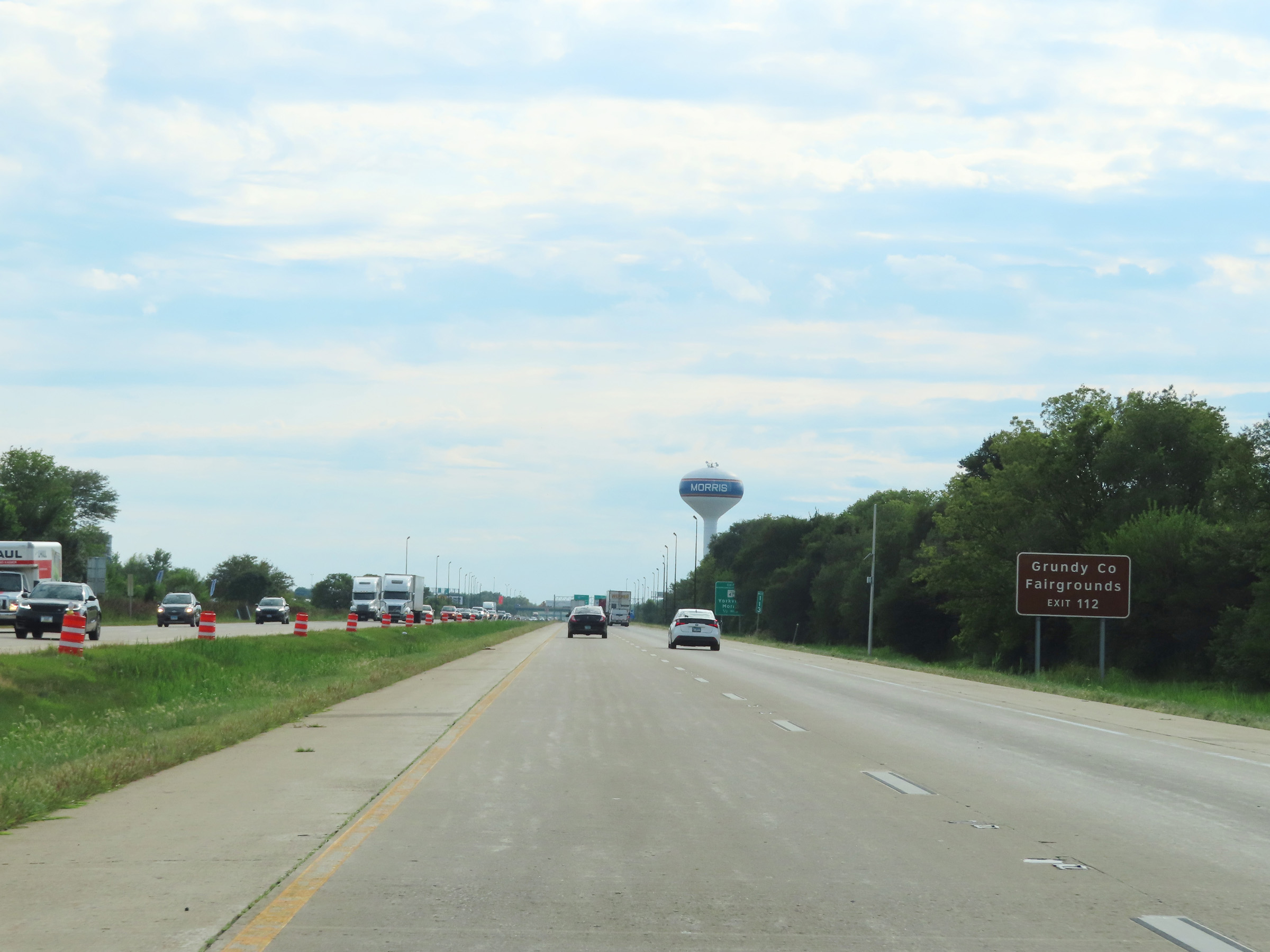 |
Also take Exit 112 to the Grundy County Fairgrounds. (Photo taken 8/19/22). |
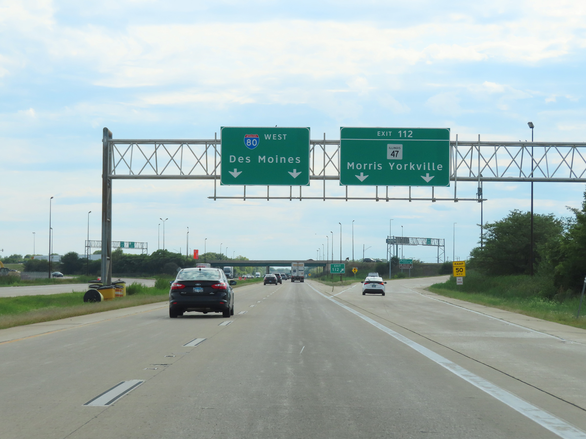 |
Interstate 80 West at Exit 112: IL 47 - Morris / Yorkville (Photo taken 8/19/22). |
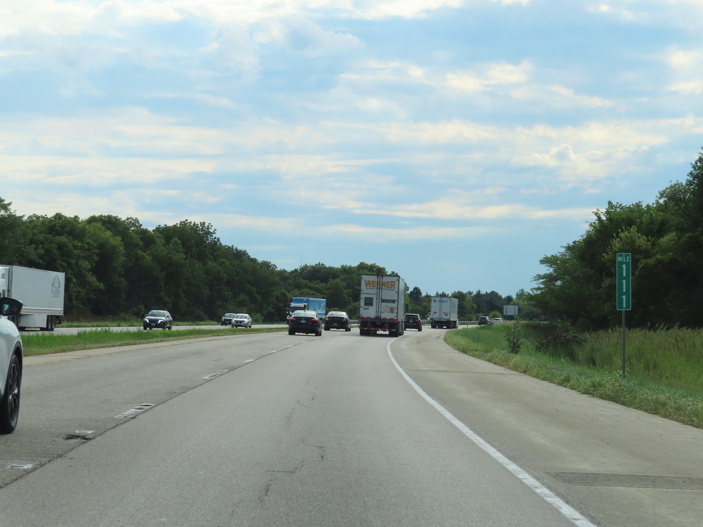 |
Interstate 80 West at mile marker 111. (Photo taken 8/19/22). |
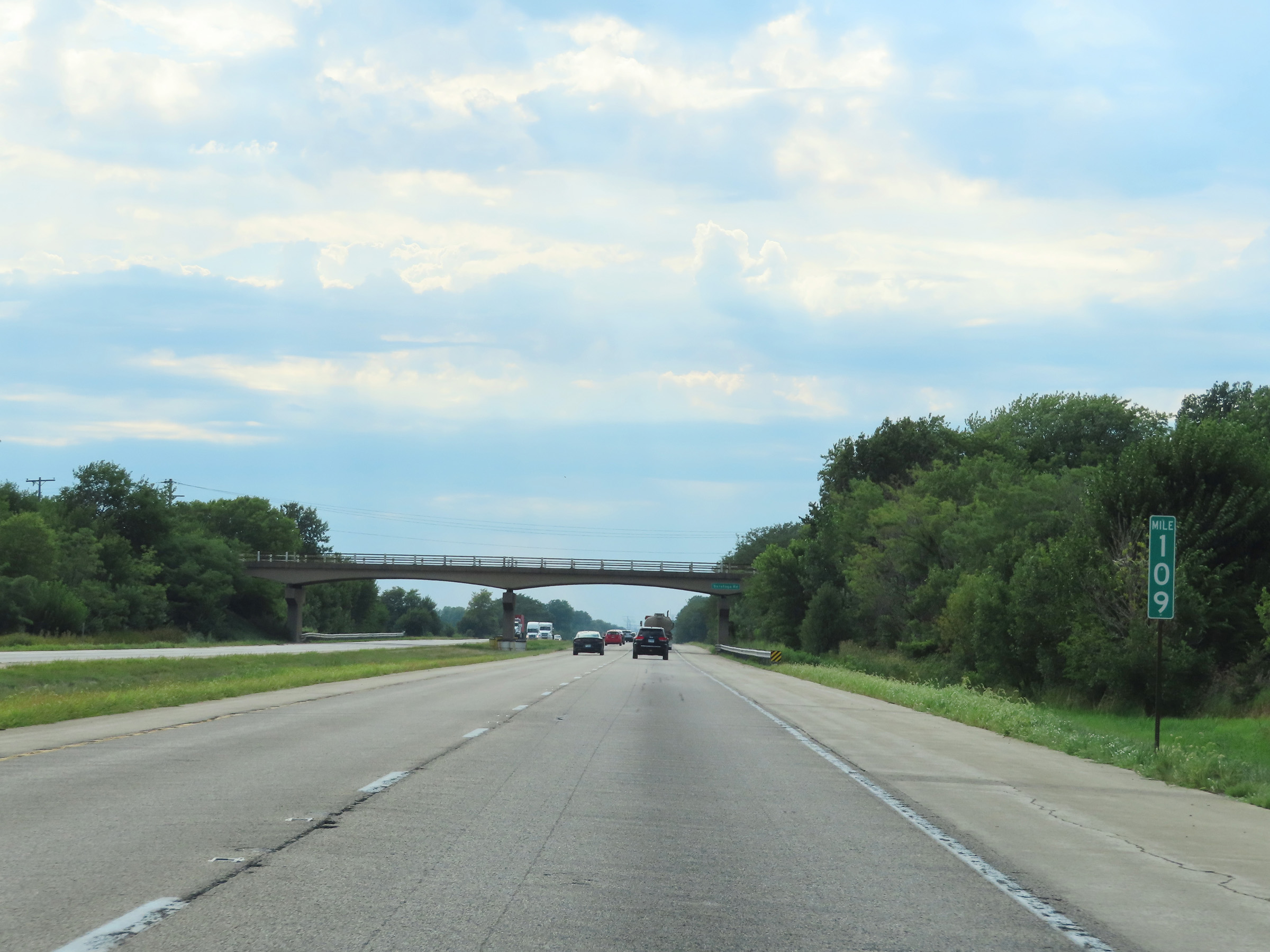 |
View on Interstate 80 West at mile marker 109. (Photo taken 8/19/22). |
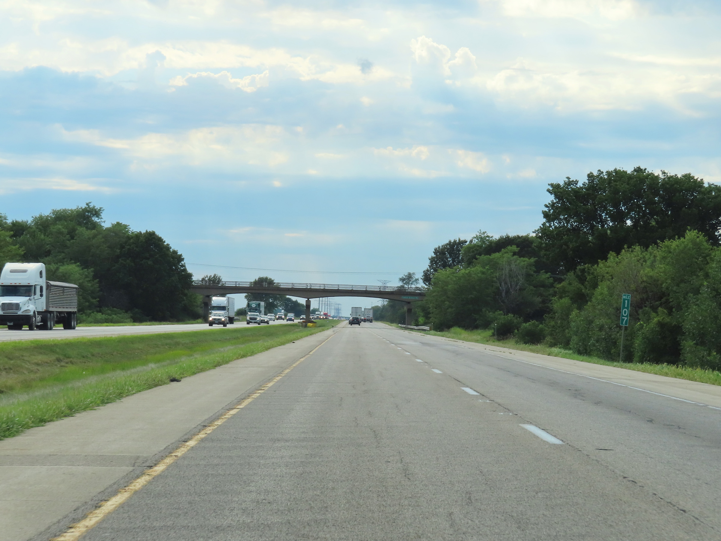 |
Mile marker 107 on Interstate 80 West in Grundy County. (Photo taken 8/19/22). |
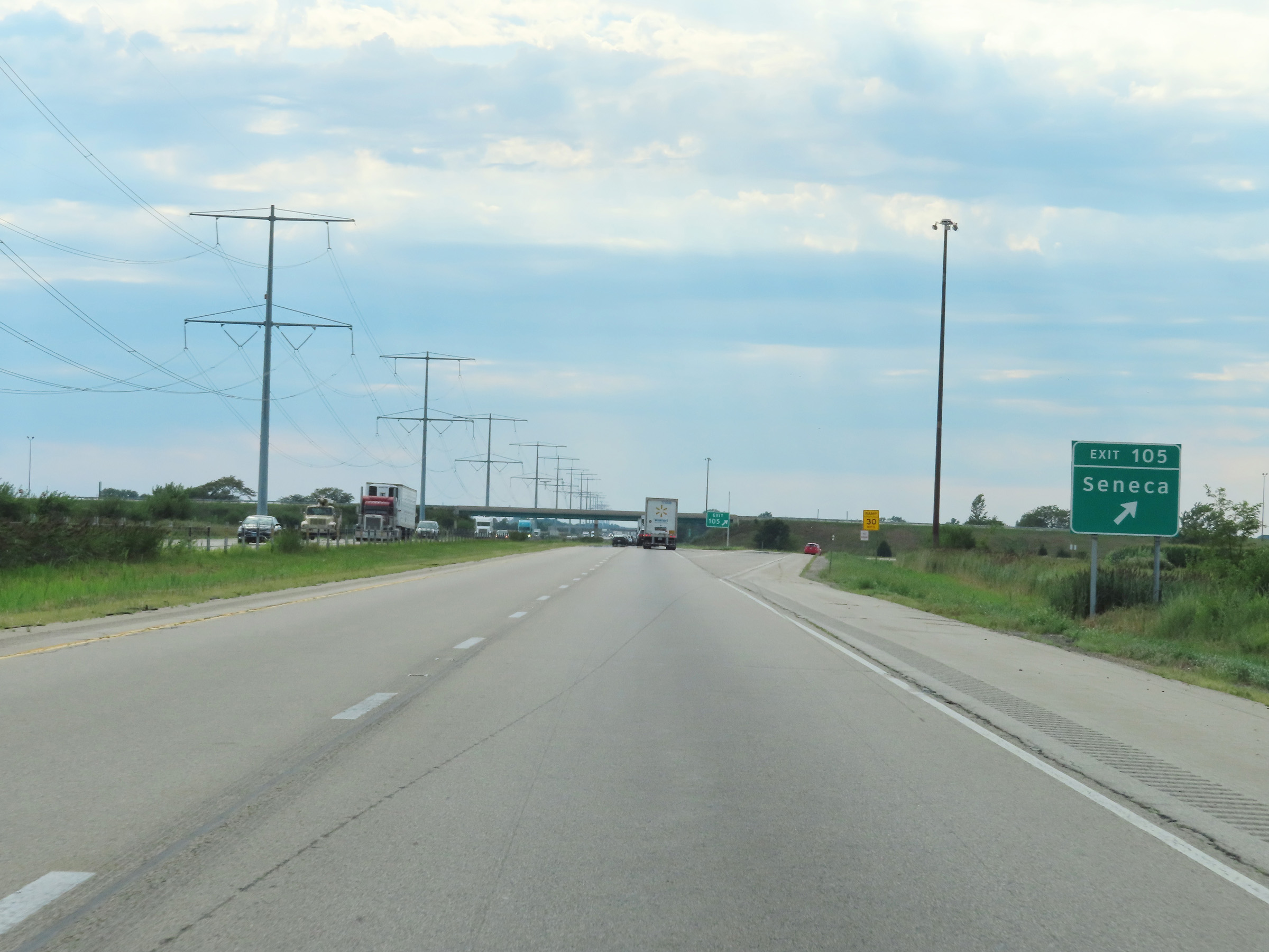 |
Interstate 80 West at Exit 105: Seneca (Photo taken 8/19/22). |
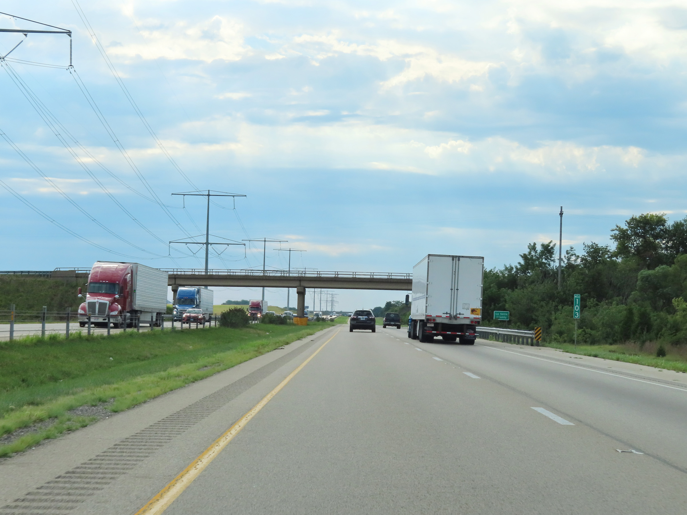 |
Interstate 80 West as it enters La Salle County at mile marker 103. (Photo taken 8/19/22). |
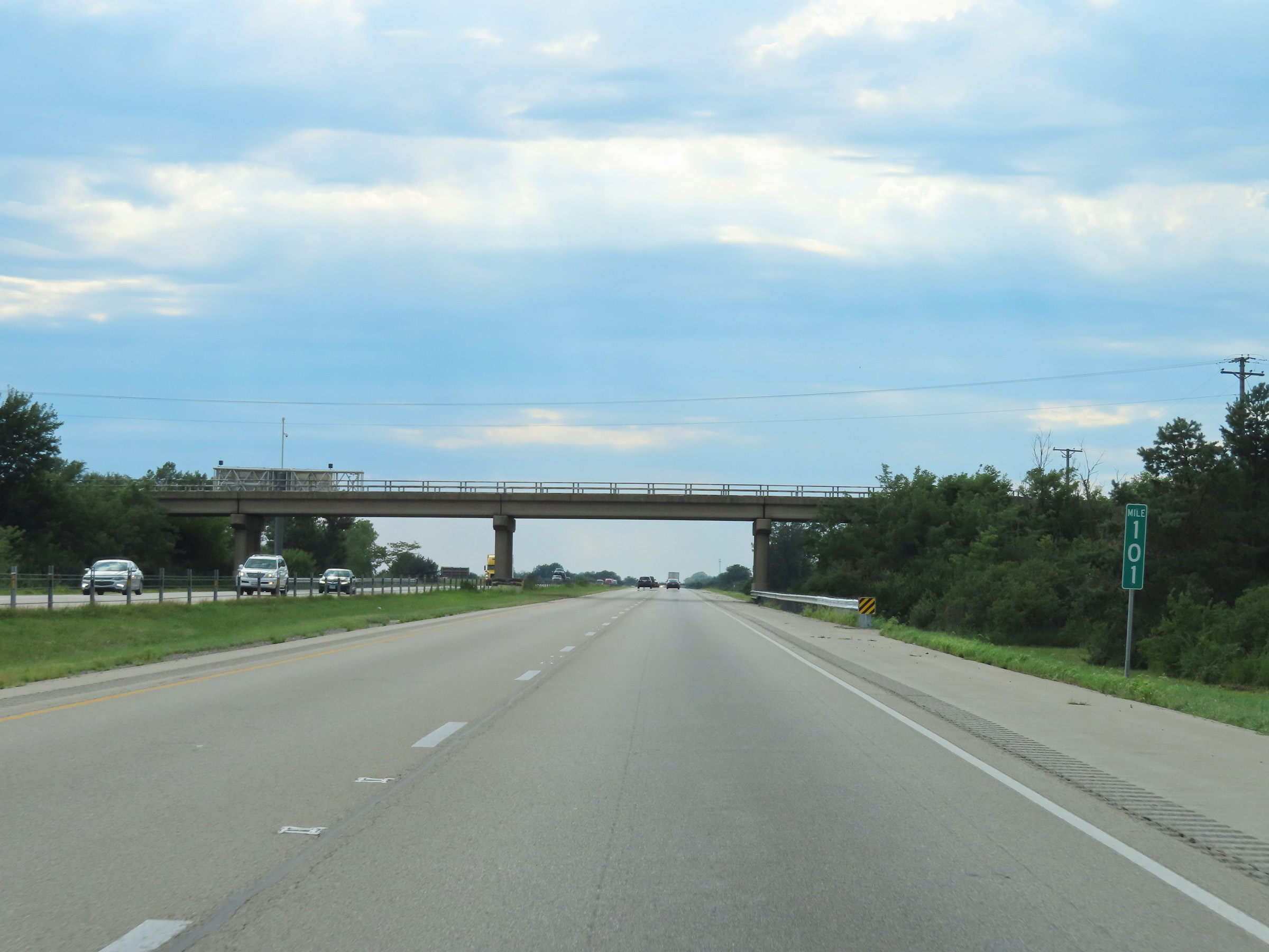 |
View on Interstate 80 West at mile marker 101. (Photo taken 8/19/22). |
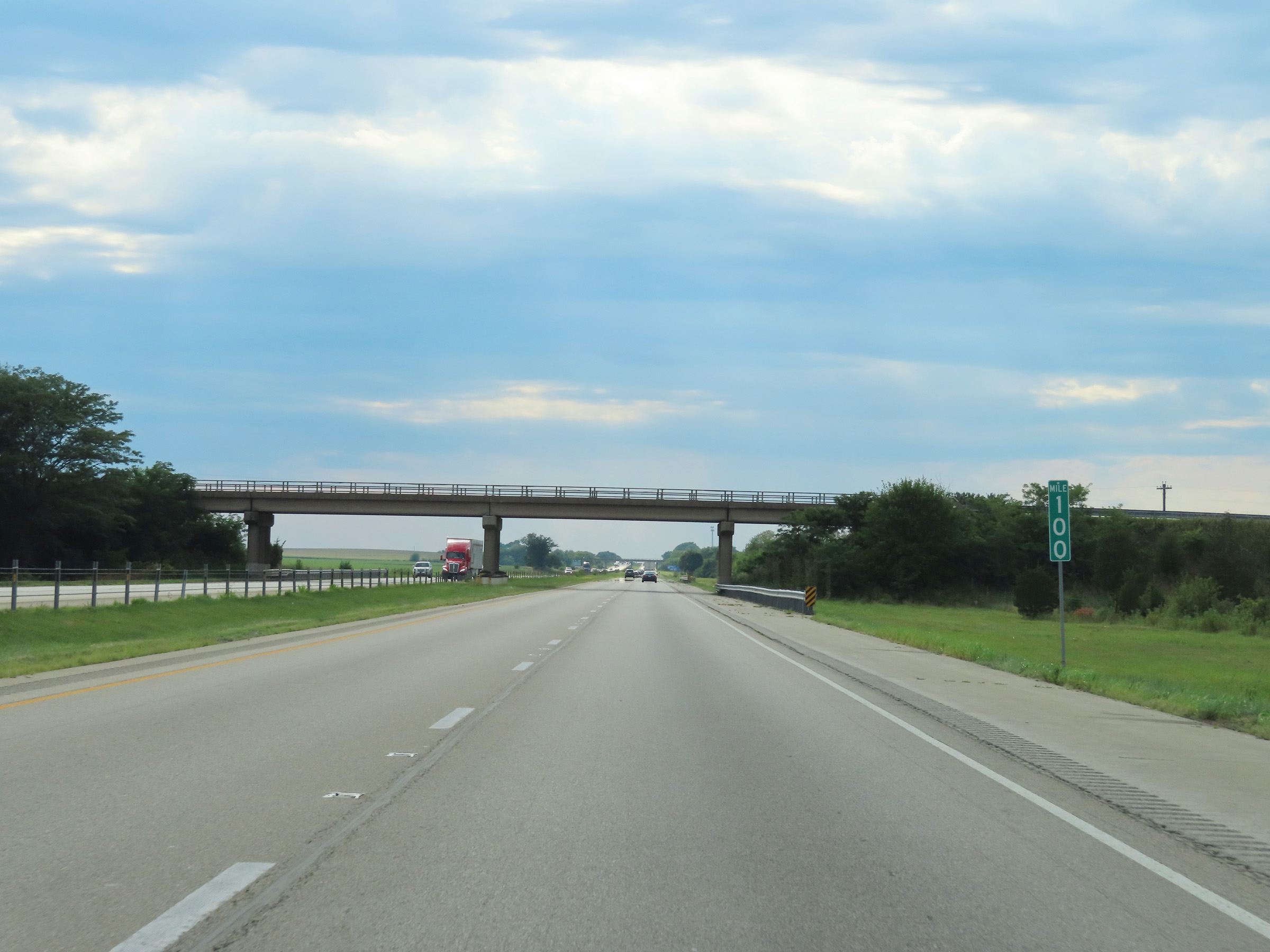 |
Interstate 80 West at mile marker 100. (Photo taken 8/19/22). |
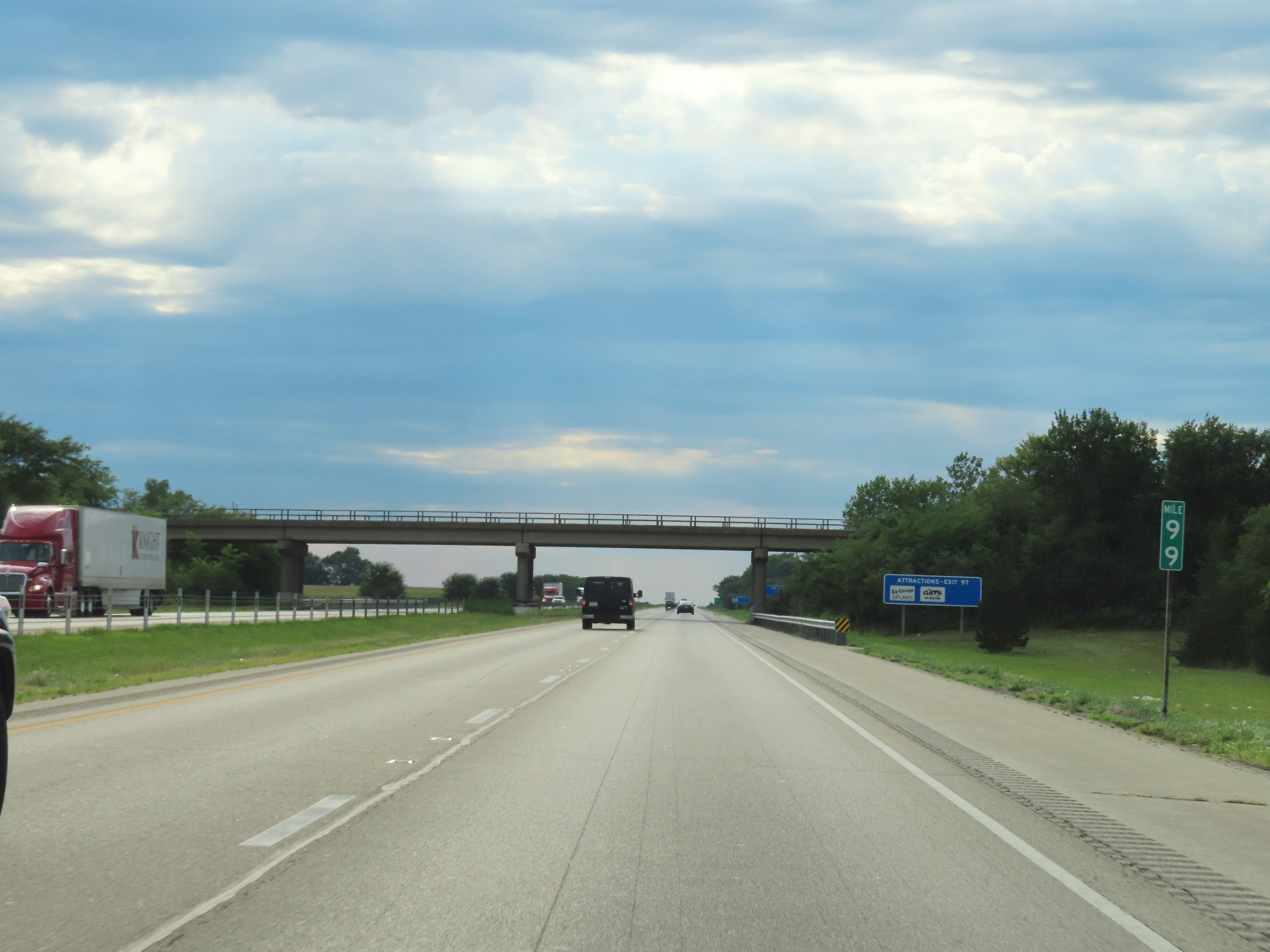 |
Mile marker 99 on Interstate 80 West in La Salle County. (Photo taken 8/19/22). |
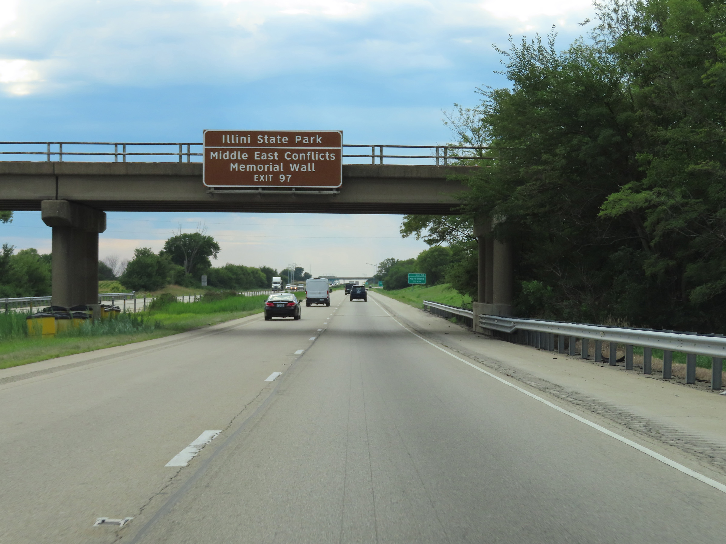 |
Take Exit 97 to Illini State Park and the Middle East Conflicts Memorial Wall. (Photo taken 8/19/22). |
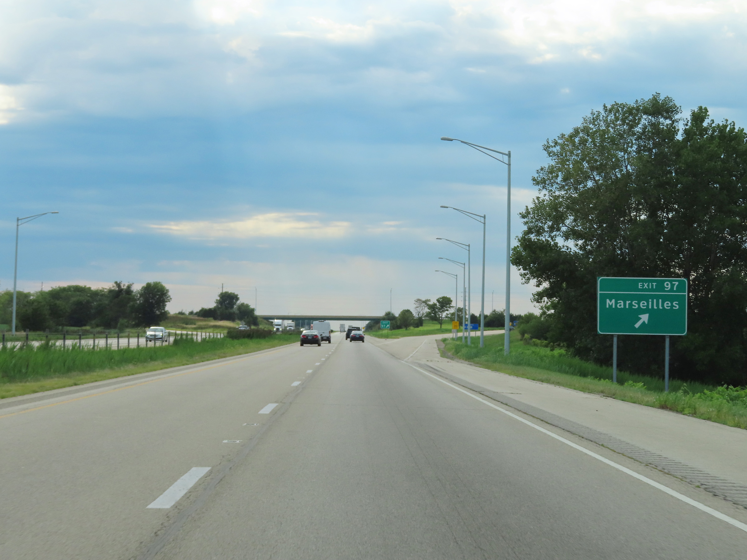 |
Interstate 80 West at Exit 97: Marseilles (Photo taken 8/19/22). |
 |
Interstate 80 West reassurance shield. (Photo taken 8/19/22). |
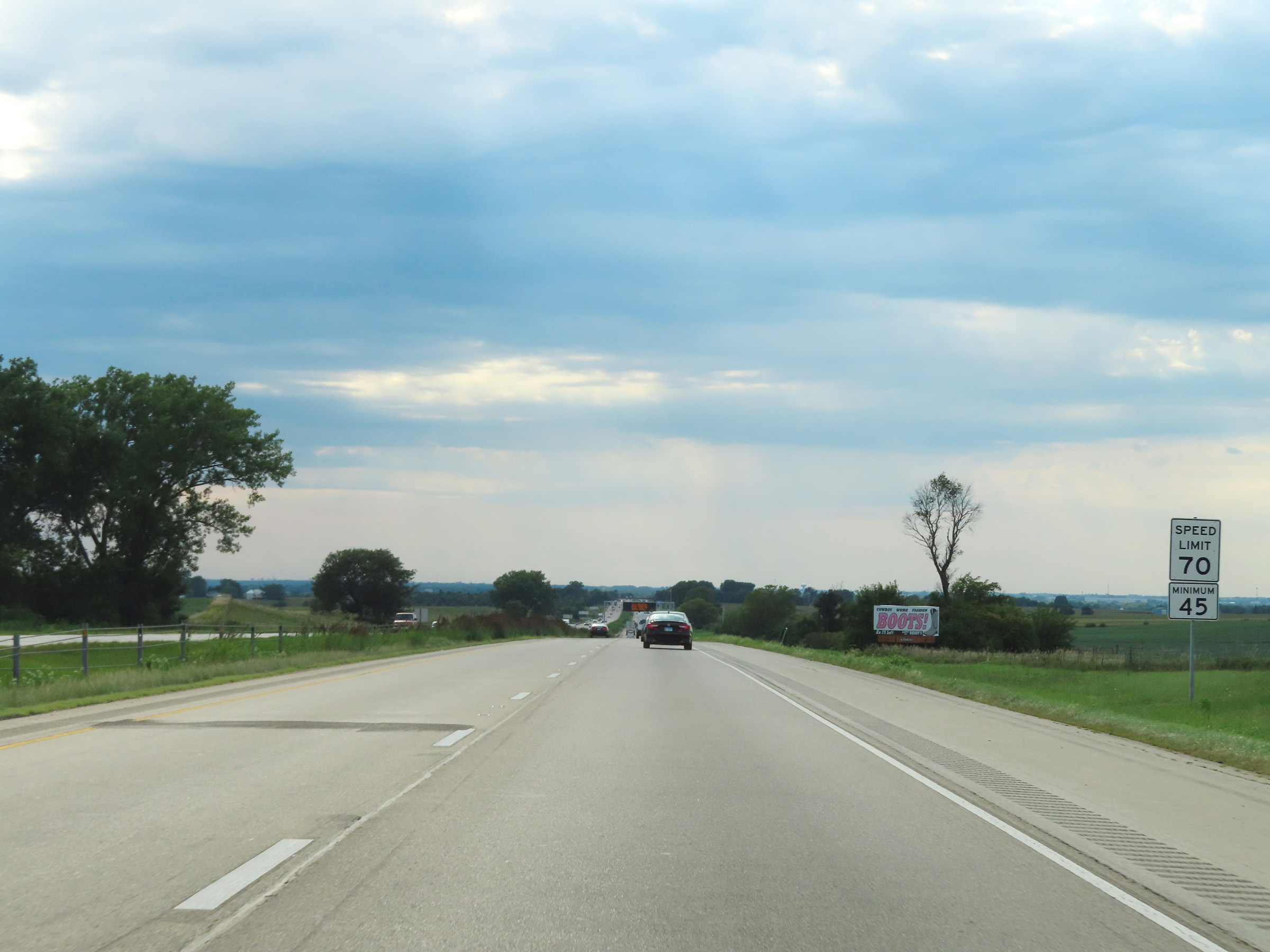 |
Speed limit signage on Interstate 80 West. The speed limits remain 70 mph maximum and 45 mph minimum. (Photo taken 8/19/22). |
 |
View on Interstate 80 West at mile marker 96. (Photo taken 8/19/22). |
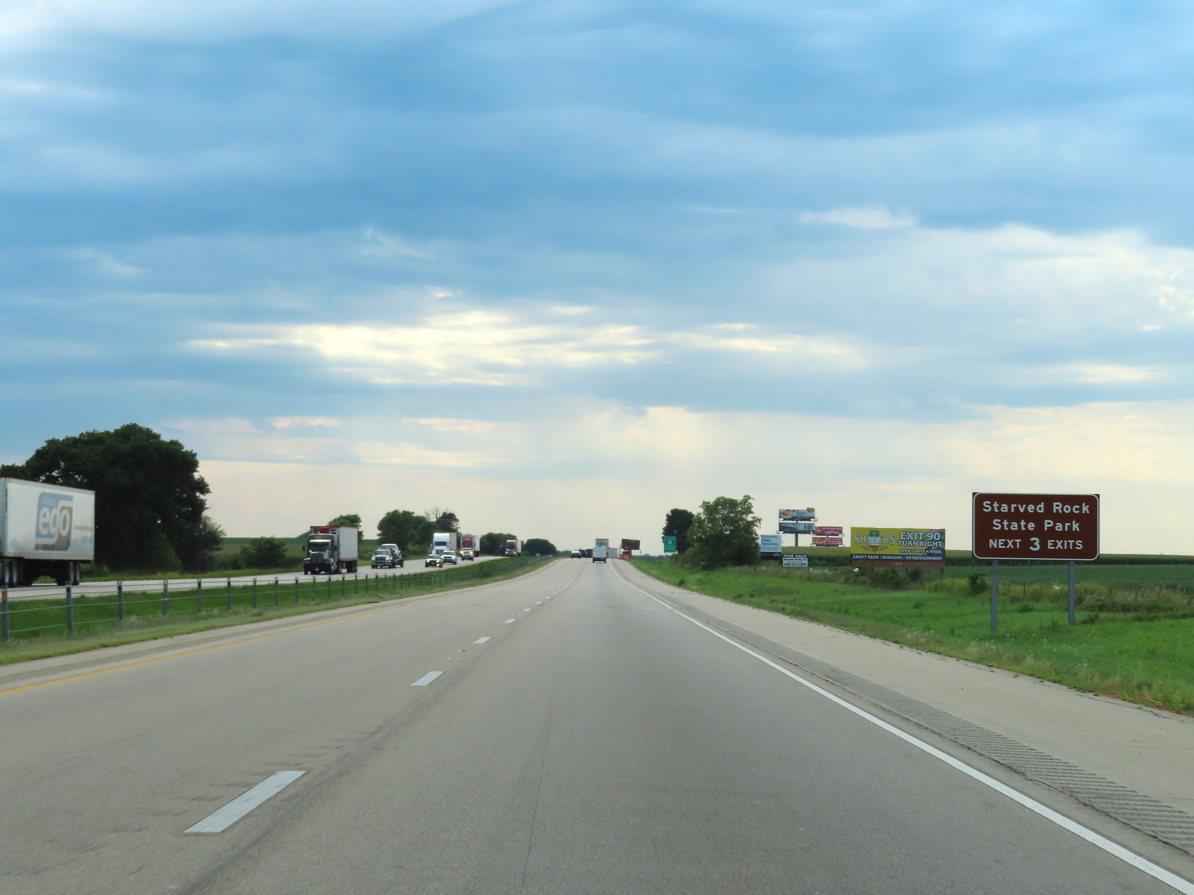 |
Take any of the next 3 exits to Starved Rock State Park. (Photo taken 8/19/22). |
 |
Mile marker 94 on Interstate 80 West in La Salle County. (Photo taken 8/19/22). |
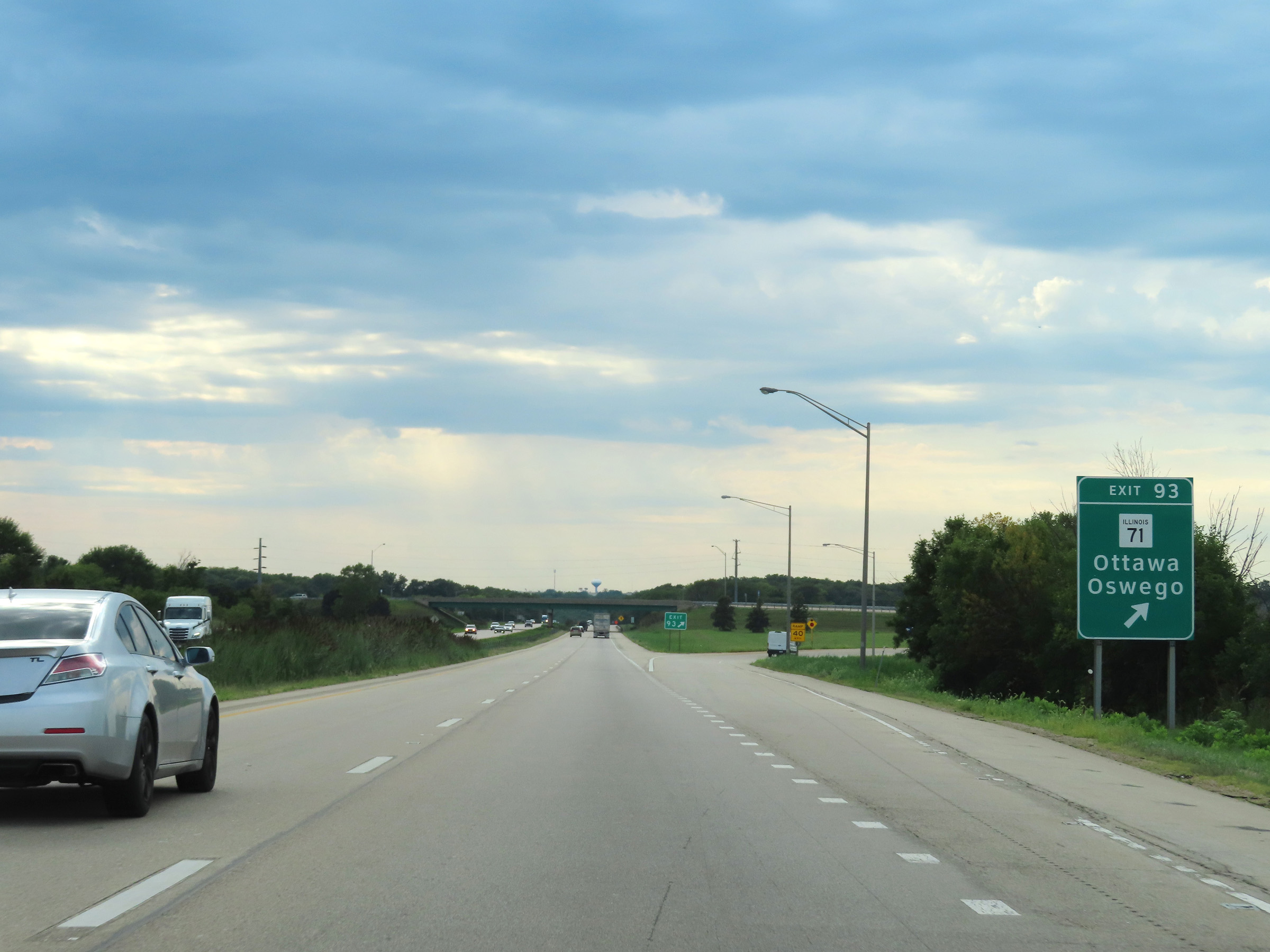 |
Interstate 80 West at Exit 93: IL 71 - Ottawa / Oswego (Photo taken 8/19/22). |
 |
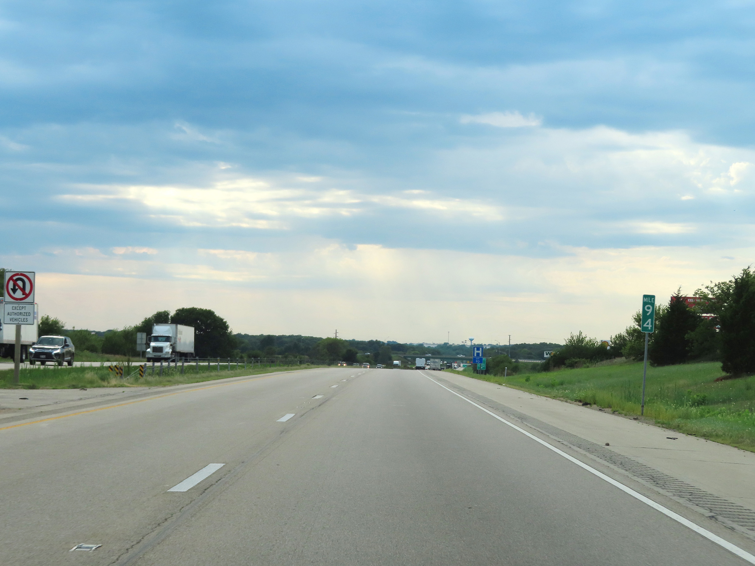
Interstate 80 West at mile marker 92. (Photo taken 8/19/22). |
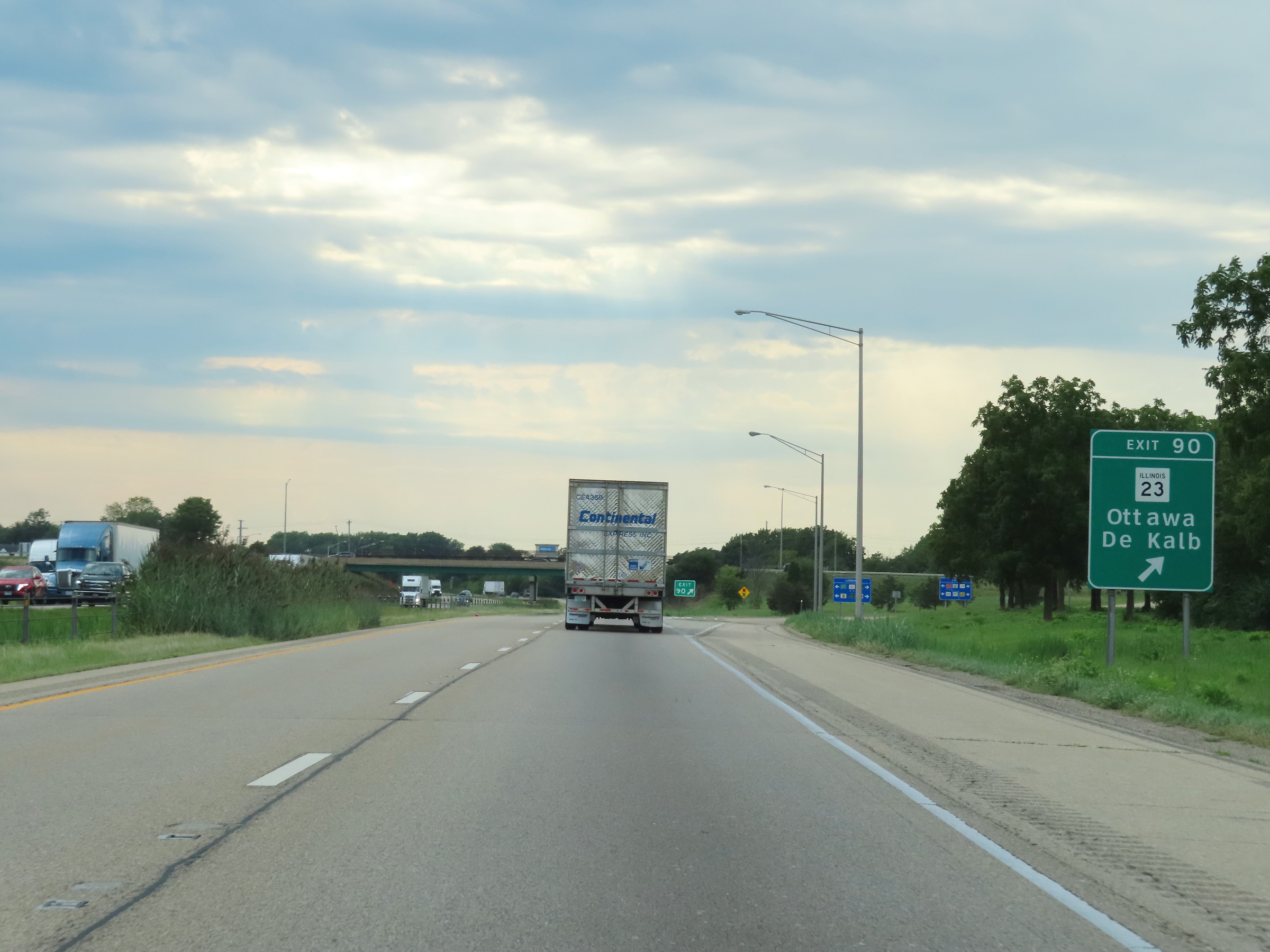 |
Interstate 80 West at Exit 90: IL 23 - Ottawa / De Kalb (Photo taken 8/19/22). |
 |
Interstate 80 West at mile marker 89. (Photo taken 8/19/22). |
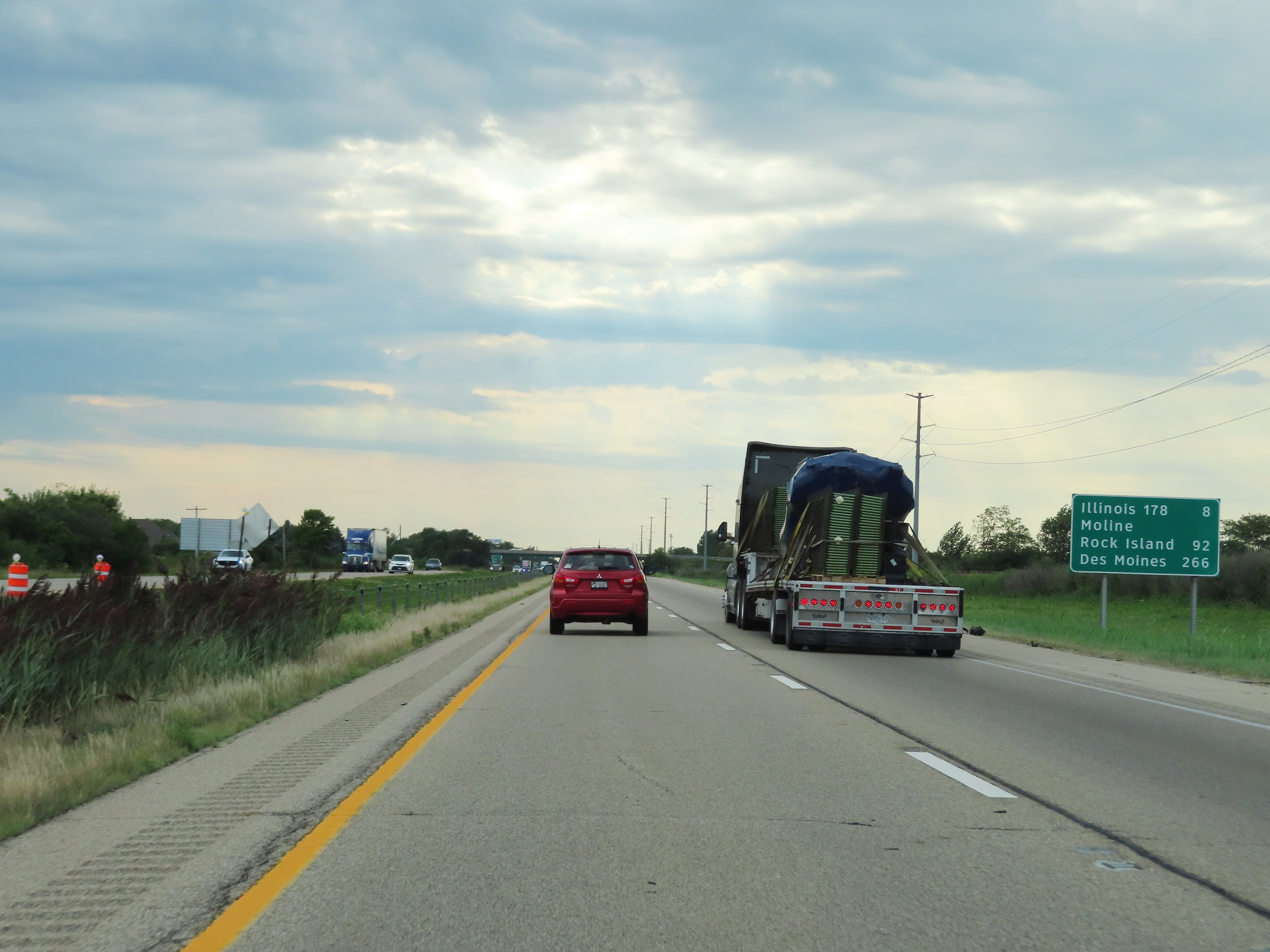 |
Another mileage sign on Interstate 80 West. It's 8 miles to the junction of IL 178, 92 miles to Moline-Rock Island, and 266 miles to Des Moines. (Photo taken 8/19/22). |
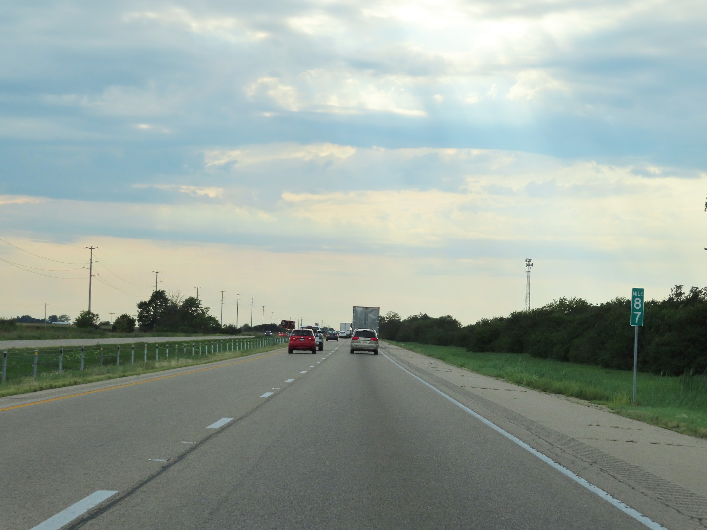 |
View on Interstate 80 West at mile marker 87. (Photo taken 8/19/22). |
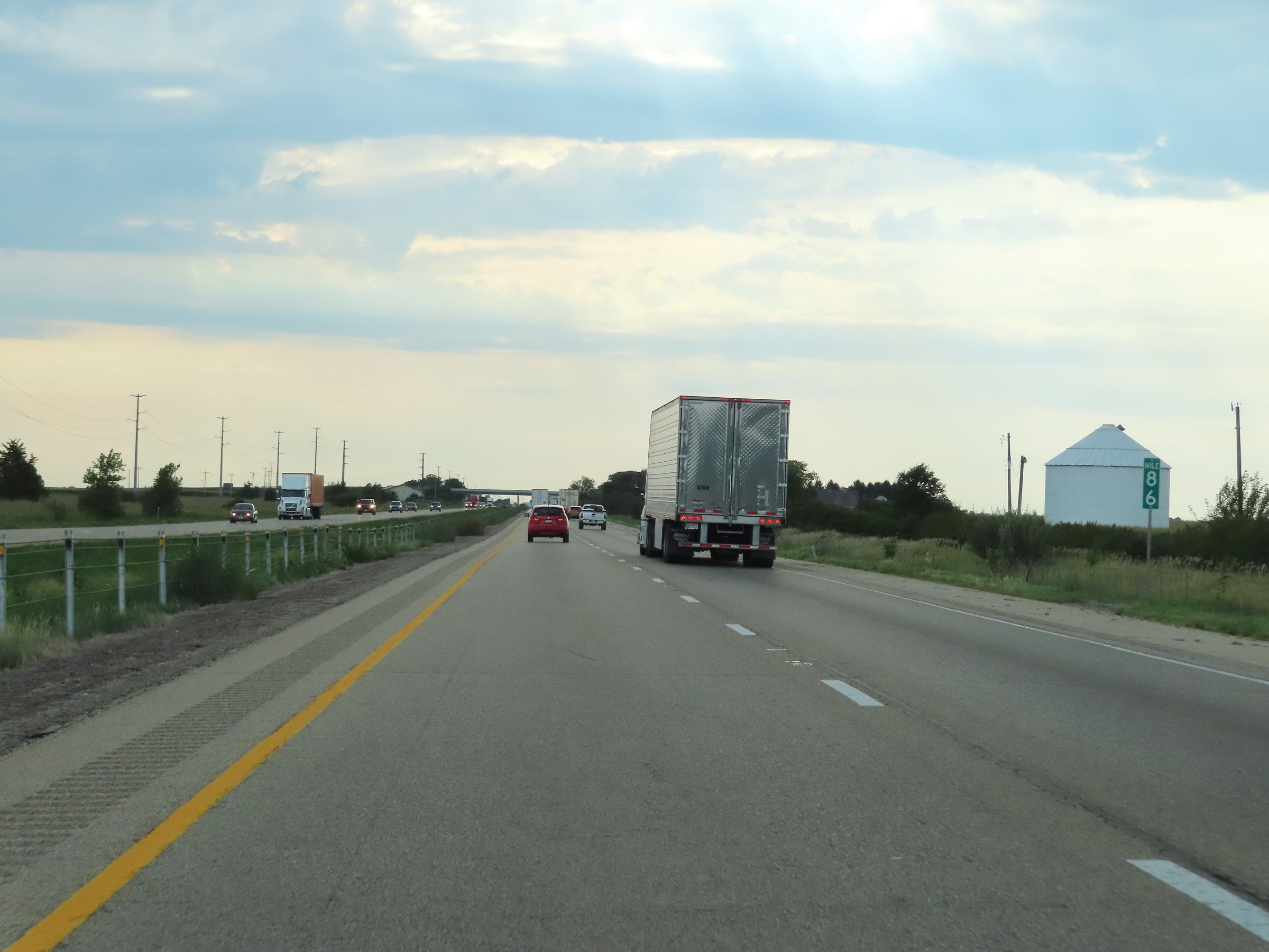 |
Mile marker 86 on Interstate 80 West in La Salle County. (Photo taken 8/19/22). |
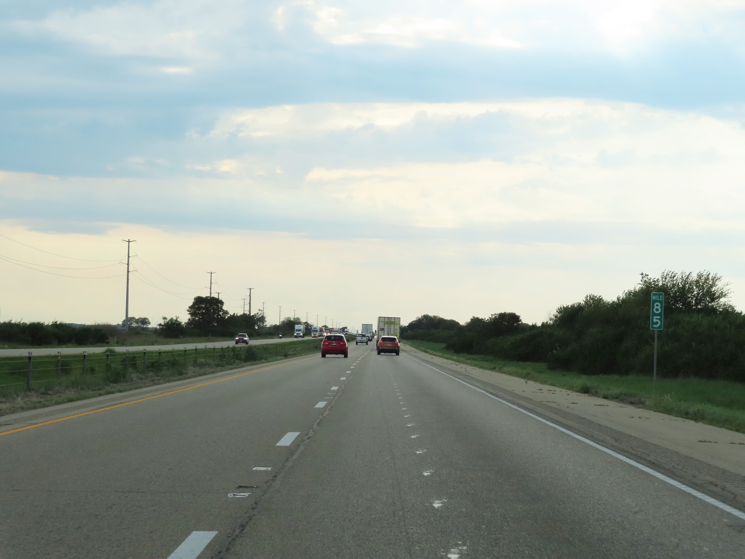 |
Interstate 80 West at mile marker 85. (Photo taken 8/19/22). |
 |
View on Interstate 80 West at mile marker 83. (Photo taken 8/19/22). |
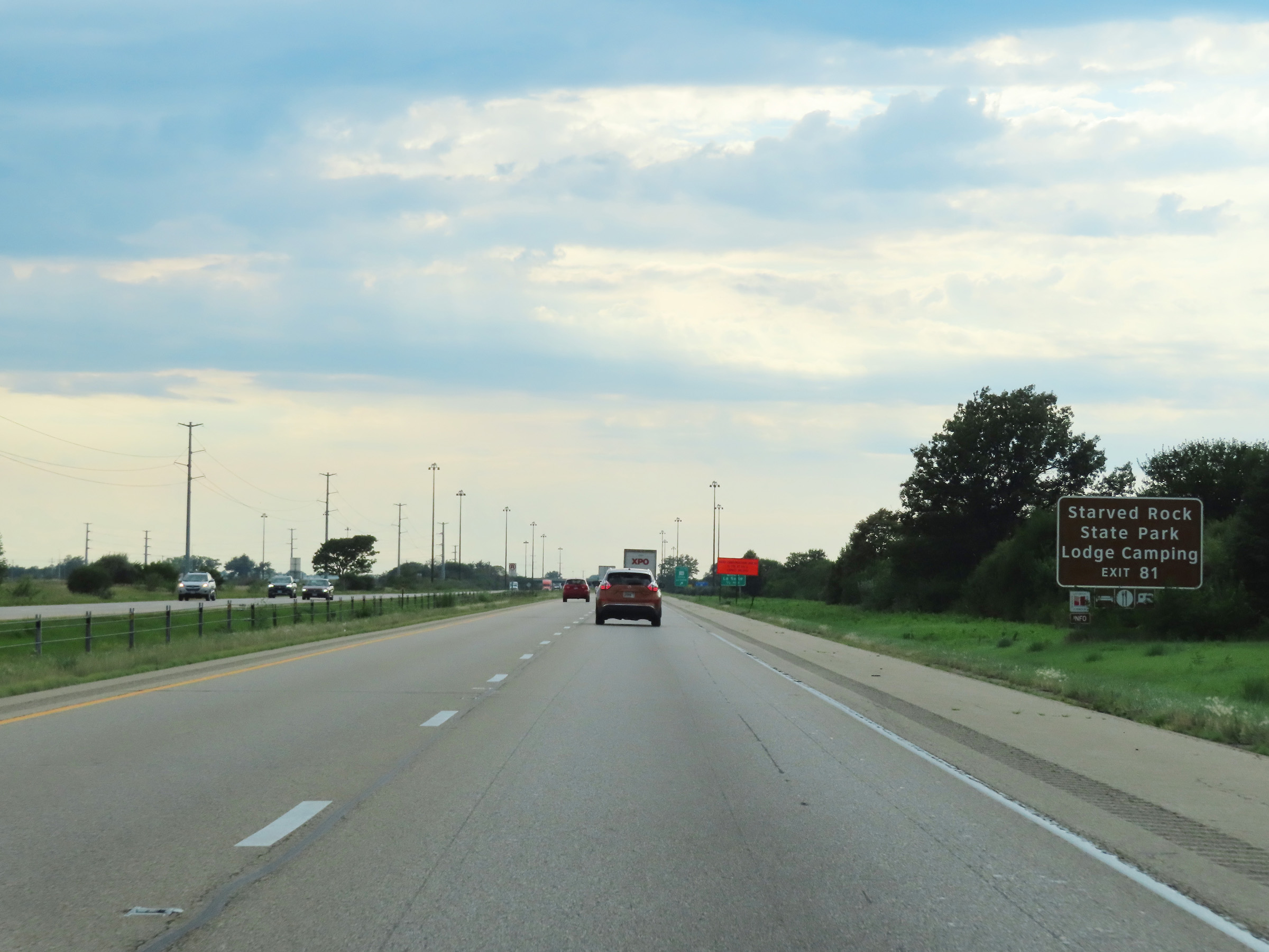 |
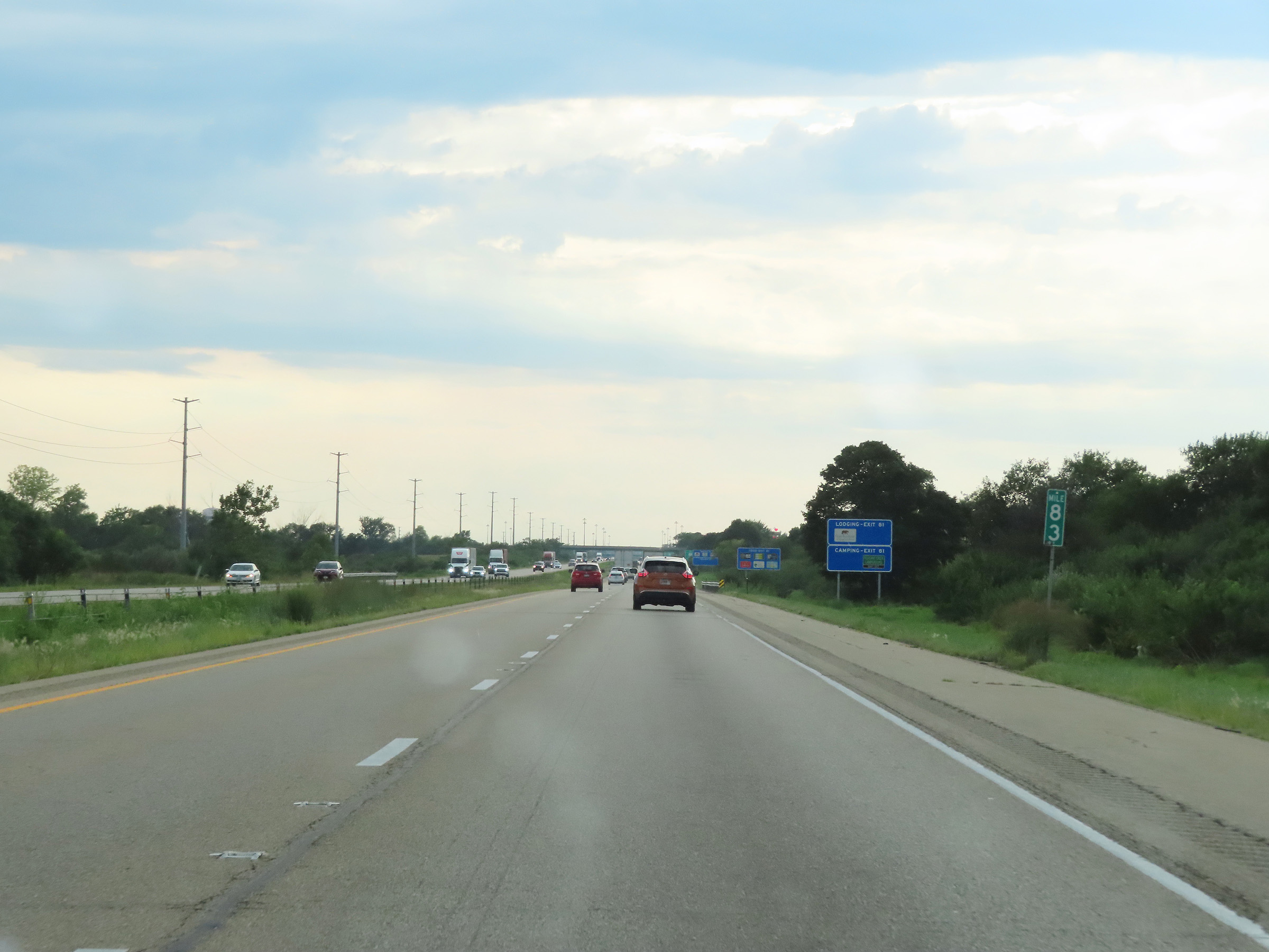
Take Exit 81 to Starved Rock State Park and its Lodge and Camping area. (Photo taken 8/19/22). |
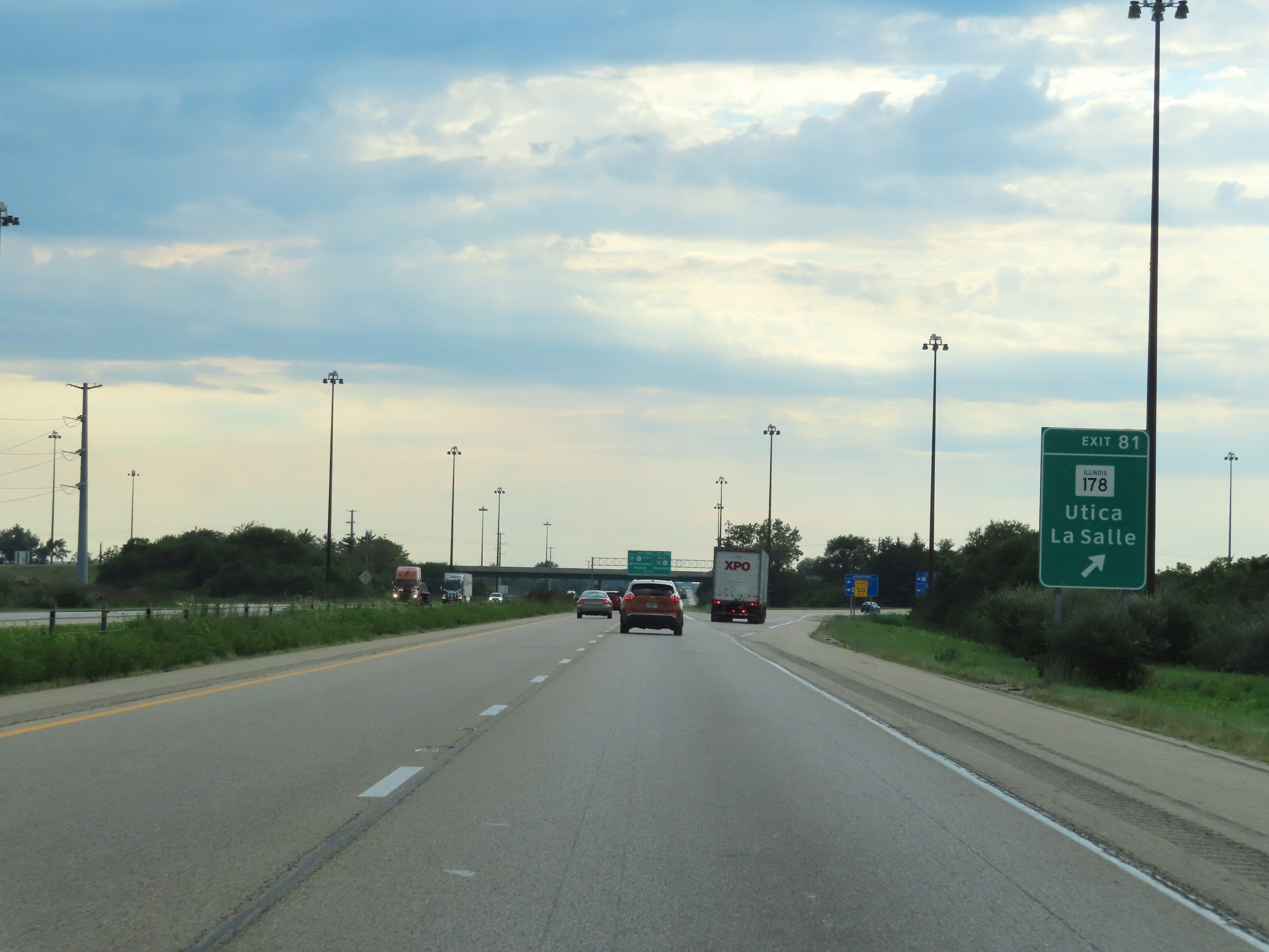 |
Interstate 80 West at Exit 81: IL 178 - Utica / La Salle (Photo taken 8/19/22). |
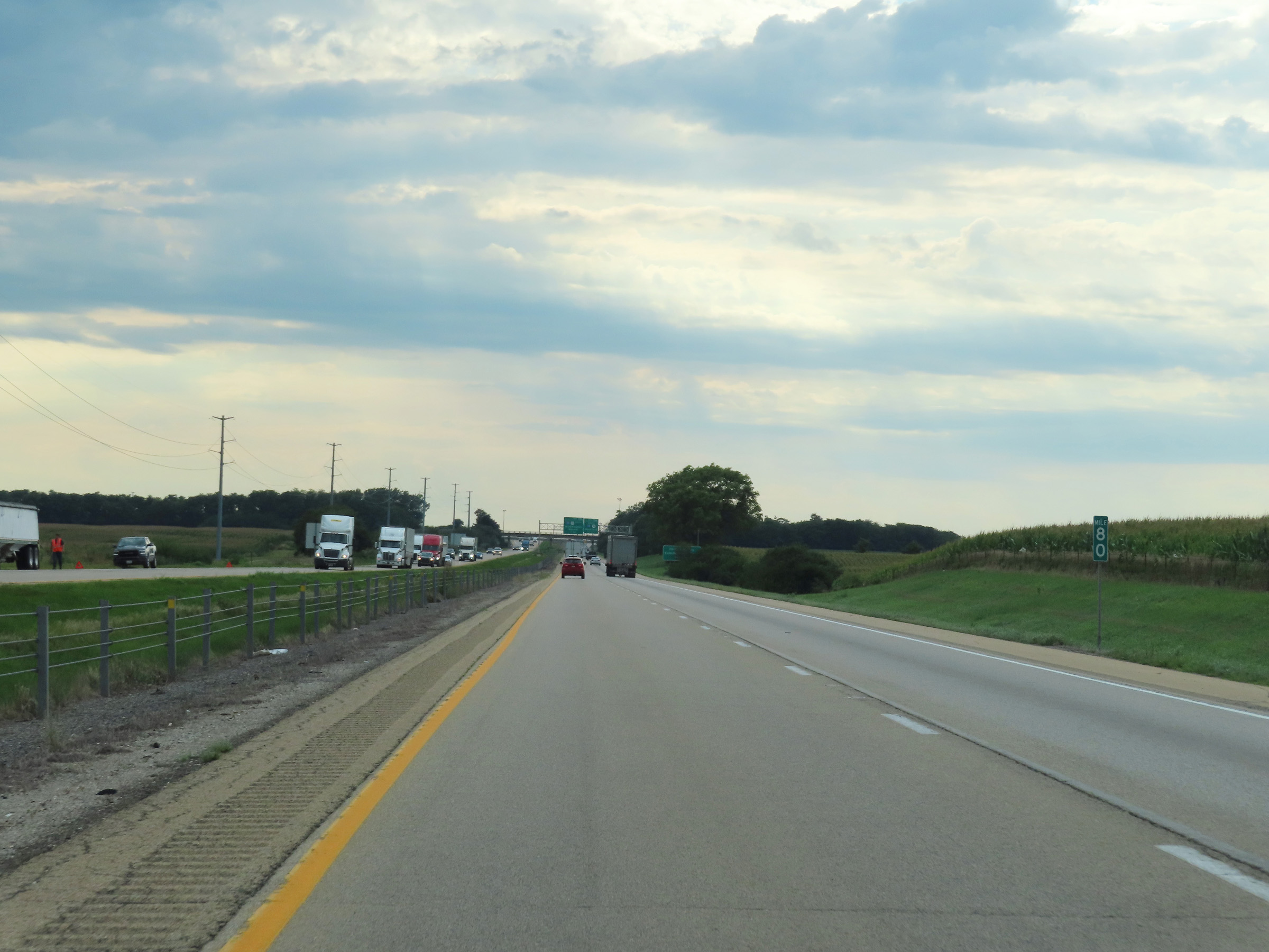 |
View on Interstate 80 West at mile marker 80. (Photo taken 8/19/22). |
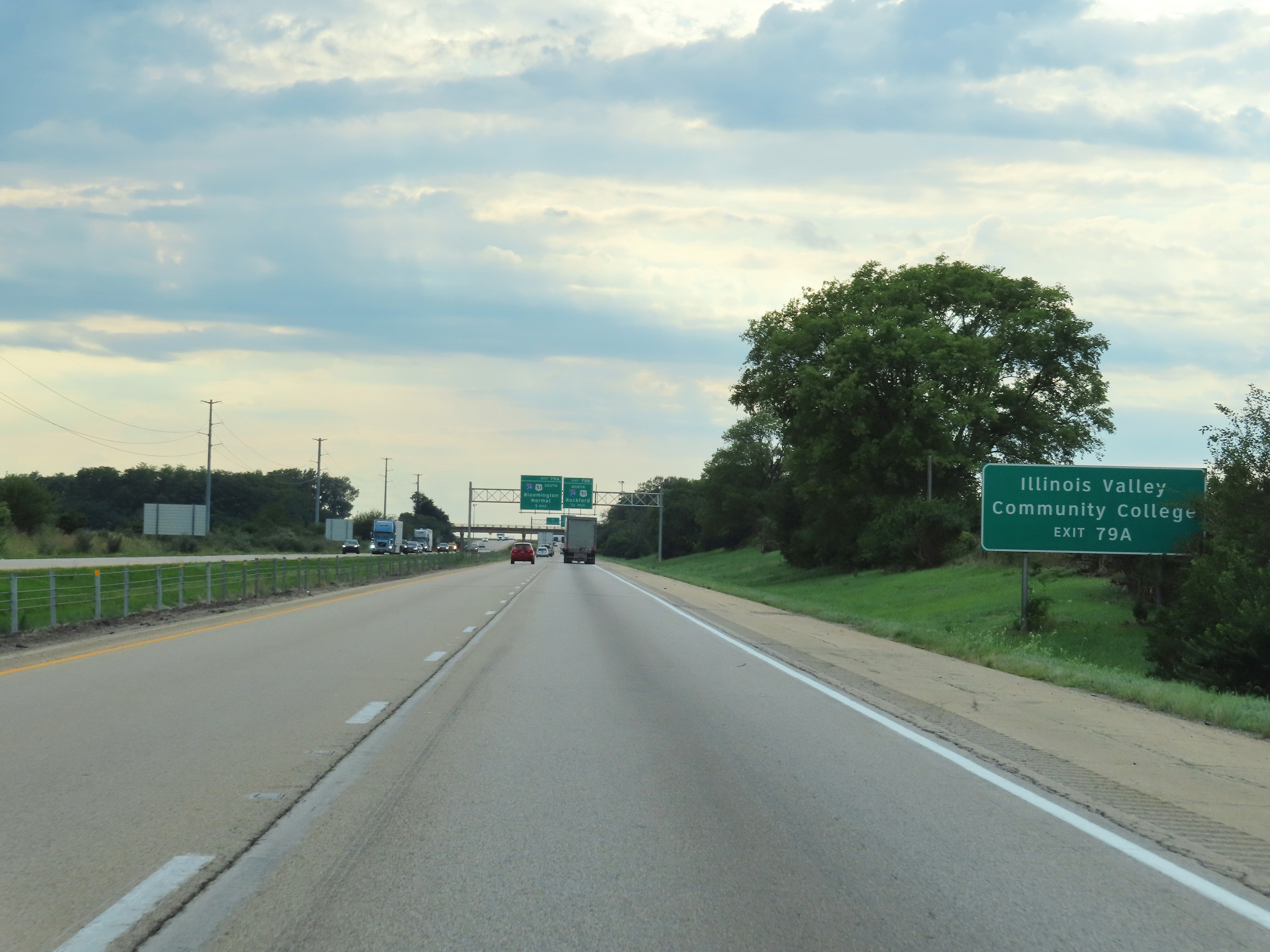 |
Take Exit 79A (Interstate 39 South) to Illinois Valley Community College. (Photo taken 8/19/22). |
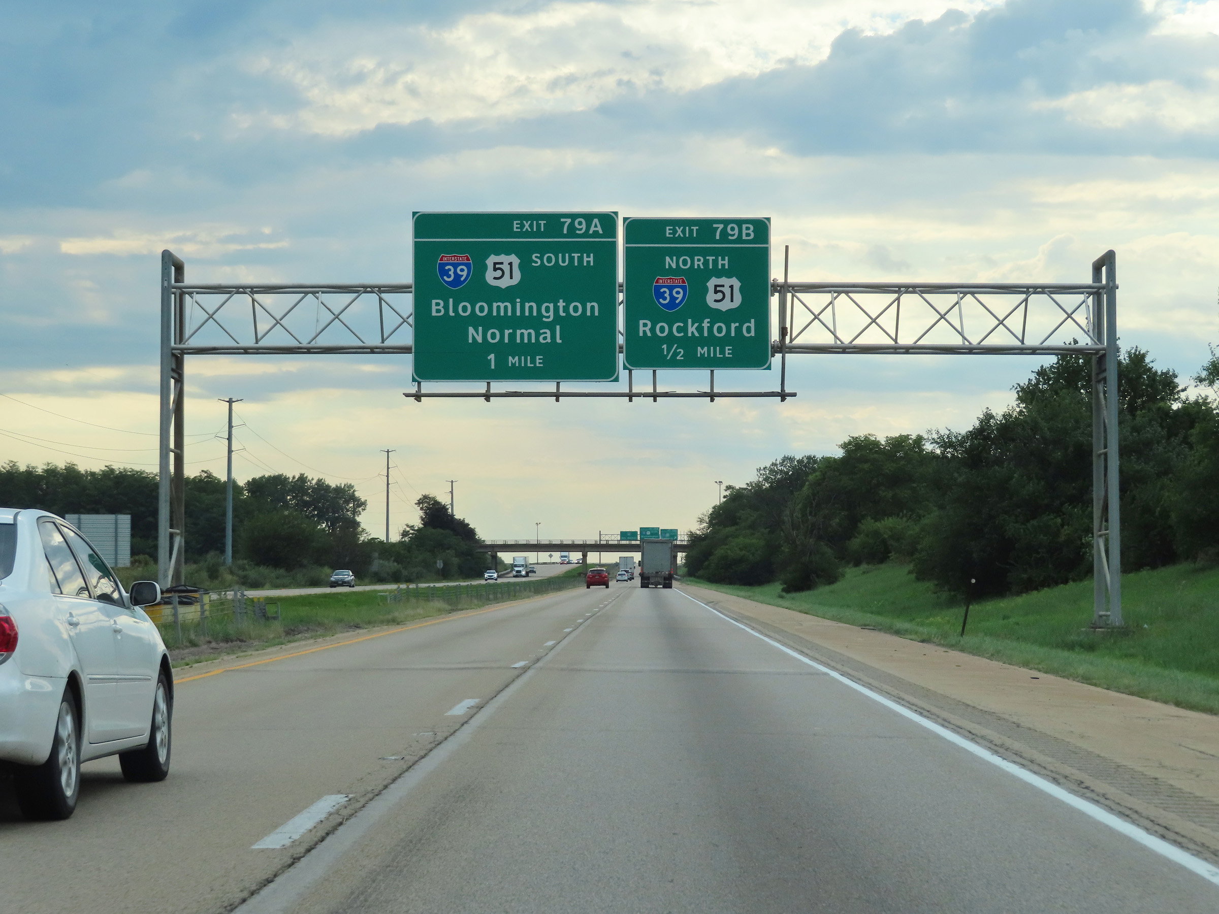 |
Interstate 80 West approaching Exits 79B and 79A - 1/2 mile and 1 mile, respectively. (Photo taken 8/19/22). |
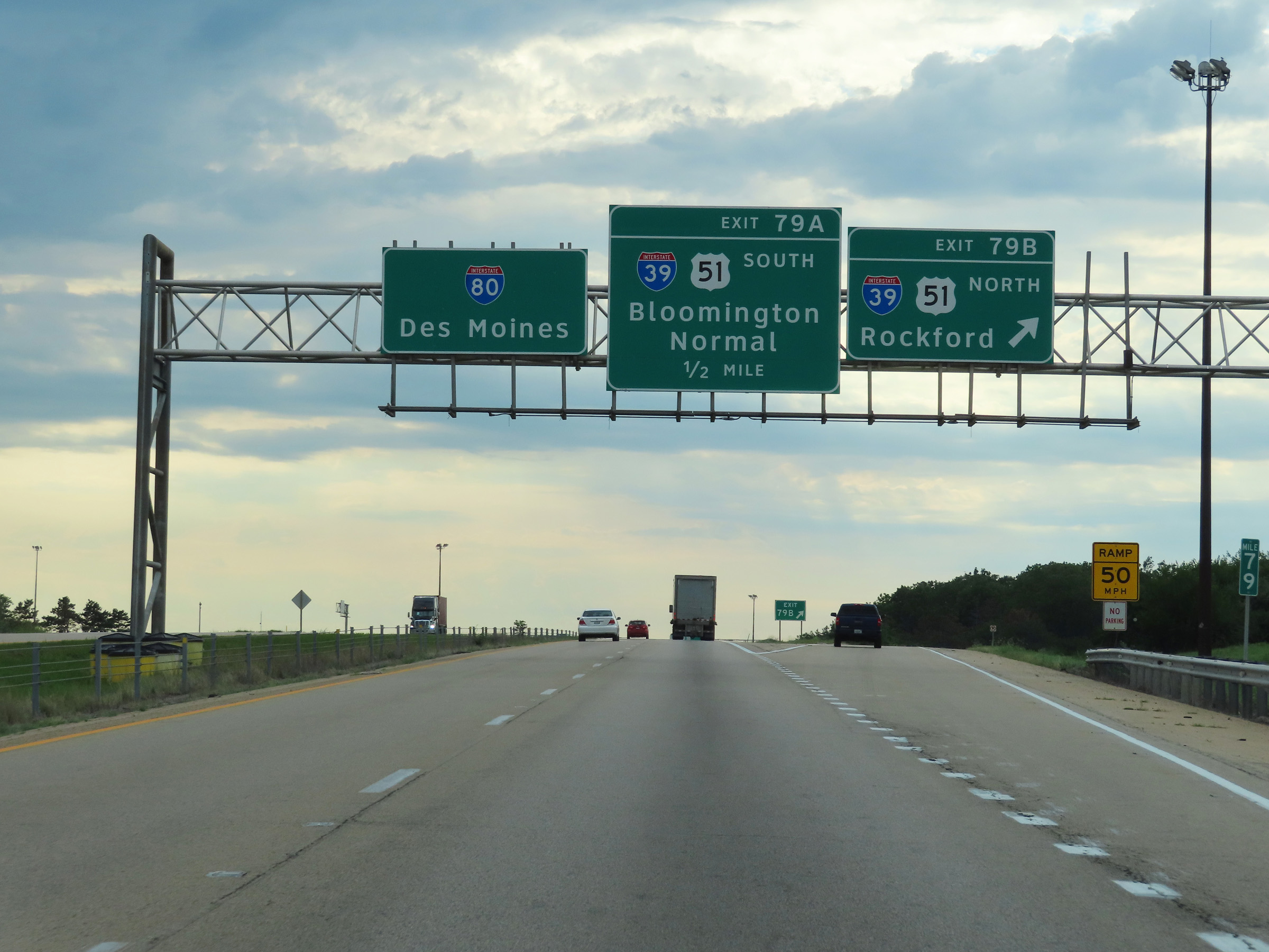 |
Interstate 80 West at Exit 79B: Interstate 39 North / US 51 North - Rockford (Photo taken 8/19/22). |
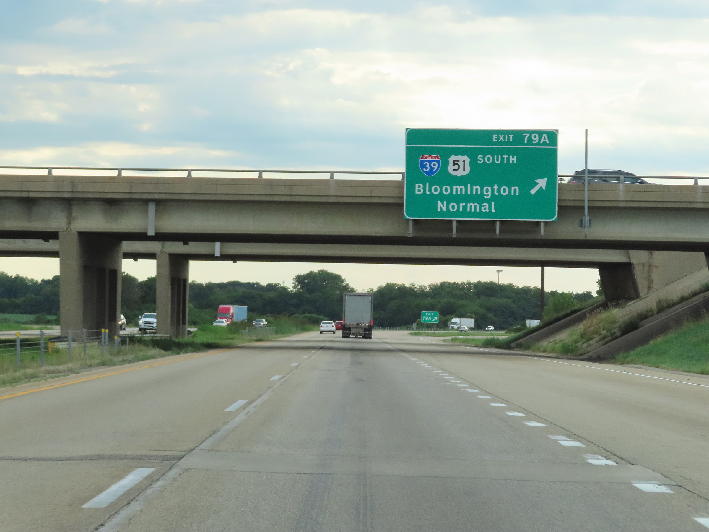 |
Interstate 80 West at Exit 79A: Interstate 39 South / US 51 South - Bloomington / Normal (Photo taken 8/19/22). |
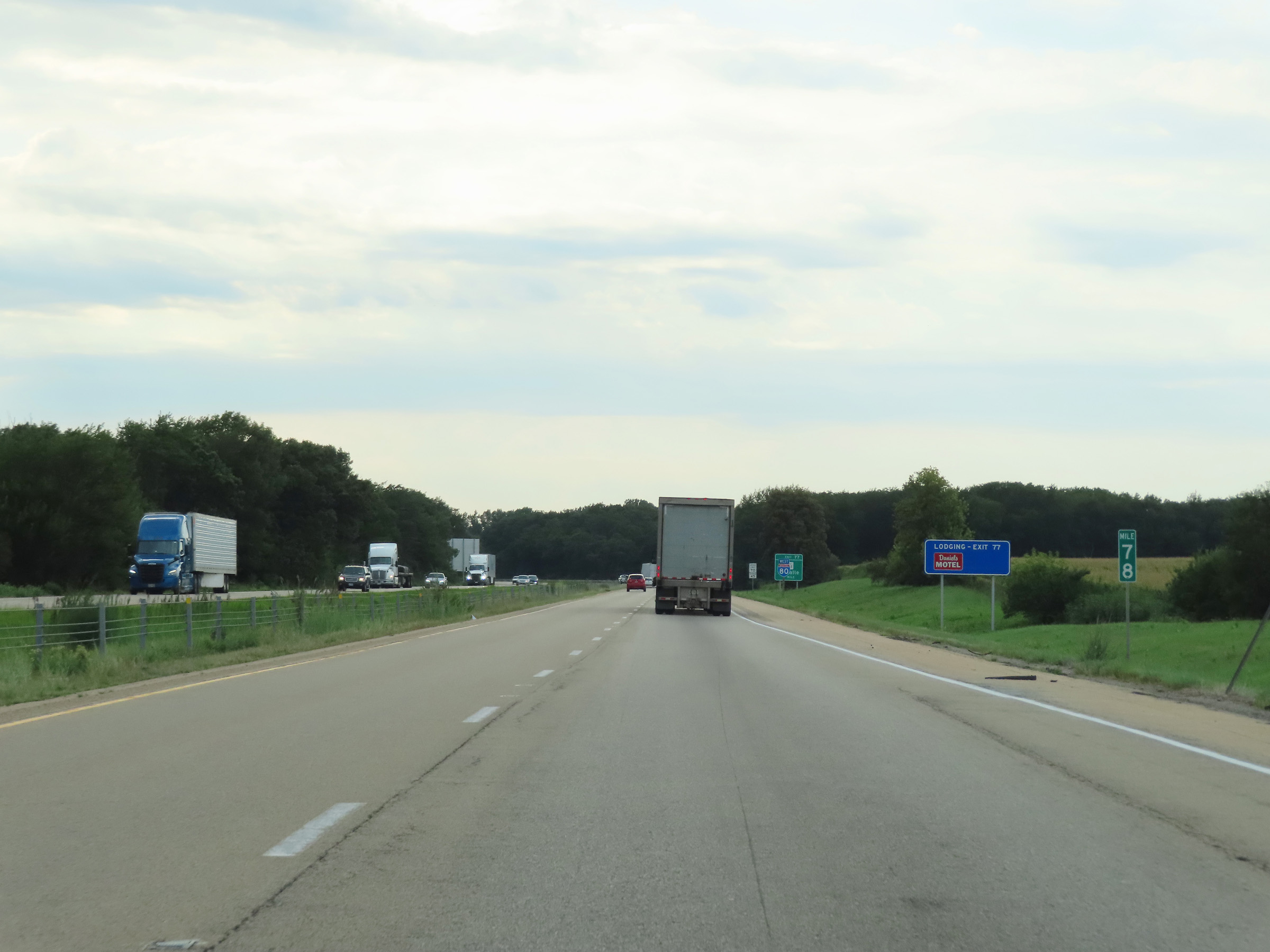 |
Mile marker 78 on Interstate 80 West in La Salle County. (Photo taken 8/19/22). |
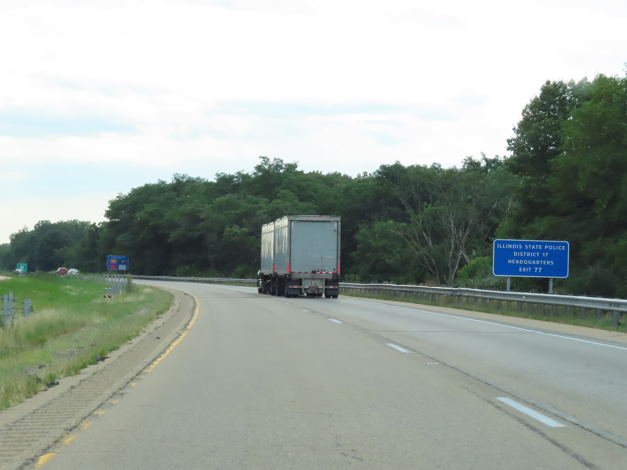 |
Take Exit 77 to the Illinois State Police District 17 Headquarters. (Photo taken 8/19/22). |
 |
Interstate 80 West at Exit 77: IL 351 - La Salle (Photo taken 8/19/22). |
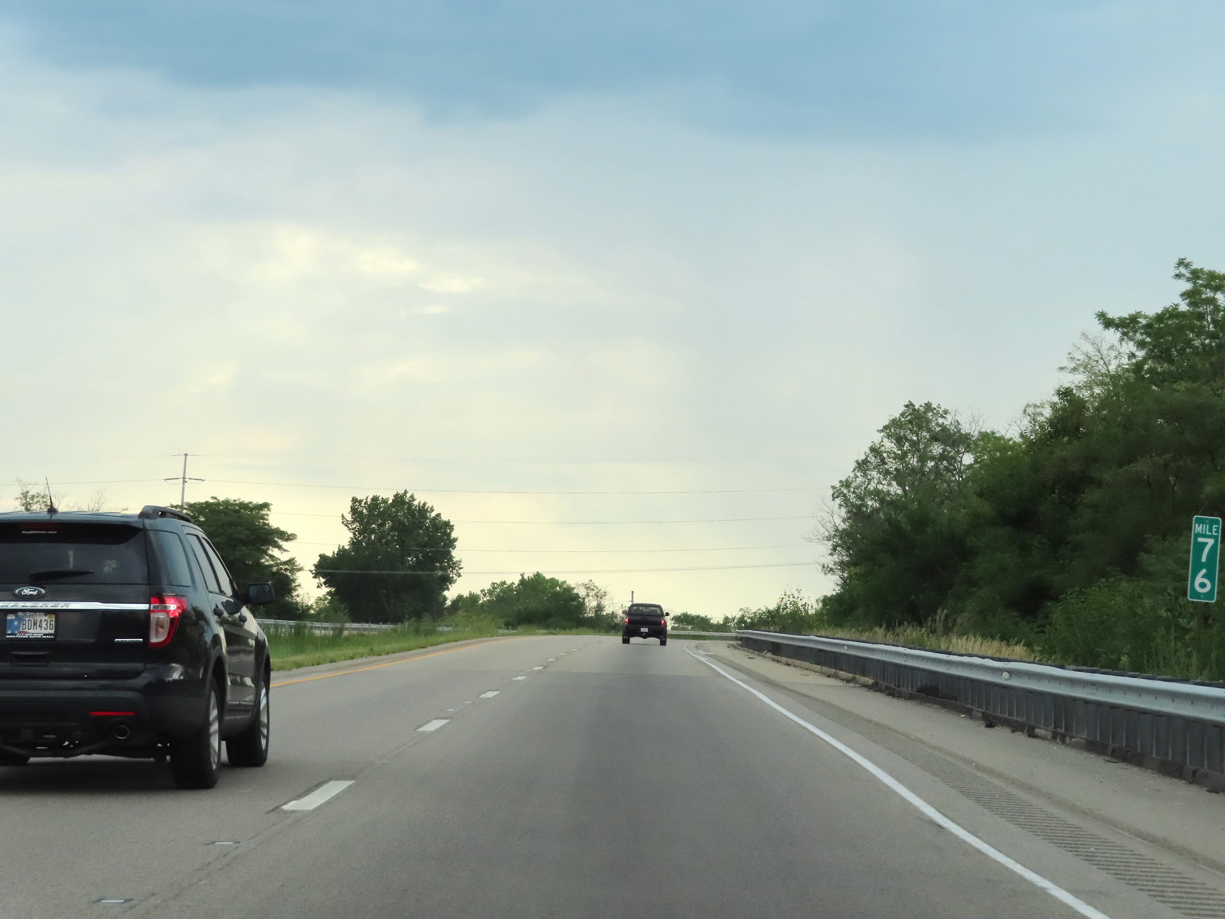 |
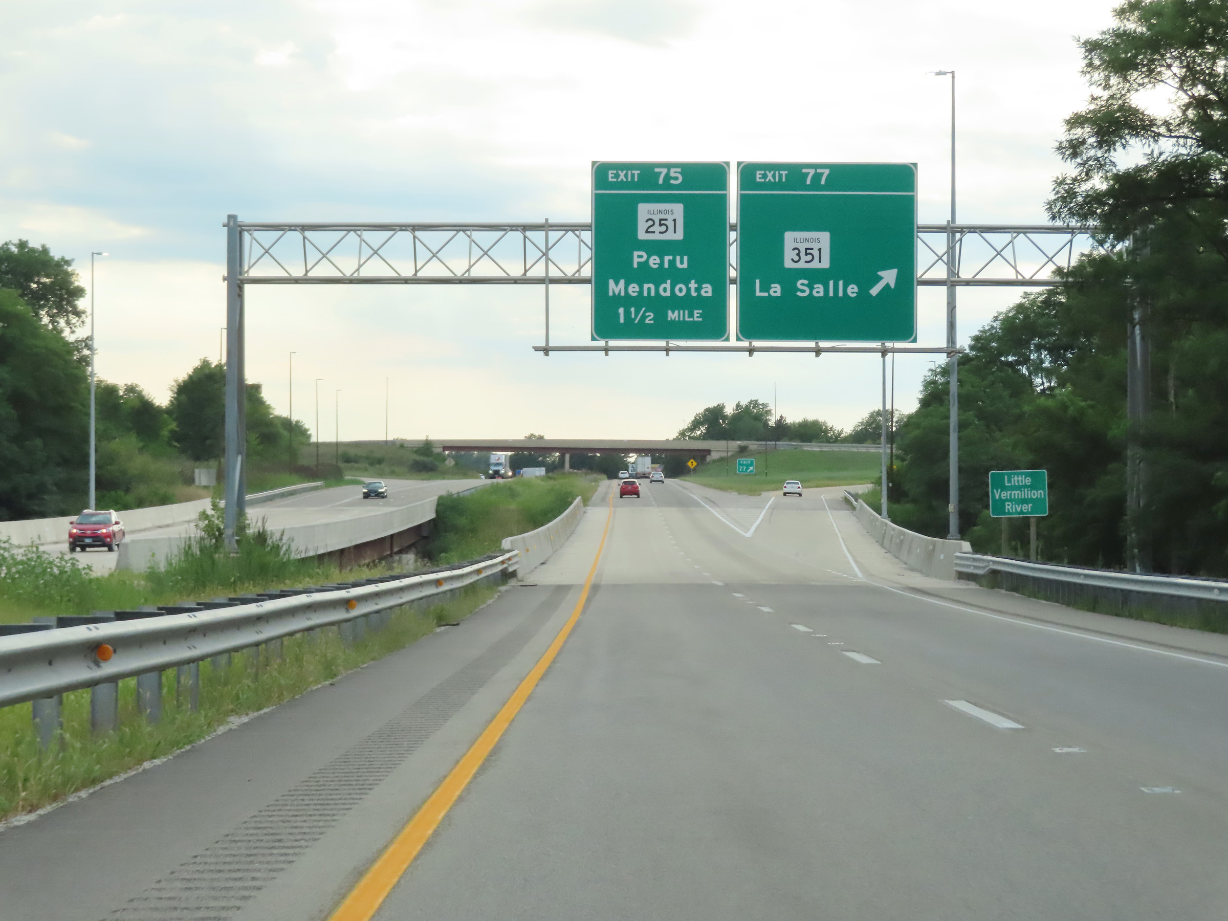
Mile marker 76 on Interstate 80 West in La Salle County. (Photo taken 8/19/22). |
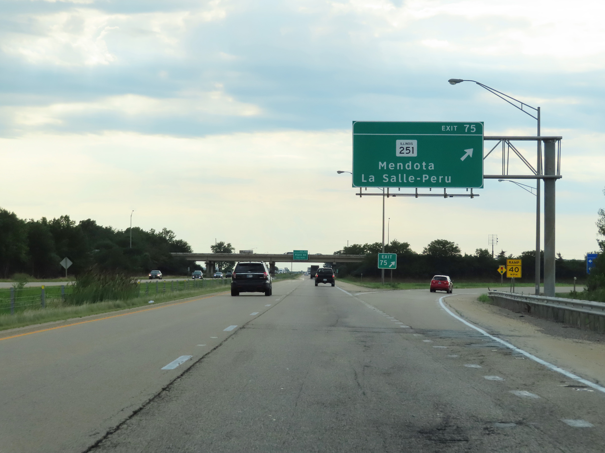 |
Interstate 80 West at Exit 75: IL 251 - Mendota / La Salle / Peru (Photo taken 8/19/22). |
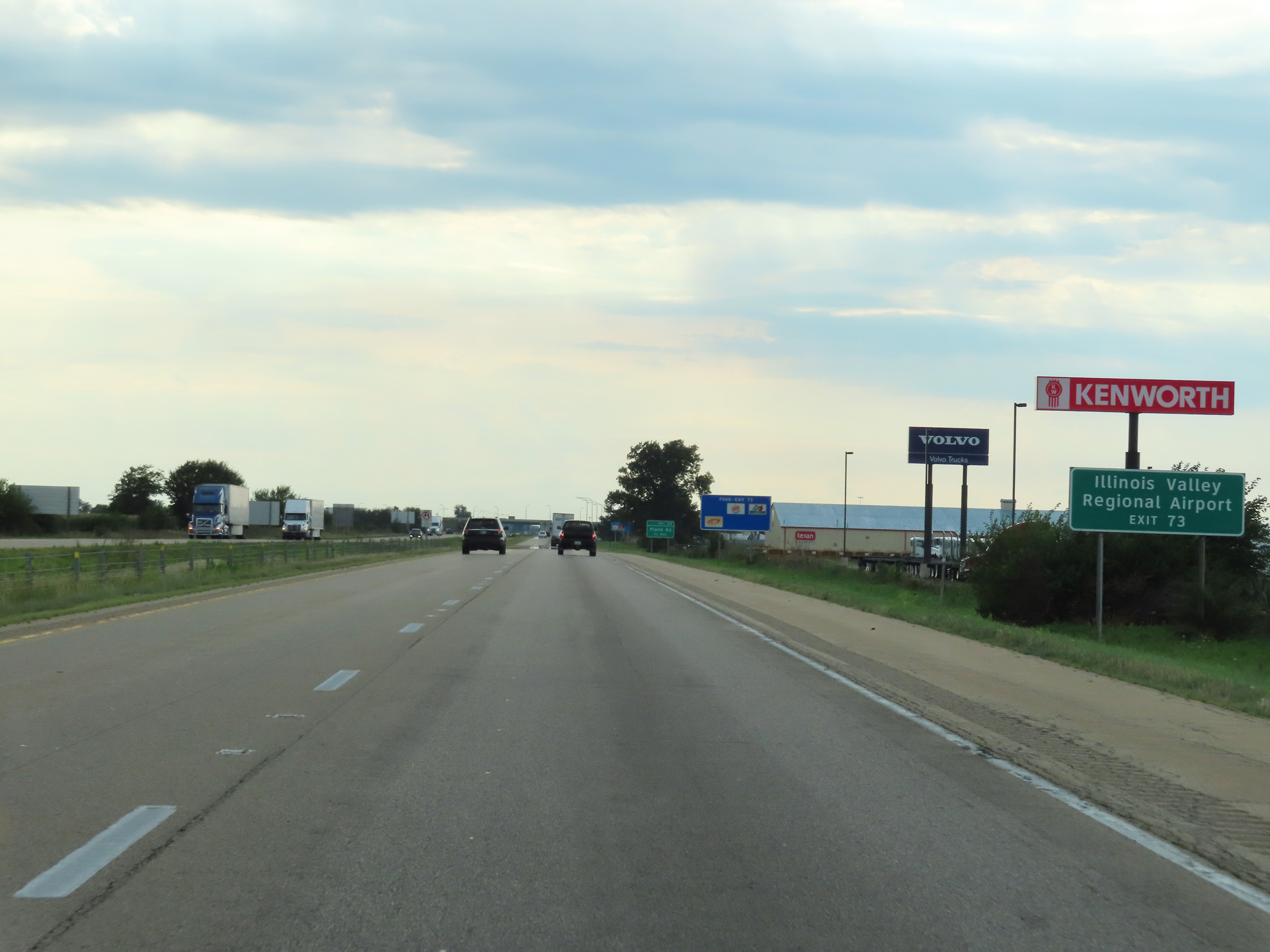 |
Take Exit 73 to Illinois Valley Regional Airport. (Photo taken 8/19/22). |
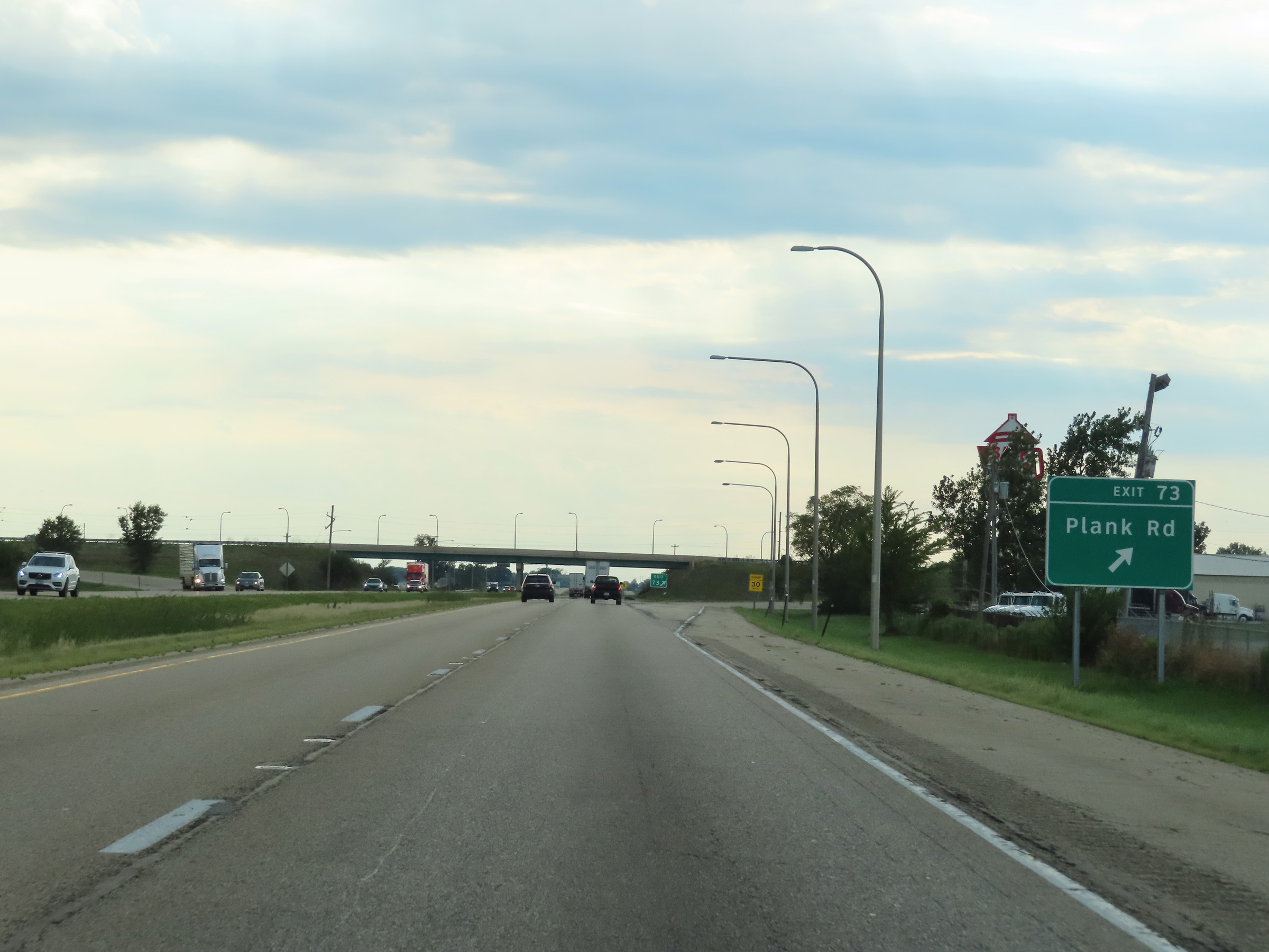 |
Interstate 80 West at Exit 73: Plank Rd (Photo taken 8/19/22). |
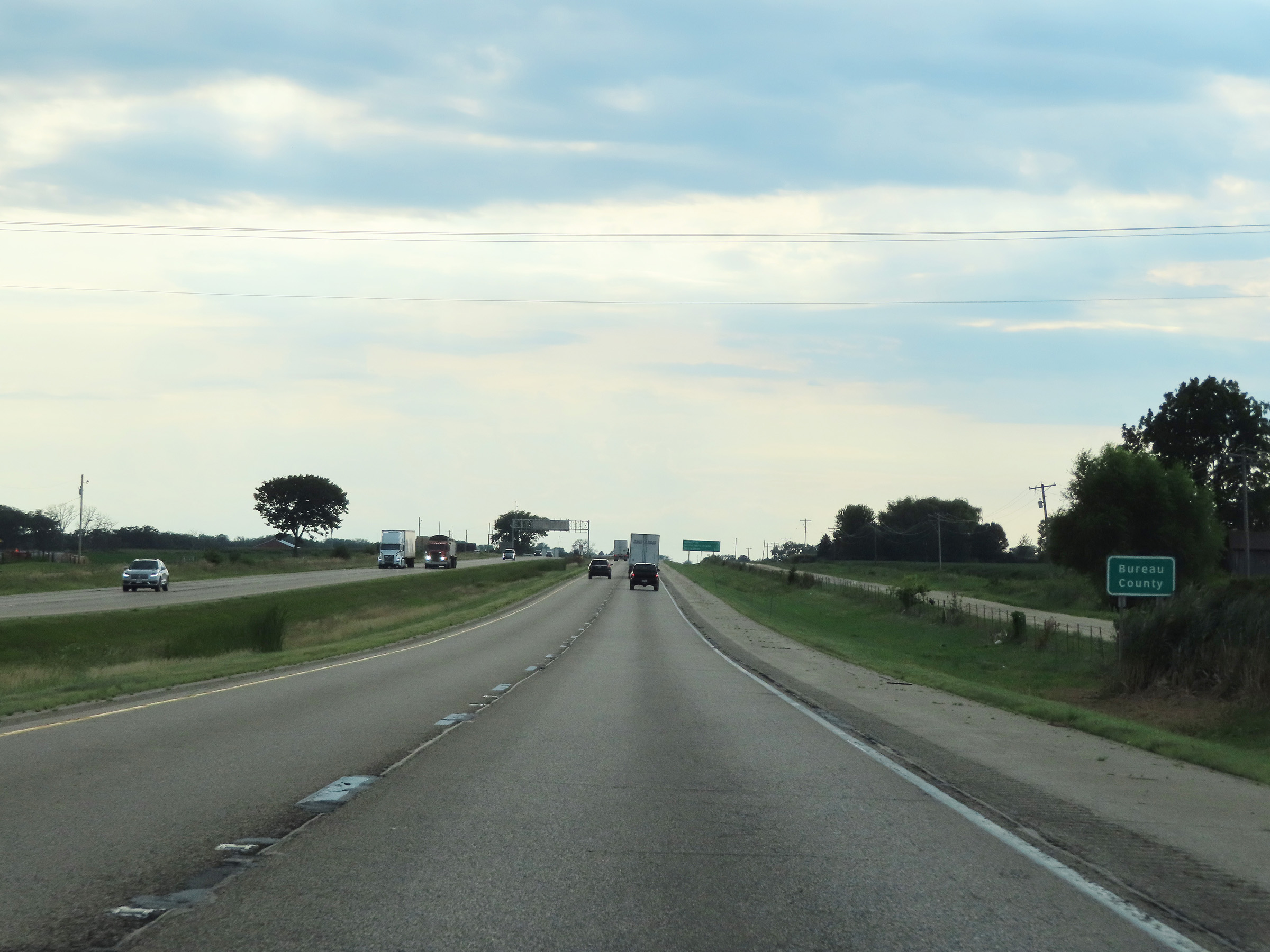 |
Interstate 80 West as it enters Bureau County. (Photo taken 8/19/22). |
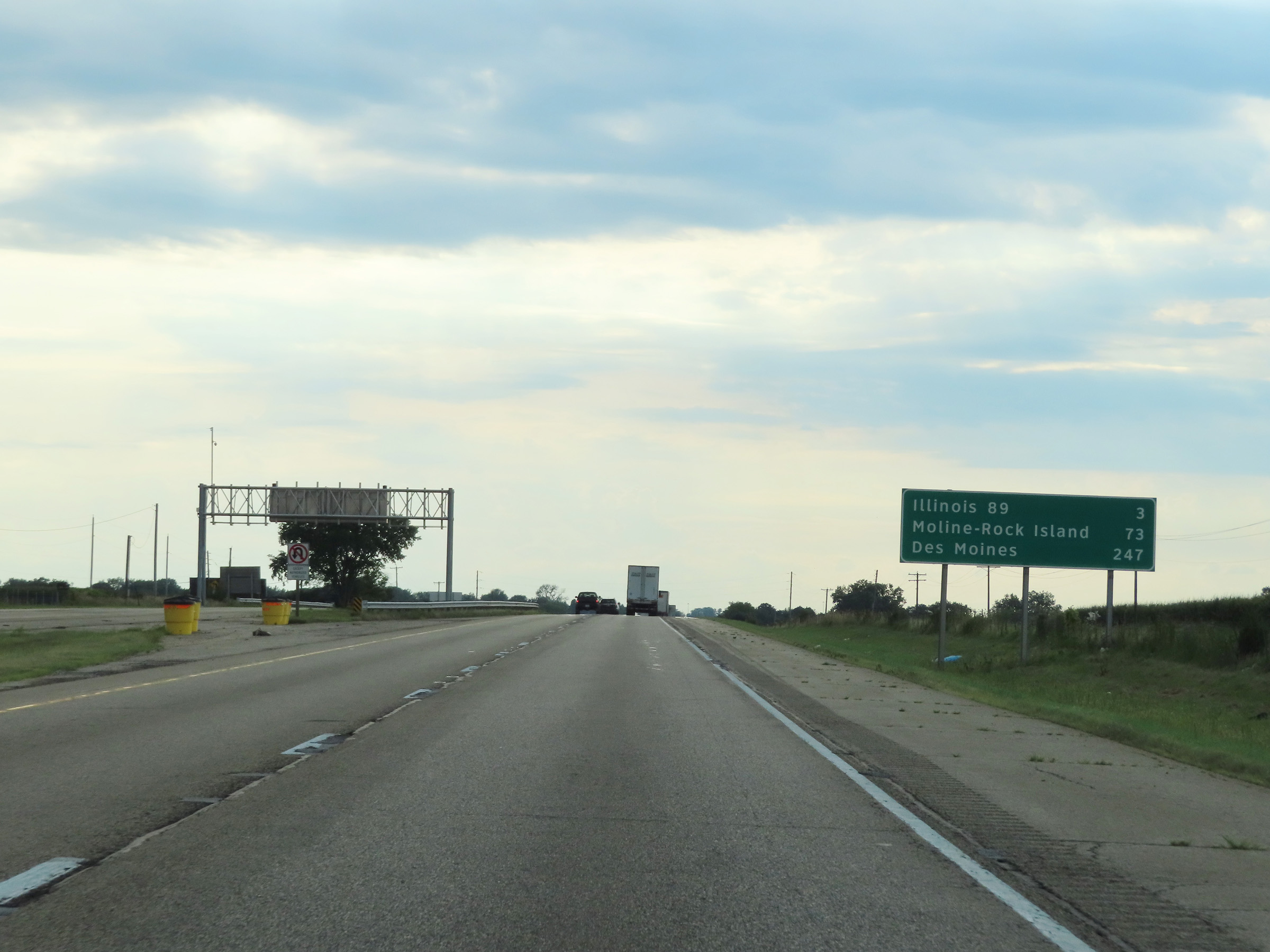 |
Another mileage sign on Interstate 80 West. It's 3 miles to the junction of IL 89, 73 miles to Moline-Rock Island, and 247 miles to Des Moines. (Photo taken 8/19/22). |
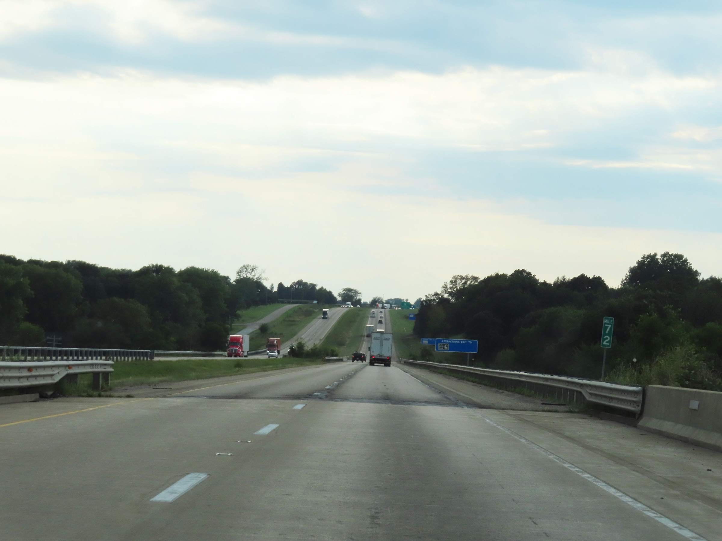 |
View on Interstate 80 West at mile marker 72. (Photo taken 8/19/22). |
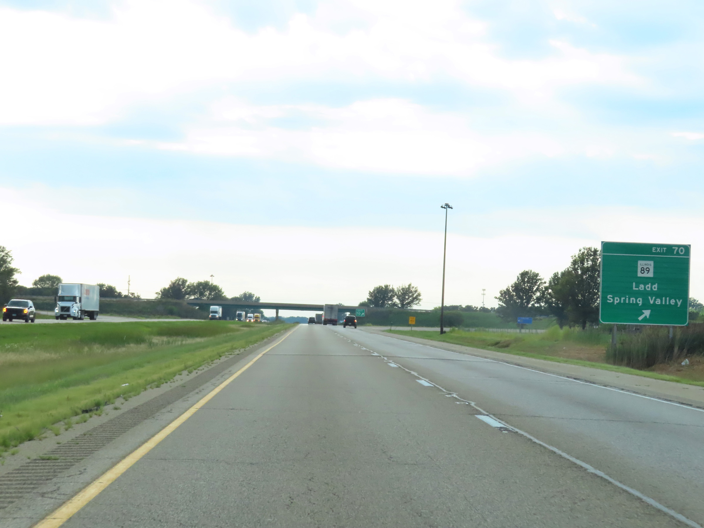 |
Interstate 80 West at Exit 70: IL 89 - Ladd / Spring Valley (Photo taken 8/19/22). |
 |
Interstate 80 West reassurance shield. (Photo taken 8/19/22). |
 |
The speed limits on Interstate 80 West remain 70 mph maximum and 45 mph minimum. (Photo taken 8/19/22). |
 |
View on Interstate 80 West at mile marker 69. (Photo taken 8/19/22). |
 |
Interstate 80 West at mile marker 67. (Photo taken 8/19/22). |
 |
View on Interstate 80 West at mile marker 66. (Photo taken 8/19/22). |
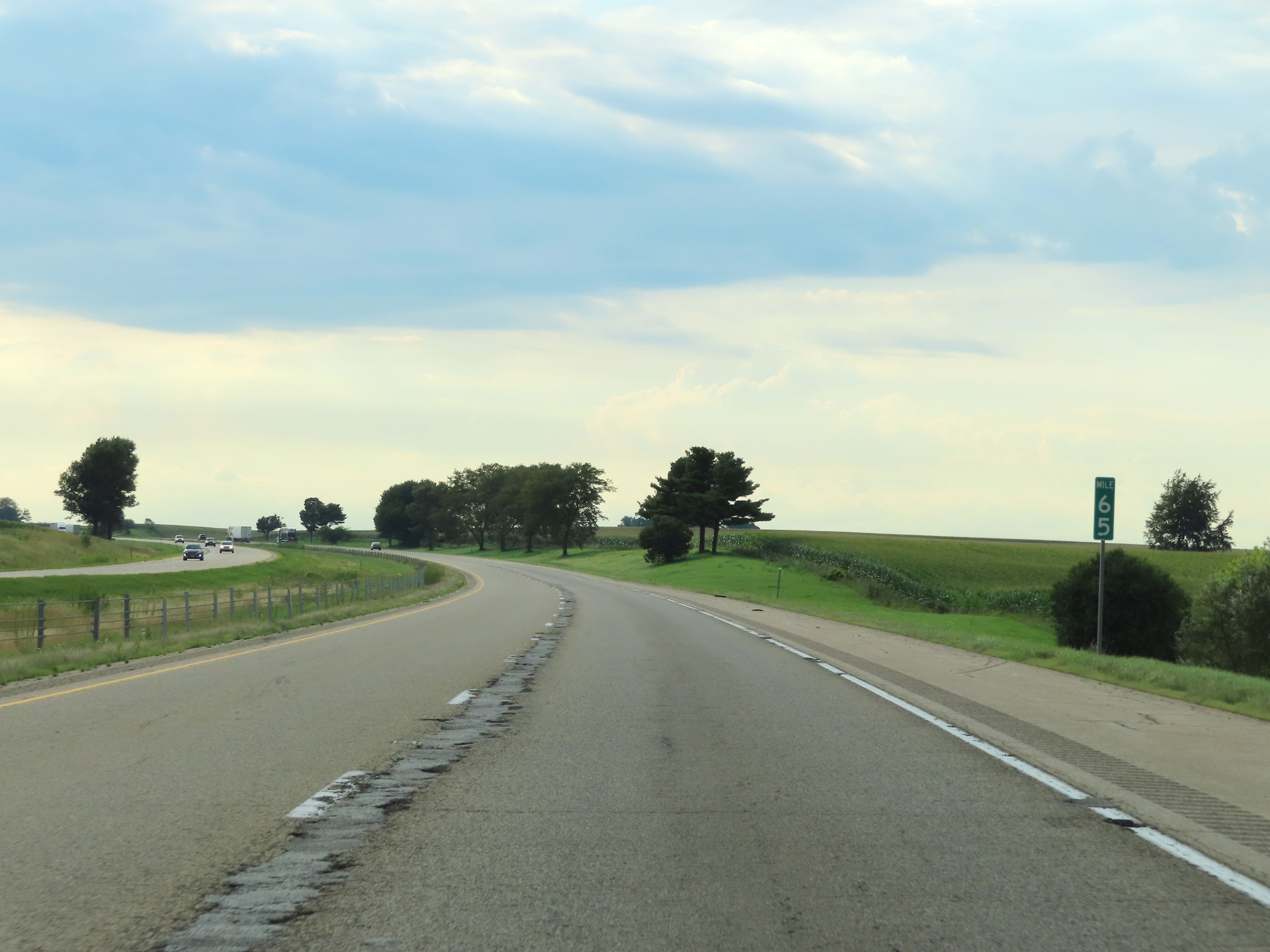 |
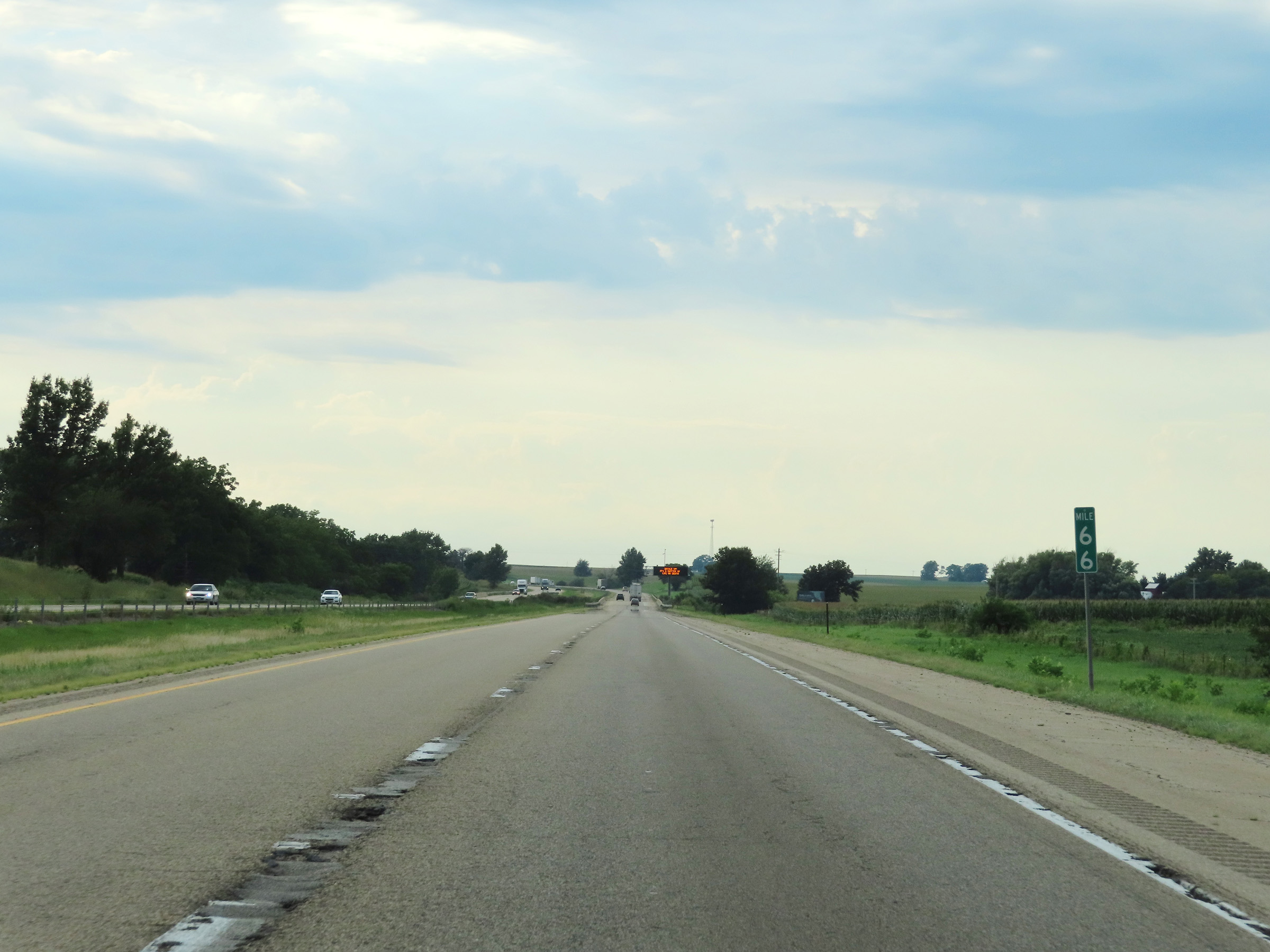
Mile marker 65 on Interstate 80 West in Bureau County. (Photo taken 8/19/22). |
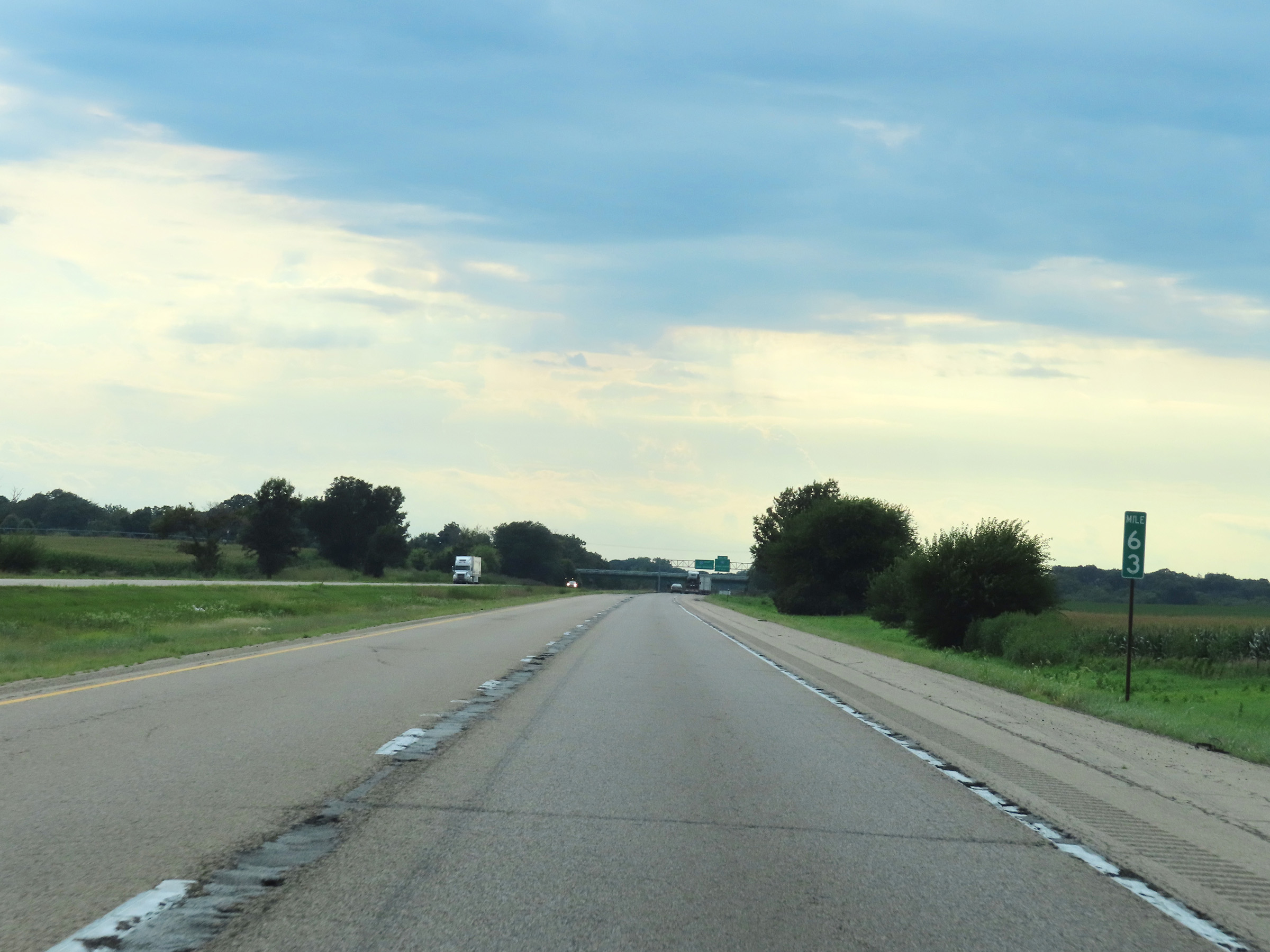 |
Interstate 80 West at mile marker 63. (Photo taken 8/19/22). |
 |
Interstate 80 West approaching Exit 61 - 1 mile. (Photo taken 8/19/22). |
 |
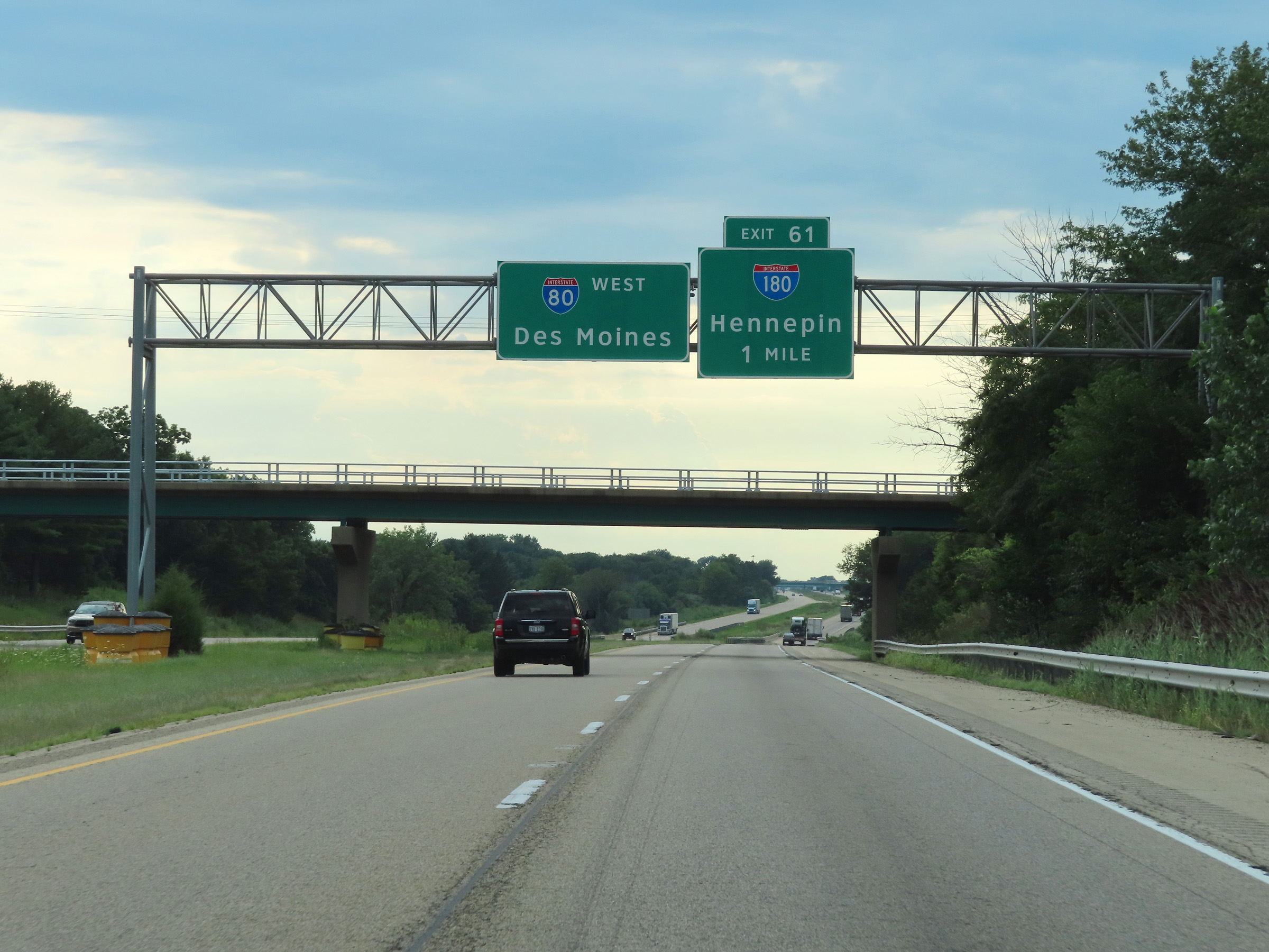
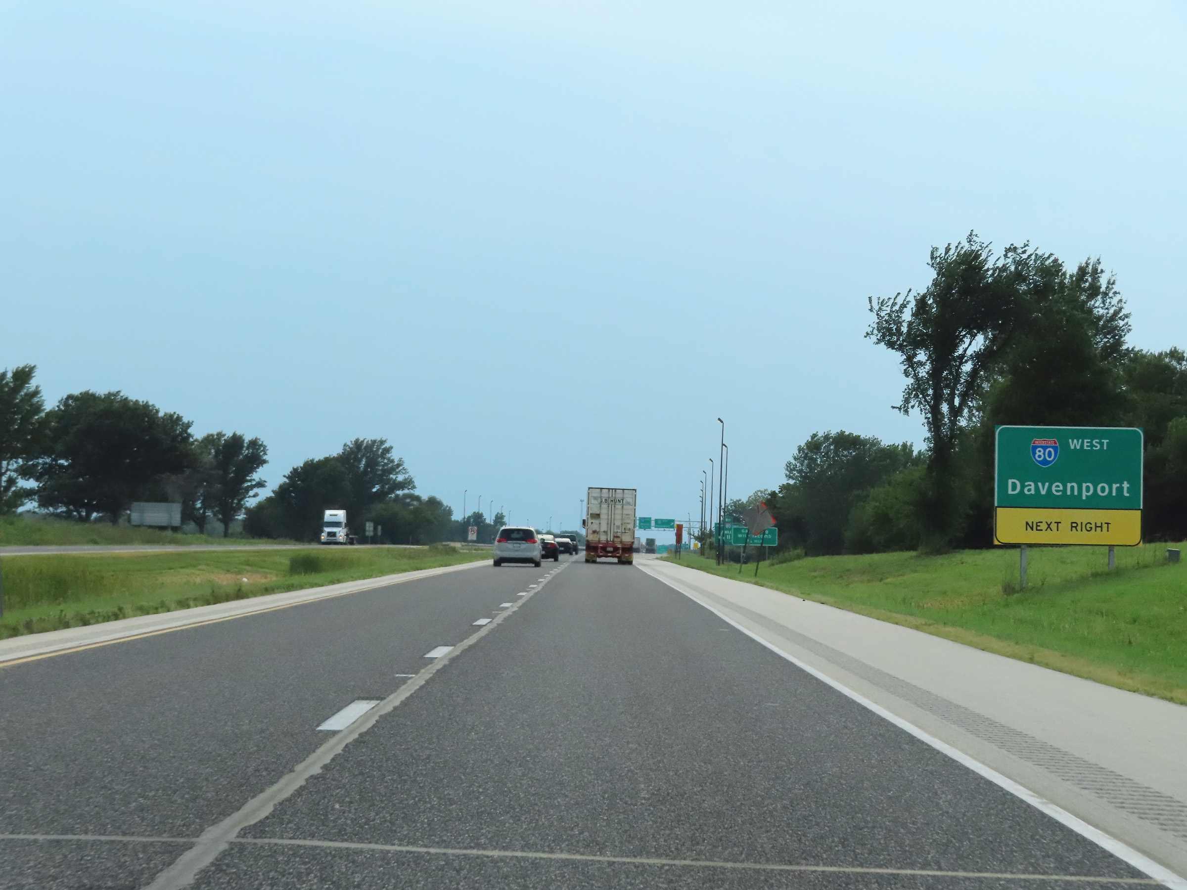
Take Exit 61 (Interstate 180 South) to Peoria. (Photo taken 8/19/22). |
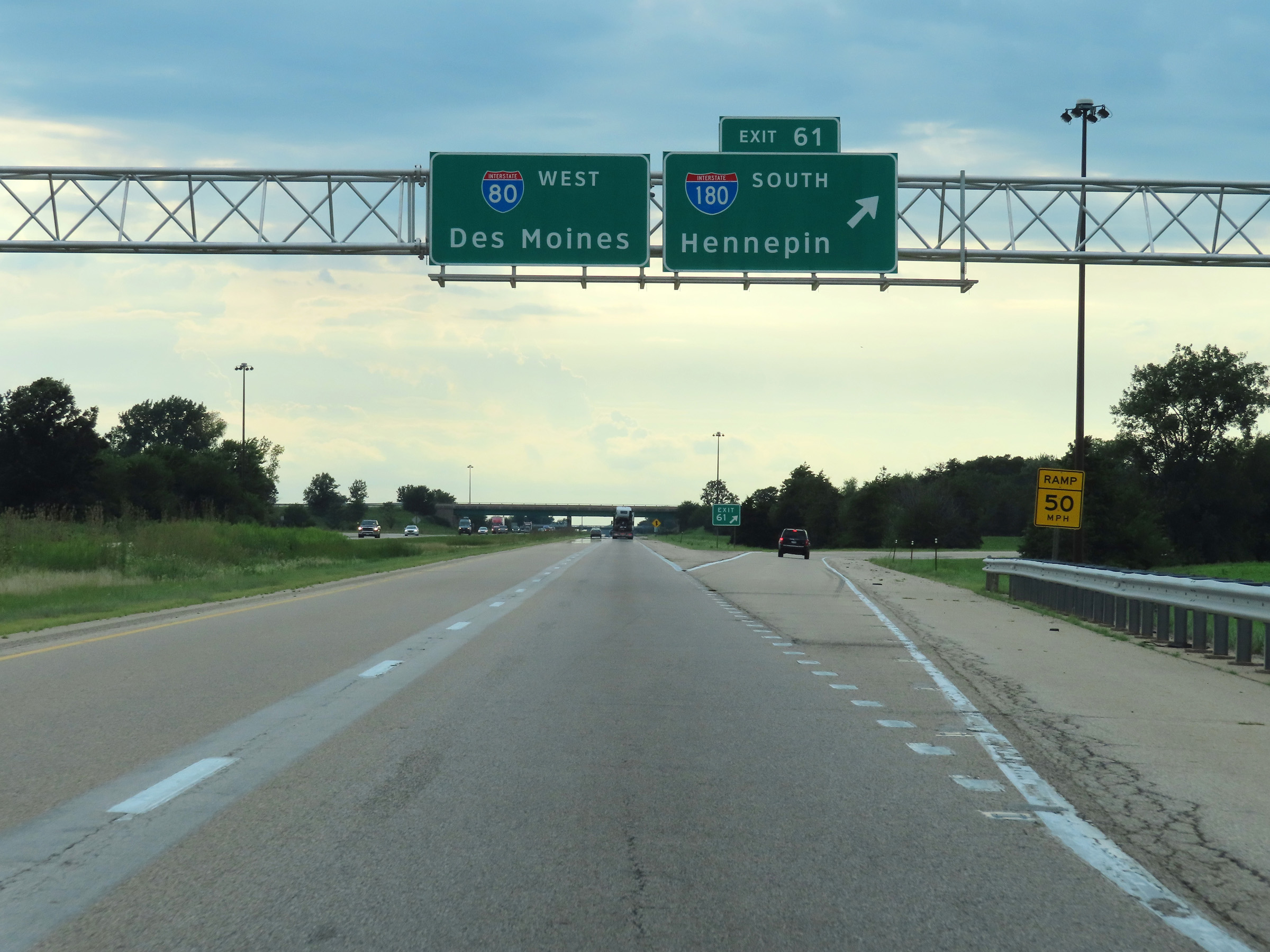 |
Interstate 80 West at Exit 61: Interstate 180 South - Hennepin (Photo taken 8/19/22). |
Section 4: Princeton (Exit 61) to Iowa Border
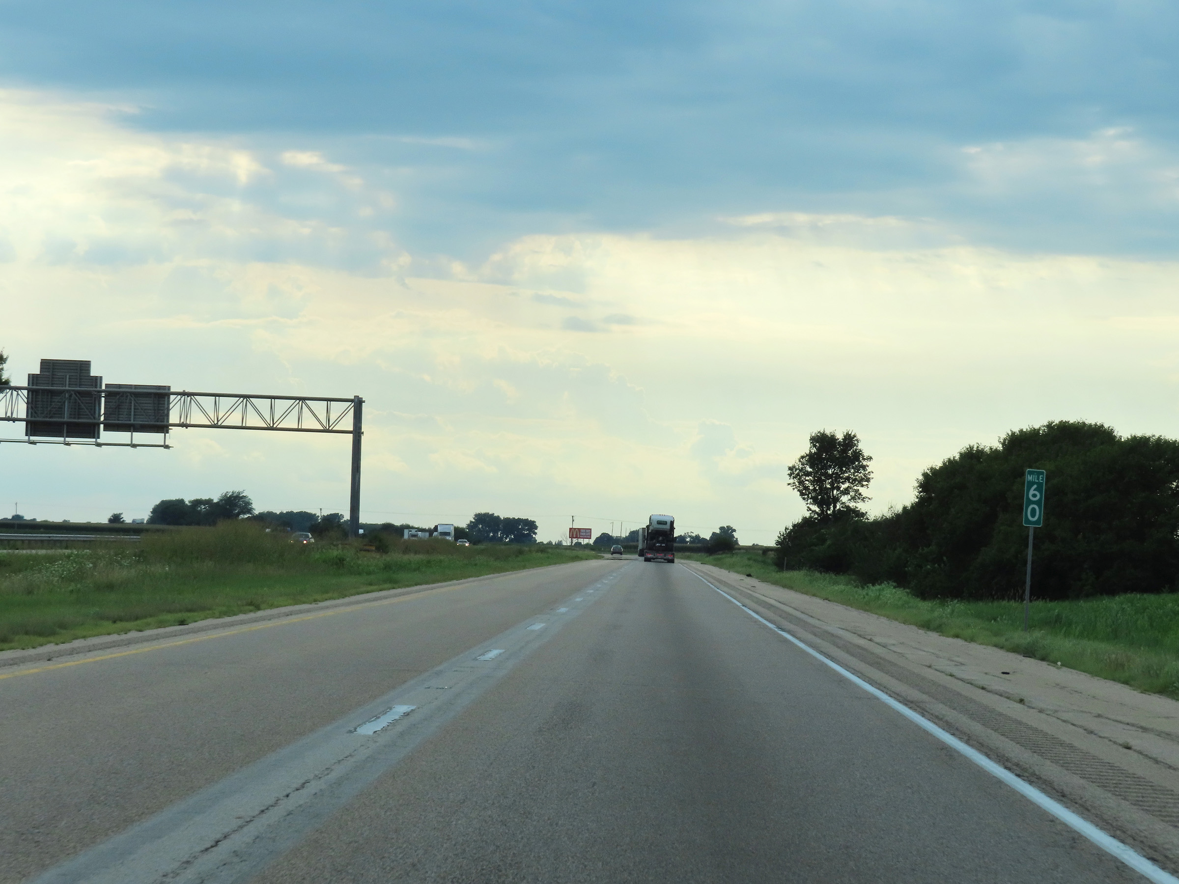 |
View on Interstate 80 West at mile marker 60. (Photo taken 8/19/22). |
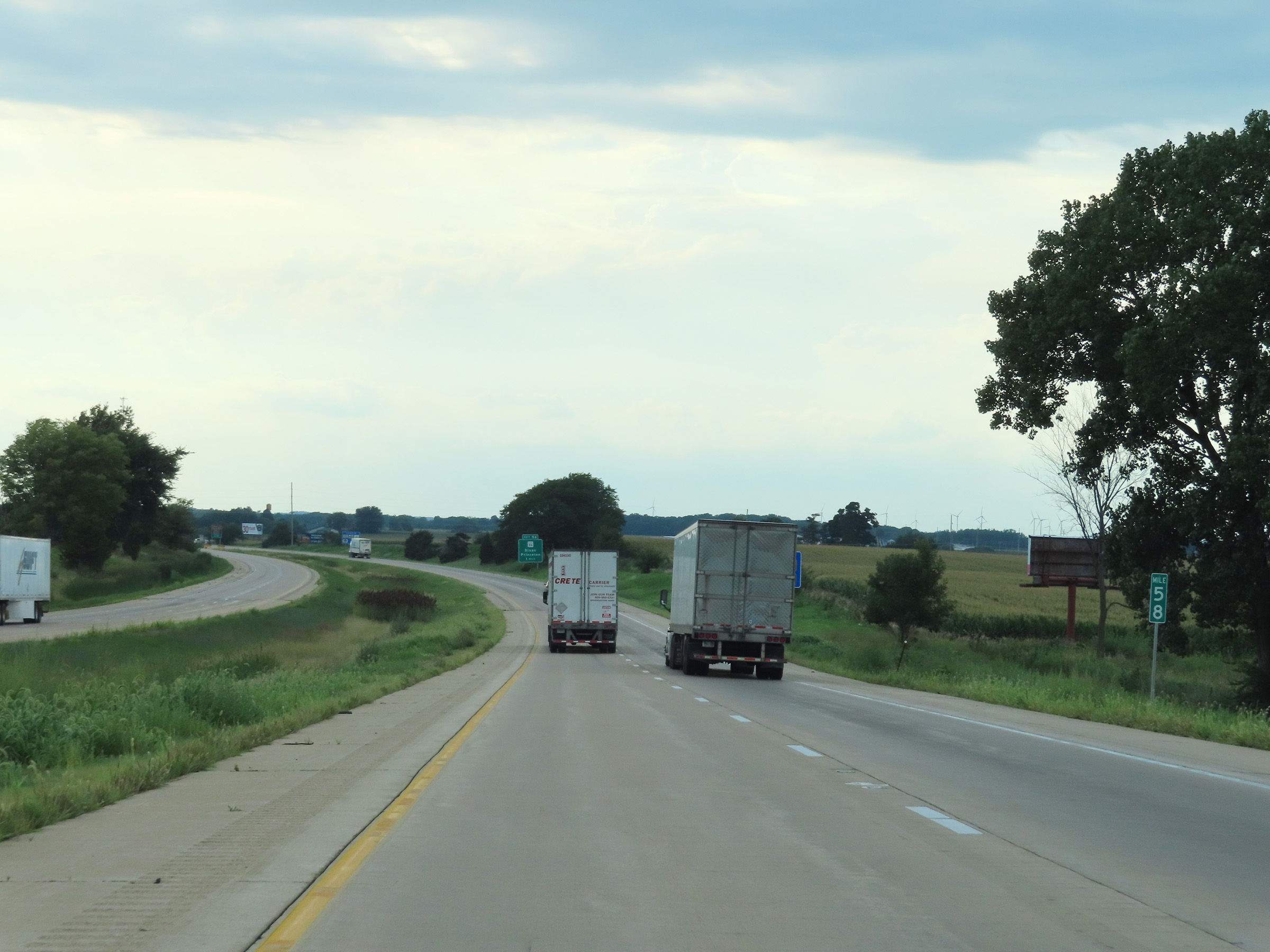 |
Mile marker 58 on Interstate 80 West in Bureau County. (Photo taken 8/19/22). |
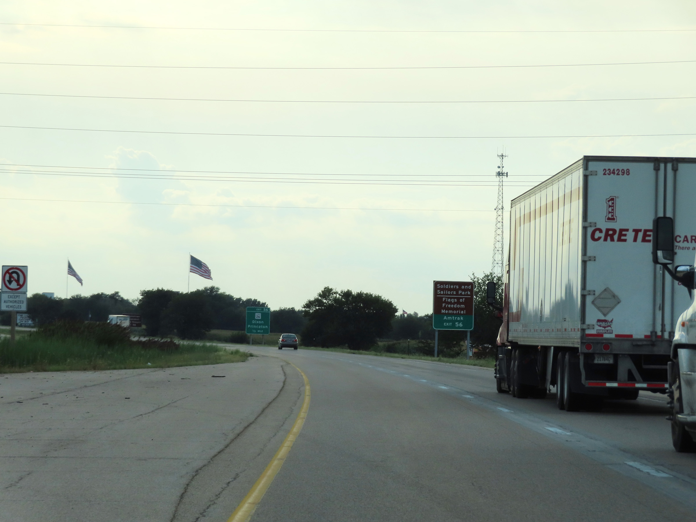 |
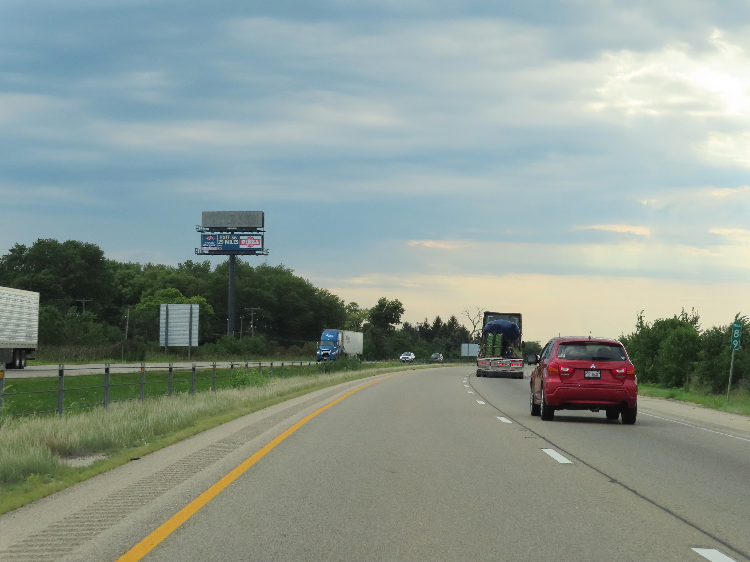
Take Exit 56 to Soldiers and Sailors Park, the Flags of Freedom Memorial, and the Amtrak station. (Photo taken 8/19/22). |
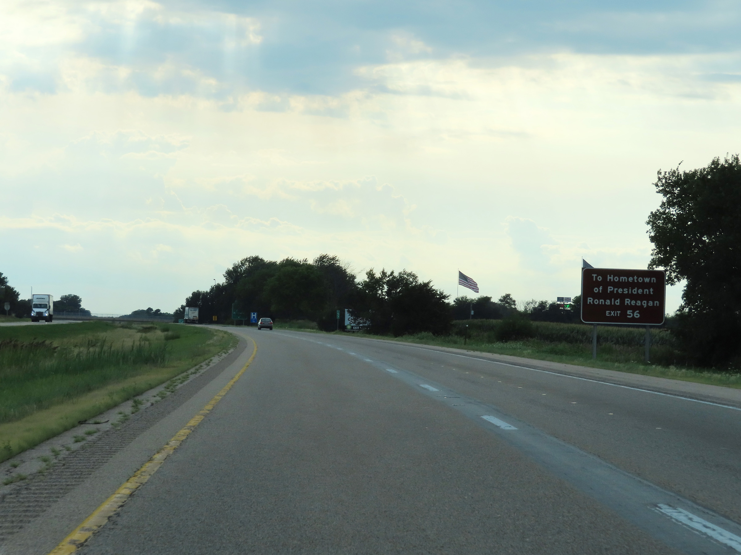 |
Also take Exit 56 to the Hometown of Ronald Reagan. (Photo taken 8/19/22). |
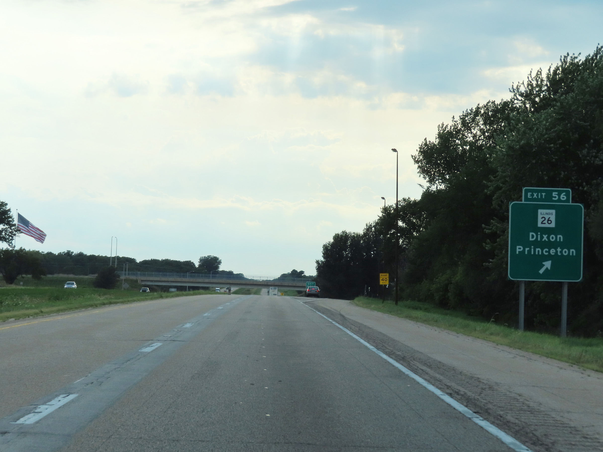 |
Interstate 80 West at Exit 56: IL 26 - Dixon / Princeton (Photo taken 8/19/22). |
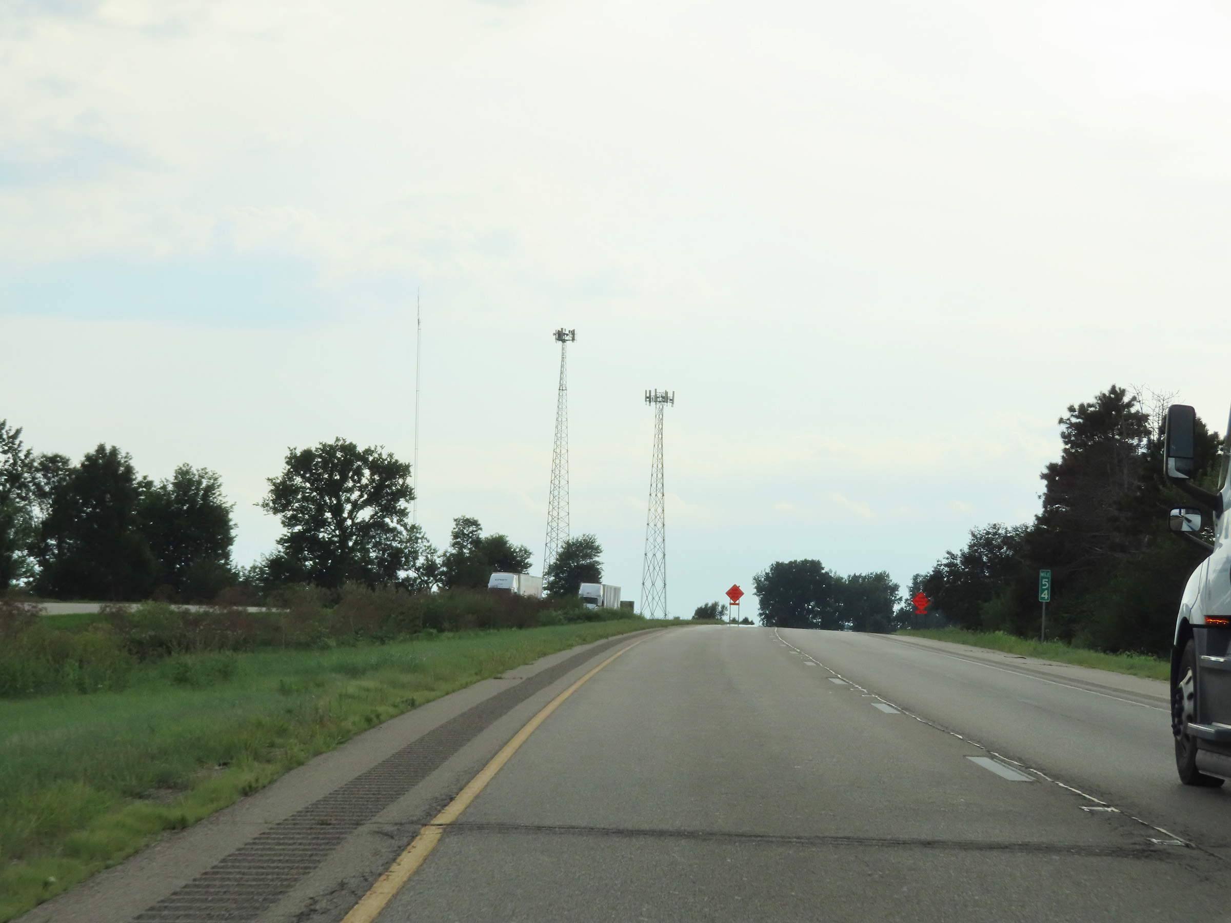 |
Mile marker 54 on Interstate 80 West in Bureau County. (Photo taken 8/19/22). |
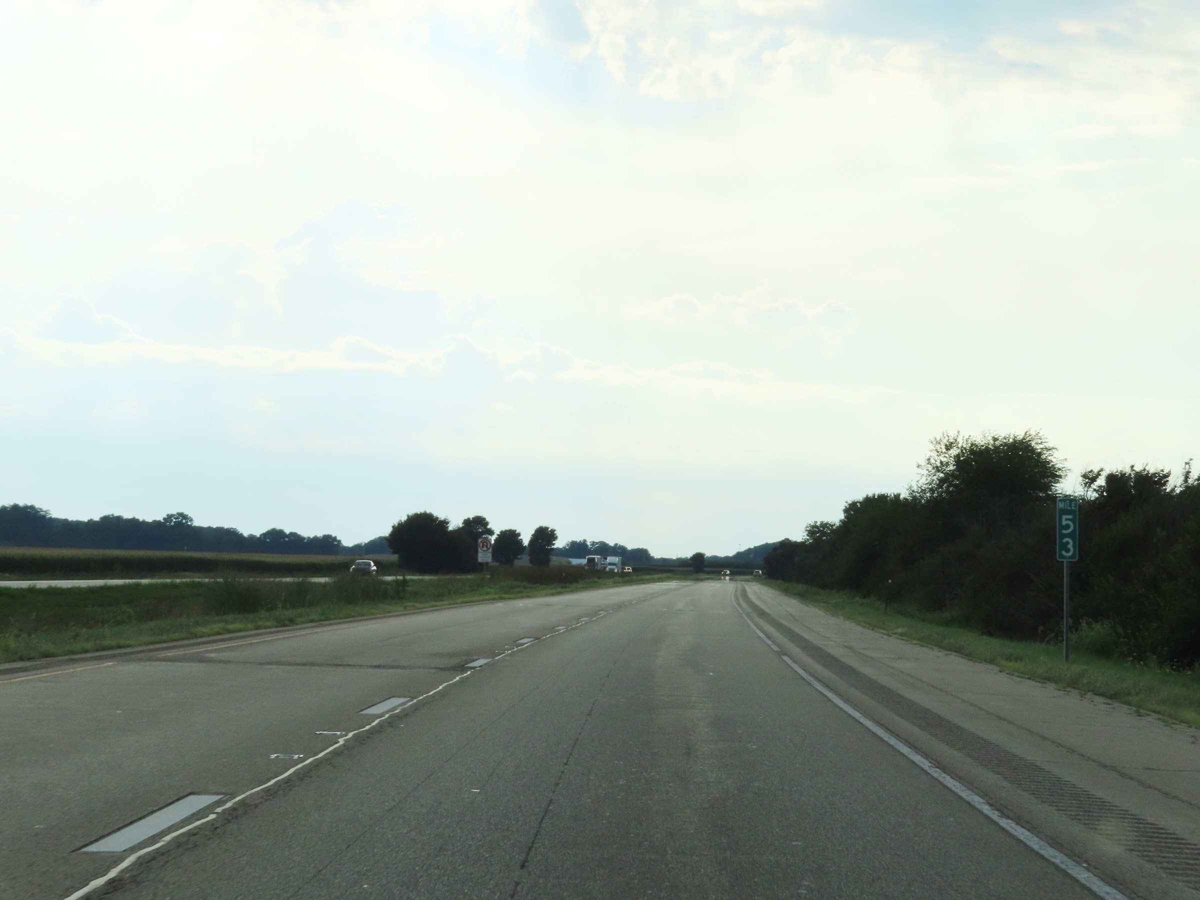 |
View on Interstate 80 West at mile marker 53. (Photo taken 8/19/22). |
 |
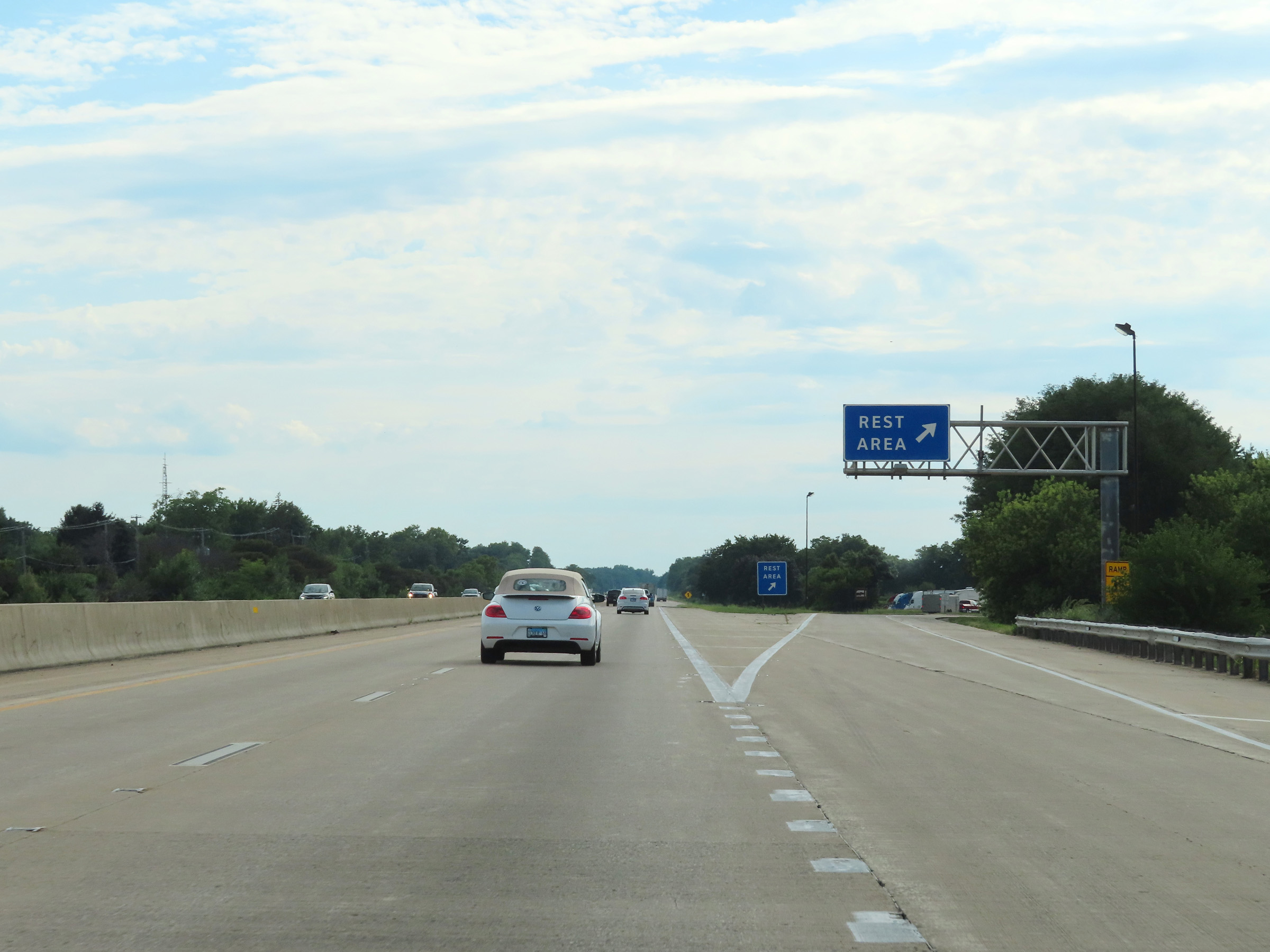
Rest Area on Interstate 80 West in Bureau County. (Photo taken 8/19/22). |
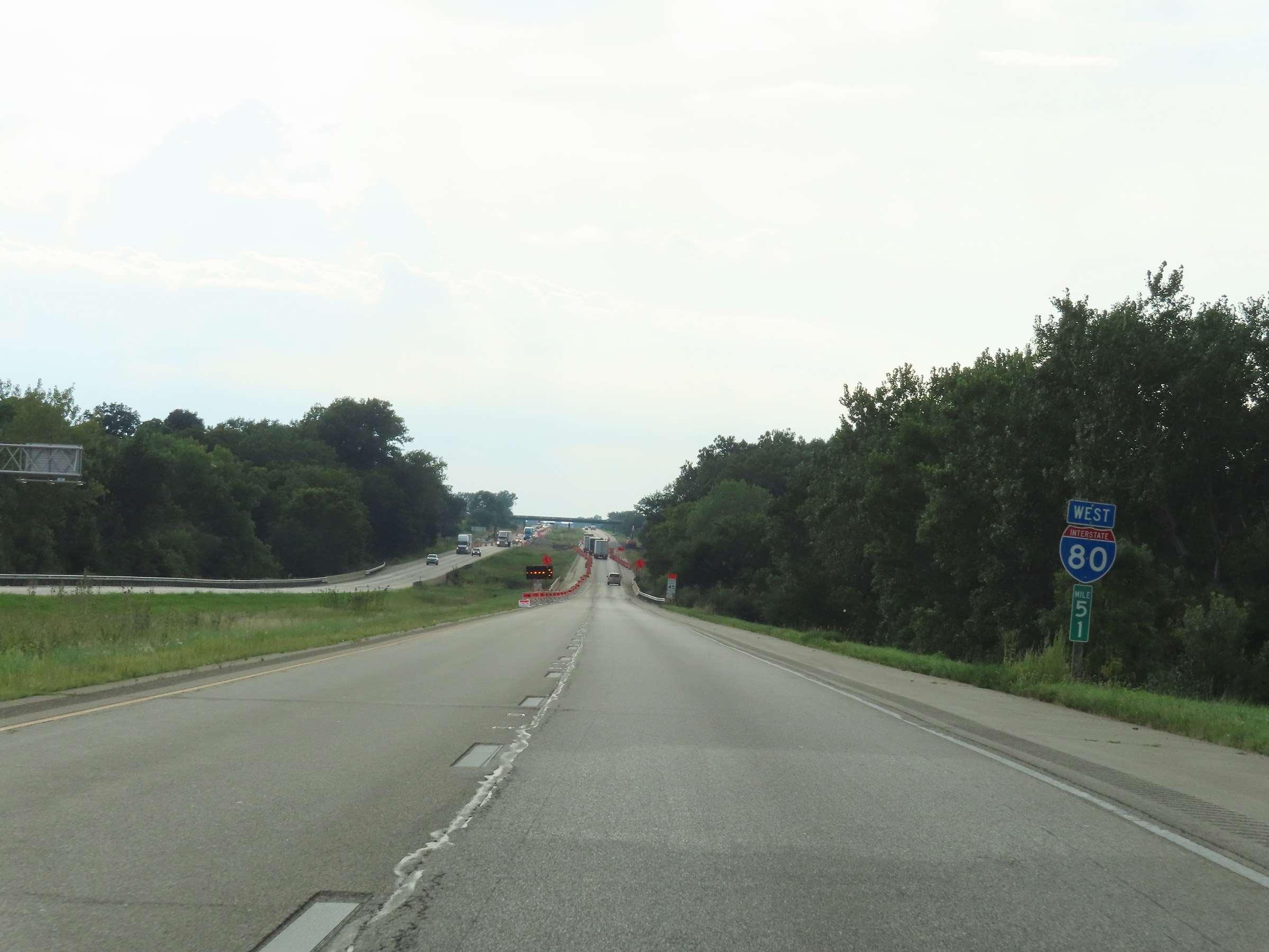 |
Interstate 80 West at mile marker 51. (Photo taken 8/19/22). |
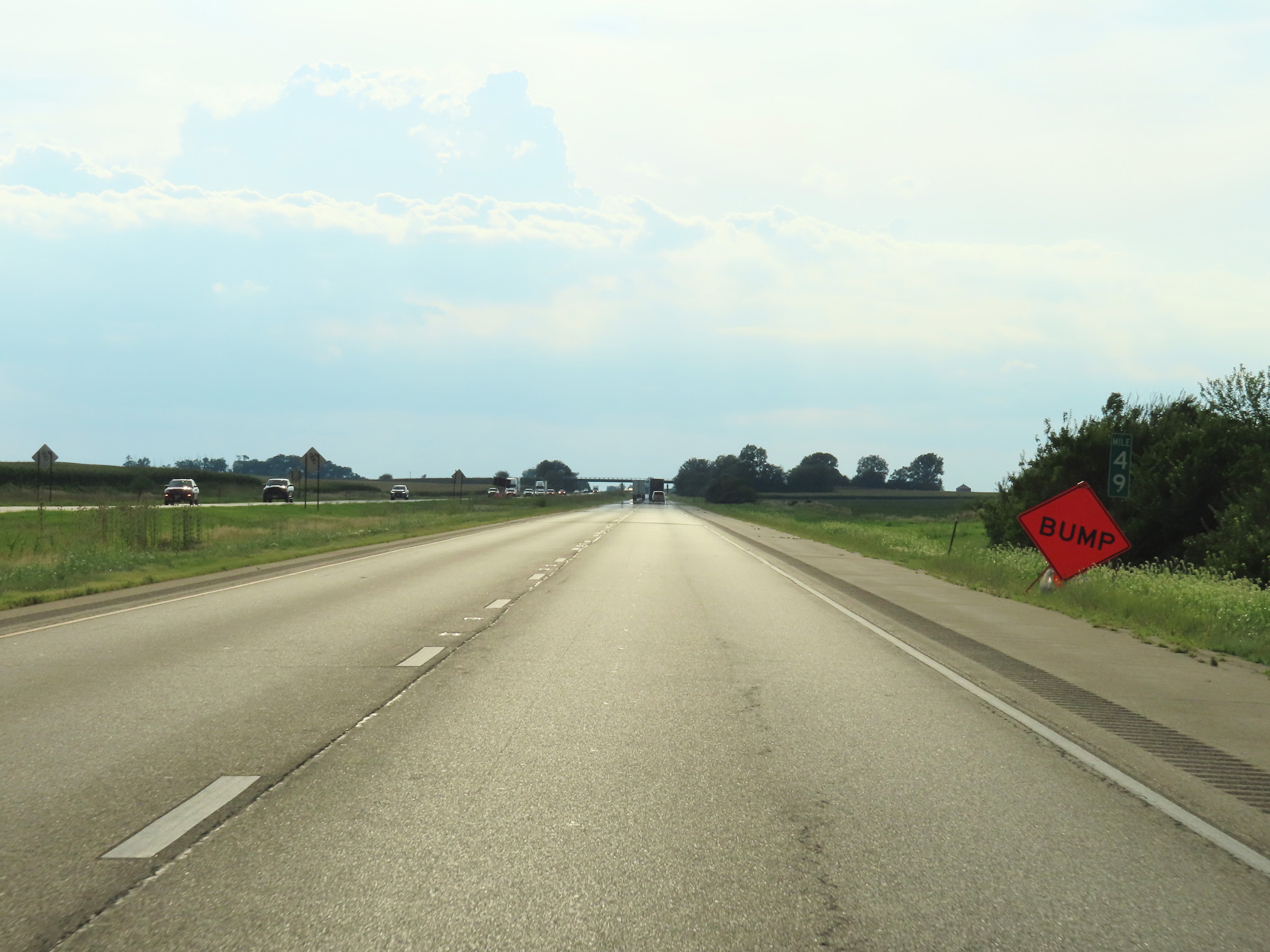 |
View on Interstate 80 West at mile marker 49. (Photo taken 8/19/22). |
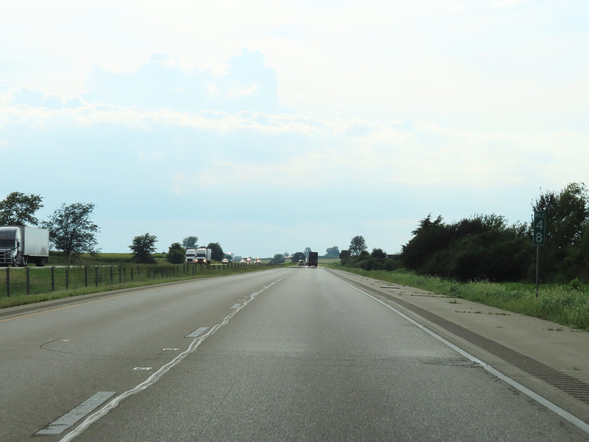 |
Interstate 80 West at mile marker 48. (Photo taken 8/19/22). |
 |
Mile marker 46 on Interstate 80 West in Bureau County. (Photo taken 8/19/22). |
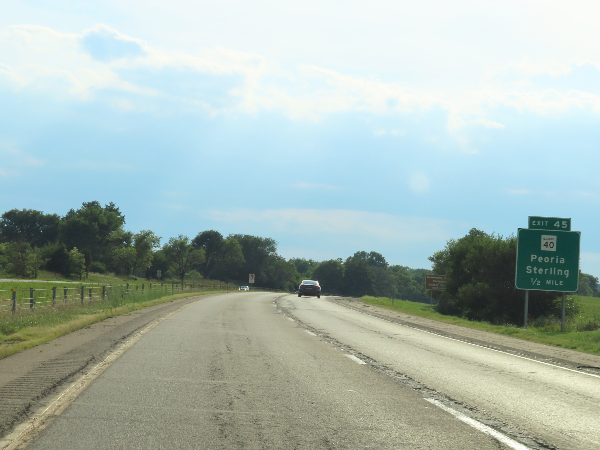 |
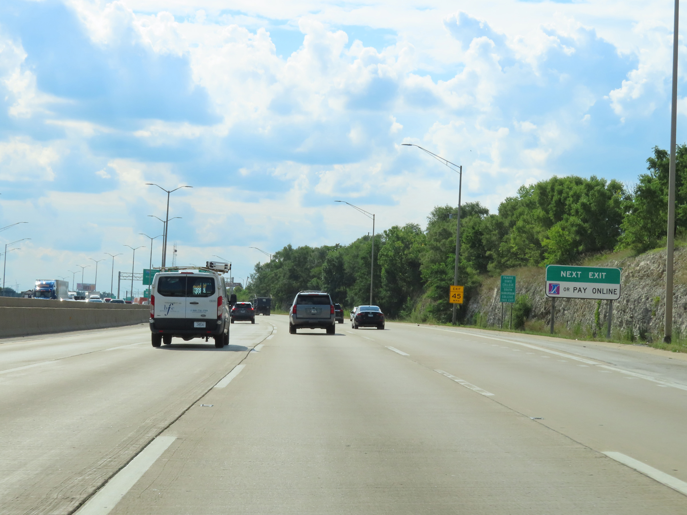
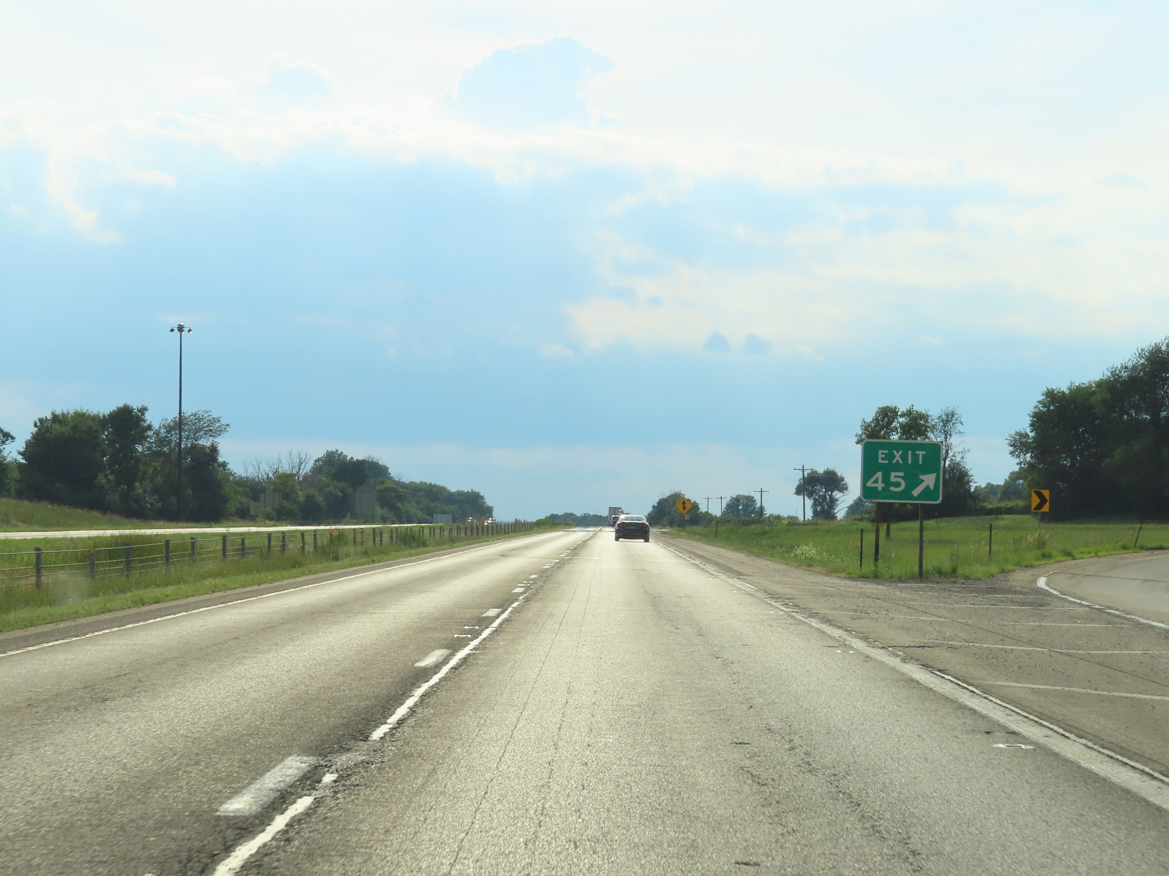
Interstate 80 West approaching Exit 45 - 1/2 mile. (Photo taken 8/19/22). |
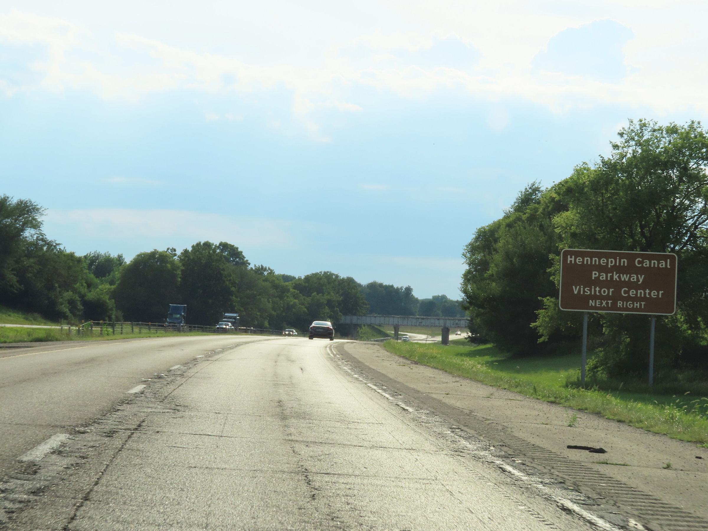 |
Take Exit 45 to Hennepin Canal Parkway and its Visitor Center. (Photo taken 8/19/22). |
 |
Interstate 80 West at Exit 45: IL 40 - Peoria / Sterling (Photo taken 8/19/22). |
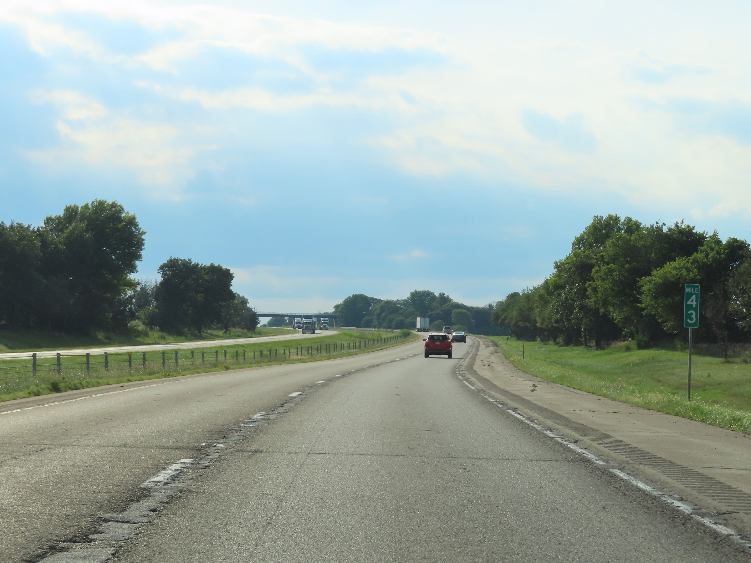 |
View on Interstate 80 West at mile marker 43. (Photo taken 8/19/22). |
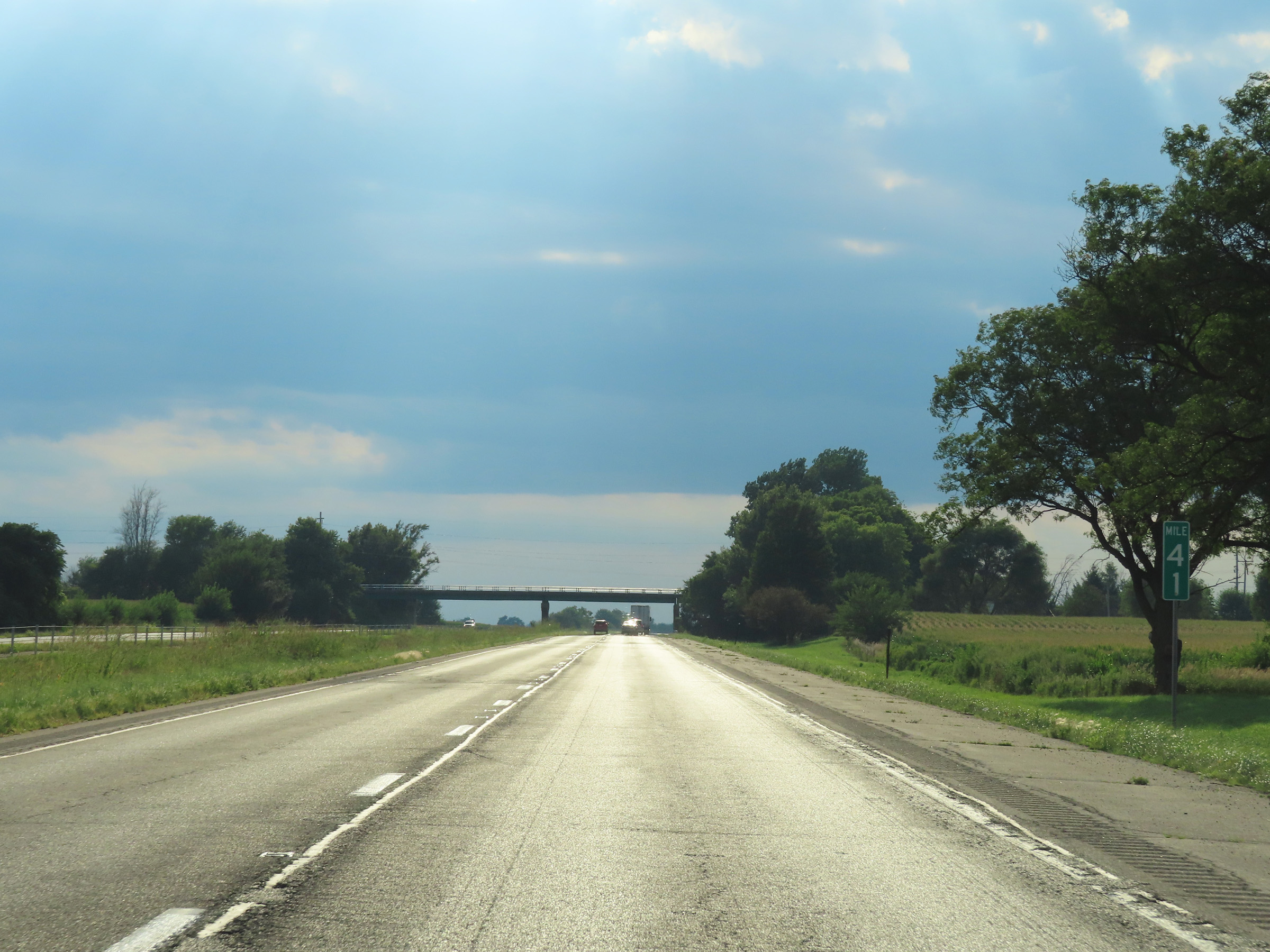 |
Mile marker 41 on Interstate 80 West in Bureau County. (Photo taken 8/19/22). |
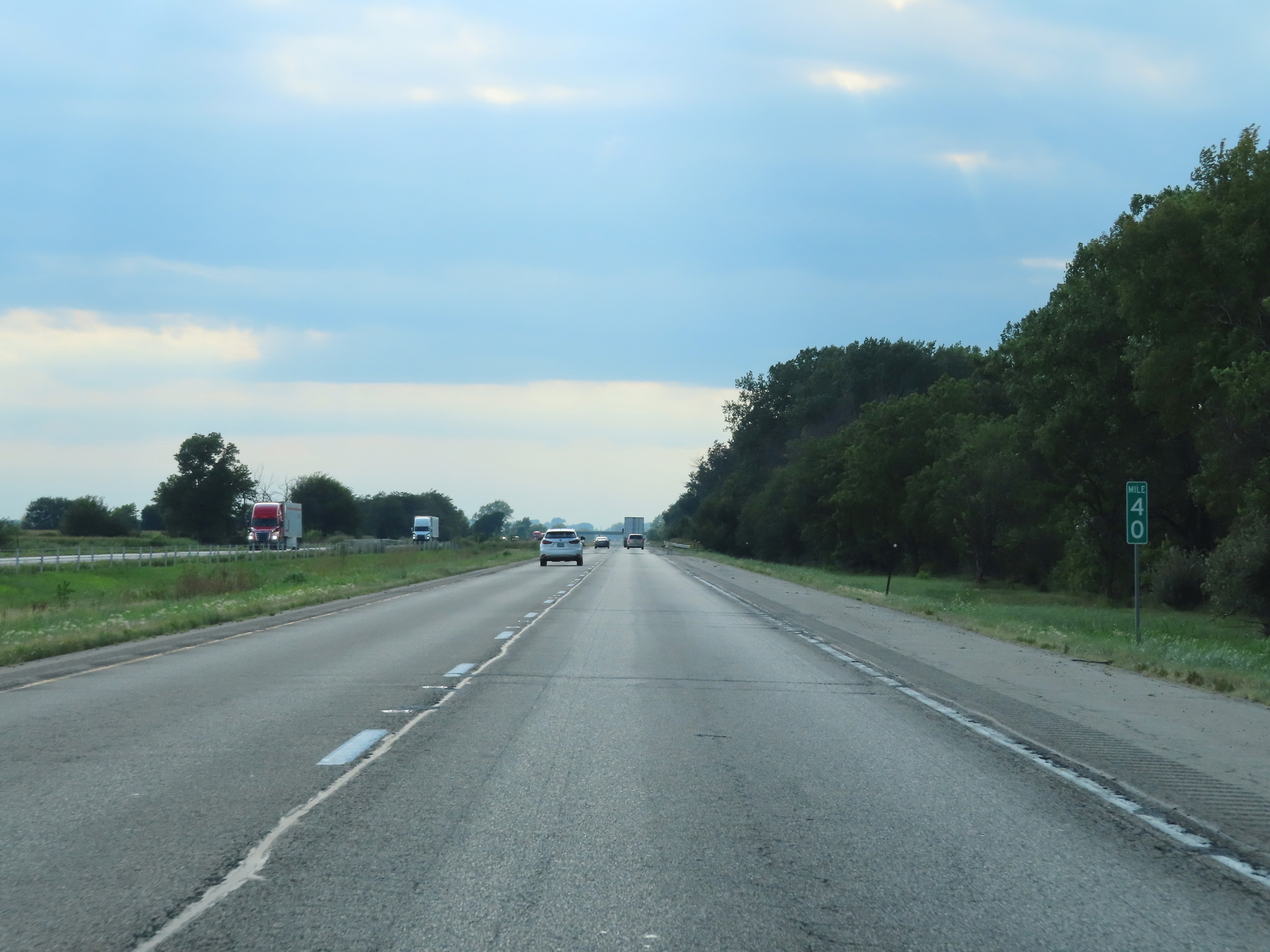 |
Interstate 80 West at mile marker 40. (Photo taken 8/19/22). |
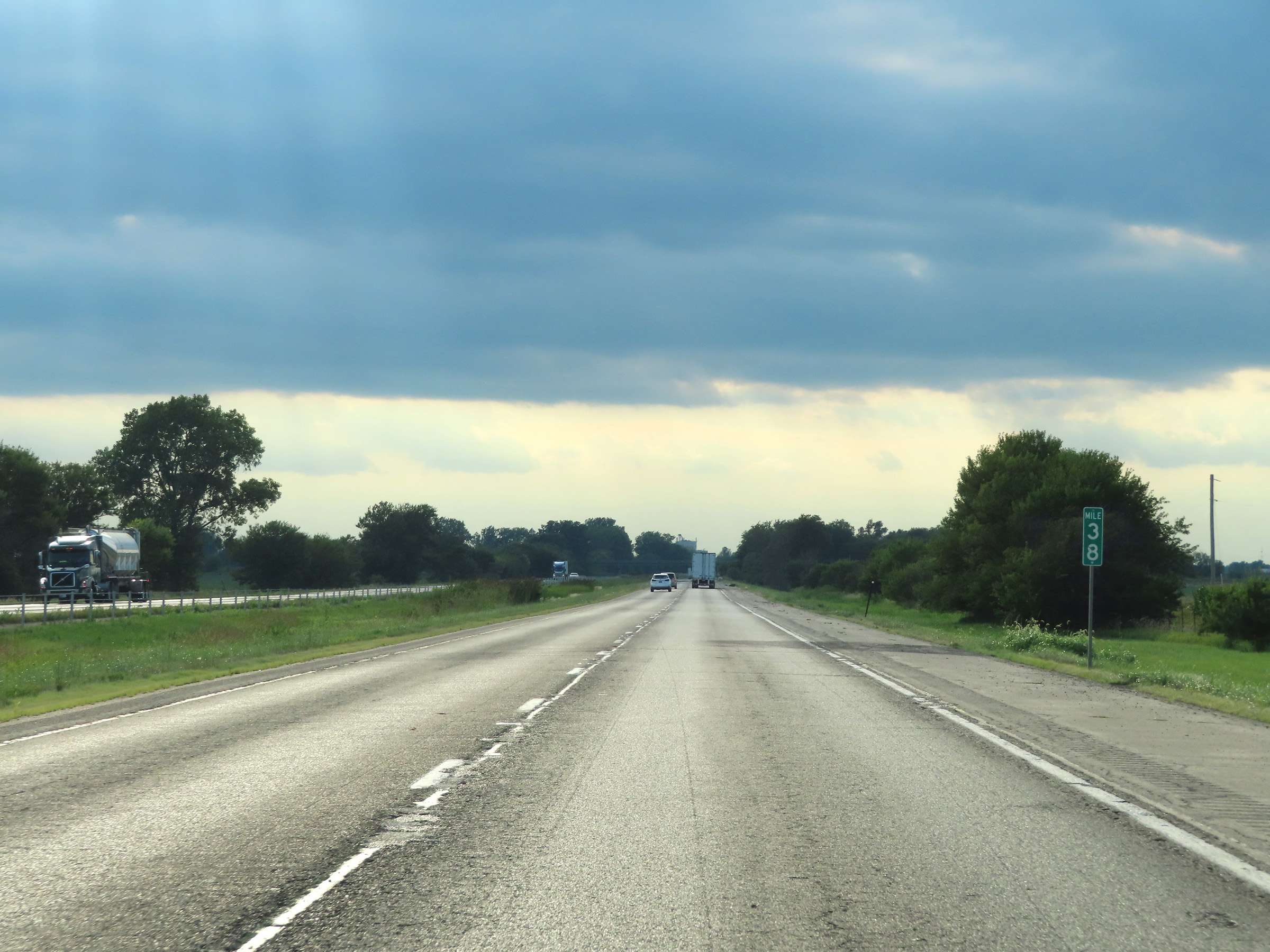 |
View on Interstate 80 West at mile marker 38. (Photo taken 8/19/22). |
 |
Interstate 80 West at mile marker 37. (Photo taken 8/19/22). |
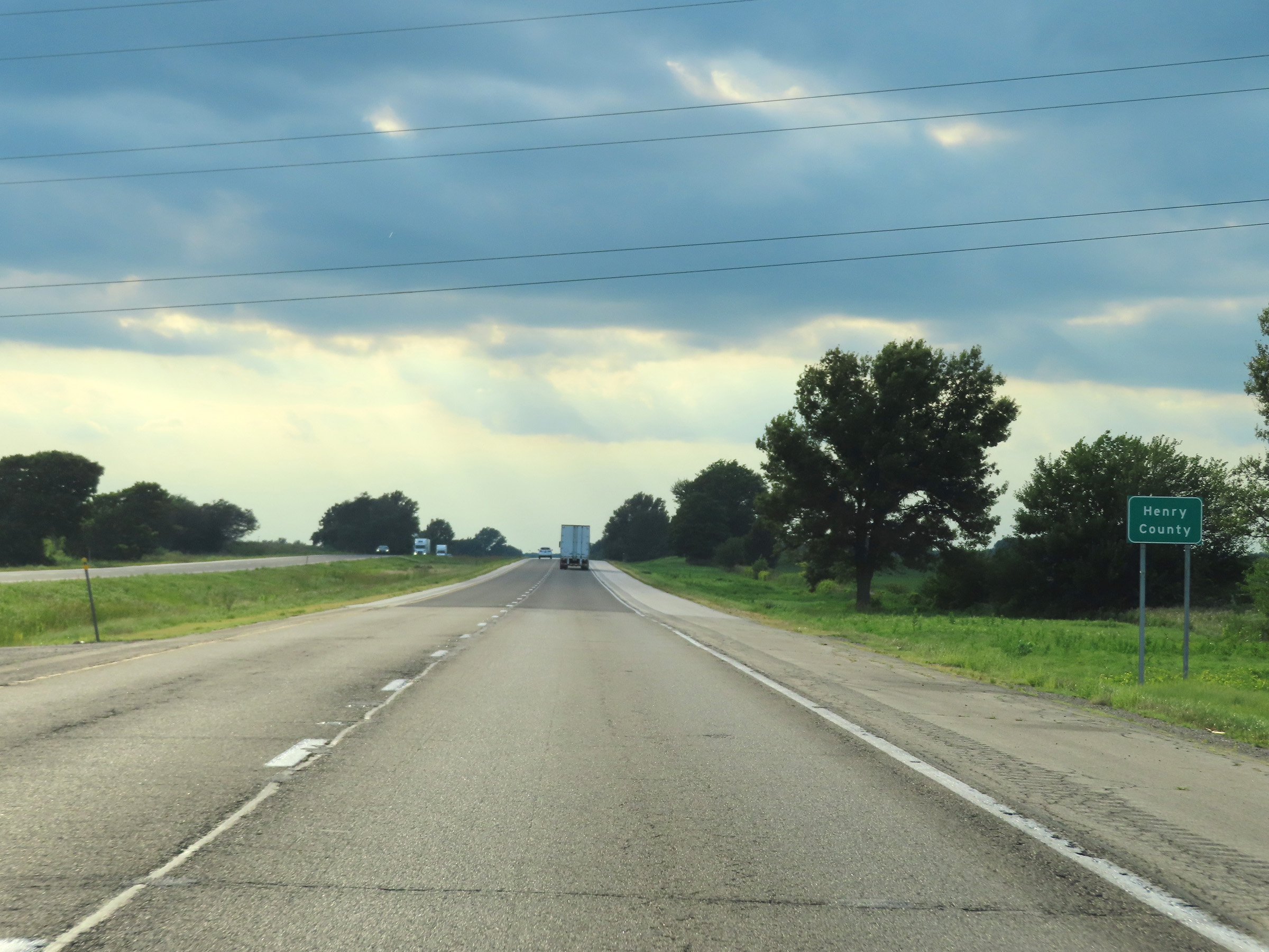 |
Interstate 80 West as it enters Henry County. (Photo taken 8/19/22). |
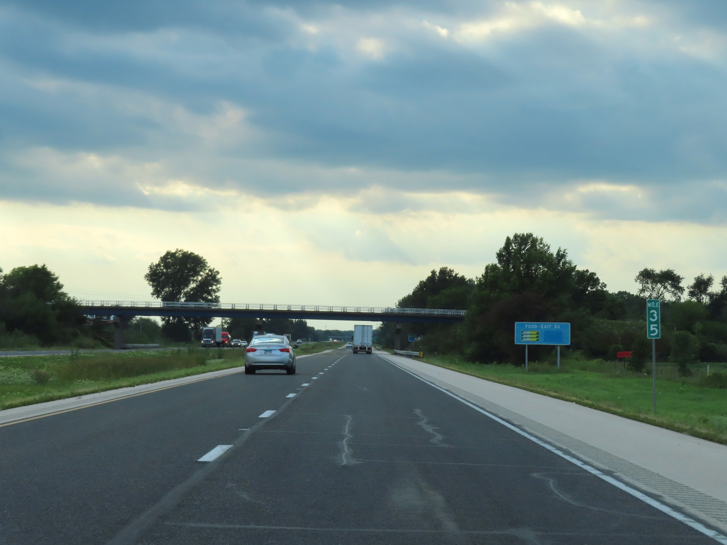 |
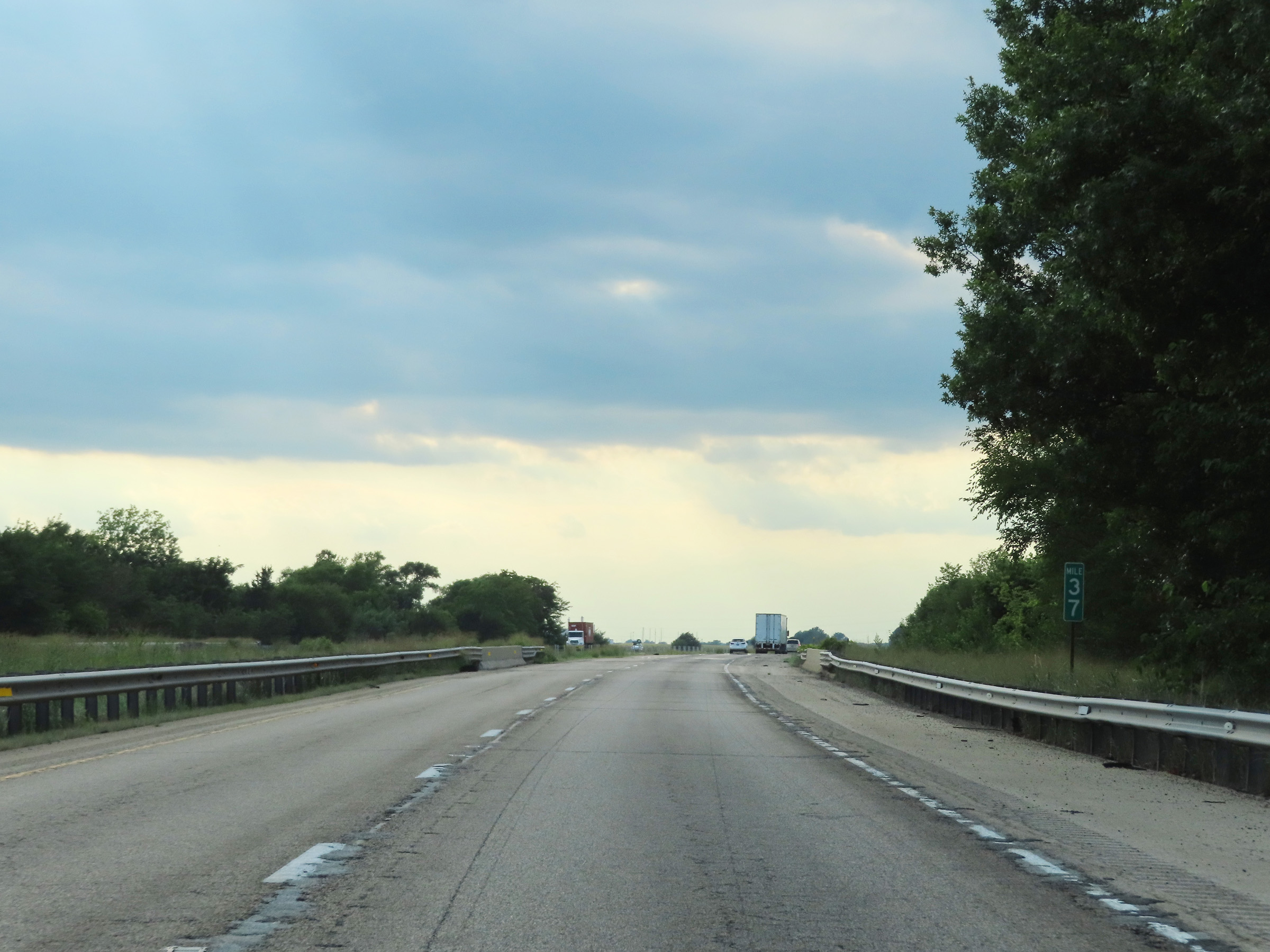
View on Interstate 80 West at mile marker 35. (Photo taken 8/19/22). |
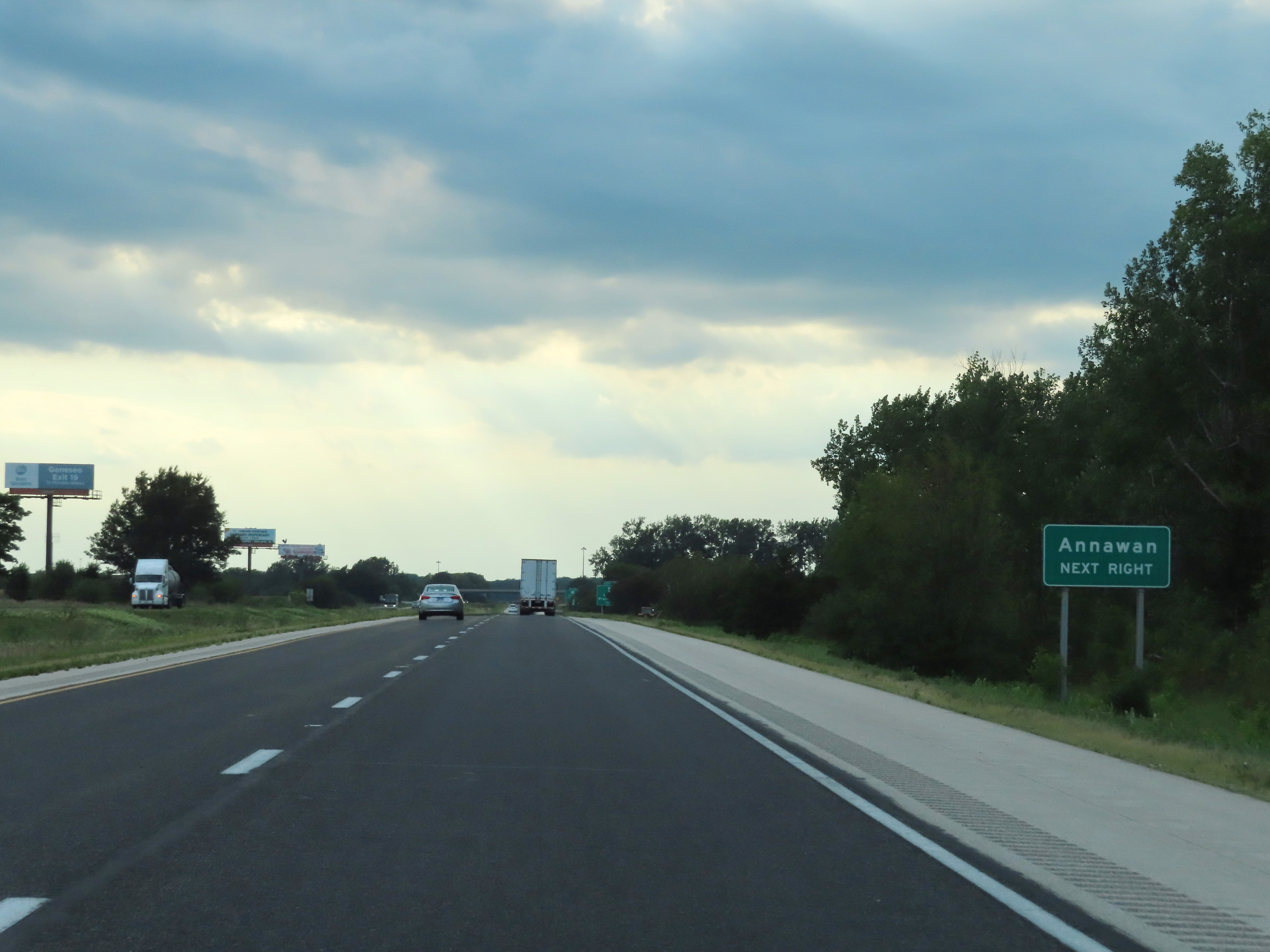 |
Take Exit 33 to Annawan. (Photo taken 8/19/22). |
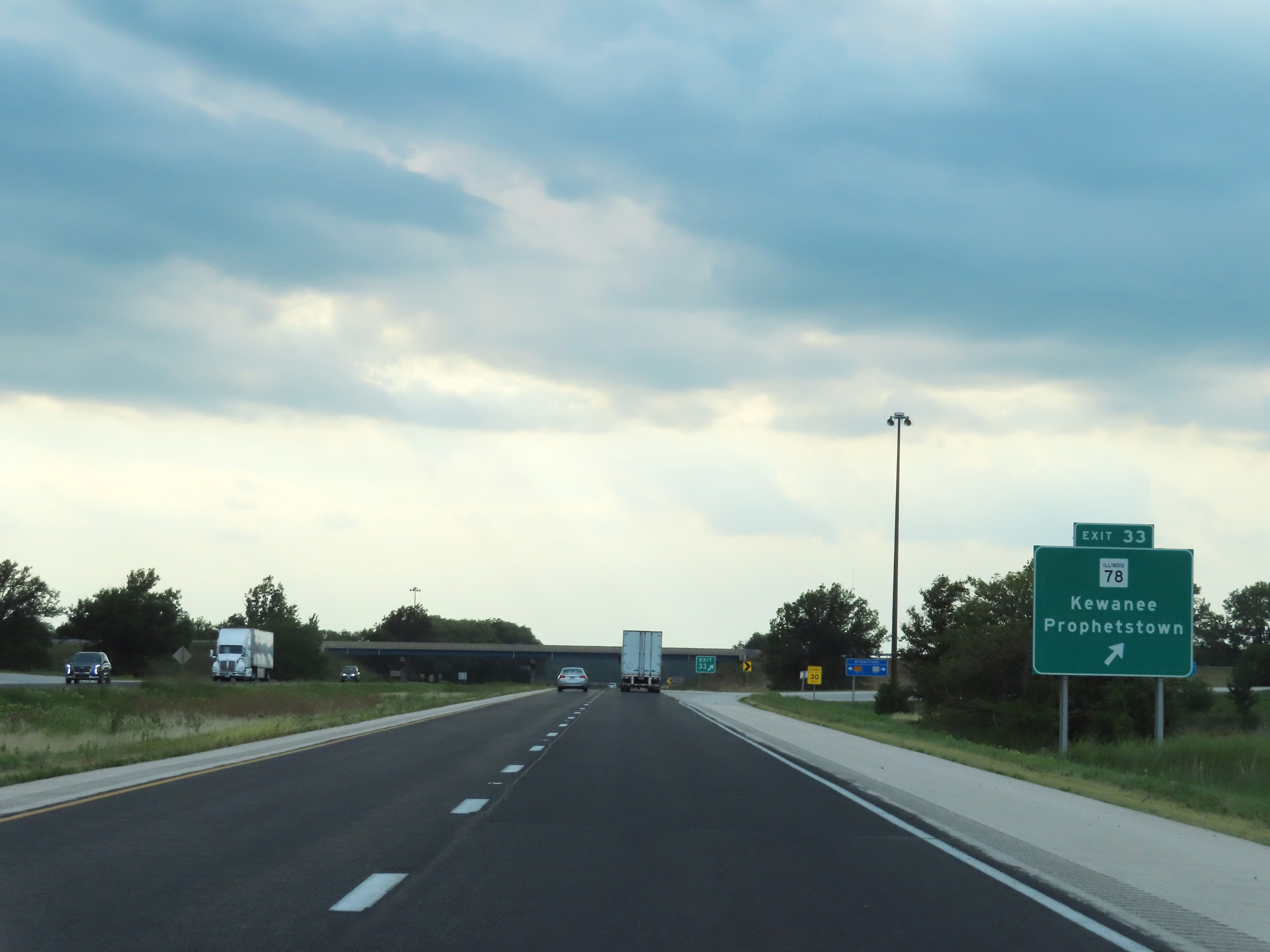 |
Interstate 80 West at Exit 33: IL 78 - Kewanee / Prophetstown (Photo taken 8/19/22). |
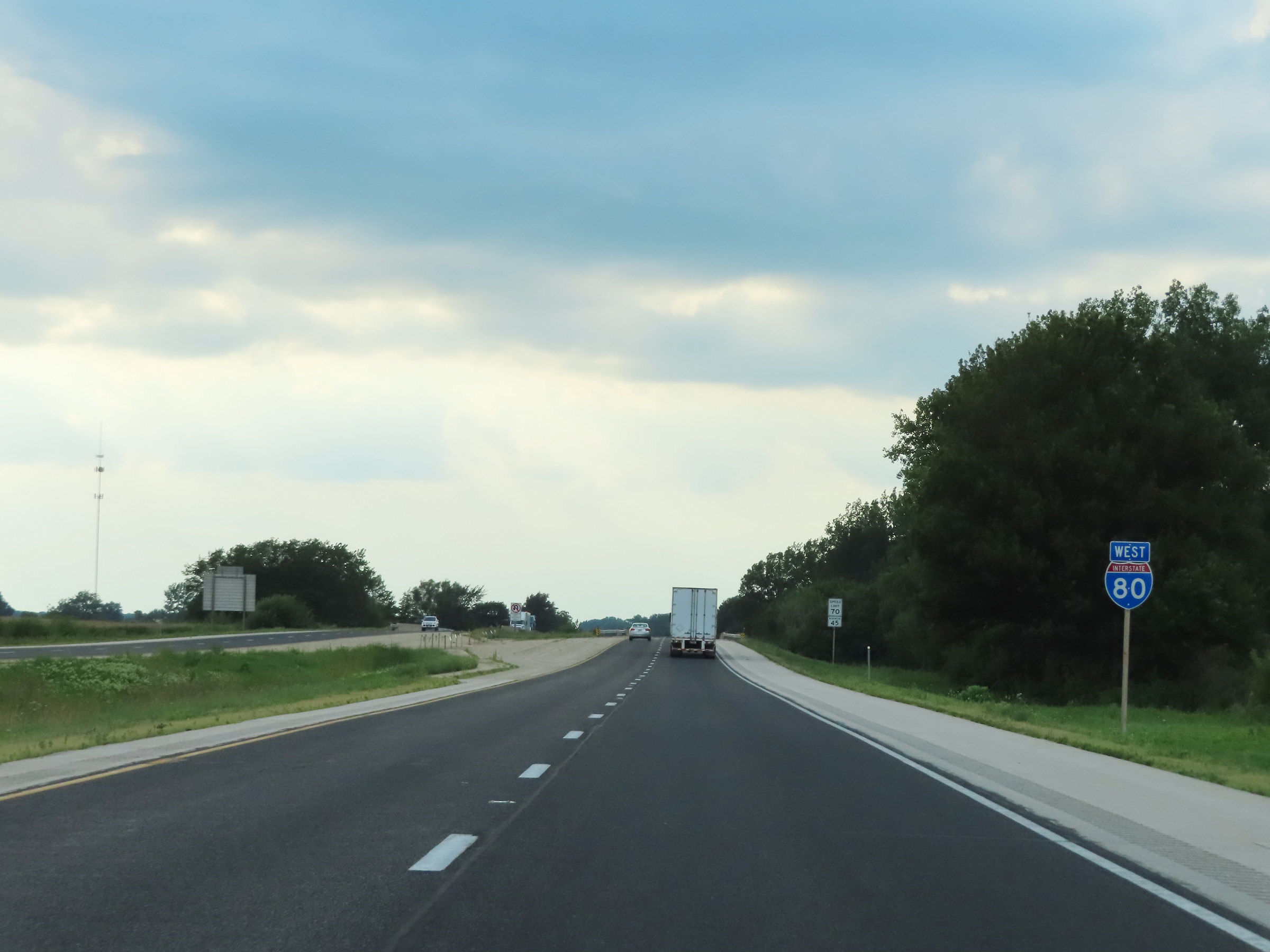 |
Interstate 80 West reassurance shield. (Photo taken 8/19/22). |
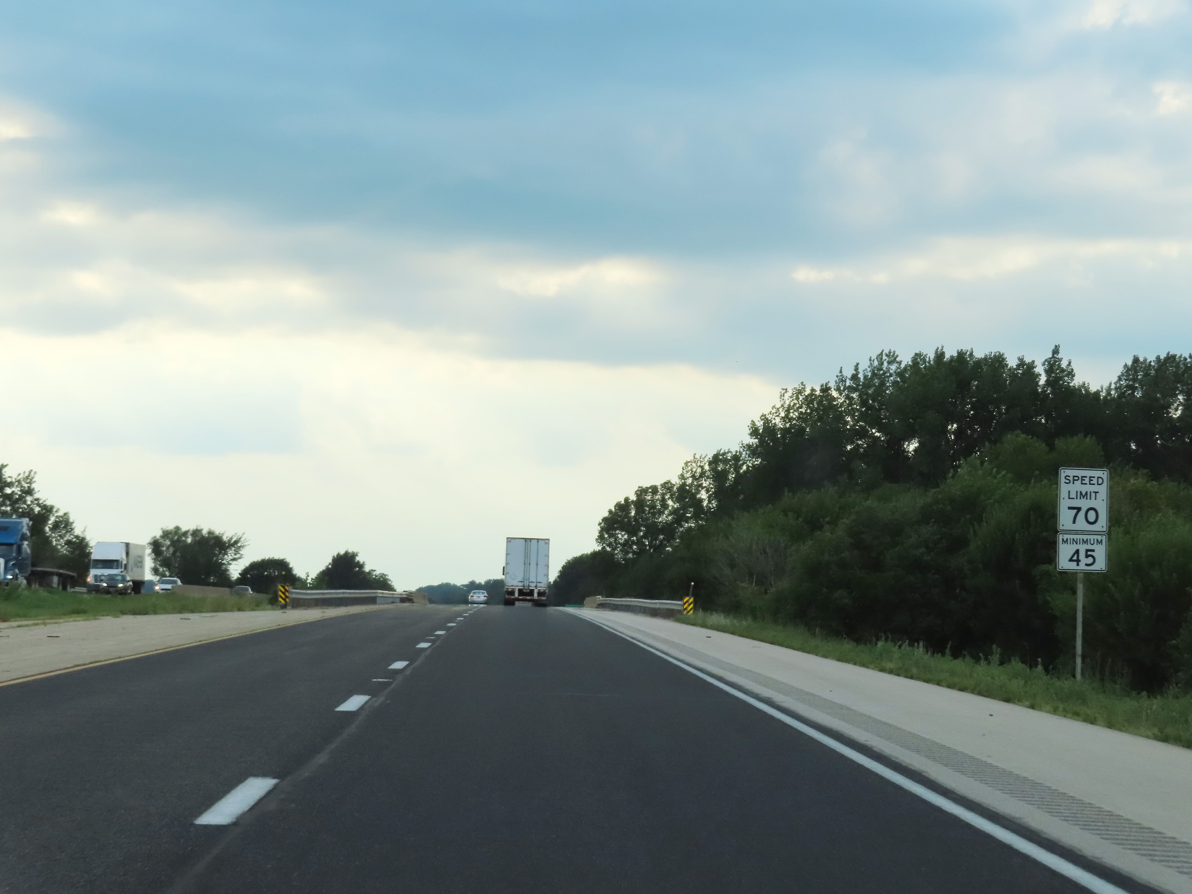 |
The speed limits remain 70 mph maximum and 45 mph minimum on Interstate 80 West. (Photo taken 8/19/22). |
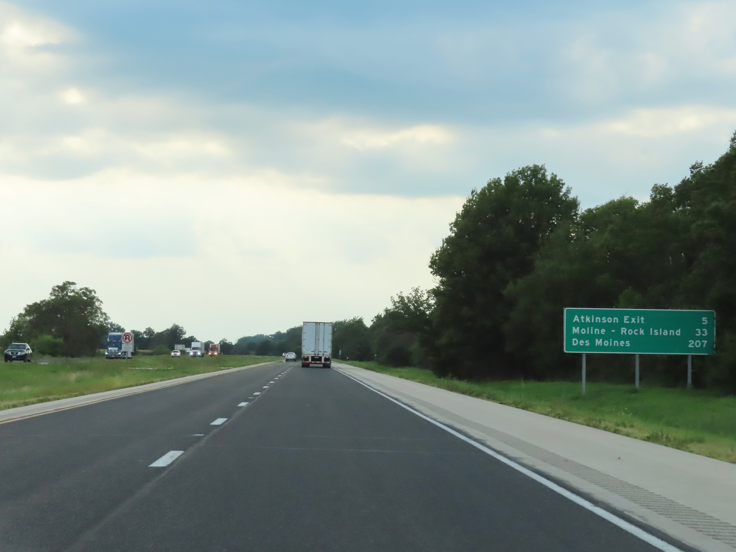 |
Mileage sign on Interstate 80 West. It's 5 miles to the Atkinson Exit, 33 miles to Moline-Rock Island, and 207 miles to Des Moines. (Photo taken 8/19/22). |
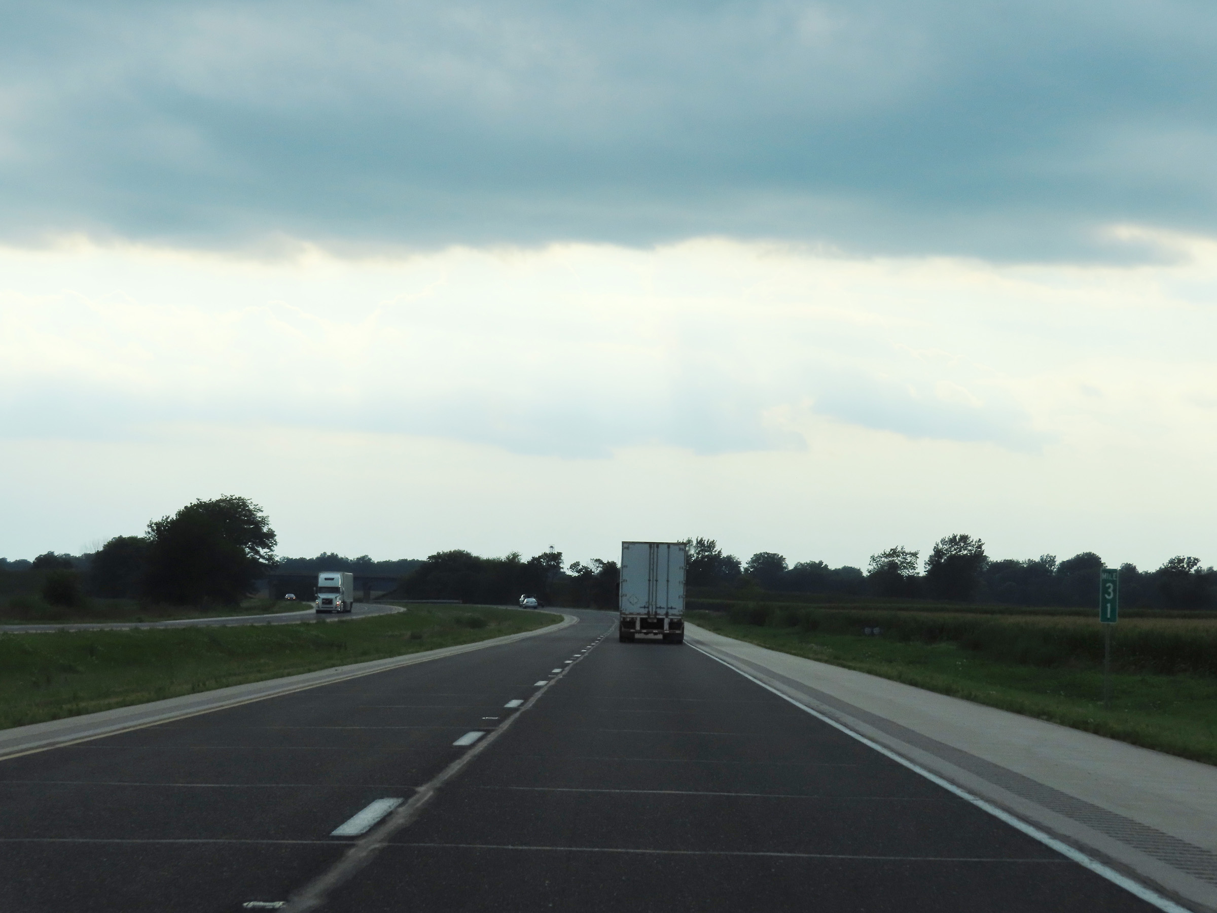 |
Interstate 80 West at mile marker 31. (Photo taken 8/19/22). |
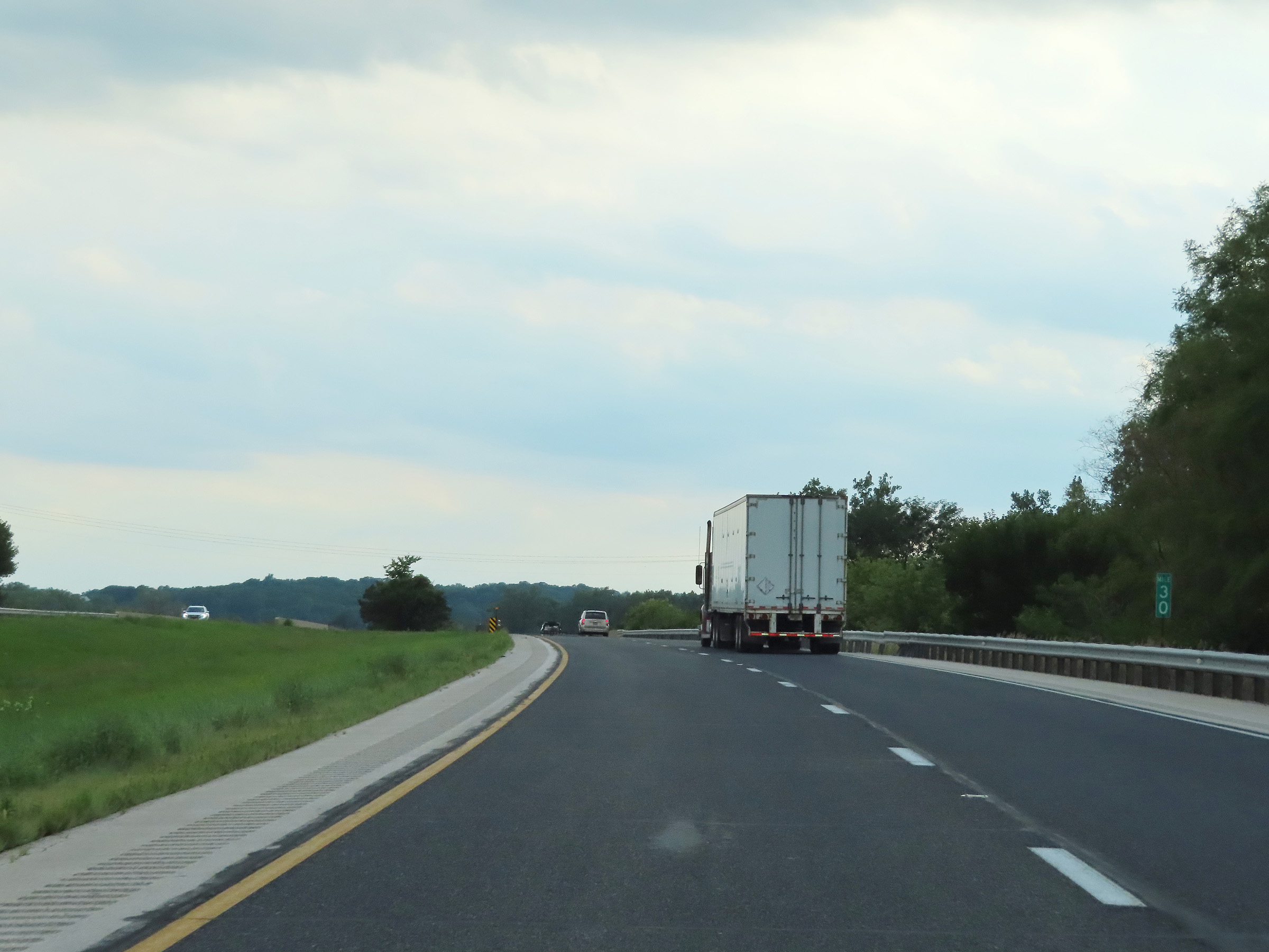 |
Mile marker 30 on Interstate 80 West in Henry County. (Photo taken 8/19/22). |
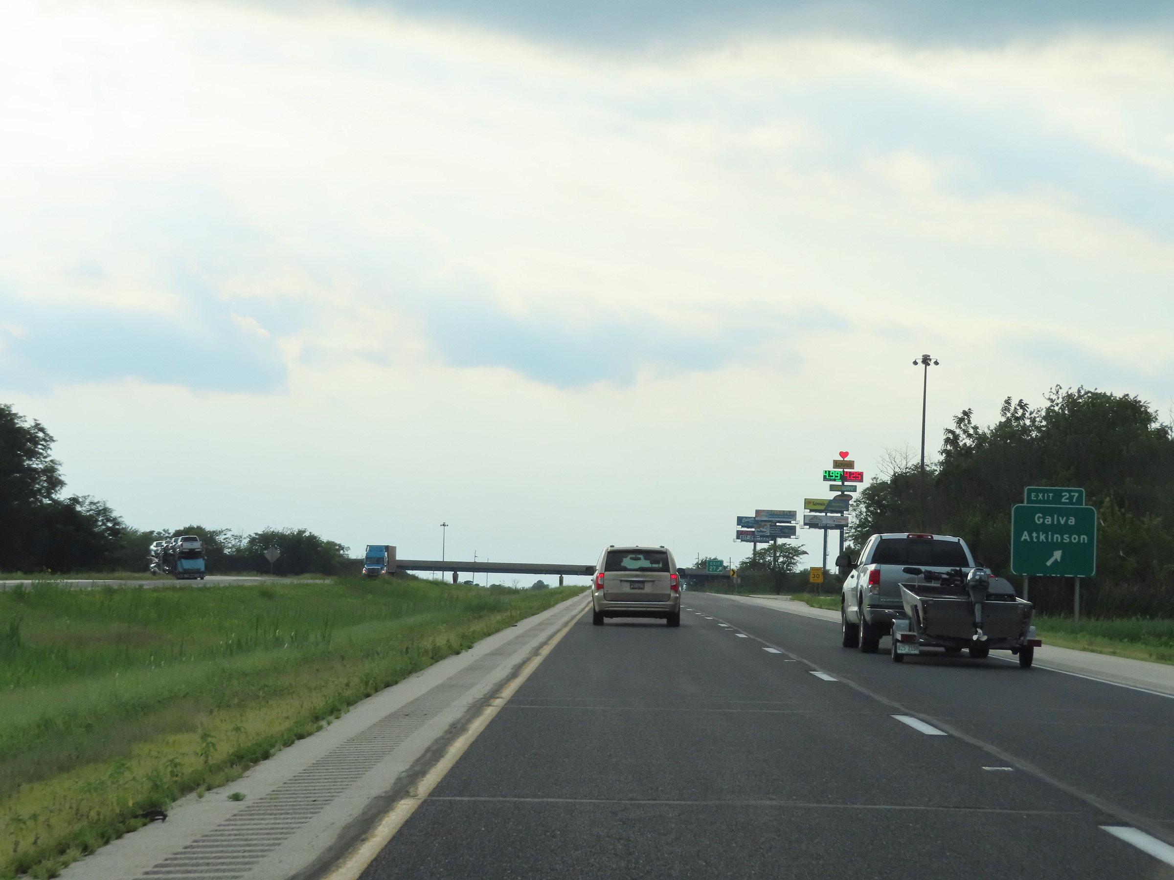 |
Interstate 80 West at Exit 27: Galva / Atkinson (Photo taken 8/19/22). |
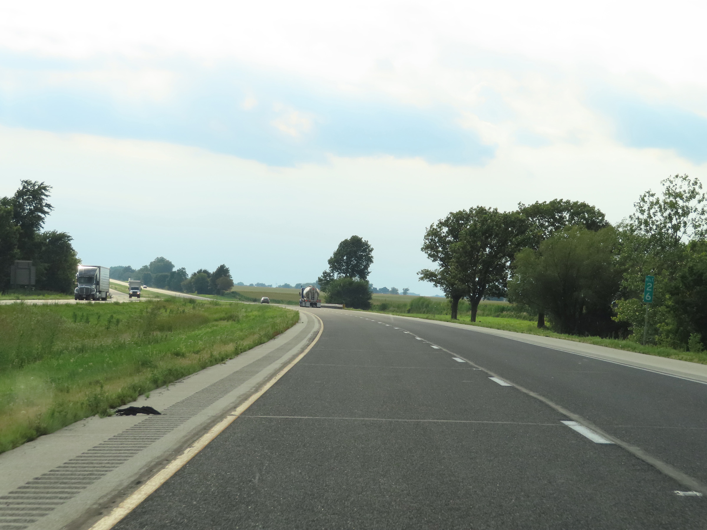 |
View on Interstate 80 West at mile marker 26. (Photo taken 8/19/22). |
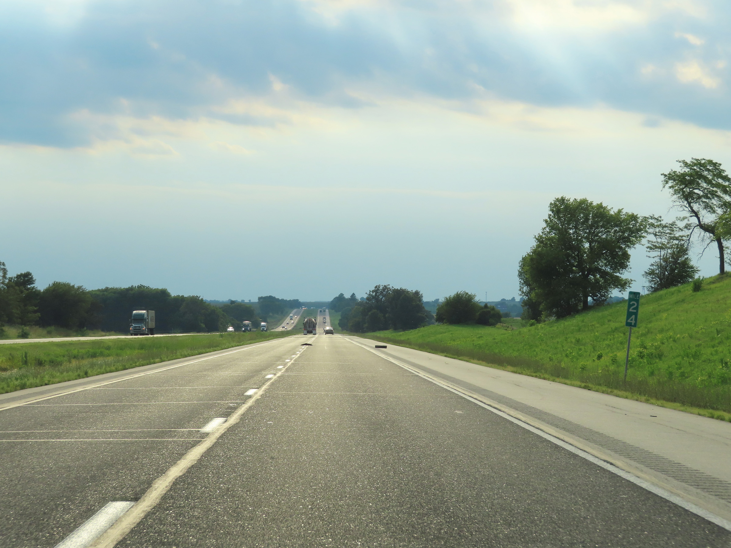 |
Mile marker 24 on Interstate 80 West in Henry County. (Photo taken 8/19/22). |
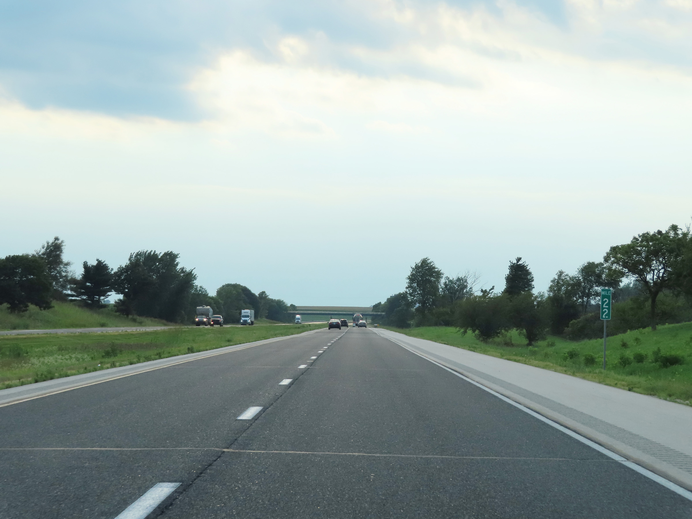 |
Interstate 80 West at mile marker 22. (Photo taken 8/19/22). |
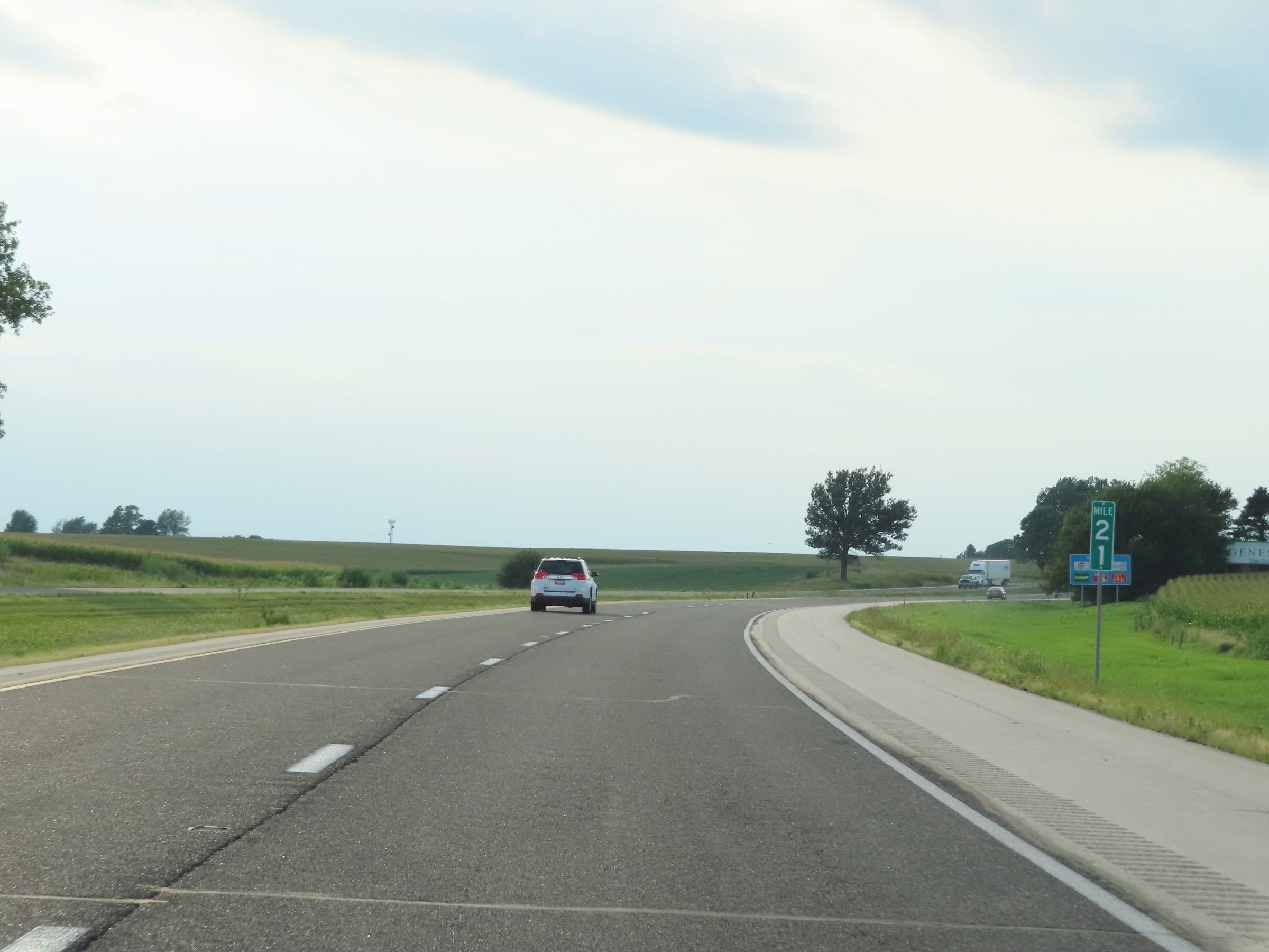 |
View on Interstate 80 West at mile marker 21. (Photo taken 8/19/22). |
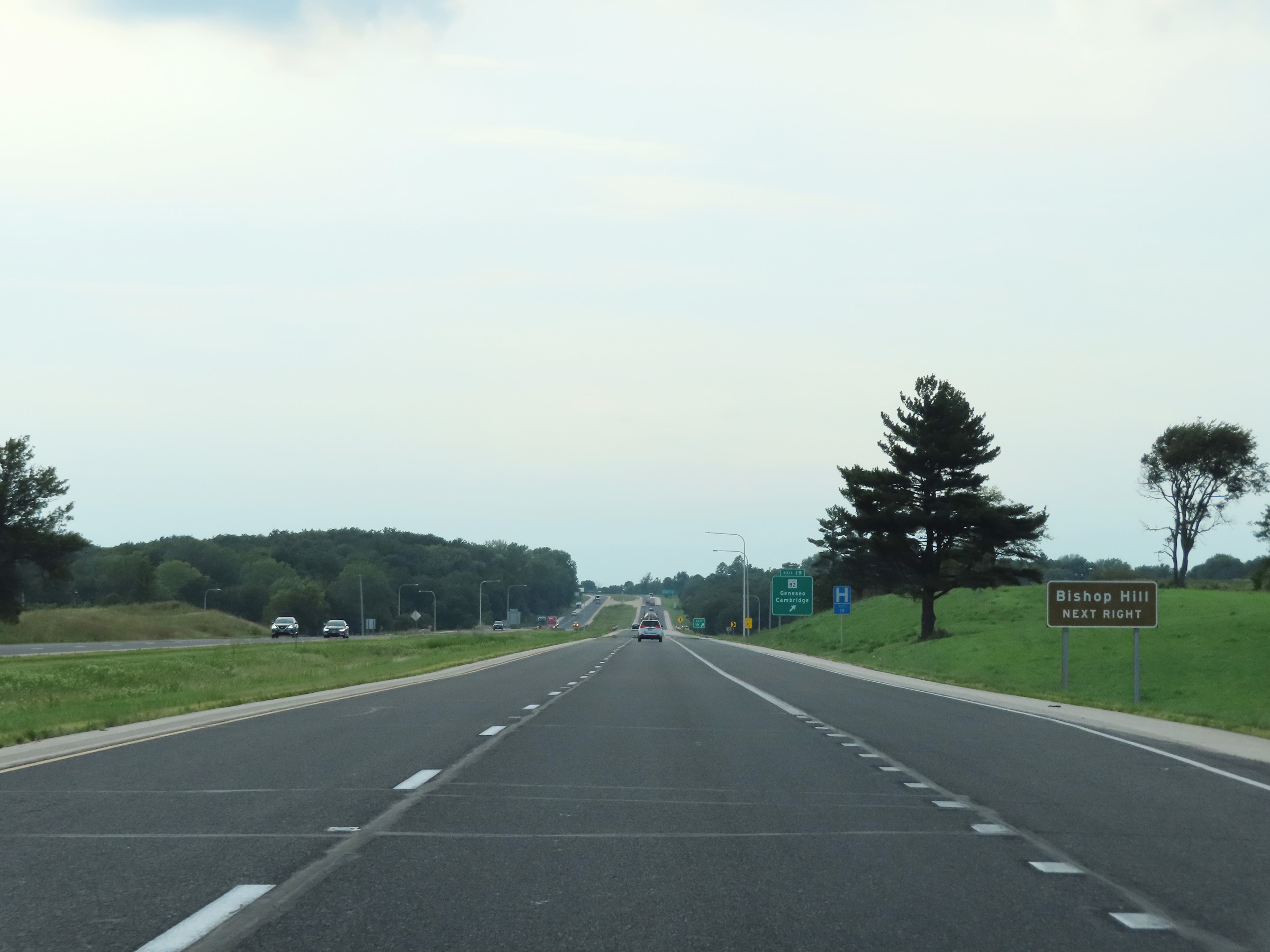 |
Take Exit 19 to Bishop Hill. (Photo taken 8/19/22). |
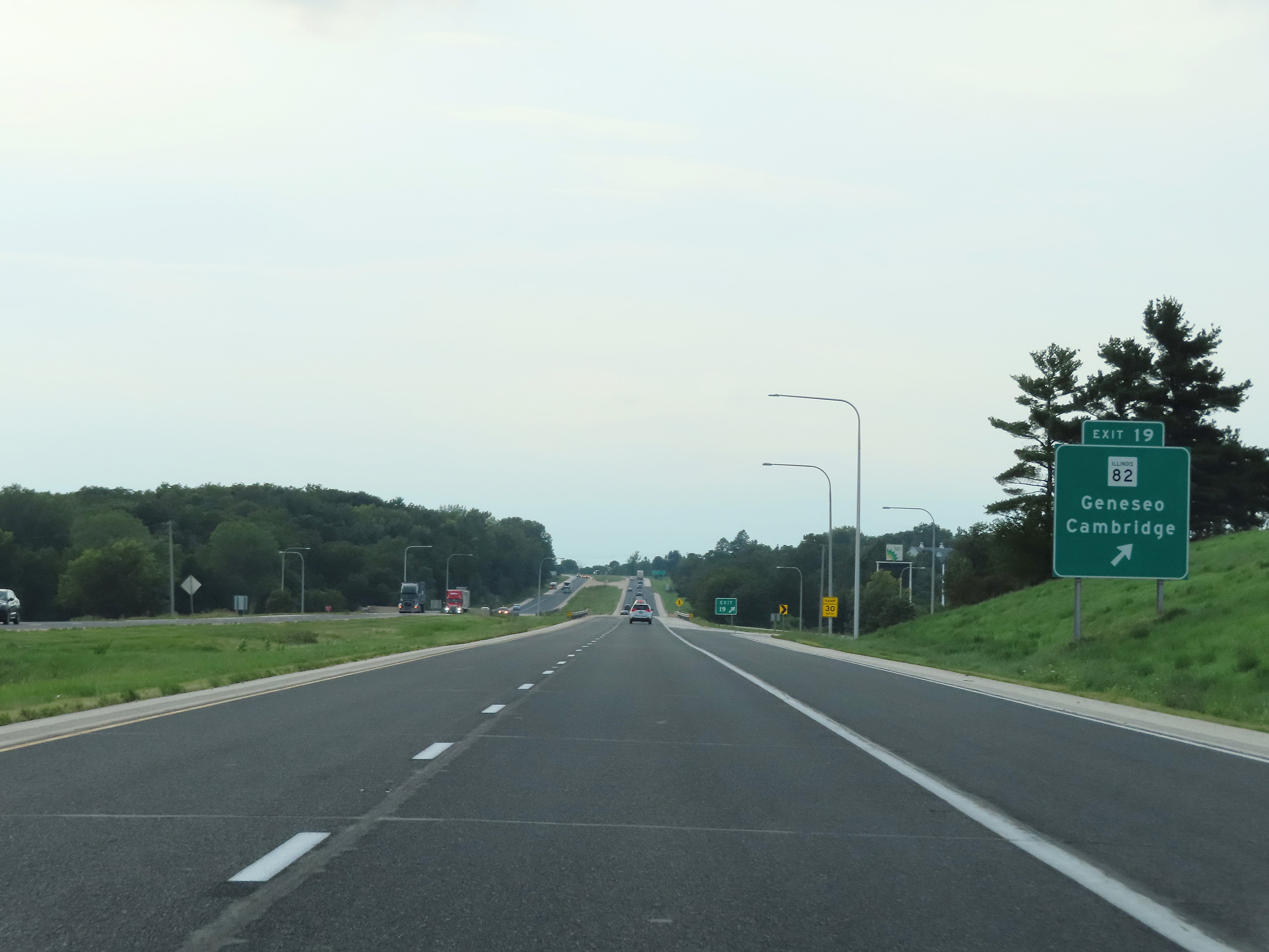 |
Interstate 80 West at Exit 19: IL 82 - Geneseo / Cambridge (Photo taken 8/19/22). |
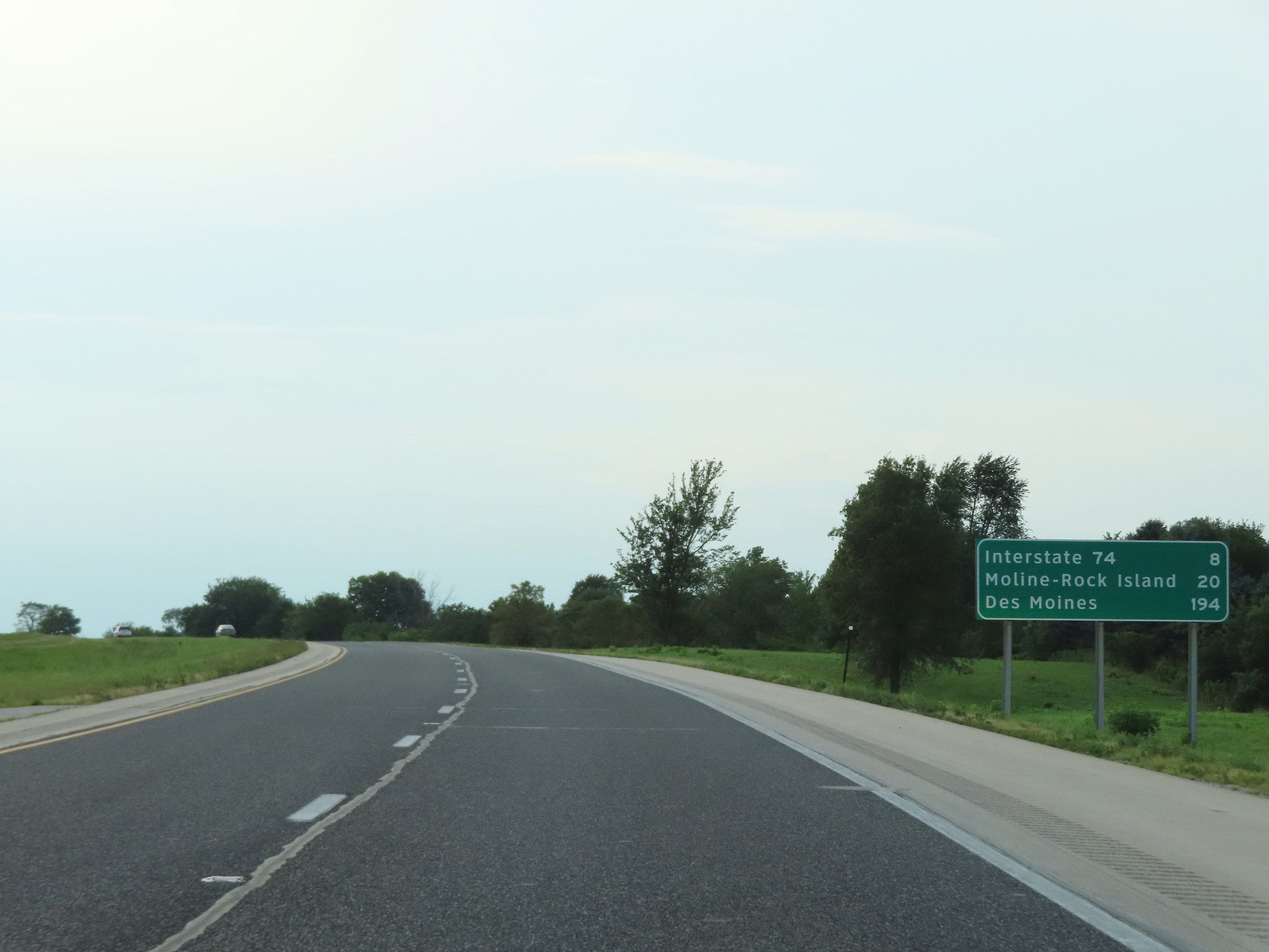 |
Another mileage sign on Interstate 80 West. It's 8 miles to the junction of Interstate 74, 20 miles to Moline-Rock Island, and 194 miles to Des Moines. (Photo taken 8/19/22). |
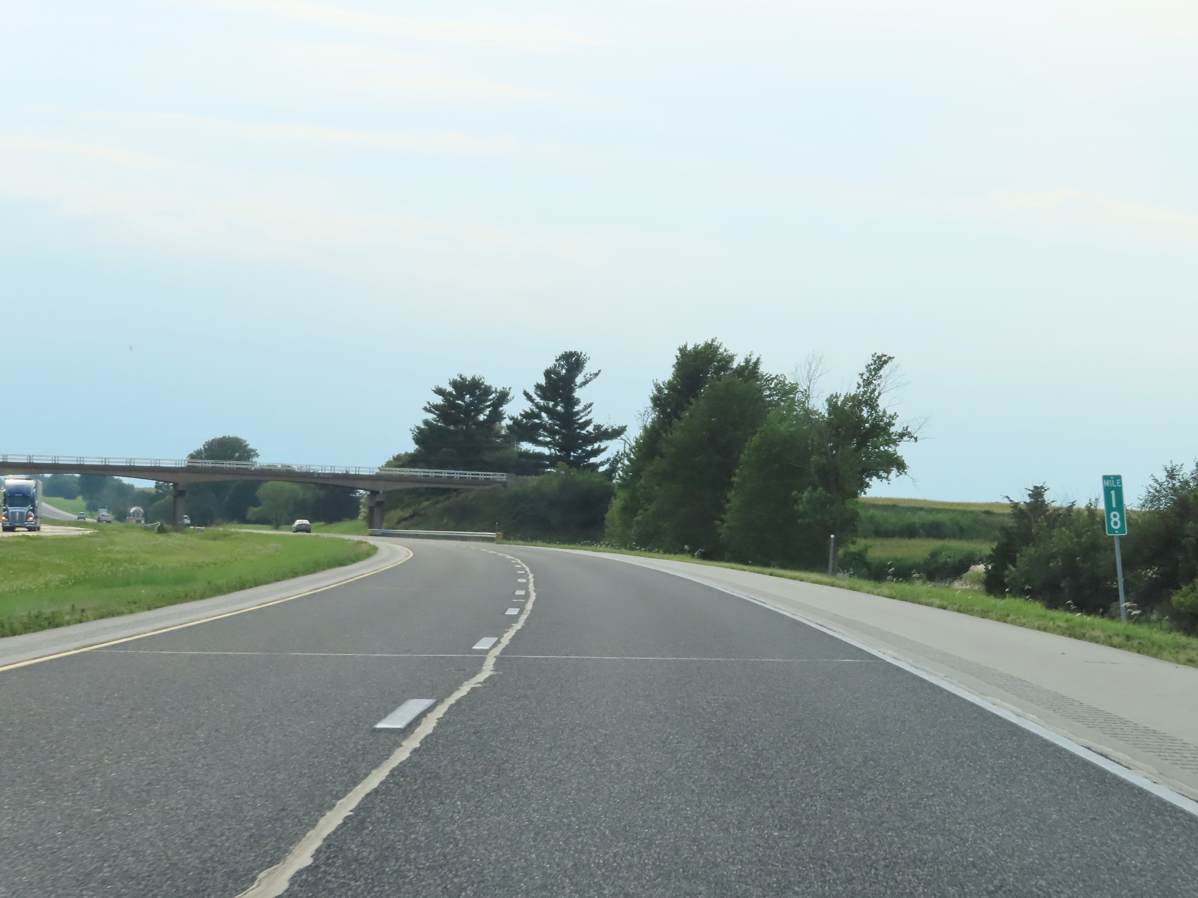 |
Mile marker 18 on Interstate 80 West in Henry County. (Photo taken 8/19/22). |
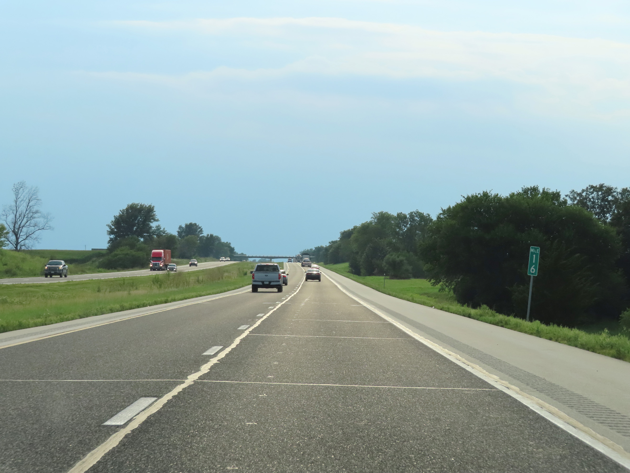 |
View on Interstate 80 West at mile marker 16. (Photo taken 8/19/22). |
 |
Interstate 80 West at mile marker 15. (Photo taken 8/19/22). |
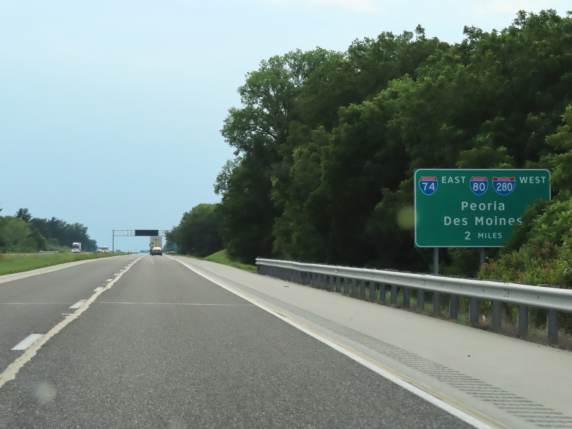 |
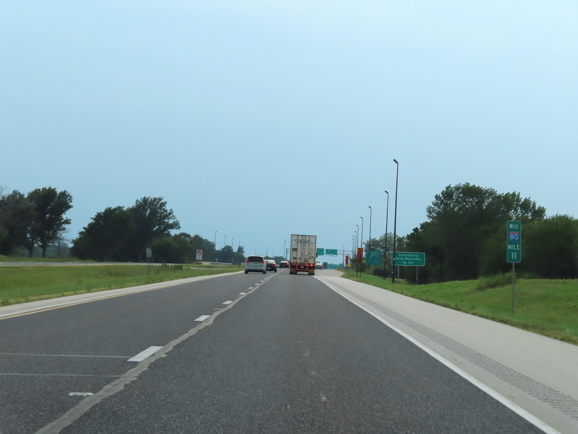
The junction of Interstate 74 / Interstate 280 lies 2 miles ahead on Interstate 80 West. (Photo taken 8/19/22). |
 |
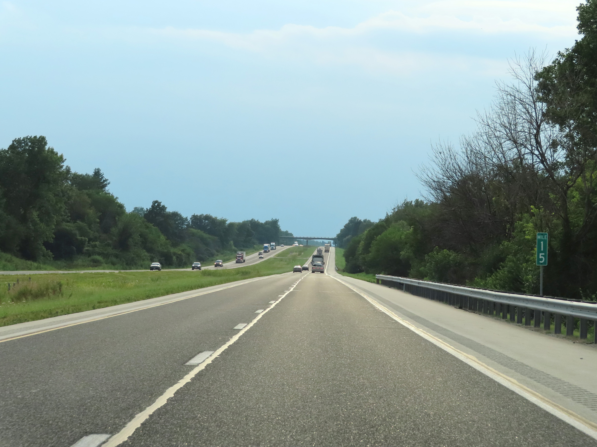
View on Interstate 80 West at mile marker 12. (Photo taken 8/19/22). |
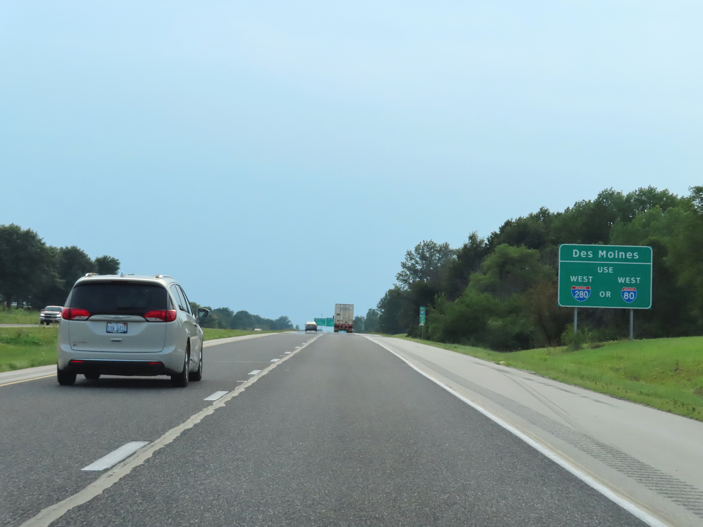 |
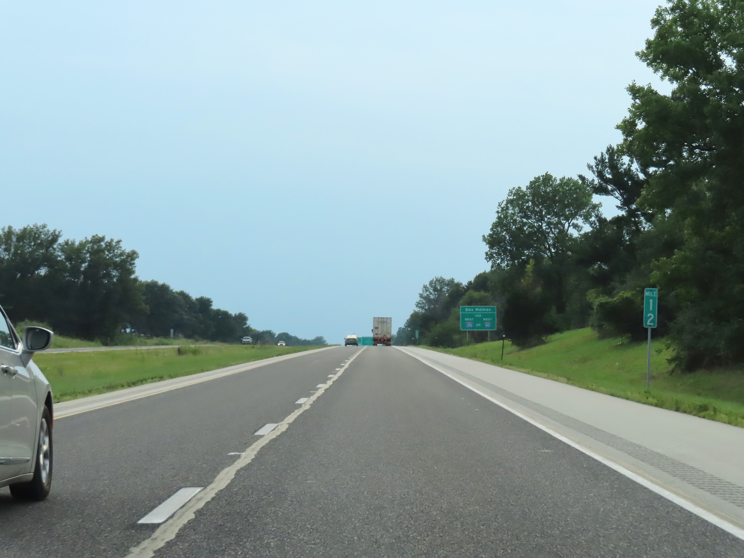
Traffic to Des Moines can use either Interstate 80 West or Interstate 280 West. (Photo taken 8/19/22). |
 |
Interstate 80 West approaching the junction of Interstate 74 / Interstate 280 - 1 mile. (Photo taken 8/19/22). |
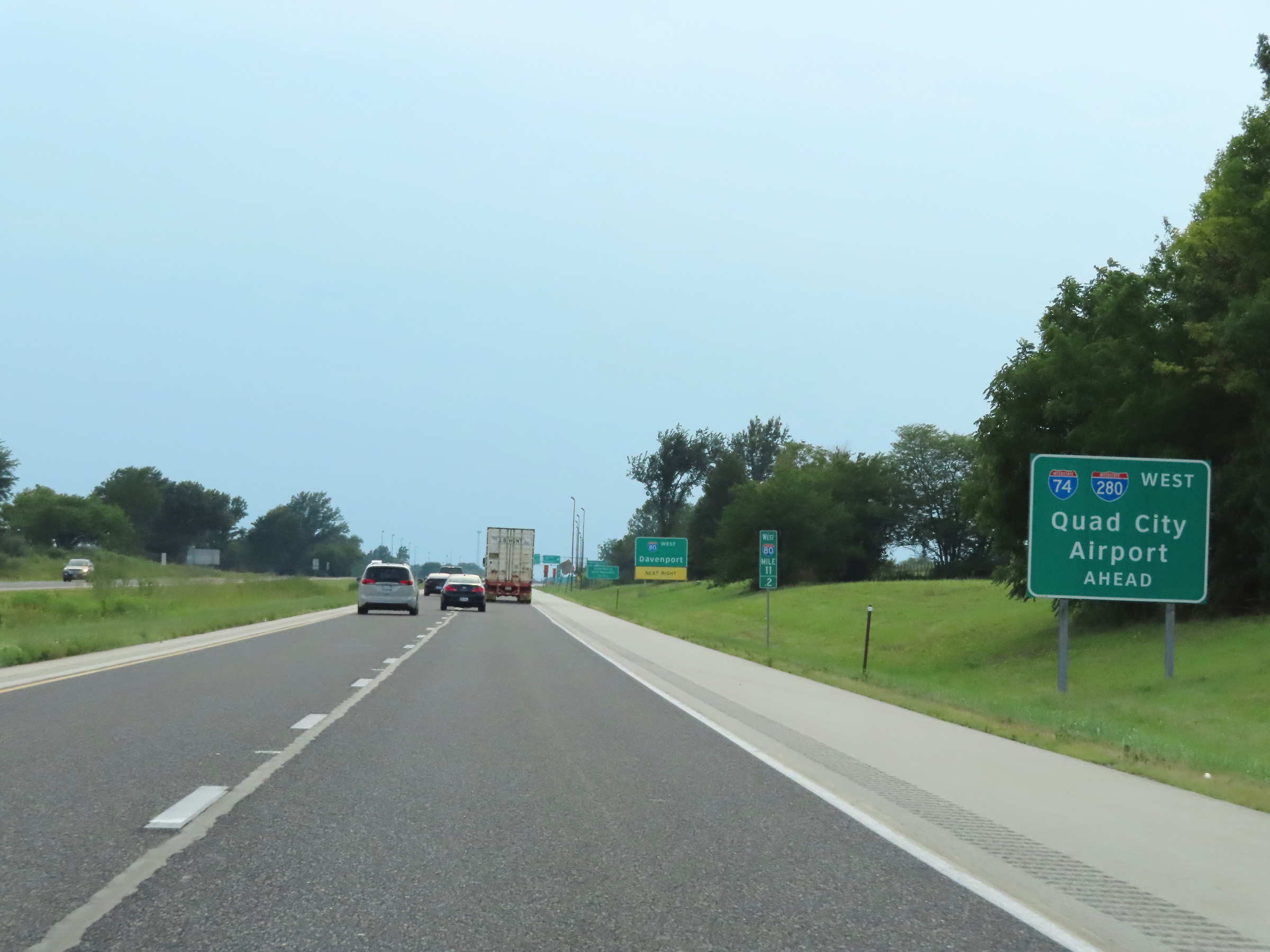 |
Traffic to Quad City Airport should follow Interstate 74 West / Interstate 280 West by staying straight ahead at the interchange ahead. (Photo taken 8/19/22). |
 |
As this sign implies, Interstate 80 West thru traffic will have to keep right and exit off to the right ahead. (Photo taken 8/19/22). |
 |
View on Interstate 80 West at mile marker 11, approaching the junction of Interstate 74 / Interstate 280. (Photo taken 8/19/22). |
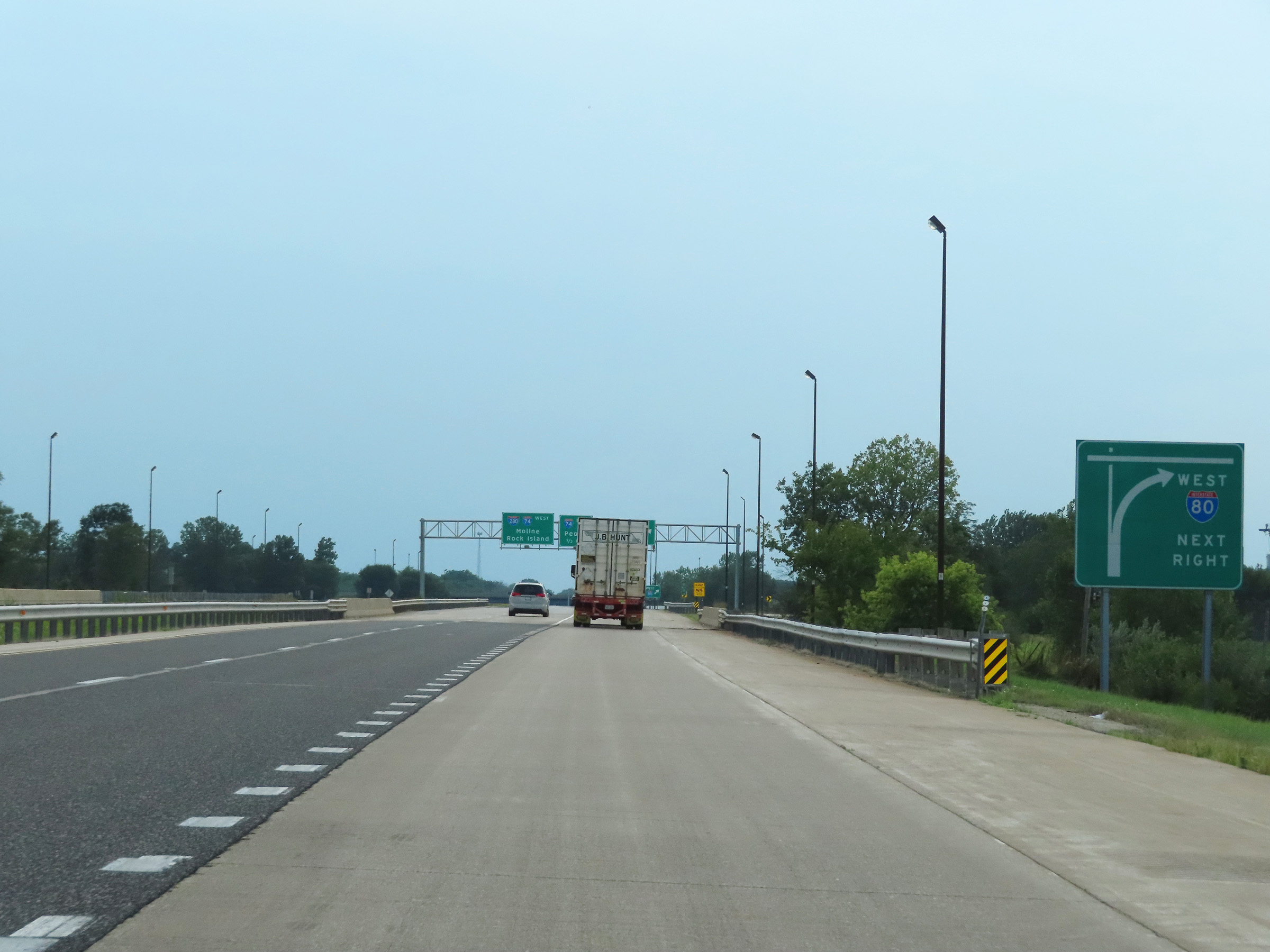 |
As this sign shows, Interstate 80 West thru traffic will have to keep right and exit off to the right ahead. (Photo taken 8/19/22). |
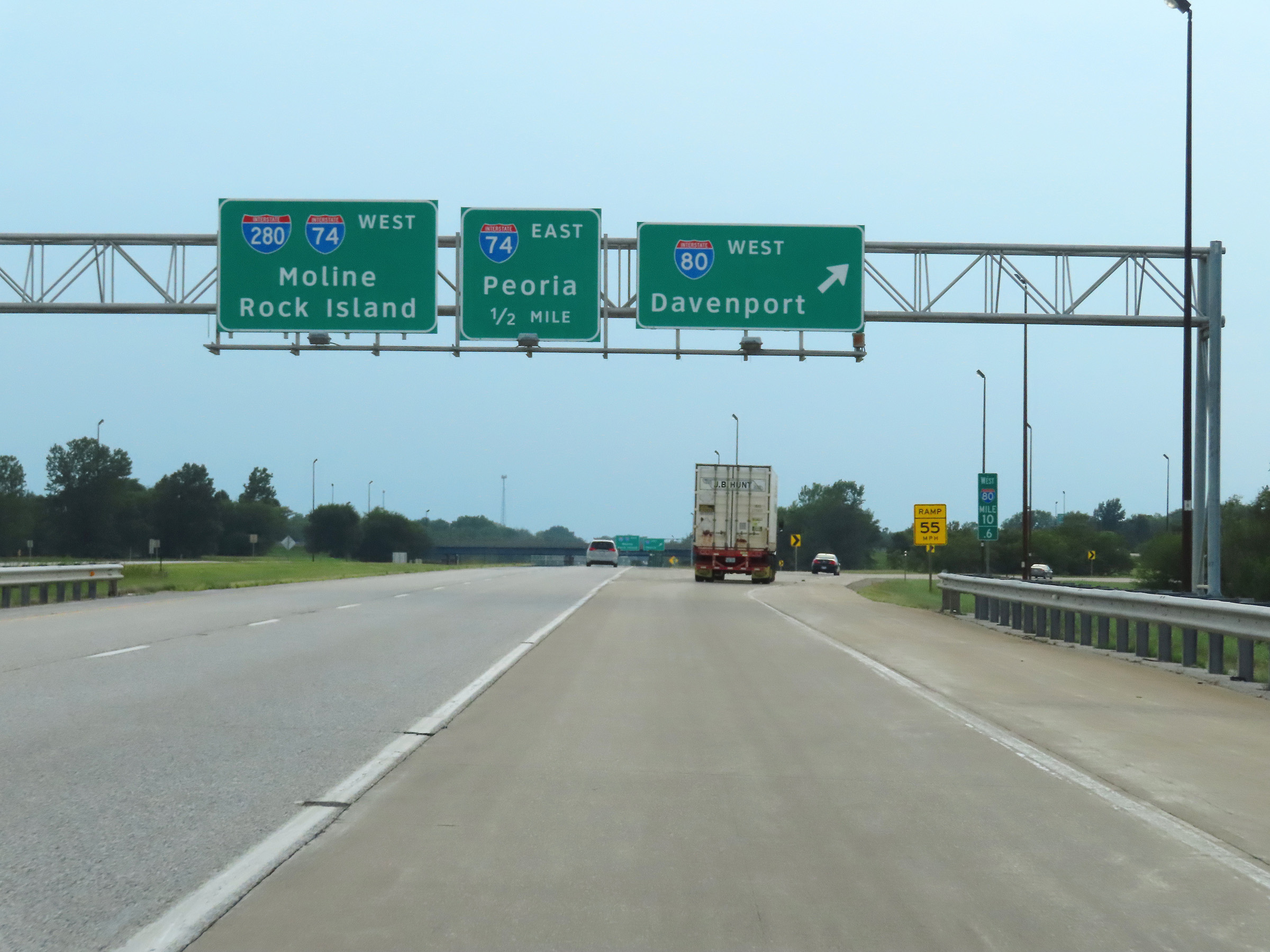 |
Interstate 80 West at its junction with Interstate 74 / Interstate 280 West, at mile marker 10.6. I-74 and I-280 West traffic should remain straight ahead, while I-80 West traffic must exit to the right here at mile marker 10.6. (Photo taken 8/19/22). |
 |
A closer view of the split, as Interstate 80 West thru traffic must exit off to the right here at the junction of Interstate 74 / Interstate 280 West. (Photo taken 8/19/22). |
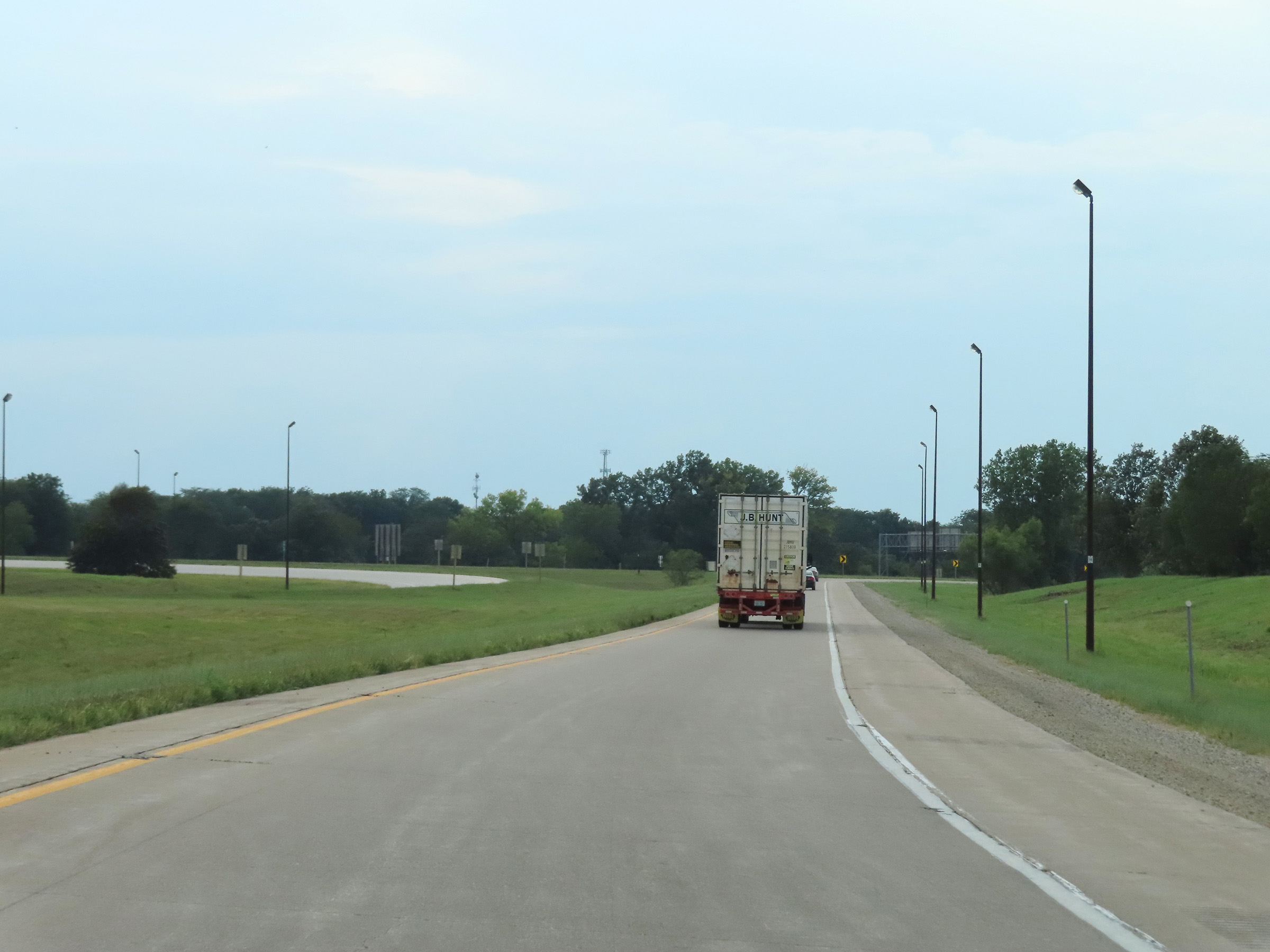 |
View on Interstate 80 West, as its mainline is reduced to a single lane as a ramp to itself in Colona. (Photo taken 8/19/22). |
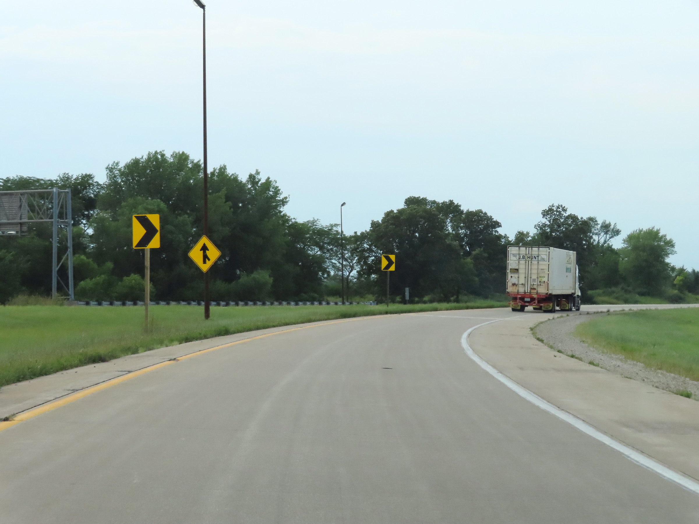 |
Another look at the ramp which makes up the mainline continuation of Interstate 80 West in Colona, as it curves to the north. I-80 West will travel in a northerly direction from here to the Iowa border to cross the Mississippi River. (Photo taken 8/19/22). |
 |
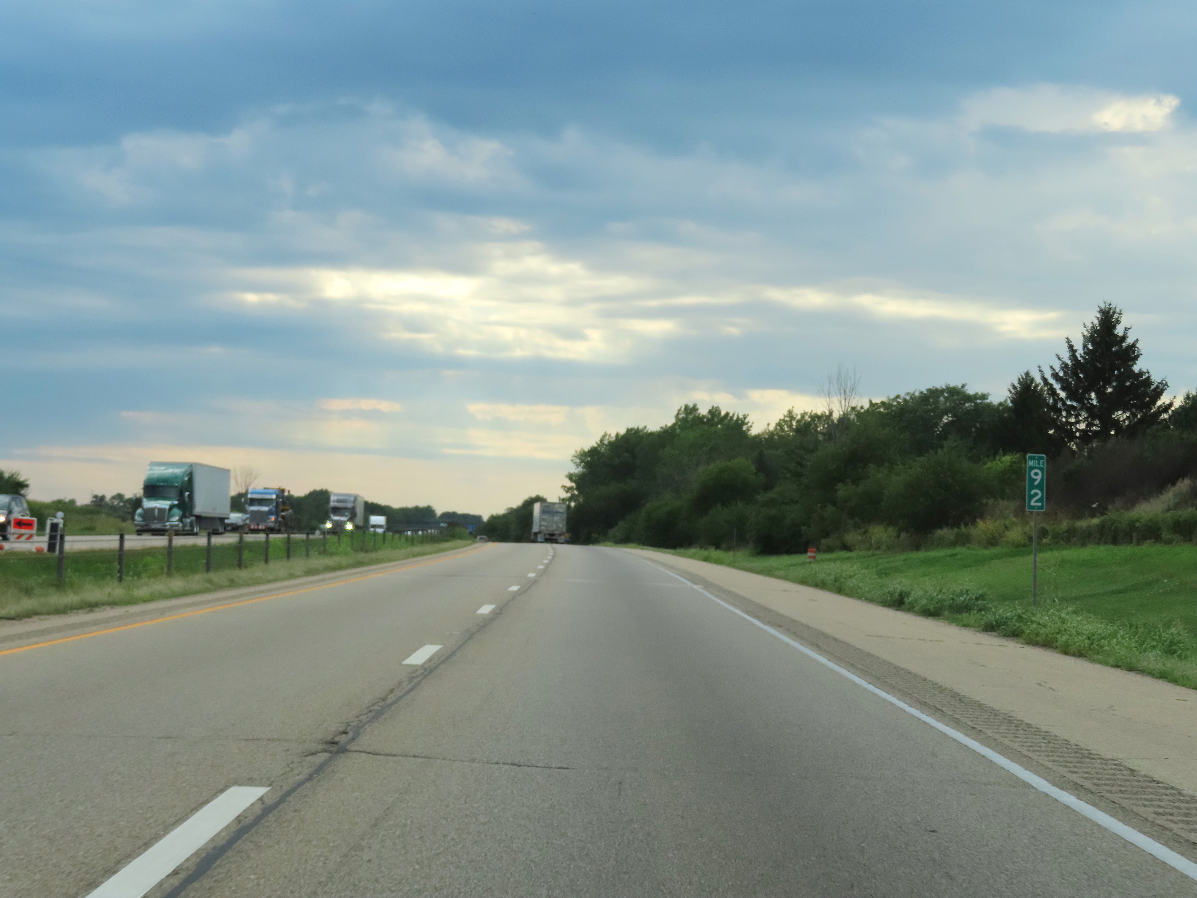
Interstate 80 West at mile marker 9.2, as it joins together with traffic from Interstate 74 / Interstate 280 on the left. (Photo taken 8/19/22). |
 |
Interstate 80 West reassurance shield, as it now heads north toward the Mississippi River in the Quad Cities area. (Photo taken 8/19/22). |
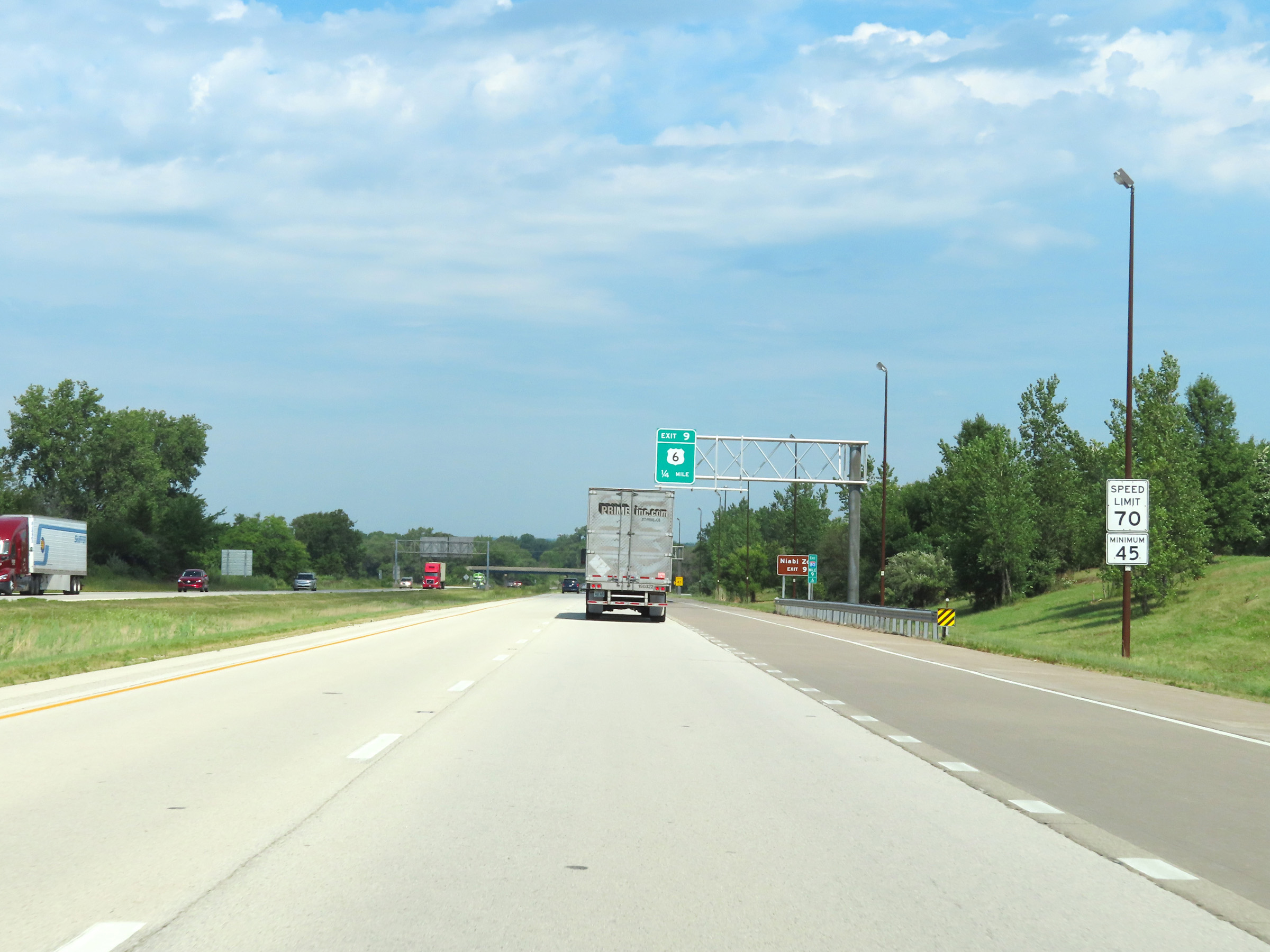 |
The speed limits on Interstate 80 West at this point remain 70 mph maximum and 45 mph minimum. (Photo taken 8/19/22). |
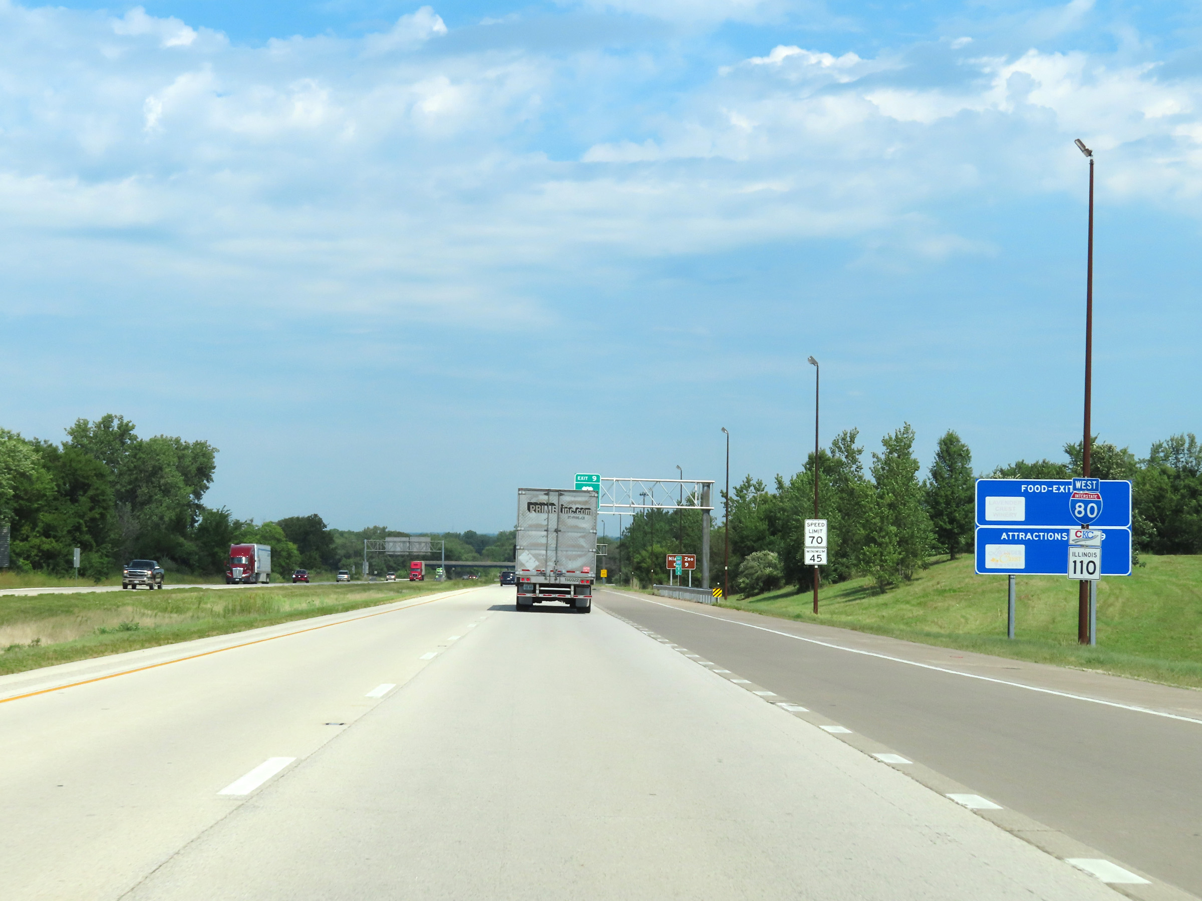
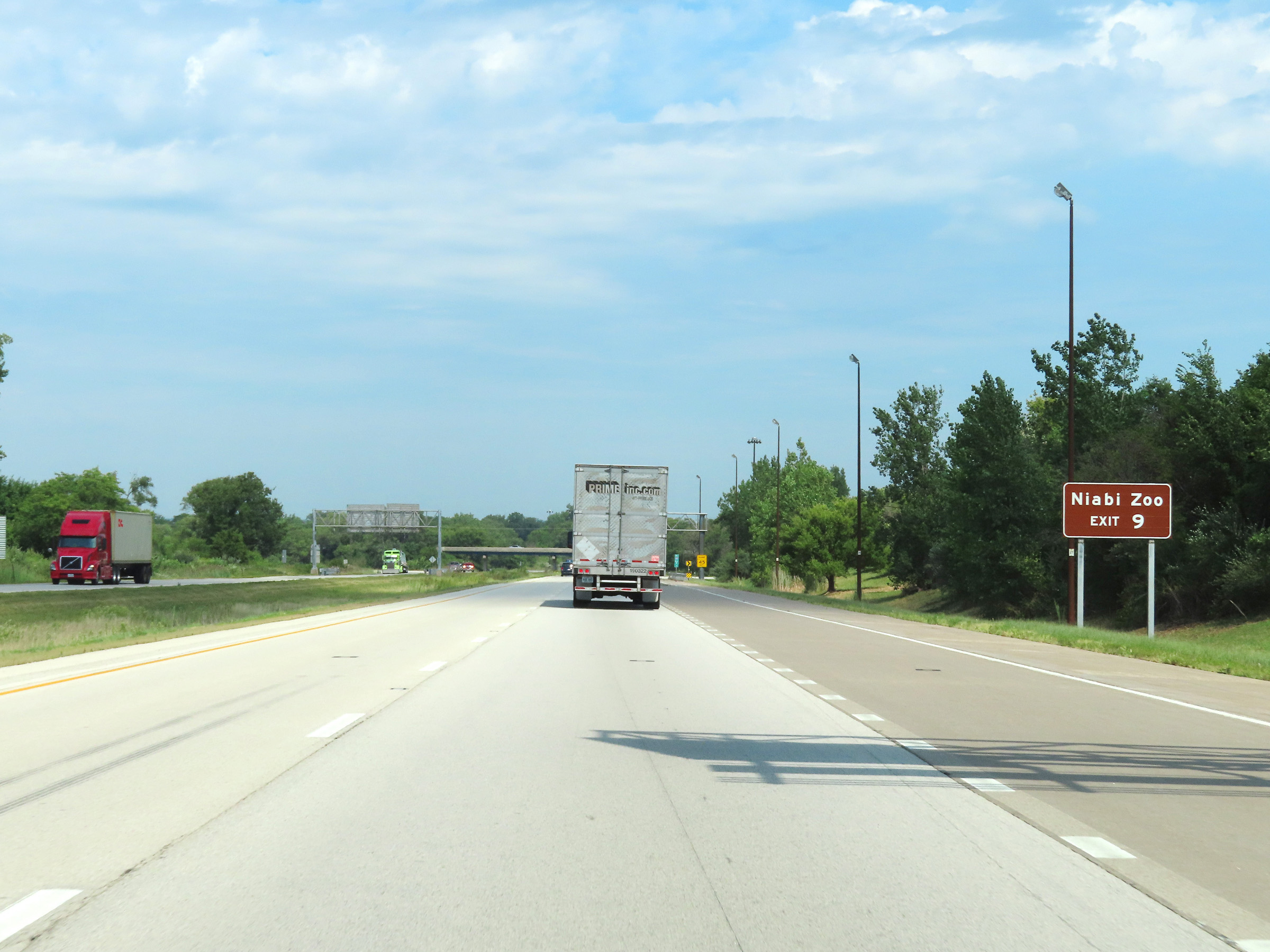 |
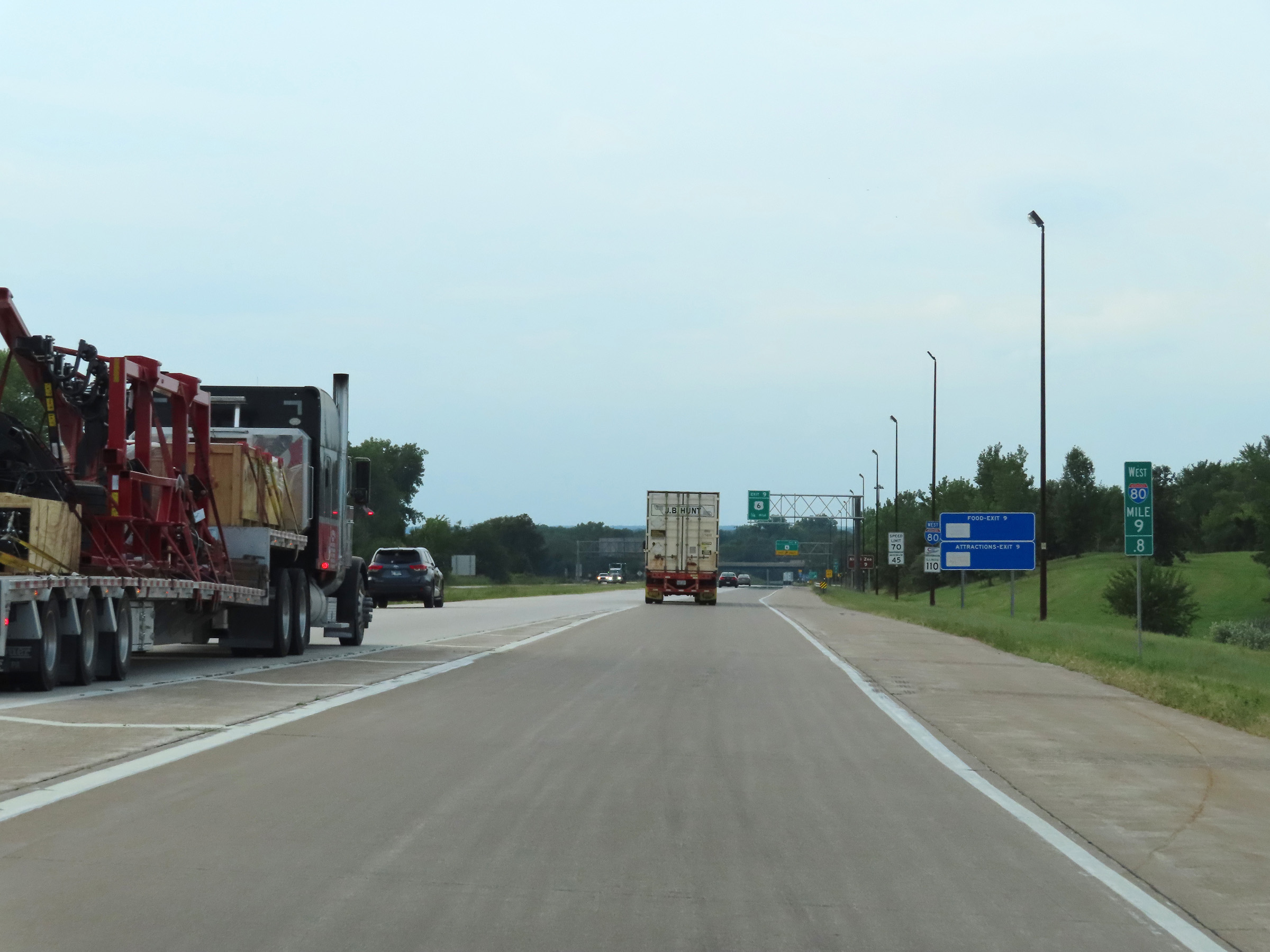
Take Exit 9 to Niabi Zoo. (Photo taken 8/19/22). |
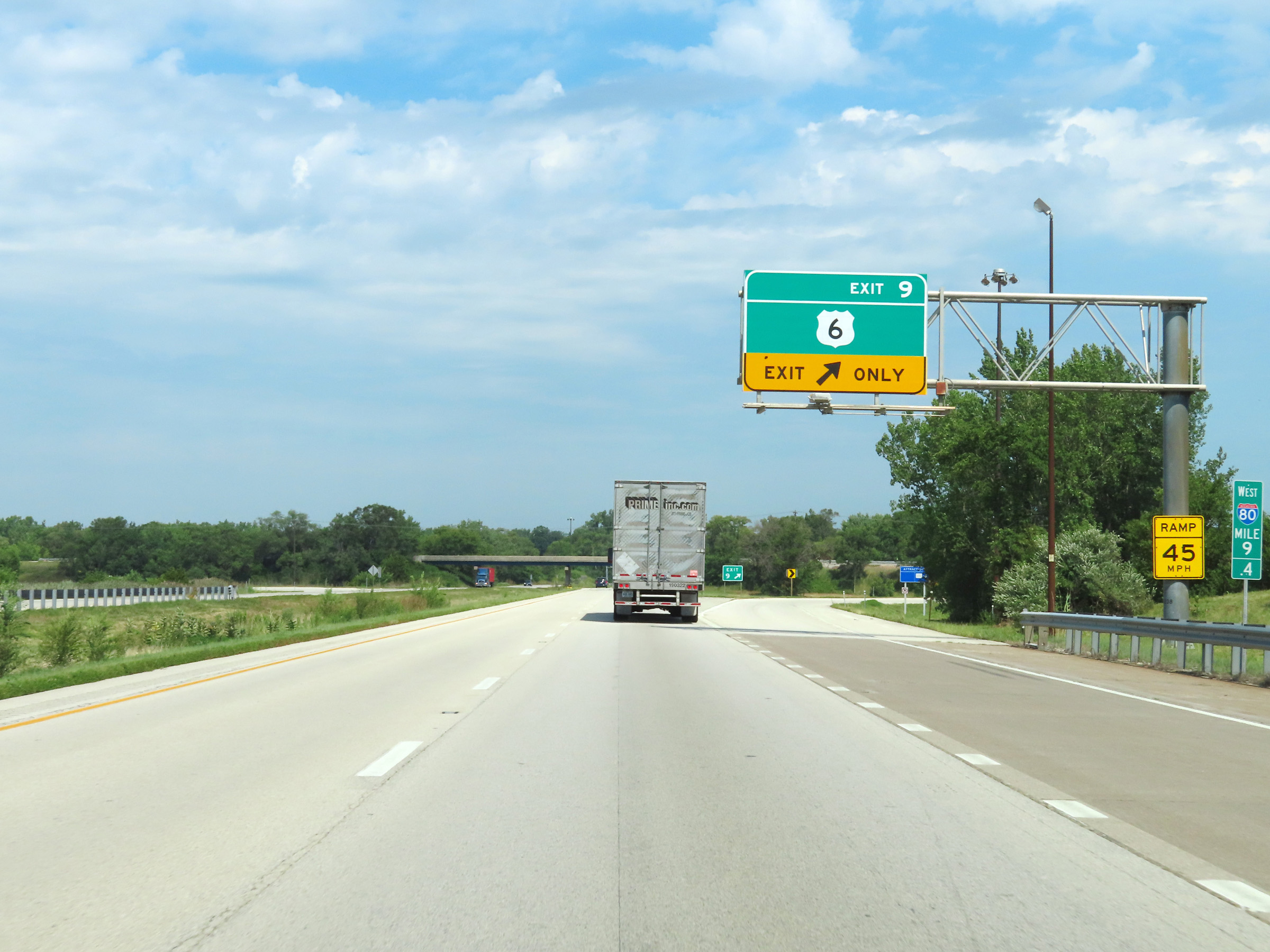 |
Interstate 80 West at Exit 9: US 6 (Photo taken 8/19/22). |
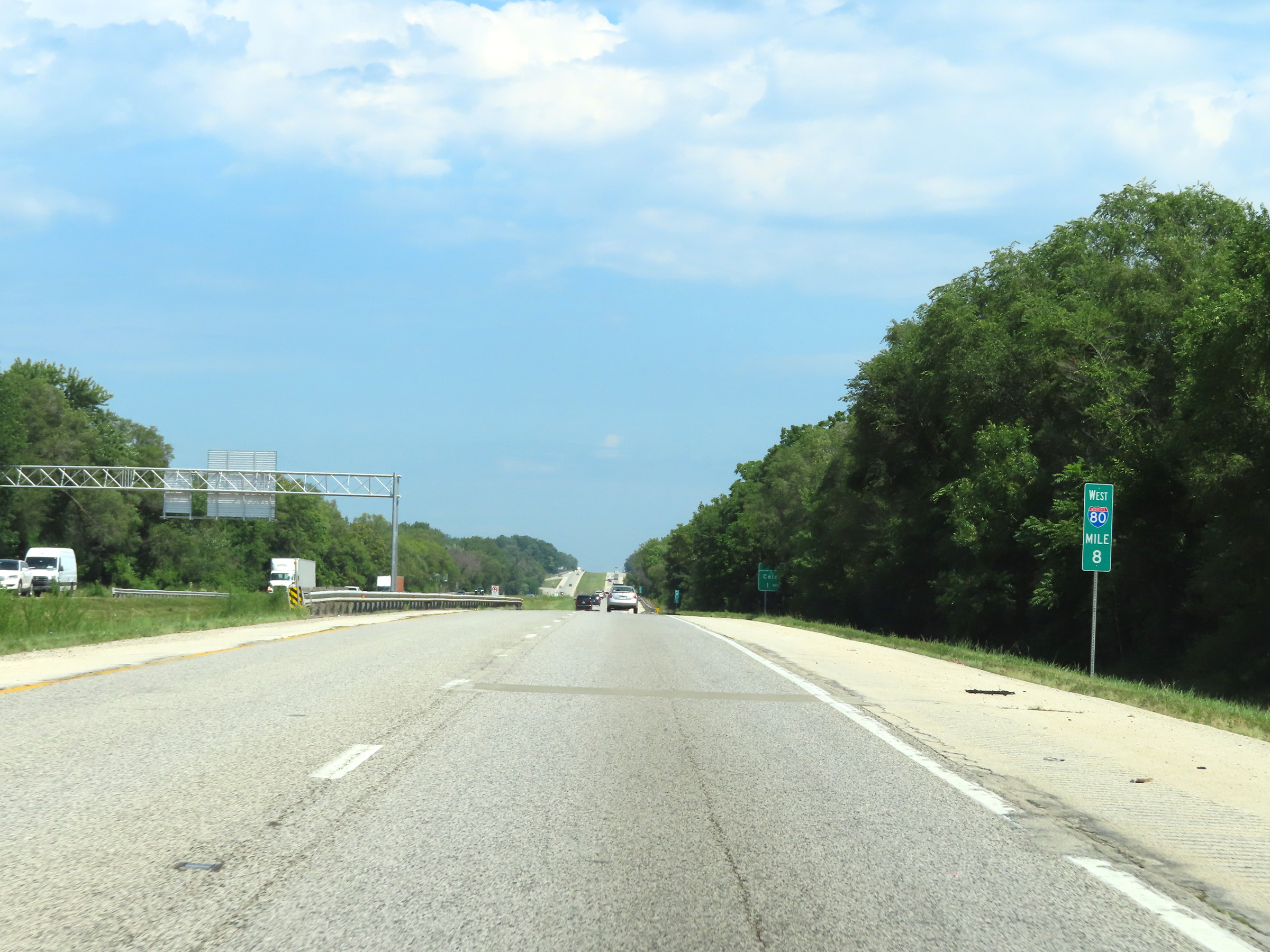 |
Mile marker 8 on Interstate 80 West in Henry County. (Photo taken 8/19/22). |
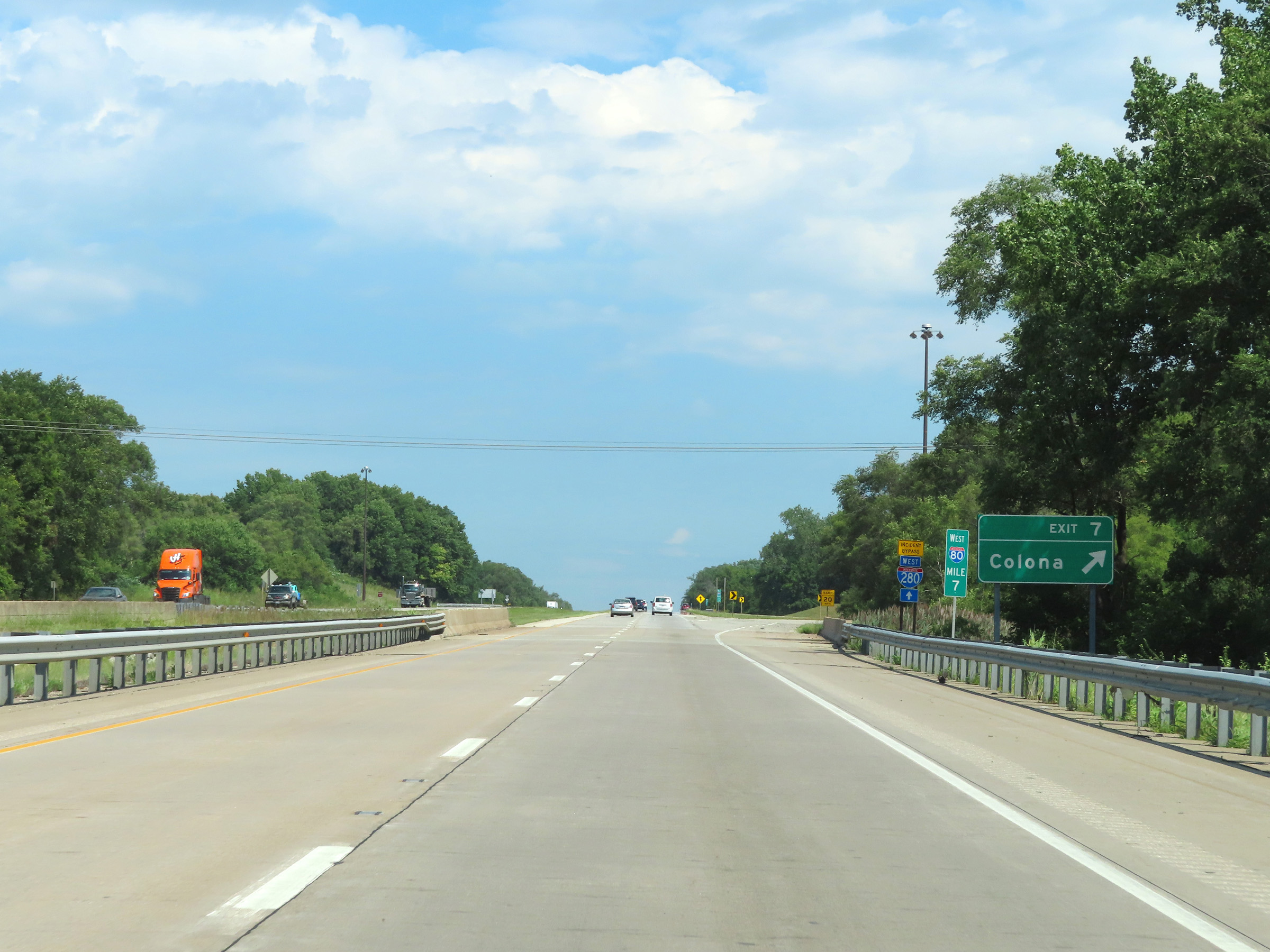 |
Interstate 80 West at Exit 7: Colona (Photo taken 8/19/22). |
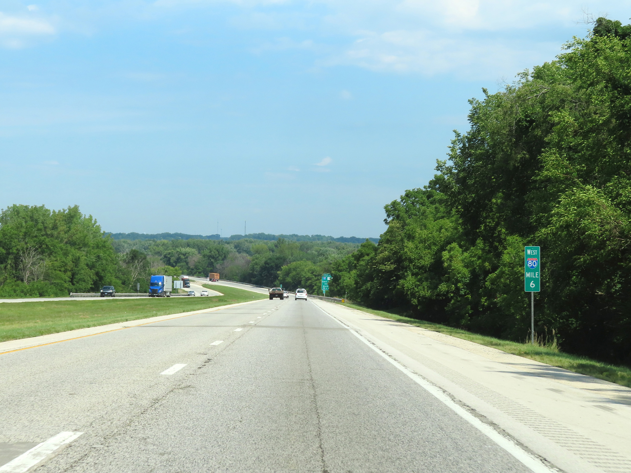 |
View on Interstate 80 West at mile marker 6. (Photo taken 8/19/22). |
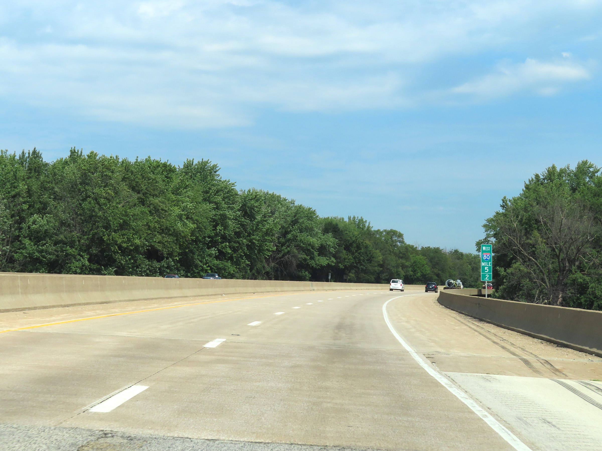 |
Interstate 80 West at mile marker 5.2, as it crosses the Rock River. (Photo taken 8/19/22). |
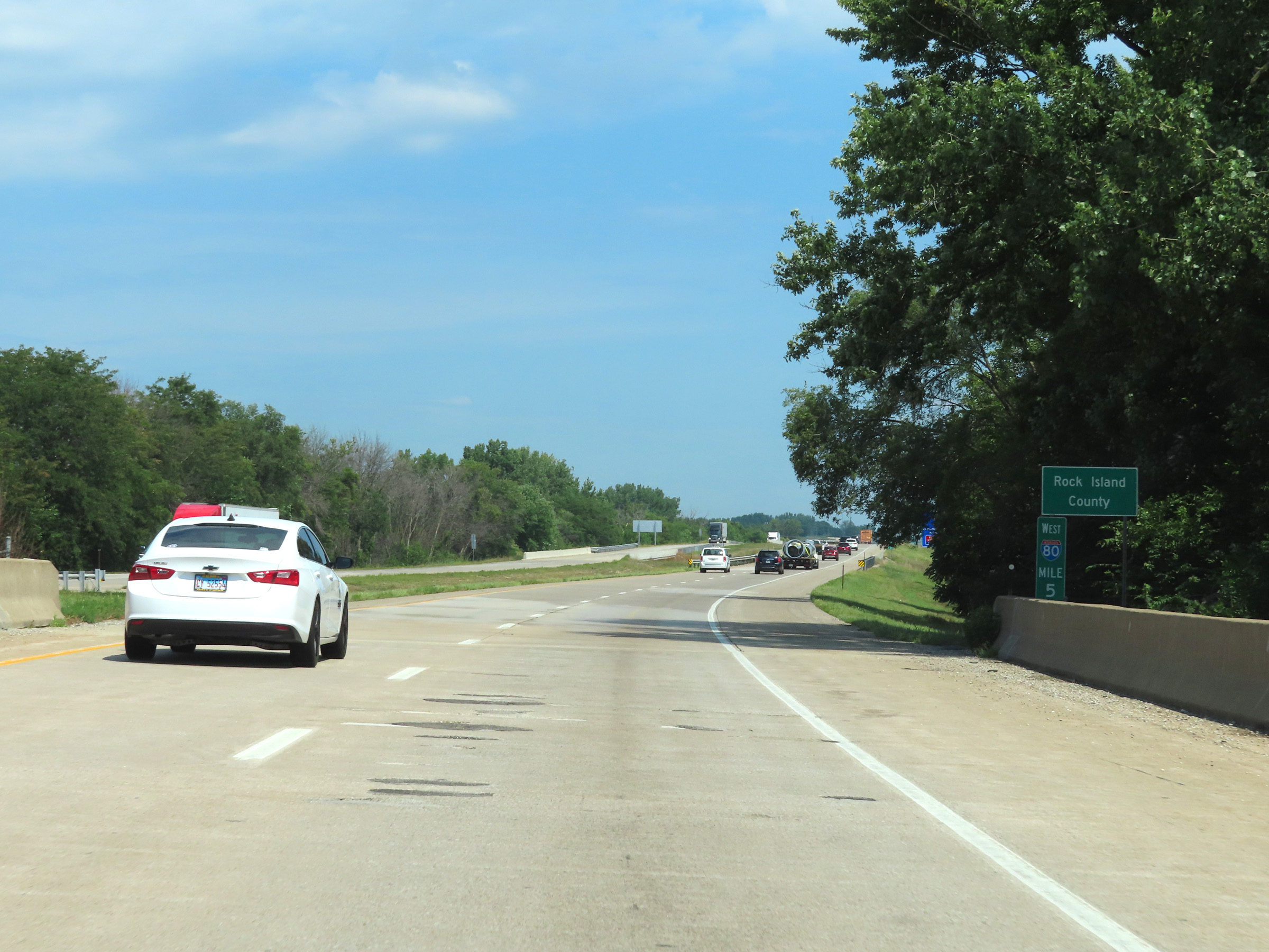 |
Upon crossing the Rock River, Interstate 80 West enters Rock Island County at mile marker 5. (Photo taken 8/19/22). |
 |
Interstate 80 West approaching Exits 4B-A - 1 mile. (Photo taken 8/19/22). |
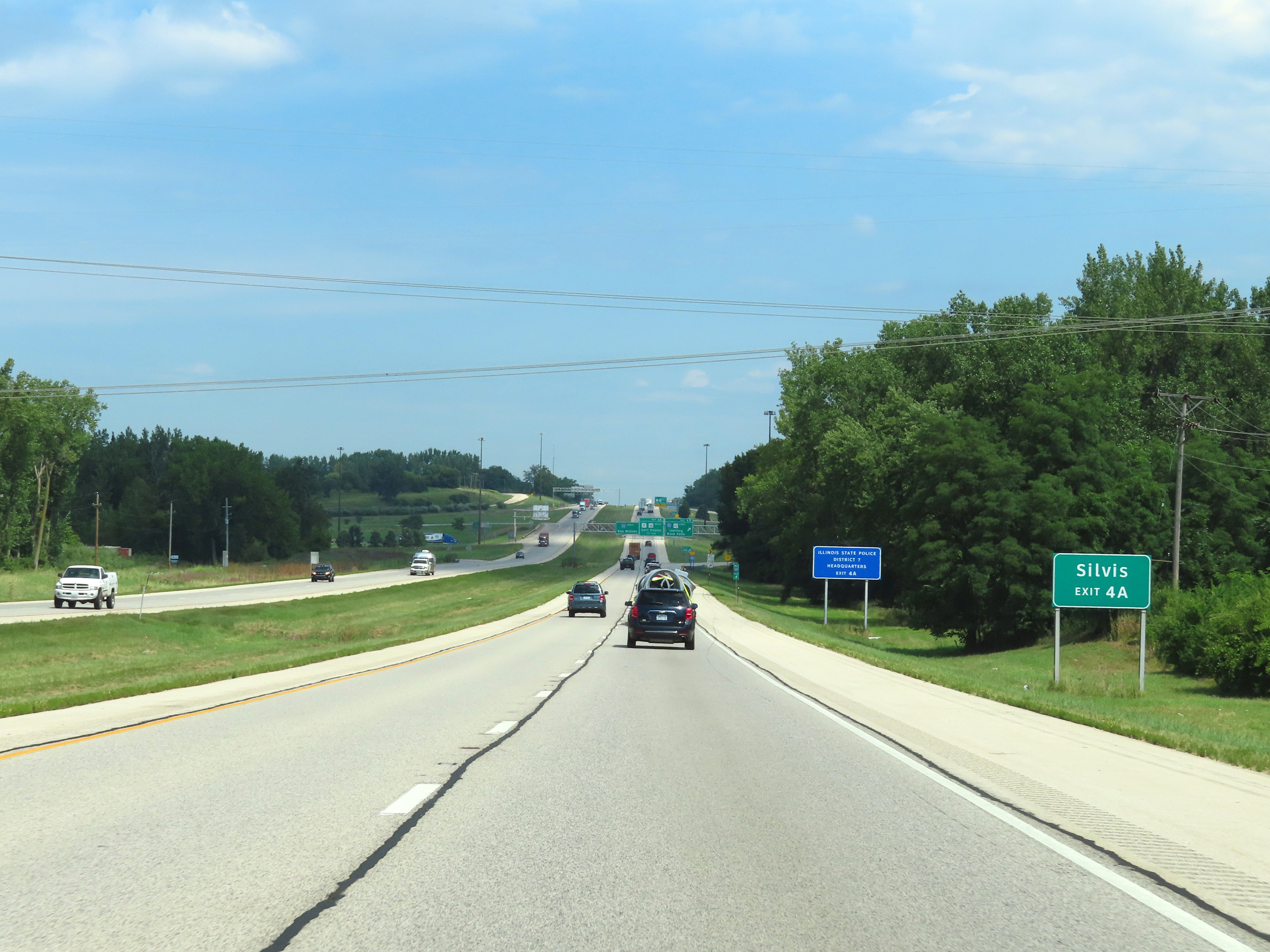 |
Take Exit 4A to Silvis. (Photo taken 8/19/22). |
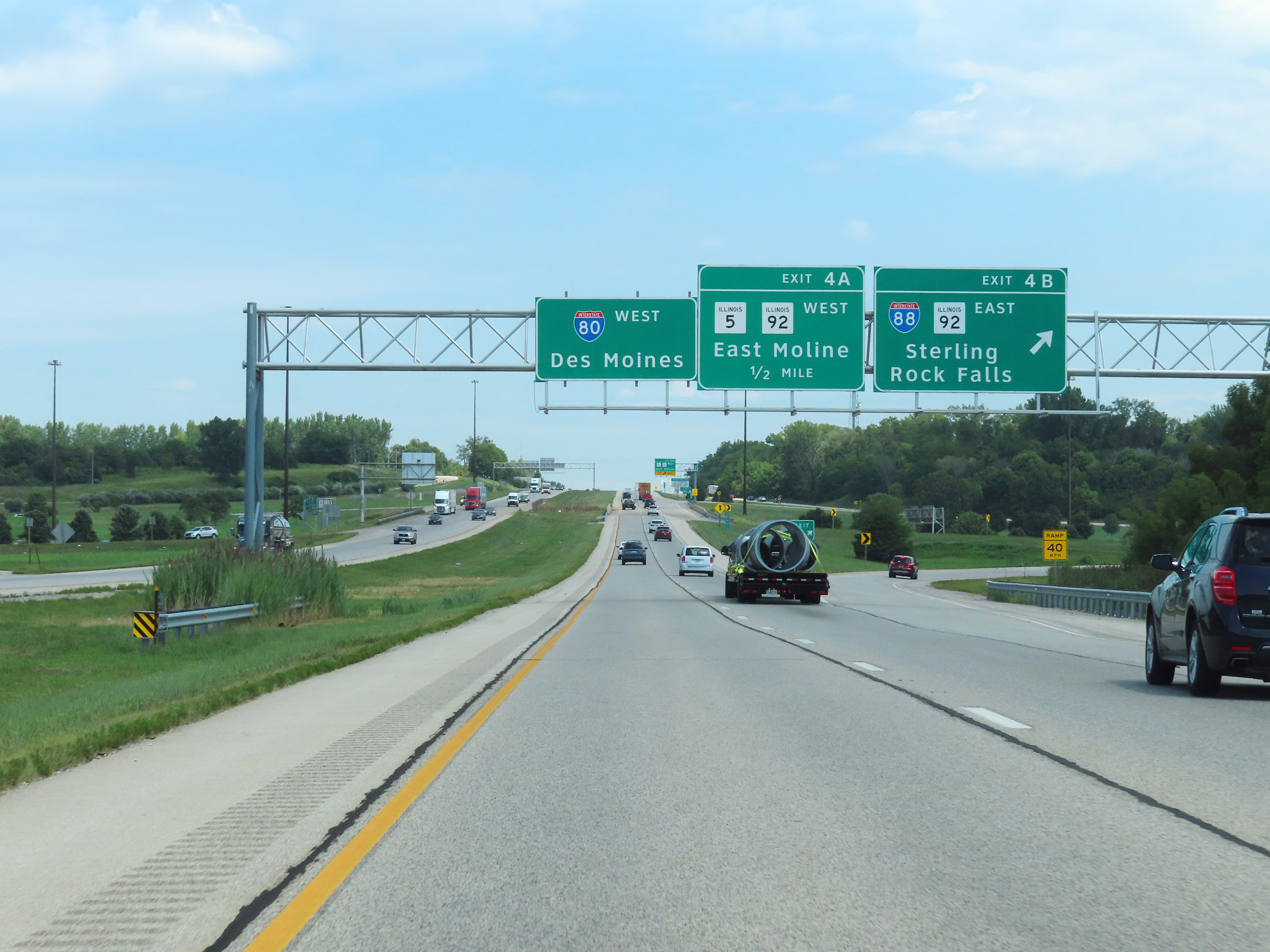 |
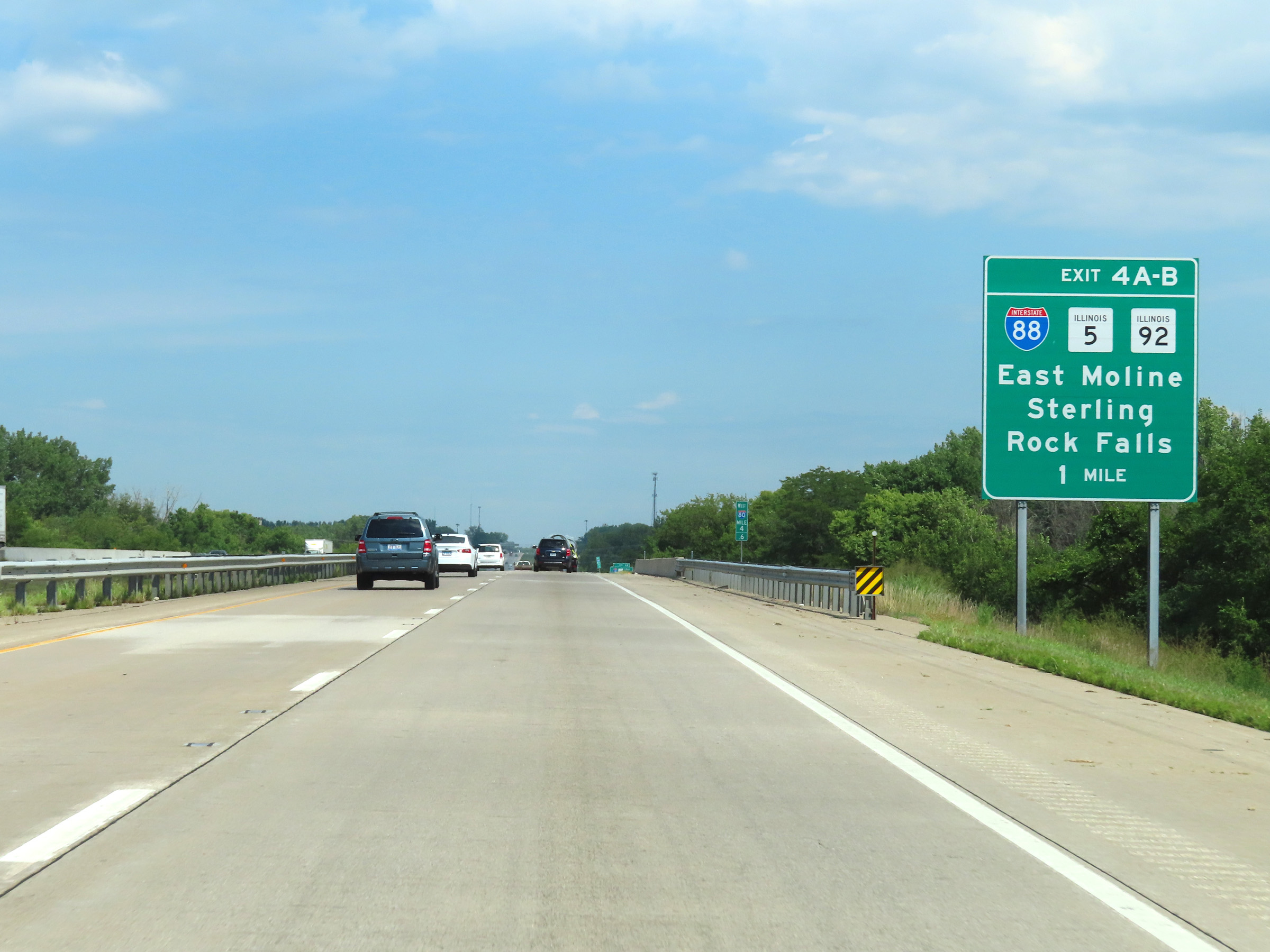
Interstate 80 West at Exit 4B: Interstate 88 East / IL 92 East - Sterling / Rock Falls (Photo taken 8/19/22). |
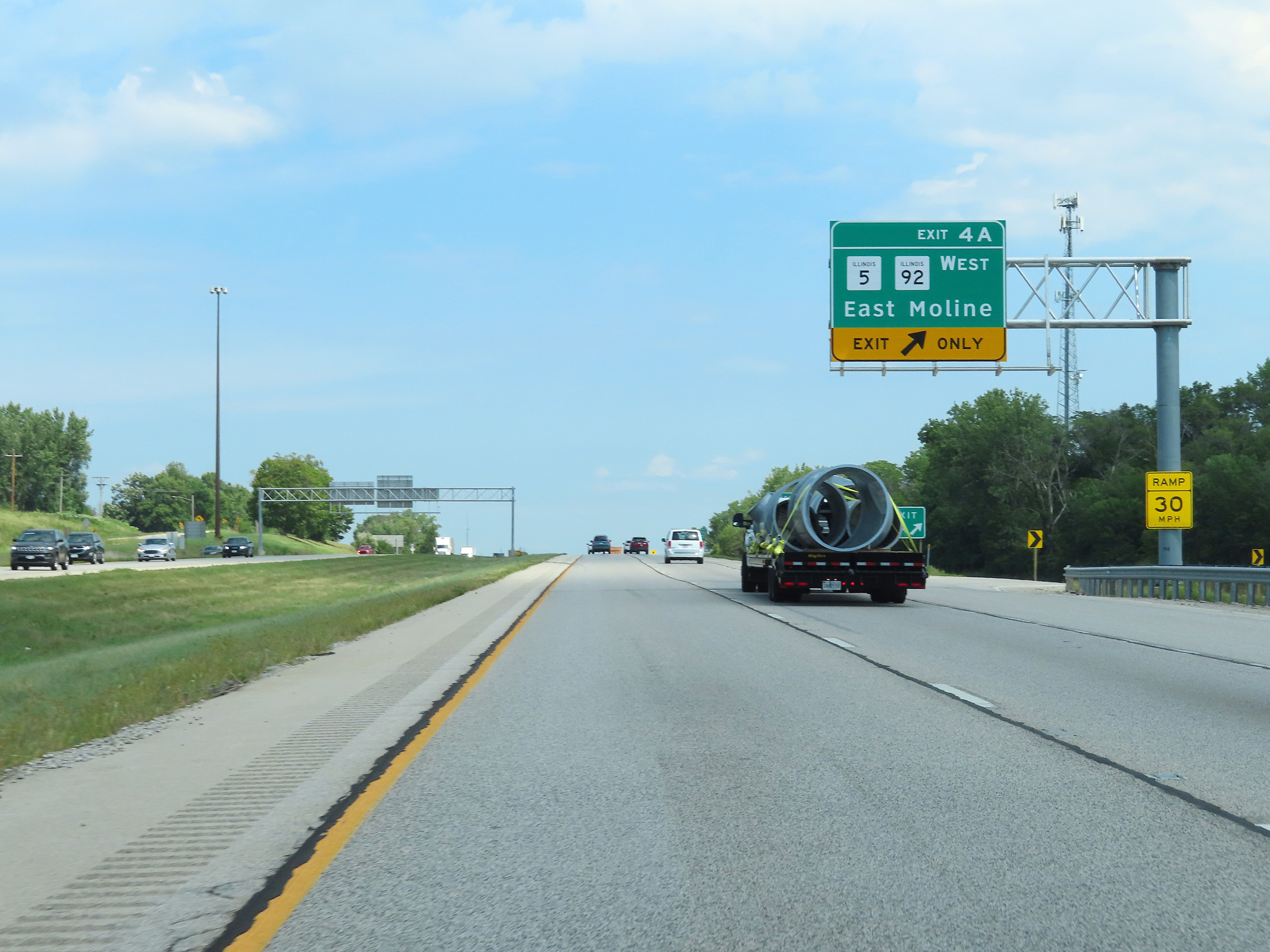 |
Interstate 80 West at Exit 4A: IL 5 West / IL 92 West - East Moline (Photo taken 8/19/22). |
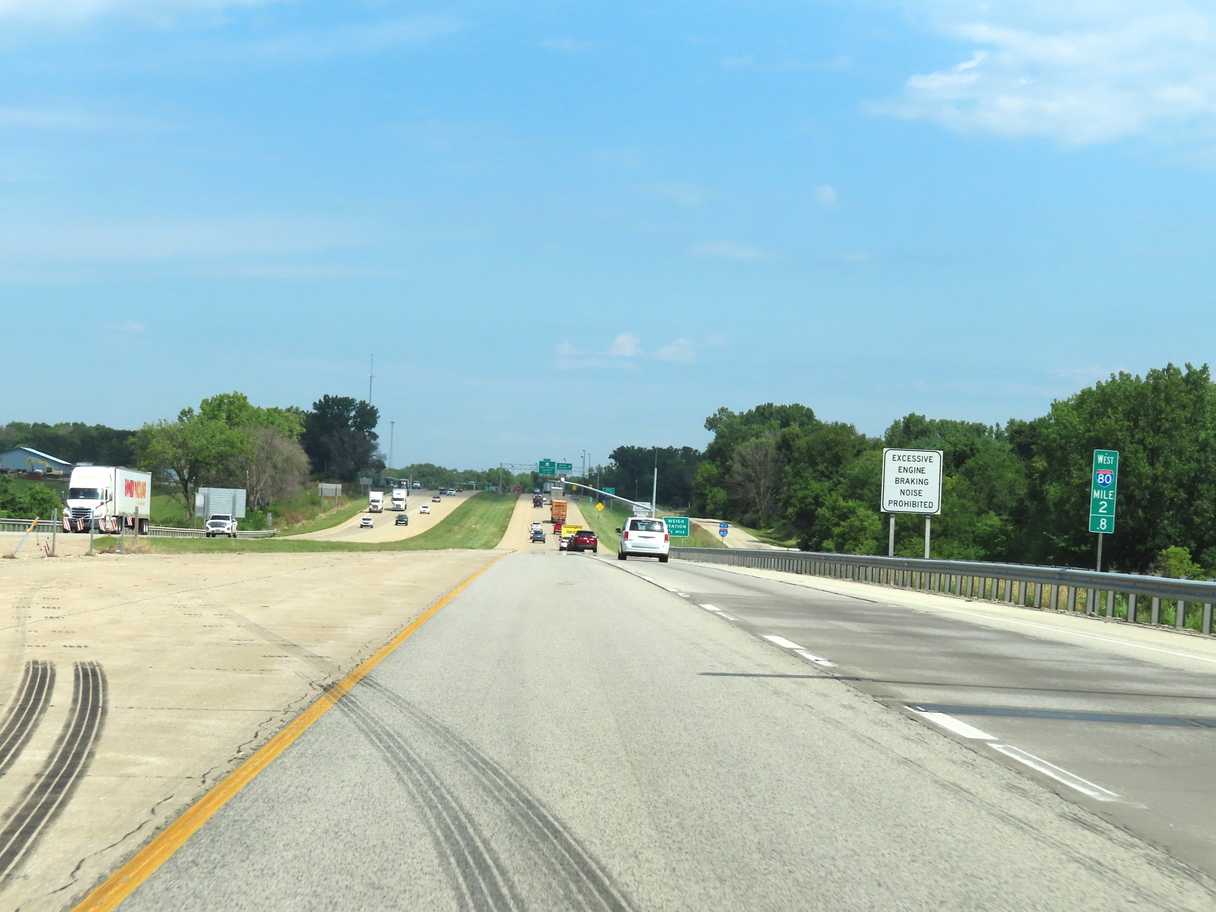 |
View on Interstate 80 West at mile marker 2.8. (Photo taken 8/19/22). |
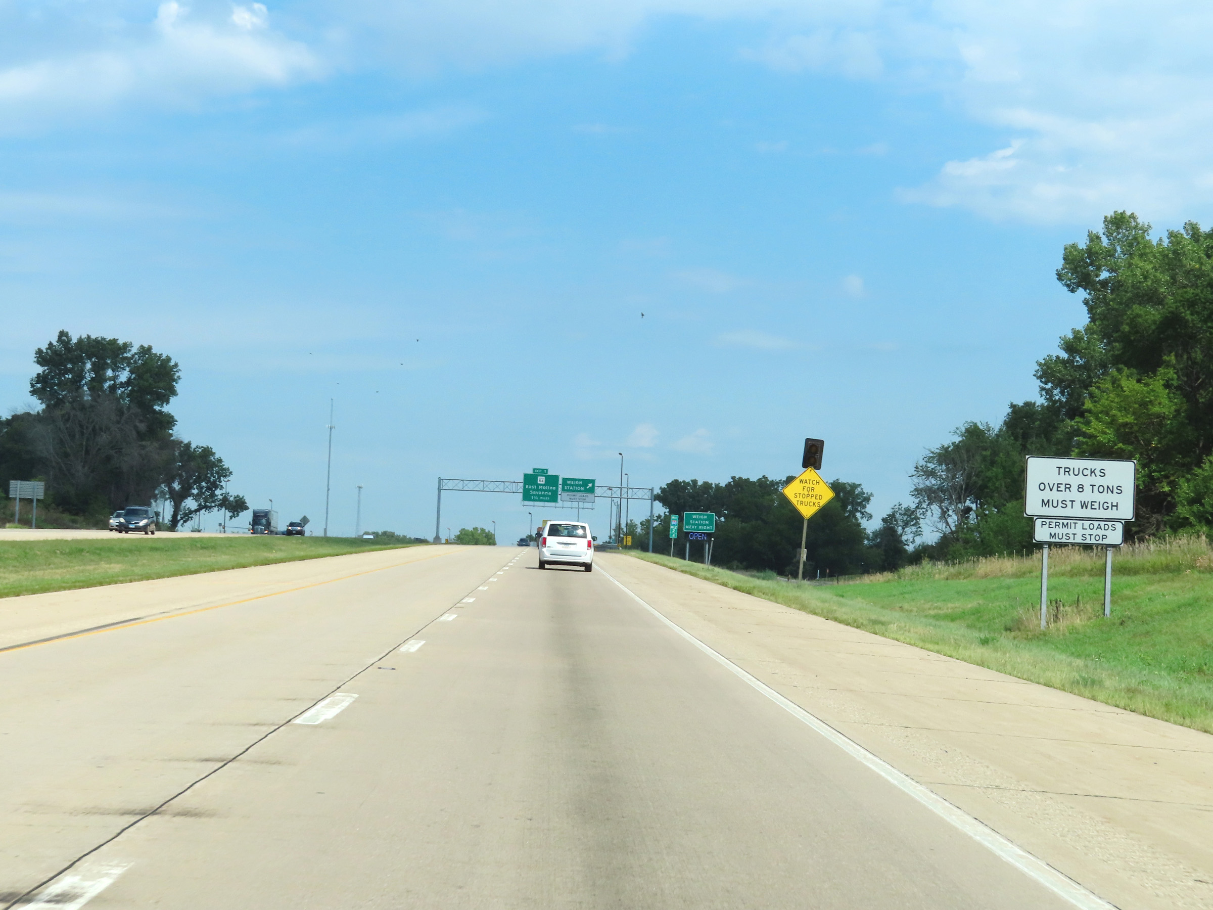 |
All trucks over 8 tons GVWR / GCWR must enter the Weigh Station ahead when its open or when directed to. (Photo taken 8/19/22). |
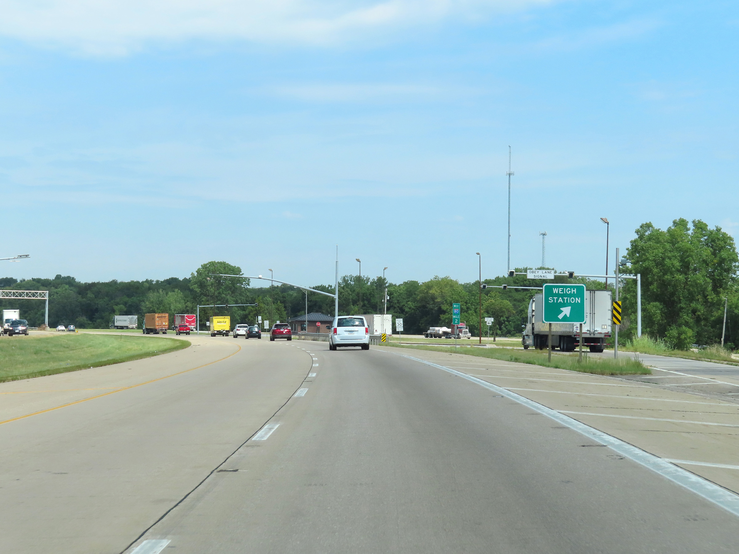 |
Weigh Station on Interstate 80 West at mile marker 2 in Rock Island County. (Photo taken 8/19/22). |
 |
View on Interstate 80 West at mile marker 1.6. (Photo taken 8/19/22). |
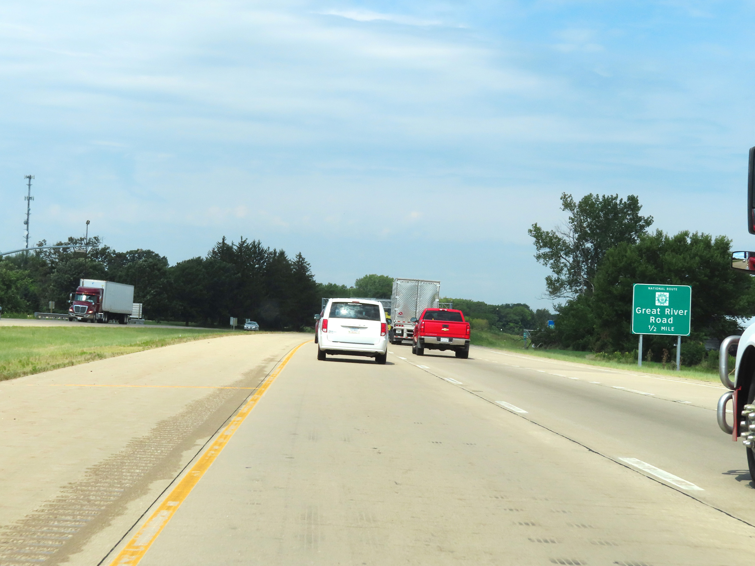 |
Take Exit 1 to Great River Road National Route. (Photo taken 8/19/22). |
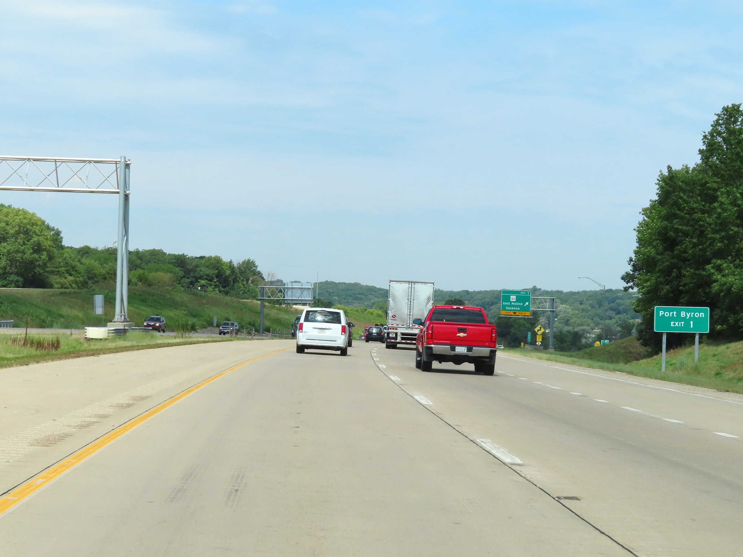 |
Also take Exit 1 to Port Byron. (Photo taken 8/19/22). |
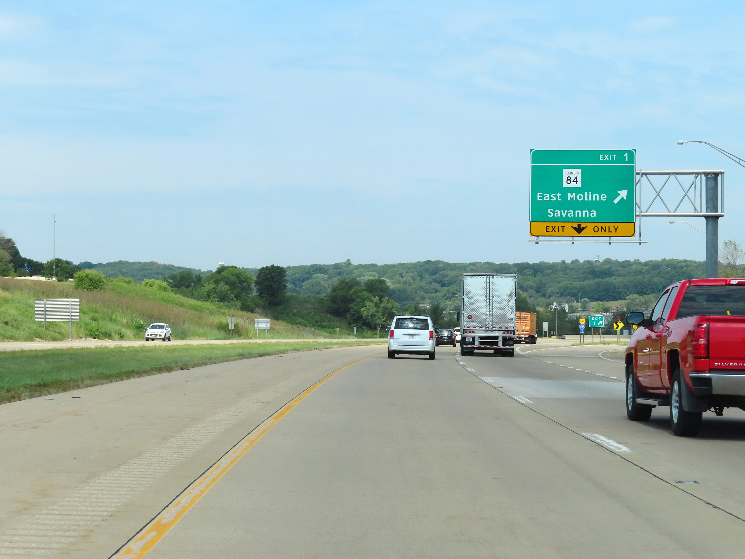 |
Interstate 80 West at Exit 1: IL 84 - East Moline / Savanna (Photo taken 8/19/22). |
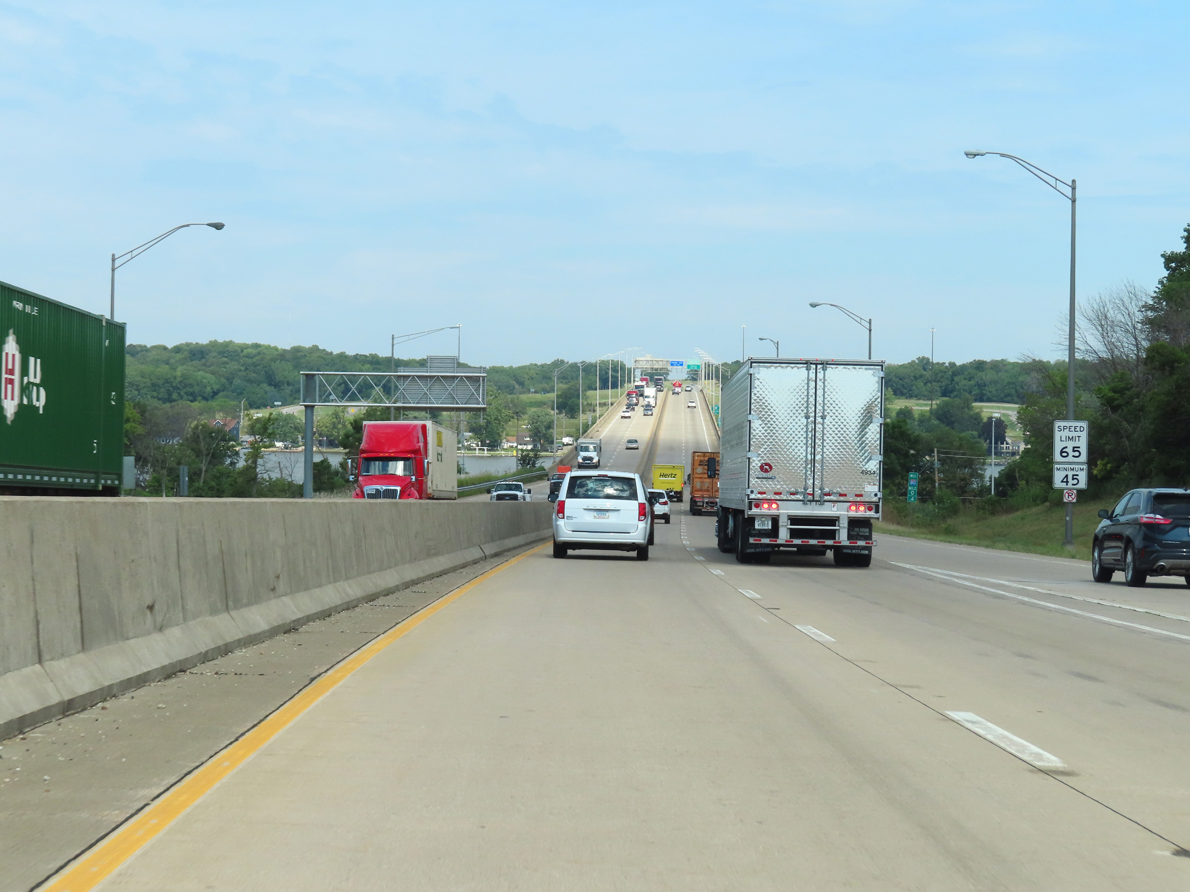 |
At mile marker 0.4, the maximum speed limit on Interstate 80 West decreases to 65 mph. The minimum speed limit remains 45 mph. (Photo taken 8/19/22). |
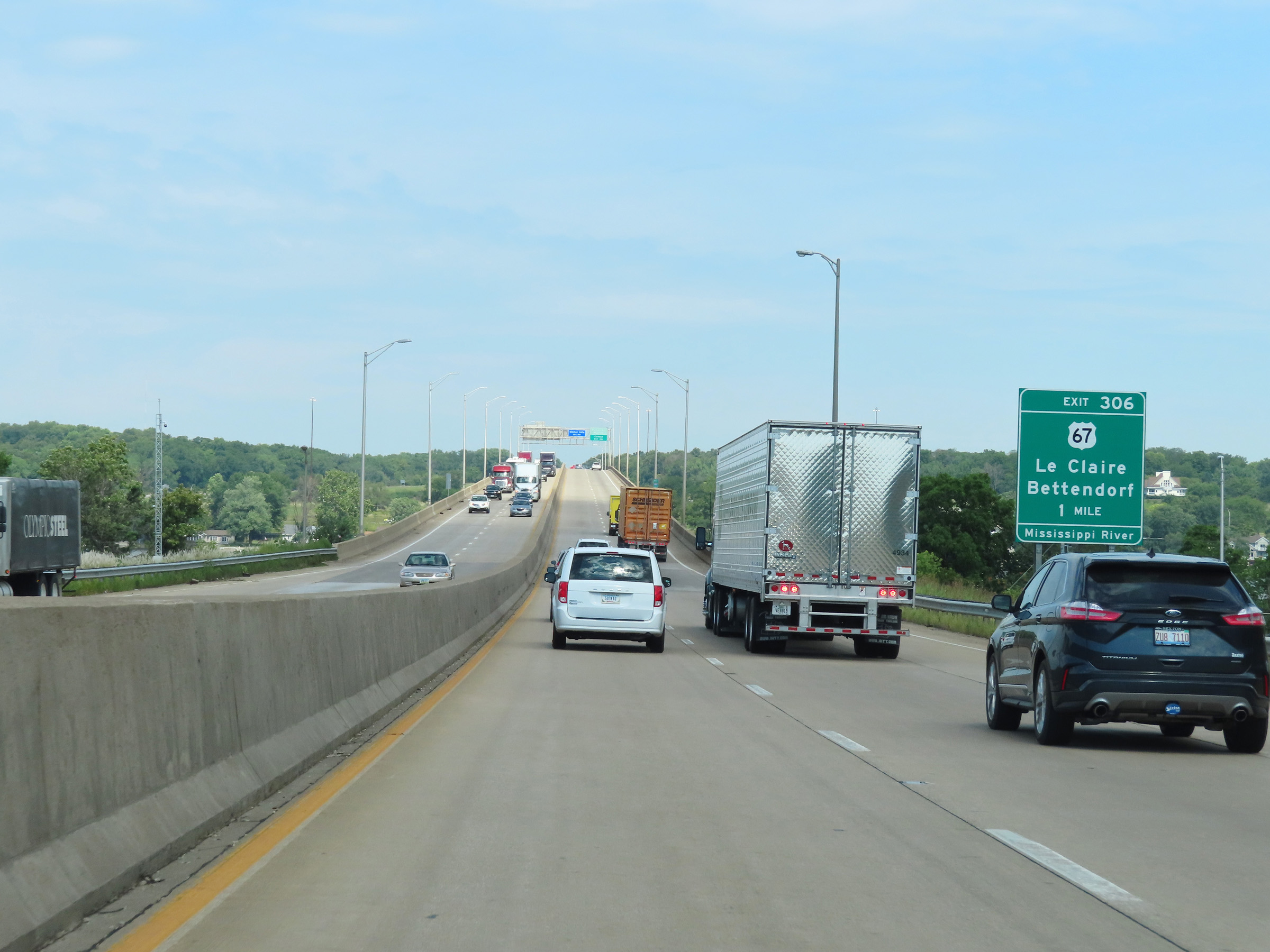 |
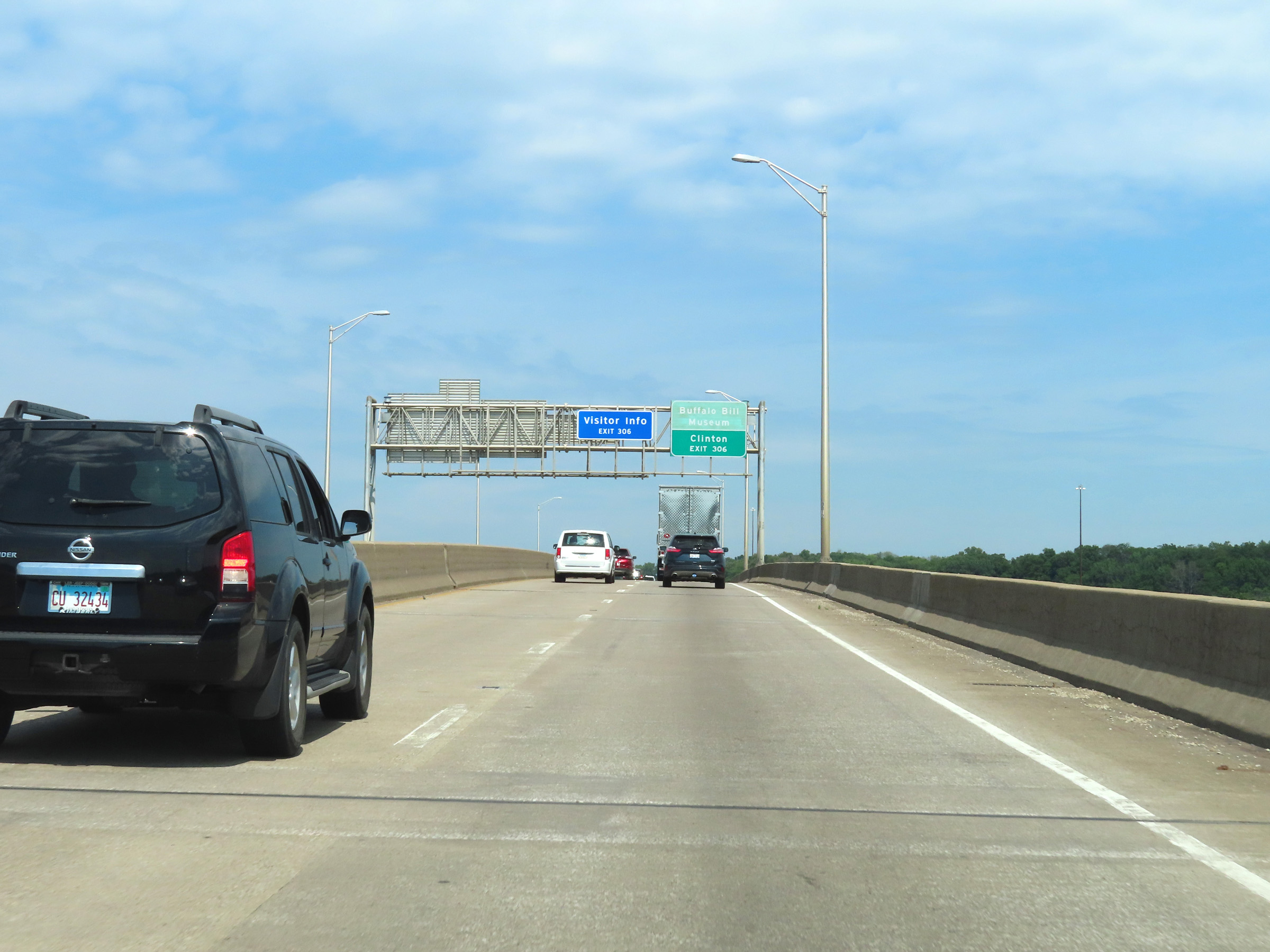
Advance signage for Exit 306, which is the first exit on Interstate 80 West in Iowa after it crosses the Mississippi River ahead. (Photo taken 8/19/22). |
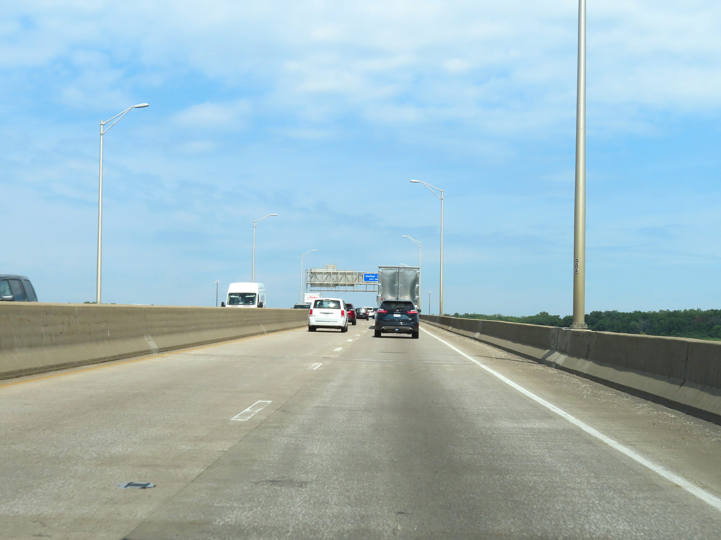 |
View on Interstate 80 West as it starts across the Fred Schwengel Memorial Bridge over the Mississippi River, which will carry I-80 West traffic from Illinois into Iowa. (Photo taken 8/19/22). |
 |
As Interstate 80 West reaches the peak of the Fred Schwengel Memorial Bridge over the Mississippi River, it crosses the state line into Iowa. (Photo taken 8/19/22). |