Road Information |
||
 |
||
| Total Mileage in State: | 63 miles | |
| Beginning/End: | Southwest of Atlanta, in College Park | |
| Mileage covered in Photos: | 63 miles | |
| Counties covered in Photos: | Fulton, Clayton, Fulton, DeKalb, Fulton, Cobb, Fulton | |
| Major Junctions in Photos: | I-85, near College Park I-75, near Forest Park I-675, near Conley I-20, near Panthersville I-85, near Doraville I-75, near Smyrna I-20, in Atlanta |
|
| Control Cities in Photos: | Atlanta, College Park, Atlanta, Tucker, Doraville, Sandy Springs, Smyrna, Atlanta | |
Outer Loop
- Section 1: Mile Marker 0 to Doraville (Exit 31A)
- Section 2: Doraville (Exit 31A) to Mile Marker 0
Section 1: Mile Marker 0 to Doraville (Exit 31A)
 |
Interstate 285 Outer Loop (South) at mile marker 0, at its beginning/end southwest of downtown Atlanta. (Photo taken 5/27/17). |
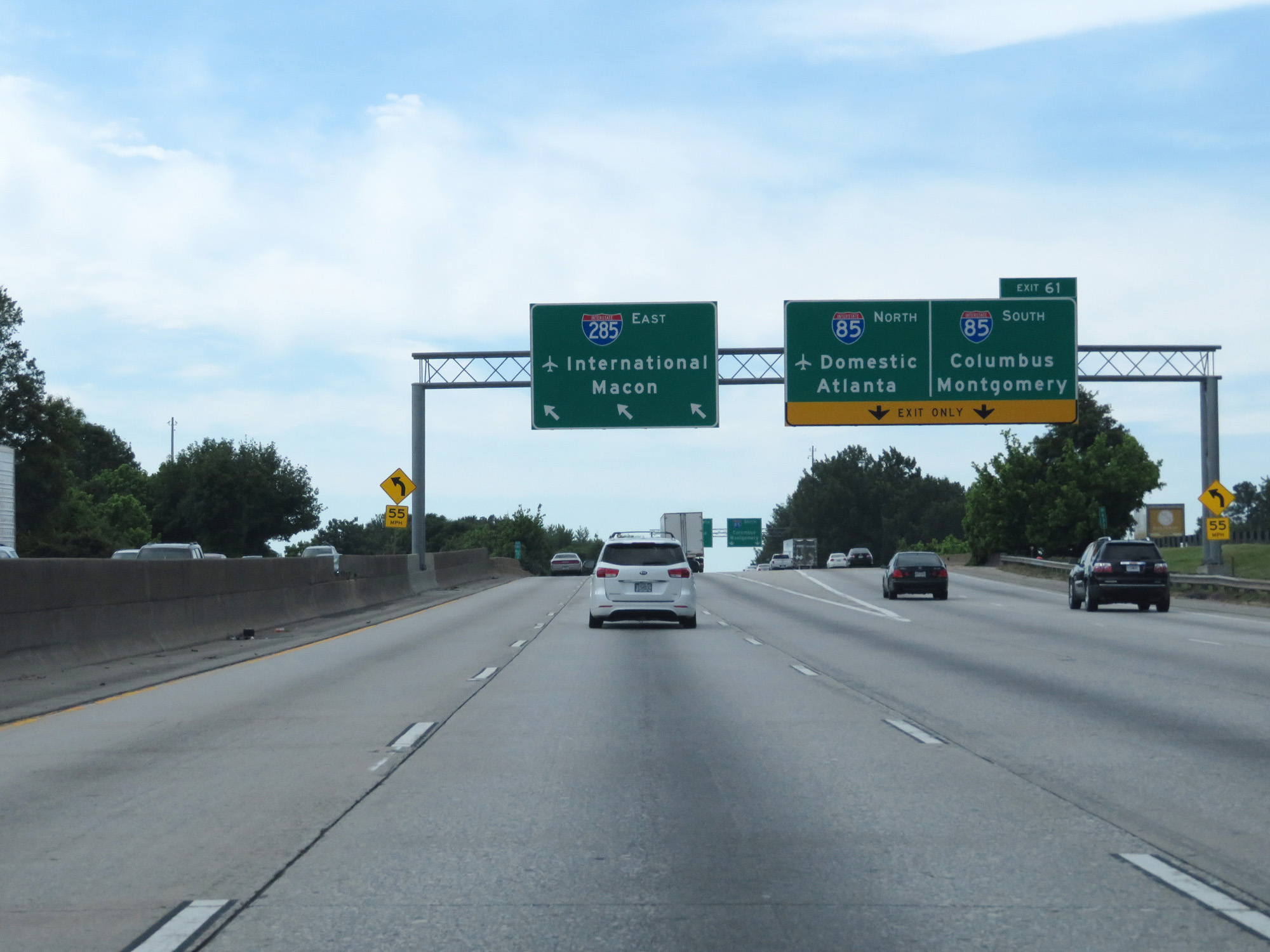 |
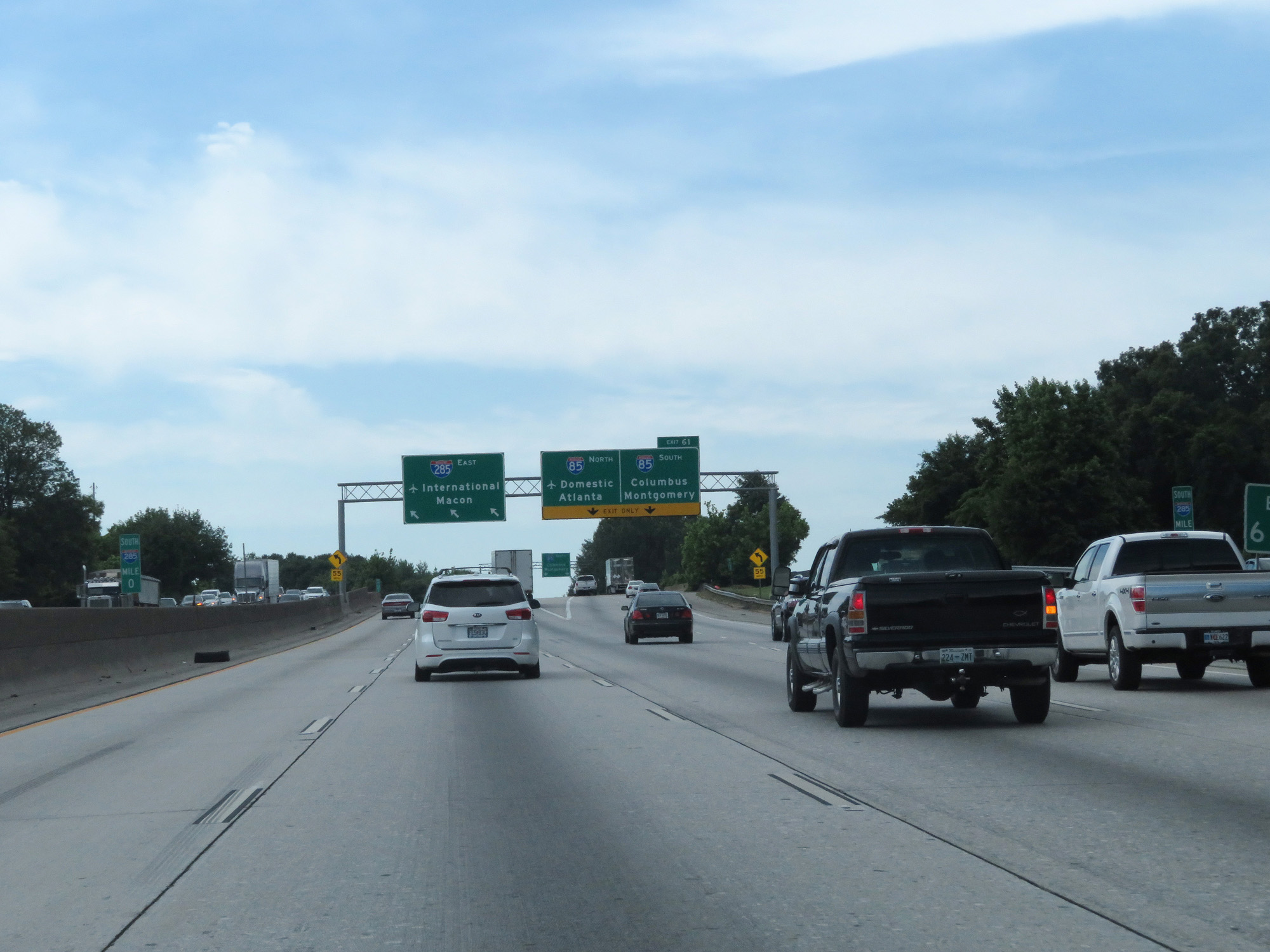
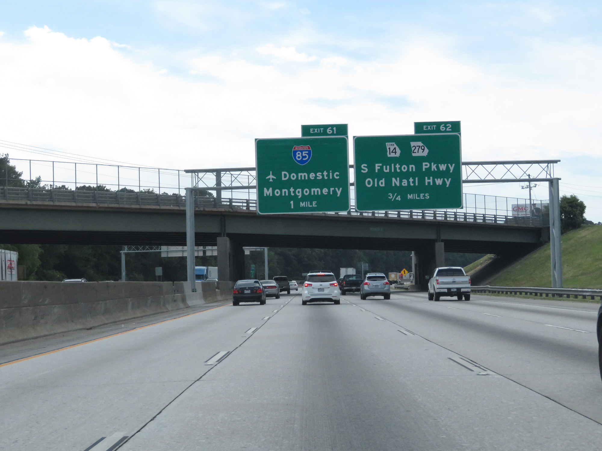
Interstate 285 Outer Loop (South) at Exit 61: Interstate 85 - Domestic Airport Terminals / Atlanta / Columbus / Montgomery (Photo taken 5/27/17). |
 |
Interstate 285 Outer Loop (East) as it curves to the east at its southwestern corner. (Photo taken 5/27/17). |
 |
As Interstate 285 has three lanes in each direction at this point, trucks over 6 wheels are prohibited in the left lane. (Photo taken 5/27/17). |
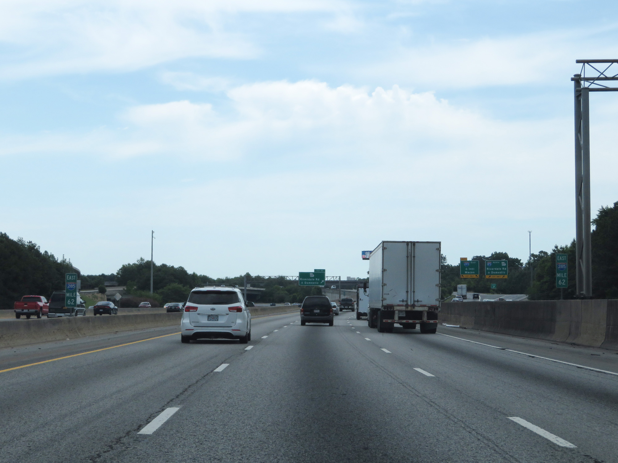 |
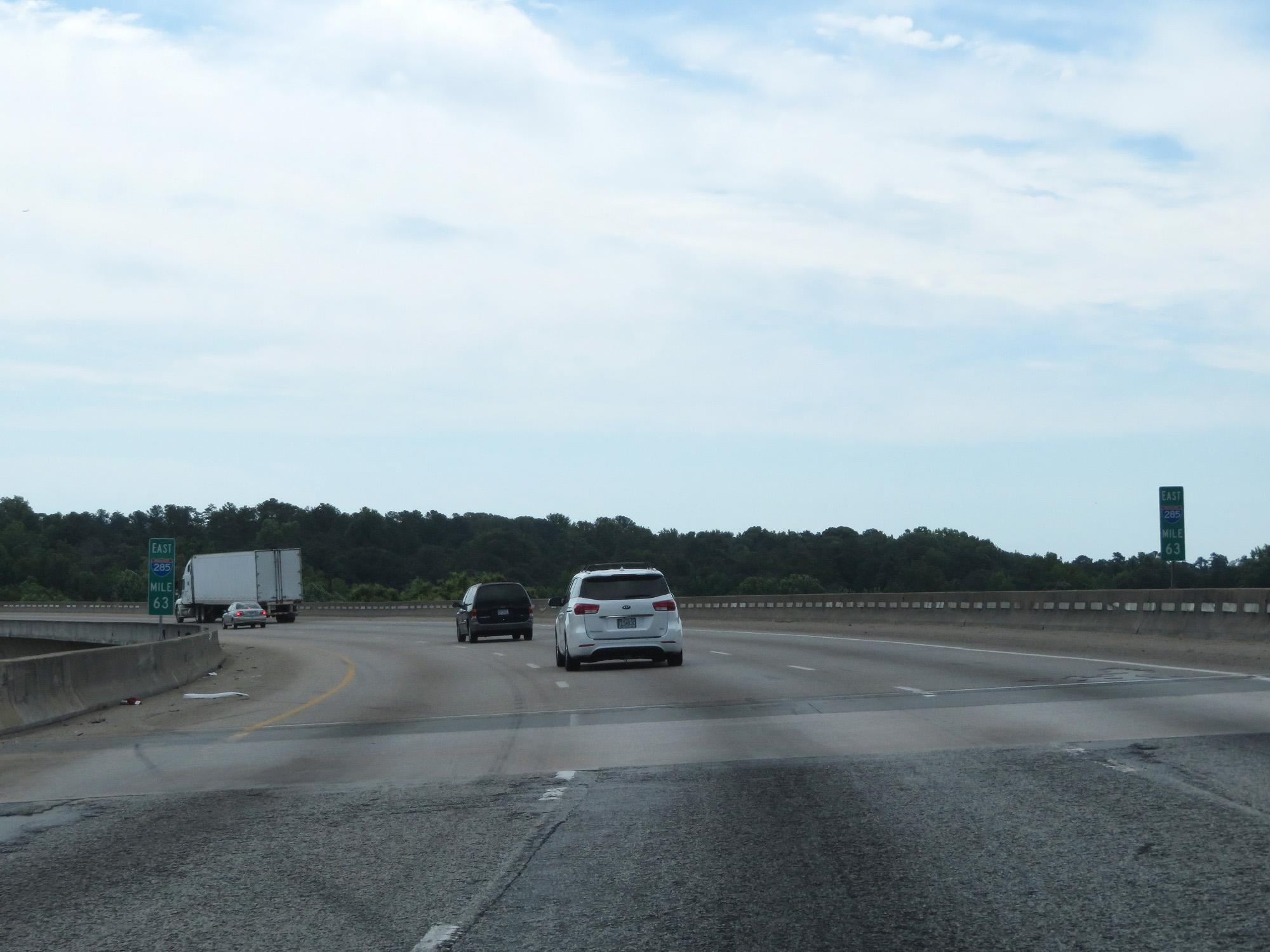
Interstate 285 Outer Loop (East) at mile marker 62. (Photo taken 5/27/17). |
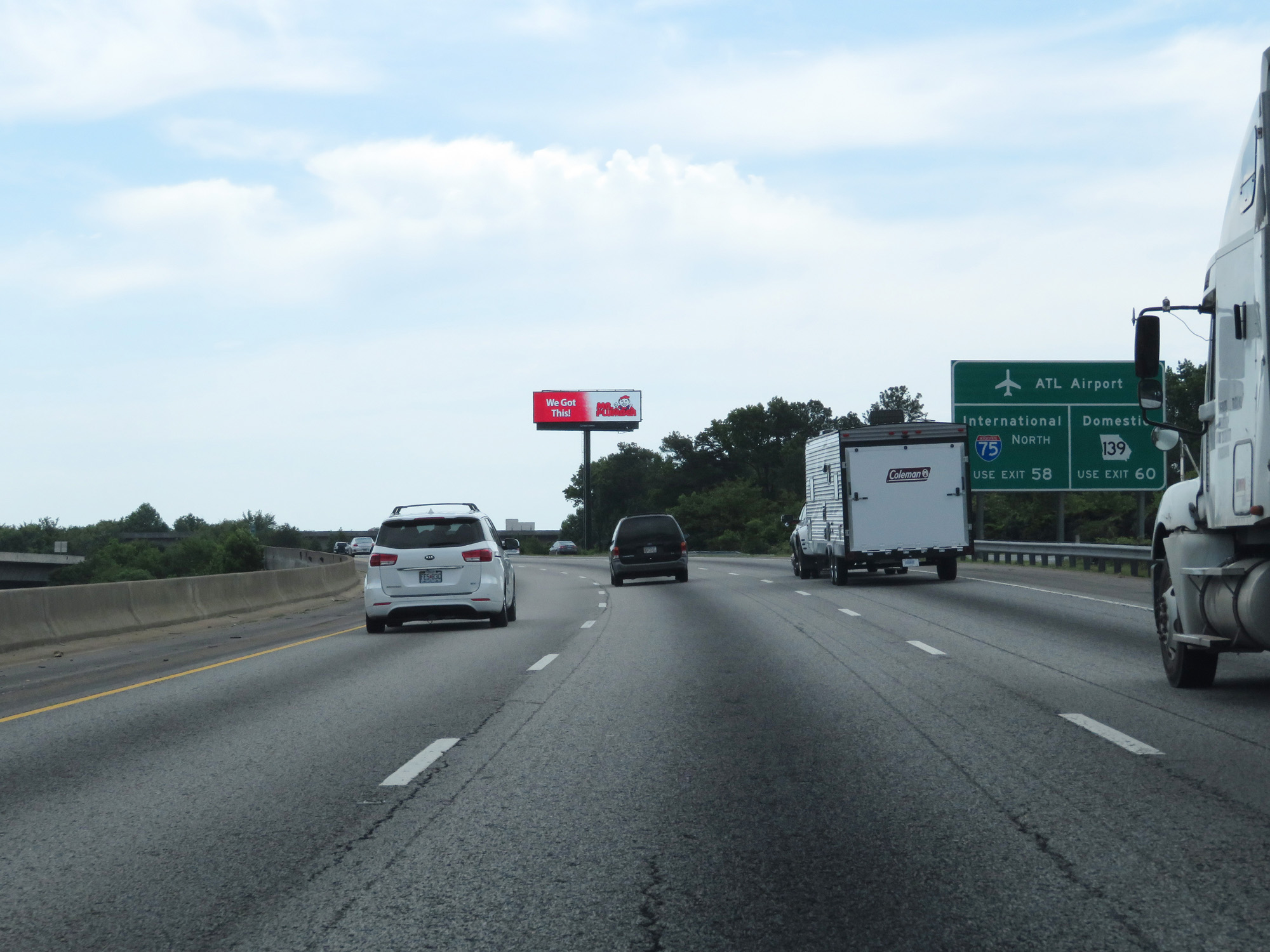 |
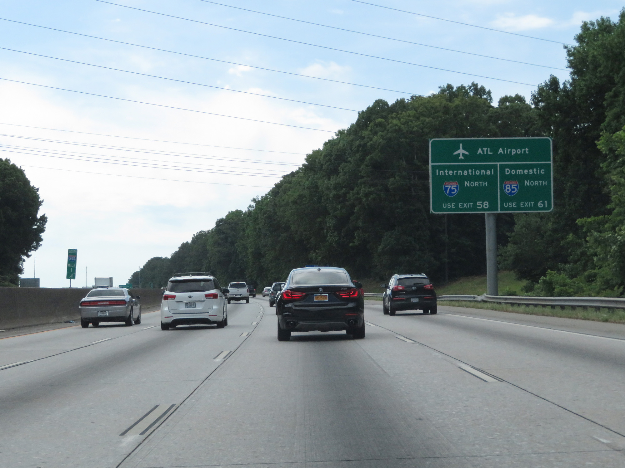
Take Exit 60 to the ATL Airport's Domestic Terminals via GA 139. Take Exit 58 to the International Terminals via Interstate 75 North. (Photo taken 5/27/17). |
 |
Interstate 285 Outer Loop (East) entering Clayton County. (Photo taken 5/27/17). |
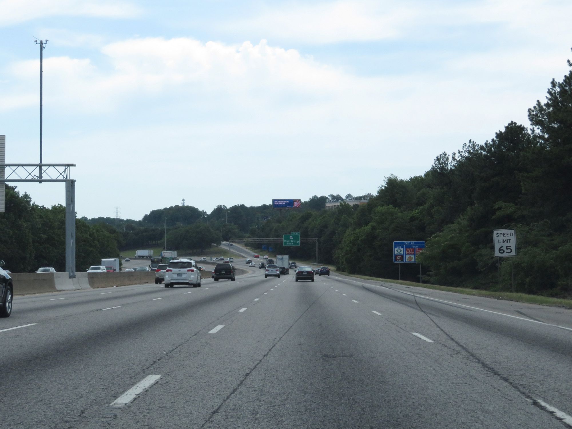 |
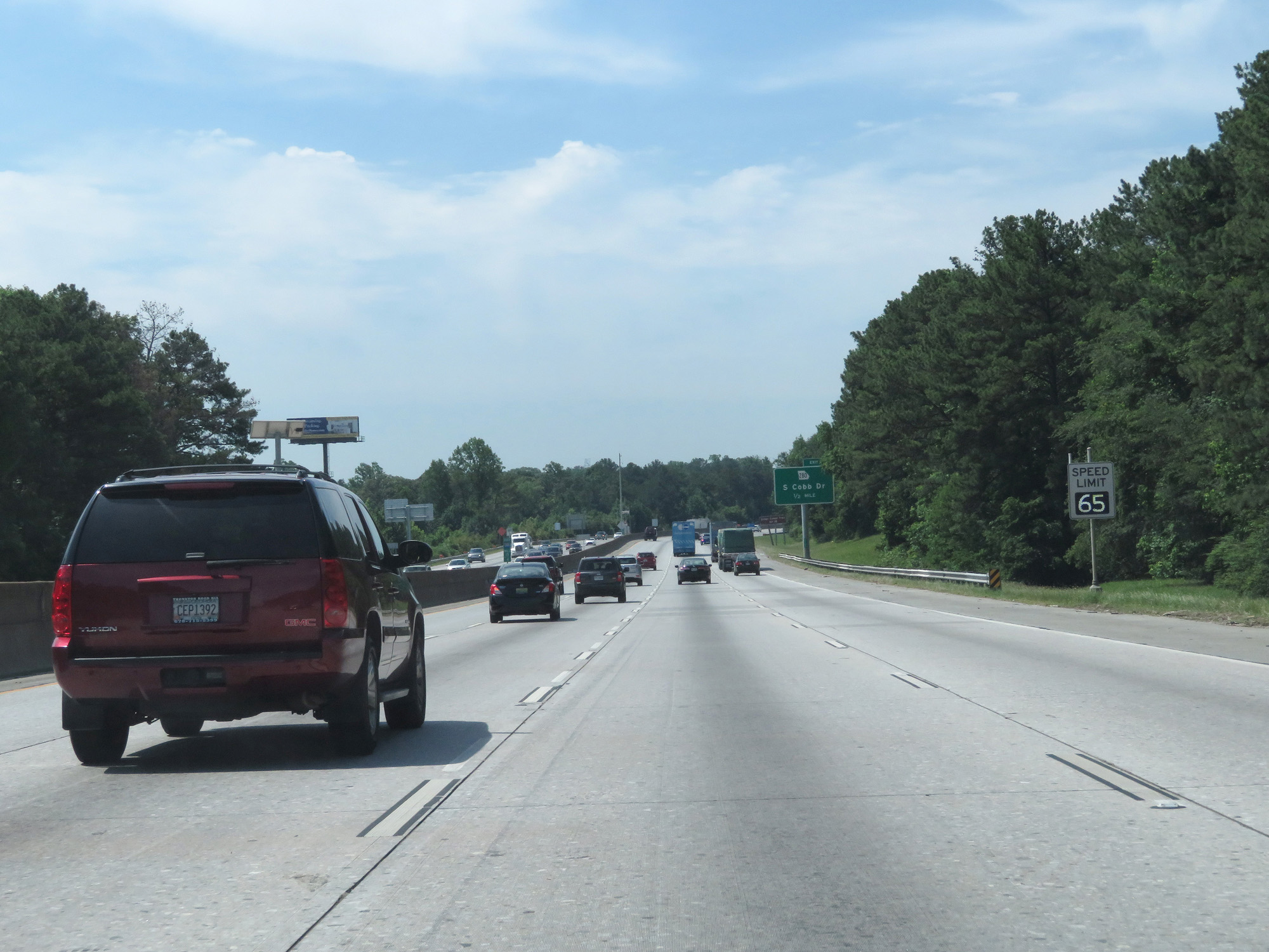
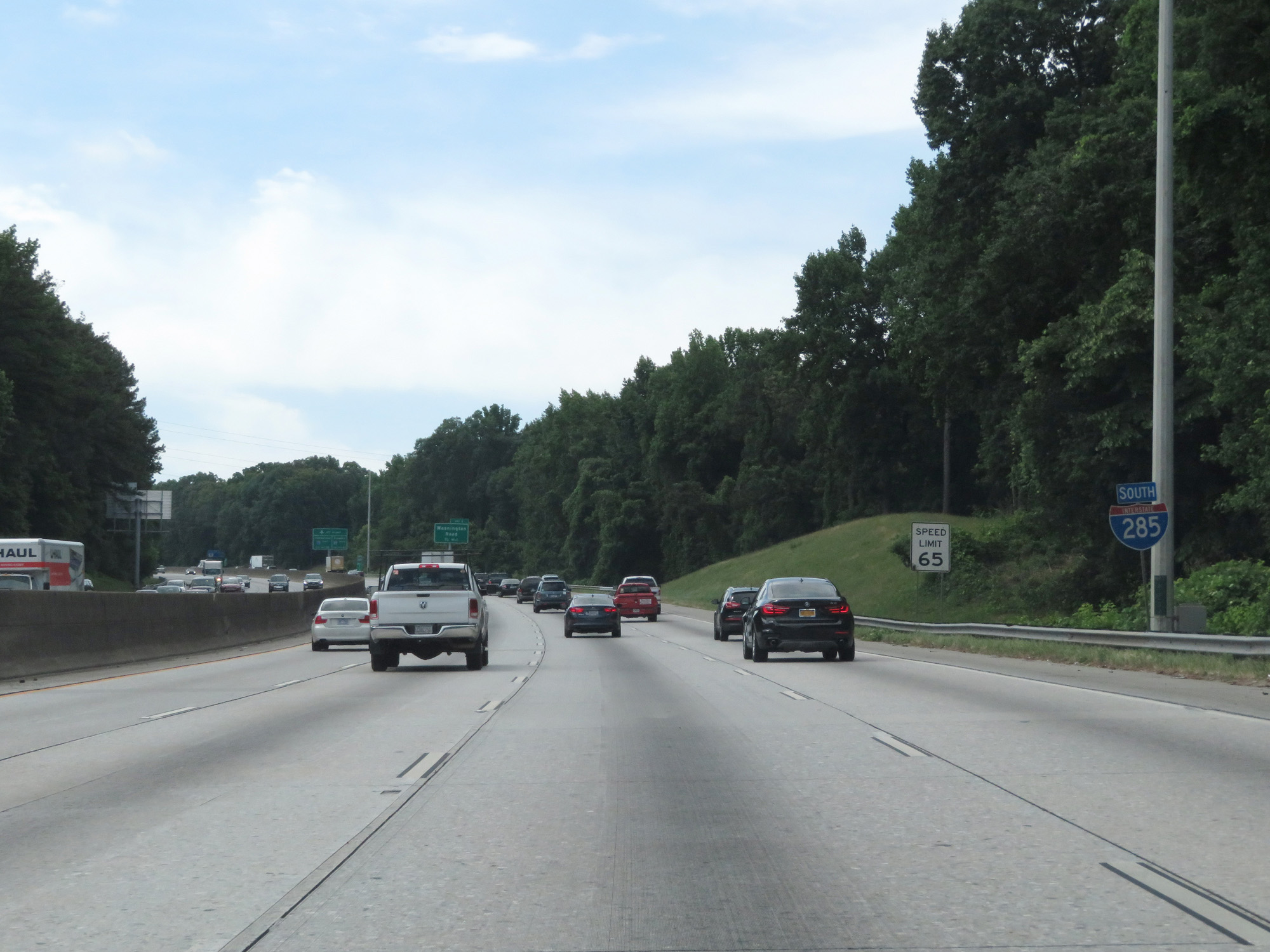
The speed limit on this stretch of The Perimeter, as I-285 is most widely known as, is 65 mph. (Photo taken 5/27/17). |
 |
Interstate 285 Outer Loop (East) at Exit 60: GA 139 - Riverdale Road (Photo taken 5/27/17). |
 |
Now four lanes wide, trucks are still only prohibited in the leftmost lane on Interstate 285. (Photo taken 5/27/17). |
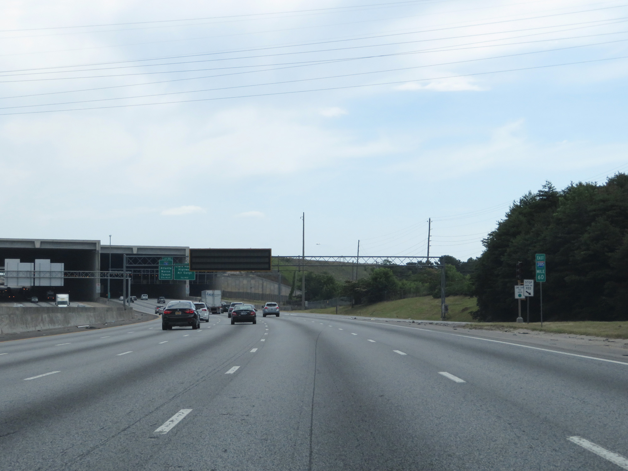 |
Interstate 285 Outer Loop (East) at mile marker 60. (Photo taken 5/27/17). |
 |
Just beyond mile marker 60, Interstate 285 Outer Loop (East) prepares to tunnel underneath one of the runways at the Hartsfield-Jackson Atlanta International Airport. (Photo taken 5/27/17). |
 |
Interstate 285 Outer Loop (East) preparing to pass under the airport's runway. (Photo taken 5/27/17). |
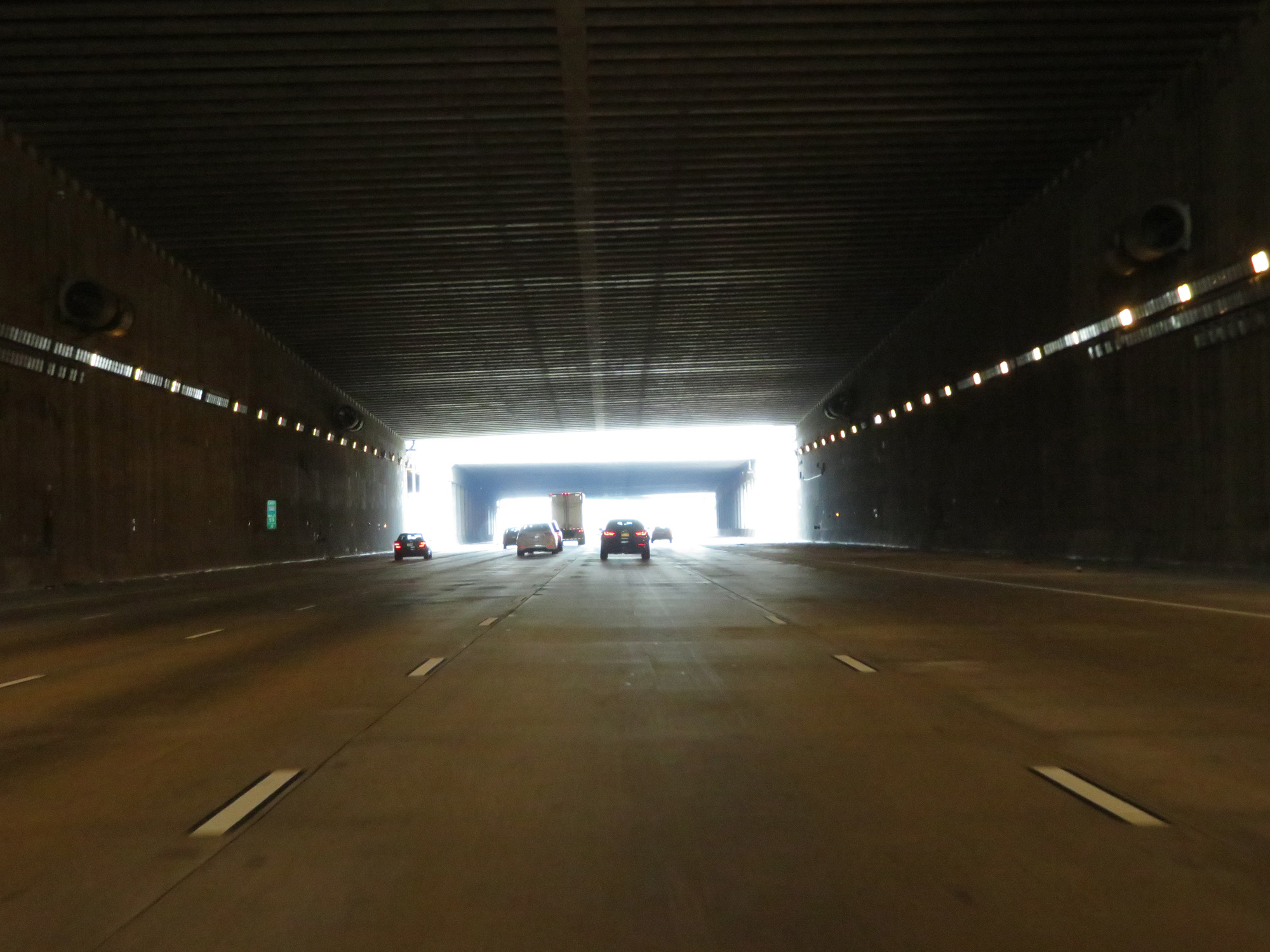 |
View inside the brief tunnel underneath the runways of Hartsfield-Jackson Atlanta International Airport on Interstate 285 Outer Loop (East). (Photo taken 5/27/17). |
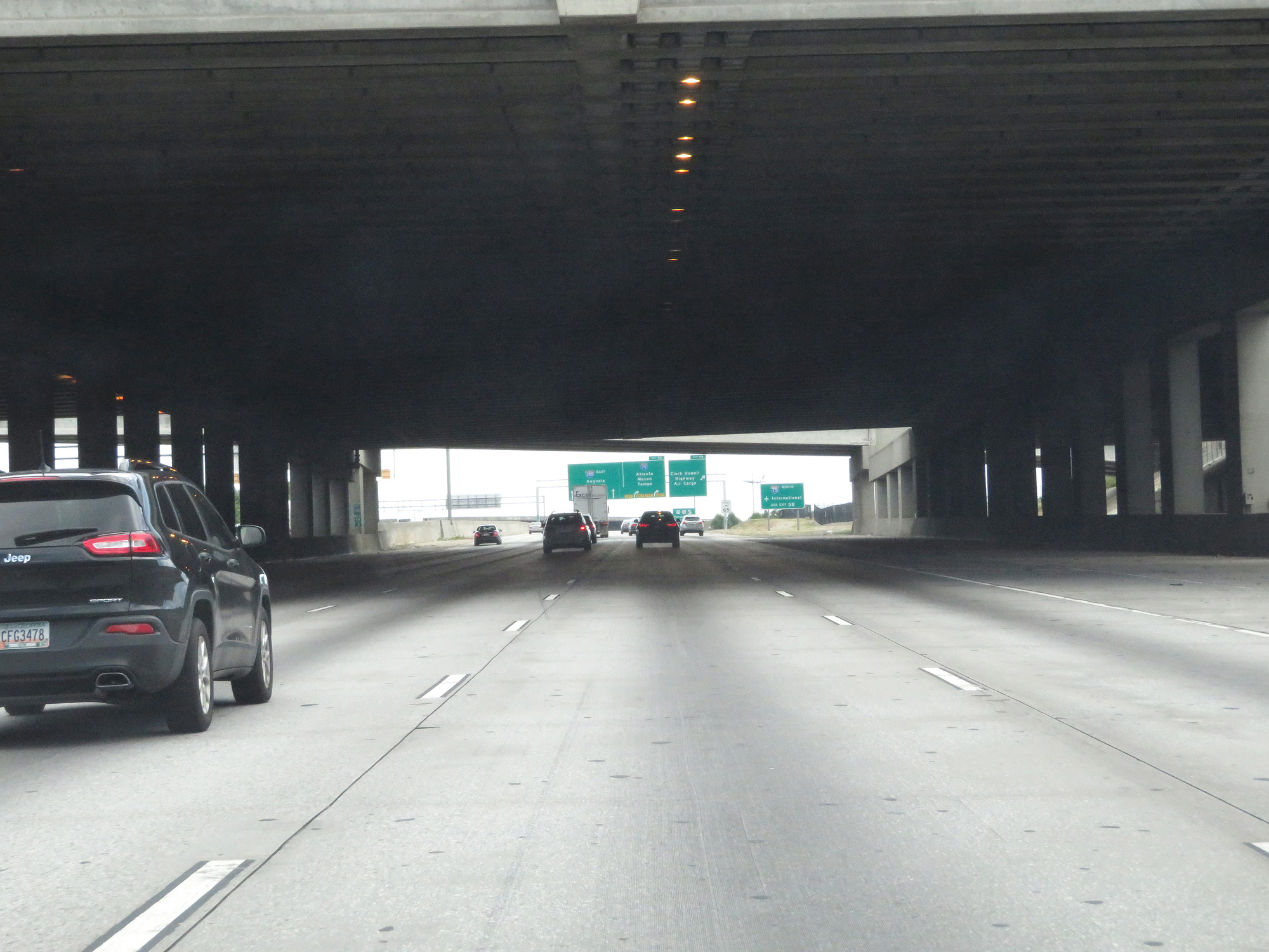 |
Another view on Interstate 285 Outer Loop (East) underneath the airport runways. (Photo taken 5/27/17). |
 |
Again, take Exit 58 to the airport's International Terminals via Interstate 75 North. (Photo taken 5/27/17). |
 |
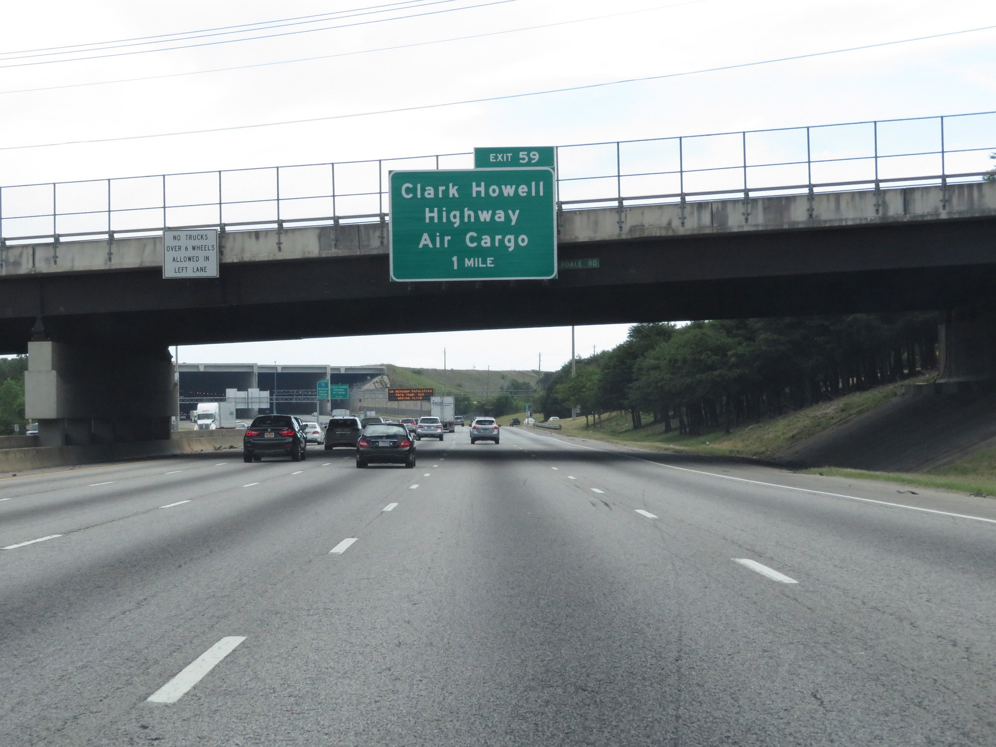
Interstate 285 Outer Loop (East) at Exit 59: Clark Howell Highway / Air Cargo (Photo taken 5/27/17). |
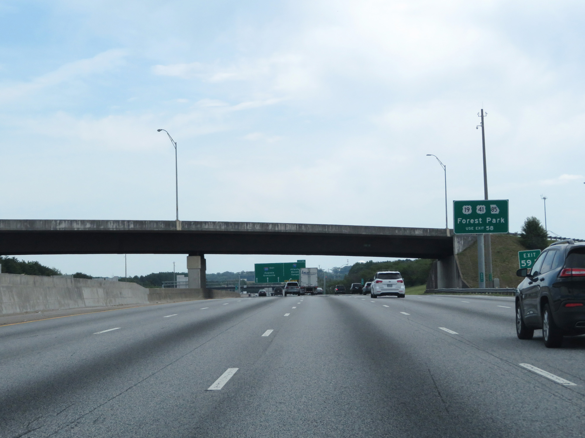 |
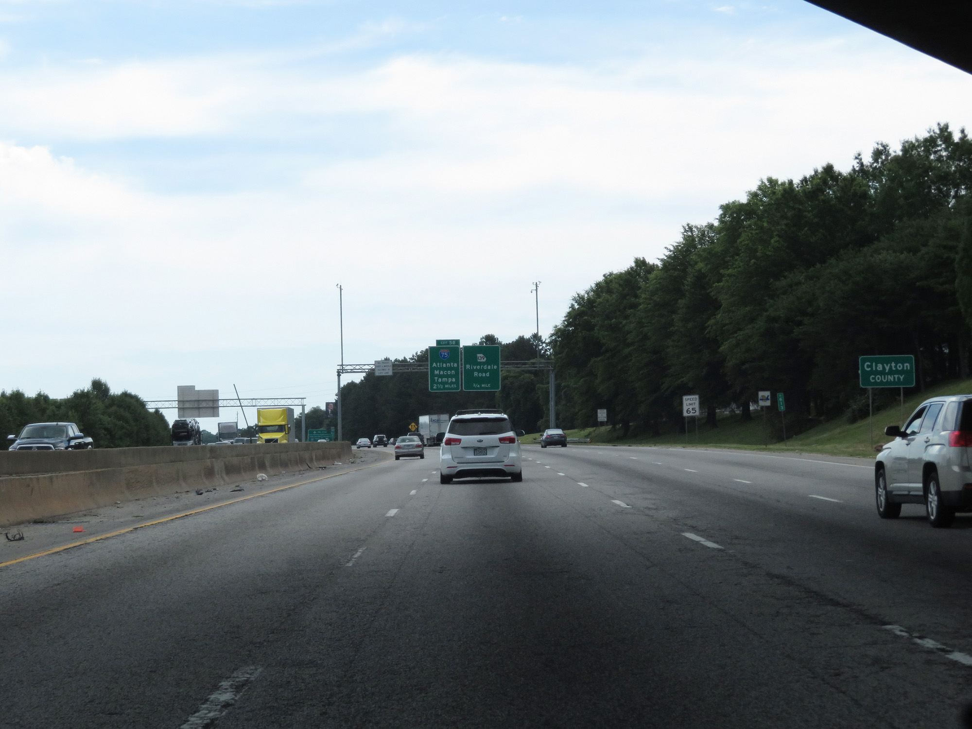
Take Exit 58 for US 19 / US 41 / GA 85 to Forest Park. (Photo taken 5/27/17). |
 |
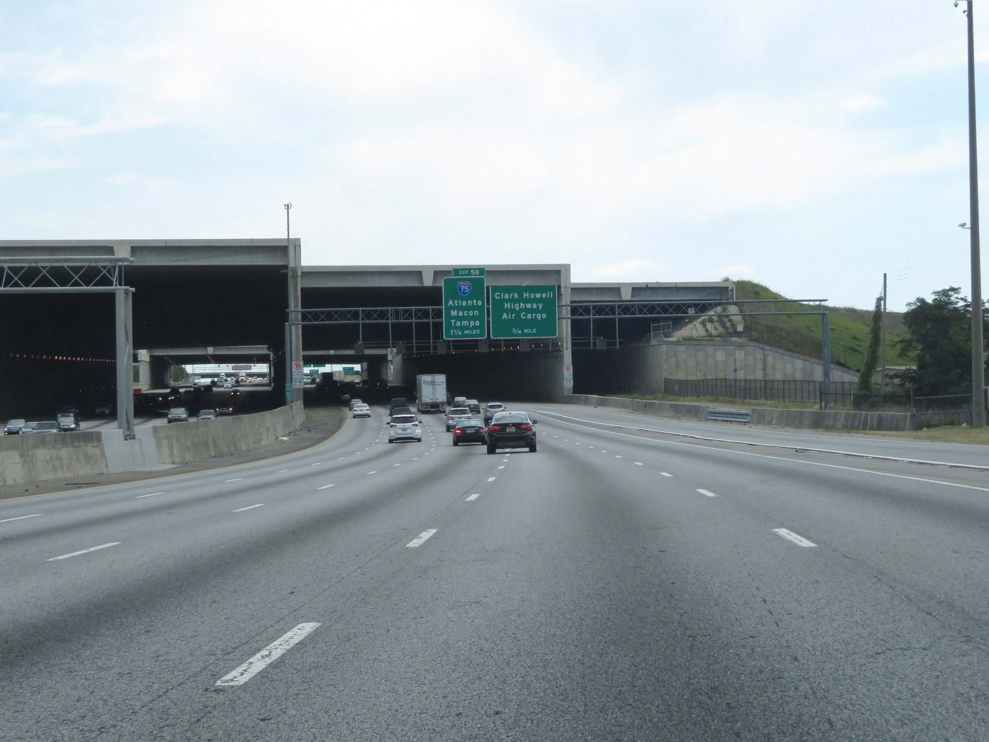
Interstate 285 Outer Loop (East) at Exit 58: Interstate 75 - Atlanta / Macon / Tampa (Photo taken 5/27/17). |
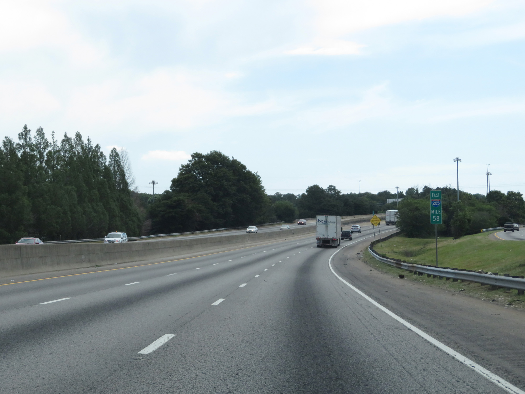 |
Interstate 285 Outer Loop (East) at mile marker 58. (Photo taken 5/27/17). |
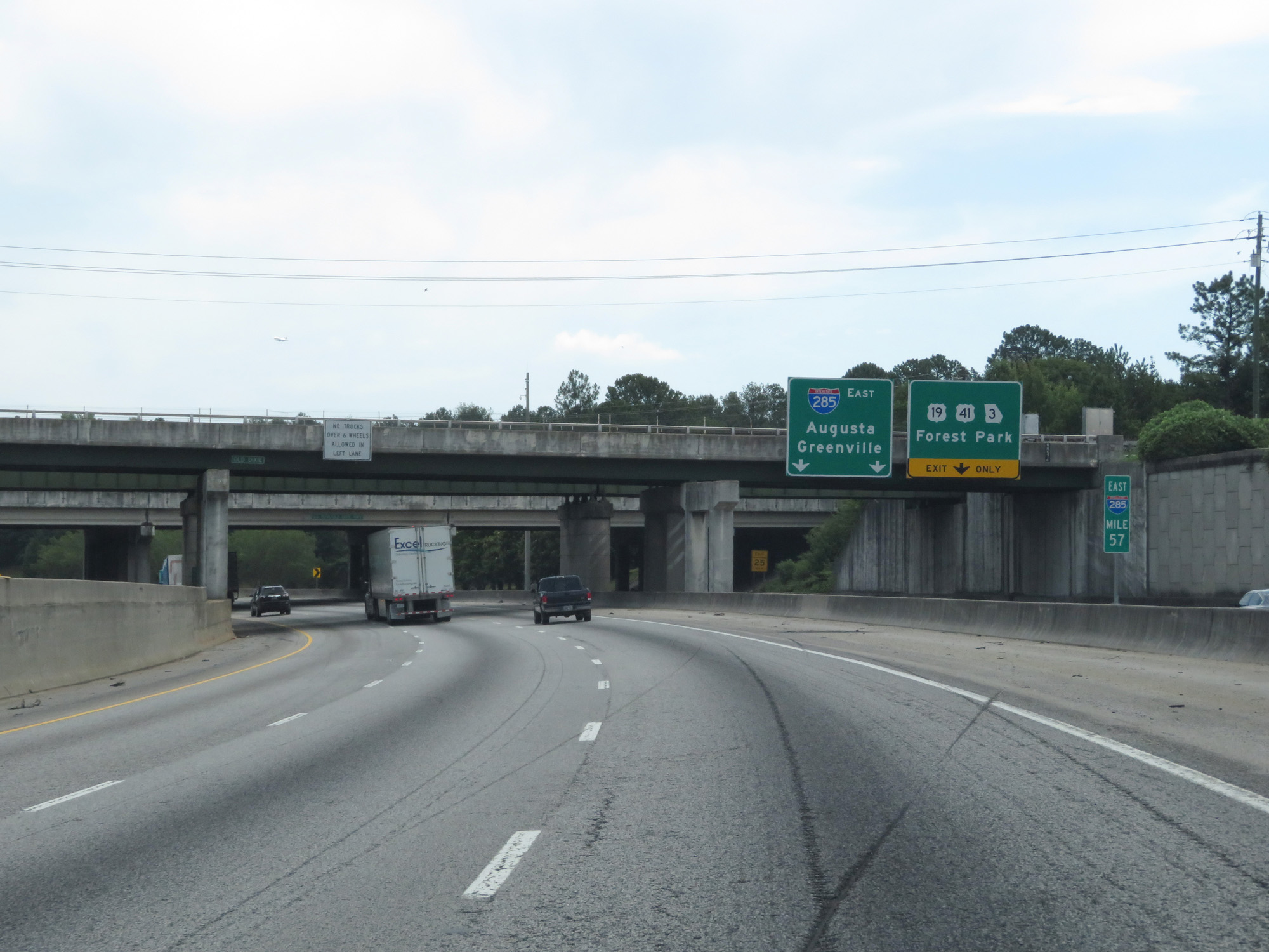 |
Interstate 285 Outer Loop (East) at mile marker 57. (Photo taken 5/27/17). |
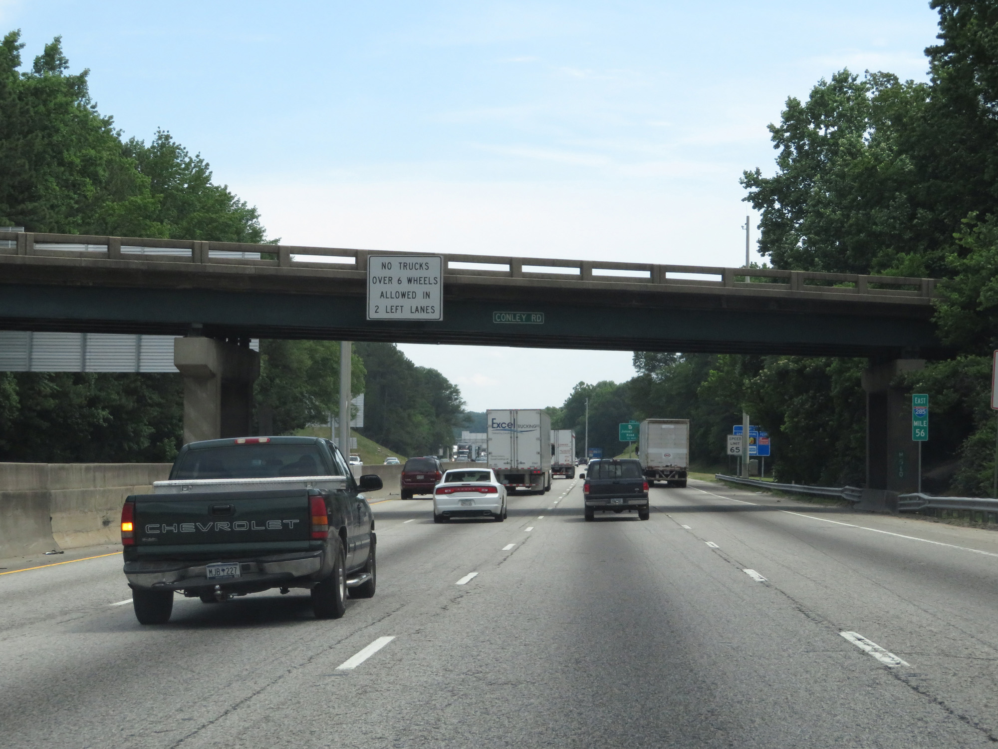 |
Interstate 285 Outer Loop (East) at mile marker 56. (Photo taken 5/27/17). |
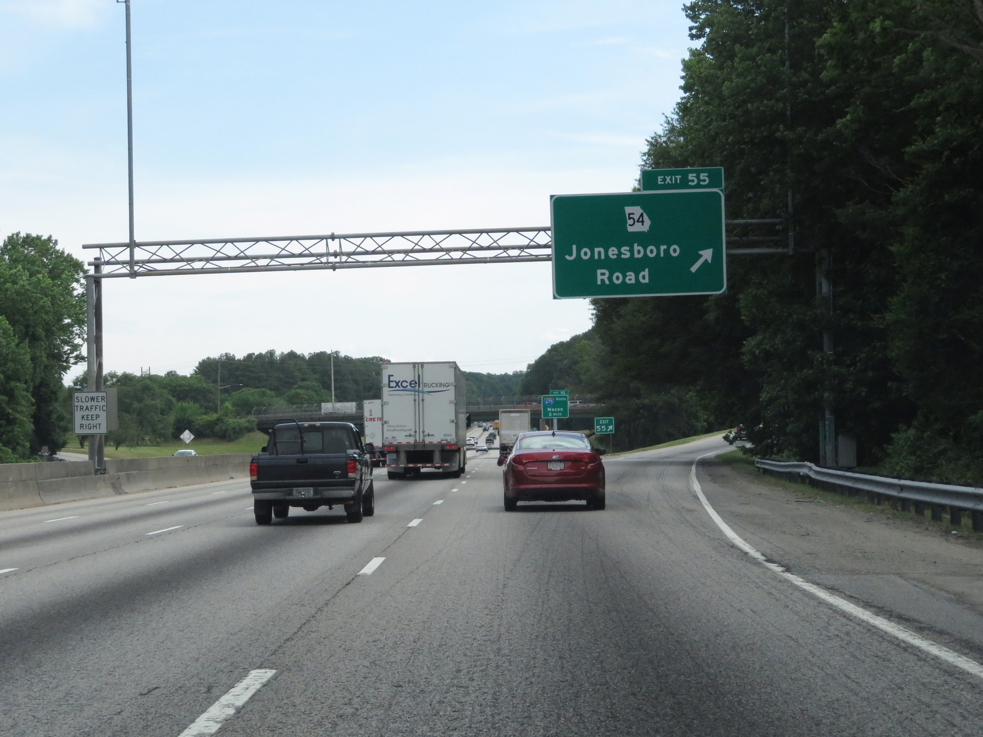 |
Interstate 285 Outer Loop (East) at Exit 55: GA 54 - Jonesboro Road (Photo taken 5/27/17). |
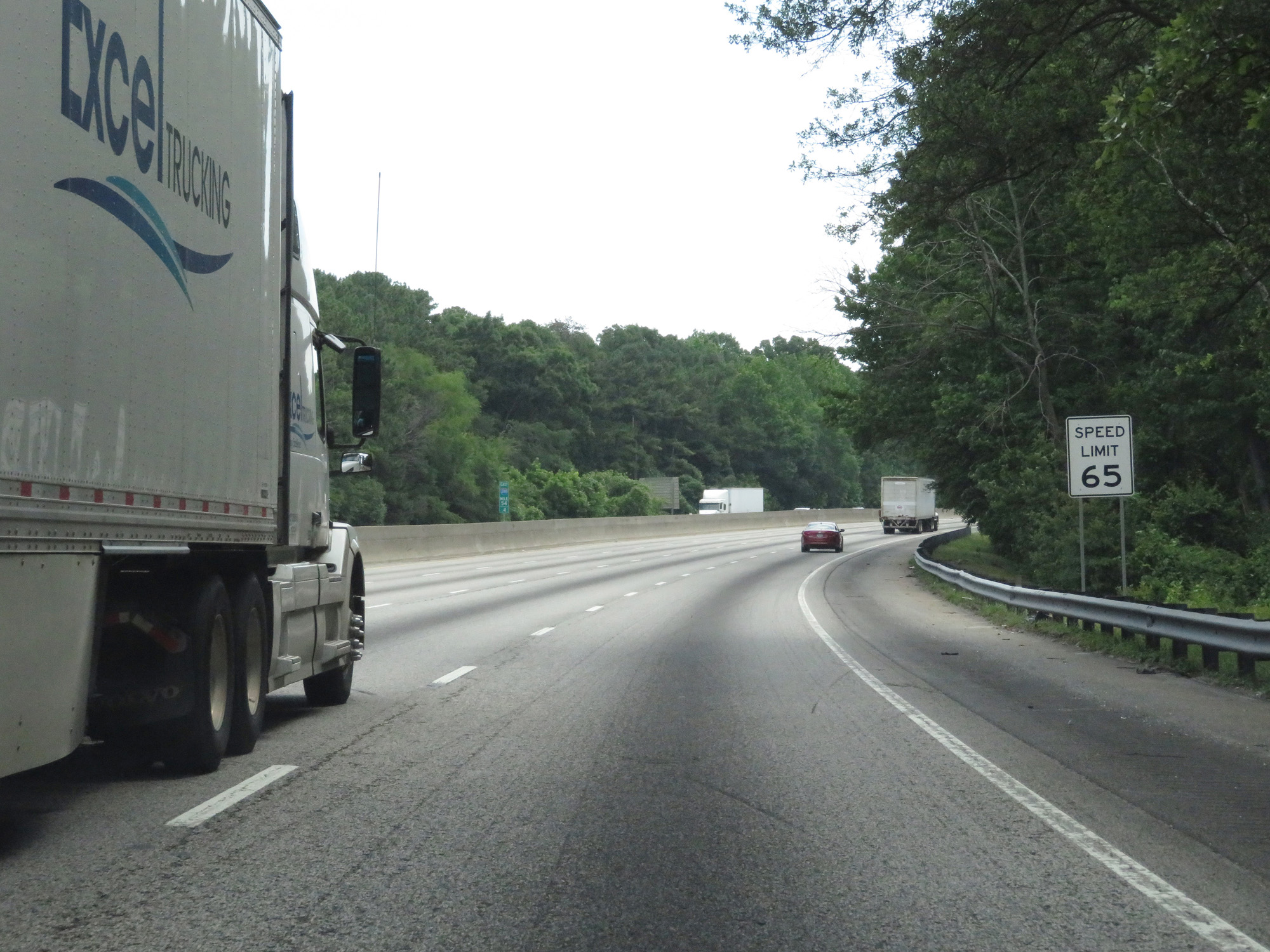 |
The speed limit remains 65 mph for all traffic at this point. (Photo taken 5/27/17). |
 |
Interstate 285 Outer Loop (East) approaching Exit 52 - 1 mile. (Photo taken 5/27/17). |
 |
Interstate 285 Outer Loop (East) at mile marker 54. (Photo taken 5/27/17). |
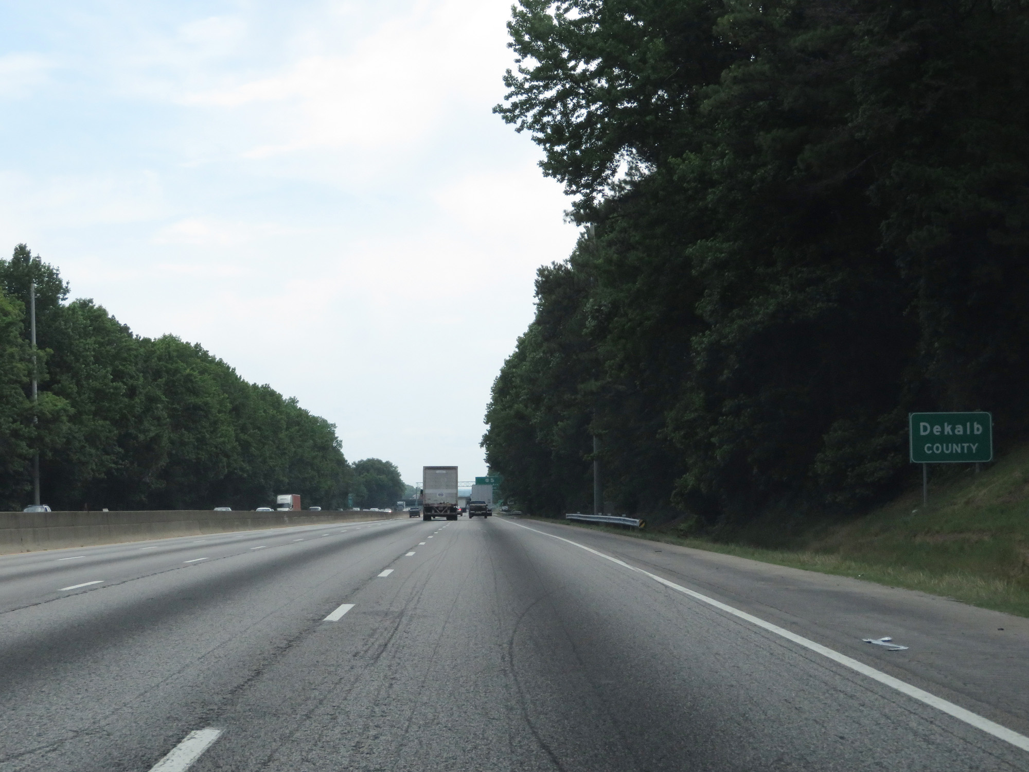 |
Interstate 285 Outer Loop (East) entering DeKalb County. (Photo taken 5/27/17). |
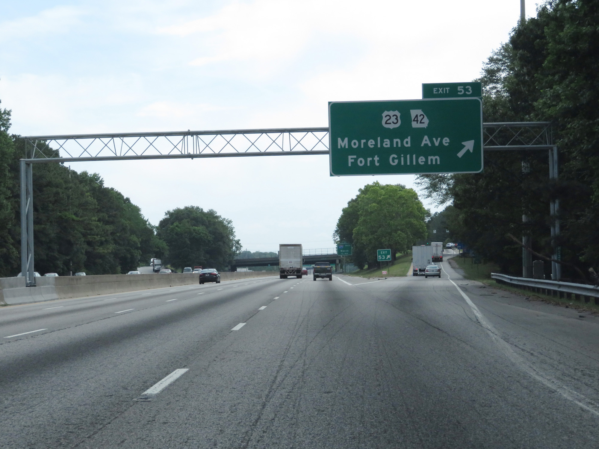 |
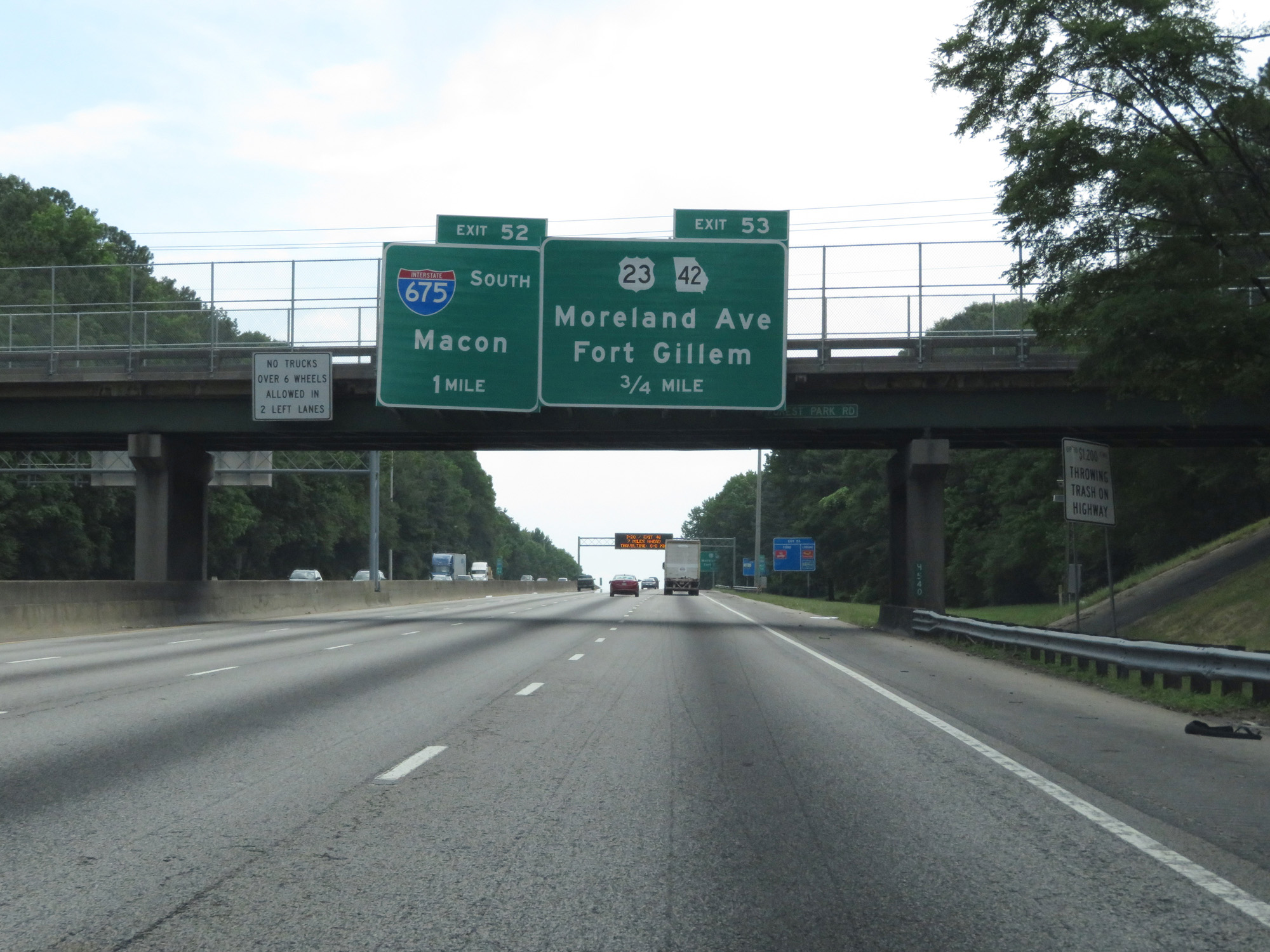
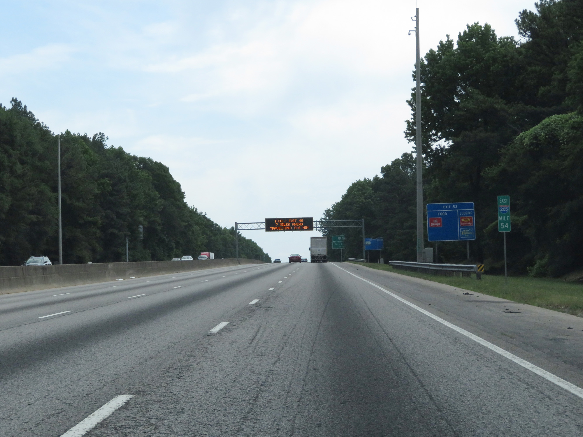
Interstate 285 Outer Loop (East) at Exit 53: US 23 / GA 42 - Moreland Ave / Fort Gillem (Photo taken 5/27/17). |
 |
Interstate 285 Outer Loop (East) at Exit 52: Interstate 675 South - Macon (Photo taken 5/27/17). |
 |
Interstate 285 Outer Loop (East) at Exit 51: Bouldercrest Road (Photo taken 5/27/17). |
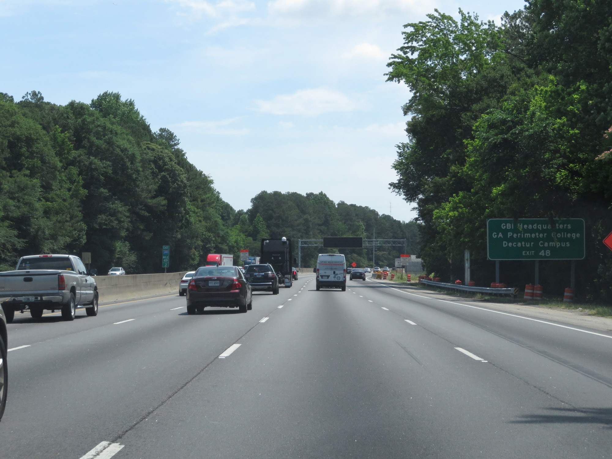 |
Take Exit 48 to GBI Headquarters and GA Perimeter College Decatur Campus. (Photo taken 5/27/17). |
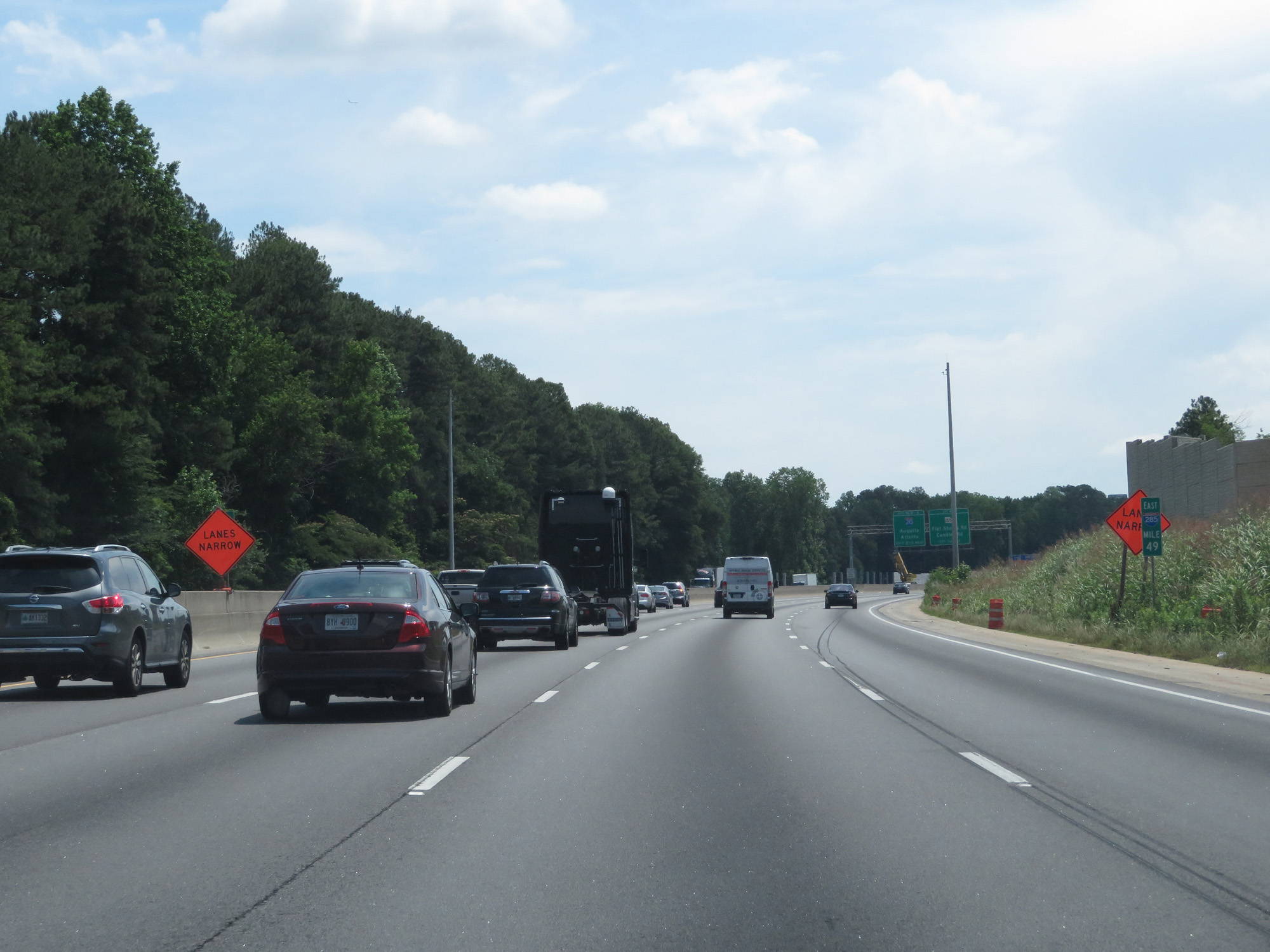 |
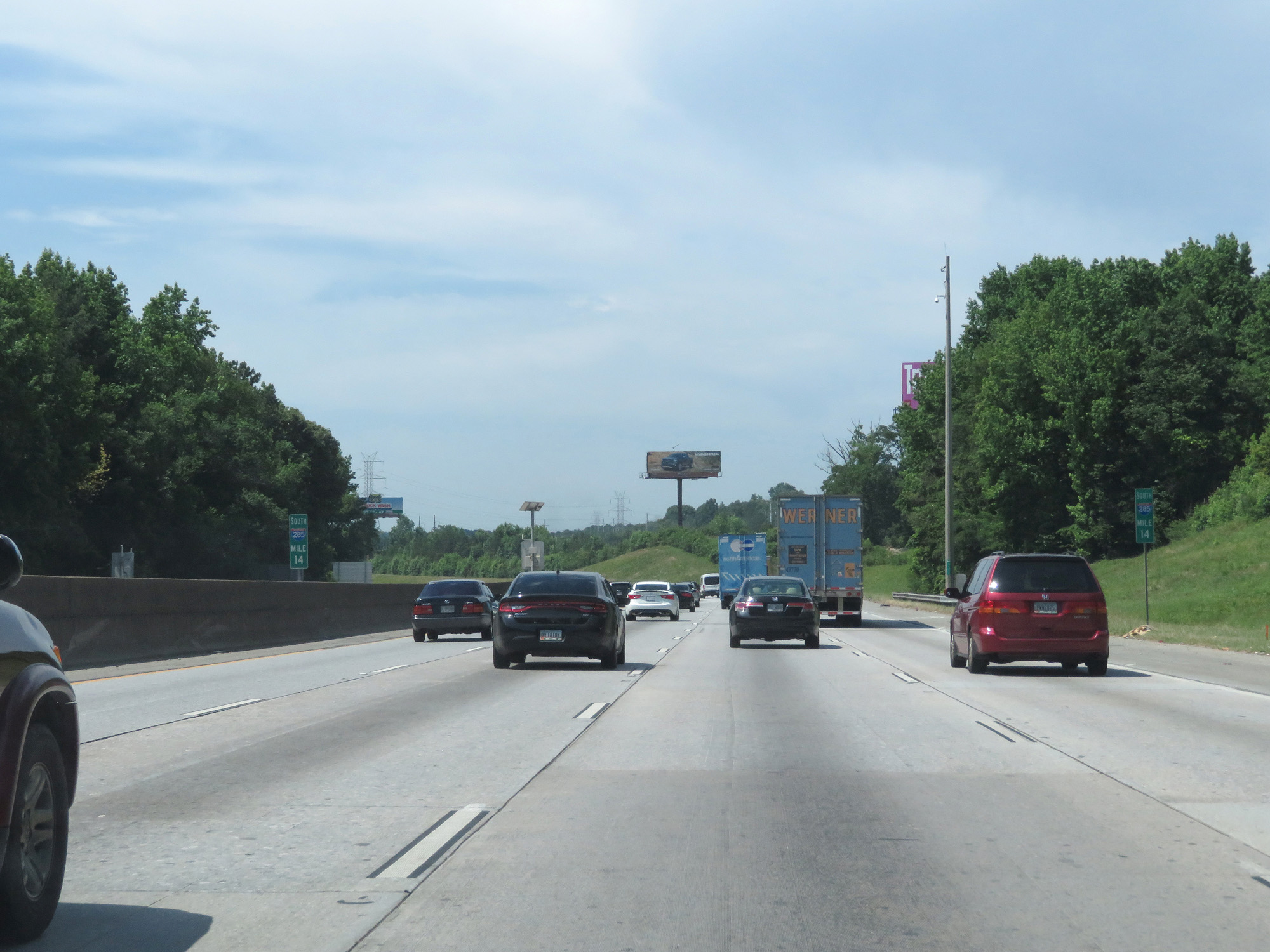
Interstate 285 Outer Loop (East) at mile marker 49. (Photo taken 5/27/17). |
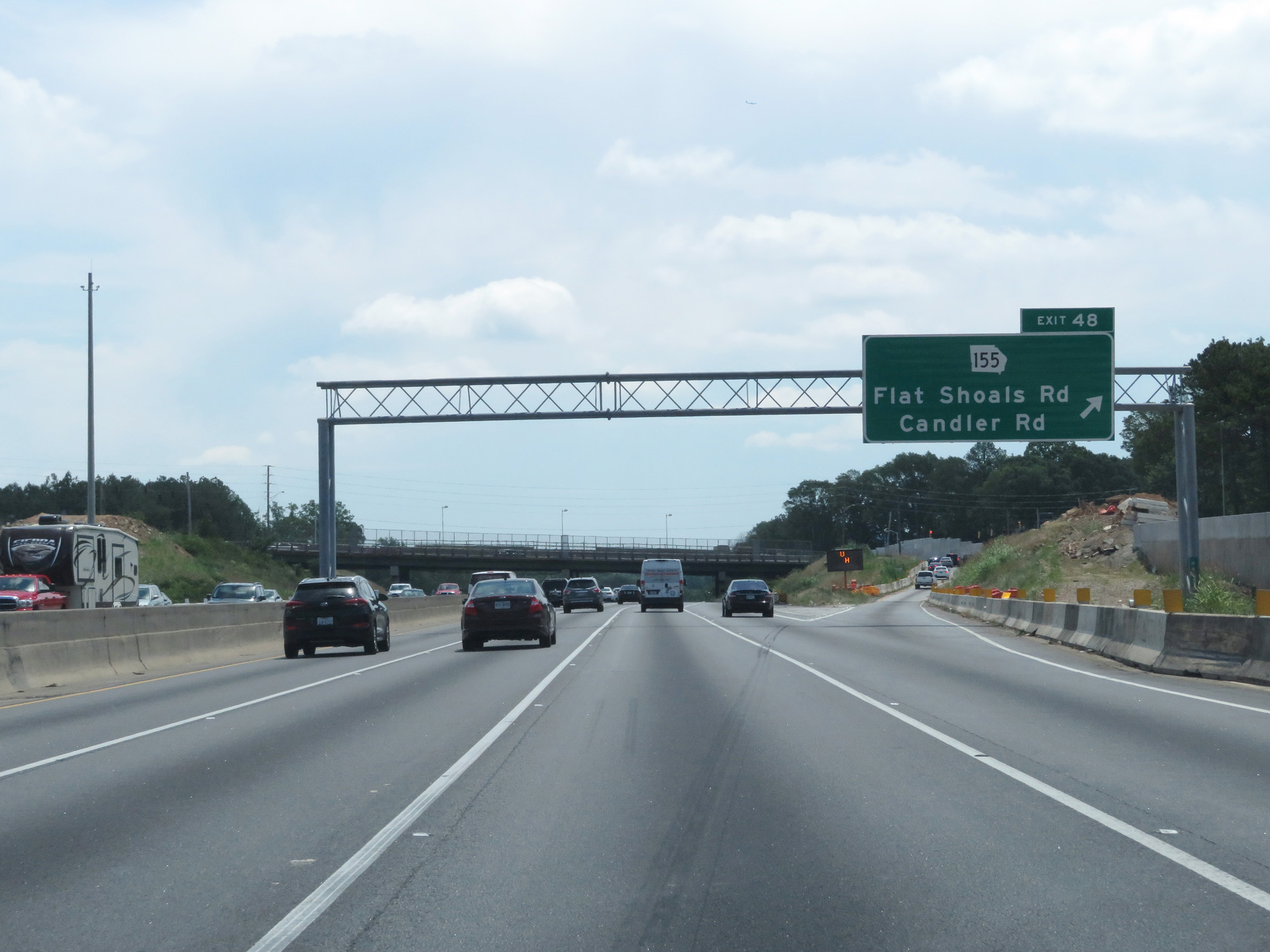 |
Interstate 285 Outer Loop (East) at Exit 48: GA 155 - Flat Shoals Rd / Candler Rd (Photo taken 5/27/17). |
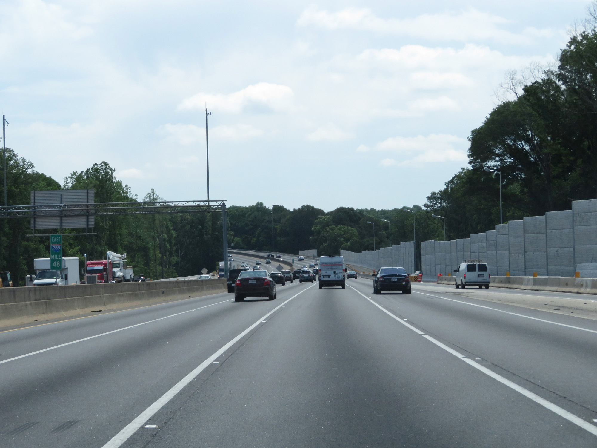 |
Interstate 285 Outer Loop (East) at mile marker 48. (Photo taken 5/27/17). |
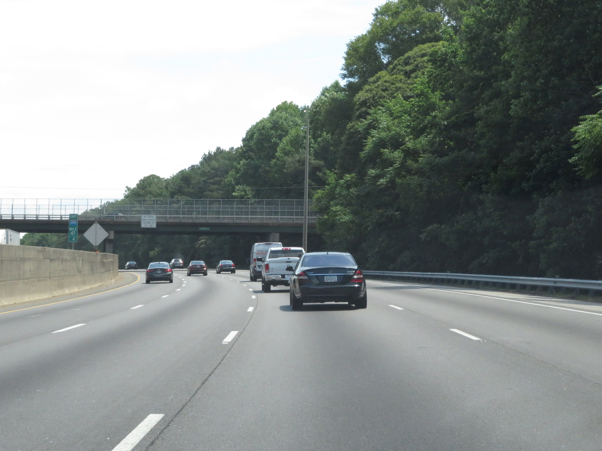 |
Interstate 285 Outer Loop (East) at mile marker 47.4. (Photo taken 5/27/17). |
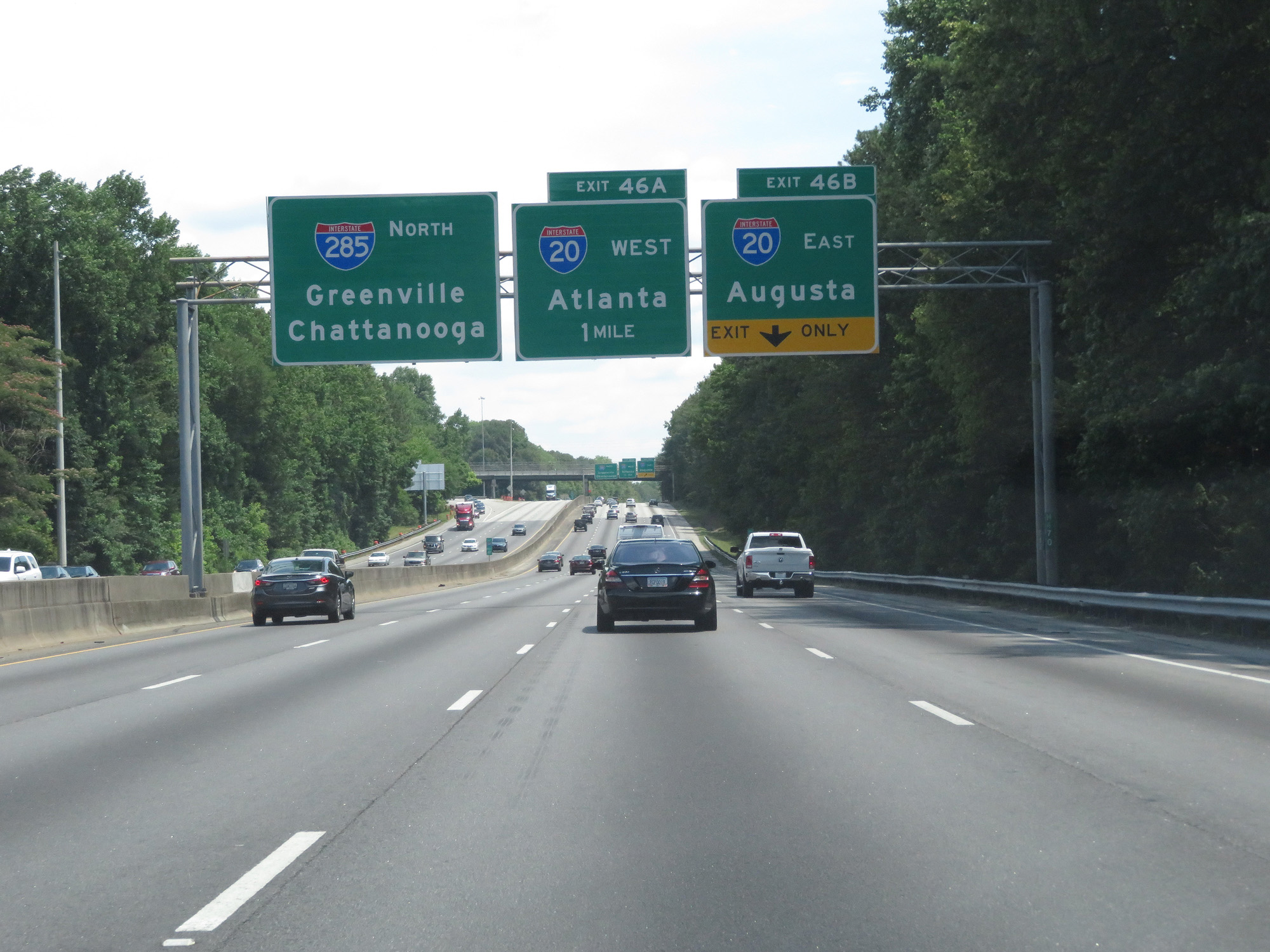 |
Interstate 285 Outer Loop (North) approaching Exit 46B - 1/4 mile. (Photo taken 5/27/17). |
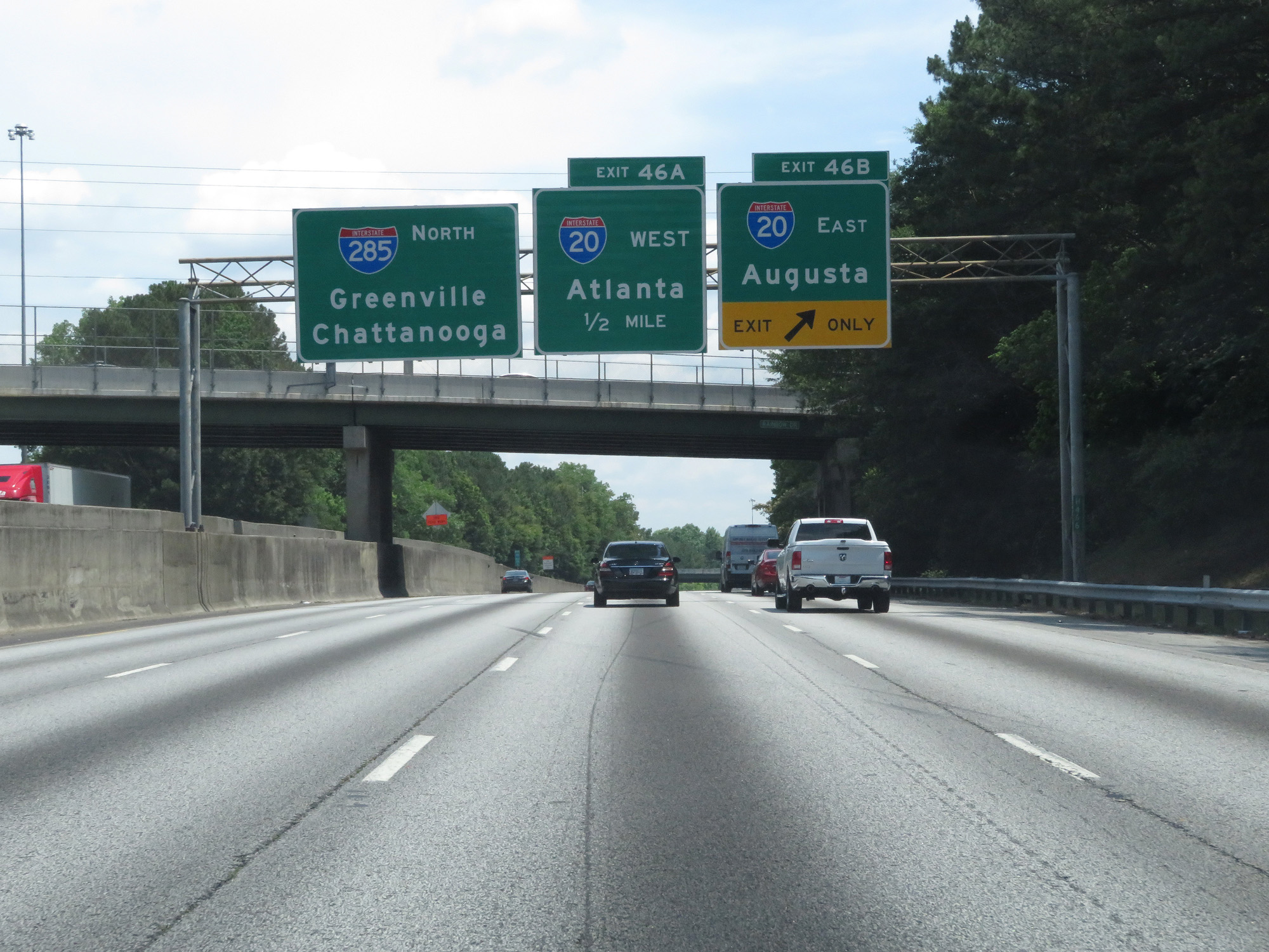 |
Interstate 285 Outer Loop (North) at Exit 46B: Interstate 20 East - Augusta (Photo taken 5/27/17). |
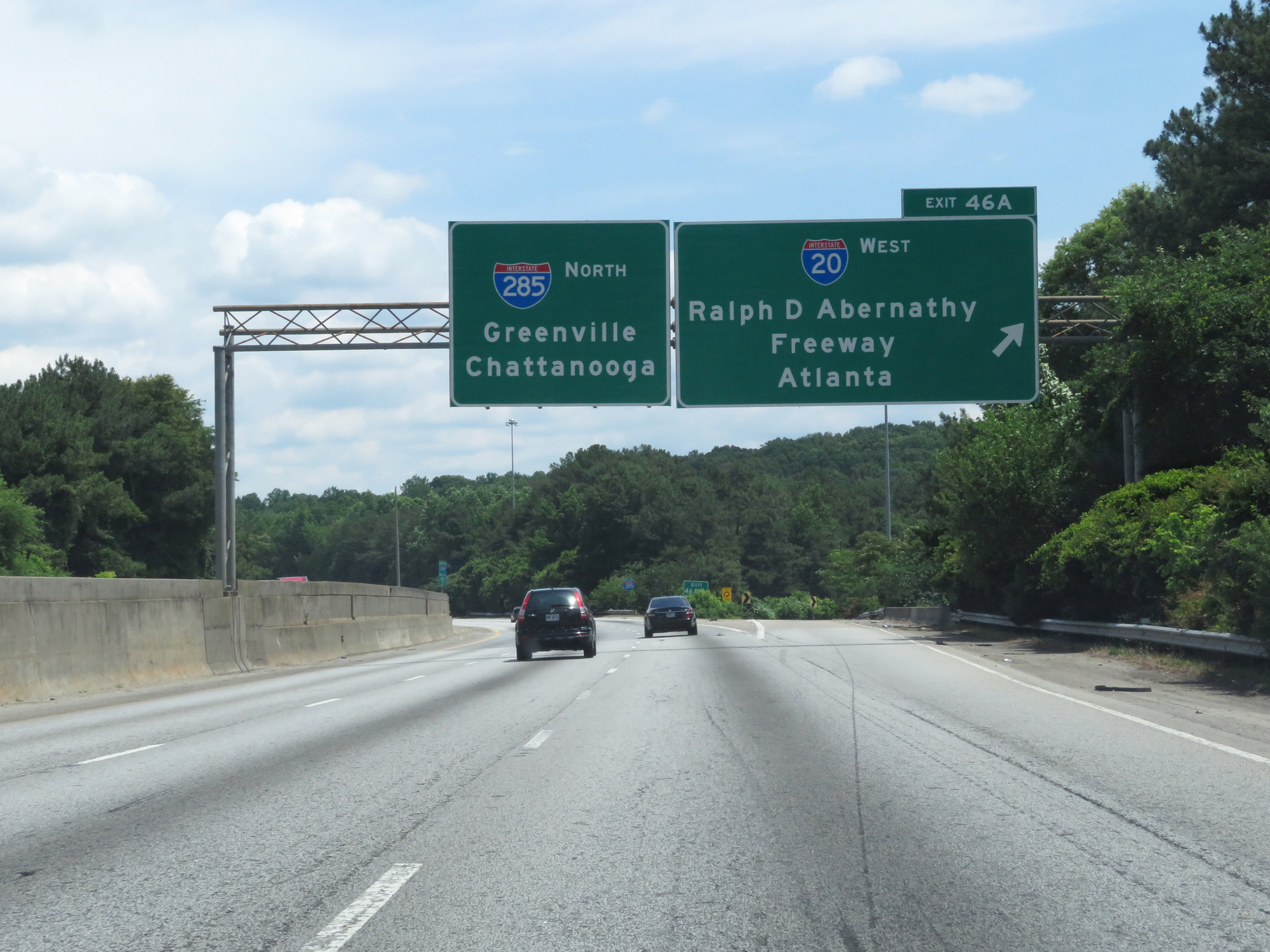 |
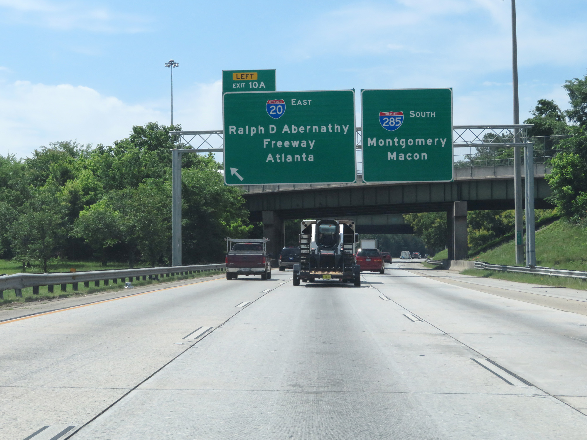
Interstate 285 Outer Loop (North) at Exit 46A: Interstate 20 West - Ralph D Abernathy Freeway / Atlanta (Photo taken 5/27/17). |
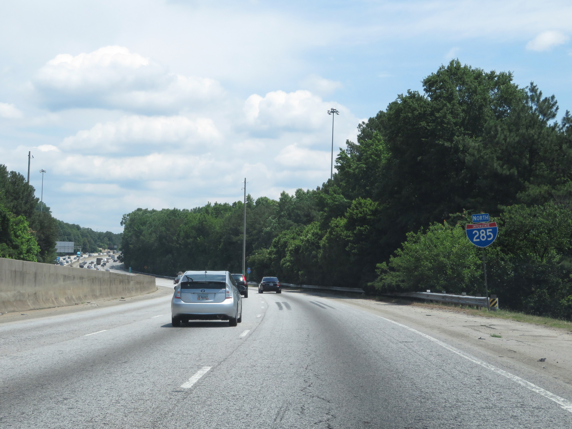 |
Interstate 285 North reassurance shield. (Photo taken 5/27/17). |
 |
Interstate 285 Outer Loop (North) at mile marker 46, as traffic from Interstate 20 merges into The Perimeter on the right. (Photo taken 5/27/17). |
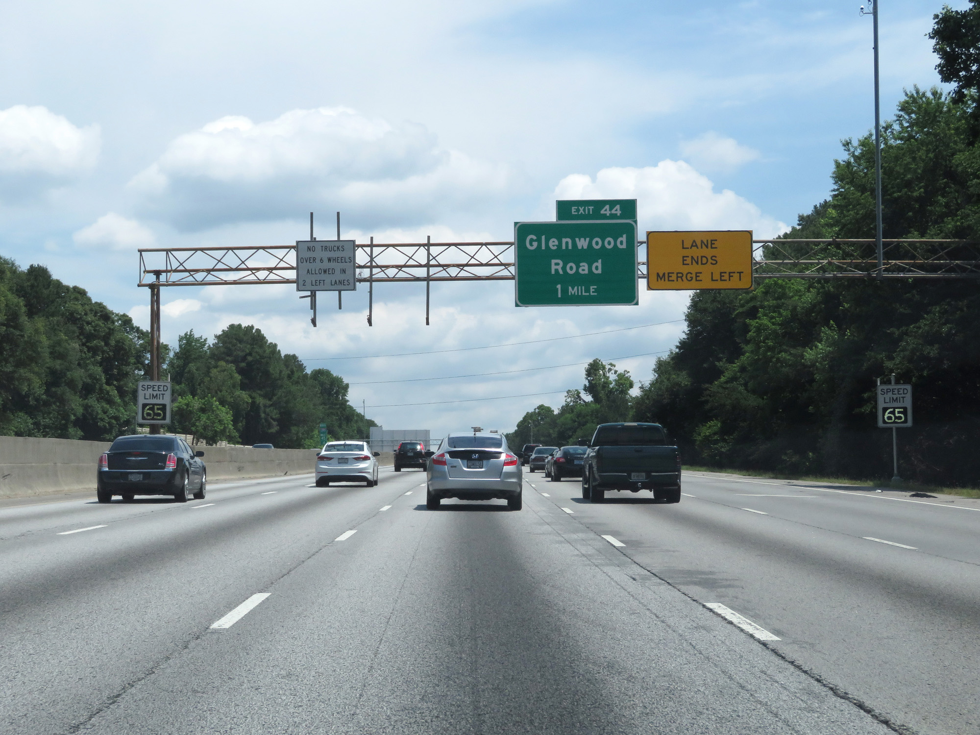 |
At this point on The Perimeter, 1 mile from Exit 44, variable speed limits are used. The speed limit at the time was 65 mph. (Photo taken 5/27/17). |
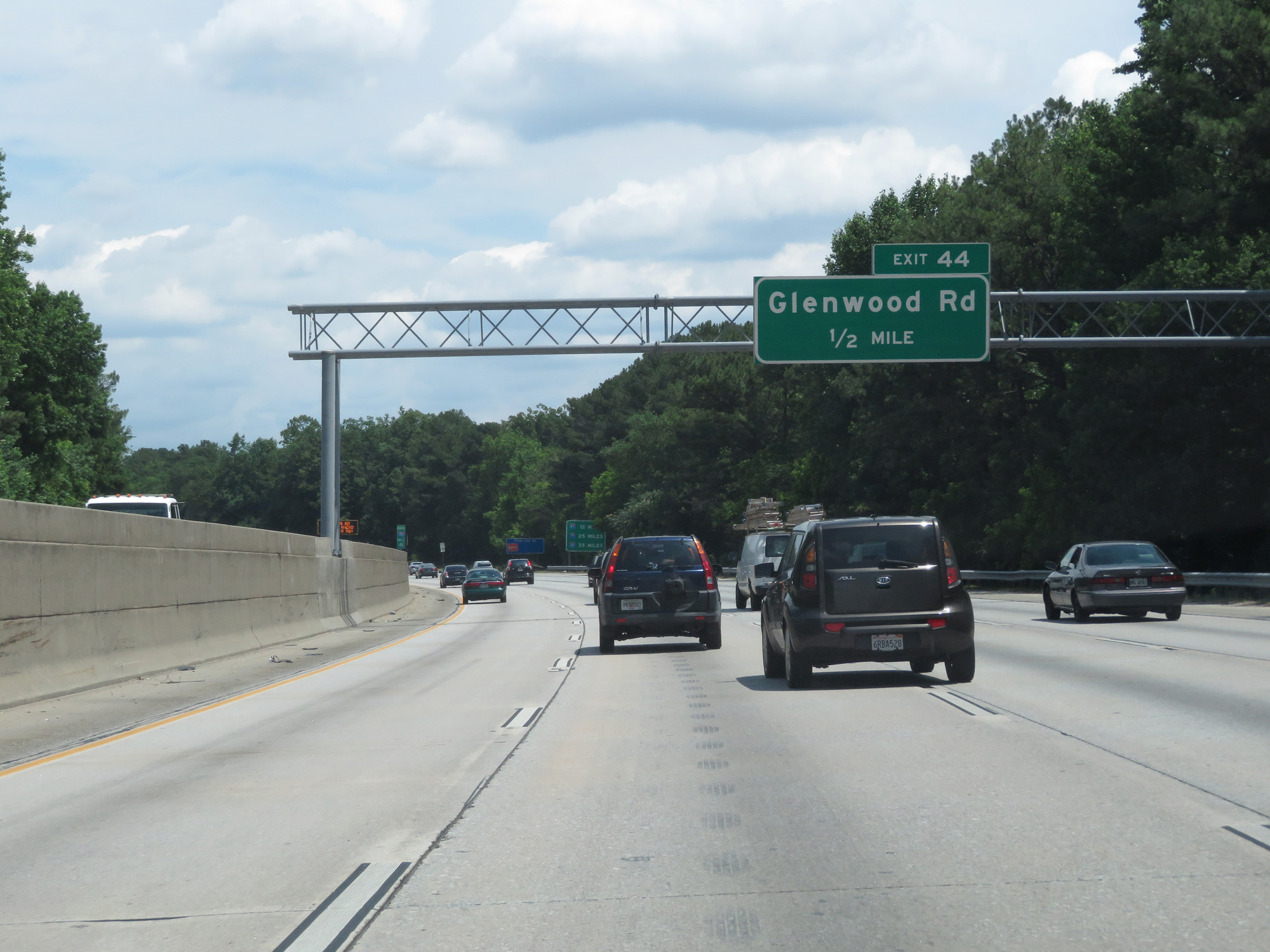 |
Interstate 285 Outer Loop (North) approaching Exit 44 - 1/2 mile. (Photo taken 5/27/17). |
 |
Interstate 285 Outer Loop (North) at Exit 44 - Glenwood Road (Photo taken 5/27/17). |
 |
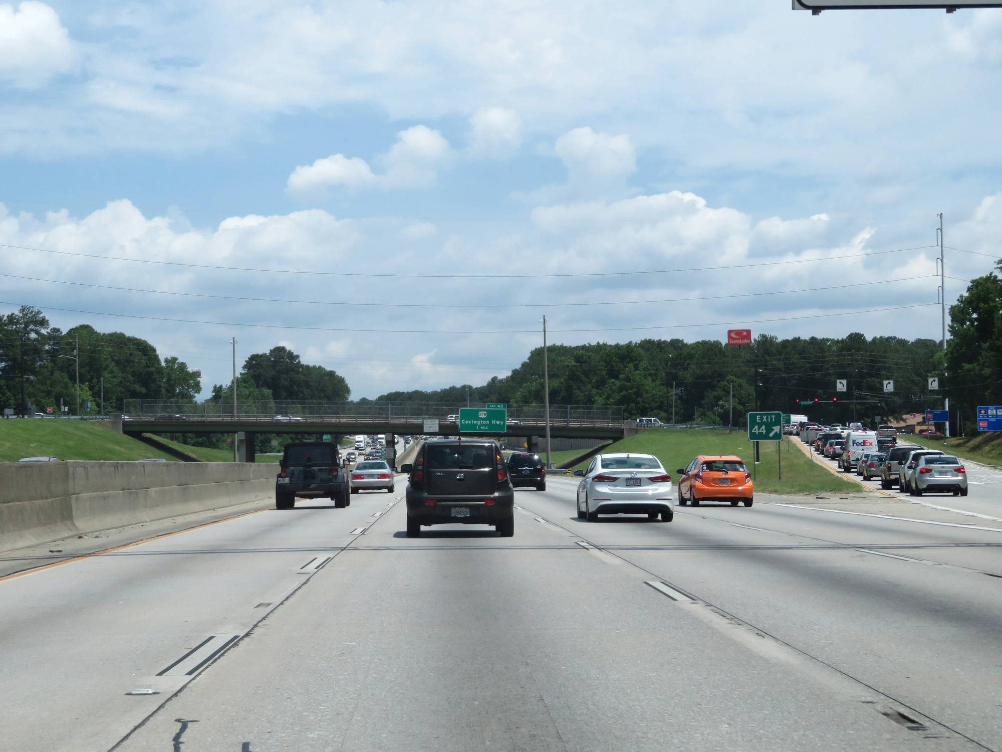
Interstate 285 Outer Loop (North) at Exit 43: US 278 - Covington Highway (Photo taken 5/27/17). |
 |
Interstate 285 Outer Loop (North) at mile marker 43. (Photo taken 5/27/17). |
 |
Take Exit 41 to Cynthia McKinney Parkway. (Photo taken 5/27/17). |
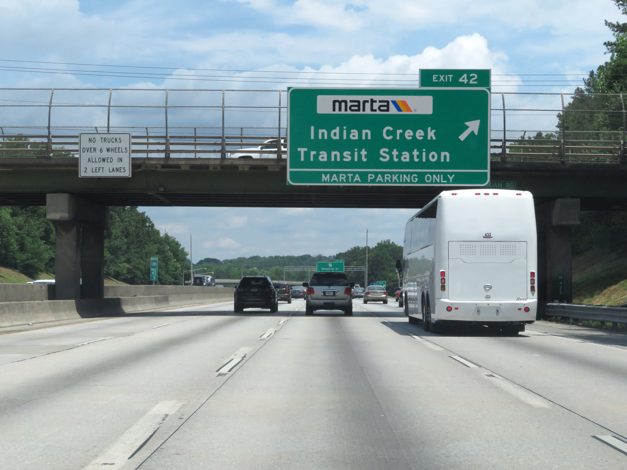 |
Interstate 285 Outer Loop (North) at Exit 42: Indian Creek Transit Station (Photo taken 5/27/17). |
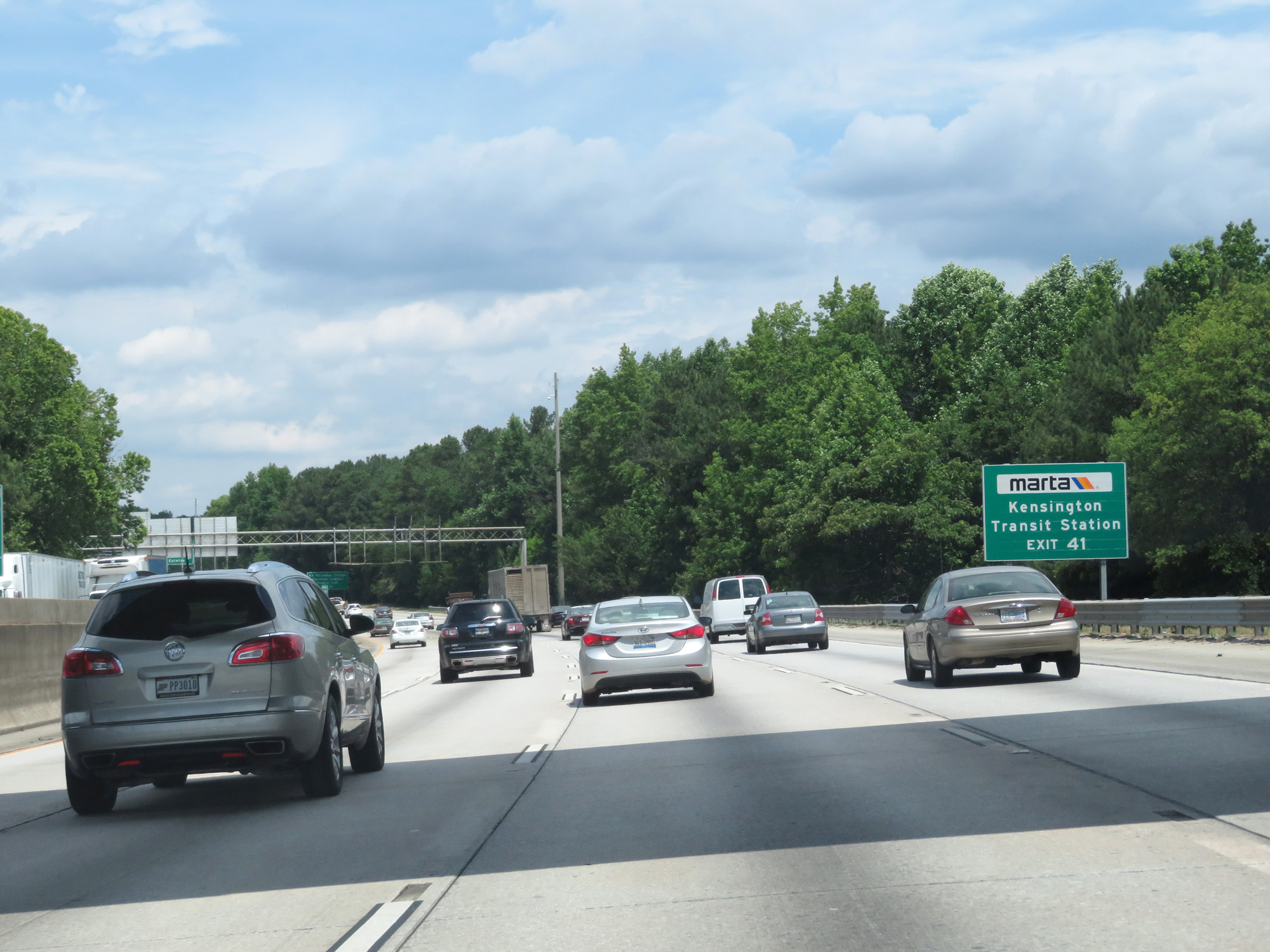 |
Take Exit 41 to Kensington Transit Station. (Photo taken 5/27/17). |
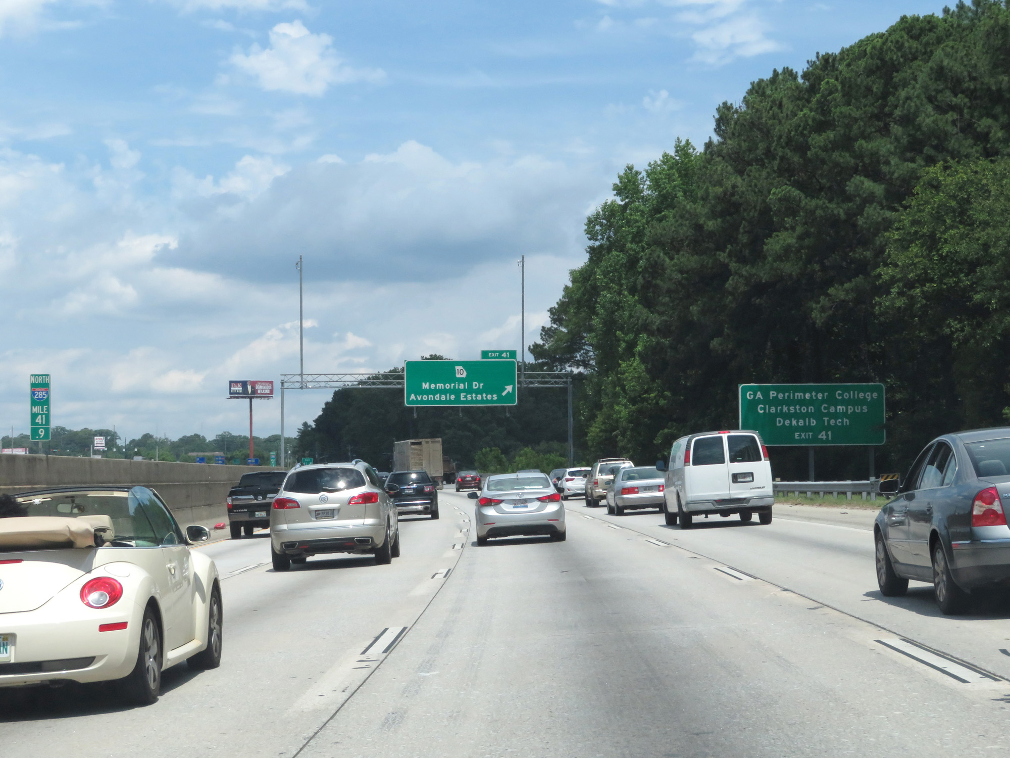 |
Also take Exit 41 to GA Perimeter College Clarkston Campus and DeKalb Tech. (Photo taken 5/27/17). |
 |
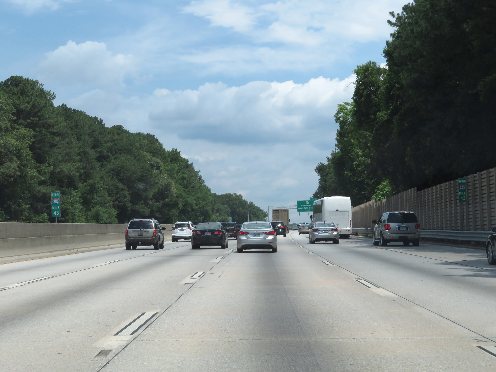
Interstate 285 Outer Loop (North) at Exit 41: GA 10 - Memorial Dr / Avondale Estates (Photo taken 5/27/17). |
 |
Interstate 285 Outer Loop (North) at mile marker 41. (Photo taken 5/27/17). |
 |
Interstate 285 Outer Loop (North) at Exit 40: Church St / Clarkston (Photo taken 5/27/17). |
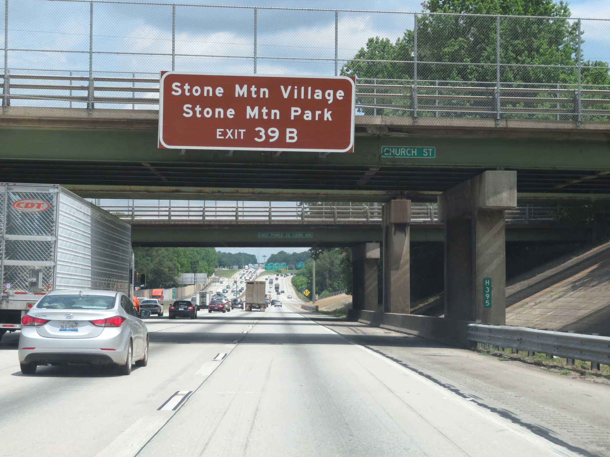 |
Take Exit 39B to Stone Mountain Village and Stone Mountain Park. (Photo taken 5/27/17). |
 |
Interstate 285 Outer Loop (North) at mile marker 39. (Photo taken 5/27/17). |
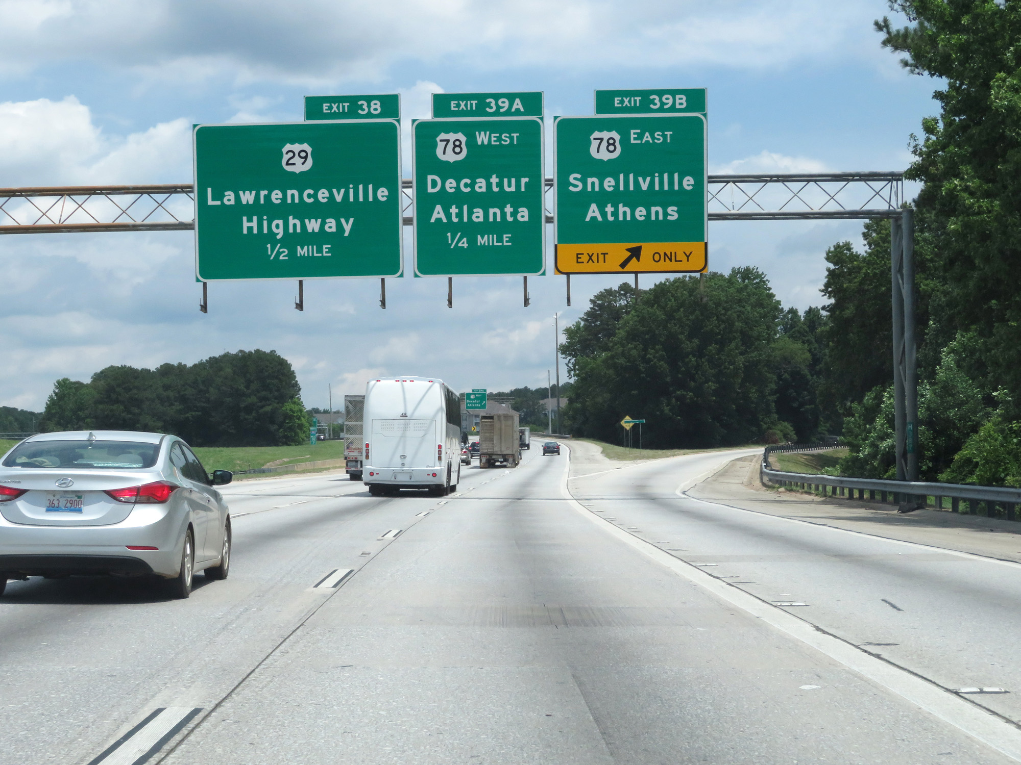 |
Interstate 285 Outer Loop (North) at Exit 39B: US 78 East - Snellville / Athens (Photo taken 5/27/17). |
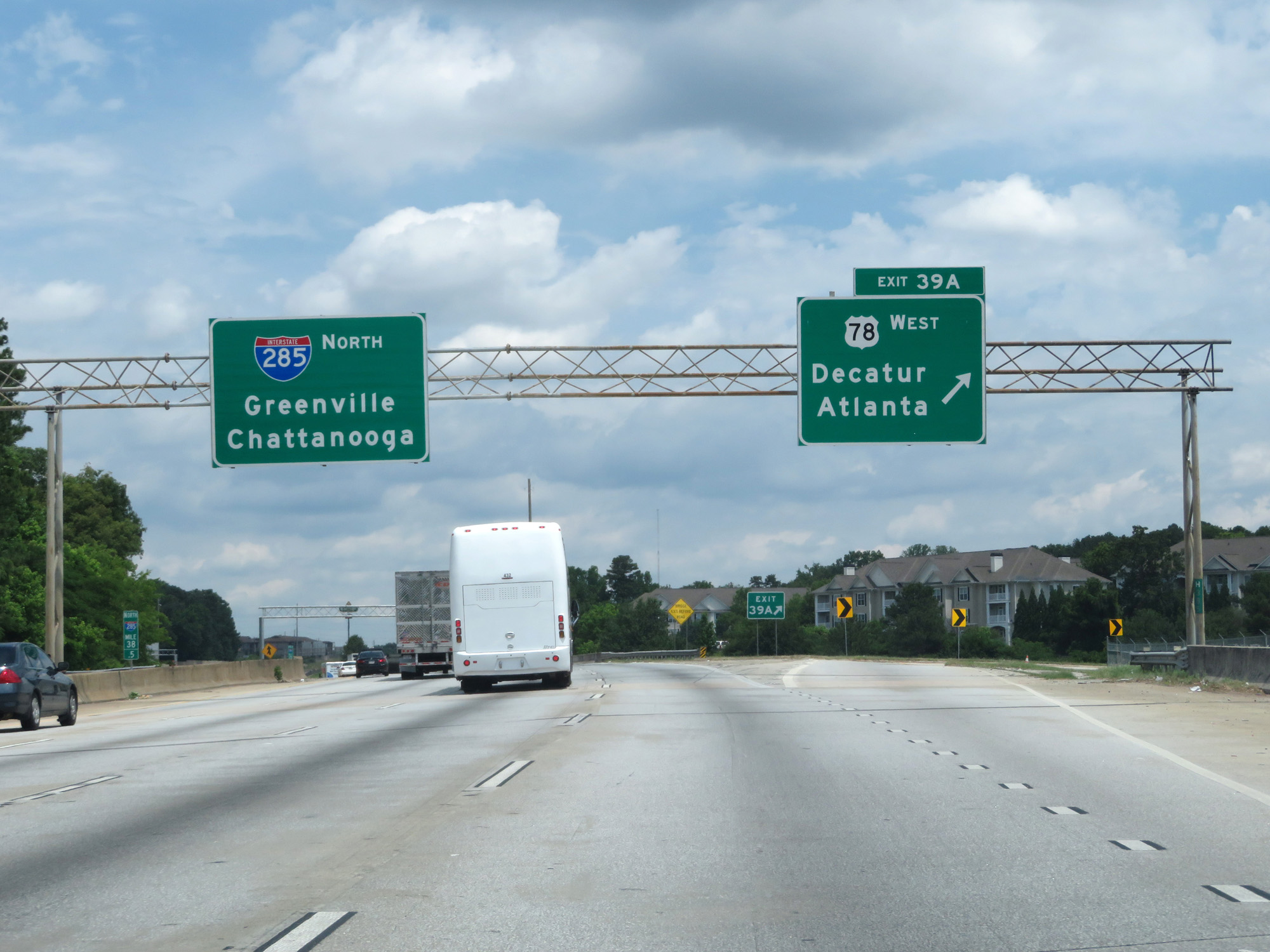 |
Interstate 285 Outer Loop (North) at Exit 39A: US 78 West - Decatur / Atlanta (Photo taken 5/27/17). |
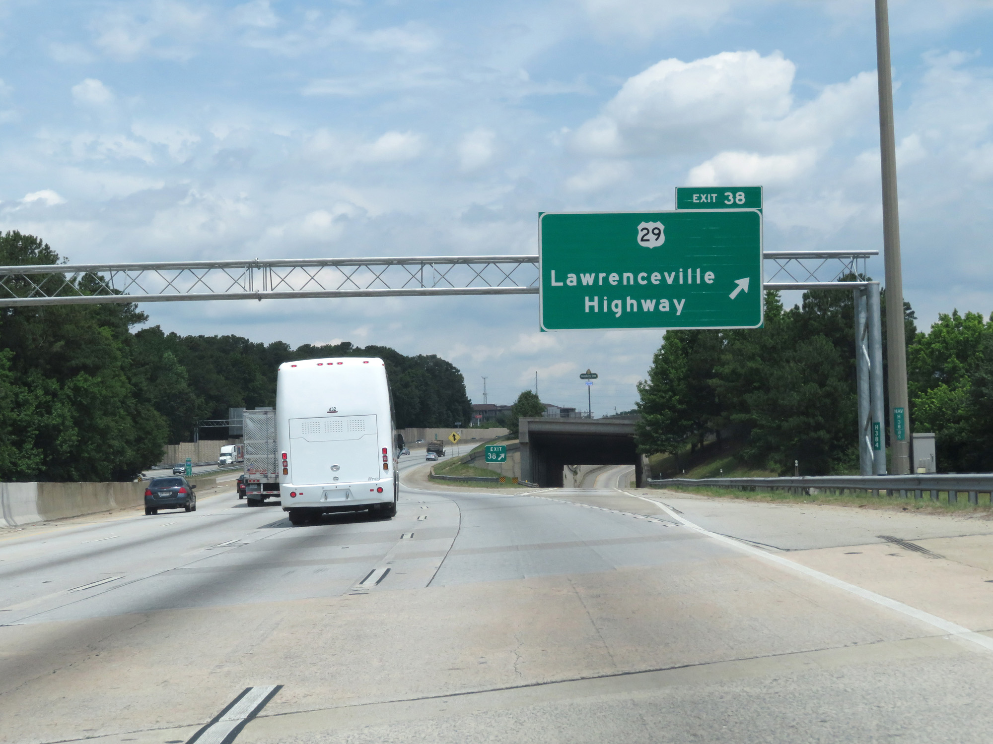 |
Interstate 285 Outer Loop (North) at Exit 38: US 29 - Lawrenceville Highway (Photo taken 5/27/17). |
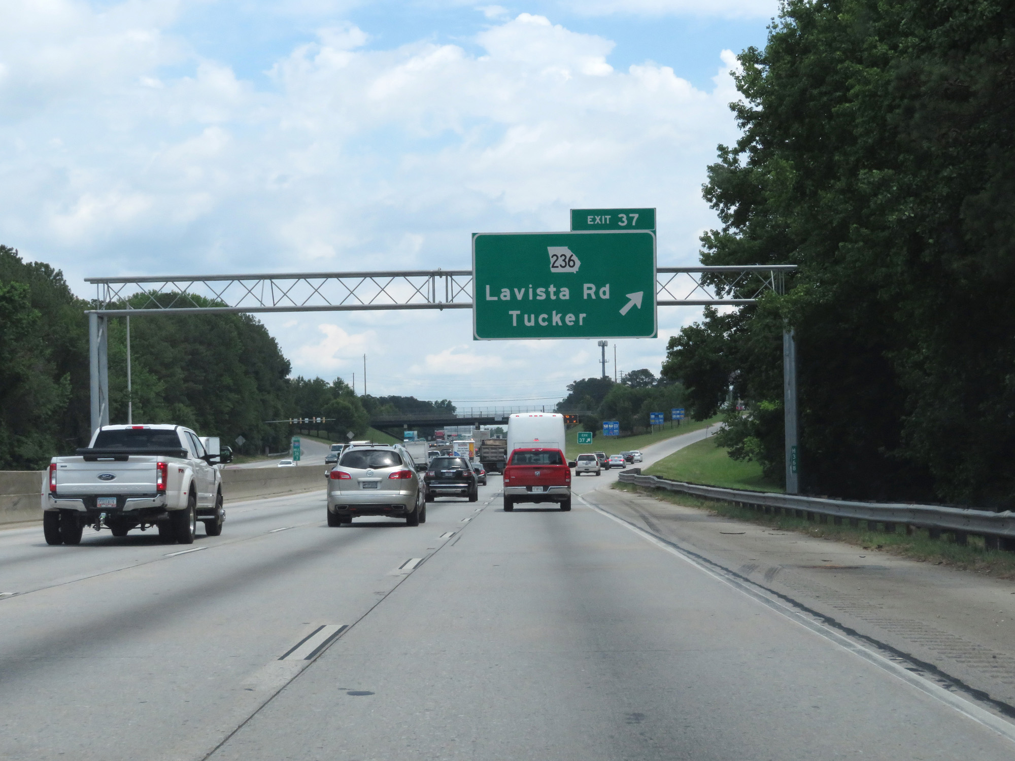 |
Interstate 285 Outer Loop (North) at Exit 37: GA 236 - Lavista Rd / Tucker (Photo taken 5/27/17). |
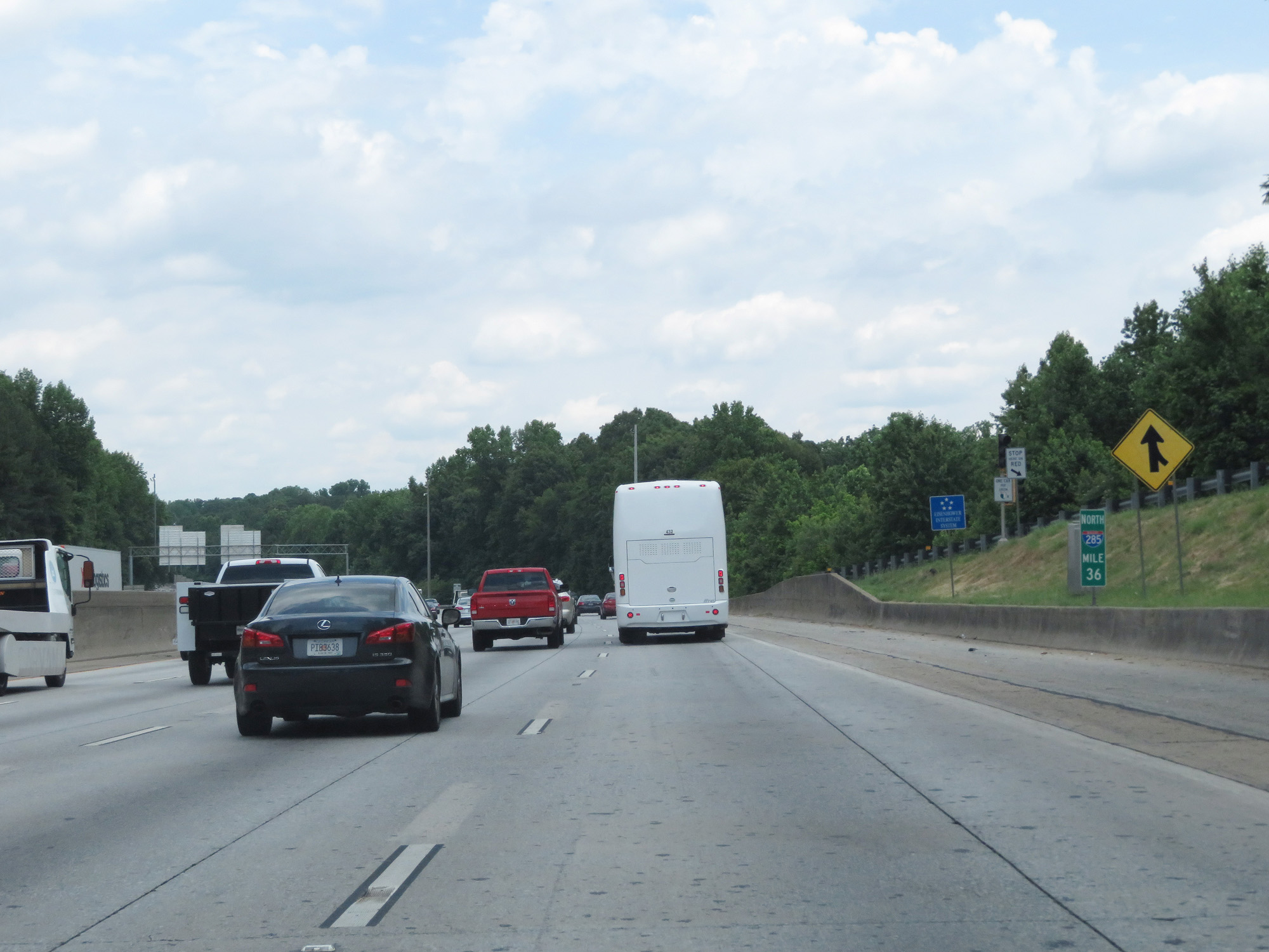 |
Interstate 285 Outer Loop (North) at mile marker 36. (Photo taken 5/27/17). |
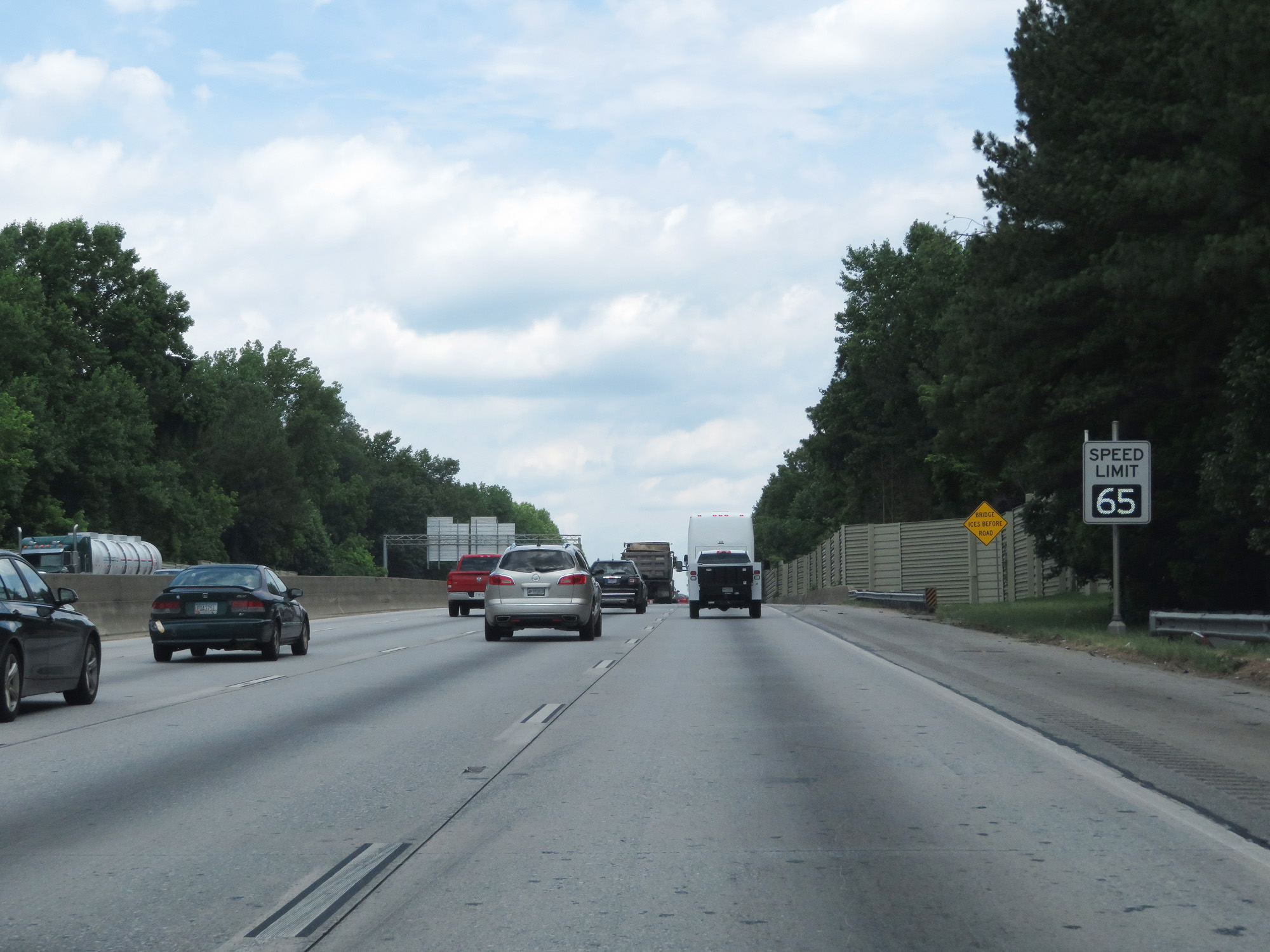 |
Variable speed limits remain in effect. At this time, the speed limit was 65 mph during this stretch of The Perimeter. (Photo taken 5/27/17). |
 |
Interstate 285 Outer Loop (North) approaching Exit 33 - 3/4 mile. (Photo taken 5/27/17). |
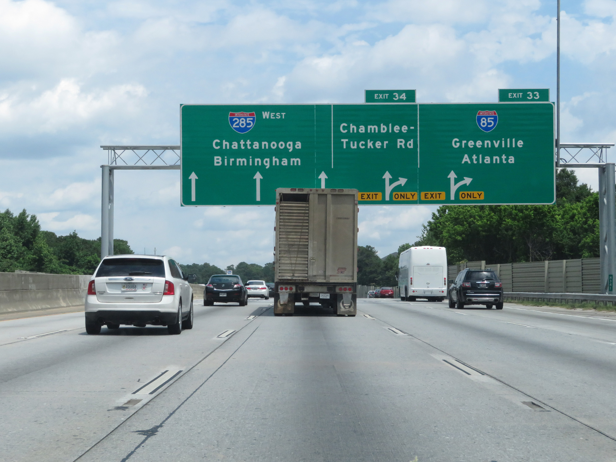 |
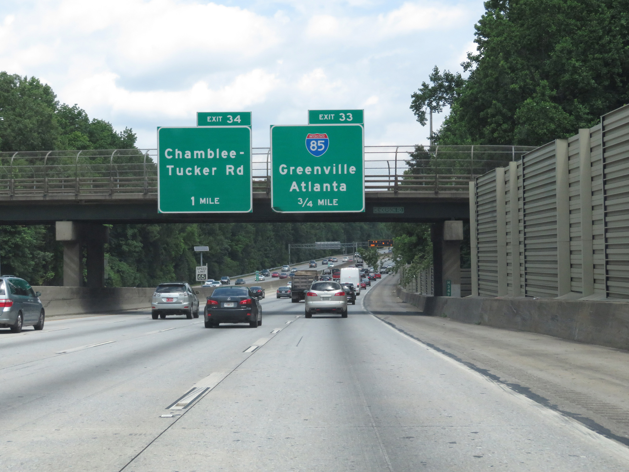
Interstate 285 Outer Loop (North) at Exit 33: Interstate 85 - Greenville / Atlanta (Photo taken 5/27/17). |
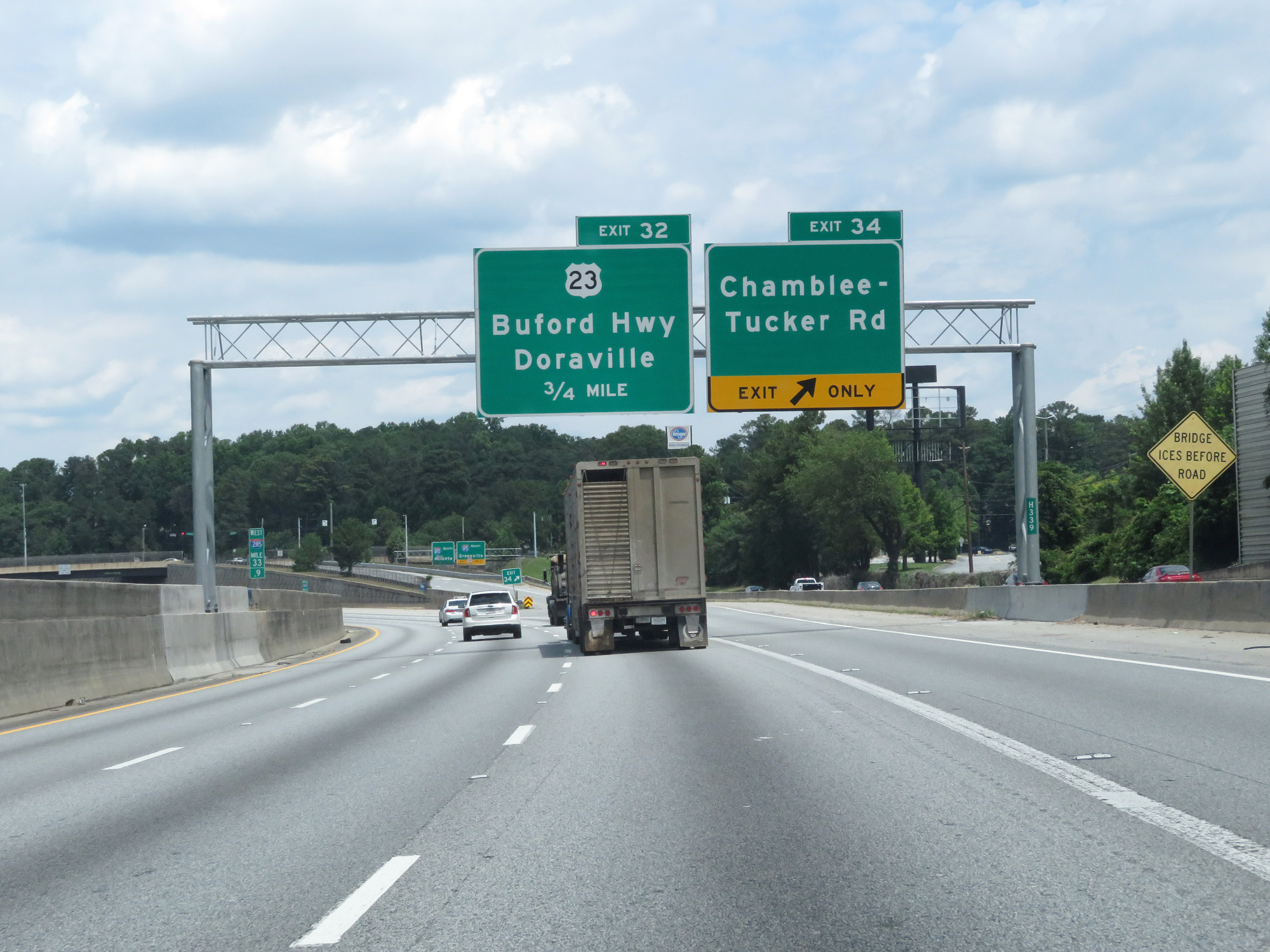 |
Interstate 285 Outer Loop (West) at Exit 34: Chamblee-Tucker Rd (Photo taken 5/27/17). |
 |
Interstate 285 Outer Loop (West) at Exit 32: US 23 - Buford Hwy / Doraville (Photo taken 5/27/17). |
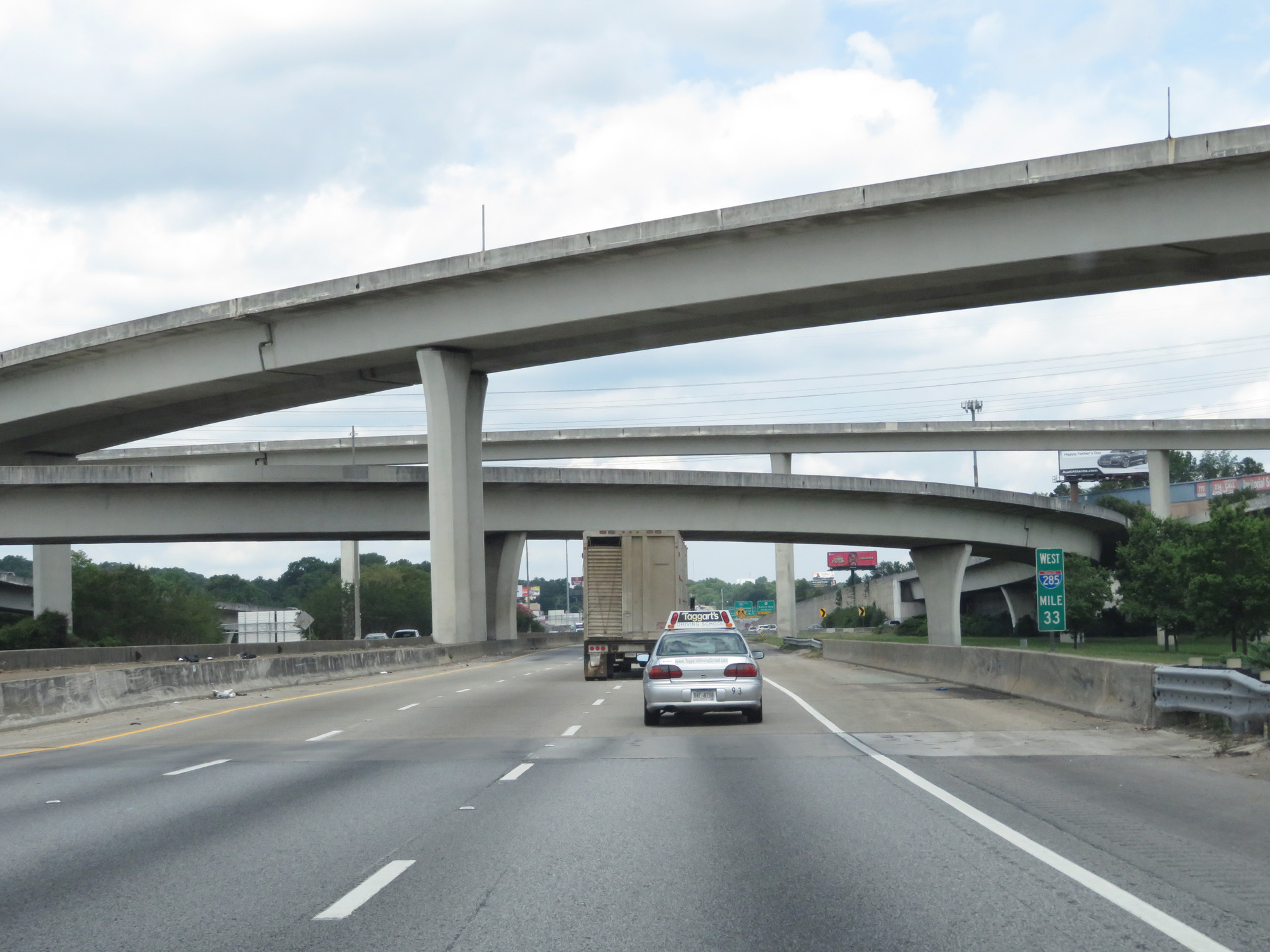 |
Interstate 285 Outer Loop (West) at mile marker 33, as it prepares to pass under Interstate 85 and the ramps to and from it. (Photo taken 5/27/17). |
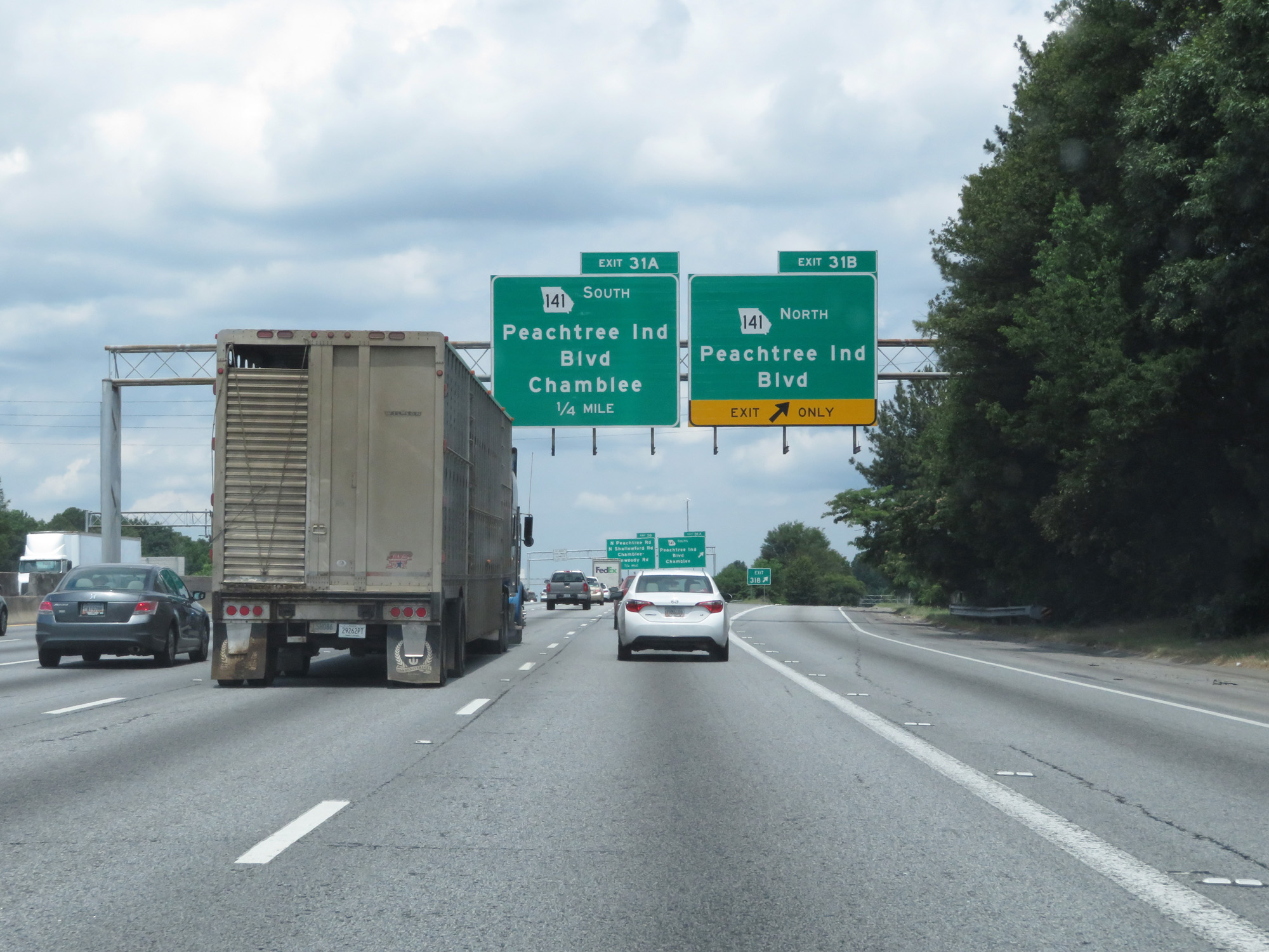 |
Interstate 285 Outer Loop (West) at Exit 31B: GA 141 North - Peachtree Industrial Blvd (Photo taken 5/27/17). |
 |
Interstate 285 Outer Loop (West) at Exit 31A: GA 141 South - Peachtree Industrial Blvd / Chamblee (Photo taken 5/27/17). |
Section 2: Doraville (Exit 31A) to Mile Marker 0
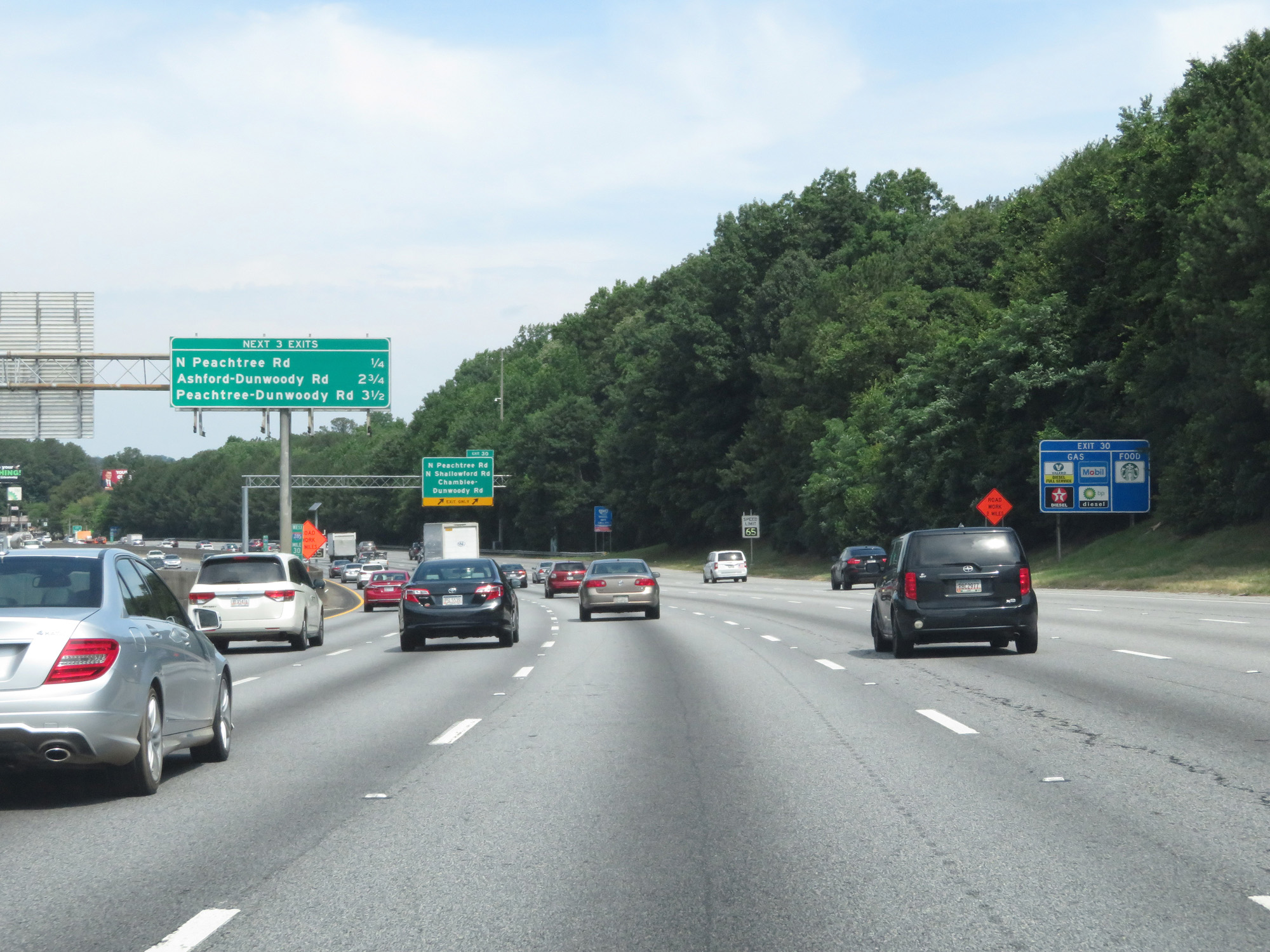 |
Overhead mileage sign listing the distances to the three upcoming exits. (Photo taken 5/27/17). |
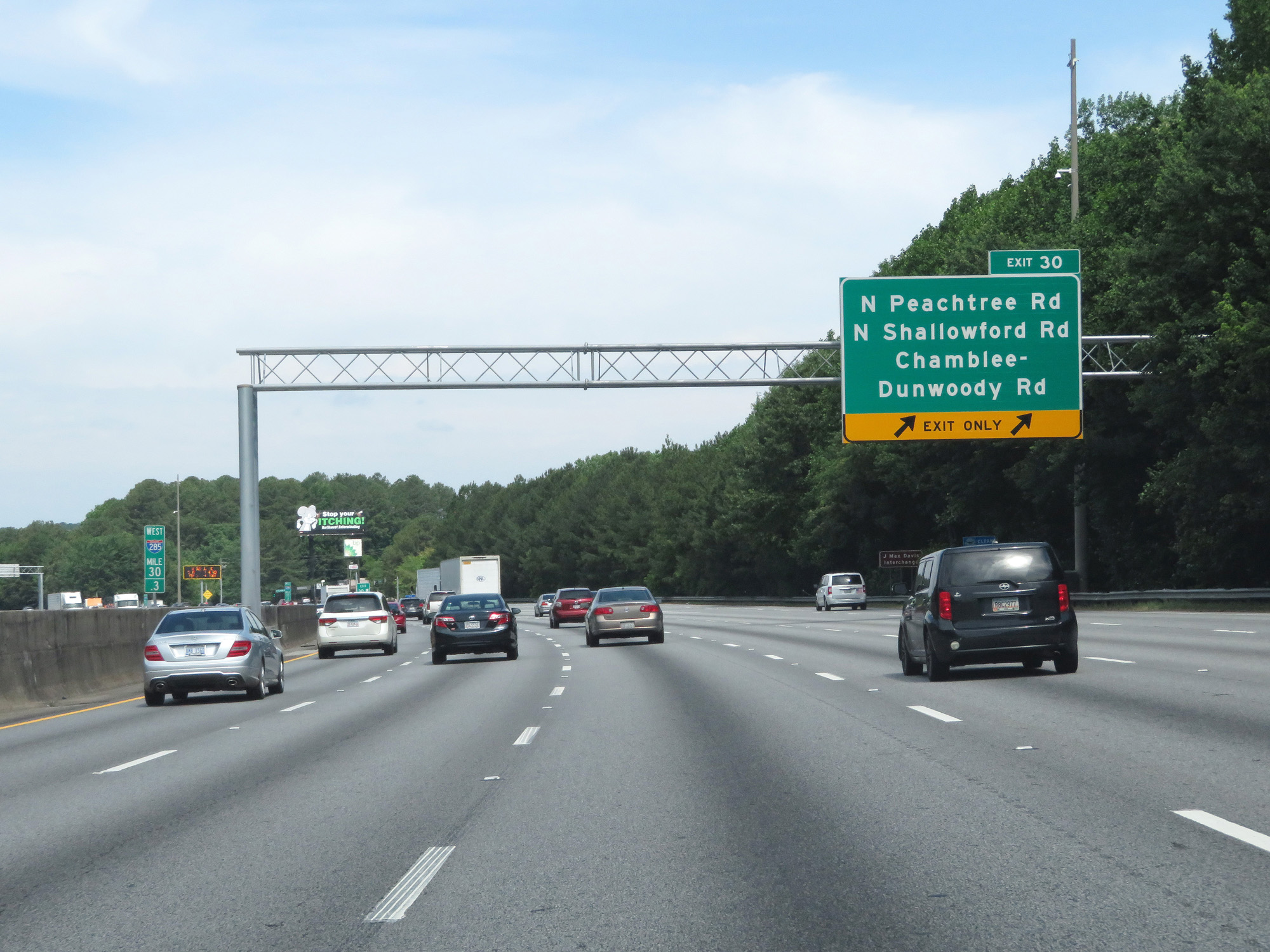 |
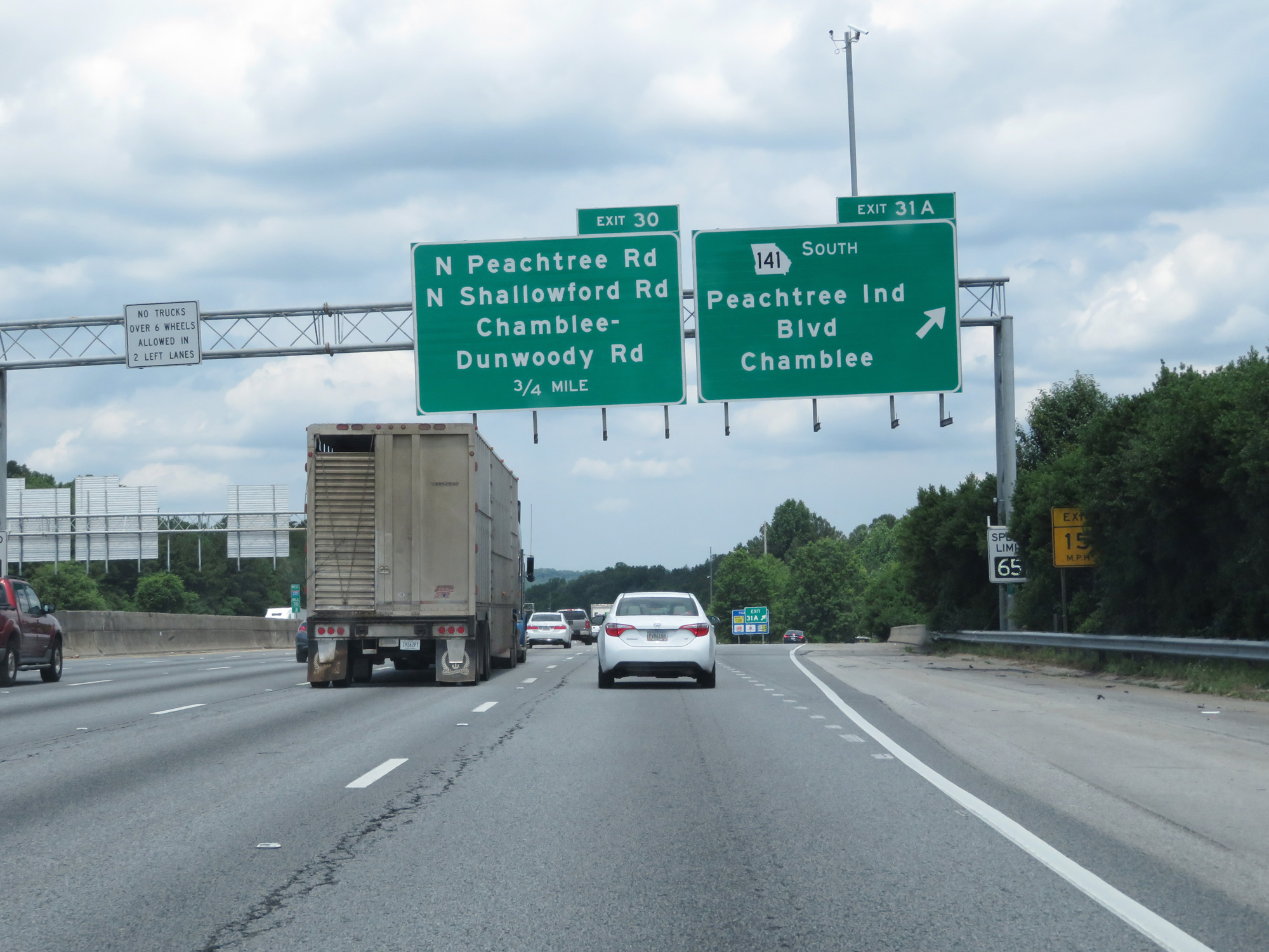
Interstate 285 Outer Loop (West) at Exit 30: N Peachtree Rd / N Shallowford Rd / Chamblee-Dunwoody Rd (Photo taken 5/27/17). |
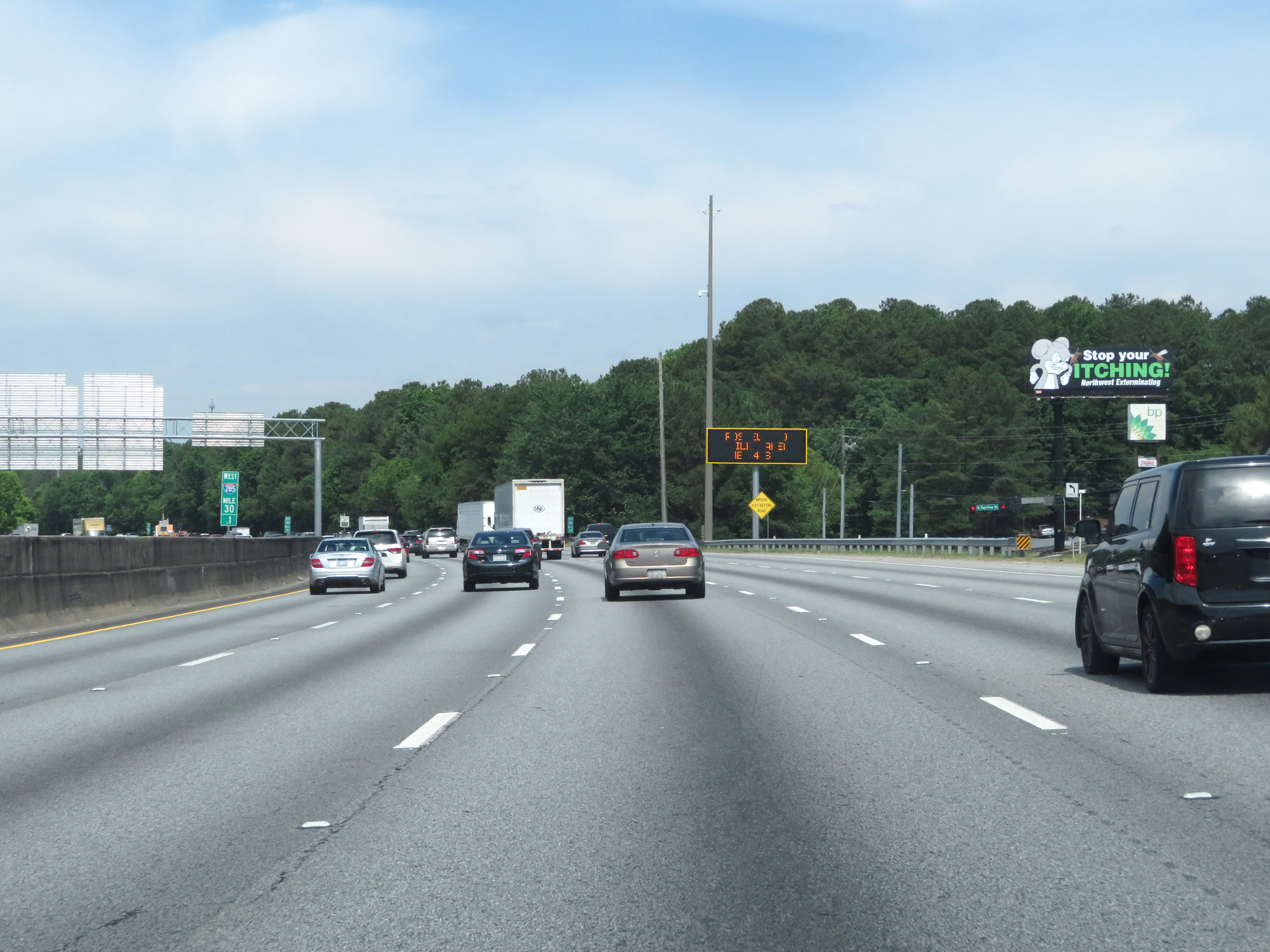 |
Interstate 285 Outer Loop (West) at mile marker 30.1. (Photo taken 5/27/17). |
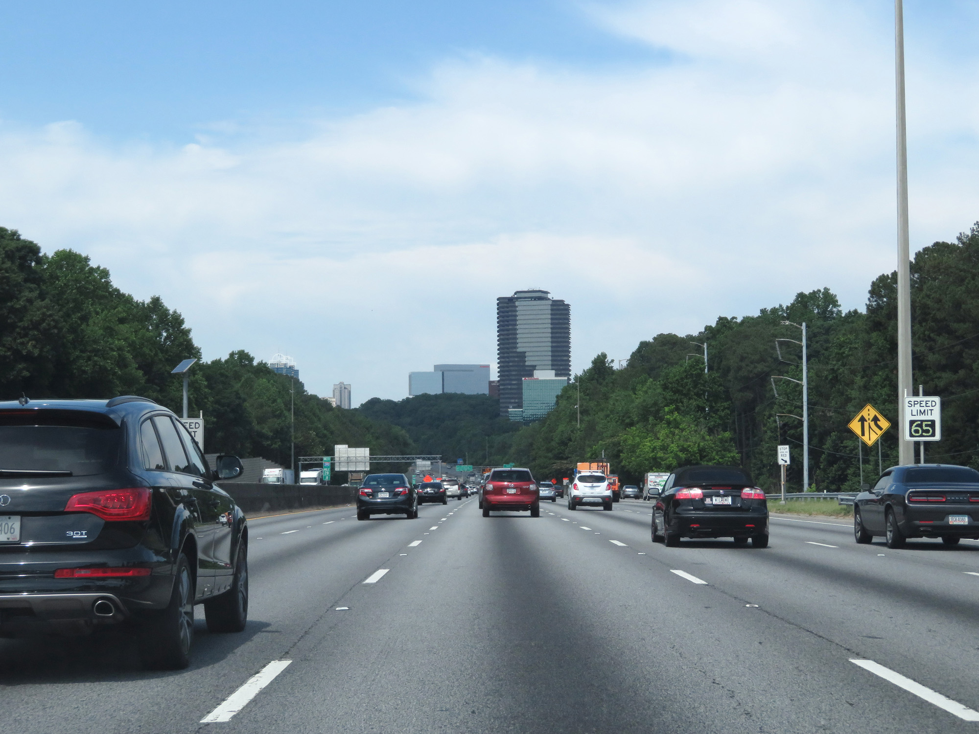 |
Variable speed limits remain in effect on this part of The Perimeter. (Photo taken 5/27/17). |
 |
Take Exit 29 to Oglethorpe University. (Photo taken 5/27/17). |
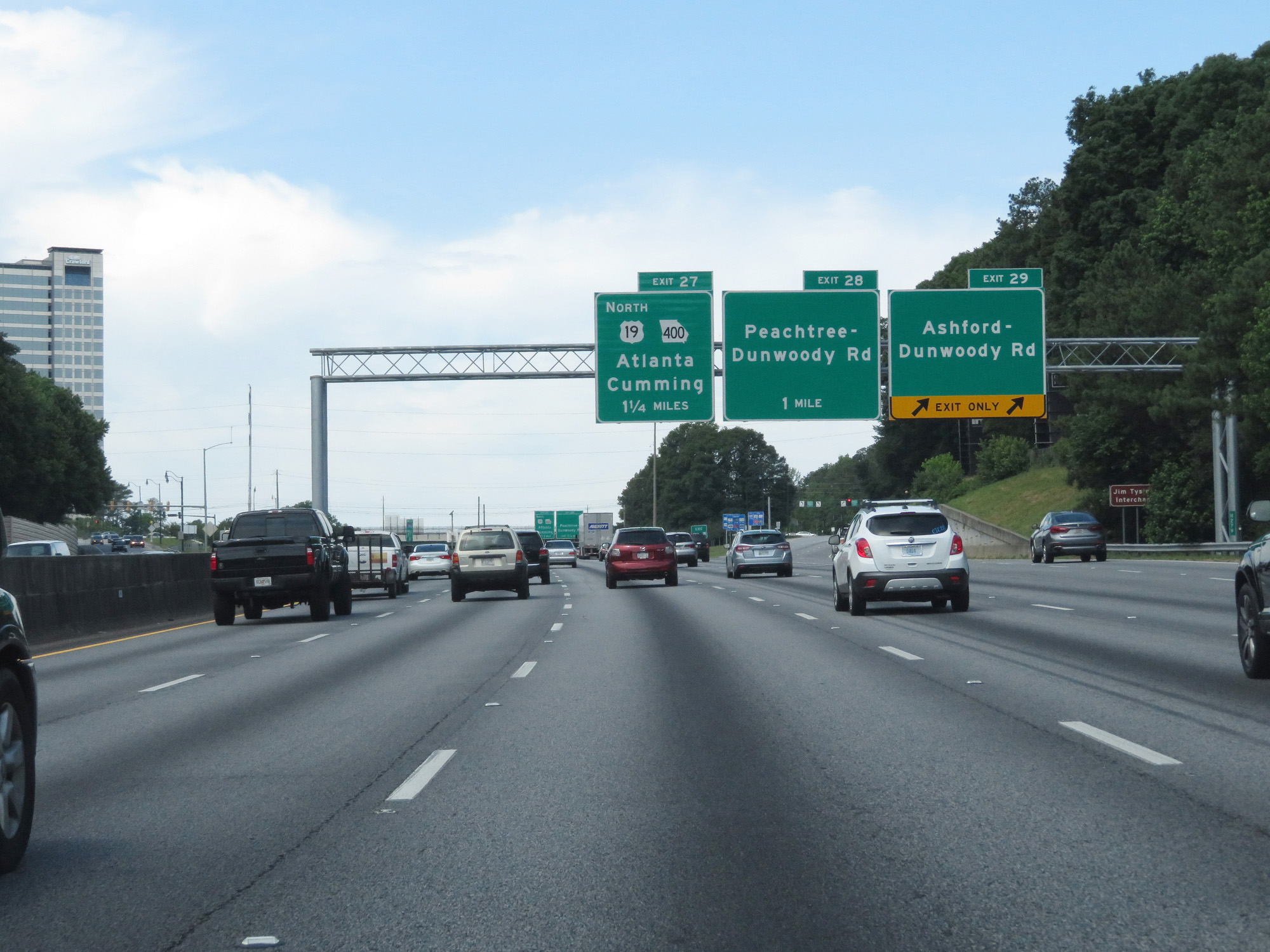 |
Interstate 285 Outer Loop (West) at Exit 29: Ashford-Dunwoody Rd (Photo taken 5/27/17). |
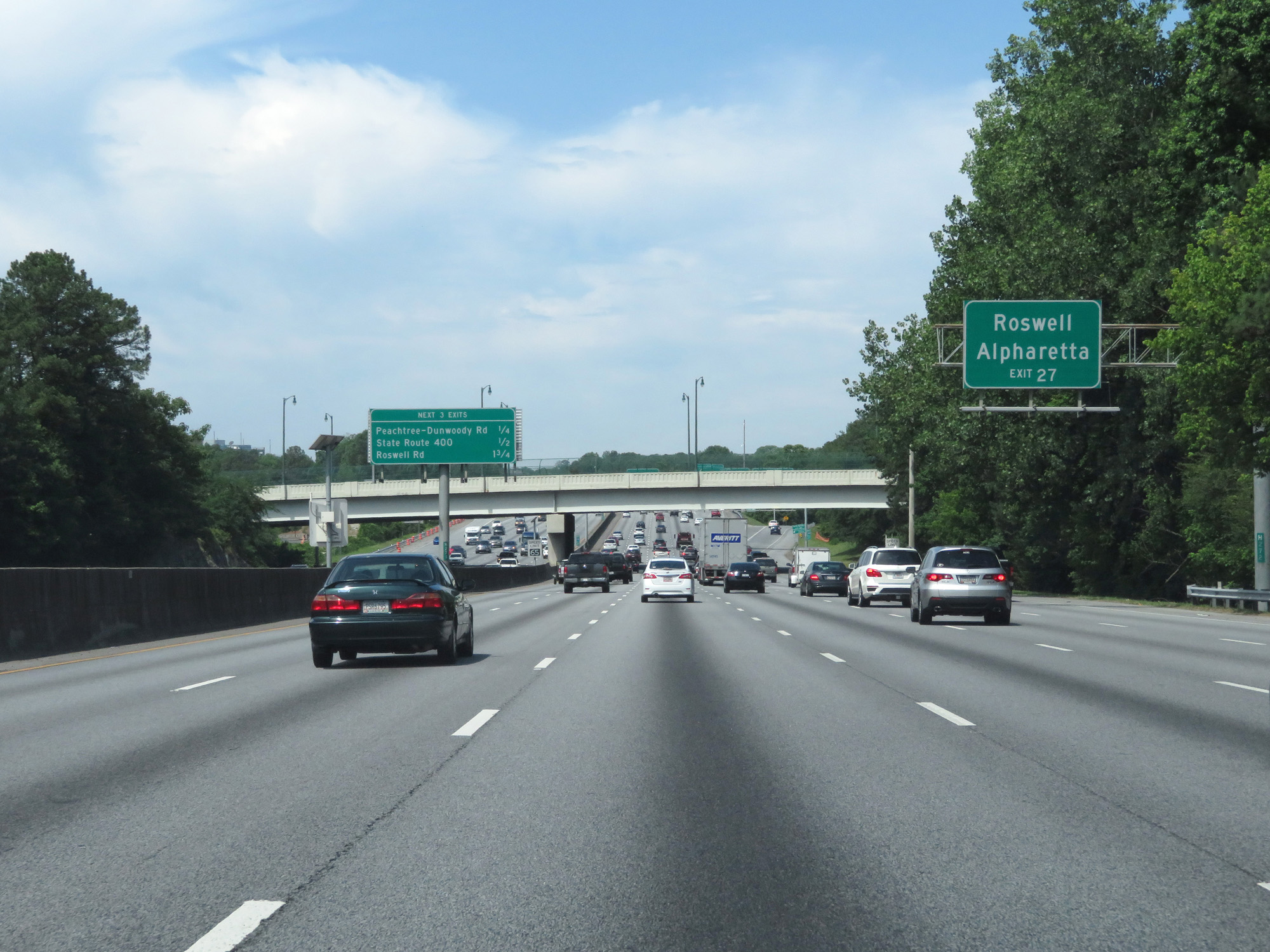 |
Take Exit 27 to Roswell and Alpharetta. (Photo taken 5/27/17). |
 |
Interstate 285 Outer Loop (West) at Exit 27: Peachtree-Dunwoody Rd (Photo taken 5/27/17). |
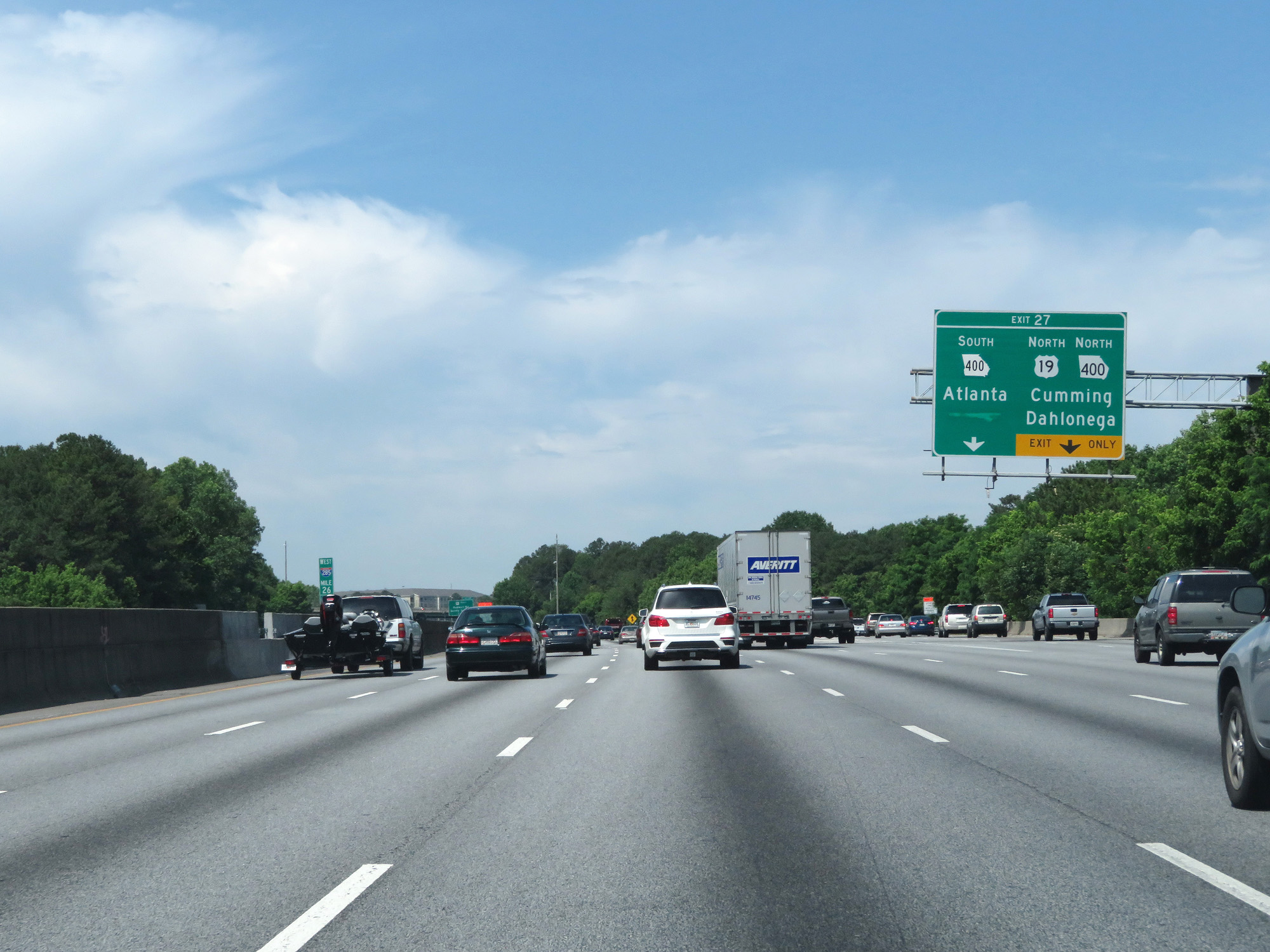 |
Interstate 285 Outer Loop (West) at Exit 27: GA 400 South - Atlanta; US 19 North / GA 400 North - Cumming / Dahlonega (Photo taken 5/27/17). |
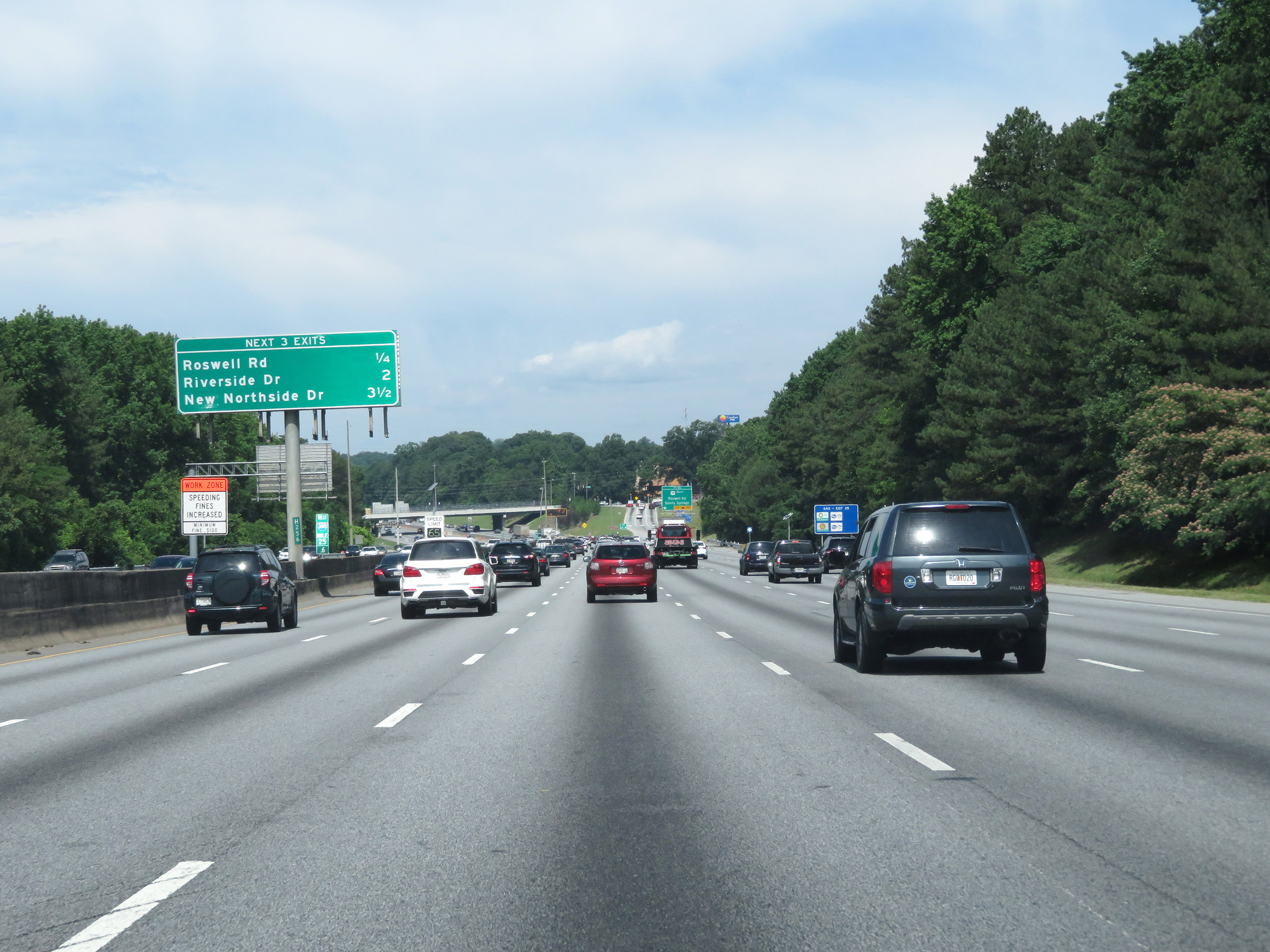 |
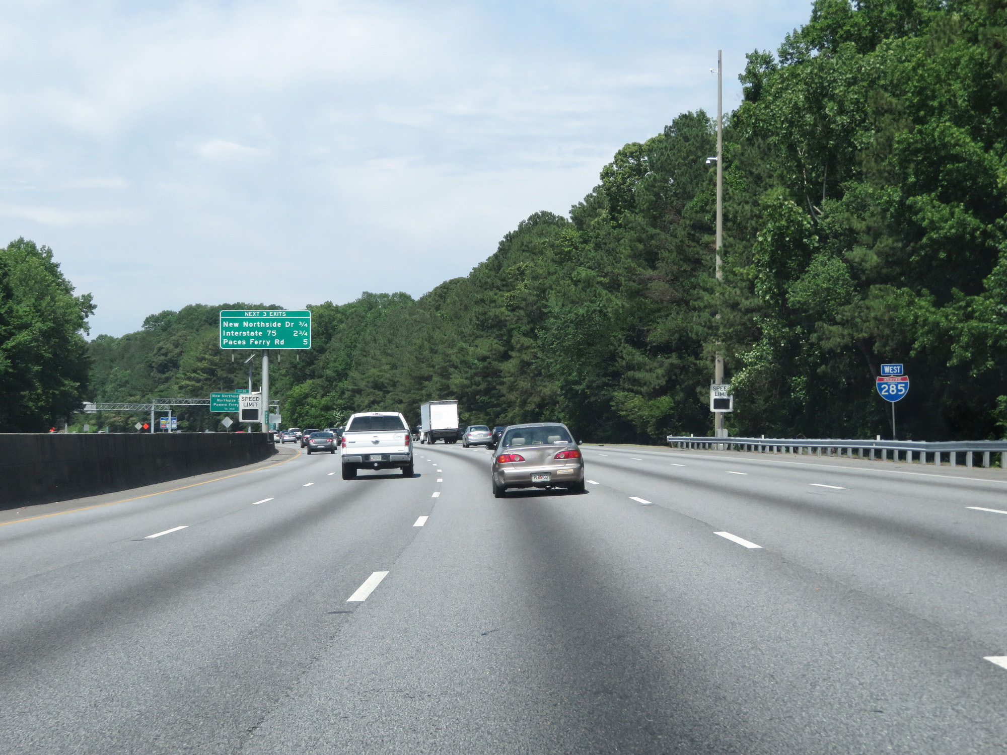
Another overhead mileage sign listing the distances to the three upcoming exits. (Photo taken 5/27/17). |
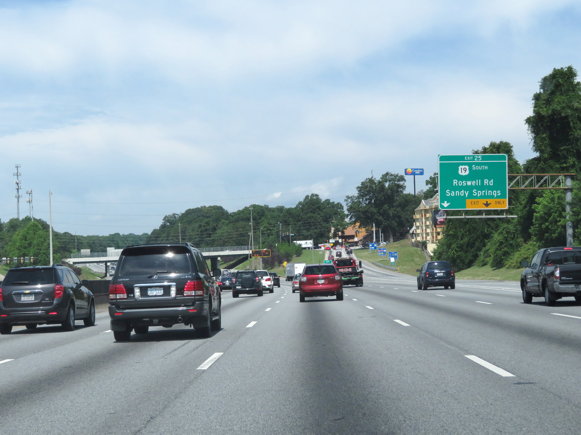 |
Interstate 285 Outer Loop (West) at Exit 25: US 19 South - Roswell Rd / Sandy Springs (Photo taken 5/27/17). |
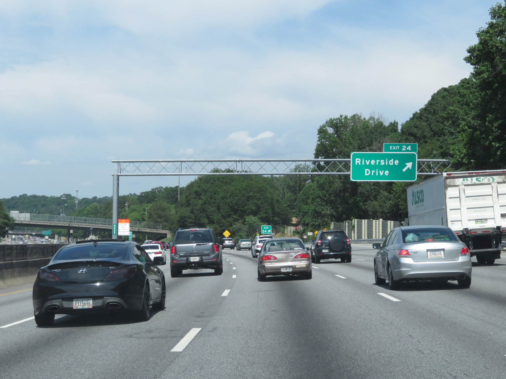 |
Interstate 285 Outer Loop (West) at Exit 24: Riverside Drive (Photo taken 5/27/17). |
 |
Interstate 285 West reassurance shield. (Photo taken 5/27/17). |
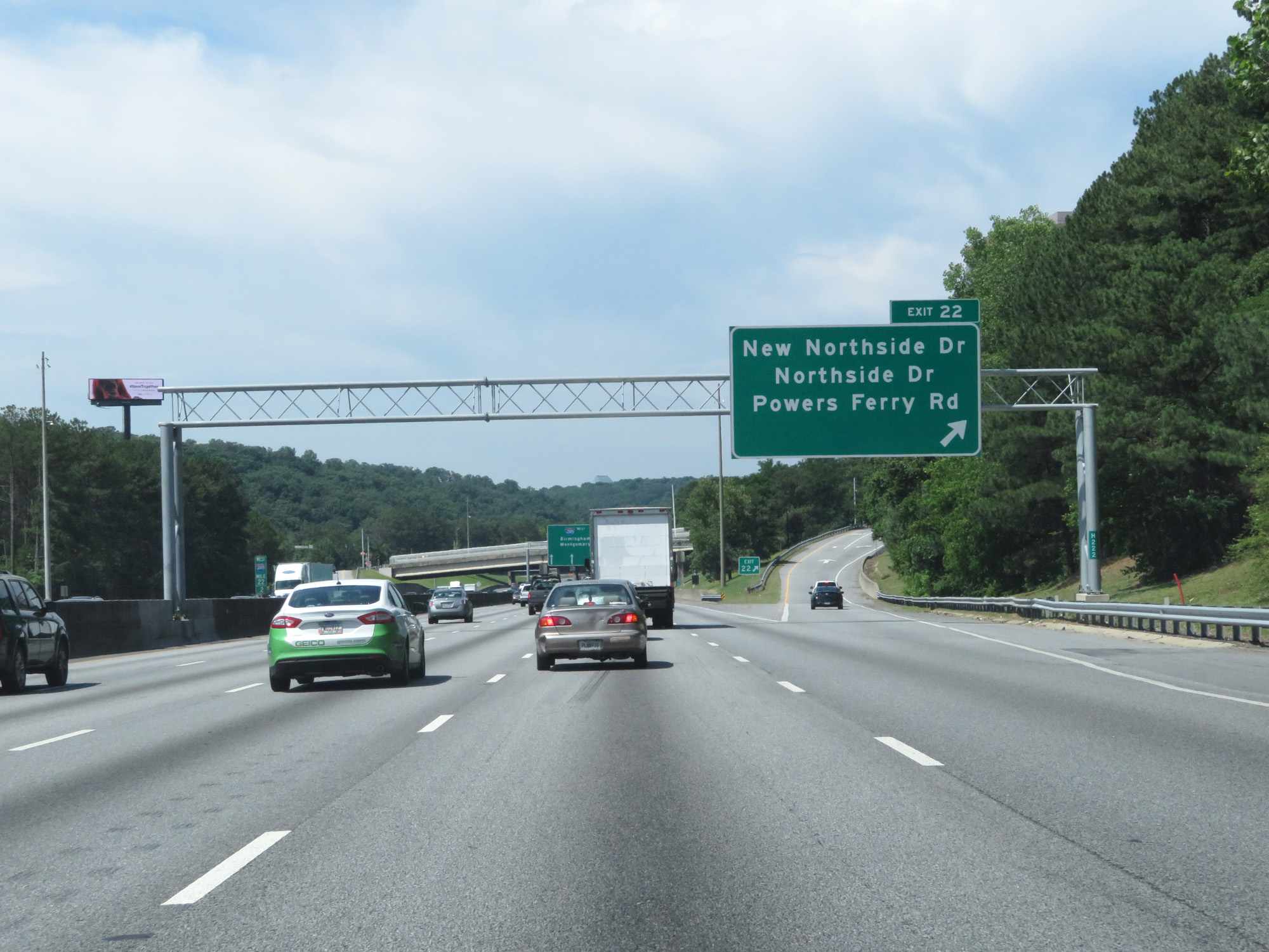 |
Interstate 285 Outer Loop (West) at Exit 22: New Northside Dr / Northside Dr / Powers Ferry Rd (Photo taken 5/27/17). |
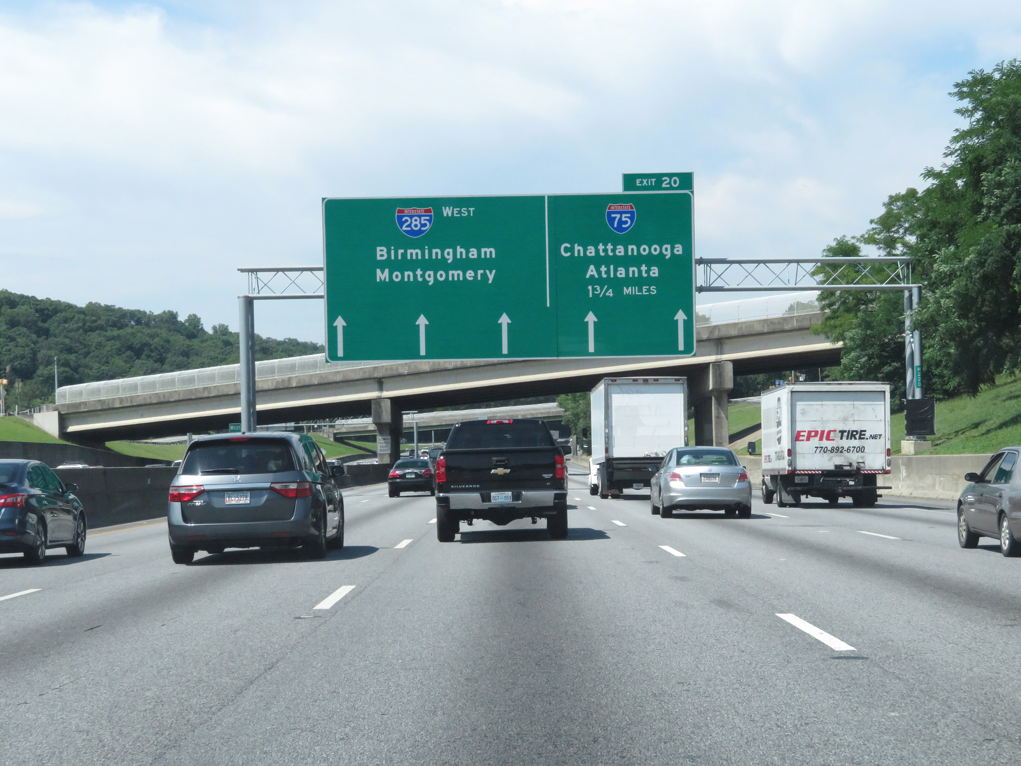 |
Interstate 285 Outer Loop (West) approaching Exit 20 - 1 3/4 miles. (Photo taken 5/27/17). |
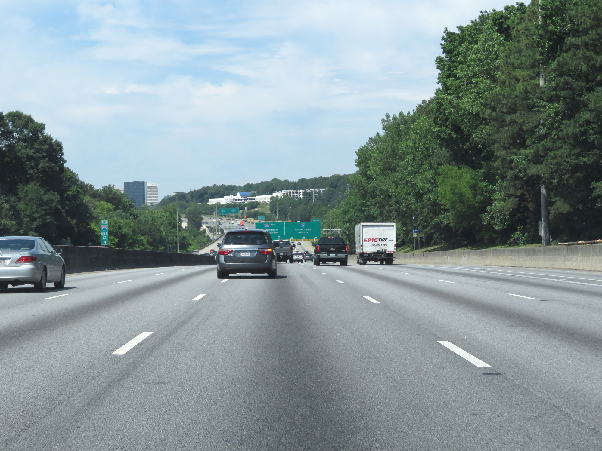 |
Interstate 285 Outer Loop (West) at mile marker 21.4. (Photo taken 5/27/17). |
 |
Interstate 285 Outer Loop (West) approaching Exit 20 - 1/2 mile. (Photo taken 5/27/17). |
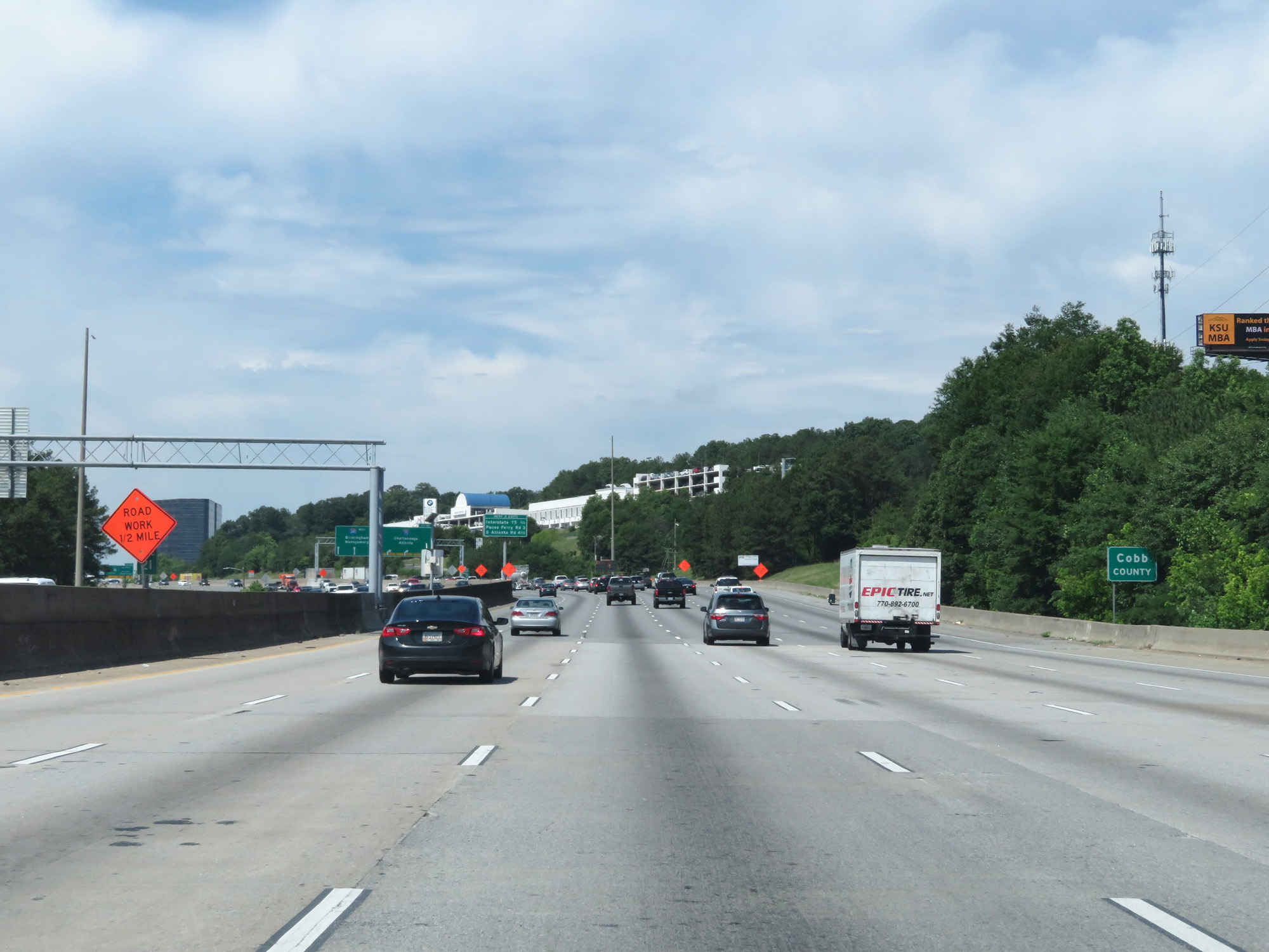 |
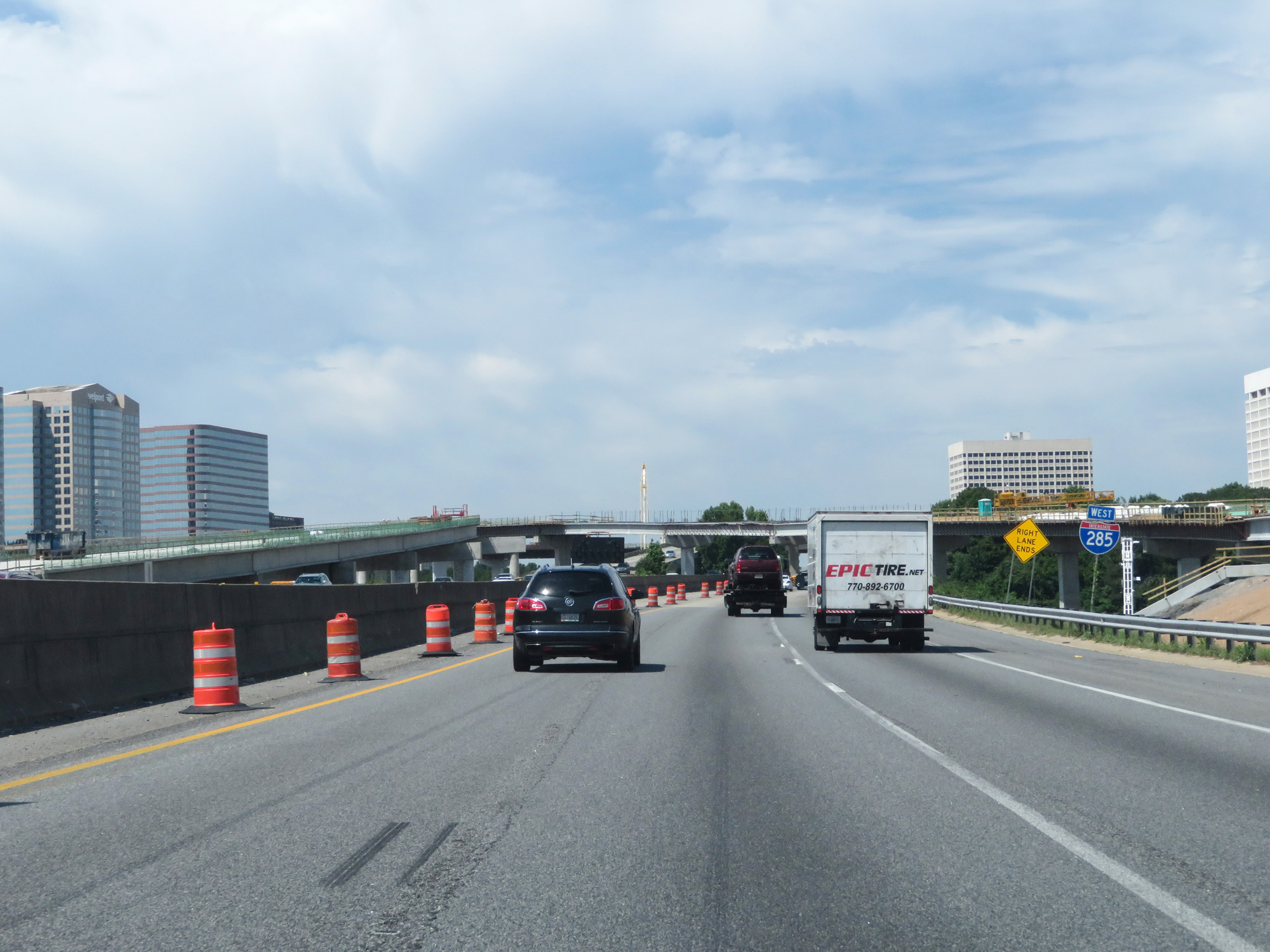
Interstate 285 Outer Loop (West) entering Cobb County. (Photo taken 5/27/17). |
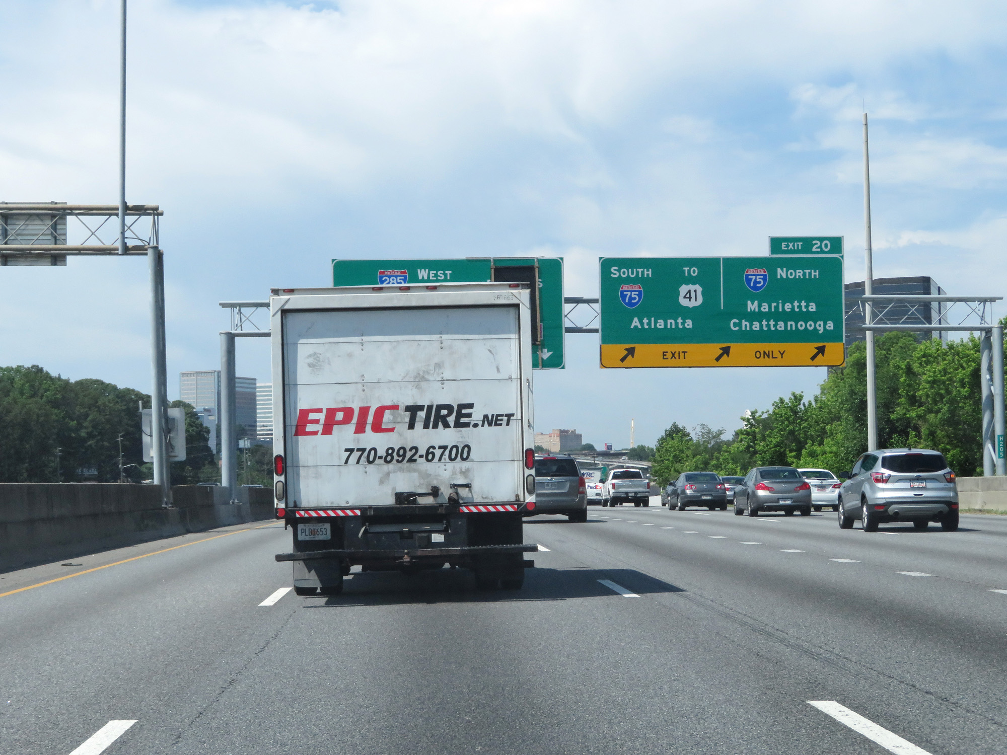 |
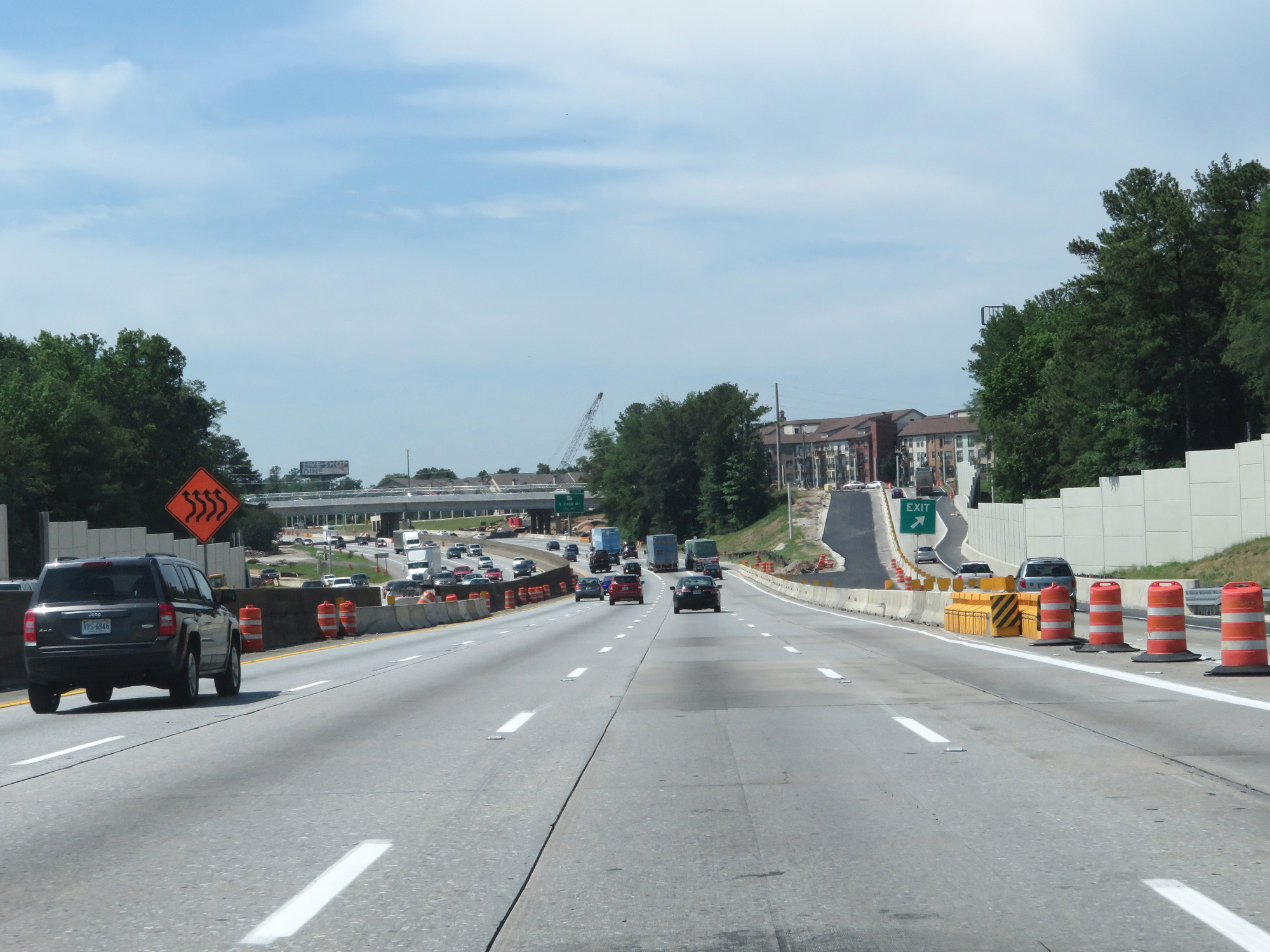
Interstate 285 Outer Loop (West) at Exit 20: Interstate 75 South / To US 41 - Atlanta; Interstate 75 North - Marietta / Chattanooga (Photo taken 5/27/17). |
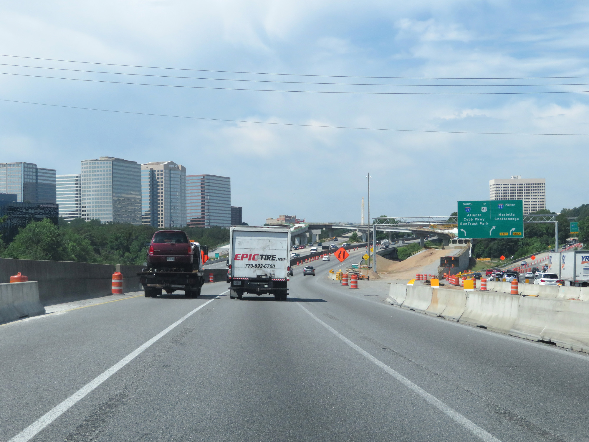 |
View of the ramps to Interstate 75, which were heavily under construction at the time. (Photo taken 5/27/17). |
 |
Interstate 285 West reassurance shield. (Photo taken 5/27/17). |
 |
Interstate 285 Outer Loop (South) at mile marker 19.8, as it begins to curve to the south at the northwest corner of the Atlanta metro area. (Photo taken 5/27/17). |
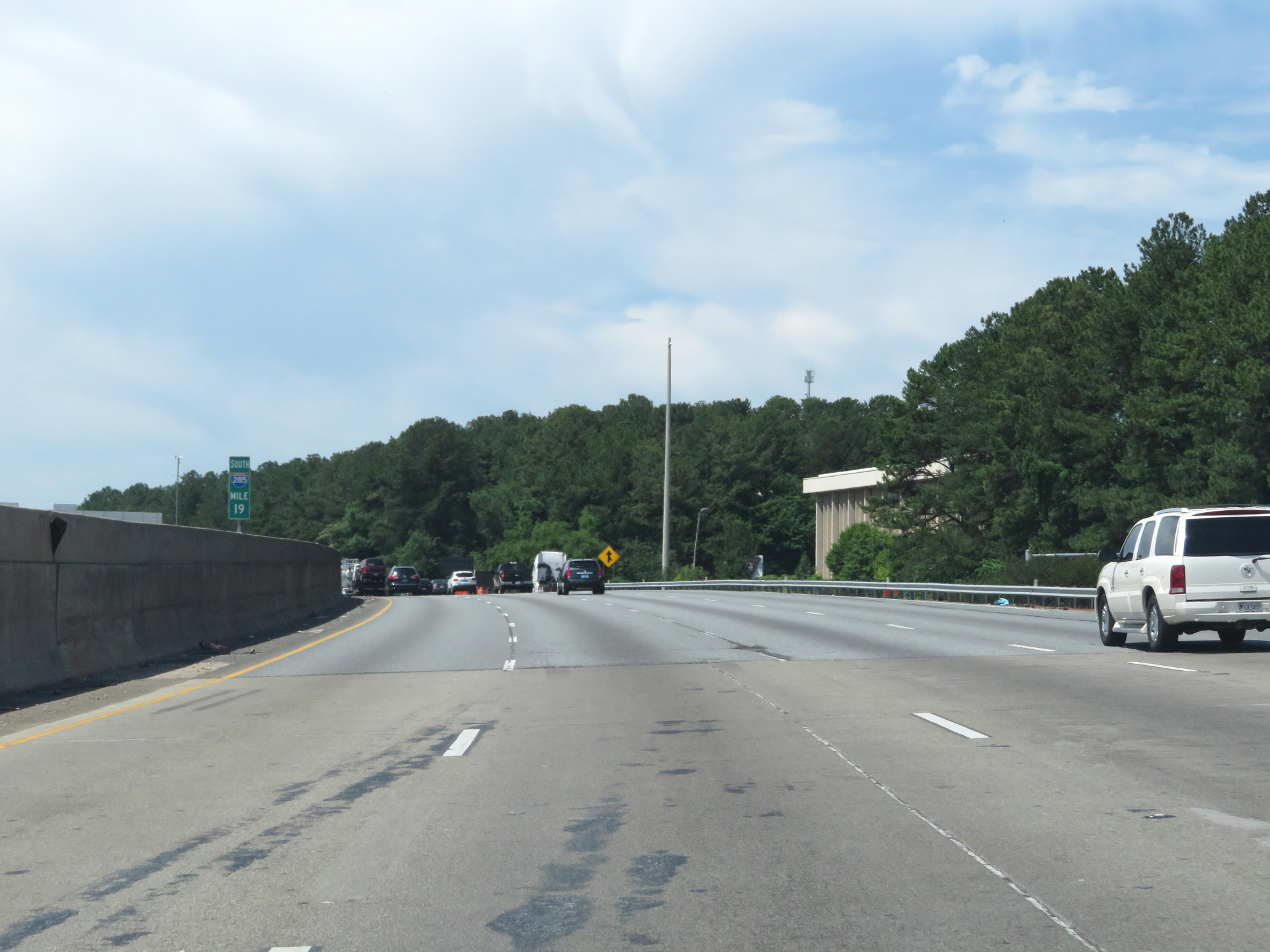 |
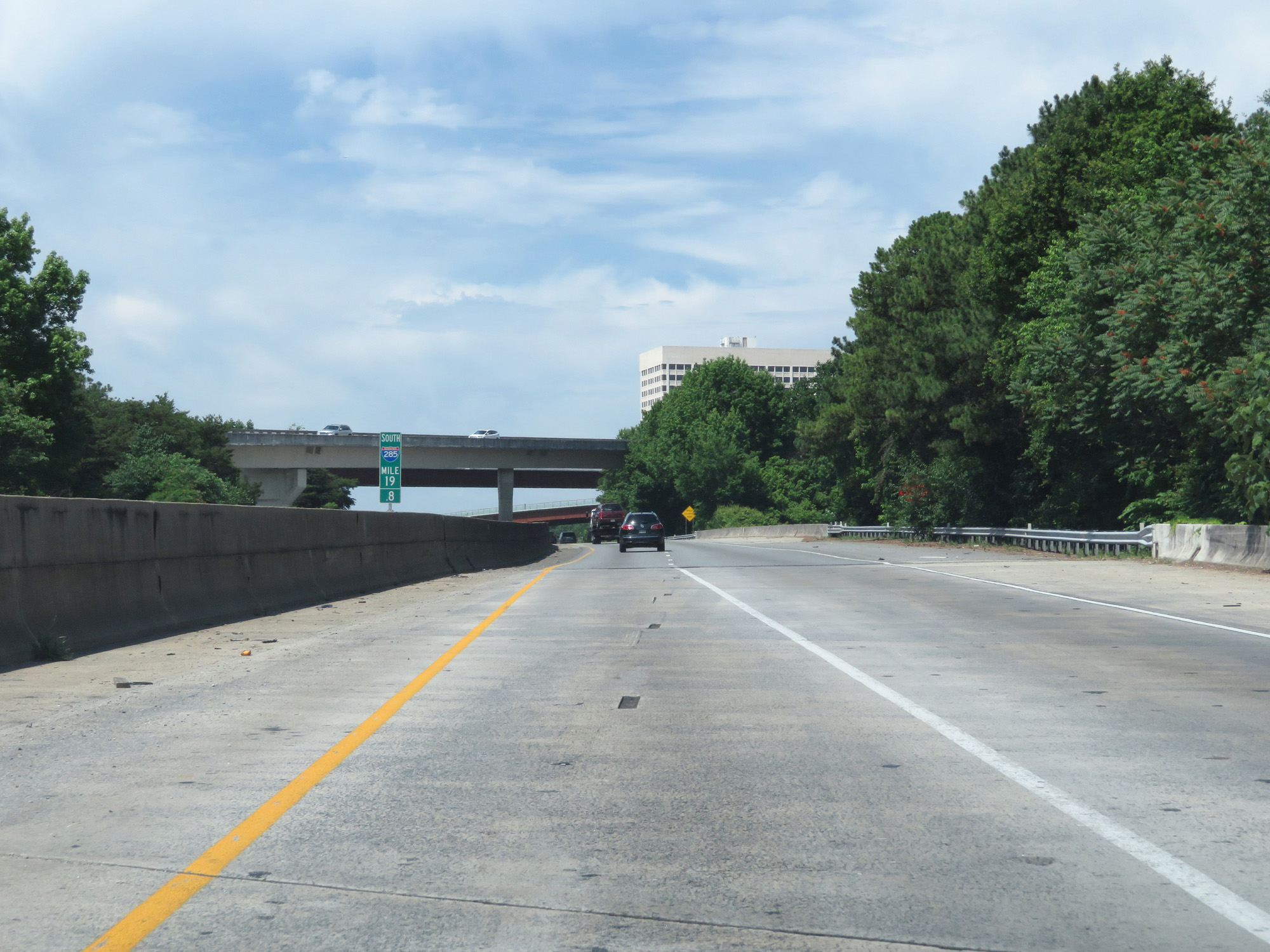
Interstate 285 Outer Loop (South) at mile marker 19, as it continues its curve to the south. (Photo taken 5/27/17). |
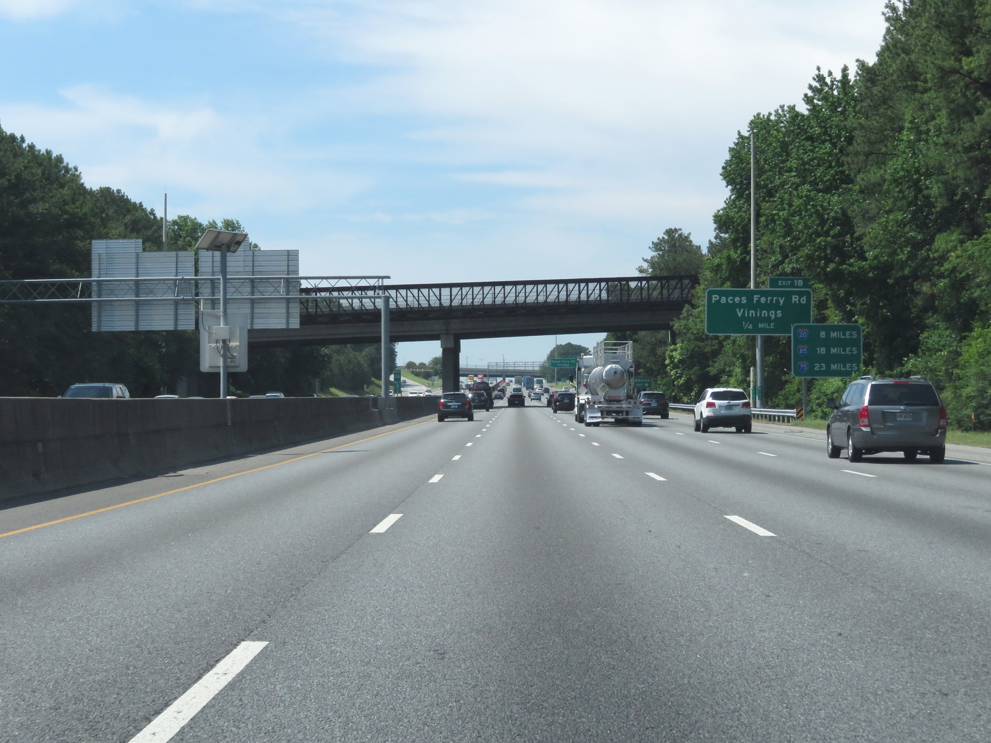 |
This mileage sign lists the distances to the next three interchanges with Interstates on The Perimeter. It's 8 miles to the junction of Interstate 20, 18 miles to the junction of Interstate 85, and 23 miles to the junction of Interstate 75. (Photo taken 5/27/17). |
 |
Take Exit 18 to Smyrna. (Photo taken 5/27/17). |
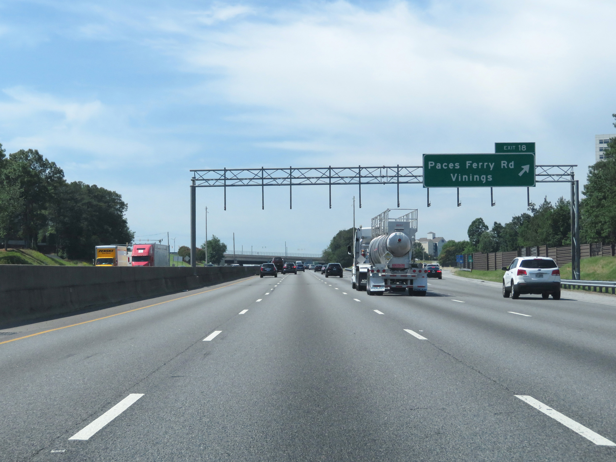 |
Interstate 285 Outer Loop (South) at Exit 18: Paces Ferry Rd / Vinings (Photo taken 5/27/17). |
 |
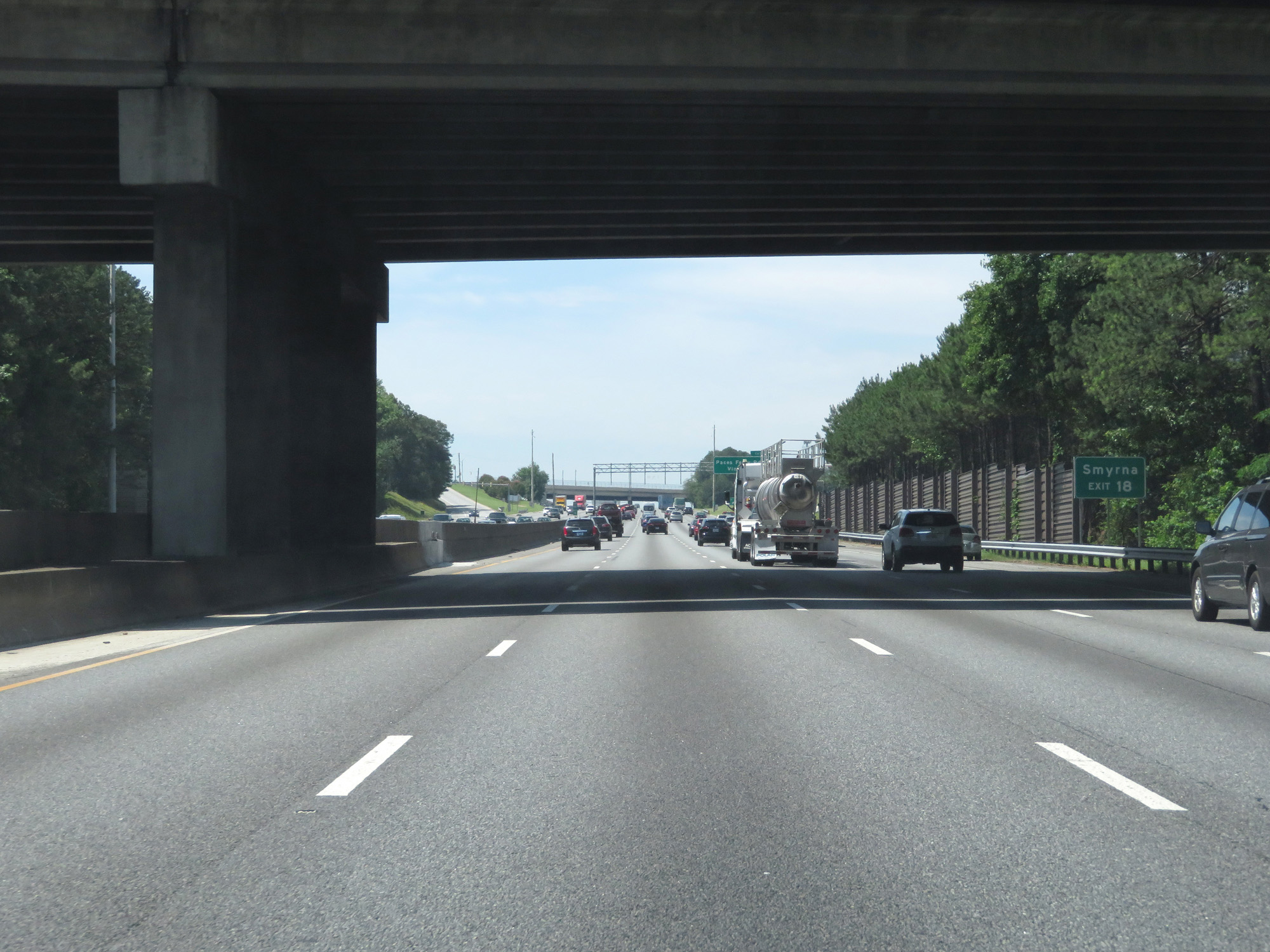
Interstate 285 Outer Loop (South) at Exit 16: Atlanta Rd / Smyrna (Photo taken 5/27/17). |
 |
Gore point signage for Exit 16. (Photo taken 5/27/17). |
 |
Variable speed limits still remain in effect during this stretch. The speed limit at the time was still 65 mph. (Photo taken 5/27/17). |
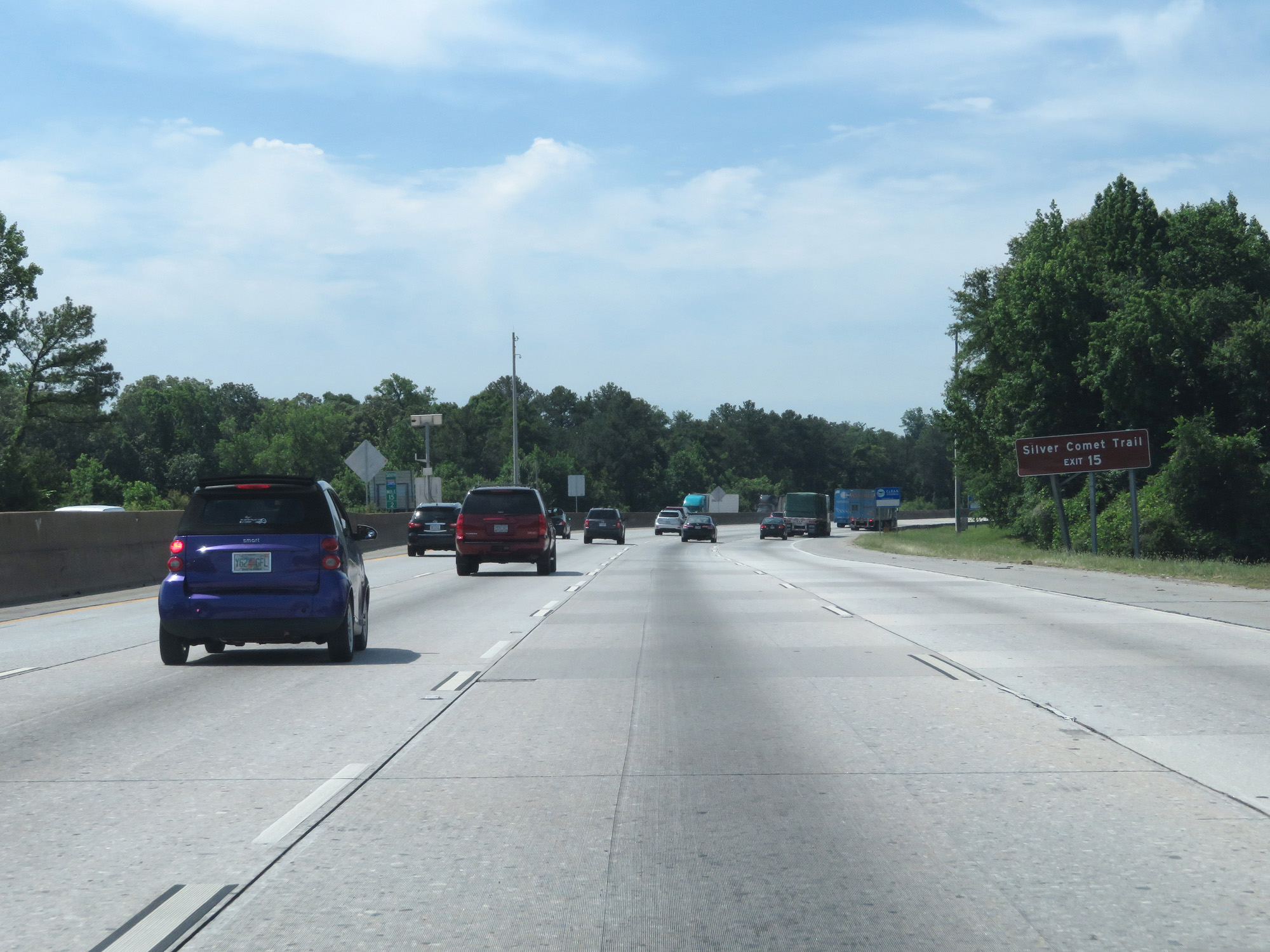 |
Take Exit 15 to Silver Comet Trail. (Photo taken 5/27/17). |
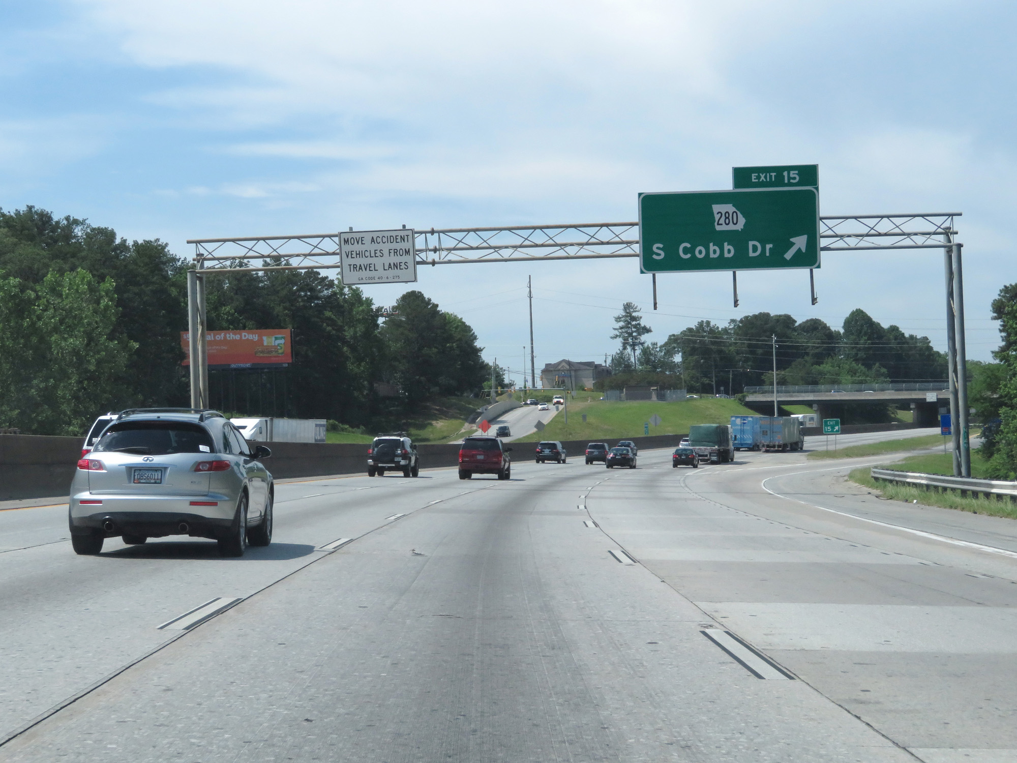 |
Interstate 285 Outer Loop (South) at Exit 15: GA 280 - S Cobb Dr (Photo taken 5/27/17). |
 |
Interstate 285 Outer Loop (South) at mile marker 14. (Photo taken 5/27/17). |
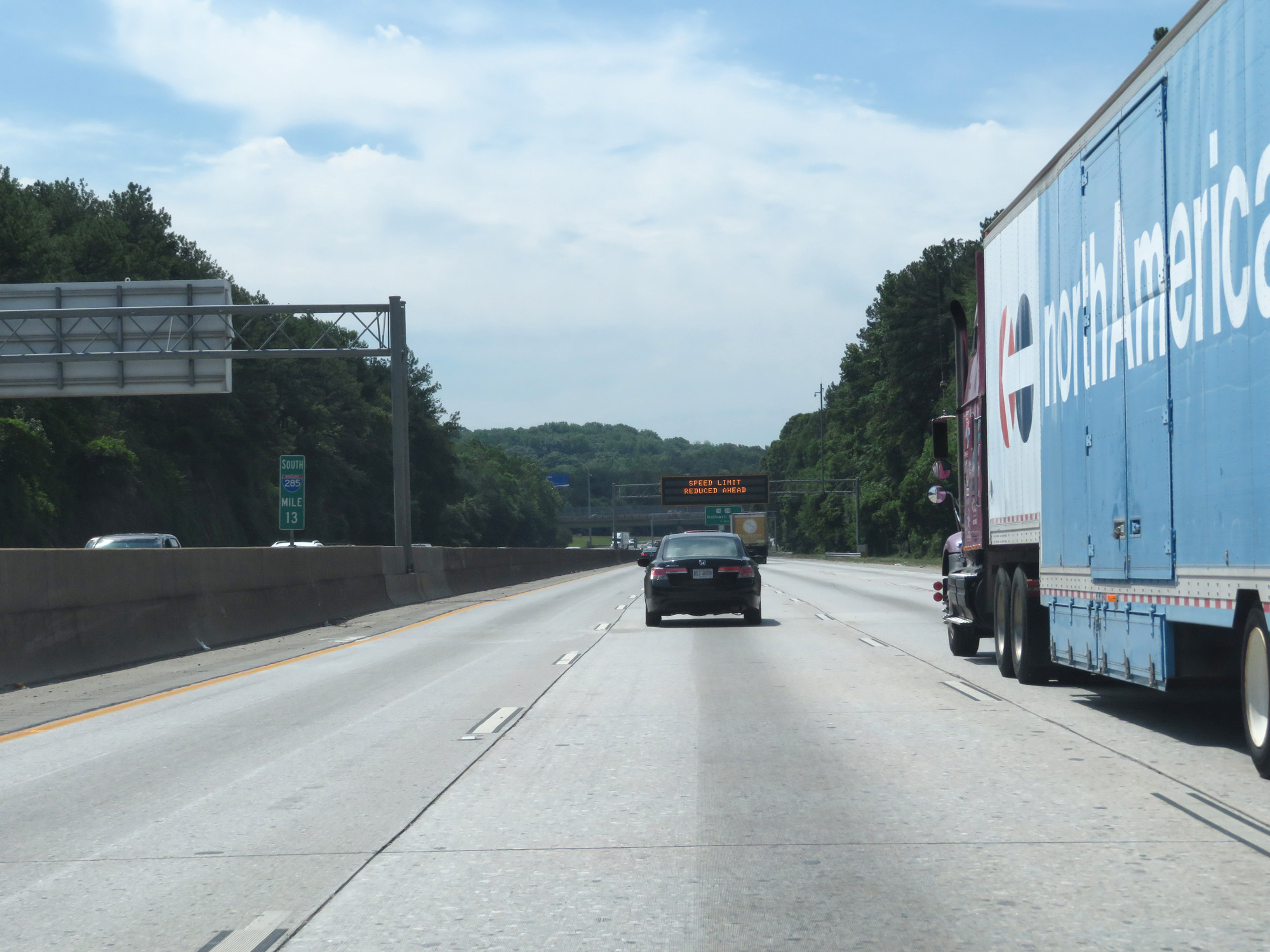 |
Interstate 285 Outer Loop (South) at mile marker 13. (Photo taken 5/27/17). |
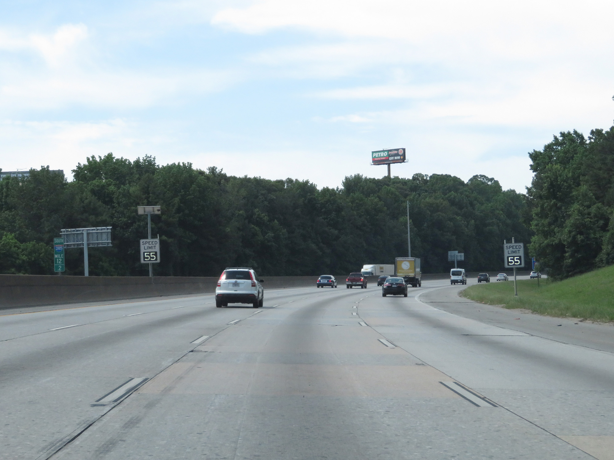 |
South of mile marker 13, the variable speed limit decreased to 55 mph at the time as we approach a very busy interchange with Interstate 20. (Photo taken 5/27/17). |
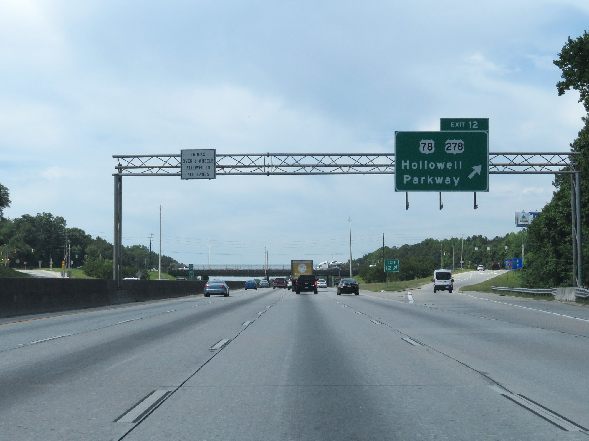 |
Interstate 285 Outer Loop (South) at Exit 12: US 78 / US 278 - Hallowell Parkway (Photo taken 5/27/17). |
 |
Interstate 285 Outer Loop (South) approaching Exit 10B - 1 mile. (Photo taken 5/27/17). |
 |
Interstate 285 Outer Loop (South) approaching Exit 10B - 1/4 mile. (Photo taken 5/27/17). |
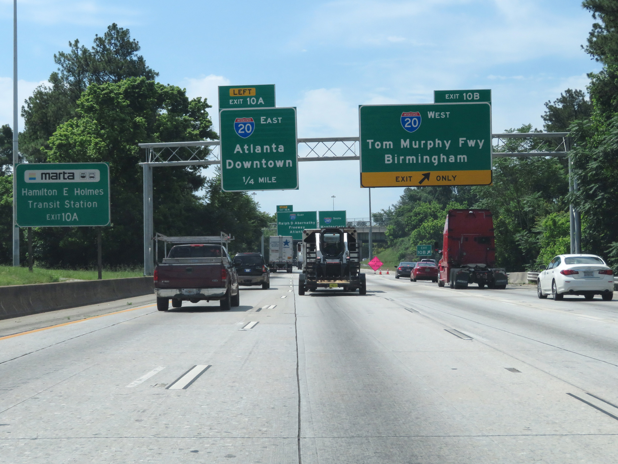 |
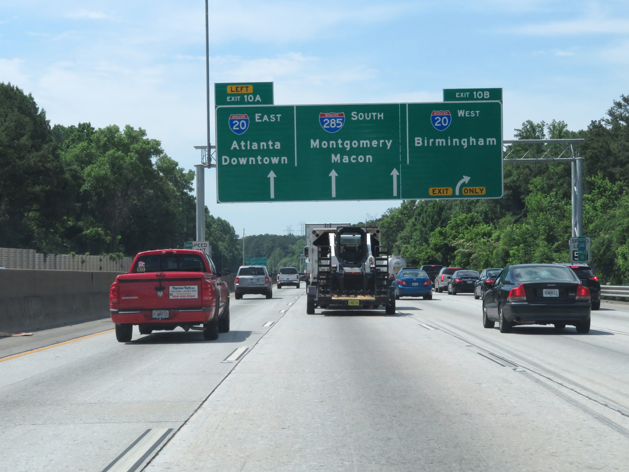
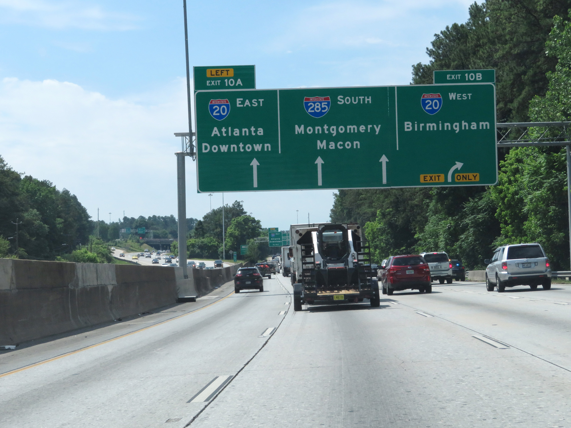
Interstate 285 Outer Loop (South) at Exit 10B: Interstate 20 West - Tom Murphy Fwy / Birmingham (Photo taken 5/27/17). |
 |
Interstate 285 Outer Loop (South) at Exit 10A: Interstate 20 East - Ralph D Abernathy Freeway / Atlanta (Photo taken 5/27/17). |
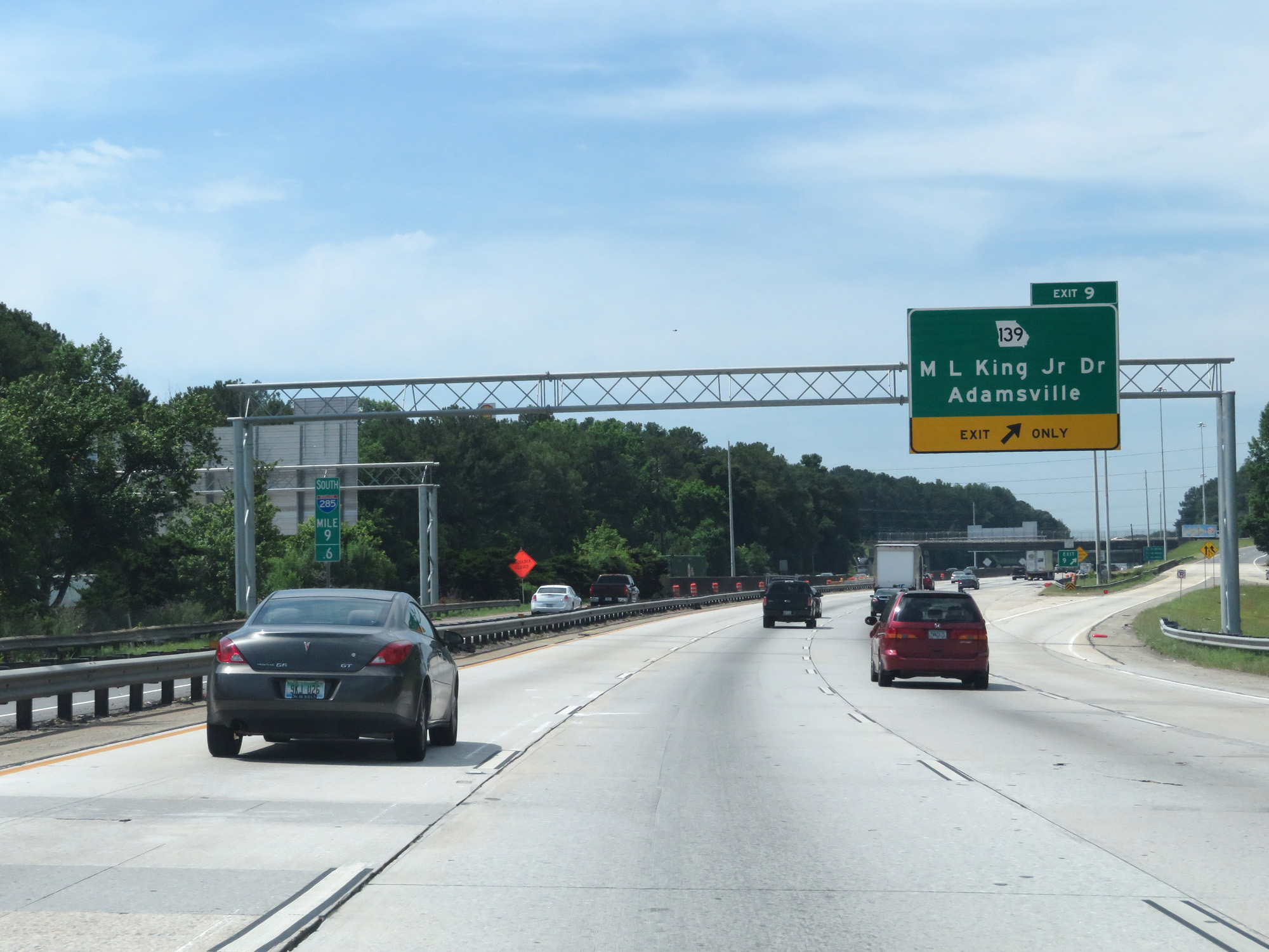 |
Interstate 285 Outer Loop (South) at Exit 9: GA 139 - ML King Jr Dr / Adamsville (Photo taken 5/27/17). |
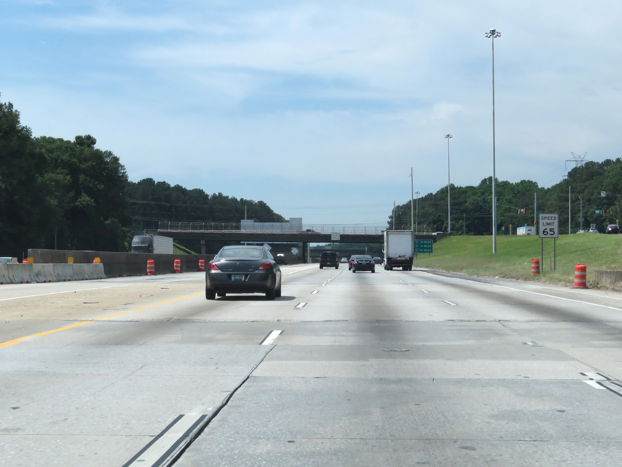 |
South of Exit 9, the variable speed limits come to an end and a fixed speed limit of 65 mph applies. (Photo taken 5/27/17). |
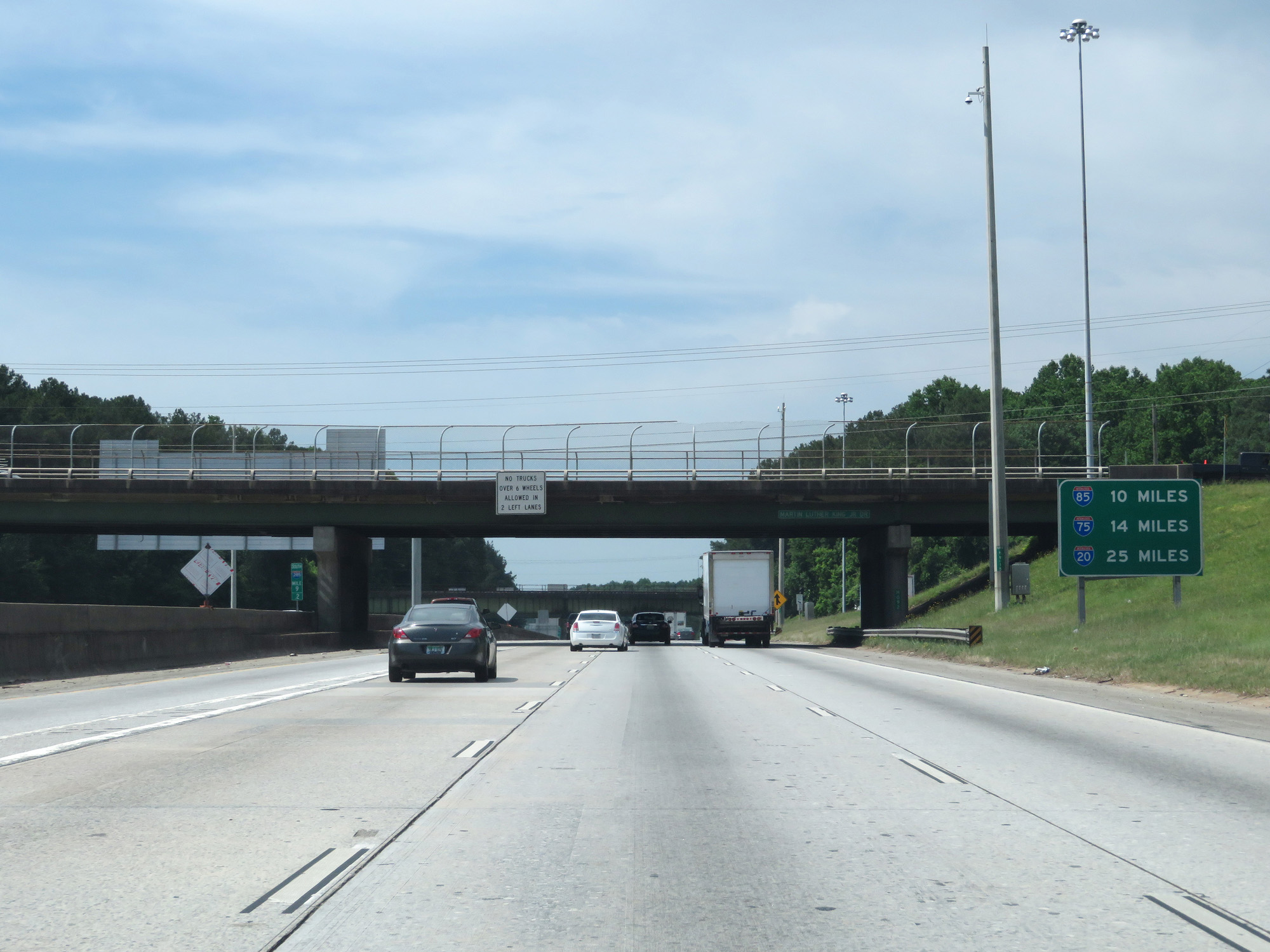 |
Mileage sign listing the distances to the next three interchanges with Interstates on The Perimeter. It's 10 miles to the junction of Interstate 85, 14 miles to the junction of Interstate 75, and 25 miles to the junction of Interstate 20 on the outer loop. (Photo taken 5/27/17). |
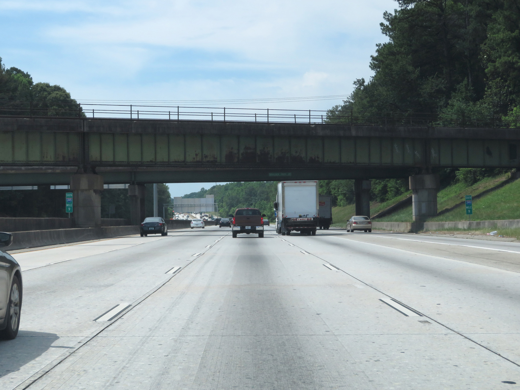 |
Interstate 285 Outer Loop (South) at mile marker 9. (Photo taken 5/27/17). |
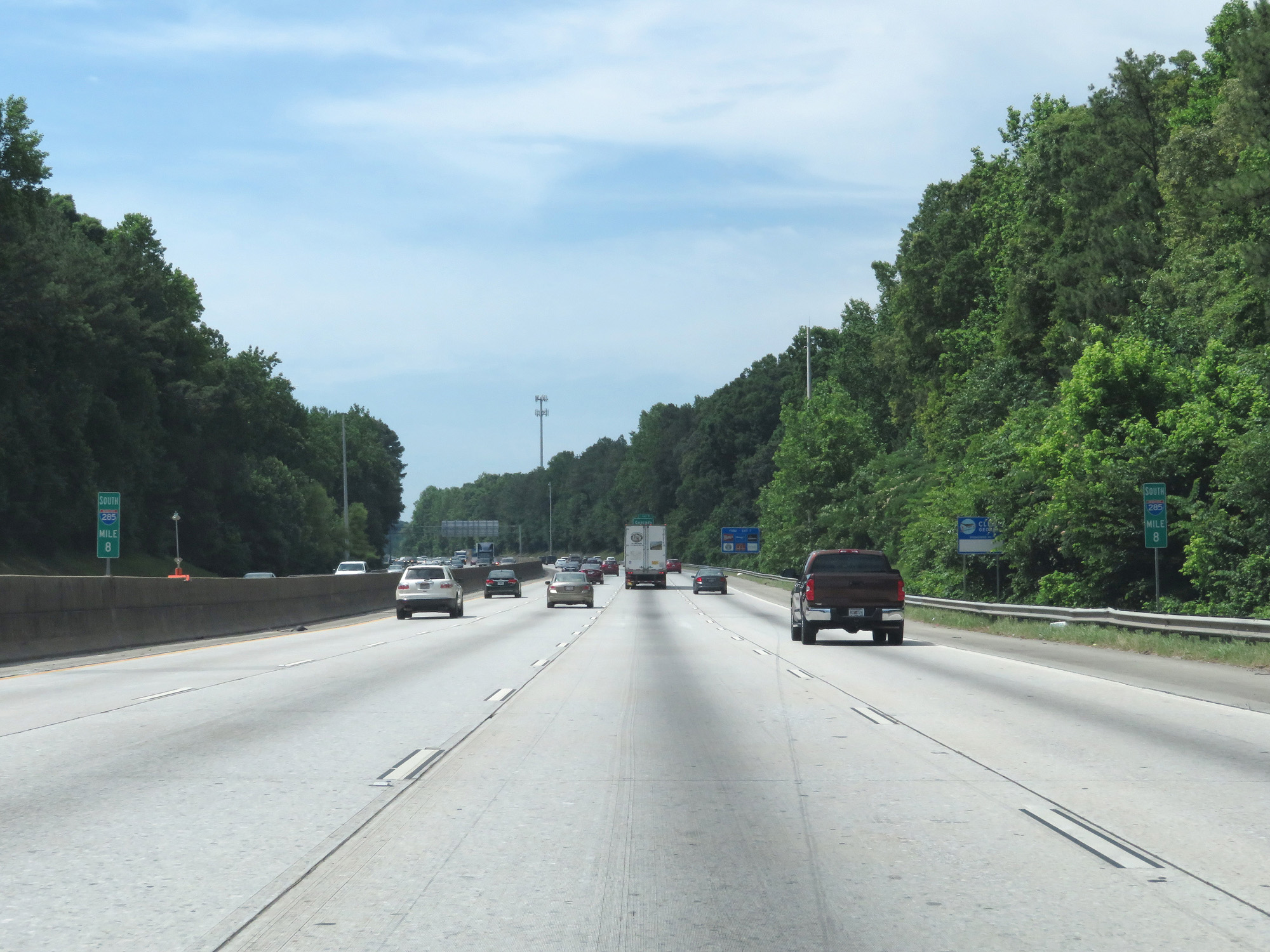 |
Interstate 285 Outer Loop (South) at mile marker 8. (Photo taken 5/27/17). |
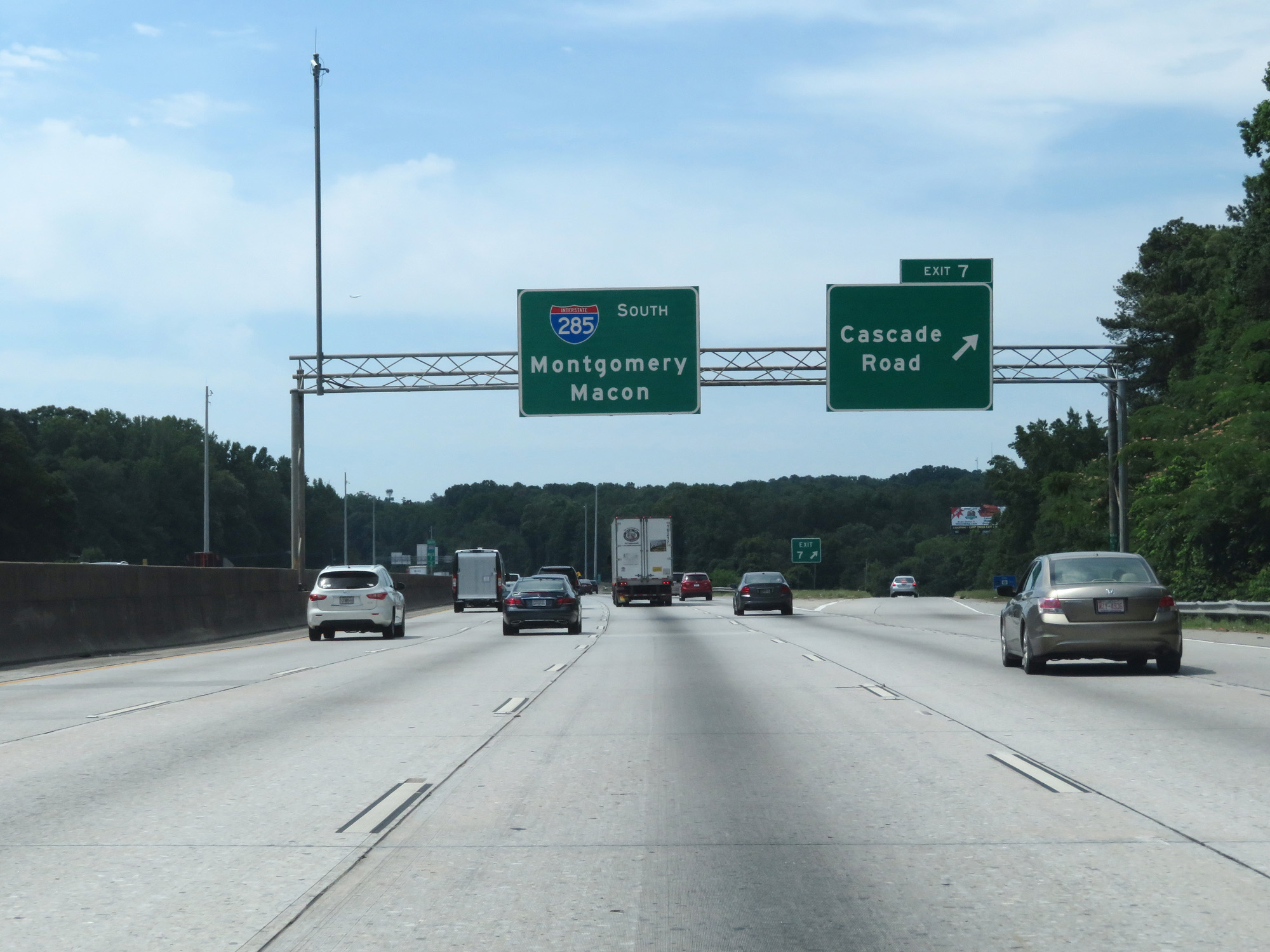 |
Interstate 285 Outer Loop (South) at Exit 7: Cascade Road (Photo taken 5/27/17). |
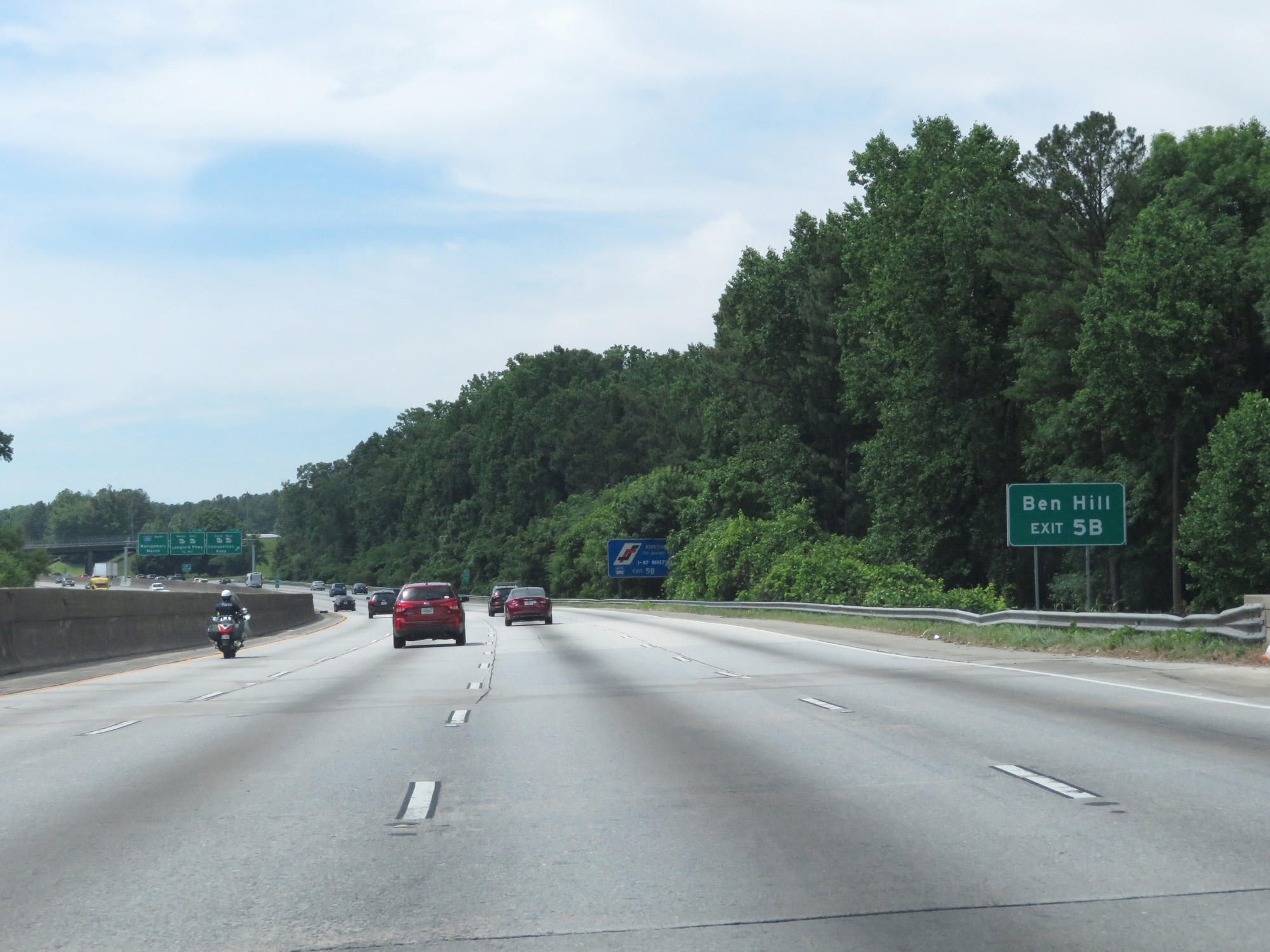 |
Take Exit 5B to Ben Hill. (Photo taken 5/27/17). |
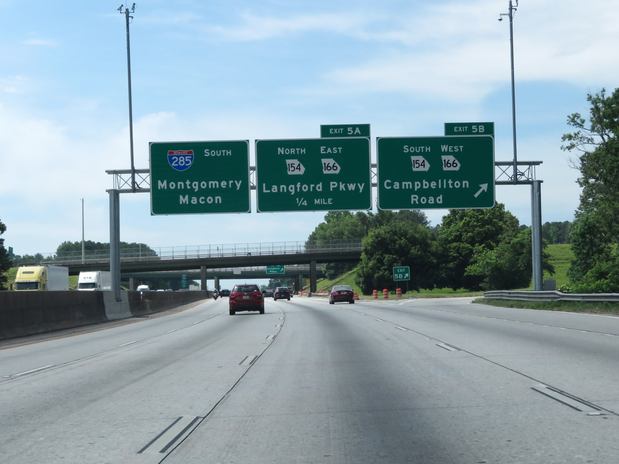 |
Interstate 285 Outer Loop (South) at Exit 5B: GA 154 South / GA 166 West - Campbellton Road (Photo taken 5/27/17). |
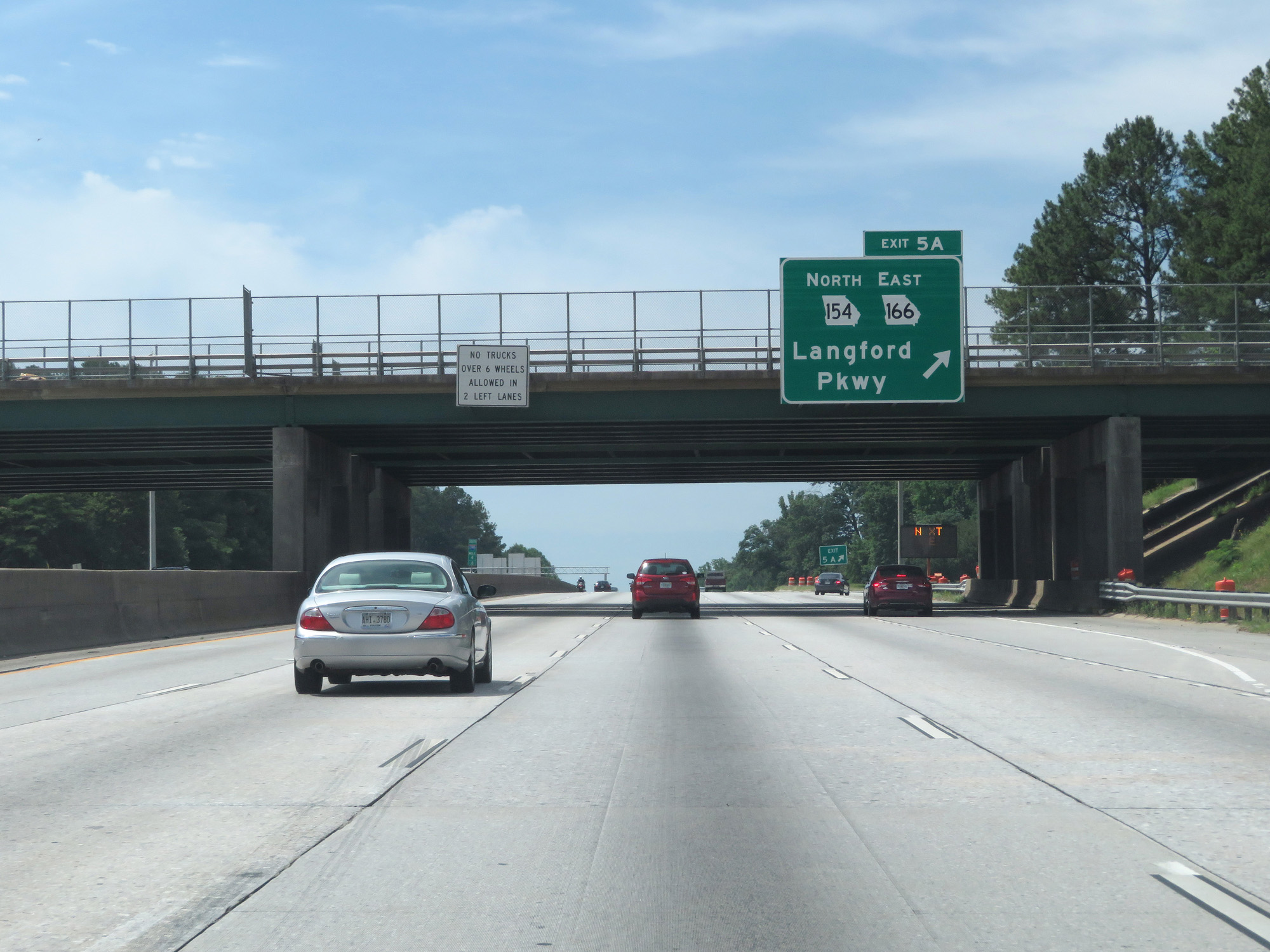 |
Interstate 285 Outer Loop (South) at Exit 5A: GA 154 North / GA 166 East - Langford Pkwy (Photo taken 5/27/17). |
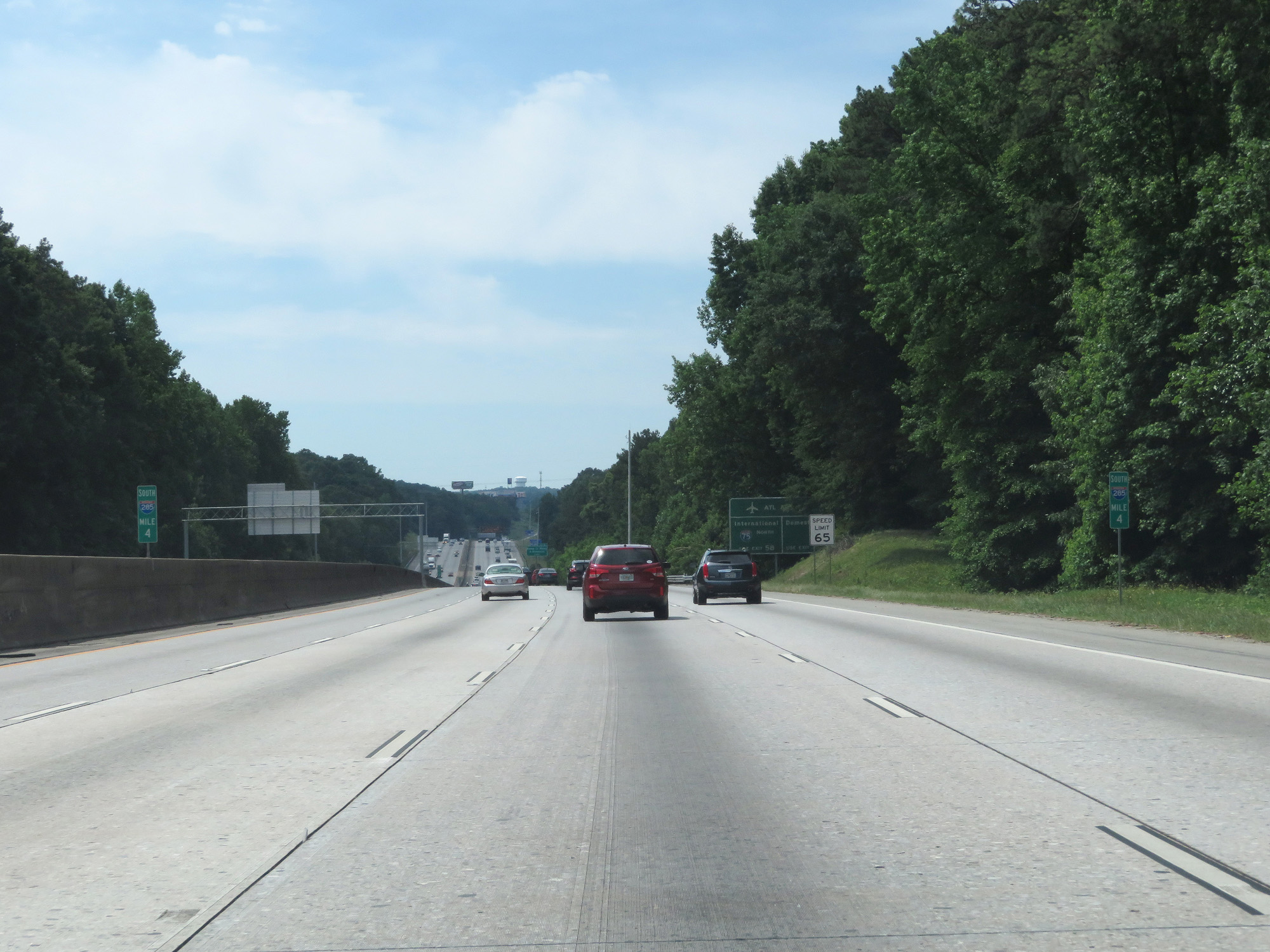 |
Interstate 285 Outer Loop (South) at mile marker 4. (Photo taken 5/27/17). |
 |
Take Exit 58 to ATL Airport's International terminals via Interstate 75 North. Take Exit 2 to the Domestic terminals. (Photo taken 5/27/17). |
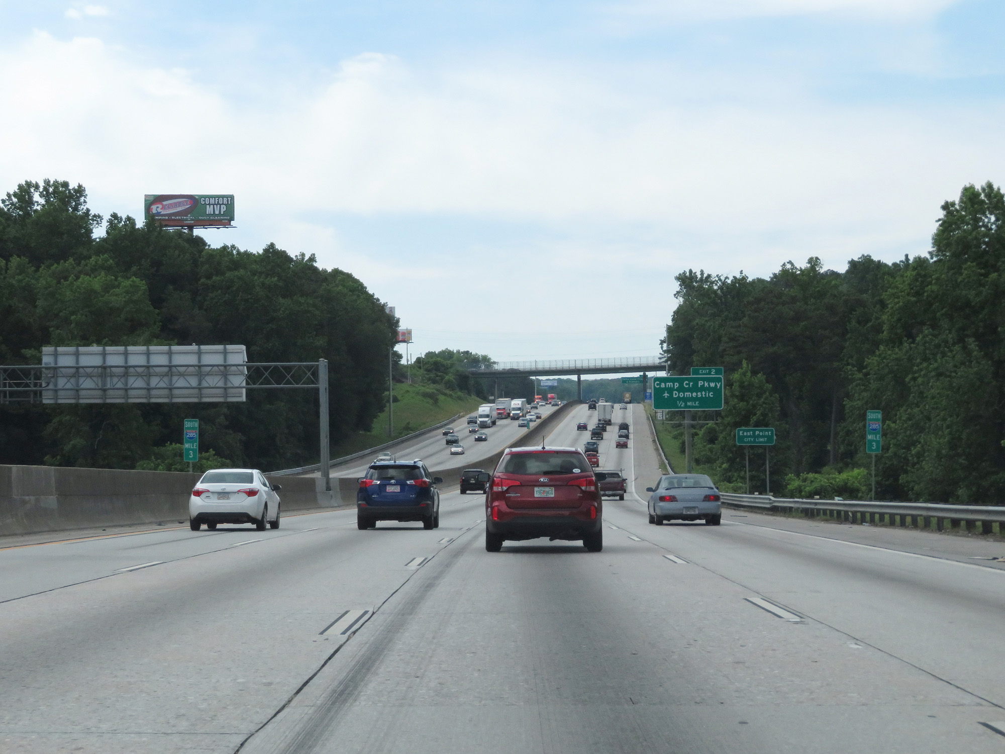 |
Interstate 285 Outer Loop (South) at mile marker 3. (Photo taken 5/27/17). |
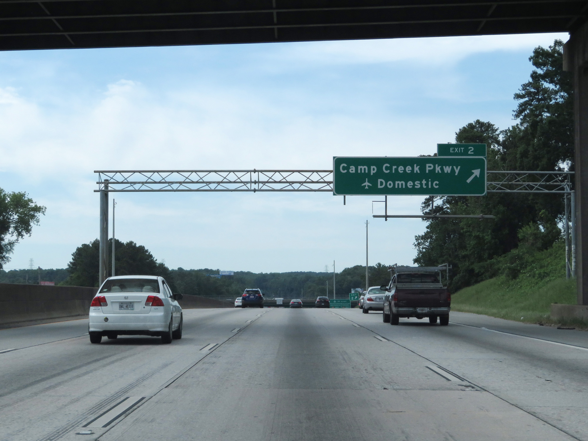 |
Interstate 285 Outer Loop (South) at Exit 2: Camp Creek Pkwy / Domestic Terminals (Photo taken 5/27/17). |
 |
Interstate 285 Outer Loop (South) at mile marker 2. (Photo taken 5/27/17). |
 |
Interstate 285 South reassurance shield. (Photo taken 5/27/17). |
 |
Take Exit 58 to ATL Airport's International terminals via Interstate 75 North. Take Exit 61 to the Domestic terminals via Interstate 85 North. (Photo taken 5/27/17). |
 |
Interstate 285 Outer Loop (South) at Exit 1: Washington Road (Photo taken 5/27/17). |
 |
Interstate 285 Outer Loop (South) approaching Exit 61 - 1 mile. (Photo taken 5/27/17). |
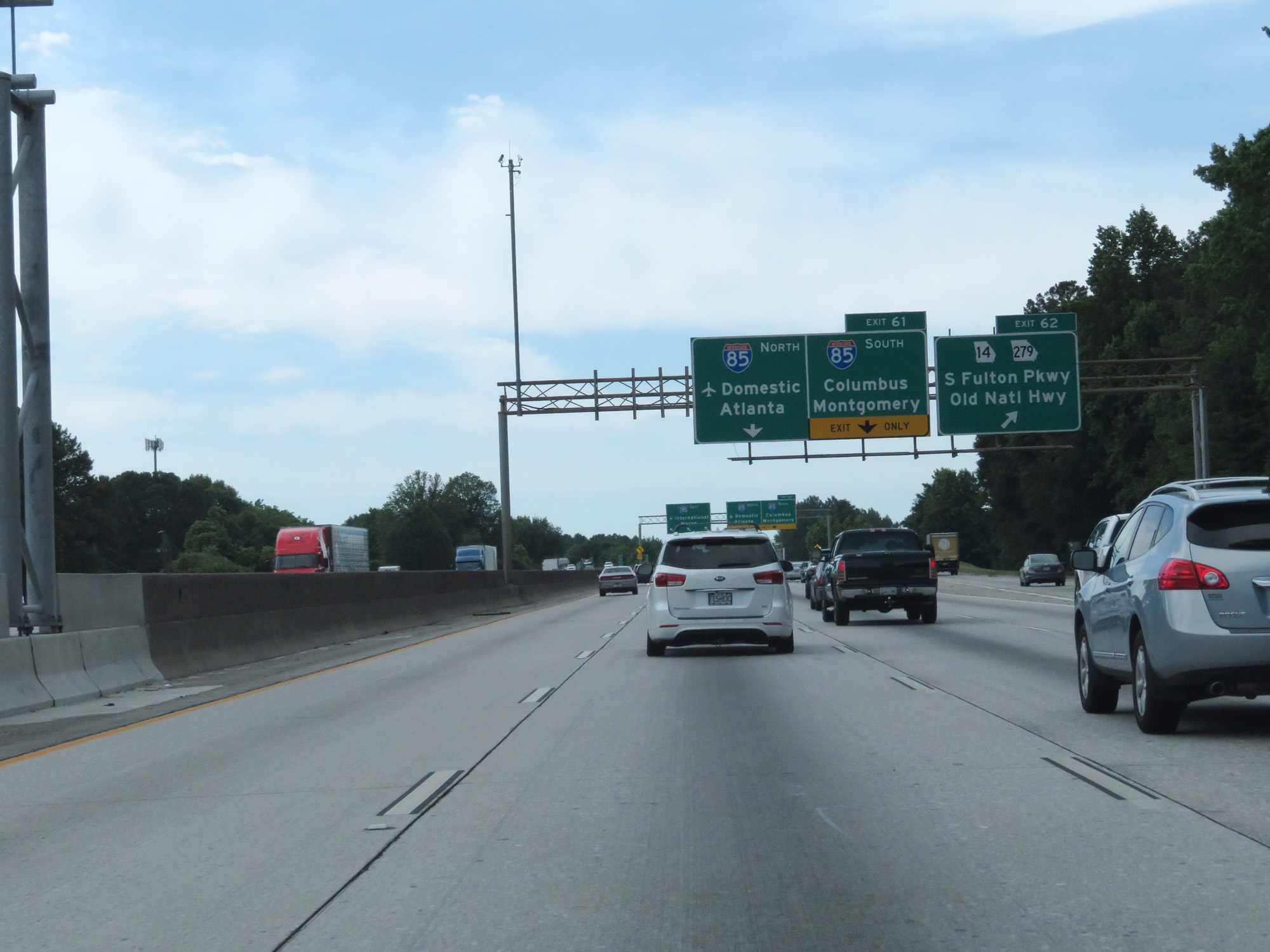 |
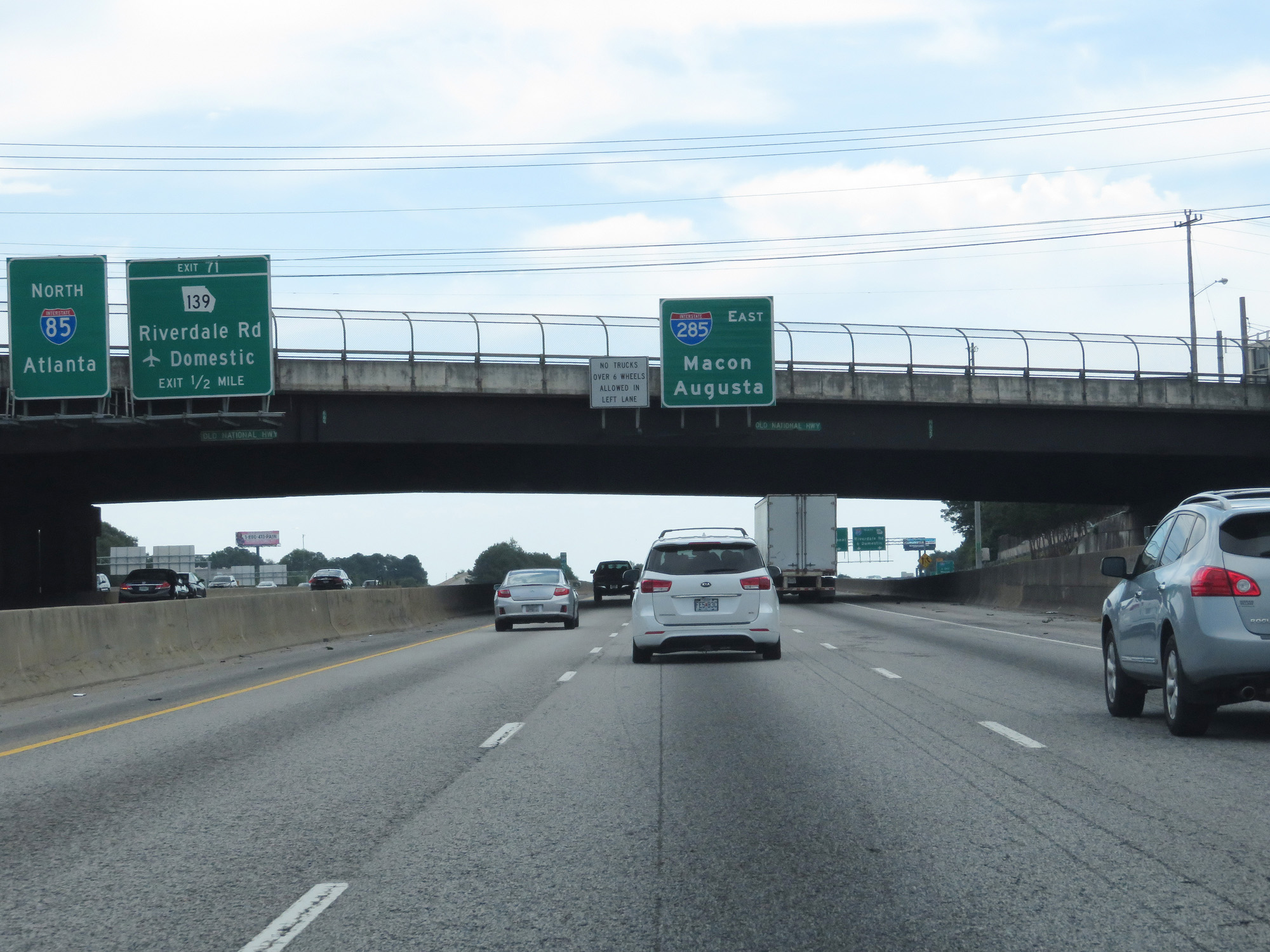
Interstate 285 Outer Loop (South) at Exit 62: GA 14 / GA 279 - S Fulton Pkwy / Old National Pkwy. Just ahead, I-285's mileage resets to 0 which marks its official beginning/end. (Photo taken 5/27/17). |