Road Information |
||
 |
||
| Total Mileage in State: | 49 miles | |
| Northern End: | At I-85, near LaGrange | |
| Southern End: | At Lindsey Creek Pkwy, in Fort Benning | |
| Mileage covered in Photos: | 49 miles | |
| Counties covered in Photos: | Troup, Harris, Muscogee | |
| Major Junctions in Photos: | US 80/GA 22, in Columbus | |
| Control Cities in Photos: | Whitesville, Mulberry Grove, Columbus | |
Southbound
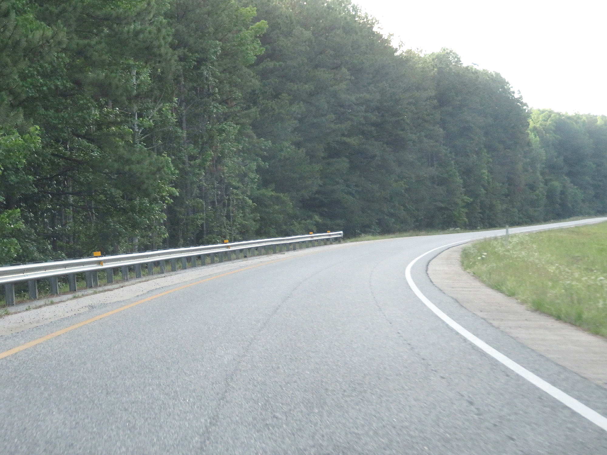 |
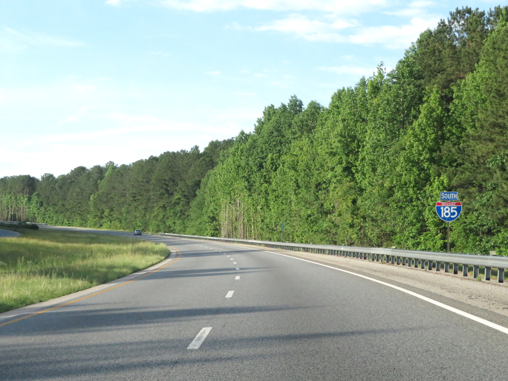
Merging onto Interstate 185 South from Interstate 85 North. (Photo taken 5/27/17). |
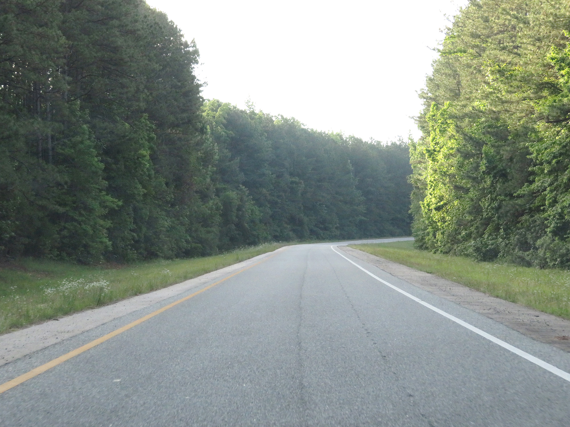 |
View on the lengthy ramp from Interstate 85 North to Interstate 185 South. (Photo taken 5/27/17). |
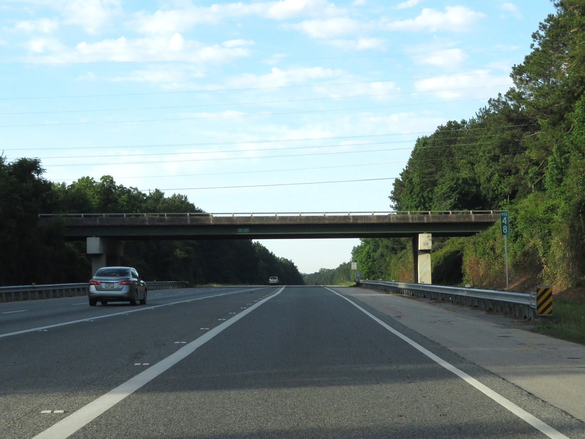 |
Interstate 185 South at mile marker 48. (Photo taken 5/27/17). |
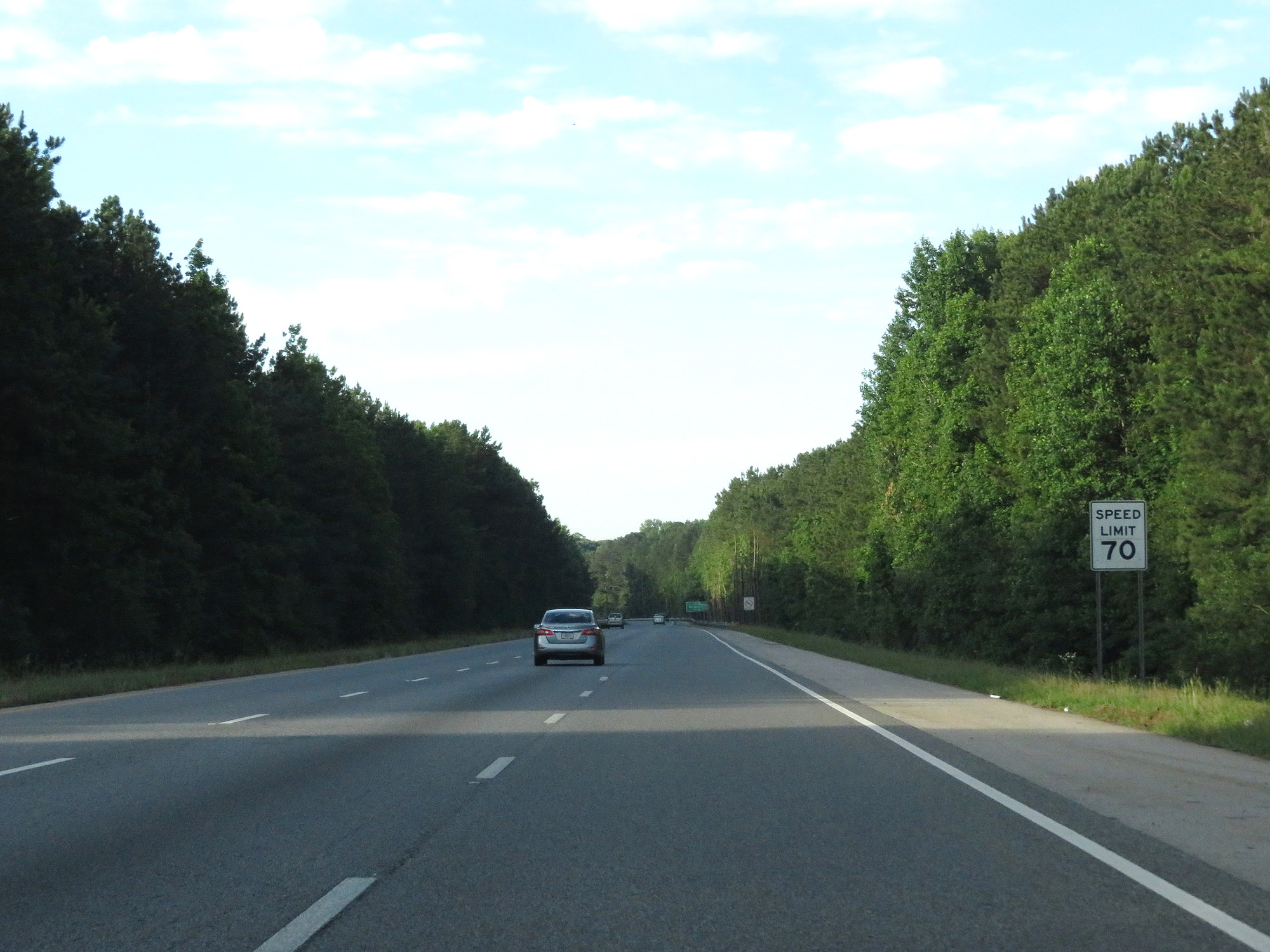 |
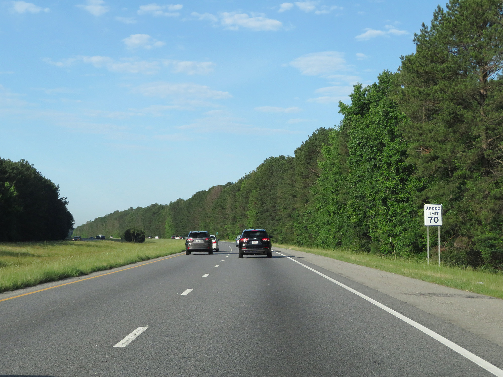
The speed limit starts out at 70 mph on Interstate 185 South, which is standard on most rural Interstates in Georgia. (Photo taken 5/27/17). |
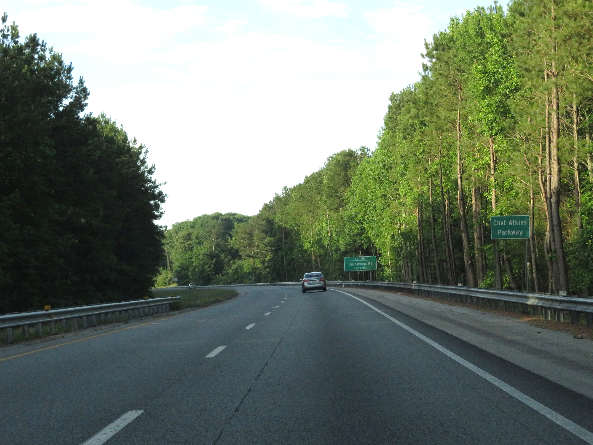 |
As this sign reads, Interstate 185 in Georgia is also known as Chet Atkins Parkway. (Photo taken 5/27/17). |
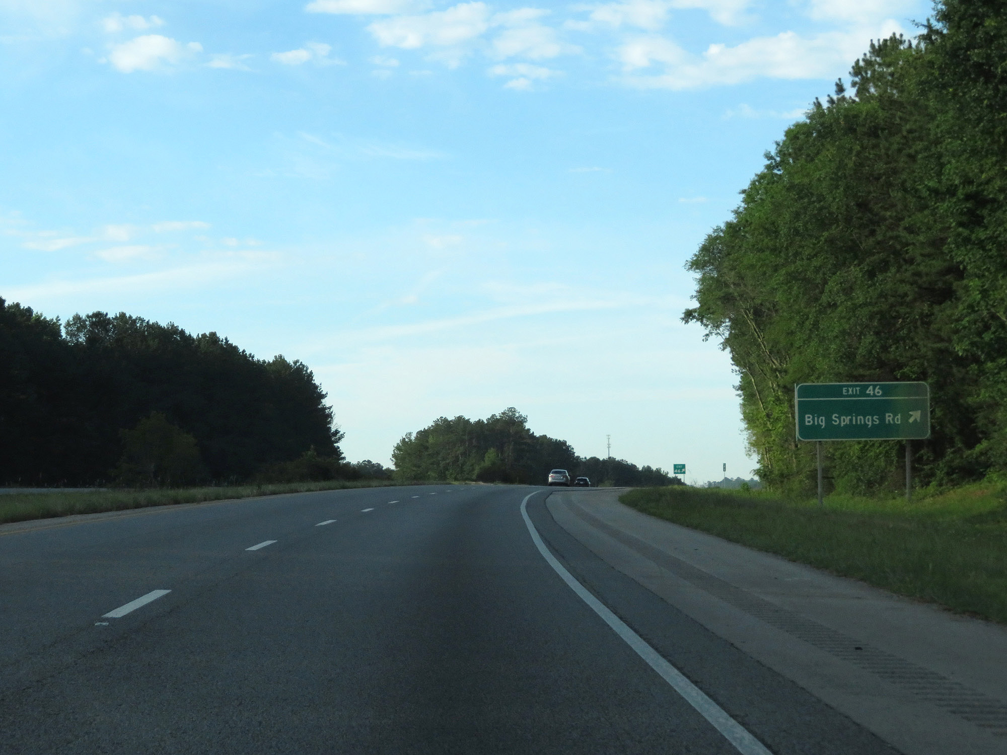 |
Interstate 185 South at Exit 46: Big Springs Rd (Photo taken 5/27/17). |
 |
Interstate 185 South reassurance shield. (Photo taken 5/27/17). |
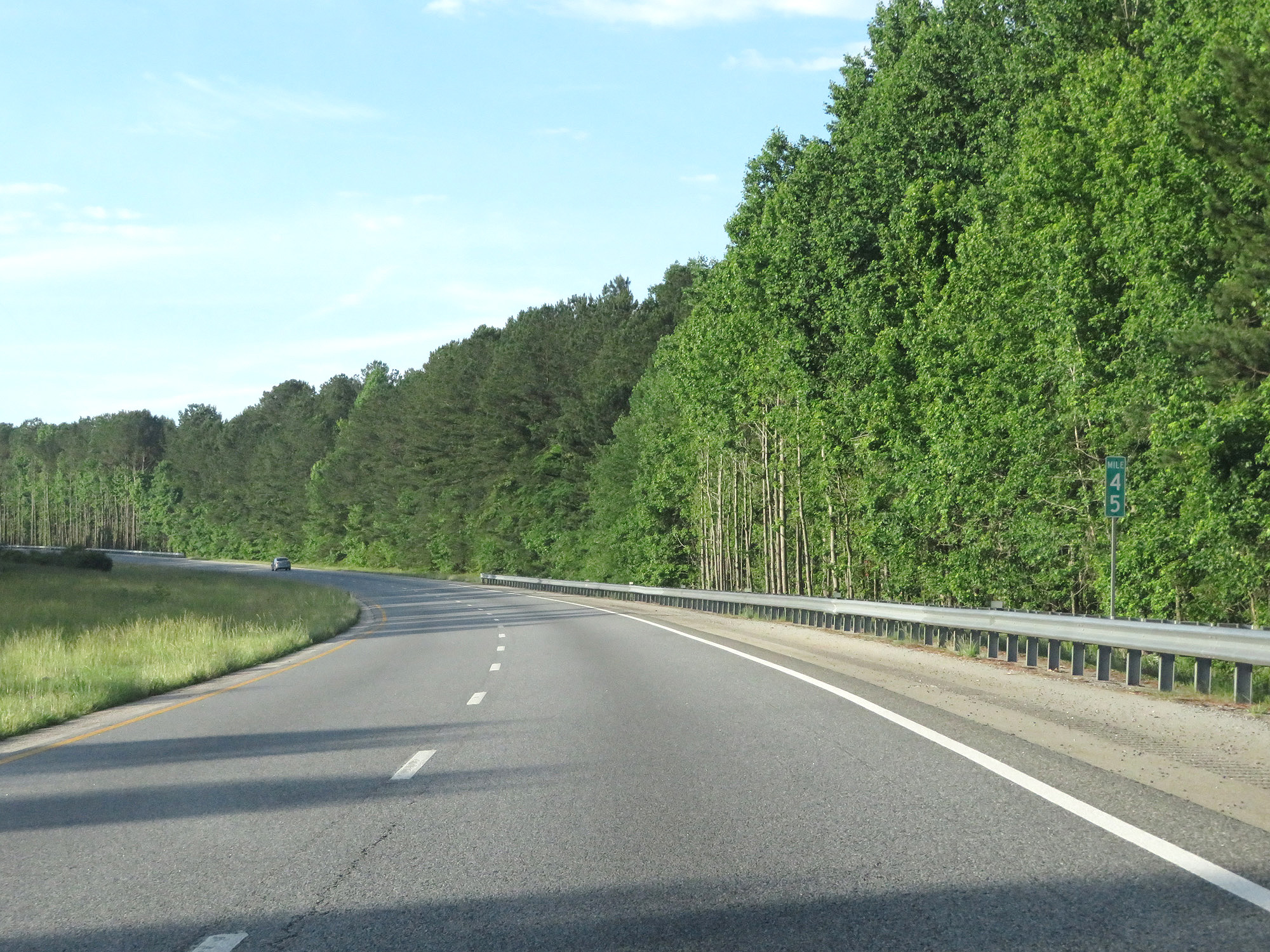 |
Interstate 185 South at mile marker 45. (Photo taken 5/27/17). |
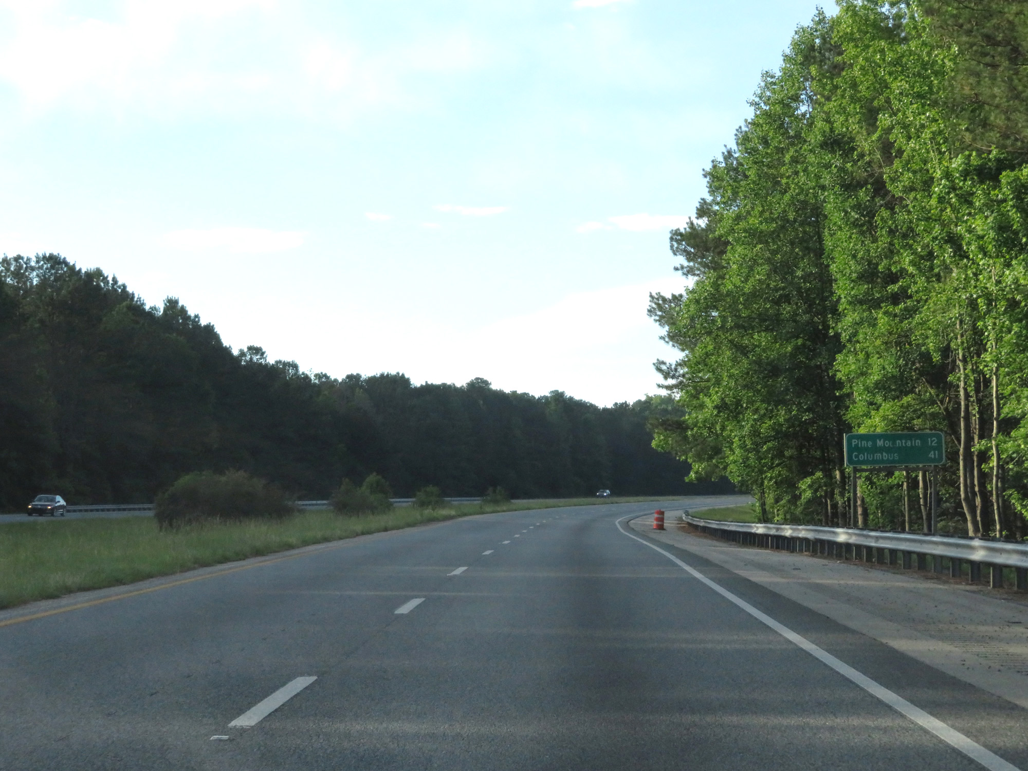 |
Mileage sign on Interstate 185 South. It's 12 miles to Pine Mountain and 41 miles to Columbus. (Photo taken 5/27/17). |
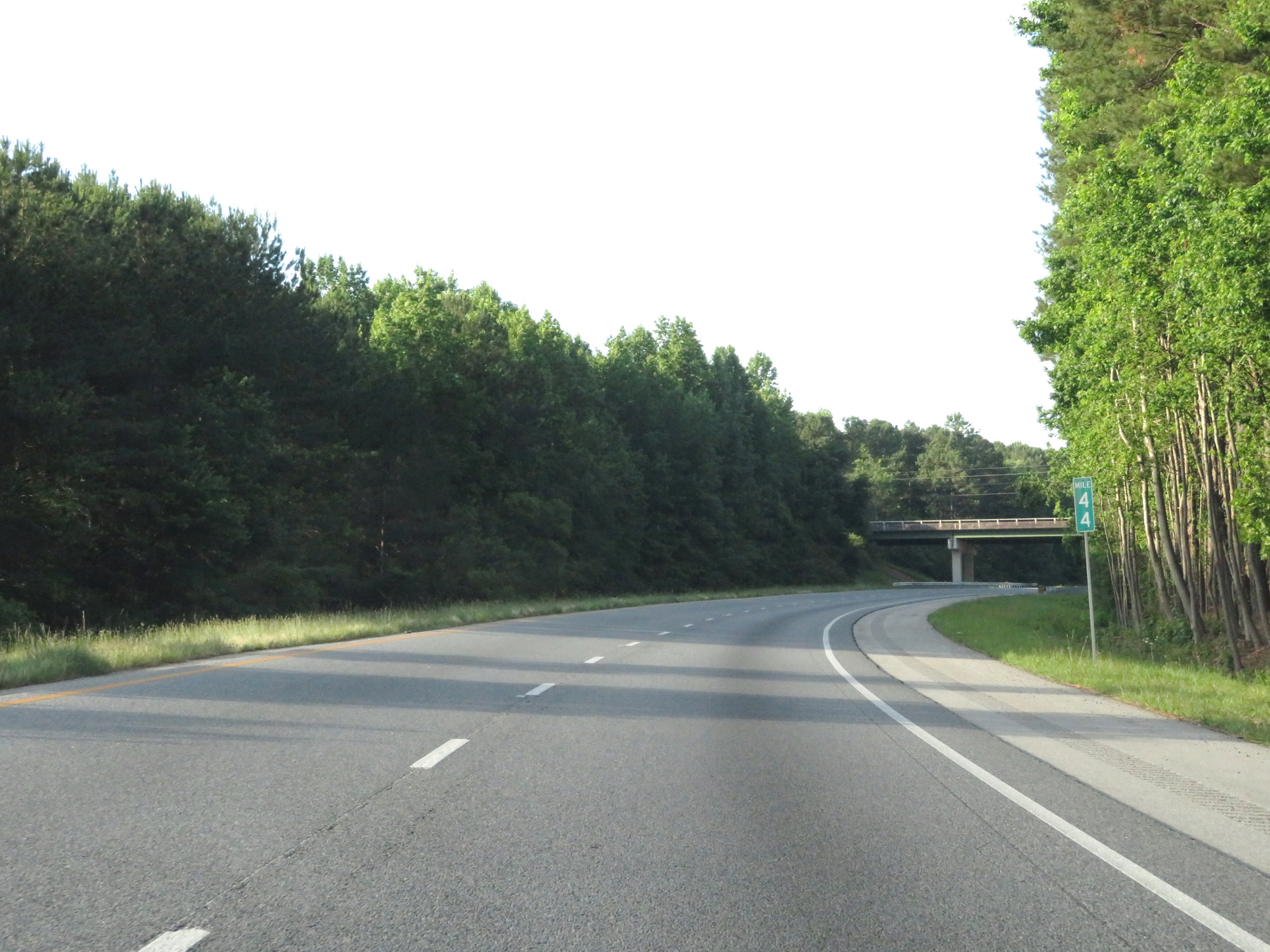 |
Interstate 185 South at mile marker 44. (Photo taken 5/27/17). |
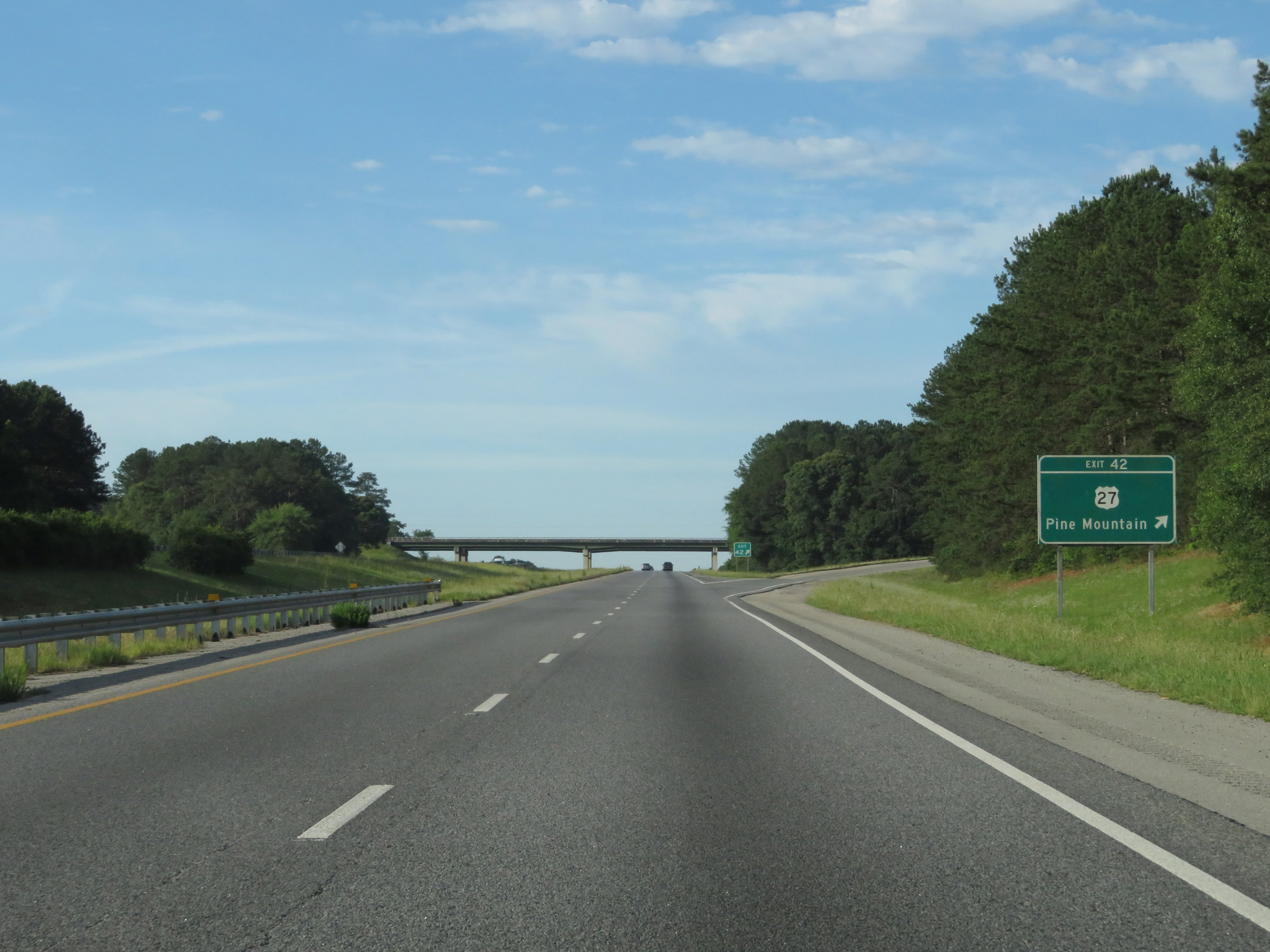 |
Interstate 185 South at Exit 42: US 27 - Pine Mountain (Photo taken 5/27/17). |
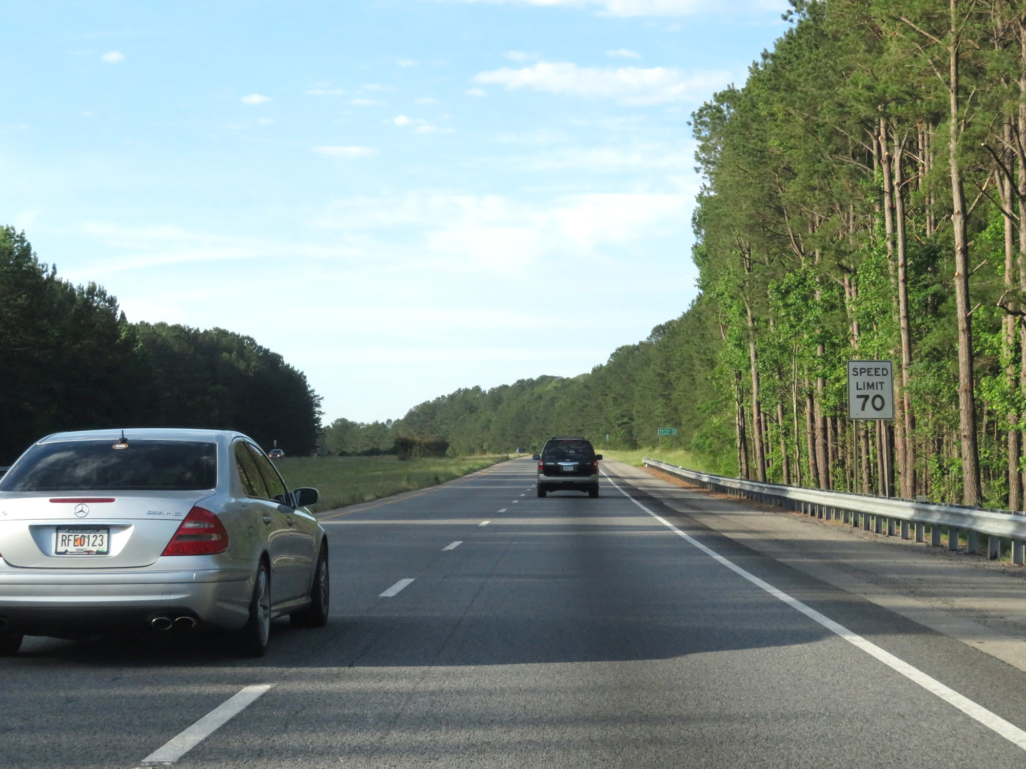 |
The speed limit remains 70 mph. (Photo taken 5/27/17). |
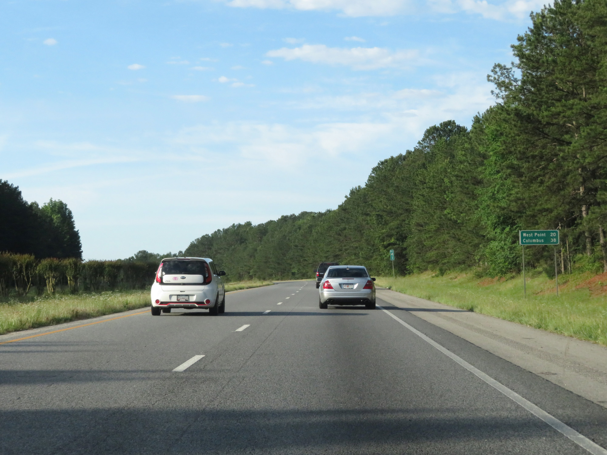 |
Mileage sign on Interstate 185 South. It's 20 miles to West Point and 38 miles to Columbus. (Photo taken 5/27/17). |
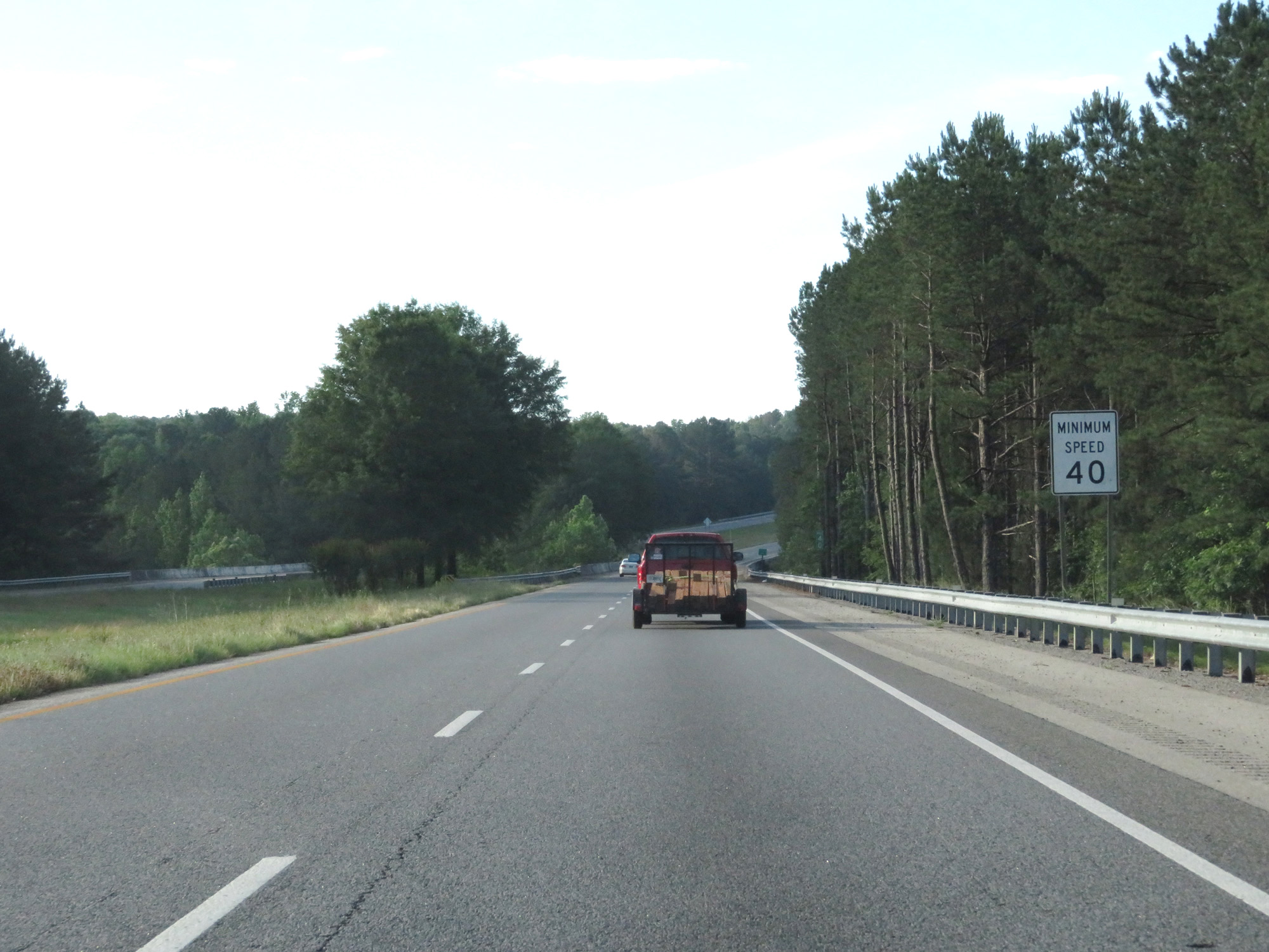 |
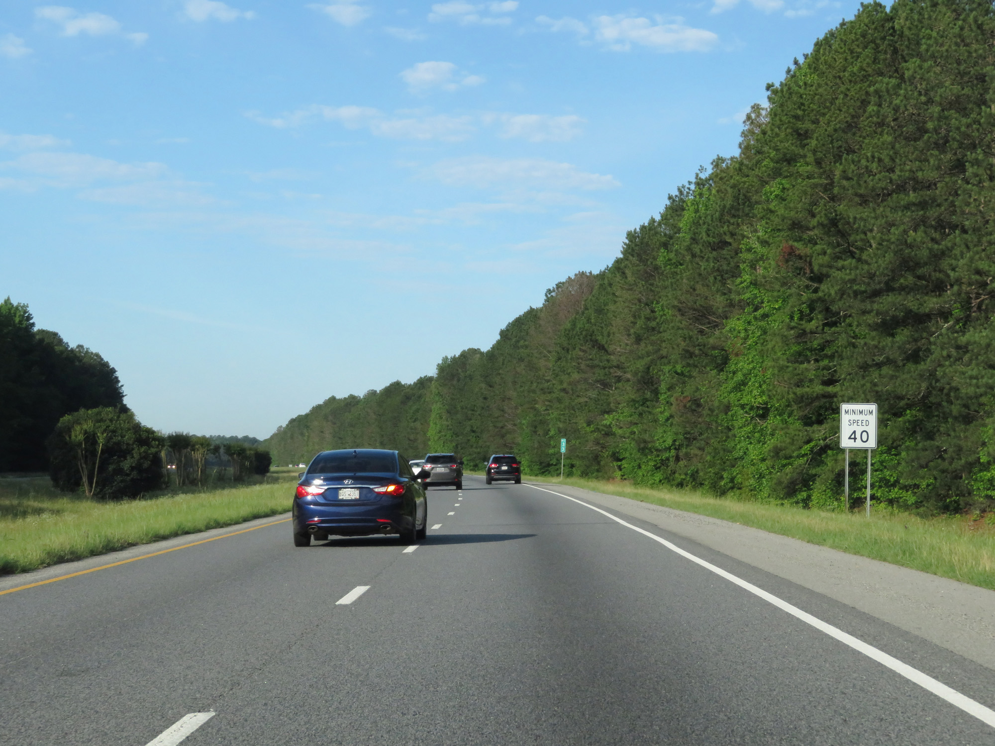
Also standard on most Interstates in Georgia is a 40 mph minimum speed limit. (Photo taken 5/27/17). |
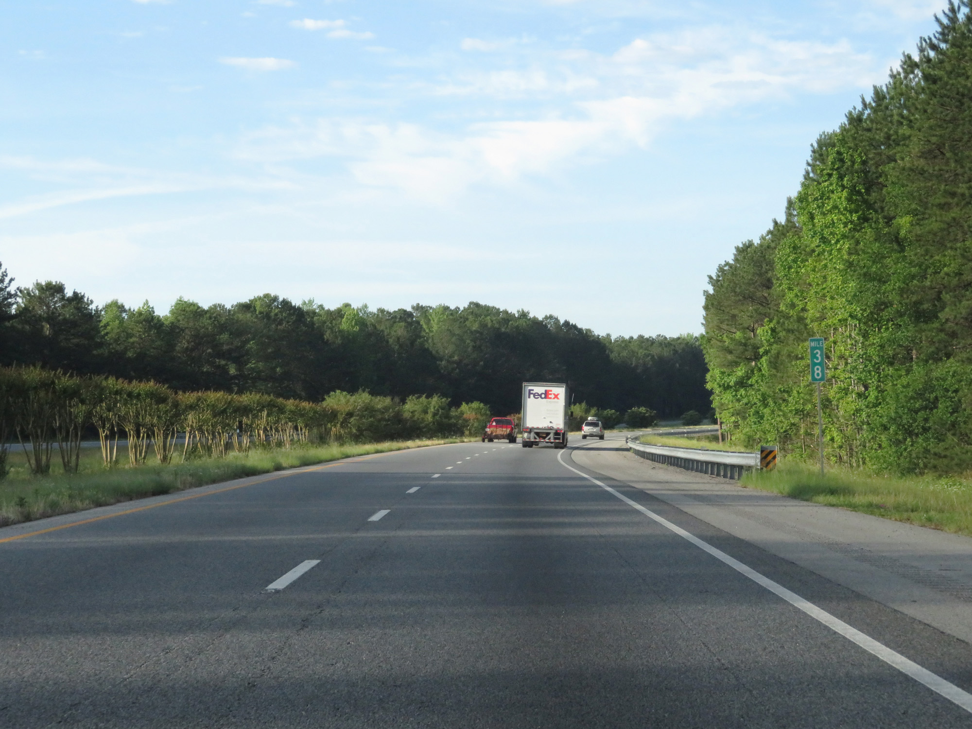 |
Interstate 185 South at mile marker 38. (Photo taken 5/27/17). |
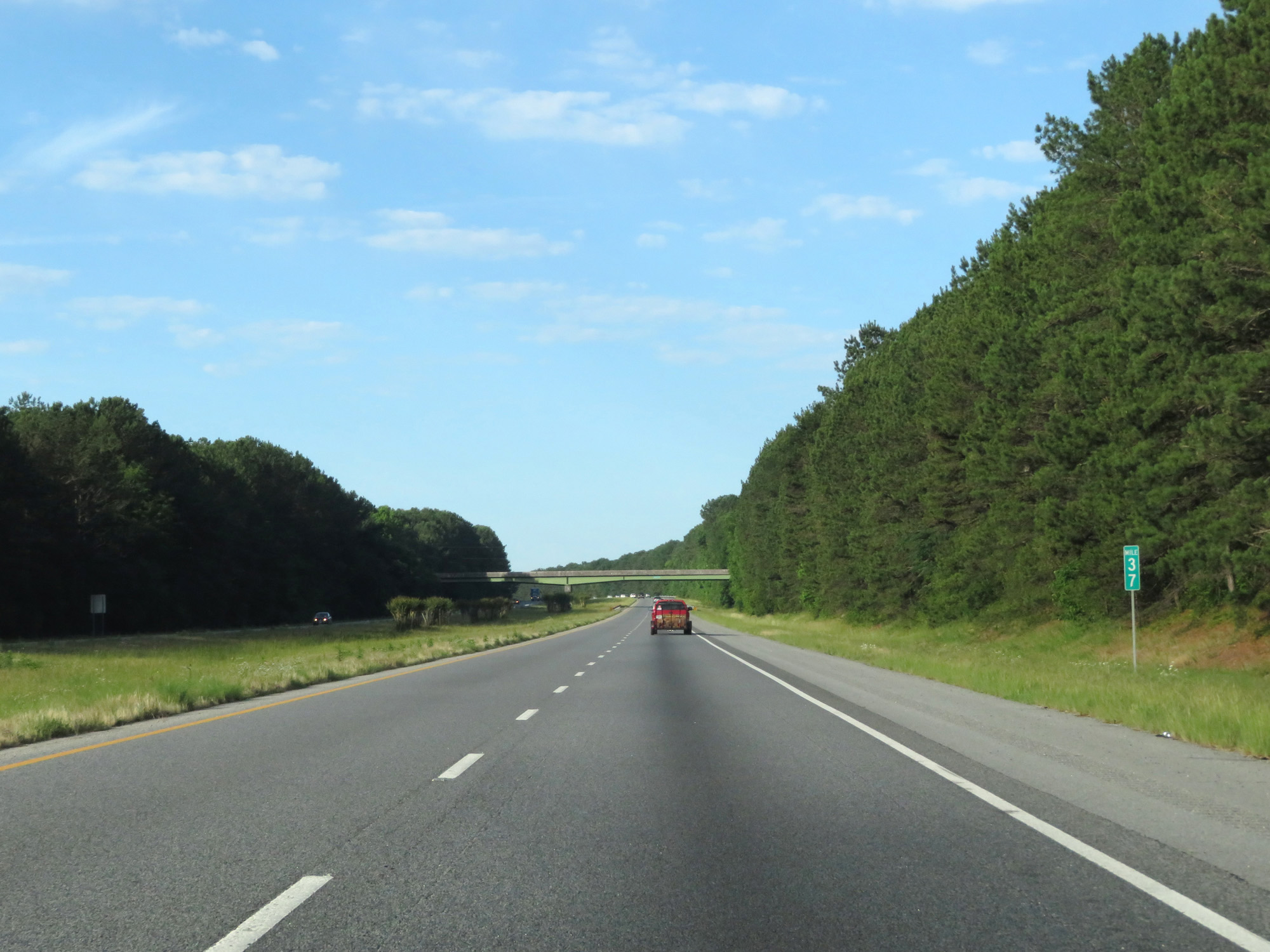 |
Interstate 185 South at mile marker 37. (Photo taken 5/27/17). |
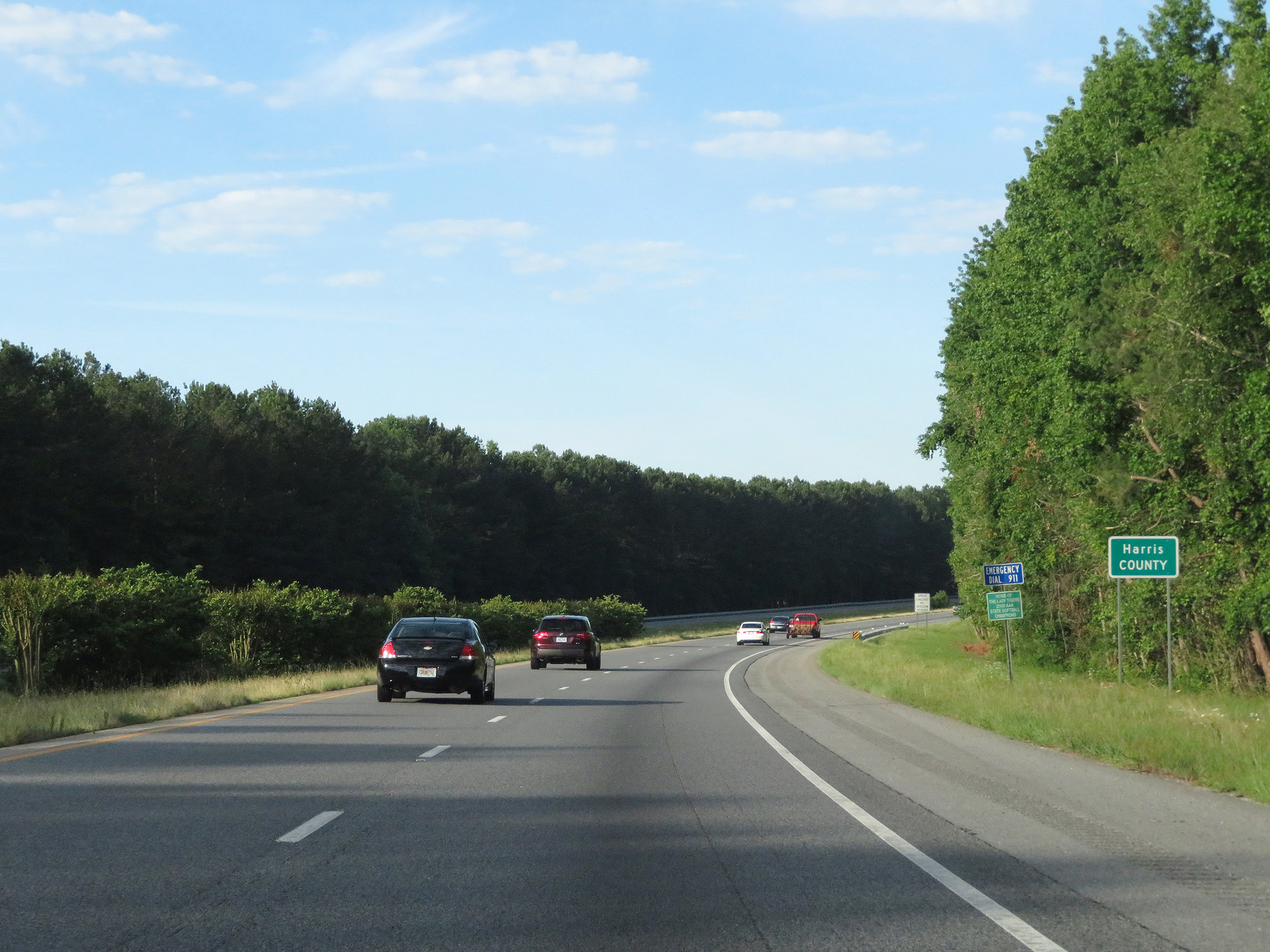 |
Interstate 185 South entering Harris County. (Photo taken 5/27/17). |
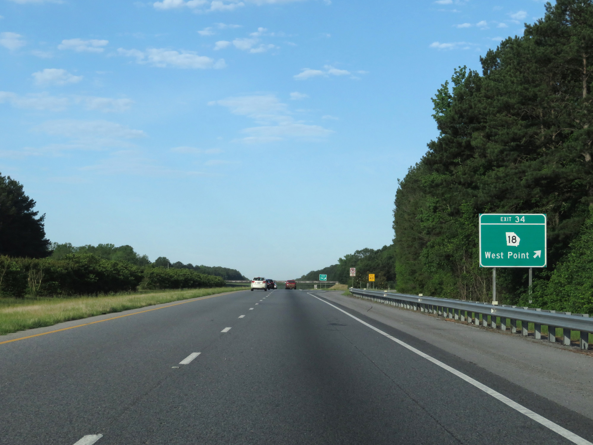 |
Interstate 185 South at Exit 34: GA 18 - West Point (Photo taken 5/27/17). |
 |
Speed Limit - 70 mph. (Photo taken 5/27/17). |
 |
Minimum Speed Limit - 40 mph. (Photo taken 5/27/17). |
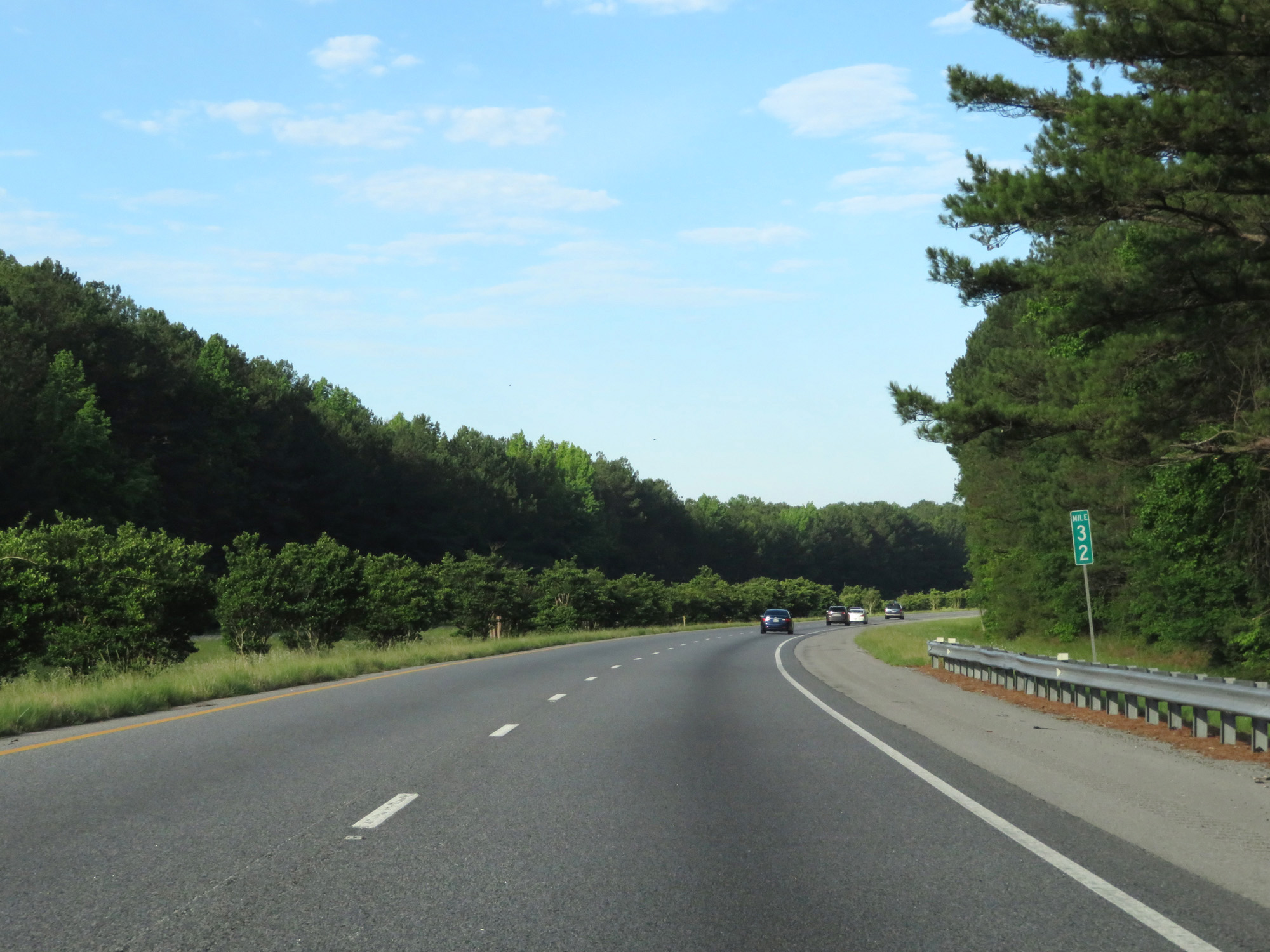 |
Interstate 185 South at mile marker 32. (Photo taken 5/27/17). |
 |
Interstate 185 South approaching Exit 30 - 1 mile. (Photo taken 5/27/17). |
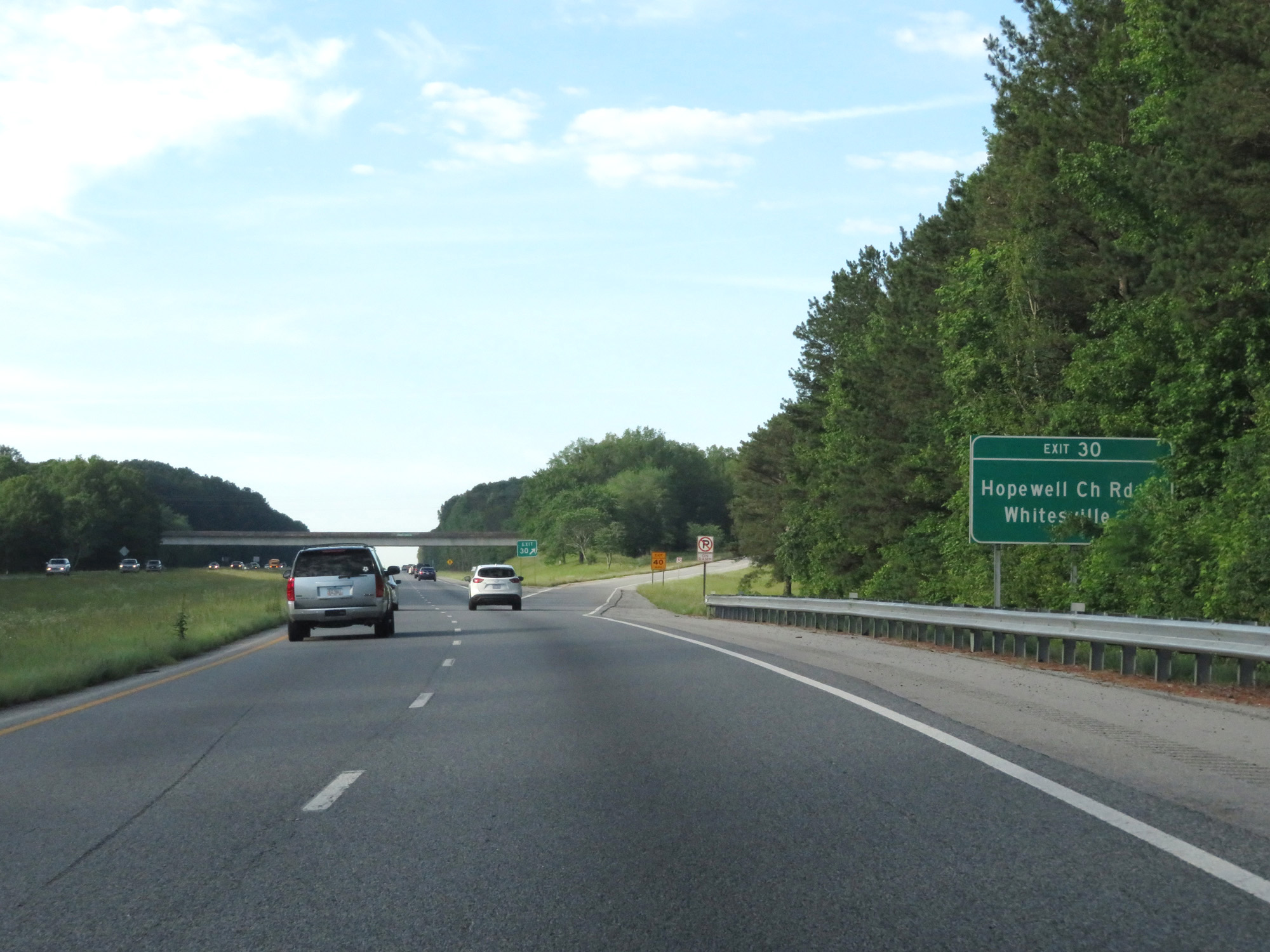 |
Interstate 185 South at Exit 30: Hopewell Church Rd / Whitesville (Photo taken 5/27/17). |
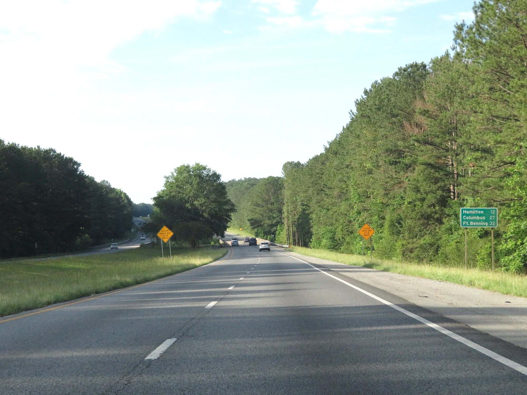 |
Mileage sign on Interstate 185 South. Hamilton - 12 miles, Columbus - 27 miles, Fort Benning - 32 miles. (Photo taken 5/27/17). |
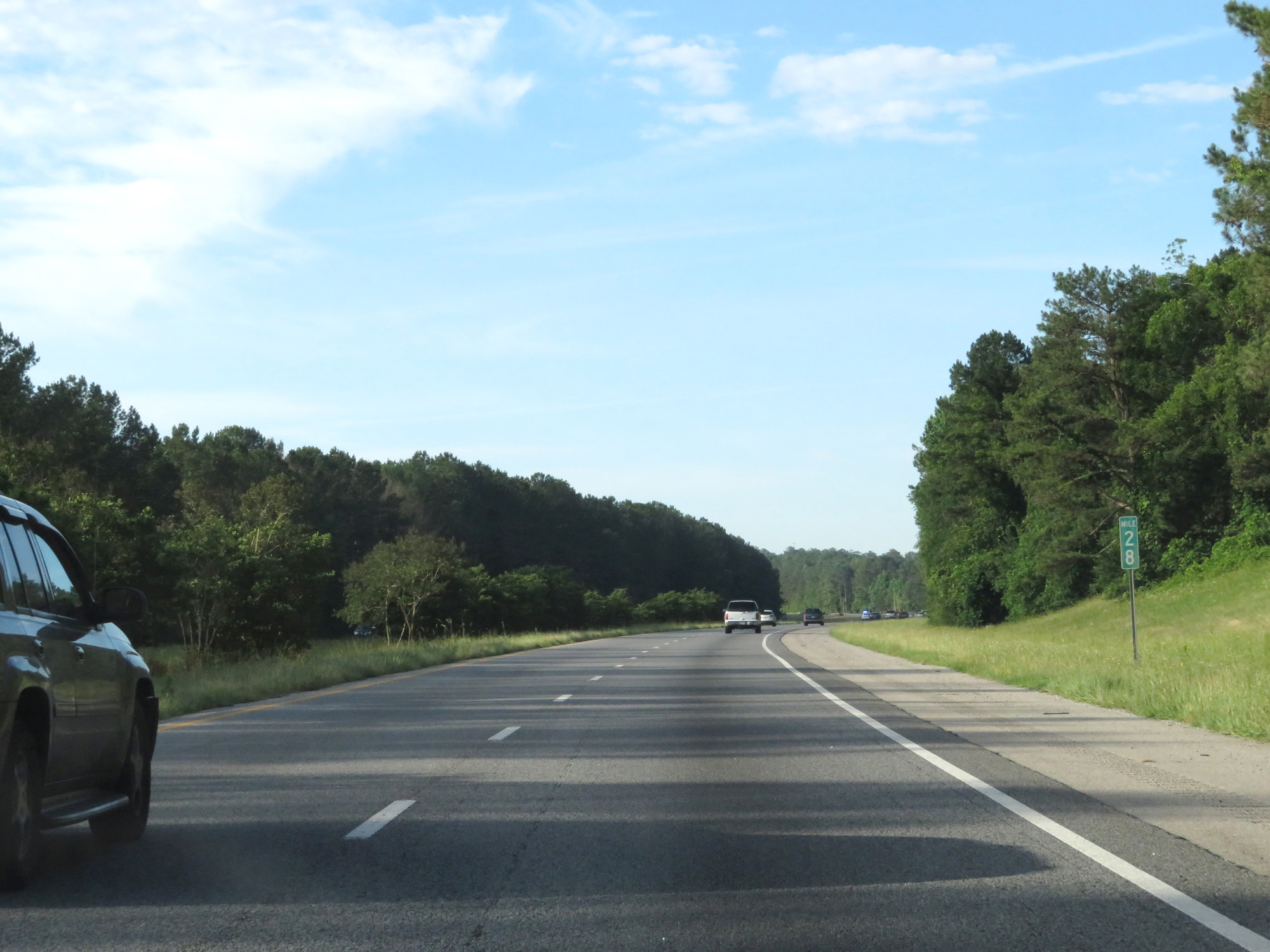 |
Interstate 185 South at mile marker 28. (Photo taken 5/27/17). |
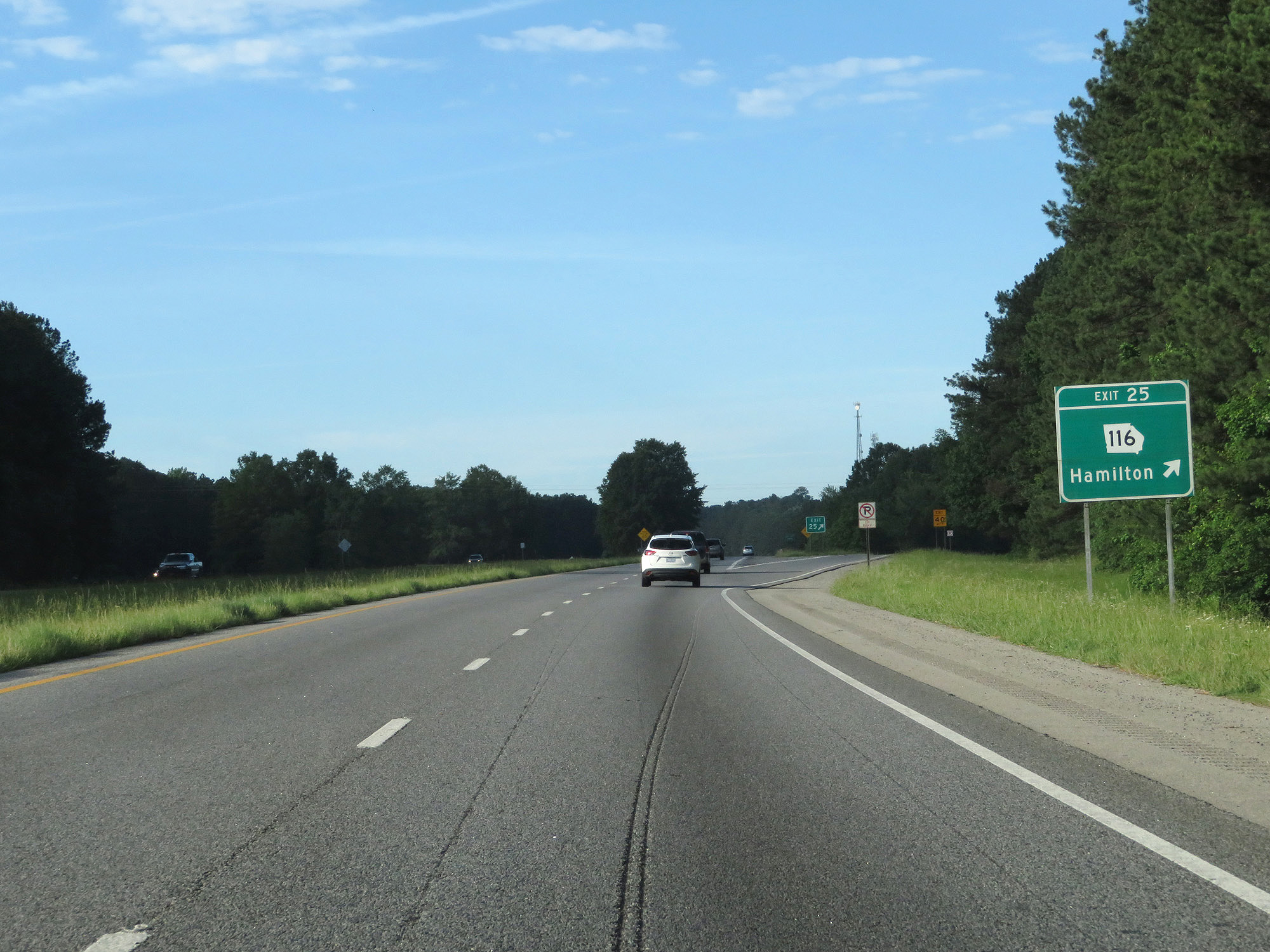 |
Interstate 185 South at Exit 25: GA 116 - Hamilton (Photo taken 5/27/17). |
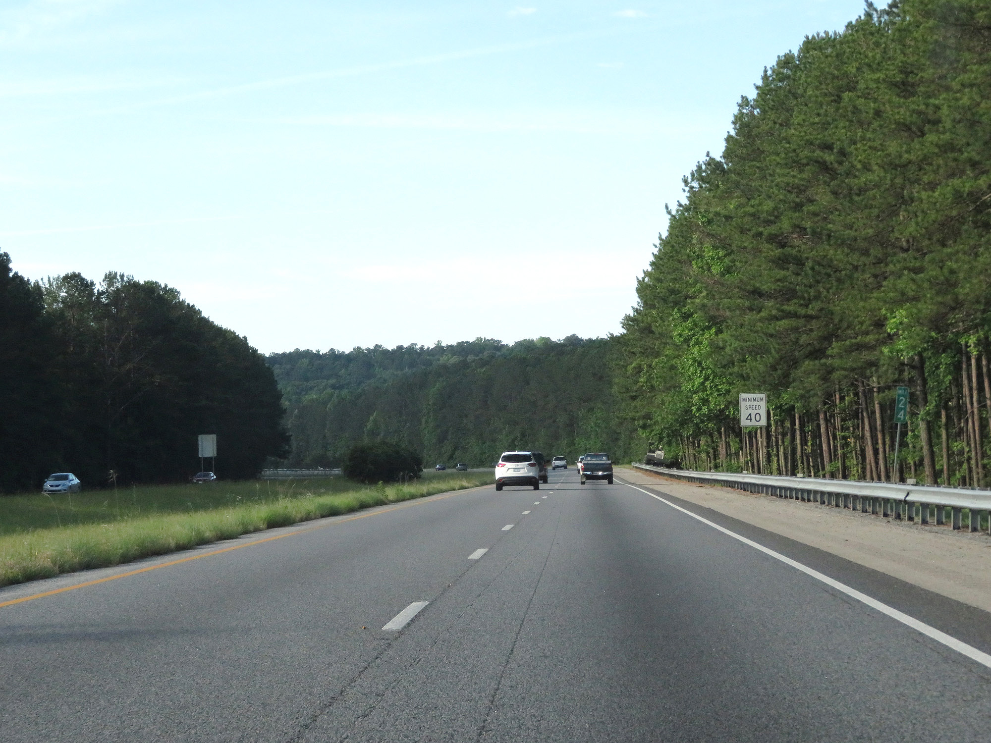 |
Interstate 185 South at mile marker 24. (Photo taken 5/27/17). |
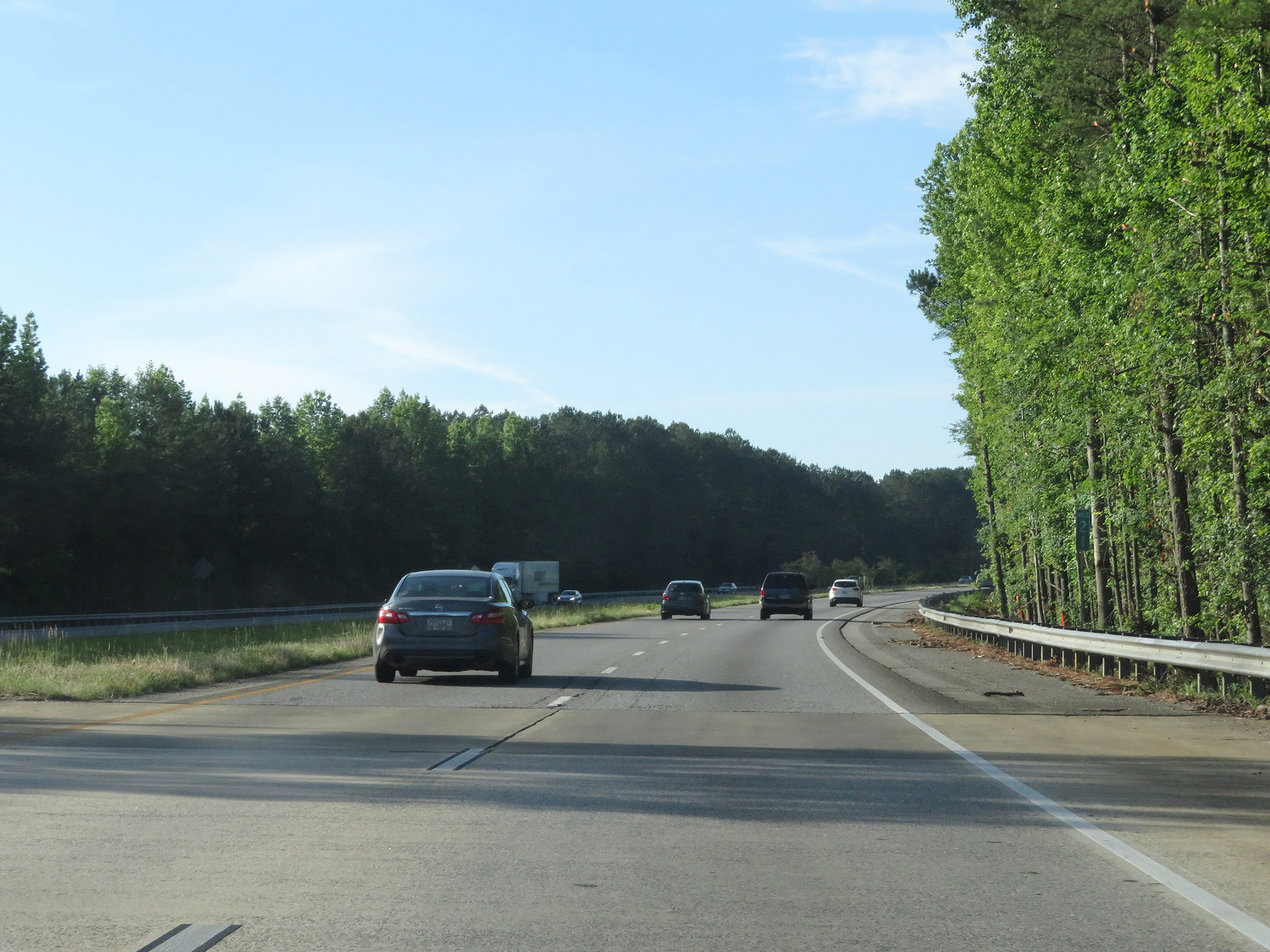 |
Interstate 185 South at mile marker 21. (Photo taken 5/27/17). |
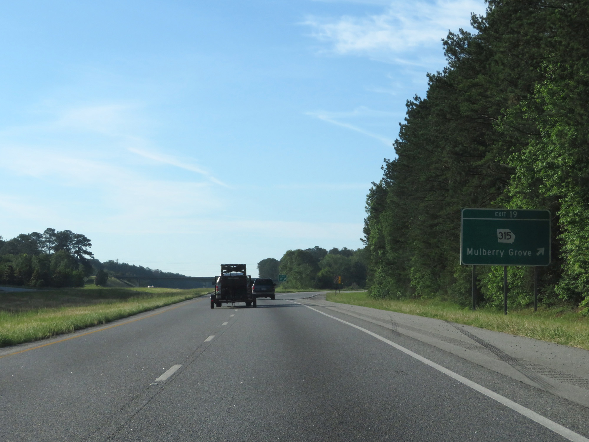 |
Interstate 185 South at Exit 19: GA 315 - Mulberry Grove (Photo taken 5/27/17). |
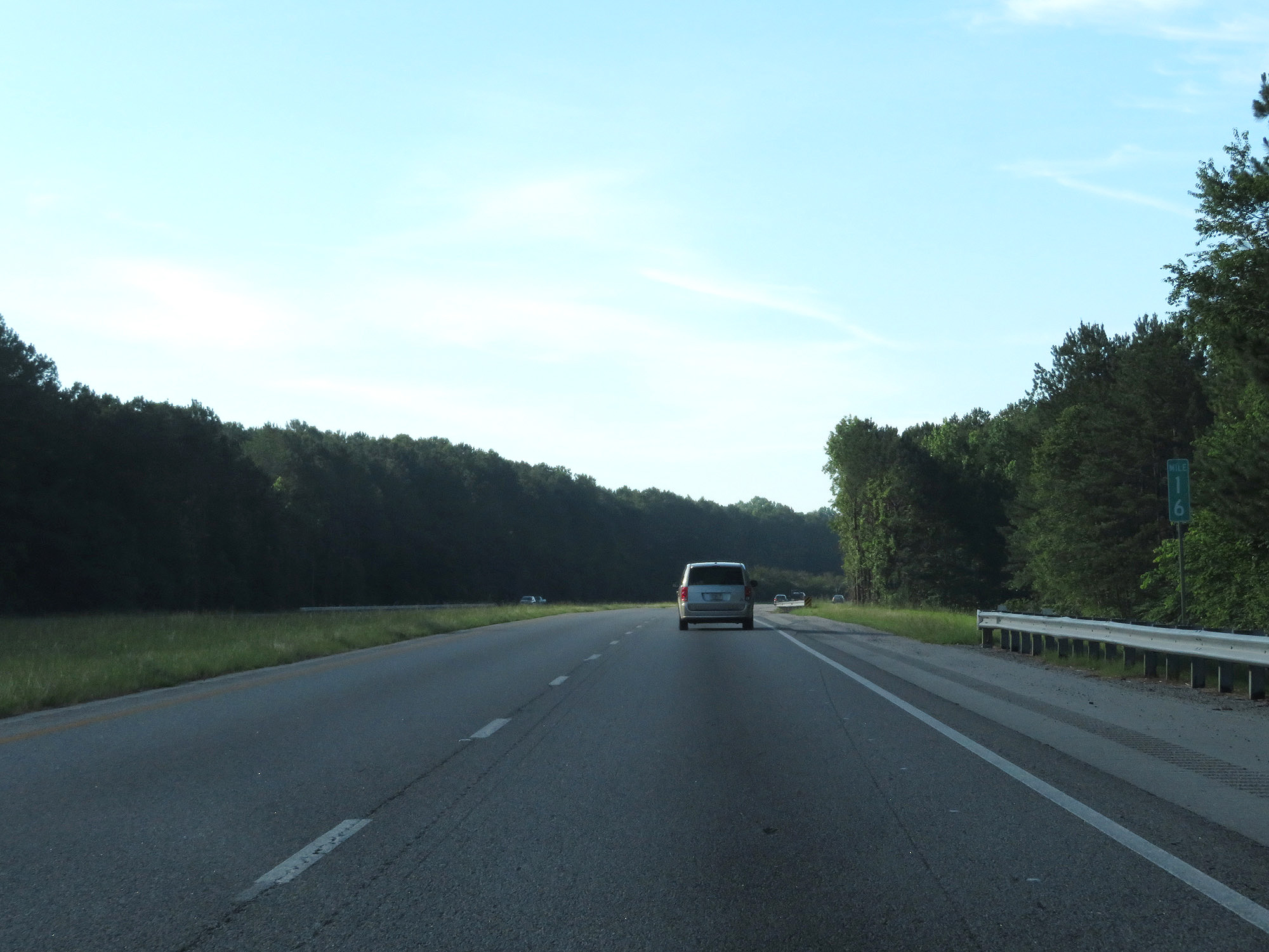 |
Interstate 185 South at mile marker 16. (Photo taken 5/27/17). |
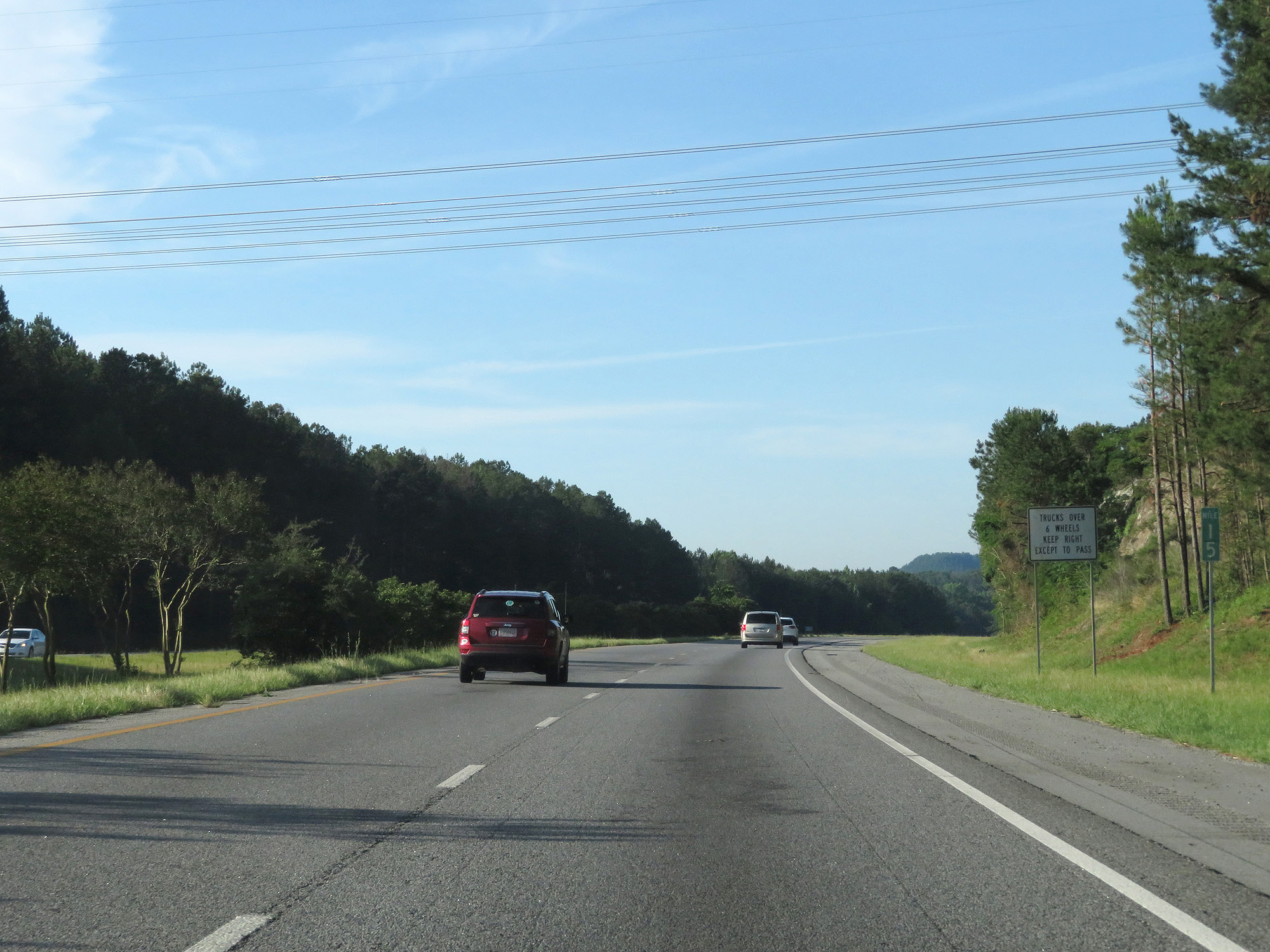 |
Interstate 185 South at mile marker 15. (Photo taken 5/27/17). |
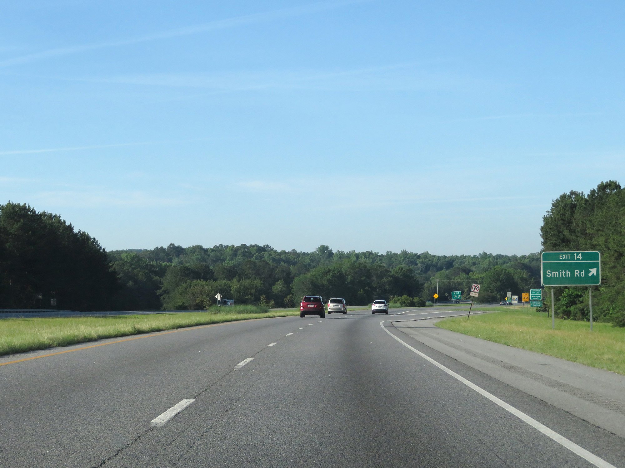 |
Interstate 185 South at Exit 14: Smith Rd (Photo taken 5/27/17). |
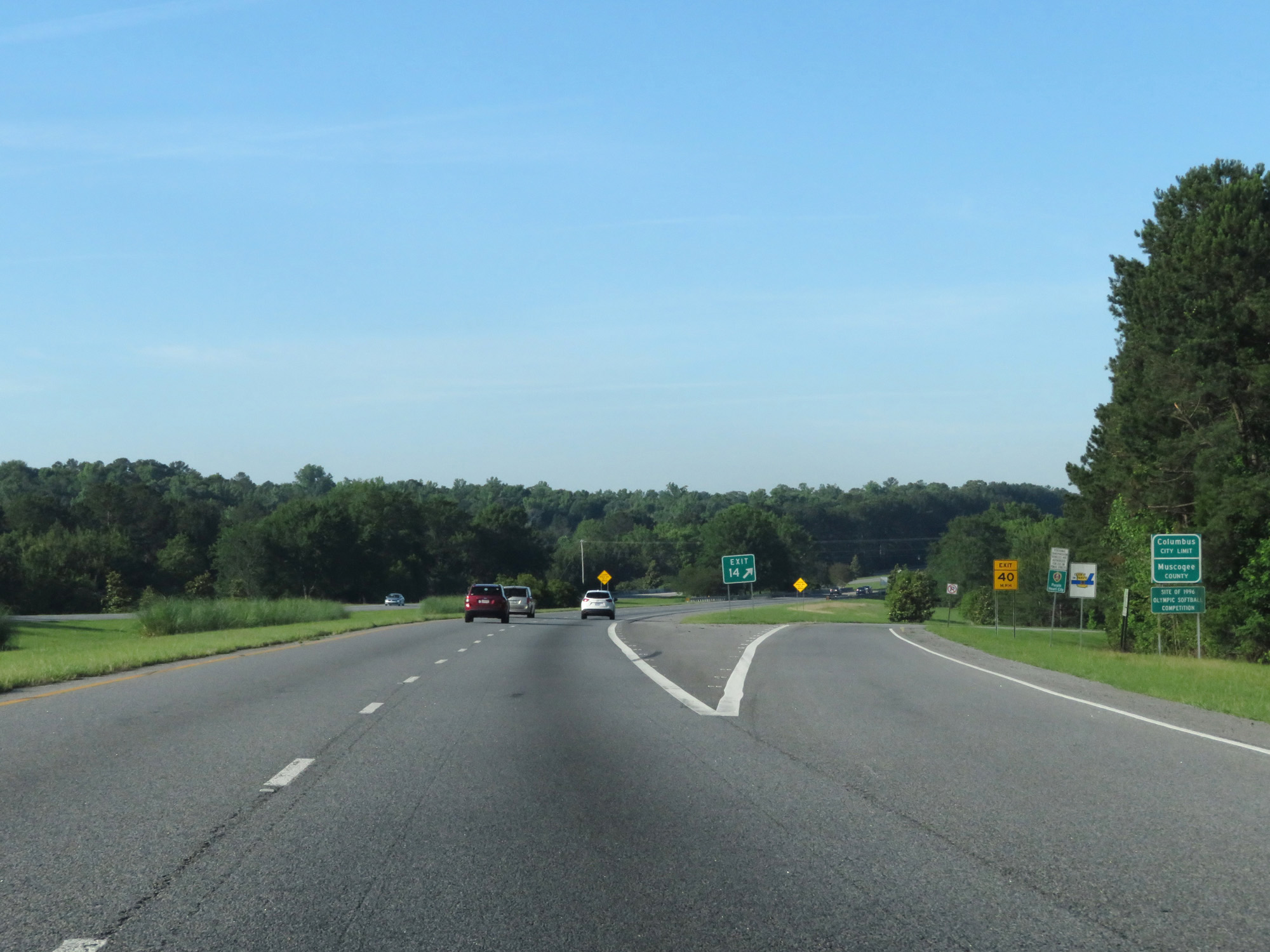 |
At Exit 14, Interstate 185 South enters Muscogee County and the Columbus city limits. (Photo taken 5/27/17). |
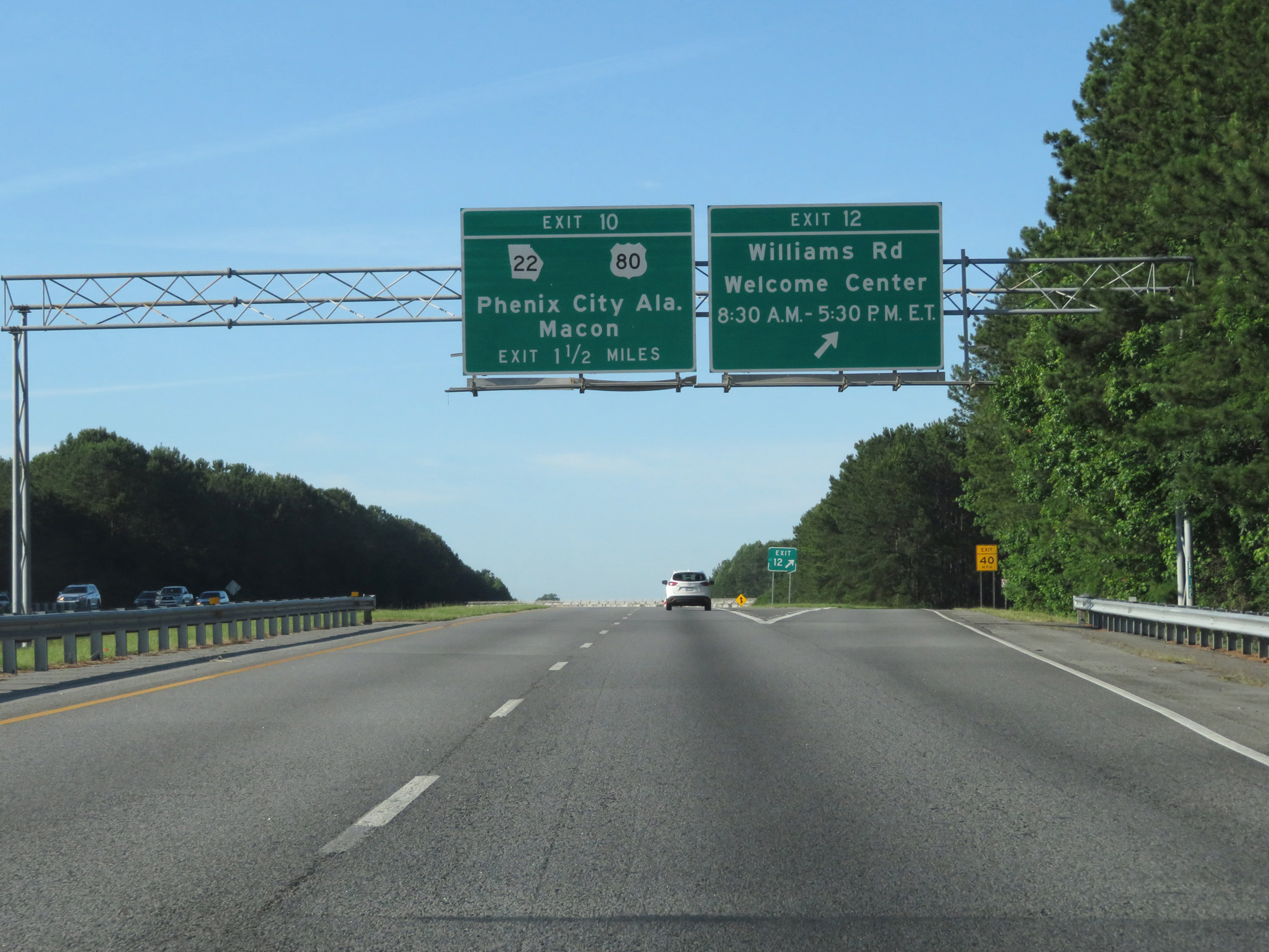 |
Interstate 185 South at Exit 12: Williams Rd / Welcome Center (Photo taken 5/27/17). |
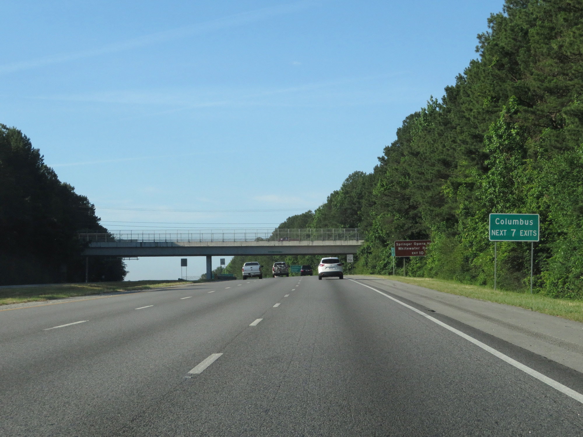 |
Take any of the next 7 exits to Columbus. (Photo taken 5/27/17). |
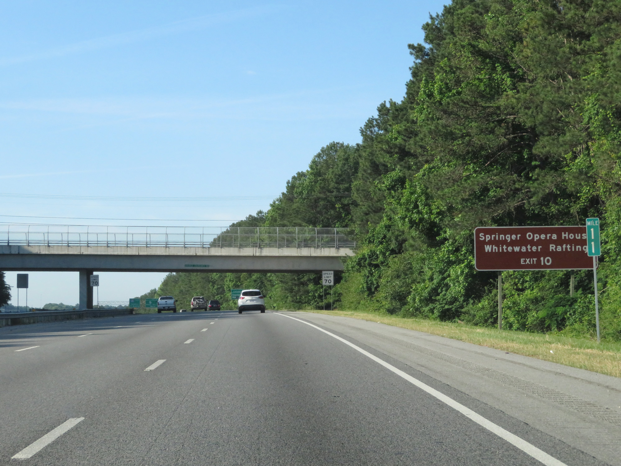 |
Take Exit 10 to Springer Opera House and Whitewater Rafting. (Photo taken 5/27/17). |
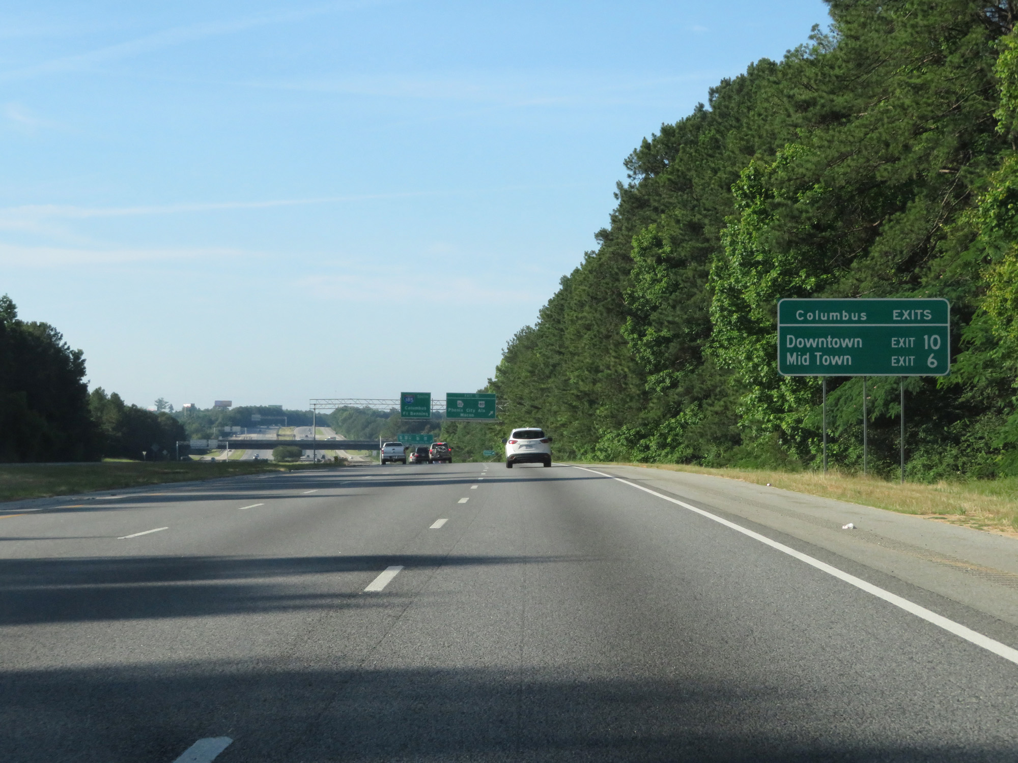 |
Take Exit 10 to Downtown and Exit 6 to Mid Town. (Photo taken 5/27/17). |
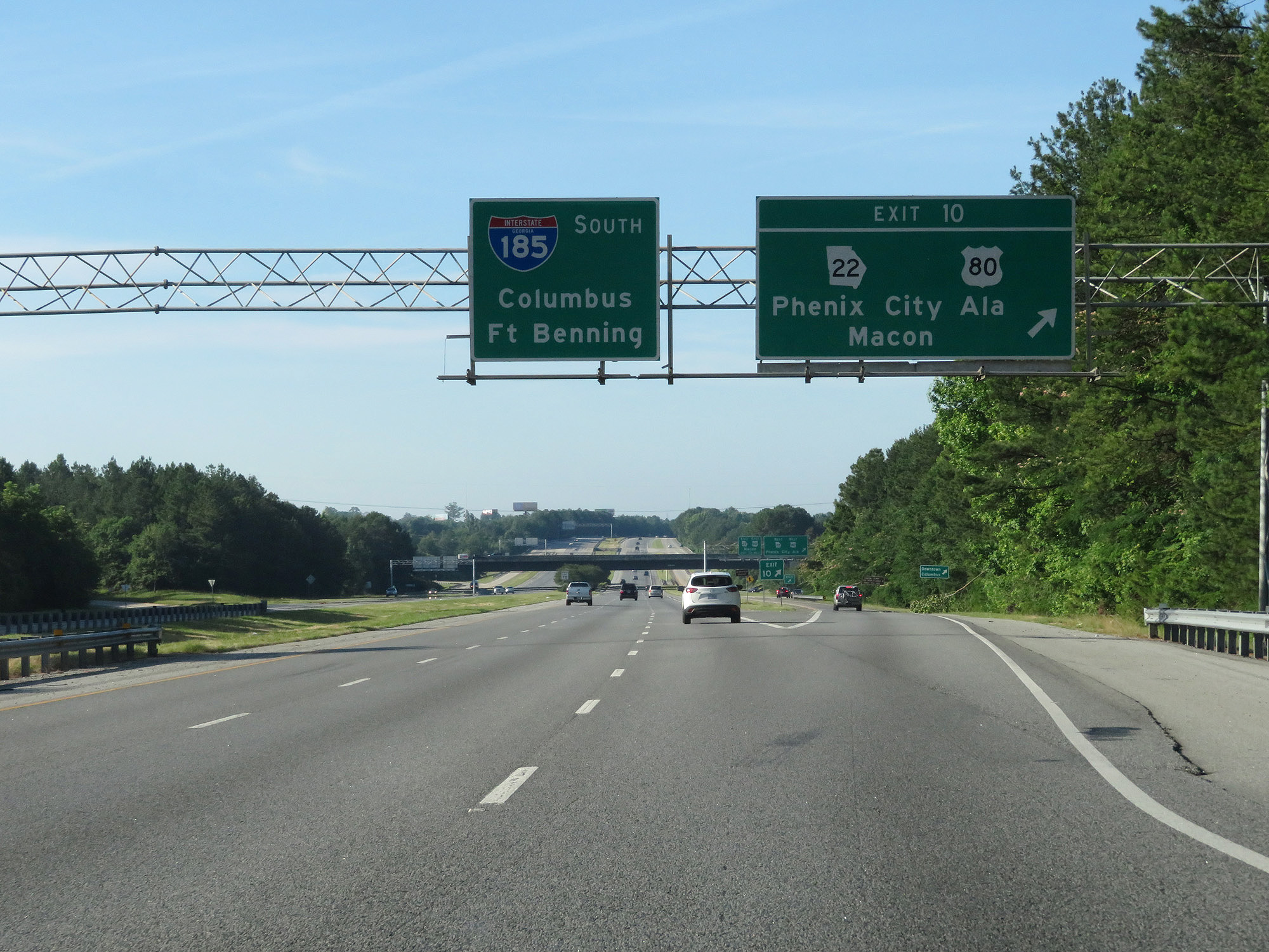 |
Interstate 185 South at Exit 10: US 80 / GA 22 - Phenix City, AL / Macon (Photo taken 5/27/17). |
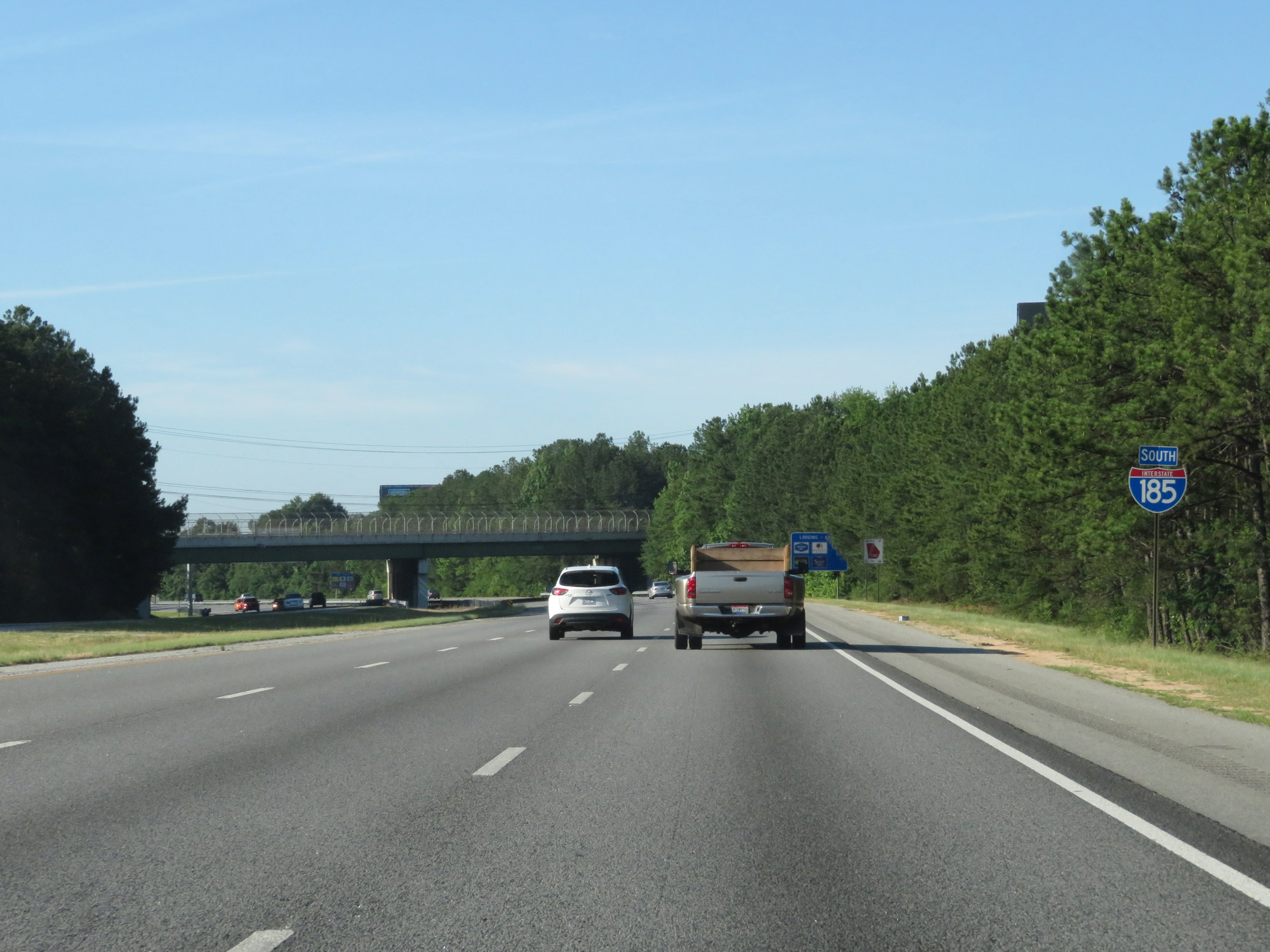 |
Interstate 185 South reassurance shield. (Photo taken 5/27/17). |
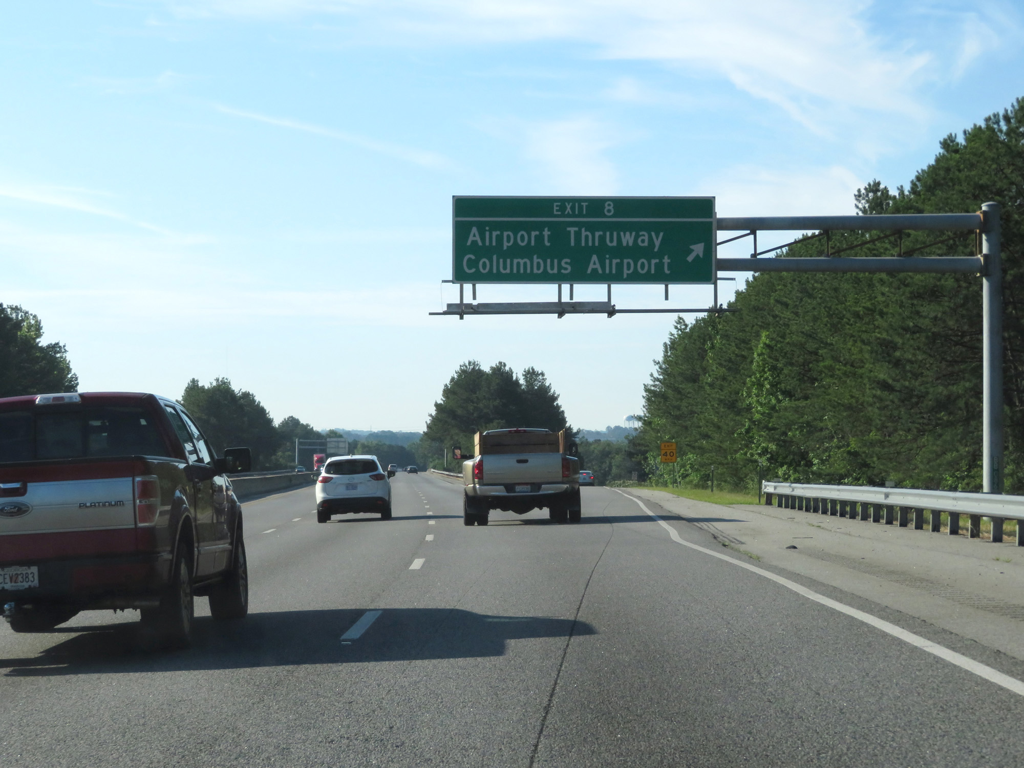 |
Interstate 185 South at Exit 8: Airport Thruway / Columbus Airport (Photo taken 5/27/17). |
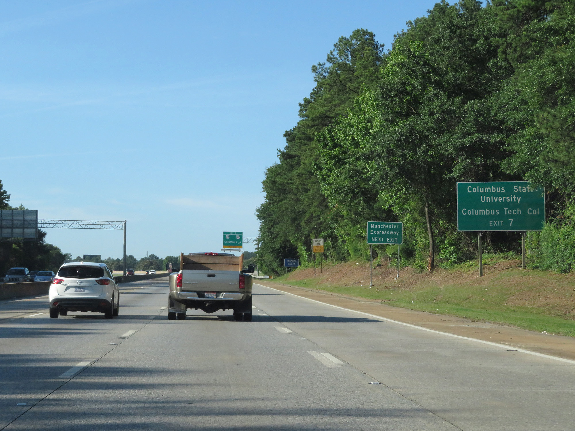 |
Take Exit 7 to Columbus State University, Columbus Tech College, and Manchester Expressway. (Photo taken 5/27/17). |
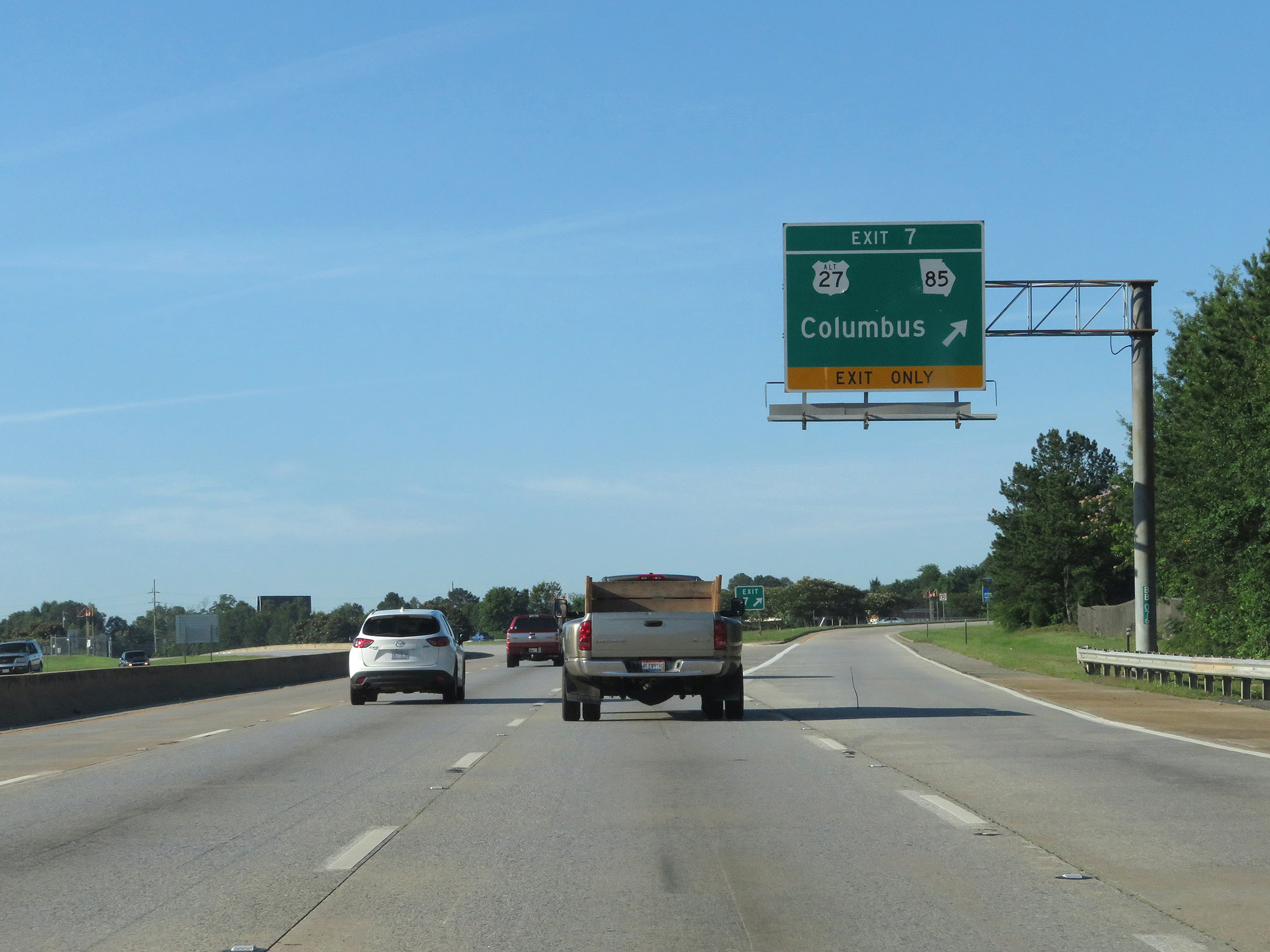 |
Interstate 185 South at Exit 7: US 27 Alt / GA 85 - Columbus (Photo taken 5/27/17). |
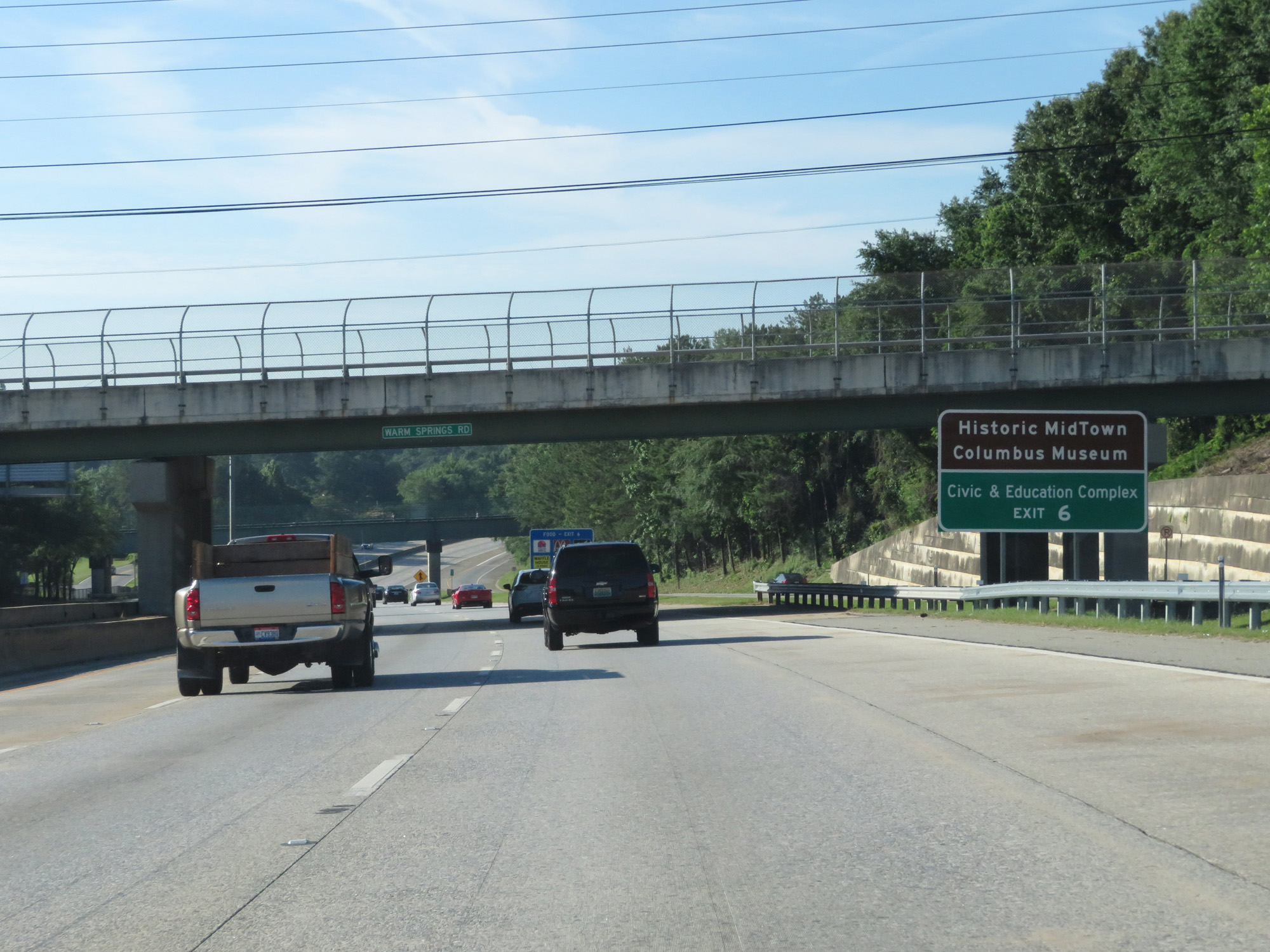 |
Take Exit 6 to Historic MidTown Columbus Museum and Civic & Education Complex. (Photo taken 5/27/17). |
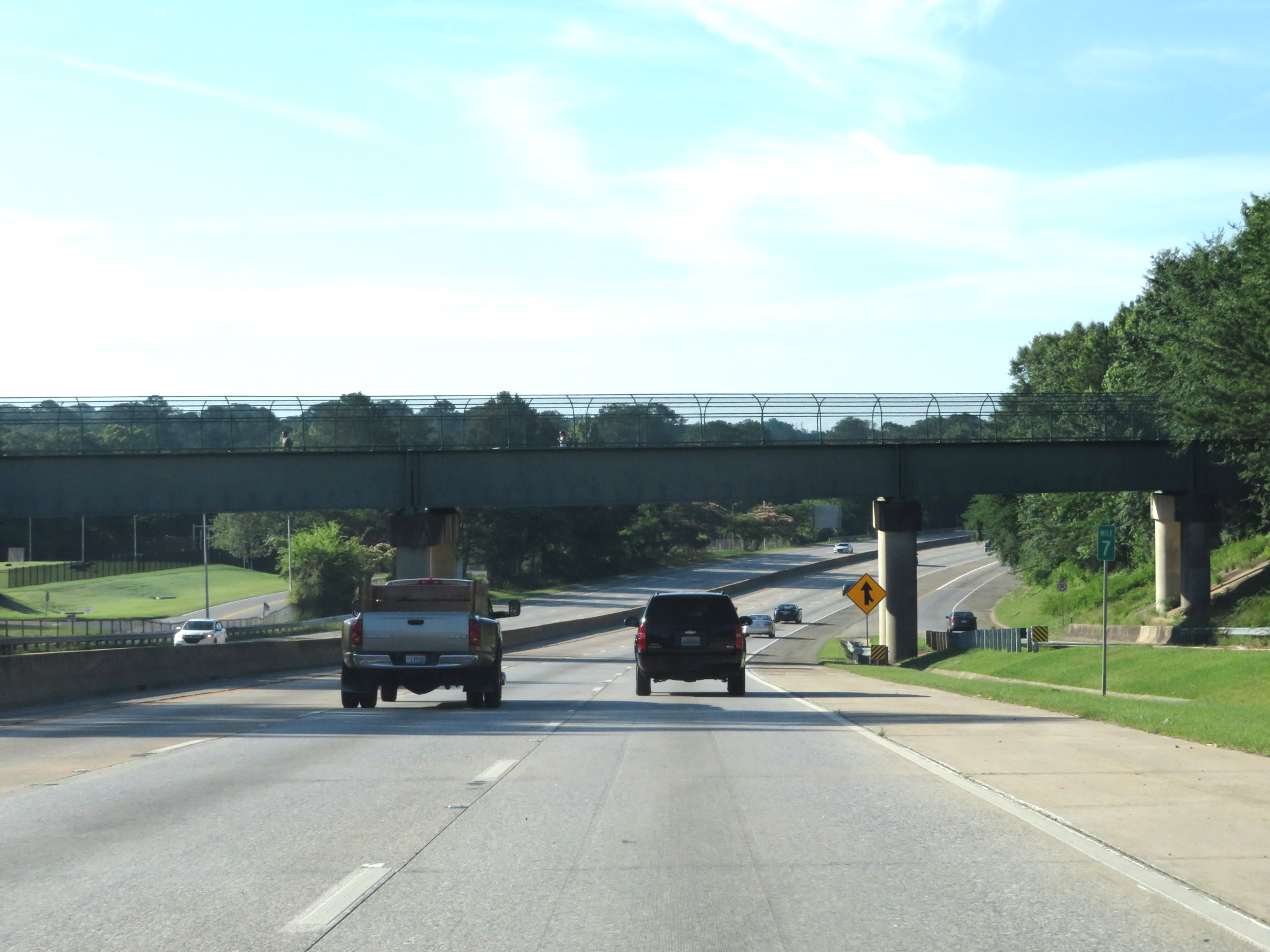 |
Interstate 185 South at mile marker 7. (Photo taken 5/27/17). |
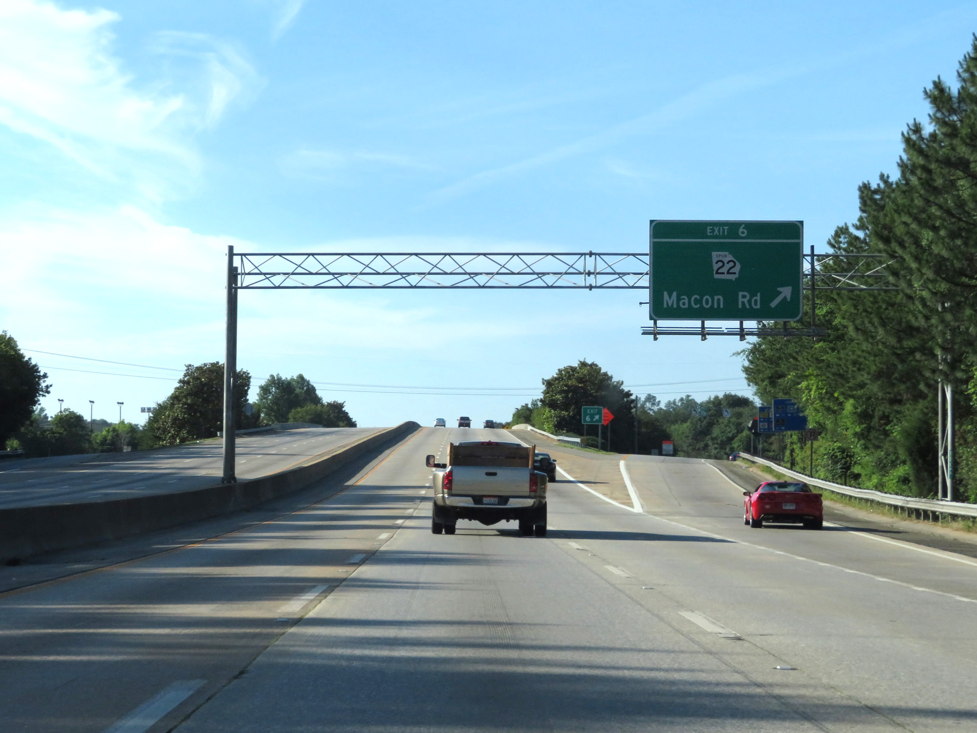 |
Interstate 185 South at Exit 6: GA 22 Spur - Macon Rd (Photo taken 5/27/17). |
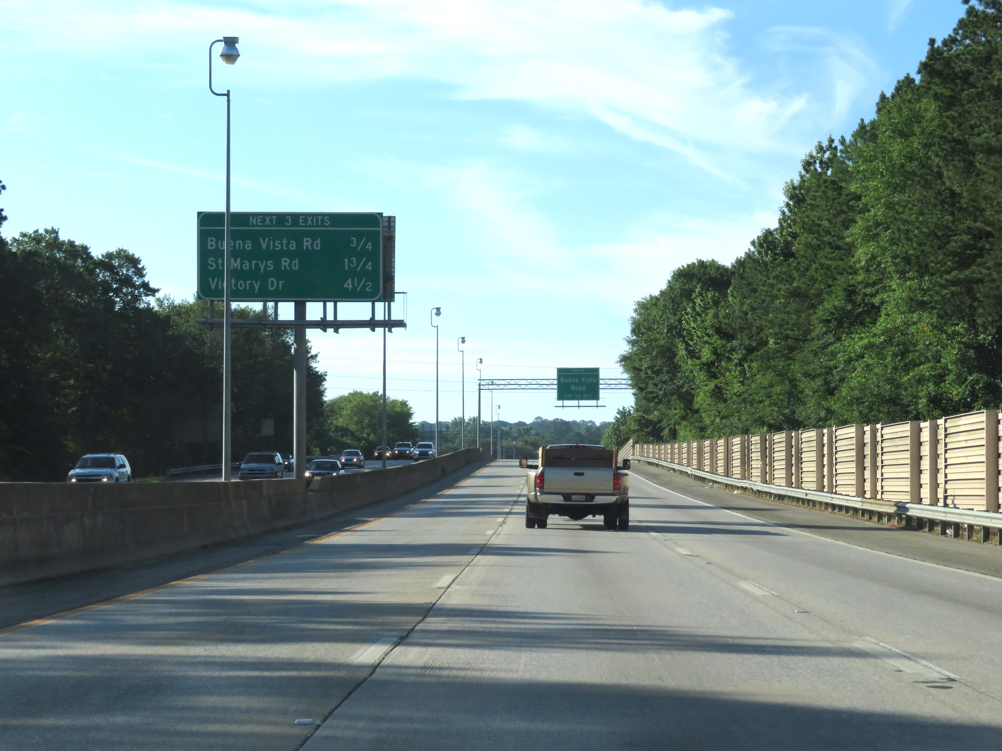 |
Overhead mileage sign listing the distances to the next 3 exits on Interstate 185 South. (Photo taken 5/27/17). |
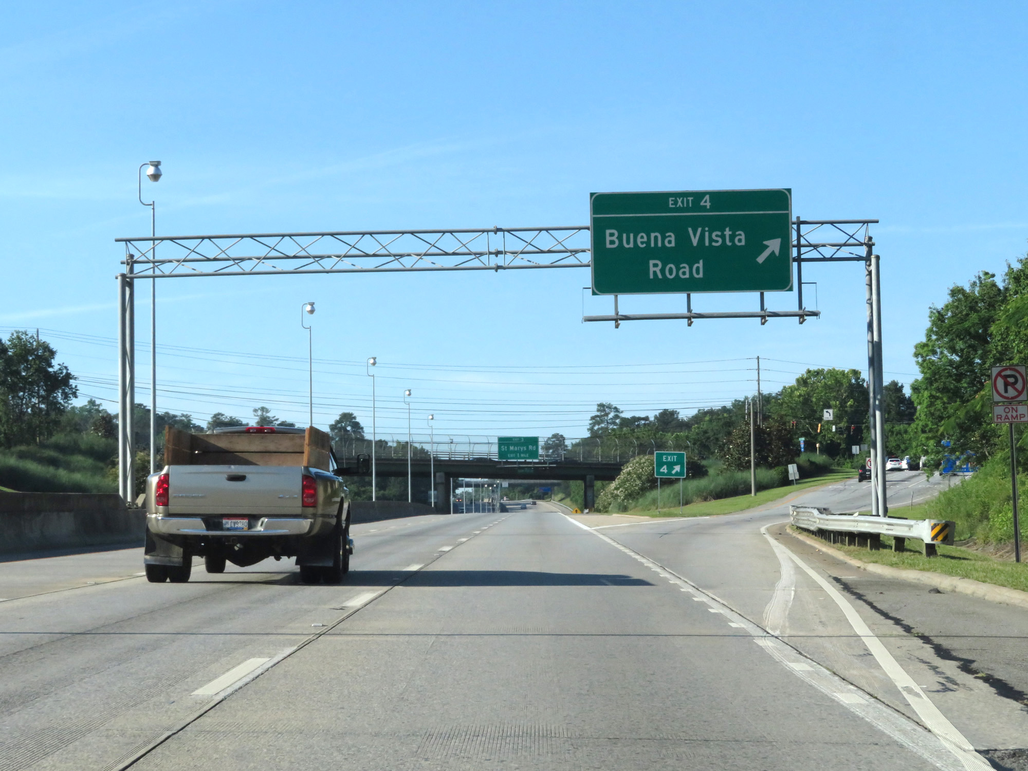 |
Interstate 185 South at Exit 4: Buena Vista Road (Photo taken 5/27/17). |
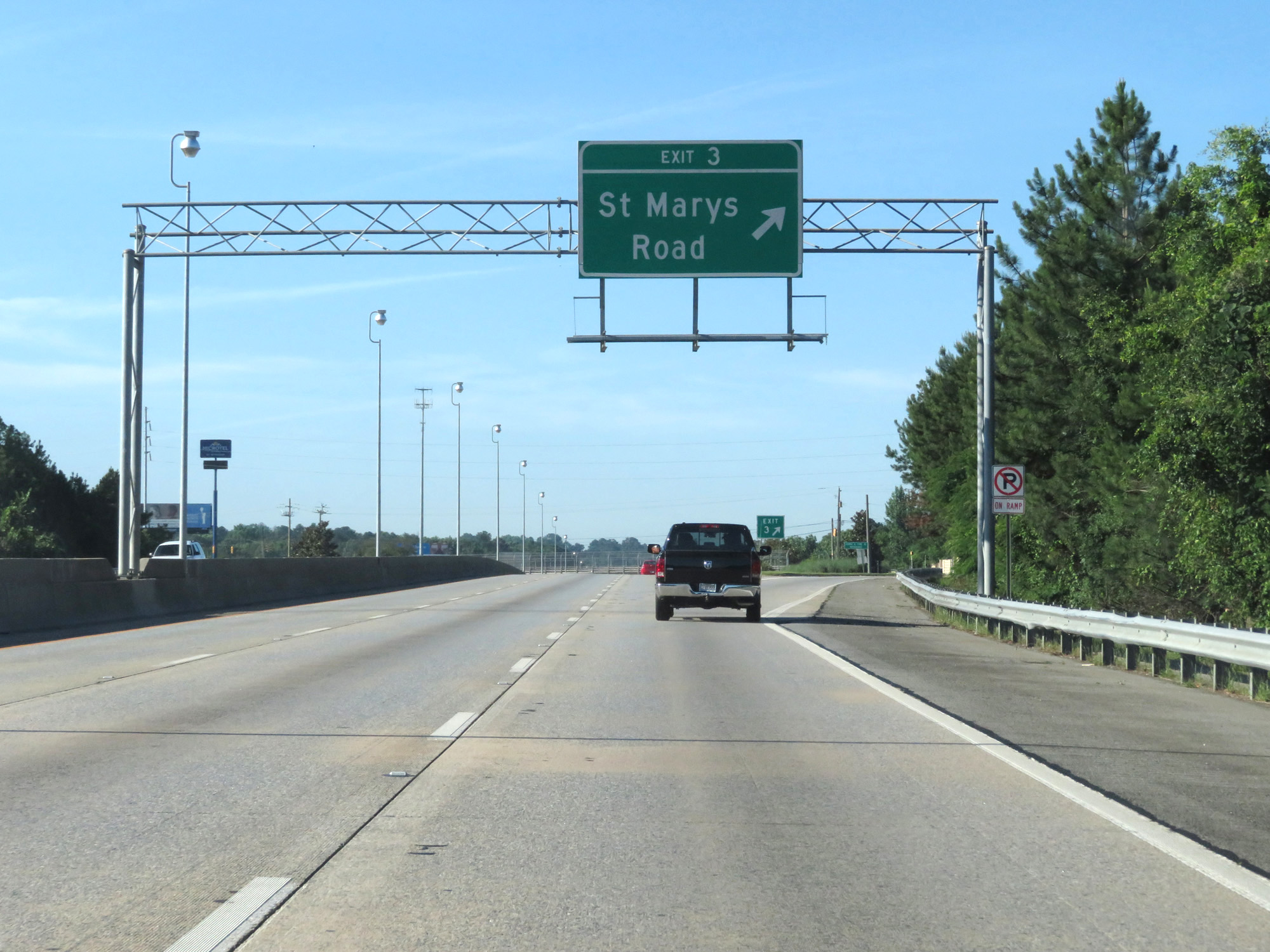 |
Interstate 185 South at Exit 3: St Marys Road (Photo taken 5/27/17). |
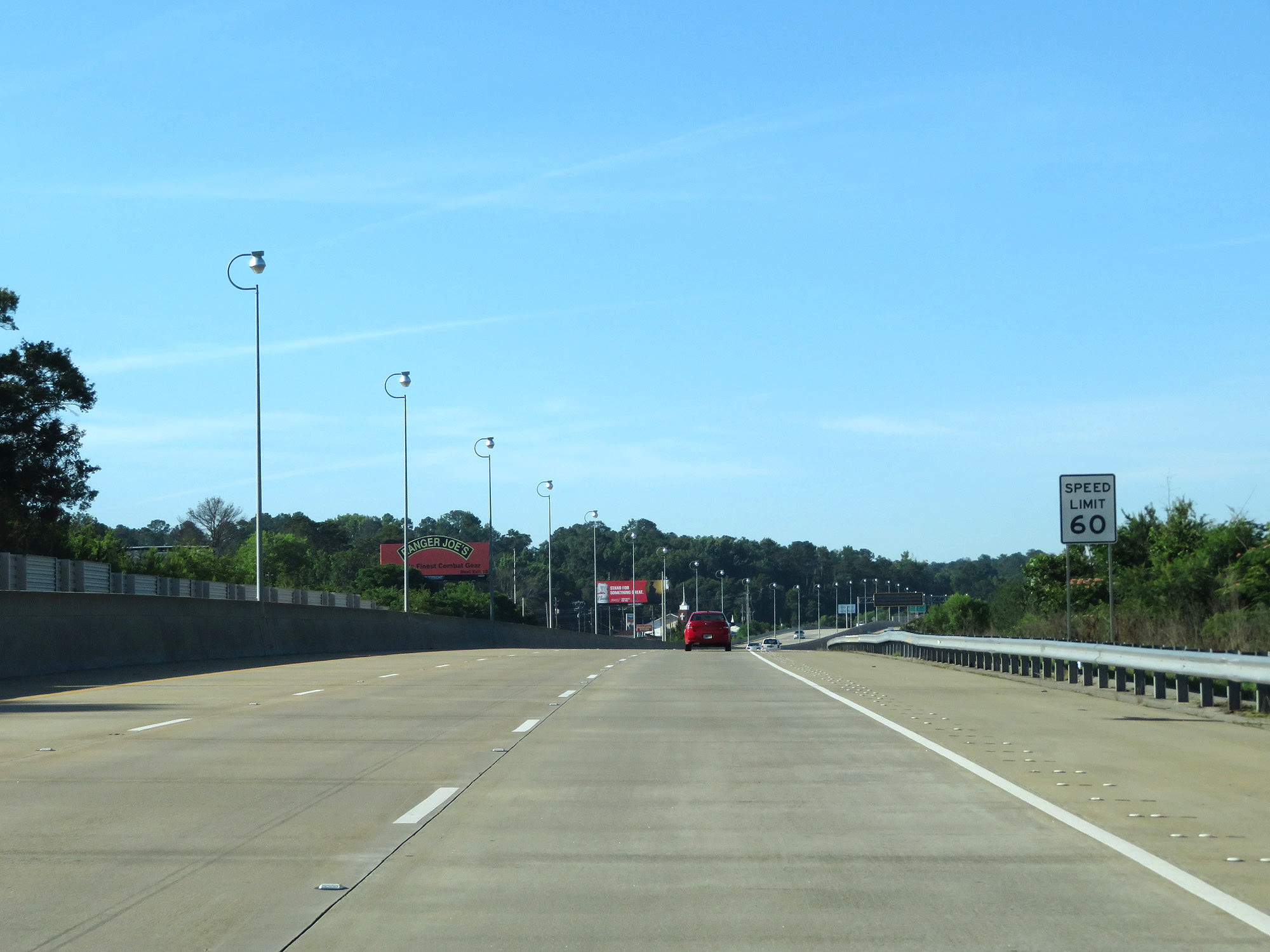 |
South of Exit 3, the speed limit decreases to 60 mph. (Photo taken 5/27/17). |
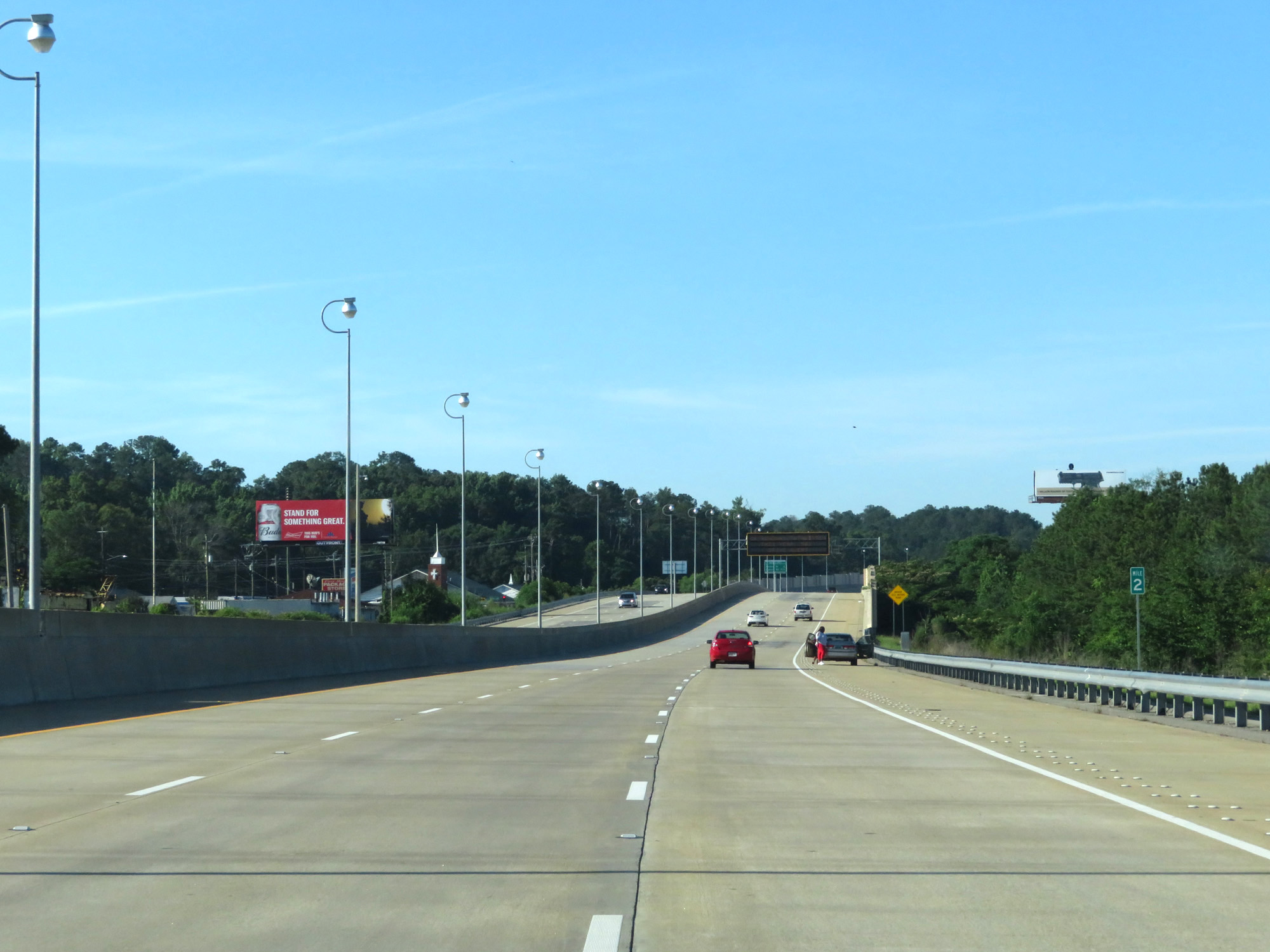 |
Interstate 185 South at mile marker 2. (Photo taken 5/27/17). |
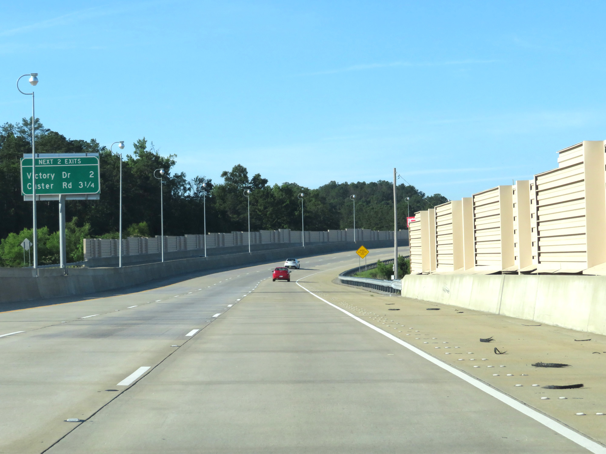 |
Mileage sign listing the distances to the final exits on Interstate 185 South. (Photo taken 5/27/17). |
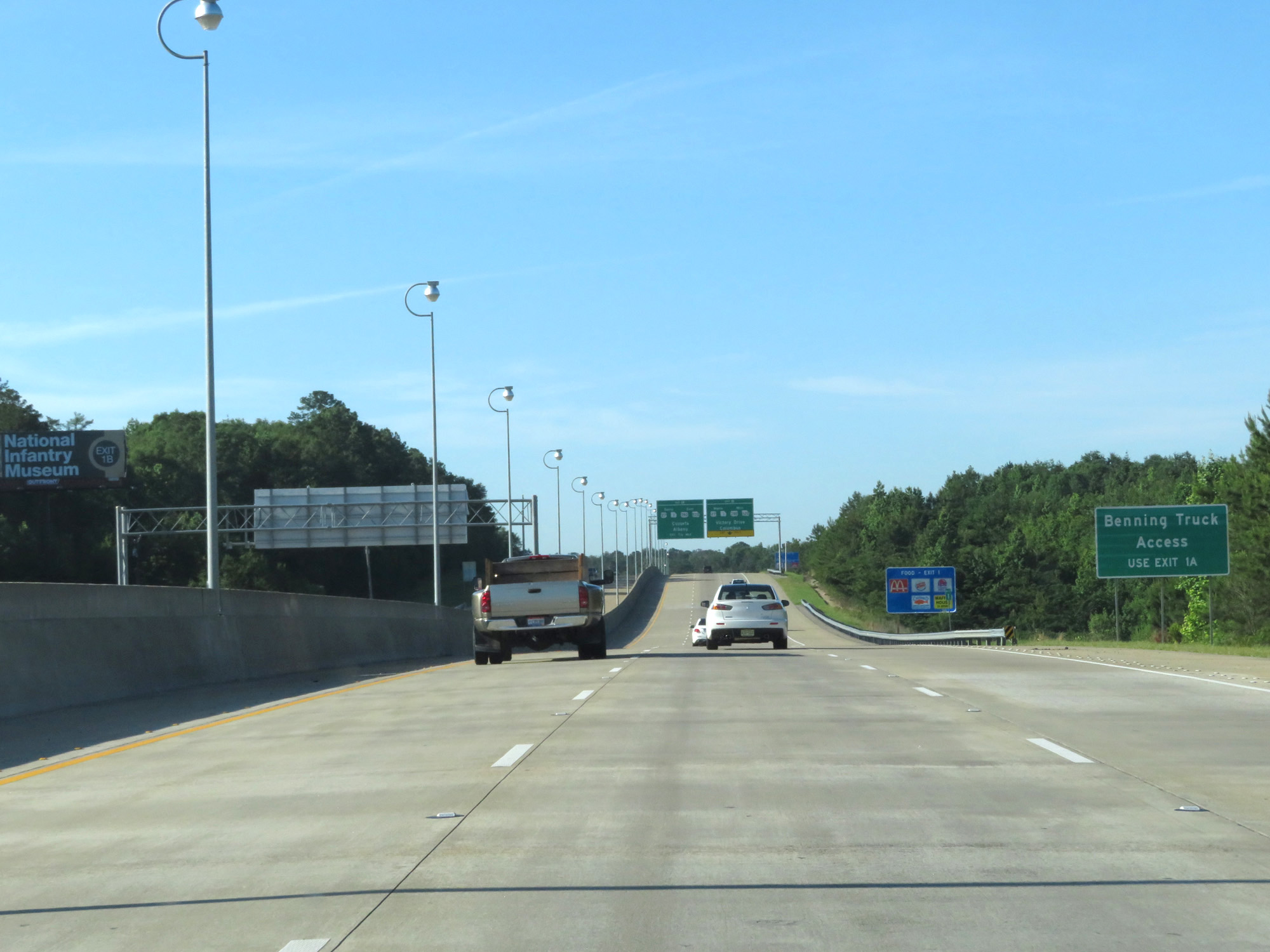 |
Take Exit 1A for truck access to Fort Benning. (Photo taken 5/27/17). |
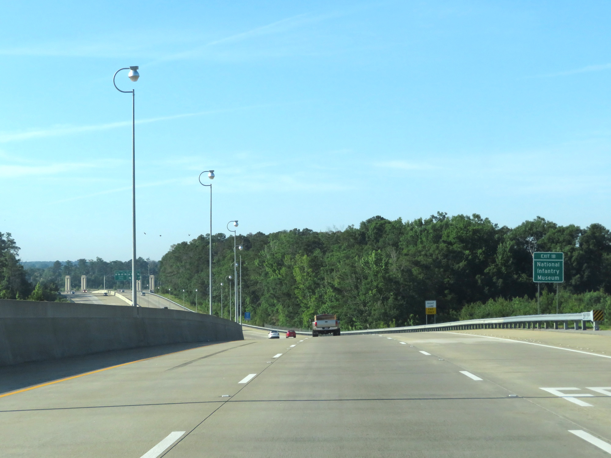 |
Take Exit 1B to the National Infantry Museum. (Photo taken 5/27/17). |
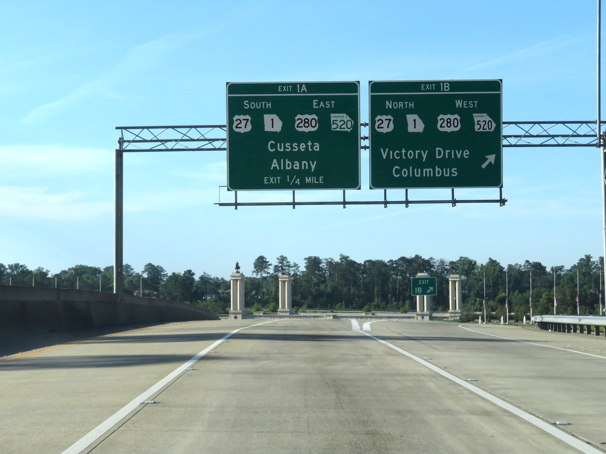 |
Interstate 185 South at Exit 1B: US 27 North / GA 1 North / US 280 West / GA 520 West - Victory Drive / Columbus (Photo taken 5/27/17). |
 |
Interstate 185 South at Exit 1A: US 27 South / GA 1 South / US 280 East / GA 520 East - Sand Hill / Cusseta / Albany (Photo taken 5/27/17). |
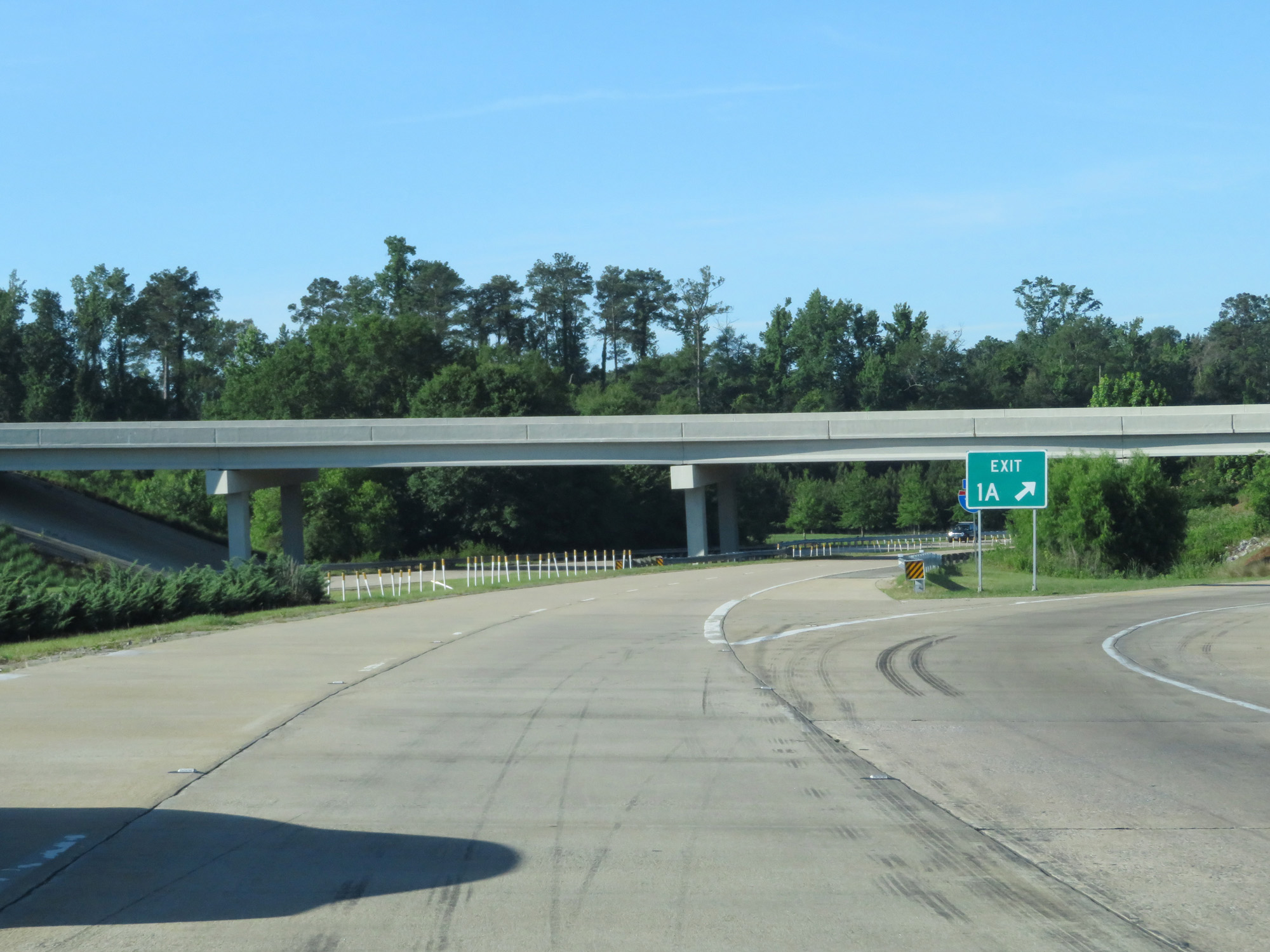 |
Gore point signage for Exit 1A. (Photo taken 5/27/17). |
 |
State-named Interstate 185 End shield just beyond Exit 1A. (Photo taken 5/27/17). |
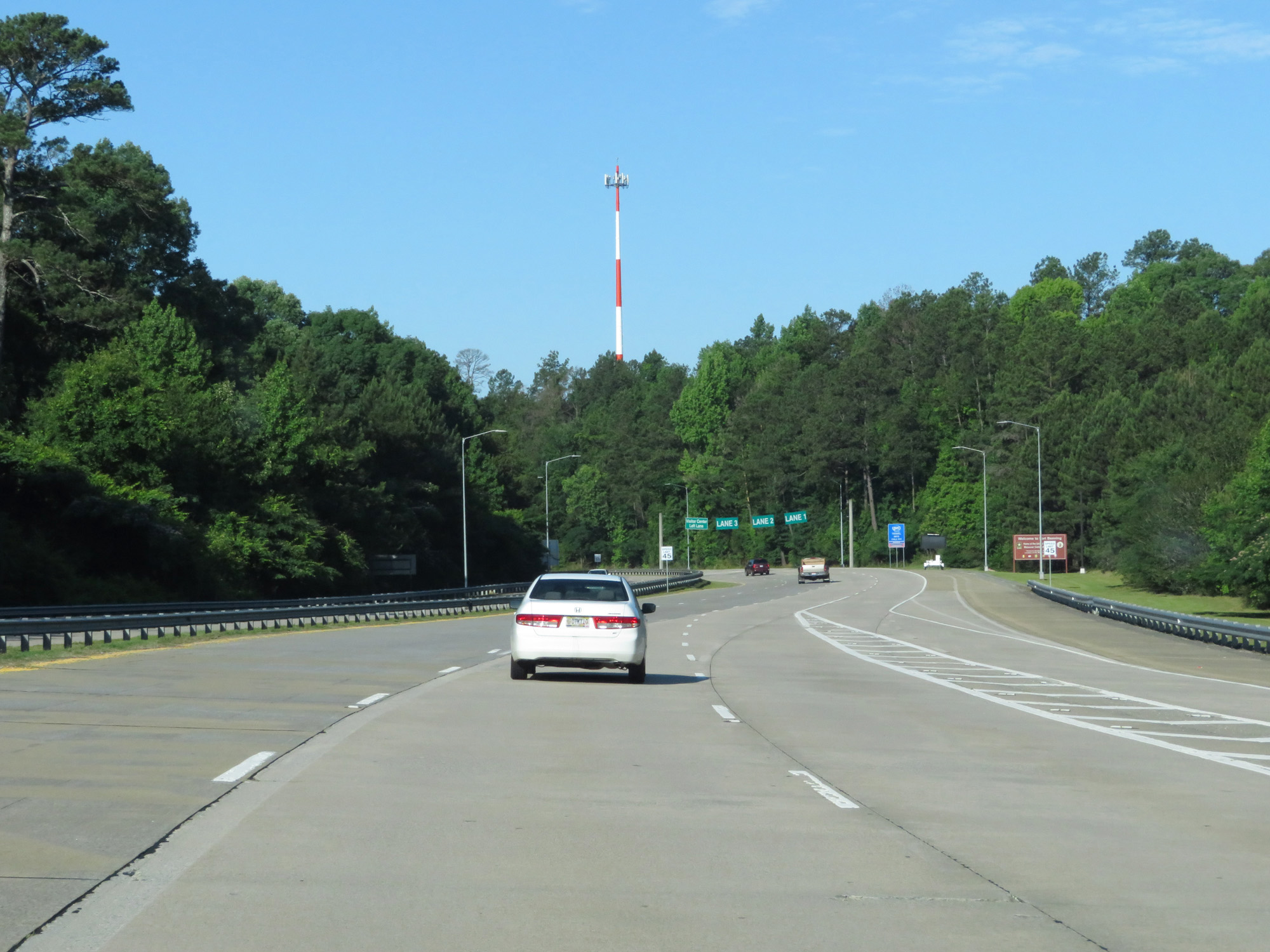 |
At this point, Jordan Creek Parkway begins and leads to the entrance to the Fort Benning installation. (Photo taken 5/27/17). |
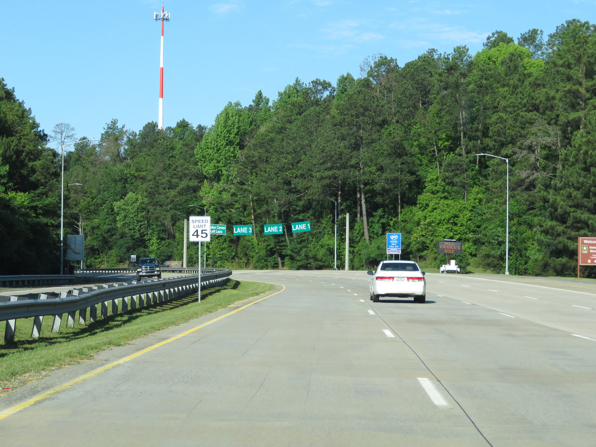 |
View on Jordan Creek Parkway approaching the entrance to Fort Benning. (Photo taken 5/27/17). |