Road Information |
||
 |
||
| Total Mileage in State: | 184 miles | |
| Eastern End: | At Nebraska state line | |
| Western End: | At I-70, in Arvada | |
| Mileage covered in Photos: | 184 miles | |
| Counties covered in Photos: | Jefferson, Adams, Weld, Morgan, Washington, Logan, Sedgwick | |
| Major Junctions in Photos: | I-25, in Denver I-270, in Denver US 85, in Henderson E-470, in Brighton US 6, in Sterling US 385, in Julesburg |
|
| Control Cities in Photos: | Arvada, Denver, Brighton, Commerce City, Fort Morgan, Sterling, Julesburg | |
Eastbound
- Section 1: Interstate 70 to Fort Morgan (Exit 80)
- Section 2: Fort Morgan (Exit 80) to Nebraska Border
Section 1: Interstate 70 to Fort Morgan (Exit 80)
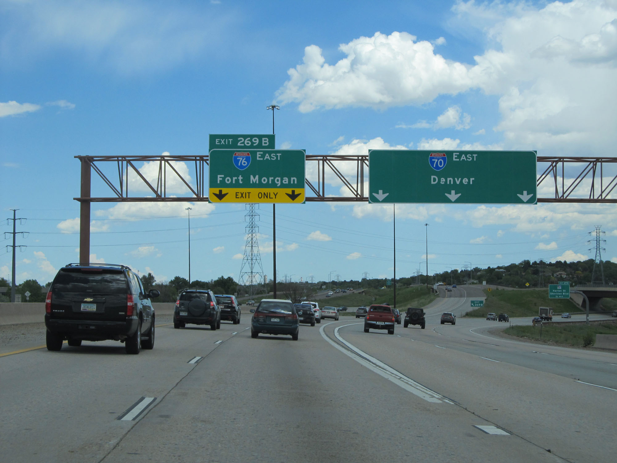 |
Interstate 76 East begins at Exit 269B (on the left) off Interstate 70 East in Arvada as seen here. (Photo taken 5/28/16). |
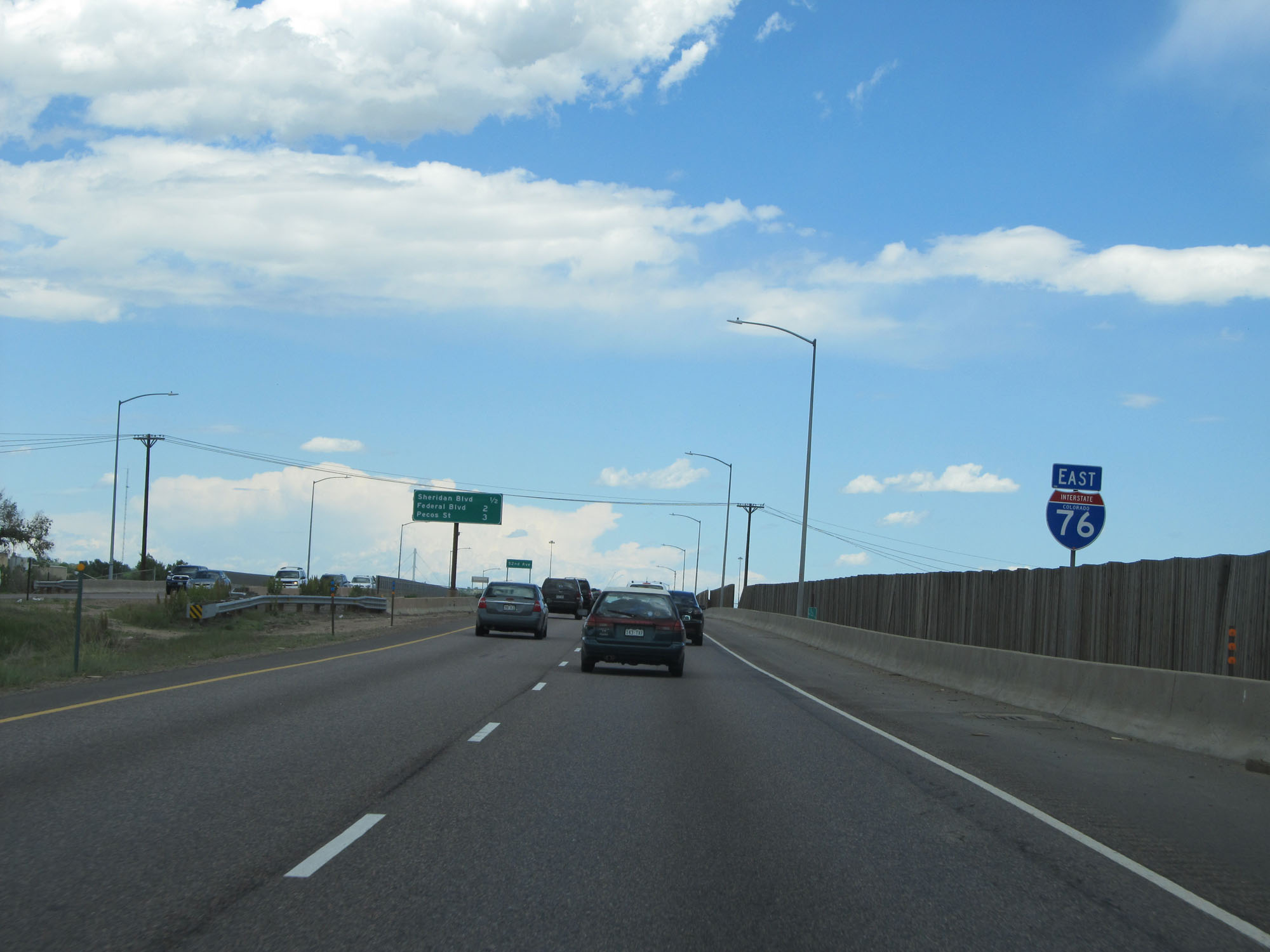 |
State-named Interstate 76 East assurance shield shortly after I-76 begins. Colorado seems to have a lot of state-named assurance shields in existence. (Photo taken 5/28/16). |
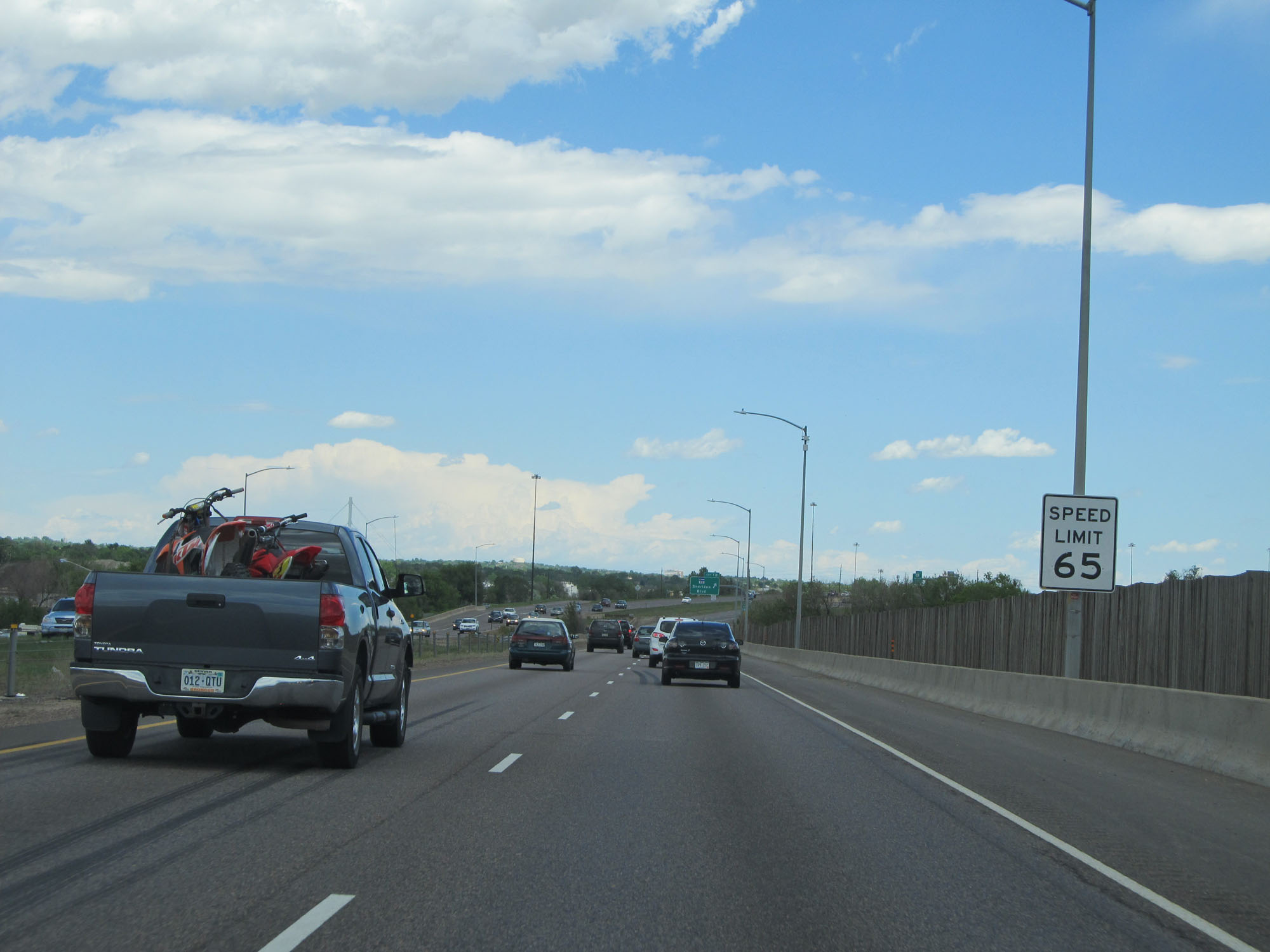 |
The speed limit starts out at 65 mph on Interstate 76 East in the Denver area. (Photo taken 5/28/16). |
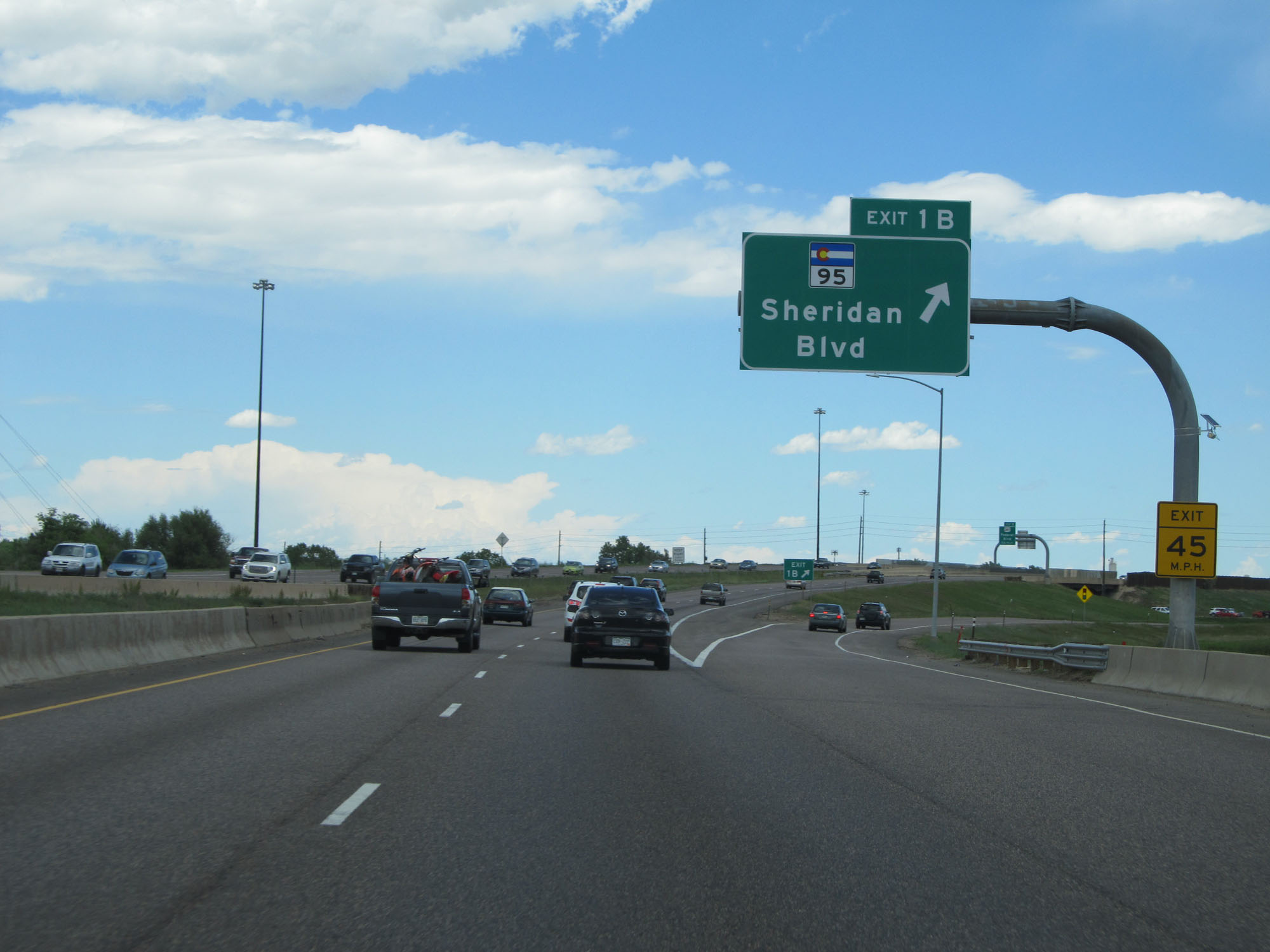 |
Interstate 76 East at Exit 1B: CO 95 - Sheridan Blvd (Photo taken 5/28/16). |
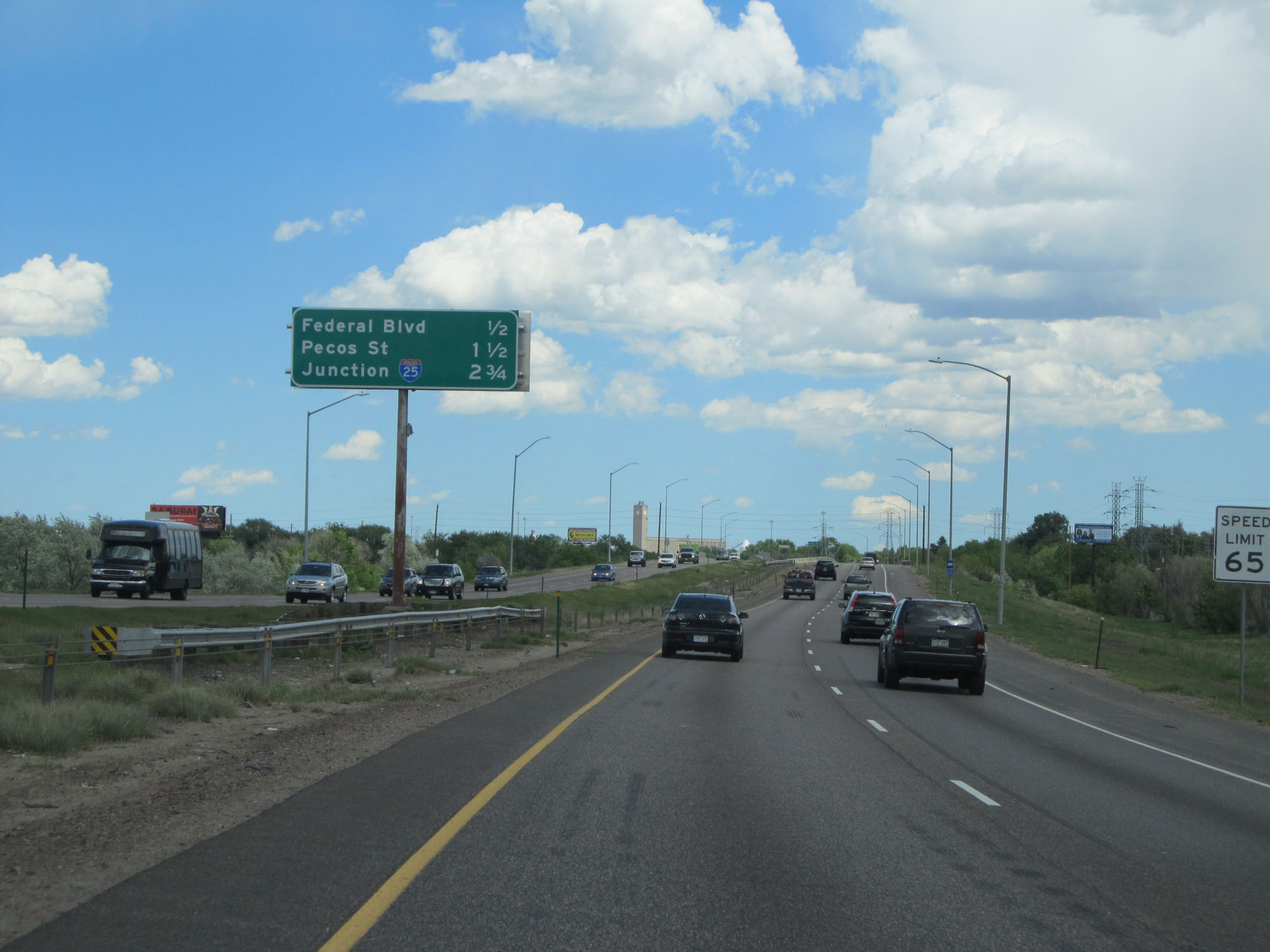 |
This sign on the median lists the distances to the three upcoming exits. (Photo taken 5/28/16). |
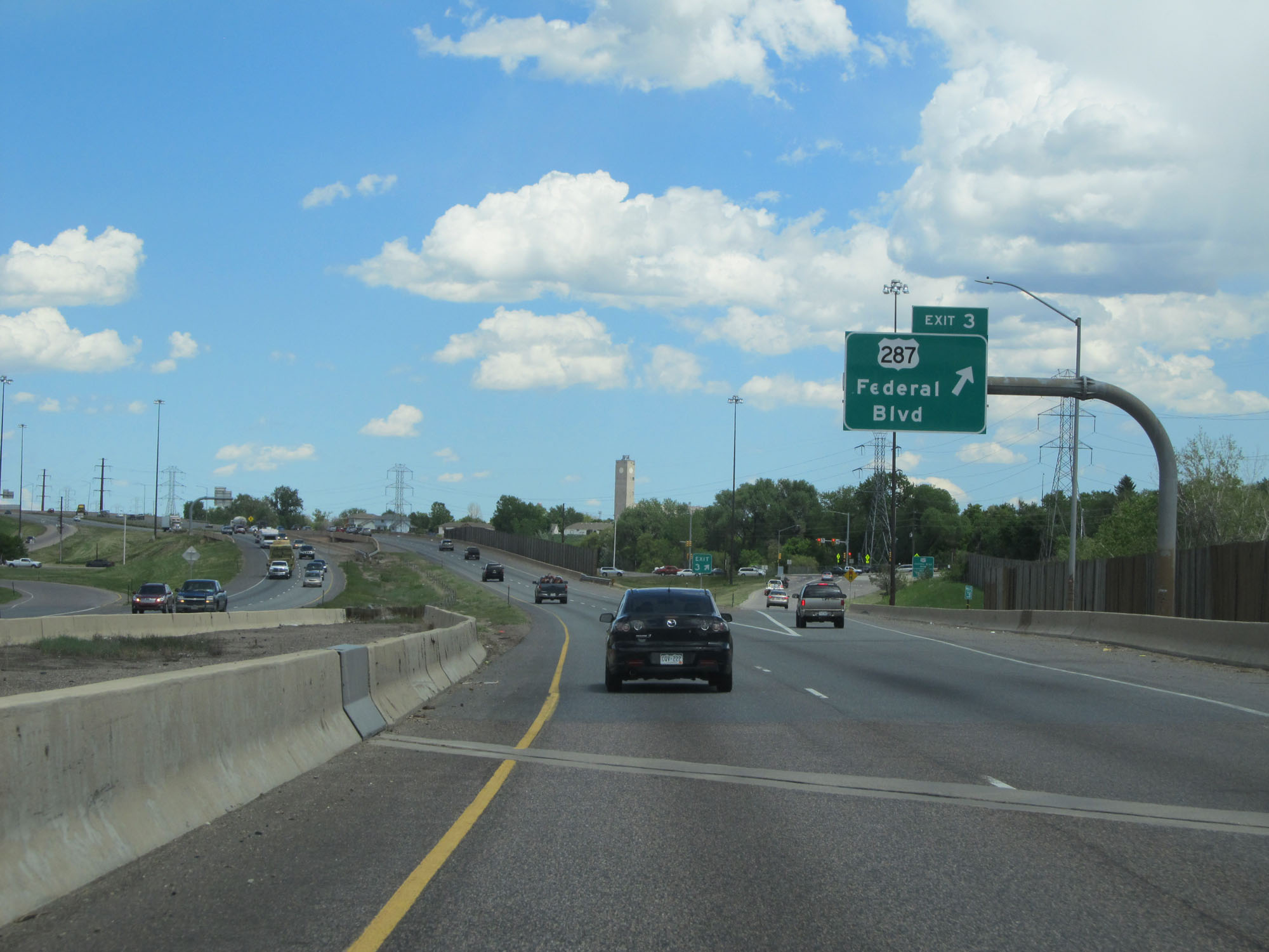 |
Interstate 76 East at Exit 3: US 287 - Federal Blvd (Photo taken 5/28/16). |
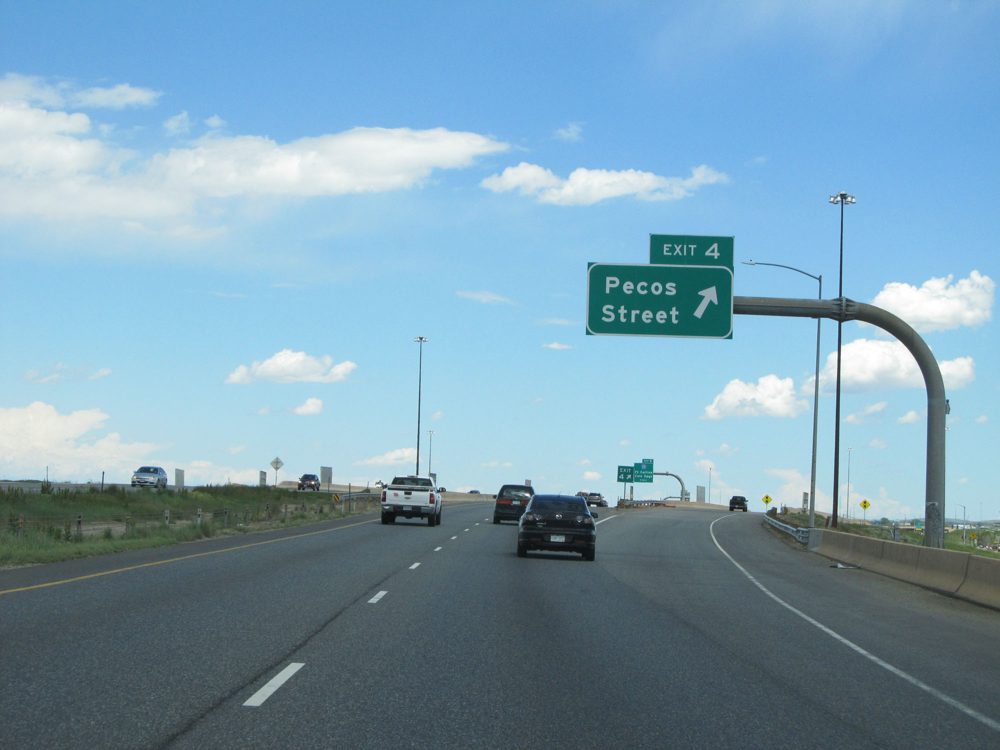 |
Interstate 76 East at Exit 4: Pecos Street (Photo taken 5/28/16). |
 |
Interstate 76 East approaching Exit 5 - 1 mile. (Photo taken 5/28/16). |
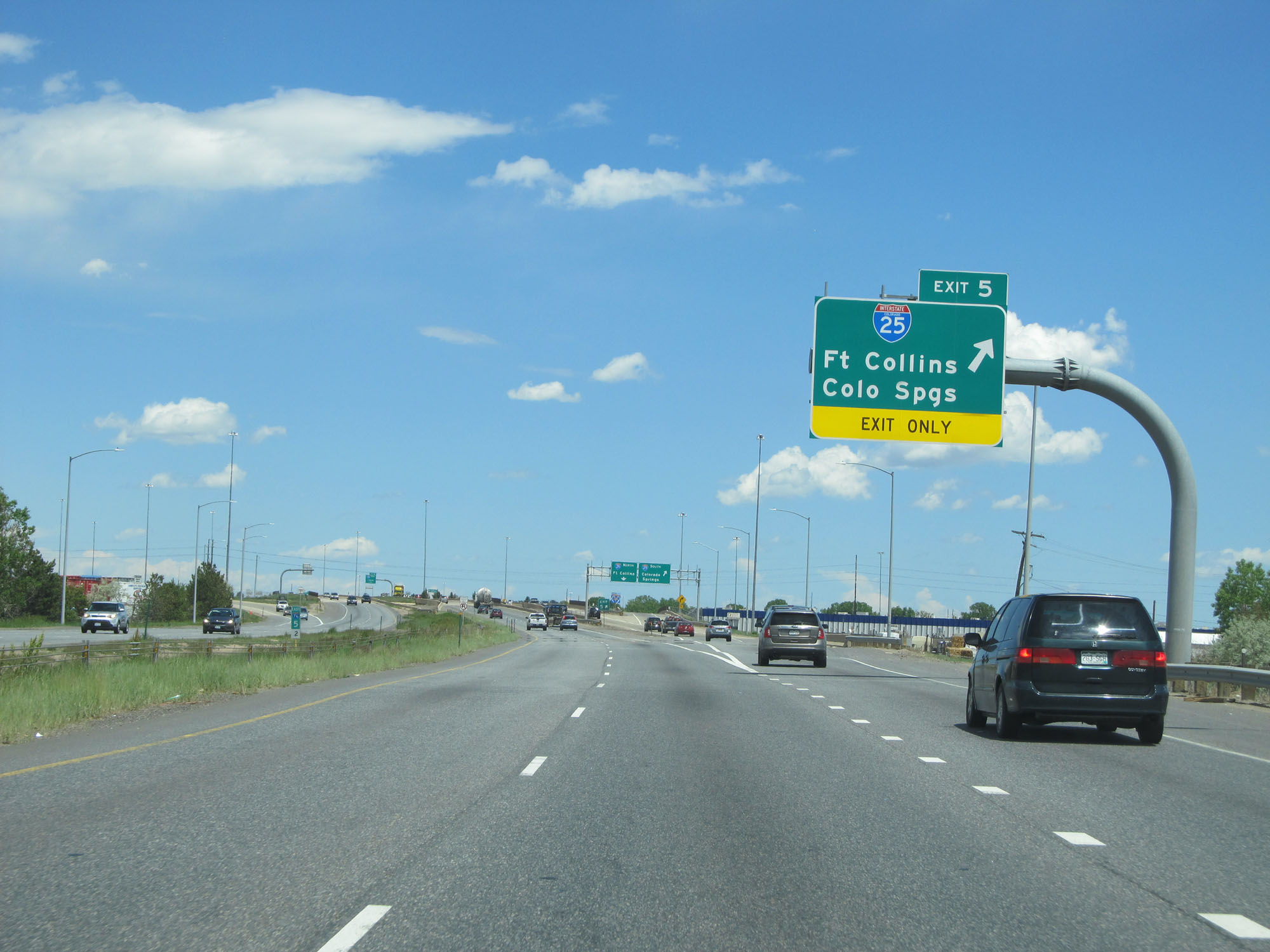 |
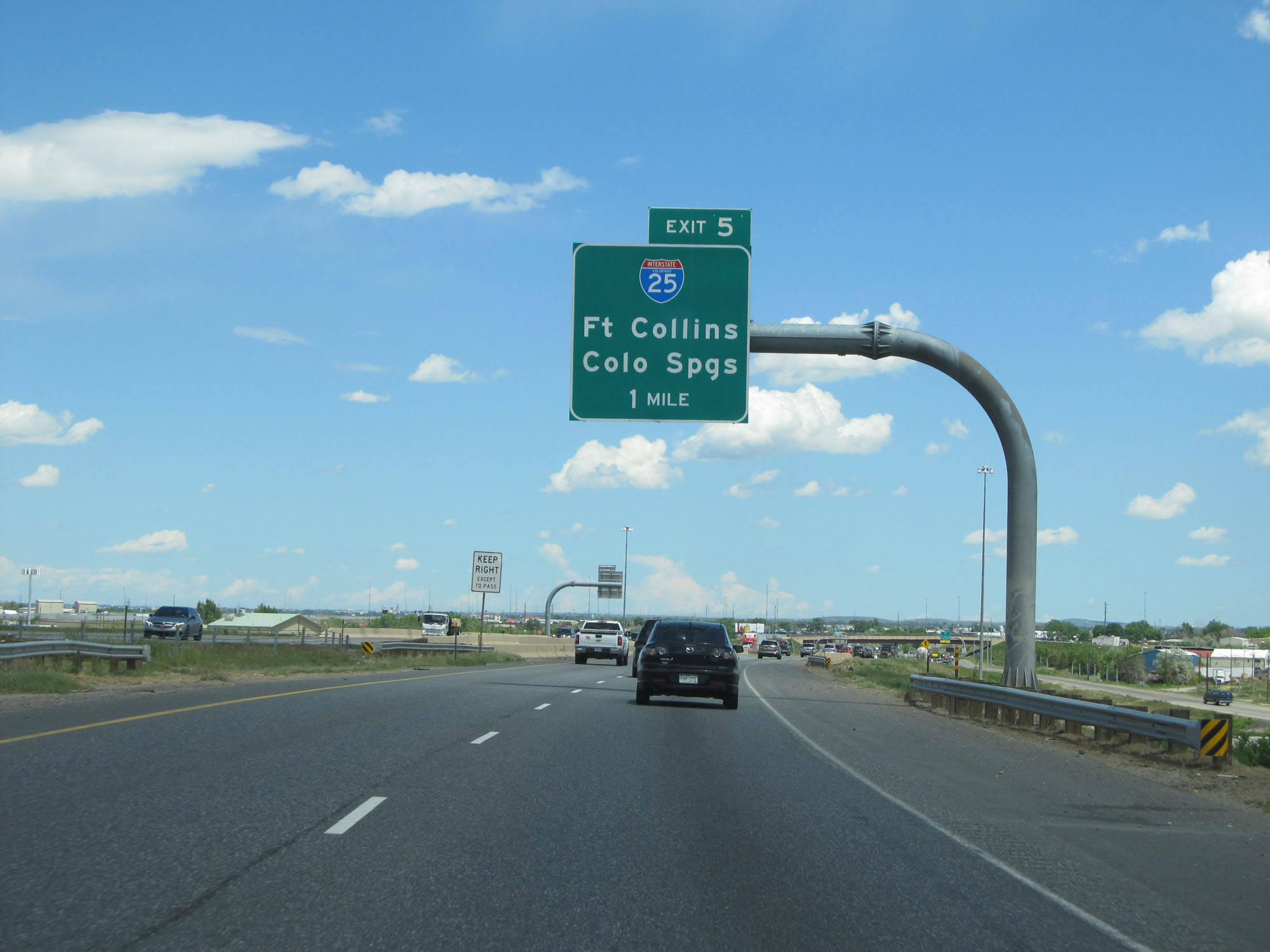
Interstate 76 East at Exit 5: Interstate 25 - Fort Collins / Colorado Springs (Photo taken 5/28/16). |
 |
Interstate 76 East approaching Exit 6 - 1 mile. (Photo taken 5/28/16). |
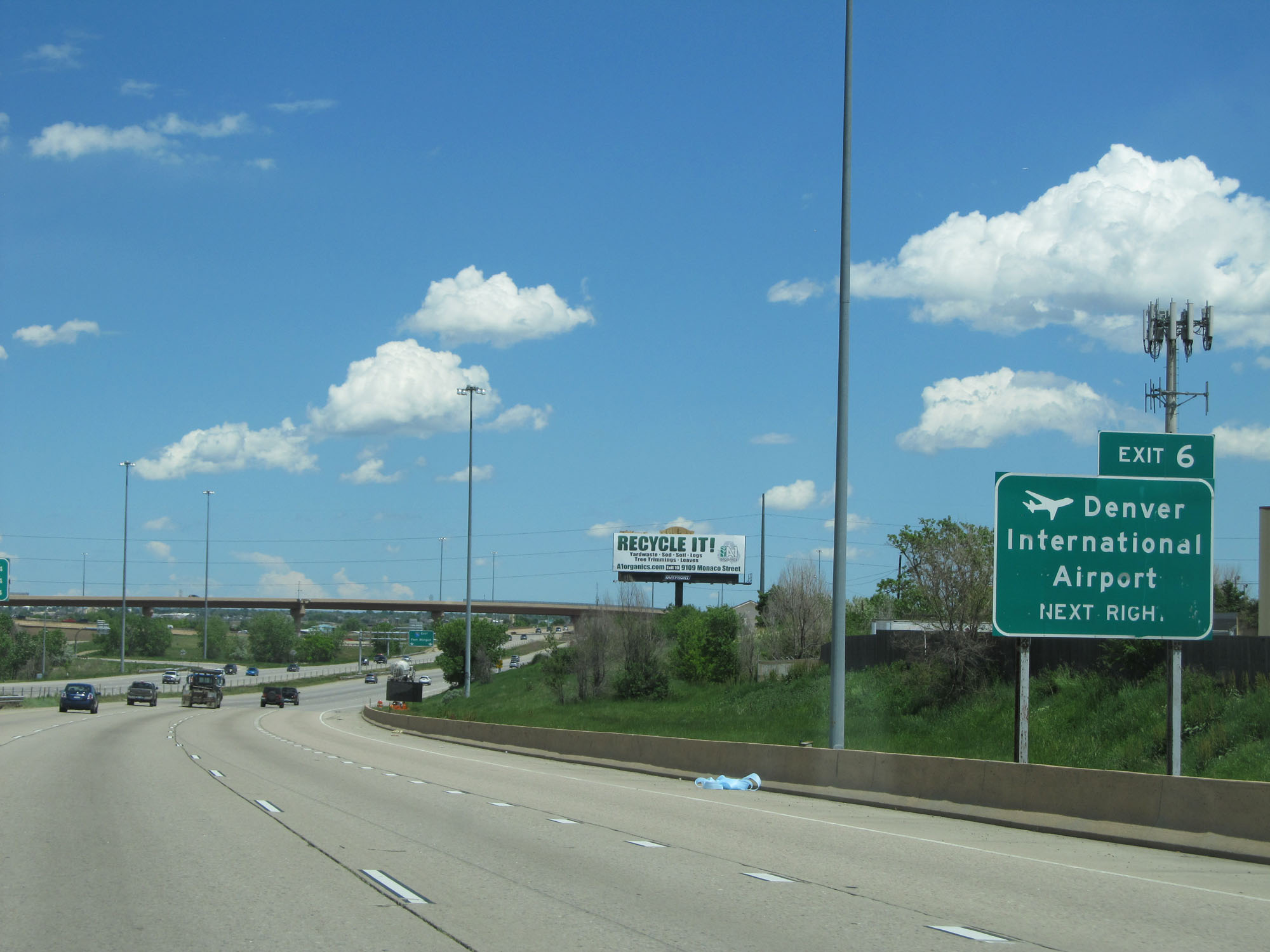 |
Take Exit 6 (Interstate 270 East) to Denver International Airport. (Photo taken 5/28/16). |
 |
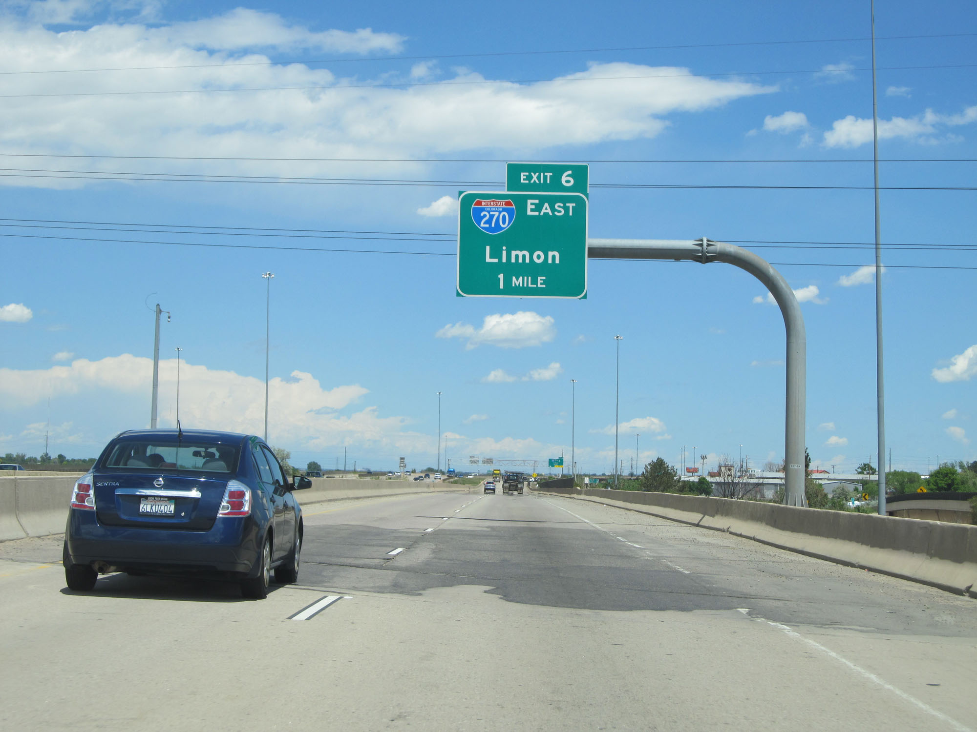
Interstate 76 East at Exit 6: Interstate 270 East - Limon (Photo taken 5/28/16). |
 |
Another mileage sign on the median just east of Exit 6. (Photo taken 5/28/16). |
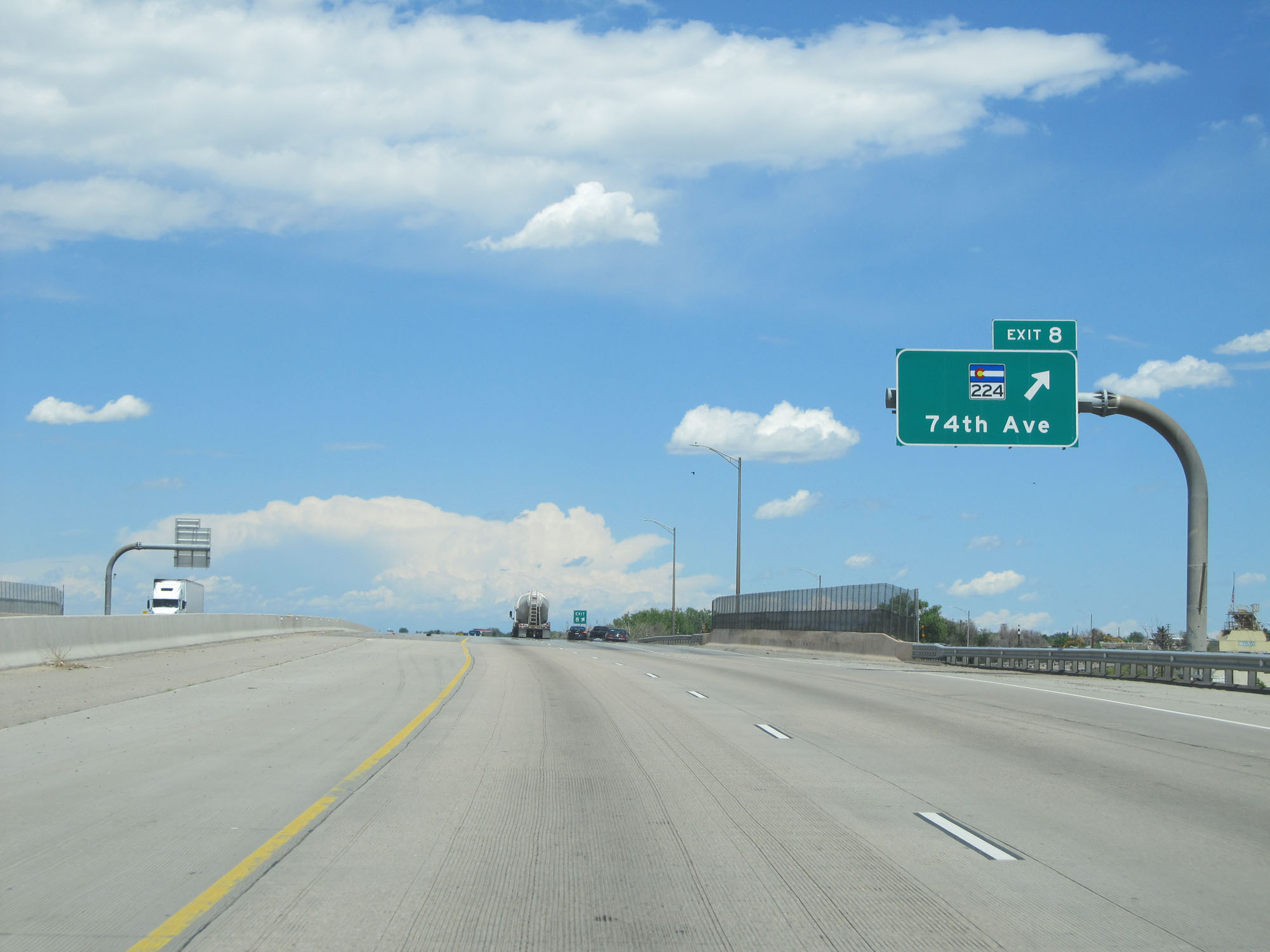 |
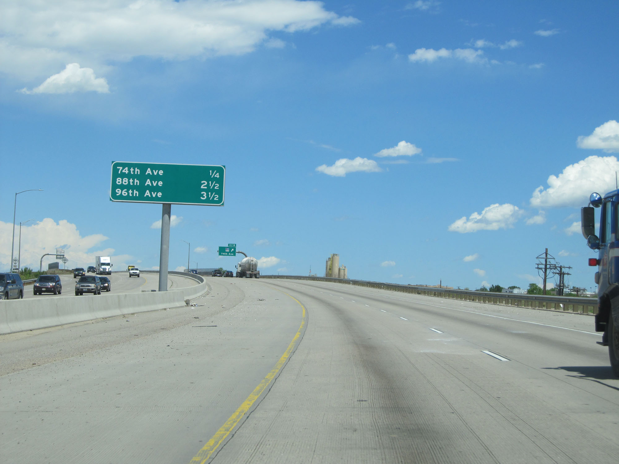
Interstate 76 East at Exit 8: CO 224 - 74th Ave (Photo taken 5/28/16). |
 |
State-named Interstate 76 East assurance shield east of Exit 8. (Photo taken 5/28/16). |
 |
The speed limit remains 65 mph for a little bit longer. (Photo taken 5/28/16). |
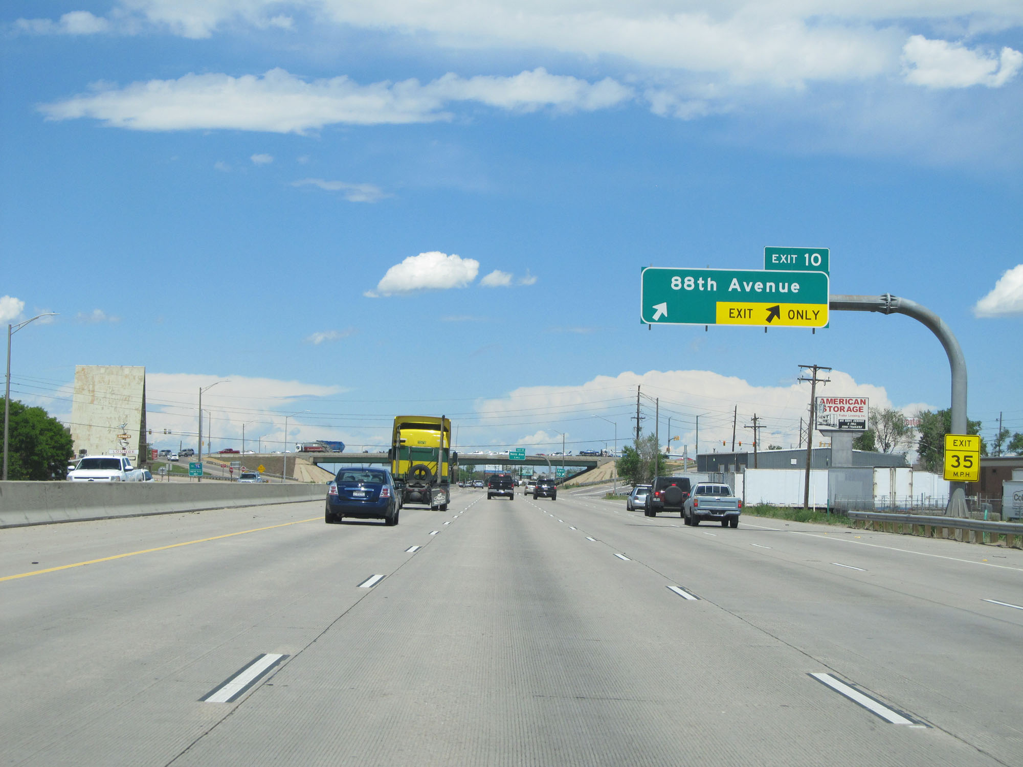 |
Interstate 76 East at Exit 10: 88th Avenue (Photo taken 5/28/16). |
 |
Interstate 76 East at Exit 11: 96th Avenue (Photo taken 5/28/16). |
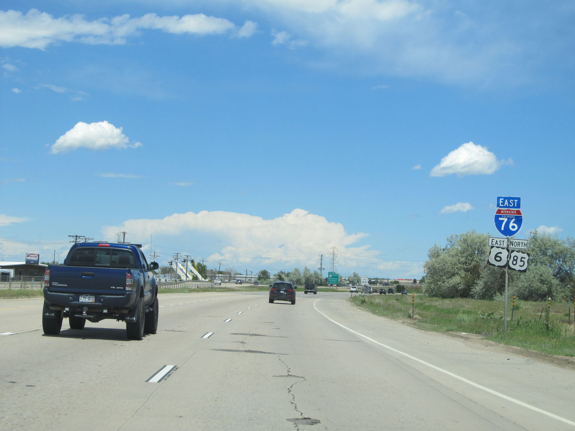 |
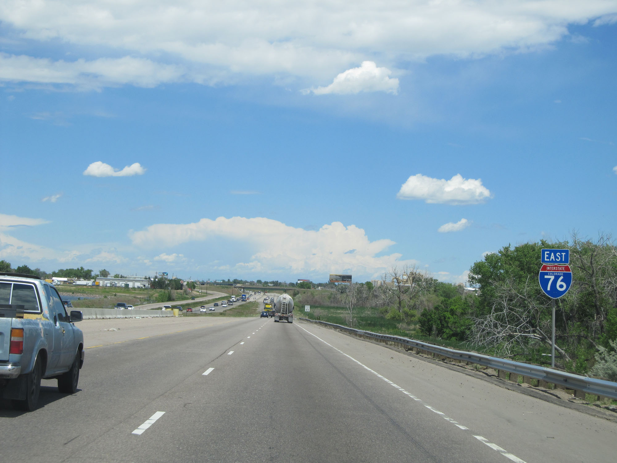
Interstate 76 East / US 6 East / US 85 North assurance shields east of Exit 11. (Photo taken 5/28/16). |
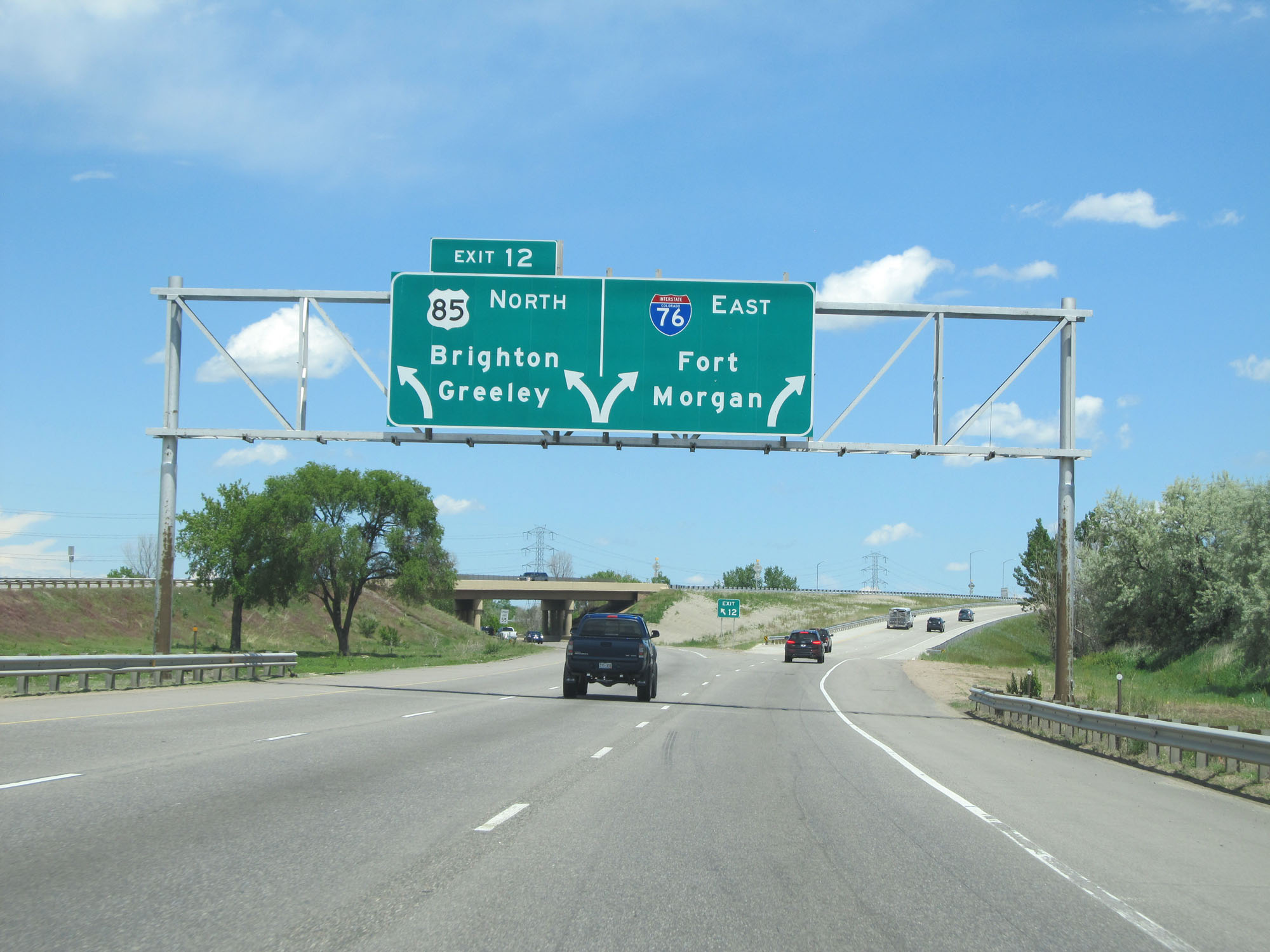 |
Interstate 76 East at Exit 12: US 85 North - Brighton / Greeley (Photo taken 5/28/16). |
 |
Another state-named Interstate 76 East assurance shield. (Photo taken 5/28/16). |
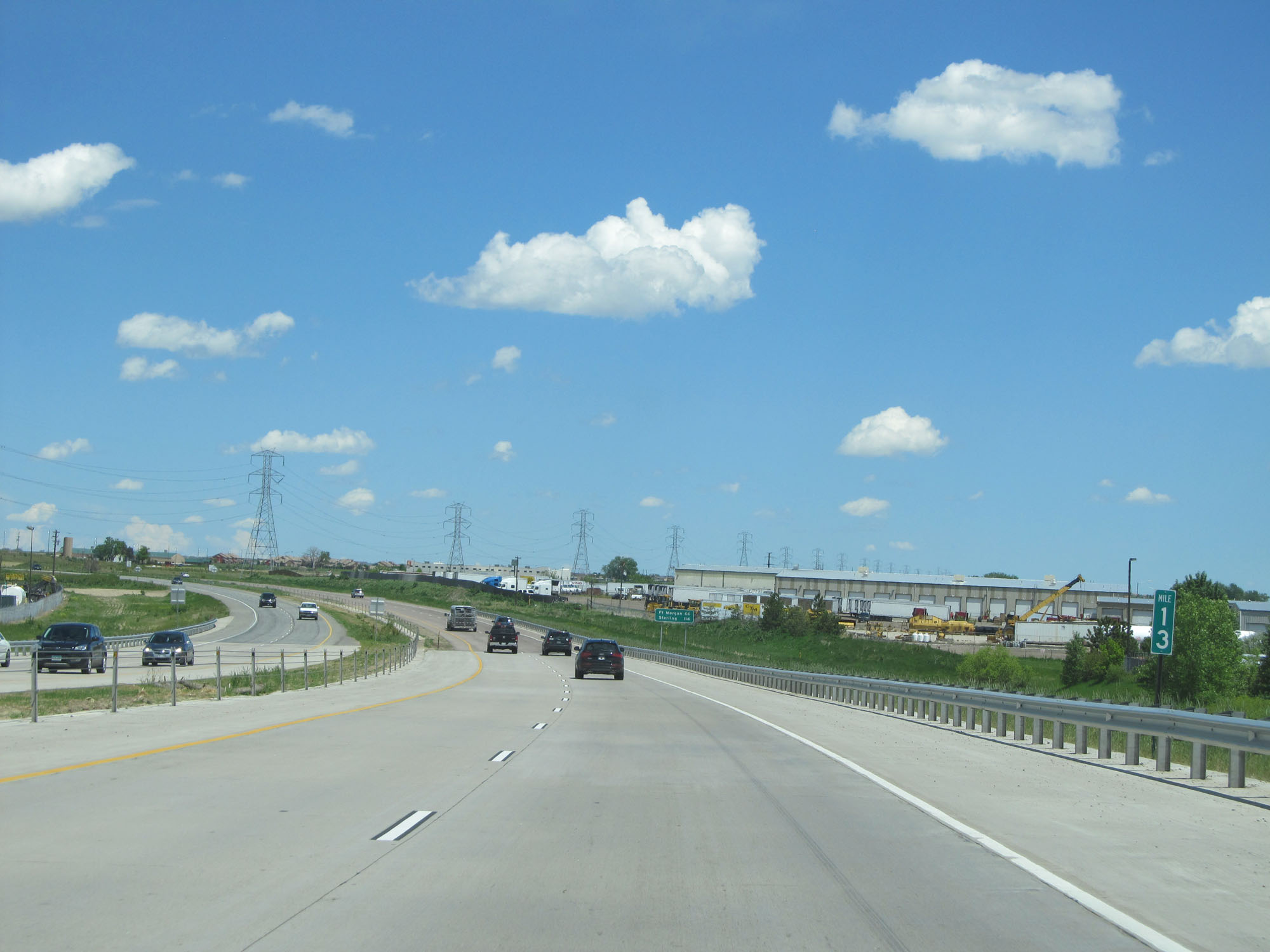 |
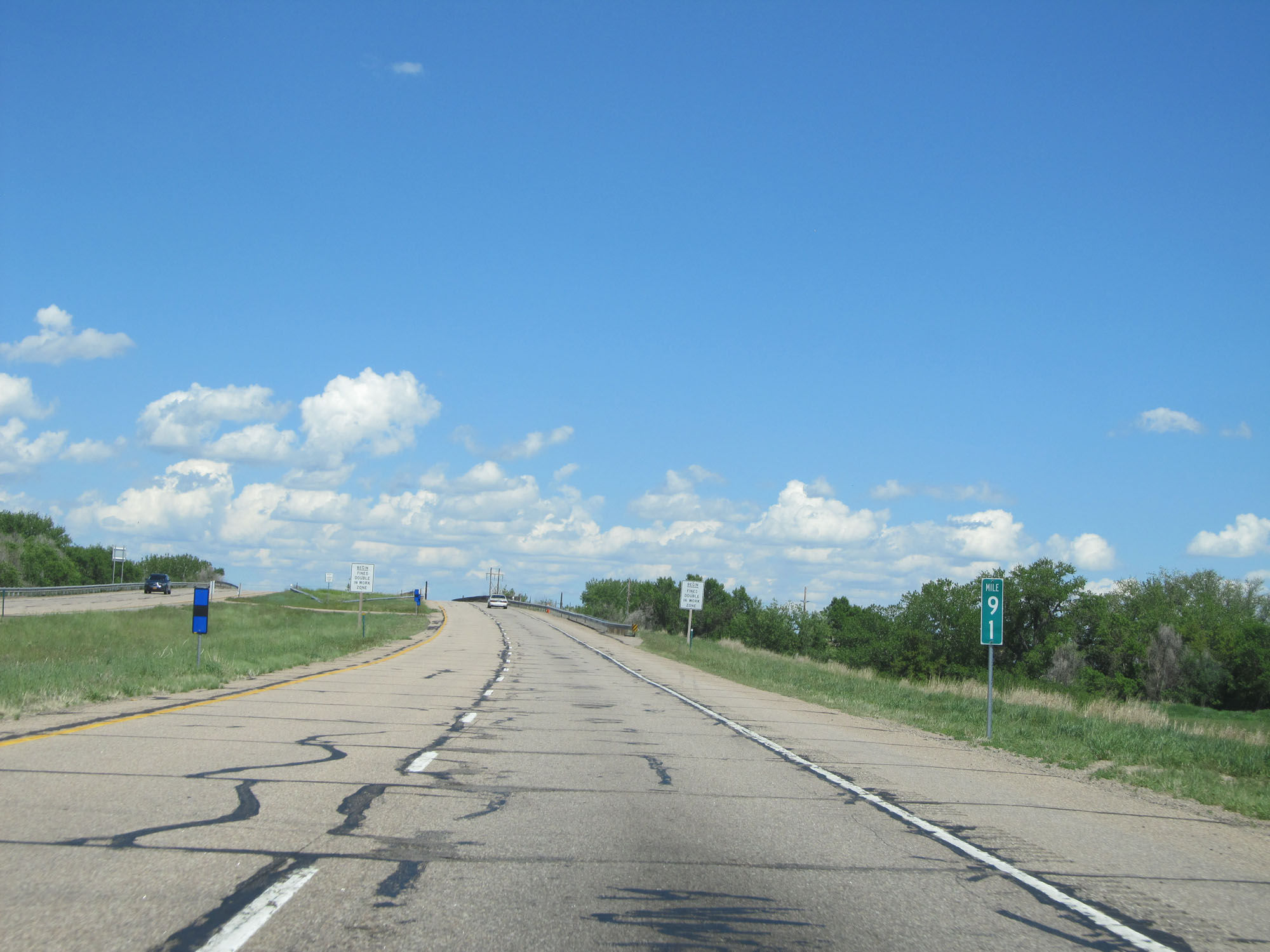
Interstate 76 East at mile marker 13. (Photo taken 5/28/16). |
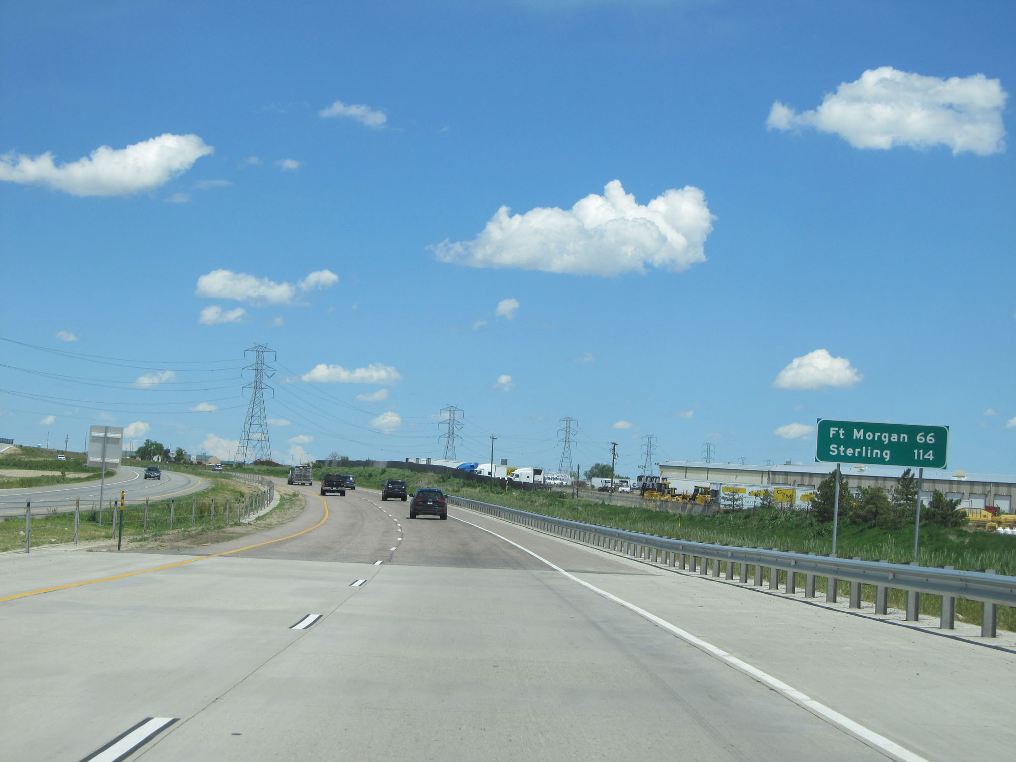 |
Mileage sign just past mile marker 13. It's 66 miles to Fort Morgan and 114 miles to Sterling. (Photo taken 5/28/16). |
 |
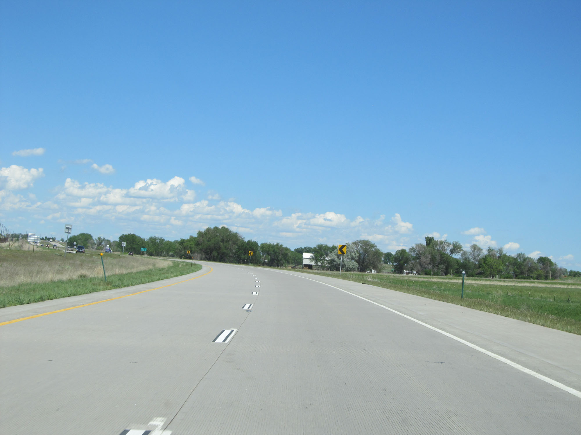
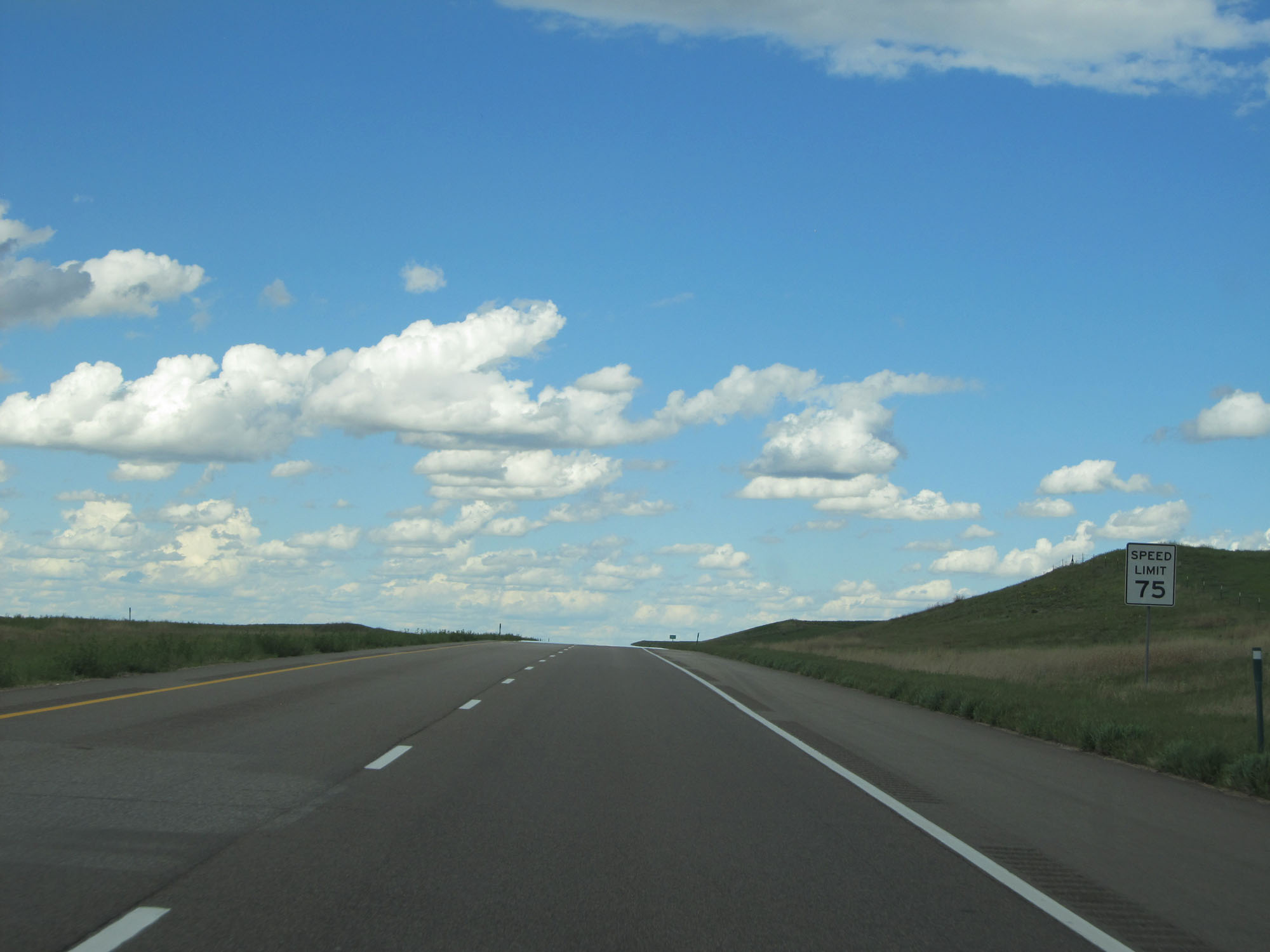
Approaching mile marker 14, the speed limit increases to 75 mph. This is the standard speed limit on most rural Interstates in Colorado. It will remain 75 mph the whole way to the Nebraska border, except for any construction zones along the way. (Photo taken 5/28/16). |
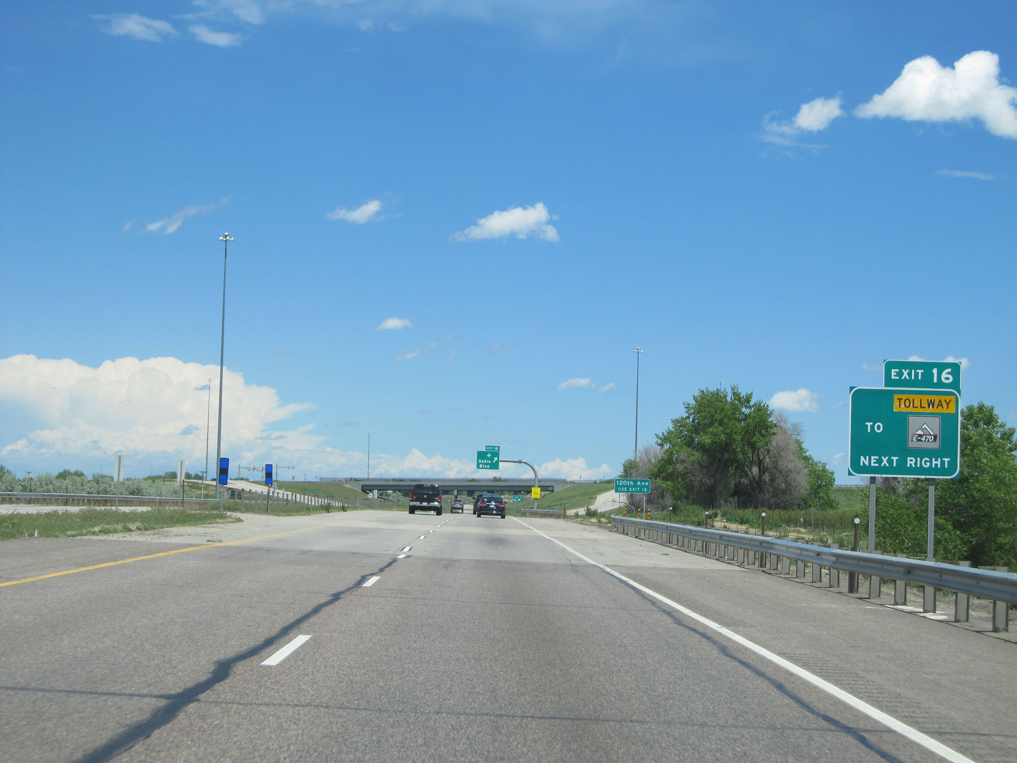 |
Take Exit 16 to E-470 Tollway. (Photo taken 5/28/16). |
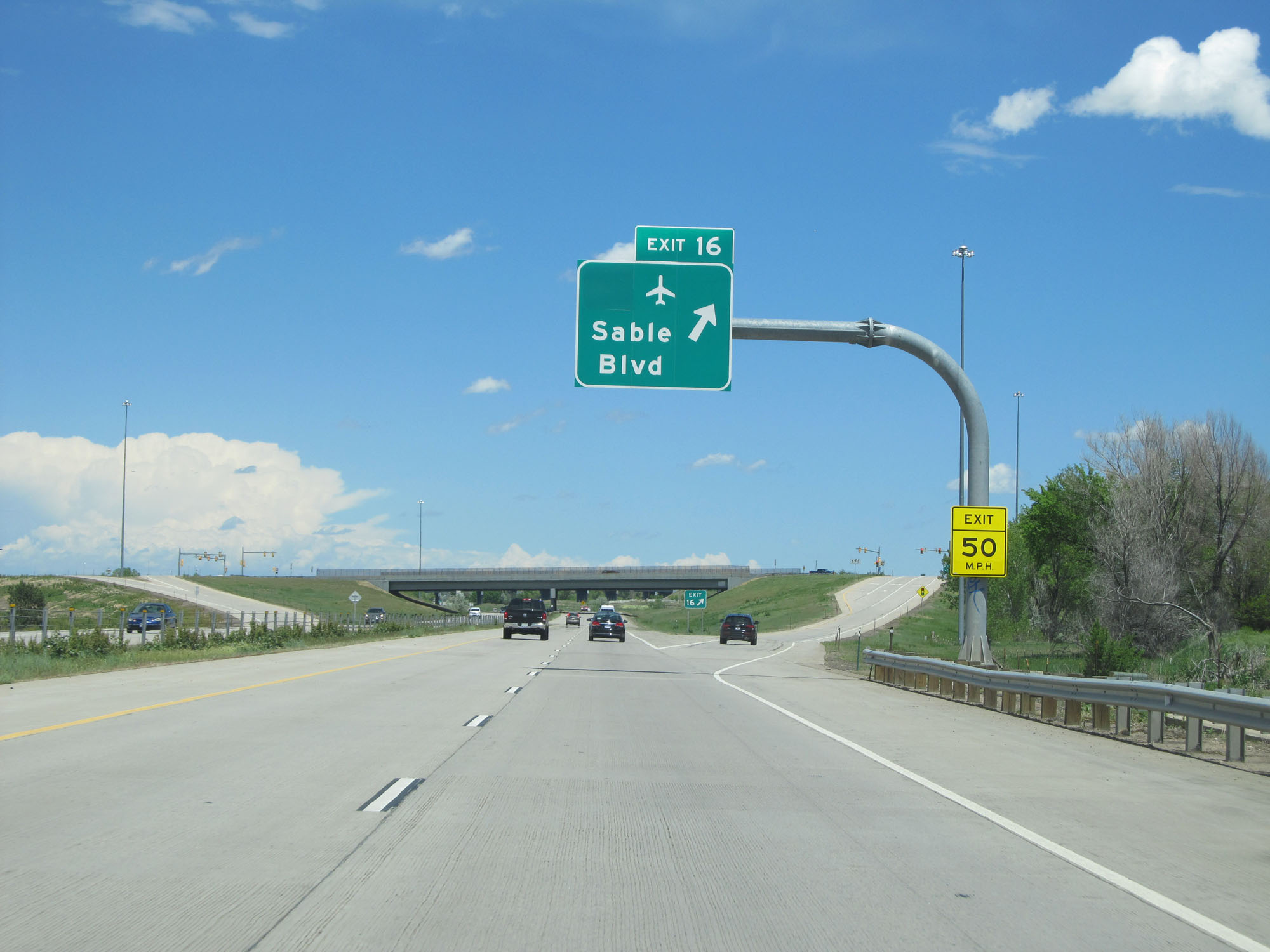 |
Interstate 76 East at Exit 16: Sable Blvd (Photo taken 5/28/16). |
 |
Interstate 76 East at mile marker 17. (Photo taken 5/28/16). |
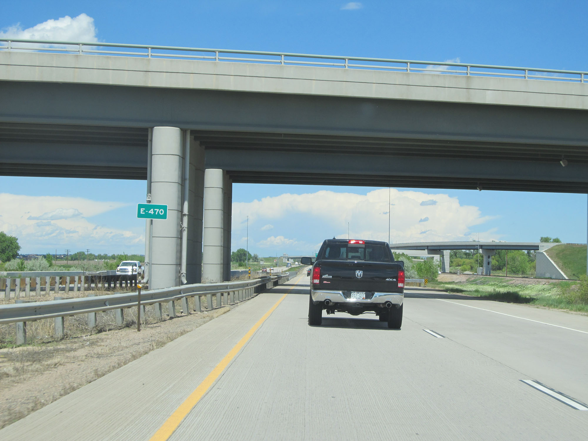 |
Interstate 76 East as it passes under E-470. (Photo taken 5/28/16). |
 |
Another median mileage sign listing the distances to the three upcoming exits. (Photo taken 5/28/16). |
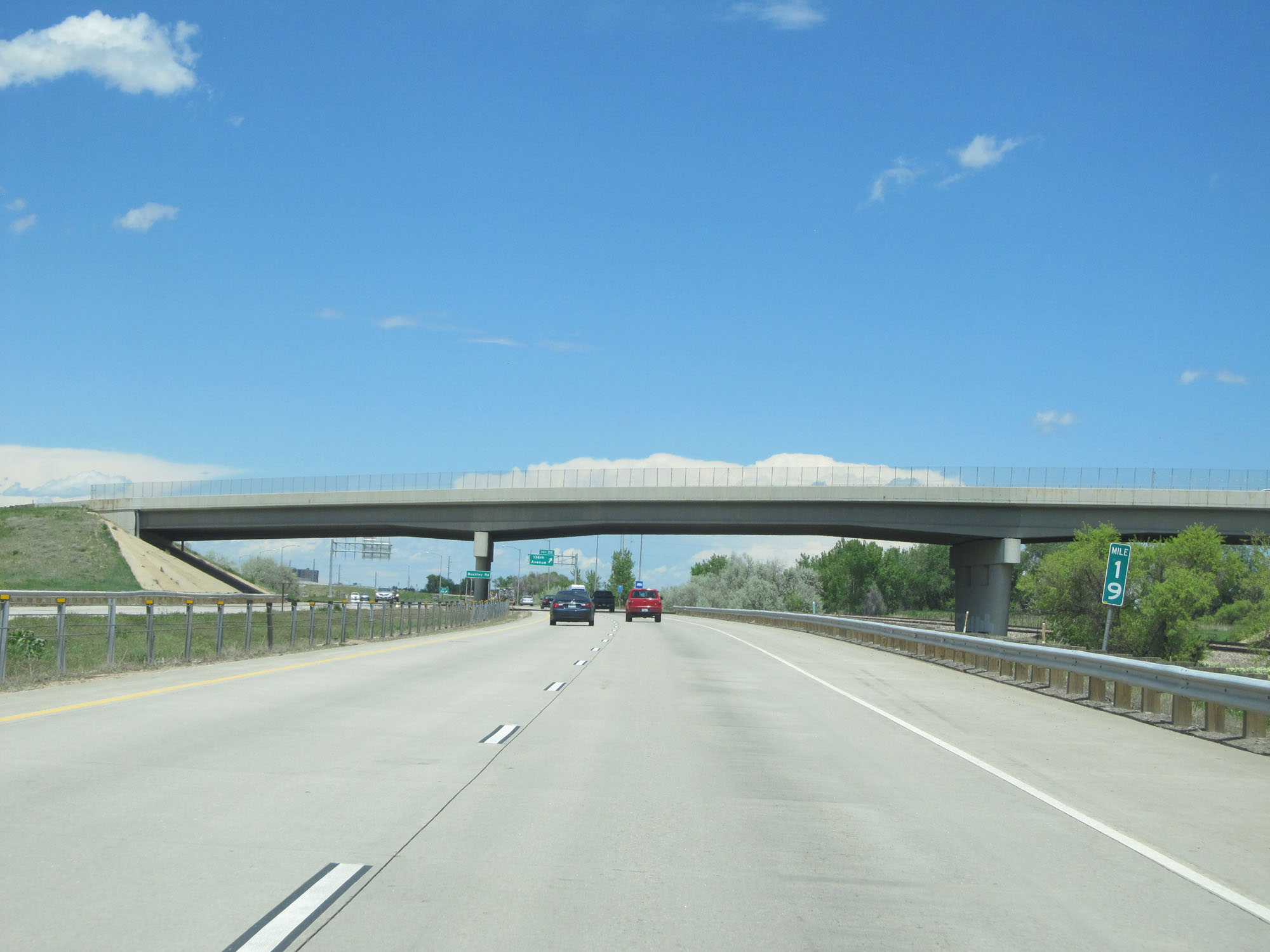 |
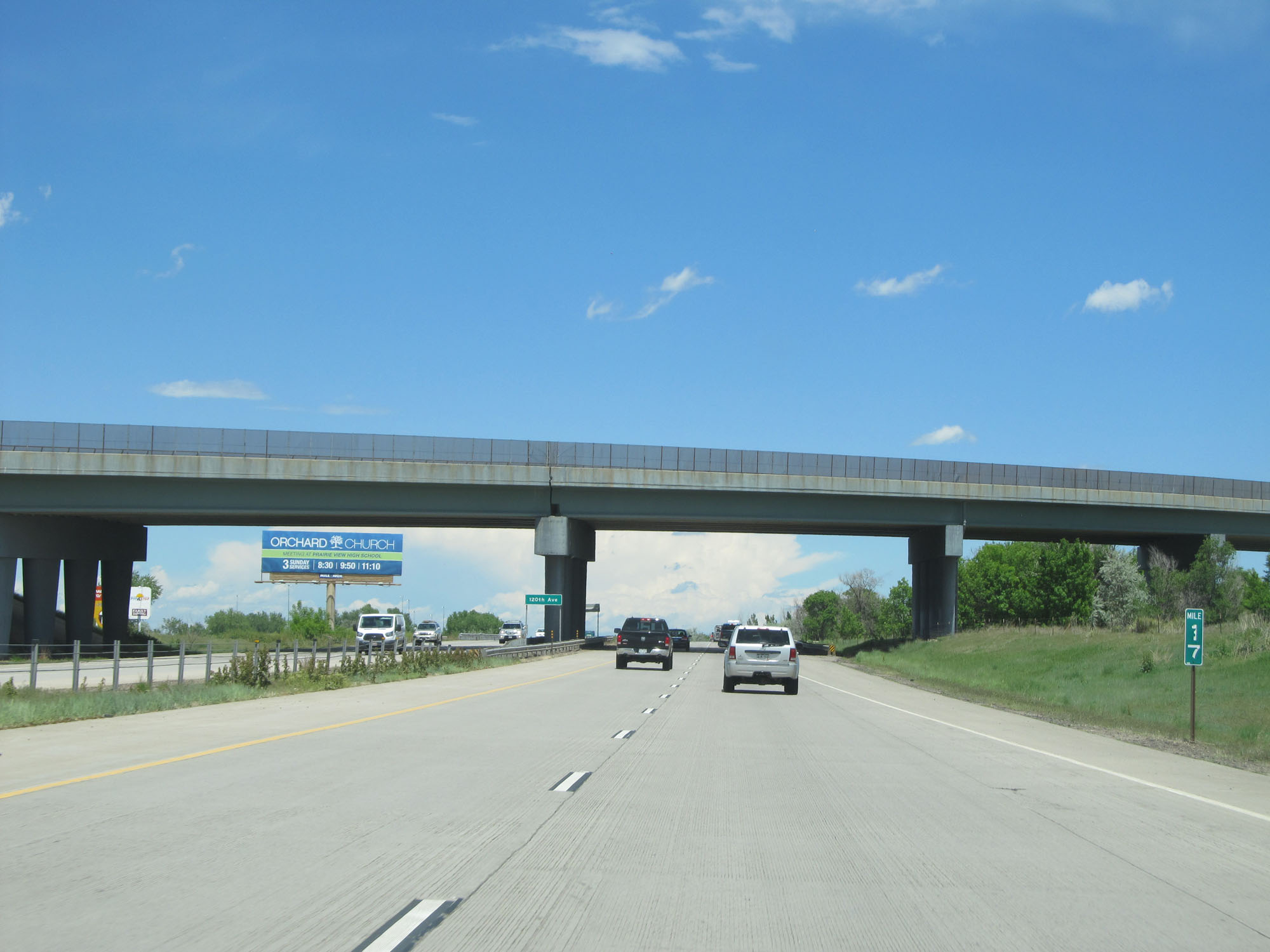
Interstate 76 East at mile marker 19. (Photo taken 5/28/16). |
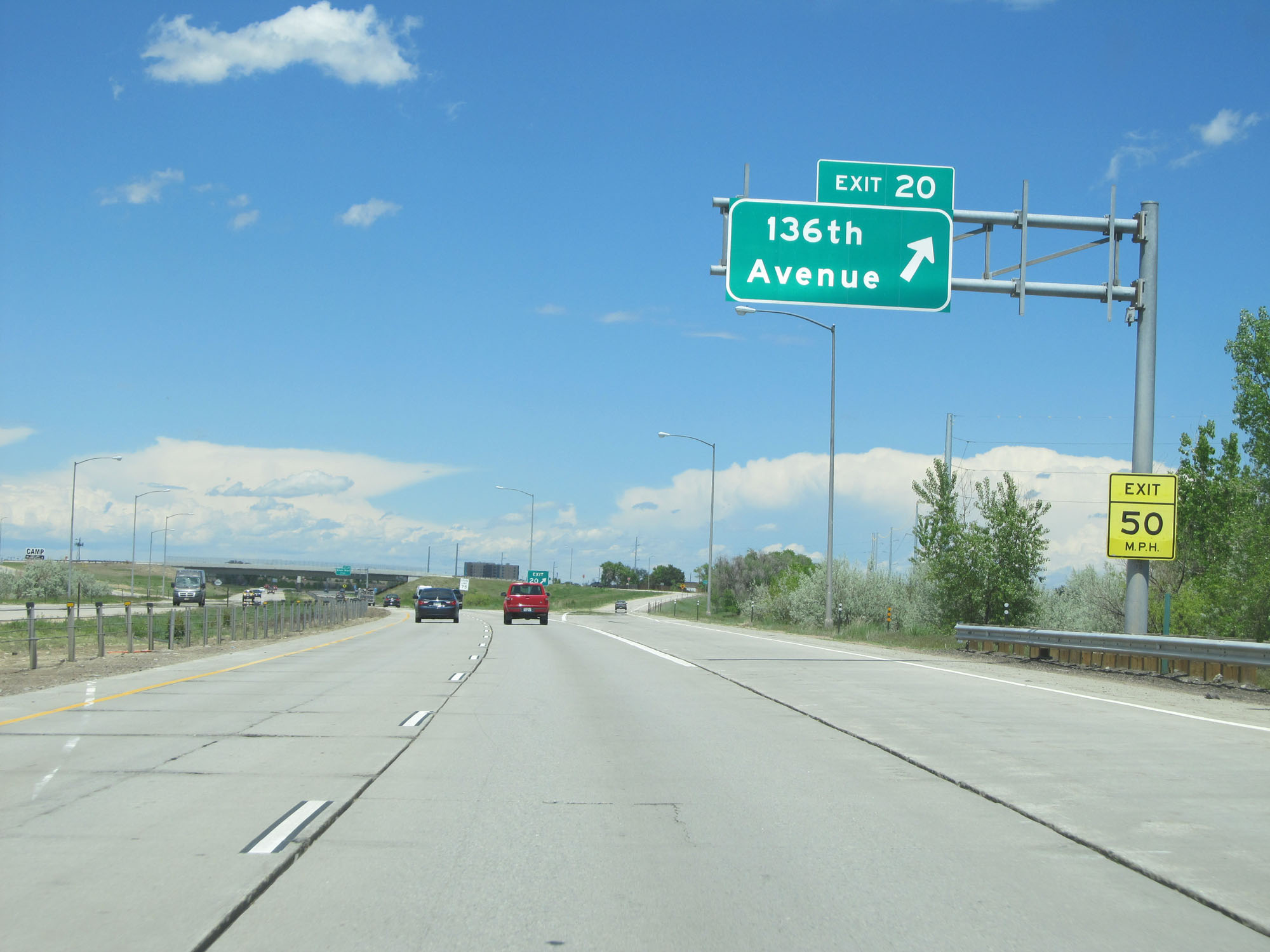 |
Interstate 76 East at Exit 20: 136th Avenue (Photo taken 5/28/16). |
 |
Interstate 76 East at mile marker 20. (Photo taken 5/28/16). |
 |
Interstate 76 East at Exit 21: Eagle Blvd (Photo taken 5/28/16). |
 |
Take Exit 22 to Barr Lake State Park. (Photo taken 5/28/16). |
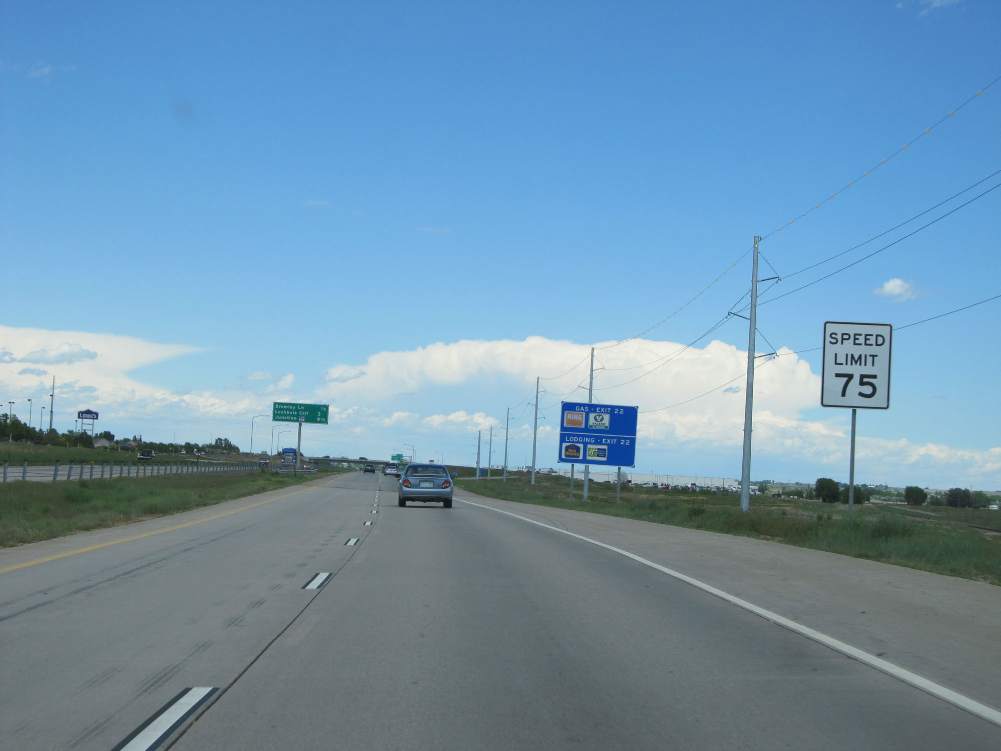 |
Speed limit assurance sign approaching Exit 22. Speed Limit - 75 mph for all vehicles. (Photo taken 5/28/16). |
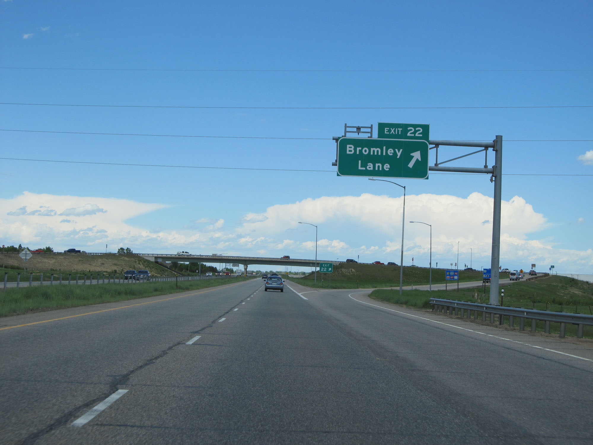 |
Interstate 76 East at Exit 22: Bromley Lane (Photo taken 5/28/16). |
 |
Mileage sign east of Exit 22. It's 56 miles to Fort Morgan, 104 miles to Sterling, and 163 miles to the junction of Interstate 80 in Nebraska. (Photo taken 5/28/16). |
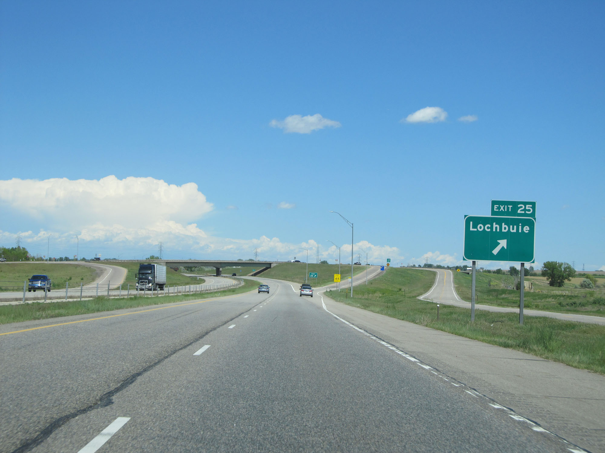 |
Interstate 76 East at Exit 25: Lochbuie (Photo taken 5/28/16). |
 |
Interstate 76 East as it enters Weld County. (Photo taken 5/28/16). |
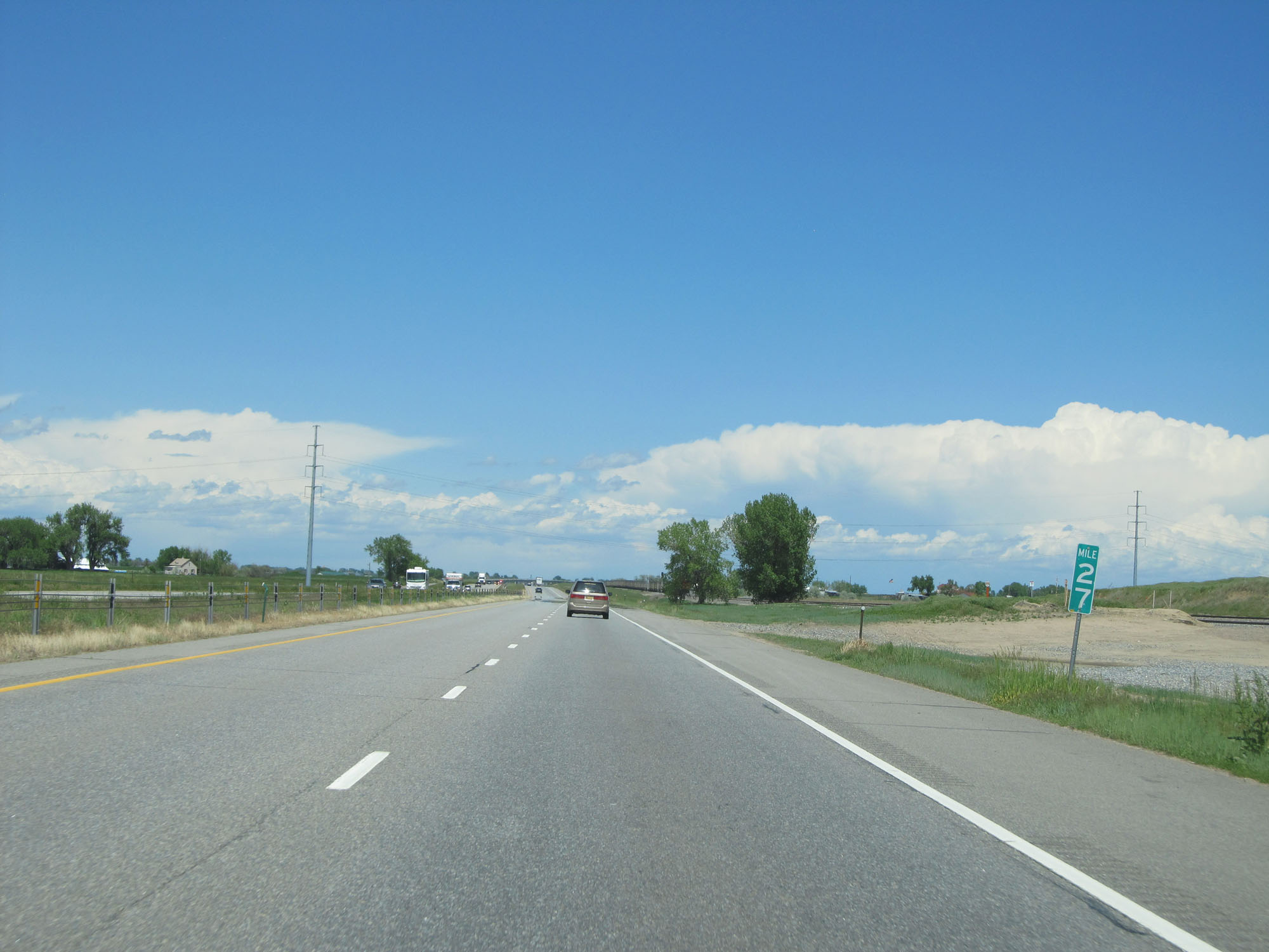 |
Interstate 76 East at mile marker 27. (Photo taken 5/28/16). |
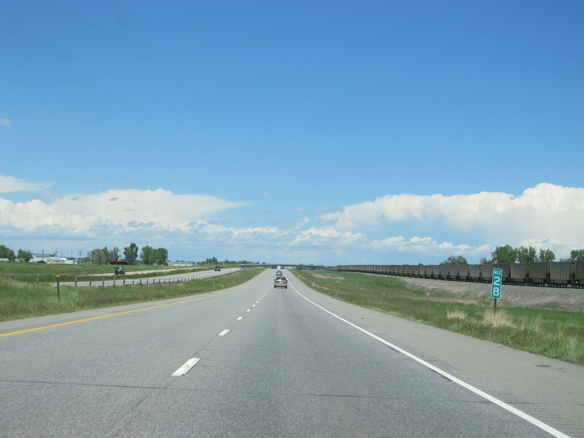 |
Interstate 76 East at mile marker 28. (Photo taken 5/28/16). |
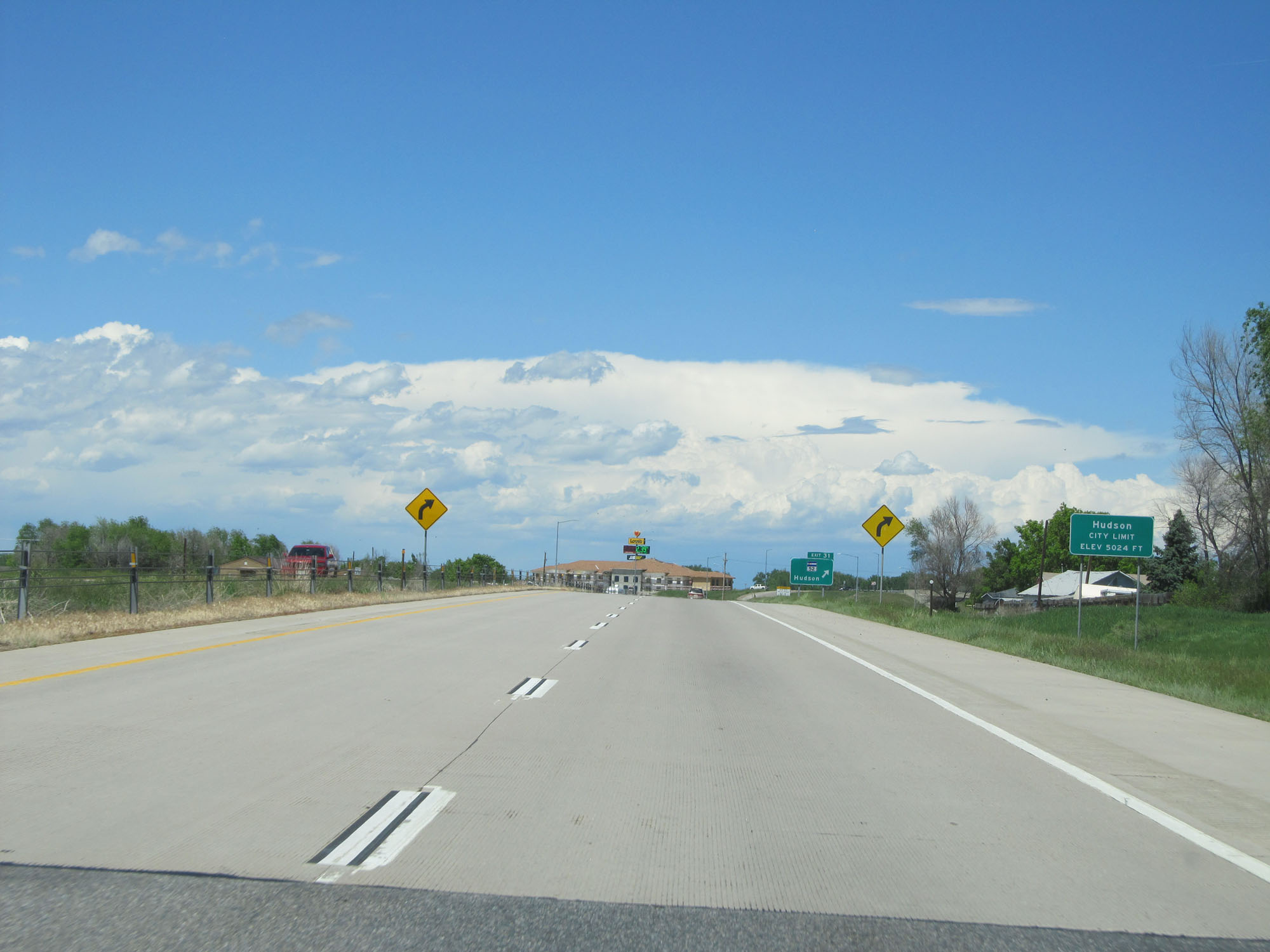 |
Sign indicating that we're entering the Hudson city limits, at an elevation of 5,024. This means we've already sneakily come down over 200 feet in altitude since the beginning of I-76. (Photo taken 5/28/16). |
 |
Interstate 76 East at Exit 31: CO 52 - Hudson (Photo taken 5/28/16). |
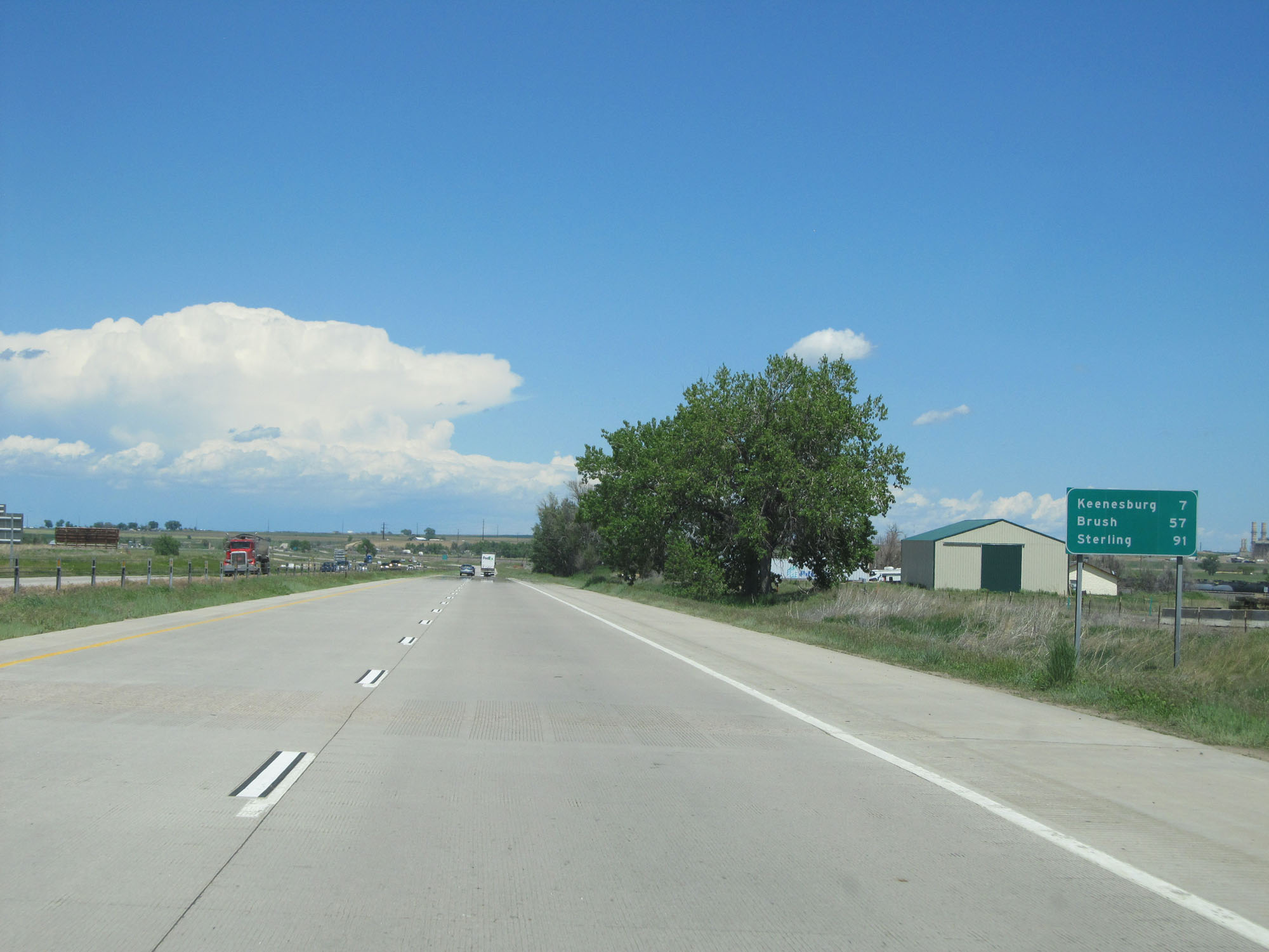 |
Mileage sign east of Exit 31. It's 7 miles to Keenesburg, 57 miles to Brush, and 91 miles to Sterling. (Photo taken 5/28/16). |
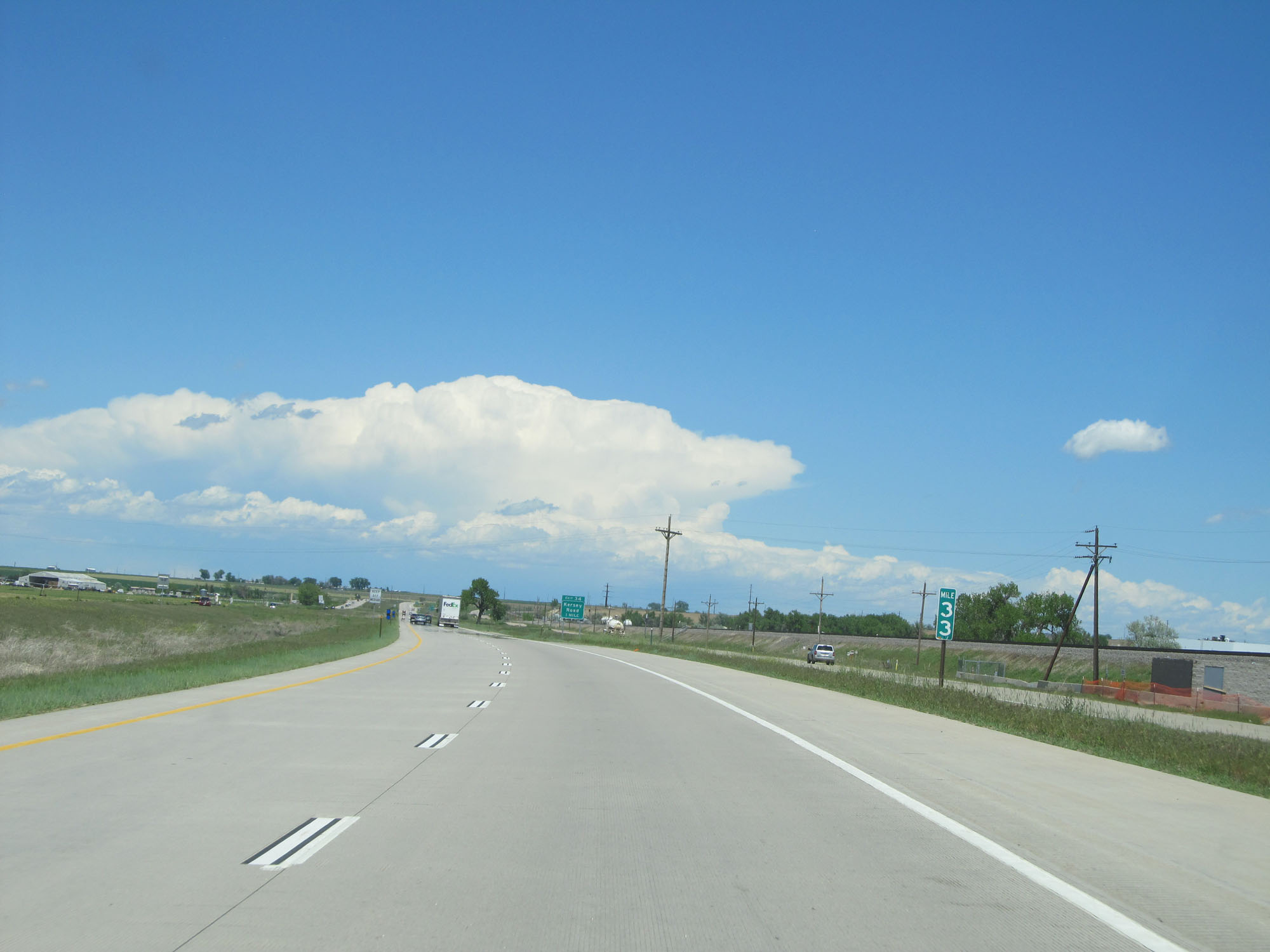 |
Interstate 76 East at mile marker 33. (Photo taken 5/28/16). |
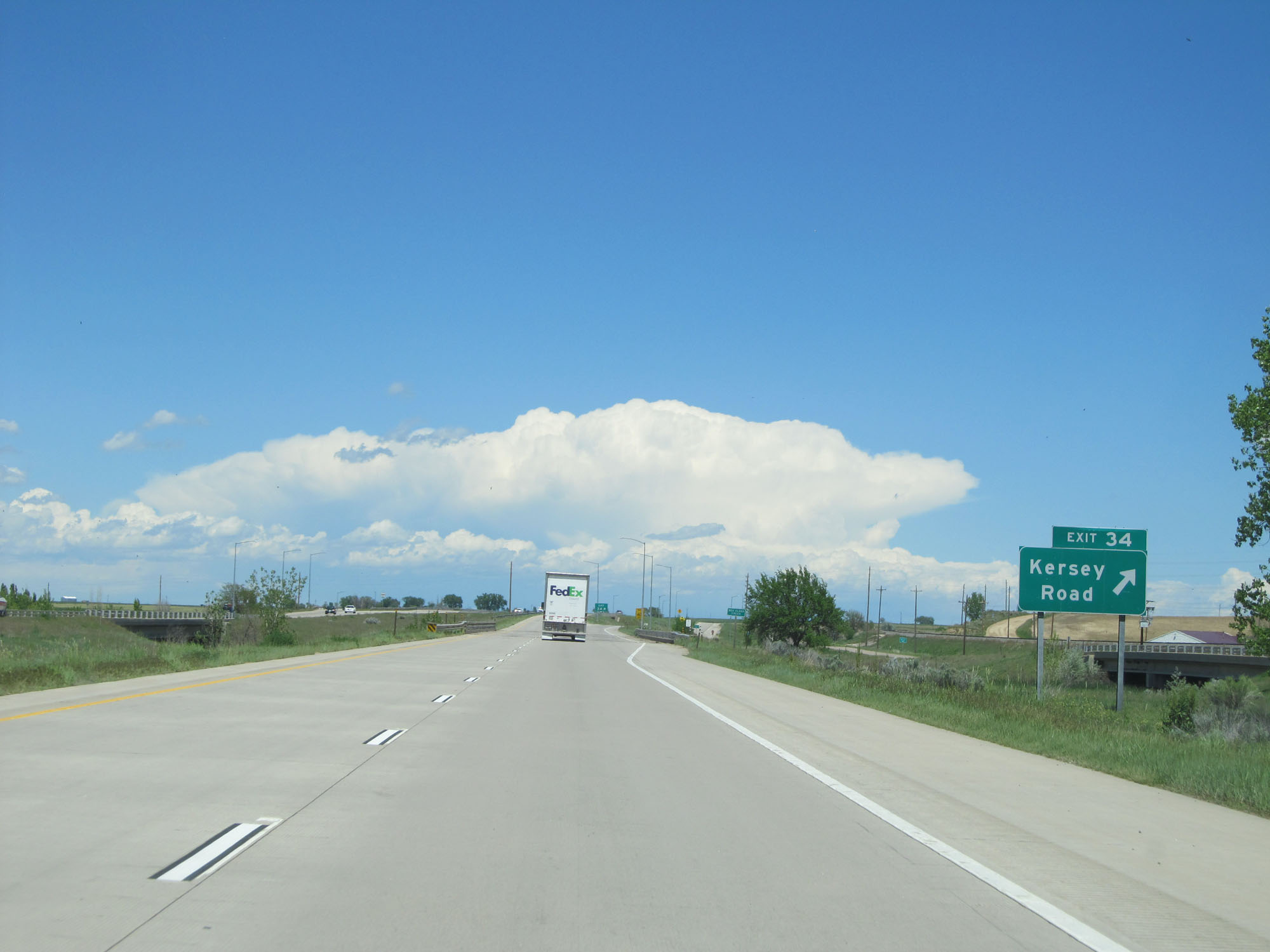 |
Interstate 76 East at Exit 34: Kersey Road (Photo taken 5/28/16). |
 |
Interstate 76 East at mile marker 35. (Photo taken 5/28/16). |
 |
Interstate 76 East assurance shield. This is one of the first ones that hasn't been state-named on I-76 East in Colorado. (Photo taken 5/28/16). |
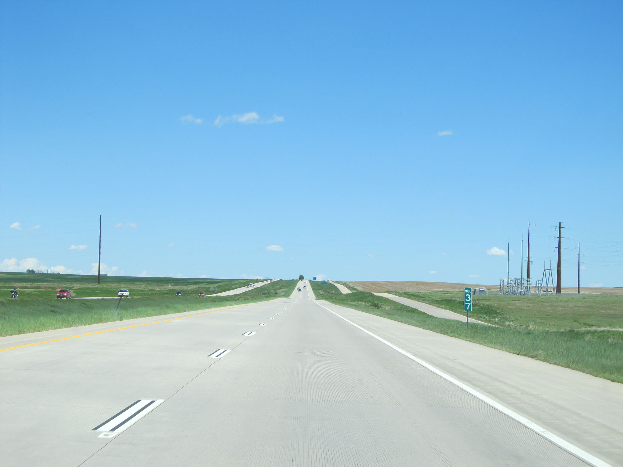 |
Interstate 76 East at mile marker 37. (Photo taken 5/28/16). |
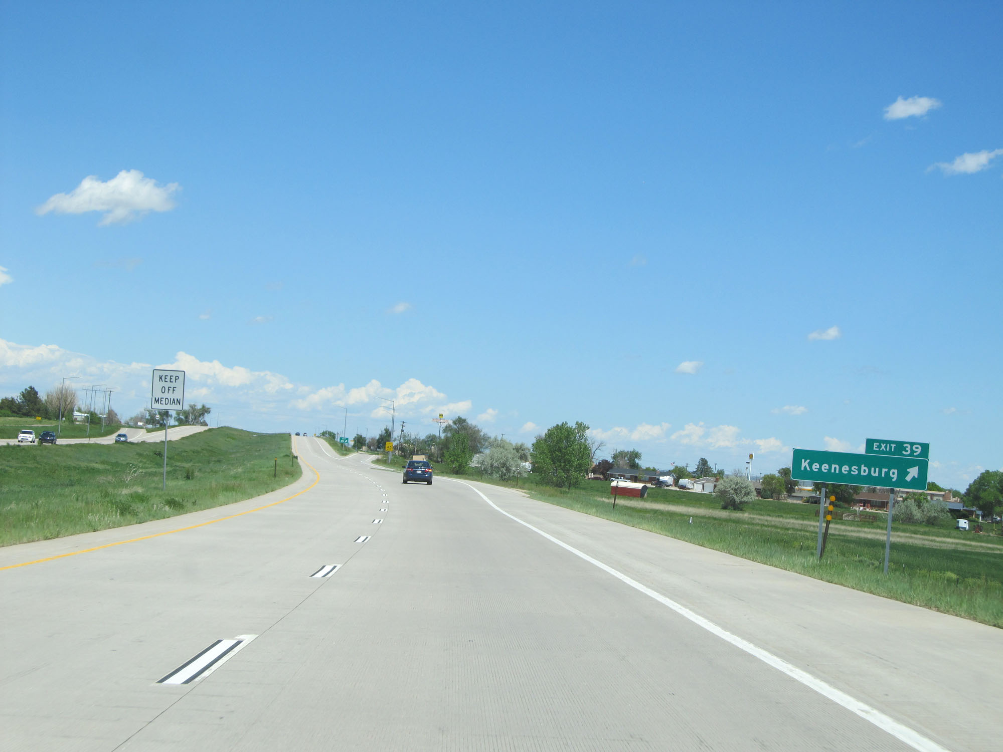 |
Interstate 76 East at Exit 39: Keenesburg (Photo taken 5/28/16). |
 |
Another state-named Interstate 76 East assurance shield east of Exit 39. (Photo taken 5/28/16). |
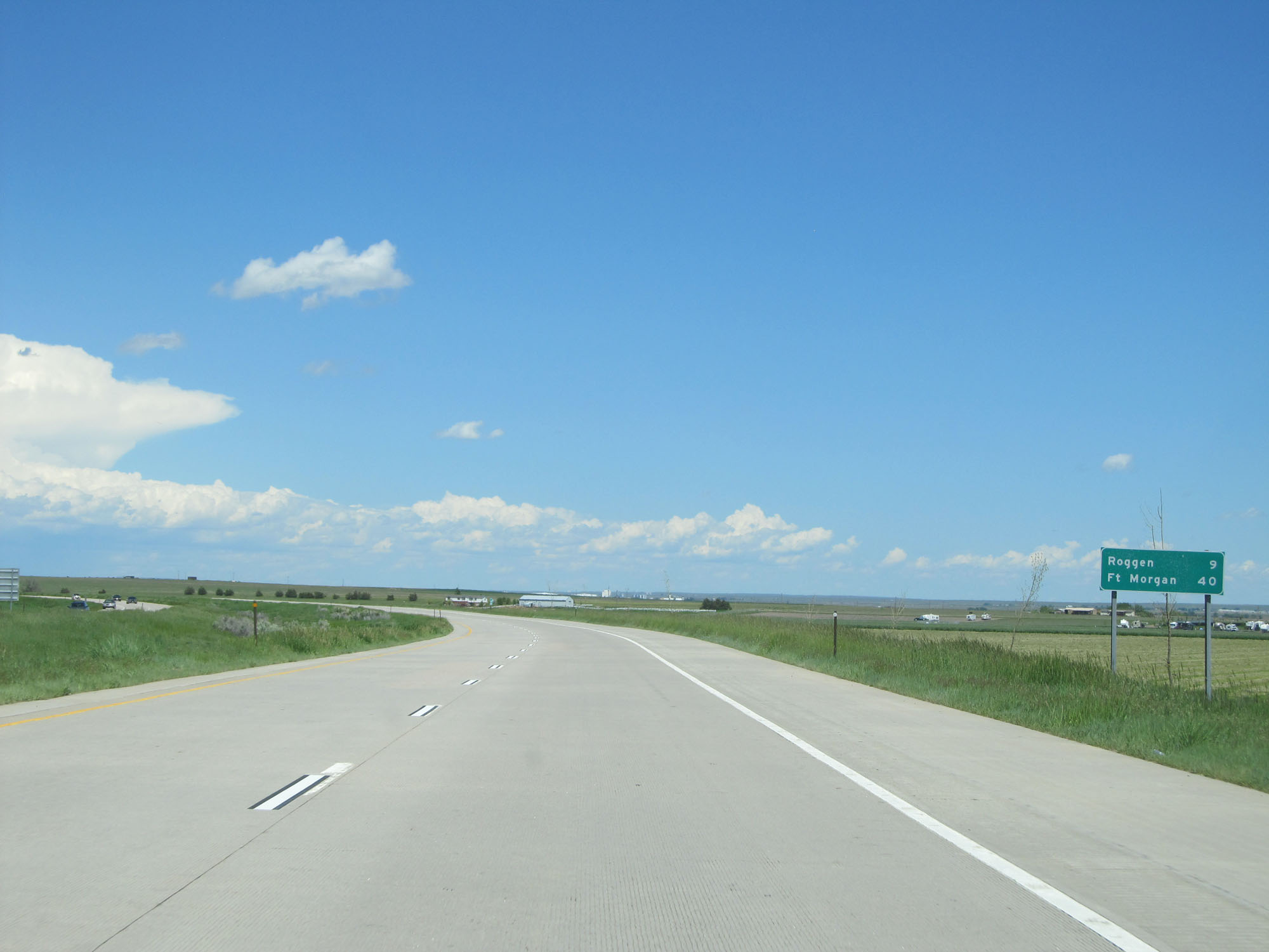 |
Mileage sign near mile marker 40. It's 9 miles to Roggen and 40 miles to Fort Morgan. (Photo taken 5/28/16). |
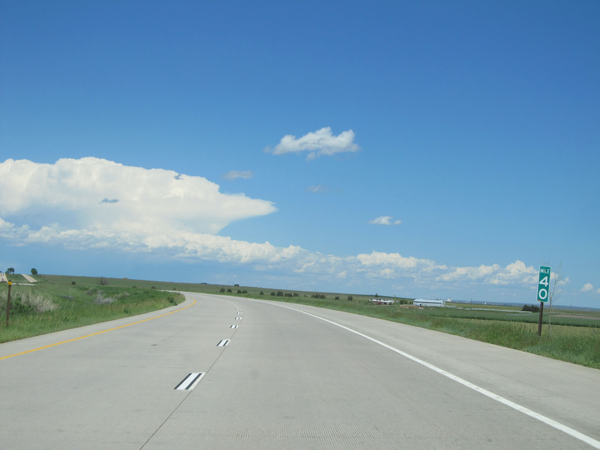 |
Interstate 76 East at mile marker 40. (Photo taken 5/28/16). |
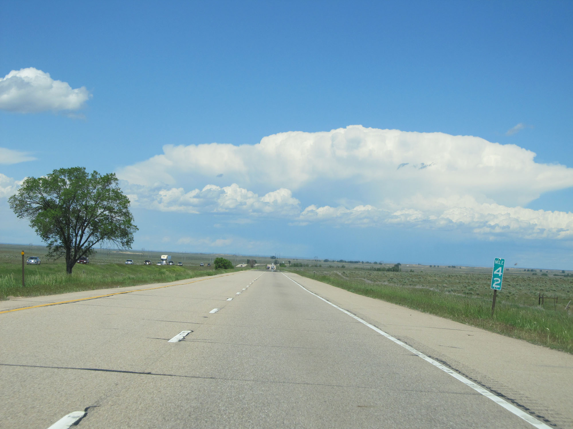 |
Interstate 76 East at mile marker 42. (Photo taken 5/28/16). |
 |
Interstate 76 East at mile marker 46. (Photo taken 5/28/16). |
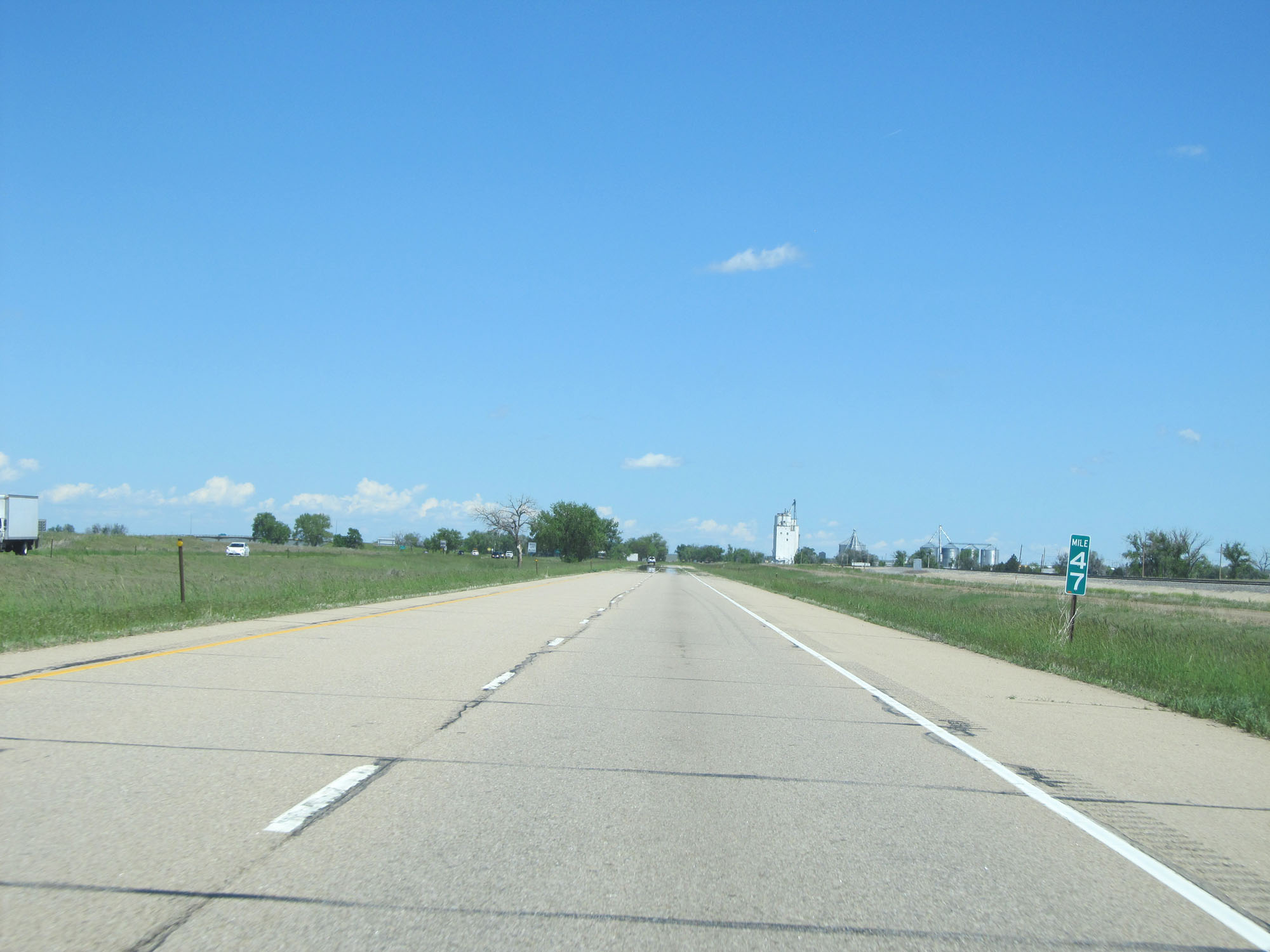 |
Interstate 76 East at mile marker 47. (Photo taken 5/28/16). |
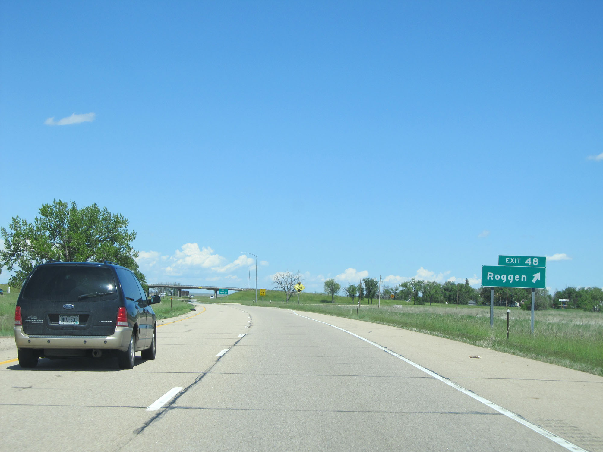 |
Interstate 76 East at Exit 48: Roggen (Photo taken 5/28/16). |
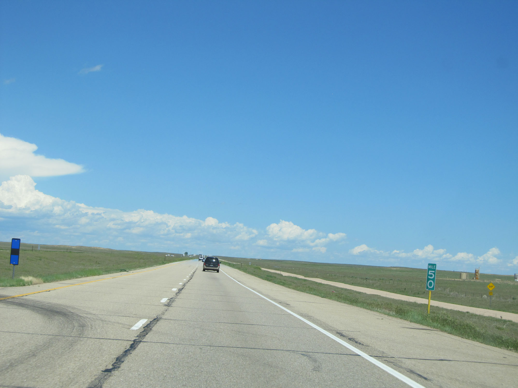 |
Interstate 76 East at mile marker 50. (Photo taken 5/28/16). |
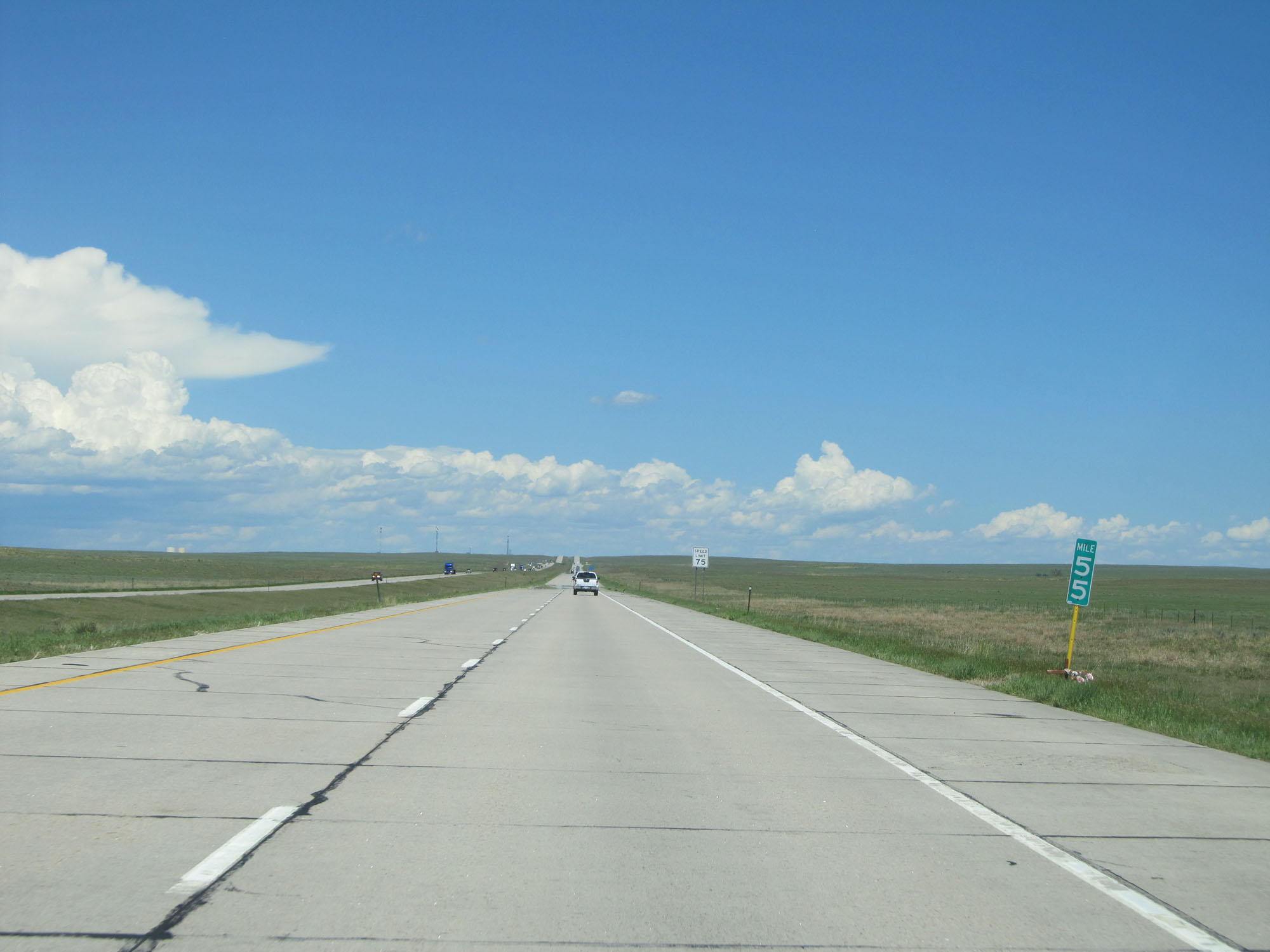 |
Interstate 76 East at mile marker 55. (Photo taken 5/28/16). |
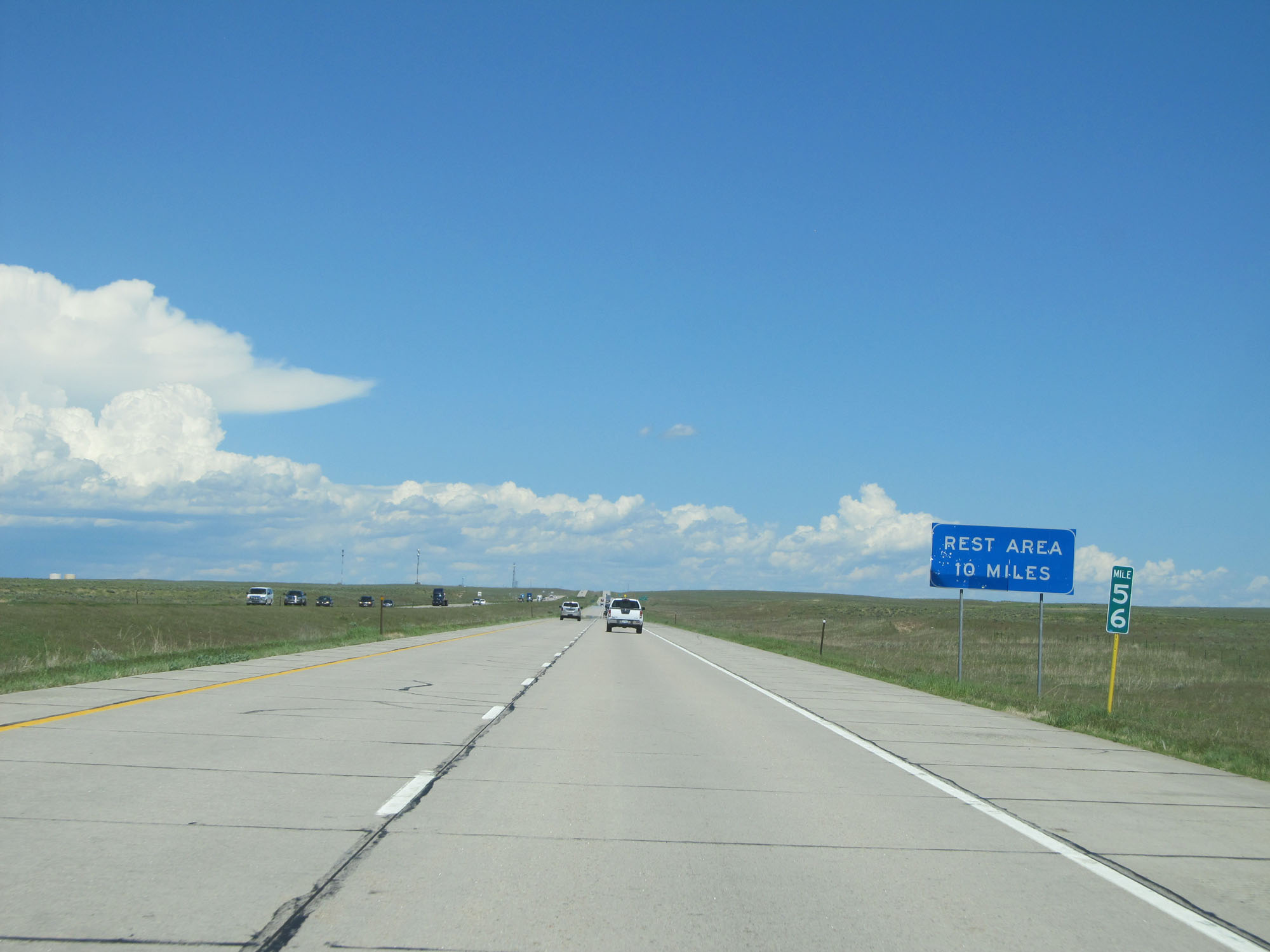 |
At mile marker 56, this sign states that the first Rest Area on Interstate 76 East lies 10 miles ahead. (Photo taken 5/28/16). |
 |
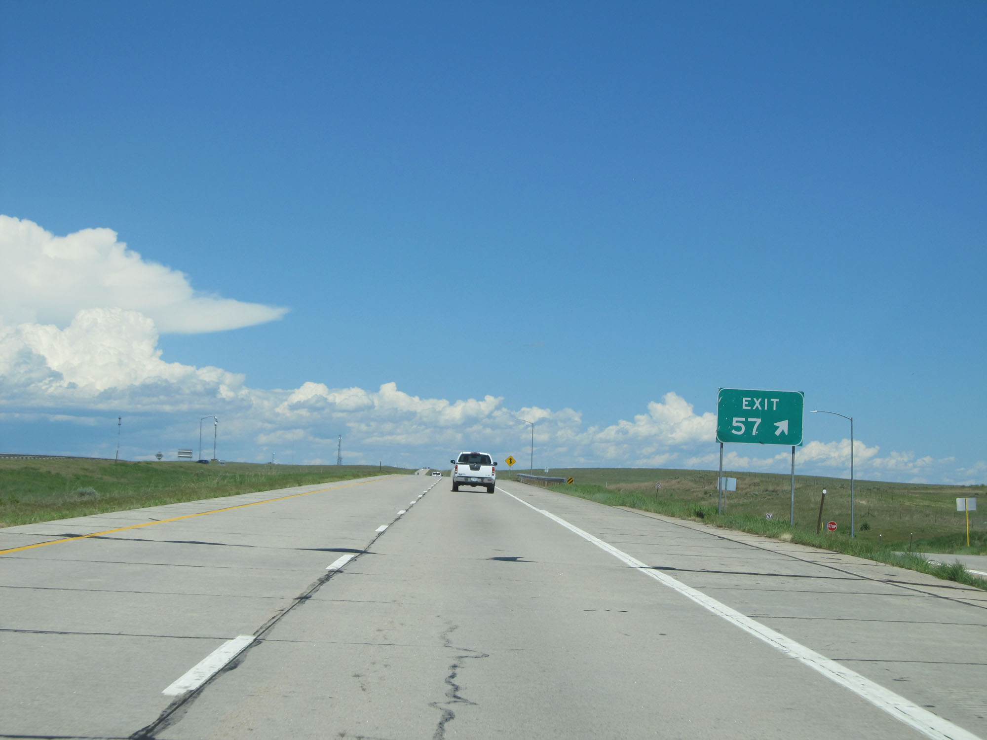
Interstate 76 East approaching Exit 57 - 1/4 mile. (Photo taken 5/28/16). |
 |
Interstate 76 East at Exit 57: County Rd 91 (Photo taken 5/28/16). |
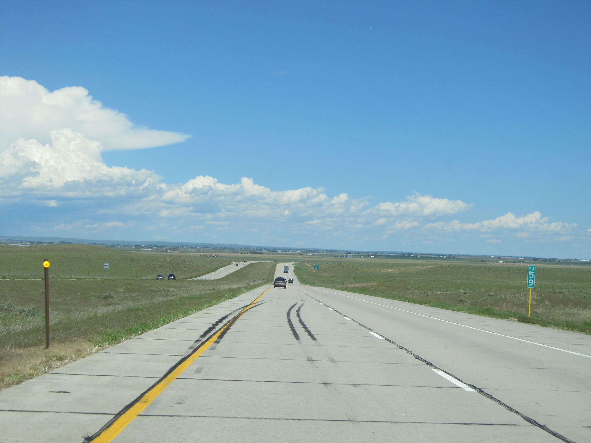 |
Interstate 76 East at mile marker 59. (Photo taken 5/28/16). |
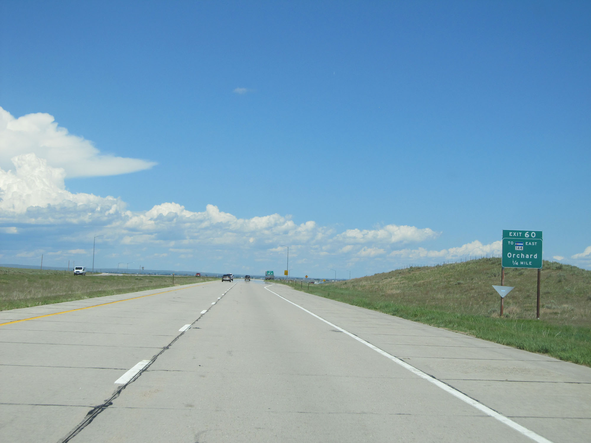 |
Interstate 76 East approaching Exit 60 - 1/4 mile. (Photo taken 5/28/16). |
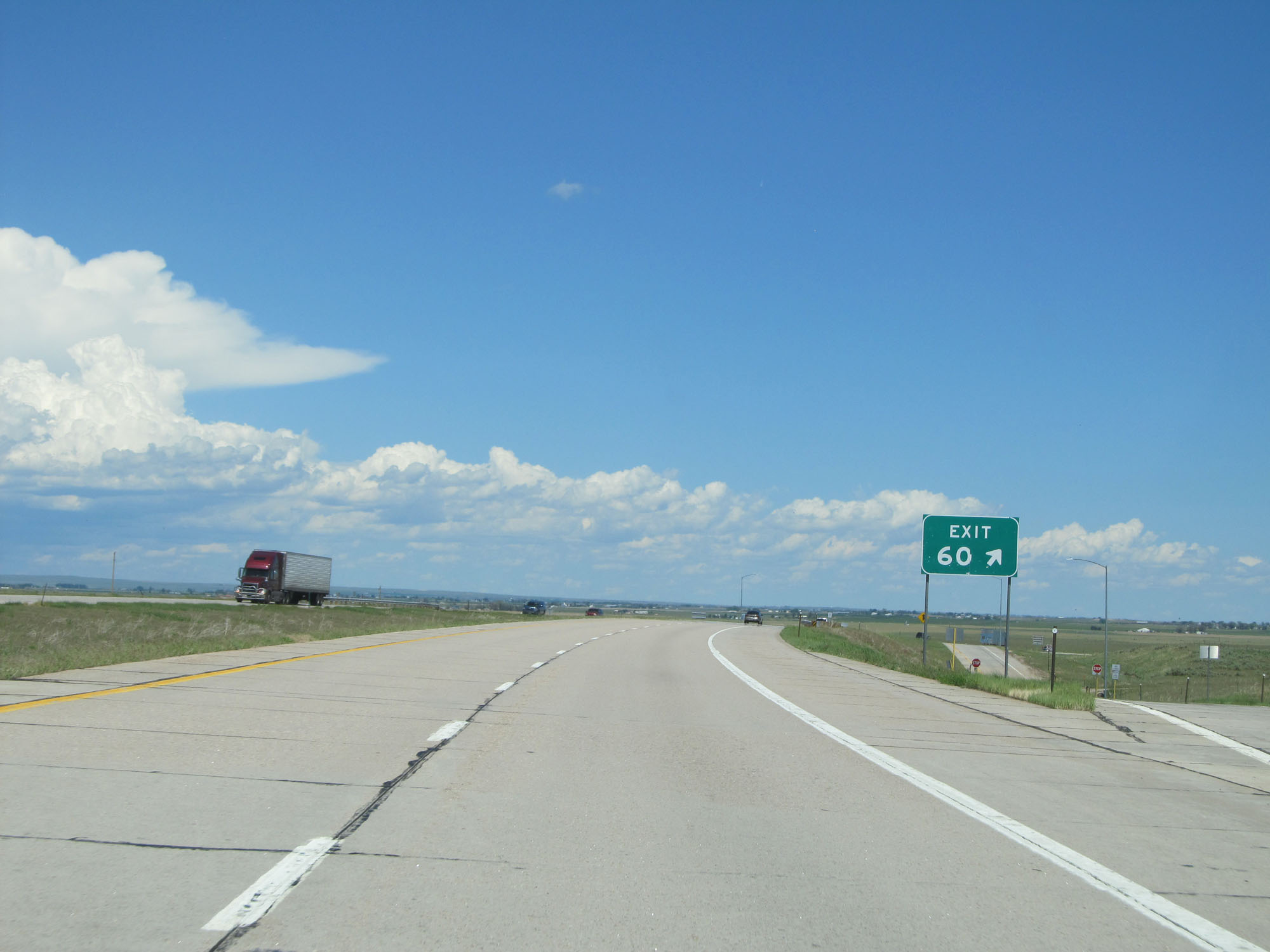 |
Interstate 76 East at Exit 60: To CO 144 East - Orchard (Photo taken 5/28/16). |
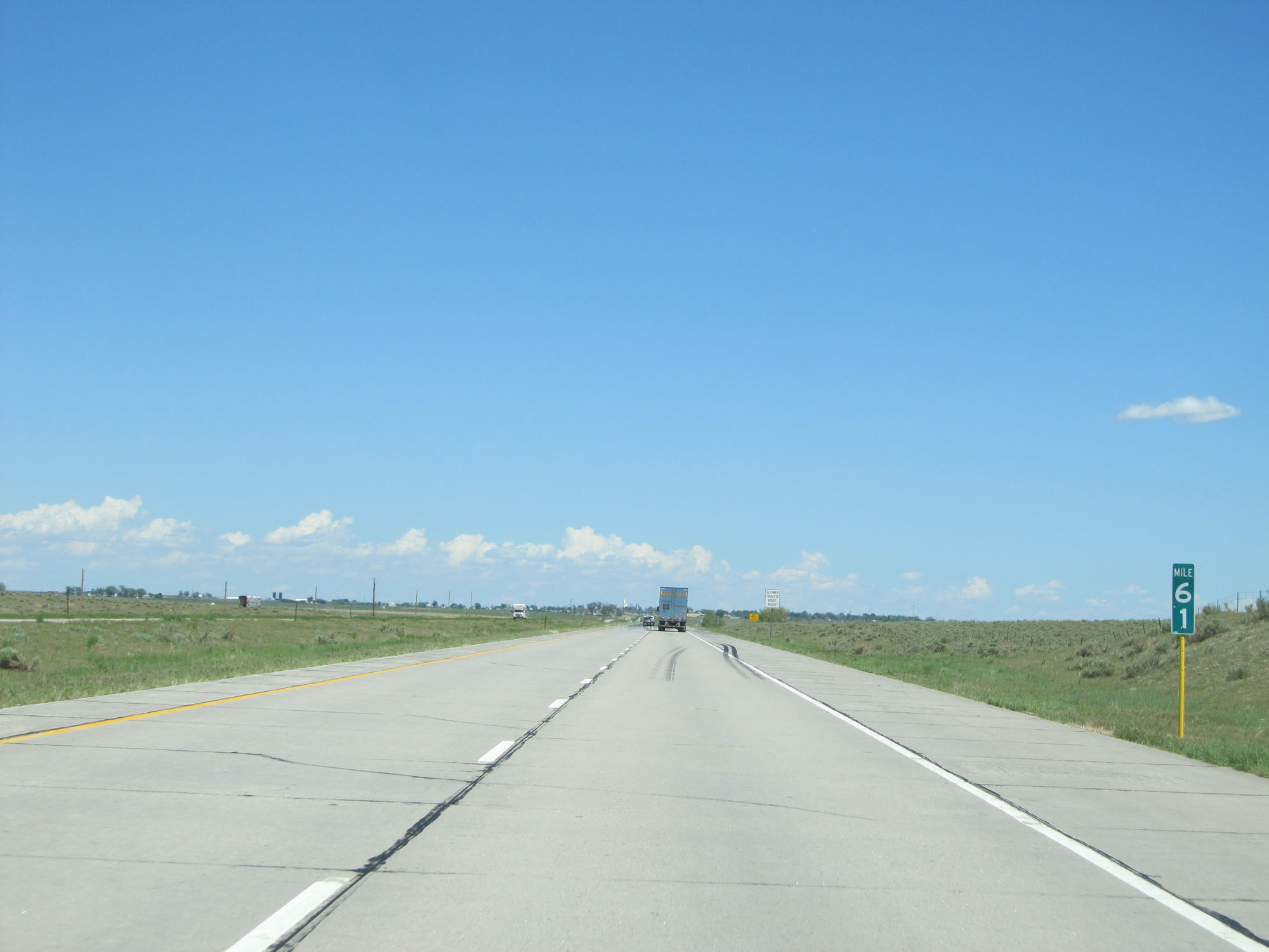 |
Interstate 76 East at mile marker 61. (Photo taken 5/28/16). |
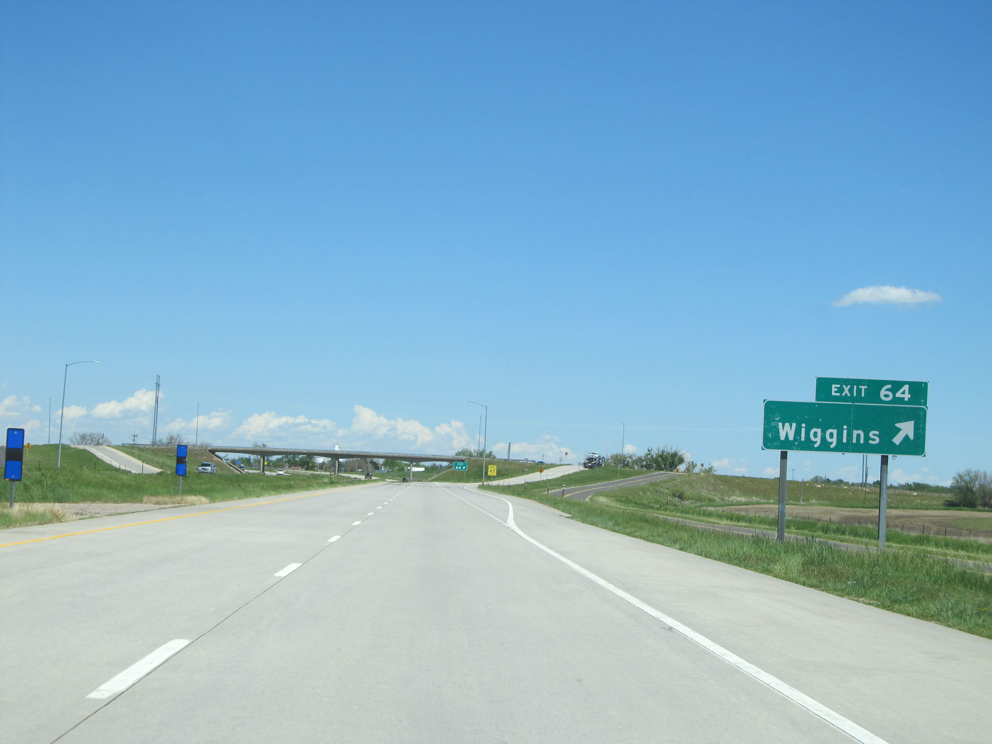 |
Interstate 76 East at Exit 64: Wiggins (Photo taken 5/28/16). |
 |
Take Exit 66A to Jackson Lake State Park. (Photo taken 5/28/16). |
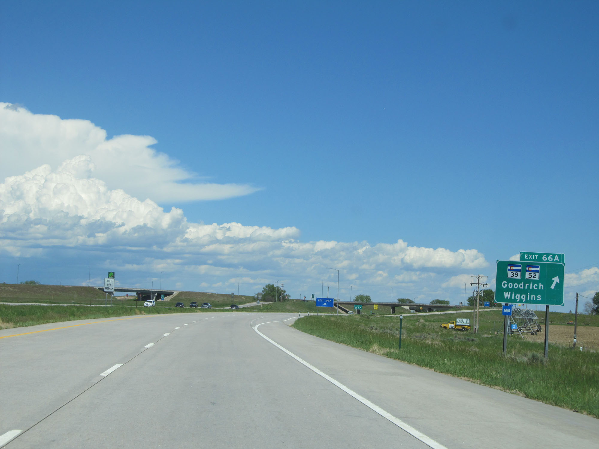 |
Interstate 76 East at Exit 66A: CO 39 / CO 52 - Goodrich / Wiggins (Photo taken 5/28/16). |
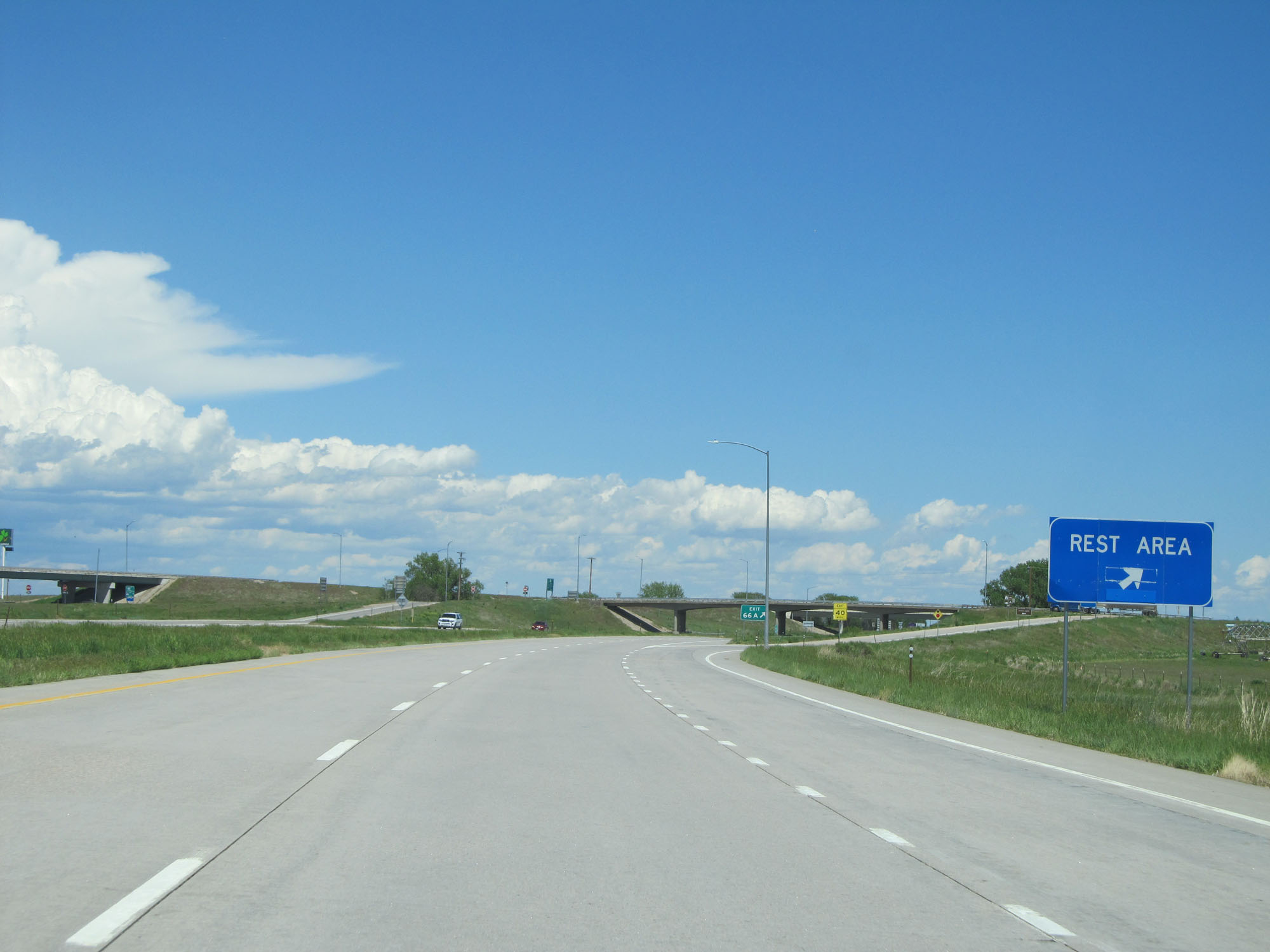 |
The Rest Area mentioned 10 miles ago also exists off Exit 66A. (Photo taken 5/28/16). |
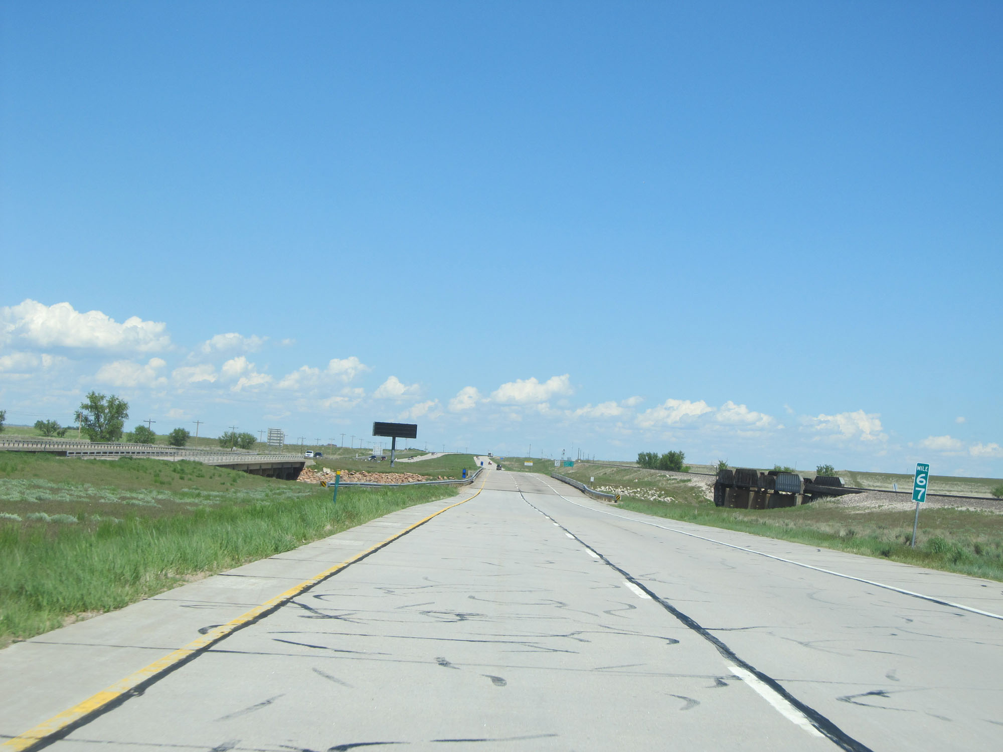 |
Interstate 76 East at mile marker 67. (Photo taken 5/28/16). |
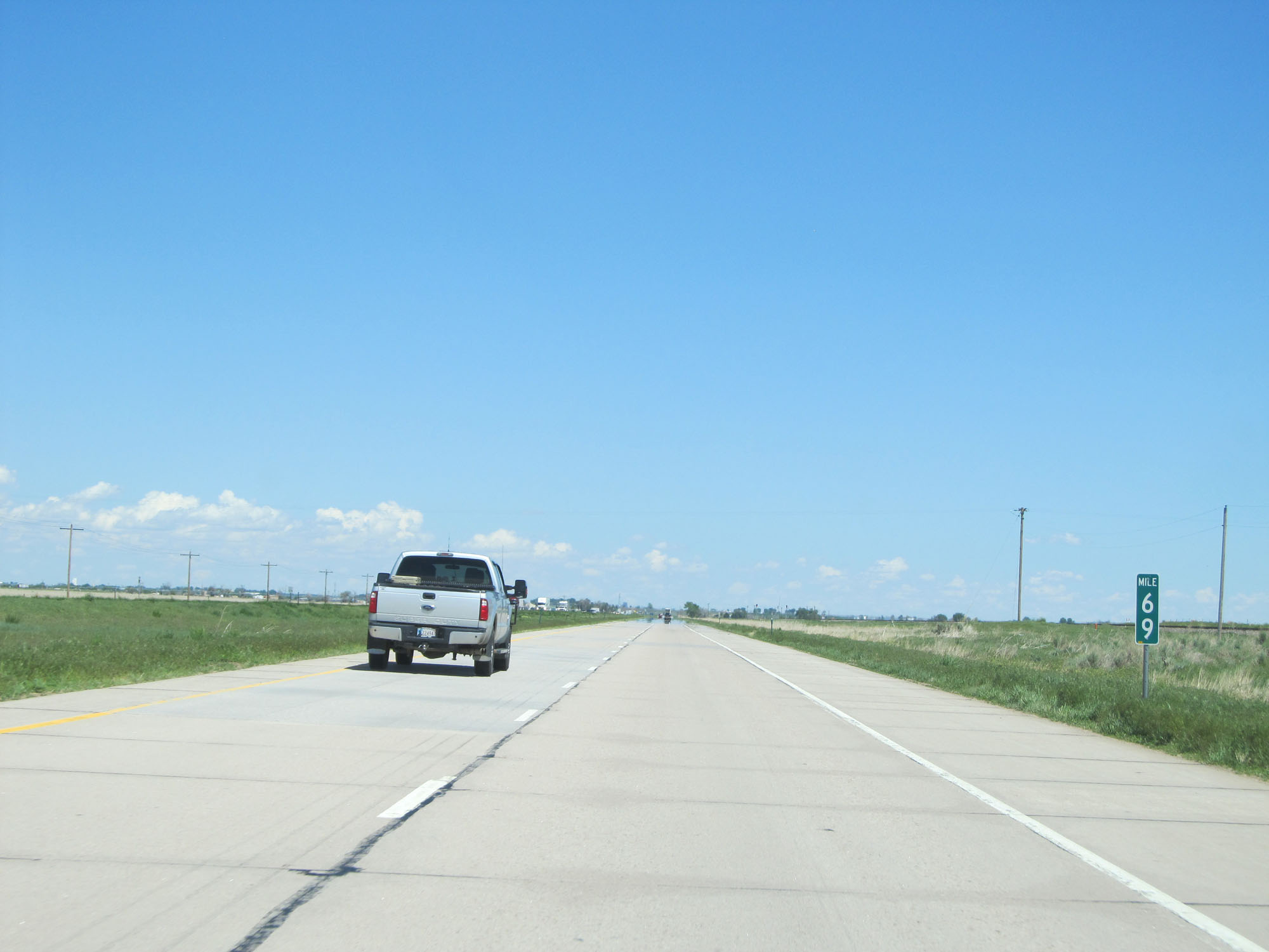 |
Interstate 76 East at mile marker 69. (Photo taken 5/28/16). |
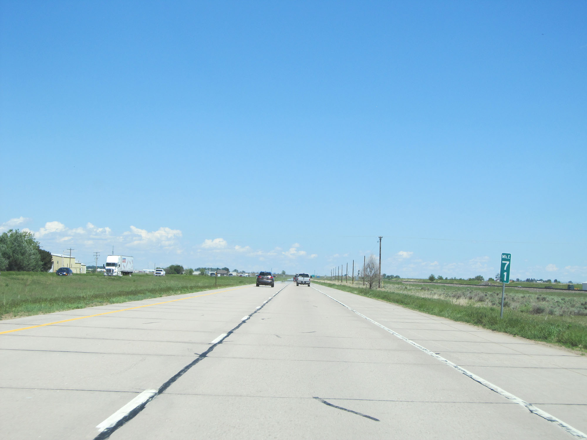 |
Interstate 76 East at mile marker 71. (Photo taken 5/28/16). |
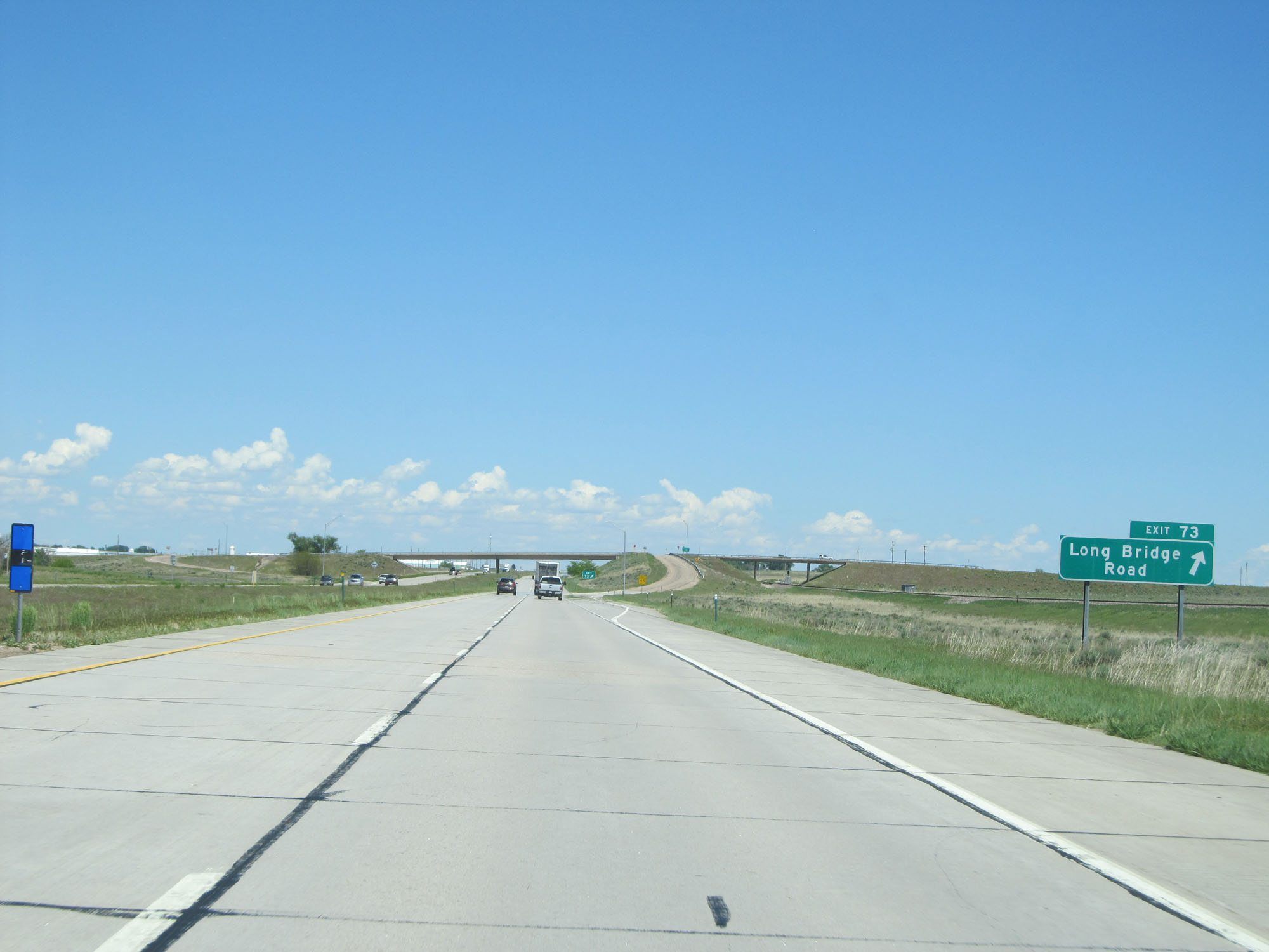 |
Interstate 76 East at Exit 73: Long Bridge Road (Photo taken 5/28/16). |
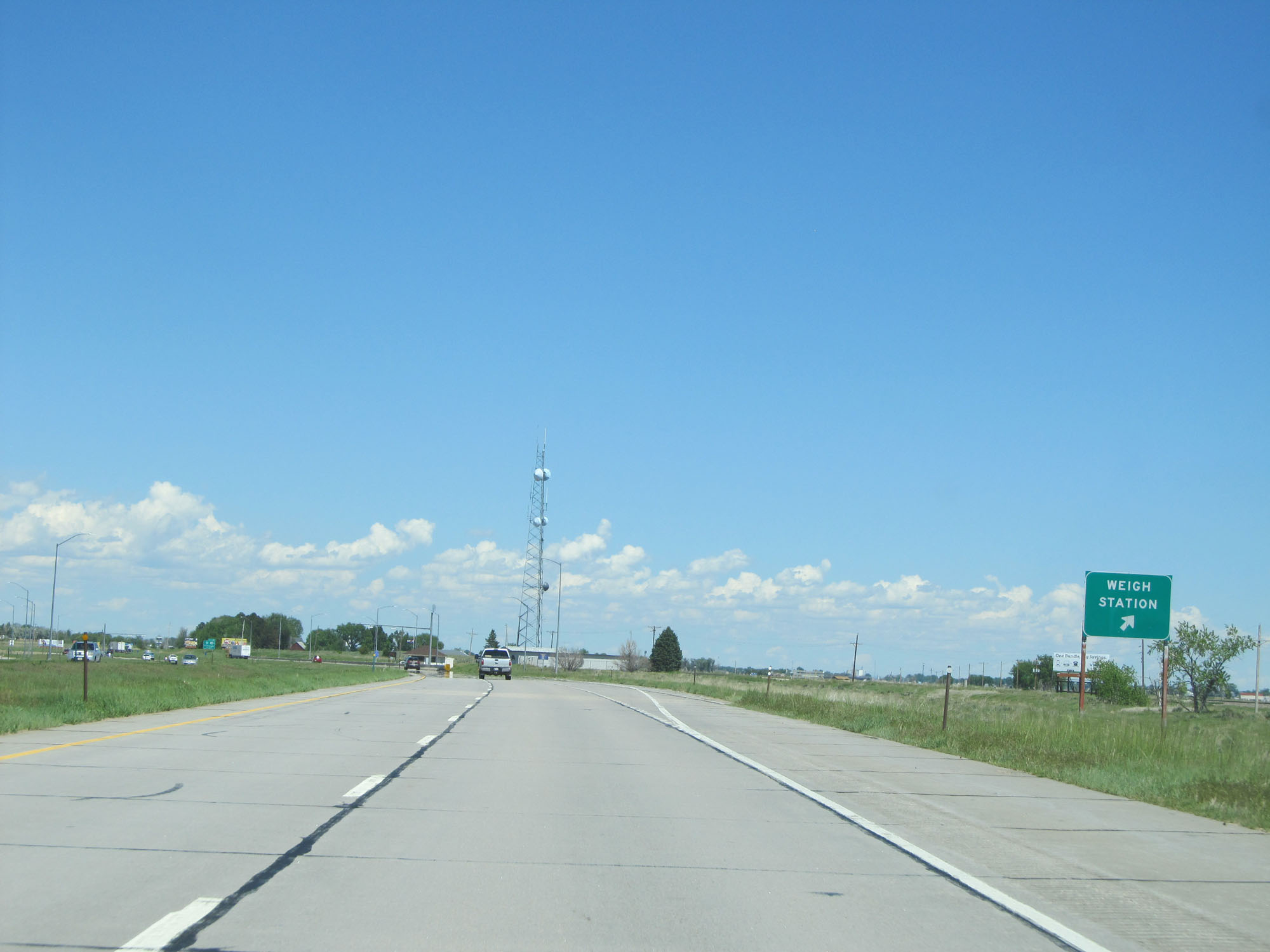 |
Interstate 76 East at the Weigh Station located just east of mile marker 74. (Photo taken 5/28/16). |
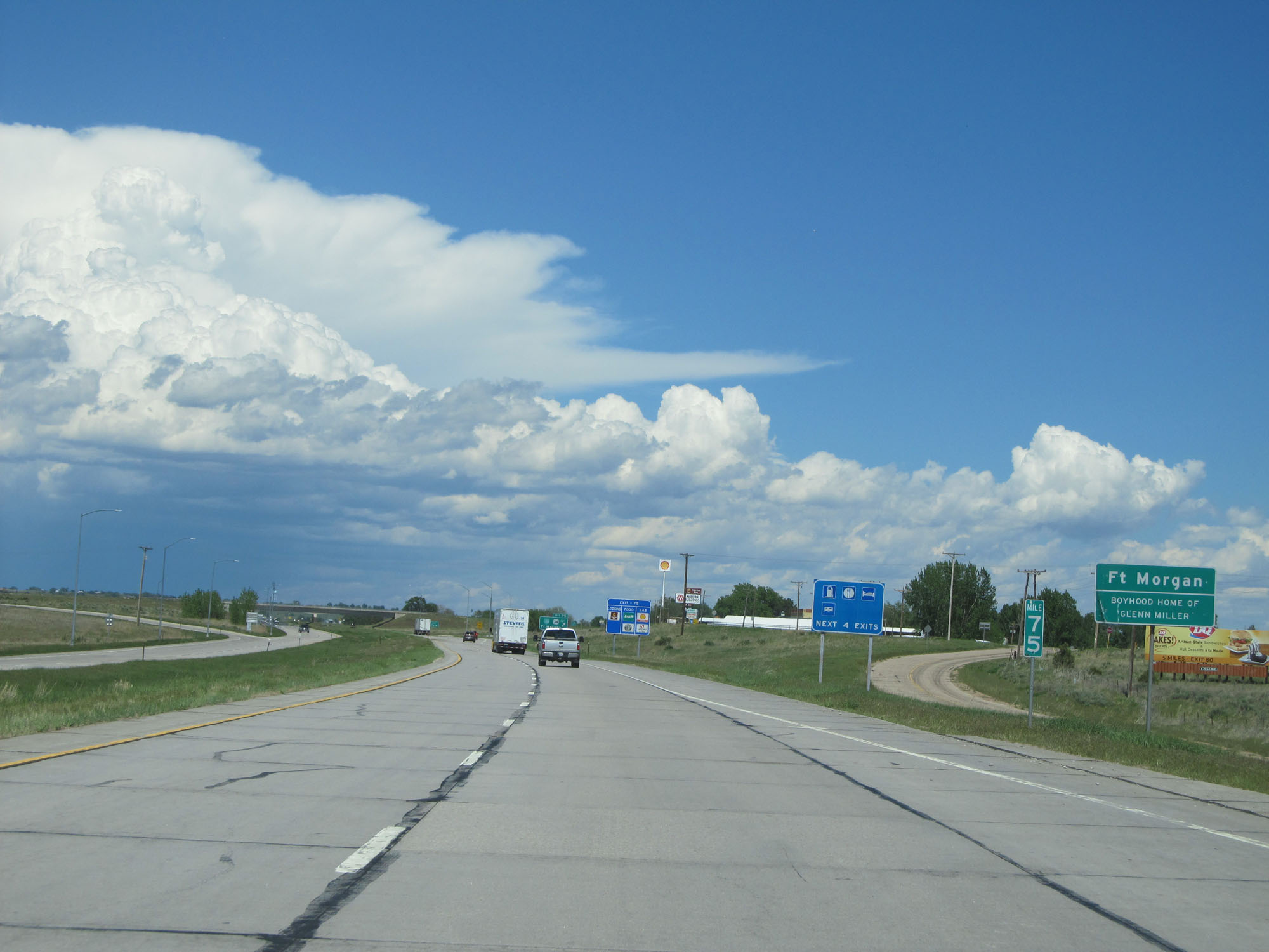 |
At mile marker 75, Interstate 76 East enters the Fort Morgan city limits. (Photo taken 5/28/16). |
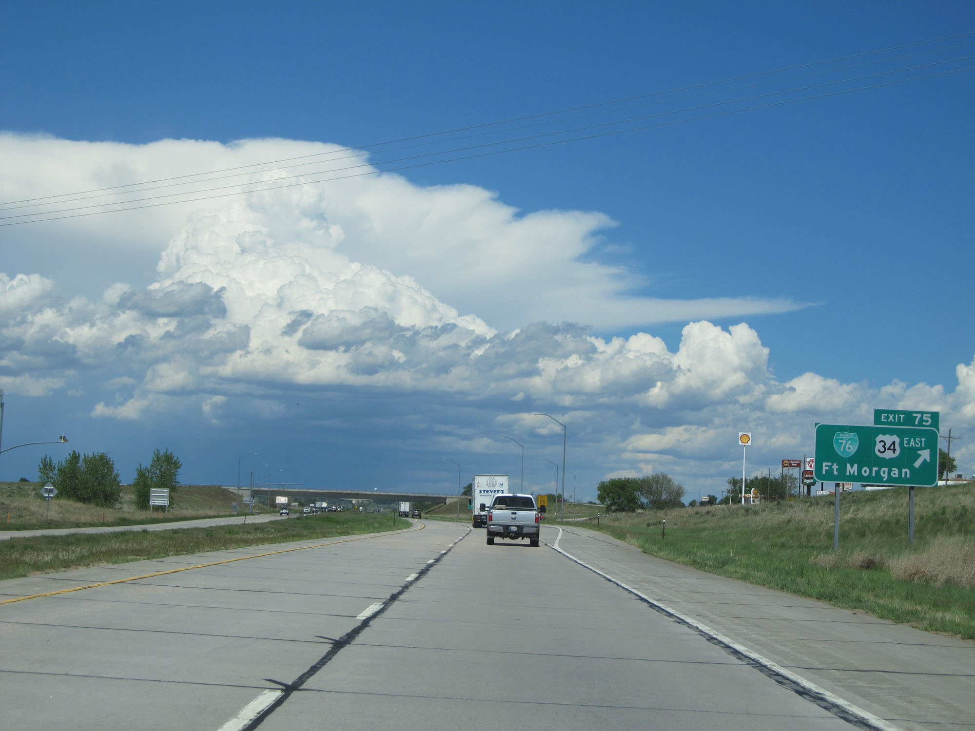 |
Interstate 76 East at Exit 75: Interstate 76 BL / US 34 East - Fort Morgan (Photo taken 5/28/16). |
 |
Interstate 76 East assurance shield near mile marker 76. (Photo taken 5/28/16). |
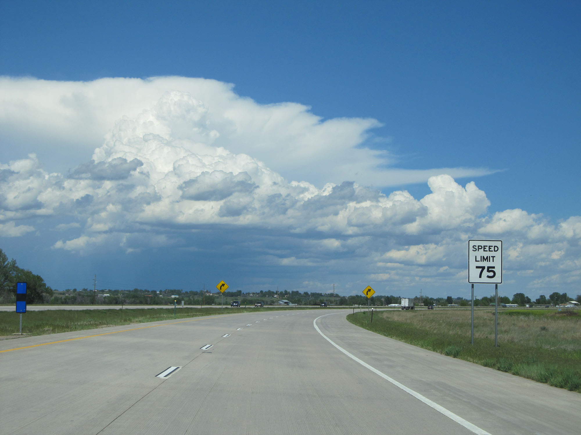 |
The speed limit remains 75 mph for all traffic. (Photo taken 5/28/16). |
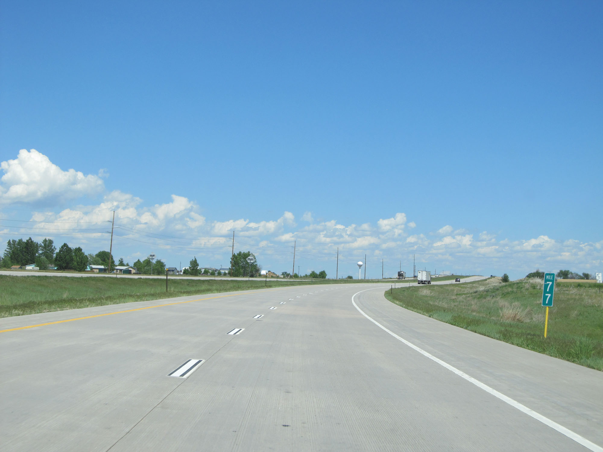 |
Interstate 76 East at mile marker 77. (Photo taken 5/28/16). |
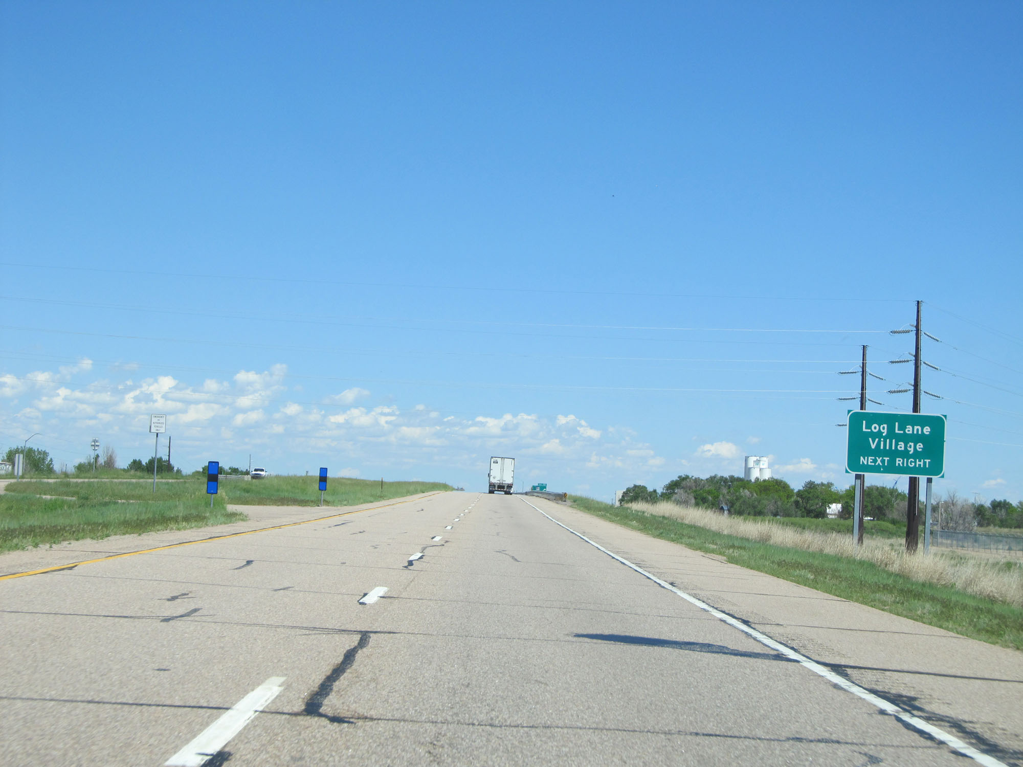 |
Take Exit 79 to Log Lane Village. (Photo taken 5/28/16). |
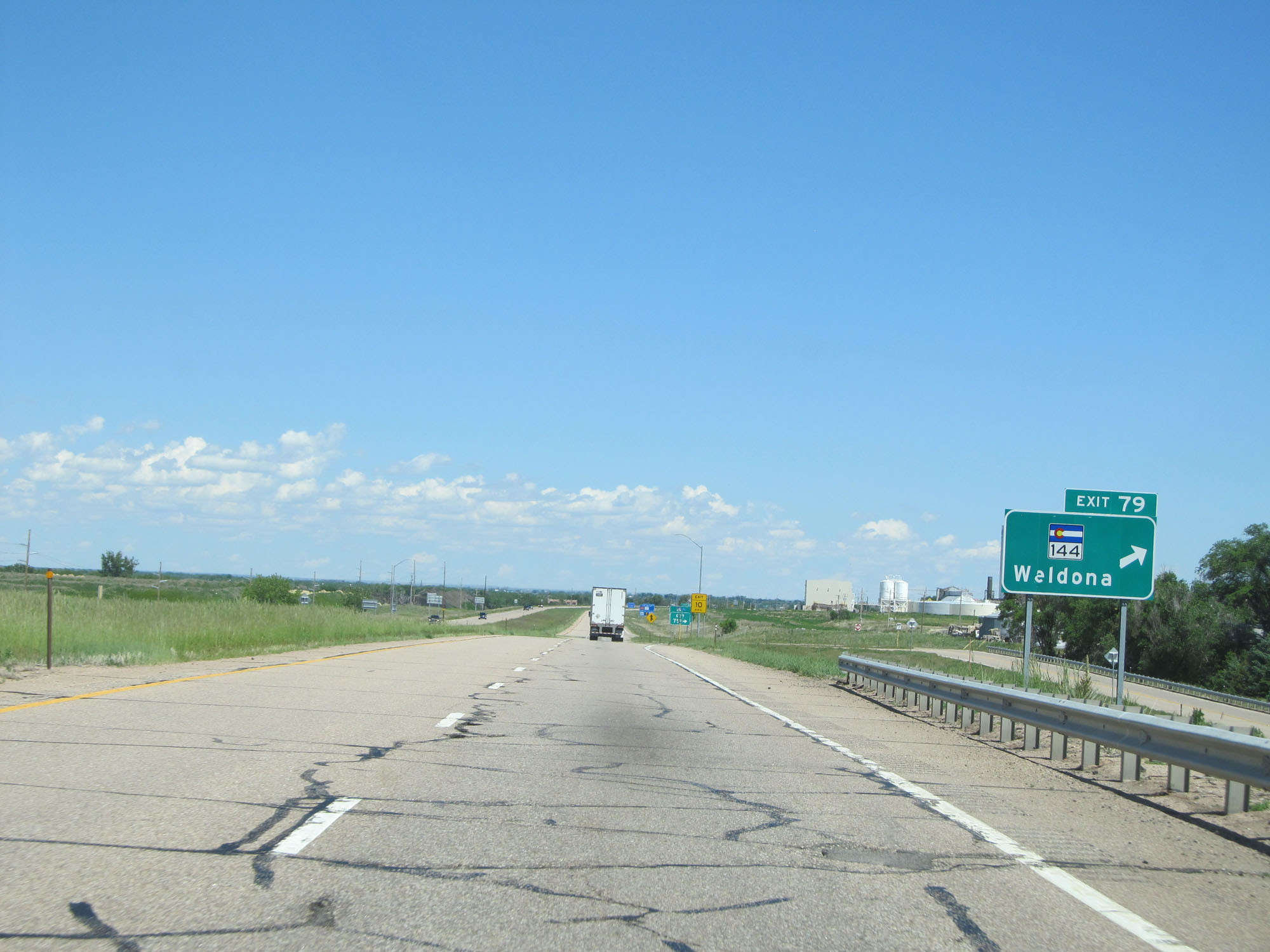 |
Interstate 76 East at Exit 79: CO 144 - Weldona (Photo taken 5/28/16). |
 |
Interstate 76 East at Exit 80: CO 52 - Fort Morgan / New Raymer (Photo taken 5/28/16). |
Section 2: Fort Morgan (Exit 80) to Nebraska Border
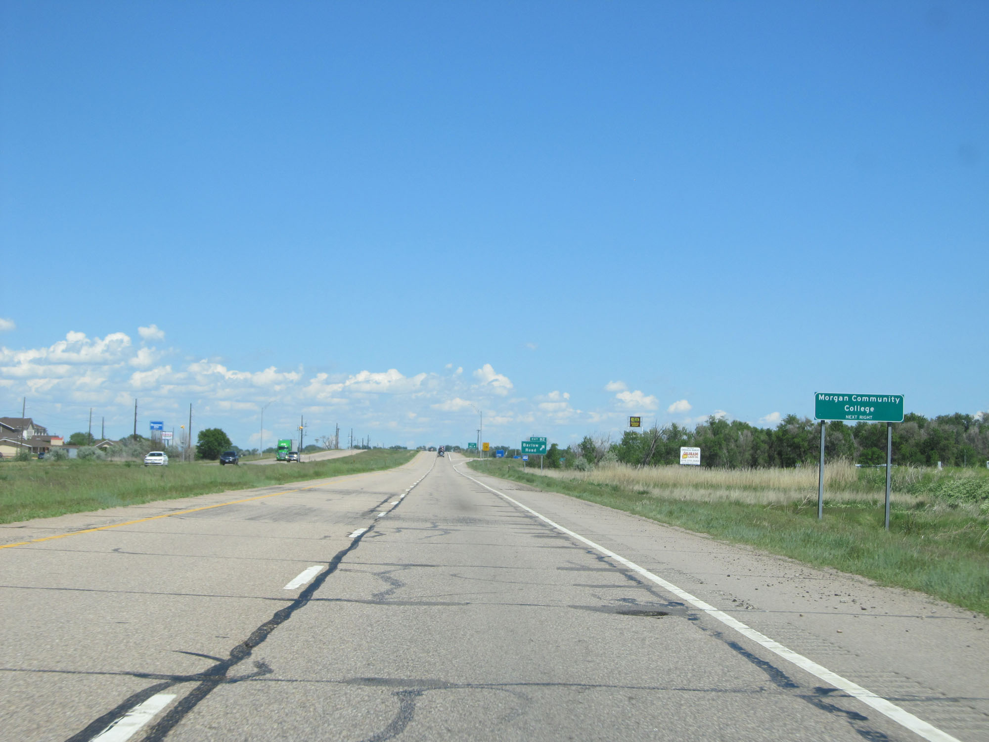 |
Take Exit 82 to Morgan Community College. (Photo taken 5/28/16). |
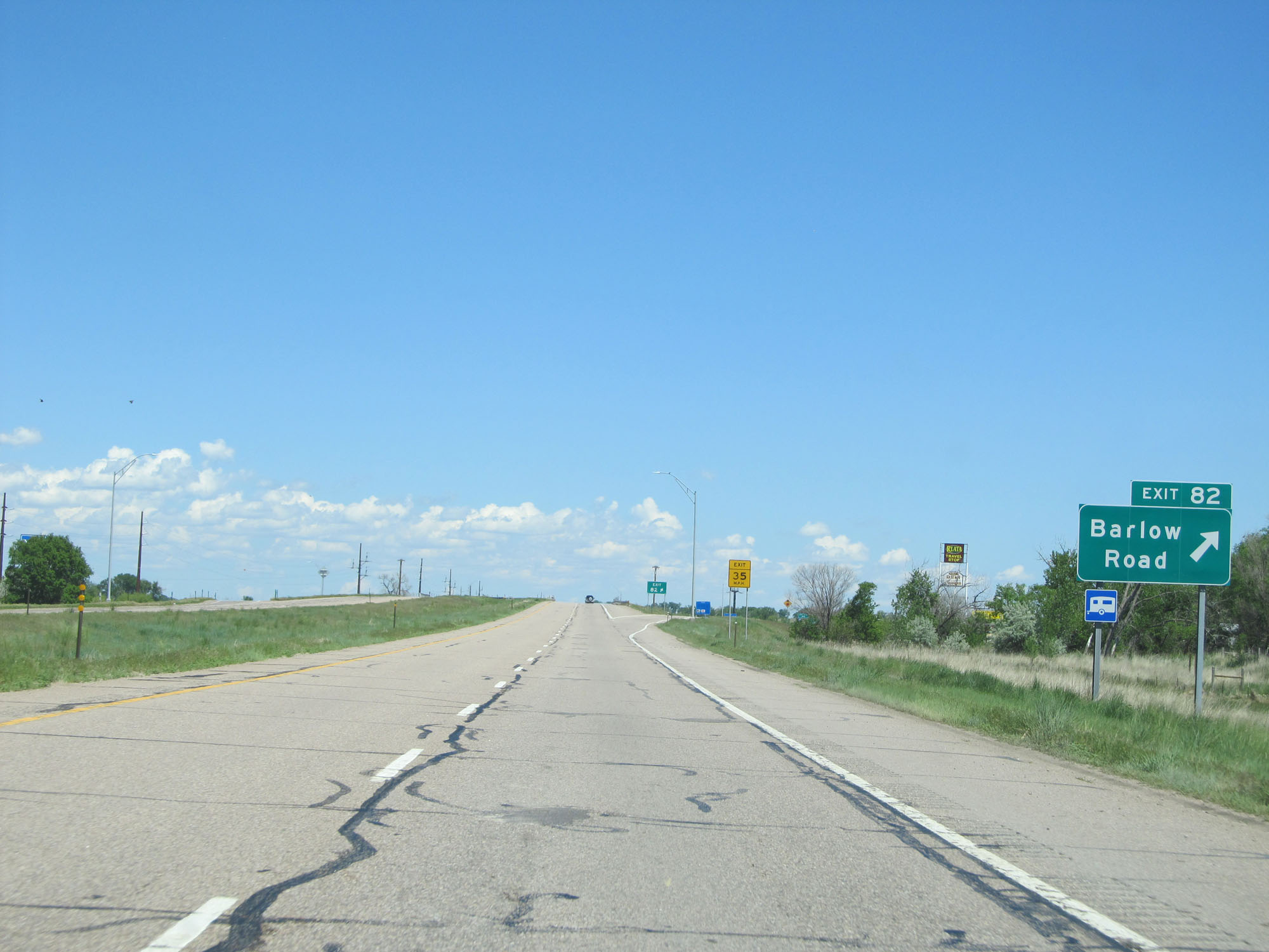 |
Interstate 76 East at Exit 82: Barlow Road (Photo taken 5/28/16). |
 |
View on Interstate 76 East as it dips briefly to the north. (Photo taken 5/28/16). |
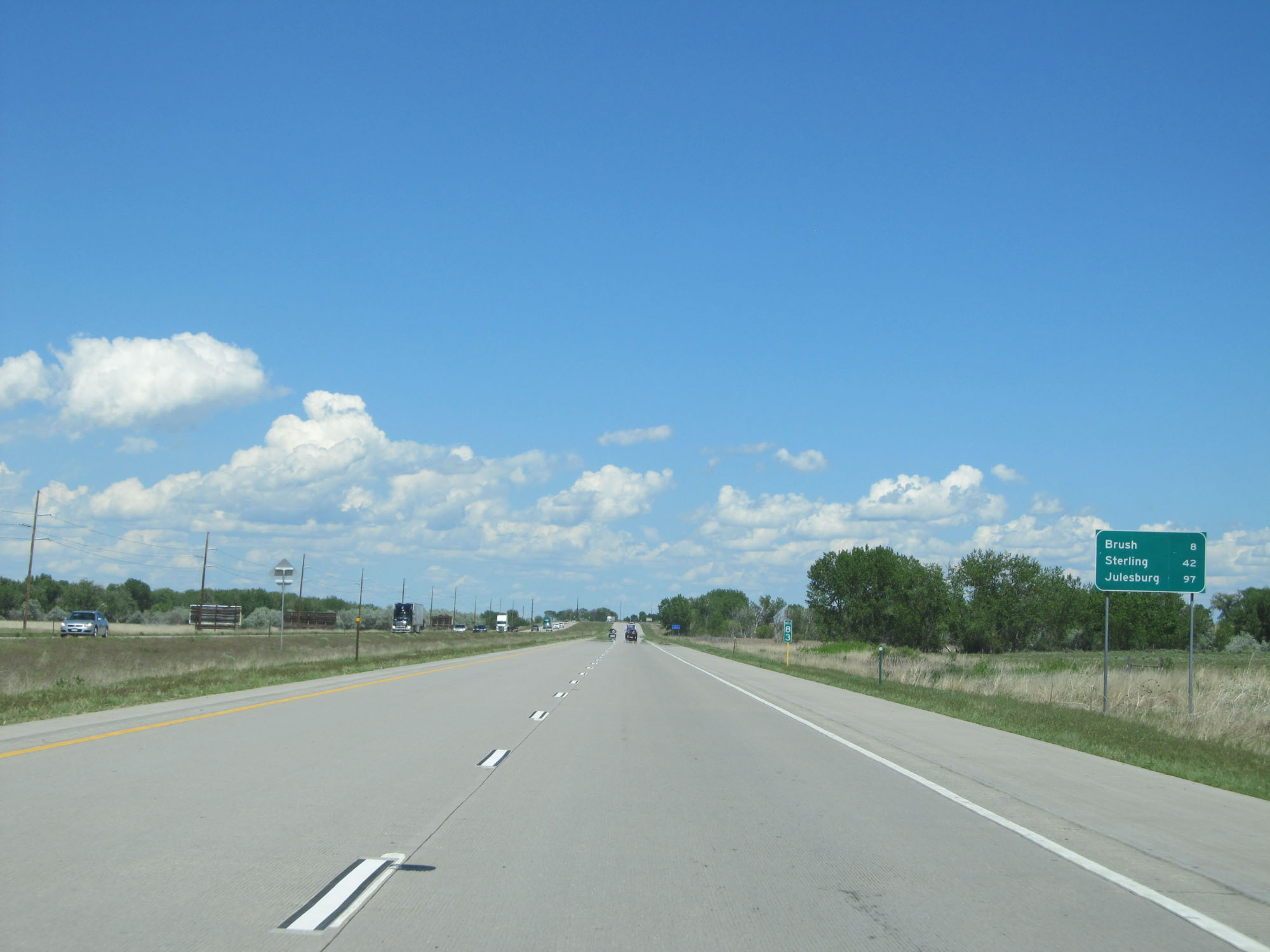 |
Mileage sign at mile marker 83. It's 8 miles to Brush, 42 miles to Sterlling, and 97 miles to Julesburg. (Photo taken 5/28/16). |
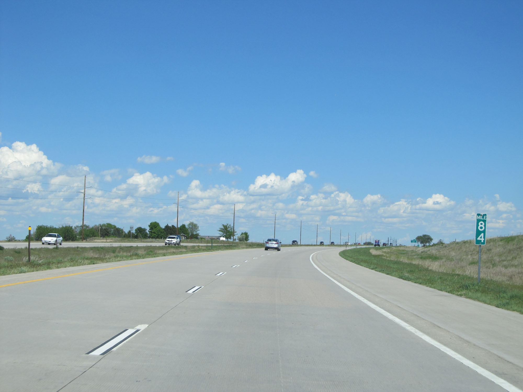 |
Interstate 76 East at mile marker 84. (Photo taken 5/28/16). |
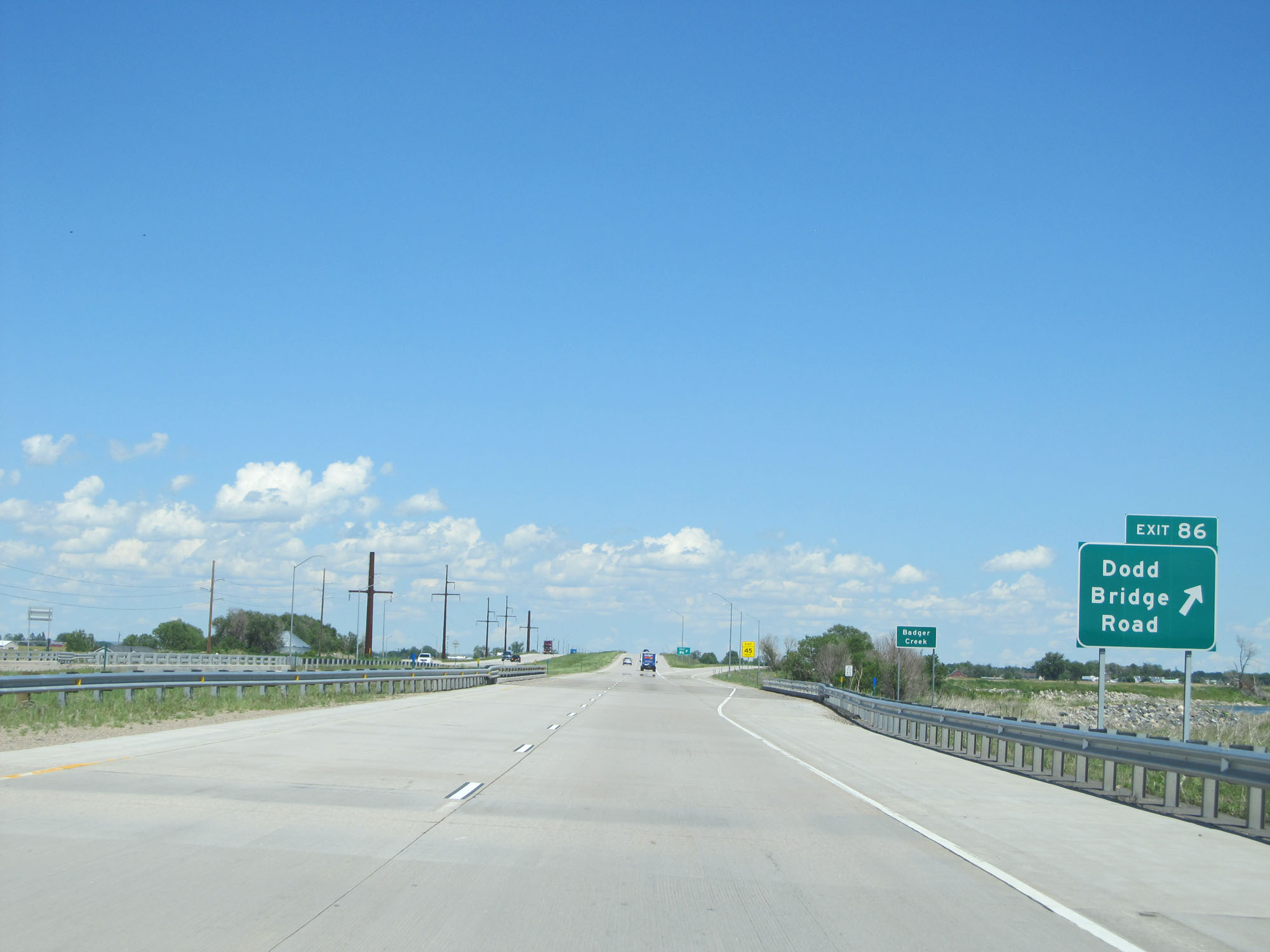 |
Interstate 76 East at Exit 86: Dodd Bridge Road (Photo taken 5/28/16). |
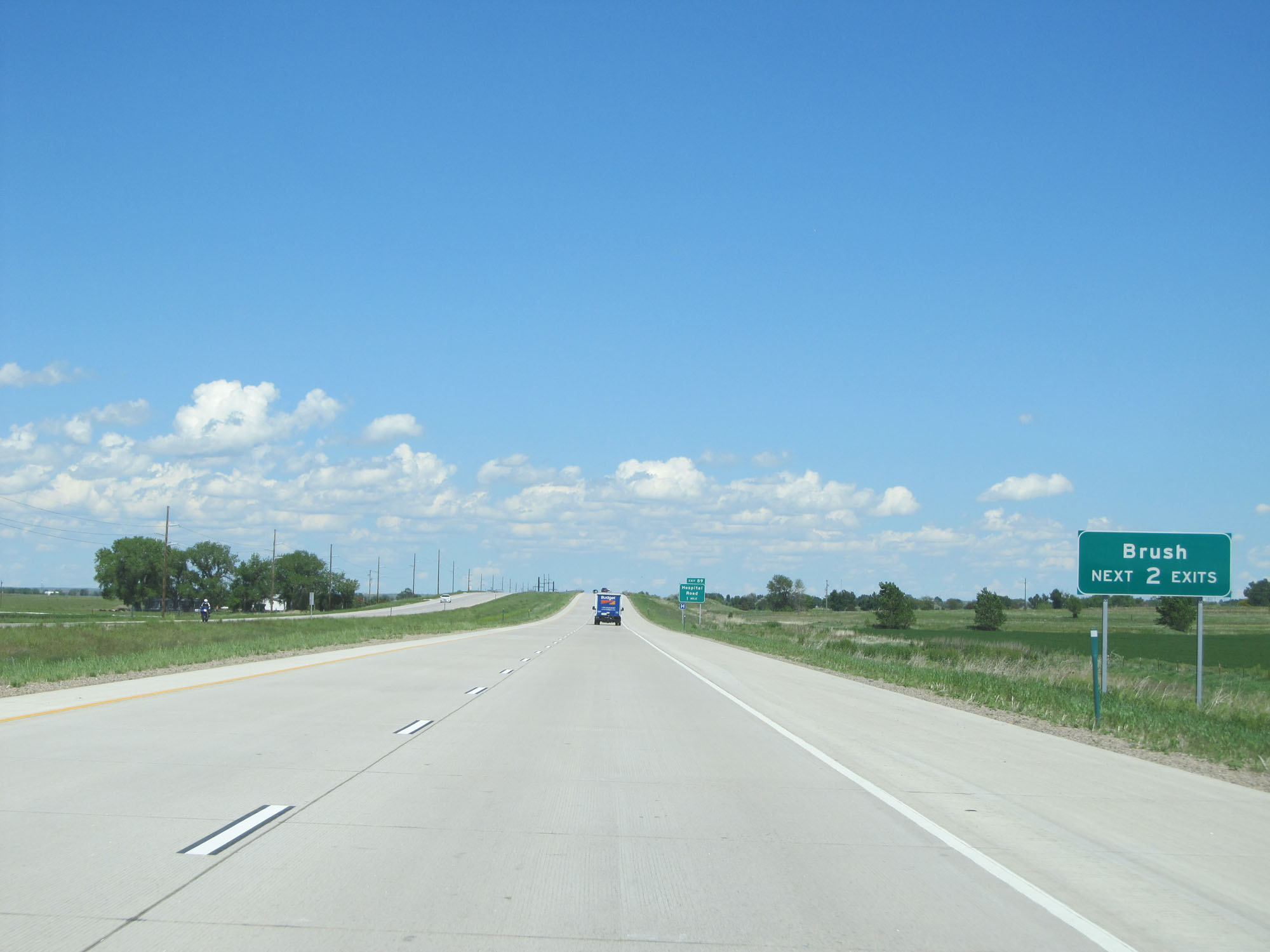 |
Take either of the next 2 exits to Brush. (Photo taken 5/28/16). |
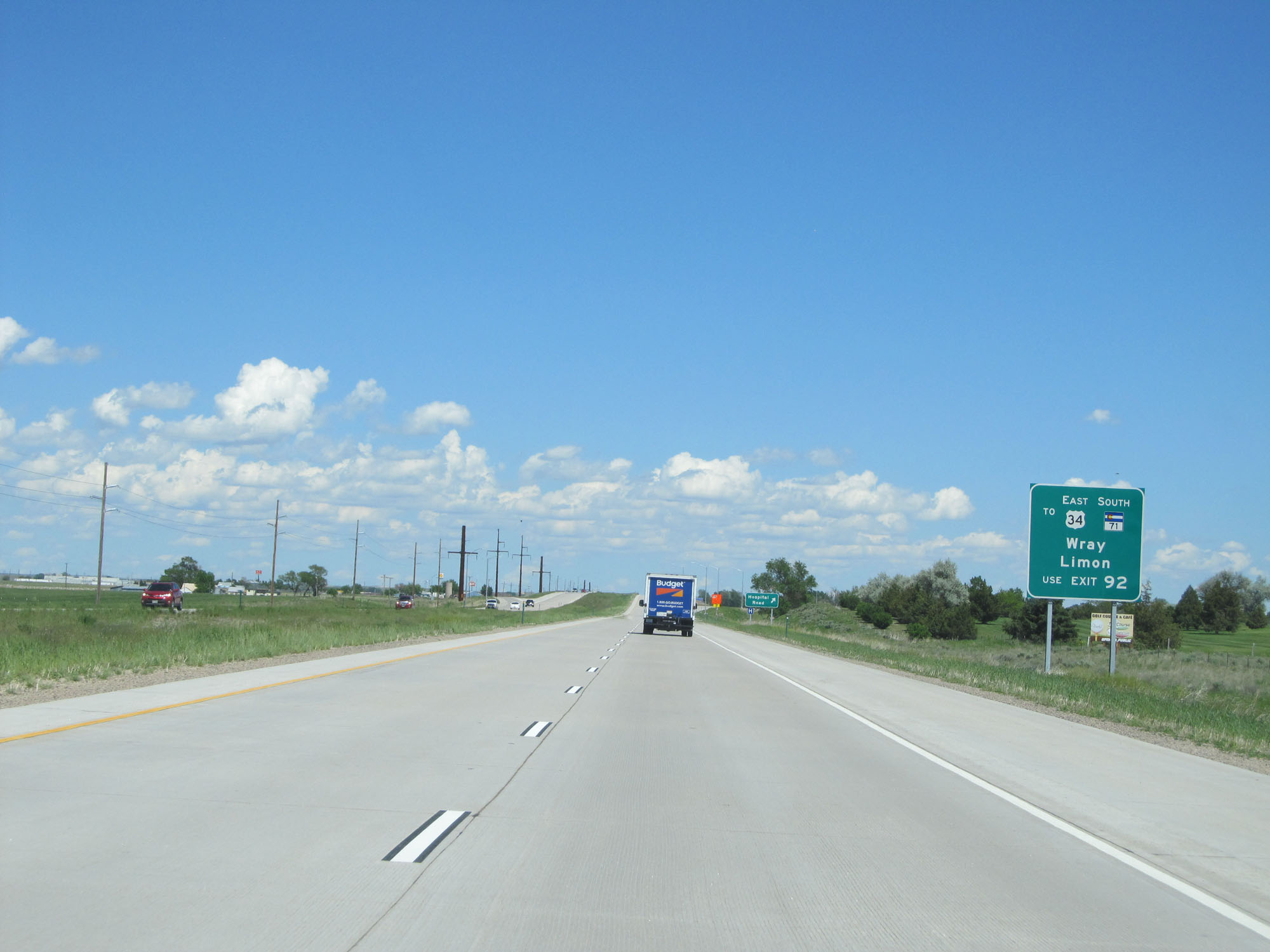 |
Take Exit 92 to US 34 East / CO 71 South toward Wray and Limon. (Photo taken 5/28/16). |
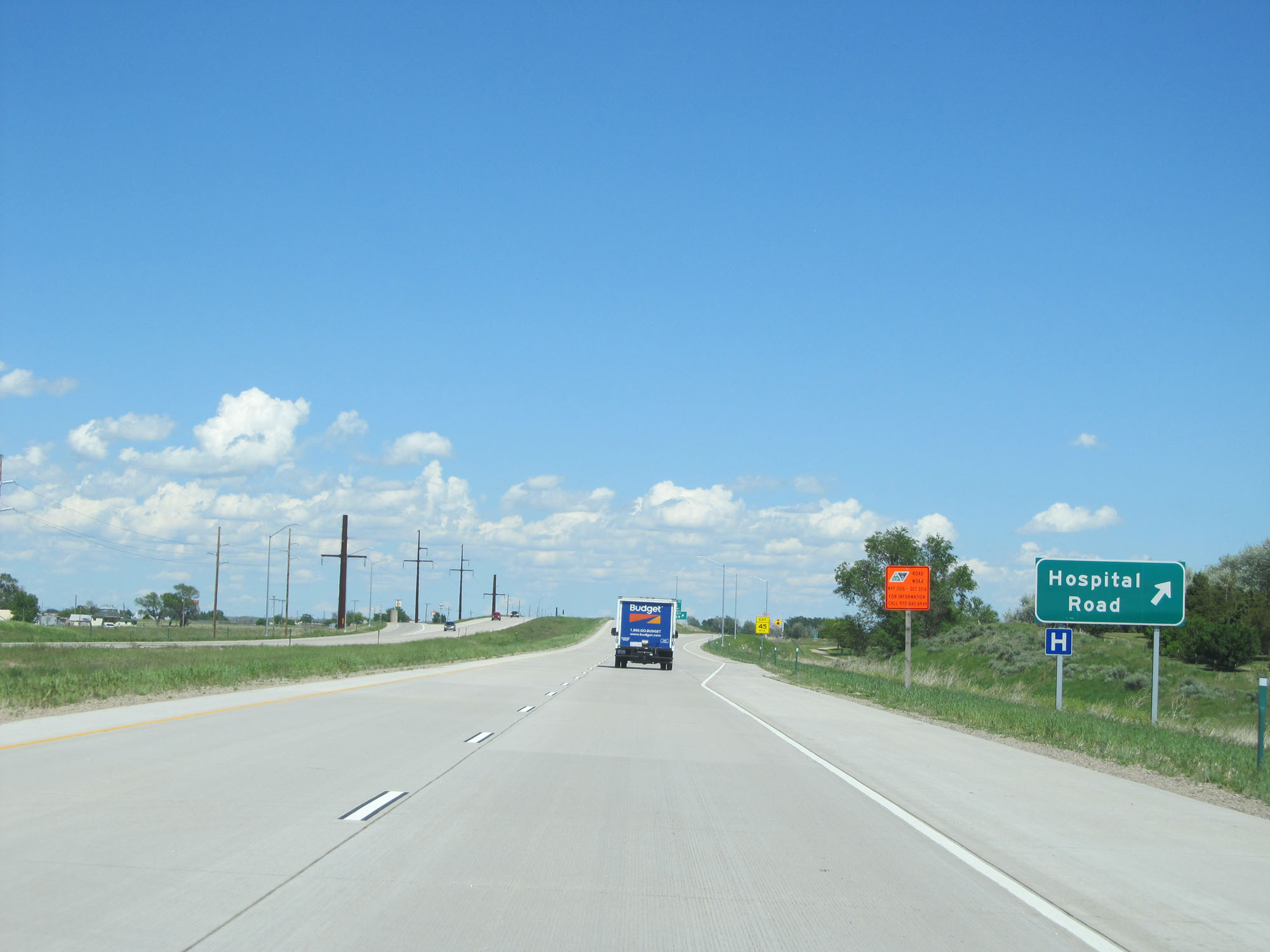 |
Interstate 76 East at Exit 89: Hospital Road (Photo taken 5/28/16). |
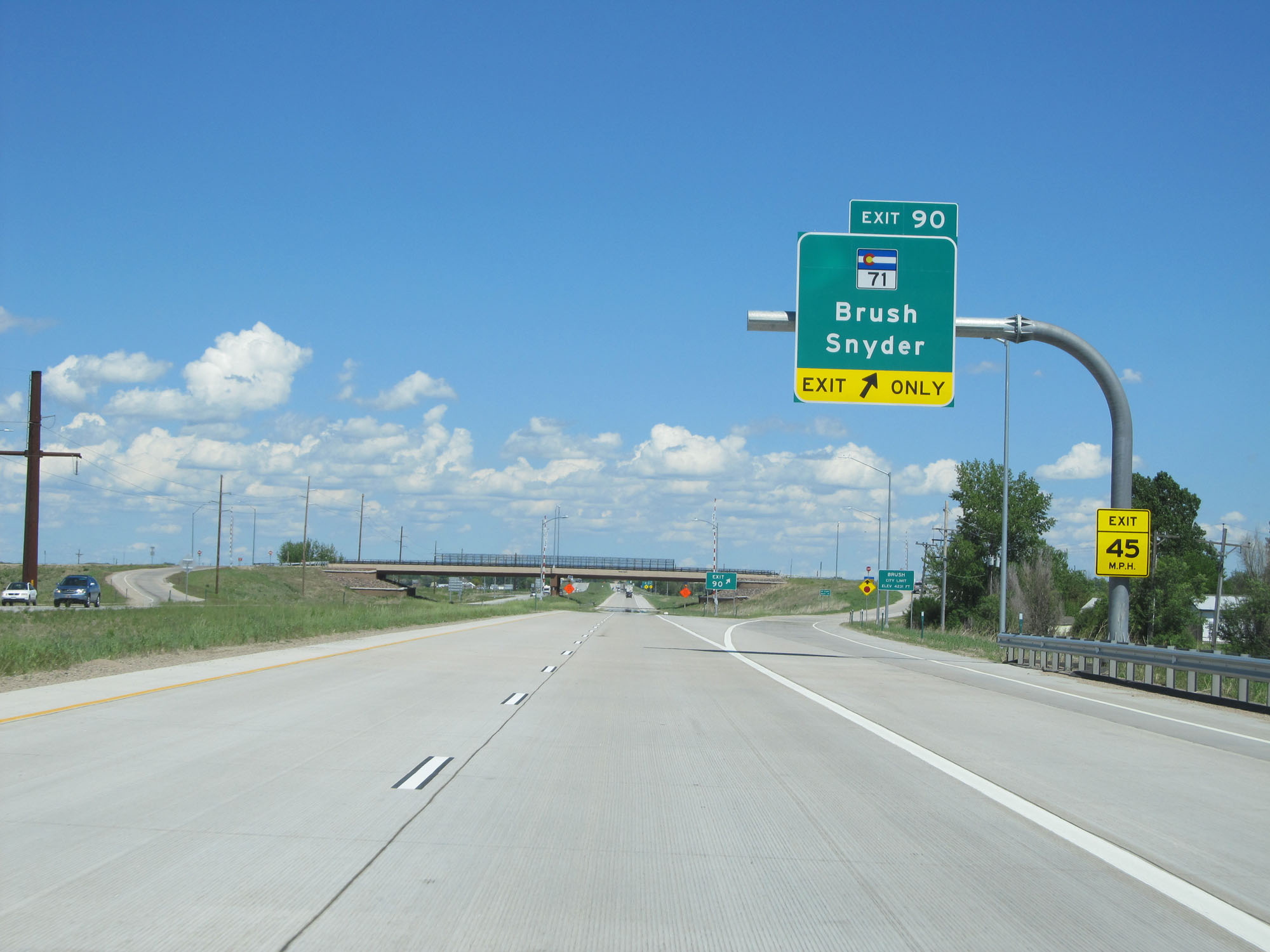 |
Interstate 76 East at Exit 90: CO 71 - Brush / Snyder (Photo taken 5/28/16). |
 |
Interstate 76 East approaching Exit 92 - 1 mile. (Photo taken 5/28/16). |
 |
Again, take Exit 92 to CO 71 South toward Limon. (Photo taken 5/28/16). |
 |
Interstate 76 East at mile marker 91. (Photo taken 5/28/16). |
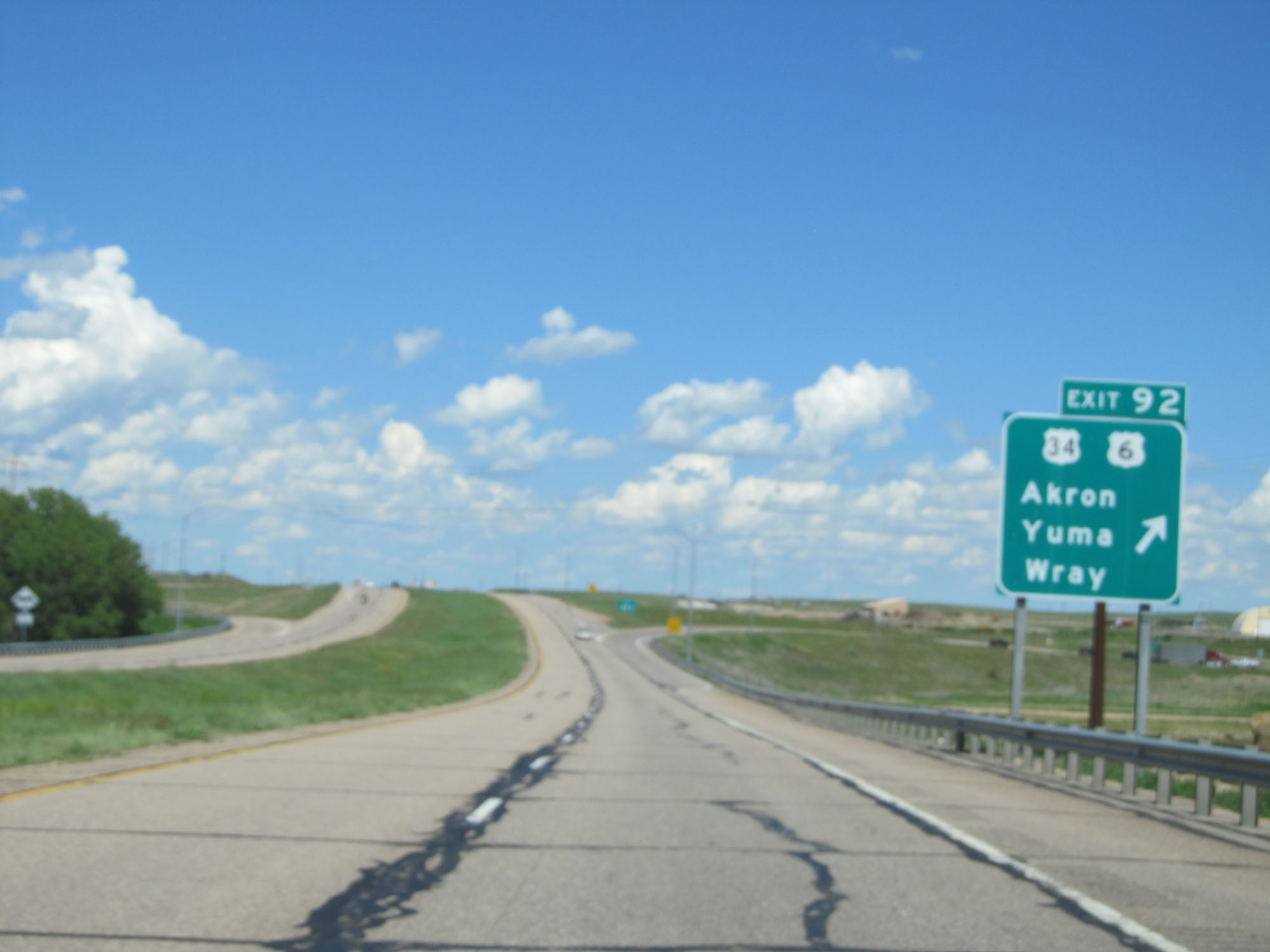 |
Interstate 76 East at Exit 92: US 34 / US 6 - Akron / Yuma / Wray. Needless to say, this one didn't come out as planned. (Photo taken 5/28/16). |
 |
Interstate 76 East at mile marker 94. (Photo taken 5/28/16). |
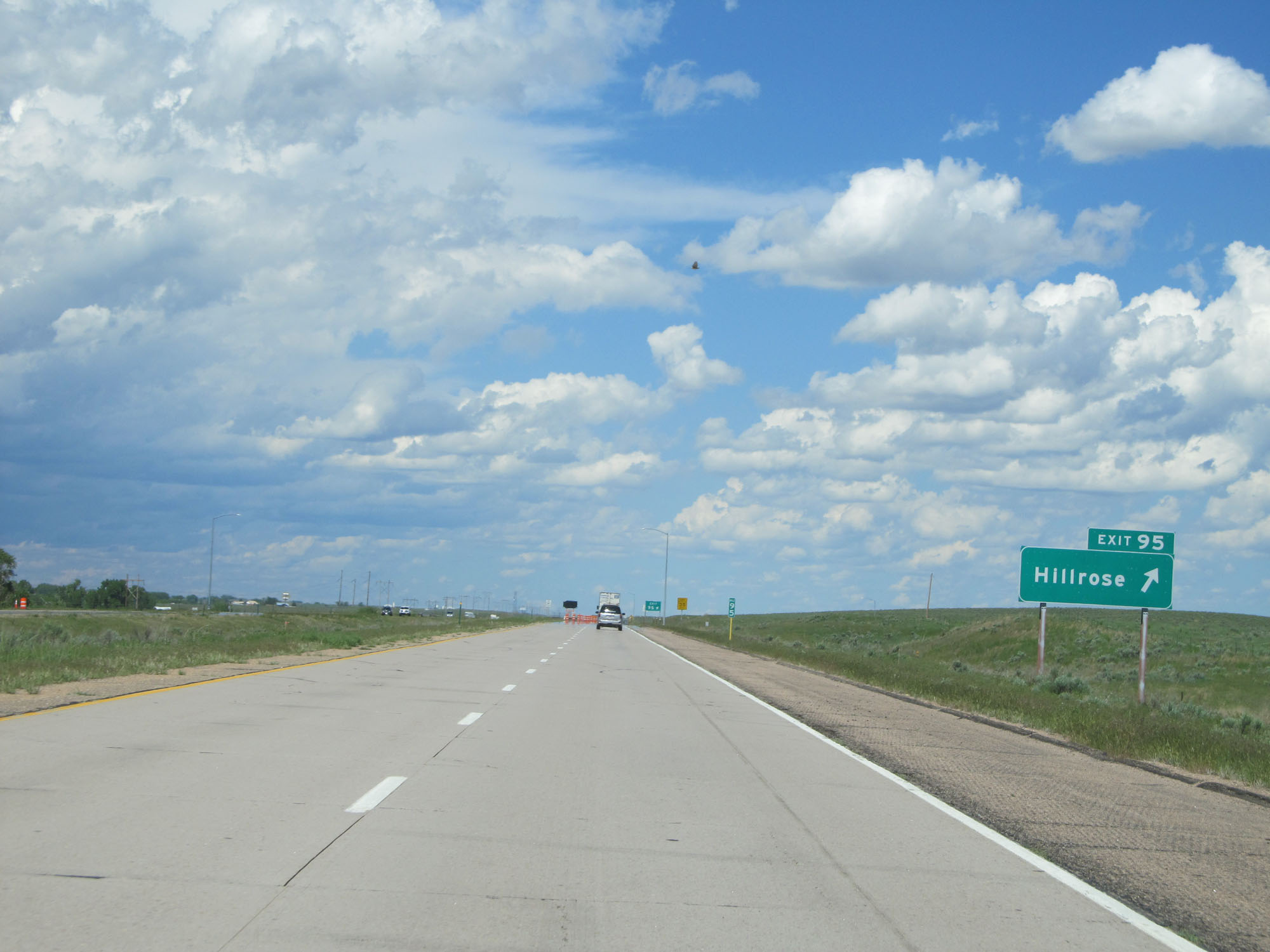 |
Interstate 76 East at Exit 95: Hillrose (Photo taken 5/28/16). |
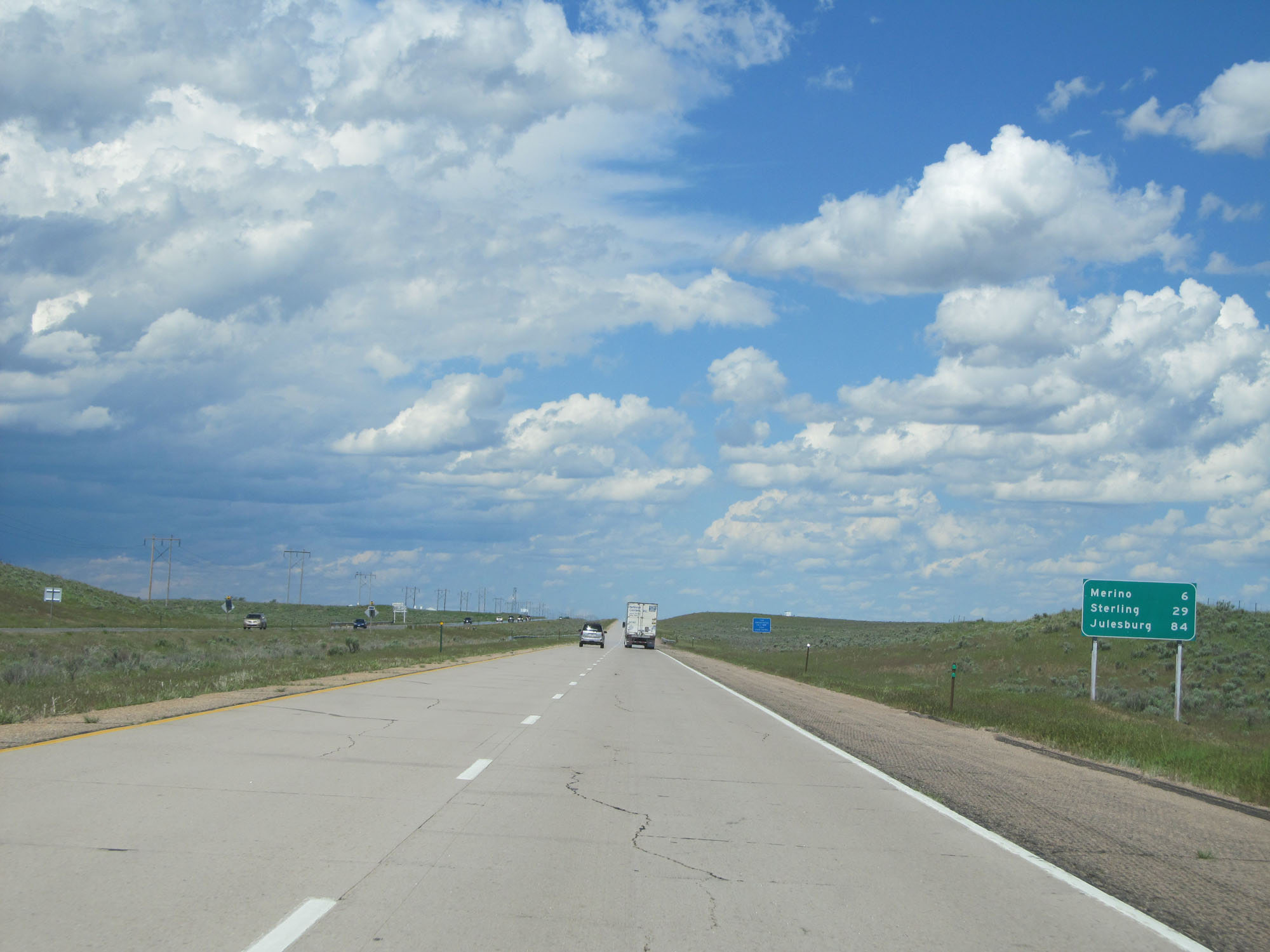 |
Mileage sign east of Exit 95. It's 6 miles to Merino, 29 miles to Sterling, and 84 miles to Julesburg. (Photo taken 5/28/16). |
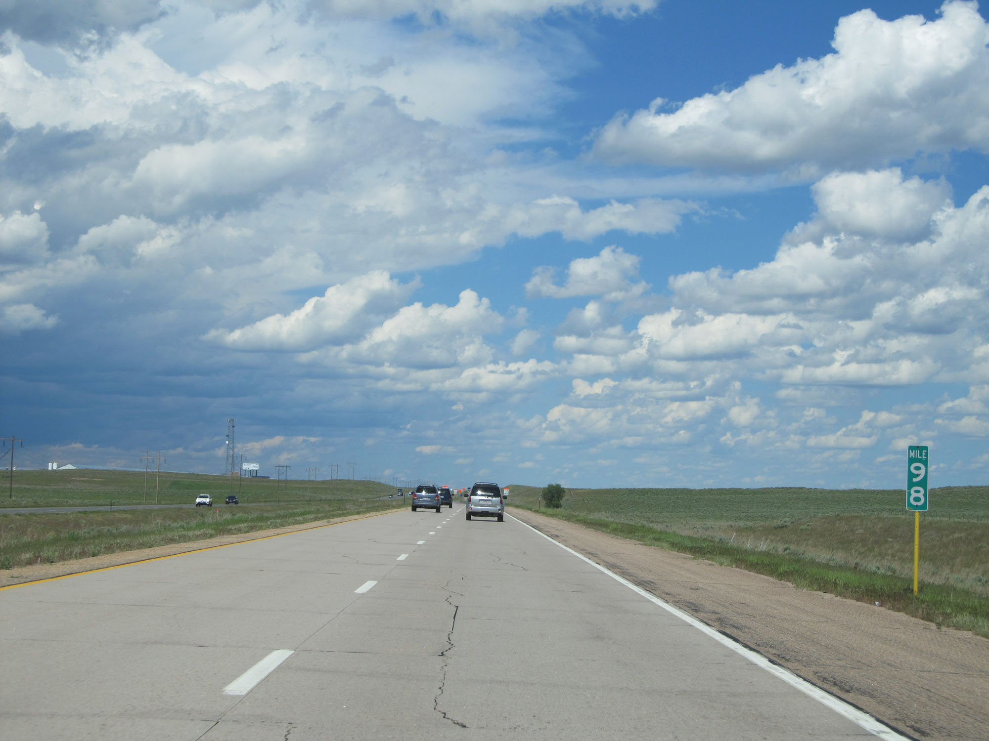 |
Interstate 76 East at mile marker 98. (Photo taken 5/28/16). |
 |
Interstate 76 East at mile marker 99. (Photo taken 5/28/16). |
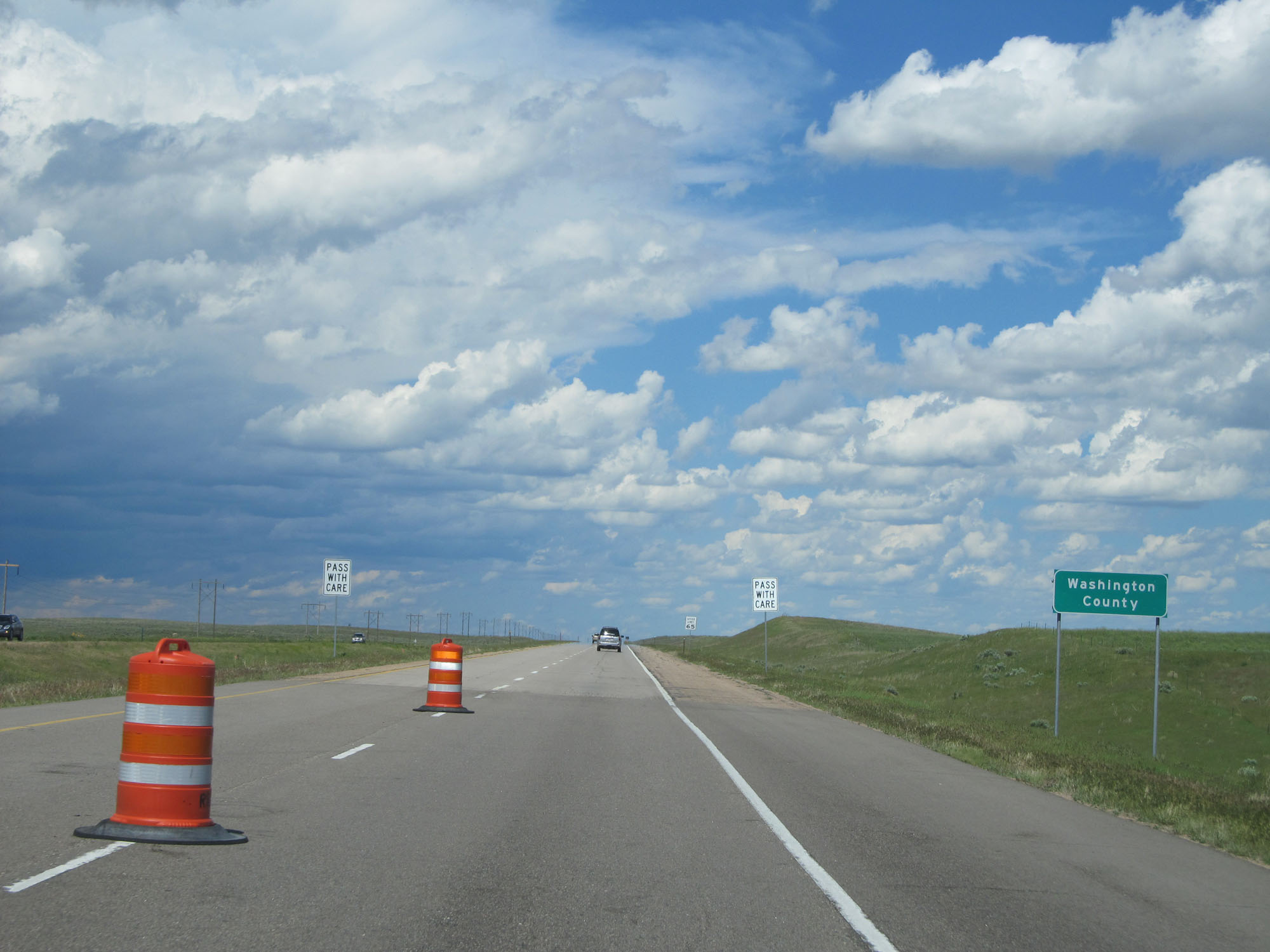 |
Interstate 76 East entering Washington County. (Photo taken 5/28/16). |
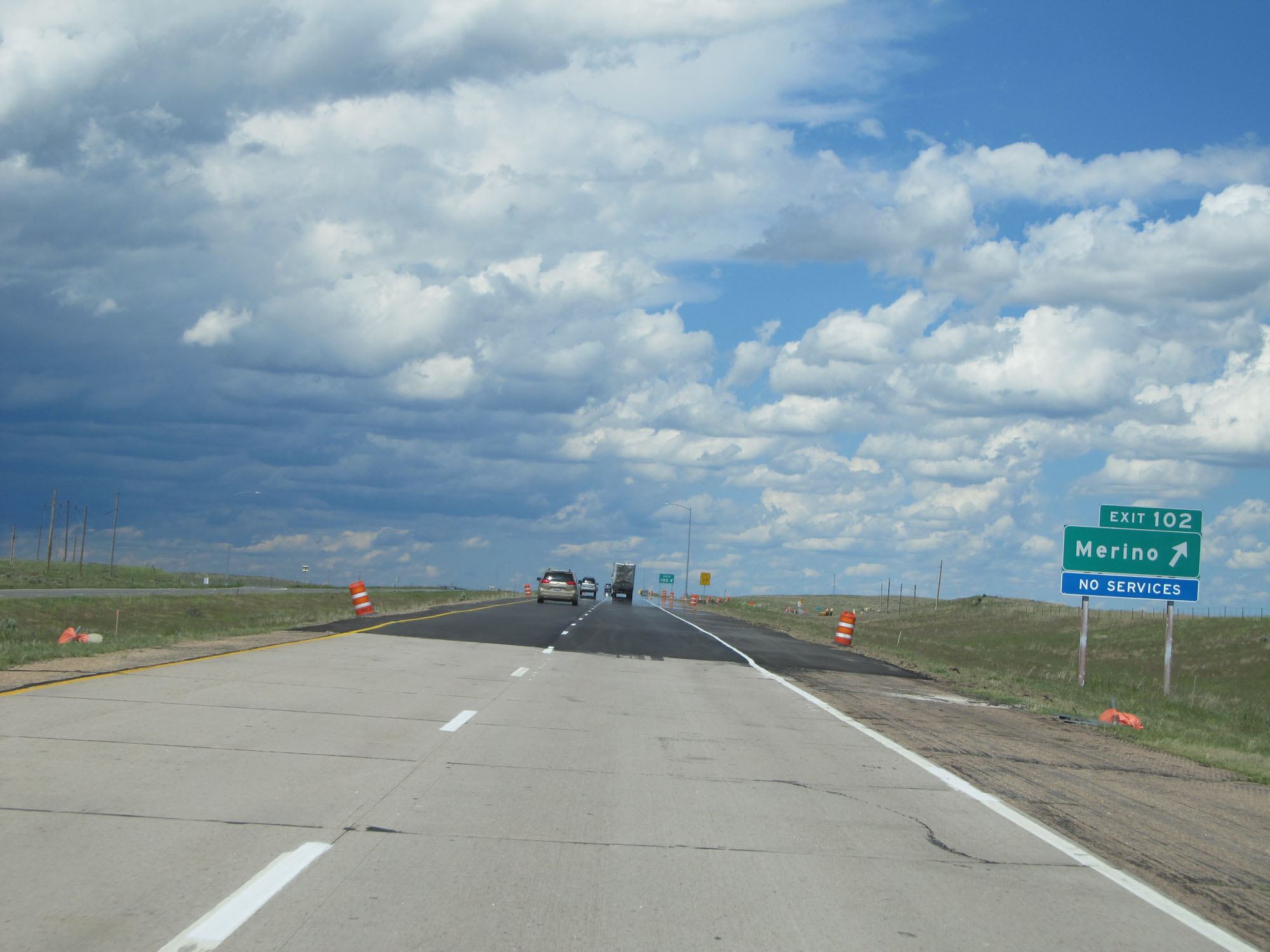 |
Interstate 76 East at Exit 102: Merino (Photo taken 5/28/16). |
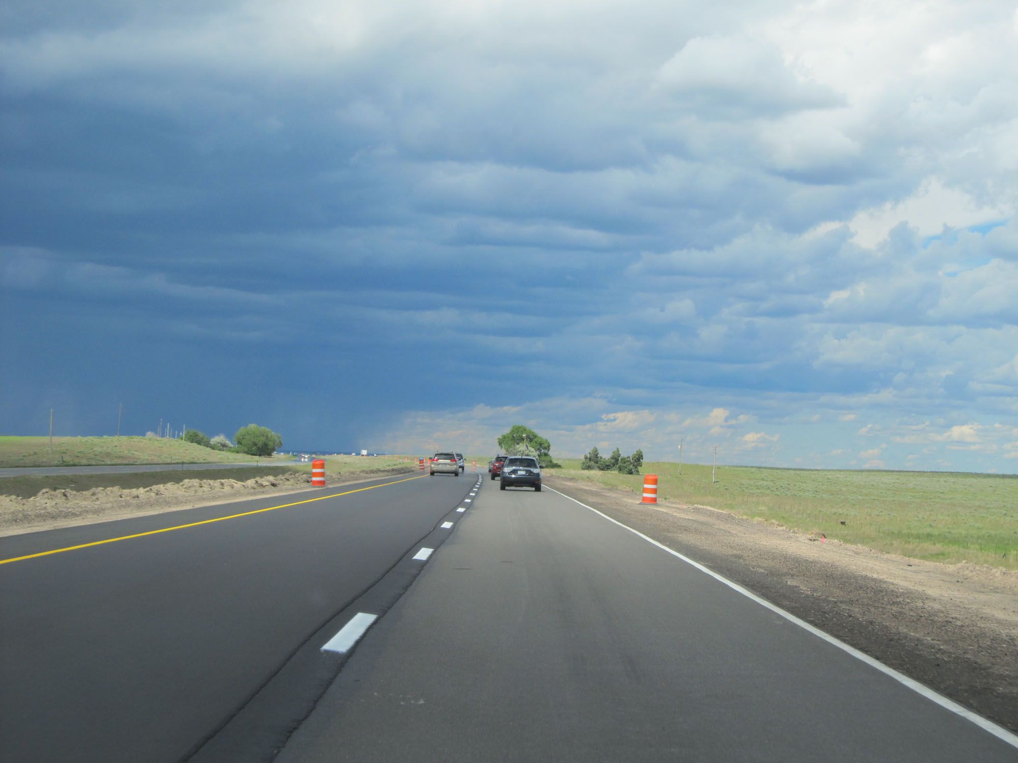 |
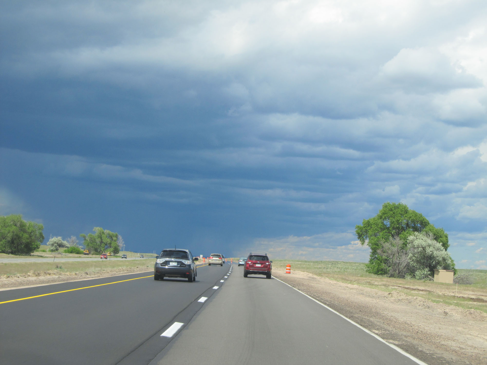
View on Interstate 76 East. The skies were getting rather dark ahead, and as you will see in a bit I went through quite a thunderstorm. (Photo taken 5/28/16). |
 |
Another view on Interstate 76 East. At least the thunderstorm made for very neat photos of the skies. (Photo taken 5/28/16). |
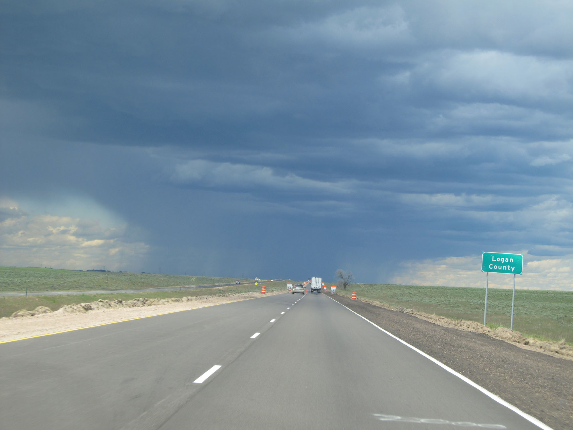 |
Interstate 76 East entering Logan County. (Photo taken 5/28/16). |
 |
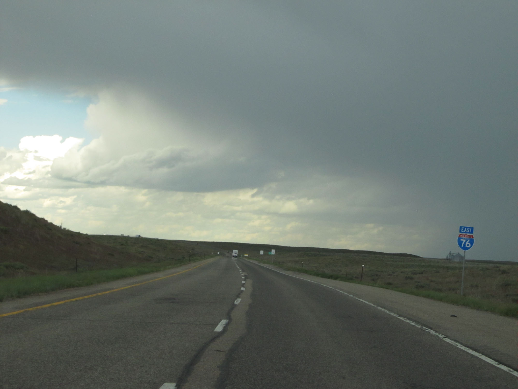
Interstate 76 East assurance shield. The storm is going to hit shortly, but thankfully it was rather brief. (Photo taken 5/28/16). |
 |
Interstate 76 East at Exit 115: CO 63 / To Interstate 76 BL - Atwood / Sterling (Photo taken 5/28/16). |
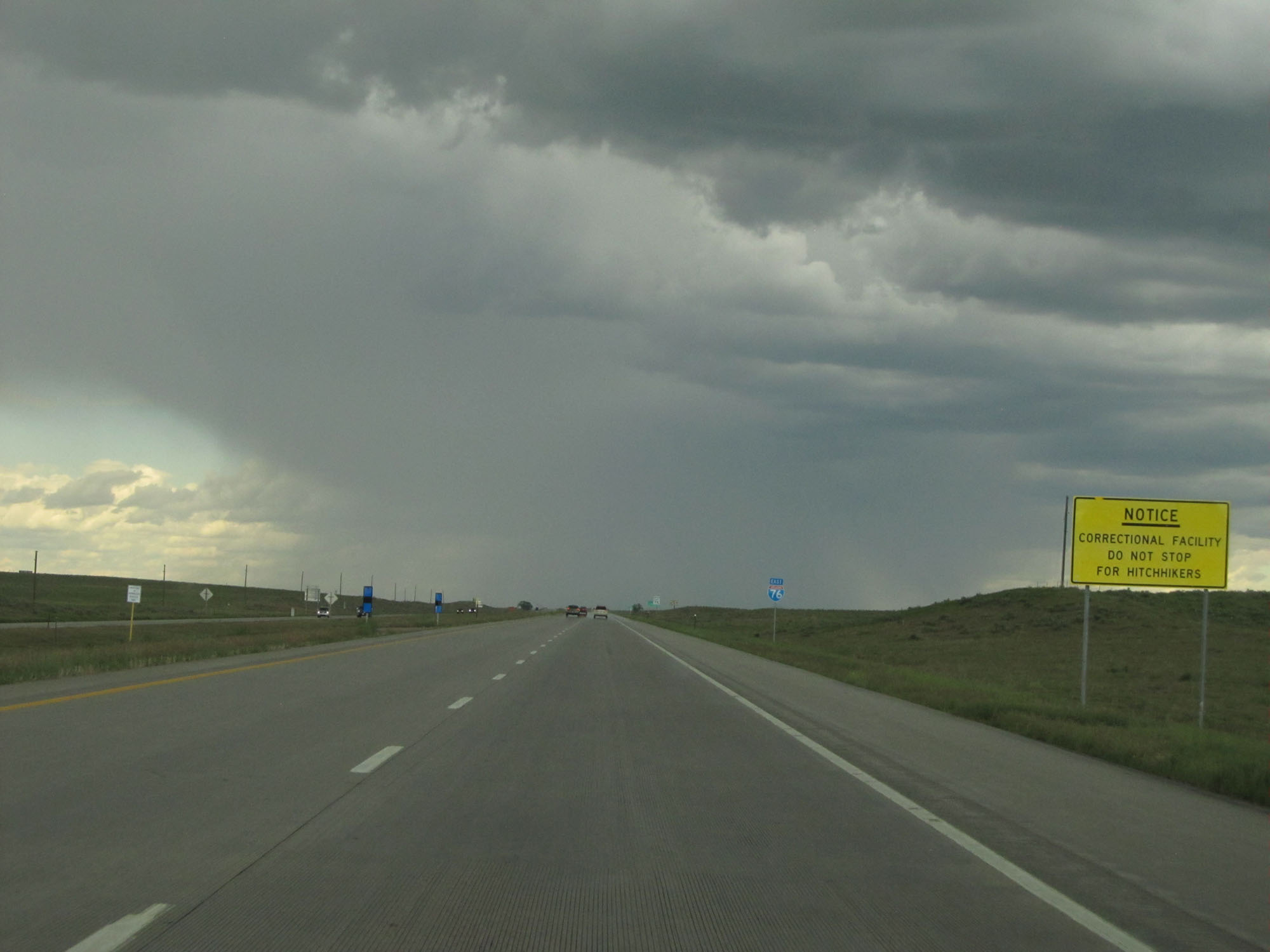 |
East of Exit 115, this sign warns that you're near a correctional facility and shouldn't pick up hitchhikers. (Photo taken 5/28/16). |
 |
Mileage sign on Interstate 76 East. It's 9 miles to Sterling, 64 miles to Julesburg, and 146 miles to North Platte. (Photo taken 5/28/16). |
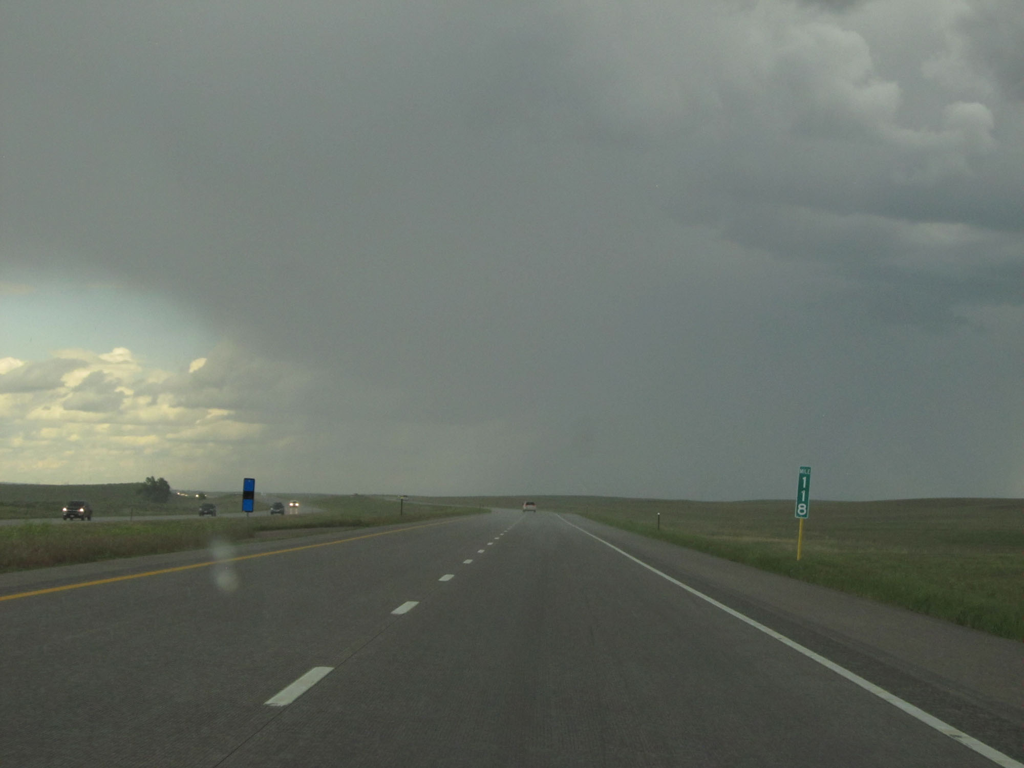 |
Interstate 76 East at mile marker 118. (Photo taken 5/28/16). |
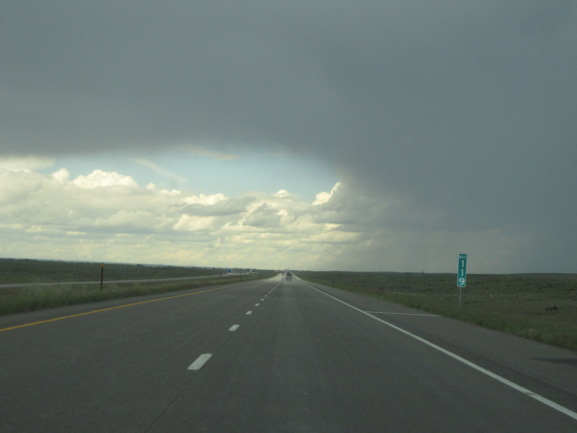 |
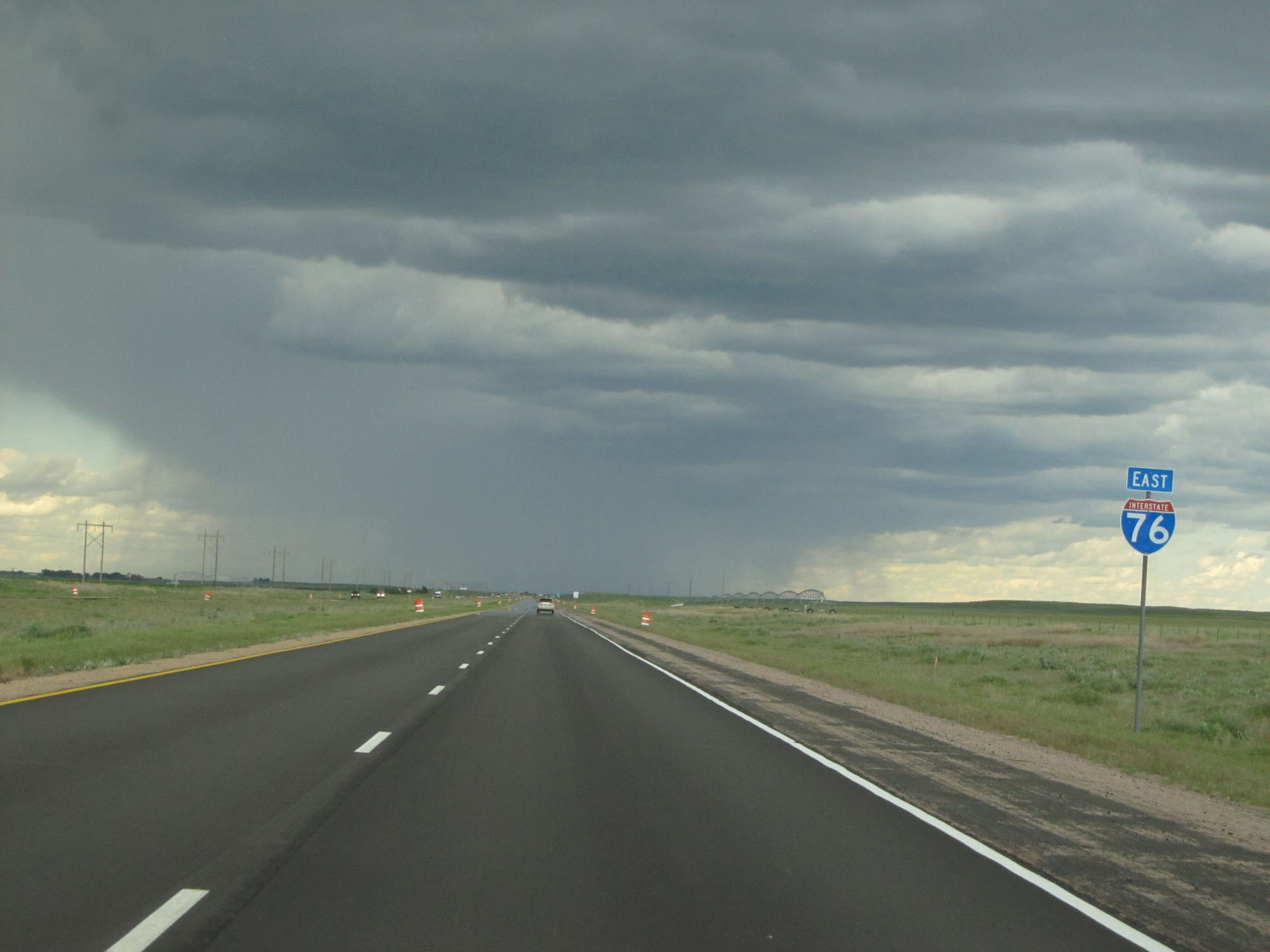
Interstate 76 East at mile marker 119. Quite a neat shot of the skies. (Photo taken 5/28/16). |
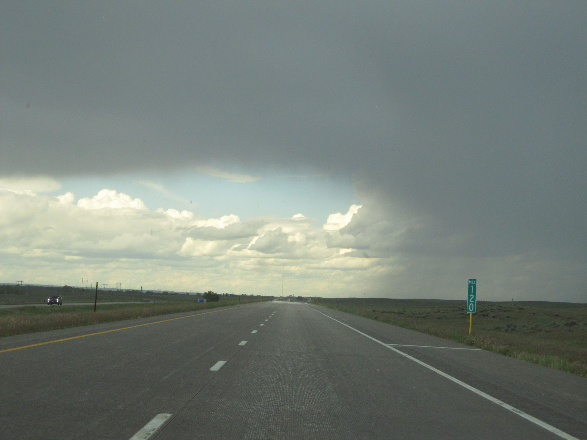 |
Interstate 76 East at mile marker 120. (Photo taken 5/28/16). |
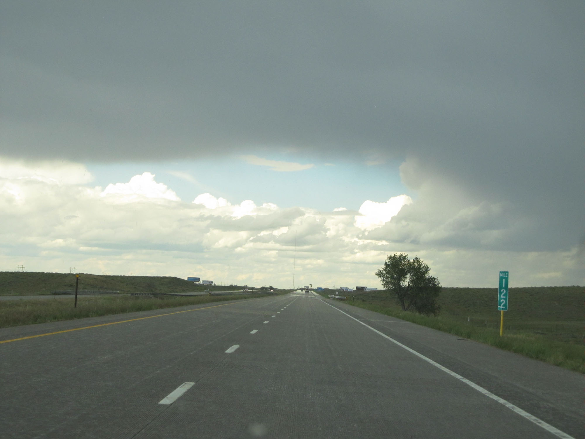 |
Interstate 76 East at mile marker 122. (Photo taken 5/28/16). |
 |
Take Exit 125 to Northeastern Jr College. (Photo taken 5/28/16). |
 |
Also take Exit 125 to North Sterling Reservoir State Park / Museum. (Photo taken 5/28/16). |
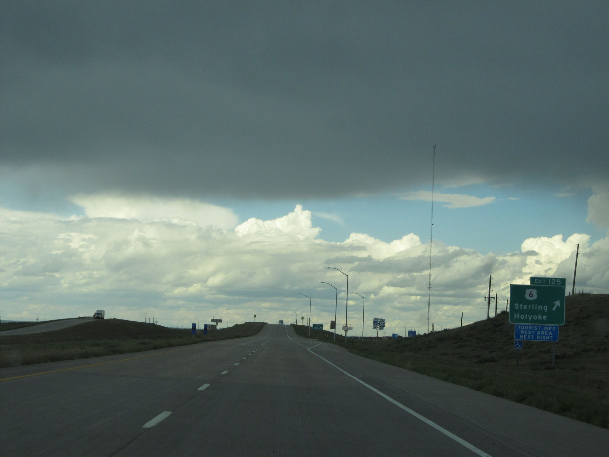 |
Interstate 76 East at Exit 125: US 6 - Sterling / Holyoke (Photo taken 5/28/16). |
 |
Interstate 76 East assurance shield east of Exit 125. (Photo taken 5/28/16). |
 |
Speed limit assurance sign on Interstate 76 East. Speed Limit - 75 mph. (Photo taken 5/28/16). |
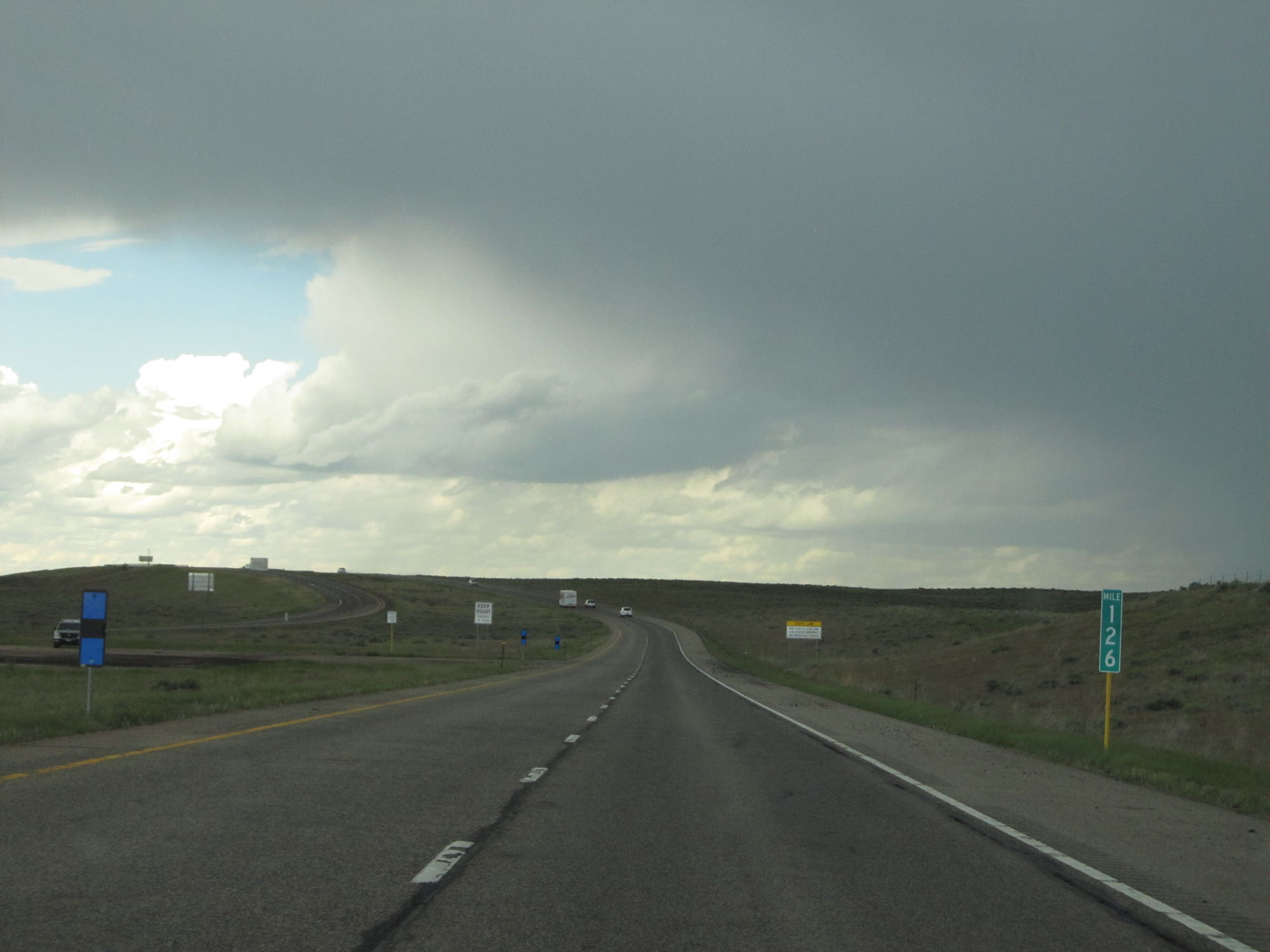 |
Interstate 76 East at mile marker 126. (Photo taken 5/28/16). |
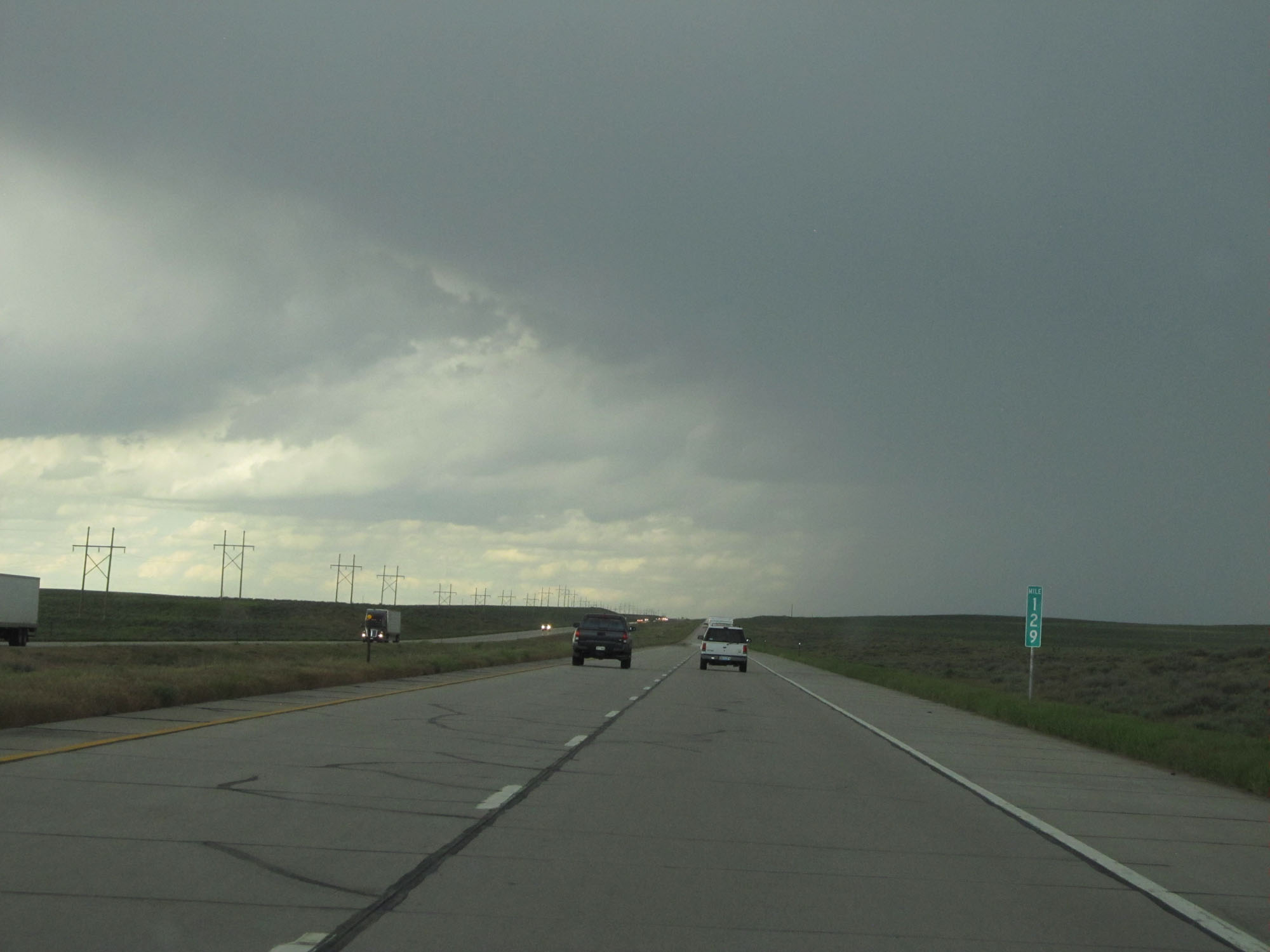 |
Interstate 76 East at mile marker 129. (Photo taken 5/28/16). |
 |
Interstate 76 East at Exit 134: Iliff (Photo taken 5/28/16). |
 |
Another state-named Interstate 76 East assurance shield at mile marker 134. (Photo taken 5/28/16). |
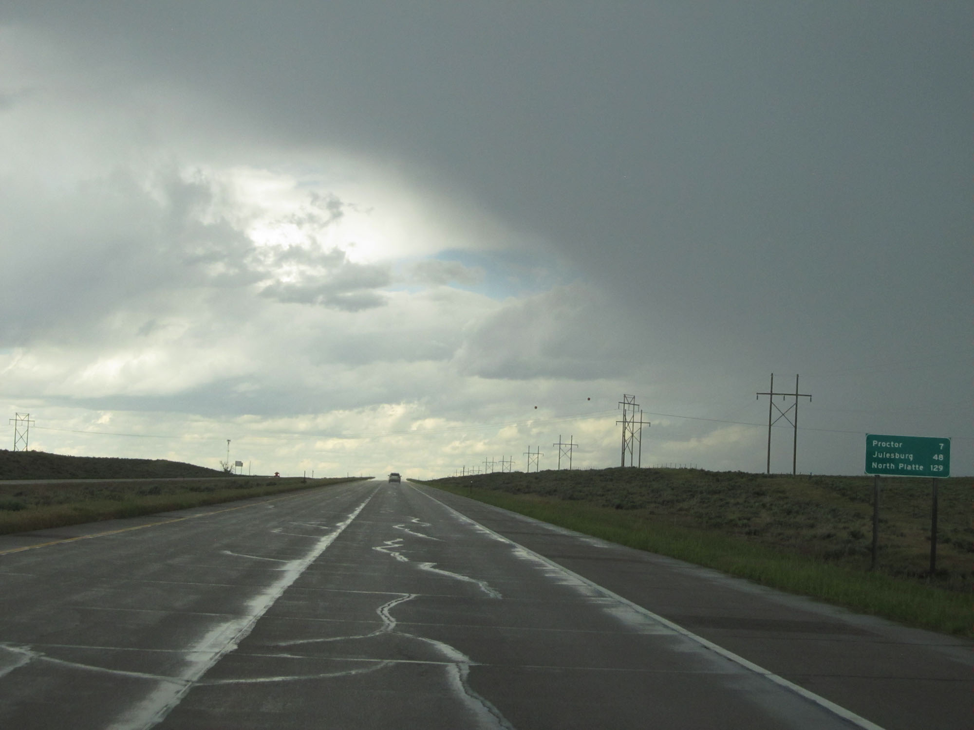 |
Mileage sign just east of mile marker 134. It's 7 miles to Proctor, 48 miles to Julesburg, and 129 miles to North Platte. (Photo taken 5/28/16). |
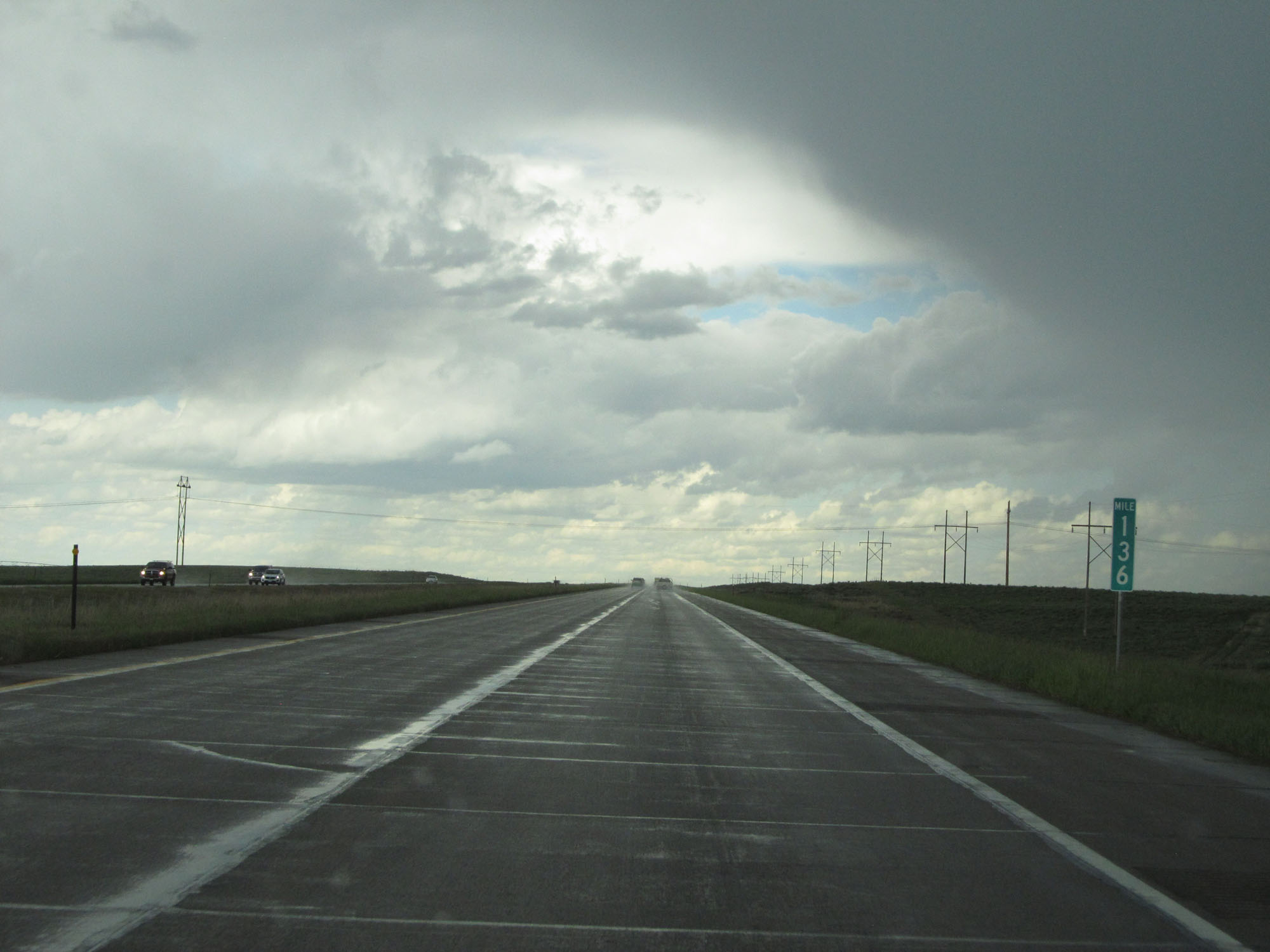 |
Interstate 76 East at mile marker 136. (Photo taken 5/28/16). |
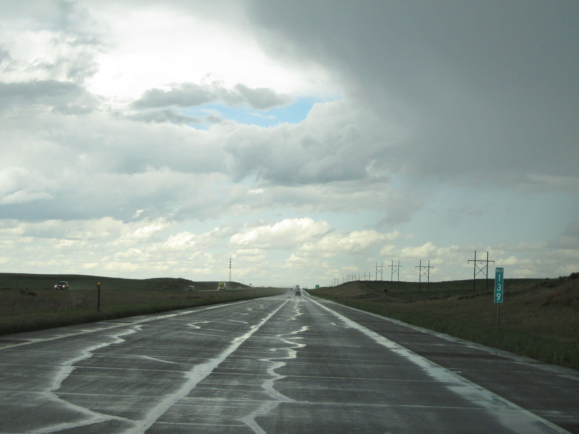 |
Interstate 76 East at mile marker 139. (Photo taken 5/28/16). |
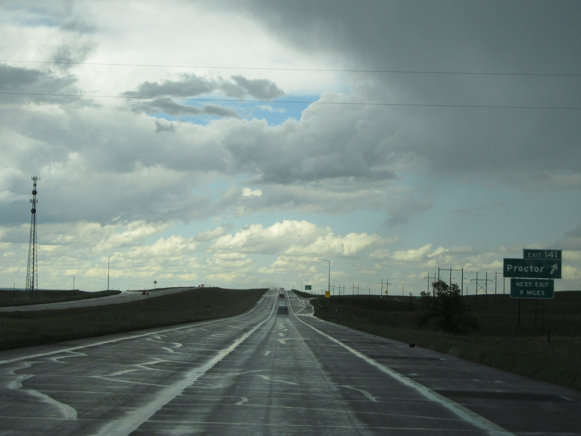 |
Interstate 76 East at Exit 141 - Proctor (Photo taken 5/28/16). |
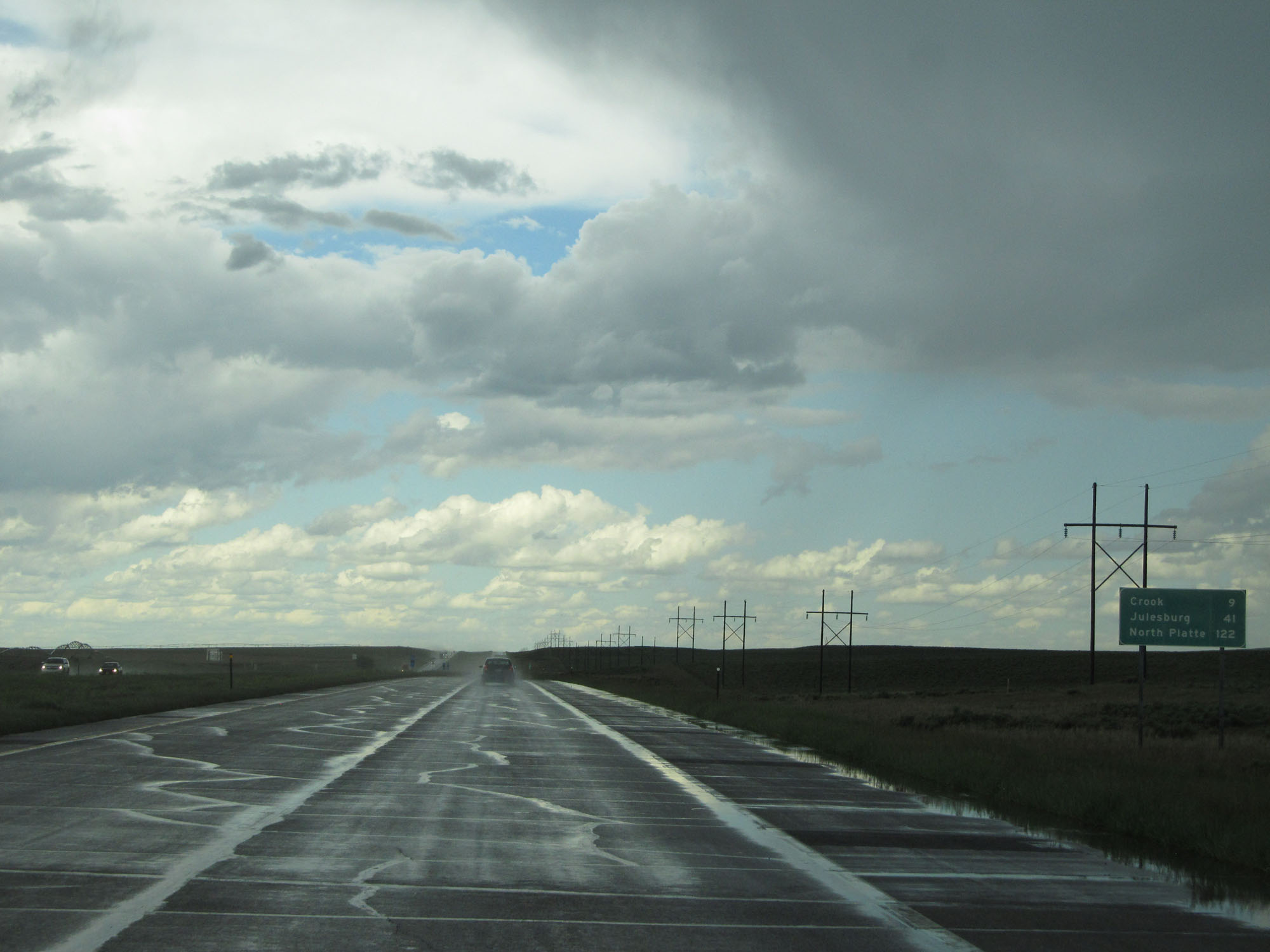 |
Mileage sign east of Exit 141. It's 9 miles to Crook, 41 miles to Julesburg, and 122 miles to North Platte. (Photo taken 5/28/16). |
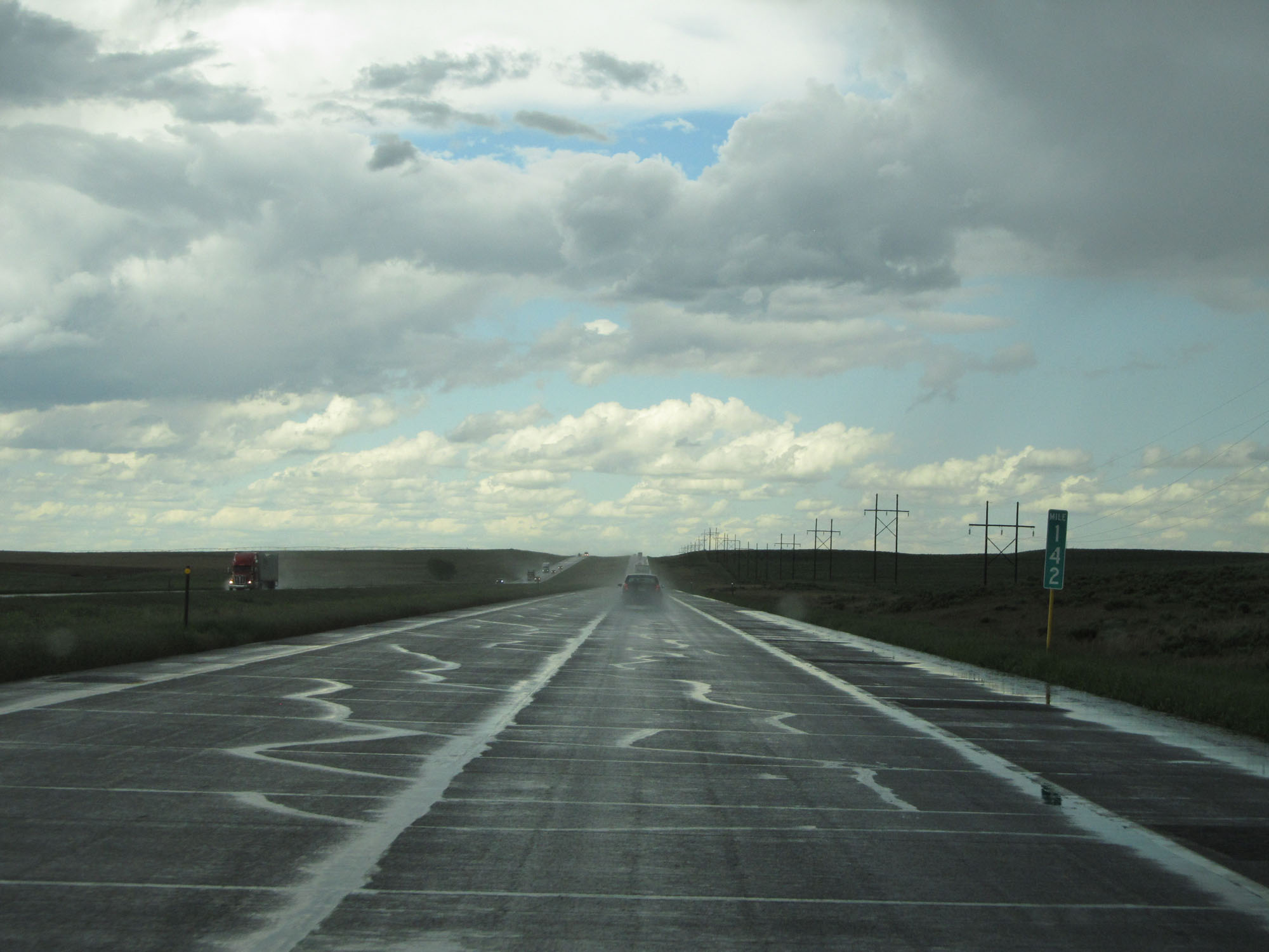 |
Interstate 76 East at mile marker 142. (Photo taken 5/28/16). |
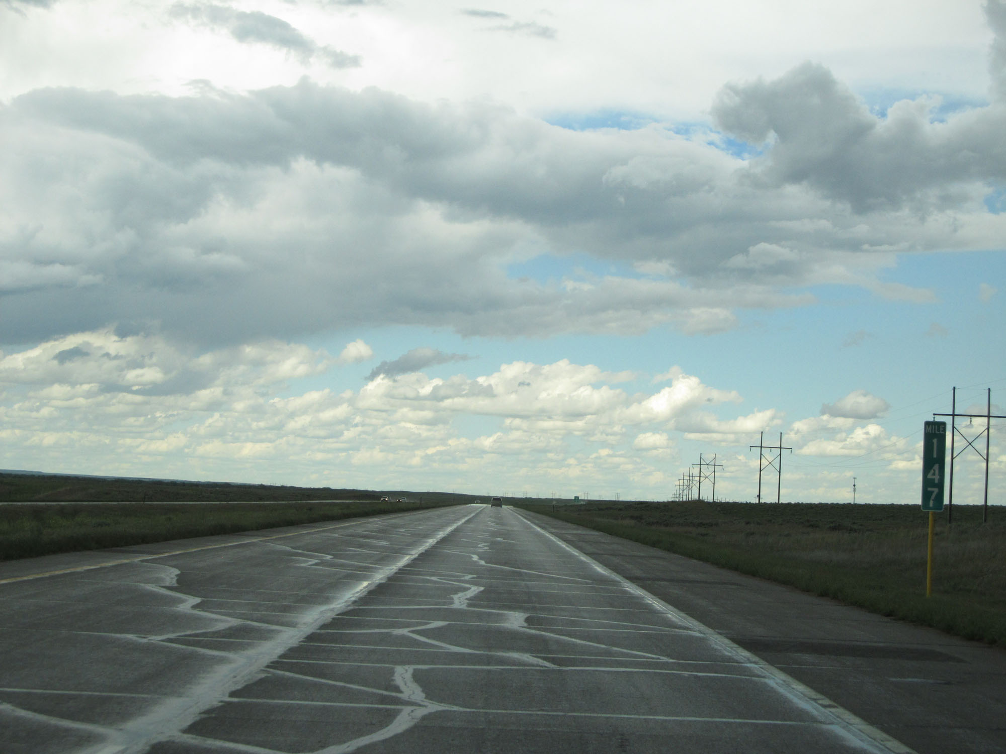 |
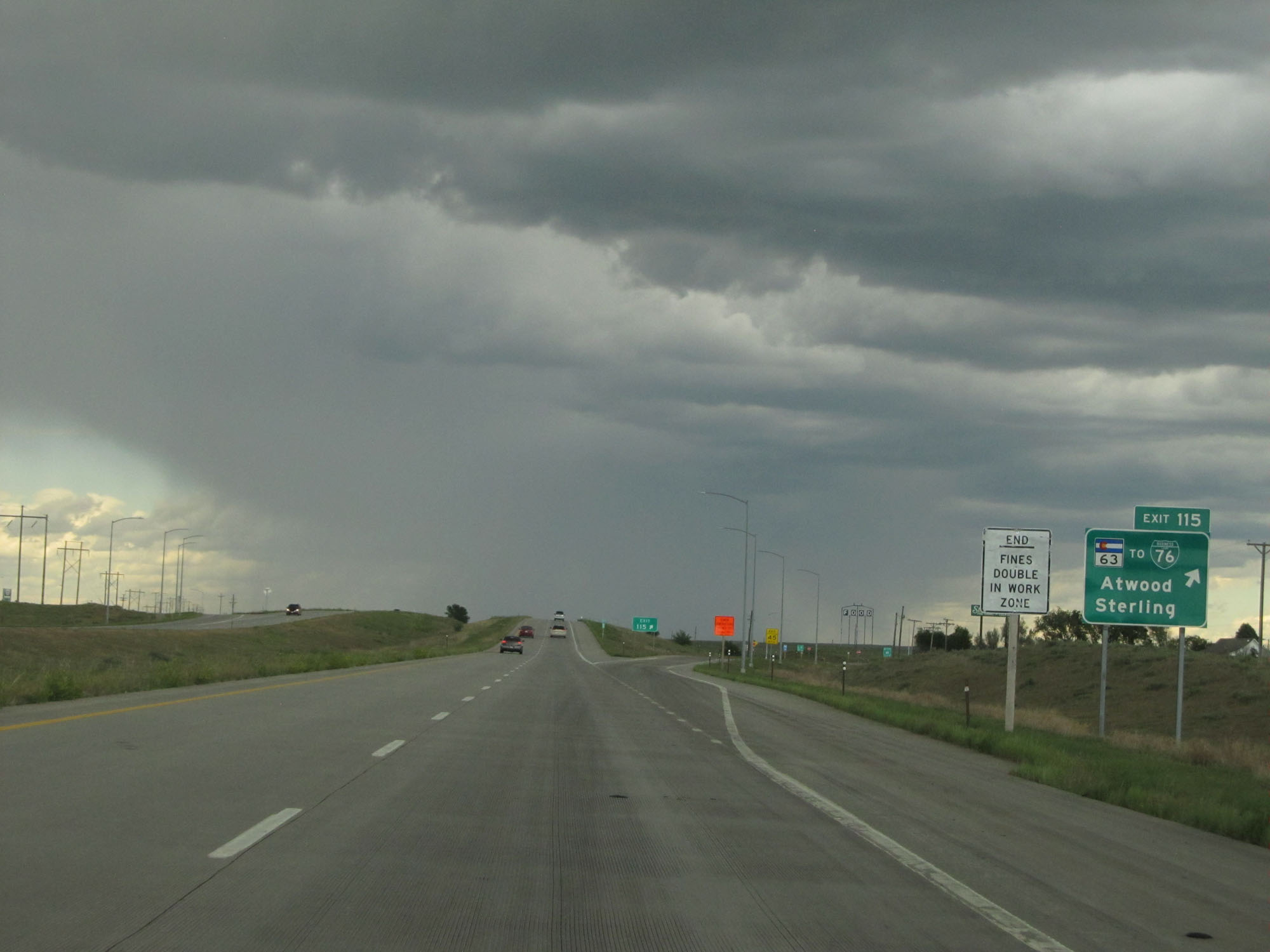
Interstate 76 East at mile marker 147. We're finally coming out from underneath those nasty-looking storm clouds. (Photo taken 5/28/16). |
 |
Interstate 76 East at mile marker 148. (Photo taken 5/28/16). |
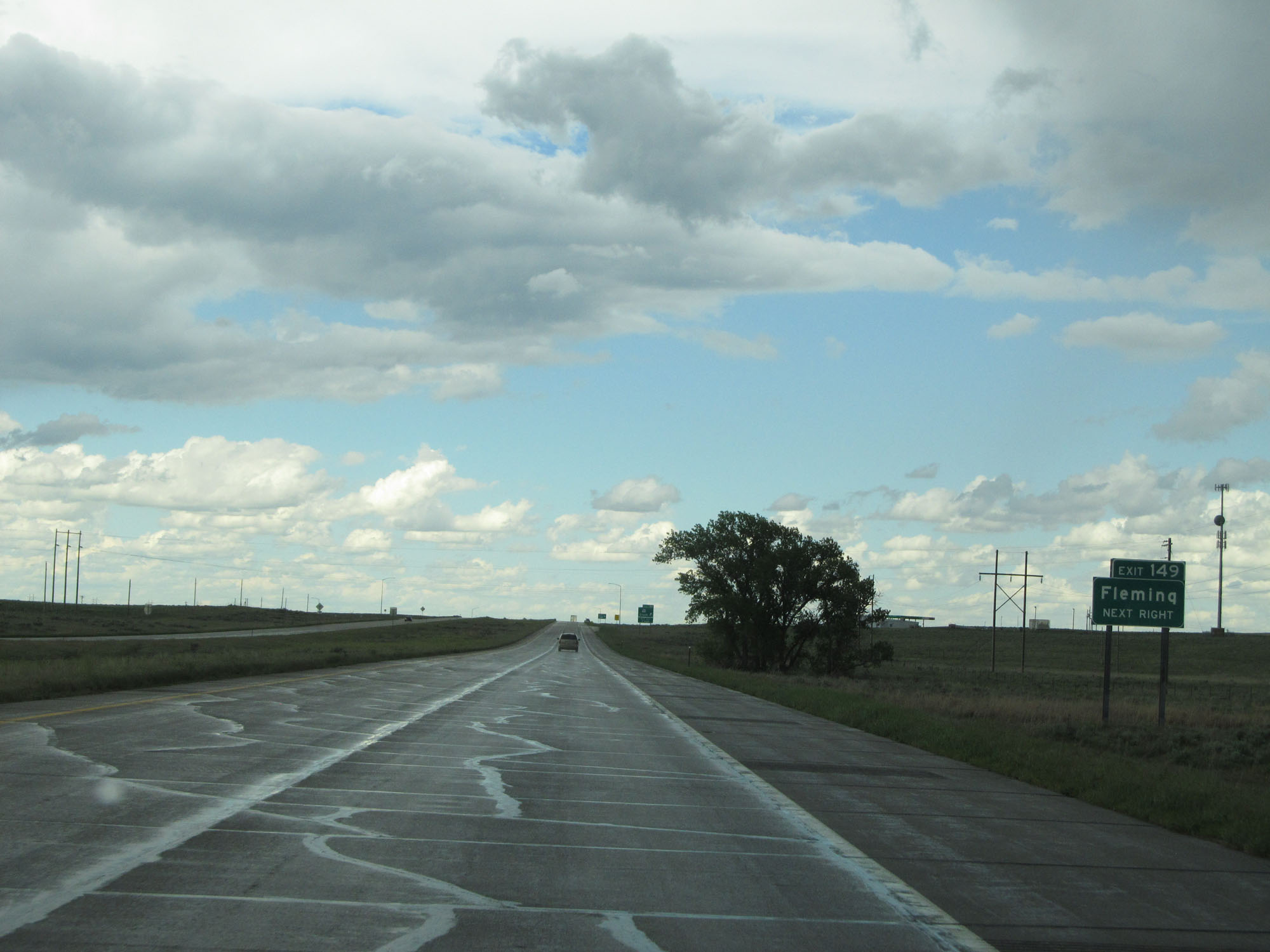 |
Take Exit 149 to Fleming. (Photo taken 5/28/16). |
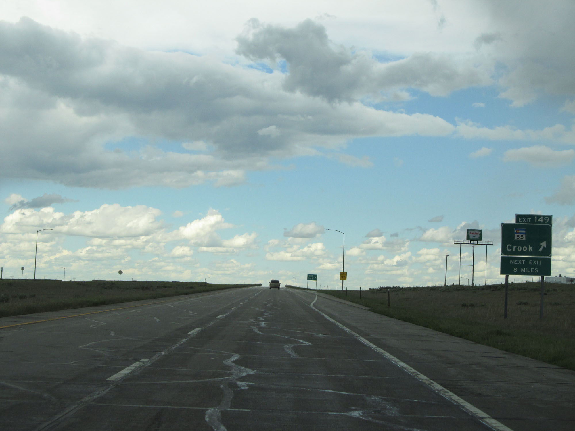 |
Interstate 76 East at Exit 149: CO 55 - Crook (Photo taken 5/28/16). |
 |
Mileage sign near mile marker 149. It's 6 miles to Red Lion Rd, 33 miles to Julesburg, and 114 miles to North Platte. (Photo taken 5/28/16). |
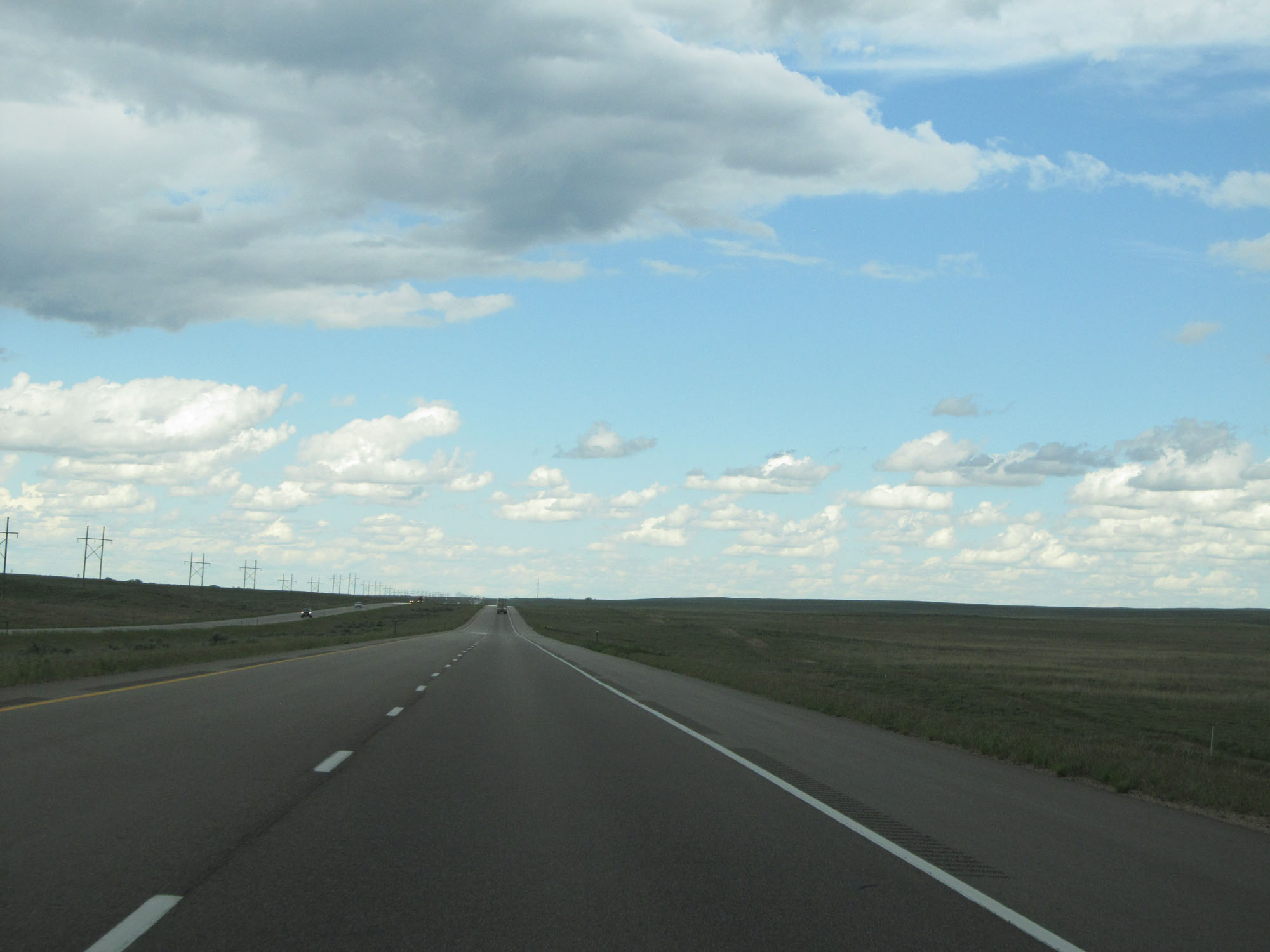 |
View on Interstate 76 East. Much less intimidating skies ahead. (Photo taken 5/28/16). |
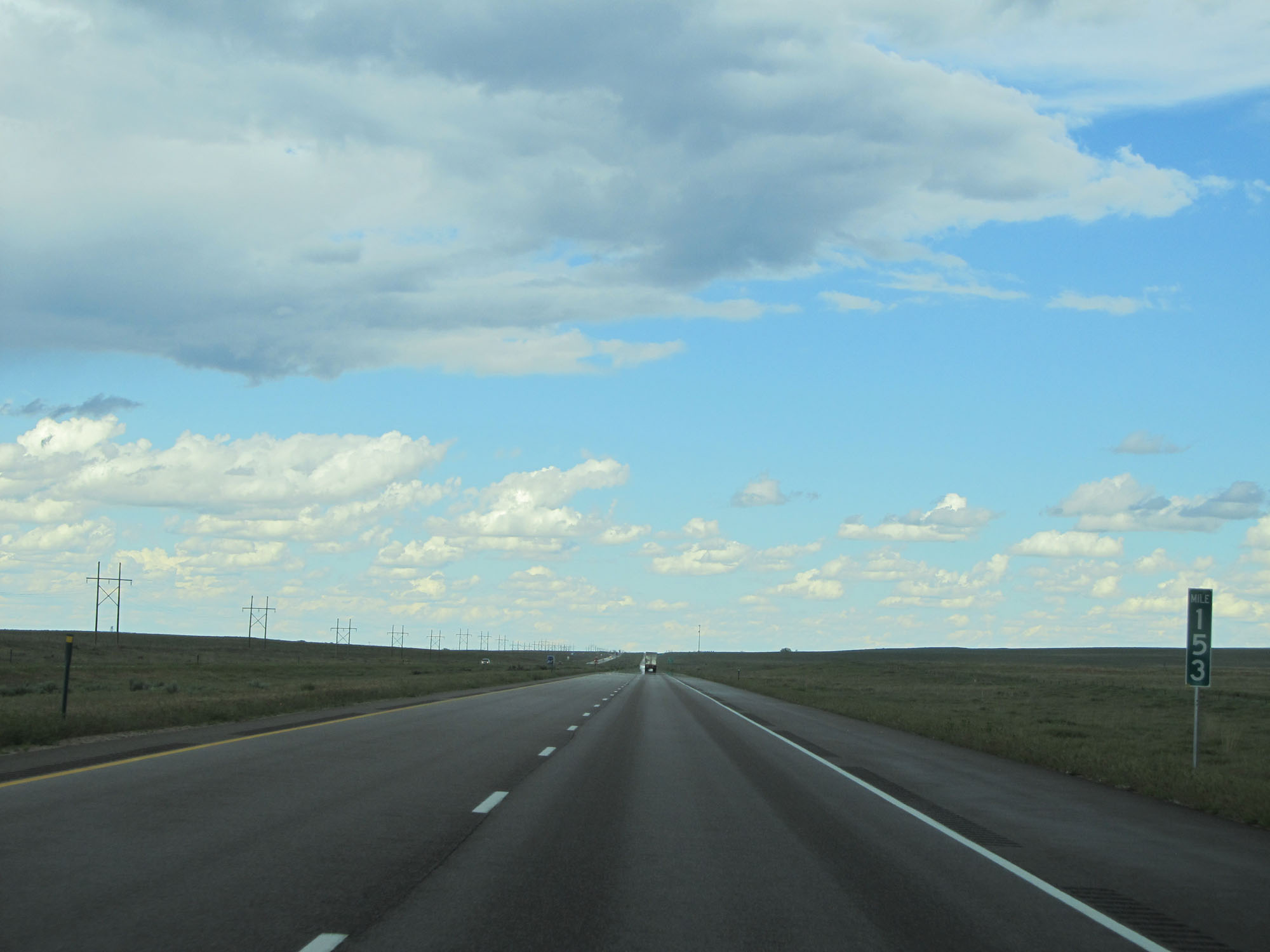 |
Interstate 76 East at mile marker 153. (Photo taken 5/28/16). |
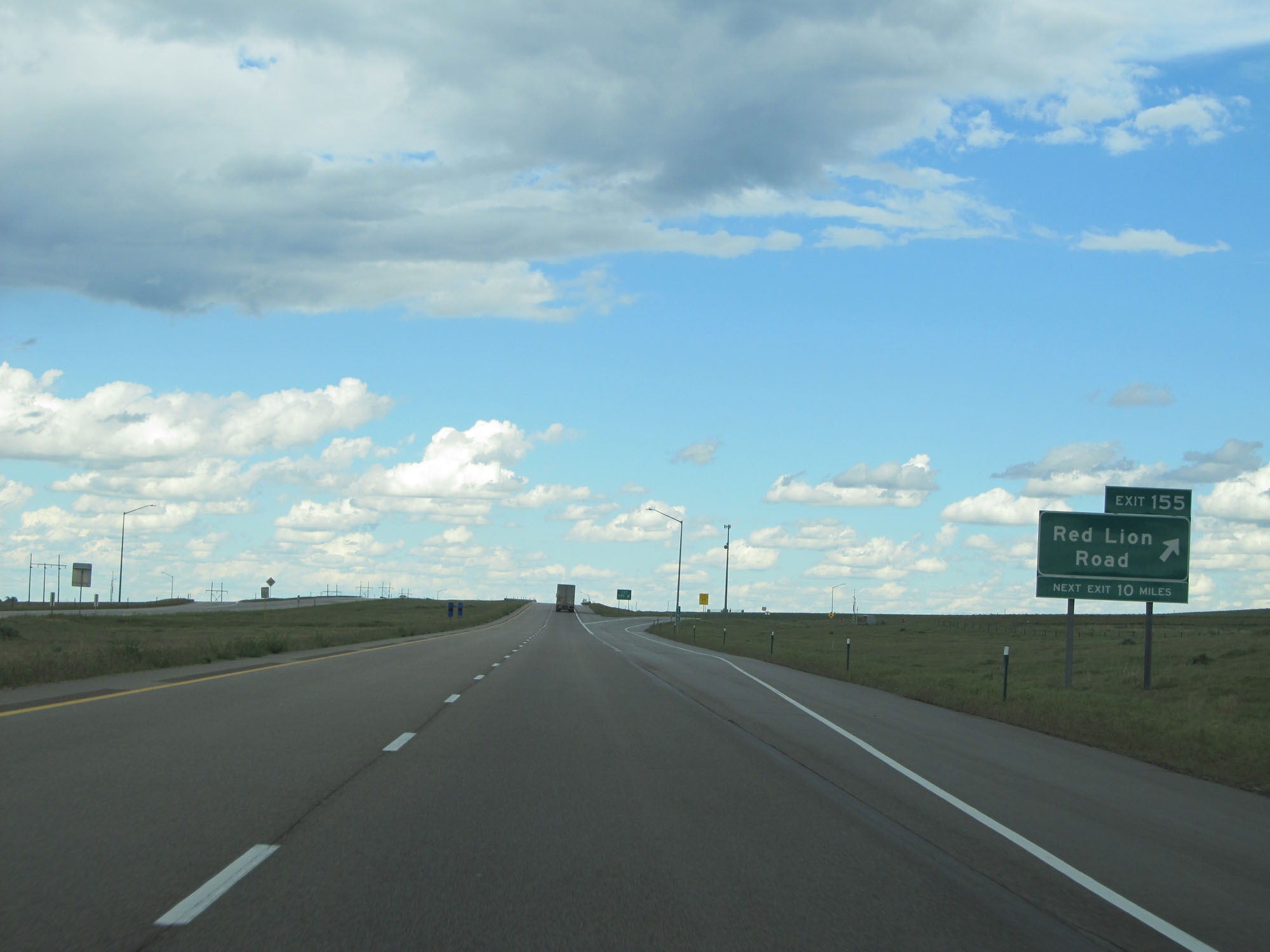 |
Interstate 76 East at Exit 155: Red Lion Road (Photo taken 5/28/16). |
 |
Interstate 76 East entering Sedgwick County. (Photo taken 5/28/16). |
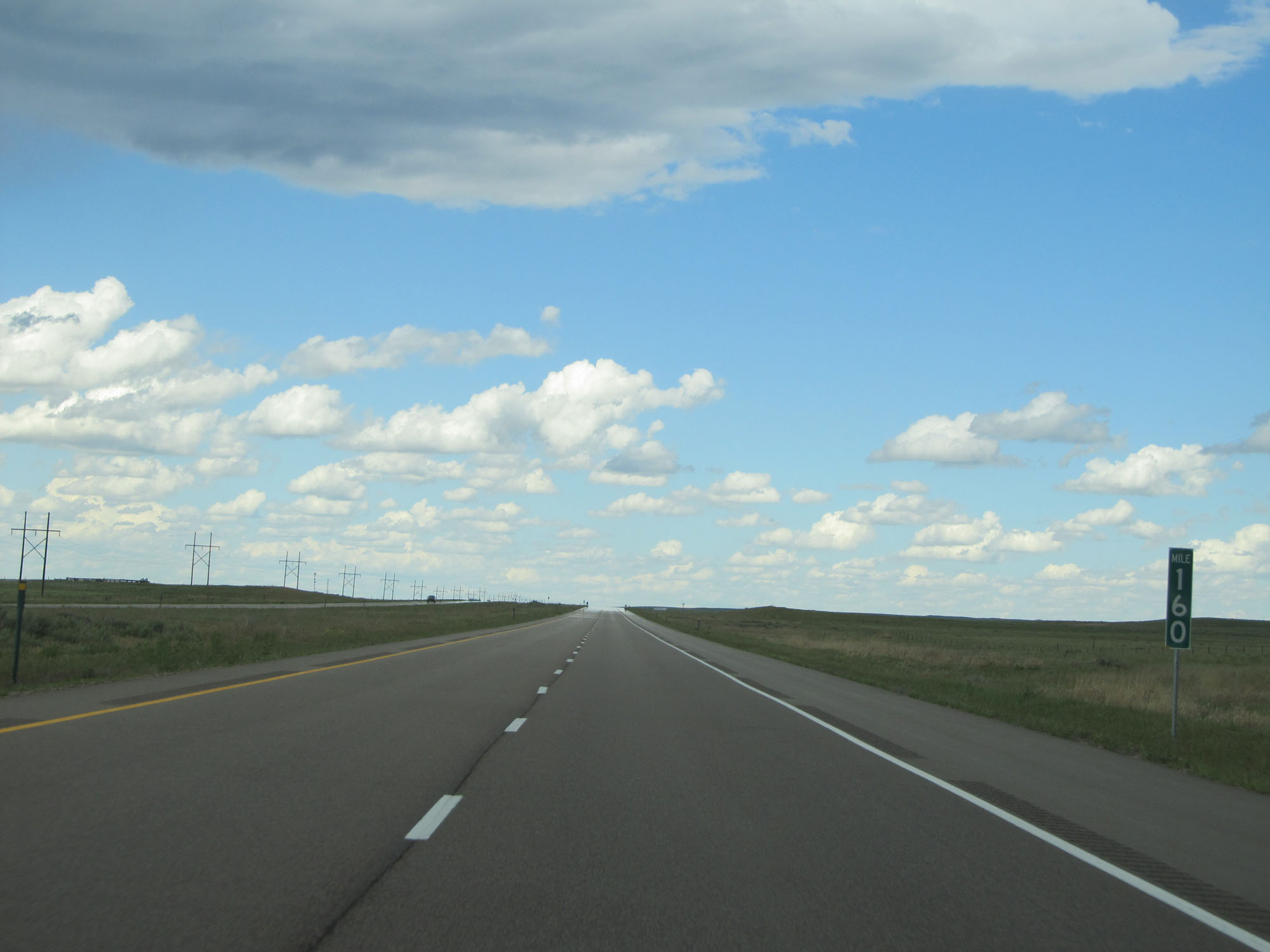 |
Interstate 76 East at mile marker 160. (Photo taken 5/28/16). |
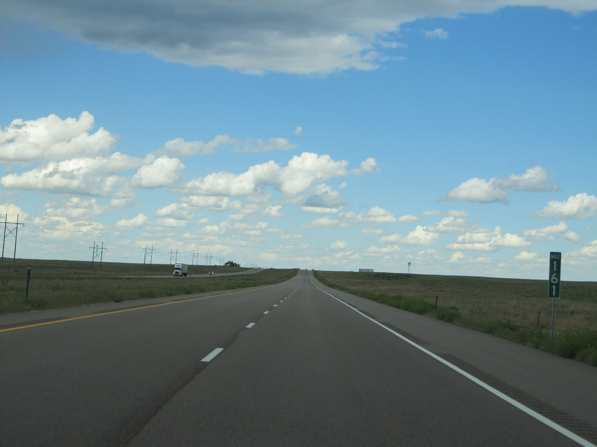 |
Interstate 76 East at mile marker 161. (Photo taken 5/28/16). |
 |
Interstate 76 East at mile marker 164. (Photo taken 5/28/16). |
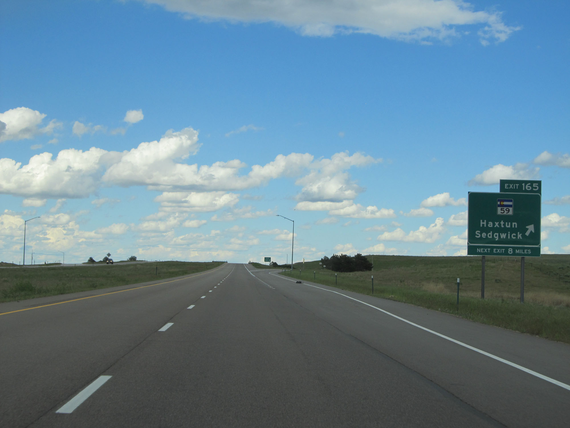 |
Interstate 76 East at Exit 165: CO 59 - Haxtun / Sedgwick (Photo taken 5/28/16). |
 |
Speed limit sign east of Exit 165. Speed Limit - 75 mph. (Photo taken 5/28/16). |
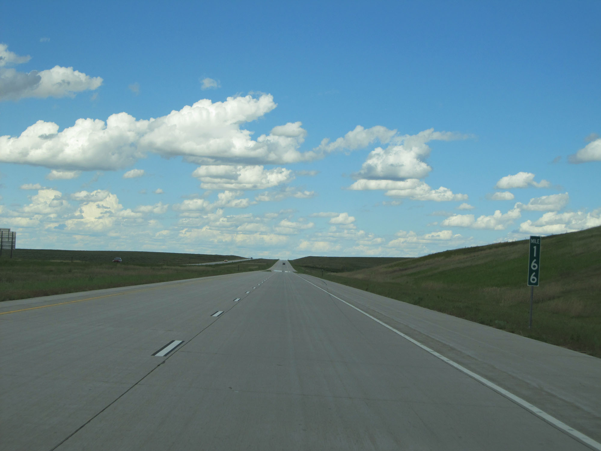 |
Interstate 76 East at mile marker 166. (Photo taken 5/28/16). |
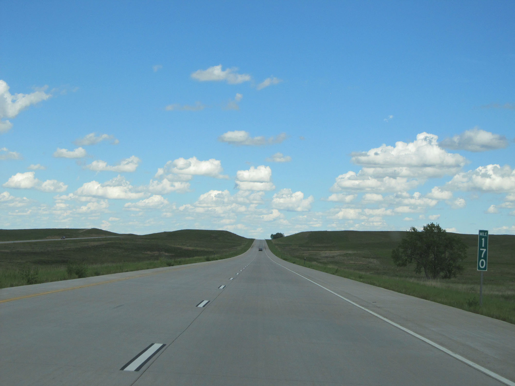 |
Interstate 76 East at mile marker 170. (Photo taken 5/28/16). |
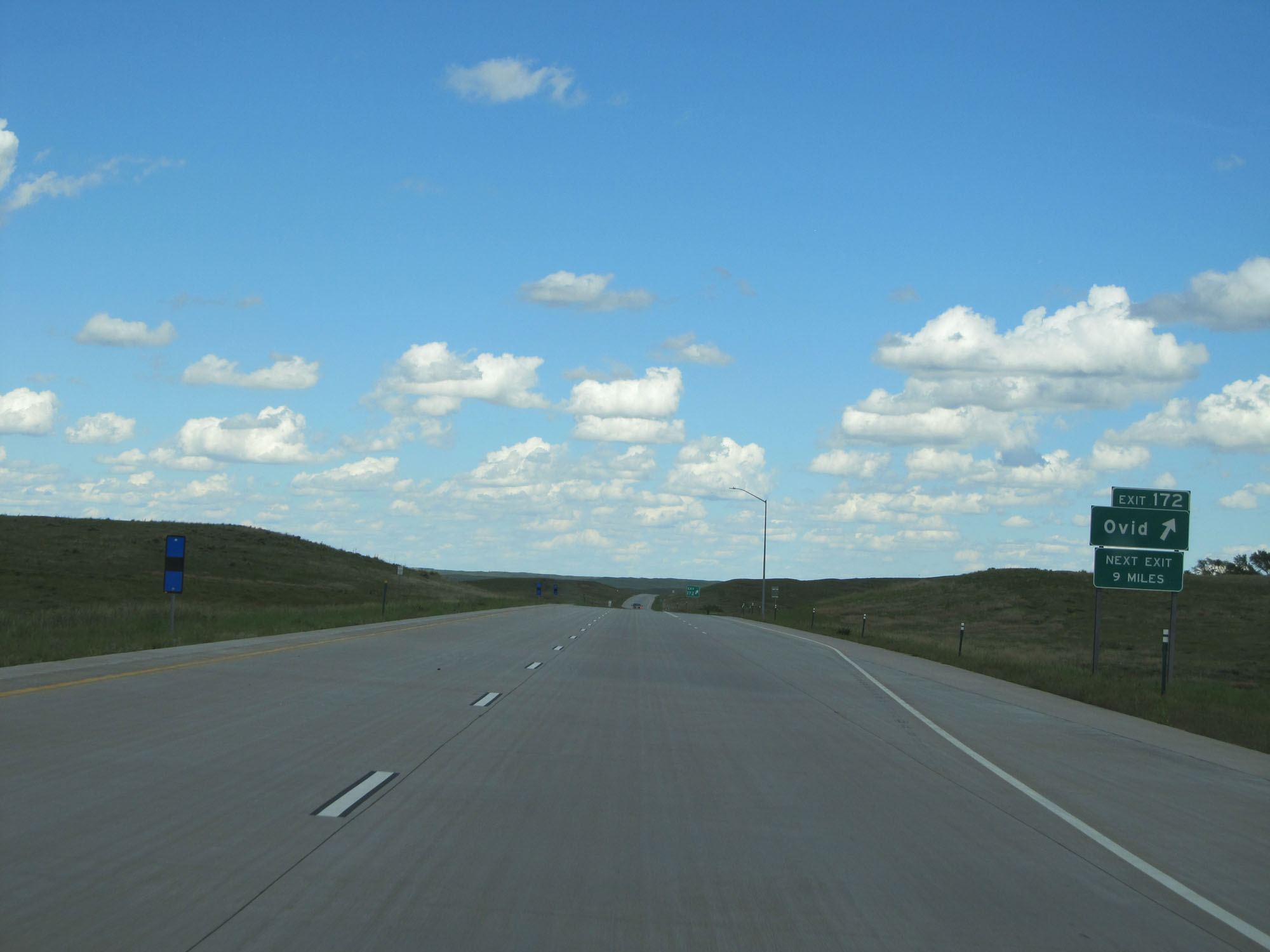 |
Interstate 76 East at Exit 172: Ovid (Photo taken 5/28/16). |
 |
State-named Interstate 76 East assurance shield just beyond Exit 172. (Photo taken 5/28/16). |
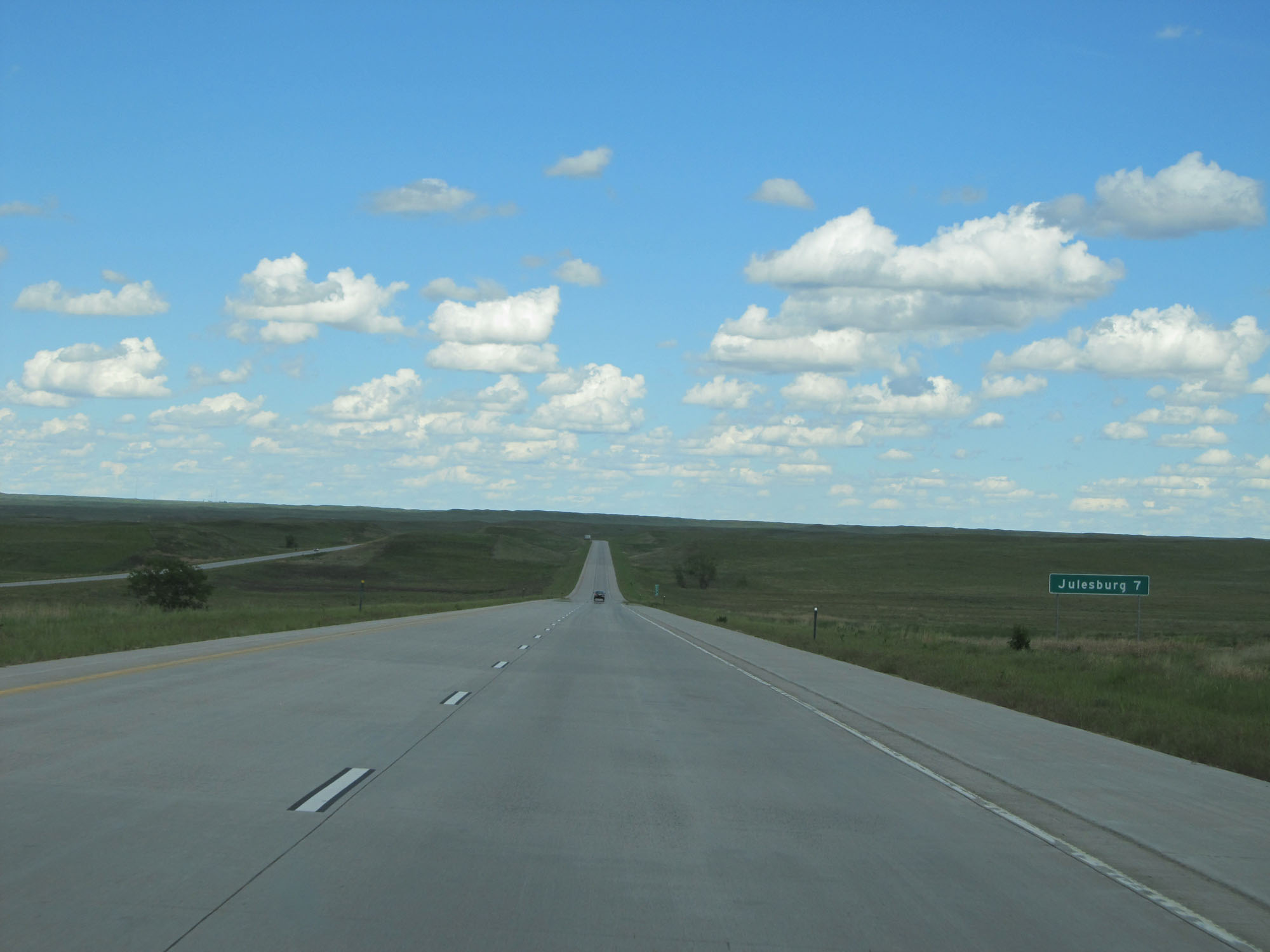 |
It's now just 7 miles to Julesburg. (Photo taken 5/28/16). |
 |
Interstate 76 East at mile marker 173. (Photo taken 5/28/16). |
 |
Interstate 76 East at mile marker 177. (Photo taken 5/28/16). |
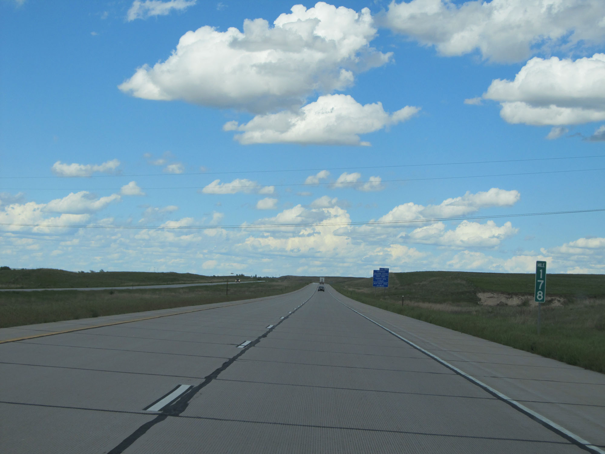 |
Interstate 76 East at mile marker 178. (Photo taken 5/28/16). |
 |
Take Exit 180 to the Colorado Welcome Center, Rest Area, and Tourist Info. The next Rest Area is 33 miles ahead on Interstate 80 East in Nebraska. (Photo taken 5/28/16). |
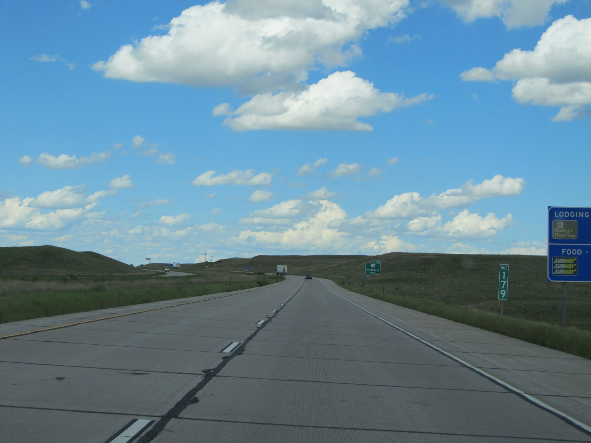 |
Interstate 76 East at mile marker 179. (Photo taken 5/28/16). |
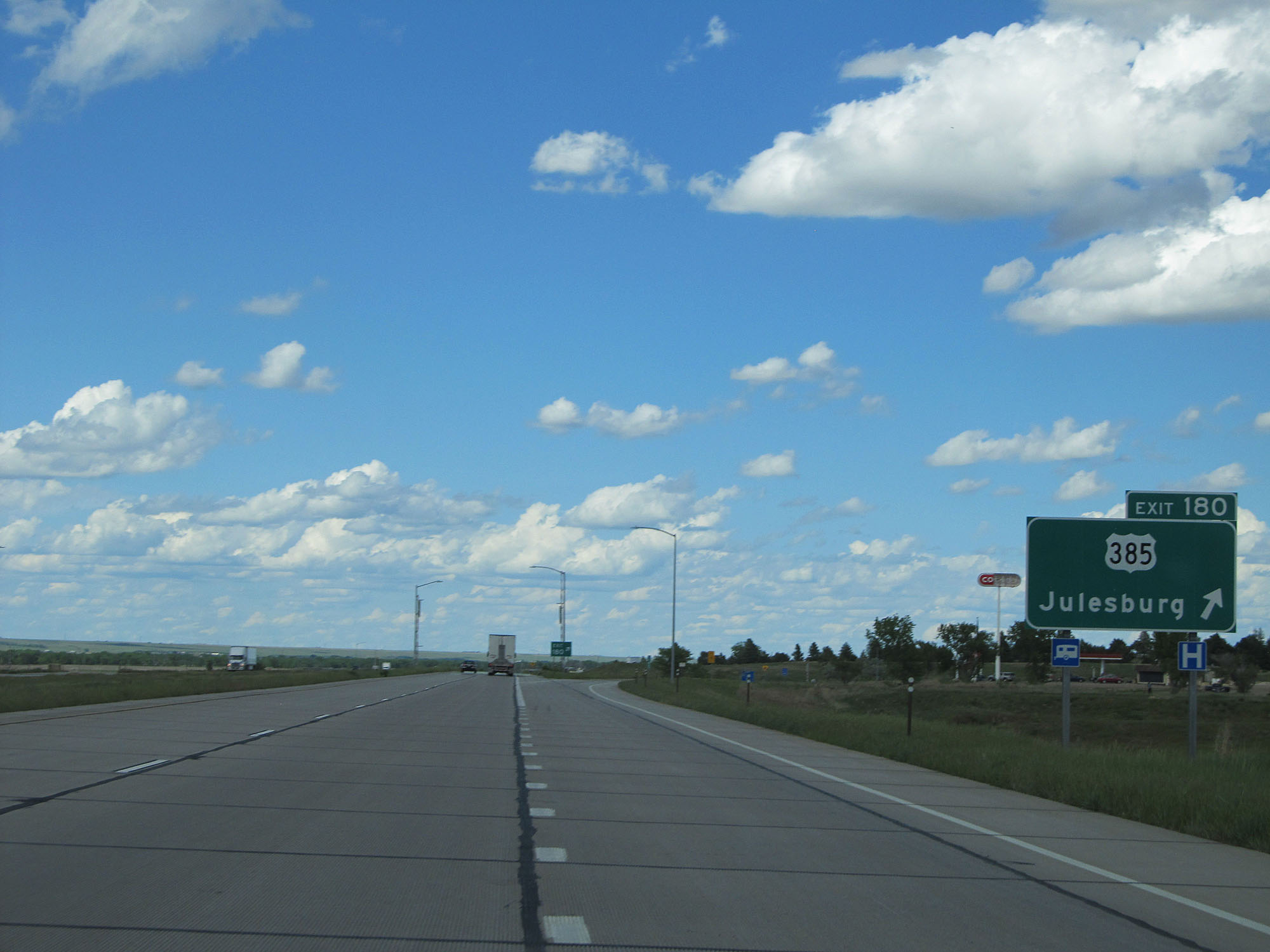 |
Interstate 76 East at Exit 180: US 385 - Julesburg (Photo taken 5/28/16). |
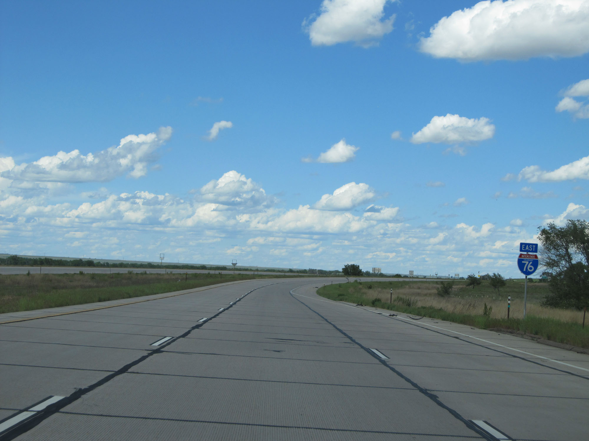 |
One final state-named Interstate 76 East assurance shield. (Photo taken 5/28/16). |
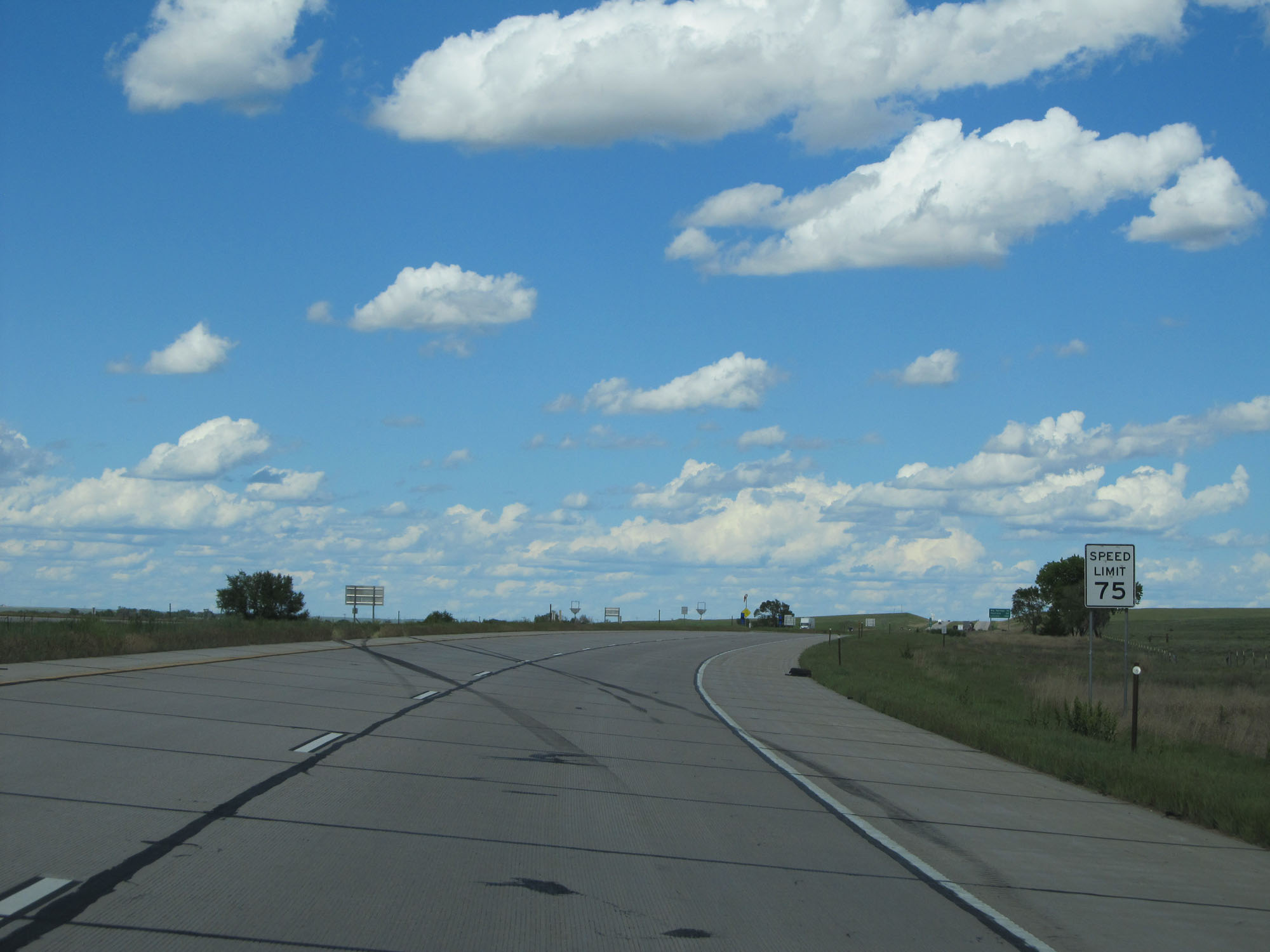 |
One final speed limit assurance sign on Interstate 76 East. Speed Limit - 75 mph. (Photo taken 5/28/16). |
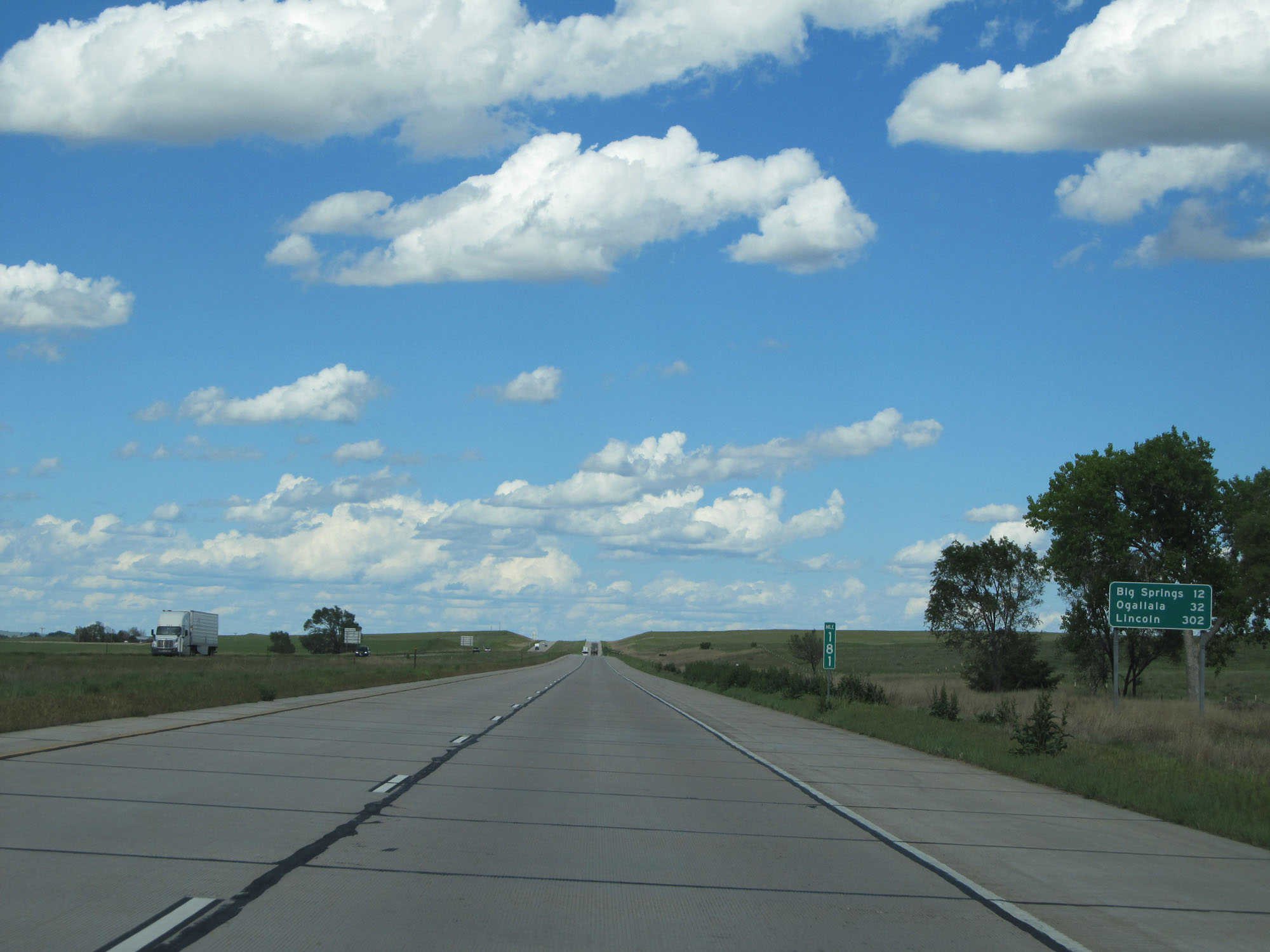 |
Mileage sign at mile marker 181. It's 12 miles to Big Springs, 32 miles to Ogallala, and 302 miles to Lincoln. (Photo taken 5/28/16). |
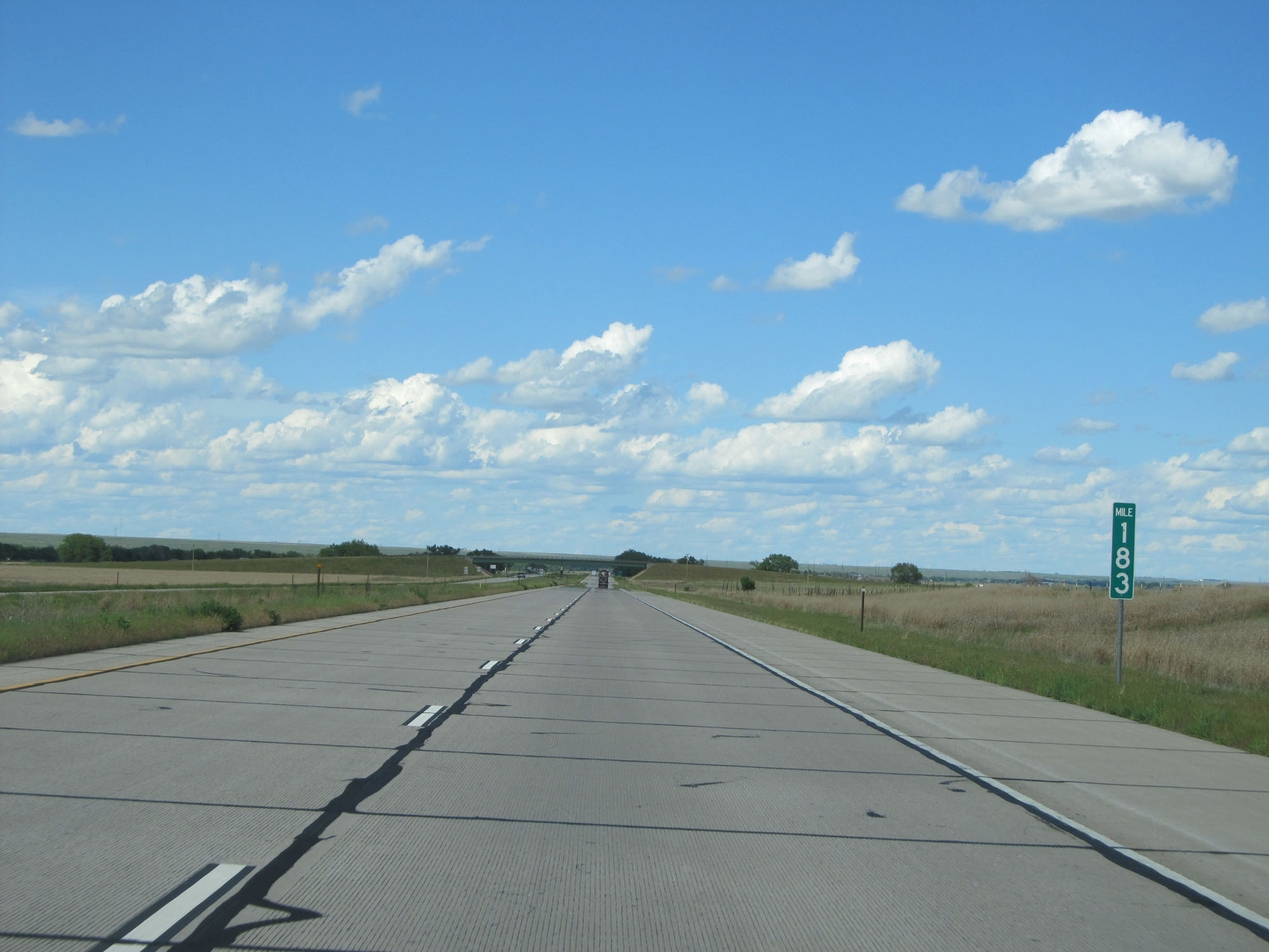 |
Interstate 76 East at mile marker 183. (Photo taken 5/28/16). |
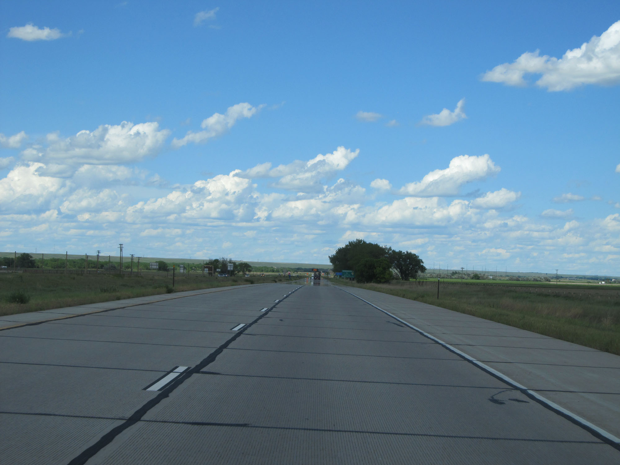 |
Interstate 76 East as it prepares to enter Nebraska. You can just make out the Nebraska welcome sign ahead in the distance. (Photo taken 5/28/16). |