Road Information |
||
 |
||
| Total Mileage in State: | 46 miles | |
| Northern End: | At I-30/I-440, in Little Rock | |
| Southern End: | At US 63/US 65/US 79/US 425, in Pine Bluff | |
| Mileage covered in Photos: | 46 miles | |
| Counties covered in Photos: | Jefferson, Grant, Pulaski, Saline, Pulaski | |
| Major Junctions in Photos: | US 63, in Pine Bluff US 270, in White Hall US 167, near Hensley I-30/I-440, in Little Rock |
|
| Control Cities in Photos: | Pine Bluff, White Hall, Little Rock | |
Northbound
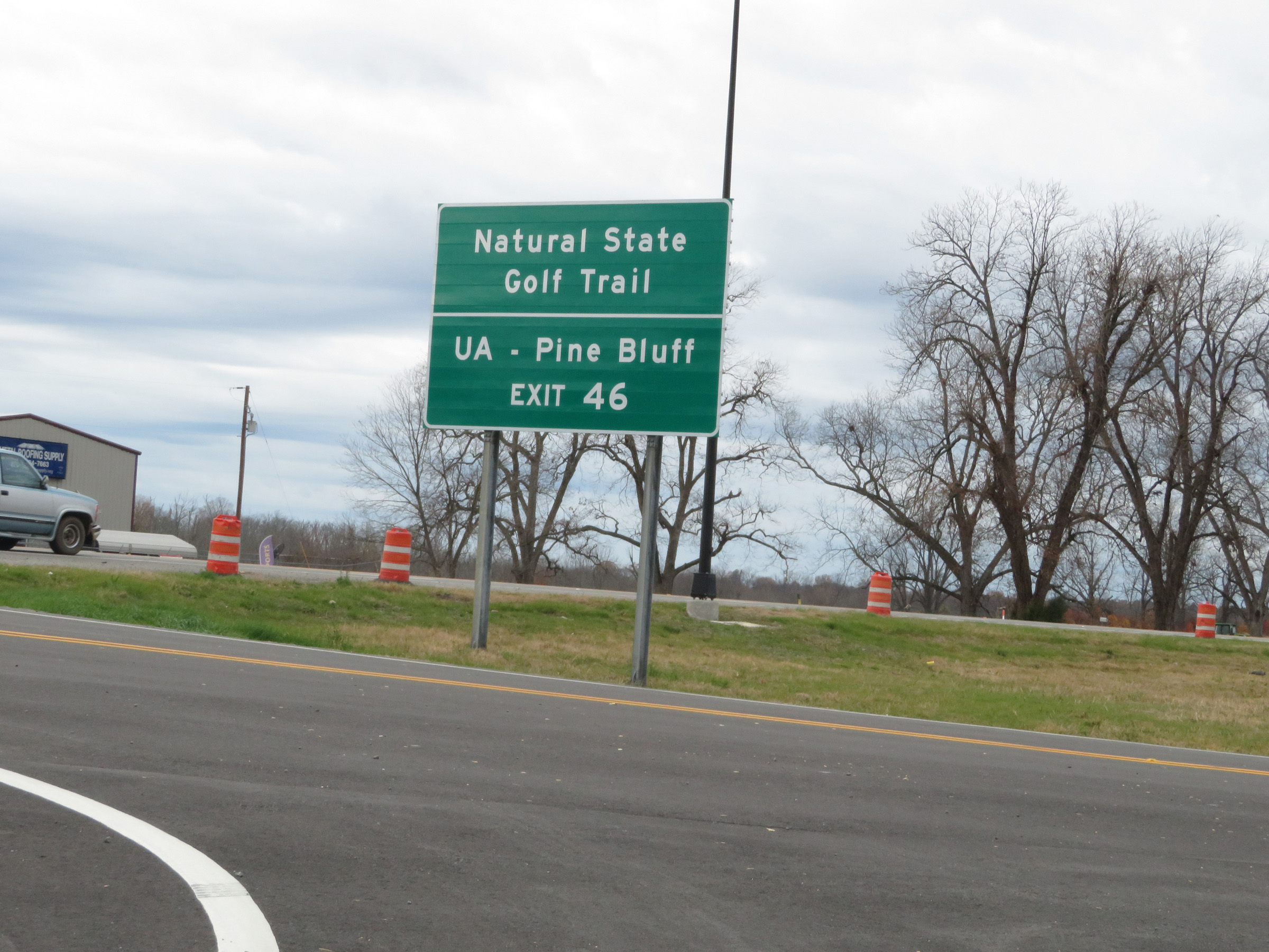 |
Take Exit 46 to Natural State Golf Trail and UA - Pine Bluff. (Photo taken 12/11/20). |
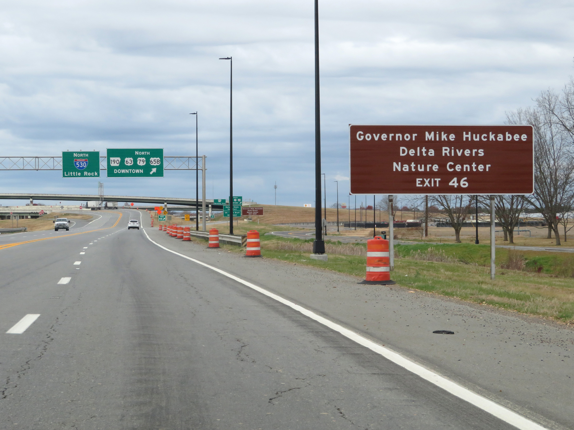 |
Also take Exit 46 to Governor Mike Huckabee Delta Rivers Nature Center. (Photo taken 12/11/20). |
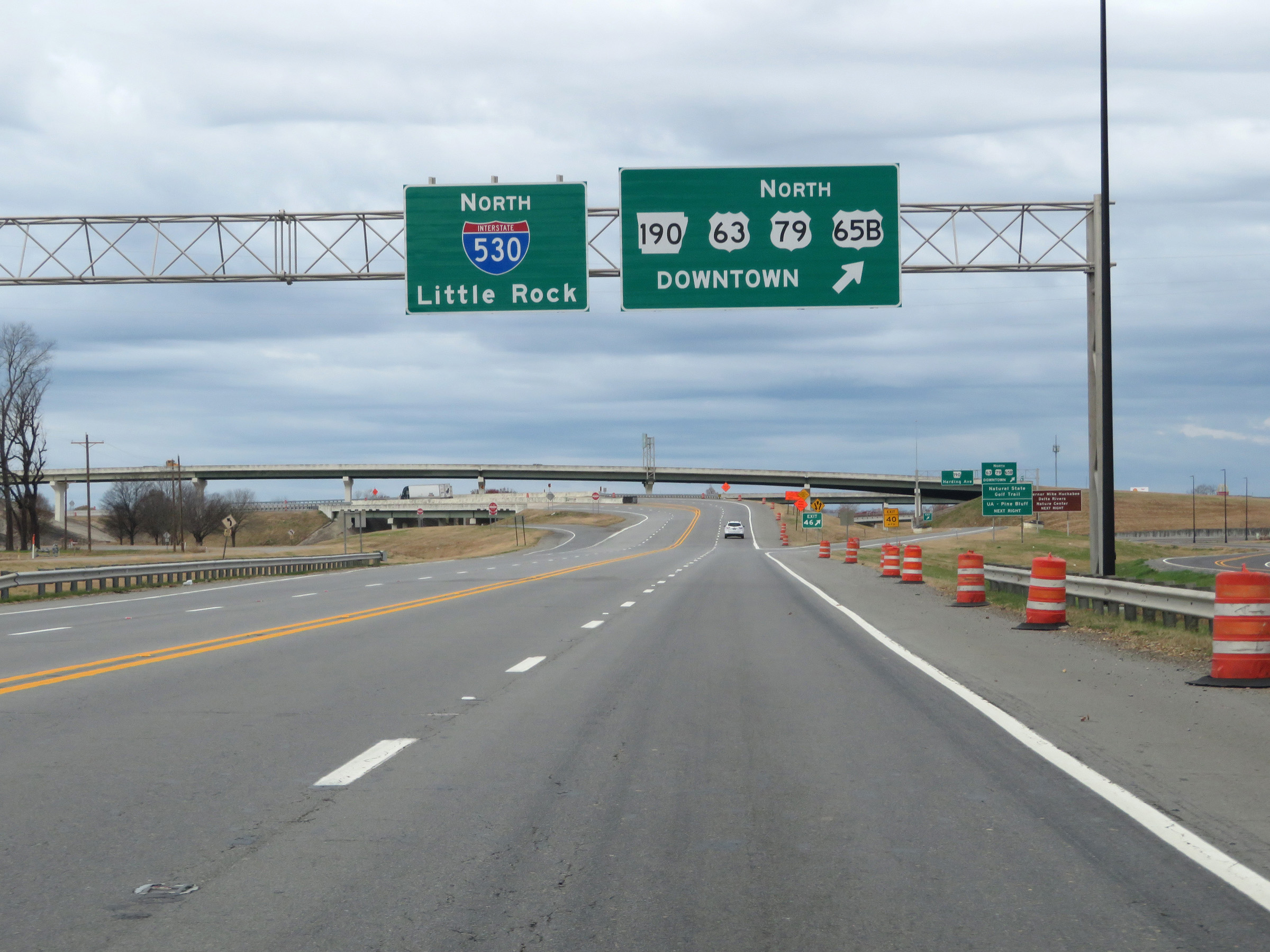 |
Interstate 530 North at Exit 46: AR 190 / US 63 North / US 79 North / US 65B North - Downtown (Photo taken 12/11/20). |
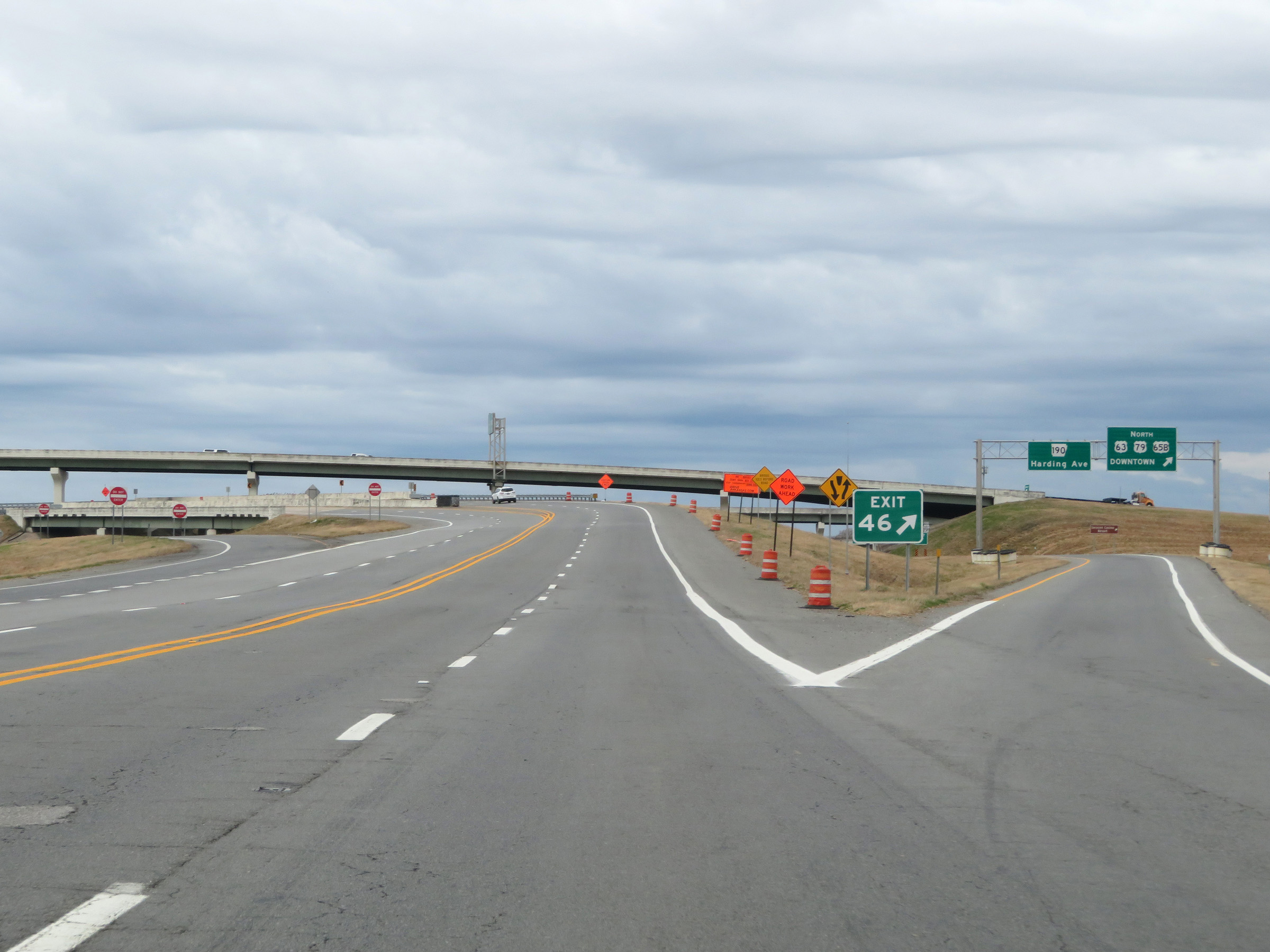 |
A view of the ramp for Exit 46 as Interstate 530 North begins in Pine Bluff. (Photo taken 12/11/20). |
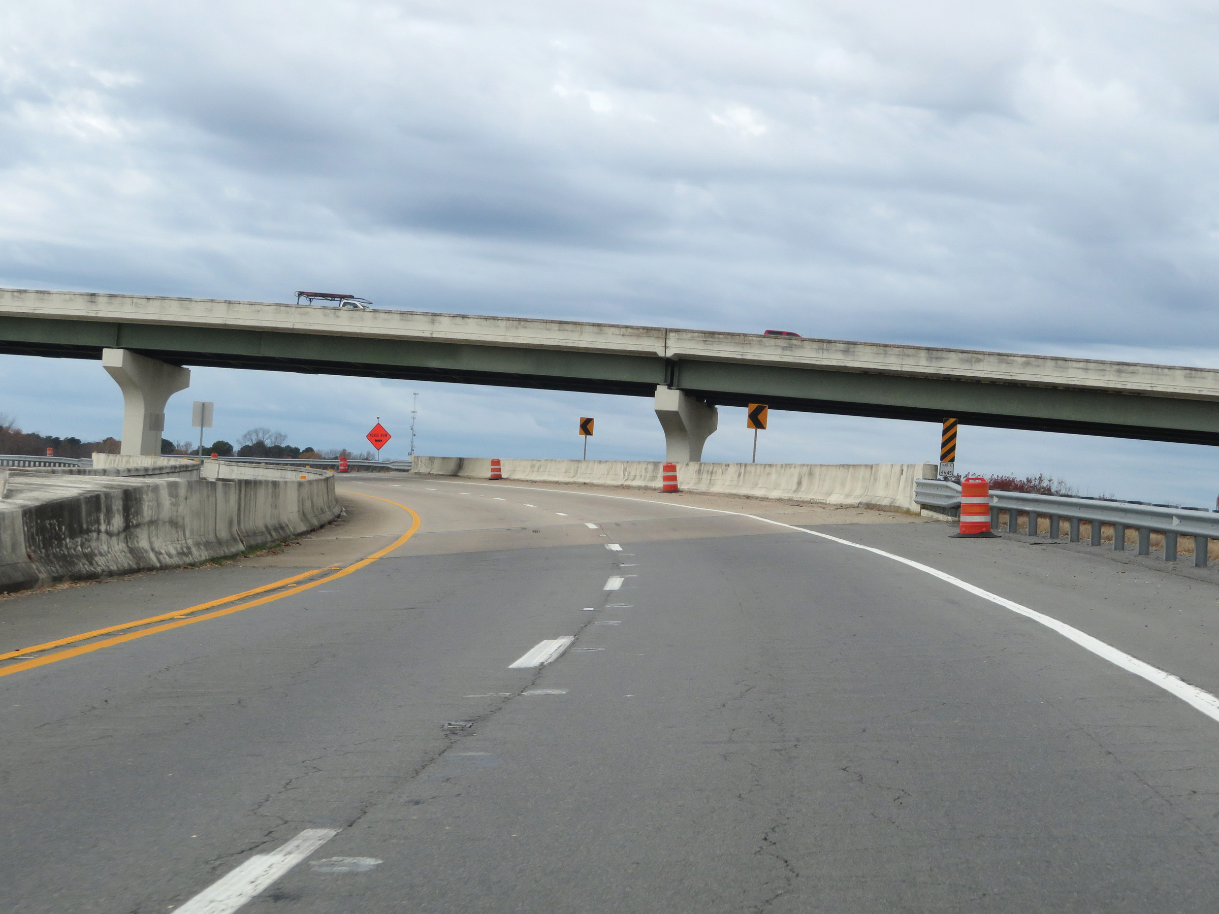 |
Interstate 530 North curves to the southwest beyond Exit 46 and passes under the ramp from I-530 South to AR 190 / US 63 North / US 79 North / US 65B North. (Photo taken 12/11/20). |
 |
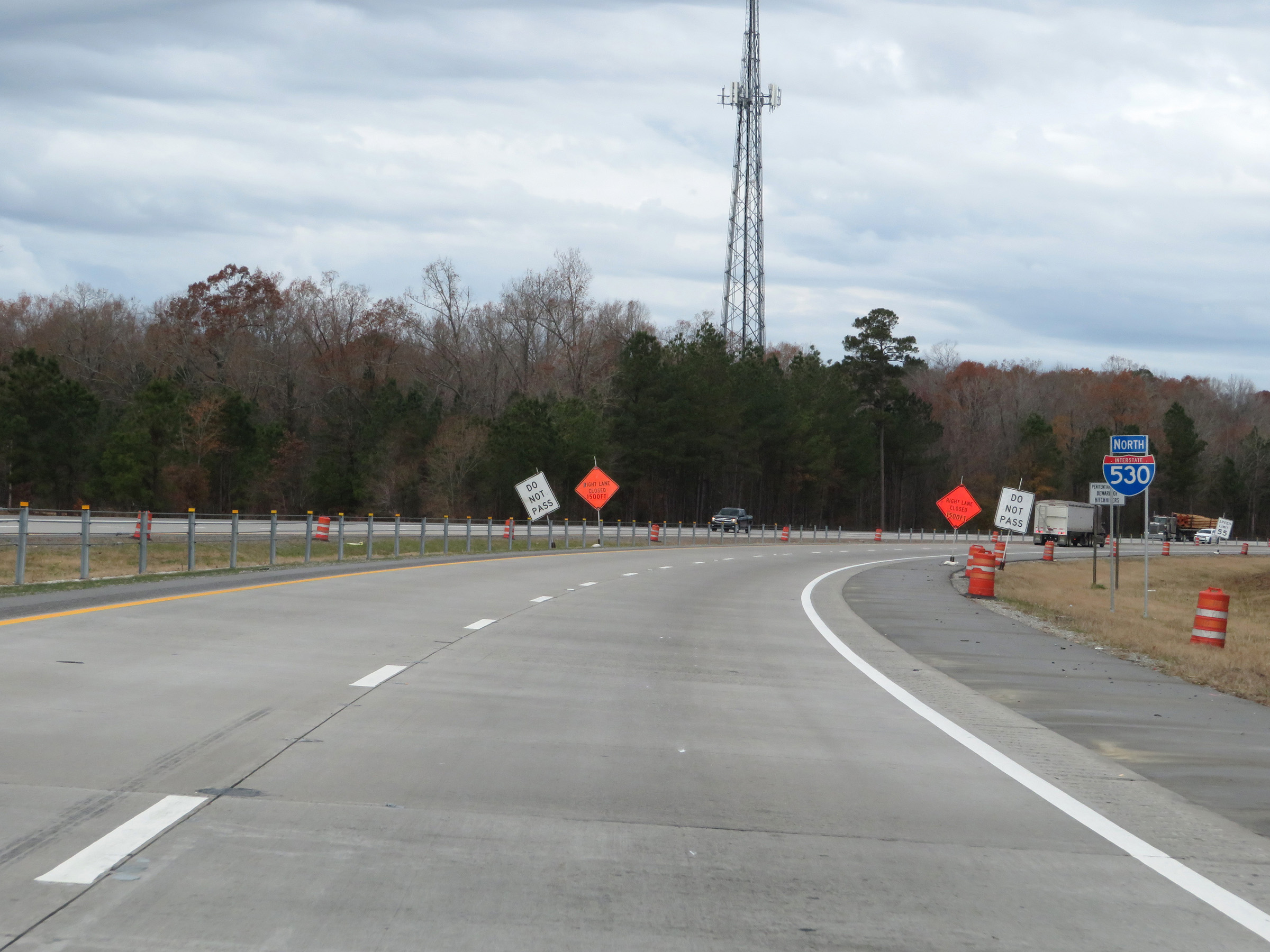
View on Interstate 530 North as traffic from AR 190 / US 63 South / US 79 South / US 65B South merges into it on the right. I-530 will bypass downtown Pine Bluff to the south and west. (Photo taken 12/11/20). |
 |
Interstate 530 North reassurance shield. (Photo taken 12/11/20). |
 |
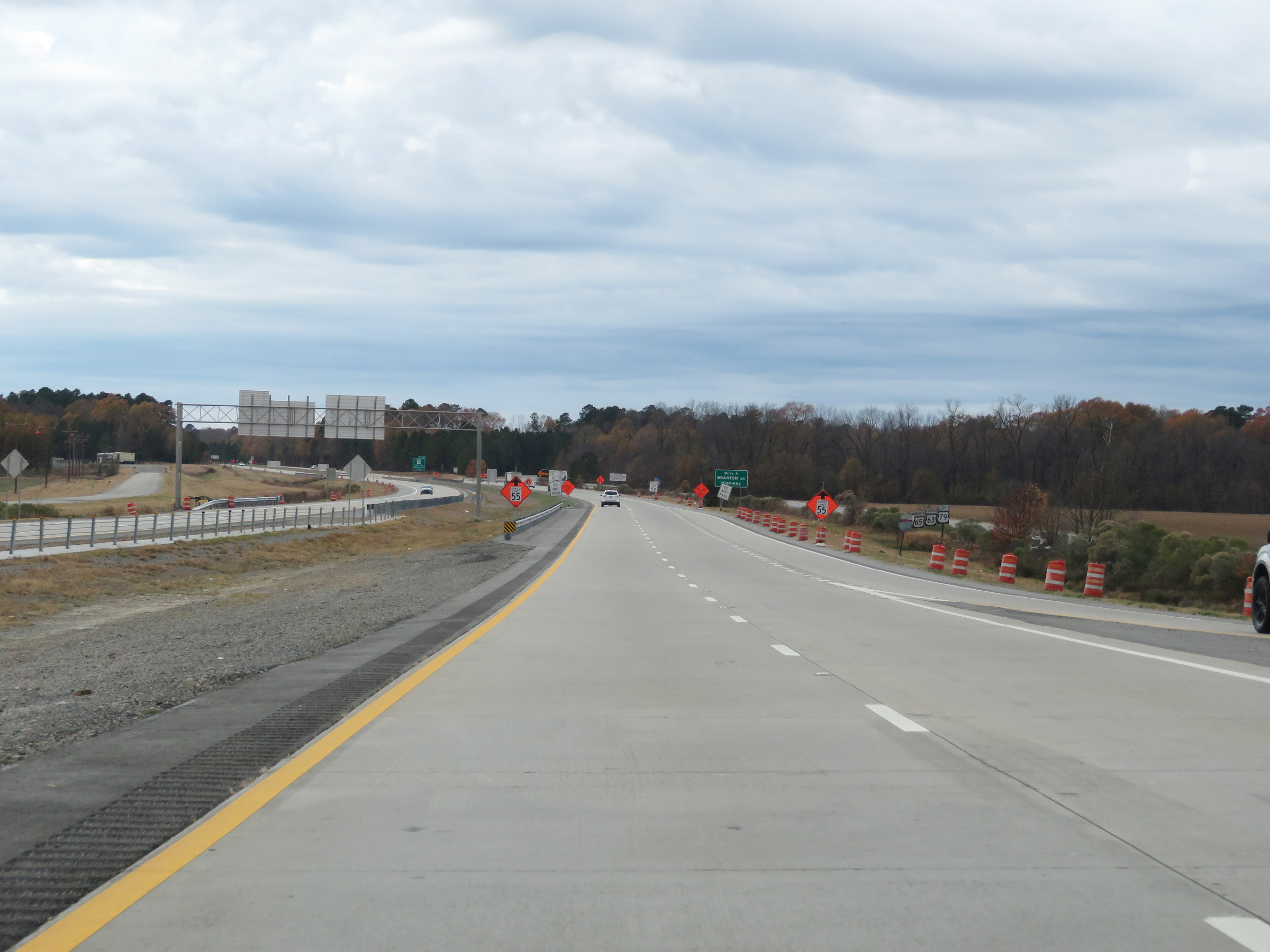
The speed limit on Interstate 530 North starts out at 65 mph for all traffic in the Pine Bluff area. (Photo taken 12/11/20). |
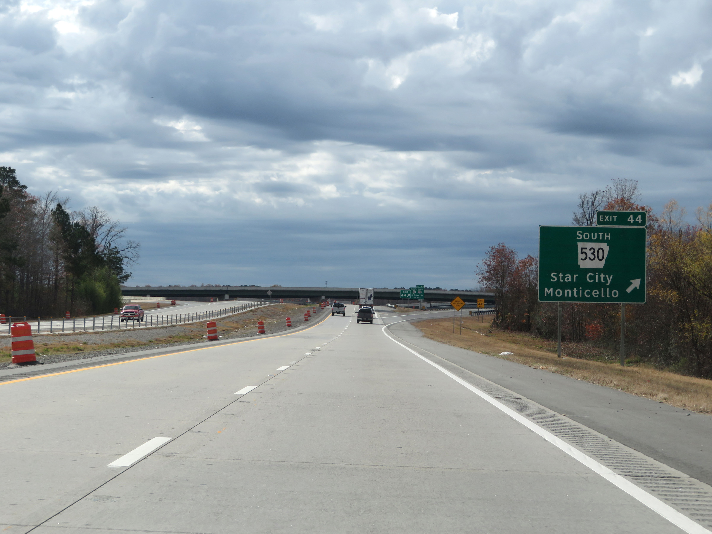 |
Interstate 530 North at Exit 44: AR 530 South - Star City / Monticello (Photo taken 12/11/20). |
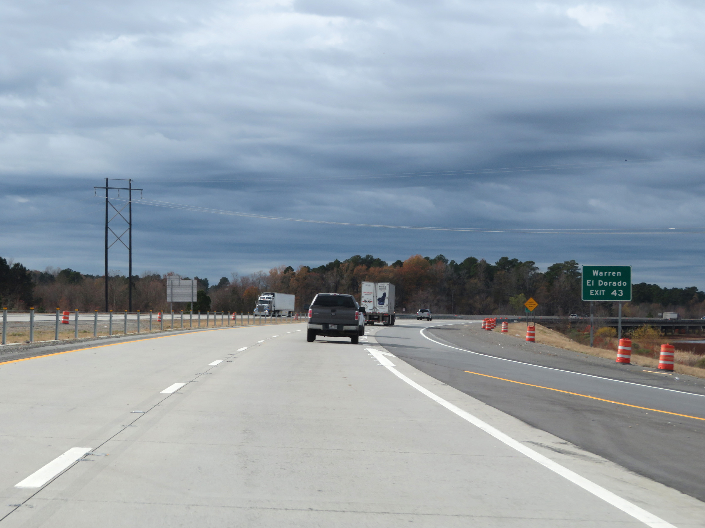 |
Take Exit 43 to Warren and El Dorado. Interstate 530 is another one of those Interstates on which the exit numbers and mile markers are in the opposite order of normal, decreasing as you go north. (Photo taken 12/11/20). |
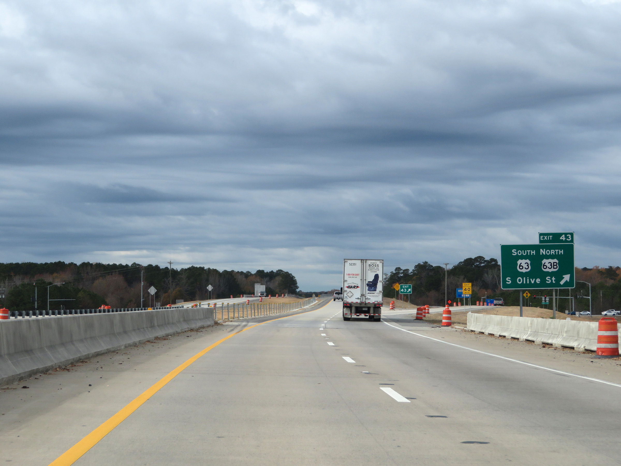 |
Interstate 530 North at Exit 43: US 63 South / US 63B North - South Olive St (Photo taken 12/11/20). |
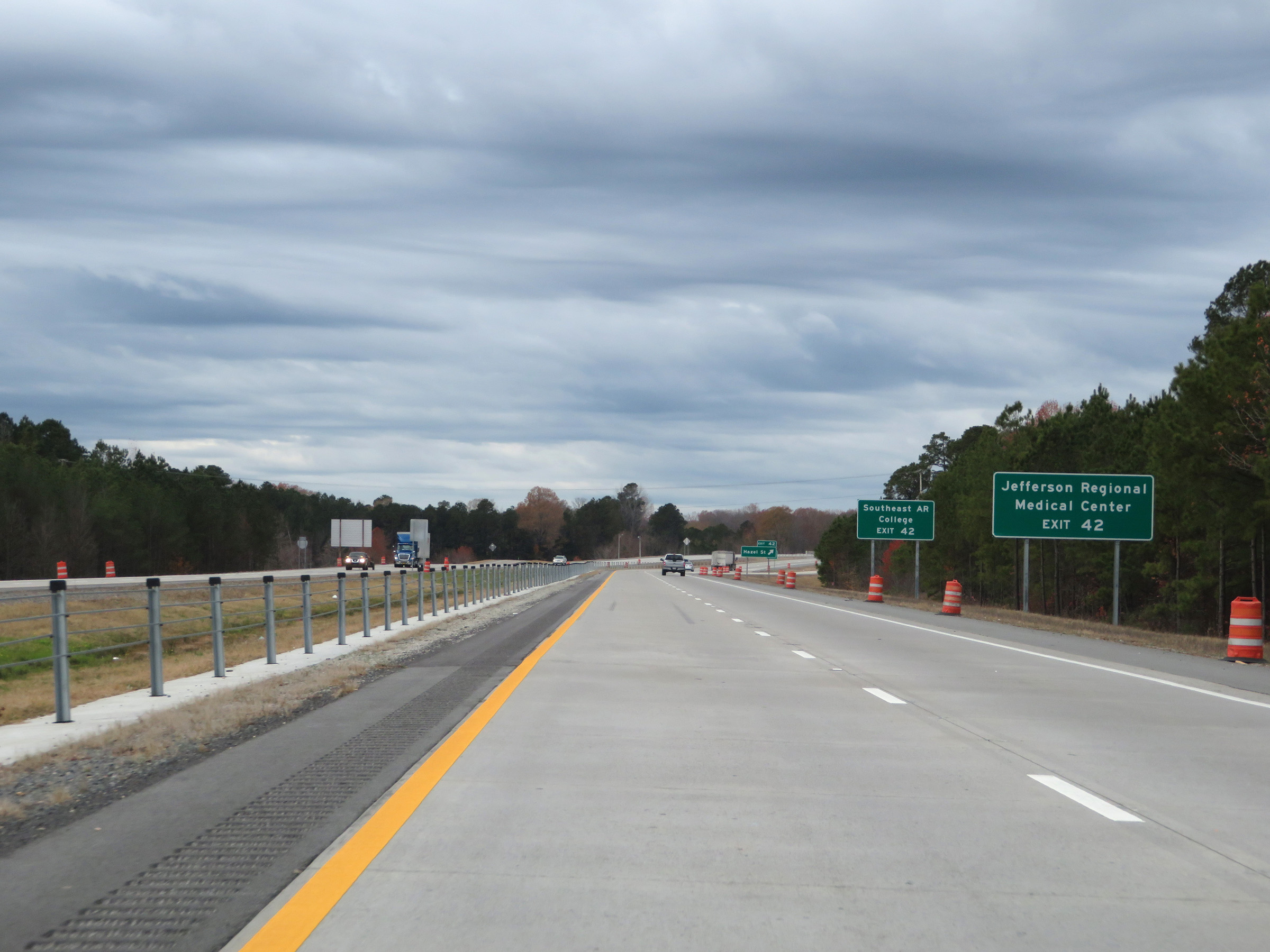 |
Take Exit 42 to Jefferson Regional Medical Center and Southeast Arkansas College. (Photo taken 12/11/20). |
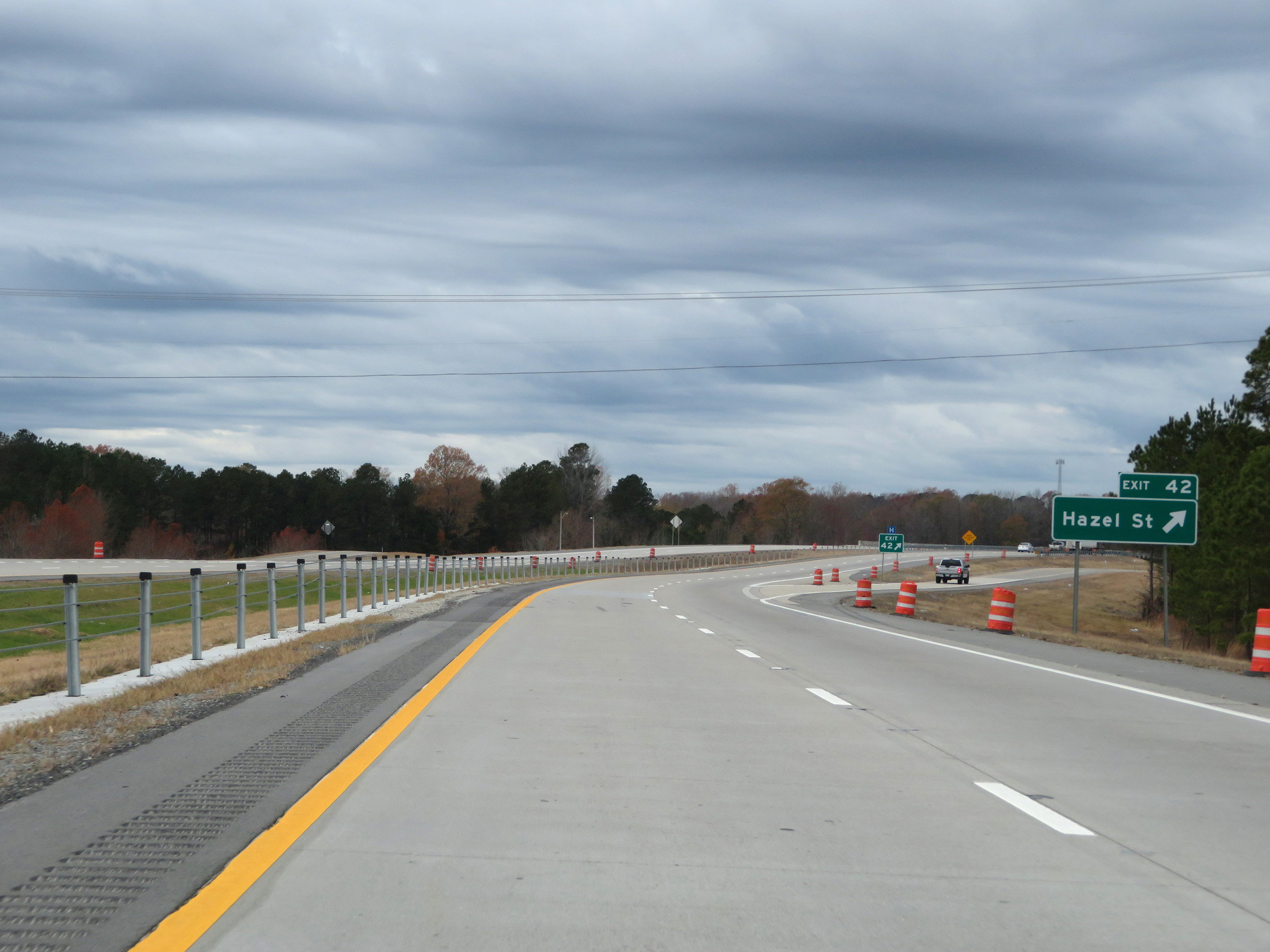 |
Interstate 530 North at Exit 42: Hazel St (Photo taken 12/11/20). |
 |
Another Interstate 530 North reassurance shield. (Photo taken 12/11/20). |
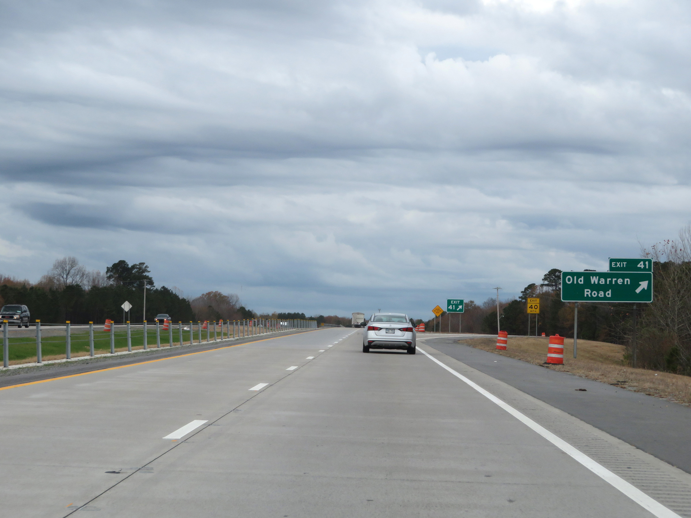 |
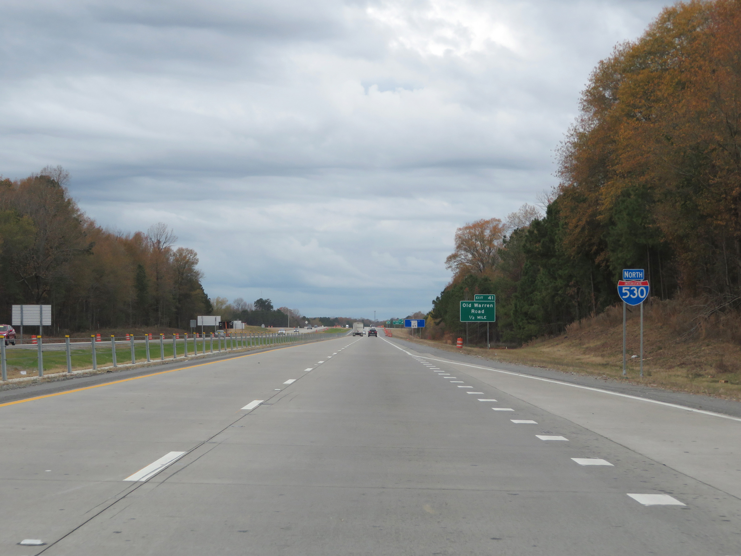
Interstate 530 North at Exit 41: Old Warren Road (Photo taken 12/11/20). |
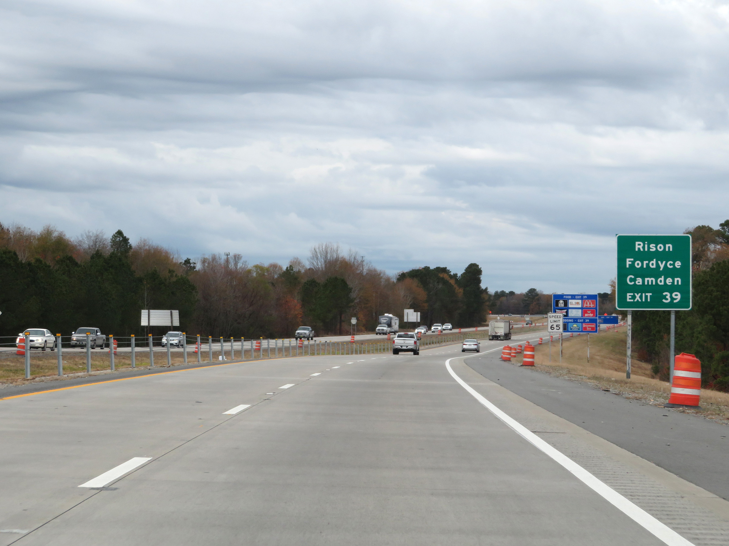 |
Take Exit 39 to Rison, Fordyce, and Camden. (Photo taken 12/11/20). |
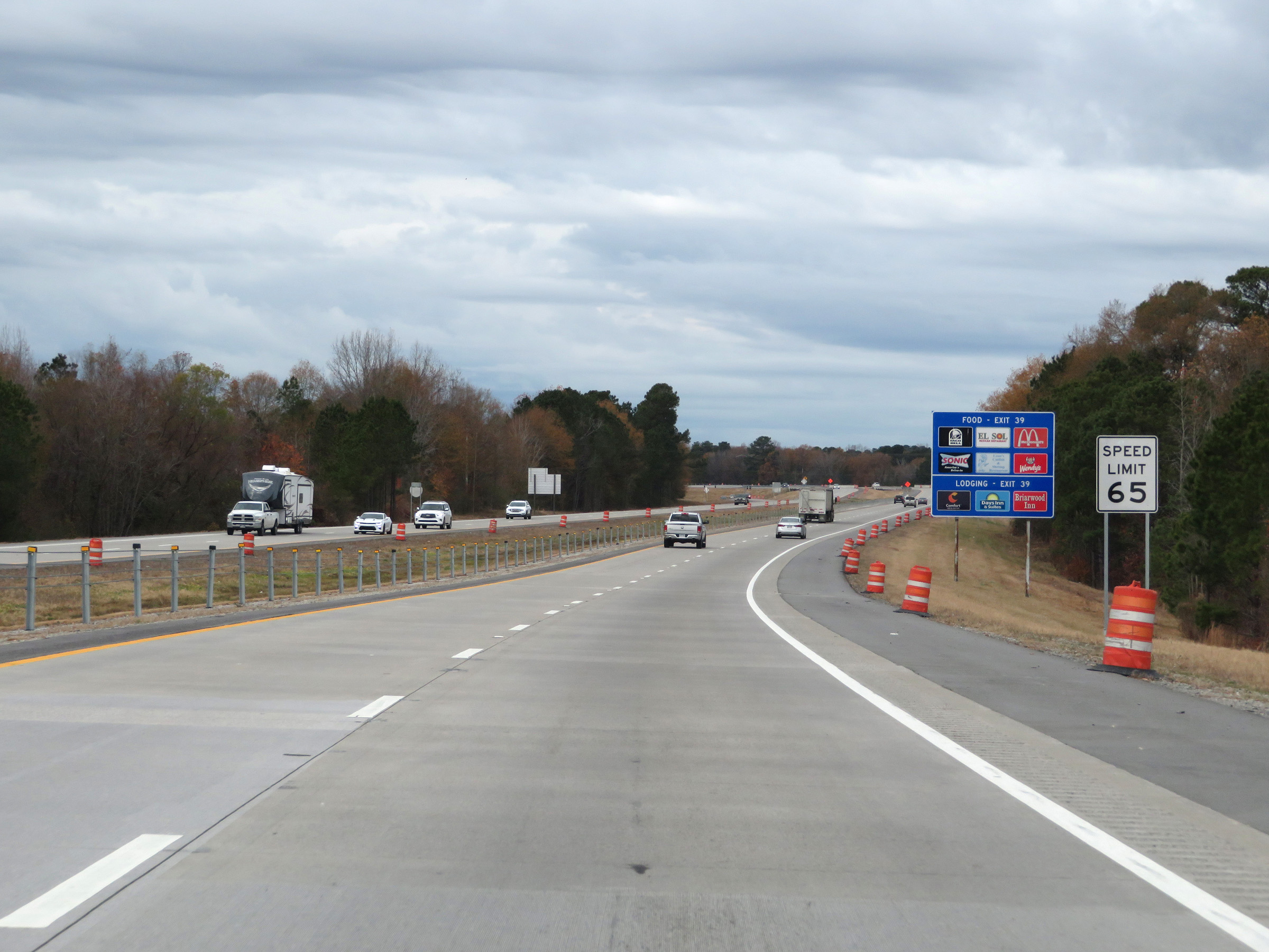 |
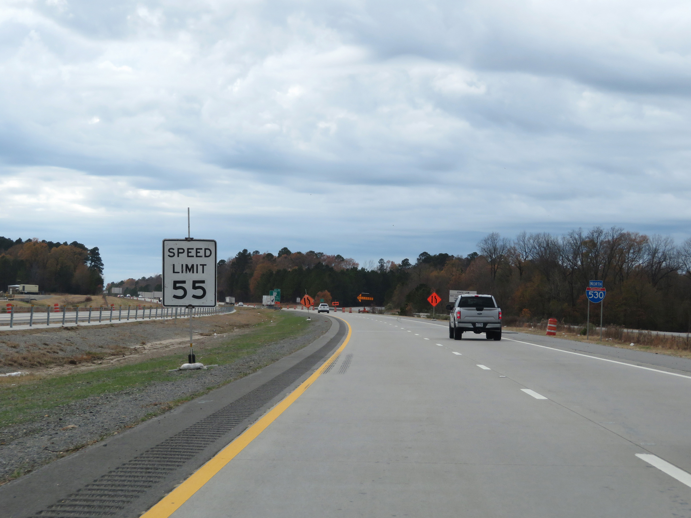
The speed limit remains 65 mph for all traffic. (Photo taken 12/11/20). |
 |
Interstate 530 North at Exit 39: US 79 South / US 79B North - S Camden Rd (Photo taken 12/11/20). |
 |
Interstate 530 North reassurance shield as it begins to curve to the north. (Photo taken 12/11/20). |
 |
View on Interstate 530 North as it continues to curve to the north at the southwestern corner of the Pine Bluff area. (Photo taken 12/11/20). |
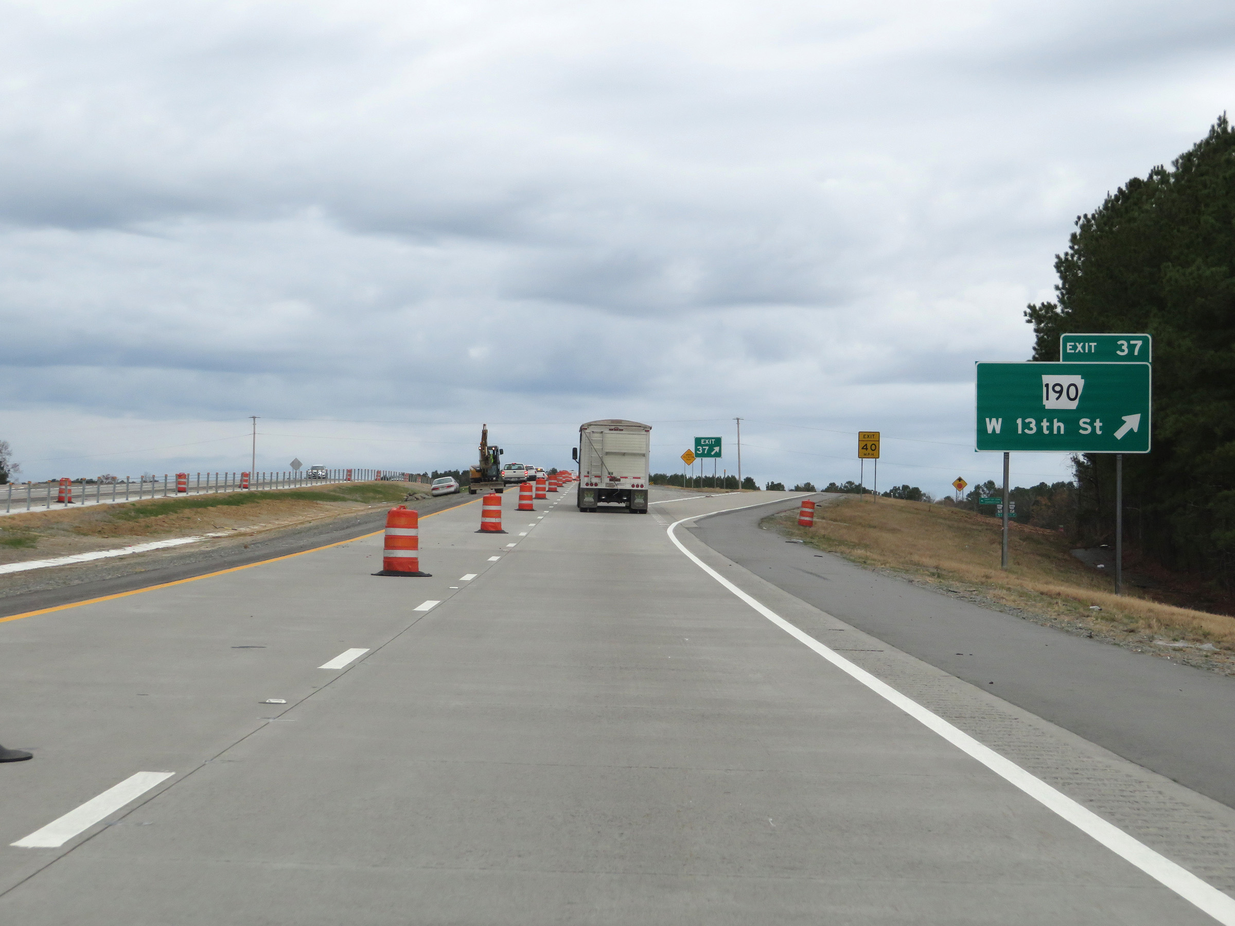 |
Interstate 530 North at Exit 37: AR 190 - W 13th St (Photo taken 12/11/20). |
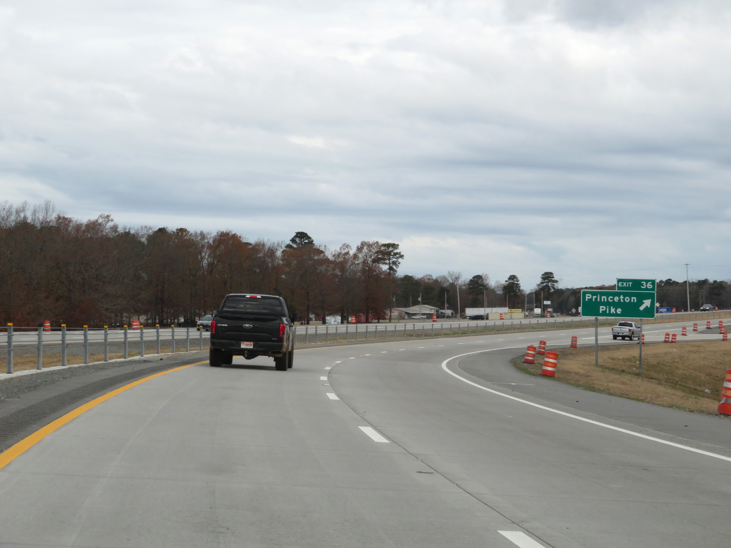 |
Interstate 530 North at Exit 36: Princeton Pike (Photo taken 12/11/20). |
 |
Interstate 530 North at Exit 35: US 65B South - Pine Bluff (Photo taken 12/11/20). |
 |
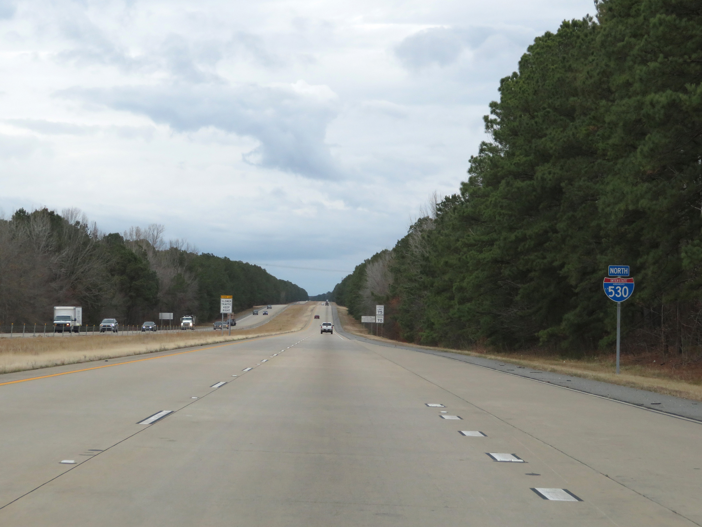
North of Exit 35, the speed limits increase to 75 mph for automobiles and 70 mph for trucks. These are the standard speed limits on most rural Interstate highways in Arkansas. (Photo taken 12/11/20). |
 |
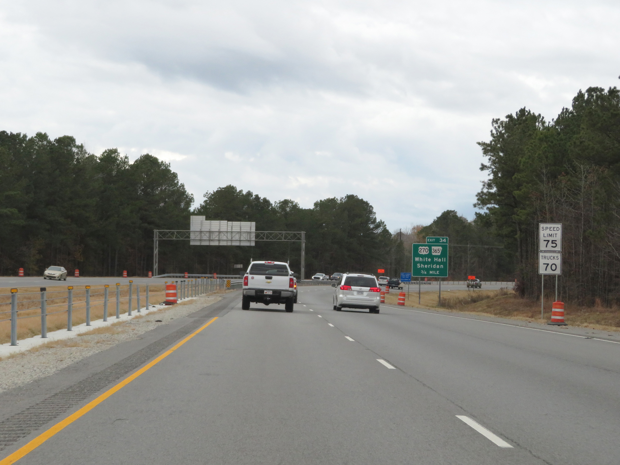
Interstate 530 North at Exit 34: US 270 / AR 365S - White Hall / Sheridan (Photo taken 12/11/20). |
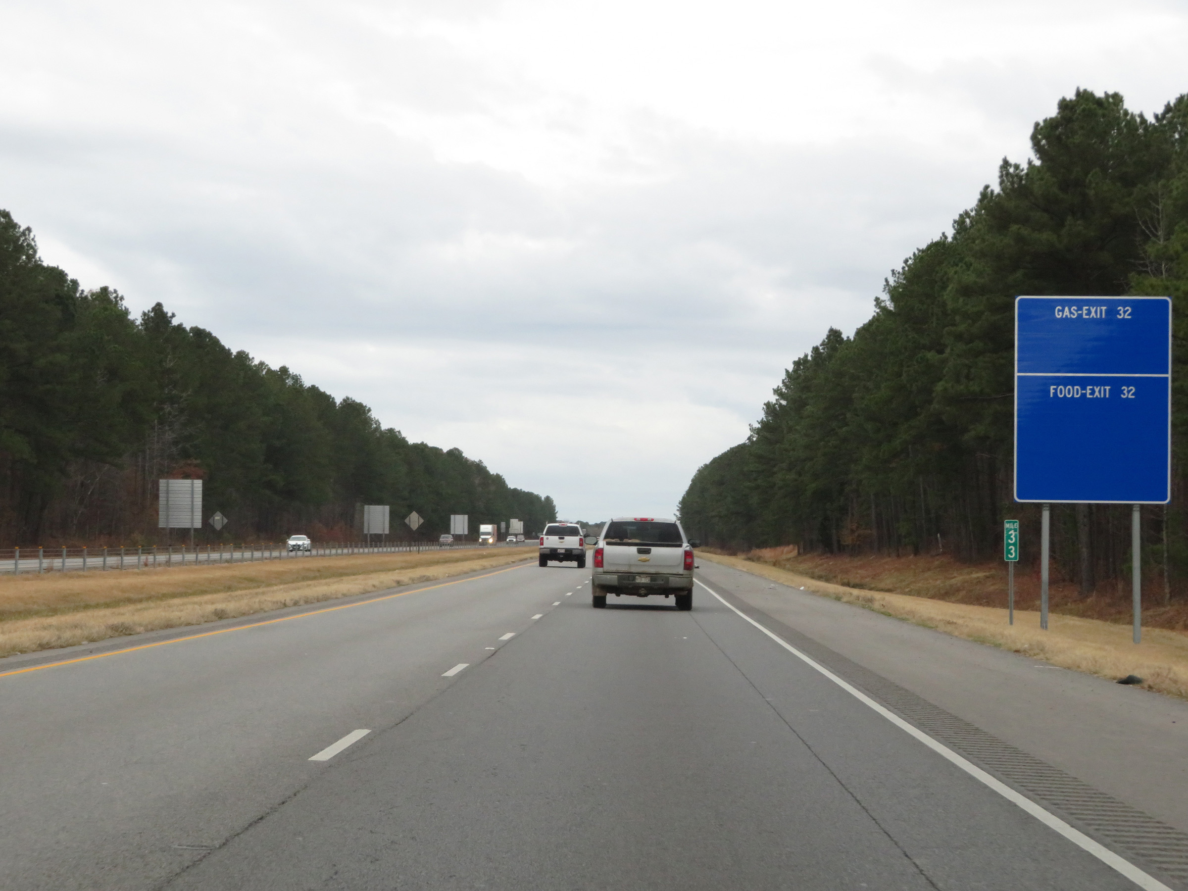 |
Interstate 530 North at mile marker 33. (Photo taken 12/11/20). |
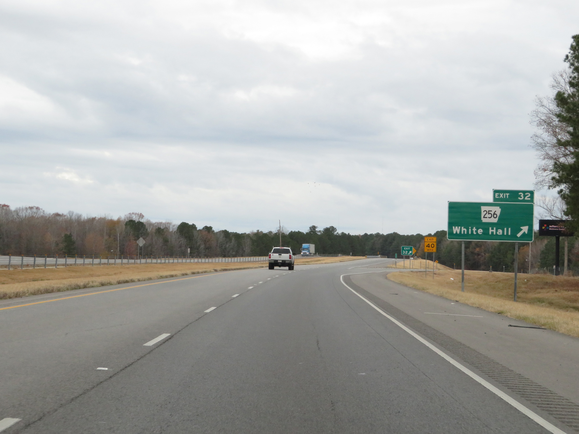 |
Interstate 530 North at Exit 32: AR 256 - White Hall (Photo taken 12/11/20). |
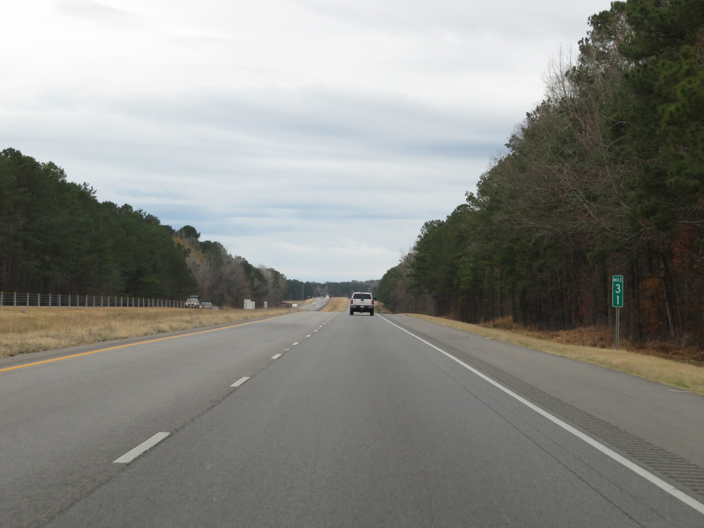 |
View on Interstate 530 North at mile marker 31. (Photo taken 12/11/20). |
 |
Interstate 530 North at Exit 30: AR 104 (Photo taken 12/11/20). |
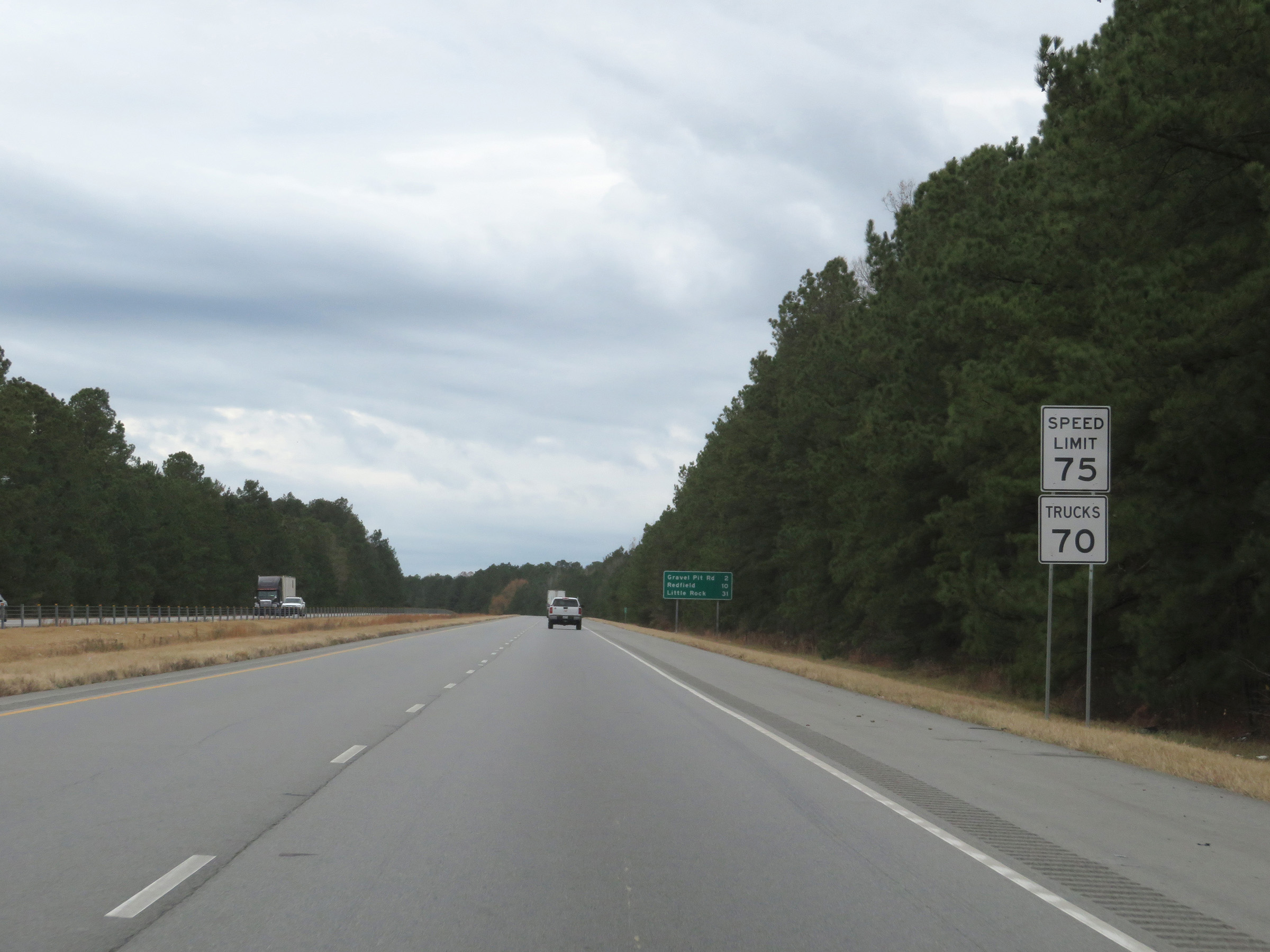 |
The speed limits remain 75 mph for automobiles and 70 mph for trucks. (Photo taken 12/11/20). |
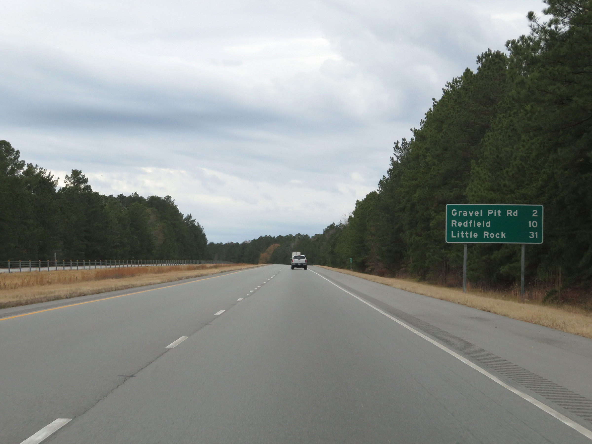 |
Mileage sign on Interstate 530 North. It's 2 miles to the junction of Gravel Pit Rd, 10 miles to Redfield, and 31 miles to Little Rock. (Photo taken 12/11/20). |
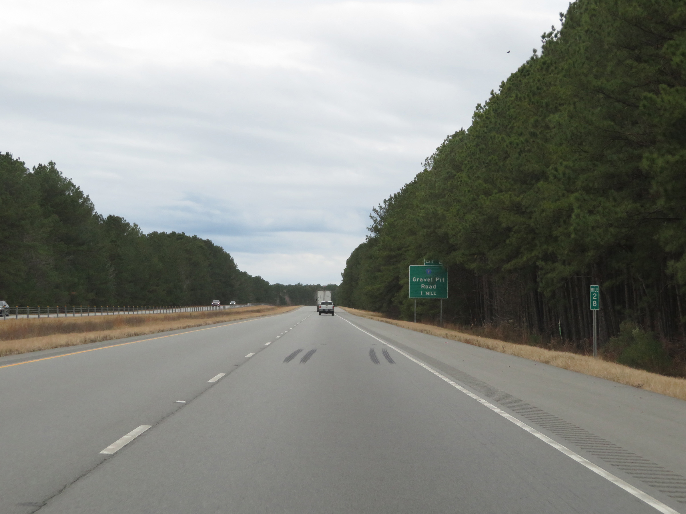 |
View on Interstate 530 North at mile marker 28. (Photo taken 12/11/20). |
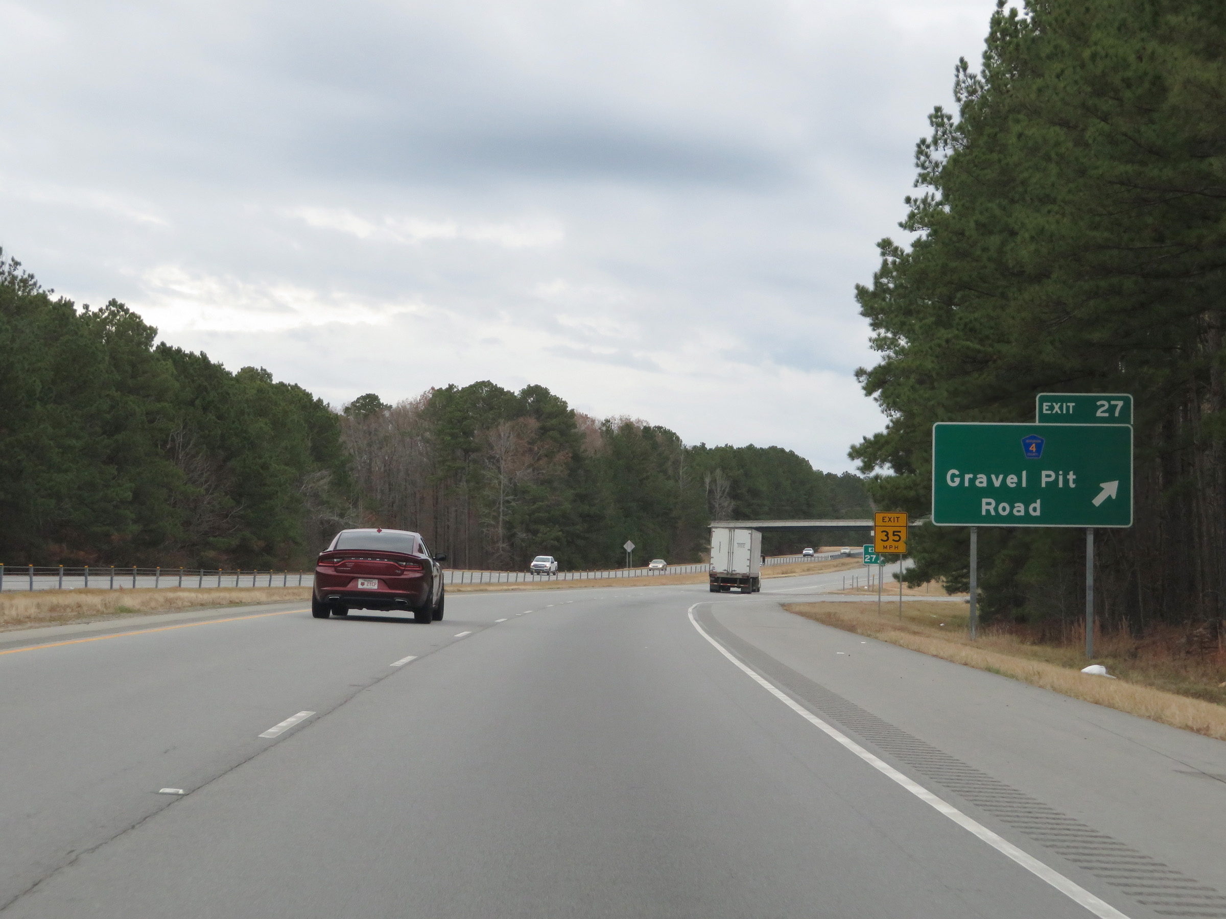 |
Interstate 530 North at Exit 27: CR 4 - Gravel Pit Road (Photo taken 12/11/20). |
 |
Mile marker 25 on Interstate 530 North in Jefferson County. (Photo taken 12/11/20). |
 |
Interstate 530 North at Exit 24: Jefferson / NCTR (Photo taken 12/11/20). |
 |
State-named Interstate 530 North reassurance shield. (Photo taken 12/11/20). |
 |
Interstate 530 North at mile marker 23. (Photo taken 12/11/20). |
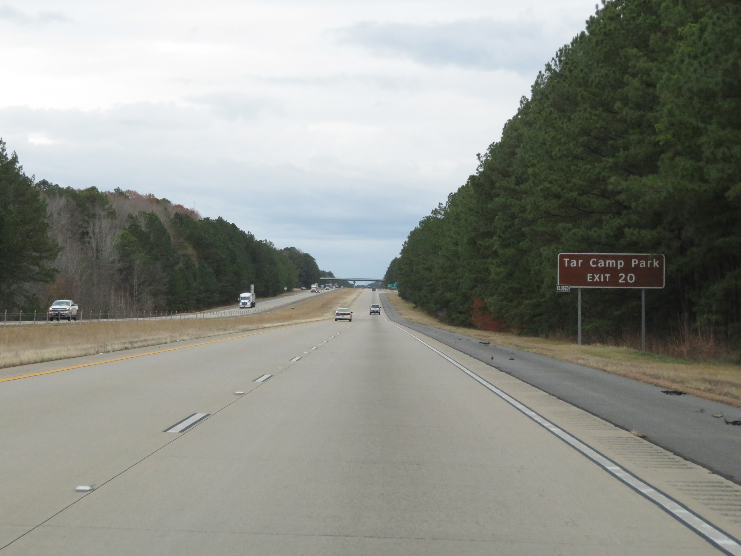 |
Take Exit 20 to Tar Camp Park. (Photo taken 12/11/20). |
 |
Interstate 530 North at Exit 20: AR 46 - Redfield (Photo taken 12/11/20). |
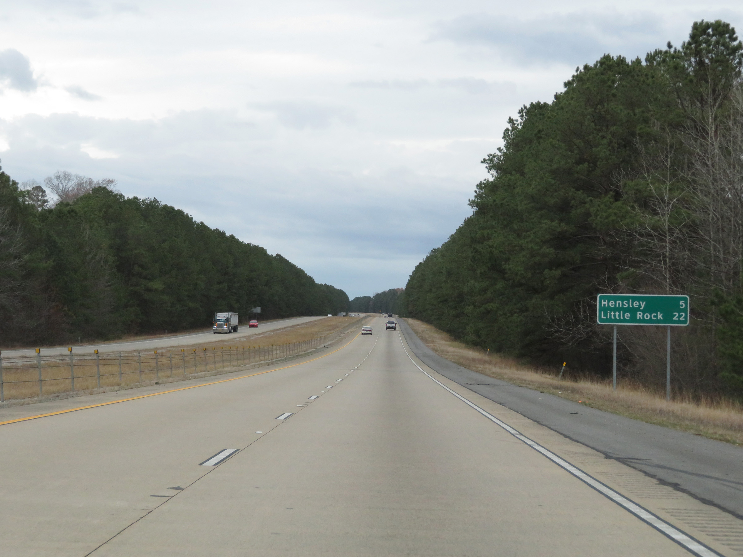 |
Another mileage sign on Interstate 530 North. It's 5 miles to Hensley and 22 miles to Little Rock. (Photo taken 12/11/20). |
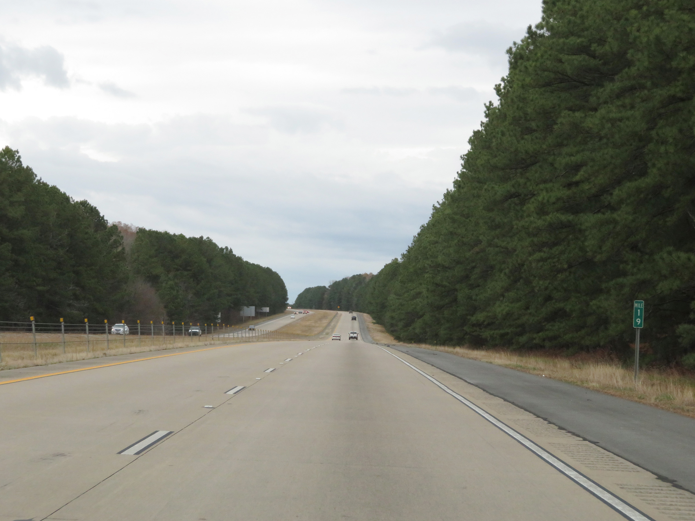 |
View on Interstate 530 North at mile marker 19. (Photo taken 12/11/20). |
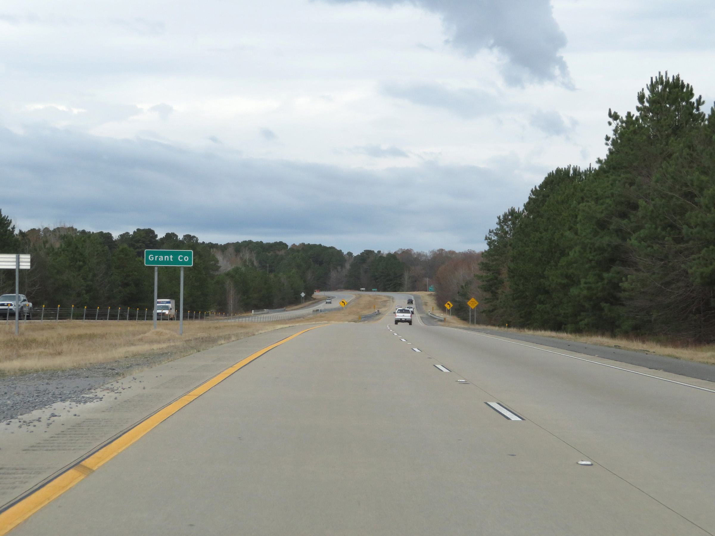 |
Interstate 530 North as it briefly dips into Grant County. (Photo taken 12/11/20). |
 |
Interstate 530 North stays in Grant County for only about 1/2 mile. (Photo taken 12/11/20). |
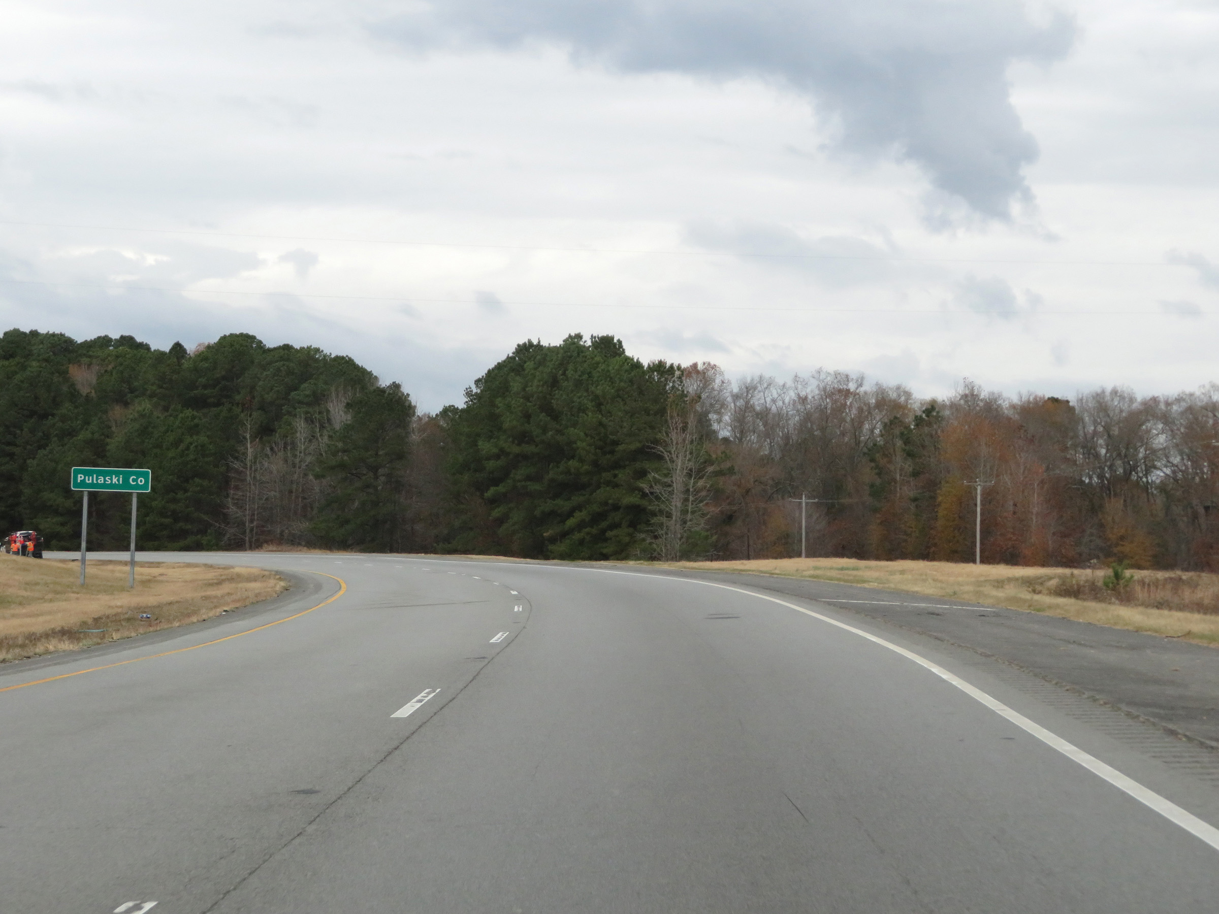 |
Interstate 530 North as it enters Pulaski County for the first time. (Photo taken 12/11/20). |
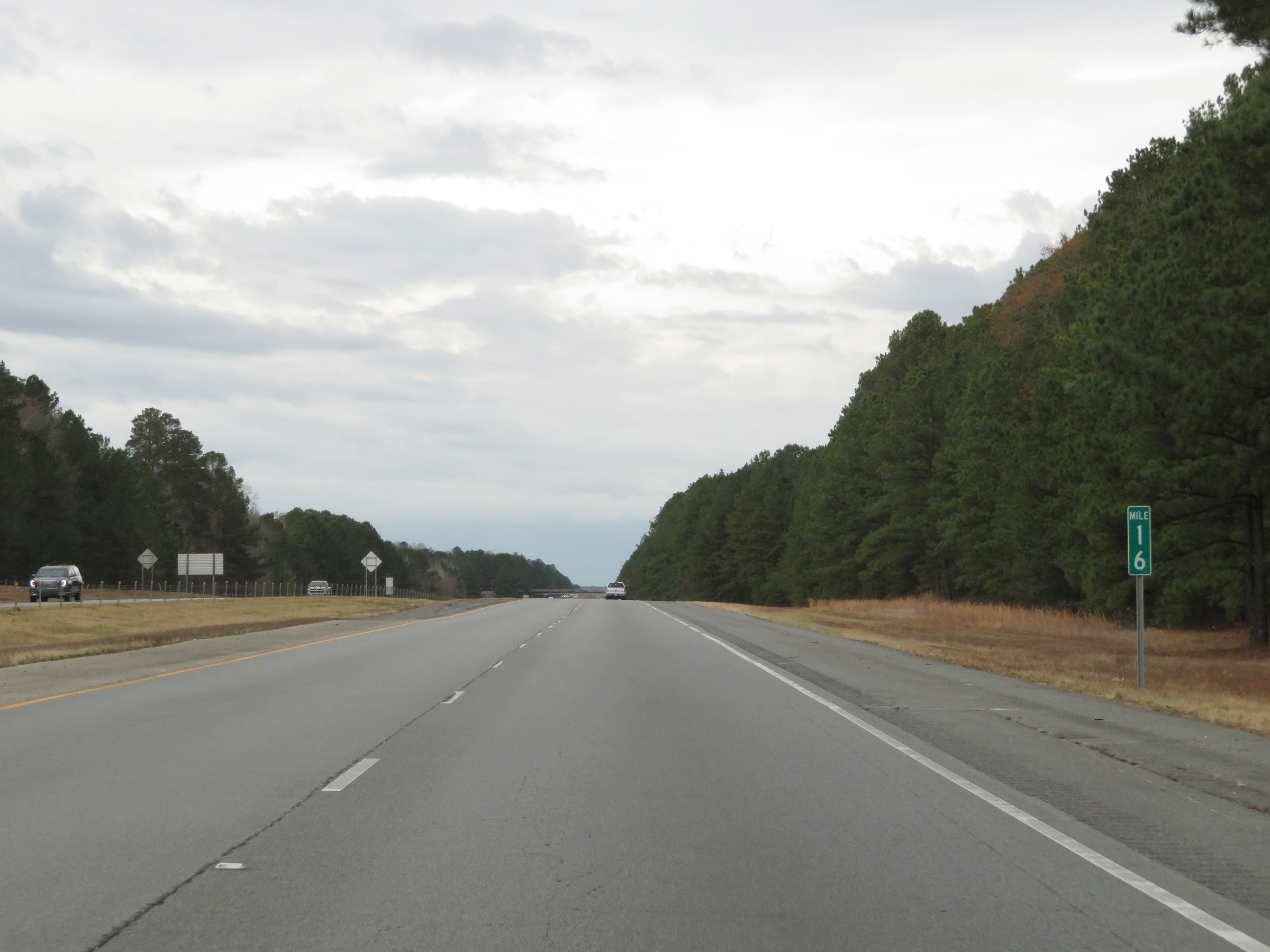 |
View on Interstate 530 North at mile marker 16. (Photo taken 12/11/20). |
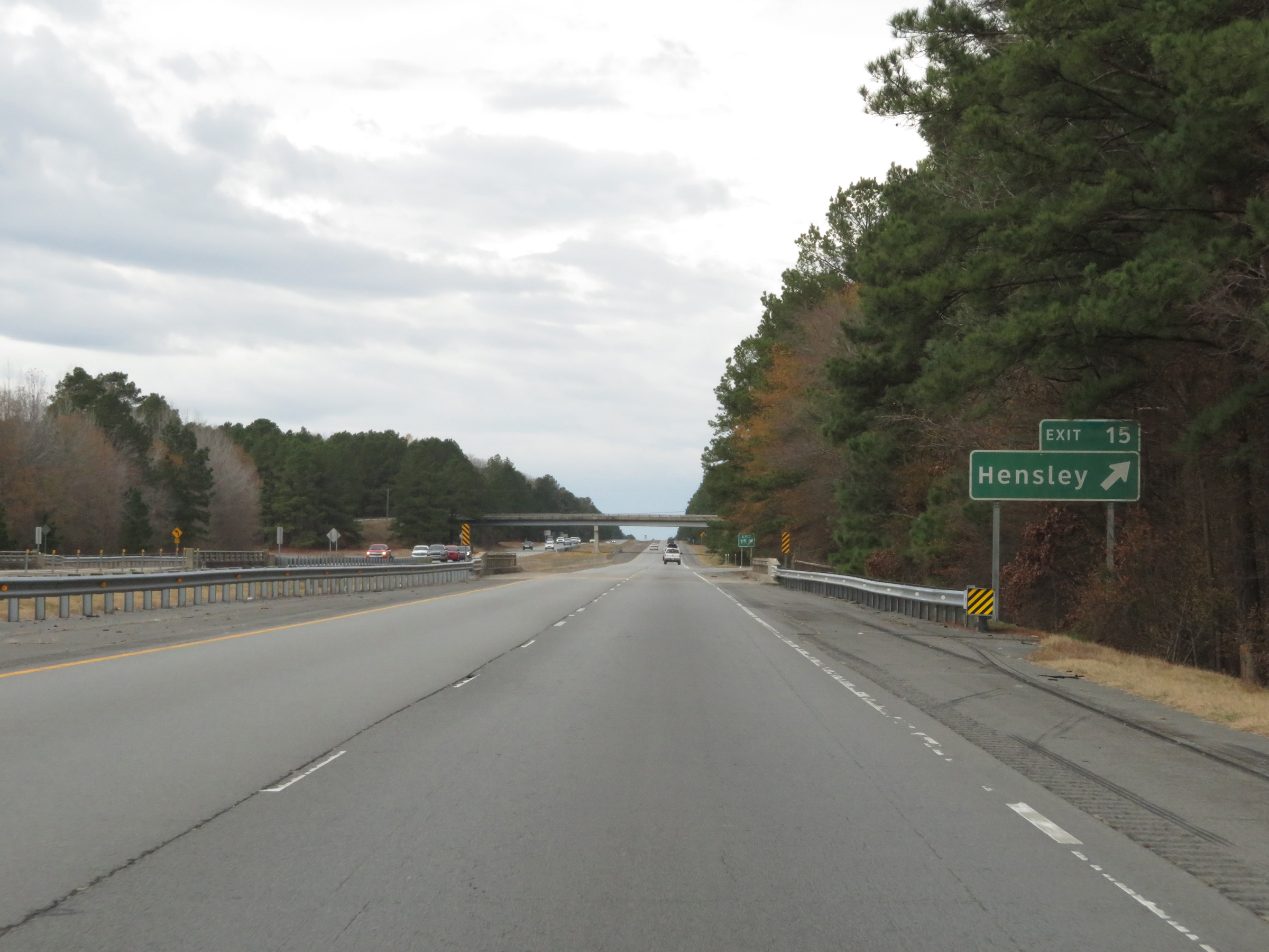 |
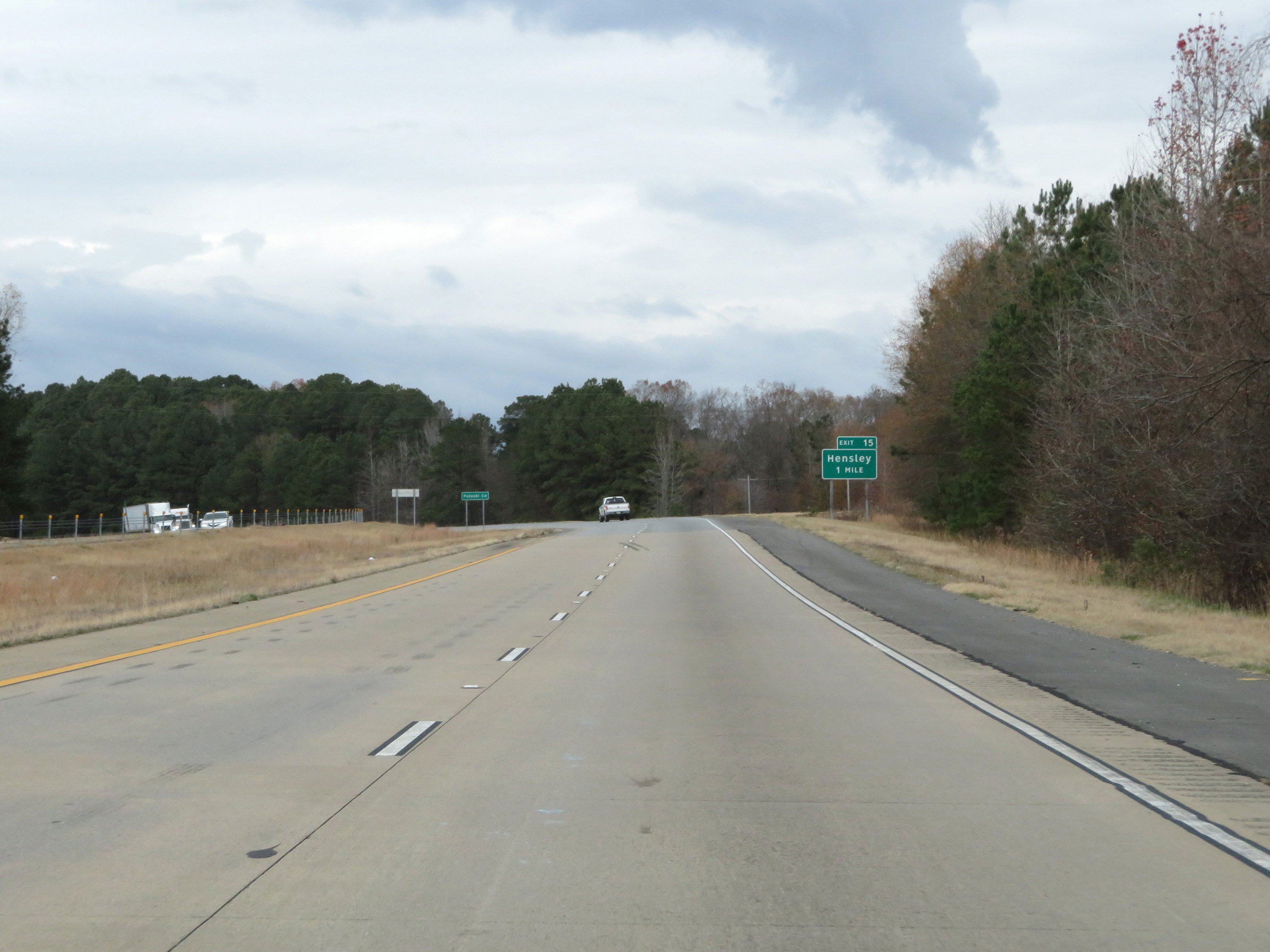
Interstate 530 North at Exit 15: Hensley (Photo taken 12/11/20). |
 |
Interstate 530 North as it enters Saline County. (Photo taken 12/11/20). |
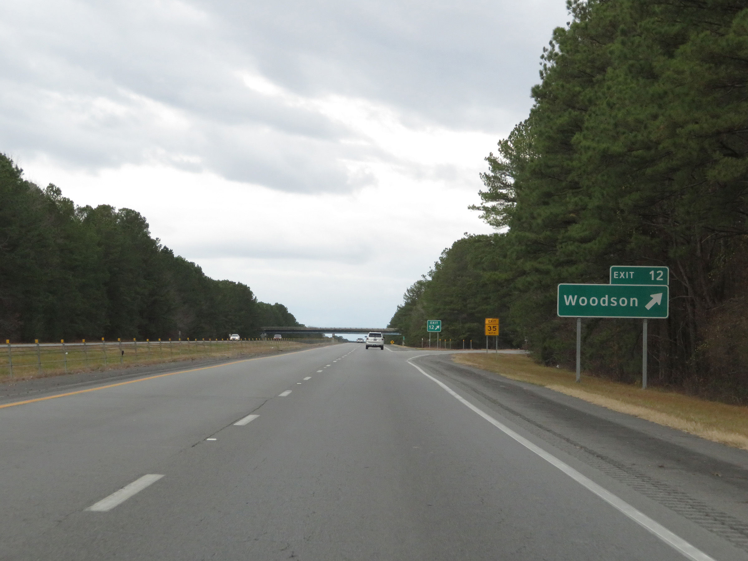 |
Interstate 530 North at Exit 12: Woodson (Photo taken 12/11/20). |
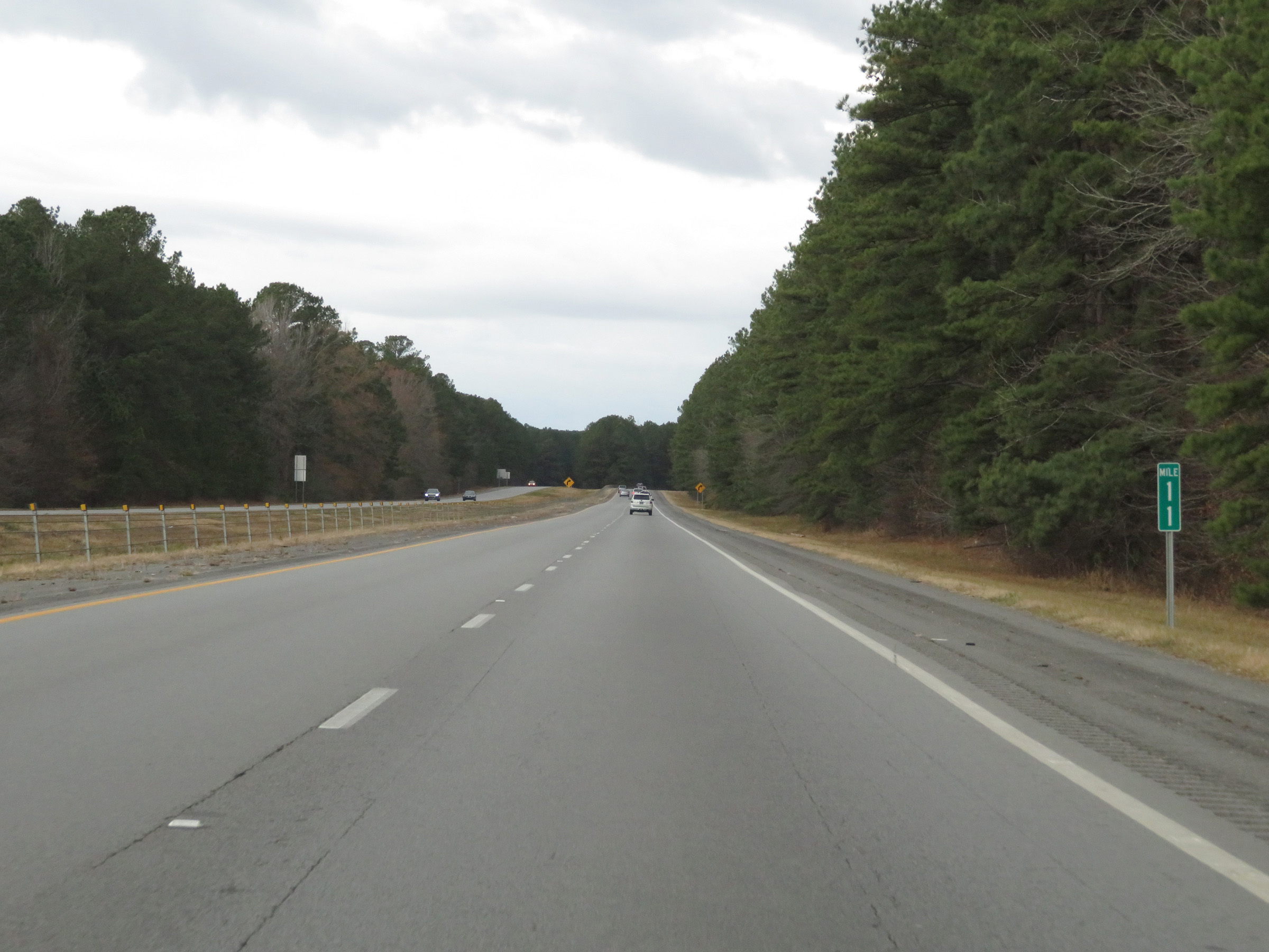 |
Mile marker 11 on Interstate 530 North in Saline County. (Photo taken 12/11/20). |
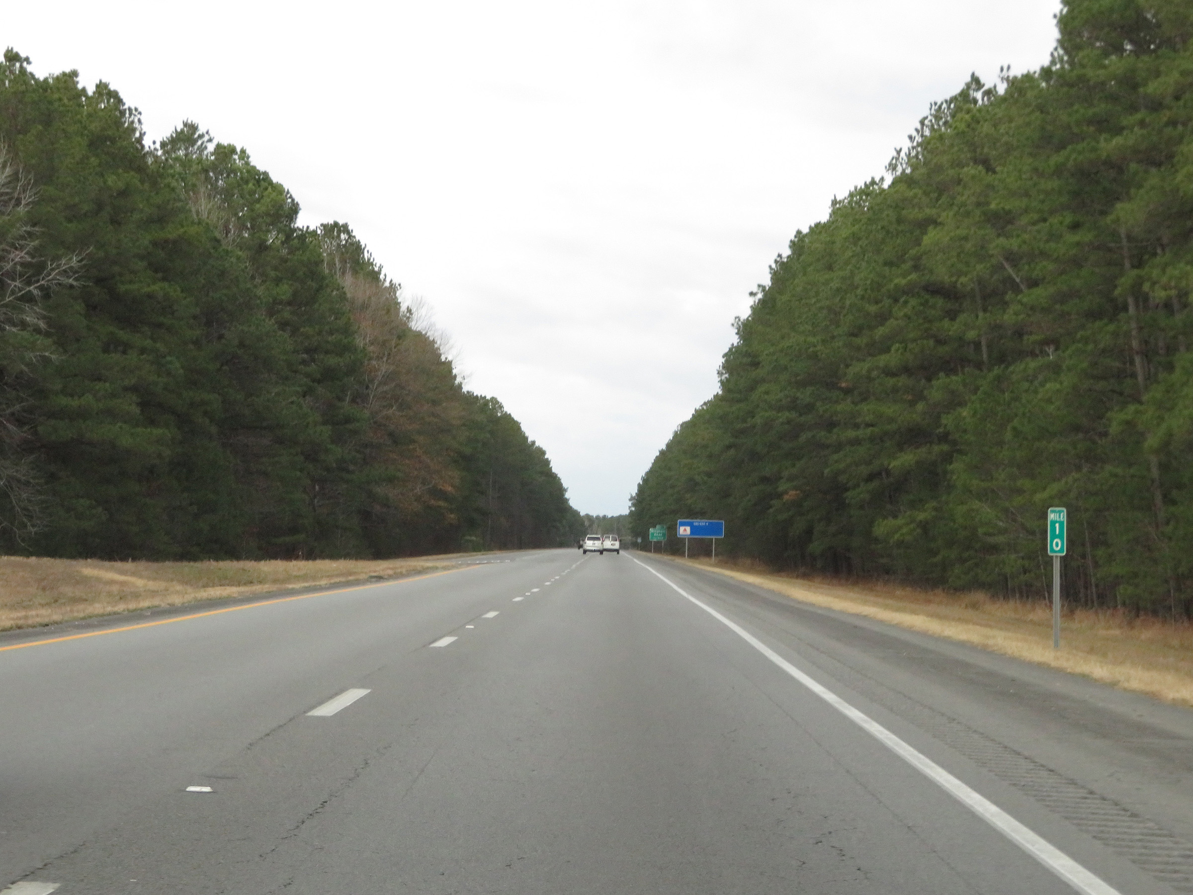 |
View on Interstate 530 North at mile marker 10. (Photo taken 12/11/20). |
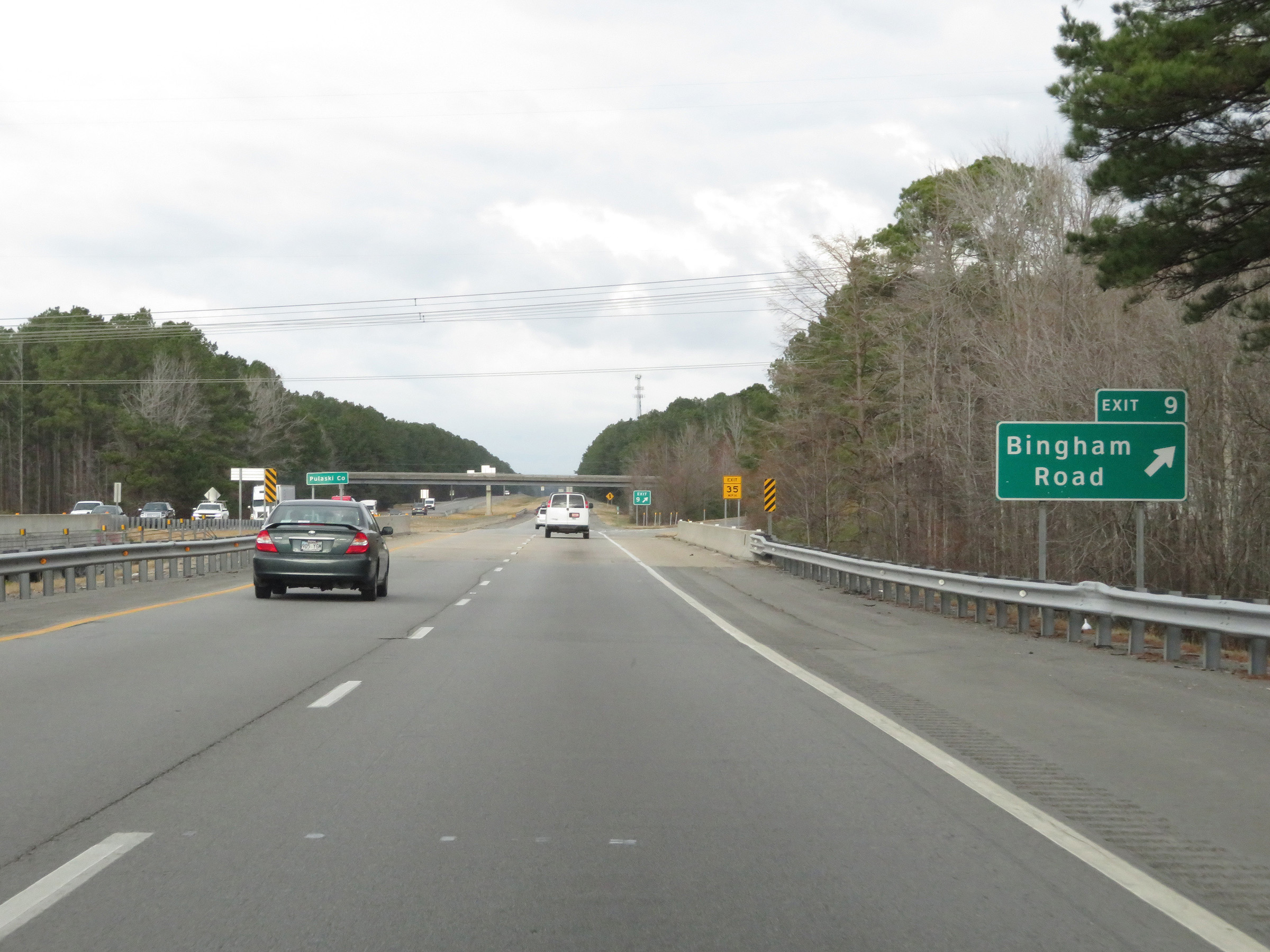 |
Interstate 530 North at Exit 9: Bingham Road (Photo taken 12/11/20). |
 |
At Exit 9, Interstate 530 North re-enters Pulaski County. (Photo taken 12/11/20). |
 |
View on Interstate 530 North at mile marker 8. (Photo taken 12/11/20). |
 |
Take Exit 7 to Wrightsville. (Photo taken 12/11/20). |
 |
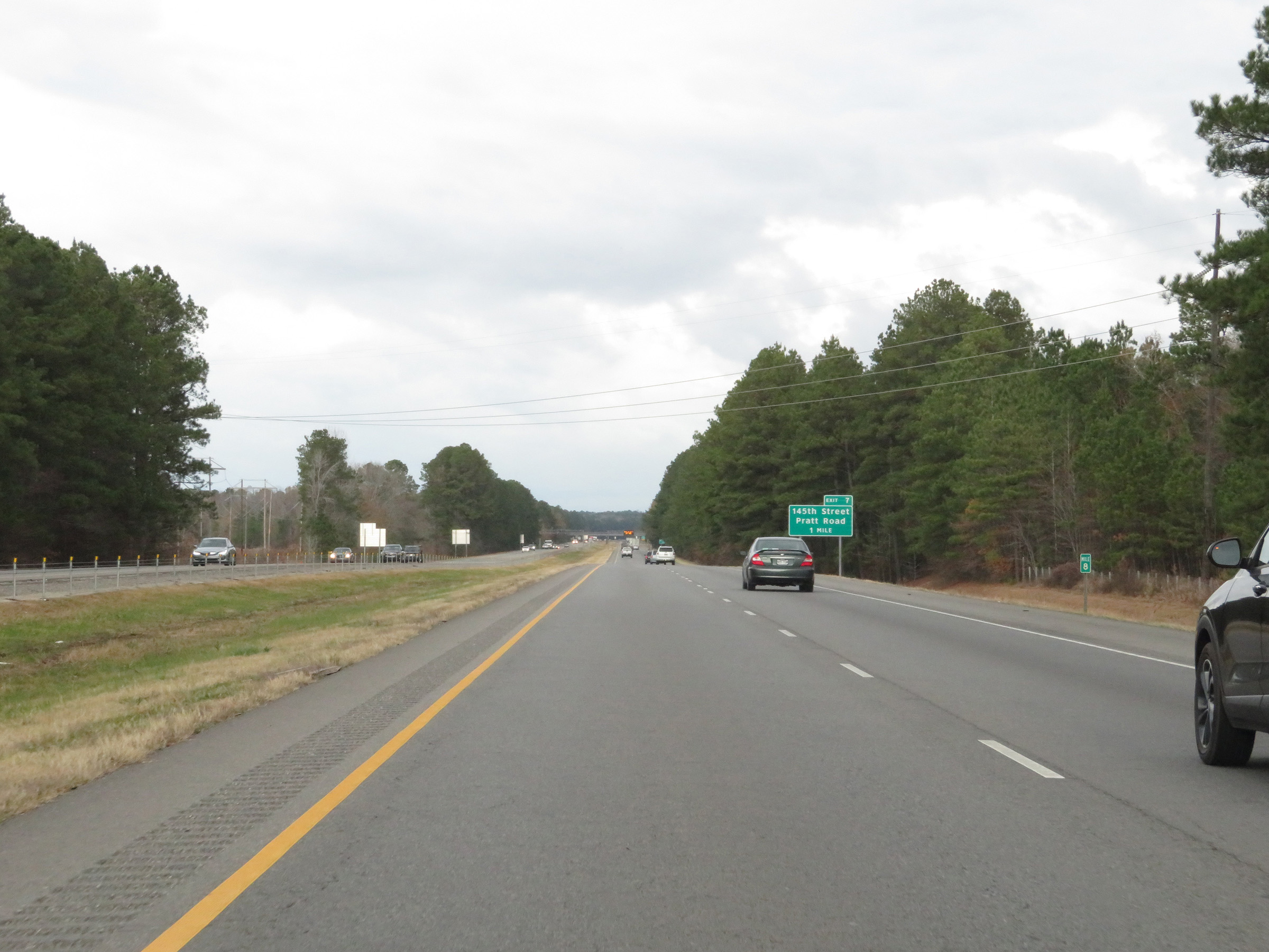
Interstate 530 North at Exit 7: 145th St / Pratt Rd (Photo taken 12/11/20). |
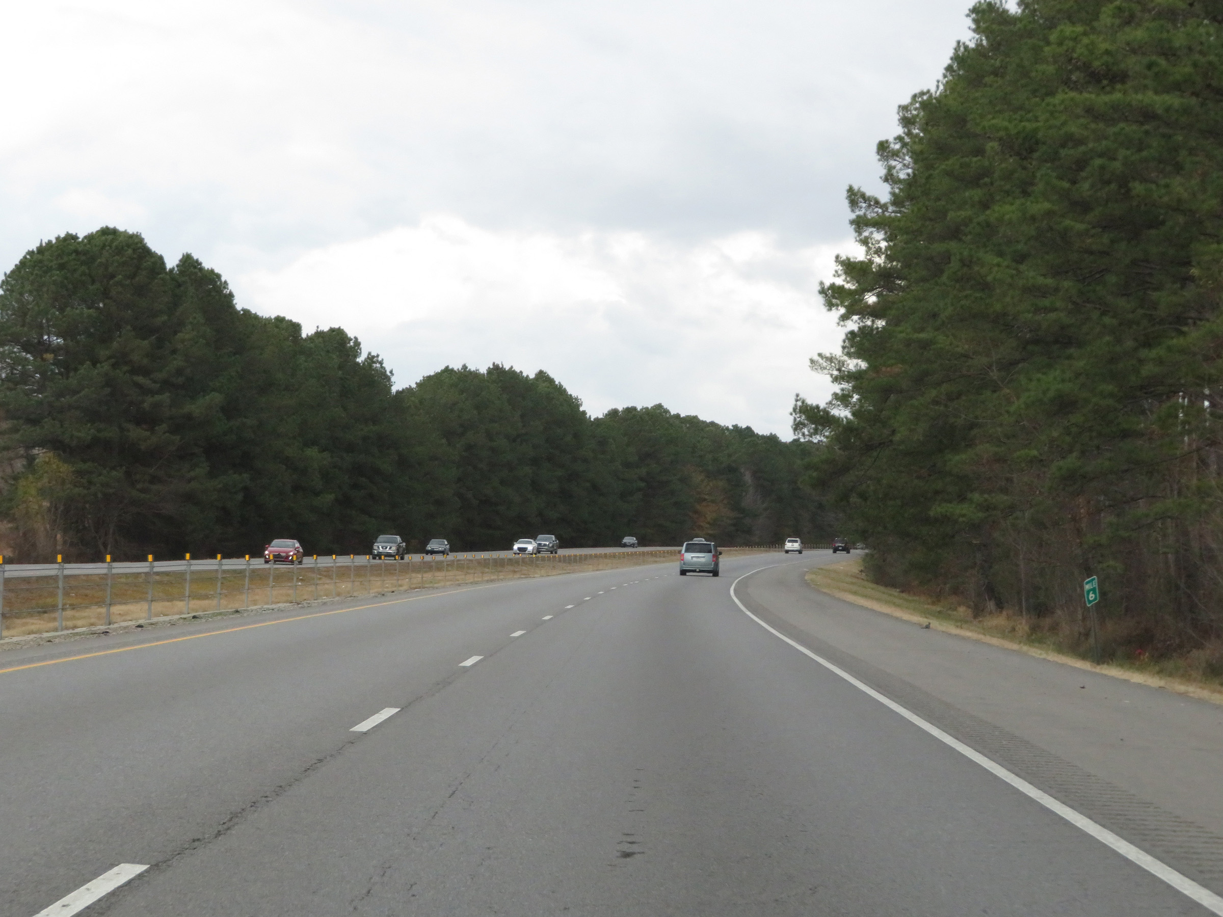 |
View on Interstate 530 North at mile marker 6. (Photo taken 12/11/20). |
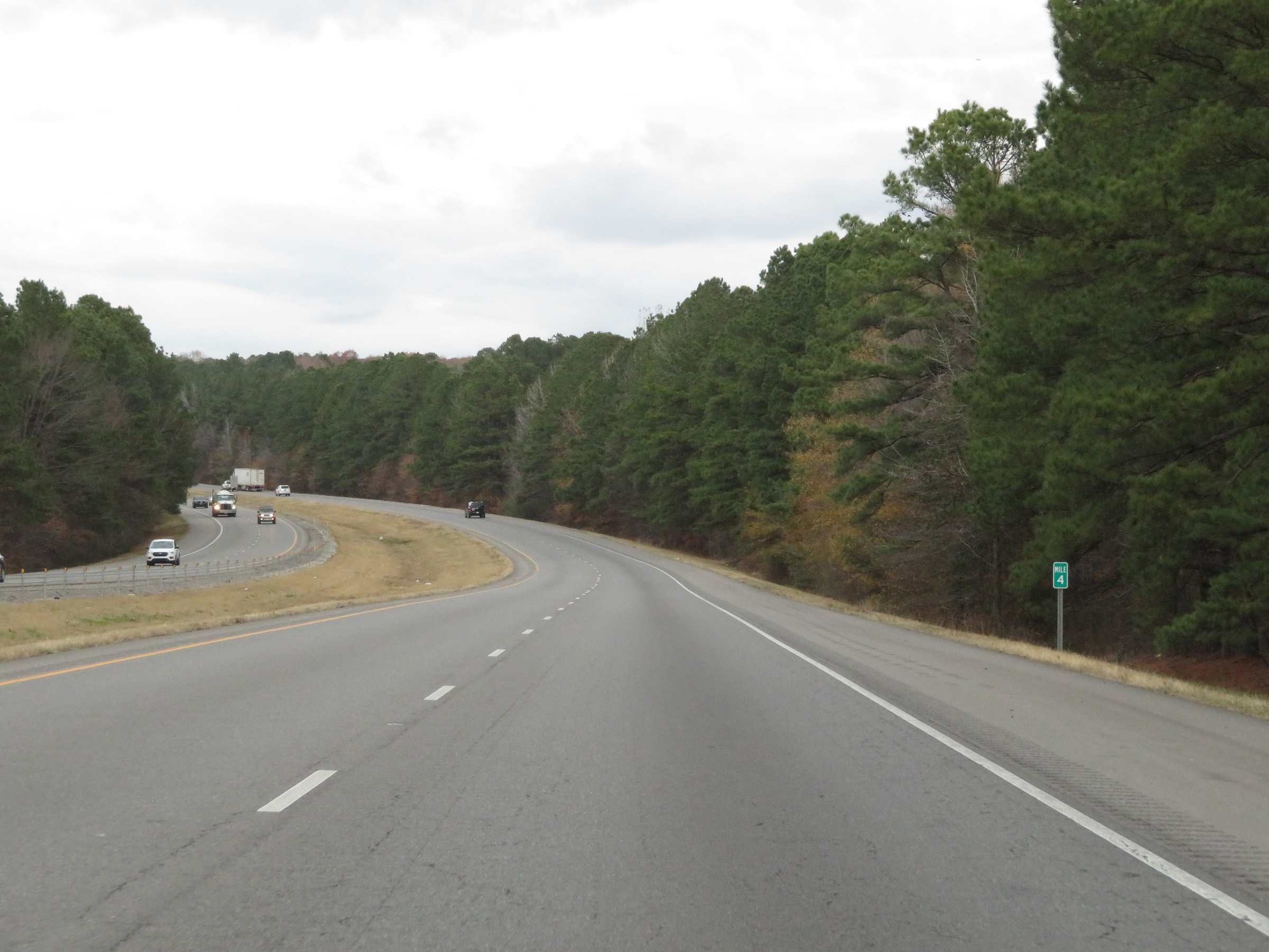 |
Interstate 530 North at mile marker 4. (Photo taken 12/11/20). |
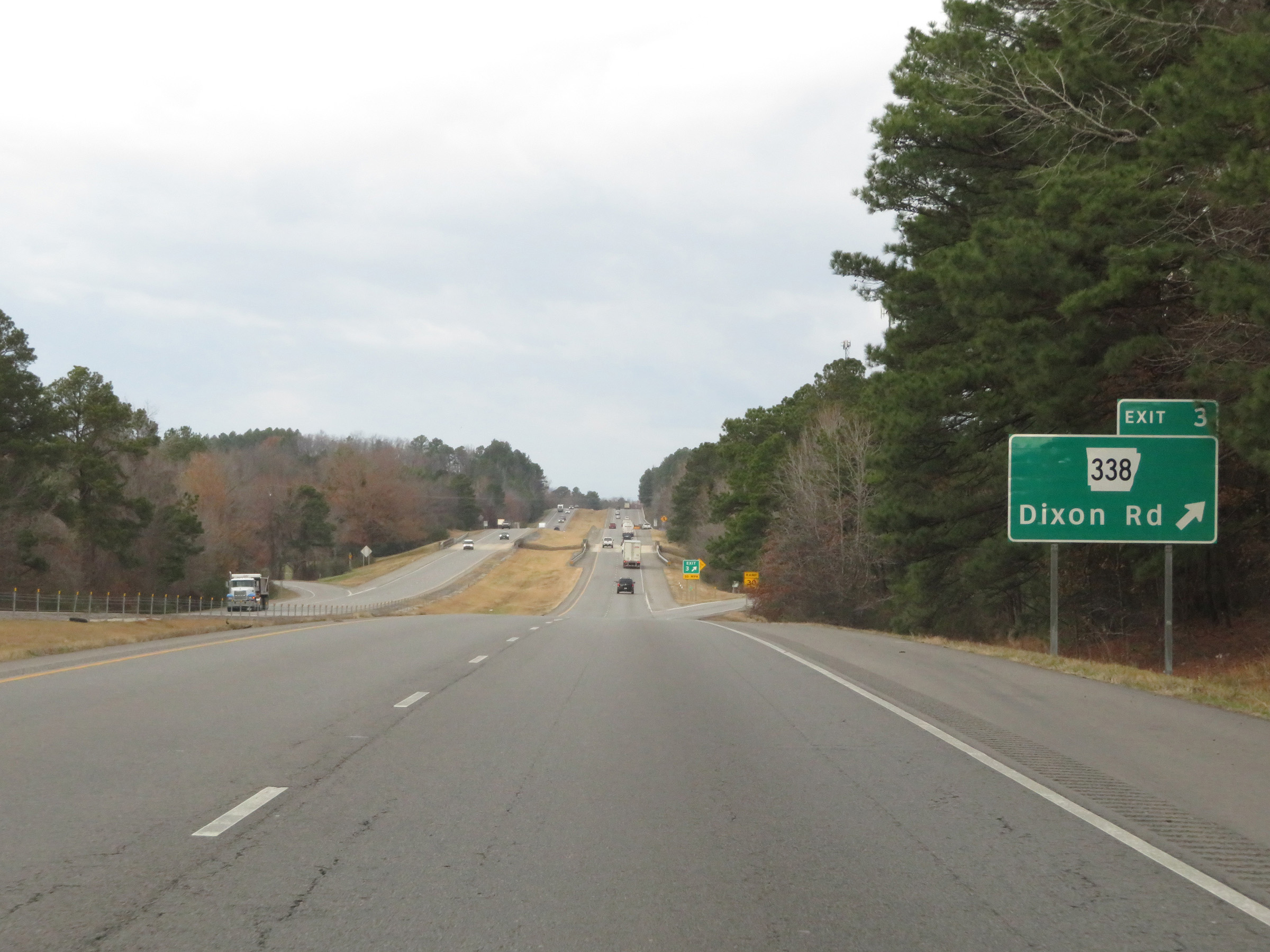 |
Interstate 530 North at Exit 3: AR 338 - Dixon Rd (Photo taken 12/11/20). |
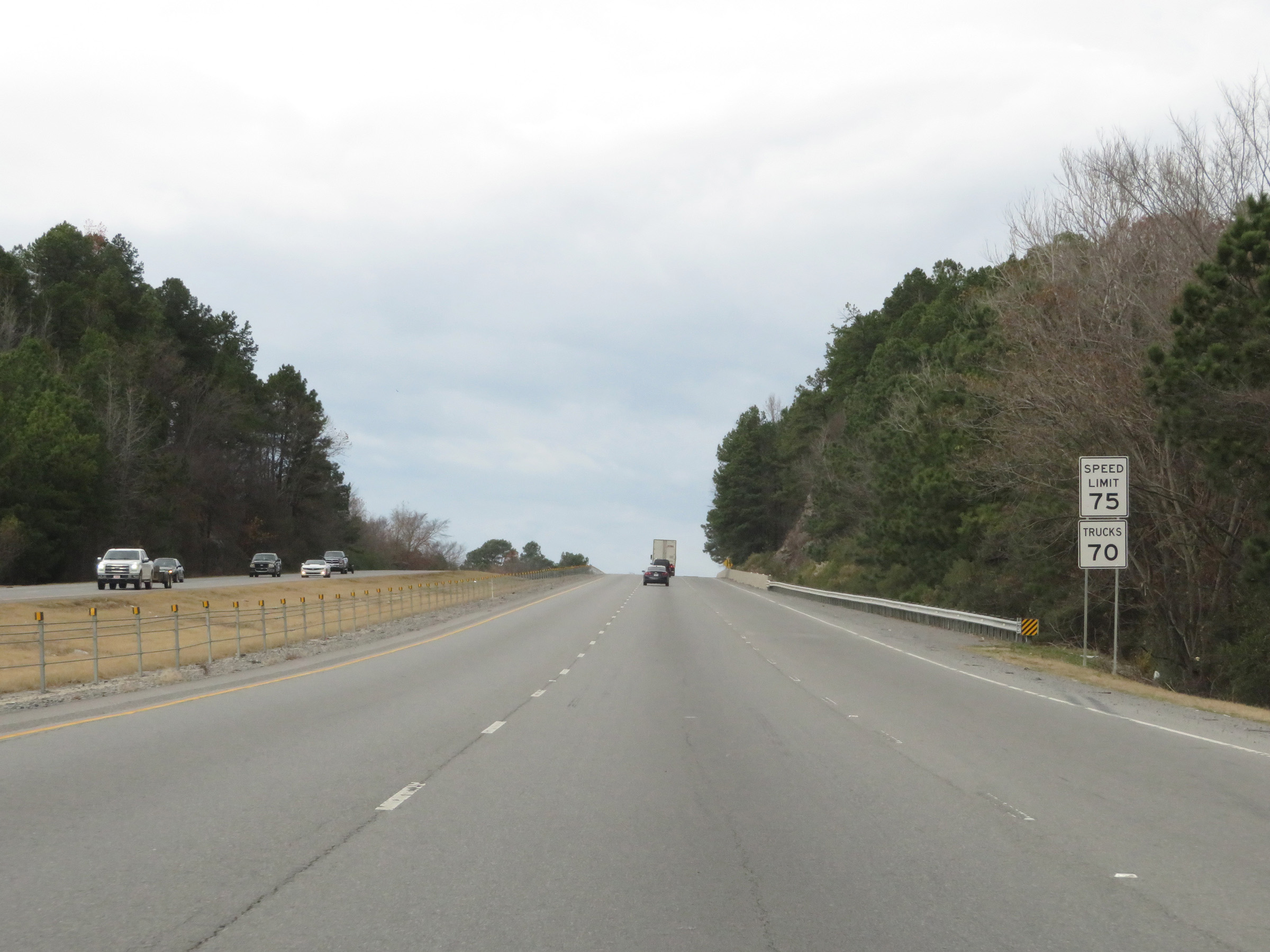 |
The speed limits remain 75 mph for automobiles and 70 mph for trucks. (Photo taken 12/11/20). |
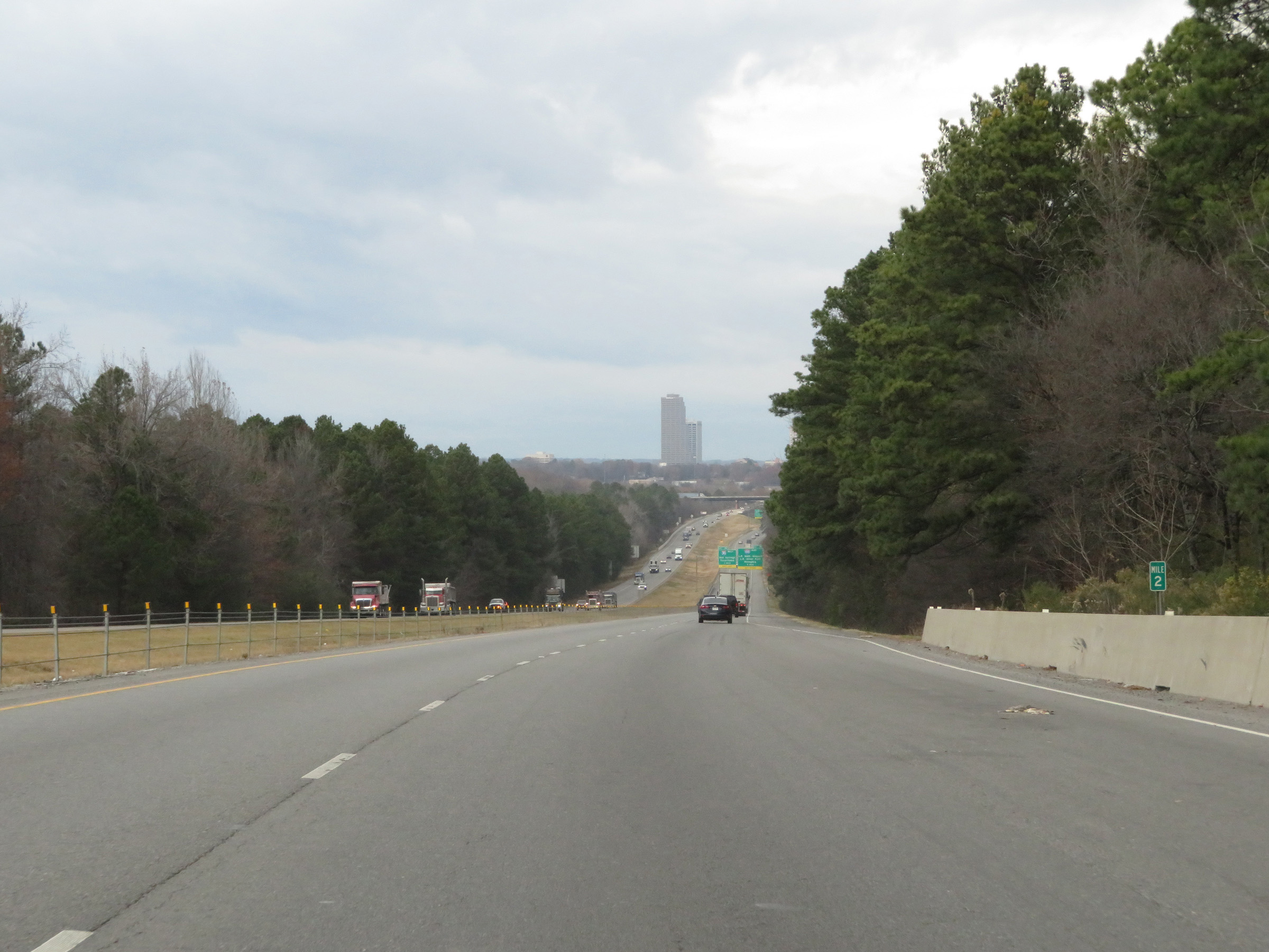 |
View on Interstate 530 North at mile marker 2. (Photo taken 12/11/20). |
 |
Interstate 530 North approaching Exits 1A-B - 1 mile. (Photo taken 12/11/20). |
 |
Trucks hauling hazardous materials are prohibited on Interstate 30 East in downtown Little Rock. They must use I-30 West or Interstate 440 East. (Photo taken 12/11/20). |
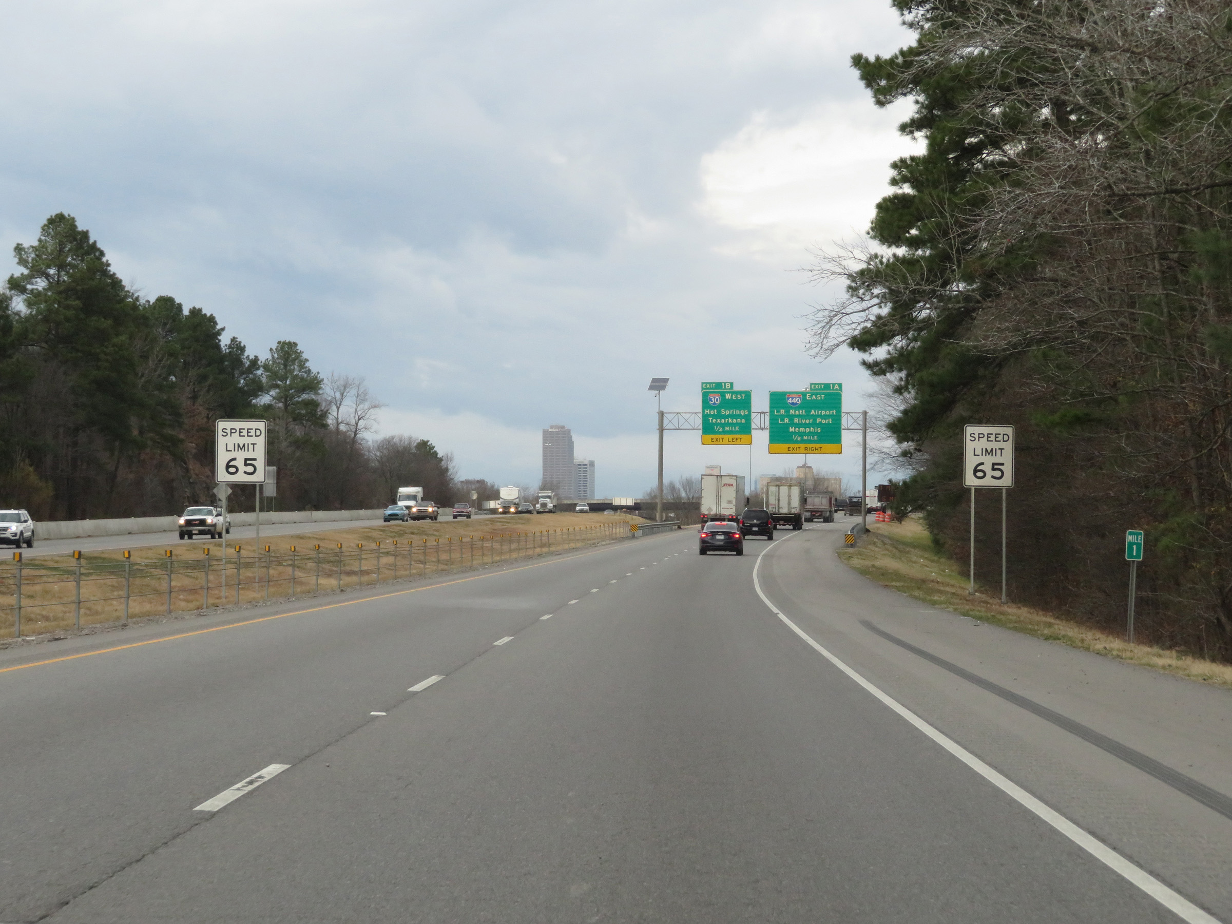 |
At mile marker 1, the speed limit decreases to 65 mph for all traffic. (Photo taken 12/11/20). |
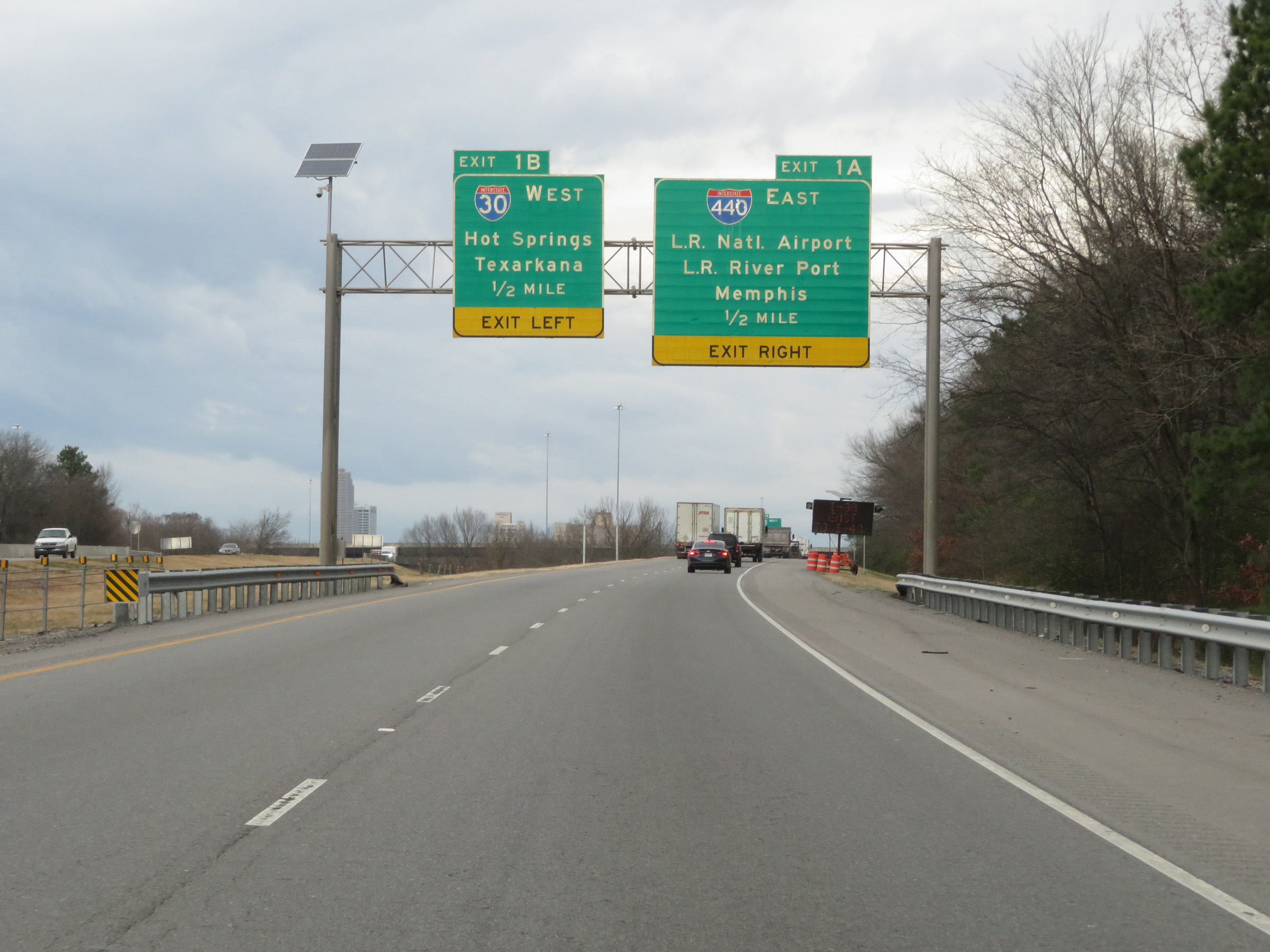 |
Now 1/2 mile from Exits 1A-B, these guide signs show that traffic to Exit 1B should keep left. (Photo taken 12/11/20). |
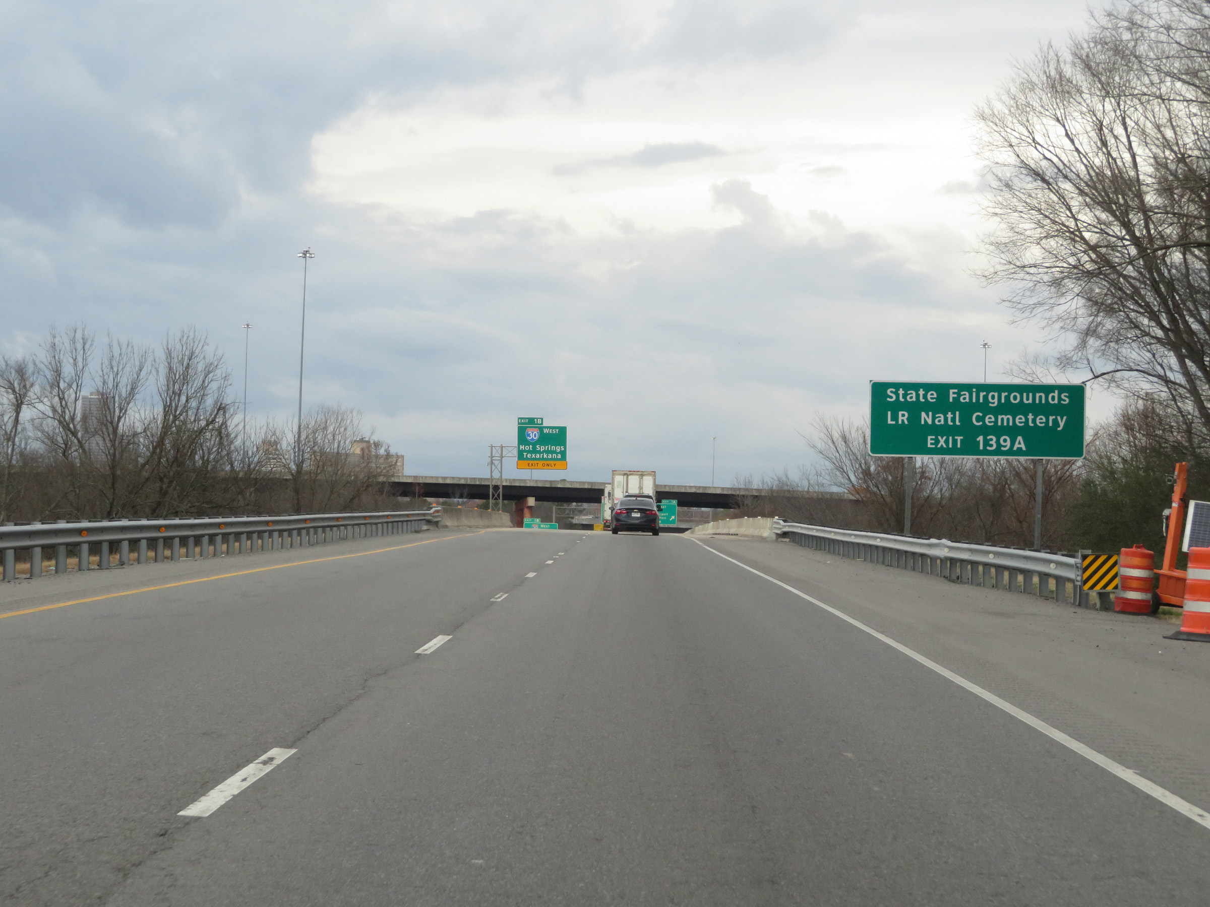 |
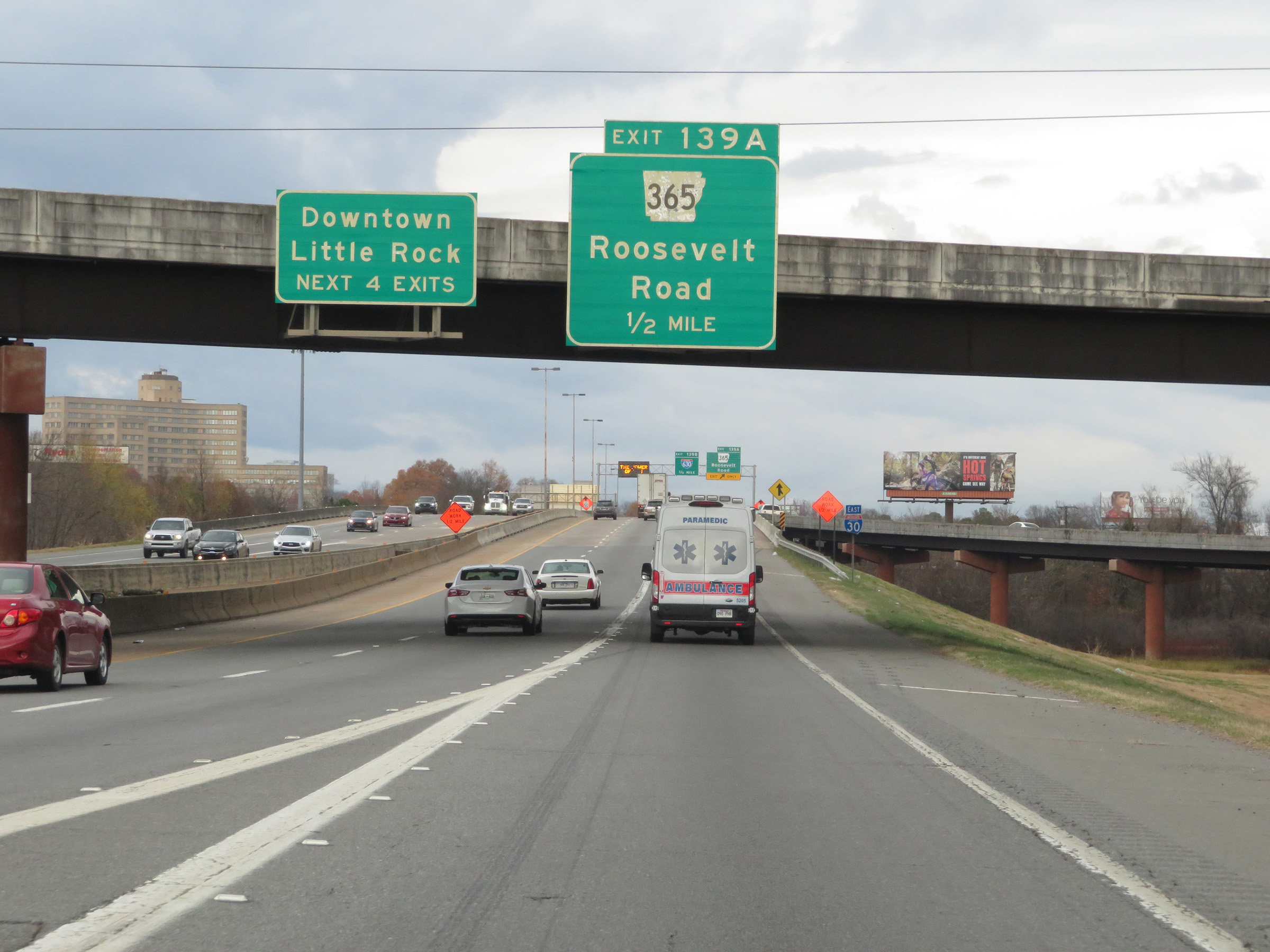
Take Exit 139A (via Interstate 30 East) to the State Fairgrounds and Little Rock National Cemetery. (Photo taken 12/11/20). |
 |
Interstate 530 North approaching Exit 1B on the left. (Photo taken 12/11/20). |
 |
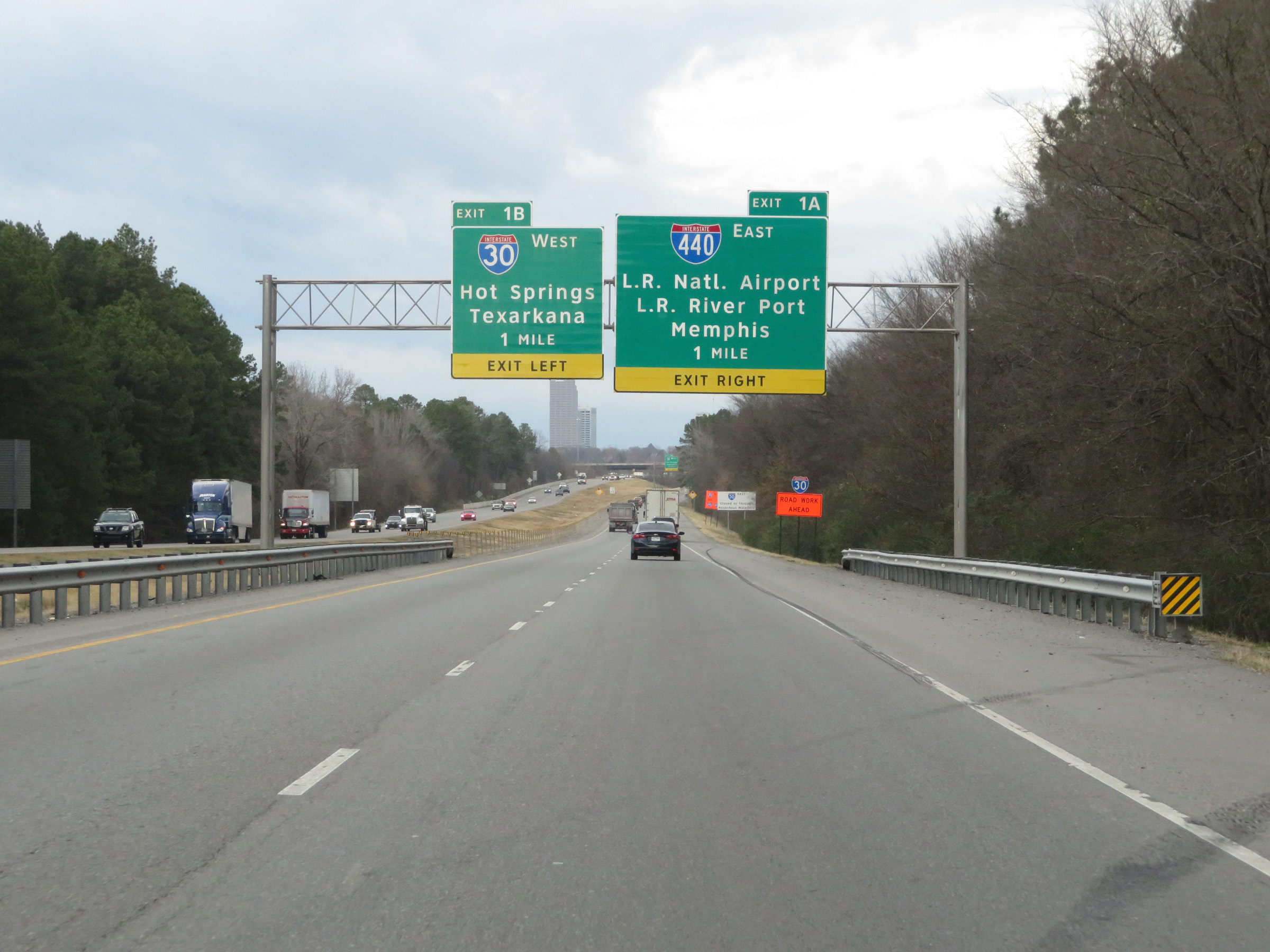
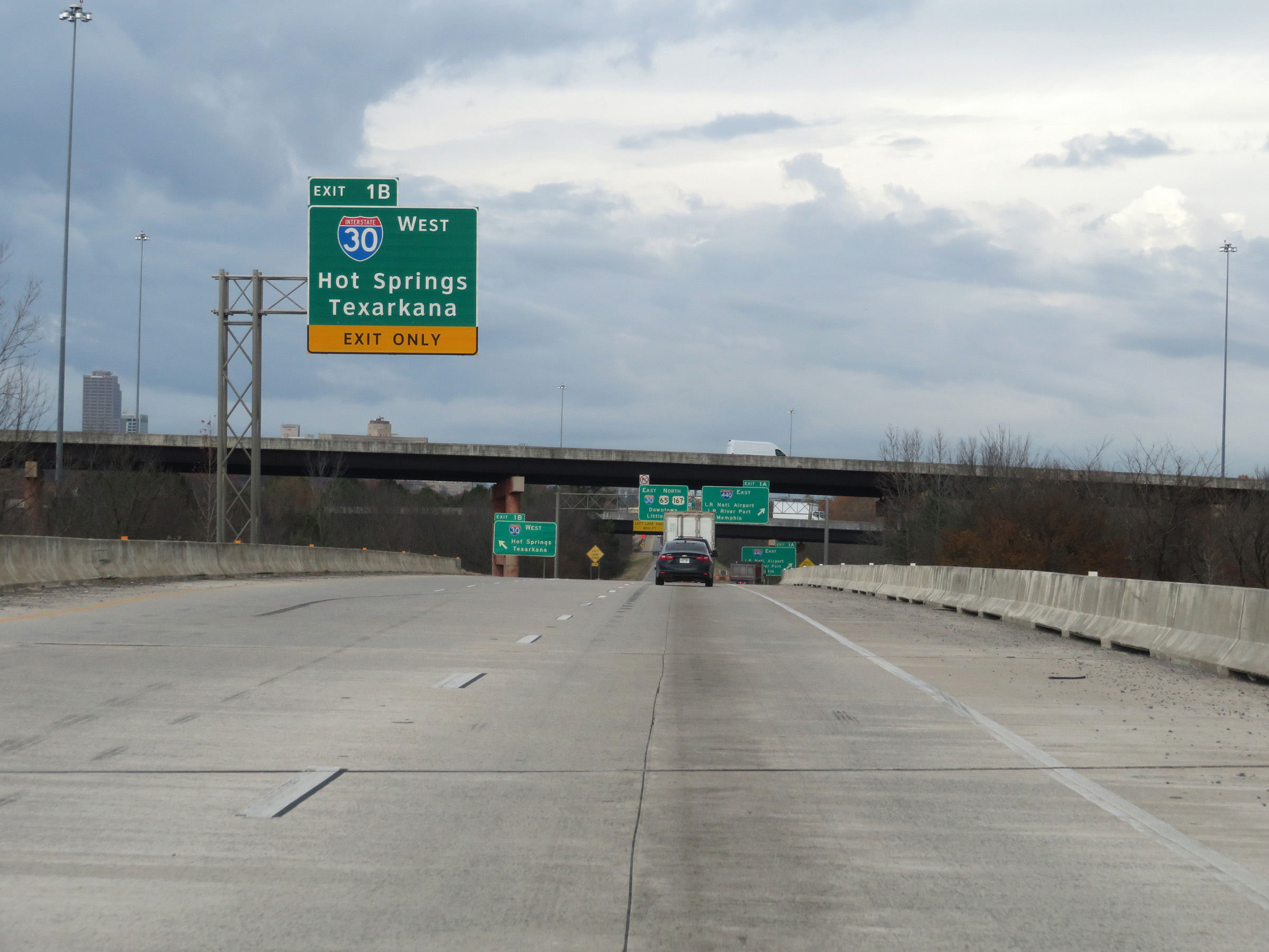
Interstate 530 North at Exit 1B: Interstate 30 West - Hot Springs / Texarkana (Photo taken 12/11/20). |
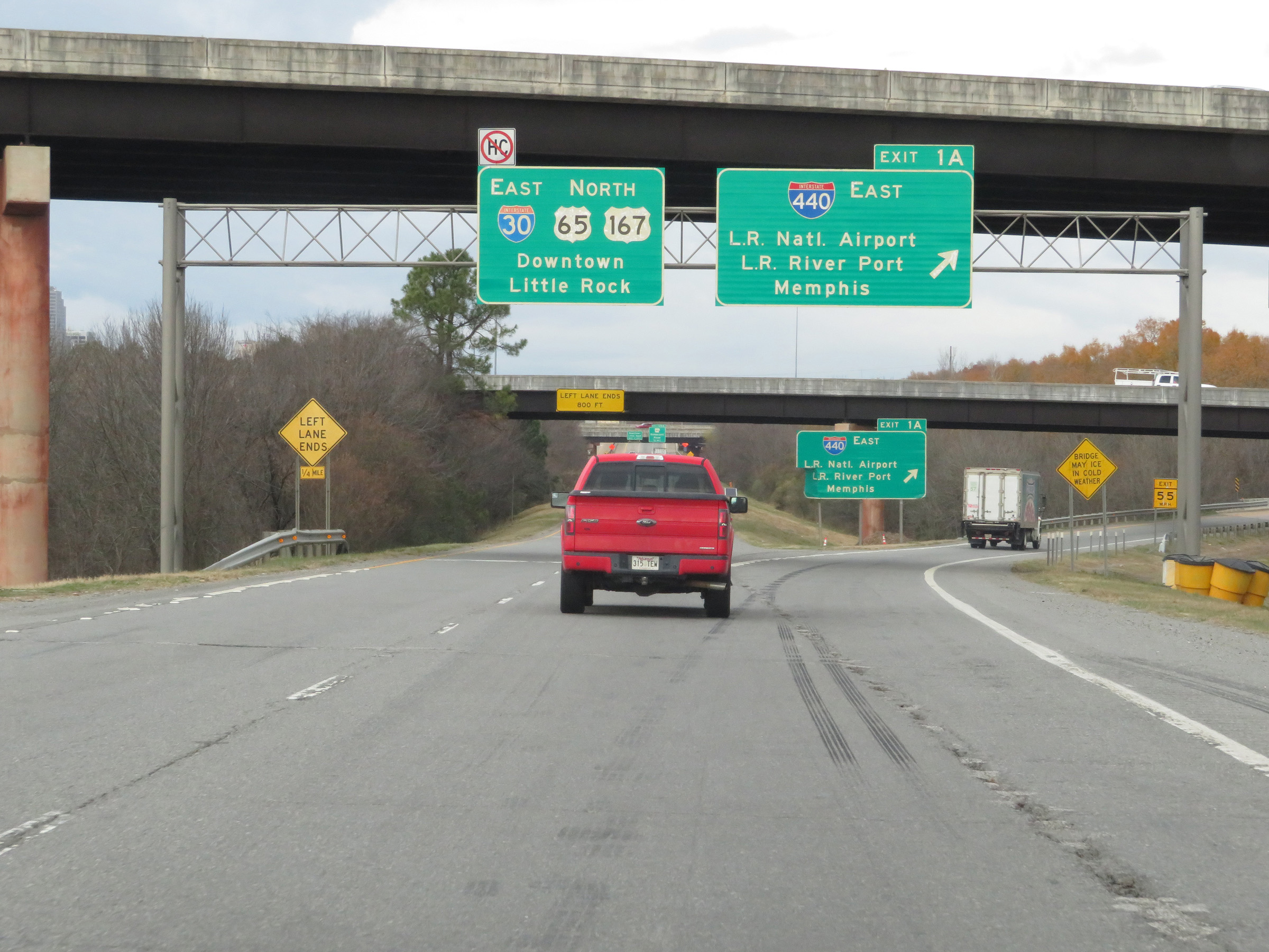 |
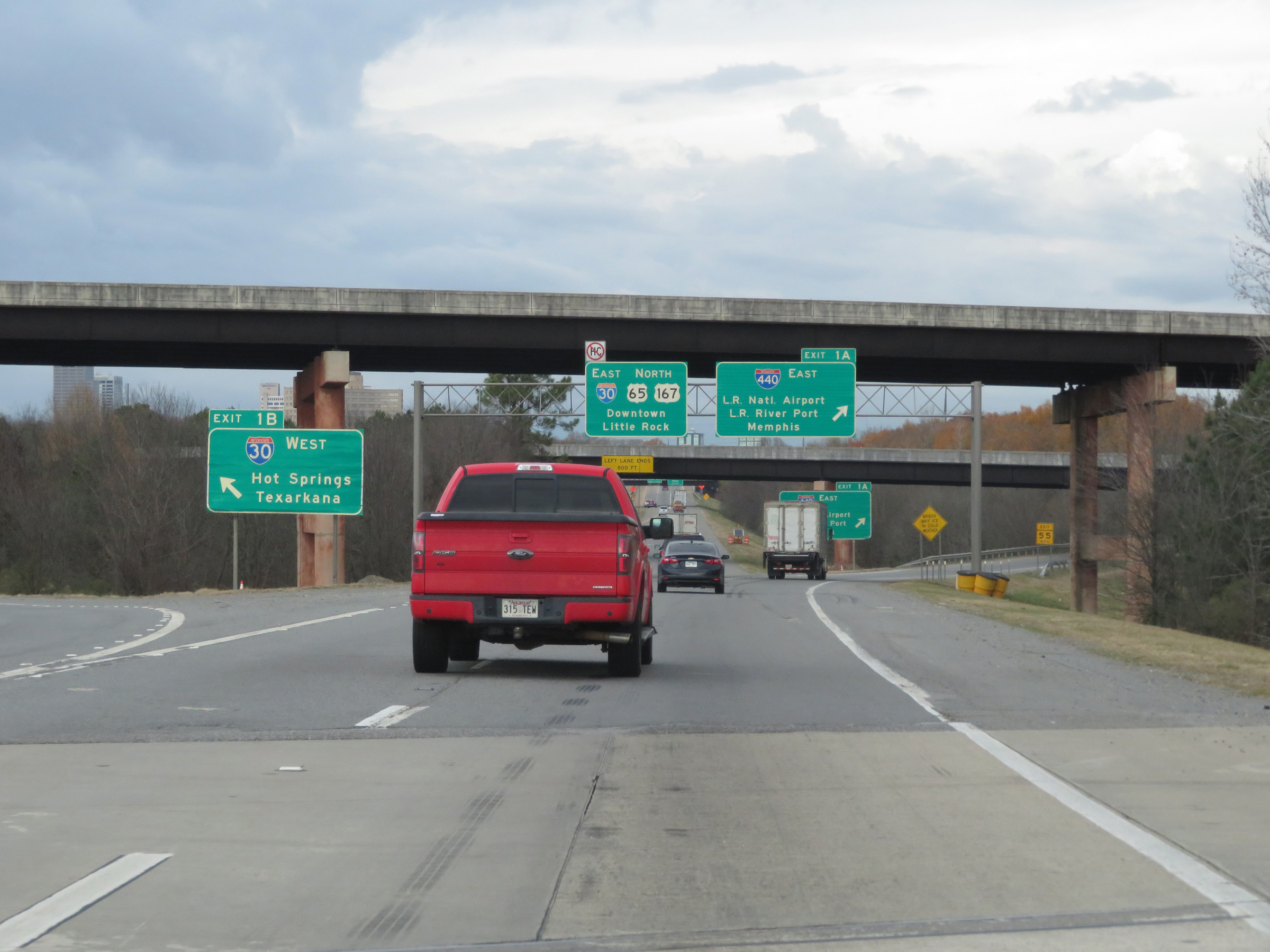
Interstate 530 North at Exit 1A: Interstate 440 East - Little Rock National Airport / Little Rock River Port / Memphis (Photo taken 12/11/20). |
 |
North of Exit 1A, Interstate 530 North is reduced to a single lane as it reaches its northern terminus. (Photo taken 12/11/20). |
 |
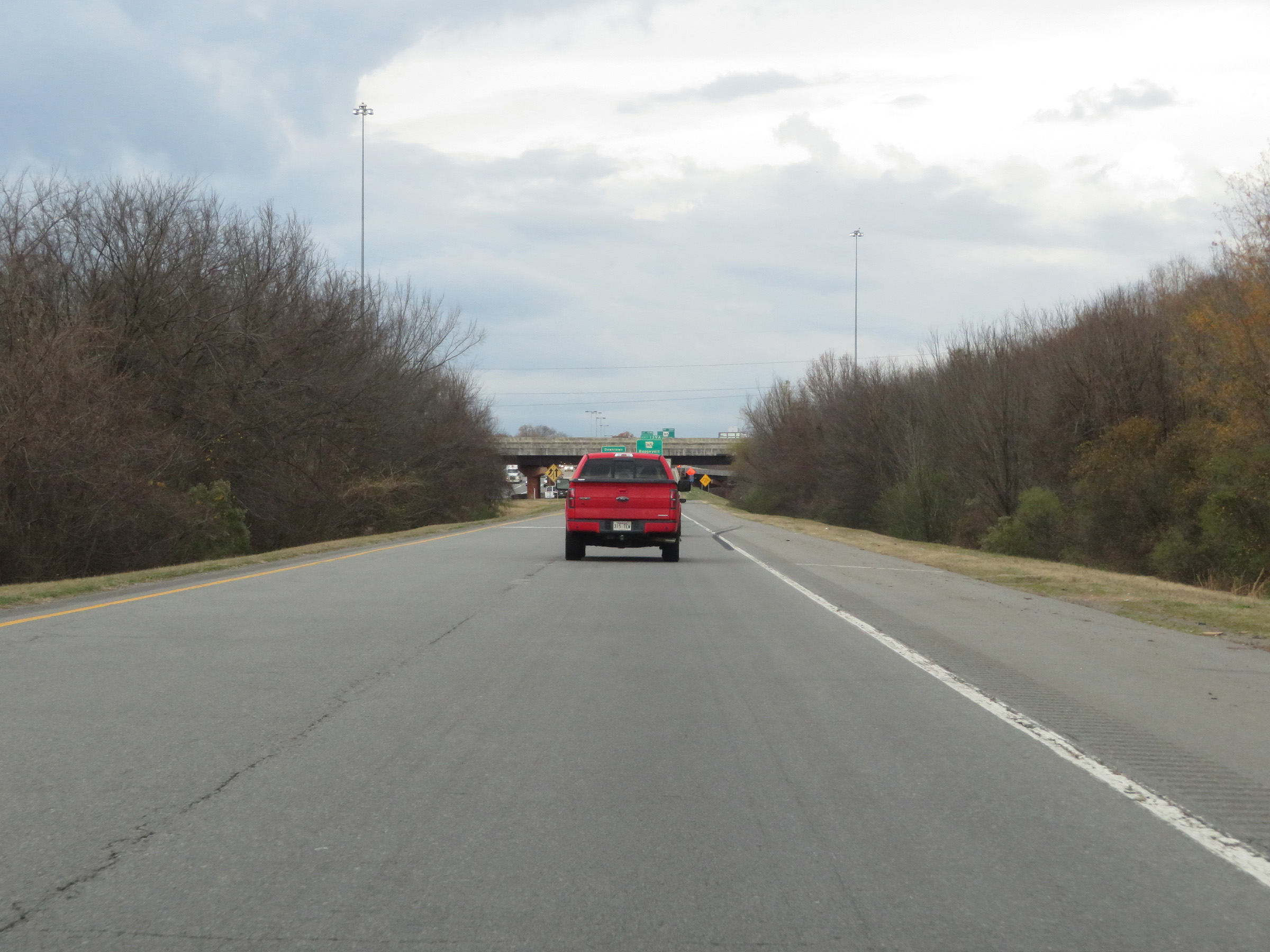
The single lane of Interstate 530 North continues as the ramp to Interstate 30 East in downtown Little Rock. (Photo taken 12/11/20). |
 |
State-named Interstate 30 East reassurance shield as the ramp from Interstate 530 North prepares to merge into it. (Photo taken 12/11/20). |