Road Information |
||
 |
||
| Total Mileage in State: | 359 miles | |
| Eastern End: | At New Mexico state line | |
| Western End: | At California state line | |
| Mileage covered in Photos: | 359 miles | |
| Counties covered in Photos: | Apache, Navajo, Coconino, Yavapai, Mohave | |
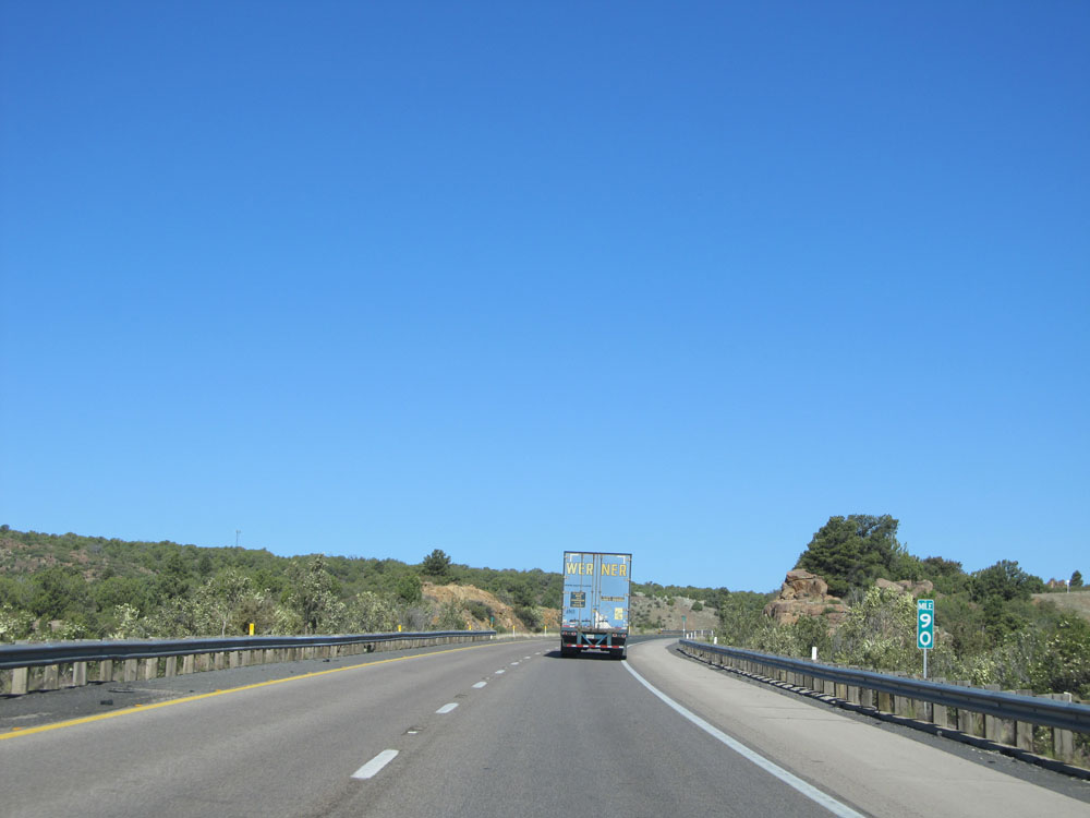
| Major Junctions in Photos: | US 180, in Holbrook US 180, in Flagstaff I-17, in Flagstaff US 93, in Kingman |
|
| Control Cities in Photos: | Holbrook, Winslow, Flagstaff, Williams, Kingman | |
Westbound
- Section 1: New Mexico Border to Holbrook (Exit 285)
- Section 2: Holbrook (Exit 285) to Flagstaff (Exit 195)
- Section 3: Flagstaff (Exit 195) to Seligman (Exit 121)
- Section 4: Seligman (Exit 121) to Kingman (Exit 53)
- Section 5: Kingman (Exit 53) to California Border
Section 1: New Mexico Border to Holbrook (Exit 285)
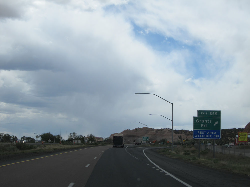 |
Interstate 40 West at Exit 359: Grants Rd / Rest Area / Welcome Center (Photo taken 5/18/15). |
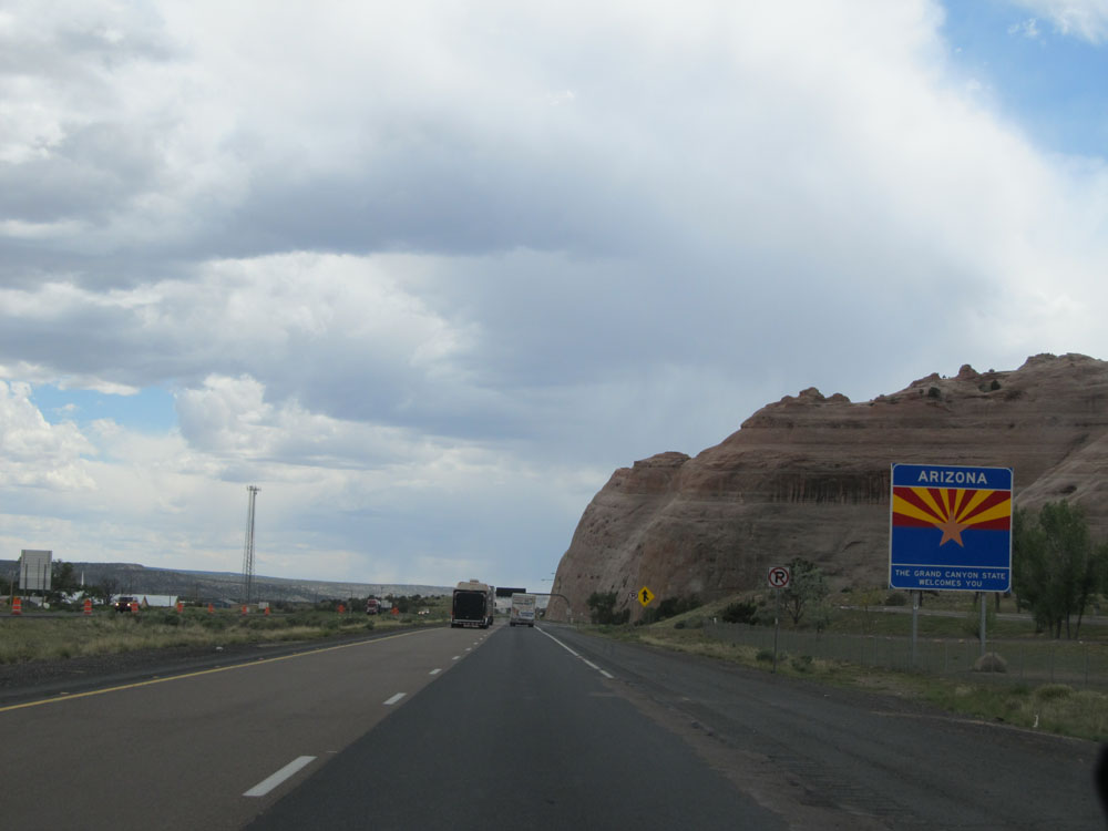 |
Arizona welcome sign as Interstate 40 West enters the Grand Canyon State from New Mexico. (Photo taken 5/18/15). |
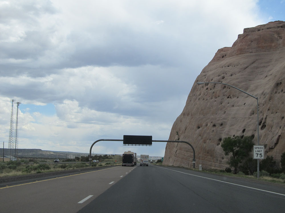 |
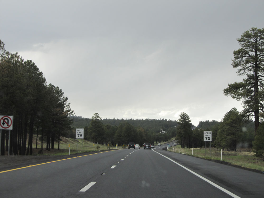
Speed limit sign upon crossing the border into Arizona. The speed limit on most rural Interstate highways in Arizona is 75 mph. (Photo taken 5/18/15). |
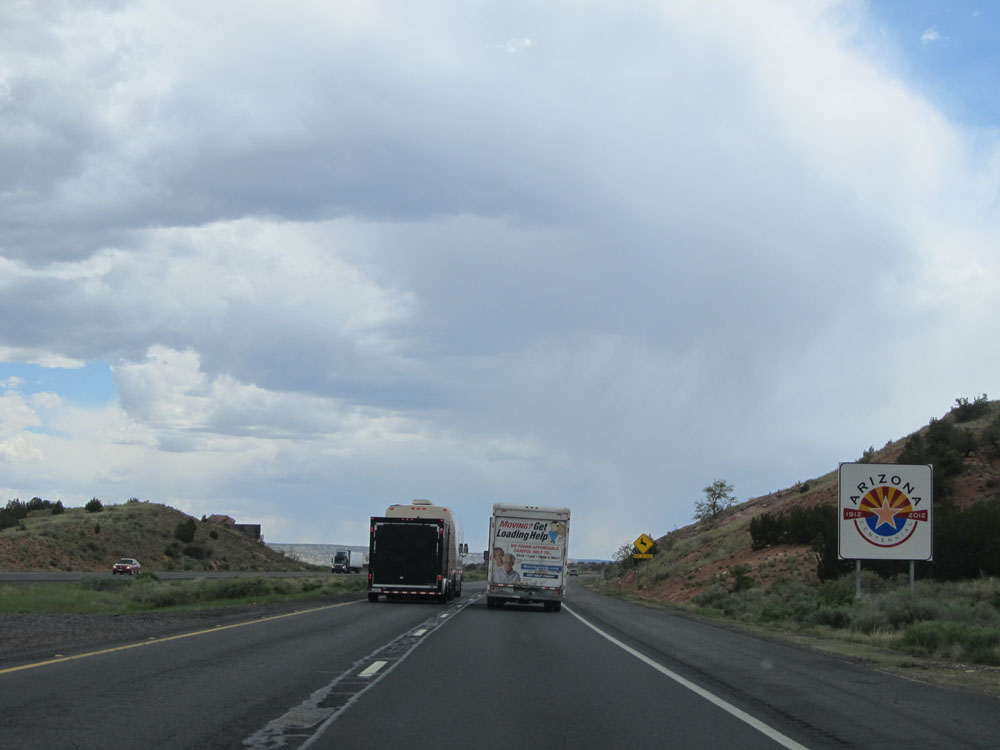 |
Arizona Centennial sign on Interstate 40 West. As of 2012, Arizona has posted these signs near all of its major borders and control cities, celebrating 100 years of statehood. (Photo taken 5/18/15). |
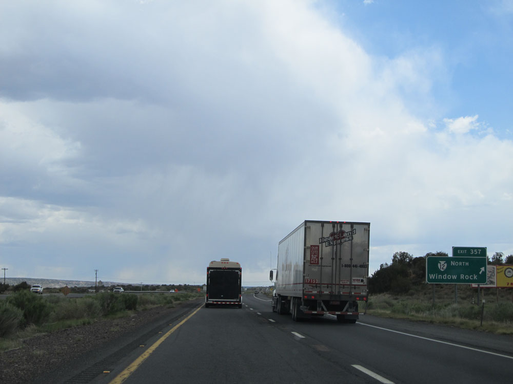 |
Interstate 40 West at Exit 357: BIA Route 12 North - Window Rock (Photo taken 5/18/15). |
 |
Mileage sign near mile marker 357. It's 45 miles to Petrified Forest National Park, 71 miles to Holbrook, and 162 miles to Flagstaff. (Photo taken 5/18/15). |
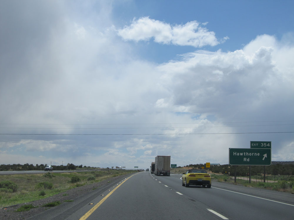 |
Interstate 40 West at Exit 354: Hawthorne Rd (Photo taken 5/18/15). |
 |
Interstate 40 West assurance shield located near mile marker 354. (Photo taken 5/18/15). |
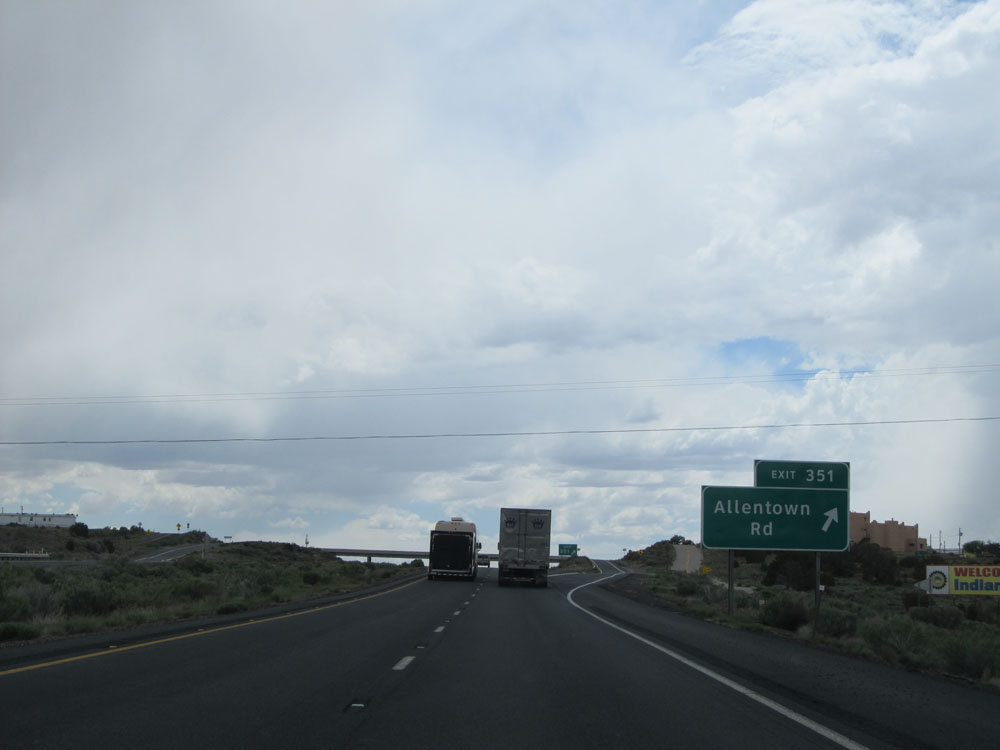 |
Interstate 40 West at Exit 351: Allentown Rd (Photo taken 5/18/15). |
 |
Another speed limit sign on Interstate 40 West. Speed limit - 75 mph. Hammer down. (Photo taken 5/18/15). |
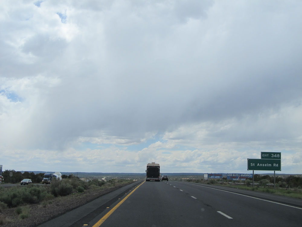 |
Take Exit 348 to St Anseim Rd. (Photo taken 5/18/15). |
 |
Interstate 40 West at Exit 348: Houck (Photo taken 5/18/15). |
 |
At mile marker 347, this sign indicates that Interstate 40 West has reached an elevation of 6,000 feet. Don't worry, we've got more climbing to do a bit later on. (Photo taken 5/18/15). |
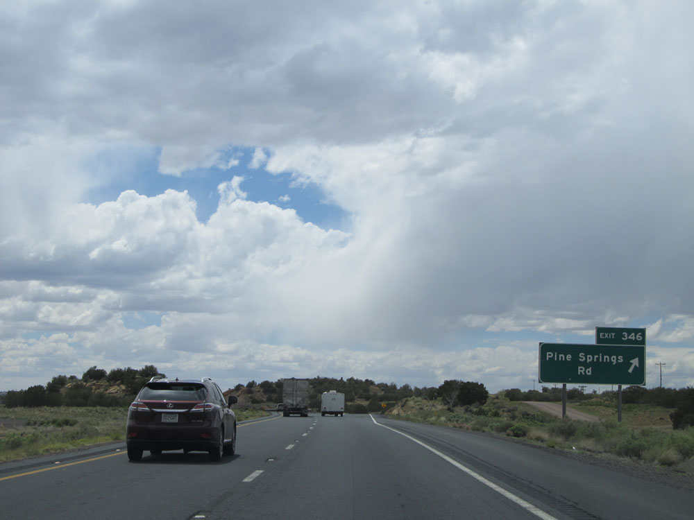 |
Interstate 40 West at Exit 346: Pine Springs Rd (Photo taken 5/18/15). |
 |
Interstate 40 West at Exit 343: Querino Rd (Photo taken 5/18/15). |
 |
Another Interstate 40 West assurance shield. (Photo taken 5/18/15). |
 |
Interstate 40 West approaching the Weigh Station. As you approach it in 1 mile, commercial vehicles are restricted to the rightmost lane. (Photo taken 5/18/15). |
 |
Also 1 mile ahead, as you approach the scales, lane changing in prohibited by all vehicles.....for whatever reason. (Photo taken 5/18/15). |
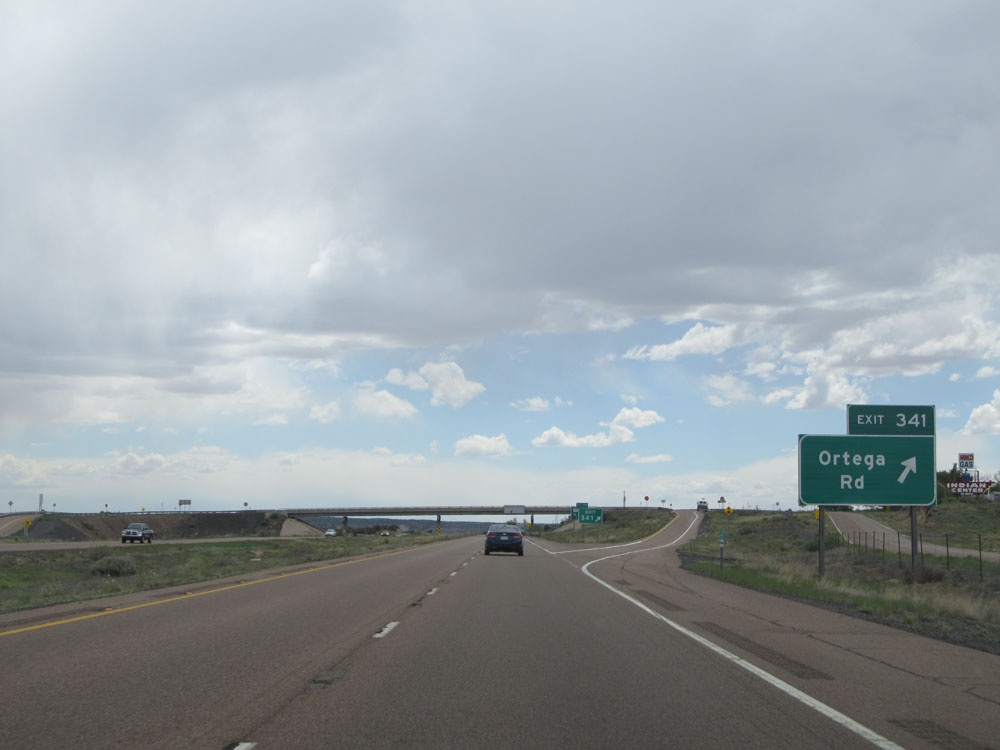 |
Interstate 40 West at Exit 341: Ortega Rd (Photo taken 5/18/15). |
 |
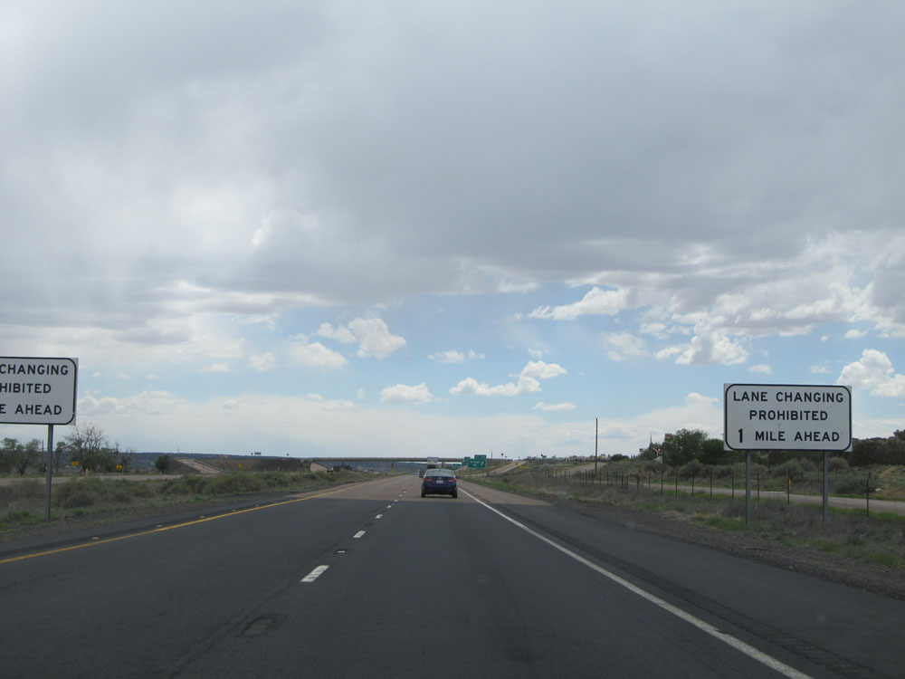
Approaching the Weigh Station, this sign indicates that lane changing is prohibited for the next 3/4 mile. I'm really racking my brain to figure out what this restriction accomplishes. (Photo taken 5/18/15). |
 |
Interstate 40 West at the Weigh Station located near mile marker 340. (Photo taken 5/18/15). |
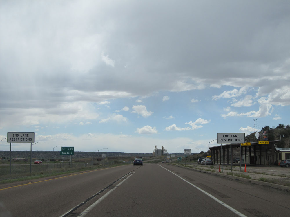 |
After passing the ramp to the Weigh Station, the lane restrictions end as this sign indicates. (Photo taken 5/18/15). |
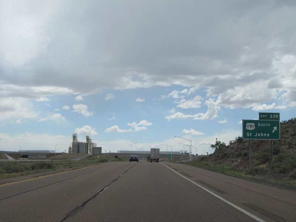 |
Interstate 40 West at Exit 339: US 191 South - St Johns (Photo taken 5/18/15). |
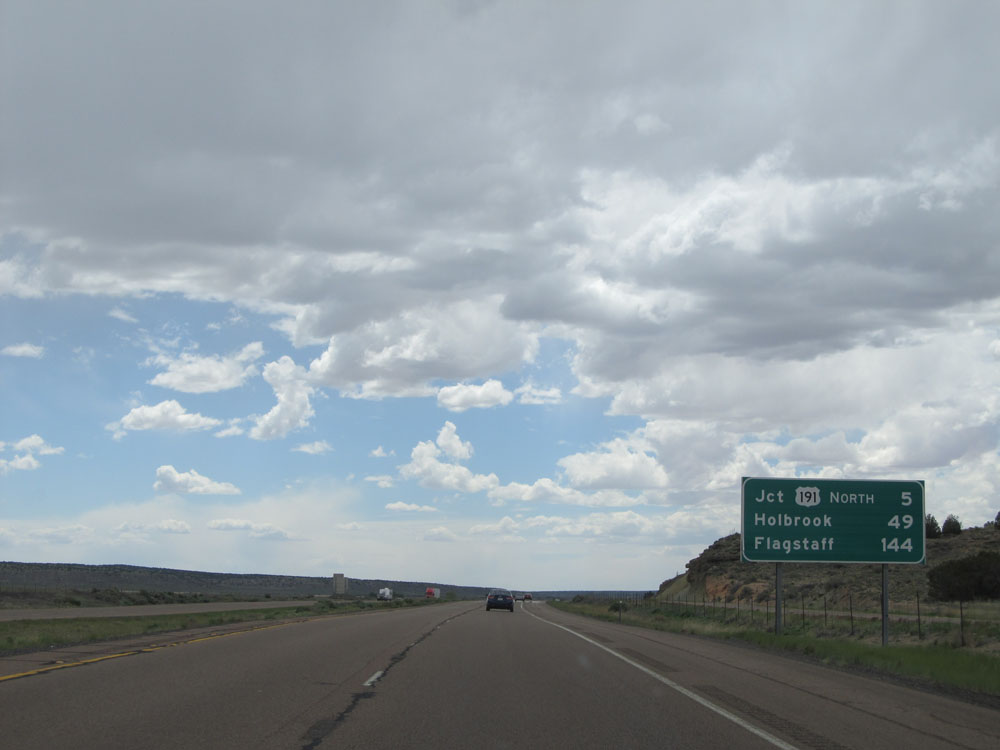 |
Mileage sign near mile marker 339. It's 5 miles to the junction of US 191 North, 49 miles to Holbrook, and 144 miles to Flagstaff. (Photo taken 5/18/15). |
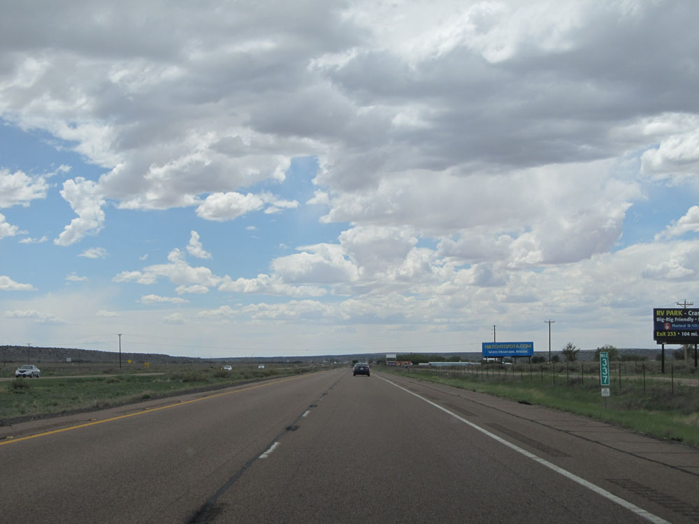 |
Interstate 40 West: Road view from mile marker 337. (Photo taken 5/18/15). |
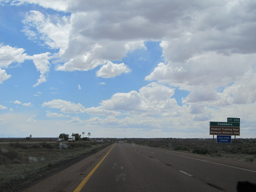 |
Take Exit 333 to Chambers and Hubbell Trading Post National Historic Site. (Photo taken 5/18/15). |
 |
Interstate 40 West at Exit 333: US 191 North - Ganado (Photo taken 5/18/15). |
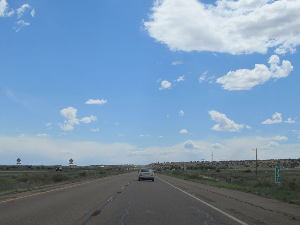 |
Interstate 40 West: Road view from mile marker 331. (Photo taken 5/18/15). |
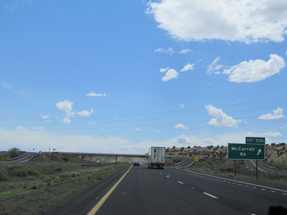 |
Interstate 40 West at Exit 330: McCarrell Rd (Photo taken 5/18/15). |
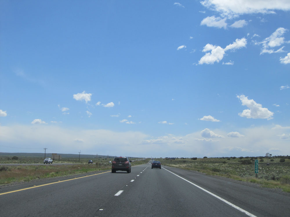 |
Interstate 40 West: Road view from mile marker 329. (Photo taken 5/18/15). |
 |
Interstate 40 West at Exit 325: Navajo (Photo taken 5/18/15). |
 |
Interstate 40 West: Road view from mile marker 323. (Photo taken 5/18/15). |
 |
Interstate 40 West at Exit 320: Pinta Rd (Photo taken 5/18/15). |
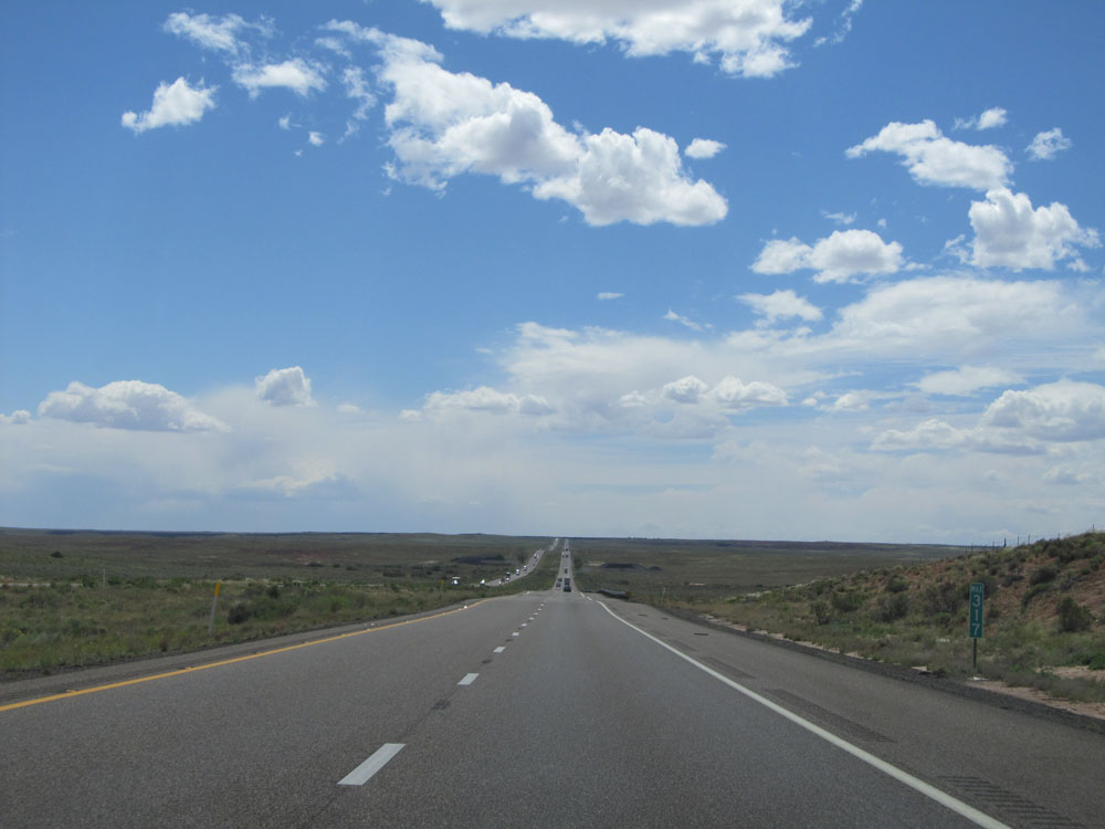 |
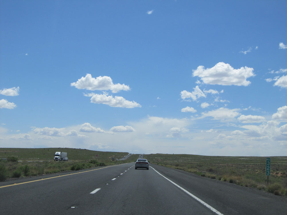
Interstate 40 West: Road view from mile marker 317. (Photo taken 5/18/15). |
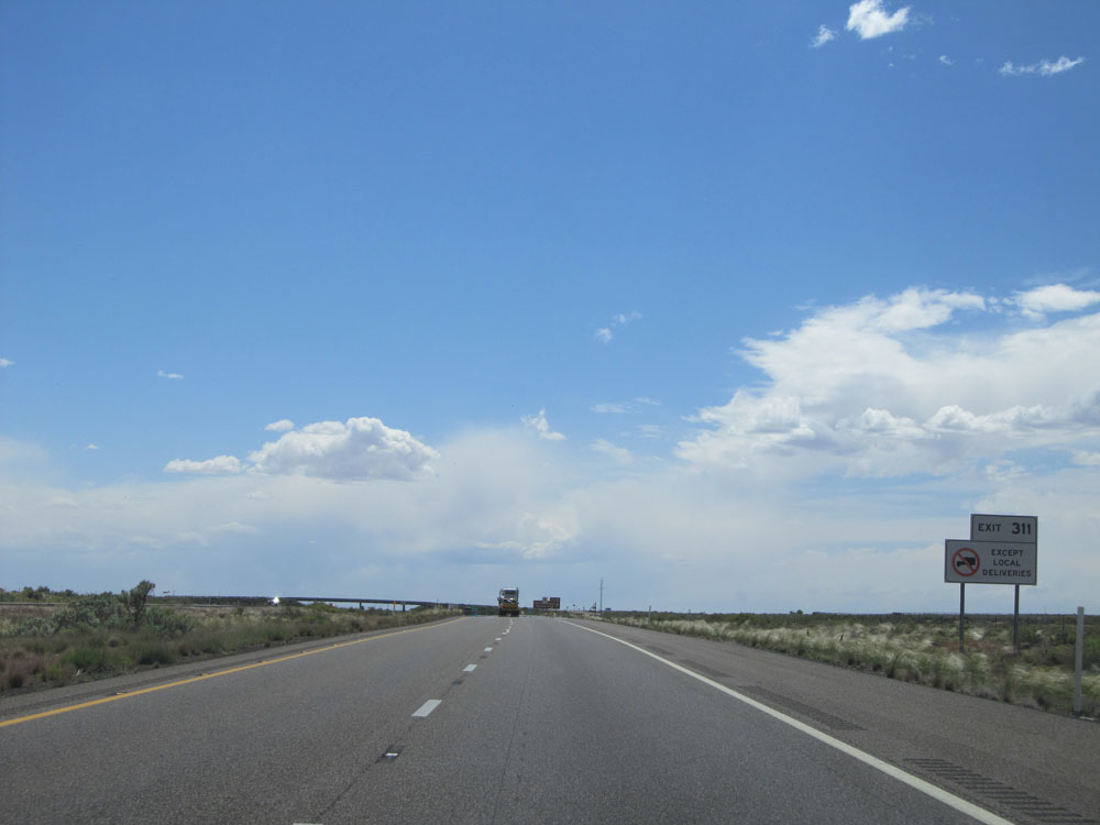 |
Trucks are prohibited from using Exit 311 to Petrified Forest National Park, except for local deliveries. (Photo taken 5/18/15). |
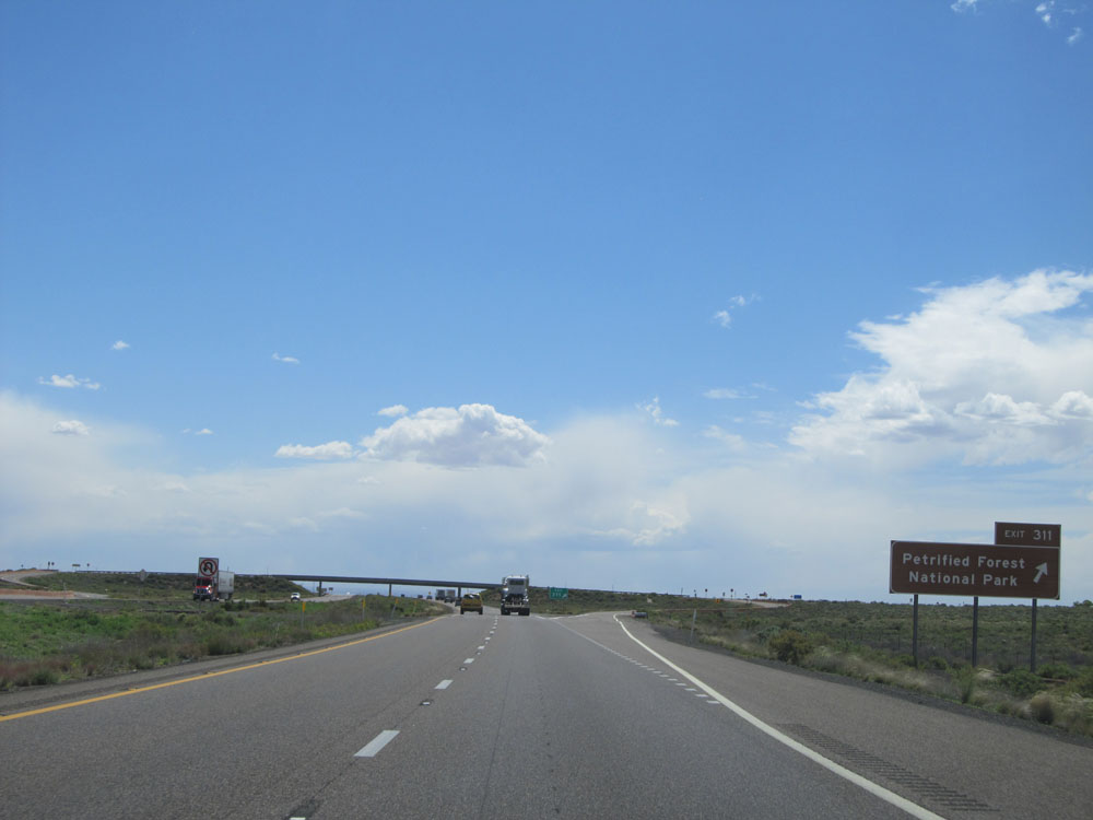 |
Interstate 40 West at Exit 311: Petrified Forest National Park (Photo taken 5/18/15). |
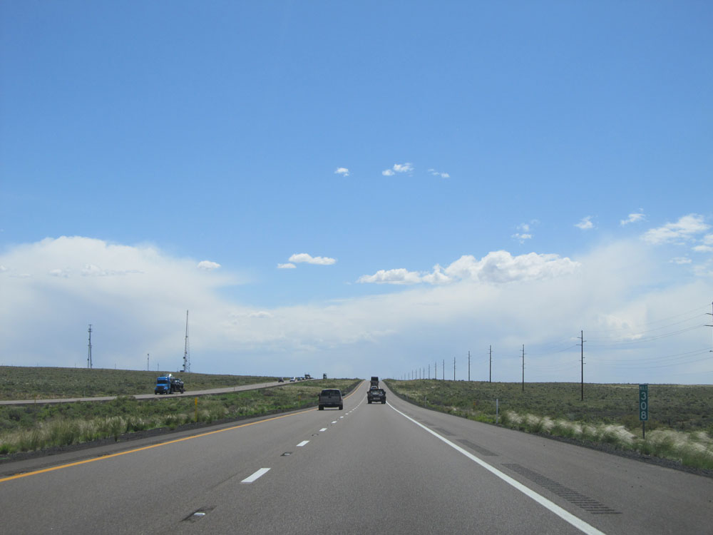 |
Interstate 40 West: Road view from mile marker 308. (Photo taken 5/18/15). |
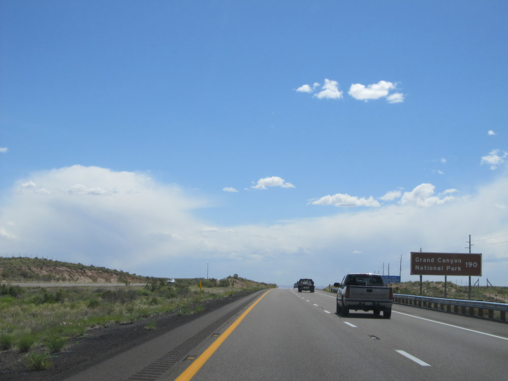 |
Grand Canyon National Park is now just 190 miles ahead via Flagstaff. (Photo taken 5/18/15). |
 |
Interstate 40 West at Exit 303: Adamana Rd (Photo taken 5/18/15). |
 |
Interstate 40 West at Exit 300: Goodwater (Photo taken 5/18/15). |
 |
Interstate 40 West: Road view from mile marker 299. (Photo taken 5/18/15). |
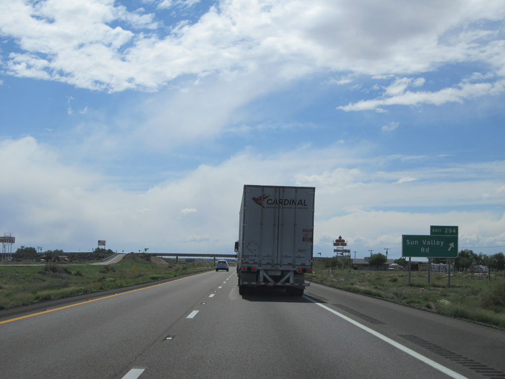 |
Interstate 40 West at Exit 294: Sun Valley Rd (Photo taken 5/18/15). |
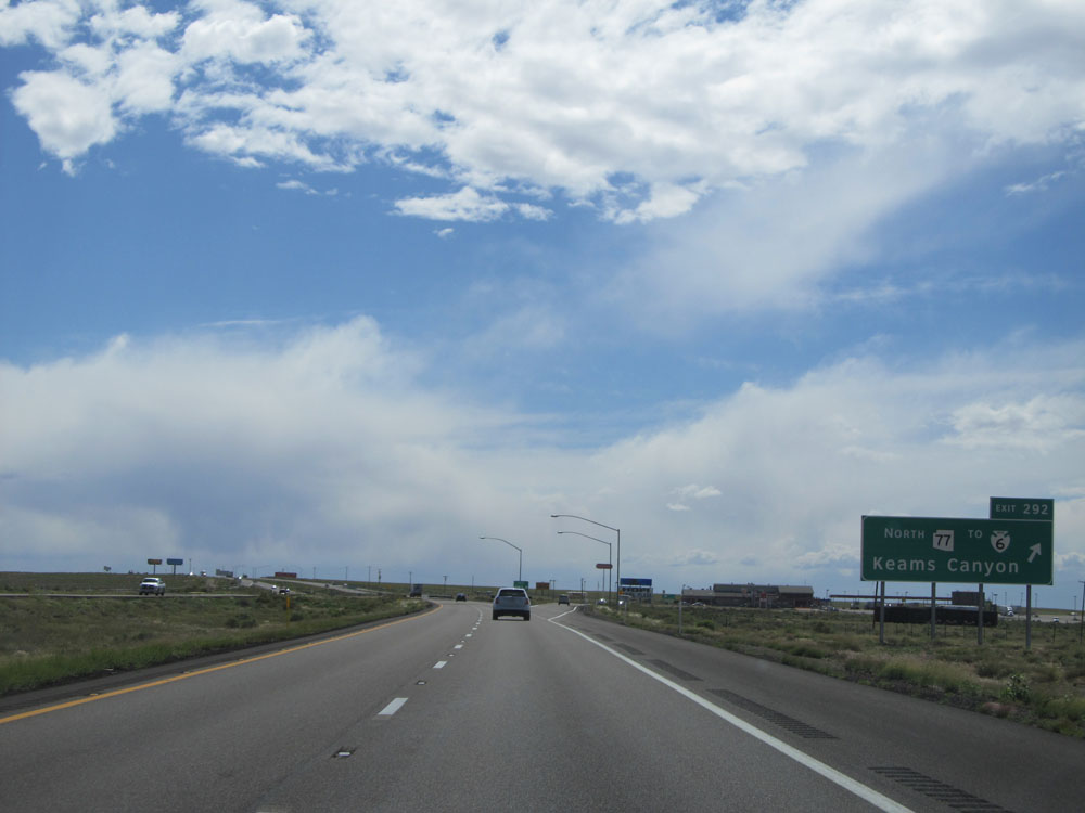 |
Interstate 40 West at Exit 292: AZ 77 North / To BIA Route 6 - Keams Canyon (Photo taken 5/18/15). |
 |
Interstate 40 West / AZ 77 South shields. (Photo taken 5/18/15). |
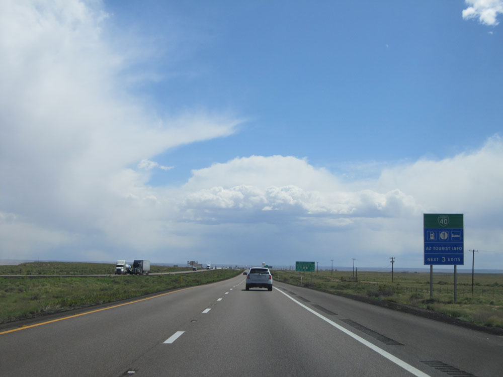 |
Take any of the next 3 exits to access Interstate 40 BL to several services. (Photo taken 5/18/15). |
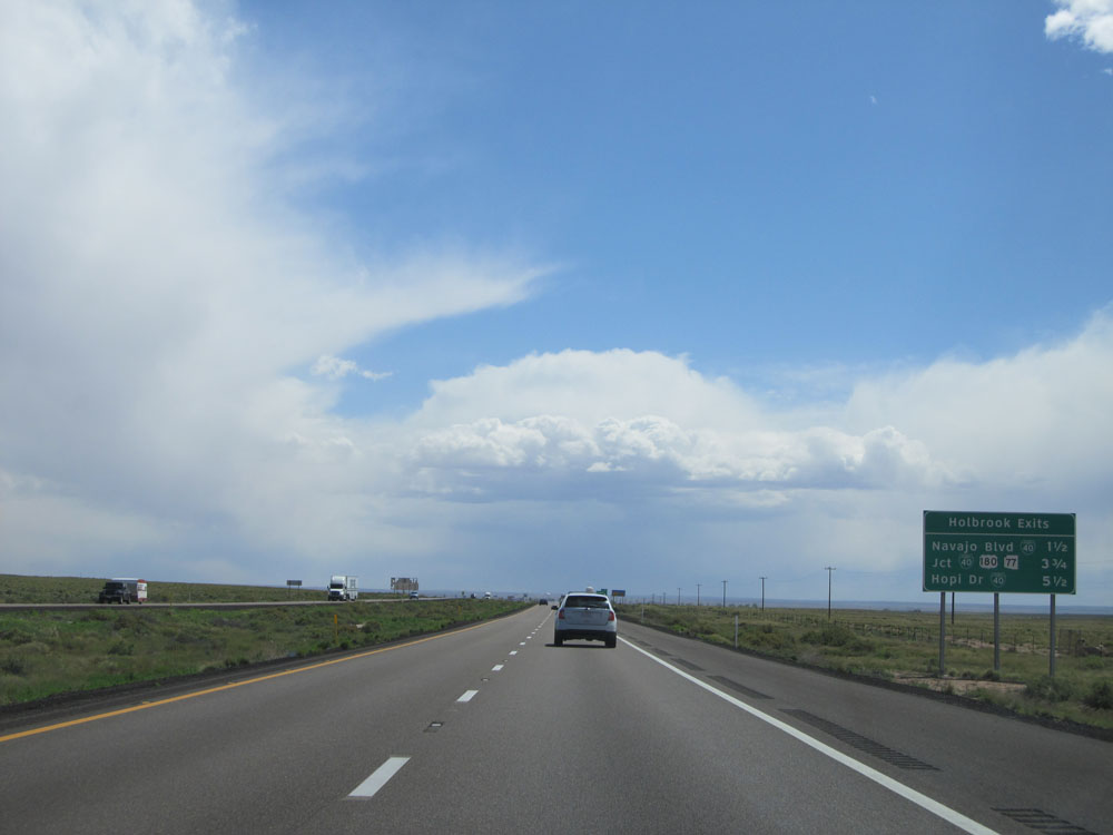 |
Sign listing the distances to the 3 upcoming Holbrook exits. (Photo taken 5/18/15). |
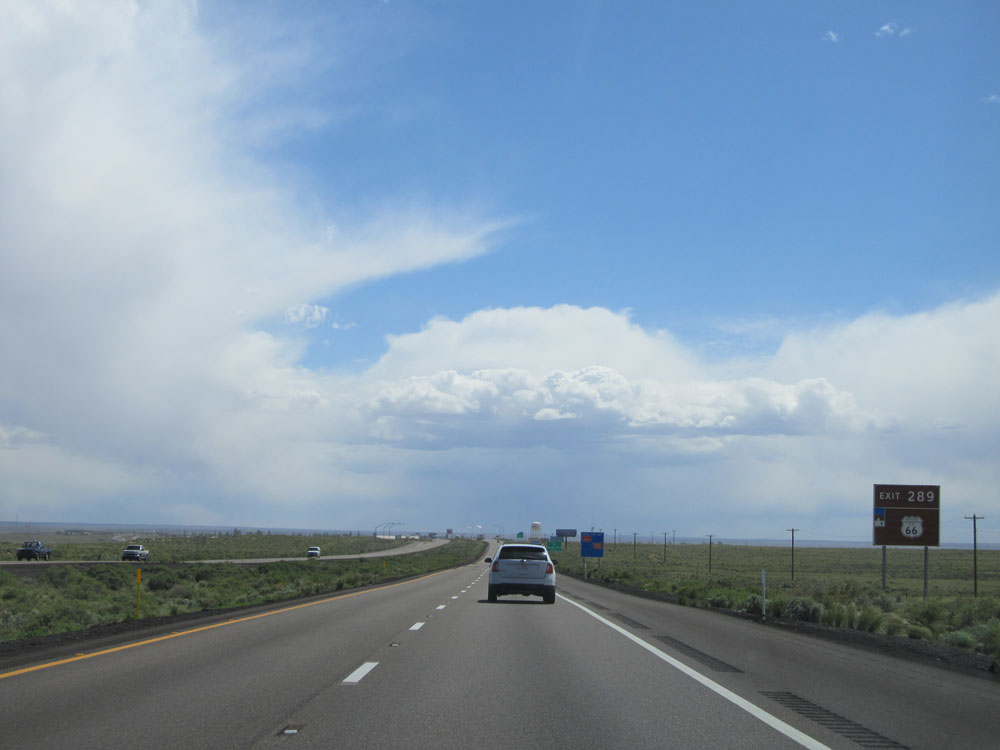 |
Take Exit 289 to Historic Route 66. (Photo taken 5/18/15). |
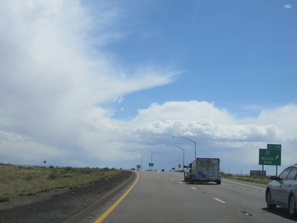 |
Interstate 40 West at Exit 289: Interstate 40 BL - Navajo Blvd (Photo taken 5/18/15). |
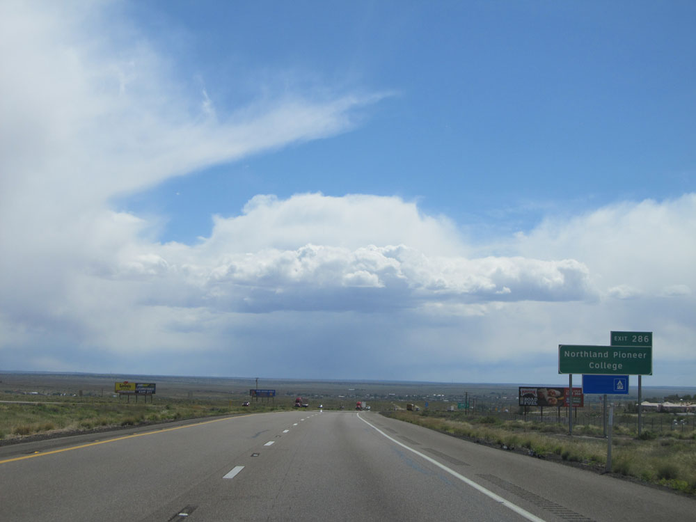 |
Take Exit 286 to Northland Pioneer College. (Photo taken 5/18/15). |
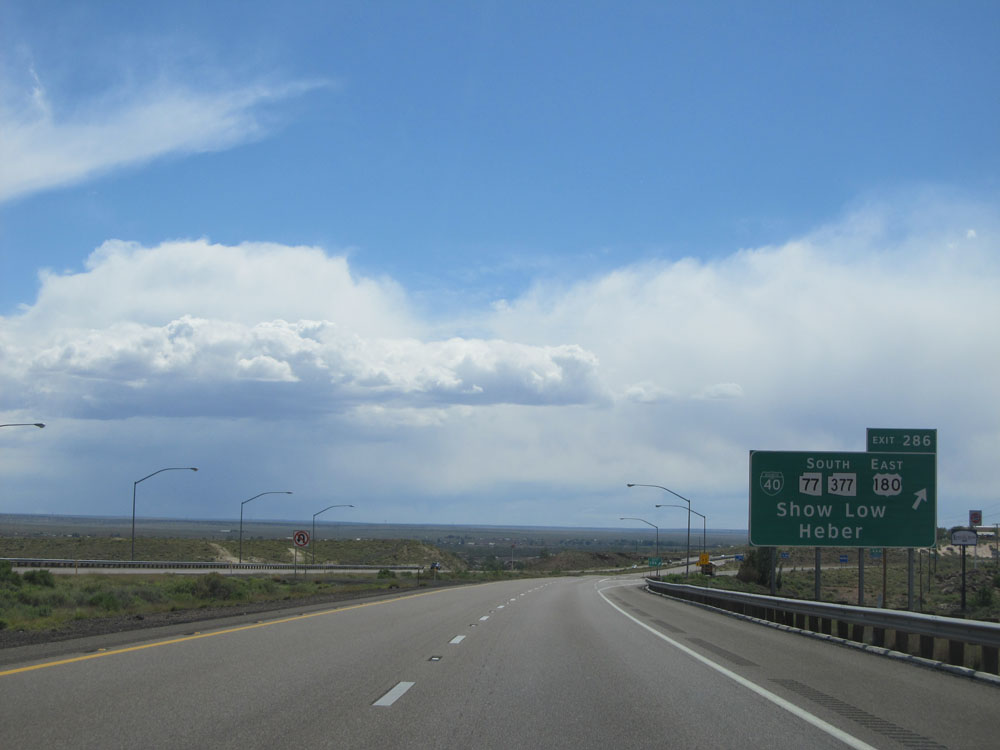 |
Interstate 40 West at Exit 286: Interstate 40 BL / AZ 77 South / AZ 377 South / US 180 East - Show Low / Heber (Photo taken 5/18/15). |
 |
Take Exit 285 to Navajo County Fairgrounds. (Photo taken 5/18/15). |
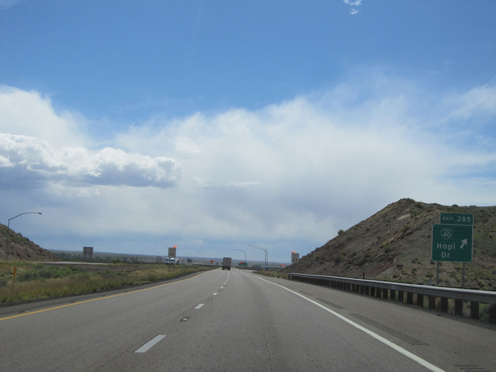 |
Interstate 40 West at Exit 285: Interstate 40 BL - Hopi Dr (Photo taken 5/18/15). |
Section 2: Holbrook (Exit 285) to Flagstaff (Exit 195)
 |
Take Exit 283 to Golf Course Rd. (Photo taken 5/18/15). |
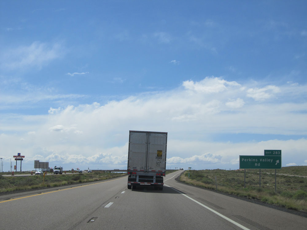 |
Interstate 40 West at Exit 283: Perkins Valley Rd (Photo taken 5/18/15). |
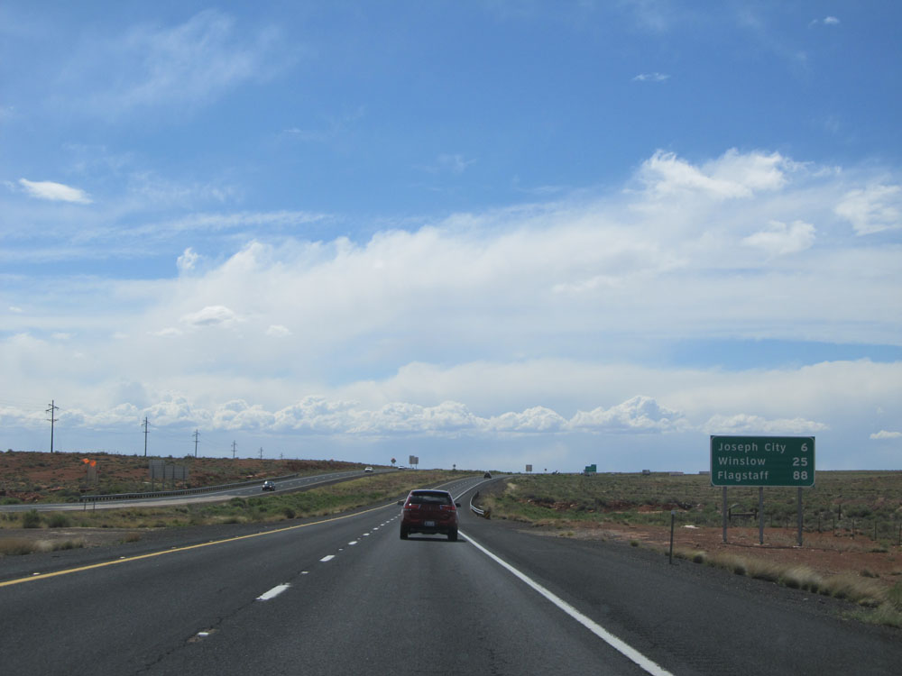 |
Mileage sign located near mile marker 283. It's 6 miles to Joseph City, 25 miles to Winslow, and 88 miles to Flagstaff. (Photo taken 5/18/15). |
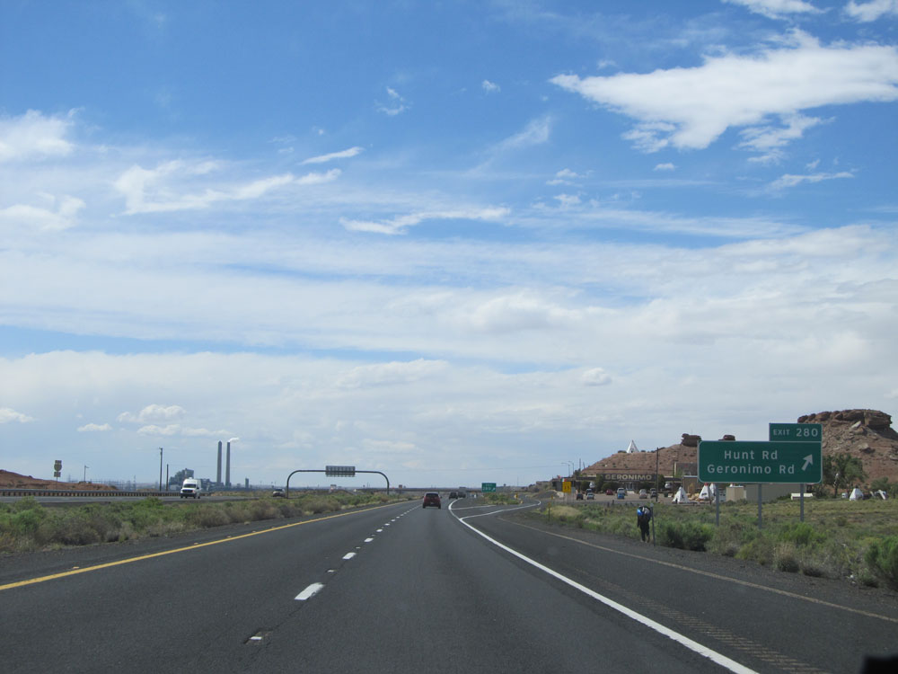 |
Interstate 40 West at Exit 280: Hunt Rd / Geronimo Rd (Photo taken 5/18/15). |
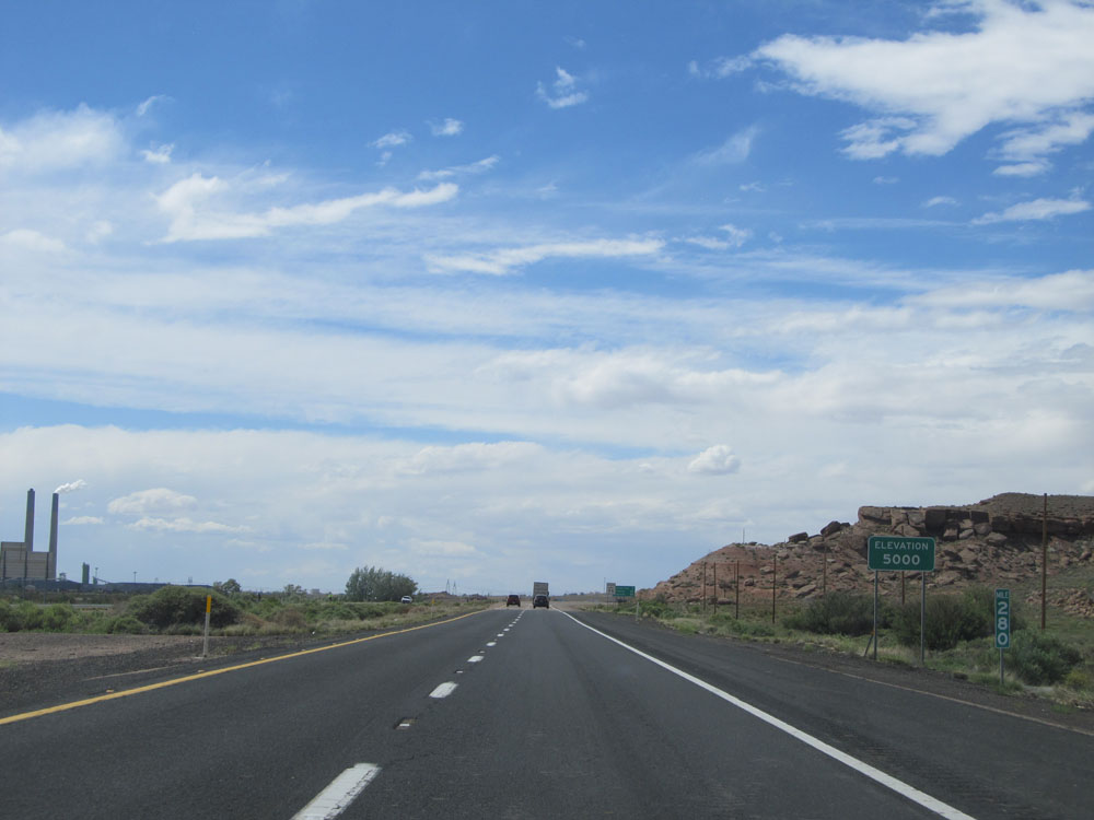 |
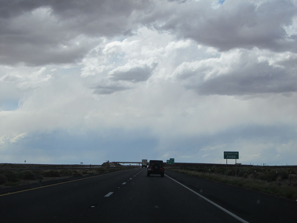
At mile marker 280, this sign indicates that we're now at an elevation of 5,000 feet. That's right: We've actually sneakily gone down 1,000 feet in the last 67 miles. We'll be going back up pretty soon. (Photo taken 5/18/15). |
 |
Road view on Interstate 40 West. (Photo taken 5/18/15). |
 |
Another view on Interstate 40 West. (Photo taken 5/18/15). |
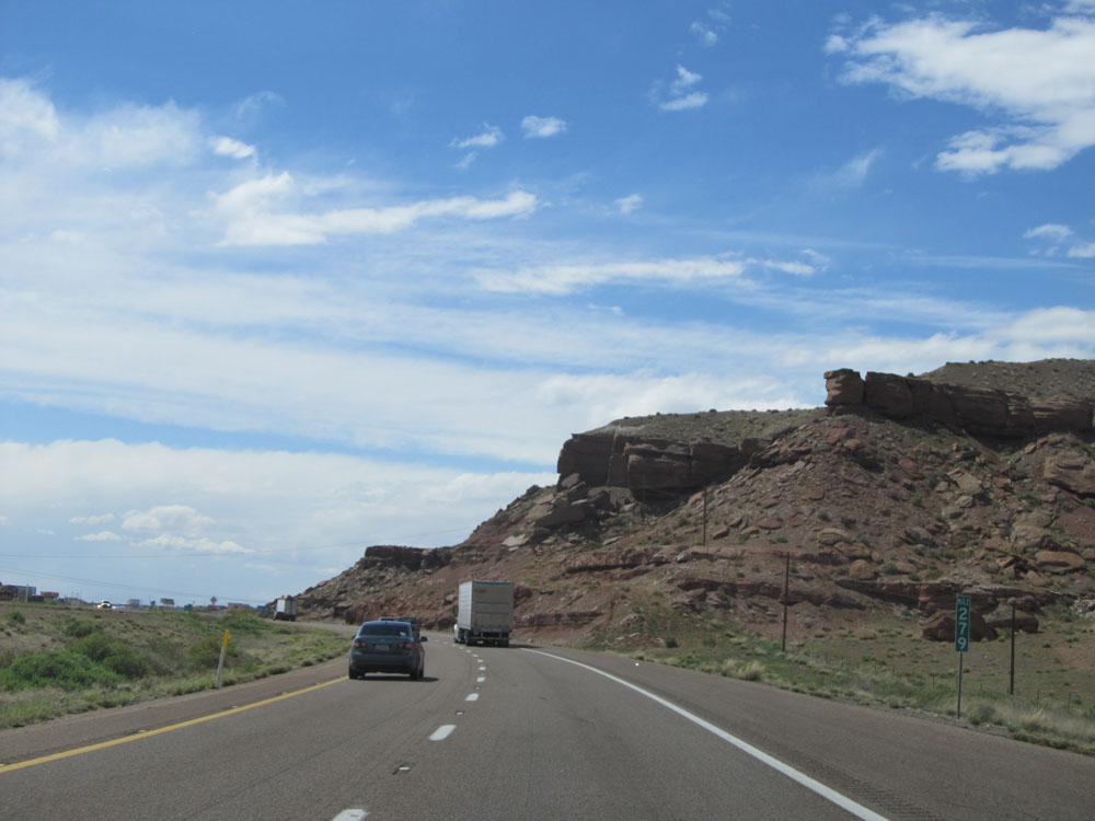 |
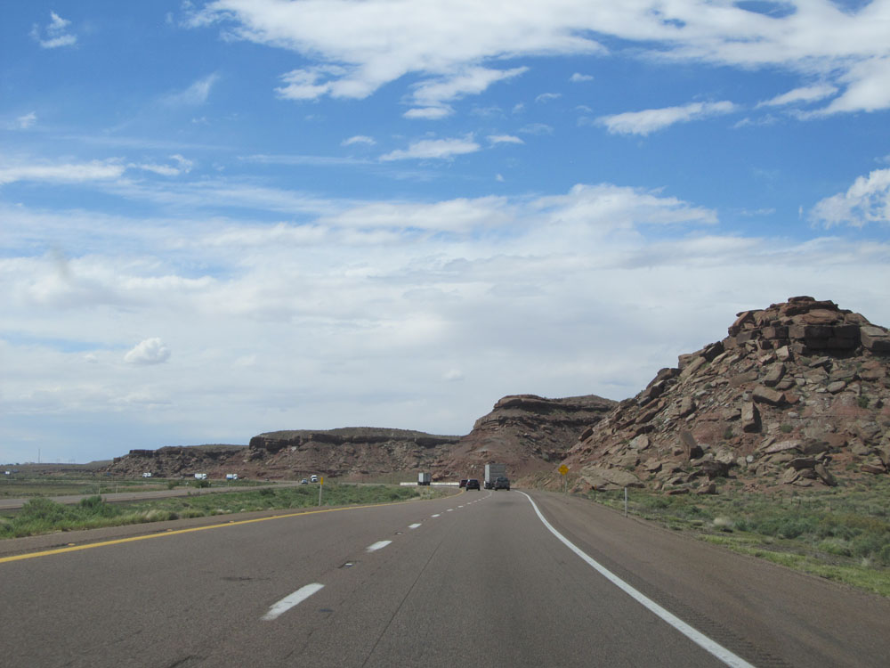
Interstate 40 West: Road view from mile marker 279. (Photo taken 5/18/15). |
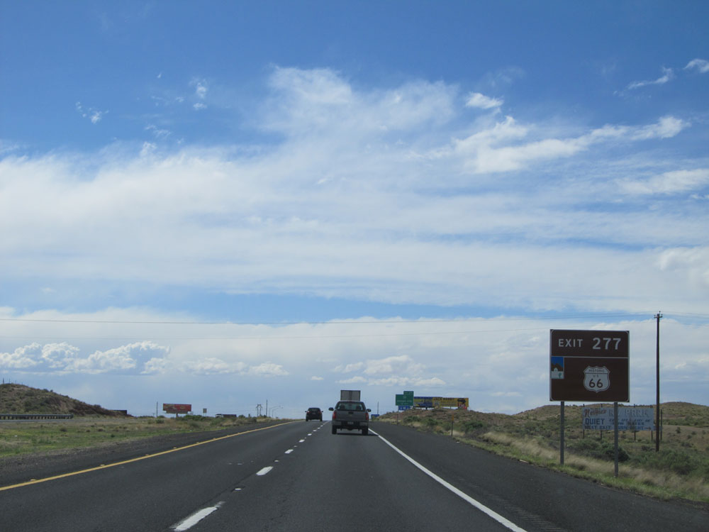 |
Take Exit 277 to Historic Route 66. (Photo taken 5/18/15). |
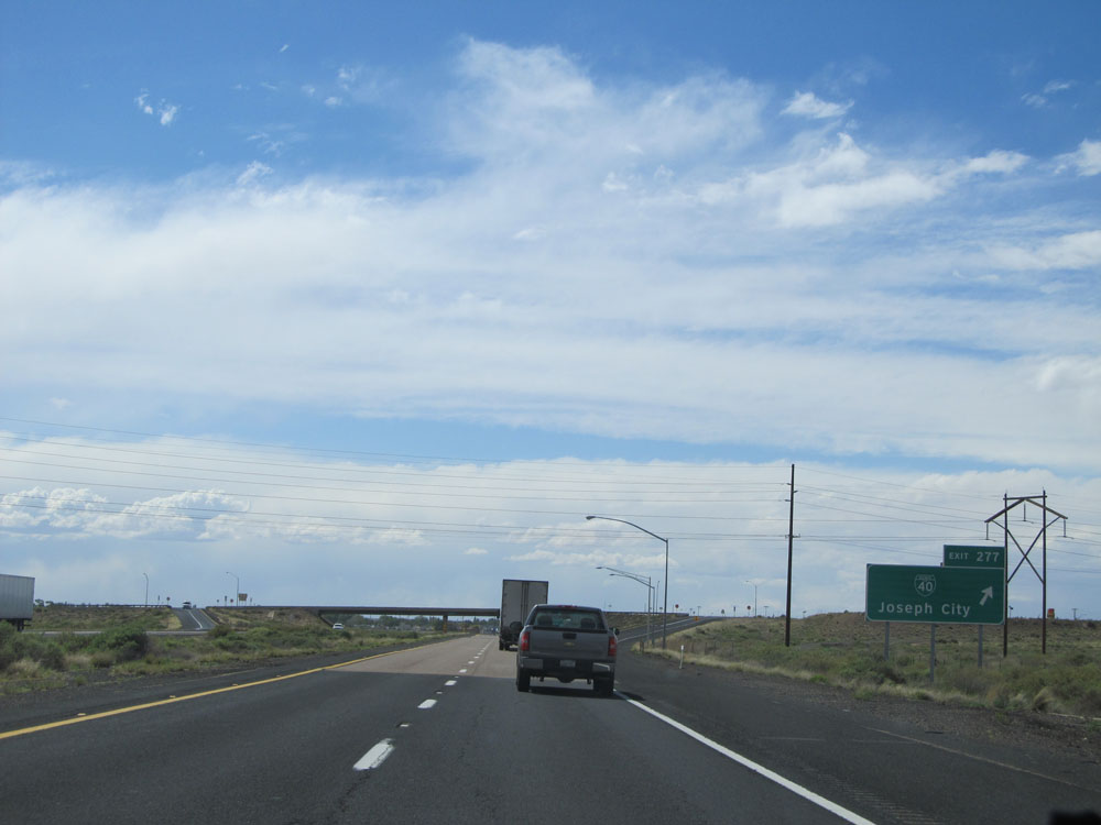 |
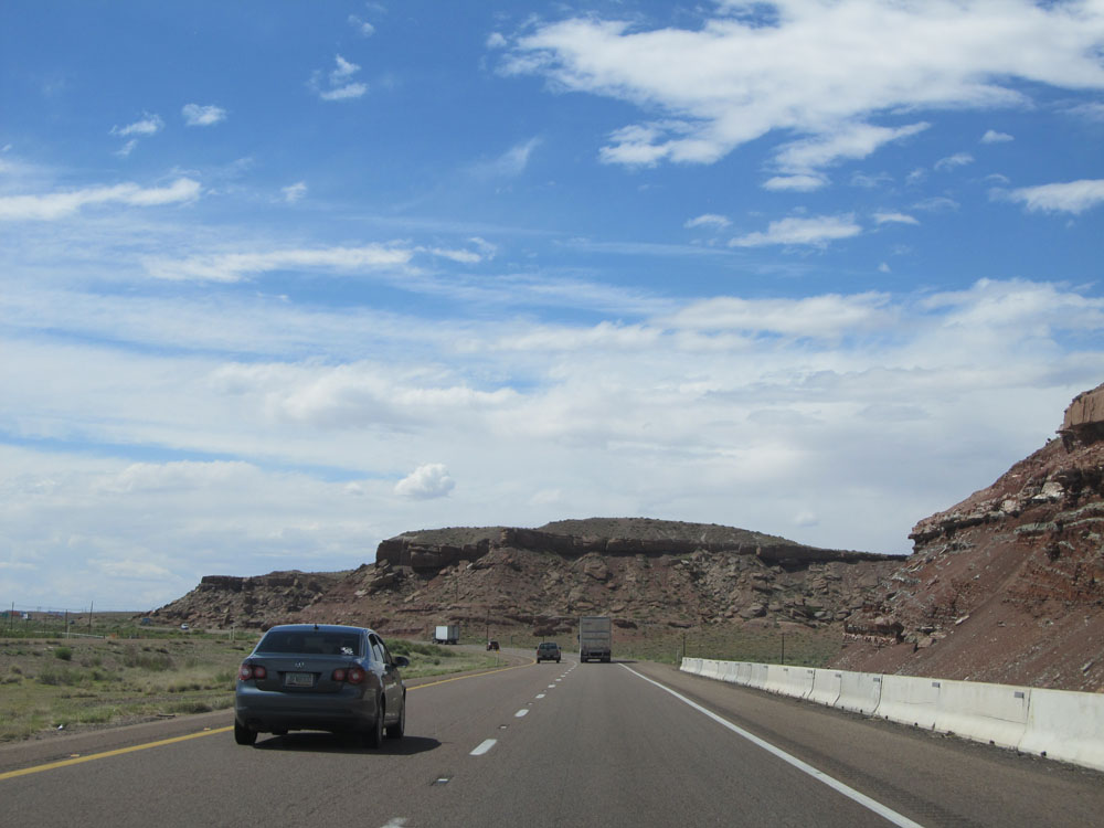
Interstate 40 West at Exit 277: Interstate 40 BL - Joseph City (Photo taken 5/18/15). |
 |
Interstate 40 West at Exit 274: Interstate 40 BL - Joseph City (Photo taken 5/18/15). |
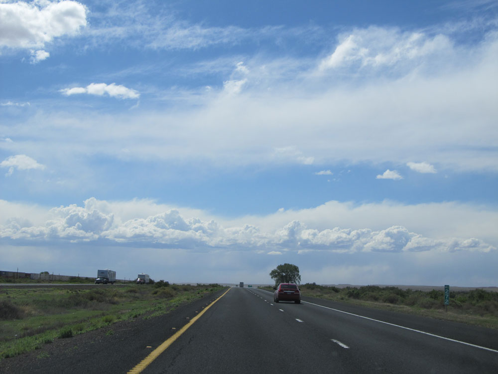 |
Interstate 40 West: Road view from mile marker 272. (Photo taken 5/18/15). |
 |
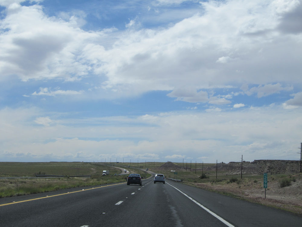
Interstate 40 West at Exit 269: Jackrabbit Rd (Photo taken 5/18/15). |
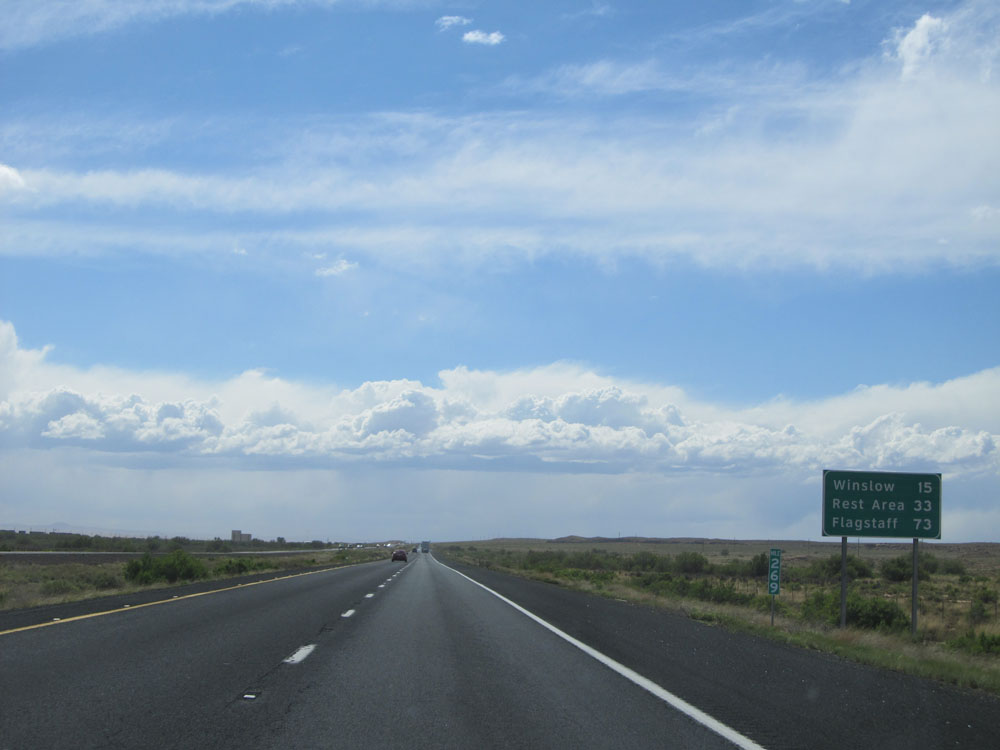 |
Mileage sign at mile marker 269. It's 15 miles to Winslow, 33 miles to the next Rest Area, and 73 miles to Flagstaff. (Photo taken 5/18/15). |
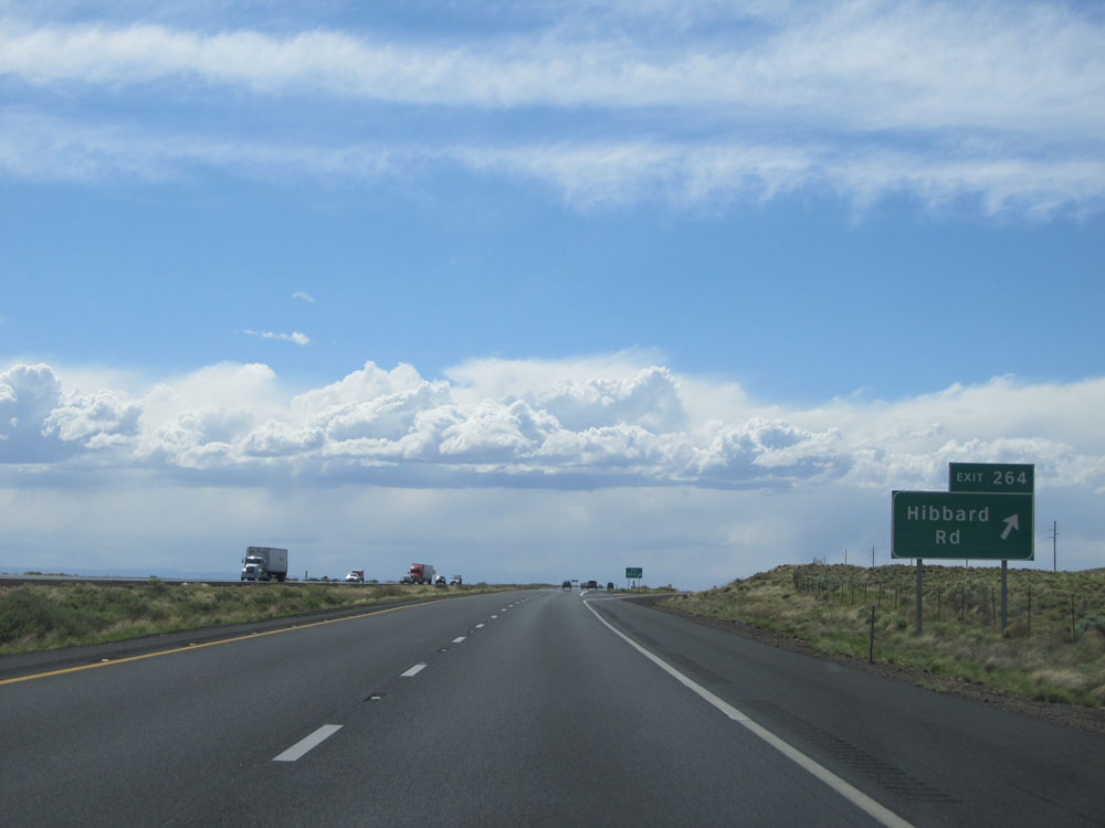 |
Interstate 40 West at Exit 264: Hibbard Rd (Photo taken 5/18/15). |
 |
Warning sign on Interstate 40 West stating that you should be alert for blowing dust for the next 20 miles. (Photo taken 5/18/15). |
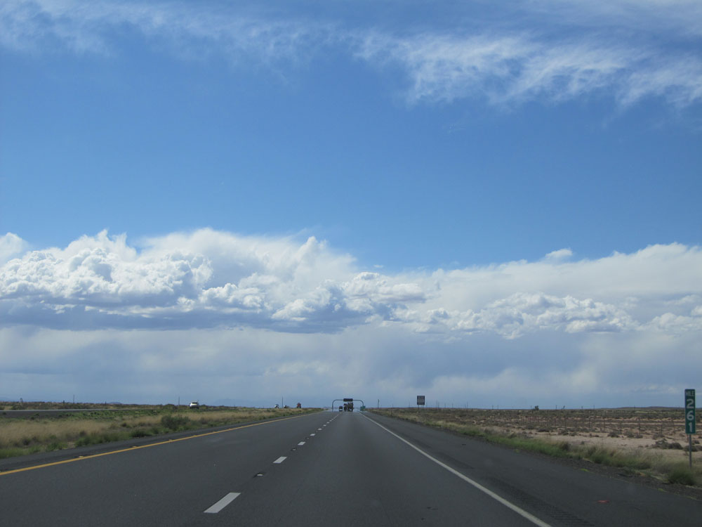 |
Interstate 40 West: Road view from mile marker 261. (Photo taken 5/18/15). |
 |
Take Exit 257 to AZ 99 South, Historic Route 66, and Homolovi Ruins State Park. (Photo taken 5/18/15). |
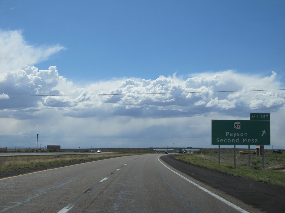 |
Interstate 40 West at Exit 257: AZ 87 - Payson / Second Mesa (Photo taken 5/18/15). |
 |
Sign listing the distances to the three upcoming exits to Winslow. (Photo taken 5/18/15). |
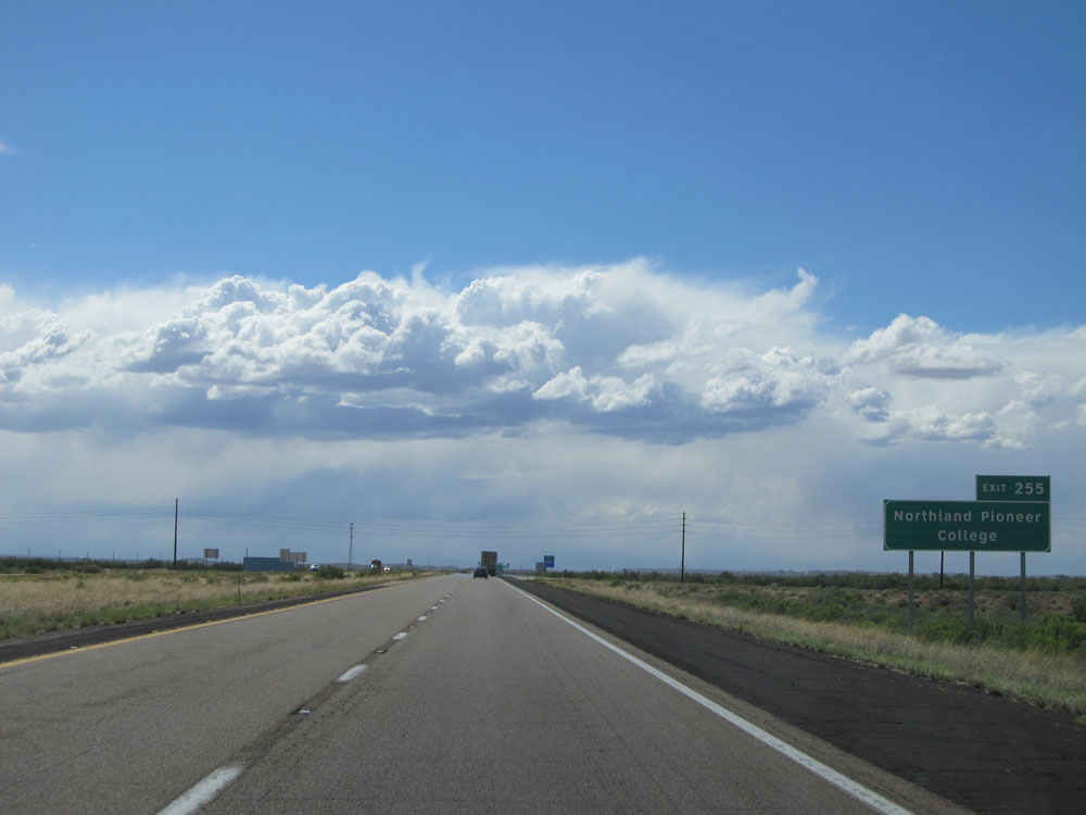 |
Take Exit 255 to Northland Pioneer College. (Photo taken 5/18/15). |
 |
Take any of the next 3 exits to access Interstate 40 BL and the several services along it. (Photo taken 5/18/15). |
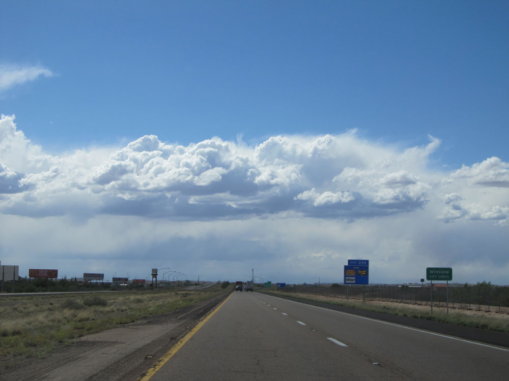 |
Interstate 40 West entering the Winslow city limits. (Photo taken 5/18/15). |
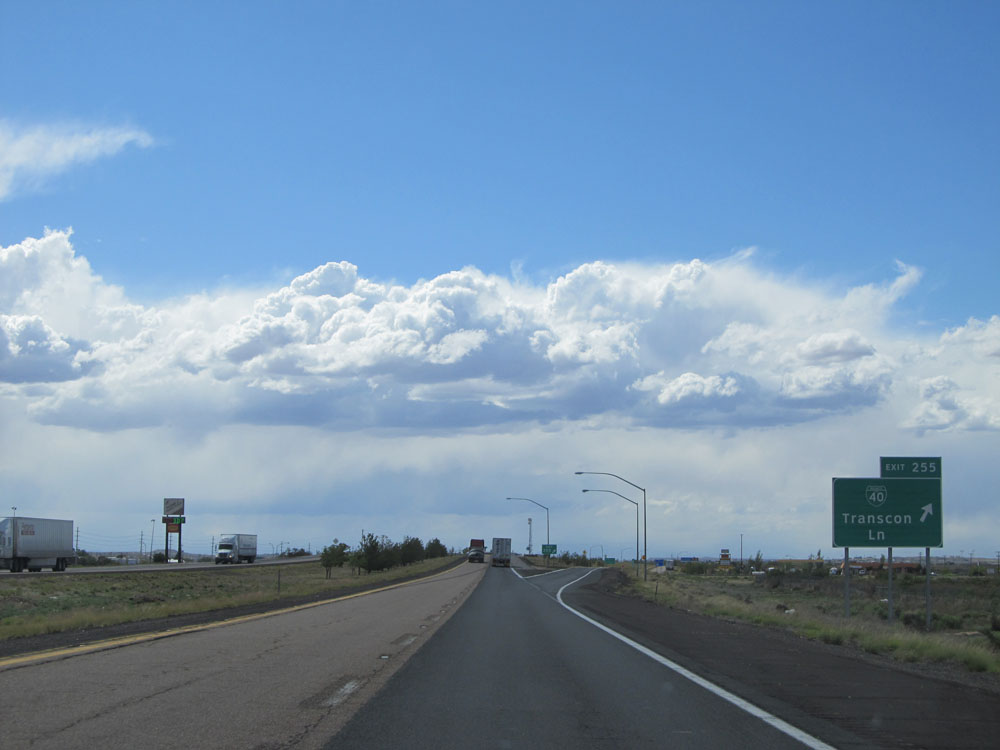 |
Interstate 40 West at Exit 255: Interstate 40 BL - Transcon Ln (Photo taken 5/18/15). |
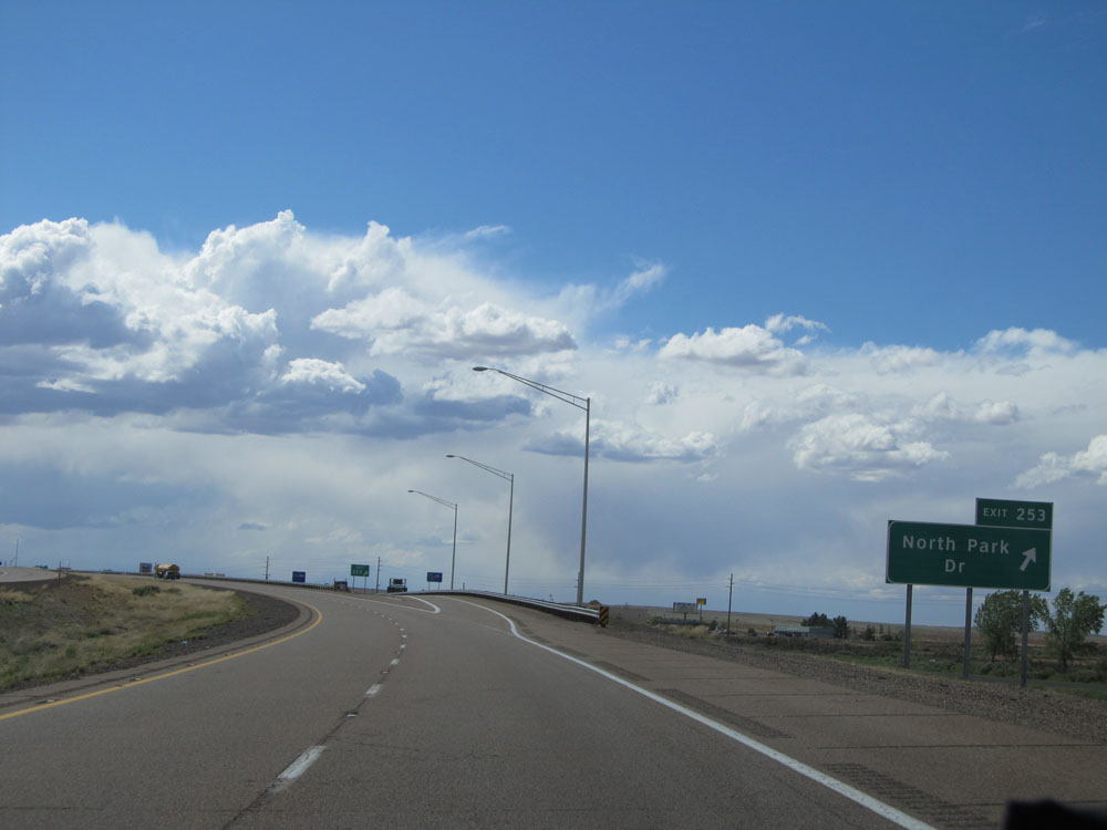 |
Interstate 40 West at Exit 253: North Park Dr (Photo taken 5/18/15). |
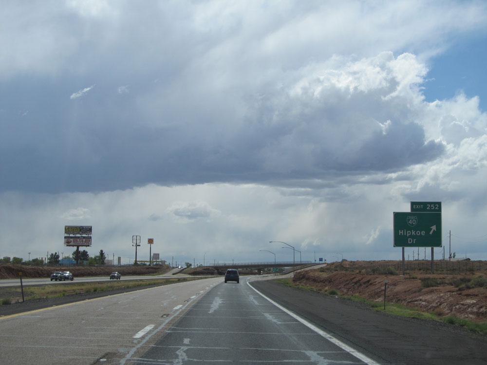 |
Interstate 40 West at Exit 252: Interstate 40 BL - Hipkoe Dr (Photo taken 5/18/15). |
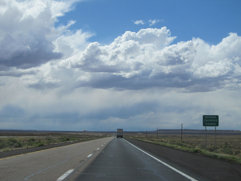 |
Interstate 40 West entering Coconino County. (Photo taken 5/18/15). |
 |
Interstate 40 West: Road view from mile marker 249. (Photo taken 5/18/15). |
 |
Near mile marker 247, this sign indicates that we're back at an elevation of 5,000 feet. We dipped down a bit below 5,000 feet since the last elevation sign, only to come back up a bit. And now, from here to Flagstaff, it's all up, up, up (even though it might not seem like it!). (Photo taken 5/18/15). |
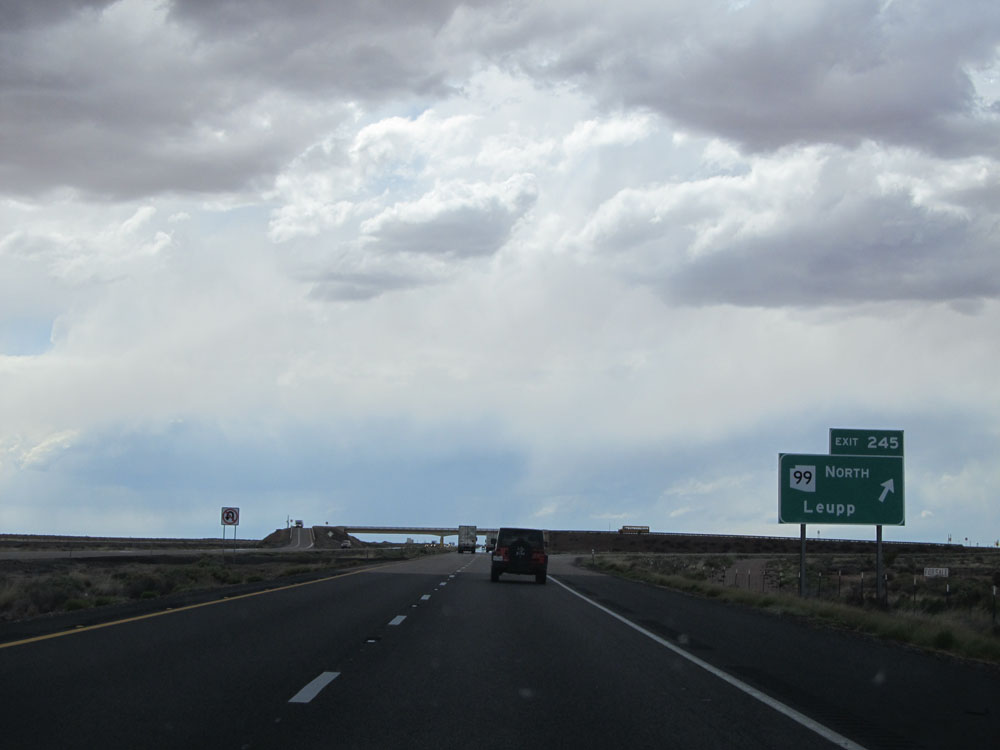 |
Interstate 40 West at Exit 245: AZ 99 - Leupp (Photo taken 5/18/15). |
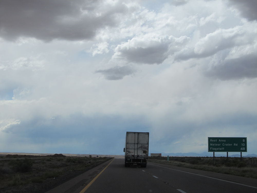 |
Mileage sign at mile marker 244. It's 8 miles to the next Rest Area, 10 miles to Meteor Crater Rd, and 48 miles to Flagstaff. The thick cloud cover accompanied by the bright sun to the west made photography a bit of a challege at times. (Photo taken 5/18/15). |
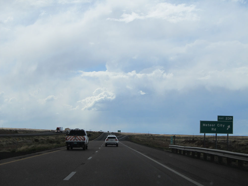 |
Interstate 40 West at Exit 239: Meteor City Rd (Photo taken 5/18/15). |
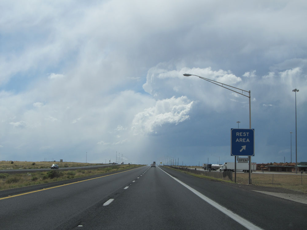 |
Interstate 40 West at the Rest Area located near mile marker 237. (Photo taken 5/18/15). |
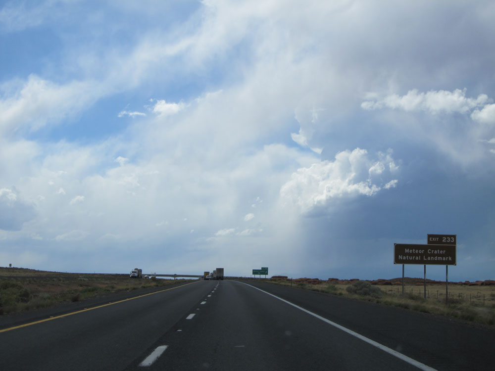 |
Take Exit 233 to Meteor Crater Natural Landmark. Trust me when I say that it's definitely worth a visit. (Photo taken 5/18/15). |
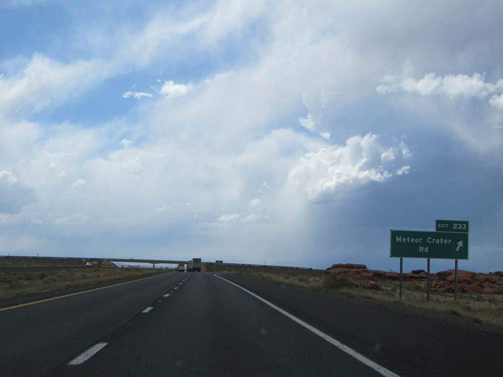 |
Interstate 40 West at Exit 233: Meteor Crater Rd (Photo taken 5/18/15). |
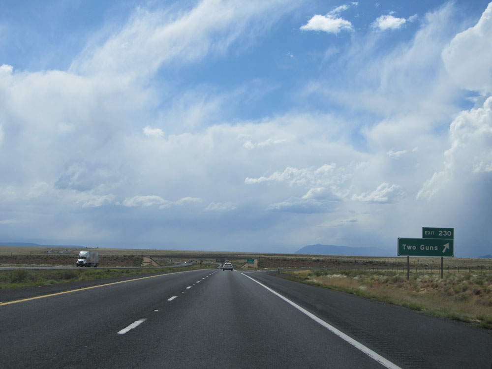 |
Interstate 40 West at Exit 230: Two Guns (Photo taken 5/18/15). |
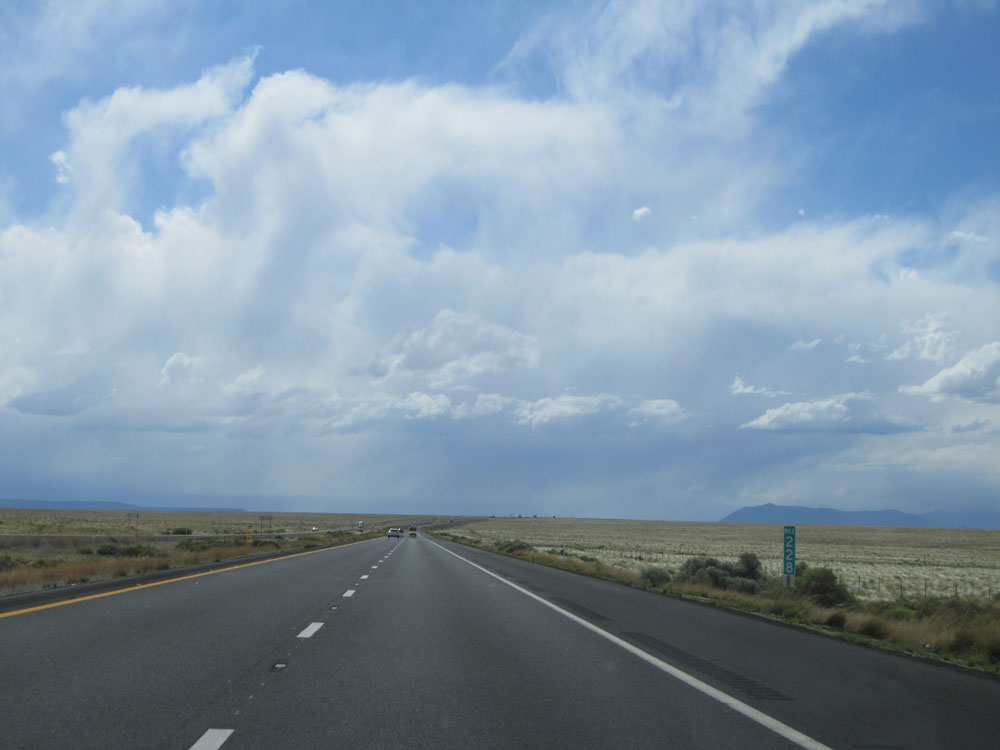 |
Interstate 40 West: Road view from mile marker 228. The beautiful city of Flagstaff is at the foot of the mountains you can make out in the distance. (Photo taken 5/18/15). |
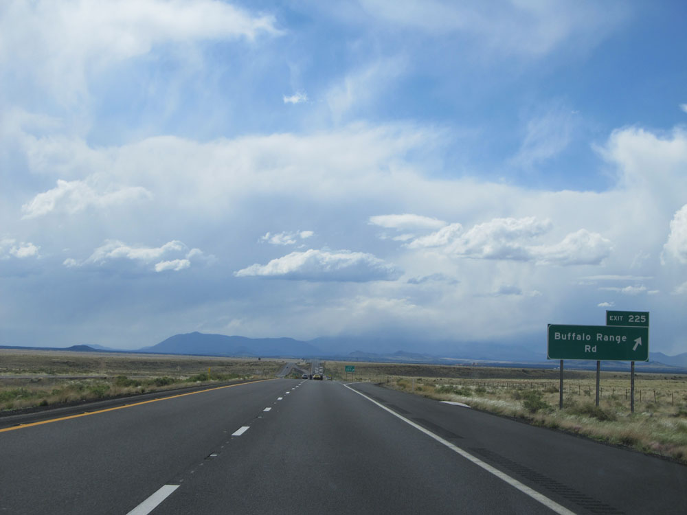 |
Interstate 40 West at Exit 225: Buffalo Range Rd (Photo taken 5/18/15). |
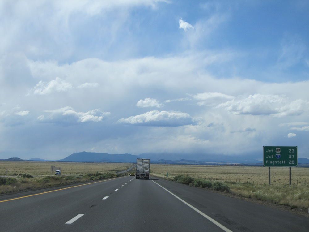 |
Mileage sign on Interstate 40 West. It's 23 miles to the junction of US 89, 27 miles to the junction of Interstate 17, and 28 miles to Flagstaff. (Photo taken 5/18/15). |
 |
Interstate 40 West: Road view from mile marker 223. (Photo taken 5/18/15). |
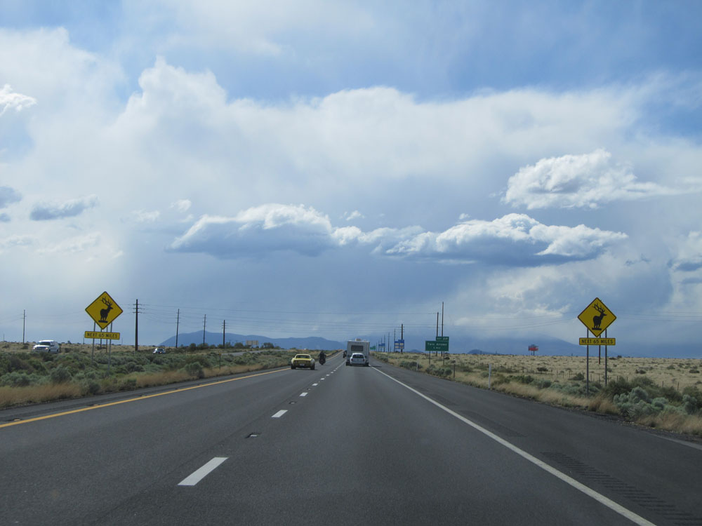 |
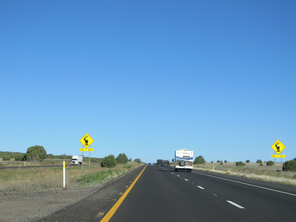
Warning signs near mile marker 220. These warn of possible elk crossing for the next 65 miles. (Photo taken 5/18/15). |
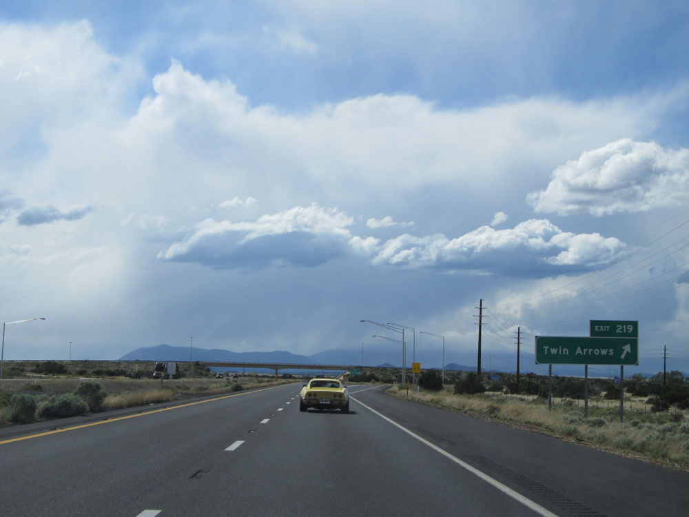 |
Interstate 40 West at Exit 219: Twin Arrows (Photo taken 5/18/15). |
 |
Interstate 40 West entering Coconino National Forest. (Photo taken 5/18/15). |
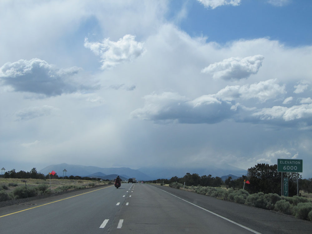 |
At mile marker 217, we've reached an elevation of 6,000 feet once again. (Photo taken 5/18/15). |
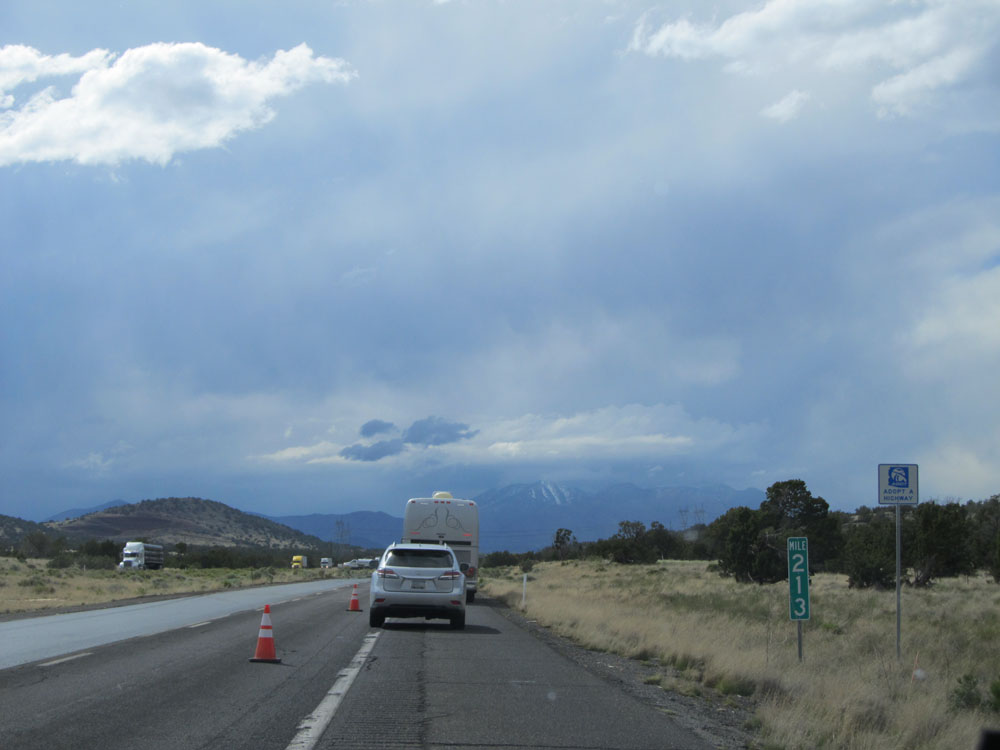 |
Interstate 40 West: Road view from mile marker 213. (Photo taken 5/18/15). |
 |
Interstate 40 West at Exit 211: Winona (Photo taken 5/18/15). |
 |
Speed limit sign on Interstate 40 West. It's still 75 mph as you climb up on the approach to Flagstaff. (Photo taken 5/18/15). |
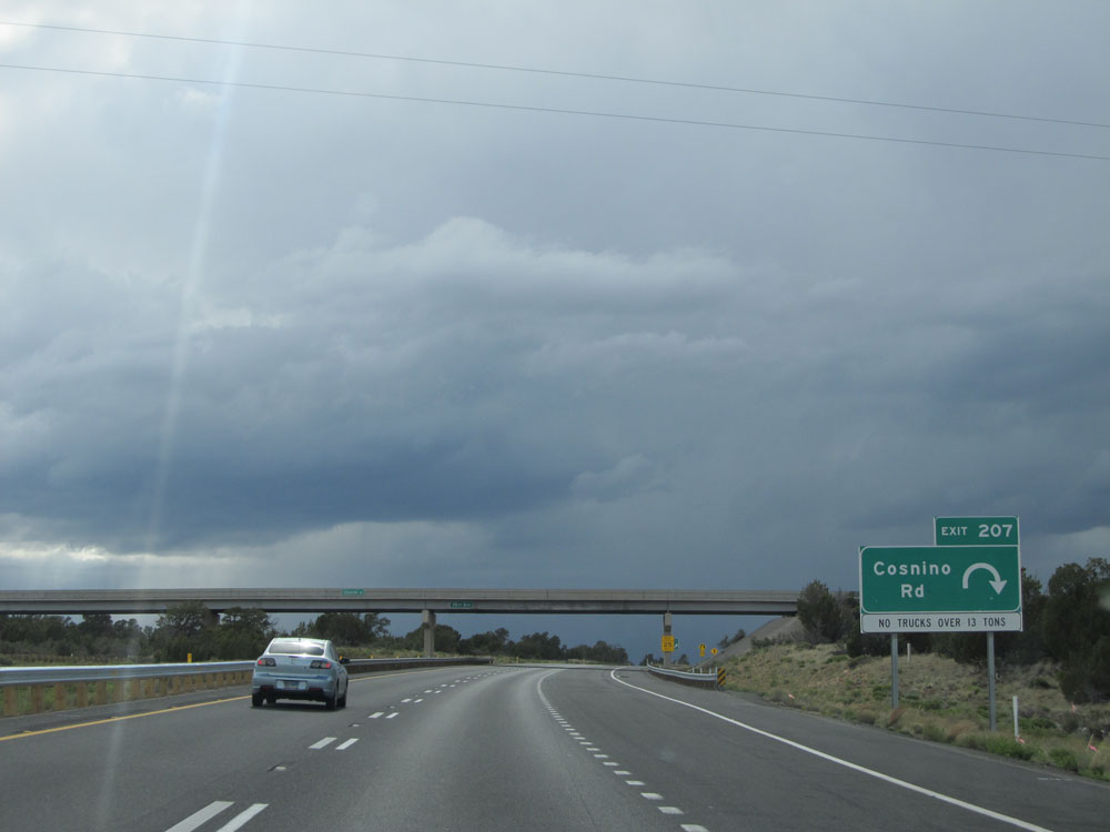 |
Interstate 40 West at Exit 207: Cosnino Rd (Photo taken 5/18/15). |
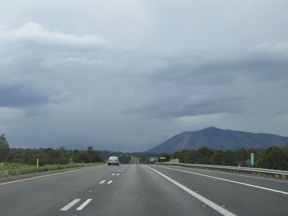 |
Interstate 40 West: Road view from mile marker 207. (Photo taken 5/18/15). |
 |
Interstate 40 West shield located near mile marker 206. (Photo taken 5/18/15). |
 |
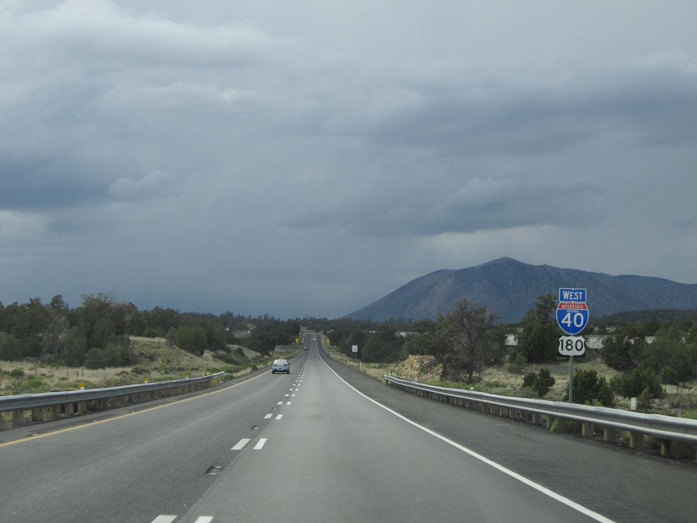
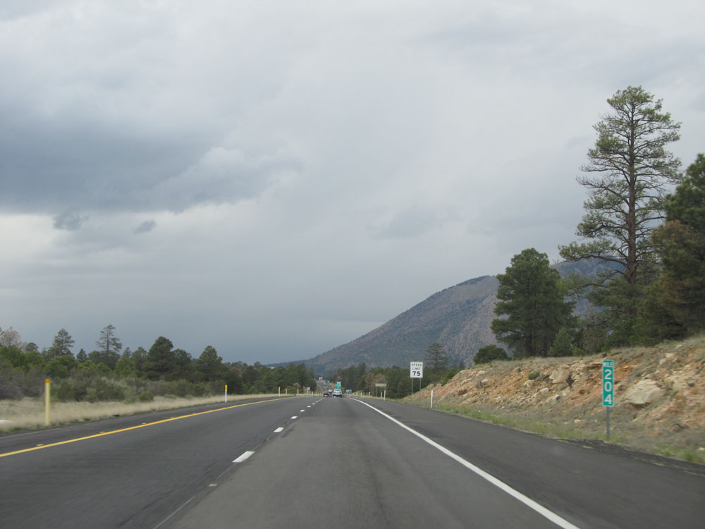
Take Exit 204 to Historic Route 66. (Photo taken 5/18/15). |
 |
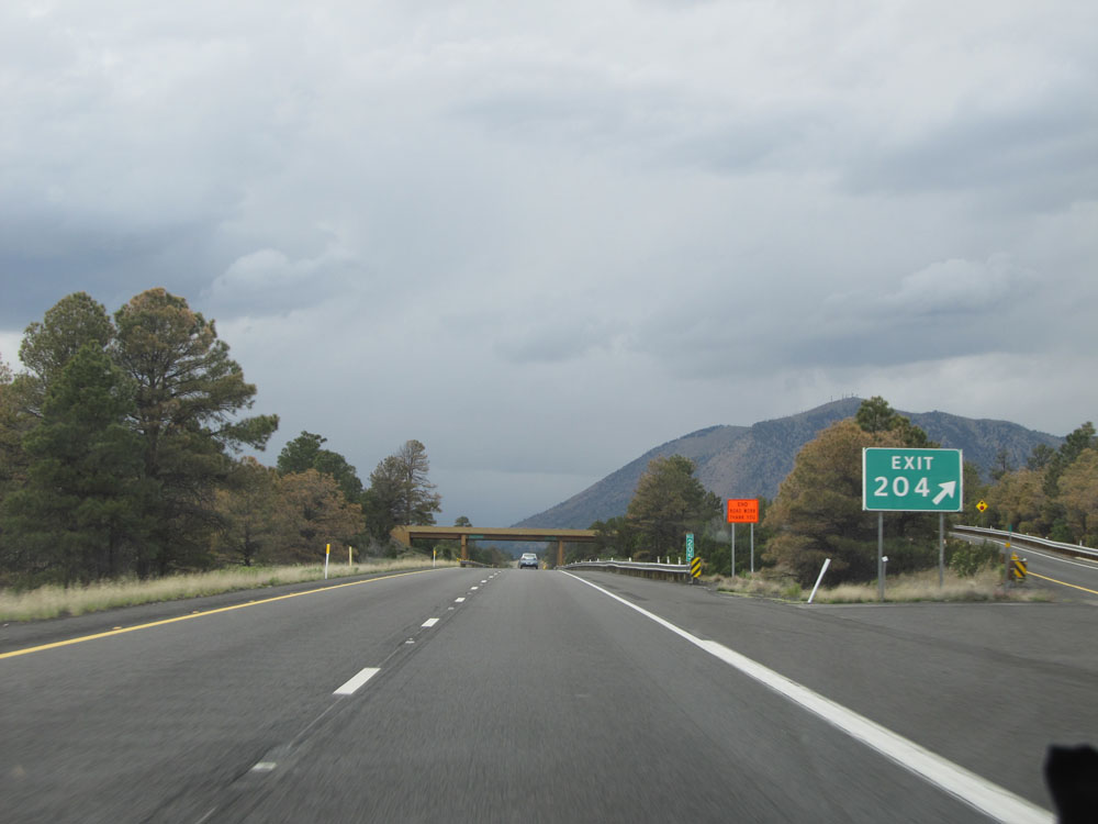
Interstate 40 West approaching Exit 204 - 1/2 mile. (Photo taken 5/18/15). |
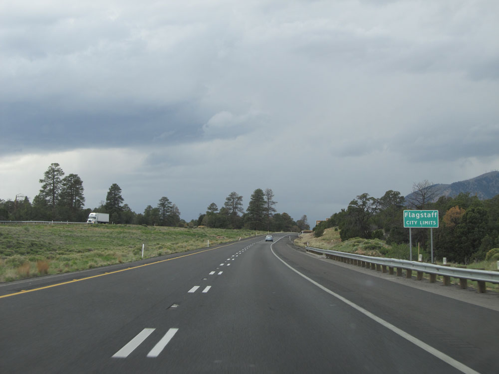 |
Interstate 40 West as it enters the Flagstaff city limits. (Photo taken 5/18/15). |
 |
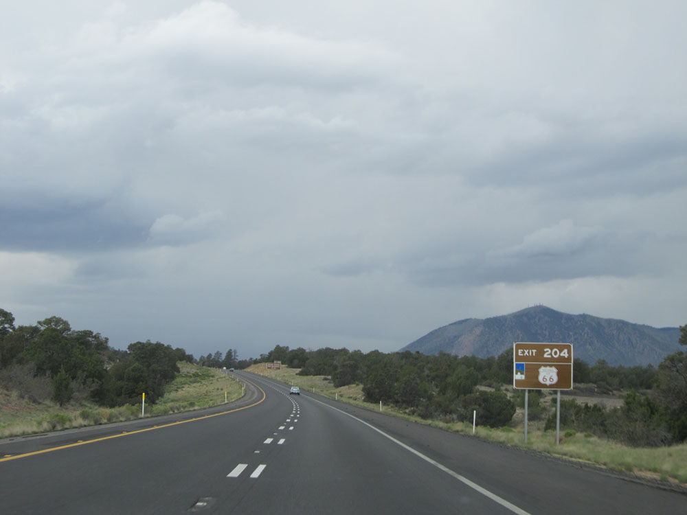
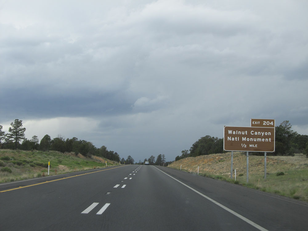
Interstate 40 West at Exit 204: Walnut Canyon National Monument (Photo taken 5/18/15). |
 |
View on Interstate 40 West entering Flagstaff. (Photo taken 5/18/15). |
 |
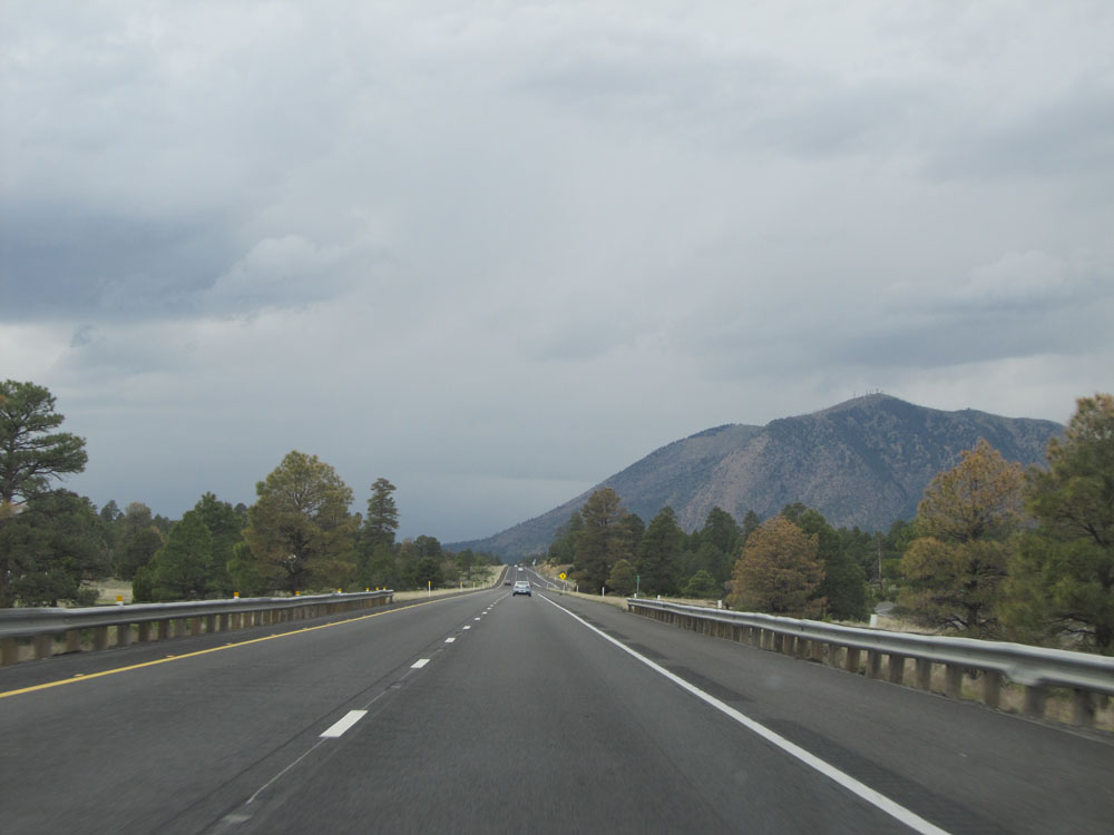
Interstate 40 West: Road view from mile marker 204. Isn't it amazing? 40 miles ago we were in the high desert, and now after gaining some elevation, we're starting to see tall pine trees! (Photo taken 5/18/15). |
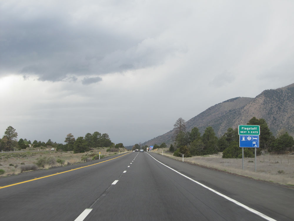 |
Take any of the next 5 exits to Flagstaff. (Photo taken 5/18/15). |
 |
Interstate 40 West approaching Exit 201 - 3/4 mile. (Photo taken 5/18/15). |
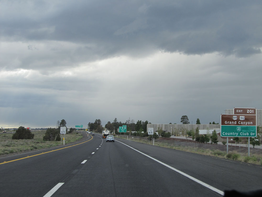 |
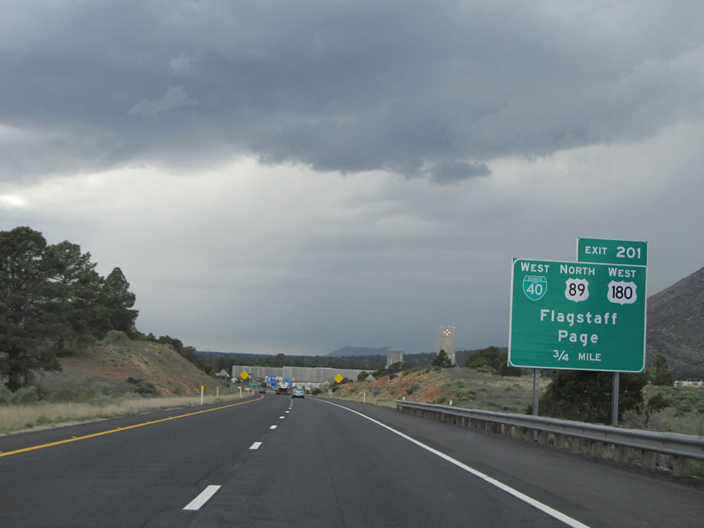
Take Exit 201 to US 89 / US 180 to the Grand Canyon and to Interstate 40 BL to Country Club Dr. Also, just ahead, the speed limit drops to 65 mph as you pass through Flagstaff. (Photo taken 5/18/15). |
 |
Interstate 40 West at Exit 201: Interstate 40 BL West / US 89 North / US 180 West - Flagstaff / Page (Photo taken 5/18/15). |
 |
As previously mentioned, the speed limit decreases to 65 mph as you pass through Flagstaff on Interstate 40 West. (Photo taken 5/18/15). |
 |
Sign listing the distances to the upcoming Flagstaff exits. (Photo taken 5/18/15). |
 |
Interstate 40 West: Road view from mile marker 200. (Photo taken 5/18/15). |
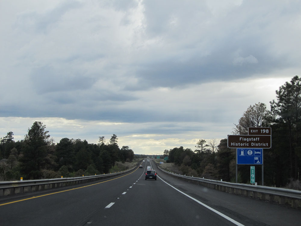 |
Take Exit 198 to Flagstaff Historic District. (Photo taken 5/18/15). |
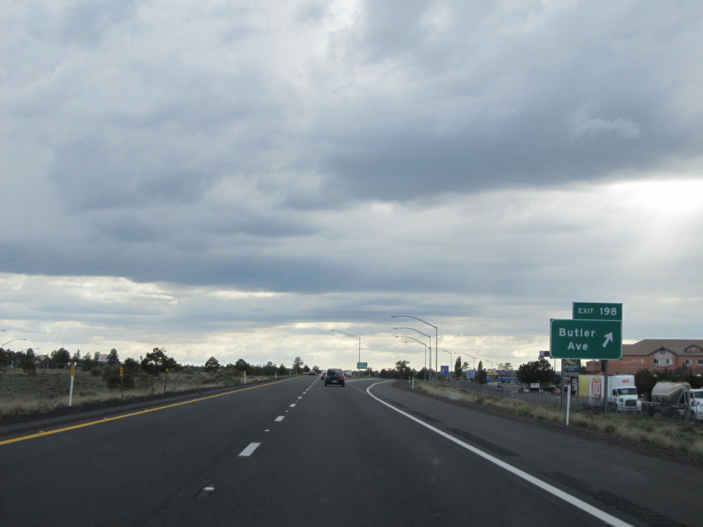 |
Interstate 40 West at Exit 198: Butler Ave (Photo taken 5/18/15). |
 |
Interstate 40 West approaching Exit 195 - 2 miles. (Photo taken 5/18/15). |
 |
Interstate 40 West assurance shield. (Photo taken 5/18/15). |
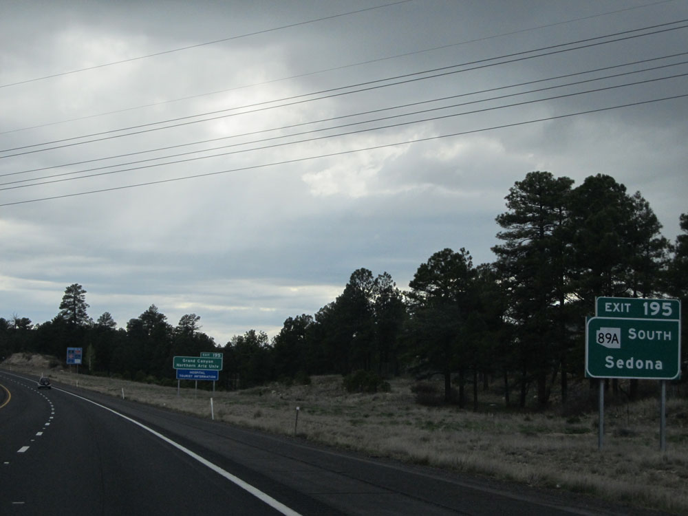 |
Take Exit 195 to AZ 89A South toward Sedona. (Photo taken 5/18/15). |
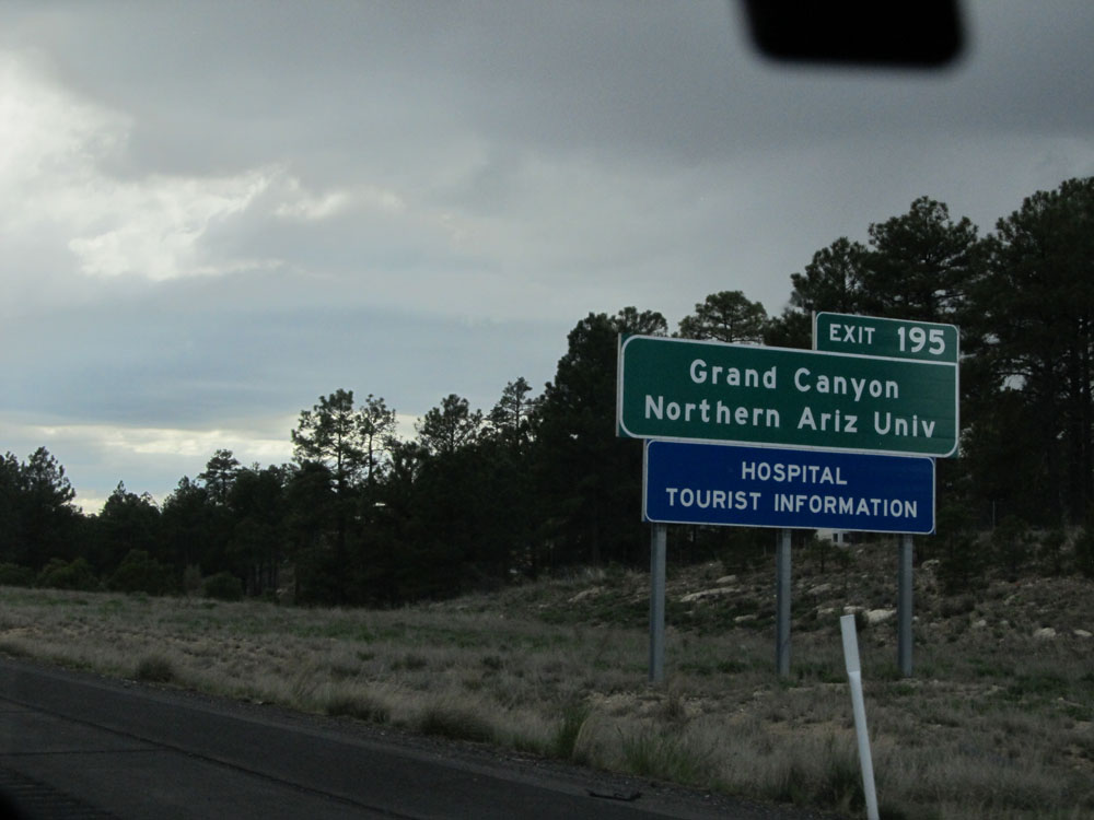 |
Also take Exit 195 to the Grand Canyon and Northern Arizona University. (Photo taken 5/18/15). |
 |
Interstate 40 West approaching Exit 195 - 3/4 mile. (Photo taken 5/18/15). |
 |
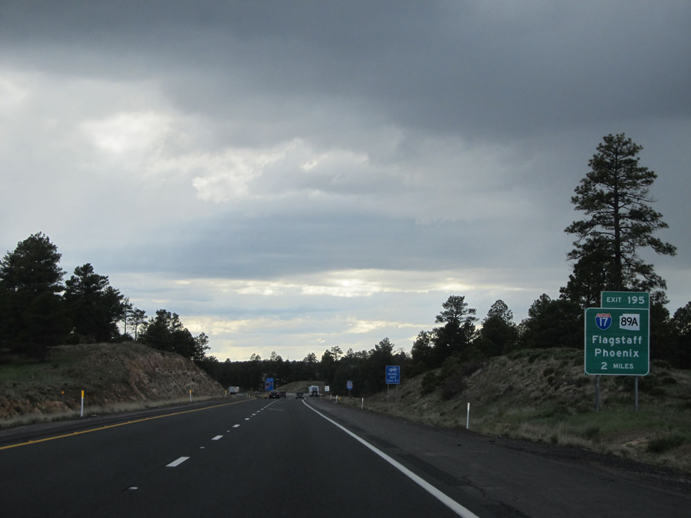
Interstate 40 West at Exit 195: Interstate 17 South / AZ 89A South / AZ 89A North - Phoenix / Flagstaff (Photo taken 5/18/15). |
Section 3: Flagstaff (Exit 195) to Seligman (Exit 121)
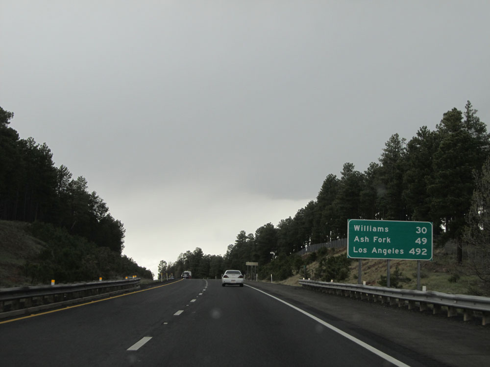 |
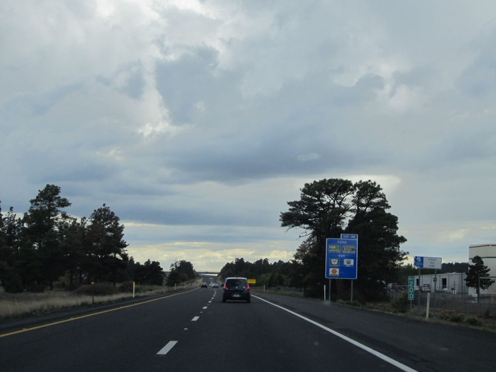
Mileage sign located near mile marker 195. It's 30 miles to Williams, 49 miles to Ash Fork, and 492 miles to Los Angeles. (Photo taken 5/18/15). |
 |
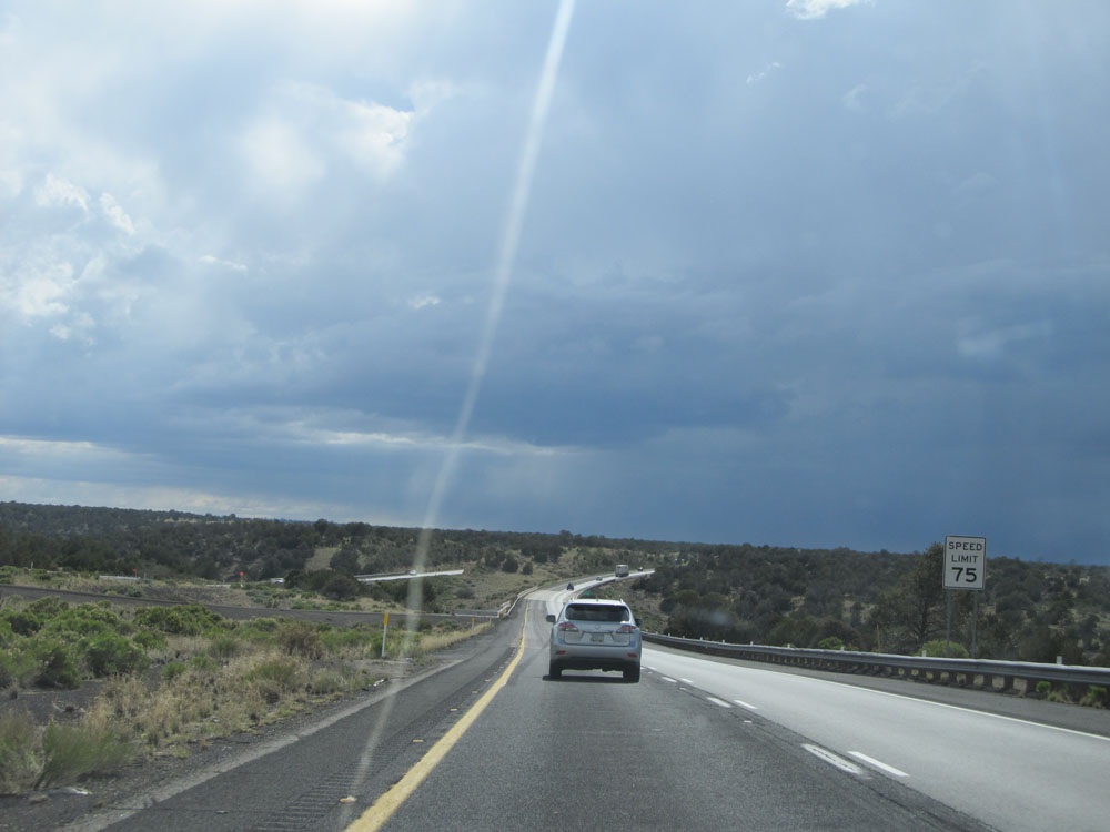
Near mile marker 194, the standard speed limit of 75 mph resumes as you prepare to leave Flagstaff. (Photo taken 5/18/15). |
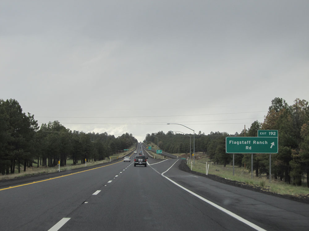 |
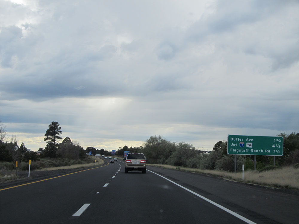
Interstate 40 West at Exit 192: Flagstaff Ranch Rd (Photo taken 5/18/15). |
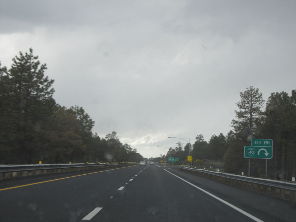 |
Interstate 40 West at Exit 191: Interstate 40 BL. I almost beat this storm, but not quite. (Photo taken 5/18/15). |
 |
Interstate 40 West at Exit 190: A-1 Mountain Rd (Photo taken 5/18/15). |
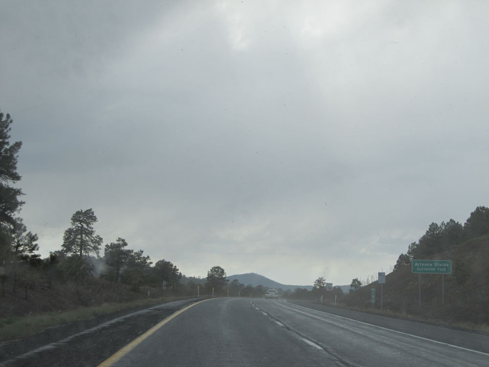 |
Interstate 40 West as it crosses the Arizona Divide at an elevation of 7,335 feet. This is the highest point on Interstate 40 in the United States. (Photo taken 5/18/15). |
 |
Interstate 40 West: Road view from mile marker 188. (Photo taken 5/18/15). |
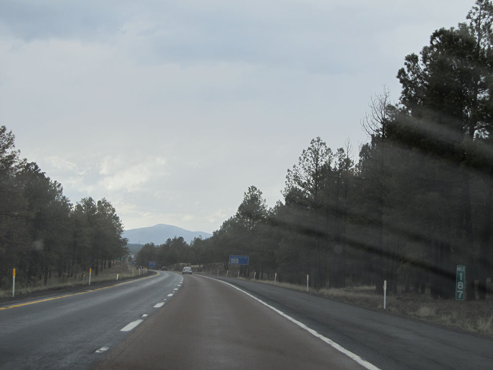 |
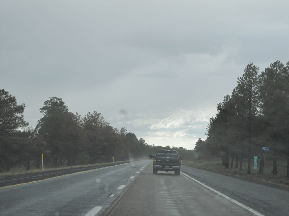
Interstate 40 West: Road view from mile marker 187. (Photo taken 5/18/15). |
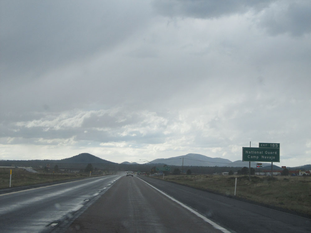 |
Take Exit 185 to National Guard Camp Navajo. (Photo taken 5/18/15). |
 |
Interstate 40 West at Exit 185: Transwestern Rd / Bellemont (Photo taken 5/18/15). |
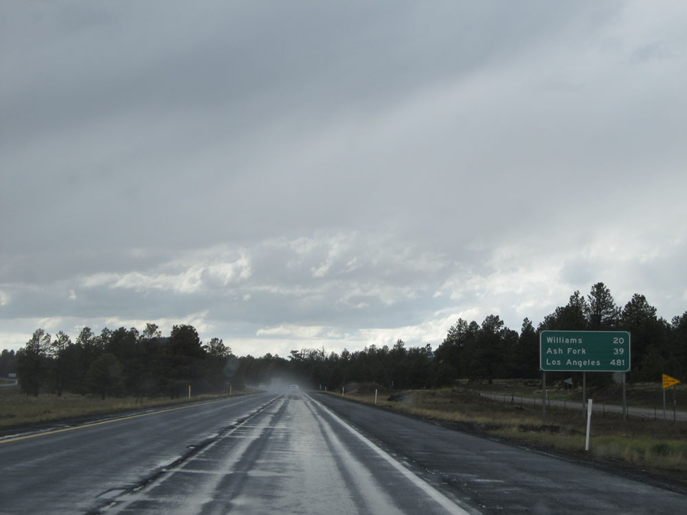 |
Mileage sign on Interstate 40 West. It's 20 miles to Williams, 39 miles to Ash Fork, and 481 miles to Los Angeles. (Photo taken 5/18/15). |
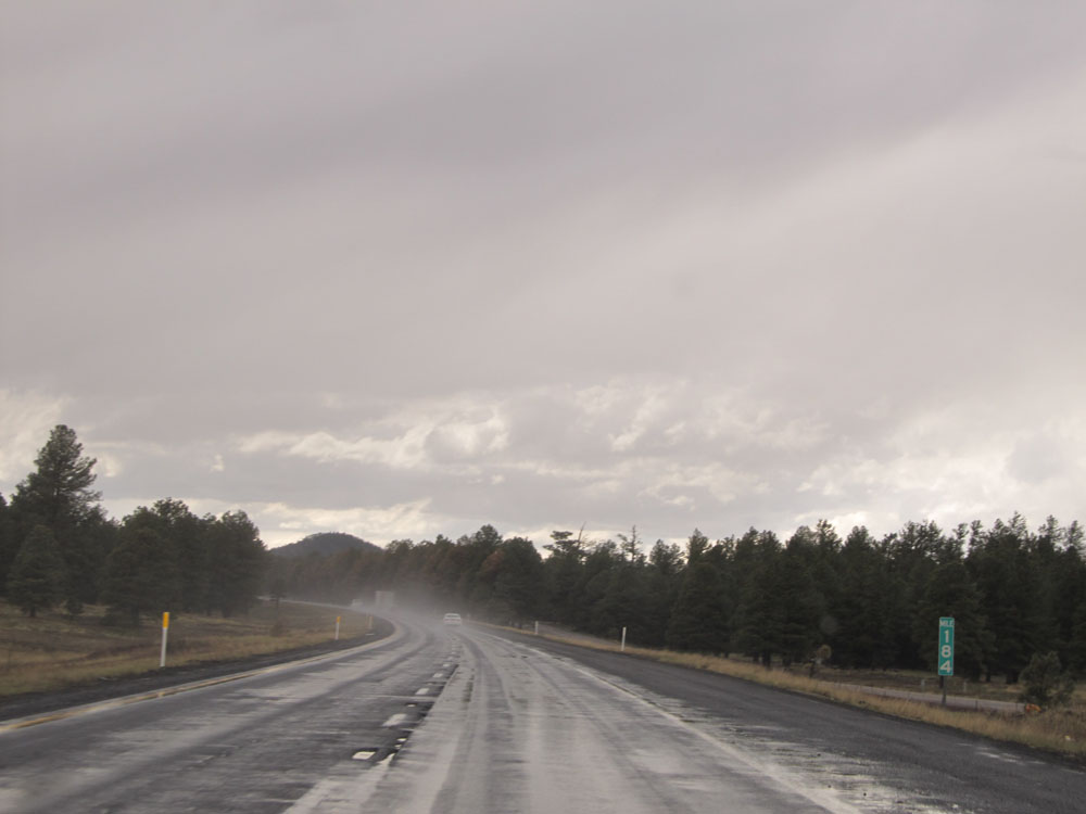 |
Interstate 40 West: Road view from mile marker 184. (Photo taken 5/18/15). |
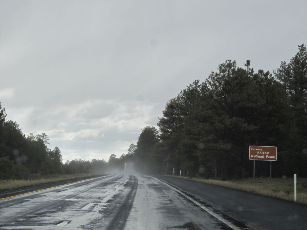 |
Interstate 40 West as it enters the Kaibab National Forest. (Photo taken 5/18/15). |
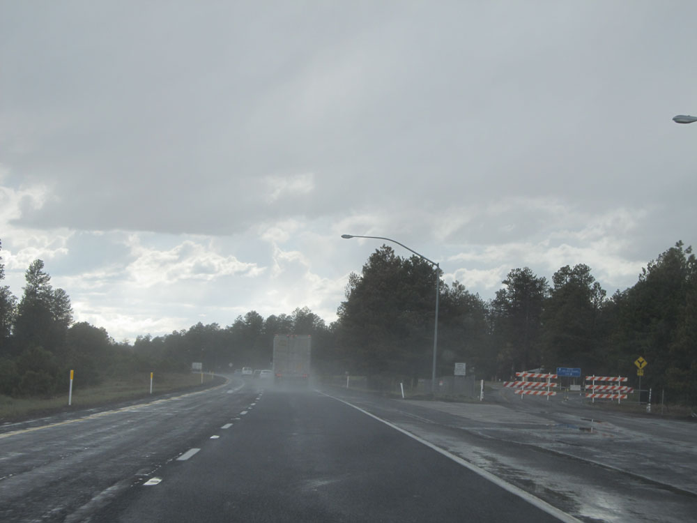 |
Interstate 40 West at the (currently closed) Rest Area near mile marker 180. (Photo taken 5/18/15). |
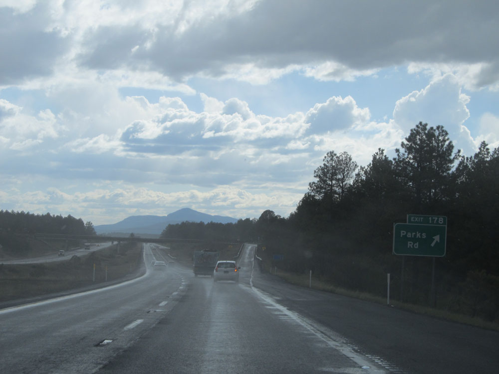 |
Interstate 40 West at Exit 178: Parks Rd (Photo taken 5/18/15). |
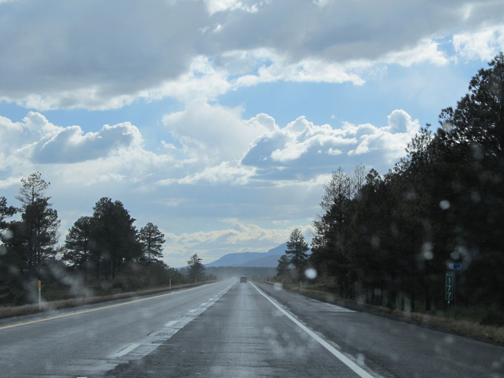 |
Interstate 40 West: Road view from mile marker 177. (Photo taken 5/18/15). |
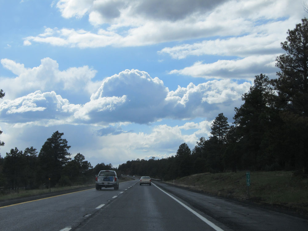 |
Interstate 40 West: Road view from mile marker 175. (Photo taken 5/18/15). |
 |
Interstate 40 West at Exit 171: Pittman Valley Rd / Deer Farm Rd (Photo taken 5/18/15). |
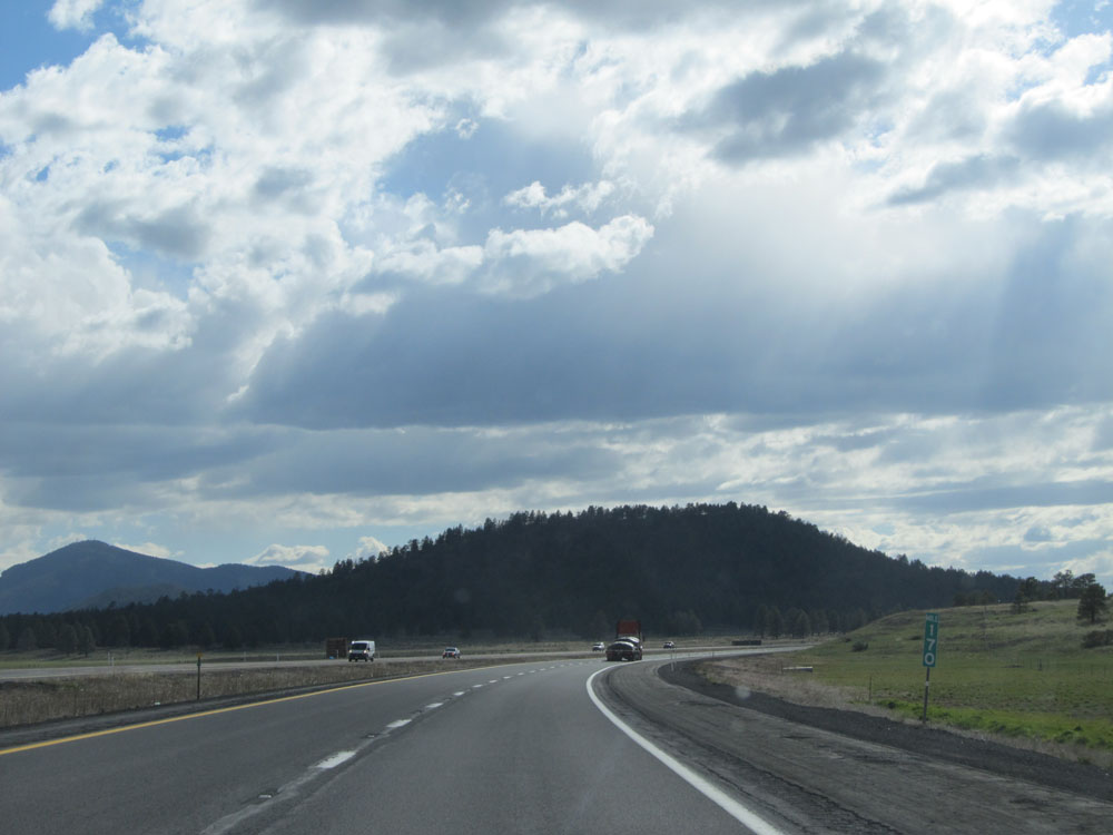 |
Interstate 40 West: Road view from mile marker 170. (Photo taken 5/18/15). |
 |
Interstate 40 West as it enters the Williams city limits. (Photo taken 5/18/15). |
 |
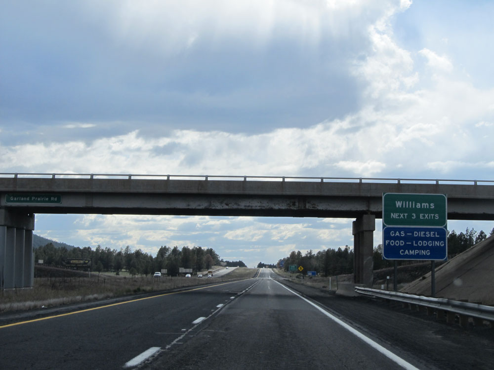
Interstate 40 West at Exit 167: Garland Prairie Rd / Circle Pines Rd (Photo taken 5/18/15). |
 |
Take any of the next 3 exits to Williams. (Photo taken 5/18/15). |
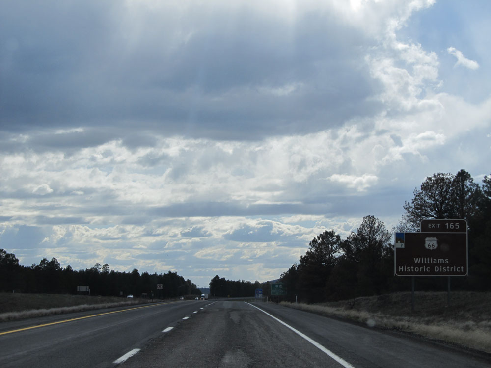 |
Take Exit 165 to Historic Route 66 and Williams Historic District. Williams is quite a neat little western town if I say so myself. (Photo taken 5/18/15). |
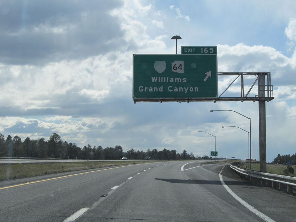 |
Interstate 40 West at Exit 165: Interstate 40 BL / AZ 64 - Williams / Grand Canyon (Photo taken 5/18/15). |
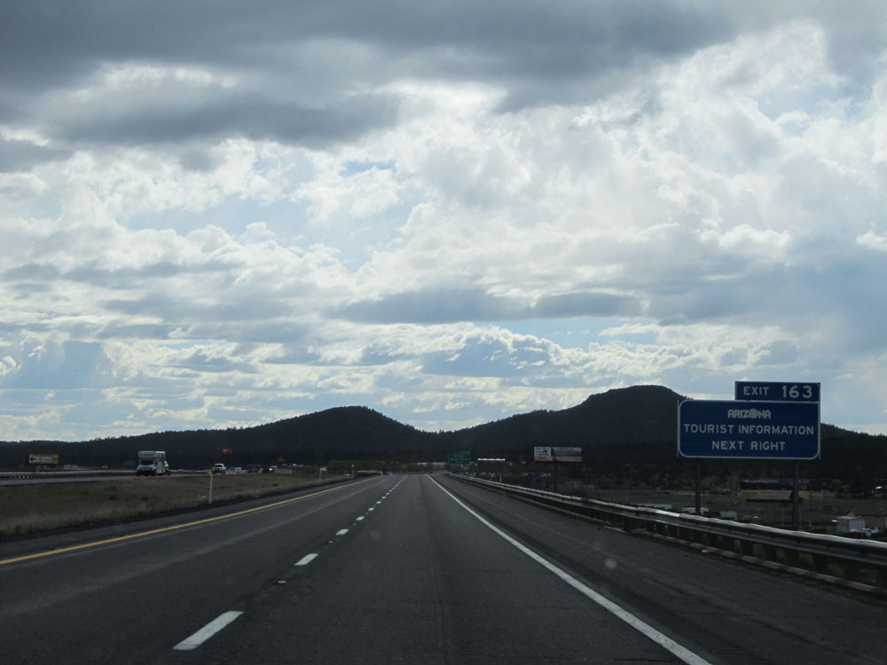 |
Take Exit 163 to Arizona Tourist Information. (Photo taken 5/18/15). |
 |
Also take Exit 163 to Grand Canyon Railway Depot. (Photo taken 5/18/15). |
 |
Interstate 40 West at Exit 163: Williams / Grand Canyon (Photo taken 5/18/15). |
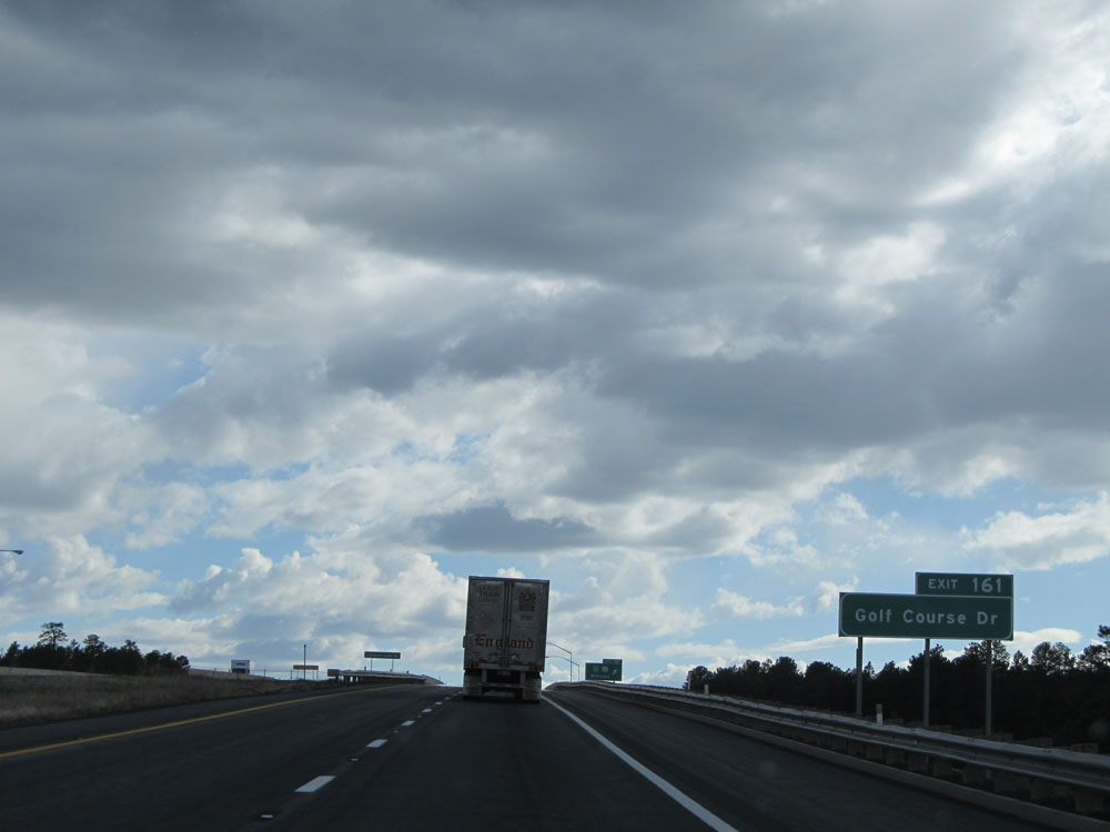 |
Take Exit 161 to Golf Course Dr. (Photo taken 5/18/15). |
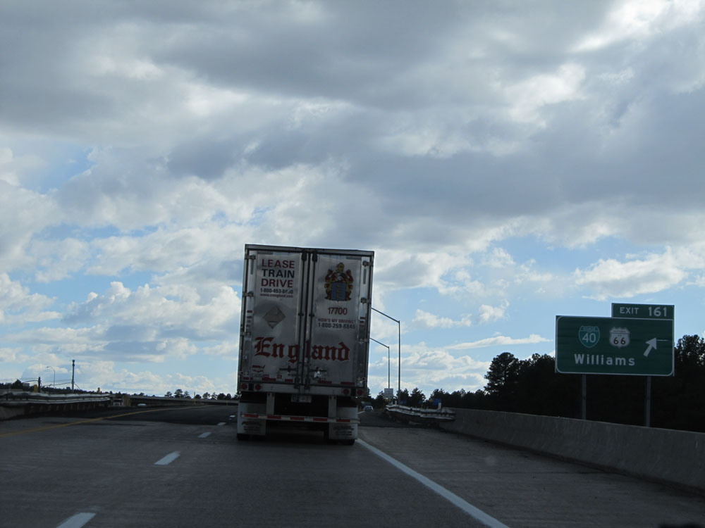 |
Interstate 40 West at Exit 161: Interstate 40 BL / Historic Route 66 - Williams (Photo taken 5/18/15). |
 |
Interstate 40 West assurance shield near mile marker 161. (Photo taken 5/19/15). |
 |
Mileage sign near mile marker 161. It's 15 miles to Ash Fork, 39 miles to Seligman, and 458 miles to Los Angeles. (Photo taken 5/19/15). |
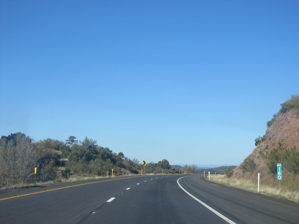 |
Interstate 40 West: Road view from mile marker 160. (Photo taken 5/19/15). |
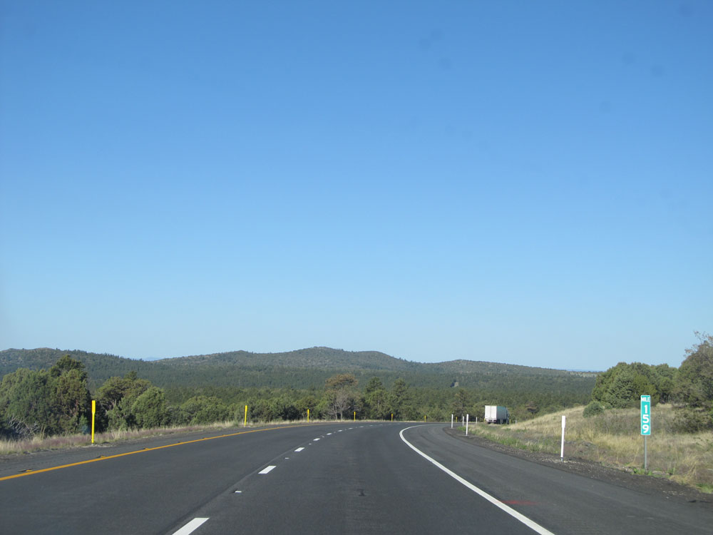 |
Interstate 40 West: Road view from mile marker 159. (Photo taken 5/19/15). |
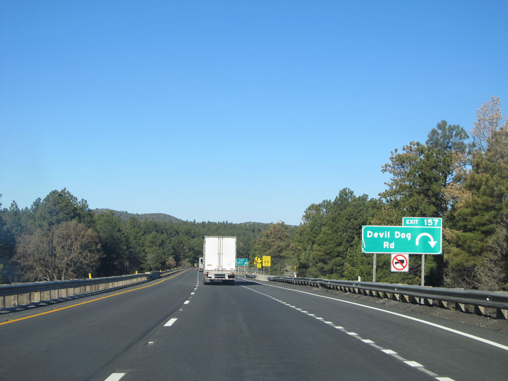 |
Interstate 40 West at Exit 157: Devil Dog Rd (Photo taken 5/19/15). |
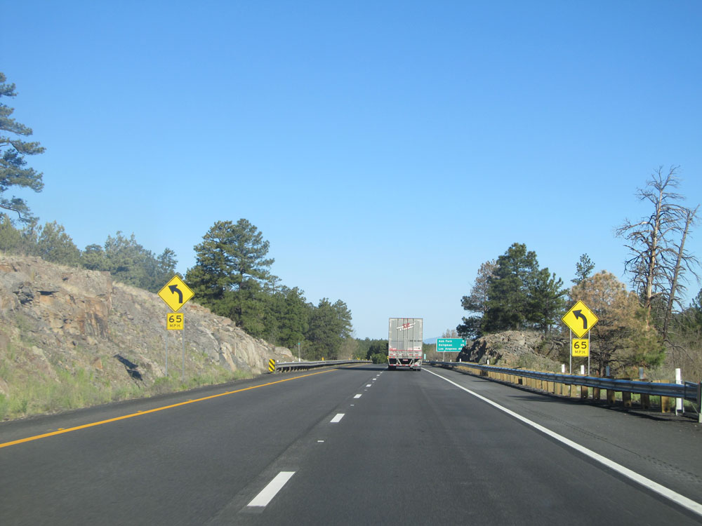 |
View on Interstate 40 West near mile marker 156. (Photo taken 5/19/15). |
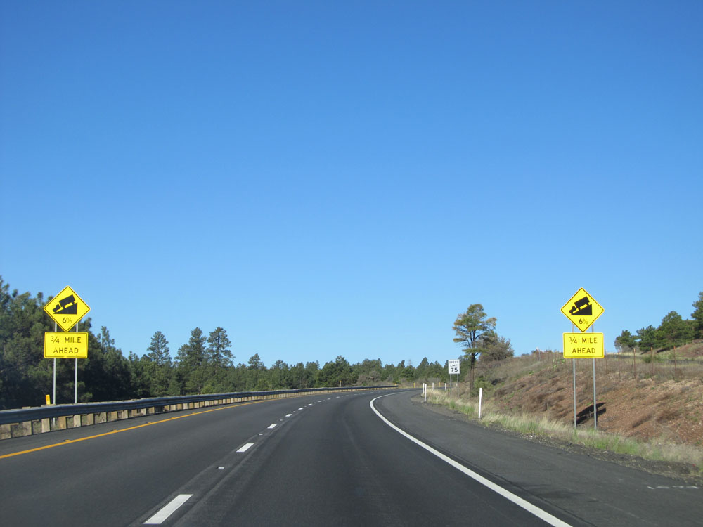 |
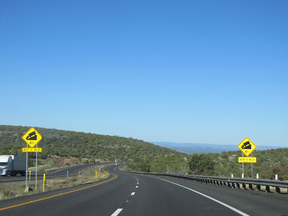
Interstate 40 West approaching a long 6% grade - 3/4 mile ahead. What goes up must come down. (Photo taken 5/19/15). |
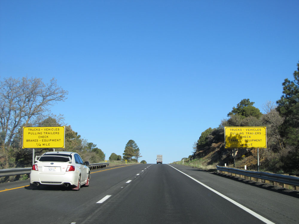 |
Signs approaching the brake and equipment check area before heading down the long, steep grade - 1/4 mile ahead. (Photo taken 5/19/15). |
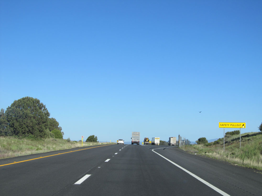 |
Interstate 40 West at the Safety Pullout / Brake and Equipment Check Area before heading down the mountain. (Photo taken 5/19/15). |
 |
Warning sign just before heading down the grade, alerting trucks and vehicles pulling trailers to use a lower gear for the next 6 miles. (Photo taken 5/19/15). |
 |
Warning signs as you begin down the 6-mile 6% grade. (Photo taken 5/19/15). |
 |
Interstate 40 West: Road view from mile marker 155. (Photo taken 5/19/15). |
 |
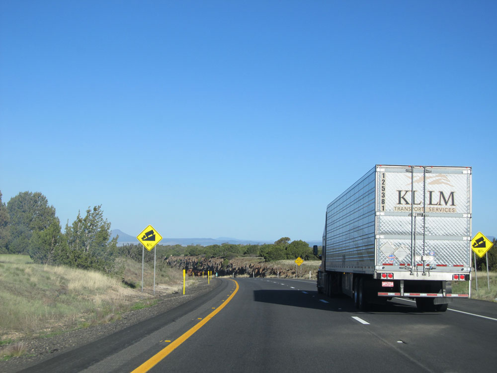
Warning signs stating that the 6% grade continues for the next 5 miles. (Photo taken 5/19/15). |
 |
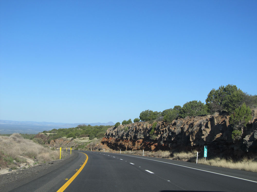
View on Interstate 40 West as you continue to head down in elevation, near mile marker 154. (Photo taken 5/19/15). |
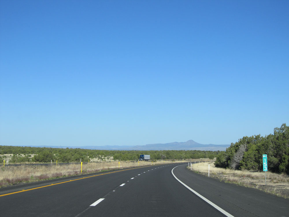 |
Interstate 40 West: Road view from mile marker 153. (Photo taken 5/19/15). |
 |
Interstate 40 West at Exit 151: Welch Rd (Photo taken 5/19/15). |
 |
Interstate 40 West assurance shield. (Photo taken 5/19/15). |
 |
Speed limit sign near mile marker 151. The speed limit remains 75 mph for all vehicles while going down the steep grade. (Photo taken 5/19/15). |
 |
Interstate 40 West: Road view from mile marker 151. (Photo taken 5/19/15). |
 |
Interstate 40 West at Exit 149: Monte Carlo Rd (Photo taken 5/19/15). |
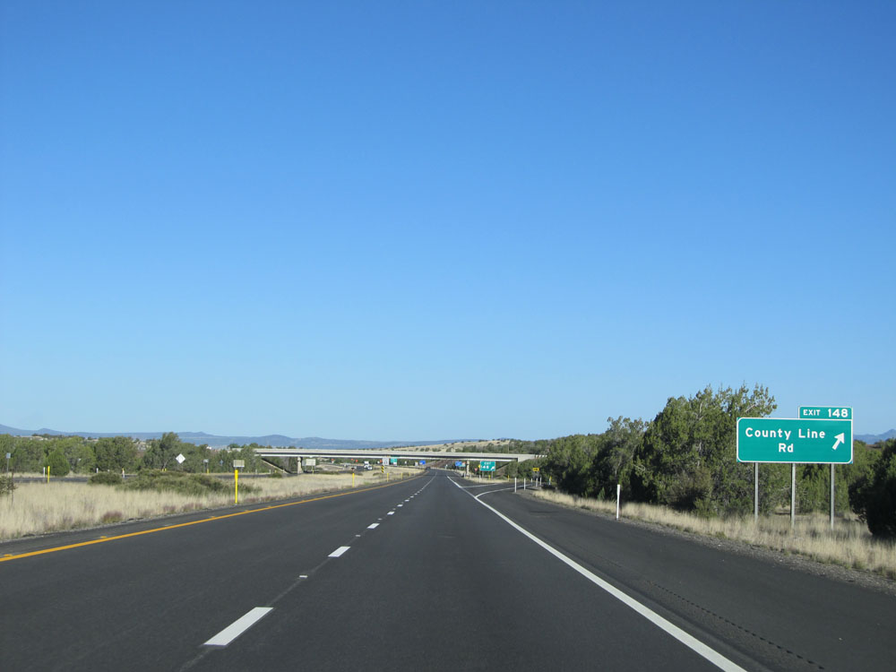 |
Interstate 40 West at Exit 148: County Line Rd (Photo taken 5/19/15). |
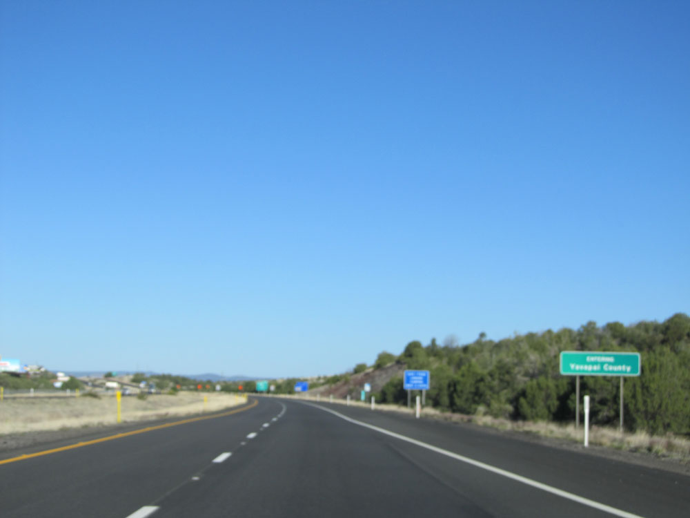 |
Interstate 40 West entering Yavapai County. Sorry about botching this photo. (Photo taken 5/19/15). |
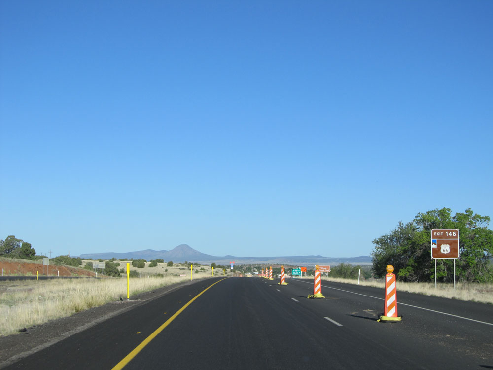 |
Take Exit 146 to Historic Route 66. (Photo taken 5/19/15). |
 |
Interstate 40 West as it leaves Kaibab National Forest. (Photo taken 5/19/15). |
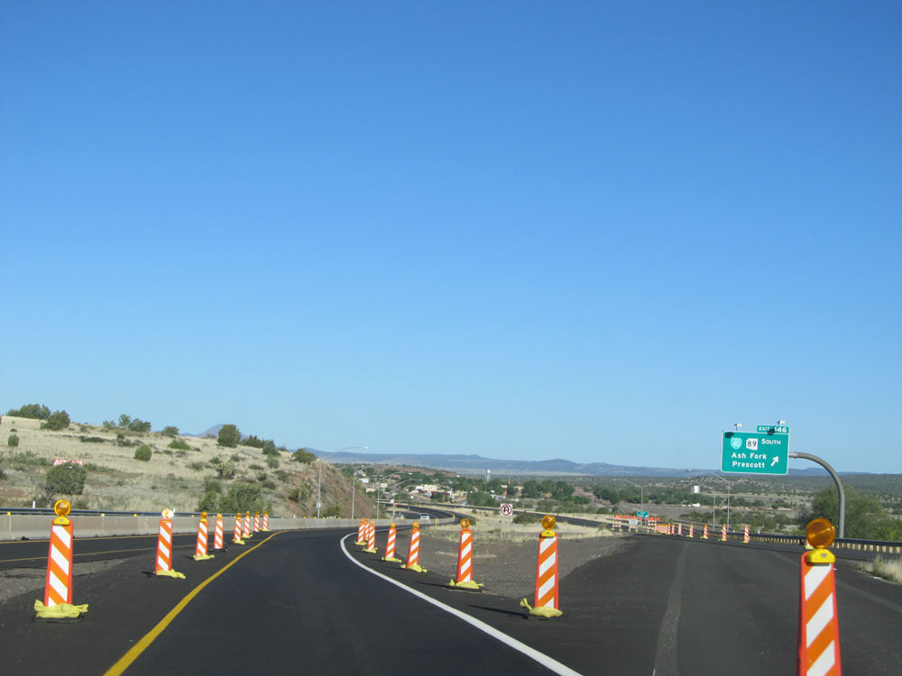 |
Interstate 40 West at Exit 146: Interstate 40 BL / AZ 89 South - Ash Fork / Prescott (Photo taken 5/19/15). |
 |
Interstate 40 West at Exit 144: Interstate 40 BL - Ash Fork (Photo taken 5/19/15). |
 |
Interstate 40 in Arizona is also known as the Purple Heart Trail, as this sign reads. (Photo taken 5/19/15). |
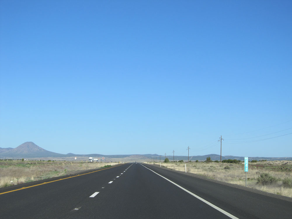 |
Interstate 40 West: Road view from mile marker 142. (Photo taken 5/19/15). |
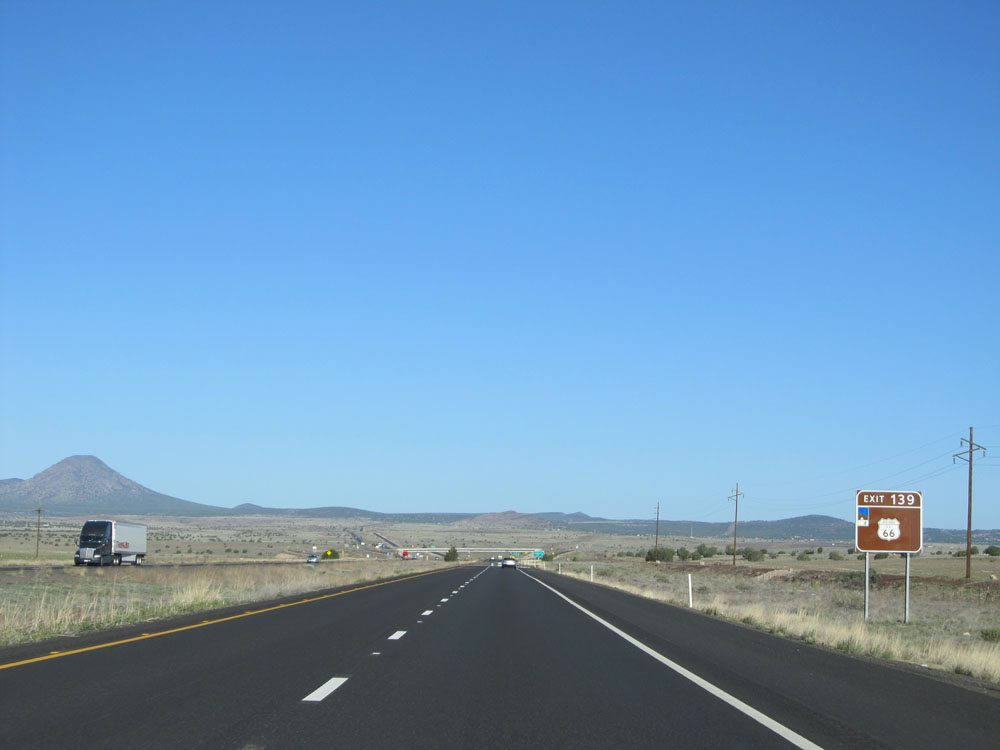 |
Take Exit 139 to Historic Route 66. (Photo taken 5/19/15). |
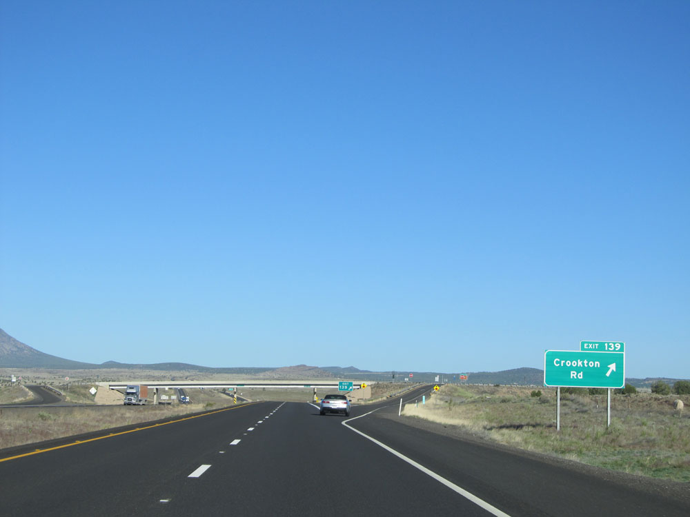 |
Interstate 40 West at Exit 139: Crookton Rd (Photo taken 5/19/15). |
 |
Mileage sign near mile marker 139. It's 16 miles to Seligman, 86 miles to Kingman, and 436 miles to Los Angeles. (Photo taken 5/19/15). |
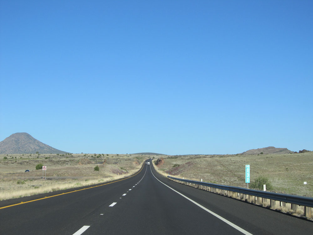 |
Interstate 40 West: Road view from mile marker 137. (Photo taken 5/19/15). |
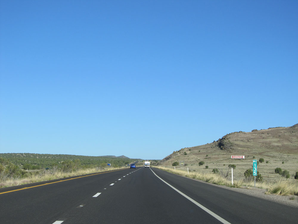 |
Interstate 40 West: Road view from mile marker 135. (Photo taken 5/19/15). |
 |
The elk crossing warning that we first encountered east of Flagstaff remains in effect for 10 more miles. (Photo taken 5/19/15). |
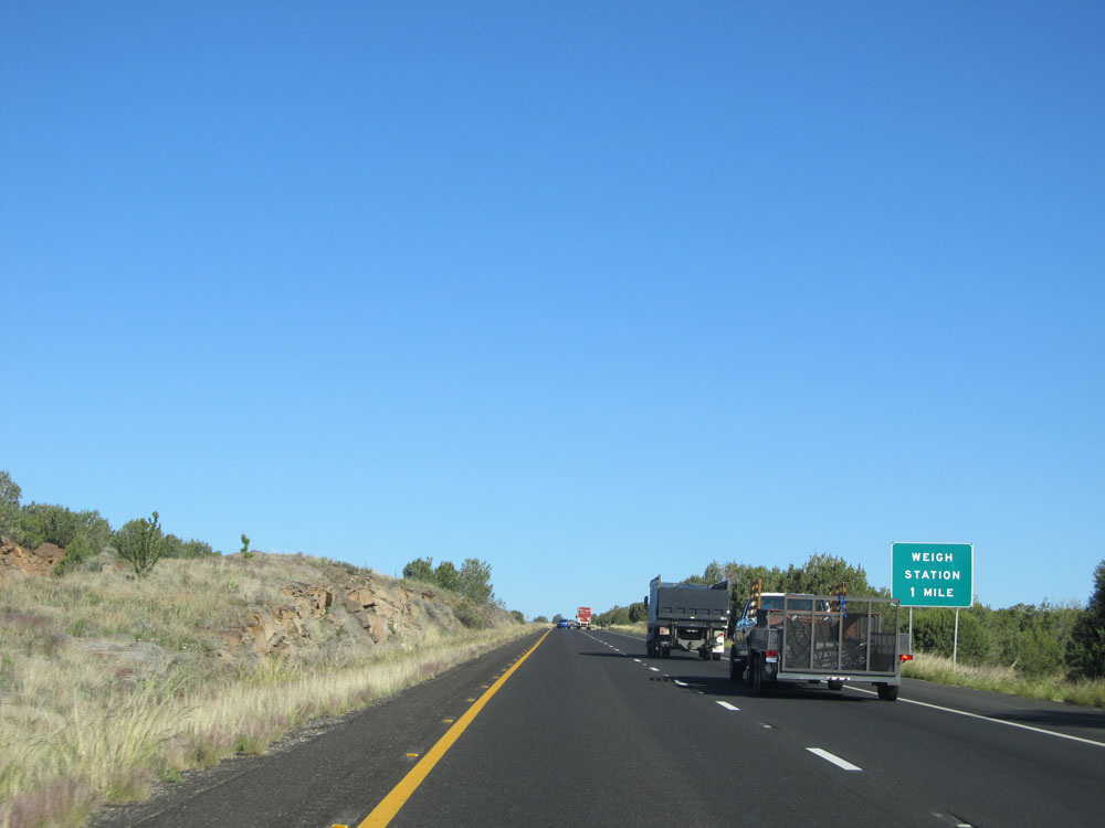 |
Interstate 40 West approaching a Weigh Station at mile marker 133 - 1 mile. (Photo taken 5/19/15). |
 |
Interstate 40 West at the Weigh Station located at mile marker 132. (Photo taken 5/19/15). |
 |
Interstate 40 West: Road view from mile marker 131. (Photo taken 5/19/15). |
 |
Interstate 40 West: Road view from mile marker 128. (Photo taken 5/19/15). |
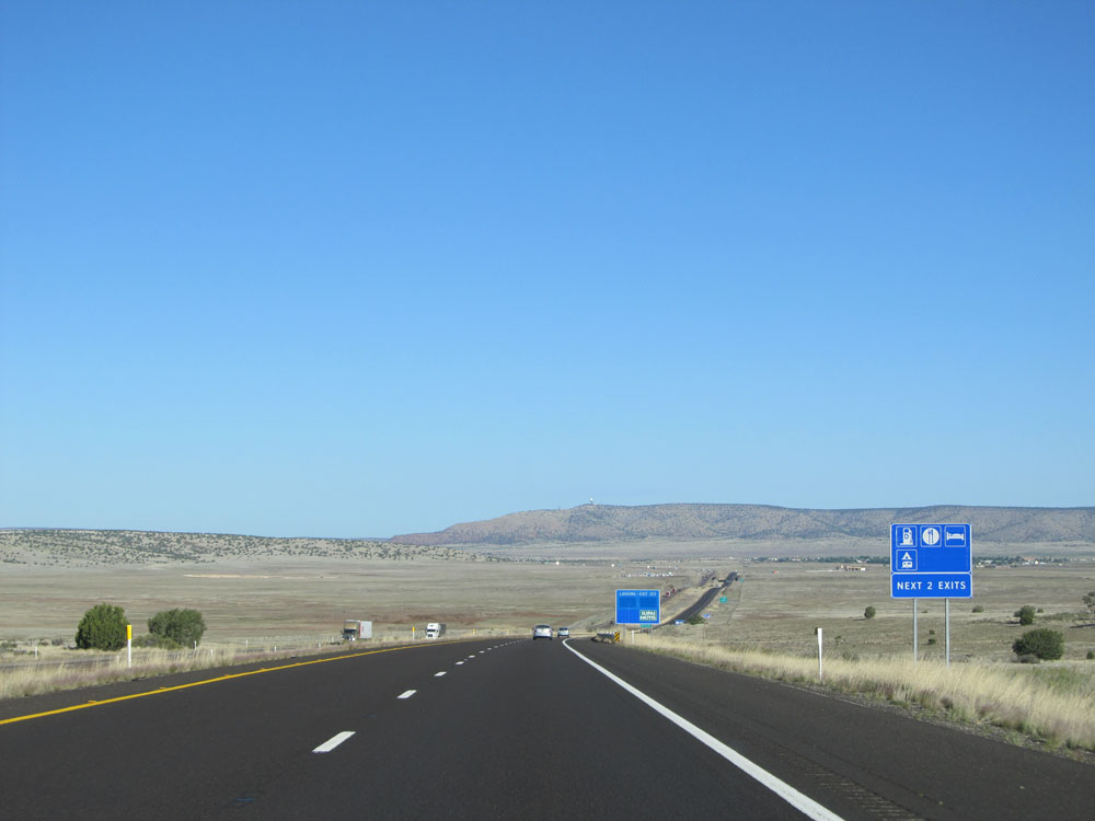 |
There are several services available at either of the next 2 exits. (Photo taken 5/19/15). |
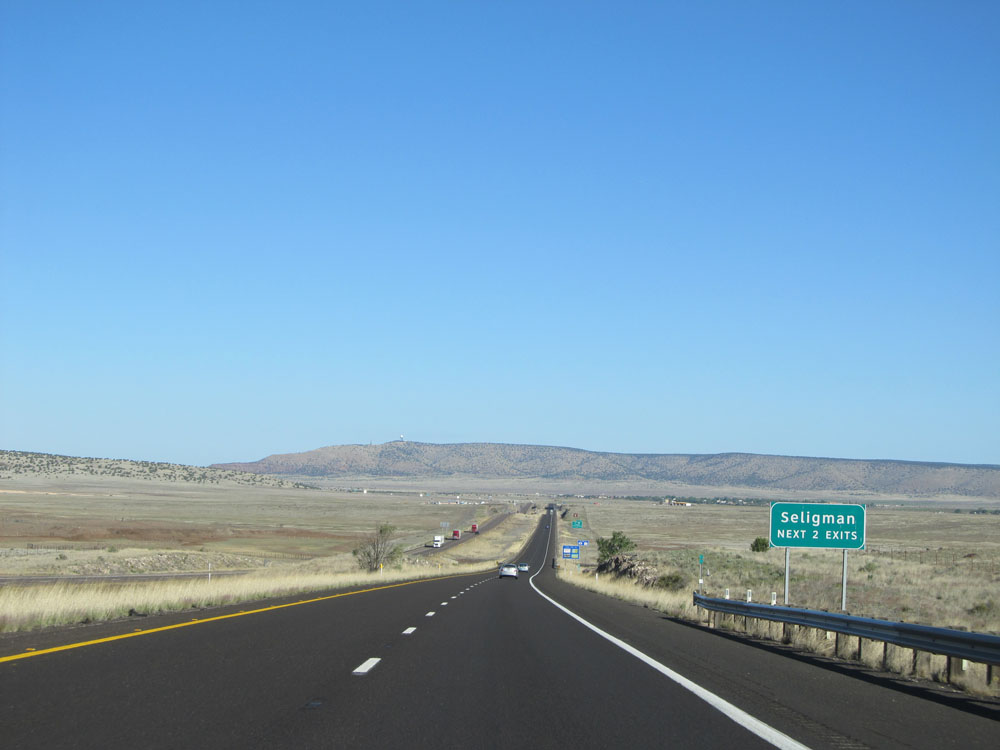 |
Take either of the next 2 exits to Seligman. (Photo taken 5/19/15). |
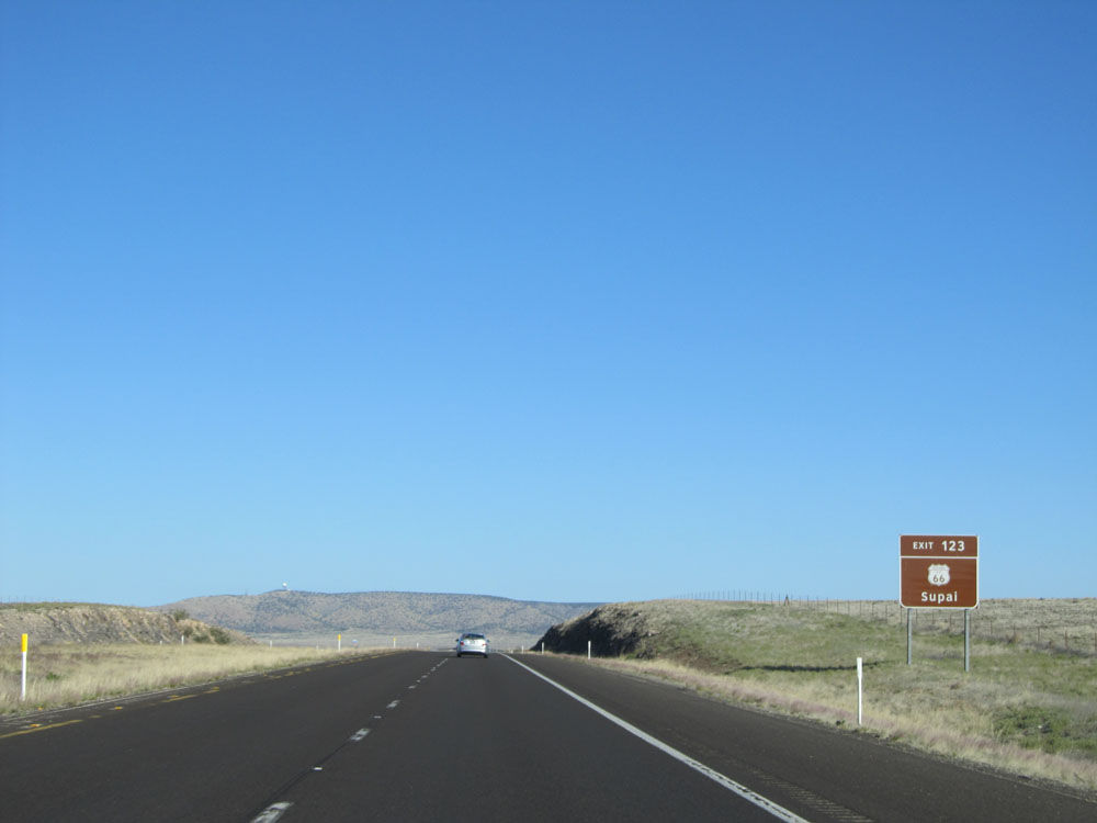 |
Take Exit 123 to Historic Route 66 and Supai. (Photo taken 5/19/15). |
 |
Also take Exit 123 to Seligman Historic District. (Photo taken 5/19/15). |
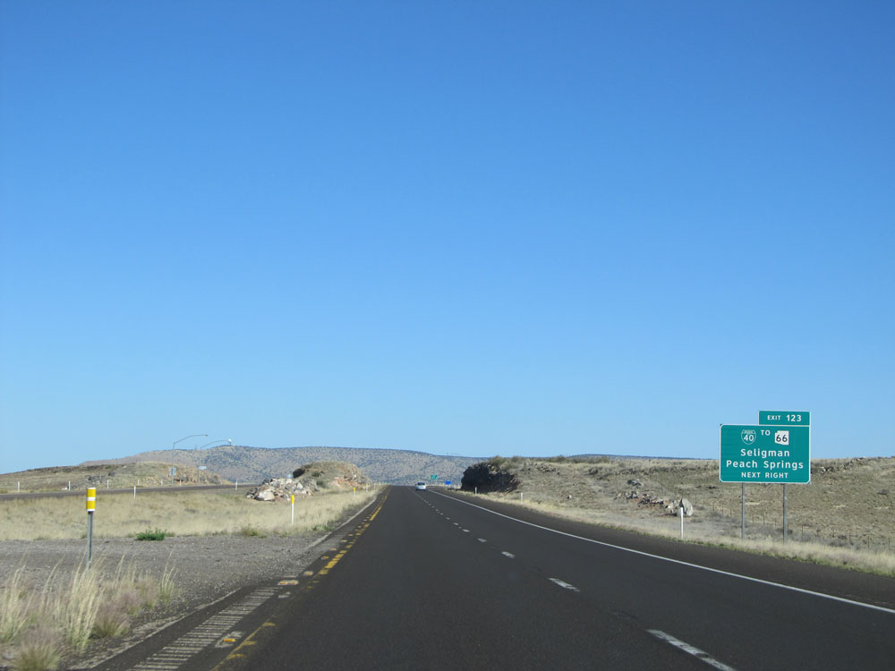 |
Interstate 40 West at Exit 123: Interstate 40 BL / To AZ 66 - Seligman / Peach Springs (Photo taken 5/19/15). |
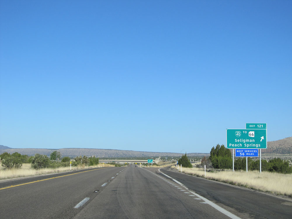 |
Interstate 40 West at Exit 121: Interstate 40 BL / To AZ 66 - Seligman / Peach Springs. The next services available westbound after this exit are near Kingman, 56 miles ahead. (Photo taken 5/19/15). |
Section 4: Seligman (Exit 121) to Kingman (Exit 53)
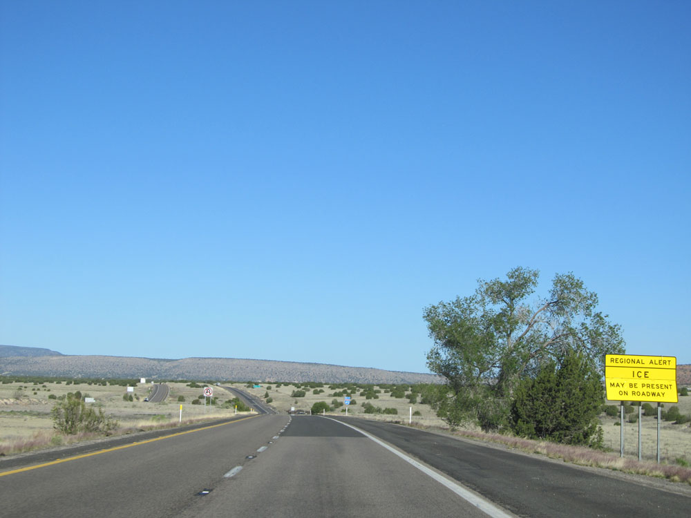 |
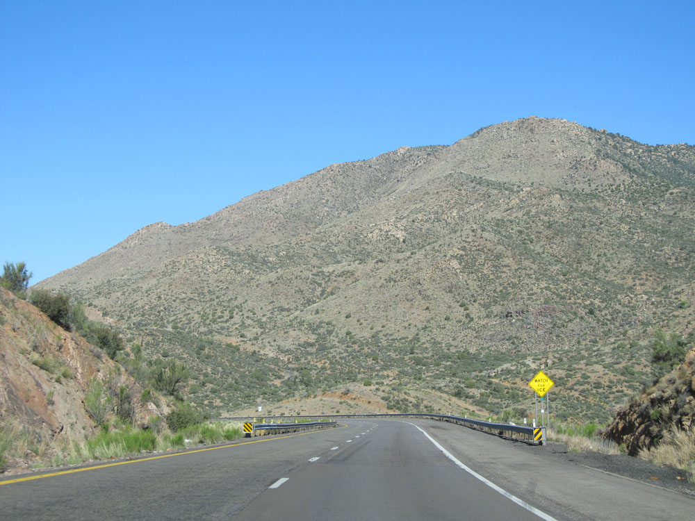
Regional ice alert warning sign on Interstate 40 West. Although we're in Arizona, we're still pretty high up in elevation. Therefore, in the winter, it isn't uncommon to have snow and ice threats on this stretch of I-40. (Photo taken 5/19/15). |
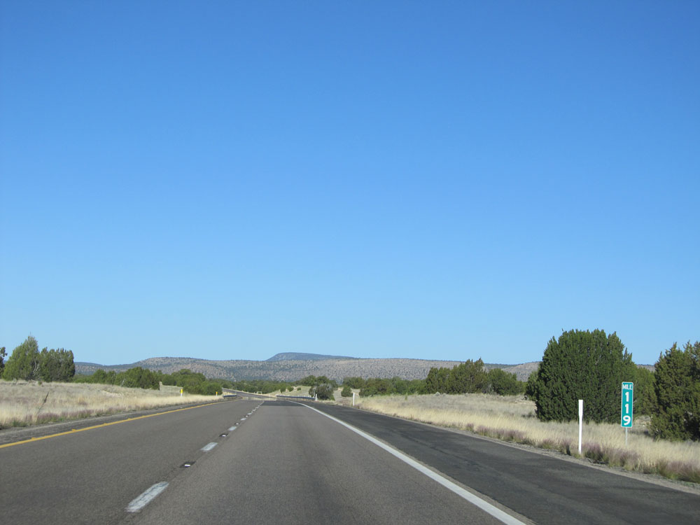 |
Interstate 40 West: Road view from mile marker 119. (Photo taken 5/19/15). |
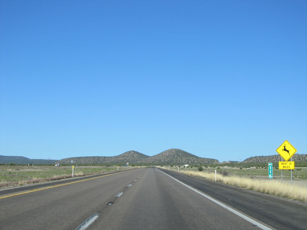 |
Interstate 40 West: Road view from mile marker 116. (Photo taken 5/19/15). |
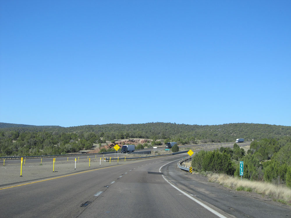 |
Interstate 40 West: Road view from mile marker 113. (Photo taken 5/19/15). |
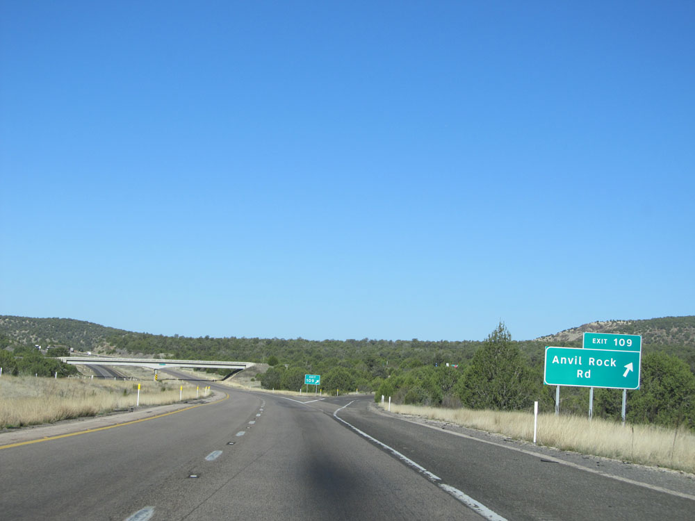 |
Interstate 40 West at Exit 109: Anvil Rock Rd (Photo taken 5/19/15). |
 |
View on Interstate 40 West near mile marker 109. (Photo taken 5/19/15). |
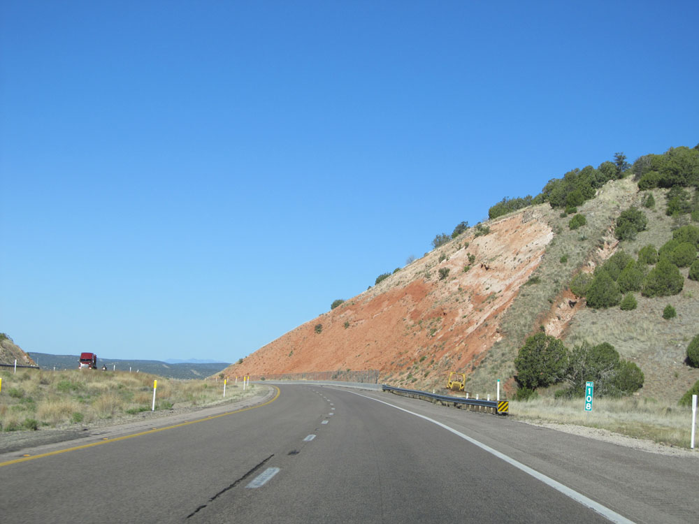 |
Interstate 40 West: Road view from mile marker 108. (Photo taken 5/19/15). |
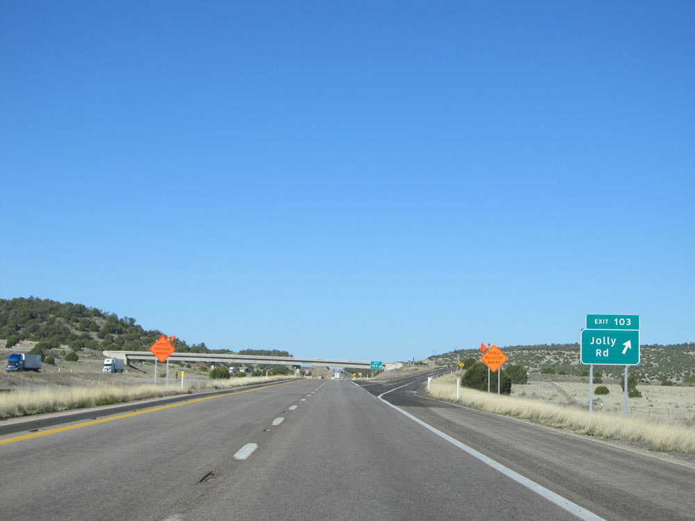 |
Interstate 40 West at Exit 103: Jolly Rd (Photo taken 5/19/15). |
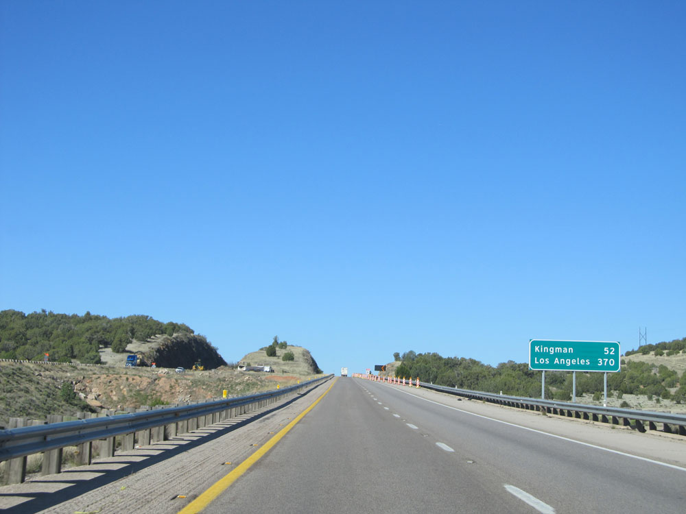 |
Mileage sign near mile marker 103. It's 52 miles to Kingman and 370 miles to Los Angeles. (Photo taken 5/19/15). |
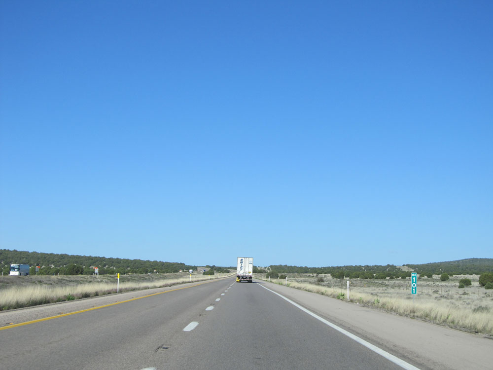 |
Interstate 40 West: Road view from mile marker 101. (Photo taken 5/19/15). |
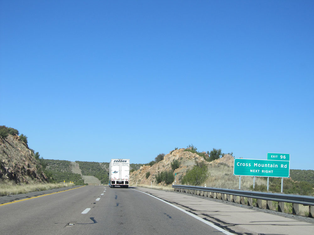 |
Interstate 40 West at Exit 96: Cross Mountain Rd (Photo taken 5/19/15). |
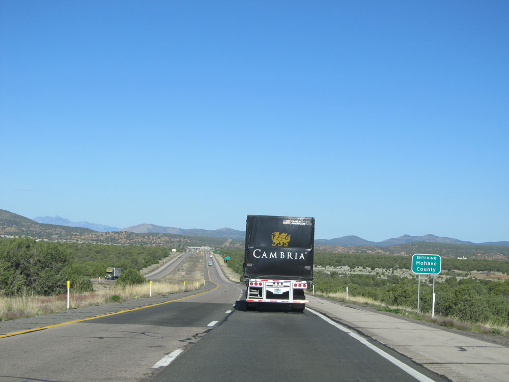 |
Interstate 40 West as it enters Mohave County. (Photo taken 5/19/15). |
 |
Interstate 40 West at Exit 91: Fort Rock Rd (Photo taken 5/19/15). |
 |
Interstate 40 West: Road view from mile marker 90. (Photo taken 5/19/15). |
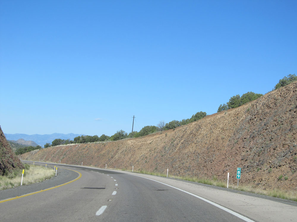 |
Interstate 40 West: Road view from mile marker 89. (Photo taken 5/19/15). |
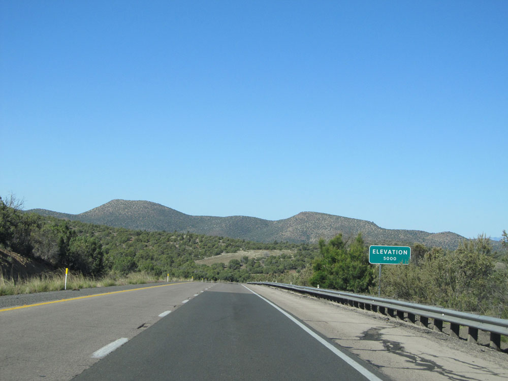 |
Interstate 40 West as it reaches an elevation of 5,000 feet. We've come down 2,335 feet since the Arizona Divide, just west of Flagstaff. (Photo taken 5/19/15). |
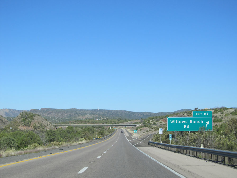 |
Interstate 40 West at Exit 87: Willows Ranch Rd (Photo taken 5/19/15). |
 |
Interstate 40 West: Road view from mile marker 85. (Photo taken 5/19/15). |
 |
View on Interstate 40 West. (Photo taken 5/19/15). |
 |
Interstate 40 West: Road view from mile marker 84. (Photo taken 5/19/15). |
 |
Another view on Interstate 40 West, just past mile marker 84. (Photo taken 5/19/15). |
 |
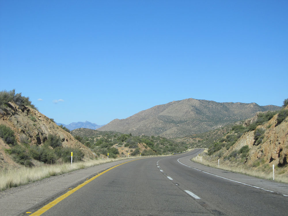
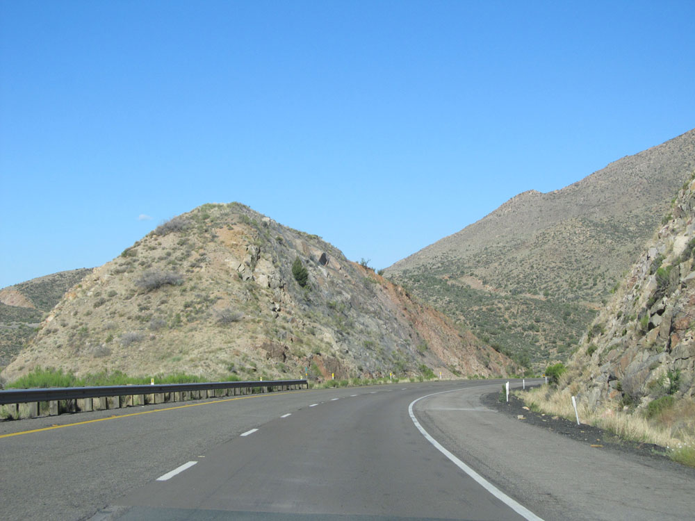
And another view on Interstate 40 West, near mile marker 83.5. (Photo taken 5/19/15). |
 |
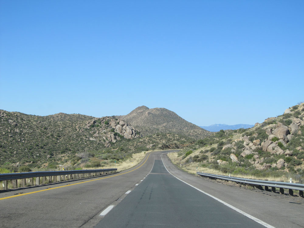
Interstate 40 West: Road view from mile marker 83. (Photo taken 5/19/15). |
 |
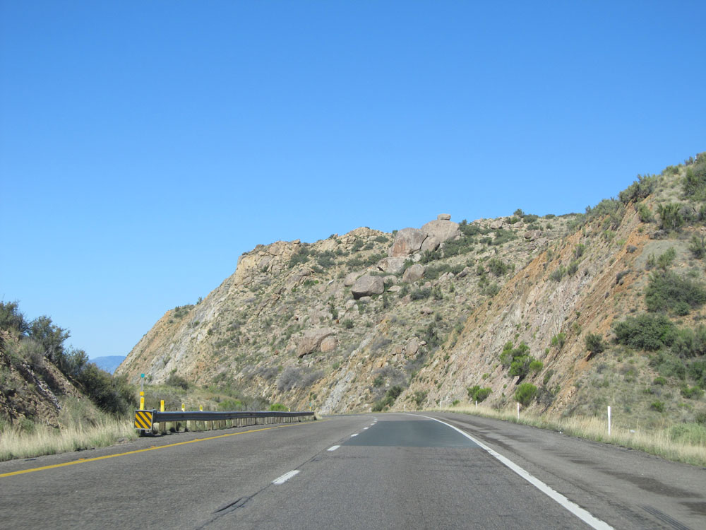
View on Interstate 40 West past mile marker 83. (Photo taken 5/19/15). |
 |
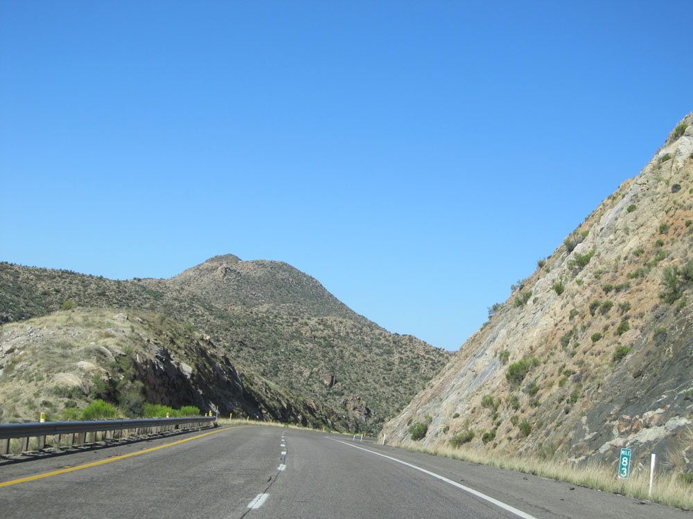
View on Interstate 40 West approaching mile marker 82. (Photo taken 5/19/15). |
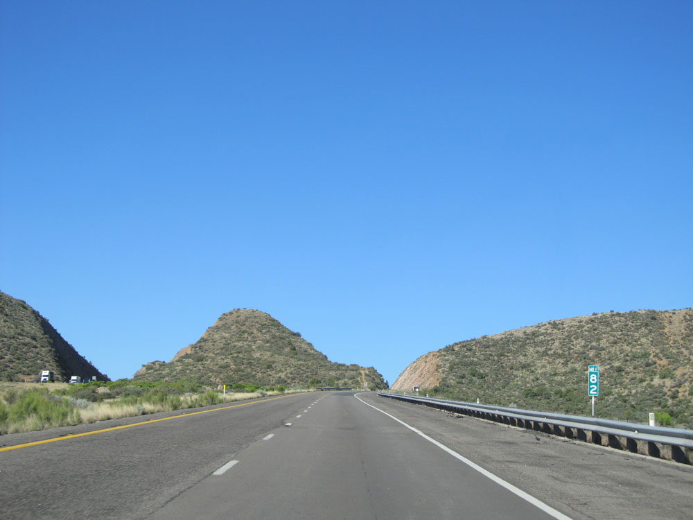 |
Interstate 40 West at mile marker 82. (Photo taken 5/19/15). |
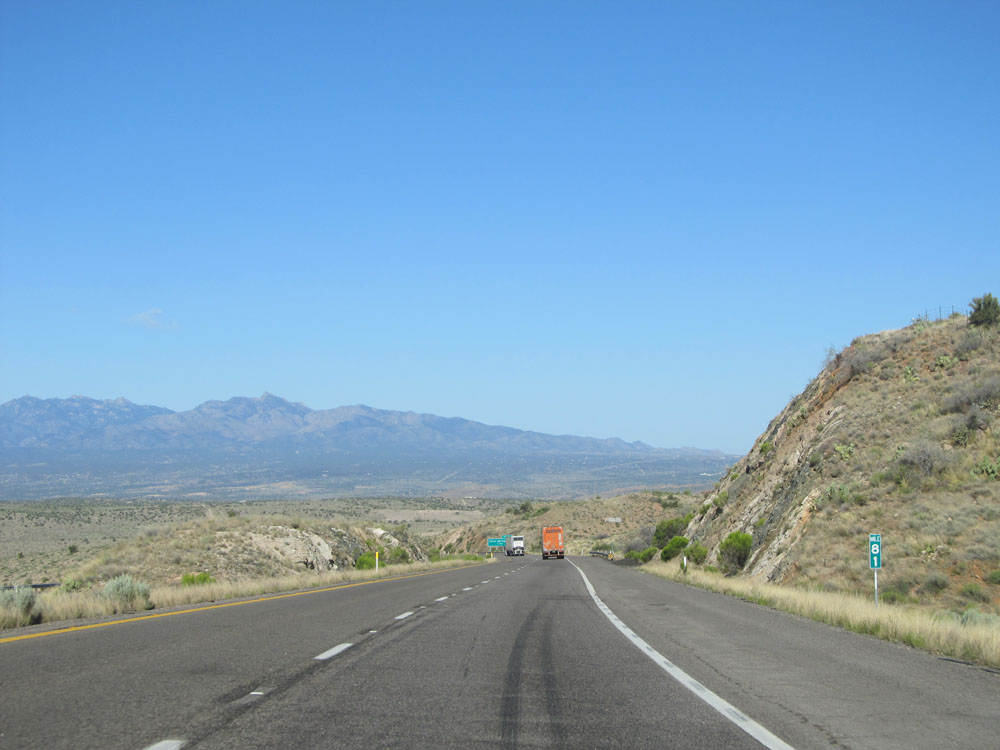 |
Interstate 40 West: Road view from mile marker 81. (Photo taken 5/19/15). |
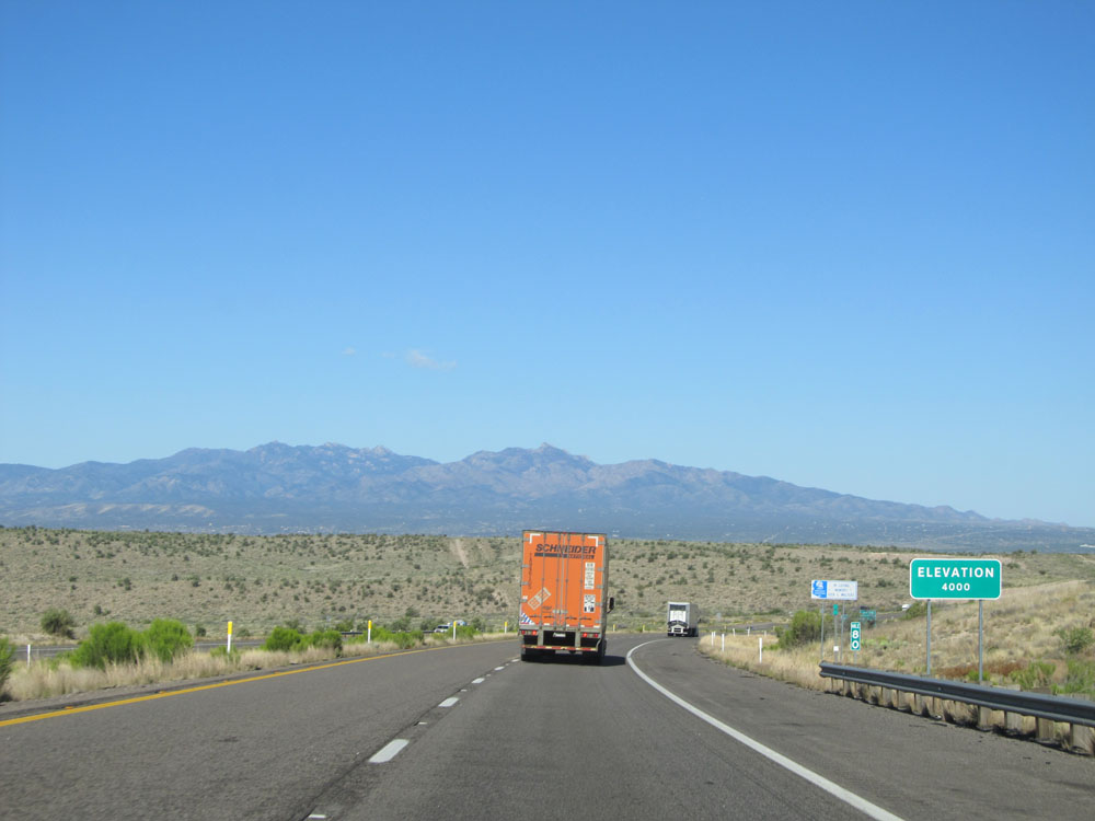 |
At mile marker 80, Interstate 40 falls to an elevation of 4,000 feet. (Photo taken 5/19/15). |
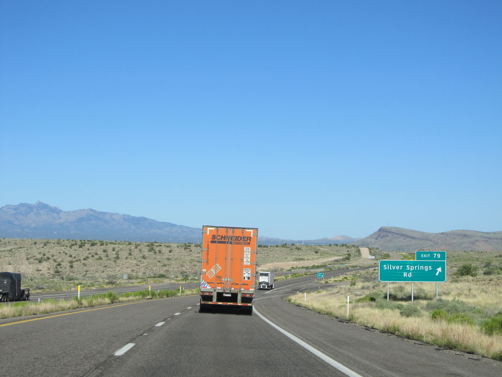 |
Interstate 40 West at Exit 79: Silver Springs Rd (Photo taken 5/19/15). |
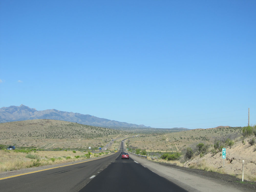 |
Interstate 40 West: Road view from mile marker 76. (Photo taken 5/19/15). |
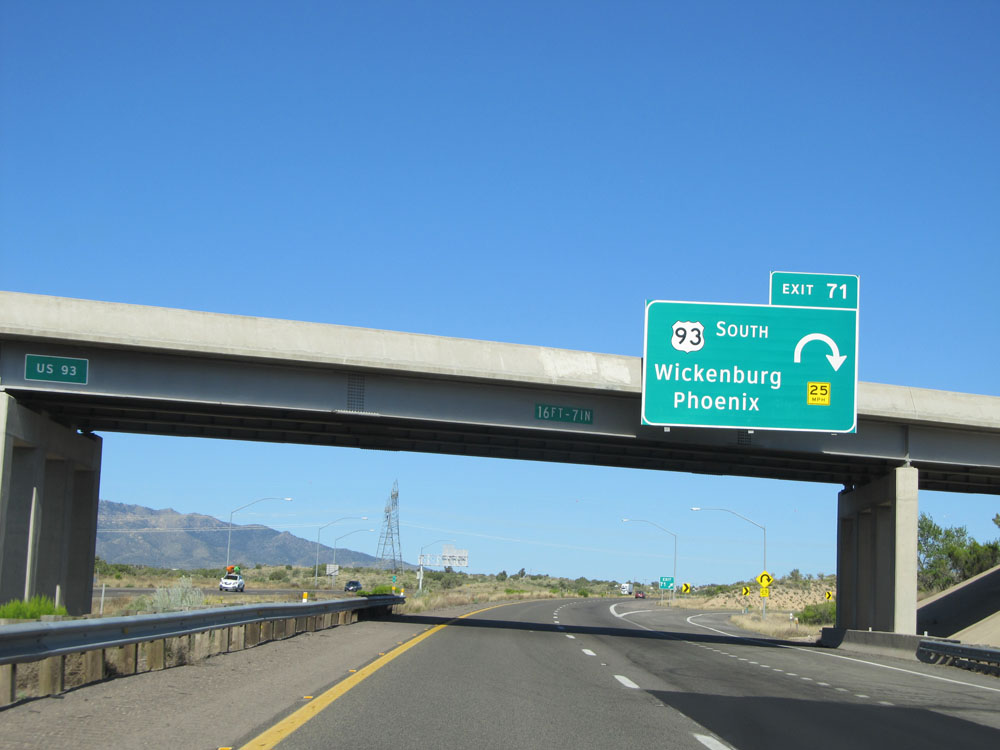 |
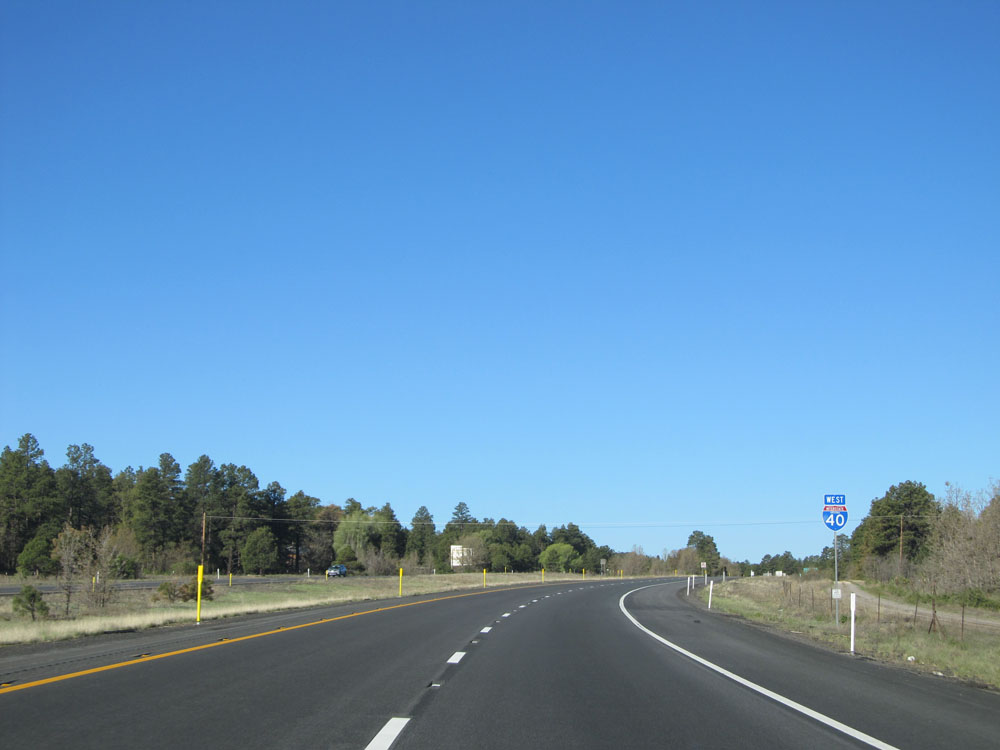
Interstate 40 West at Exit 71: US 93 South - Wickenburg / Phoenix (Photo taken 5/19/15). |
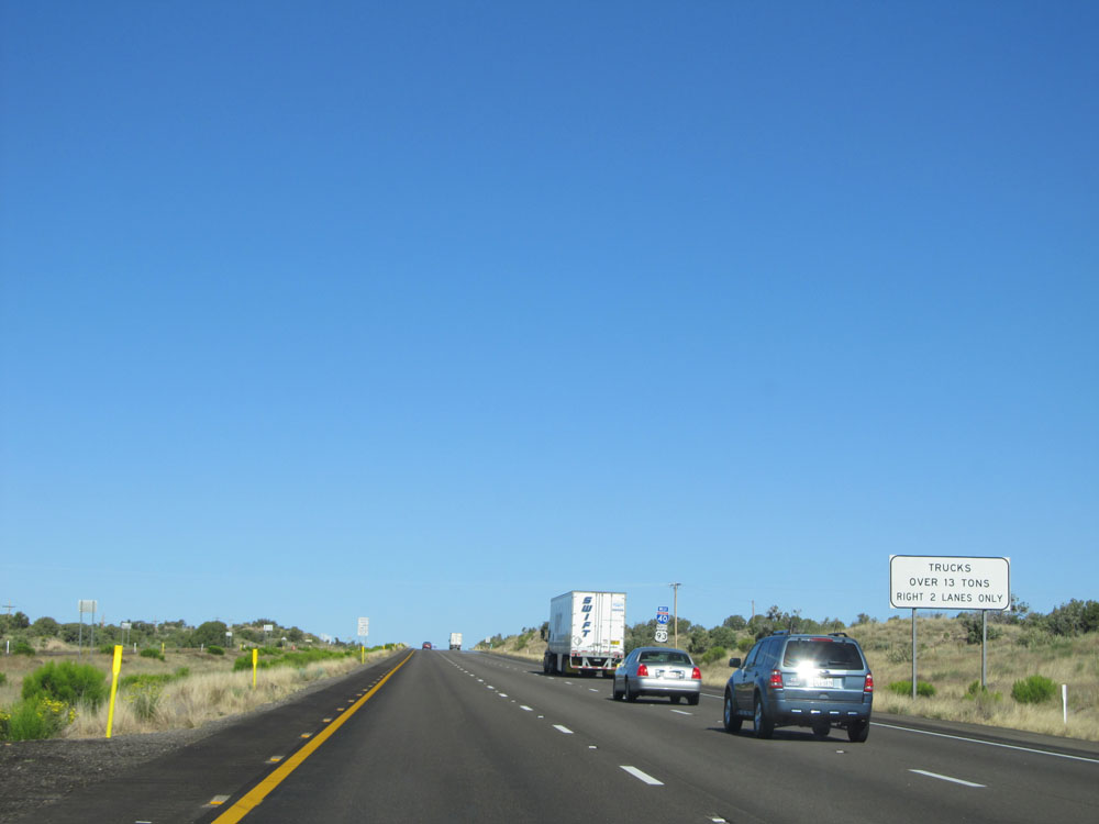 |
Past Exit 71, a truck climbing lane appears on Interstate 40 West. Trucks are to use the 2 rightmost lanes only. (Photo taken 5/19/15). |
 |
Mileage sign on Interstate 40 West. It's 20 miles to Kingman, 115 miles to Las Vegas, and 338 miles to Los Angeles. (Photo taken 5/19/15). |
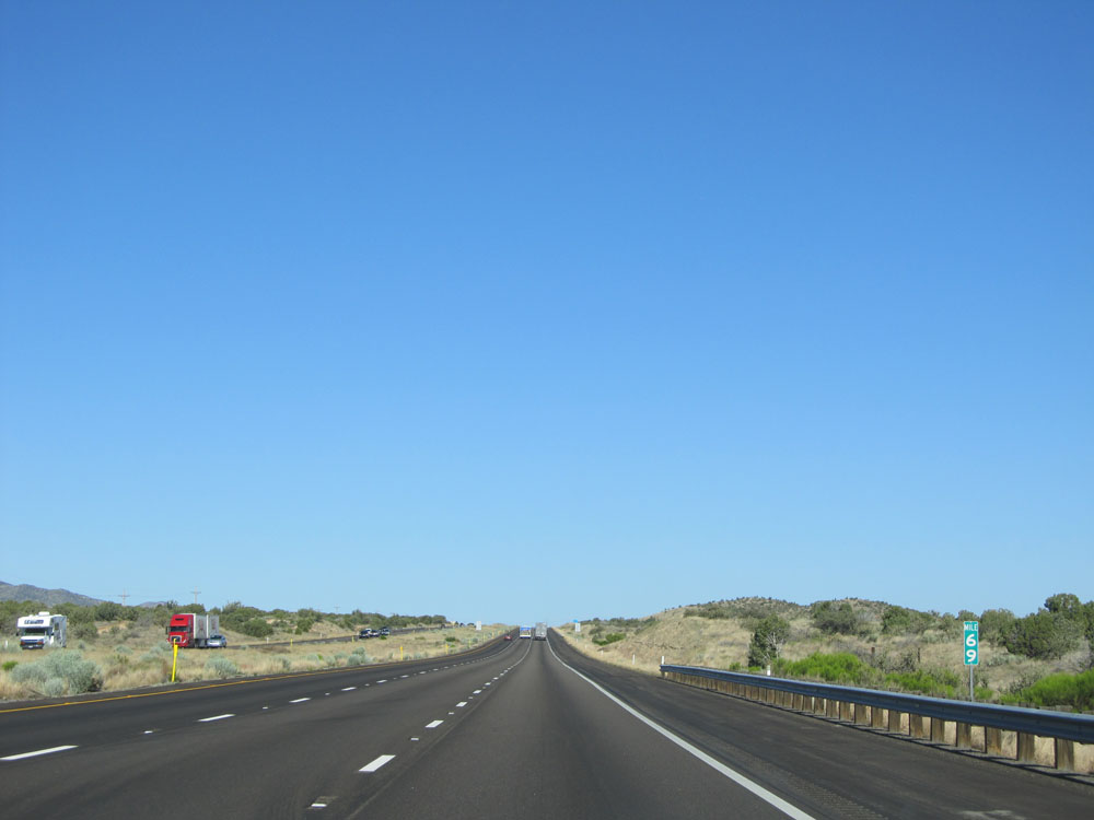 |
Interstate 40 West: Road view from mile marker 69. (Photo taken 5/19/15). |
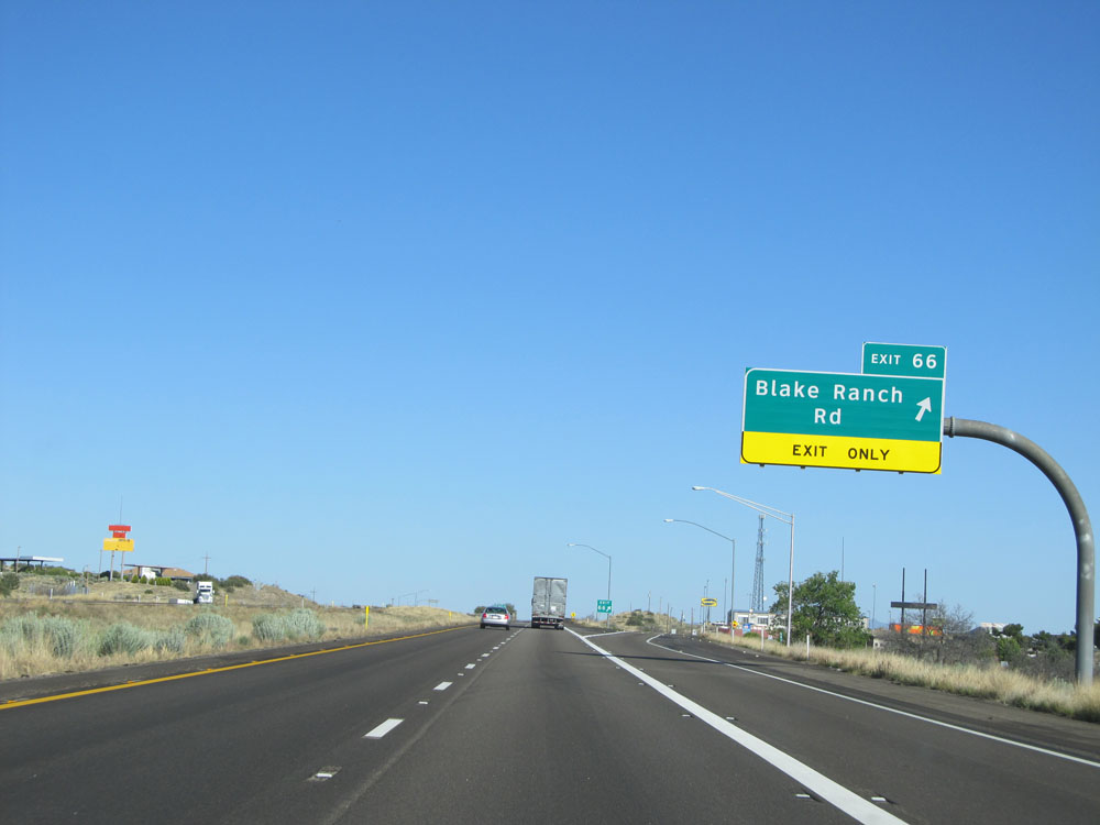 |
Interstate 40 West at Exit 66: Blake Ranch Rd (Photo taken 5/19/15). |
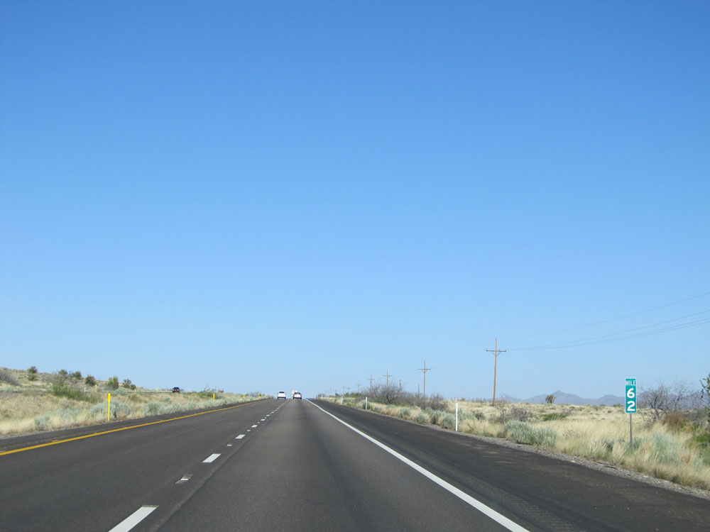 |
Interstate 40 West: Road view from mile marker 62. (Photo taken 5/19/15). |
 |
Take Exit 59 to CR 259 and Hualapai Mountain Park. (Photo taken 5/19/15). |
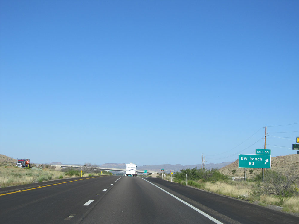 |
Interstate 40 West at Exit 59: DW Ranch Rd (Photo taken 5/19/15). |
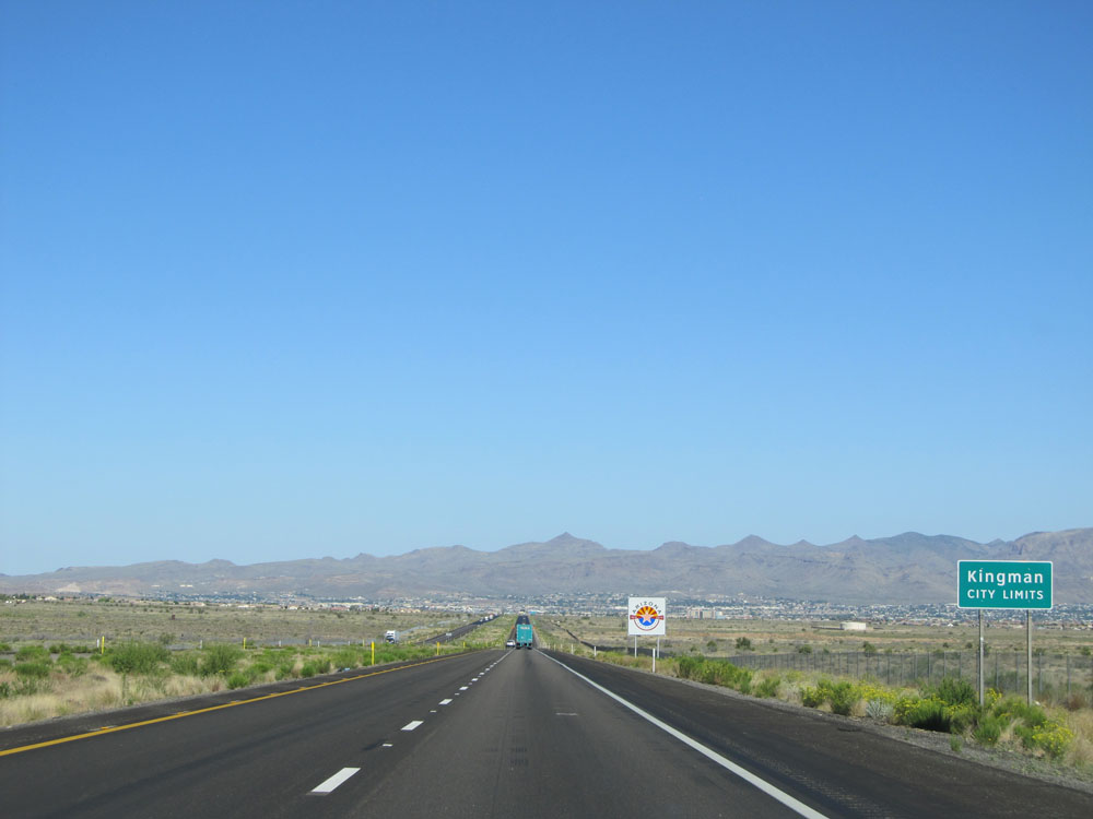 |
Interstate 40 West entering the Kingman city limits. (Photo taken 5/19/15). |
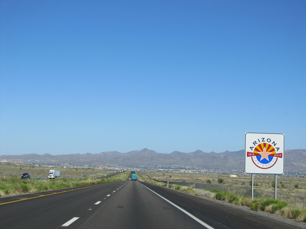 |
Arizona Centennial sign upon entering the Kingman city limits. (Photo taken 5/19/15). |
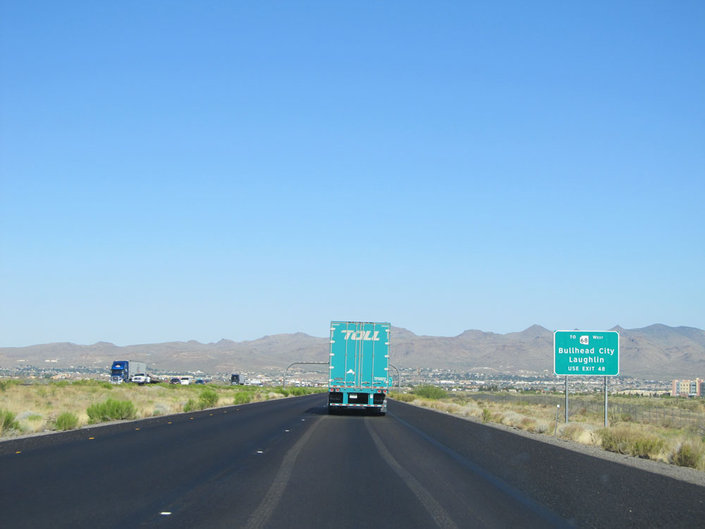 |
Traffic headed for AZ 86 West to Bullhead City and Laughlin should use Exit 48. (Photo taken 5/19/15). |
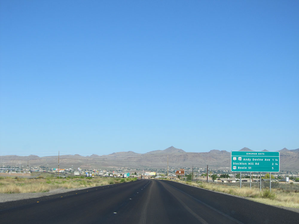 |
Sign listing the distances to the upcoming Kingman exits. (Photo taken 5/19/15). |
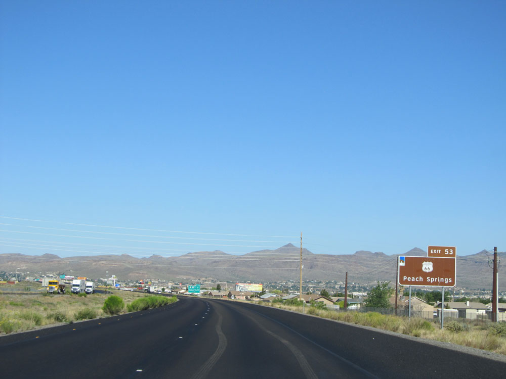 |
Take Exit 53 to Historic Route 66 and Peach Springs. (Photo taken 5/19/15). |
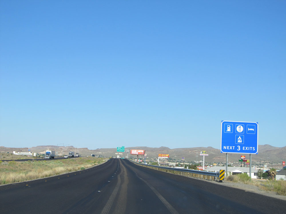 |
Plenty of services exist off all the next 3 exits. (Photo taken 5/19/15). |
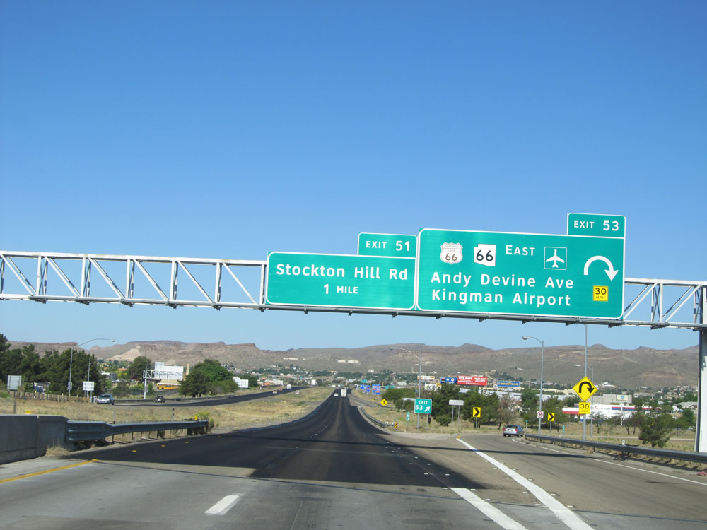 |
Interstate 40 West at Exit 53: Historic Route 66 / AZ 66 East - Andy Devine Ave / Kingman Airport (Photo taken 5/19/15). |
Section 5: Kingman (Exit 53) to California Border
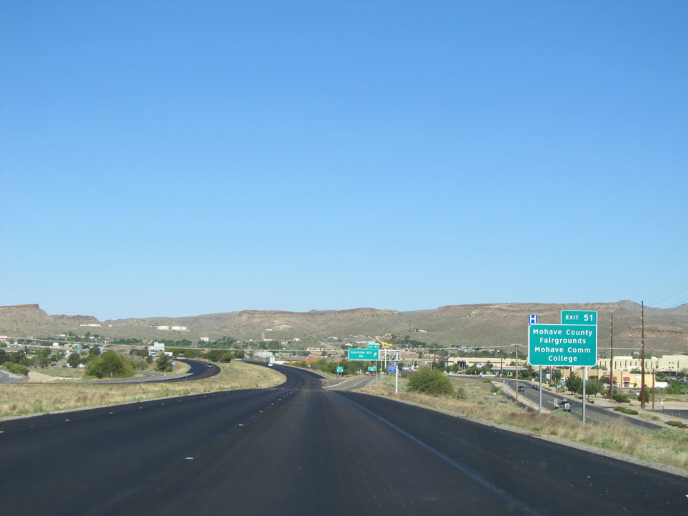 |
Take Exit 51 to Mohave County Fairgrounds and Mohave Community College. (Photo taken 5/19/15). |
 |
Interstate 40 West at Exit 51: Stockton Hill Rd (Photo taken 5/19/15). |
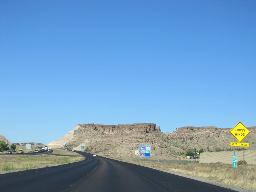 |
Interstate 40 West: Road view from mile marker 51. (Photo taken 5/19/15). |
 |
Take Exit 48 to AZ 68 West toward Bullhead City and Laughlin. (Photo taken 5/19/15). |
 |
Interstate 40 West approaching Exit 48 - 1 mile. (Photo taken 5/19/15). |
 |
Take Exit 48 to Historic Route 66 and Kingman Historic District. (Photo taken 5/19/15). |
 |
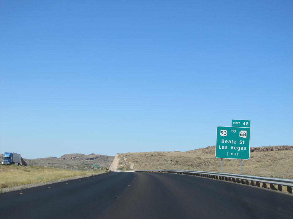
Interstate 40 West at Exit 48: US 93 / To AZ 68 - Beale St / Las Vegas (Photo taken 5/19/15). |
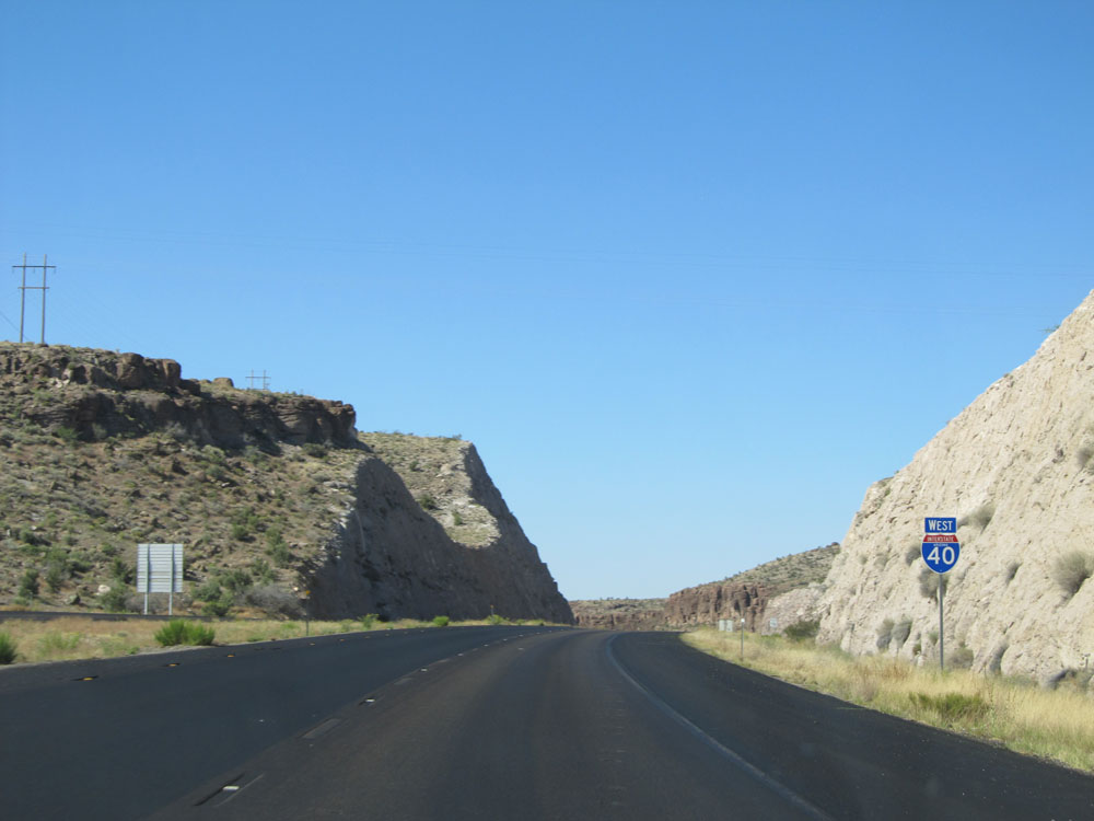 |
Interstate 40 West assurance shield near mile marker 48. (Photo taken 5/19/15). |
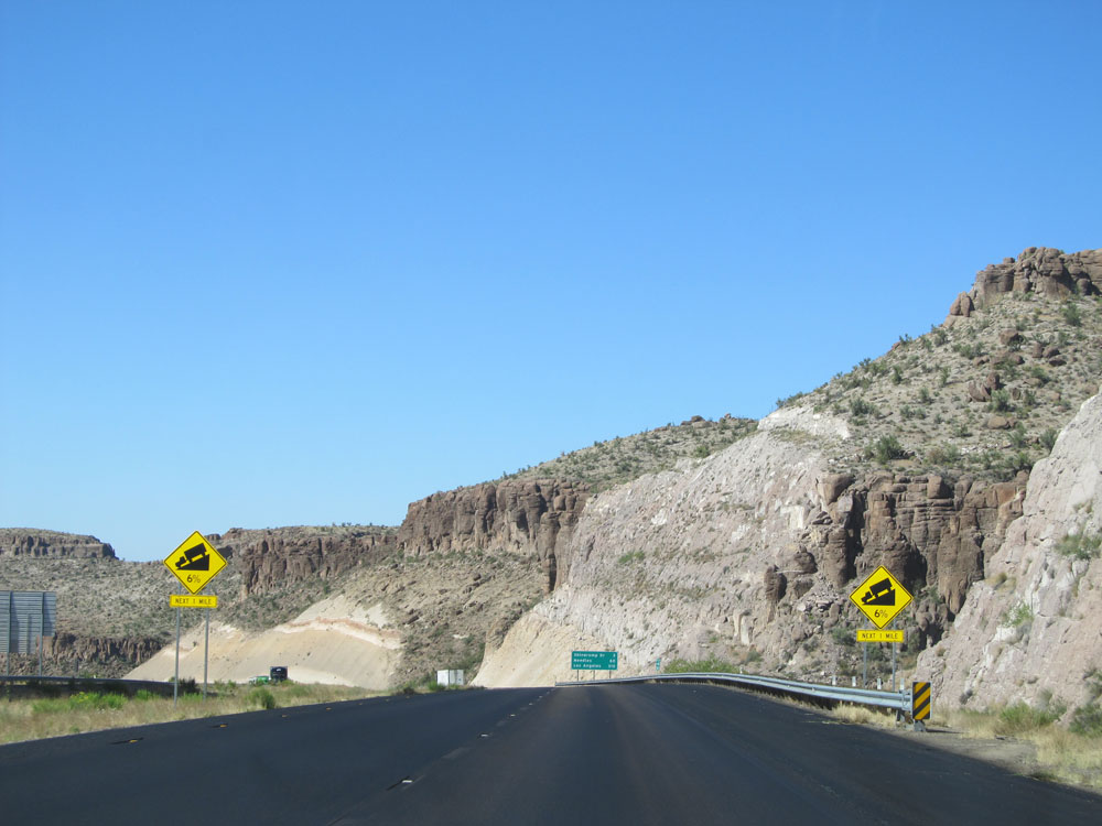 |
Interstate 40 West as it prepares to go down a 6% grade lasting for 1 mile ahead. (Photo taken 5/19/15). |
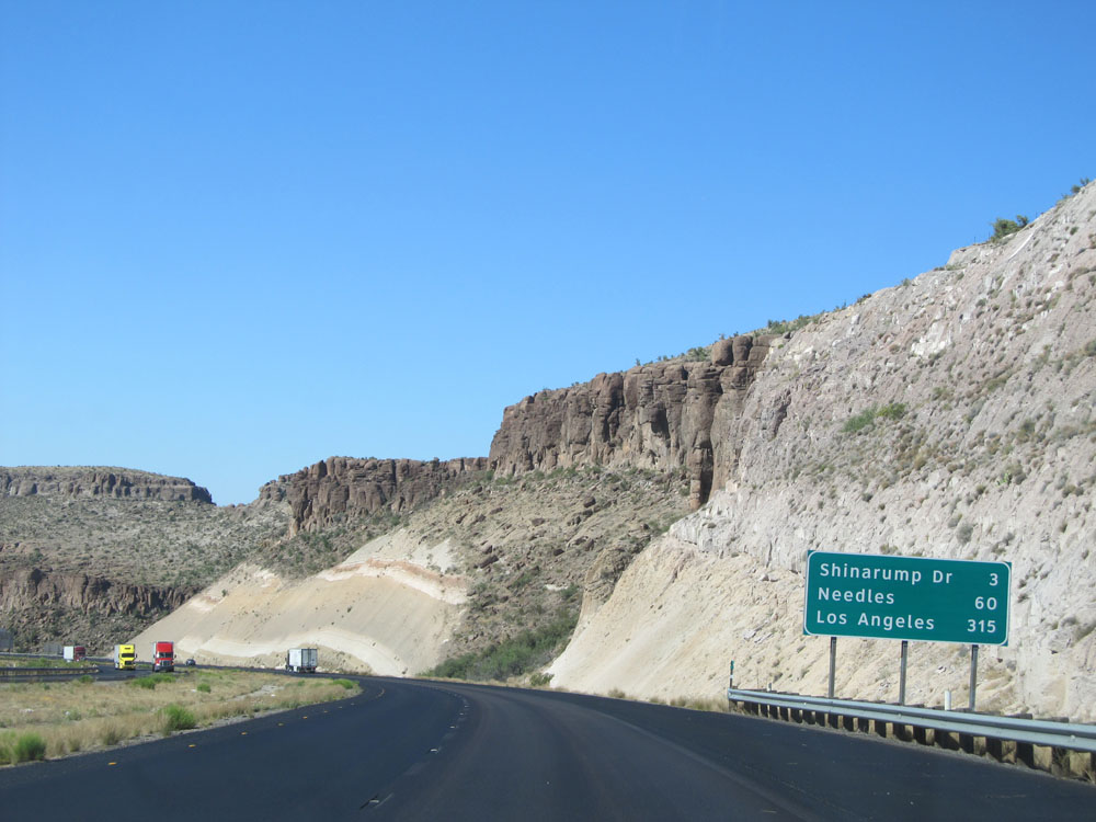 |
Mileage sign located near mile marker 47. It's 3 miles to the junction of Shinarump Dr, 60 miles to Needles, and 315 miles to Los Angeles. (Photo taken 5/19/15). |
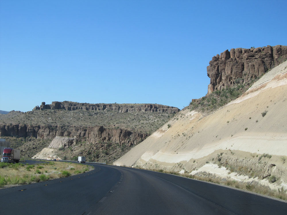 |
Interstate 40 West as it continues down the 6% grade mentioned earlier. (Photo taken 5/19/15). |
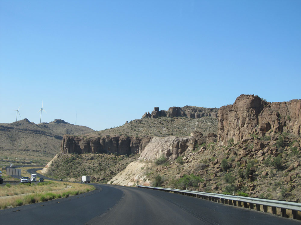 |
View on Interstate 40 West, still going down the grade. (Photo taken 5/19/15). |
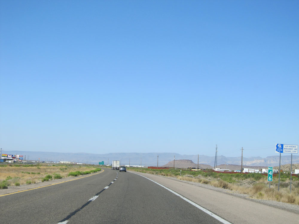 |
Interstate 40 West: Road view from mile marker 46. (Photo taken 5/19/15). |
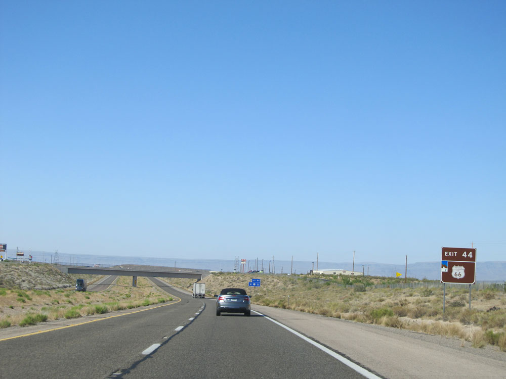 |
Take Exit 44 to Historic Route 66. (Photo taken 5/19/15). |
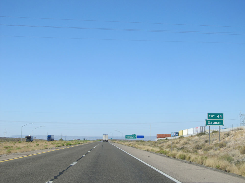 |
Also take Exit 44 to Oatman. (Photo taken 5/19/15). |
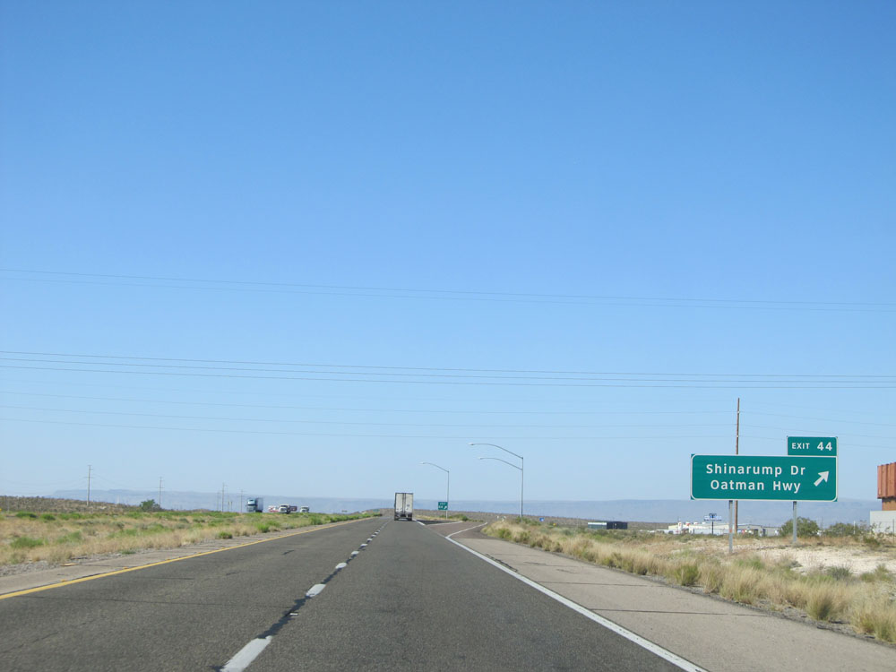 |
Interstate 40 West at Exit 44: Shinarump Dr / Oatman Hwy (Photo taken 5/19/15). |
 |
Mileage sign located near mile marker 44. It's 17 miles to Yucca, 21 miles to the next Rest Area, and 310 miles to Los Angeles. (Photo taken 5/19/15). |
 |
Interstate 40 West: Road view from mile marker 42. (Photo taken 5/19/15). |
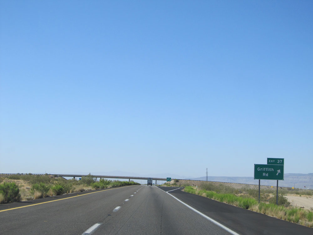 |
Interstate 40 West at Exit 37: Griffith Rd (Photo taken 5/19/15). |
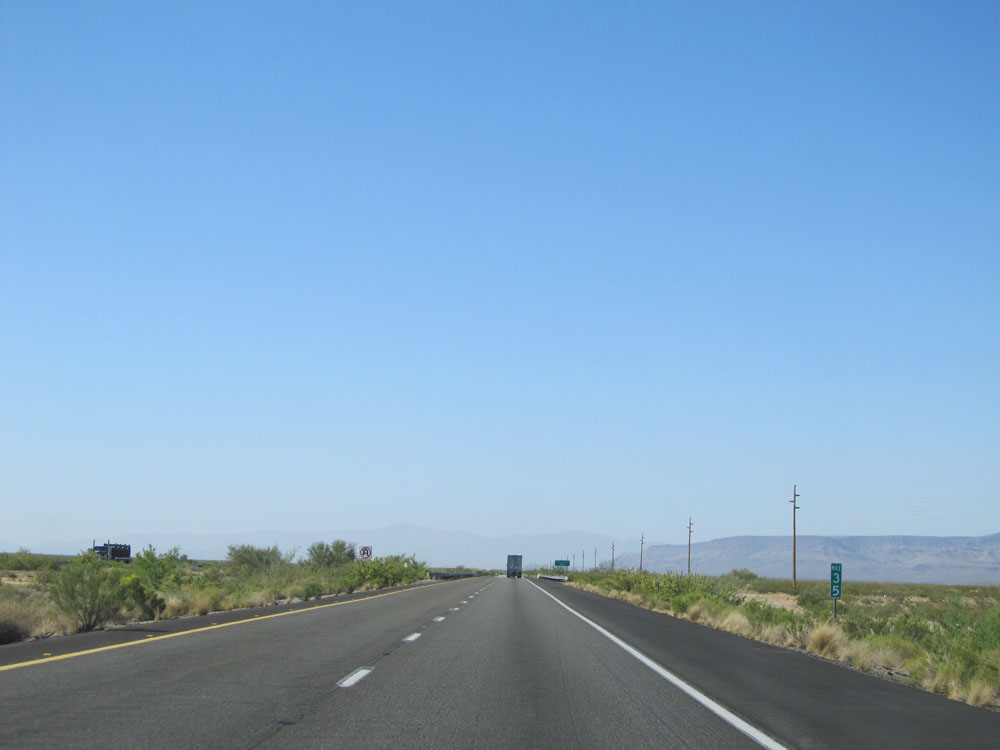 |
Interstate 40 West: Road view from mile marker 35. (Photo taken 5/19/15). |
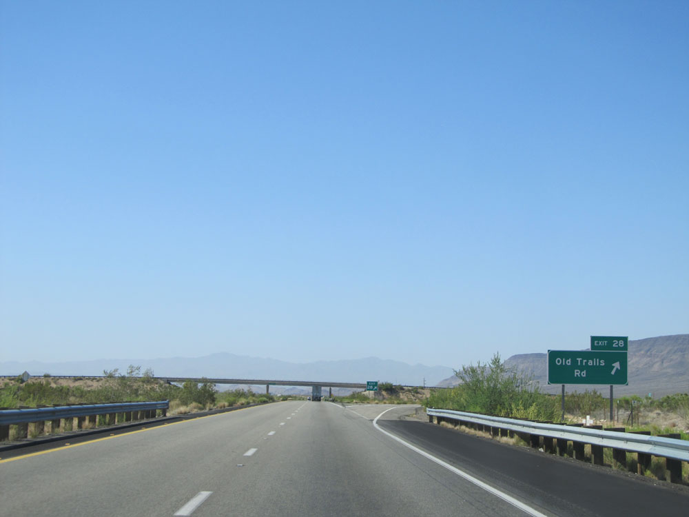 |
Interstate 40 West at Exit 28: Old Trails Rd (Photo taken 5/19/15). |
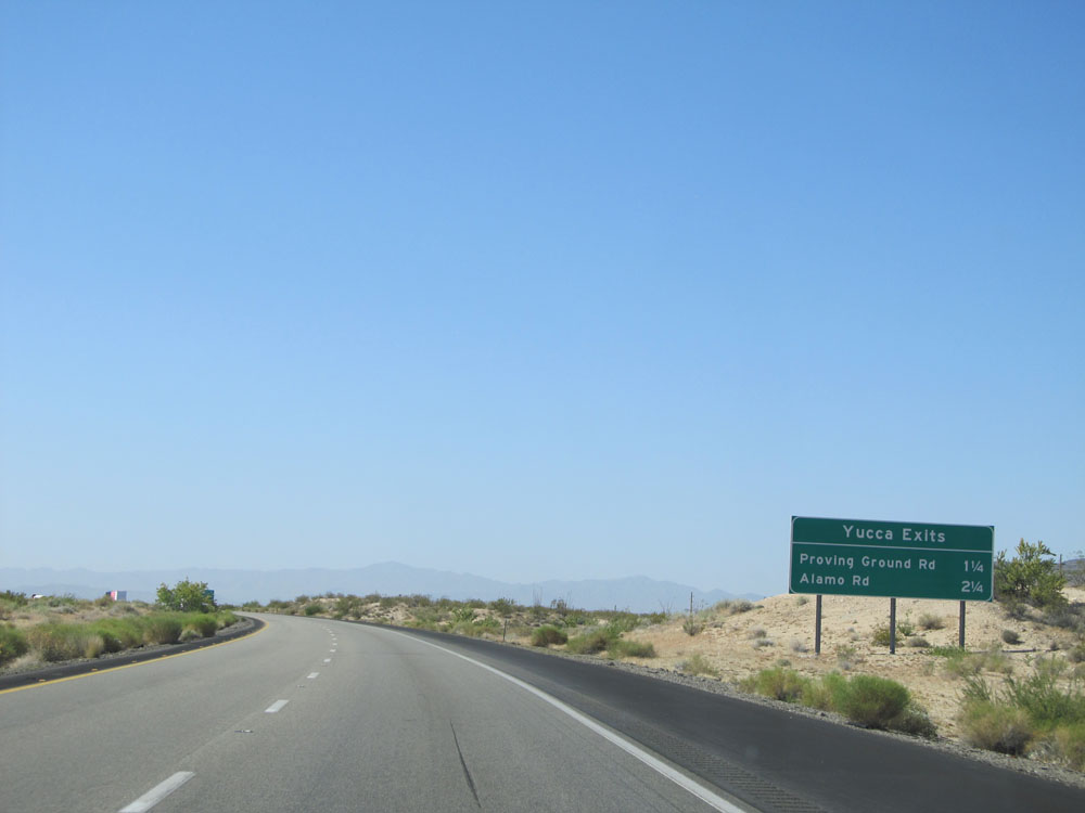 |
Sign listing the distances to the two upcoming Yucca exits. (Photo taken 5/19/15). |
 |
Interstate 40 West at Exit 26: Proving Ground Rd (Photo taken 5/19/15). |
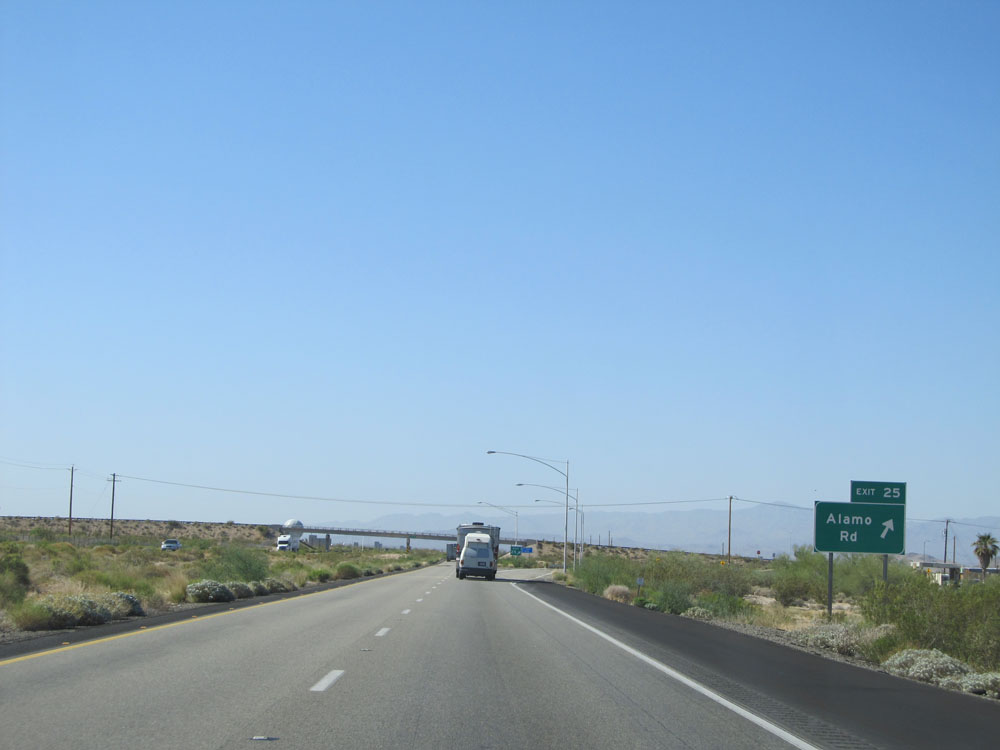 |
Interstate 40 West at Exit 25: Alamo Rd (Photo taken 5/19/15). |
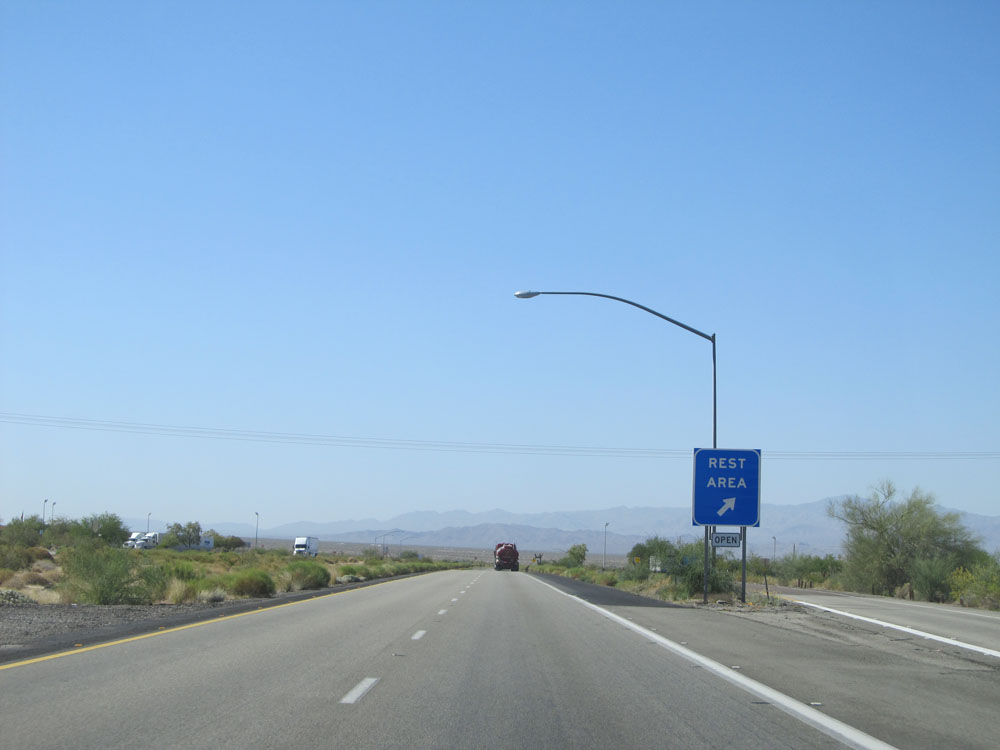 |
Interstate 40 West at the Rest Area just west of Yucca. (Photo taken 5/19/15). |
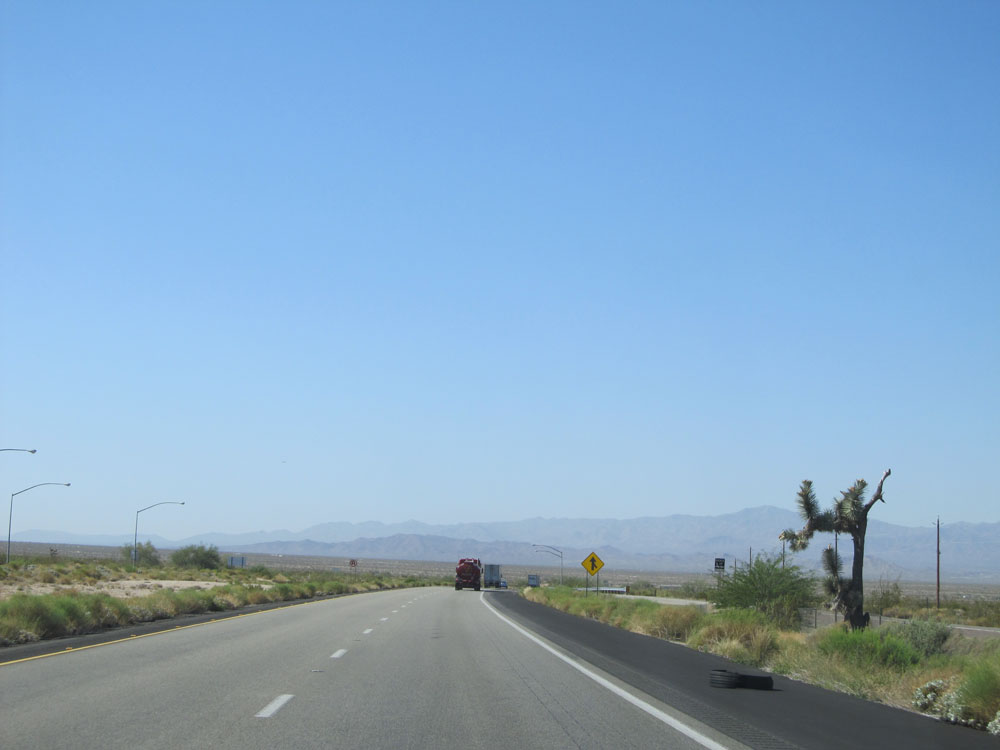 |
The first up-close sighting of a Joshua Tree on Interstate 40 West. (Photo taken 5/19/15). |
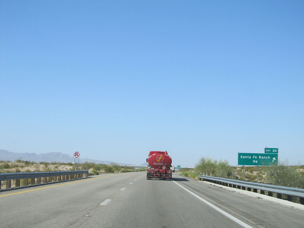 |
Interstate 40 West at Exit 20: Santa Fe Ranch Rd (Photo taken 5/19/15). |
 |
Interstate 40 West: Road view from mile marker 17. (Photo taken 5/19/15). |
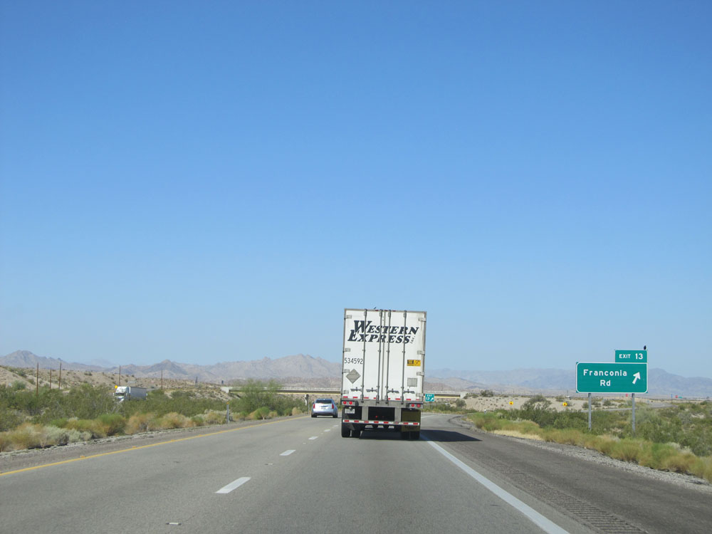 |
Interstate 40 West at Exit 13: Franconia Rd (Photo taken 5/19/15). |
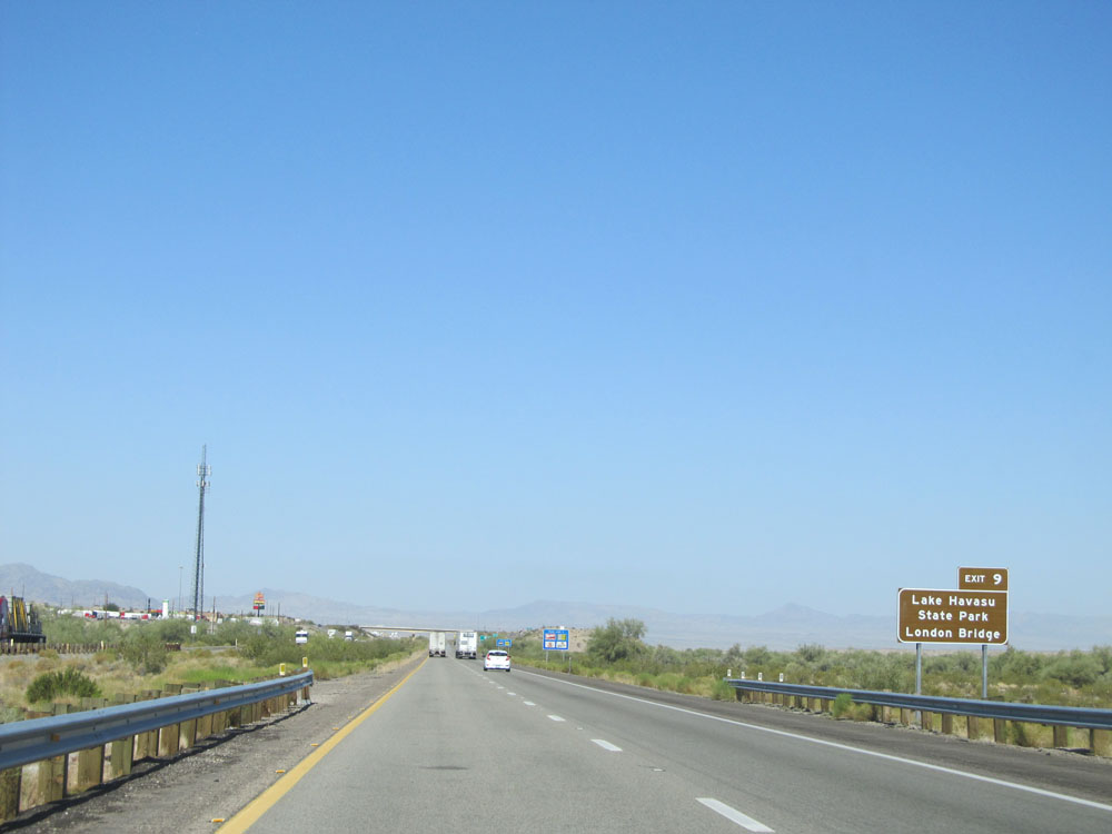 |
Take Exit 9 to Lake Havasu State Park and London Bridge. (Photo taken 5/19/15). |
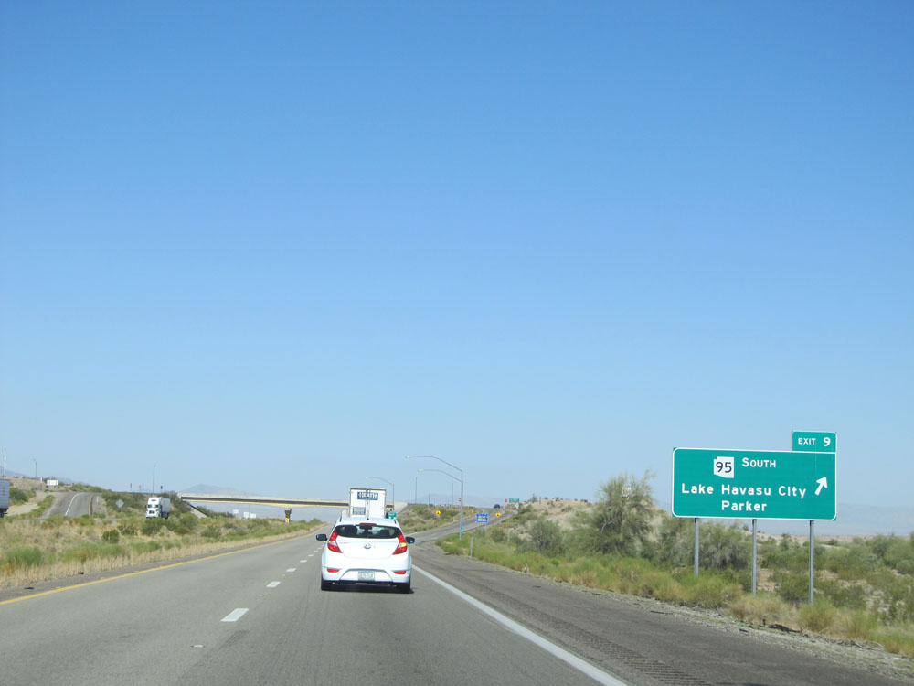 |
Interstate 40 West at Exit 9: AZ 95 South - Lake Havasu City / Parker (Photo taken 5/19/15). |
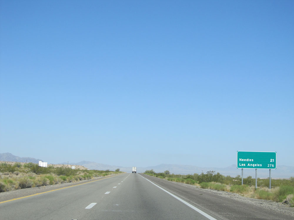 |
Mileage sign located near mile marker 9. It's 21 miles to Needles and 276 miles to Los Angeles. (Photo taken 5/19/15). |
 |
Interstate 40 West: Road view from mile marker 8. (Photo taken 5/19/15). |
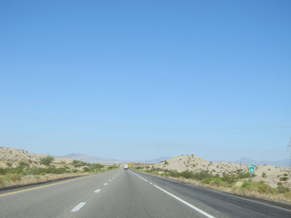 |
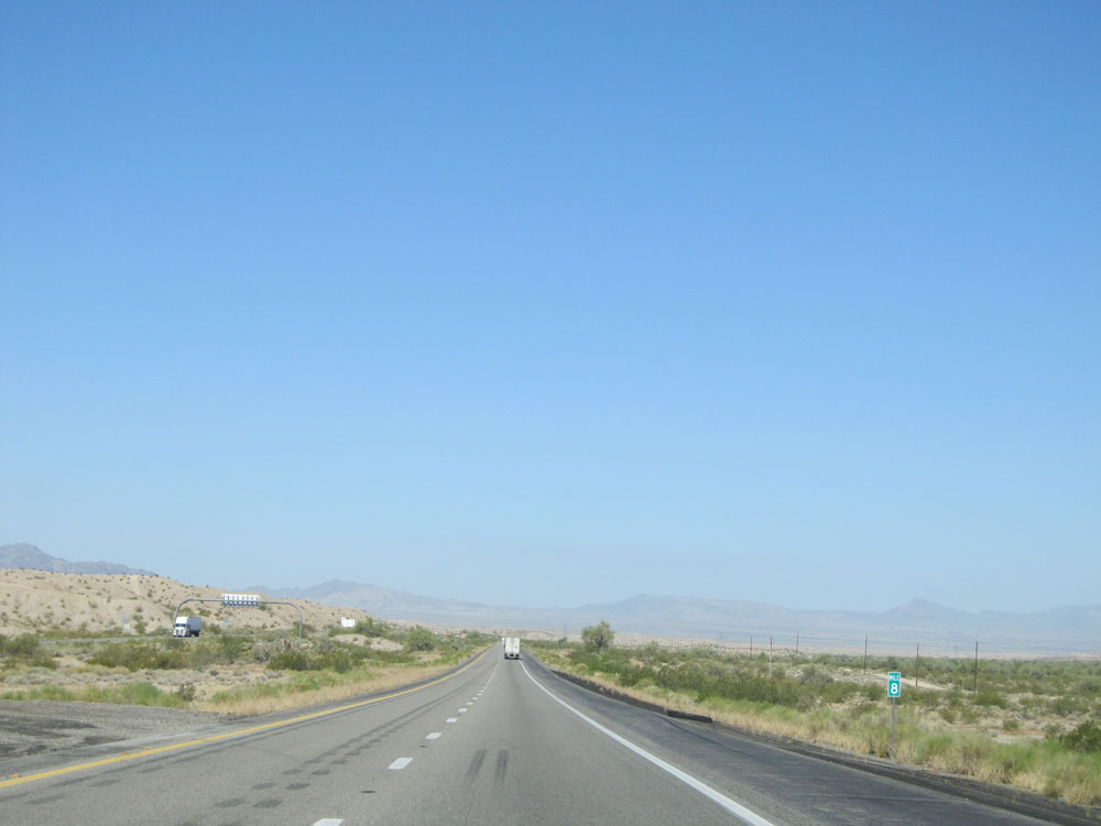
Interstate 40 West: Road view from mile marker 6. (Photo taken 5/19/15). |
 |
Interstate 40 West at the Weigh Station located at mile marker 4. (Photo taken 5/19/15). |
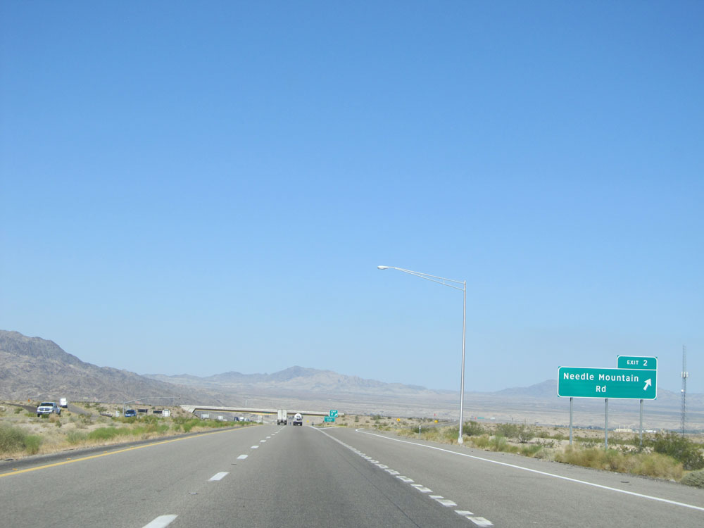 |
Interstate 40 West at Exit 2: Needle Mountain Rd (Photo taken 5/19/15). |
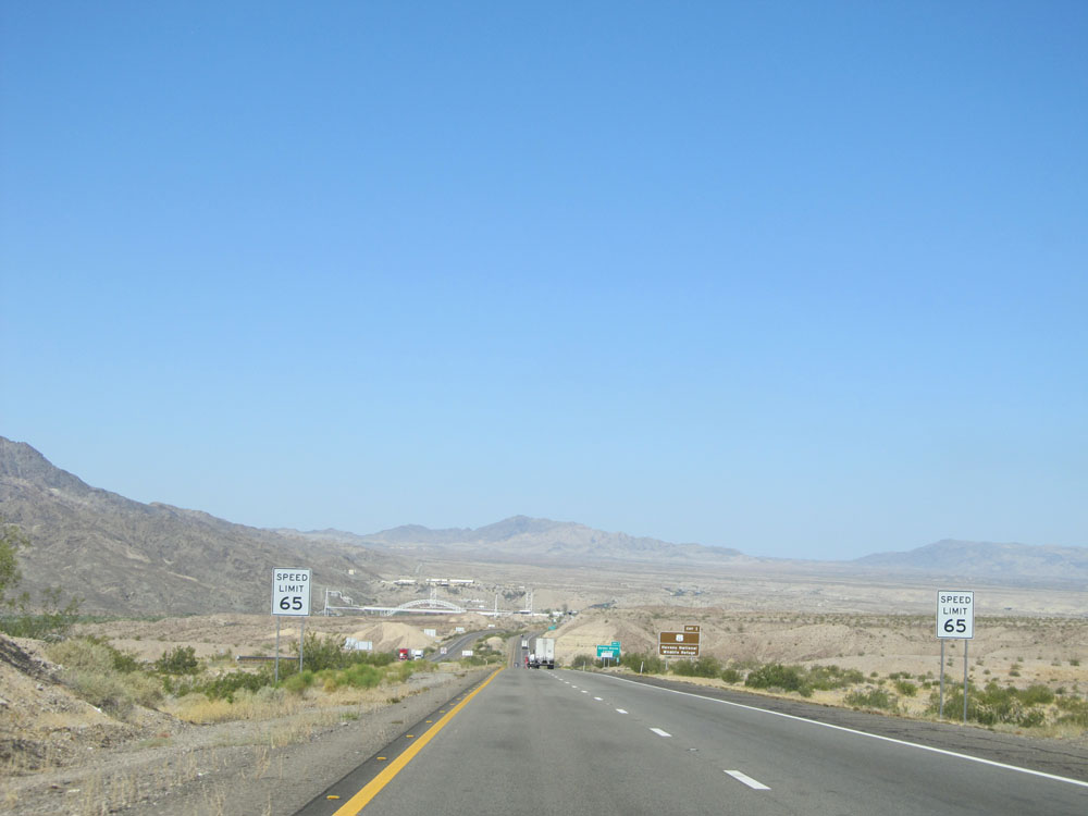 |
Near mile marker 2, the speed limit drops to 65 mph as you prepare to cross the Colorado River into California. (Photo taken 5/19/15). |
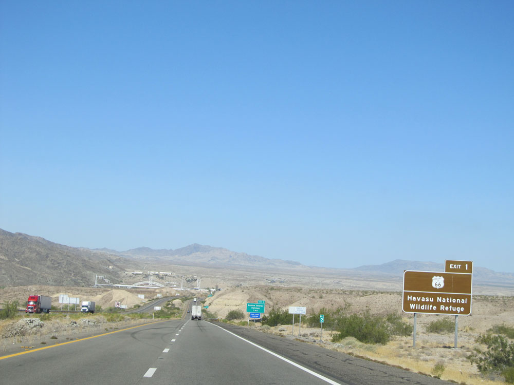 |
Take Exit 1 to Historic Route 66 and Havasu National Wildlife Refuge. (Photo taken 5/19/15). |
 |
Also take Exit 1 to Bullhead City. (Photo taken 5/19/15). |
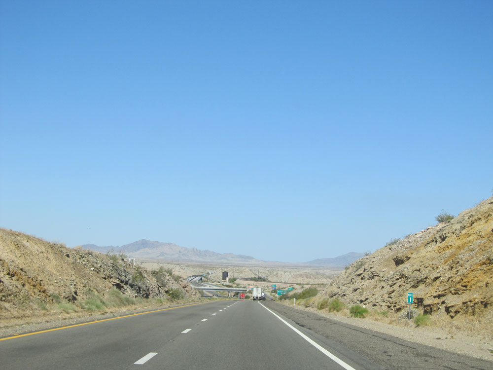 |
Interstate 40 West: Road view from mile marker 1. (Photo taken 5/19/15). |
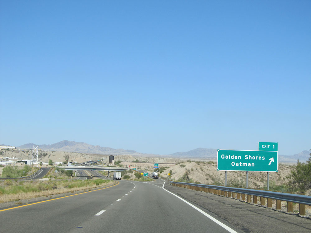 |
Interstate 40 West at Exit 1: Golden Shores / Oatman (Photo taken 5/19/15). |
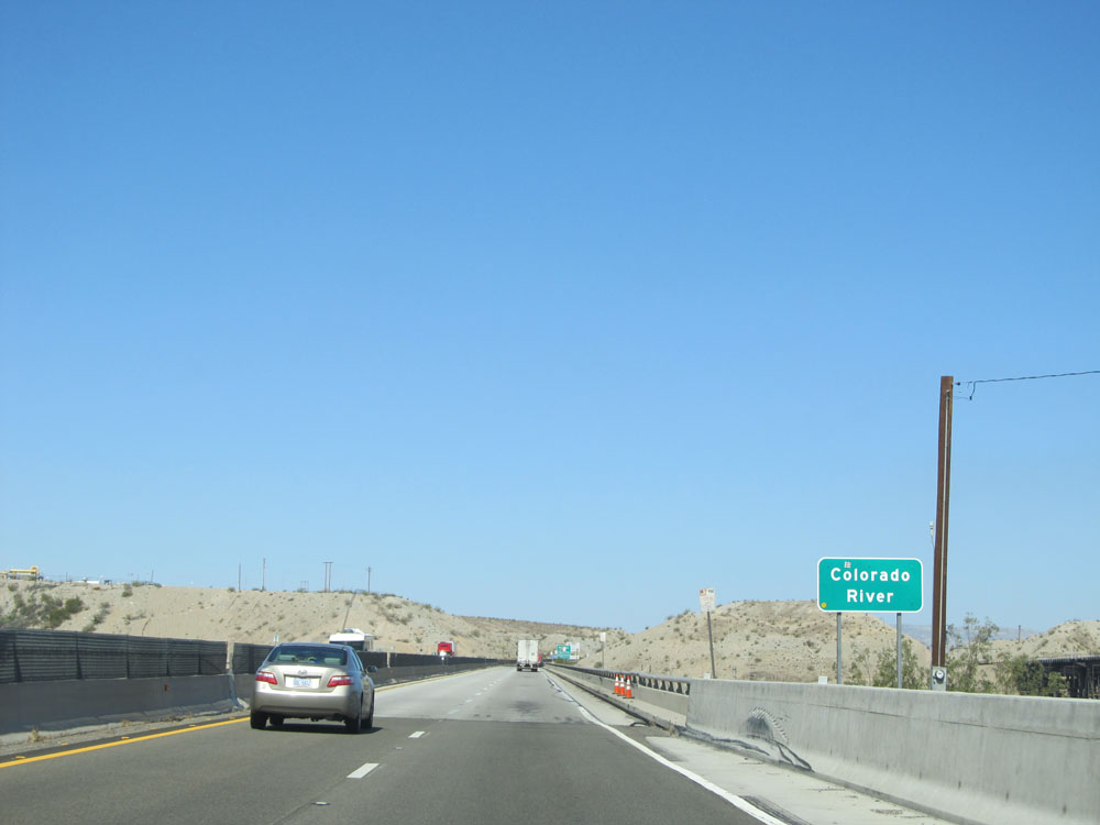 |
Interstate 40 West as it prepares to cross the Colorado River. (Photo taken 5/19/15). |
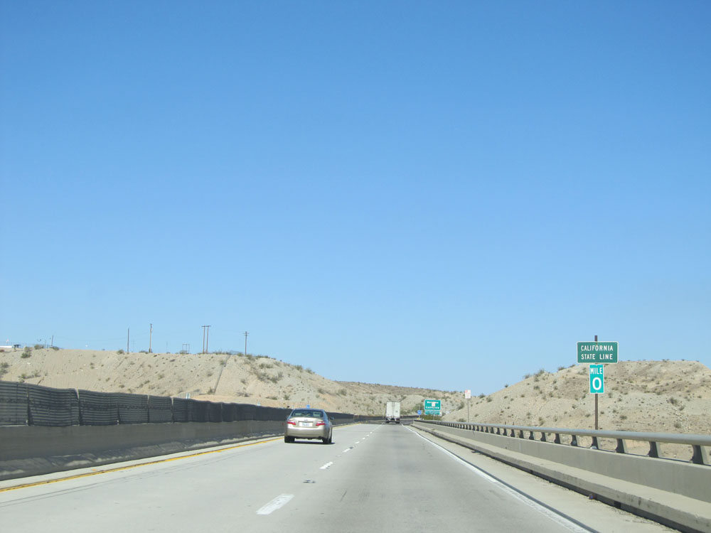 |
Interstate 40 West at mile marker 0, which is the California state line. (Photo taken 5/19/15). |