Road Information |
||
 |
||
| Total Mileage in State: | 359 miles | |
| Eastern End: | At New Mexico state line | |
| Western End: | At California state line | |
| Mileage covered in Photos: | 359 miles | |
| Counties covered in Photos: | Mohave, Yavapai, Coconino, Navajo, Apache | |
| Major Junctions in Photos: | I-17, in Flagstaff | |
| Control Cities in Photos: | Kingman, Williams, Flagstaff, Winslow, Holbrook | |
Eastbound
- Section 1: California Border to Flagstaff (Exit 191)
- Section 2: Flagstaff (Exit 191) to New Mexico Border
Section 1: California Border to Flagstaff (Exit 191)
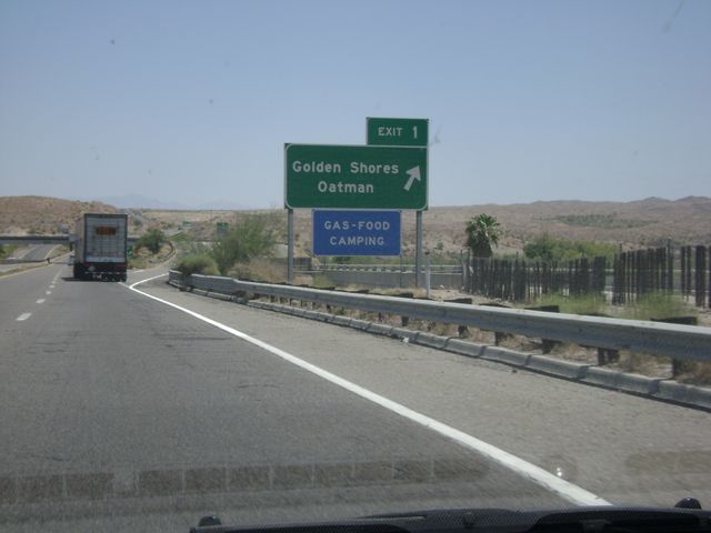 |
Interstate 40 East at Exit 1: Golden Shores / Oatman (Photo taken 5/21/10). |
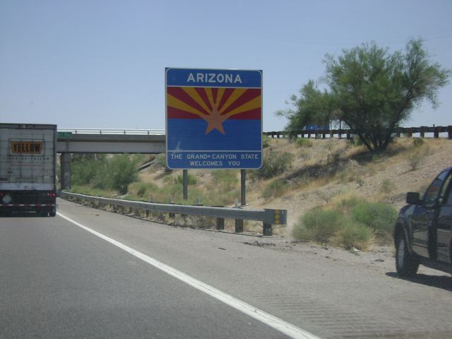 |
Arizona welcome sign, as Interstate 40 enters the Grand Canyon State from California. (Photo taken 5/21/10). |
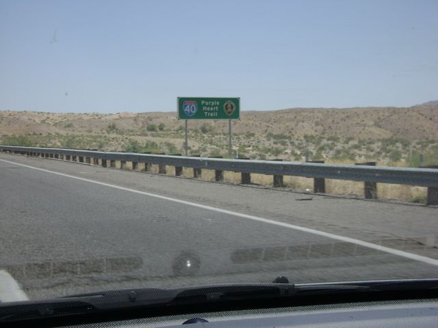 |
Interstate 40 in Arizona is also known as the Purple Heart Trail. (Photo taken 5/21/10). |
 |
Interstate 40 East at Exit 2: Needle Mountain Rd (Photo taken 5/21/10). |
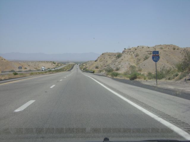 |
Interstate 40 East assurance shield sign located near mile marker 4. (Photo taken 5/21/10). |
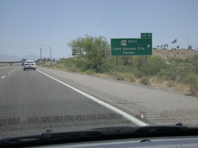 |
Interstate 40 East at Exit 9: AZ 95 South - Lake Havasu City / Parker (Photo taken 5/21/10). |
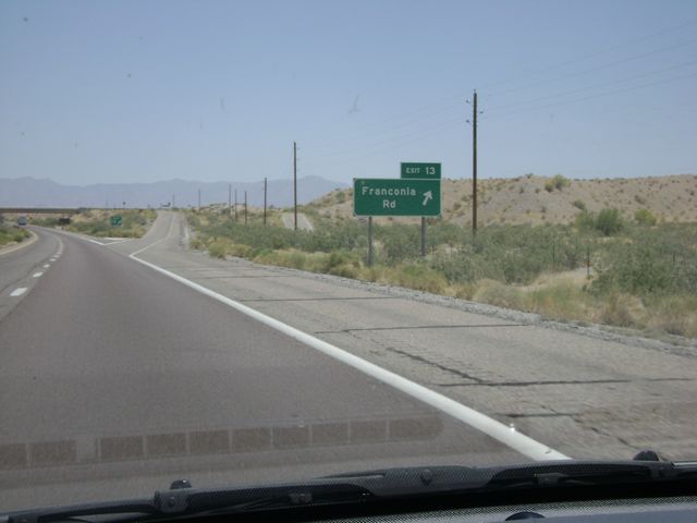 |
Interstate 40 East at Exit 12: Franconia Rd (Photo taken 5/21/10). |
 |
Interstate 40 East at Exit 20: Santa Fe Ranch Rd (Photo taken 5/21/10). |
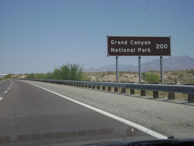 |
It is exactly 200 miles from this point to Grand Canyon National Park. (Photo taken 5/21/10). |
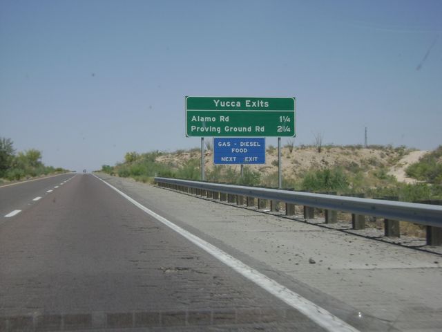 |
Sign near mile marker 24 listing the distances to the two Yucca exits. (Photo taken 5/21/10). |
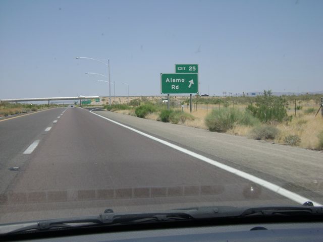 |
Interstate 40 East at Exit 25: Alamo Rd (Photo taken 5/21/10). |
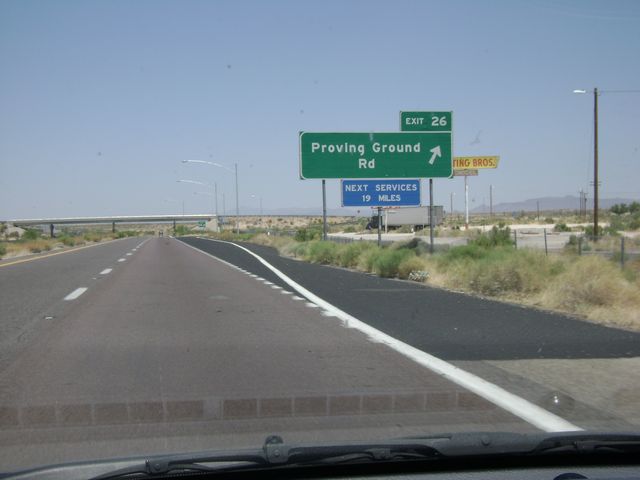 |
Interstate 40 East at Exit 26: Proving Ground Rd (Photo taken 5/21/10). |
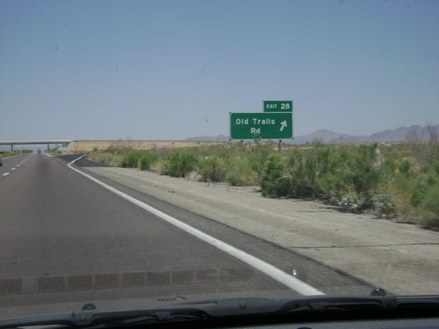 |
Interstate 40 East at Exit 28: Old Trails Rd (Photo taken 5/21/10). |
 |
Interstate 40 East at Exit 37: Griffith Rd (Photo taken 5/21/10). |
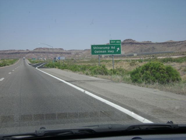 |
Interstate 40 East at Exit 44: Shinarump Rd / Oatman Hwy (Photo taken 5/21/10). |
 |
Sign near mile marker 47, listing the distances to the three Kingman exits on I-40. (Photo taken 5/21/10). |
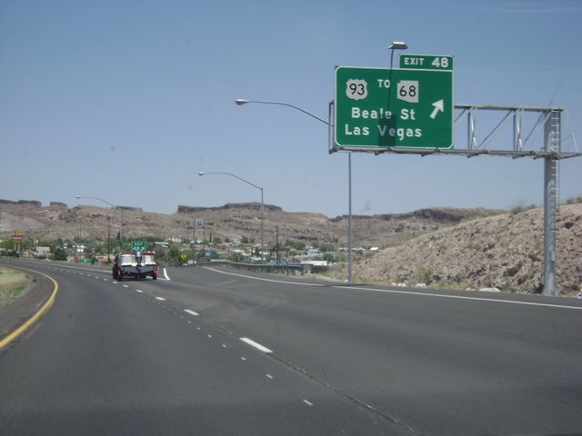 |
Interstate 40 East at Exit 48: US 93 / To AZ 68 - Beale St / Las Vegas (Photo taken 5/21/10). |
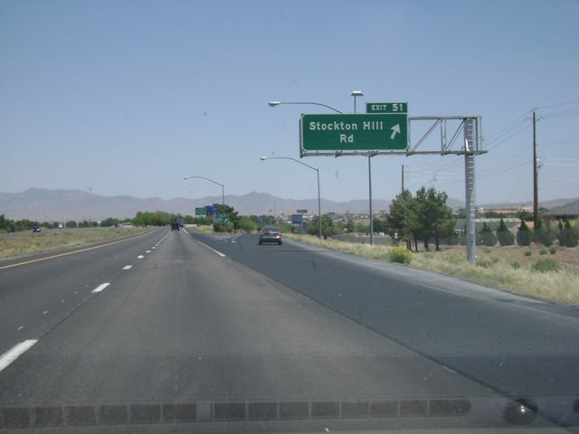 |
Interstate 40 East at Exit 51: Stockton Hill Rd (Photo taken 5/21/10). |
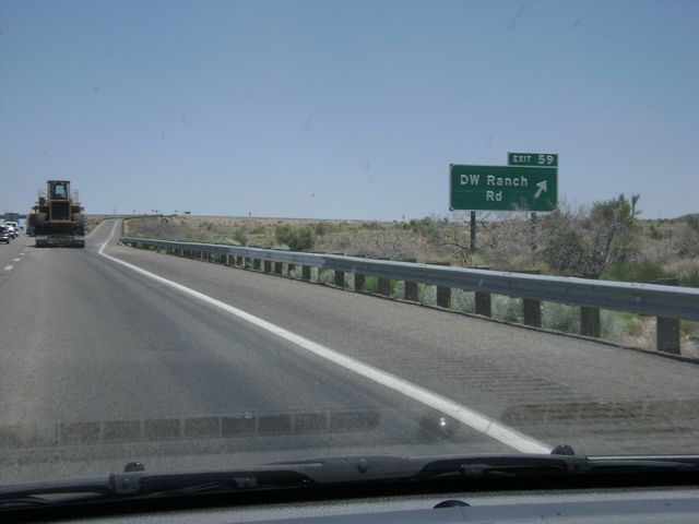 |
Interstate 40 East at Exit 59: DW Ranch Rd (Photo taken 5/21/10). |
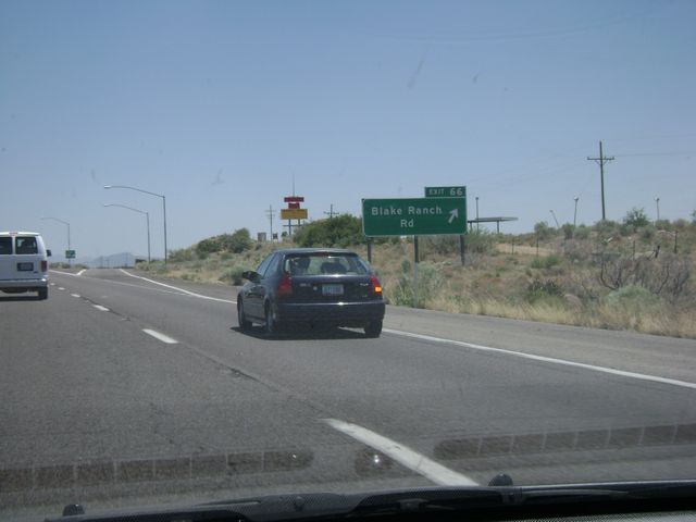 |
Interstate 40 East at Exit 66: Blake Ranch Rd (Photo taken 5/21/10). |
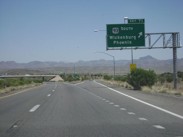 |
Interstate 40 East at Exit 71: US 93 South - Wickenburg / Phoenix (Photo taken 5/21/10). |
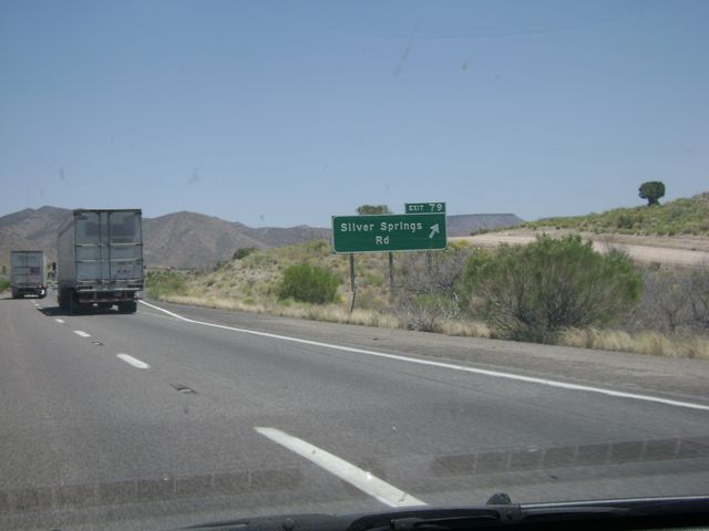 |
Interstate 40 East at Exit 79: Silver Springs Rd (Photo taken 5/21/10). |
 |
Interstate 40 East: Road view from near mile marker 84, as I-40 begins to climb a bit. (Photo taken 5/21/10). |
 |
Interstate 40 East at Exit 87: Willows Ranch Rd (Photo taken 5/21/10). |
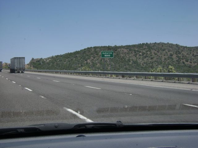 |
"Elevation 5,000 feet" sign near mile marker 89. I-40 also turns to 3 lanes here, with trucks restricted to using only the two right lanes as they climb the mountain. (Photo taken 5/21/10). |
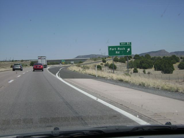 |
Interstate 40 East at Exit 91: Fort Rock Rd (Photo taken 5/21/10). |
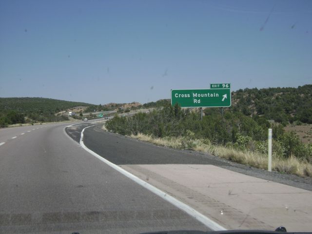 |
Interstate 40 East at Exit 96: Cross Mountain Rd (Photo taken 5/21/10). |
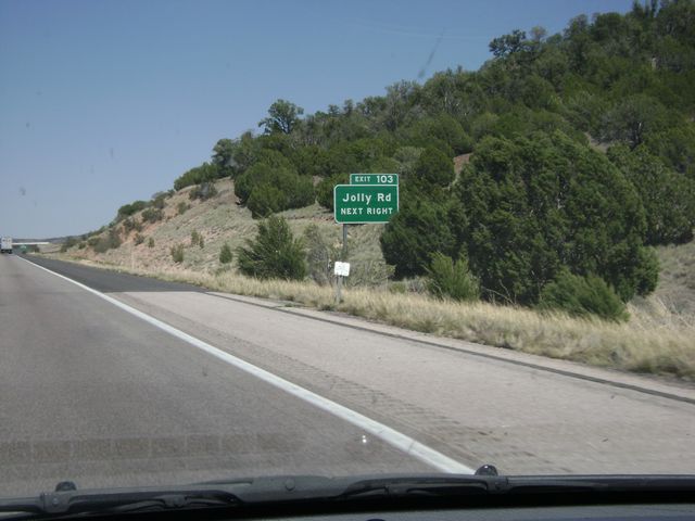 |
Interstate 40 East at Exit 103: Jolly Rd (Photo taken 5/21/10). |
 |
Interstate 40 East at Exit 109: Anvil Rock Rd (Photo taken 5/21/10). |
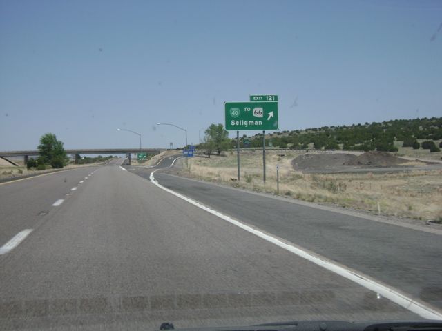 |
Interstate 40 East at exit 121: Business I-40 / To AZ 66 - Seligman (Photo taken 5/21/10). |
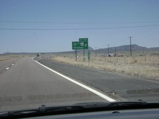 |
Interstate 40 East at Exit 123: Business I-40 / To AZ 66 - Seligman (Photo taken 5/21/10). |
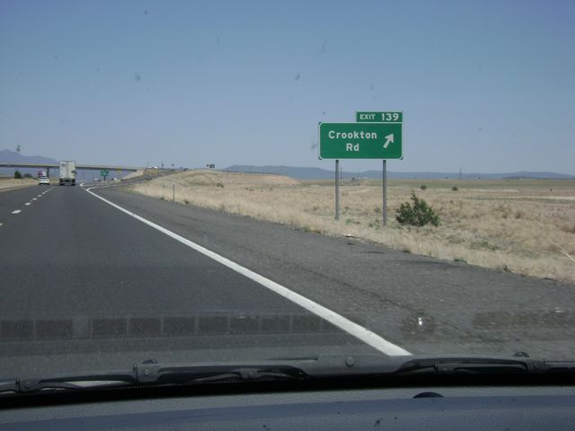 |
Interstate 40 East at Exit 139: Crookton Rd (Photo taken 5/21/10). |
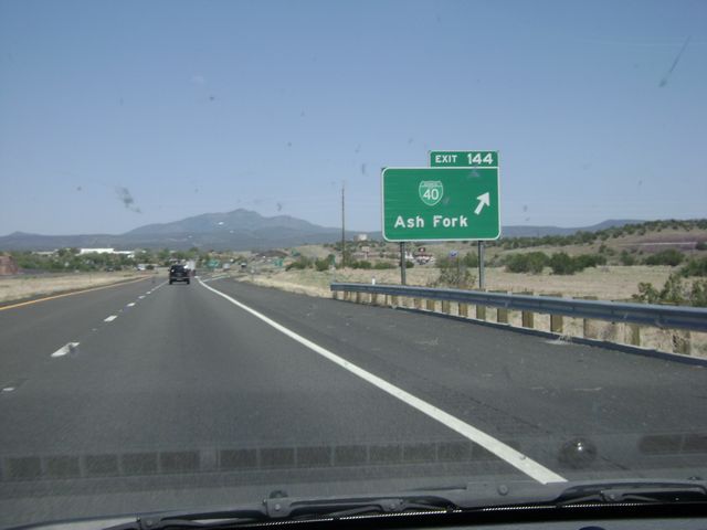 |
Interstate 40 East at Exit 144: Business I-40 - Ash Fork (Photo taken 5/21/10). |
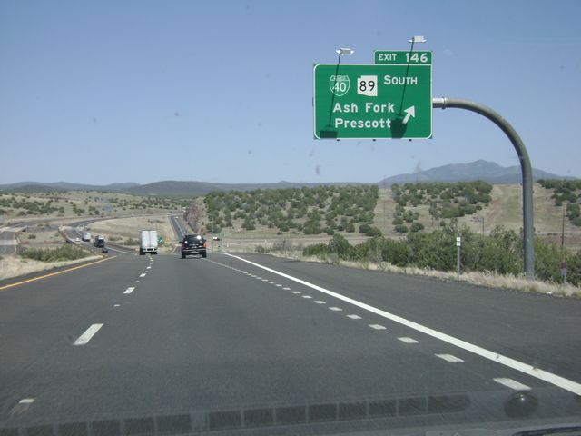 |
Interstate 40 East at Exit 146: Business I-40 / AZ 89 South - Ash Fork / Prescott (Photo taken 5/21/10). |
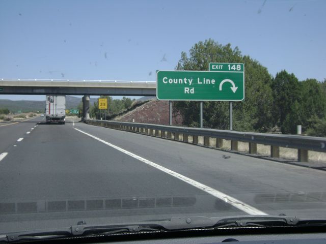 |
Interstate 40 East at Exit 148: County Line Rd (Photo taken 5/21/10). |
 |
Interstate 40 East at Exit 149: Monte Carlo Rd (Photo taken 5/21/10). |
 |
Interstate 40 East at Exit 151: Welch Rd (Photo taken 5/21/10). |
 |
Interstate 40 East: Road view from near mile marker 156, as the tall pines begin to show up. (Photo taken 5/21/10). |
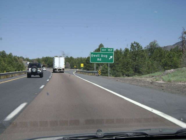 |
Interstate 40 East at Exit 157: Devil Dog Rd (Photo taken 5/21/10). |
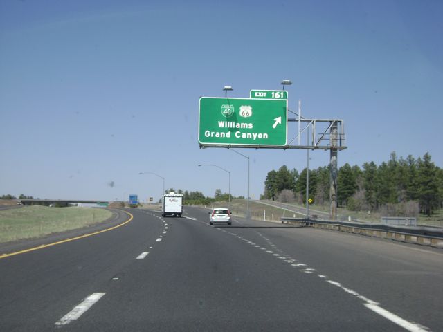 |
Interstate 40 East at Exit 161: Business I-40 / Historic Route 66 - Williams / Grand Canyon (Photo taken 5/21/10). |
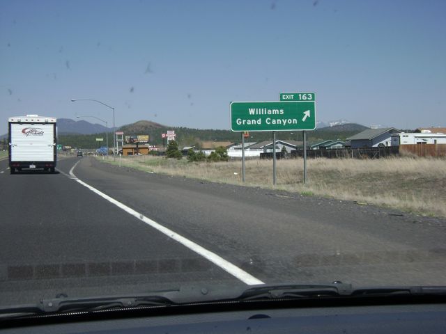 |
Interstate 40 East at Exit 163: Williams / Grand Canyon (Photo taken 5/21/10). |
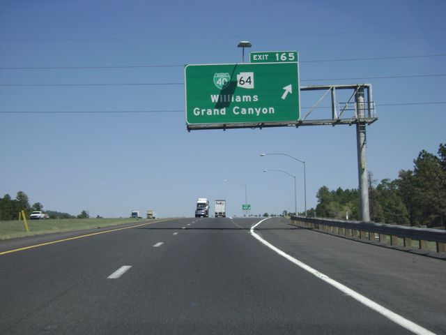 |
Interstate 40 East at Exit 165: Business I-40 / AZ 64 - Williams / Grand Canyon. Taking this exit and following AZ 64 North is the best way to get to Grand Canyon National Park. (Photo taken 5/21/10). |
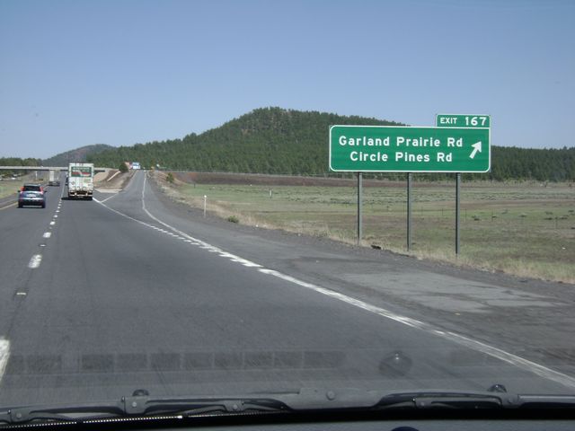 |
Interstate 40 East at Exit 167: Garland Prairie Rd / Circle Pines Rd (Photo taken 5/21/10). |
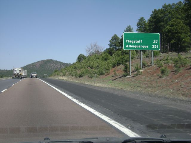 |
Mileage sign located near mile marker 168. Flagstaff is 27 miles ahead, while it's 351 miles to Albuquerque, NM on I-40. (Photo taken 5/21/10). |
 |
Interstate 40 East at Exit 171: Pittman Valley Rd / Deer Farm Rd (Photo taken 5/21/10). |
 |
Interstate 40 East: Road view from near mile marker 175. (Photo taken 5/21/10). |
 |
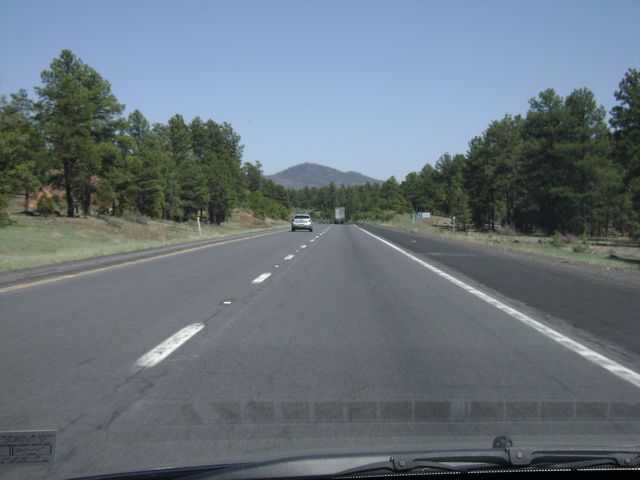
Interstate 40 East: Another road view, this time from near mile marker 177. What a view! (Photo taken 5/21/10). |
 |
Interstate 40 East at Exit 178: Parks Rd (Photo taken 5/21/10). |
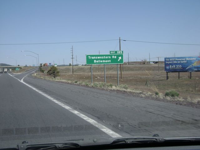 |
Interstate 40 East at Exit 185: Transwestern Rd / Bellemont (Photo taken 5/21/10). |
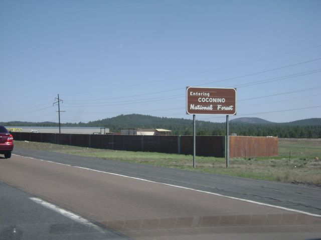 |
At this point, you are entering the Coconino National Forest. (Photo taken 5/21/10). |
 |
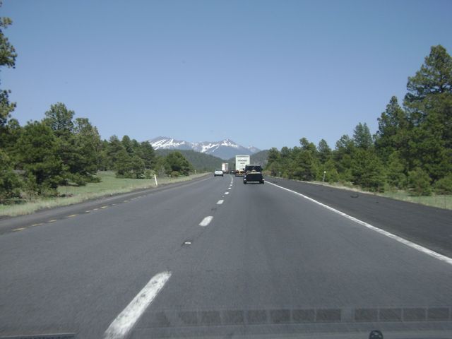
Interstate 40 East: Road view from near mile marker 188. (Photo taken 5/21/10). |
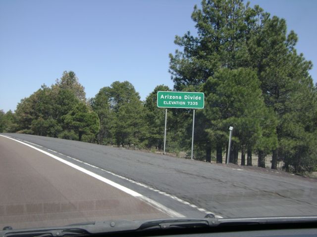 |
Interstate 40 has reached its peak here at the Arizona Divide. At this point, you are at an elevation of 7,335 feet! (Photo taken 5/21/10). |
 |
Interstate 40 East at Exit 190: A-1 Mountain Rd (Photo taken 5/21/10). |
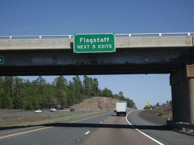 |
Any of the next 5 exits will get you to Flagstaff. (Photo taken 5/21/10). |
 |
Interstate 40 East at Exit 191: Business I-40 - Flagstaff (Photo taken 5/21/10). |
Section 2: Flagstaff (Exit 191) to New Mexico Border
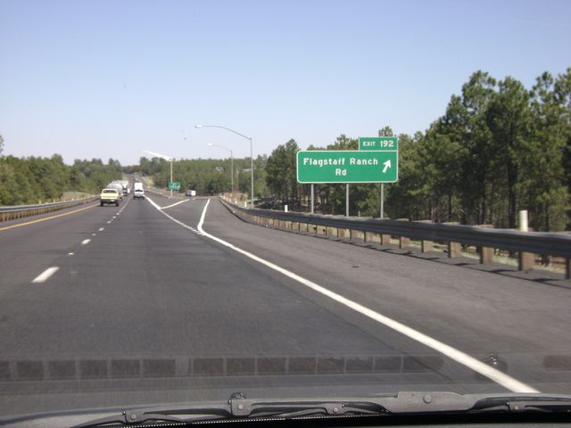 |
Interstate 40 East at Exit 192: Flagstaff Ranch Rd (Photo taken 5/21/10). |
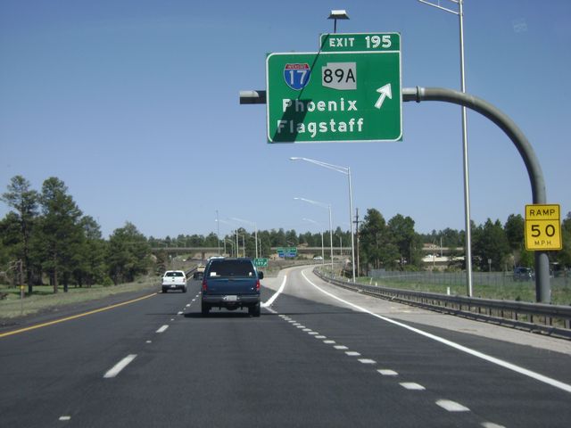 |
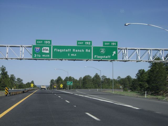
Interstate 40 East at Exit 195: Interstate 17 / AZ 89A - Phoenix / Flagstaff (Photo taken 5/21/10). |
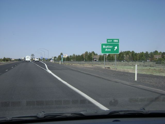 |
Interstate 40 East at Exit 198: Butler Ave (Photo taken 5/21/10). |
 |
Interstate 40 East at Exit 201: US 89 North - Page (Photo taken 5/21/10). |
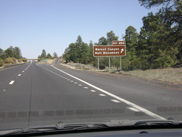 |
Interstate 40 East at Exit 204: Walnut Canyon National Monument (Photo taken 5/21/10). |
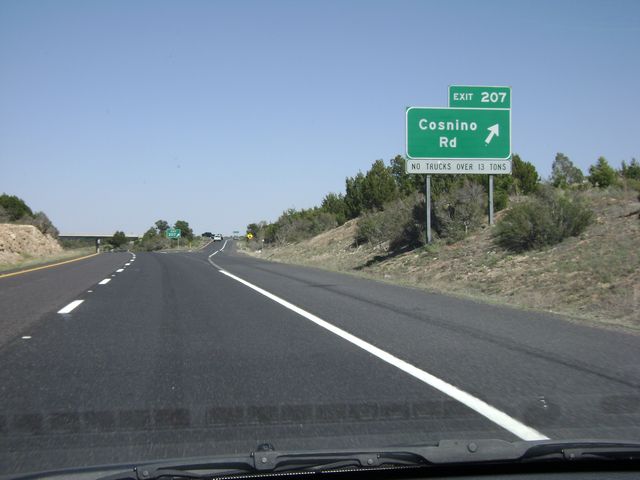 |
Interstate 40 East at Exit 207: Cosnino Rd (Photo taken 5/21/10). |
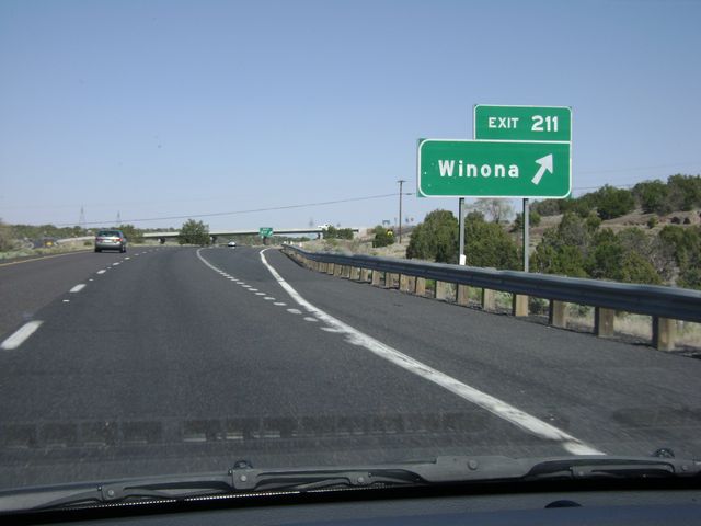 |
Interstate 40 East at Exit 211: Winona (Photo taken 5/21/10). |
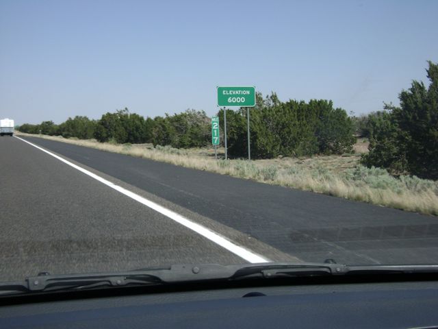 |
"Elevation 6,000 feet" sign at mile marker 217. It's hard to believe you have come down over 1,000 feet in elevation since back in Flagstaff. (Photo taken 5/21/10). |
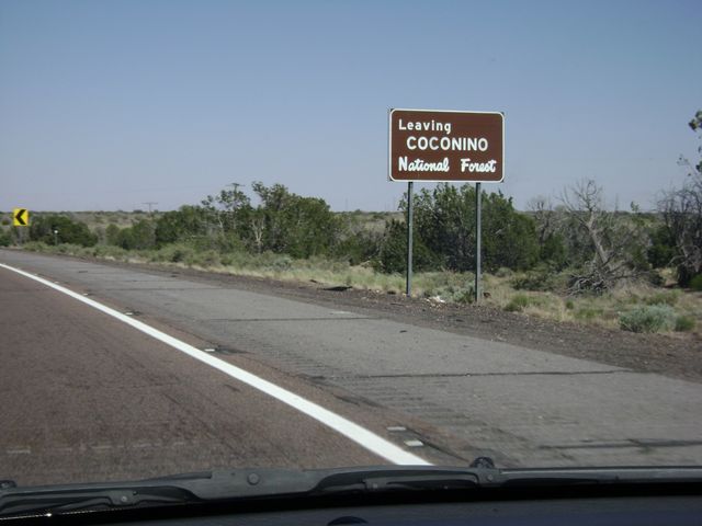 |
Sign indicating that you are now leaving the Coconino National Forest. (Photo taken 5/21/10). |
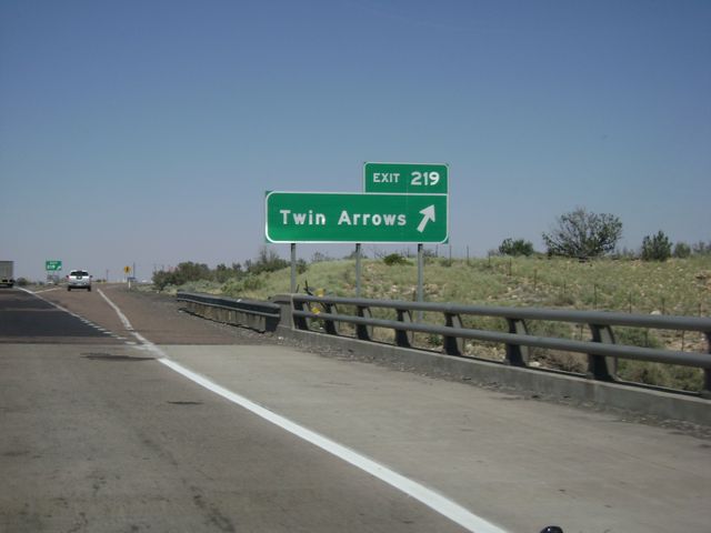 |
Interstate 40 East at Exit 219: Twin Arrows (Photo taken 5/21/10). |
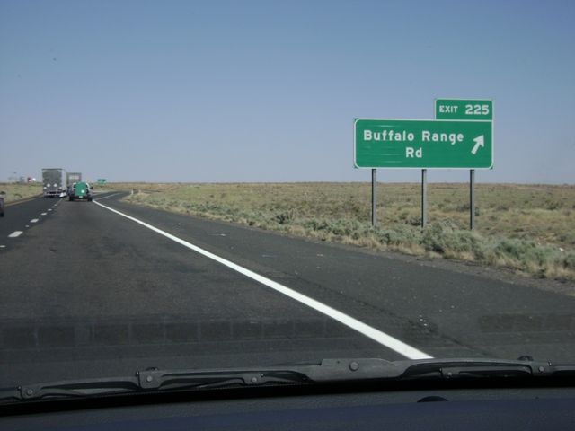 |
Interstate 40 East at Exit 225: Buffalo Range Rd (Photo taken 5/21/10). |
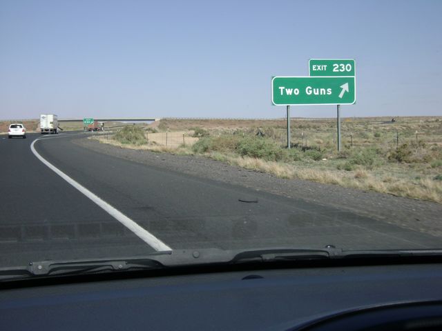 |
Interstate 40 East at Exit 230: Two Guns (Photo taken 5/21/10). |
 |
Interstate 40 East at Exit 233: Meteor Crater Rd (Photo taken 5/21/10). |
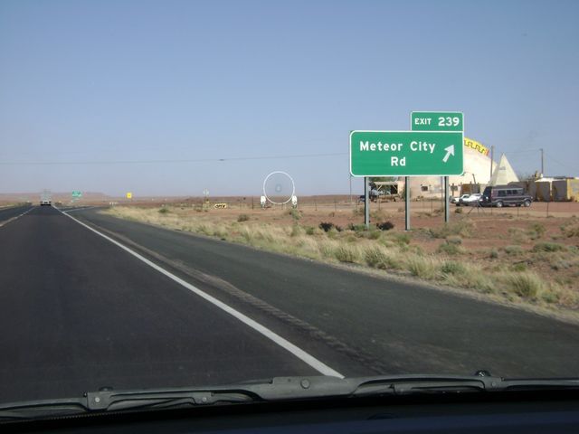 |
Interstate 40 East at Exit 239: Meteor City Rd (Photo taken 5/21/10). |
 |
Interstate 40 East at Exit 245: AZ 99 North - Leupp (Photo taken 5/21/10). |
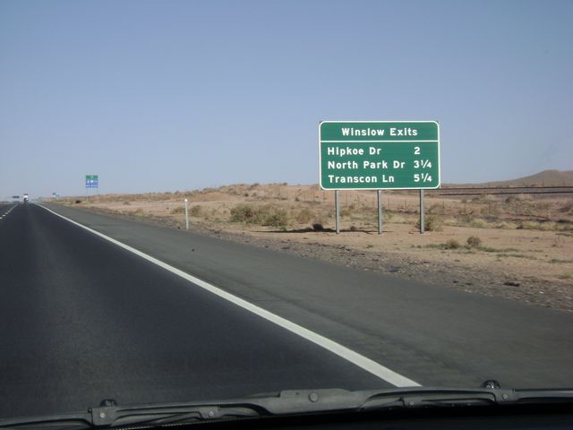 |
Sign near mile marker 250, listing the distances to the three Winslow exits on I-40. (Photo taken 5/21/10). |
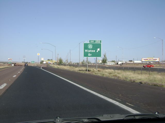 |
Interstate 40 East at Exit 252: Business I-40 - Hipkoe Dr (Photo taken 5/21/10). |
 |
Interstate 40 East at Exit 255: Transcon Lane (Photo taken 5/21/10). |
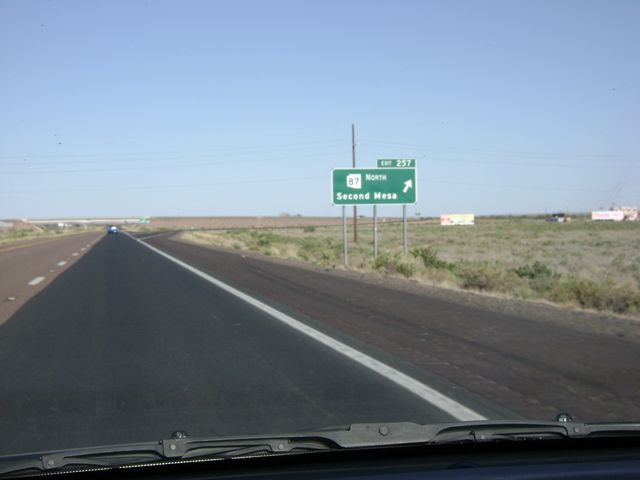 |
Interstate 40 East at Exit 257: AZ 87 North - Second Mesa (Photo taken 5/21/10). |
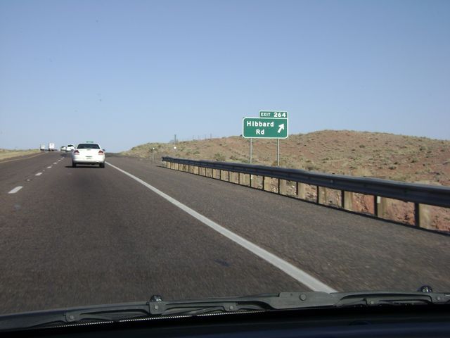 |
Interstate 40 East at Exit 264: Hibbard Rd (Photo taken 5/21/10). |
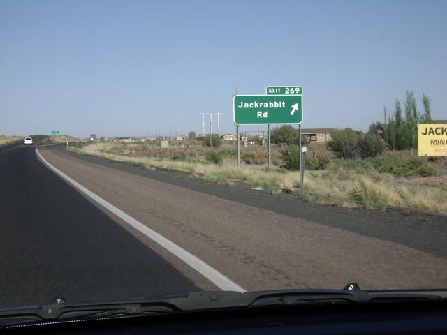 |
Interstate 40 East at Exit 269: Jackrabbit Rd (Photo taken 5/21/10). |
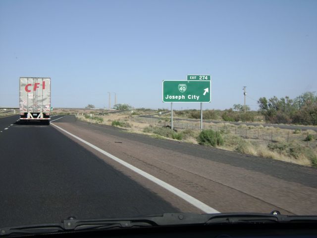 |
Interstate 40 East at Exit 274: Business I-40 - Joseph City (Photo taken 5/21/10). |
 |
Interstate 40 East at Exit 277: Business I-40 - Joseph City (Photo taken 5/21/10). |
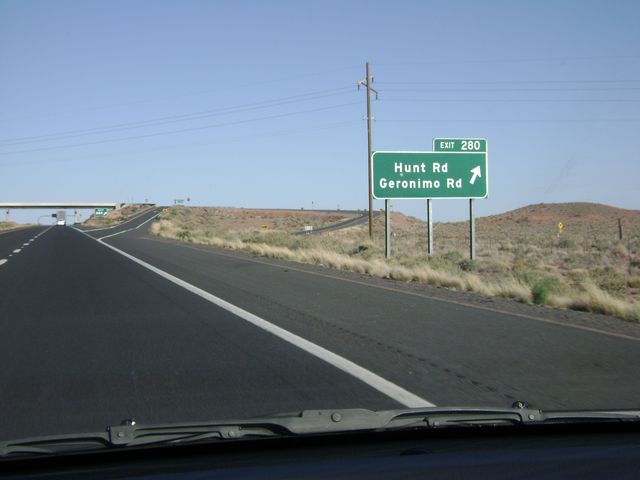 |
Interstate 40 East at Exit 280: Hunt Rd / Geronimo Rd (Photo taken 5/21/10). |
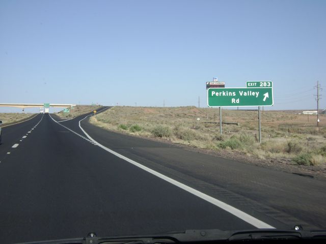 |
Interstate 40 East at Exit 283: Perkins Valley Rd (Photo taken 5/21/10). |
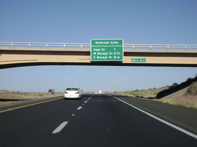 |
Sign near mile marker 284, listing the distances to the three Holbrook exits. (Photo taken 5/21/10). |
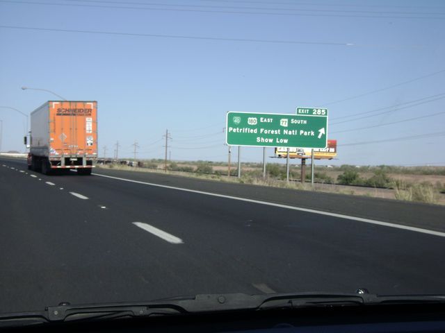 |
Interstate 40 East at Exit 285: Business I-40 / US 180 East / AZ 77 South - Petrified Forest National Park / Show Low (Photo taken 5/21/10). |
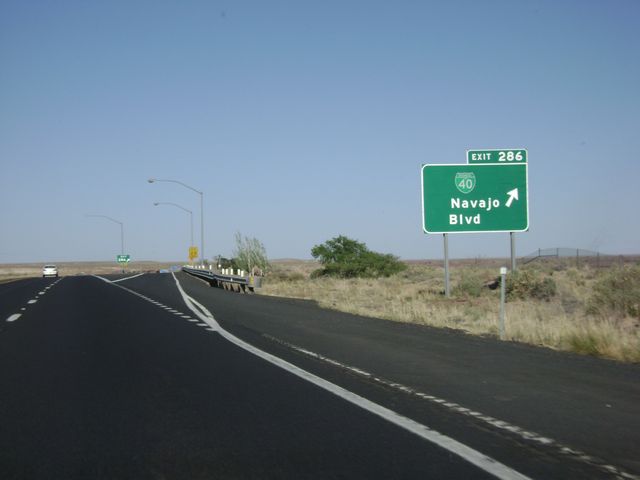 |
Interstate 40 East at Exit 286: Business I-40 - Navajo Blvd (Photo taken 5/21/10). |
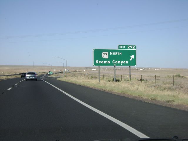 |
Interstate 40 East at Exit 292: AZ 77 North - Keams Canyon (Photo taken 5/21/10). |
 |
Interstate 40 East at Exit 294: Sun Valley Rd (Photo taken 5/21/10). |
 |
Interstate 40 East at exit 303: Adamana Rd (Photo taken 5/21/10). |
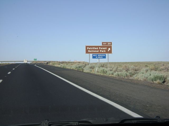 |
Interstate 40 East at Exit 311: Petrified Forest National Park (Photo taken 5/21/10). |
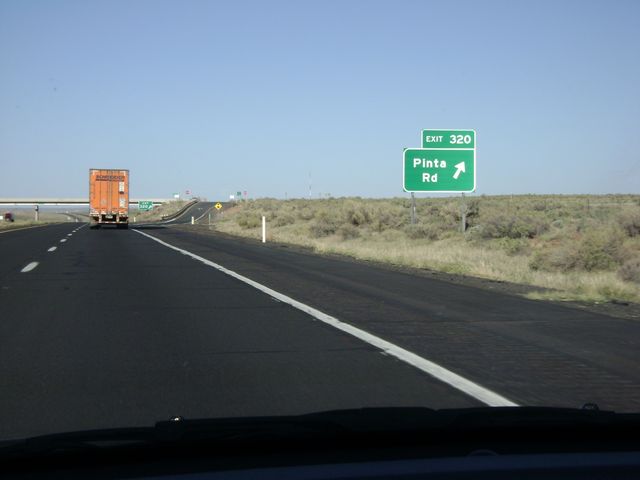 |
Interstate 40 East at Exit 320: Pinta Rd (Photo taken 5/21/10). |
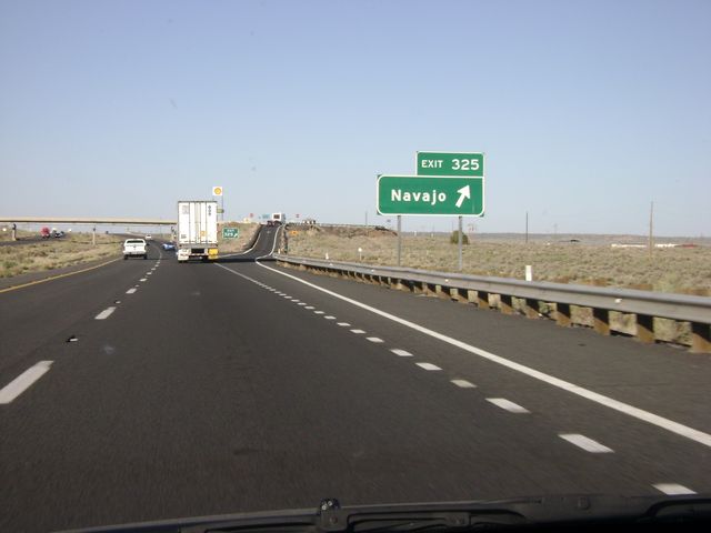 |
Interstate 40 East at Exit 325: Navajo (Photo taken 5/21/10). |
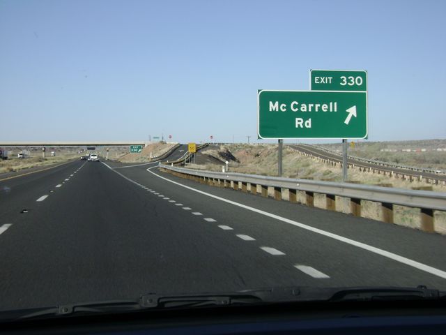 |
Interstate 40 East at Exit 330: McCarrell Rd (Photo taken 5/21/10). |
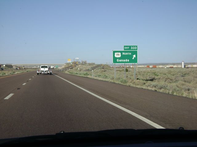 |
Interstate 40 East at Exit 333: US 191 North - Ganado (Photo taken 5/21/10). |
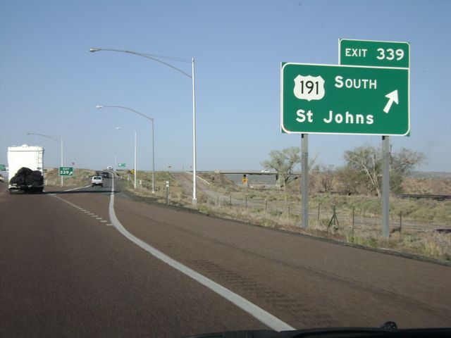 |
Interstate 40 East at Exit 339: US 191 South - St Johns (Photo taken 5/21/10). |
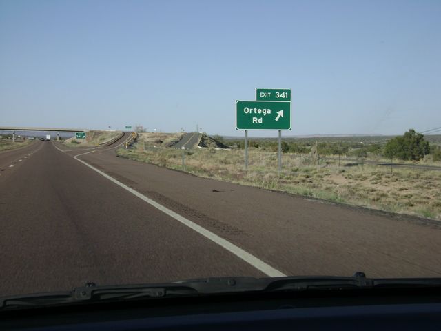 |
Interstate 40 East at Exit 341: Ortega Rd (Photo taken 5/21/10). |
 |
Interstate 40 East at Exit 343: Querino Rd (Photo taken 5/21/10). |
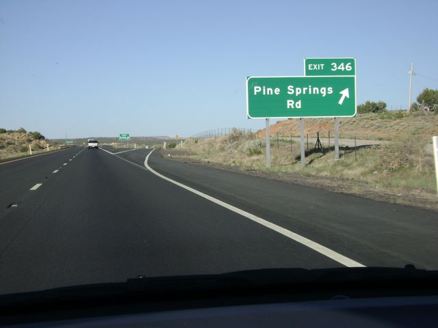 |
Interstate 40 East at Exit 346: Pine Springs Rd (Photo taken 5/21/10). |
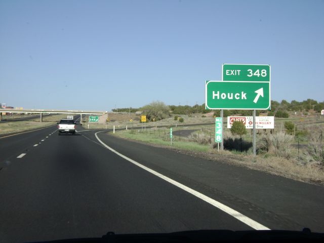 |
Interstate 40 East at Exit 348: Houck (Photo taken 5/21/10). |
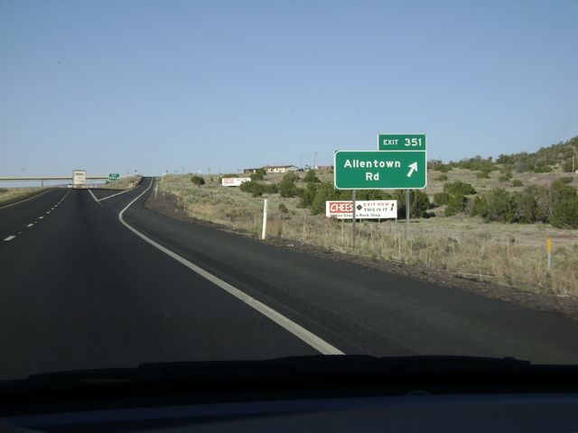 |
Interstate 40 East at Exit 351: Allentown Rd (Photo taken 5/21/10). |
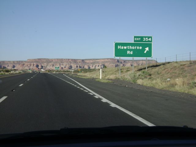 |
Interstate 40 East at Exit 354: Hawthorne Rd (Photo taken 5/21/10). |
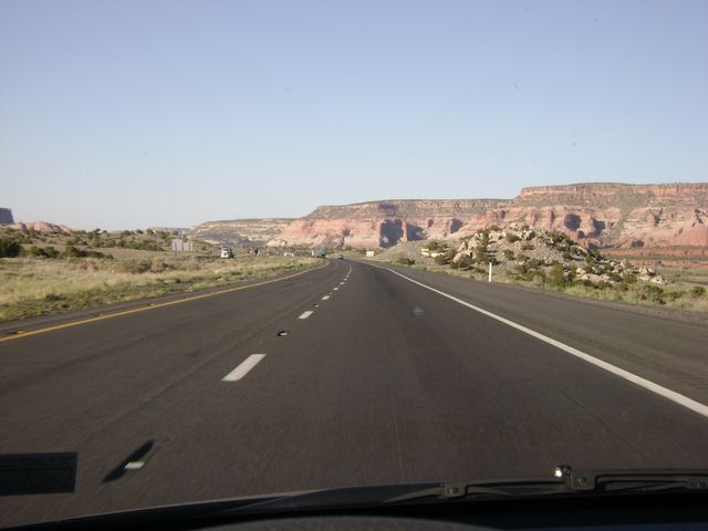 |
Interstate 40 East: Road view from near mile marker 355. The New Mexico state line is about 4 miles ahead. (Photo taken 5/21/10). |
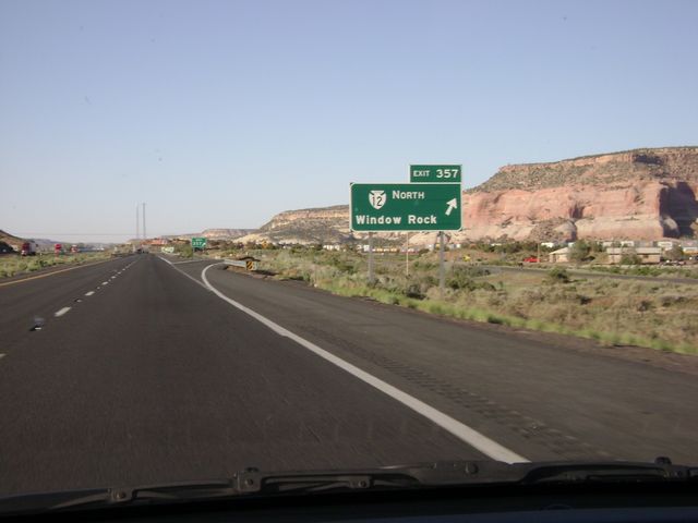 |
Interstate 40 East at Exit 357: BIA Route 12 North - Window Rock (Photo taken 5/21/10). |
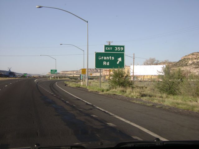 |
Interstate 40 East at Exit 359: Grants Rd (Photo taken 5/21/10). |
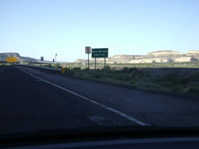 |
Interstate 40 East approaching the New Mexico state line. (Photo taken 5/21/10). |