Road Information |
||
 |
||
| Total Mileage in State: | 145 miles | |
| Northern End: | At AZ 89A, in Flagstaff | |
| Southern End: | At I-10, in Phoenix | |
| Mileage covered in Photos: | 145 miles | |
| Counties covered in Photos: | Coconino, Yavapai, Maricopa | |
| Major Junctions in Photos: | I-10, in Phoenix AZ 101 Loop, in Phoenix I-40, in Flagstaff |
|
| Control Cities in Photos: | Flagstaff, Camp Verde, Anthem, Phoenix | |
Southbound
- Section 1: Flagstaff to Camp Verde (Exit 289)
- Section 2: Camp Verde (Exit 289) to Black Canyon City (Exit 242)
- Section 3: Black Canyon City (Exit 242) to Southern Terminus
Section 1: Flagstaff to Camp Verde (Exit 289)
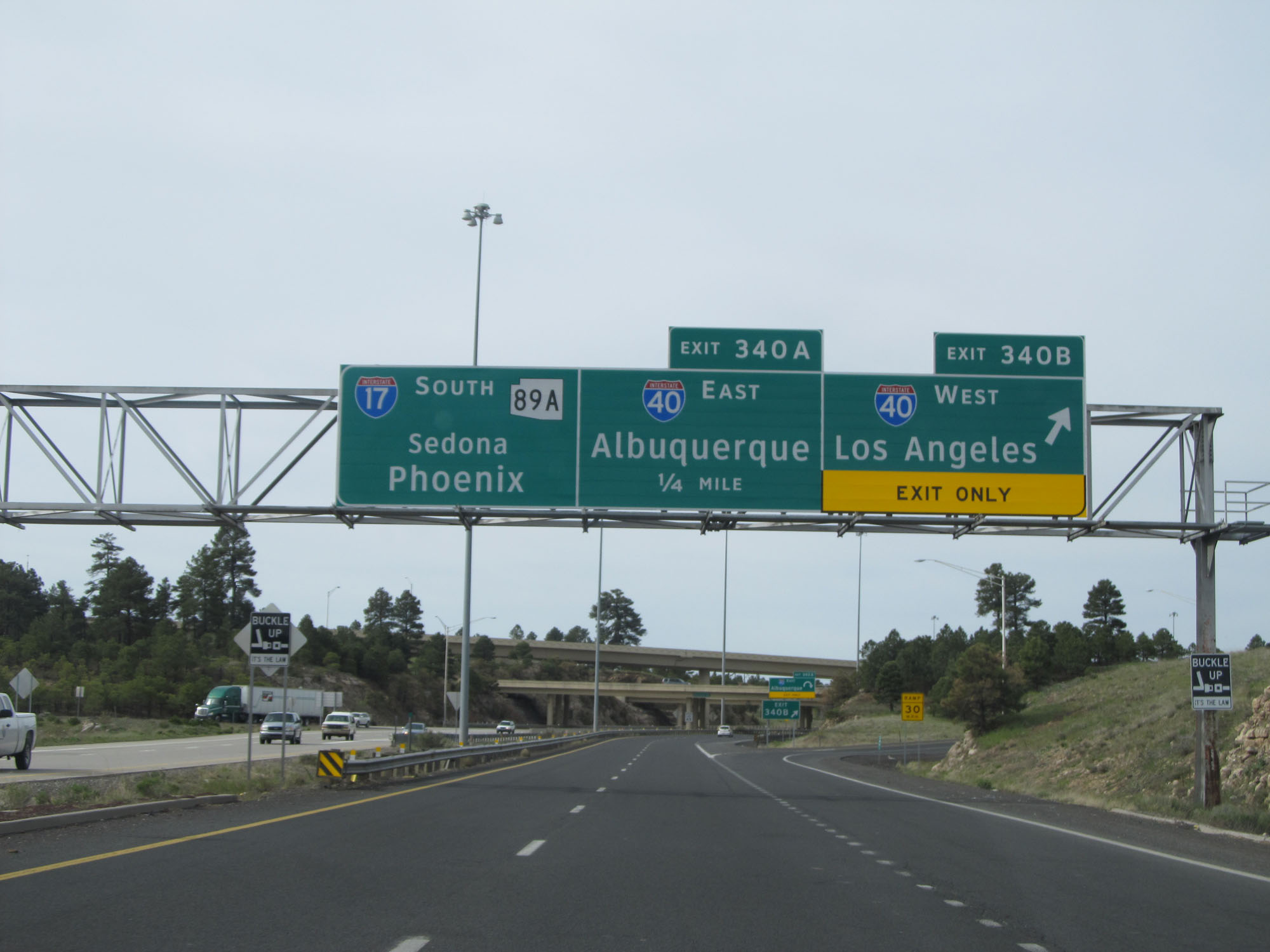 |
Interstate 17 South at Exit 340B: Interstate 40 West - Los Angeles (Photo taken 5/20/15). |
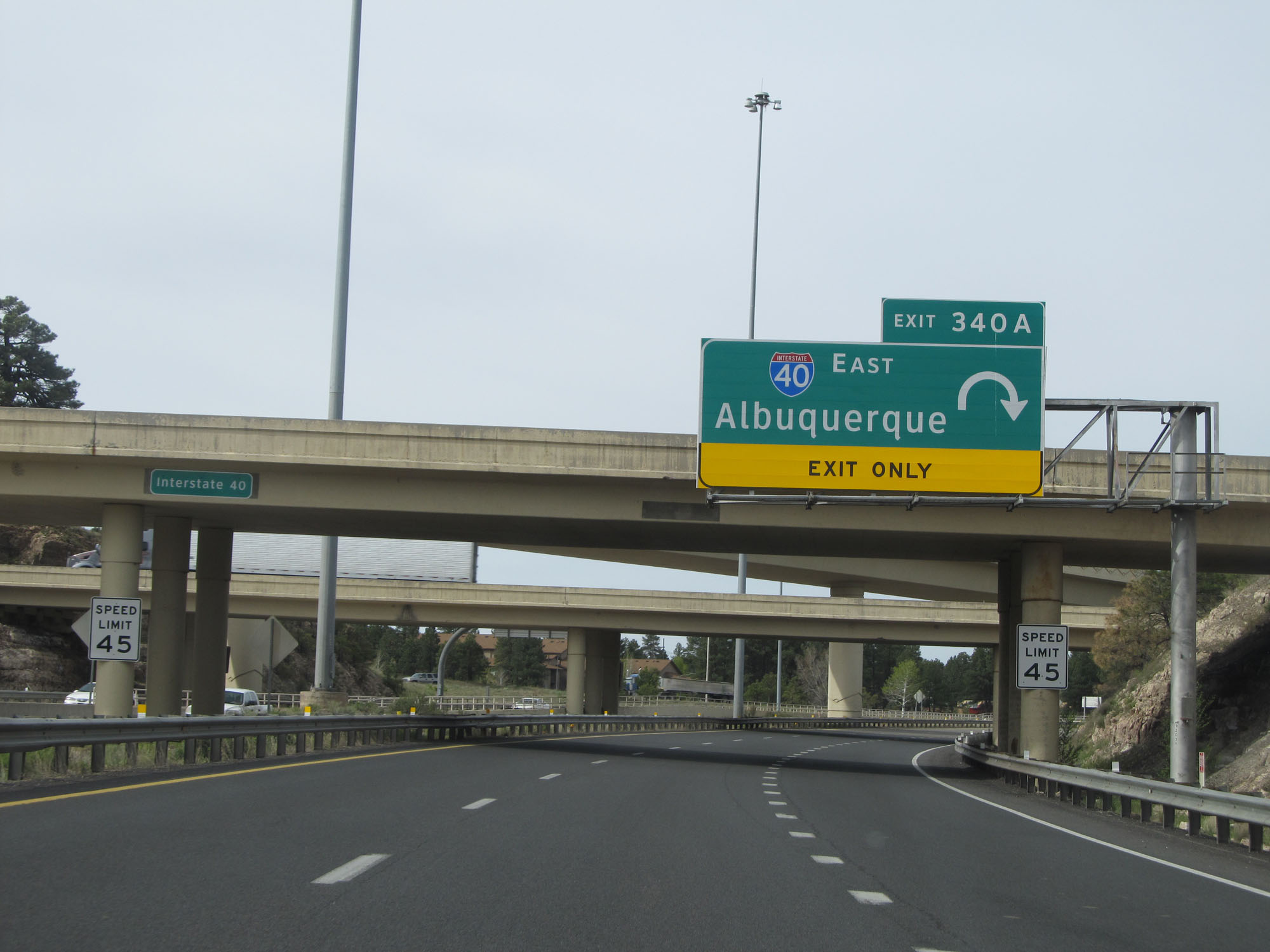 |
Interstate 17 South at Exit 340A: Interstate 40 East - Albuquerque (Photo taken 5/20/15). |
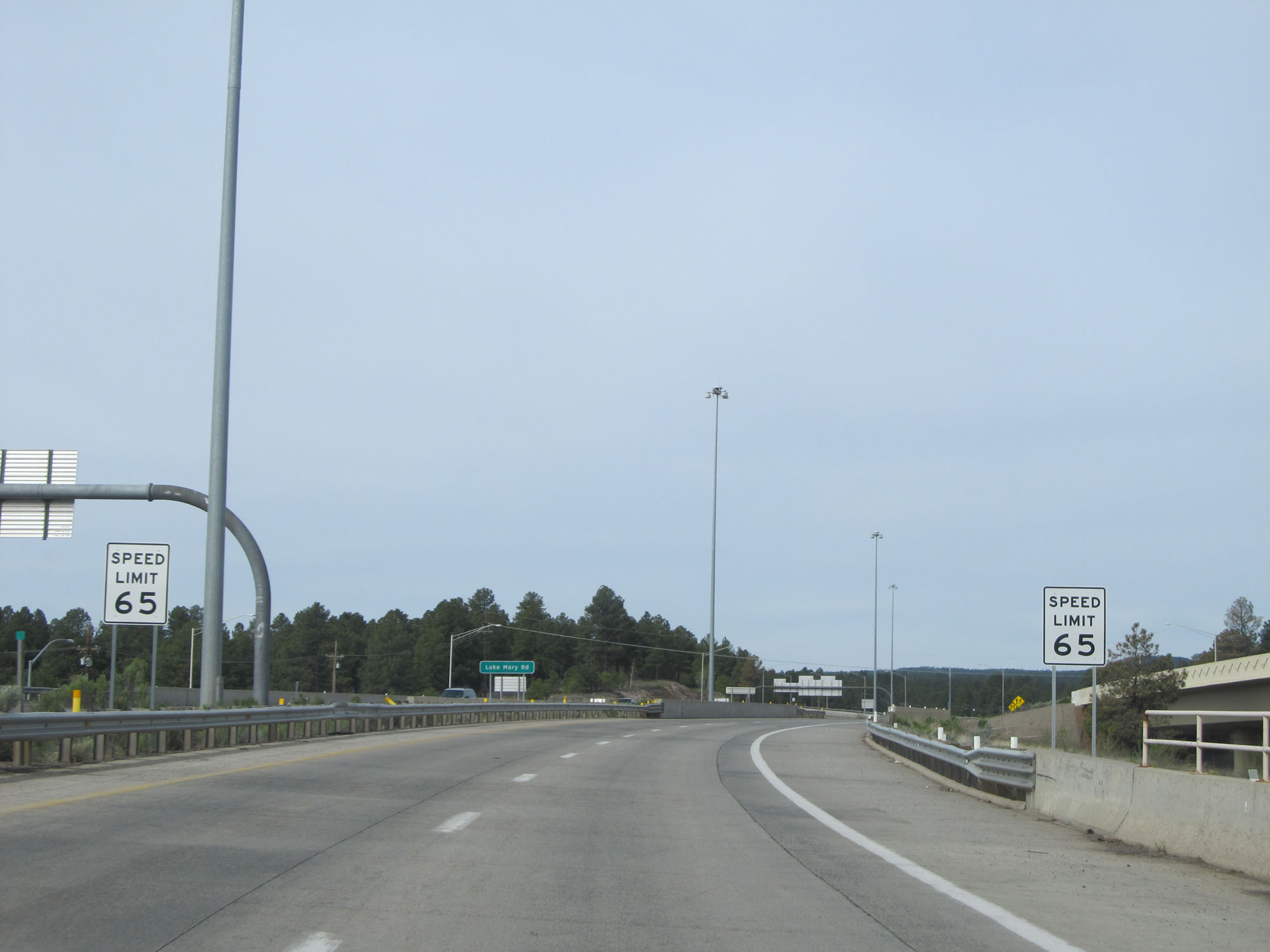 |
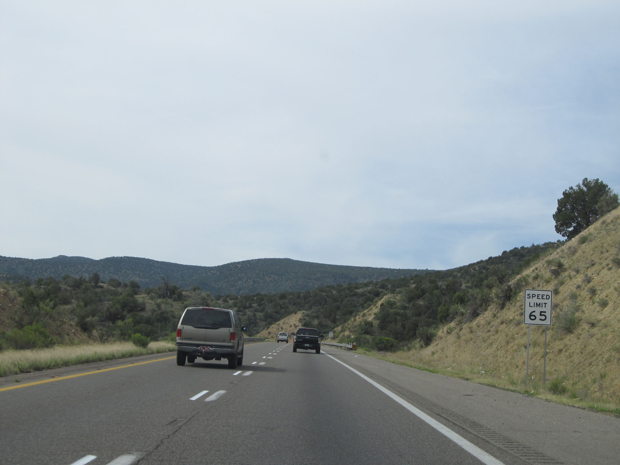
The speed limit on Interstate 17 South starts out at 65 mph to the south of Interstate 40. (Photo taken 5/20/15). |
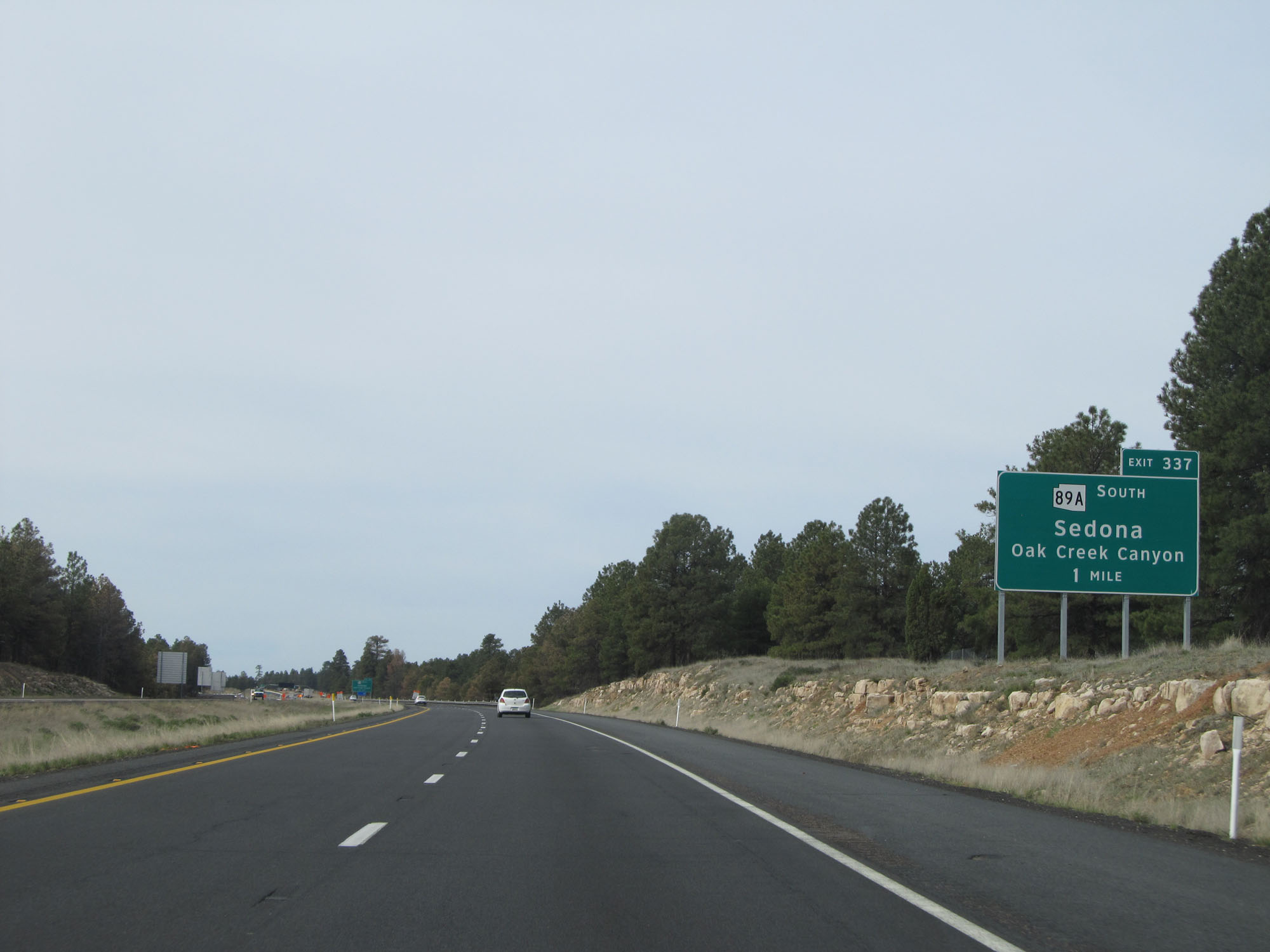 |
Interstate 17 South approaching Exit 337 - 1 mile. (Photo taken 5/20/15). |
 |
Interstate 17 South at Exit 337: AZ 89A South - Sedona / Oak Creek Canyon (Photo taken 5/20/15). |
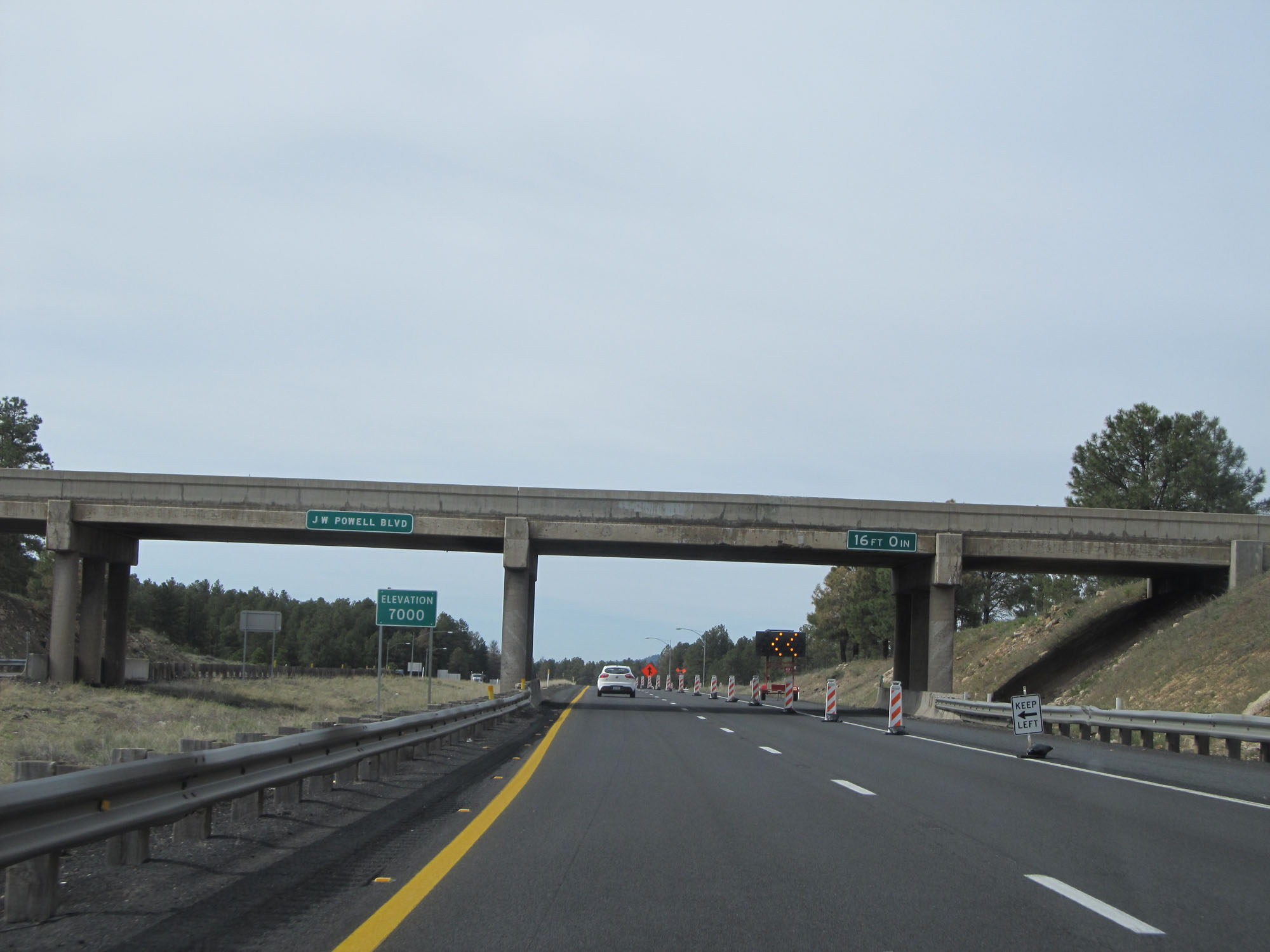 |
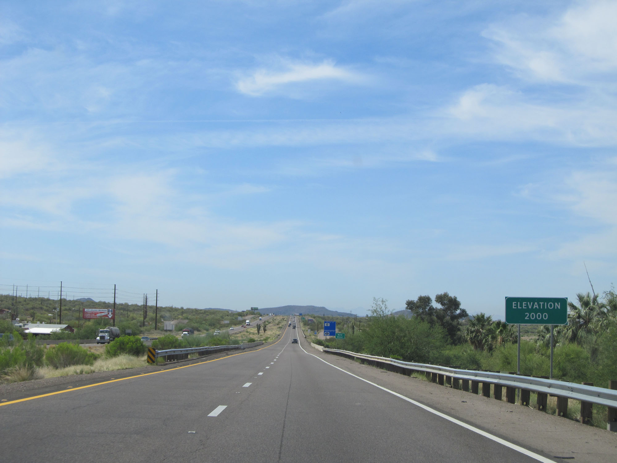
South of Flagstaff, Interstate 17 is at an elevation of 7,000 feet as this sign reads. By the time we reach the southern terminus of I-17 in Phoenix, we will be at around 1,200 feet. Considering I-17 is only 145 miles long, that is quite a change in elevation over that distance. (Photo taken 5/20/15). |
 |
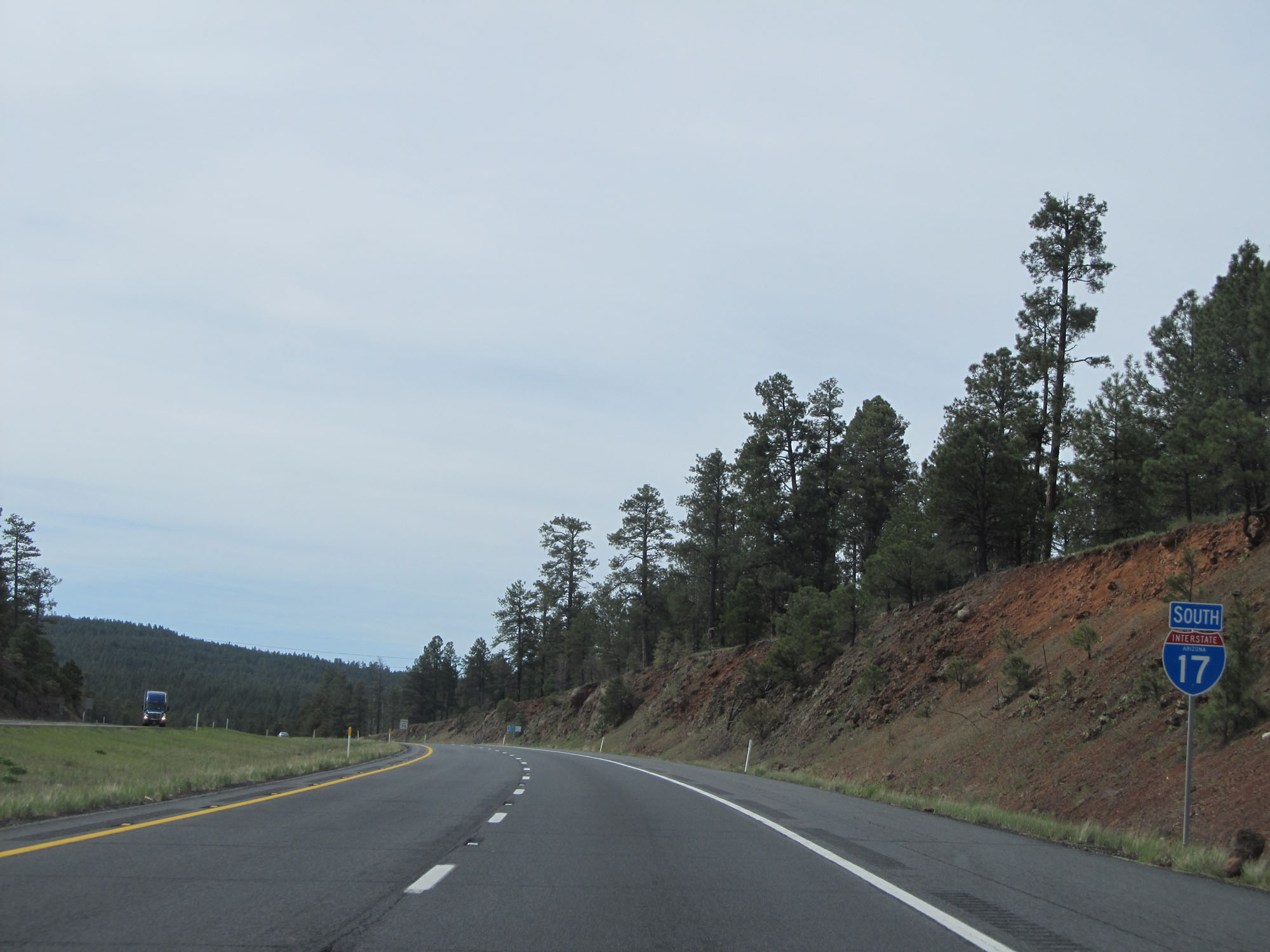
Interstate 17 South reassurance shield. (Photo taken 5/20/15). |
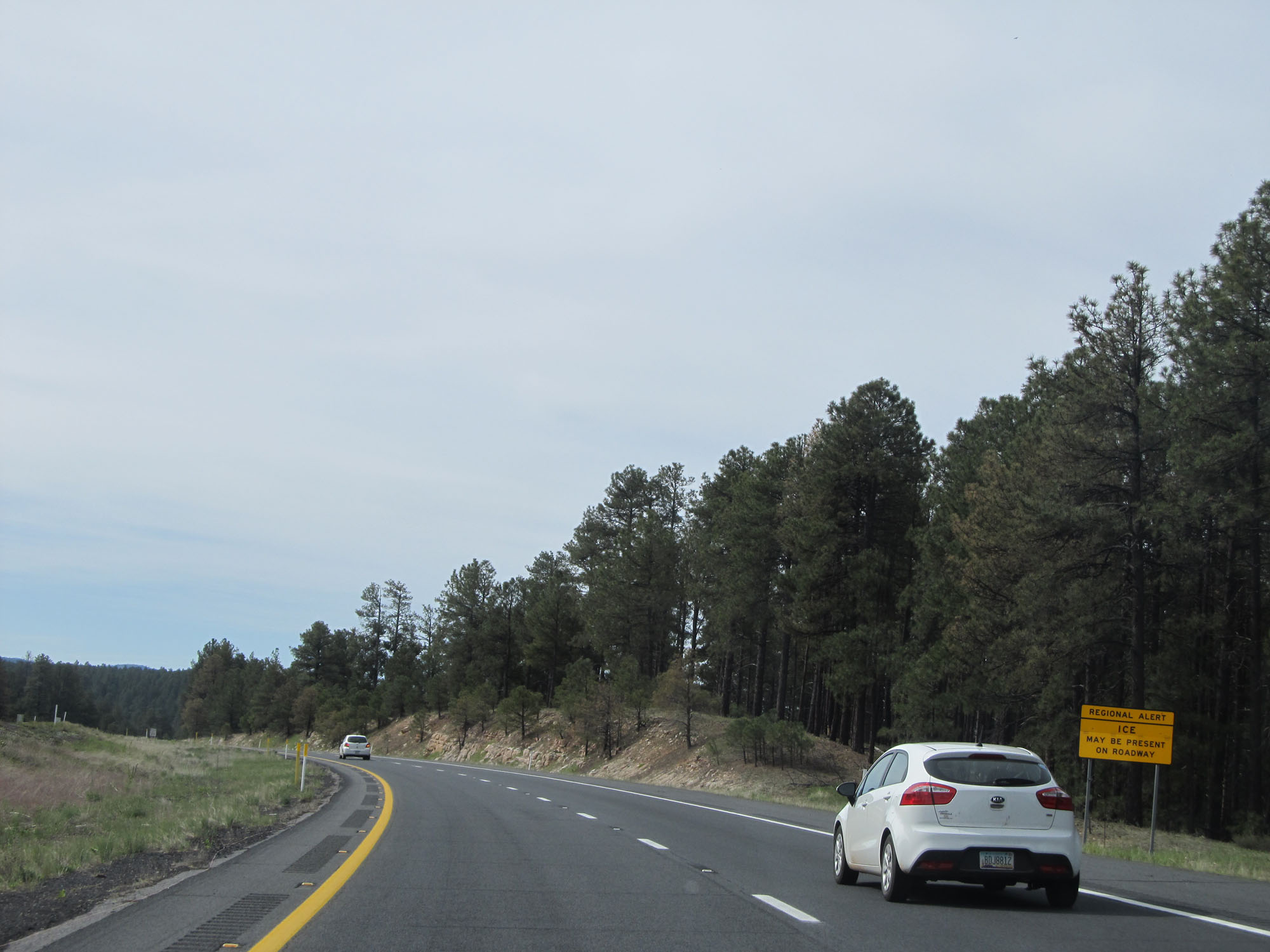 |
Although we're in Arizona, due to the high elevation near Flagstaff this sign warns that ice may be present on the roadway. (Photo taken 5/20/15). |
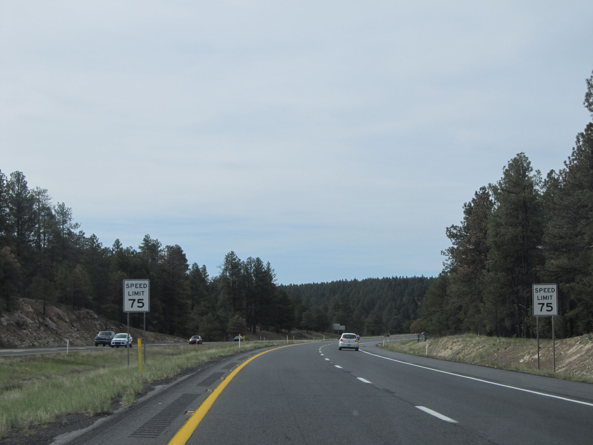 |
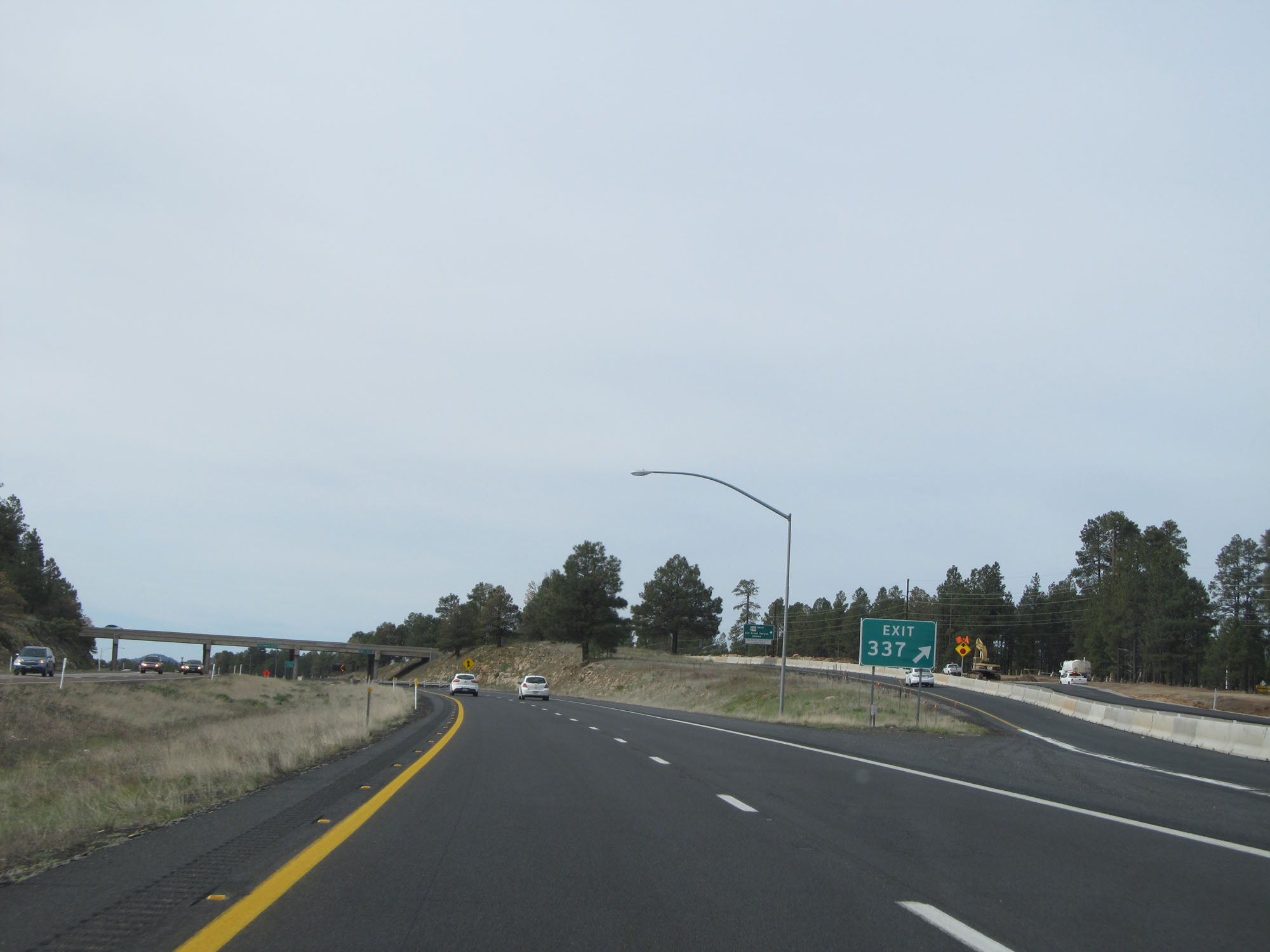
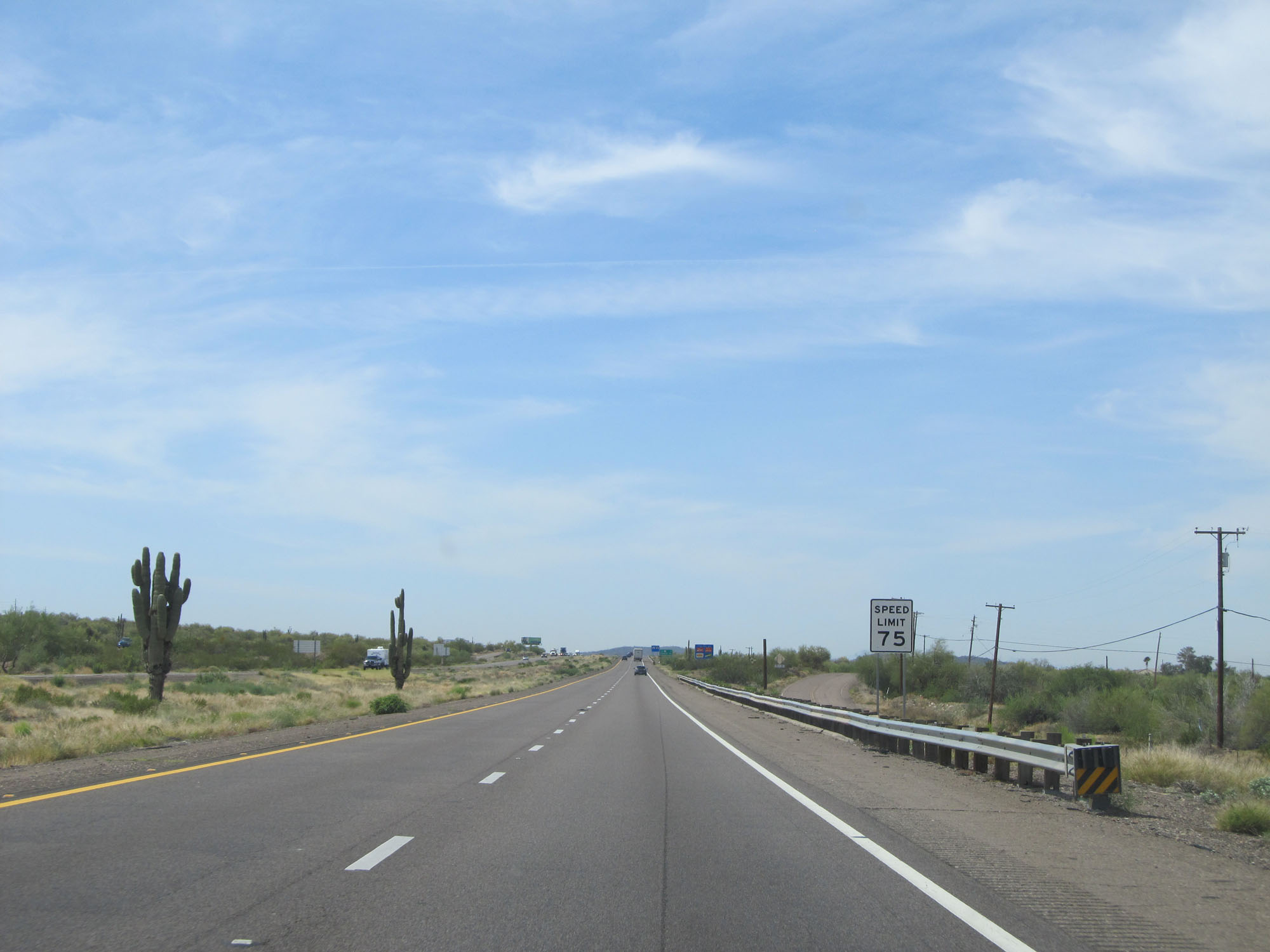
Just south of Exit 337, the speed limit increases to 75 mph. This is the standard speed limit on most rural Interstate highways in Arizona. (Photo taken 5/20/15). |
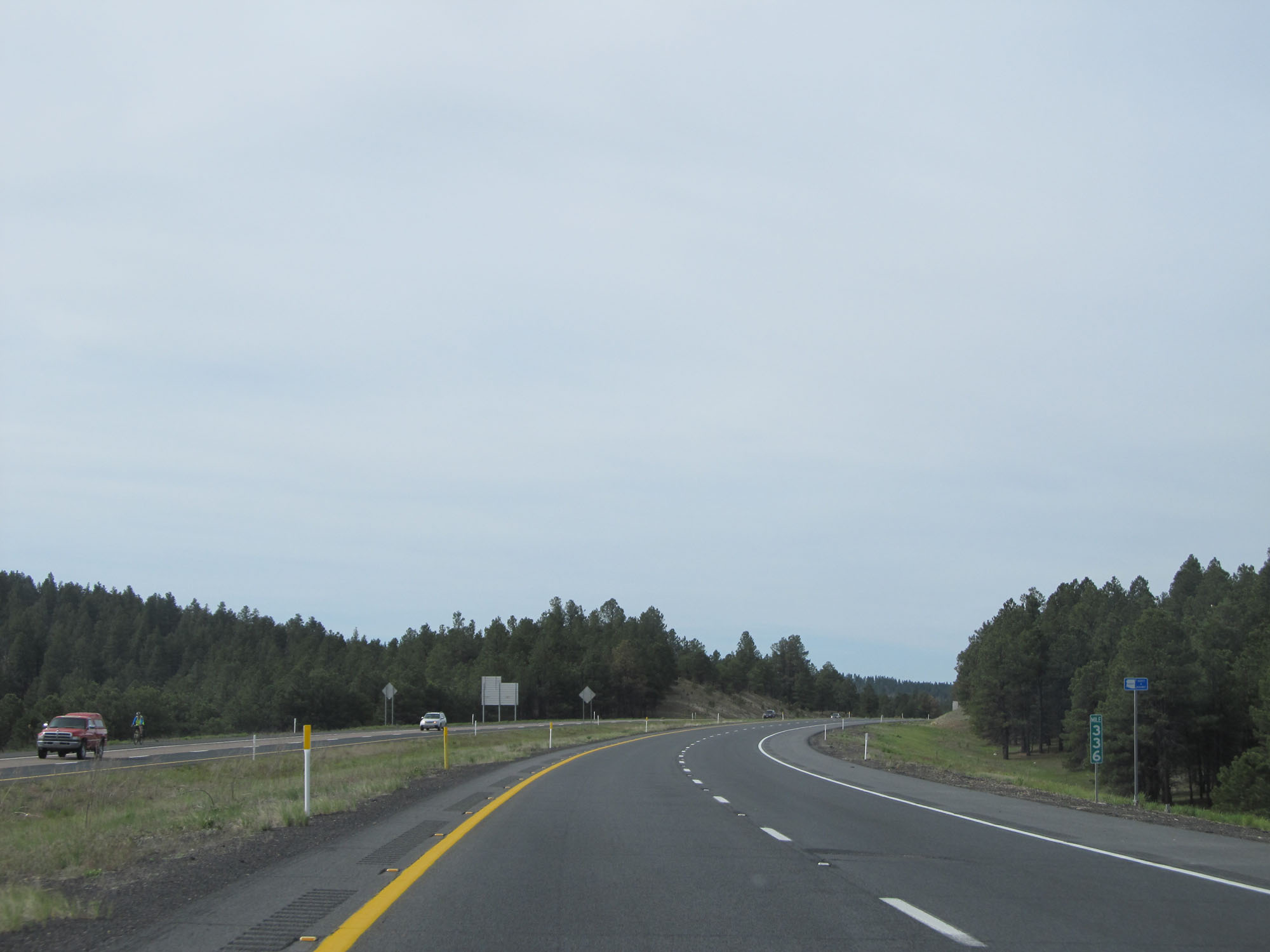 |
Interstate 17 South at mile marker 336. (Photo taken 5/20/15). |
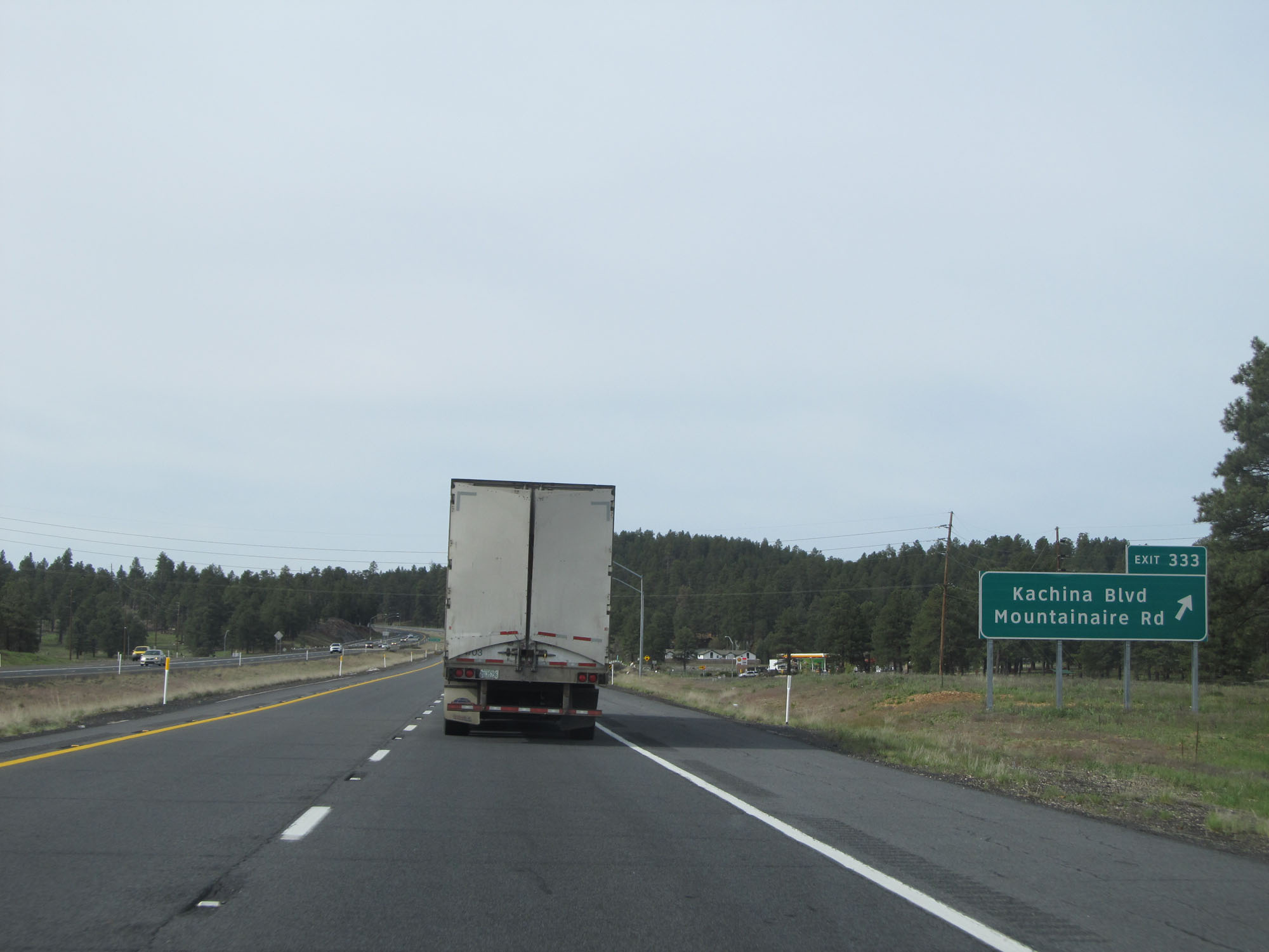 |
Interstate 17 South at Exit 333: Kachina Blvd / Mountainaire Rd (Photo taken 5/20/15). |
 |
Another Interstate 17 South reassurance shield. (Photo taken 5/20/15). |
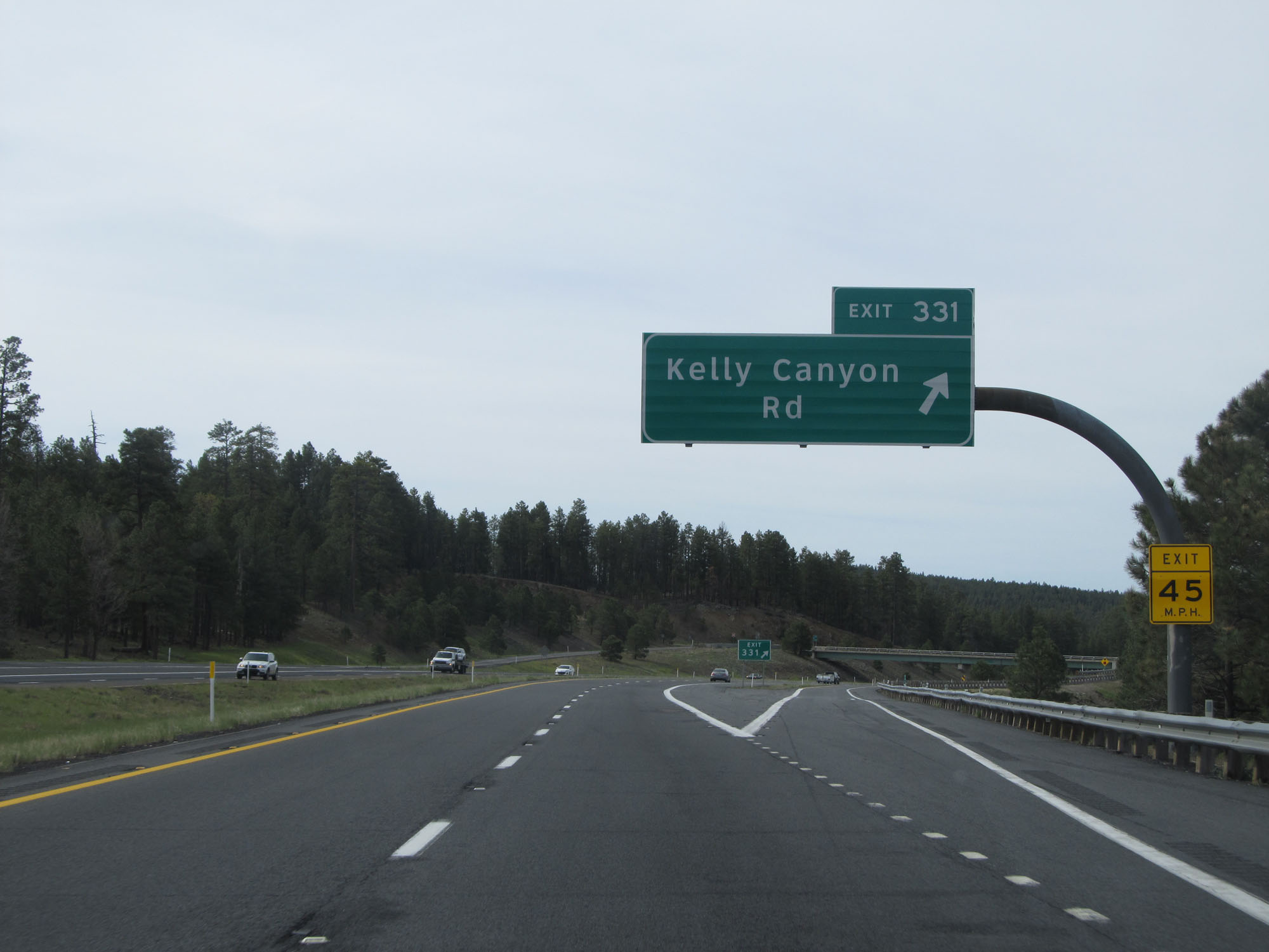 |
Interstate 17 South at Exit 331: Kelly Canyon Rd (Photo taken 5/20/15). |
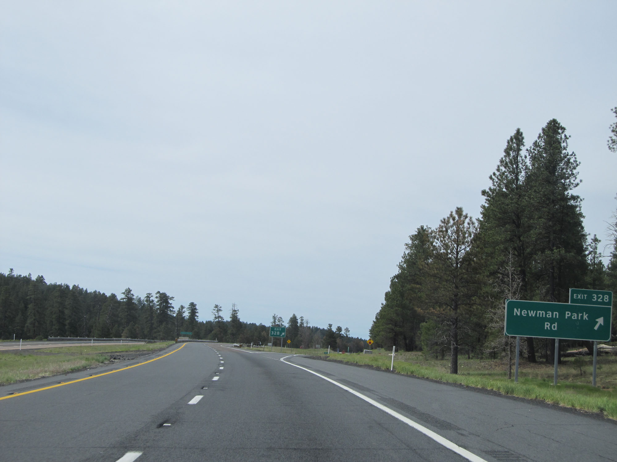 |
Interstate 17 South at Exit 328: Newman Park Rd (Photo taken 5/20/15). |
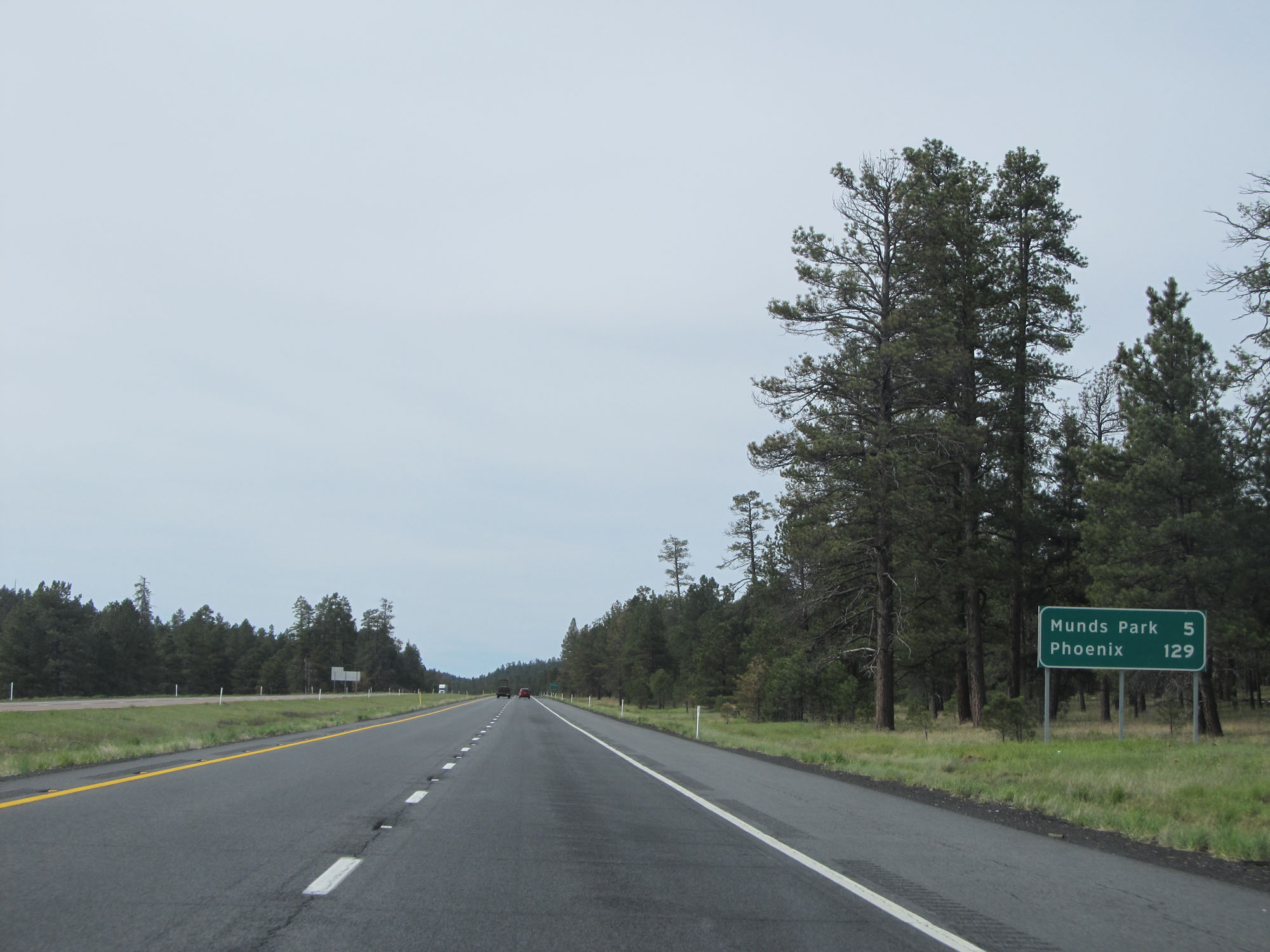 |
Mileage sign on Interstate 17 South. It's 5 miles to Munds Park and 129 miles to Phoenix. (Photo taken 5/20/15). |
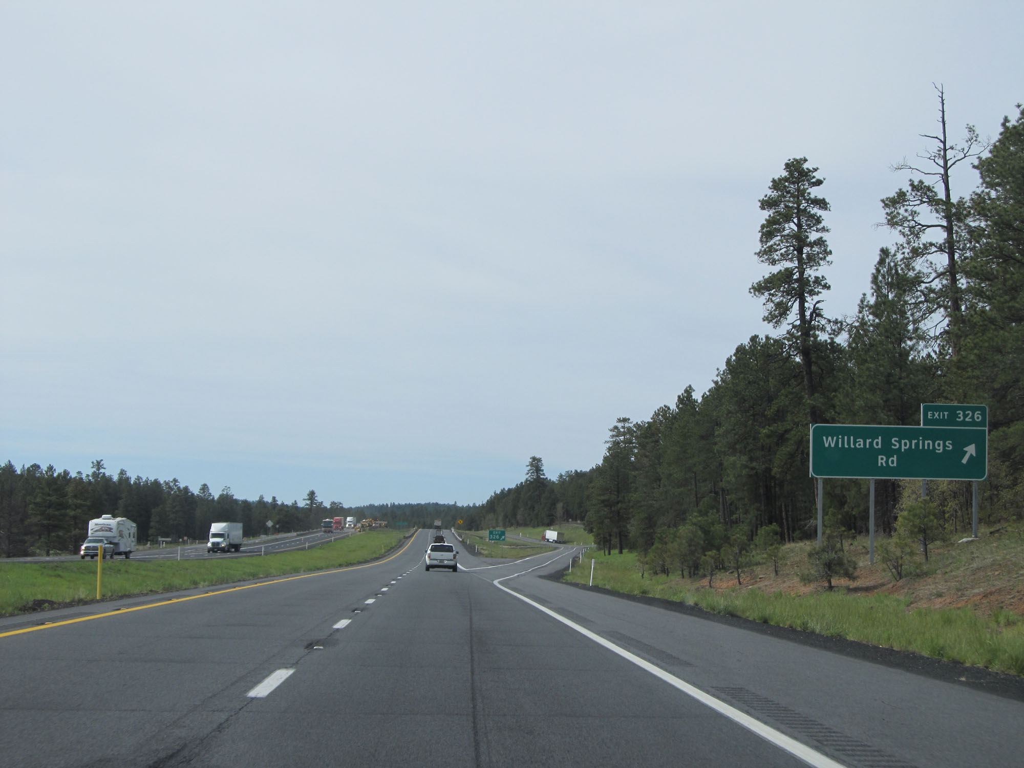 |
Interstate 17 South at Exit 326: Willard Springs Rd (Photo taken 5/20/15). |
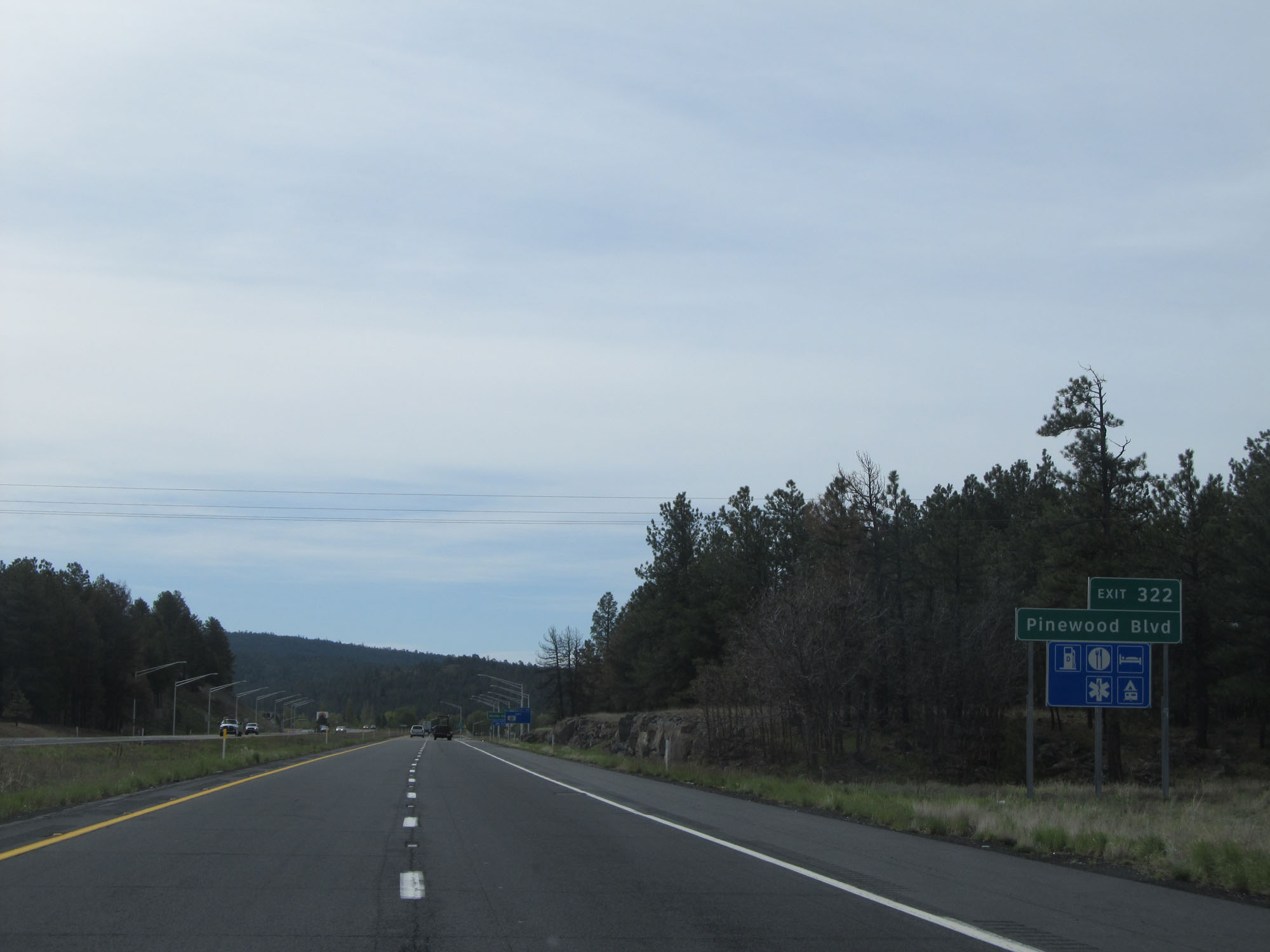 |
Take Exit 322 to Pinewood Blvd. (Photo taken 5/20/15). |
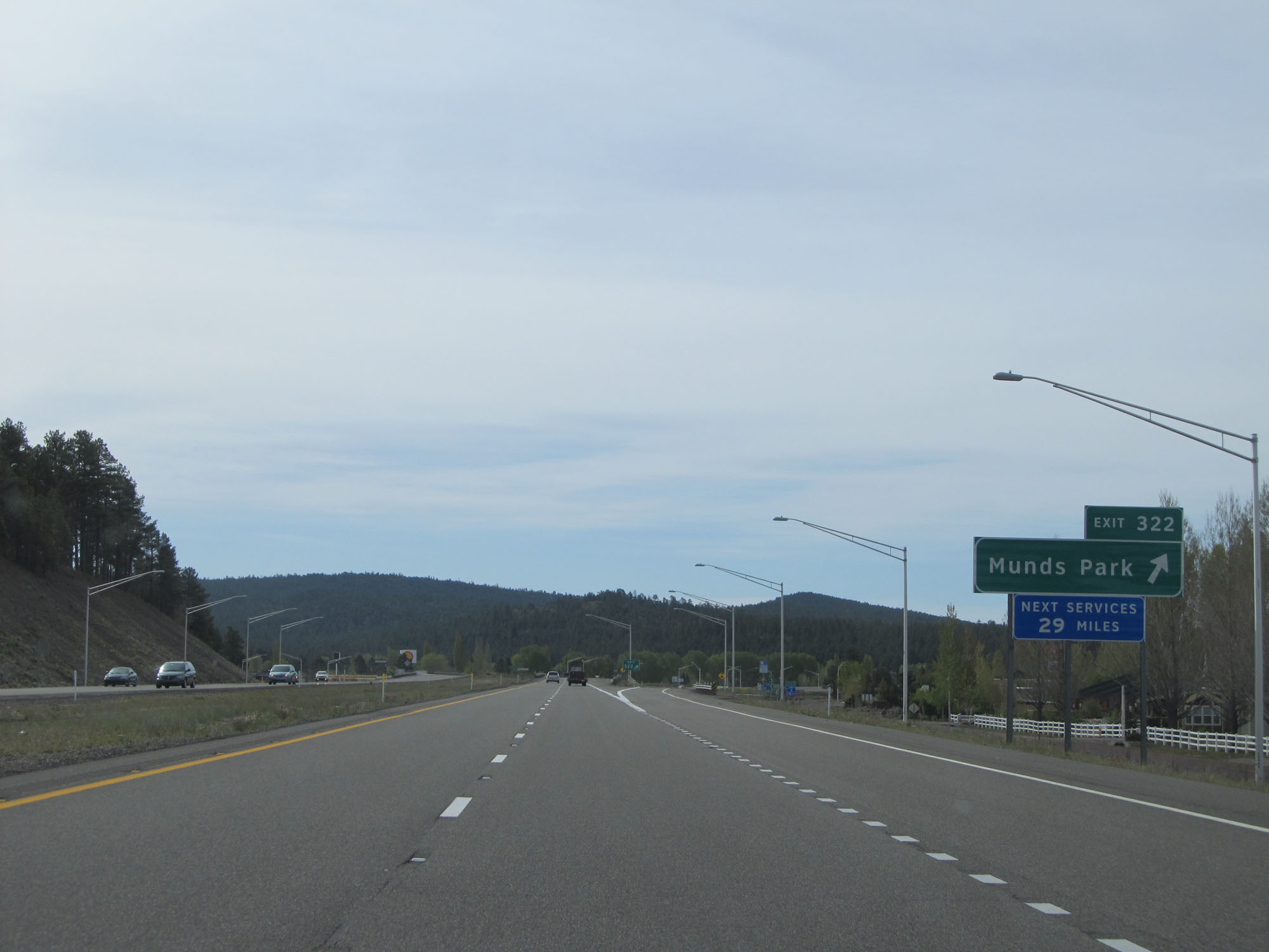 |
Interstate 17 South at Exit 322: Munds Park (Photo taken 5/20/15). |
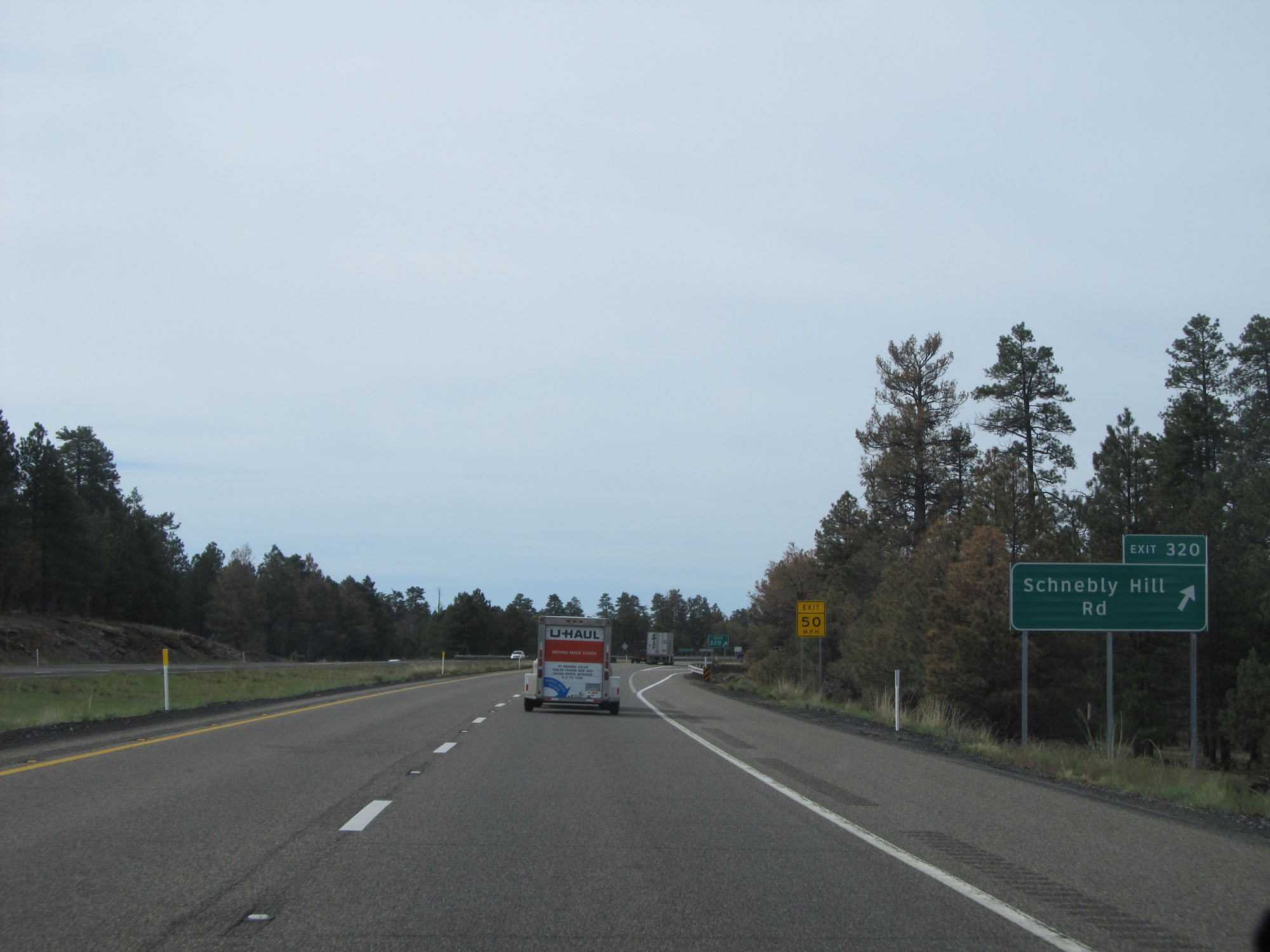 |
Interstate 17 South at Exit 320: Schnebly Hill Rd (Photo taken 5/20/15). |
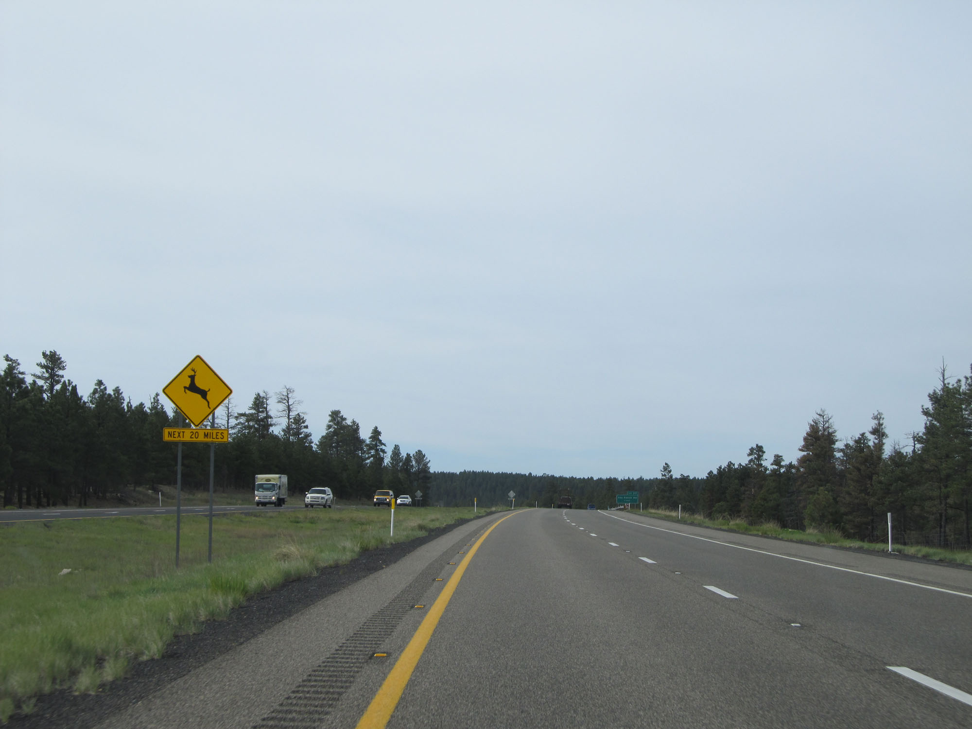 |
Watch for deer entering the roadway for the next 20 miles. (Photo taken 5/20/15). |
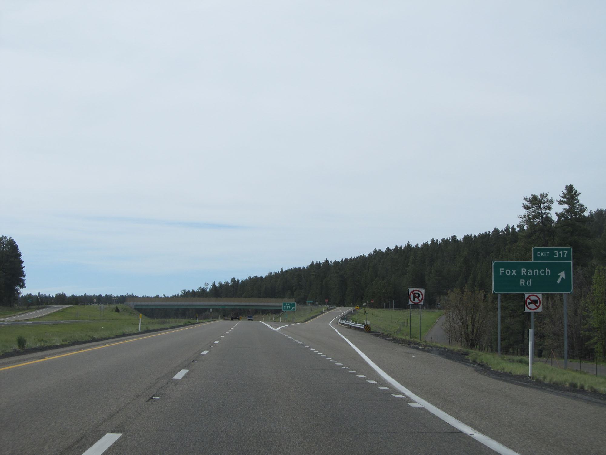 |
Interstate 17 South at Exit 317: Fox Ranch Rd (Photo taken 5/20/15). |
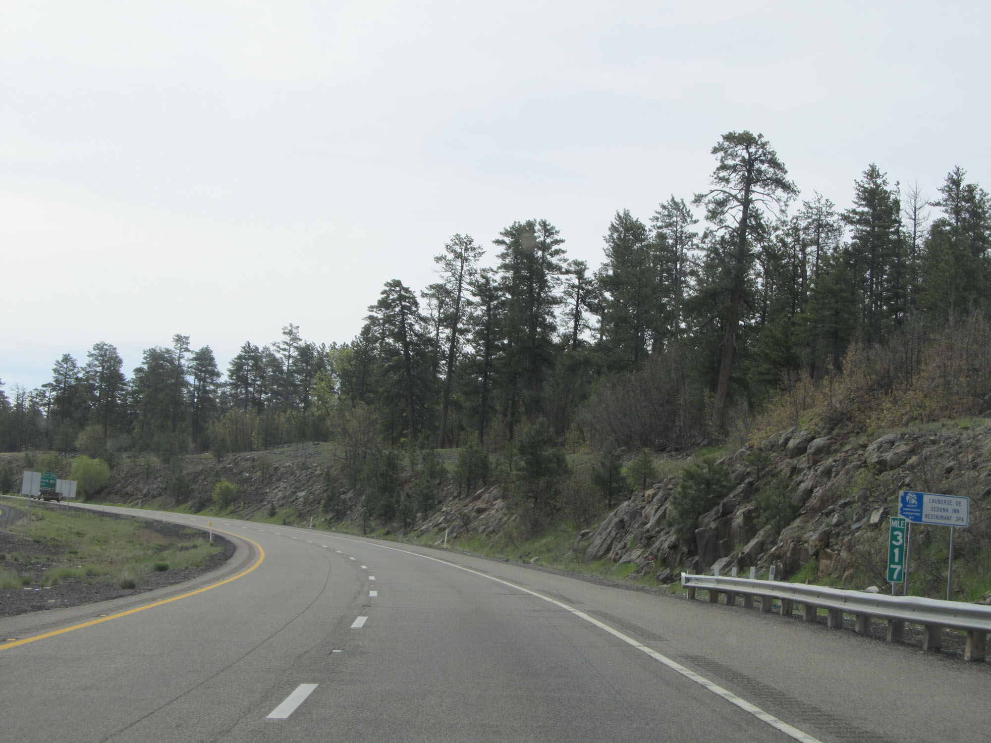 |
Interstate 17 South at mile marker 317. (Photo taken 5/20/15). |
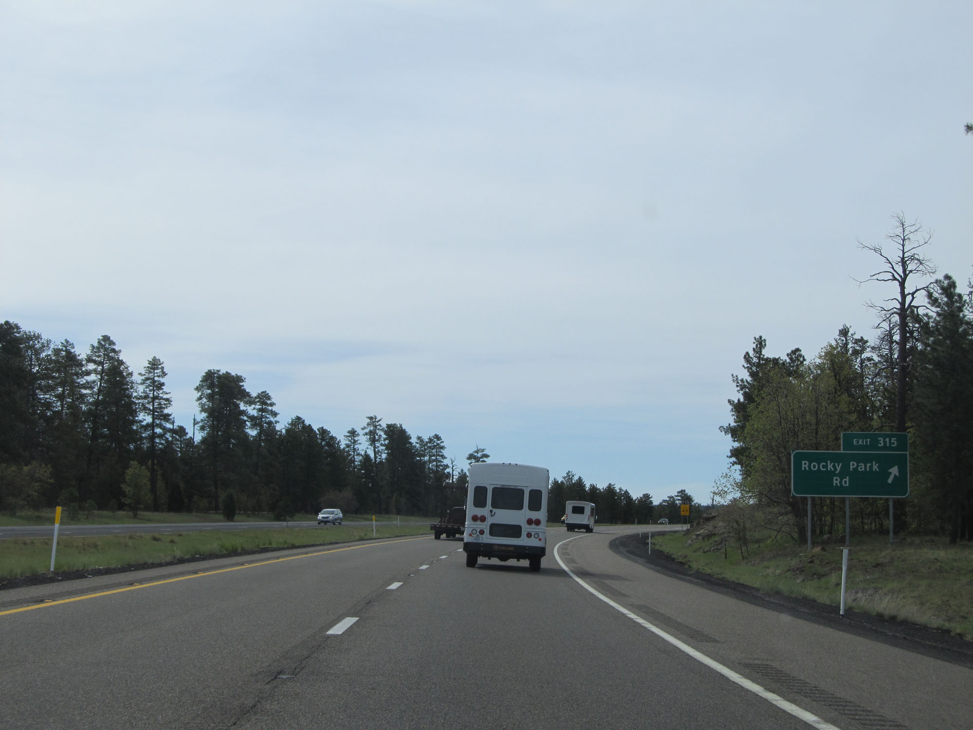 |
Interstate 17 South at Exit 315: Rocky Park Rd (Photo taken 5/20/15). |
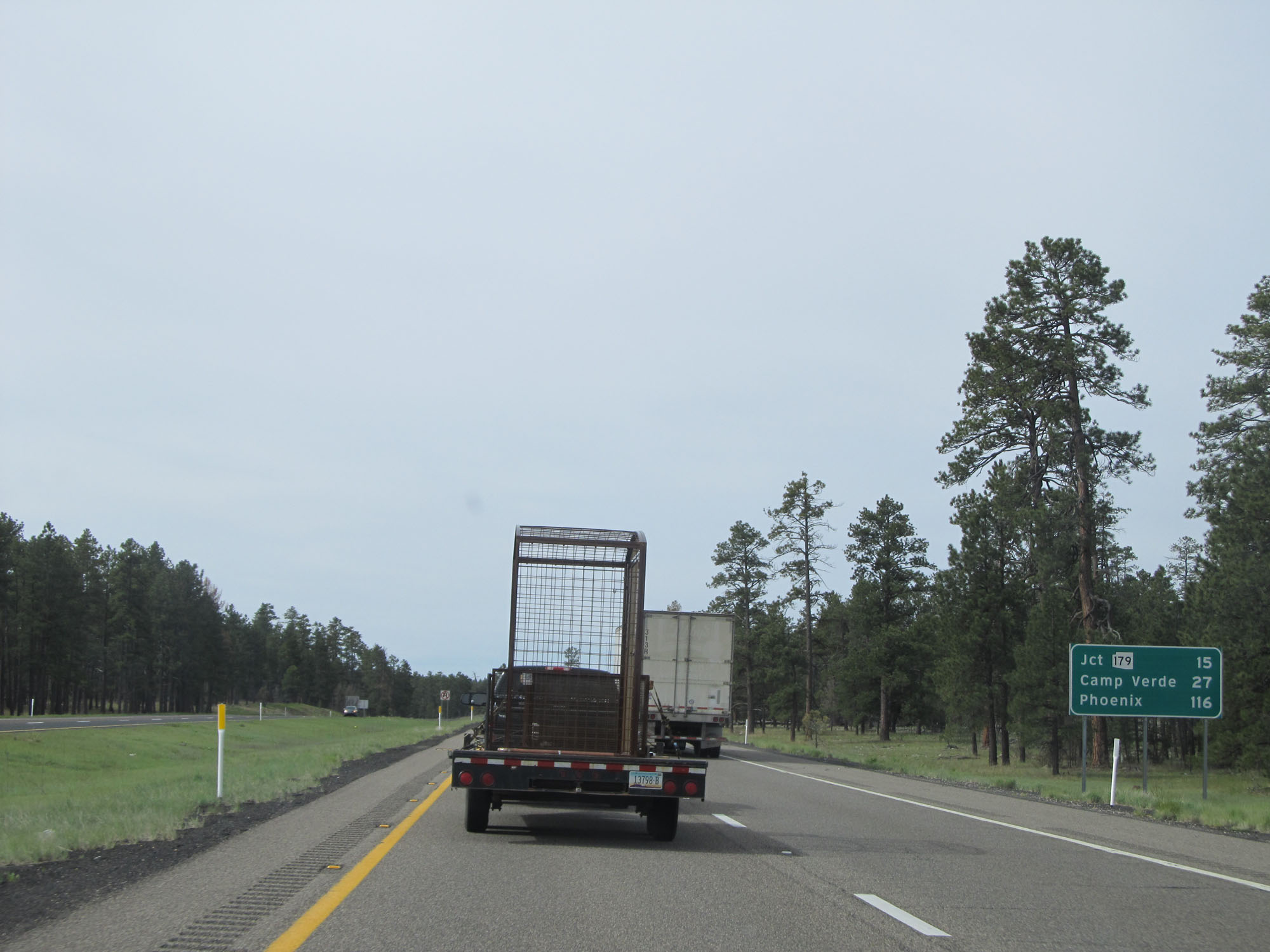 |
Mileage sign on Interstate 17 South. It's 15 miles to the junction of AZ 179, 27 miles to Camp Verde, and 116 miles to Phoenix. (Photo taken 5/20/15). |
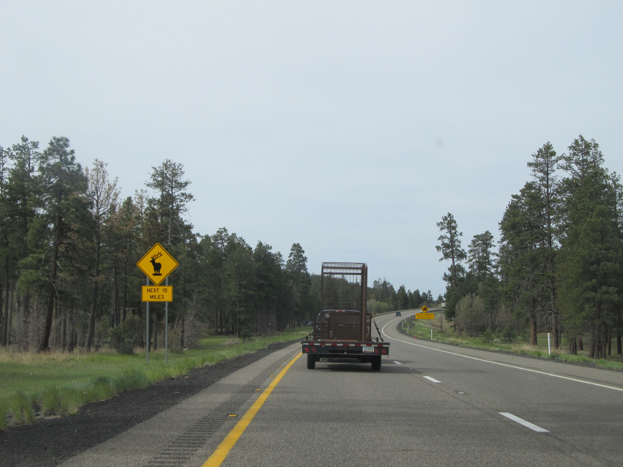 |
Watch for elk entering the roadway for the next 15 miles. (Photo taken 5/20/15). |
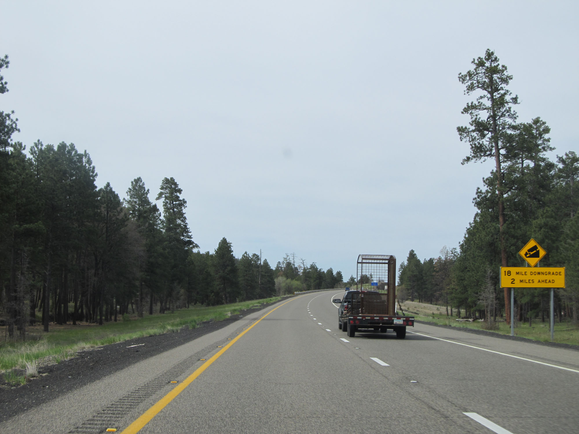 |
This sign warns that Interstate 17 South will begin to traverse an 18-mile downgrade which begins 2 miles ahead. (Photo taken 5/20/15). |
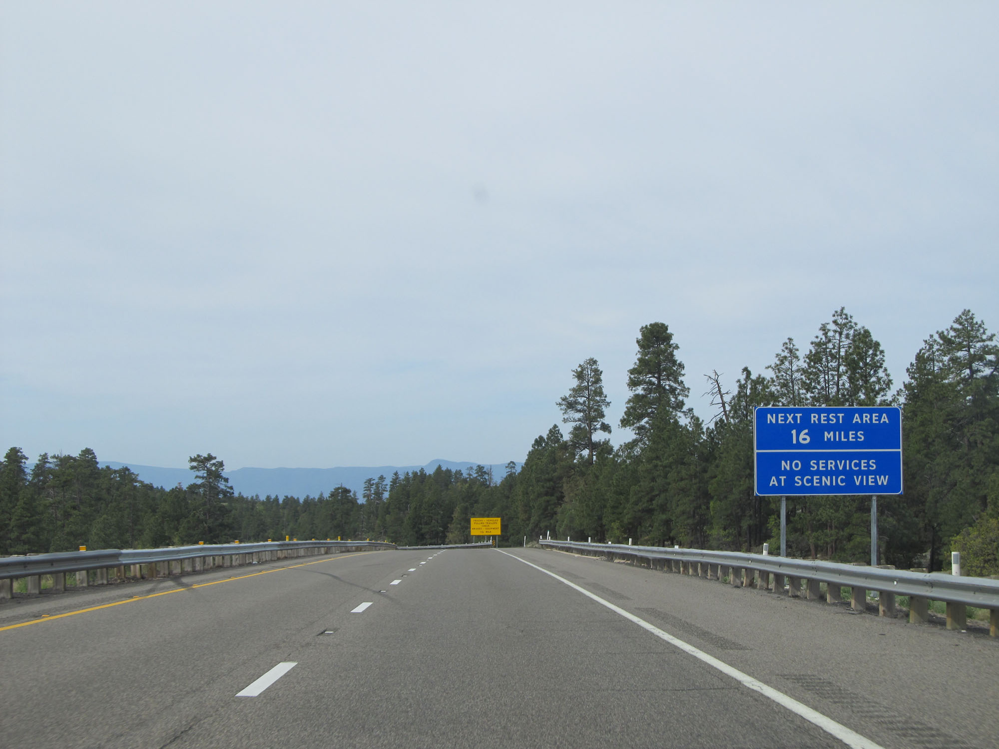 |
The first Rest Area on Interstate 17 South is 16 miles ahead. There are no services available at the Scenic View. (Photo taken 5/20/15). |
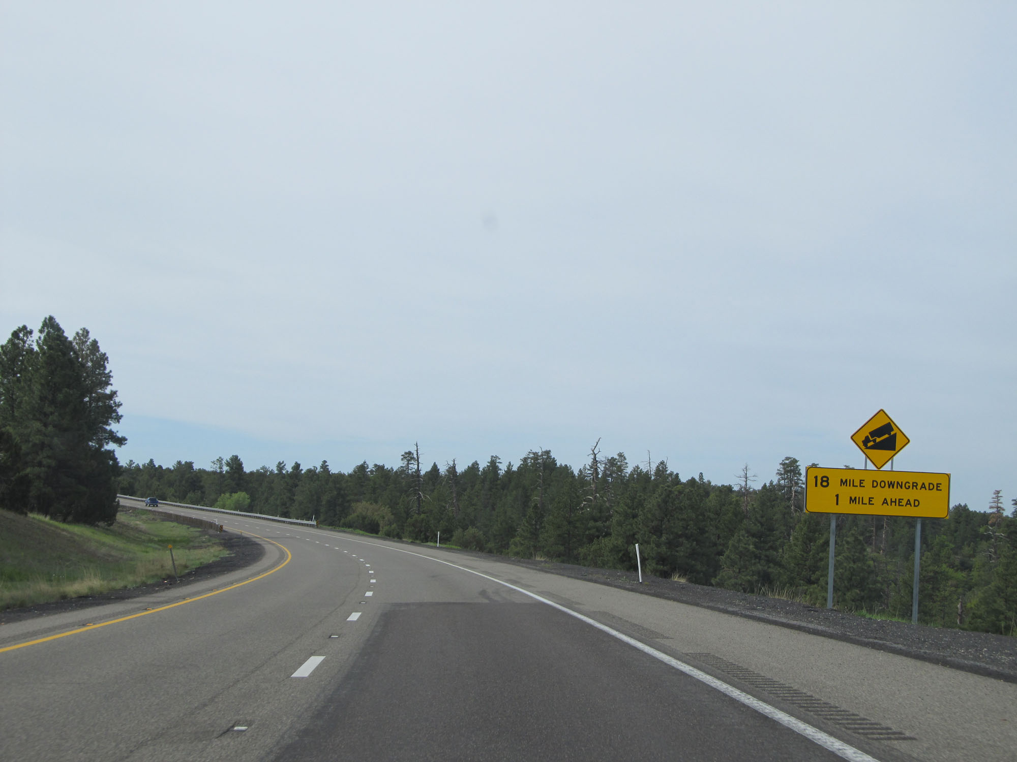 |
The 18-mile downgrade begins 1 mile ahead. (Photo taken 5/20/15). |
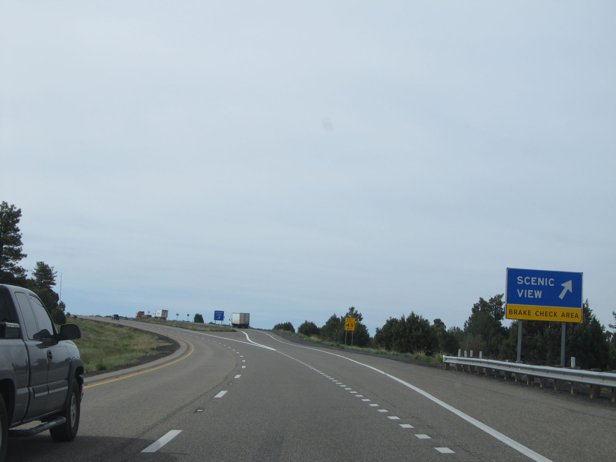 |
Interstate 17 South at the Scenic View / Brake Check Area before the downgrade. (Photo taken 5/20/15). |
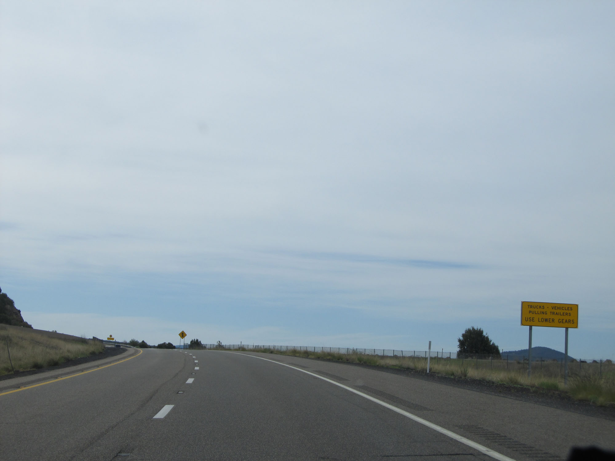 |
This sign reminds trucks and vehicles pulling trailers to gear down. (Photo taken 5/20/15). |
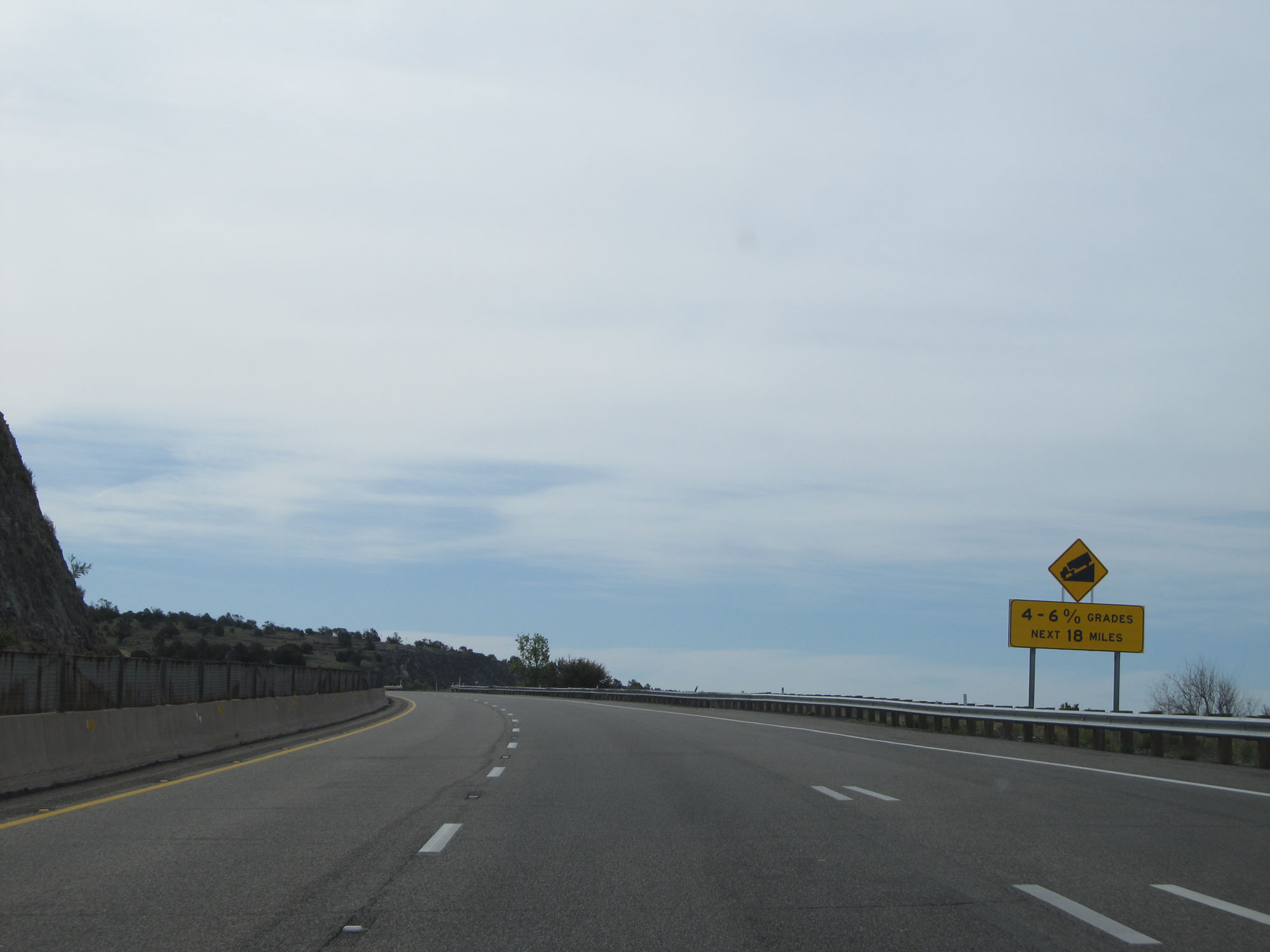 |
For the next 18 miles, Interstate 17 South will traverse downgrades of varying steepness. The steepness ranges from 4 to 6 %. (Photo taken 5/20/15). |
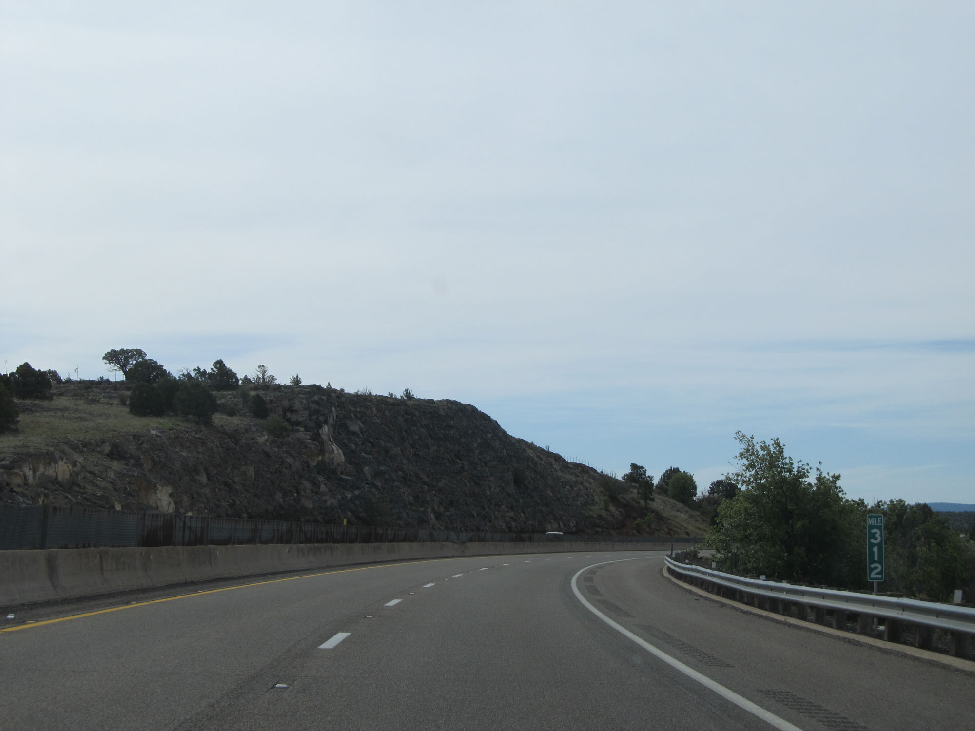 |
Interstate 17 South at mile marker 312. (Photo taken 5/20/15). |
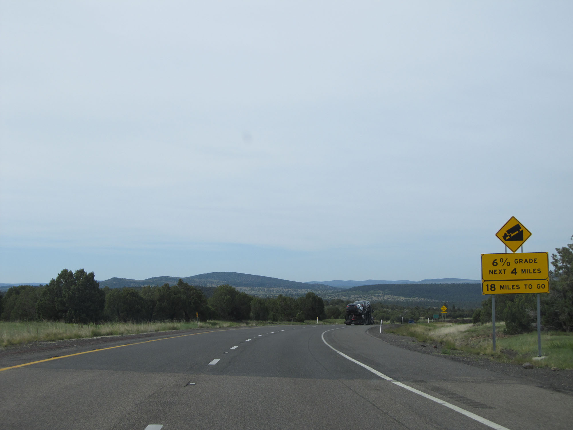 |
The long downgrade begins with a 6% grade for the next 4 miles. (Photo taken 5/20/15). |
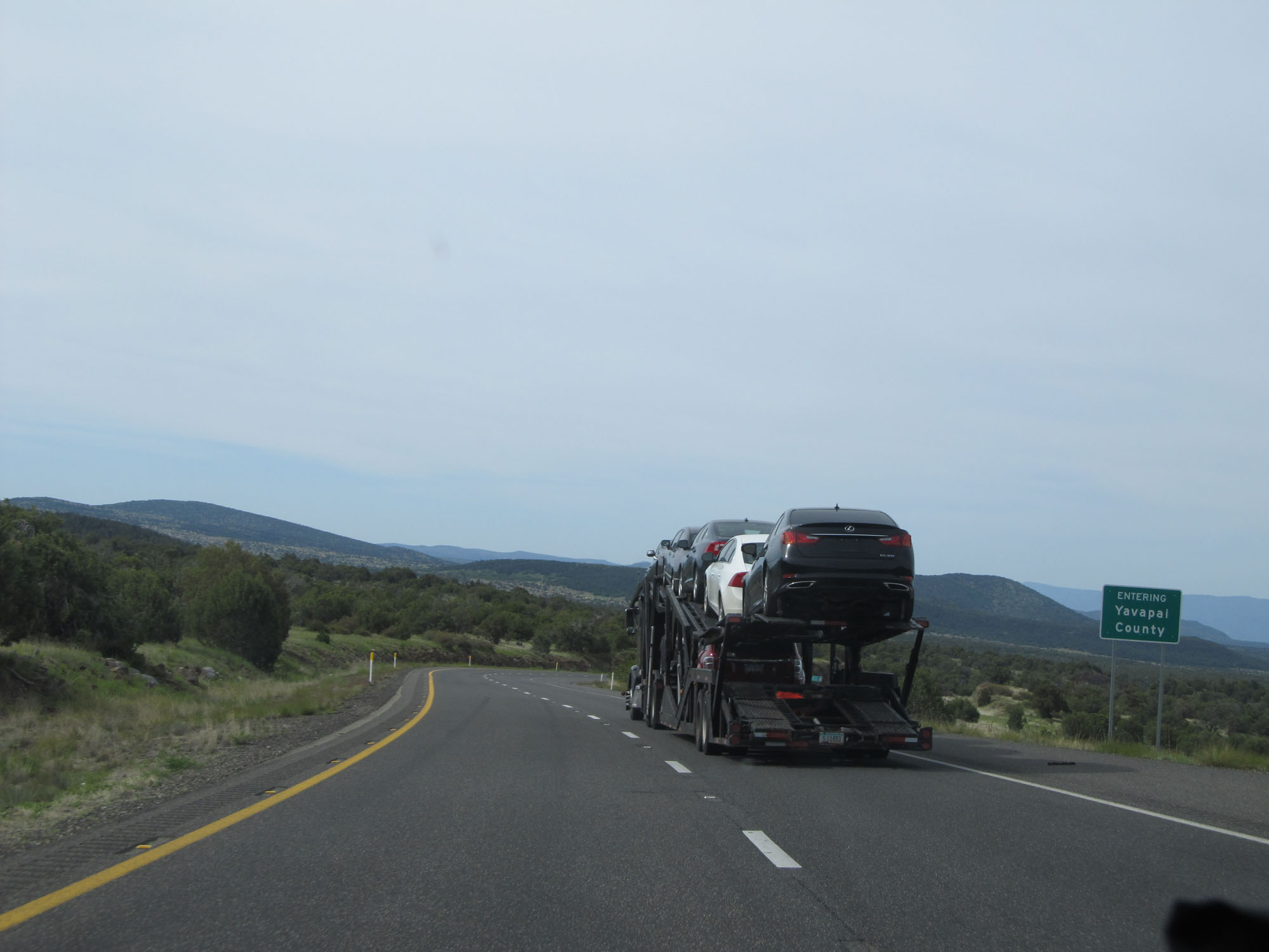 |
Interstate 17 South entering Yavapai County. (Photo taken 5/20/15). |
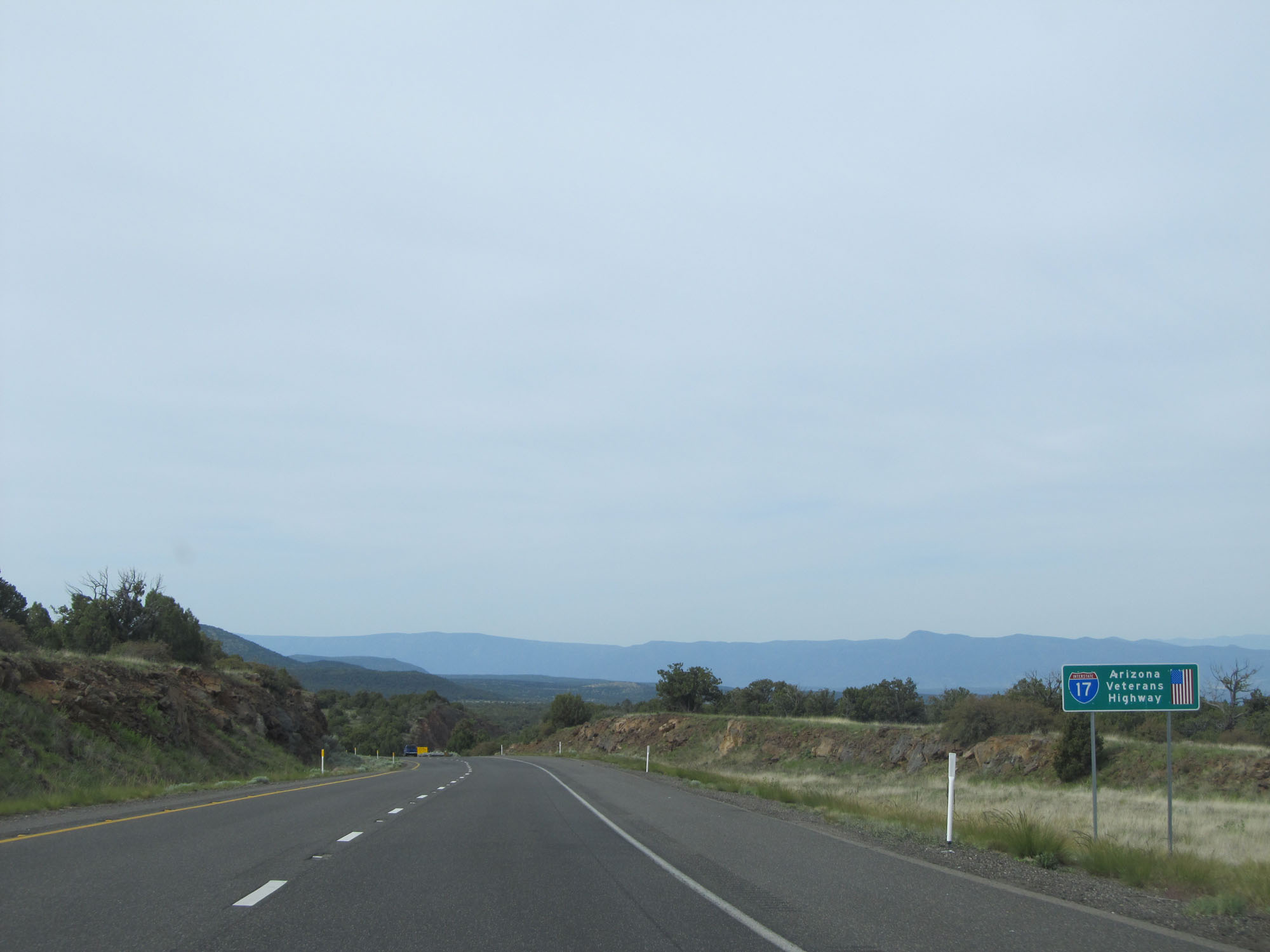 |
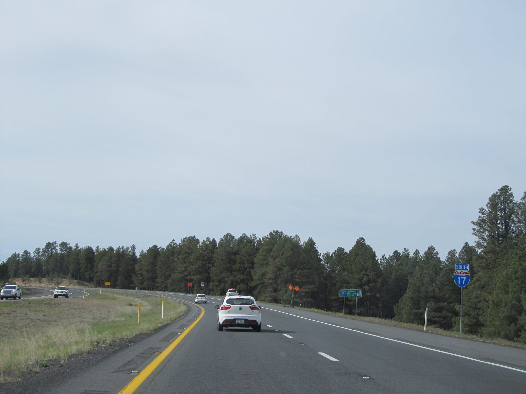
As this sign reads, Interstate 17 is also called the Arizona Veterans Highway. (Photo taken 5/20/15). |
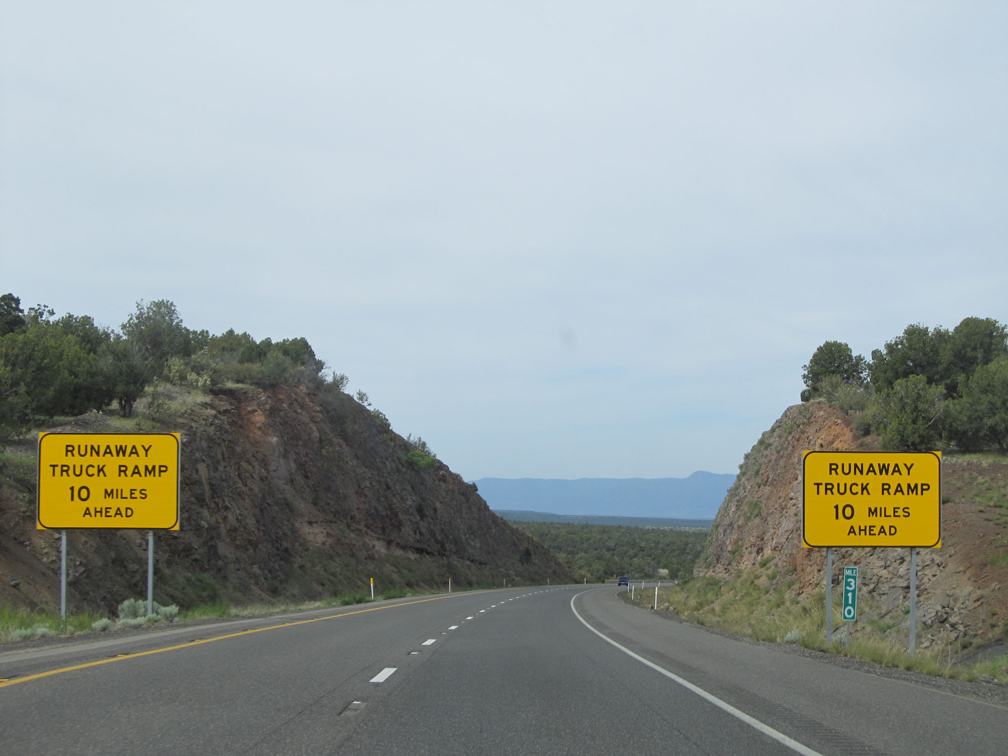 |
The first runaway truck ramp during the 18-mile downgrade is 10 miles ahead. (Photo taken 5/20/15). |
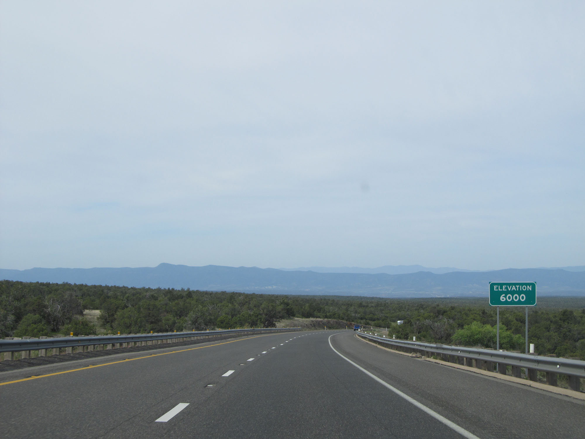 |
At this point, we've come down 1,000 in altitude from Flagstaff. Elevation - 6,000 feet. (Photo taken 5/20/15). |
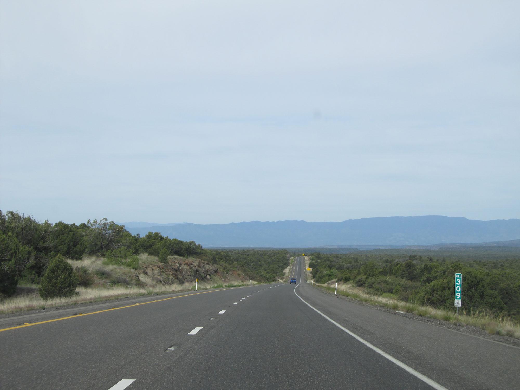 |
Interstate 17 South at mile marker 309. (Photo taken 5/20/15). |
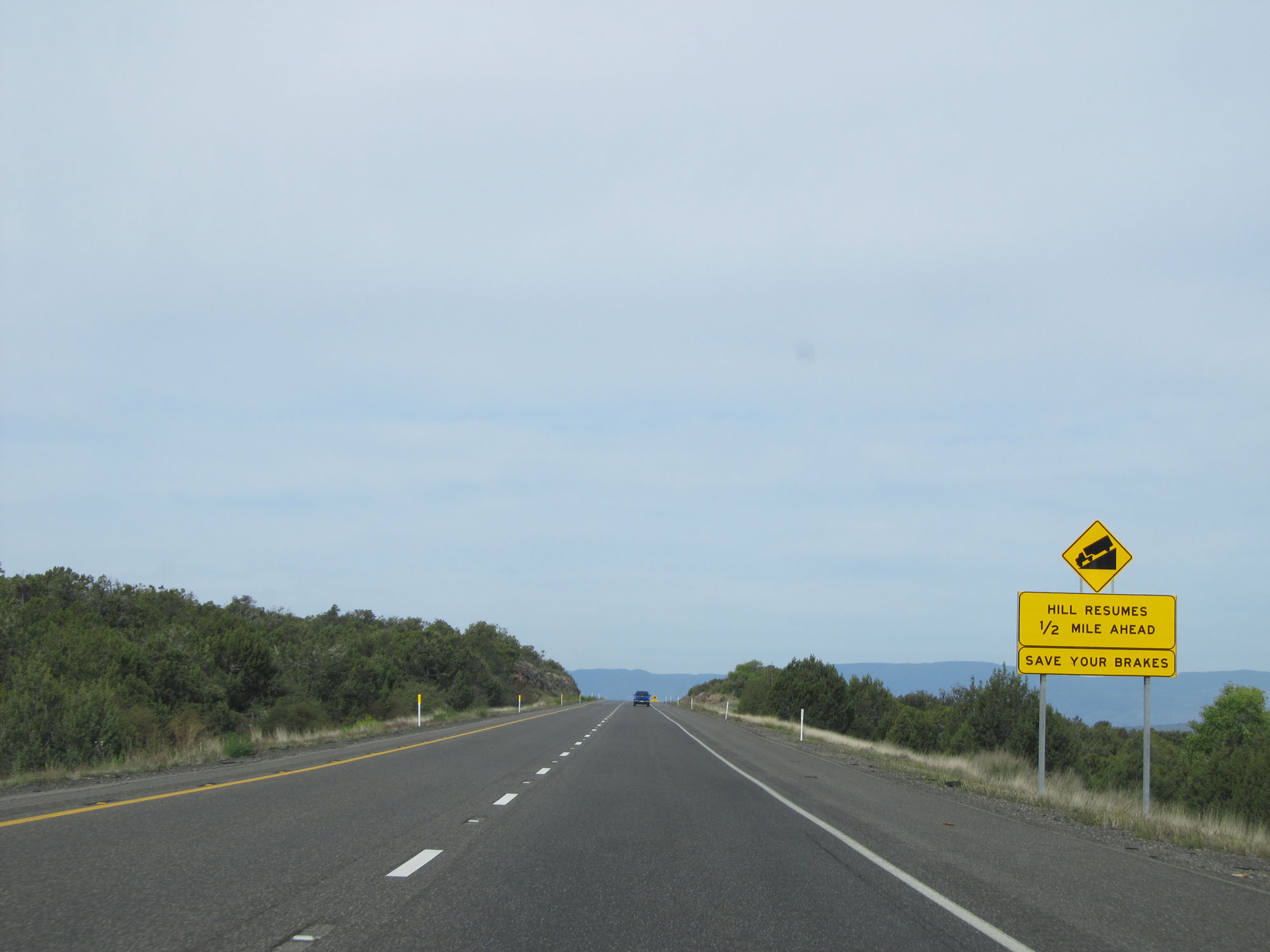 |
Although the downgrade levels out here briefly, this sign warns that it continues once again in 1/2 mile. (Photo taken 5/20/15). |
 |
The downgrade continues for 14 more miles overall. For the next mile, the downgrade will be of 5% steepness. (Photo taken 5/20/15). |
 |
Interstate 17 South at Exit 306: Stoneman Lake Rd (Photo taken 5/20/15). |
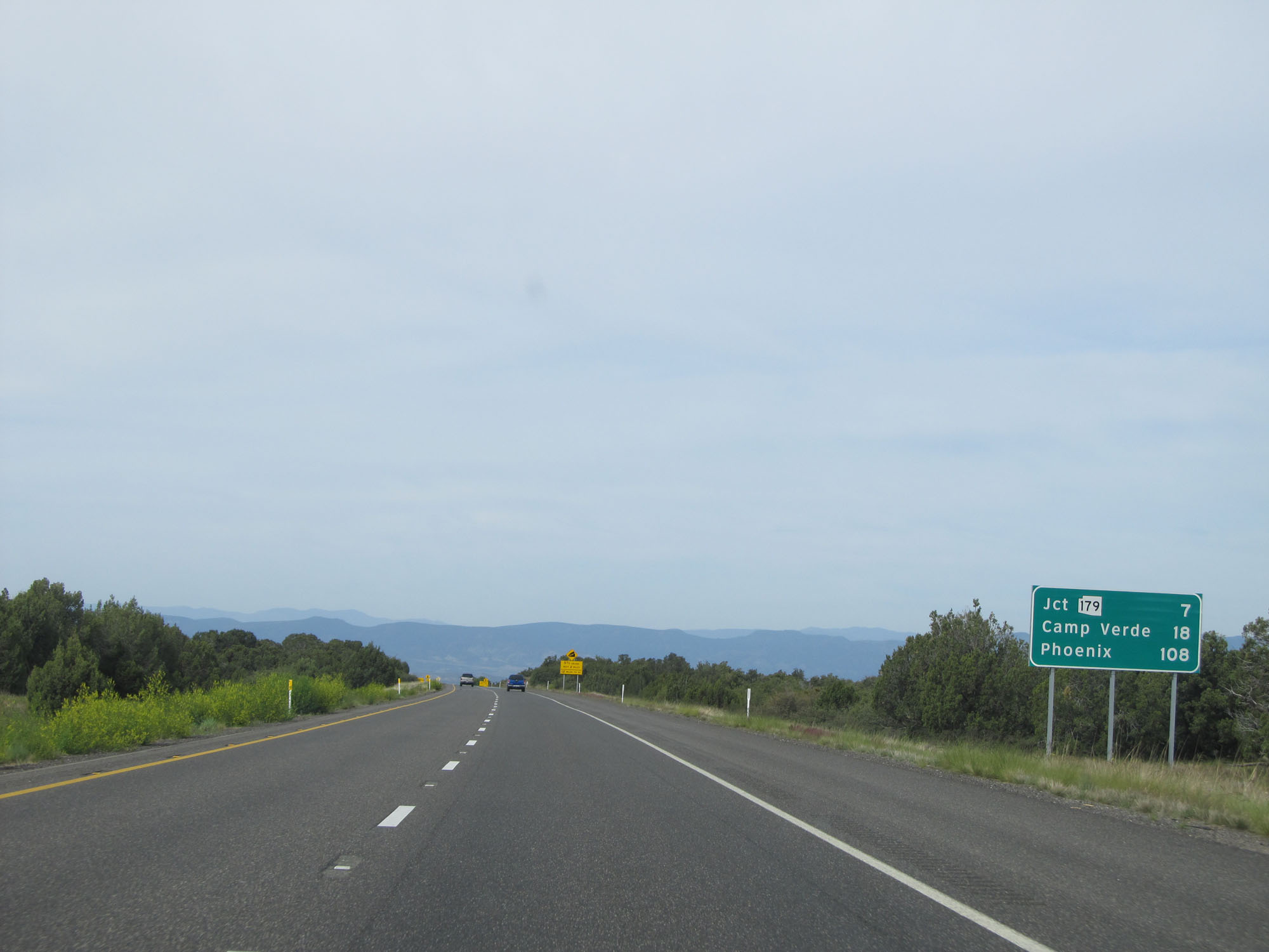 |
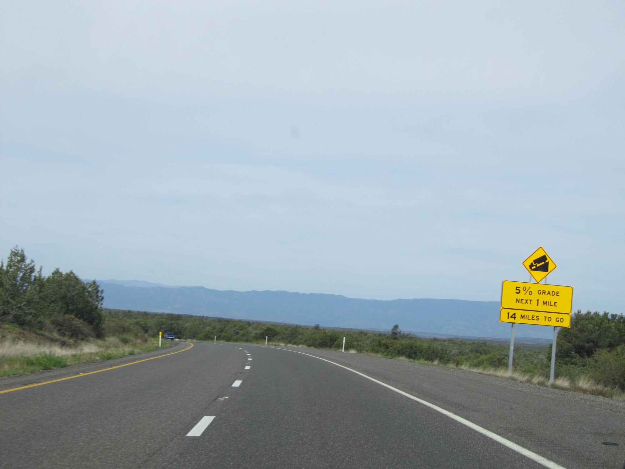
Mileage sign on Interstate 17 South. It's 7 miles to the junction of AZ 179, 18 miles to Camp Verde, and 108 miles to Phoenix. (Photo taken 5/20/15). |
 |
Interstate 17 South at mile marker 305. (Photo taken 5/20/15). |
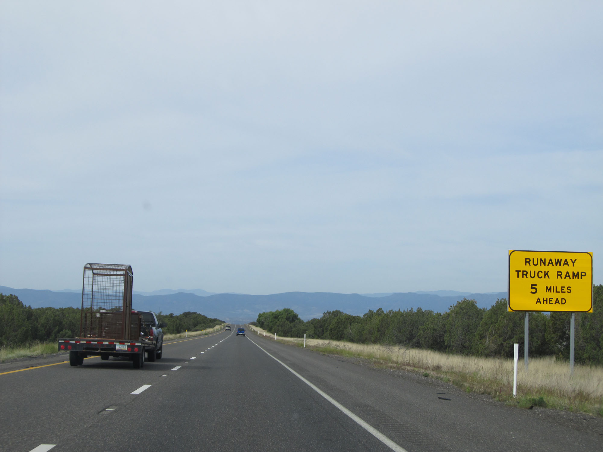 |
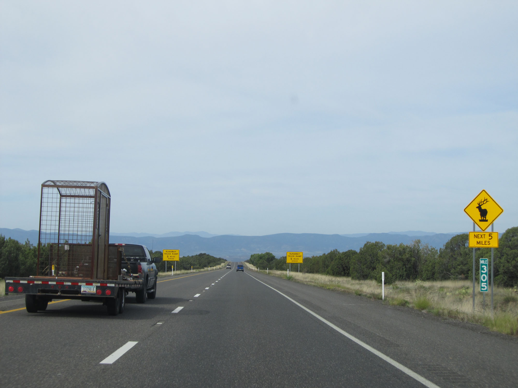
The runaway truck ramp is now 5 miles ahead. (Photo taken 5/20/15). |
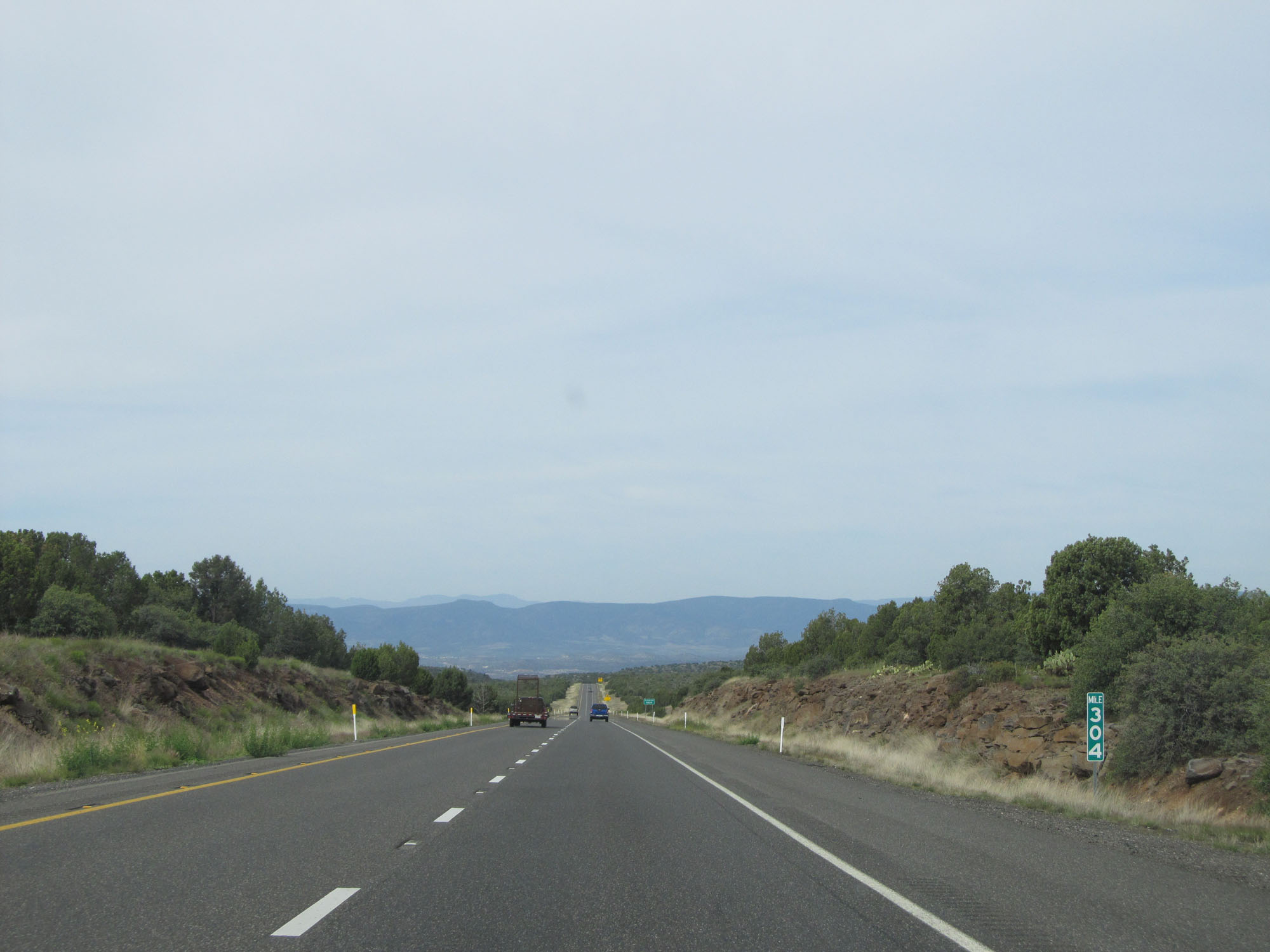 |
Interstate 17 South at mile marker 304. (Photo taken 5/20/15). |
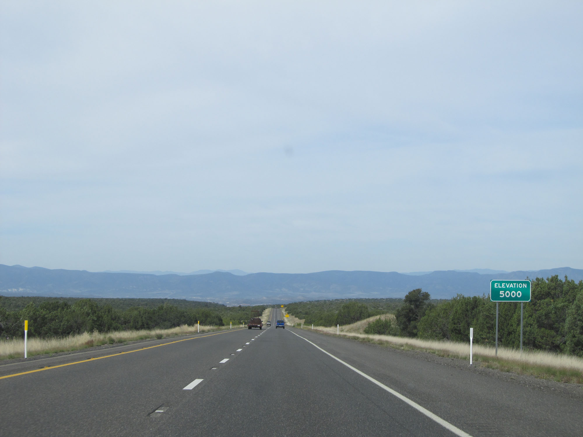 |
Elevation - 5,000 feet. (Photo taken 5/20/15). |
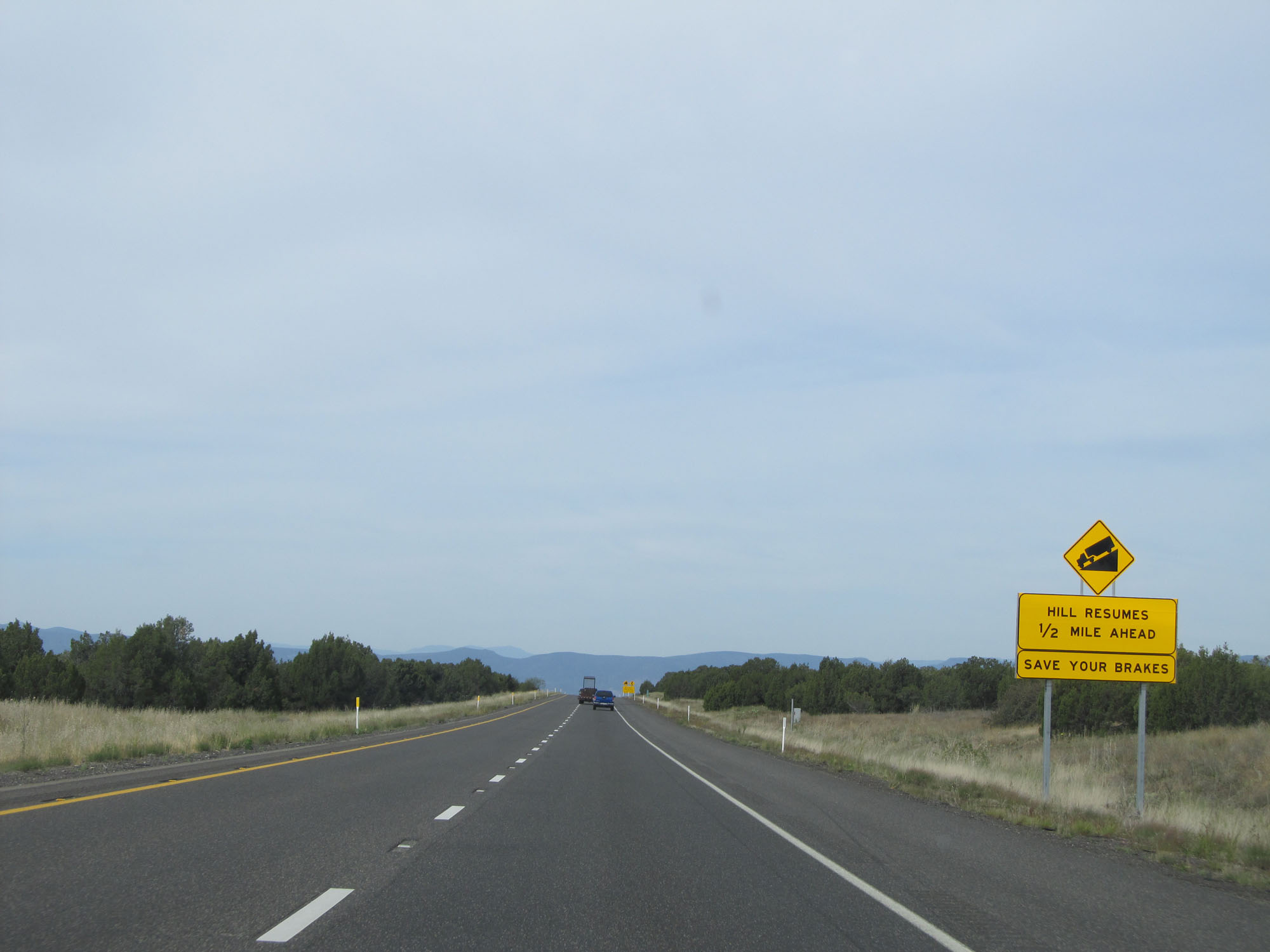 |
Although there is currently a break in the action, this sign warns that the downgrade will continue 1/2 mile ahead. (Photo taken 5/20/15). |
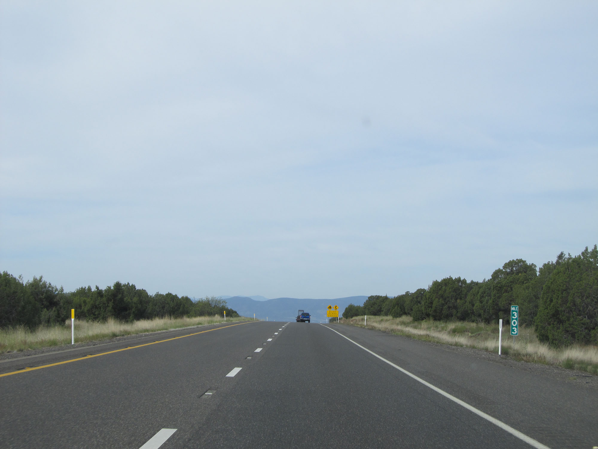 |
Interstate 17 South at mile marker 303. (Photo taken 5/20/15). |
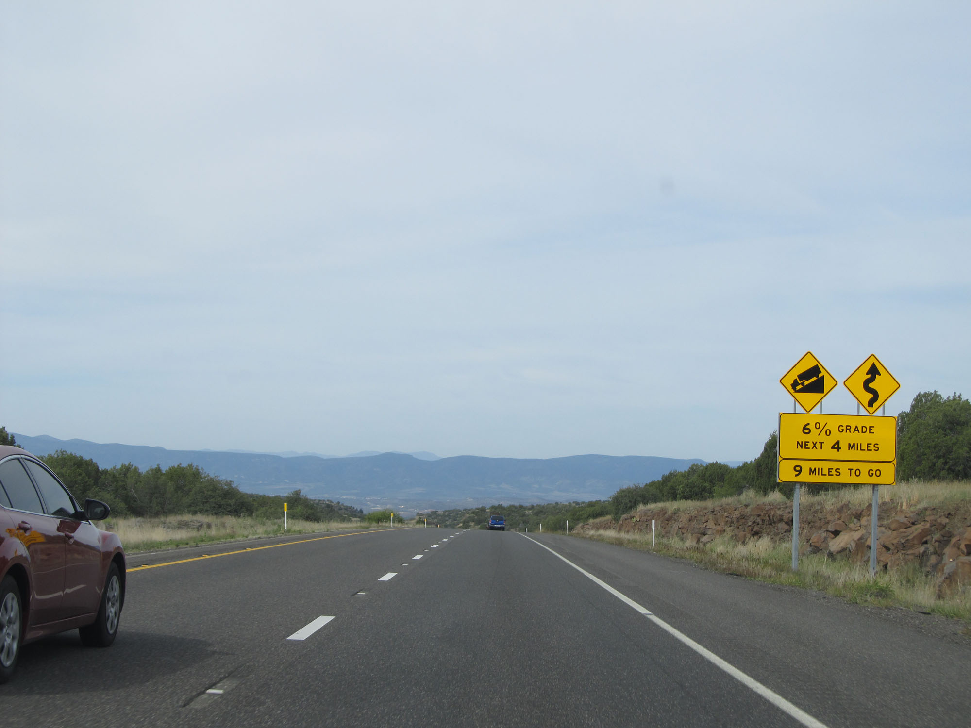 |
This sign warns that Interstate 17 South will undergo a 6% grade for the next 4 miles. Overall, there are 9 miles of total downgrades remaining. (Photo taken 5/20/15). |
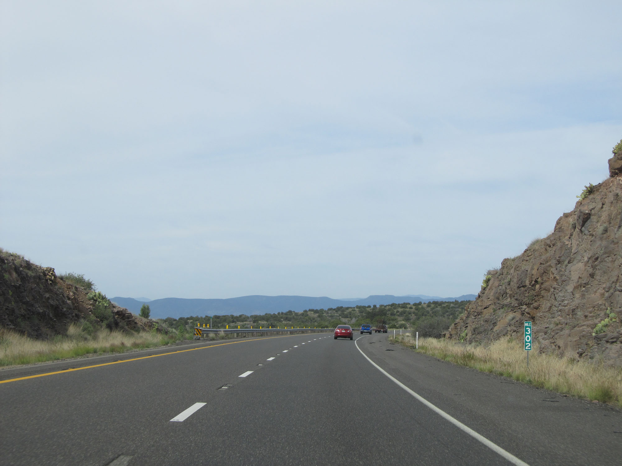 |
Interstate 17 South at mile marker 302. (Photo taken 5/20/15). |
 |
The 6% grade continues for 2 more miles. (Photo taken 5/20/15). |
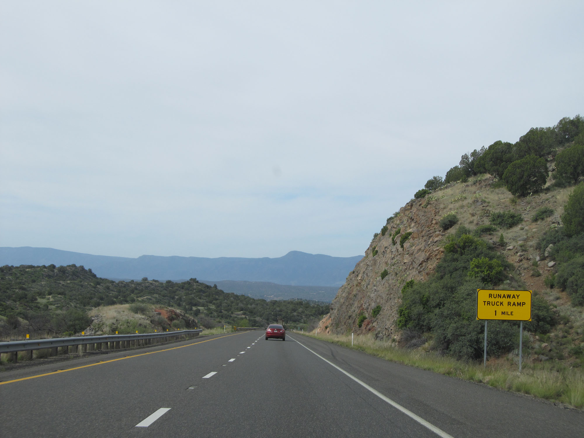 |
Interstate 17 South approaching the runaway truck ramp - 1 mile. (Photo taken 5/20/15). |
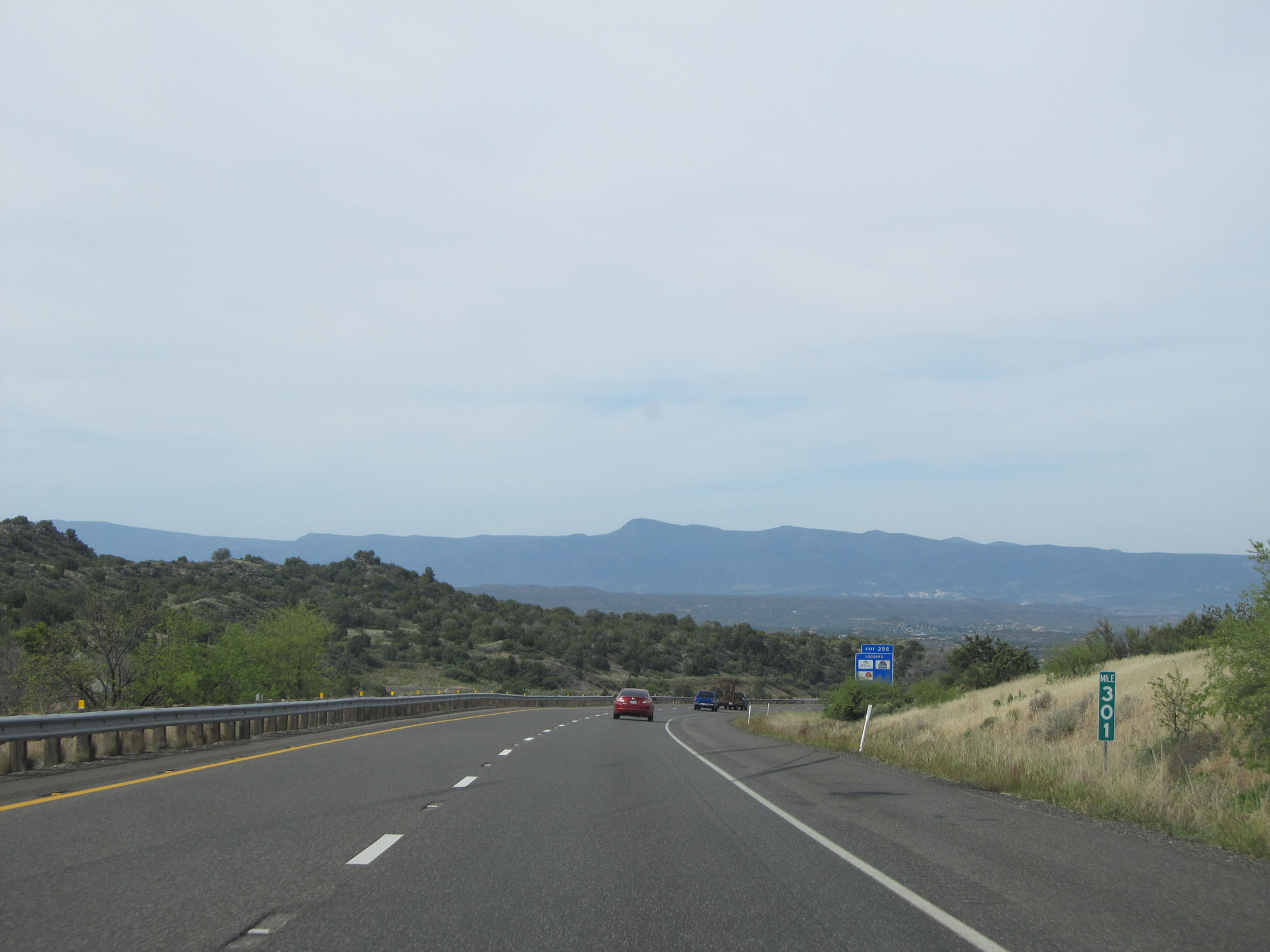 |
Interstate 17 South at mile marker 301. (Photo taken 5/20/15). |
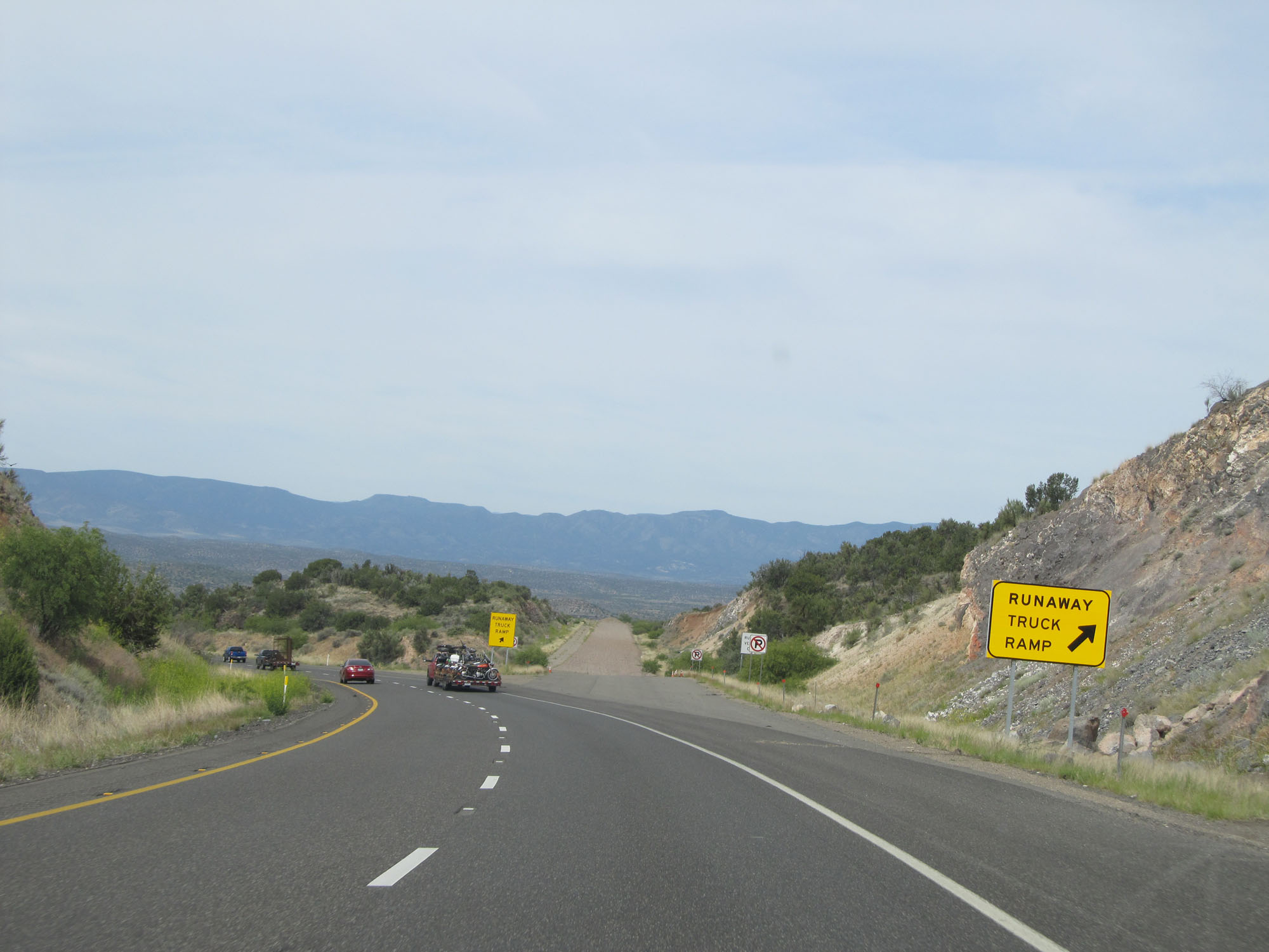 |
Runaway truck ramp on Interstate 17 South. (Photo taken 5/20/15). |
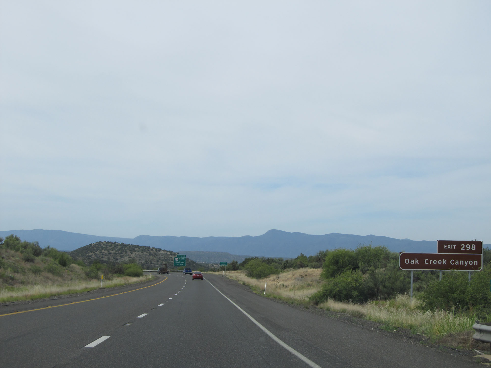 |
Take Exit 298 to Oak Creek Canyon. (Photo taken 5/20/15). |
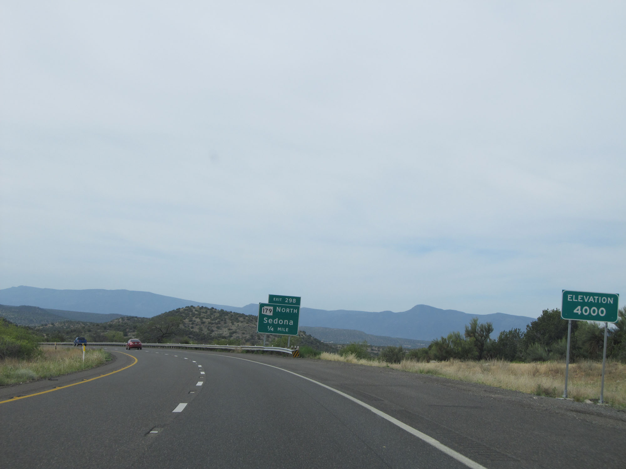 |
Approaching Exit 298, Interstate 17 South reaches an elevation of 4,000 feet. (Photo taken 5/20/15). |
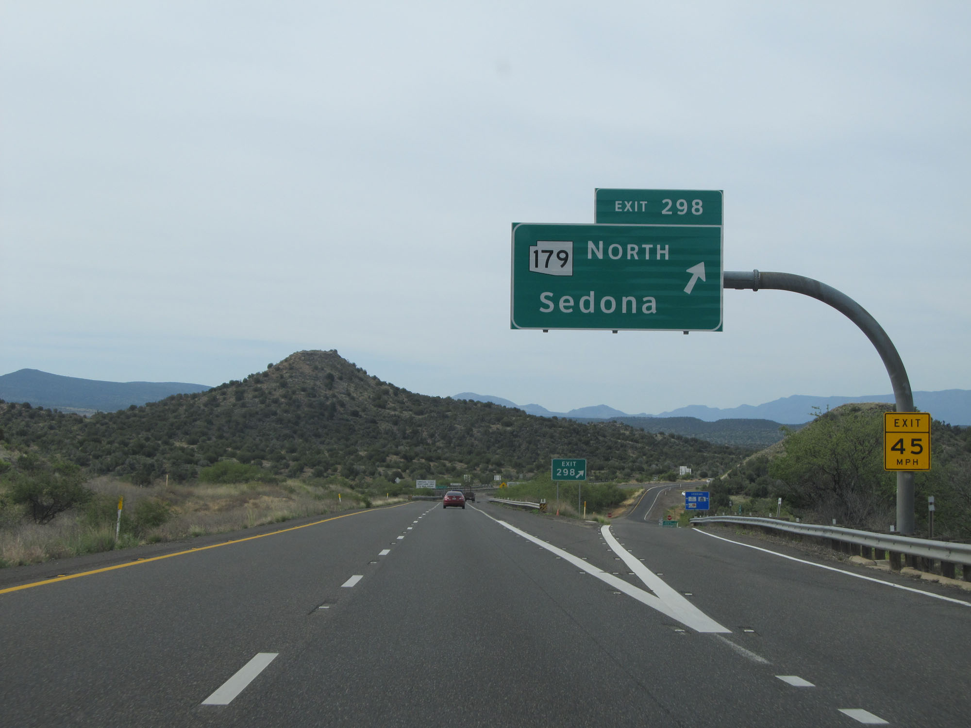 |
Interstate 17 South at Exit 298: AZ 179 North - Sedona (Photo taken 5/20/15). |
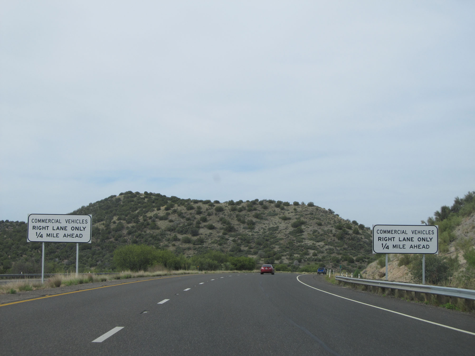 |
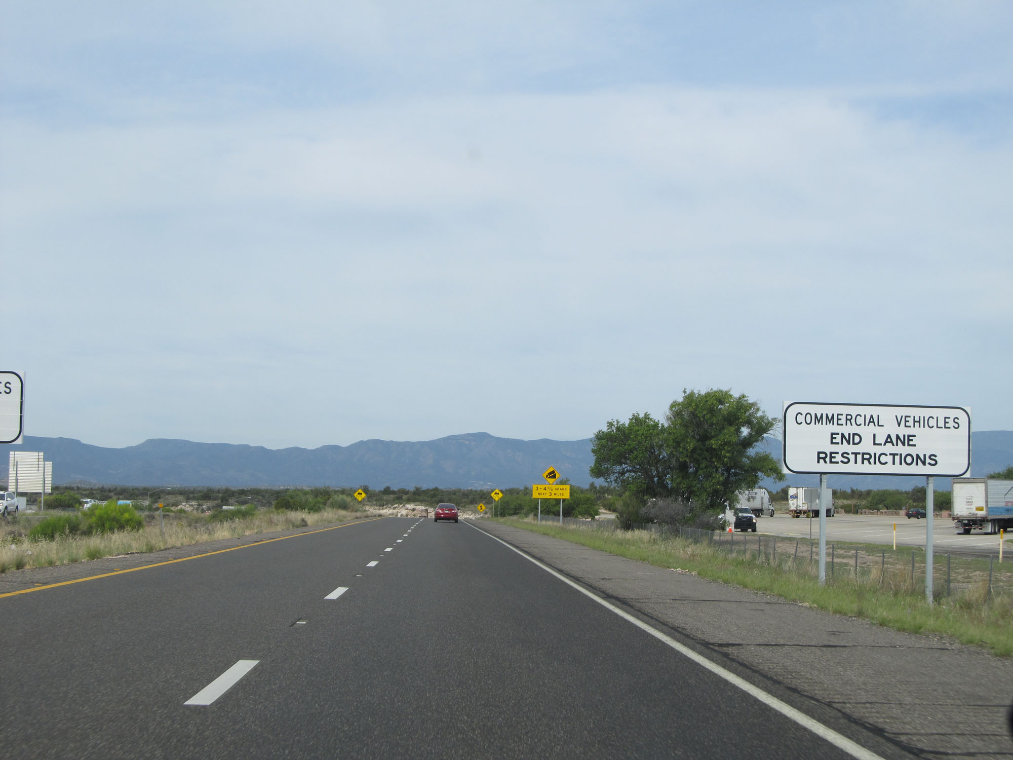
Starting 1/4 mile ahead, commercial vehicles will be restricted to the right lane only. (Photo taken 5/20/15). |
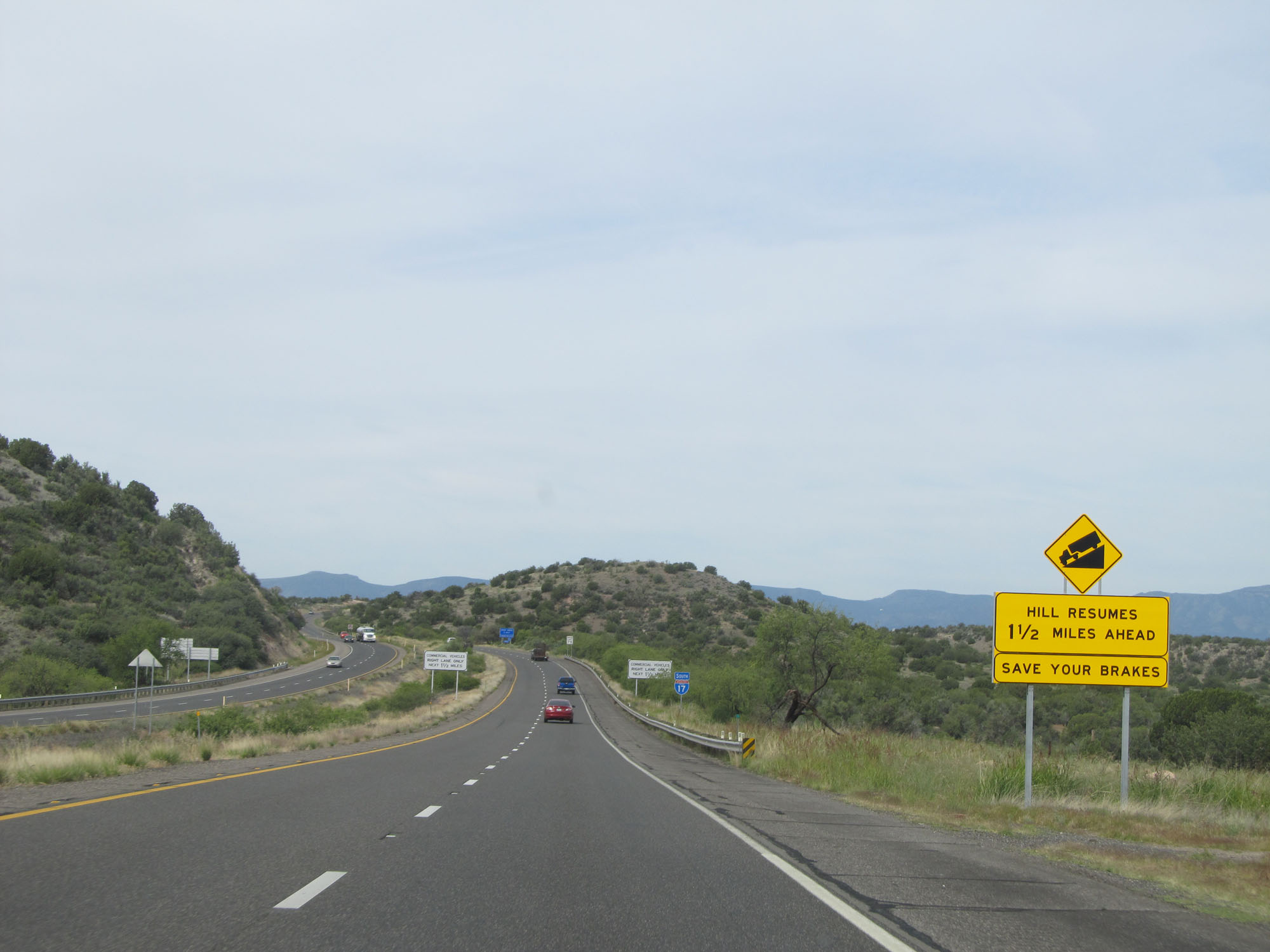 |
As this sign reads, Interstate 17 South gets a 1 1/2 mile break from downgrades here. But we aren't quite to the bottom yet. (Photo taken 5/20/15). |
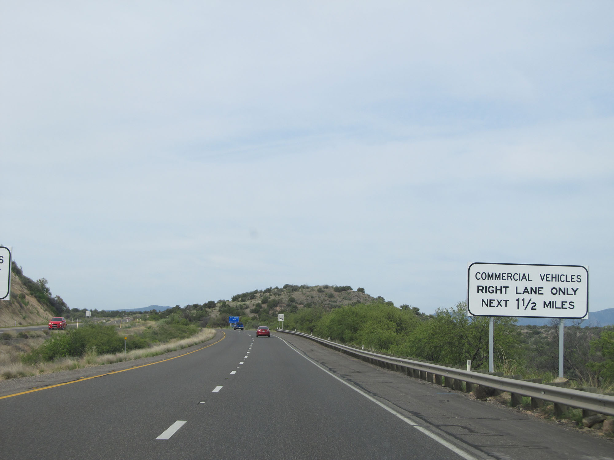 |
Commercial vehicles are restricted to the right lane for the next 1 1/2 miles. (Photo taken 5/20/15). |
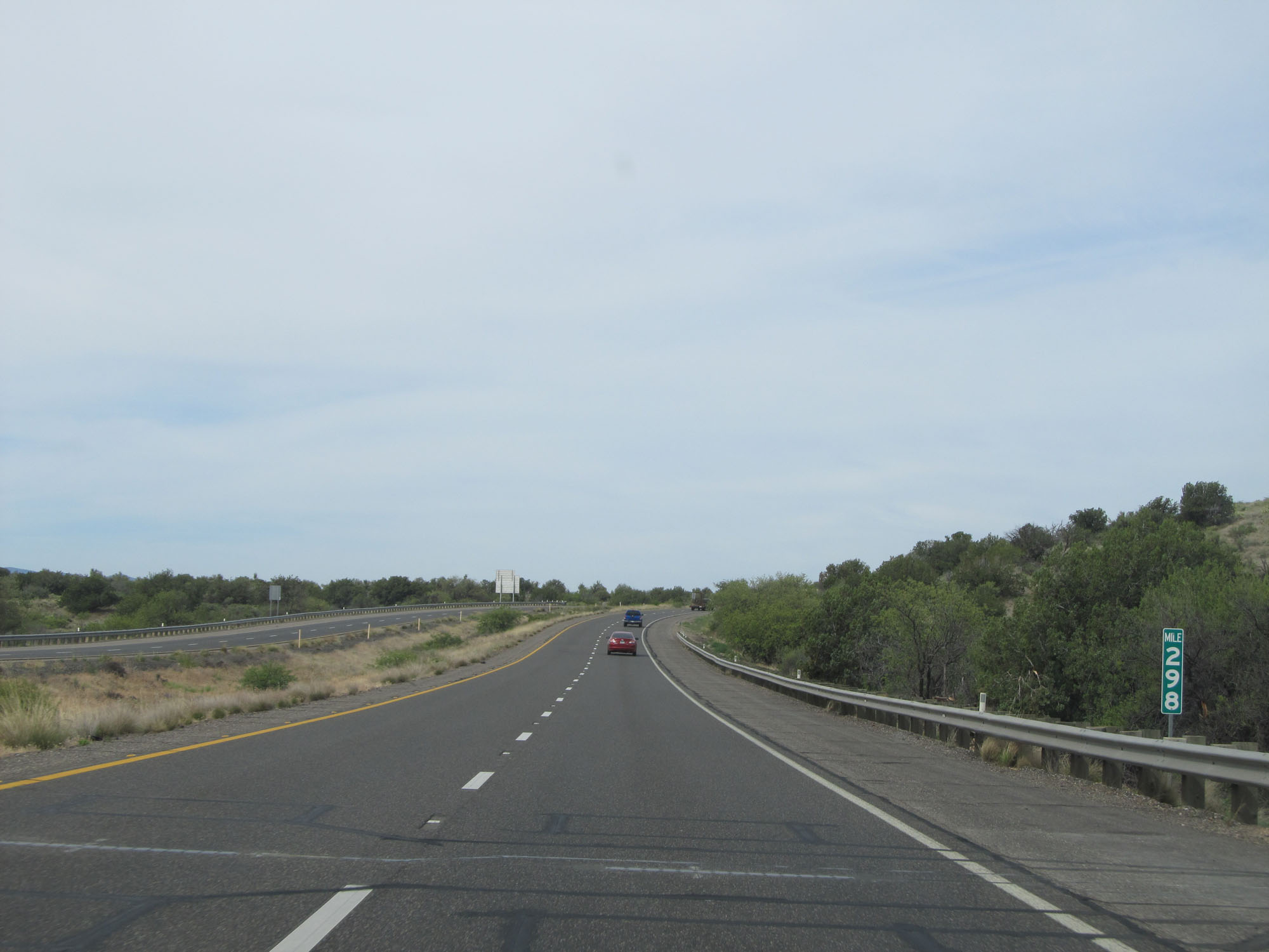 |
Interstate 17 South at mile marker 298. (Photo taken 5/20/15). |
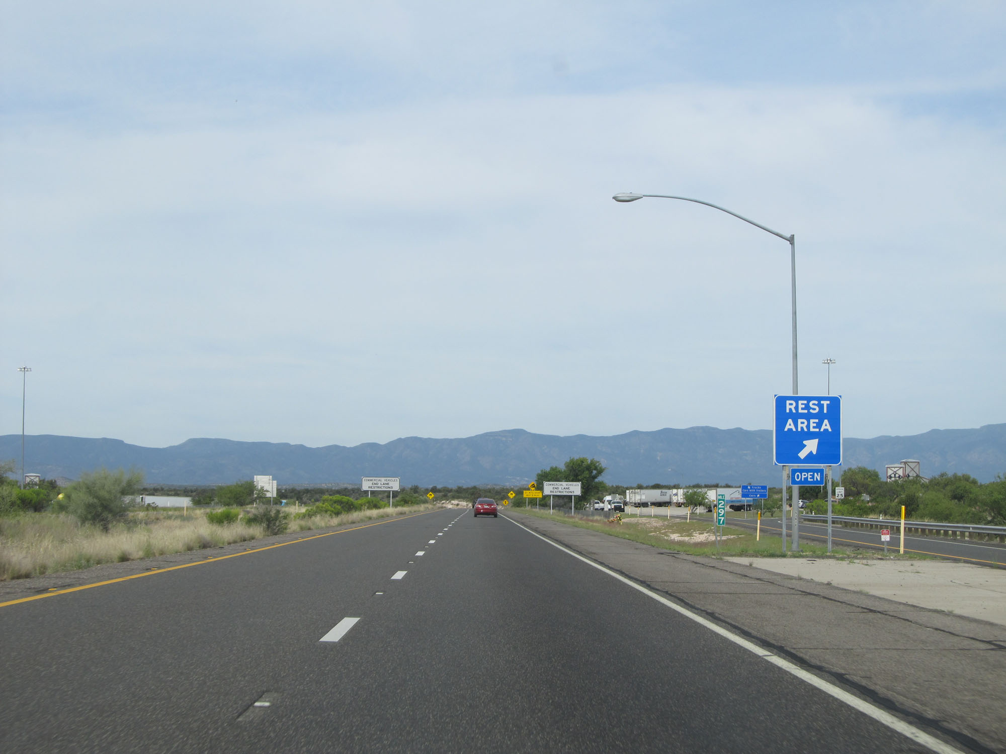 |
Interstate 17 South at the Rest Area in Yavapai County. (Photo taken 5/20/15). |
 |
Just south of mile marker 297, the commercial vehicle lane restrictions come to an end. (Photo taken 5/20/15). |
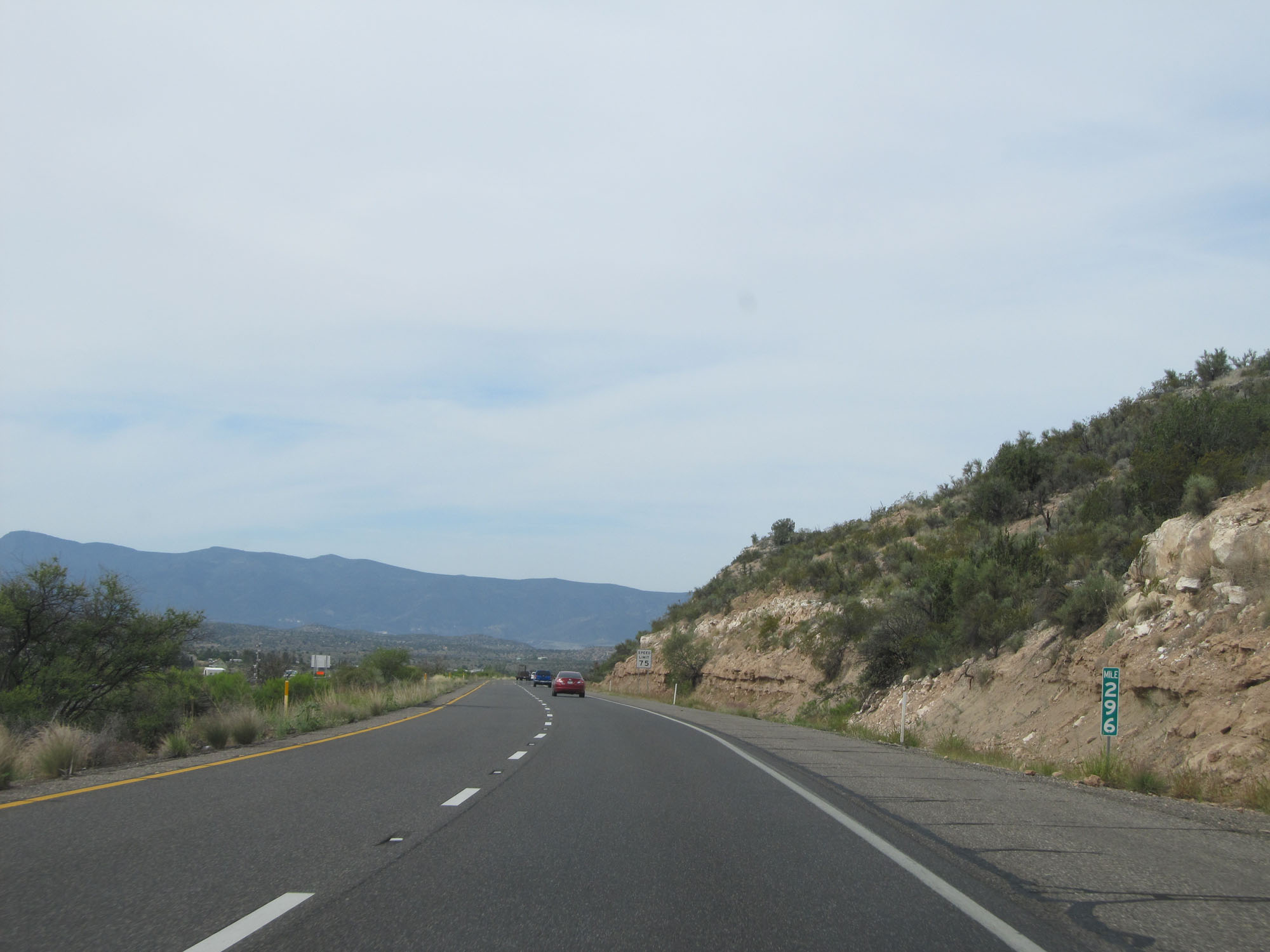 |
Interstate 17 South at mile marker 296. (Photo taken 5/20/15). |
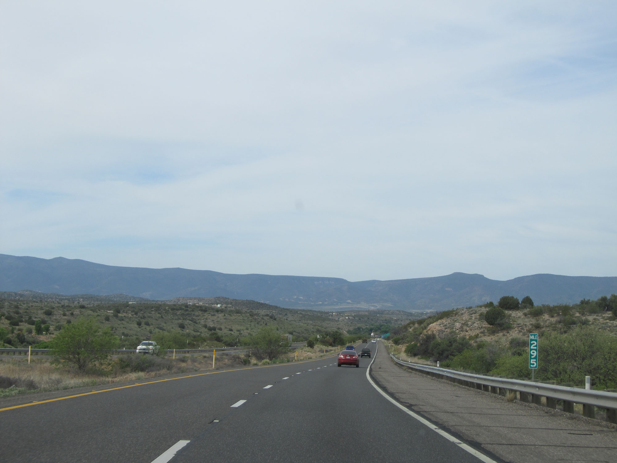 |
Interstate 17 South at mile marker 295. (Photo taken 5/20/15). |
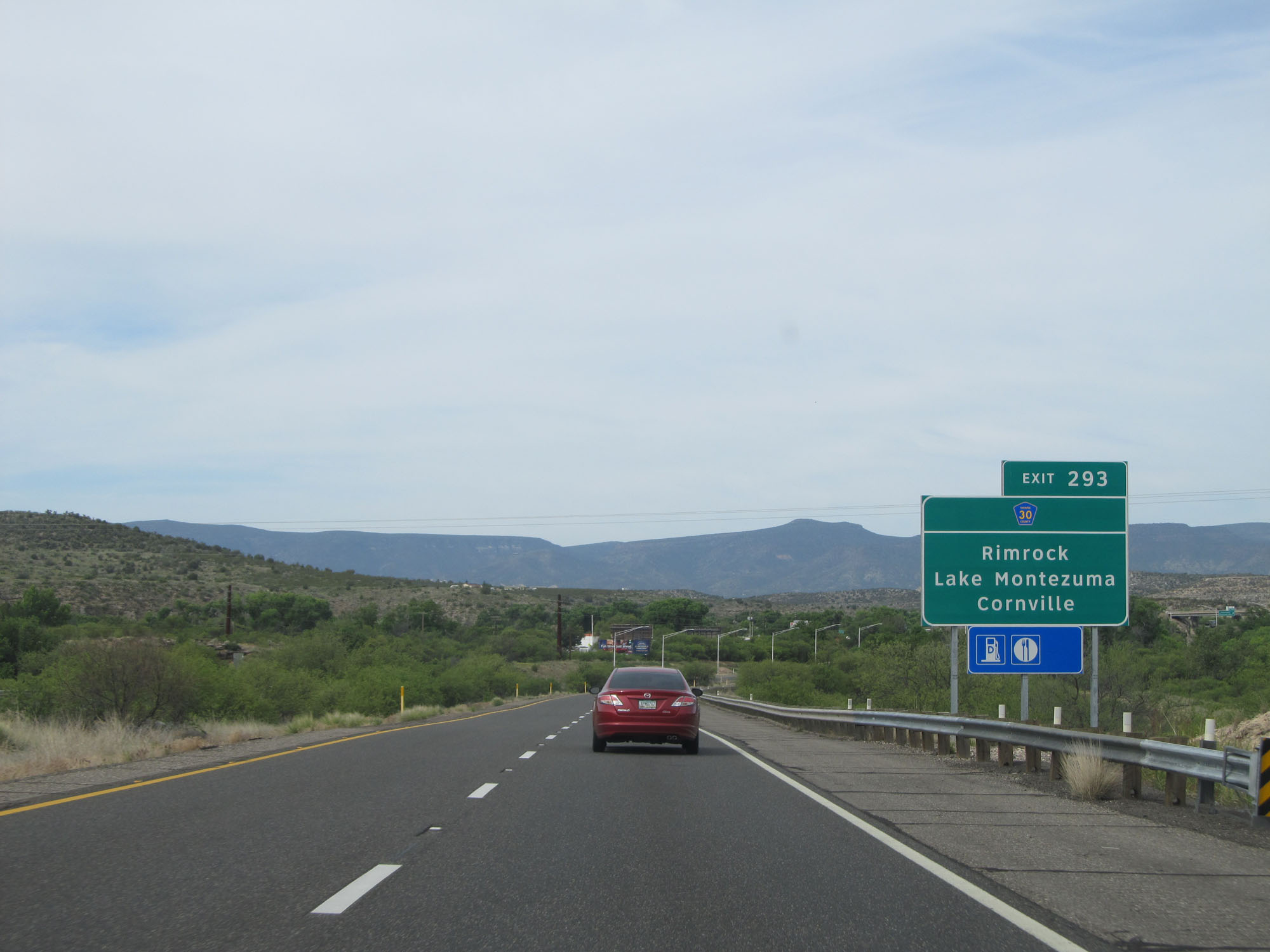 |
Take Exit 293 to CR 30 toward Rimrock, Lake Montezuma, and Cornville. (Photo taken 5/20/15). |
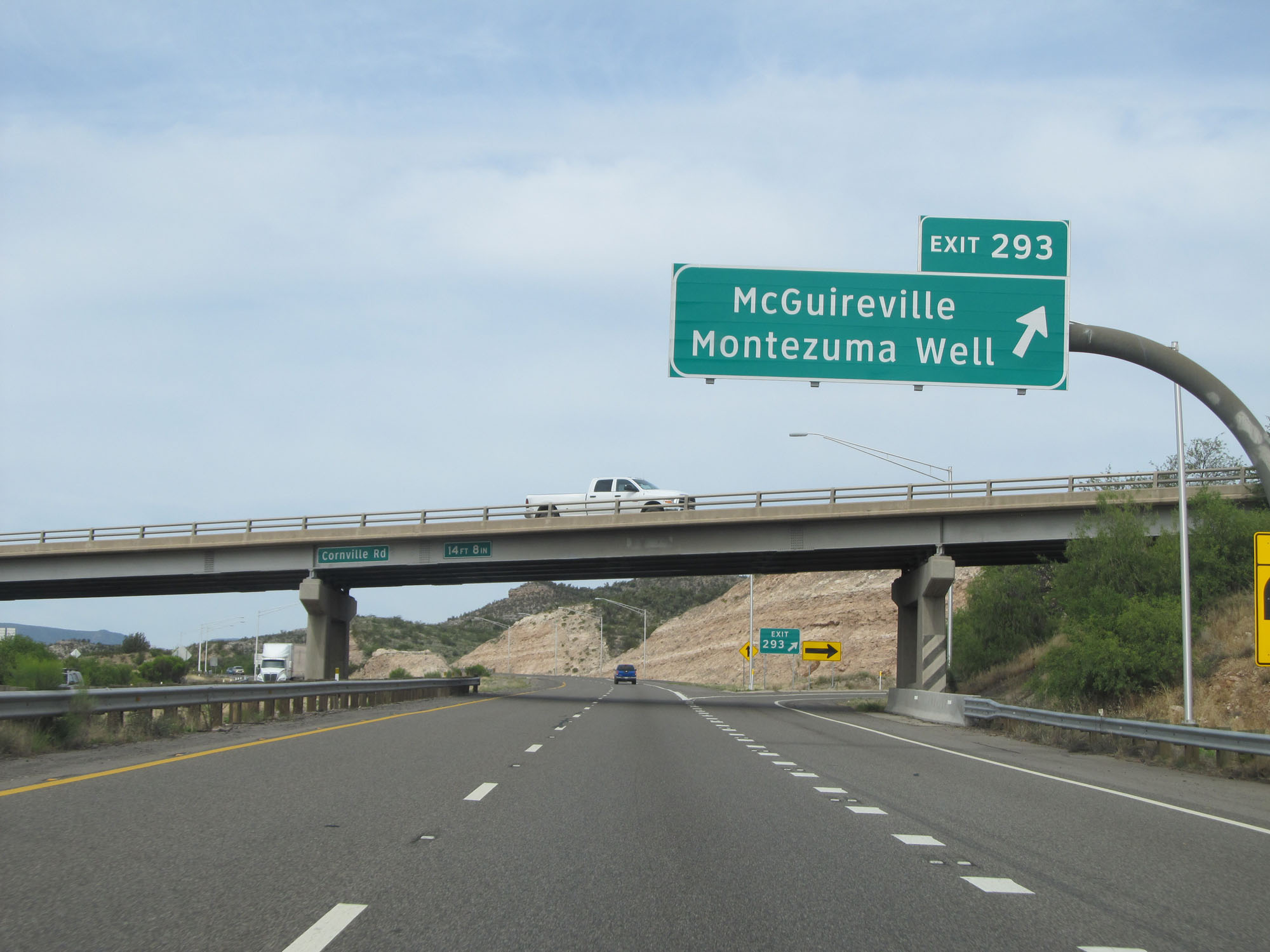 |
Interstate 17 South at Exit 293: McGuireville / Montezuma Well (Photo taken 5/20/15). |
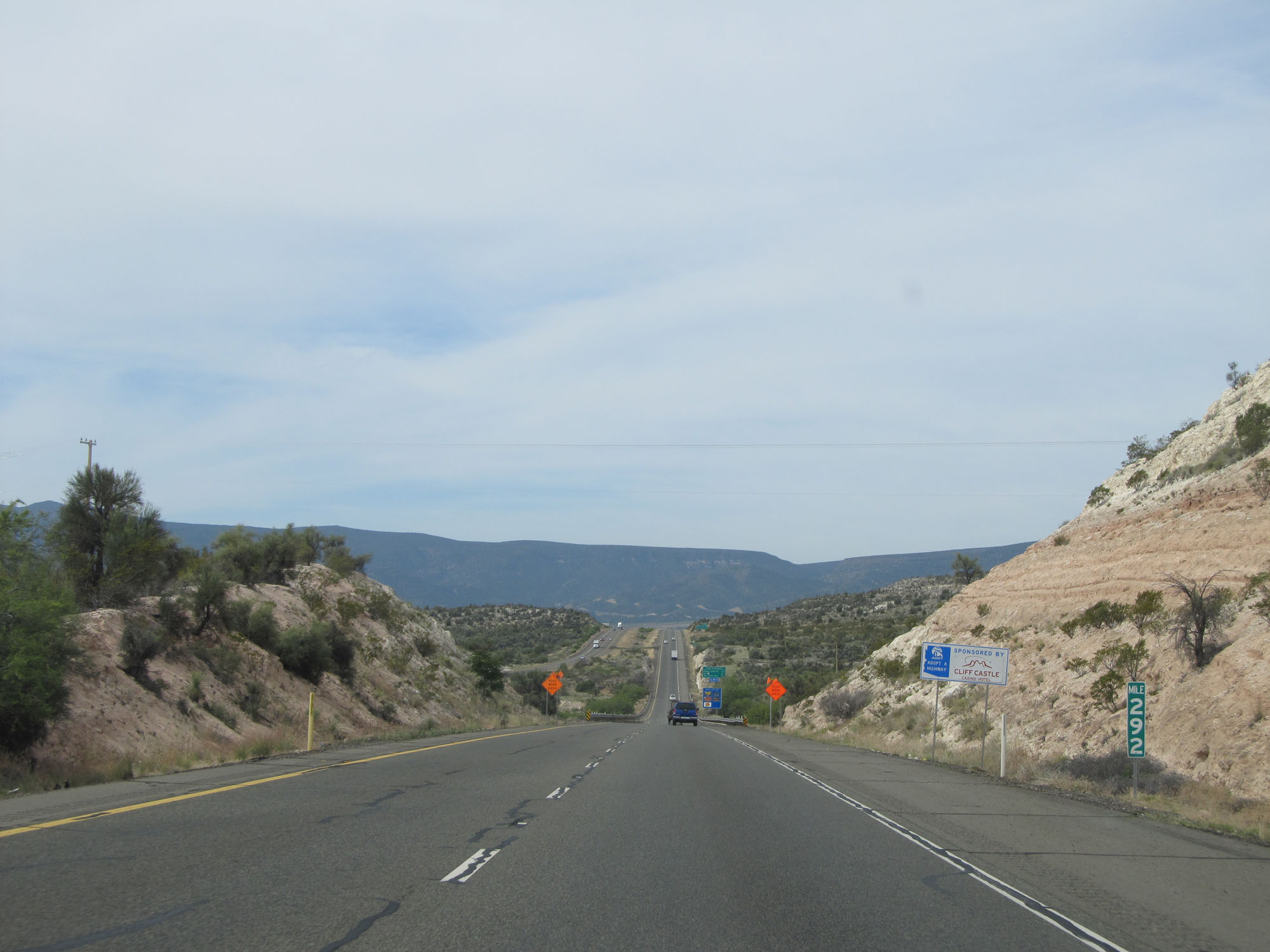 |
Interstate 17 South at mile marker 292. (Photo taken 5/20/15). |
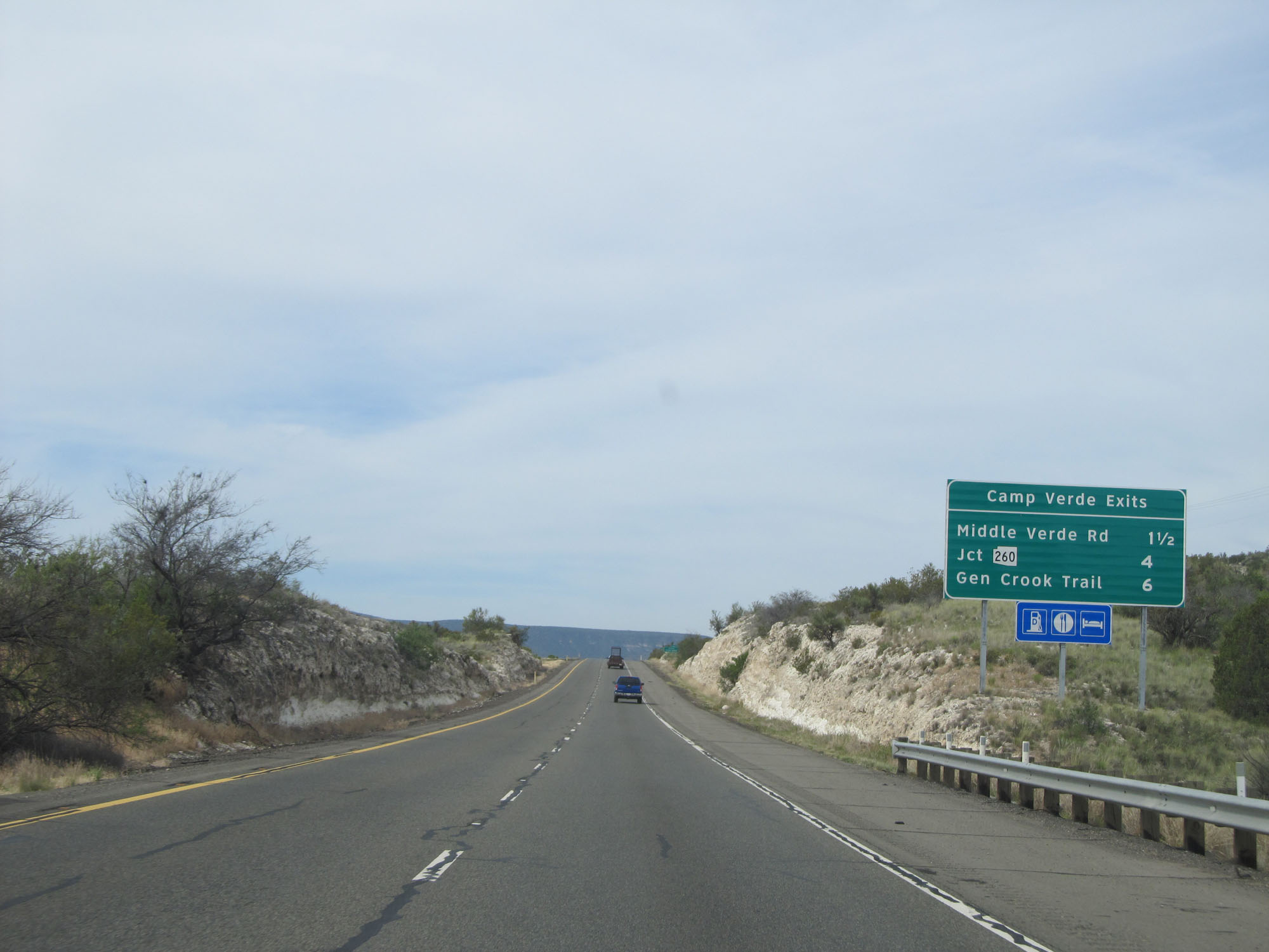 |
Sign listing the distances to the three upcoming exits to Camp Verde. (Photo taken 5/20/15). |
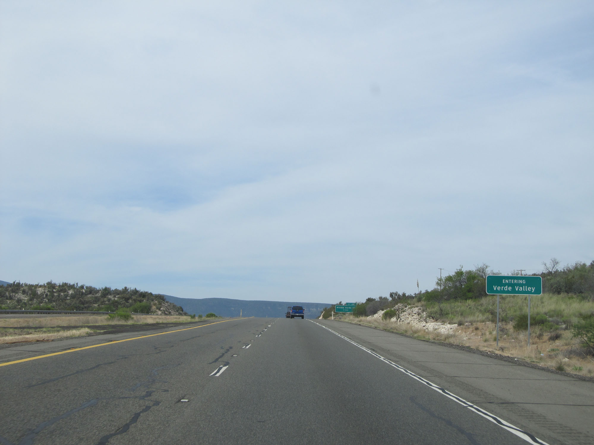 |
Interstate 17 South as it enters the Verde Valley. (Photo taken 5/20/15). |
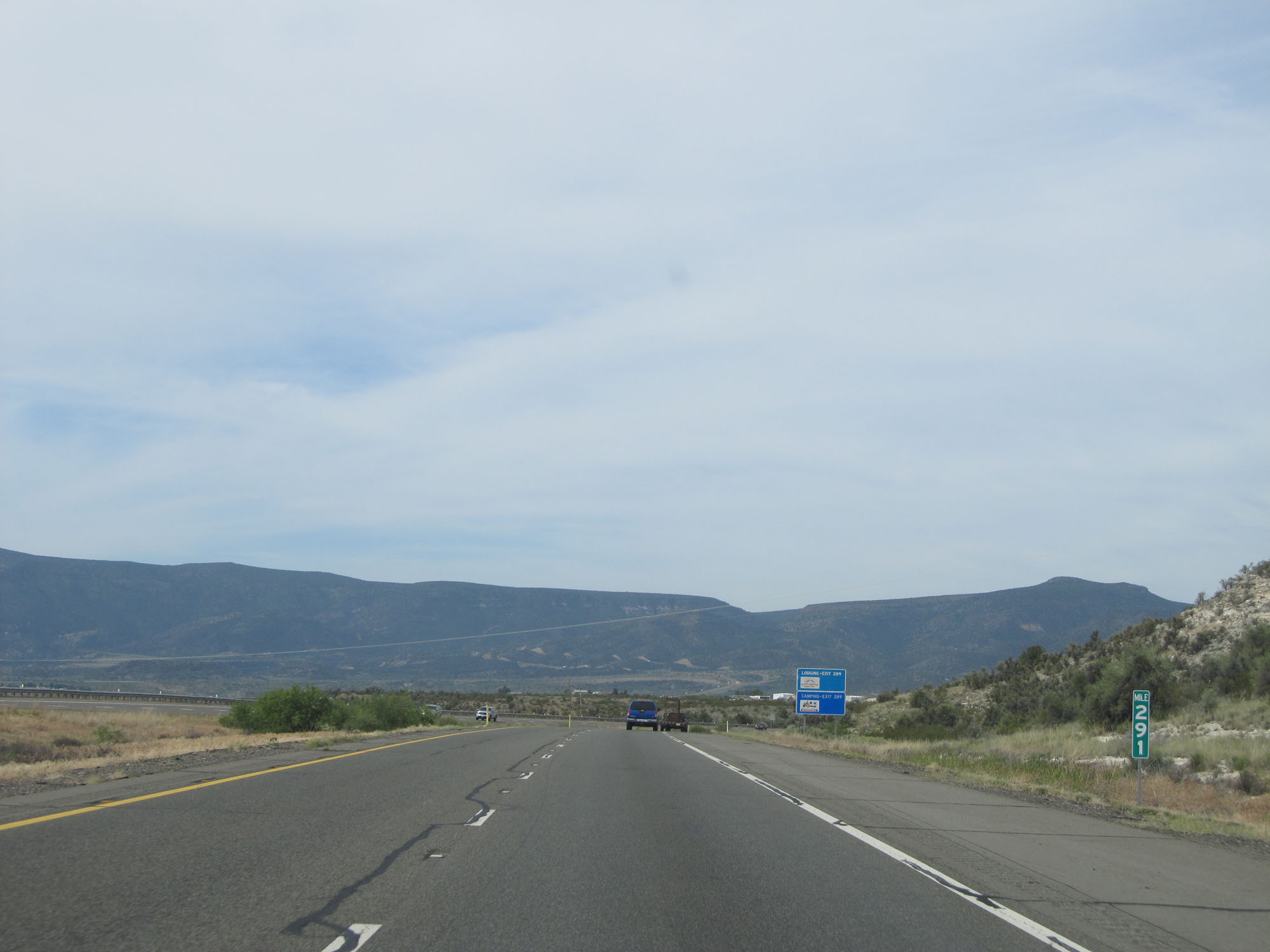 |
Interstate 17 South at mile marker 291. (Photo taken 5/20/15). |
 |
Take Exit 289 to Montezuma Castle National Monument. (Photo taken 5/20/15). |
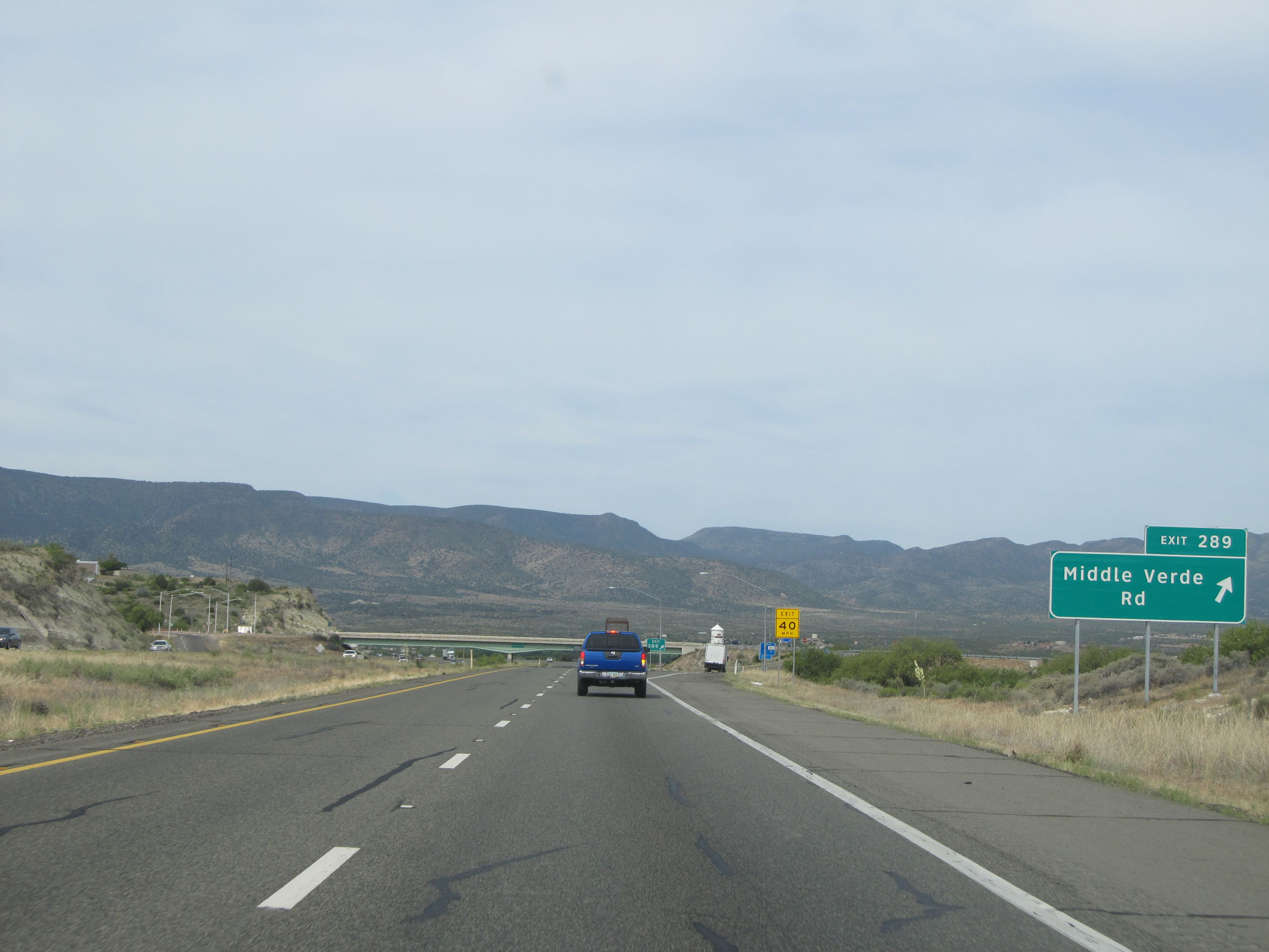 |
Interstate 17 South at Exit 289: Middle Verde Rd (Photo taken 5/20/15). |
Section 2: Camp Verde (Exit 289) to Black Canyon City (Exit 242)
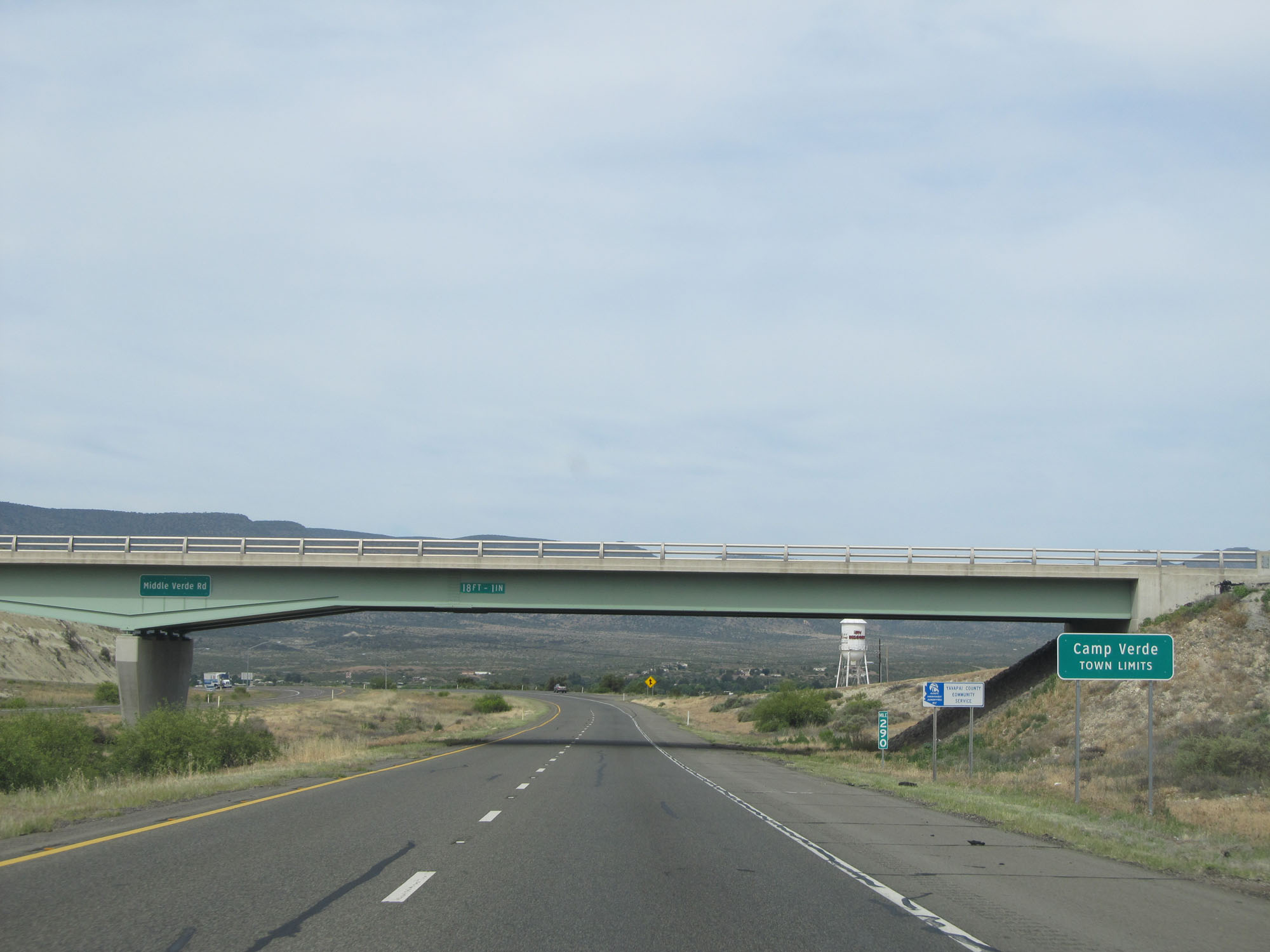 |
Interstate 17 South enters the Camp Verde town limits at mile marker 290. (Photo taken 5/20/15). |
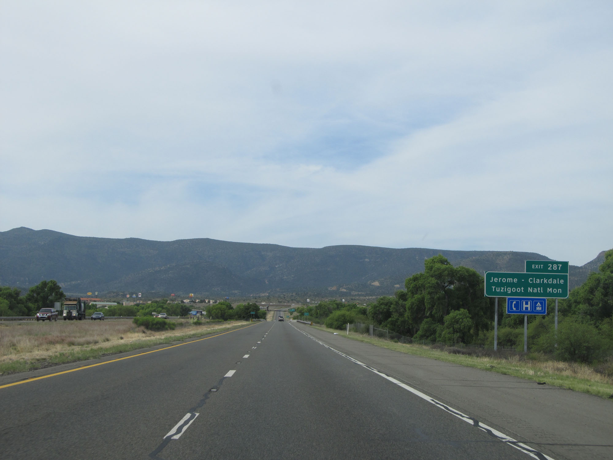 |
Take Exit 287 to Jerome-Clarkdale and Tuzigoot National Monument. (Photo taken 5/20/15). |
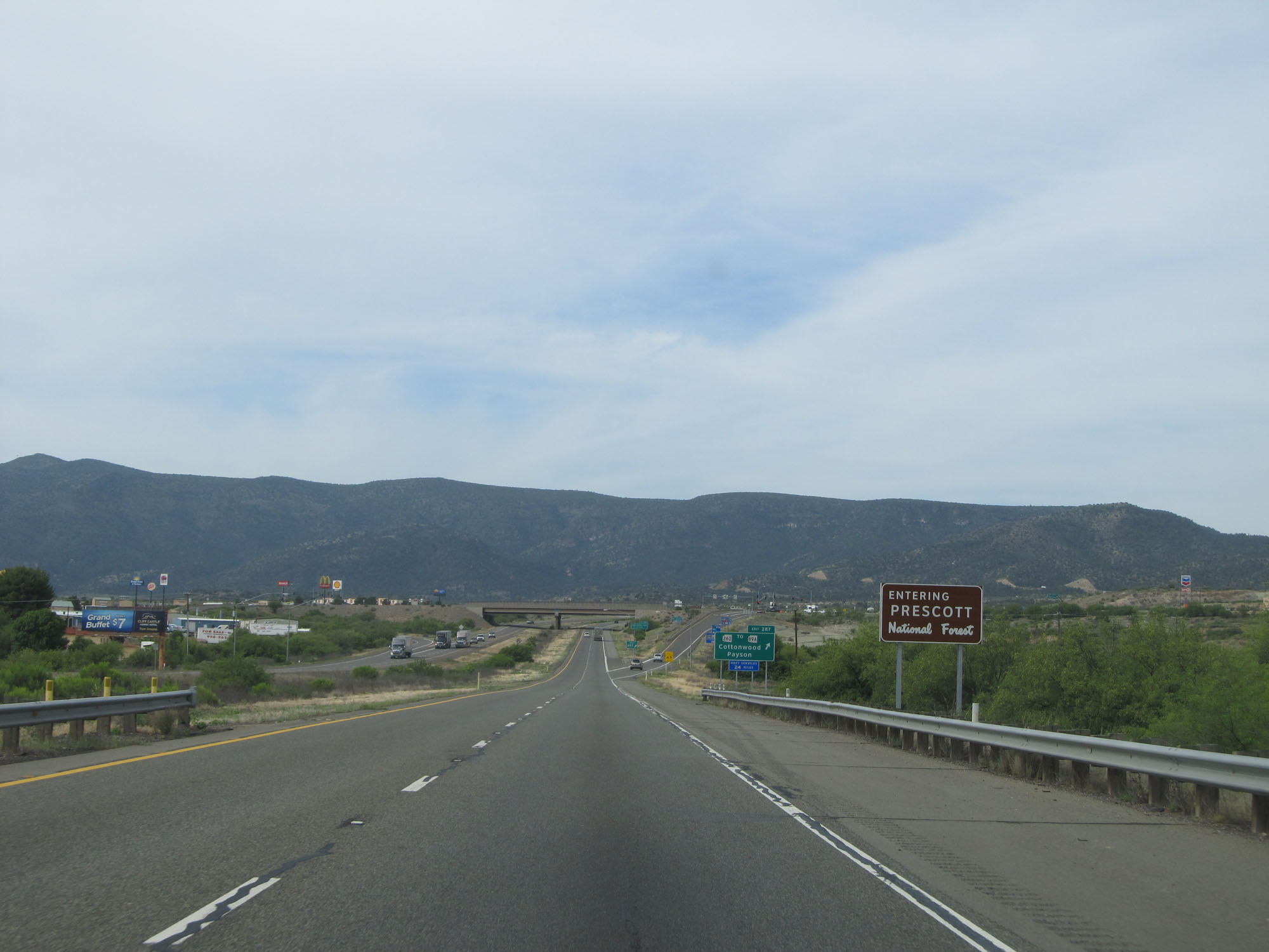 |
Approaching Exit 287, Interstate 17 South enters the Prescott National Forest. (Photo taken 5/20/15). |
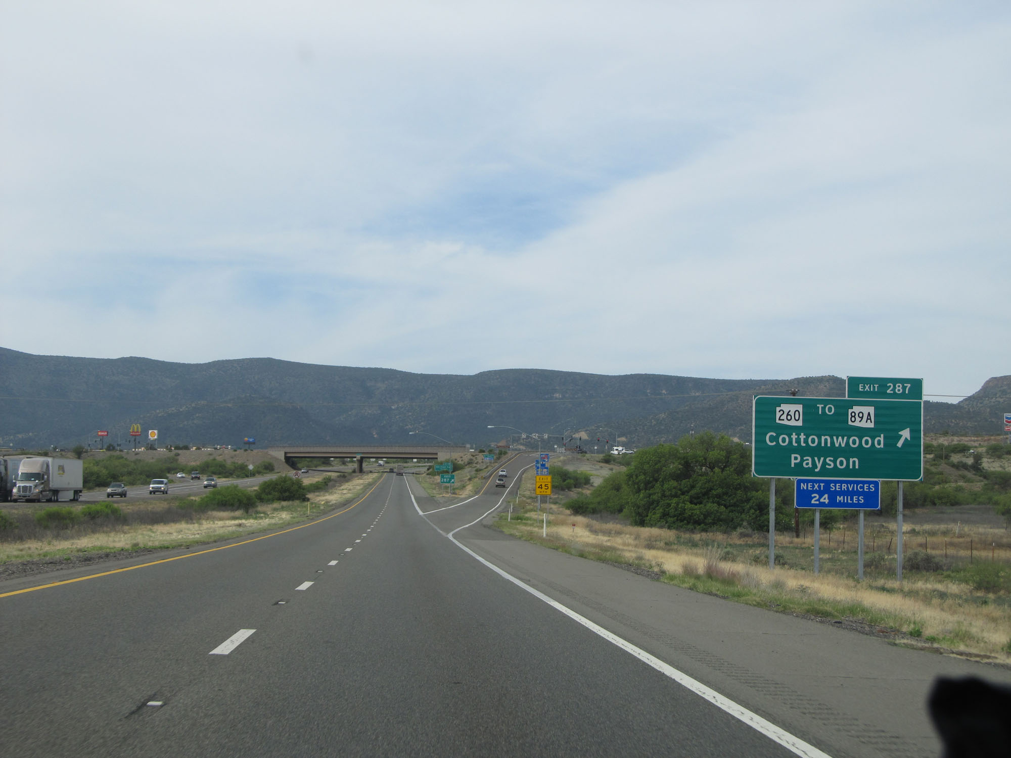 |
Interstate 17 South at Exit 287: AZ 260 / To AZ 89A - Cottonwood / Payson (Photo taken 5/20/15). |
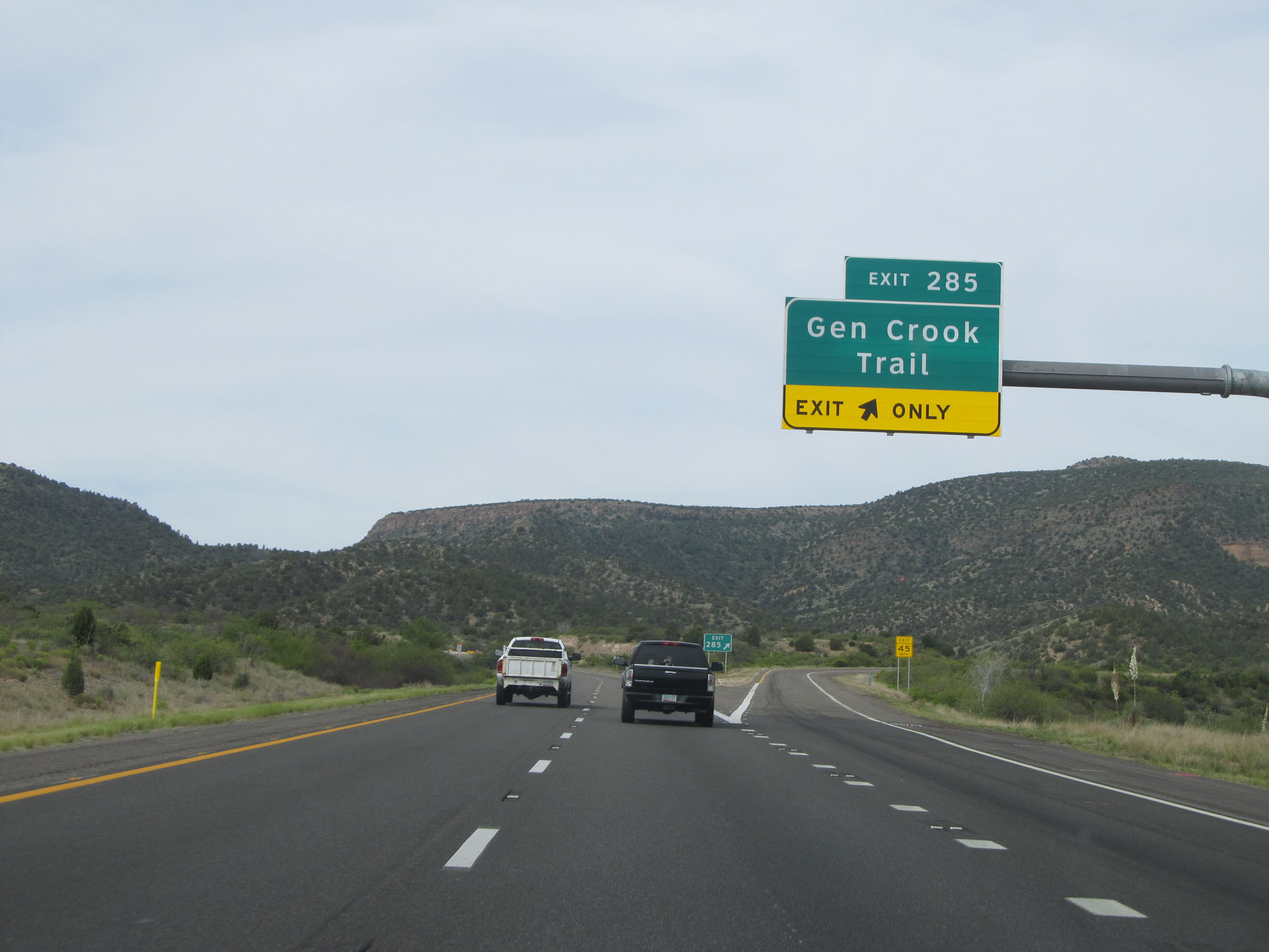 |
Interstate 17 South at Exit 285: Gen Crook Trail (Photo taken 5/20/15). |
 |
Interstate 17 South reassurance shield. (Photo taken 5/20/15). |
 |
The speed limit decreases to 65 mph to the south of Camp Verde as Interstate 17 South prepares to traverse a steep climb. (Photo taken 5/20/15). |
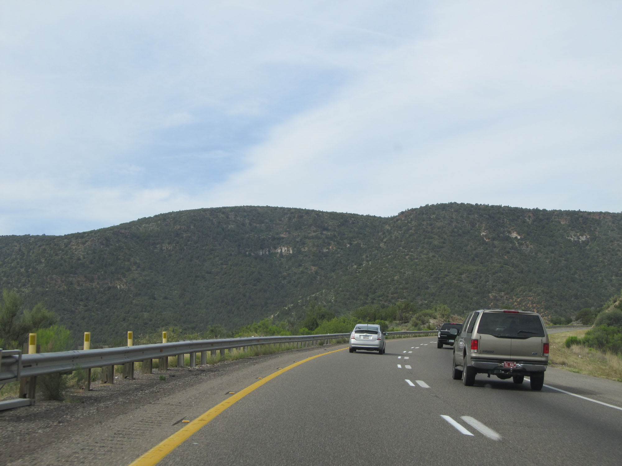 |
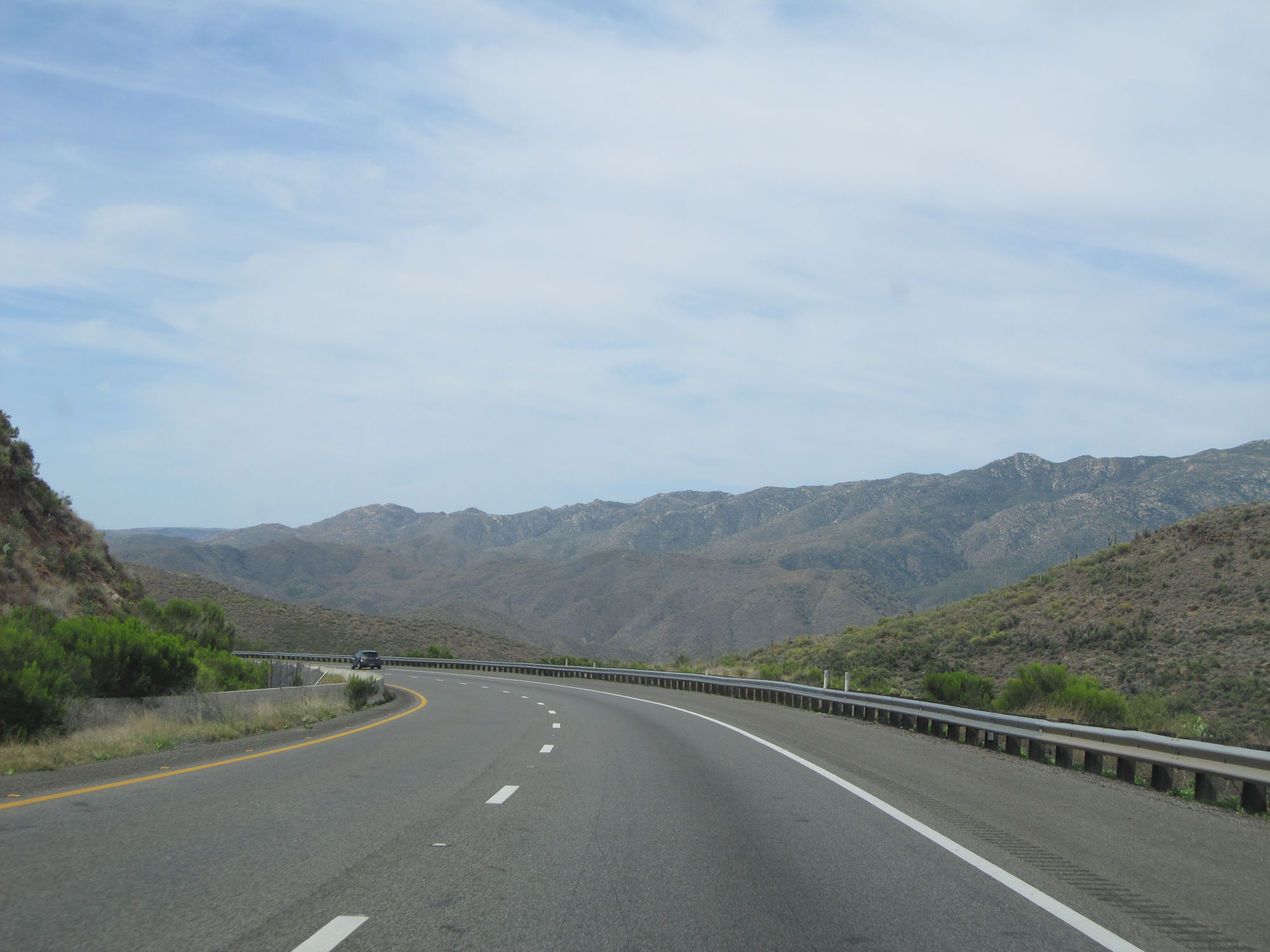
View on Interstate 17 South. (Photo taken 5/20/15). |
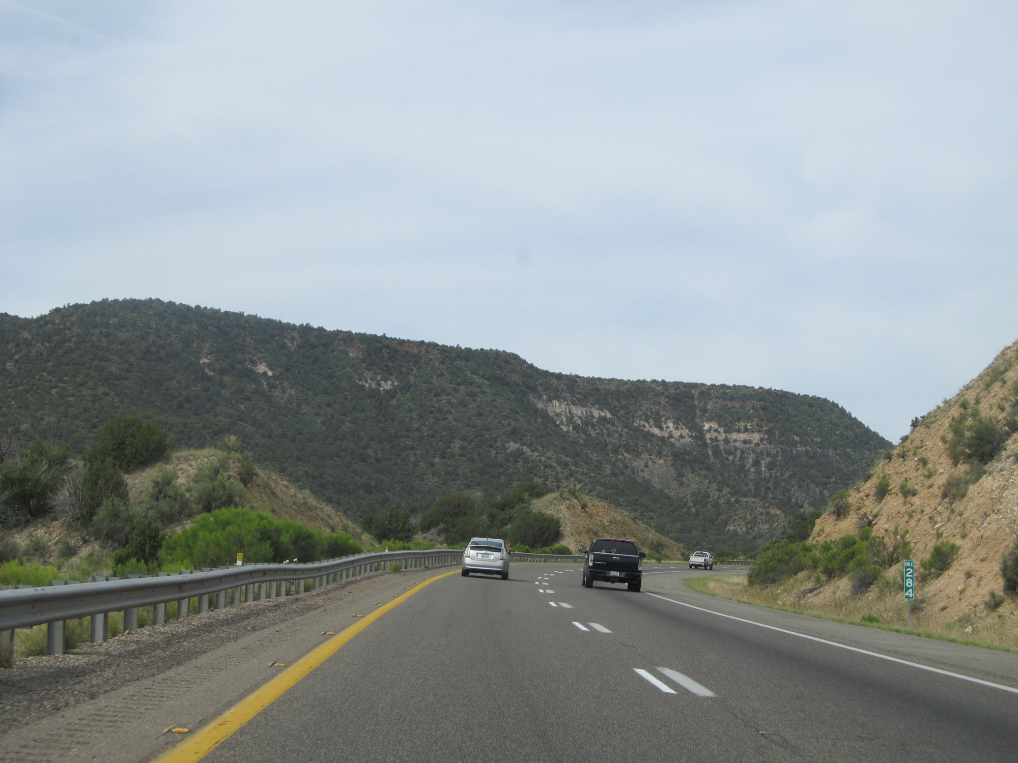 |
Interstate 17 South at mile marker 284. (Photo taken 5/20/15). |
 |
Another view on Interstate 17 South, continuing up the grade out of the Verde Valley. (Photo taken 5/20/15). |
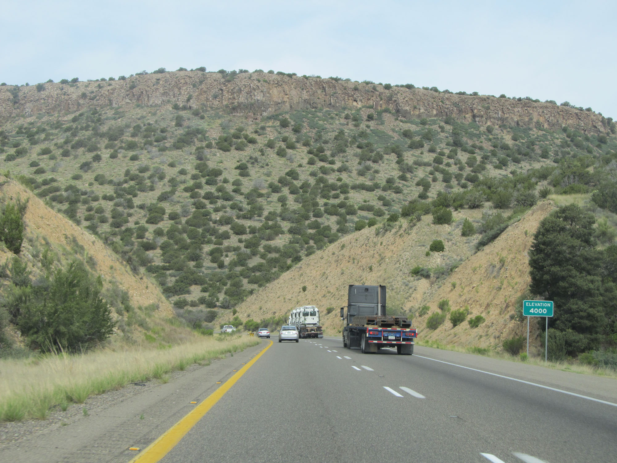 |
Interstate 17 South reaches an elevation of 4,000 feet once again about halfway up the grade. (Photo taken 5/20/15). |
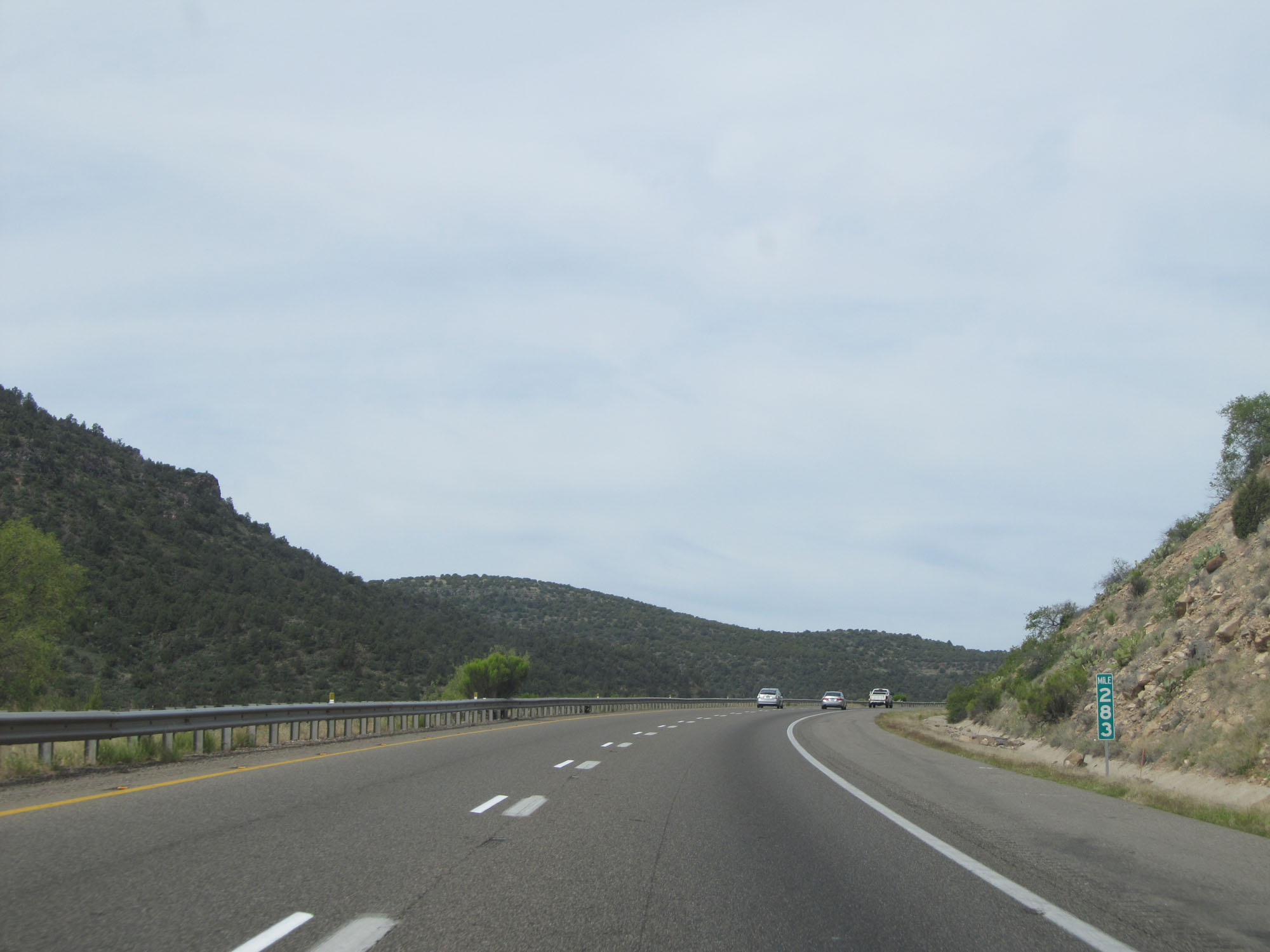 |
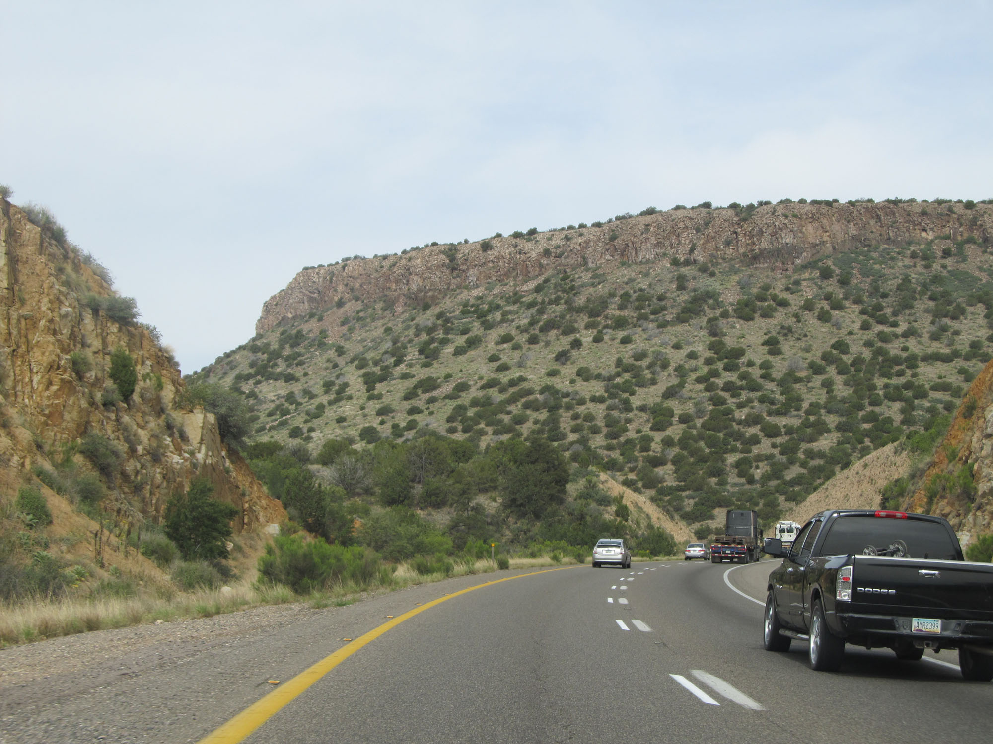
Interstate 17 South at mile marker 283. (Photo taken 5/20/15). |
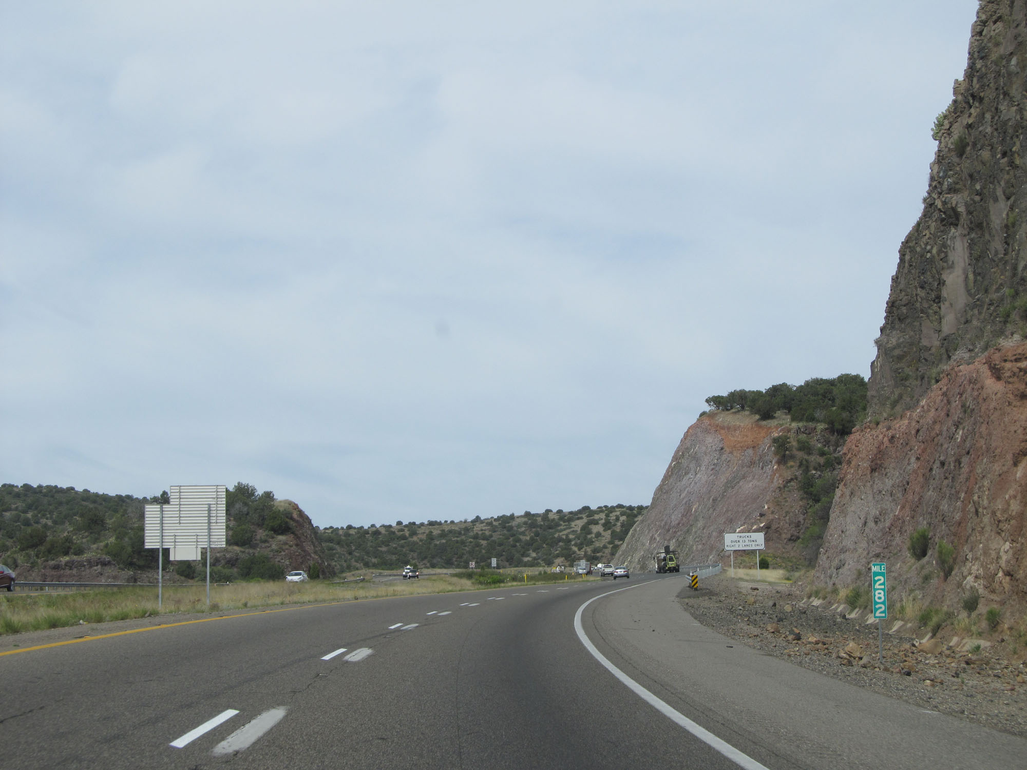 |
Interstate 17 South at mile marker 282. (Photo taken 5/20/15). |
 |
As a truck climbing lane appears ahead, trucks are restricted to the two rightmost lanes. (Photo taken 5/20/15). |
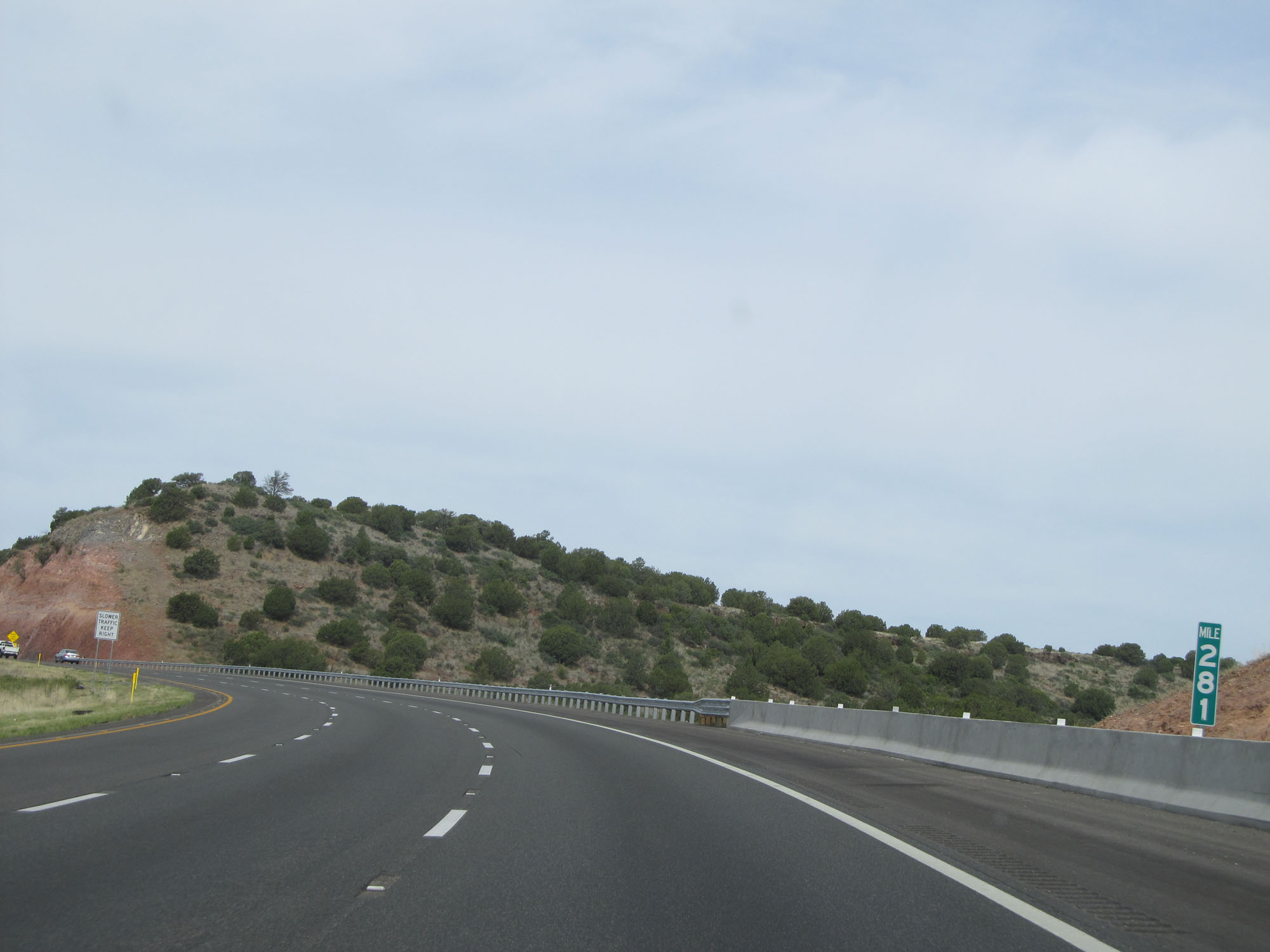 |
Interstate 17 South at mile marker 281. (Photo taken 5/20/15). |
 |
View on Interstate 17 South, approaching the top of the climb out of the Verde Valley. (Photo taken 5/20/15). |
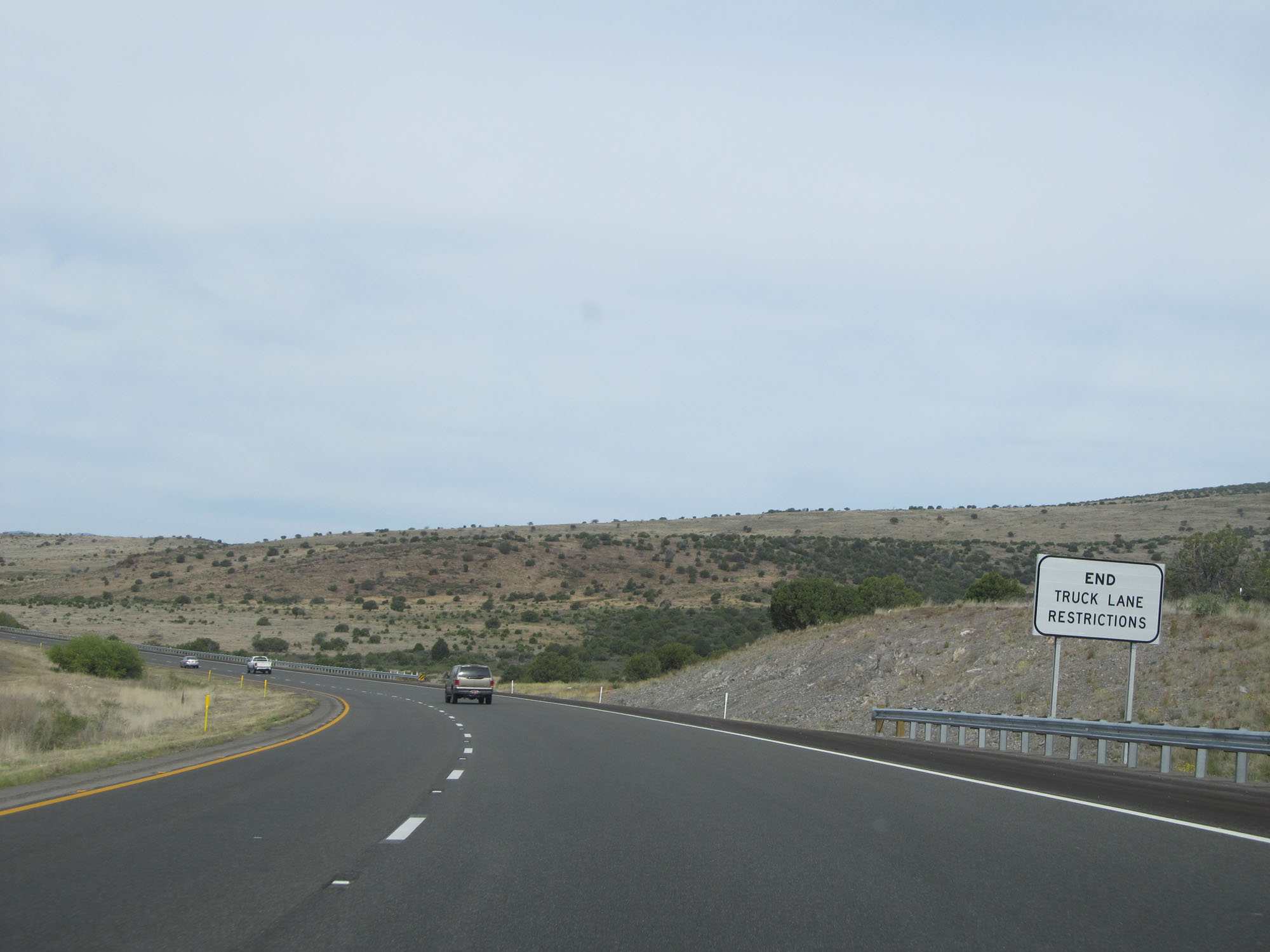 |
At the top of the grade, the truck lane restrictions come to an end as does the truck climbing lane. (Photo taken 5/20/15). |
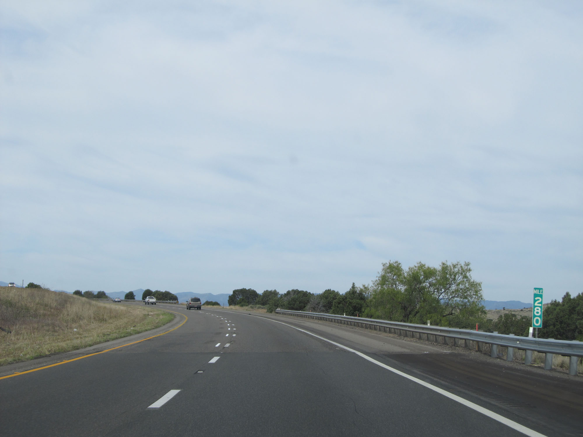 |
Interstate 17 South at mile marker 280. (Photo taken 5/20/15). |
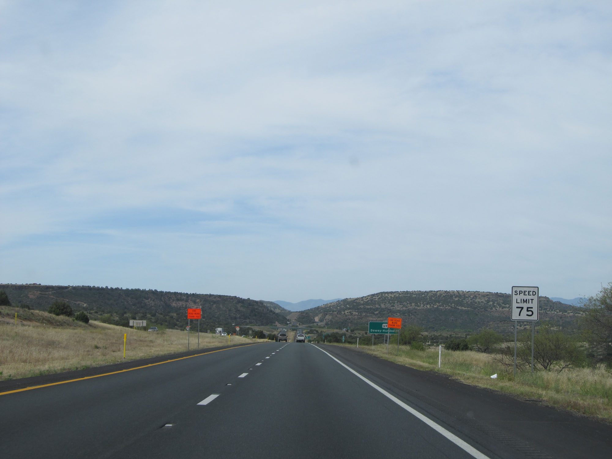 |
The standard rural speed limit of 75 mph resumes. (Photo taken 5/20/15). |
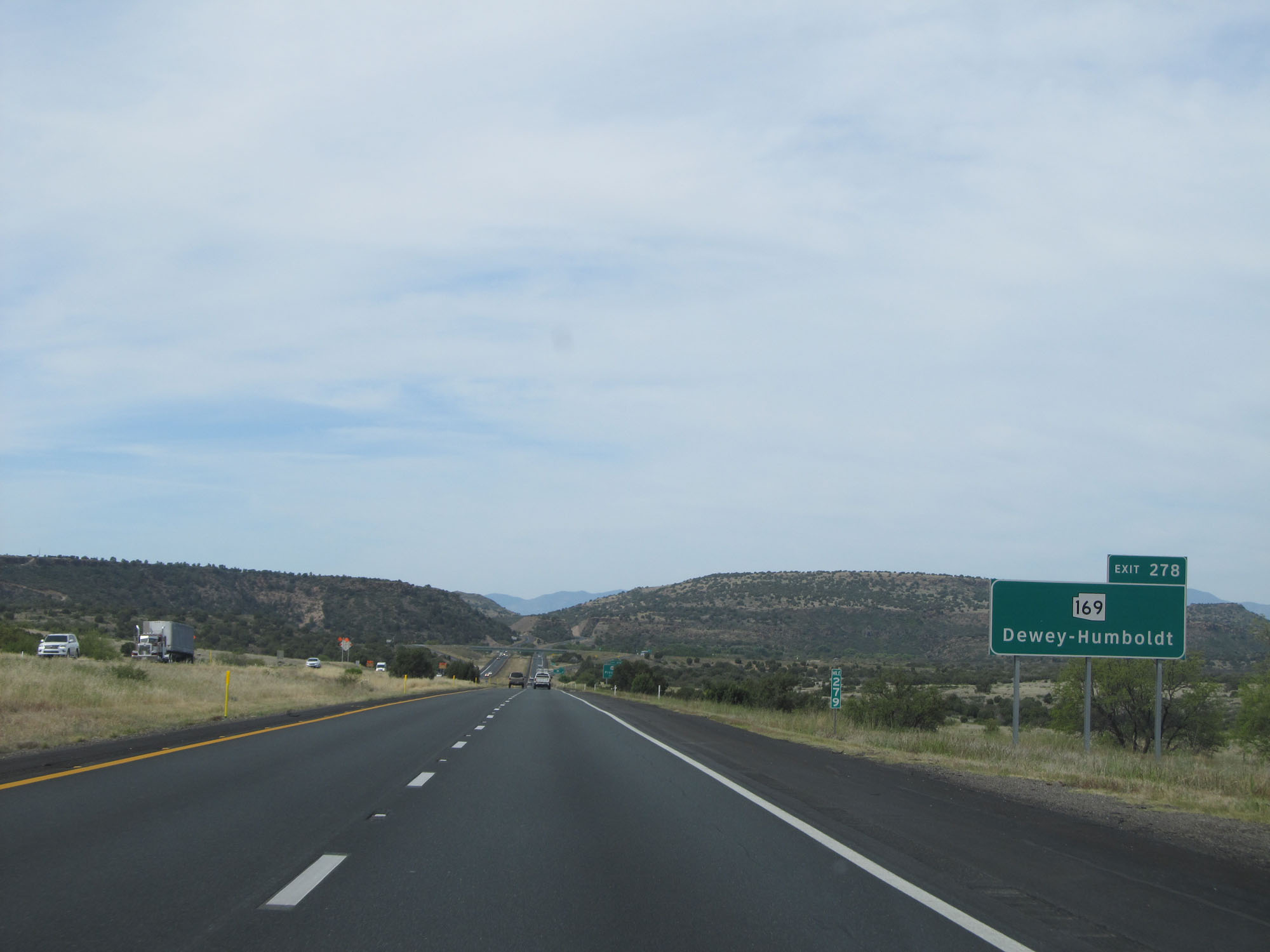 |
Take Exit 278 to AZ 169 toward Dewey-Humboldt. (Photo taken 5/20/15). |
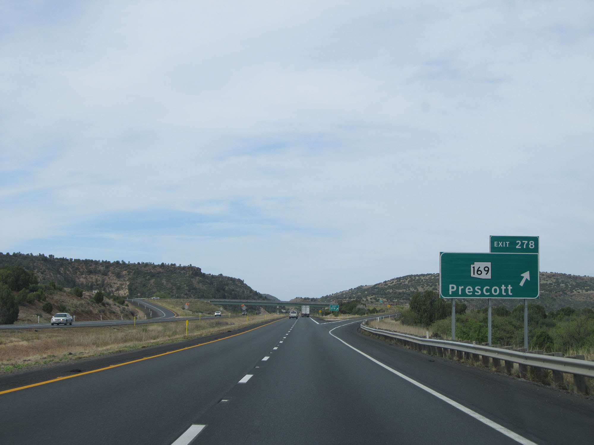 |
Interstate 17 South at Exit 278: AZ 169 - Prescott (Photo taken 5/20/15). |
 |
Interstate 17 South at mile marker 277. (Photo taken 5/20/15). |
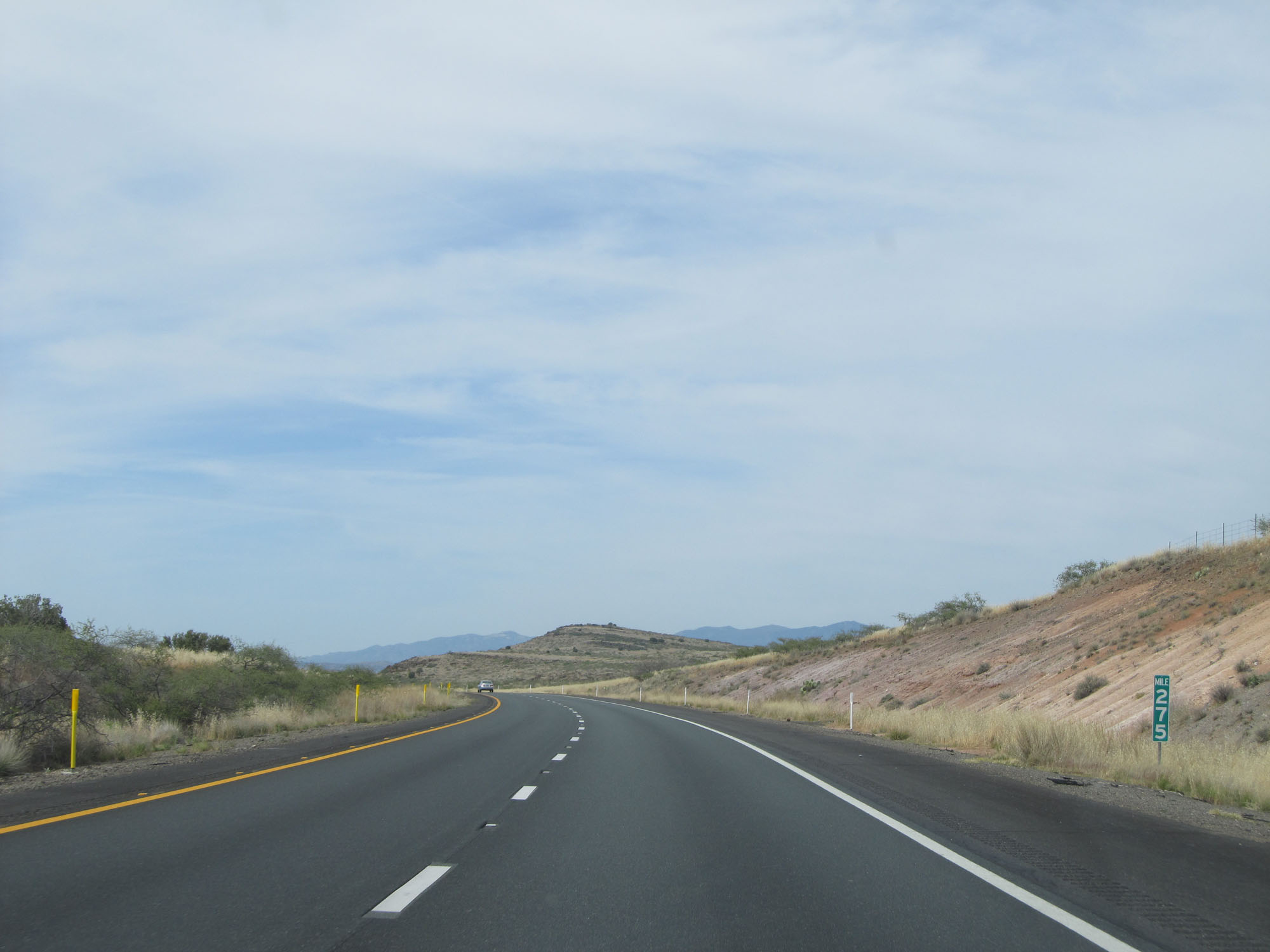 |
Interstate 17 South at mile marker 275. (Photo taken 5/20/15). |
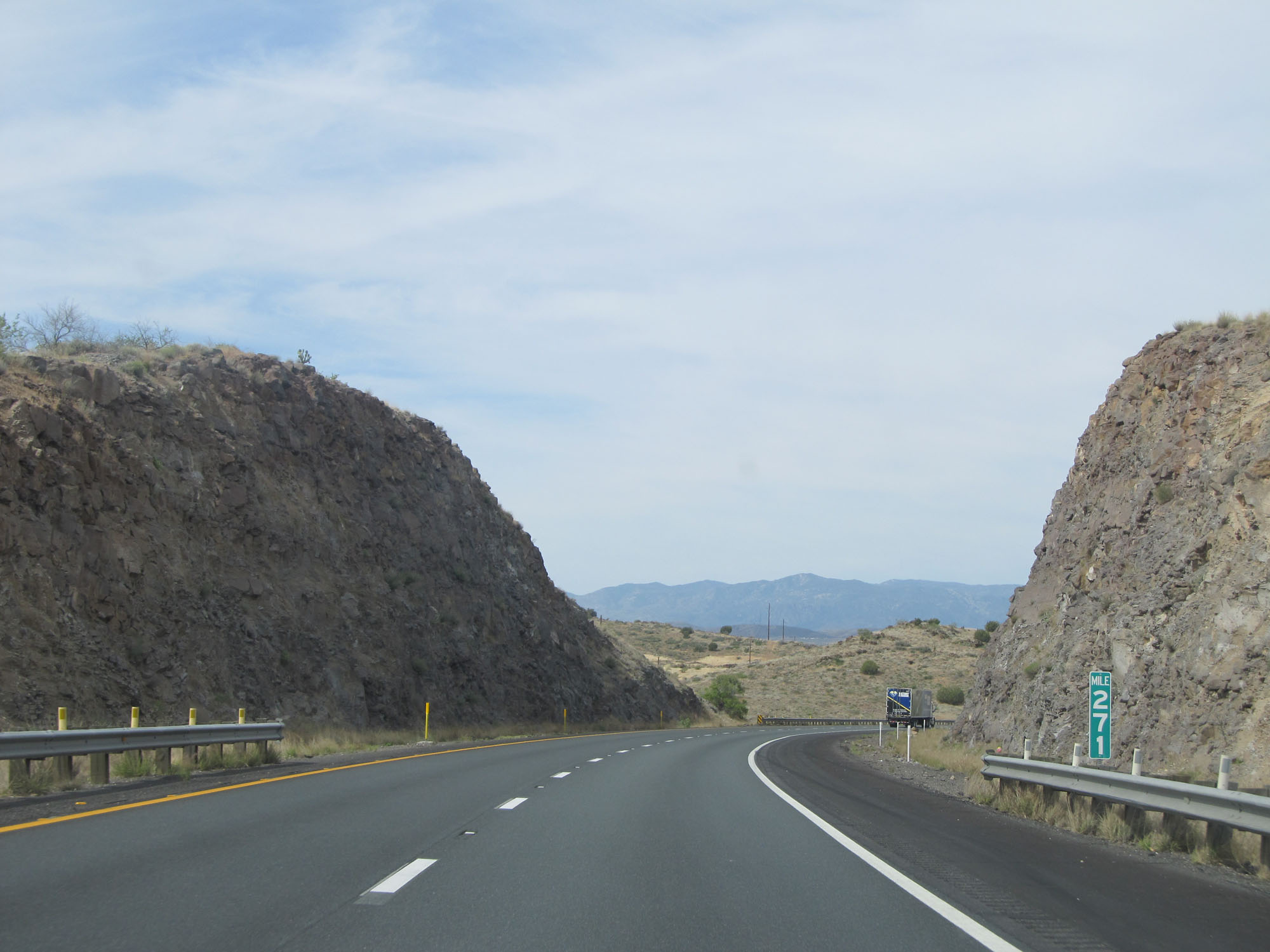 |
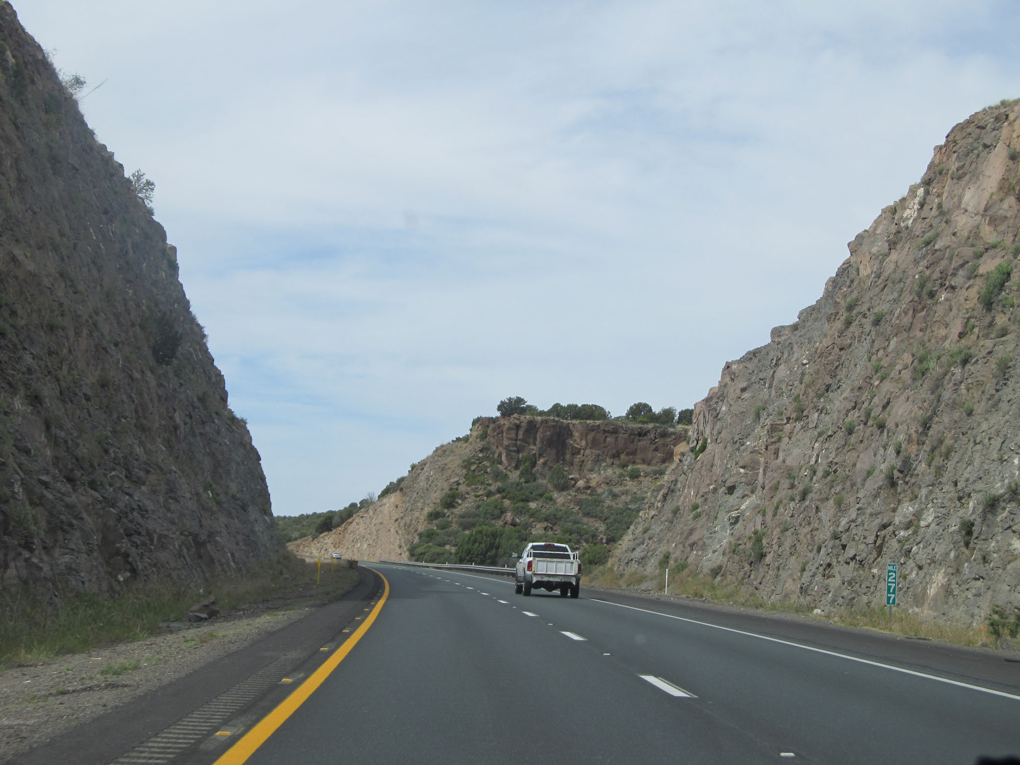
Interstate 17 South at mile marker 271. (Photo taken 5/20/15). |
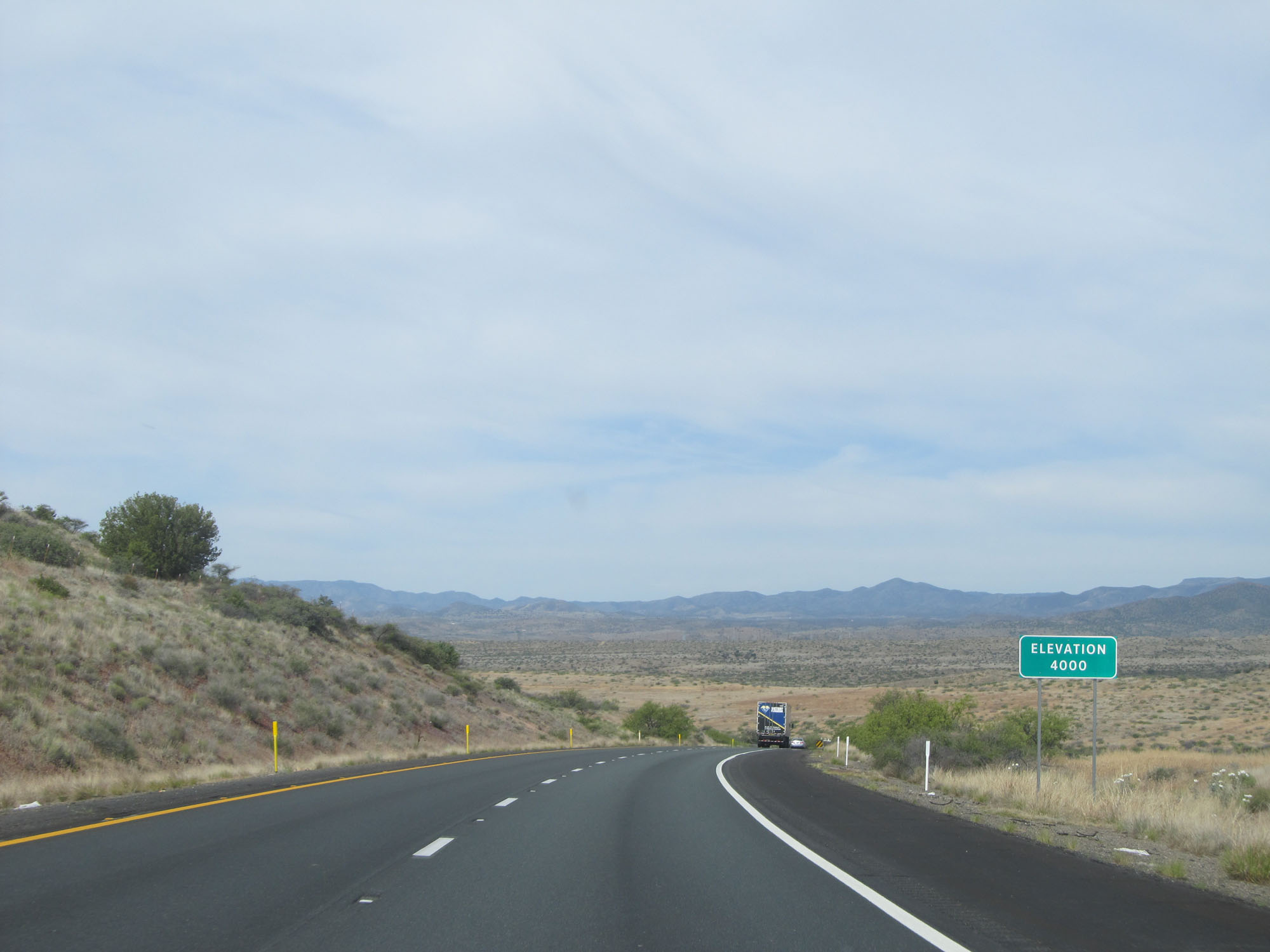 |
For the third time on Interstate 17 South, the elevation at this point is 4,000 feet. (Photo taken 5/20/15). |
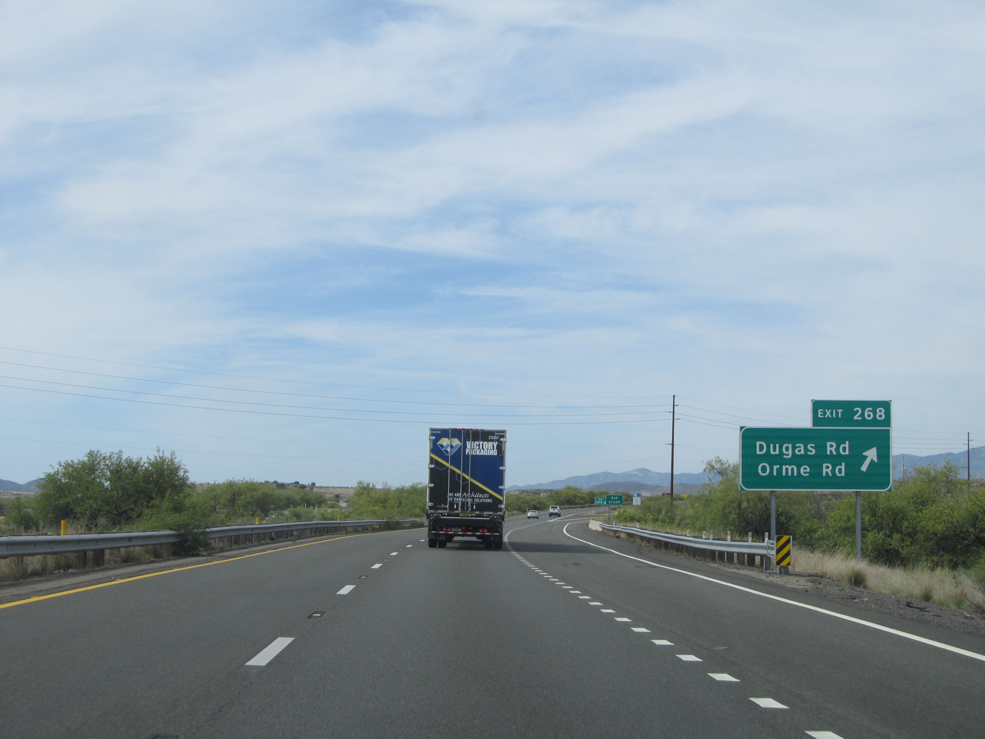 |
Interstate 17 South at Exit 268: Dugas Rd / Orme Rd (Photo taken 5/20/15). |
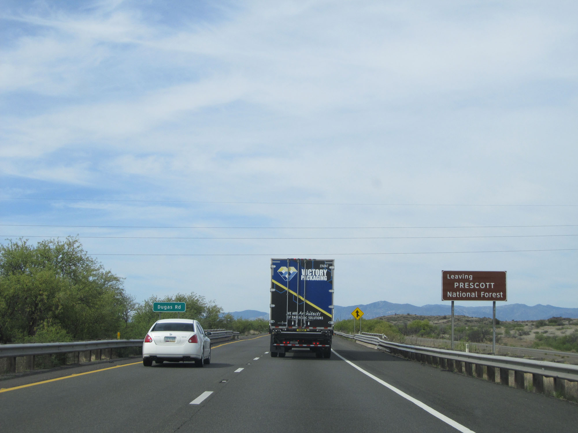 |
Interstate 17 South leaving Prescott National Forest. (Photo taken 5/20/15). |
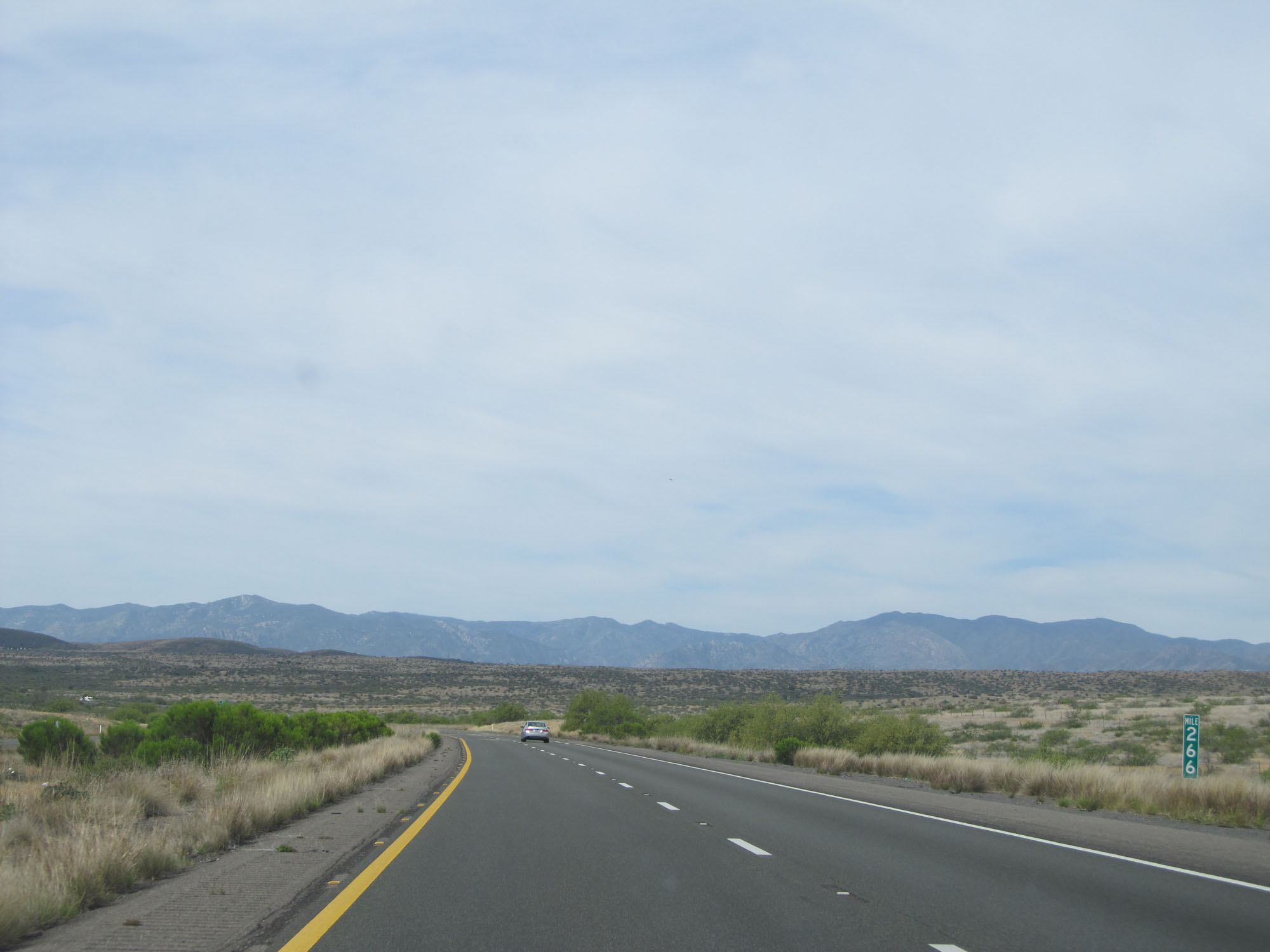 |
Interstate 17 South at mile marker 266. (Photo taken 5/20/15). |
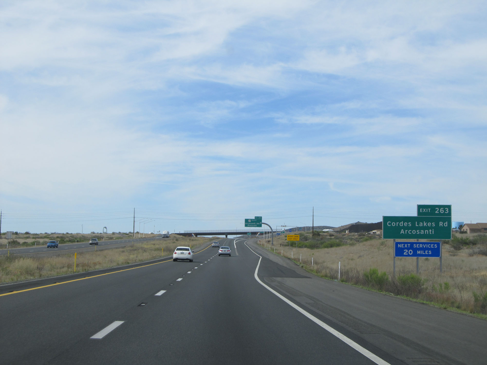 |
Take Exit 263 to Cordes Lakes Rd and Arcosanti. (Photo taken 5/20/15). |
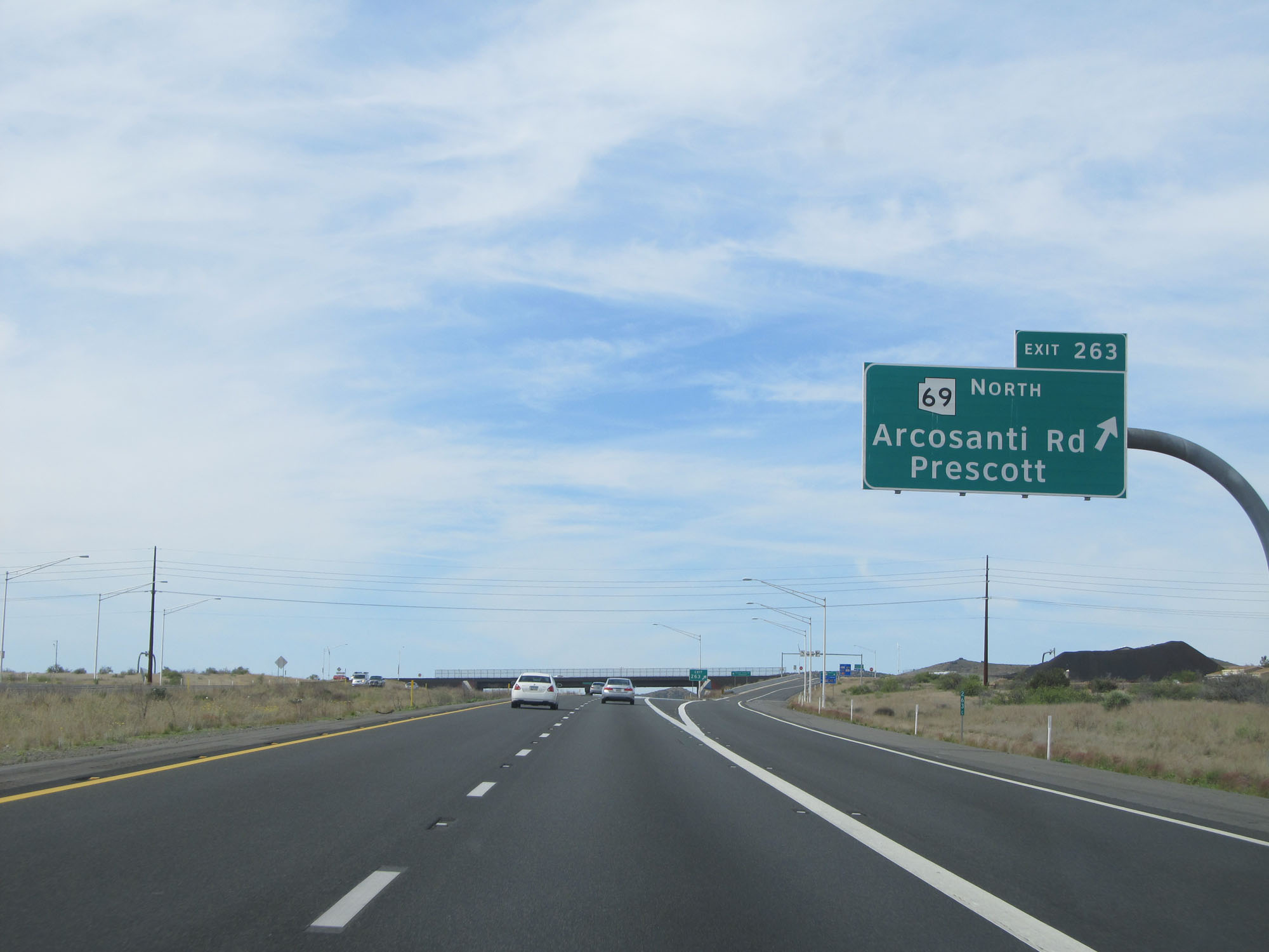 |
Interstate 17 South at Exit 263: AZ 69 North - Arcosanti Rd / Prescott (Photo taken 5/20/15). |
 |
Mileage sign on Interstate 17 South. It's 9 miles to the next Rest Area, 19 miles to Black Canyon City, and 63 miles to Phoenix. (Photo taken 5/20/15). |
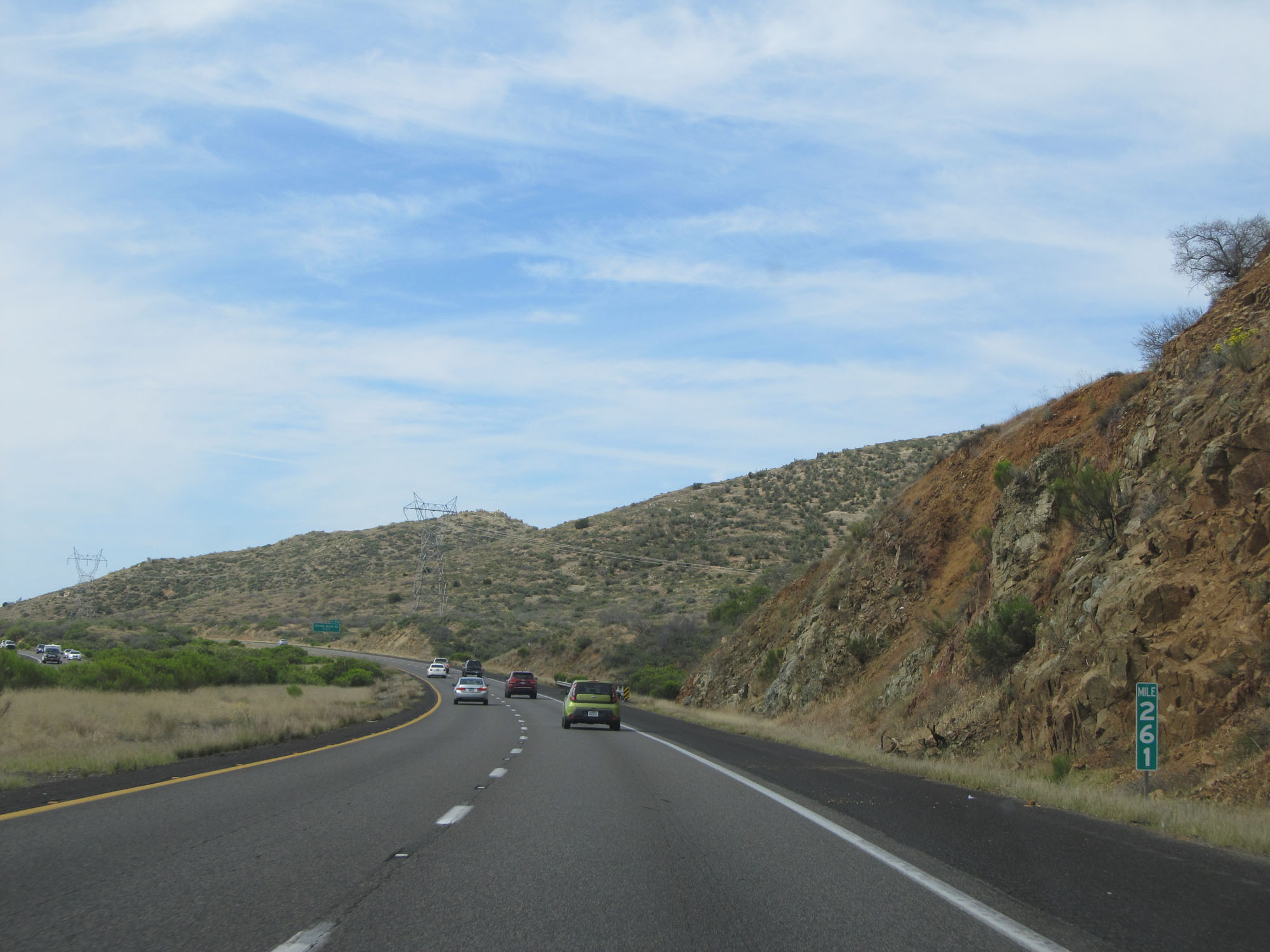 |
Interstate 17 South at mile marker 261. (Photo taken 5/20/15). |
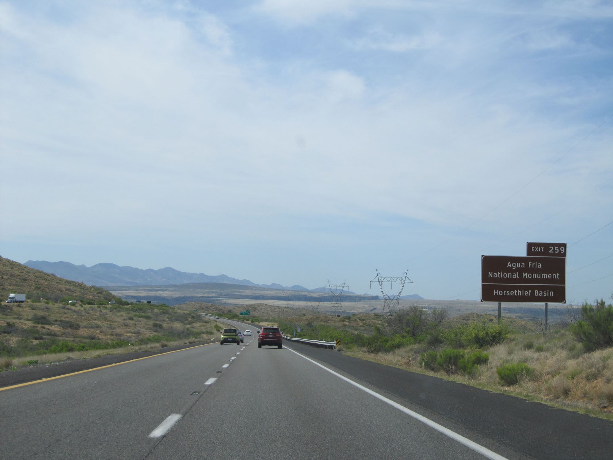 |
Take Exit 259 to Agua Fria National Monument and Horsethief Basin. (Photo taken 5/20/15). |
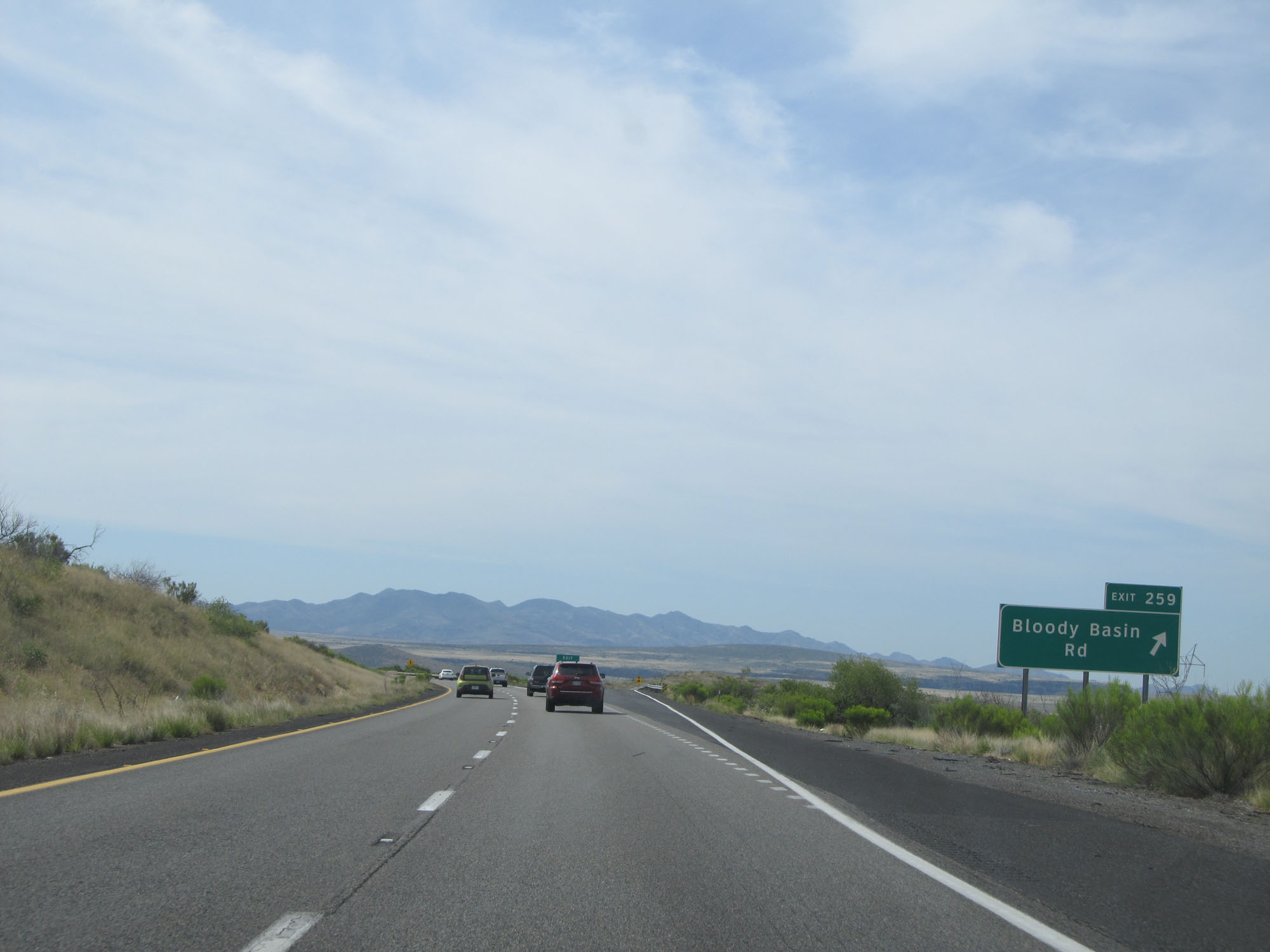 |
Interstate 17 South at Exit 259: Bloody Basin Rd (Photo taken 5/20/15). |
 |
Interstate 17 South at mile marker 258. (Photo taken 5/20/15). |
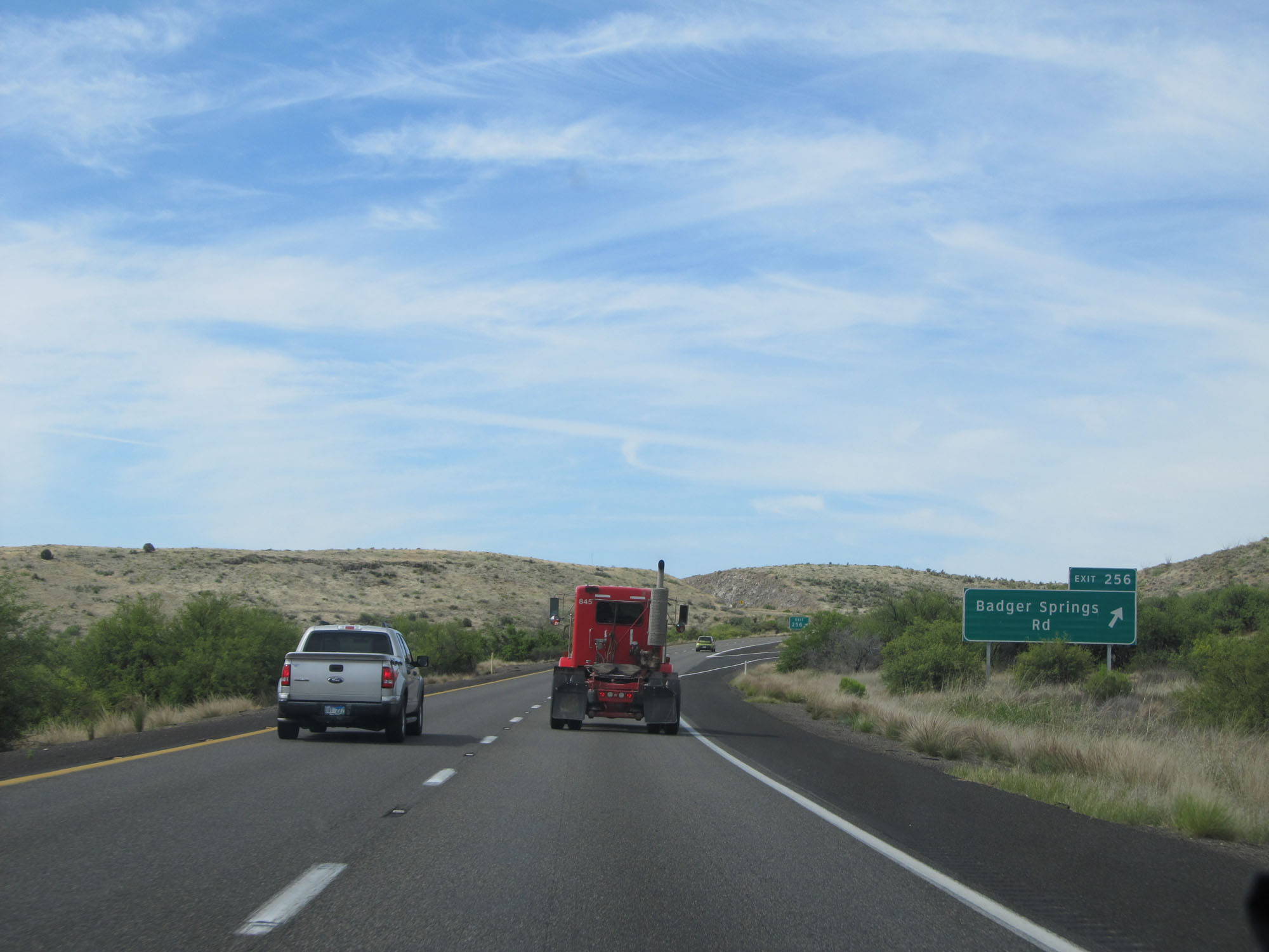 |
Interstate 17 South at Exit 256: Badger Springs Rd (Photo taken 5/20/15). |
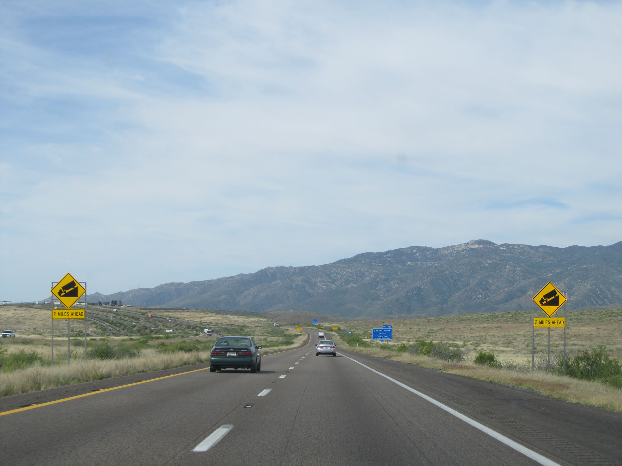 |
Another steep downgrade begins 2 miles ahead. (Photo taken 5/20/15). |
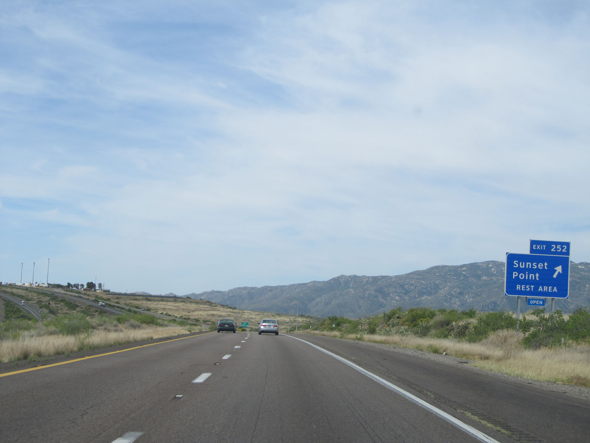 |
Interstate 17 South at Exit 252: Sunset Point Rest Area (Photo taken 5/20/15). |
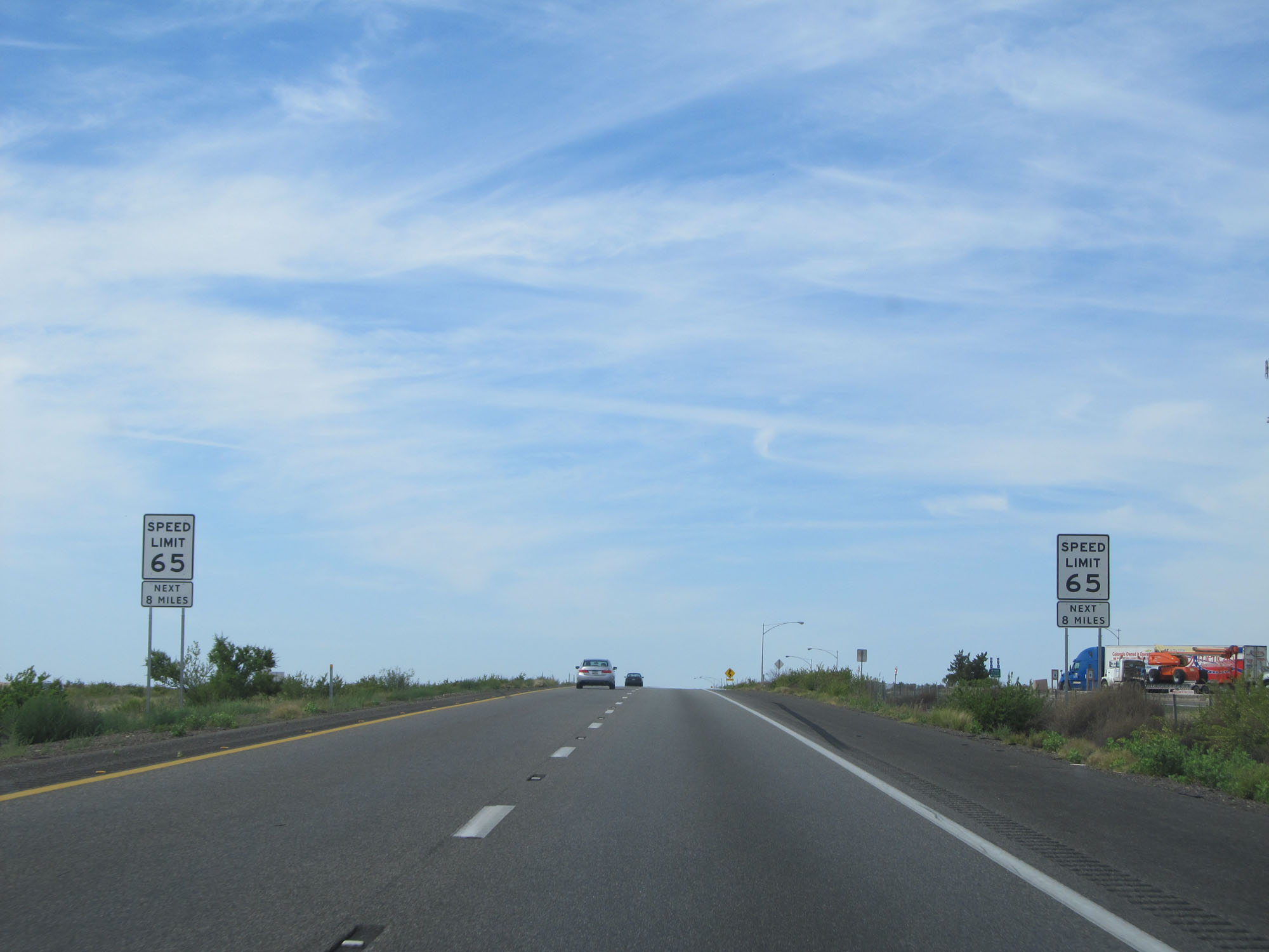 |
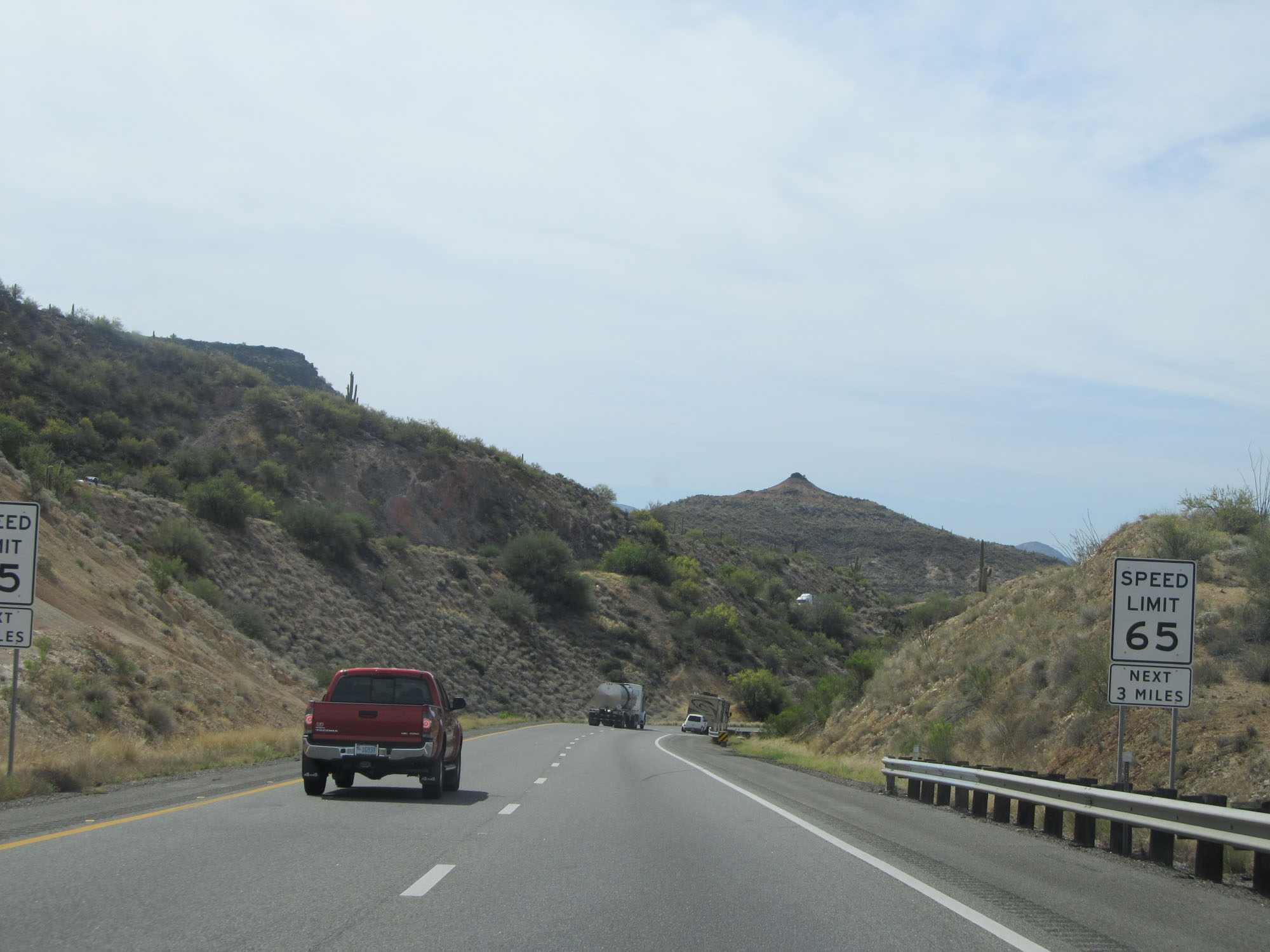
At the Sunset Point Rest Area, the speed limit decreases once again to 65 mph in preparation for the steep downgrade ahead. This speed limit lasts for the next 8 miles. (Photo taken 5/20/15). |
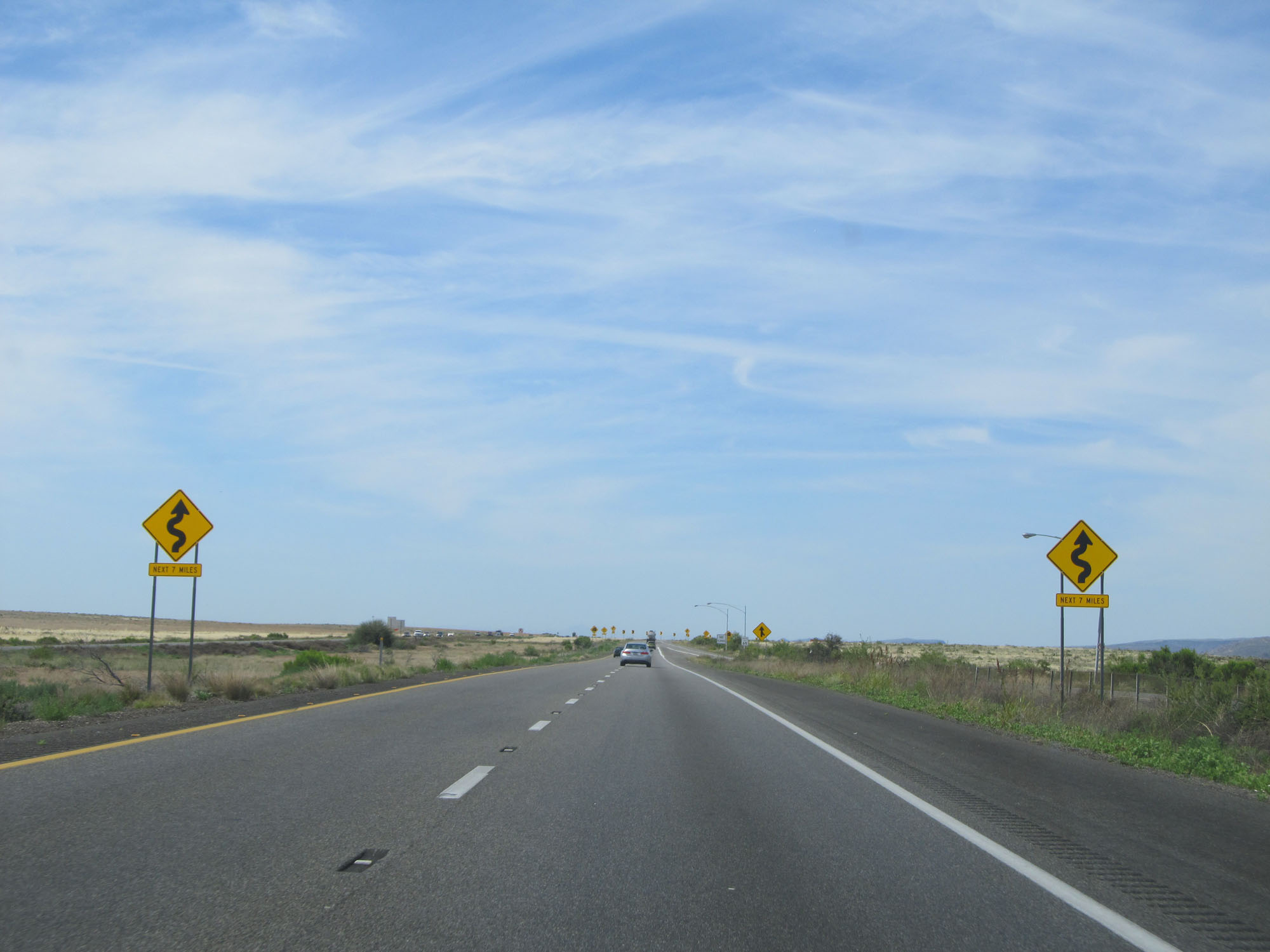 |
These signs warn of winding curves ahead for the next 7 miles. (Photo taken 5/20/15). |
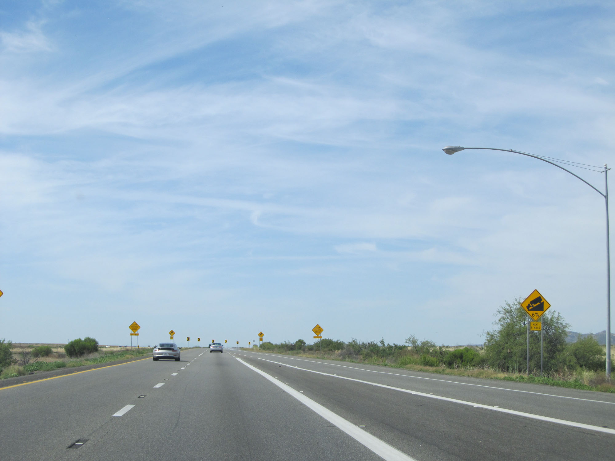 |
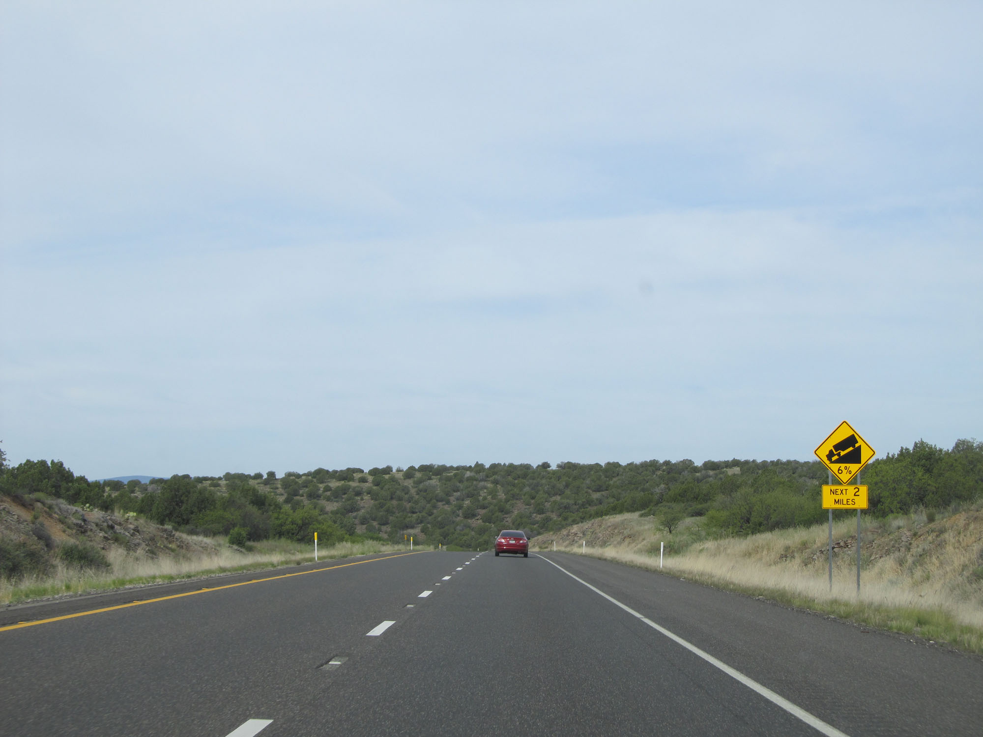
The downgrade is a 6% grade which lasts for the next 5 miles. (Photo taken 5/20/15). |
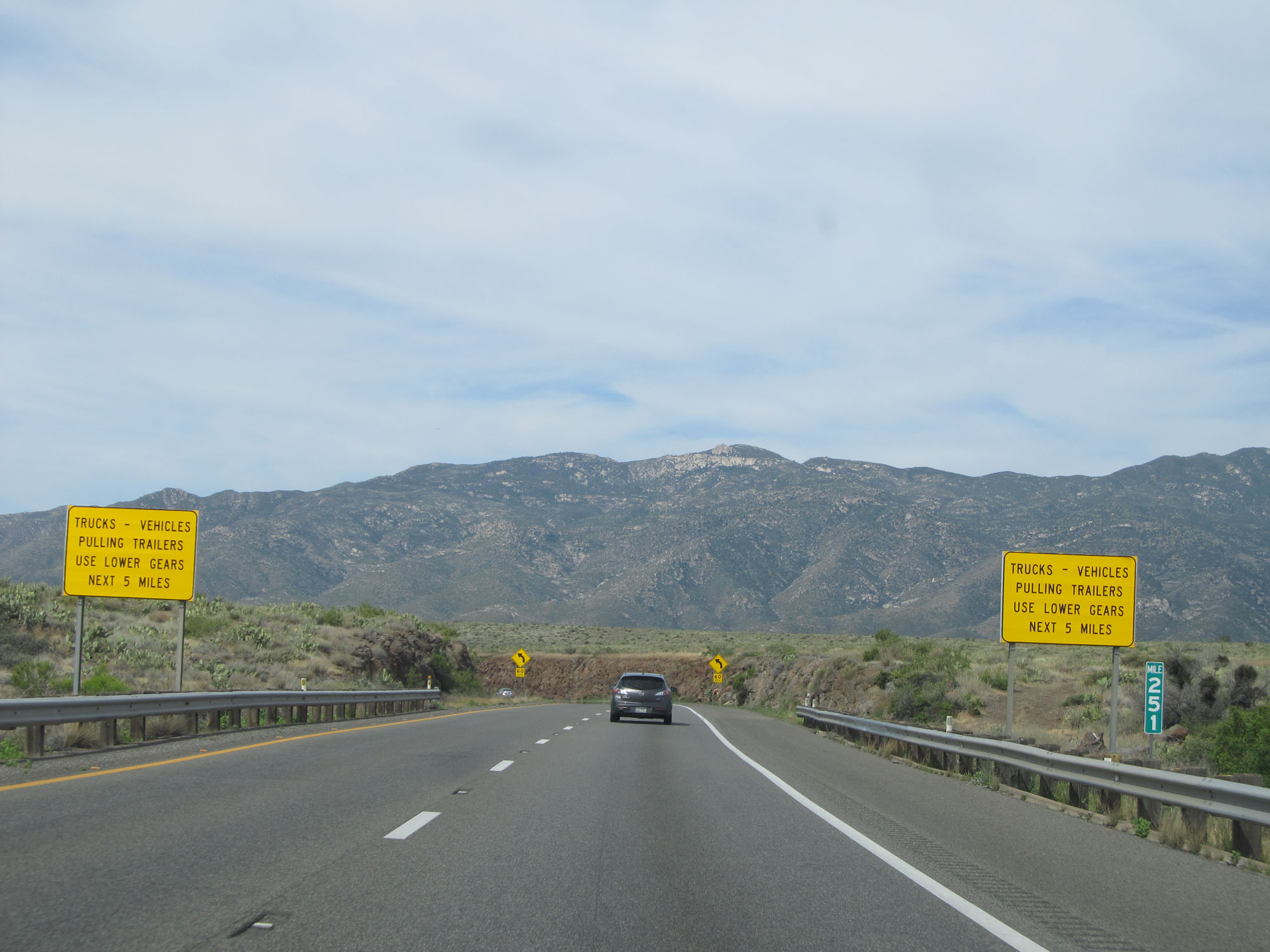 |
Interstate 17 South at mile marker 251, starting down the steep grade. (Photo taken 5/20/15). |
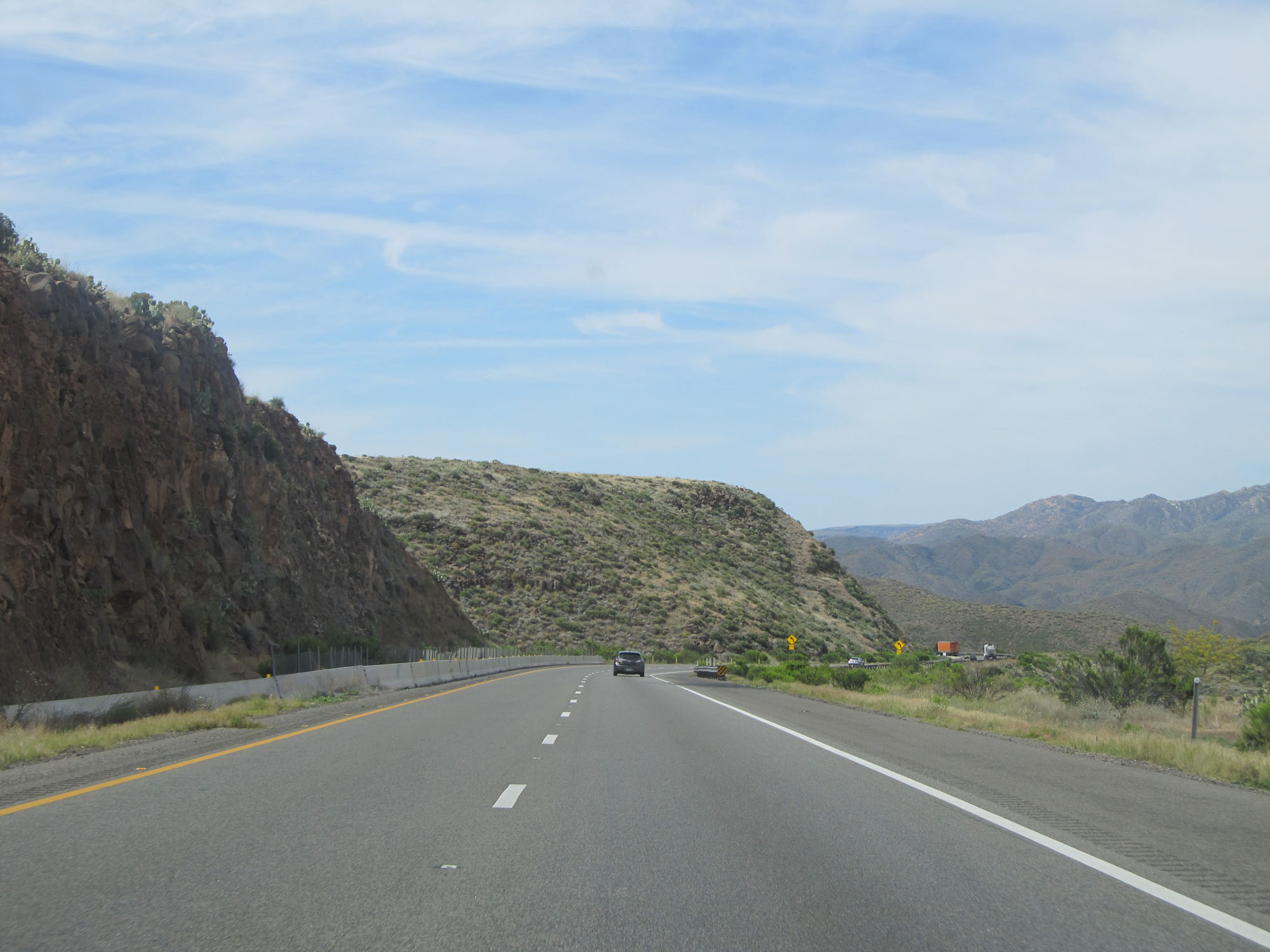 |
View on Interstate 17 South. (Photo taken 5/20/15). |
 |
Another view on Interstate 17 South, continuing down the grade. (Photo taken 5/20/15). |
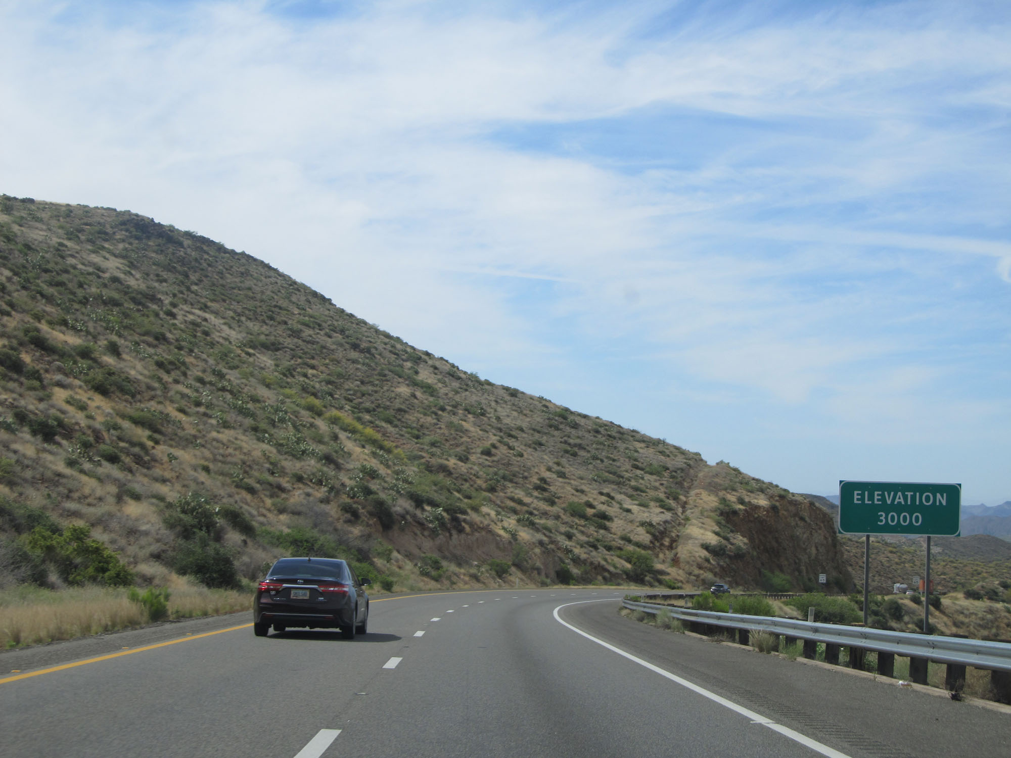 |
At this point, the elevation is now 3,000 feet. (Photo taken 5/20/15). |
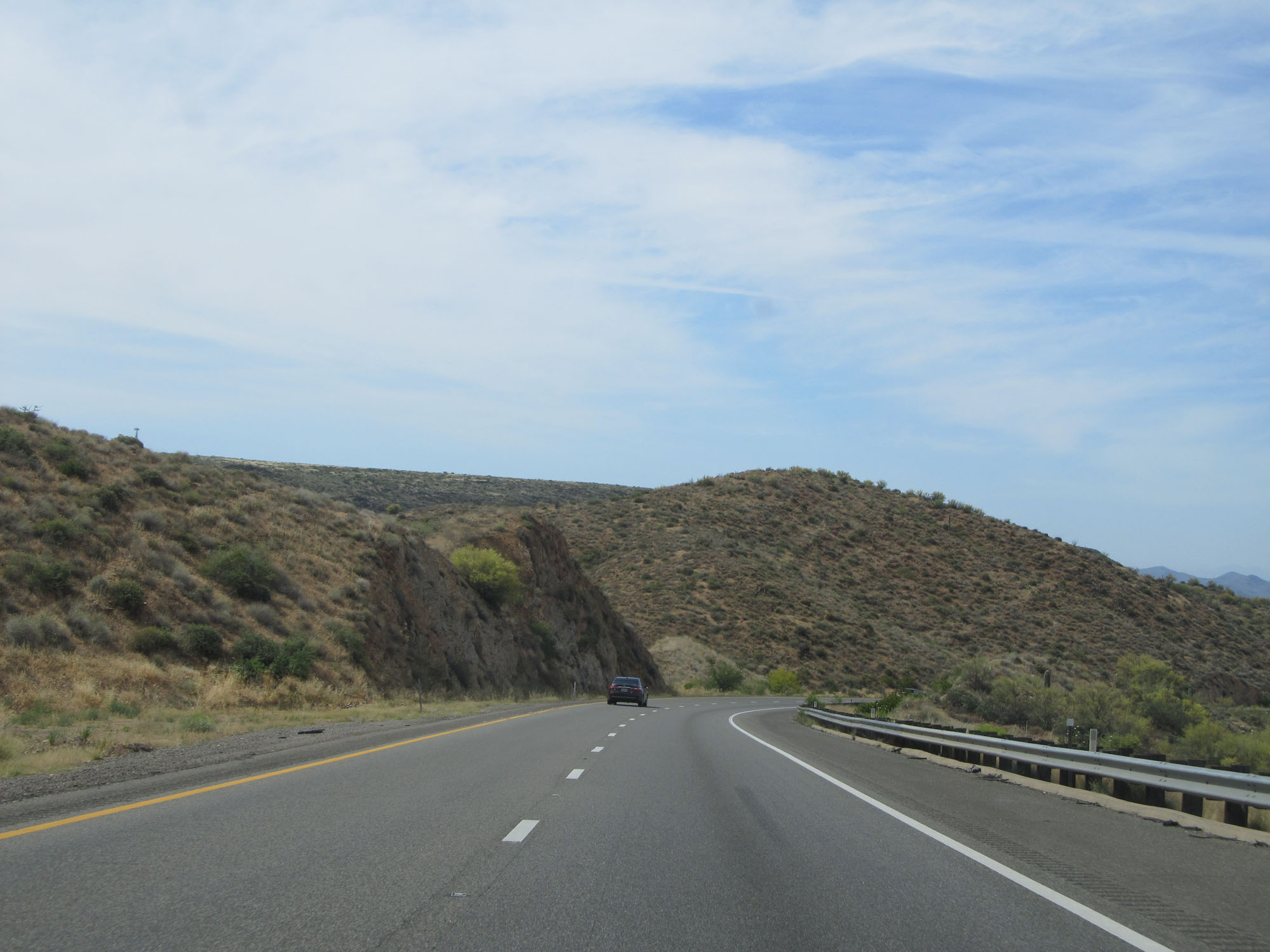 |
View on Interstate 17 South. (Photo taken 5/20/15). |
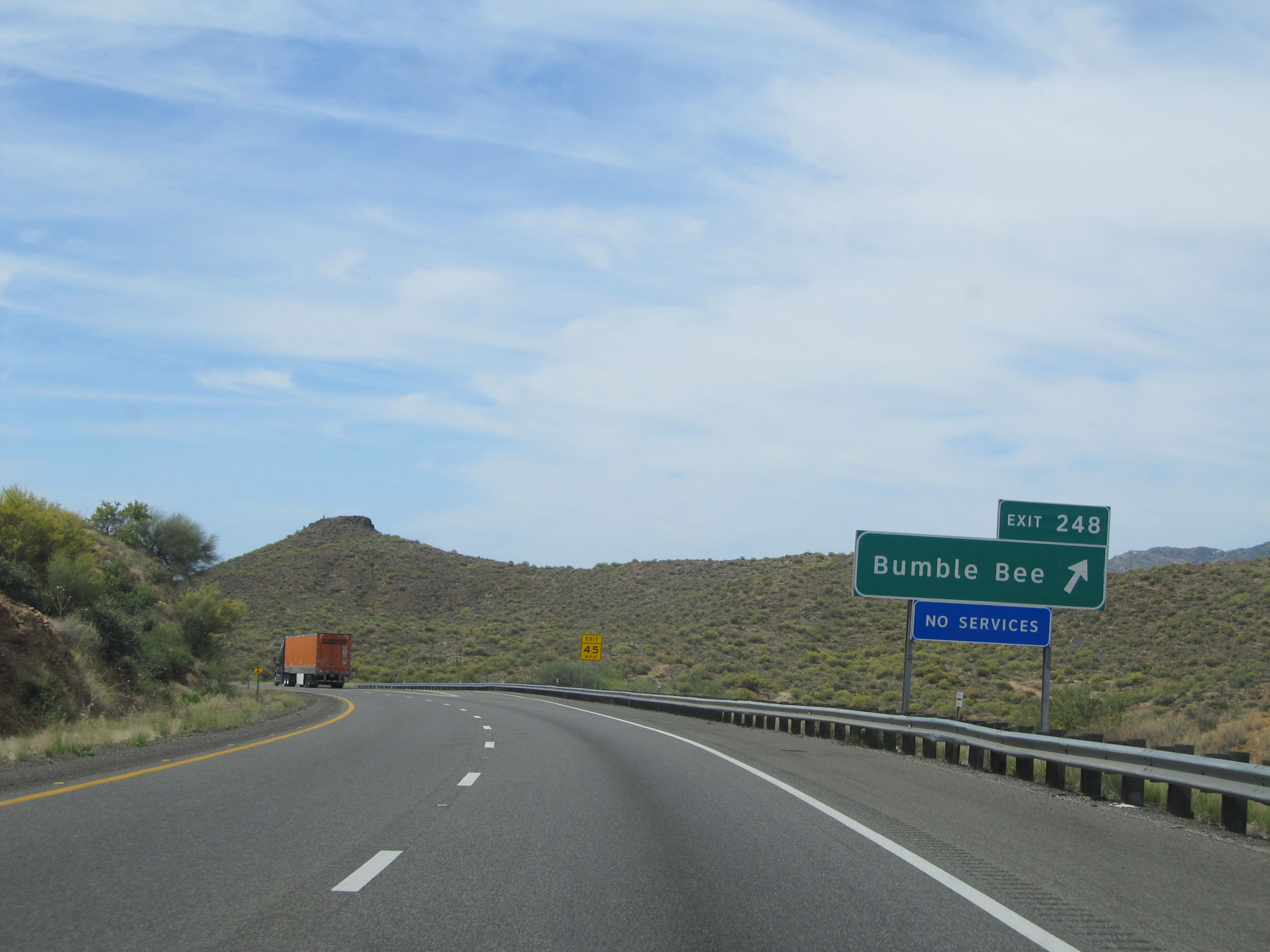 |
Interstate 17 South at Exit 248: Bumble Bee (Photo taken 5/20/15). |
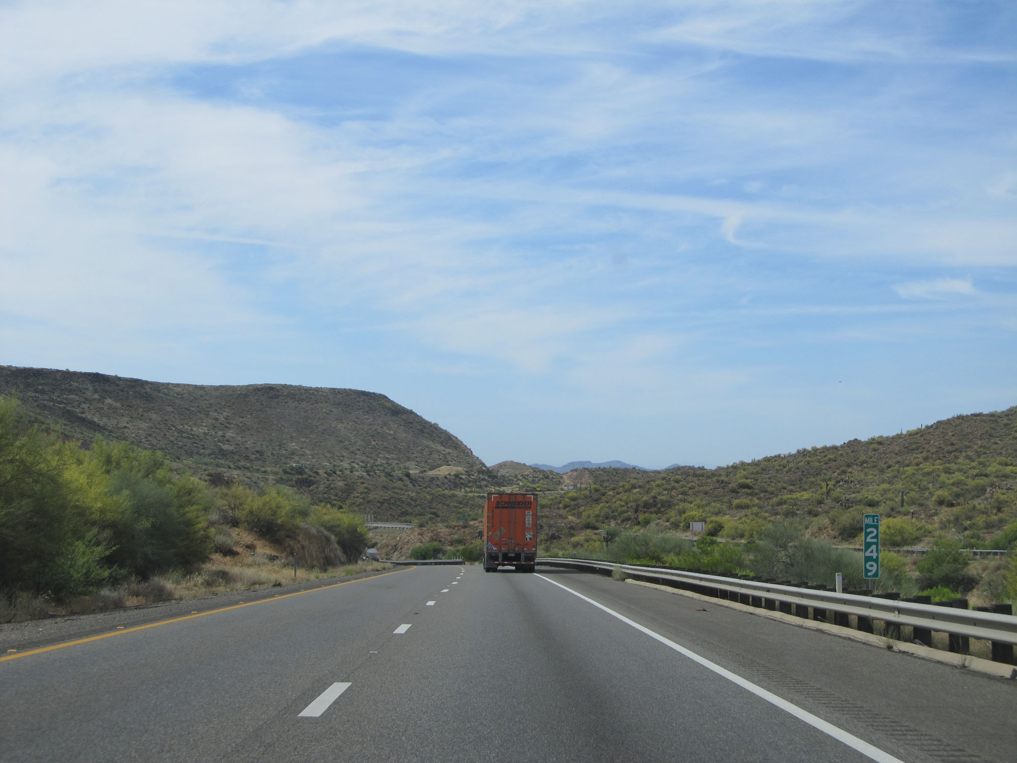 |
Interstate 17 South at mile marker 249. (Photo taken 5/20/15). |
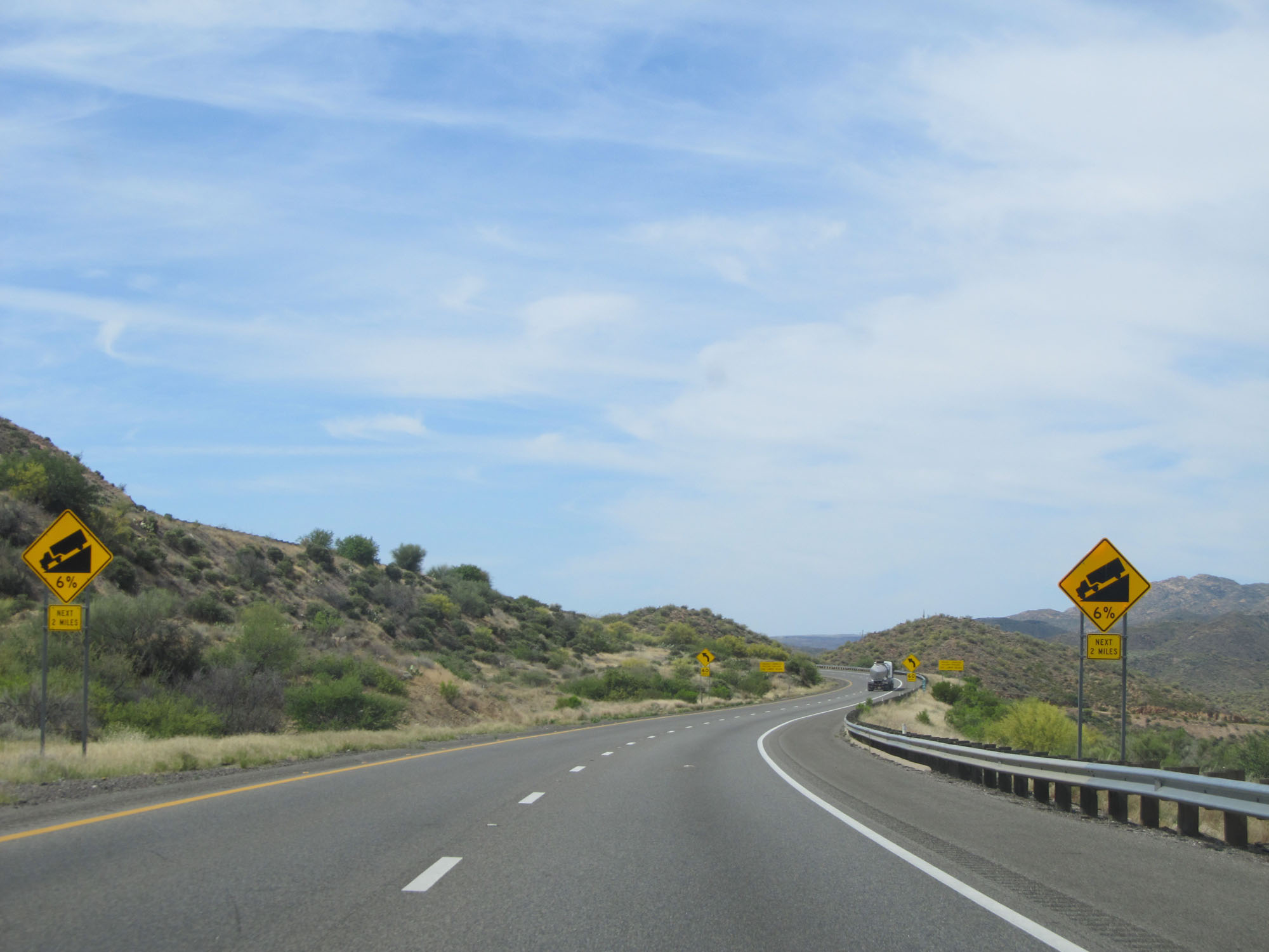 |
The 6% downgrade continues for 2 more miles. (Photo taken 5/20/15). |
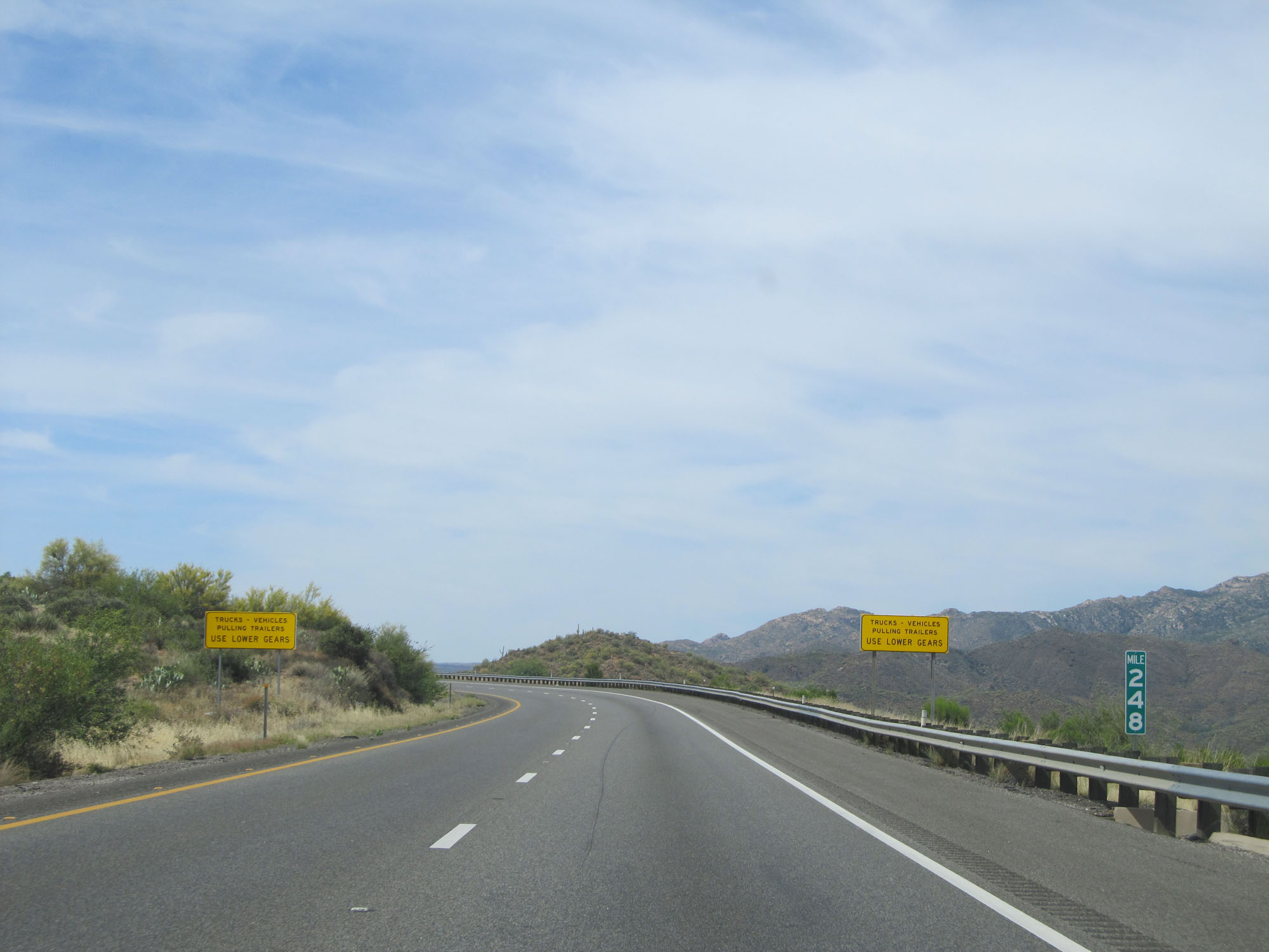 |
Interstate 17 South at mile marker 248. (Photo taken 5/20/15). |
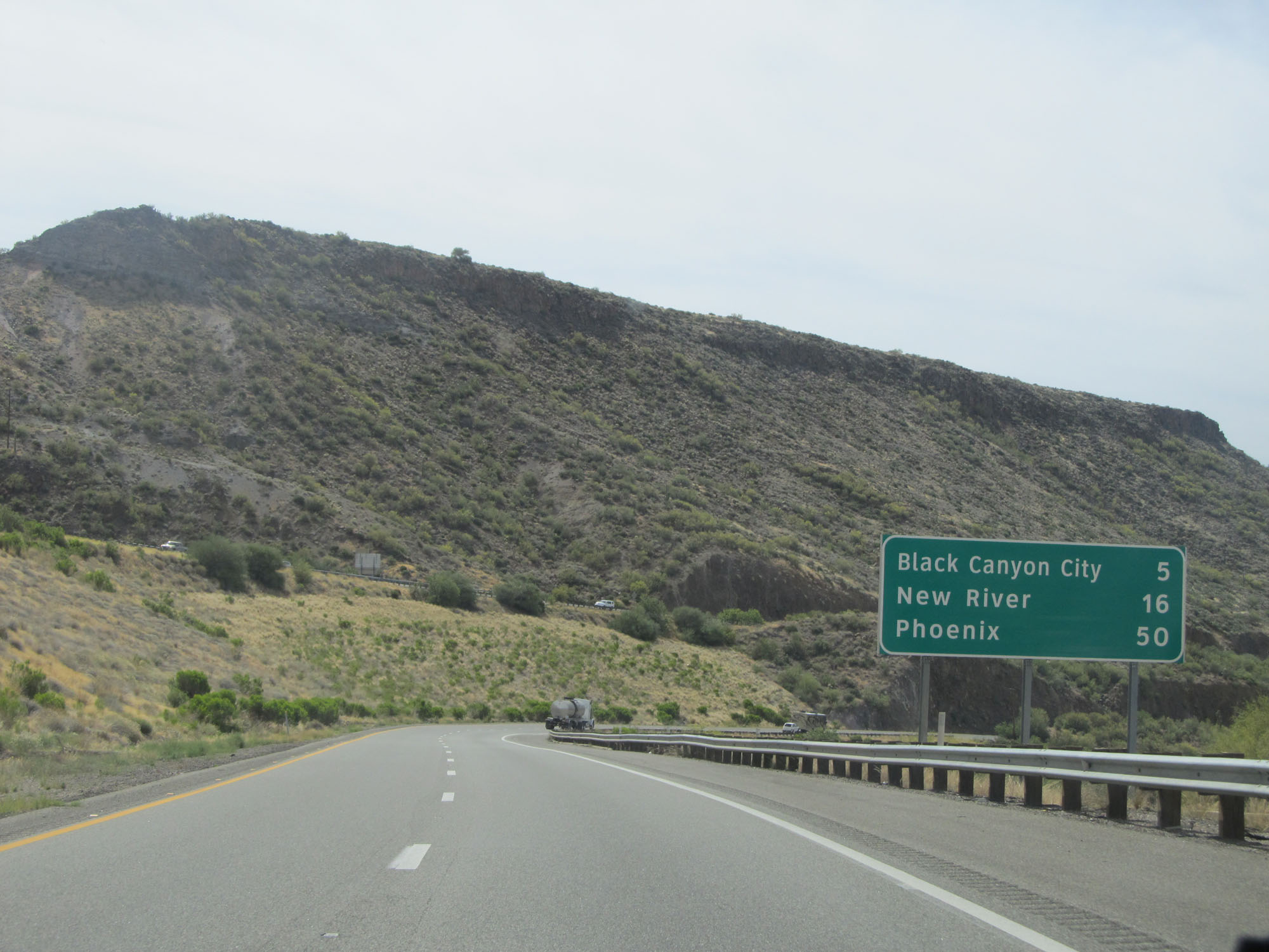 |
Mileage sign on Interstate 17 South. It's 5 miles to Black Canyon City, 16 miles to New River, and 50 miles to Phoenix. (Photo taken 5/20/15). |
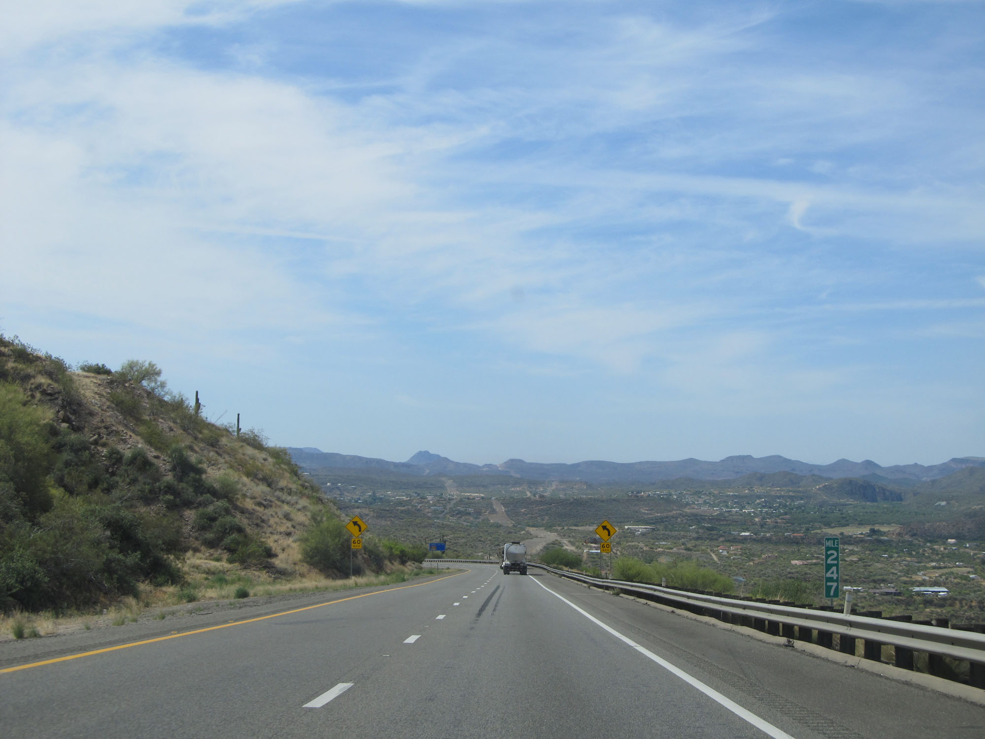 |
Interstate 17 South at mile marker 247. (Photo taken 5/20/15). |
 |
The 65 mph speed limit continues for 3 more miles. (Photo taken 5/20/15). |
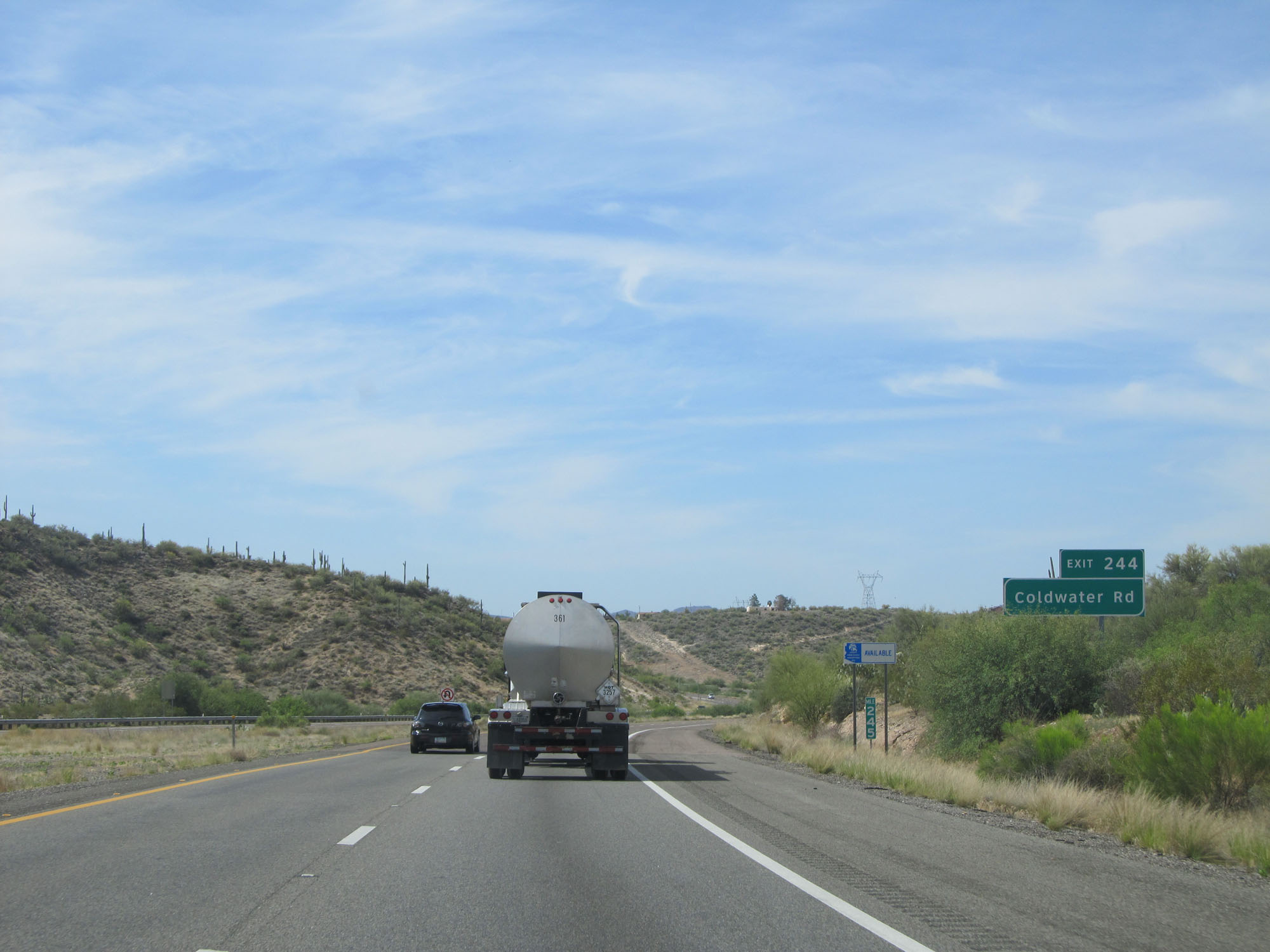 |
Take Exit 244 to Coldwater Rd. (Photo taken 5/20/15). |
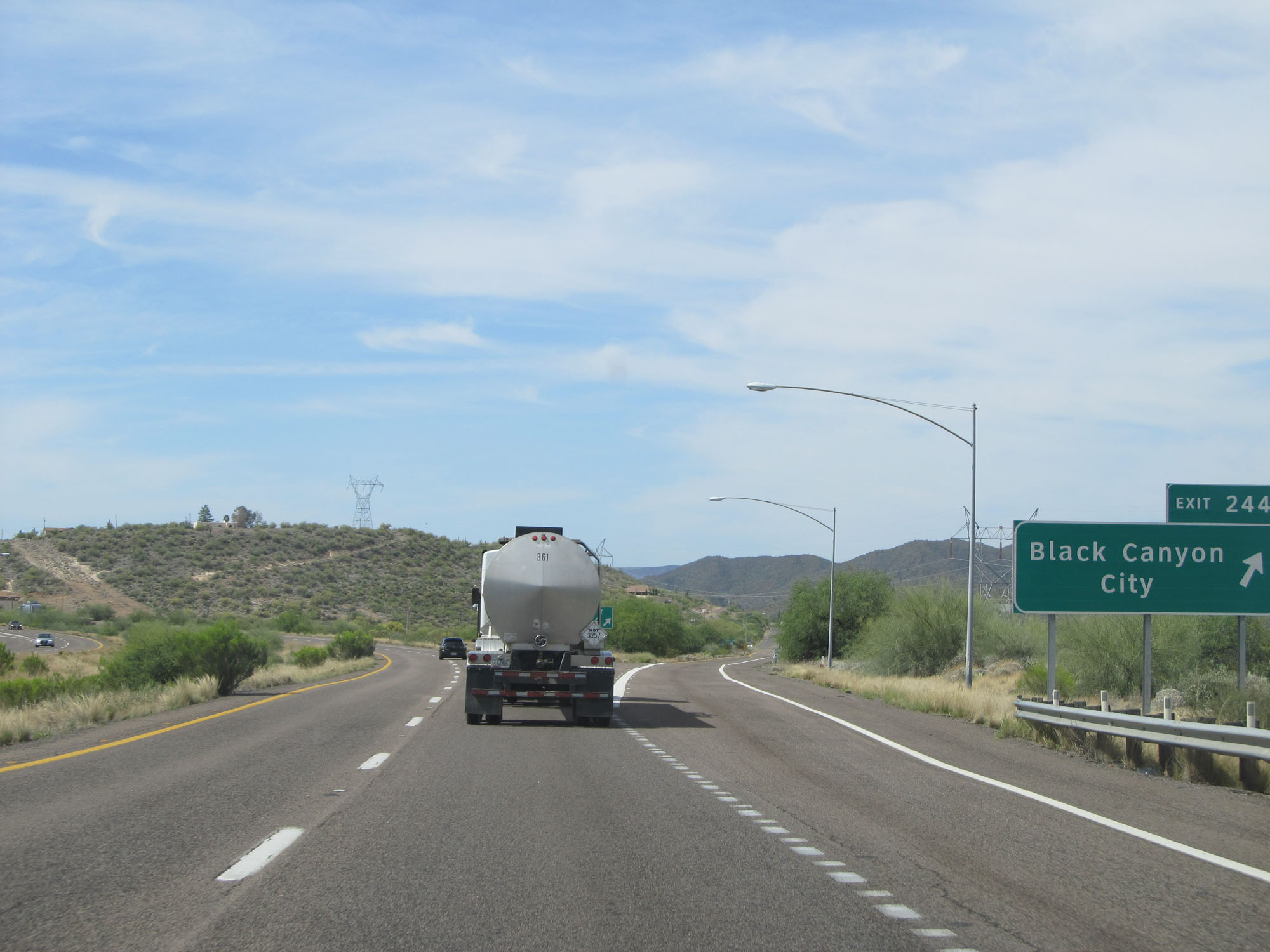 |
Interstate 17 South at Exit 244: Black Canyon City (Photo taken 5/20/15). |
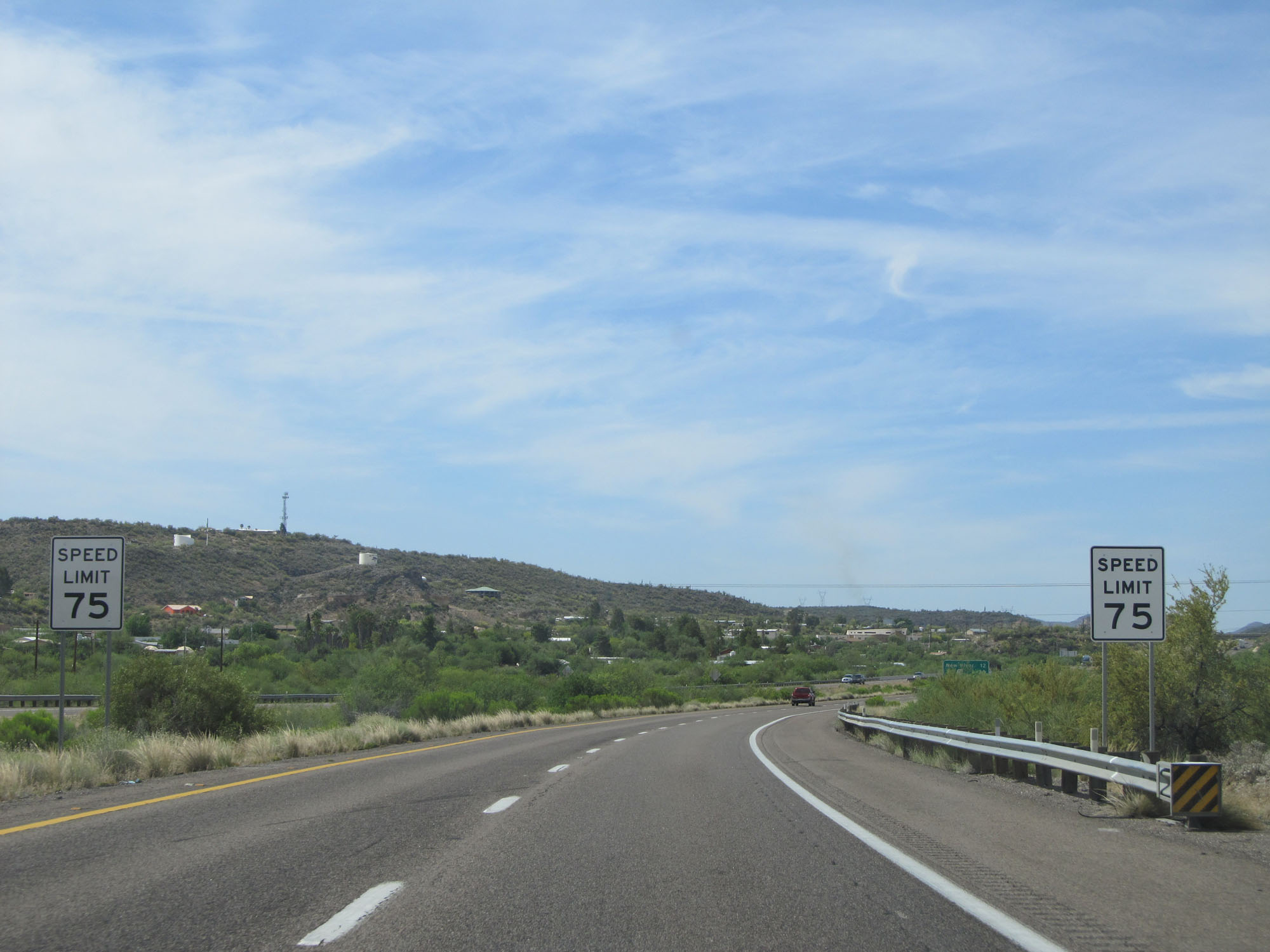 |
Just south of Exit 244, the standard rural speed limit of 75 mph resumes. (Photo taken 5/20/15). |
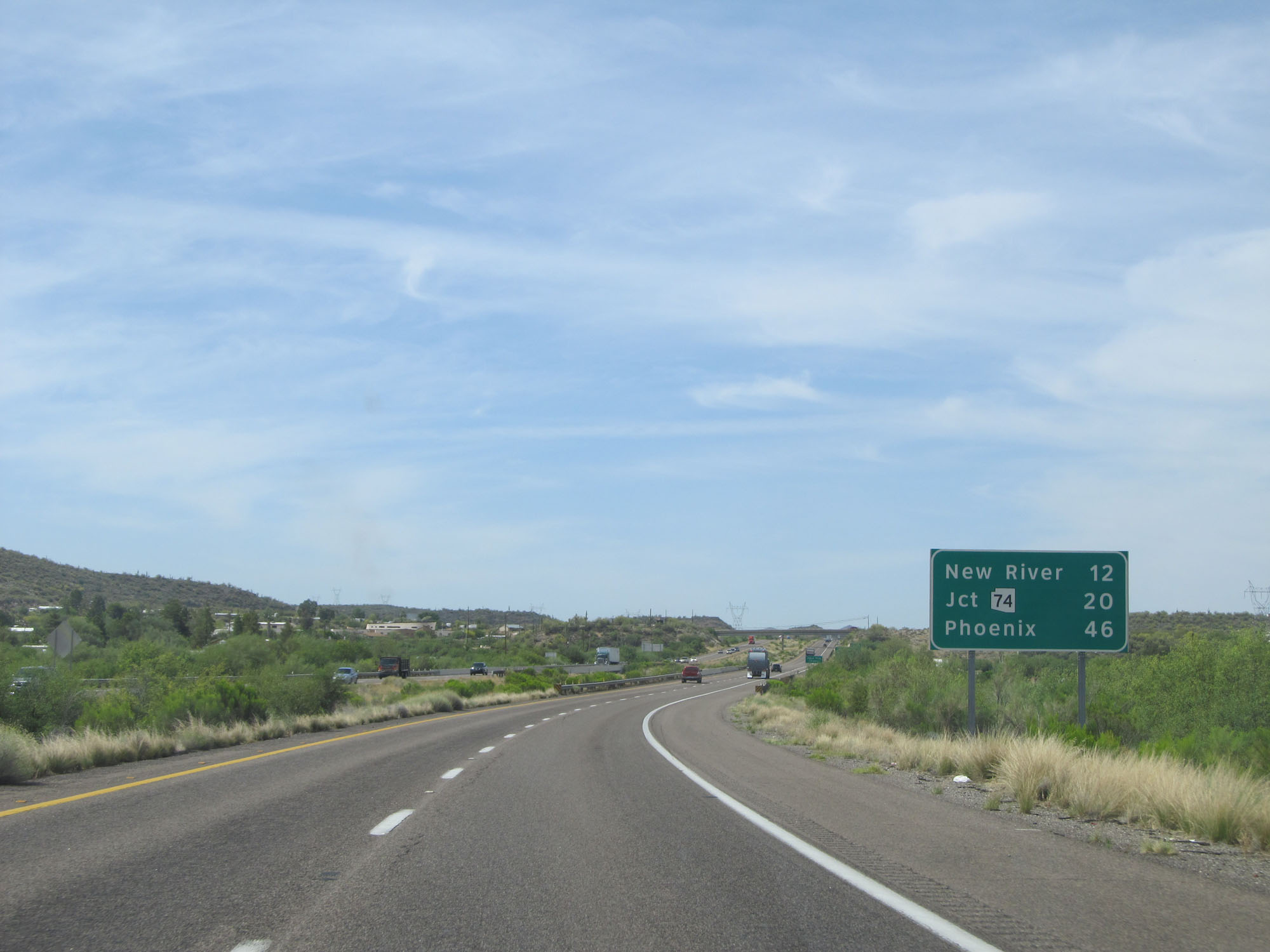 |
Mileage sign on Interstate 17 South. It's 12 miles to New River, 20 miles to the junction of AZ 74, and 46 miles to Phoenix. (Photo taken 5/20/15). |
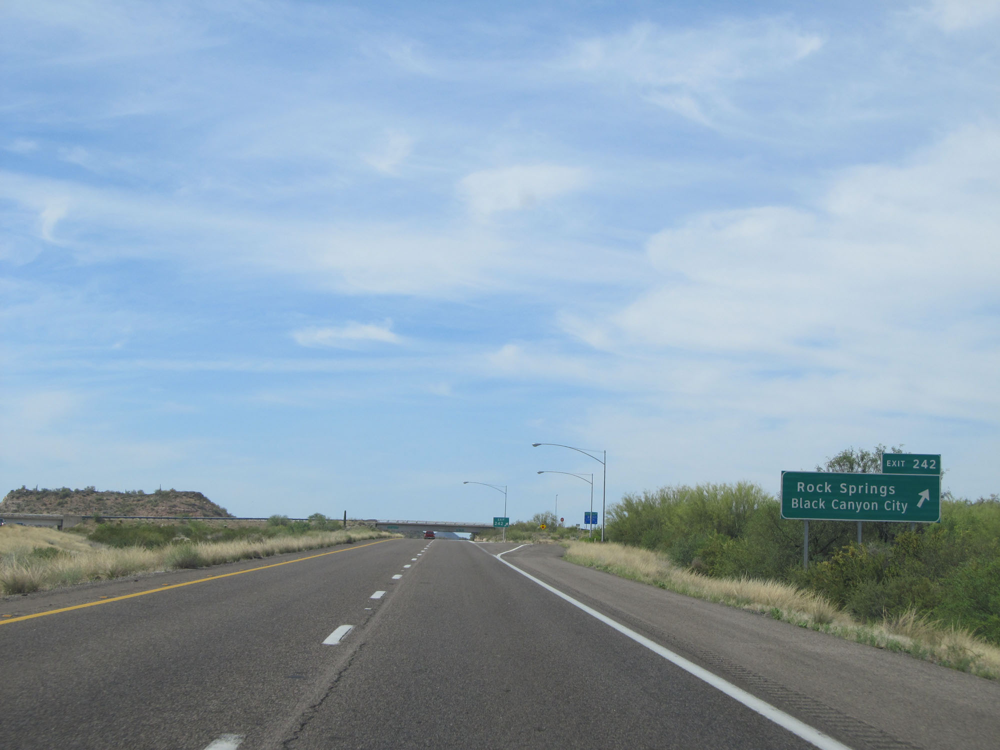 |
Interstate 17 South at Exit 242: Rock Springs / Black Canyon City (Photo taken 5/20/15). |
Section 3: Black Canyon City (Exit 242) to Southern Terminus
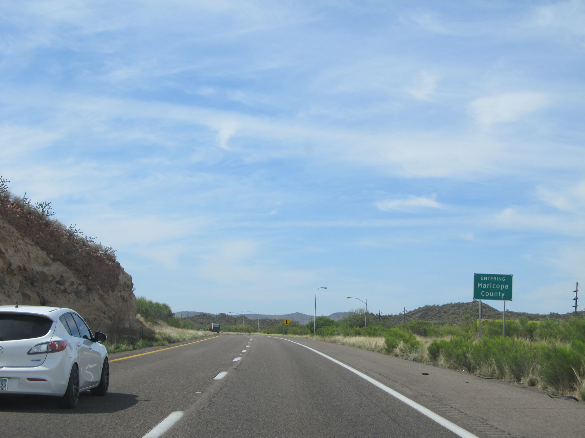 |
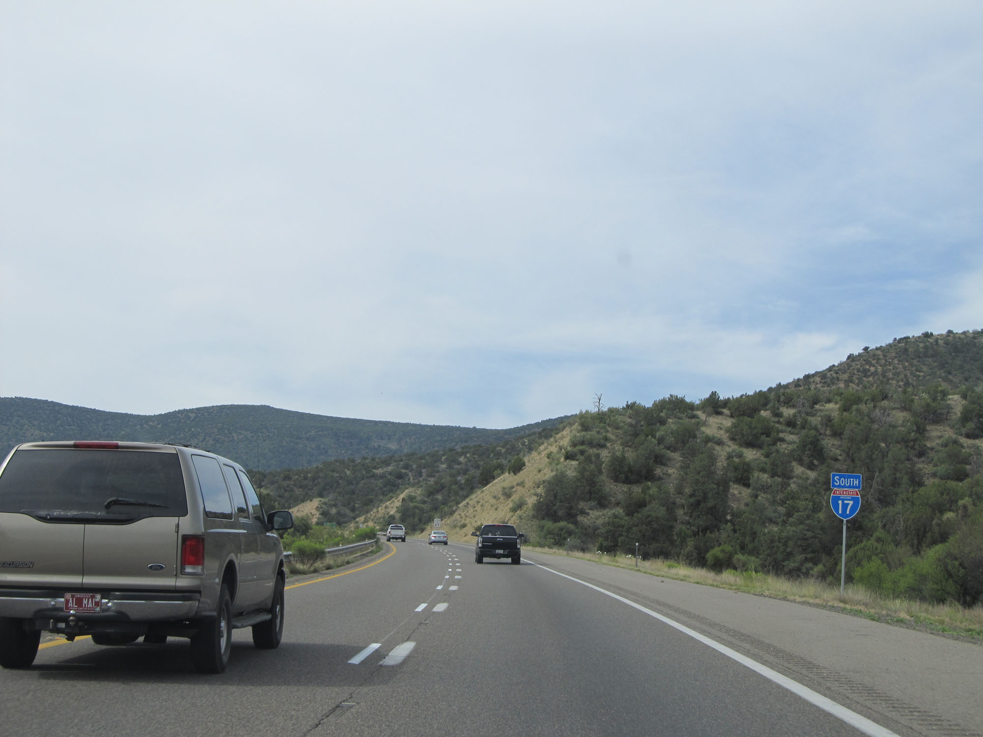
Interstate 17 South entering Maricopa County. (Photo taken 5/20/15). |
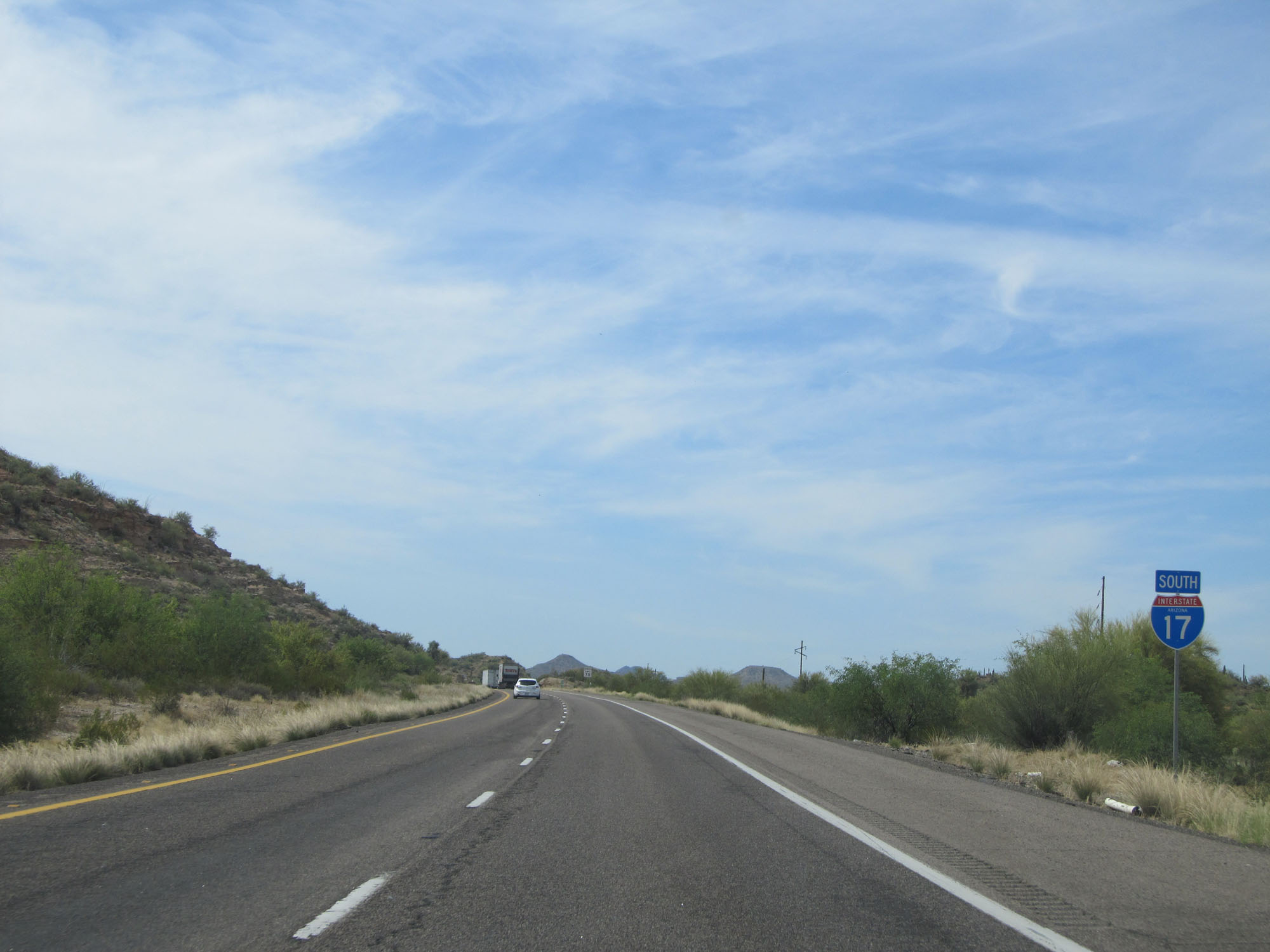 |
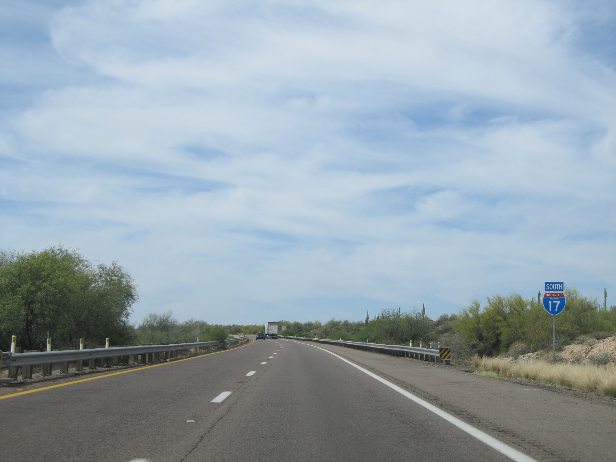
Interstate 17 South reassurance shield. (Photo taken 5/20/15). |
 |
View on Interstate 17 South. We started out with tall pine trees, and a little over 100 miles later we have cacti. (Photo taken 5/20/15). |
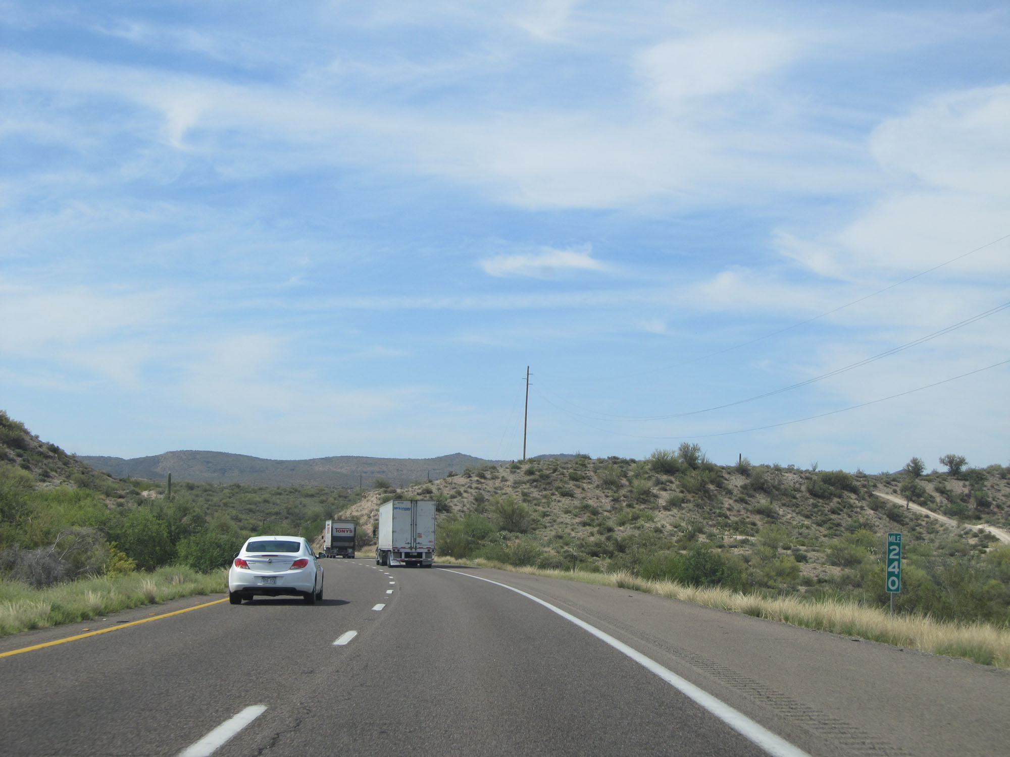 |
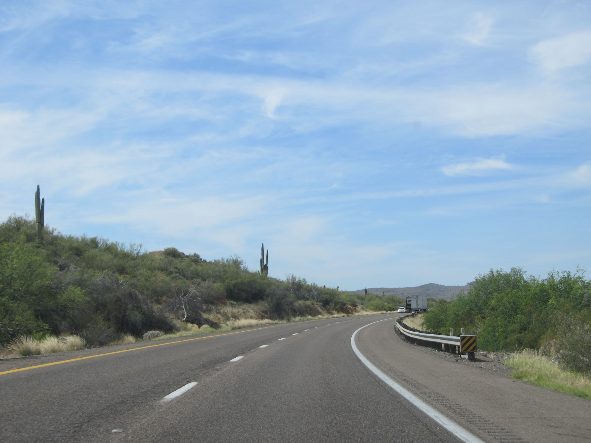
Interstate 17 South at mile marker 240. (Photo taken 5/20/15). |
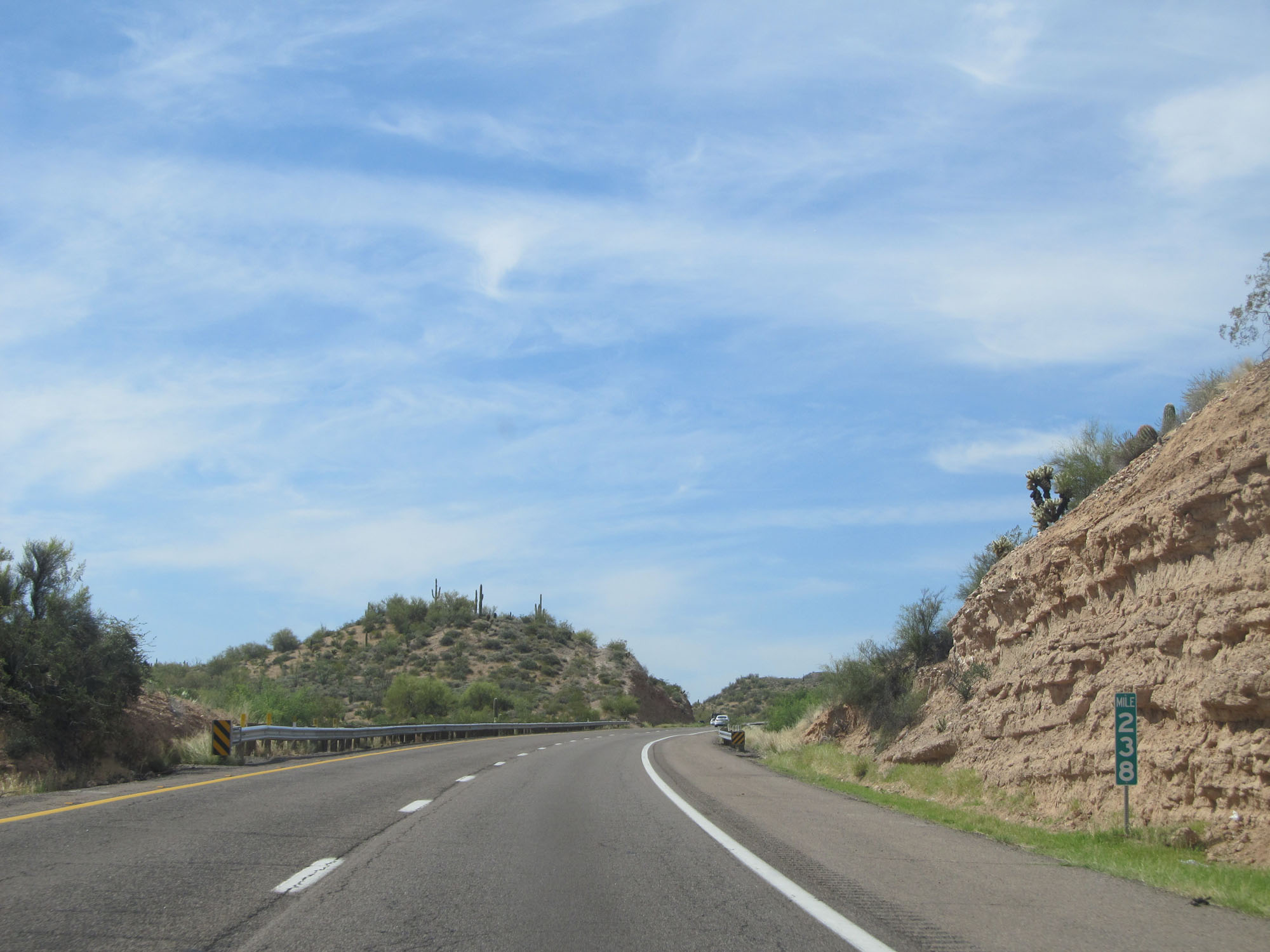 |
Interstate 17 South at mile marker 238. (Photo taken 5/20/15). |
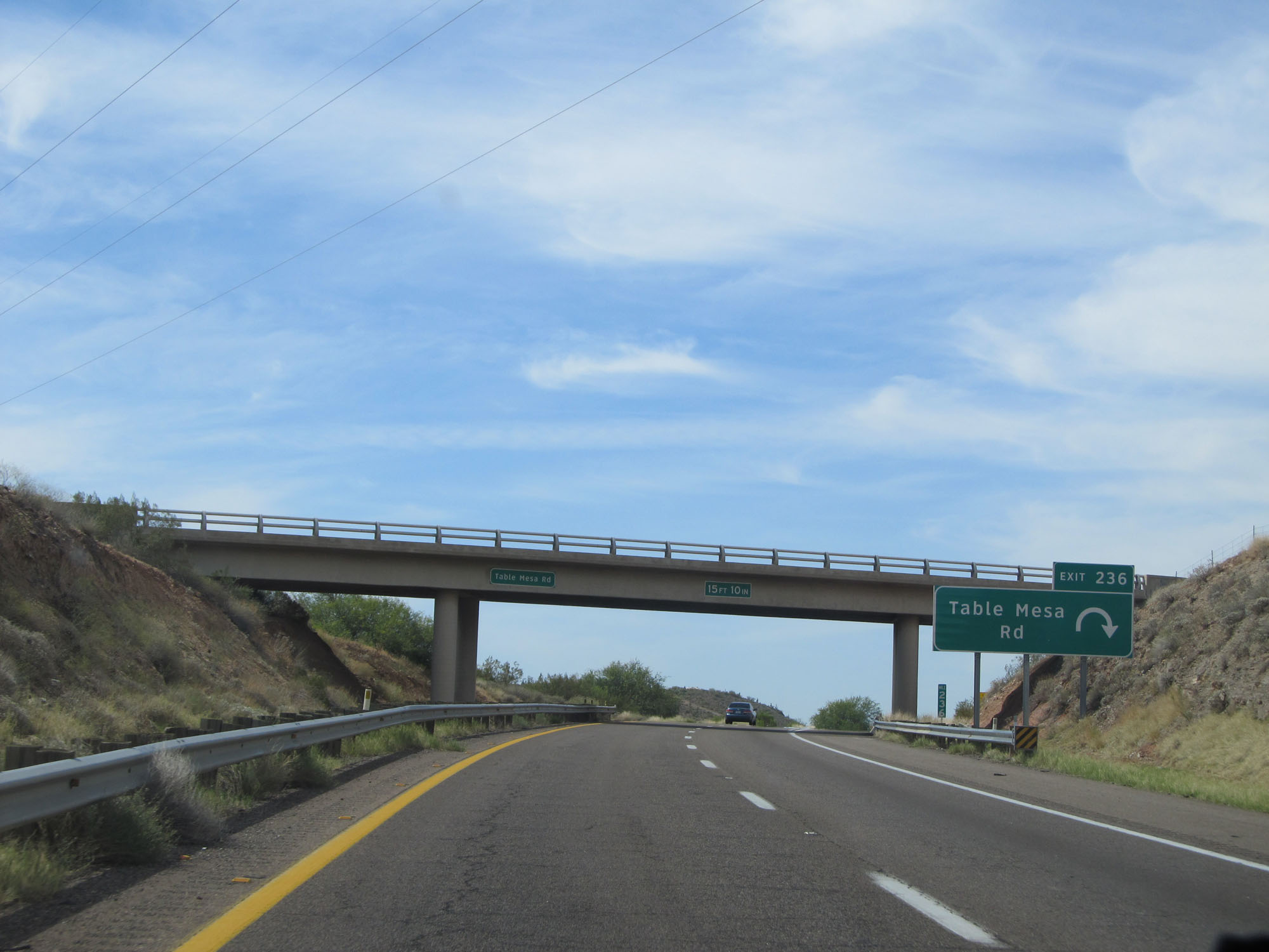 |
Interstate 17 South at Exit 236: Table Mesa Rd (Photo taken 5/20/15). |
 |
Another state-named Interstate 17 South reassurance shield. (Photo taken 5/20/15). |
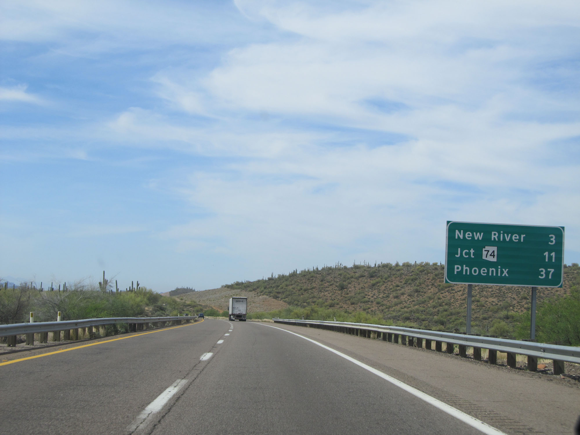 |
Mileage sign on Interstate 17 South. It's 3 miles to New River, 11 miles to the junction of AZ 74, and 37 miles to Phoenix. (Photo taken 5/20/15). |
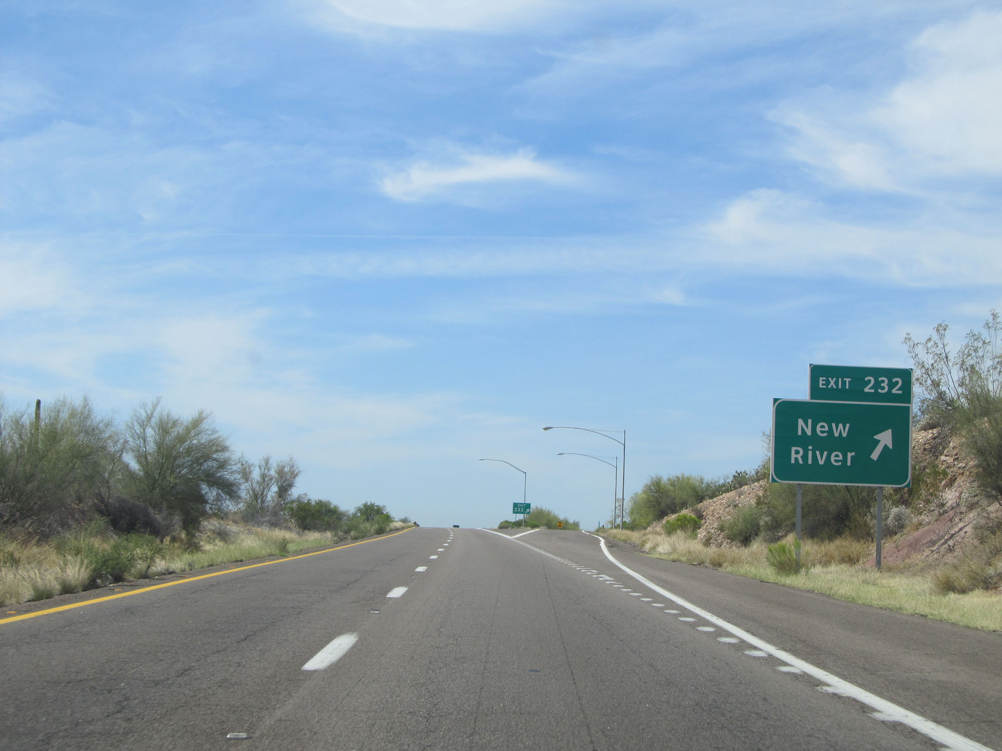 |
Interstate 17 South at Exit 232: New River (Photo taken 5/20/15). |
 |
Interstate 17 South as it drops to an elevation of 2,000 feet. Can you believe we've come down over 5,000 feet in altitude since Flagstaff? (Photo taken 5/20/15). |
 |
The speed limit remains 75 mph. (Photo taken 5/20/15). |
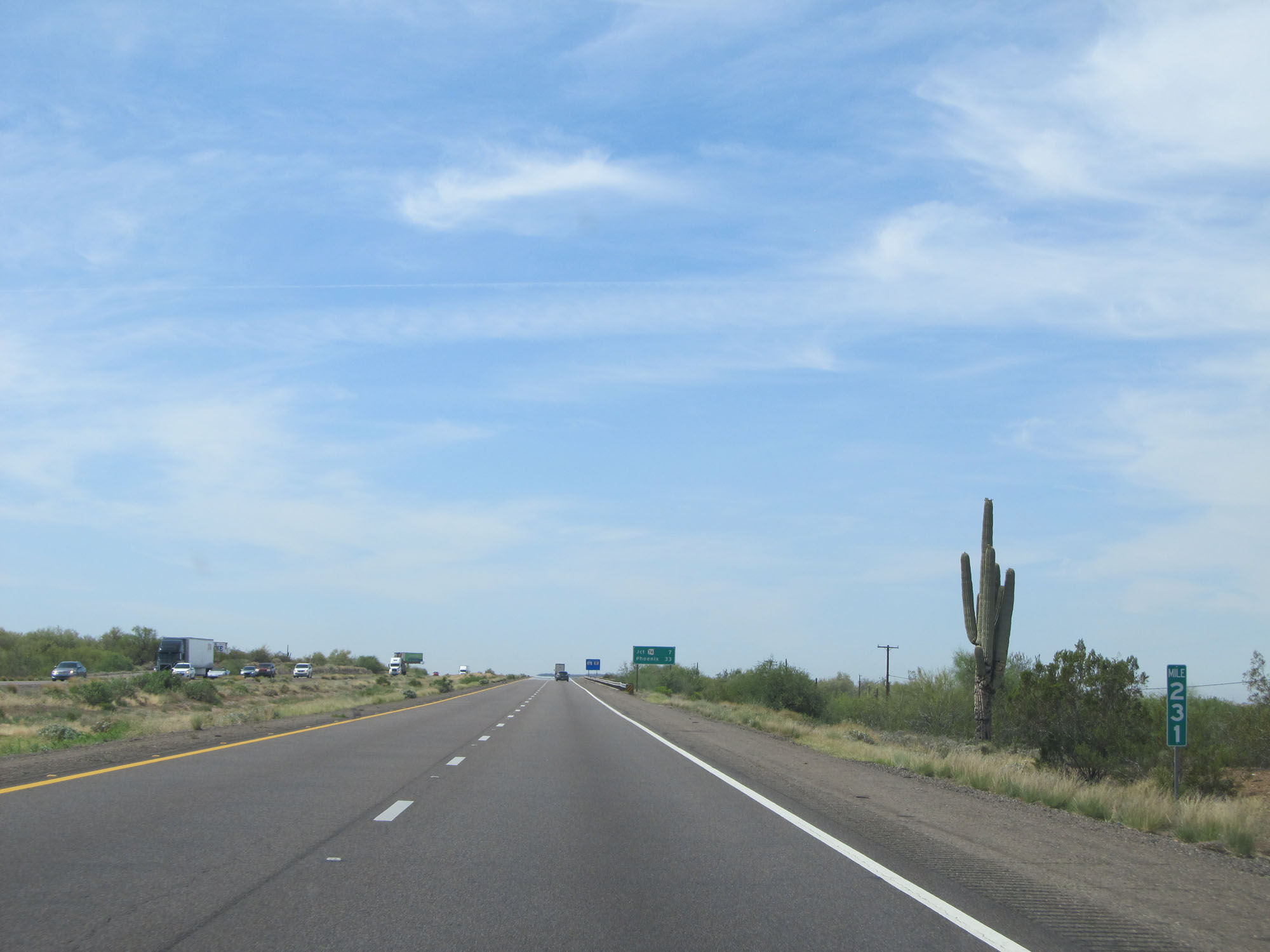 |
Interstate 17 South at mile marker 231. (Photo taken 5/20/15). |
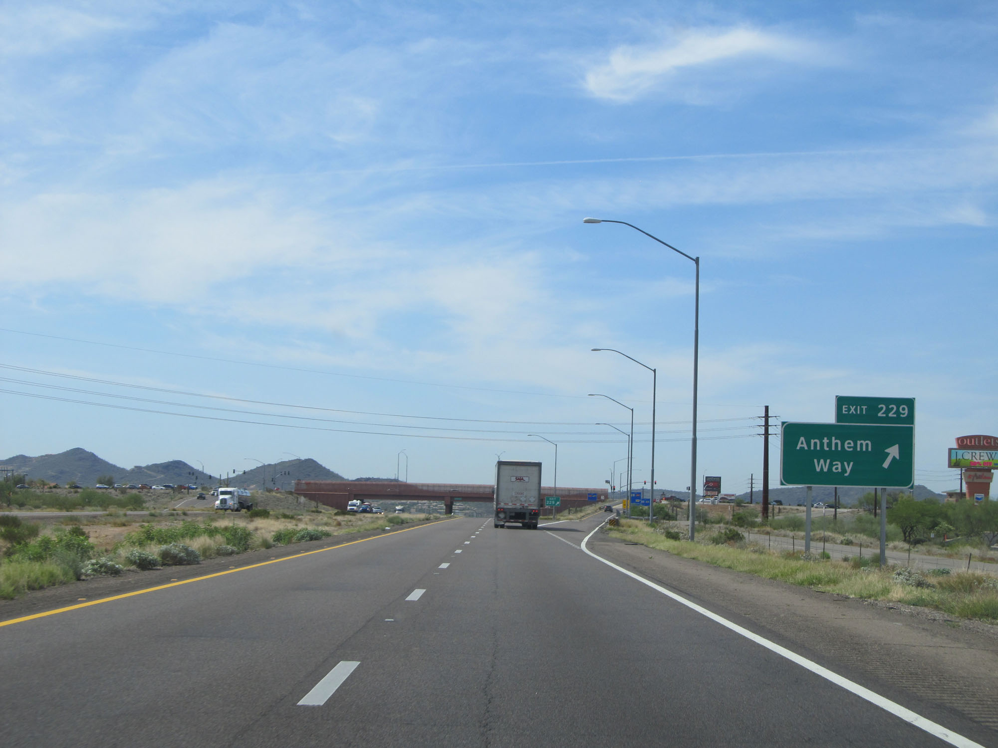 |
Interstate 17 South at Exit 229: Anthem Way (Photo taken 5/20/15). |
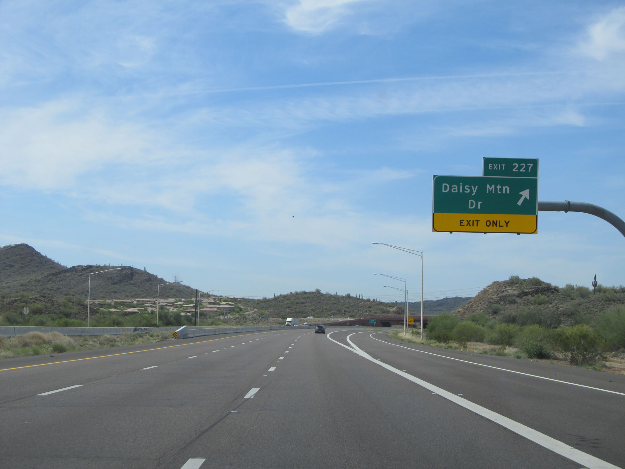 |
Interstate 17 South at Exit 227: Daisy Mtn Dr (Photo taken 5/20/15). |
 |
Take Exit 225 to Pioneer Living History Museum. (Photo taken 5/20/15). |
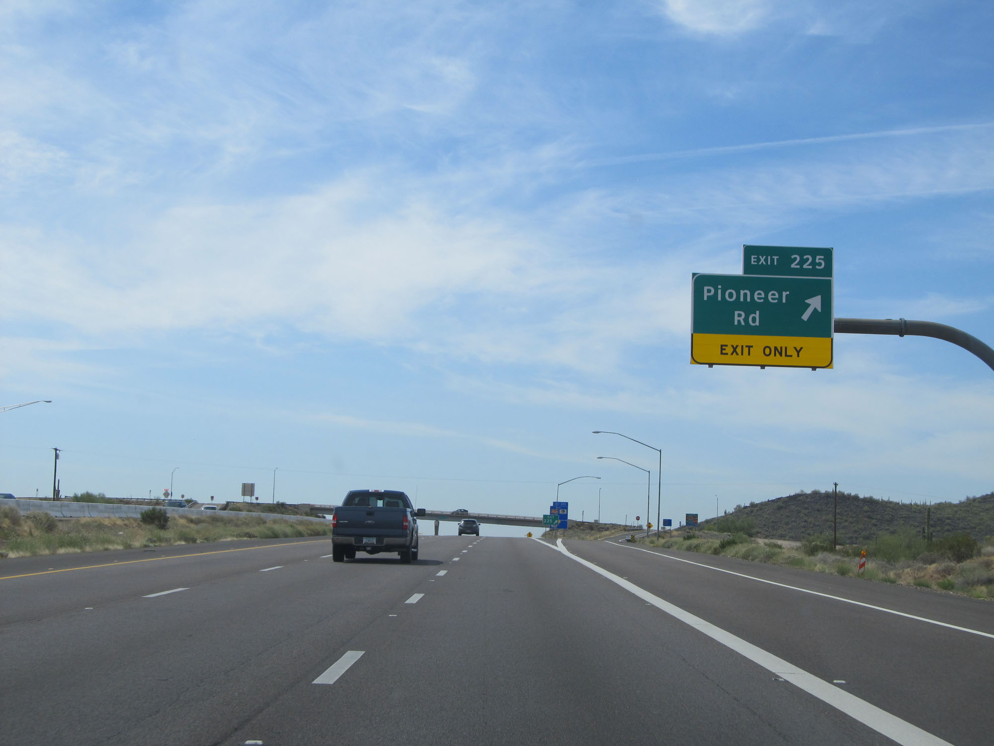 |
Interstate 17 South at Exit 225: Pioneer Rd (Photo taken 5/20/15). |
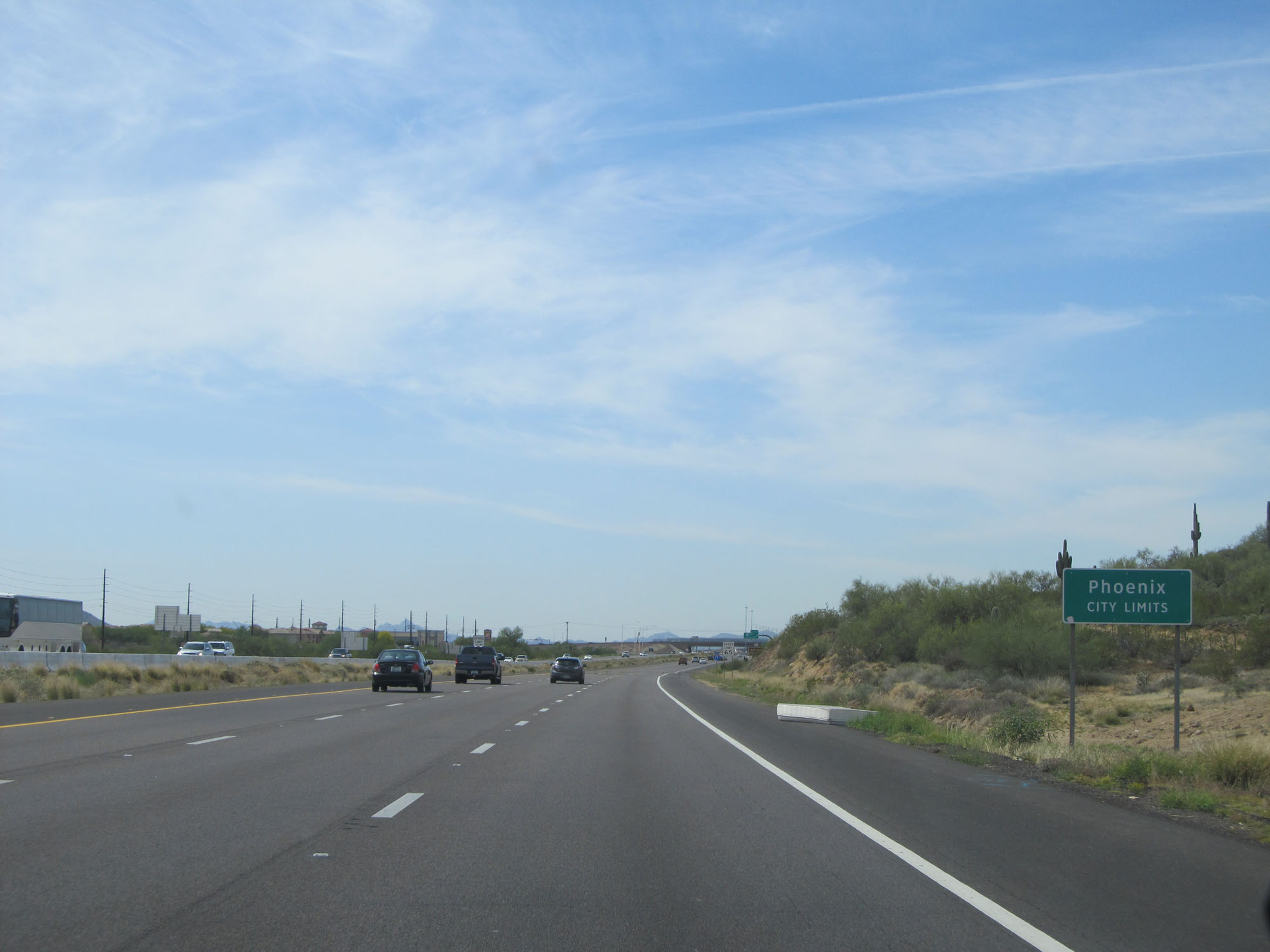 |
Interstate 17 South as it enters the Phoenix city limits. (Photo taken 5/20/15). |
 |
Upon entering the Phoenix city limits, the speed limit decreases to 65 mph. (Photo taken 5/20/15). |
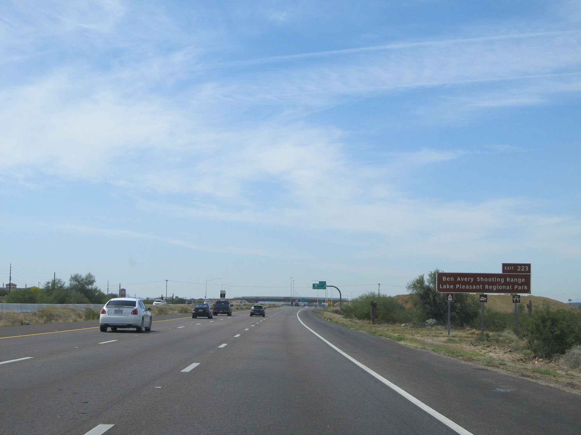 |
Take Exit 223 to Ben Avery Shooting Range and Lake Pleasant Regional Park. (Photo taken 5/20/15). |
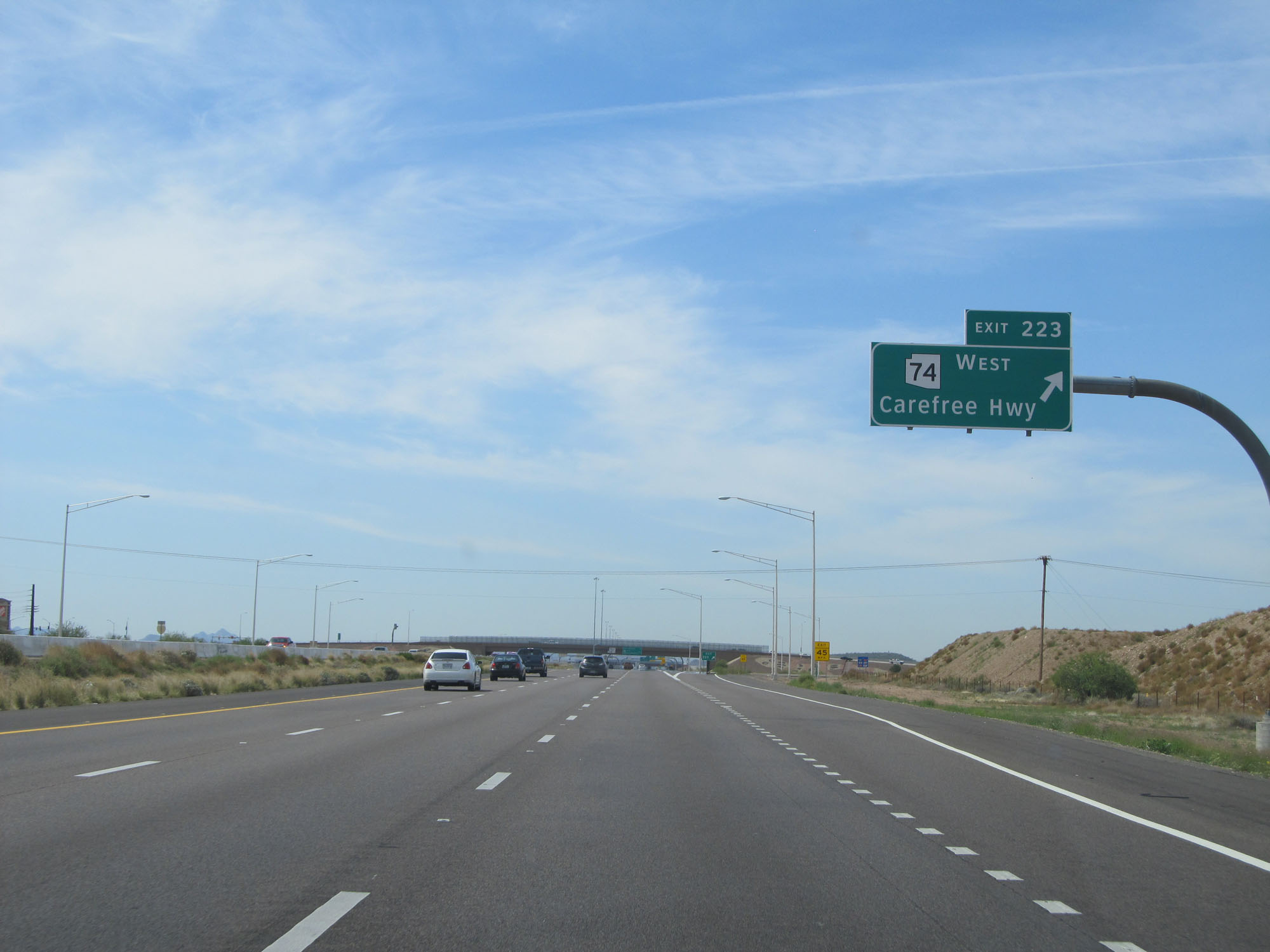 |
Interstate 17 South at Exit 223: AZ 74 West - Carefree Hwy (Photo taken 5/20/15). |
 |
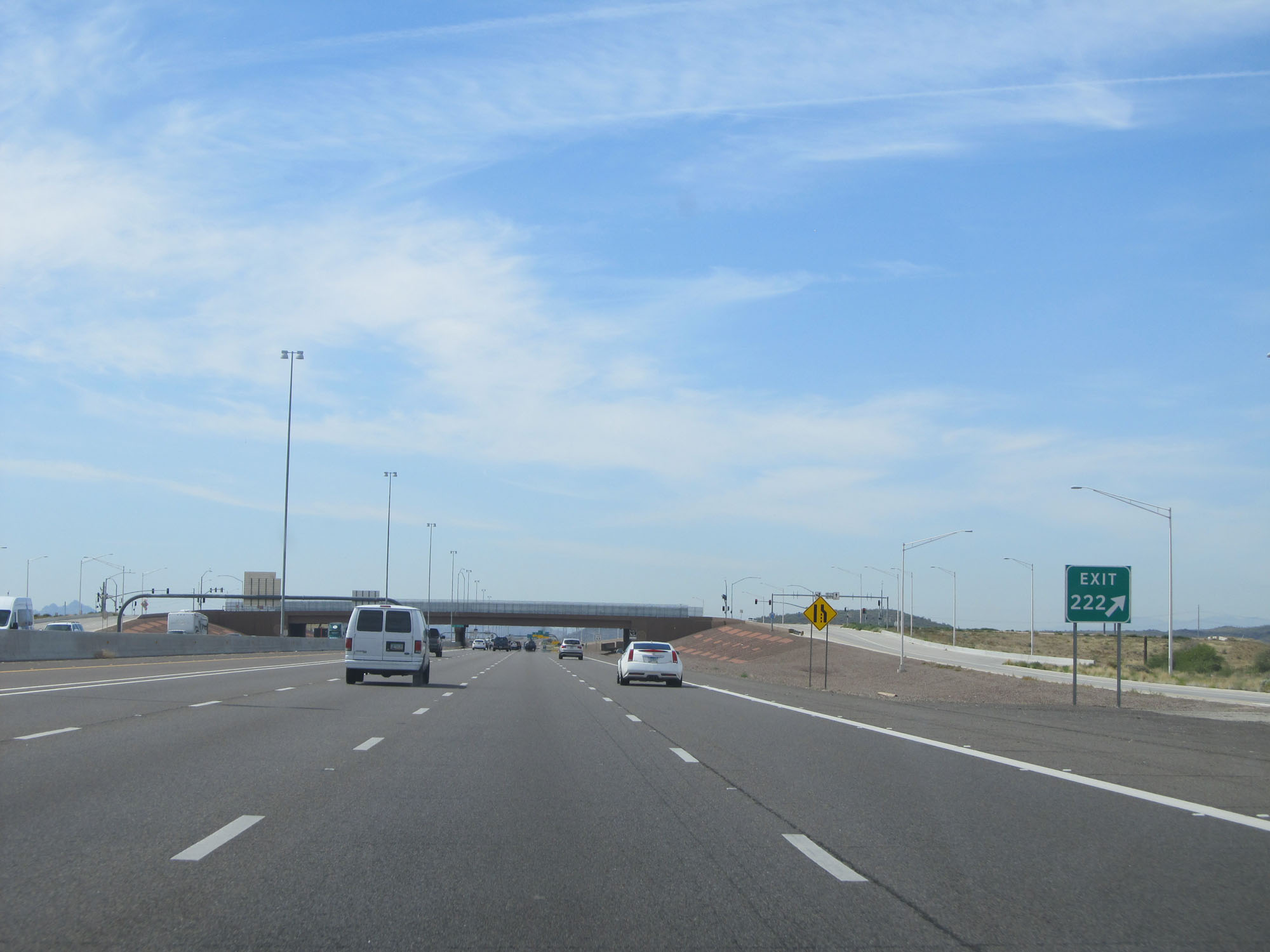
Interstate 17 South approaching Exit 222 - 1/2 mile. (Photo taken 5/20/15). |
 |
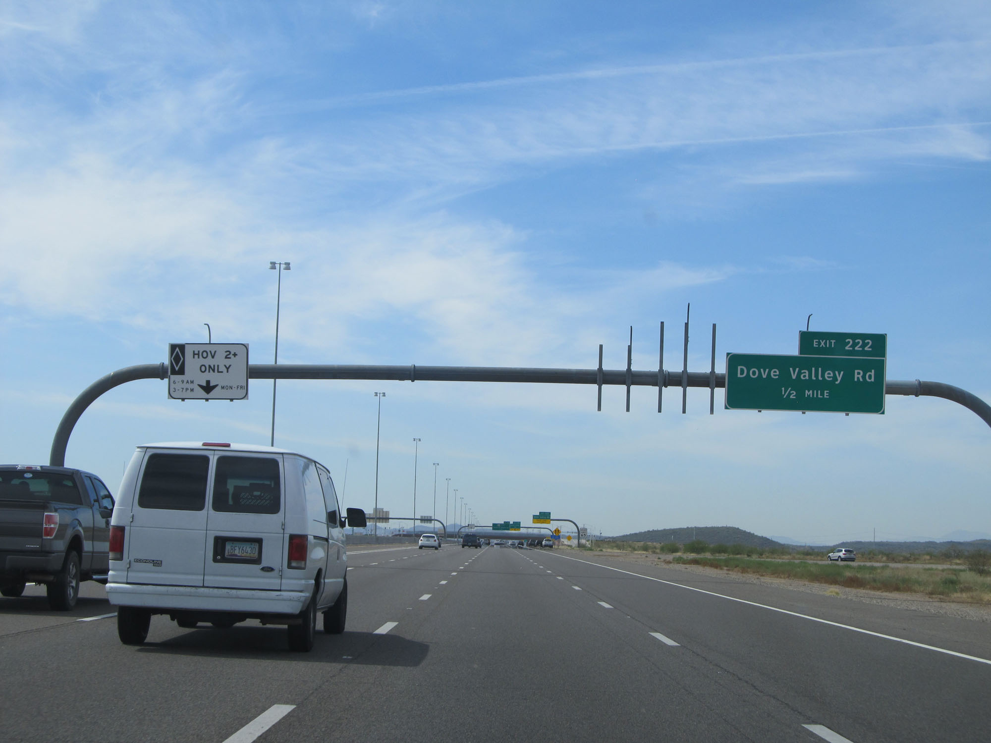
Interstate 17 South at Exit 222: Dove Valley Rd (Photo taken 5/20/15). |
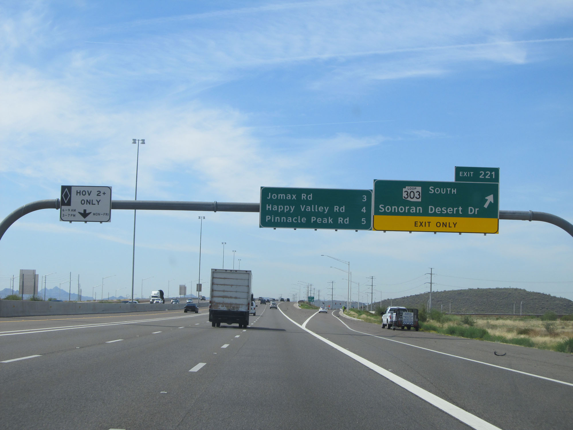 |
Interstate 17 South at Exit 221: AZ Loop 303 South - Sonoran Desert Dr (Photo taken 5/20/15). |
 |
Sign listing the distances to the three upcoming exits on Interstate 17 South. (Photo taken 5/20/15). |
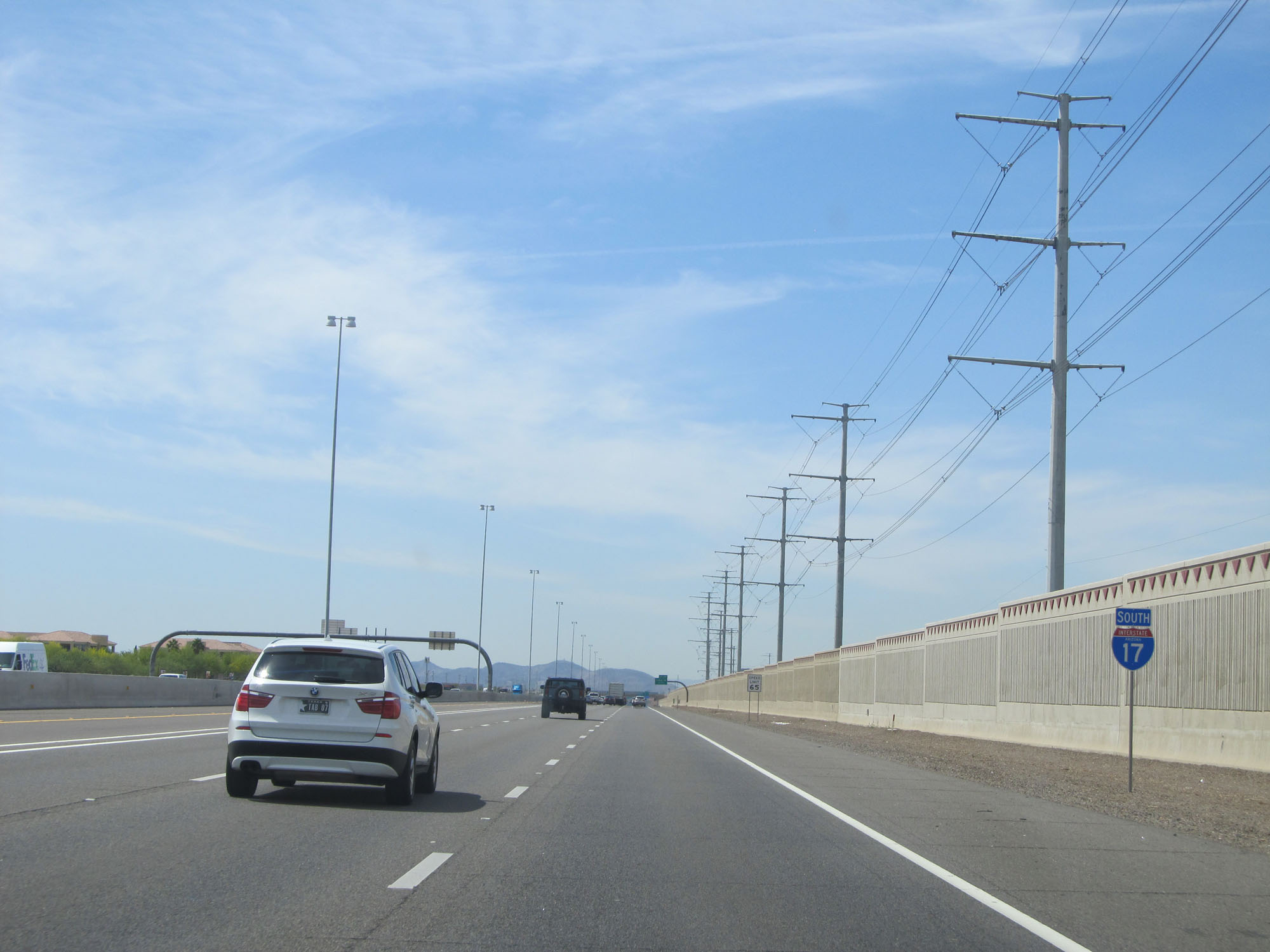 |
State-named Interstate 17 South reassurance shield. (Photo taken 5/20/15). |
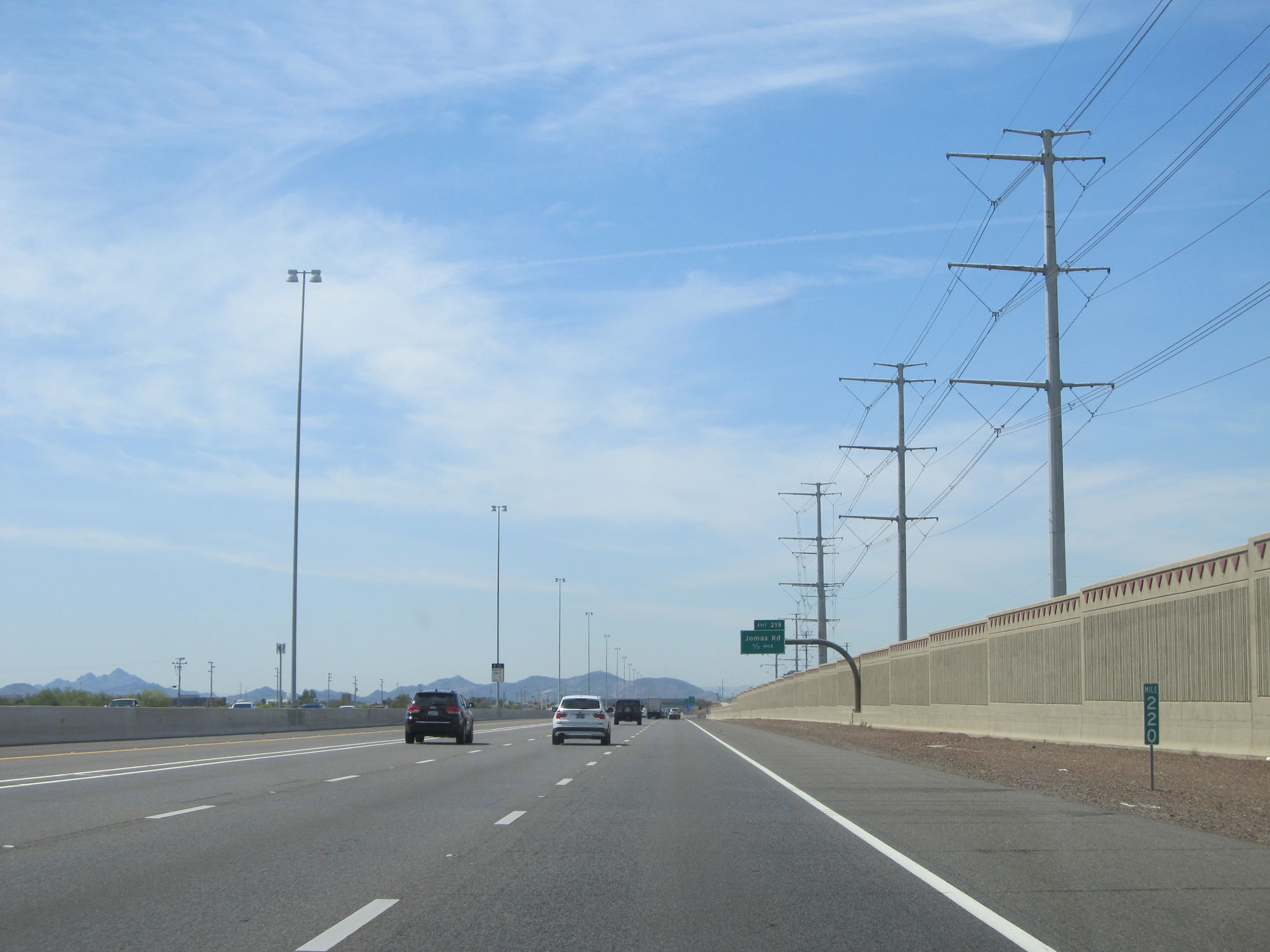 |
Interstate 17 South at mile marker 220. (Photo taken 5/20/15). |
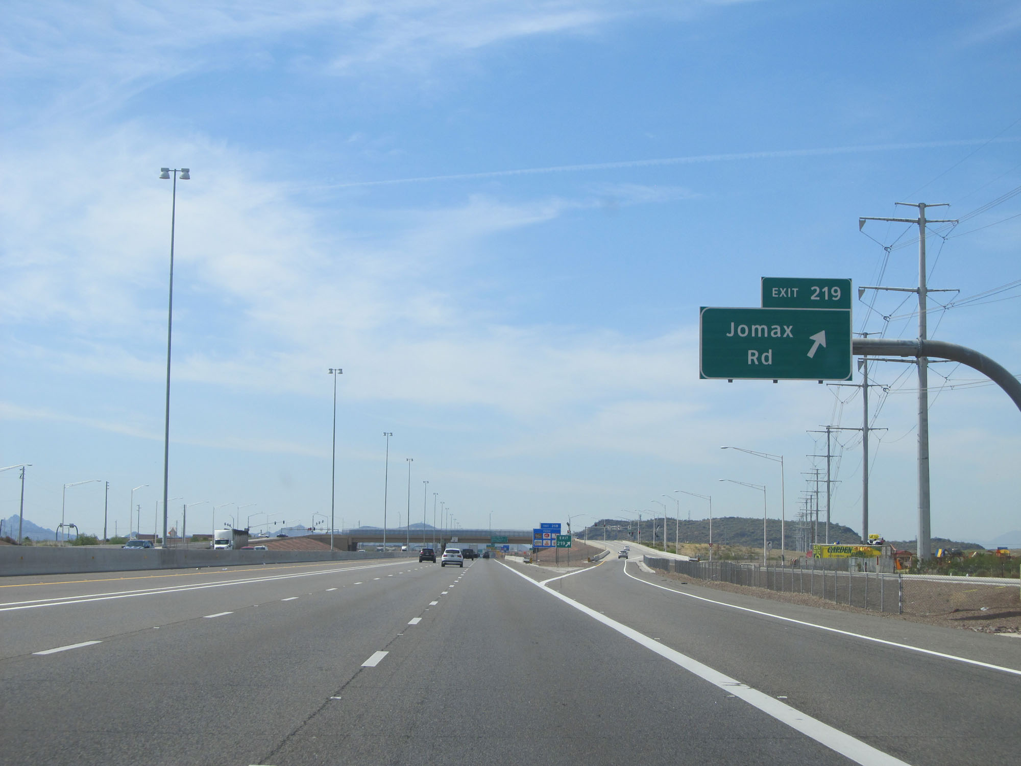 |
Interstate 17 South at Exit 219: Jomax Rd (Photo taken 5/20/15). |
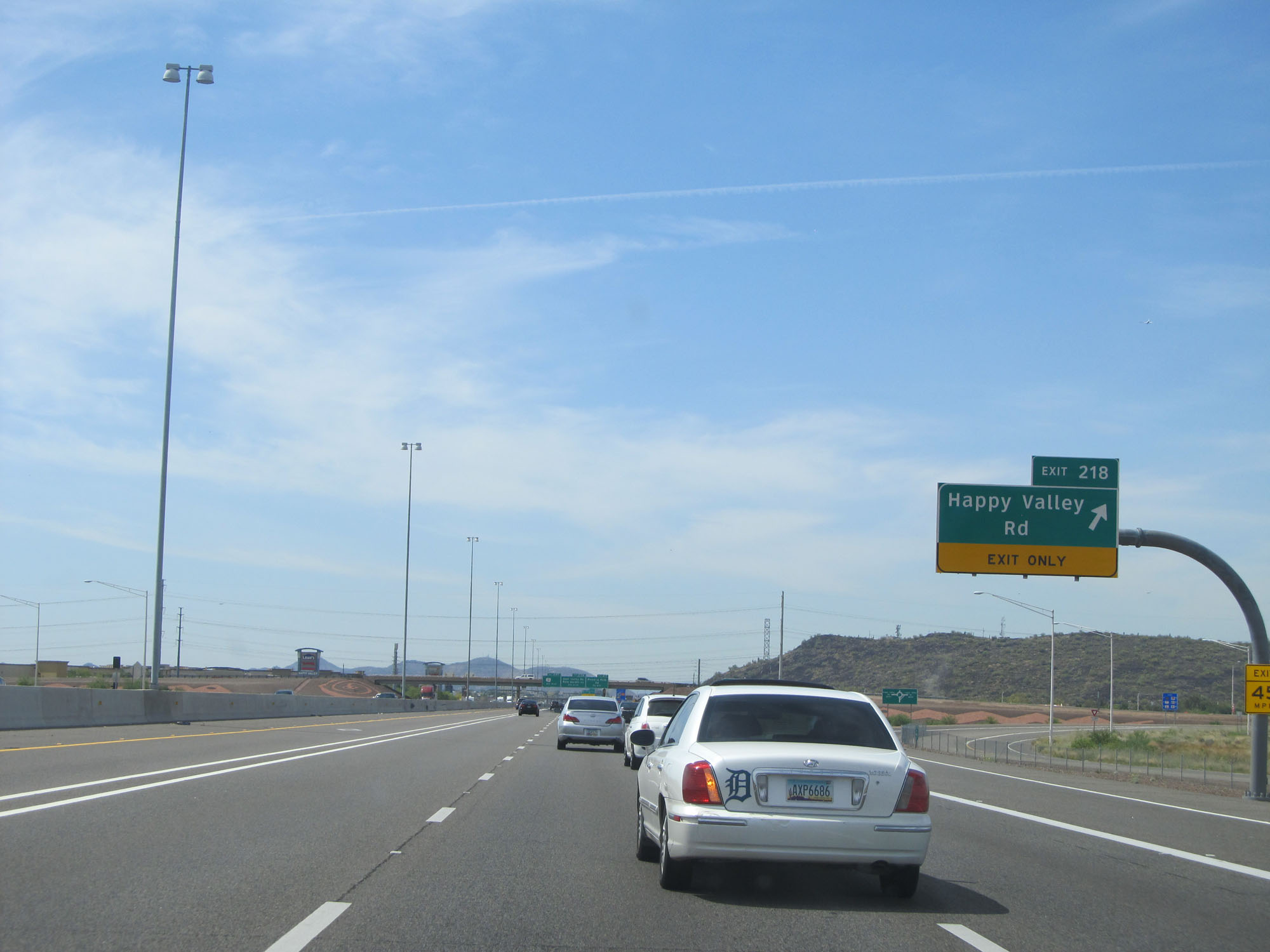 |
Interstate 17 South at Exit 218: Happy Valley Rd (Photo taken 5/20/15). |
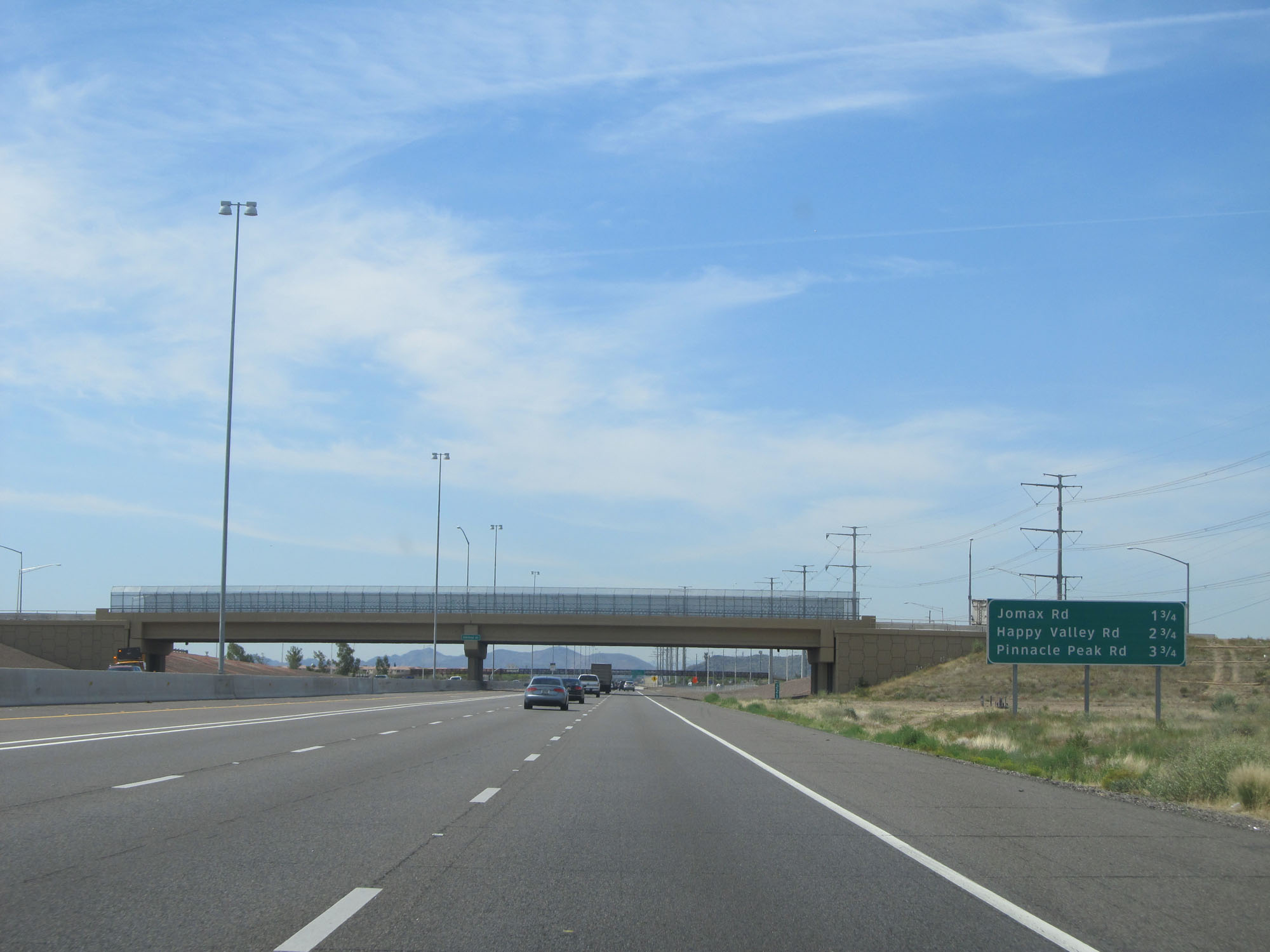
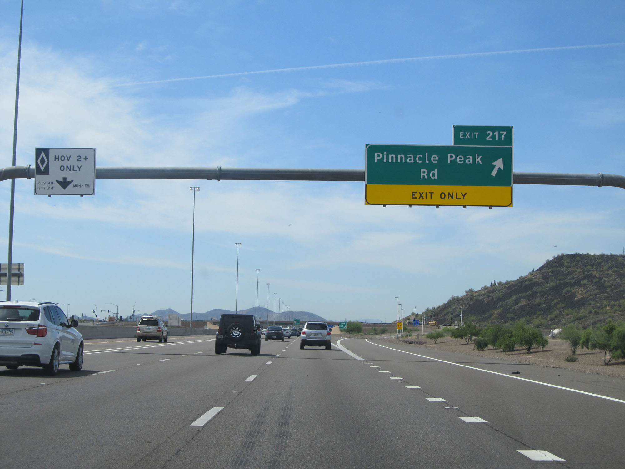 |
Interstate 17 South at Exit 217: Pinnacle Peak Rd (Photo taken 5/20/15). |
 |
Arizona centennial sign approaching Exit 215B. (Photo taken 5/20/15). |
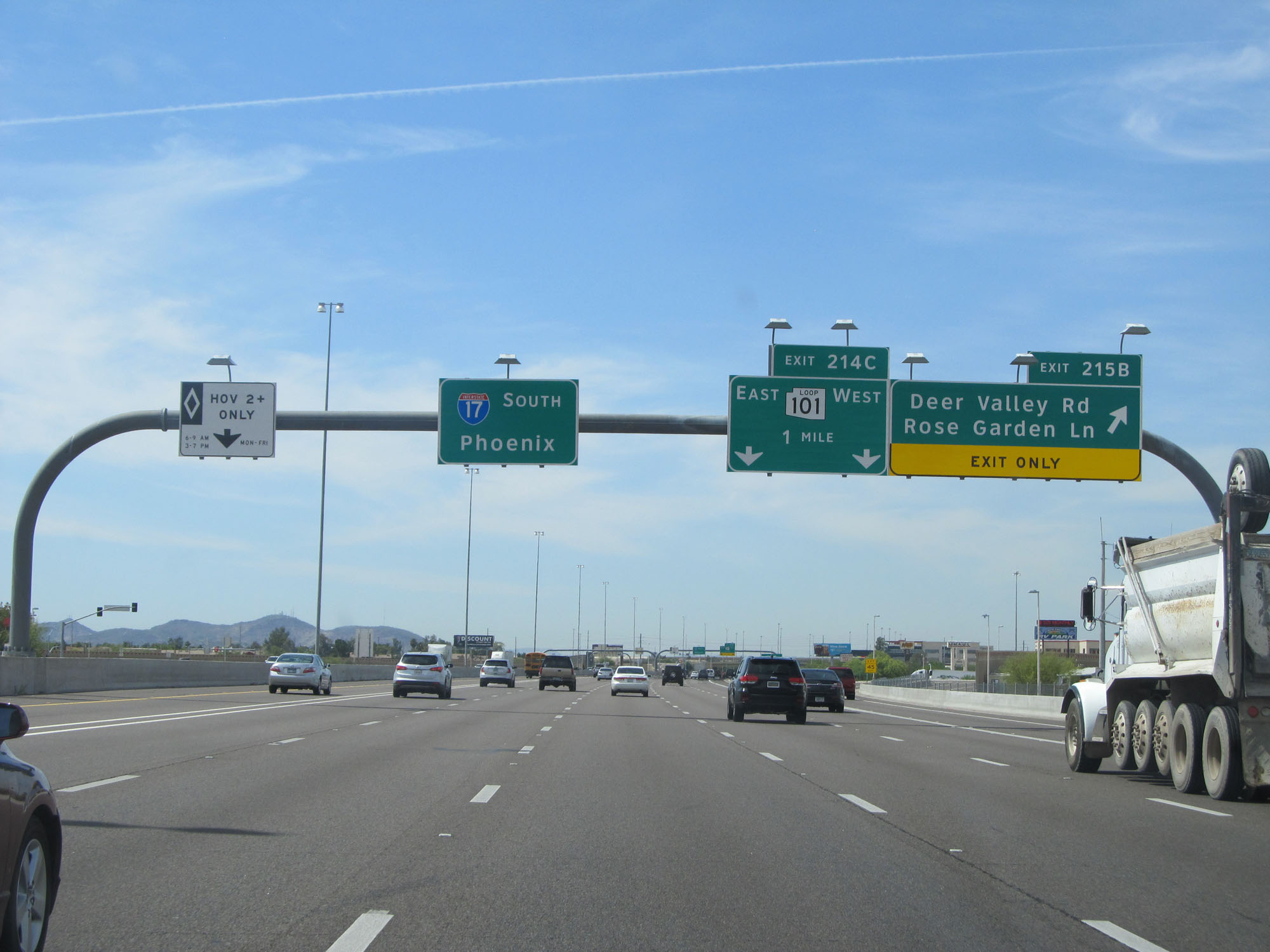 |
Interstate 17 South at Exit 215B: Deer Valley Rd / Rose Garden Ln (Photo taken 5/20/15). |
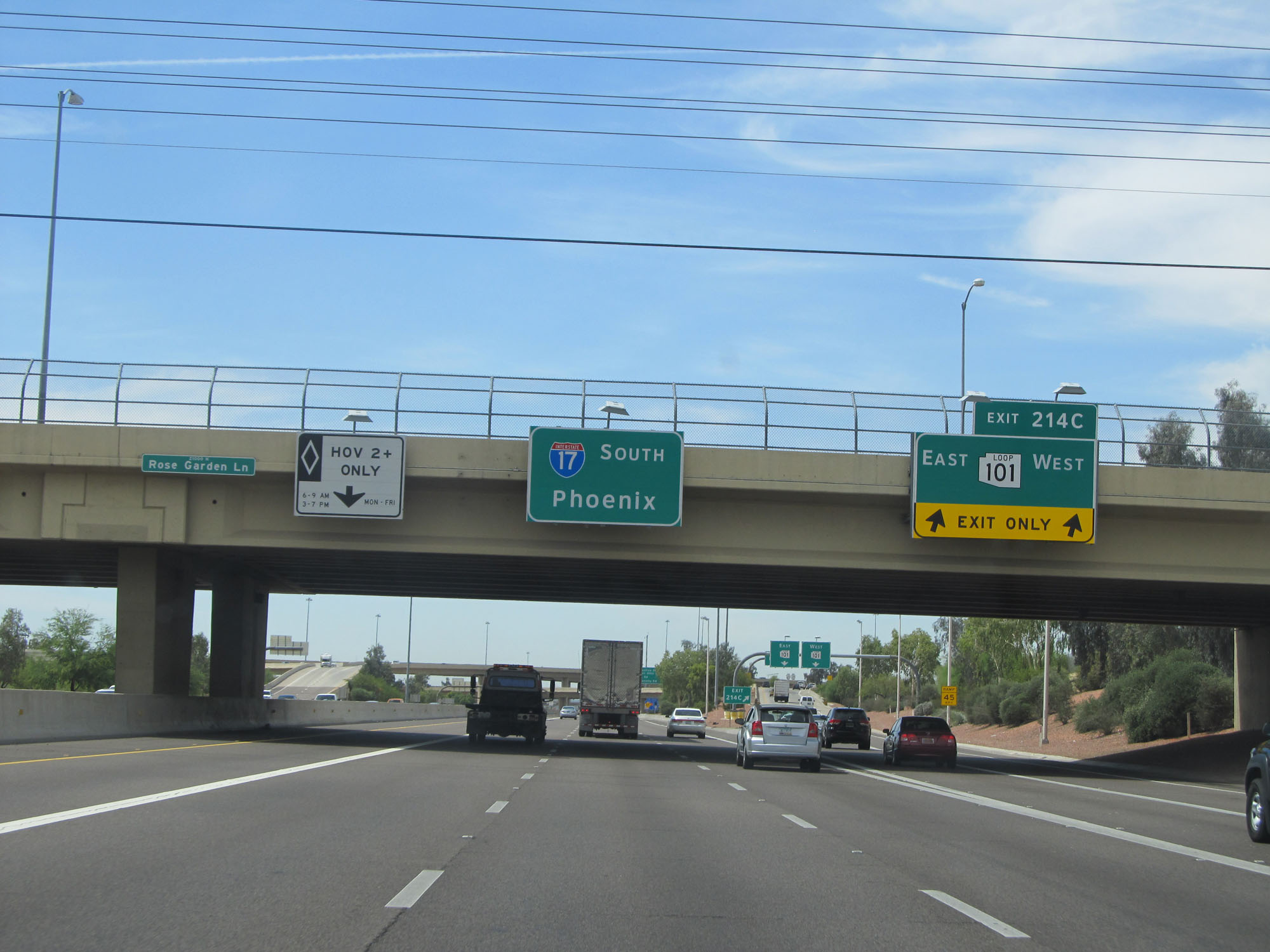 |
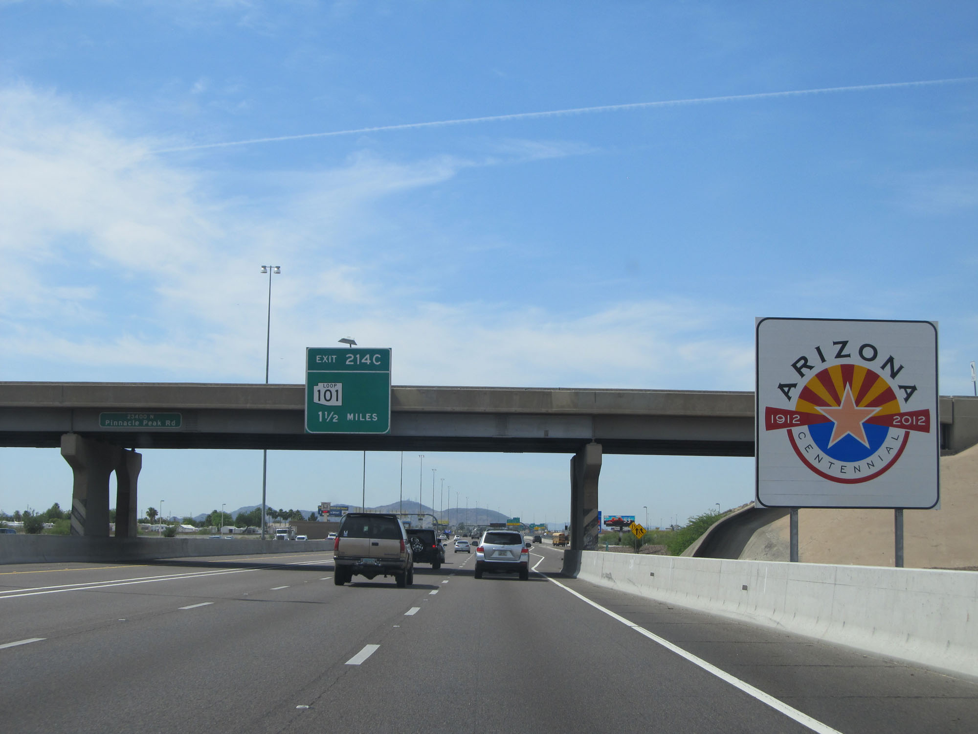
Interstate 17 South at Exit 214C: AZ Loop 101 (Photo taken 5/20/15). |
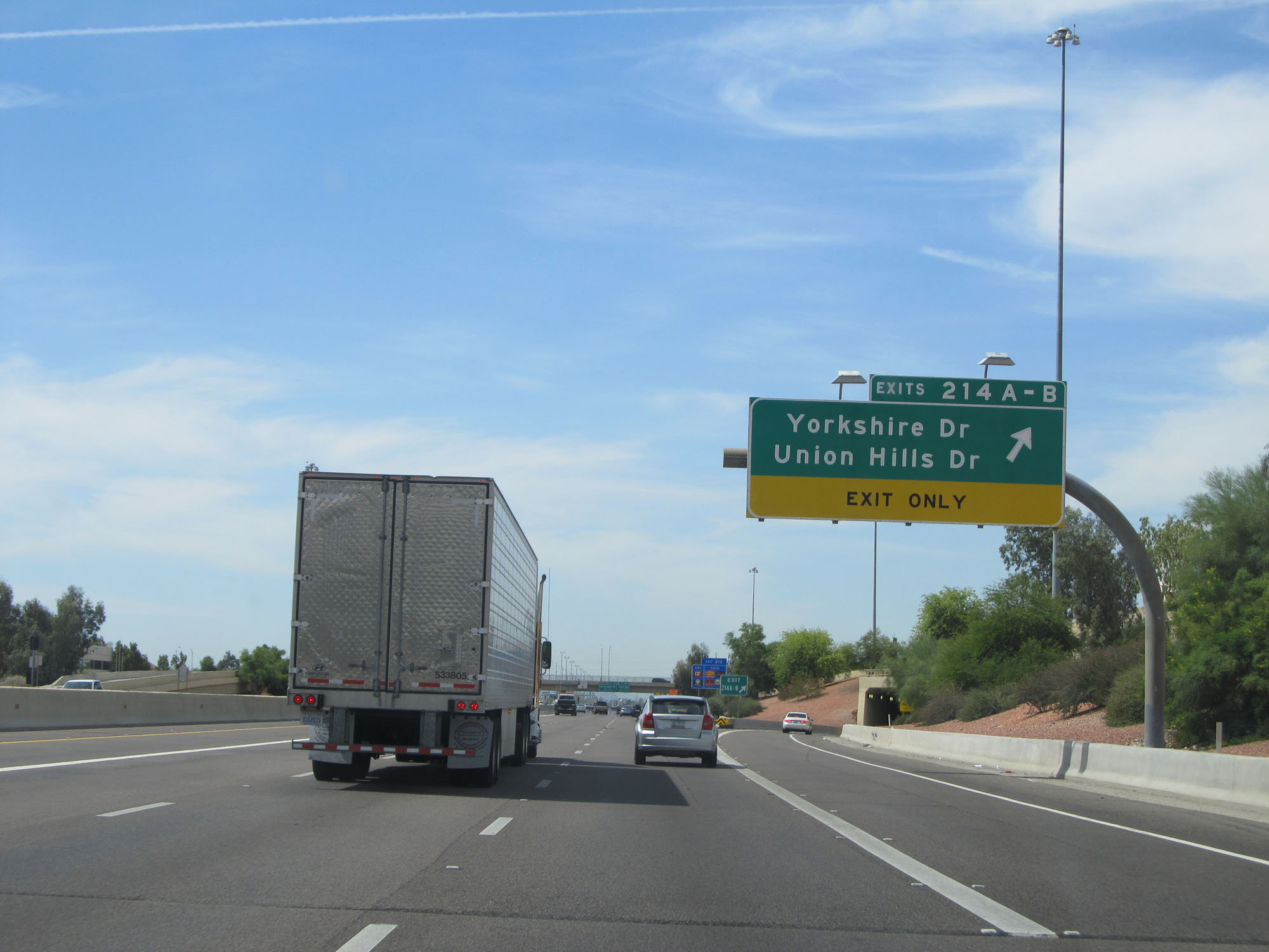 |
Interstate 17 South at Exits 214A-B: Yorkshire Dr / Union Hills Dr (Photo taken 5/20/15). |
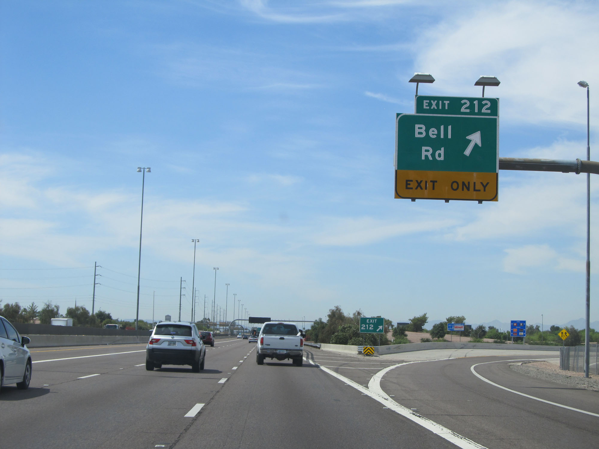 |
Interstate 17 South at Exit 212: Bell Rd (Photo taken 5/20/15). |
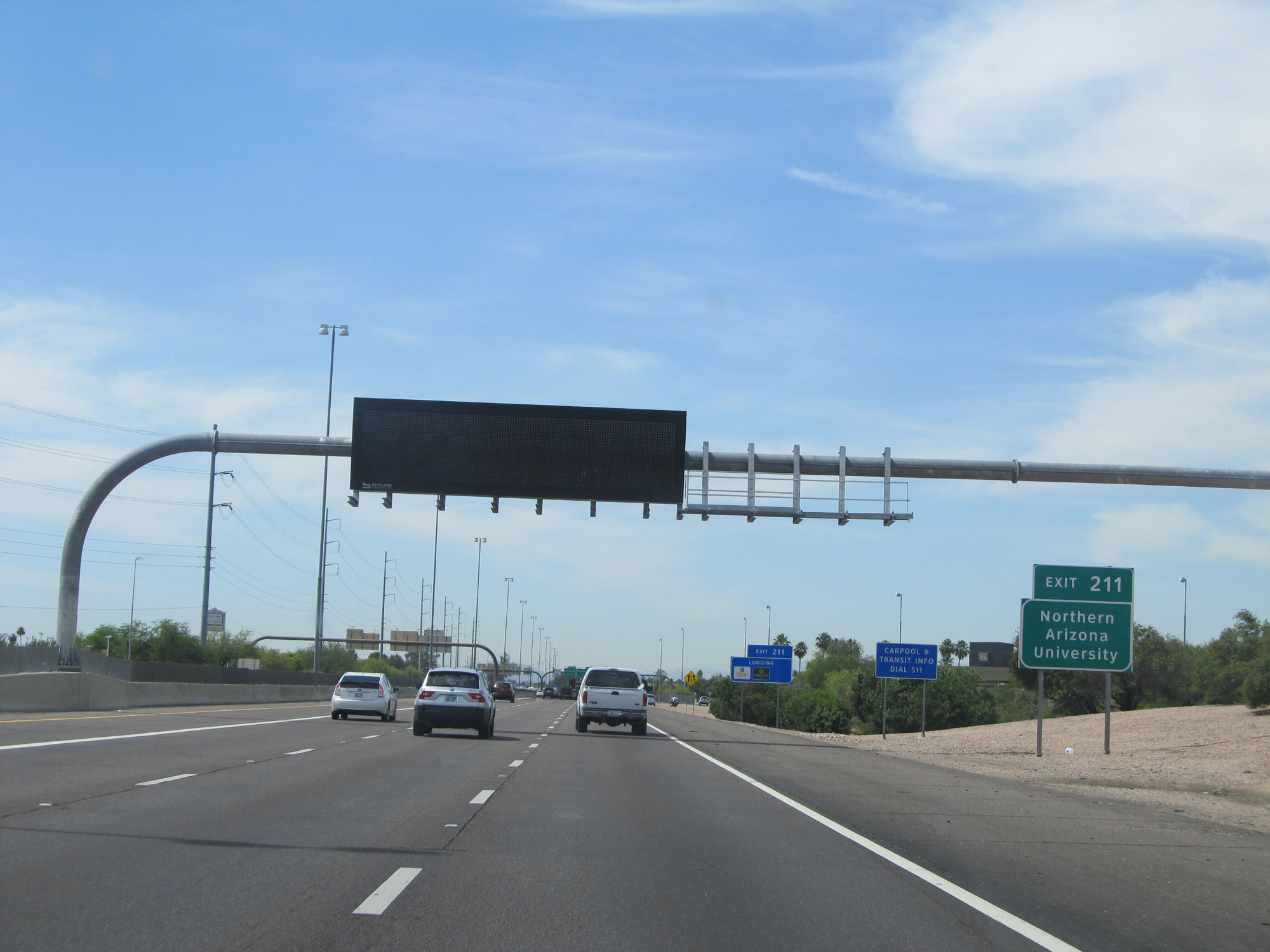 |
Take Exit 211 to Northern Arizona University. (Photo taken 5/20/15). |
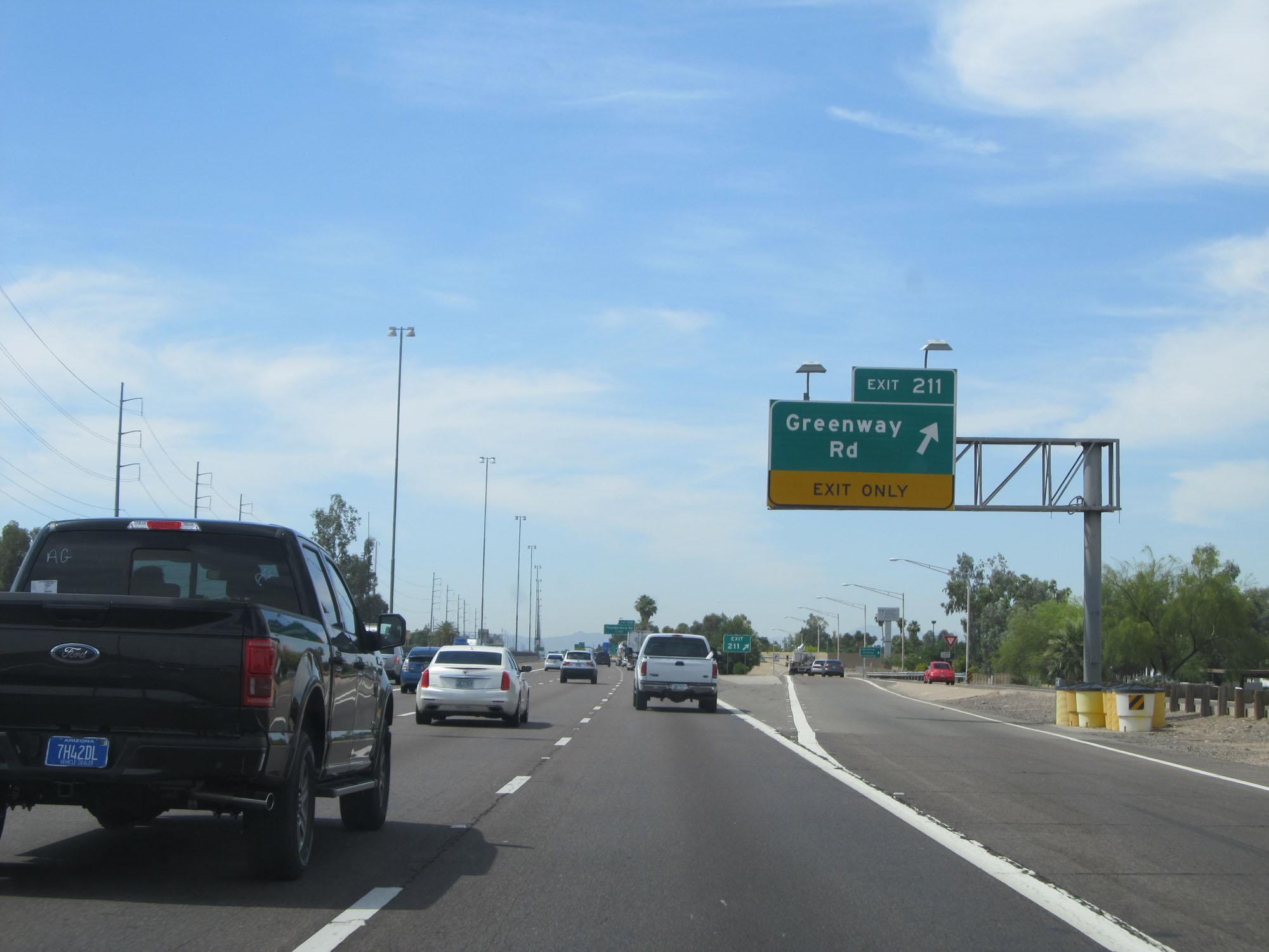 |
Interstate 17 South at Exit 211: Greenway Rd (Photo taken 5/20/15). |
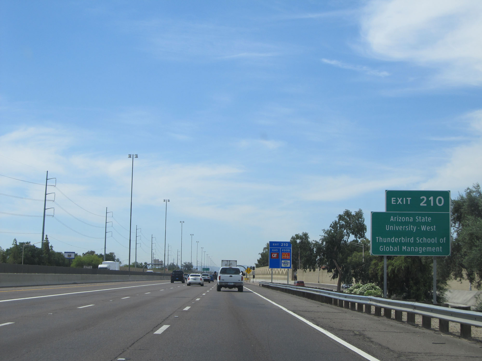 |
Take Exit 210 to Arizona State University - West and Thunderbird School of Global Management. (Photo taken 5/20/15). |
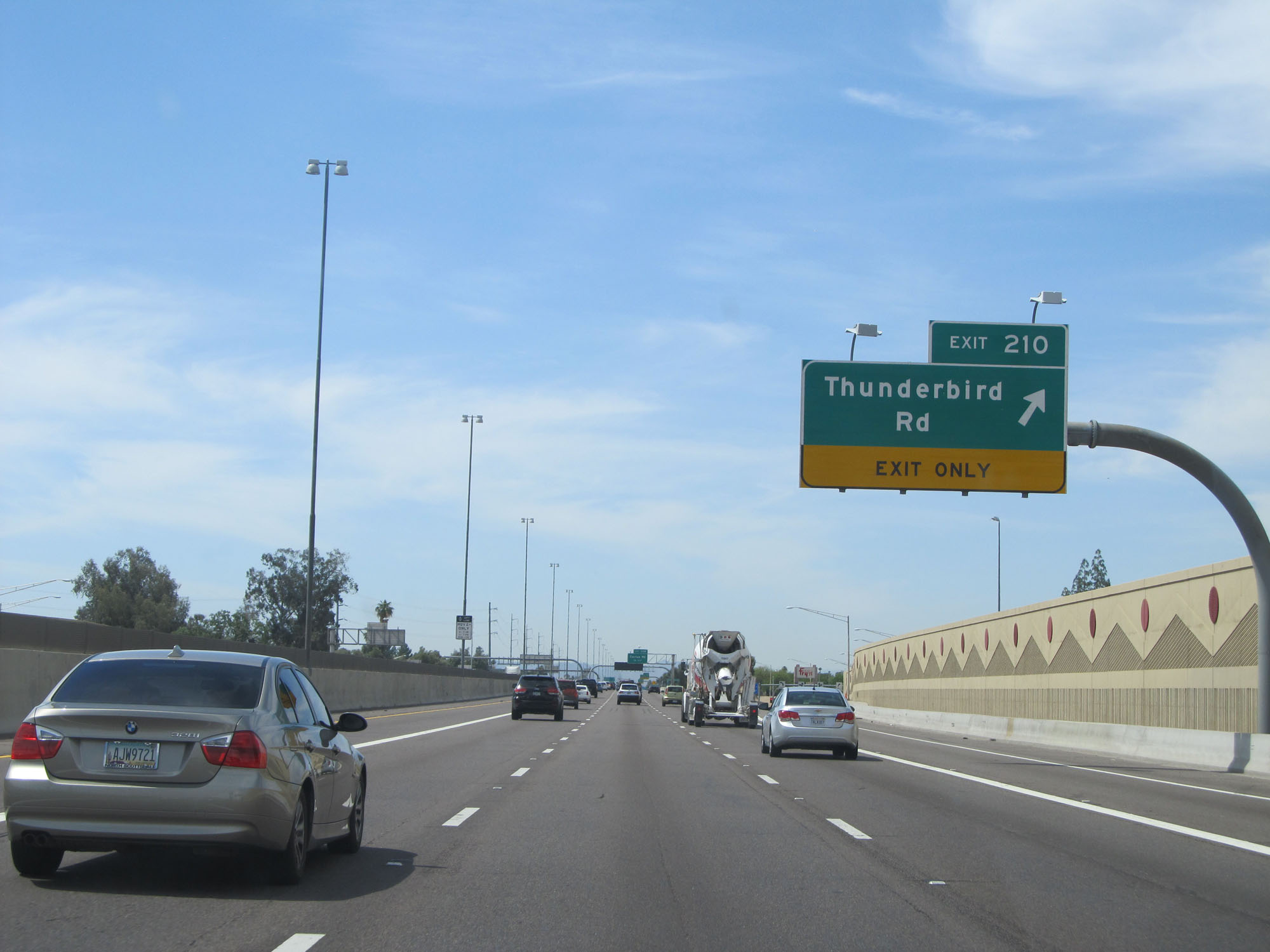 |
Interstate 17 South at Exit 210: Thunderbird Rd (Photo taken 5/20/15). |
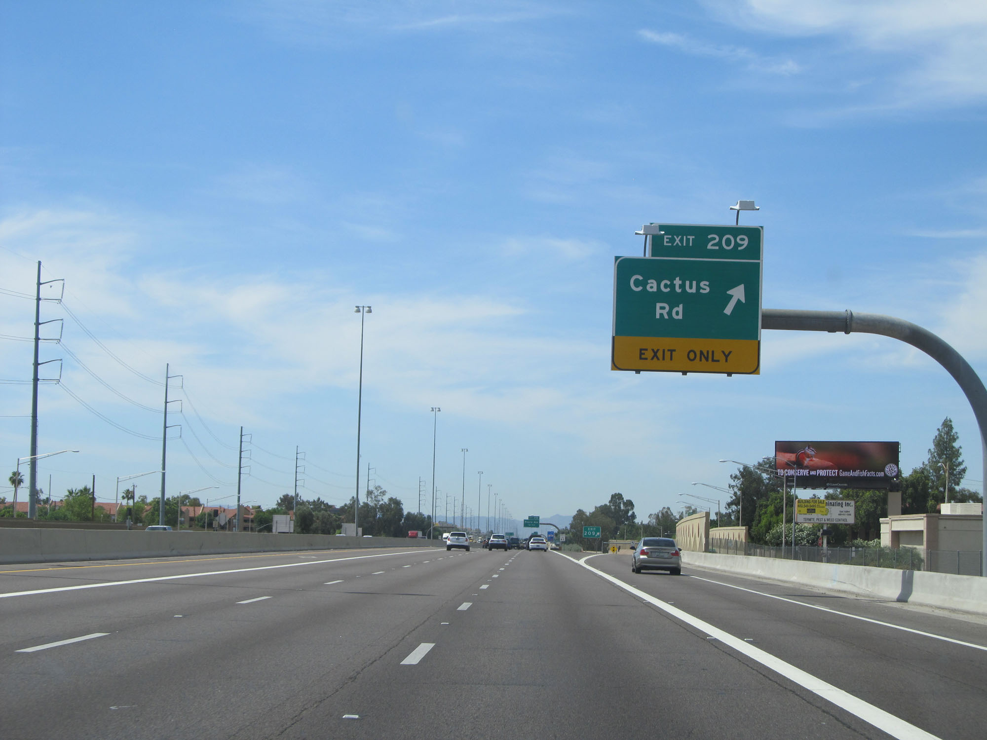 |
Interstate 17 South at Exit 209: Cactus Rd (Photo taken 5/20/15). |
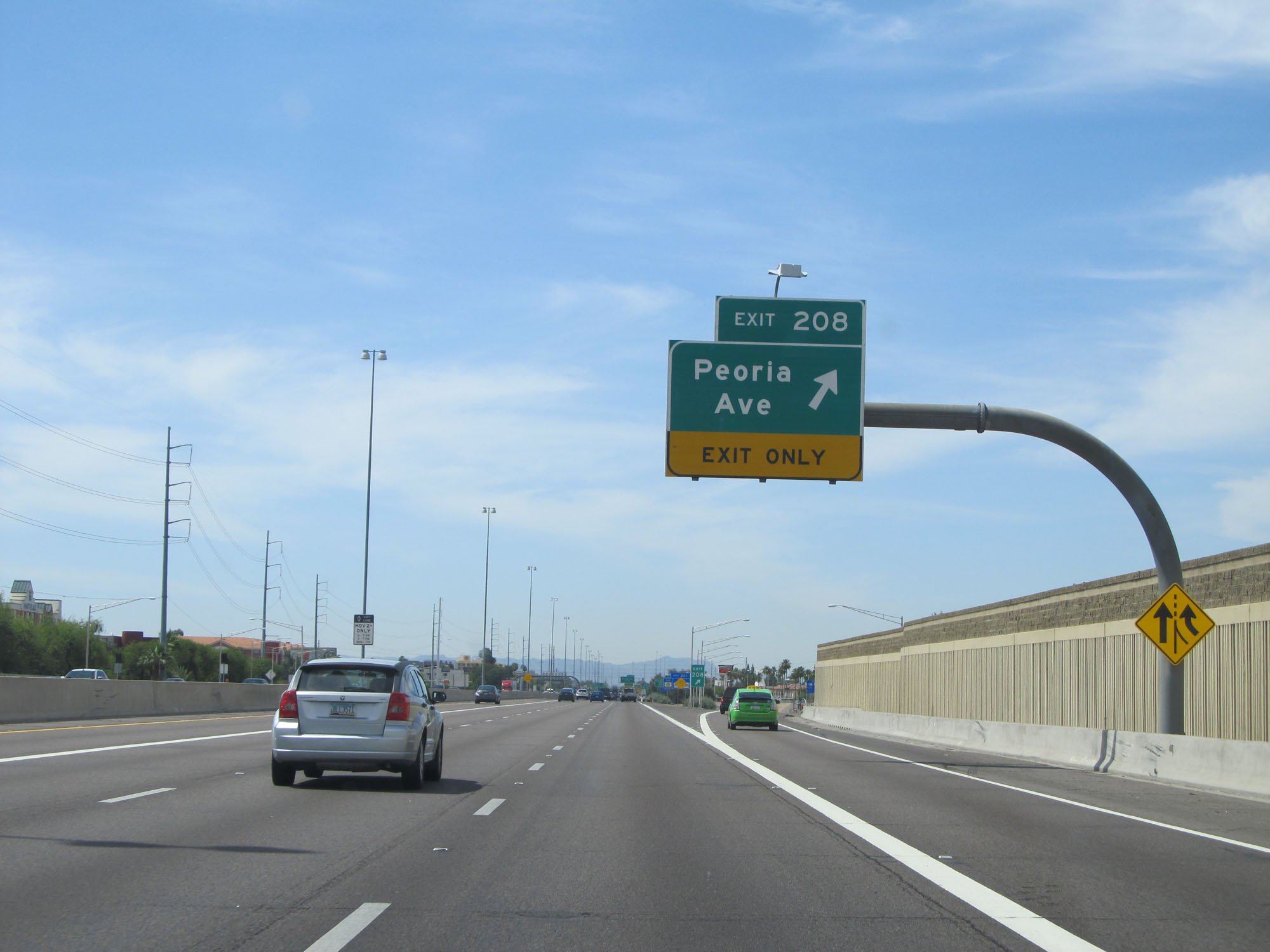 |
Interstate 17 South at Exit 208: Peoria Ave (Photo taken 5/20/15). |
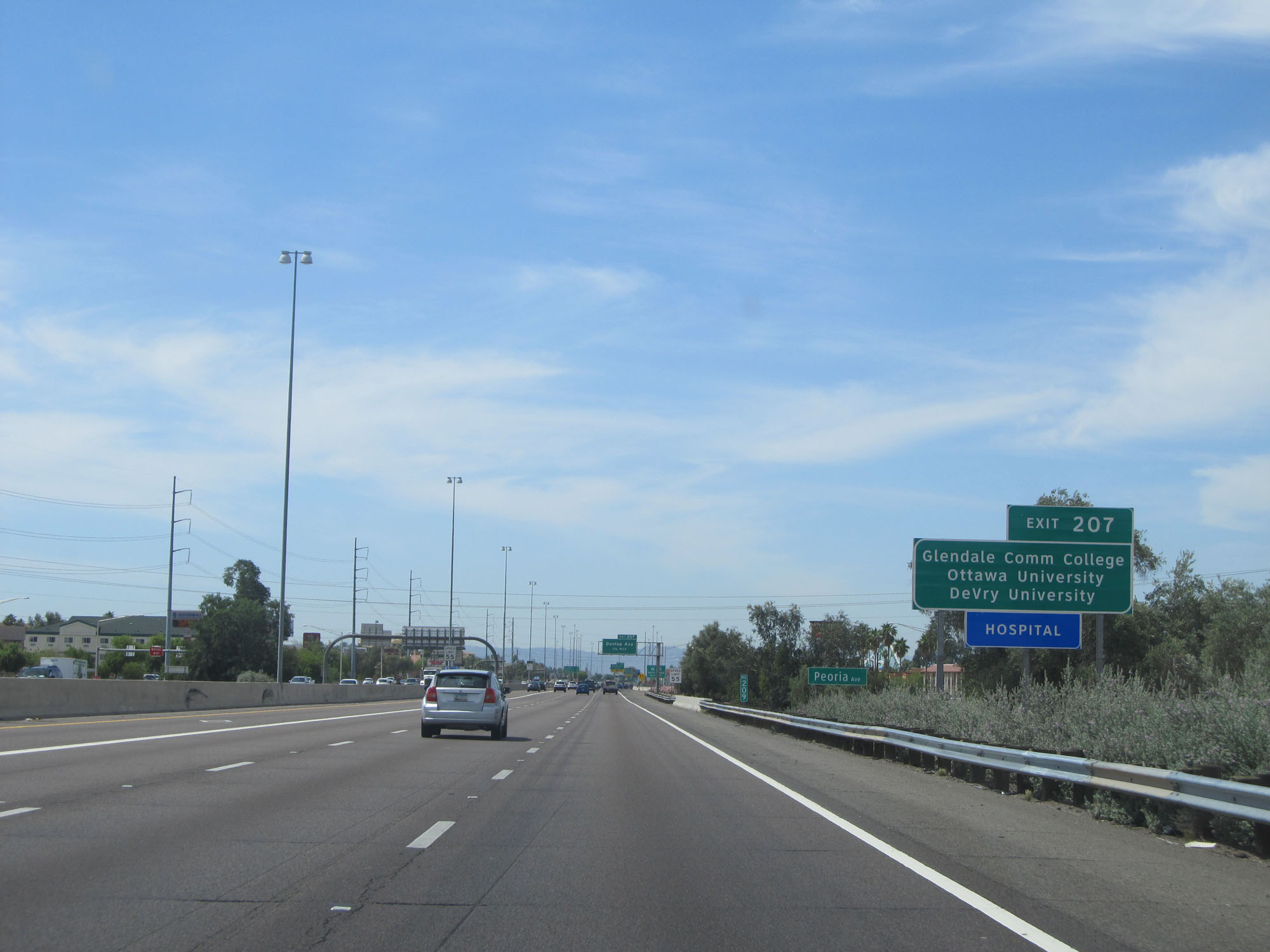 |
Take Exit 207 to Glendale Community College, Ottawa University, and DeVry University. (Photo taken 5/20/15). |
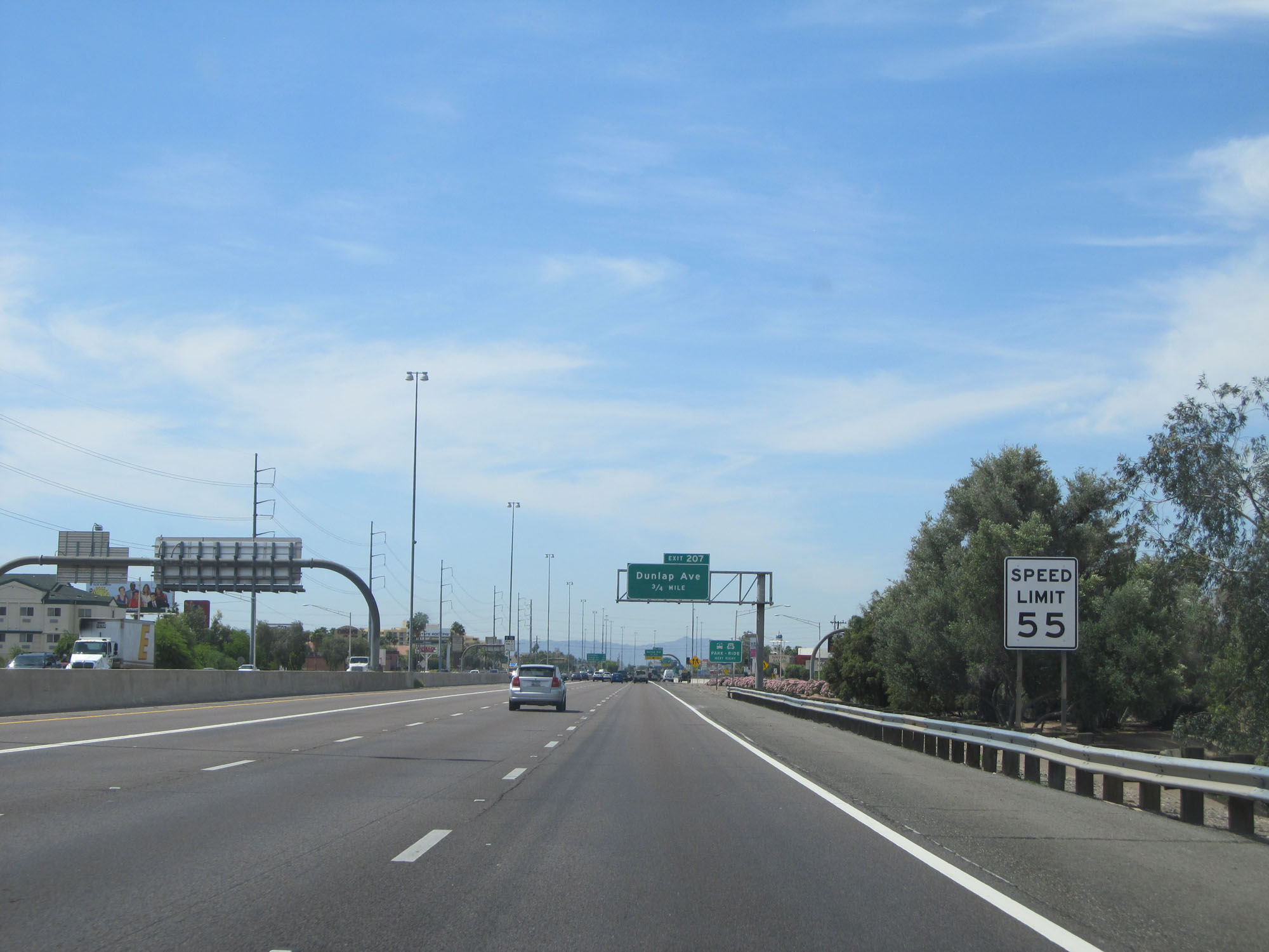 |
Approaching Exit 207, the speed limit decreases to 55 mph for the remainder of Interstate 17 South. (Photo taken 5/20/15). |
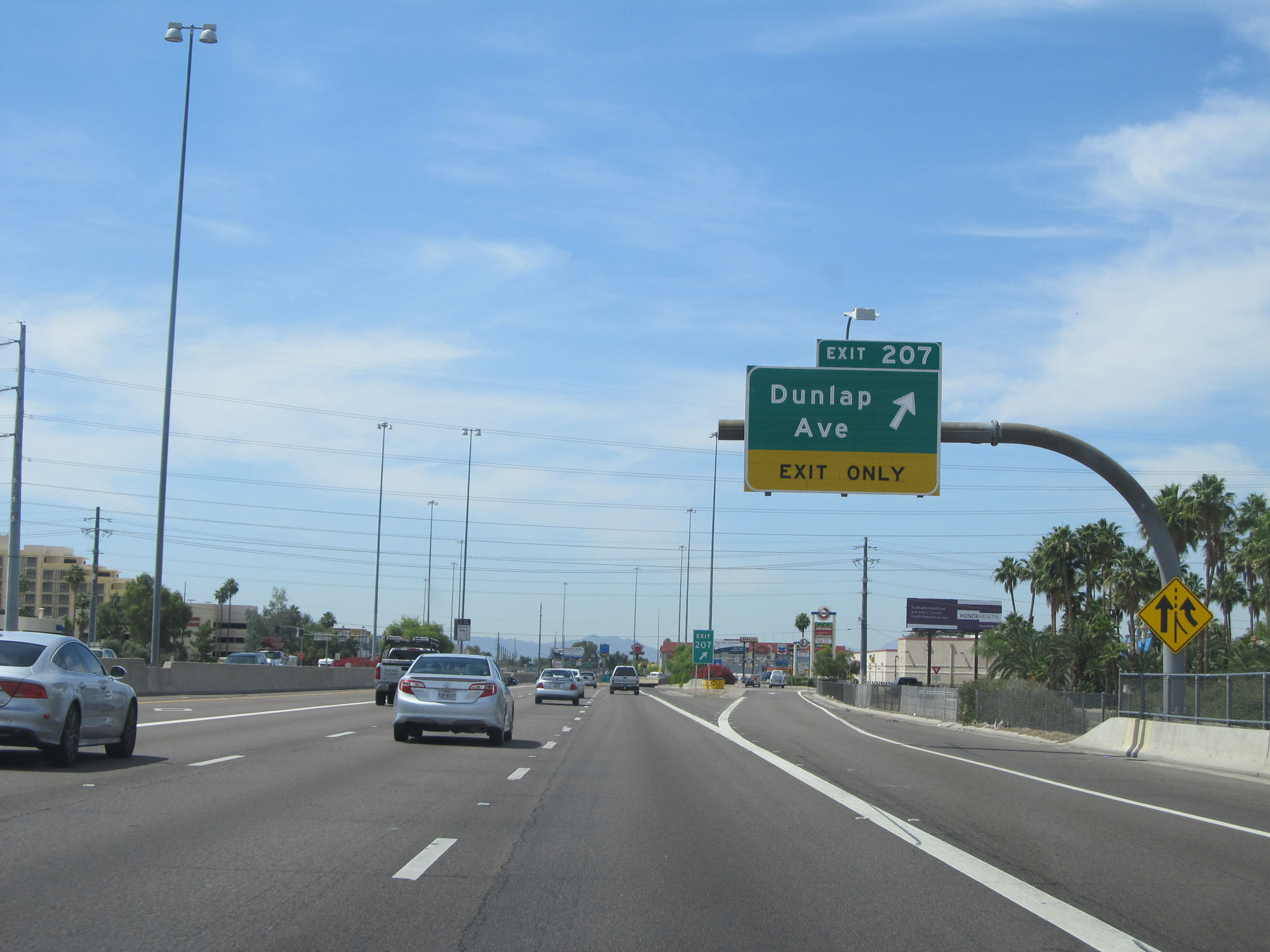 |
Interstate 17 South at Exit 207: Dunlap Ave (Photo taken 5/20/15). |
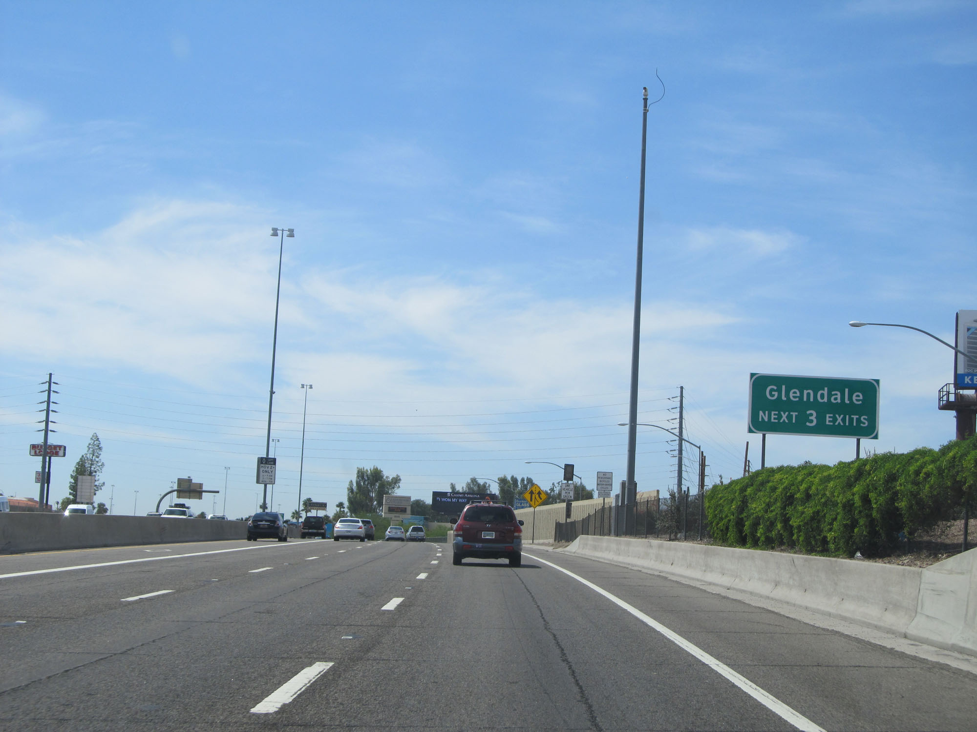 |
Take any of the next 3 exits to Glendale. (Photo taken 5/20/15). |
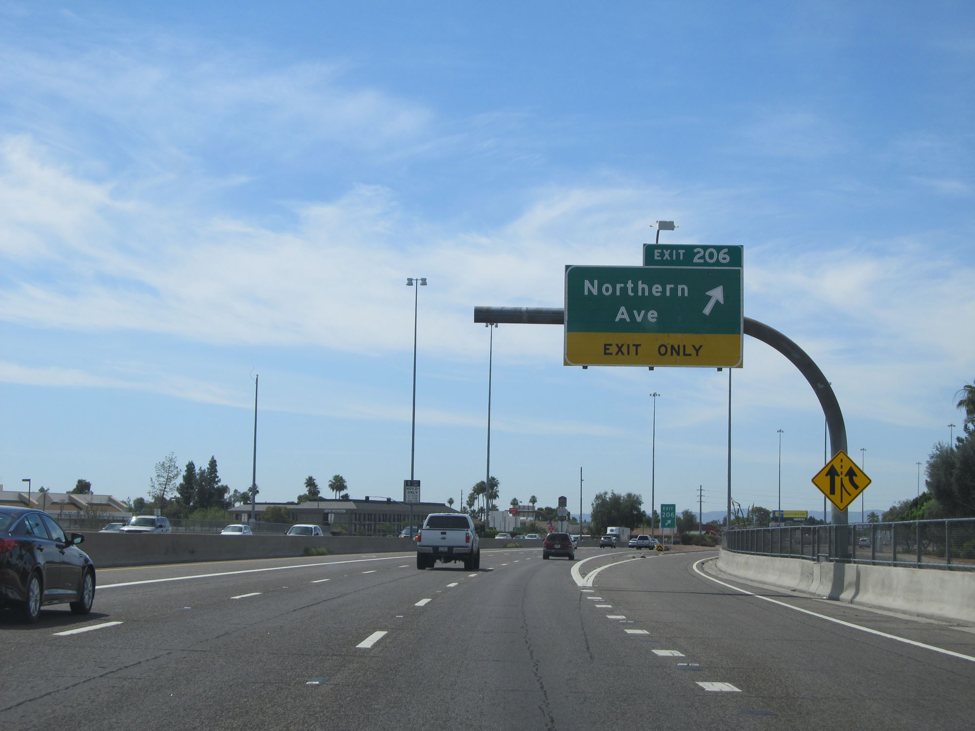 |
Interstate 17 South at Exit 206: Northern Ave (Photo taken 5/20/15). |
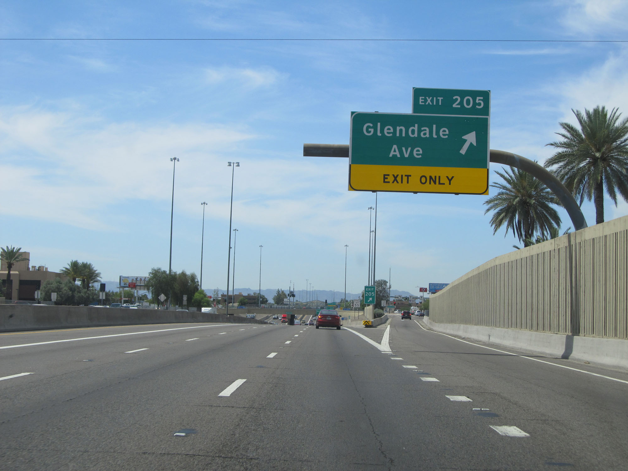 |
Interstate 17 South at Exit 205: Glendale Ave (Photo taken 5/20/15). |
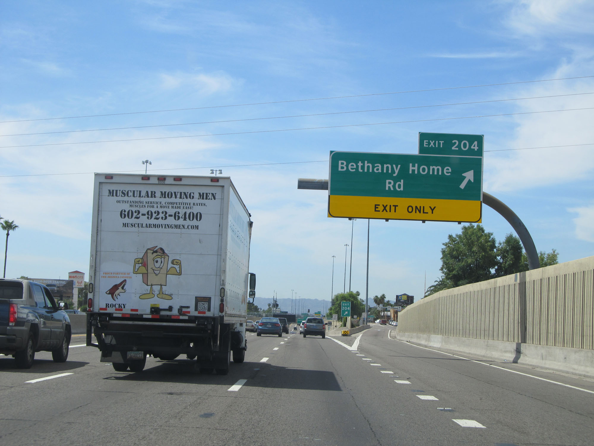 |
Interstate 17 South at Exit 204: Bethany Home Rd (Photo taken 5/20/15). |
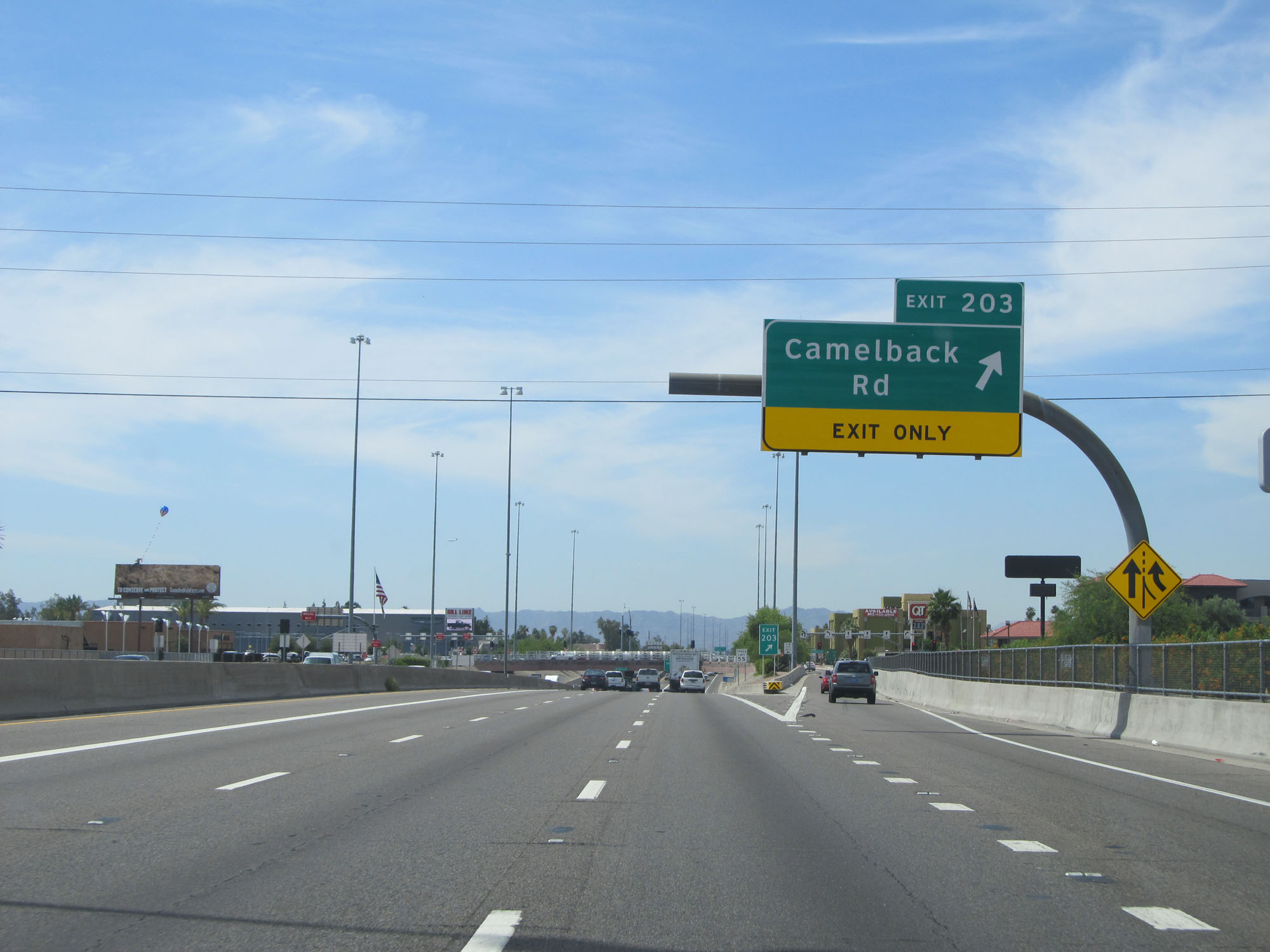 |
Interstate 17 South at Exit 203: Camelback Rd (Photo taken 5/20/15). |
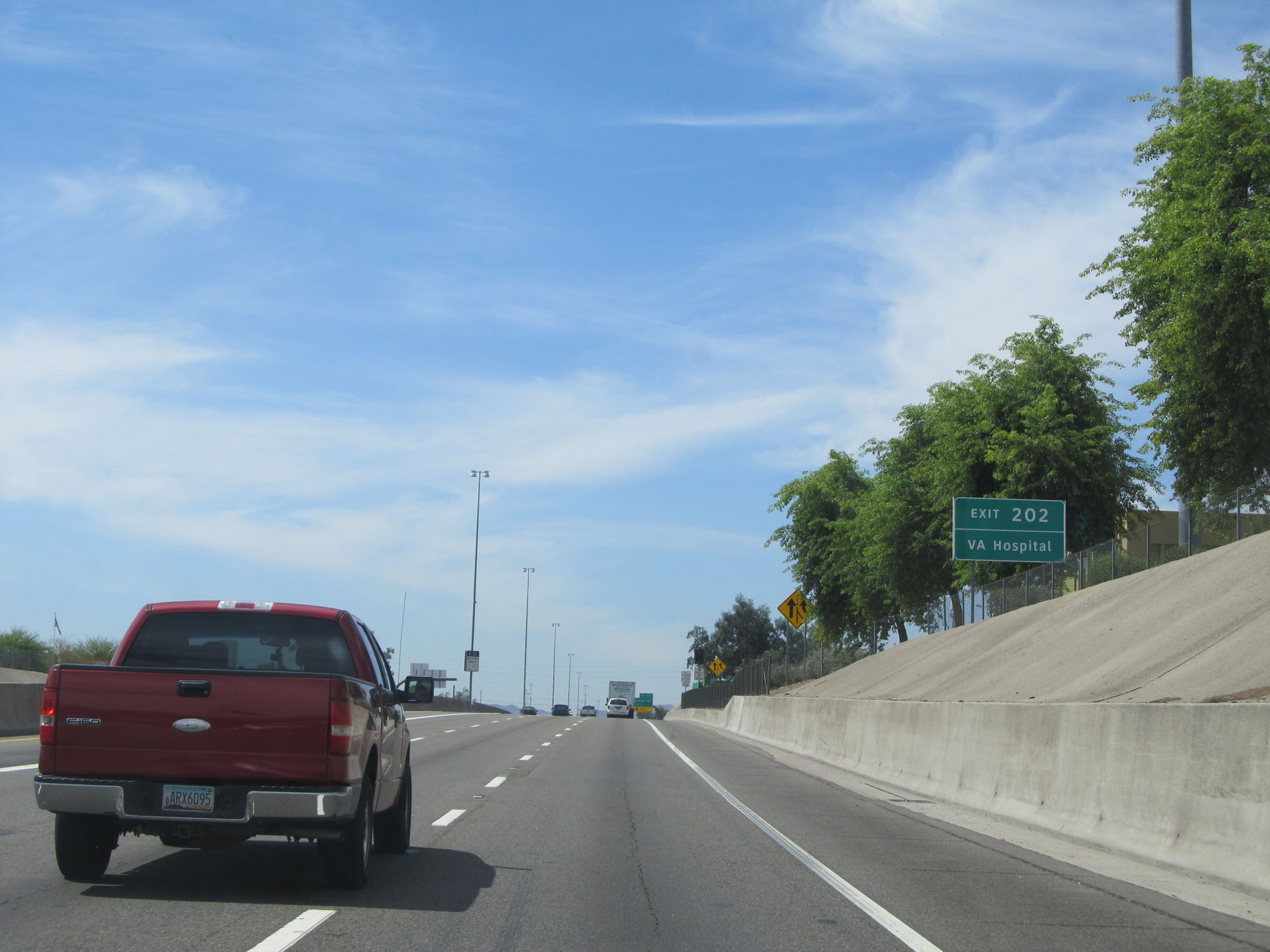 |
Take Exit 202 to the VA Hospital. (Photo taken 5/20/15). |
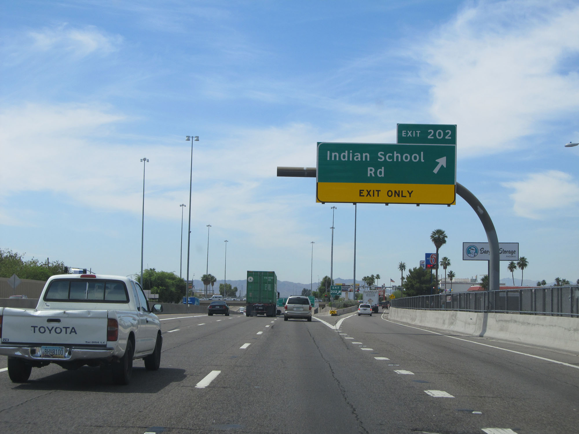 |
Interstate 17 South at Exit 202: Indian School Rd (Photo taken 5/20/15). |
 |
Interstate 17 South approaching Exit 200A - 2 miles. (Photo taken 5/20/15). |
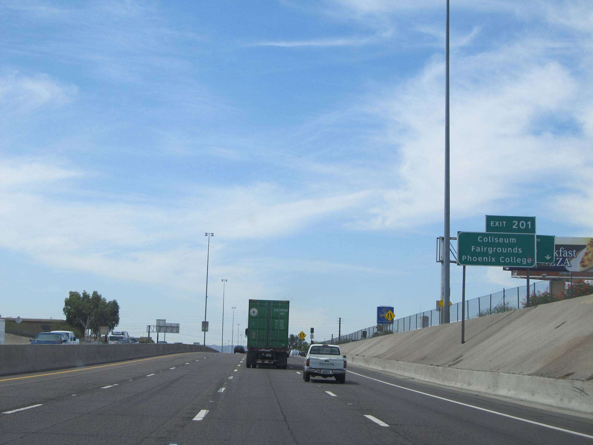 |
Take Exit 201 to the Coliseum, Fairgrounds, and Phoenix College. (Photo taken 5/20/15). |
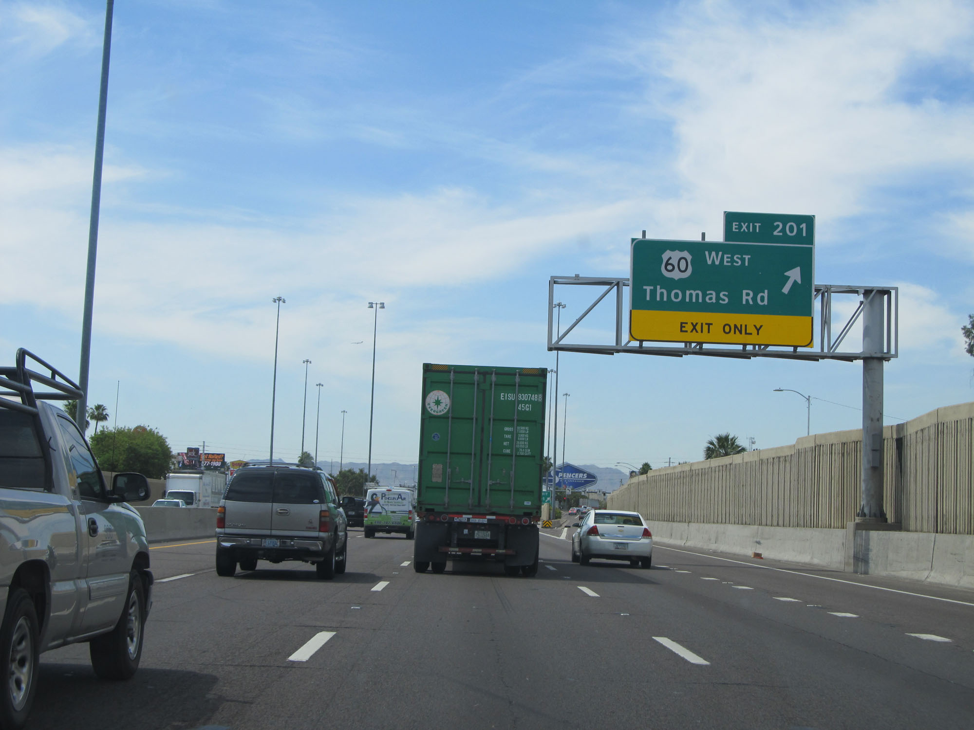 |
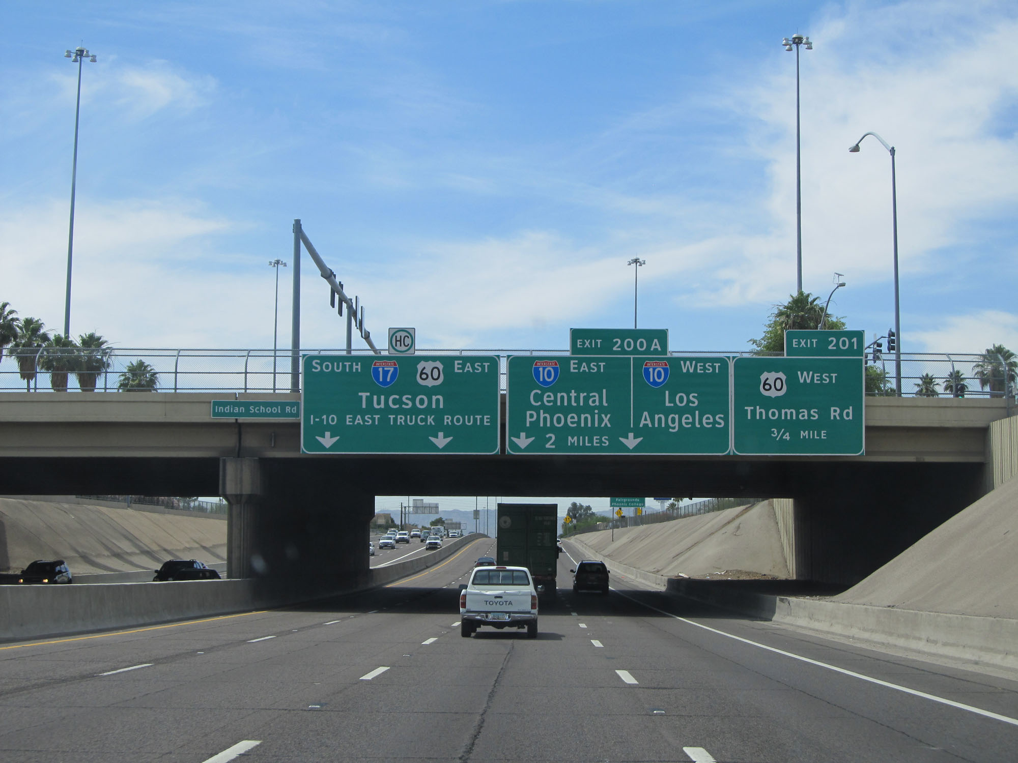
Interstate 17 South at Exit 201: US 60 West - Thomas Rd (Photo taken 5/20/15). |
 |
Interstate 17 South approaching Exit 200A - 1 mile. (Photo taken 5/20/15). |
 |
Interstate 17 South at Exit 200B: McDowell Rd / Van Buren St (Photo taken 5/20/15). |
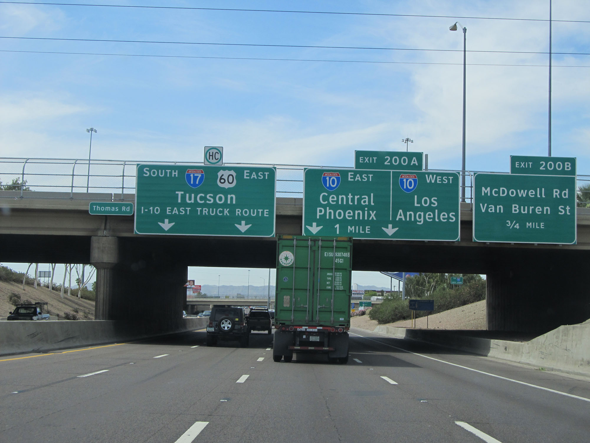
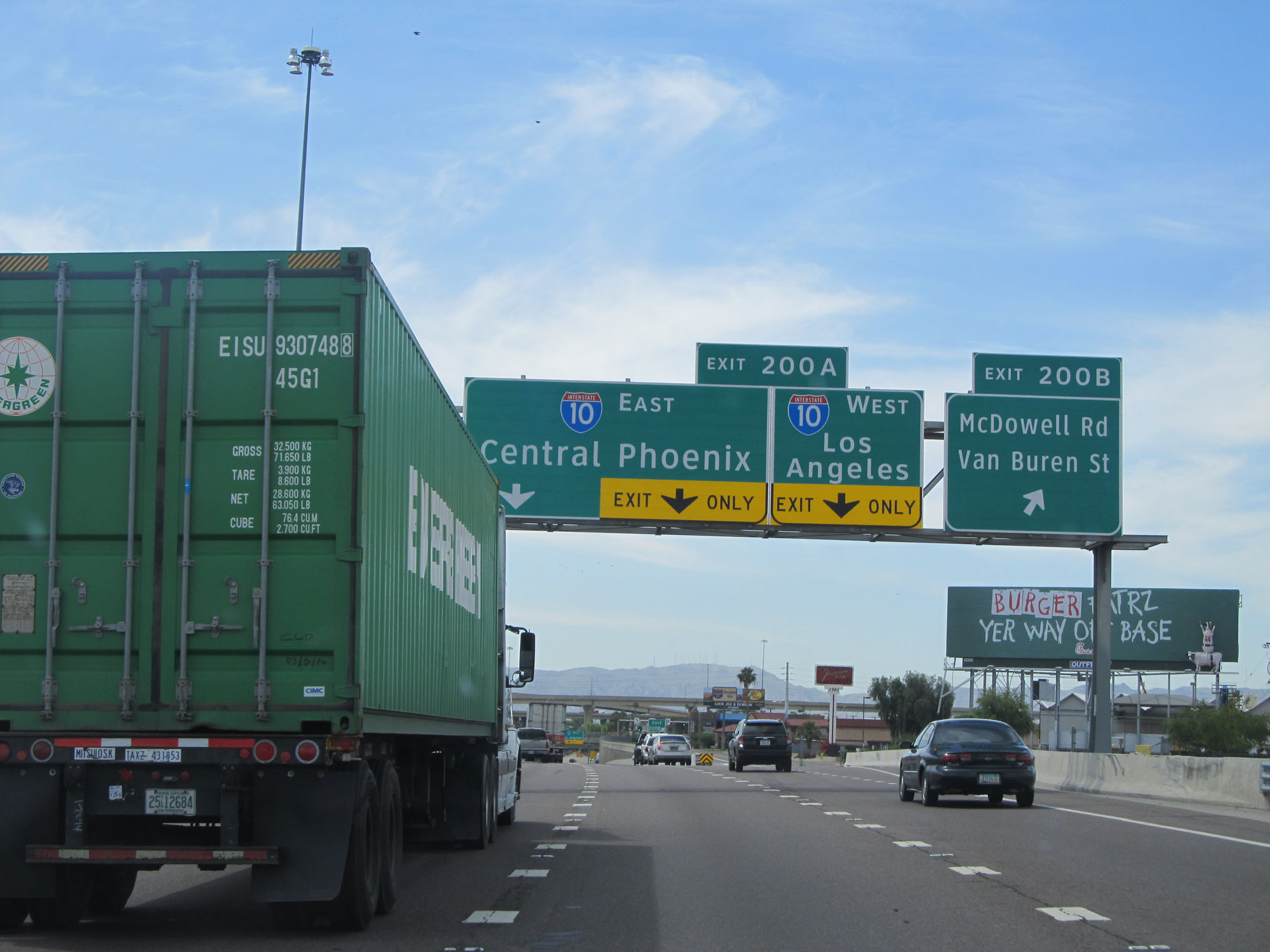
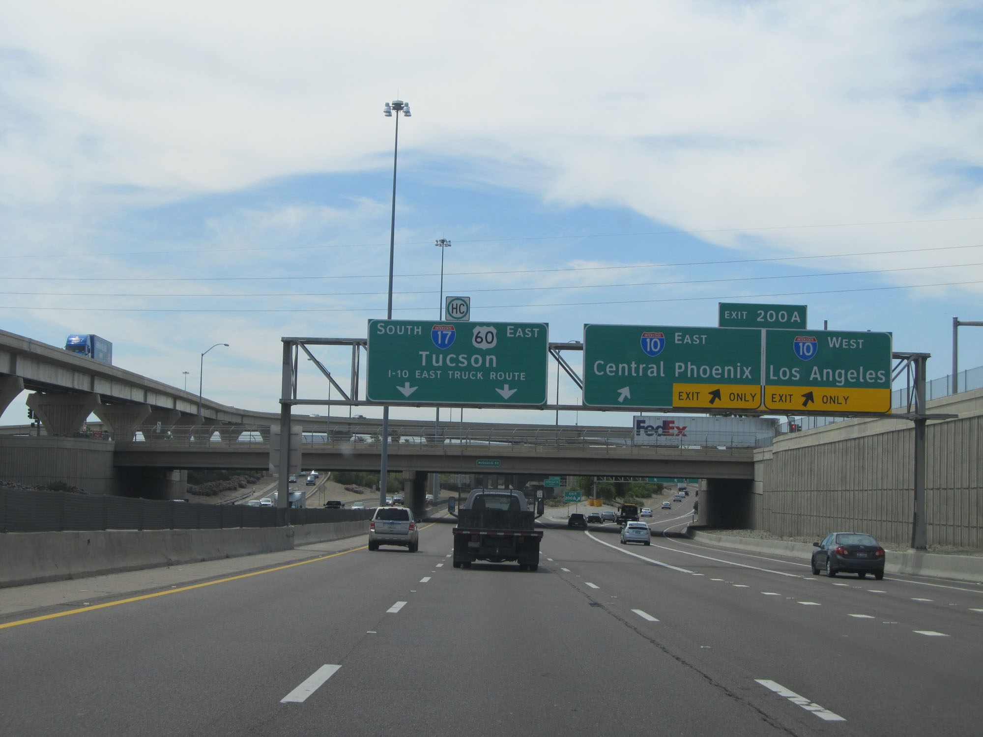 |
Interstate 17 South at Exit 200A: Interstate 10 - Central Phoenix / Los Angeles (Photo taken 5/20/15). |
 |
View on Interstate 17 South as it passes under Interstate 10 and the ramps to and from it. (Photo taken 5/20/15). |
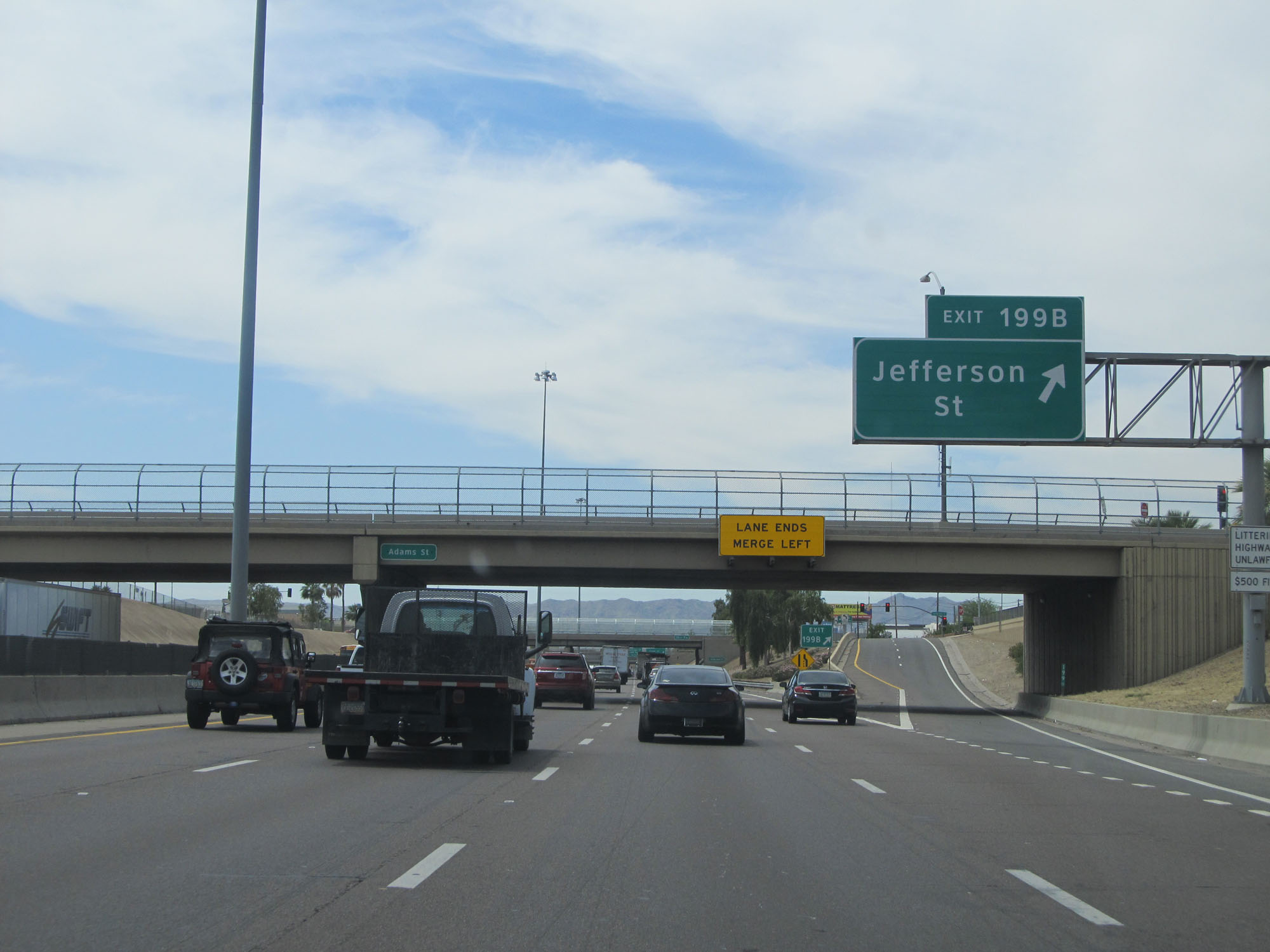 |
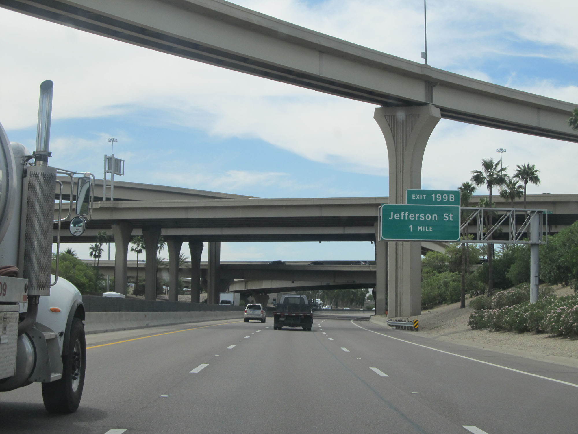
Interstate 17 South at Exit 199B: Jefferson St (Photo taken 5/20/15). |
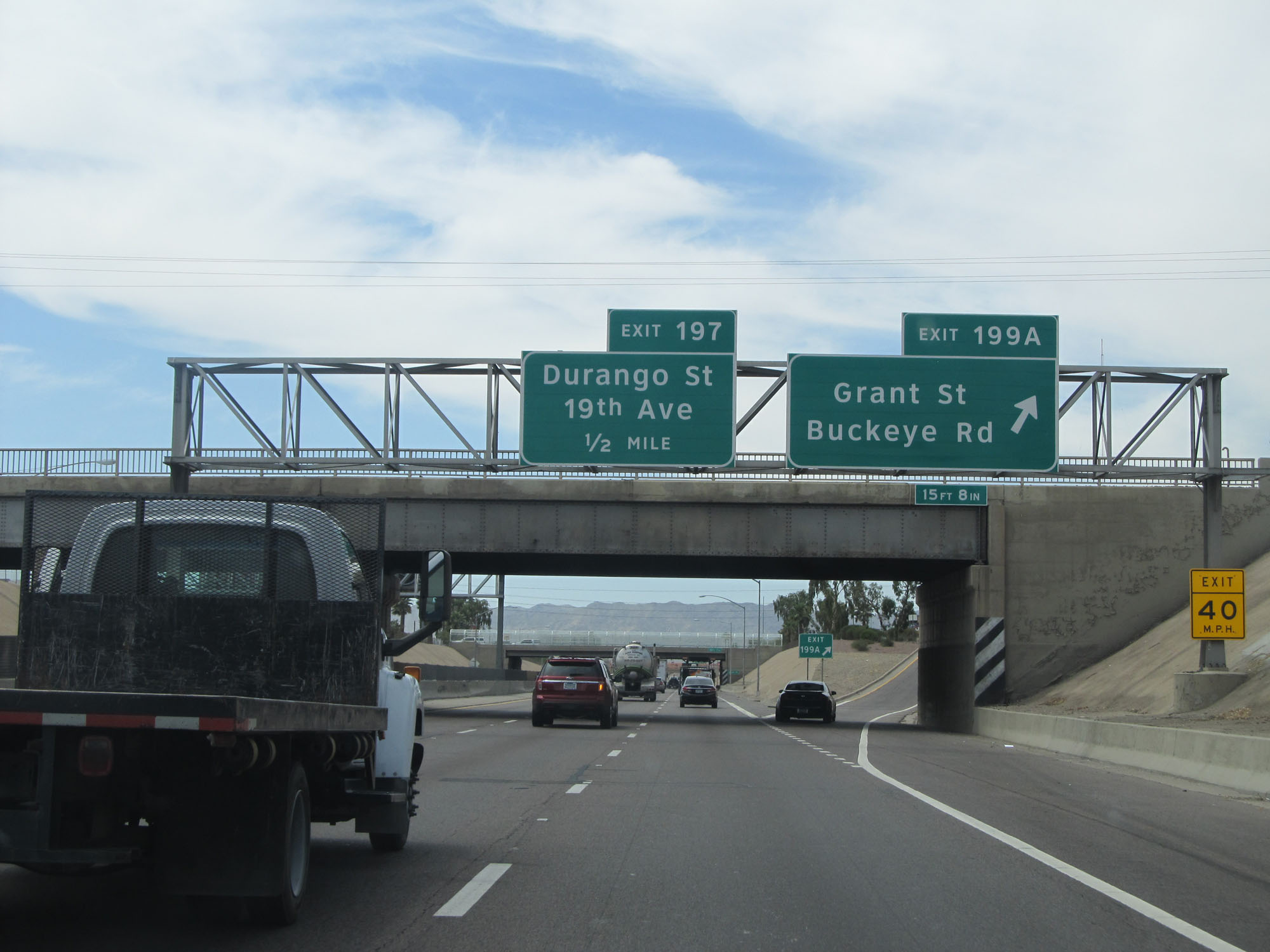 |
Interstate 17 South at Exit 199A: Grant St / Buckeye Rd (Photo taken 5/20/15). |
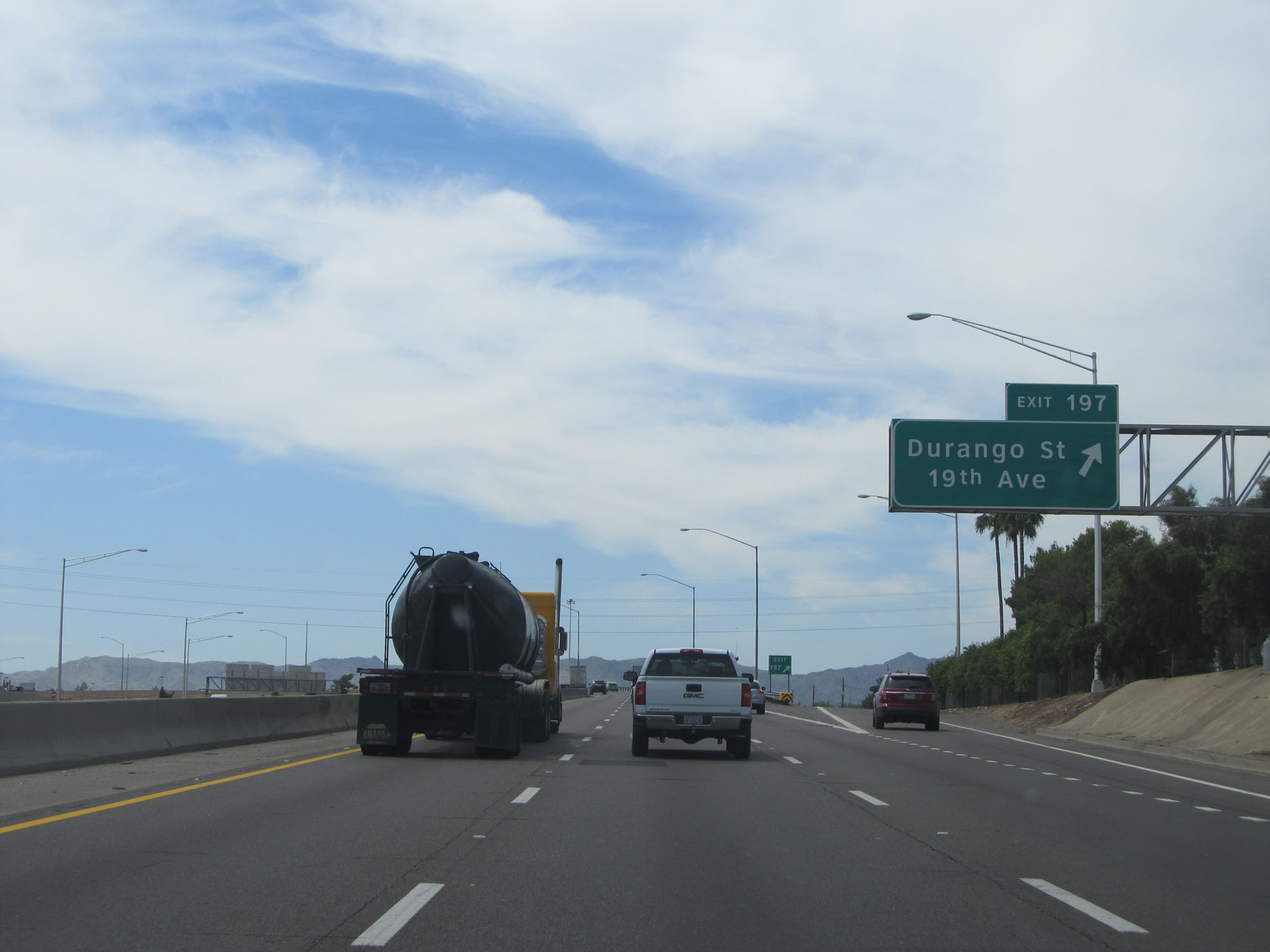 |
Interstate 17 South at Exit 197: Durango St / 19th Ave (Photo taken 5/20/15). |
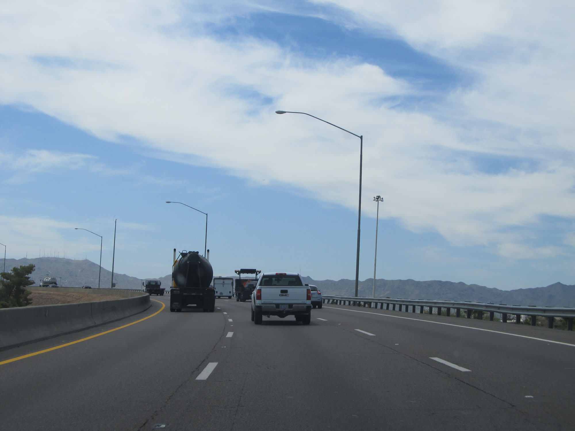 |
Interstate 17 South as it curves to the east to head toward Sky Harbor International Airport and its southern terminus at Interstate 10. (Photo taken 5/20/15). |
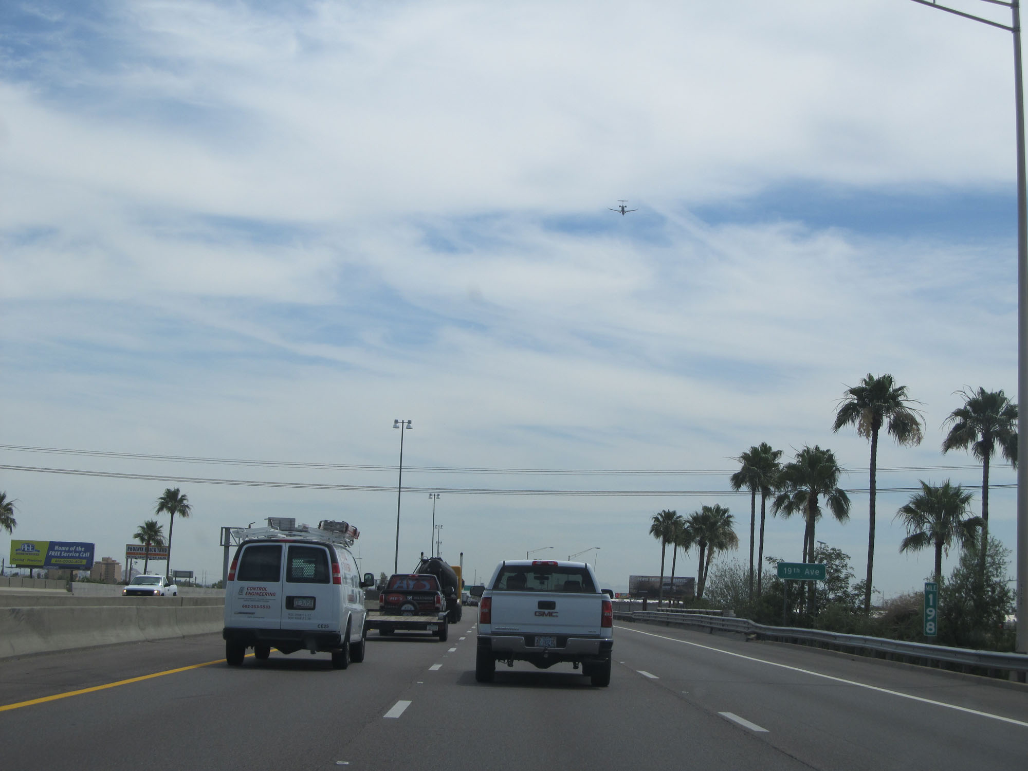 |
Interstate 17 South at mile marker 198. (Photo taken 5/20/15). |
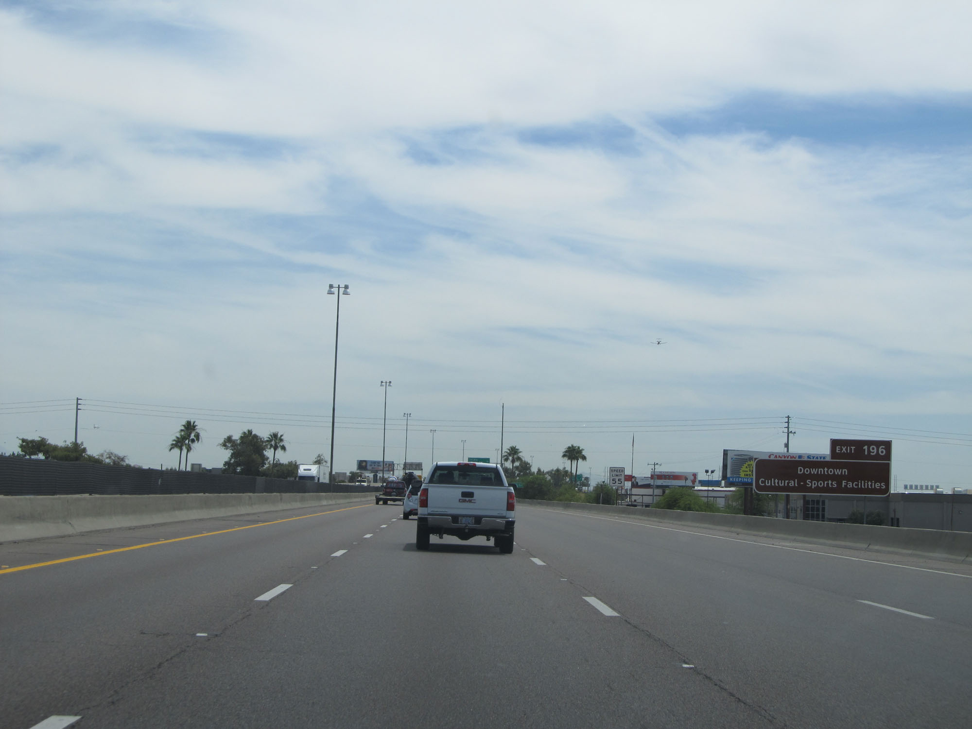 |
Take Exit 196 to Downtown and the Cultural/Sports Facilities. (Photo taken 5/20/15). |
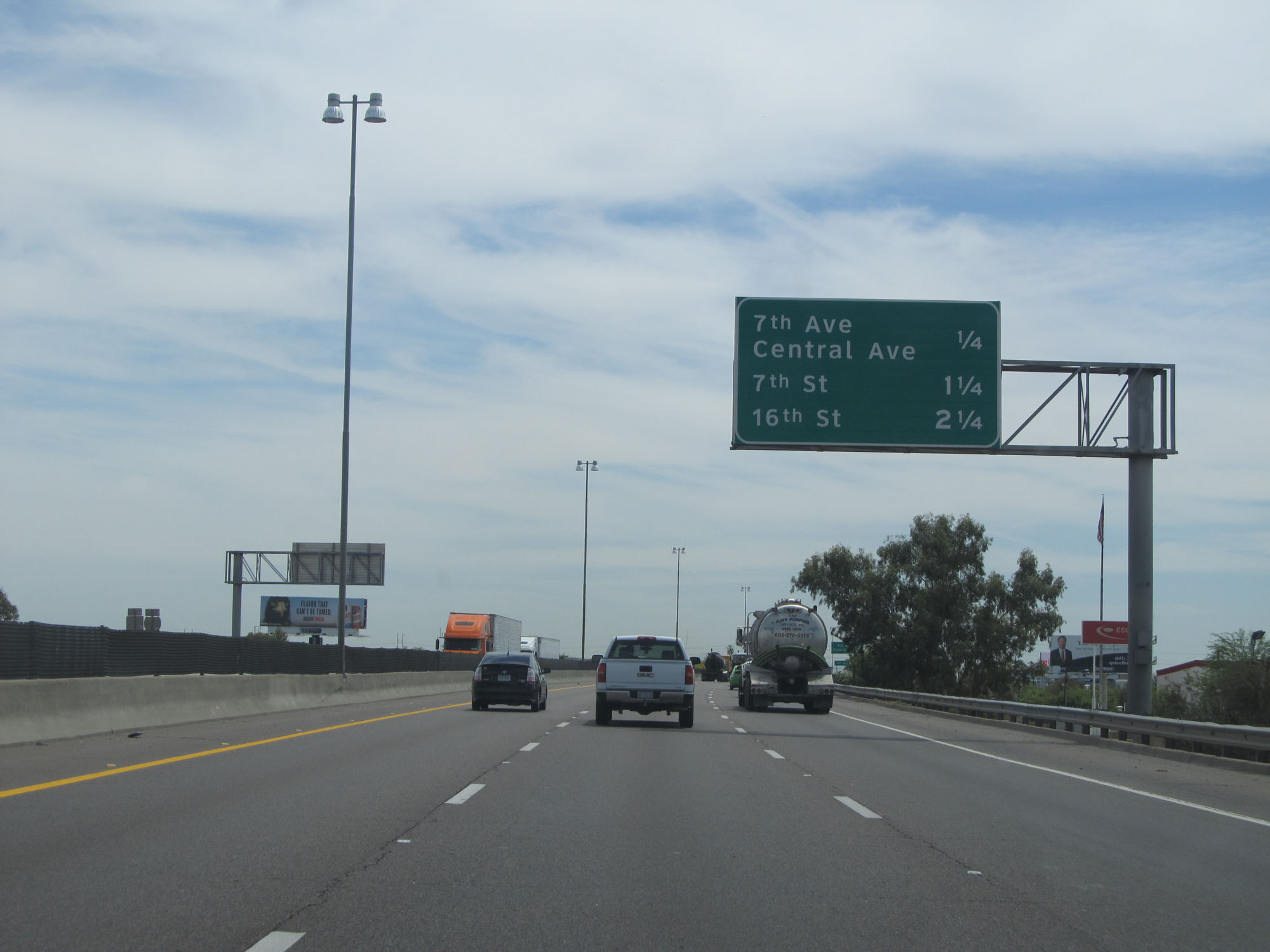 |
Overhead mileage sign listing the distances to the three upcoming exits. (Photo taken 5/20/15). |
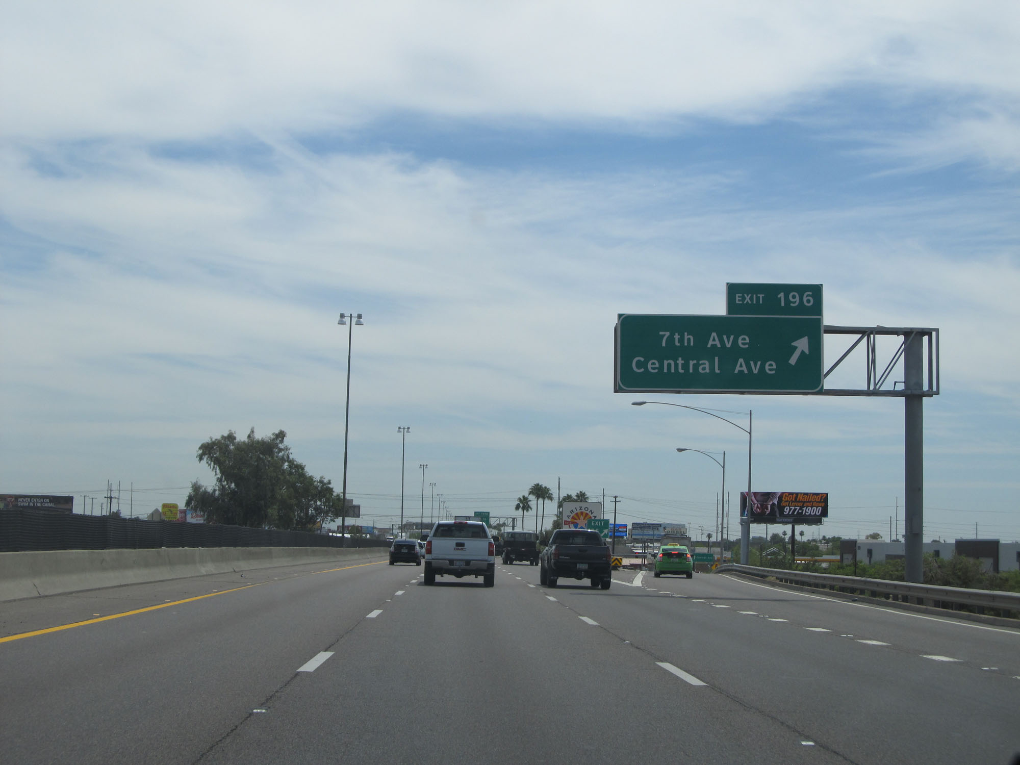 |
Interstate 17 South at Exit 196: 7th Ave / Central Ave (Photo taken 5/20/15). |
 |
Interstate 17 South / US 60 West reassurance markers. (Photo taken 5/20/15). |
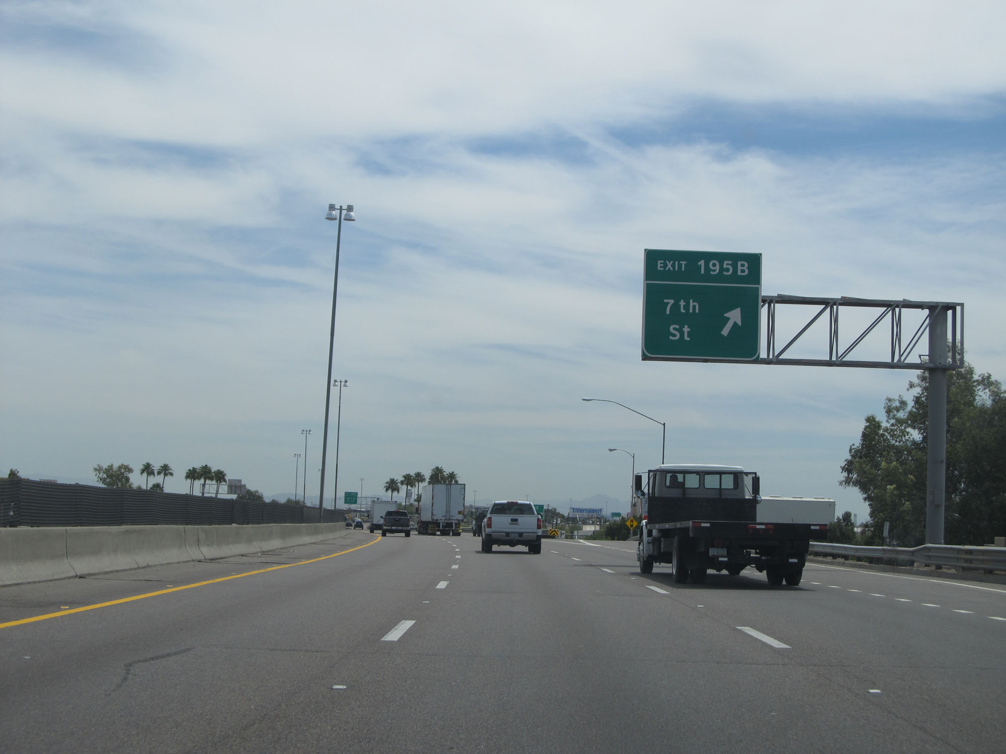 |
Interstate 17 South at Exit 195B: 7th St (Photo taken 5/20/15). |
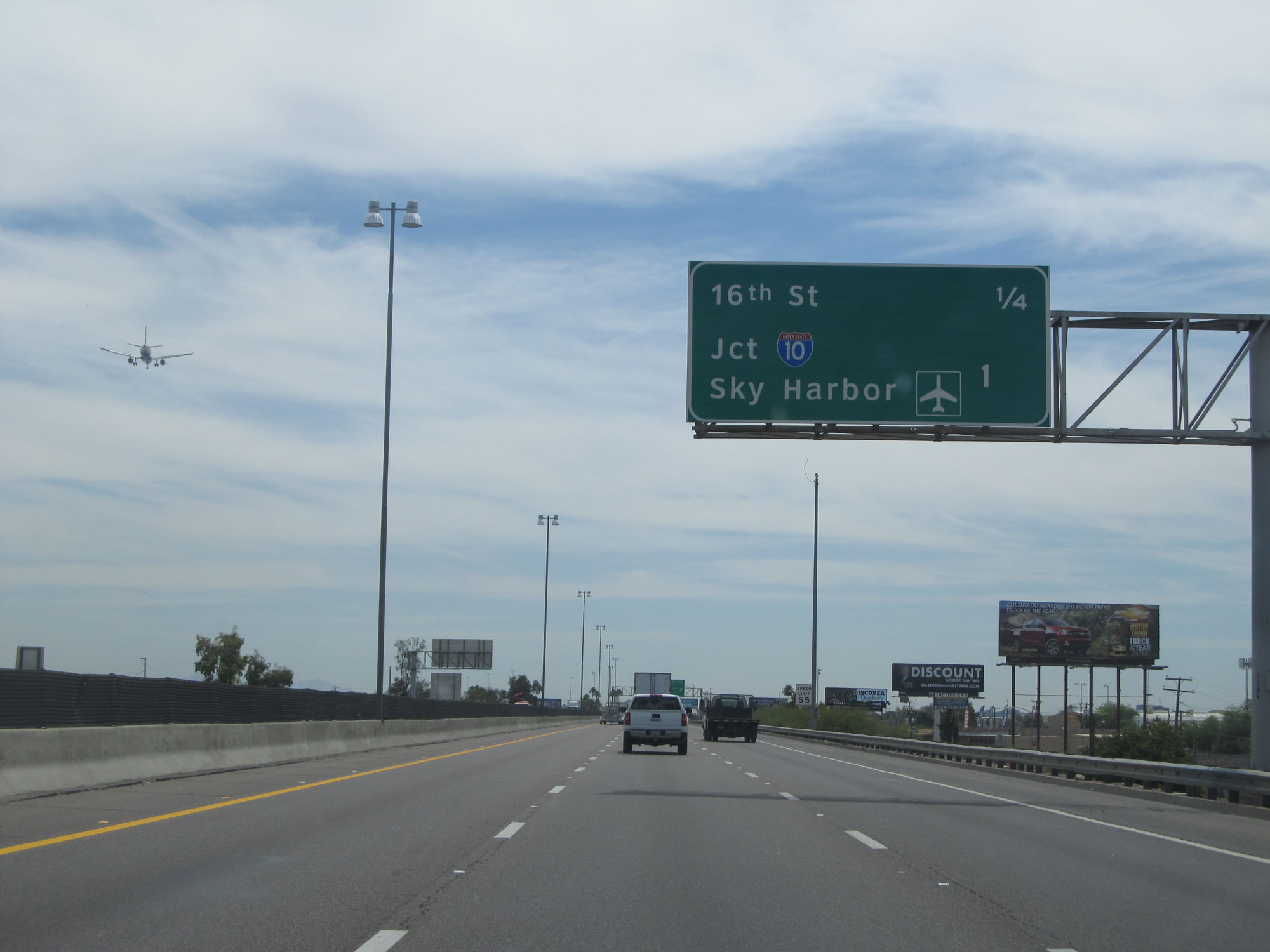 |
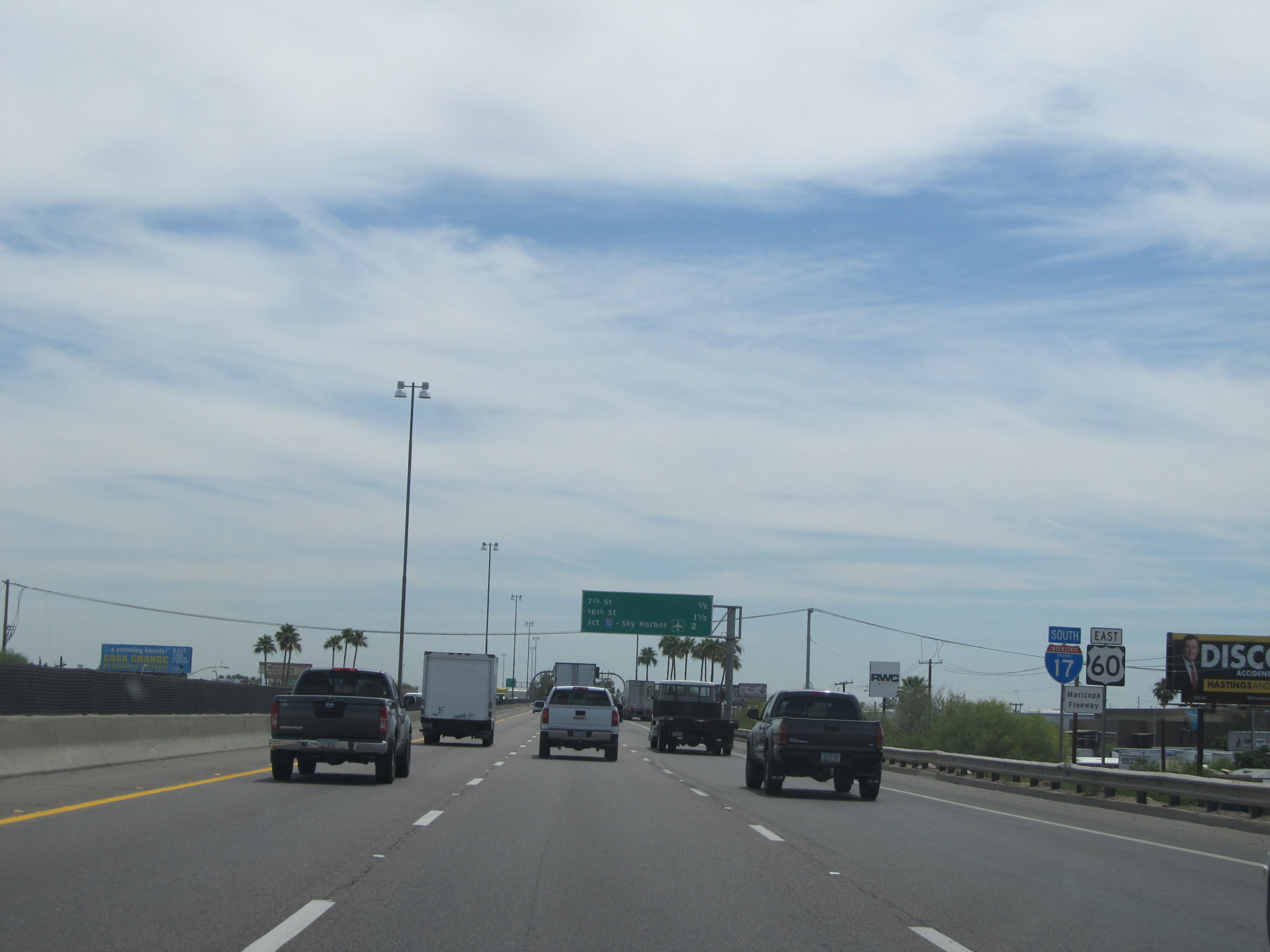
As this overhead mileage sign indicates, we are now 1 mile from the junction of Interstate 10, which is the southern terminus of Interstate 17. (Photo taken 5/20/15). |
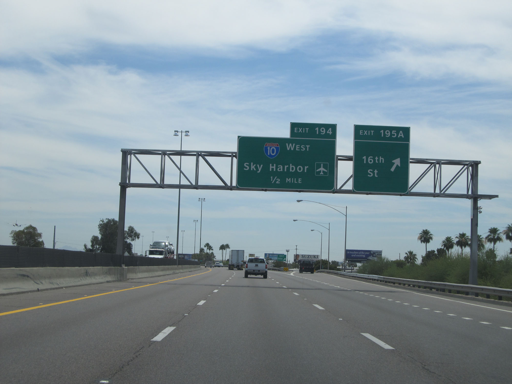 |
Interstate 17 South at Exit 195A: 16th St (Photo taken 5/20/15). |
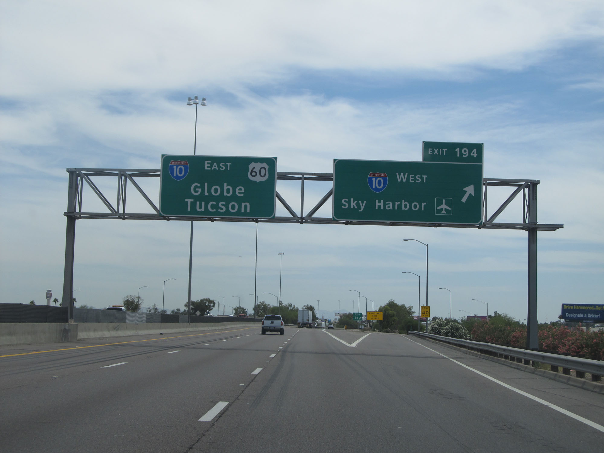 |
Interstate 17 South at Exit 194: Interstate 10 West - Sky Harbor International Airport (Photo taken 5/20/15). |
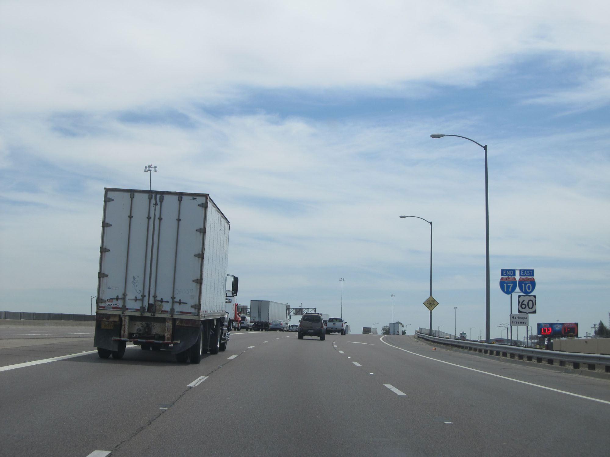 |
Interstate 17 END shield as its southbound lanes transition into an on ramp to Interstate 10 Eastbound. (Photo taken 5/20/15). |